Category Archives: Hanna Travels

2017 Aug 30 – Pagosa Springs,CO (Chimney Rock)

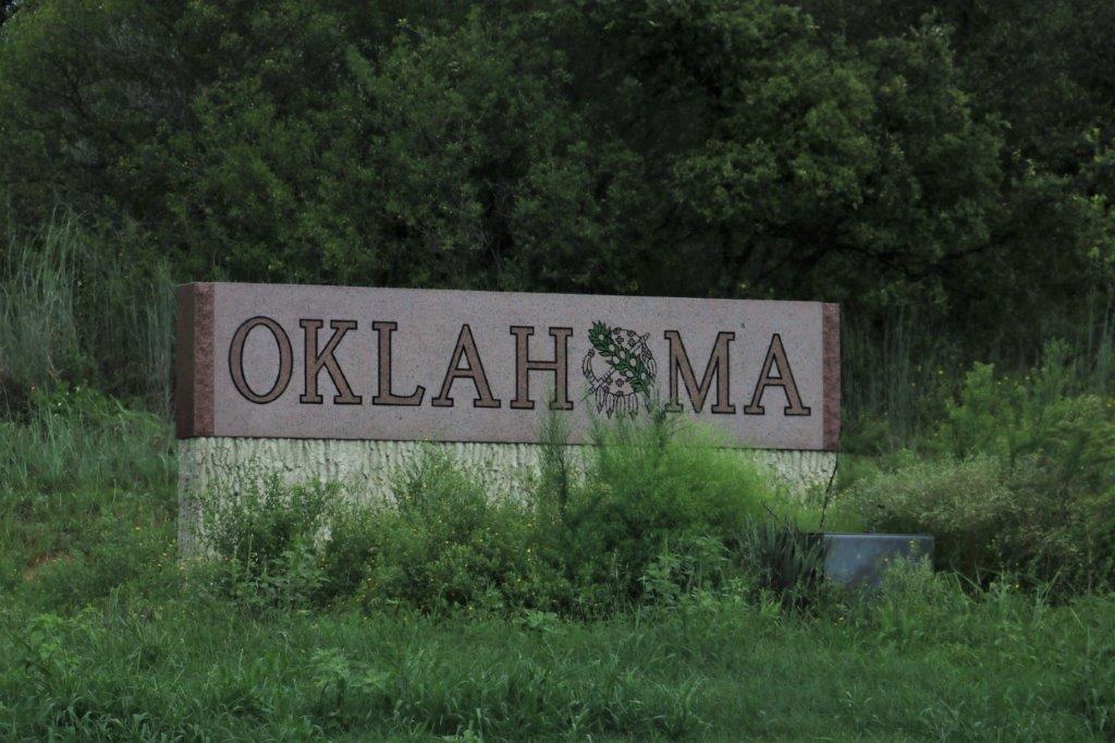
Yesterday was a stitch day.  Today is a placard day, and, well, a stitch day too.  WARNING: long blog.

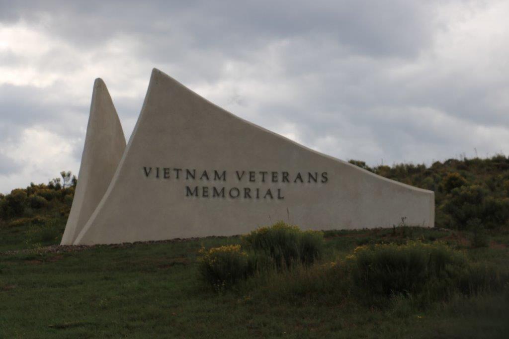
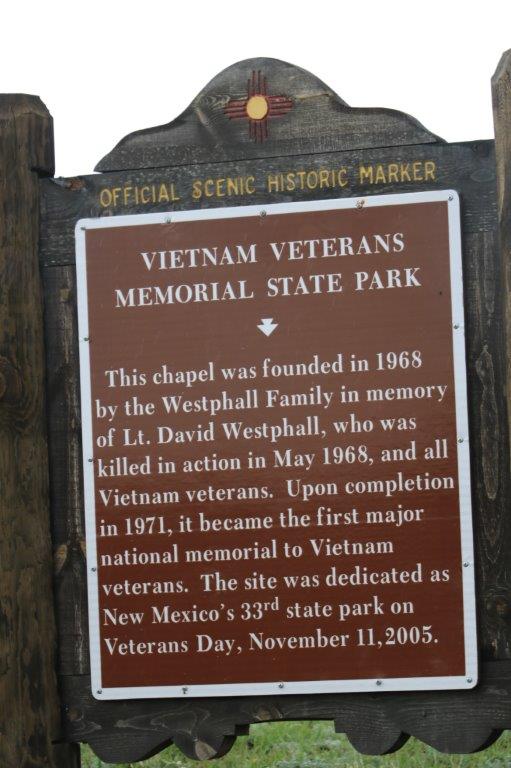
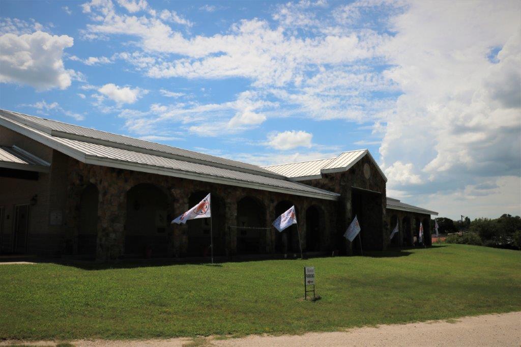
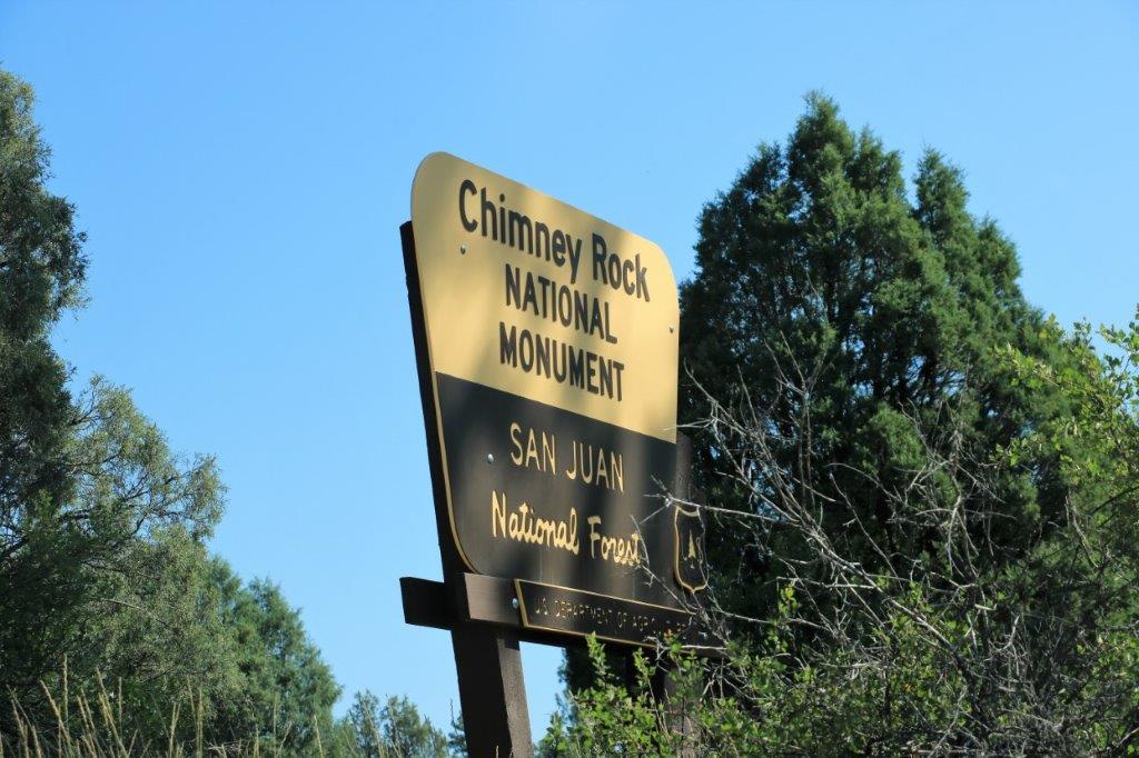
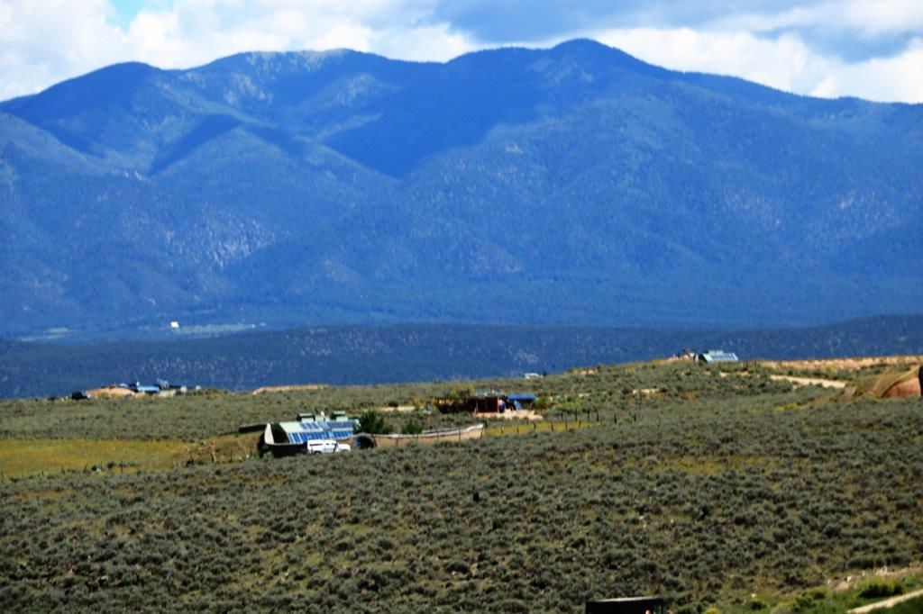
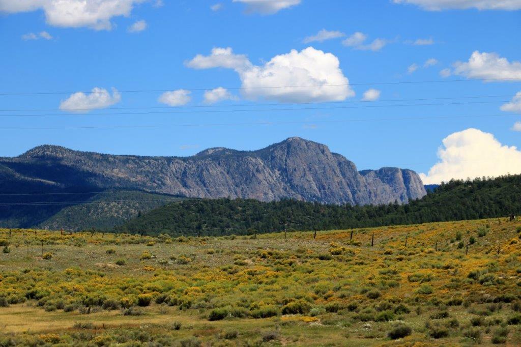
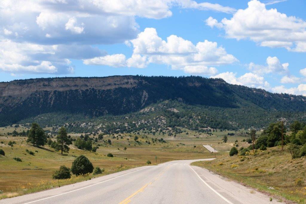
We left the condo at 10 to 10 to give us plenty of time to drive to Chimney Rock National Monument in time for the 11 am tour.  There are no park fees to enter the monument and wander around; but neither of the ancient ruins are visible from the road and access to the Great Kiva and the Pueblo House are by paid tour only.  Tours leave at 10, 11 and 1 each day and are guided by a US Forest Service Ranger.

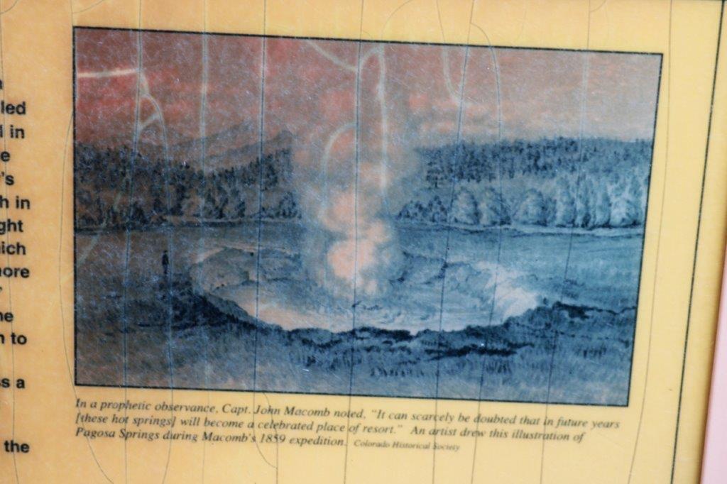
Chimney Rock became a National Monument in 2012 by Presidential decree of former president Barrack Obama.  The area is very significant to the Pueblo and Hopi people; who still hold rituals and events to this day.

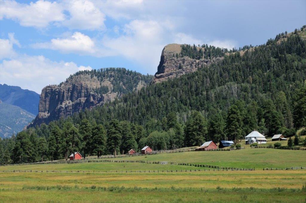
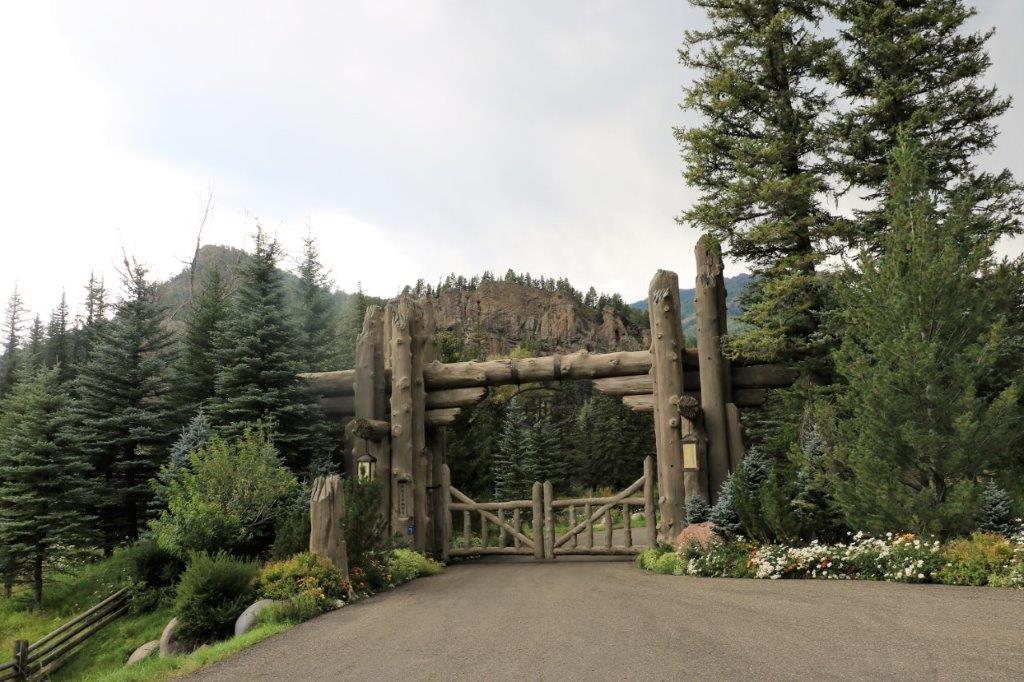
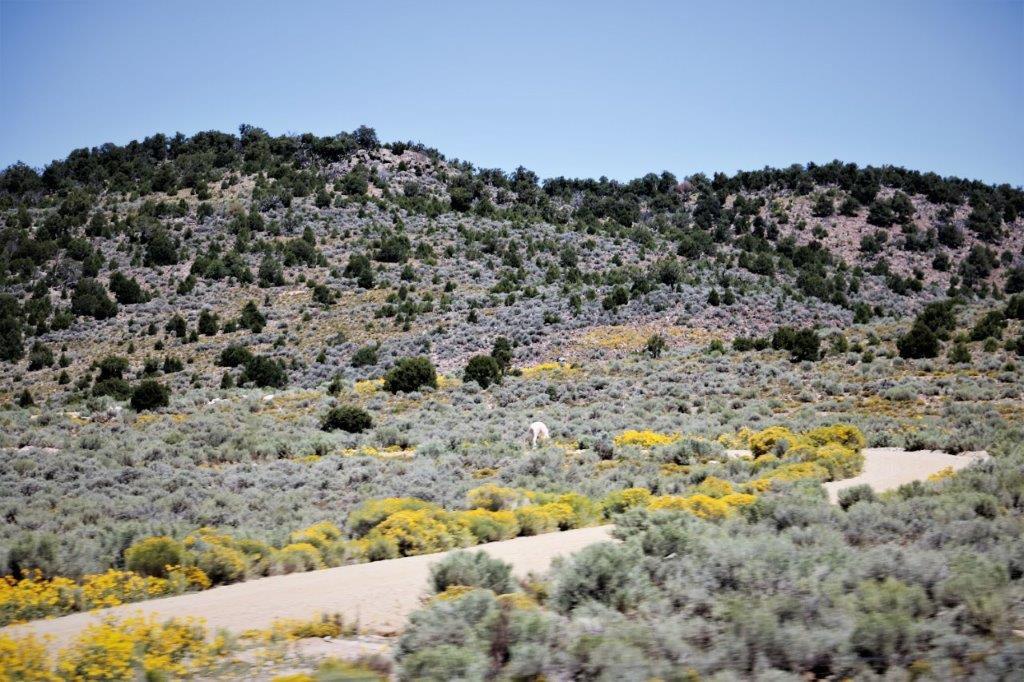
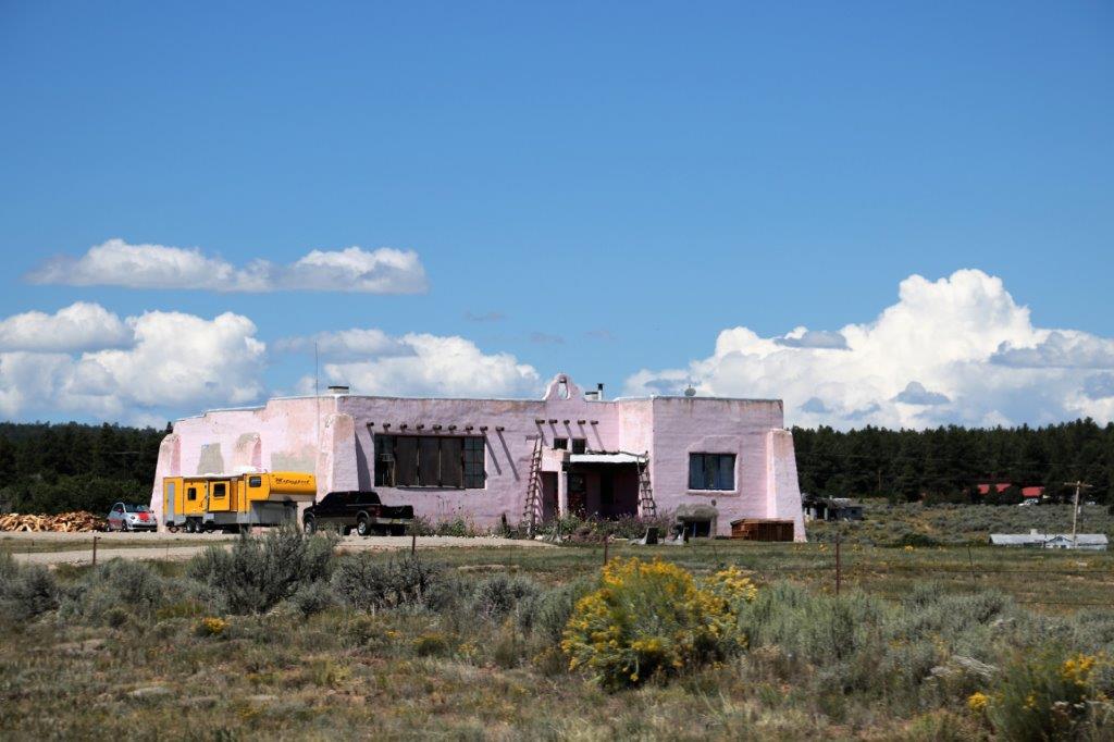
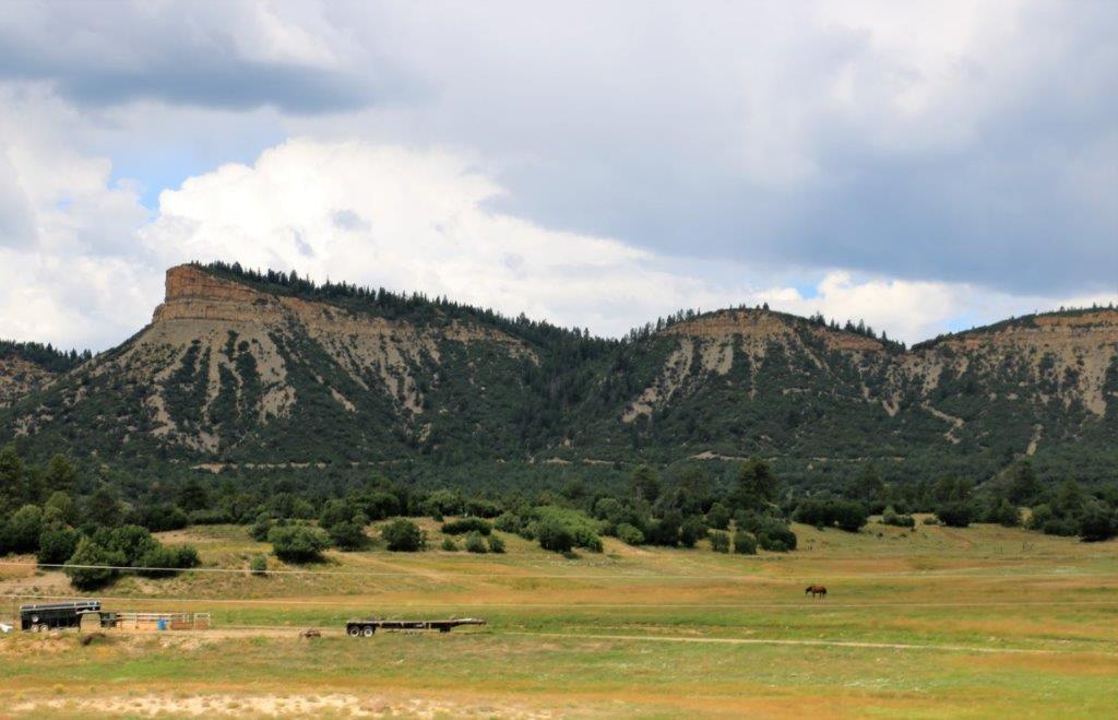
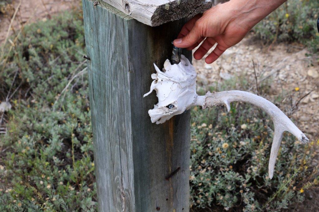
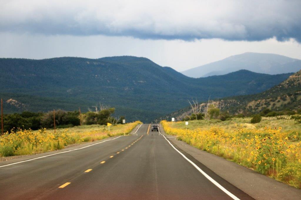
On the drive to Chimney Rock we passed another really nice ranch gate. 
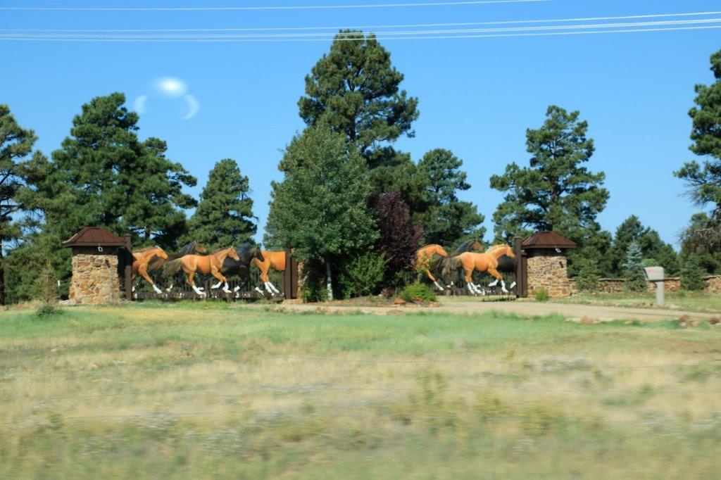
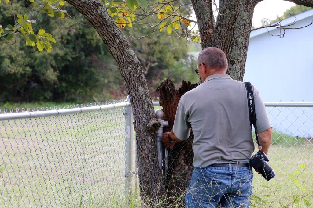
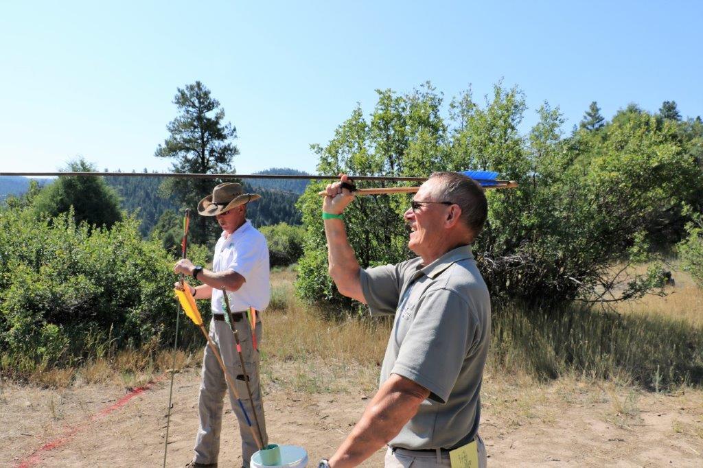
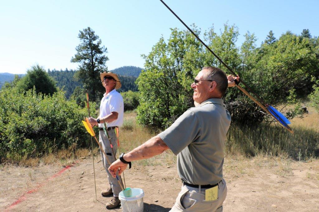
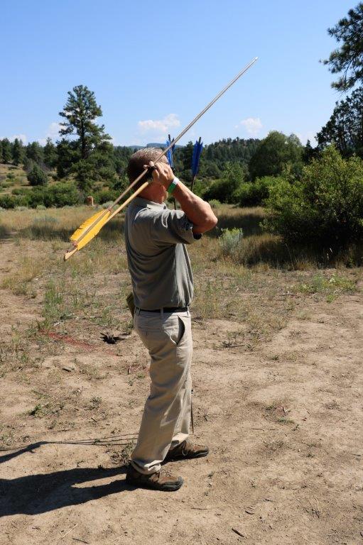
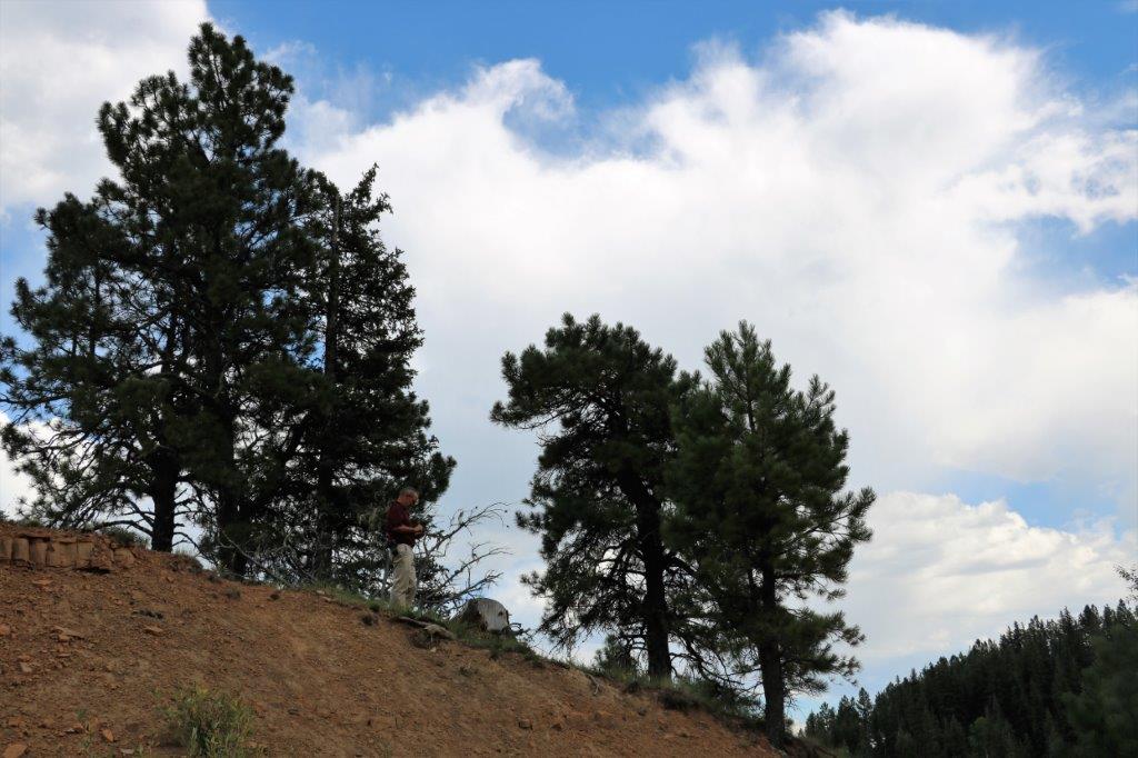
While we waited for our tour to start Stuart, one of the Park Rangers, showed John how to use an Atlatl, an ancient throwing device that greatly accelerated the speed and power of a thrown spear.  When the Spanish arrived in the area the Indians could pierce their armour with a spear using an atlatl. 
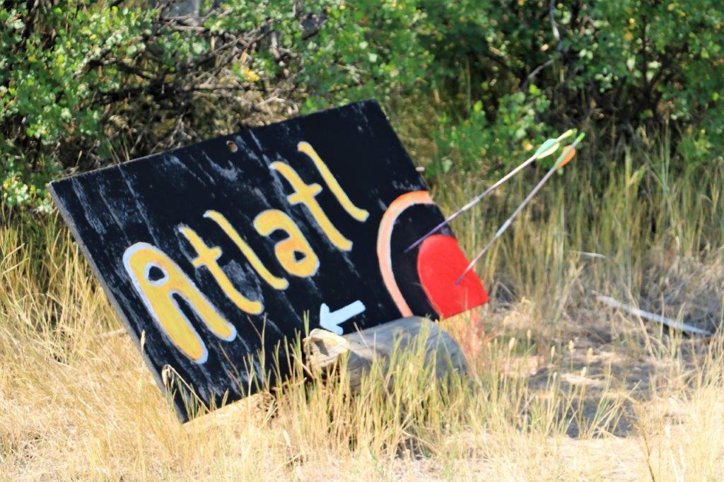
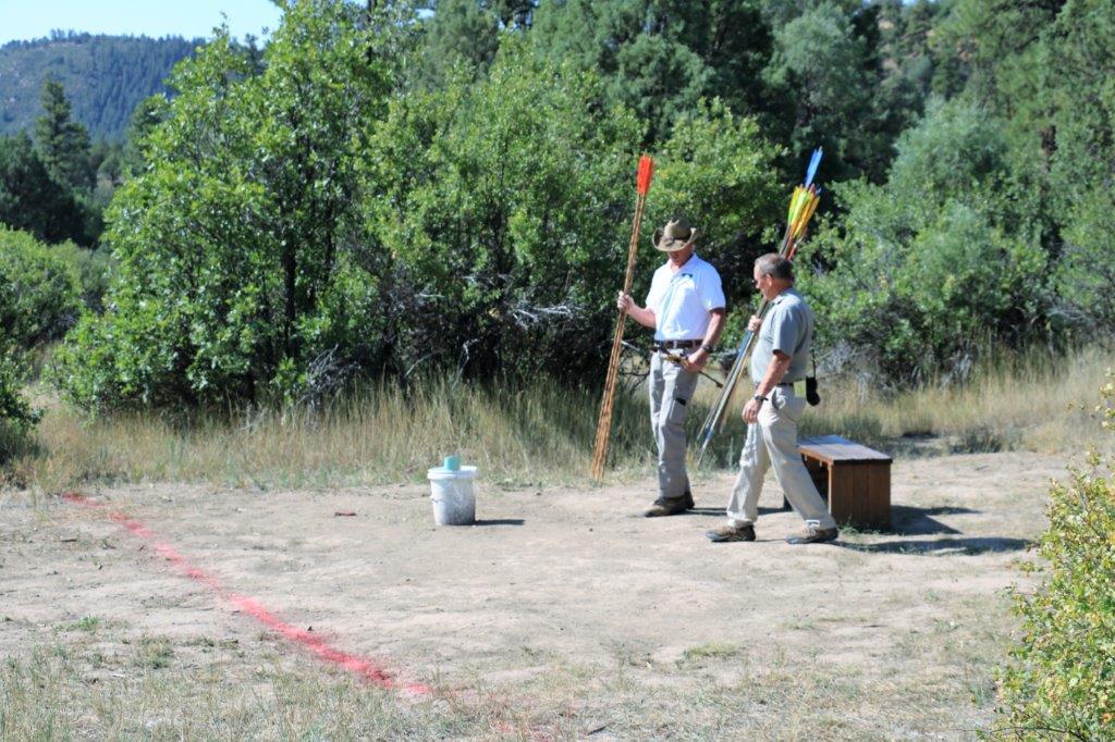
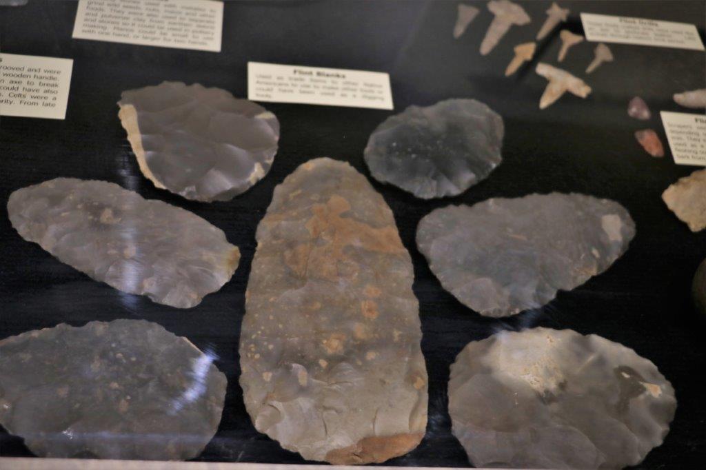
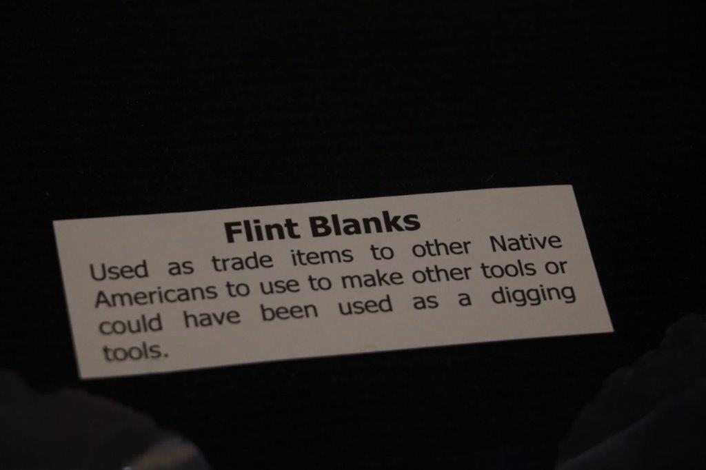
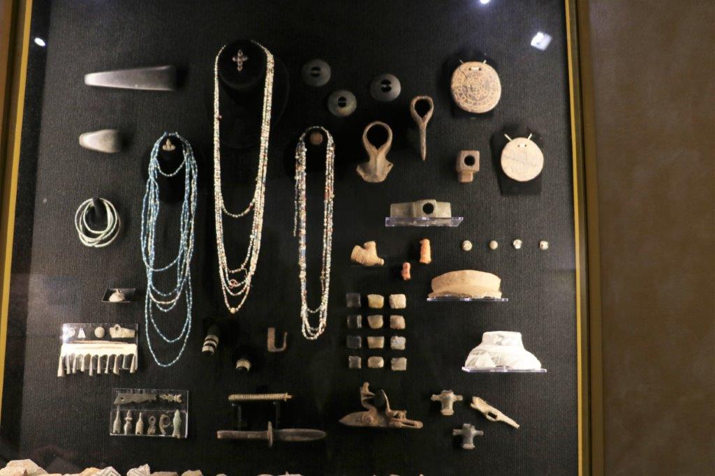
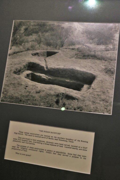
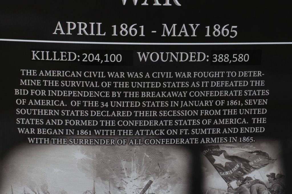
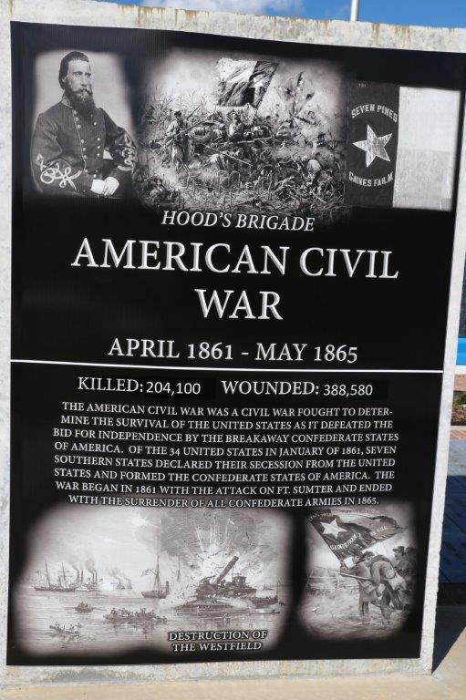
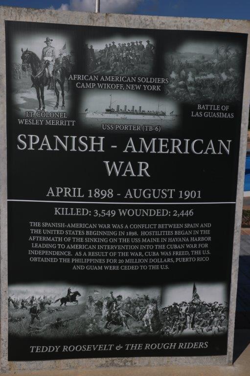
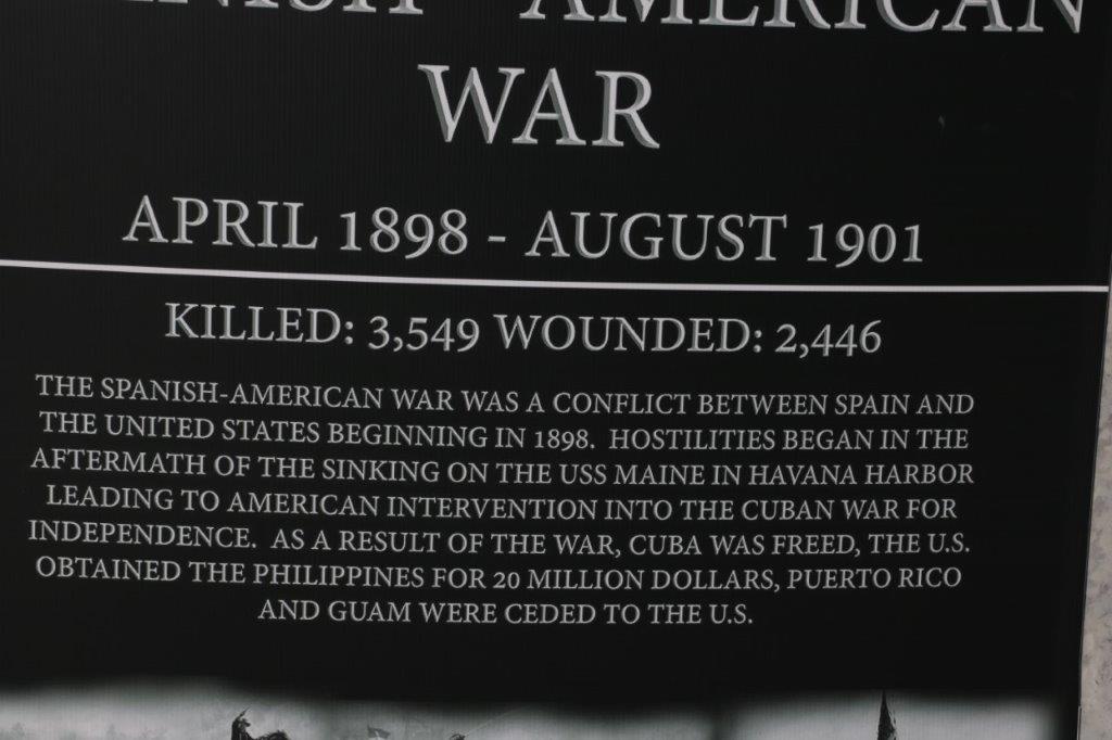
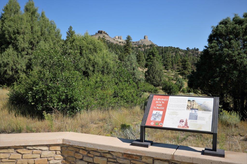
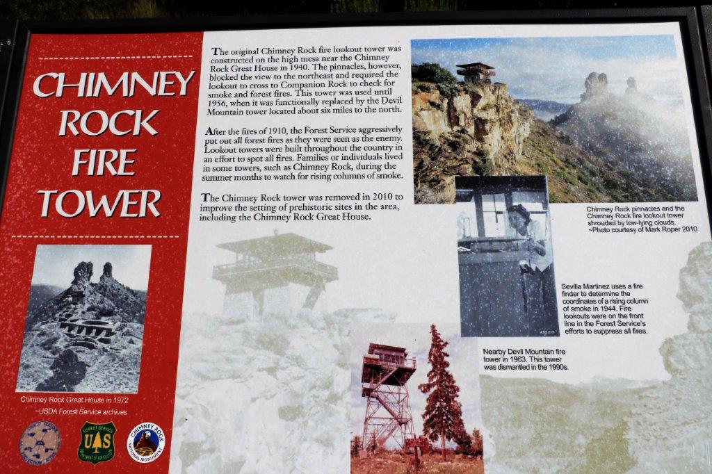
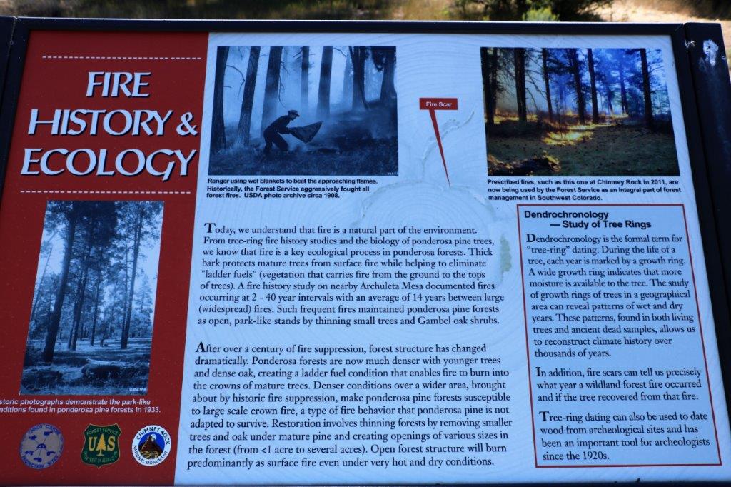
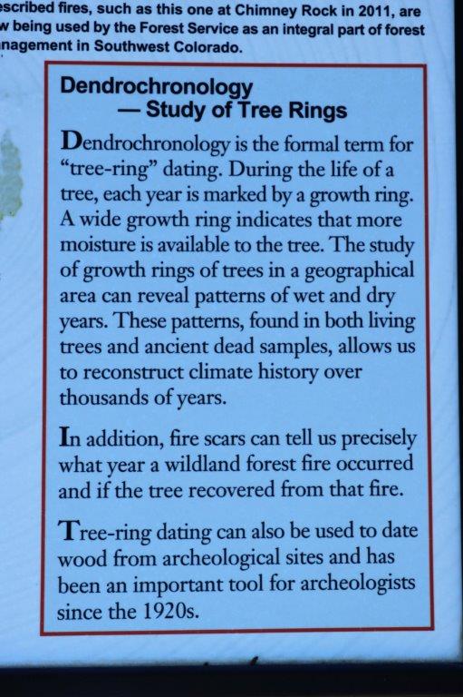
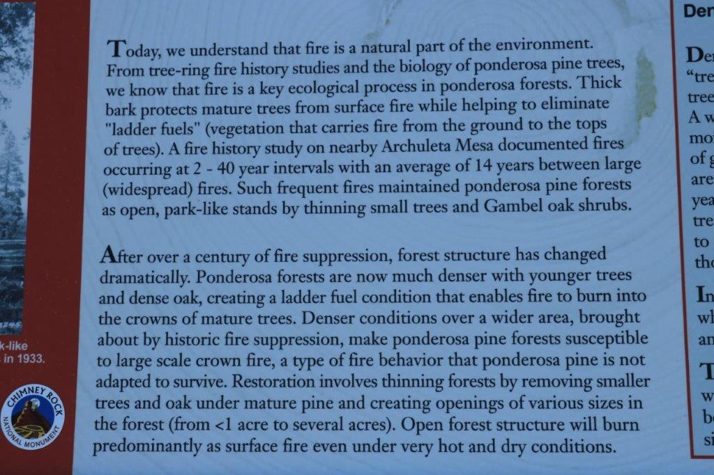
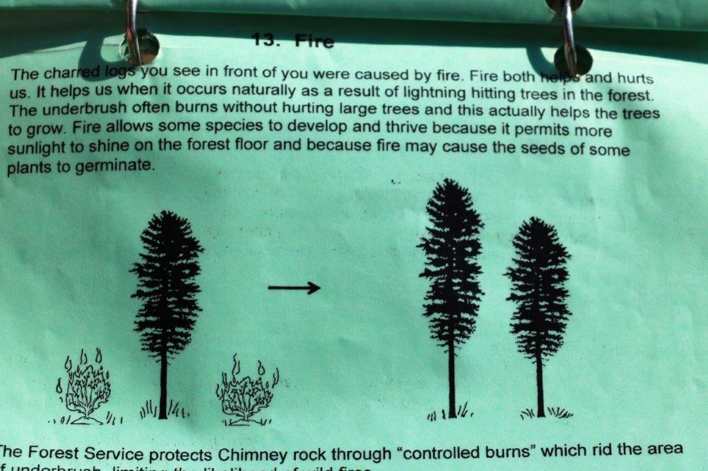
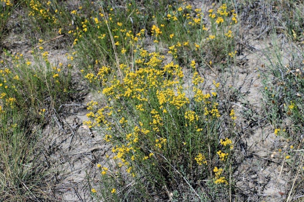
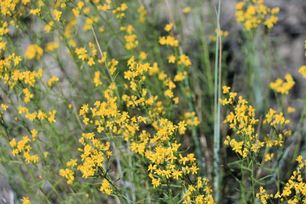
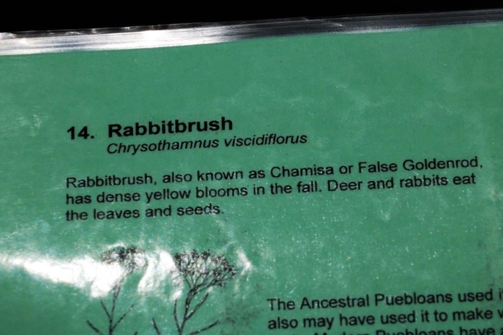
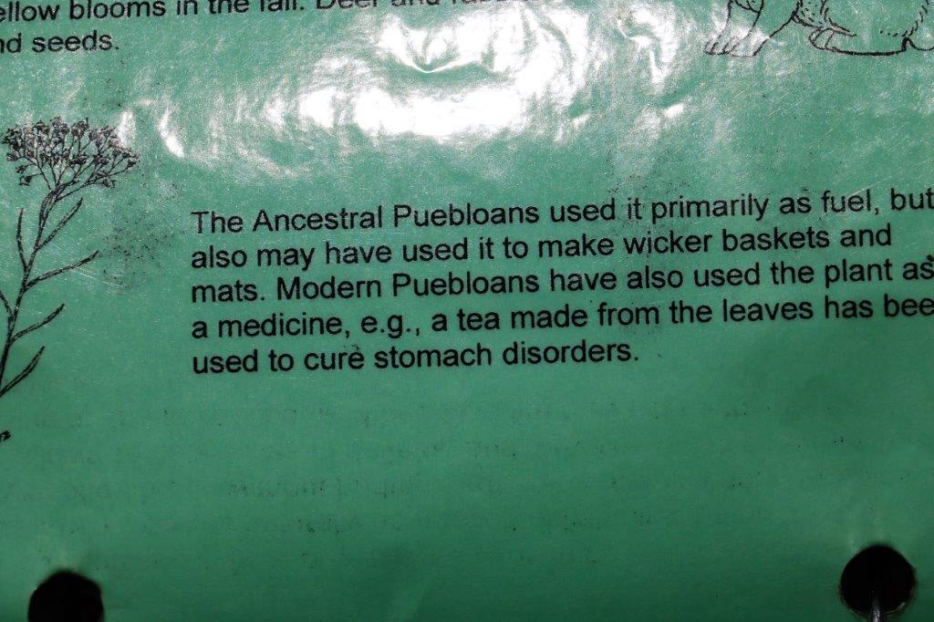
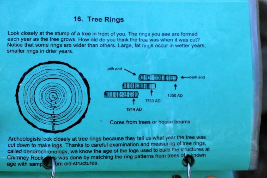
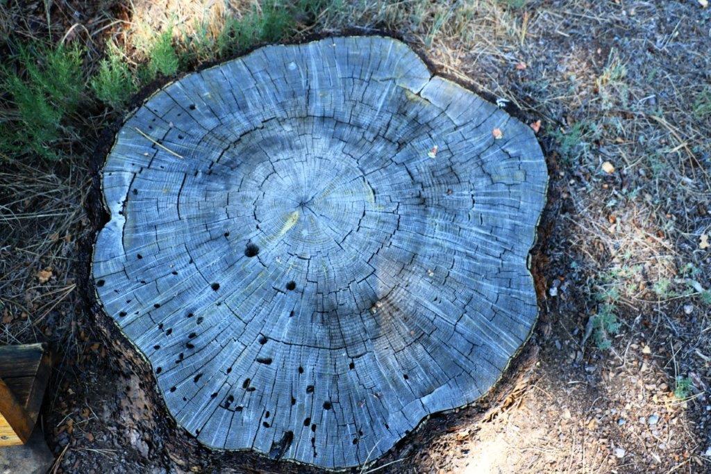
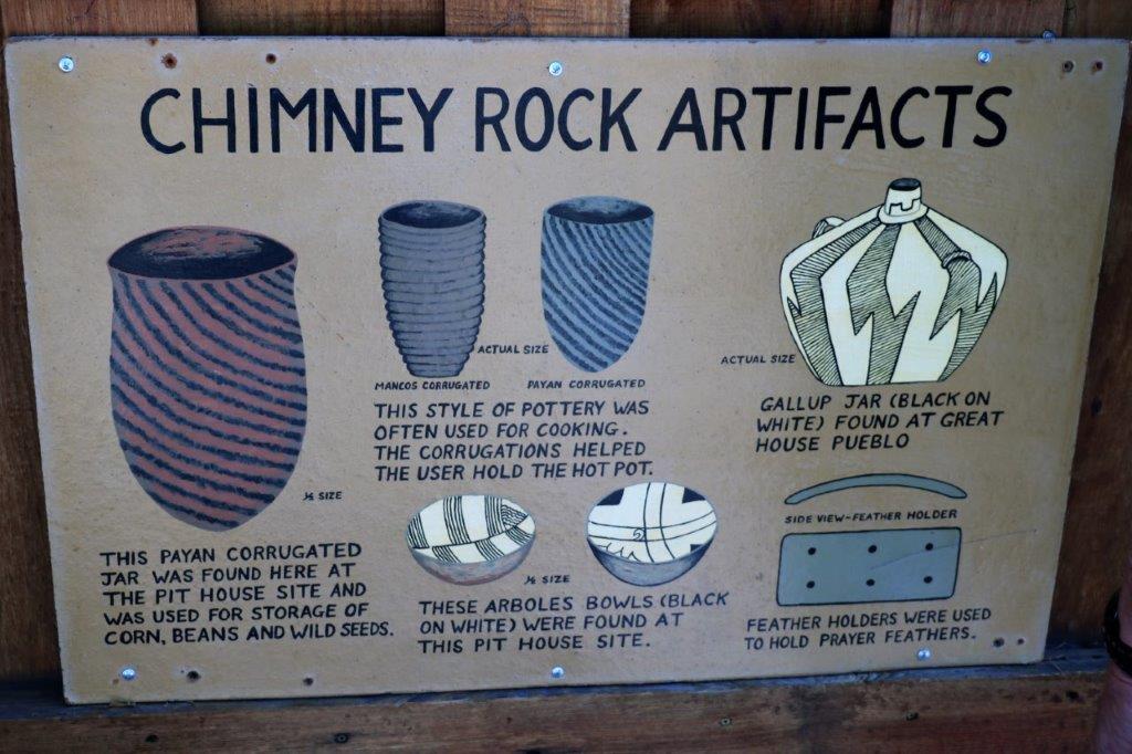
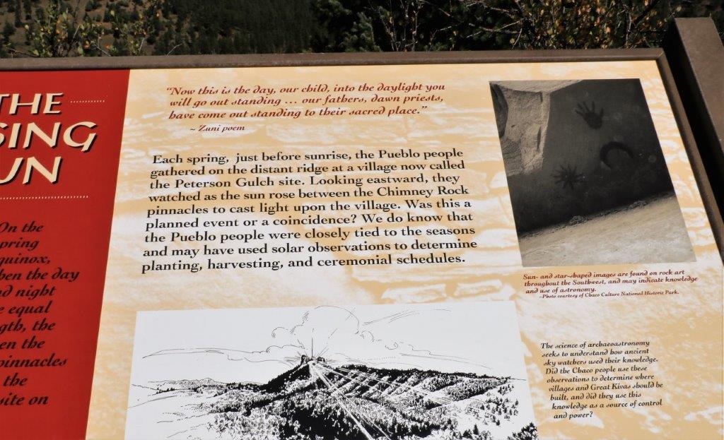
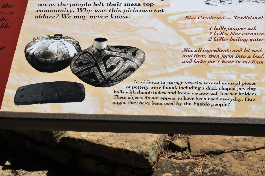
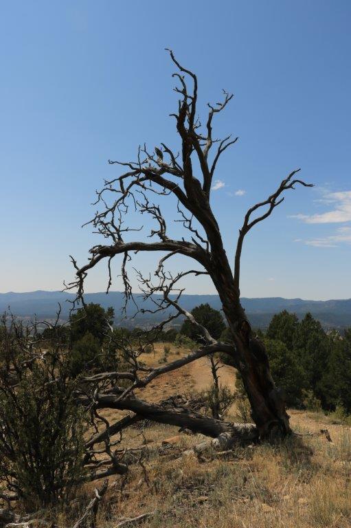
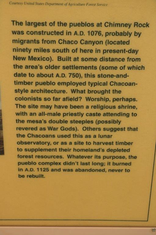
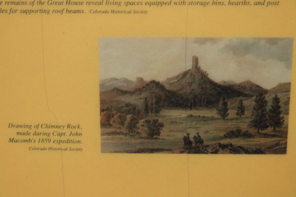
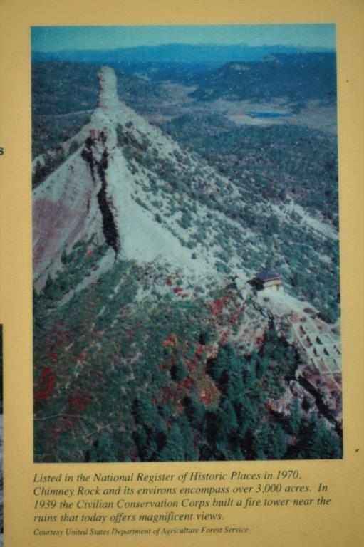
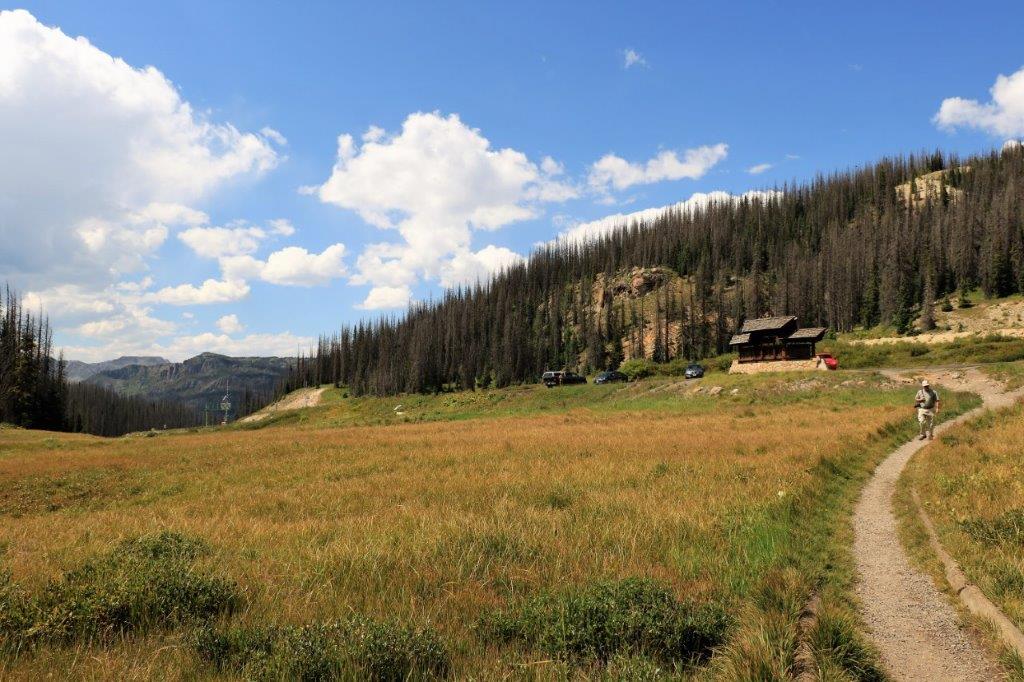
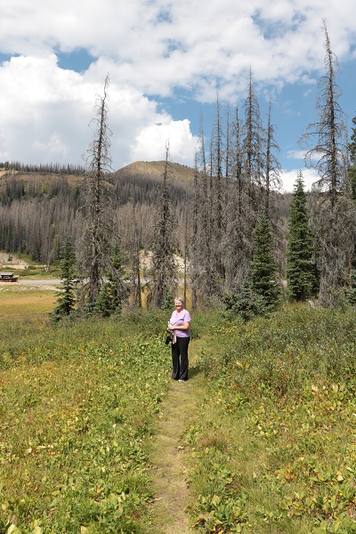
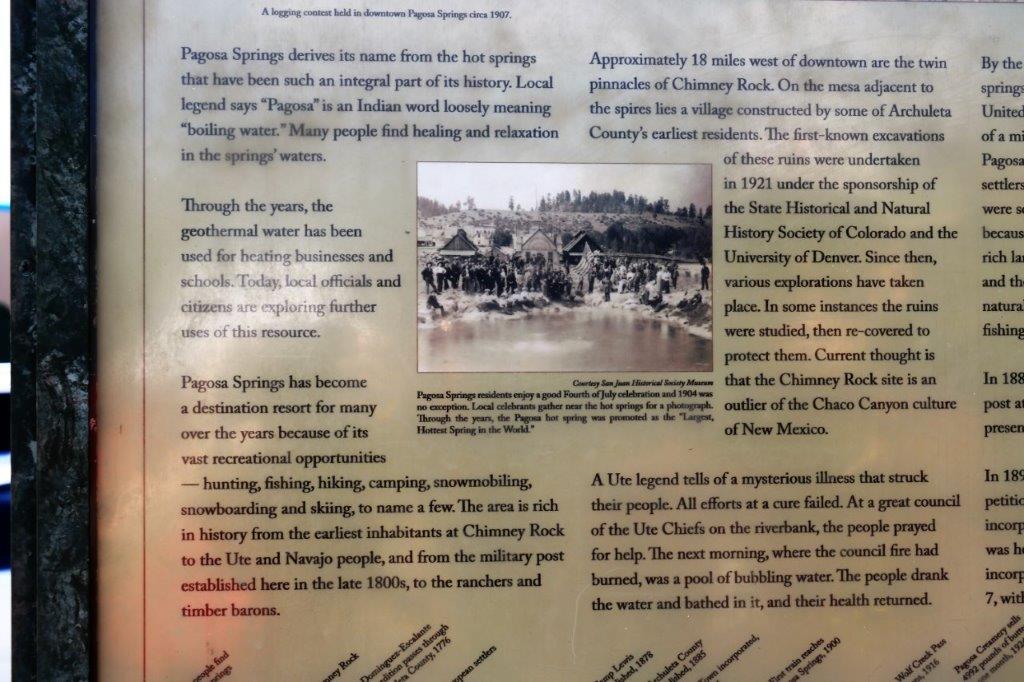
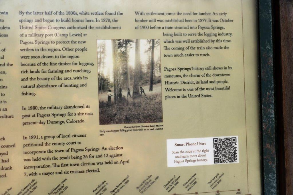
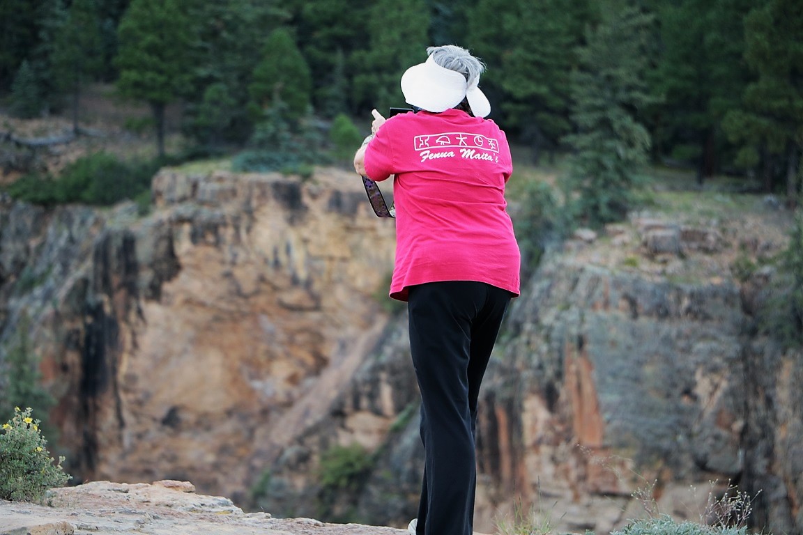
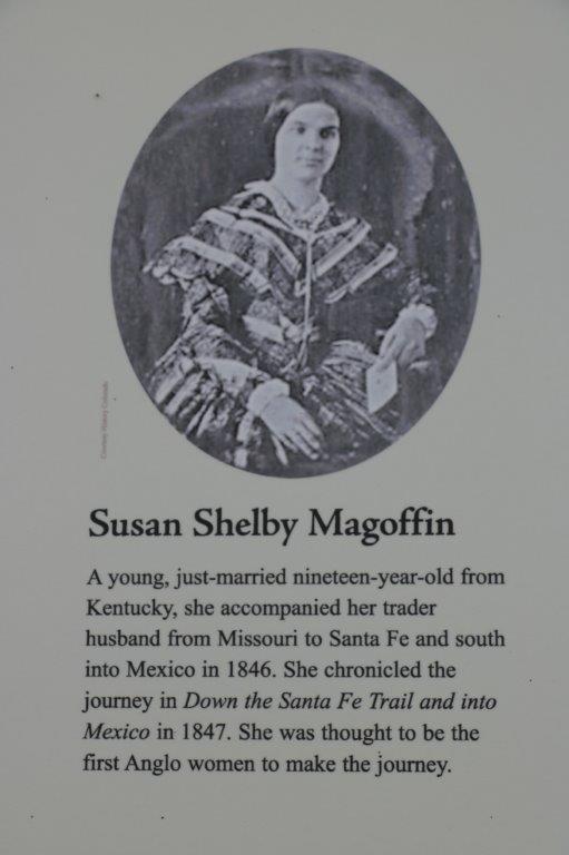
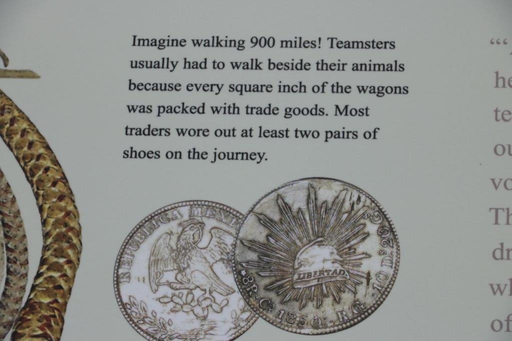
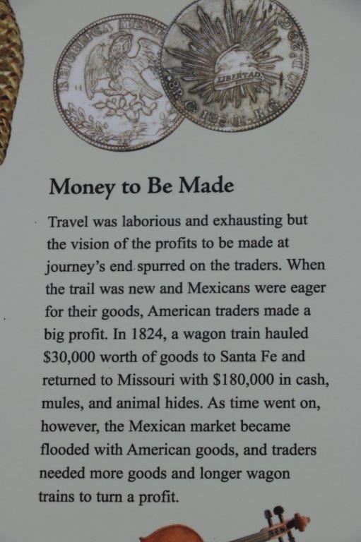
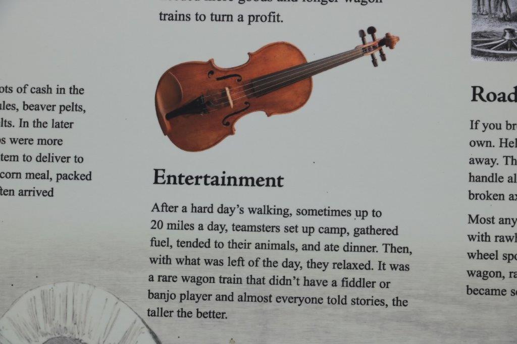
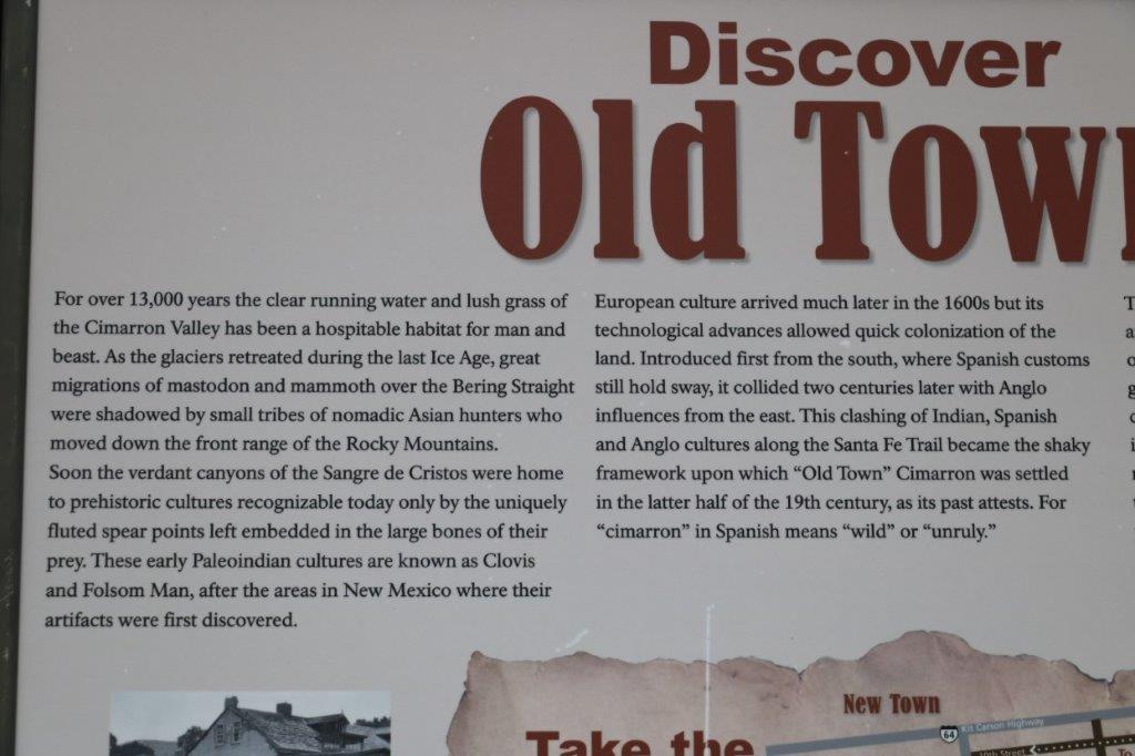
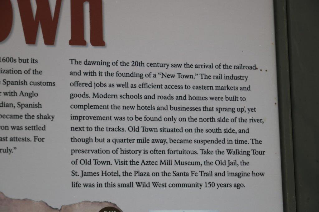
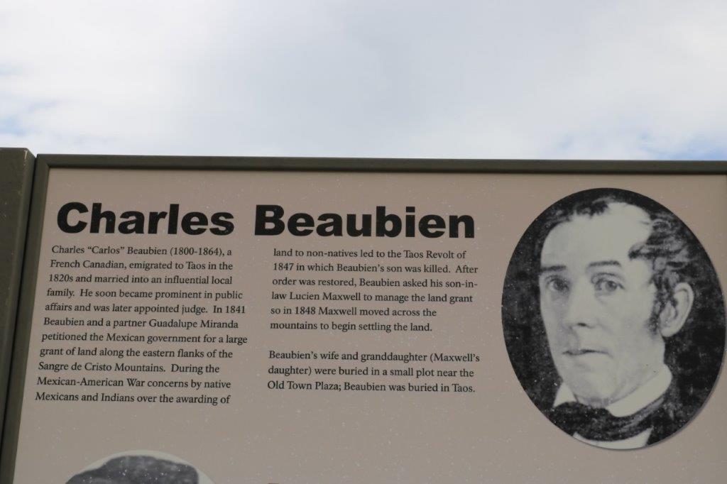
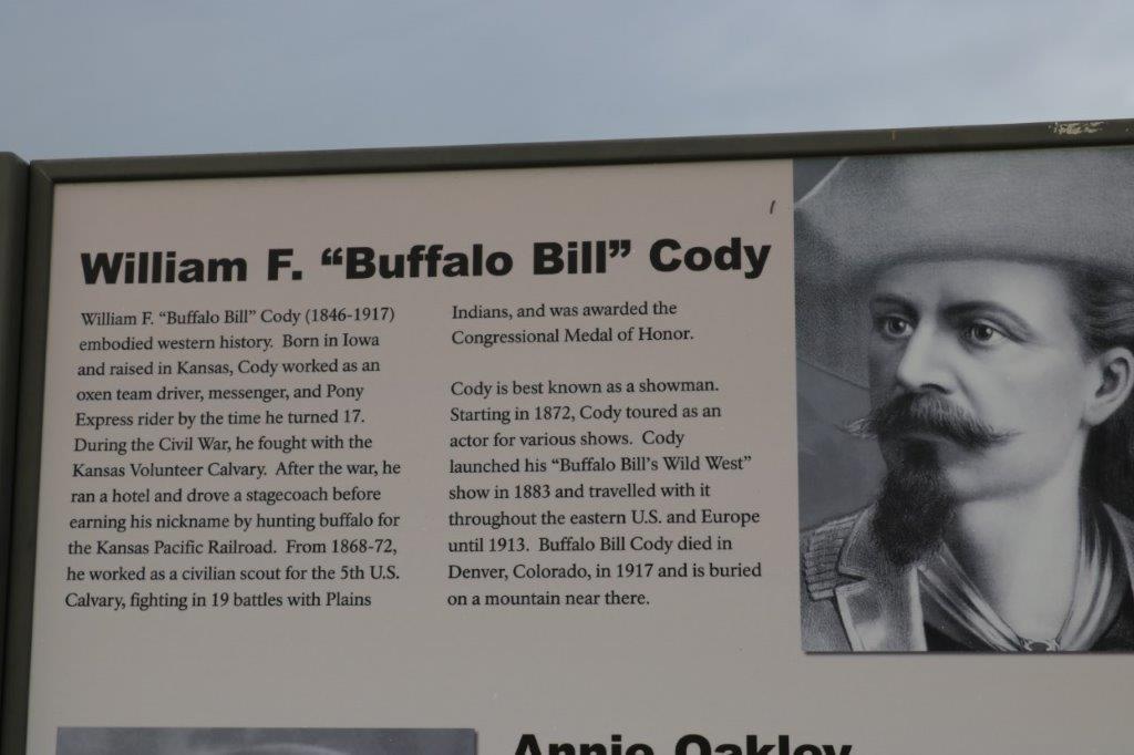
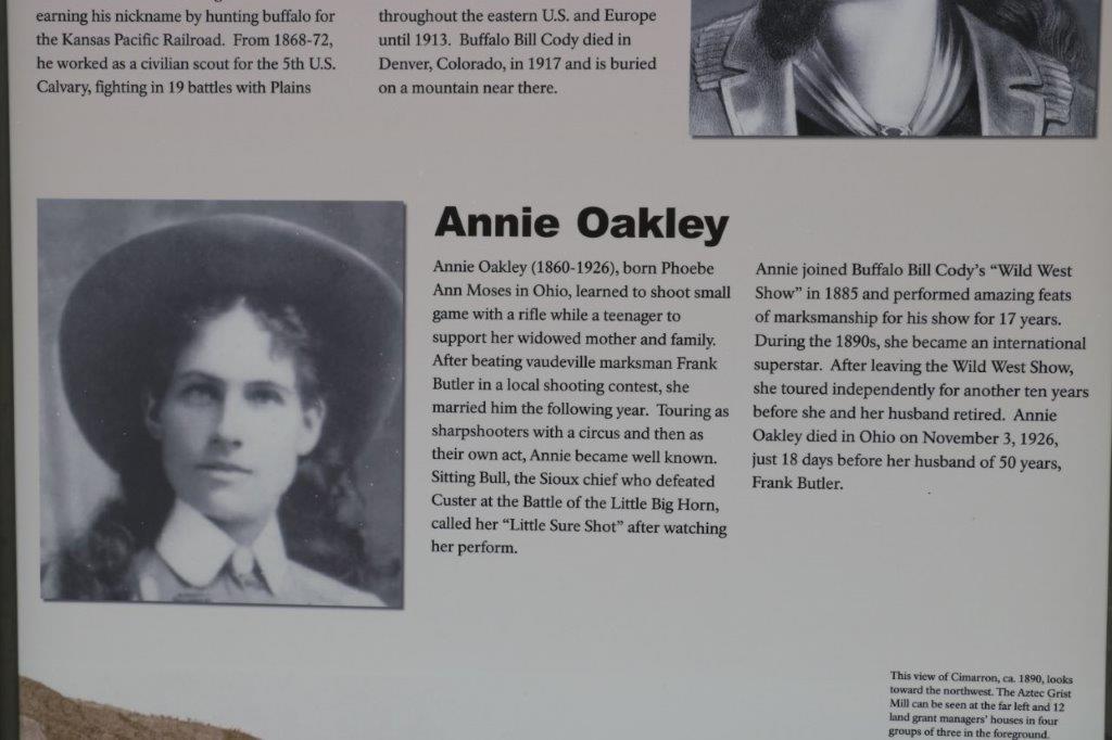
While John practiced his spear throwing I wandered the quarter-mile nature trail.  I took photos of several of the pages of information (and, as you will soon see, photos of most of the information boards on our tour. That way I don’t have to remember all this interesting stuff and you don’t have to sort through tons of text as I write all that I do remember.  You can just skip the image and move on if you don’t want to read it.  Win, win.)

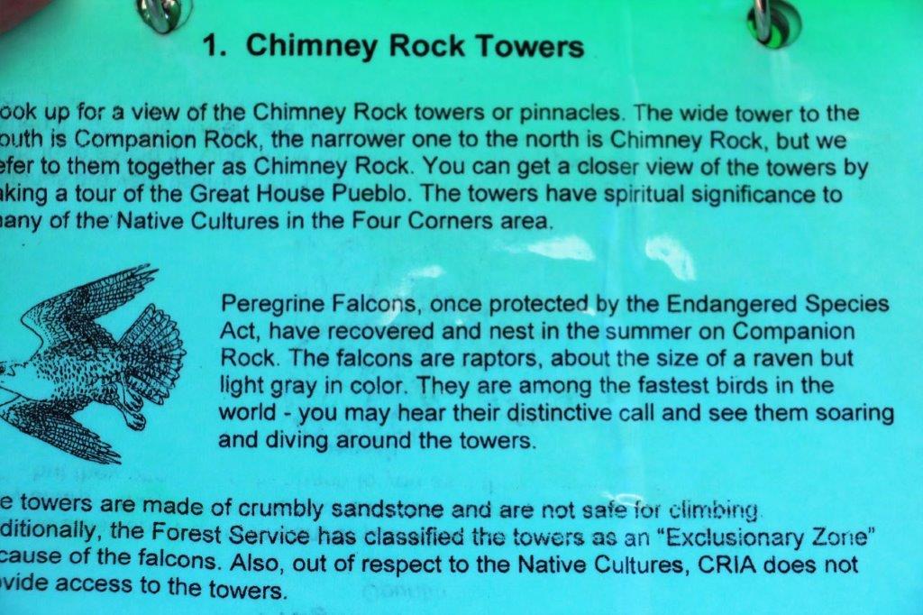
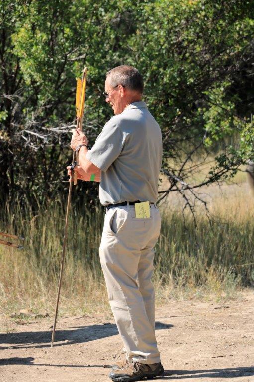
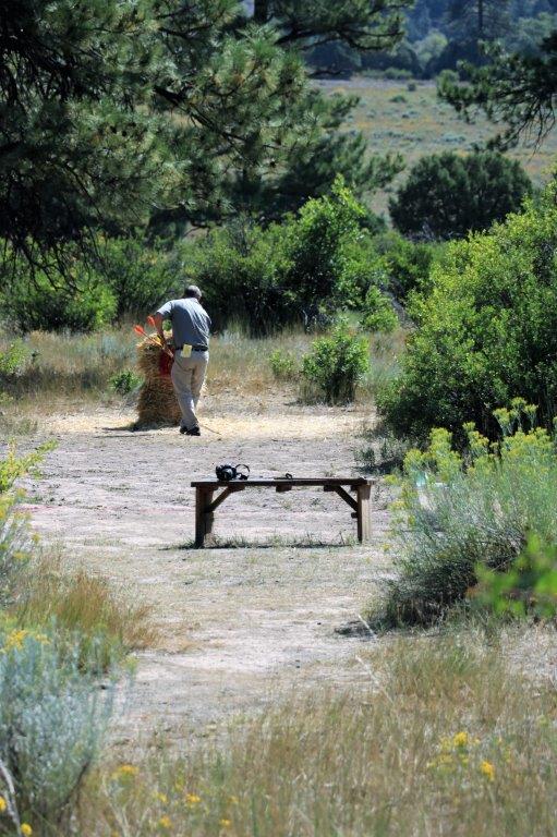
John and Stuart were still spear throwing when I was done, but John hit the straw target on his last throw.  Stuart was impressed and said he was one of the very few to do so in five years. 
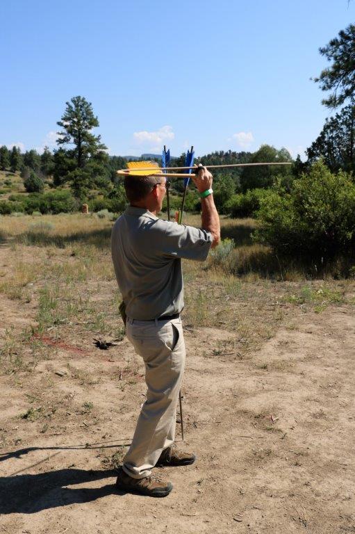
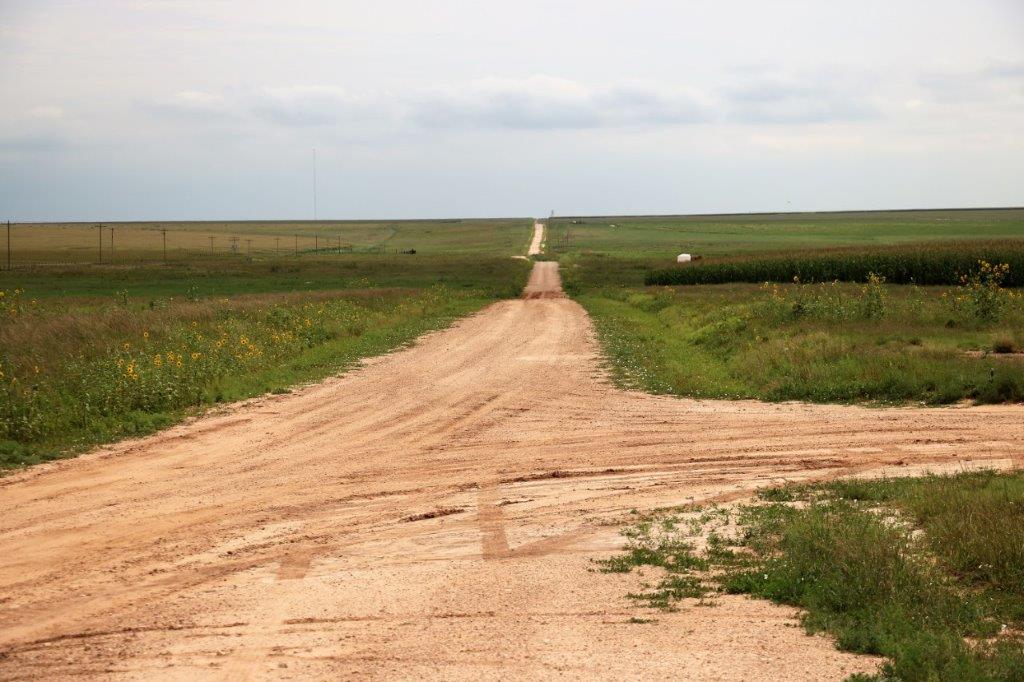
Most of the people in our group took the shuttle to the ruins.  You can also drive your own vehicle up but you must show your wrist band to indicate you are on a tour or you will be sent back down. It is three miles up a washboard gravel road.  We left Poppy at the bottom and took the shuttle.

Chimney Rock has this restricted access to the high elevation Ancient Pueblo to protect the site and to control where people wander and thereby keep them safe on the narrow, rugged, high trail.

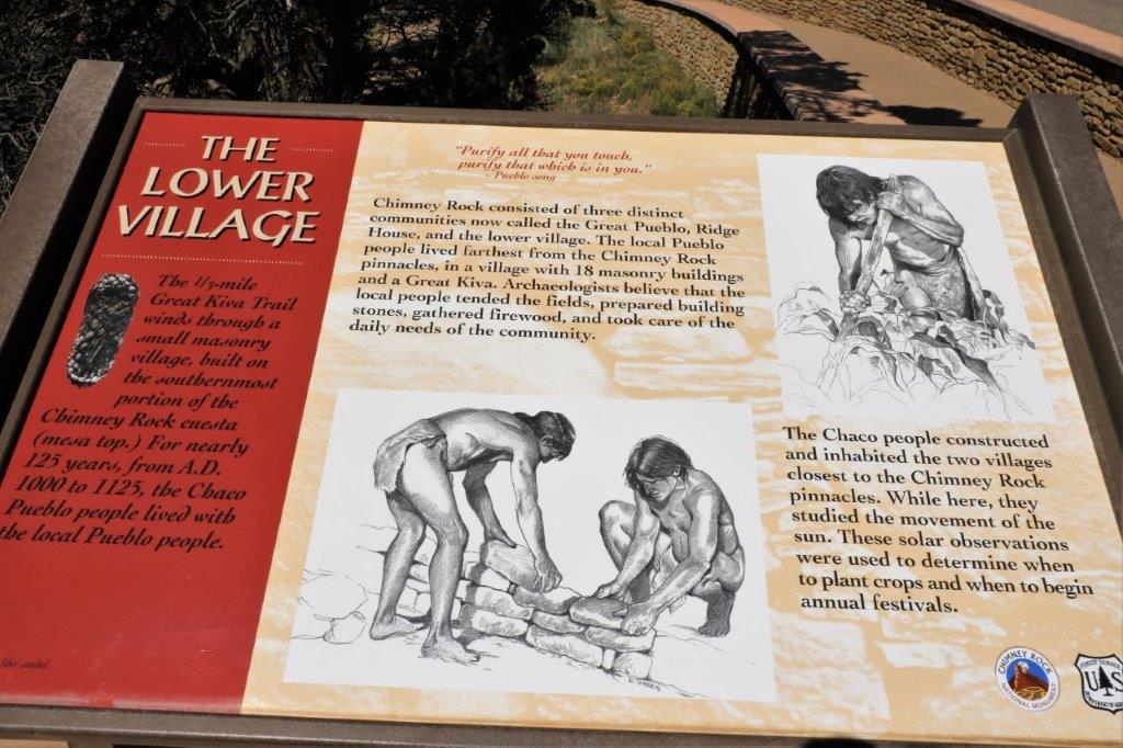
The first part of our tour was a one-half mile paved pathway to the Great Kiva .  A person can do a self-guided audio tour of this area if they choose. Our guide was Bill Wylie and he was excellent. We had several people very intrested and quite well-read on these ancient cultures so there was plenty of discussion.  Bill was very good at asking questions to get us thinking about how these people lived.

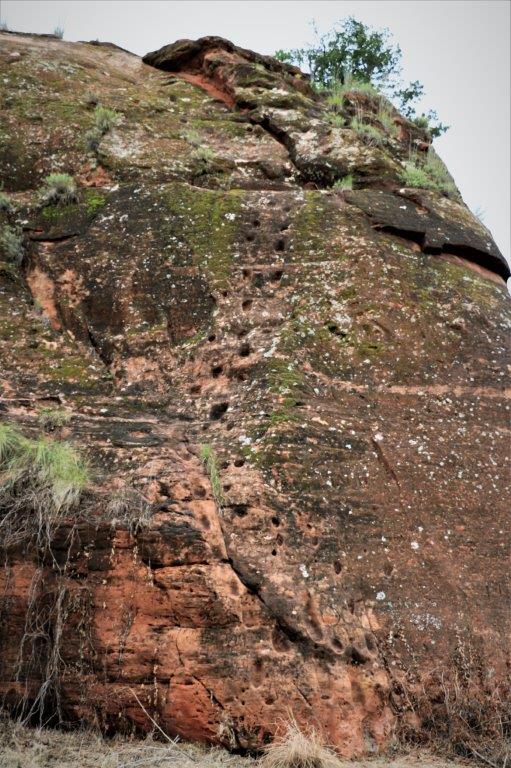
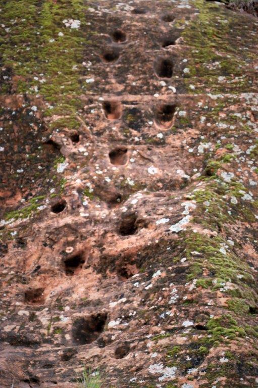
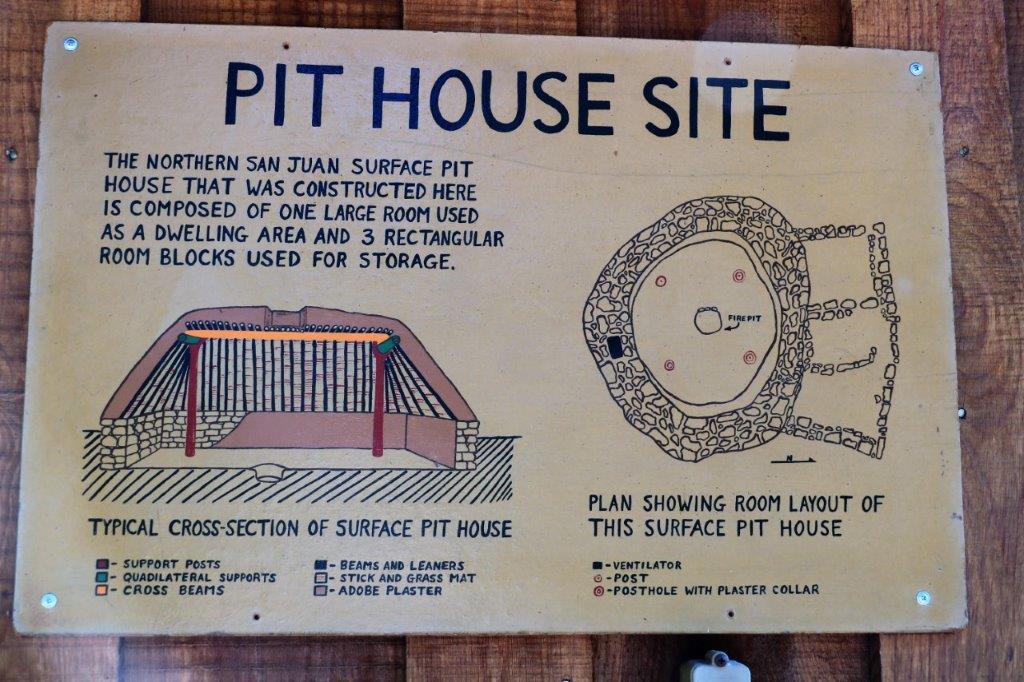
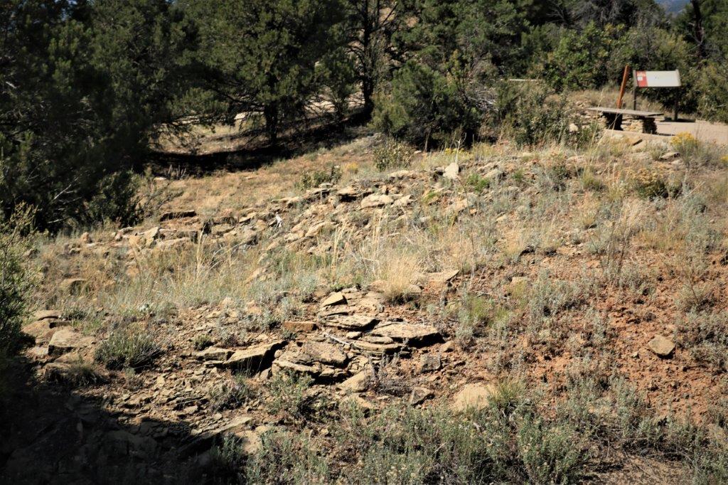
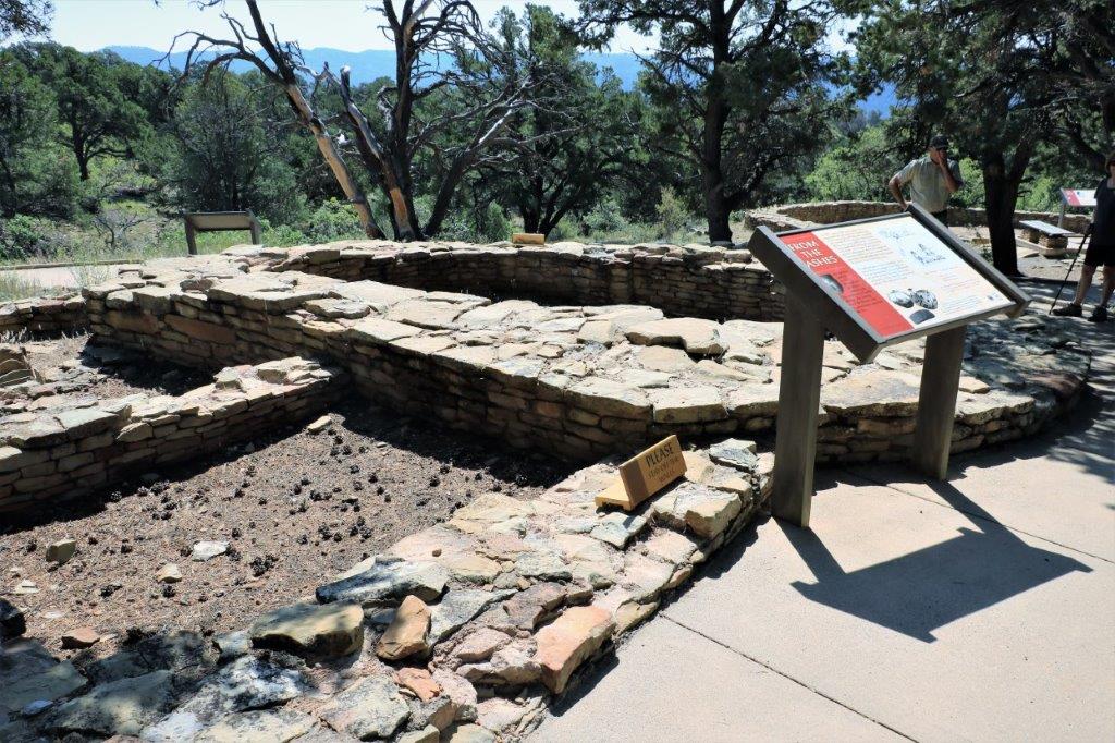
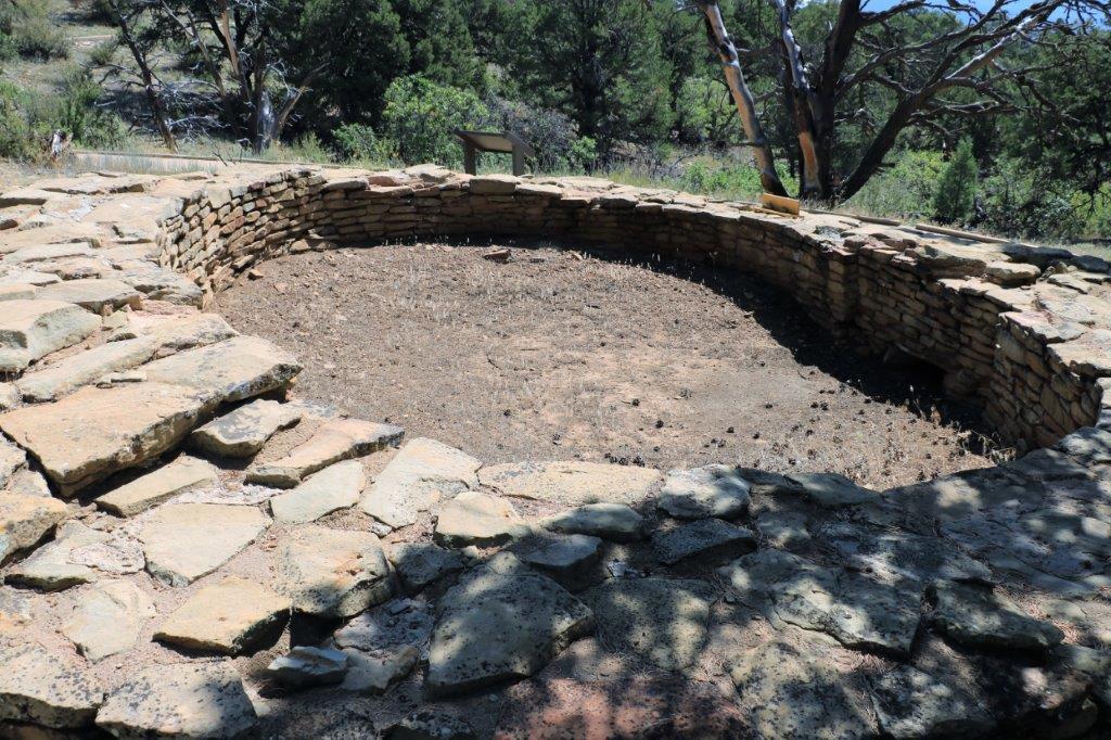
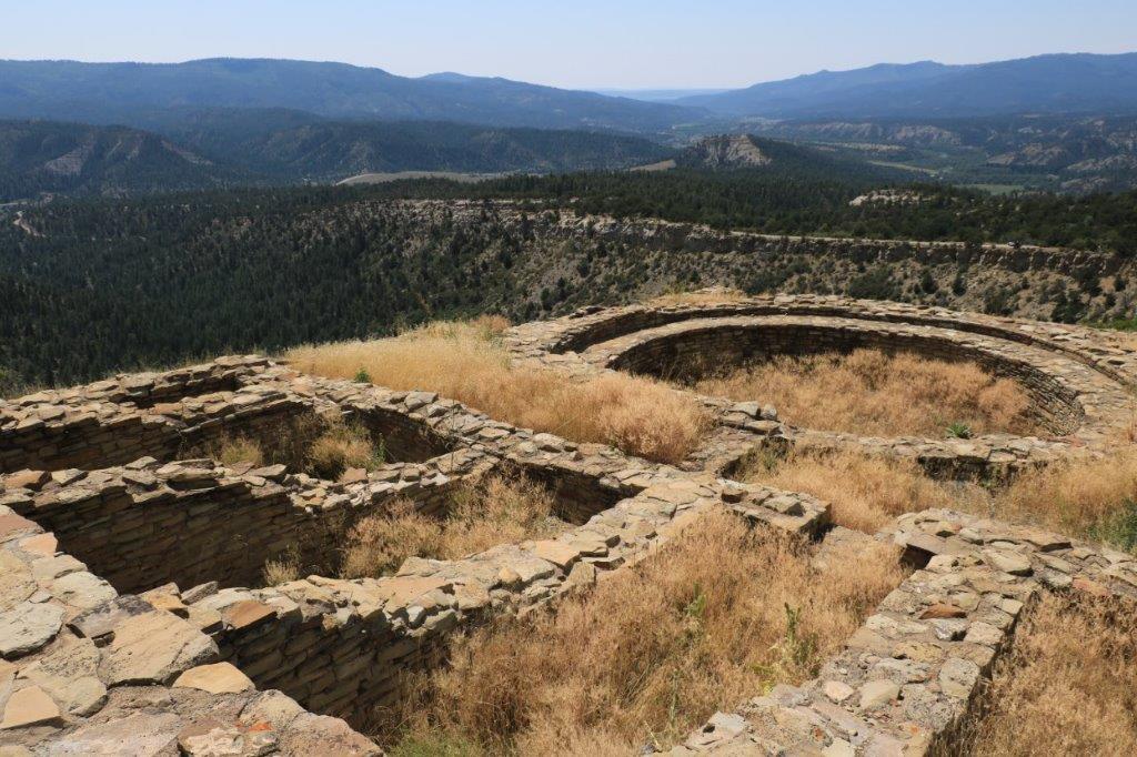
We passed remains of several pit houses, barely distinguishable from a pile of rocks, but underground the stacked wall stones are still intact.
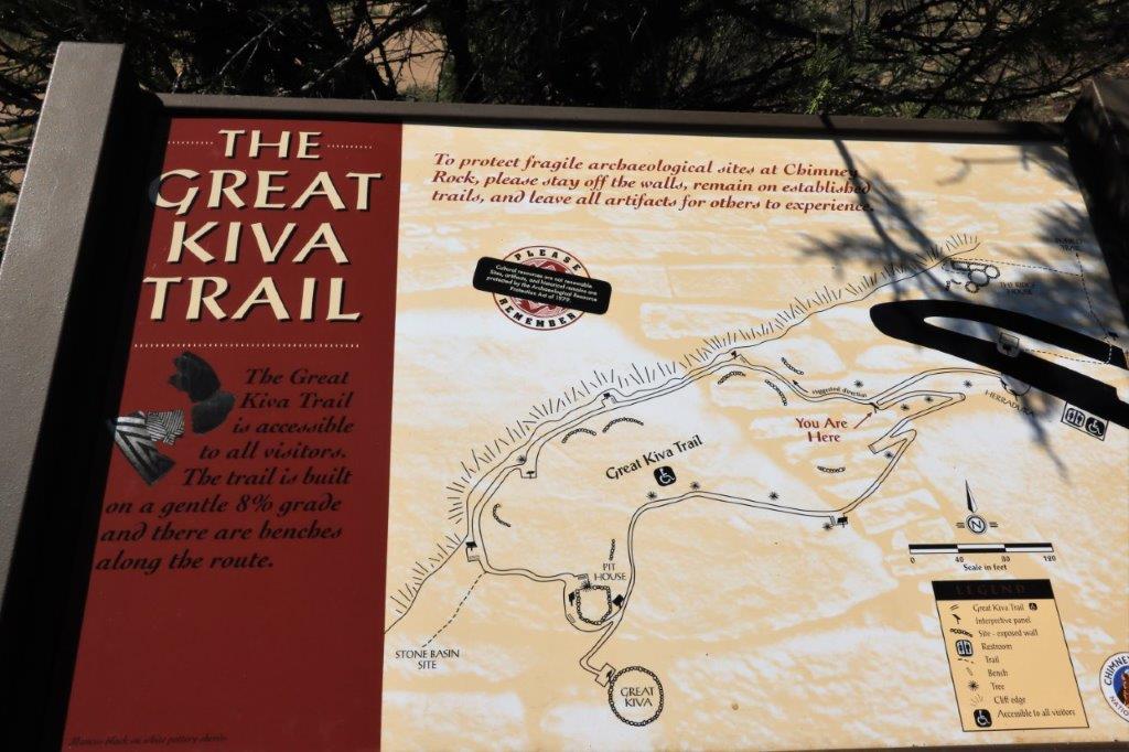
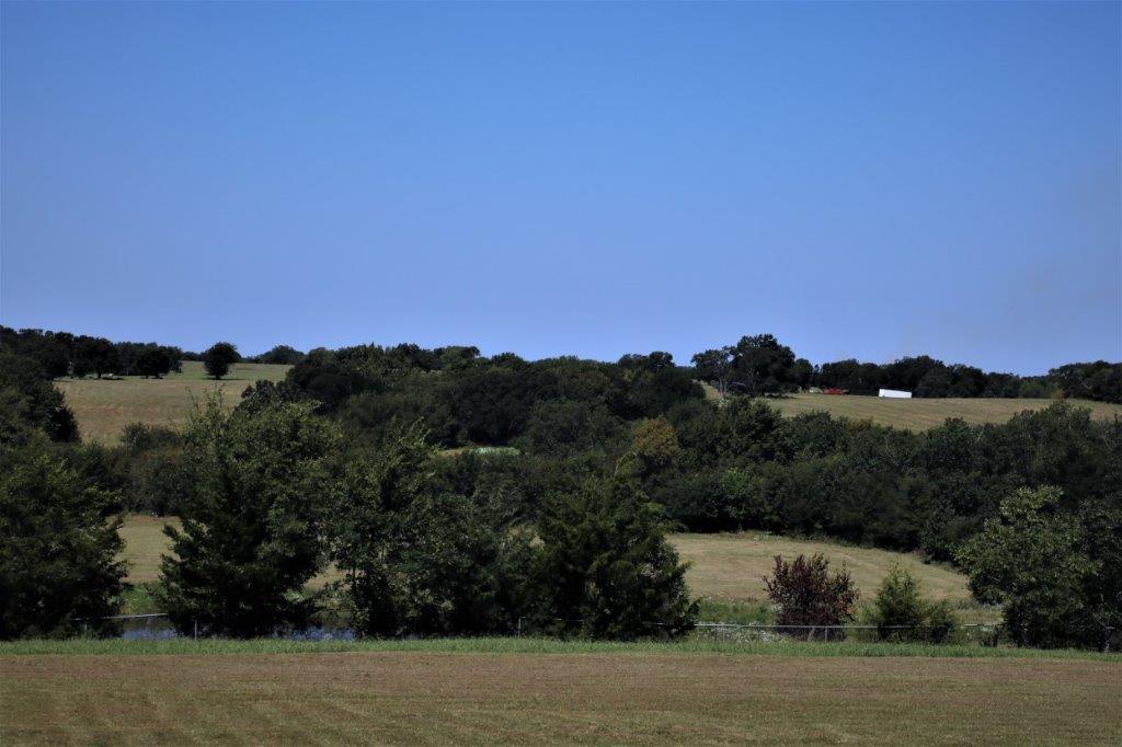
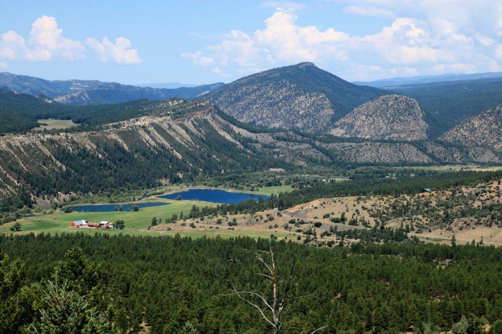
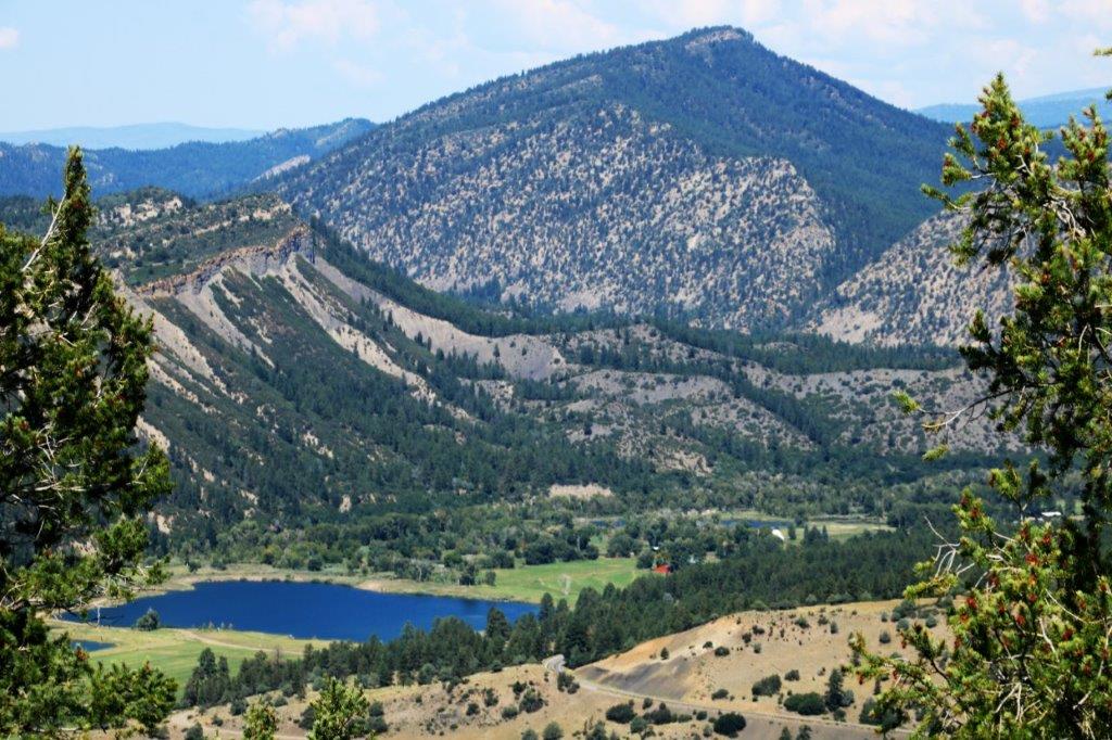
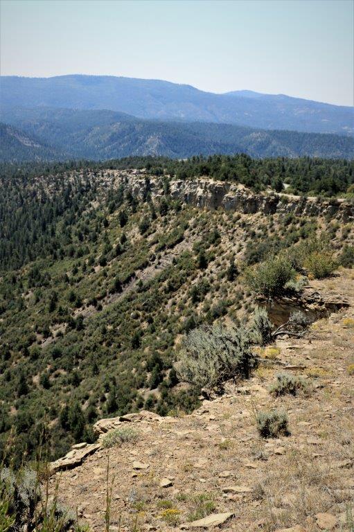
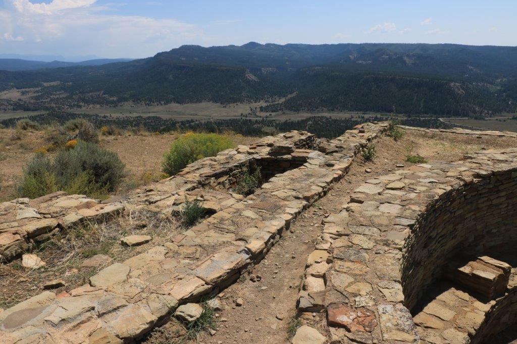
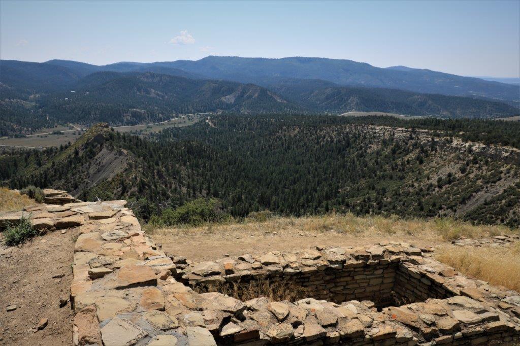
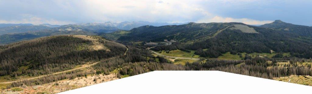
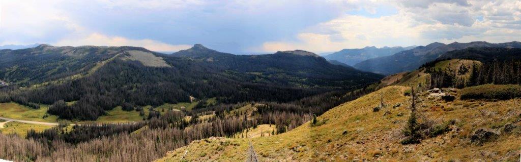
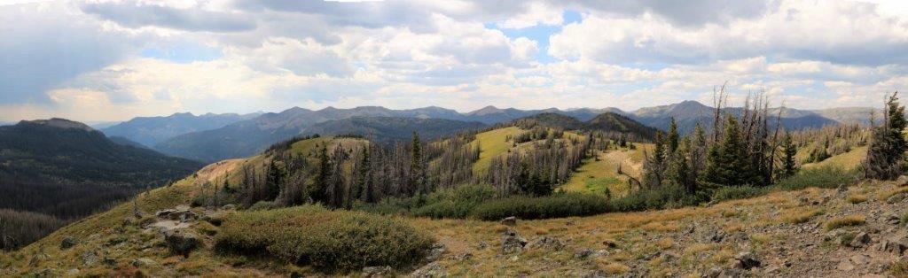
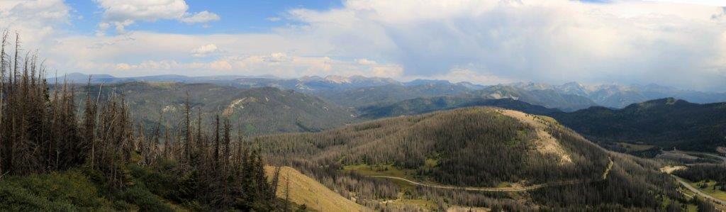
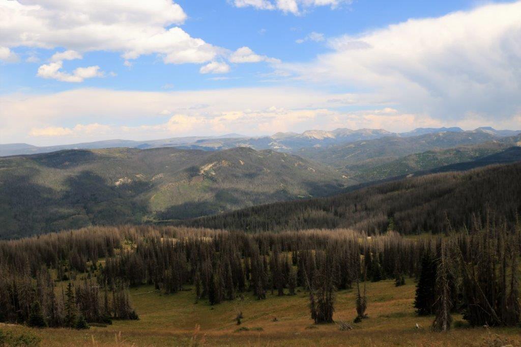
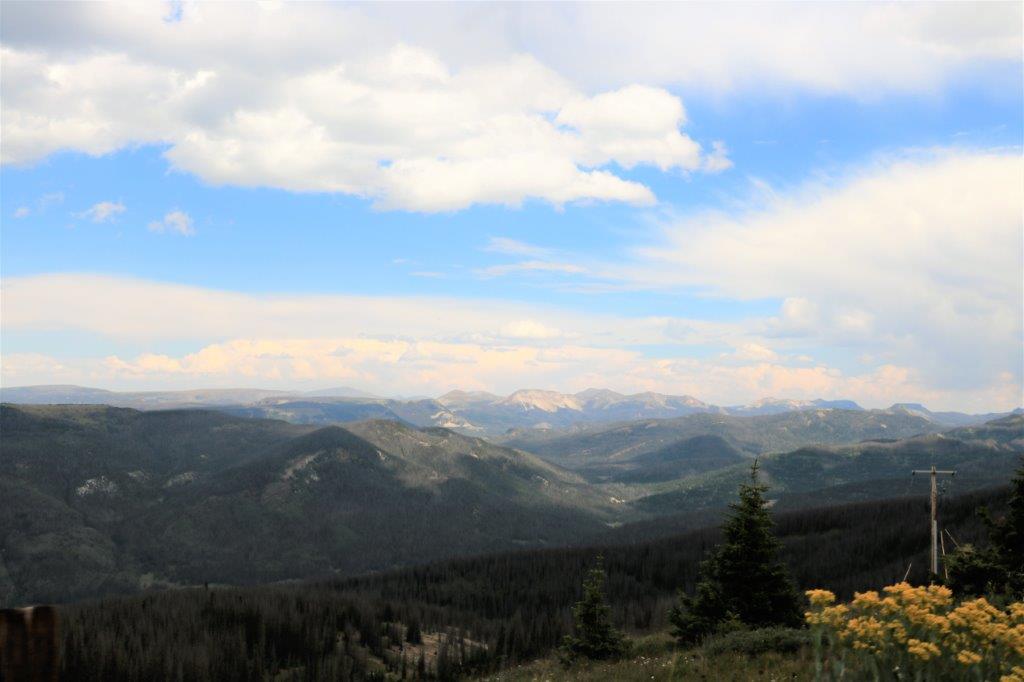
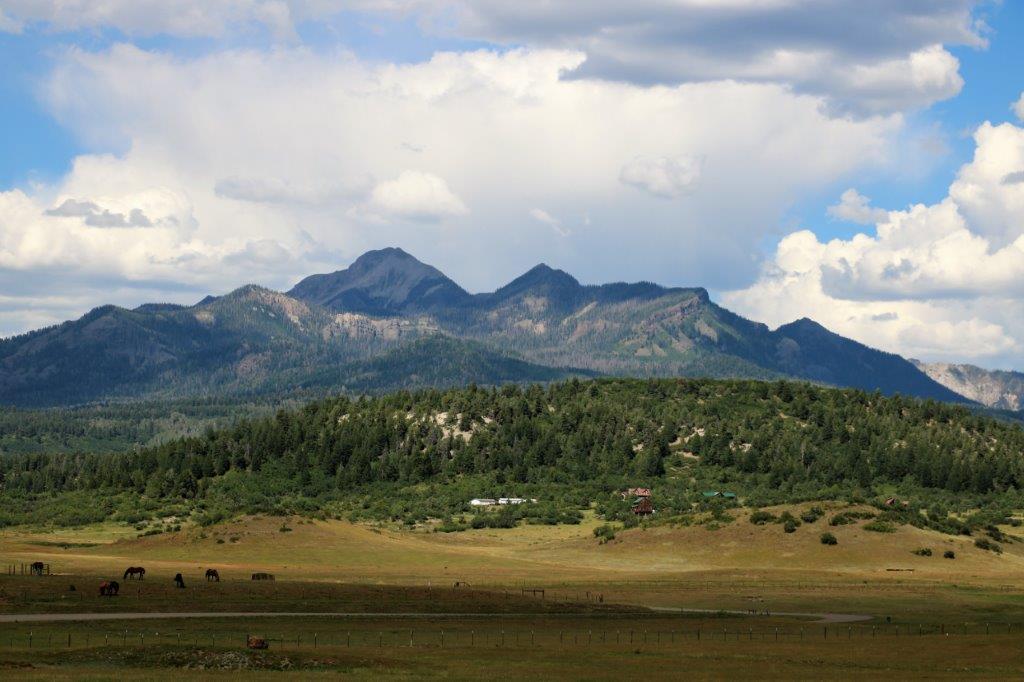
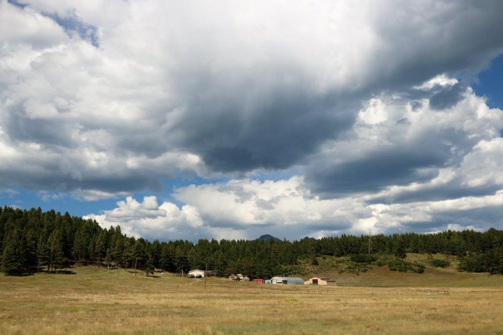
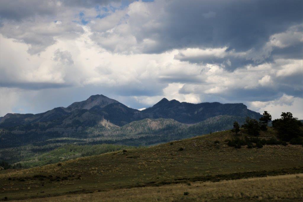
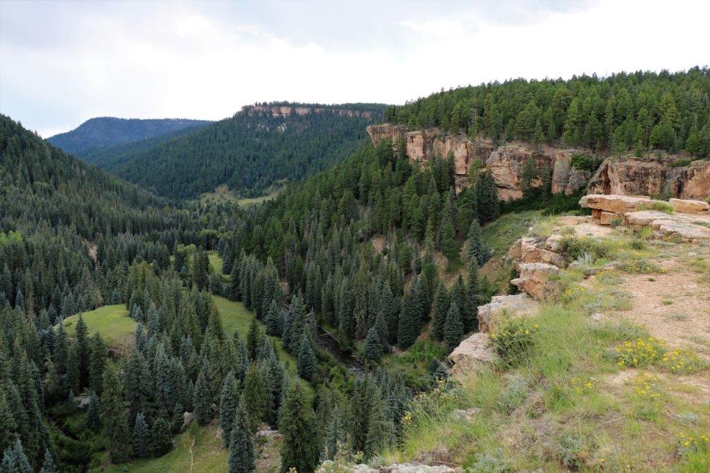
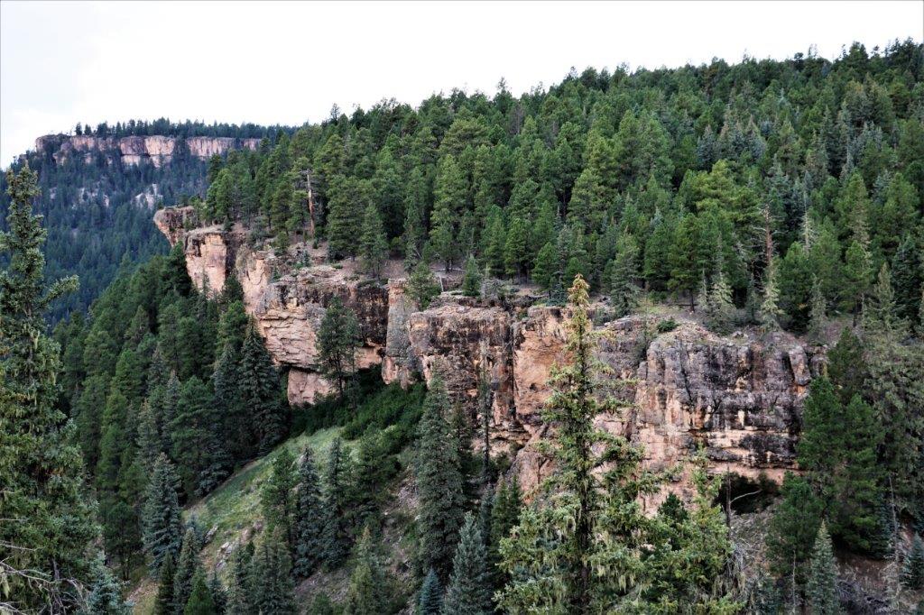
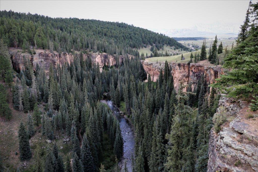
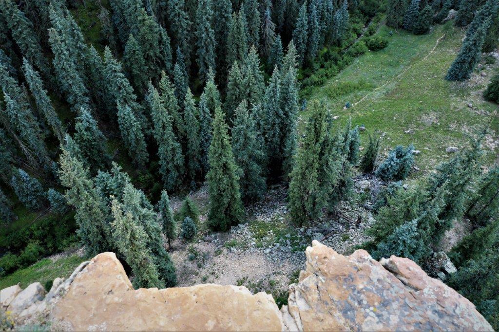
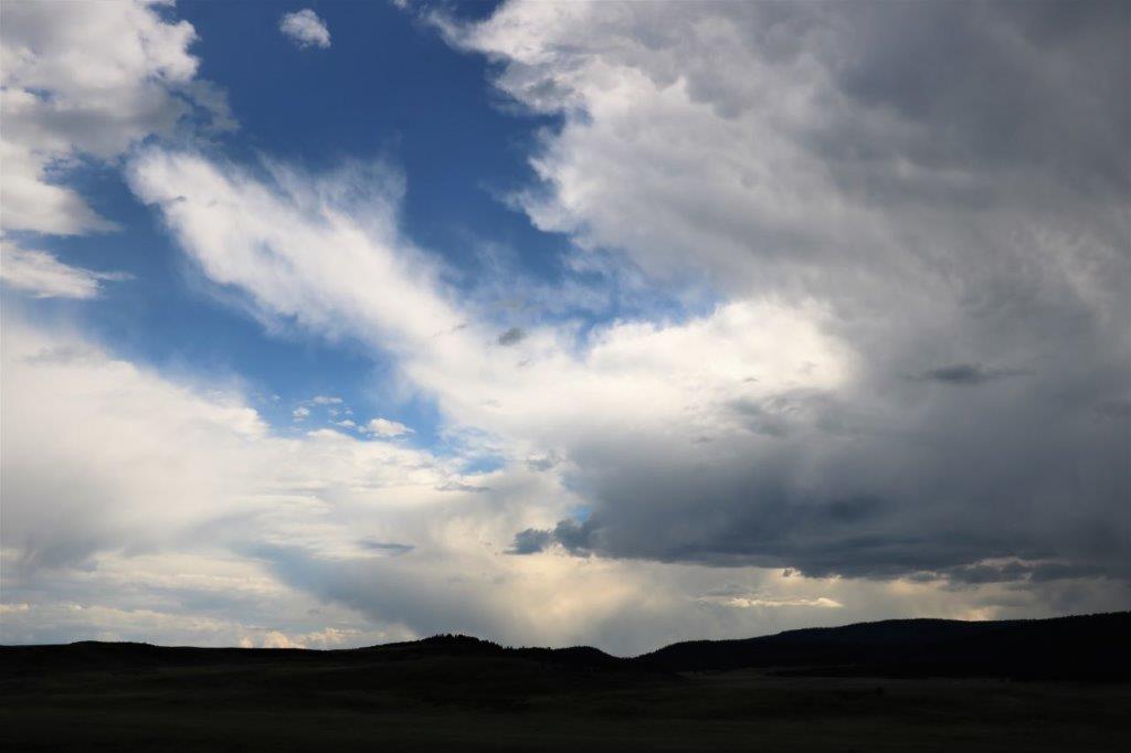
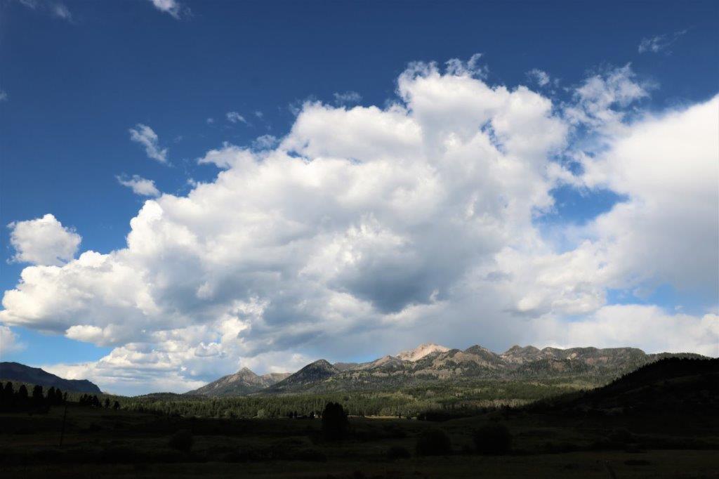
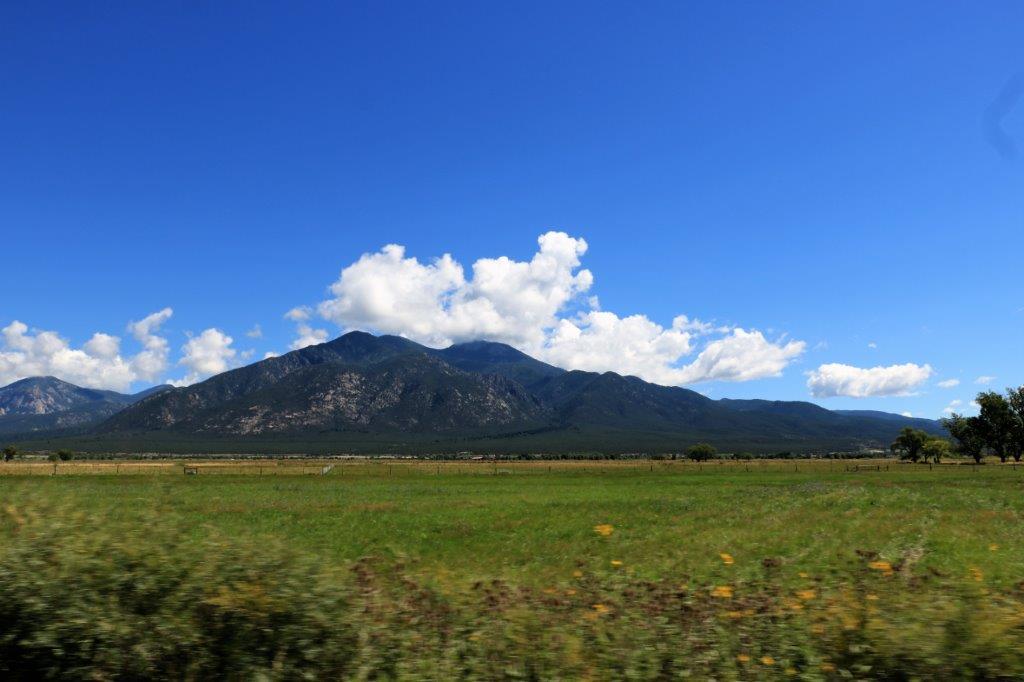
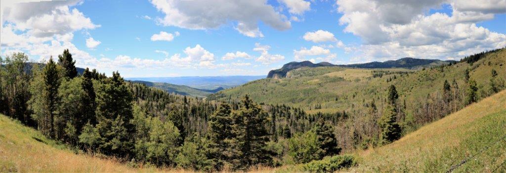
The view up here was awesome! 
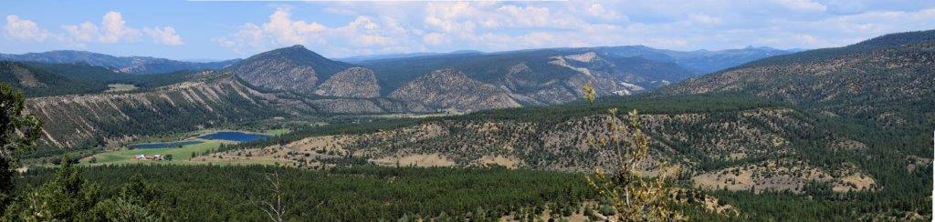
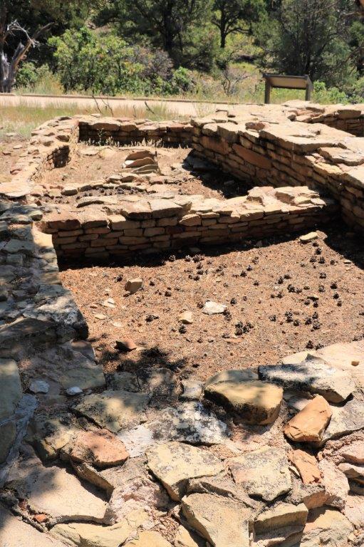
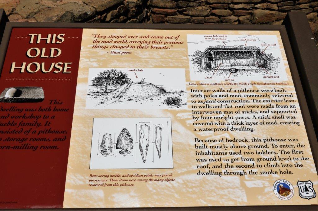
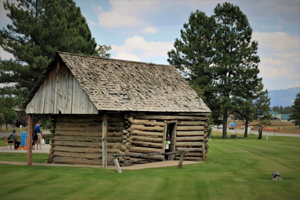
This re-constructed pit house had three rooms attached, one was for cooking, one was for preparing tools, and the last was used to grind corn and pinion nuts into flour for cooking. 
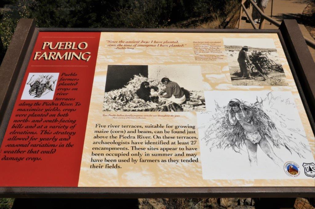
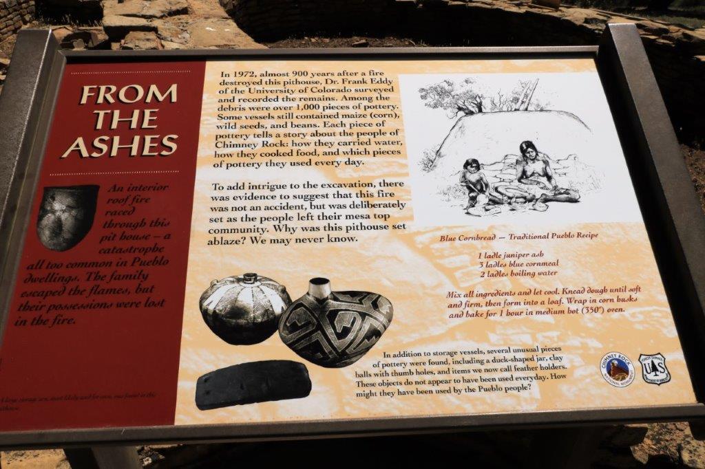
Just in case you wish to make some authentic cornbread here is the recipe. 
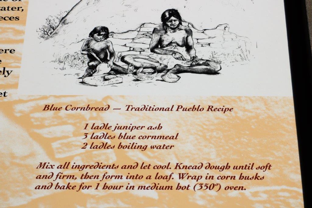
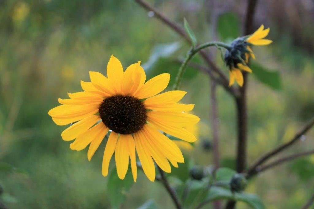
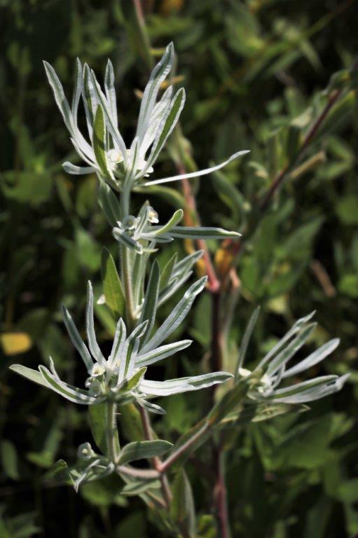
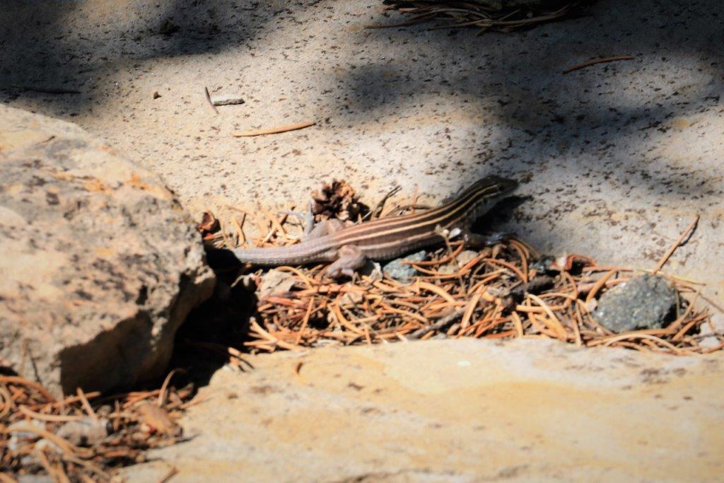
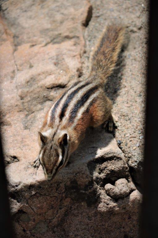
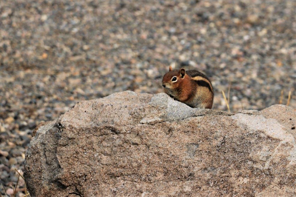
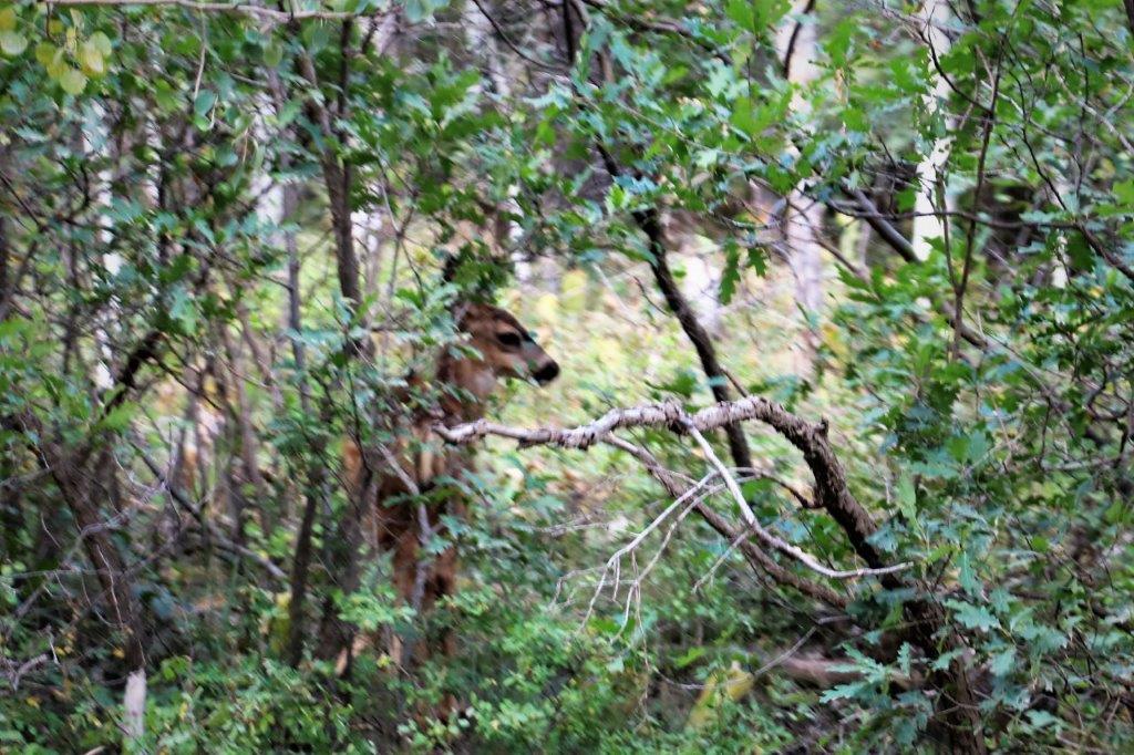
We saw several of these little blue-tail lizards.
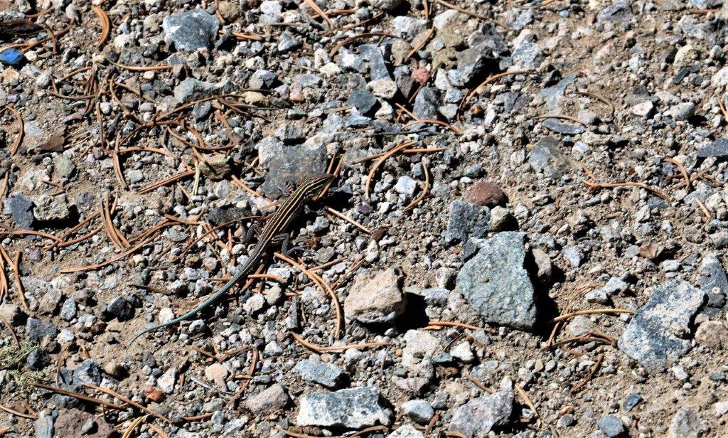
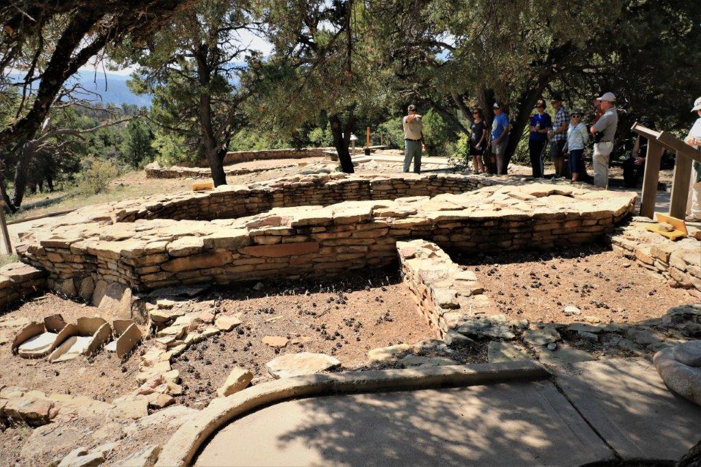
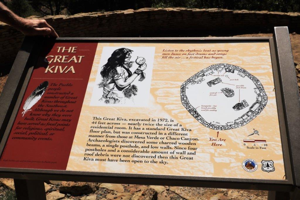
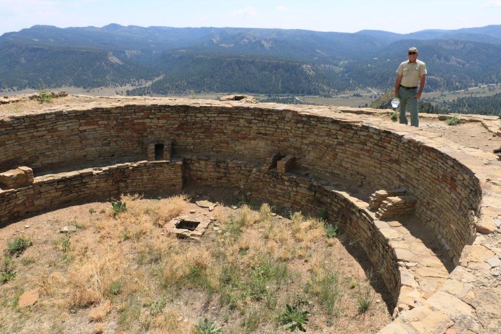
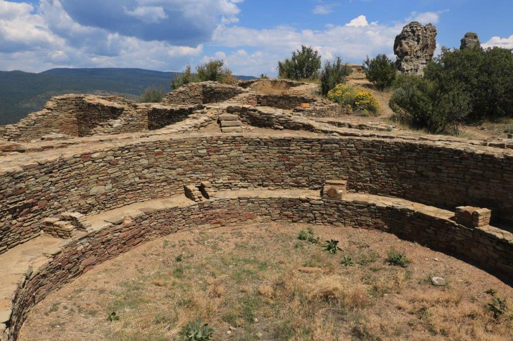
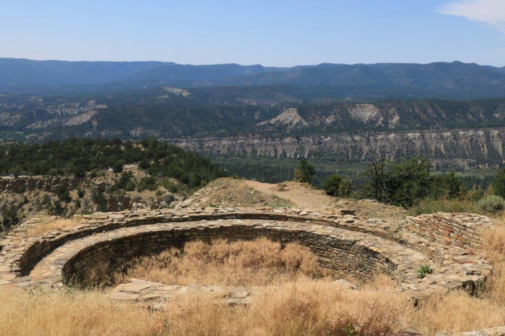
The Kiva is a spirtual and community center.  There are many of them in the Four Corners area and all have the same design, although some are much larger than others.  Archaeologists have yet to understand the significance of the two rectangular areas in the middle. This Kiva was abandoned not long after it was used.  There has been no fire in the central fire pit. 
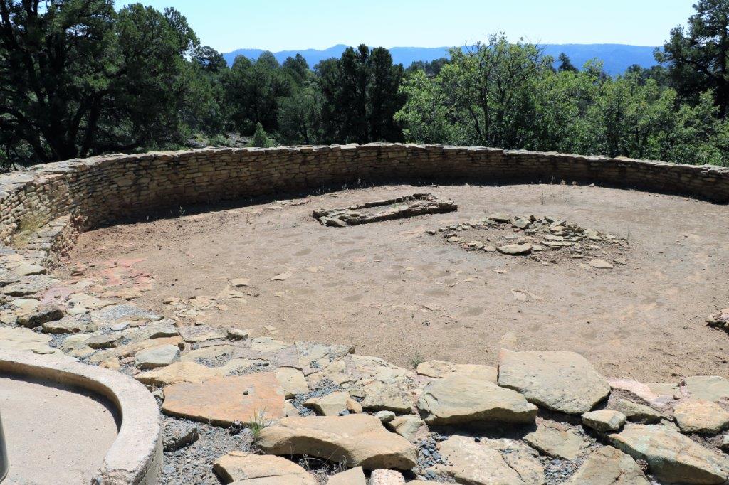
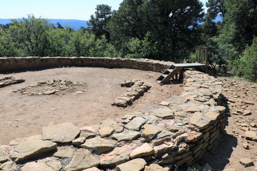
The Kiva is still used today for ceremonies and is not open to the public.
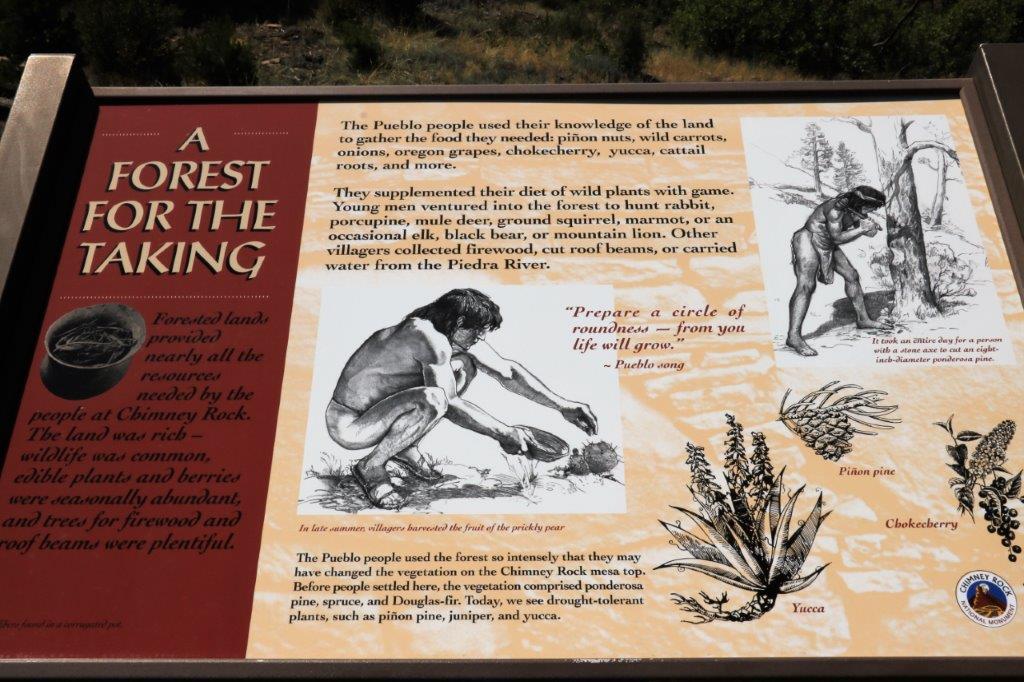
This is a second, larger, deeper pit house construction.  Higher walls and also added rooms.
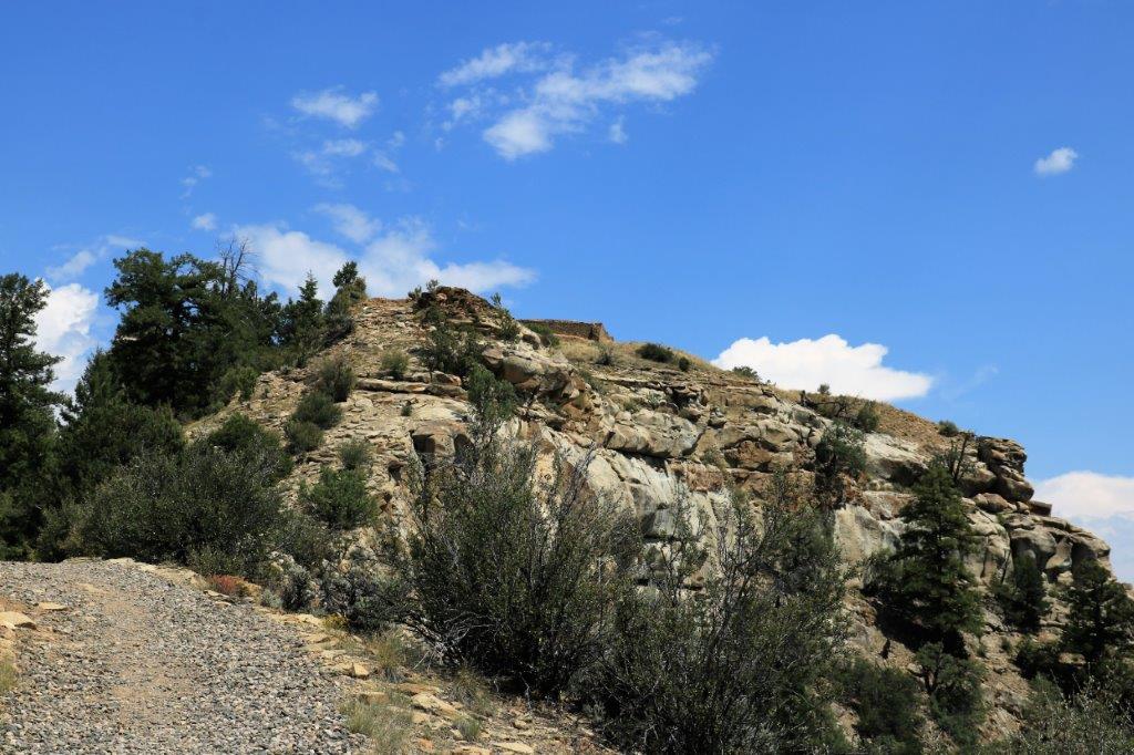
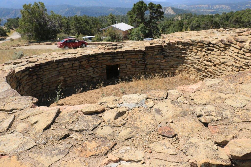
After we completed the Kiva trail Bill led us up the hill for the mile-long hike to the Pueblo House which is located at the very top of a cliff that sits next to the two rock formations – although you can’t get from one to another unless you can fly.

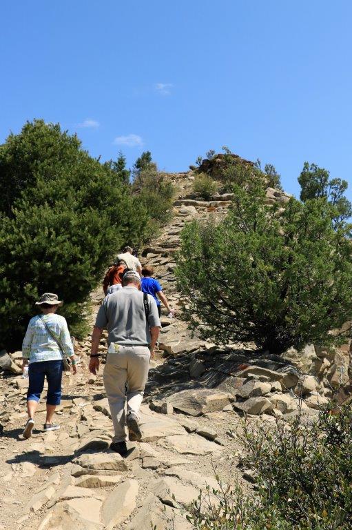
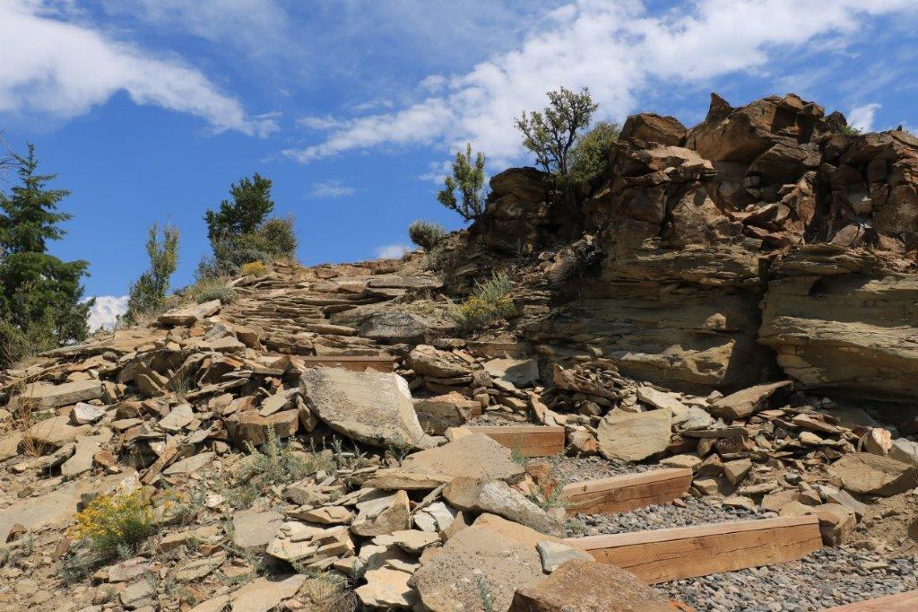
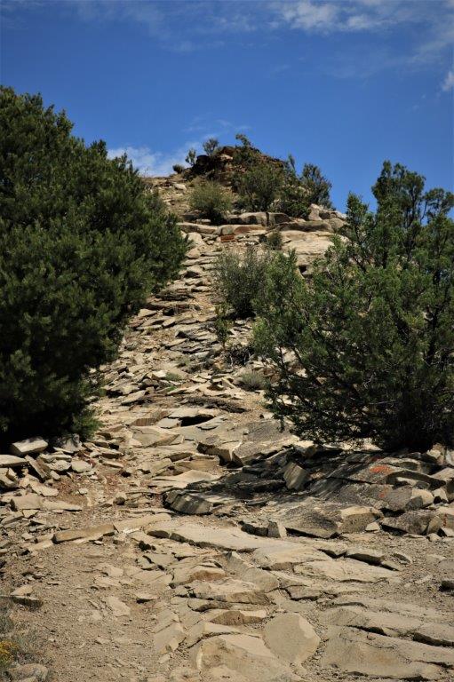
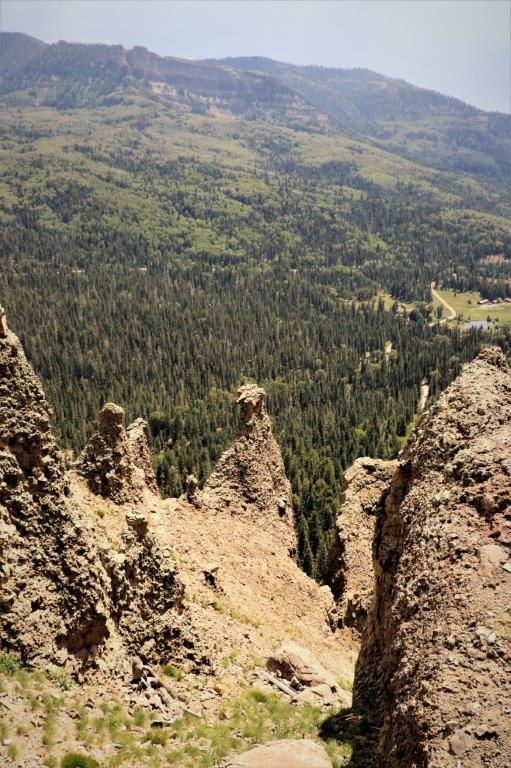
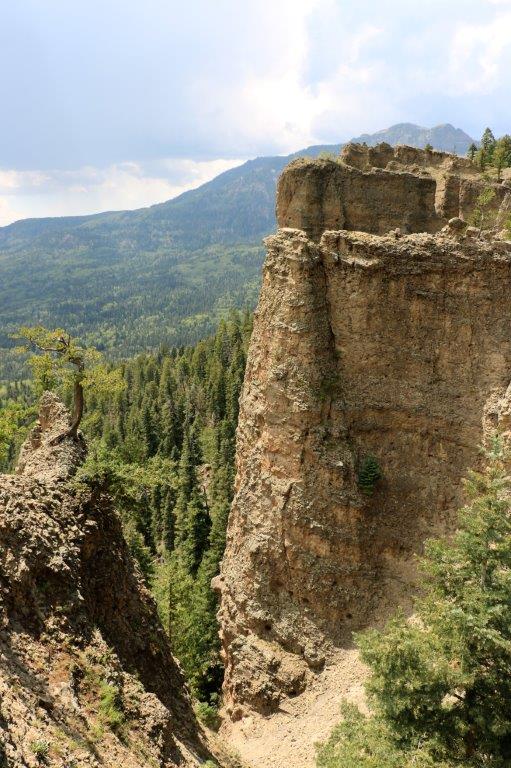
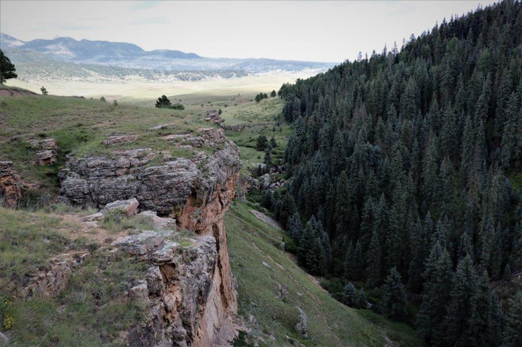
It didn’t take long for the nice gravel path to turn into a clamber of rock ‘steps.’  The path has a steep elevation gain of 200′ so anyone afraid of heights, or gets dizzy or has heart problems is discouraged from taking the tour. The ridge we navigated was only about 15′ wide.

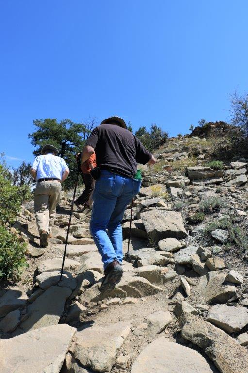
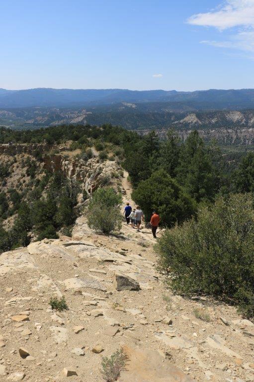
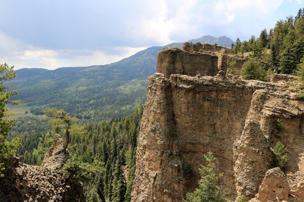
See our path along the right side.  
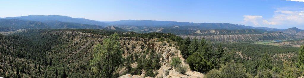
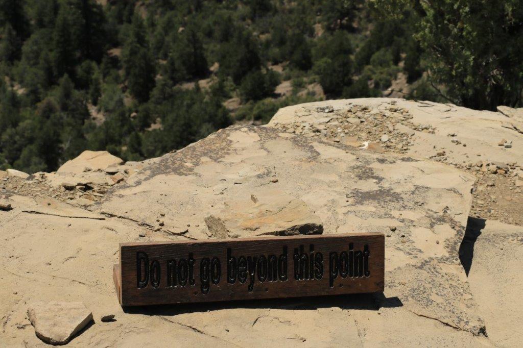
I would think a person would not need to be told to not venture close to the edge.  Both sides of the cliff spine we were walking across were sheer drops of several hundred feet.  But, I guess stupid is not something that can be cured.
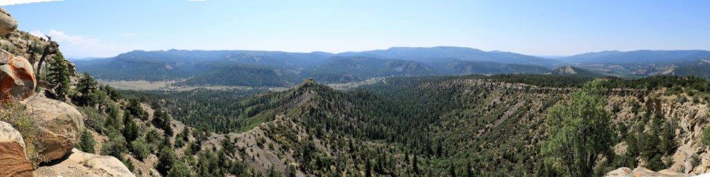
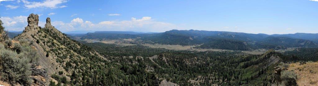
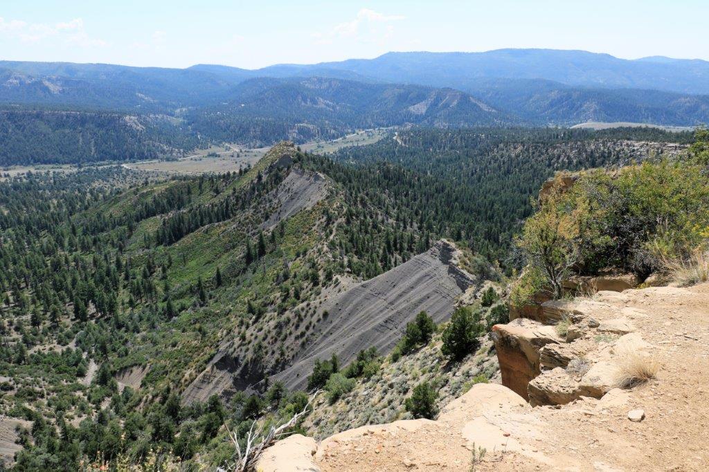
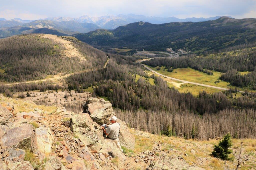
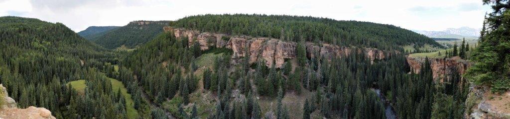
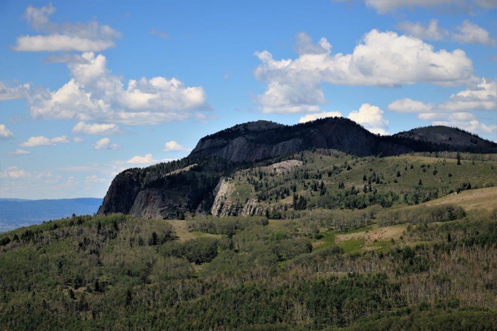
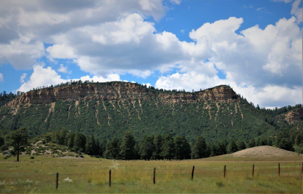
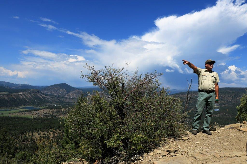
This is the Peterson Ridge across the valley.  Must be named for a relative. There are unexcavated ruins over there and in the valley.  It is estimated about 200 villages were in this areas.
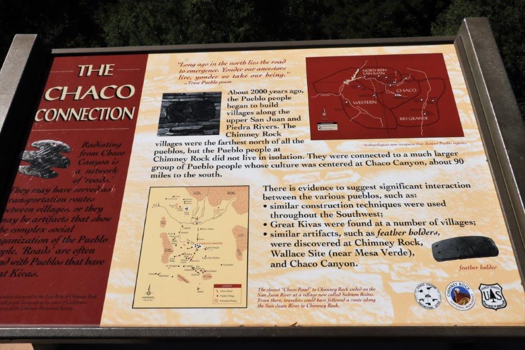
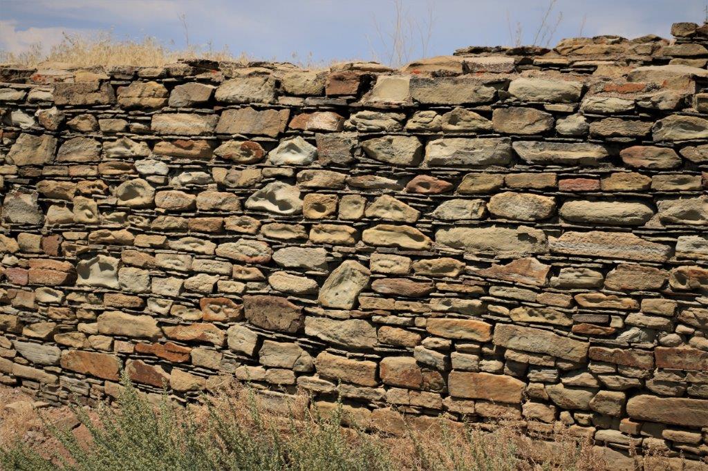
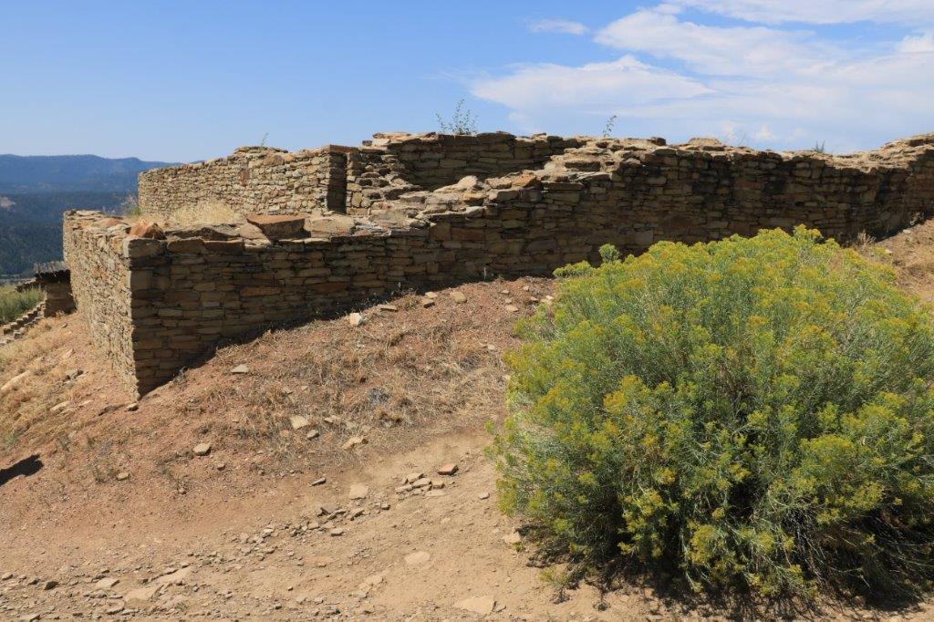
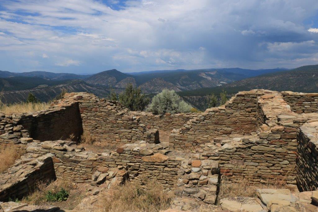
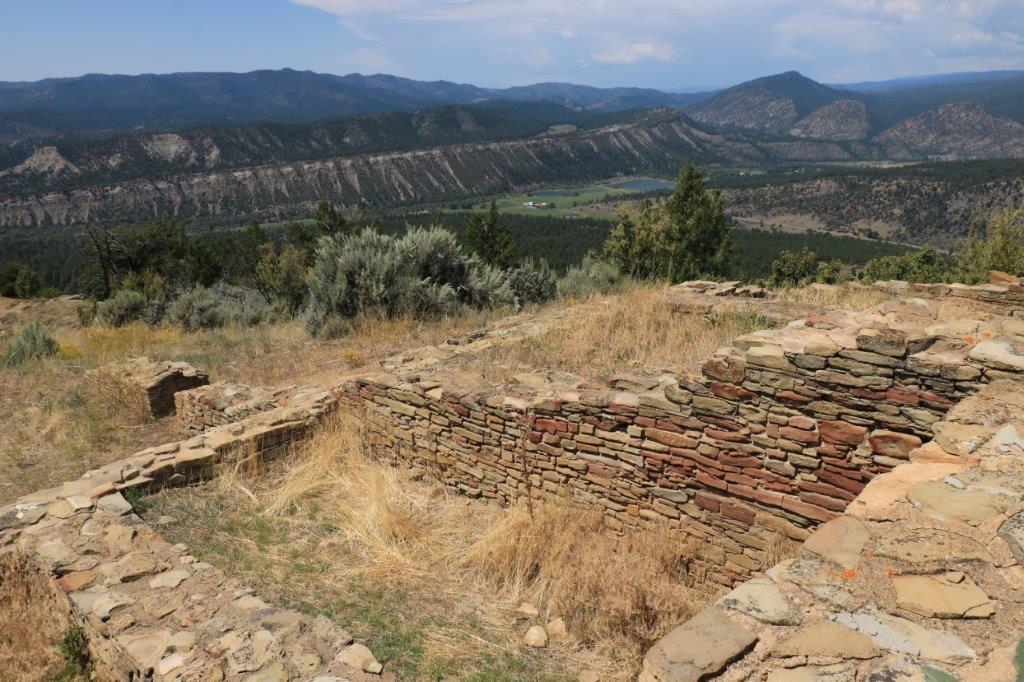
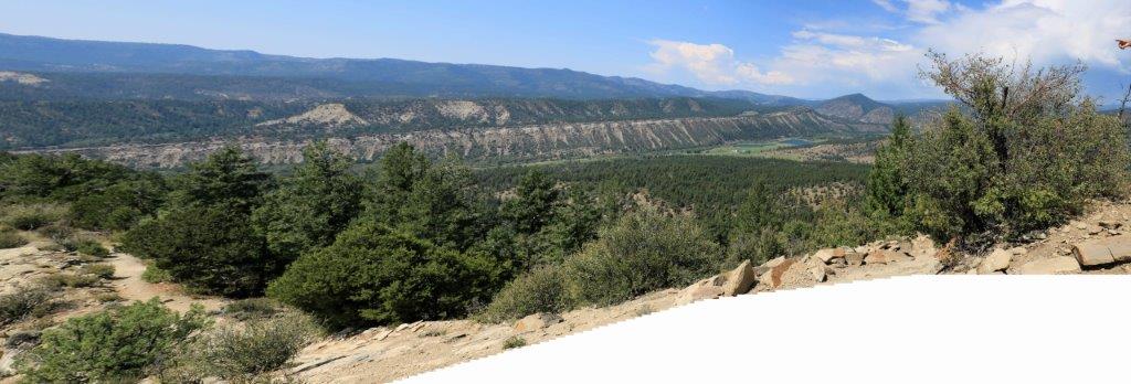
The Pueblo House was very large compared to the Pit Houses down below.  It was rectangular instead of round and had 35 rooms.  The construction and design are the same as the Chaco Canyon ruins 90 miles away. The pit houses below and the pueblo house up top were constructed by two different peoples (Chaco and Pueblo) who lived on the mesa at the same time and deserted the mesa also about the same time for reasons unknown. It is speculated that the pueblo people in the lower mesa were conscripted to build the large Chaco house.
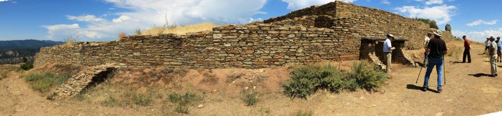
The construction of the Pueblo House is much more detailed and meticulous than the pit houses and archaeologist believe it was once plastered and painted white which would have made it visible on a clear day 90 miles away in Chaco Canyon; which is a like civilization to the Pueblo House.

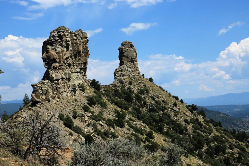
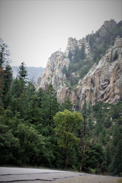
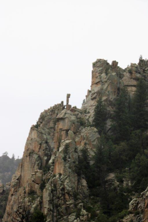
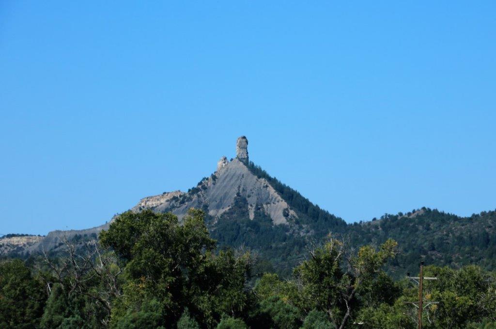
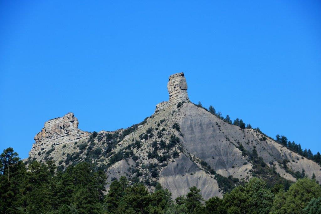
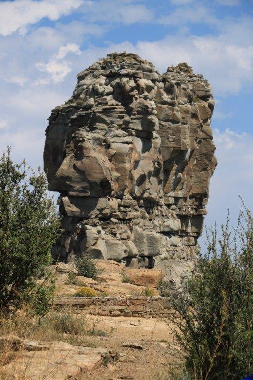
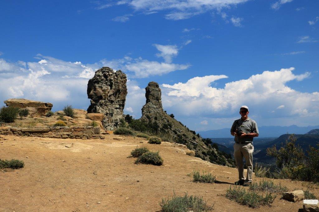
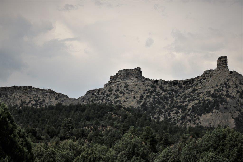
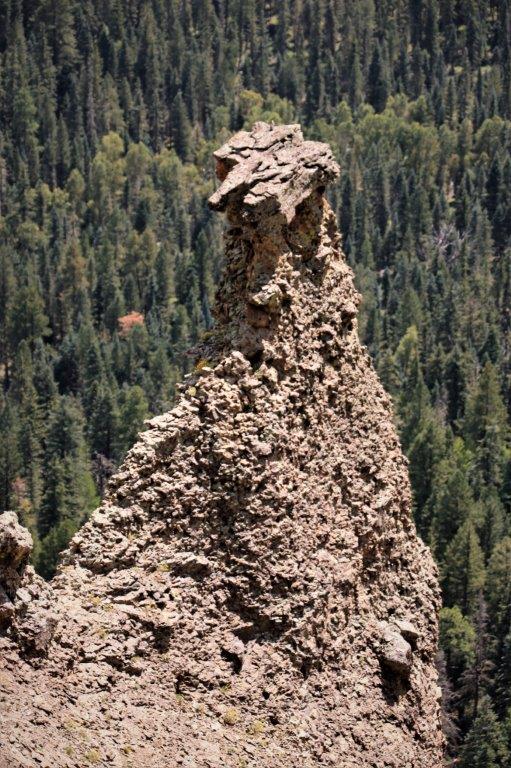
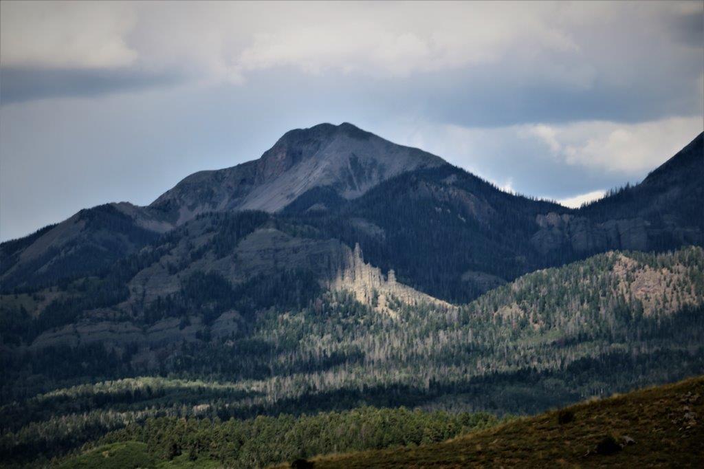
Chimney Rock and Companion Rock are sacred to the local native people.  No one can access them.  Even though they look close together and close to the cliff top we were on, Companion Rock (the larger one) is about a 1/4 mile away (and there is no land between as the spine of the cliff we were on ends just past the Pueblo House) and Chimney Rock is probably another 1/4 mile away from Companion Rock.  The rocks are very soft and unstable so they have never been climbed either. 
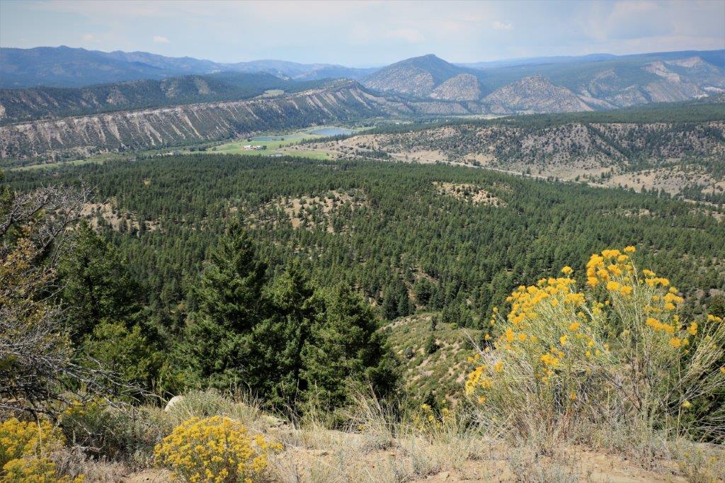
Going back down the narrow, rock-step trail. 
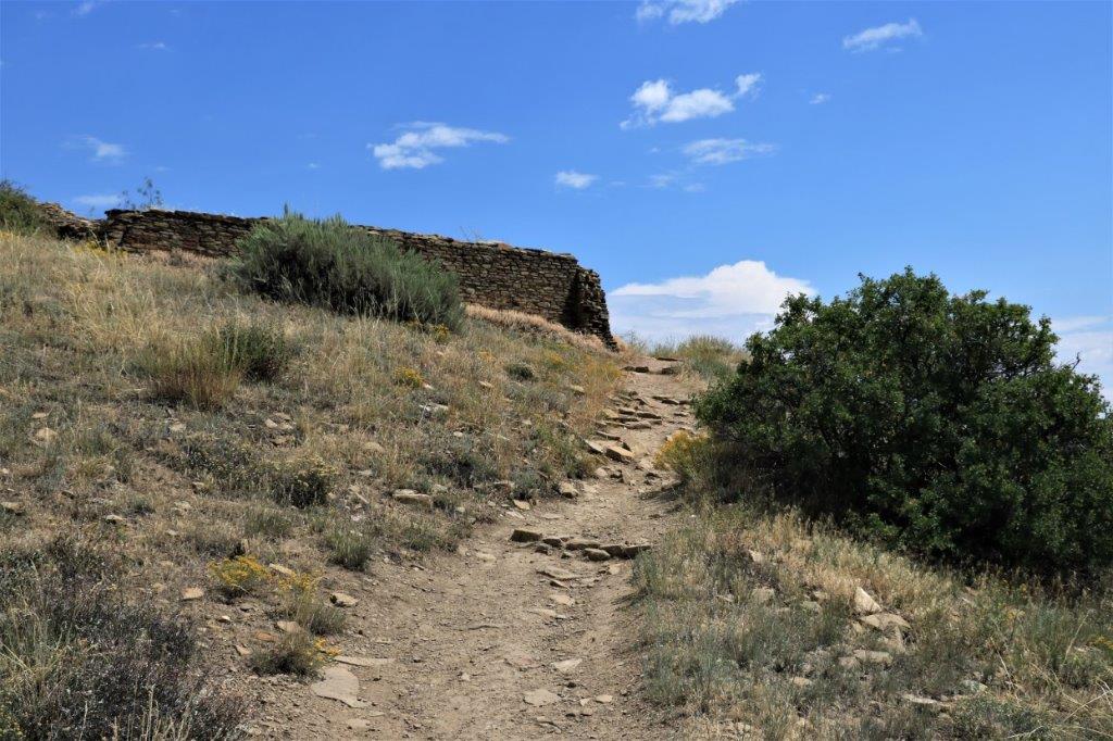
After we got back to the lower visitor’s center we went over to one of the picnic tables and had lunch.

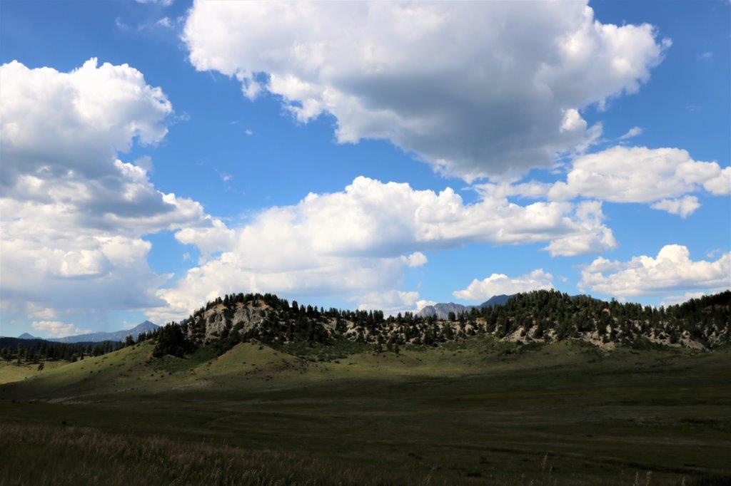
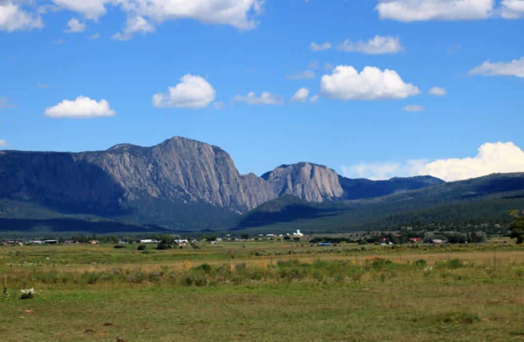
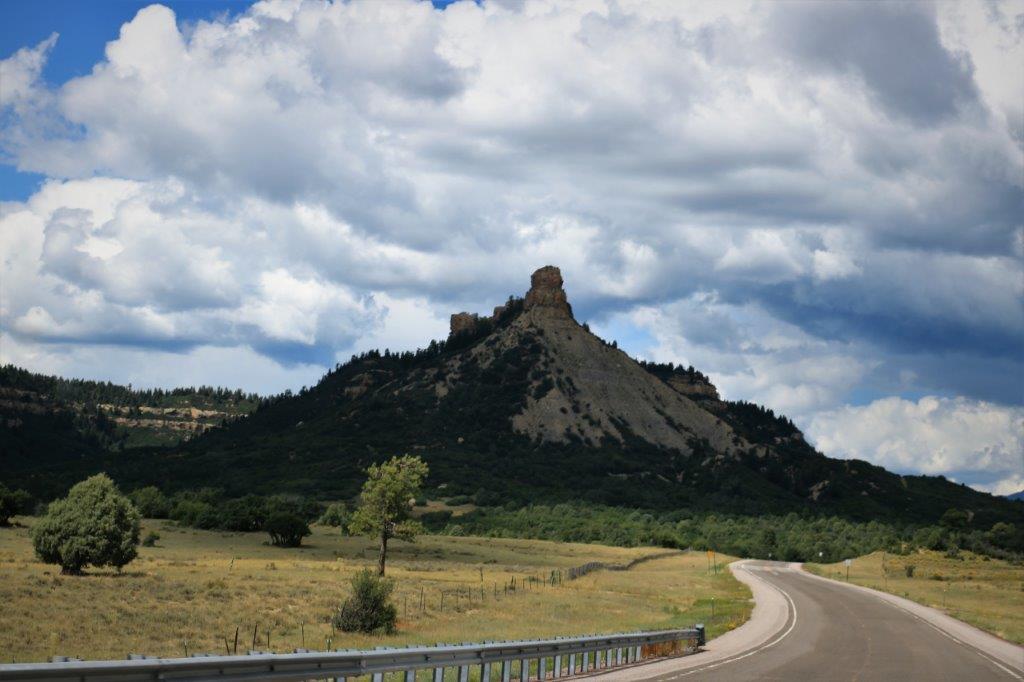
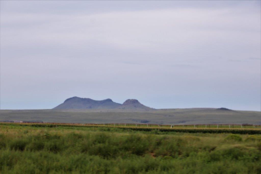
On the drive back to the main road we stopped to take a photo that shows Chimney Rock (right), Companion Rock (middle) and the mesa spine we walked along to the Pueblo House (left). 
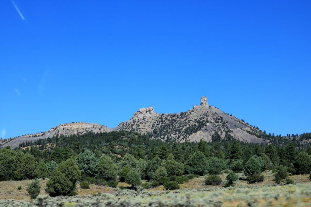
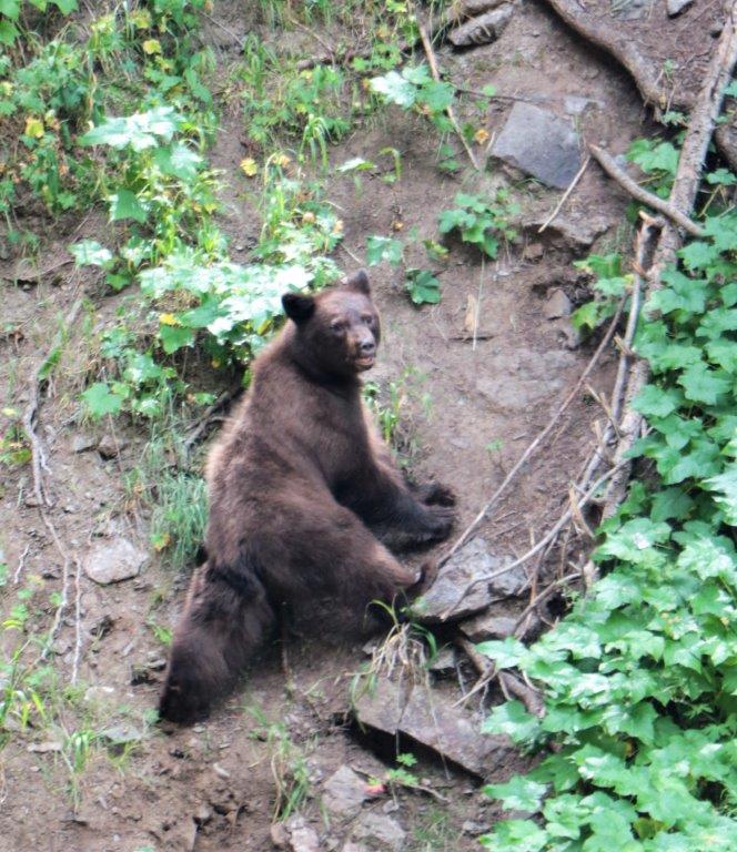
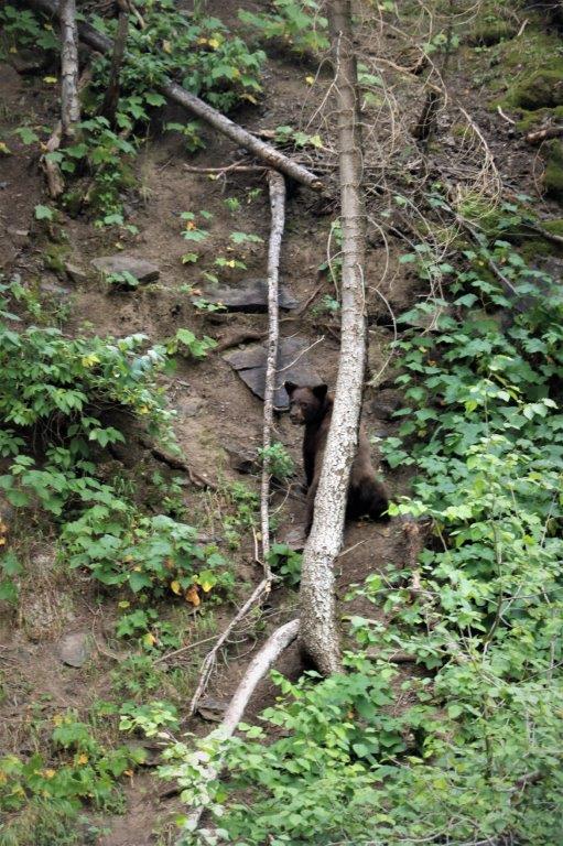
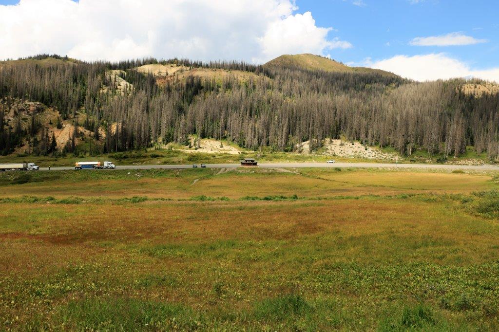
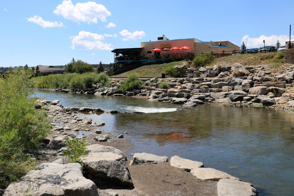
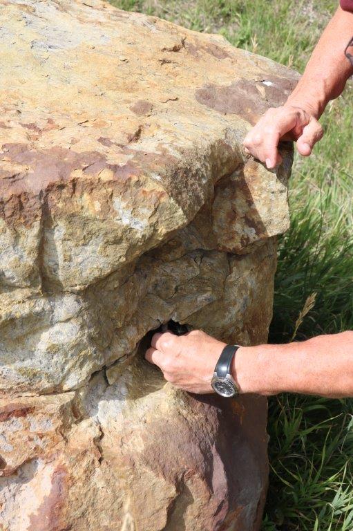
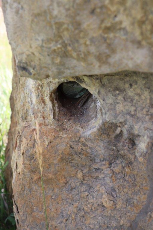
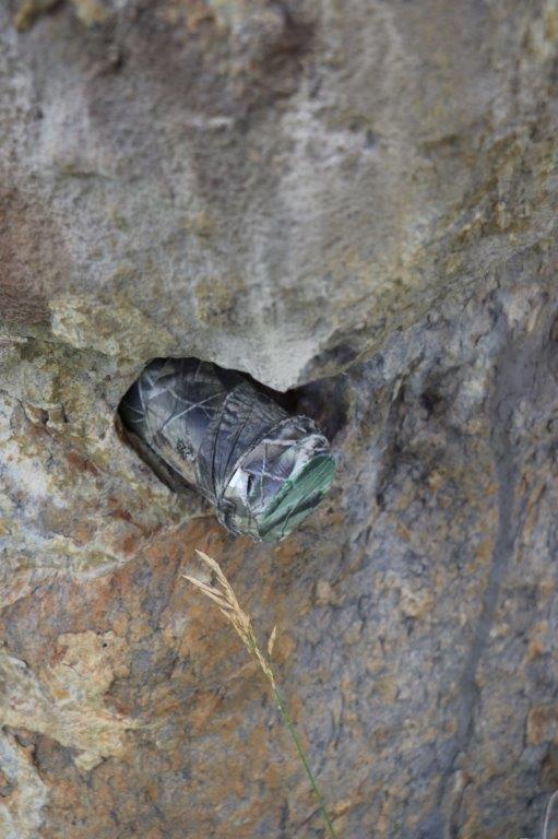
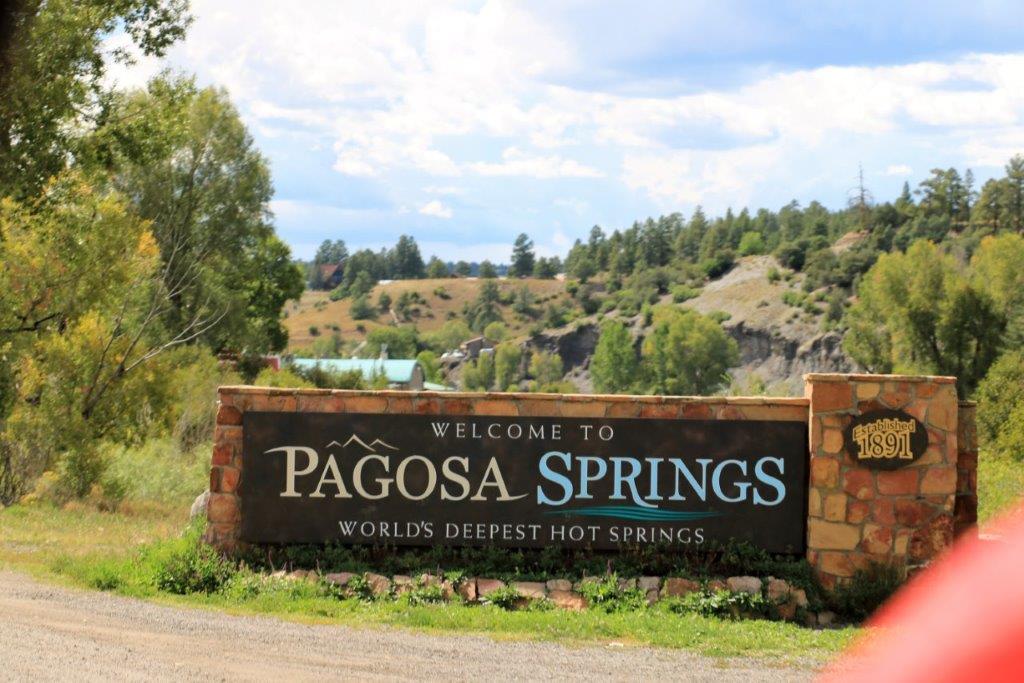
There were a few geocaches to pick up on our way back to Pagosa Springs.   
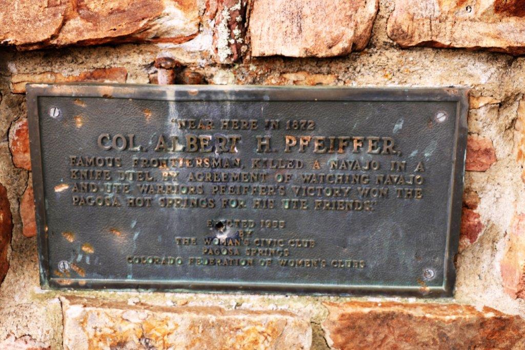
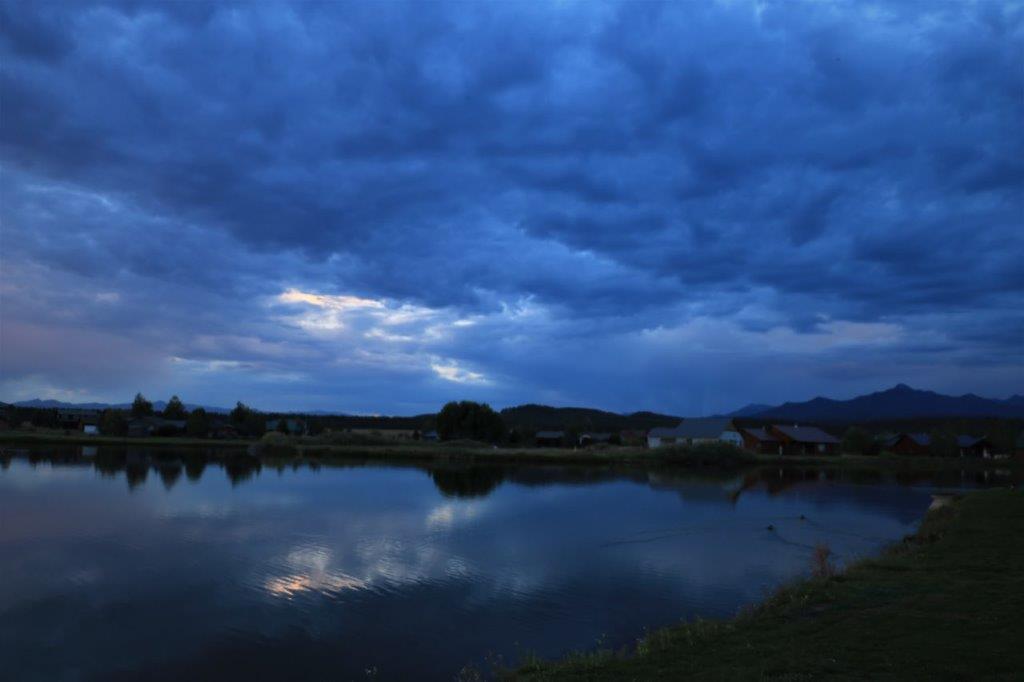
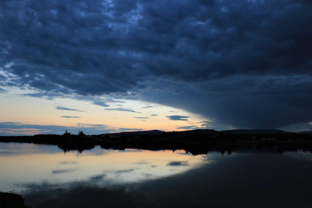
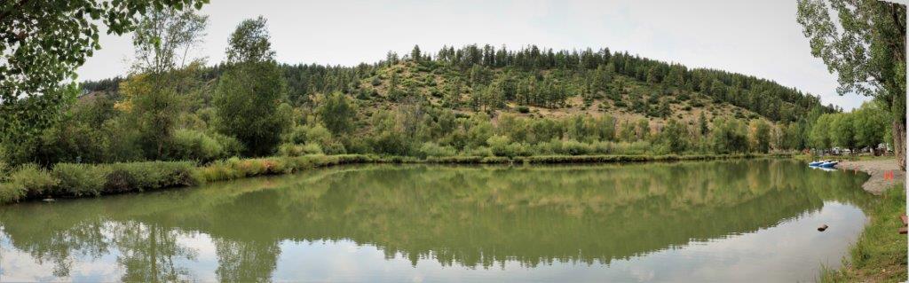
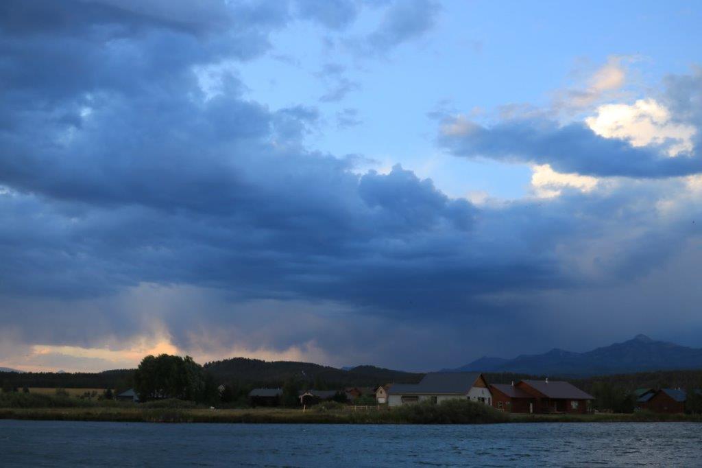
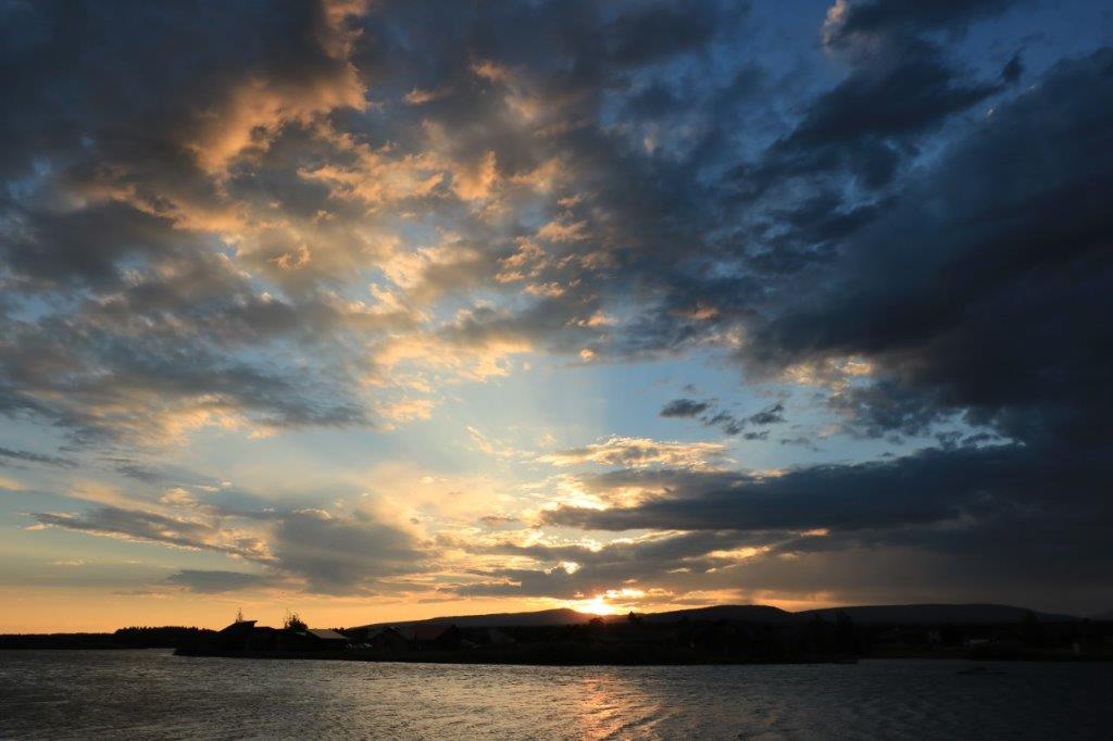
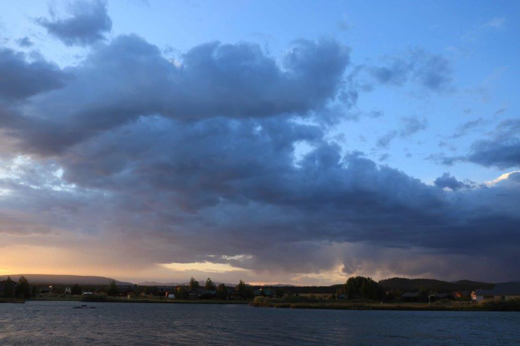
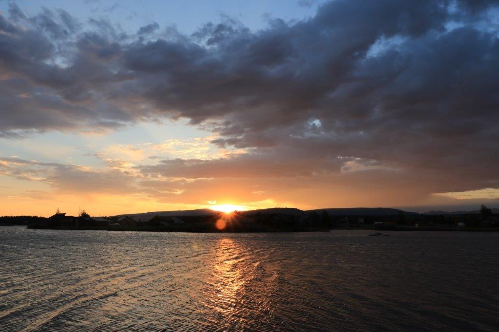
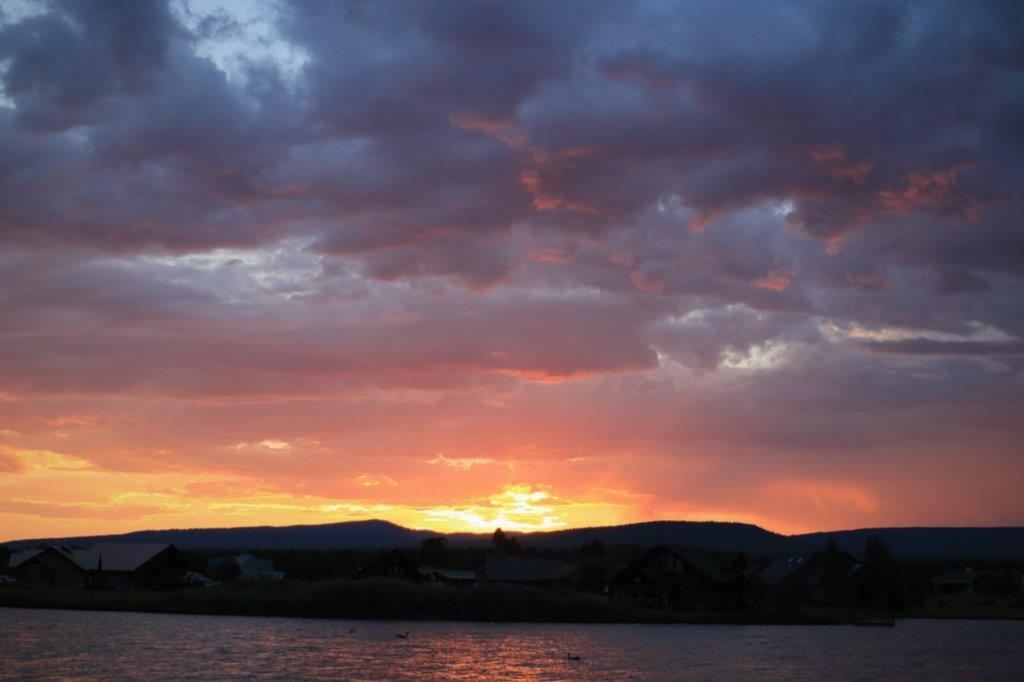
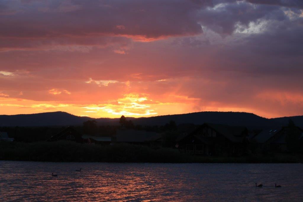
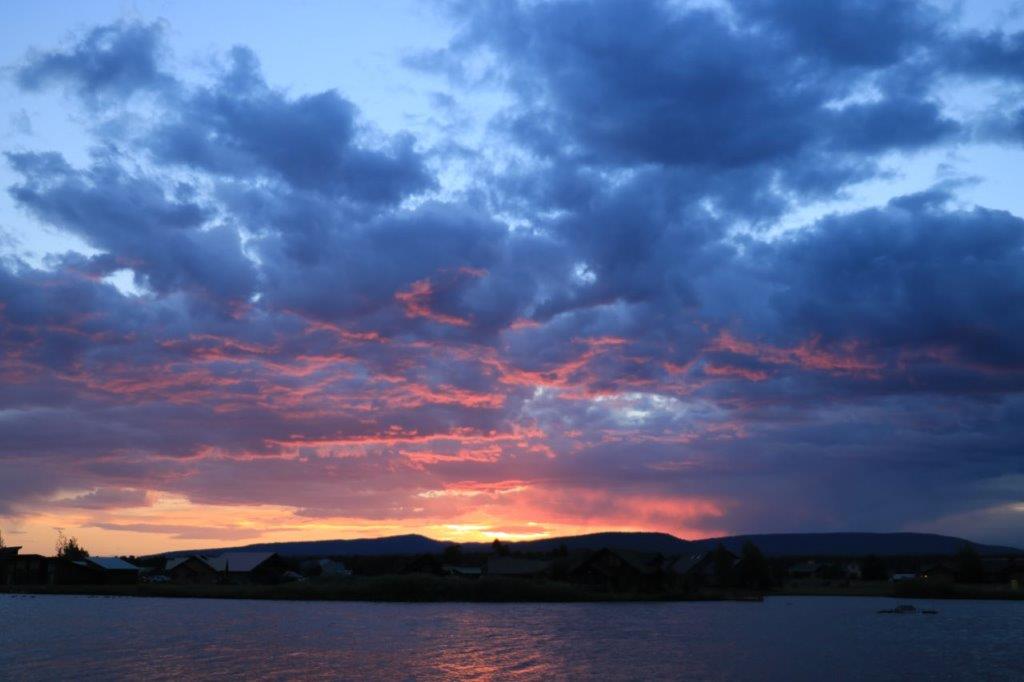
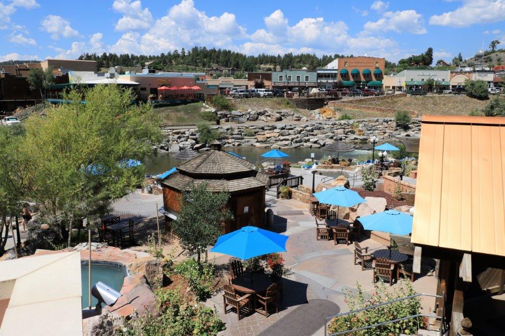
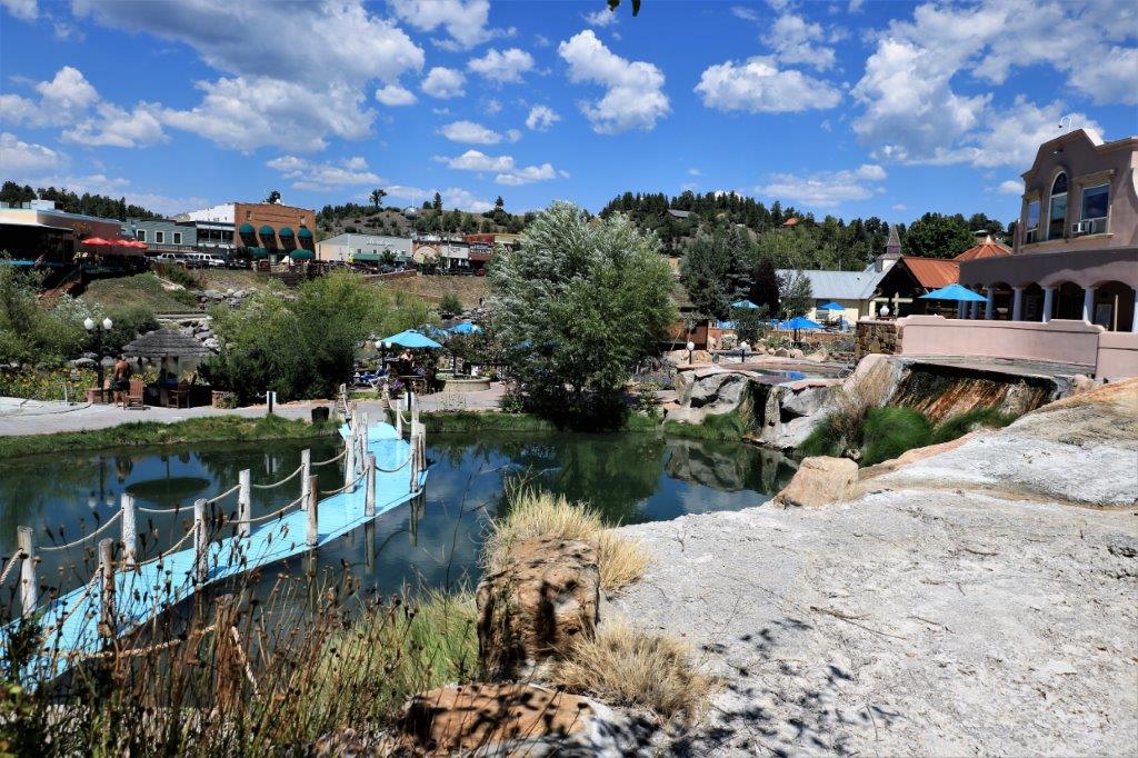
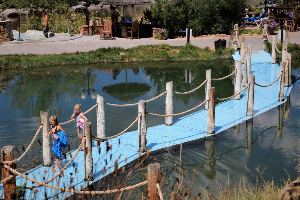
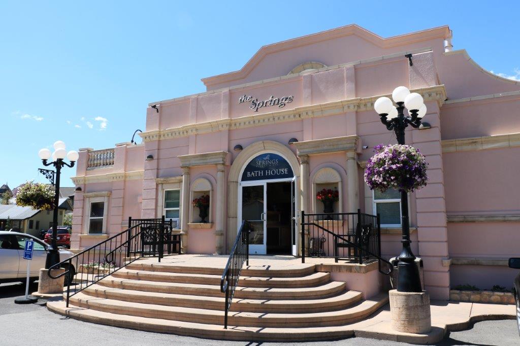
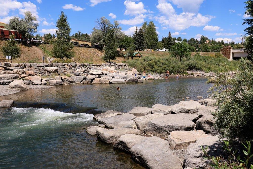
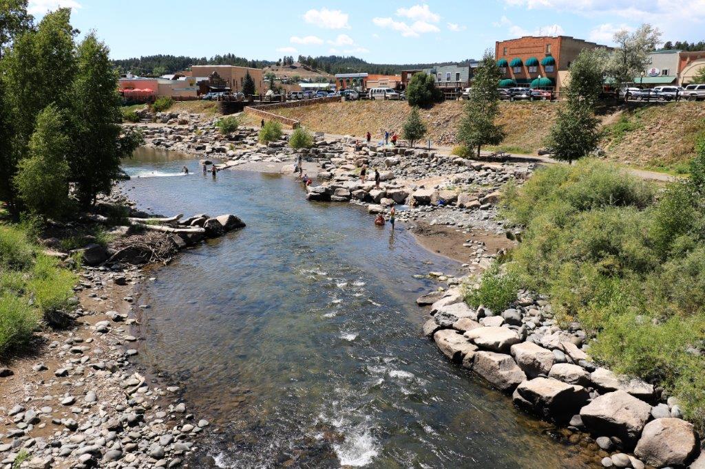
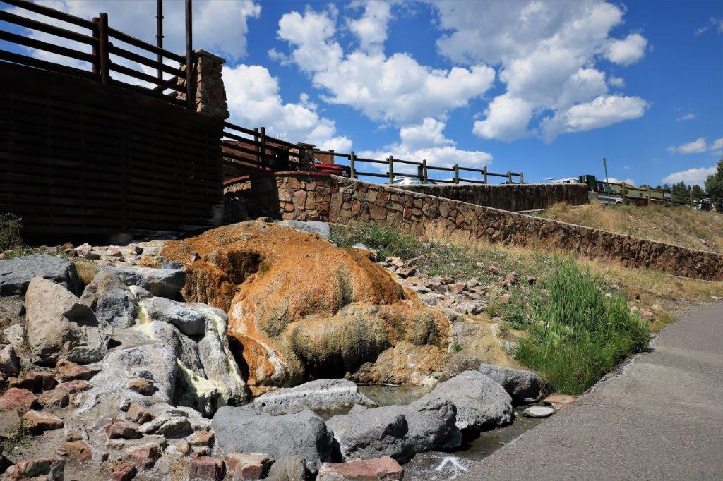
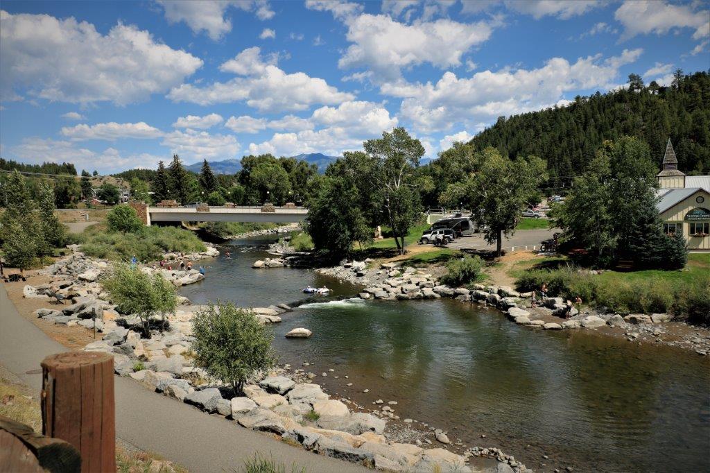
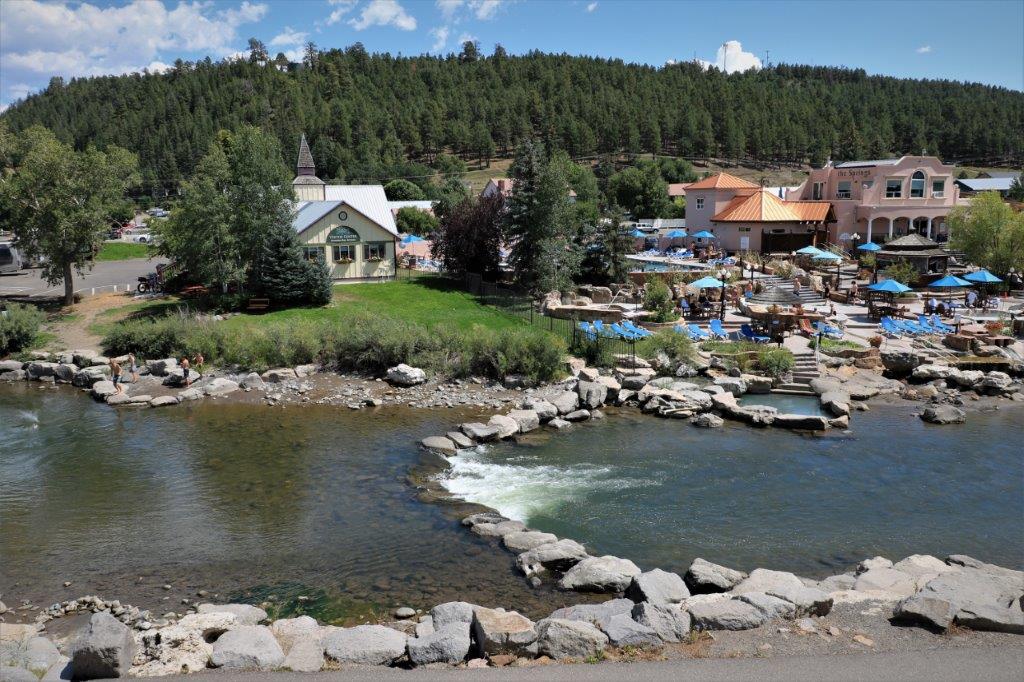
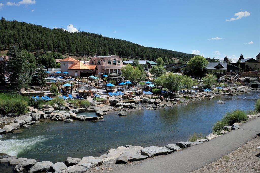
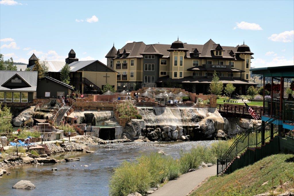
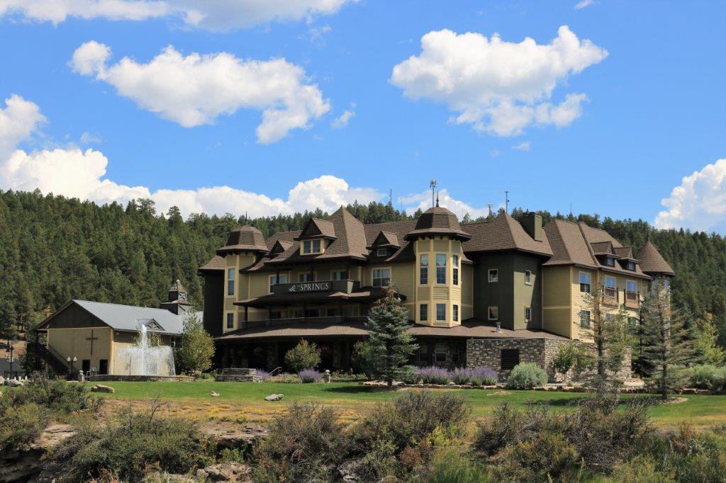
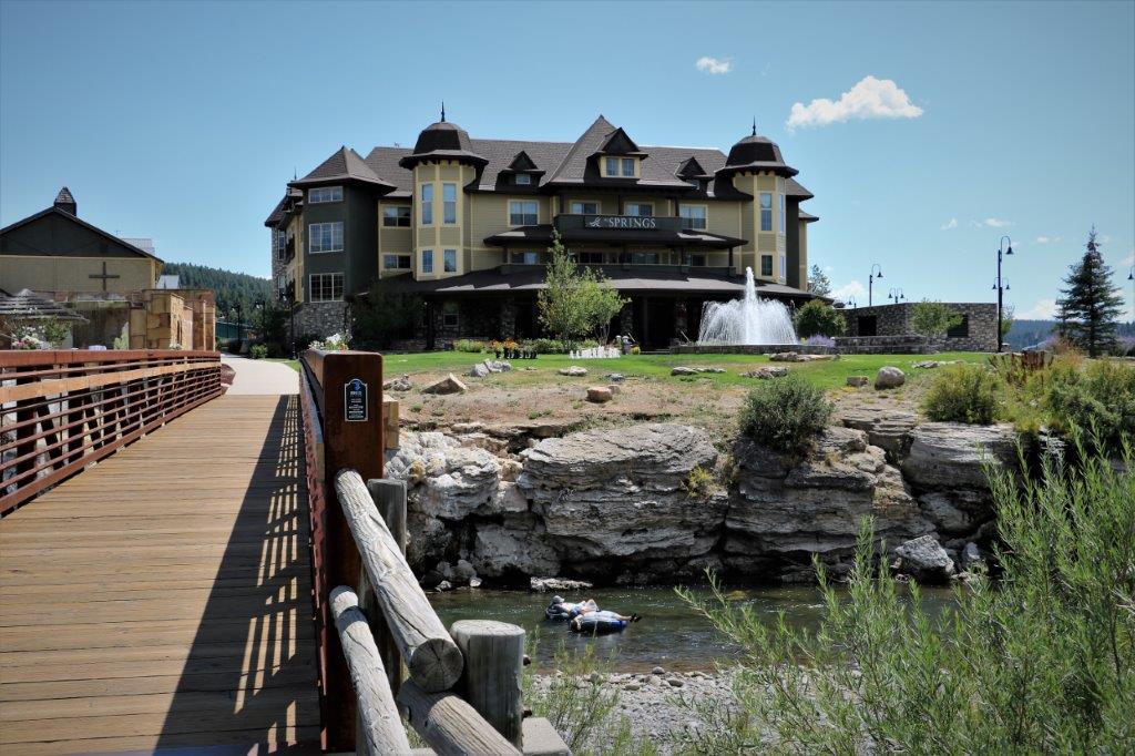
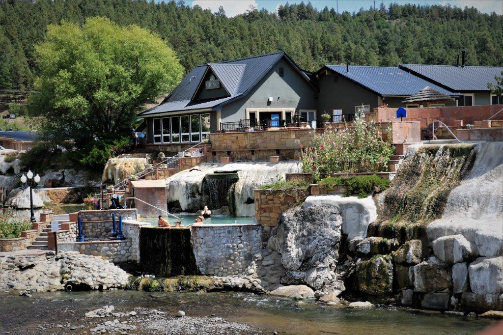
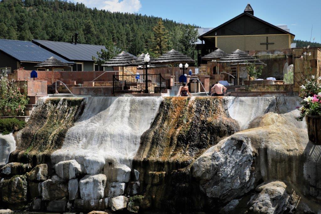
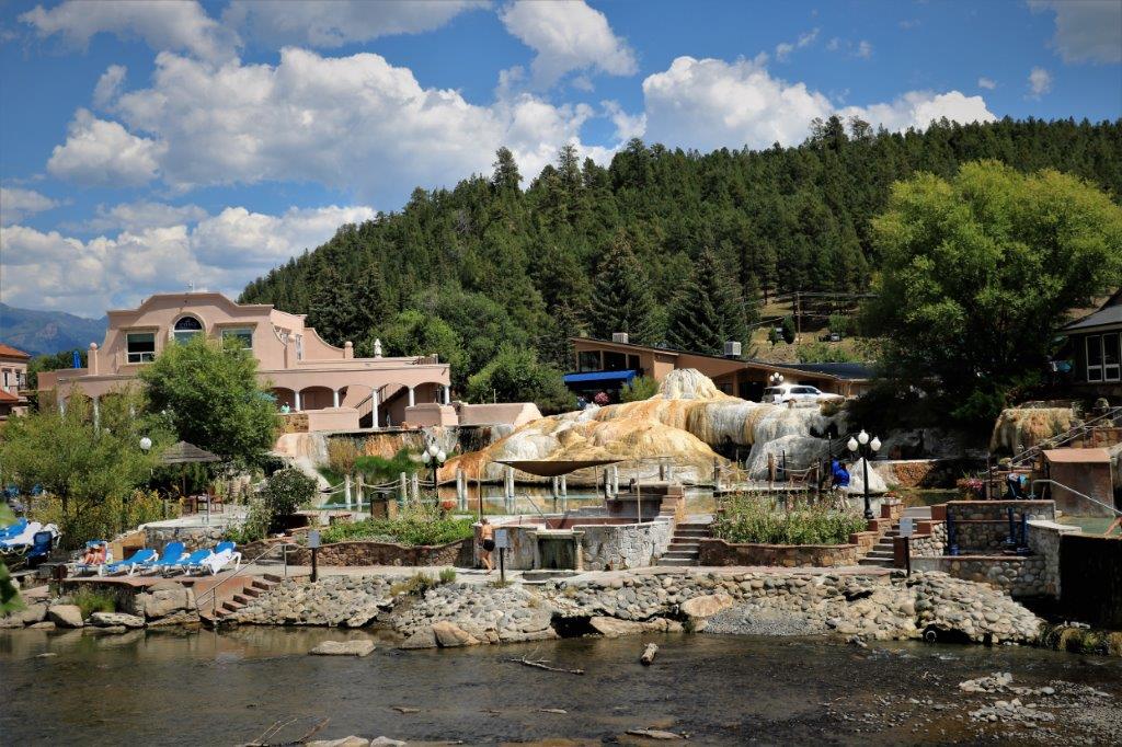
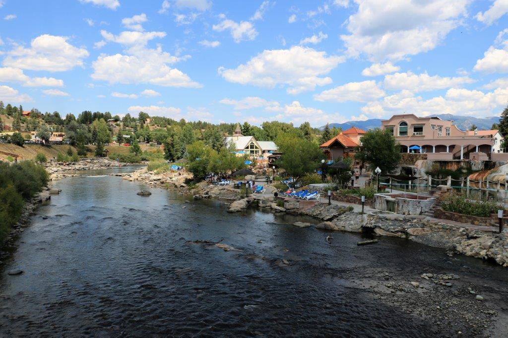
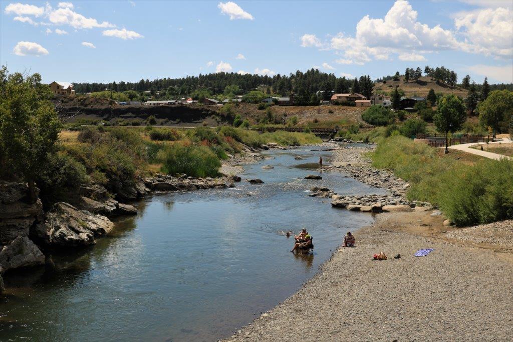
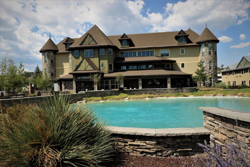
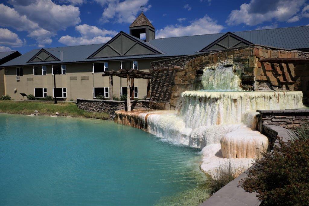
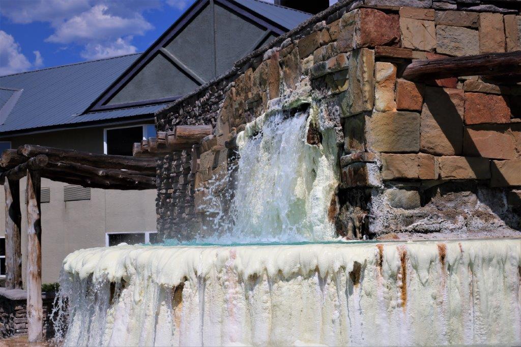
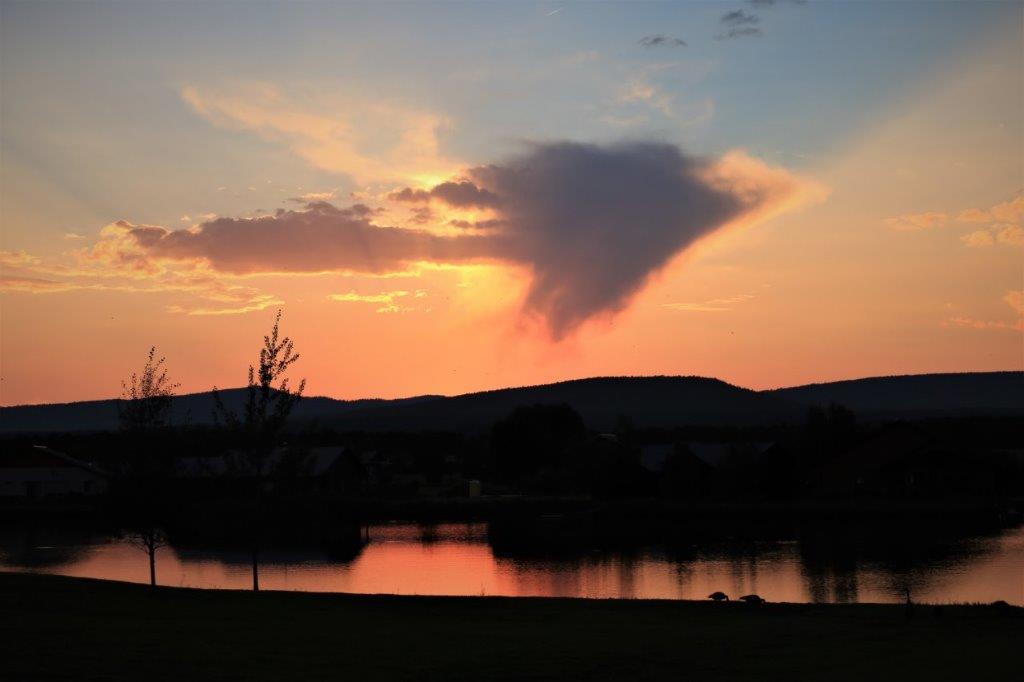
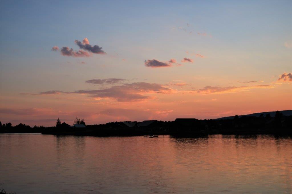
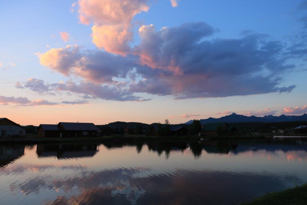
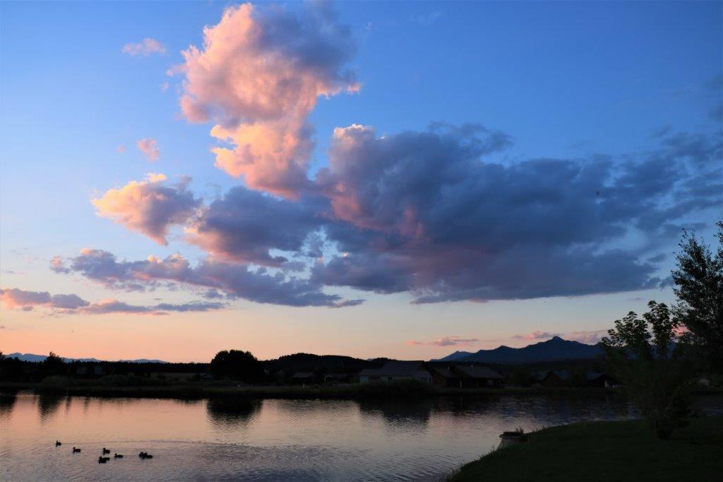
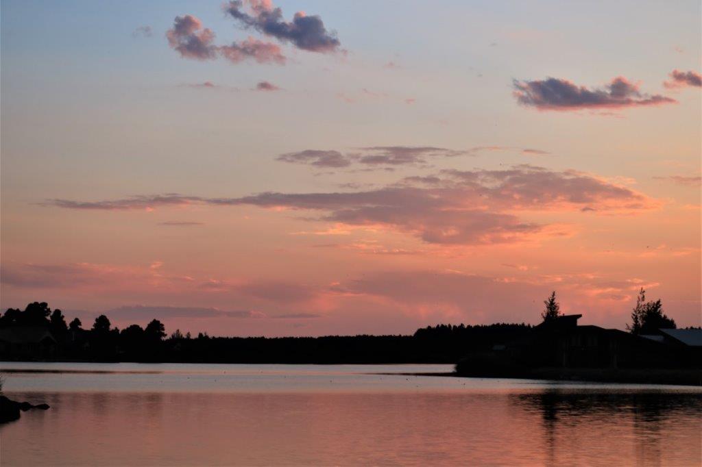
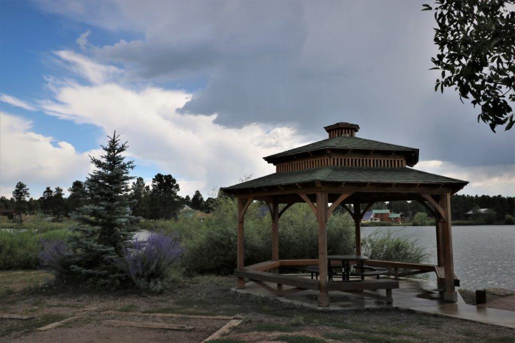
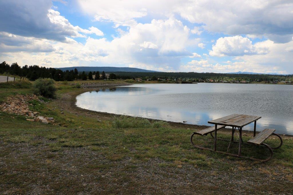
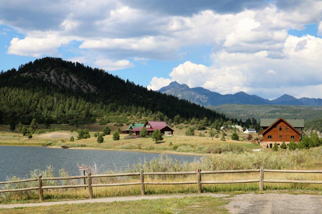
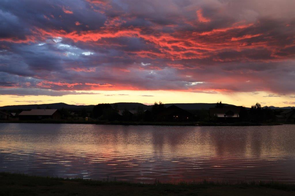
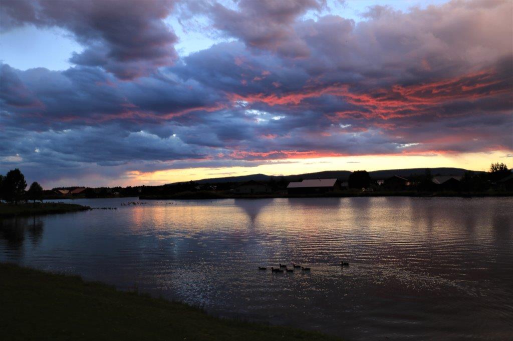
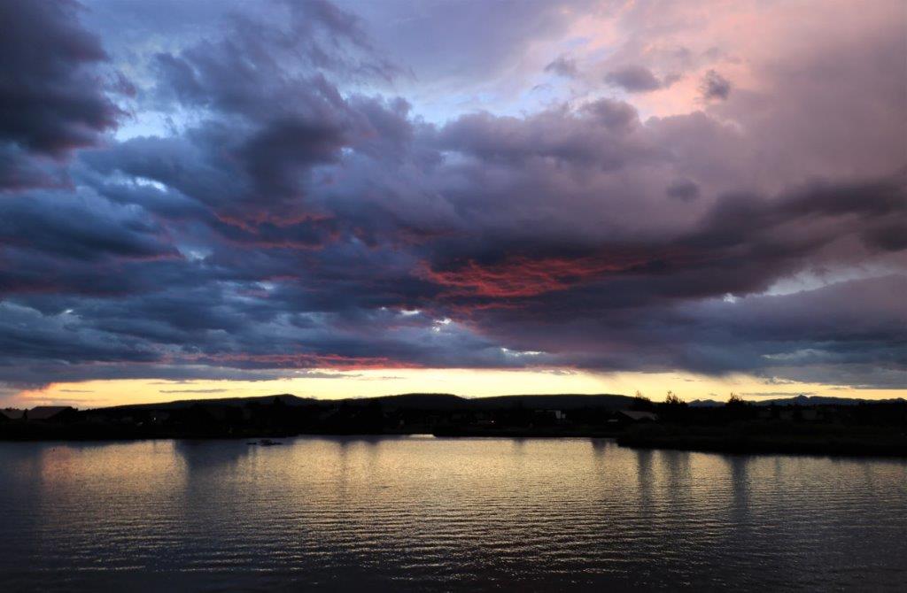
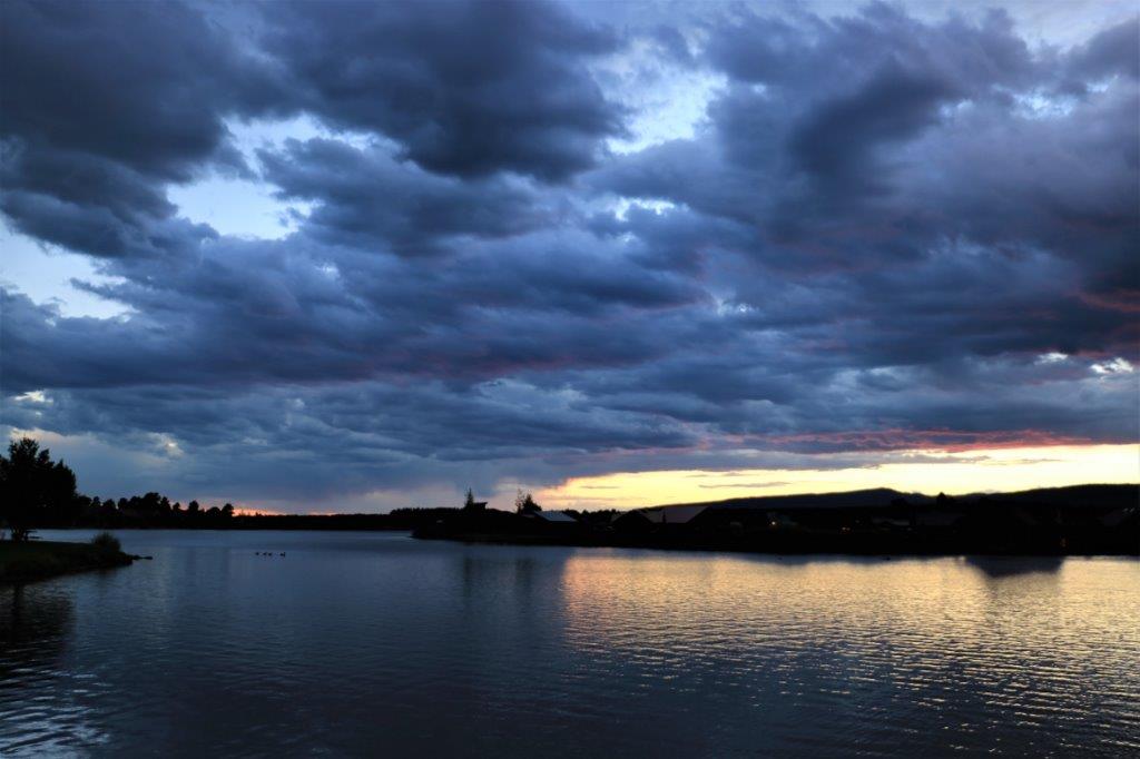
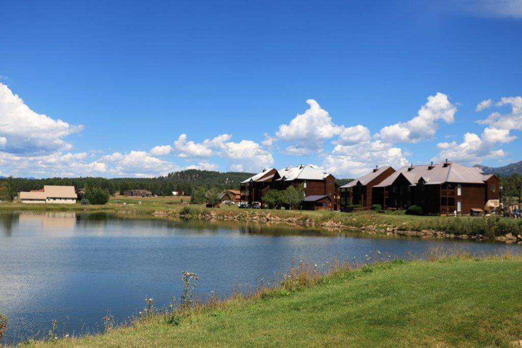
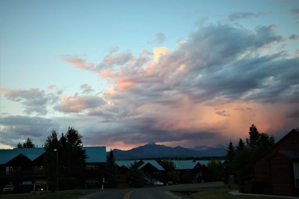
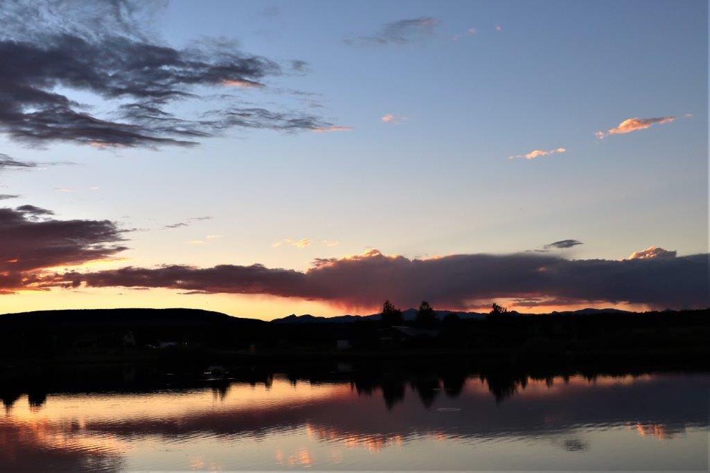
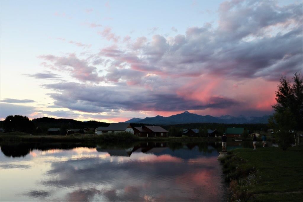
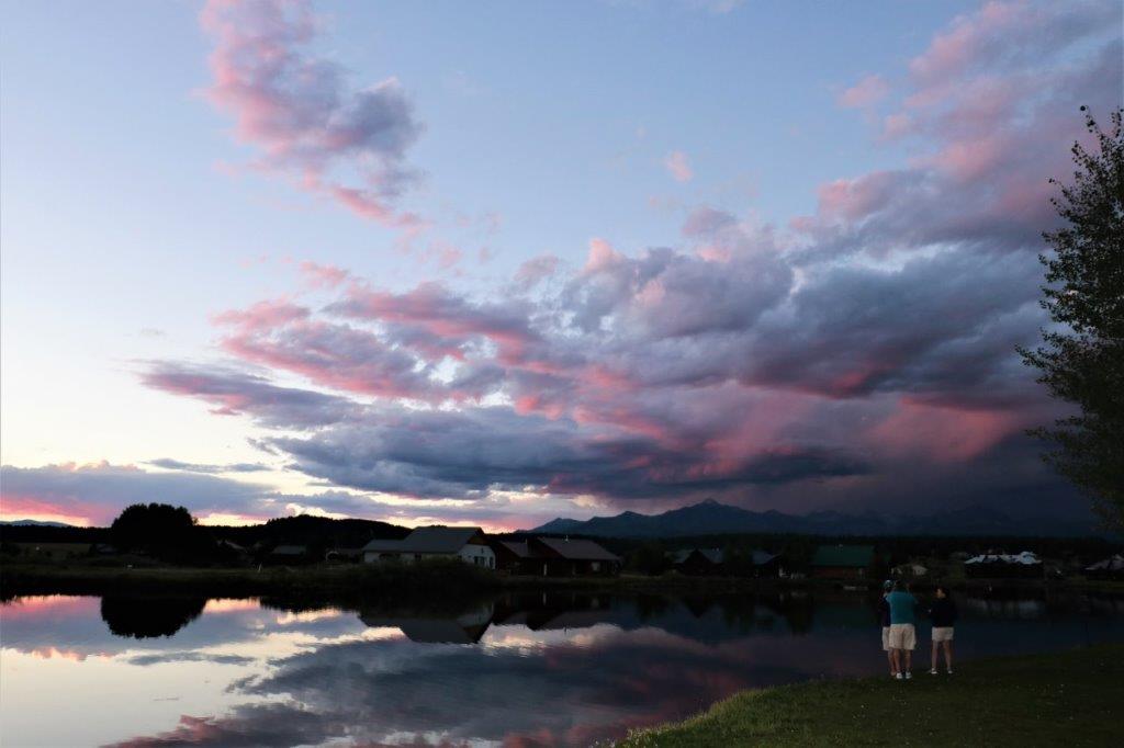
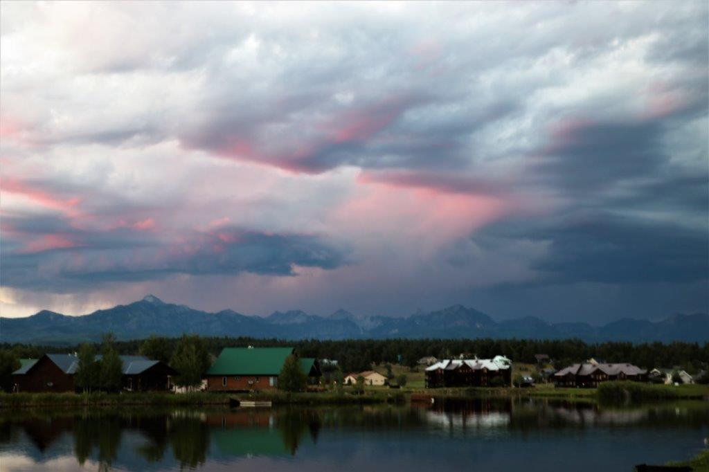
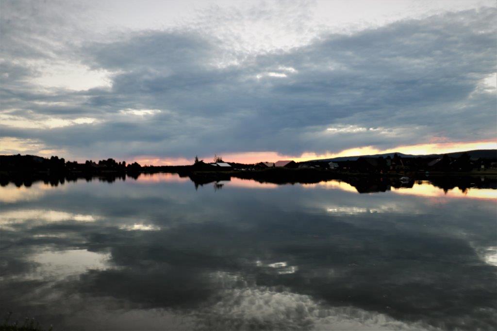
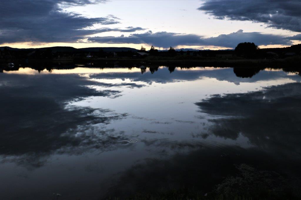
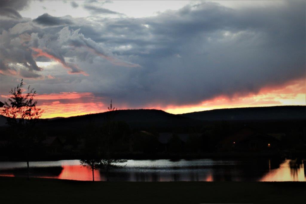
Back at the resort, we rested our weary feet before dinner and the evening walk to the lake for sunset watch. 
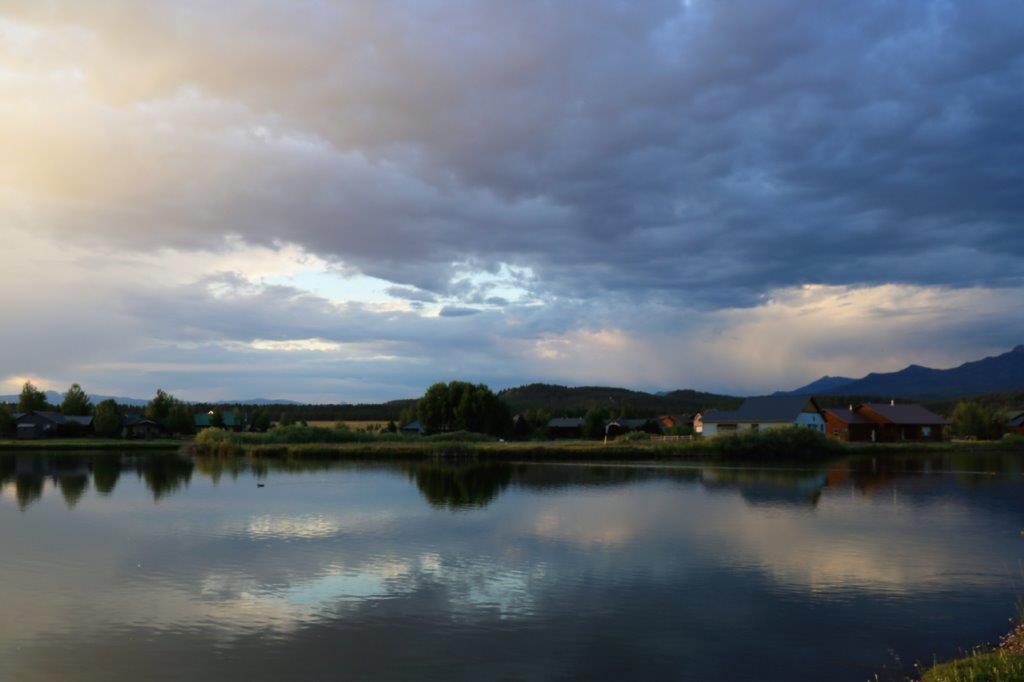
Chock up another great day of sights and learning.

2017 Aug 29 – Pagosa Springs, CO (Wolf Creek Pass)

Today was a stitch day.

Rain was predicted but we decided to head out over the Wolf Pass anyway.  It turned out to be a good decision because all the thunder and rain happened in Pagosa Springs and we didn’t get any in the higher elevations.

I learned today that if we ever take our round-South America cruise I will be fine going to Machu Picchu in Peru.  The elevation of the archaeological site is 7,972′ feet above sea level and the city you fly into, Cusco, is at 11,150′.  The summit of Wolf Creek Pass is 10,857′ and the Lobo Overlook is 3 miles up a gravel road just past the pass summit at an elevation of 11,760′.  I could breathe and move around with no problem; along the way to the pass I even hiked 1/2 mile uphill to a waterfall.  Of course, I’m sure it helps that we have been staying in Pagosa Springs for five days now and I have climatized to the 7,100’+ elevation.

On our way up to the pass we took a side road down to the San Juan River Village and found a geocache beside this pretty little lake.  It was lovely scenery on the drive to the village. First stitch.

We also stopped at Treasure Falls which you can see from the roadside but we walked up the trail as far as the base of the waterfall.

We had a visitor come down the trail on the other side of the creek.  John spoke a bit too loud telling me the bear was there so he went back up the hill without getting his drink of water.  I had my camera on the wrong setting so these two are John’s photos.  


My camera started working again in time to get him just before the disappeared up the trail.


The view from the Wolf Creek Pass Overlook was very nice.  They had a very high, very thick fence around the edge, but my camera lens fit through the slats okay.  Second stitch.

There were two little chipmunks running around. They came quite close to people so I am sure they have been fed before.John got this nice shot of the chipmunk running away from a girl.

With the lovely expansive view of the mountains and valley I think many people miss the big formations off to the side of the overlook. They have big Blue Jays in Colorado.

The road we have travelled.The mountainsides all around are covered with dead spruce tress.  I think the Spruce Bud Worm had done a serious amount of damage around here.The summit of Wolf Creek Pass and the Continental Divide. There was a cache hidden on the other side of this meadow at the summit, and down the length of it at the back.  We hiked about a kilometer getting to the cache and back to the truck. Third stitch. These pretty flowers were blooming along the path to the cache location.  There were quite a few wildflowers blooming.  We even saw Indian Paintbrush which at home is long finished.  But summer comes late and doesn’t last long up here.  I read somewhere that they can get 30 feet of snow on the pass. A little drive past the summit and three miles up a gravel road you get to Lobo Overlook.  The microwave and radio towers are located up here.  Also two geocaches, one of which was appropriately called “Sitting on top of the world.” Fourth and fifth stitches. John had to clamber down the bank on the other side of the railing to find the cache hidden in the rocks. Obviously there would be a ski hill up here – Wolf Creek Ski Resort. Sixth stitch. Seventh stitch. Eighth stitch. We turned around after we found the cache at the ski resort and headed back down the mountain.  The road is so steep that the speed limit for big trucks is 25 mph and there are plenty of run-off lanes in case they get into trouble.  Before the nice highway was completed, back in the early days of travel by car, it used to take two days to traverse the pass.  Now you can go from Pagosa Springs to South Fork in an hour.

We loved this ranch gate.

When we were coming up we passed two geocache sites that we picked up on the way down.  One was at a former restaurant site and the other was at Riverview RV Park.  We were greeted with a big Smiley face not too far from where the cache was hidden. The little lake at the park was very pretty.   Ninth stitch.

We arrived back at the condo at quarter to five and spent the time before dinner sorting photos and booking tickets for the Durango to Silverton narrow-gauge railway trip we plan to take on Saturday.

After dinner and dishes it was off to the lakeside to watch the sunset. Tenth stitch Eleventh and final stitch.

And now you know why I called it a stitch day.  So much of what we saw were such expansive, grand views I needed to stitch three or four photos together to try to show how beautiful it all was.

‘Twas a grand and glorious day to be sure.

2017 Aug 28 – Pagosa Springs, CO (Hot Springs)

We had a relatively easy day today.  We decided to drive into town (the resort complex is a few miles north of town) and see the hot springs.  We pass this cute little log cabin at the resort entrance everytime we go in and out.We parked in a lot by the river and wander across the street to The Springs Spa and Bathhouse.  There are several resorts on the banks of the river and all of them access the hot springs located behind The Springs Hotel.  Each spot has several different pools that people can soak in. The river water is somewhat warm as well and it is very shallow.  Sitting in, floating down, and generally having a good time in the river is a popular pastime. A few years ago the city and the county spent a lot of money to enhance the esthetic of the San Juan River.  This project improved the look of the area where the river runs through town and the kayaking and canoeing experience futher afield.

Along the River Walk and by the resort spas there are formations – almost like a water feature in a garden – created from tufa (similar to the travertine in Yellowstone).  Tufa is hydrogen sulphide and dissolved silica that gets left behind by the flowing water. On the opposite side of the river from the spas, up beside the road above the River Walk there is a viewing platform where you can watch the spa pools and the river players.  Another one of the tufa formations is there plus information boards about Pagosa Springs and this was the sight of an Earthcache.  So, I had to get John to take my photo so I could send it to the cache owner to prove I was there. We walked along the River Walk to the end just past the big hotel you see at the back of photo above. There was supposed to be a geocache hidden behind a sign at the little amphitheater but it was MIA so we backtracked and crossed the bridge to go past The Springs Hotel.
Looking one way up the river from the bridge and the other way down stream. At the back of The Springs Hotel you can see the Mother Spring – the deepest hot spring pool in the world; as measured by The Guiness Book of World Records. The pool is about 30′ across and what you can see is only about 15′ deep.  But in the center there is a small gap through which the hot water surfaces and Guiness measured it at 1002′ deep.  This pool you cannot bathe in.  It is VERY hot water. On the far side of the pool from the water feature the edge is covered with little unpopped bubbles and streaks of the minerals in the water. And the water is so clear you can easily see the formations on the side of the pool. We returned to the truck and made our way back to the resort for a late lunch and lazy afternoon.

The feature film at the lakeside (sunset) was more a short subject tonight.  There had been short rain showers several times over the dinner hour and not a lot of clouds in the sky by the time the sunset to give the nice colours; but still it was a pretty good show.


2017 Aug 27 – Pagosa Springs, CO (Piedra Road & Chasm)

We had decided to have a geocache day, but in our usual lazy fashion we didn’t leave the condo until noon; just in time for the rain to start.  However, being intrepid cache hounds, we carried on.

There is a 31-cache series called Nuthatch on several roads around Pagosa Springs and a string of 5 or 6 of them were on Piedra Road that goes by Pagosa Lake and Hatcher Reservoir, and on quite some distance further to Williams Reservoir.  We thought that would be a good place to start and managed to find the first one.  We spent almost a half hour looking for each of two others, and decided that the series was going to be too much work for too little gain.  Instead we passed by the Nuthatch caches and drove further up the road to find three others.We stopped at a nice gazebo beside Pagosa Lake and had lunch.  The lavendar is in bloom all over the place in this area.

The scenery was magnificent.  I have said this before but I will repeat myself:  There are so many places we would never have seen but for our new hobby of geocaching.  There is absolutely no reason I can think of, in the course of a pre-caching vacation, that would have taken us 10 km up that gravel road.  And yet the challenge of finding a hidden container with piece of paper we can sign took us out of town where we were blessed to see some beautiful countryside. One of the caches we found today was very cleverly hidden in a bore hole in a boulder beside the road. John needed to find a long stick to push it through to the other side so we could get it out and sign the log.  People are so clever!

At Lake Hatcher we saw a heron landing beside the water.  Once he was standing still it was almost impossible to pick him out from the surroundings. We rounded a corner and there was a doe and her fawn eating the grass right beside the road.  She dashed off as John slowly passed her and her fawn went lickety-split up the hillside after her. There was a cache attached by a magnet to the back of this sign and through the gate off to the side was an earth house.  It didn’t look like it was lived in and had an unfinished, derelict air. These look distincly like Scottish Highland cattle. We were too far away for a good shot of the rock formations on this mountain but they looked pretty cool. Several times we had to pull over and take photos of the scenery. 
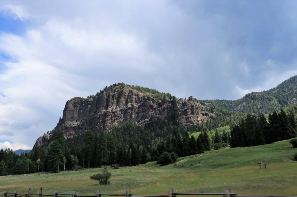
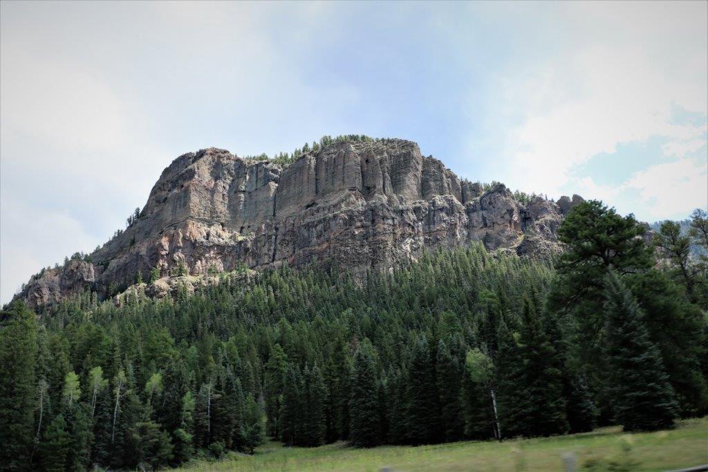
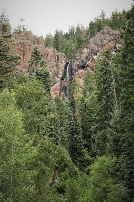
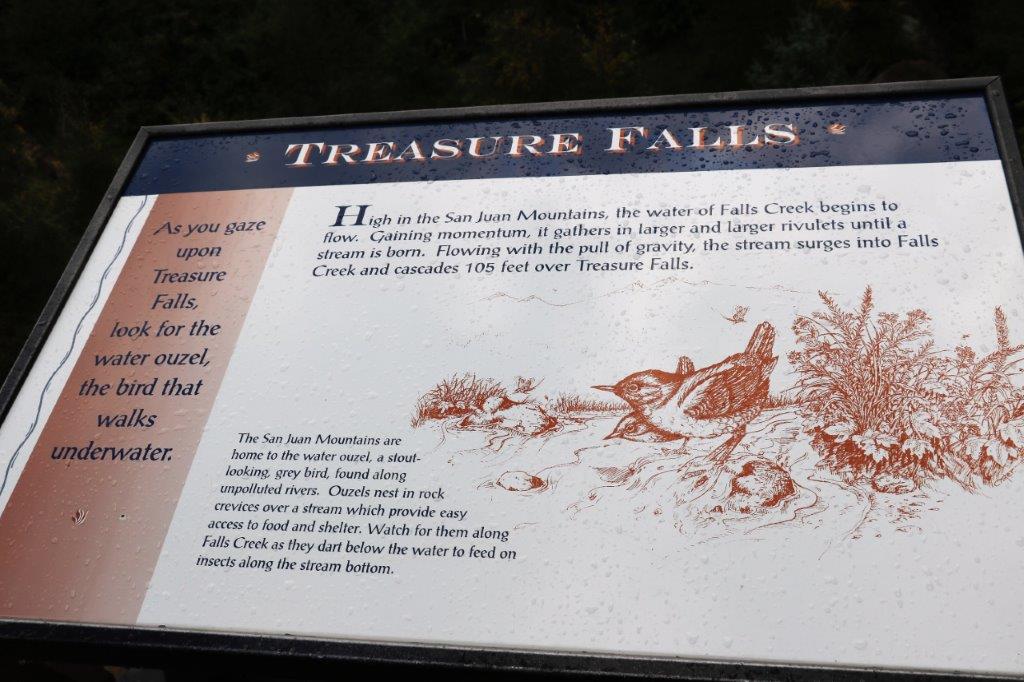
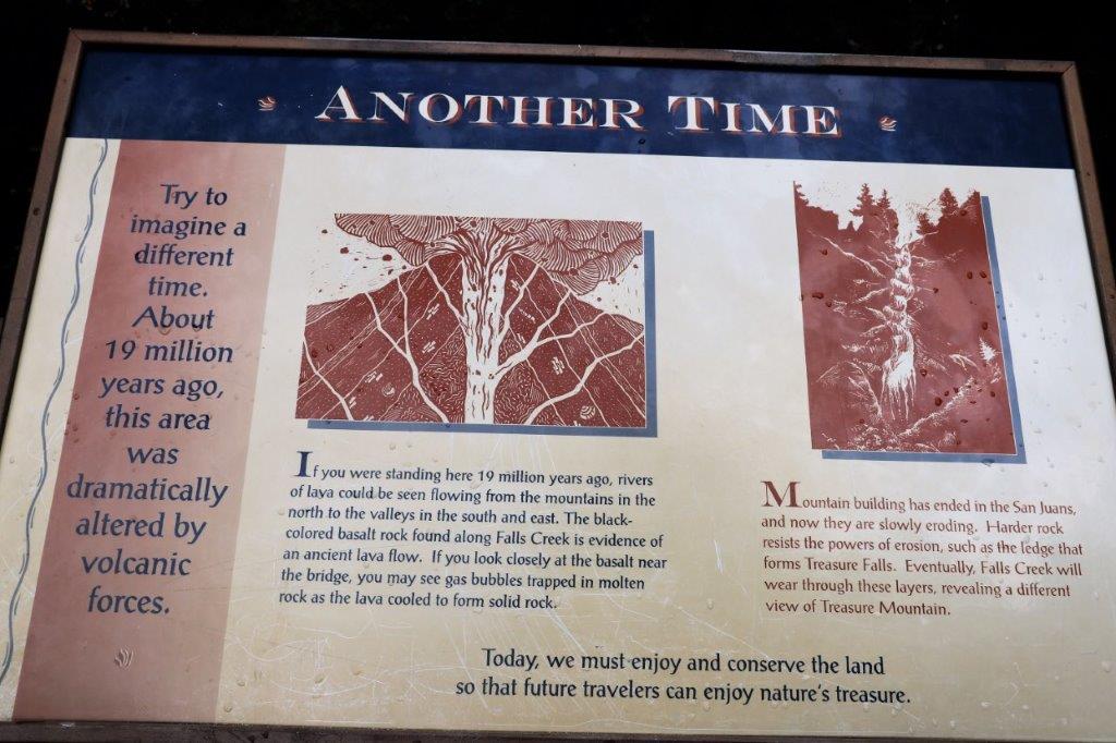
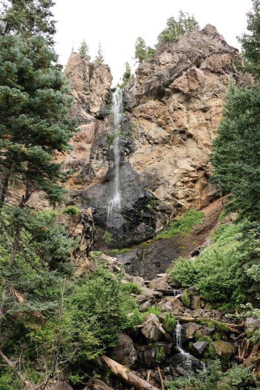
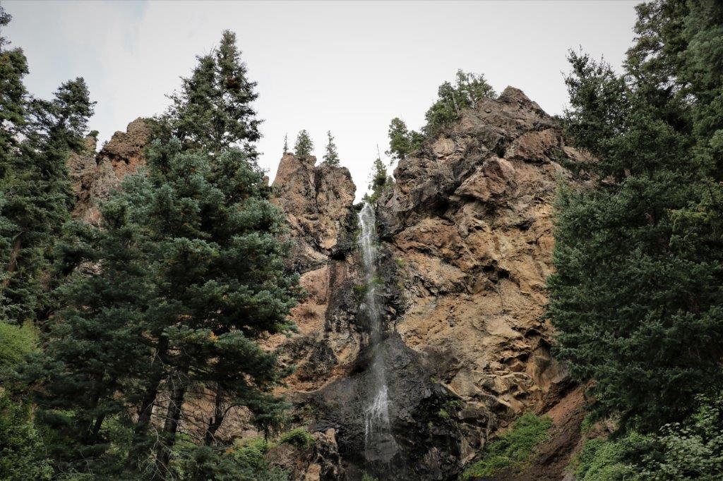
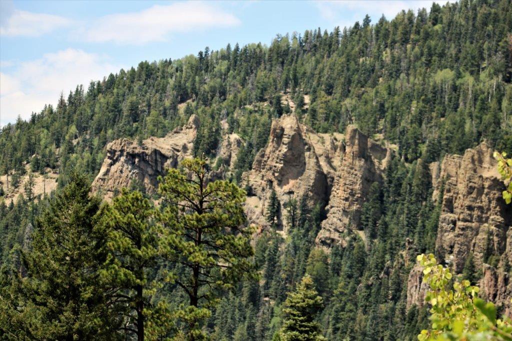
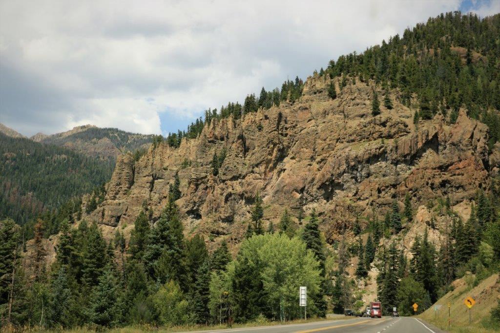
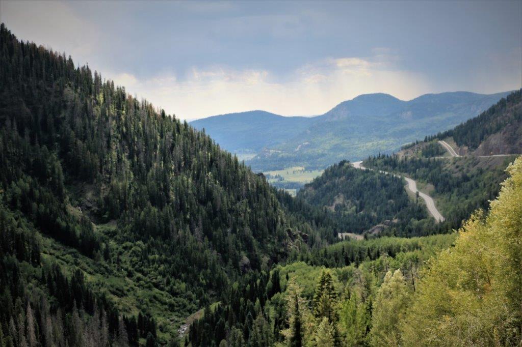
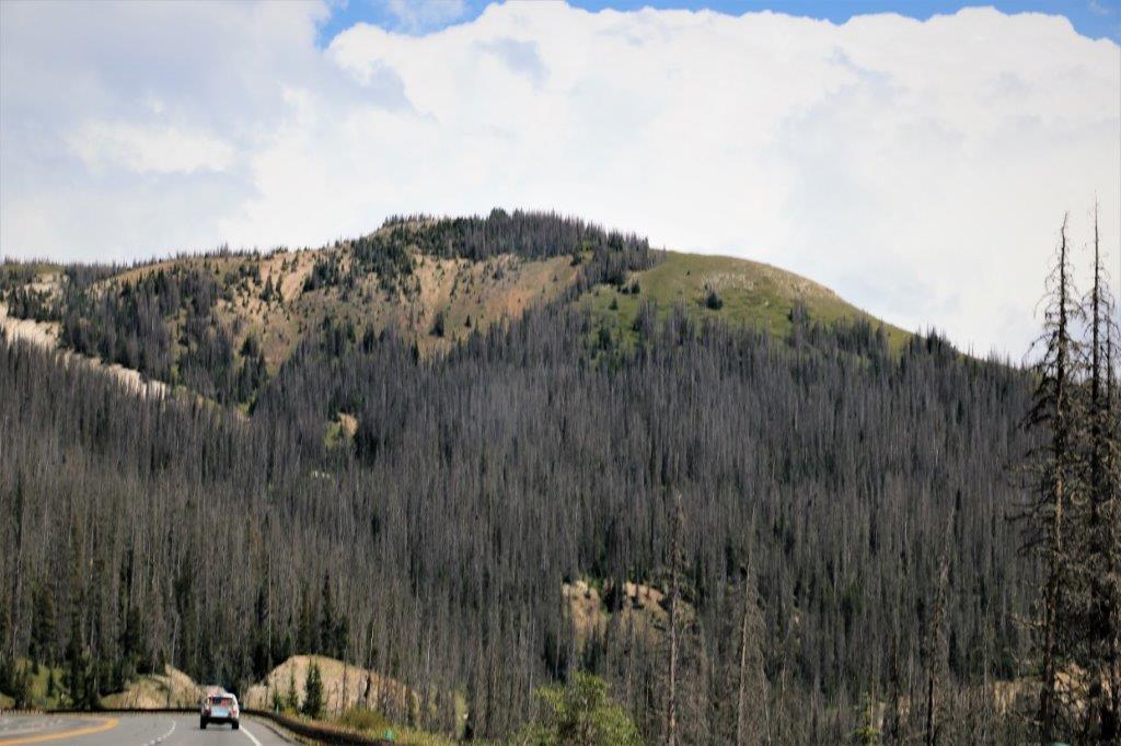
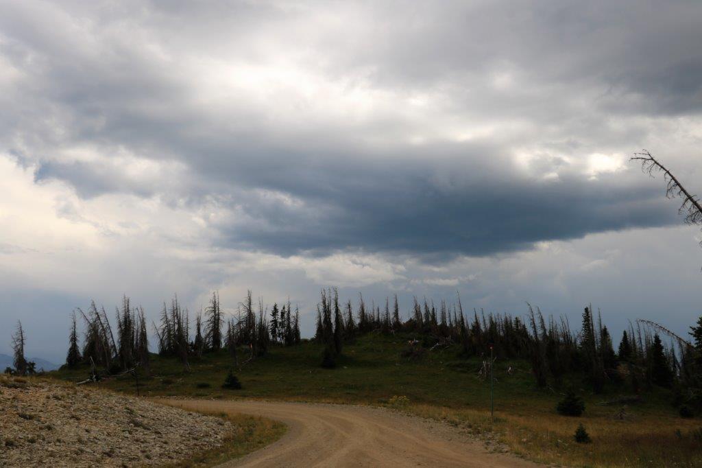
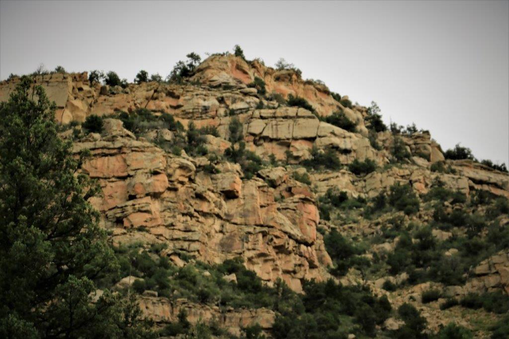
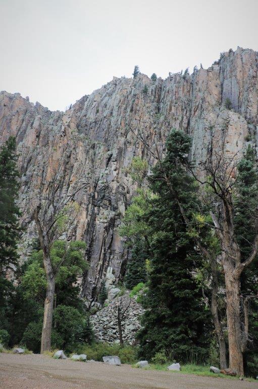
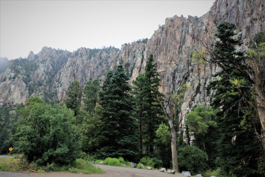
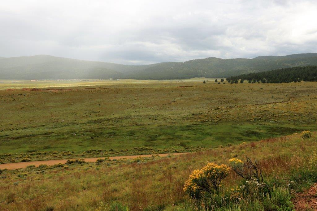
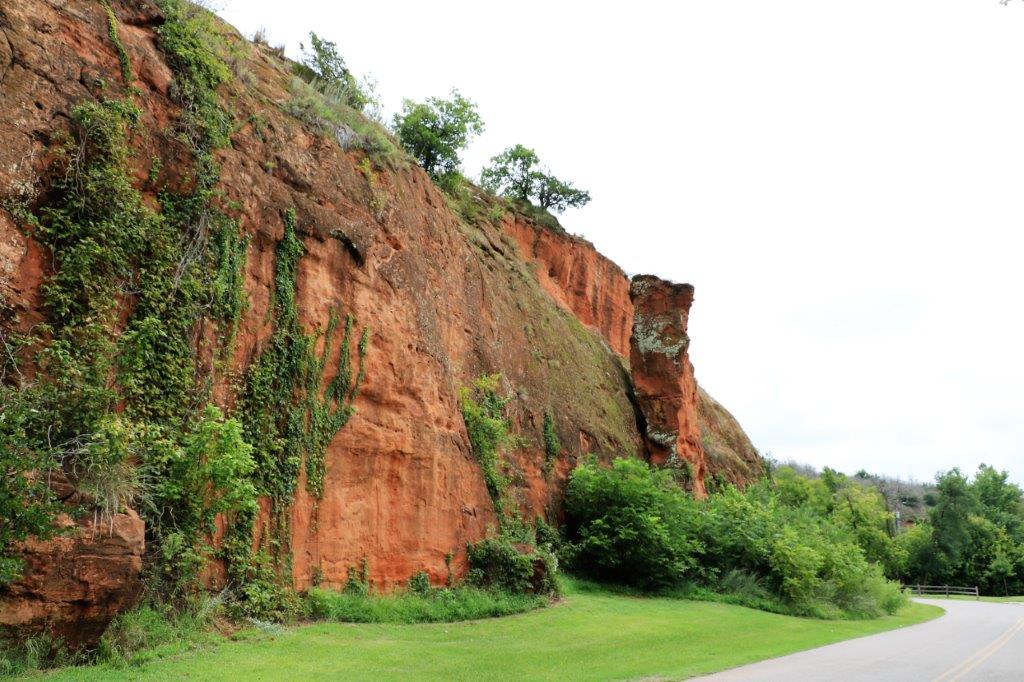
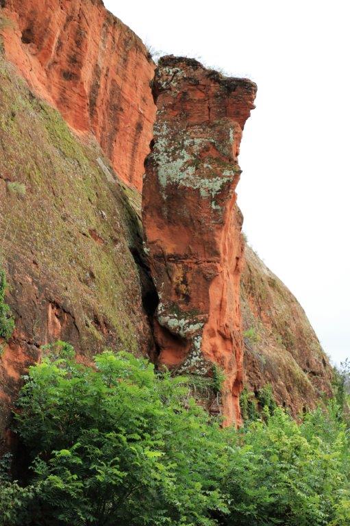
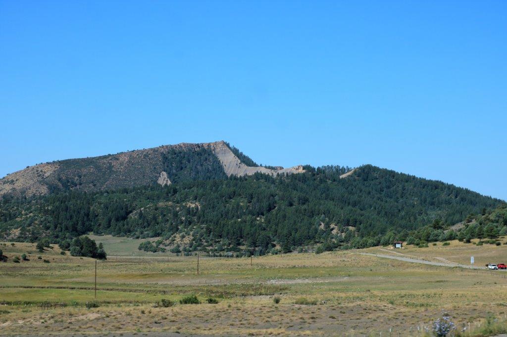
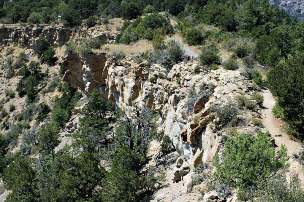
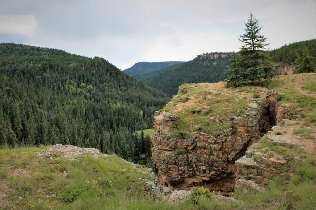
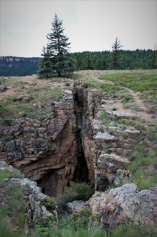
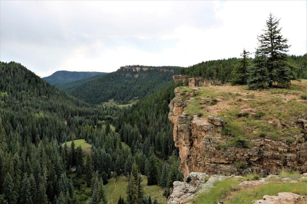
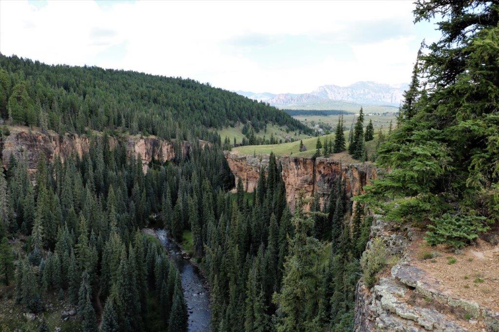
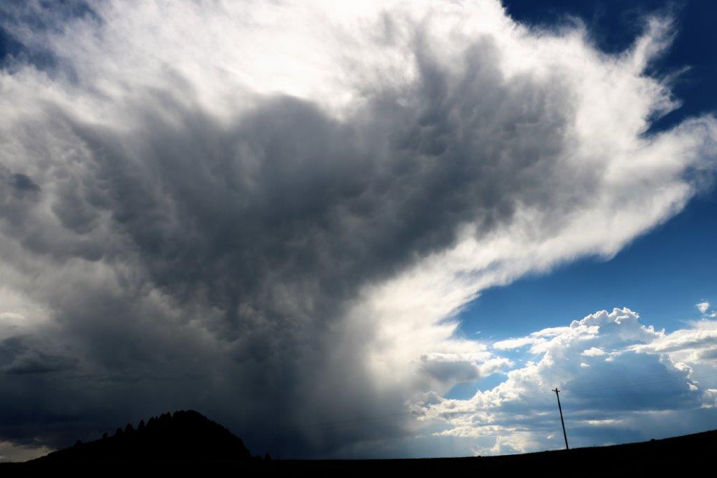
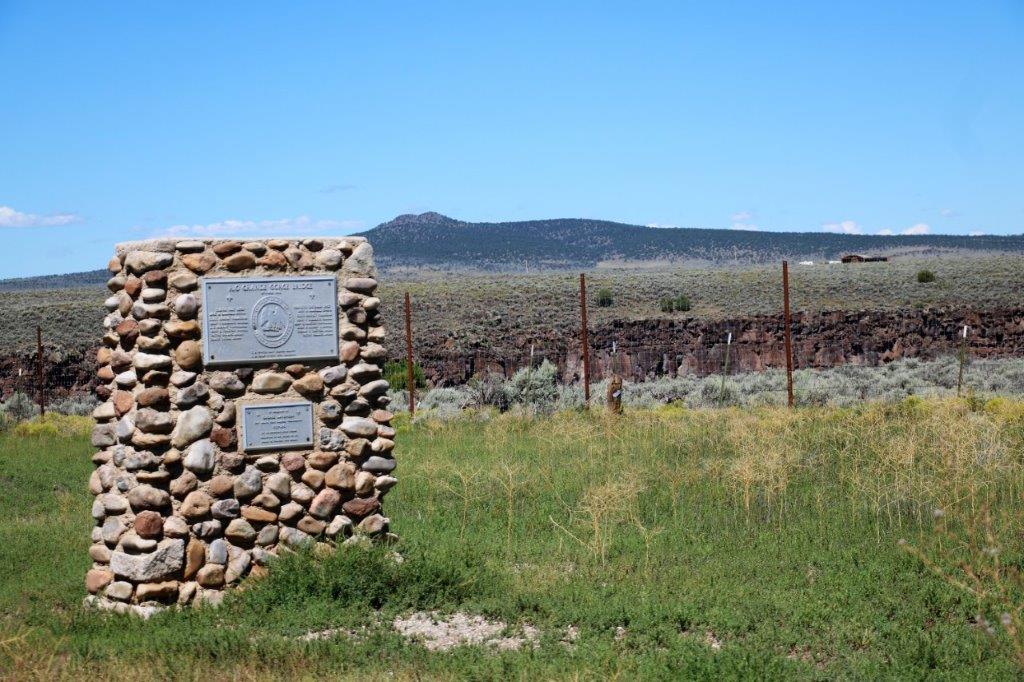
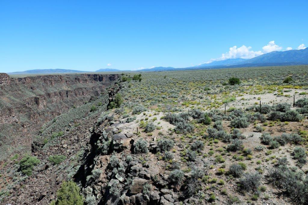
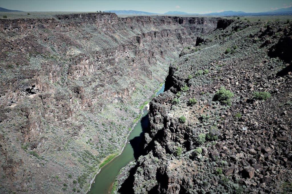
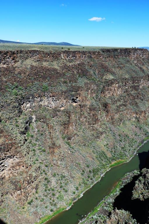
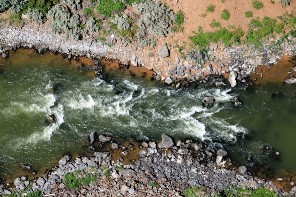
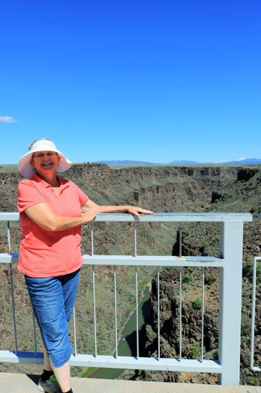
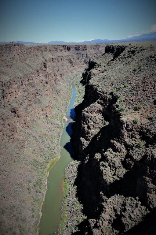
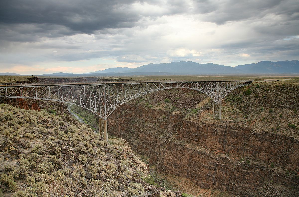
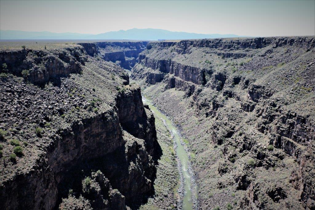
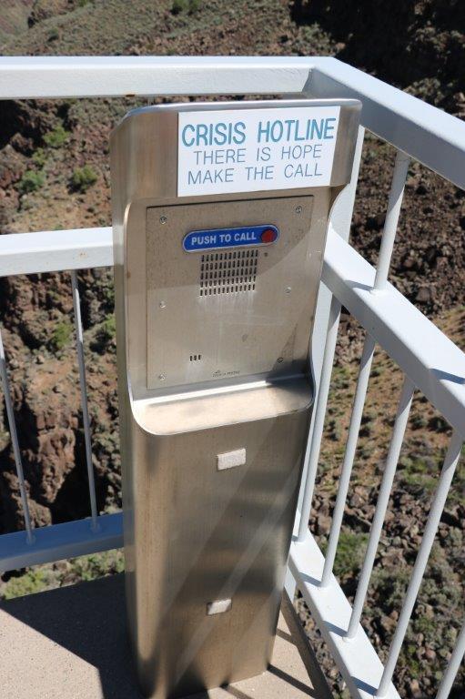
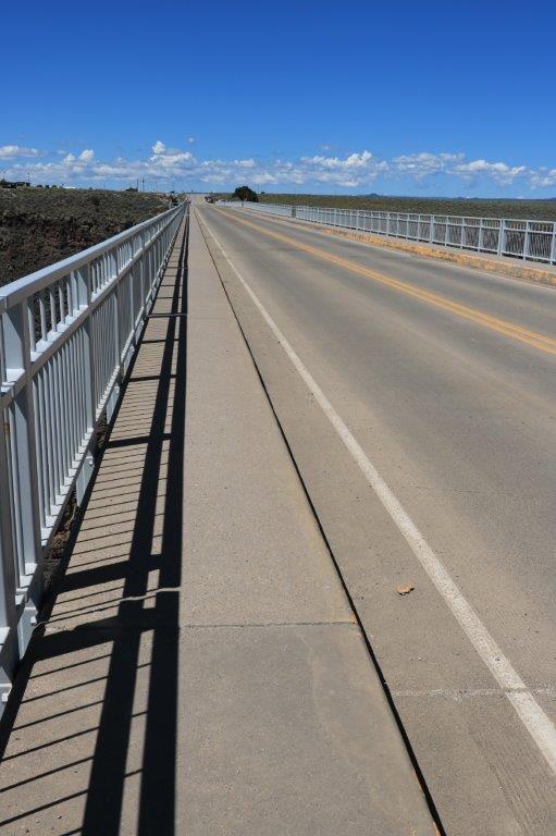
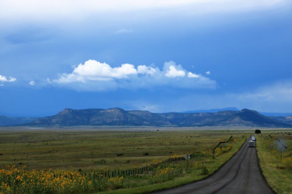
All of a sudden, as we came around a bend in the road we could see a chasm.

As it turned out, one of the geocaches we had come to find was up on a hillock at the crest of the cliff.  It as a short walk to the top of the bluff and we spent quite awhile wandering around and looking at the cliffs, river, and distant fields. The view was spectacular in all directions.

And, of course, me being me, I wanted to see what it looked like straight down.  Being older and a little wiser than I was in my youth, I did not go to the edge and look over (which is what I like to do) since the top was overhanging the sides.  Instead I changed my camera from viewfinder to LCD  display and held the camera out over the edge to get the pictures. There was even a small waterfall.

After we took all our photos we headed back to Pagosa Springs to make dinner and be ready for the night’s ‘movie’ – aka the sunset.  The sky was full of billowing large clouds. 
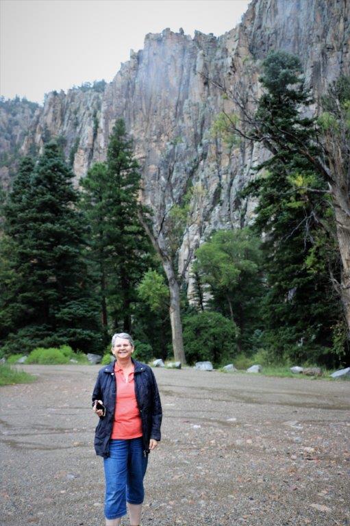
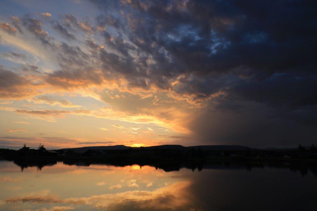
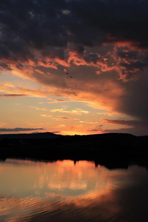
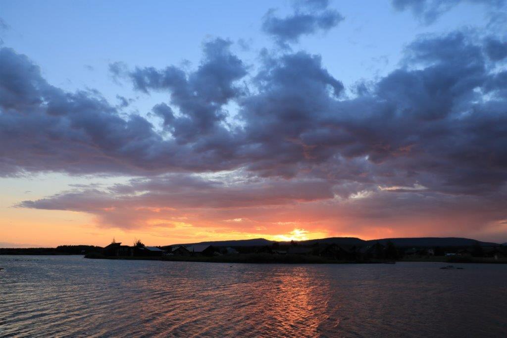
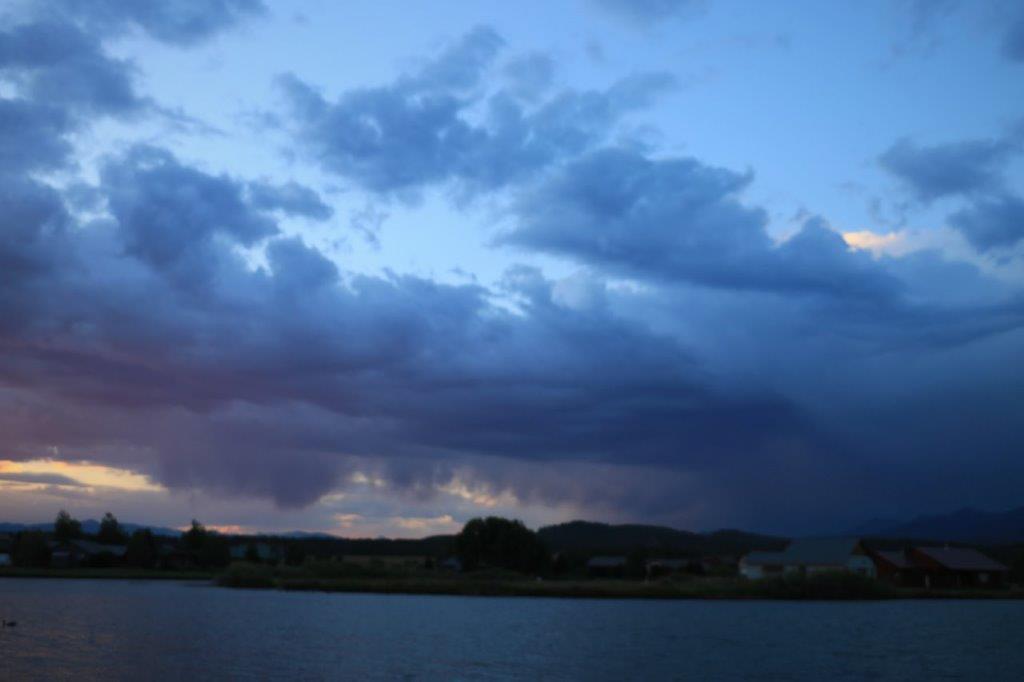
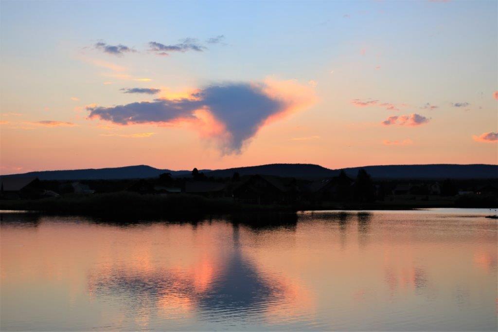
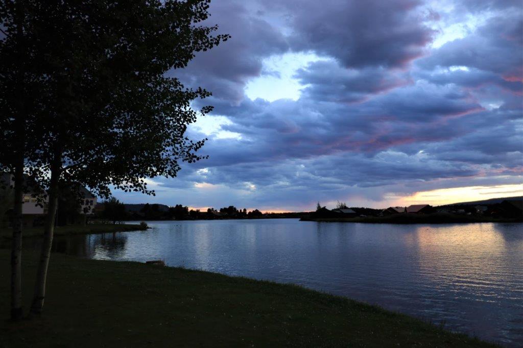
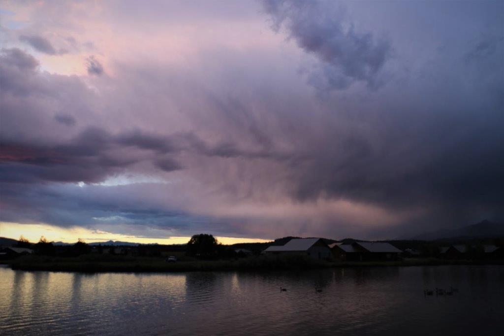
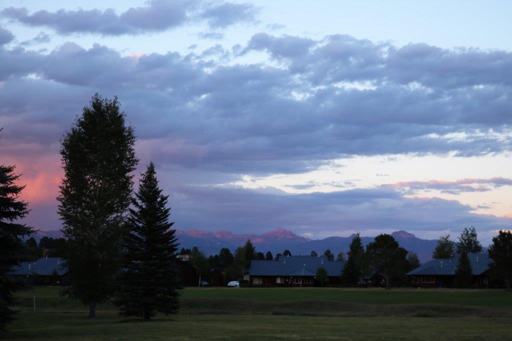
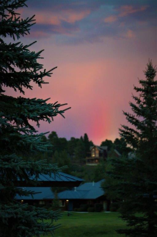
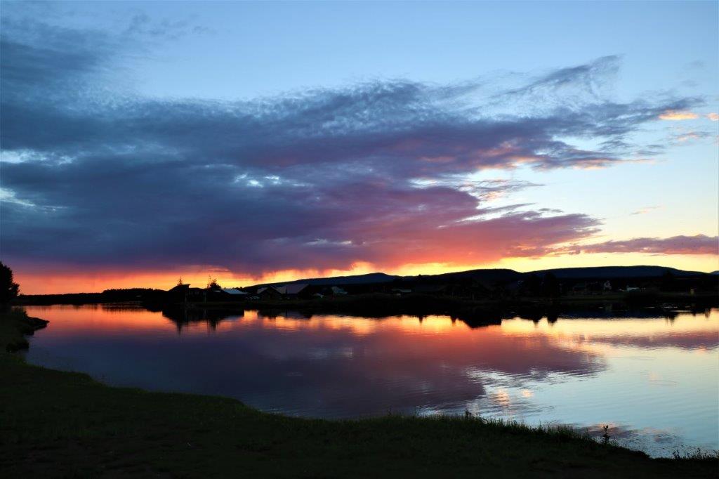
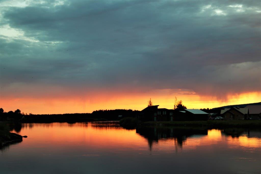
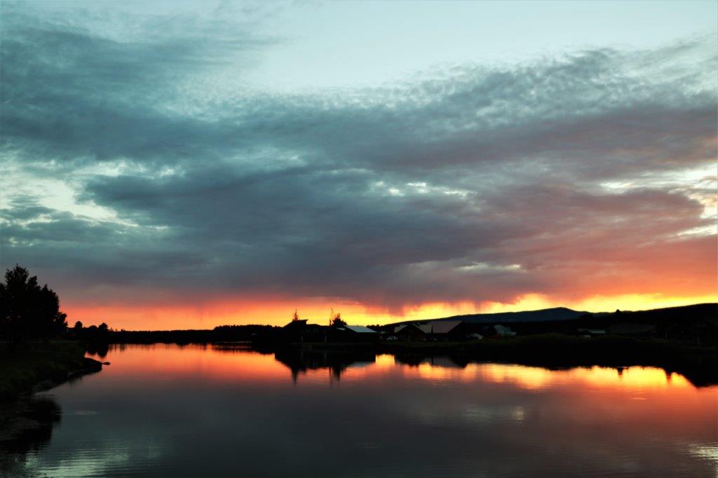
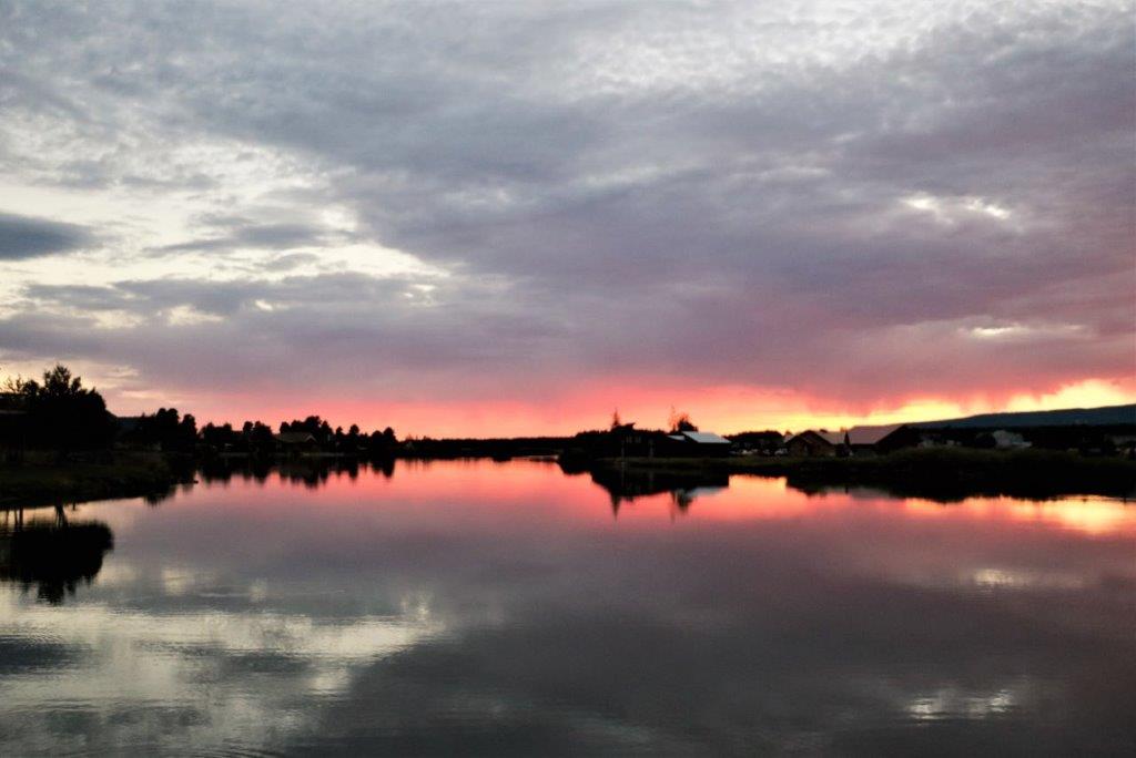
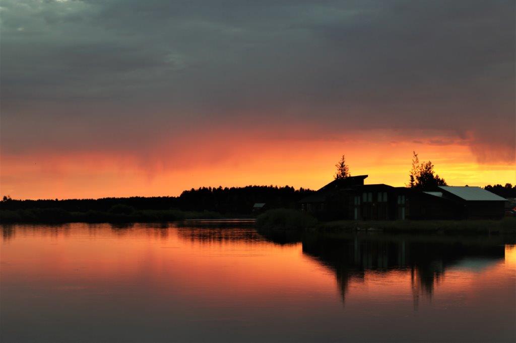
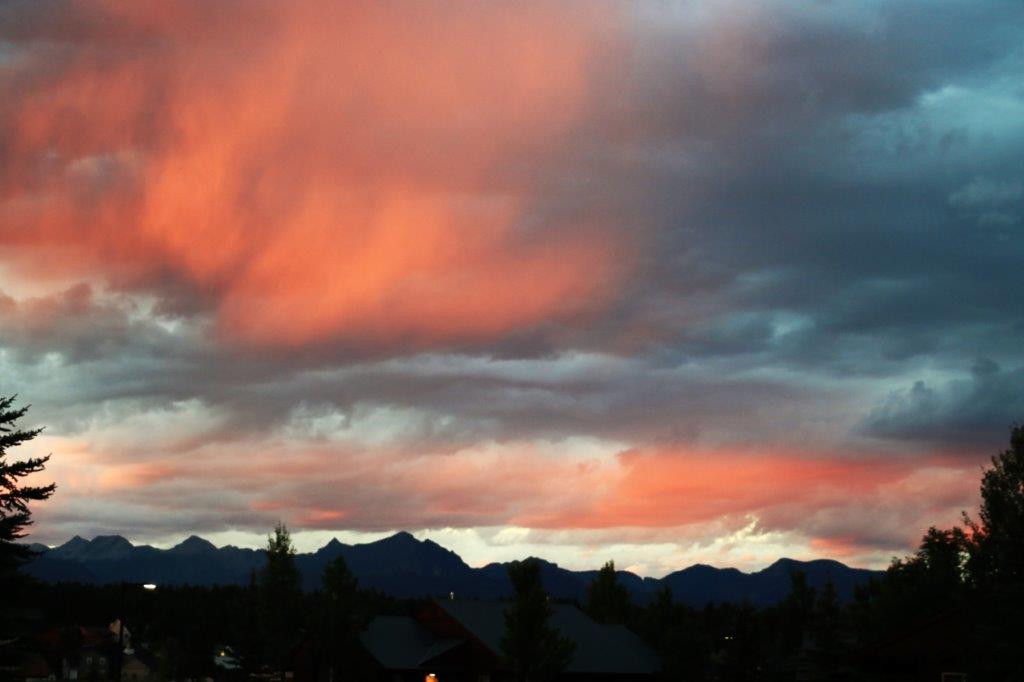
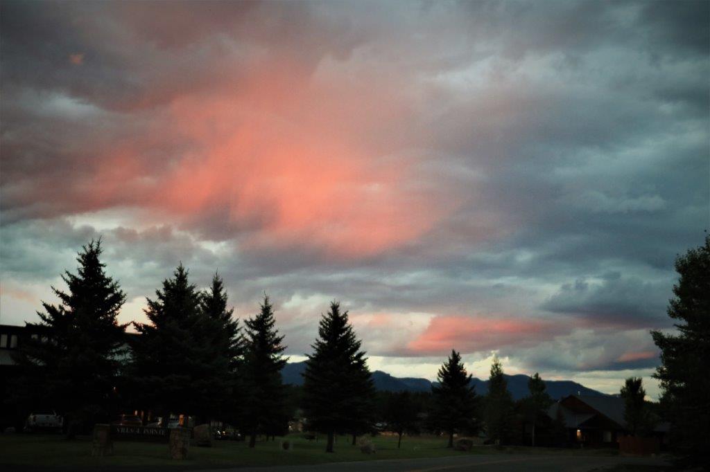
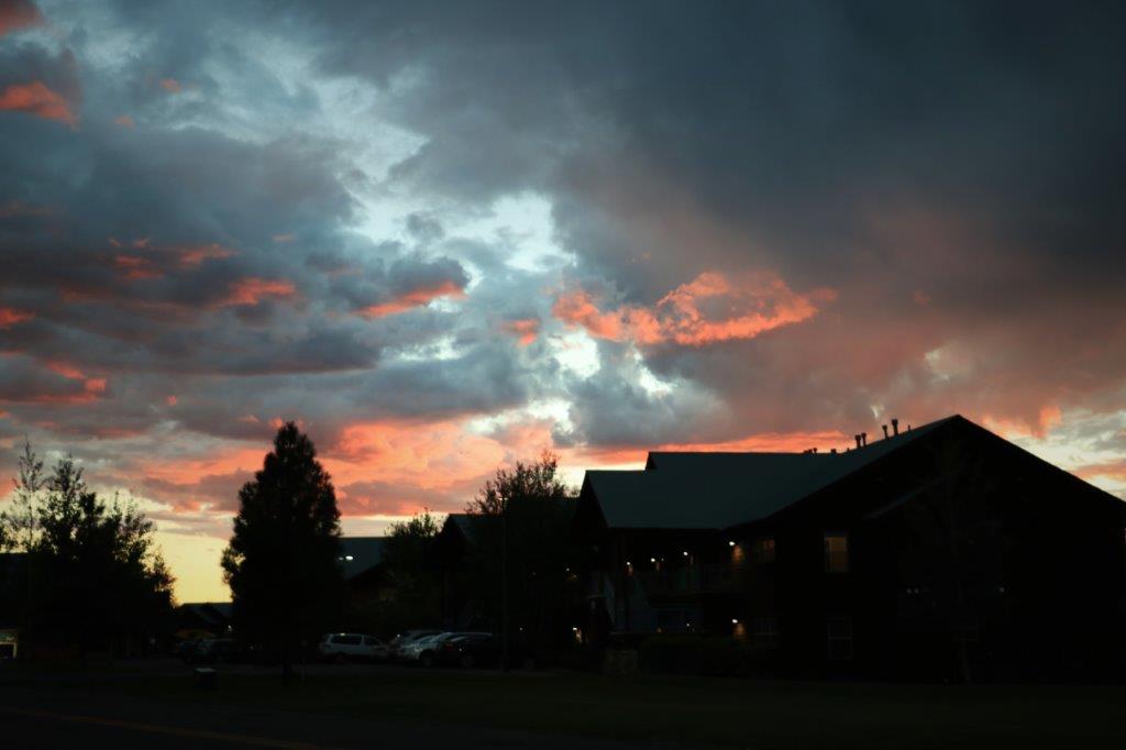
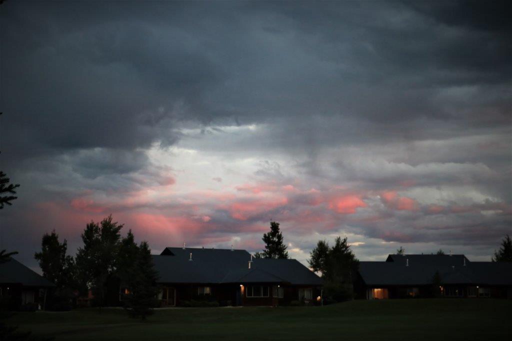
Just as the sun began to set it started raining again.  Since the best colours come after the sun has set we stayed inside in the hopes it would quit; and it did.  Due to the heavy clouds the colours were not nearly as vibrant as the night before but it was still beautiful. On my way back to the condo I caught a glimpse of movement out of the corner of my eye and spotted this skunk directly in front of me.  He had already spotted me and turned and raised his tail, but I quickly crossed to the other side of the road and in front of the parked cars and the skunk decided I wasn’t a threat and crawled into its house in the culvert.  Sure glad he moved or I would never have seen him until it was too late.  I shudder to think of the amount of tomato juice and baths I would have needed.


2017 Aug 26 – Pagosa Springs, CO (Wyndam Resort)

Since we have been on the road for a week and putting lots of miles on my Poppy truck we took it easy our first day at the condo in Pagosa Springs, Colorado.

It is quite a high elevation here (7,126′ compared to the 1,362′ we are at home) so we both were affected a bit by the altitude.  Just tiredness and a low-grade headache.  Nothing serious. But we were tired anyway from all the long driving days so we only took two walks – both to find a geocache hidden here on the resort.

We went one way in the afternoon: And the opposite way in the evening.  The cache was hidden in a very small vial near the trunk of a bushy young Blue Spruce tree.  Very prickly.  It was just growing it’s cones.  Which were also very prickly.It was about 7:30 Mountain time and the sun was setting.   This almost looks like a sunset rainbow.  The bright pink slash was very pretty.

After we found the cache and signed the log we walked over to the other side of the lake from where we walked this afternoon and photographed the sunset.  It was glorious.  We have decided that will most assuredly be a regular evening outing while we are here.   So, no exciting doings today.  We will see if we see some interesting things tomorrow as we have decided to have a geocaching day.  We will explore the hot springs and some of the other area points-of-interest later in the week.

2017 Aug 25 – Taos, NM to Pagosa Springs, CO

The drive continues; but before we left Taos we drove a bit further out of town to see San Francisco de Asis Church.  The church is one of the most photographed churches in the United States.  It was built between 1813 and 1815 and is still an active congregation today.  The parishoners and community re-coat the mud/straw adobe exterior every year to keep it well preserved.  Unfortunately the church was closed so we could not see inside but we took some pics of the exterior.  From the air the church makes the shape of a cross.

Our next stop in town was Kit Carson’s Home and Museum.  Being baby boomers we grew up with cowboy movies and cowboy tv shows and cowboy stories.  The exploints of fur trapper/scout/soldier Kit Carson were very familiar to me.

As they said on the video we watched, “The legend of a hero always makes them seem larger-than-life men and women; not just in courage and adventures but in stature and strength.”  It was interesting to learn that Kit Carson was a slight man (not even 5’5″ tall) with stooped shoulders, a large chest and bowed legs. We had a nice visit with the lady at the museum gift shop.  She was kind enough to let me plug in the battery charger for my camera while we toured the museum.  I had taken one photo of the church and the battery died.  John kindly let me use his camera battery and said if he wanted to take some photos he would use his phone.

Pagosa Springs is a very popular tourist location and a vibrant artist community.   There are galleries of all kinds up and down every street.  The scenery and local architecture and people would certainly provide plenty on inspiration. Not too far northwest of Taos is the Rio Grande Gorge Bridge.  The Rio Grande river has cut a channel through the volcanic balsalt to a depth of 1000′.  The main supports for the bridge are anchored on the chasm walls almost half way down the gorge making the bridge 565′ (172m) high.  There is still almost 500′ of gorge to the river at the bottom. The bridge is 1500′ long and has viewing platforms extending out on both sides. Every time a vehicle, especially a large truck, goes by you can feel the flexing of the bridge.  I found this photo online to show you the entire bridge.  Amazing engineering.The view from the other side of the bridge.  You can still see the cuts of the gorge off into the distance.Unfortunately the bridge has been the site of several suicides and there are Crisis Hot Line boxes located at each viewing platform and at each entrance to the bridge.

Once we left the bridge it was just a driving day through beautiful countryside and mountain passes.  We only picked up a couple of goecaches but stopped often to take photos.

We passed the Earthship Biotecture about 10 miles out of Taos. This radically sustainable community was begun in the 1970s.  There were many strangely shaped buildings tucked into the earth over a large area.  Earthships are entirely eco-friendly, built with natural and up-cycled materials (like earthpacked tires), thermal/solar heating and cooling, self-contained sewage facilities and some amount of internal food production, and they harvest and store their own water.  The homes are considered off-the-grid and can be rented nightly or for longer stays.  There are several Earthship communities in the world.  Pretty funky looking structures. We spent much of the day driving through the Carson National Forest which extends northward into Colorado where it is the San Juan National Forest.We stopped to find a geocache at a large pull-out near the Continental Divide and I spotted this mushroom pushing its way into the light. The scenery was pretty spectacular.  And the road was winding and twisting and climbing and descending.  John had a great time. We crossed the border into Colorado at 4 o’clock and found a geocache called “Shed Head Delight” that was right on the border tucked into this animal skull attached to a post. The resort is very nice; lots of units, lots of facilities, the requisite golf course and many other things we will ignore.  We couldn’t ignore the sunset though.  The colours were so pretty and extended on to the clouds in all directions.  A 360 degree show and a very pretty welcome to our week in Pagosa Springs. Laziness, walks, reading and geocaching will follow.

Sidebar:  During the course of the day we spoke to three different people in three different locations all of whom had been to Vancouver and/or inland BC and the Island.  The man at Rio Grande Gorge said, “There must be something special and unique about a country that posts a sign that says ‘Kindly please close the door.”  He thought being asked kindly to do something like close a door was pretty cool and has never forgotten it.  Words and mannters do matter.

2017 Aug 24 – Guyman, OK to Taos, NM

Today was another driving day.  There were no museums to visit.  There, were however, plenty of historical makers; many of which also had a geocache hidden close by.

We woke up in Guyman to much cooler temperatures and overcast skies.  Our route today took us due west through the Oklahoma panhandle and into New Mexico.  It was flat, flat, flat for miles and miles and miles.  Many people refer to the Oklahoma panhandle as no-man’s land since it is so sparsely populated and there is almost nothing there but prairie grasslands.  We did see several huge parcels in crops and lots of little groups of cattle in large fields, but no significant towns.  Still, it was beautiful country.

The description of a geocache in this area: “Quick and easy roadside cache.  No need to cross the fence.  Watch out for the usual critters (scorpions, spiders, rattlers, etc.)”  That just really made us want to stop to find that one.  Not.Just before the Oklahoma/New Mexico border you can take a dirt road south for 2.5 km and arrive at the government survey marker for the meeting of the states of Texas, Oklahoma and New Mexico. There is a virtual cache there and all you had to do was post your photo at the marker.

These cheery yellow black-eyed susan/ sunflower-type flowers grew prolifically all along the roadside and in the fields.  We saw them all day bordering both sides of the road for miles.

A few miles into New Mexico and we finally saw some hills again.  The community of Clayton on the Santa Fe Trail had multi-sided historical markers with interesting information (and a geocache).

Clayton also had three rather raggedly-looking dinosaurs that at one time promoted the huge number of fossilized footprints in the area. Cimmaron also had a large display of historical information, not all of which I have added here. 
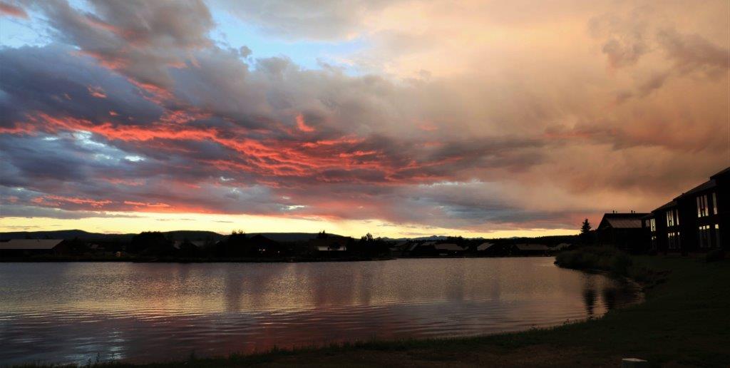
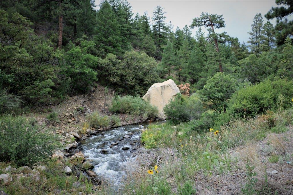
There was a geocache hidden at the site of this gigantic boulder that had come down off the mountain years ago and created a huge pothole in the road before landing on the opposite side.  There were other large rocks nearby but none as big as this one.Just as we entered Cimmaron Canyon the sky opened and it poured rain.  Fortunately in the length of time it took us to drive to the Pallisades it almost stopped so we were able to get out of the truck and take a few photos and only get mildly wet.

The spire that you can just make out on top of the bluff on the photo on the left and see better in the one on the right is called the Devil’s Mailbox.

We stopped again to find a cache and enjoy the ‘shimmering waters of Eagle Nest Lake.”  Well, they weren’t so shimmering in the rain today.

We were motoring away down the road when we passed a sign for the Vietnam Veteran’s Memorial.  As we drove by we saw this beautiful curved structure up on the hill and decided to go take a look.

The memorial was built by a couple whose son was killed in Vietnam in 1968.  Dr. Victor ‘Doc’ Westphall did most of the work himself and they gradually sold all but five acres of their 800 acre holding to pay for the memorial.  It is now run by the state and has an amphitheater and gift shop.   The doors of the chapel are never locked.  The building is open 24/7 so anyone can go inside for contemplation and prayer.  It was a beautiful structure.  Both of the Westphall’s and their other son are buried on the property.

The memorial sat atop a hill with panaoramic views all around.  It was really, really nice. We arrived in Taos, New Mexico at 7 pm and found our hotel which was located on the southern edge of town in the newer section.  Every building is adobe style and there were cars and people all over the place.  Even with the tourist season almost over it is busy here.   Our hotel room is really a suite with sitting area with a fireplace and a large balcony.  Gorgeous heavy carved wooden furniture. We will certainly suffer staying here for the night. Tomorrow we arrive at Pagosa Springs, not far across the border in Colorado where we will spend a week.

2017 Aug 23 – Lawton, OK to Guyman, OK

We had a long driving day today.  We needed to drive from south central Oklahoma almost across the western panhandle.  We stopped to find a virtual geocache at the Anadarko museum and ended up going inside and looking around.  The museum was located in the former train station depot which was used for the Rock Island Line.  That is a Johnny Cash song. The museum was small, but it had some interesting things and the curator was a very friendly young lady that was happy to talk to us about the exhibits and the area history.

Those people sure had narrow feet!

I loved Raggedy Ann and Raggedy Andy stories when I was young.

There was quite a large collection of Indian dolls in traditional dress that had been made in the 1940’s by a local woman.  I only photographed a few of them.Choctaw, Cherokee and Seminole

Delaware man and woman                   Comanche man and woman Kiowa man and woman                                        Fort Sill Apache

Creek

These are a Kiowa dress and a Ghost Dancer dress. Both are 21st century dresses.

This letter was written by a woman who attended Abraham Lincoln’s funeral in 1865.  The original is a rolled cylinder that is too fragile to unwrap.

The red petals came from a flower from one of the arrangements at the funeral.  The letter tells how a man gave the flower to the lady that wrote the letter. Our only planned stop of the day was Red Rock Canyon State Park.  It is a lovely little canyon.  Today it is a popular camping and rappeling area.  Back in the day it was used by the Kiowa as a wintering area.  There was cover from the cold winds, plenty of game and fresh water. These look like man-made hand holds for climbing to the top. This lovely fungus was on the stump of a huge tree that was the hiding spot for a geocache.

We drove over this pretty bridge for at least a mile. There was a geocache at this nice Veteran’s Memorial in Seiling that we stopped to find. Tomorrow we complete the Oklahoma panhandle and go into New Mexico.  We will be driving on some mountain roads again.

2017 Aug 22 – Paris,TX to Lawton, OK

It was another hot humid day with a few stops for geocaches and another museum (a much smaller one though so don’t fret – too much).

Before we left Paris we went to see the Culbertson Fountain in the center of town.  There were two geocaches hidden here but we couldn’t find either of them.  The fountain was being repaired and there were two workmen who were quite curious about what we were doing.

I I asked the men working on the fountain if they knew what was the name of the pretty pink or white flowers we have been seeing all over.  It is Crepe Myrtle – hard to get rid of if you don’t want it and it is necessary to keep it trimmed or it will become very unruly.On display in a vacant store window were some posters about the 1916 fire that destroyed most of the business district (about half the city).

We also wanted to see the historic Union Station and Museum but the museum was only open on weekends.  We pulled into an historic marker along the highway and found a parcel of pure prairie grass and an interesting story.Here is another place with a nice name.

Not too far out of Paris there was a geocache hidden – you guessed it – in a cemetery.  But this was another one of those cemeteries off by itself on a country road.  When we arrived there was a man using a weedwhacker to trim the grass around the headstones.  His ride-on mower was on the back of his truck and he had just finished moving the entire cemetery.  I asked him if this was something he did as a volunteer or was he hired by the city or someone?  He said the man that owned the land pays him but he only charges enough to cover costs.  He had ‘inherited’ the job from his father who did if for many years and who even used to trim all the trees outside the fence. Nice countryside beside the cemetery grounds. Another plant I need to find the name off.

I remarked about how nice it was that all the cemeteries we have seen are well maintained and many of them have beautiful flower arrangements on the markers.  He told us that family members will get them and bring them, often of Veteran’s Day when it is a common thing for people to bring flags and flowers and place them on any veterans’ graves.

There were some old graves in the cemetery.

This fellow fought in the Spanish American War in 1898. And there were three that looked like large tree stumps that had a crest that said Woodmen of the World.  I looked it up and the organization is a not-for-profit fraternal benefit society founded in 1890 in Omaha, Nebraska.  It operates a large privately held insurance company (now called Woodmen Life) and before 1930 they provided the distinctive tombstones.  The group also had many philanthropic and community outreach projects and had a program that donated US flags.   That is another thing I have noticed different between the Canadian cemeteries I have seen and the American ones.  In Canada cemeteries will have a military section for veterans, or if the person was in the service but died years later there is no mention on the headstone that they were a veteran.  Here in the US every person that served in any branch of the military has the information on their stone.  Different customs, different countries.


We pulled into a roadside rest stop for our pb&j lunch.  Trust Texas to have distictive picnic table covers….


We did a quick drive around the lovely large square at St. Jo.   In the little town of Nocona, Texas we stopped at the former Nocona Boot (Cowboy boots) factory to find a geocache.  They still sell Nocona boots but they are no longer made here.  There was a lot of renovation work going on.  A young couple has bought the business and is opening a beer brewery and a retail store as well as the Nocona Boot outlet. There was a museum in Nocona called Tales and Trails so we went to see what it was all about.  It is a relatively new museum and not all of the displays and rooms are completed. They will focus on the five areas/periods of Texas history: Indians, settlers, ranchers, agriculture, and the oil boom,  It did not take us too long to go through the three rooms they have completed.   I am constantly amazed at how many arrowheads the museums have in their collections.  At Tales and Trails they even had them sorted by historical eras. The story of the Nocona Boots.

In the town there was a woman who made gorgeous, large, tooled leather works.  Two of them were on display. It was hard to get good photos due to the reflection of the ceiling lights on the glass. Also in Nocona is a place where they make baseball gloves and other leather sports equipment.  We were hoping to be able to tour the place but they only do a morning and an afternoon tour on Mondays and Fridays.  We were there at the wrong time and on the wrong day.

We are back in the flat prairie grasslands.

The Red River is the border between Texas and Oklahoma.  While John climbed the bank behind the state sign I walked back to the bridge to get some photos.  Red River is right.  All the dirt around this area is very red. We arrived in Lawton about 5:30, found somewhere to eat and then fought for ages trying to get the wi-fi in our hotel to work.  We never succeeded so none of our usual evening work got done. We had a long driving day ahead so it was early to bed for us.

2017 Aug 21 – Minden, LA to Paris, TX

No.  we did not see the eclipse.  It was overcast and we were in a museum.

And, about that, WARNING! WE WERE IN A MUSEUM TODAY!

That means I took tons and tons of photos.  And the rule is that if I find something that interests me I will just naturally insert it into my blog on the assumption it may interest you.  So, be ready….

We left Minden and headed back in a northwesterly direction before going due west across the border to Texas.  In case you are wondering about our travel itinerary, it is all John’s fault.  He found the timeshare week in Branson and another one (beginning Aug 27) in Pagosa Springs, Colorado.  Since we needed to drive south through several states, and we had a free week between time share weeks, John felt it would be good to not only get a geocache a day during our trip but find a cache in 16 different states before we get home.  This little jog down, across, and up again is to log caches in Arkansas, Louisiana, Texas, Oklahoma, and New Mexico before we get to Colorado.  Just so you know.

We crossed this hill bridge over the flood swollen Red River and when we went down the other side the landscape changed from trees to open farm land. Very soon afterward we crossed the border into Texas.As we drove through the northwest corner of Louisiana and into Texas we saw many very old, rusty, but still working, oil pumps.We have learned on this trip that American geocachers love, and I mean love, to hide caches in cemeteries.  We make a list each night of the caches along our route the next day and if there is a cemetery near the road you can almost guarantee there will be a geocache hidden nearby.

This cemetery was not too far from the community if Plain Dealing and the cache was called Moseley.  It was about a quarter mile down a narrow paved road and then on a track through the bush to a large mowed pasture.  At the back of the pasture was this cemetery.  Well taken care of, neatly fenced and hidden from the world.  There was a large headstone with the name Moseley but the hint for the cache said “sometimes its brown.”  In the row of markers in front of the Moseley headstone were several family members named Brown.  This little bunny was the cache container hidden in a bushy plant at the base of one of the Brown markers.  Geocaching takes us to the most interesting places. (Cache finding aside note:  We have had to find caches in a few places just because I like the names of the towns: like Arkadelphia – what a great name that is.  And Cotton Valley.  And Plain Dealing.)

We arrived in Jefferson, Texas and located the Jefferson Historical Museum right away. This is a VERY eclectic museum. Usually you can access three floors plus the basement but the basement area was closed.  Still I had a great time looking at all the various things and taking photos of many of them.  THIS IS THE SECTION I WARNED YOU ABOUT. LOTS AND LOTS OF PHOTOS TO FOLLOW.  Feel free to skip past them.  I won’t know about it; nor feel insulted – because I won’t know about it.

This 1934 Shirley Temple doll and clothes are all original.

This is a letter requesting the presence of all of Comanche chiefs to come to a council meeting and discuss peace terms.  The writing is clearly legible.  Very cool.                          Texas loan debt and Texas currency.   The panels on both sides of this lovely screen are all hand painted on silk. The keys on this piano are mother-of-pearl, not ivory. This lovely needlework piece was done in the Victorian period. John was surprised that the Ipod and wrist case were already being used by athlete’s this far back in history.  Tee Hee. Isn’t the hand lace work in the white over-blouse above and this gorgeous black piece just incredible?

And then there were these lovely displays in the attic.  And, finally, we walked out of the museum!  We crossed the street to a little restaurant and had homemade Coconut Cream Meringue pie for lunch.  And a some great chats with the servers and other customers.I did mean to ask what the ‘Debris’ is that gets put on the N’Awlins traditional Po/Boy sandwich, but, sadly, I forgot.

We drove a short distance down the road to see this lovely fountain. These pics are front and side of the same house. There was a geocache hidden at this little old stone Texaco station but there was too much traffic going by for us to get a chance to do a good search for it.  I loved the building though.

We reluctantly left Jefferson.  What we did see of the town we really liked and wished we had time to explore further – but we needed to be on our way. I have yet to remember to ask someone what this beautiful flowering bush is.  We have seen it in Arkansas, Louisiana and Texas.  Usually it is pink, but we have seen a few white ones.

Once again the search for a geocache took us to a place we would never have heard about.  It was a very unique cemetery (told you they love cemetery caches down here) that looks like it has been shaken up by an earthquake or something the way the walls and some off the graves have toppled. This marker says, “Our sister.  C.E. Jones.  Daughter of J ? and ME Jones.  Born in Stewart Co. Georgia Jan 19, 1843.  Died in Marion Co. Texas June 30, 1891.

There was supposed to be a geocache hidden here, but it has gone MIA.  I love the strong pattern of the bark on the pine trees. Cotton fields. You can see the white bolls of cotton.

We finally arrived in Paris and we had to find the Eiffel Tower.  Only in Texas would it wear a cowboy hat.  It is only about 60′ tall as well. The most striking thing was the beautiful Veteran’s Memorial beside it. We spent quite a bit of time here.   TThe pathway to the gate is made up of messages of remembrance from sponsors.

Inside there are paving stones for each of the veterans from all the wars.

Panels with dates and information about the all wars.And the inside of the large center circle stones have the names of all those who made the ultimate sacrifice in WWI, WWII, Korea, Vietnam, and the War on Terrorism, with several blank panels available should the need arise; a bit of a sad commentary on the future, but probably and realistic one.

After we left the memorial we found a restaurant for some dinner and found our hotel for the night.  What a day.