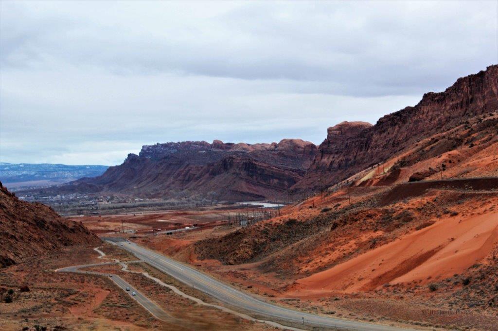
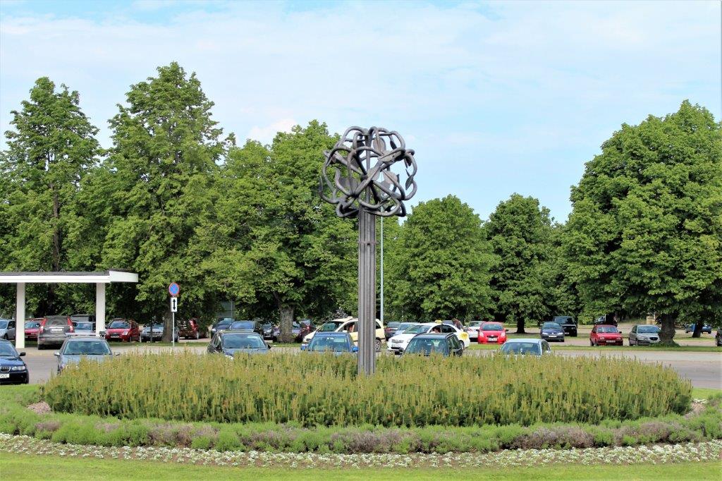
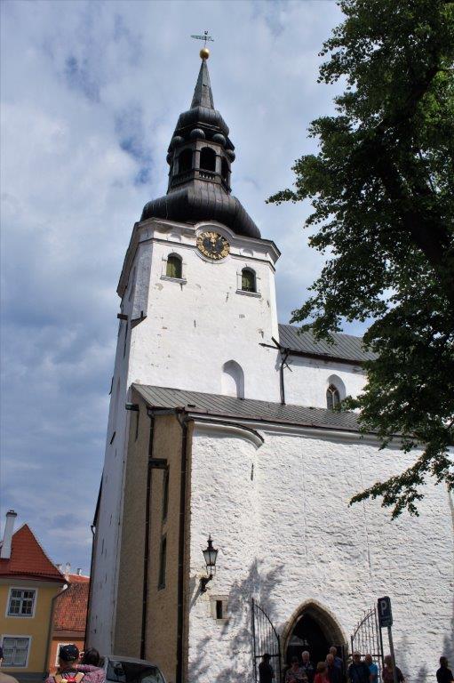
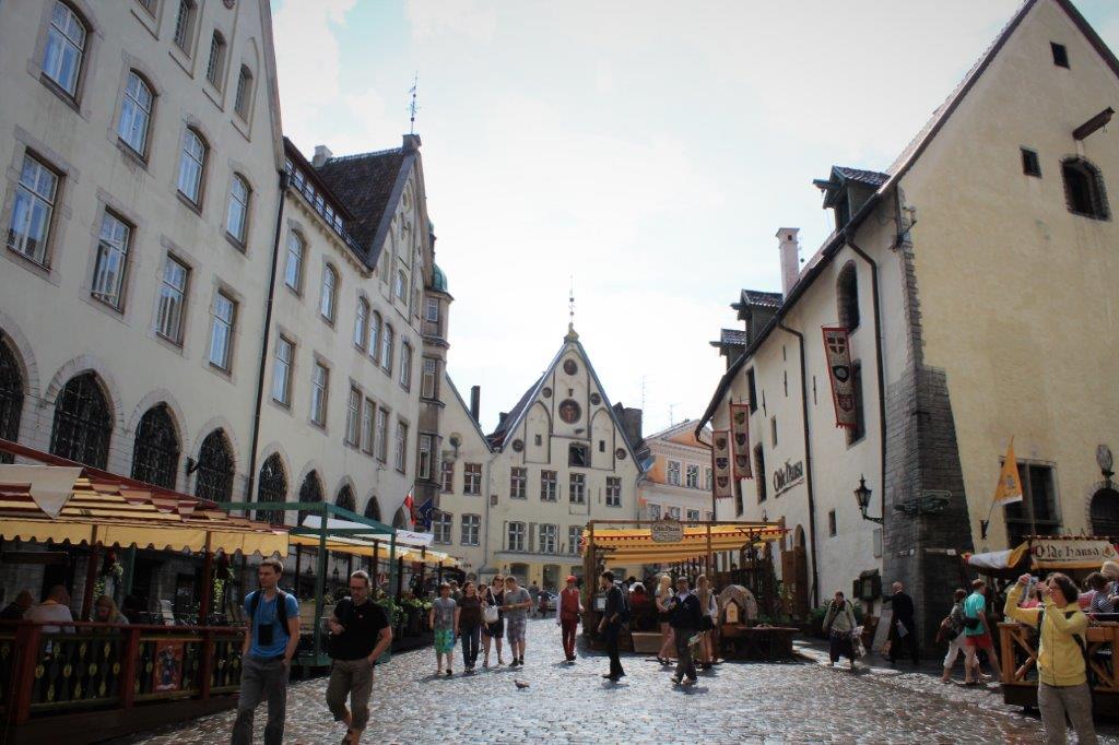
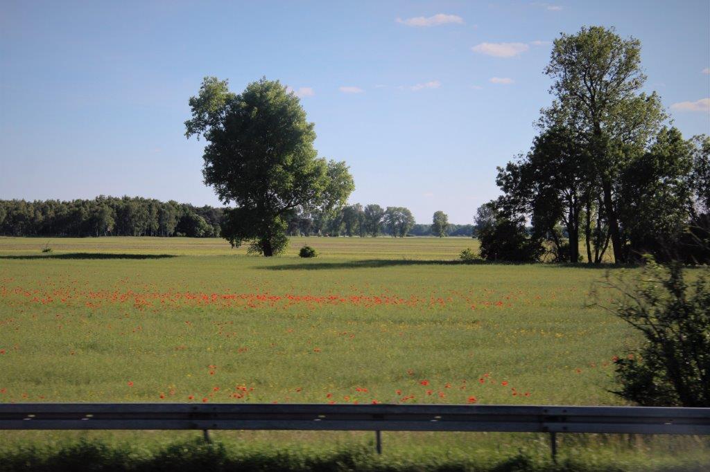
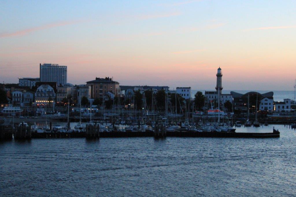
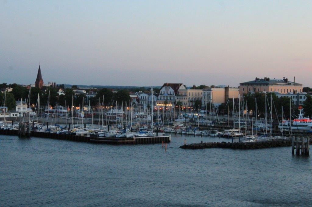
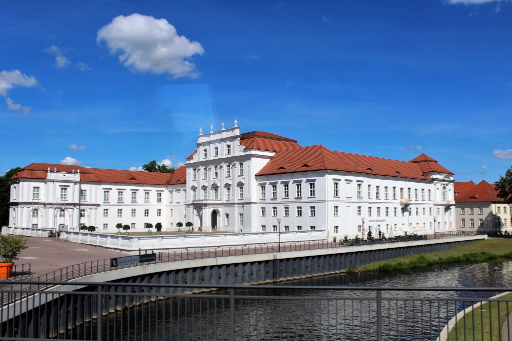
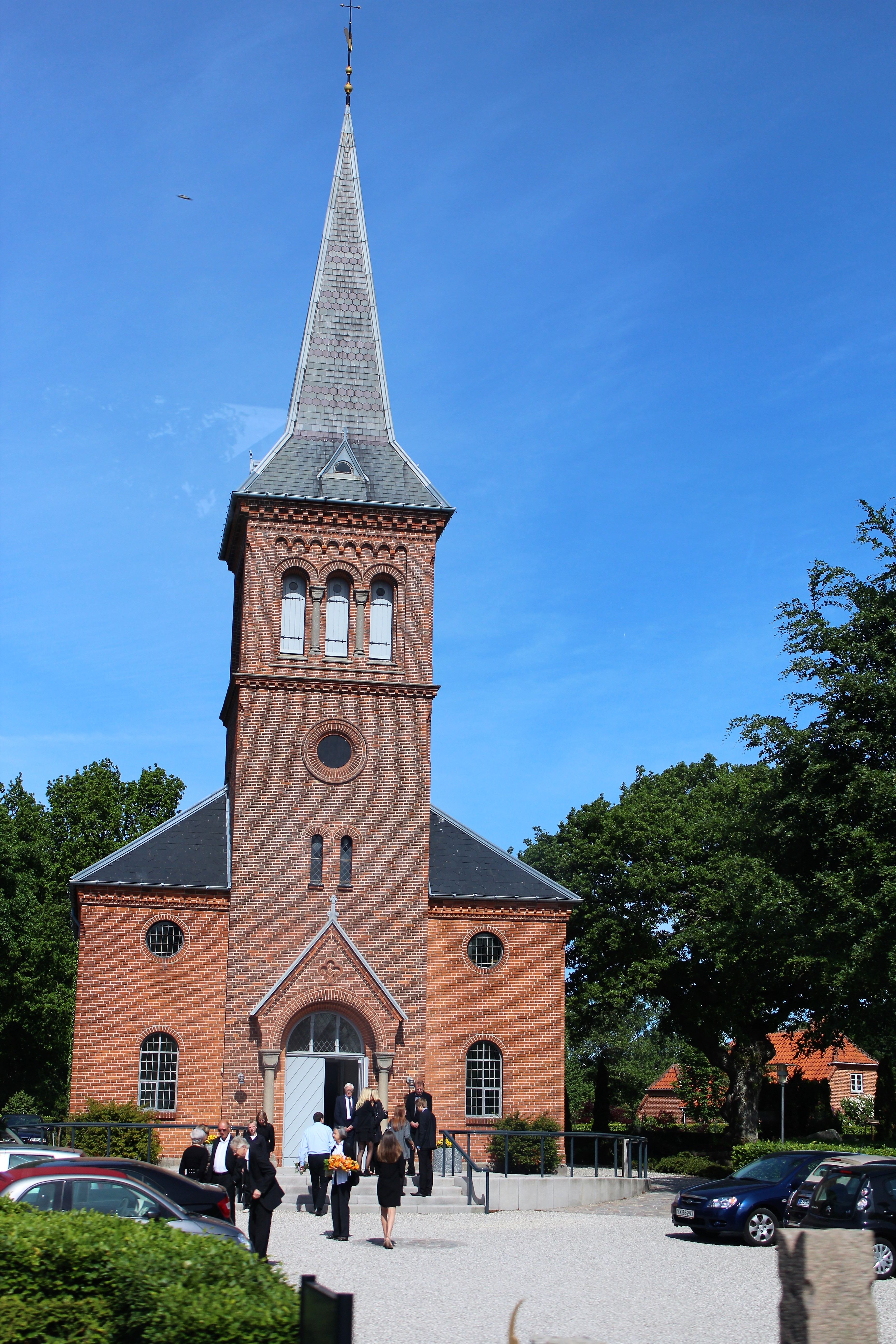
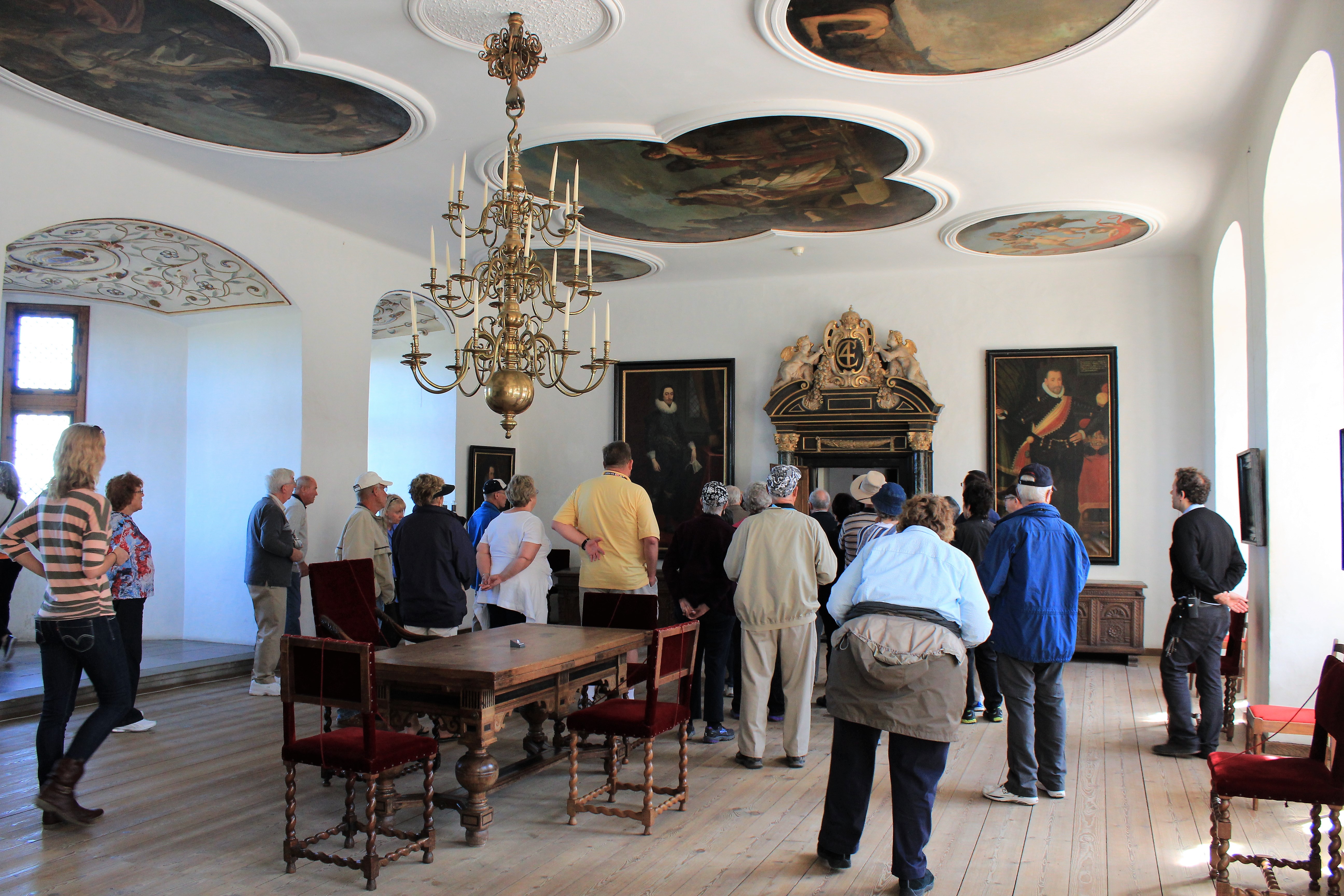
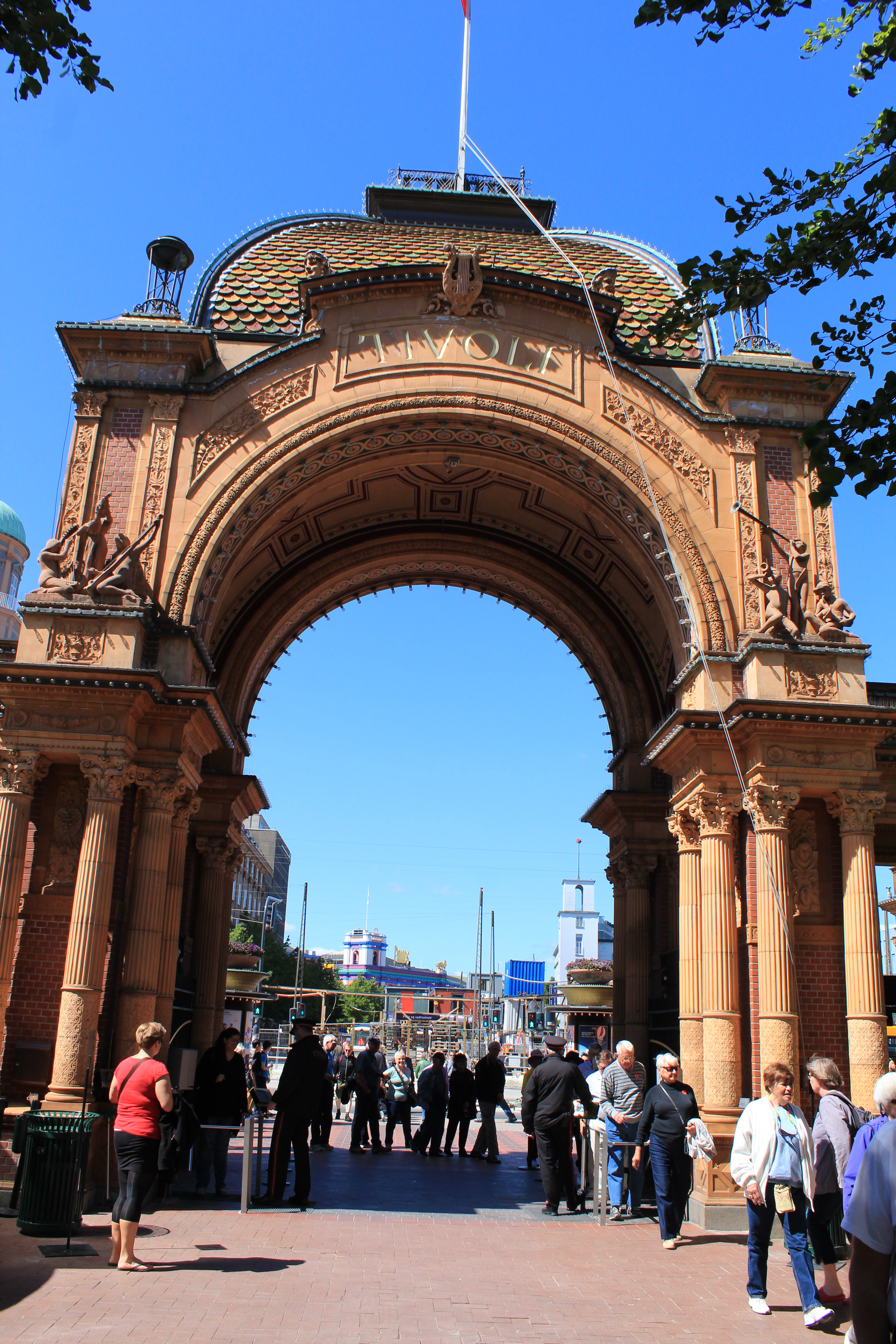
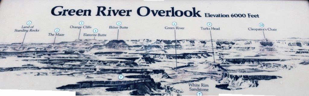
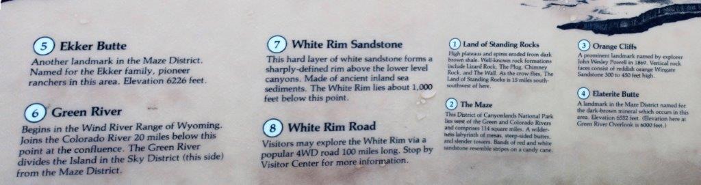
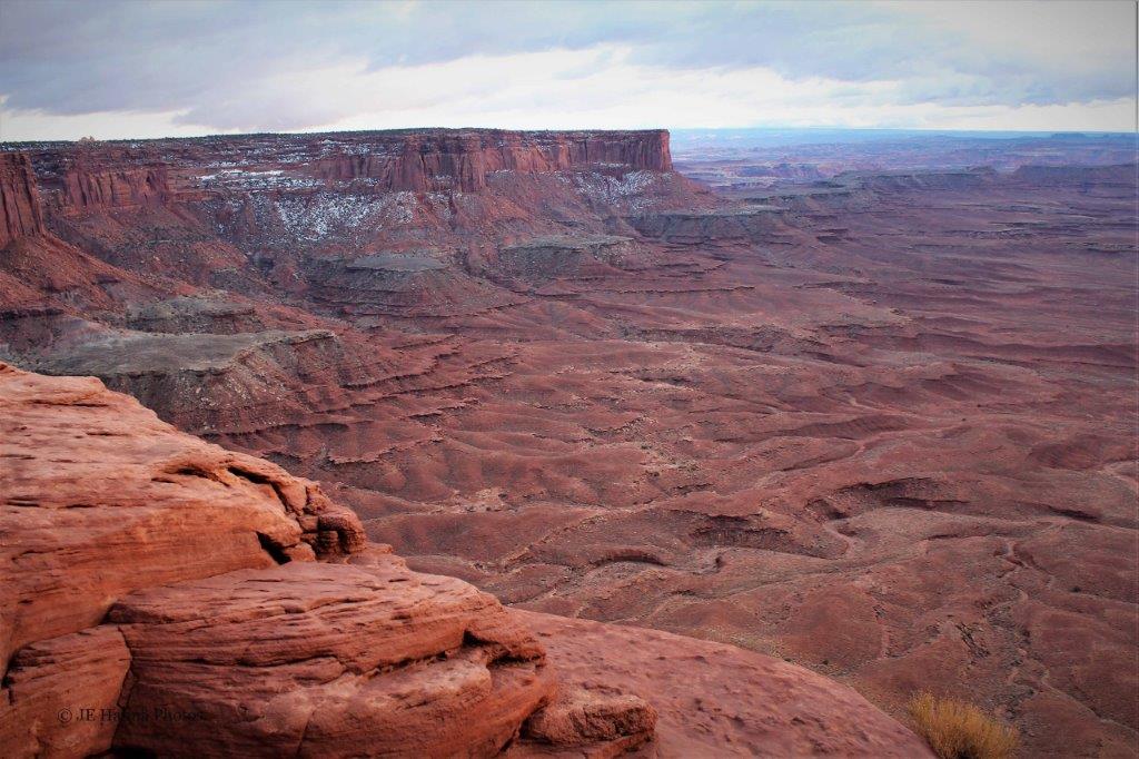
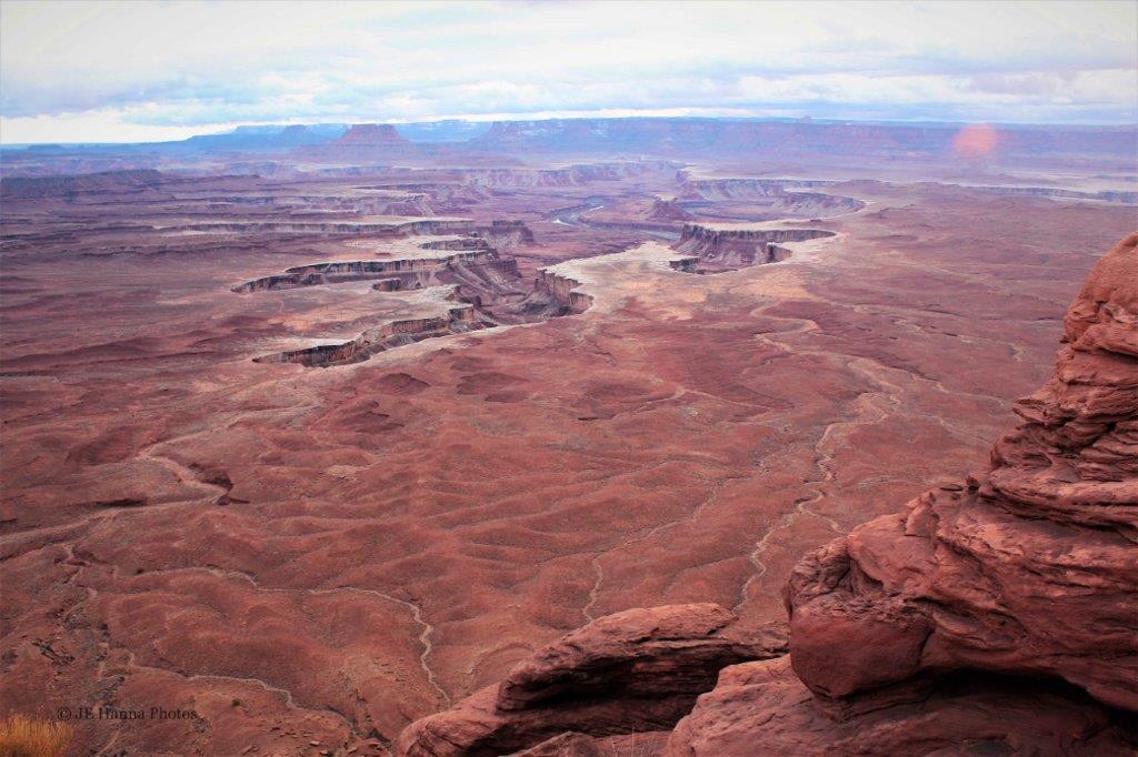
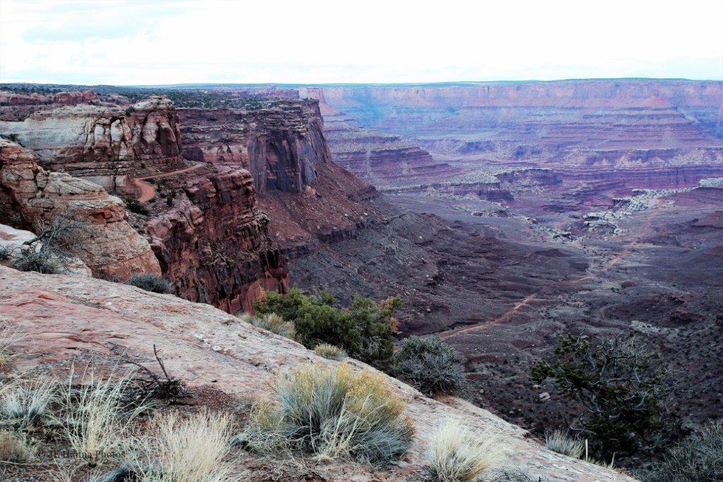
In the summer of 2013, before we explored Scotland and then attended our son’s wedding, we took a 16-day Baltic cruise out of Tilbury, east of London. Our second port of call was Warnemüde, Germany. 
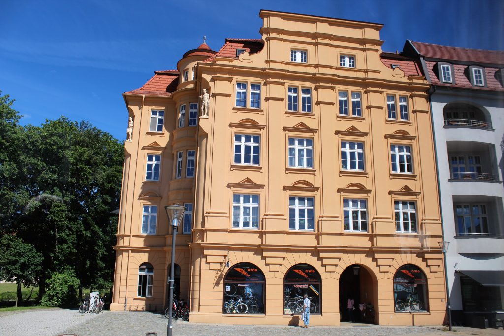
 It was a 2 1/2 hour drive from the port to the town of Oranienburg, about 15 miles northeast of Berlin.
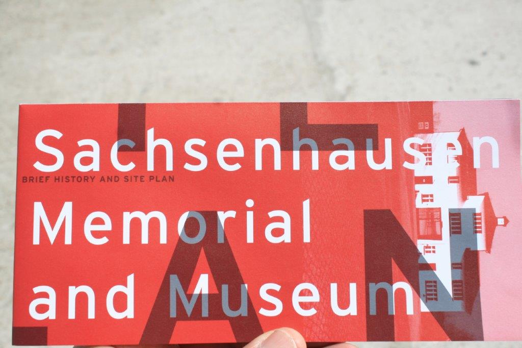
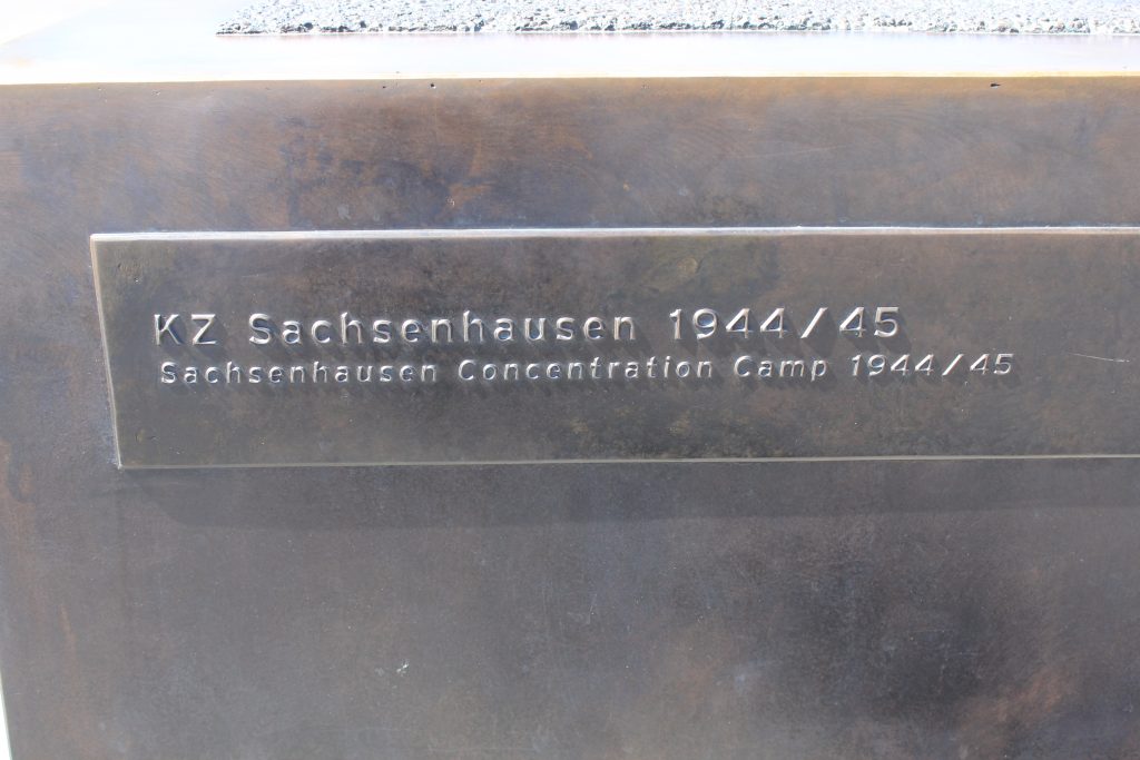
On March 21, 1936 local SS stormtroopers took over a disused brewery near the center of the town of Oranienburg and set up the first concentration camp in the state of Prussia. Oranienburg Camp was a key site in the persecution of the opposition during the months after the National Socialists seized power, especially in the Imperial capital, Berlin. In the aftermath of the “Night of the Long Knives” (a purge of dissidents and supporters of Hitler that he feared may act against his complete control) the camp was taken over by the SS. By July 1934 the last of the prisoners had been transferred to other camps but the SS kept the brewery site as a reserve camp. The Concentration Camp of Sachsenhausen was built outside the town limits (unlike the Oranienburg camp which was in the center of town) and even though it was not specifically a “Death Camp” thousands of prisoners died there. The camp was opened September 23, 1936. It was one of the first built by the Germans to house the Third Reich’s political prisoners and was conveniently located close to the German capital
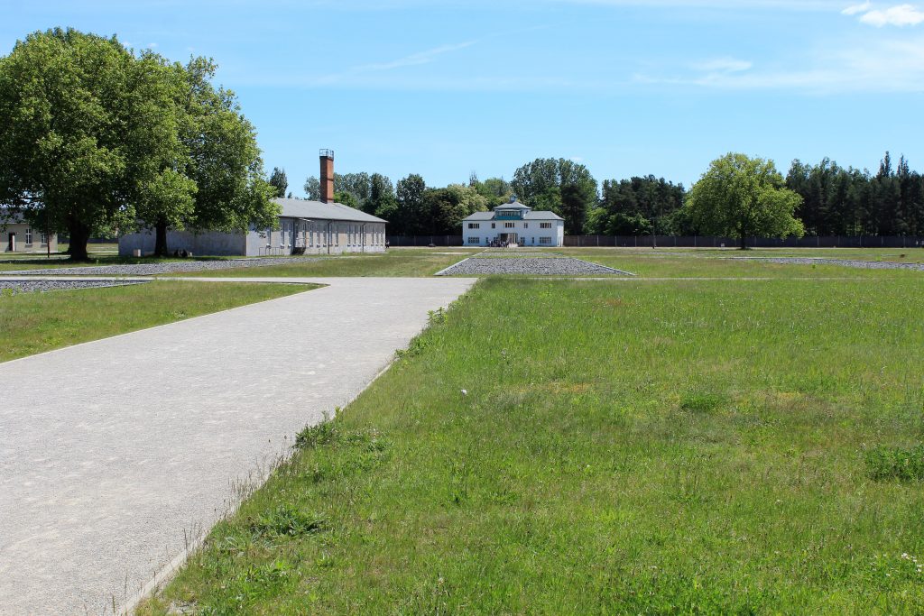
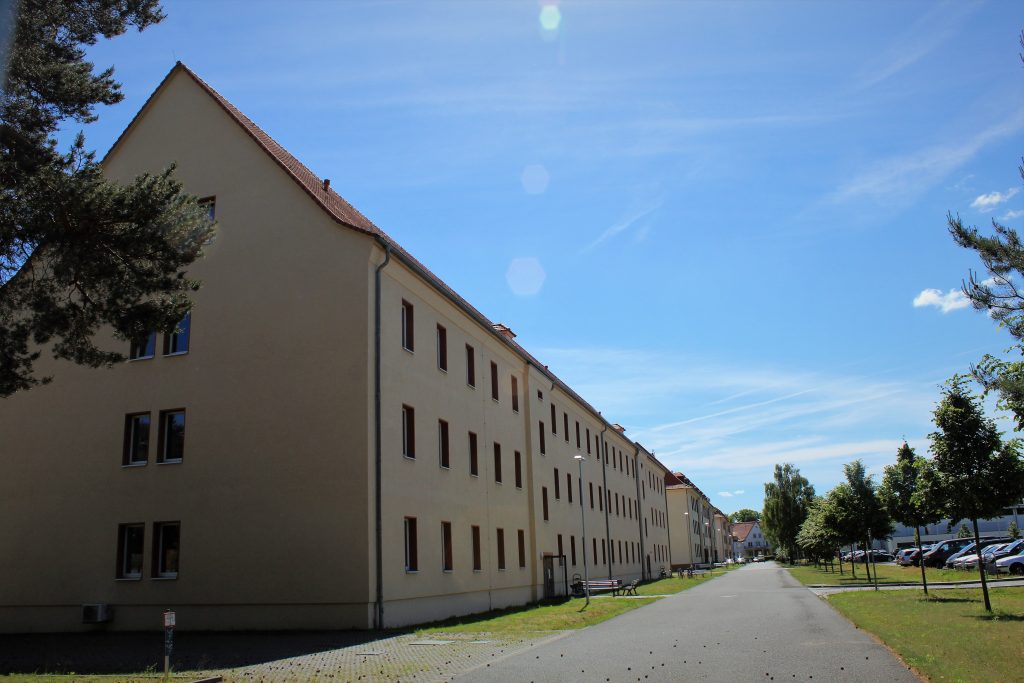
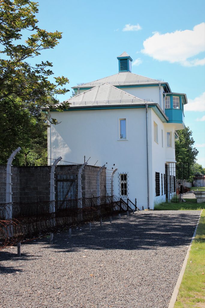
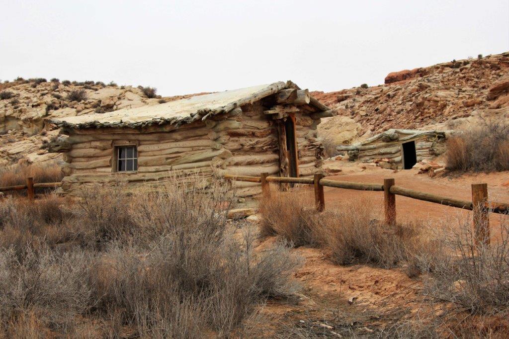
This was also a training camp for the troops of the SS and all the guards of the camp. The buildings below were used as barracks.

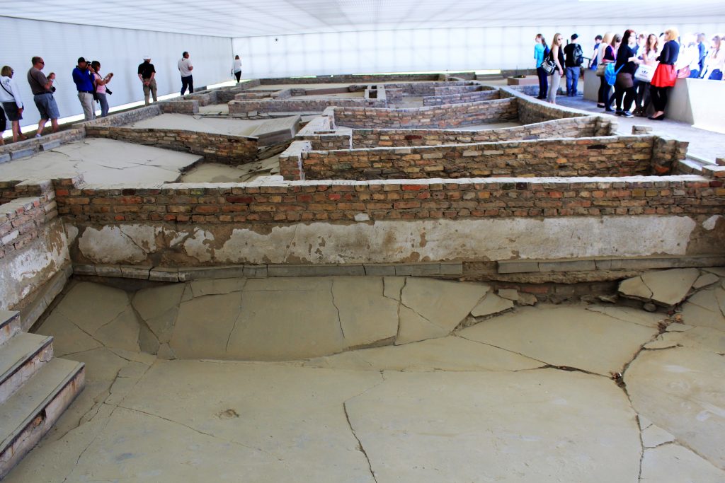
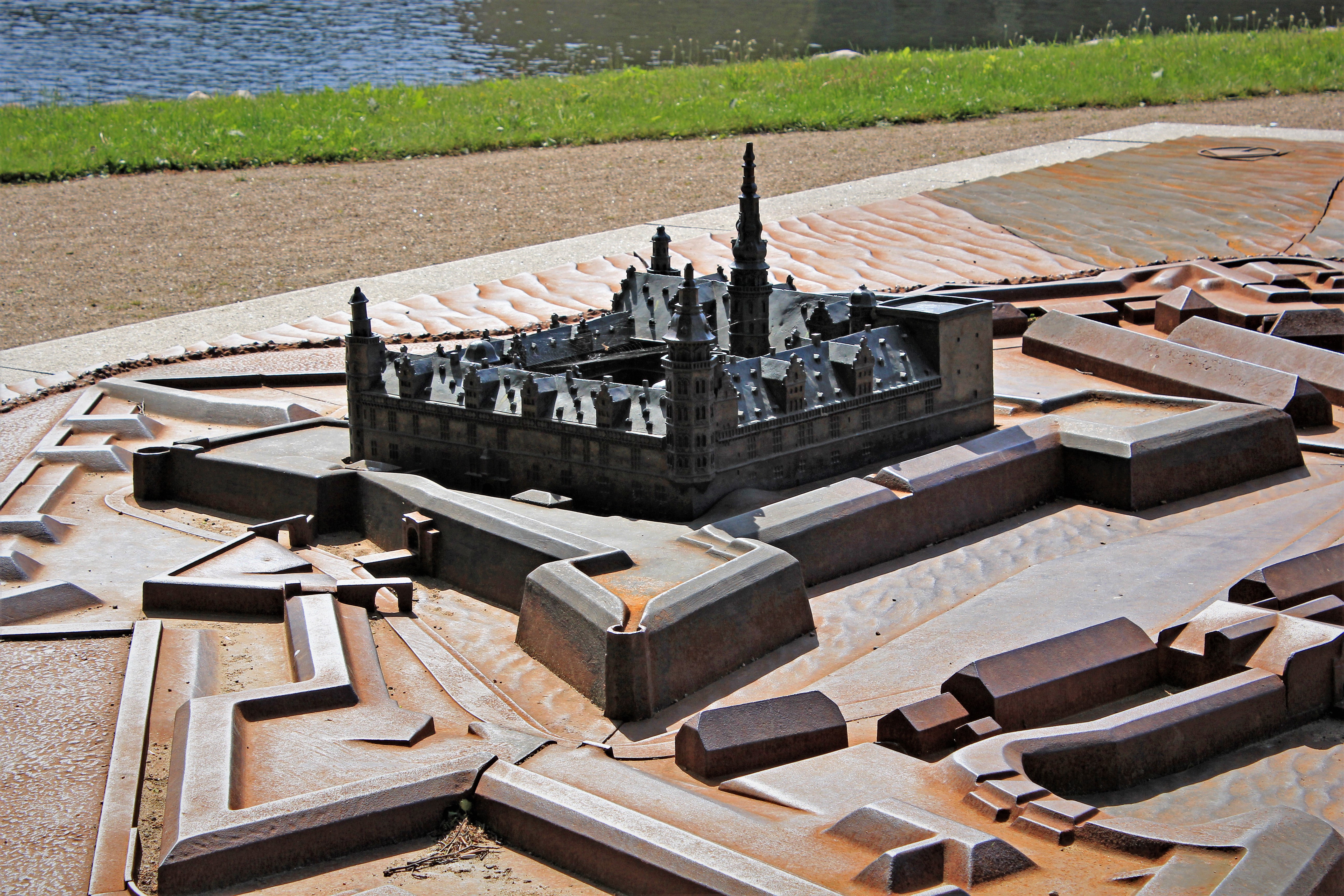
 Although the camp was used from 1936 to 1945 the model above illustrates how it look during the final years of the war.
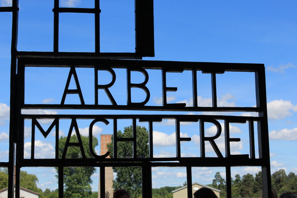
This sign was at the entrance to this camp, and many others as well. It translates “Work sets you free.” Which, of course, was a lie.
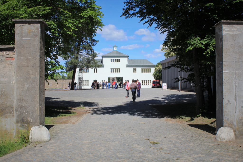
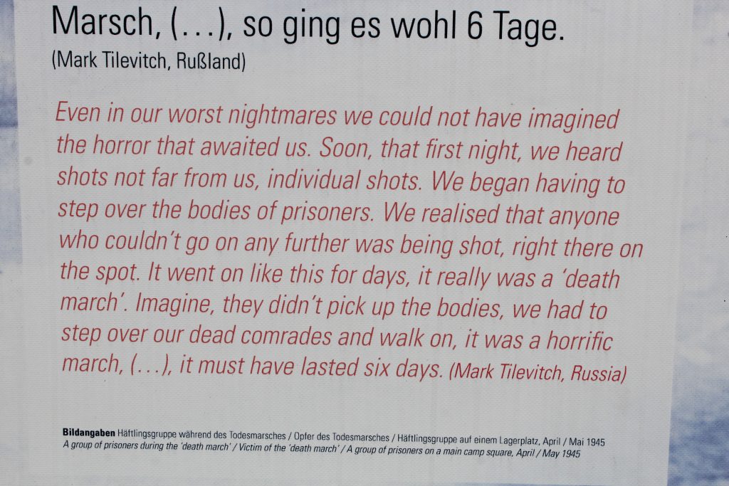
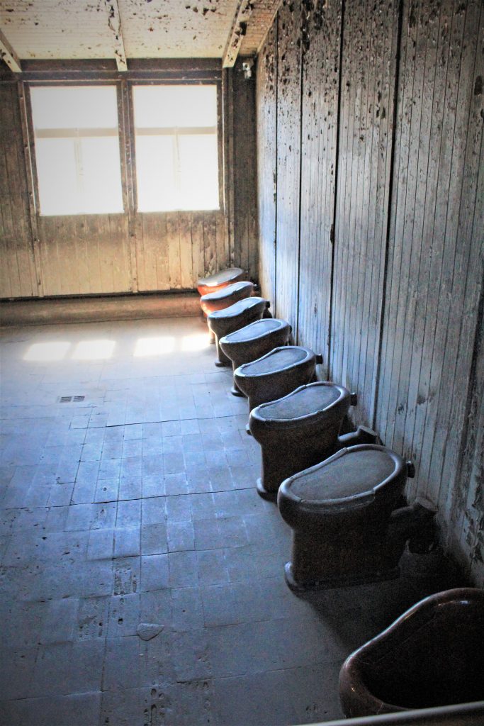
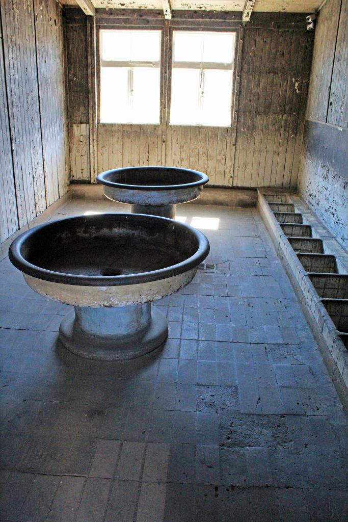
 The site is a memorial and museum. Over 100,000 people died at Sachsenhausen between 1936-1945. Many Jews came through the gates but most of them only stayed a short period of time before being shipped south to Poland and the death camps. The camp was primarily used to house political prisoners, writers, actors; anyone who spoke against, or was suspected of speaking against, the regime. The prisoners here were subjected to many cruel medical experiments and other debilitating and exhausting tests such as testing items for the soles of German soldier’s boots since there was such a shortage of leather. The SS handpicked the testers and they had to walk in a figure 8 around the camp for 40 kilometers a day, in all weather conditions, to see how well the materials would stand up. They were not allowed to stop.
There were countless little tortures as well. For example, in the winter the SS would keep the potatoes in the snow for 24 hours so till they were frozen and then the hands of the prisoners would freeze as they peeled them. There were 80 cells in the Special Jail for anyone caught breaking rules, or trying to escape, or certain prisoners. They were fed 800-1500 calories a day. Average survival time was nine months. There were three garrote type hanging poles for death sentences. Hangings were called “Cultural Events” and the entire camp had to watch. At Christmas time the soldiers would put up a Christmas tree beside the gallows.

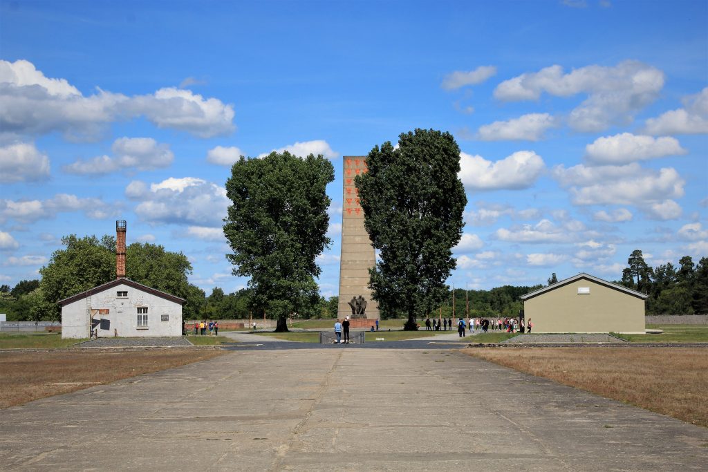
 Most of the buildings have been removed. The memorial is the tall pillar in the center of the compound. It was built by the Russians to commemorate the deaths of so many of their soldiers at this camp and thus is painted with red symbols for their men.
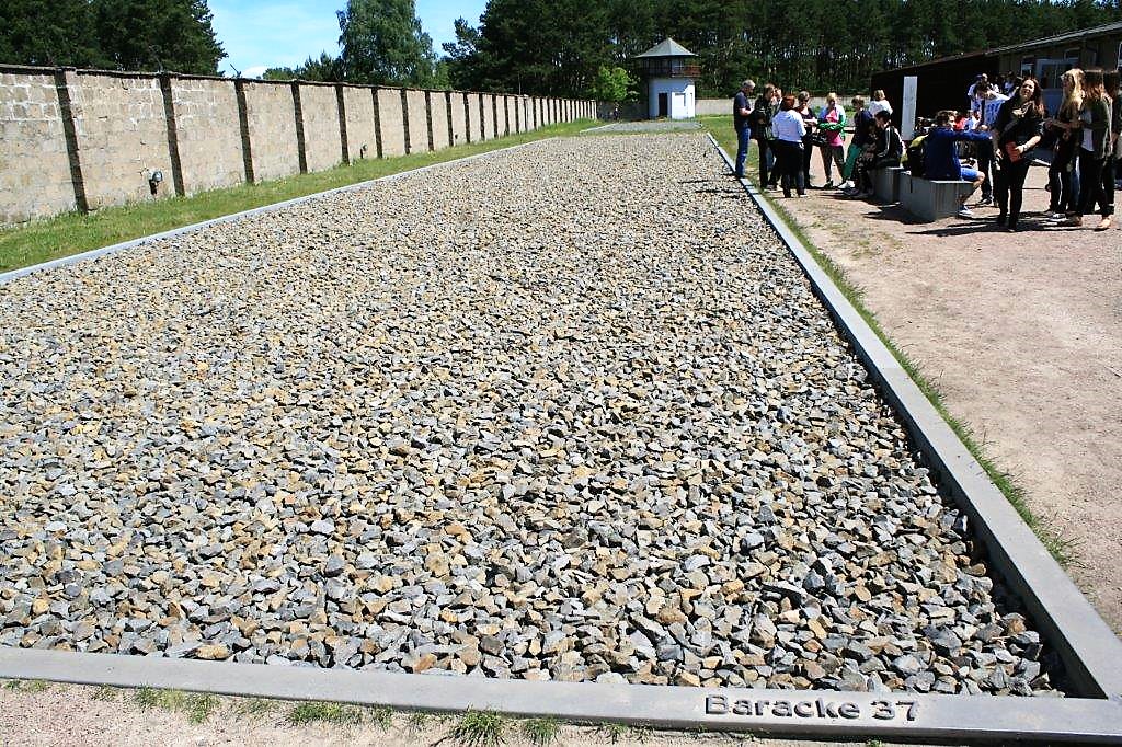
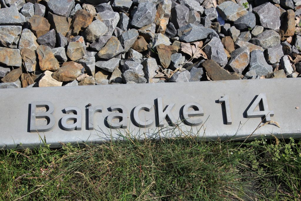
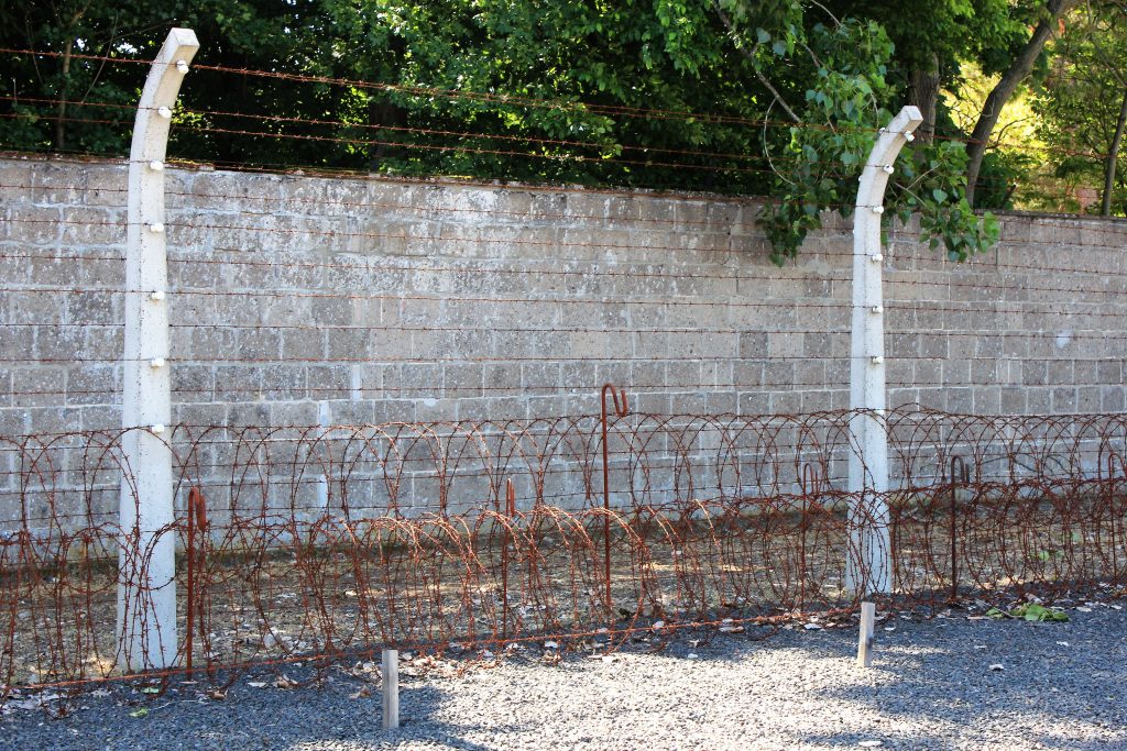
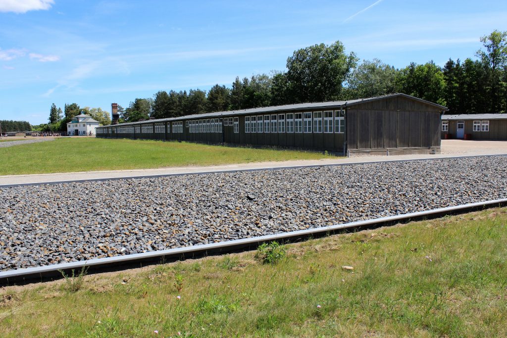
 The large gravel rectangles below show where each of the prisoner barracks were located. There were 39 buildings for prisoners.


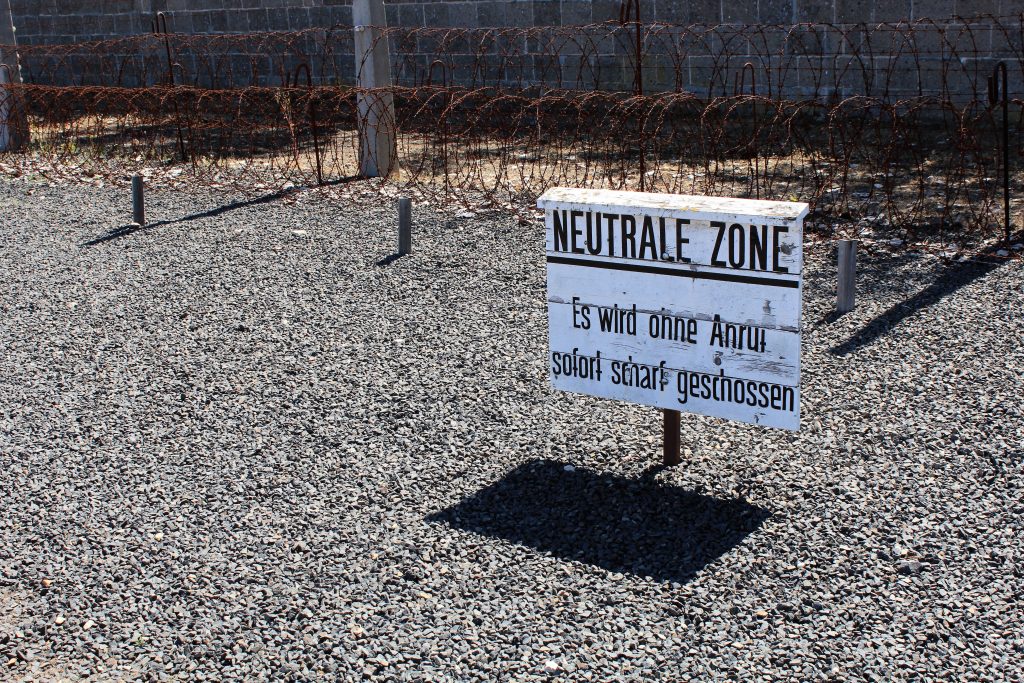
 The words under Neutral Zone on this sign say, “They are going to shoot you without warning.”


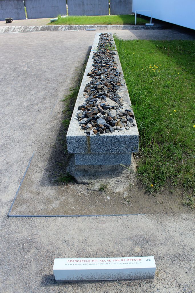
 There was a “Special Soviet Camp” that housed about 60,000 prisoners between 1945-1950. 12,000 of them died from hunger and disease. Several of the cells have commemorative plaques and memorials. There are three mass graves near the Special Soviet Camp; the largest contains the remains of at least 7,000 people.


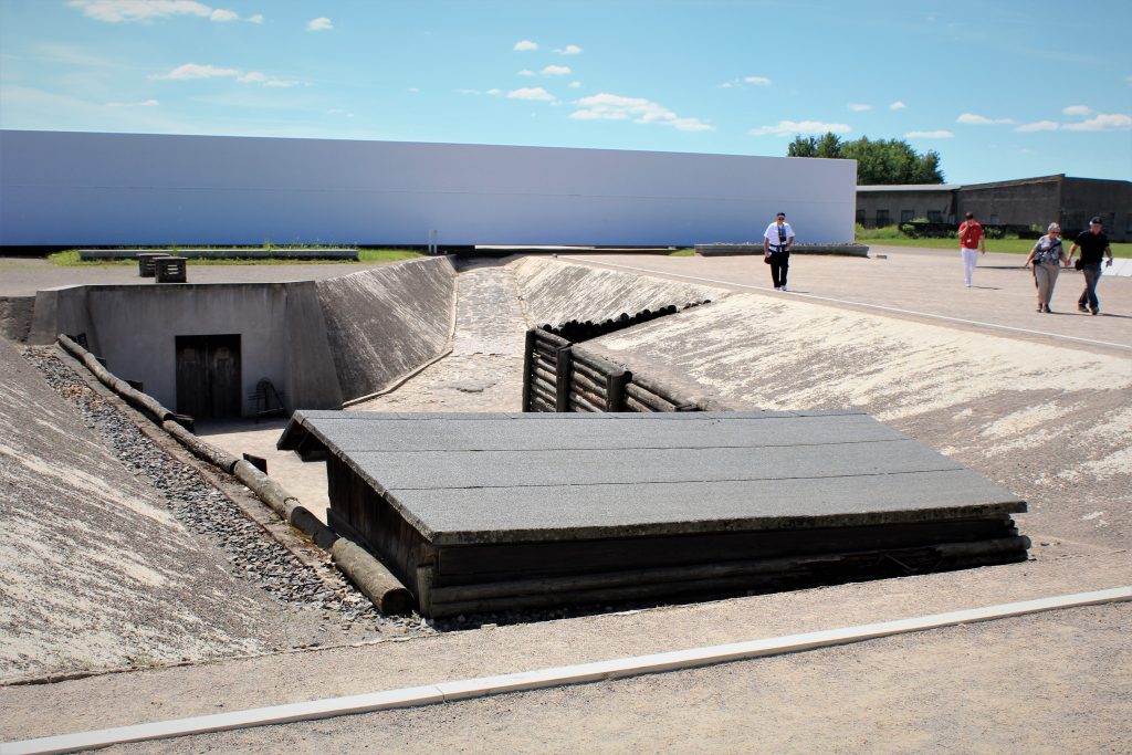
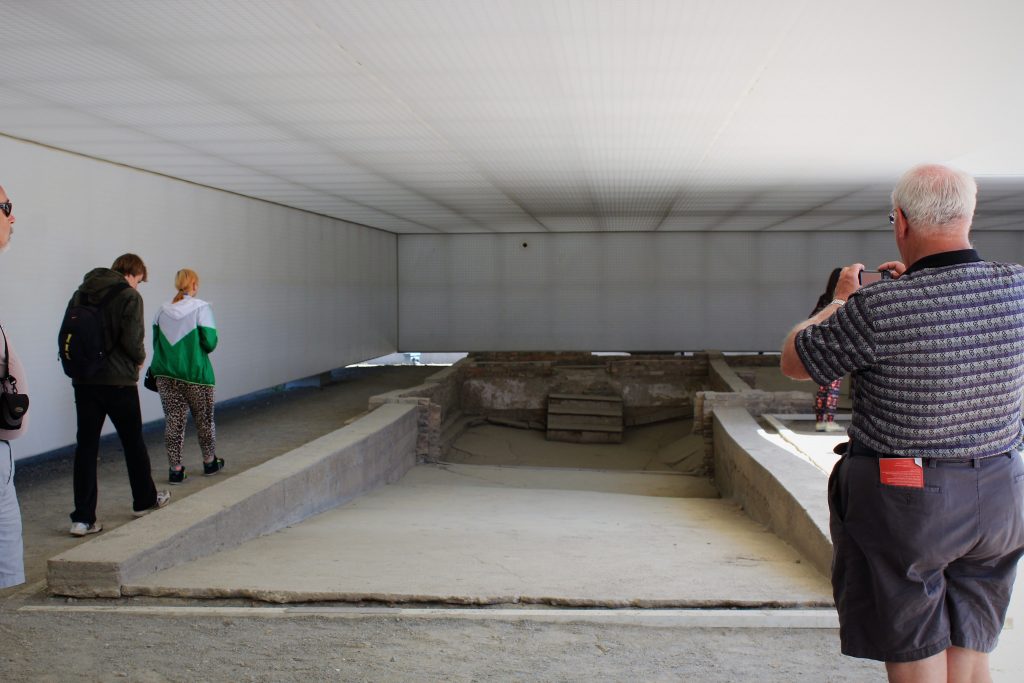
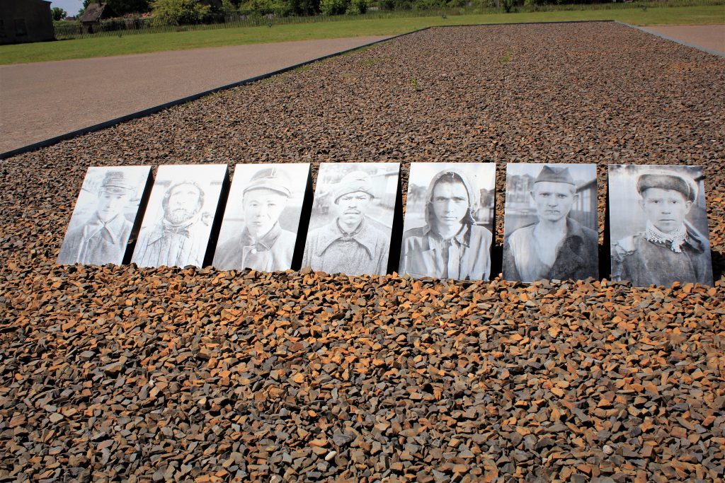
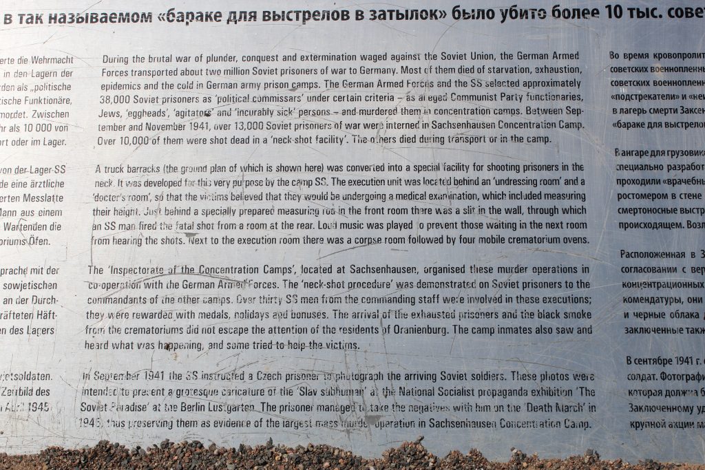
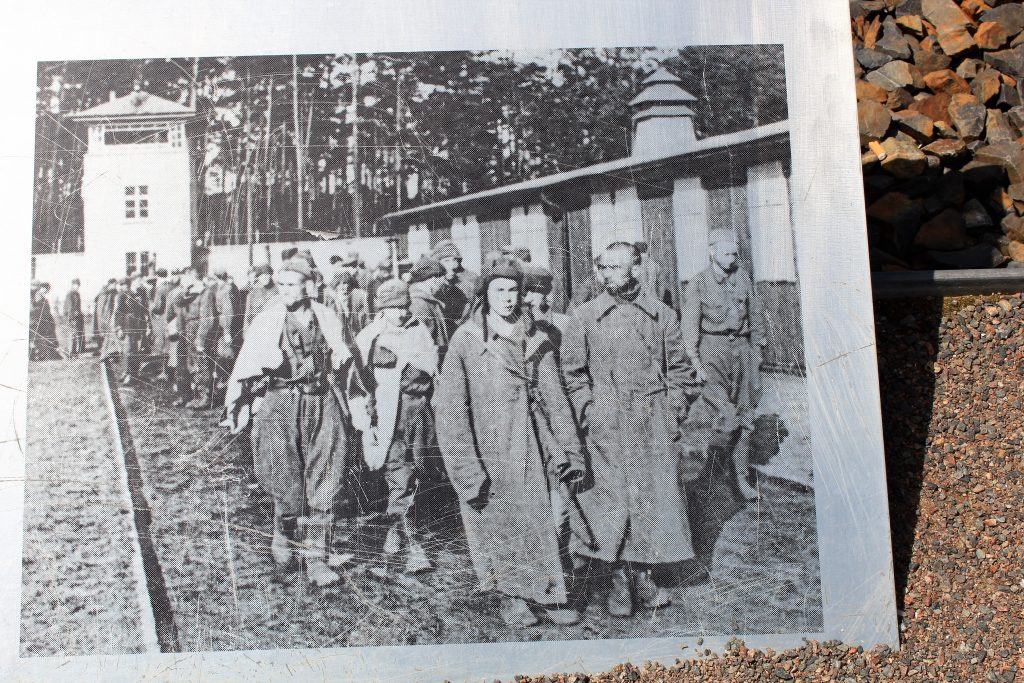
 The area in the photos above was called the Killing Trench. It was officially Station Set, named for the last letter of the German alphabet. Ostensibly it was a medical examination area where new prisoners were to be weighed and measured. Many prisoners, especially Russians, would be line up against the wall in this trench and would shot in the back of the head by a German soldier who placed his gun through a small hole in the wall.


 Even though Sachsenhausen was not a mass Death Camp there were still gas chambers and cremation ovens.


 The camp Commandant had a nice house at the back of the grounds.
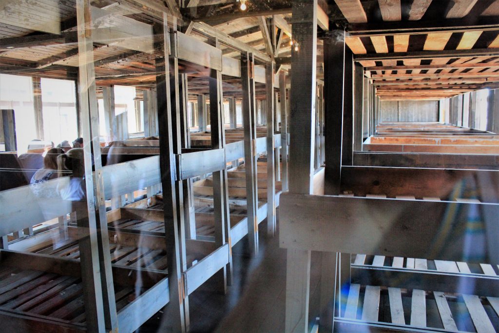
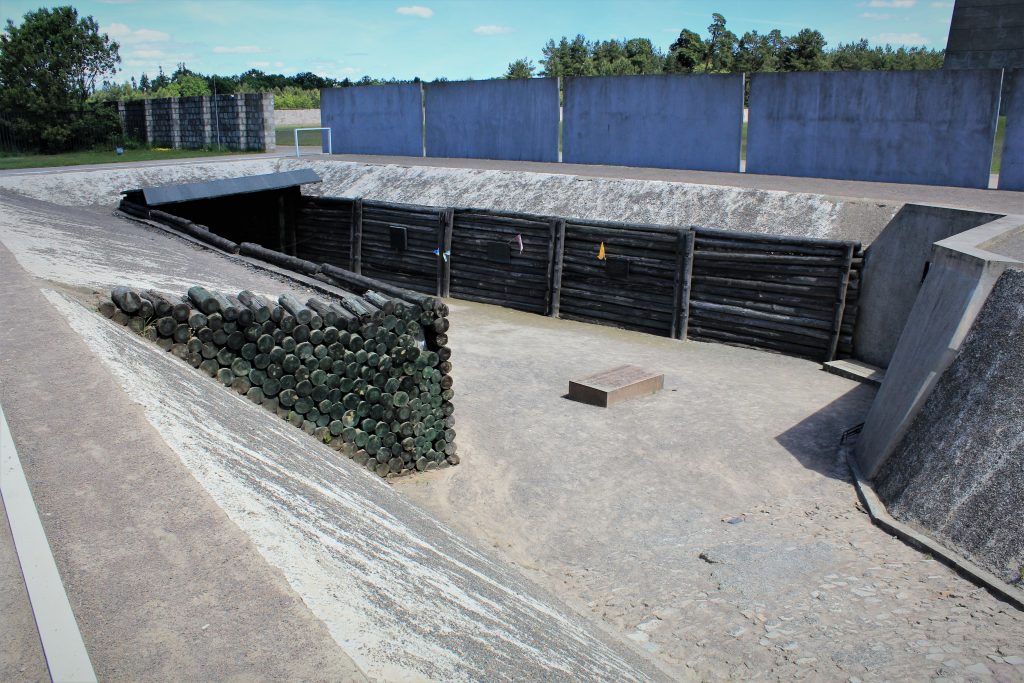
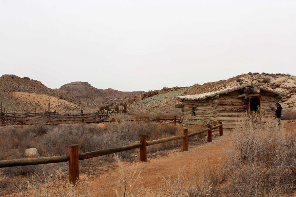
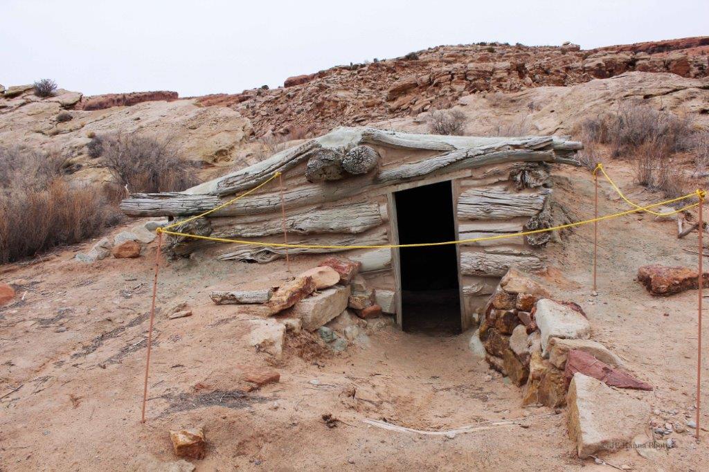
 The barracks above are replicas of the original.
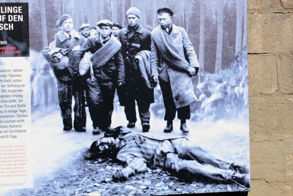
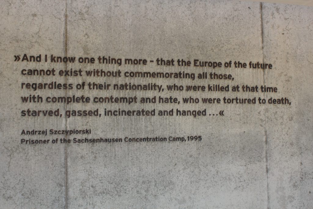
When we were looking over the shore excursions available for this port-of-call I pondered for quite awhile as to whether I would be able to tour a concentration camp site. However, I feel very strongly that this horrific chapter in the span of human history must never, ever, be forgot or brushed aside. Lest we forget, and it will happen again.
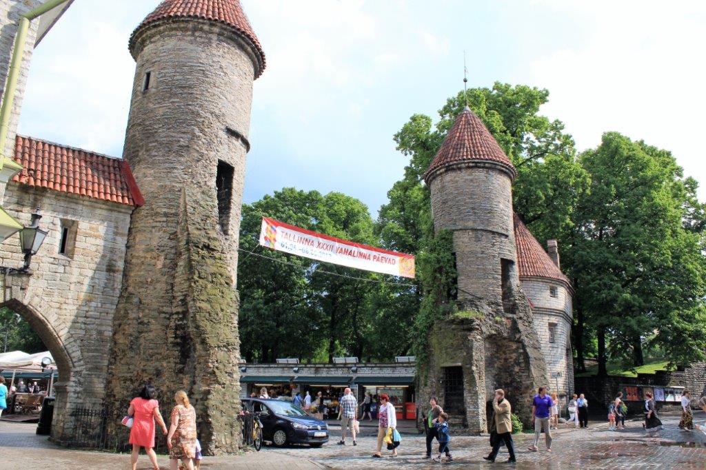
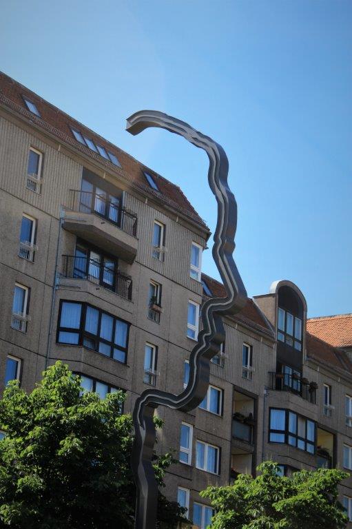
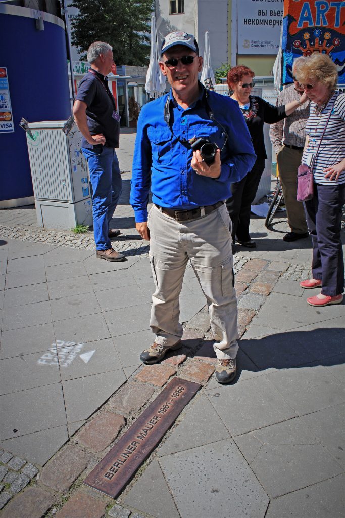
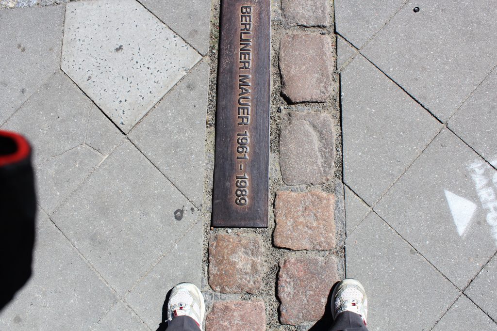
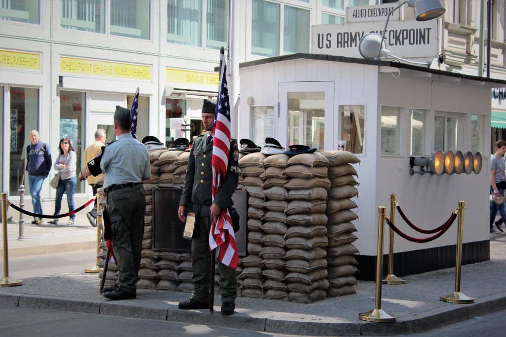
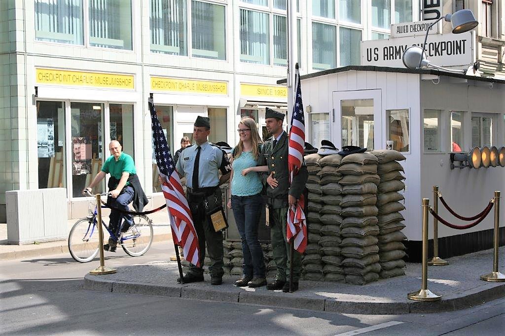
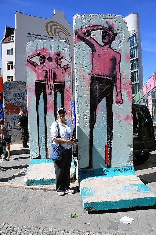
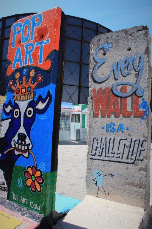
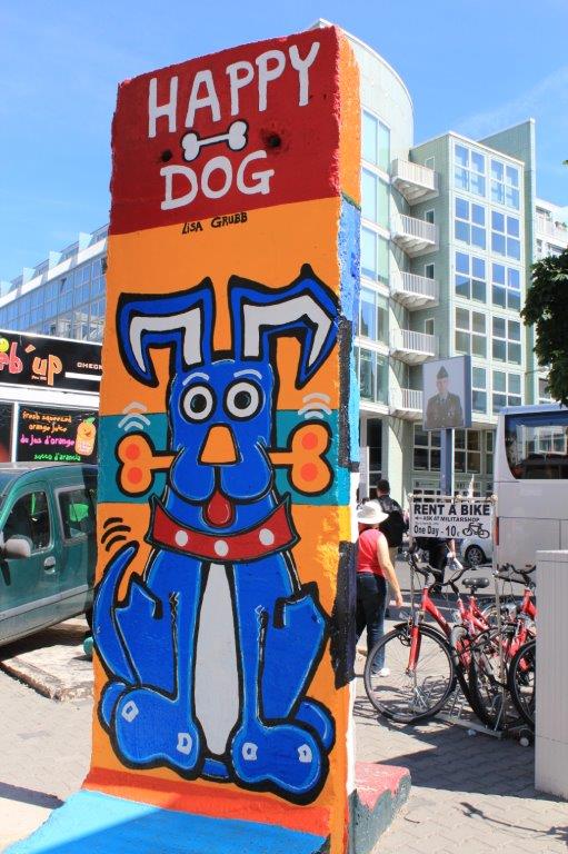
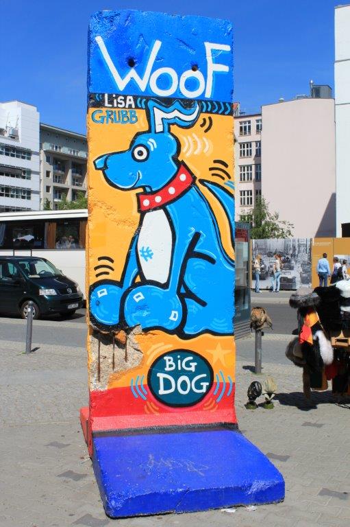
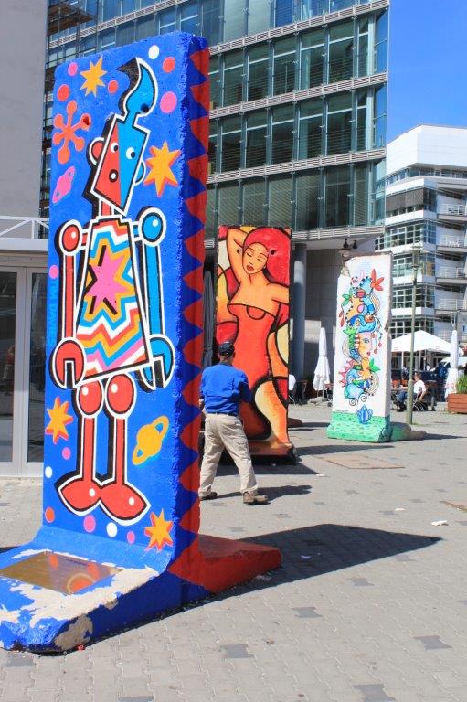
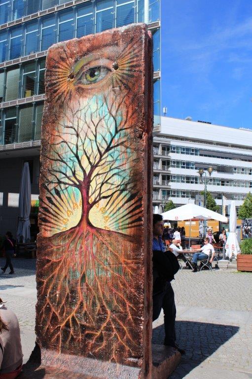
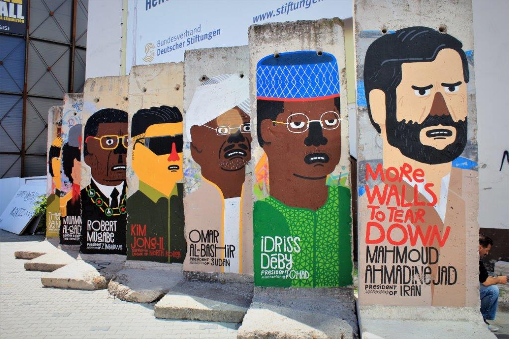
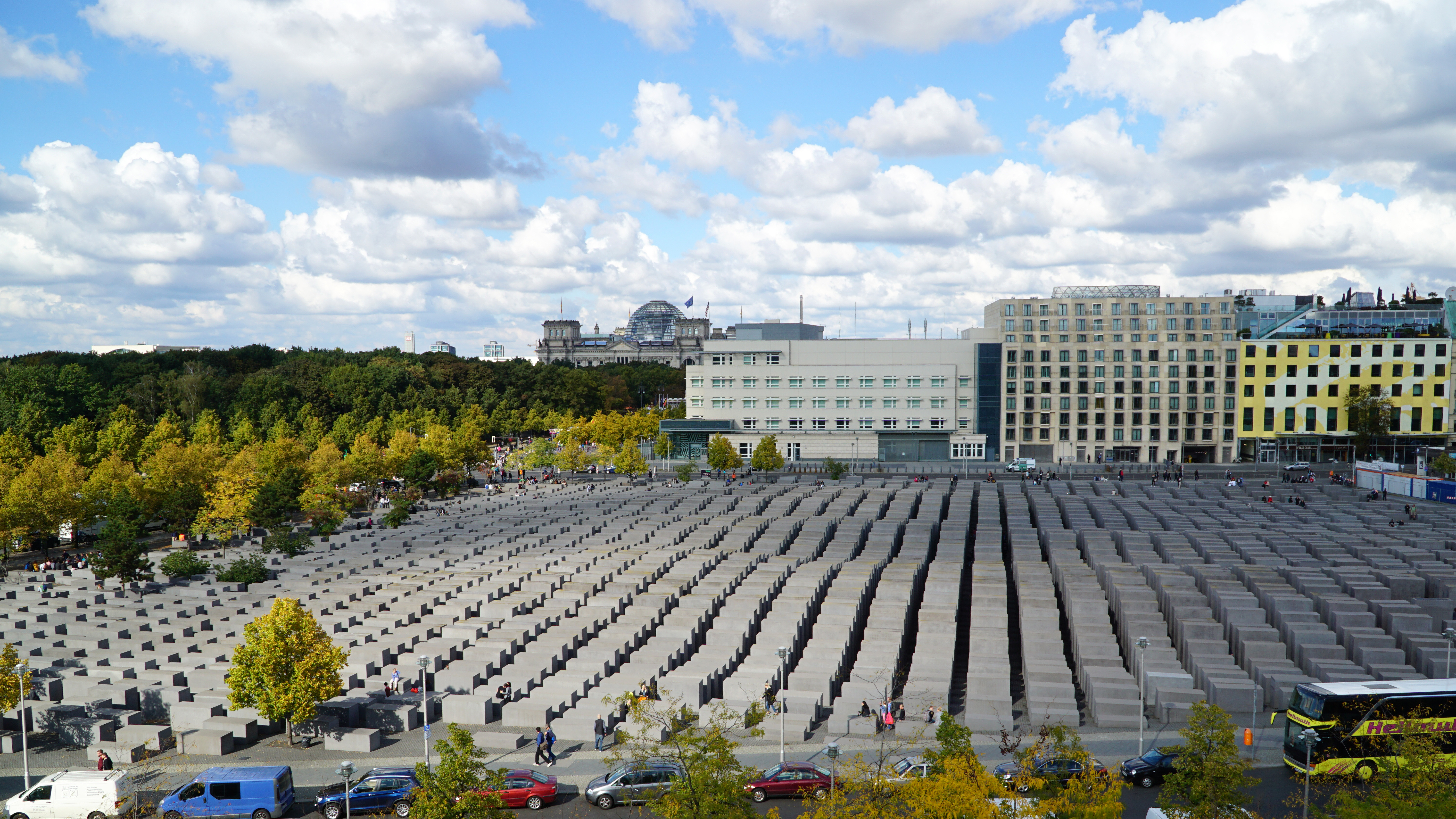
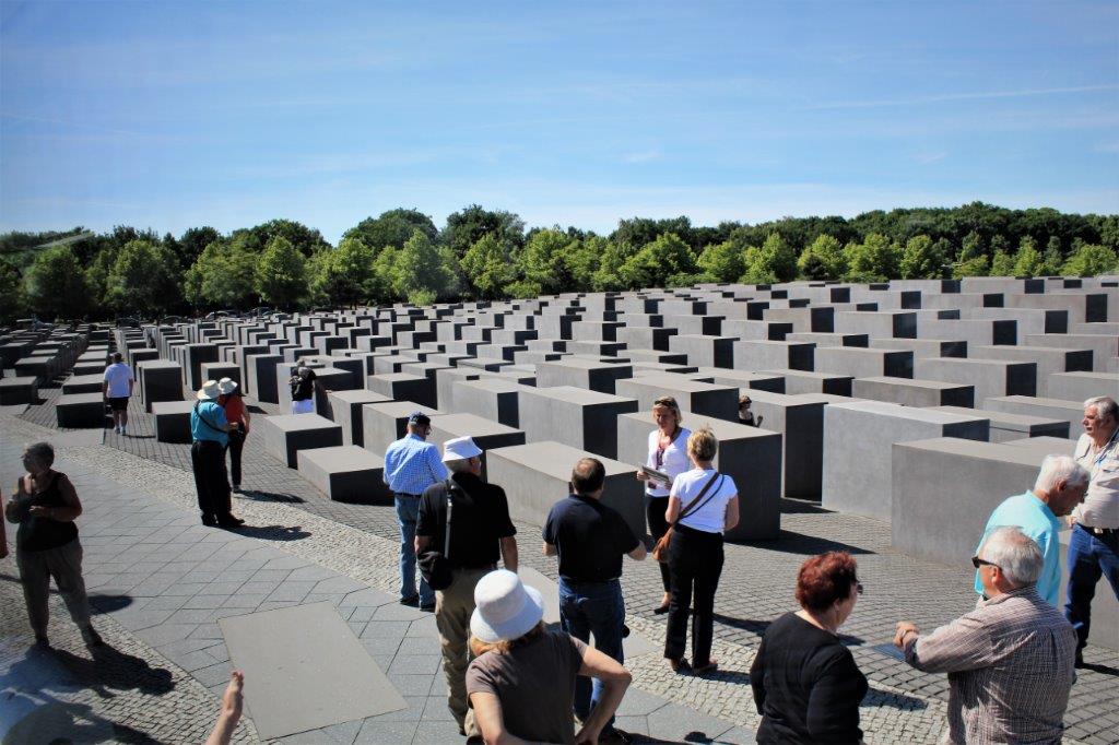
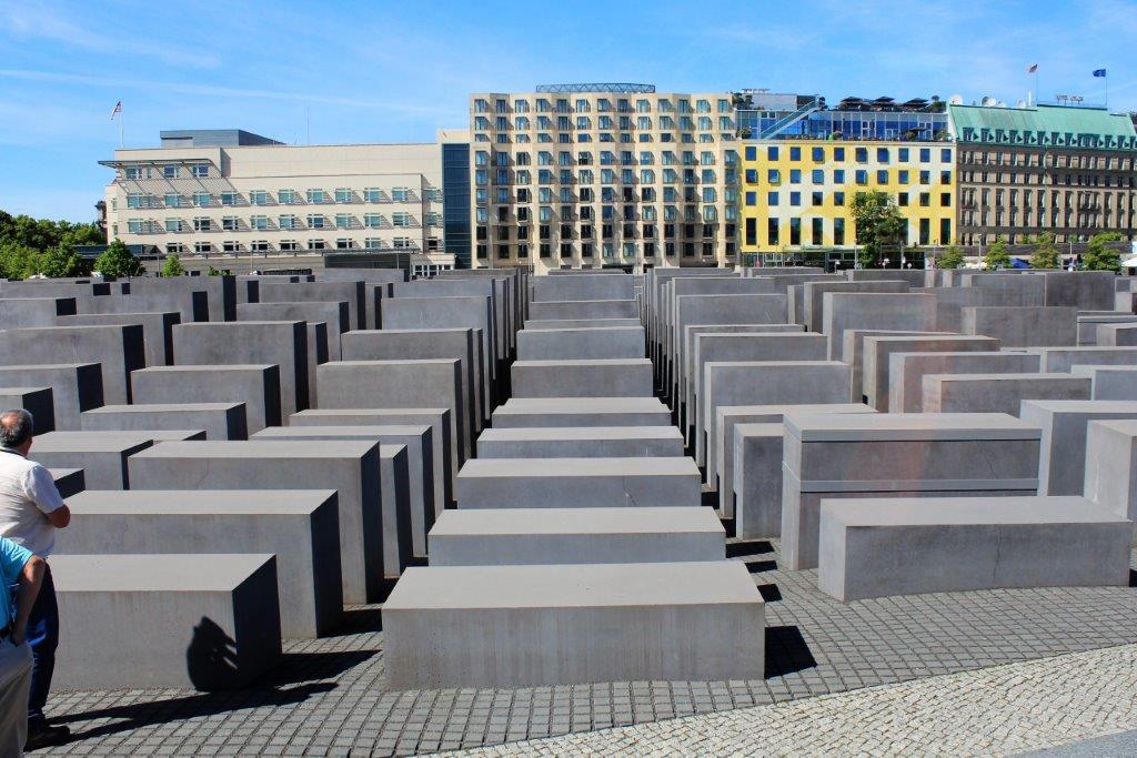
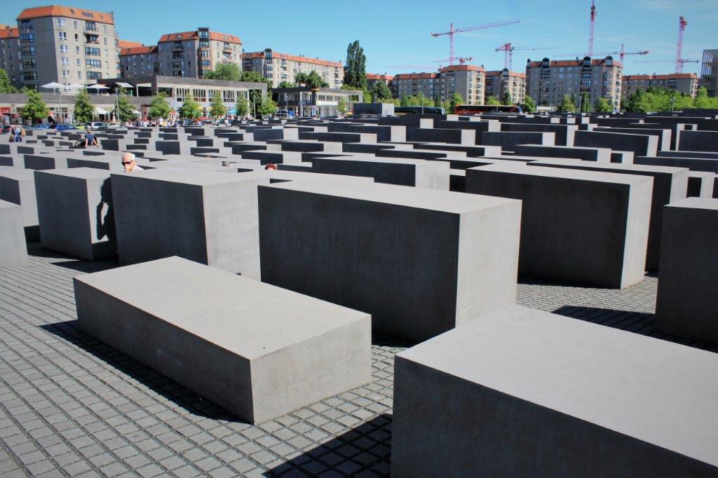
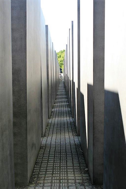
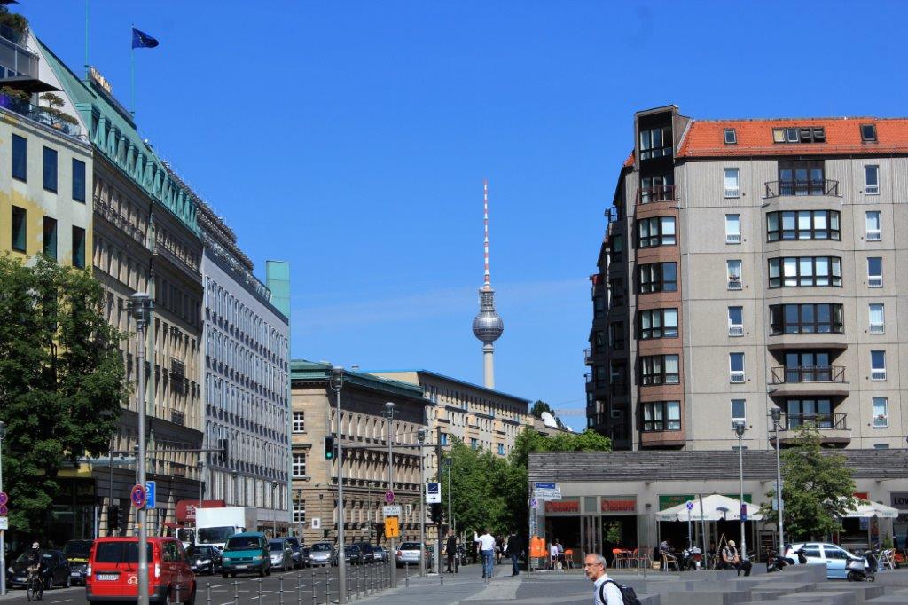
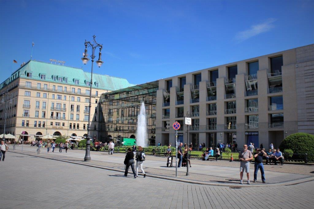
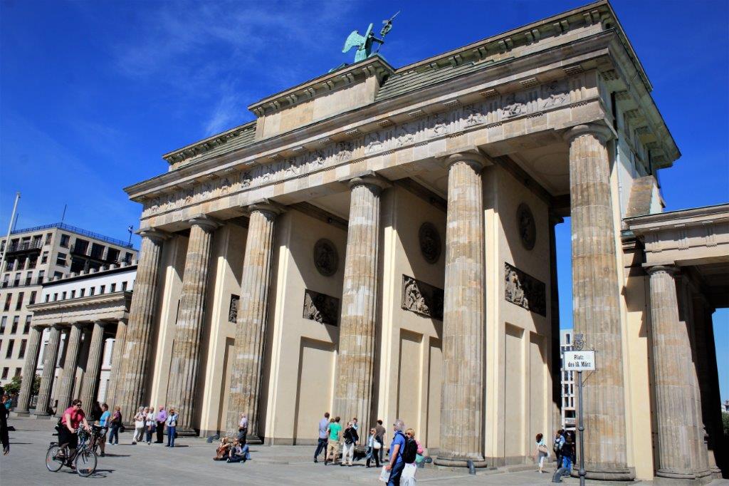
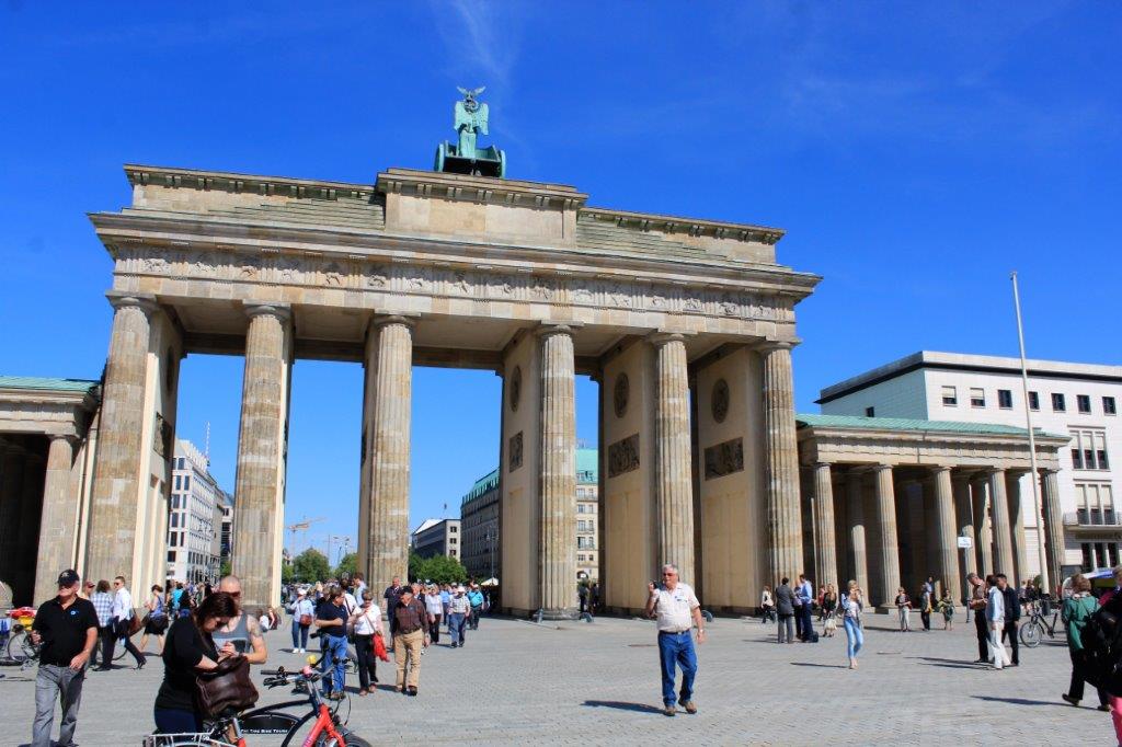
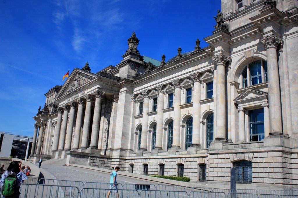
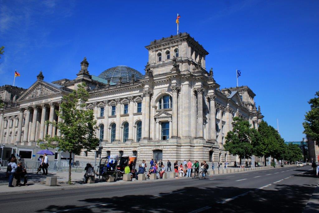
After we finished our tour of the concentration camp we were driven to Berlin where we saw several of the ‘must-see’ sights. (to be continued)

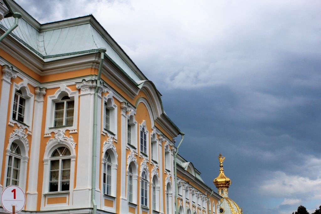
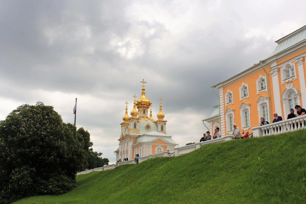
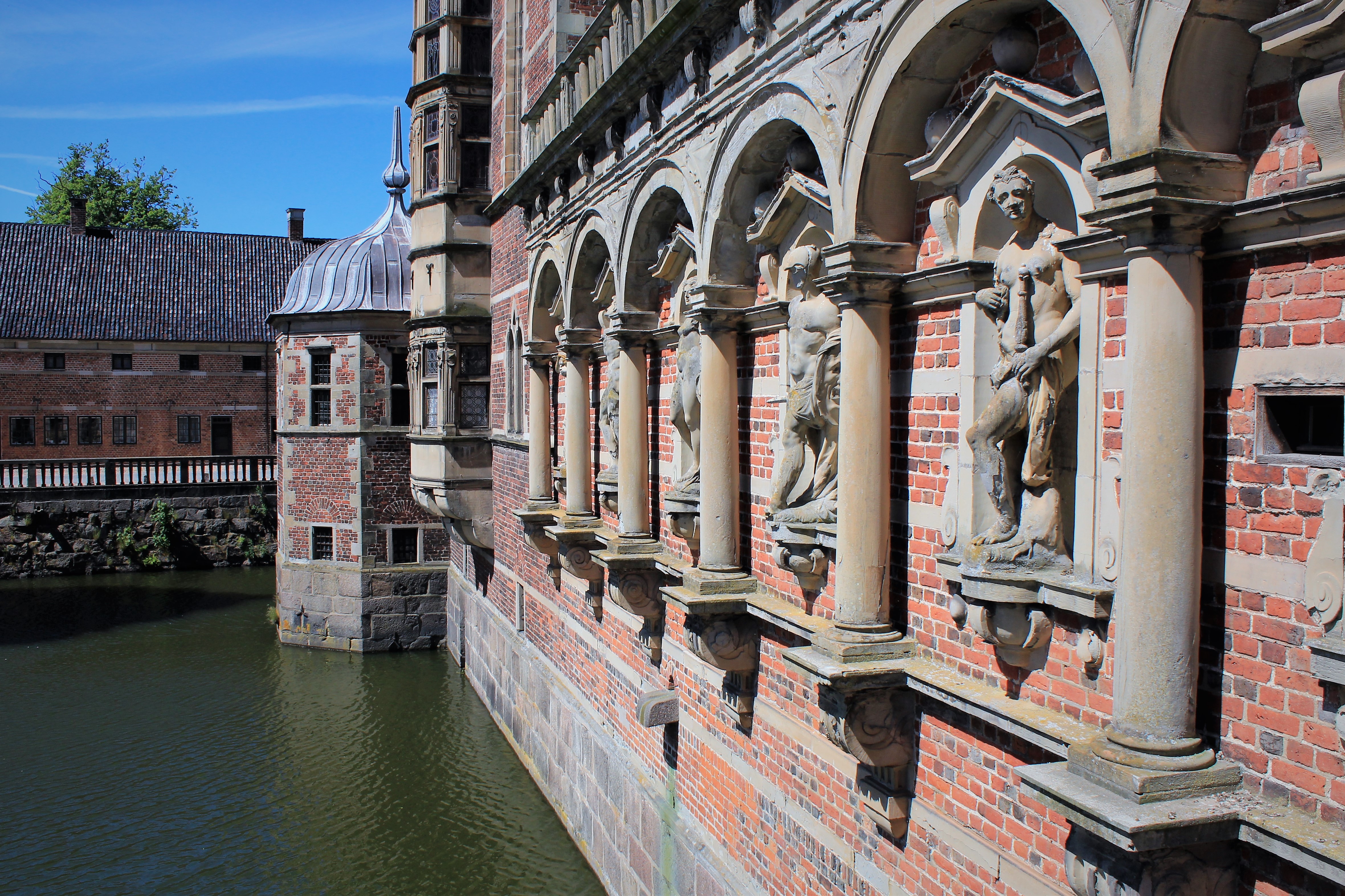
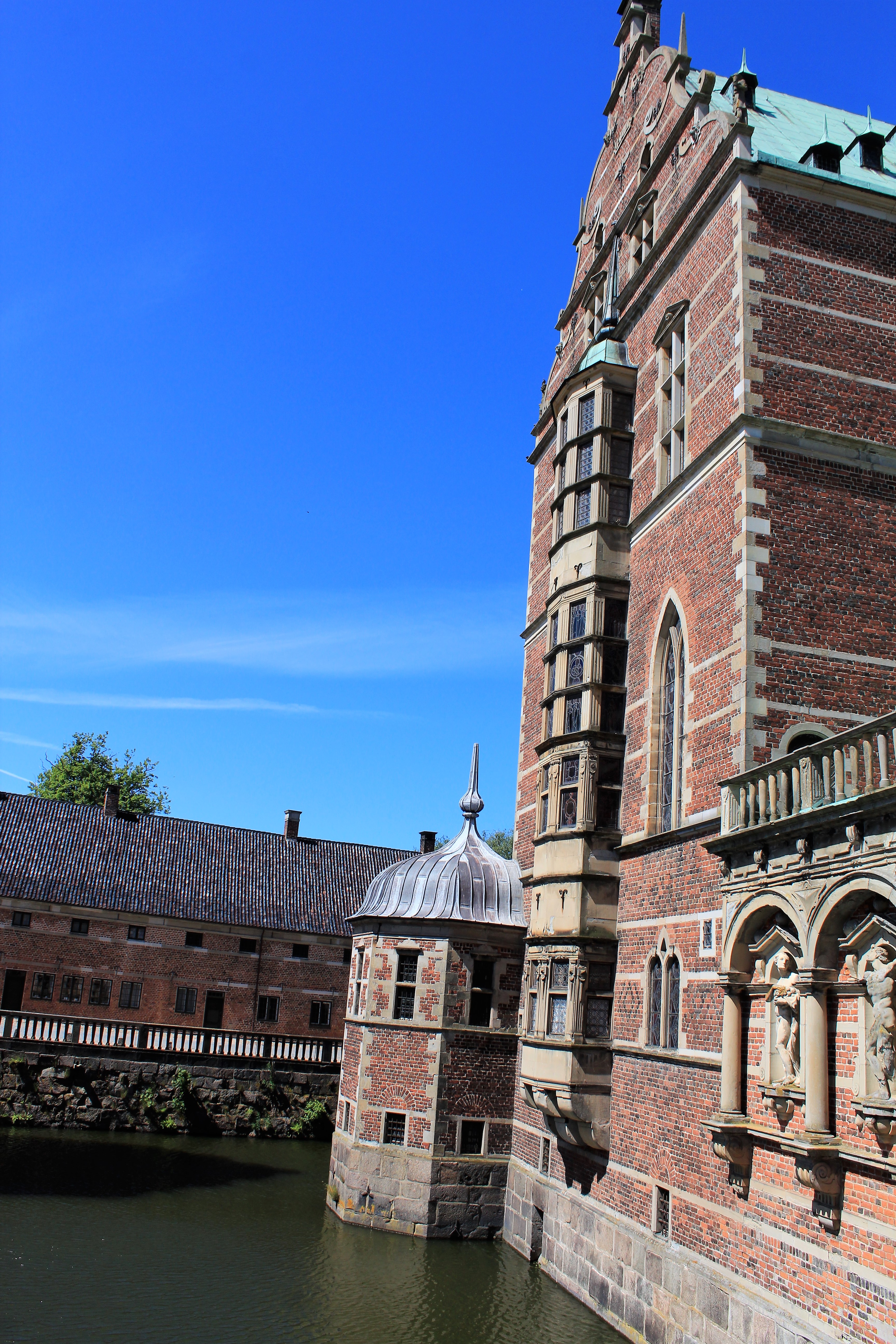
 Peterhof (which means Peter’s court) is 25 km (16 miles) from St. Petersburg and is located along the shores of the Gulf of Finland. The Summer Palace was constructed by Peter the Great. His daughter Empress Elizabeth also loved the site and ordered the expansion of the Grand Palace and the magnificent grounds. As with most of the Imperial residences the Summer Palace was ravaged by the Germans during WWII. The grounds with its famous fountains were restored by the end of 1945 and the palace was re-opened in 1952.
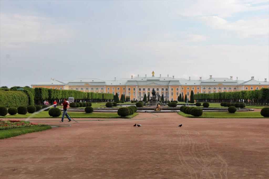

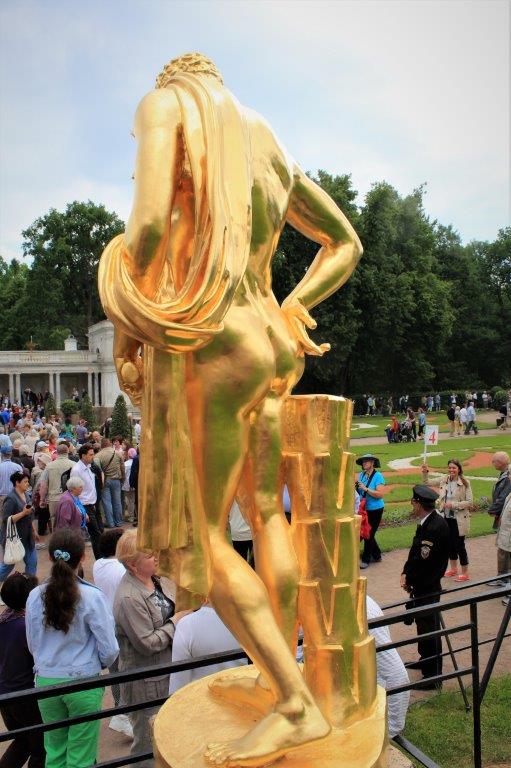
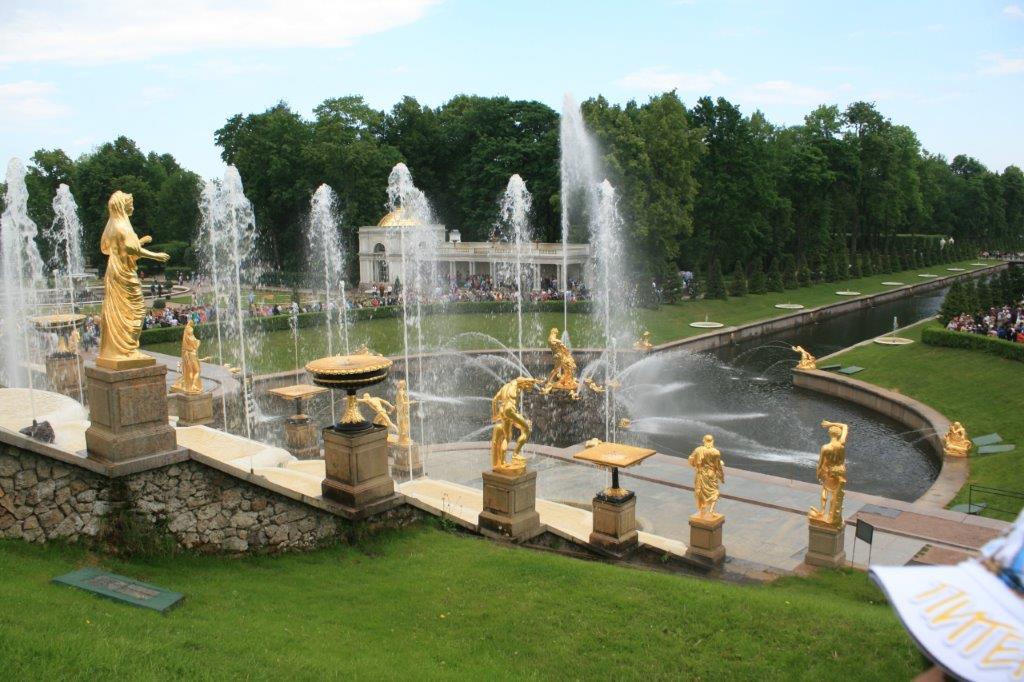
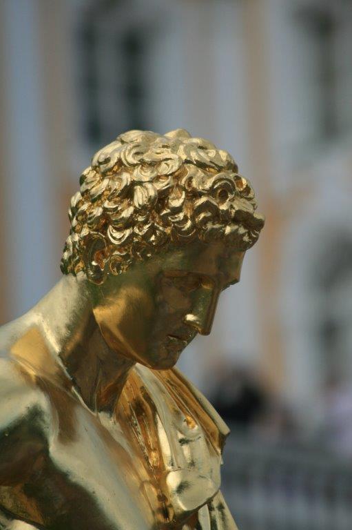
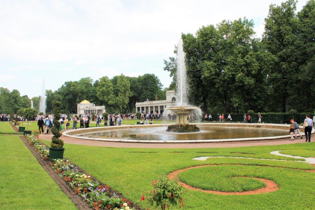
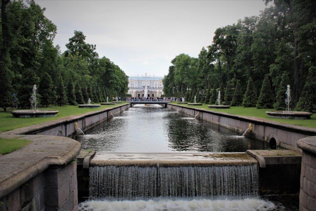
 The best approach to the palace grounds is by the sea from where you get a spectacular view of the Grand Cascade, comprised of 64 different fountains with 200 gold statues and bas-reliefs.
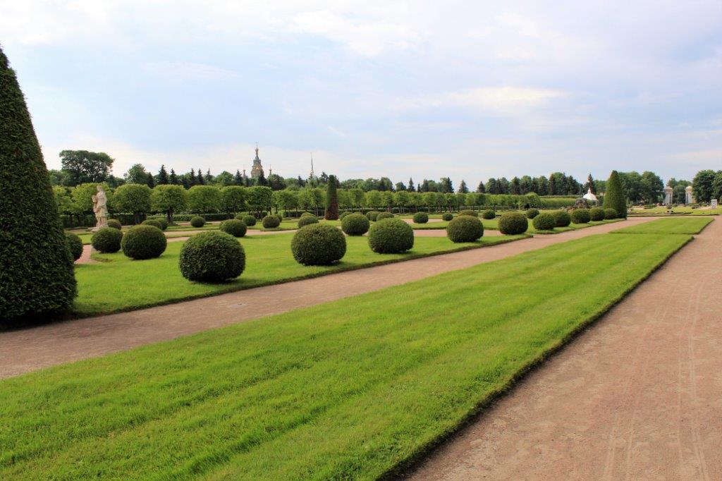
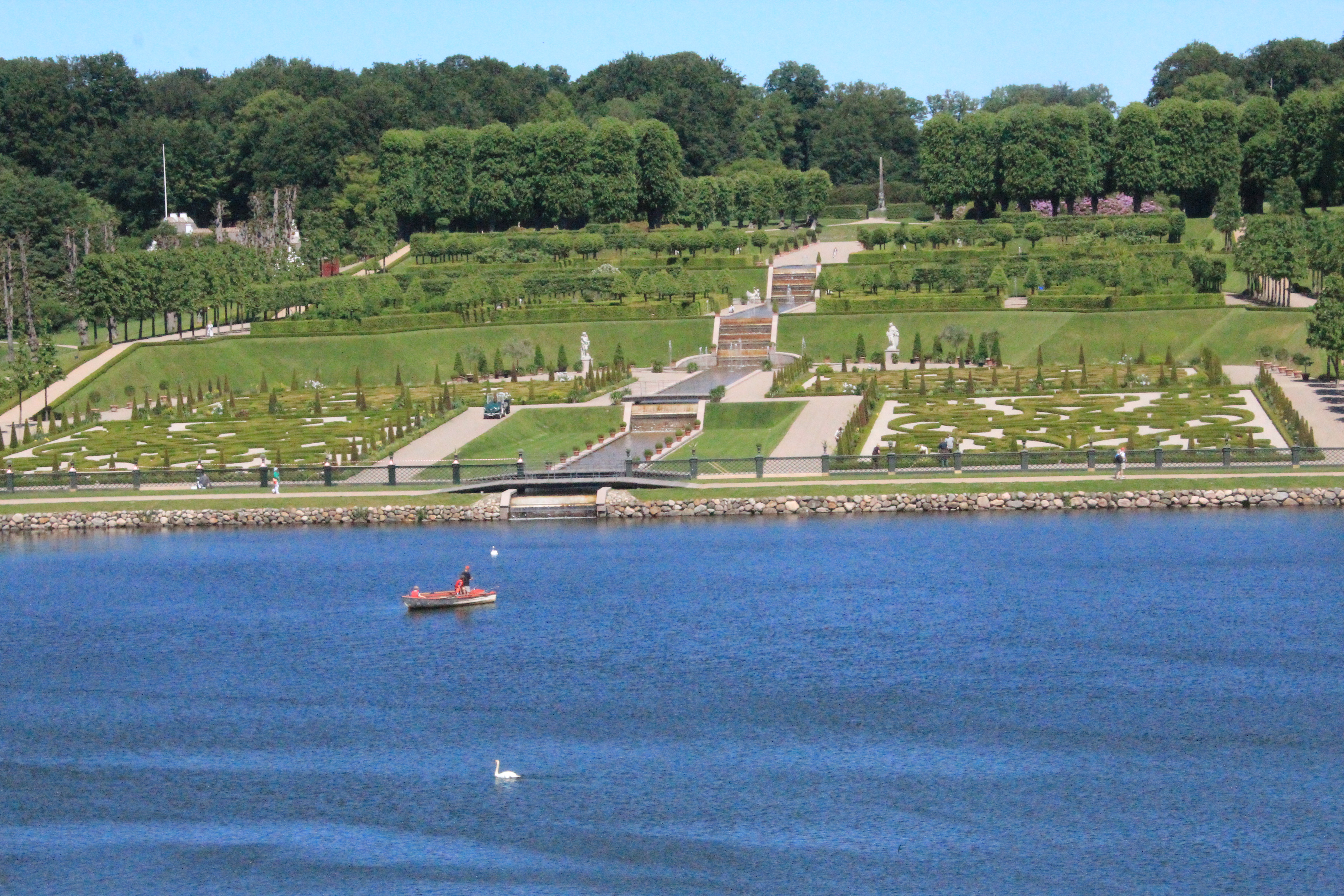
 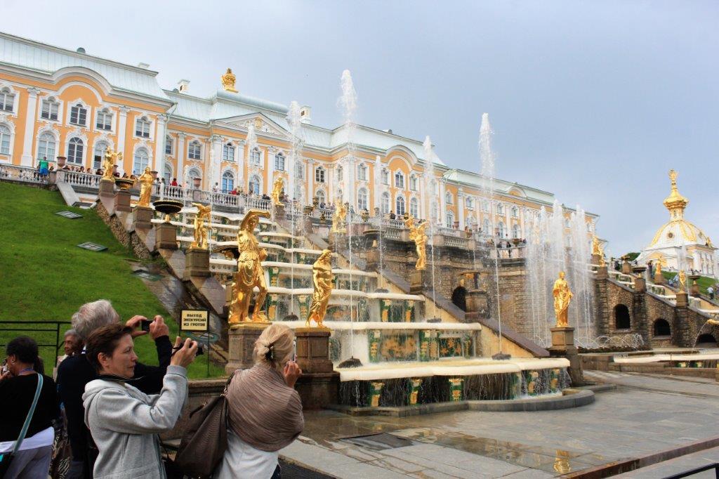 Below is the view from the top of the balcony looking out toward the coast. Pretty easy to envision how beautiful it would be from the other direction.
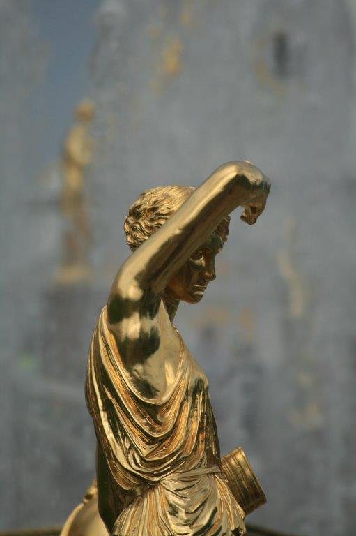


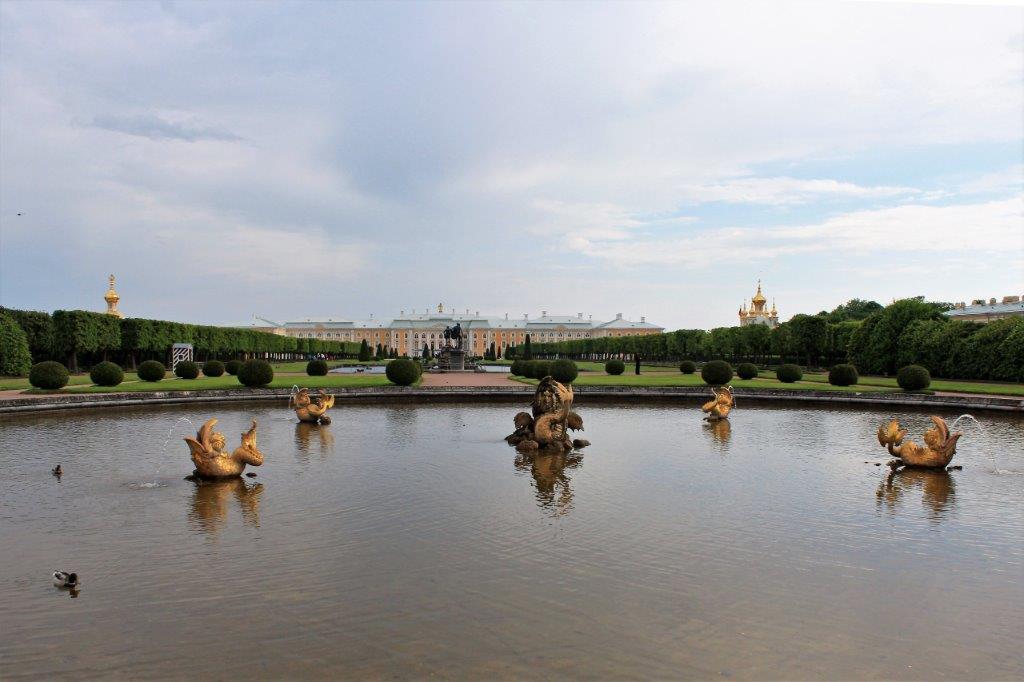
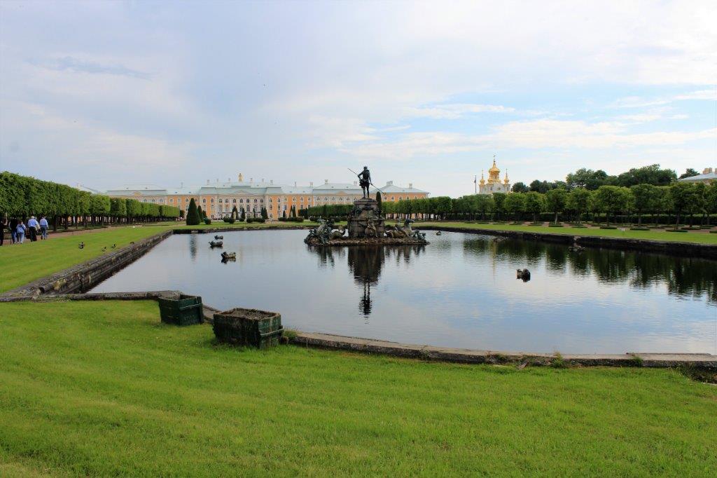
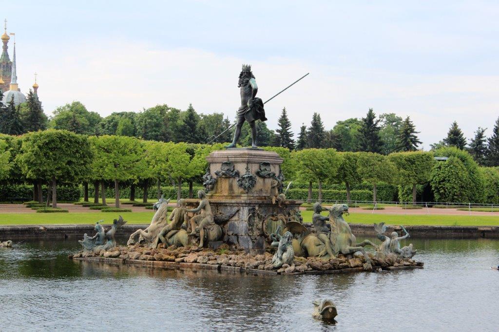
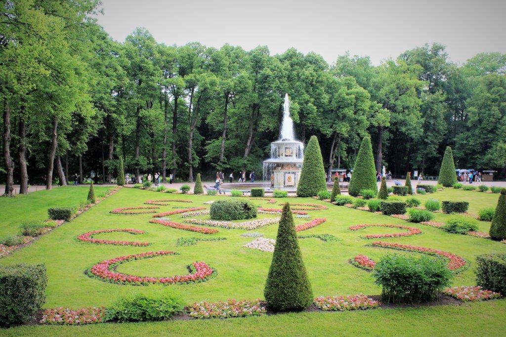
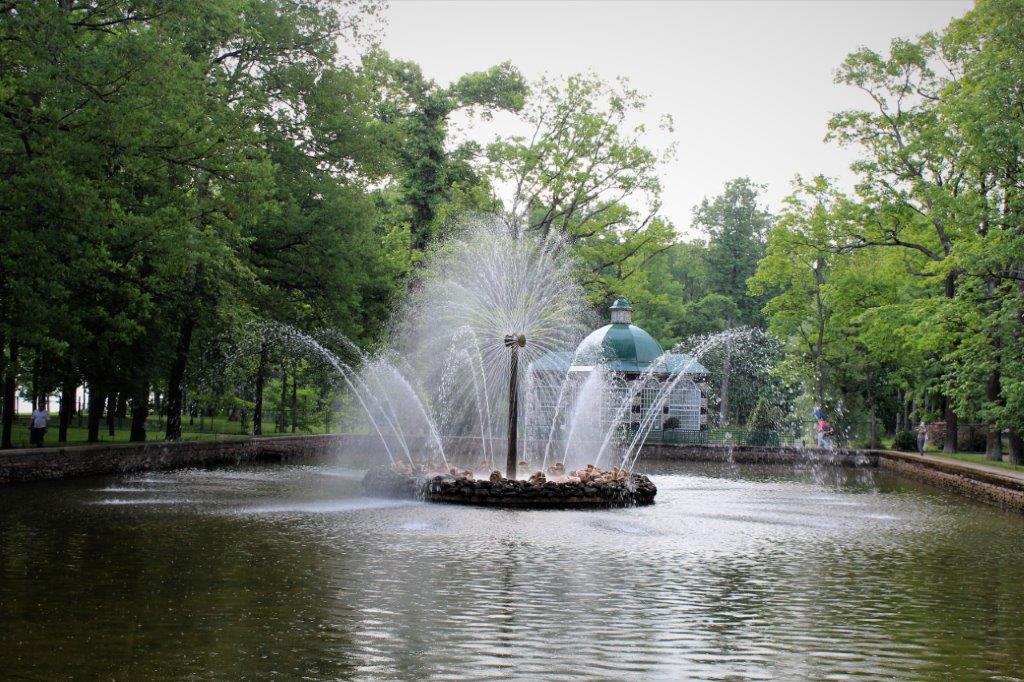
 The Summer Palace has been called the “Russian Versailles” due to the 150 fountains, and the park was certainly the inspiration for the new residence when Peter began construction in 1720.
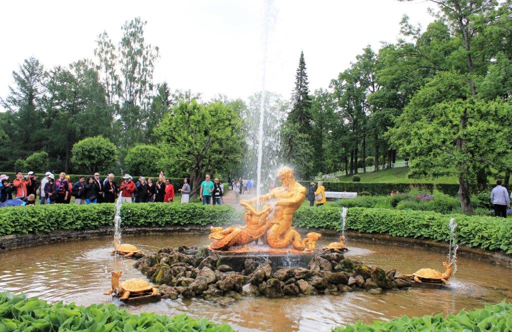
 The Chess Cascade
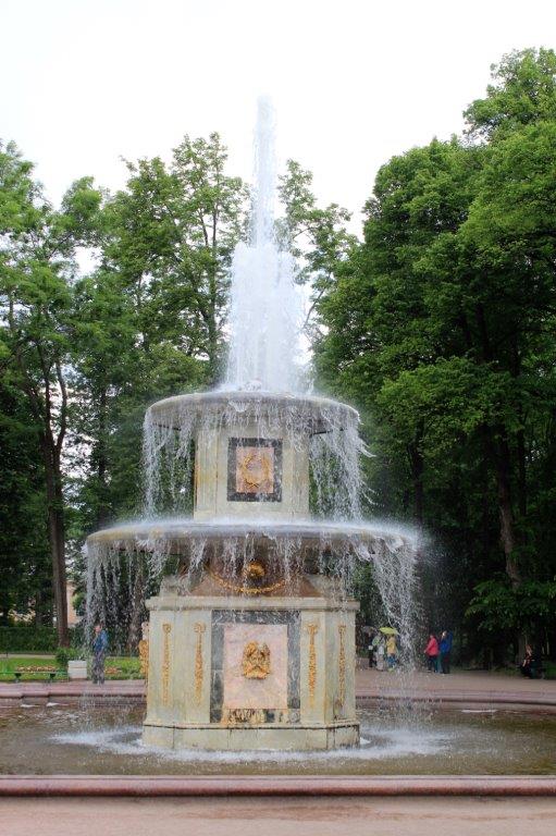

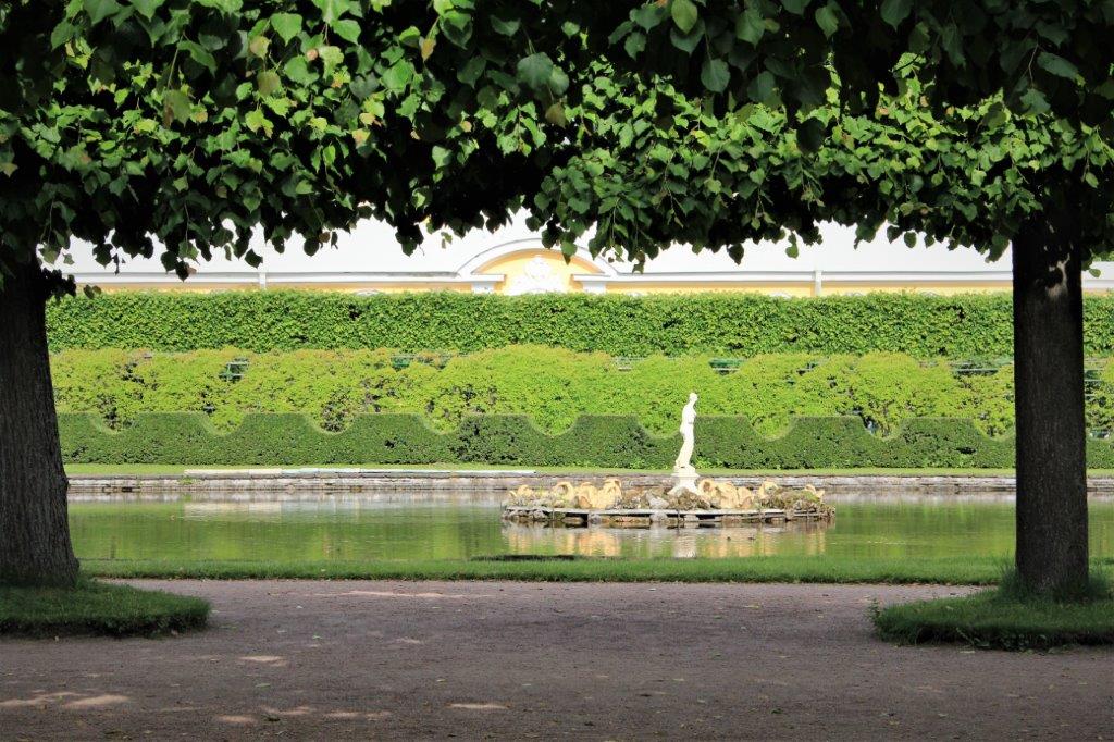
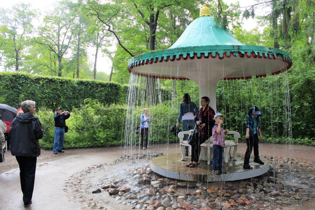
 A very popular area is the Joke Fountain where the unwary are drenched in water when they step on certain rocks.
 Looking back at the palace from the end of the grounds. After our time at the Summer Palace ended we boarded a hydrofoil and were taken back to St. Petersburg.
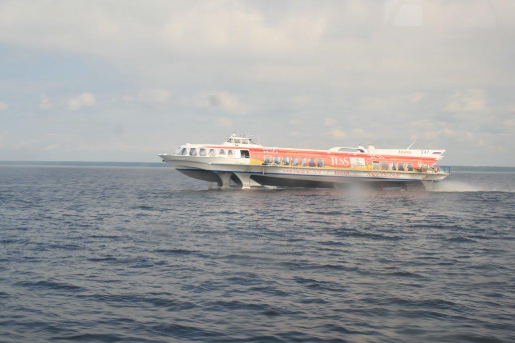
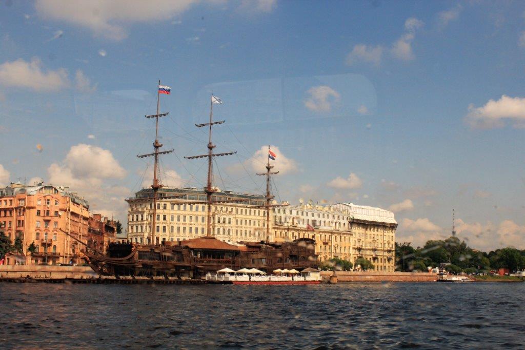
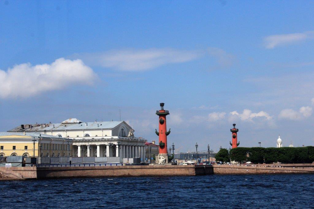
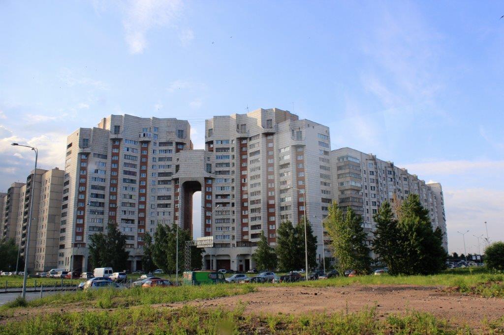
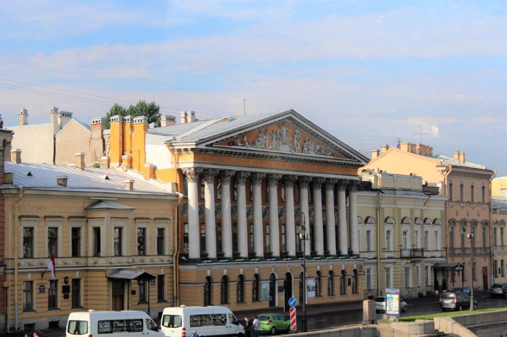
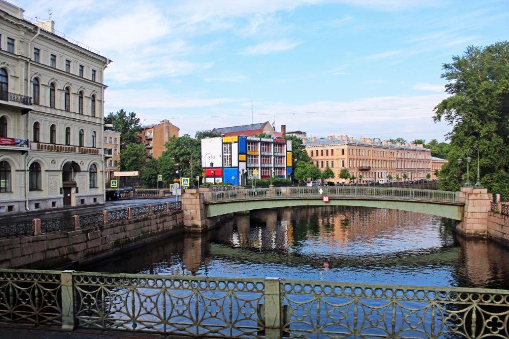
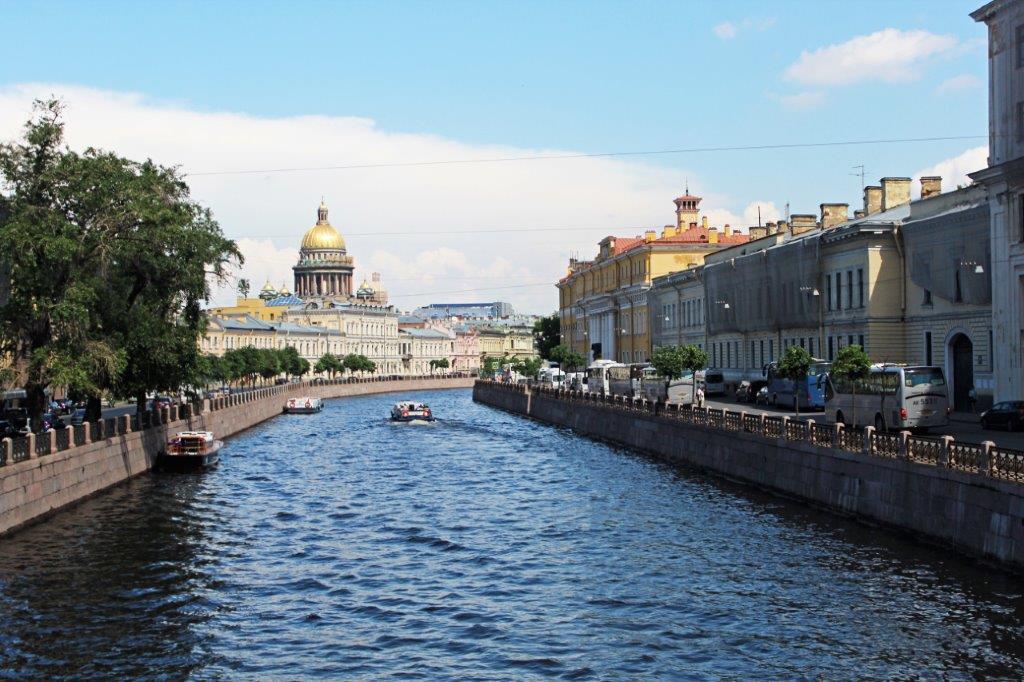
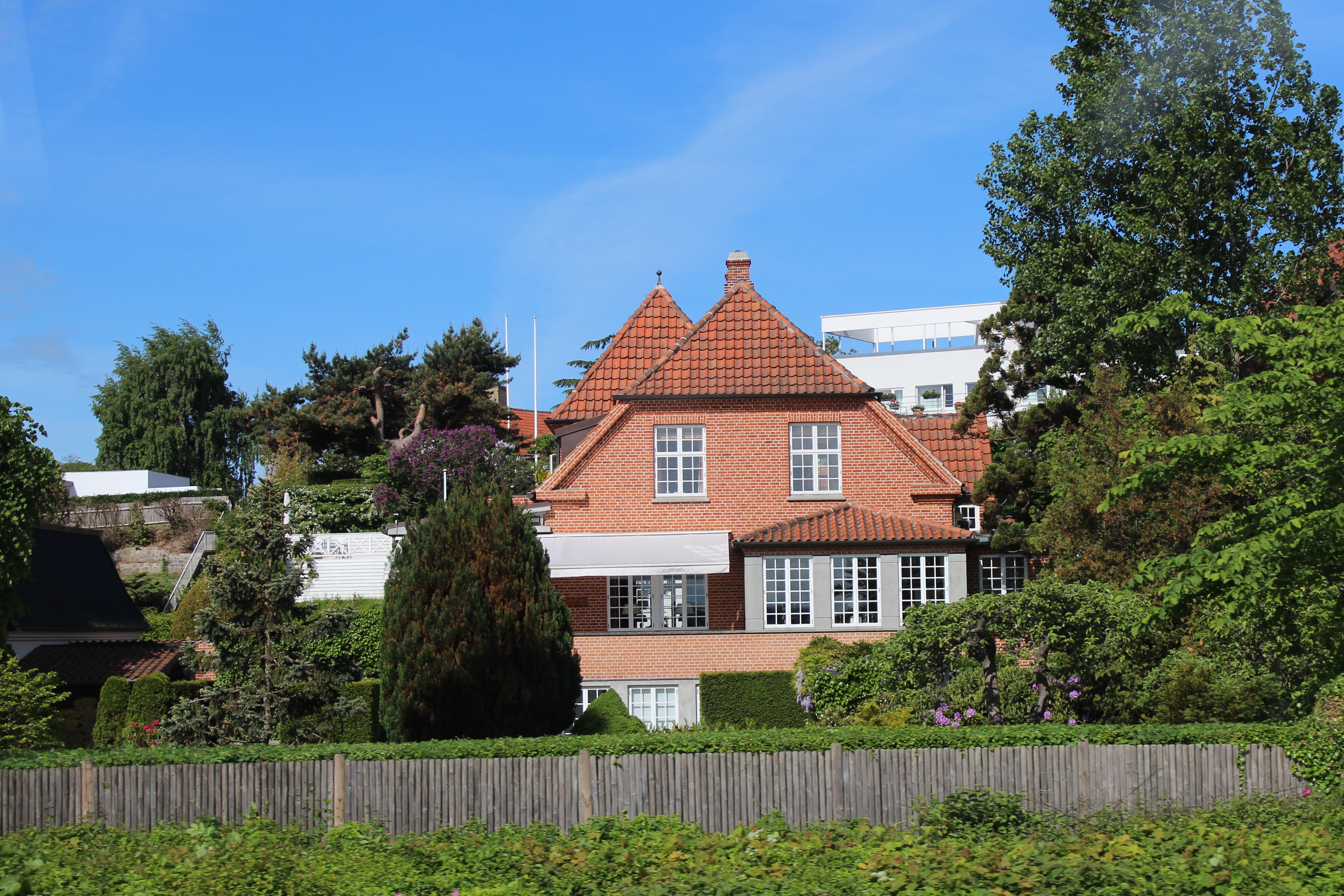
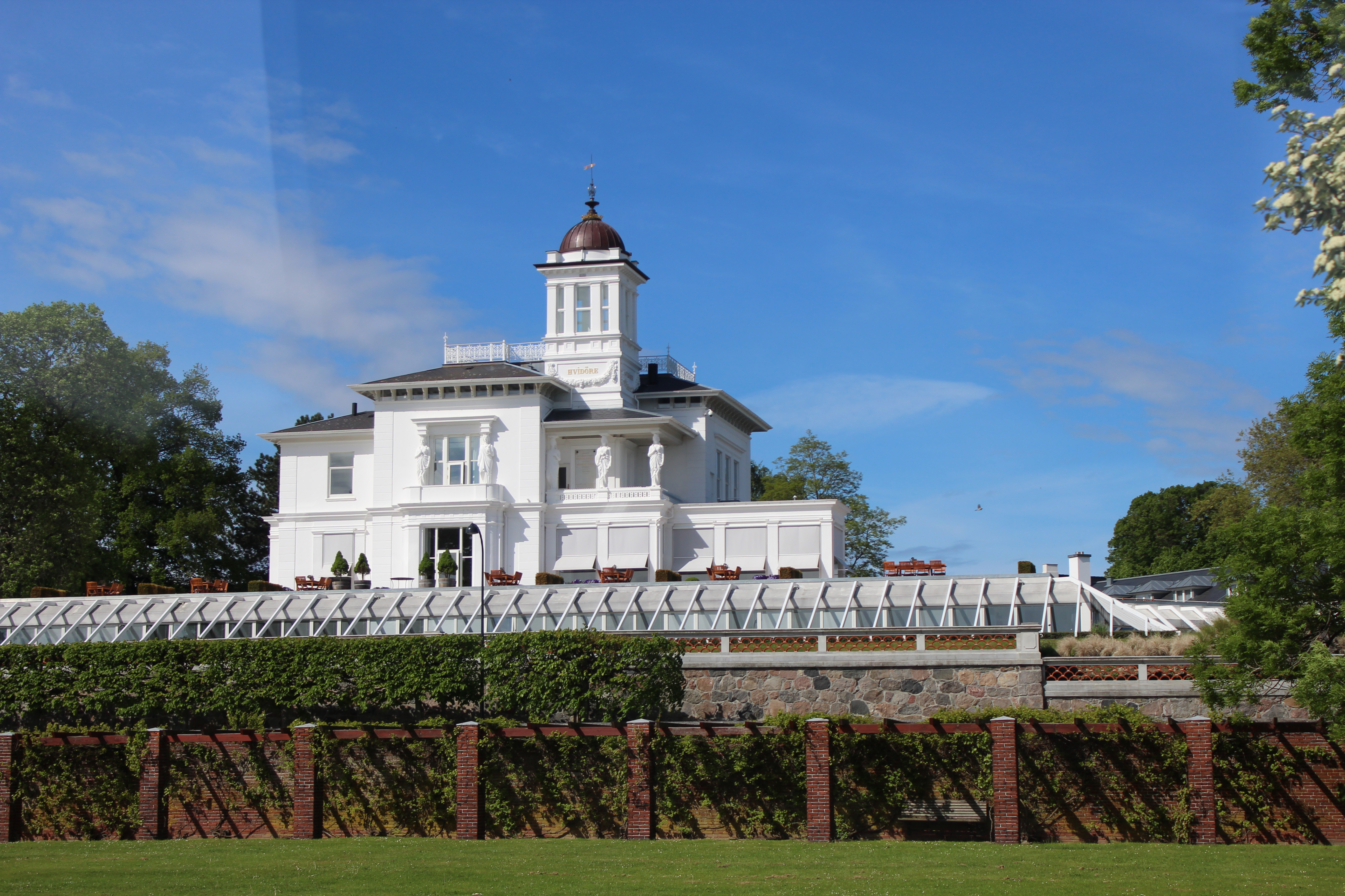
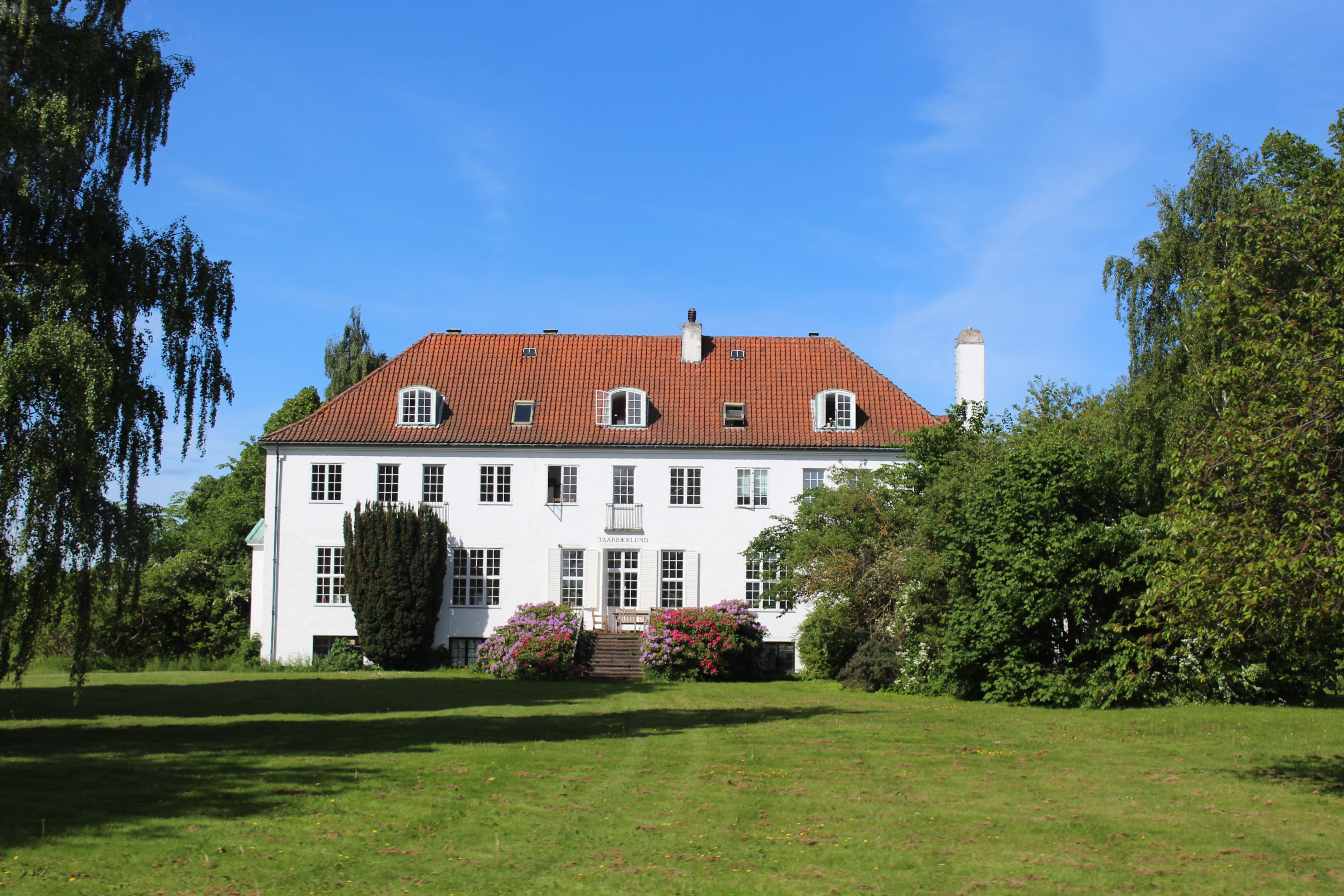
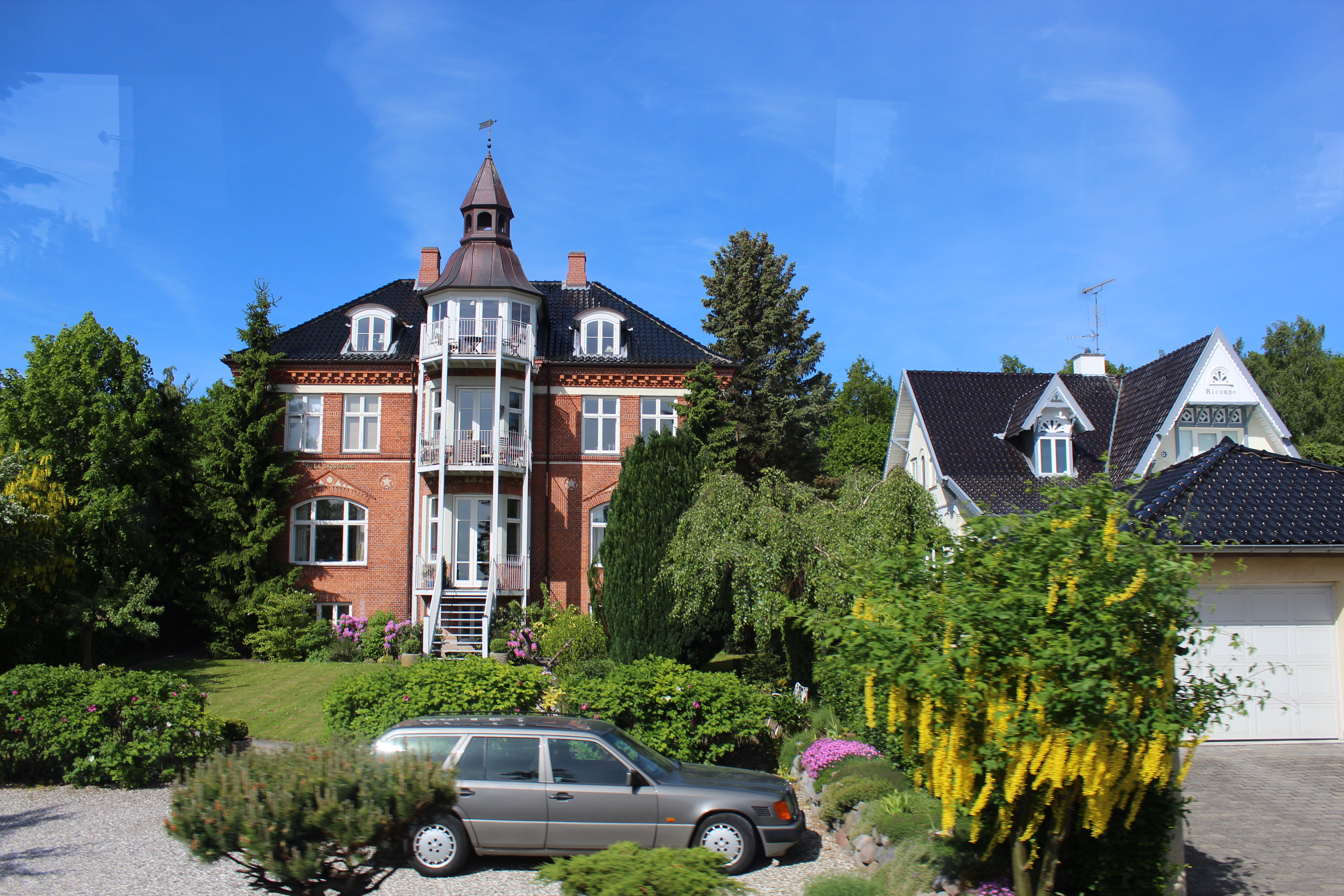
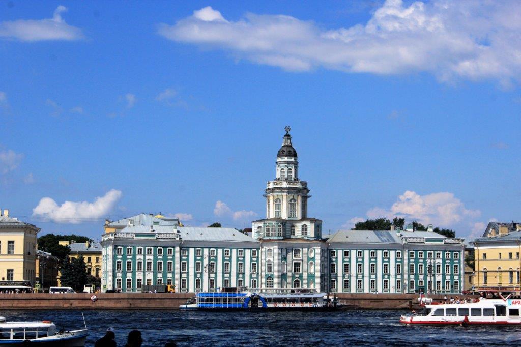 There is no shortage of impressive buildings along the shoreline.
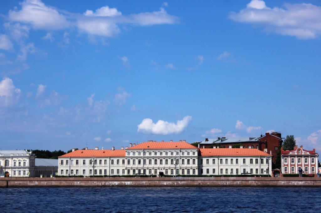

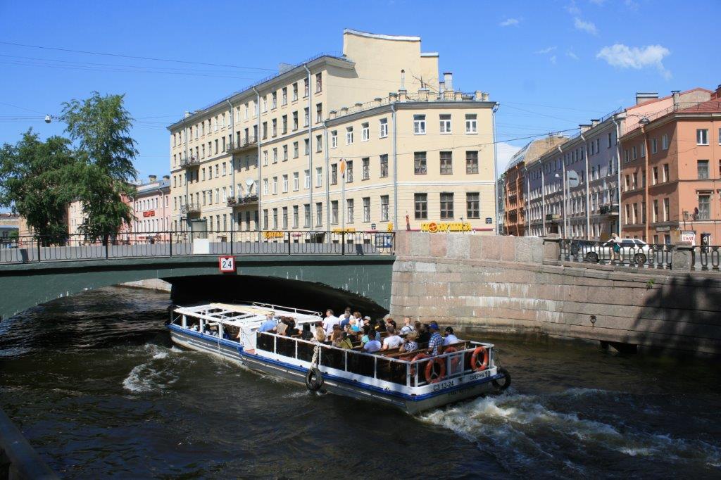
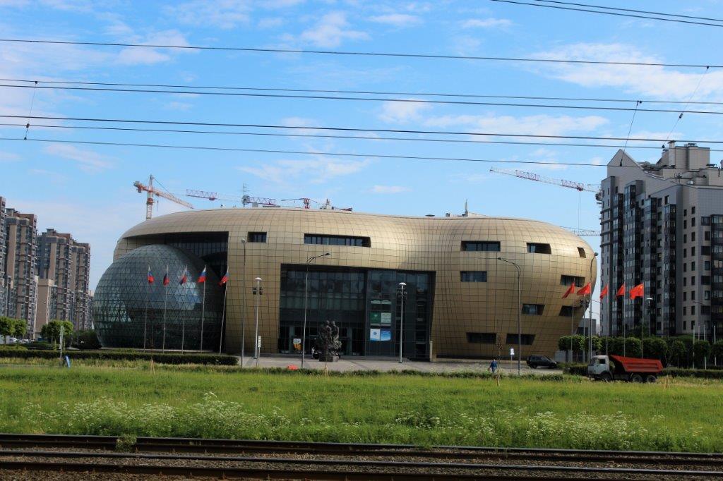
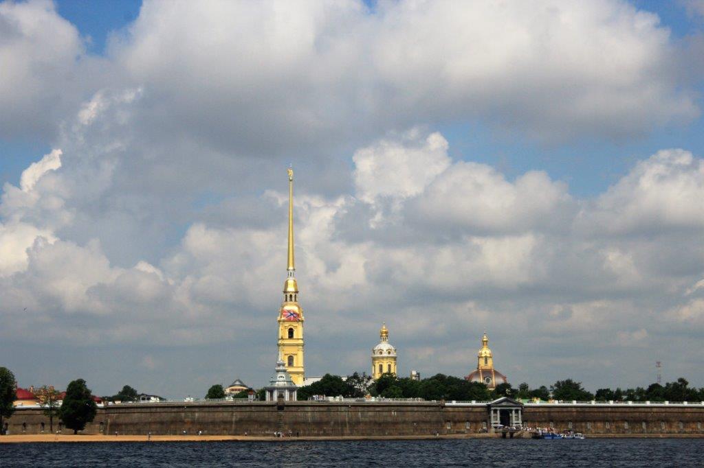
 To be continued….


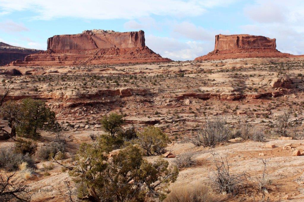
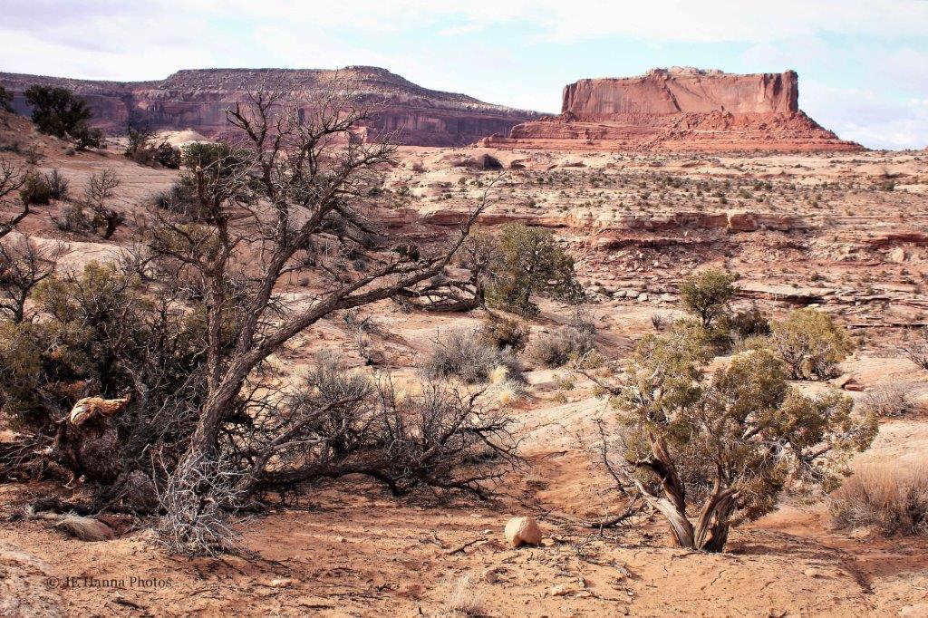
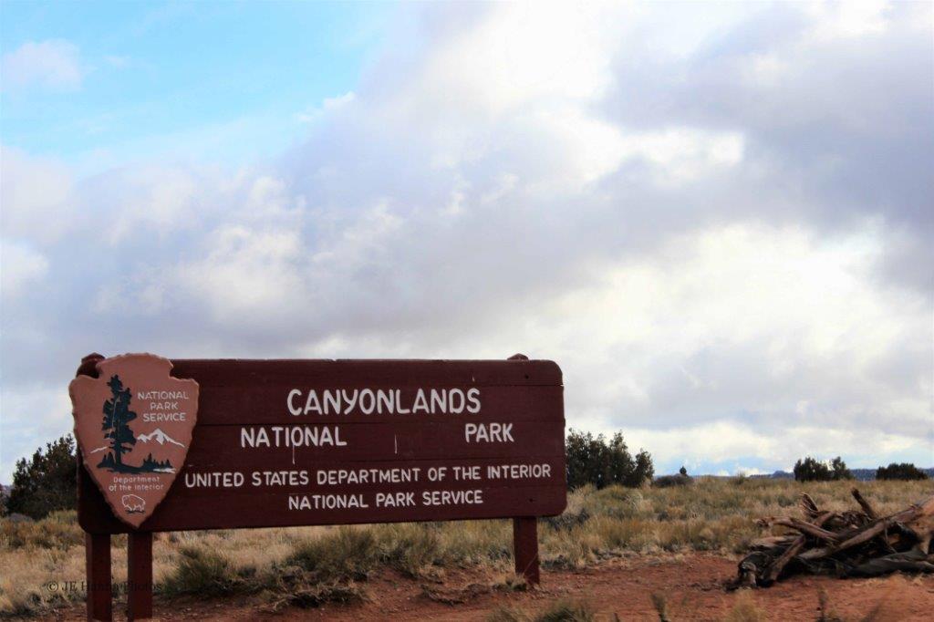

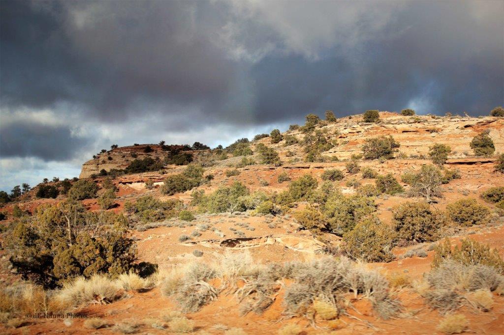


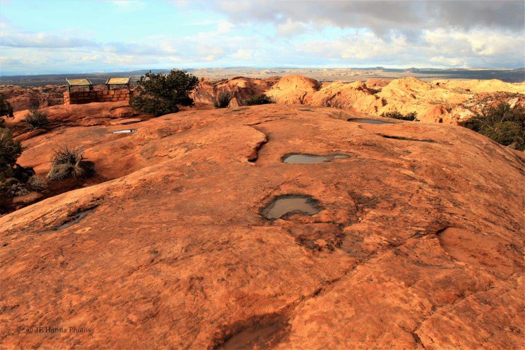

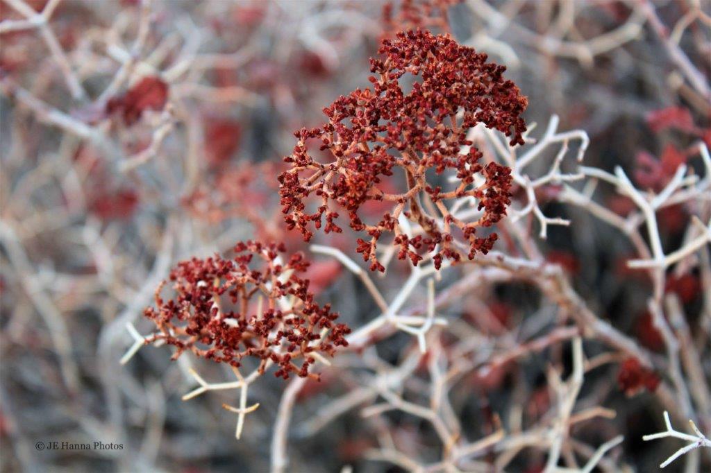
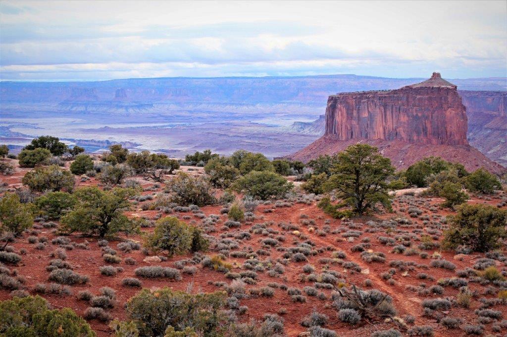
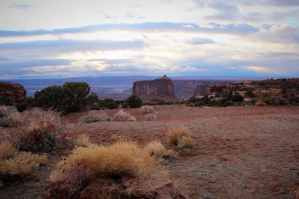


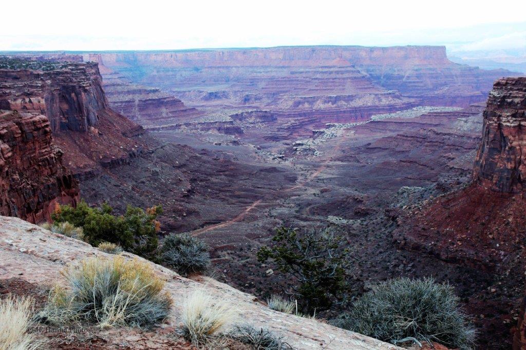
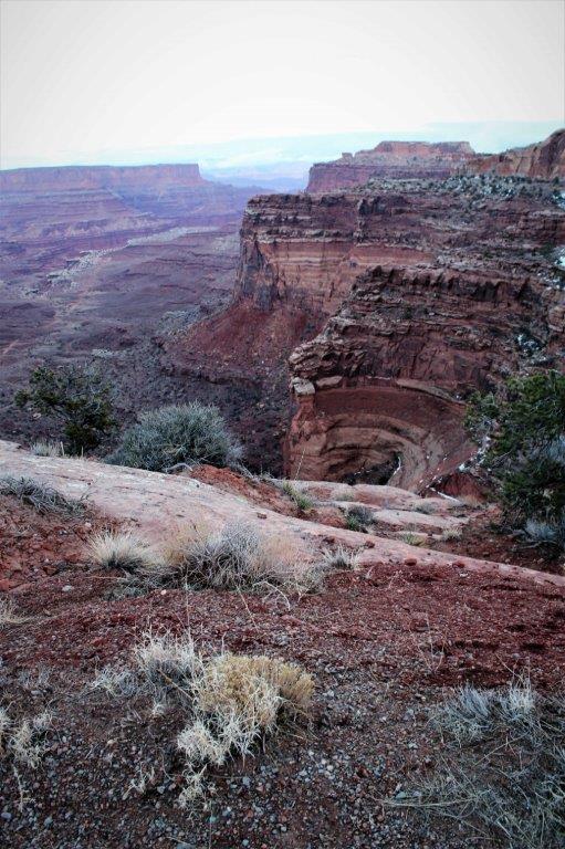
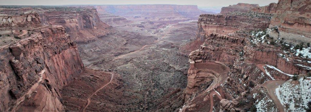
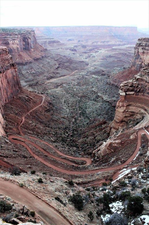


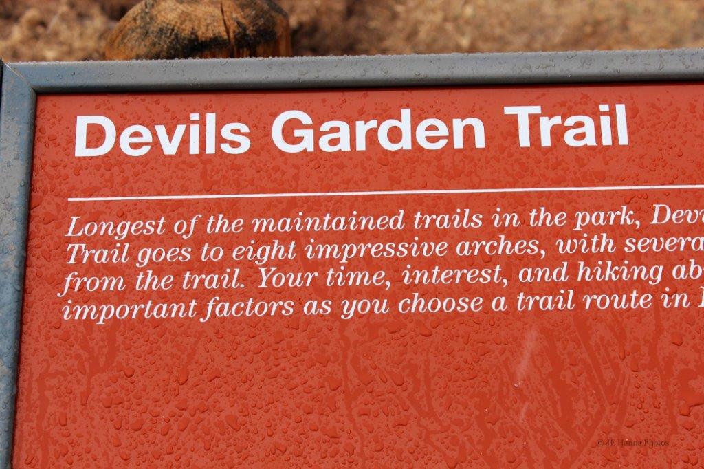
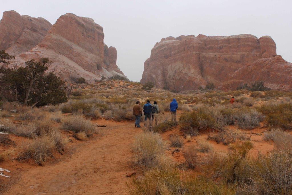
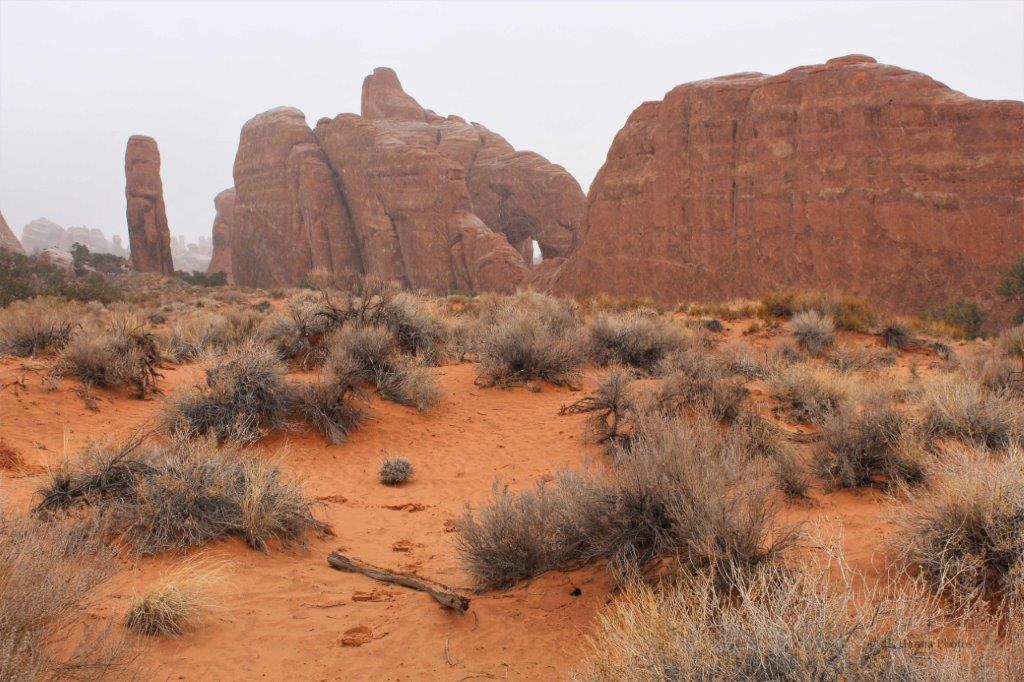


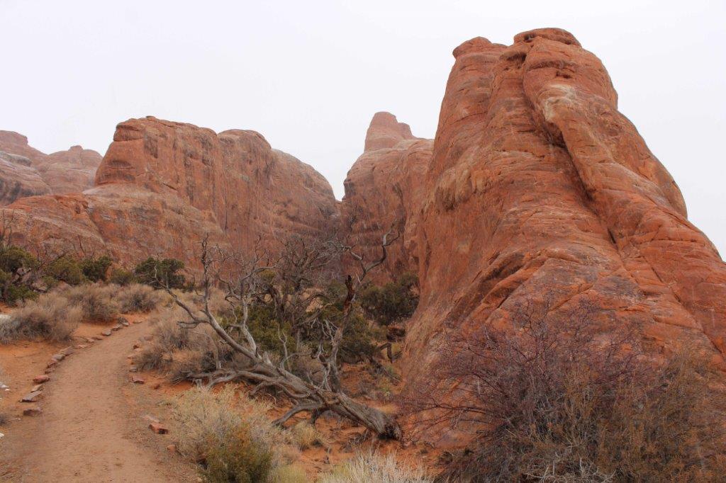

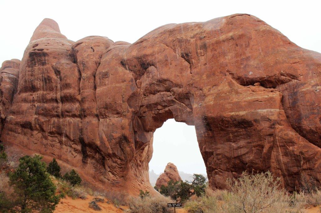
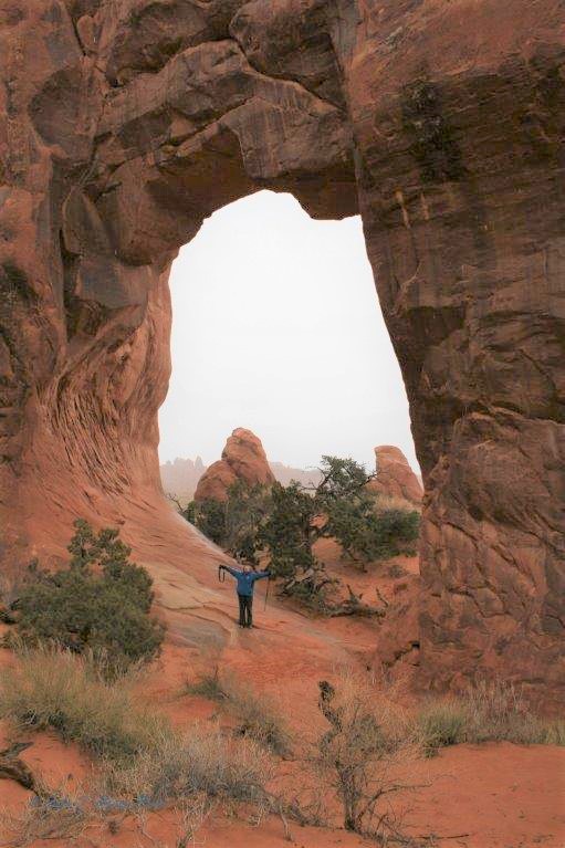
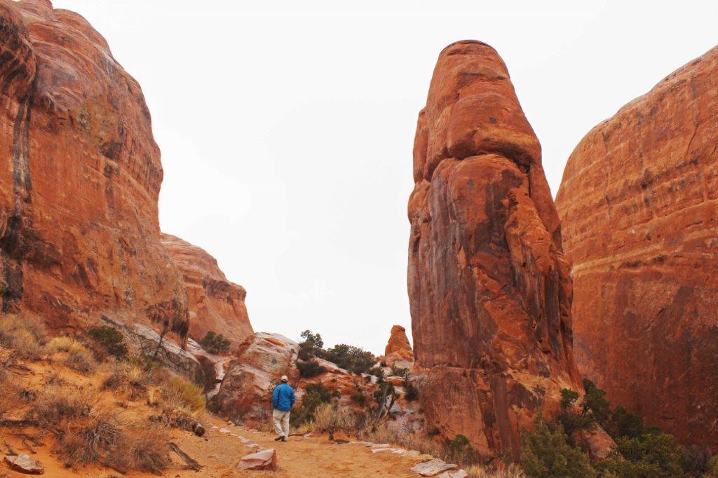
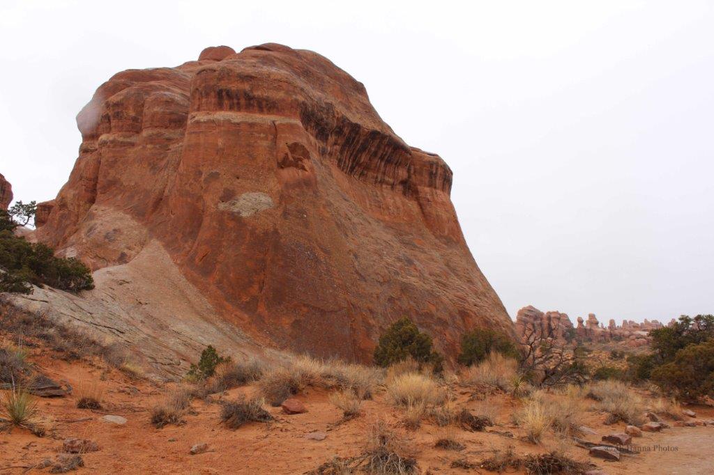

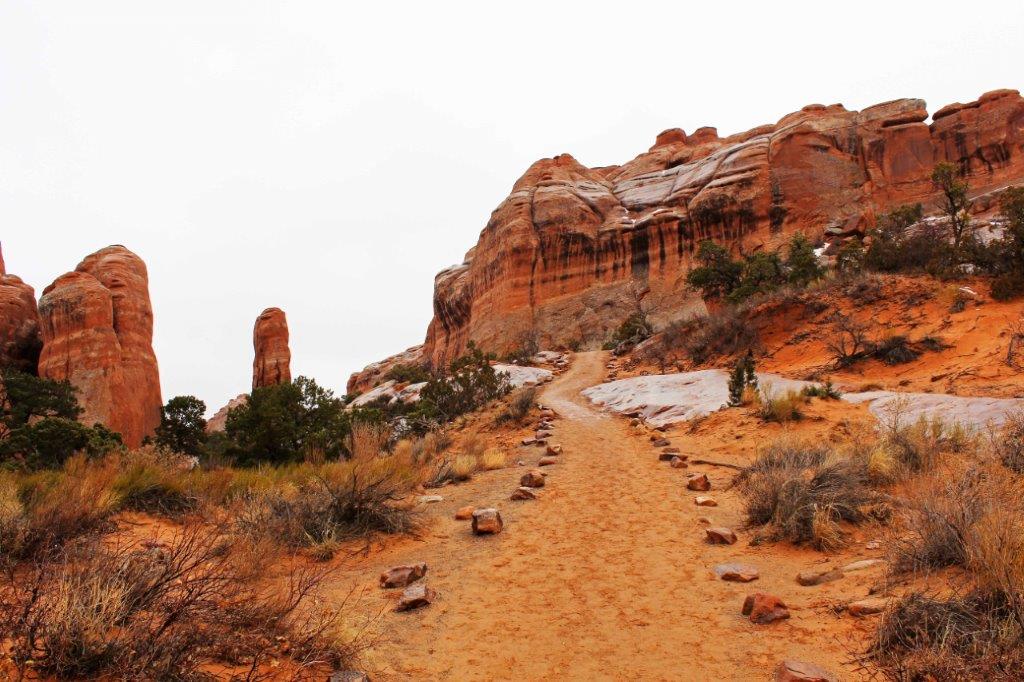
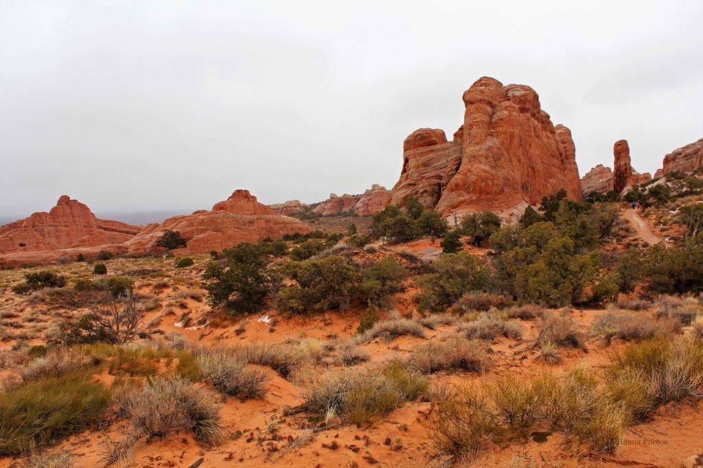

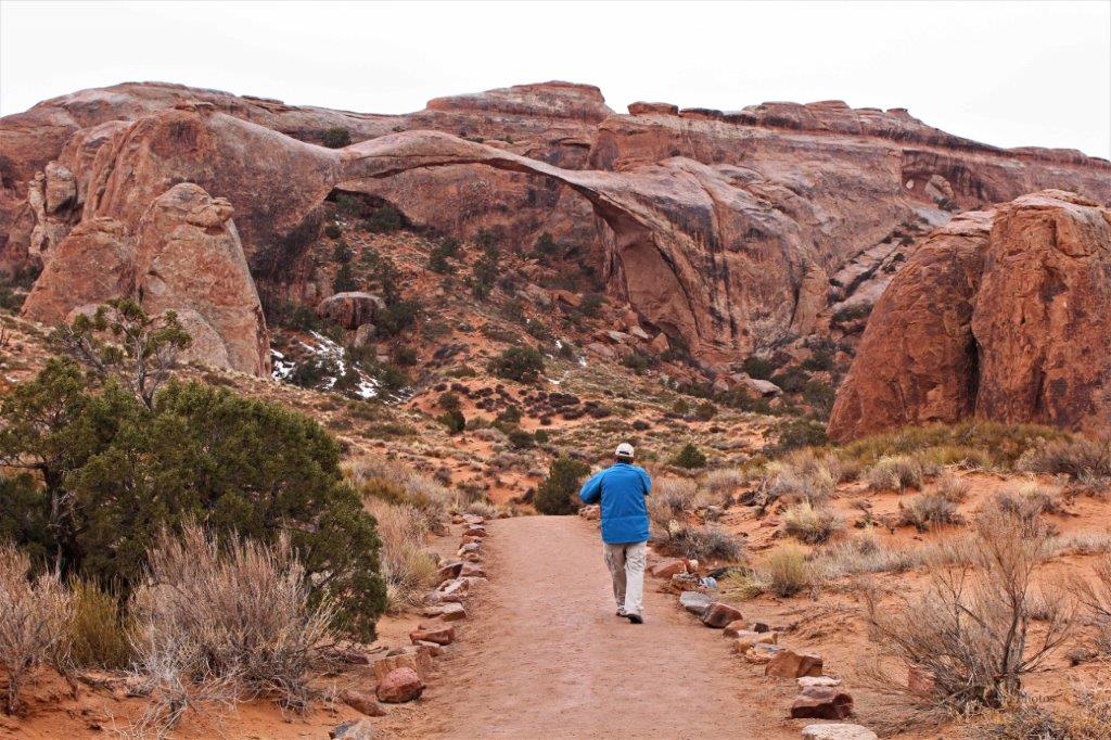
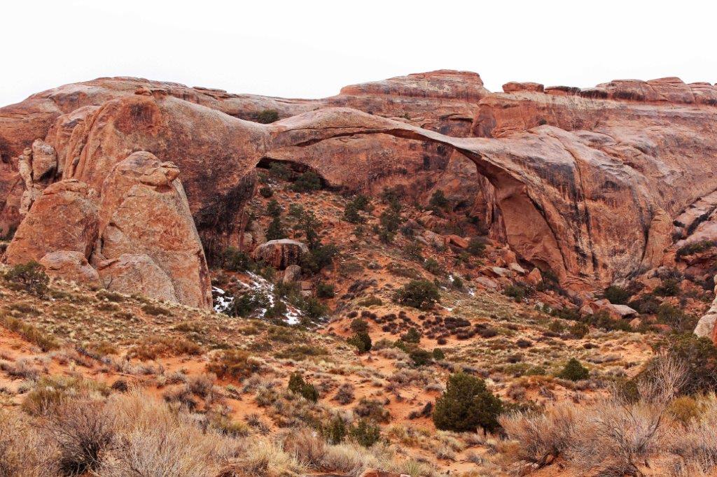
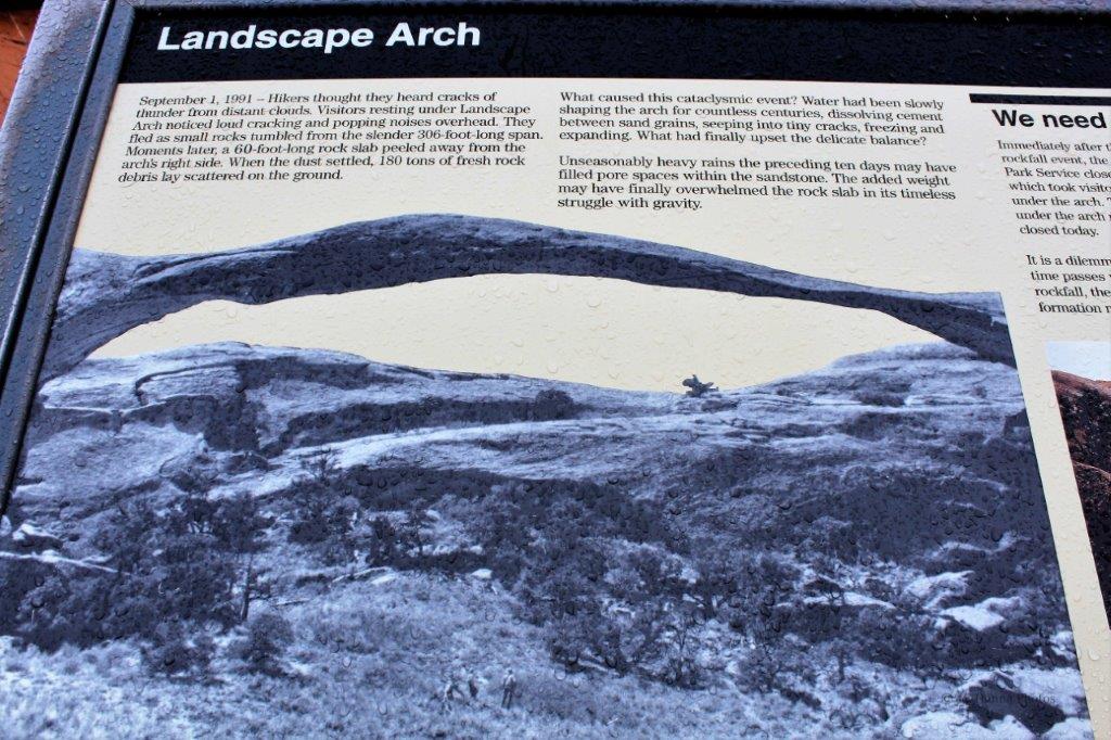
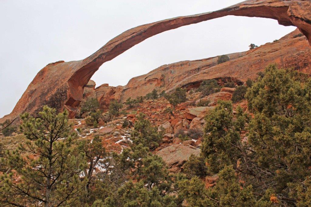
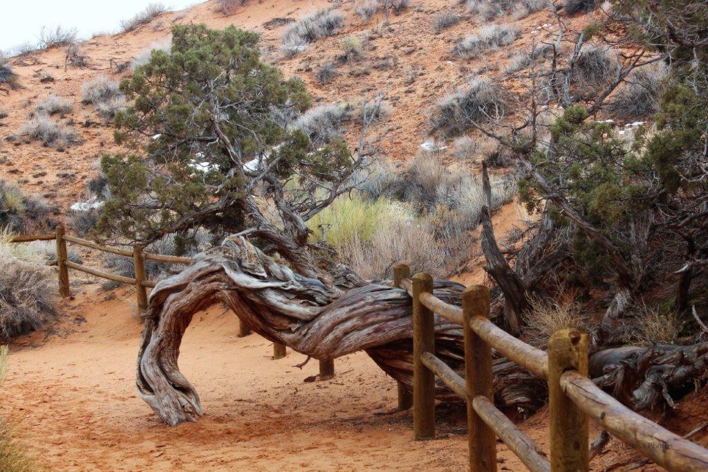
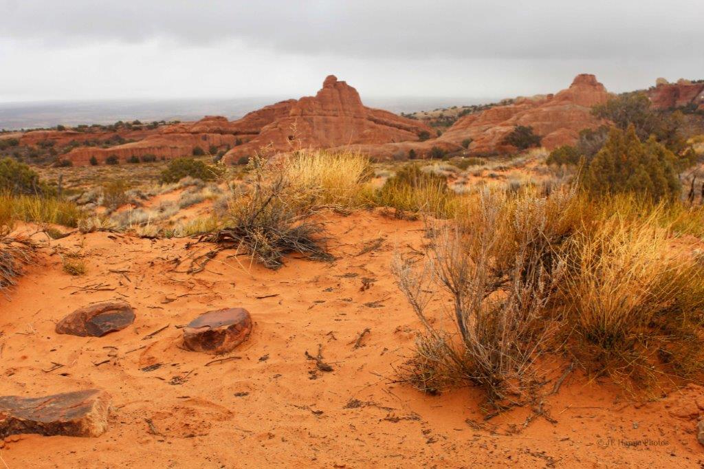


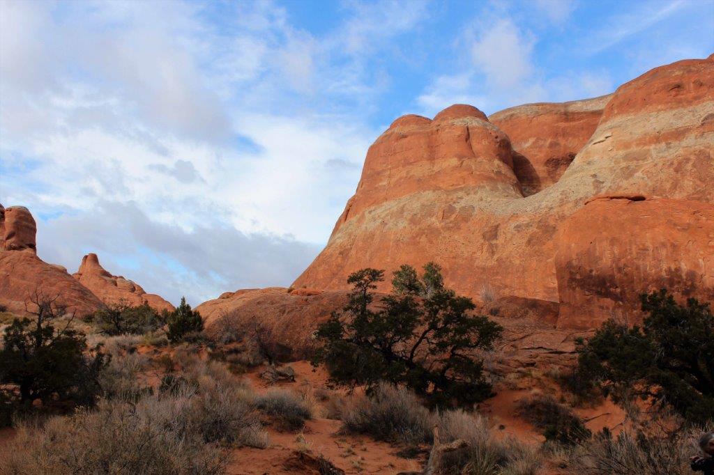
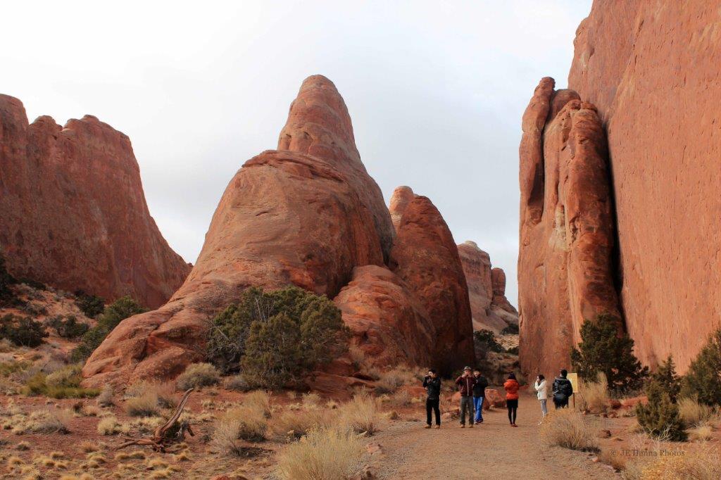

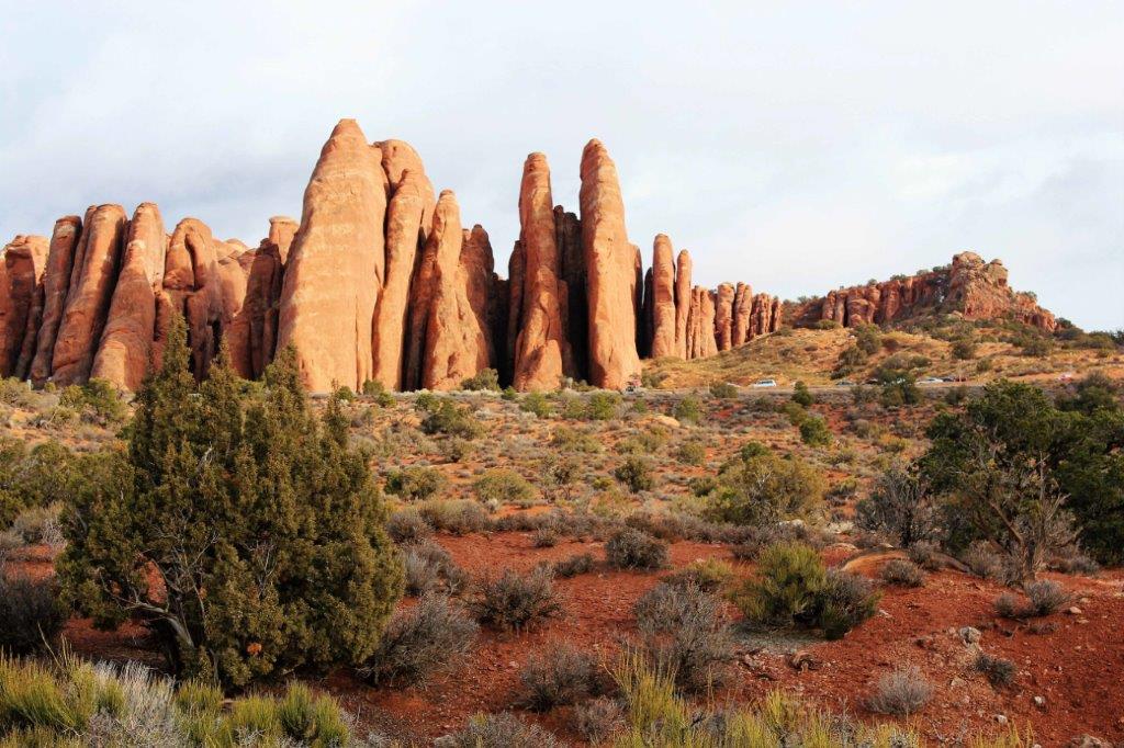
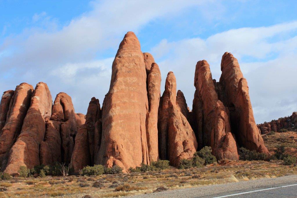
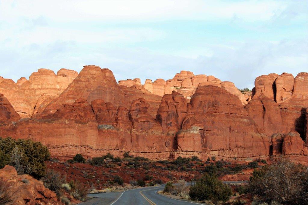

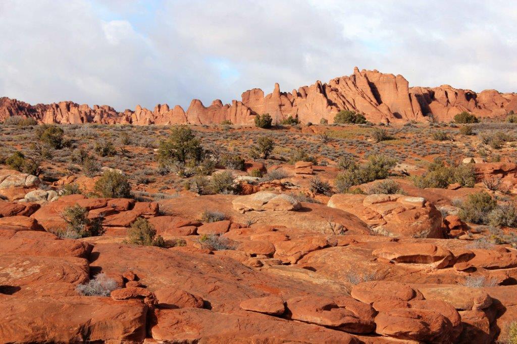


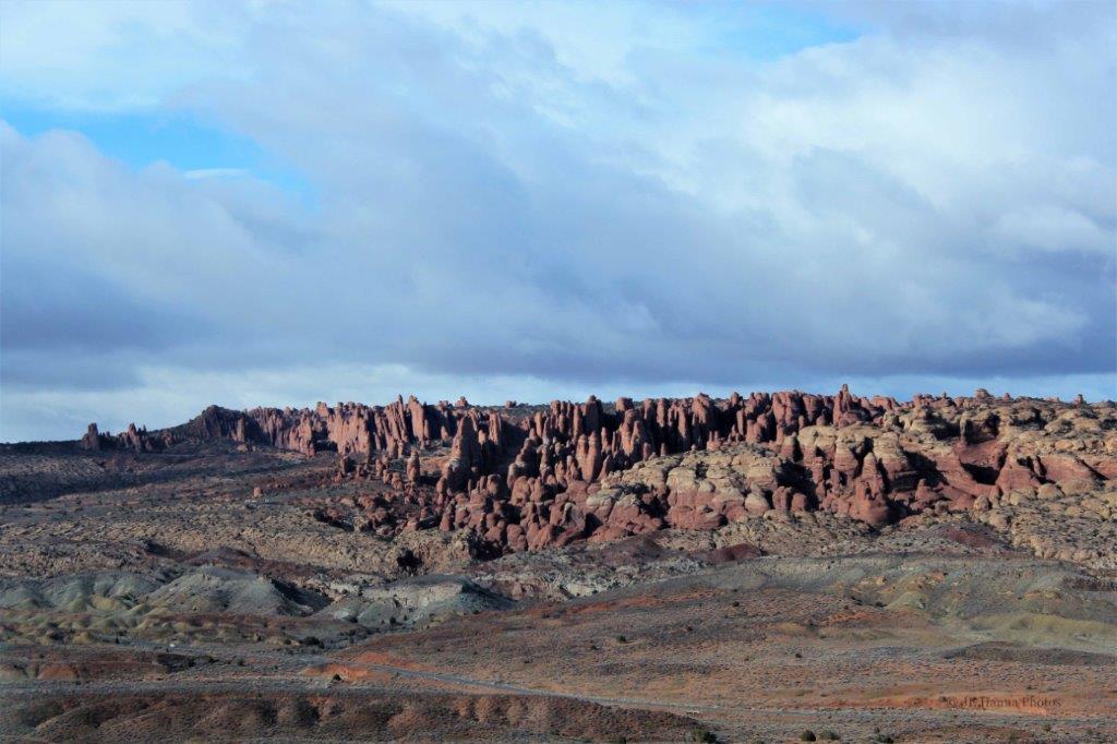
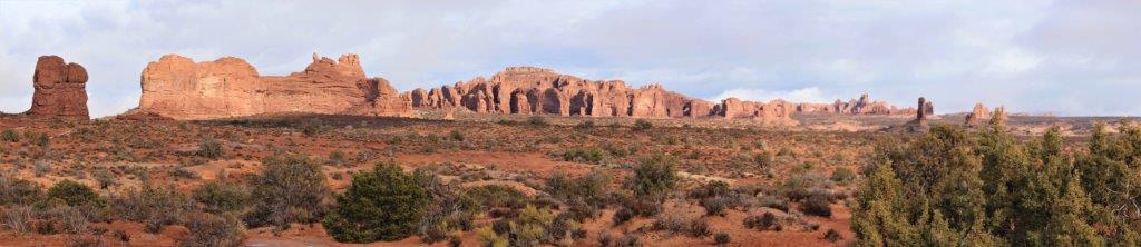
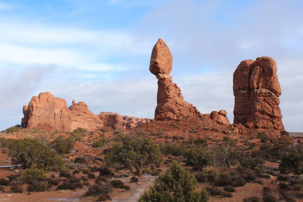
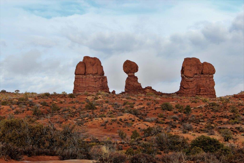
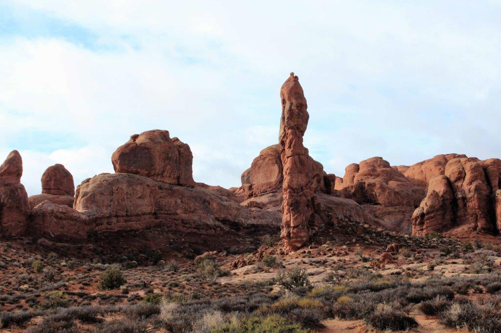
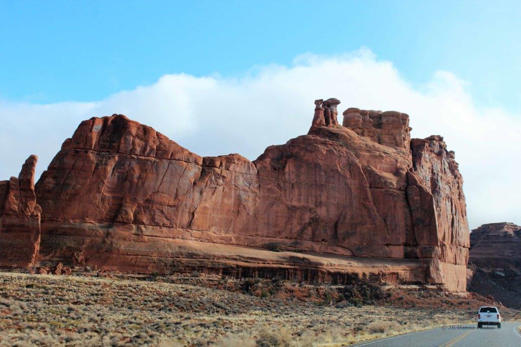
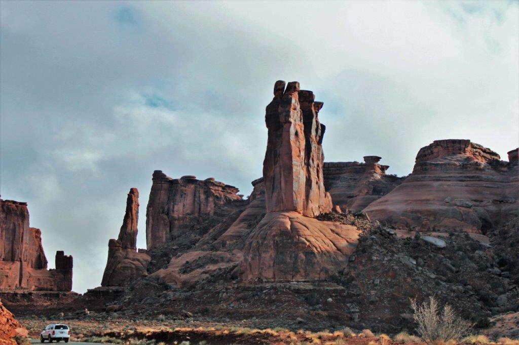
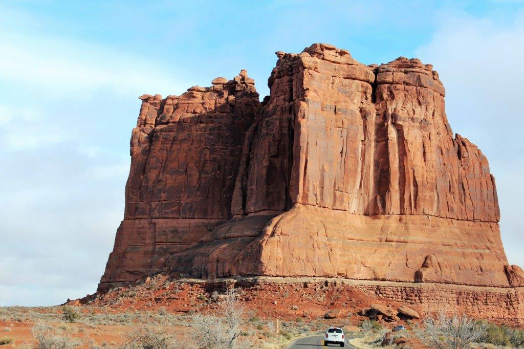

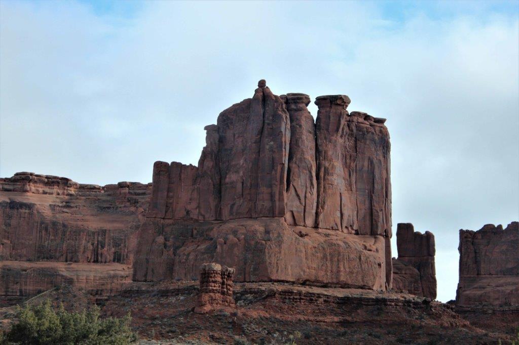

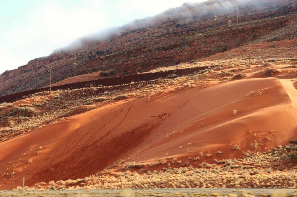


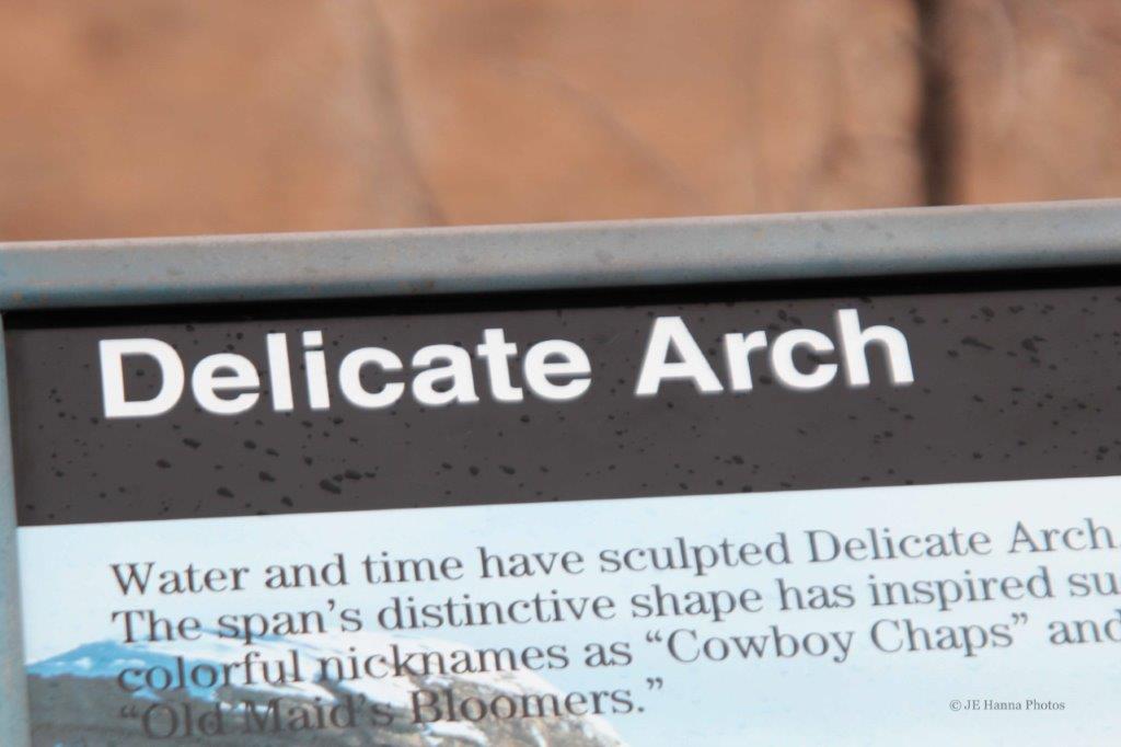
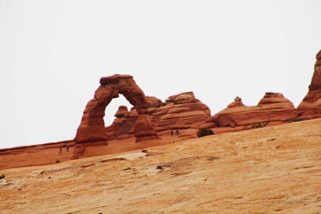
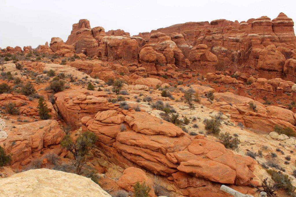
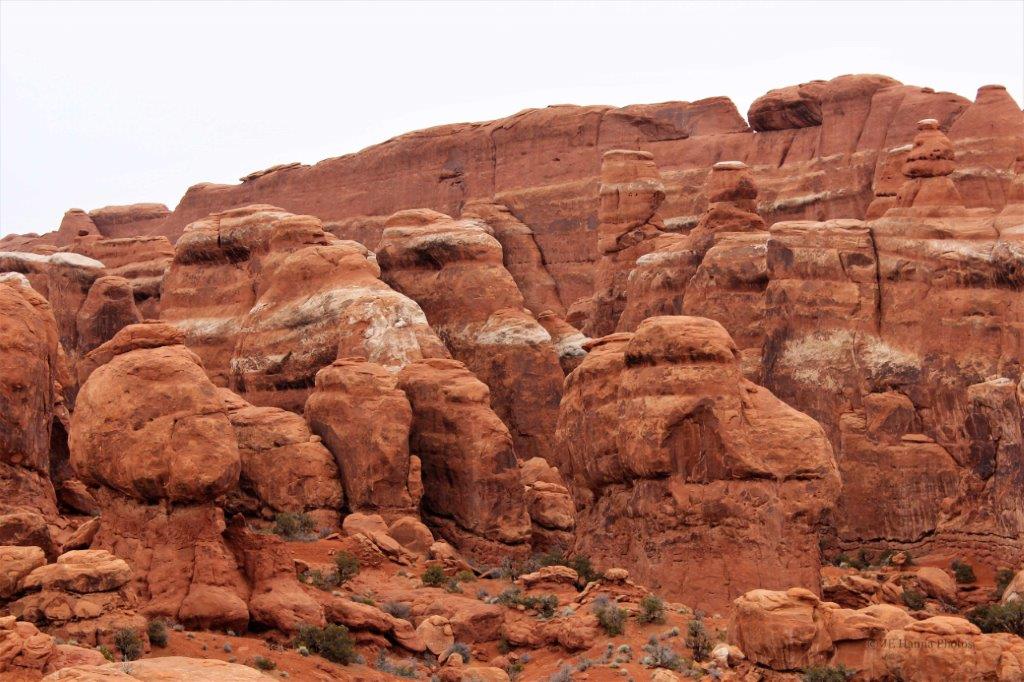

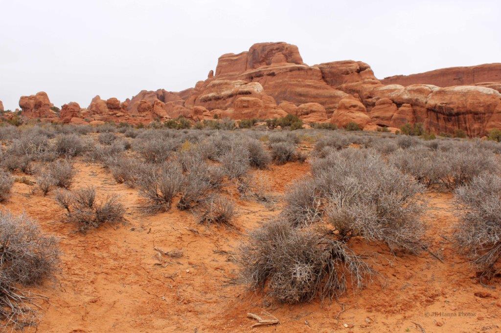
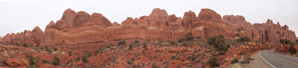


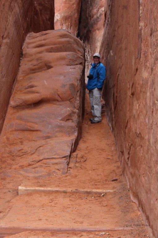
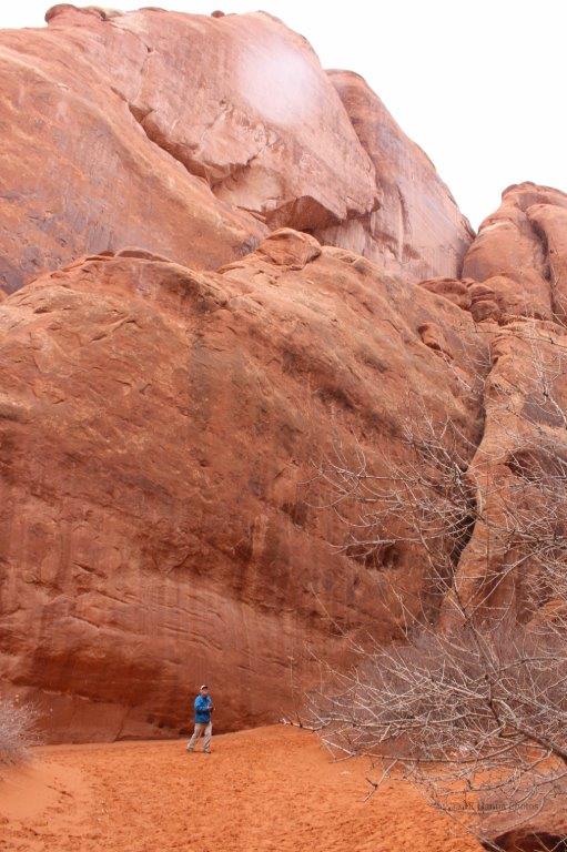
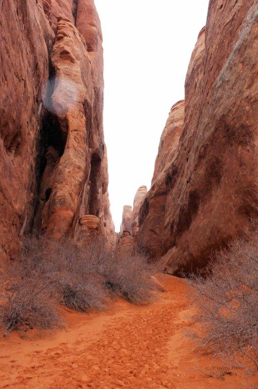
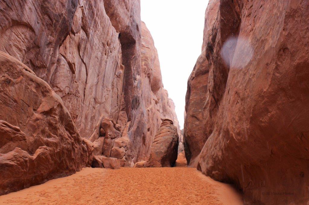
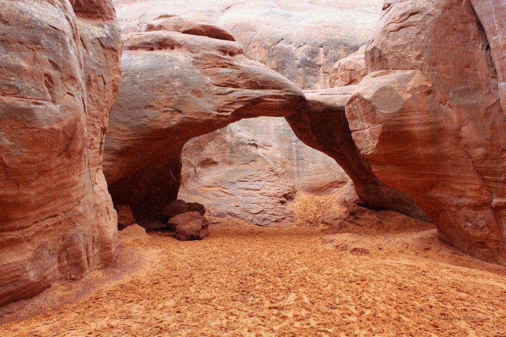
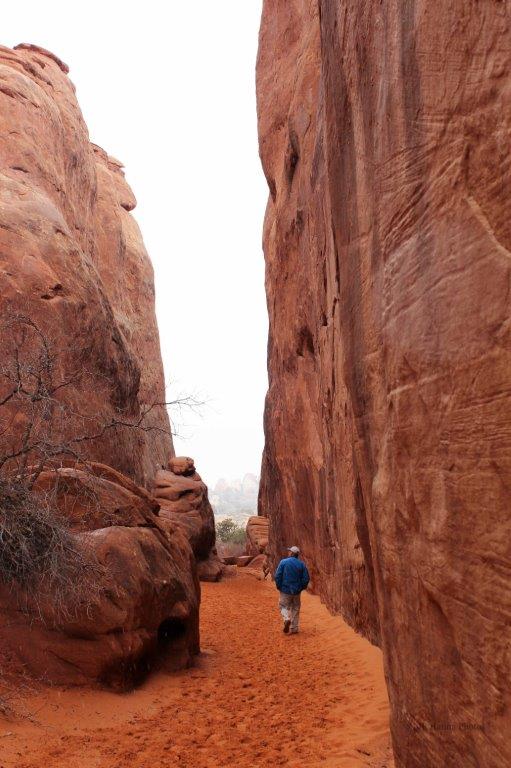
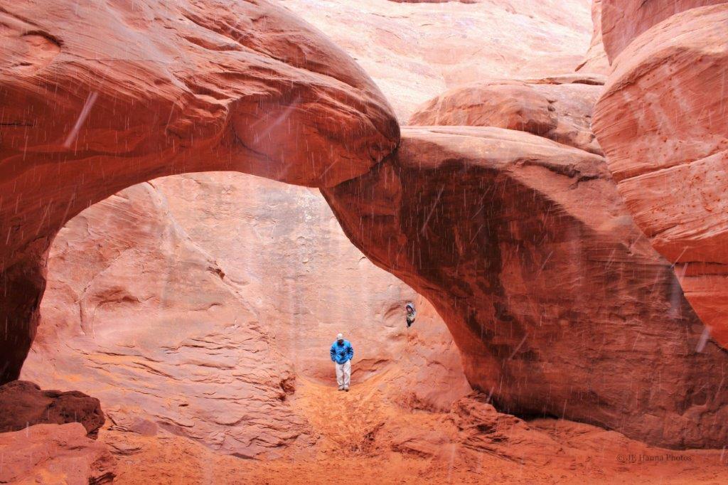
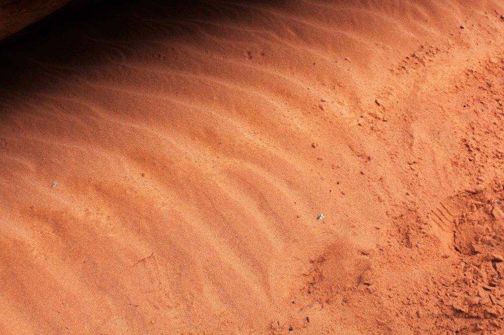
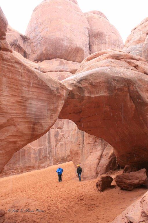
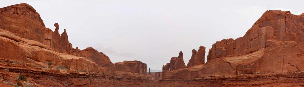
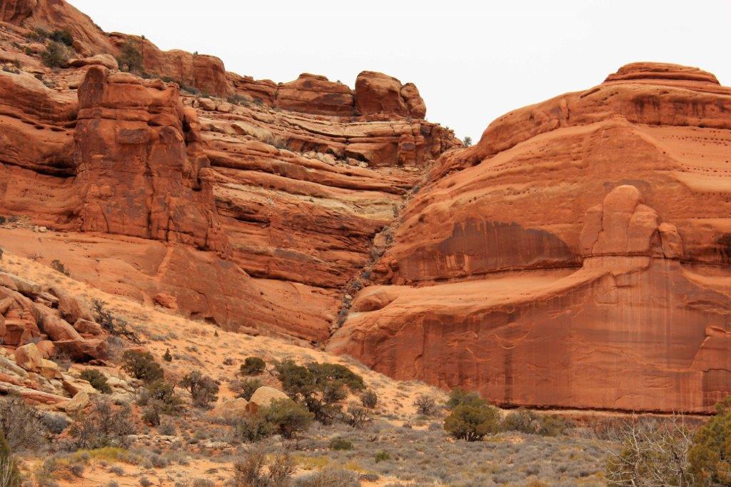
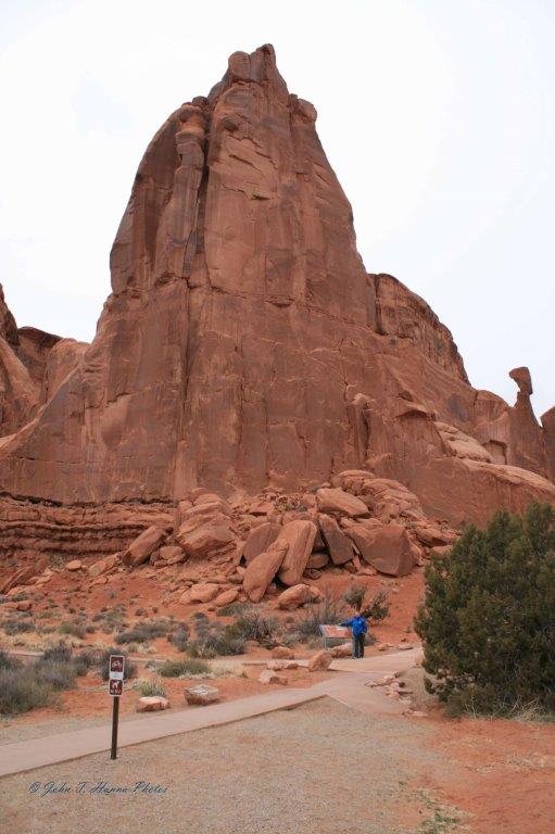
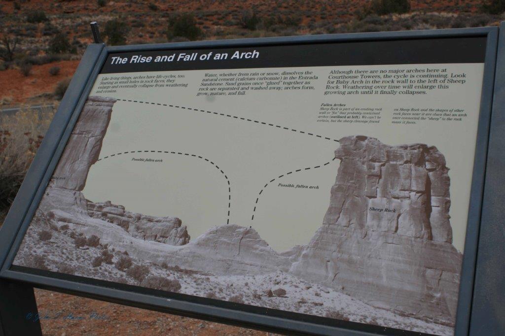
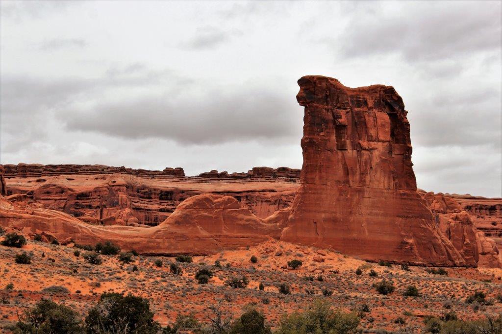
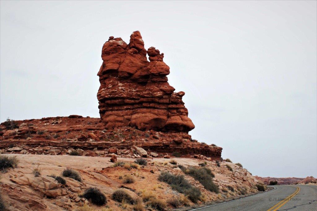
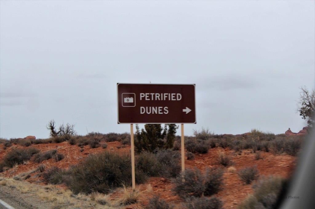
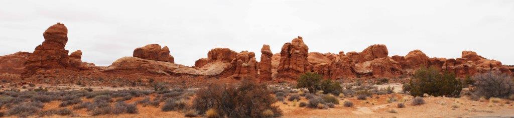
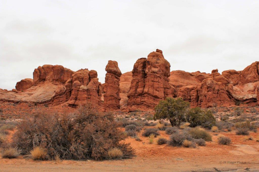
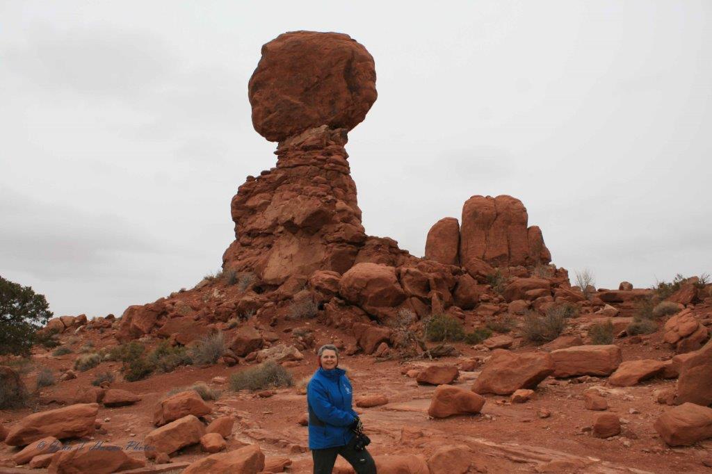
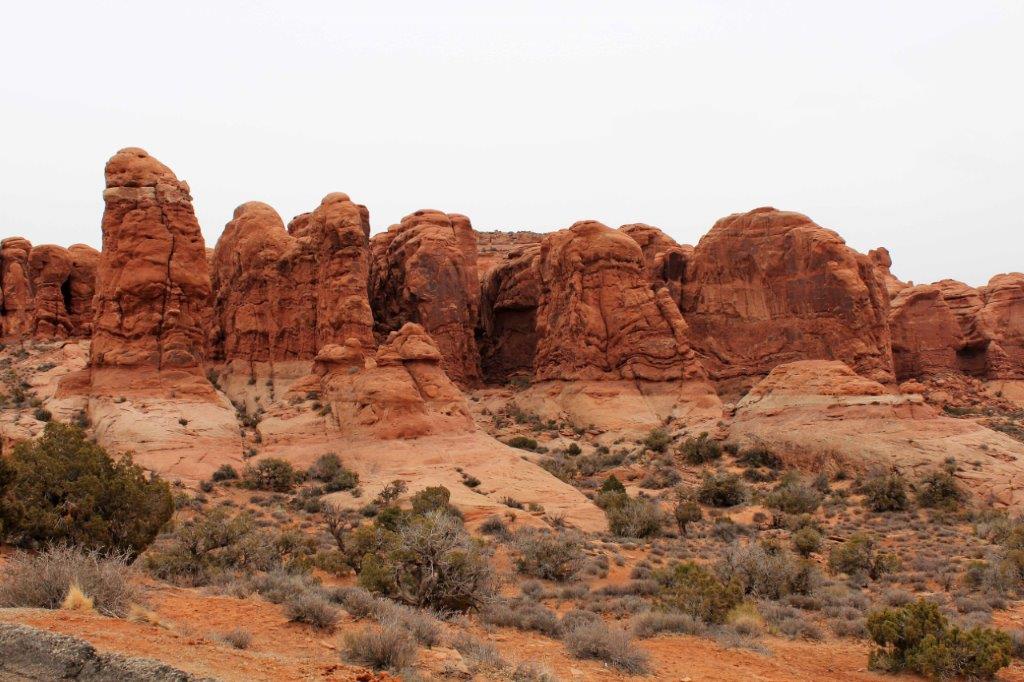
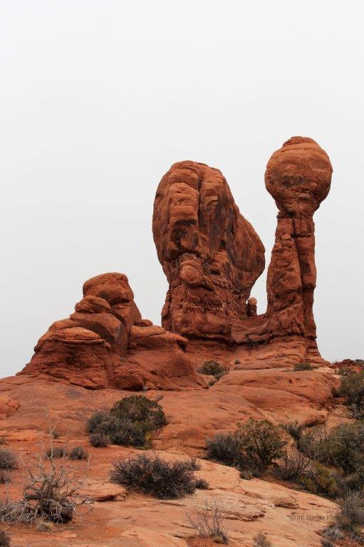
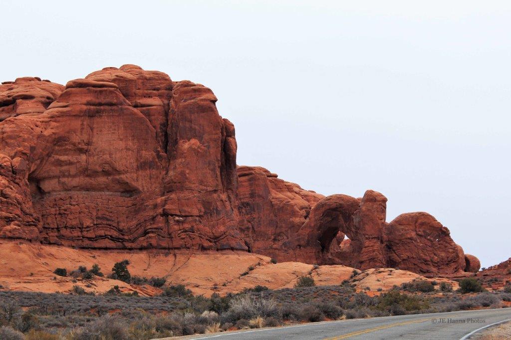
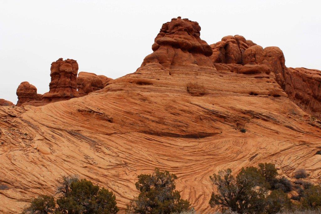
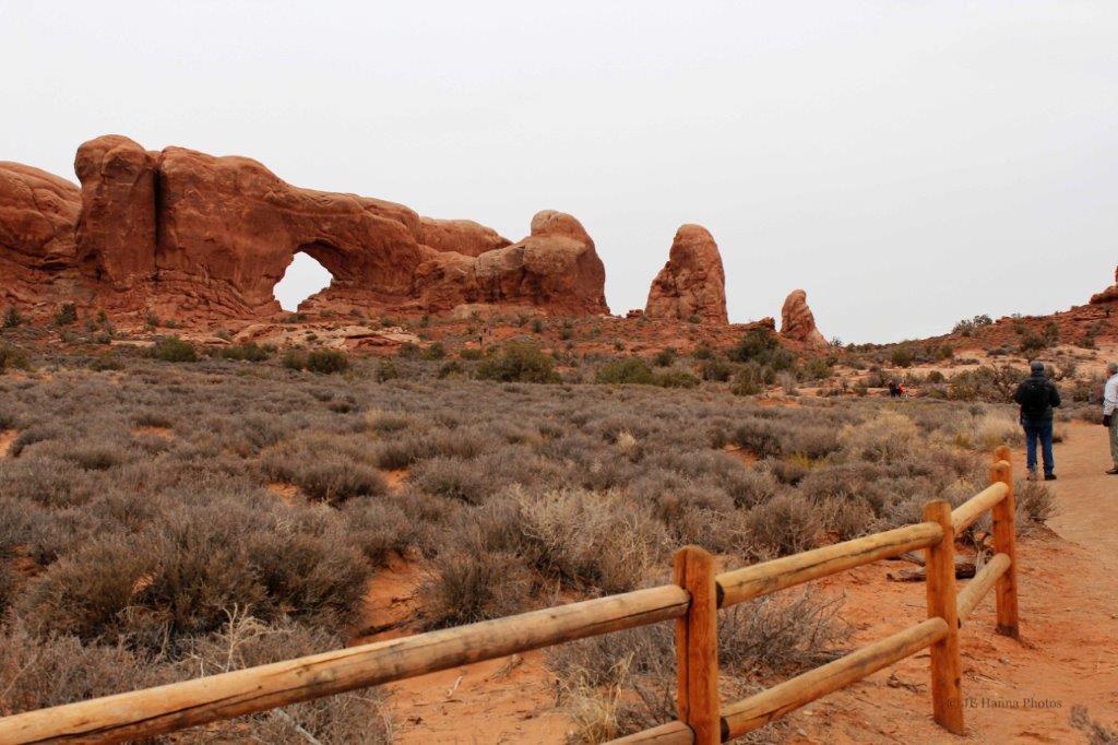
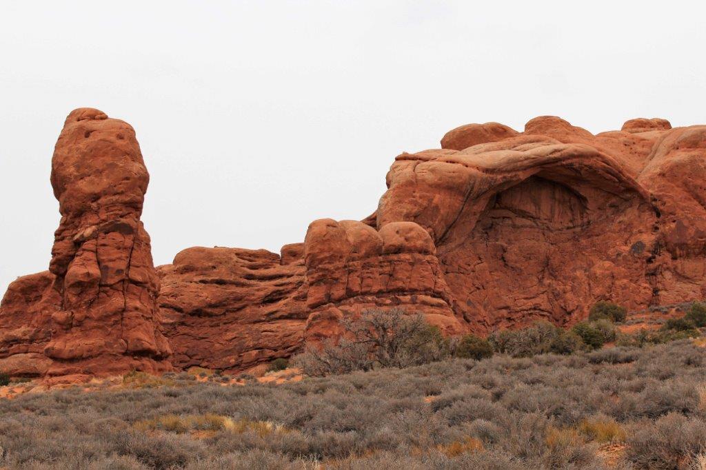
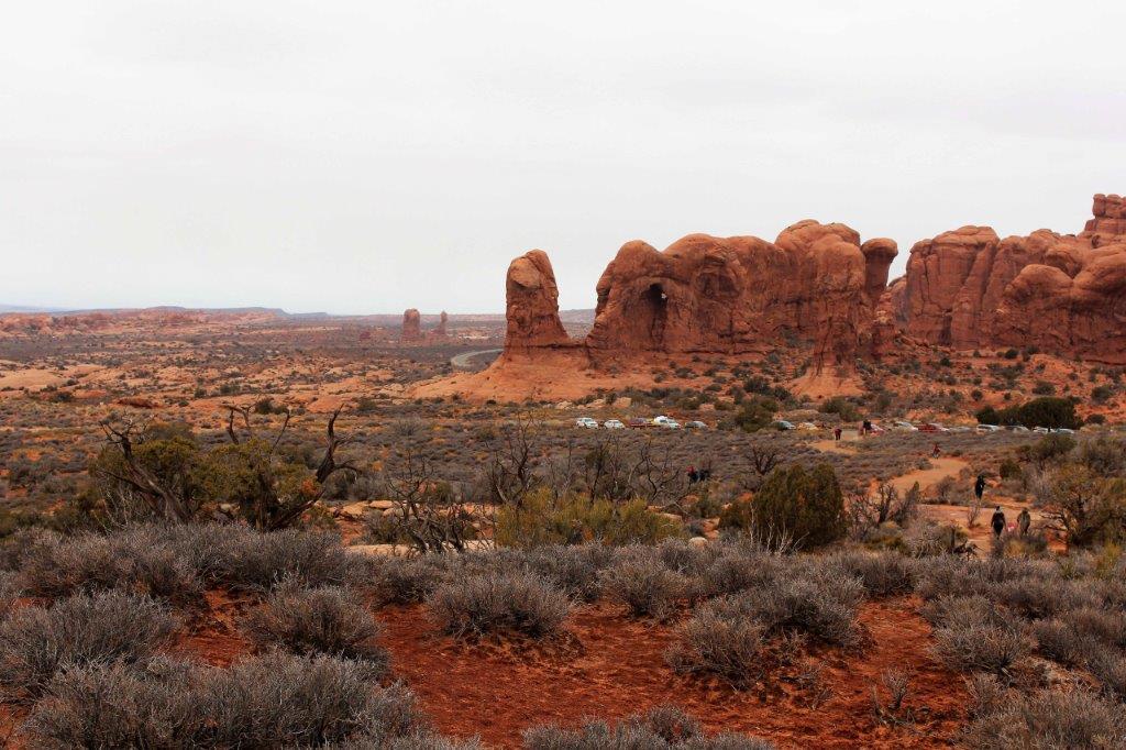
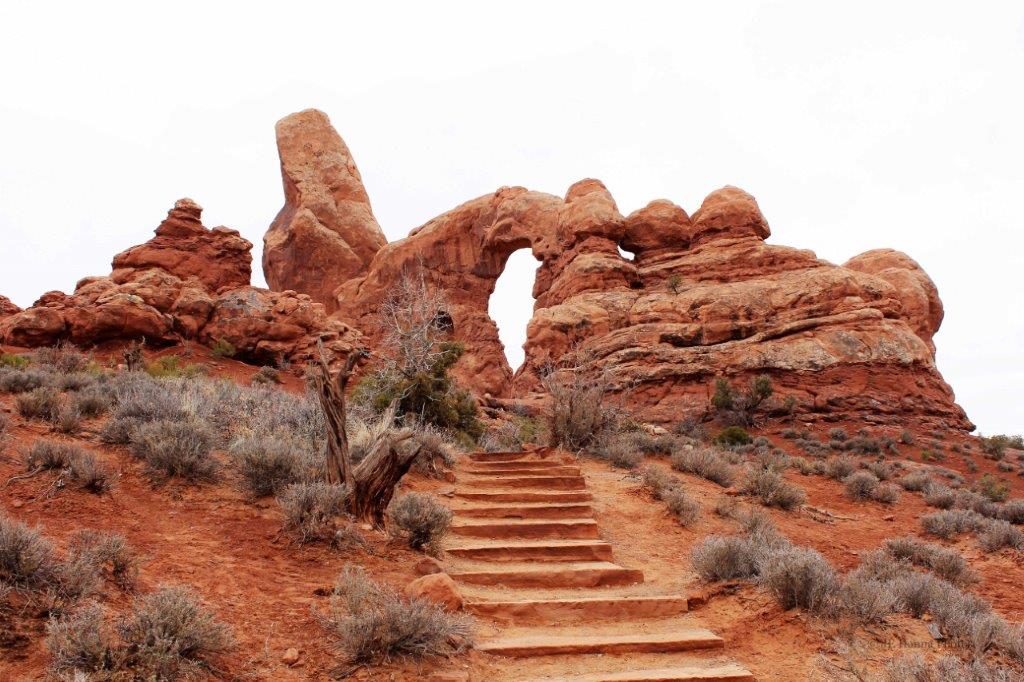
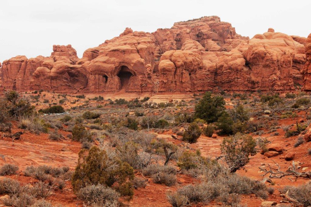
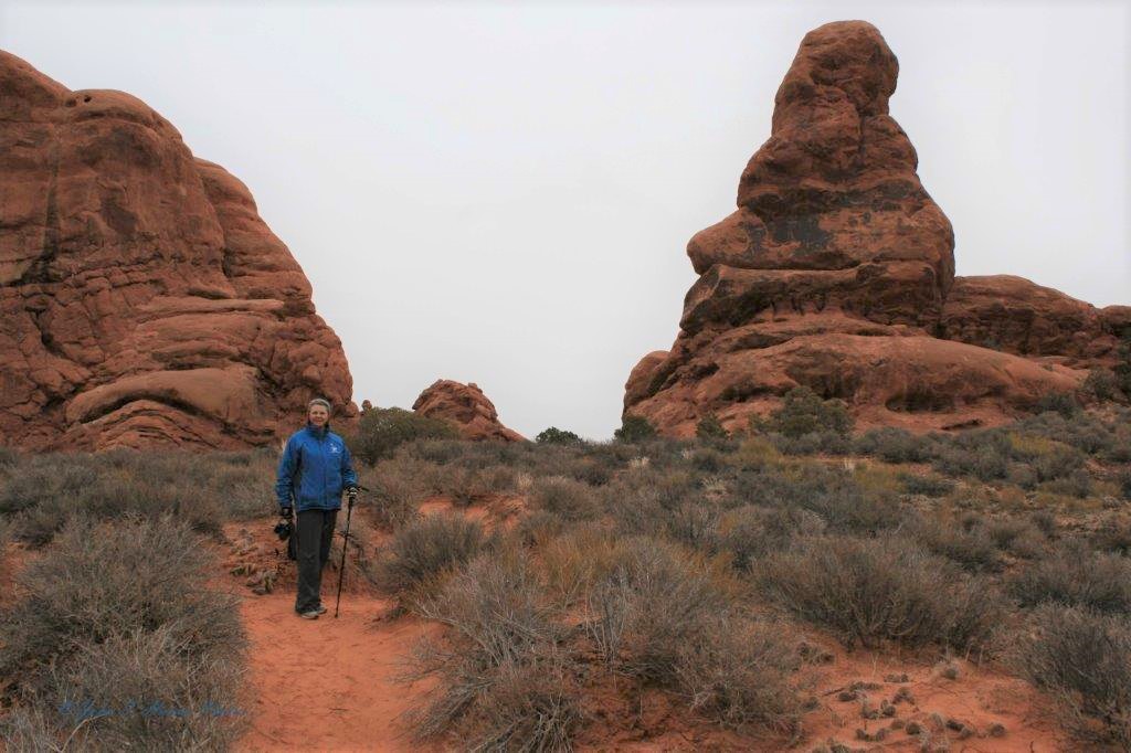
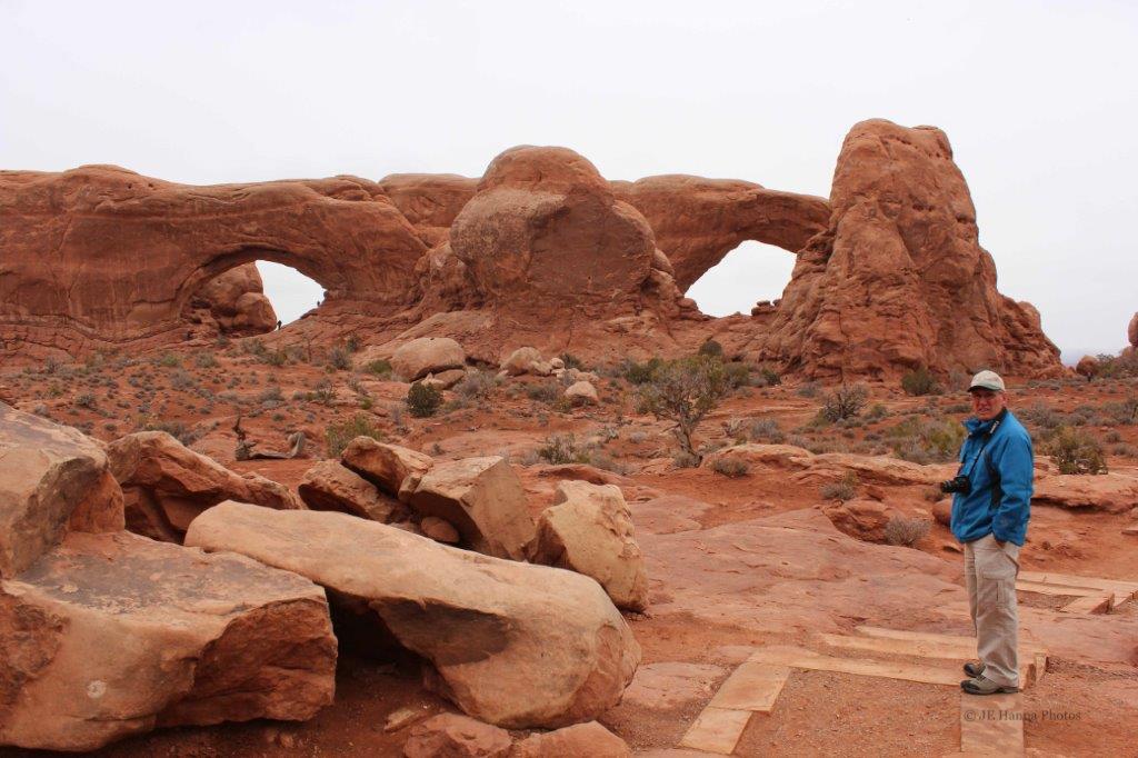
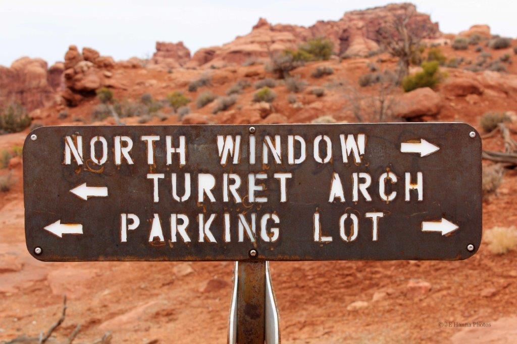
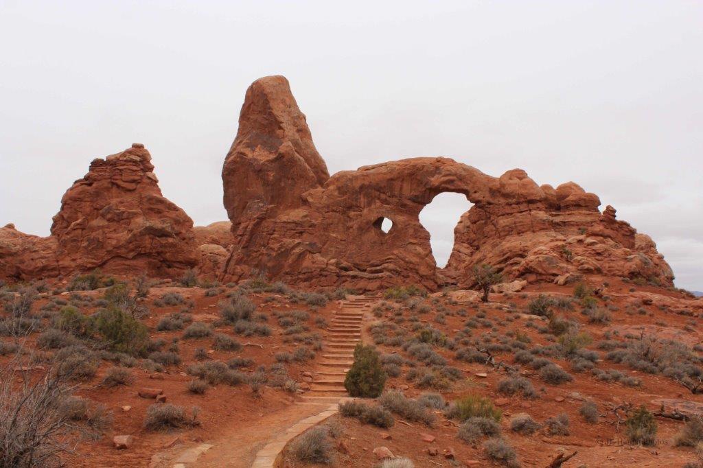
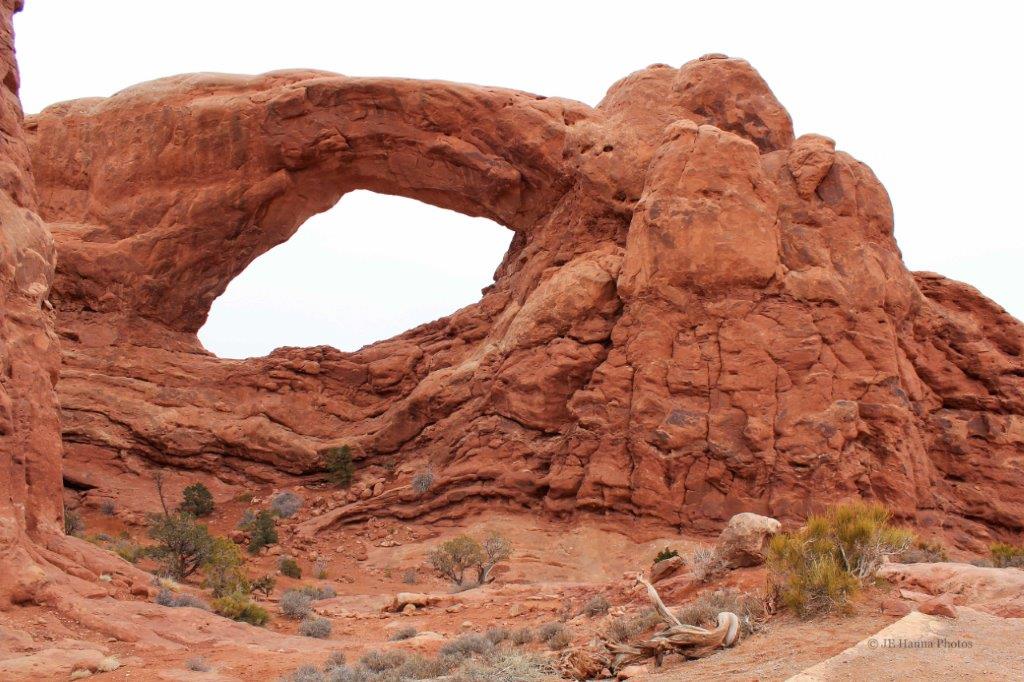
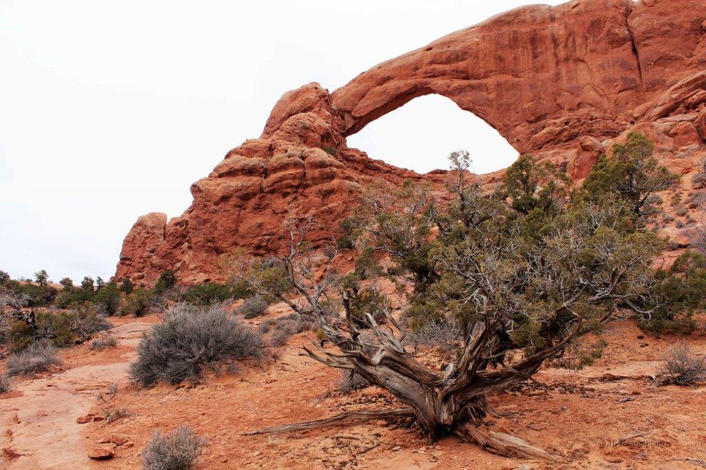
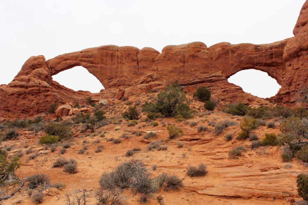
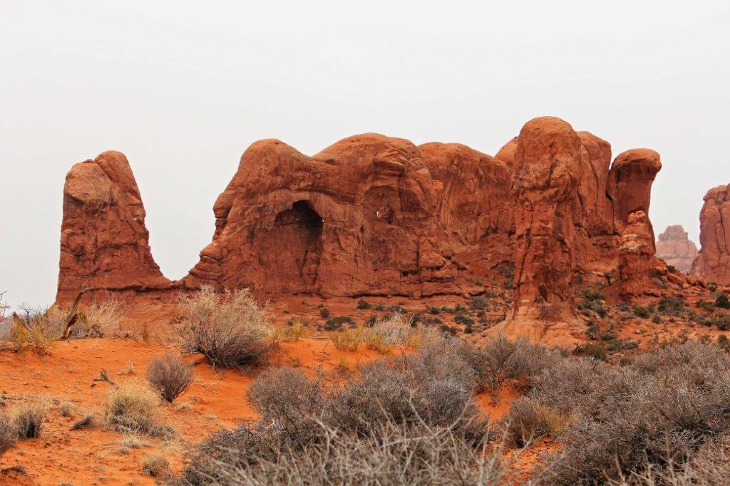
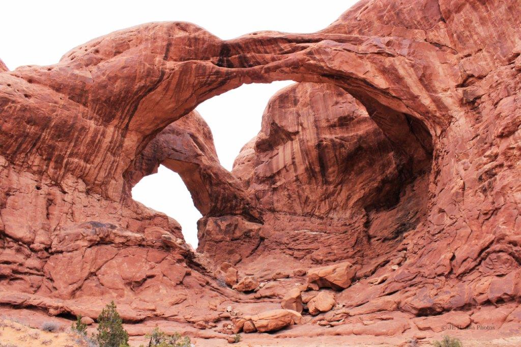
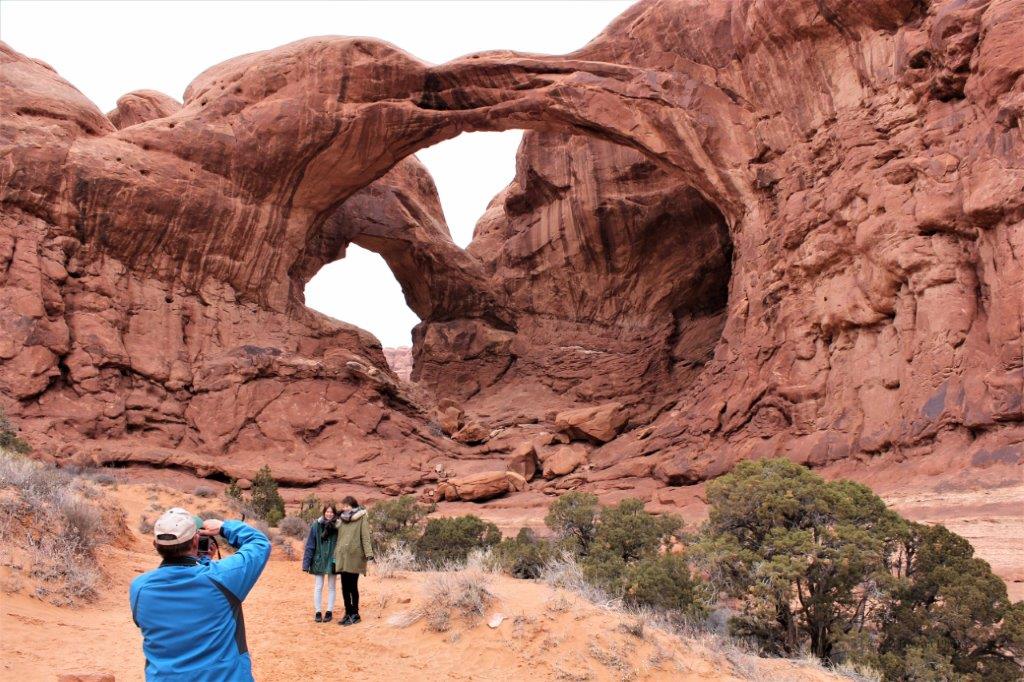
 You can see Sand Dune Arch once you walk through a narrow gap into an internal open area. The sand that is worn off the rocks collects here and is very, very fine.