Category Archives: 2019 July Journey – Vancouver Island and Haida Gwaii

2019 July Journey – Vancouver Island section 2 – Days 11-12

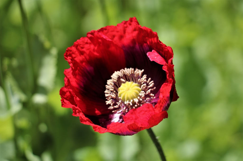
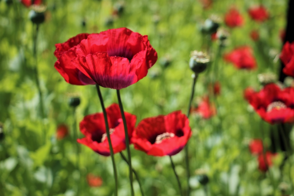
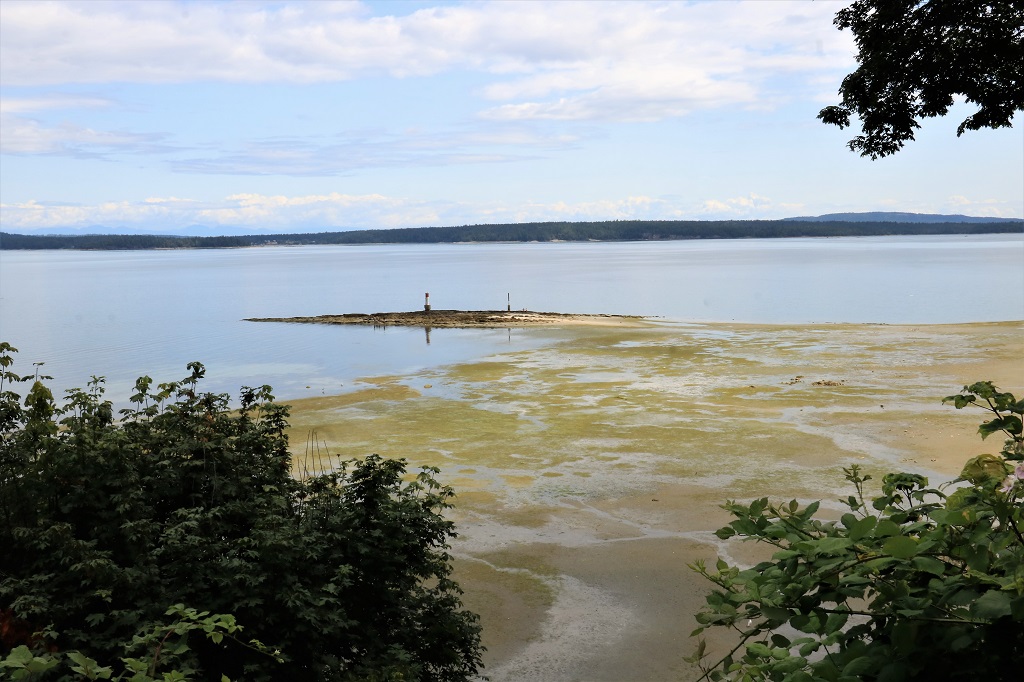
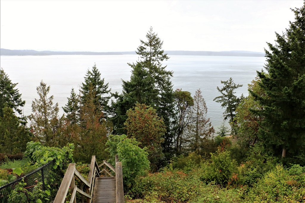
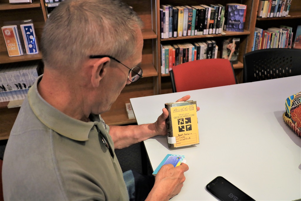
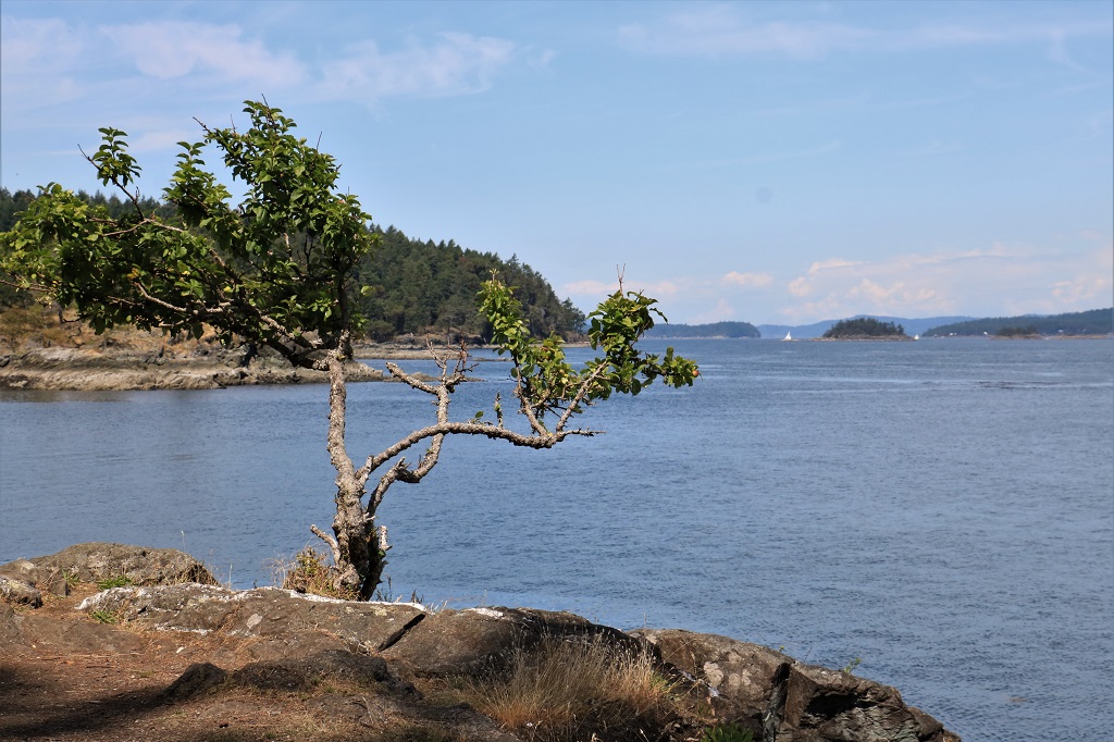
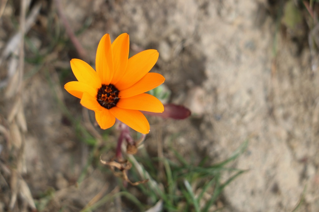
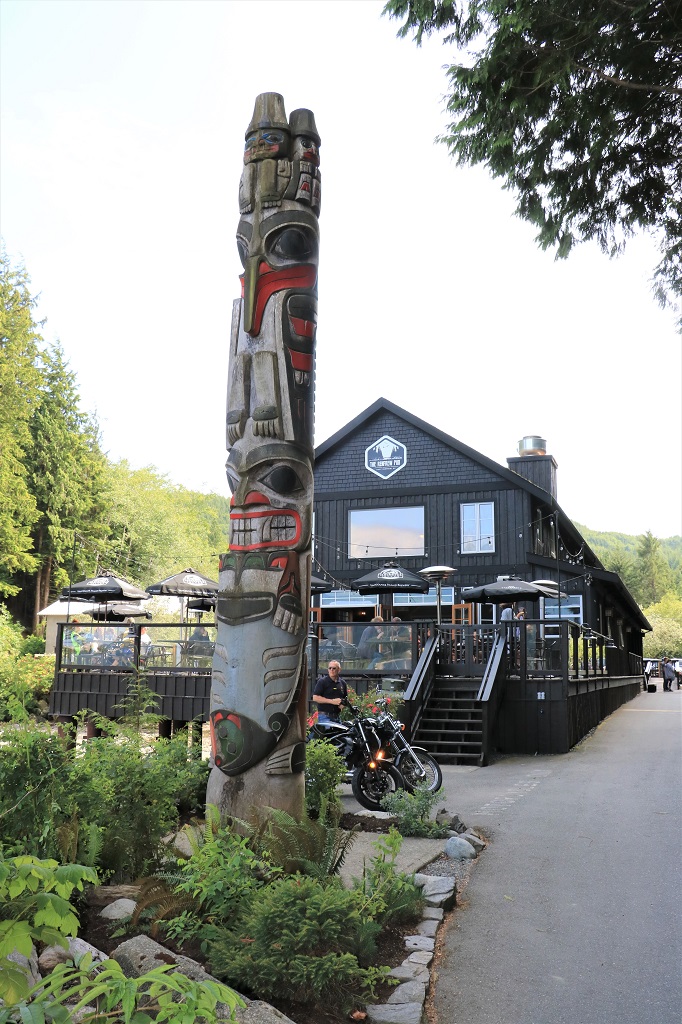
We left Chemainus mid-morning and drove north, stopping at Saltair Lagoon for a geocache.  
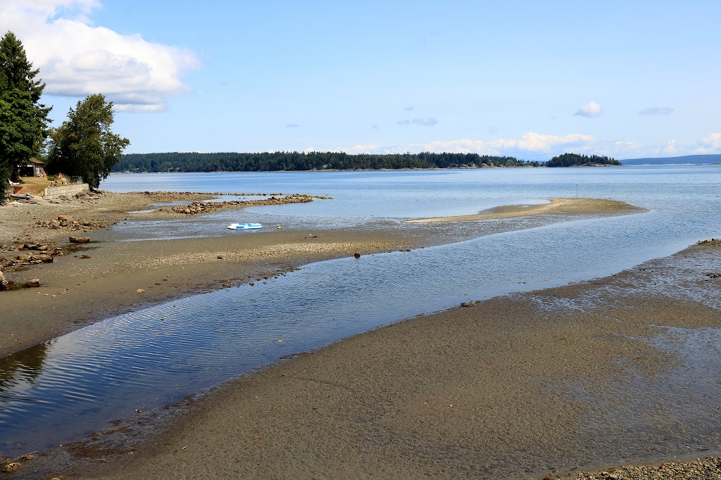
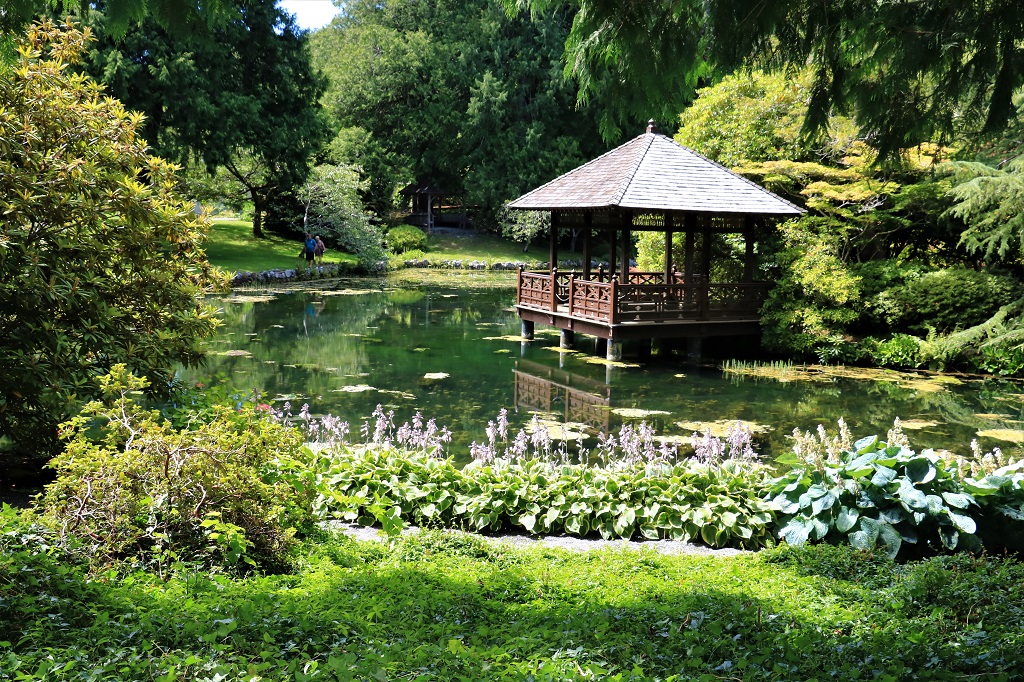
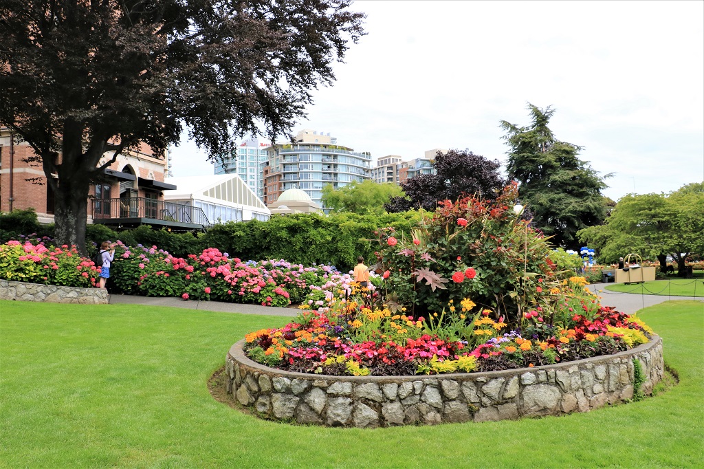
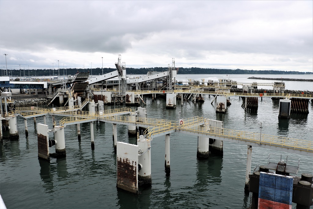
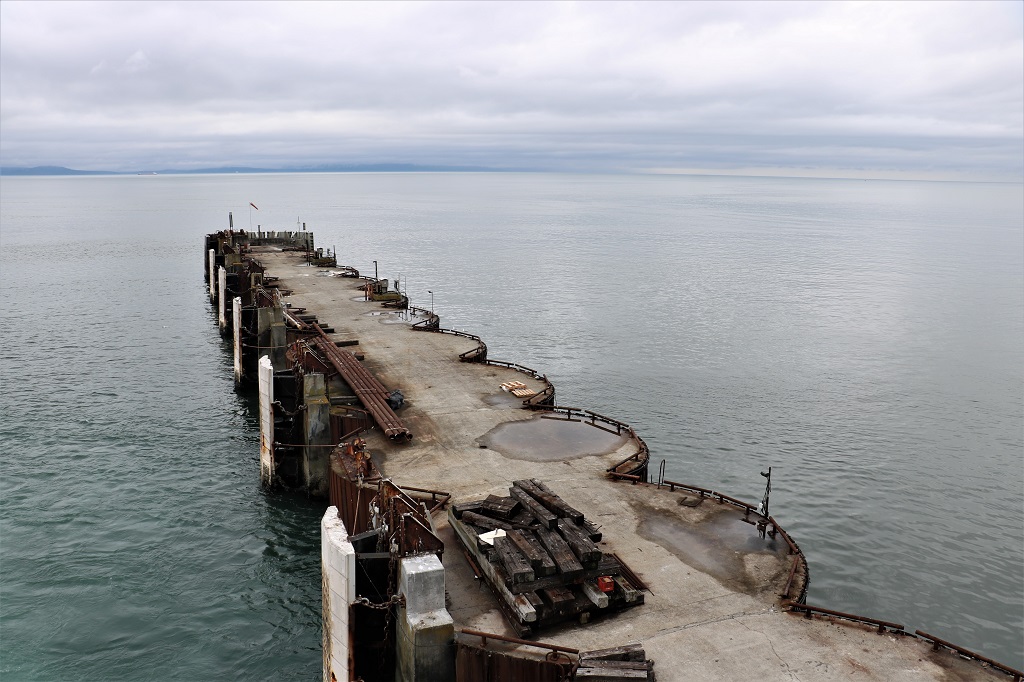
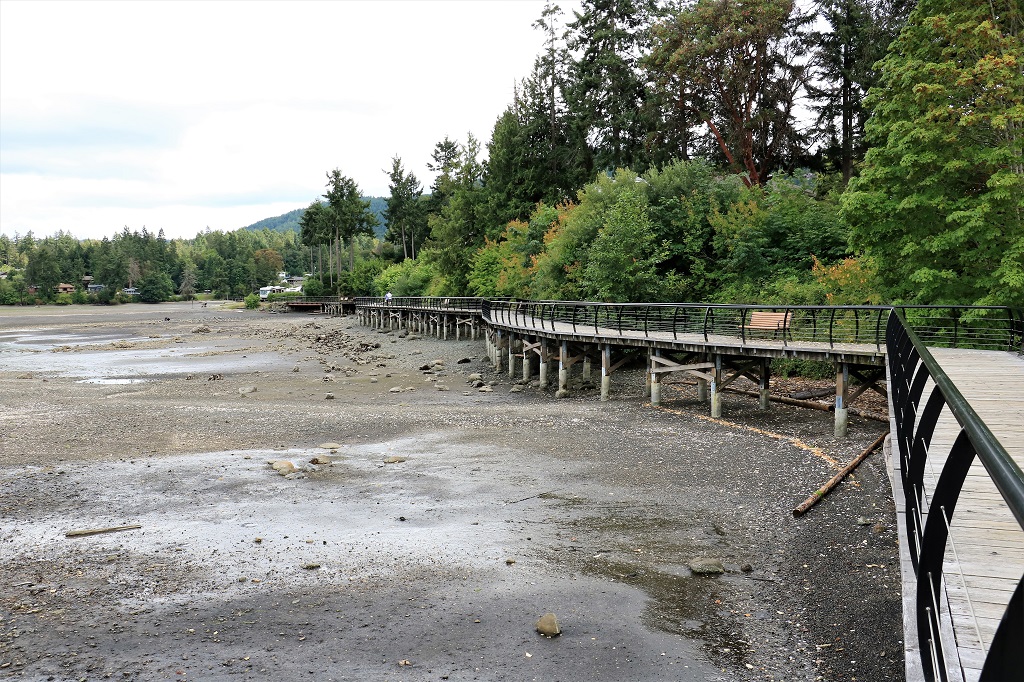
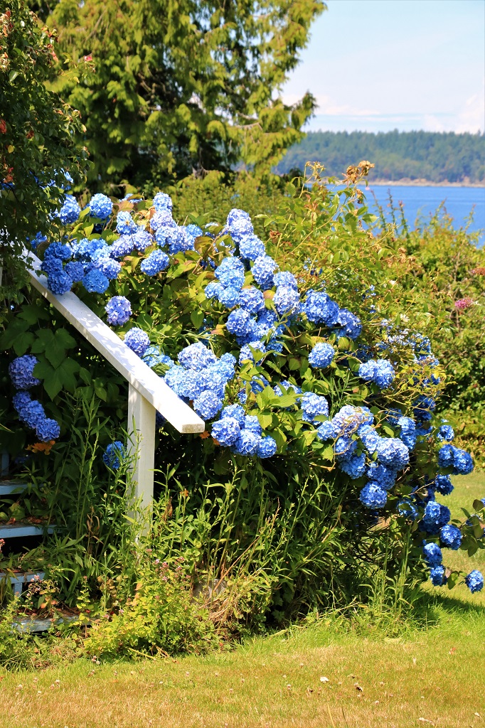
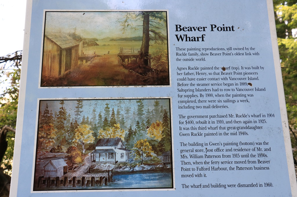
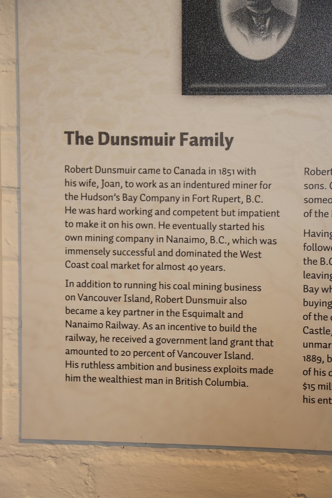
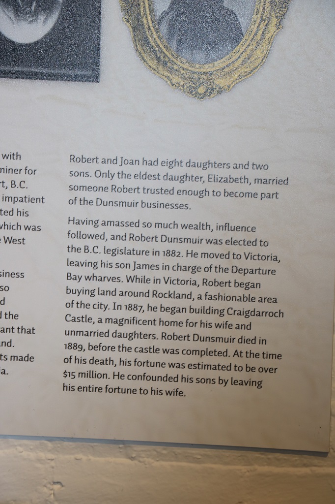
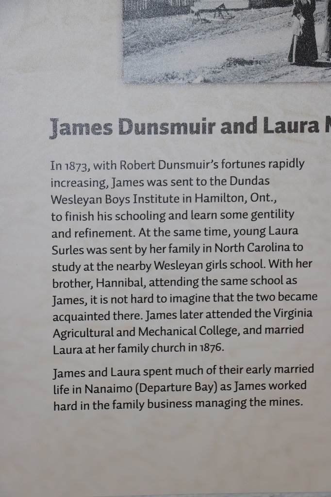
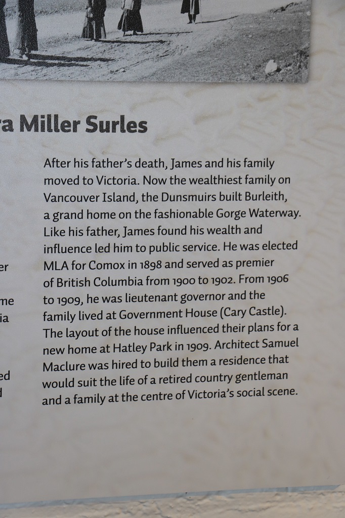
Ladysmith is another small community on Vancouver Island and we pulled into the very popular and well equipped and maintained Transfer Beach Park.  The area was once the loading yard for several large coal mines (belonging to James Dunsmuir of Hatley Castle – see Day 4 blog).  There was a very long railway wharf out into the Strait so the coal could be transfered directly to barges without having to be unloaded from the railcars into boats, and unloaded again into the barges.  After the collieries closed the wharf fell into disrepair and was later destroyed in a fire.  The area had become a popular recreation spot and was eventually turned into a large park.

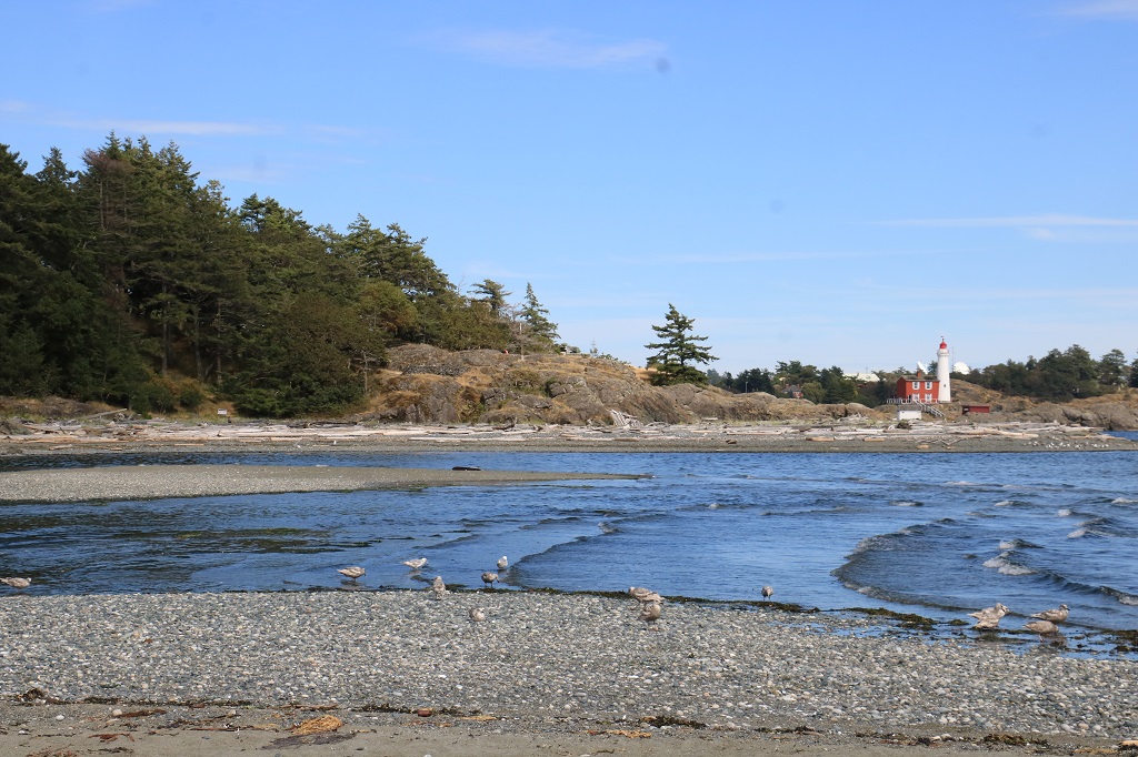
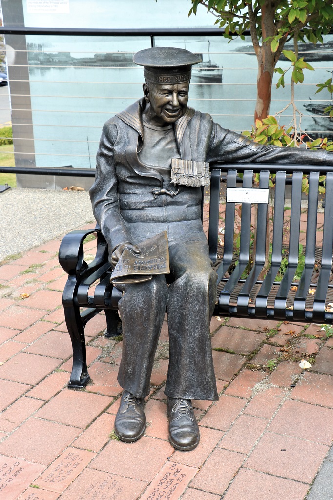
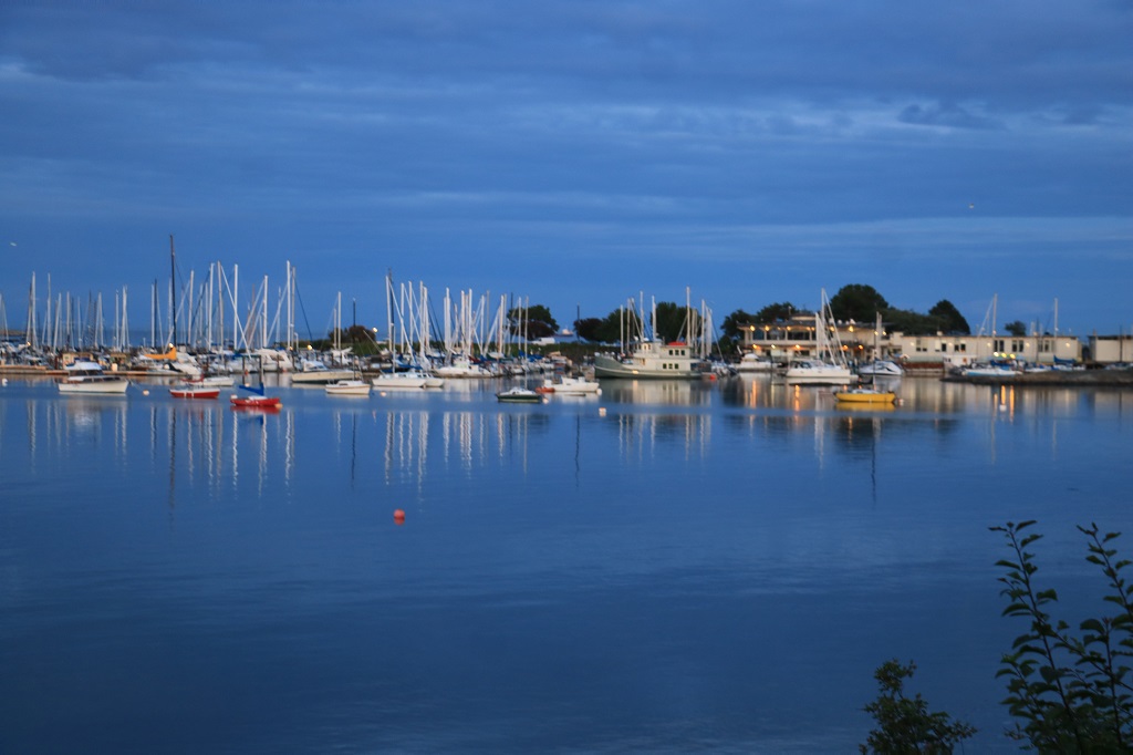
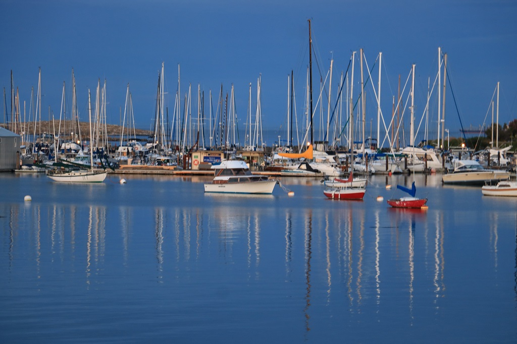
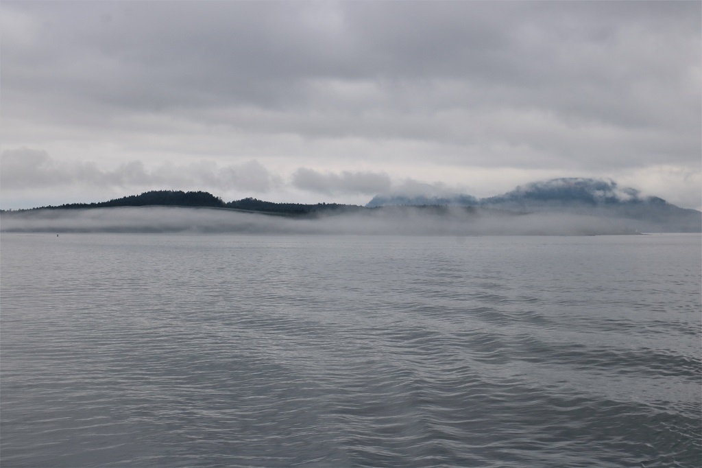
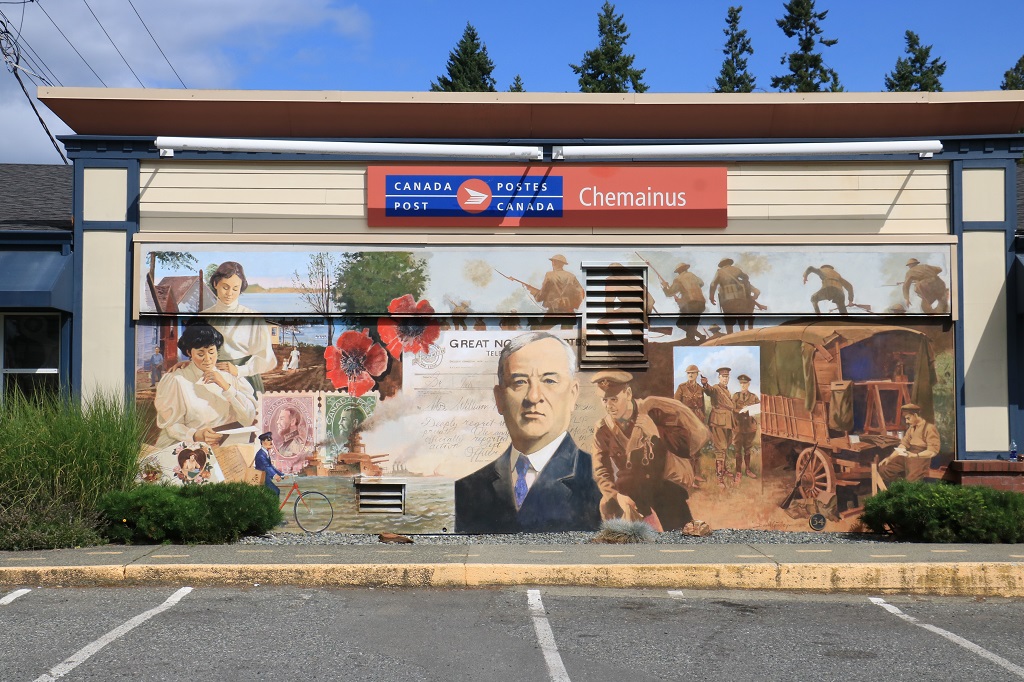
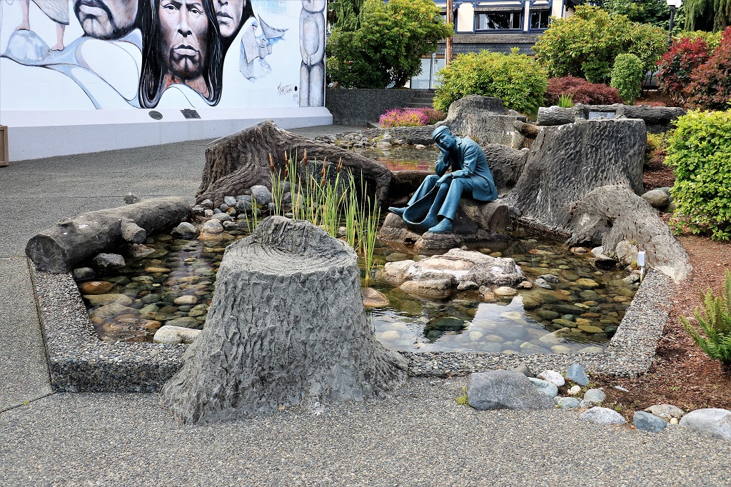
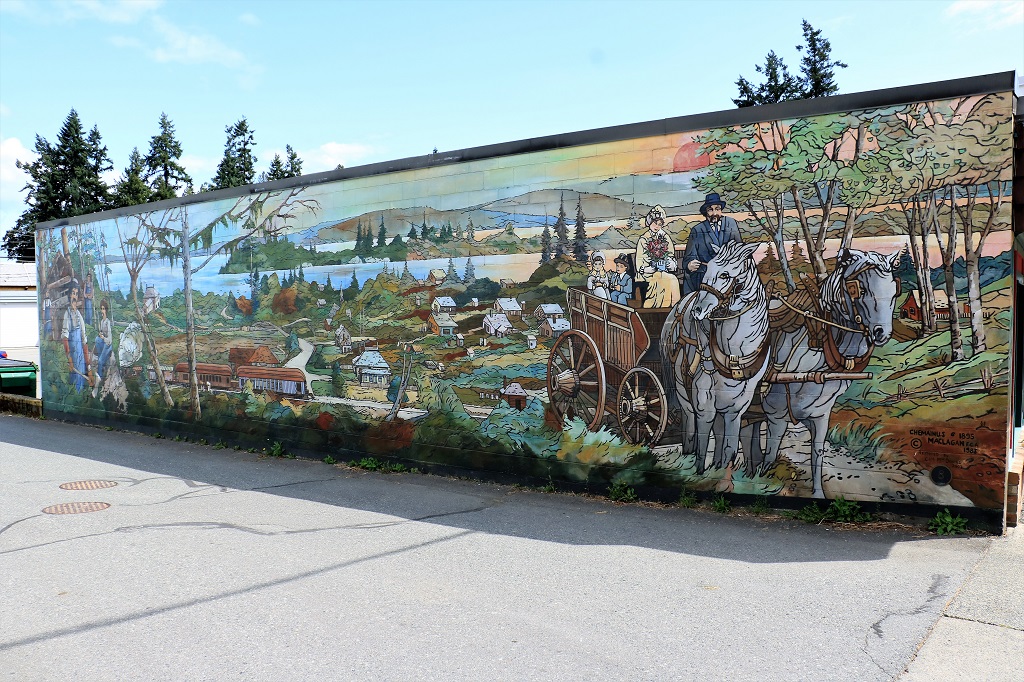
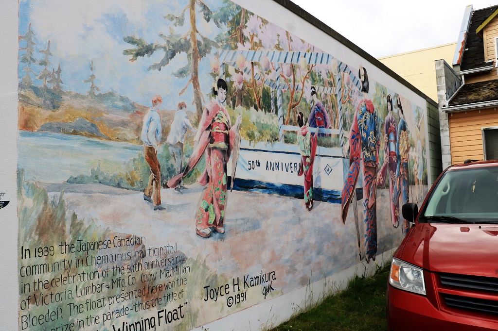
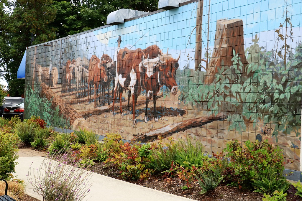
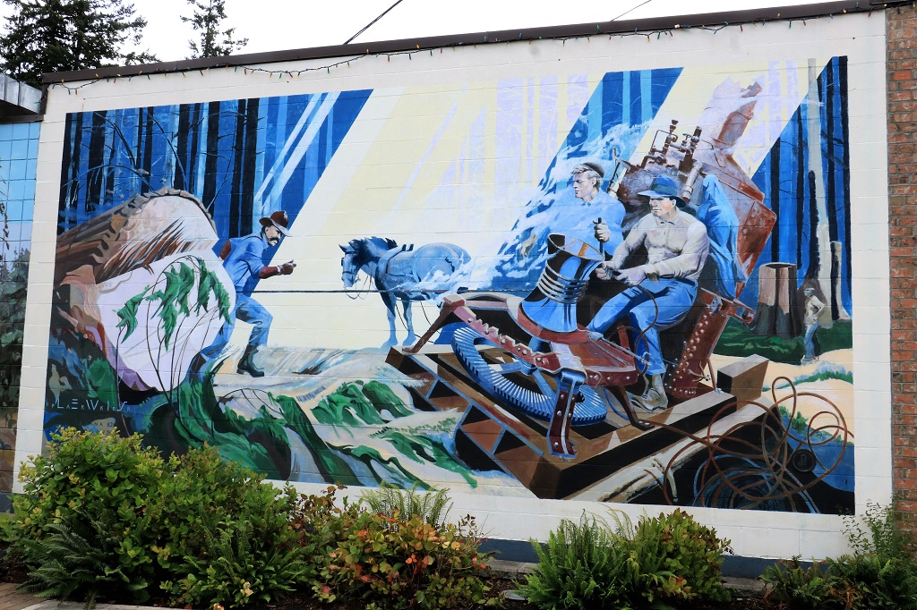
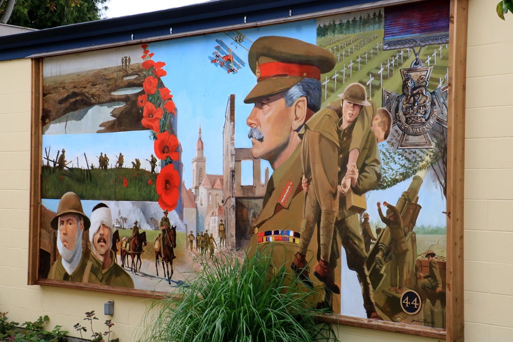
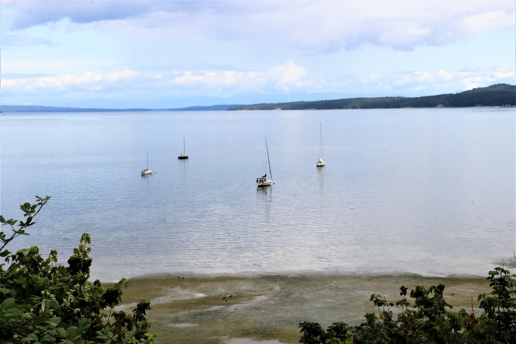
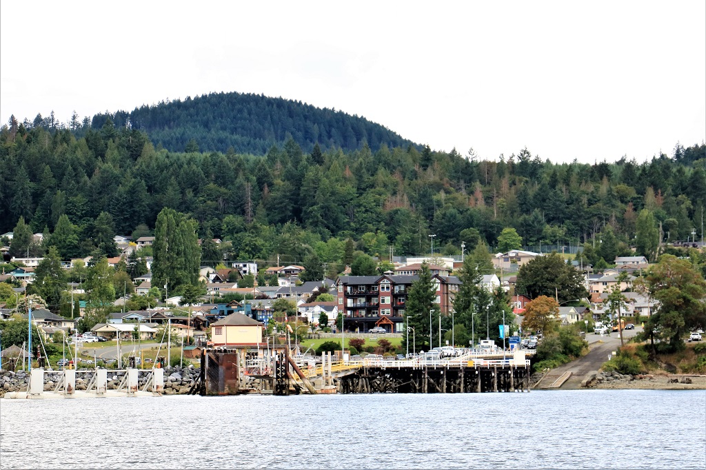
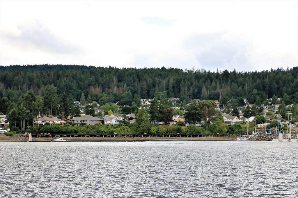
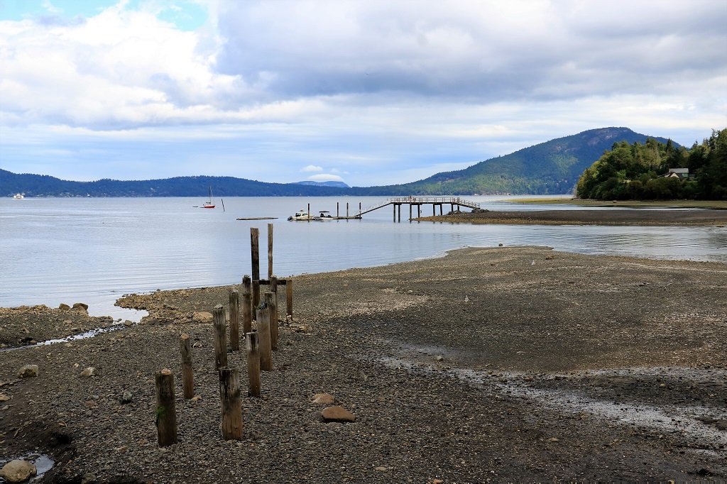
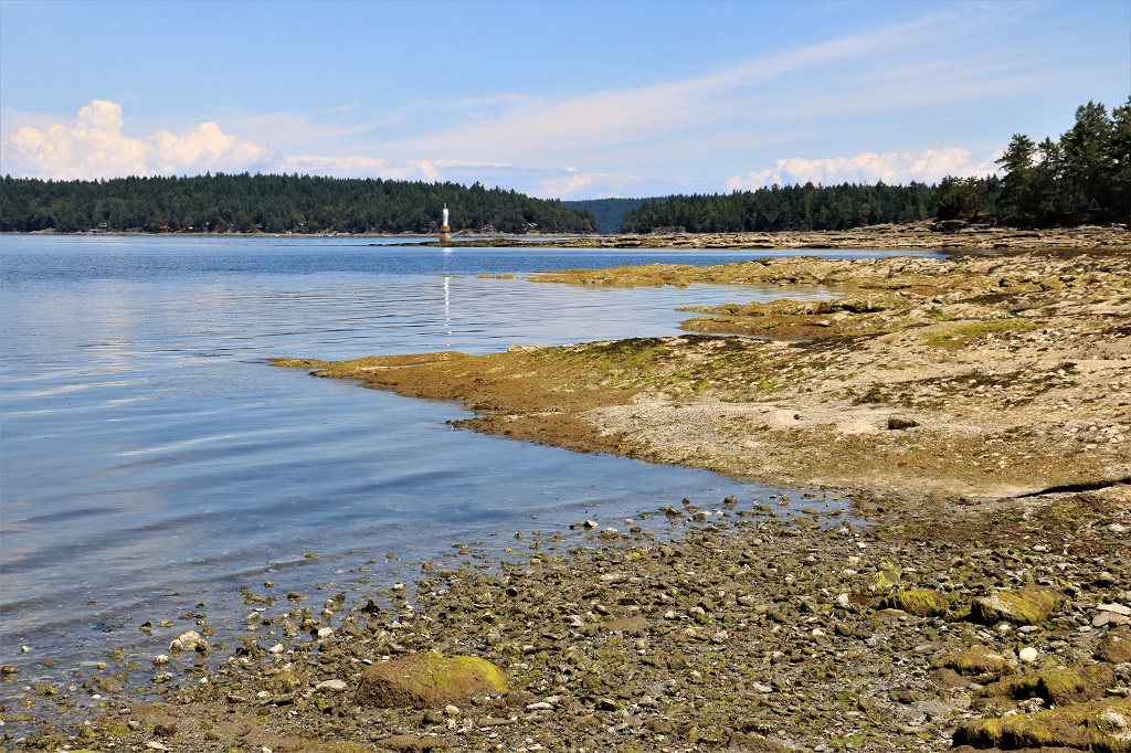
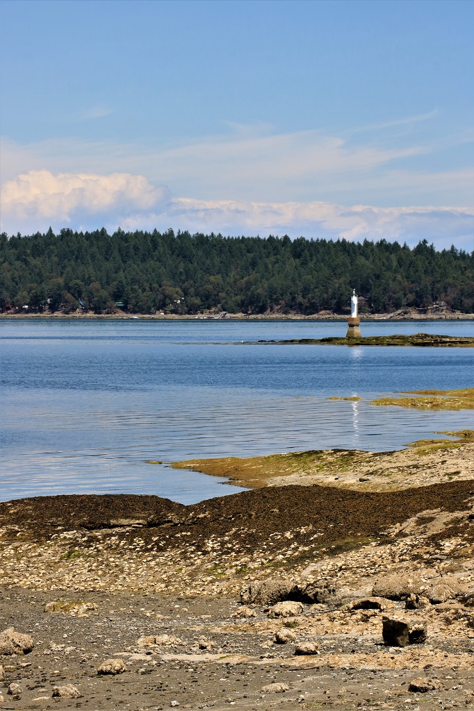
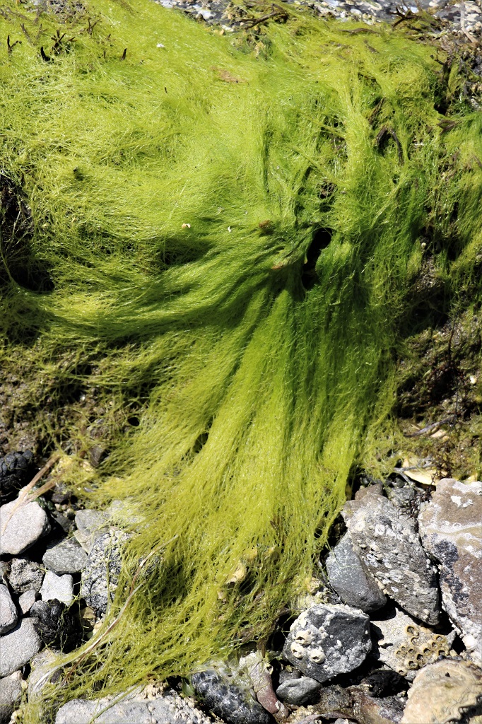
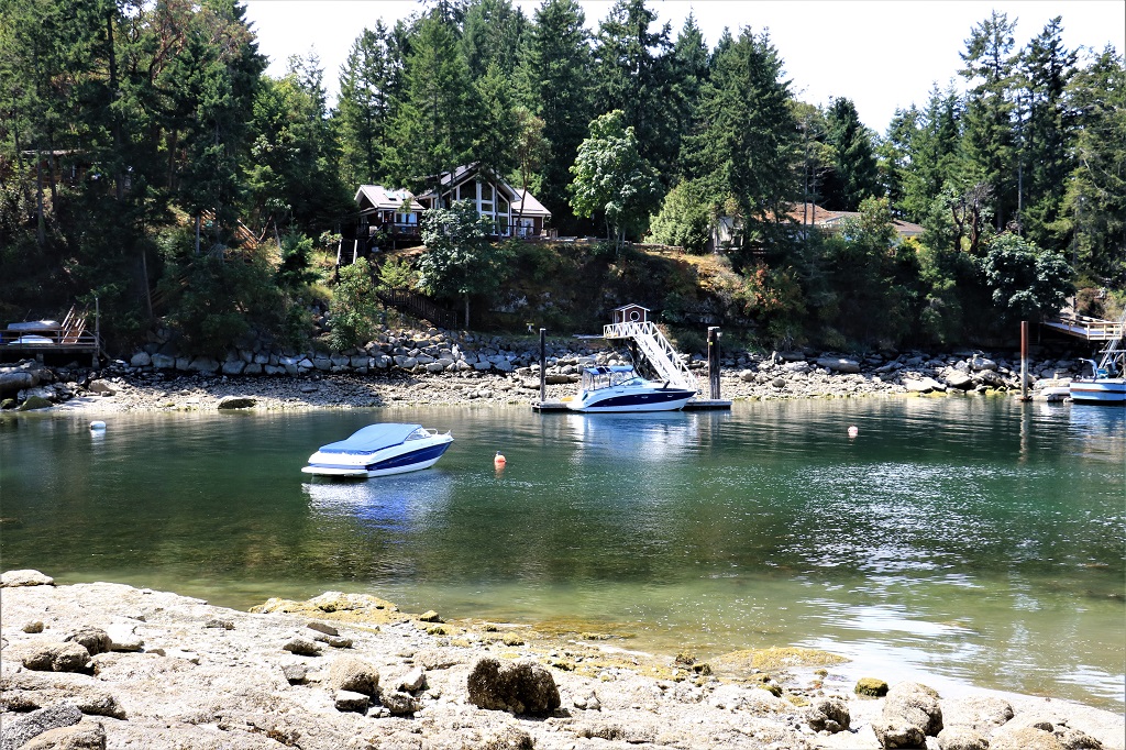
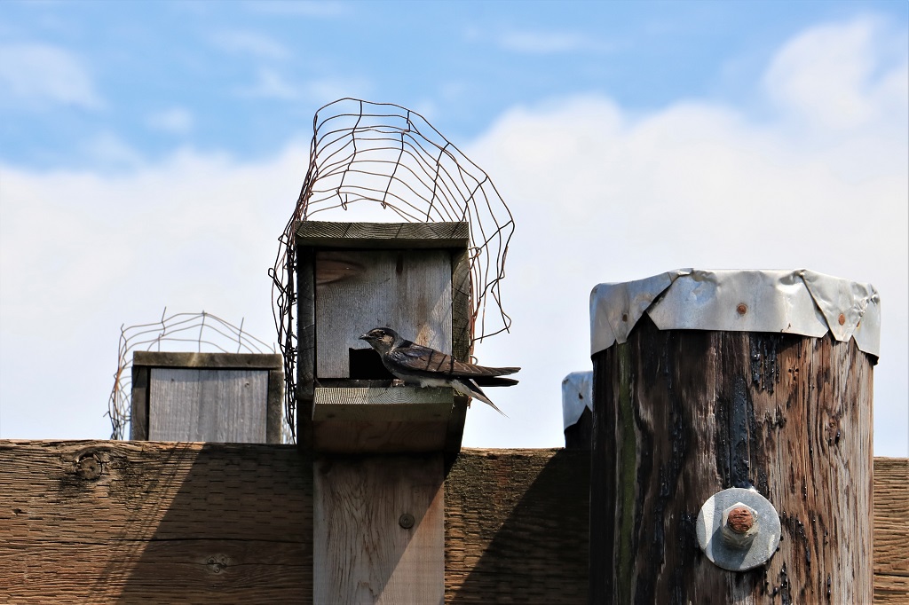
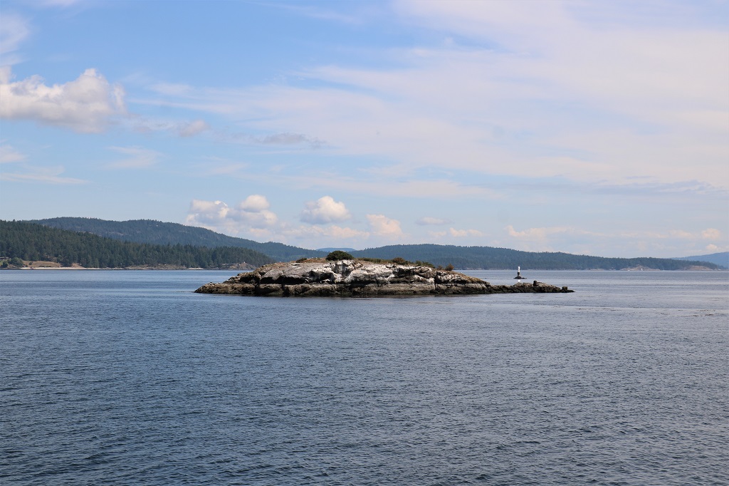
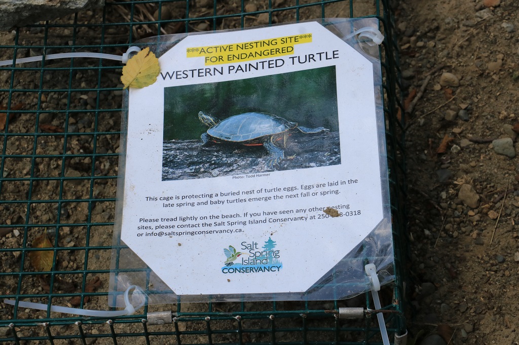
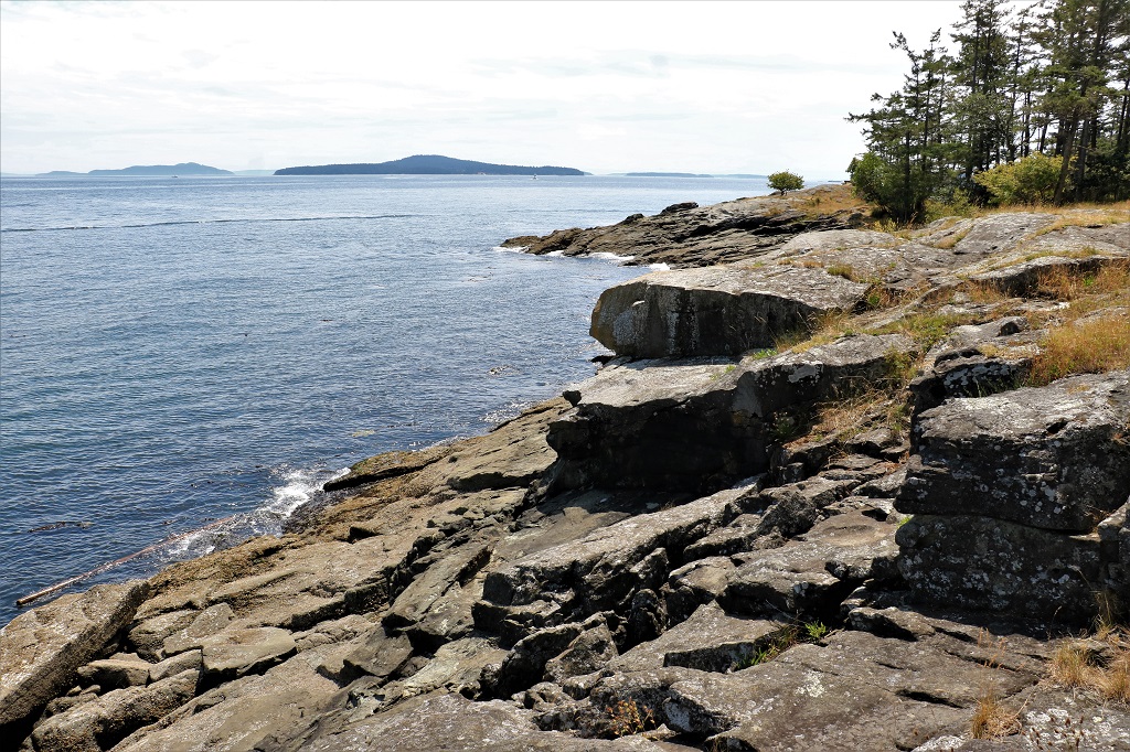
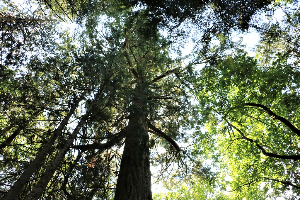
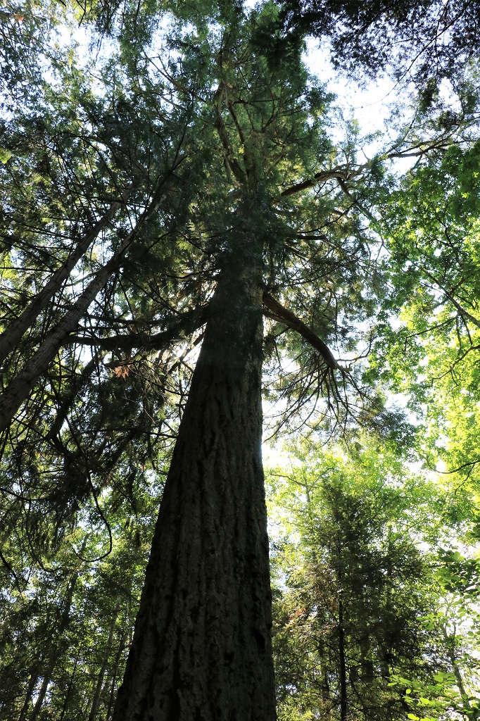
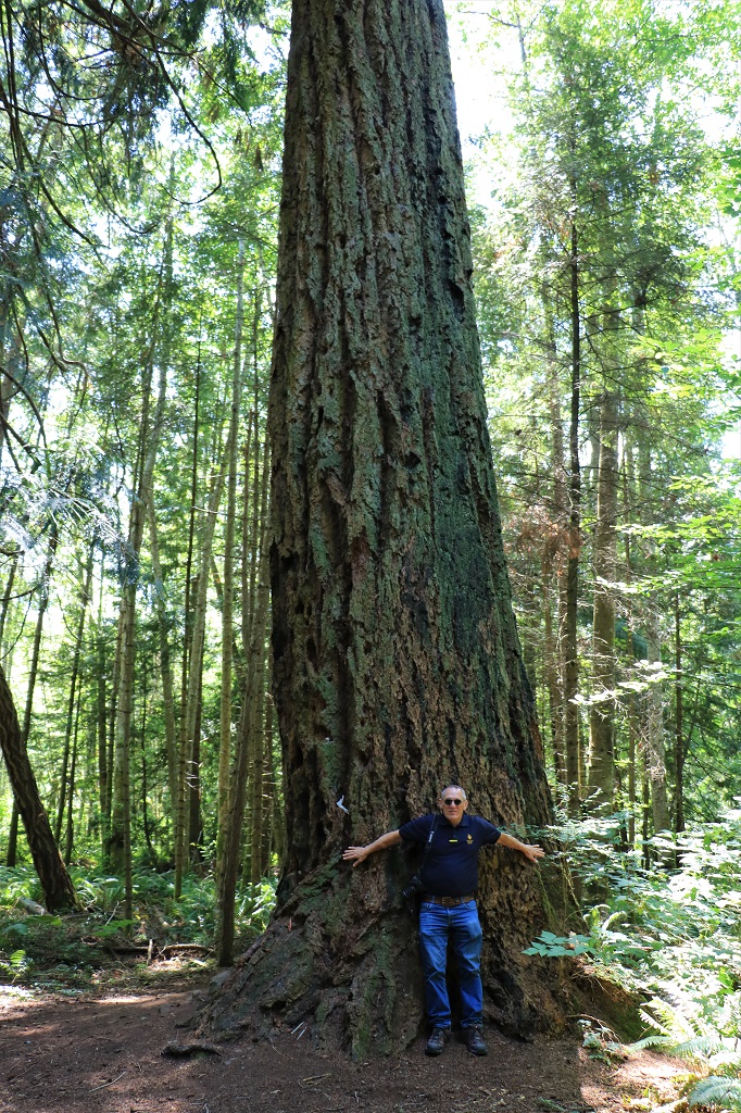
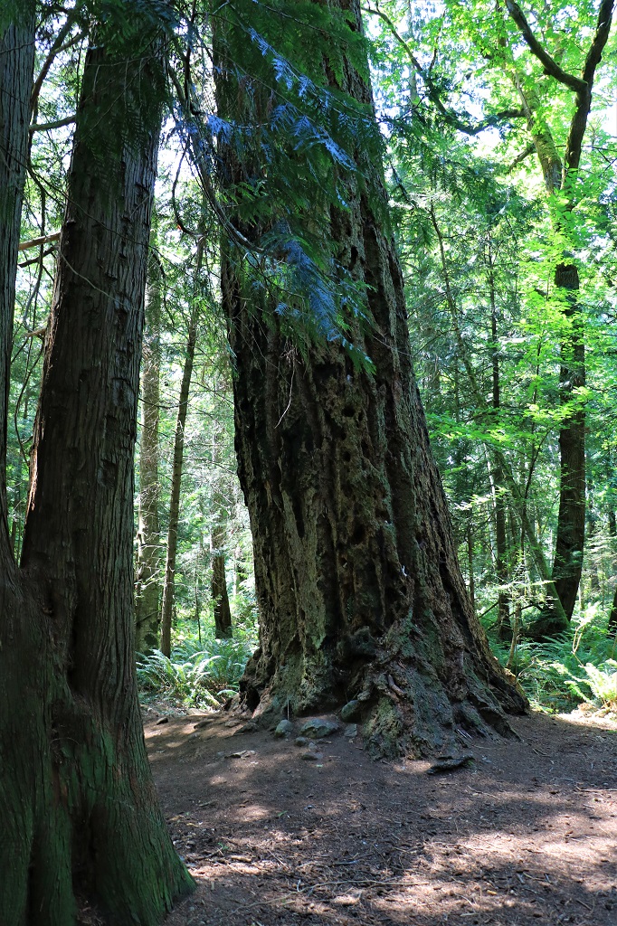
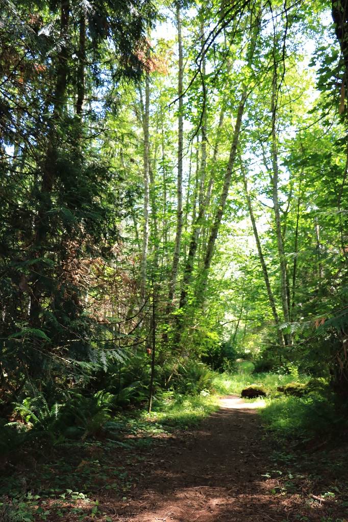
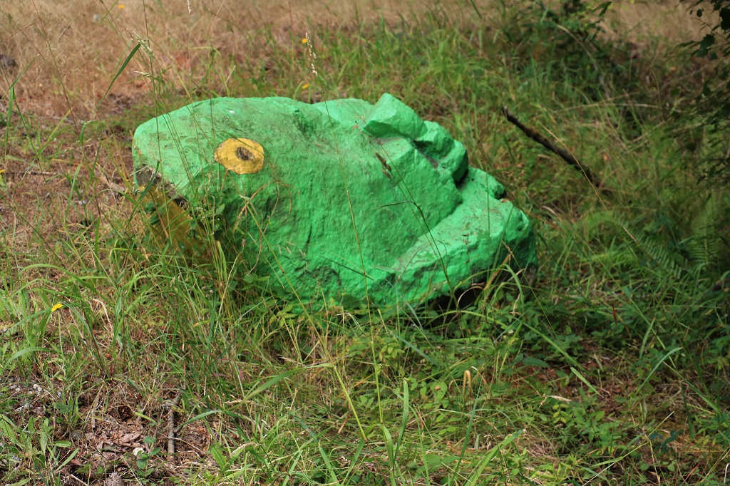
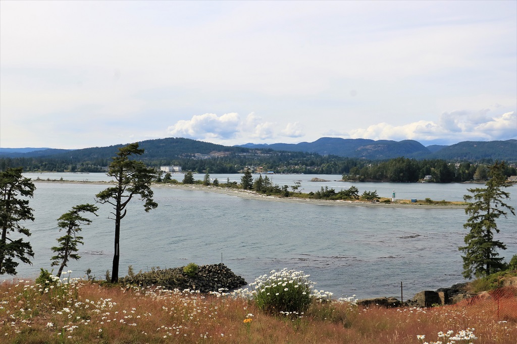
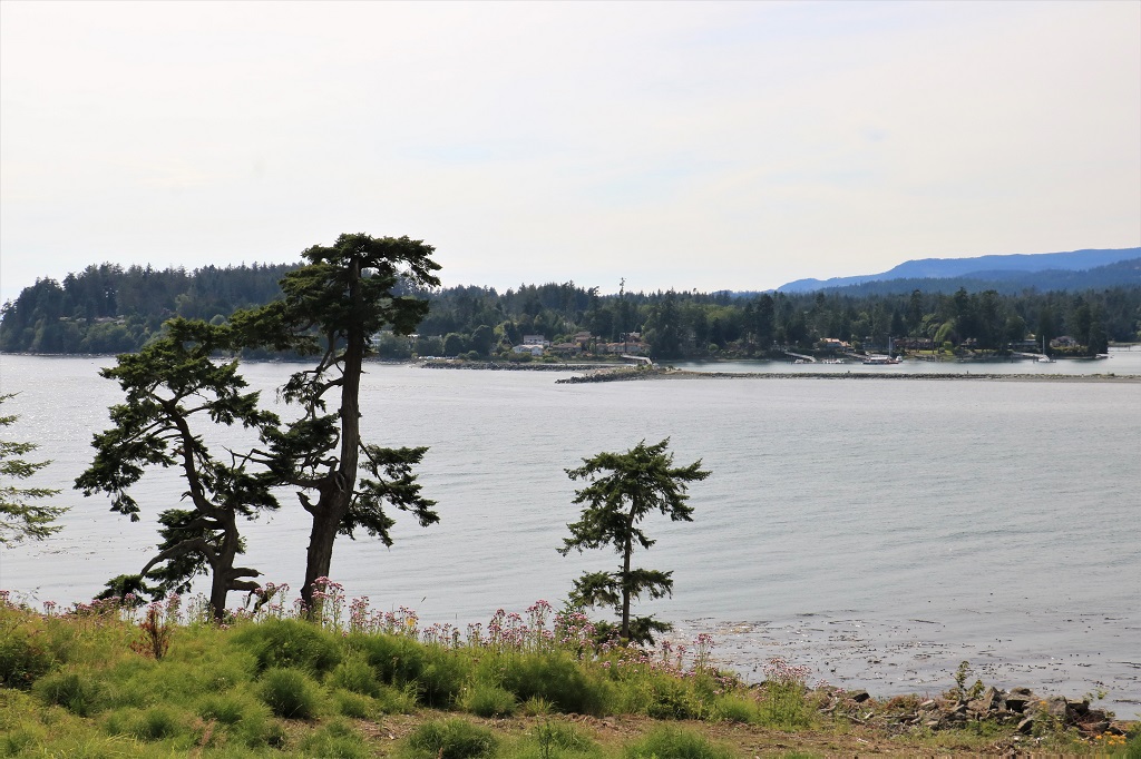
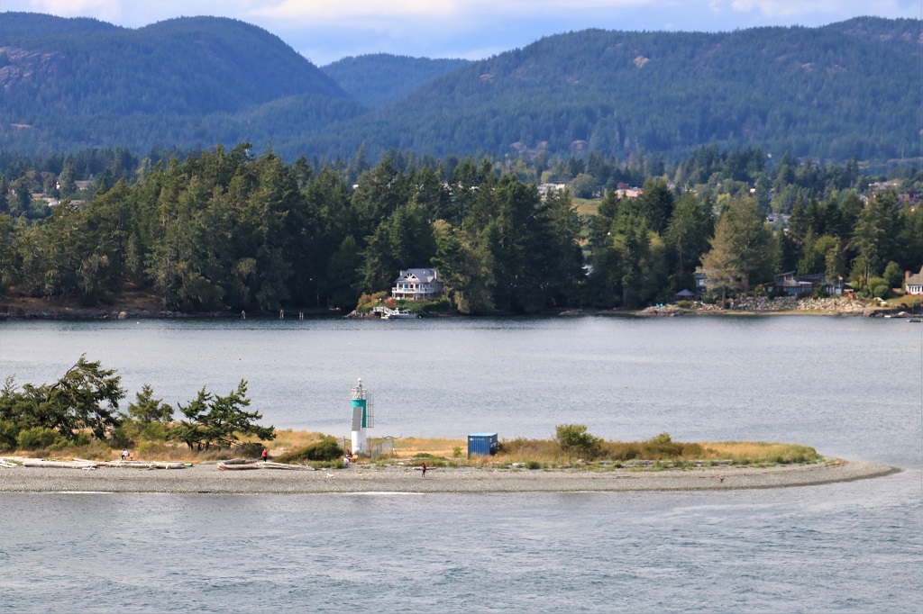
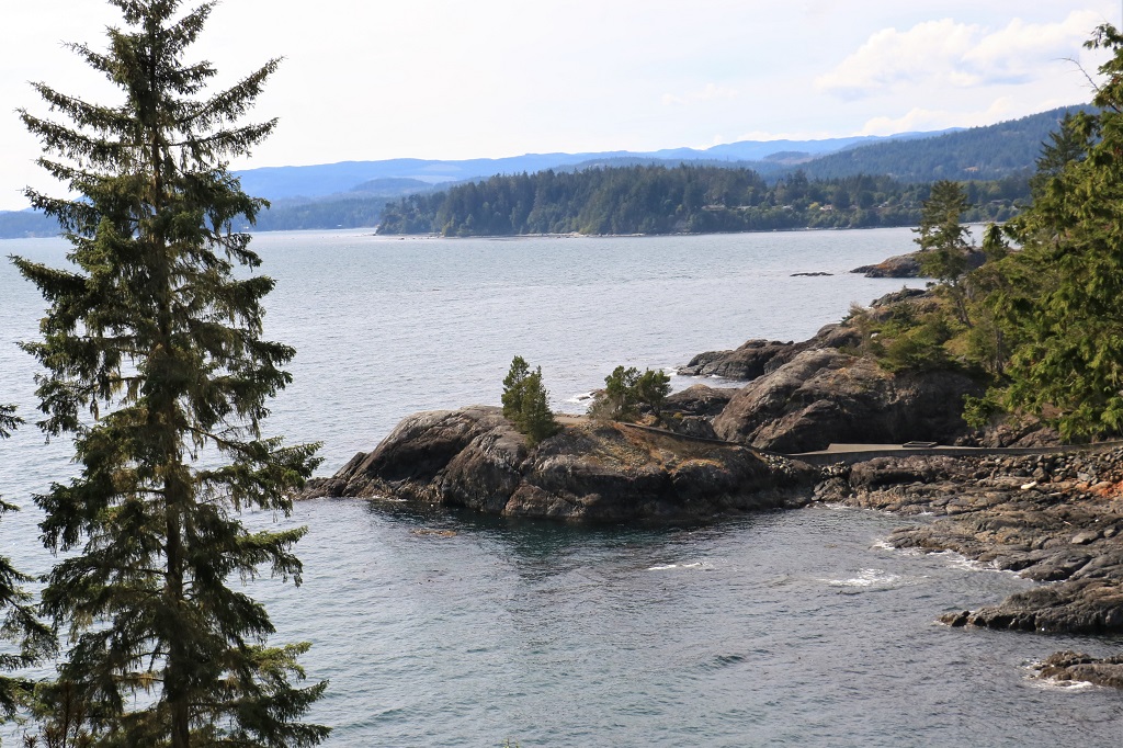
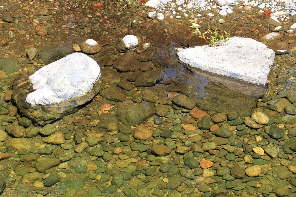
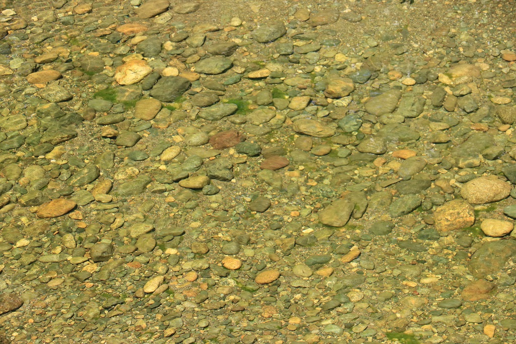
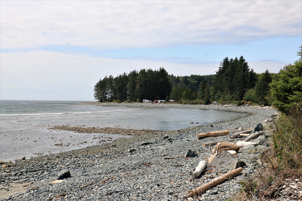
There was a huge playground, baskeball hoop, horseshoe pitch, beach, amphitheater, dog park, walking trails, picnic tables and bbqs, and lots of people enjoying the day.  We found several geocaches hidden in the park.   The last one was out at Slack Point at the end of the dog park trail.  Also called Slag Point as the area was used to wash the dust off the coal and all the soil many feet deep is contaminated.  Dust and dirt have covered it and plants have, of course, grown but there are still some large piles of coal particles and you don’t have to dig more than a 1/2″ to reach black.  Around the corner of the point there is a nice view of a marina.As we were driving out of Transfer Beach we passed an old donkey winch such as was portrayed in one of the murals in Chemainus.
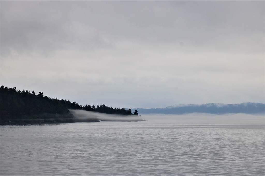
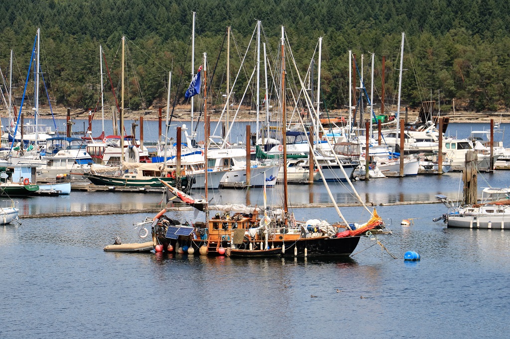
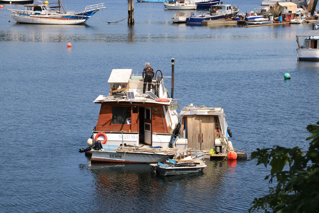
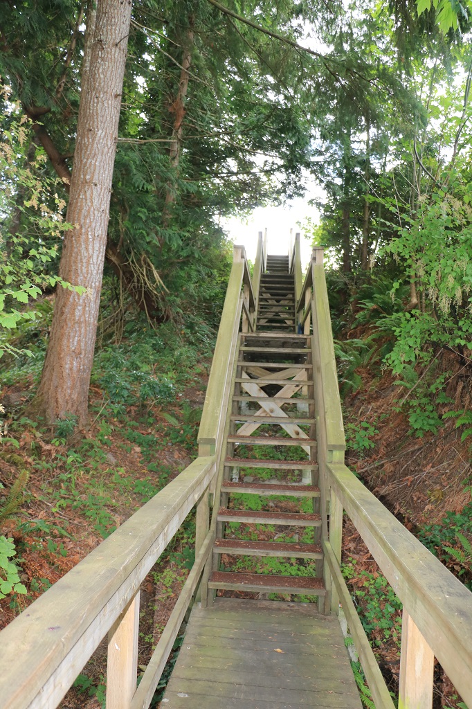
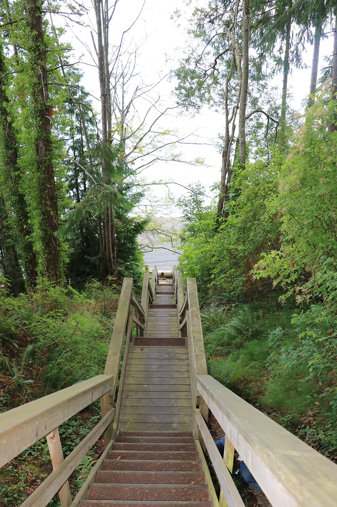
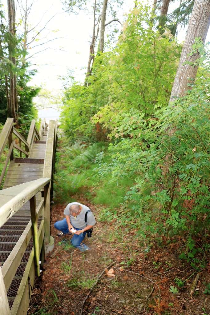
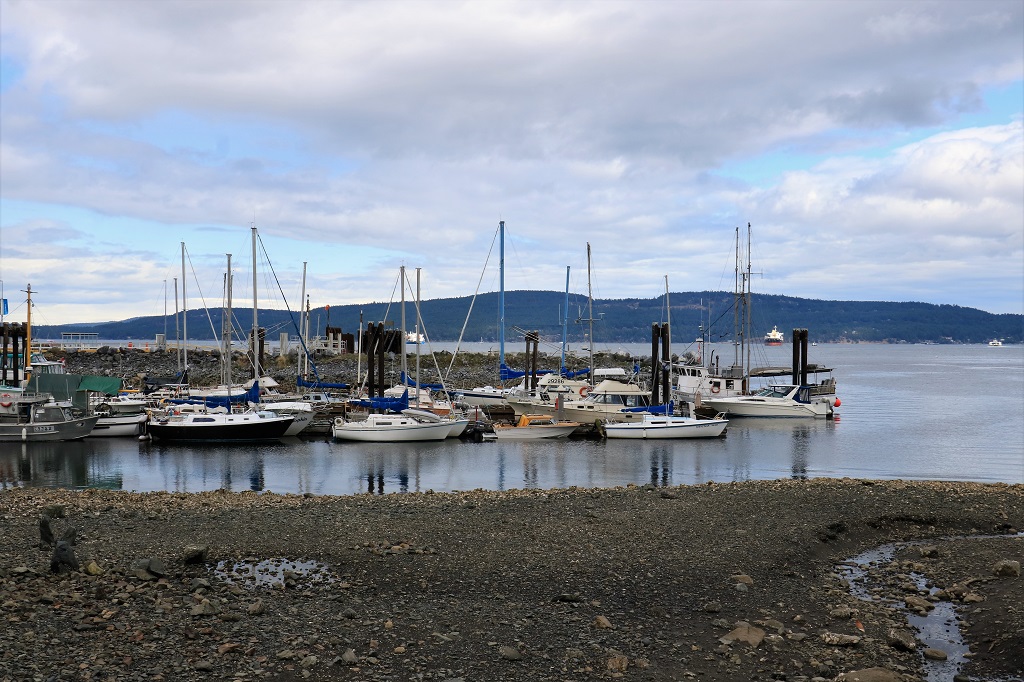
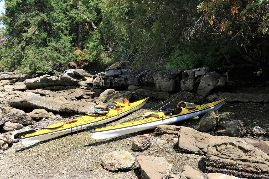
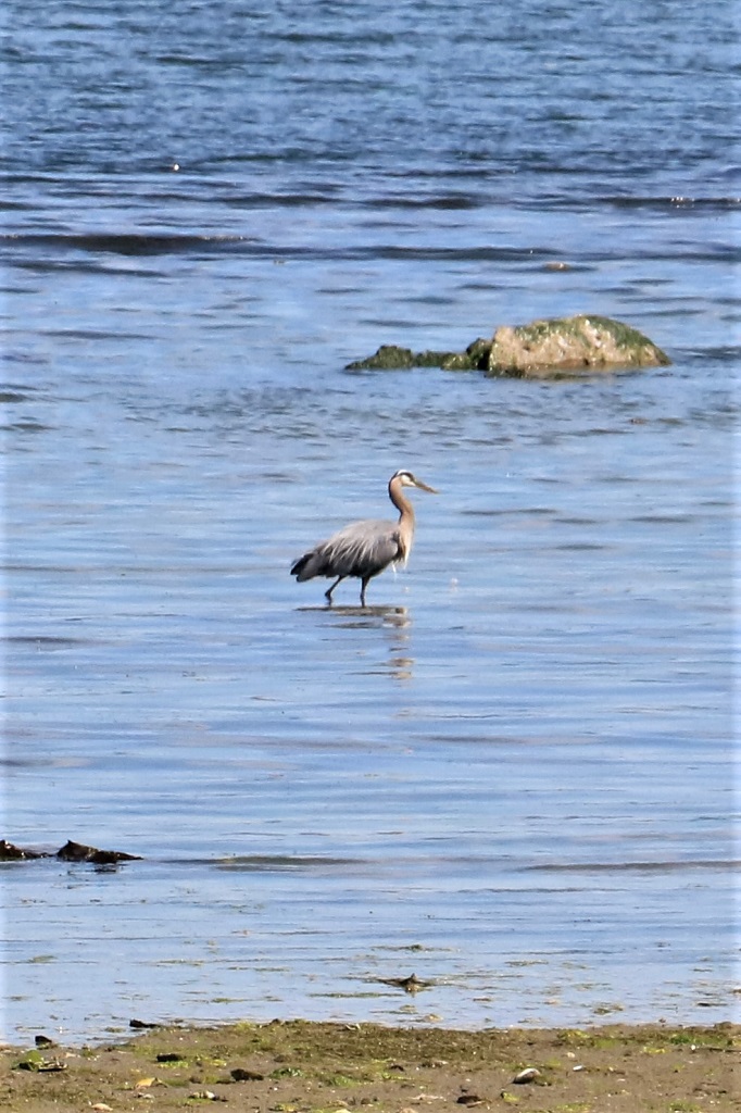
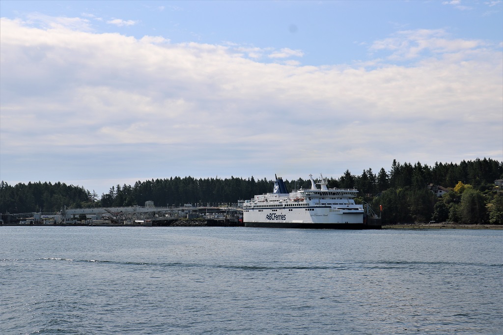
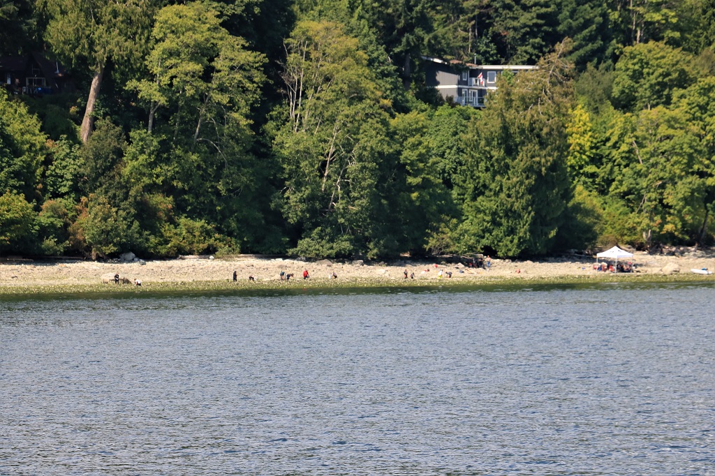
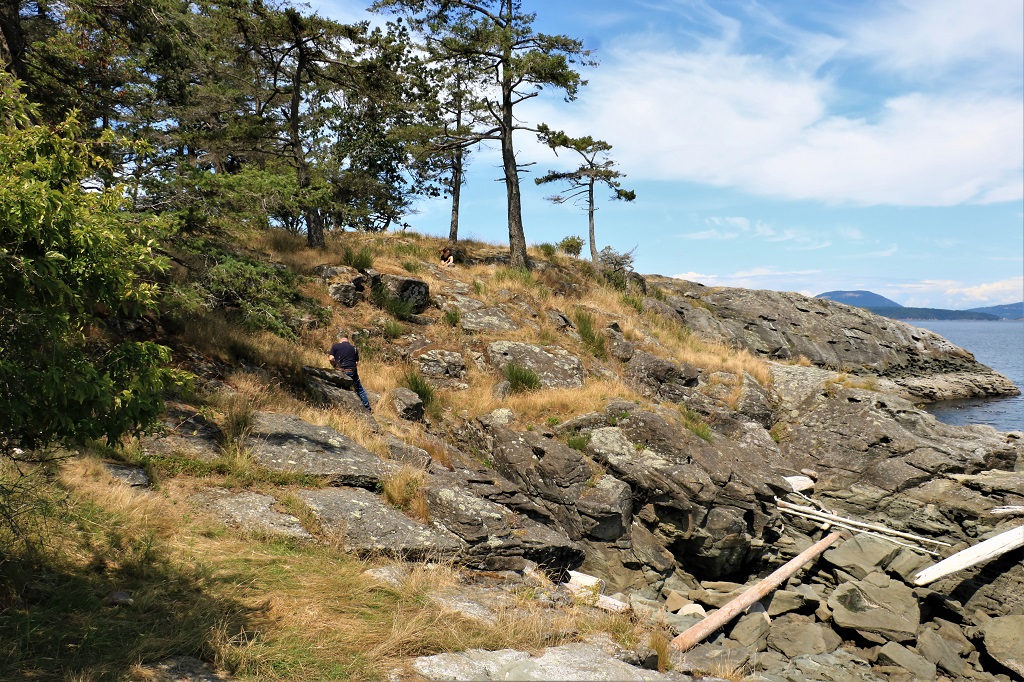
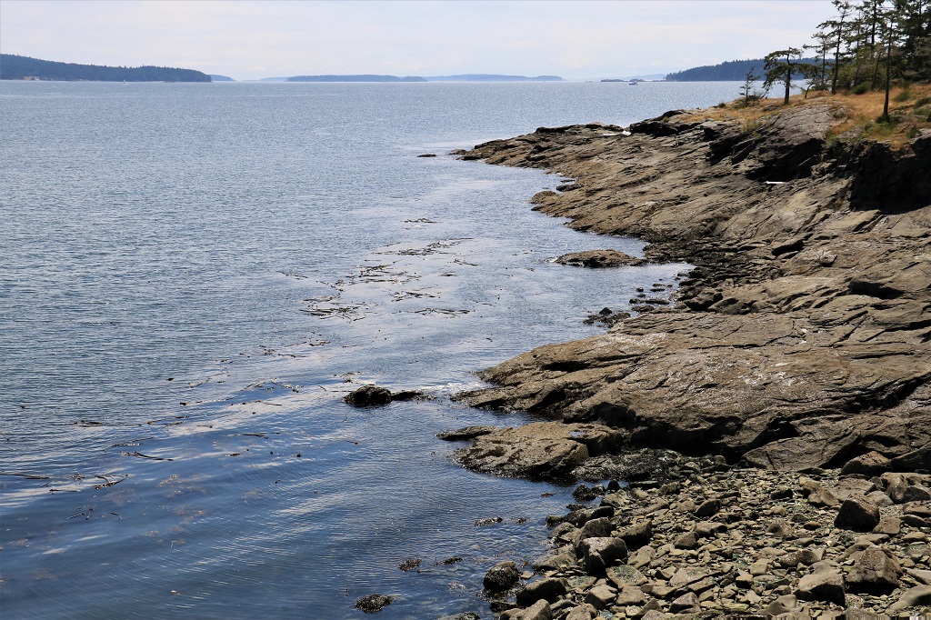
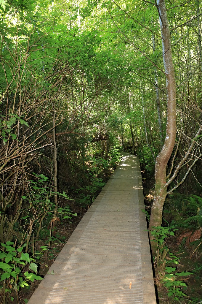
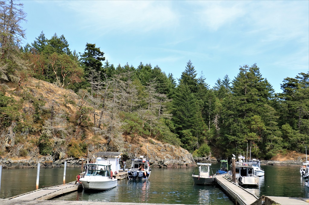
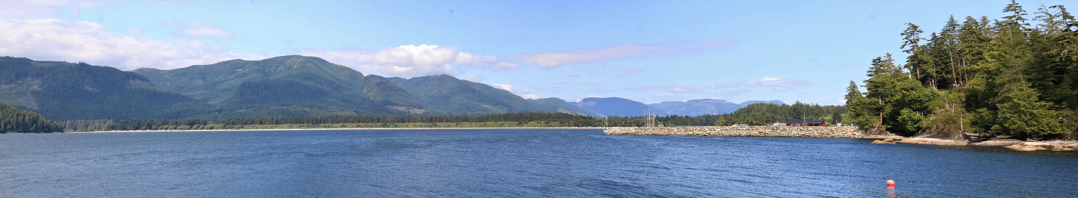
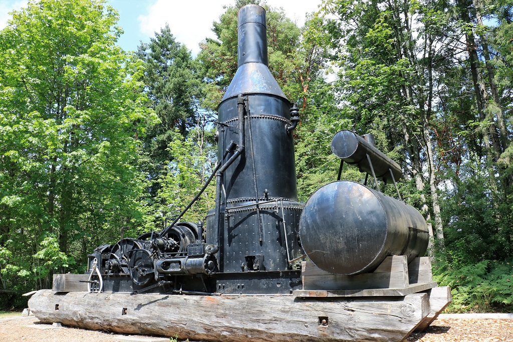
We pulled into a parking lot by a trail head to find two other caches and were only able to locate one of them. The trail did give us a good look at the marina we had seen from Slack Point.  Apparently it is a fderally regulated area and has several ‘sqatter’ boats anchored in the bay that people live in.  Since it is a federal area it is rarely, if ever, patroled and the local authorities have no jurisdiction to get them to move. 
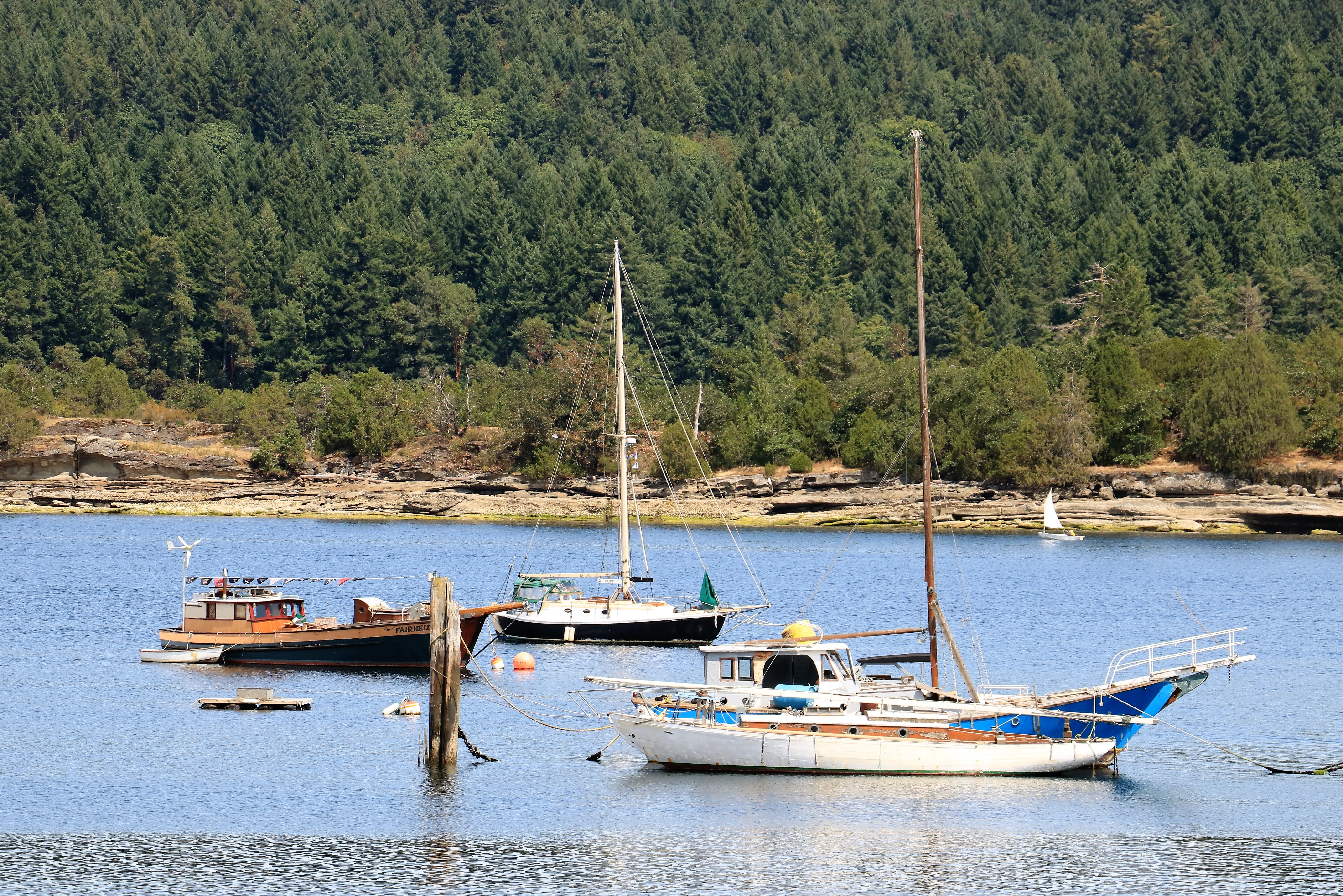
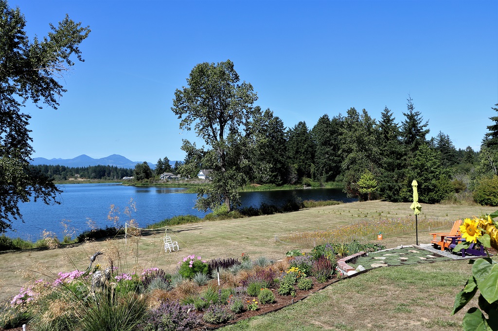
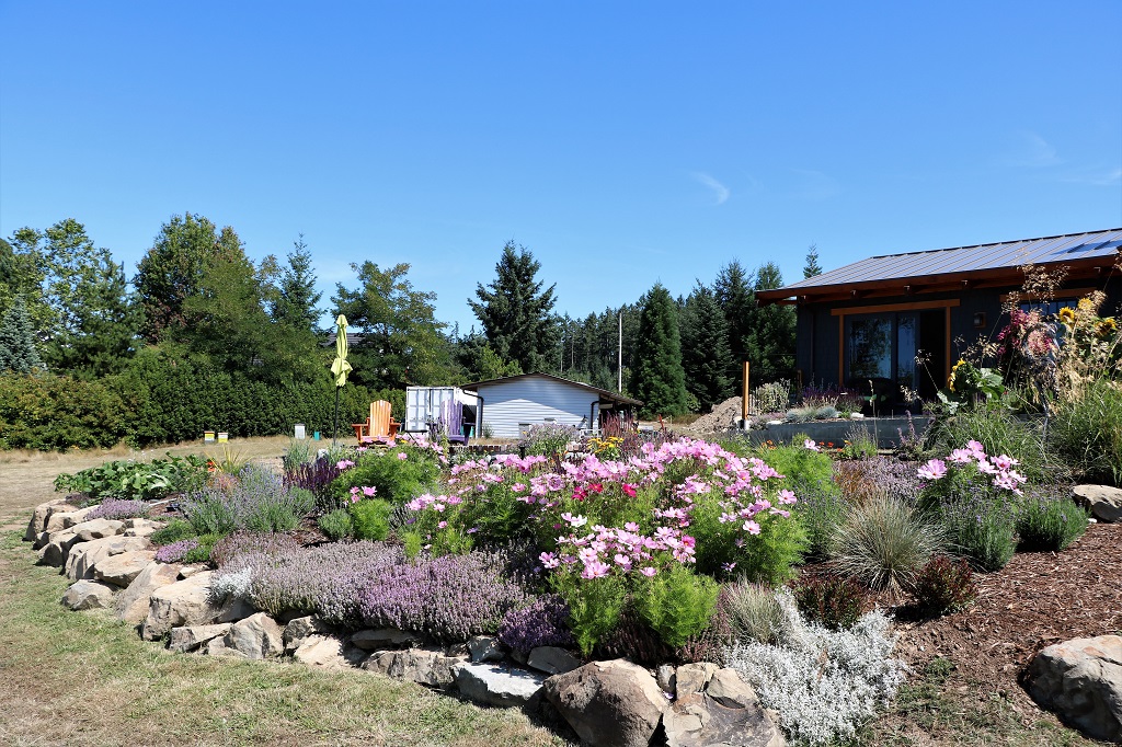
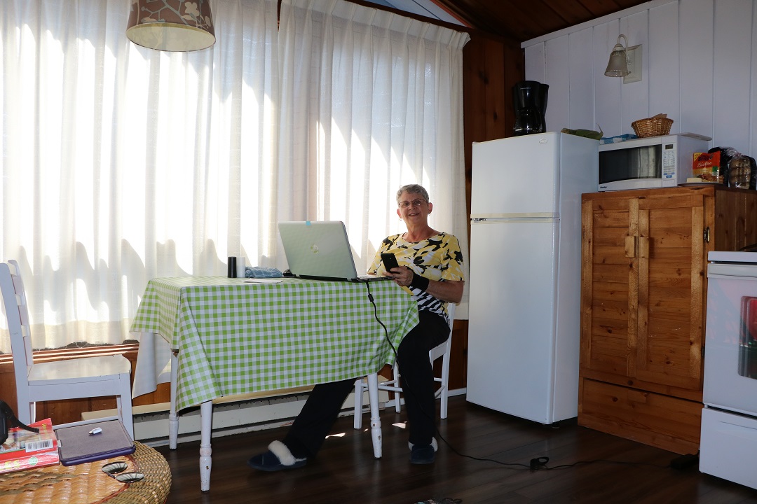
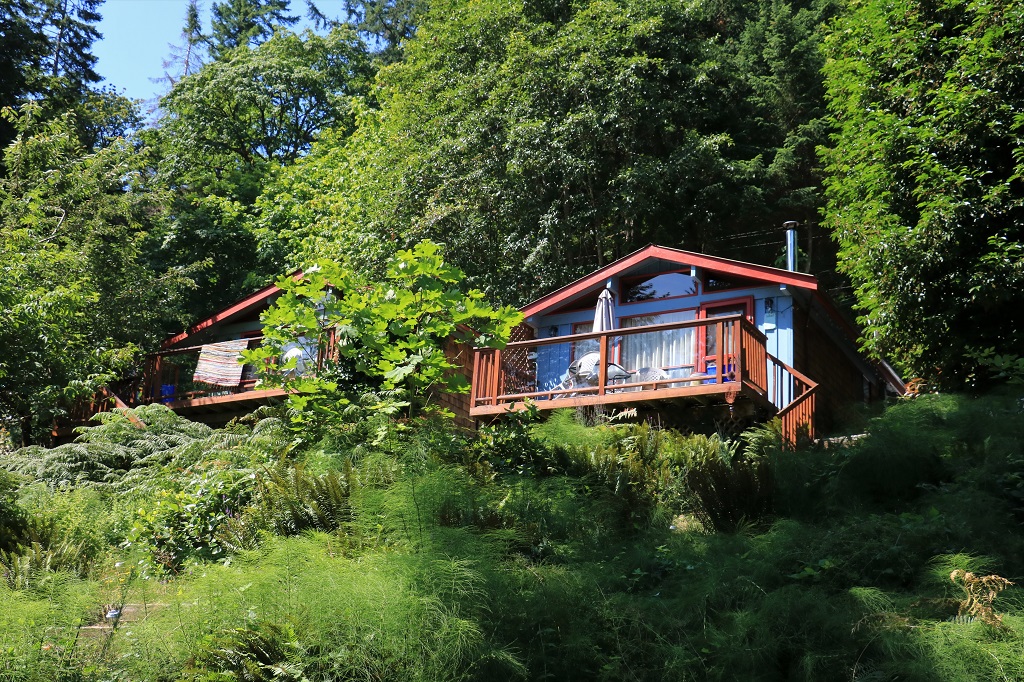
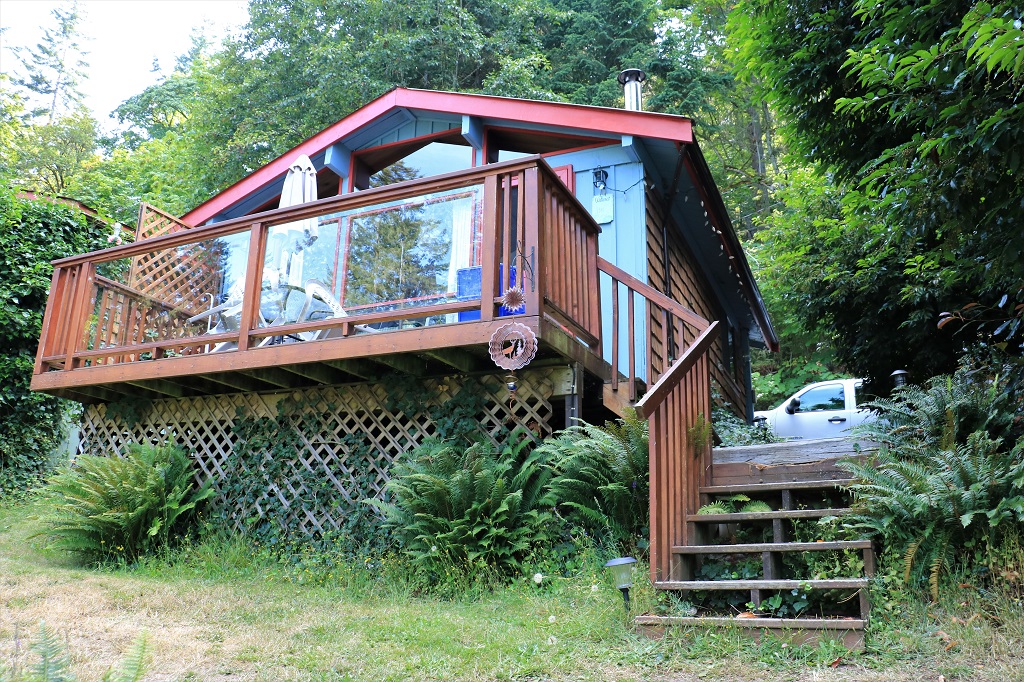
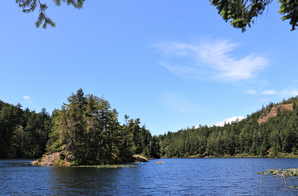
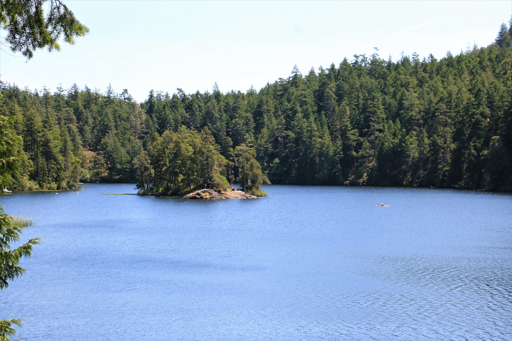
We arrived at our hotel on the southern outskirts of Nanaimo at 3 pm and were able to check in.  We relaxed for a half hour or so and then headed out to the home of our host and hostess for the reunion. They  have  a lovely home  on  Quennelle  Lake.  All  the  gang  gathered  over  the  next  couple  of  hours  and  we  had  a great  time  catching  up  on  everyone’s  news.  Dinner  and  more  stories  and  laughter followed until  we  all  headed back  to  our  hotels  for  the  night.
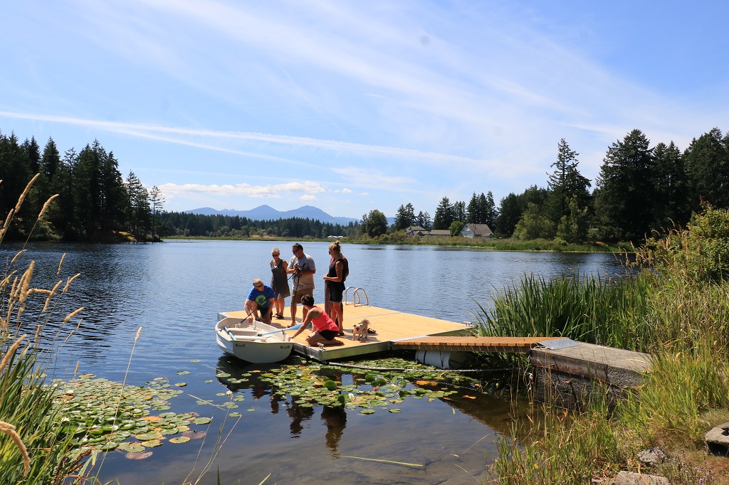
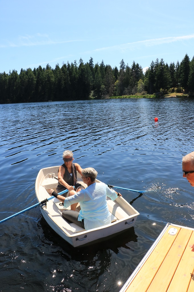
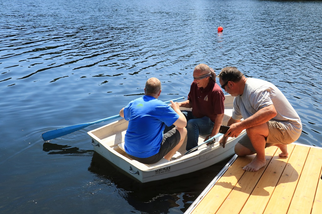
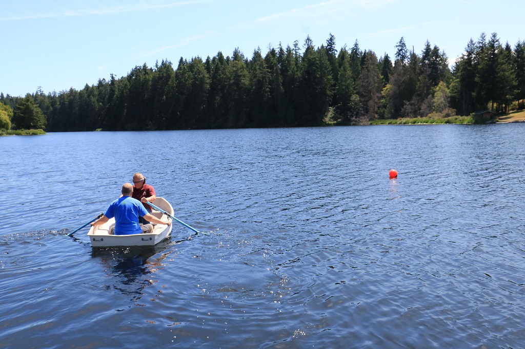
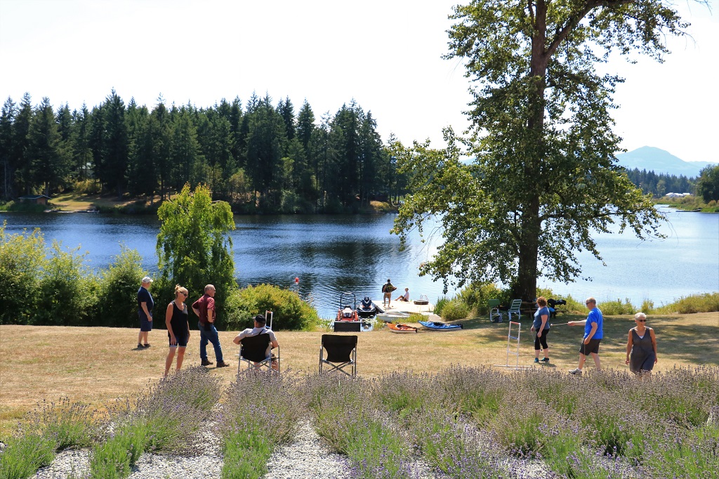
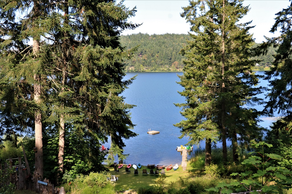
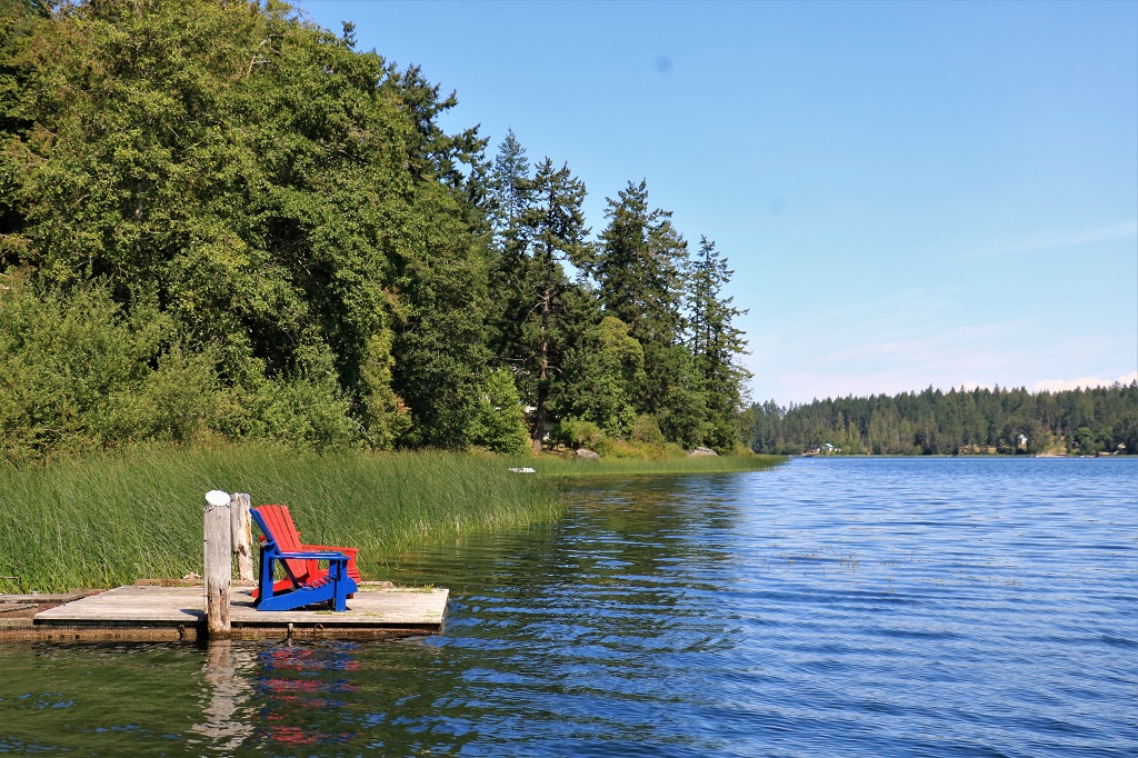
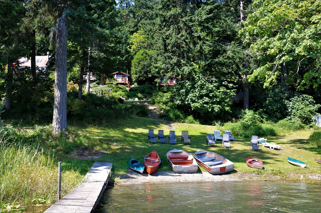
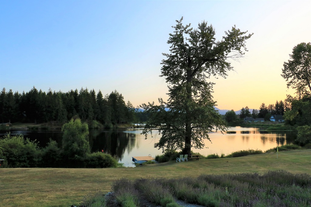
Everyone re-gathered at the lake Saturday morning and we spent the day visiting, eating great food and playing a few games.  One of which was a timed rowboat event.  The person with the oars was blindfolded and the other person in the little boat had to direct them around a  buoy and back to the dock.  My partner and I had the best time at 1 minute 18 seconds, until the last two teams deposed us and we ended up third.  It was great fun. 
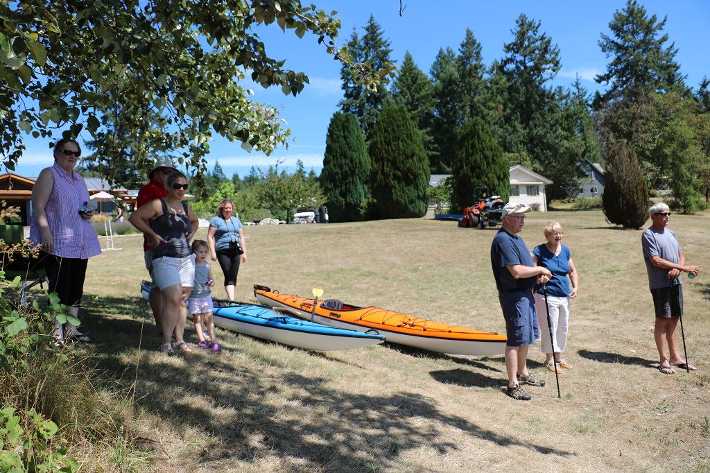
A fabulous dinner of salmon, bbq beef, ceasar salad and greek salad was topped off with a delicious cake.
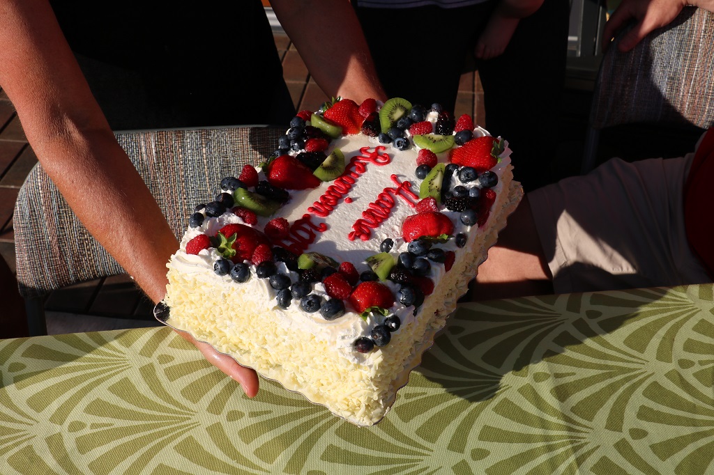
The reunion officially ends with breakfast tomorrow morning and then everyone will make their way home.  Except us.  We still have some traveling to do.

2019 July Journey – Vancouver Island section 2 – Day 10

Apparently I can’t count.  I was lying in bed last night after posting my blog and wondering how I had arrived at day 10 when we left on the 9th and it is the 17th.  This morning I corrected all the Day tallies on the blogs.  You probably didn’t even notice, but now I feel better.

We woke to beautiful sunny skies but as the day wore on we got some scattered showers and by 3 pm it was pouring rain.  By then we had been walking streets and trails and climbing stairs since 10 am and my feet needed a break so we came back to the hotel to rest until dinner.

Chemainus is a small community of about 4,000 people.  It was founded as a logging town in 1858 and much of the employment in the area has always been based on the forest industry.  There was a large sawmill that was closed in 1980 which decimated employment opportunitues.  In the years since a smaller, more efficient mill has been built, but a major factor in the economic turn-around came in the early 80s when the idea was concieved to paint murals on many of the town buildings.  About 39 large and small murals were done and Chemainus began to bill itself as the “City of Murals.”  The increase in tourism dollars as people came to follow the yellow footprints on the sidewalk to see all the murals created many jobs and opened new businesses.  I was interested to see how the murals had fared over the 30+ years and was very happy to see dates and signatures of artists that had re-painted some of them to keep the colours bright and fresh.  Some are still original, some have been re-done two or three times.  They are still adding new ones and there are now 43 murals in town.

We wandered around town for most of the morning and checked them out.  You can get a map from the Visitor’s Center that will show you where they all are, but we just went up and down streets.  I have photos of 28 of the 43, but I am not going to post them all.  There will be lots though as I loved all the different styles and images.  The murals all portray some aspect of the history of Chemainus and area.  Here goes: This one was one of the very first to be painted and there is a nice little Heritage Park water feature and garden in front of it now. These two run side by side the full length of a long buiding. This was one of my favourites.  I really like the art style with the heavy outline on all the elements. This mural also was very long.  The information square was about double the width of the little silver car so you get an idea of how long the image is.   This was my absolute favourite of the ones we saw.  It was one of two commissioned in 1991 by the Japanese Canadian Redress Foundation and Communications Canada as part of the reunion of the Japanese community of Chemainus that lived here from 1900-1942; when they were all moved to interment camps in the interior or the north during World War II.  There were 300 Japanese millworkers, fishermen, and businessmen living here at the time.  The man whose house was next door to this mural saw me taking a photo of it and offered to back his van up a bit so I could get a better shot.  I told him not to bother, but it was very nice of him to offer.  I loved the delicacy of the image and the subtle colours used on this mural.  It commemorates a float made by the Japanese community and entered in a 50-year anniversary parade of the McMillan Lumber Company in 1939.  The float won first prize. This mural depicts several different buildings and an alleyway but it is all on the side of one building.  The shake overhang on the left is real and extends around the front to the entrance of the store.  The artist did a great job incorporating the existing building with the old history.  I cropped the information square so you can read what this mural is all about.  It is another of my favourites.

  The mural above shows an oxen team skidding a huge log out of the bush. The one below is a steam-powered ‘donkey winch’ that was used in later years. I don’t know if the real bicycle is always in front of this mural but it certainly adds a nice touch. There are hydrangeas in many yards and these had huge blossoms and were a lovely colour. As we wandered to look at the murals we also found a few geocaches.  Our parking time limit was up so we went back to the truck and drove to some of the trail heads to find a few more caches.  We found a cache hidden at the end of a baseball field and the road was a dead end.  You could see the water so we walked down to see the view. Two of the last three geocaches we found before the rain descended were on staircases down to the shore.  The first person was kind enough to hide the cache only half-way down. Looking up from where we came and down to the bottom.  John had to climb over the railing to find the cache hidden beside one of the support posts.

The second staircase had a nice ocean view from the top.  As we were approaching the stairs a woman arrived at the top and I said, “So, this is your daily exercise is it?  You climb these stairs three times a day.”  And she said yes, she did.  She had just completed the second set.  We chatted for a few minutes and off she went to do her third round. She said the most she had ever done was 7 times down and back up and she would never do that many again.

The person that hid this geocache put it in the bush off to the side at the very bottom of the wooden steps.  There is another concrete set that will take you directly to the shore.  We did not feel the need to do those.  I counted the steps on the way up and there are 156. The final cache we found was the second stage of a two-part cache.  When we found the first container it had a little piece of paper in it that said REF 623.89 SOO.  Really helpful information as to where the log paper for signing the find would be located.  The description included hours of operation for the business where it was hidden.  Reading further we learned it was in the library.  I told John the numbers were part of the Dewey decimal system for cataloging library books so when the library opened at 1 o’clock we could go find it.  Which we did.  What a very clever hide.  The municipality of Chemainus parks department has also hidden several caches around the town to encourage members of the geocaching community to come and visit.  We are finding this more and more.  There is a geocache hidden right at the Visitor’s Center in Kamloops that is maintained by the staff.  Many tourist information brochures and websites give information about how many geocaches are hidden in the area.  It is now a very popular international activity. The geocache container is a small book in the Reference section and just sits on the shelf with the rest of the books.  You can see the geocache logo at the top of the spine.  The ‘book’ opens and the log paper is inside for signing.  I loved it.

We put the book back on the shelf, drove back to the hotel and dodged the raindrops to get inside and rest my weary feet for a couple of hours.  We had a great day exploring Chemainus.  (And, if you like live theatre, Chemainus has a very active and ambitious professional theatre.  They are currently doing Mama Mia from May until the end of August.  We would like to have gone, but it is sold out every night until mid-August.  They did Sound of Music in February and have a new production every 6 weeks or so right through until Christmas; which this year is Miracle on 34th Street.  I suggest you book tickets early if you plan to attend any of the shows.)

Tomorrow we drive a short distance up the road to Cedar, a small community south of Nanaimo where will spend the weekend at a family reunion.  I will likely not post another blog for a couple of days.  I plan to be too busy visiting with some very nice people.

2019 July Journey – Vancouver Island section 2 – Day 9

We checked out of the Maple Ridge Cottages before 10 am and drove the short distance to the Vesuvius Bay ferry terminal.  When you take a ferry to Salt Spring (and, I assume others of the Gulf Islands) you pay a fare.  When you are going back to Vancouver Island the ferry is free.  Obviously they are aware you are not going to be staying on the island forever.  We planned to catch the 10:50 ferry but when we arrived at the terminal all seven lanes (which is all the boat will hold) were full and there were five or six vehicles in line ahead of us with more arriving behind us all the time.  On any day but Wednesday this would not be a problem as the ferry departs about every two hours.  However, on Wednesday the 12:05 sailing is for ‘dangerous goods’ only.  No private vechicles allowed.  Which meant we had to wait for the 1:45 sailing.  Good thing we have books  to read on our Kindles and games to play on our phones.  We did not want to risk leaving and coming back to a full terminal again.  We knew about the DG noon sailing so we were not shocked to realize we would have a long wait having missed the 10:50.

We arrived at Crofton on Vancouver Island a little after 2:30. We went looking for a couple of geocaches.  One was recently taken out of service for repairs (the neighbour came over and told us) and the other was located back near the dock along a boardwalk.  We turned the truck around and drove back to find it.  There is a large pulp mill at Crofton called Crystal Paper and the boardwalk, which went for a long distance along the shore, was called Crystal Paper Way.  I assume the company contributed some big bucks to have it built.  We took quite awhile to find the cache because it was a magnetic that had been broken and the container was tucked under a stairwell landing instead of where it was supposed to be.  Good thing the tide was out or we would not have been able to walk under the boardwalk to look for it.
I asked John if it is mandatory to have blue sail coverings on your boat?  That is the only colour I ever see.  Does only one company make them and they only do blue?  I think someone should make some out of different colours – yellow, or pink, or purple.  It would make it much easier to see your boat among all the other ones.
While we were searching around for the geocache I spotted this bird, who looked like a recent fledgling, sitting in the sunshine.  It didn’t move while I took it’s picture and then it decided to fly away.

We are spending the next two nights in Chemainus which is not very far up the island from Crofton.  We only made stops to find two geocaches before checking into our hotel at 4:30.  Now that was a short touring day, but I sure feel tired anyway.  Too much sitting and waiting, I guess.  Not  to  mention  not  being  able  to  get  to  sleep  until  about  2 am.

2019 July Journey – Salt Spring Island section – Day 8

The nice thing about booking into a place like Maple Ridge Cottages for two nights is you don’t feel you have to get up and get going too quickly. (And, truth be told, we don’t feel that way too often anyway.) But still, it is nicer to sit around over your coffee in a cottage by the lake than in a hotel room.  Before we set out exploring we took a walk down the stairs to the wharf. There are five cottages at Maple Ridge.  I think two of them are two bedrooms.  All are named after trees: Maple, Cedar, Alder, Hemlock, and Willow.  We are in Cedar, and, despite the lack of outlets (there is only one on the stove and one on the far side of the room.) are very comfortable.  The cottages  are  located  on  a side  street  and  it  is  very  quiet. The row boats, canoe, and kayak are available for free to the guests. You only need to sign your life away in waivers before you can take one out.

Not what I would calll a bad place to sit for awhile.

We lingered until after 11:30 this morning and then set out to drive the North End Road around the upper tip of Salt Spring.   There were two roads that took you to the end-of-the-island and we drove down both of them.  I don’t  know   if  this  one had a name.  I didn’t  see  one written  anywhere. The  shots  below  are  looking  in  the  opposite  direction  from  the  ones  above.I loved the layers of rocks. I never cease to be amazed at what the power  of water can do to rock.  Why does it make such nice circles on some of them?  Almost looks like paw prints.

Southy Point was the name of the other road.  The house beside the parking area had two large climbing rose bushes that were in bloom and filled the air with perfume. Southy Point was a much smaller space with not-so-easy to clamber over rocks.  There was a couple there that were unloading their kayaks after having a paddle and we had a nice chat.   An added bonus was getting to pet their grandpuppy who was a Shih Tzu, but unlike most of that breed I have met she never barked once. The kayak on the right was hand built out mahogany and was gorgeous.

From Southy Point we drove to the east side of the island to an area know as Fernwood; not a town per se, but there was a wharf and a cafe and a restaurant.  And a couple of geocaches, both of which we found.  The house beside the little area we parked the truck had an overgrown garden but lovely lilies, clematis, and hydrangeas blooming.

Salt  Spring  Island  is  a bird  watcher’s  heaven.  There  are  many  species  of  birds  here  year  round  and  a large  Conservancy  area  to  protect  them.At the top of the pilings on the lower dock they have made birdhouse that are protected by wire mesh.  As I was waiting for John to finish with the geocache a bird flew into one of the boxes. If you look closely into the box in the top photo you can just make out the head of the bird looking out.This one came by later and stuck its head in the box, then sat on the ledge.  John and I both tried to find the name of this bird, with out success.  It has a bit of a hawk-shaped bill and a blue tinge on the shoulder.

We headed back to the cottage for some lunch, then went out again to find four geocaches that we needed to finish a stage of the challenge we are working on.  At the site of the last cache there was a lady sitting on the bench.  We began to chat and I told her we were looking for a geocache.  She had never heard of the game so we explained it and she loved the sound of it and said she was going to give it a try.  She even knew what name she would use, Bo’s Momma, after her dog, just like I am Sampsonsmomma after my dog.  We told her that if she did intend to set up an account and begin to find some caches she should sign the log on the cache we had found on the back of the bench and then, when she has her account set up at geocaching.com she can log her first find.  This she was happy to do.  We hope she has a much fun as we do.

Tomorrow we take the Vesuvius Bay ferry over to Crofton on Vancouver Island and drive a short distance up the road to Chemainus, where we are staying for two nights.  We really enjoyed driving the many little roads on Salt Spring and were amazed at the number of lakes and farms.  There are some big farms on this island.  And some pretty big lakes too.  All in all, we really had a good time here and will probably be back some day.

2019 July Journey – Salt Spring Island section – Day 7

We woke up at 7:30 and checked out of Wisteria Cottage at 9.  It was only an hour back to Schwartz Bay so we arrived with an hour to spare before the 11 am sailing.  The waters were calm and the sun was shining for the 50 minute trip to Fulford Harbour on the south end of Salt Spring.With so many Gulf Islands between the mainland and Vancouver Island there are large and small ferries going every whichway on the waterways.

We sailed past tiny Piers Island which is entirely a park now but there are houses on it and they have spent a lot of money on long boardwalks and stairways to get from the house to the water. As we rounded the end of Salt Spring to sail into the channel up to Fulford I spotted a group of people that looked very much like they were doing a beach clean-up. When we drove off the ferry we veered right onto a side road to avoid all the traffic going up island.  This took us to the northeast corner of the island and we drove several roads here and there, found a few geocaches and enjoyed some lovely views.  We stopped at a tiny beach area at Stowell Lake and saw these cages on the ground weighted down with rocks and each with a piece of paper on top.  They are covering endangered Western Painted Turtle nests.  So cool. The majority of our hiking around was in Ruckle Provincial Park which encompasses the majority of the fat southeast peninsula of Salt Spring.  The road to the day-use picnic area was closed due to roadworks so we drove into the campground and parked near a connecting trail that allowed us to access the day-use road below the construction zone.  This  entire  area  was  once  a farm  owned  by  the  Ruckle  family. Descendants  still  farm  part  of  the  original  parcel.  The  family  settled  here  in  1872. We climbed this staircase to get to another trail that led us to a geocache hidden on an adjoining finger of land.  The stairs look like cement but they are made of huge rectangular rocks. We had to clamber down the rocks because the cache was hidden in an opening between two of the large boulders on the bank.You can see John signing the geocache log paper and if you look up toward the right under the trees you can see the head of a young lady who was relaxing with her book and her old dog in the remote solitude.  We left her in peace after we found the cache and completed the circle trail back to where we had parked the truck. Right beside the trail was this massive ant hill. I shudder to think of how many ants reside in there.  There were hundreds of them busy bustling about on the outside.  There would be thousands more inside.

Back on the main park road we stopped briefly at the signs telling about the Ruckle Farm; most of which is now the park. We drove past this house, which has been beautifully restored, but there were so many trees and bushes between the road and the house we couldn’t get a photo of it.

Our geocache maps marked a spot called Grandmother’s Douglas Fir so we drove down a side road to see what it was.  Strangely, it was a Dougland Fir tree, but an absolutely massive one!  Obviously photos can’t capture it well, but each of the big branches are the size or regular tree trucks.

Grandmother’s Douglas Fir has quite a lean going on.  I wonder how long before the weight at the top uproots her?  The short path through the forest to the big tree was very pretty.

We picked up a connecting road to Ganges, the main town on the island and bought some groceries for two dinners and two breakfasts before heading across the island to Vesuvius Bay and our accomdation for the next two nights.

A fawn had decided that it was meal time when mom was right in the middle of the road.John inched the truck ahead to get them moving and as mom wandered off the fawn paused to look up the hill.  It had heard the car that was coming around the corner.  Thankfully it wasn’t going too fast to stop.

There was a geocache hidden here called ‘Ribbit’.  The description said that the ‘frog’ just appeared one night.  Some one had painted it on a big rock.And, then there were wild turkeys. Three of them although I only captured two in my photo.We found the Maple Ridge Cottages and check into cottage #2 at 3:30.  It was a shorter day after several consecutive long ones so we were happy to sit and enjoy the quiet and the view.

2019 July Journey – Vancouver Island section – Day 6

We had another lazy morning and didn’t leave the cottage until 12:30.  Our landlady had stopped by last night and told us about Matheson Lake, a popular swimming and kayaking lake. We decided to go see it.  The lake is surrounded by park land and the forests around it are intersected with lots of hiking and mountain biking trails.

There is not much shoreline around the lake.  It only has a small sandy section near at the end and otherwise there are several access points down the steep sides and rocks where you can enter and exit. (There is a trail that encircles it which is about 3 km of up and down hiking.) The rocks on the little island are a popular sunbathing spot. We hiked almost to one end of the lake then took a trail that joined with the long Galloping Goose Trail.  The Galloping Goose is decommissioned railway and runs for 55 kilometers from Victoria to Leechtown, a ghost town north of Sooke.  From there the trail joins the Old Sooke Flowline and is part of the Trans-Canada Trail network.  We met lots of people walking their dogs, jogging and riding bikes along the Galloping Goose section back to the parking lot.

We drove a short distance down the road and pulled into one of the Galloping Goose Trail access points to have some lunch.  We are working on a geocache challenge and had a few caches to find in our quest so we decided to drive the East Sooke Road and find some.  Much  of  both  sides  of  the  road  is  forested,  so  even  though  you  are  driving  alongside the  water  there  are  houses  and  trees  that  prevent  you  from  seeing  it  except  occasionally  when  there  is  break  and  you  can  enjoy  a bunch of docked  motor boats and   sailboats  at  anchor. The East Sooke Road ends at a gated community called Sooke Point that has ocean cottages and yacht suites that cost between $350,000 and $900,000.  They better be nice!!  Just before we reached the end of the road and the Sooke Point gates we stopped to find a geocache that was hidden at spot with a lovely view of Sooke across the water and Whiffin Spit; which is entirely parkland. Growing on the rocks were lots of daisies and a little puple flower and these pretty pink ones and yellow ones.  No idea what they are called.  They grow low to the ground and have very little foliage.

There was a turn around cul-de-sac at Sooke Point and we got out to take a photo of the rocky shore.  Apparently there are lots of whales and seals that frolic in these waters so the residents of Sooke Point have some great views of the show.Once again it was 6:30 by the time we returned to Wisteria Cottage.  When we were talking to Gail, our landlady, last night she mentioned that there was a dead branch in the tree near the gate that was stuck over another branch and too high to reach.  It annoyed her, which is quite funny since all of the grounds around the cottage are overgrown and ‘natural.’  Anyway, when we go back, John backed the truck into the little lane and stood on the tailgate to remove it for her.  He is a nice guy.

We check out in the morning and drive back to Schwartz Bay to hopefully catch the 11 am ferry to Salt Spring Island. We will spend two nights there and explore and find geocaches during the days.

2019 July Journey – Vancouver Island section – Day 5

We didn’t depart the cottage until 11:30.  It was nice to have a slower morning; especially since I had an almost sleepless night.  I hate those, but, what is a girl to do?  Anyway we decided to drive to Port Renfrew, a small fishing commuity on the coast.  From Port Renfrew you can only go northeast to Lake Cowichan, or south back to Sooke and then east to Victoria.  Neither of us had ever been to Port Renfrew, so now was our chance.  There is a long geocache trail that goes from Sooke to Port Renfrew and up to Lake Cowichan.   There are over a hundred caches hidden beside the road.  We had no intention of driving that far, nor of trying to find all 50+ on the way to Port Renfrew.  We did , however, find 25 of them as we drove there and back, which always adds some fun to the day.  We leapfrogged with another geocaching couple for an hour or so and searched together to find some of the caches.

The road to Port Renfrew is quite narrow and winding and rises through the end of the Vancouver Island Range and down to the coast.  The fertile area was settled in the mid 1880s by the promise of a road, which took 75 years to appear so none of the original settlers lived to see it. The life lines of the small community in those days were two CPR steam ships that would arrive about every ten days – weather and ocean currents permitting.  There are still some of the descendents of the early settlers living in the area.  Port Renfrew is a fishing community with a large sport fishing clientele.  You can also go whale watching.  Botany Bay Provincial Park is 2.5 km away and there are lots of hiking opportunities in the park.  As a matter of fact there are hiking trails ALL OVER the place around here!  Who knew?

The majority of the 82 km route is flanked on both sides by very dense forest.  This rainy coastal climate is wonderful for growing stuff, especially huge, lethal wild blackberry bushes that dig holes in your arms and legs as you are looking for geocaches.   There are many short, often one lane, bridges that span numerous rivers and creeks – many of which are at the bottom of deep gorges that show tops of trees and none of the water you can hear running below.Muir is the name of one of the early settlers and this is Muir Creek.

At Kirby Creek the water was crystal clear and slow moving. We pulled into a large parking area that was close to the shore to take a look-see and learned that this section of the west coast of Vancouver Island is a prized surfing area.  It is called Jordan Beach and the Jordan River enters the ocean a short distance away. There  were no  surfing  waves  on  display  today.  We  had  met  a fellow  at one of  the  first  stops  we  made  for  a geocache  and  he  was  suiting  up  to  walk  through  the  forest on  a trail  that accesses  the  ocean  to  go  windsurfing.  There  are  some  strong  winds  here  that  make  the  area  popular  with  windsurfers  as  well. When we reached Port Renfrew we continued driving down the narrow road to Botany Bay to see some of the tide pools and coastline, but found that you only arrived at a parking area and the ocean was almost a kilometer down a semi-steep trail.  After all the walking we had been doing the last few days, the arthritis in my feet said that was not going to happen so we drove back to Port Renfrew and took a walk along the wharf.

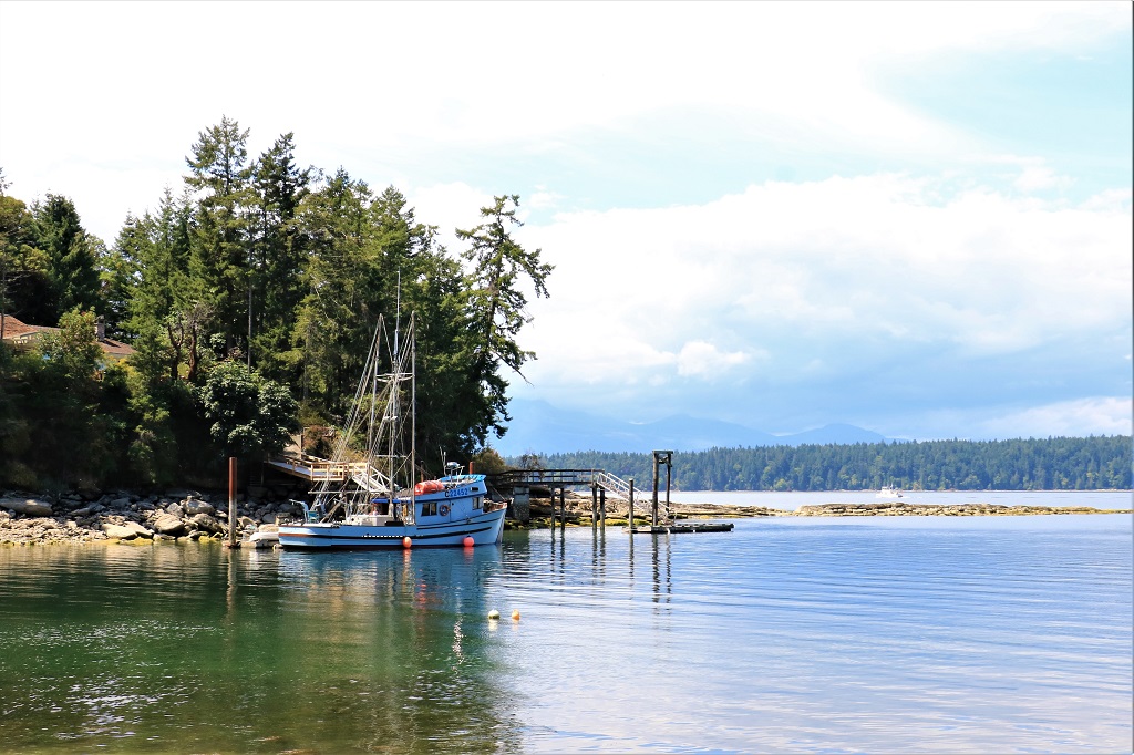
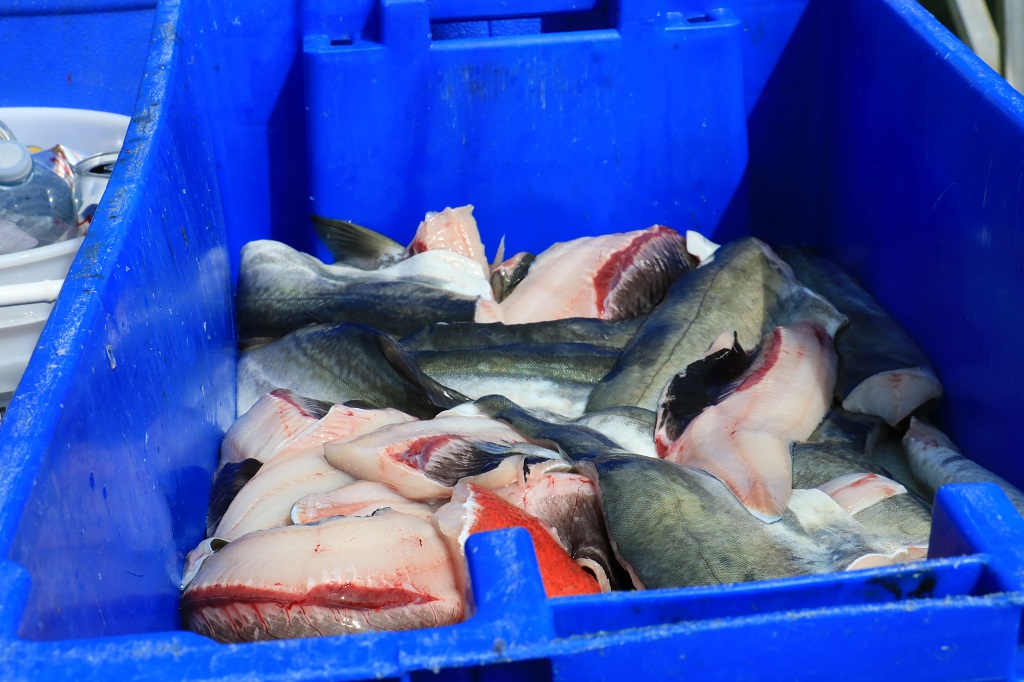
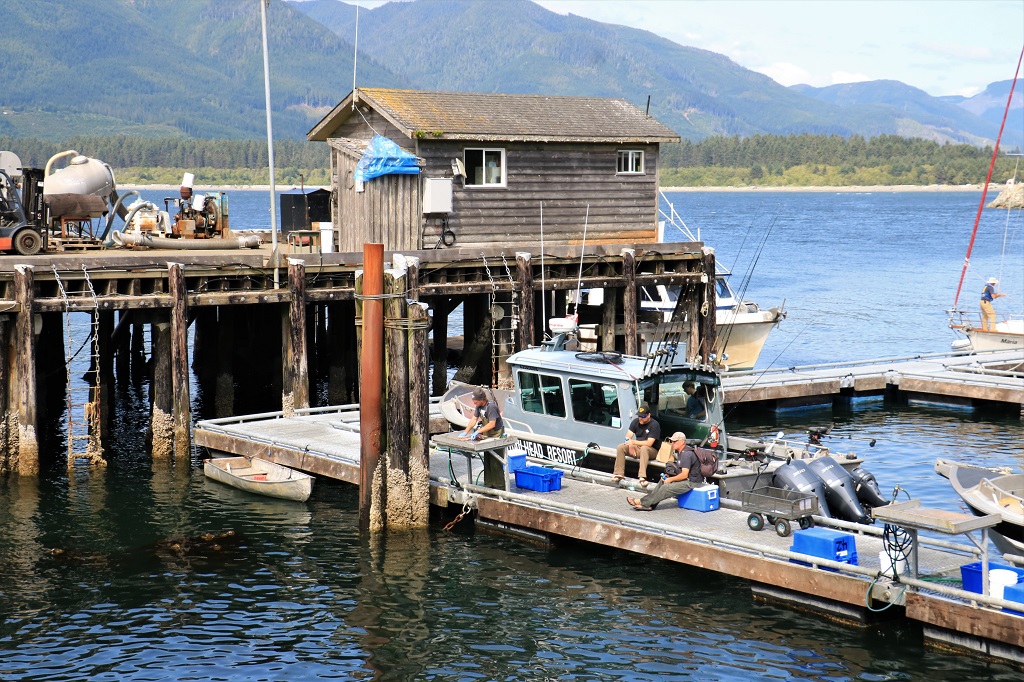
. There were quite a few fishing boats and charter boats docked along the wharf and the fishing must have been quite good today because we passed 6-8 large bins of filleted fish sitting on the wharf waiting to be picked up and taken up the hill to the processing plant.  A fellow was busy filleting the catch of a couple of fishermen so it could be freeze-packed at the plant for them to take home. The  view from  the  end  of  the  wharf  was  pretty  nice.After our little stroll we got back in the truck and headed back to Sooke, stopping to pick up a few more geocaches.  We got back to Wisteria Cottage at 6:30 and had dinner.  Another lovely day on Canada’s west coast.

2019 July Journey – Vancouver Island section – Day 4

We left Victoria after breakfast and drove west to Hatley Park.  We had to take a convoluted route due to construction detours but we arrived in time to book the 11:45 guided tour of the castle.

The castle was built in a year and a half for wealthy mine and railway owner James Dunsmuir and his wife Laura.  It was completed in 1908 and was their retirement home.  James hired over a hundred labourers, 62 stone masons and dozens of finish carpenters so the house would be built quickly.  His father Robert had commissioned Craigdarroch Castle as his retirment home but died before it was finished and James did not want to risk the same thing happening to him.  In 1910 he sold all of his coal mines, railway interests and all Dunsmuir businesses for $11,000,000 to retire and hunt, fish, golf and spend time on his yacht.  He died in 1920 at the age of 69.  His wife Laura lived in the house until her death in 1937.  The Dunsmuirs had eight daughters and two sons, yet when Laura died her will stated that everything in the castle and the property were to be sold and the money distributed to the surviving adult children.  Very few items in the castle are original.

The property sat vacant for three years after her death with no buyers.  WW11 had started and in 1940 the Dominion of Canada bought the house and over 500 acres for $75,000.  The stone wall that surrounds the estate and the greenhouses each cost that much money.  Most of the records pertaining to construction of the castle were destroyed after Laura’s death, but it has been estimated that the castle alone cost about $350,000 to build.  There were many other buildings like stables and barns, etc. that have been destroyed over the years.  When the govenment bought Hatley Park it was to be used to train naval officers and after the war it became Royal Roads Military College until 1995.  Today it is a public college that is leased from the Ministry of Defense for $1  per year.  However, the college must maintain the buildings and grounds, so they do pay a substantial amount for upkeep.  Hatley Park, despite being a working college is also a Canadian Historic Site.This is the back of the castle that looks out onto Juan de Fuca Strait..The front of the castle.

At the top of these stairs there was a French garden, however when the property became Royal Roads College the garden was removed for the Grant Building which contains classrooms and administrative offices.  There is another college building behind the Grant.  At the top of the stairs there is a statue of King Neptune that used to reside in the French Garden.  A group of naval officers were not about to remove a statue of the King of the Sea so it was moved to the top of the staircase.

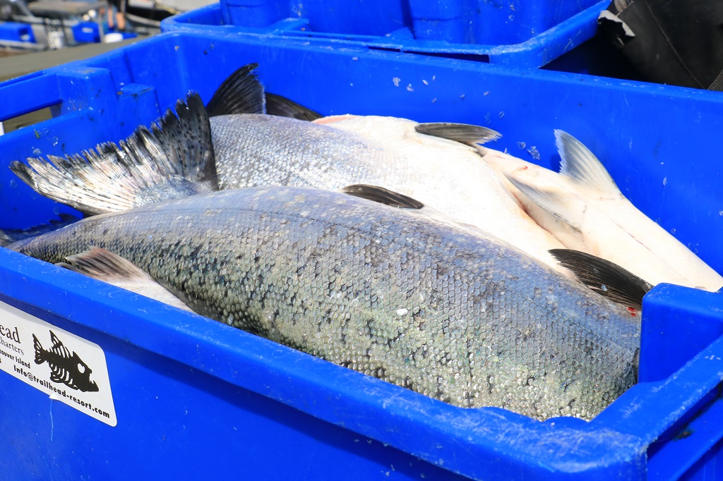
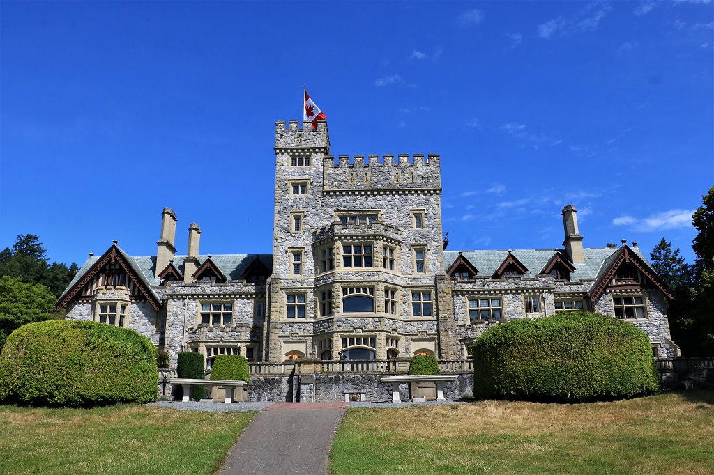
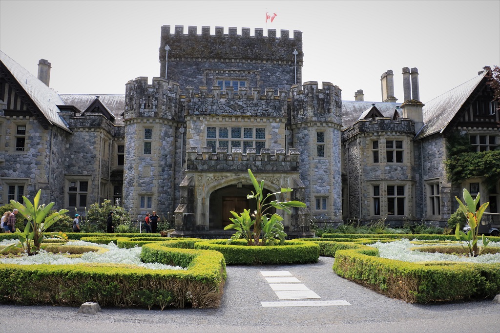
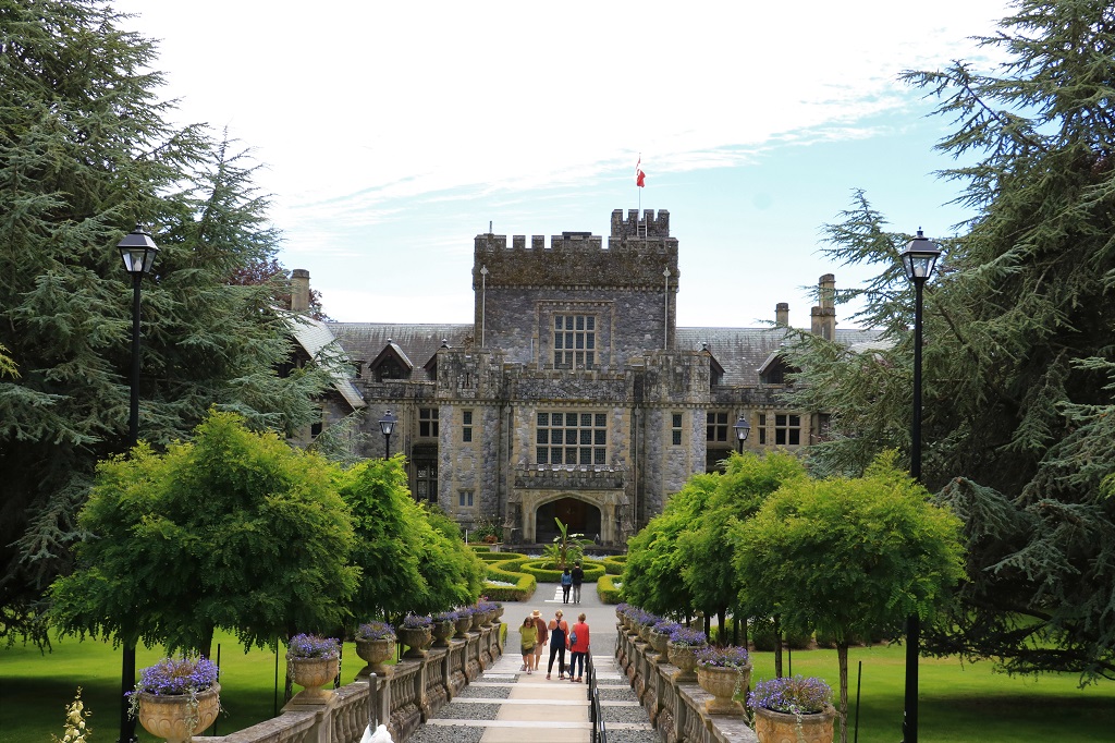
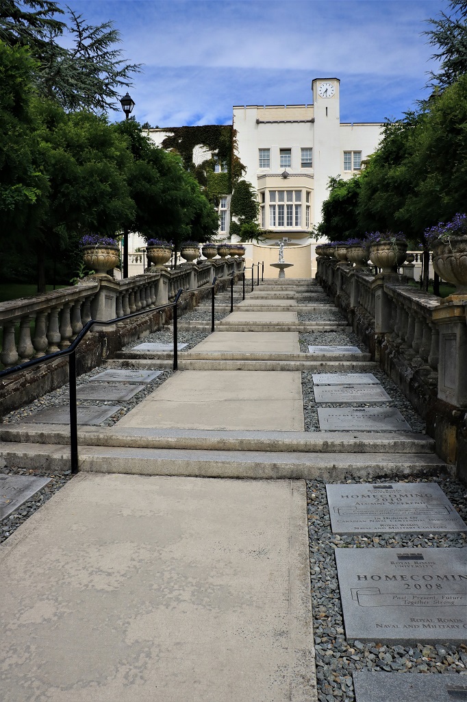
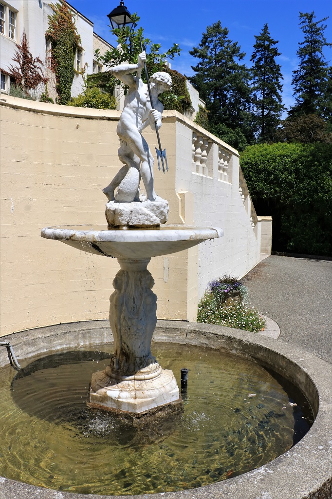
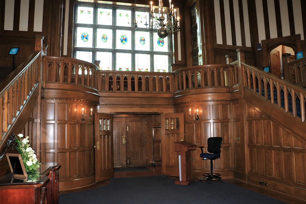
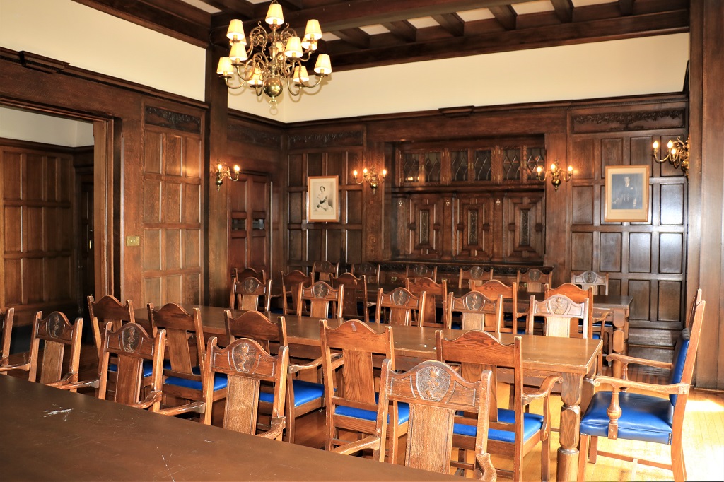
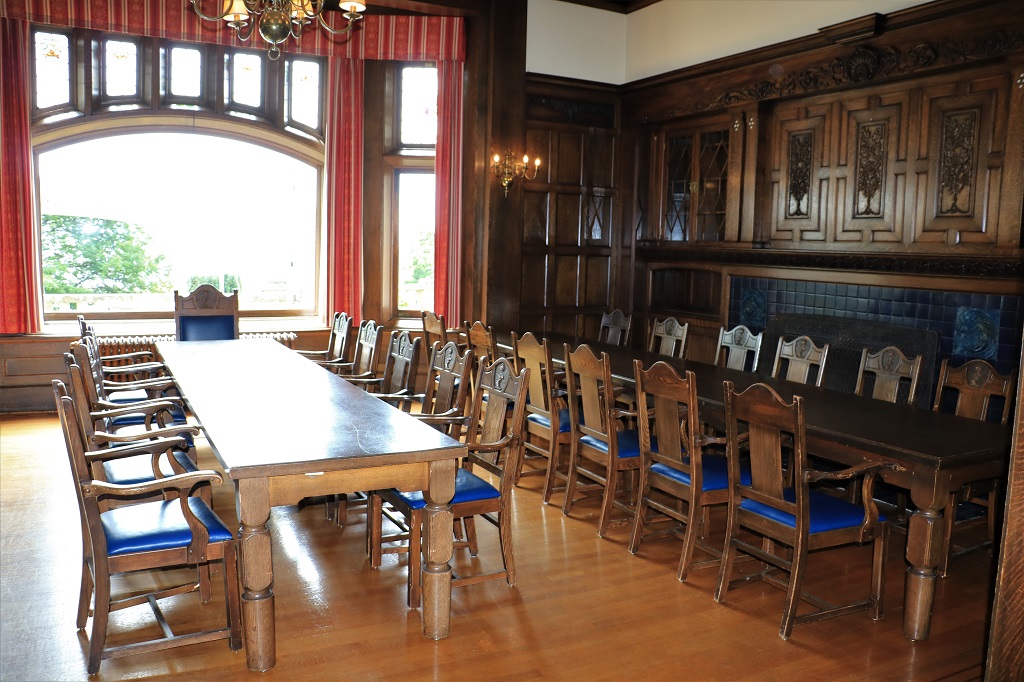
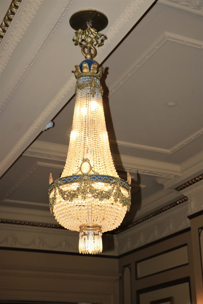
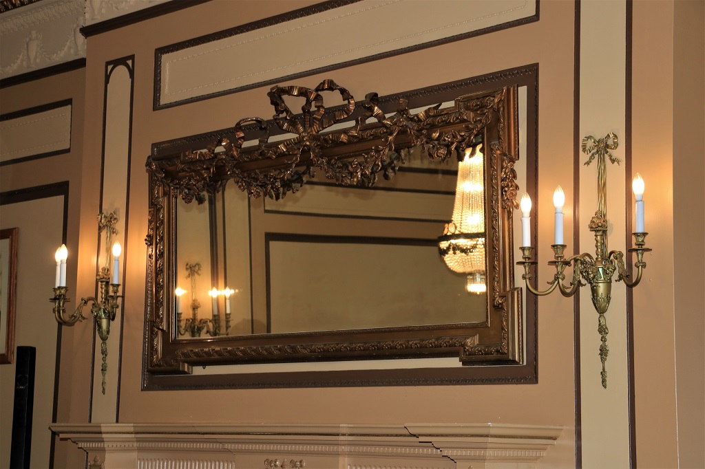
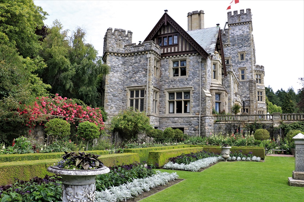
The second floor of the castle is used by college administration so we only toured the rooms on the main floor and the small museum in the basement.A lovely large entrance hall with a double staircase to the upper floor. The  dining  room.  The  three  tables  and  sets  of  chairs  were  made  by  cadets  of Royal  Roads Military  College.  It  was  tradition  that  each  graduating  class  make a table  and  set of  chairs. The lovely large mirror was one of two in the drawing room.  Both were sold at the auction after Laura Dunsmuir’s death.  The family of the purchaser donated it back to Hatley Park.  There is a desk and small table and chairs in the basment museum that were recently returned to the estate as well.The view from from the terrace outside the drawing room. The library, which was converted to an officers bar during the Royal Roads years.

The billard table was also sold at the auction but it is made of five slabs of slate and the purchaser could not get it out of the room so he donated it back to the castle.  The legs can be removed and the table taken out on edge, but the fellow didn’t figure that out.  Various rooms in the castle have been used for movie films and the billiard table has been taken out of the room several times for filming.

The tour ended in the Italian Garden. 
We went up to the cafe in the Grant Building and had some lunch then came back and wandered through all the gardens.  There is no cost of see the gardens.  Sadly, other than the Italian Garden and the croquet lawn below it which are beautifully maintined, the rest of the gardens are very over grown and unkempt.  But, it is a working college and their priority is the buildings and education, not expansive gardens. During the Dunsmuir days James and Laura employed 120 gardeners.  Not possible for the college to do. There are upper and lower Japanese gardens that were created by a prominent Japanese landscape designer. The beautiful big pond in the lower Japanese garden is filling up with weeds and algae.  It would need a lot of work to restore. The majority of the roses in the Rose Garden were finished blooming but there were still a few pretty ones to be seen – and some other nice flowers too. The Walled Garden and the Bog Garden were both very overgrown so all my photos just look cluttered.

We finally left Hatley Park at 3:30 and drove back to Coburg Peninsula to get a couple of geocaches along the Esquimalt Lagoon Barrier Spit.  The lagoon is home to many species of birds including trumpeter swans, mute swans, and herons.  There were over a dozen herons wading in the water when we were there. We left the spit and headed for Sooke where we are staying for three nights in a cute little cottage on a quiet side road.  We got stuck in the same slow-moving traffic as yesterday and took forever to get to the store for a few dinner and breakfast groceries.  By the time we got back to Wisteria Cottage it was almost 7 so we had a late dinner before the usual evening activities of photo sorting and  blog writing.  Tomorrow, I suspect, will be a quieter, slower day.  My feet need a break.

2019 July Journey – Vancouver Island section – Day 3

We spent the first half of our day in Victoria wandering around finding some geocaches and enjoying the Inner Harbour area.

I suspect it may be illegal in Victoria to NOT take a photo of the impressive Empress Hotel.  It  is  a lovely  building  in  a beautiful  setting  and  everyone  takes  pictures  of  it.  Including  me.
There is quite a bit of construction going on in various parts of the city so we saw lots of cranes.  I like the boats – from masted sailing vessel to sail boat to modern speed boat.  Every type of water craft can be seen in the harbour. As we walked along the top of the sea wall at the Inner Harbour, I noticed a fellow holding some old photos and looking out across the water.  I commented on his photos and he told us he was retired from the Australian navy and had been stationed in Victoria in 1979 on a navy exchange.  He had brought along his photos to compare with how the city looks today.  He said his wife was resting at their hotel, as she is not a really good traveler, but she was amazed by all the lovely flowers blooming everywhere in the city.  He was thrilled to have been able to come back after all these years.  Crossed an item of the bucket list he said.  They had spent 6 days in Vancouver, taken a 7-day Alaska cruise and were just completing 6 days in Victoria.  They fly back to Melbourne tomorrow.  We had a great chat.  He enjoyed telling us his story.  
The garden at bed and breakfast on the corner by our hotel contains this lovely floral horse.

At the end of the Inner Harbour there is a floral orca and calf.One of the geocaches we found today was a two-stage one and all the numbers in the coordinates to find the cache were to be found in memorial bricks located at the 100th Anniversary of the Canadian Navy Memorial.   It  took  us  quite  awhile  to  find  all  the  right  bricks  and  collect  the  numbers.  It  was  fun  though. The other ‘must photograph’ building in Victoria is the BC Parliament Building.  Both  the Empress and the Parliament Building were designed by famous architect Francis Rattenbury (1867-1935).

Another geocache led us to the back of the Parliament Building and we discovered the Emergency Services Memorials.  One for police, fire, ambulance and search and rescue members who had lost their lives in the line of duty.  We have been to Victoria several times and never knew this nice park was here.  I love all the places we see because we are searching for a geocache. We had a light lunch at the BC Provincial Museum and then wandered through Thunderbird Park and looked at some of the totems. We had planned on coming to Victoria on July 11 because a couple that we had met on the 2009 World Cruise who live in the Los Angeles area were on a cruise from San Francisco to Alaska.  The ship was berthed in Victoria from 2 until 11 pm.  We had not seen them for several years so we decided to come down.  It worked out well that a family reunion in Nanaimo got planned within the week so we had two excuses to come to the island.

Our friends were having High Tea at the Empress at 3 o’clock so we stopped in to check on what time they would be done so we could pick them up and take them for a drive.  Of course, we had to admire the gorgeous flowers.

We picked Bill and Lynn up at 4:15 and drove out to Fisgard Lighthouse.  Well, we planned to go to Fisgard Lighthouse, but the traffic was moving at a crawl and by the time we got there they had just closed the gates for the day.  We did manage to show it to them from the Coburg Peninnsula – a thin spit of land across the Esquimalt Lagoon. We headed back into Victoria for dinner and then drove through Beacon Hill Park where we chanced upon a cricket match.John drove through the lovely Oak Bay area and we stopped here and there to take photos.  Below is the Trial Island Lighthouse.The sun was getting low which made for some nice light. As we were heading back to drop Bill and Lynn at their ship we stopped at the Oak Bay Marina where the setting sun cast a gorgeous blue on the sky and water. We said goodbye at the cruise terminal at 10 pm and headed back to our hotel to check photos, write a blog, and go to bed.  Tomorrow we drive to Sooke, which is a short distance west of Victoria.  We plan to stop at Hatley Castle and Gardens on the way so be prepared for flower photos.

2019 July Journey – Vancouver Island section – Days 1 and 2

We left home on Tuesday July 9 and drove down to Abbotsford, near Vancouver, where we spent our first night.  This is a drive we have made many, many times and the road travels primarily through mountain forest.  We saw no critters, stopped for no geocaches and made no detours.  Hence we arrived at our hotel at 4:30 and were able to relax a bit before dinner.

Our itinerary for this road trip includes traveling to Vancouver Island where we will visit with some friends for a couple of days, spend some time geocaching and exploring in the Sooke area before taking another ferry over to Salt Spring Island to explore for two days.  We will then return to Vancouver Island via a different ferry route and head to Nanaimo for a family reunion.  After the reunion weekend will tour around nearer the northern part of the island; seeing some sights and geocaching along the way, before getting on the overnight ferry from Port Hardy to Prince Rupert. We will spend a night in Rupert and take another ferry the next day to Haida Gwaii (formerly called the Queen Charlotte Islands).  We are spending four nights on Haida Gwaii before catching the ferry back to Prince Rupert and driving home.  We expect to get back about August second or third.  Lots of ferry rides on this journey.

This is not going to be as long of a trip as many others we have done, but we will be seeing some new territory, which is always fun and interesting.  I don’t think there will be a blog post every day, but you never know.  If I take enough photos of enough different things I will try post each day.  No promises though.  I hope you enjoy some of the beautiful sights of the British Columbia west coast through my camera lens.

We woke to overcast skies and rain, which continued most of the day. Every once in awhile it would clear off for an hour or so but then the clouds and rain returned.  We left our hotel in Abbotsford just after nine and arrived at the Tsawwassen ferry terminal just as the 10 am ferry was departing. We had a reservation for 11 am so were just directed to the appropriate waiting line.

The ferry takes an hour and a half to sail from Tsawwassen to Schwartz Bay on Vancouver Island.  We had calm water all the way.  It wasn’t a particularly bright crossing, but it wasn’t torrential wind and rain which we have had on past trips to the island.Pilings and walkways and ramps here, there and everywhere as we leave the Tsawwassen Ferry Terminal. There are a lot of ferries that come and go from here each day. Just two of about five ships at the Robert’s Bank coal port. One ferry going west meets one ferry going east. Photographing the passing scenery is a popular way to spend the time. There are many islands in the Strait of Juan de Fuca between Vancouver and Vancouver Island.  And people live on all of them.We  were  sitting  inside  in  one  of  the  lounges  and I looked  out  the  window  and  noticed a low  band  of  fog  creeping  across  the  water;  which,  of  course,  means  I have  to  get  up  and  go  out  on  the deck  to  photograph it.We docked at 12:35 and stopped for some lunch in Saanich before heading into Victoria.  John spotted the Mayfair Mall as we entered the city and pulled in to see if he could find a new pair of shoes as his were beginning to fall apart.  A successful hour of shopping followed and when we got back in the truck to continue on our way, the clouds lifted and we had sunshine when we arrived at our hotel. We were able to check in even though it was only a little after 3 pm.  We rested in our room until it was time to walk over to our friend Mary’s apartment.  She had made reservations for us to have dinner and when we arrived at the restaurant we realized it was located in the same old hotel that we had staying in on our honeymoon; many, many years ago.  This was the only hotel room we could find in the city and we were made to pay for two rooms because there was a connecting bathroom.  The plumbing pipes were outside the walls, the tub was a massive claw-foot thing, the door to our room didn’t lock and I had made John check under the bed for critters.  The bed, however was a feather tick that just folded around you when you lay down.  We had a marvelous sleep.  John, Mary and I had a good laugh at the memories and a good dinner in the restaurant before we walked back to Mary’s apartment and continued our visit a bit longer.  Now we are settled in our room for the night and looking forward to visiting with our friends Bill and Lynn tomorrow.  They live in California and are on a cruise to Alaska.  The ship is spending the afternoon and evening in Victoria so we came to see them.  It worked out well that relatives planned a family reunion to be held a week later.