Category Archives: 2016 Jan/Feb – California Holiday – Death Valley, AZ, NM, CO, UT

2016 Feb 14 – Day 35 – California and Beyond – Grand Canyon Caverns, Tuzigoot

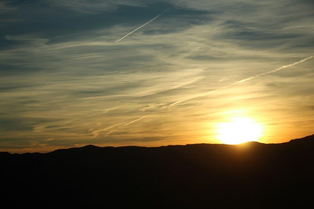
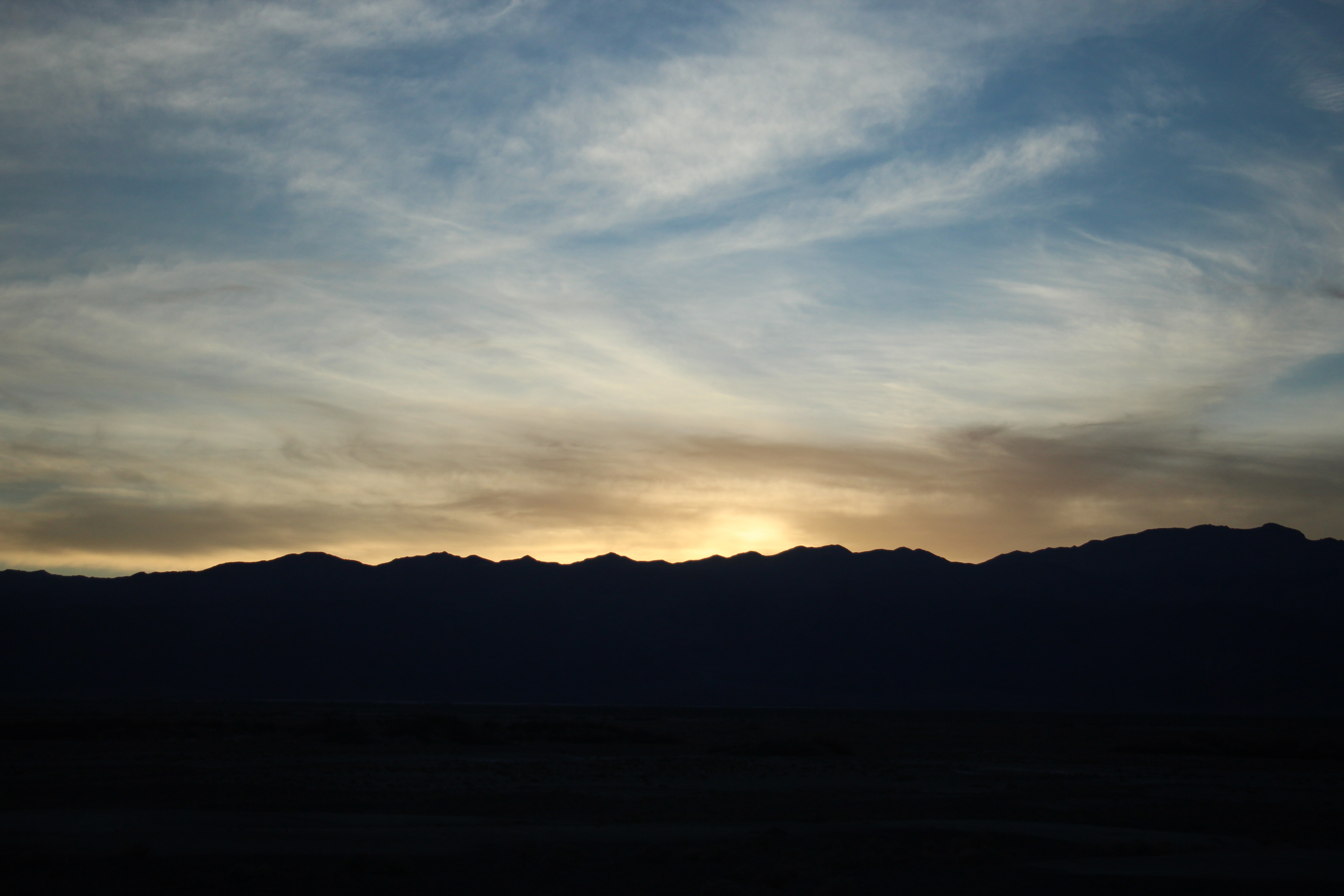
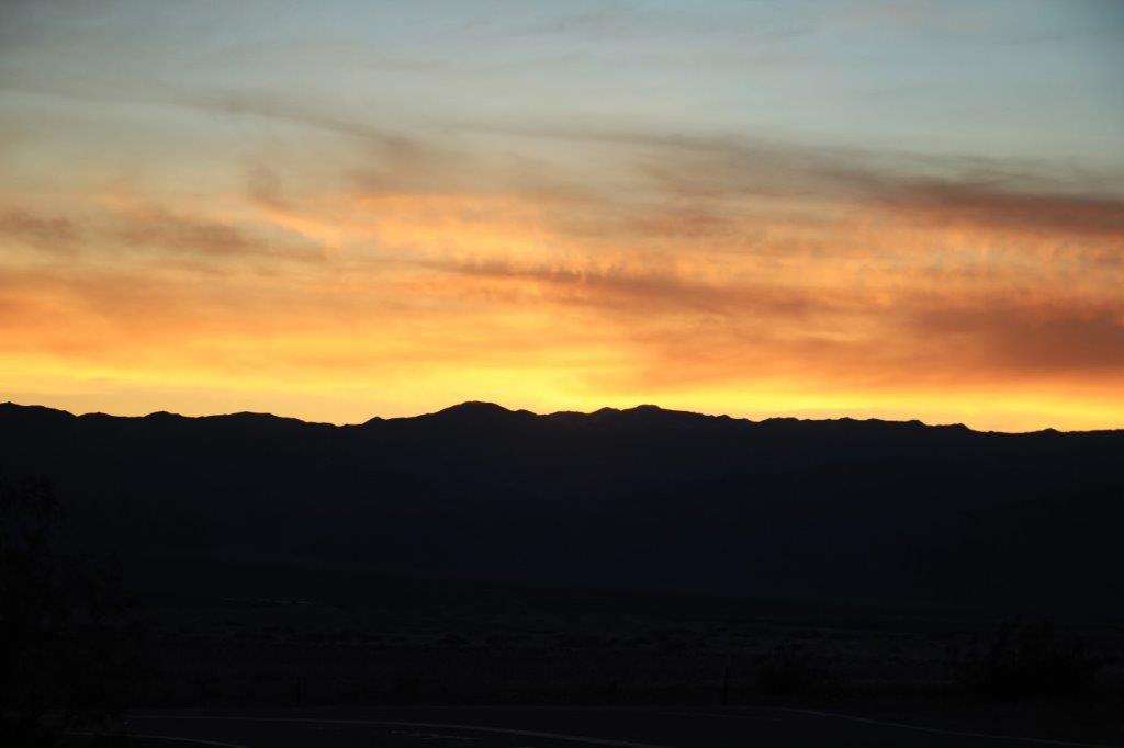
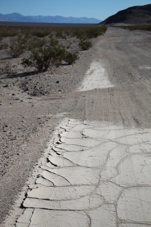
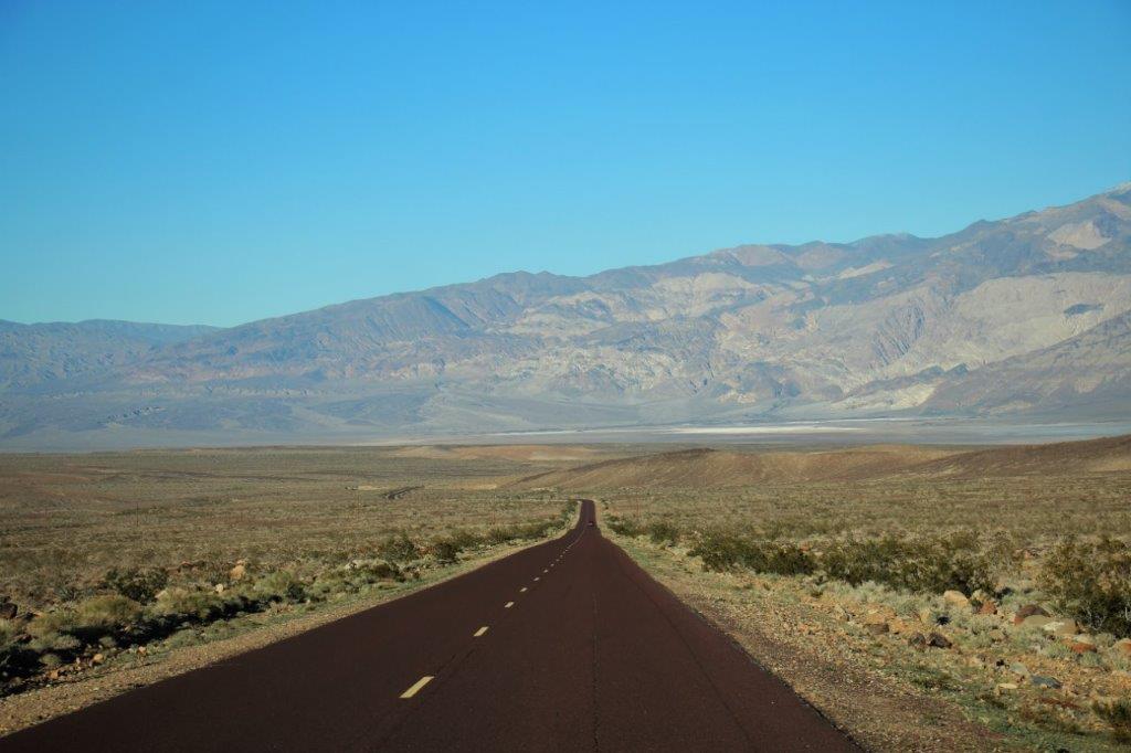
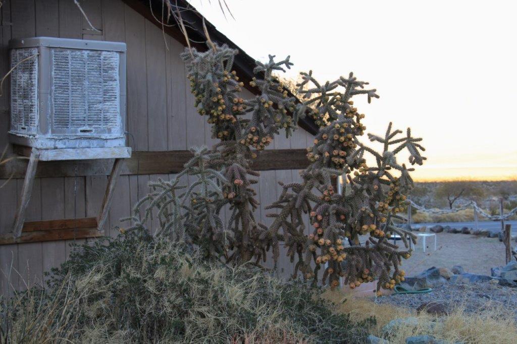
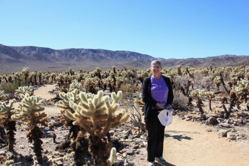
Day 35 – February 14 – Kingman to Sedona, AZ

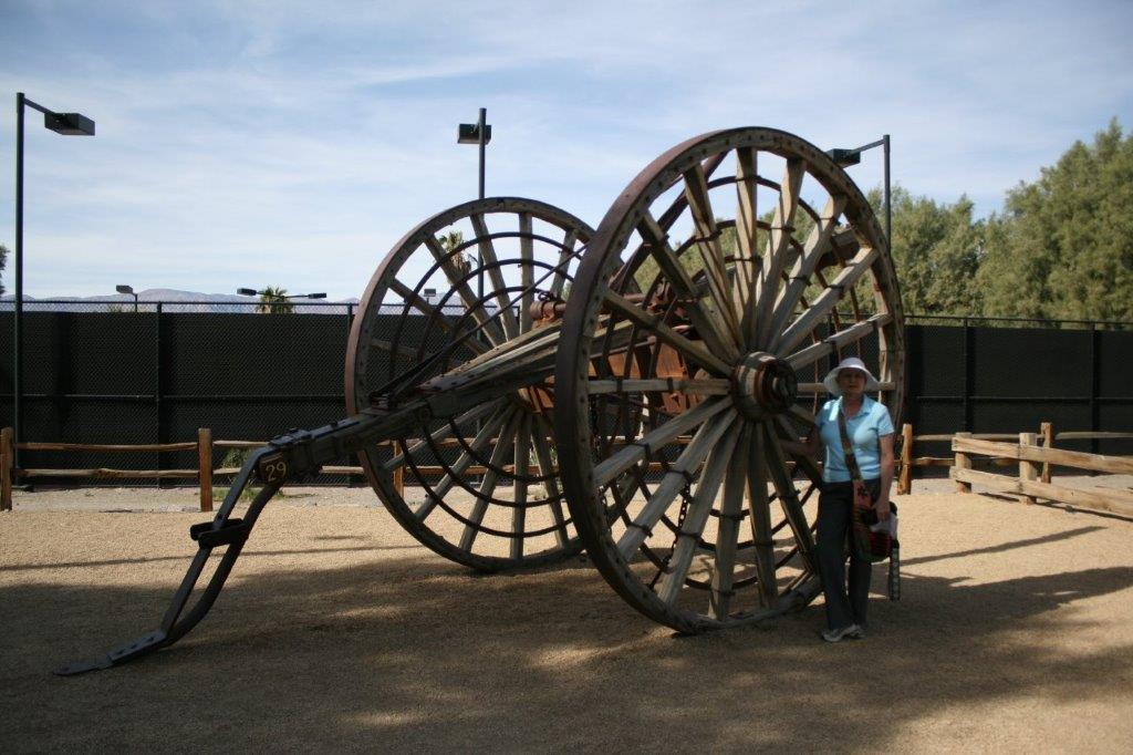
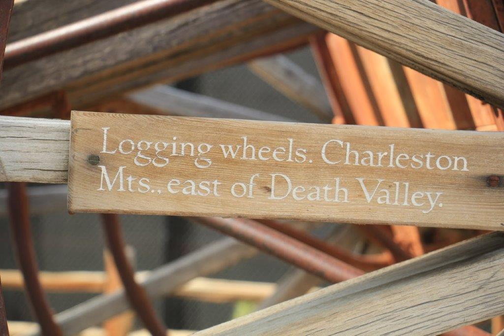
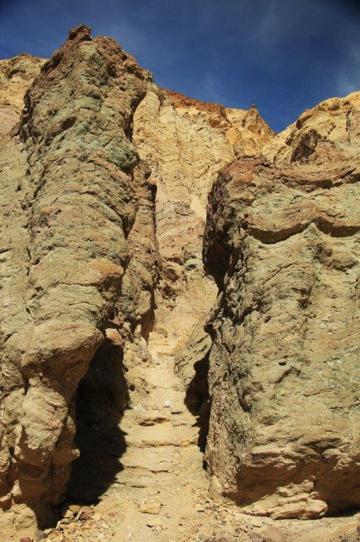
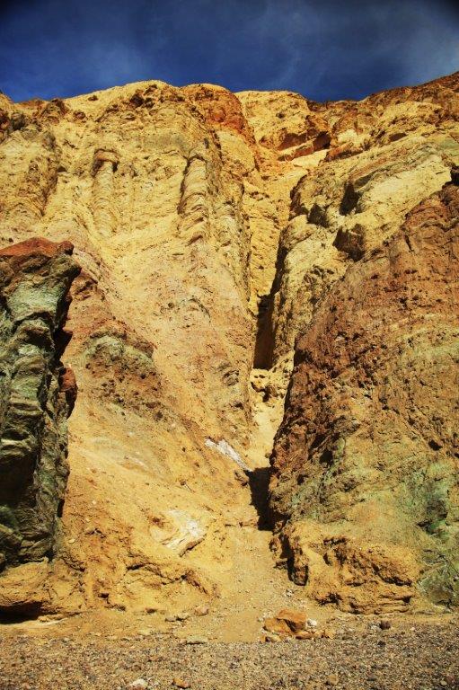
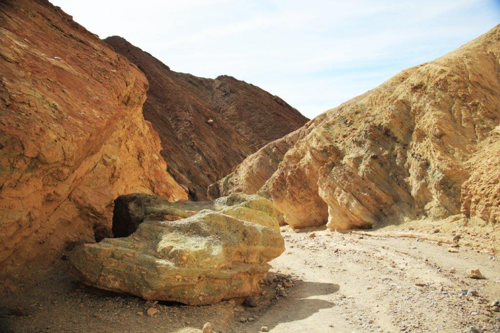
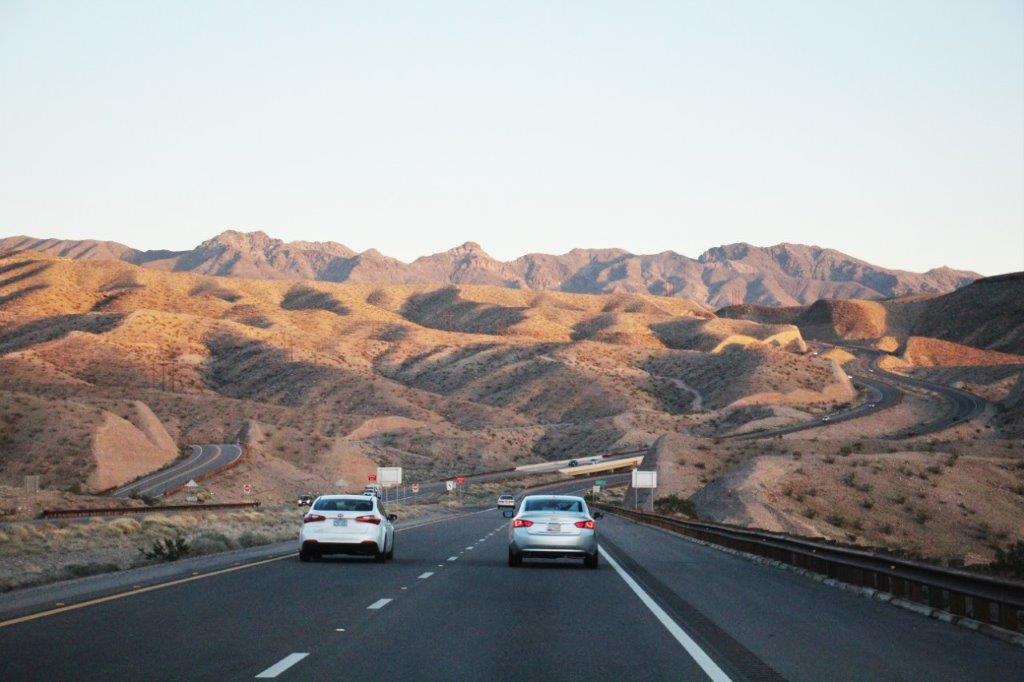
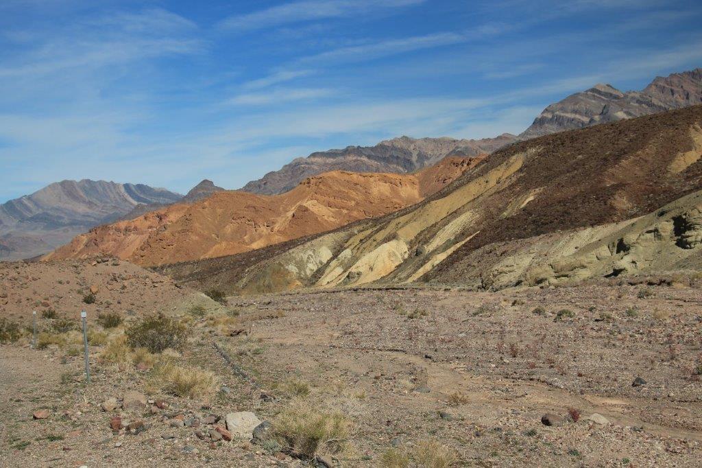
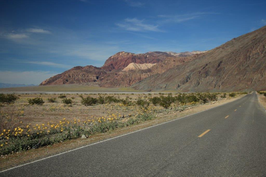
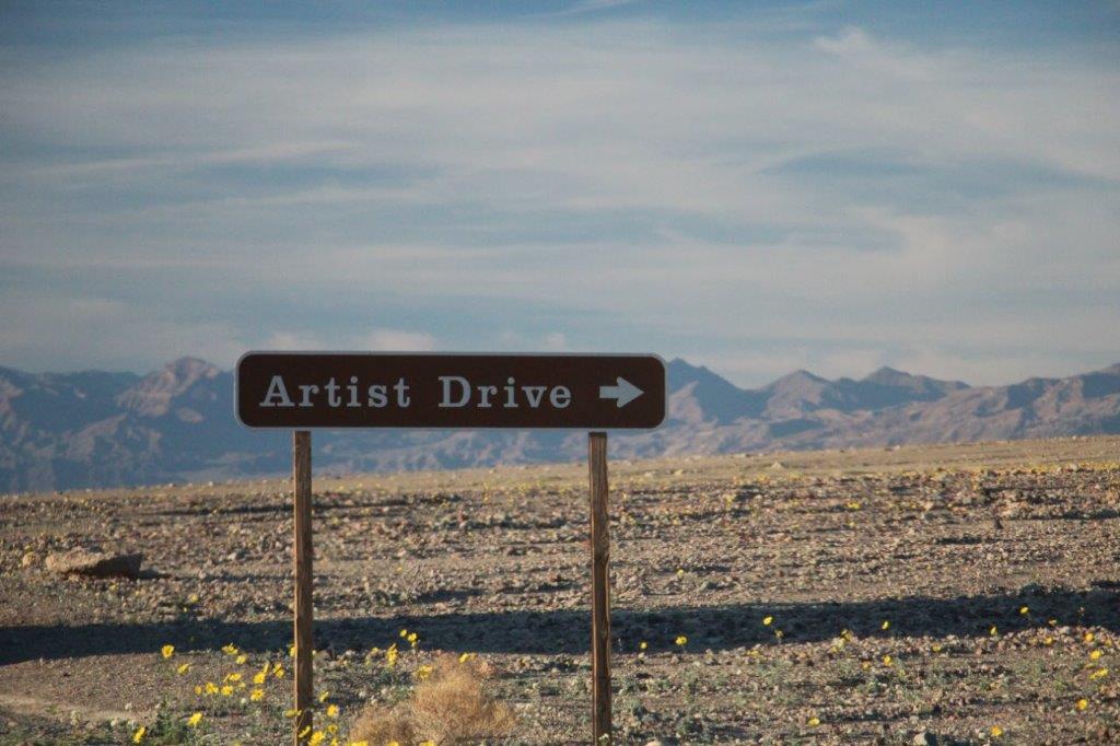
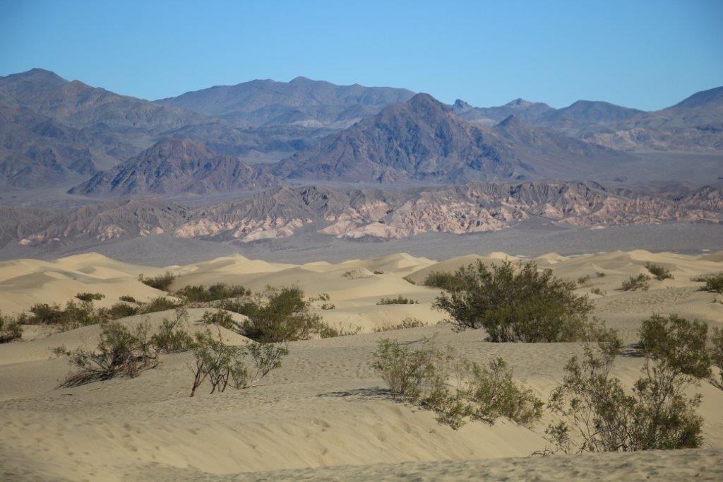
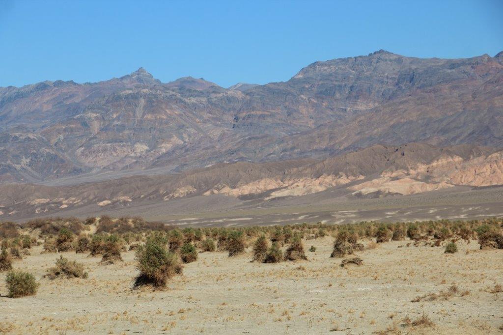
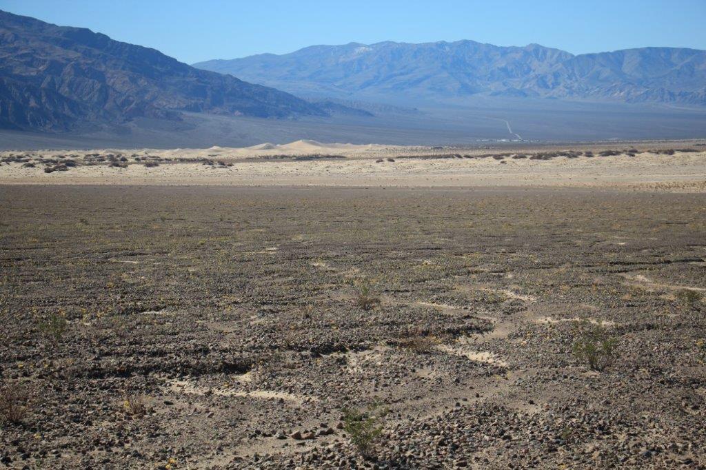
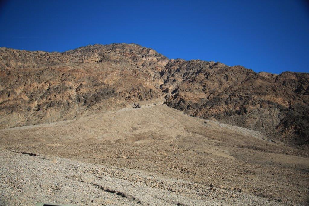
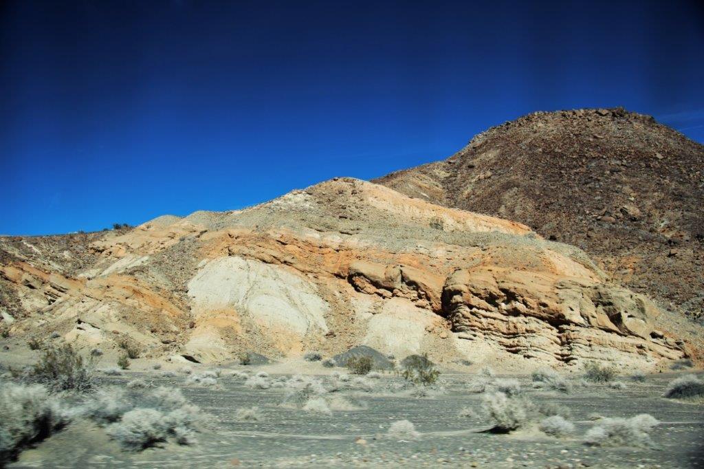
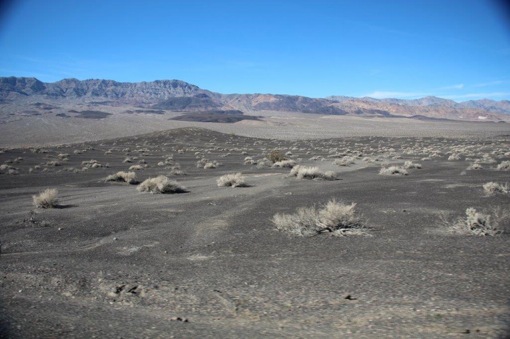
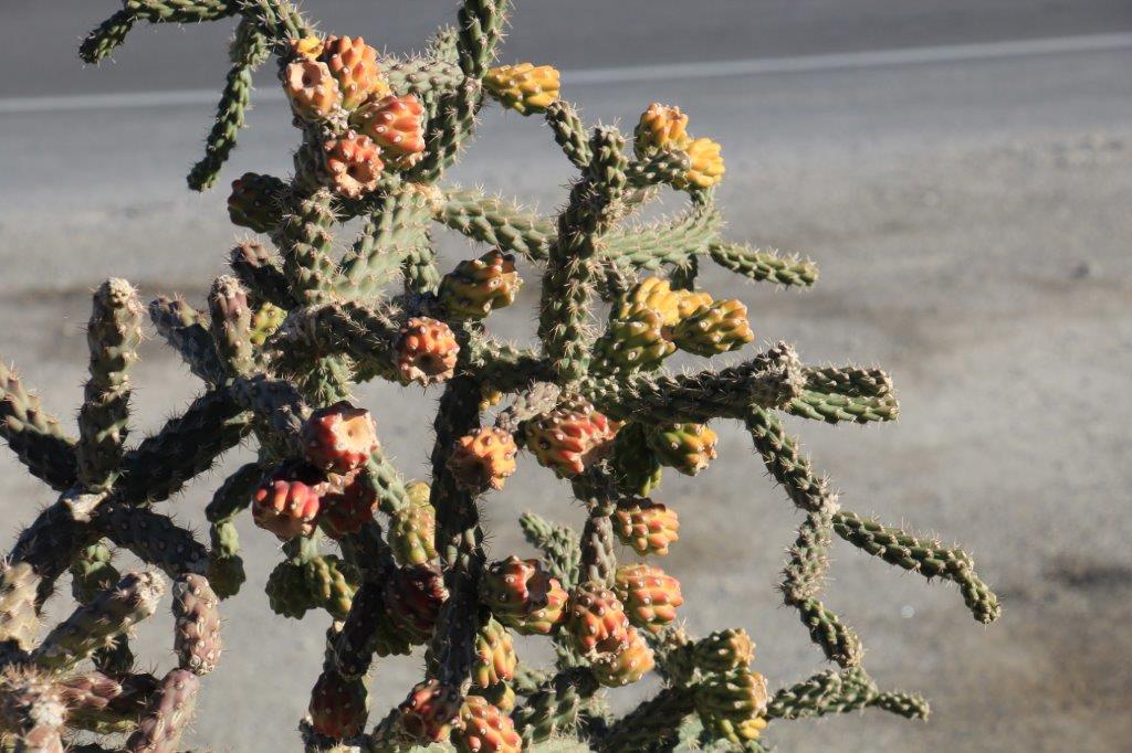
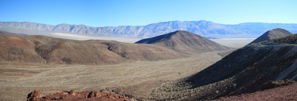
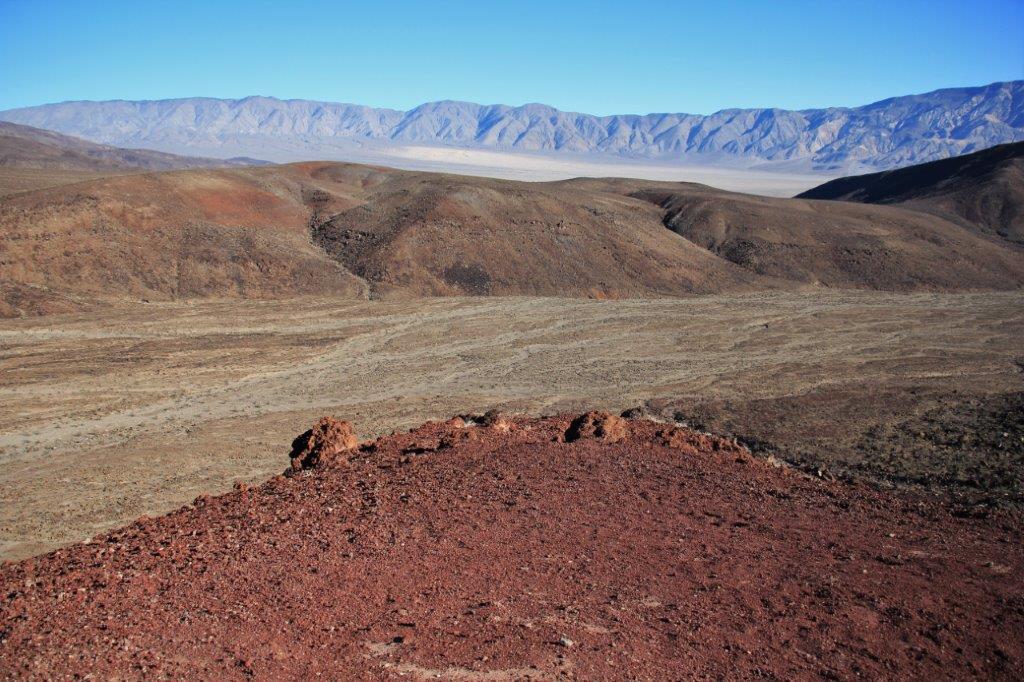
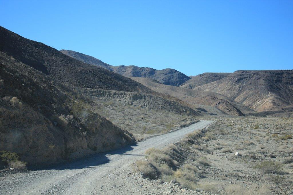
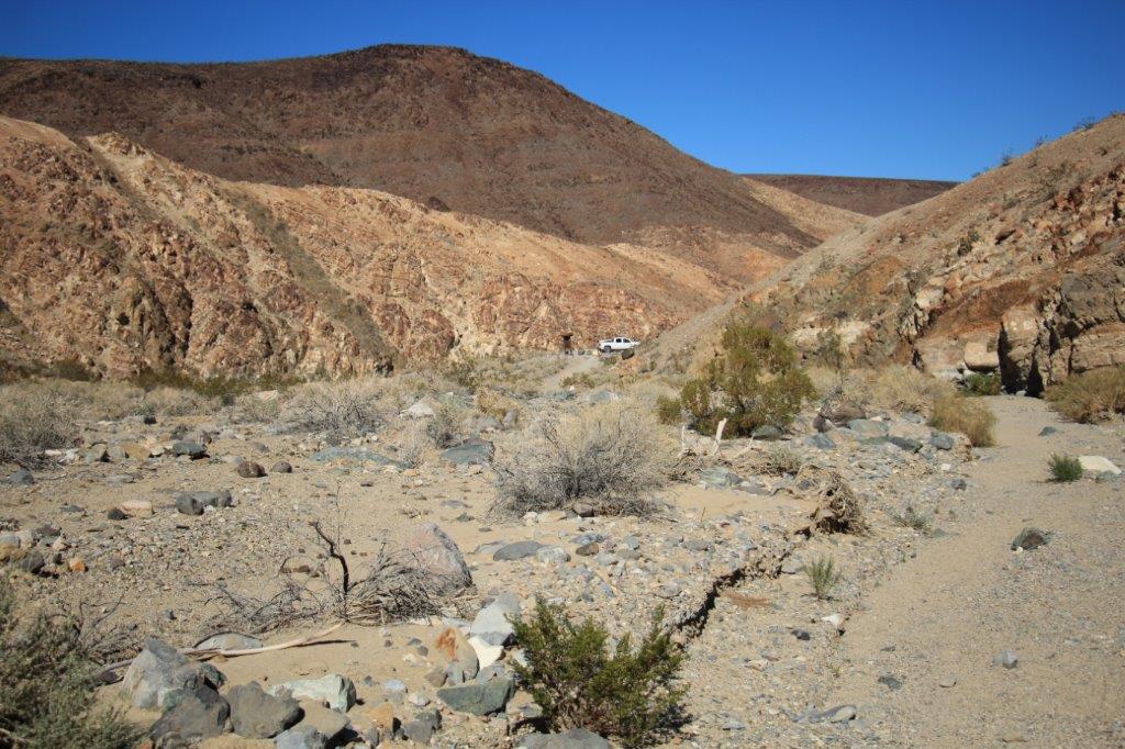
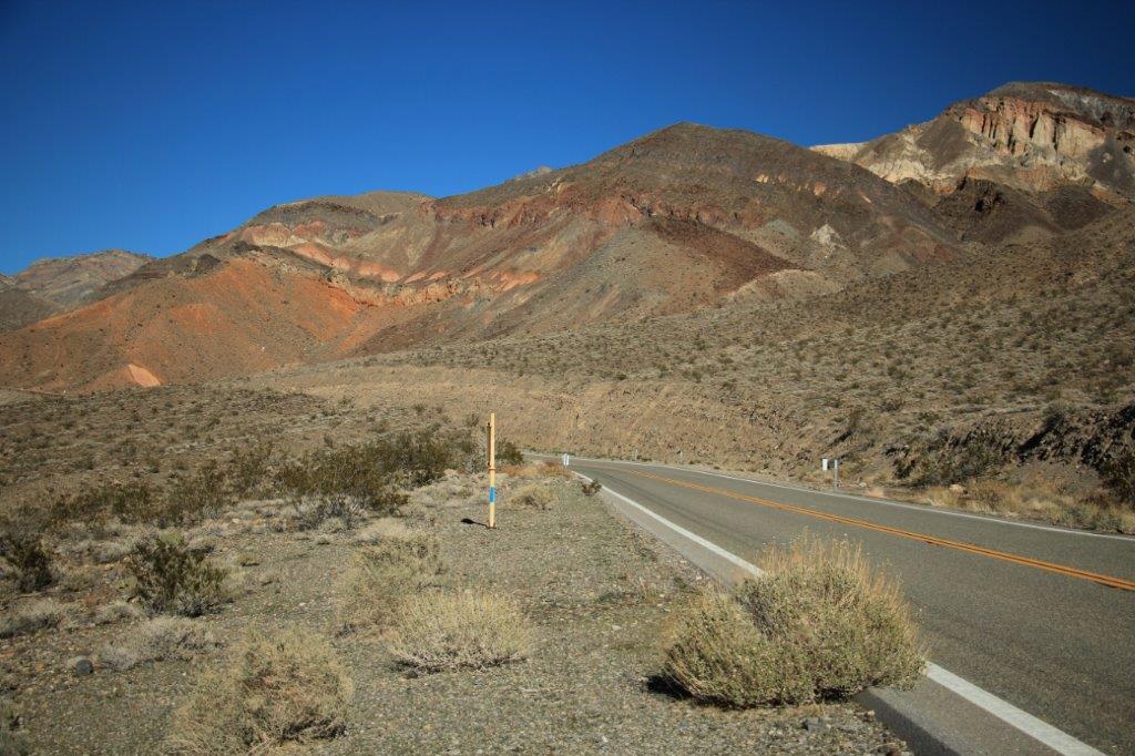
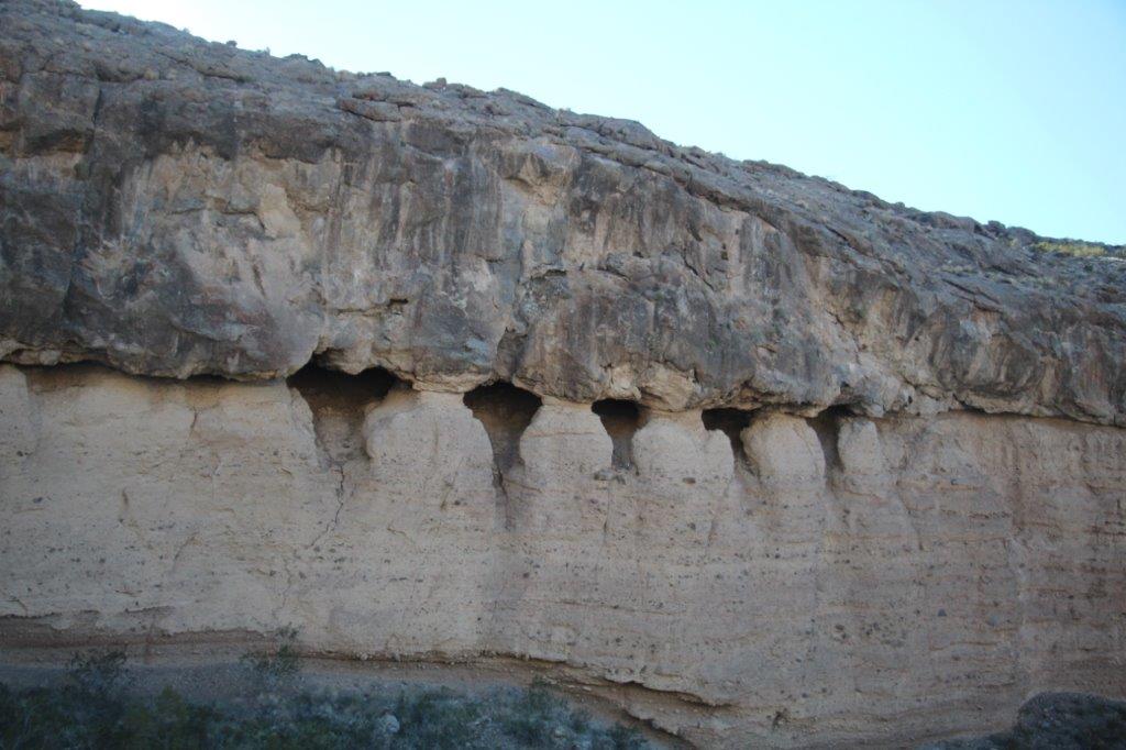
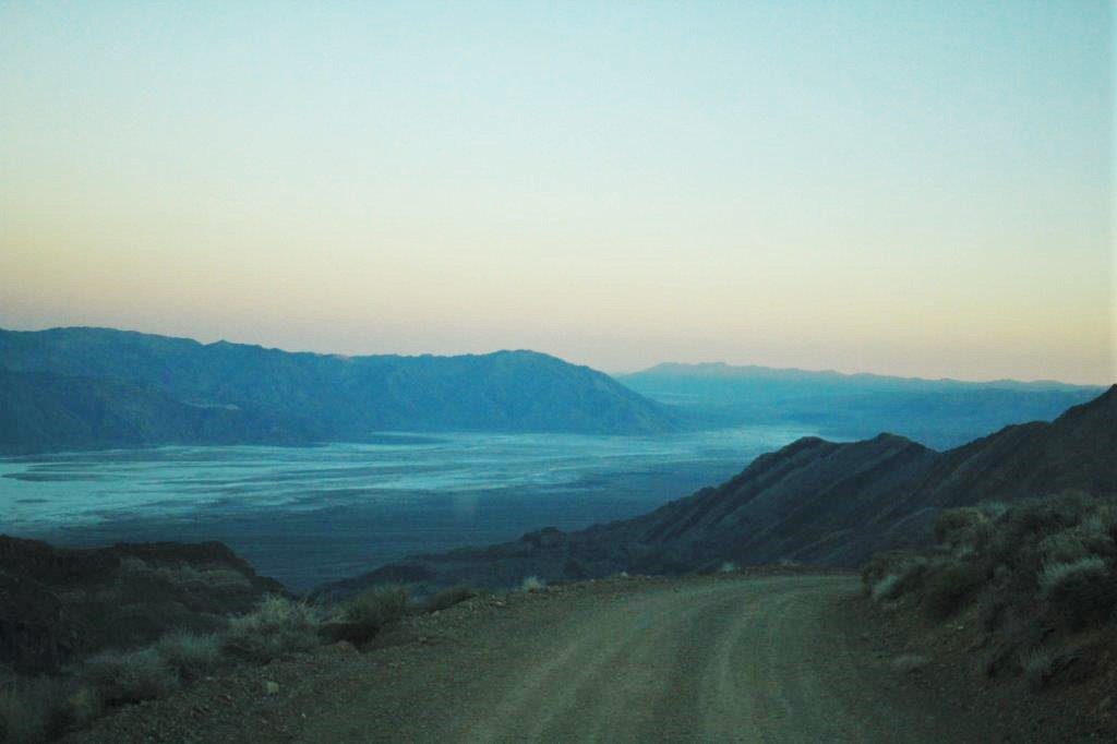
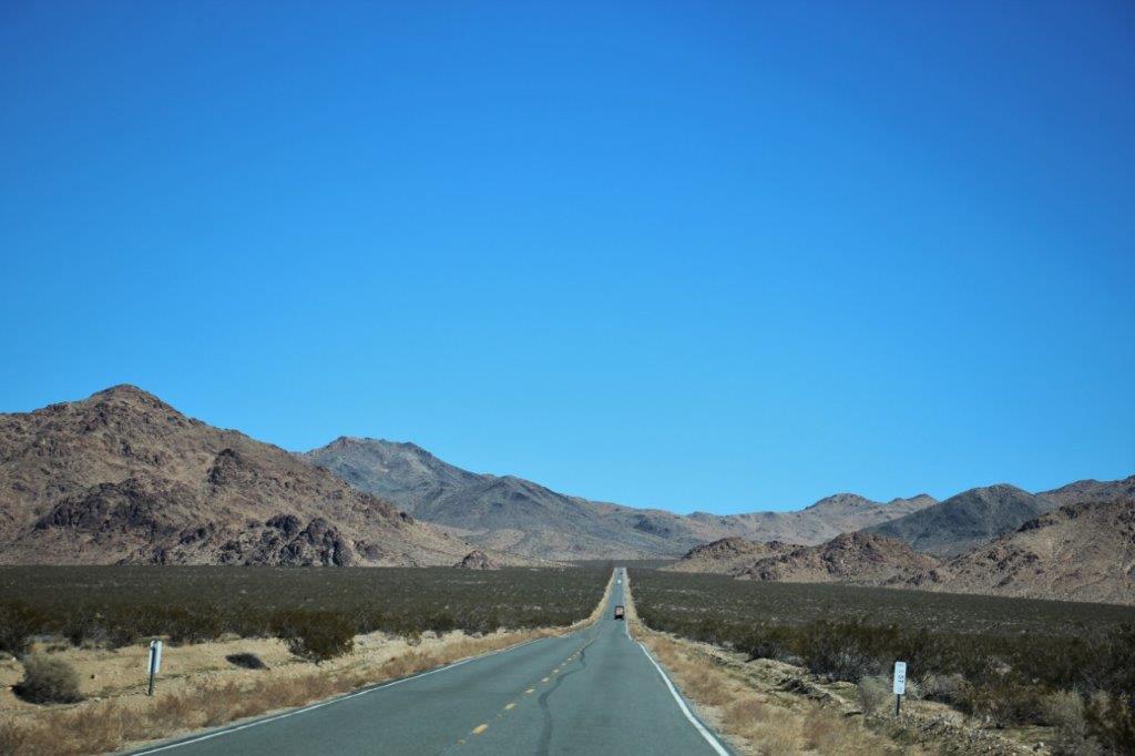
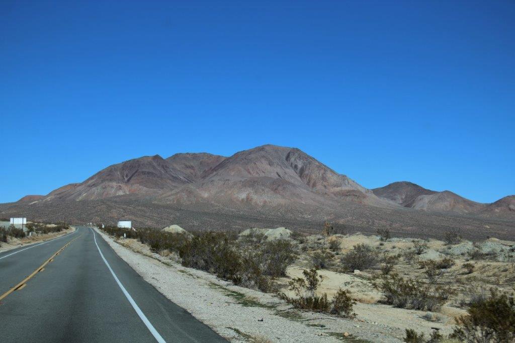
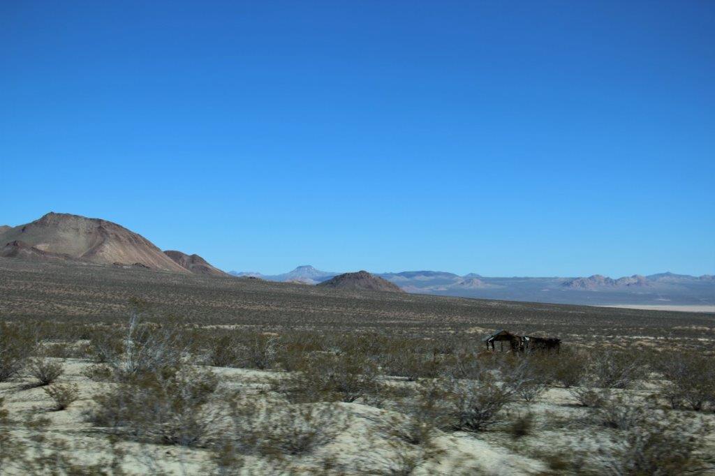
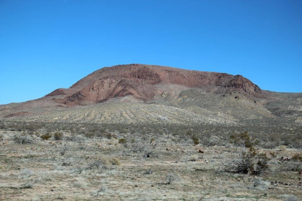
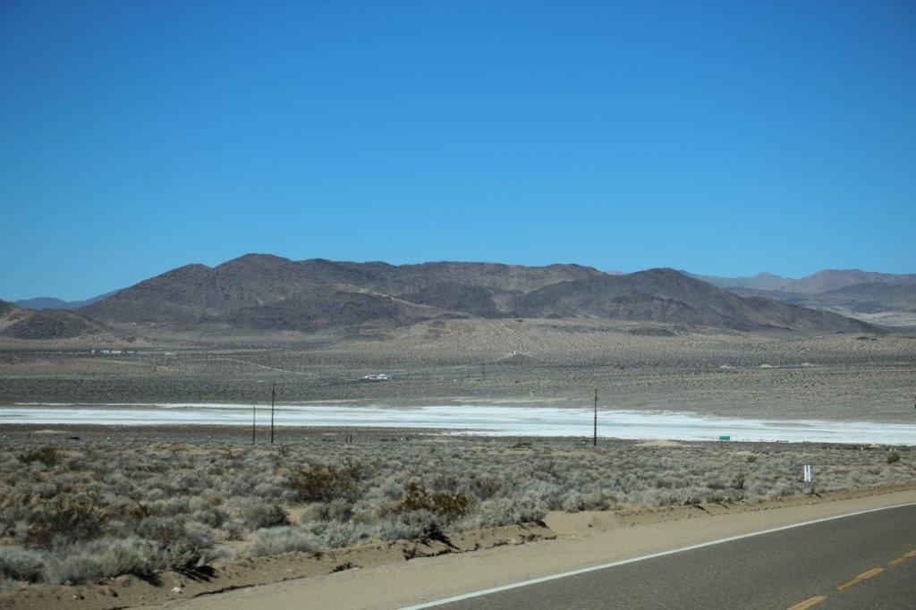
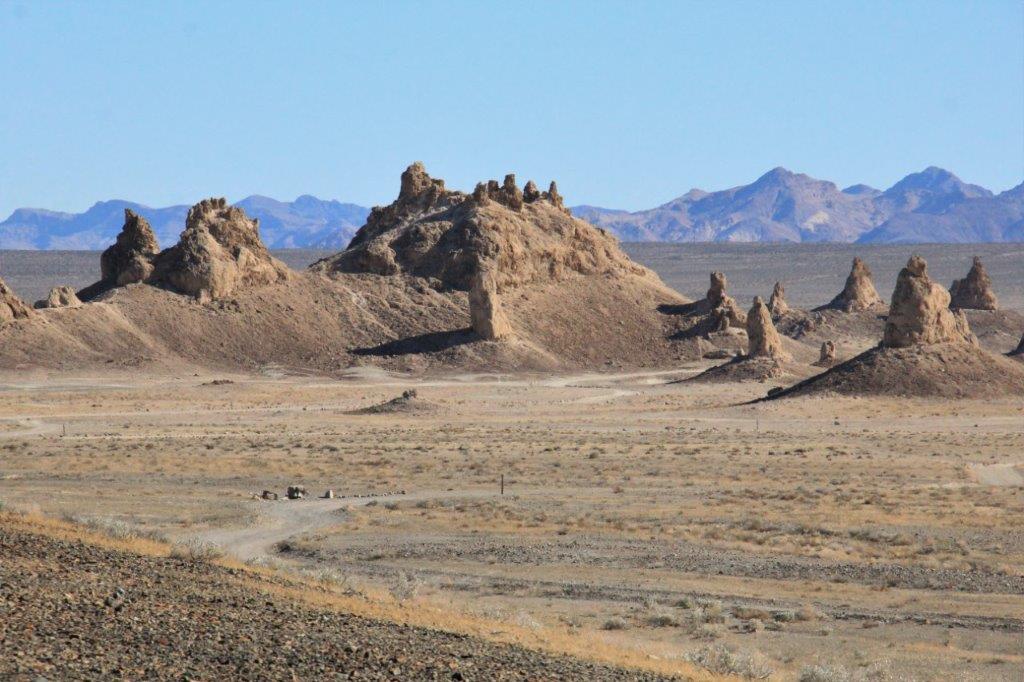
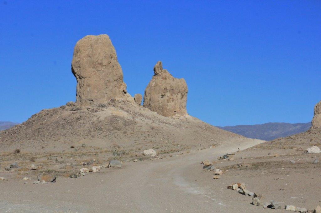
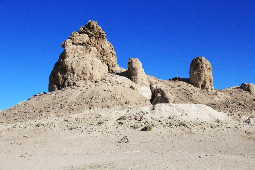
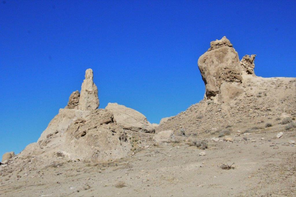
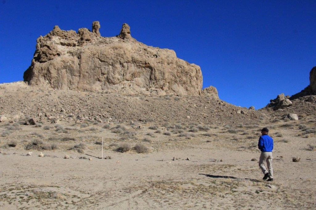
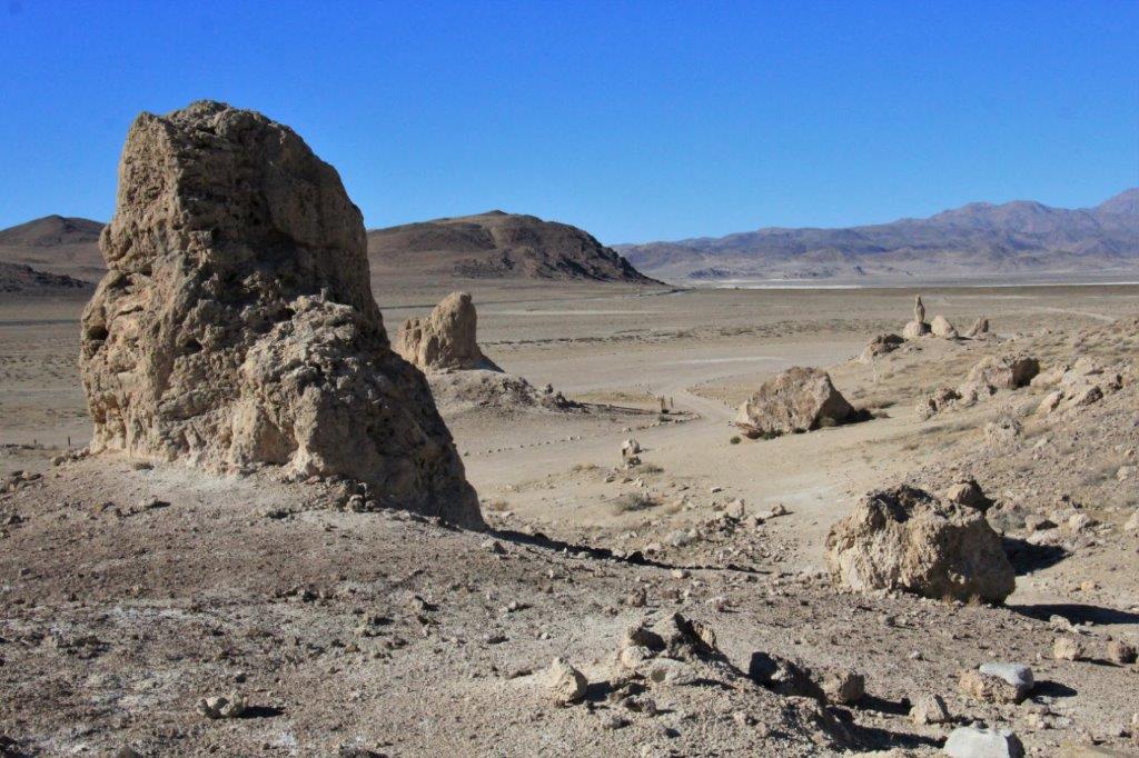
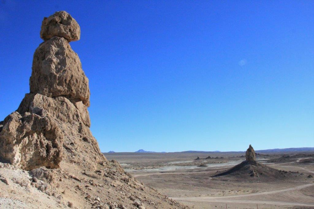
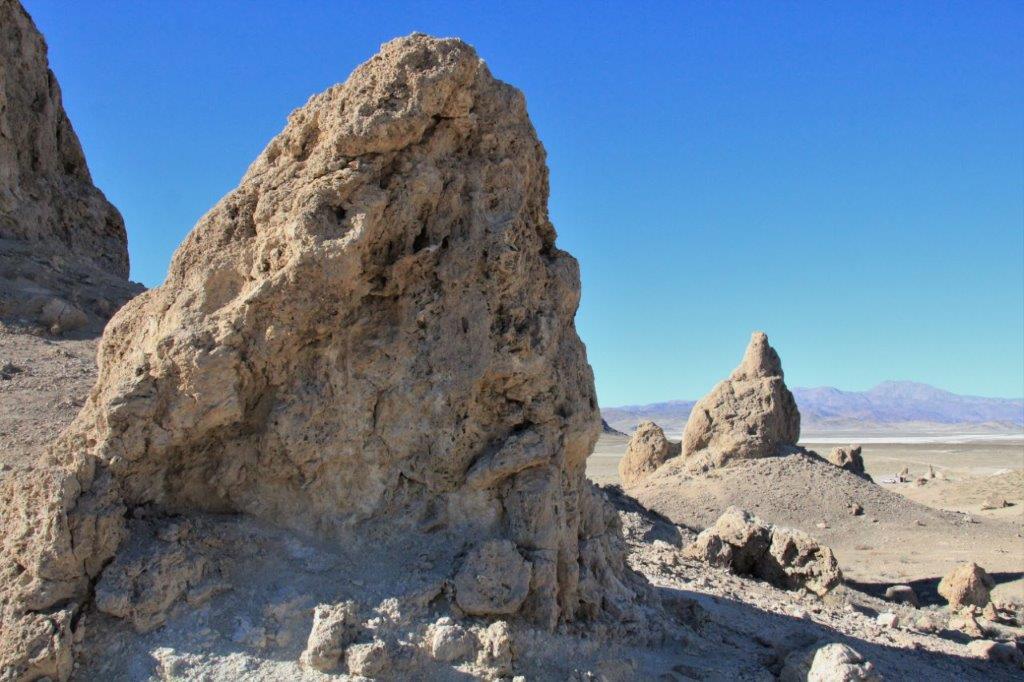
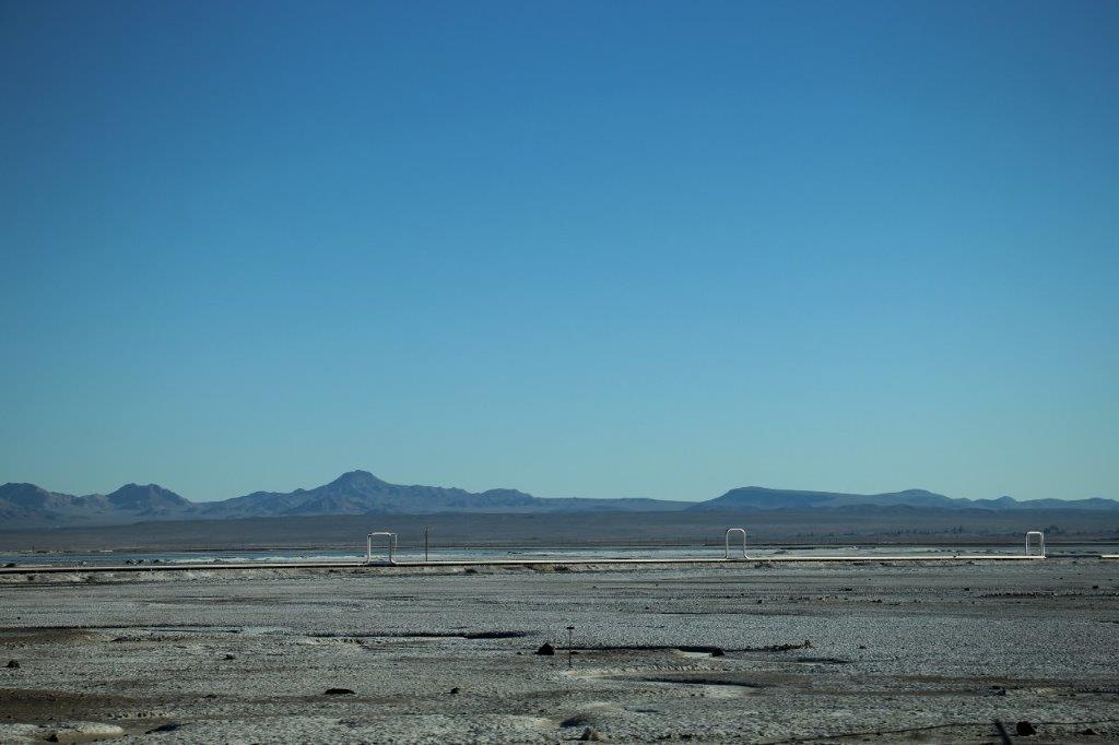
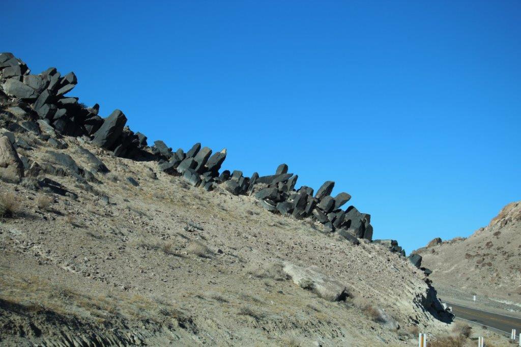
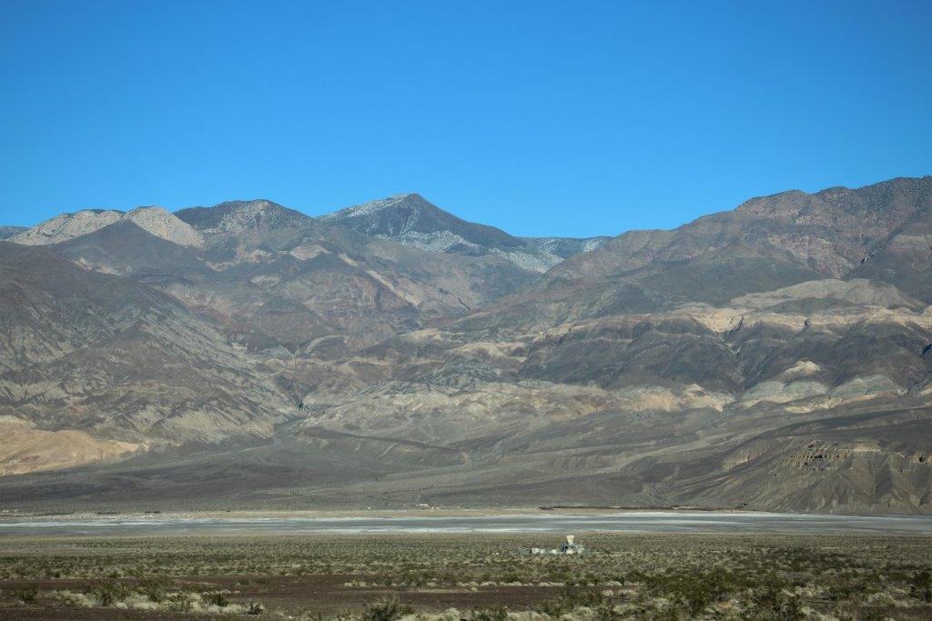
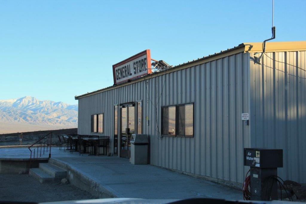
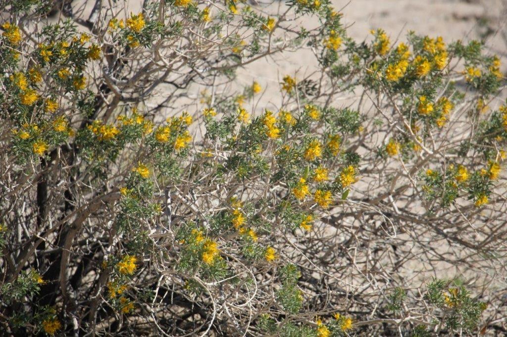
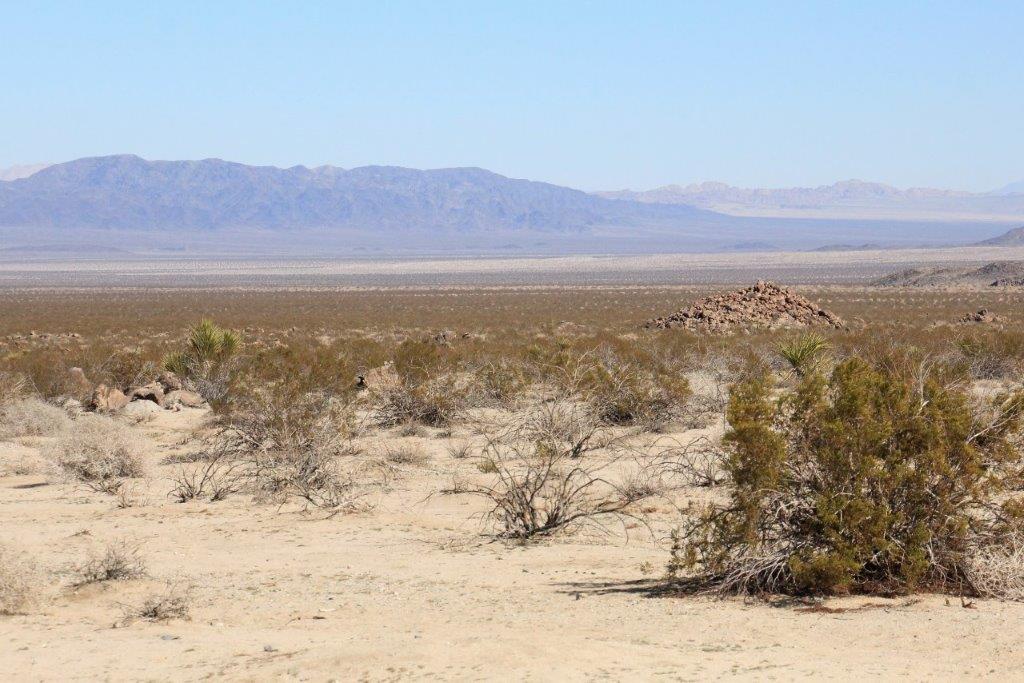
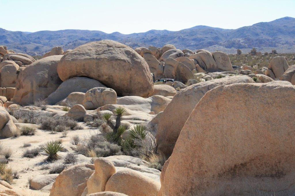
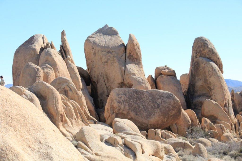
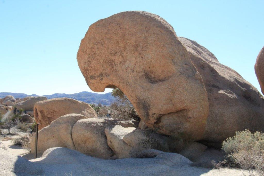
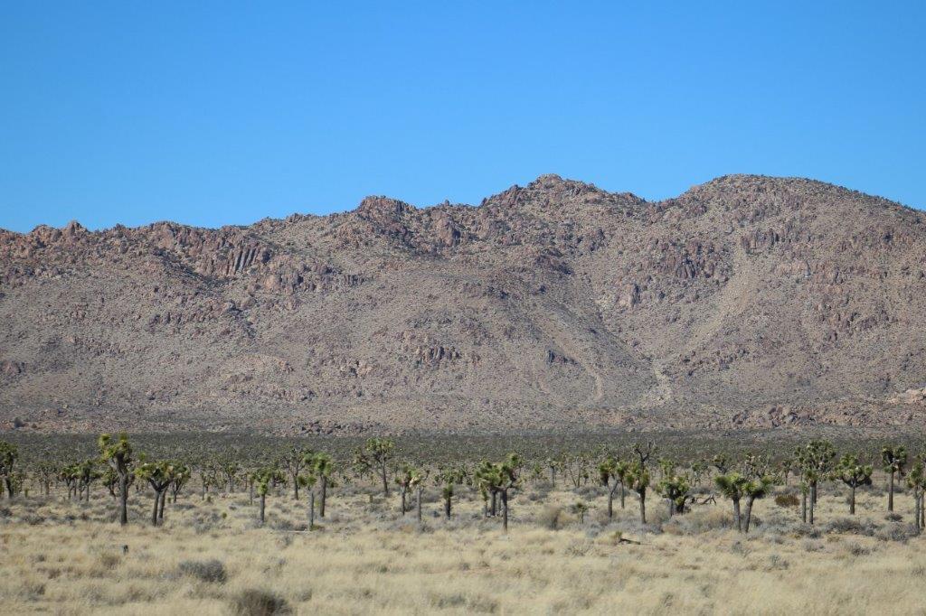
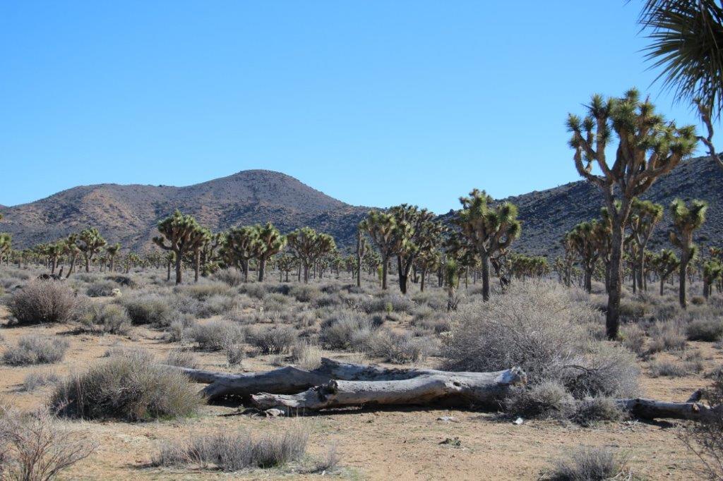
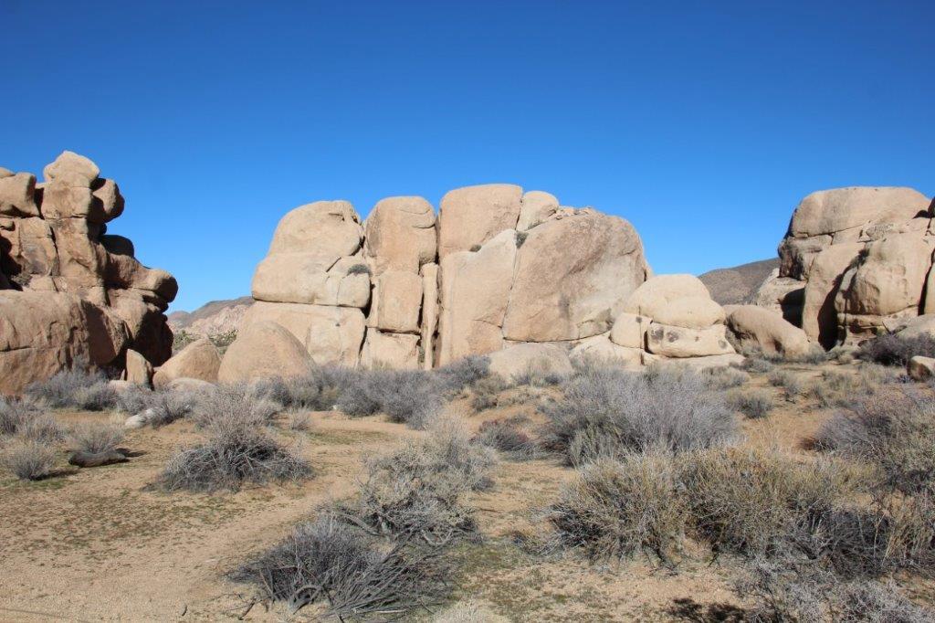
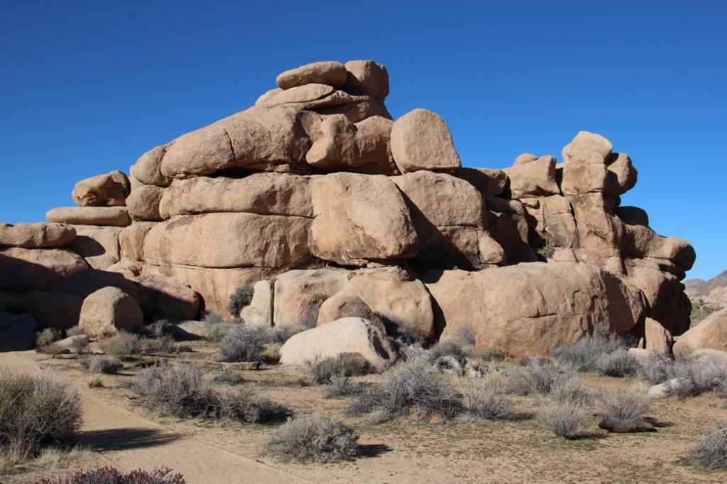
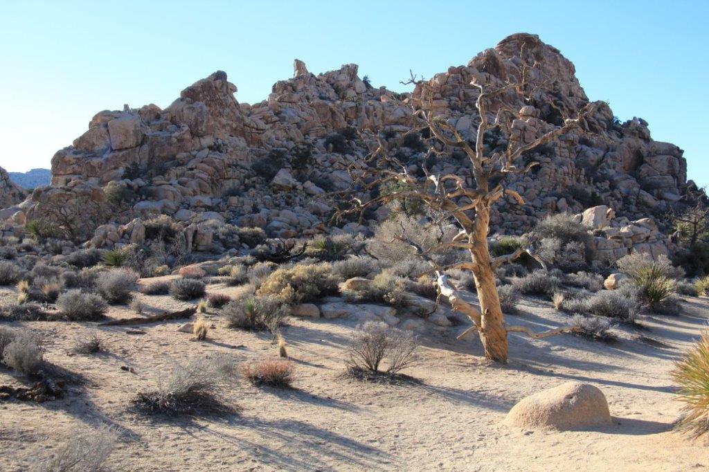
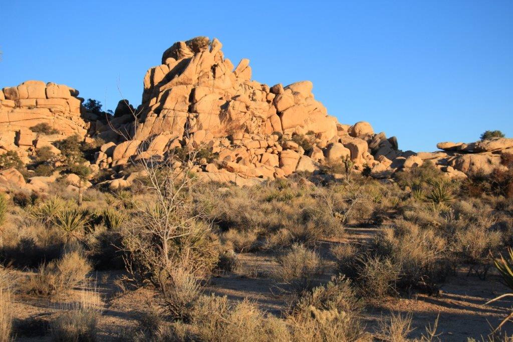
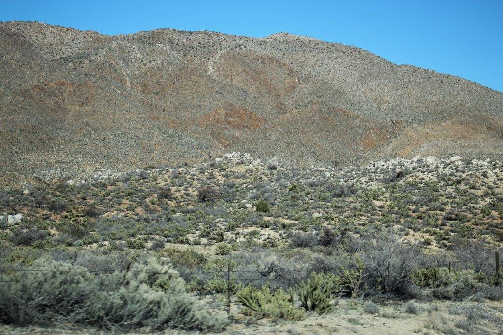
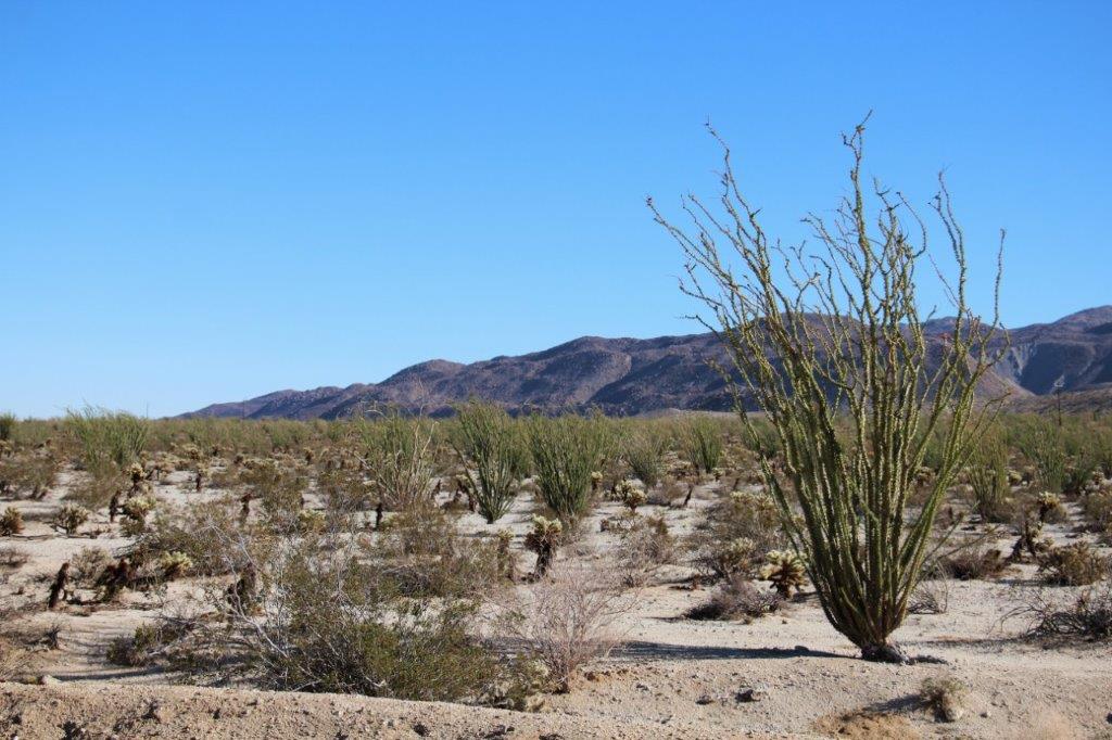
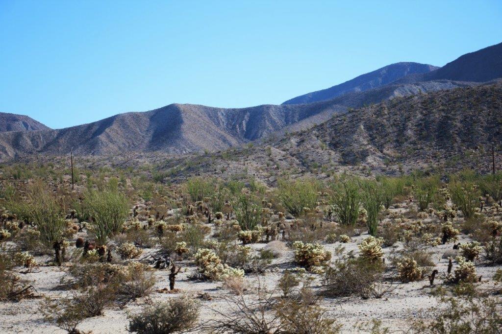
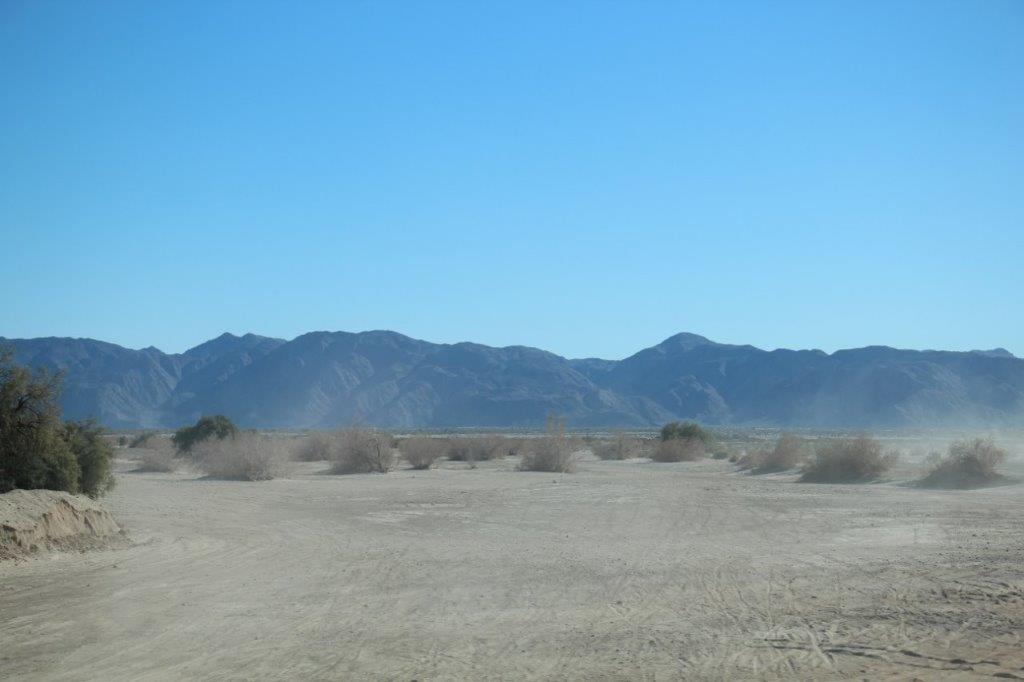
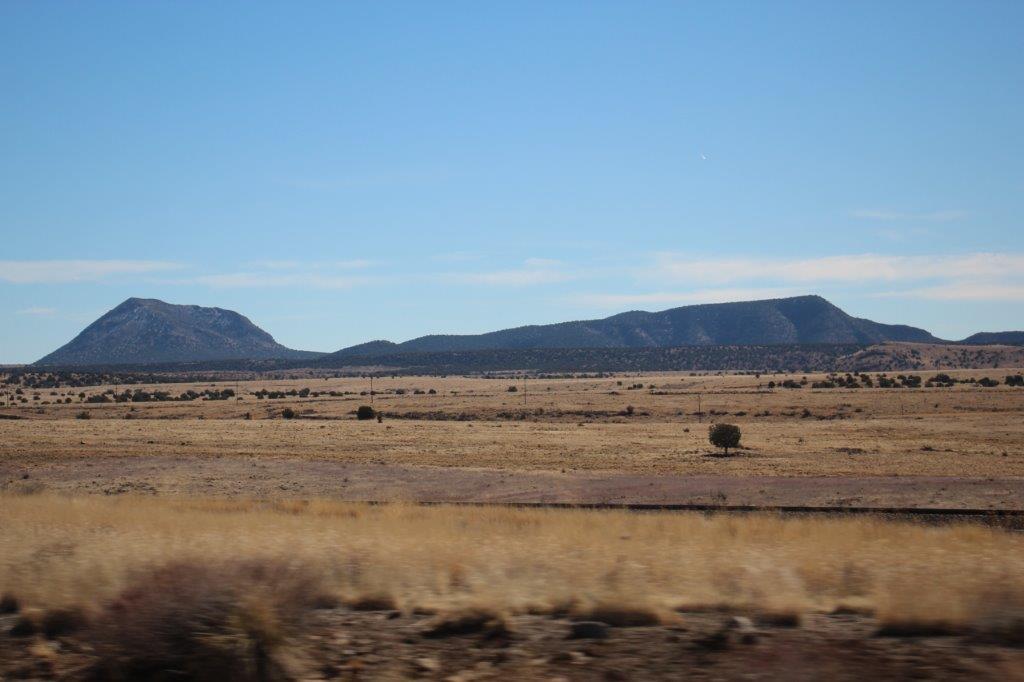
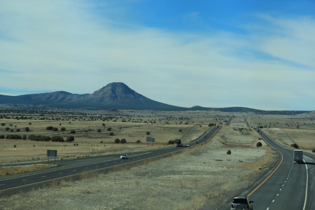
When we left Kingman we decided to travel the section of the historic Route 66 that we had done when we visited Grand Canyon and all the Utah parks in 2012.  We had driven past the Grand Canyon Caverns on that journey because it looked like a real tacky-tourist joint.  We decided to pull in this visit and see what was there.IMG_0222
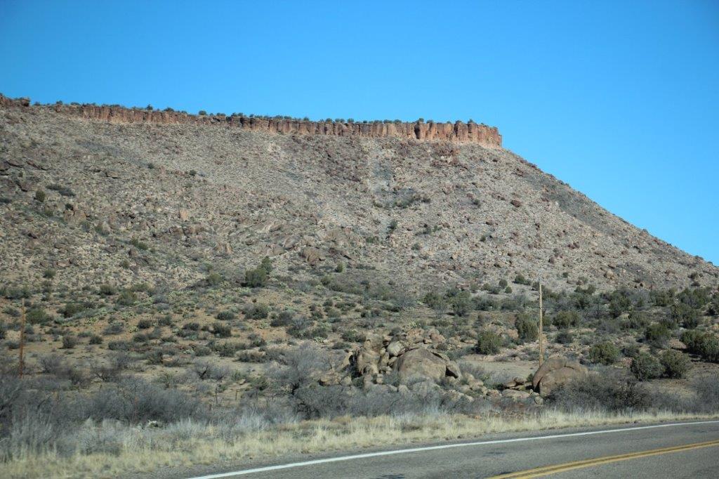
We are very glad we did.  Grand Canyon Caverns are privately owned by a CA company that purchased the site from the original owner, Walter Peck, who discovered the natural entrance to the caverns while waiting for ride.  It was raining and the water was running into a nearby hole and disappearing.  He told his brother about it and they returned to the place whereupon Walter tied a rope around his younger brother’s waist and sent him down the hole with a kerosene lantern.

The light from the lantern showed sparkles in the rock – some gold, some silver and some clear – and they thought they had discovered gold, silver and diamonds (they didn’t know that those three elements are not found in the same place).  When the assayers were taking too long to send the report on the samples they had taken Mr. Peck bought 800 acres of the surface land, thus securing the rights to everything underneath.  Two days later the report arrived.  All of his samples were worthless quartz or crystal.

But the caverns were huge and interesting to walk in so he decided to salvage his loss by charging people 25 cents to be tied around the waist with a rope and lowered down with only a kerosene lantern. IMG_0227 IMG_0228

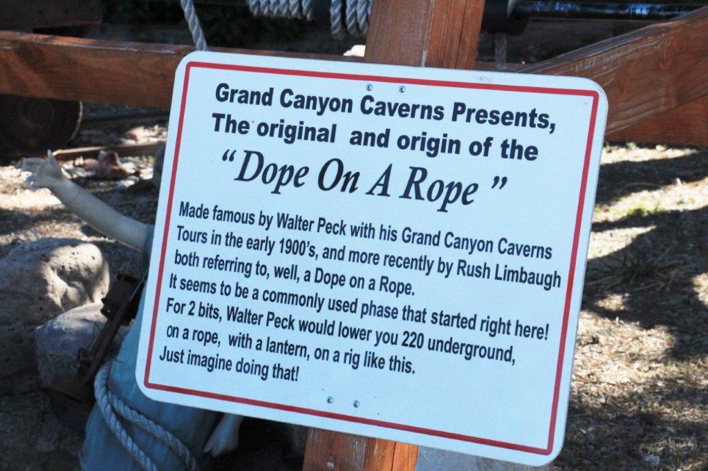
A few years later Mr. Peck built a ramp-ladder access to the caverns and upped his fee to 75 cents; and you had to bring your own lantern.  He made so much money he retired and sold the land to the company that owns it today and who built all the cement walkways and railings and lighting.

IMG_0619At one time they were trying to determine where the air flow came from so some people dropped red smoke bombs down the shaft and others were to watch where the smoke went.  After several days of this no smoke was ever appearing on the surface so they stopped.  Two weeks later they got a call from the rangers at the the Grand Canyon (78 miles away) asking what they were doing down there as there was red smoke coming out the walls of the Grand Canyon.

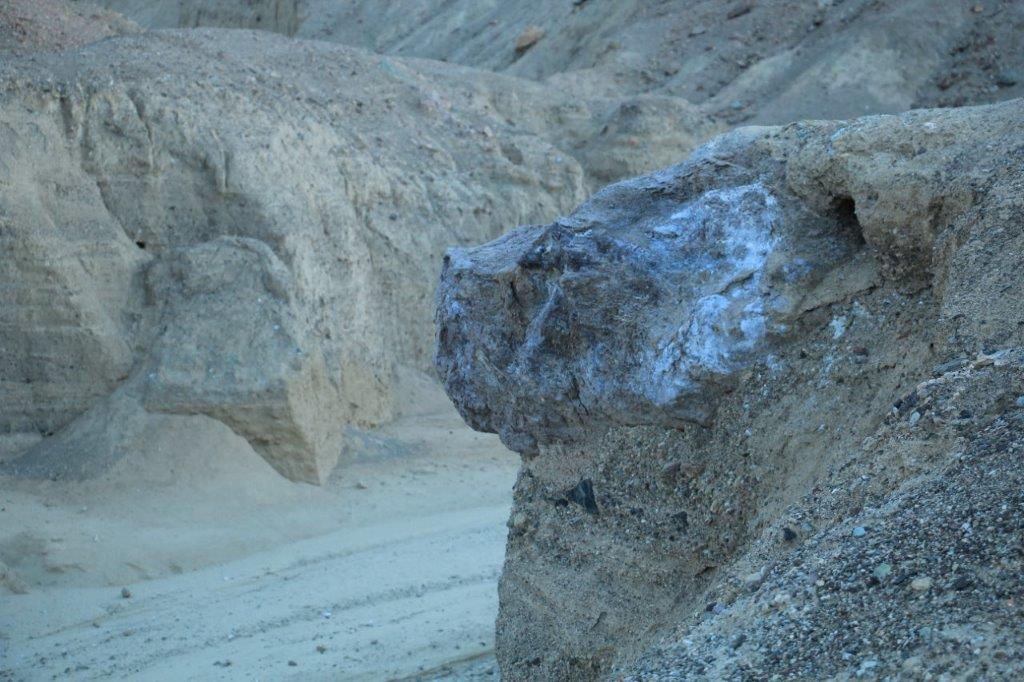
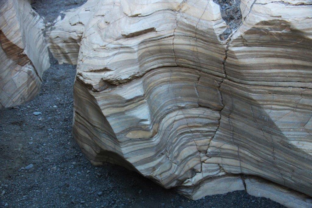
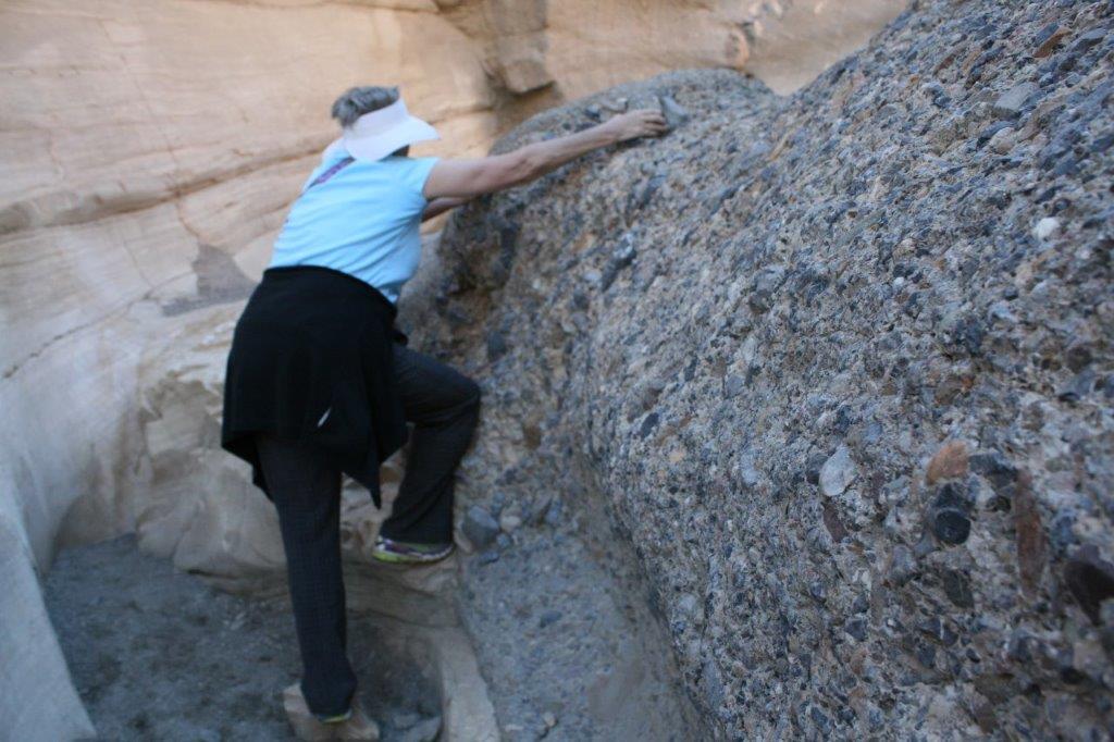
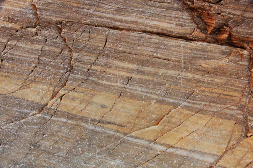
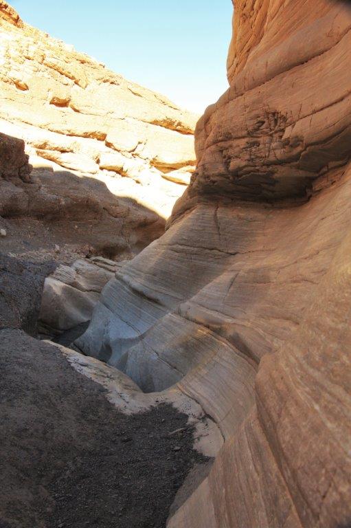
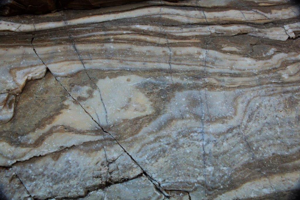
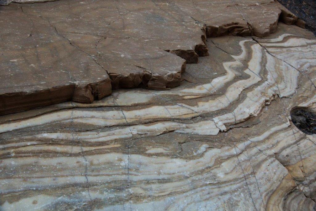
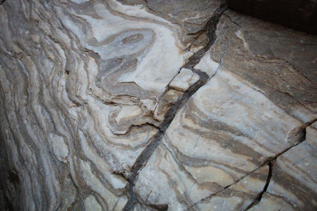
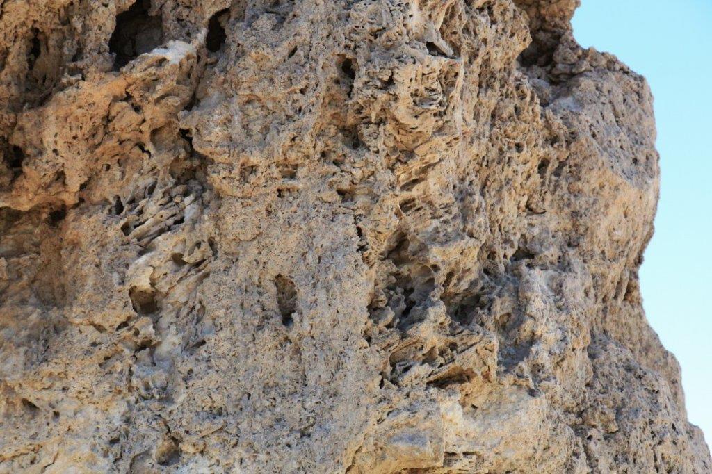
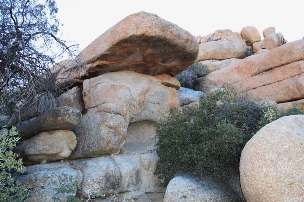
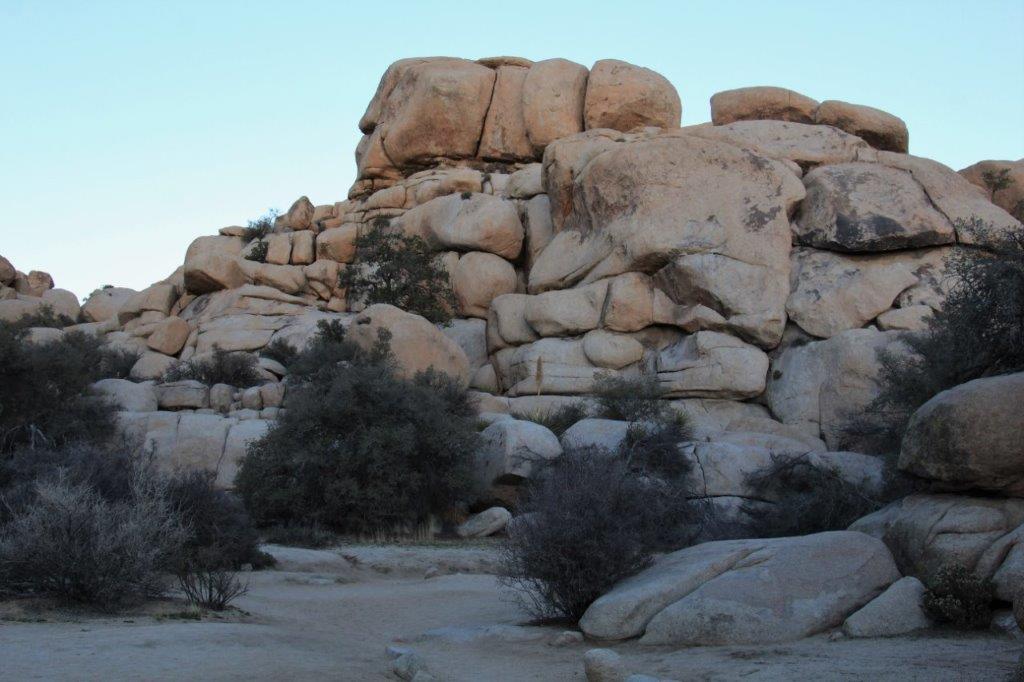
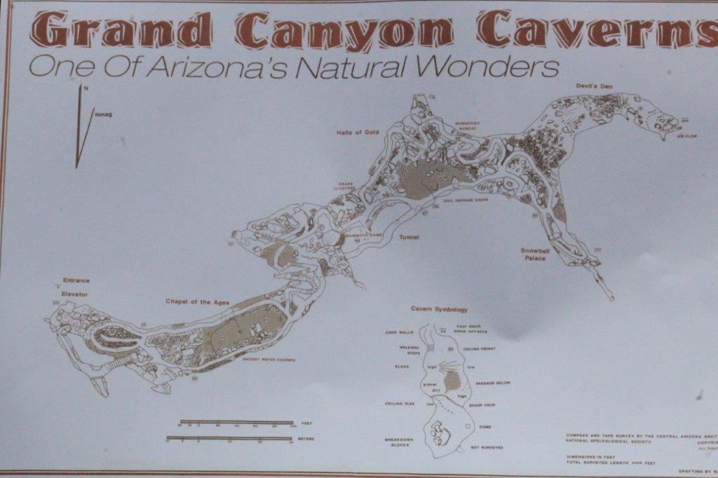
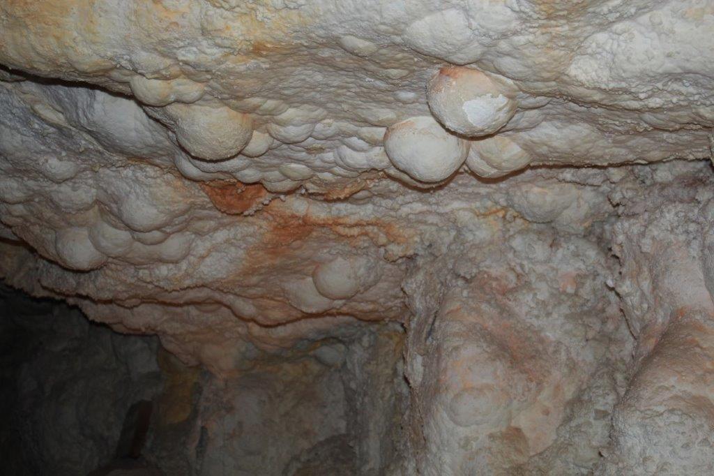
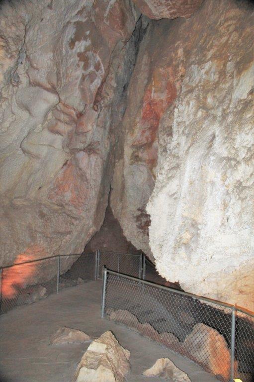
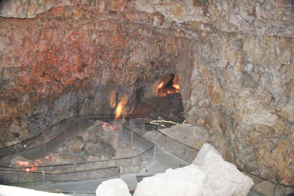
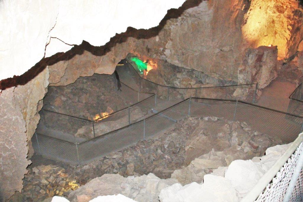
Our tour took 45 minutes and we walked through caverns larger than a football field and very, very high.  Unfortunately I can’t remember all the information Nico, our guide, told us.  But the most interesting thing was that Grand Canyon Caverns are dry caverns.  Only 3% of all caverns on earth are dry and only 10 of them are accessible.  The temperature stays a constant 51 degrees F and there are no stalactites or stalagmites as those formations are created by dripping water.

IMG_0231 IMG_0235 IMG_0253 IMG_0246
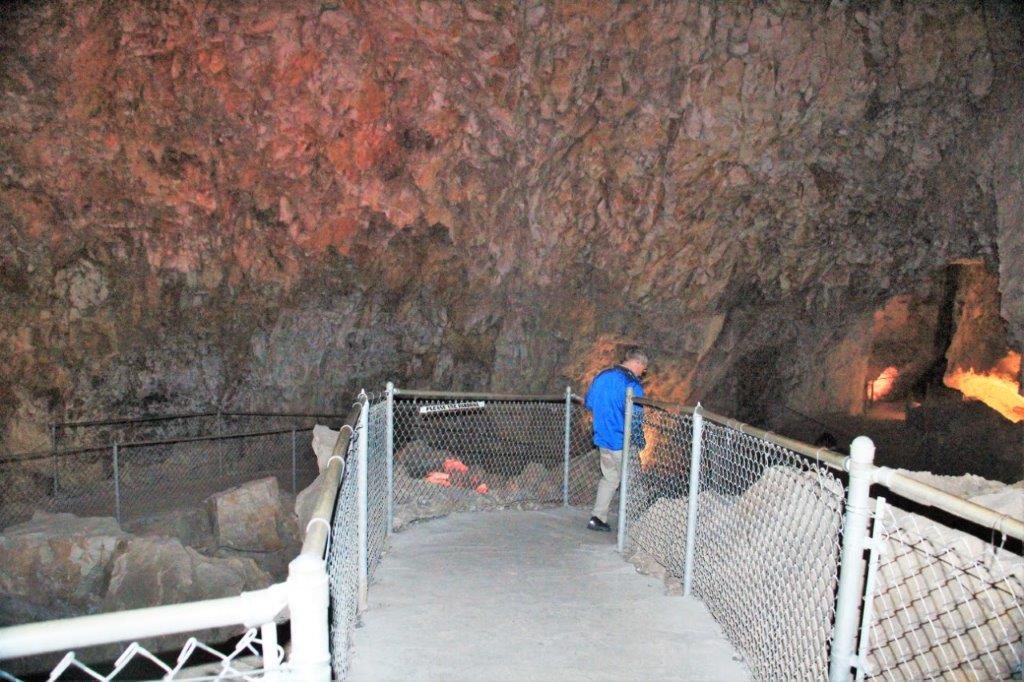
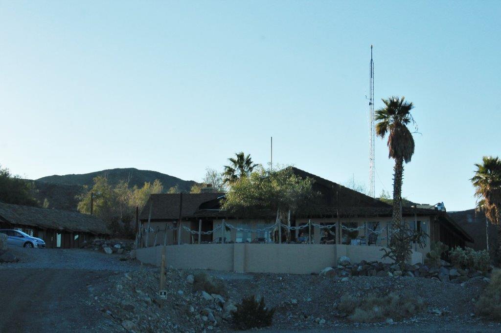
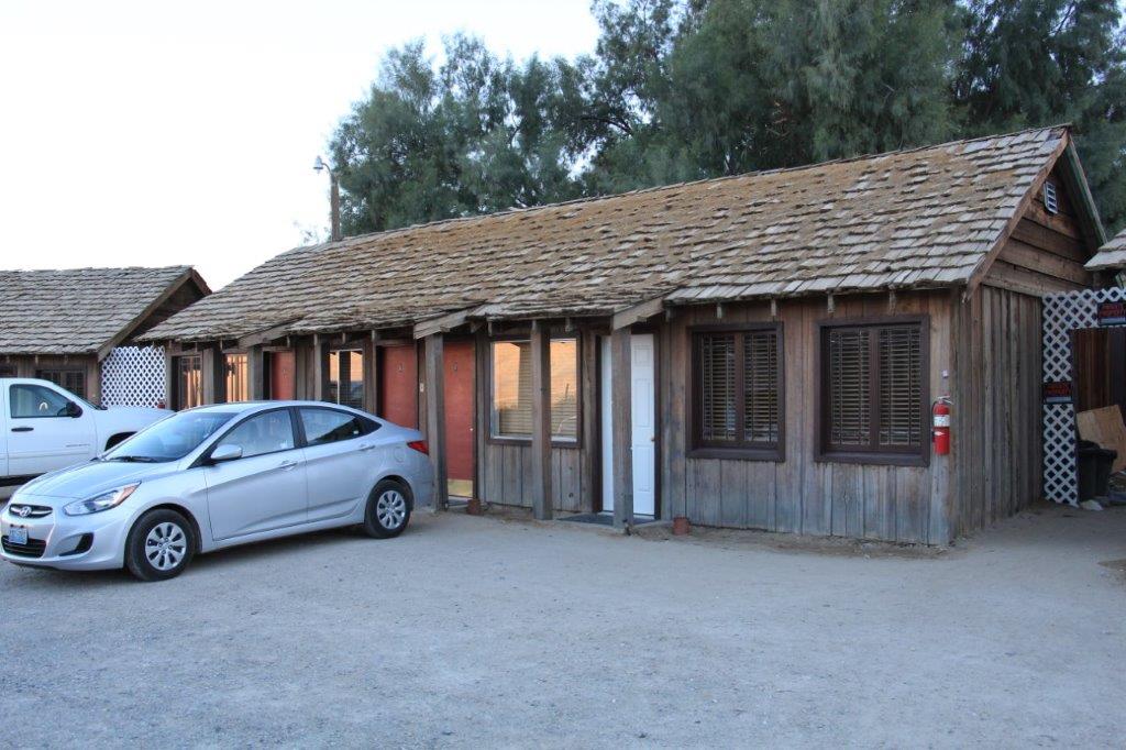
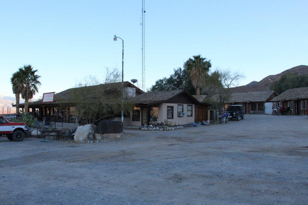
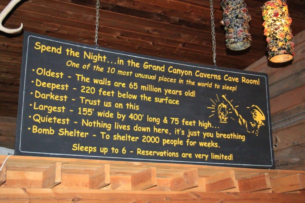
There is a stage area with theater seating.  The cavern has great acoustics.  Beside the entertainment area is a bedroom you can rent to sleep in.  The Grand Canyon Caverns are number 9 on the world’s 10 most unusual places to sleep list.  There is a queen-size bed, flat screen TV, DVD, VCR, shower and a toilet that is good for about 6 or 7 flushes before it needs to be emptied by a staff person.  A total of 9 weddings have been performed in the Cavern and there is to be a 10th later this year.

IMG_0255 IMG_0259 IMG_0260 IMG_0261 IMG_0263 IMG_0270 IMG_0273
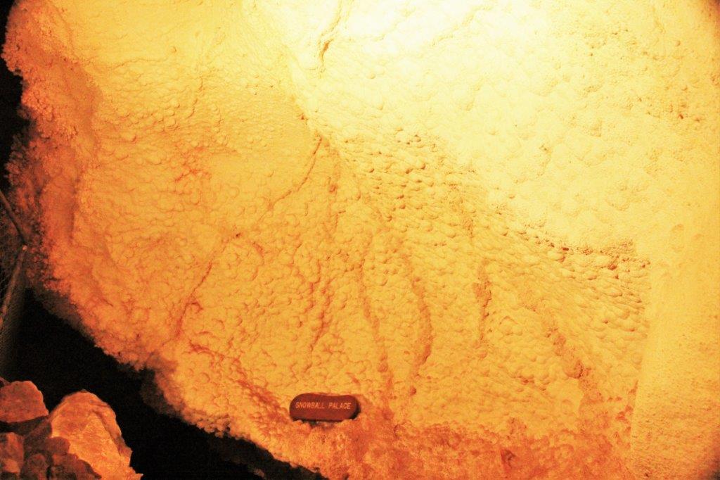
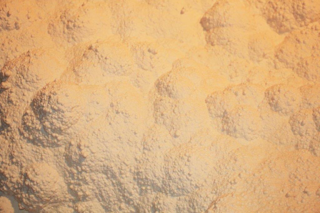
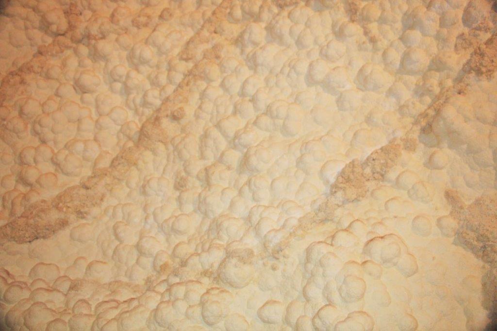
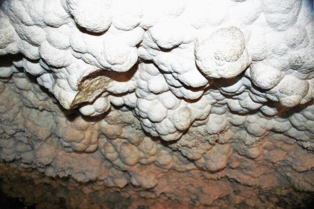
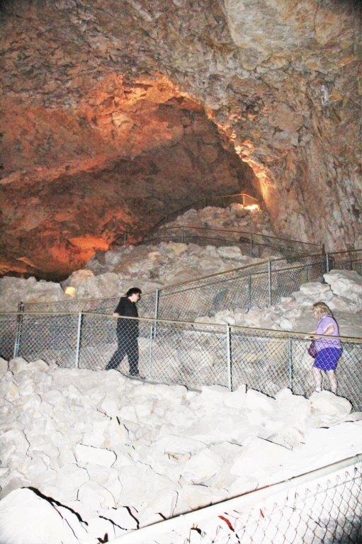
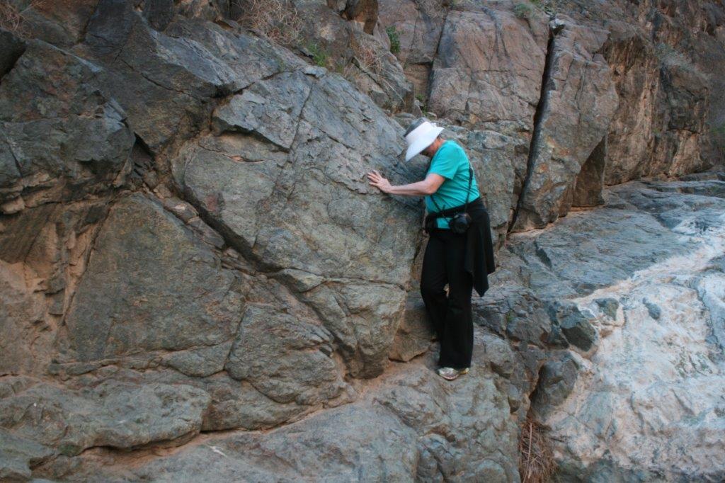
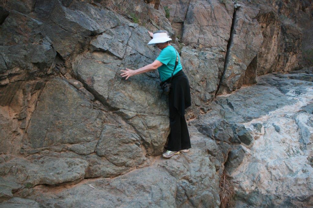
My photos, obviously do not do it justice as it is quite dark and hard to get images with any distance.  The nice thing about a dry cavern is that you can use flash on your camera because there are no delicate formations that are damaged by light.

Another interesting thing is the dryness of the air.  It actually dehydrates your body as you spend time in it.  If you have no water with you to restore your body’s moisture you will be dead in three days and mummified not long afterward.

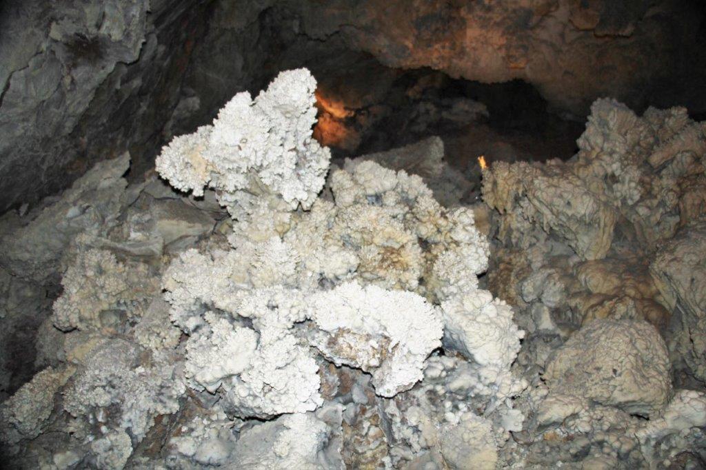
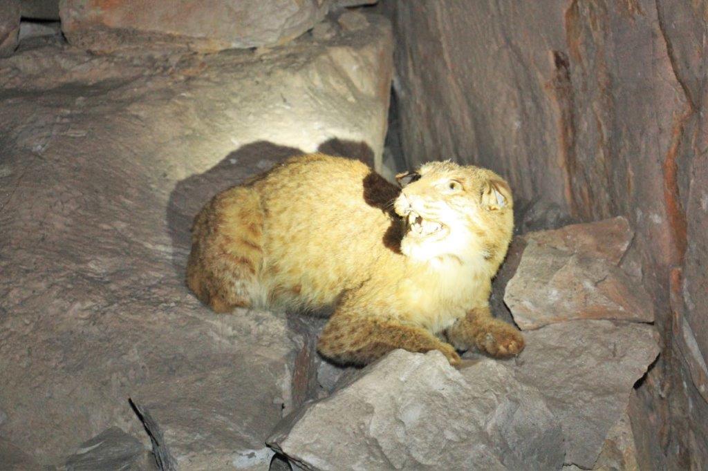
In the cavern were two examples of this phenomena.  The first we saw was a bobcat that had fallen in the entrance hole and broken it’s hip.  Even without the injury preventing it’s movement it could not have gotten out of the deep cavern.  His mummified remains are still there along with a taxidermy example of what the cat would have been like. There is still hair and skin on the mummy, all it’s teeth are intact, and the pads are on his paws.  Pretty weird. (They sent one of his legs away for analysis; that’s how they know the approximate time of his demise.)IMG_0278 IMG_0279 IMG_0280
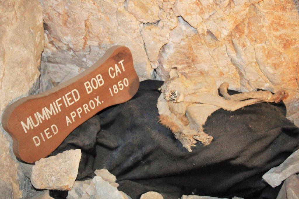
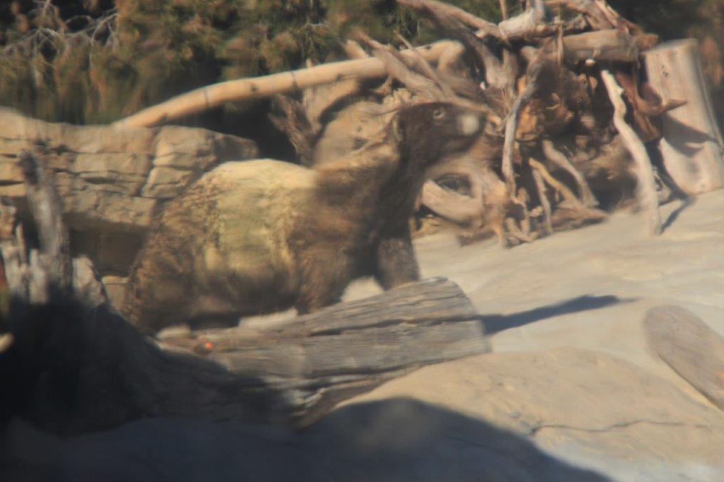
The second creature in the cavern was a 15′ pre-historic relative to the Great Sloth and Armadillo.  Her name is Gertrude and she too fell in the hole of the natural entrance to the caverns; breaking her back.  She tried to climb out again and there are scratch marks from her claws high up on the rock wall.   A tip of one of the toenails was found imbeded in the rock.  95% of the remains were located.  They were sent to the University of Arizona and the university sent back a life-size replica of the creature.

IMG_0295 IMG_0299

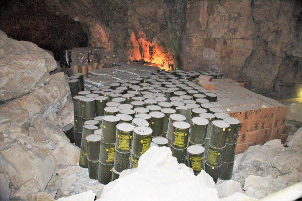
Final interesting point: During the cold war the American government actively searched for places that could be shelters for communities in the event of a nuclear attack. The caverns were perfect, deep undergroud, constant temperature, large size and constant flow of air.  The government sent boxes of kits that contained calcium tablets and candies for sugar – which are still edible but don’t taste very good.  They also sent barrels of water, portable toilets and six rolls of toilet paper.  There were enough supplies to care for 2000 people for two week.  Over the years the water in the barrels became undrinkable and the Cold War ended and it was assumed the bomb shelter was forgotten.  Not so.  About a year and a half ago the government sent iodine tablets to re-purify the water and boxes of dried foods.  Since then the staff have also been bringing down cases of water and storing them in the cavern.IMG_0274 IMG_0282IMG_0293IMG_0305
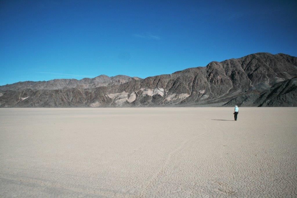
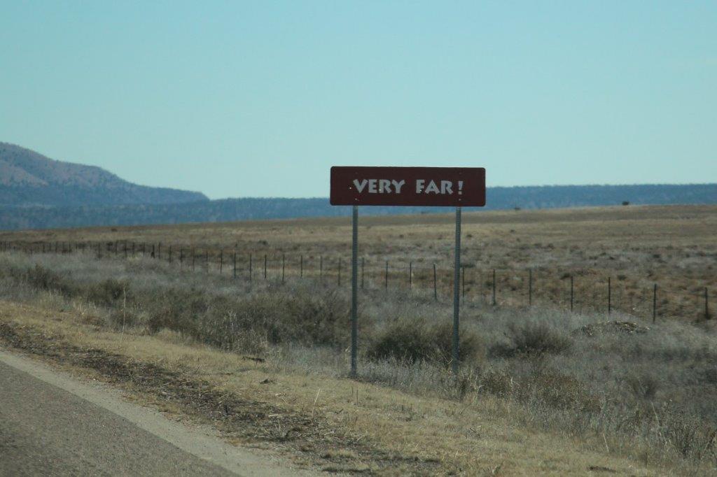
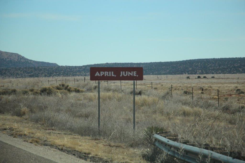
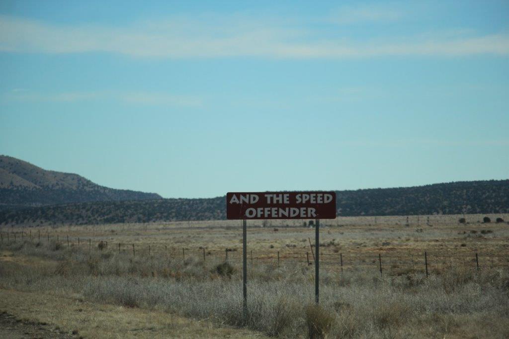
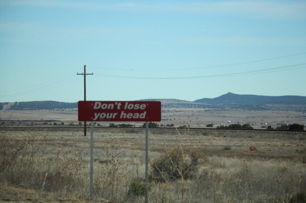
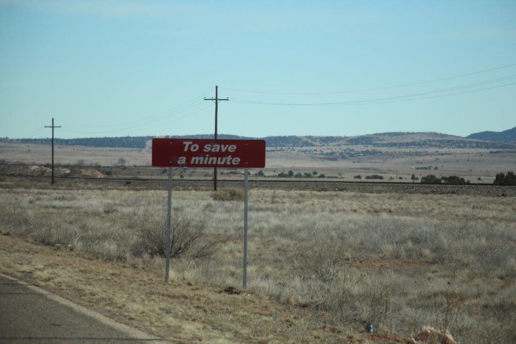
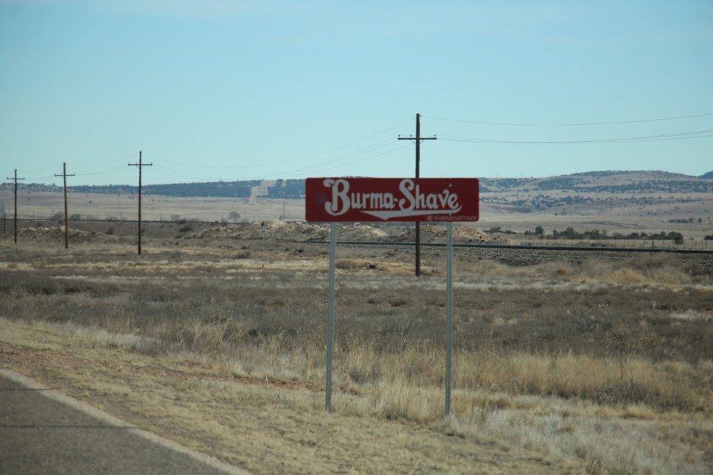
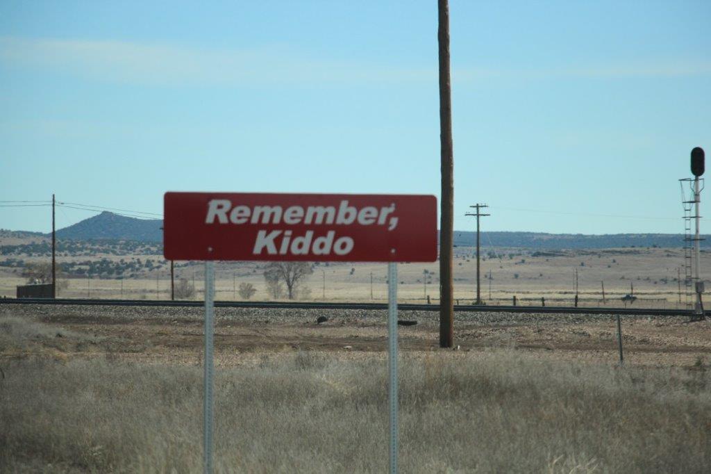
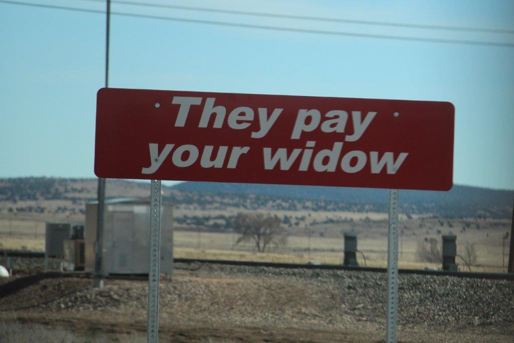
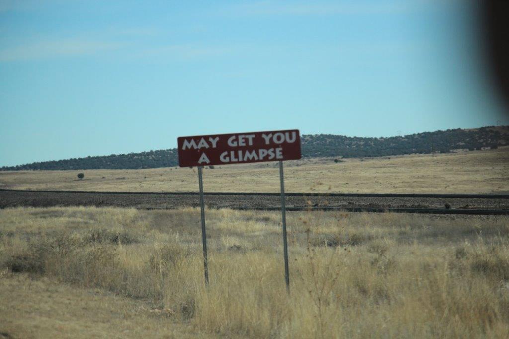
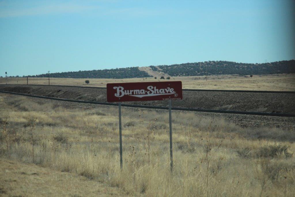
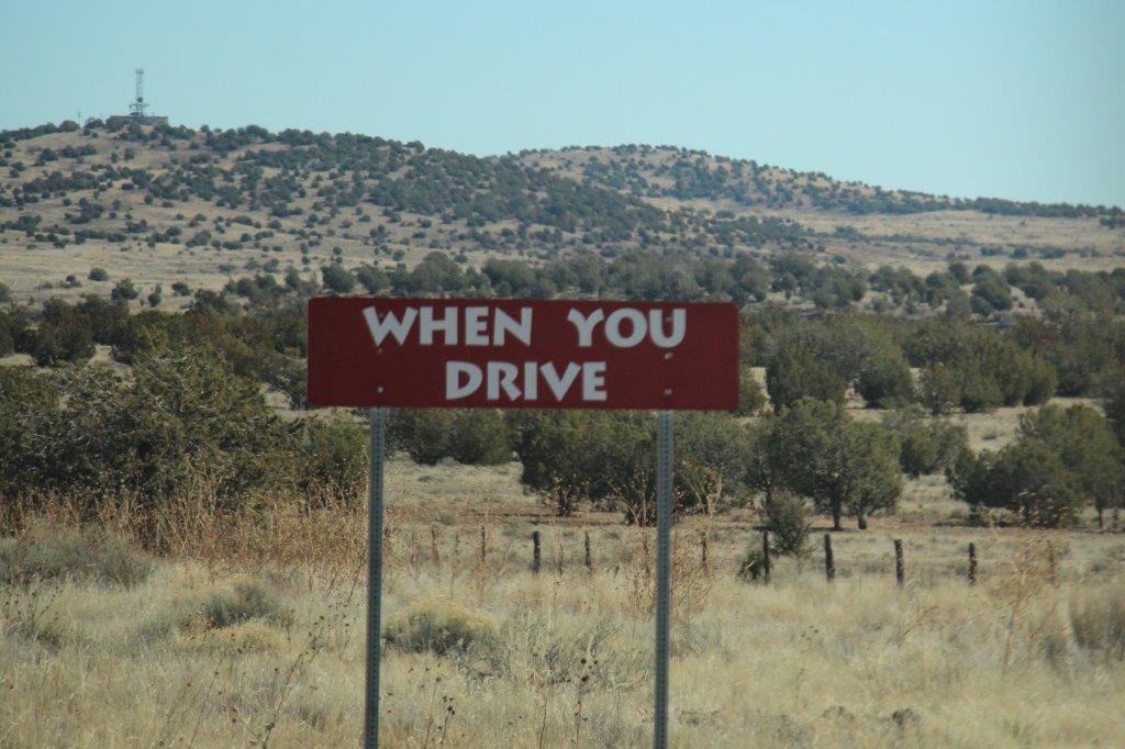
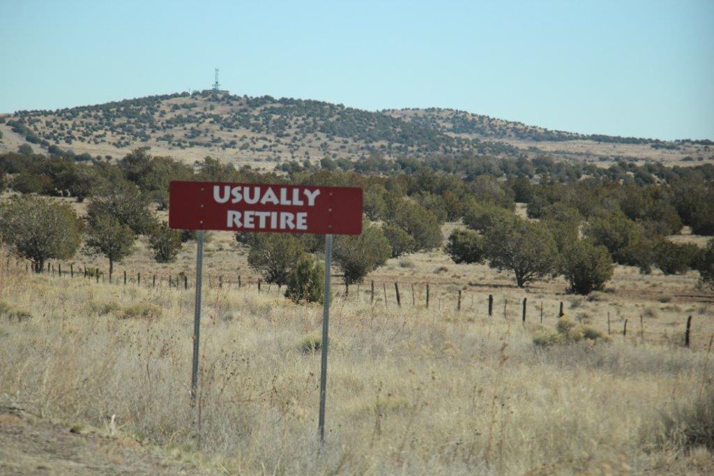
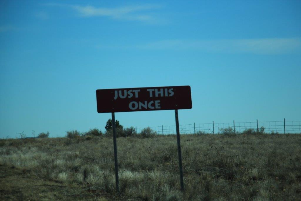
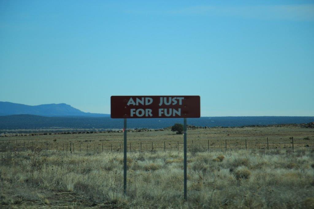
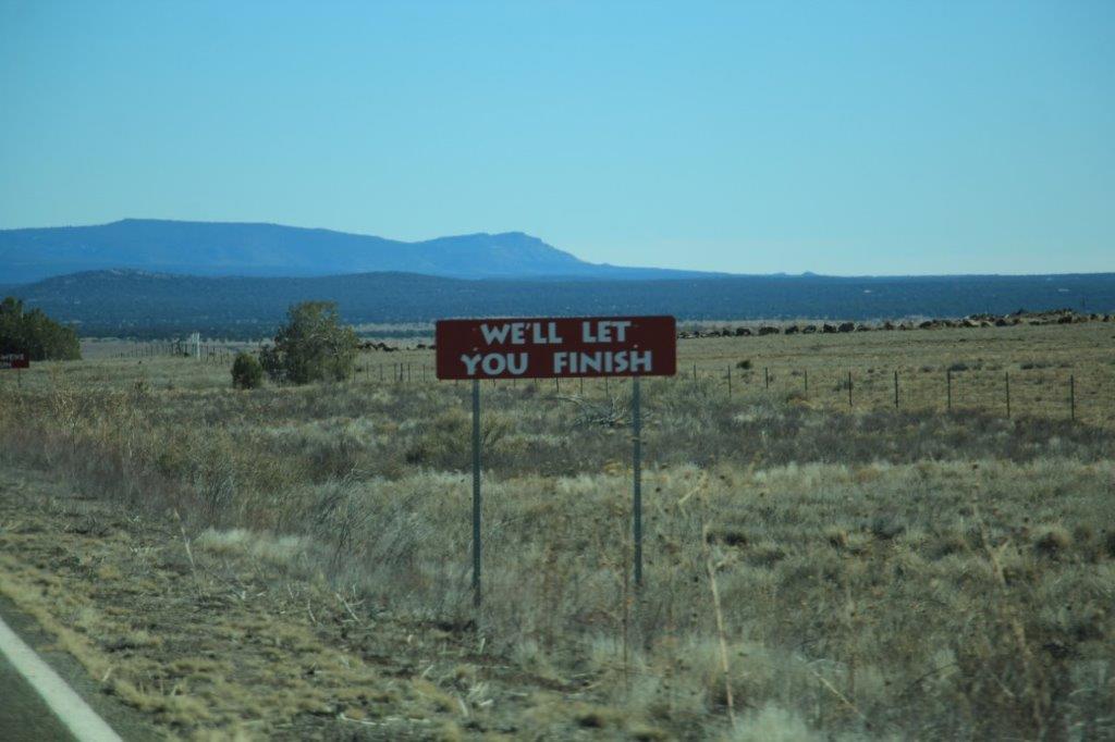
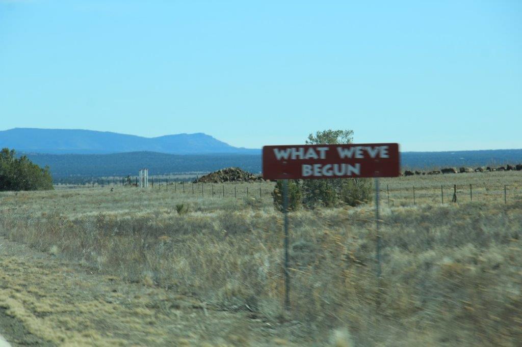
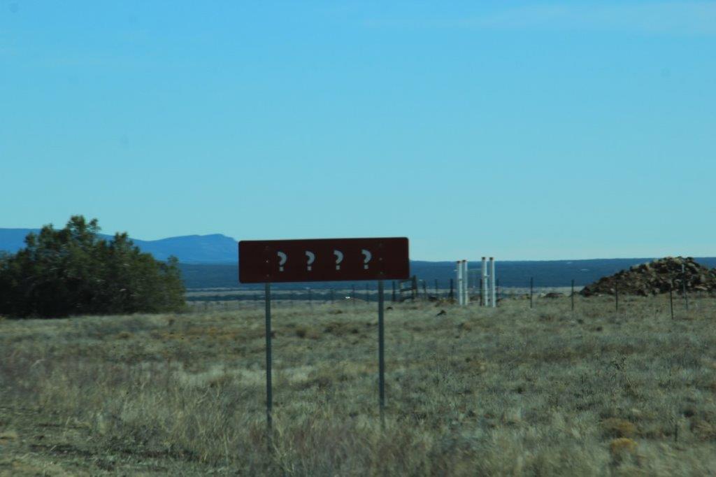
Along Route 66, back in the 60s the Bruma Shave company posted these fun advertising signs.  The five signs comprising each rhyme and the Bruma Shave name were spaced about a quarter mile apart and each group was 5 or more miles further down the road.  I have put them in this blog for the chuckle. They were very popular and iconic to the Route 66 Highway.

IMG_0312 IMG_0314 IMG_0315 IMG_0316 IMG_0317
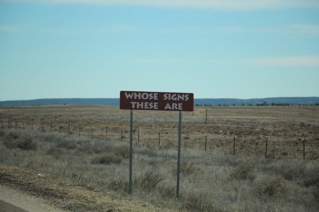
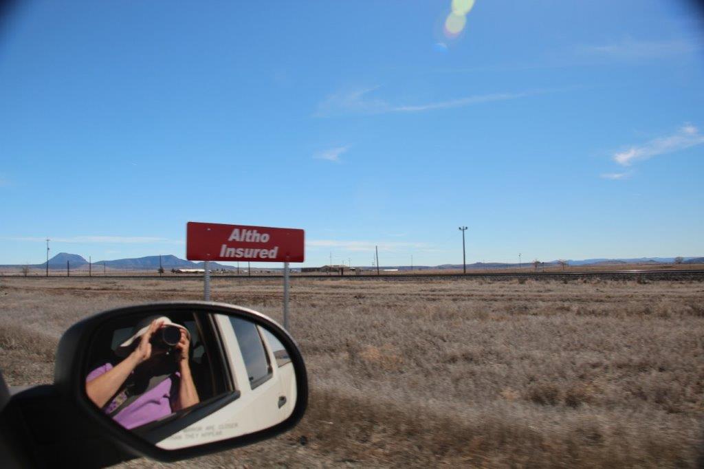
I missed the first sign in this series, but it said: 30 DAYSIMG_0318 IMG_0319 IMG_0320 IMG_0322

IMG_0326 IMG_0327IMG_0329 IMG_0330

IMG_0334 IMG_0336 IMG_0337 IMG_0338

IMG_0340 IMG_0341 IMG_0342 IMG_0343 IMG_0344IMG_0346IMG_0347IMG_0348IMG_0349IMG_0350IMG_0351IMG_0353
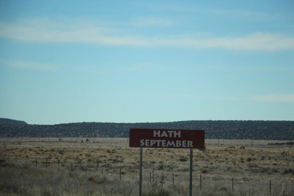
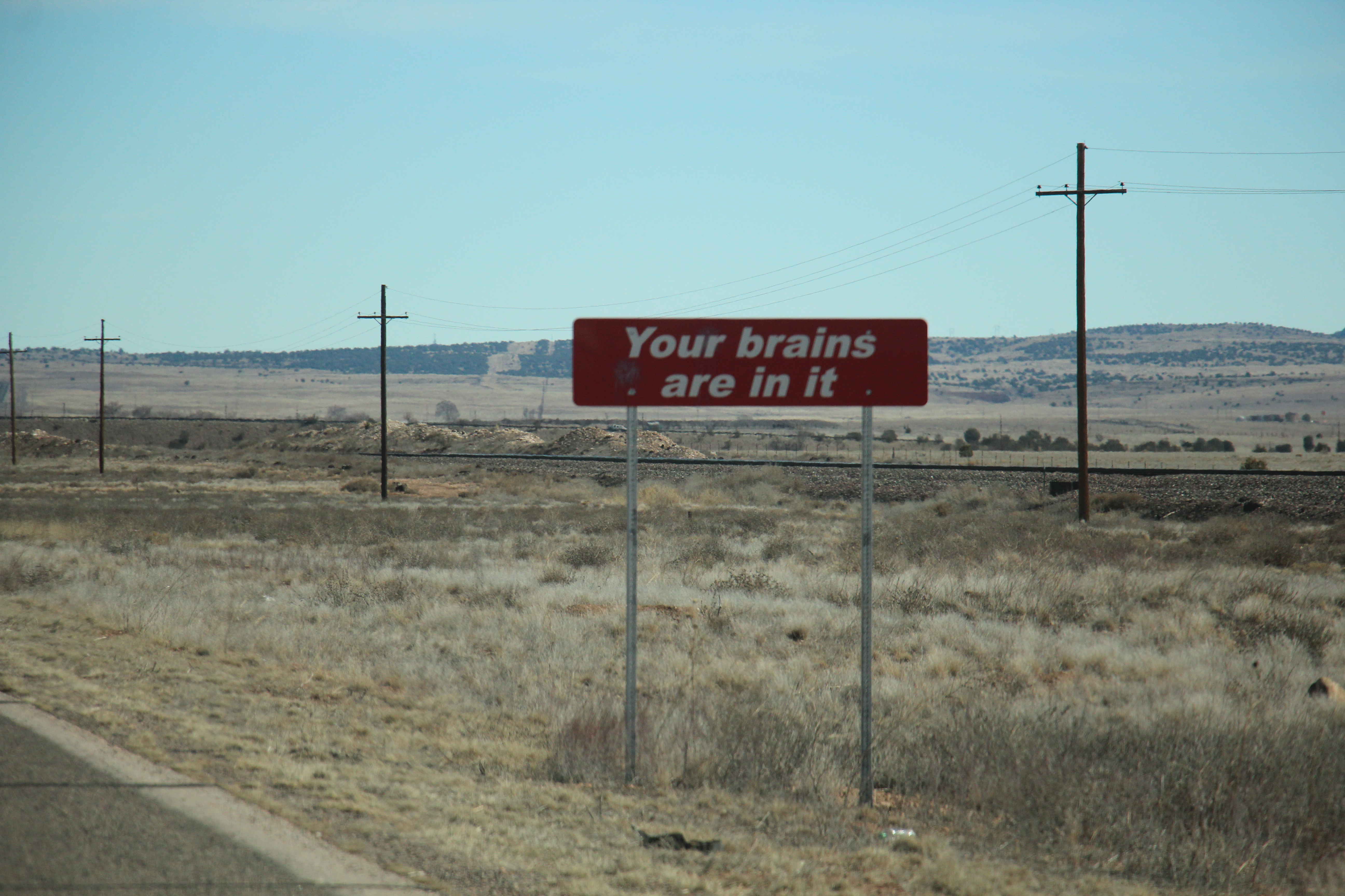
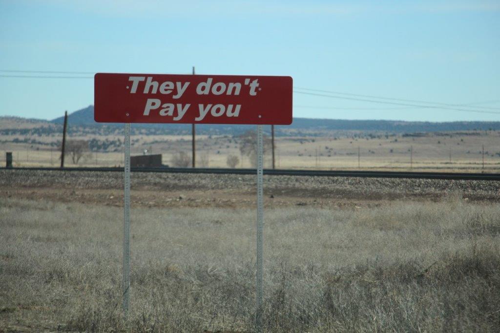
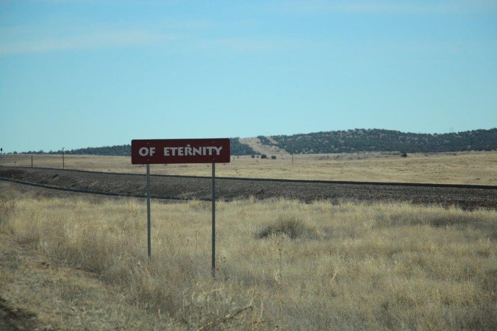
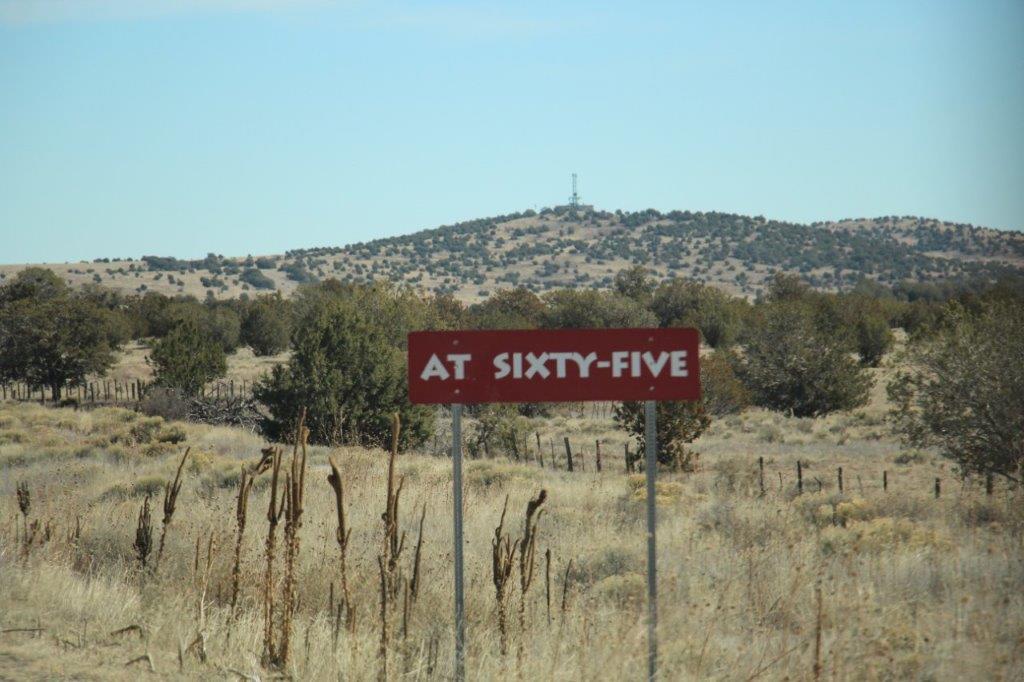
And the last of the series:

IMG_0356IMG_0357IMG_0358IMG_0359IMG_0360IMG_0361 IMG_0362
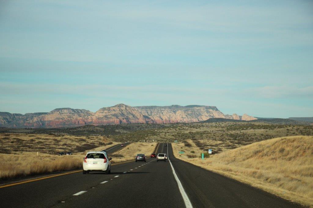
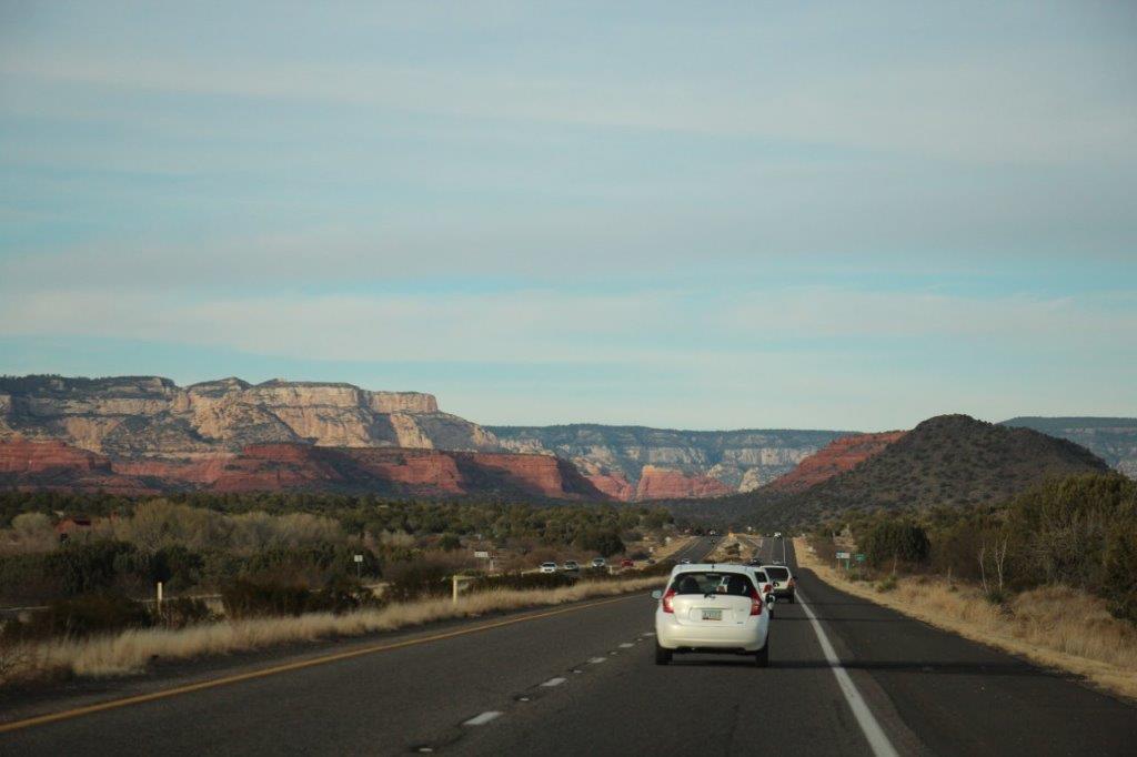
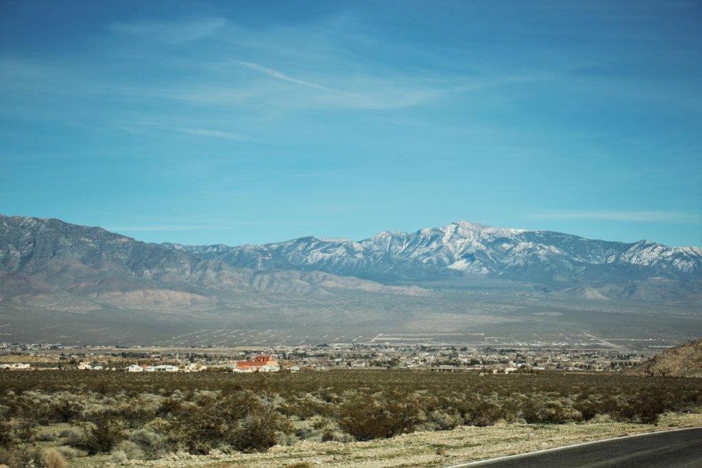
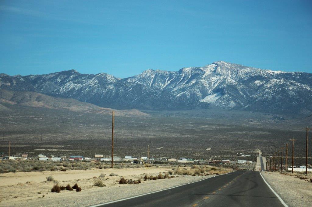
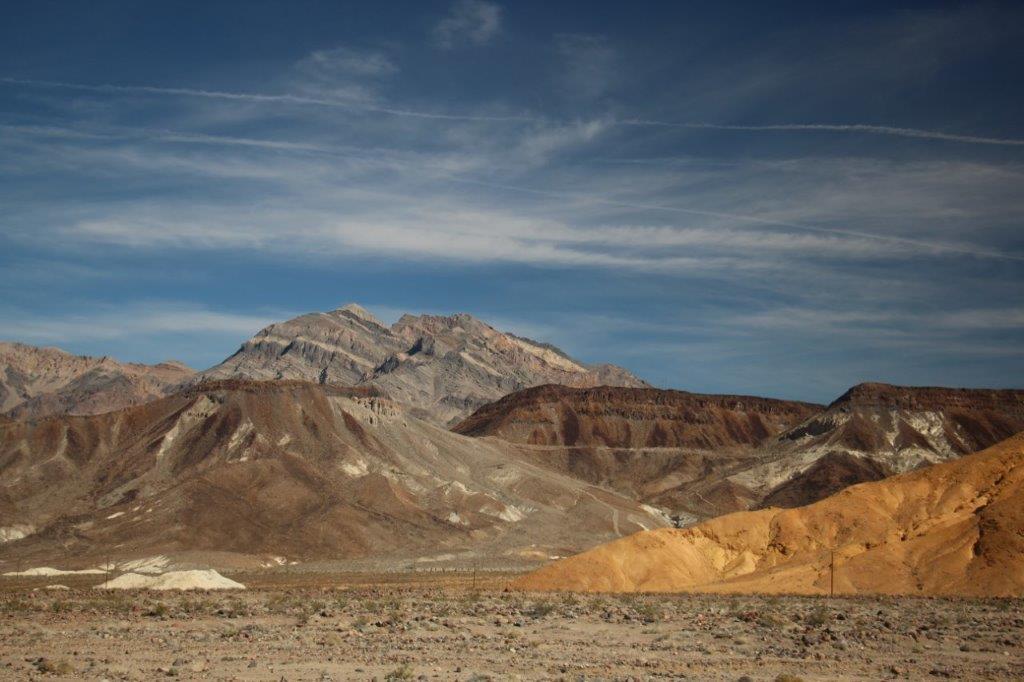
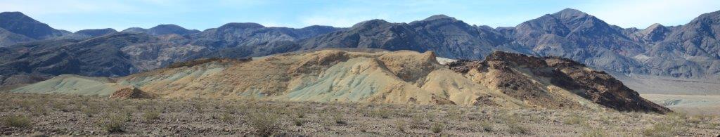
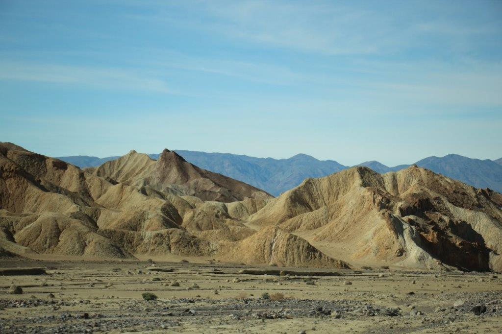
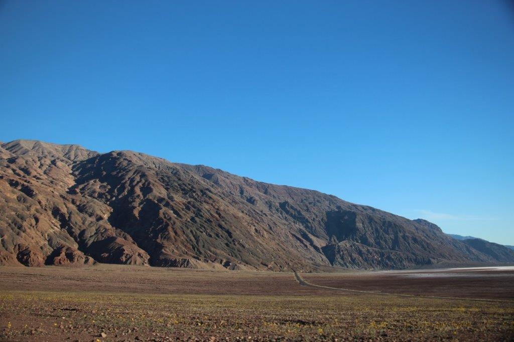
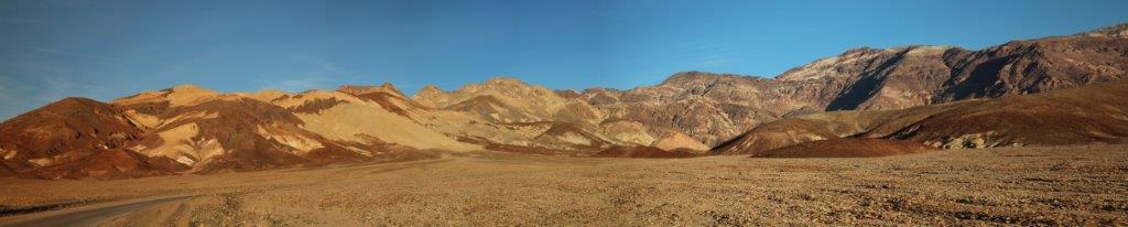
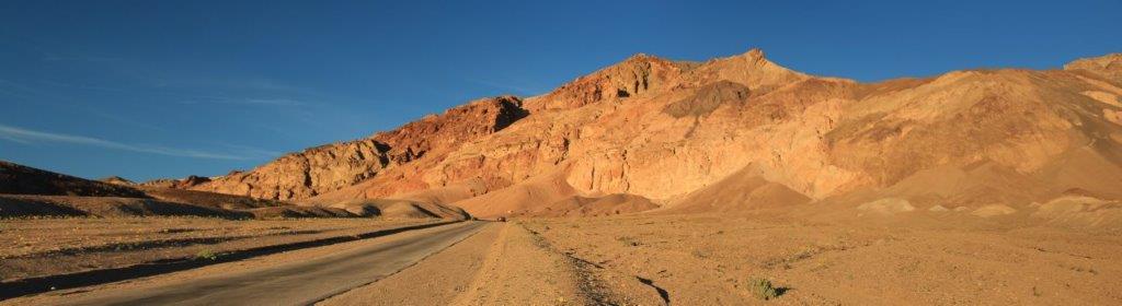
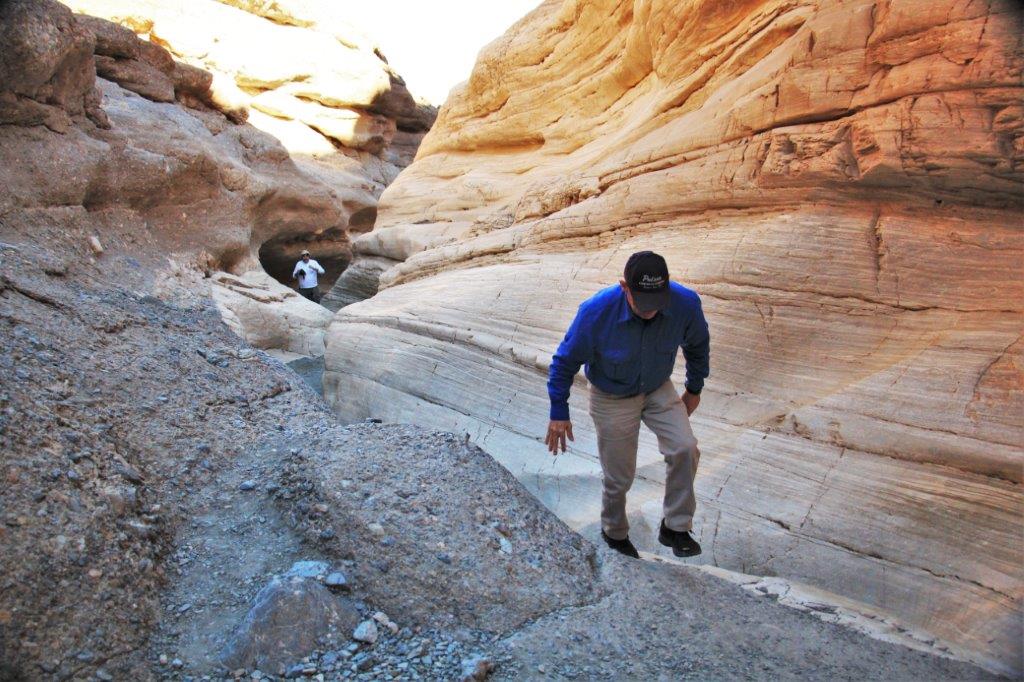
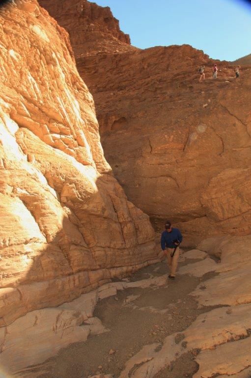
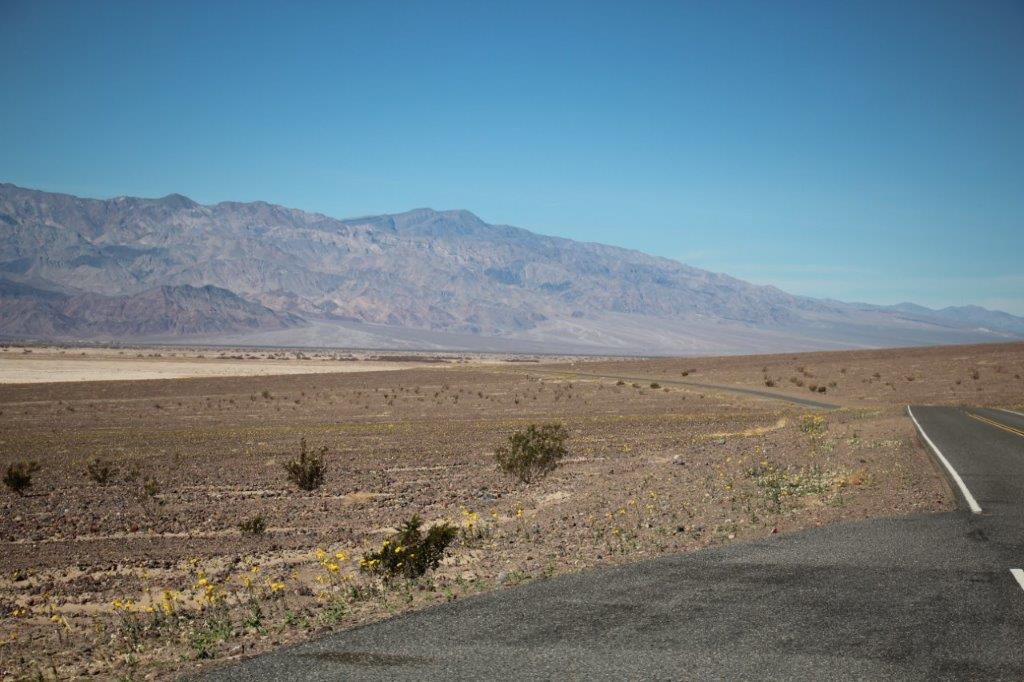
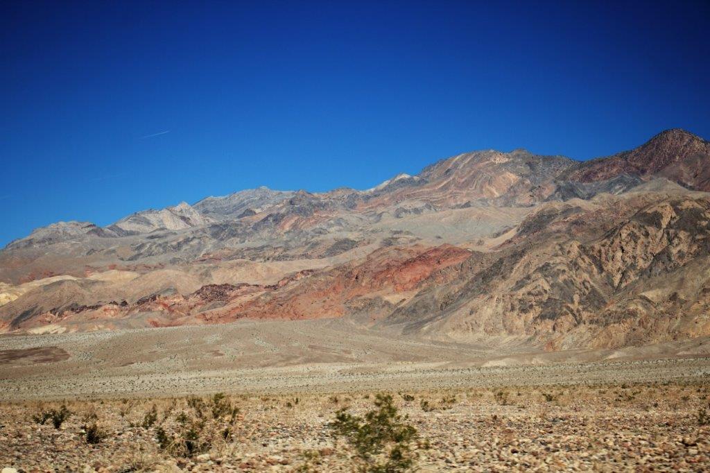
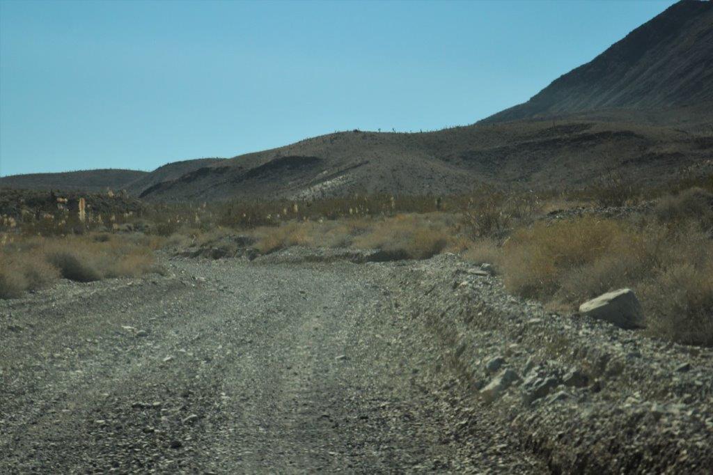
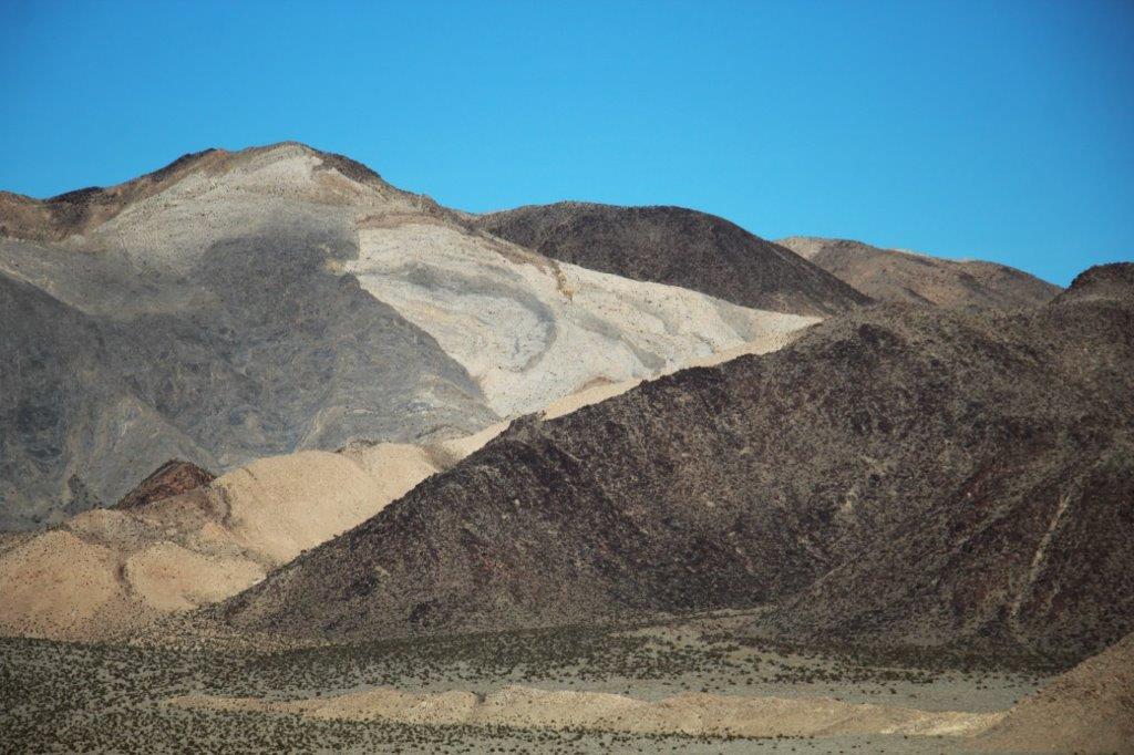
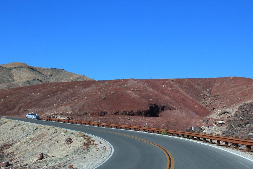
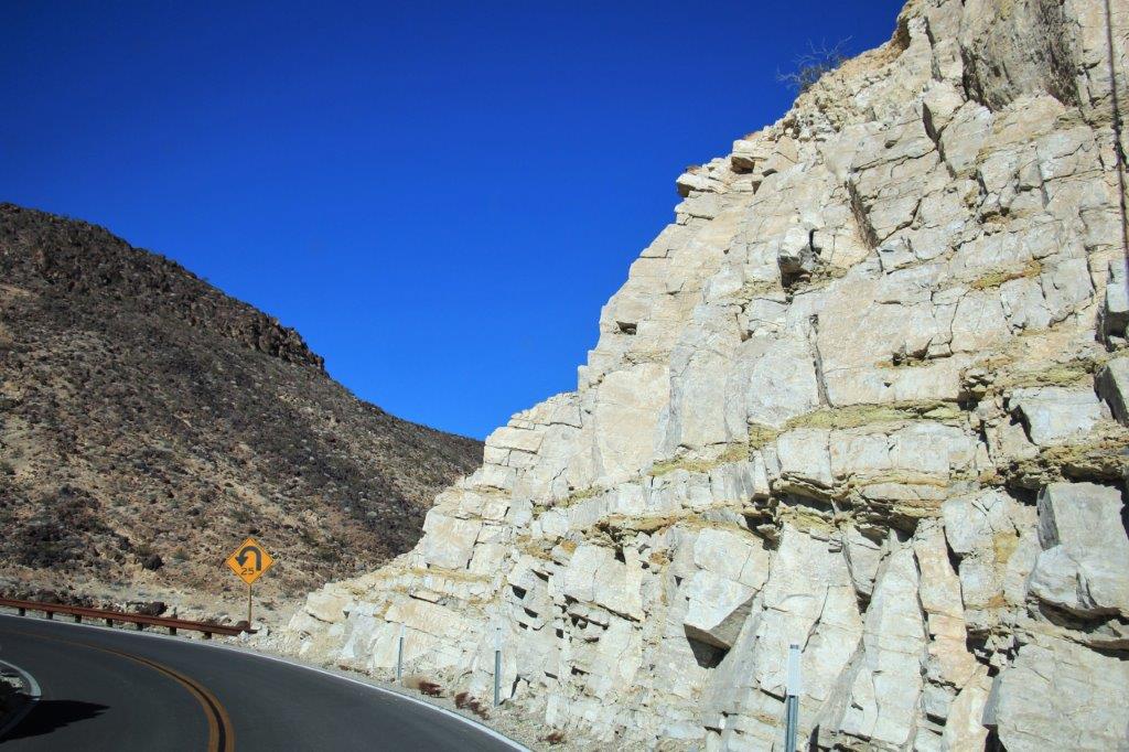
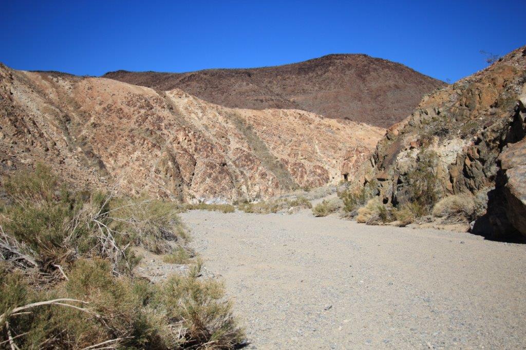
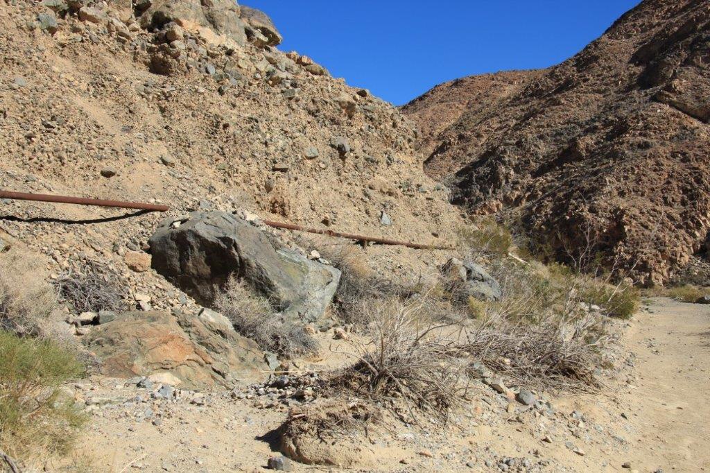
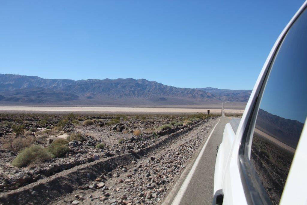
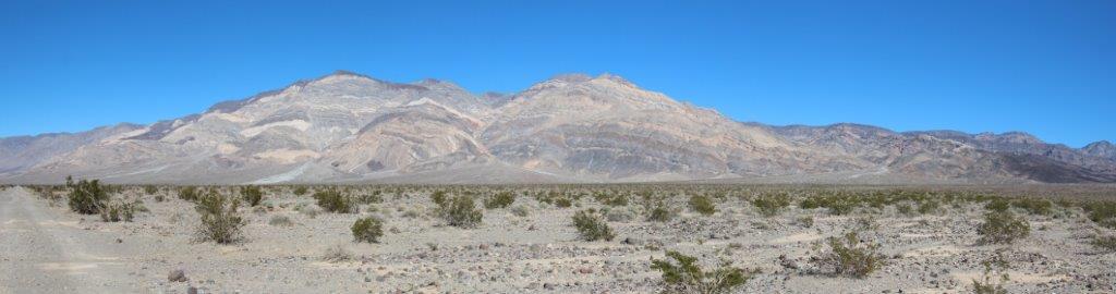
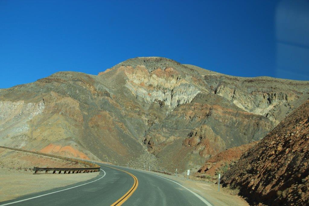
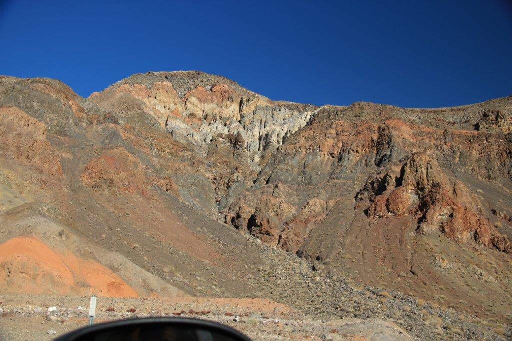
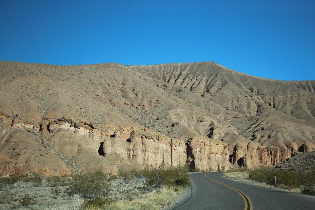
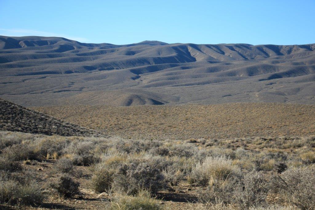
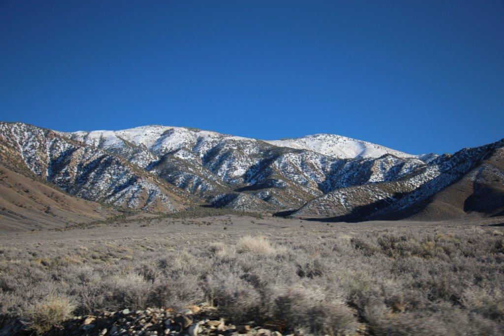
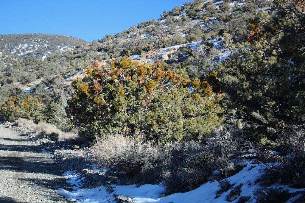
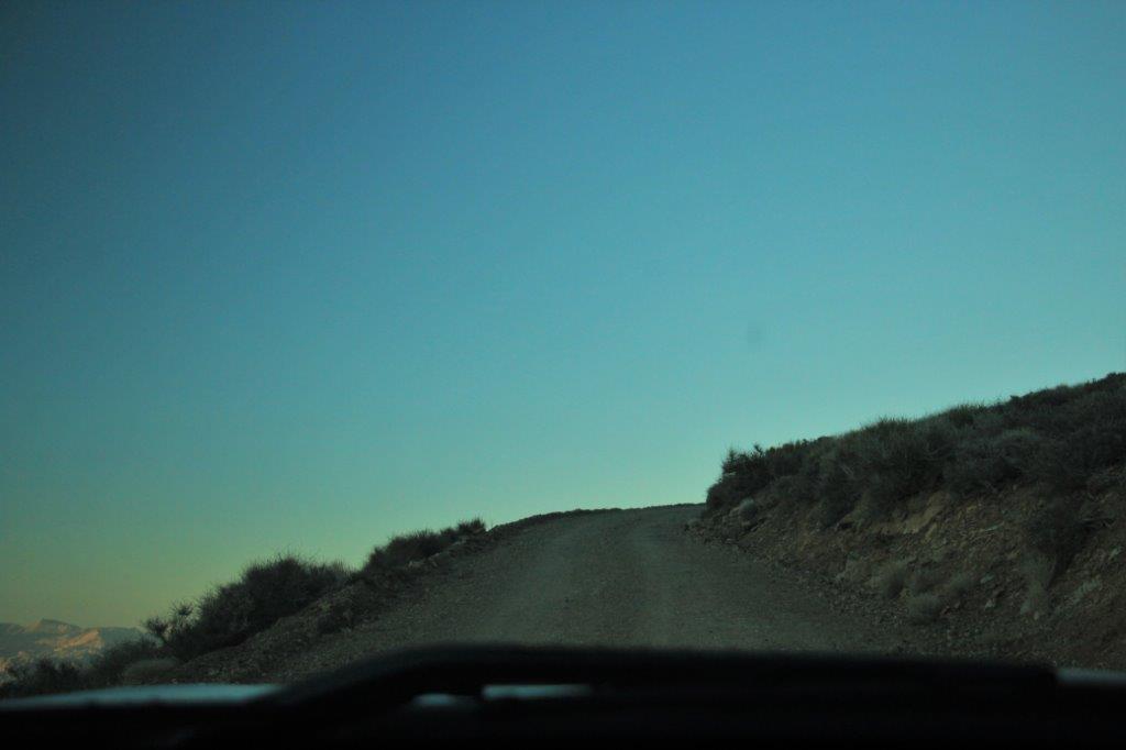
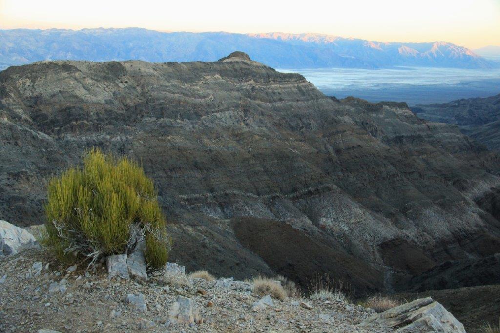
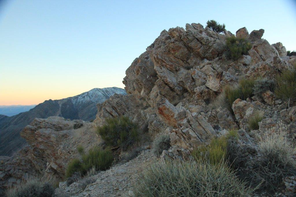
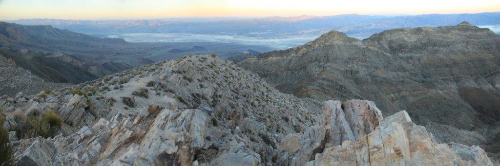
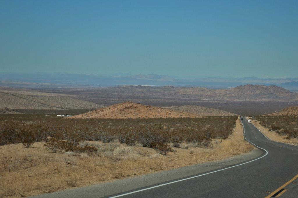
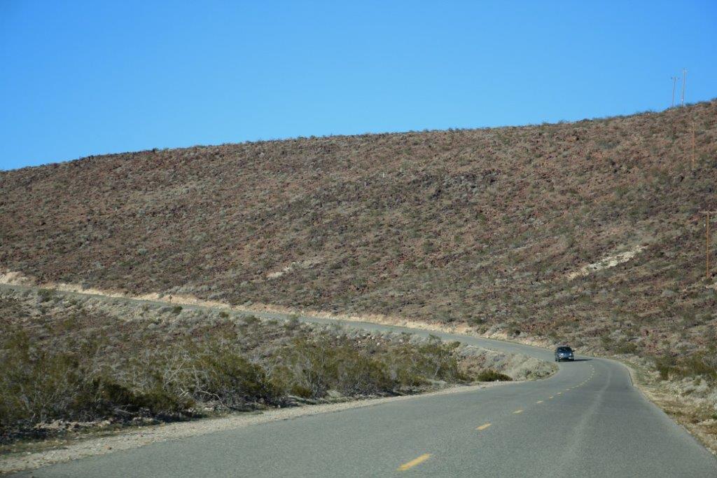
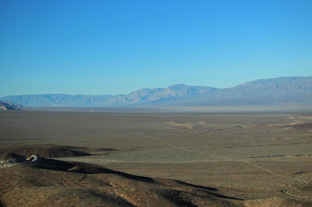
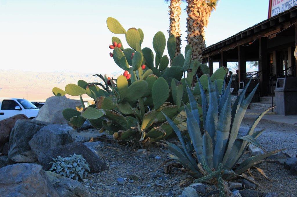
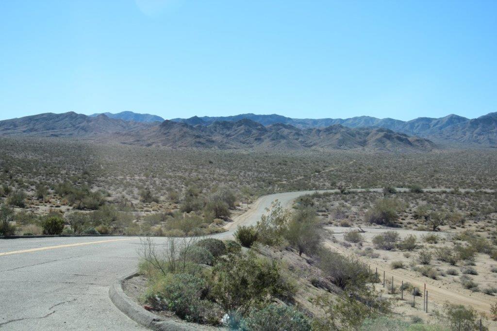
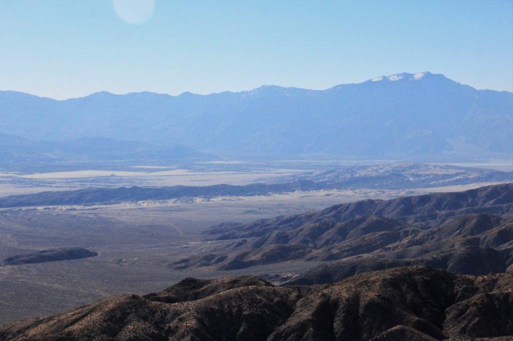
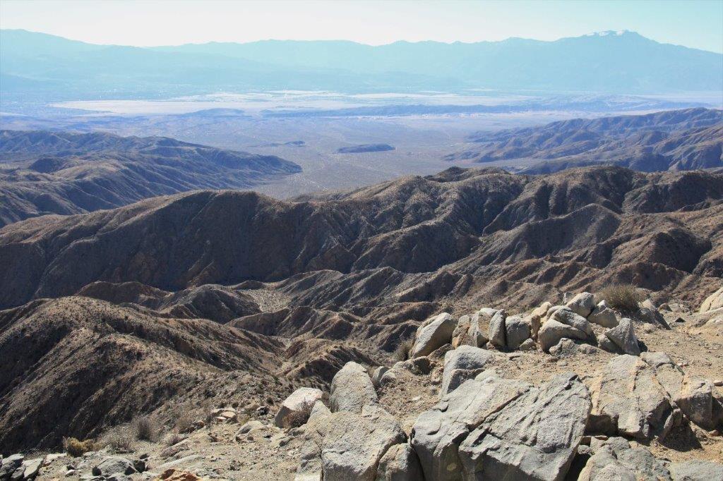
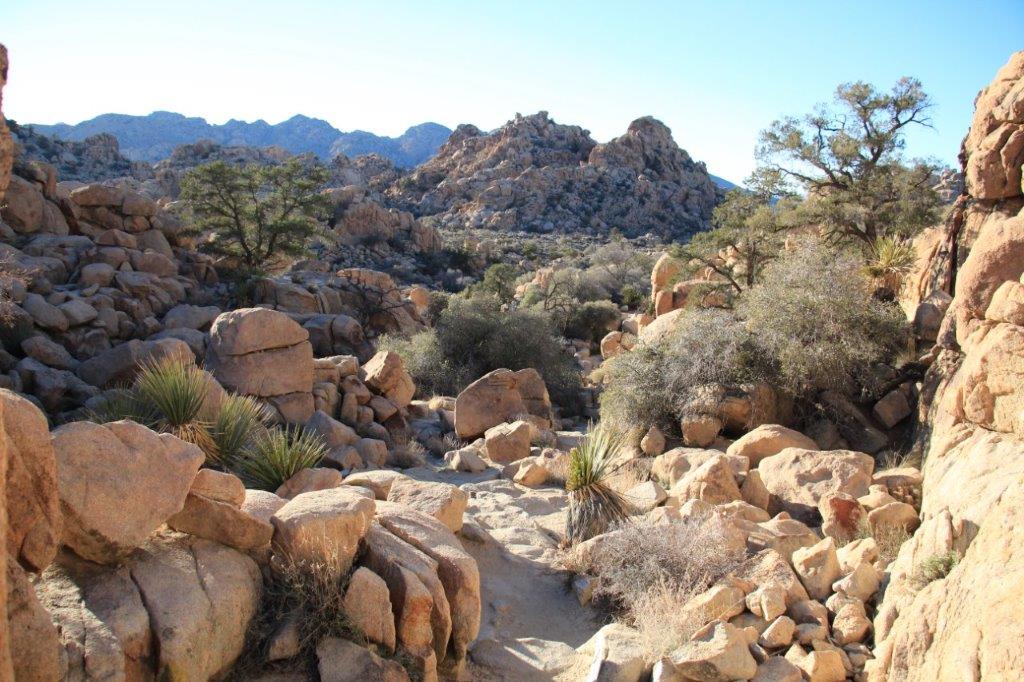
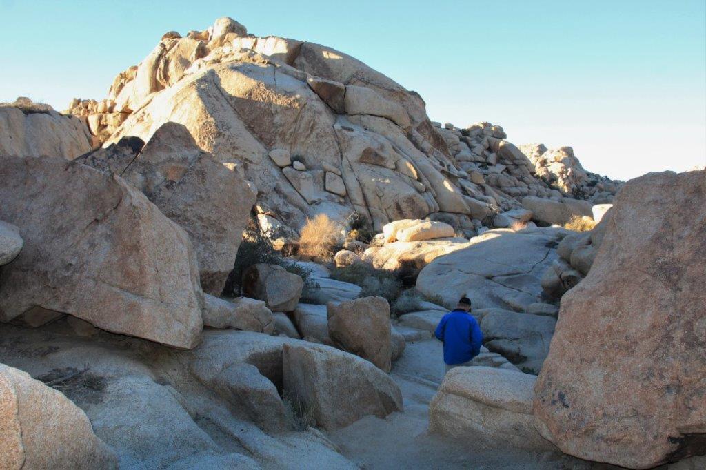
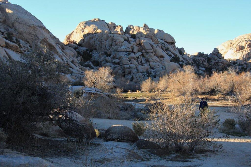
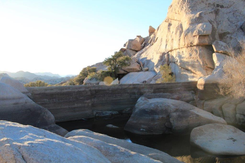
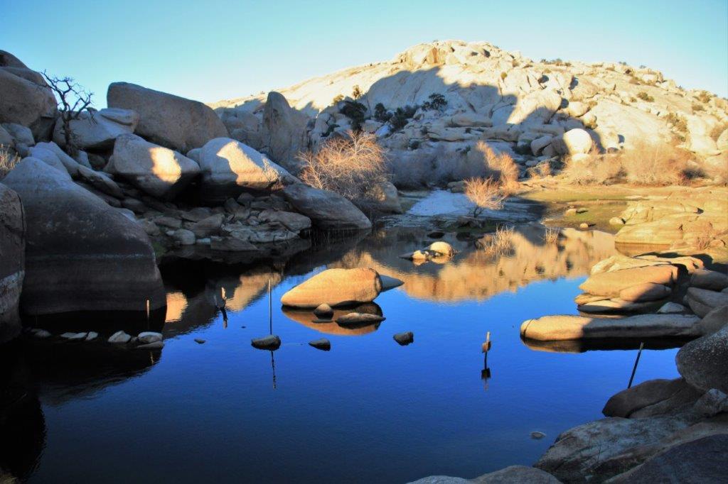
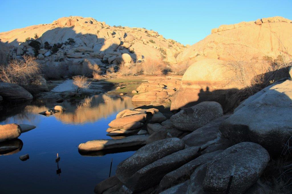
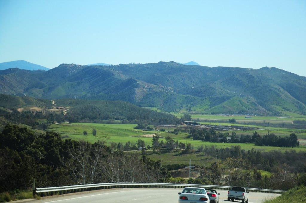
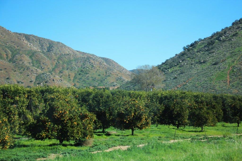
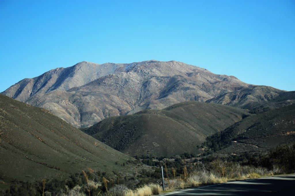
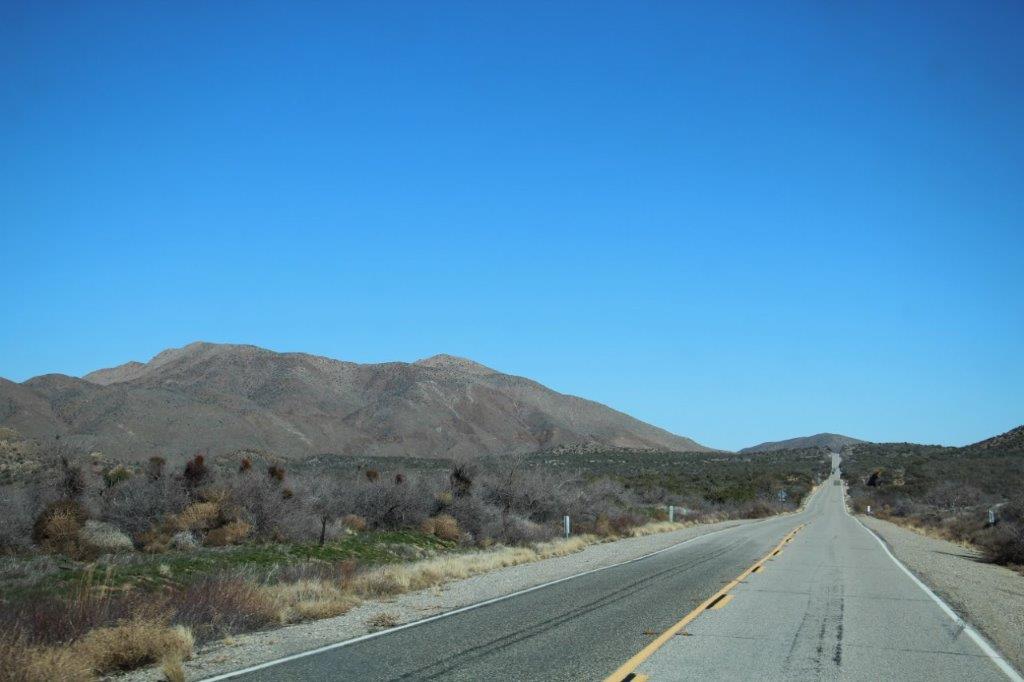
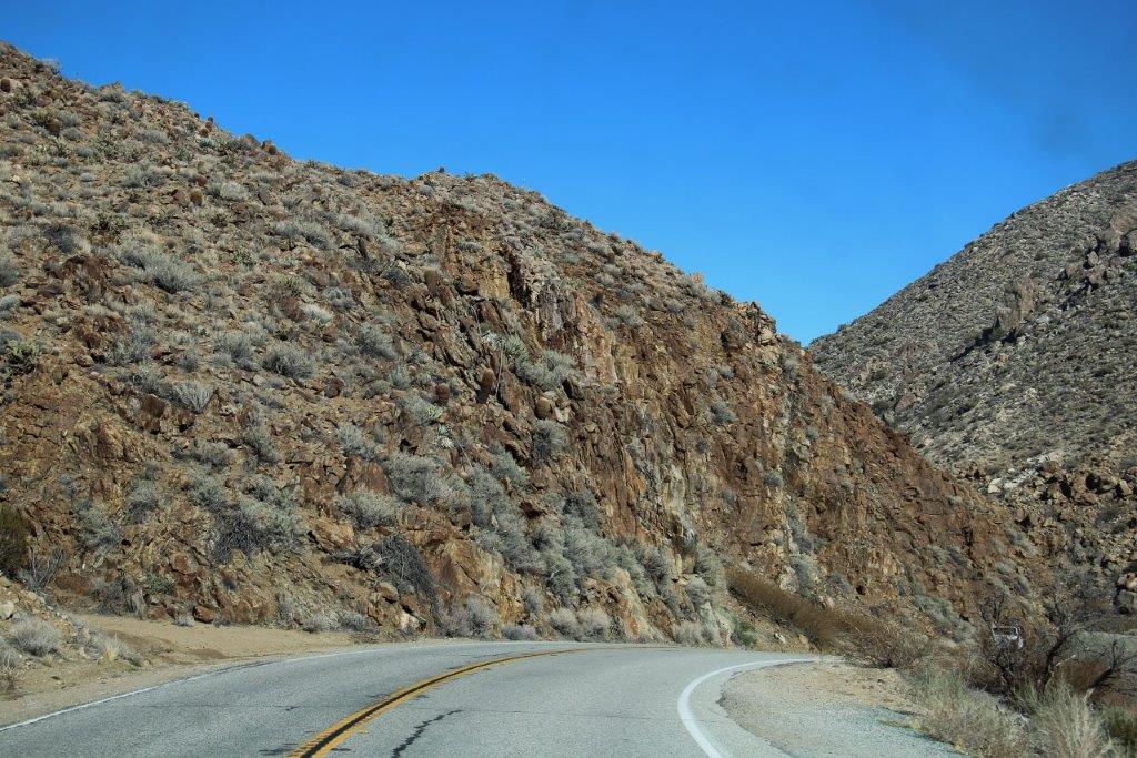
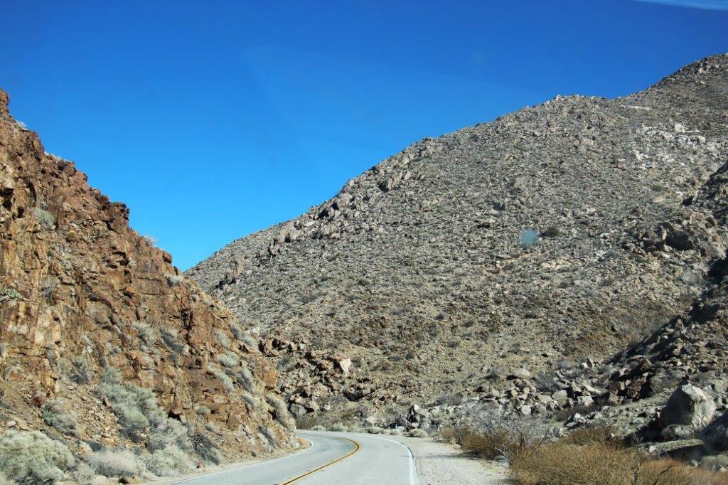
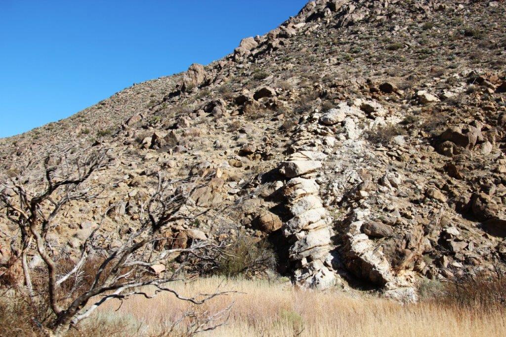
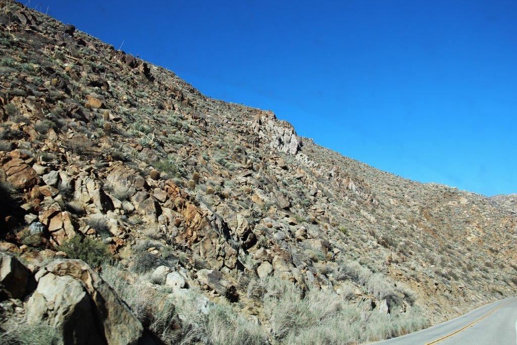
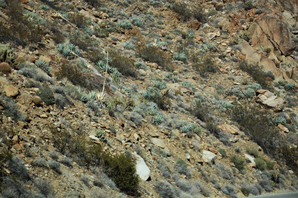
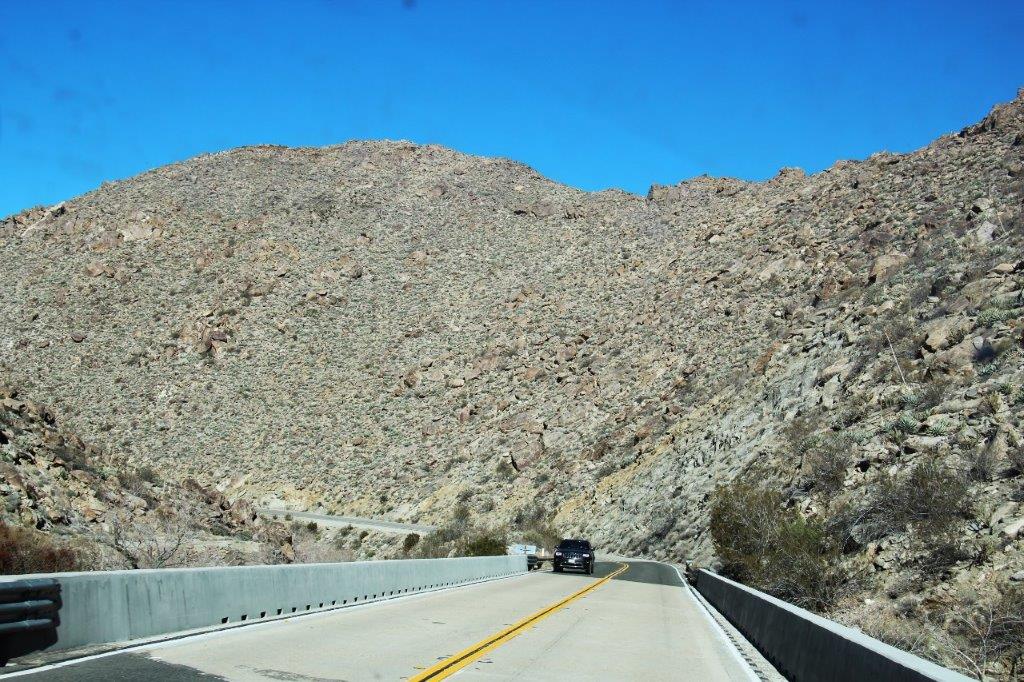
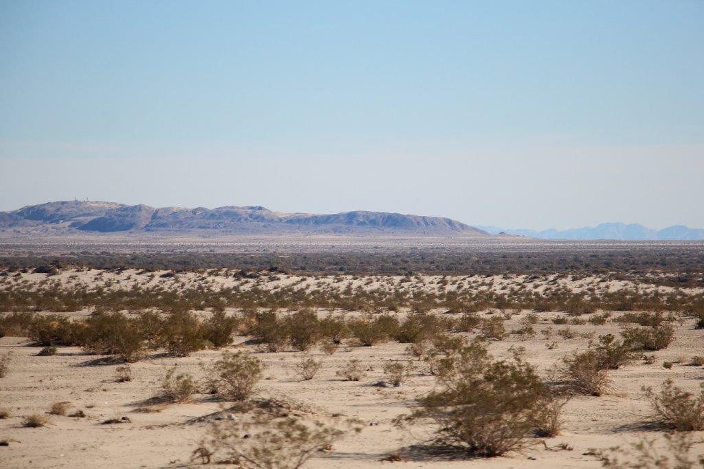
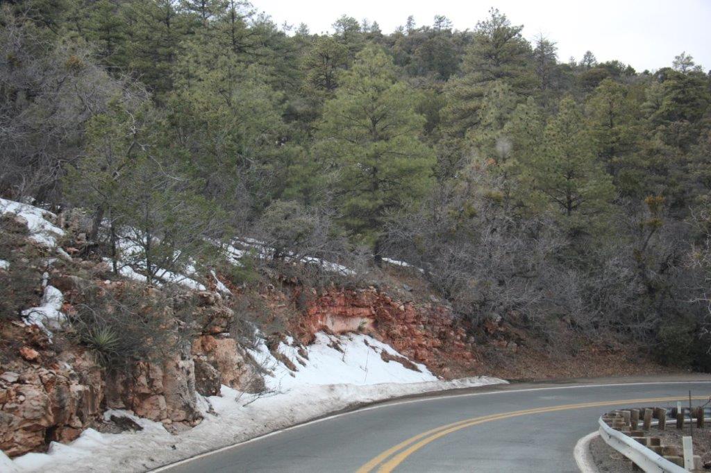
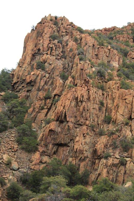
At the end of the Route 66 section we rejoined Highway 40 east for a few miles before turning south on Highway 89 and east again on 89A so we could go to the Tuzigoot National Monument near Cottonwood.  The section between the turn-off from 89 to 89A and Cottonwood was a high winding Mingus Mountain pass.  Who knew?  Another great road though.  Good motorcycle road too. IMG_0374 IMG_0376 IMG_0381 IMG_0390 IMG_0399

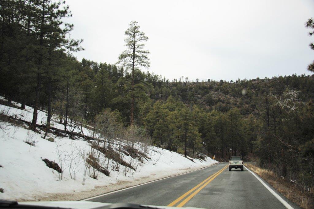
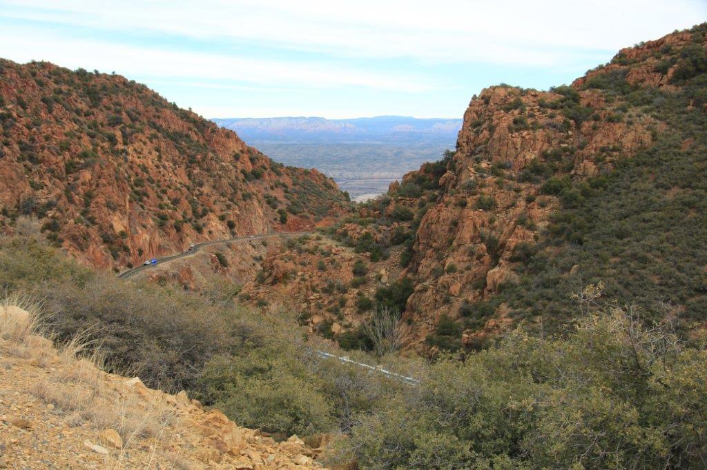
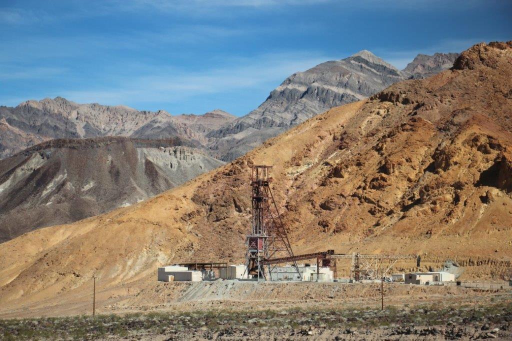
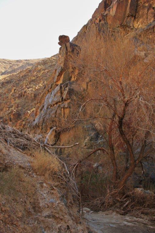
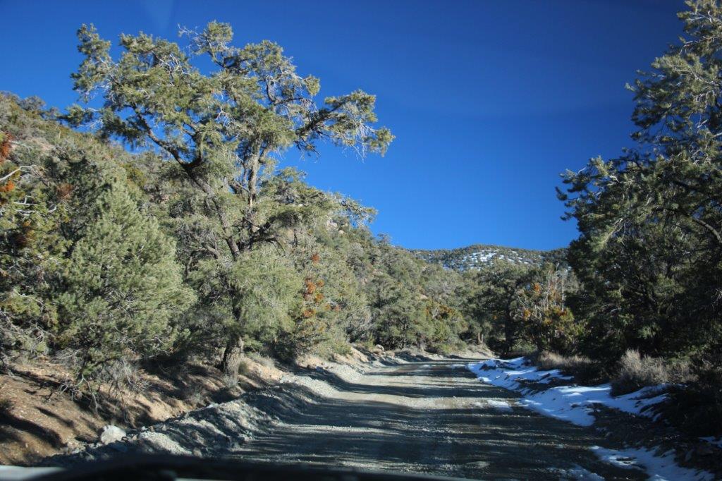
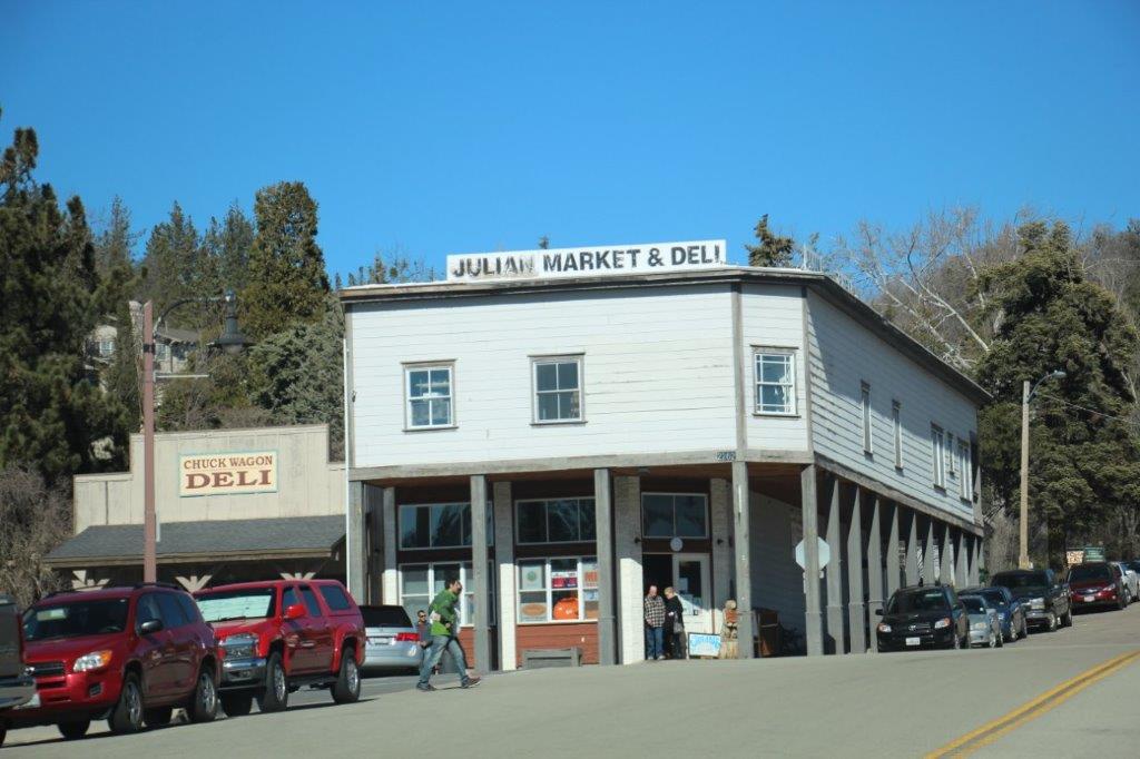
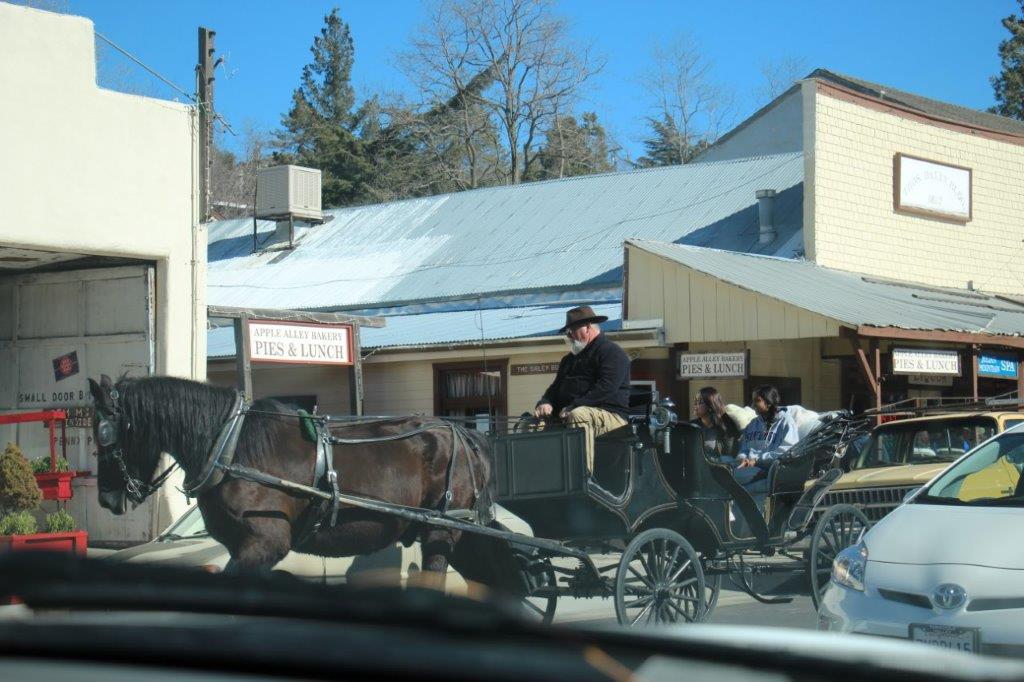
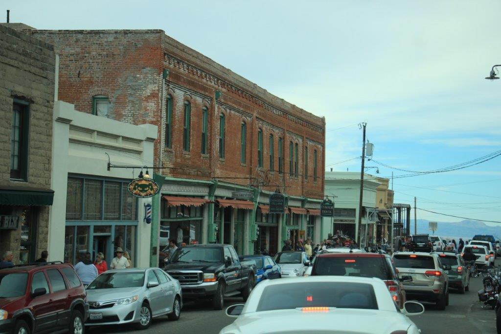
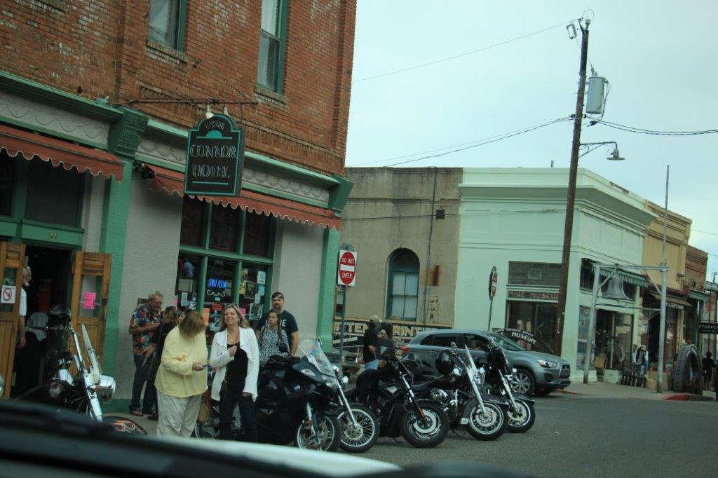
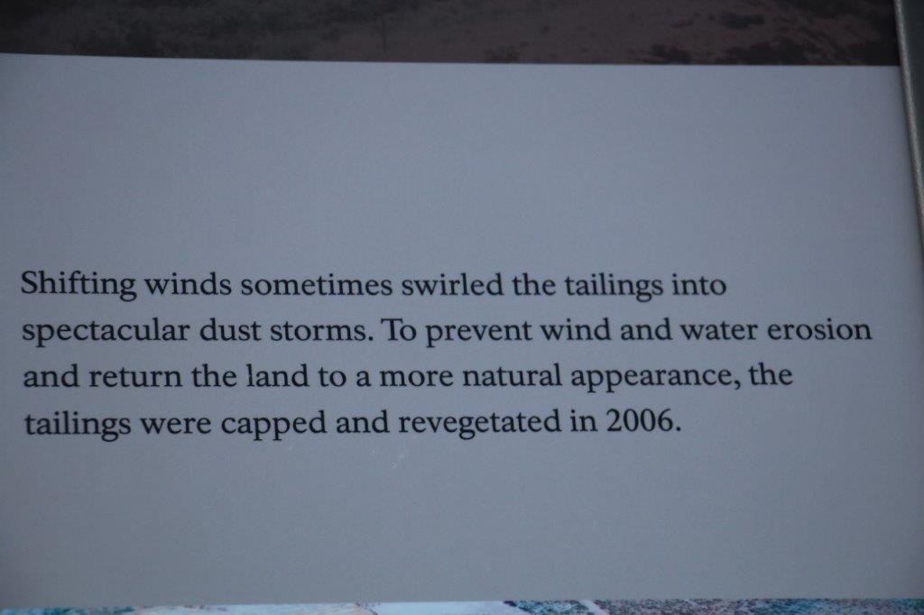
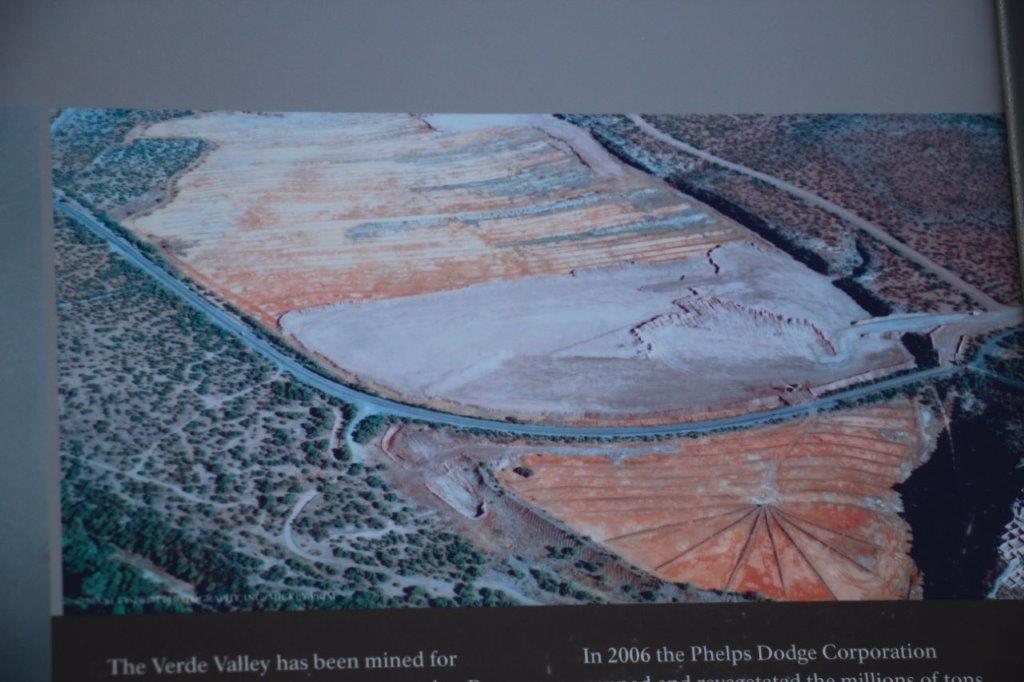
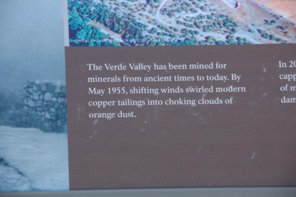
The down-side of the mountain pass took us through the little town of Jerome, perched on the sheer cliff-side.  You wind down narrow hairpin bends through all the streets.  It is the most vertical city in the US and the country’s largest ghost town.  It was a copper boom town producing 3 million pounds of copper per month; the largest copper mine in AZ at the time.  After WWII the demand for copper slowed and they closed the mine in 1953. The few remaining residents (50-100 people) promoted the town as a ghost town. In 1967 the town was designated a National Historic District.

The place was PACKED!  Both sides of every street were solid with parked cars, there were people  walking all over the place. Businesses had names like The Haunted Hamburger.  Obviously a very popular spot to visit.

IMG_0403 IMG_0404 IMG_0406
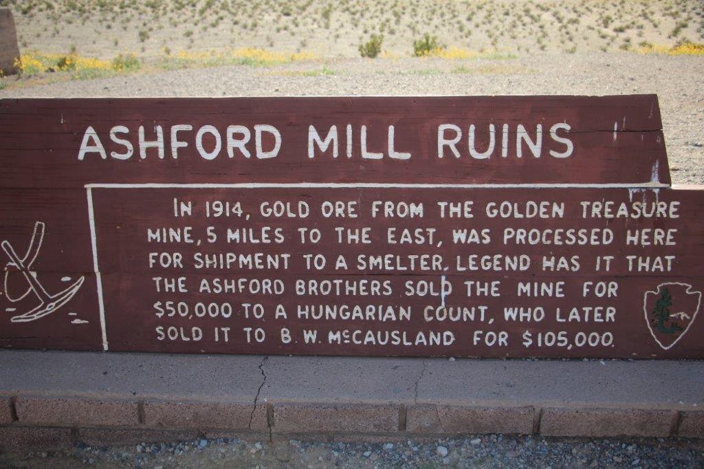
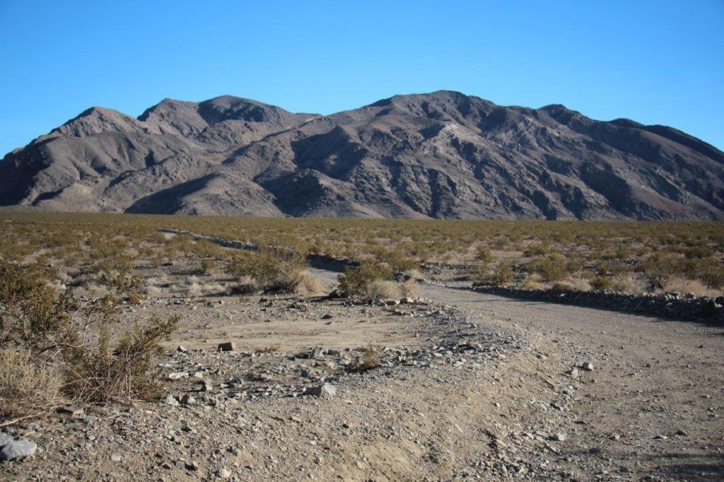
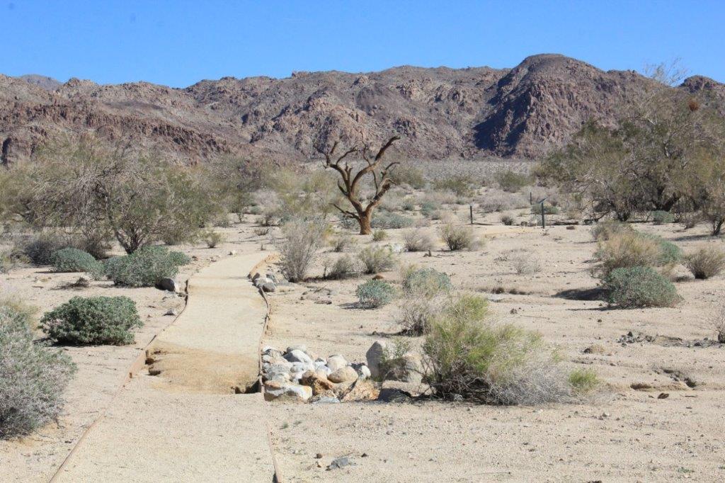
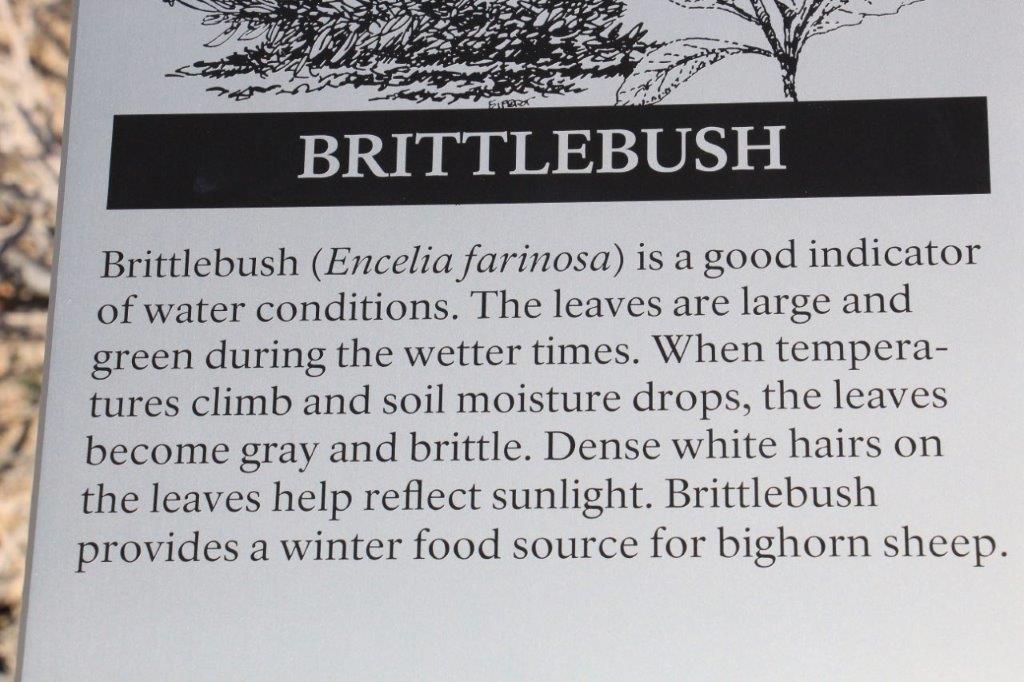
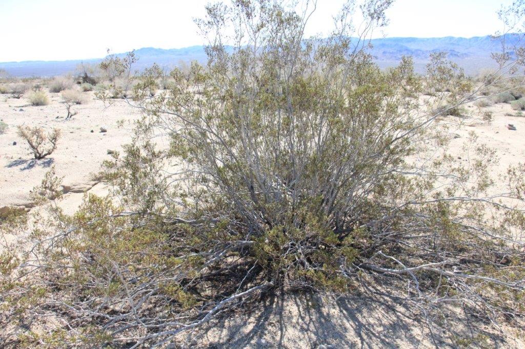
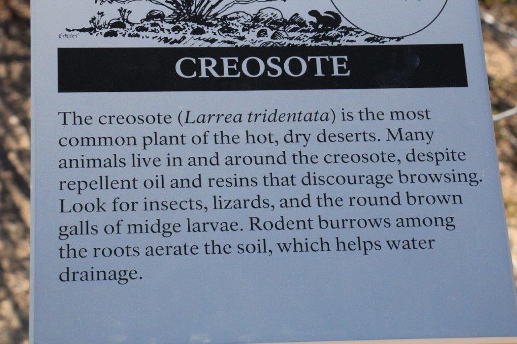
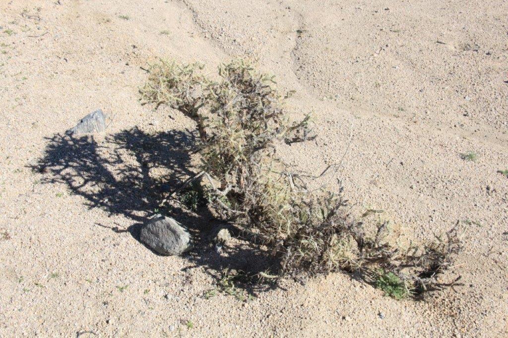
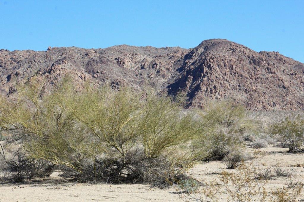
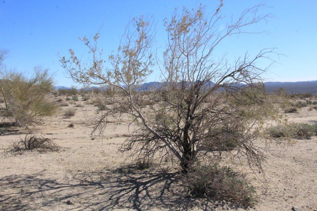
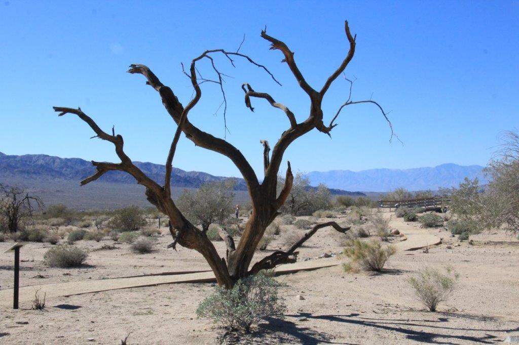
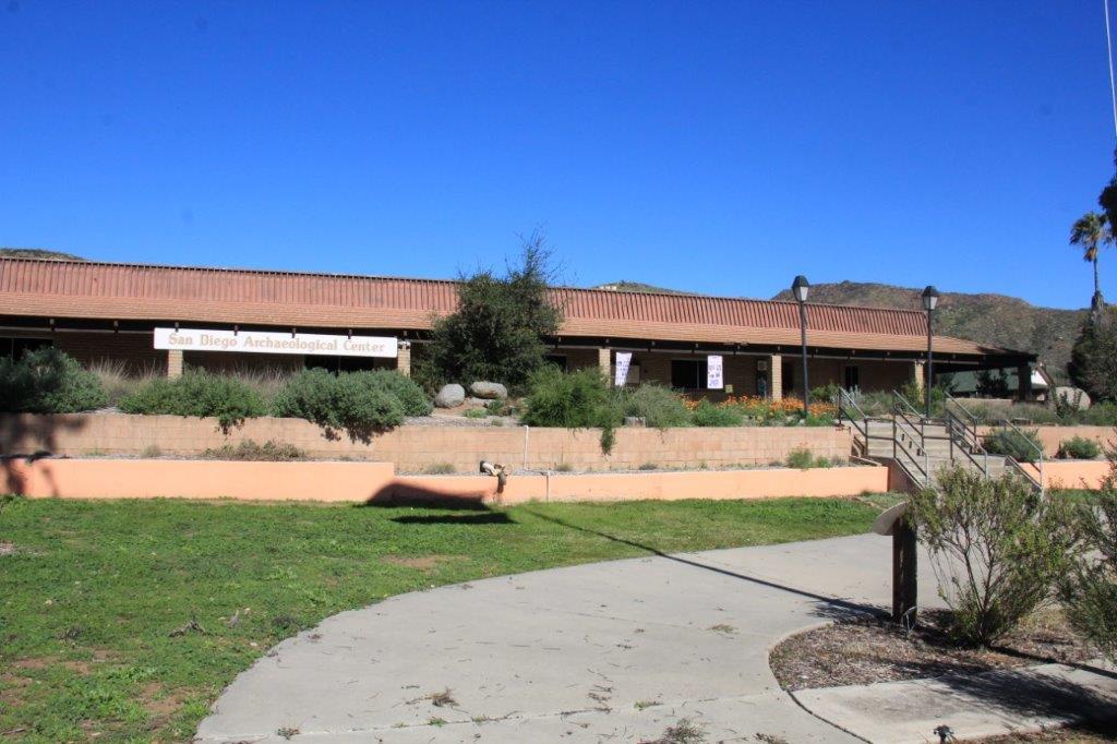
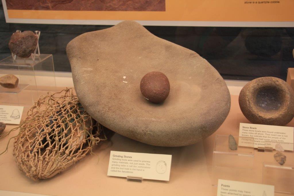
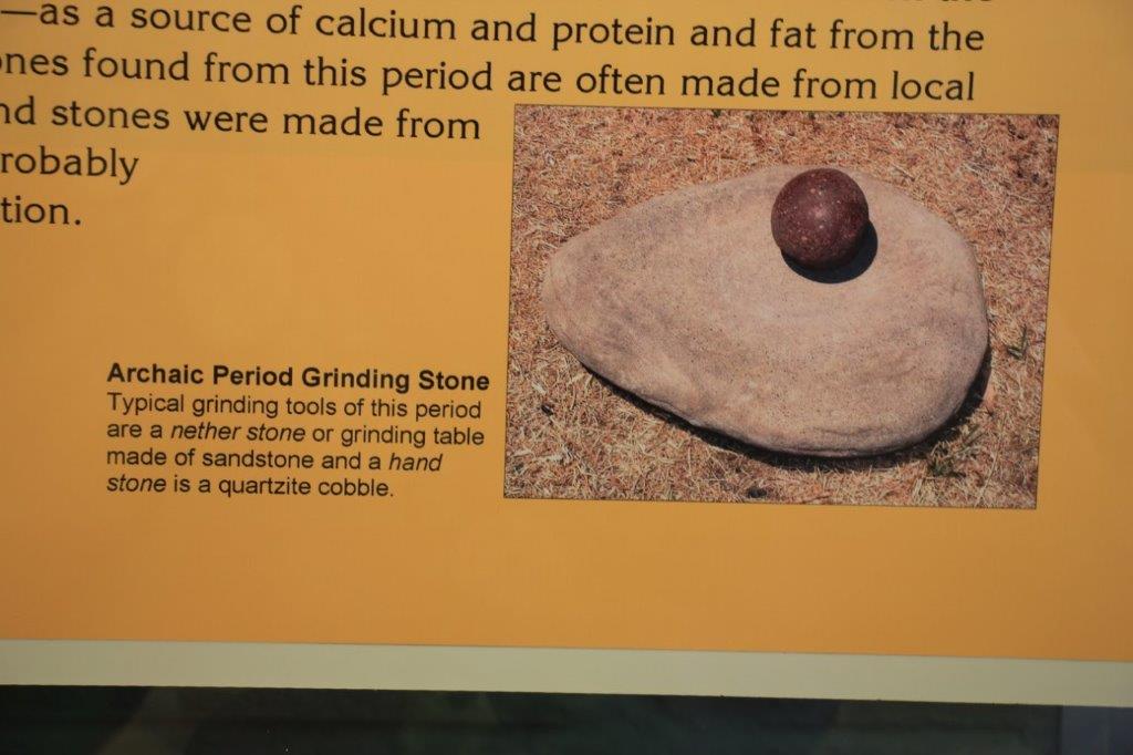
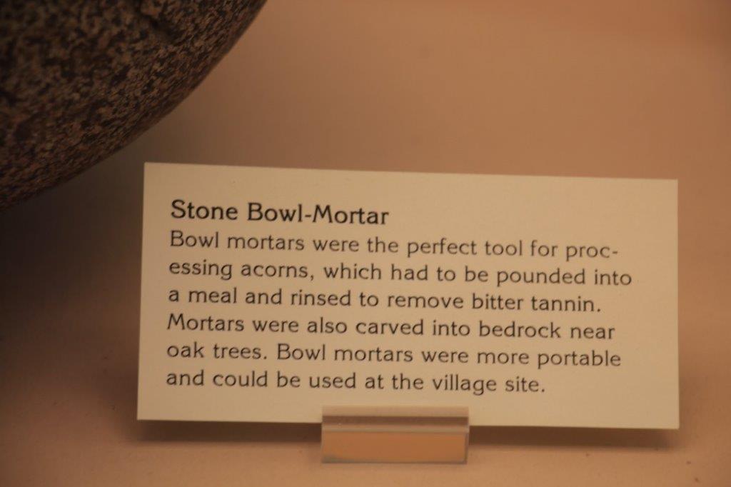
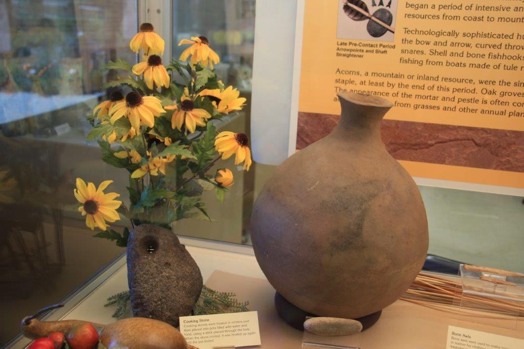
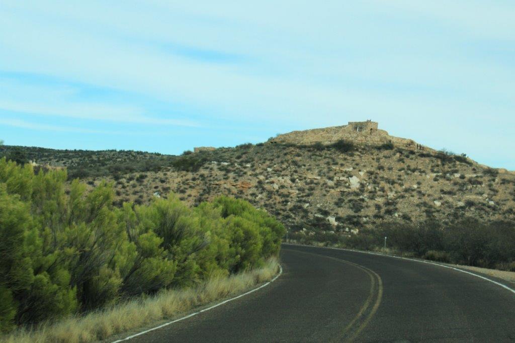
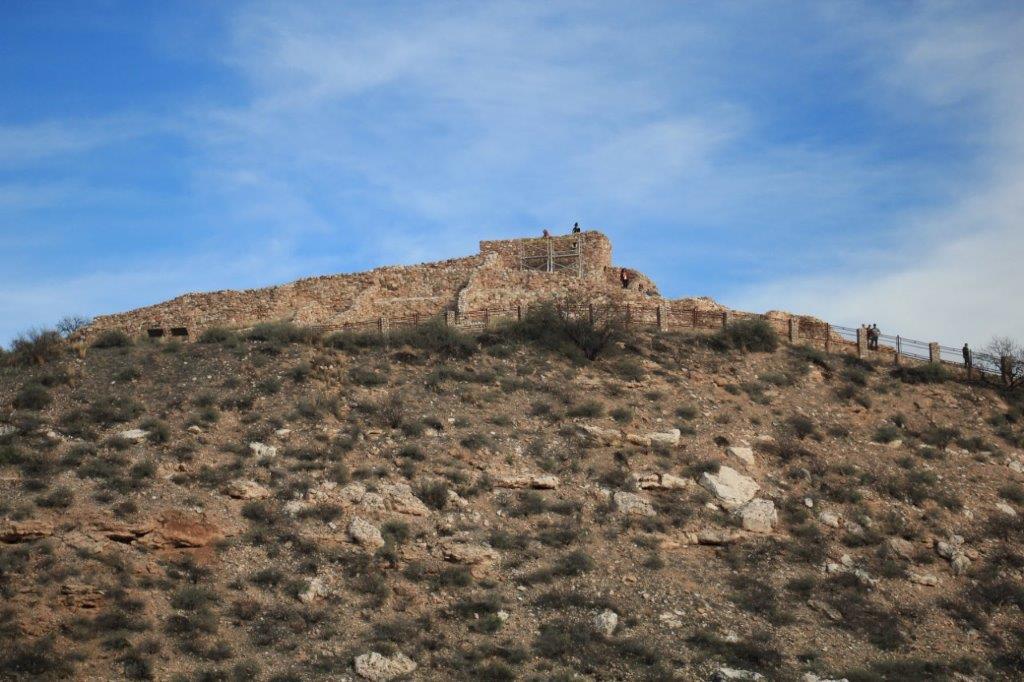
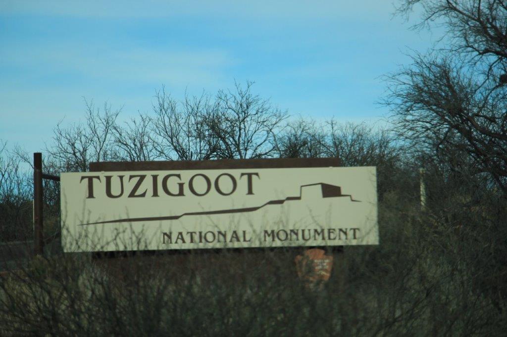
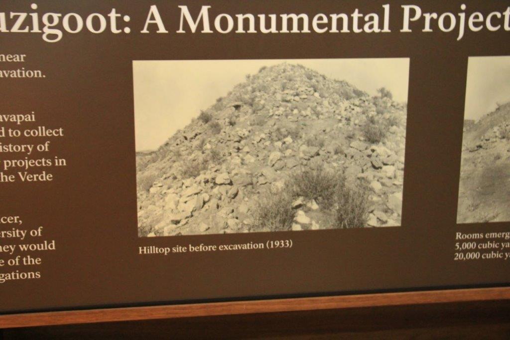
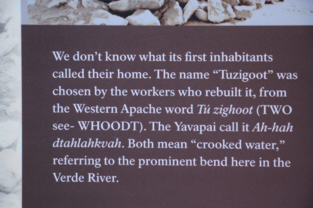
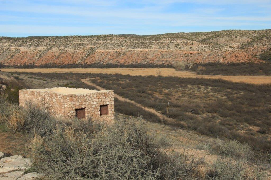
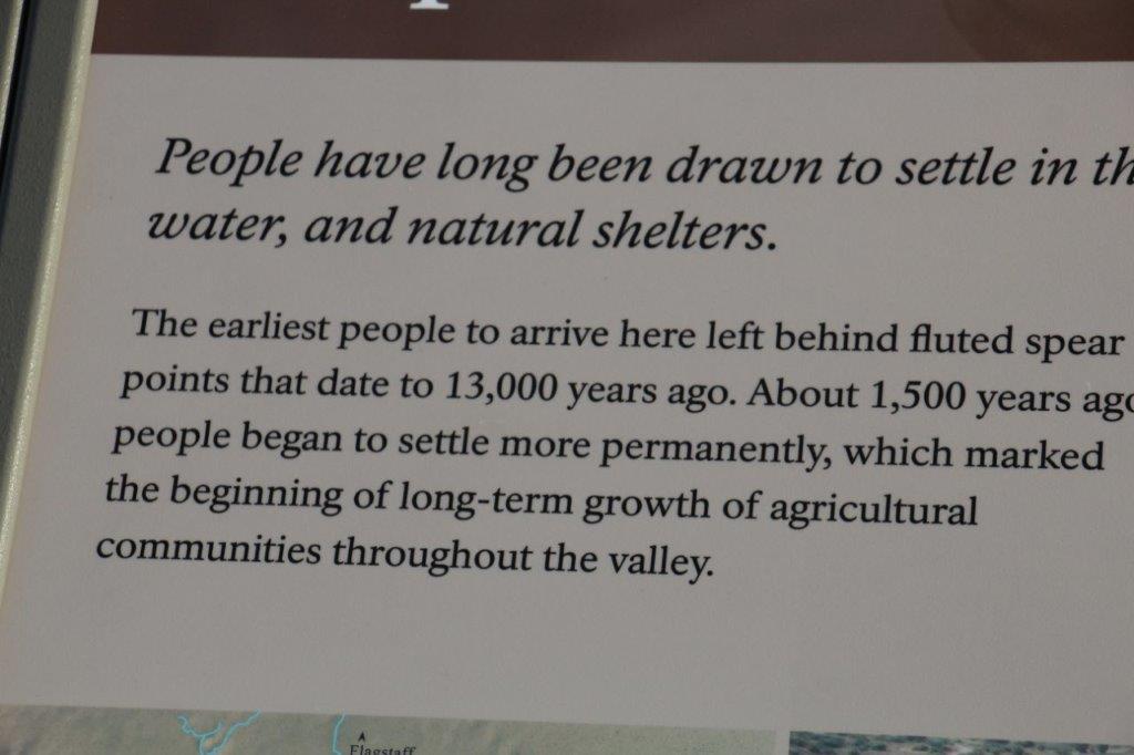
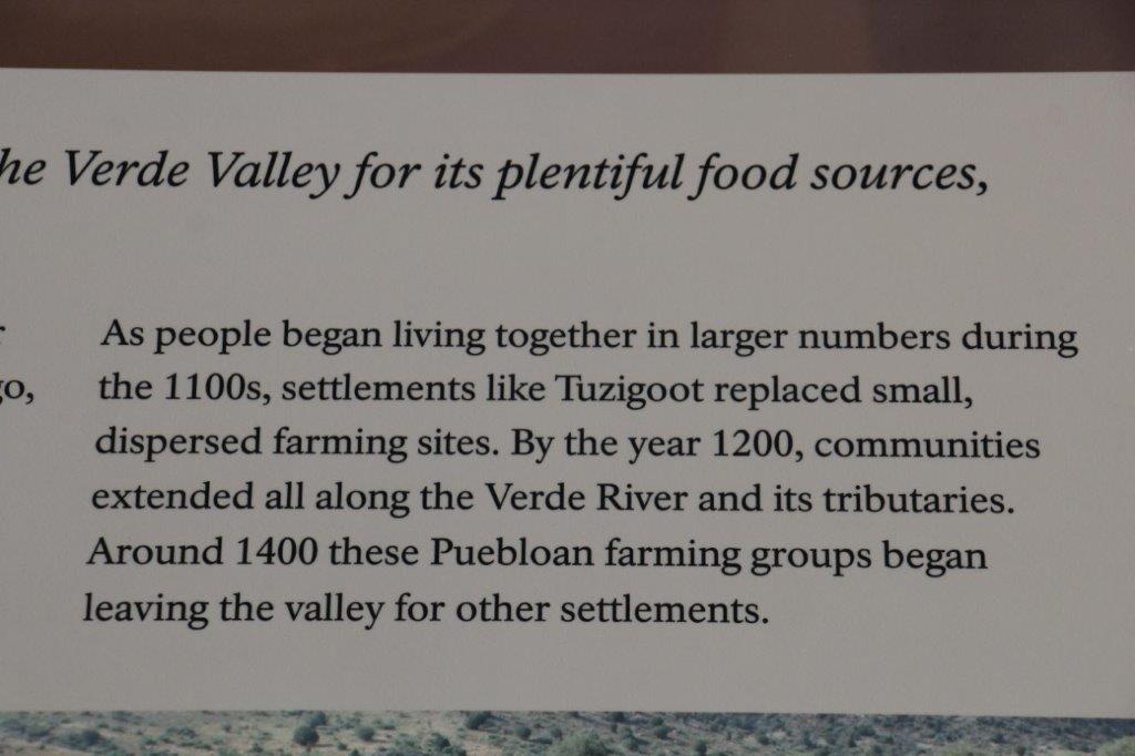
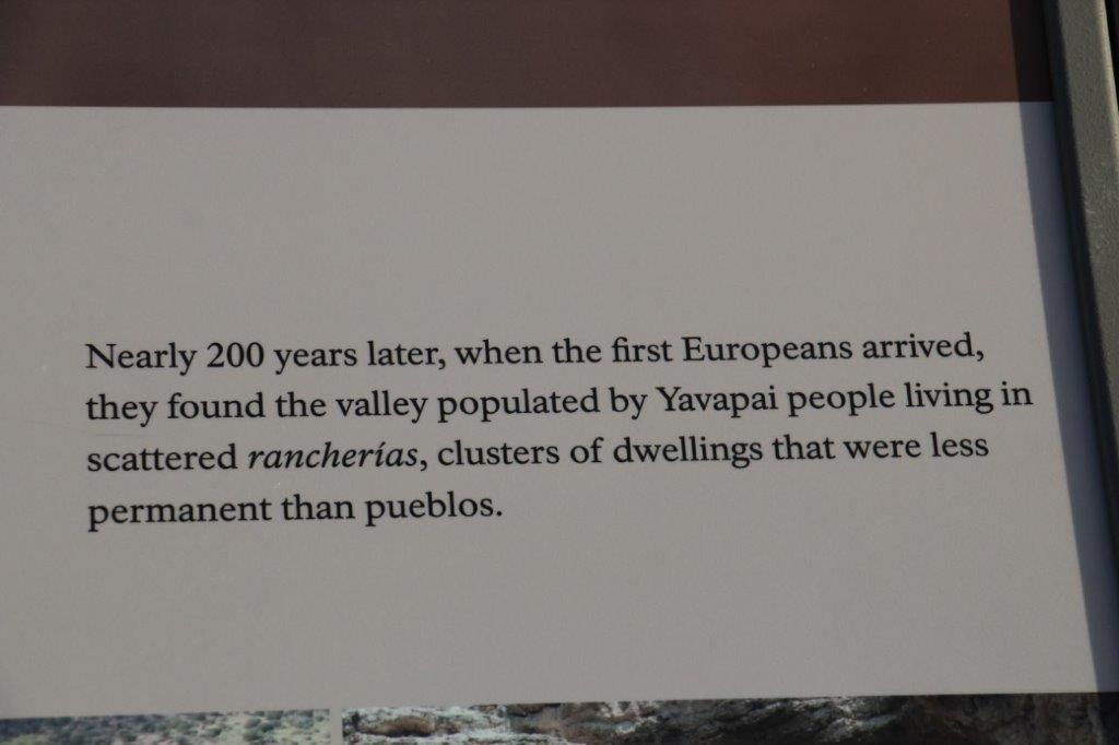
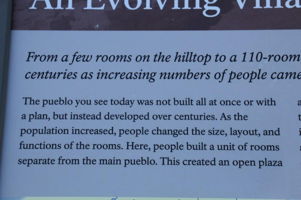
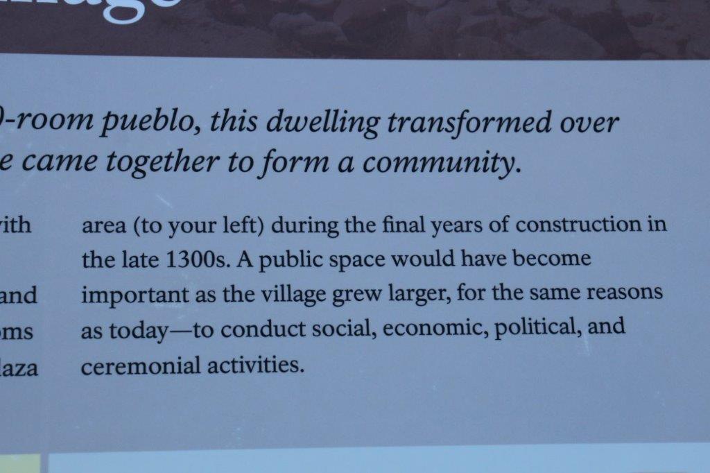
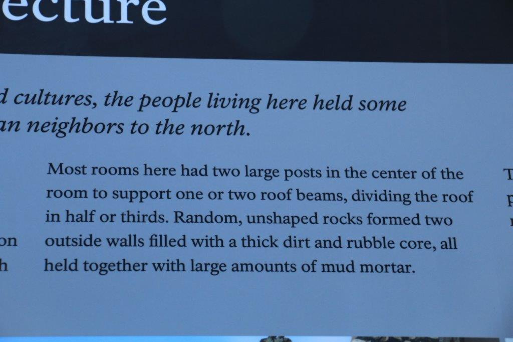
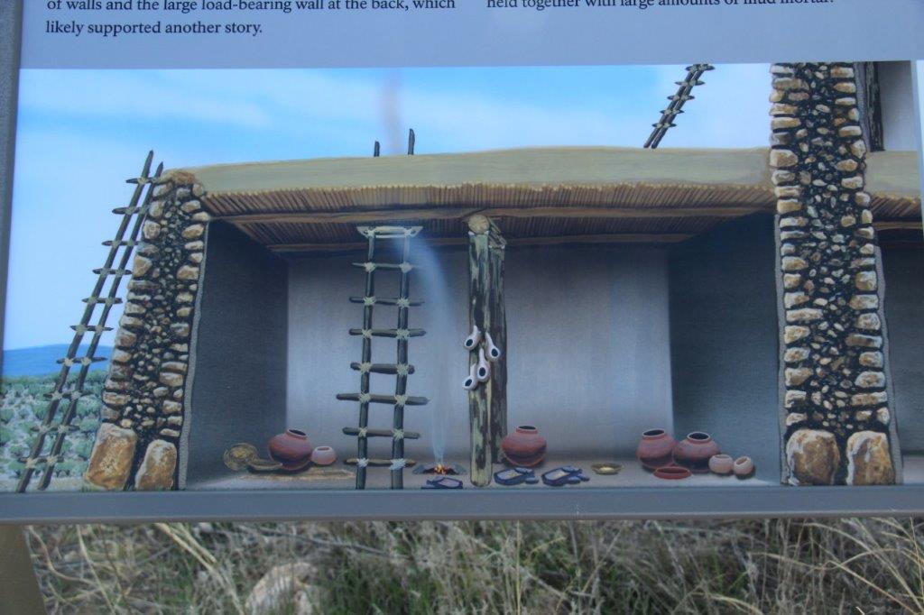
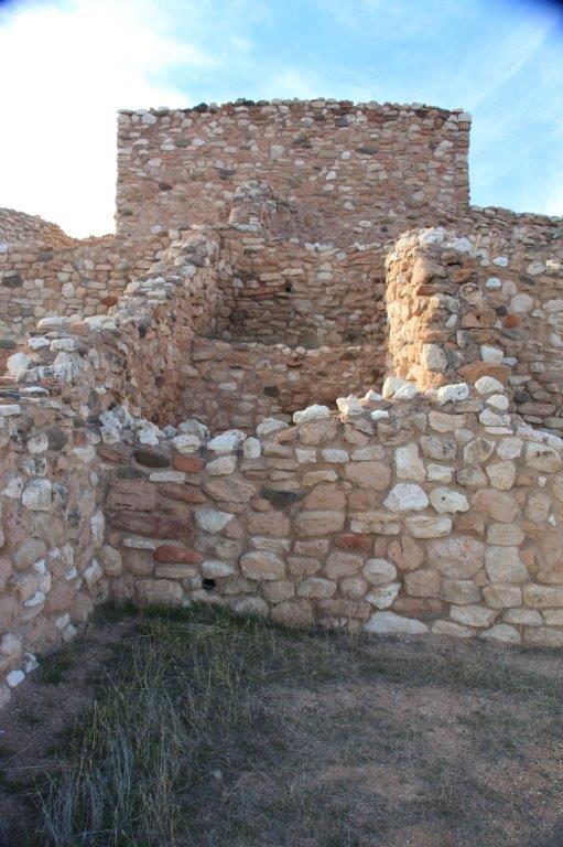
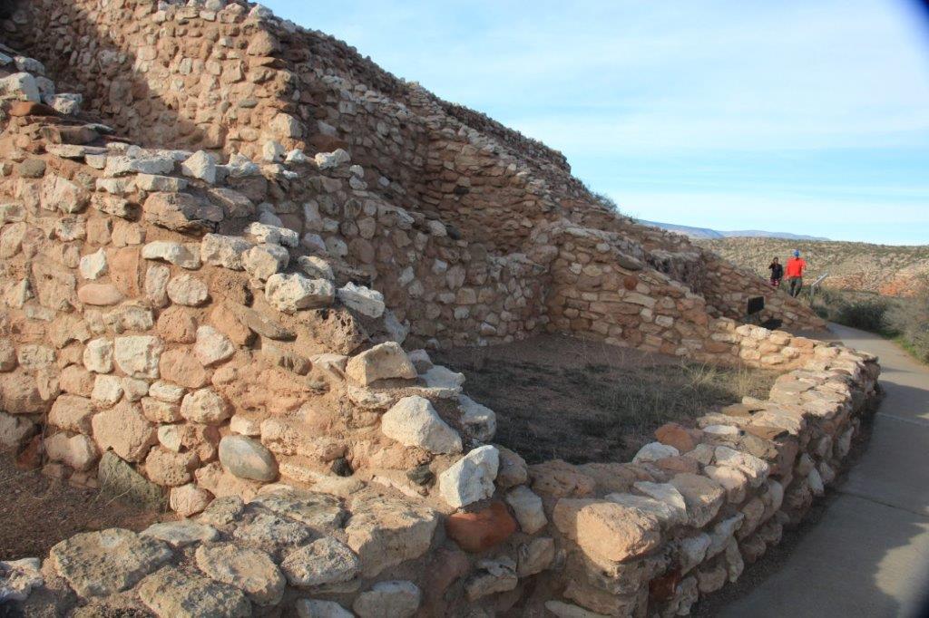
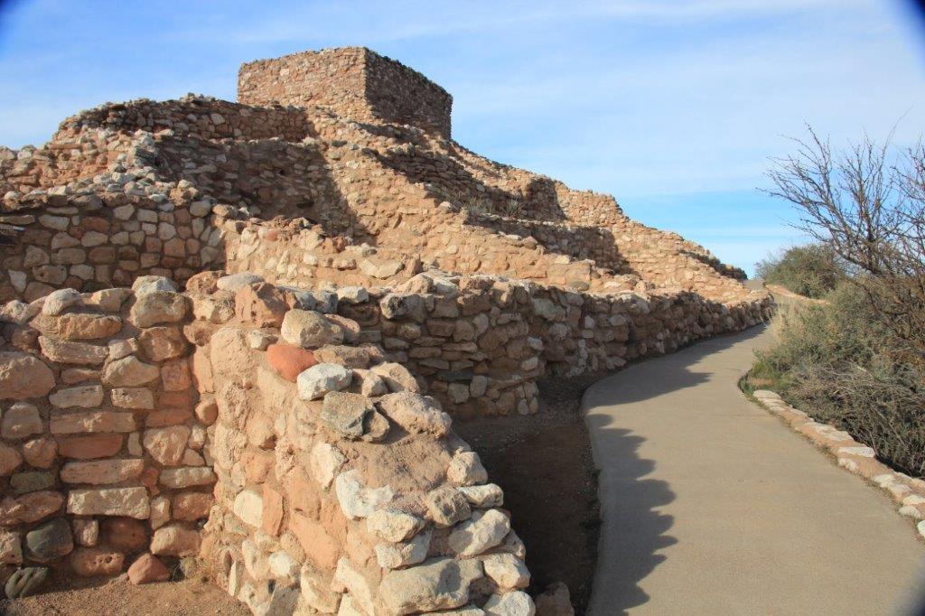
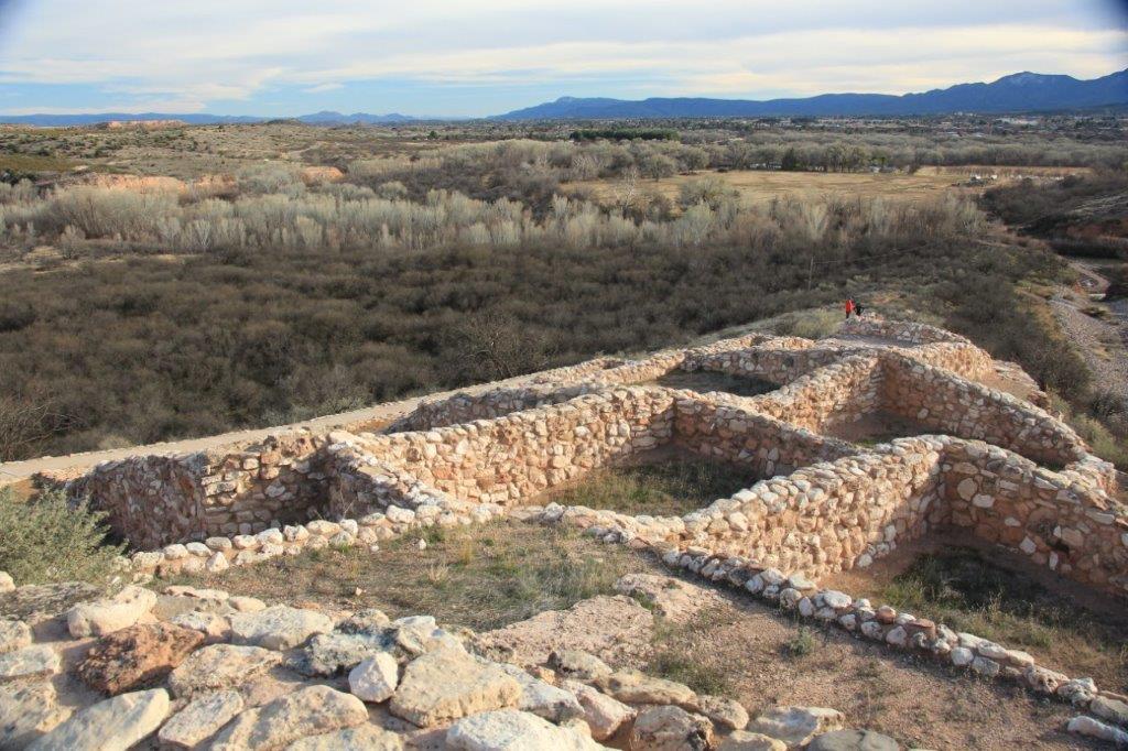
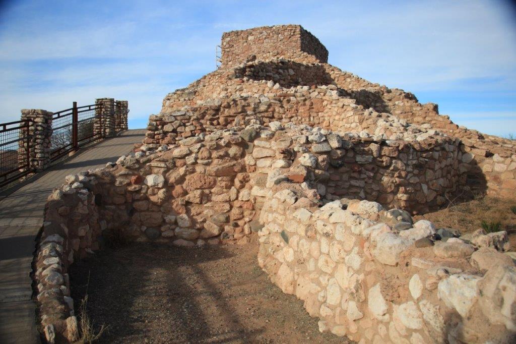
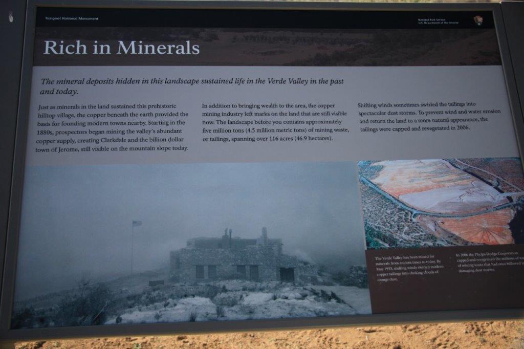
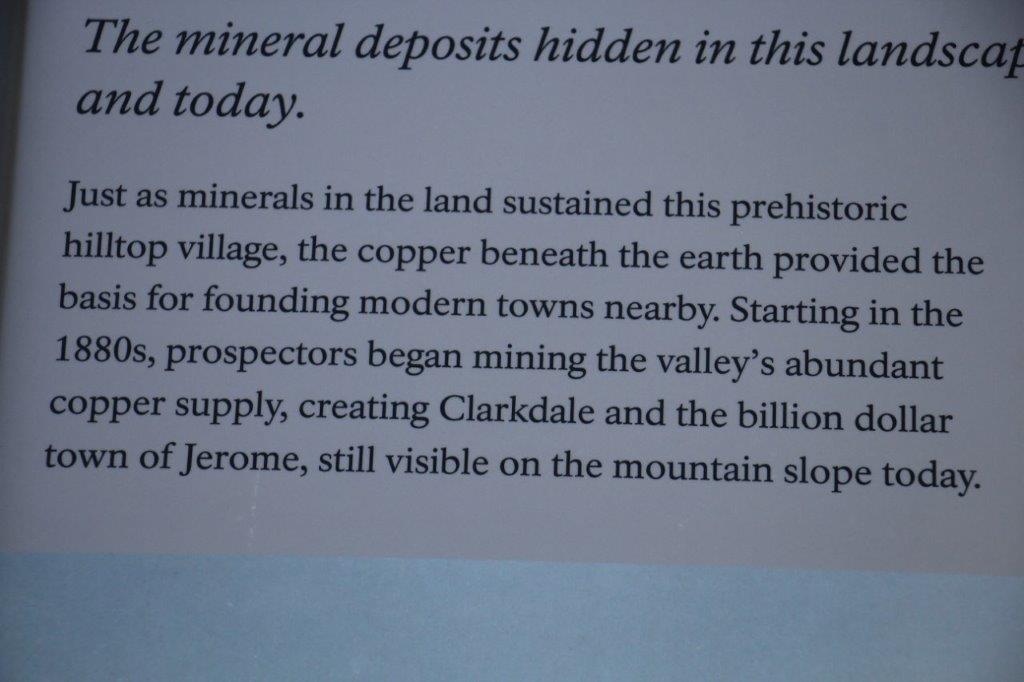
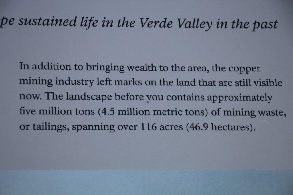
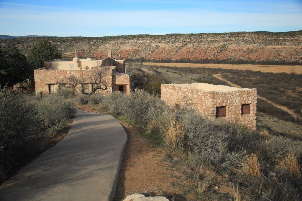
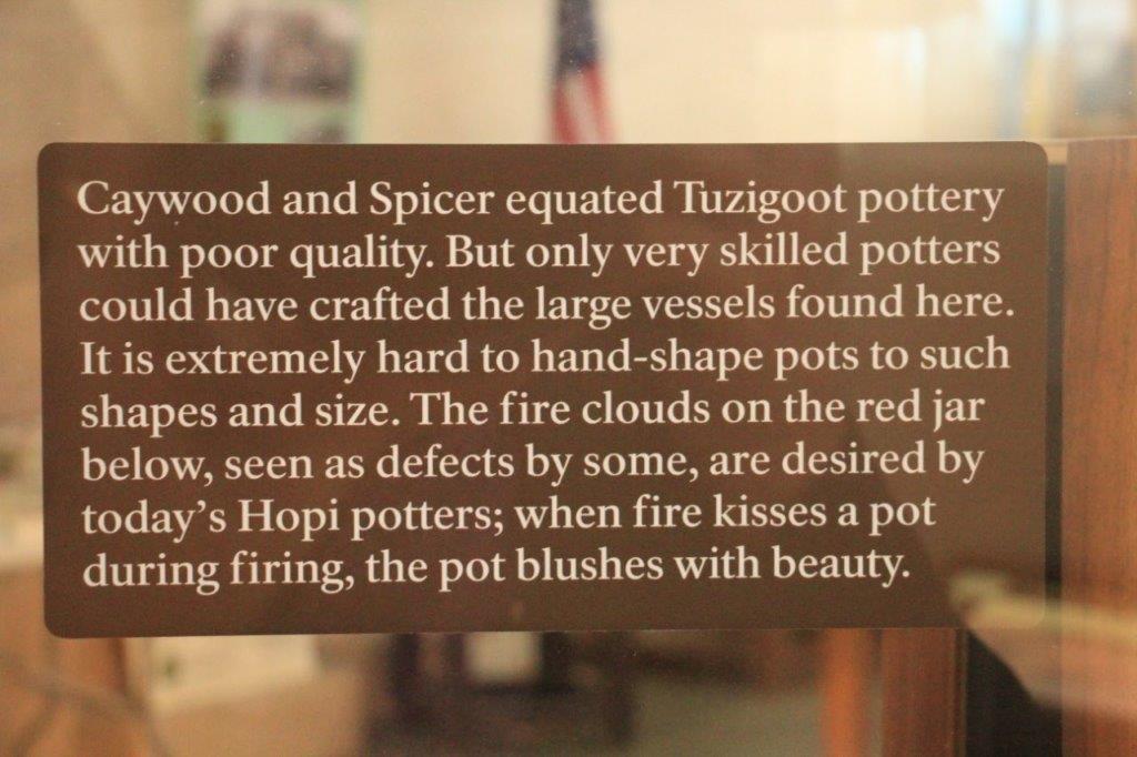
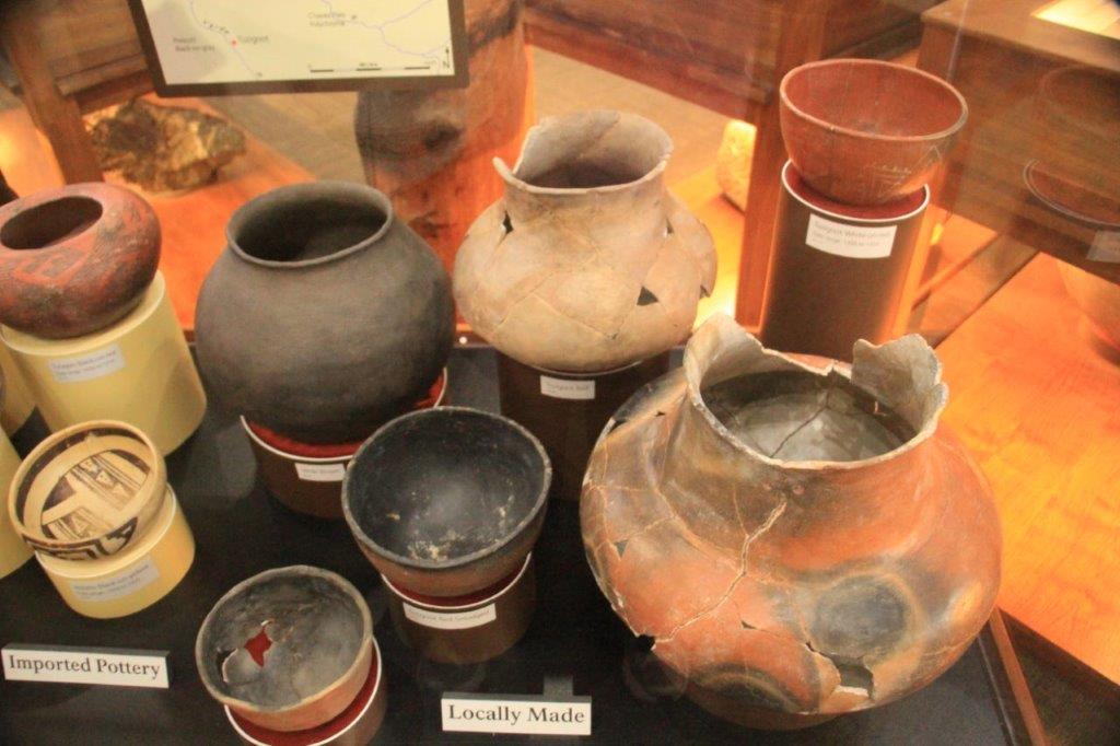
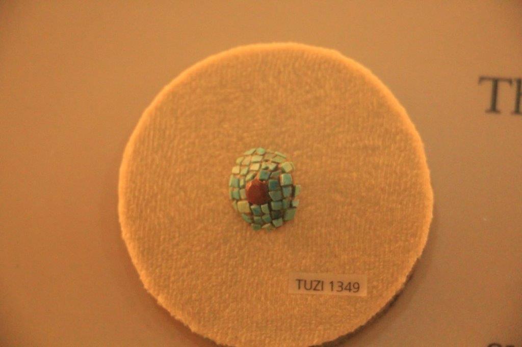
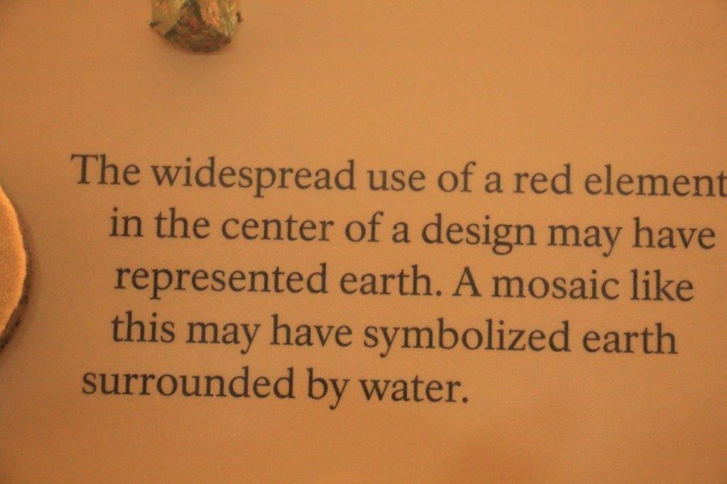
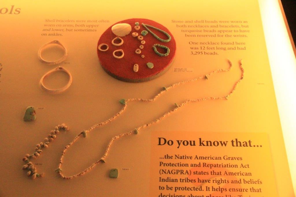
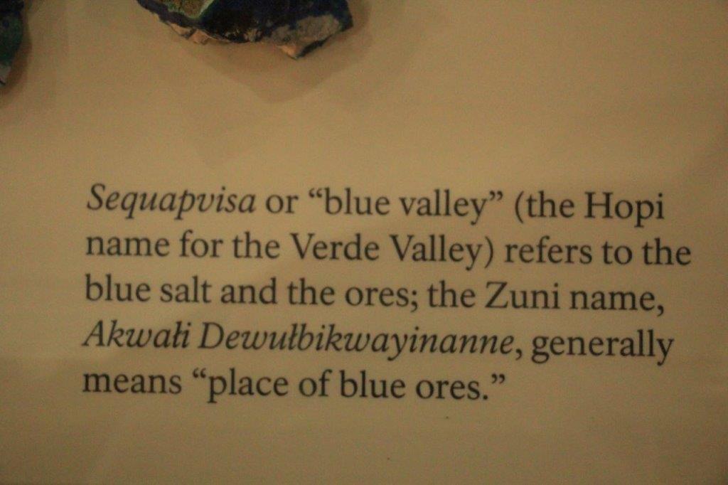
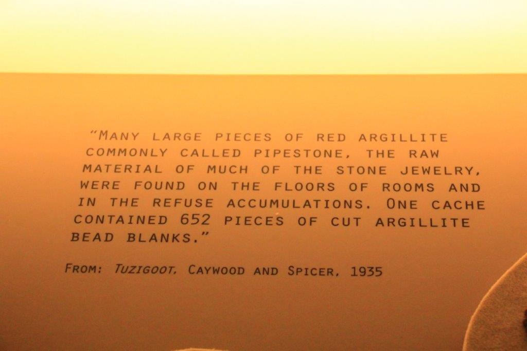
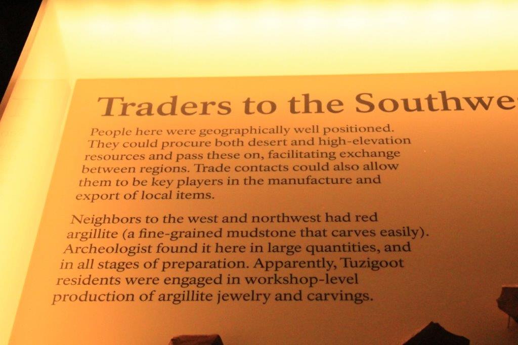
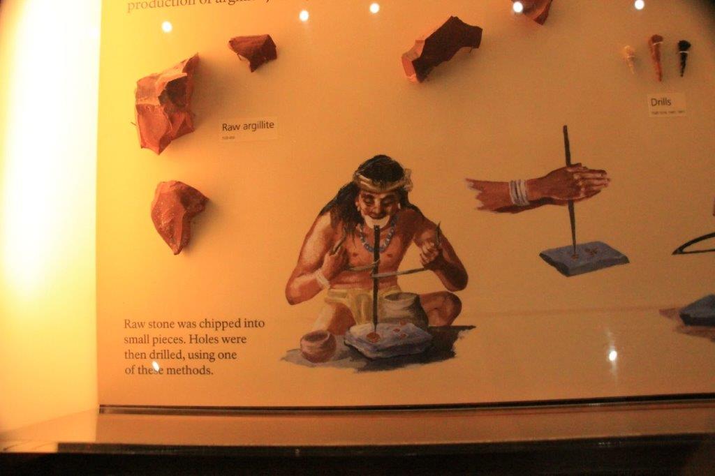
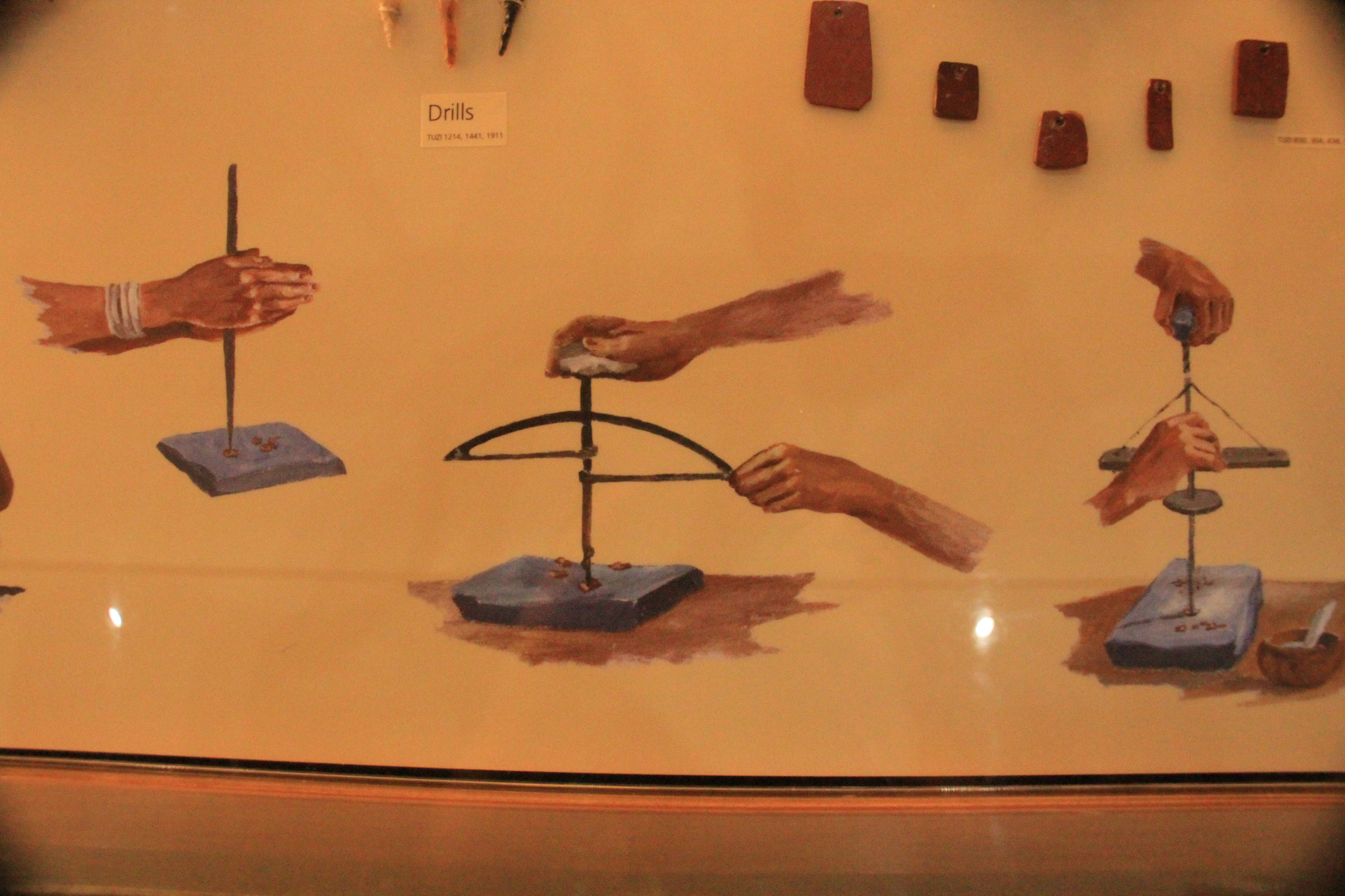
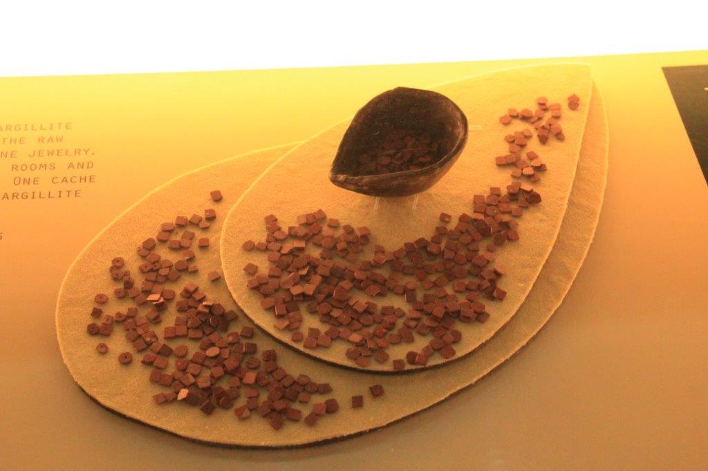
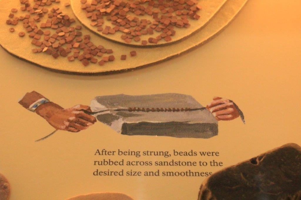
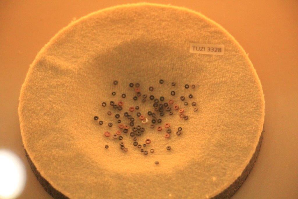
A few miles further down the road we turned off the highway to drive a couple of miles up to Tuzigoot National Monument, the site of an ancient 110-room pueblo.  The oldest rooms were built over 900 years ago and were added onto over several centuries. (The National Park Service makes such nice signs I am not going to write out all the info.)

IMG_0410 IMG_0411 IMG_0412 IMG_0414 IMG_0415 IMG_0423 IMG_0437 IMG_0439 IMG_0440 IMG_0441 IMG_0449 IMG_0450 IMG_0459 IMG_0461 IMG_0470 IMG_0471 IMG_0473 IMG_0478 IMG_0479 IMG_0512 IMG_0513 IMG_0514 IMG_0515 IMG_0516 IMG_0517 IMG_0518 IMG_0519IMG_0535

IMG_0539


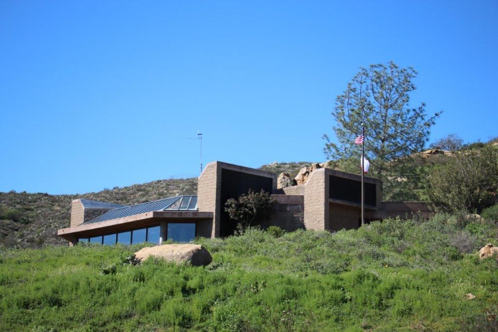
The Visitor’s Center

IMG_0555 IMG_0556 IMG_0564 IMG_0565 IMG_0566 IMG_0571 IMG_0572 IMG_0574

IMG_0578IMG_0579

IMG_0580IMG_0575

IMG_0577 IMG_0576
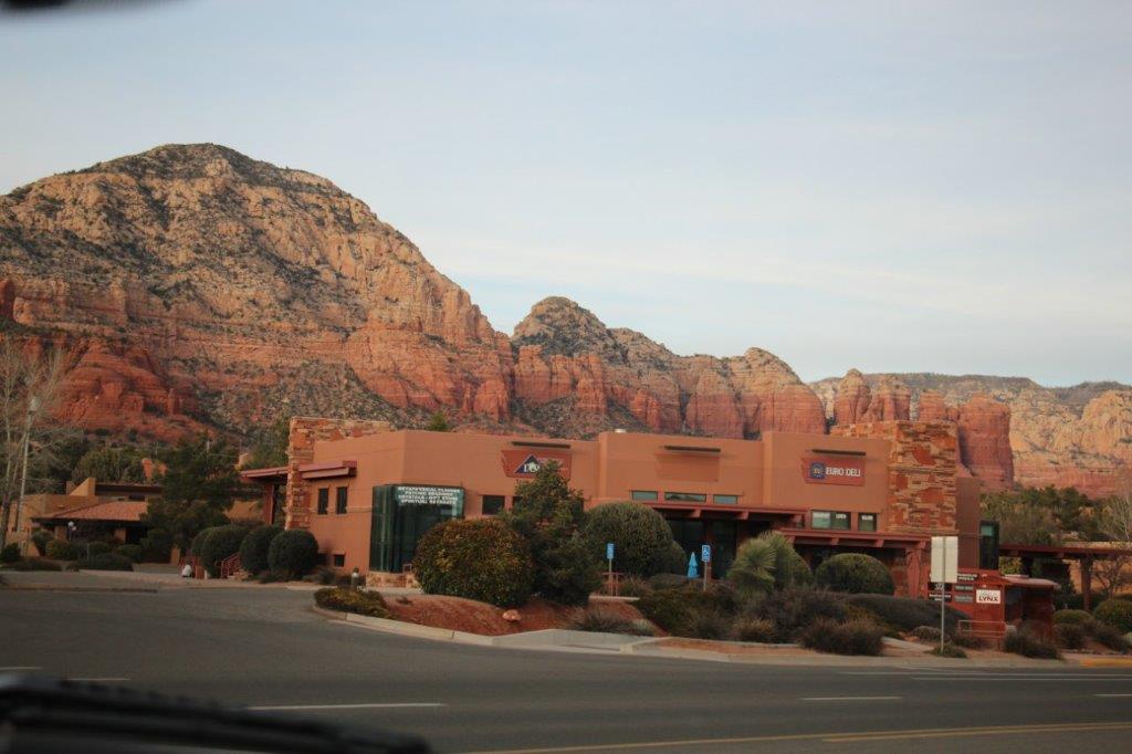
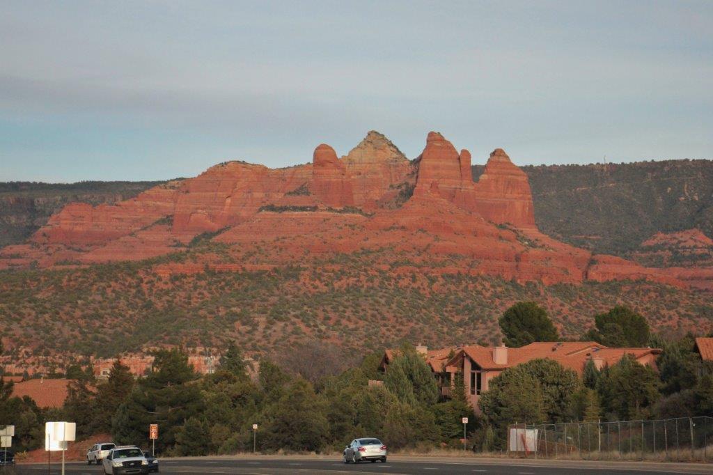
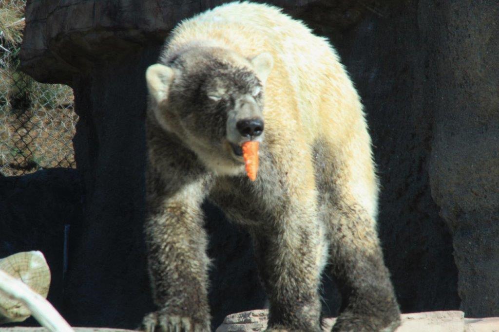
We left the Visitor’s Center as it was closing and drove the few miles through Cotton Wood to the red rock city of Sedona for the night; where I discovered I had left my computer’s power cord in the hotel in Kingman.  And….John’s camera crashed.

IMG_0585 IMG_0587 IMG_0595 IMG_0599 IMG_0608 IMG_0614 IMG_0616CAM00460


2016 Feb 12 and 13 – Day 33 & 34 – California and Beyond – Death Valley

Days 33 & 34 – February 12 & 13 – Furnace Creek (Death Valley), CA to Kingman, AZ

We had spent the previous week traveling and touring so we decided to have a down day in Kingman.   This gave me an opportunity to catch up on some of my blogs and John a chance to sit by the pool and read his book.  But before he did that he took the truck to a Quiklube and had the oil changed.  I was very surprised when he returned and had not also taken it to a car wash for a bath.  But he surmised, correctly I am sure, that we will be driving some dusty roads again so he may as well leave it.  He also, while I was slaving away at my computer, used the hotel laundry and washed some clothes.

It was only a 3 1/2 hour drive from Furnace Creek to Kingman and there were no sites along the way we wanted to stop and see so – before we left Death Valley – we toured the Borax Museum and did a 1.5 mile hike along the Golden Canyon Trail.  Why not take some more photos of rocks?

IMG_0032 IMG_0033 IMG_0041 IMG_0042 IMG_0043 IMG_0044 IMG_0047The museum was small but interesting.  There were samples of minerals and rocks from Death Valley, a lot of old mining tools, articles about treks through and explorations of the Valley and books you could purchase about the area, flowers, animals, geology, miners, tragedies, etc.  The lady inside was very nice and happy to tell people about anything they were interested in.

Outside was a large rail-fenced area with old mining and traveling wagons and apparatus.  We had a great walk around.  The lady in the museum gave us a handout that told us about all the items so we could check the numbers and see what was what.  But they also had descriptions on some things; quite faded by the sun though.  There was even a set of wheels and axles for one of the Twenty-mule team carts and water wagon.

IMG_0048 IMG_0049 IMG_0050 IMG_0051 IMG_0052 IMG_0053 IMG_0054 IMG_0055 IMG_0056 IMG_0057 IMG_0063 IMG_0058IMG_0064 IMG_0065 IMG_0067


The wheels of this cart wagon were made from slices of a very large tree. Very ingenious.IMG_6151 IMG_0070IMG_6135The rear wheels on the 2 carts to haul the borax with the 20-mule team were six feet high.

IMG_0078 IMG_0079 IMG_0081 IMG_0090 IMG_0075The Golden Canyon trailhead is only three minutes south of the road we need to take to exit the park so it was a short trip.  The parking lot was jam-packed full of cars.  This is one of the most popular hikes in the Valley and it is best in morning light.  You can do a 4 mile loop but we only walked the 1.5 miles to the Red Cathedral and back. (The loop is on the list for our next visit.)

IMG_0093 IMG_0094 IMG_0095 IMG_0096 IMG_0100 IMG_0101 IMG_0103 IMG_0105 IMG_0108 IMG_0113 IMG_0114 IMG_0115 IMG_0117 IMG_0118 IMG_0120 IMG_0126 IMG_0131 IMG_0133 IMG_0139 IMG_0154 IMG_0157 IMG_0159And so ends our first trip to Death Valley National Park.  I loved it all.

We had thought about driving south again and go through Mojave National Park before heading west but the day would have been really long (over 8 hours of driving with no stops) to get to Kingman and John had already made our hotel reservations there for the next two nights.  Instead we took the short and direct route on Highways 160 and 93, although we did bypass to the very south of Las Vegas to avoid as much of the traffic as we could.

IMG_0163


Entering Pahrump, Nevada. IMG_0171


We pulled to the side of the road at the bottom of this hill and made a PB & J lunch.IMG_0175 IMG_0177

Welcome to Las VegasIMG_0182


Lake Mead at Hoover DamIMG_0185We entered Arizona, our third State of the day.

IMG_0187 IMG_0189 IMG_0191 I did not take a single photo on Saturday.  Other than walking to a nearby restaurant for lunch and dinner (breakfast was provided in the hotel) I also did not leave our room all day.  I diligently worked at catching up on my blogs.  Are you proud of me?  I almost got them all done; only this, our last day, needed to be completed.  And now it is.

Tonight we are in Sedona, AZ.  After we had dinner I pulled out my laptop to complete this blog and begin working on today’s entry; only to discover I had left my power cord in the hotel room in Kingman.  It must have slipped to the floor off the desk because neither John nor I saw it on our ‘last check’ of the room before we left.  John has very kindly loaned me his computer to finish this.

Our first task tomorrow we will be to find a computer store that, hopefully, will have a new cord I can buy.  The battery does need to be re-charged.  I am ticked.  I can’t believe I forgot it.  Sure hope I can find a new cord tomorrow.  And I was so hoping to finish this blog and complete today’s as well.  Not happening tonight though.  Sorry. It’s my bed time.

2016 Feb 11 – Day 32 – California and Beyond – Death Valley

Day 32 – February 11 – Stovepipe Wells to Furnace Creek (Death Valley)

We began our last full day in Death Valley marking off the things we want to see that are located south of Furnace Creek.

Furnace Creek Ranch is a large enterprise. They have many hotel rooms, individual cabins, RV spots and a campground.  There is a general store, a saloon, a restaurant, a steakhouse, a museum about the Borax mining that took place in Death Valley, horseback riding, bike rentals, jeep rentals, a pool, spa, tennis courts, swimming pool, 18 hole golf course with a 19th hole club house, and an off-lease dog park.  About a mile down the road is the fancier Furnace Creek Inn.IMG_0092 IMG_0028 IMG_0029 IMG_0030 IMG_9407 IMG_9595It was highly recommended that we go to Zabriskie Point and Dantes View; both viewpoints – so after breakfast that is where we headed so we would have the morning sun behind us as we looked down the valley.

IMG_9458 IMG_9459

IMG_9410 IMG_9412 IMG_9413 IMG_9426 IMG_9428 IMG_9441 IMG_9442 IMG_9443 Look at all the pathways people have created on the crests.IMG_9444 IMG_9445 IMG_9460 IMG_9461 IMG_9462 IMG_9467There is a sign at the bottom of the hill on the way up to Dantes View (elevation 5475′) that says no vehicles longer than 25′ may travel to the top and the last 1/4 mile is a 15% grade.  There is a parking lot a mile or so from the top where you can unhitch and leave your trailer.

There is a group of women cyclists on tour in the valley.  We saw them riding back from the end of the pavement when we were on our way out to the Racetrack. We saw them again today riding up this steep winding road.  Brave people! You have to keep in mind that the bottom of the road is about 100 feet above sea level.  That is a long, hard ride.  And very steep coming down.

IMG_9468IMG_9473 The view is pretty amazing.  You can see the length of Death Valley in both directions.

IMG_9477Though you can’t see them this long sign has the names of all the mountain peaks on the Panamint Range across the valley.IMG_9481 IMG_9483 IMG_9515 IMG_9496The salt flat is called Badwater and there is a brown smudge where the white meets the mountain brown. This is dirty salt from people walking on it.  If you could zoom it in very close you would be able to see people down there.  Also, you can see the end of an alluvial fan at the lower left.  The road that we will drive on later skirts the outer edge of it.

IMG_9511 IMG_9525 IMG_9526 IMG_9527 IMG_9529 IMG_9531                       The wind swept salt flat looks like ocean waves on a beach.IMG_9534 IMG_9544 IMG_9548 IMG_9552 IMG_9558 IMG_9560 IMG_9561 IMG_9567 IMG_9574 IMG_9586 IMG_9590Once we returned from Dantes View we drove 45 miles down a valley road to Ashford Mill. This, we were told, was the best place to see the wild flowers.  The predominant bloom is the yellow daisy-like Desert Gold, but if you look you can see other flowers as well.

IMG_9600 IMG_9611


The flowers follow the moisture in the soil from the October rains runoff. IMG_9621 IMG_9625 IMG_9635 IMG_9637 IMG_9644 IMG_9650 The further south we drove the more flowers there were.IMG_9653 IMG_9657 Desert Gold


IMG_9685 IMG_9686 IMG_9718 IMG_9721                                             Brown-eyed Evening PrimroseIMG_9667

A small lake/poolIMG_9673 This coyote sauntered across the road in front of our truck and stopped.  He never moved while I took about 7 photos of him with my camera, then got John’s camera and took some with that.  He was still standing there when we drove away.IMG_9681IMG_9704IMG_9728IMG_9731IMG_9747IMG_9754IMG_9755IMG_9757IMG_9759IMG_9775Ashford Mill is at the end of the pavement on this road.  In the spring through fall months you can drive a gravel road out of the park into Arizona.  The road is closed in the winter.  After we had taken many, many photos of the flowers we turned around to go see all the things we had driven past on our way out.  We wanted to be sure to see the flowers in nice light so we ignored everything else until the return.

IMG_9802 (2) IMG_9805 (2) IMG_9807 (2) IMG_9808 (2) IMG_9819 (2) IMG_9812 (2) Look very closely at this photo and find the sign that marks sea level on the cliff.IMG_9813 (2) IMG_9820 (2) IMG_9821 (2)IMG_9822 (2)IMG_9823 (2)IMG_9815 (2)

IMG_9827 (2) IMG_9828 (2) IMG_9829 (2) IMG_9832 (2) IMG_9826 (2) IMG_9833 (2) It’s a long walk on the salt flat.IMG_9836 (3) IMG_9841 (3) IMG_9842 IMG_9857 IMG_9858Just a bit further down the road is the turn-off to Devil’s Golf Course.  It was only about a 1/2 mile of gravel road away.IMG_9869IMG_9870IMG_9871IMG_9874IMG_9881IMG_9887We backtracked a bit after talking to some ladies at Devil’s Golf Course and returned to the parking lot at the trailhead to the Natural Bridge.  We had pulled into it on the way by but the trail was a 2 mile one-way hike.  We, unfortunately did not have the time because it was getting late and we wanted to be on Artist’s Drive when the sun was beginning to go down.  But the ladies told us that just off the parking lot at the beginning of the trail there were more wildflowers, specifically one I had wanted to see but had, as yet, not found.

IMG_9892 IMG_9900 This is a Desert Five-spot.  Isn’t that the cutest little flower?IMG_9896 IMG_9897                                       This flower is called Gravel Ghost. IMG_9902

And this is Lesser MojaveaIMG_9905We arrived at the beginning of the one-way Artist’s Drive a smidge later than we had hoped but the colours were still wonderful.IMG_9907 IMG_9908 IMG_9920 IMG_9931 IMG_9952 IMG_9955 IMG_9985 IMG_9986 IMG_9987 IMG_9958 IMG_9959 IMG_9970 IMG_9971 IMG_9975 IMG_9992 IMG_9994John instantly saw the head of a bear in this rock.  Do you see it?


And, now I am all done for the day.  It was a good one. I have concluded that I could take a photograph in Death Valley every day for about 400 years and never repeat a shot.  We met a fellow who has been spending a month here every year for 16 years.  I totally understand.  We will be back.


2016 Feb 10 – Day 31 – California and Beyond – Death Valley

Day 31 – February 12 – Stovepipe Wells (Death Valley National Park)

We had a lot to see today so we rose early and we on the road by 9 am.

IMG_7589 IMG_7590 IMG_7591 IMG_7592 IMG_7594 IMG_7595 IMG_7596 IMG_7597 IMG_7598The first item was Mosaic Canyon which was accessed via a 2 mile gravel road and a one mile hike.  You can walk 4 miles if you want to go to the far end of the Canyon but we didn’t do that.  (There are so many things we would like to see and do on all of our road trips, but we are pretty good at picking the must-see items and adding others if time permits.  We always say, “It gives us a reason to come back.” I have already begun compiling my list of things we will do the next time we come to Death Valley.)

IMG_7599You can just make out the settlement of Stovepipe Wells on the Valley floor.IMG_7610 IMG_7612 IMG_7615 IMG_7617 IMG_7618 IMG_7619 IMG_5669

Once again, some rock climbing was required.IMG_5670 IMG_5672 IMG_7620 IMG_7626 IMG_7627 IMG_7628 IMG_7629 IMG_7630 IMG_7631 IMG_7632 IMG_7633After we left the Mosaic Canyon we headed east and discovered the Mesquite Flat Dunes right beside the road!  We wandered around on the fine sand long enough to fill our shoes and got back in the truck for our trip to The Racetrack.

IMG_7642 IMG_7645IMG_7643 IMG_7647 IMG_7649Another roadside stop was Devil’s Cornfield where sand blown around the base of Arrowweed shrubs has caused them to grown higher on the hillocks and look like corn sheaves from back in the day when corn and other grains were harvested by hand.

IMG_7658 IMG_7662 IMG_7663 IMG_7664Not far past the Corn Field we turned north and drove almost 40 miles to the end of the pavement then began our 27 mile one-way trip to the Racetrack.  We had been told this would take 2 1/2 hours.  We engaged the 4-wheel drive and managed to do 30-35 kph (about 20+mph) so we made it in just over an hour and a half.

A jeep came up behind us so John pulled over onto a wide spot.  As he drove past us the fellow asked John what pressue he was running in his tires.  John told him it was high as we didn’t have a compressor with us to refill them if we let air out.  The fellow said he had his tires at 16 PSI and was driving 50 mph (80 kph) and the ride was smooth as could be.  Well, lucky him.  We were being bounced around on rough washboard and big rocks and dips and washes.  Not to mention the dust.  Our poor truck is coated in dust.  Even under the tunnel cover everything is covered in fine-grain grey sand.

We had a 56-pack of bottled water that we had removed a couple of bottles from.  During this journey the bottles broke out of their plastic wrap, bounced all over the back of the truck and sandblasted each other so the bottles are all rough and gravelly feeling.  One of the bottles even broke the seal on the lid and leaked under John’s box of beer.  He was worried one of the beer bottles had exploded.

Along the way we saw a few different flowers, a red-tailed hawk scouting for dinner, and drove up high enough to go through a Joshua Tree ‘forest.’  Not to mention the amazing scenery.

IMG_7681 IMG_7698 IMG_7695IMG_7696 IMG_7693 IMG_7683IMG_7673IMG_7688 IMG_7744IMG_7737IMG_7740IMG_7745IMG_7746IMG_7699 IMG_7701 IMG_7708IMG_7702IMG_7716IMG_7724 IMG_7714 IMG_7751 IMG_7756 IMG_7763 IMG_7765 IMG_7767 IMG_7768 IMG_7779IMG_7809

And this is a good part.IMG_7781IMG_7786IMG_7789 IMG_7792 IMG_7793 IMG_7795We arrived at the Racetrack to see a sign that said the Migrating Rocks (which we had come to see) are best seen at the south end of the dry lake – another 20 or so minutes of bouncing!

IMG_7812 IMG_7813 IMG_7814 IMG_7818 IMG_7819 IMG_7828 IMG_7829 IMG_7821 IMG_7823 IMG_7827 IMG_7830 IMG_7834We dutifully drove to the south end of the lake and wandered out onto the playa to see the tracks made by the rocks as they move. Really, really cool!

IMG_7868 IMG_7869 IMG_7870IMG_7835


Standing water here as well.  Very strange that it survives more than a couple of hours. The temperature was in the low 80’s (25or so Celsius).IMG_7836IMG_7838IMG_7841IMG_7843IMG_7849An intersection. The rocks will move in one direction, stop, sit and move again later in another direction.IMG_7854IMG_7855IMG_7858IMG_7860IMG_7863IMG_5827IMG_5828John made good time on some of the smoother (and I use the word loosely) sections and we made it back to pavement in less than an hour and a half from the south end of the lakebed.

IMG_7872 IMG_7873 IMG_7874 Inspired by the name of the junction people have adorned the sign with tea kettles.  Many of them had sealed plastic baggies with the donors name and address in them.IMG_7876IMG_7889IMG_7894We left the Playa at 3:09 and arrived at the pavement at 4:30. Not far along after we re-joined the pavement we turned off the road to the Ubehebe Crater which we had been able to see as we drove the last few miles of gravel road.

IMG_7892

IMG_7901 IMG_7902What we thought was the crater was not in fact Ubehebe.  The black crater we could see was one of the smaller craters created by the explosion.  You can walk the rim of Ubehebe and hike to the smaller craters as well.  (This isalready on the next-time list).IMG_7906 IMG_7922 The late afternoon sun brought the orange out in the rocks.  It was truly beautiful.IMG_7928 IMG_7934 IMG_7941We arrived in Furnace Creek after the sun had set.  We are staying two nights here.  Tomorrow the adventure continues…..


2019 Feb 9 – Day 30 – California and Beyond – Death Valley

Day 30 – February 9 – Panamint Springs (Death Valley National Park)

We woke up at 7:30 and had a good breakfast in the little restaurant at Panamint Springs.  Walking across the parking lot I saw these two birds.  The first one, we learned later, is a Greater Roadrunner, a year-round resident of Death Valley, and the other is a Mountain Chickadee.

IMG_7149 IMG_7154 IMG_7160After breakfast we began our three-day odessy in Death Valley. There are only three places to stay in Death Valley – Panamint Springs, Stovepipe Wells and Furnace Creek.  Furnace Creek is the largest by far.  There are no towns in the Park but each accomodation area also has a campground, RV parking, a general store, a restaurant and a gas station.  Accomodation is expensive but the meals were only a ‘little’ pricier than normal; unless you go to the Steak House at Furnace Creek Ranch or the Furnace Creek Inn Restaurant; where you will pay BIG BUCKS for your dinner.

We split our explorations geographically and stayed at each of the places.  This gave us the opportunity to see many of the Valley’s recommended sites without a lot of back and forth driving.  Many people come into Death Valley from the Arizona side and only see the things south and north of Furnace Creek.

IMG_7189Panamint Springs is 30 miles from the western boundry of Death Valley National Park (coming in from Lone Pine, CA), sitting on the western slope of the very long, very flat Panamint Valley.   The Panamint Range separates this section of the park from the Stovepipe Wells and Furnace Creek areas which are in Death Valley itself.

We drove about 20 miles west, up through Rainbow Canyon to the Father Crowley Vista Point where you can enjoy a panoramic view of the Panamint Valley and Panamint Range.

IMG_7165 If you look closely at this photo you can see the old car wreck rusted on the bank.  That would not have been a good ride.IMG_7163 IMG_7169 IMG_7177 IMG_7182 IMG_7184 IMG_7212 IMG_7196 IMG_7199 IMG_7188IMG_7214 IMG_7289 IMG_7321                                This plane is about to refuel in mid-air.

After we had enjoyed the view from Father Crowley’s Point we backtracked down the road to find the turn-off to Darwin Falls which provides the water for Panamint Springs.

Panamint Springs was originally built in the 30’s to provide accomodation and a way-station to serve the miners up in the mountains at Darwin.  Without the Darwin Falls there would be no ‘settlement’ here.  It is a year-round waterfall found after a 1 mile hike into the canyon at the end of a 7 mile dirt road.

IMG_7219 IMG_7221 IMG_7223 IMG_7226IMG_7227IMG_7240 IMG_7252There were some tricky places to navigate along the trail.IMG_7248 IMG_7249IMG_7251 IMG_5478IMG_5479IMG_7255The pipeline for the water is above the ground 99% of the way to Panamint Springs.  Most of it is iron but there were sections that had been replaced with plastic.  Several joints had leaks and there would be nice green grass and bushes on the ground underneath the area.

IMG_7253IMG_7257When we had spoken to the Park Ranger at Lone Pine he suggested we drive in to the Panamint Dunes which we could see in the distance from Father Crowley’s Vista.

We initially drove past the turn-off because there was no directional marker and the road was barely visible amidst all the rocky gravel.  It took us 1 1/2 hours to drive the 20 miles to the end of the road only to discover the dunes were probably a 2+ mile hike away.  We took a few photos and drove 1 1/2 hours of rocky, bumpy ‘road’ back again.  It was disappointing to not get close to the dunes but we have seen sand dunes before so we were okay; and it was VERY cool to be out in the middle of such a large desert expanse and experience the absolute quiet.  I loved the absence of sound.

IMG_7316These two cars were alongside the road about halfway down and they were absolutely riddled with bullet holes, some of which were a large enough caliber to put a fist-sized whole right through the vehicle.IMG_7311 IMG_7317 IMG_7318 IMG_7319 IMG_7327 IMG_7333 IMG_7335 IMG_7349 IMG_7345

IMG_7347 IMG_7348This sand is so dry and hard and windblown you leave no footprints on it.

In order to go from Panamint Springs to Stovepipe Wells you need to cross the Panamint Range through Towne Pass (Elevation 4956′ at the summit).  This route was a originally a private toll road built by the owner of a ‘hotel’ camping ground at Stovepipe Wells.  He wanted to encourage tourists to come to Death Valley but road access was non-exsistent.  The National Park had not yet been created and he got permission from the State to built a 30.35 mile toll road which the Park Service eventually purchased from him when they made Death Valley a National Monument.

A sign at the bottom of the pass says to turn off your air conditioner for the next 10 miles due to the risk of overheating the engine on the rapid climb in the hot temperatures.

IMG_7268Due to the heavy rains in October the wild flowers are blooming in Death Valley. This only happens every 10-15 years.  We spoke to people that have worked in the park for years and have never seen the flowers bloom.  We saw many of them along the roadside once we started through Towne Pass.

IMG_7270 IMG_7271 IMG_7272 IMG_7278 IMG_7281 IMG_7283 IMG_7295 IMG_7305 IMG_7307 IMG_7308 IMG_7310IMG_7357IMG_7361IMG_7363IMG_7364IMG_7378IMG_7379A few miles down the road on the other side we turned off onto the Emigrant Canyon Road to drive up to the Charcoal Kilns – and we got high enough for there to be snow on the ground.IMG_7395IMG_7396IMG_7409IMG_7412IMG_7421 IMG_7422 IMG_7423 IMG_7424Because of their remote location these are some of the best examples of charcoal kilns in North America.IMG_7429 IMG_7431 IMG_7445 IMG_7453On the way back down from the kilns we branched off the Emigrant Canyon Road and took a six mile gravel road to Aguereberry Point.  We came to a fork in the road and took the right one which led us to the site of the Eureka Mine.  IMG_7466 IMG_7467 IMG_7472 IMG_7474 IMG_7468 IMG_7478 IMG_7479 IMG_7484The left for took us up to Aguereberry Point we were treated to a fabulous view through Death Valley Canyon to Death Valley in the distance.IMG_7517IMG_7499IMG_7501IMG_7500

IMG_7505There was a nice turn-around parking area near the top but the road continued (very, very narrow) and wound (very, very tightly) around the highest point so we drove up to the top and then navigated the trail through the rocky cliff-face to check out the view, which was well worth all the dust and clambering!IMG_7498 IMG_7519 IMG_7531 IMG_7534 John looks like one of the rock out-croppings at the top of that rock.IMG_7535IMG_7538 IMG_7545 IMG_7549 IMG_7565 IMG_7567There is no guardrail on the cliff side and very few spots wide enough to pull over if you meet a vehicle coming up.  You would need to do some tricky backing up. Thankfully that was not required.

And once again, the sun is setting as we head to our hotel for the night.

IMG_7576


2016 Feb 8 – Day 29 – California and Beyond – Trona Pinnacles, Panamint Valley

Day 29 – February 8 – 29 Palms to Panamint Springs (Death Valley)

I woke up early – as in 5:30 – and couldn’t get back to sleep.  I gave up and got up at 7:30 so we were on the road by 9:30 this morning; which wasn’t a bad thing as we had almost 400 kilometers – about 250 miles – to cover.

Driving west as we left 29 Palms we could see snow on the mountains.  A bit of an incongruous sight amidst all this desert.  We traveled through the Mojave Desert almost all the way to Kramer’s Corner where we pulled into the back of a gas station lot and made a PB & J sandwich which we ate with carrot sticks and Girl Scout cookies for dessert.  Again today, as we noticed yesterday when we had the same lunch in Joshua Tree NP, the desert wind dried out the sandwich bread before you could finish the sandwich.  IMG_6872

IMG_6884At Kramer’s Corner we turned north along the same section of highway we traveled when we came down.  We passed the Red Mountain from the back side and branched off the highway just after the town of the same name.  This road took us straight up to Panamint Springs.  And I do mean straight.  There are not very many corners through this landscape.

IMG_6893 IMG_6897 IMG_6903 IMG_6907 IMG_6908 IMG_6912 IMG_6920 IMG_6921 IMG_6925 IMG_6927As we turned one of the few corners and came down a hill we could see a white lake bottom.  We knew there are quite a few dry lakes around here so we assumed that is what we were seeing.  As we came down the hill and got closer to the white-ness we could see that it was an actual substance on the ground.IMG_6932 IMG_6935 IMG_6946 When we had stopped at the Death Valley Visitor’s Center in Lone Pine on our way south the park ranger, when he learned we had a 4 X 4 truck, suggested we drive in to see the Trona Pinnacles.

At the turn-off to the Trona Pinnacles there were two historical marker cairns.  The first spoke of the Searles brothers who ran two wagon train routes from this area to remove the borax.  The second marker was commemorating the venture of an Los Angeles florist who spent $200,000 to build a one track railway to haul Epsom from the lake bed back to the city.  The railcars had only two wheels and the Epsom was loaded onto the narrow car like packs on a mule.  The system never did work well and was eventually abandoned.  Now we knew what the white stuff was all about.IMG_6947The road into the Trona Pinnacles is seven miles of unpaved, semi-rugged dirt.  You can make out the pinnacles from the highway and they don’t look that far away but it took a little while to get there. Fascinating creations.  For obvious reasons the area has been used in many films – Planet of the Apes and Star Trek V among them. We walked the walking path loop and drove the driving track loop and headed back to the highway.

IMG_6949 IMG_6951 IMG_6952 IMG_6953 IMG_6954 IMG_6959 IMG_6961 IMG_6962 IMG_6963 IMG_6966 IMG_6967 IMG_6979 IMG_6981 IMG_6998 IMG_6999 IMG_7001 IMG_7002 IMG_7005 IMG_7009 IMG_7010 IMG_7011 IMG_7012 IMG_7025 IMG_7027 IMG_7028 IMG_7046 There were puddles beside the road on the way into the Pinnacles.  I would have thought it would evaporate in minutes.IMG_7047As we approached the town of Searles we could see a gigantic white mound and a processing plant.  A little further down the road at the town of Trona there was a huge plant belonging to the same company.  The process of removing borax, potash and Epsom continues.

IMG_7057

IMG_7058 IMG_7060Not far past Trona as John drove around a corner these black columns rose up on the hillside.  We had never seen the like before and there were no more anywhere around.IMG_7049We climbed a few deceptively-steep hills and had just crested one and rounded a sharp corner at the top with a warning about a 7% grade on the downhill and immediately in front of the vehicle appeared this massive flat valley bottom.  There was a handy pull-out right there so naturally we stopped to take photos.  This is the Panamint Valley.  When we got to the bottom we drove through the middle for 13 km without a single bend, then turned two small corners and drove another 10 or so km straight as an arrow. The valley is over 50 miles long and extends into Death Valley National Park.

IMG_7071 IMG_7072 IMG_7092And running down the right side of the valley was this incredible range of mountains (the Panamint Range).  The mountains were all shaded in a variety of tones and had different shapes side by side.  I was a happy shutterbug.

IMG_7094 IMG_7095 IMG_7097 IMG_7101 IMG_7103 IMG_7109 IMG_7112 IMG_7119 IMG_7125 We entered Death Valley National Park part way through the valley and took a left at the intersection to arrive at our hotel for the night in Panamint Springs.  Panamint Springs was created in the 30’s as housing and supply depot for miners from Darwin.  There is a large campground on one side of the road, a gas station and general store, and a restaurant with 16 cabins.  We spent the night in number 5.  Nothing fancy, but clean and quiet with an incredible night sky filled with glittering stars.  No light pollution out here to get in the way of God’s creation. Another good day.

IMG_7128IMG_7129

IMG_7136 IMG_7137 IMG_7138 IMG_7140 IMG_7141 IMG_7132 IMG_7133 IMG_7135

2016 Feb 7 – Day 28 – California and Beyond – Joshua Tree NP

Day 28 – February 7 – Indio, CA to 29 Palms, CA

We were up, breakfasted, and on the road by 10 am.  From Indio to the south entrance of Joshua Tree National Park is about 30 miles so it didn’t take us long to begin our explorations.

I have discovered that the third thing I like to take photos of, after animals and flowers, are textures and shapes, and Joshua tree abounded with them.  So; a warning is in order.  This blog will be short on text and long on photographs.

IMG_6525IMG_6526IMG_6527Before we got to the Park Entrance office we walked a little loop trail that had examples of many of the different plants found in the Colorado Desert.

IMG_6584 IMG_6528 IMG_6529 IMG_6530 IMG_6531 IMG_6532 IMG_6533 IMG_6534 IMG_6538 IMG_6539

IMG_6540 IMG_6541 IMG_6542 IMG_6545IMG_6544 IMG_6548 IMG_6549 IMG_6551 IMG_6552 IMG_6554 IMG_6555

Beavertail cactusIMG_6558 IMG_6559 IMG_6560 IMG_6561 IMG_6563 IMG_6570 IMG_6571 IMG_6572 IMG_6573 IMG_6575 IMG_6576                         We even saw a couple of little critters.

IMG_6581Mesquite Mistletoe, a parasite.IMG_6580 IMG_6586 IMG_6603 IMG_6602                                                      Birds eat the berries.

I was quite excited to see flowers on several of the plants.  I guess when the big rainstorm hit the coast they got some rain up here.  It never takes long for desert plants to sprout leaves or flowers after some rain.

IMG_6587 IMG_6588 IMG_6592 IMG_6593 IMG_6585Joshua Tree National Park covers a section of the Colorado Desert and a section of the Mojave Desert.  The Colorado Desert is a high plains desert and has quite different vegetation to the lower Mojave Desert.  When we got into the Mojave Desert part of the Park there were placards in front of different plants and cactus than we saw here.

Joshua tree is also home to rocks and huge boulders that come in all sorts of shapes.  The wind and rain have eroded them over the centuries.  They are a form of granite, not sandstone as many people think.  I took LOTS of photos of big boulders.

We only have one day in Joshua Tree so I didn’t even look at any of the longer trail routes and explanations in case I was tempted.  We did manage to hike all the short trails we wanted as well as drive up to the high point at Keys View.

IMG_6607 IMG_6611The Desert Fan Palm grows predominantly in the Colorado Desert and the Joshua Tree grows in the Mojave Desert.IMG_6613 IMG_6614 IMG_6616 IMG_6622 IMG_6627 Pinto Mountain.  You can hike to the top.  It takes about 6 hours and you must have orienteering skills. IMG_6633

IMG_6634 IMG_6636 IMG_6637 IMG_6641 IMG_6643 IMG_6644 IMG_6651 IMG_6655 IMG_6656 A heap of fallen off Cholla Cactus tops surround this bush. IMG_6661 IMG_6663 IMG_6666 IMG_6667 IMG_6668 IMG_6670

IMG_6671 IMG_6672IMG_6673 IMG_6674 IMG_6675 IMG_6676 IMG_6677 IMG_6683 IMG_6684 IMG_6686 IMG_6687

IMG_6688 IMG_6689 IMG_6691 IMG_6697 IMG_6702 IMG_6707 IMG_6708 IMG_6712We drove up to Keys View where, on a clear day you can see Palm Springs, Mt. San Jacinto, Mt. San Gorgonio, and the Salton Sea.  You can also very plainly see the San Andreas Fault running down the center.  It was very windy at the view point.  Reminded me of the day we were at Cape Spear in Newfoundland a couple of years ago.  You had to plant your feet to avoid being blown over.IMG_6715IMG_6717IMG_6728IMG_6730IMG_6731IMG_6733IMG_6746IMG_6747IMG_6749IMG_6750IMG_6751IMG_6752IMG_6753IMG_6756IMG_6769IMG_6776IMG_6777IMG_6778IMG_6781Joshua Tree National Park is considered one of the world’s best rock climbing sites.  If you look closely at the photo above you can see the girl scaling the rock face.

IMG_6782IMG_6784 The descent is quicker than the climb.IMG_6790There were climbers all over the place in this area of the park.IMG_6801IMG_6802 (2)IMG_6794IMG_6796IMG_6799The entrance to a 55 acre hidden valley  rumored to have been used by cattle rustlers to hide and re-brand the livestock before selling in out-of-state markets.  The loop trail took us all around the inside.IMG_6800IMG_6803IMG_6806IMG_6811Pinyon Pine – They don’t normally grown at this elevation but because of the extra moisture in the sheltered, shady valley there were several of them here.IMG_6813IMG_6814IMG_6818IMG_6819IMG_6821IMG_6822IMG_6825IMG_6826 More rock climbers.  One is scaling the left-side face of the rock and another is sitting on the top.IMG_6827 IMG_6838 IMG_6793IMG_6834 IMG_6836 IMG_6831 IMG_6839 IMG_6842 IMG_6843 IMG_6848 IMG_6851 The cattle trough they used to water the cattle.IMG_6853IMG_6856There are petroglyphs in the hollow of this huge rock.  Years ago some idiotic people painted them for better visibility.IMG_6858IMG_6860IMG_6861 The sun was setting as we made our way back to the parking lot, concluding a great day.IMG_6862 We drove the 13 miles out of the park, turned right and went another 20 miles or so to 29 Palms where we are spending the night.

2016 Feb 6 – Day 27 – California and Beyond – San Diego Archaeological Society, San Pasqual Battlefield

Day 27 – February 6 – Carlsbad, CA to Indio, CA

Today was mostly a destination day but we made a couple of unplanned stops.

We checked out of the Four Seasons Resort in Carlsbad at 10 AM and hit the road eastward, passing just south of Escondido, and turned onto Highway 78 to make our way to Indio for the night.

IMG_6319 IMG_6321We were tempted to stop at the San Diego Zoo Safari Park for a second visit – we went there when we stayed in Escondido in 2013 – but resisted the urge.  We chanced upon the San Diego Archaeological Society not long after the Safari Park turn-off and decided to go have a look-see.

IMG_6374IMG_6373The property used to be an elementary school and along the outside corridor they have about six hummingbird feeders.  There were at least a dozen of the little things enjoying the nectar.

IMG_6323 IMG_6326 IMG_6332 IMG_6336

IMG_6338 IMG_6339 IMG_6340 IMG_6341 IMG_6342 IMG_6343 IMG_6345 IMG_6347 IMG_6348 IMG_6353 IMG_6360 IMG_6365 IMG_6362 IMG_6361 IMG_6363 IMG_6366 IMG_6367 IMG_6369 IMG_6370 IMG_6371We spent almost an hour talking to the volunteer and looking at the displays then backtracked just slightly to go see the San Pasqual Battlefield Site and Museum.  A very short, but very bloody battle was fought here between Americans and Californios in Dec. 1846. They do a battle re-enactment each year and tomorrow there is a short 20 minute program where they fire the cannon, have a presentation and fire the cannon again.

IMG_6383 IMG_6401 IMG_6377IMG_6394 IMG_6393

IMG_6398 IMG_6400After we left San Pasqual we drove through a very winding canyon/valley (a great motorcycle road) that got less and less green, with shorter and shorter trees and more and more rock and cacti.  We passed a lot of orange groves before we drove through Santa Ysabel and Julian – sites of a short-lived gold rush.  Julian has maintained much of the gold town facade and is obviously a popular wandering around place judging by the number of people walking on the sidewalks and the solid lines of parked cars from one end of the town to the other.

IMG_6404 IMG_6408 IMG_6409 IMG_6410 IMG_6413 IMG_6422 IMG_6423 IMG_6424 IMG_6425Awhile later the road entered the Anza Borrego Desert.  A very, very inhospitable land.  Nothing but rock and cacti.  I would not want to walk through that area; the many different varieties of cacti would pierce you with every step.  I sure hope the early scouts that came through wrapped their horses legs to protect them. Nasty, nasty area.  I have no idea why people would fight to have it.

IMG_6427 IMG_6439 IMG_6445 IMG_6446 IMG_6449 IMG_6450 IMG_6451 IMG_6453 IMG_6454 IMG_6459 IMG_6468IMG_6471 IMG_6472 IMG_6474 IMG_6476 IMG_6482These may look like thin grassy bushes but they are all spine-covered cactus.IMG_6483At the end of the Anza Borrego Desert State Park we drove for miles and miles and miles through the Ocotillo Wells State Vehicle Recreation Area – which is open for four-wheeling, quads and dirt bikes.

IMG_6486 IMG_6487 IMG_6490 IMG_6491 IMG_6495 IMG_6498 IMG_6500 IMG_6506Highway 78 turns south to eventually end up in Arizona.  We turned left onto intersecting Highway 86 that runs northward along the west side of the Salton Sea.  We weren’t sure whether the Sea was fresh water or salt water so I had John Google it while I sorted my photos.

IMG_6515 IMG_6517 IMG_6521 IMG_6522The Salton Sea was actually created between 1905-1907 when the Colorado River burst through poorly built irrigation controls south of Yuma and the river flowed into the Salton Basin for over a year.  Homes, ranches and sections of the South Pacfic Railway line were buried under water.  The water was finally stopped in 1907 when the South Pacific Railway created levees with boxcars full of rocks.

The Sea is a “shallow saline endorheic rift-lake” that sits directly on the San Andreas Fault.  It averages 29.5′ deep and the deepest point is 51′.  The current size of the lake is 35 miles long and 15 miles wide, covering almost 400 square miles.  The lake size can increase to 40 miles X 20 miles in a wet year.

At the community of Desert Shores we turned off the highway and drove to the edge of the lake.  It stinks.  I am not sure of what exactly but I would not want to live on that lakefront.  There are fish in the lake but biologists feel that most of them, except the talapia which can stand a higher concentration of saline, will cease to re-produce.

As we drove north through the small communities of Salton City and Desert Shores, sitting amidst the barren, dry countryside, we wondered what people would do here for a living.  As we neared Indio we found out.  This valley is a major producer of citrus fruits, date palms and many types of vegetables. We drove past acres and acres of cultivated, irrigated farms.

We arrived at Indio at 4:30, checked in to our hotel, went out to find some dinner and returned to our room to do our usual email, photos, blog, and Facebook before going to bed.  Tomorrow we go to Joshua Tree National Park.


2016 Feb 5 – Day 26 – California and Beyond

Day 26 – February 5 – Carlsbad, CA – Day 21

IMG_6289Yesterday was a down day, although I worked for several hours on my very long blog with all the photos of the critters at the San Diego Zoo.  I did however spend a few of the morning hours sitting in the sun reading Bambi before and I sat down at the computer.  I took this photo of the view from our condo because it was the first time since we arrived that we could see the far-off mountains.  They were usually obscured by the winter mist that comes off the ocean.

Today is our last day in Carlsbad.  We have had a good time.  We saw some of the sites, found some geo-caches, had some lazy days and enjoyed the warmer temperatures and lack of snow.

There was only one thing left on my To-Do-In-Carlsbad list and that was the Historical Park and Magee House.

IMG_6290The house was built in 1887 by an early Carlsbad pioneer Samuel Church Smith who located an artesian well that provided abundant fresh water.  Others had tried to find water in the area with no success.  Mr. Smith would meet the train when it came into town and hand out glasses of water to the passengers to promote Carlsbad as a nice place to move to and live.  Apparently the water gained a reputation of having healing properties.

When Mr. Smith’s water business failed he sold the house to Alexander Shipley in 1896.  The Shipley’s lived in the house until they died .  After the passing of Mr. Shipley their widowed daughter Florence Shipley Magee moved back into the house to care for her mother and until her mother died.  Florence lived there until her death in 1974, at which time she bequeathed the house and property to the City of Carlsbad.

The Historical Society owned a nice-sized piece of property in a highly developing area of Carlsbad – at the time still a vacant lot – and rather than have two locations, sold the lot and set up the Society at Magee Park.  They probably generated several million dollars from the sale because they are still operating the house and park and other buildings that have since been moved to the park with the interest earned.

The house was a kit house from Nebraska. At the time Mr. Church bought this prime property on the highest hill in Carlsbad there were almost no wooden houses in the area.  Everything was made of adobe brick so his wood house was quite an extravagance.  We had a good visit with the staff and a good look around at all the period pieces before going outside to read the placards on the other buildings.

IMG_6294


The complete works of Charles Dickens.IMG_6300 IMG_6302 IMG_6296 IMG_6297 IMG_6298 IMG_6305 This object was tucked in a corner in a small room of the house dedicated to the story of the railway in Carlsbad.  Neither of the docents knew what it was or even if it had anything to do with the railroad.  One fellow thought it may have been a stirrer/agitator for a laundry tub.  Anyone know what it is??IMG_6304 IMG_6303The original Smith barn – that was only used as carriage shed – was still there and is the oldest surviving barn in California (I think that is right).  Moved onto the property were a former Catholic Church now used as a meeting room and the Granary from the Twin Inn (local landmark hotel that is the ‘home’ of fried chicken in California).IMG_6307 After we finished checking out Magee House and Park we drove back to Hosp Grove Park; the first place we visited when we arrived in Carlsbad.  At the time our phones would not load the information about the five caches hidden in that section of the park so we made sure they were loaded before we left the condo today and went off to find them.  Success on all five.  Plus I had noticed a couple of caches hidden at a big shopping mall across the road and we were able to find them as well.  That made 7 new Smileys on our geo-cache maps!IMG_6309The big wind storm we had last week uprooted this tall eucalyptus tree.  It was just short enough to miss landing on the roadway.IMG_6313Obviously a storm a previous year caused this really big one to fall and it would have definitely blocked off at least one of the road lanes; if not both.

IMG_6315 IMG_6316 IMG_6317It was almost four thirty so we turned tires toward home.  We made a short stop at Von’s for some groceries for the road – PB and J and bread and apples and oranges – and were hit up by some cute little Girl Scouts to buy a couple of boxes of their cookies.  They sell 8 varieties of cookies.  We only bought a box each of two kinds.

Tonight we pack up all our belongings and tomorrow we check out and head 3 1/2 hours inland to Indio where we will spend the night before heading into Joshua Tree National Park on Sunday.  Over the next two or three weeks we will travel through Joshua Tree, Death Valley, Mojave Desert, Petrified Forest and Mesa Verde National Parks.  Good times ahead!


2016 Feb 3 & 4 – Days 24 & 25 – California and Beyond

Days 24 & 25 – February 3 & 4 – Carlsbad, CA – Days 19 & 20

The only thing I like to photograph more than flowers are critters and I had ample time to do that yesterday at the San Diego Zoo.  The zoo is celebrating its 100th anniversary in 2016 and is world famous for it’s breeding and conservation programs; especially China’s severely endangered Giant Panda.

Since I love animals of all kinds we have gone to many zoos and, when on the World Cruise, 7 safari tours in South Africa.  San Diego Zoo is a zoo I have heard about since my childhood and have always wanted to visit.

We were about 15 minutes later than planned leaving the condo and we took a wrong turn on our off-freeways route and therefore drove a few miles in the opposite direction from the zoo.  Stella, our GPS, got us turned around and we arrived a little after noon.  We spent until 5 o’clock closing time wandering the zoo and didn’t see it all.

We drove down the Coast Highway through all the ocean-side communities: Encinitas, Solana Beach, and Del Mar before entering Torrey Pines State Forest (Torrey Pines has a famous golf course for those who care about such things).  South of Torrey Pines we headed inland and followed Gennesse Lane right down to within a few miles of the zoo where we did some zigzags through residential areas.

IMG_5684 IMG_5692 IMG_5693 IMG_5695 Since we walked non-stop for two afternoons in a row, today is a down day when I have time to go through all my 500+ photos, sort, delete, edit and choose which will go in this blog.  We have no plans to do anything else today but read. (Side Note: While we were waiting at the reception area for a staff person to scan a couple of document pages we needed to send home I was perusing the display shelves and saw a 1944 copy of Bambi written in 1929 by Felix Salten.  I have never seen this book and so I asked if I could take it to read.  Certainly was the reply.  The staff here are very courteous, friendly and accomodating.)

Just like at the Botanic Garden you got a blog full of photos of flowers, cacti, etc. today you are getting a blog full of birds and animals.

IMG_5696 IMG_5702 IMG_5704 IMG_5713 Australian KookaburrasIMG_5716 IMG_5715IMG_5717The Tasmanian Devil is under threat in the wild.  There is a contagious cancer that is spreading through them.  When we were in  Tasmania in 2011 we went to a Devil sanctuary where they are breeding them in the hopes to have a sufficient gene pool to re-introduce disease free Devils back to the wild if the wild stock dies off; which is a very real possibility during the next few years.IMG_5726 IMG_5720 IMG_5756IMG_5727IMG_5732 IMG_5733

IMG_5735IMG_5737The two Grizzlies in the enclosure had each been given a large marrow bone.  This fellow was very happily sitting in the water pool working away at it. We watched him for quite awhile.  It was amazing how dexterous he was with his long-clawed paws.

IMG_5740 IMG_5749

.IMG_5773 IMG_5771 IMG_5777 IMG_5781 I loved this Red Panda. Could it possibly look more comfortable?   IMG_5784 IMG_5793

IMG_5801 IMG_5797IMG_5816 IMG_5810

I have never heard of a Takin.  It is quite a strange looking creature.IMG_5812 IMG_5813This next critter is especially for my great nephew Cole who loves snakes and will be working this summer as a research assistant to a biologist studying rattlesnakes.IMG_5807

IMG_5817 IMG_5819 IMG_5822 IMG_5827And here are two of the Zoo’s three Giant Pandas.  There are only about 1800 Giant Pandas left in the wild and they are all protected as National Treasures in China.  The first Pandas came to San Diego in 1987 for 100 days only.  After years of paperwork and lobbying China agreed to send a pair of adult Pandas to San Diego as part of a 12-year research project.  At the end of that time the zoo was given a five year extension and in 2003 it was renewed again.  Bai Yun – meaning White Cloud – is the female.  Pandas are slow reproducers. They only come into season once per year and have a two or three day window for conception.  The cub stays with the mom for 18 – 24 months so most female Pandas will only have a cub every two years and thus produce 5 – 8 cubs in her lifetime.

Bai Yun’s first cub was conceived by artificial insemination but she and the male Gao Gao have since had five babies.  All the Pandas belong to China and after the cubs are reared each is returned to China where they continue as part of the breeding and research program.  Bai Yun turned 24 last September and they think she has reached the end of her reproduction years.  Gao Gao is also over 20 years old and has a few health issues so the breeding program at San Diego Zoo may be near an end.IMG_5838 IMG_5839 IMG_5834 My first look at a Giant Panda – broad white butt.IMG_5836 IMG_5847 IMG_5849 Xiao Liwu is the sixth cub born at the zoo.  He will be two in July and will soon be sent to China.  We did not see Gao Gao.IMG_5856 IMG_5857 IMG_5851 IMG_5854Panda’s only eat bamboo.  The San Diego Zoo grows 70 kinds of bamboo and they harvest 700 pounds of bamboo a week for the Panda’s.  The San Diego Botanic Garden also provides the Zoo with bamboo for feeding.

IMG_5868 IMG_5871 IMG_5870 IMG_5874 IMG_5877 IMG_5875 IMG_5881 IMG_5883

IMG_5891 IMG_5897 IMG_5907 IMG_5905IMG_5906 IMG_5930 IMG_5932 IMG_5934 IMG_5947 IMG_5940 IMG_5946 IMG_5911 IMG_5917 IMG_5926IMG_5948IMG_5951IMG_5960IMG_5953IMG_5964IMG_5970IMG_5967IMG_6045IMG_5971IMG_6039IMG_6041IMG_6073IMG_6072IMG_6060IMG_6061This male Gazelle kept twisting its head so the horns were not near the youngster and then it would push it’s nose forward to brush the little one’s nose.  Seemed as if it was saying hello and not wanting to frighten the baby.  IMG_6063IMG_6064IMG_6058IMG_6014IMG_6006IMG_6004IMG_5975Believe it or not this is a polar bear?  Grubby, grubby guy!  IMG_5986


He came out of his house a while later with a carrot.IMG_5987IMG_5985IMG_5995And the reason it is such a black polar bear is because there was  a pile of nice loose sun-warmed dirt that it liked to lay in.IMG_5998IMG_6029IMG_6032IMG_6076IMG_6074IMG_6075IMG_6078IMG_6080IMG_6082IMG_6098IMG_6101IMG_6103IMG_6106IMG_6111IMG_6113The gal that cares for the leopards was leaving for the day.  This leopard, every day, will run across the compound, up onto this branch and lean over while she says good-bye.IMG_6114IMG_6115IMG_6116IMG_6129IMG_6124IMG_6131IMG_6117 IMG_6135                                                              Baird’s Tapir

IMG_6198IMG_6199IMG_6200IMG_6203IMG_6206IMG_6140IMG_6138IMG_6141The Elephant enclosure was being cleaned and food put out.  These two were anxious to get back in and have dinner.IMG_6146IMG_6148IMG_6157IMG_6158IMG_6159IMG_6160IMG_6163IMG_6164IMG_6165IMG_6150IMG_6152Secretary Bird

IMG_6170 IMG_6171 IMG_6175 IMG_6172 IMG_6174 IMG_6179 IMG_6182

Another animal I had never heard of.IMG_6184IMG_6187 IMG_6189IMG_6238IMG_6235IMG_6239IMG_6191IMG_6194IMG_6208IMG_6207IMG_6211IMG_6212The tigers, too, were anxious to get back into the other half of their enclosure for dinner.IMG_6218IMG_6219IMG_6221IMG_6223IMG_6228The hippo was sitting on the bottom of the pool resting his heavy head on a rock and having a good snooze.IMG_6229IMG_6231IMG_6245IMG_6249IMG_6250The pretty pink flamingos bade us farewell and we headed back to Carlsbad.

IMG_6252 IMG_6253 IMG_6256 IMG_6261 IMG_6262 IMG_6255


This sign with a quote from Lewis Carroll’s “Alice’s Adventures in Wonderland” was hanging on the wall of a library.  Quite apt for many of us these days.


We left the zoo about two minutes before five o’clock and missed the rush hour out of town.  I was very surprised at the traffic heading INTO San Diego at the end of the day. The south-bound lanes on Gennessee Lane were solid with cars and we were just cruising along.

IMG_6260 IMG_6263 IMG_6269We caught up with a traffic snarl for a short while north of Del Mar.IMG_6283


A bit of a glare from the car behind us but this is the line up behind ours.IMG_6280 IMG_6284