Day 28 – February 7 – Indio, CA to 29 Palms, CA
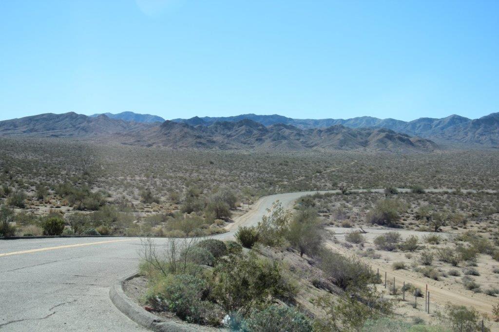
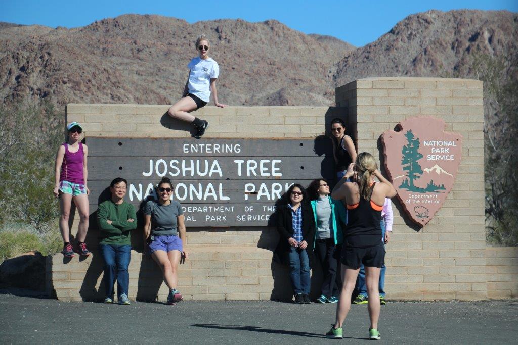
We were up, breakfasted, and on the road by 10 am. From Indio to the south entrance of Joshua Tree National Park is about 30 miles so it didn’t take us long to begin our explorations.
I have discovered that the third thing I like to take photos of, after animals and flowers, are textures and shapes, and Joshua tree abounded with them. So; a warning is in order. This blog will be short on text and long on photographs.
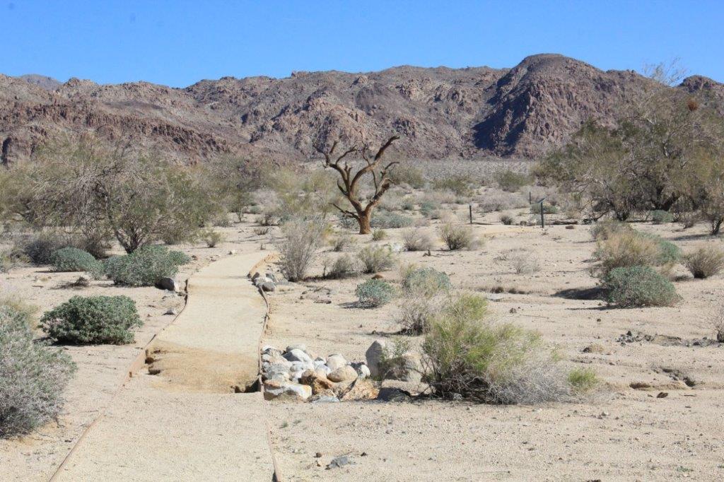
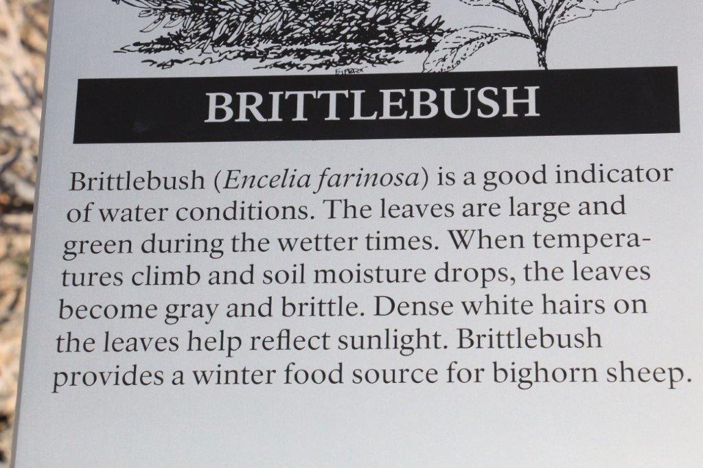
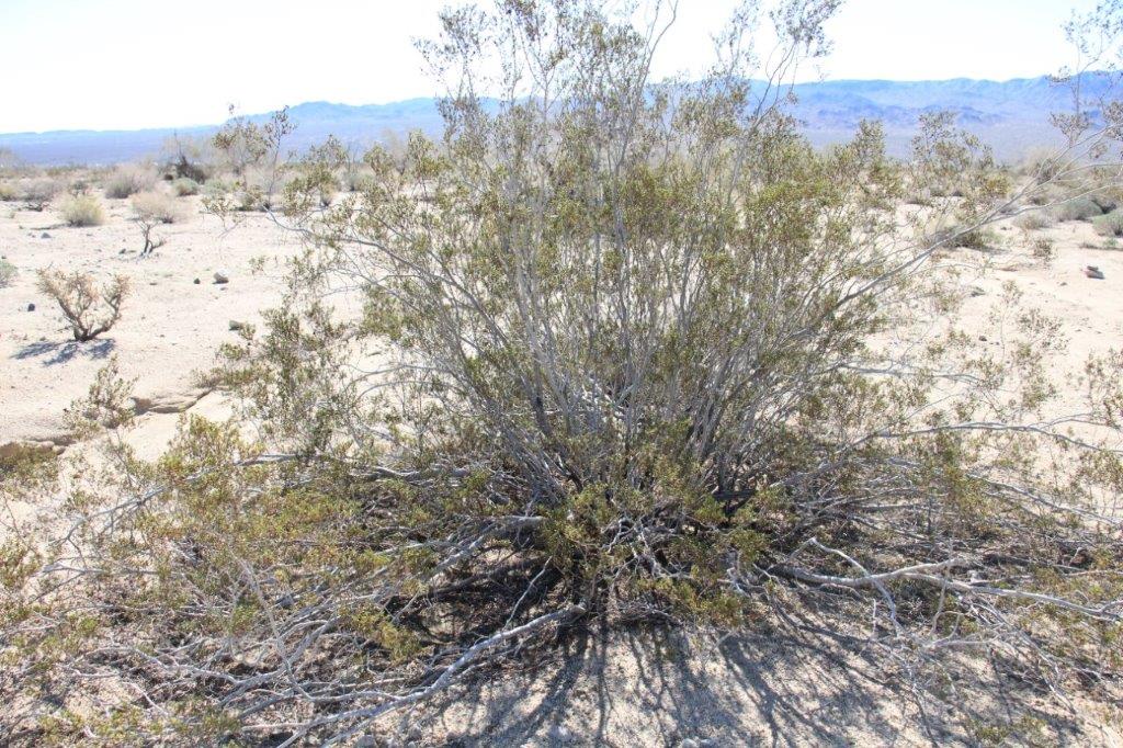
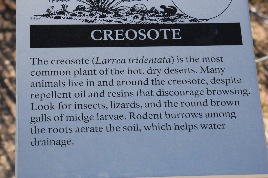
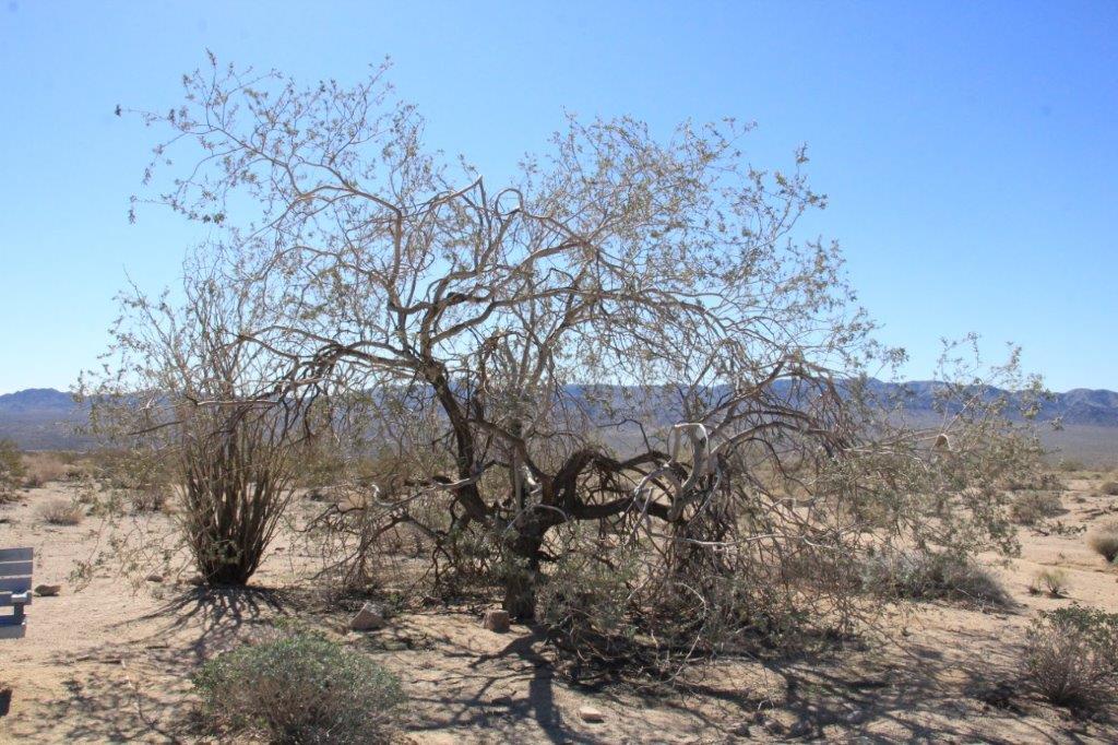
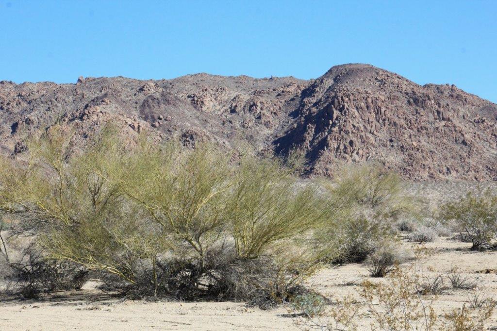
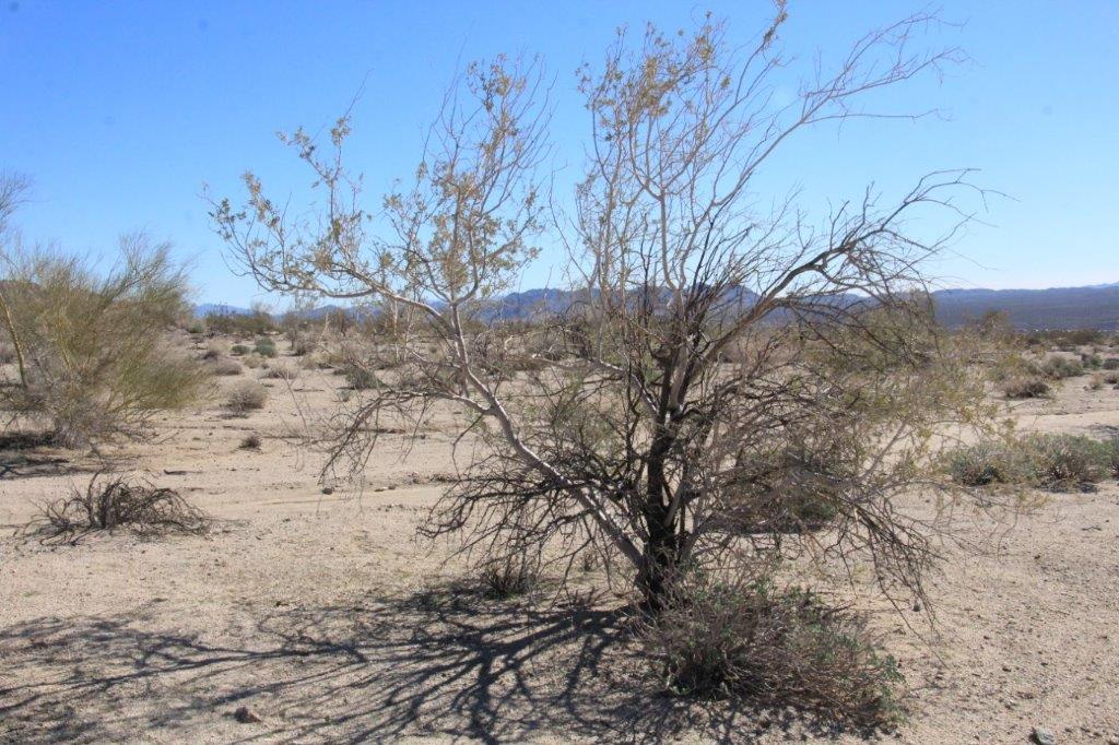
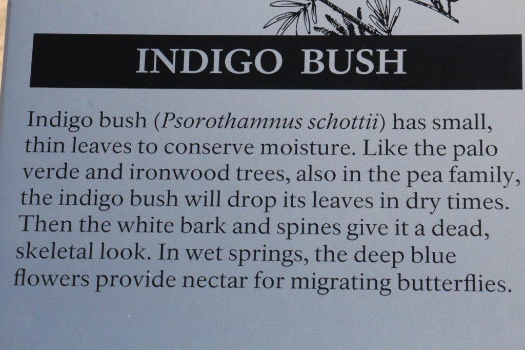
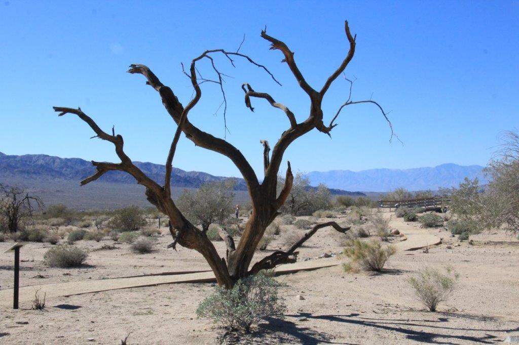
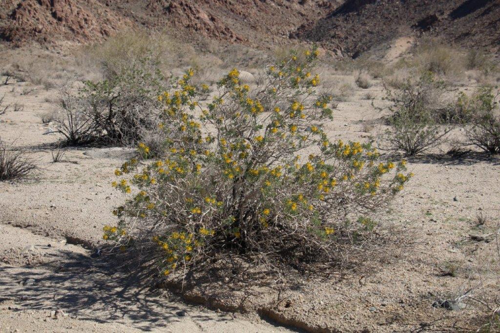
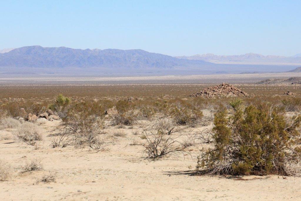
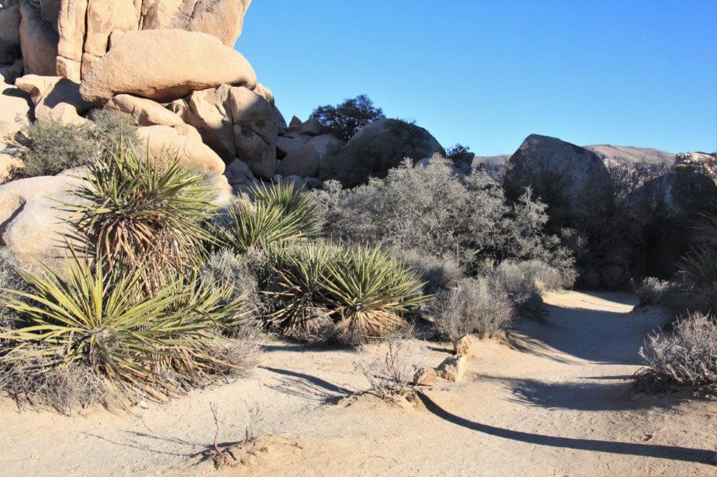
 Before we got to the Park Entrance office we walked a little loop trail that had examples of many of the different plants found in the Colorado Desert.

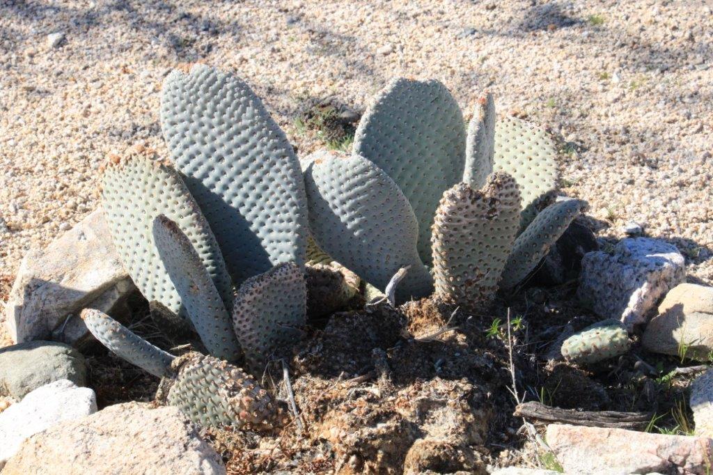
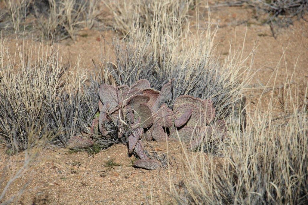
Beavertail cactus

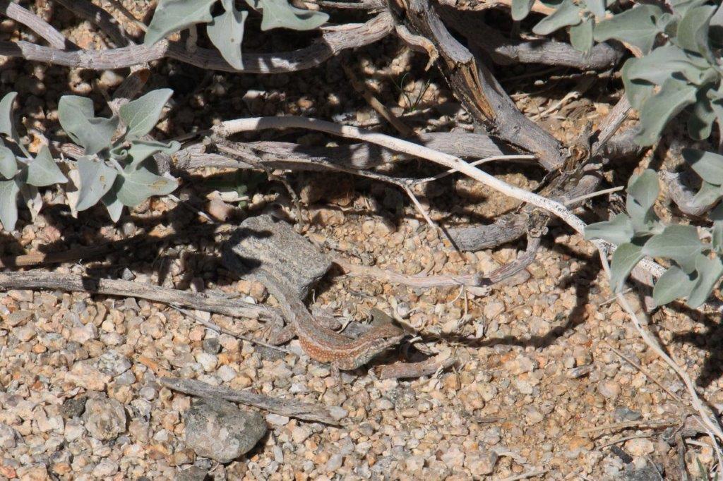 We even saw a couple of little critters.
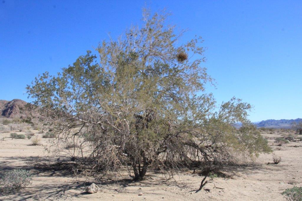 Mesquite Mistletoe, a parasite.
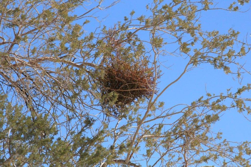
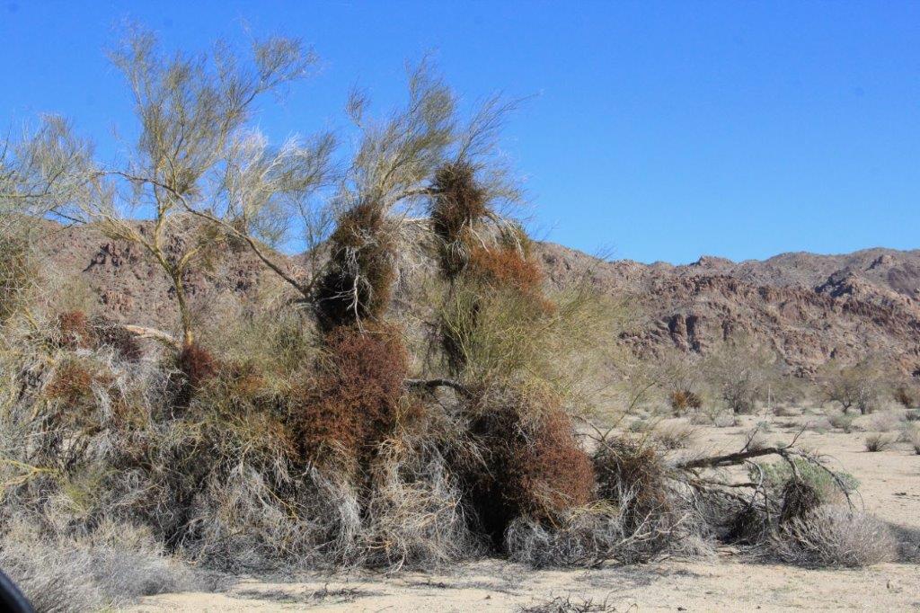
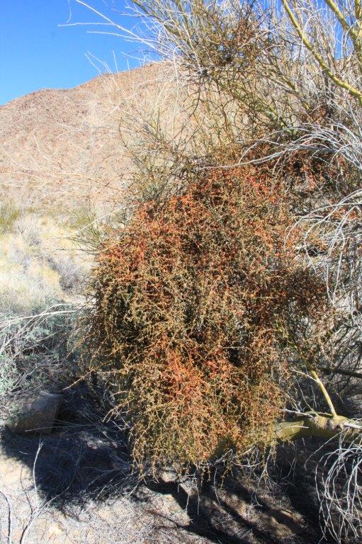
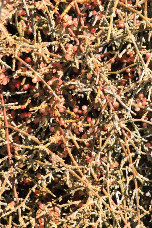 Birds eat the berries.
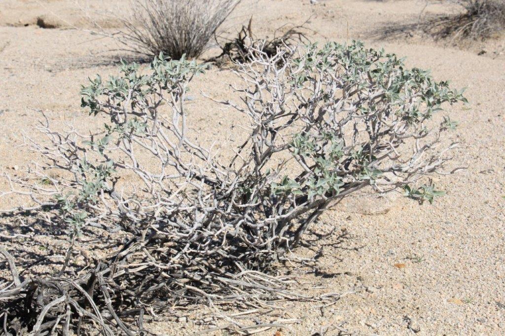
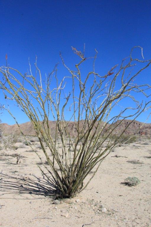
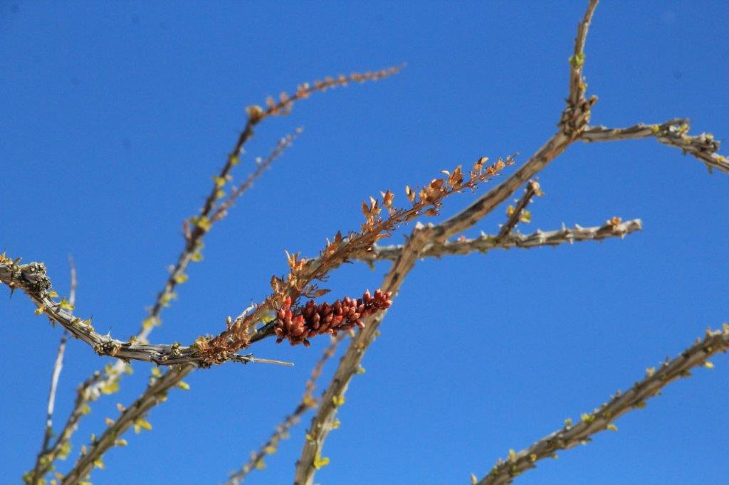
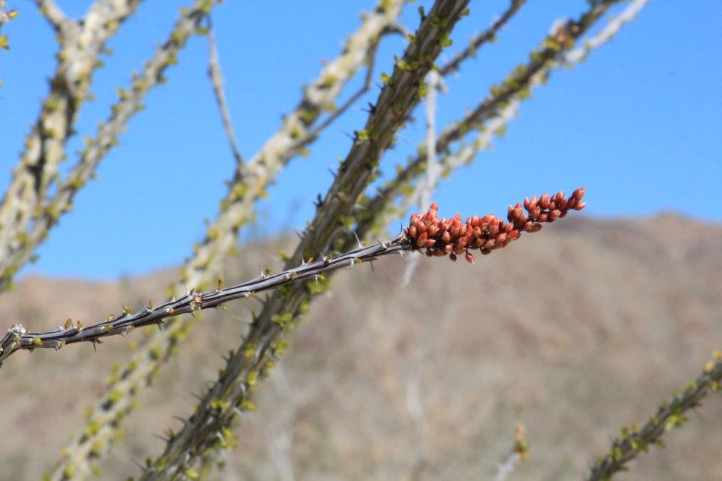
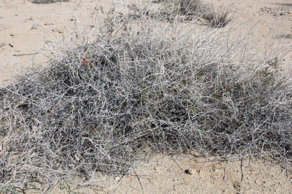
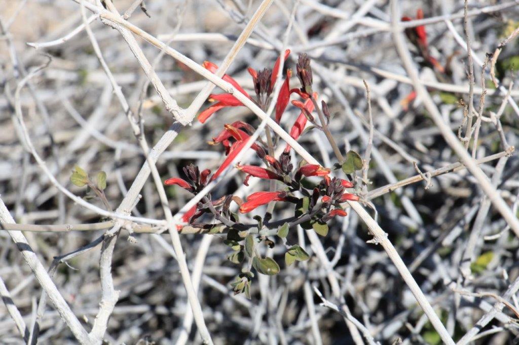
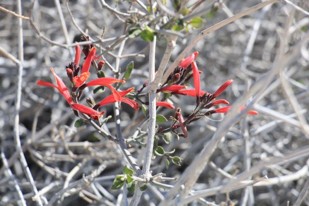
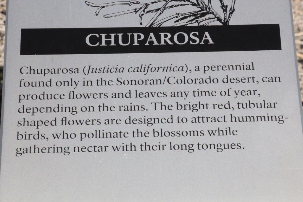
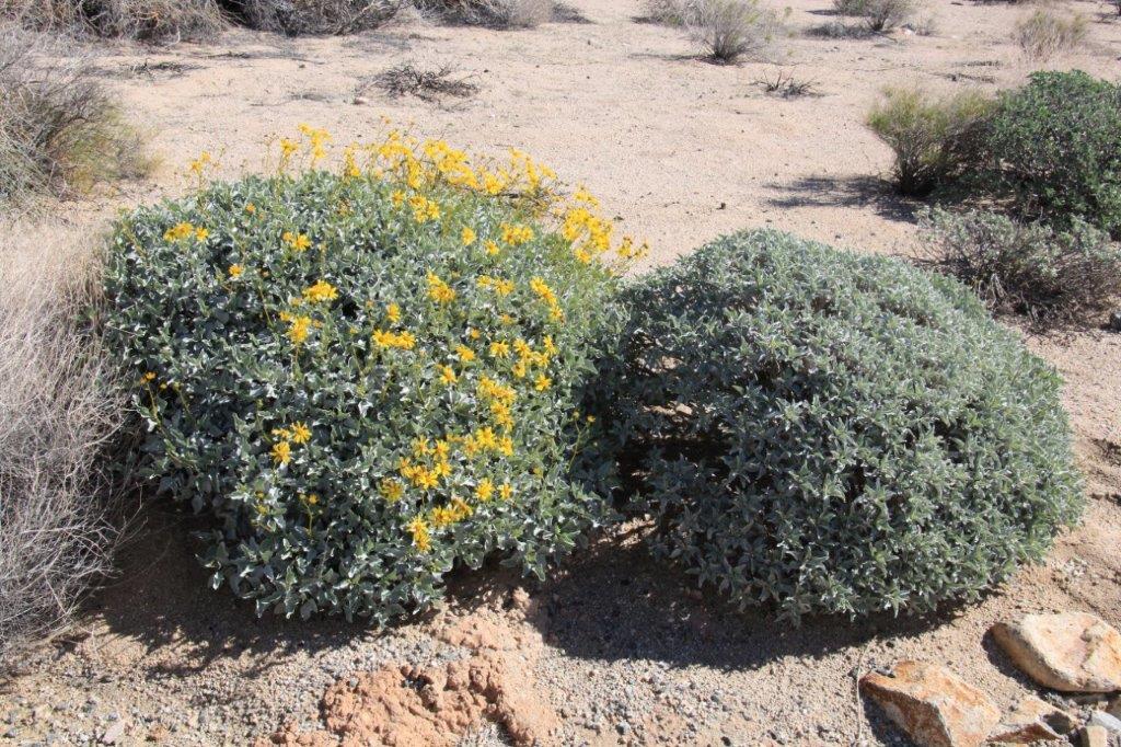
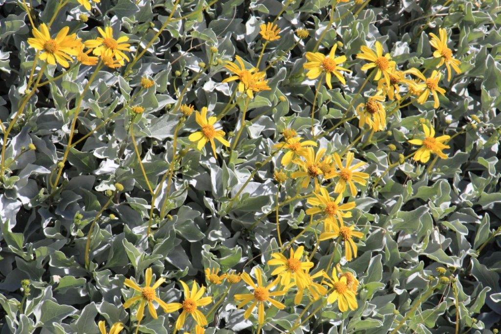
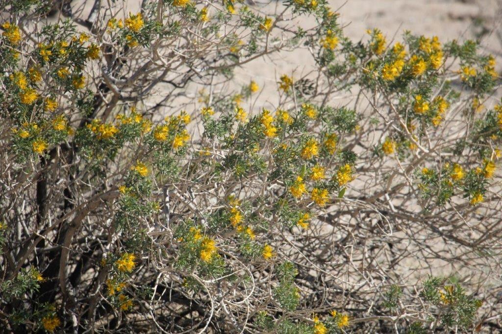
I was quite excited to see flowers on several of the plants. I guess when the big rainstorm hit the coast they got some rain up here. It never takes long for desert plants to sprout leaves or flowers after some rain.
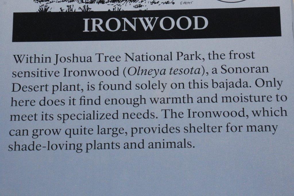
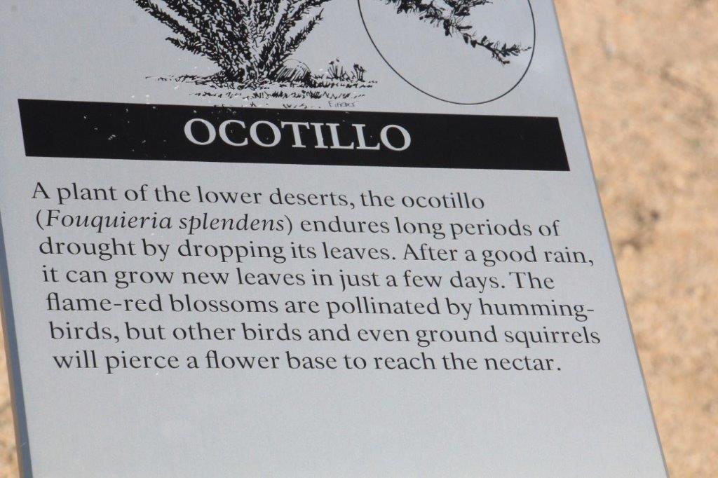
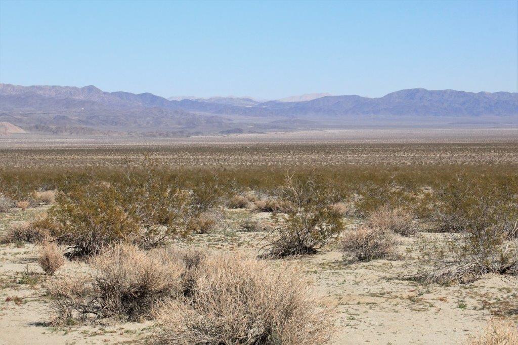
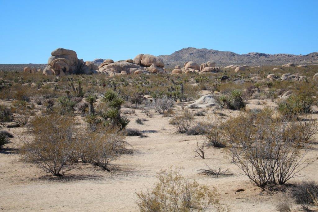
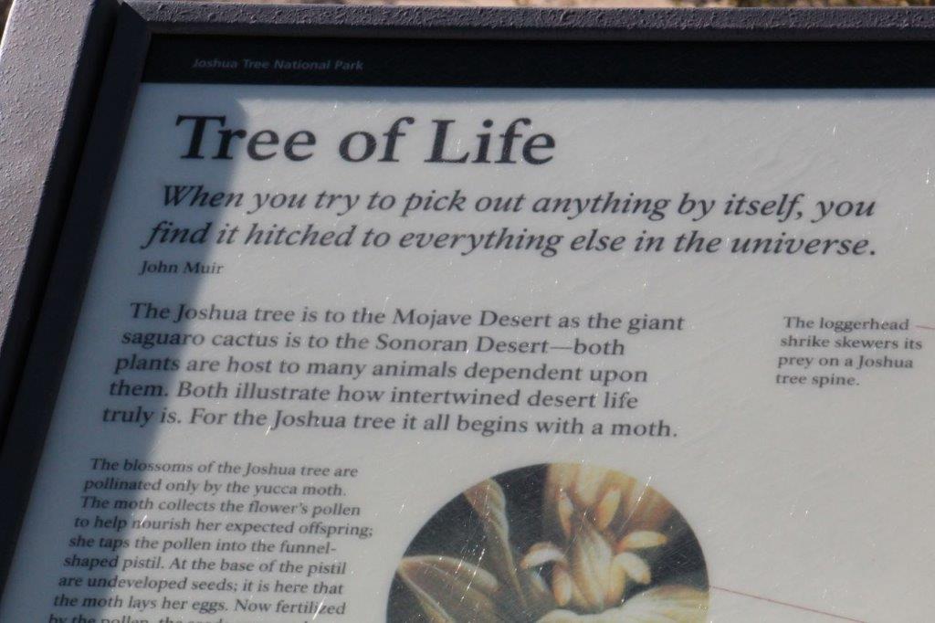
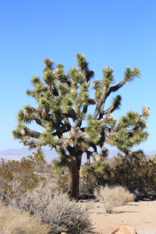
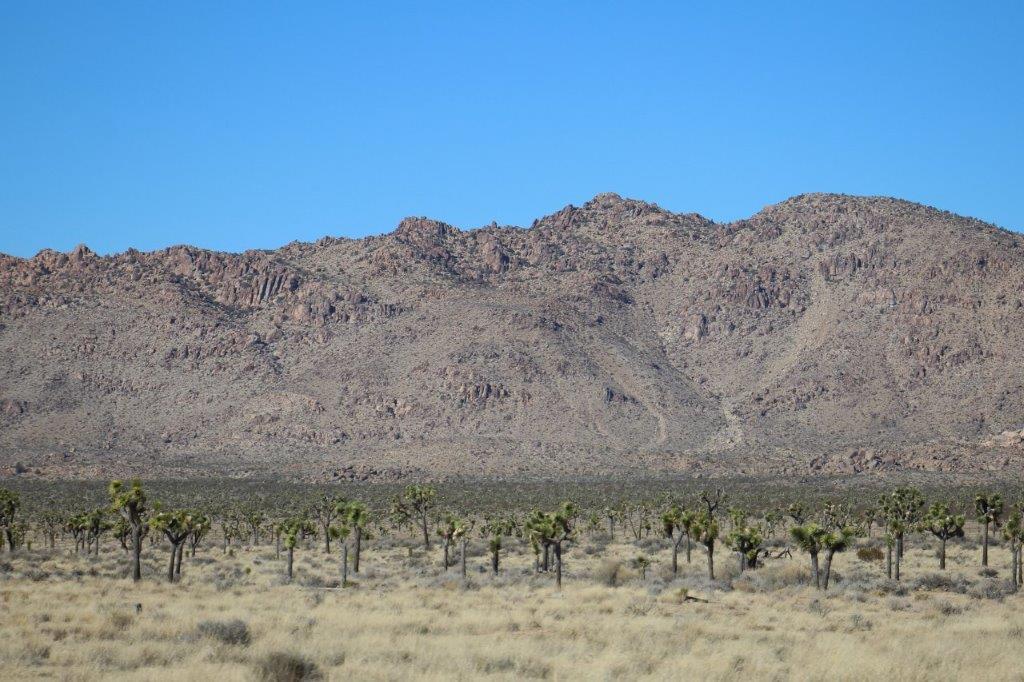
 Joshua Tree National Park covers a section of the Colorado Desert and a section of the Mojave Desert. The Colorado Desert is a high plains desert and has quite different vegetation to the lower Mojave Desert. When we got into the Mojave Desert part of the Park there were placards in front of different plants and cactus than we saw here.
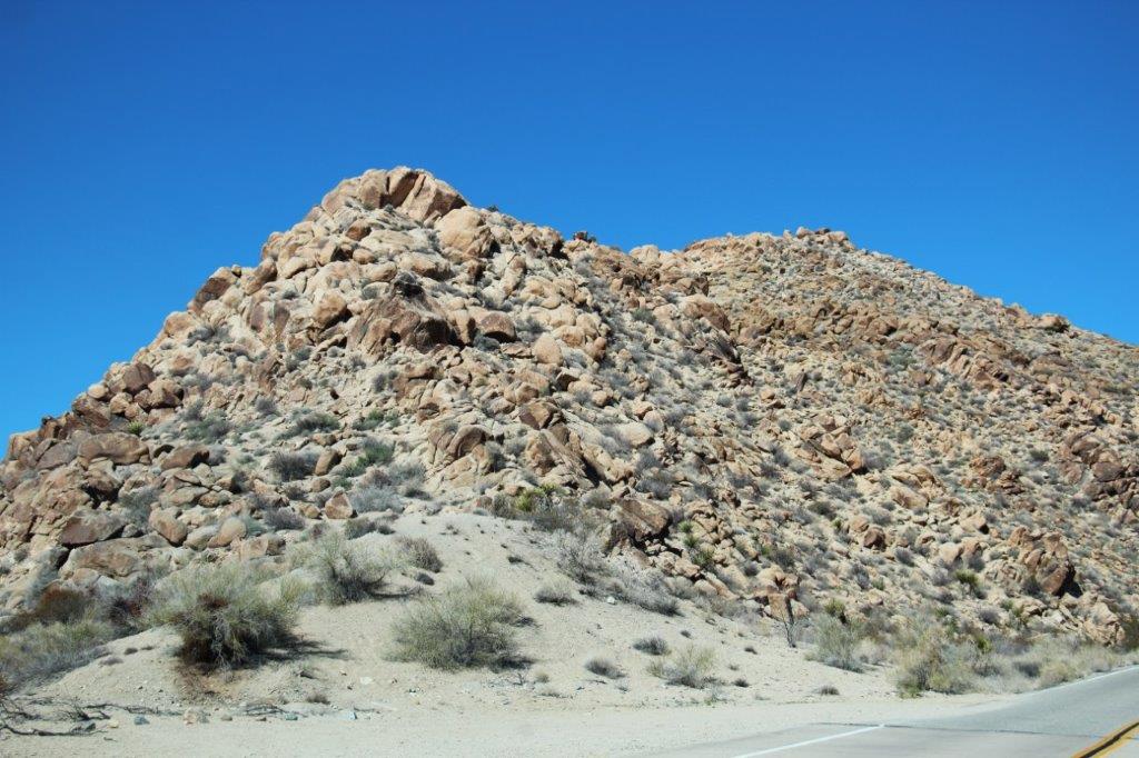
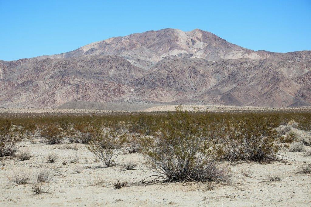
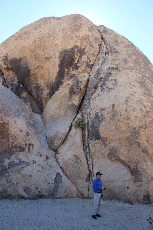
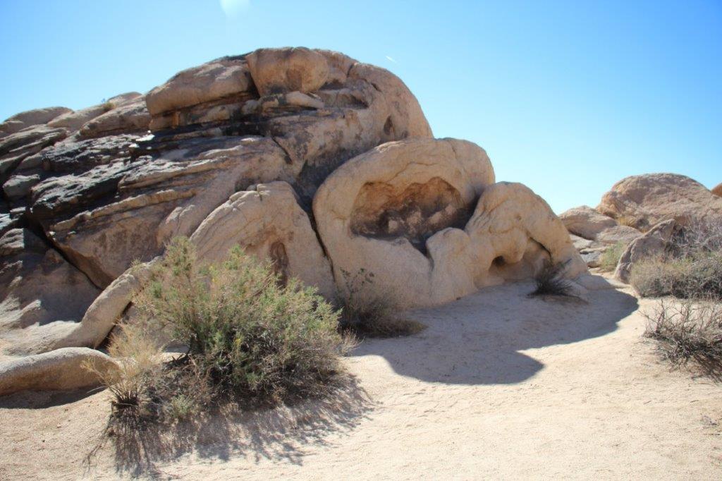
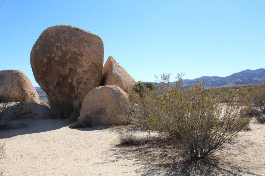
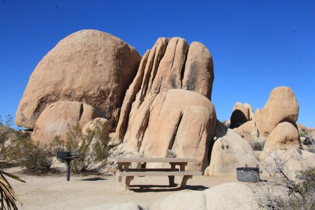
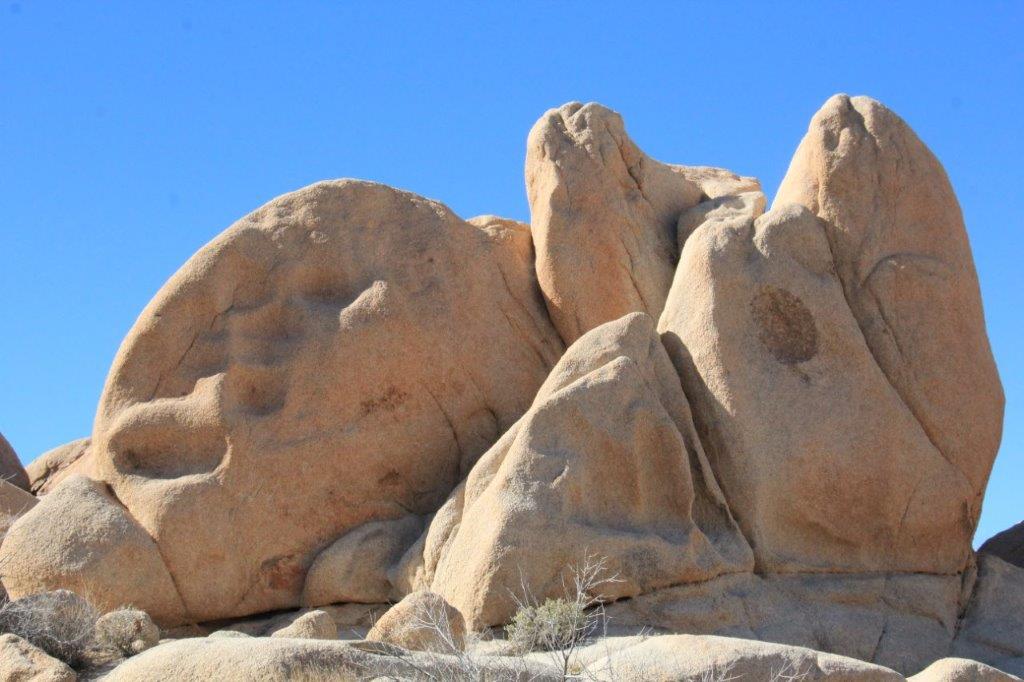
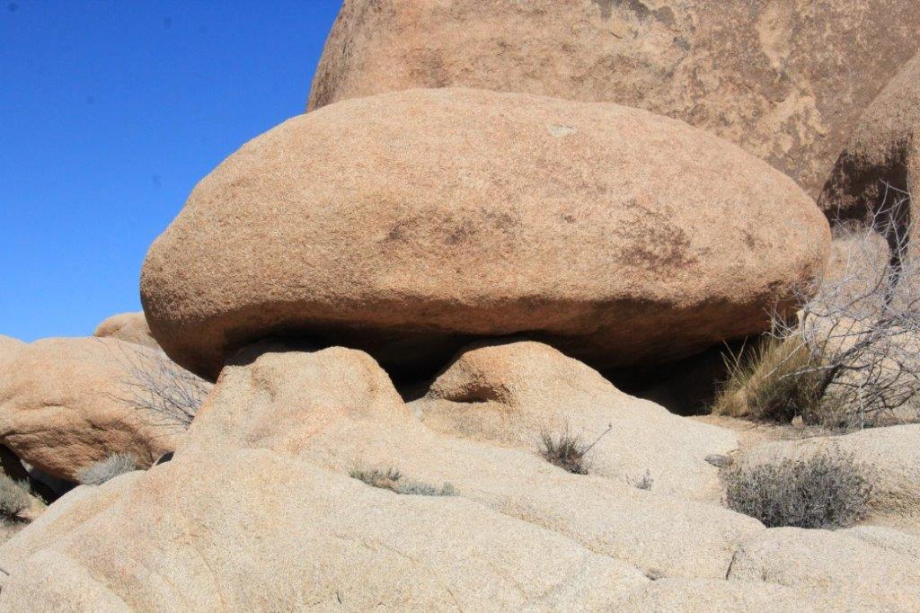
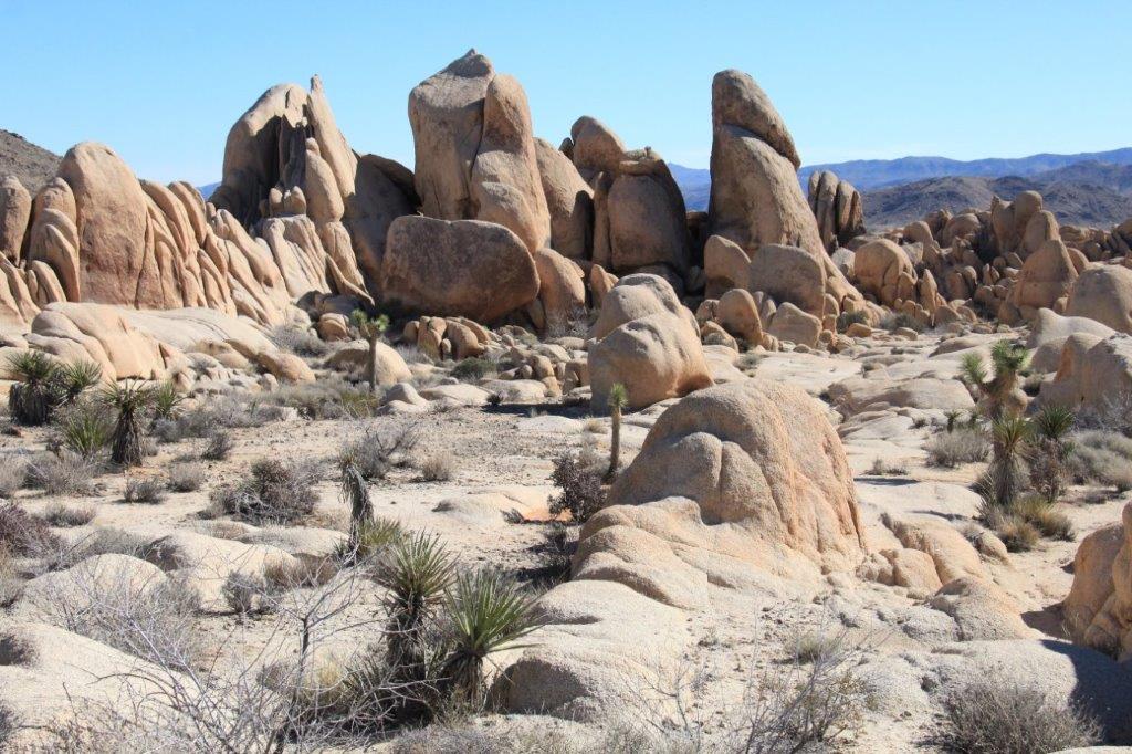
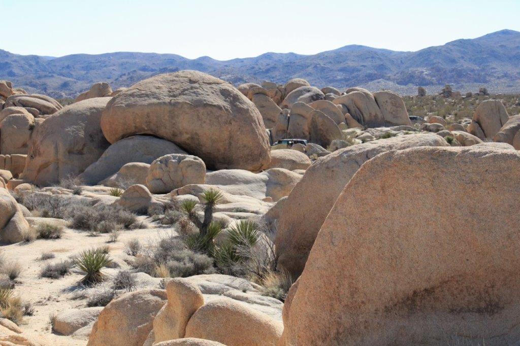
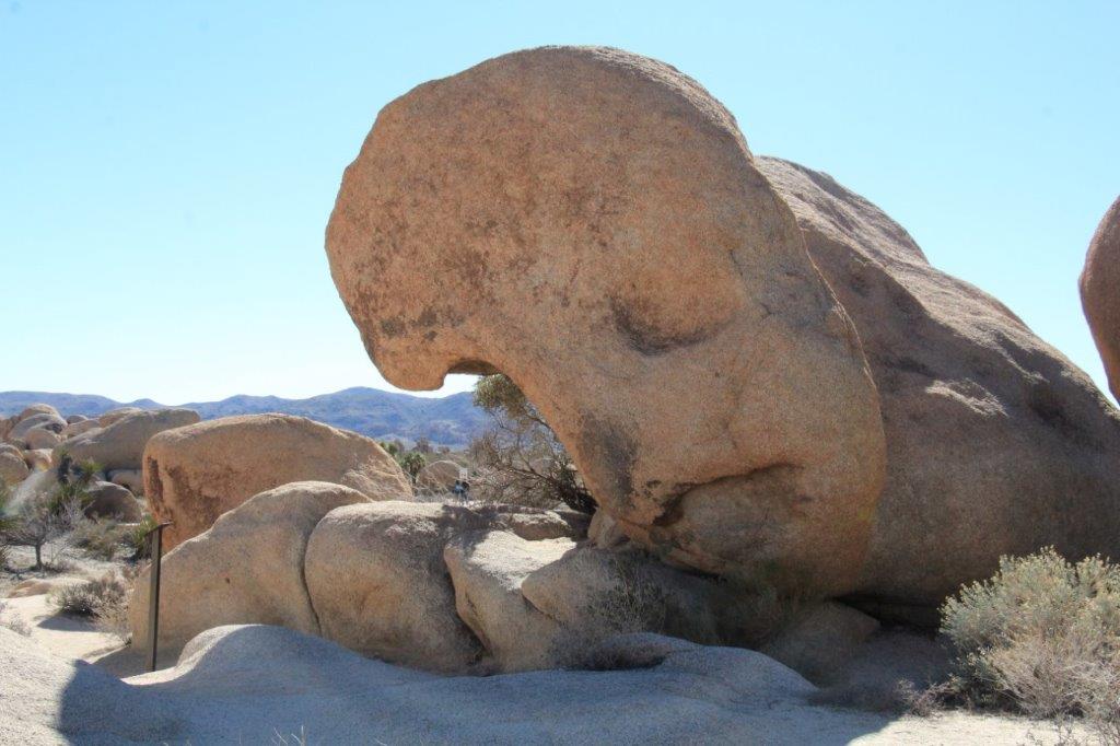
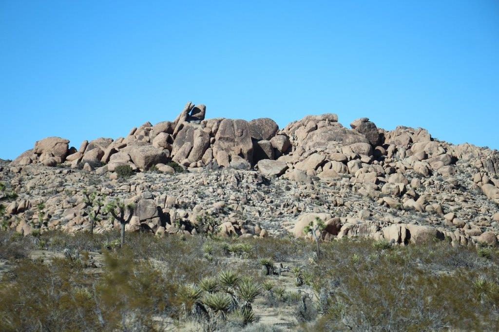
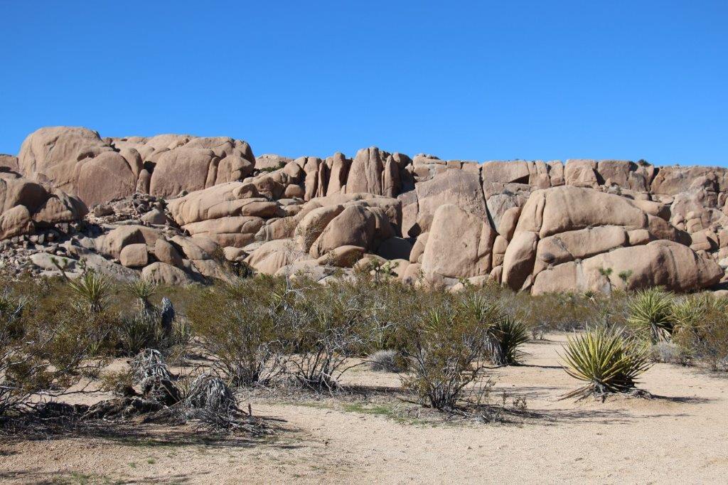
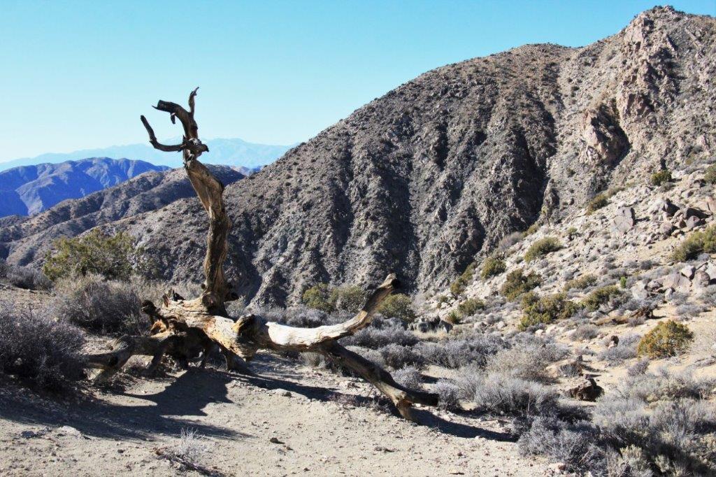
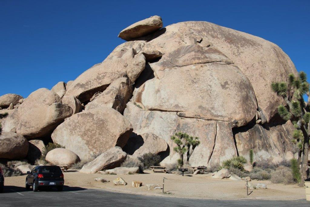
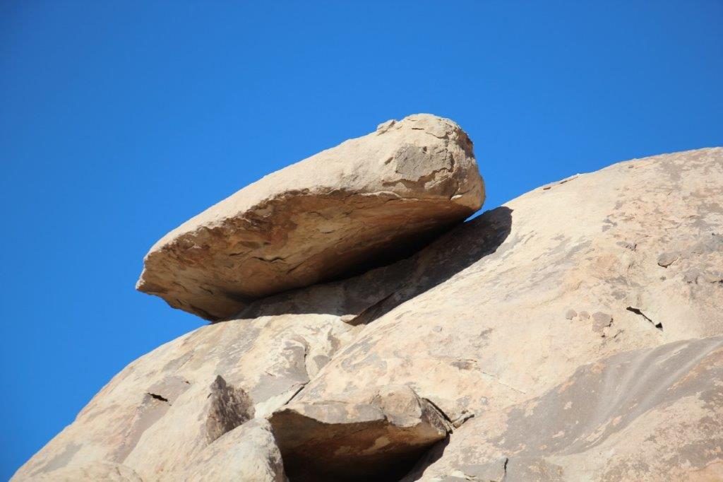
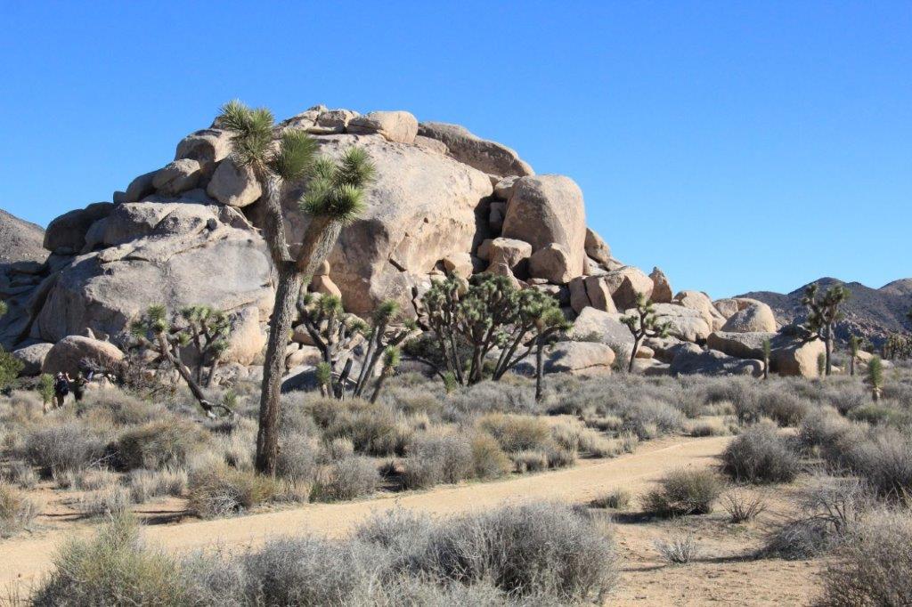
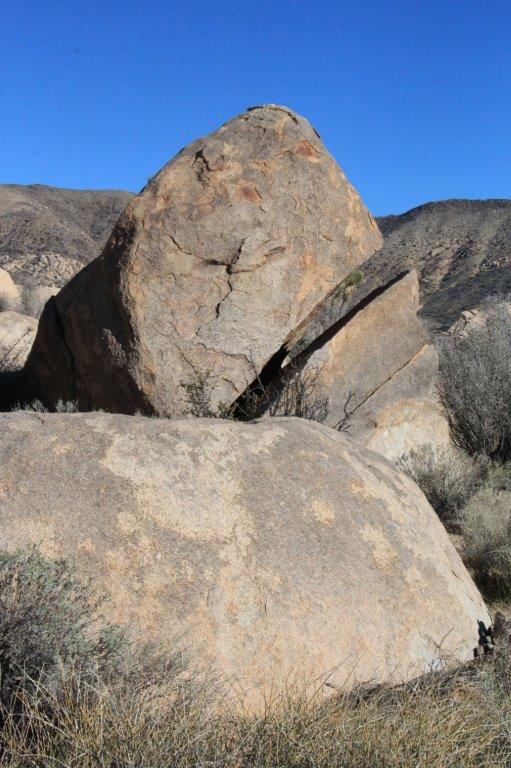
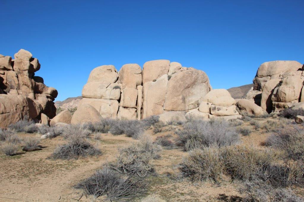
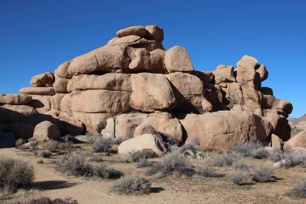
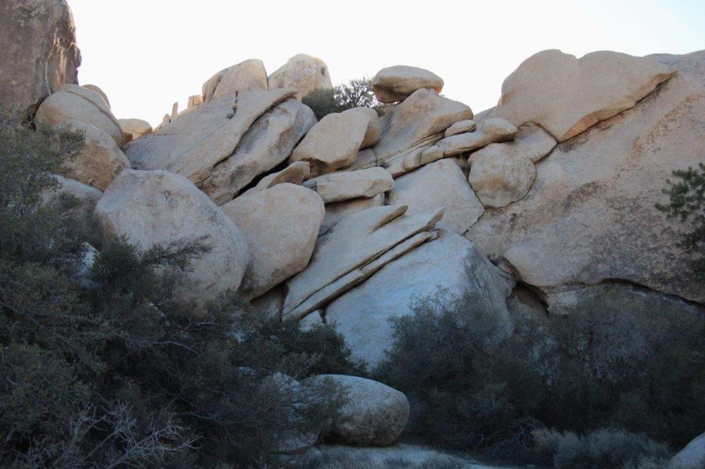
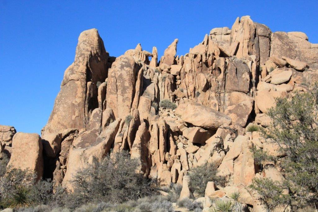
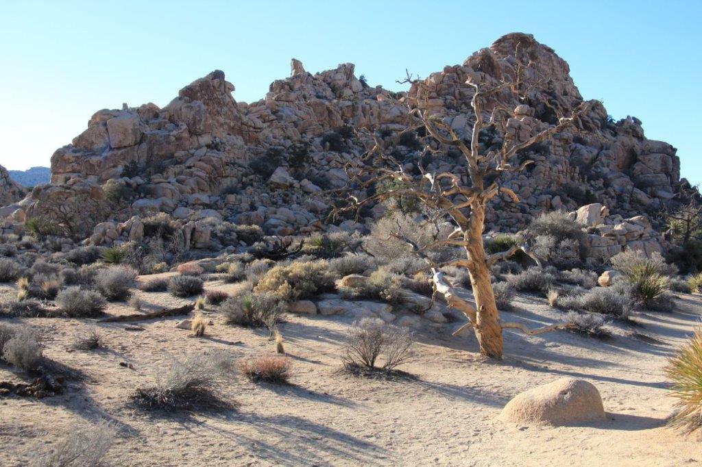
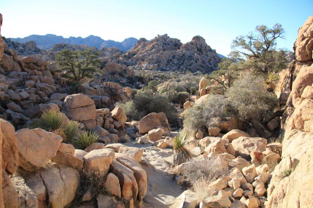
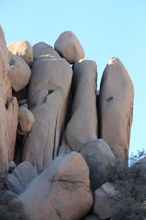
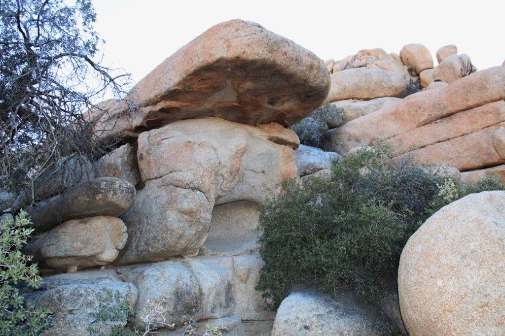
Joshua tree is also home to rocks and huge boulders that come in all sorts of shapes. The wind and rain have eroded them over the centuries. They are a form of granite, not sandstone as many people think. I took LOTS of photos of big boulders.
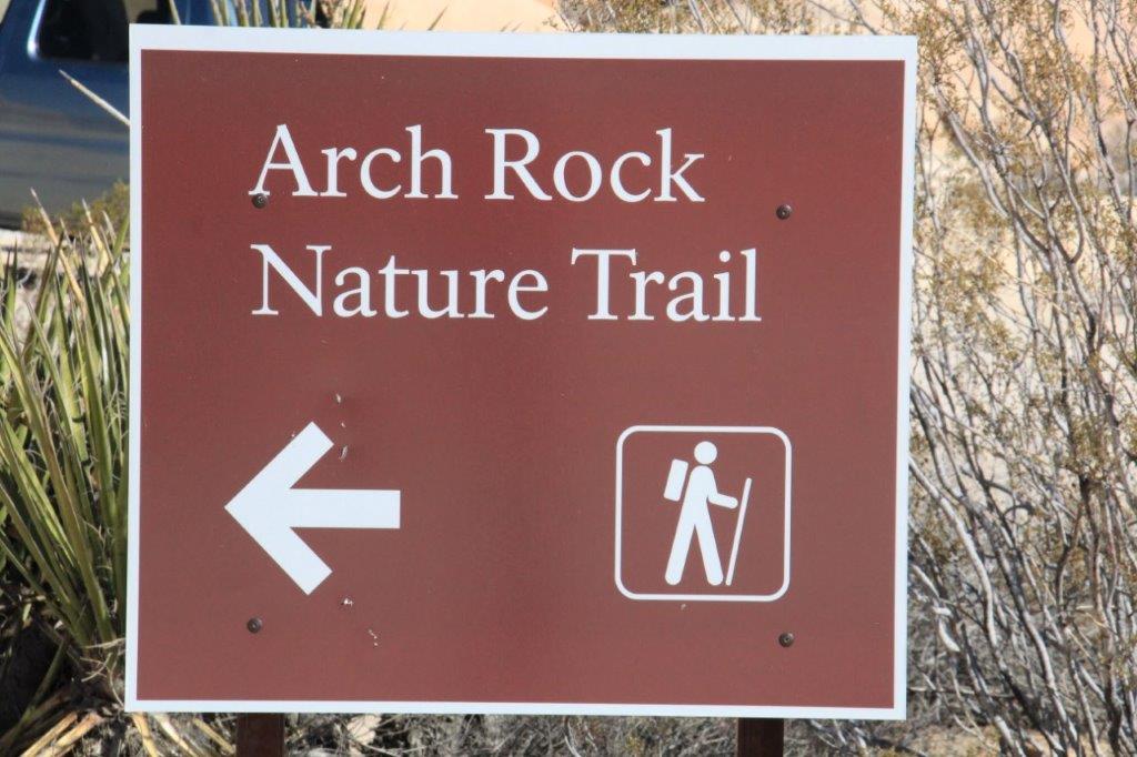
We only have one day in Joshua Tree so I didn’t even look at any of the longer trail routes and explanations in case I was tempted. We did manage to hike all the short trails we wanted as well as drive up to the high point at Keys View.
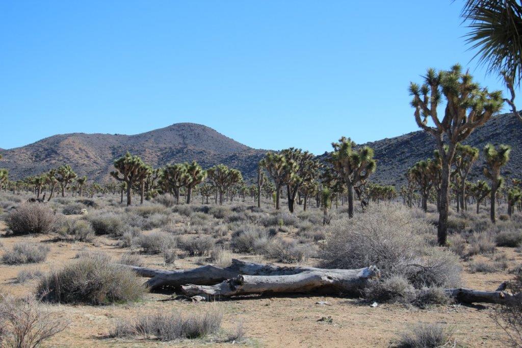
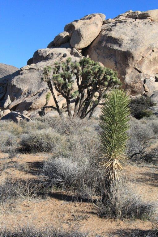
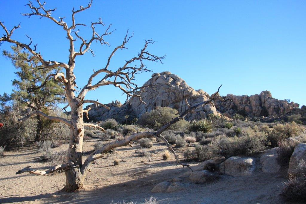
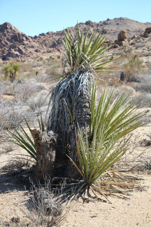 The Desert Fan Palm grows predominantly in the Colorado Desert and the Joshua Tree grows in the Mojave Desert.

 Pinto Mountain. You can hike to the top. It takes about 6 hours and you must have orienteering skills.
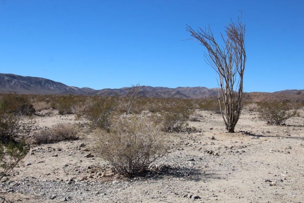
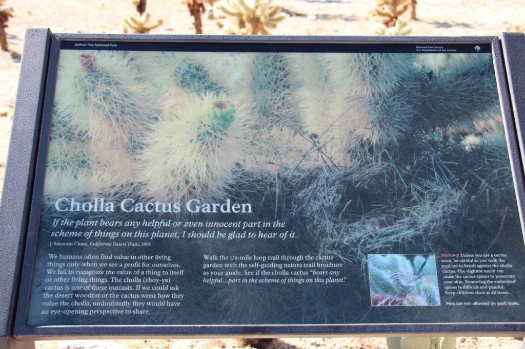
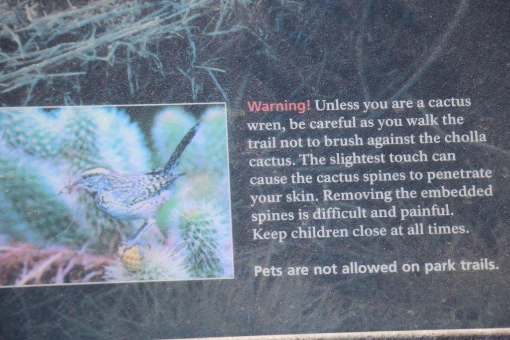

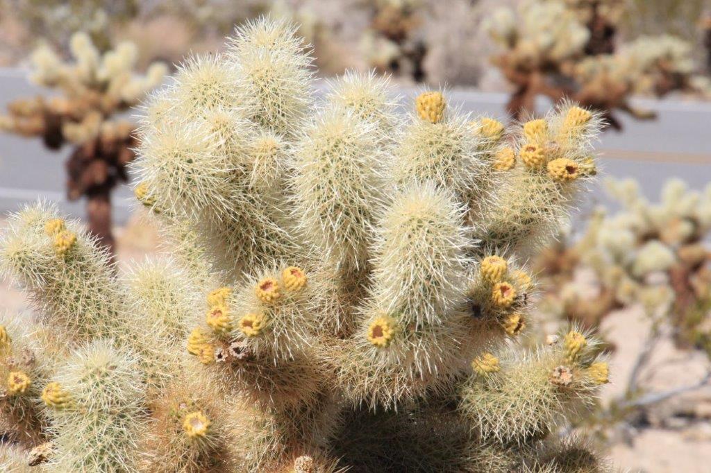

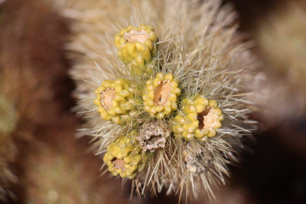
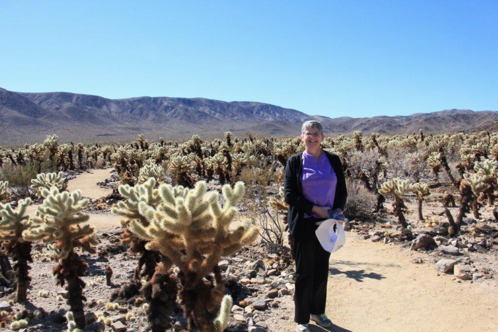
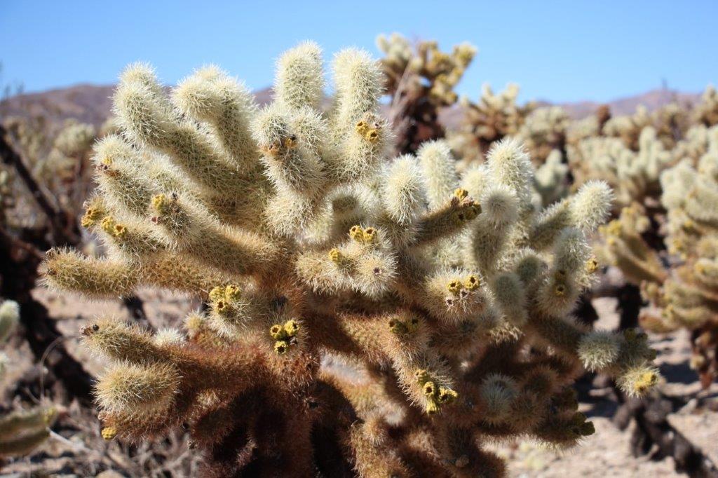
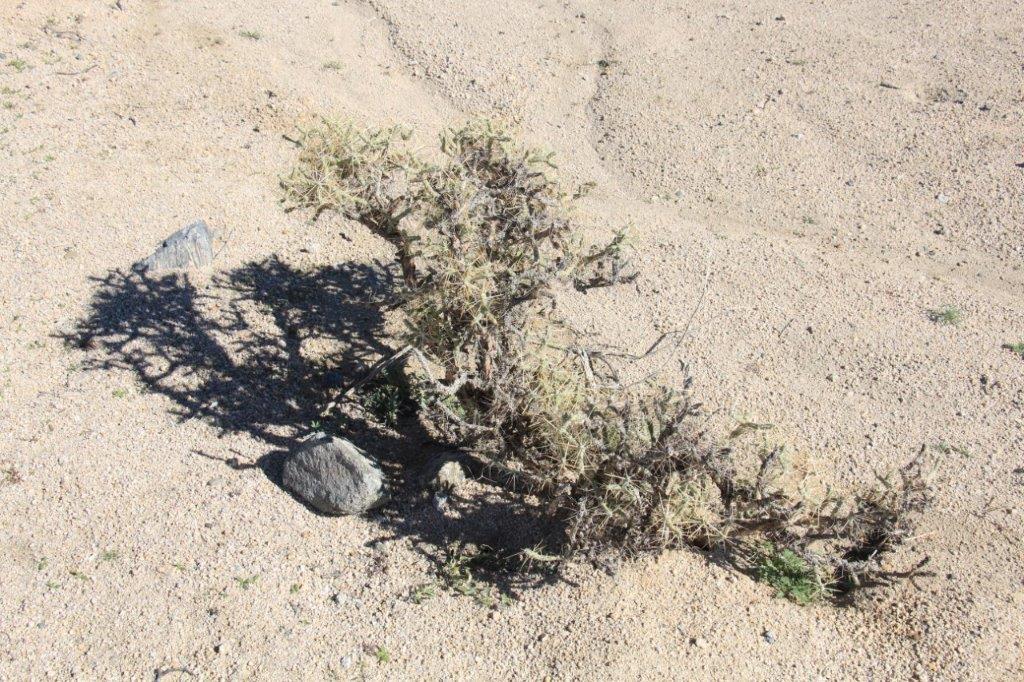
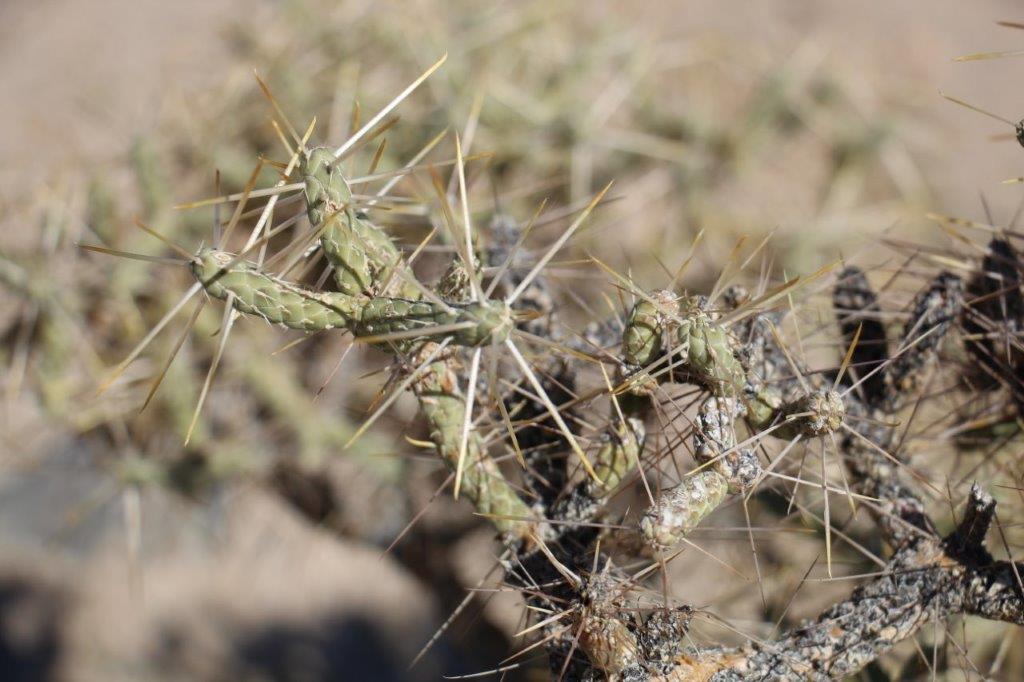
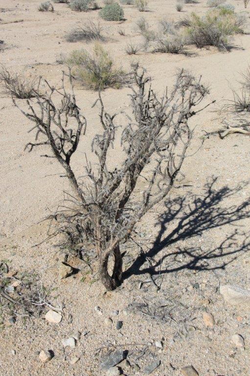
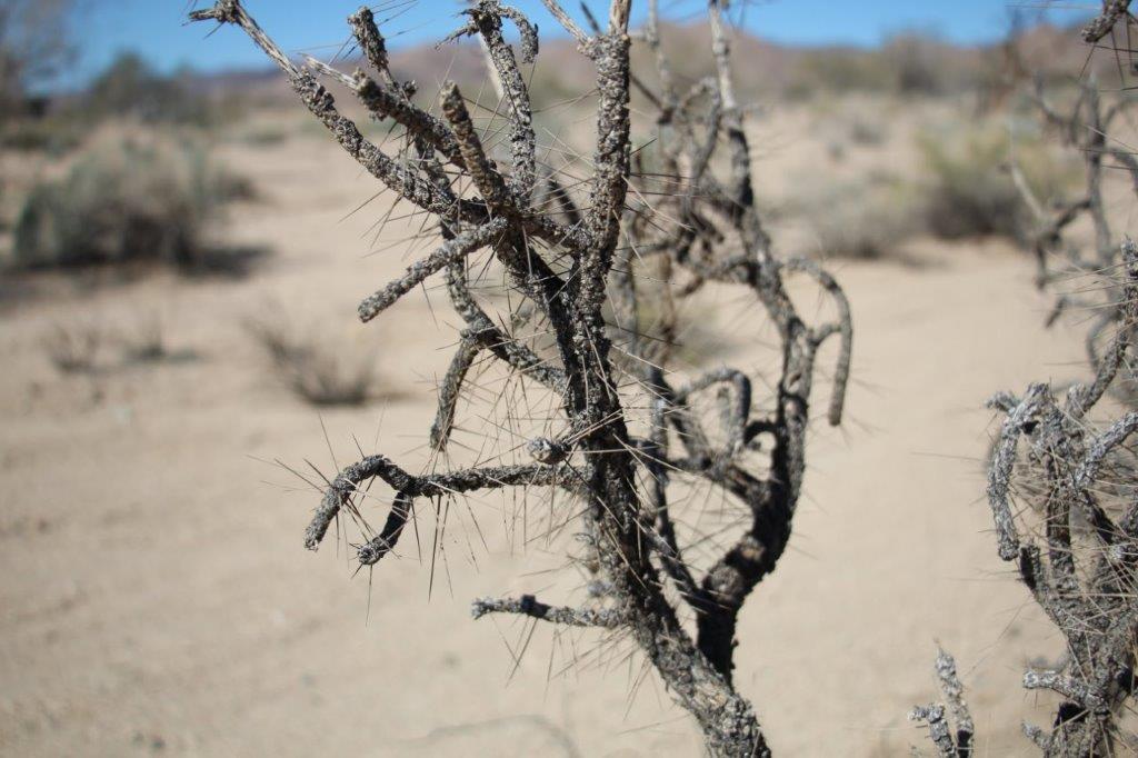
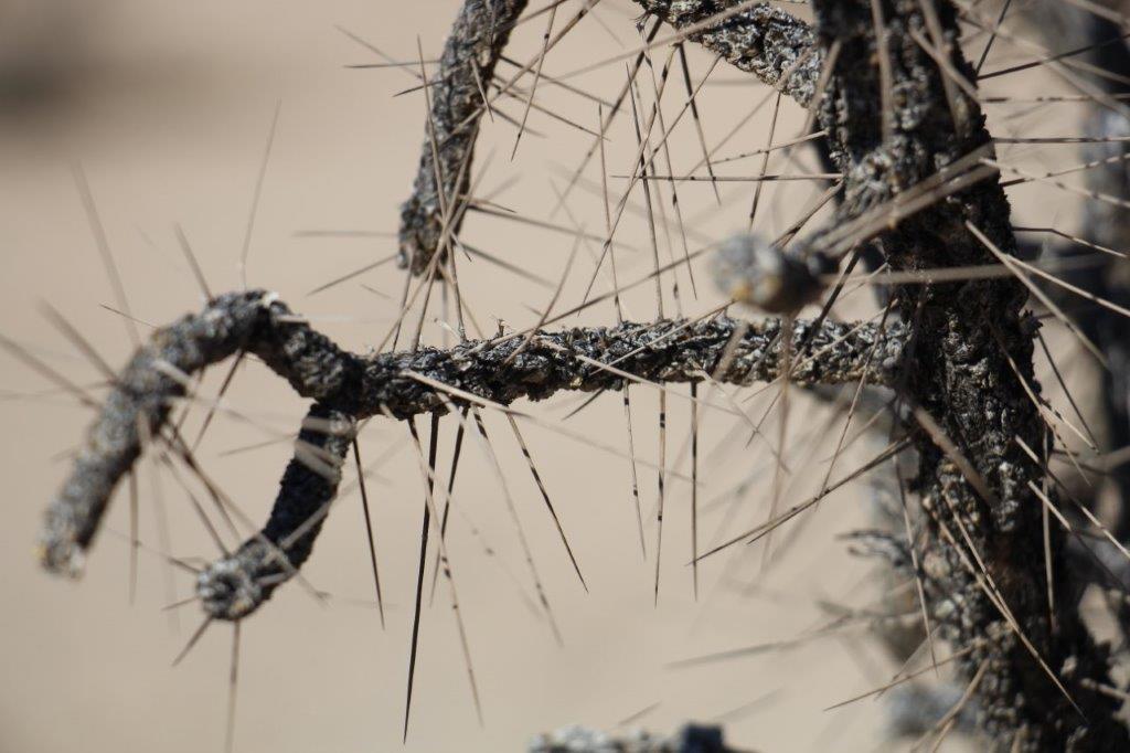
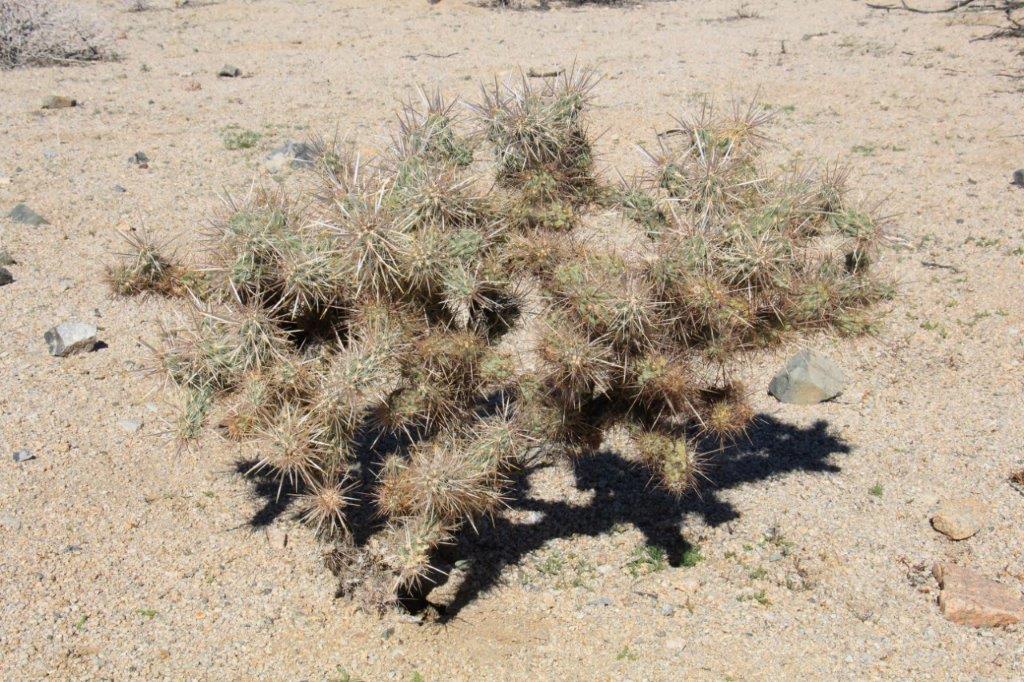
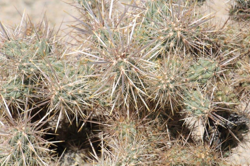
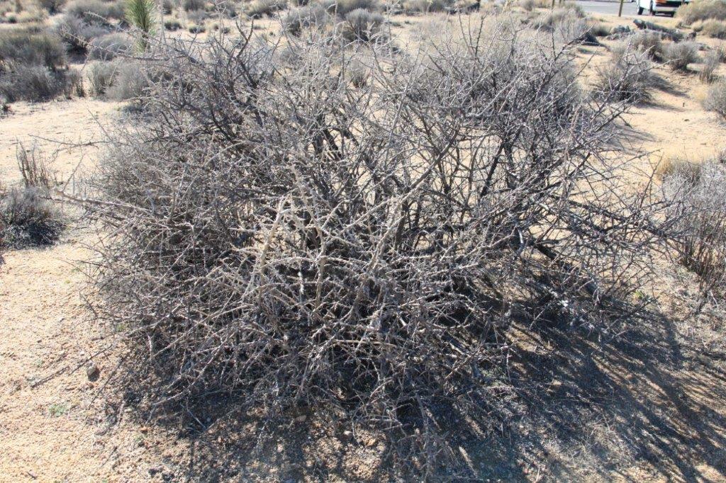
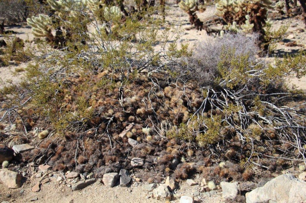 A heap of fallen off Cholla Cactus tops surround this bush.


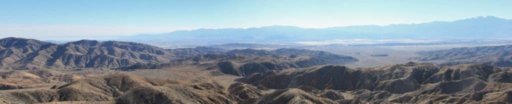
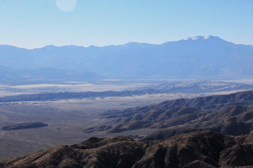
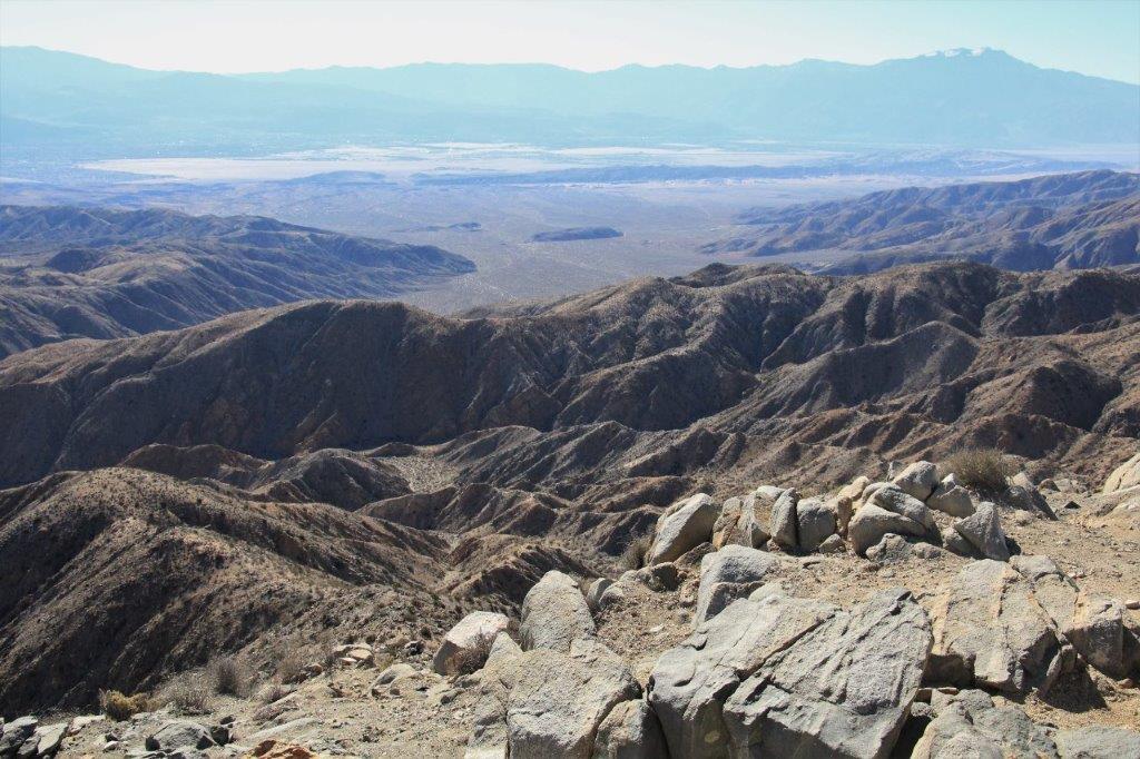
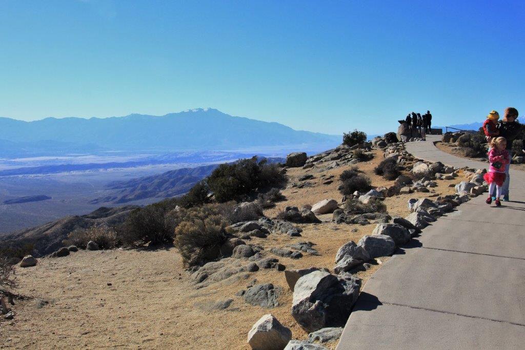
 We drove up to Keys View where, on a clear day you can see Palm Springs, Mt. San Jacinto, Mt. San Gorgonio, and the Salton Sea. You can also very plainly see the San Andreas Fault running down the center. It was very windy at the view point. Reminded me of the day we were at Cape Spear in Newfoundland a couple of years ago. You had to plant your feet to avoid being blown over.
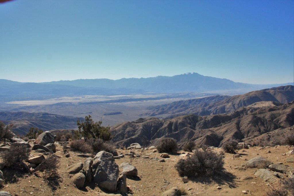

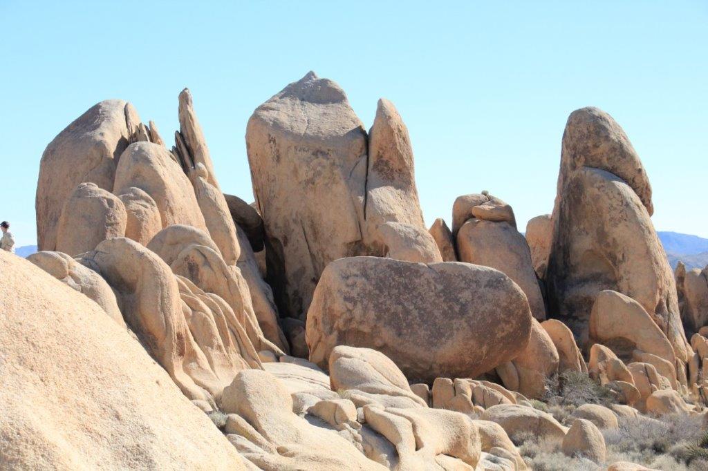
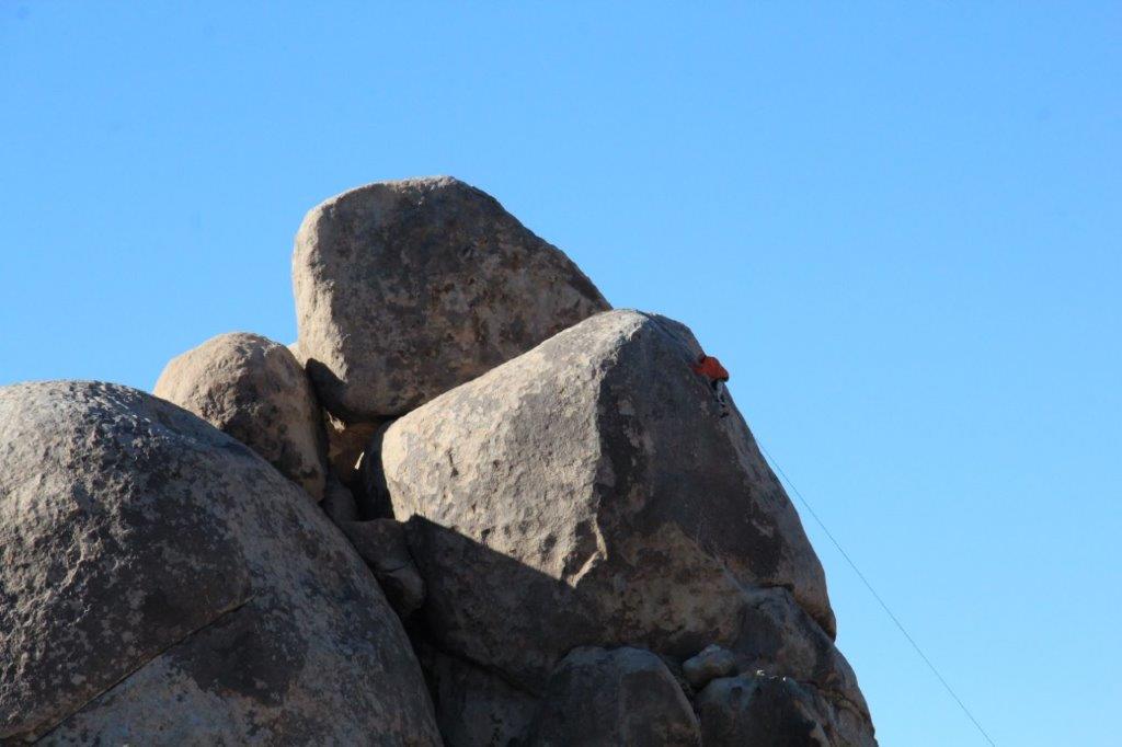
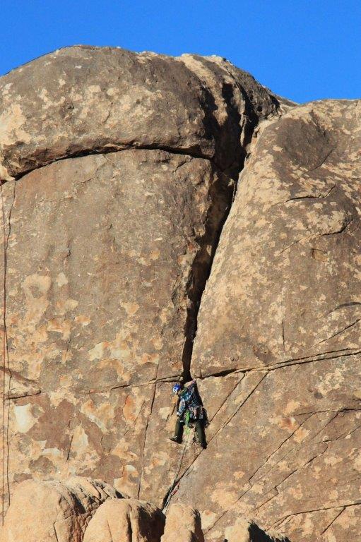
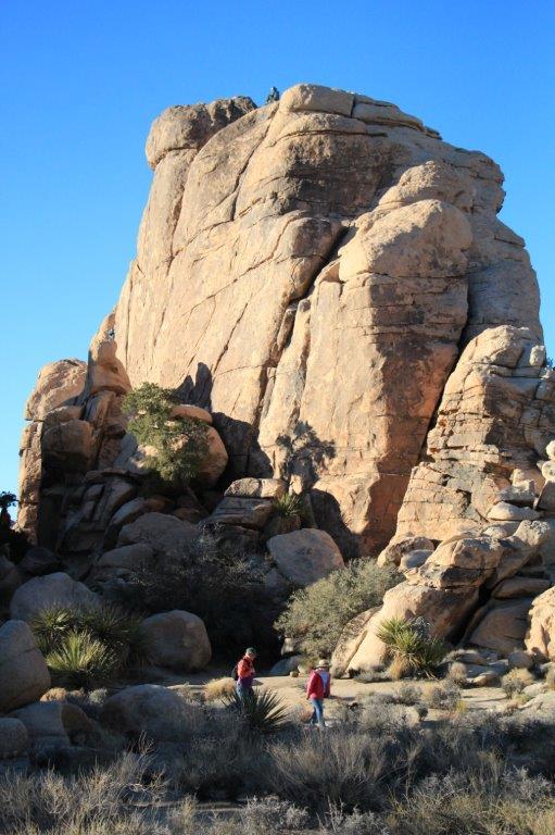
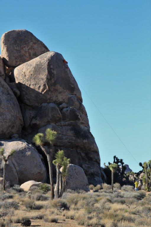 Joshua Tree National Park is considered one of the world’s best rock climbing sites. If you look closely at the photo above you can see the girl scaling the rock face.
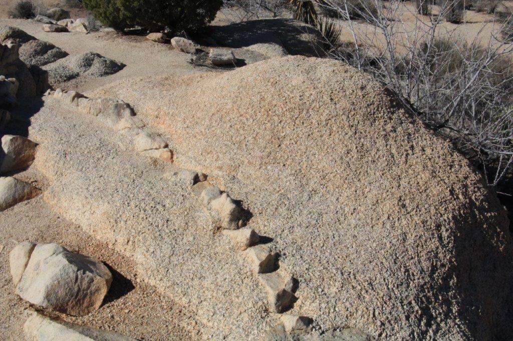
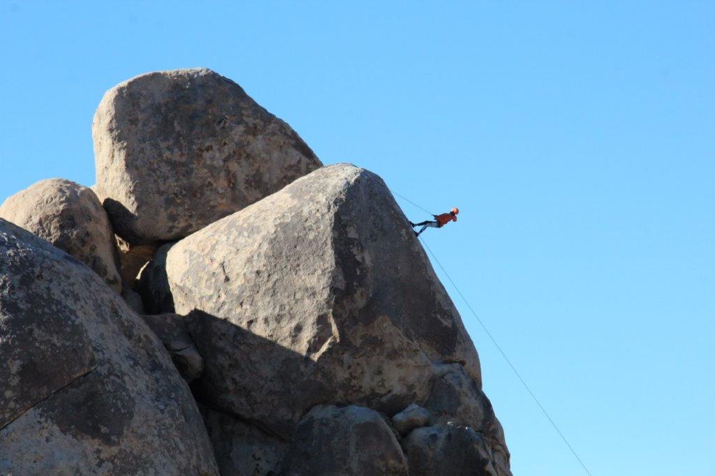 The descent is quicker than the climb.
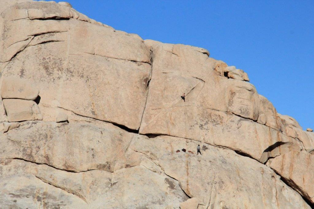 There were climbers all over the place in this area of the park.
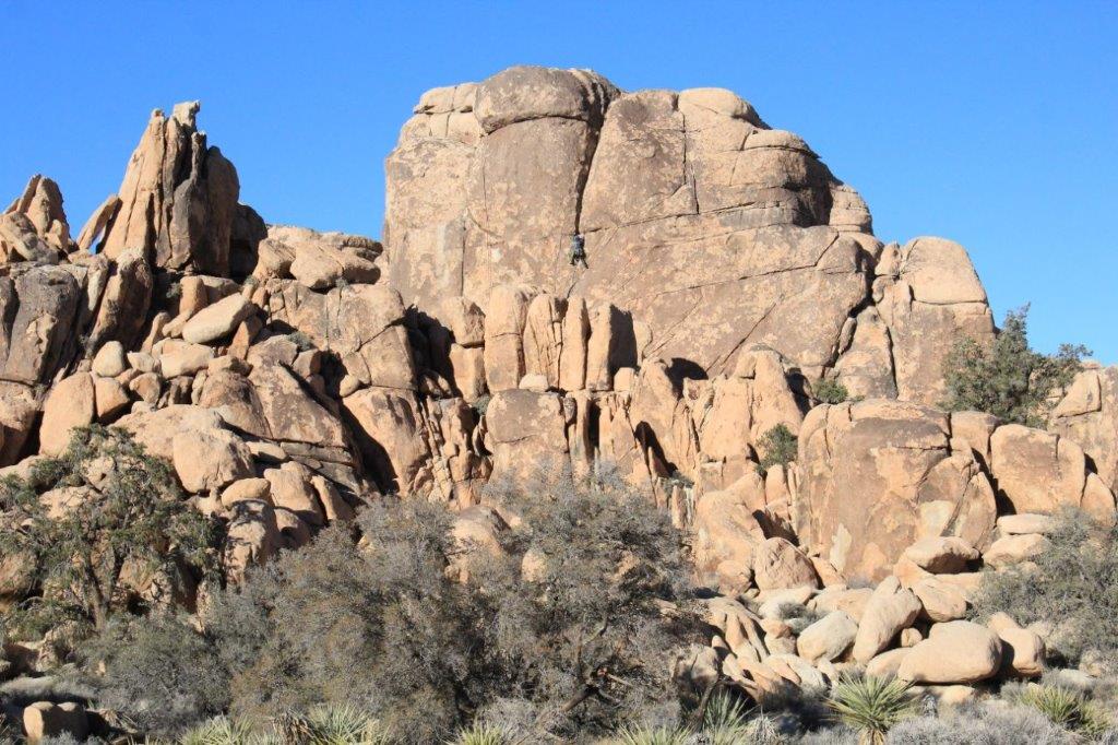

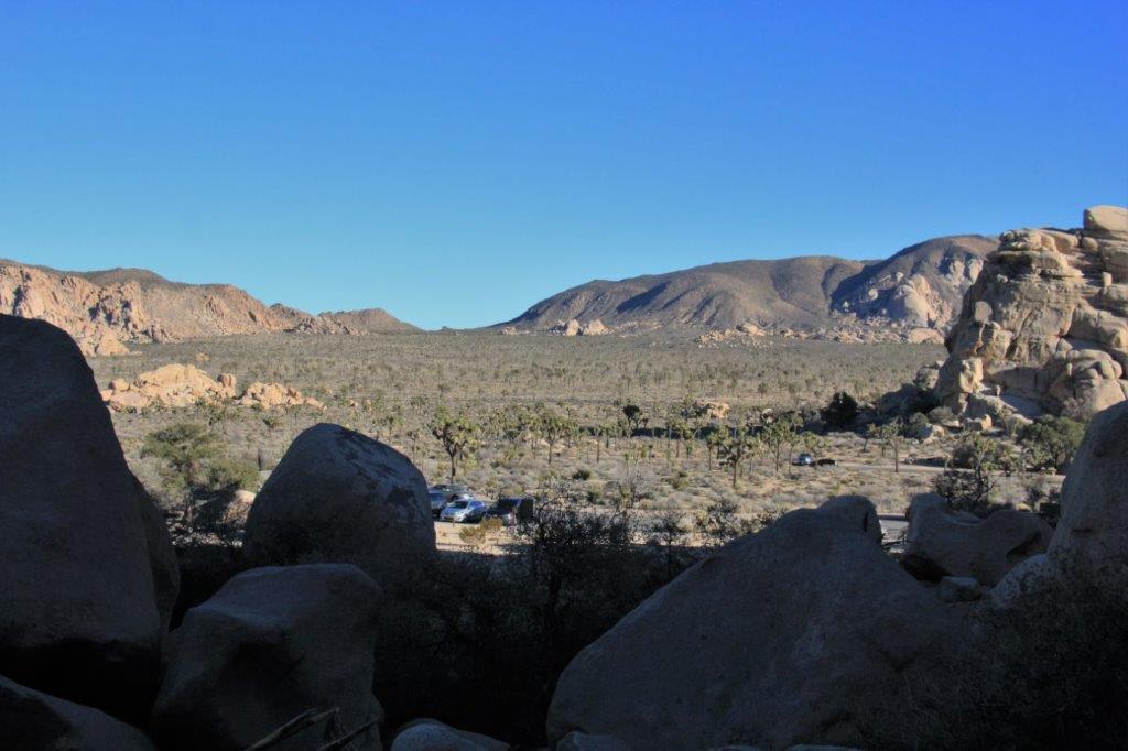
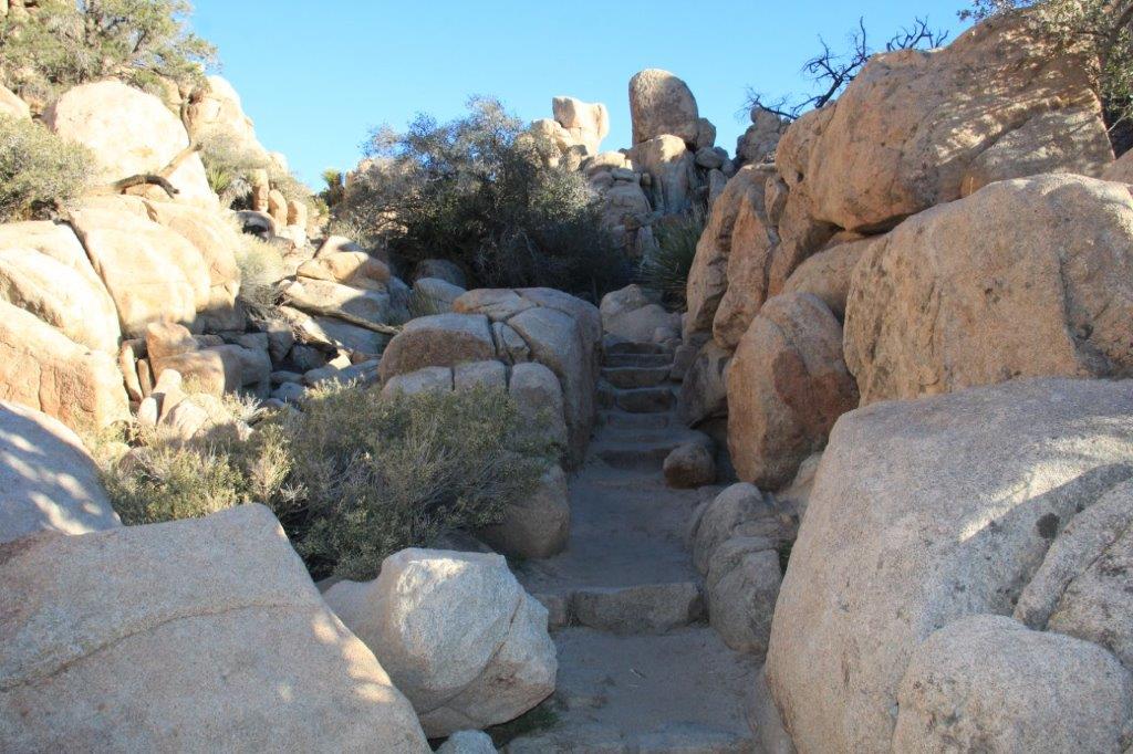
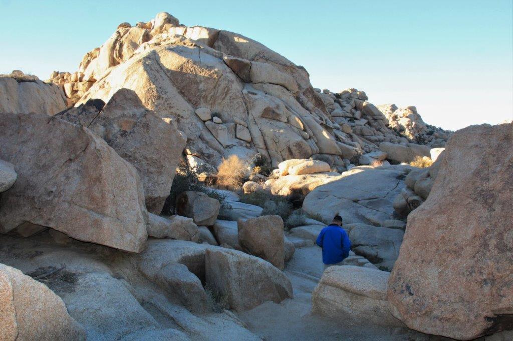
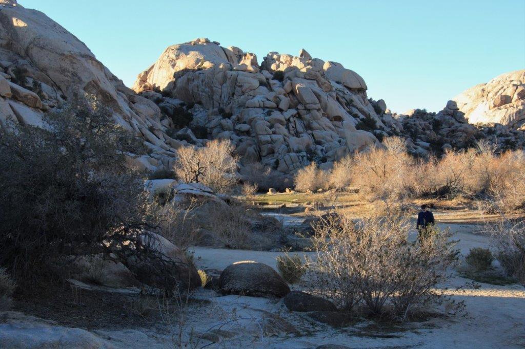
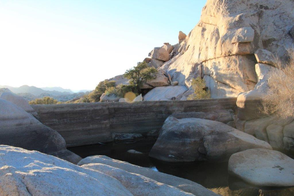
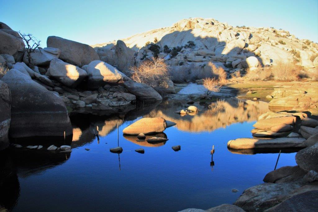
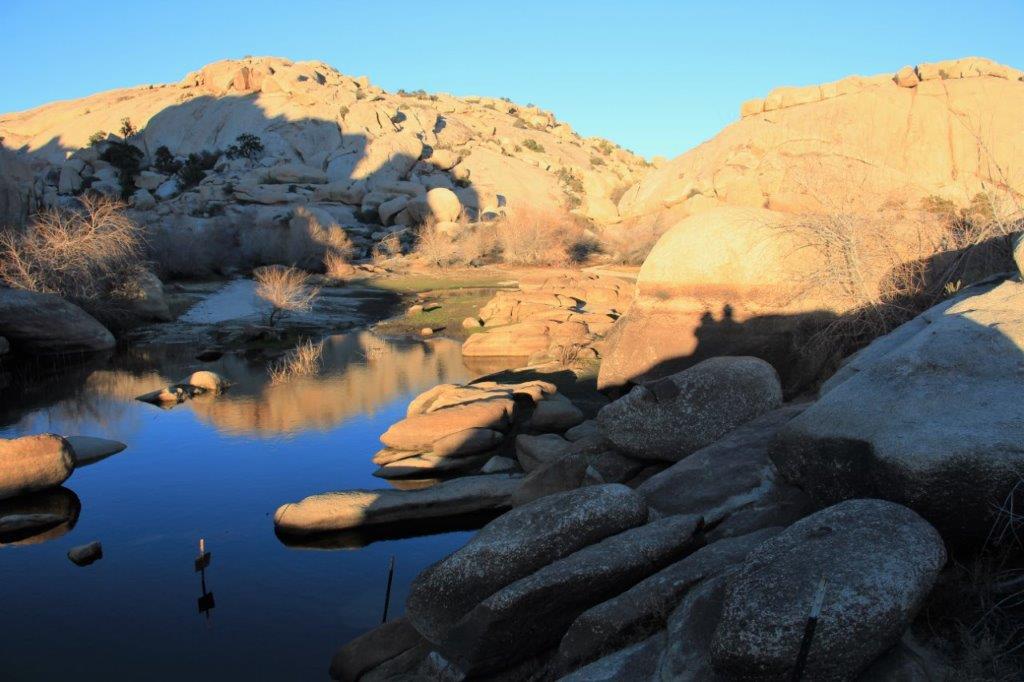
 The entrance to a 55 acre hidden valley rumored to have been used by cattle rustlers to hide and re-brand the livestock before selling in out-of-state markets. The loop trail took us all around the inside.
 Pinyon Pine – They don’t normally grown at this elevation but because of the extra moisture in the sheltered, shady valley there were several of them here.
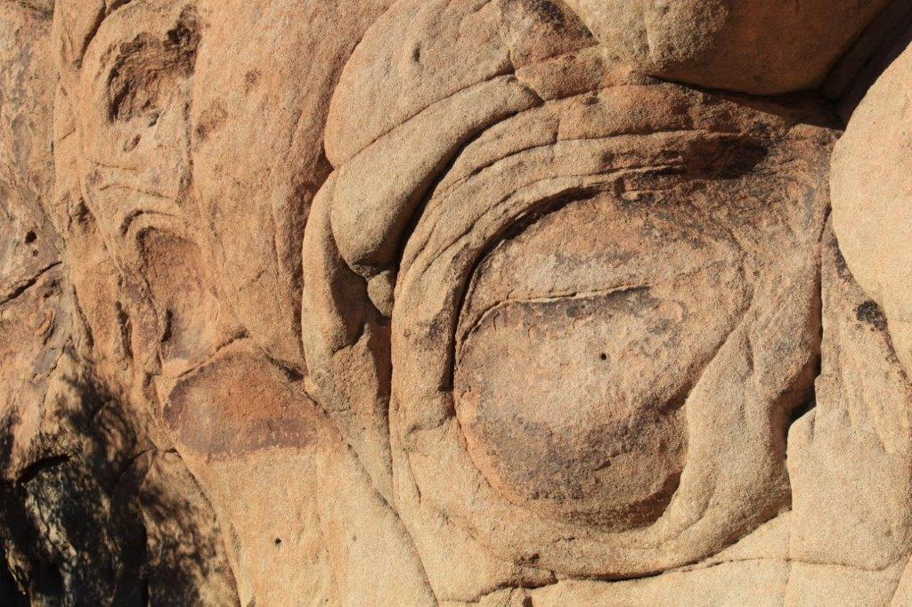

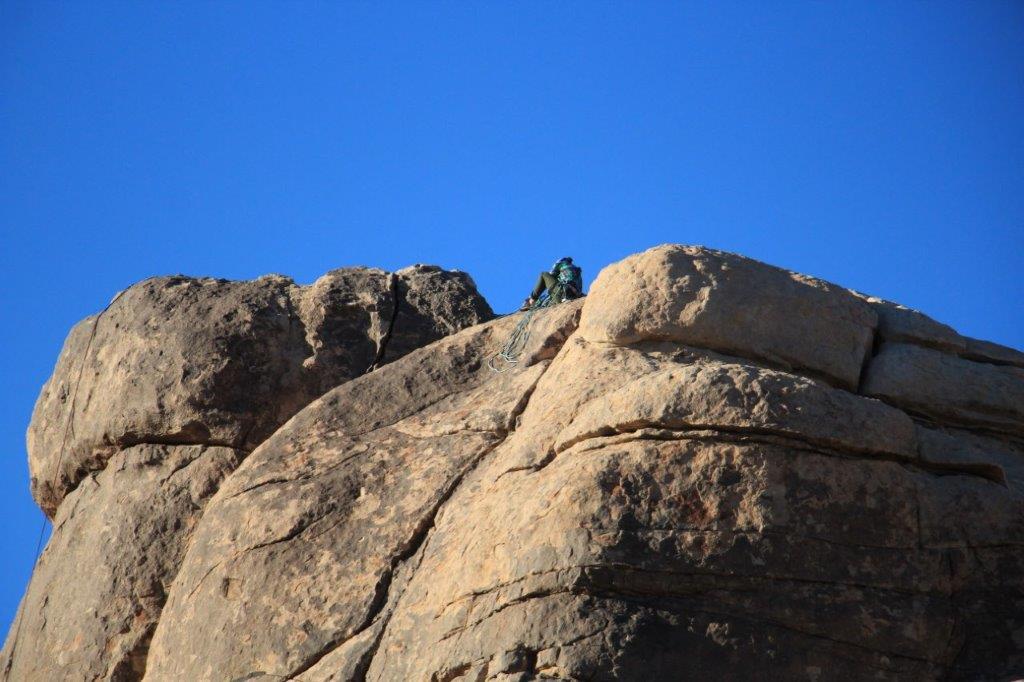 More rock climbers. One is scaling the left-side face of the rock and another is sitting on the top.
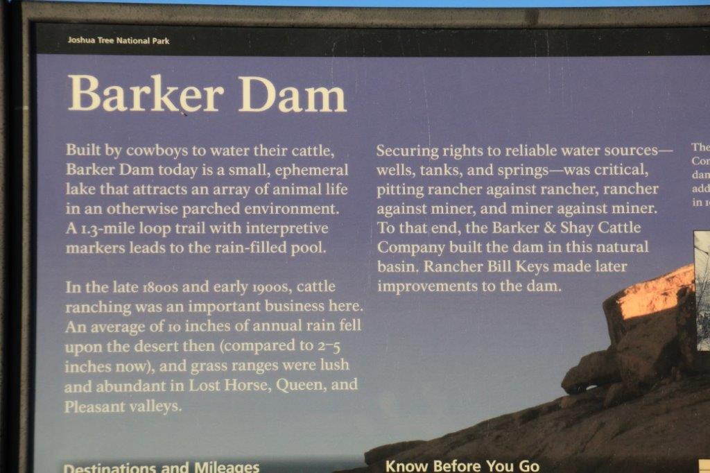
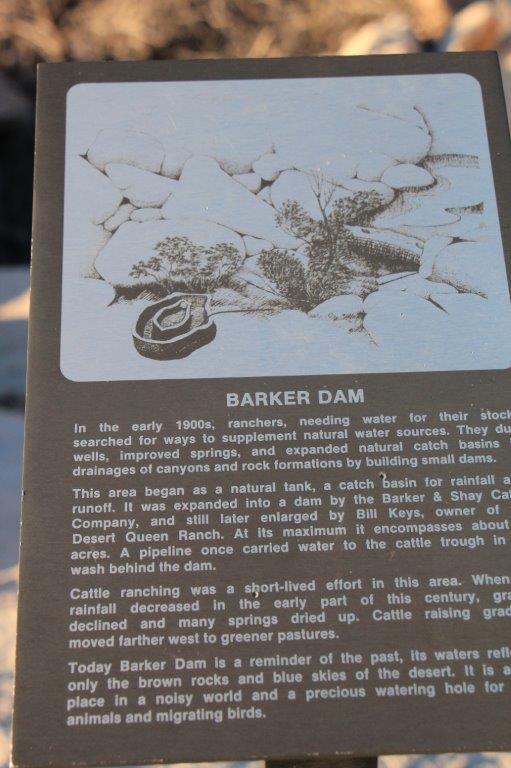
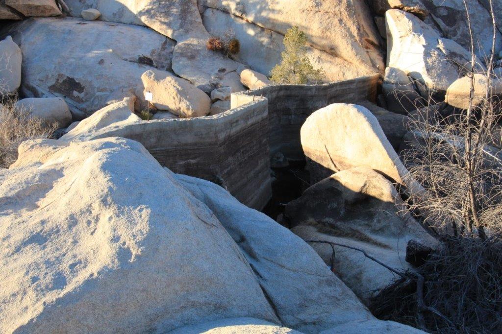
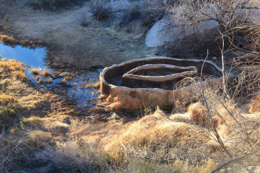 The cattle trough they used to water the cattle.
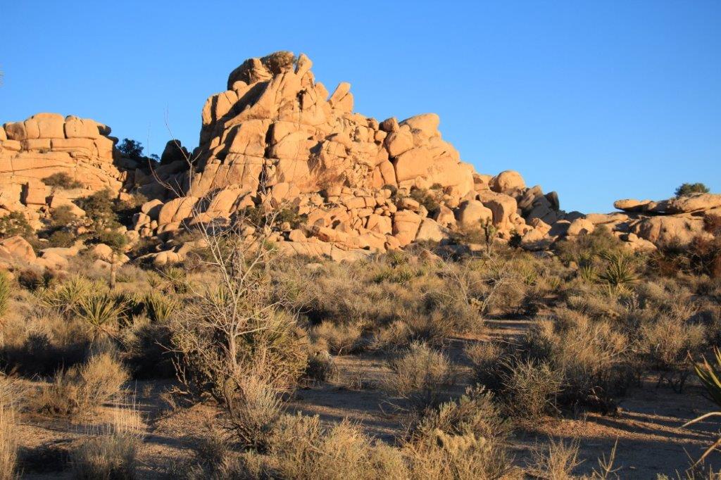
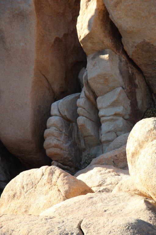
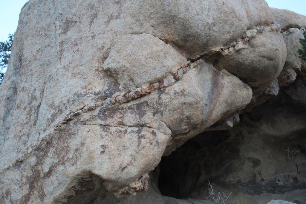
 There are petroglyphs in the hollow of this huge rock. Years ago some idiotic people painted them for better visibility.
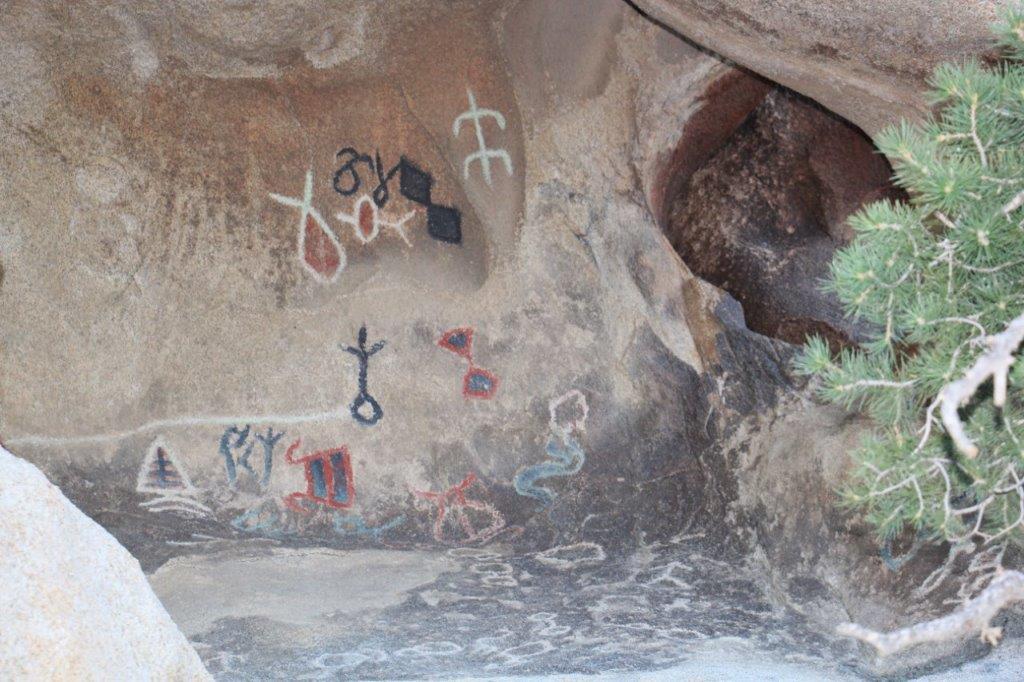
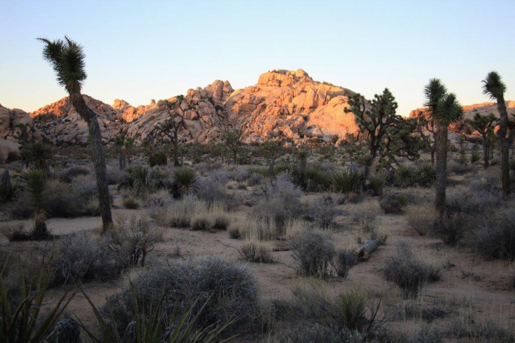 The sun was setting as we made our way back to the parking lot, concluding a great day.
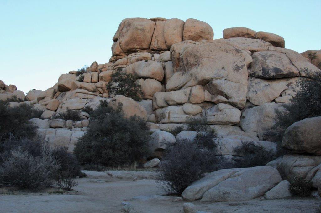 We drove the 13 miles out of the park, turned right and went another 20 miles or so to 29 Palms where we are spending the night.
