Day 27 – February 6 – Carlsbad, CA to Indio, CA
Today was mostly a destination day but we made a couple of unplanned stops.
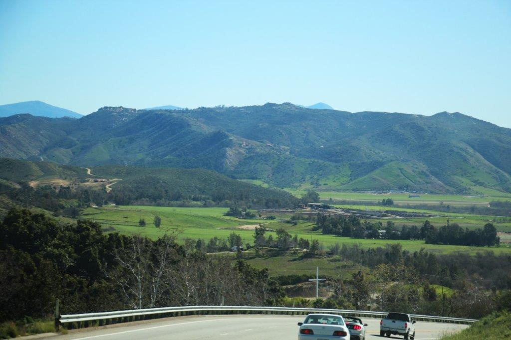
We checked out of the Four Seasons Resort in Carlsbad at 10 AM and hit the road eastward, passing just south of Escondido, and turned onto Highway 78 to make our way to Indio for the night.
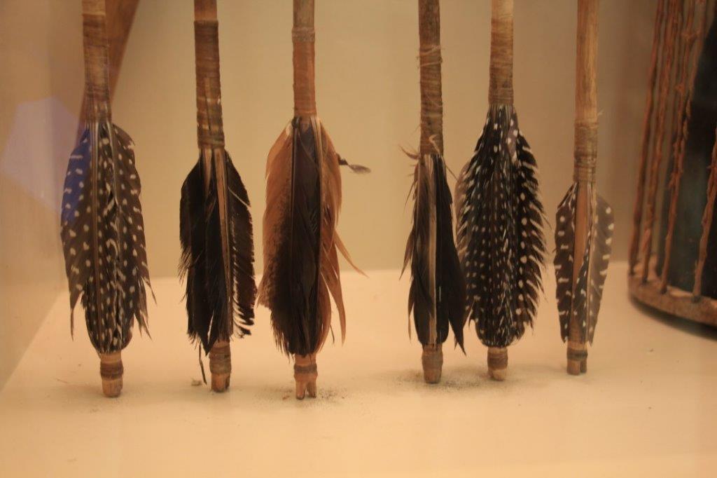
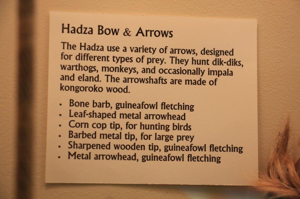
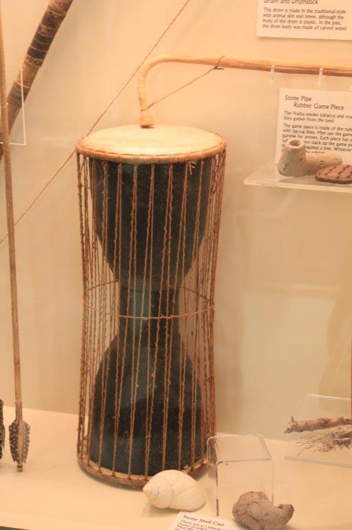
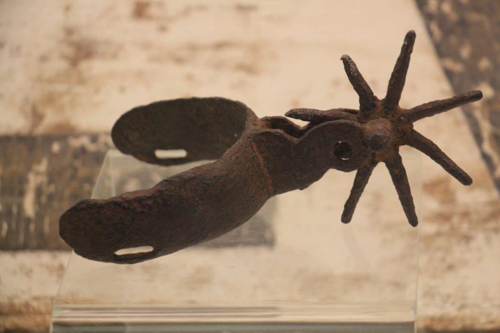
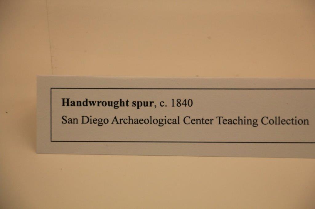
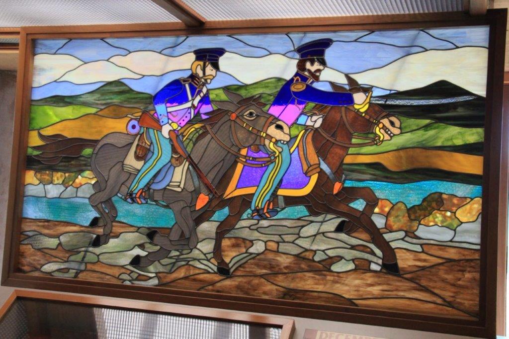
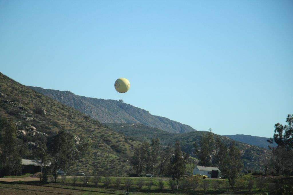 We were tempted to stop at the San Diego Zoo Safari Park for a second visit – we went there when we stayed in Escondido in 2013 – but resisted the urge. We chanced upon the San Diego Archaeological Society not long after the Safari Park turn-off and decided to go have a look-see.
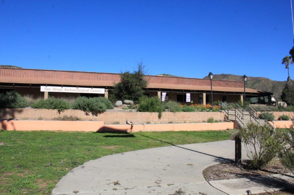
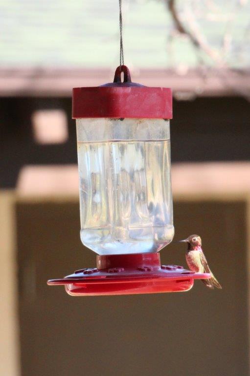
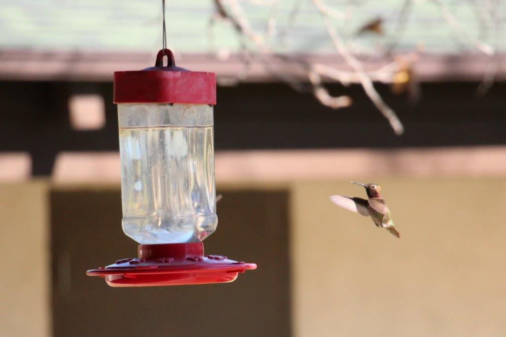
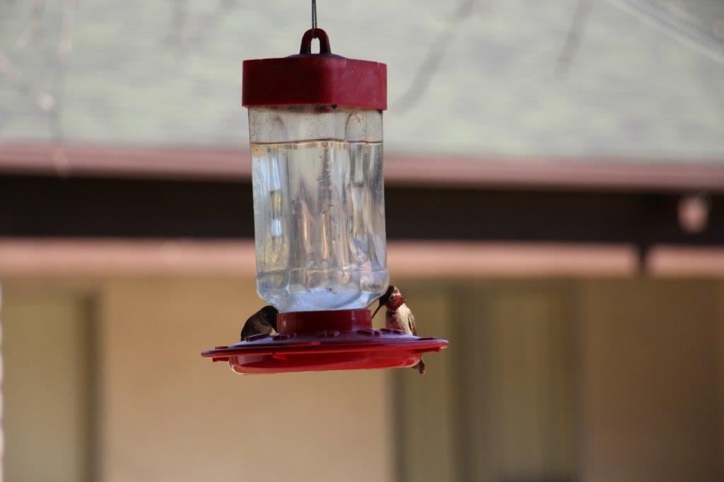
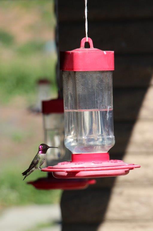
 The property used to be an elementary school and along the outside corridor they have about six hummingbird feeders. There were at least a dozen of the little things enjoying the nectar.

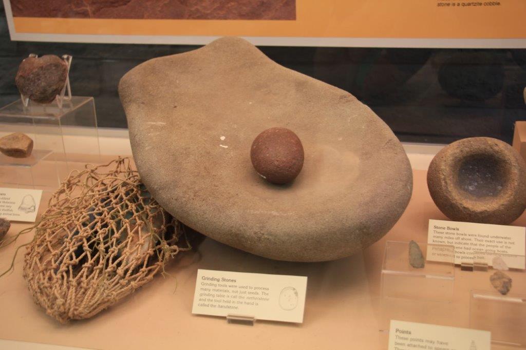
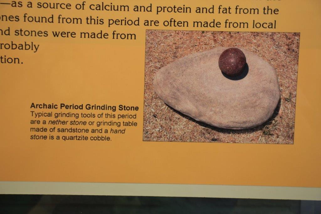

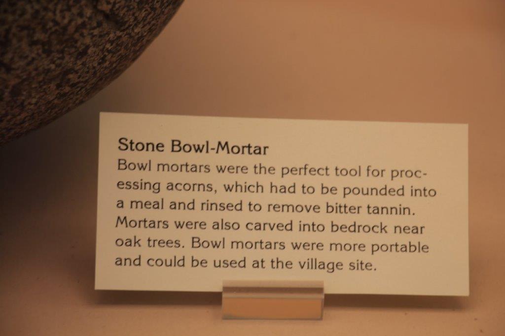
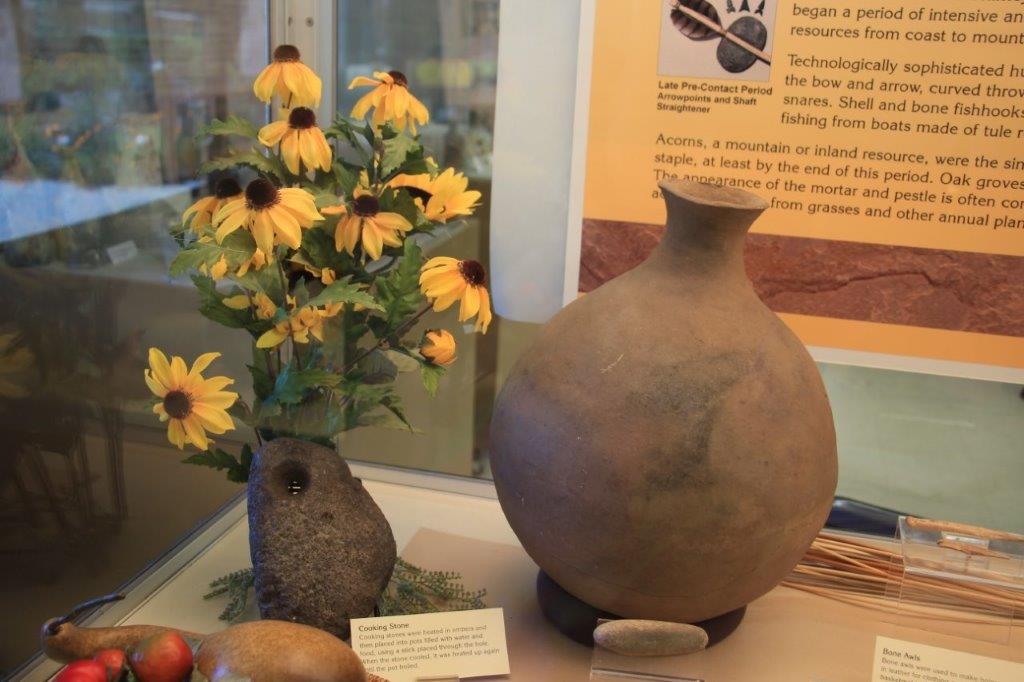
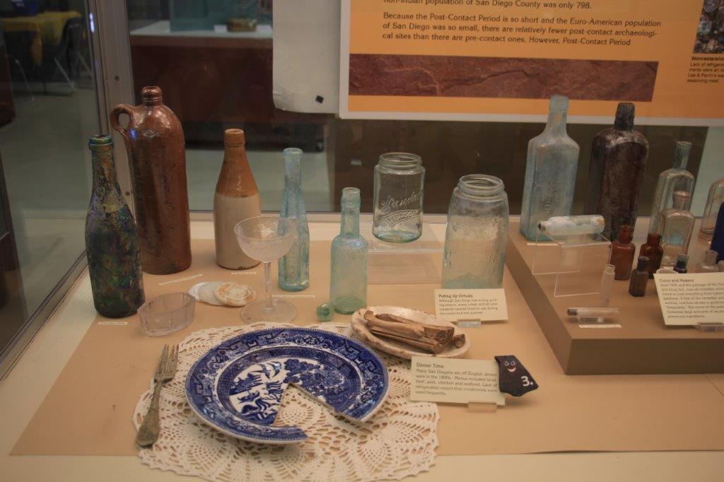
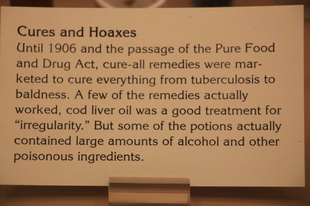
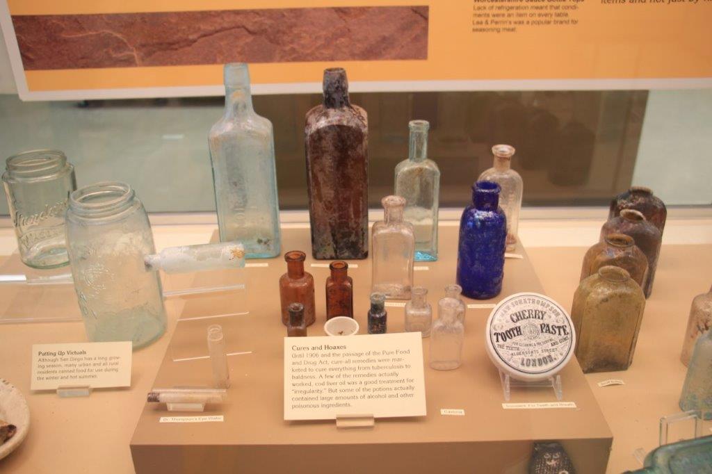
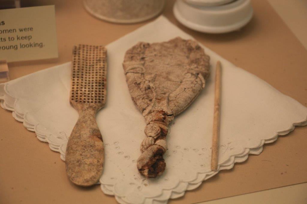

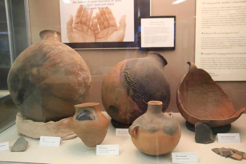
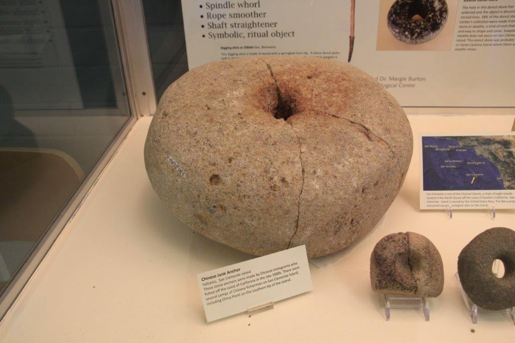
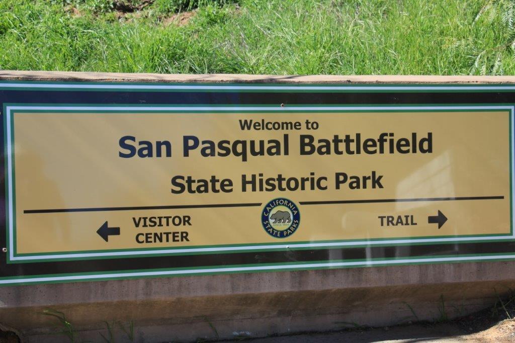
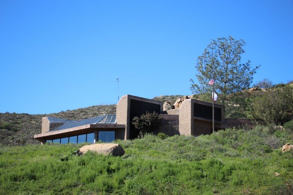
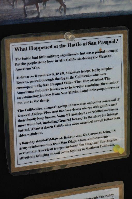
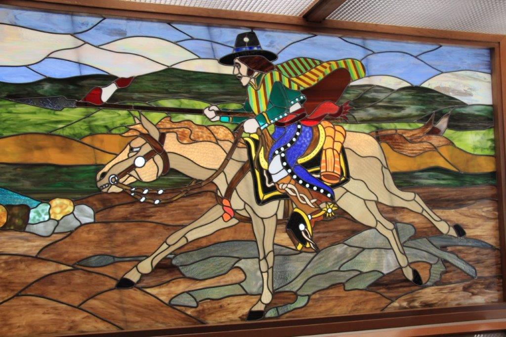
 We spent almost an hour talking to the volunteer and looking at the displays then backtracked just slightly to go see the San Pasqual Battlefield Site and Museum. A very short, but very bloody battle was fought here between Americans and Californios in Dec. 1846. They do a battle re-enactment each year and tomorrow there is a short 20 minute program where they fire the cannon, have a presentation and fire the cannon again.
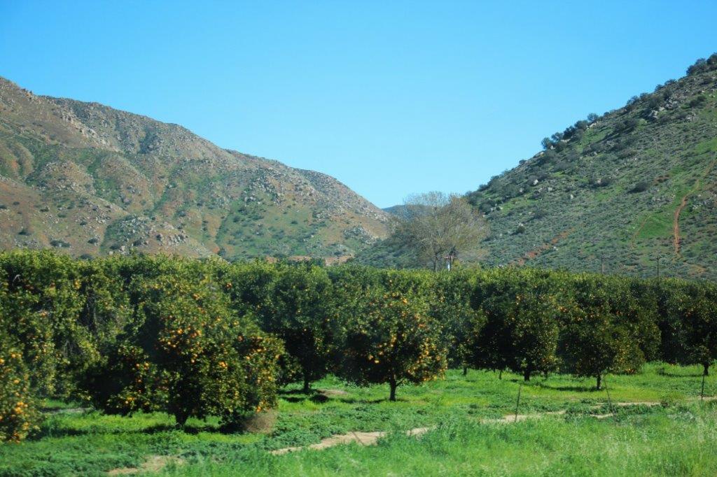
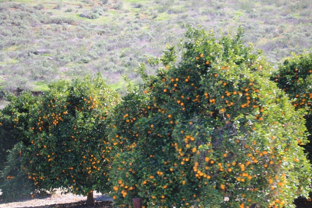
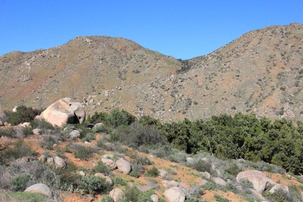
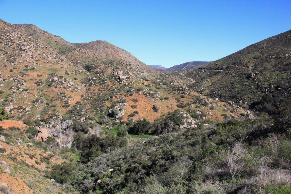
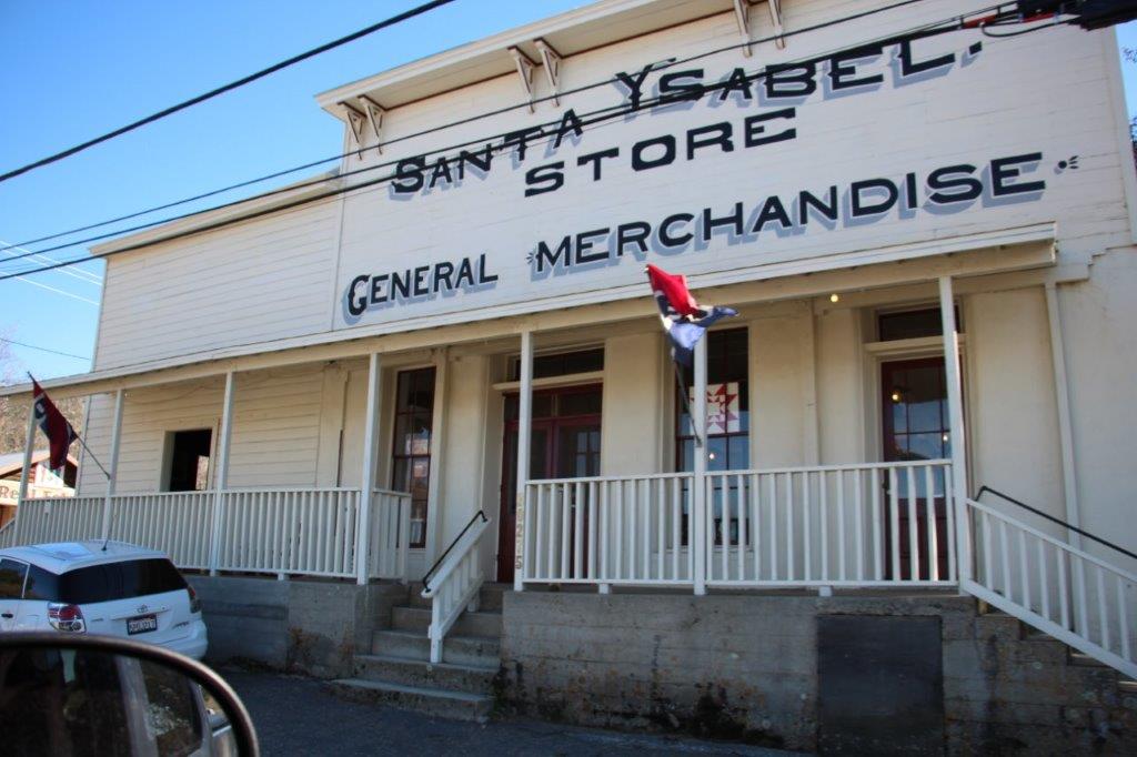
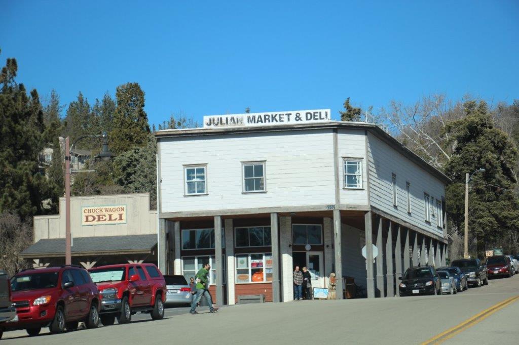
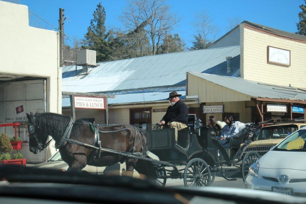
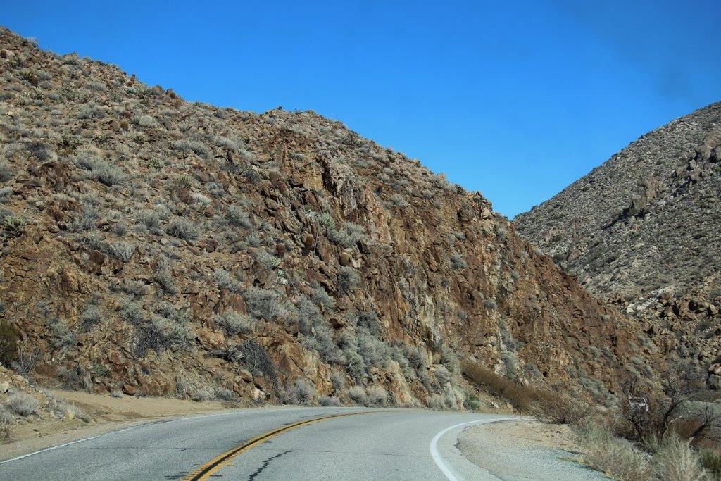
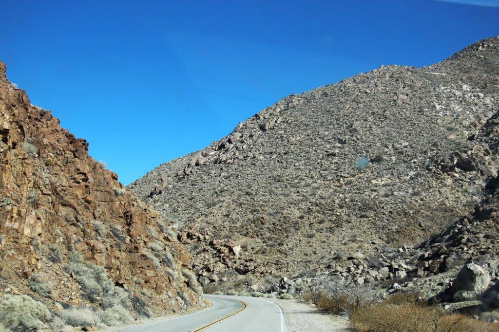
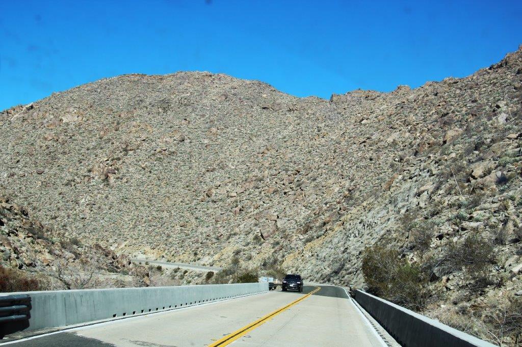
 After we left San Pasqual we drove through a very winding canyon/valley (a great motorcycle road) that got less and less green, with shorter and shorter trees and more and more rock and cacti. We passed a lot of orange groves before we drove through Santa Ysabel and Julian – sites of a short-lived gold rush. Julian has maintained much of the gold town facade and is obviously a popular wandering around place judging by the number of people walking on the sidewalks and the solid lines of parked cars from one end of the town to the other.


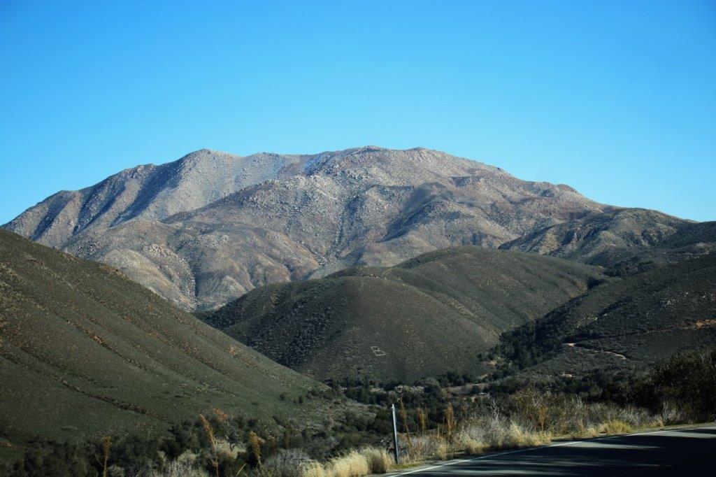
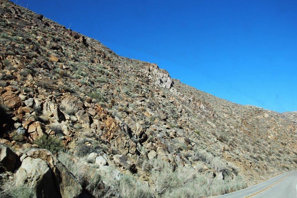
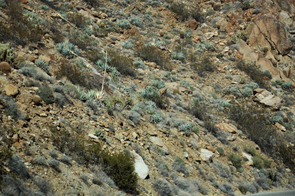
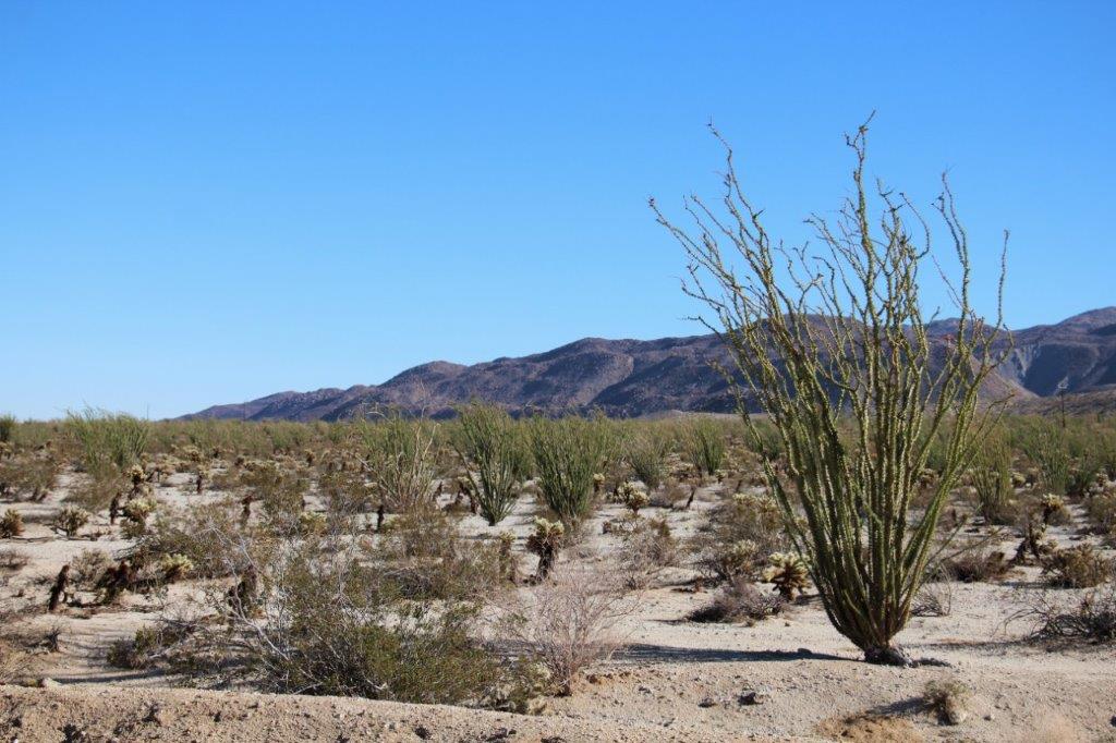
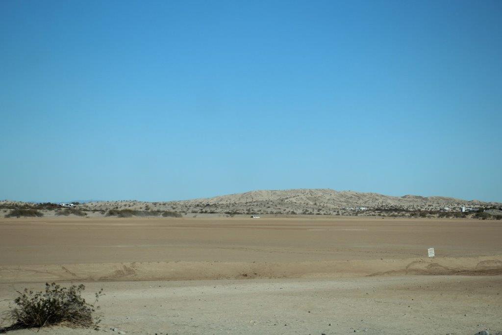
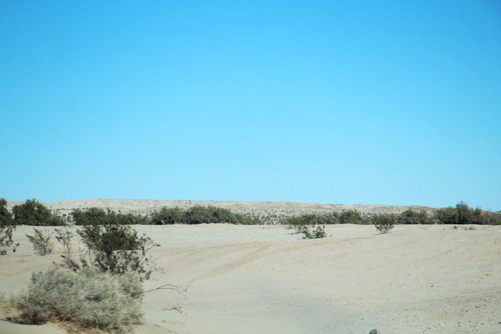
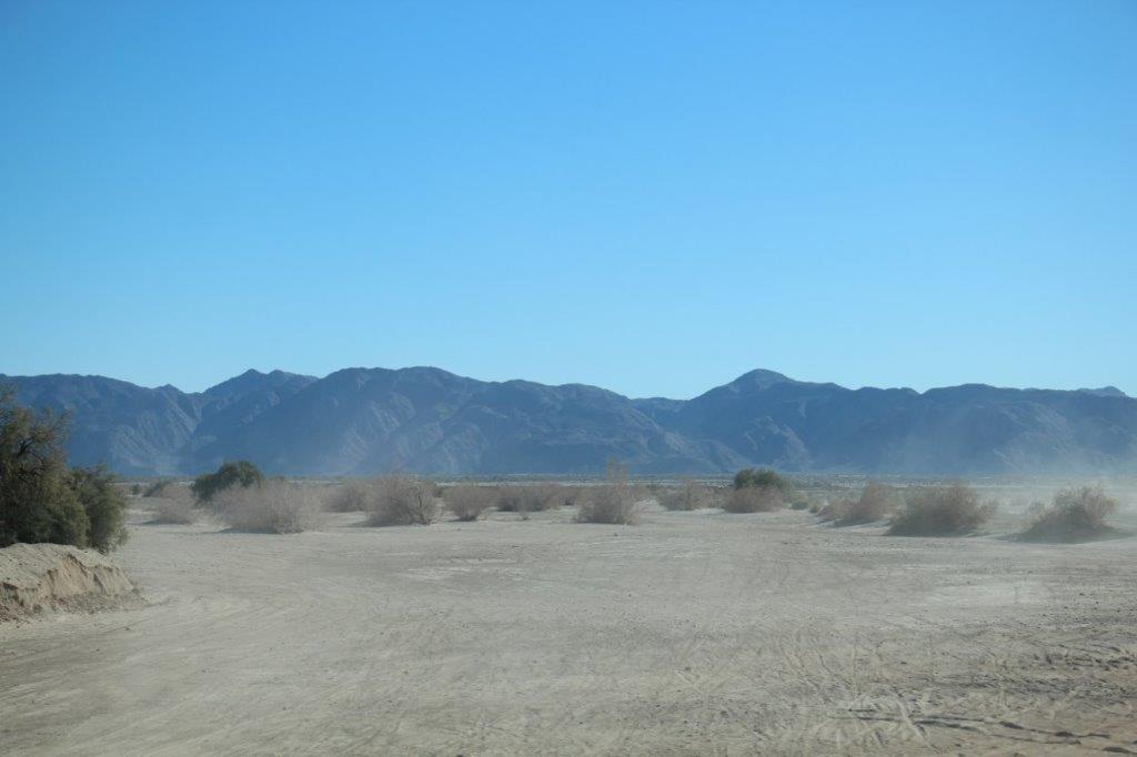
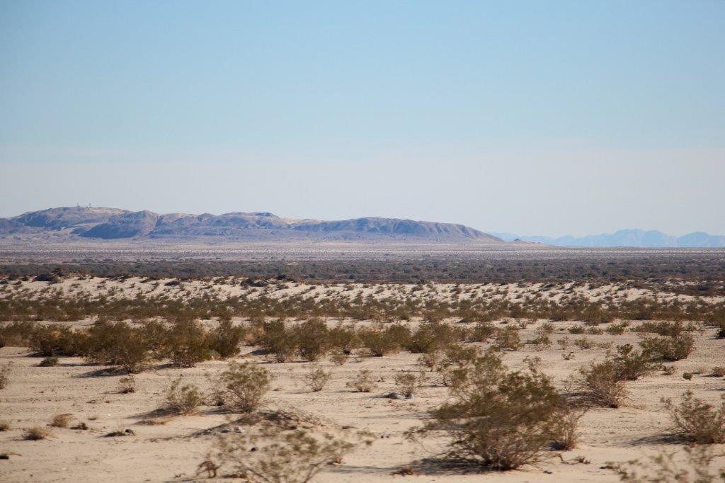
 Awhile later the road entered the Anza Borrego Desert. A very, very inhospitable land. Nothing but rock and cacti. I would not want to walk through that area; the many different varieties of cacti would pierce you with every step. I sure hope the early scouts that came through wrapped their horses legs to protect them. Nasty, nasty area. I have no idea why people would fight to have it.

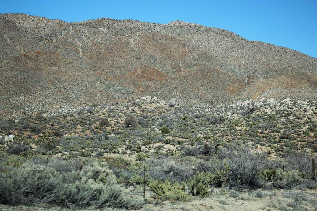
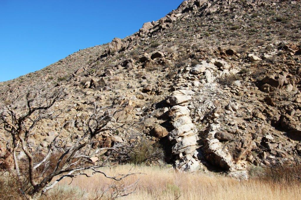
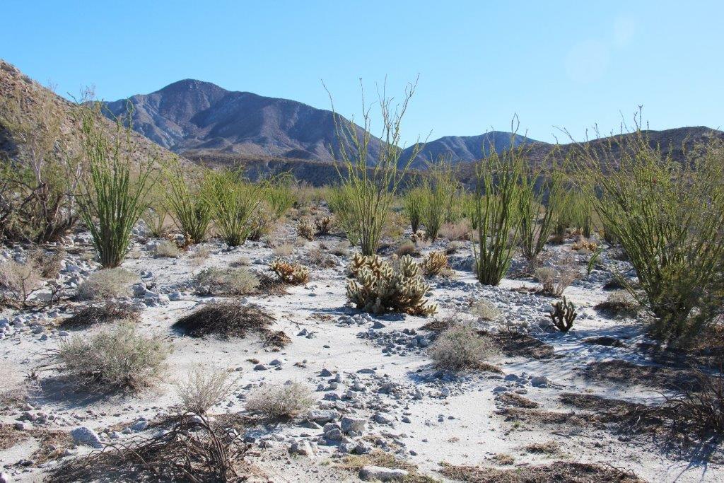
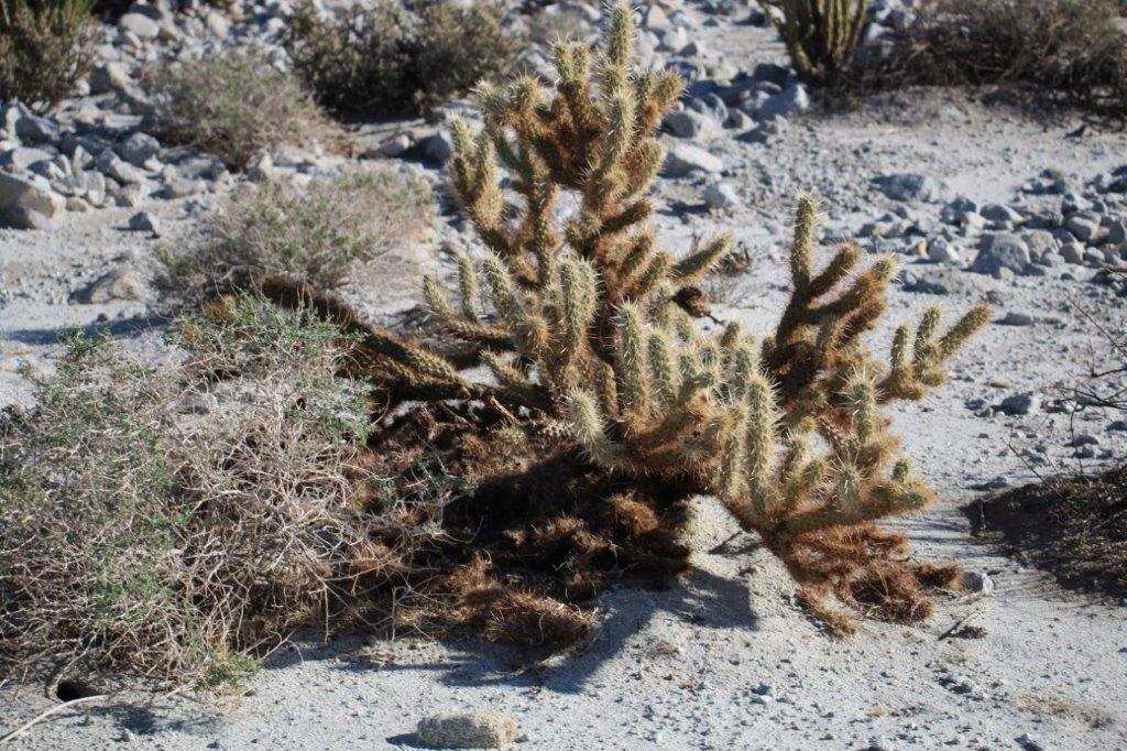
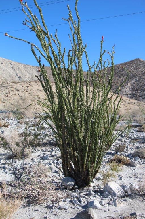
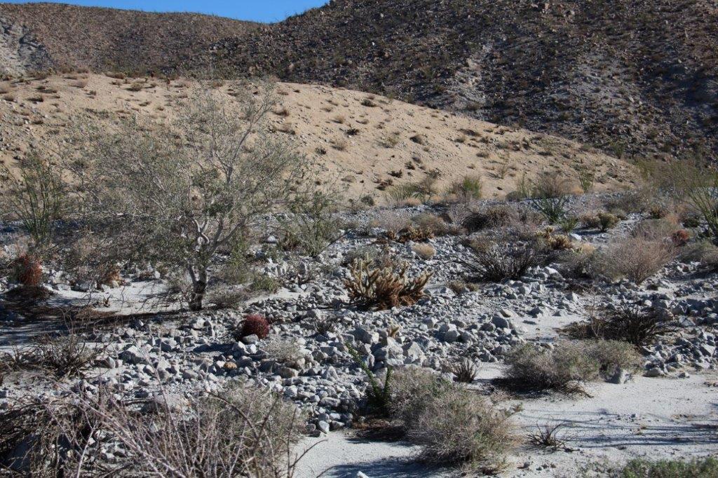
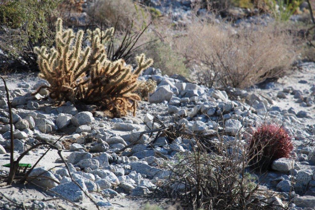
 These may look like thin grassy bushes but they are all spine-covered cactus.
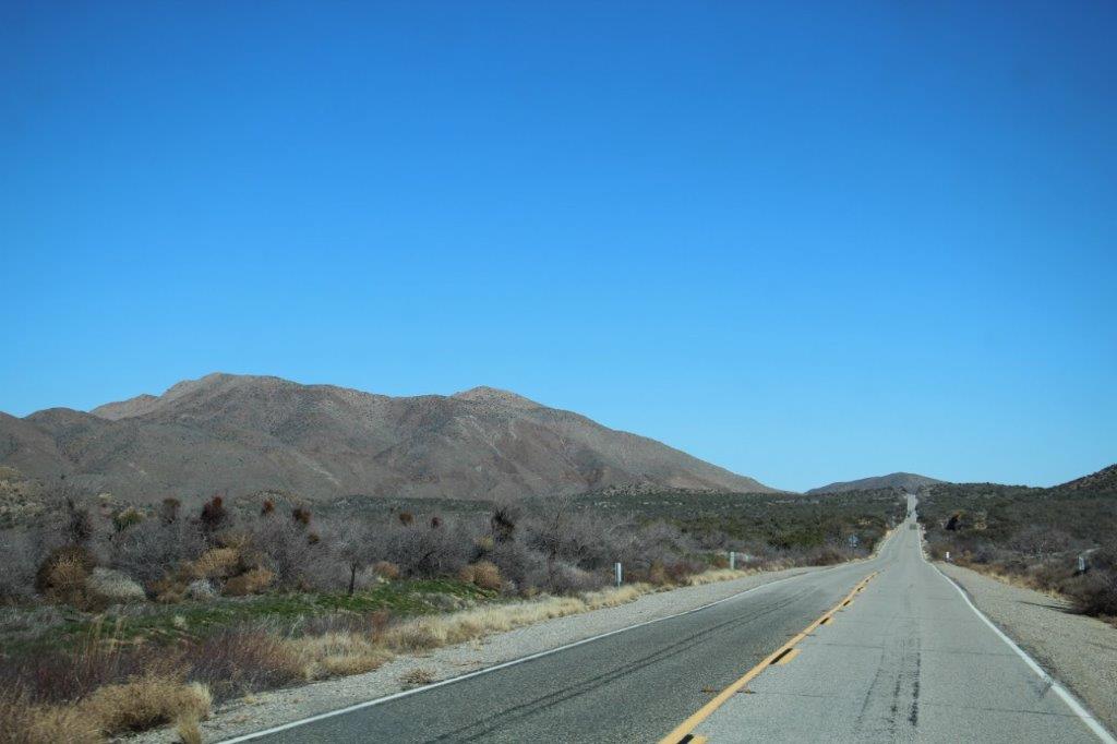
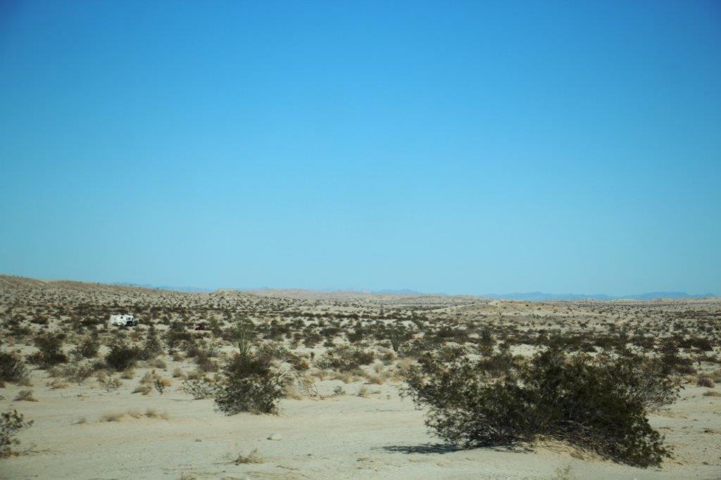
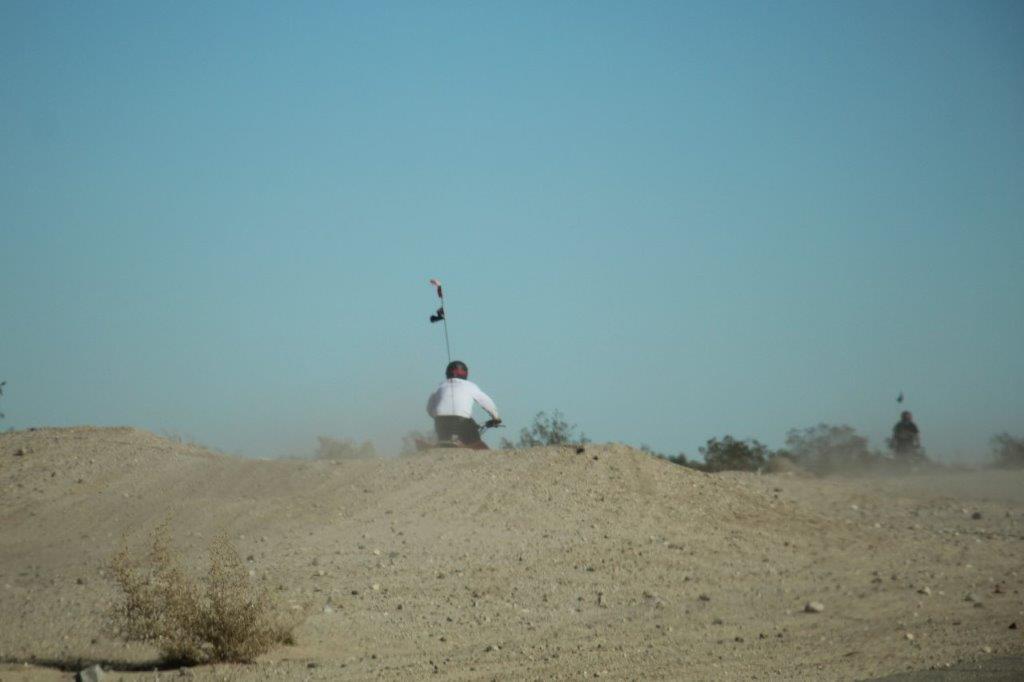
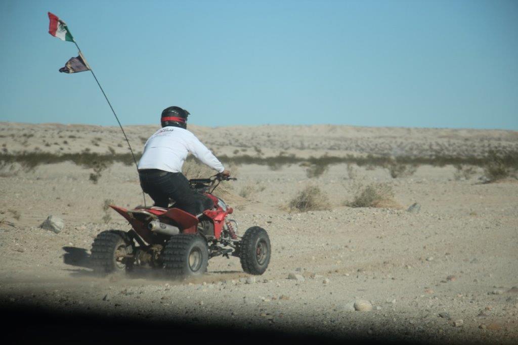
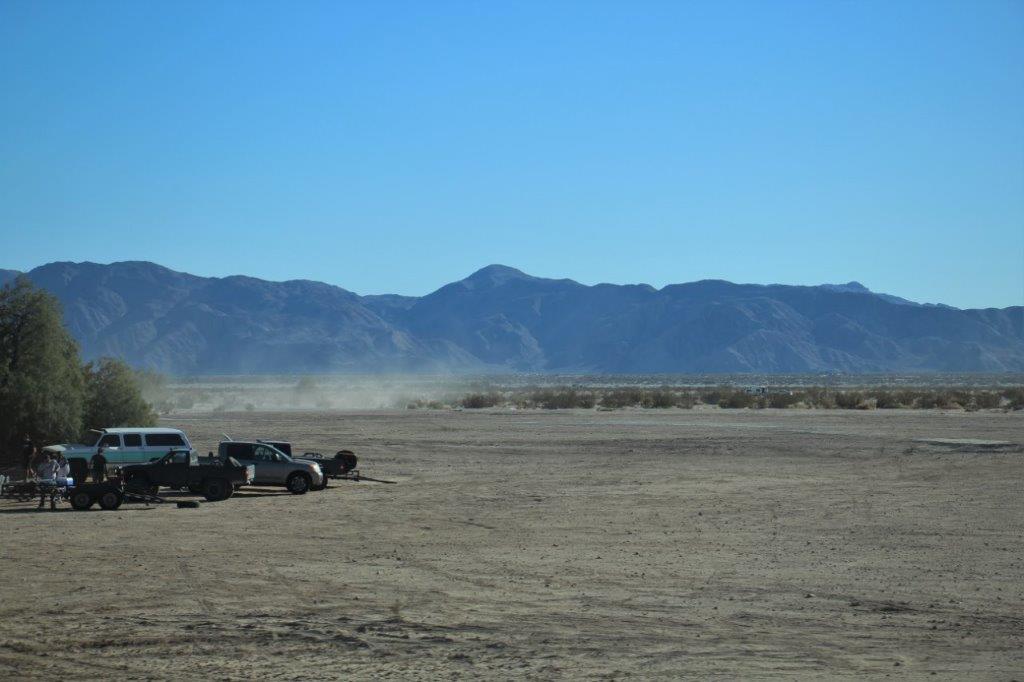
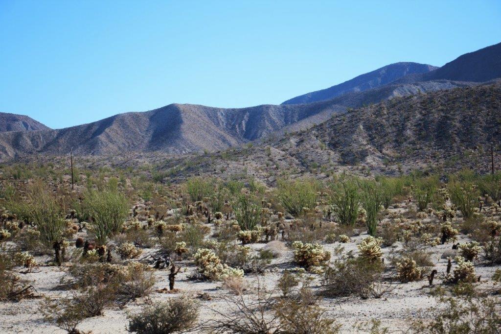 At the end of the Anza Borrego Desert State Park we drove for miles and miles and miles through the Ocotillo Wells State Vehicle Recreation Area – which is open for four-wheeling, quads and dirt bikes.
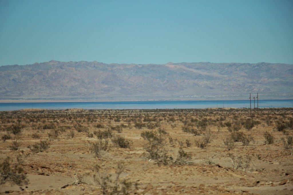
 Highway 78 turns south to eventually end up in Arizona. We turned left onto intersecting Highway 86 that runs northward along the west side of the Salton Sea. We weren’t sure whether the Sea was fresh water or salt water so I had John Google it while I sorted my photos.
 The Salton Sea was actually created between 1905-1907 when the Colorado River burst through poorly built irrigation controls south of Yuma and the river flowed into the Salton Basin for over a year. Homes, ranches and sections of the South Pacfic Railway line were buried under water. The water was finally stopped in 1907 when the South Pacific Railway created levees with boxcars full of rocks.
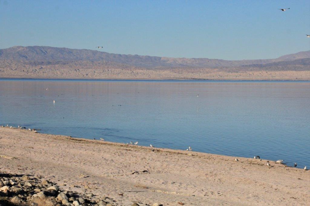
The Sea is a “shallow saline endorheic rift-lake” that sits directly on the San Andreas Fault. It averages 29.5′ deep and the deepest point is 51′. The current size of the lake is 35 miles long and 15 miles wide, covering almost 400 square miles. The lake size can increase to 40 miles X 20 miles in a wet year.
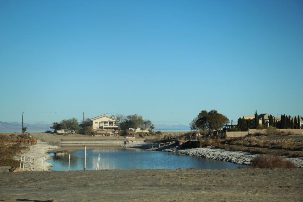
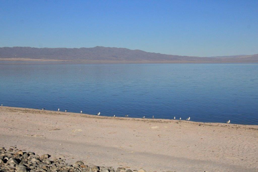
At the community of Desert Shores we turned off the highway and drove to the edge of the lake. It stinks. I am not sure of what exactly but I would not want to live on that lakefront. There are fish in the lake but biologists feel that most of them, except the talapia which can stand a higher concentration of saline, will cease to re-produce.
As we drove north through the small communities of Salton City and Desert Shores, sitting amidst the barren, dry countryside, we wondered what people would do here for a living. As we neared Indio we found out. This valley is a major producer of citrus fruits, date palms and many types of vegetables. We drove past acres and acres of cultivated, irrigated farms.
We arrived at Indio at 4:30, checked in to our hotel, went out to find some dinner and returned to our room to do our usual email, photos, blog, and Facebook before going to bed. Tomorrow we go to Joshua Tree National Park.
