Day 43 – February 22 – Richfield, UT to Ely, NV
Today was primarily a destination day. I had considered going to Great Basin National Park, but it is quite a distance off the main road and quite a primitive area. They have the Lehman Caves there but they take very few people into them and have lots of restrictions. We decided to check it out when we have a bit more time and the weather is better for hiking and caving.
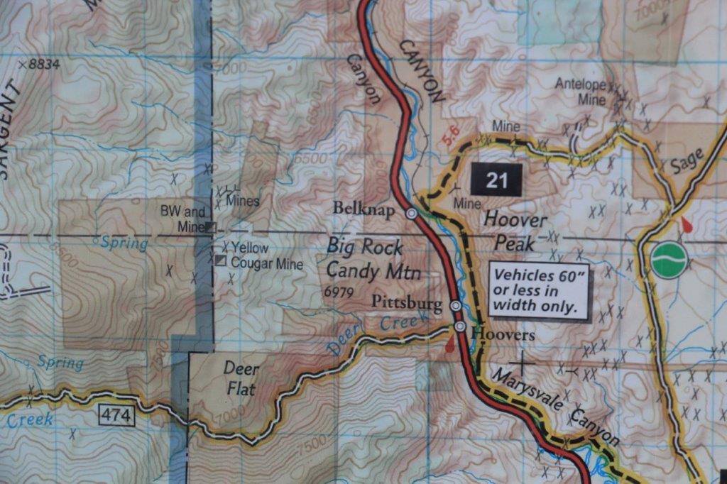
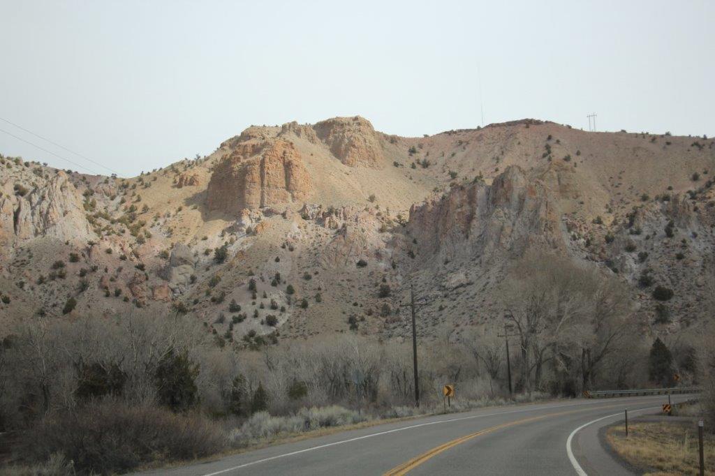
We left Richfield at 9:32 and headed south despite our northernly destination for the day. As I was perusing the maps last night I noticed that about 30 miles down the road there was a place called Big Rock Candy Mountain.
When I was little this was one of the favorite songs we played of my father’s 78 rpm records. I know Burl Ives recorded it but he didn’t sing the version we listened to. Since we had a blank day sightseeing- wise John agreed to drive down.
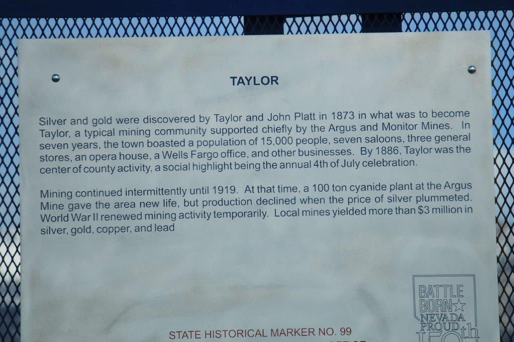
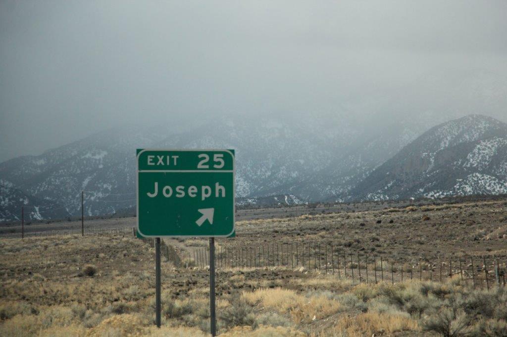 Apparently my son has his own town.
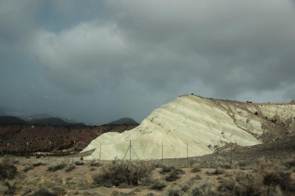
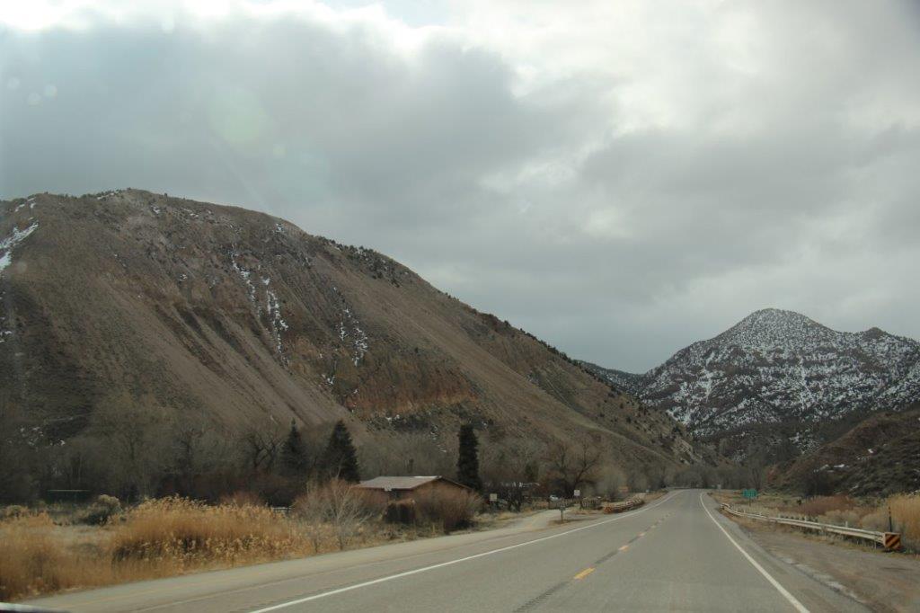
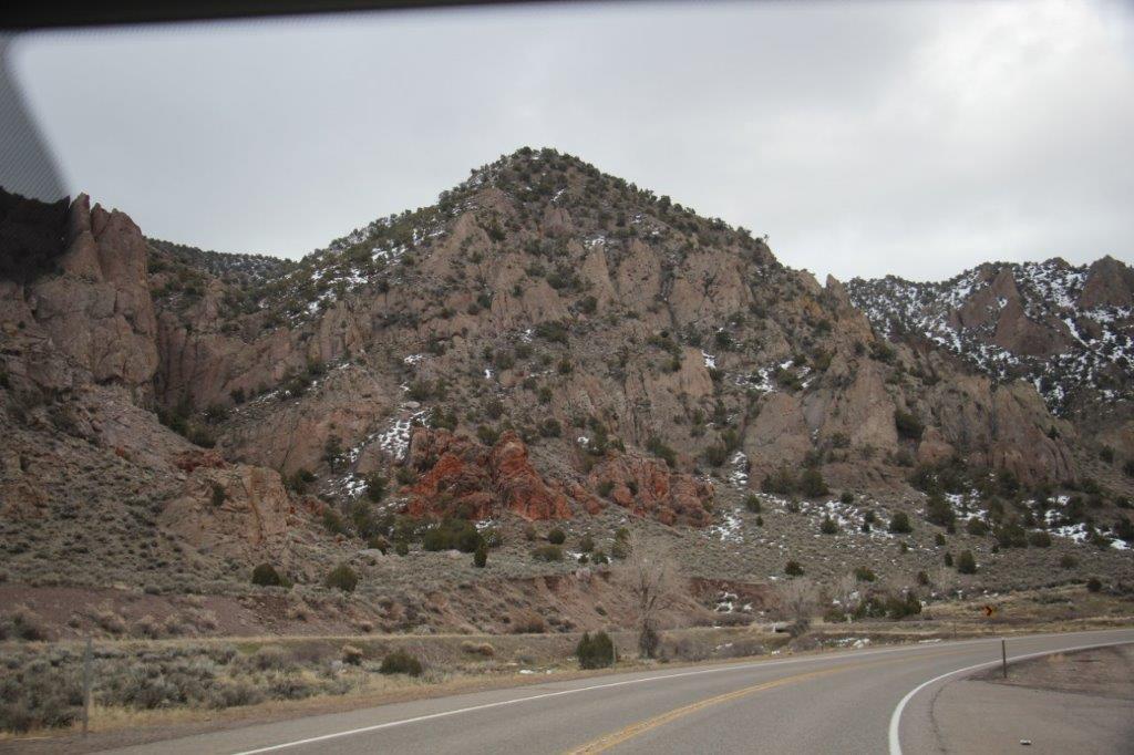
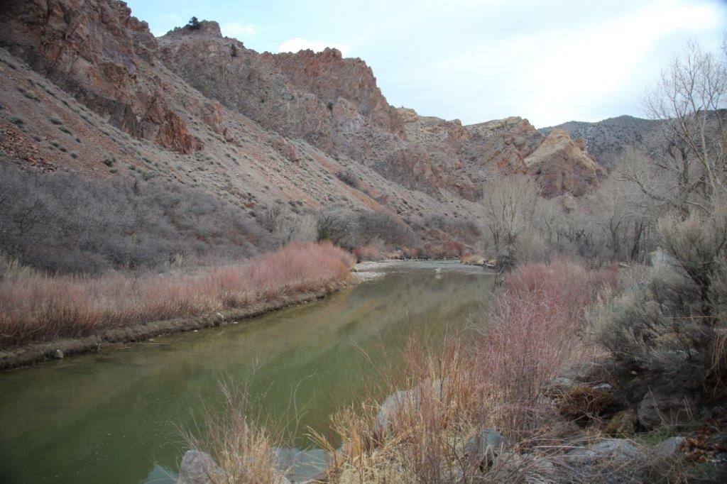
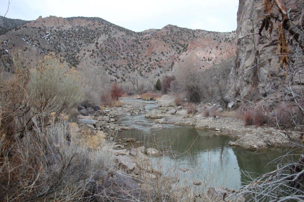
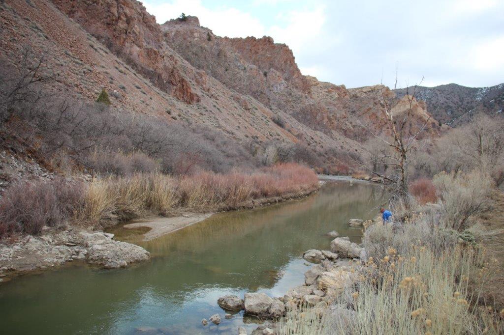
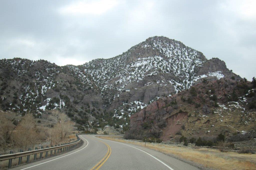
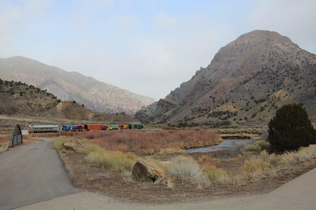
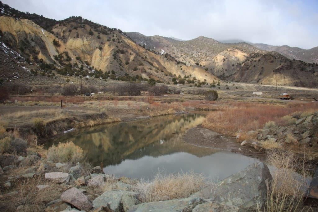
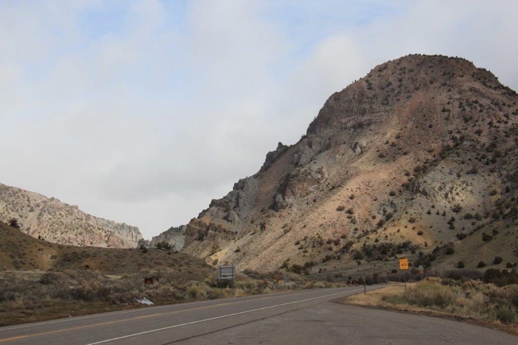
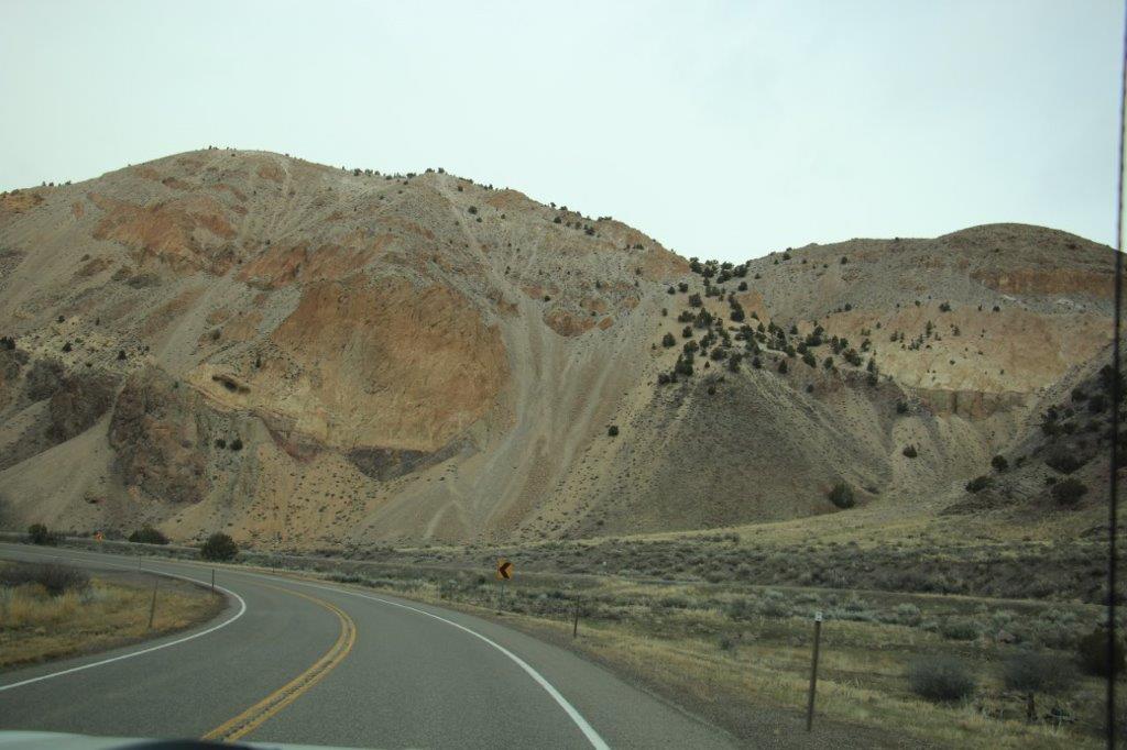
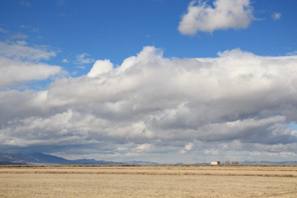
 We traveled beside the Sevier River and into a mountain pass with very nice scenery. It was so pretty we had to pull over and take a few photos.
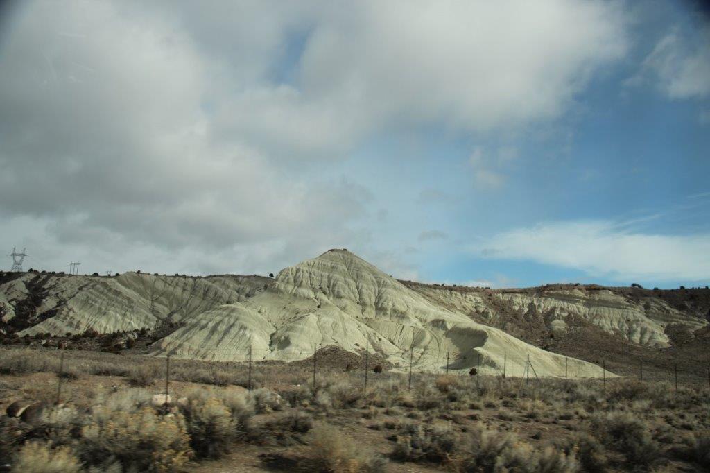
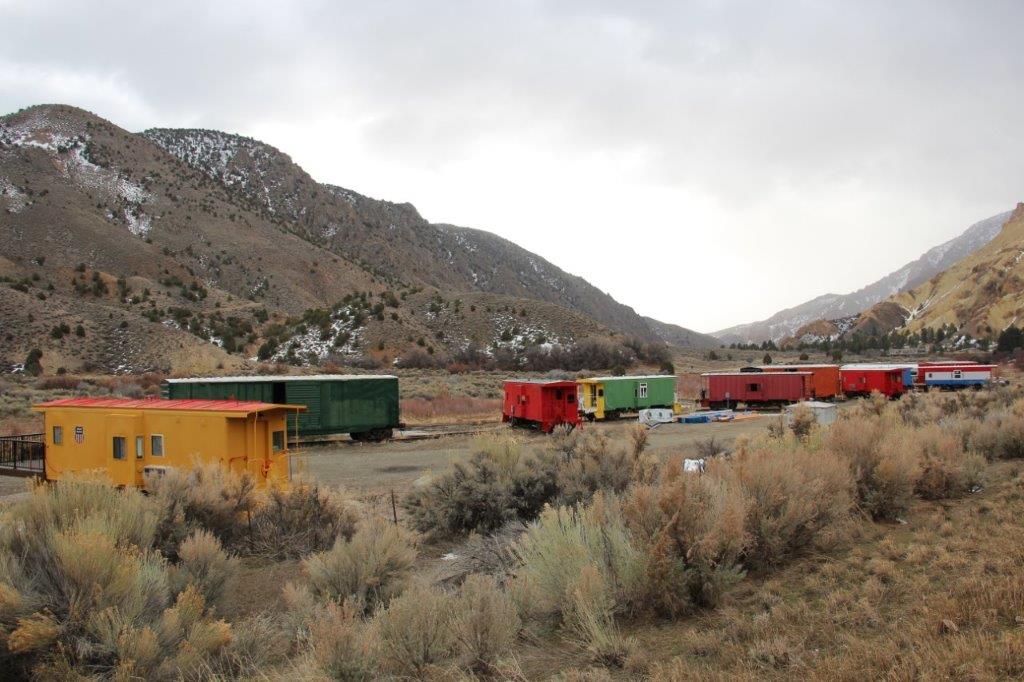
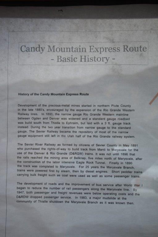
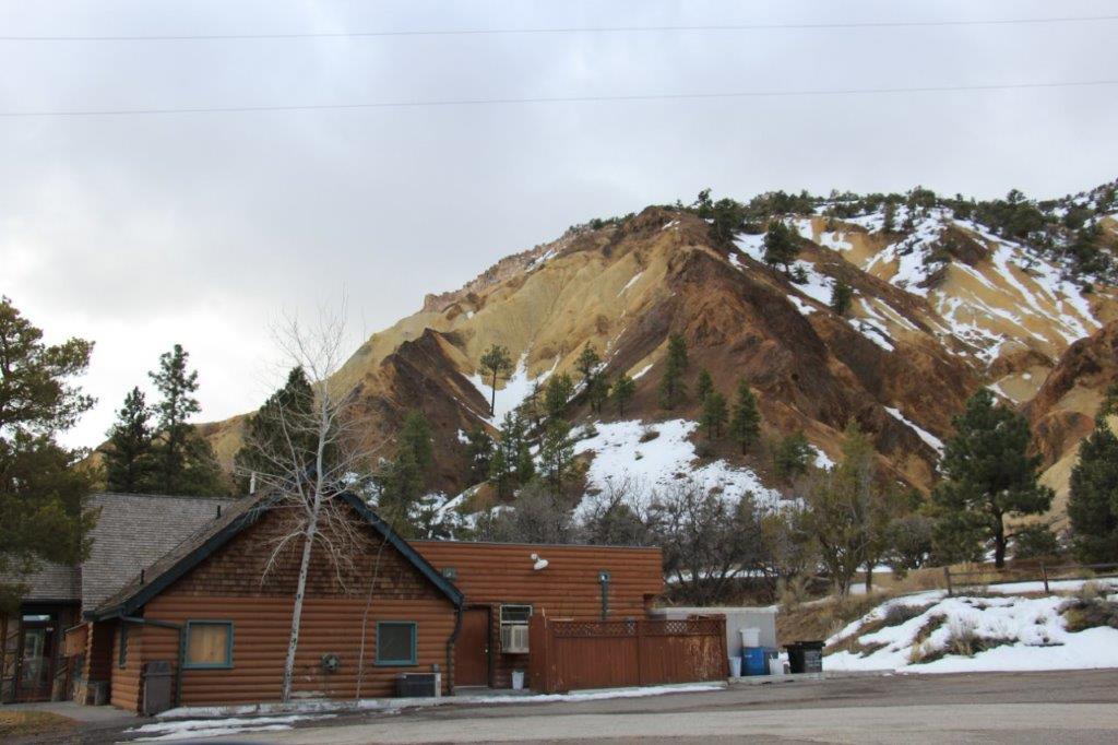
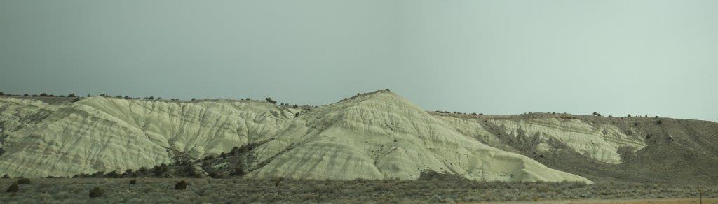
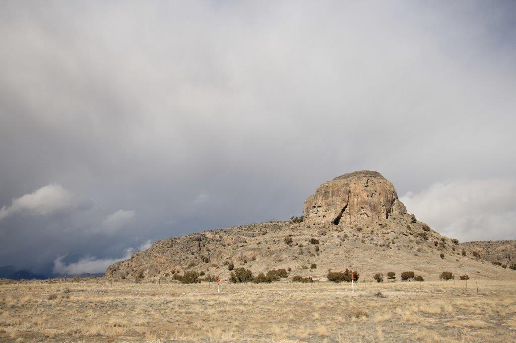
 Big Rock Candy Mountain is a resort area on a hiking and biking trail made from the old Candy Mountain Express Railway line that served the mines in the area.


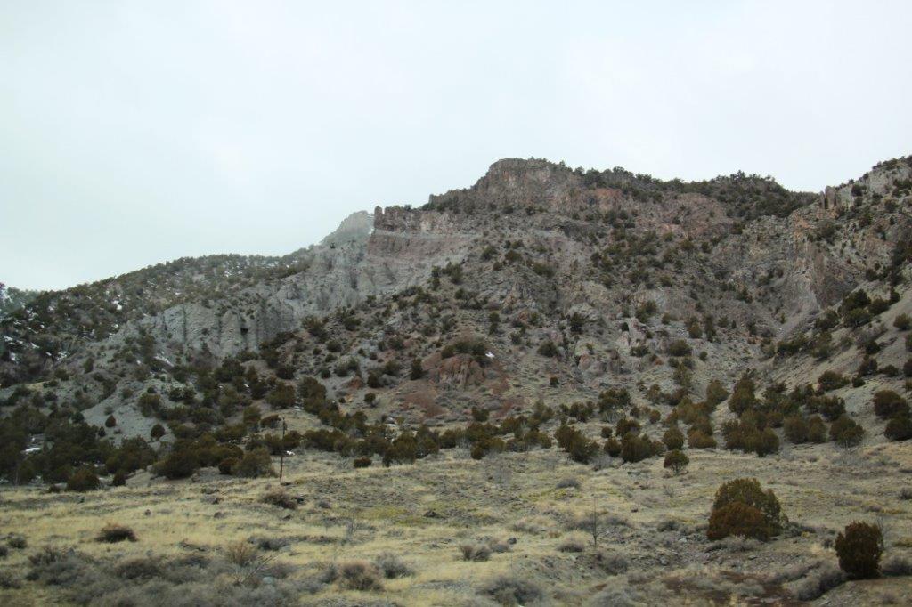
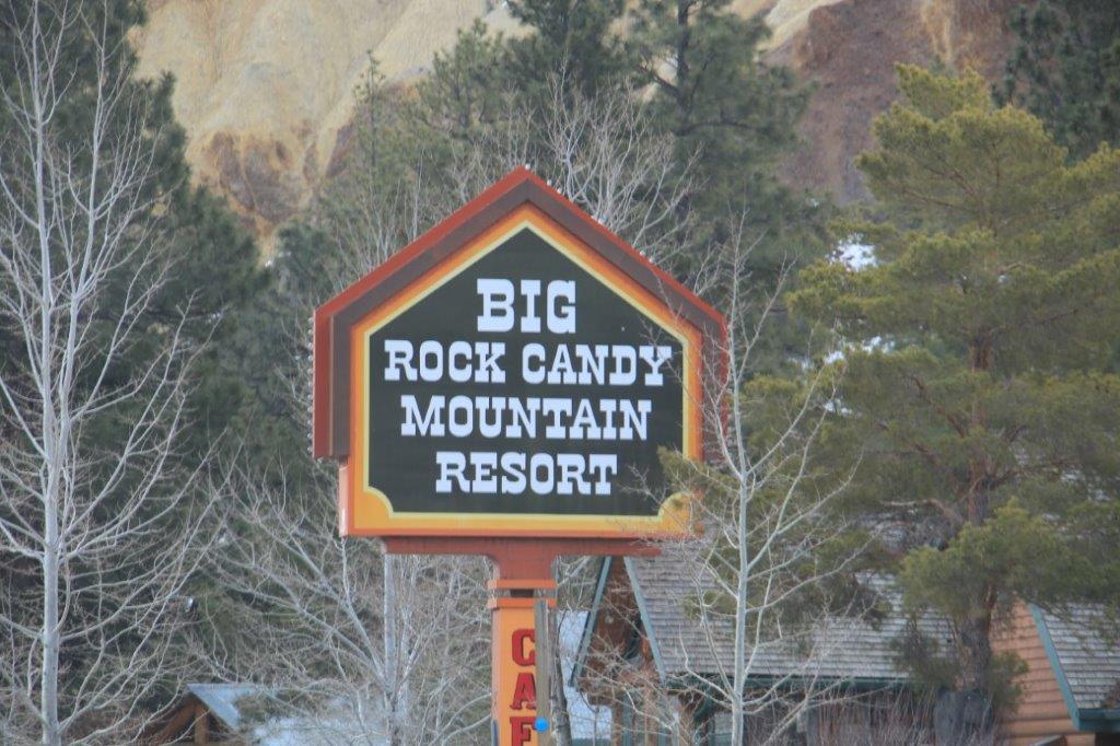
 This is Big Rock Candy Mountain
 After we took our photos we turned around and headed back the way we came to go north of Richfield and turn west toward the Nevada border.
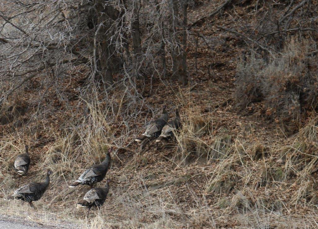
 We had to slow down while the wild turkeys crossed the road.

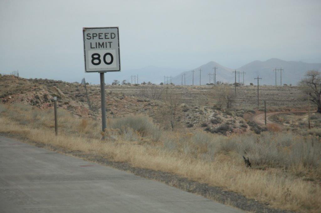 I thought it was crazy to have a 75 mph speed limit in eastern Arizona. Utah has 80. I guess it can be so high because there are very few corners, lots of long, long straights and light traffic. I still think it is crazy.

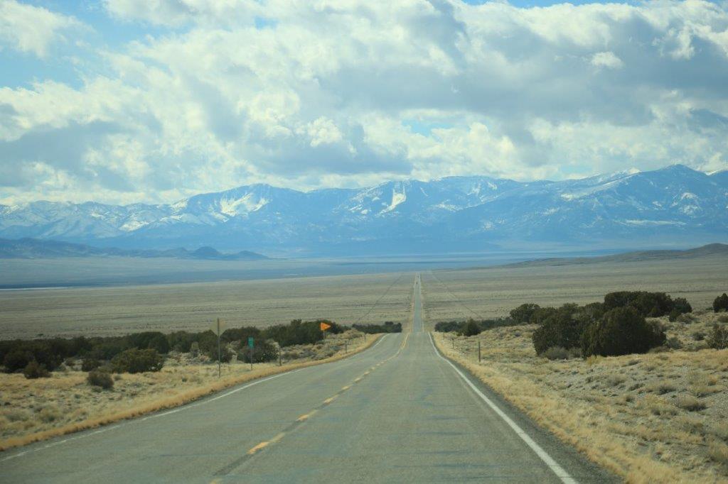 We only met about 6 or 7 oncoming cars during a 95 mile stretch.
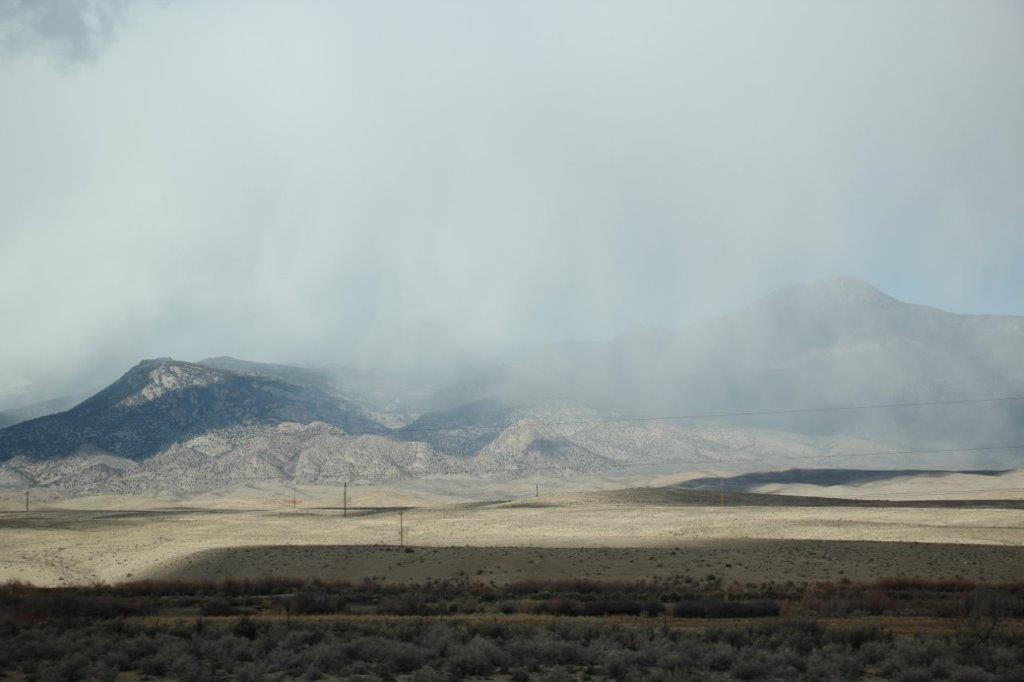
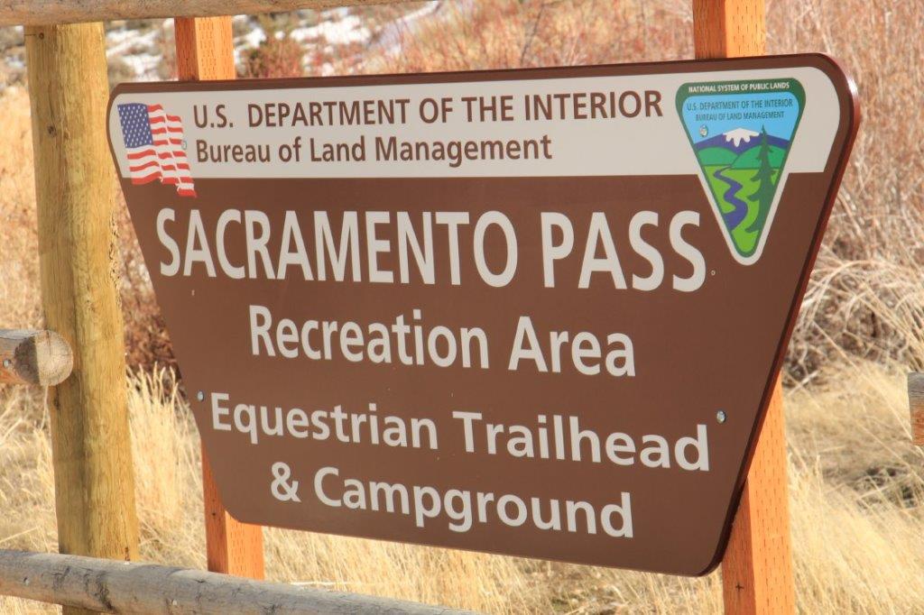
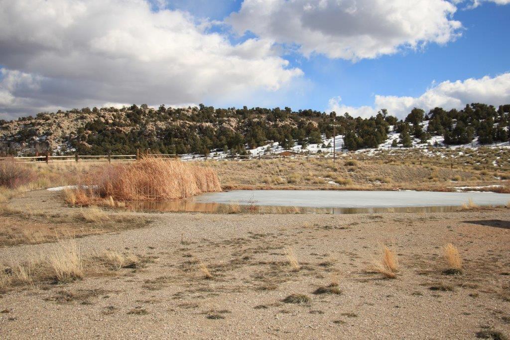
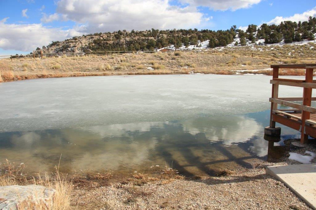
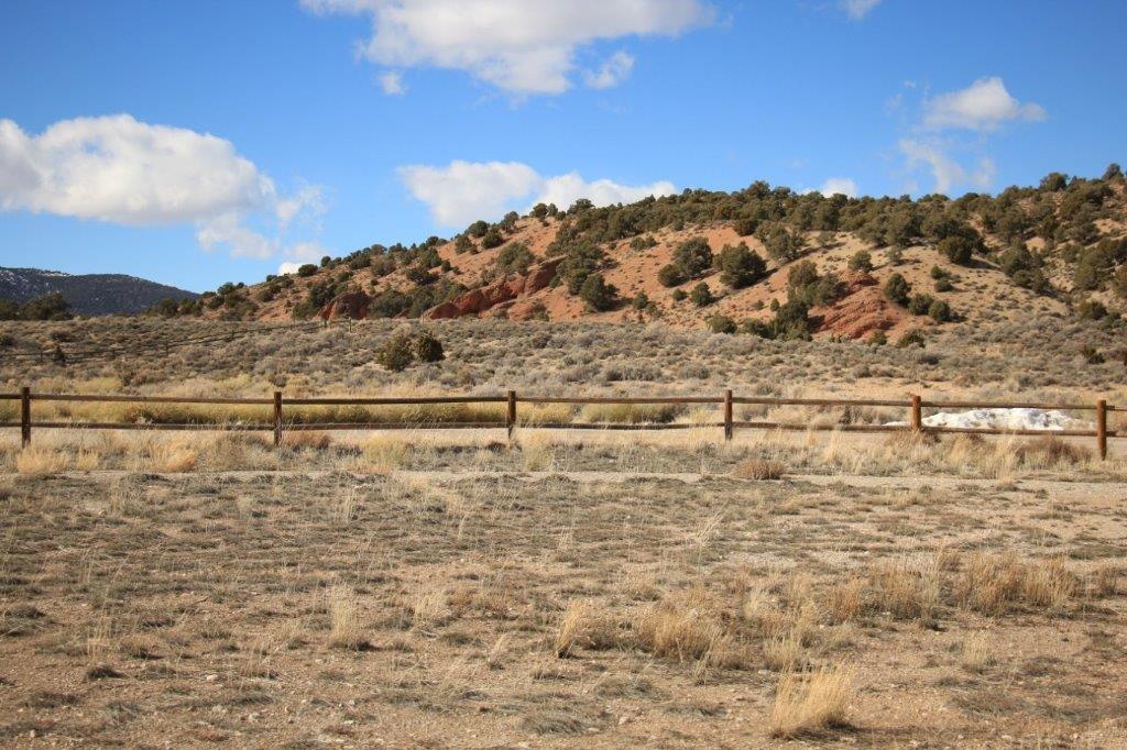
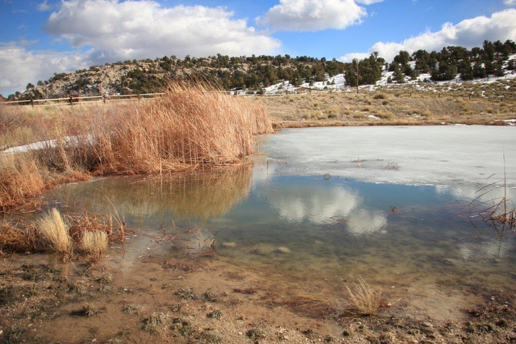
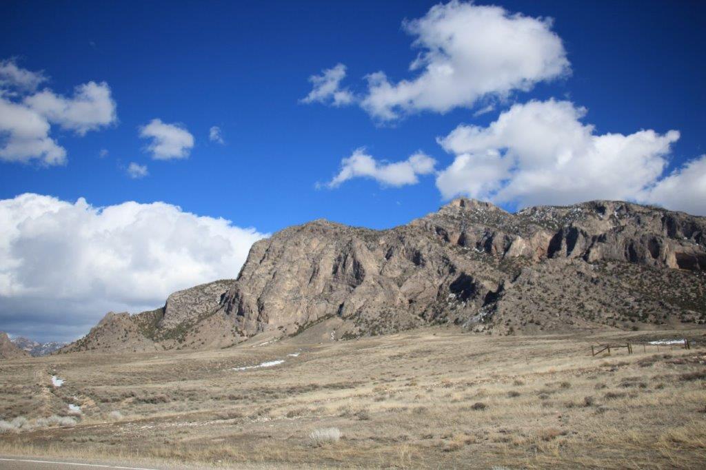
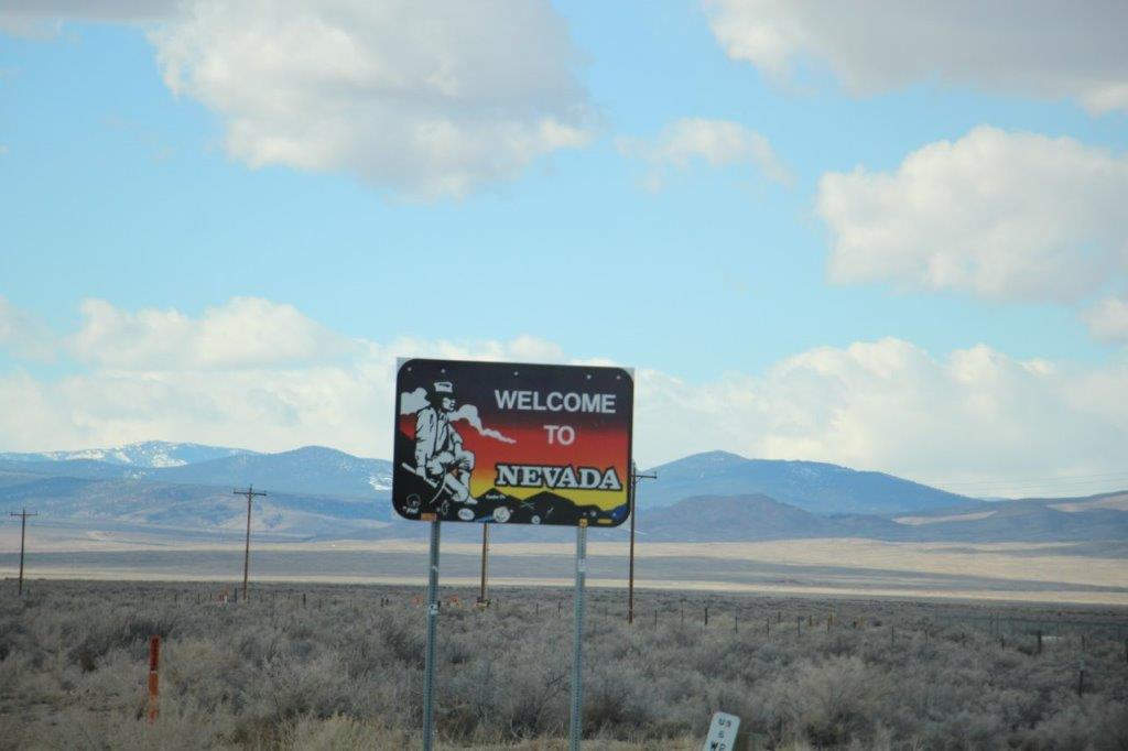 Our stop for the night is Ely, Nevada, about 65 miles from the state line. John spotted a recreation area sign and we pulled in to stretch our legs a bit after the long sit.
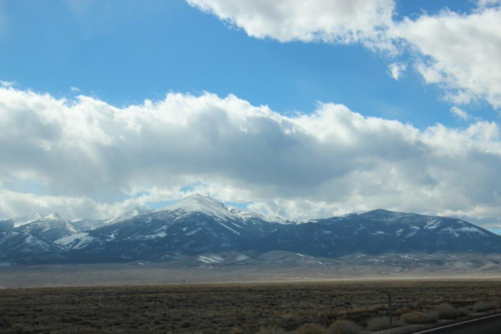
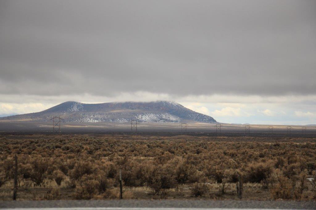
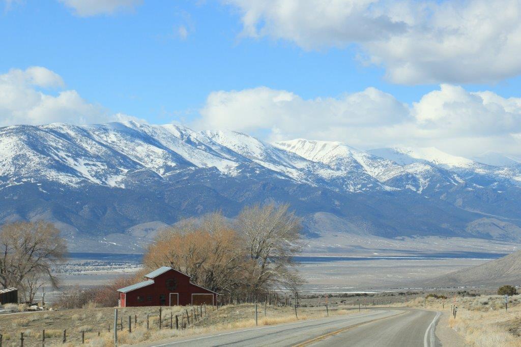
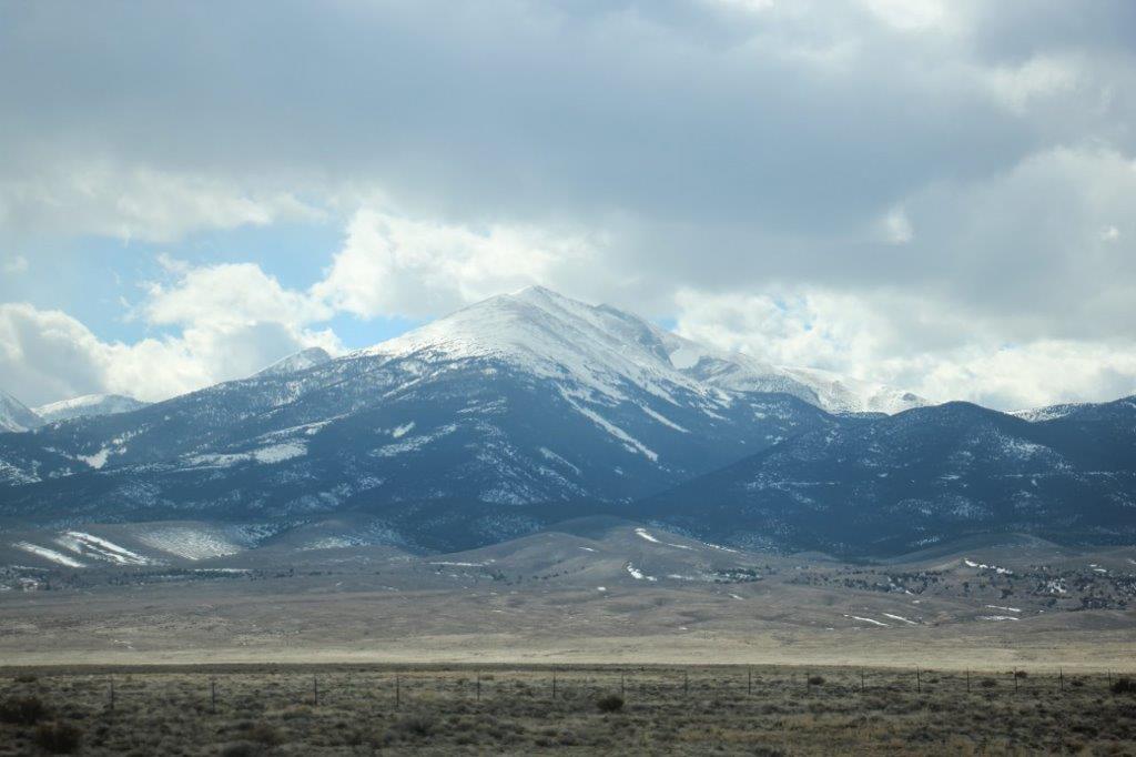 This is Wheeler Peak at 13, 063′
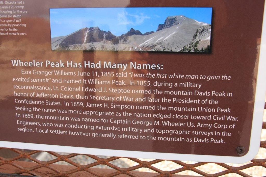

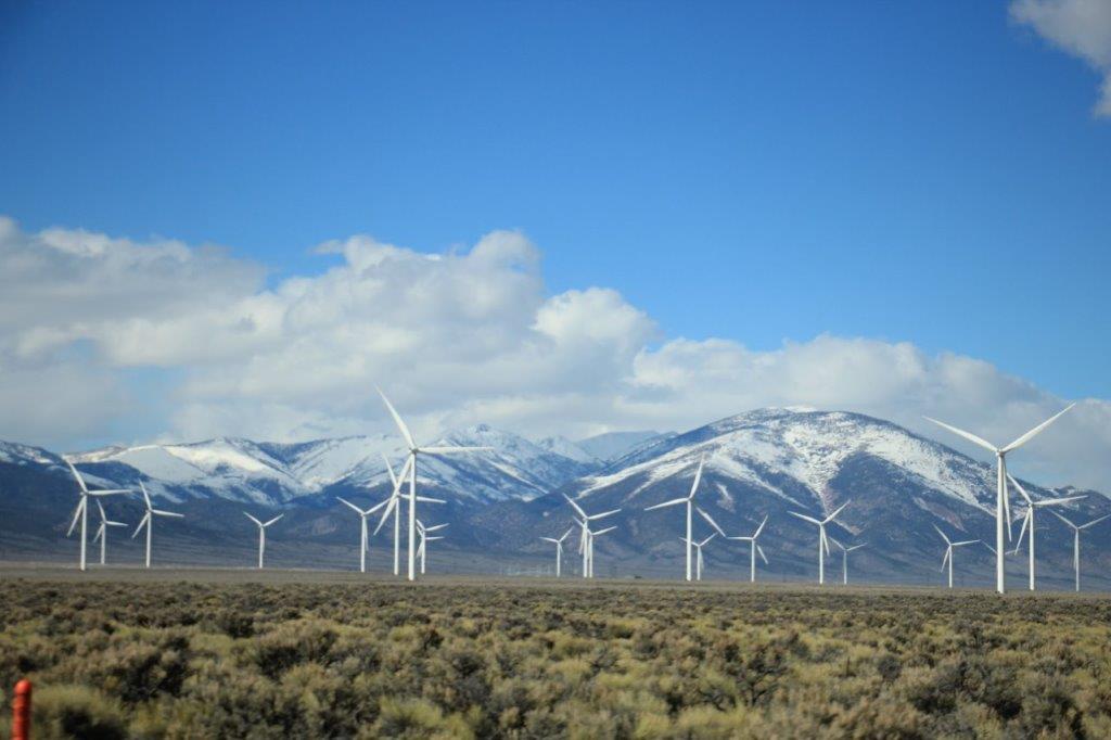
 The other end of the Sacramento Pass took us down into Spring Valley where there was a large wind farm. They had 5 rows of 12 turbines all spinning away in the wind.
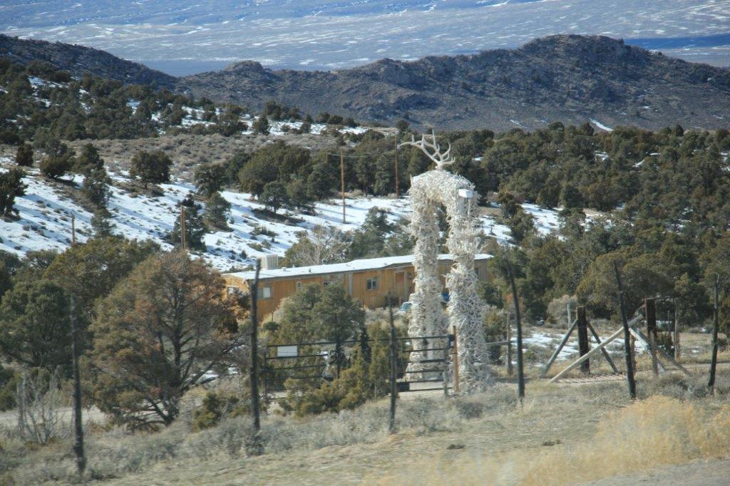 This arch is completely covered in antlers.
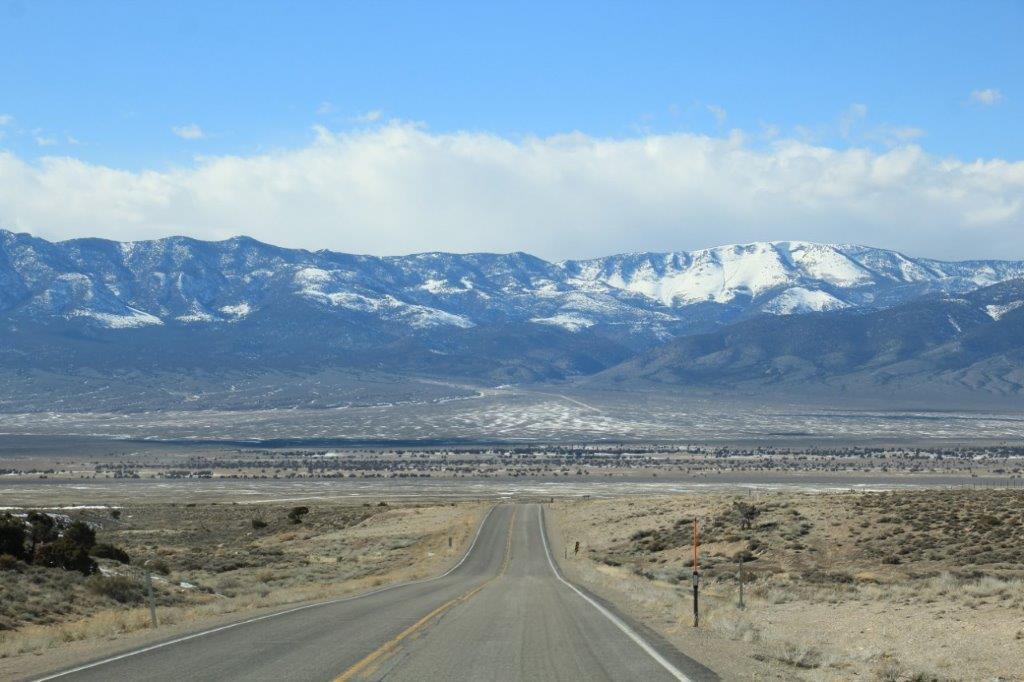
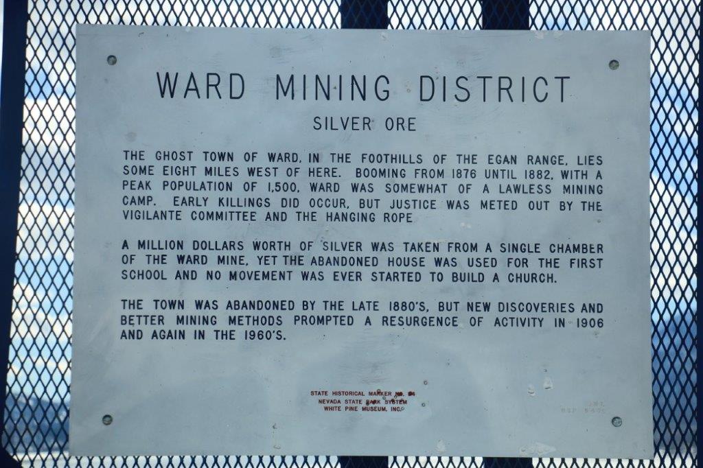
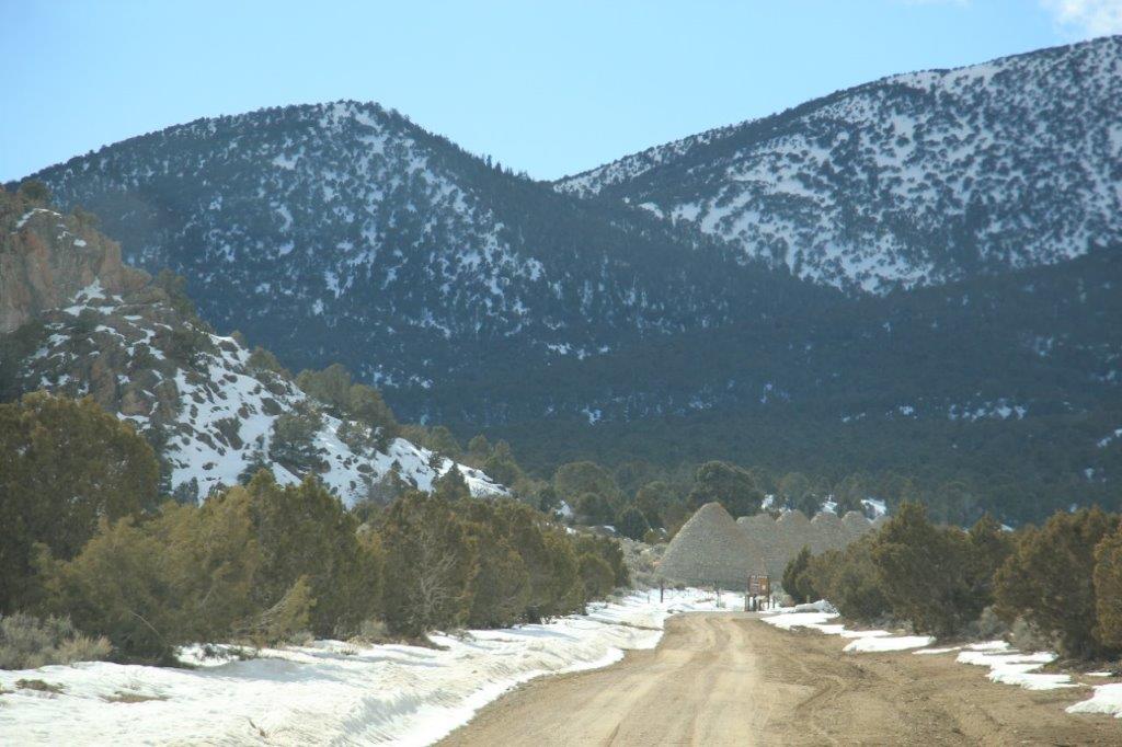
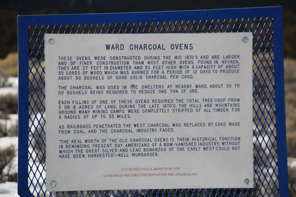
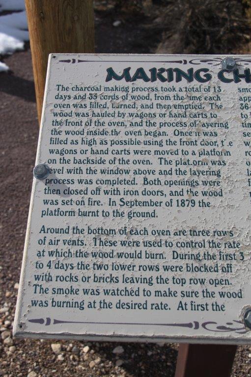
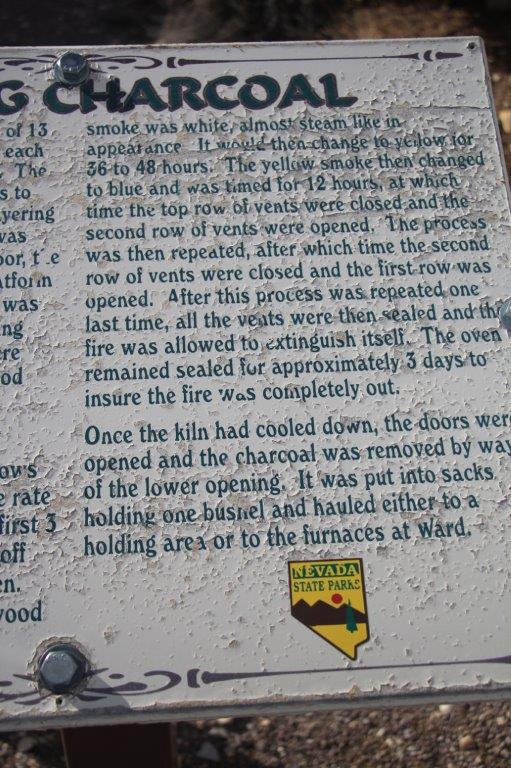
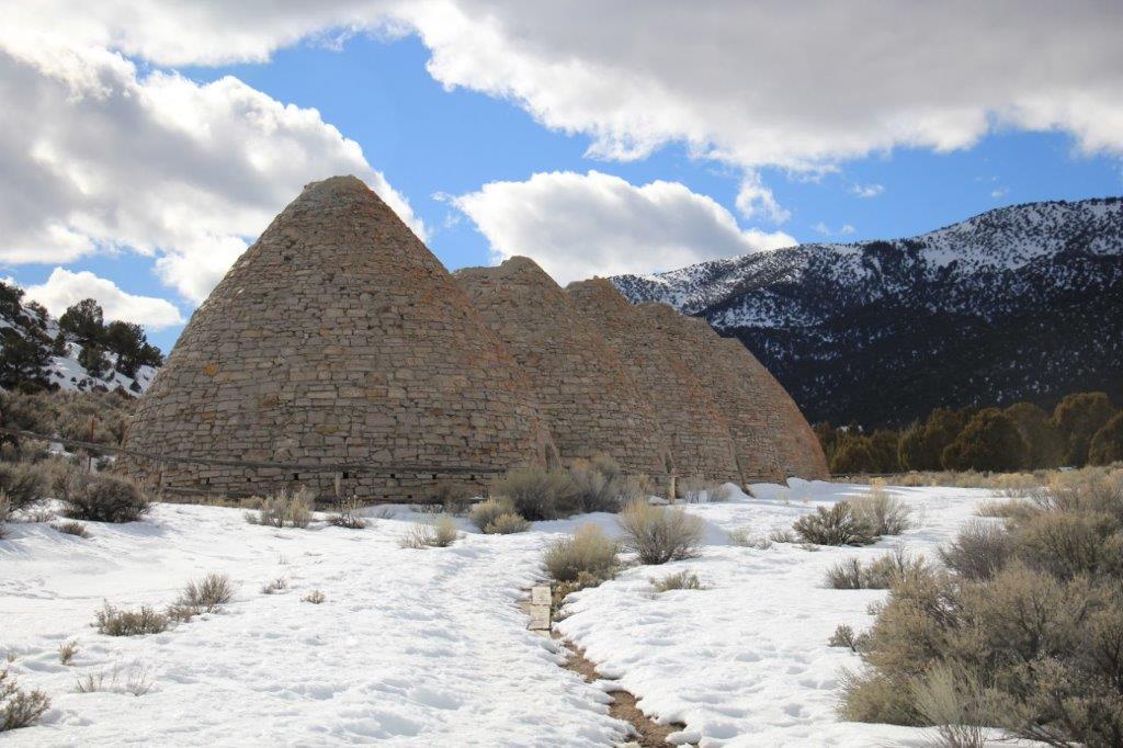
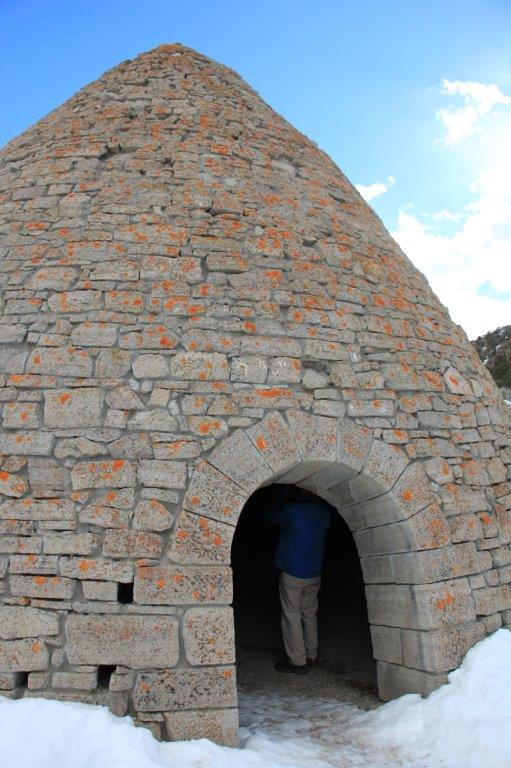
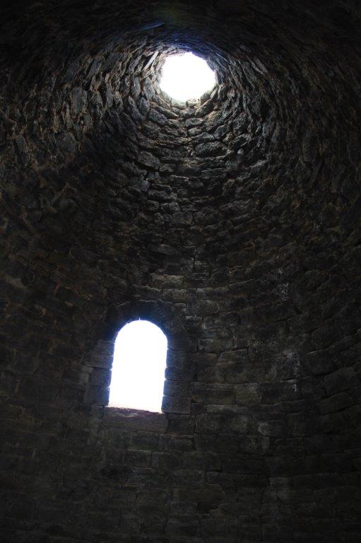
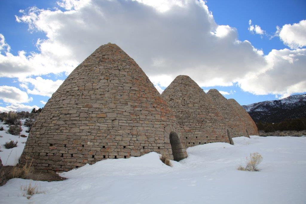
 We were only a few miles from Ely when I spotted a sign for the Ward Charcoal Ovens. They were located 7 miles down a gravel road and since it was still early (3:30ish) we decided to go see how they compared to the ones we saw in Death Valley. The gravel road was certainly better.
 Then it was back down the nice straight gravel road and into Ely for dinner and a sleep. (And now I have finally caught up on my blog day I have been behind since Death Valley. Good night.)
