Day 42 – February 21 – Bluff to Richfield, UT
We actually set an alarm for 7:15 this morning. We have quite a distance to travel today with a stop at Natural Bridges National Monument so we felt we needed to be on the road earlier than normal.
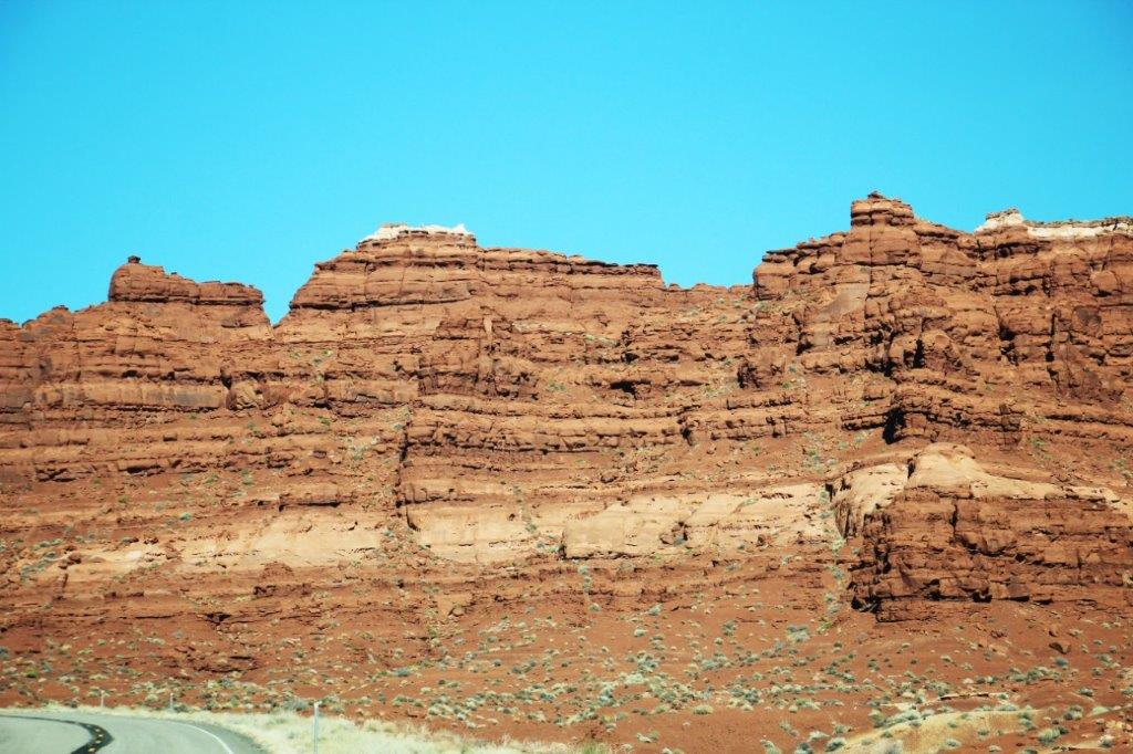
Also the most unfortunate thing has occurred. We have changed direction and are now heading north west. Durango, Colorado was our furthest eastern point. We went west, but south, to go to Monument Valley and Valley of the Gods yesterday. Today, though, begins the journey home. Boo Hoo! I don’t want to go home. Unfortunately it needs doing once in a while.
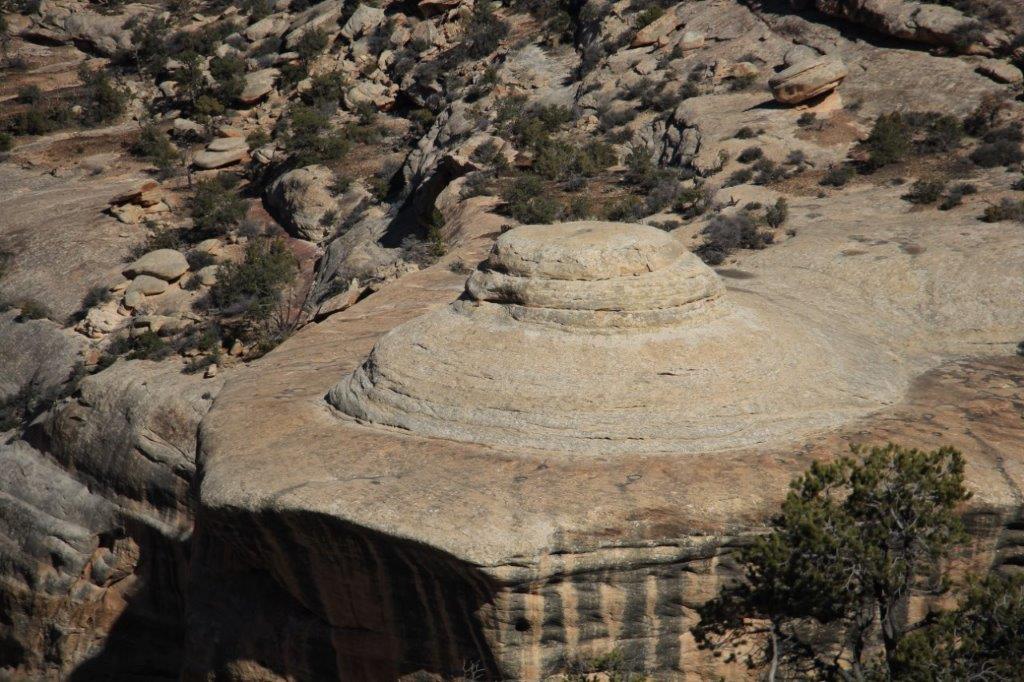
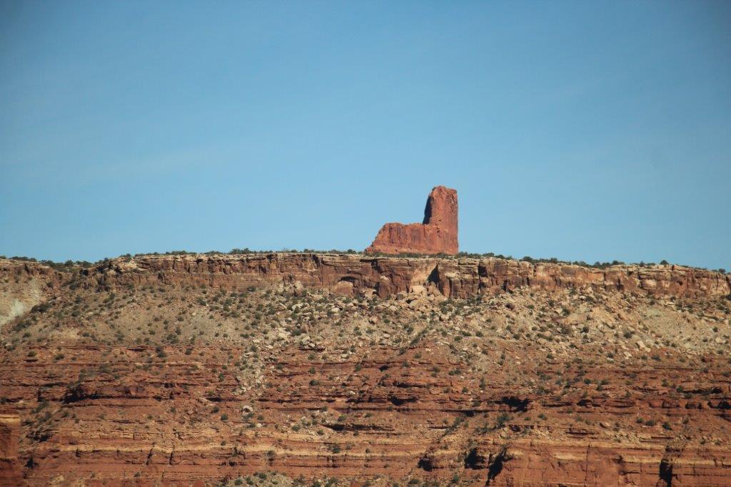
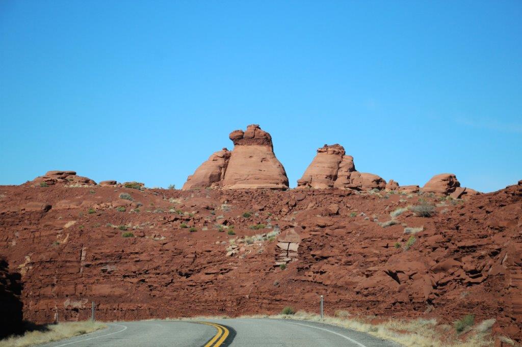
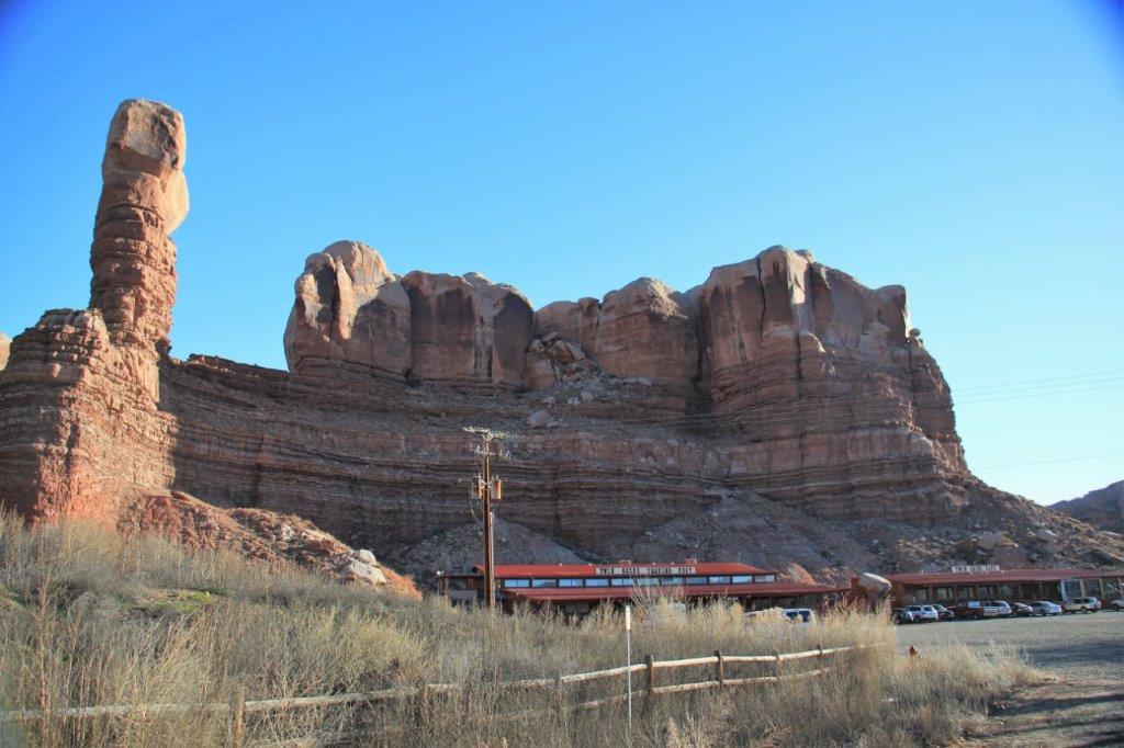 The Train Engine using one of the Twin Rocks as the smoke stack.
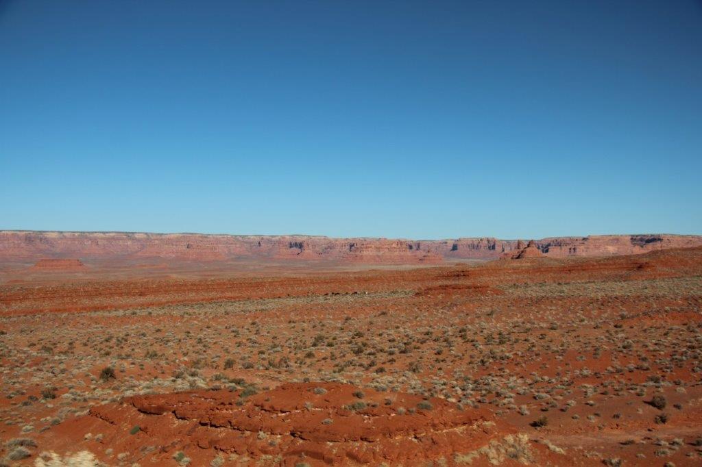 But first, we have sights to see today. As I mentioned yesterday, Charlene, the lady we met in the Twin Rocks Cafe at breakfast, had suggested we go up Mokee Dugway. Well, this was fine with us as that is the direction we were planning to drive when we left Bluff. What is Mokee Dugway you ask?
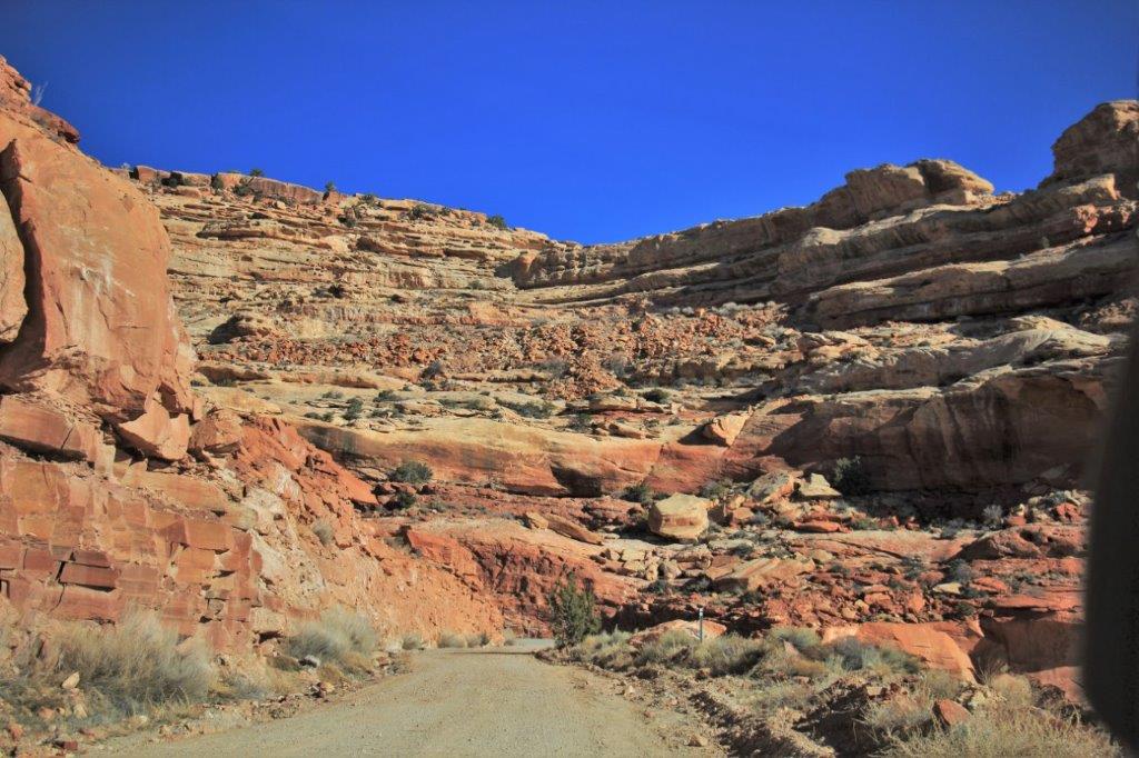
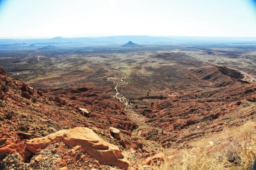
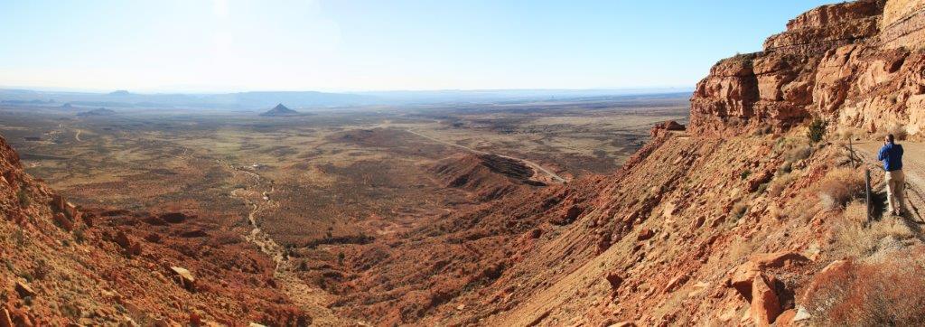
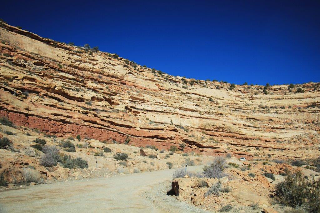
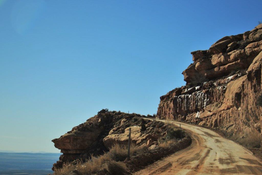
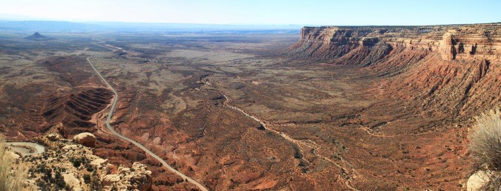
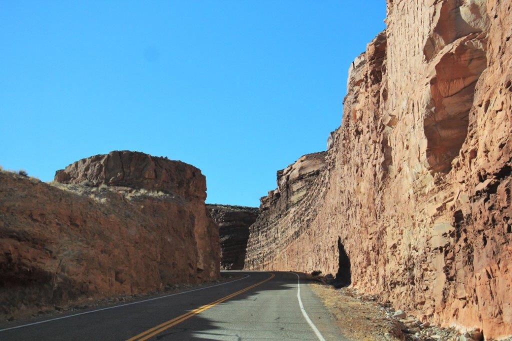
It is a narrow road with switch-backs straight up a 1100′ cliff. Fun, fun. Unbelievable view!
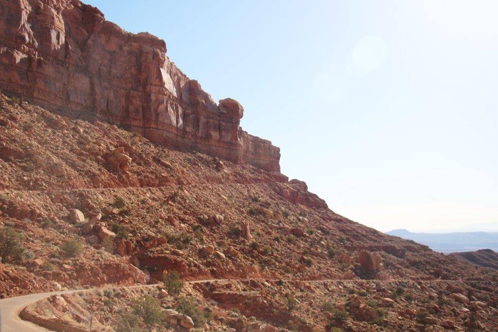
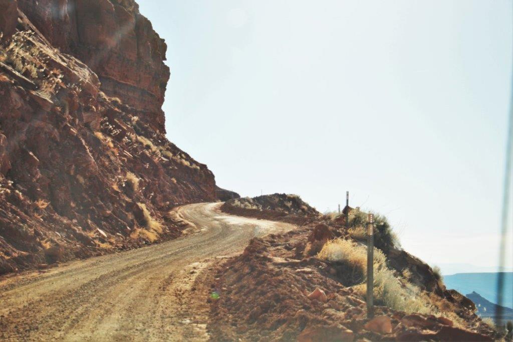
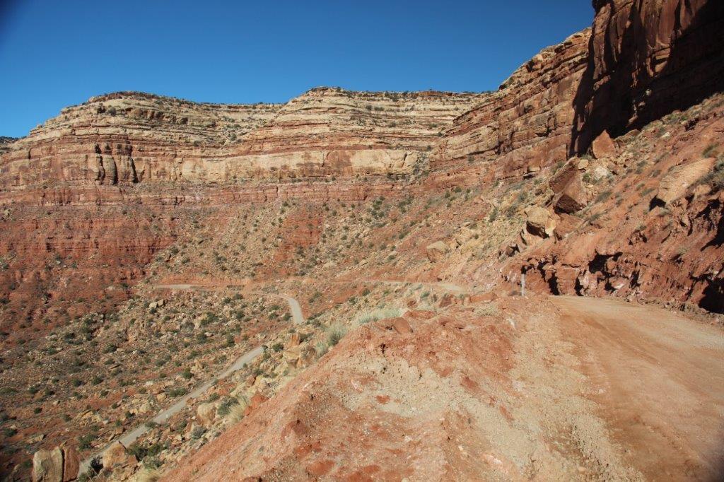
 We will drive up the face of this cliff.
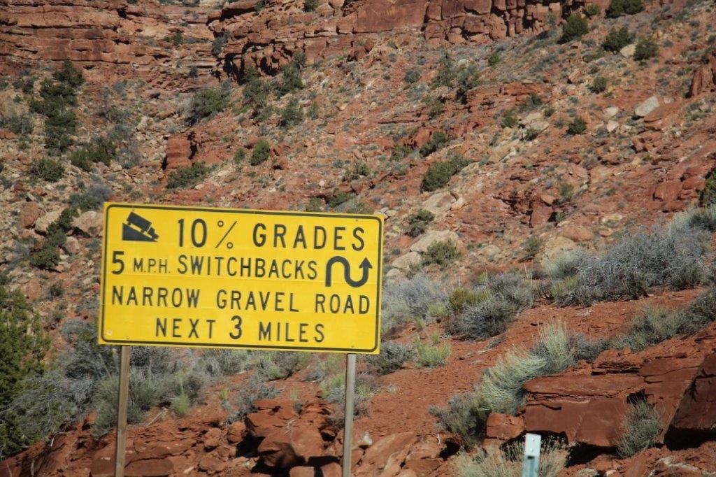


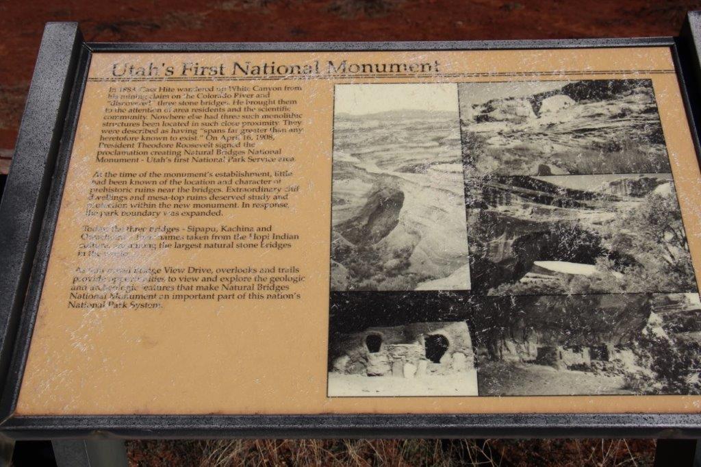
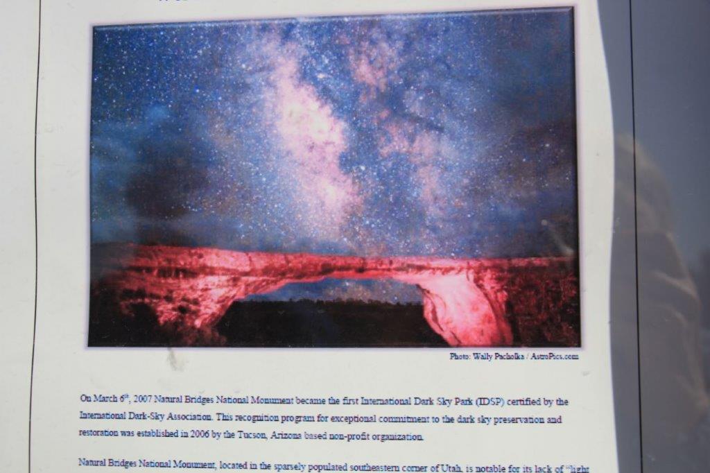
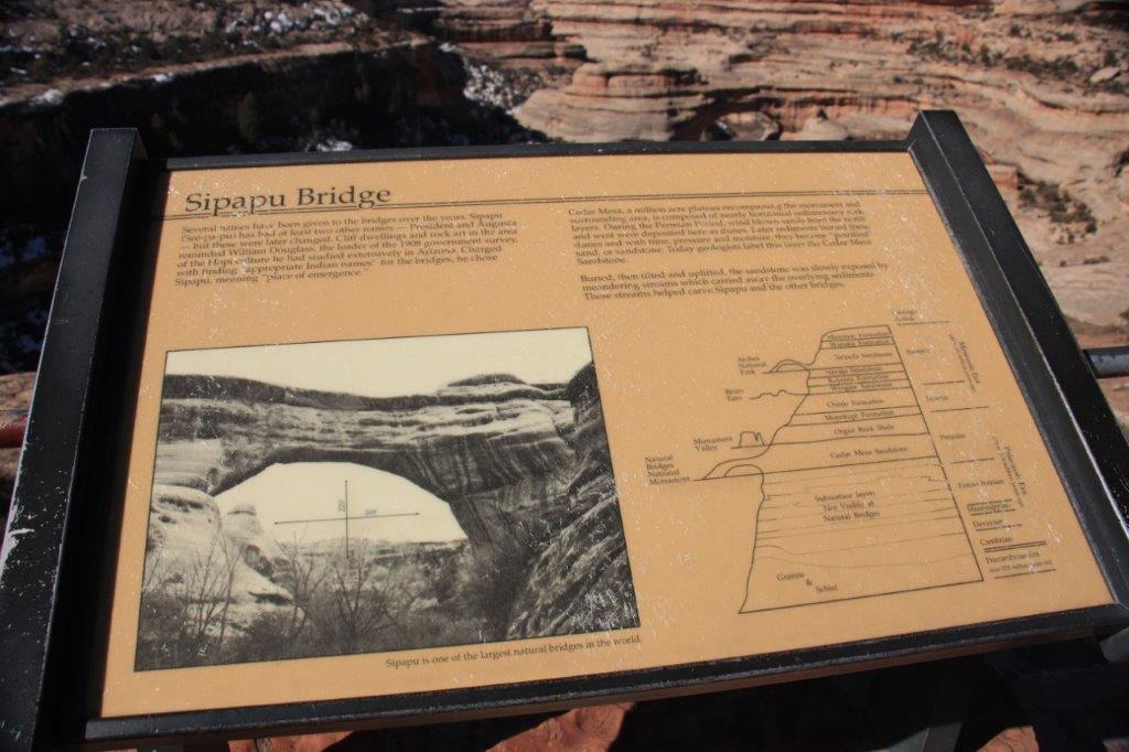
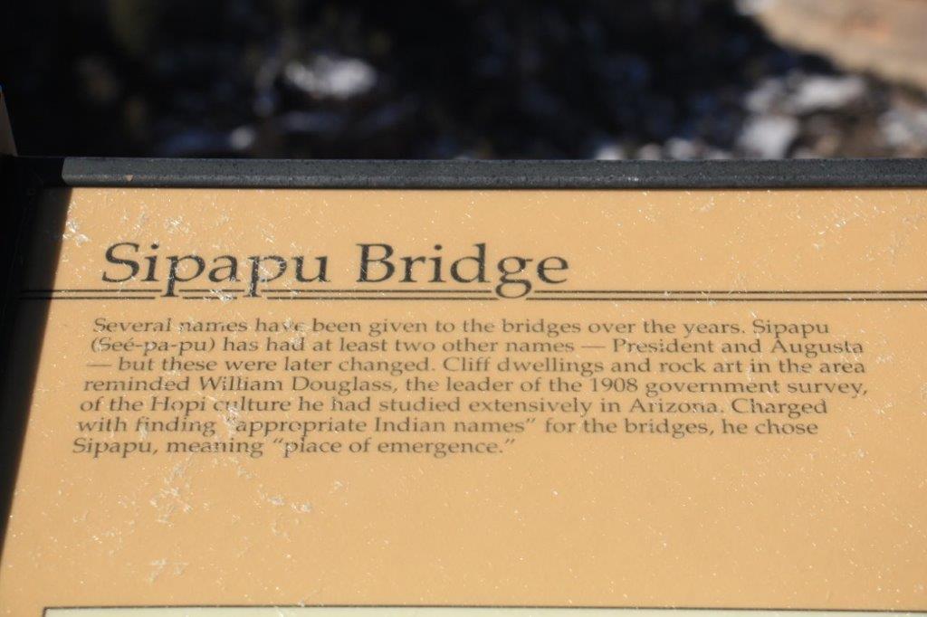
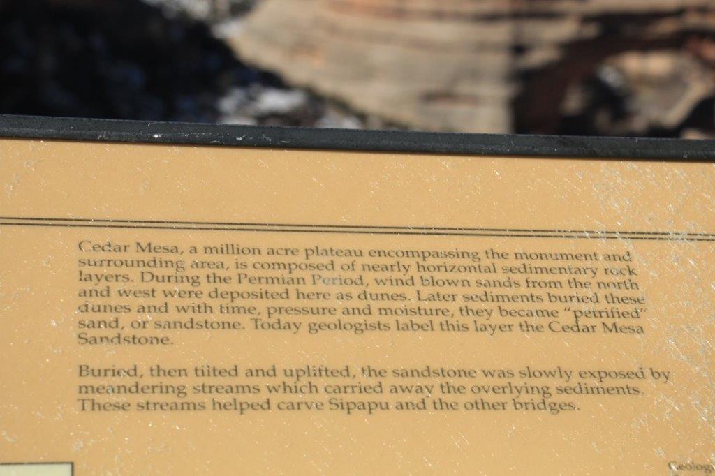
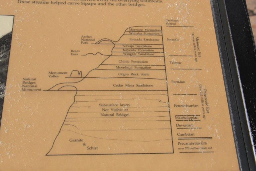
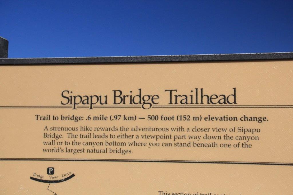
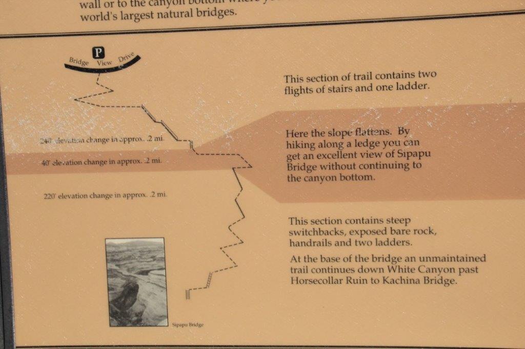
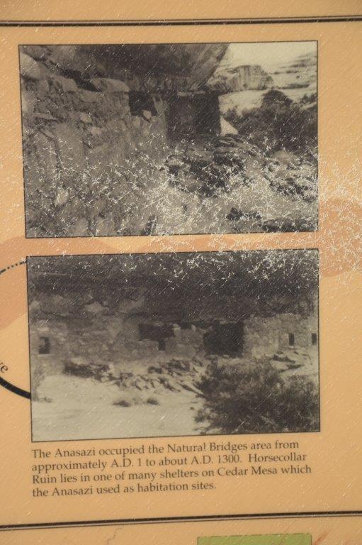
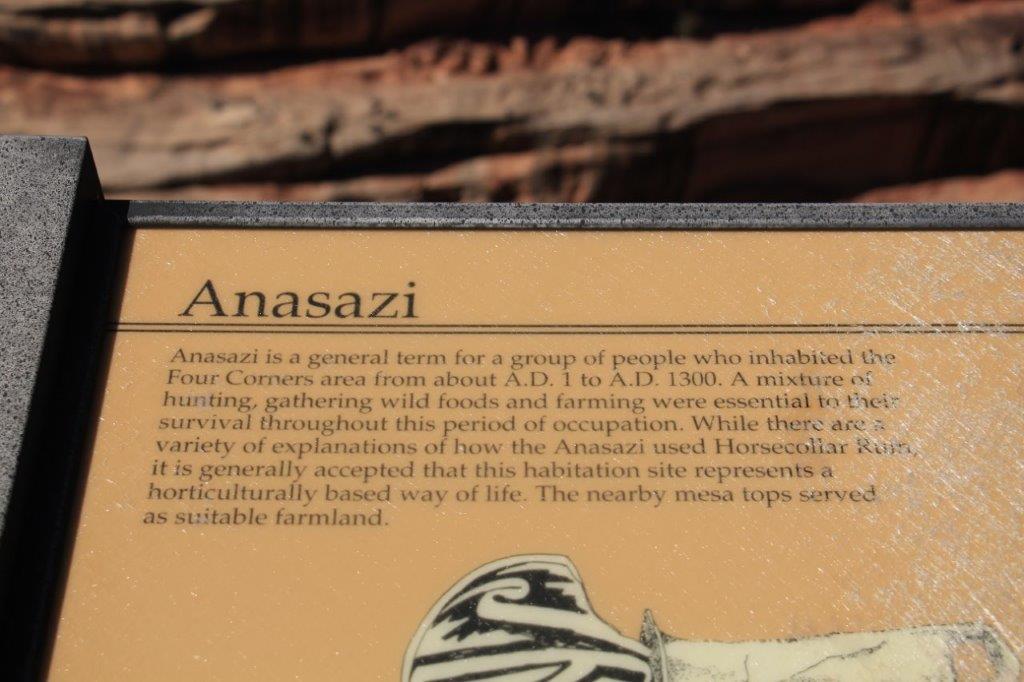
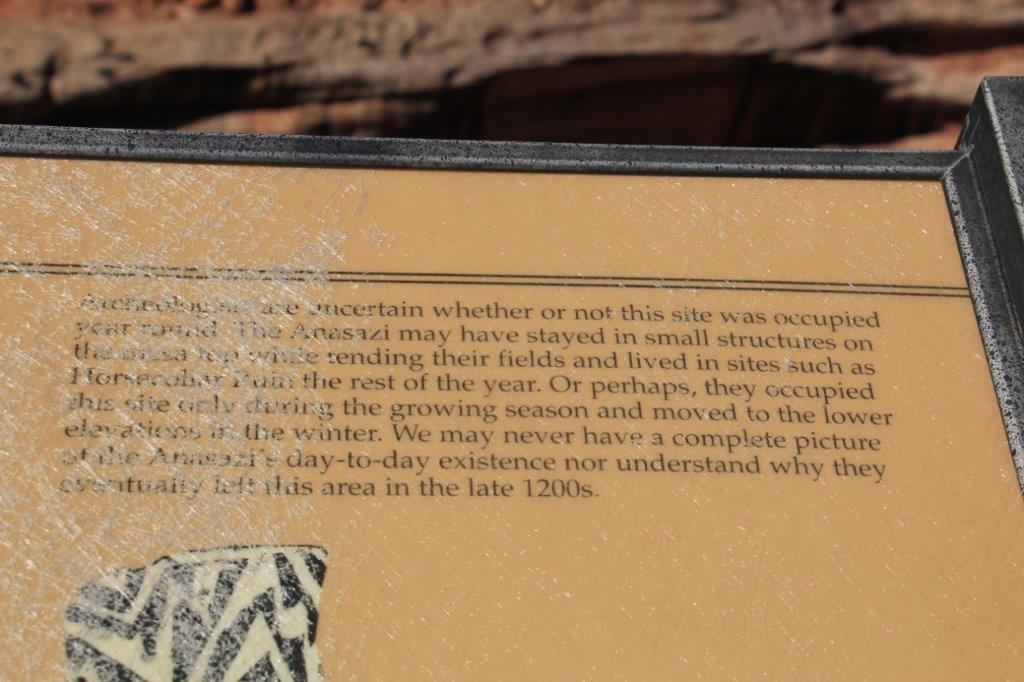
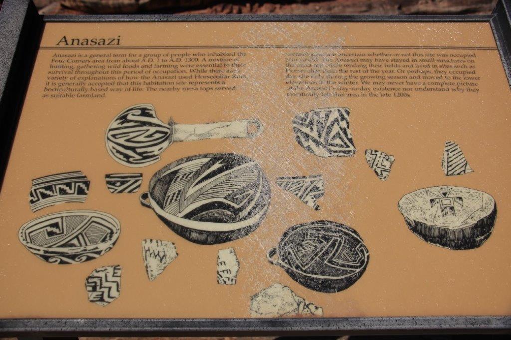
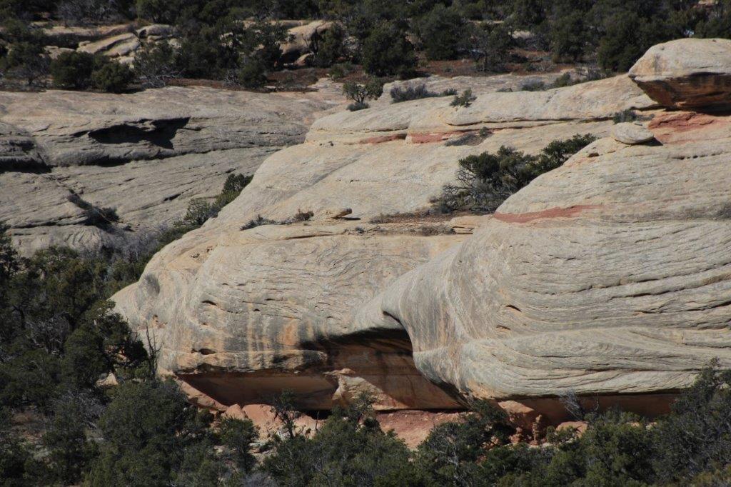
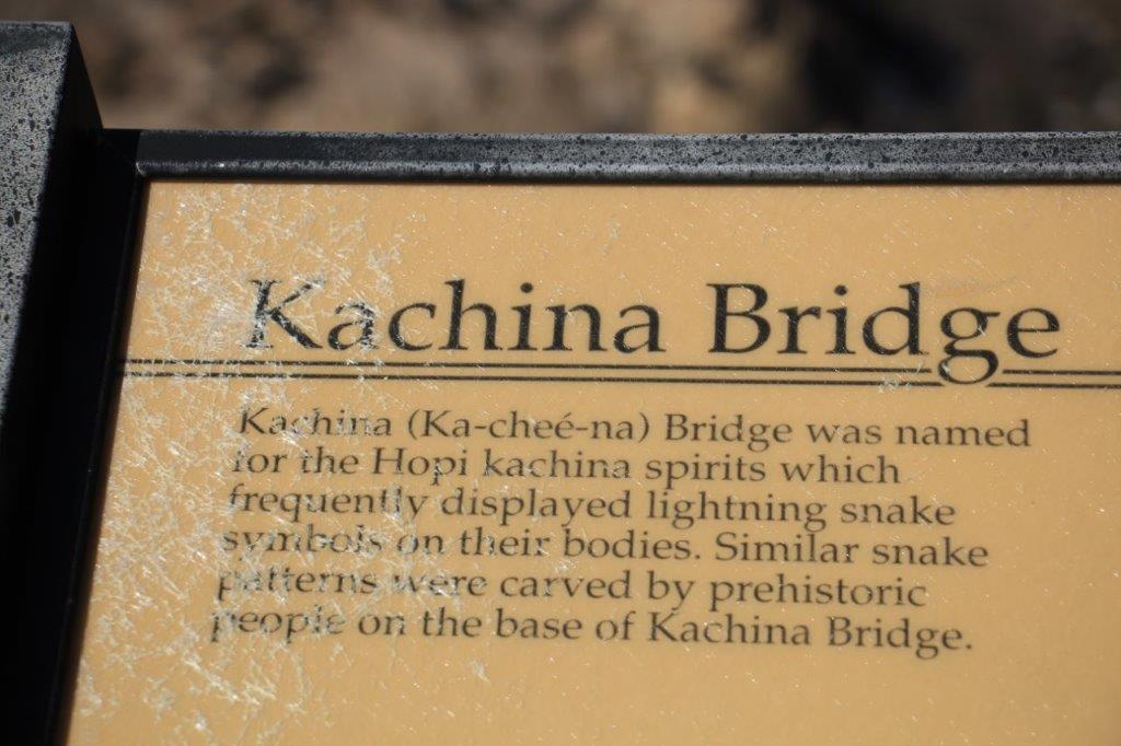
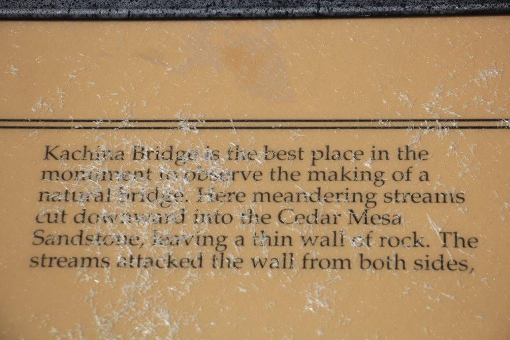
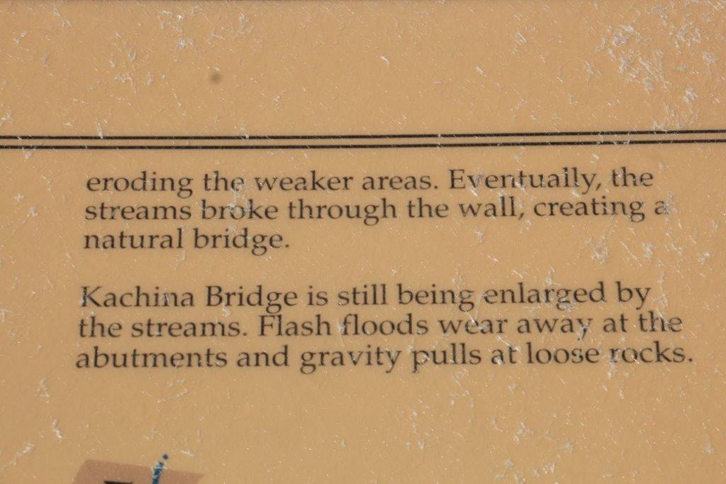
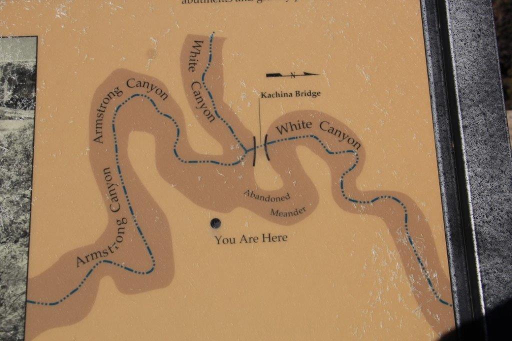
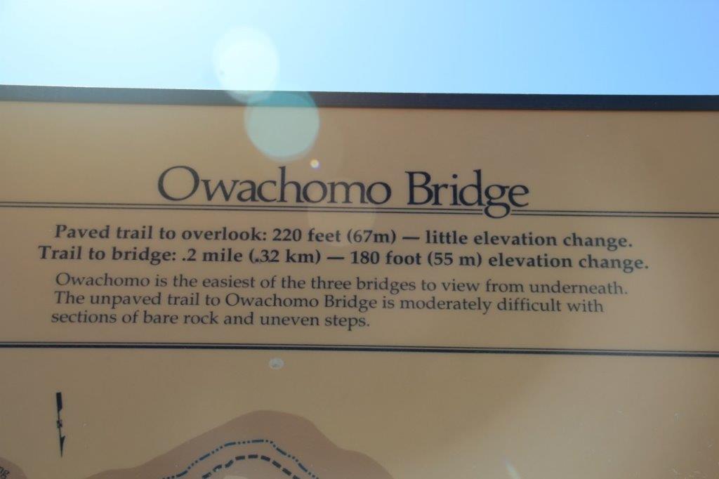
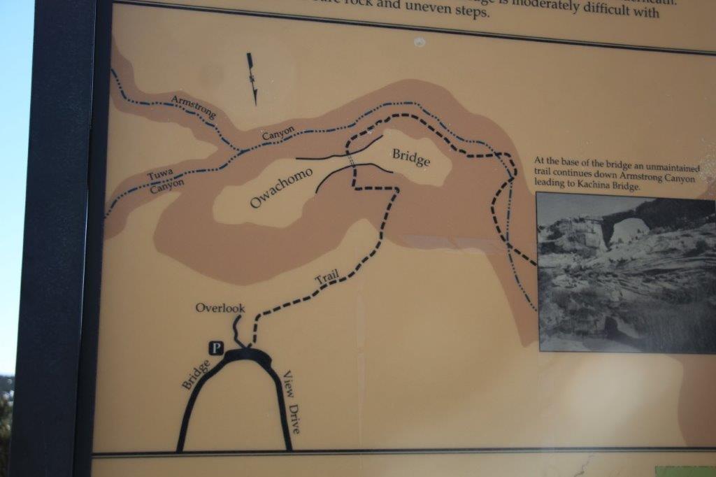
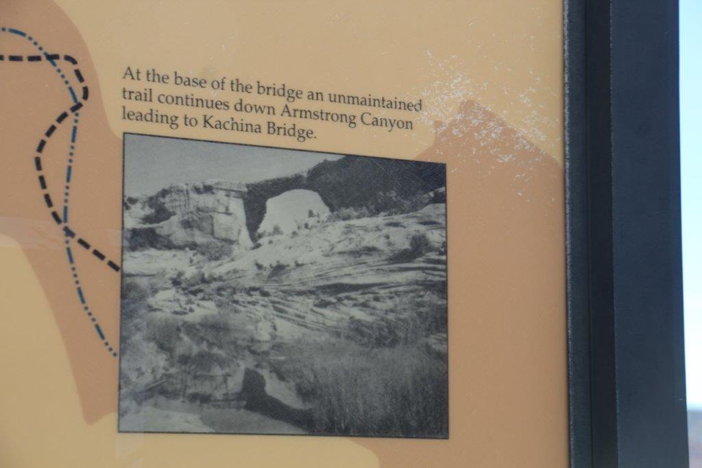
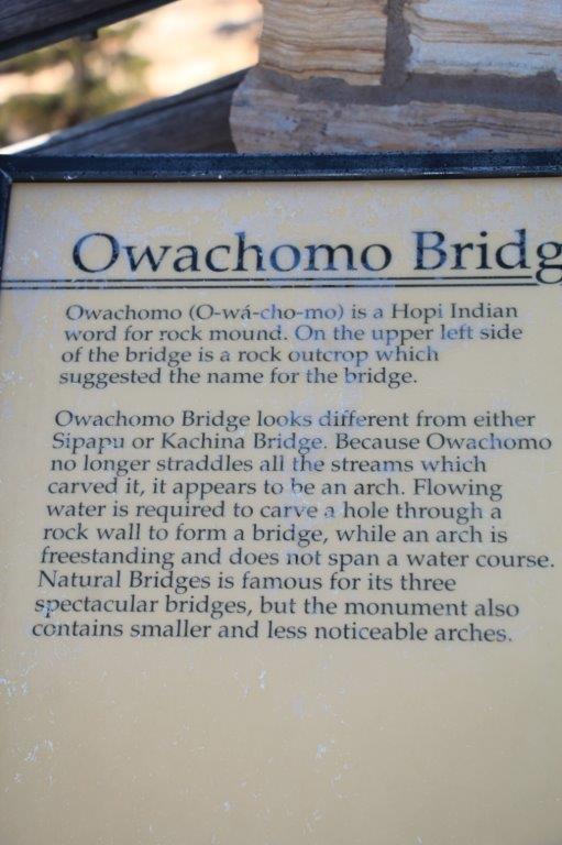
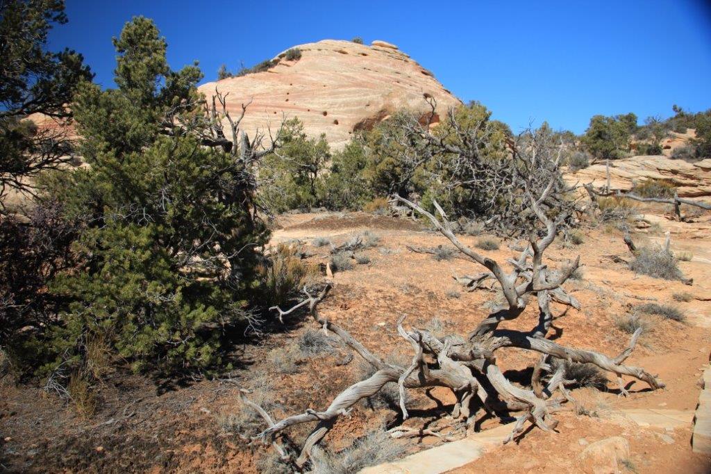
 The information below was on the counter at the Visitor’s Center at Natural Bridges National Monument.
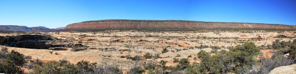
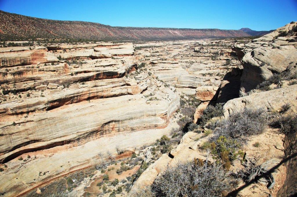
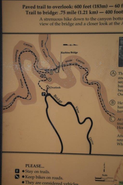
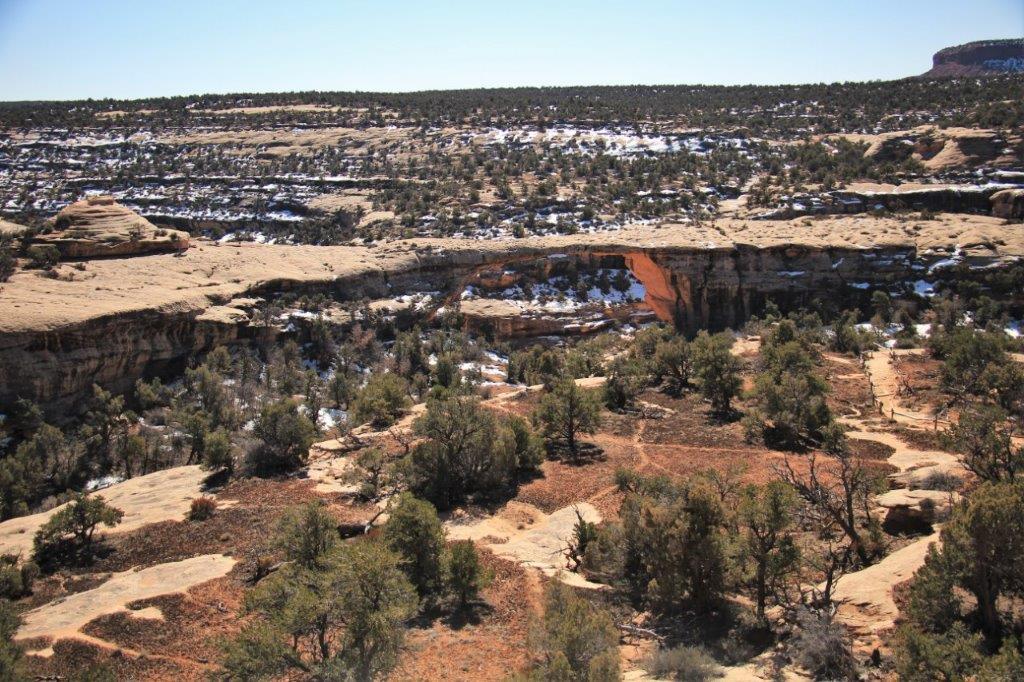
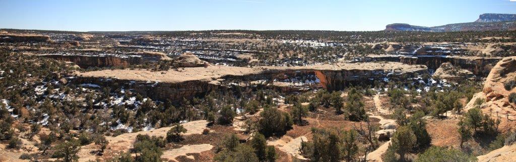
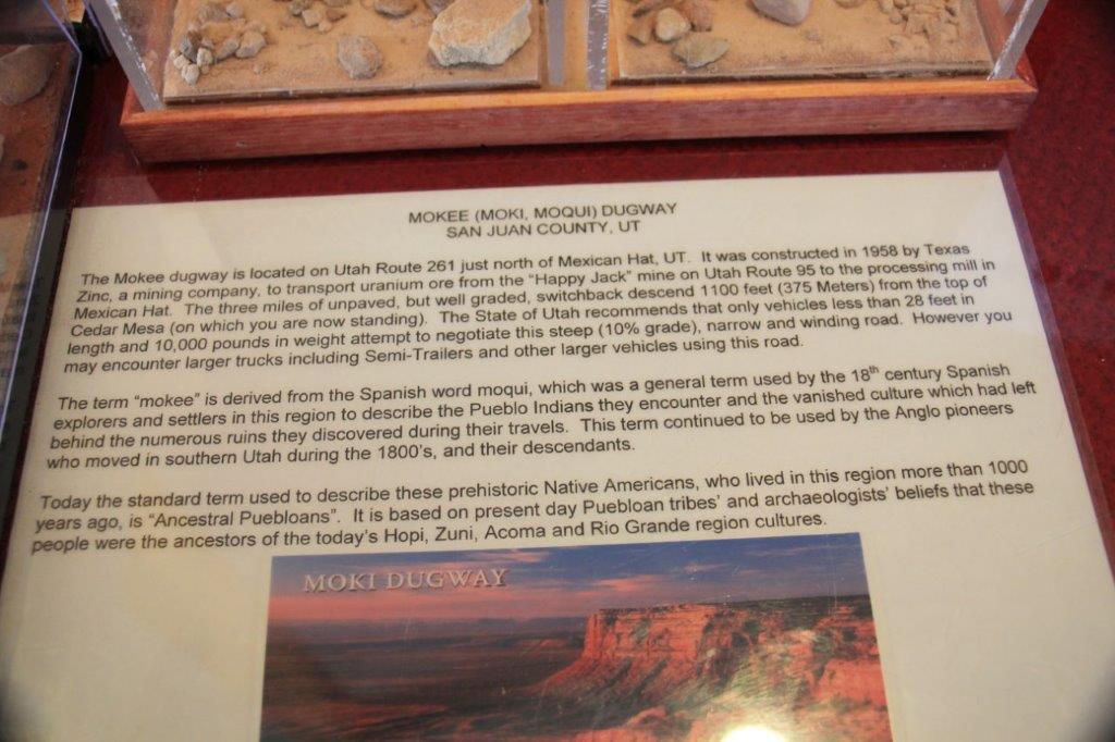 Once we reached the top of Mokee Dugway we drove across the mesa and on to Natural Bridges. The Monument is totally off-grid; there are no electrical lines connected to them (they have there own generator that will keep them supplied for 6 days). We arrived at 10:30. There is a 9-mile loop road that takes you to good viewpoints of all three bridges and there are trails you can take down to the canyon bottom to stand under each one.
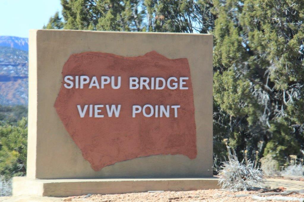
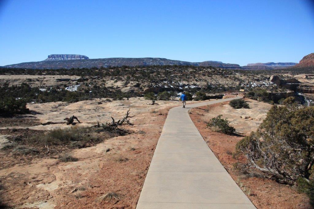
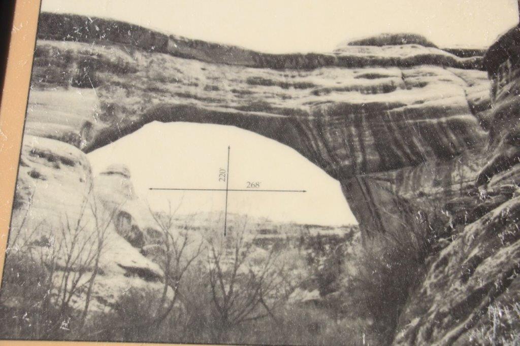
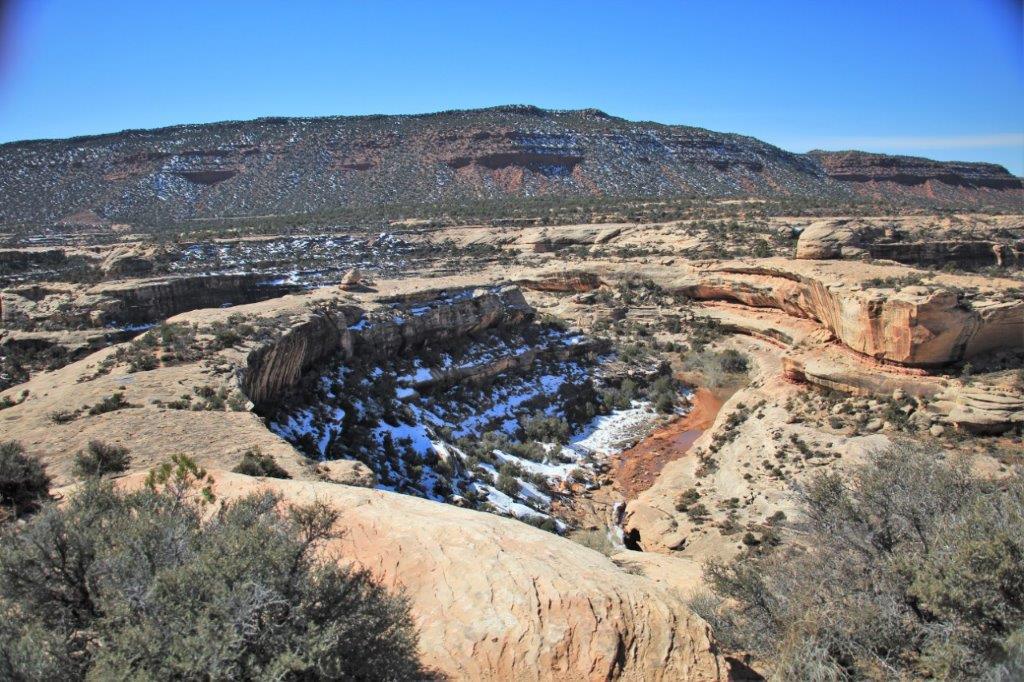
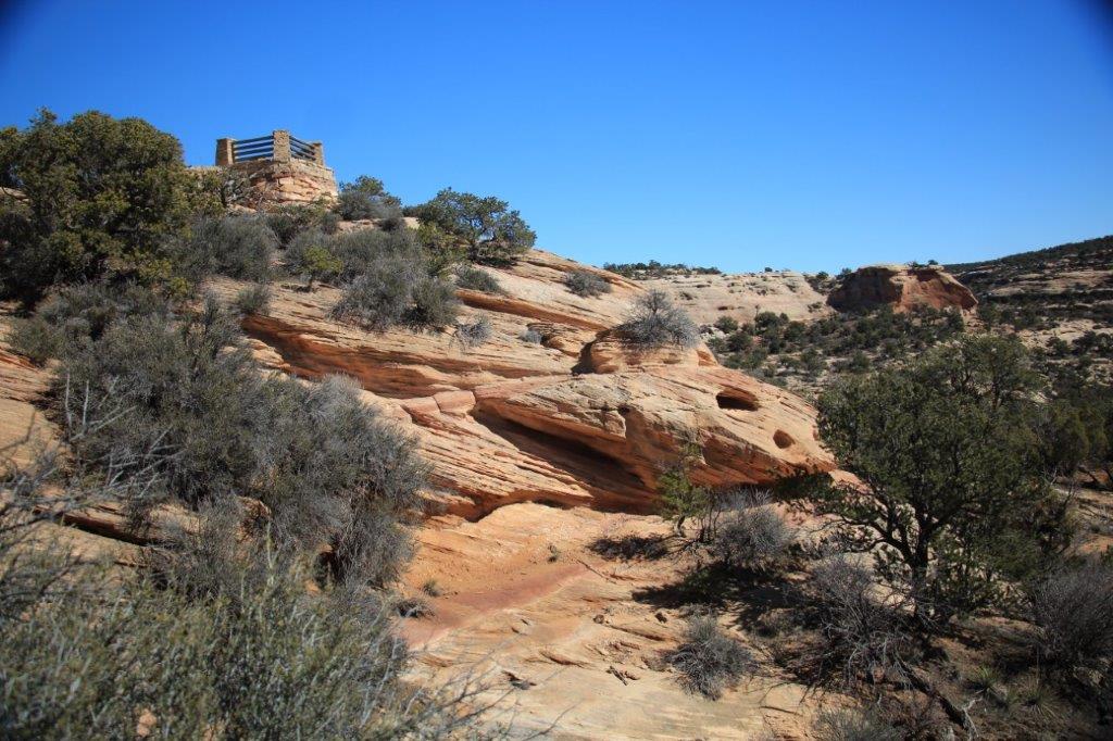
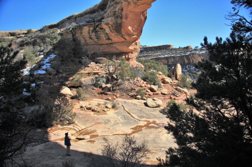
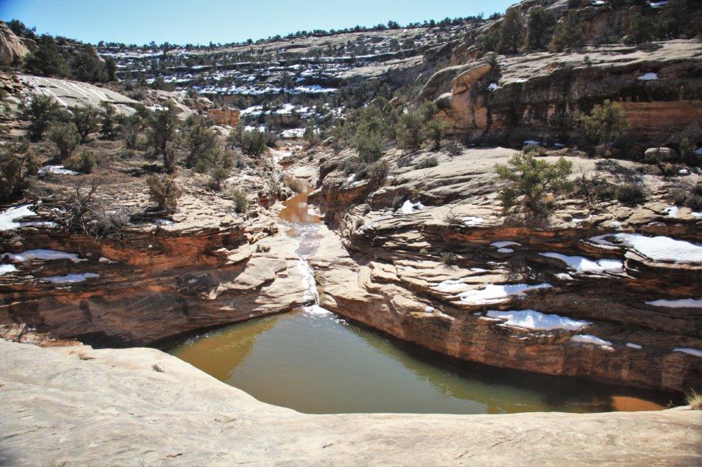
 A little further along on the loop road and there is the trailhead to go to a closer viewpoint and the canyon bottom. We decided to go down. Read the trail description below. Note the elevation change. Are we crazy or what?


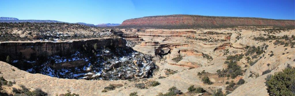
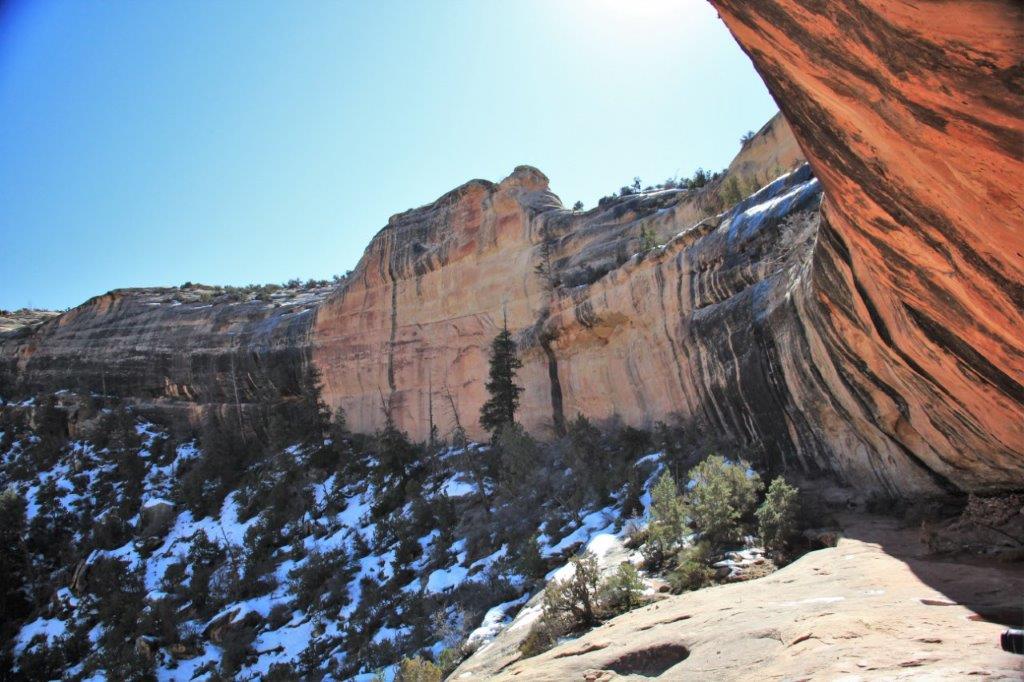
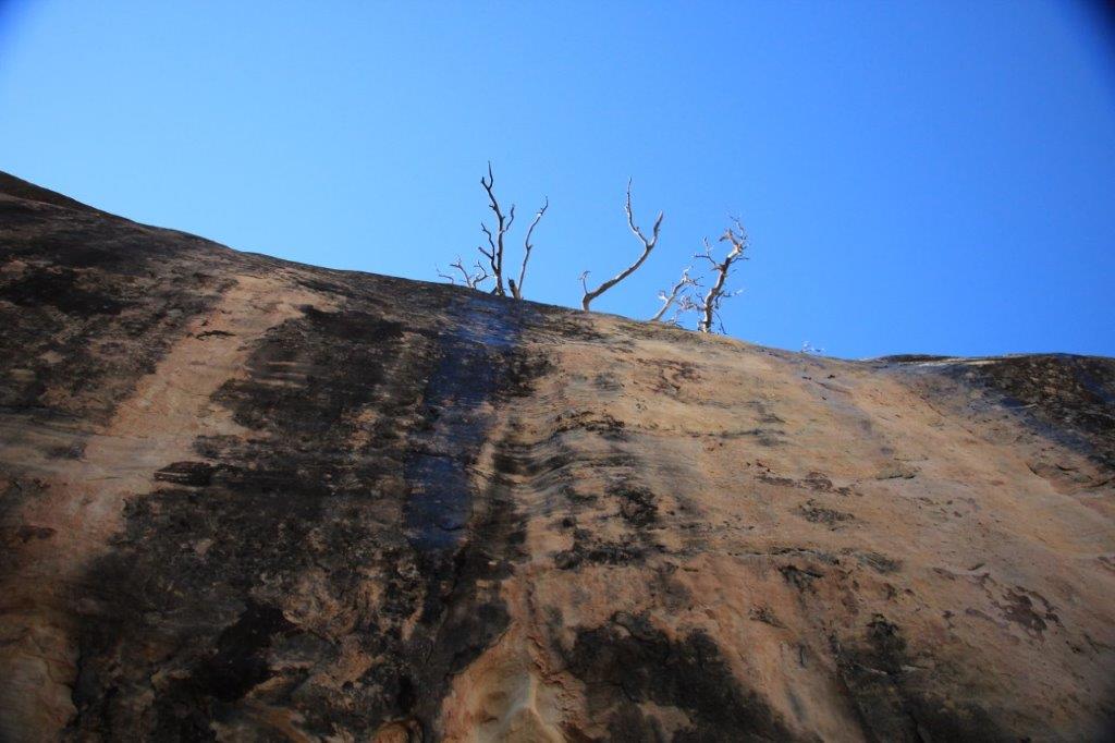 Looking straight up the cliff wall.
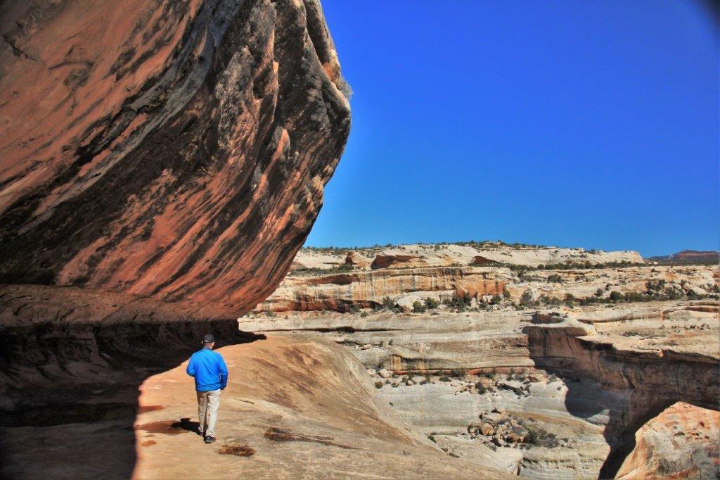
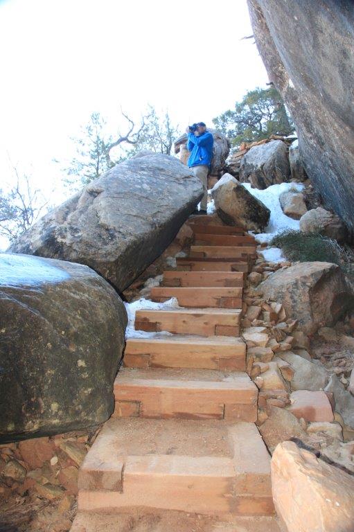
 You can’t see it, but our truck is parked up there not far from the trees on the rim.
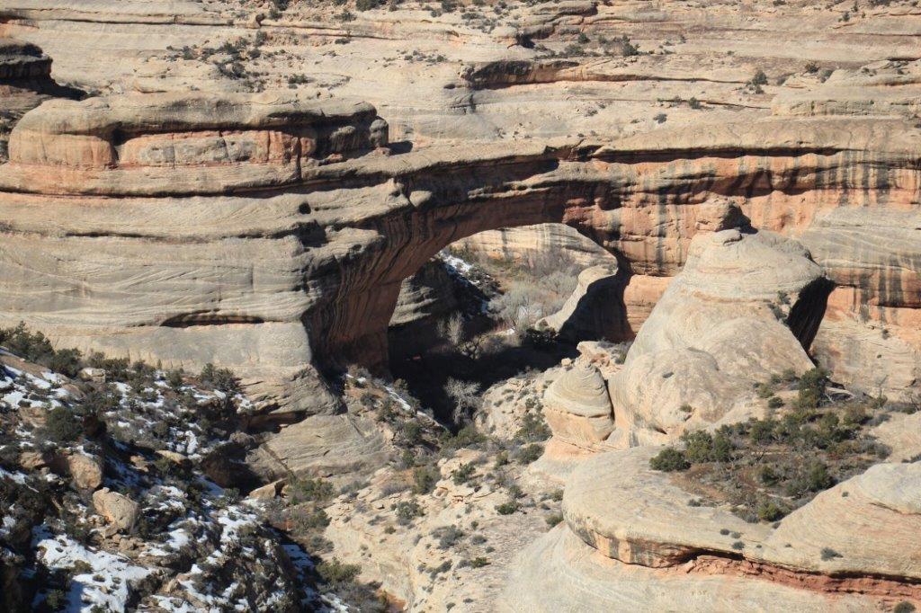
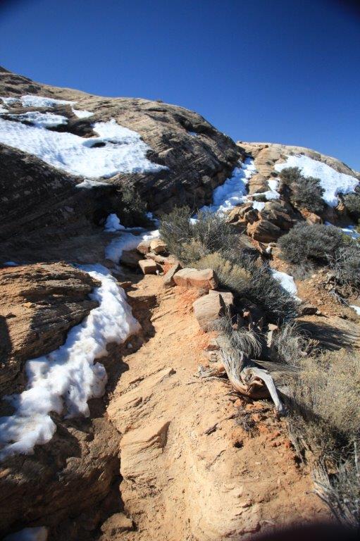
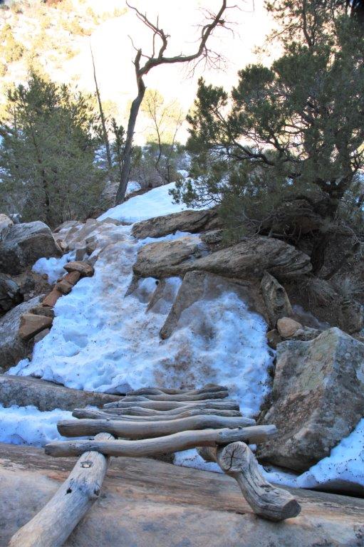
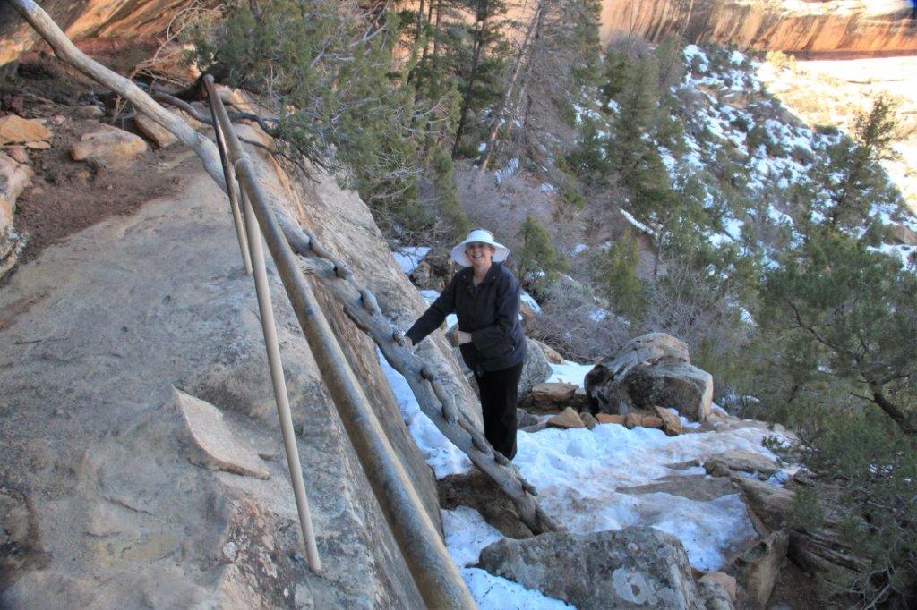
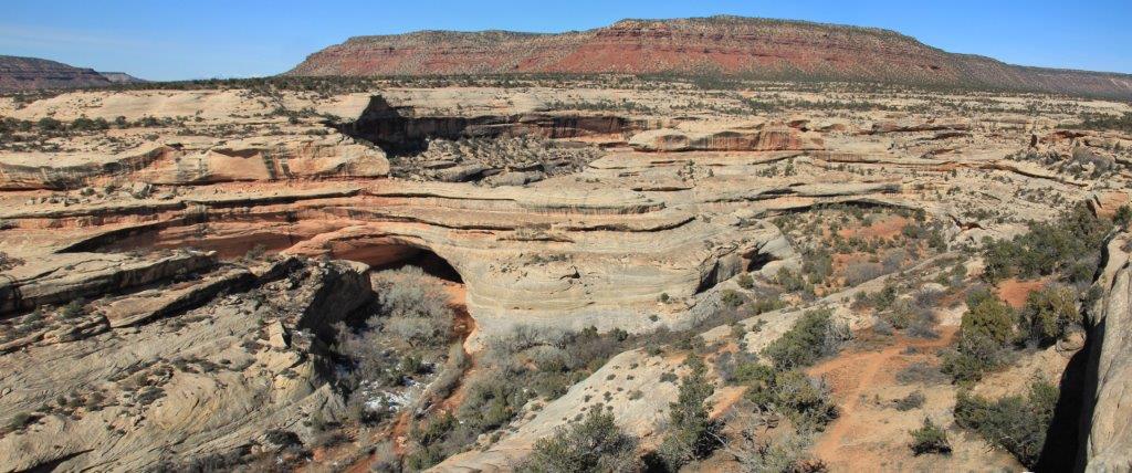
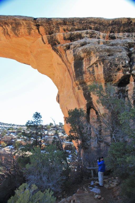
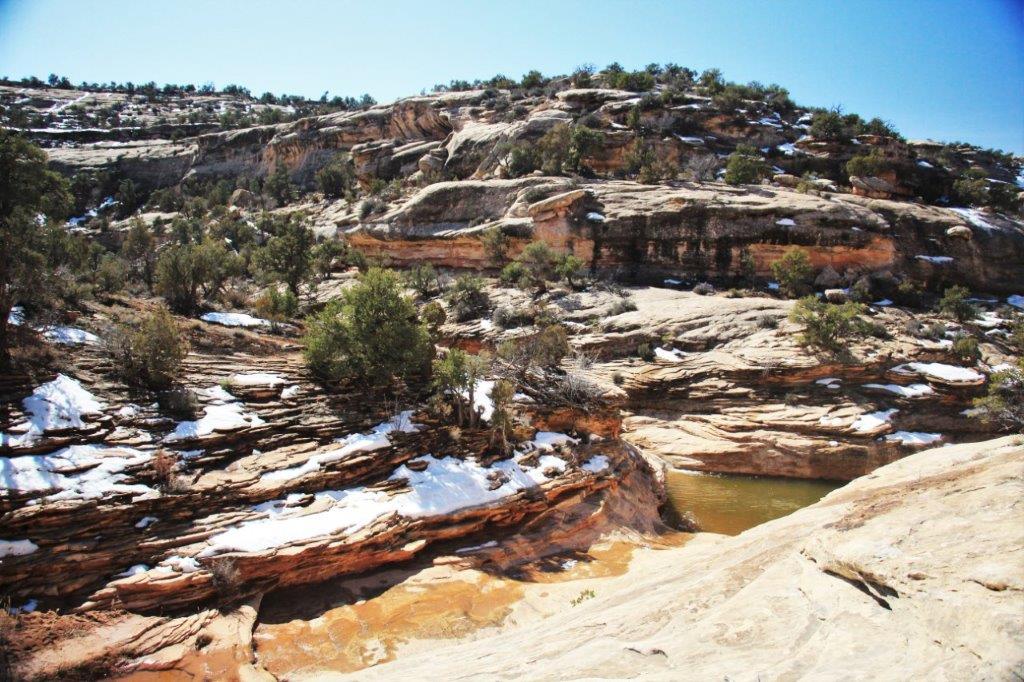
 We turned around from the bridge view and started to go down along the trail to the bottom but there was lots of snow and ice and it is a precarious trail in the summer so we decided not to risk life and limb and climbed back up to the truck to move on to the next bridge. We may be crazy, but we are not stupid.
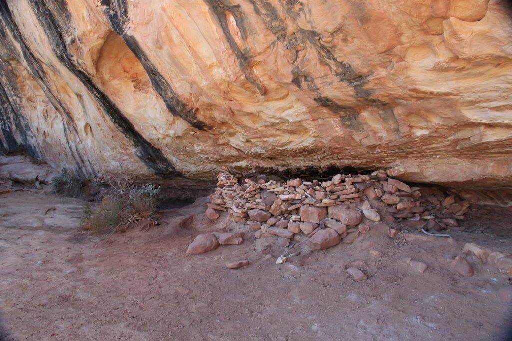
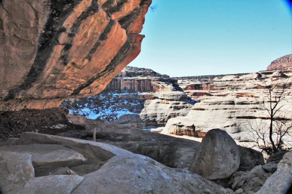
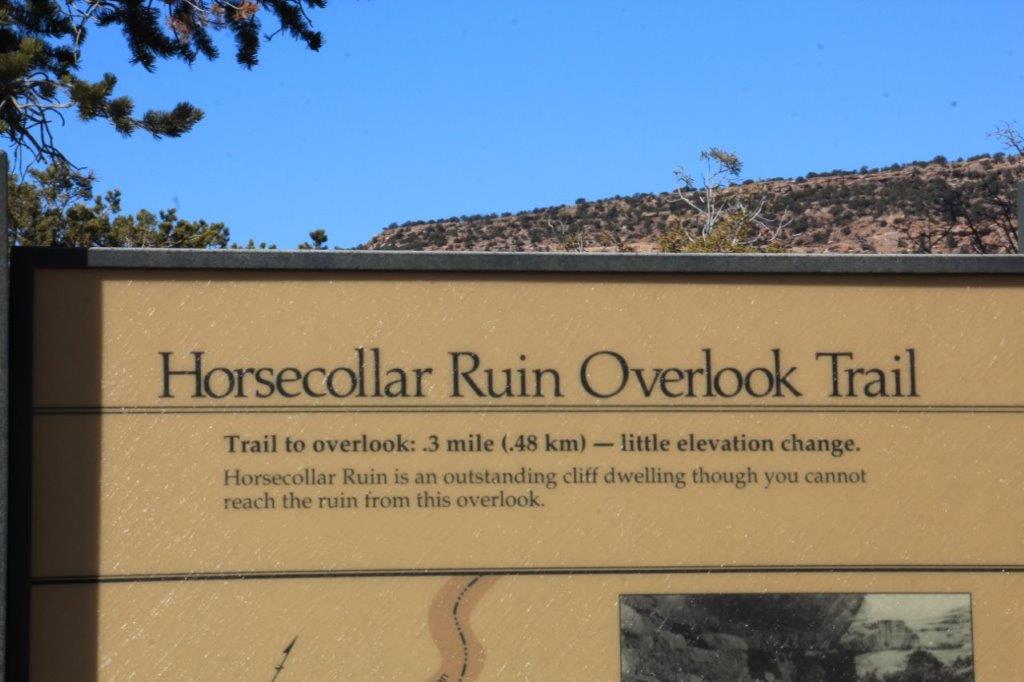
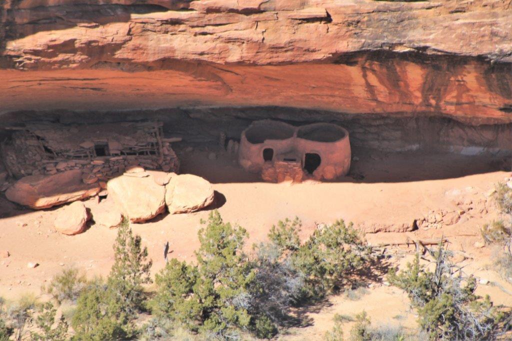
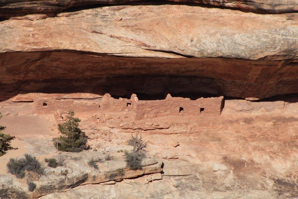
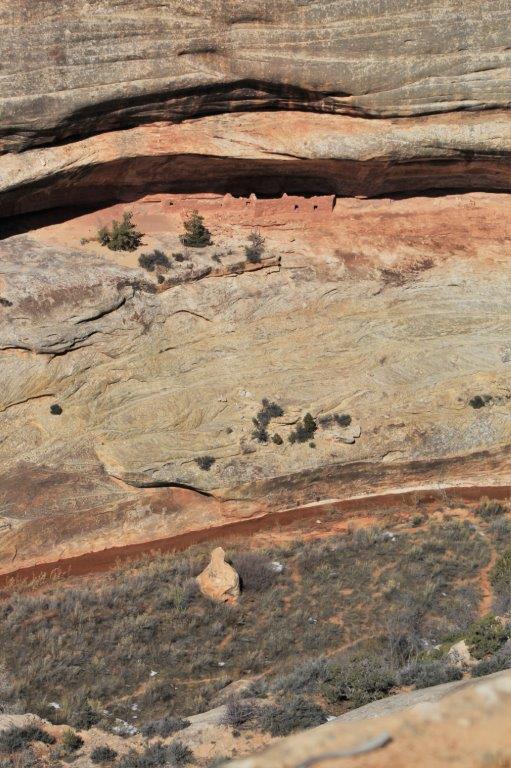
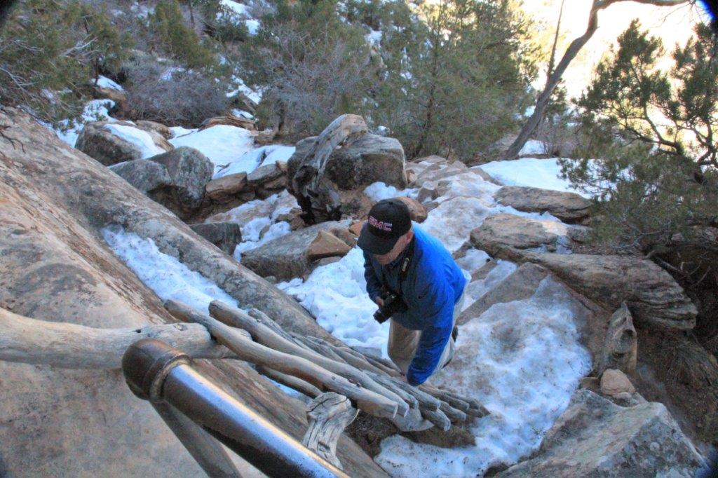 There is also the ruins of a cliff dwelling here so we walked the trail down to the viewpoint to see it.
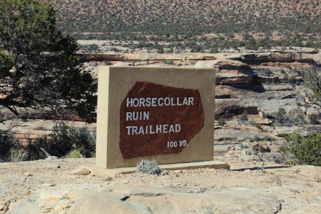

 A sun bonnet? A UFO?
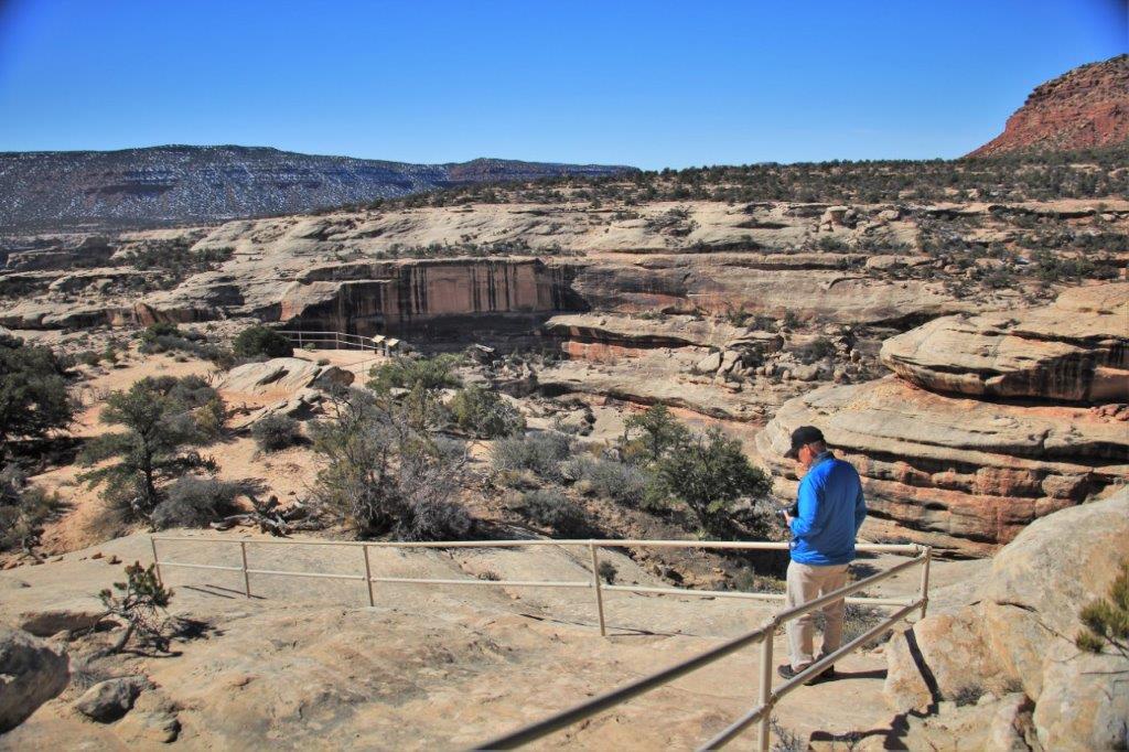


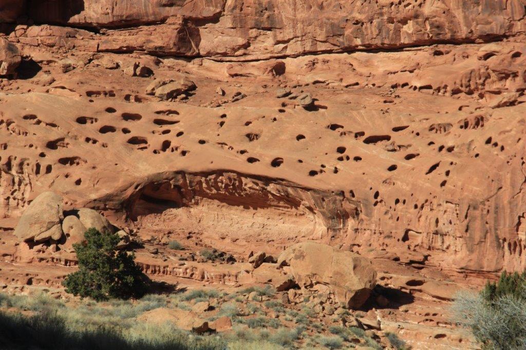
 As usual the dwelling is in a crevass high up from the canyon floor and way down from the canyon rim.
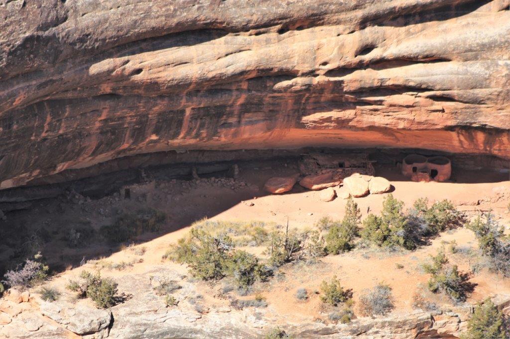
Can you see the bear?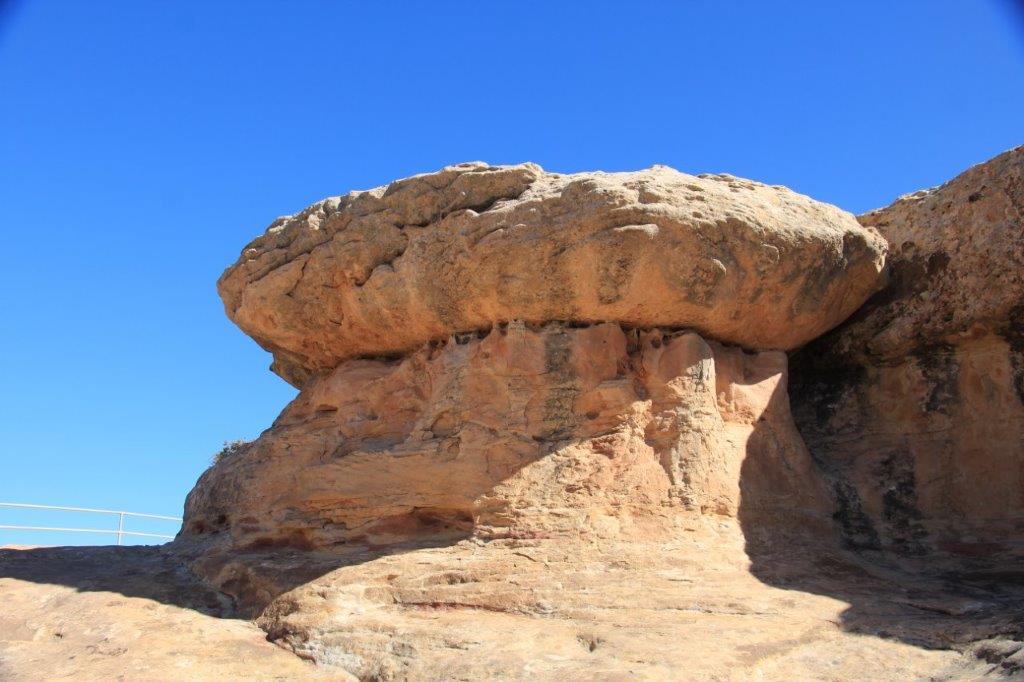
 We read the trail description and didn’t even think about attempting this one. I really wanted to walk under one of the bridges so I was now hoping that the last one would be a bit more accessible than the first two. It would be much smarter to try these in the spring.


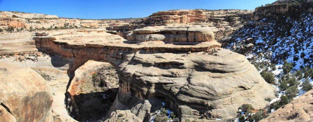
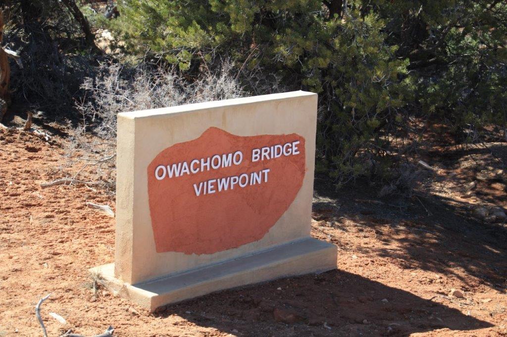
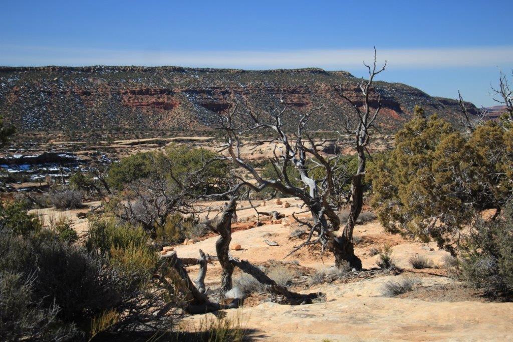
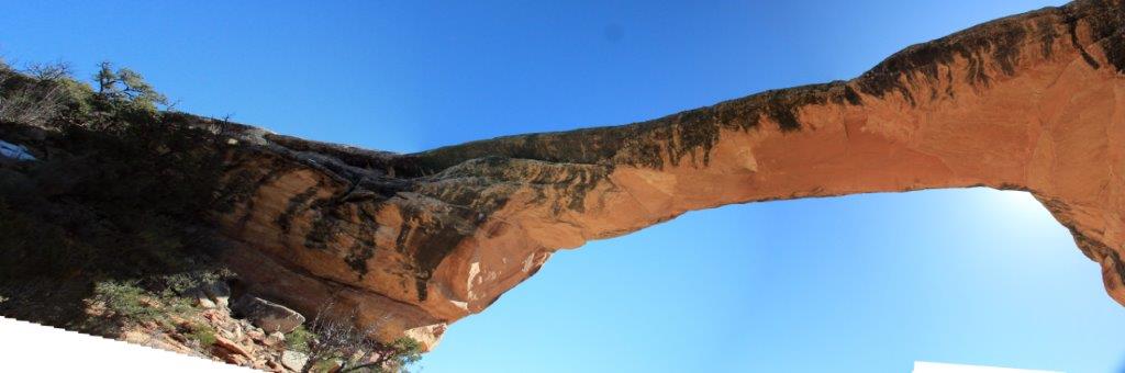
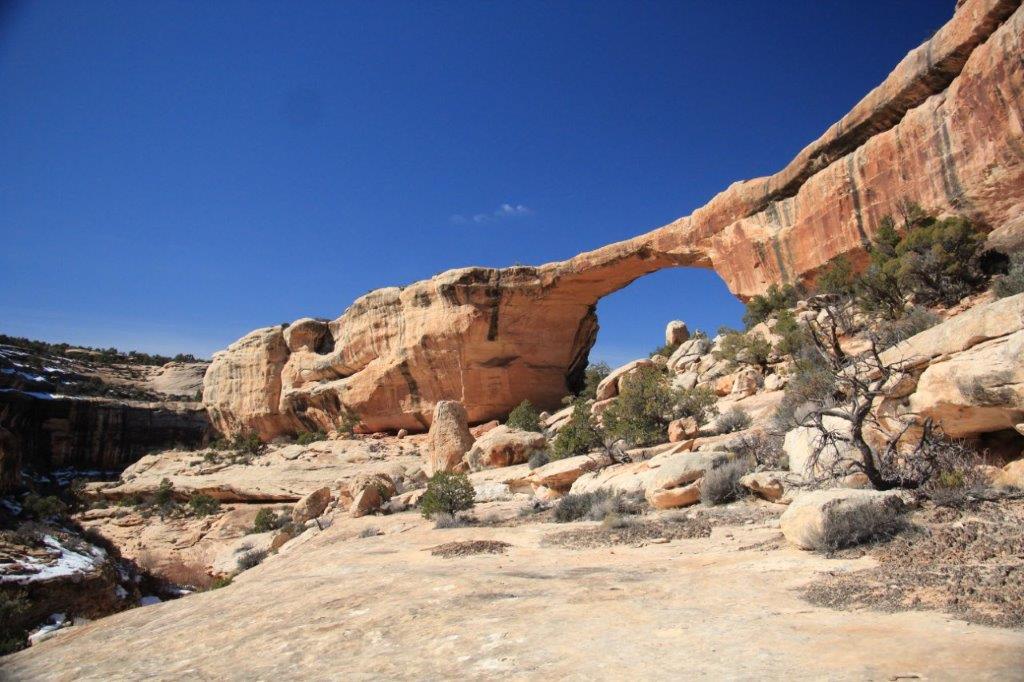
 The last bridge is Owachomo and it is the easiest to walk to. Yea! Off we went.
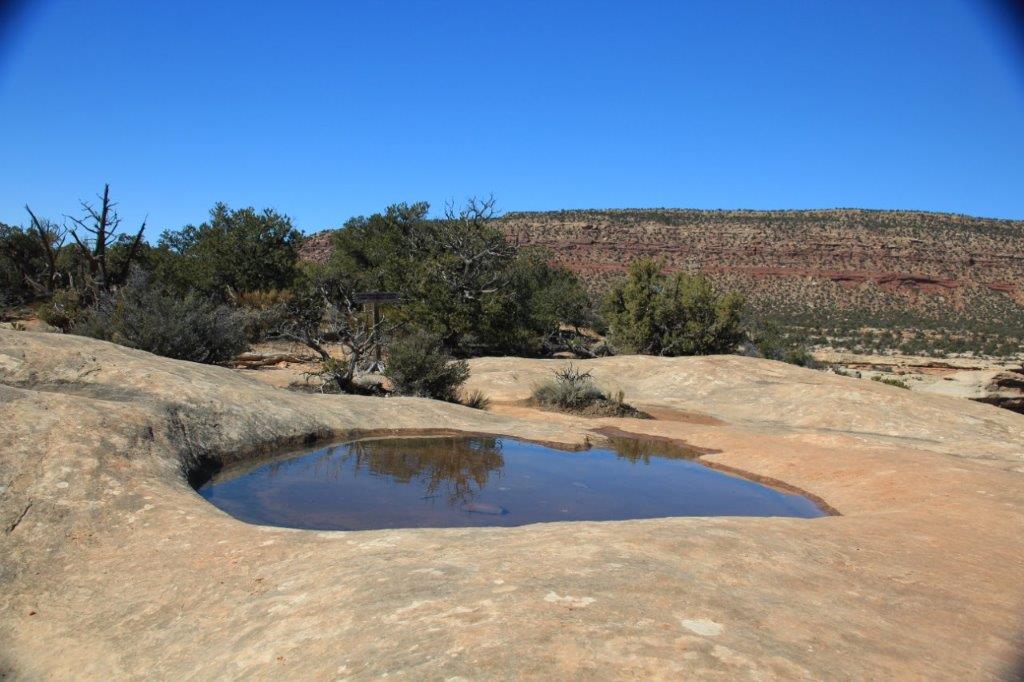
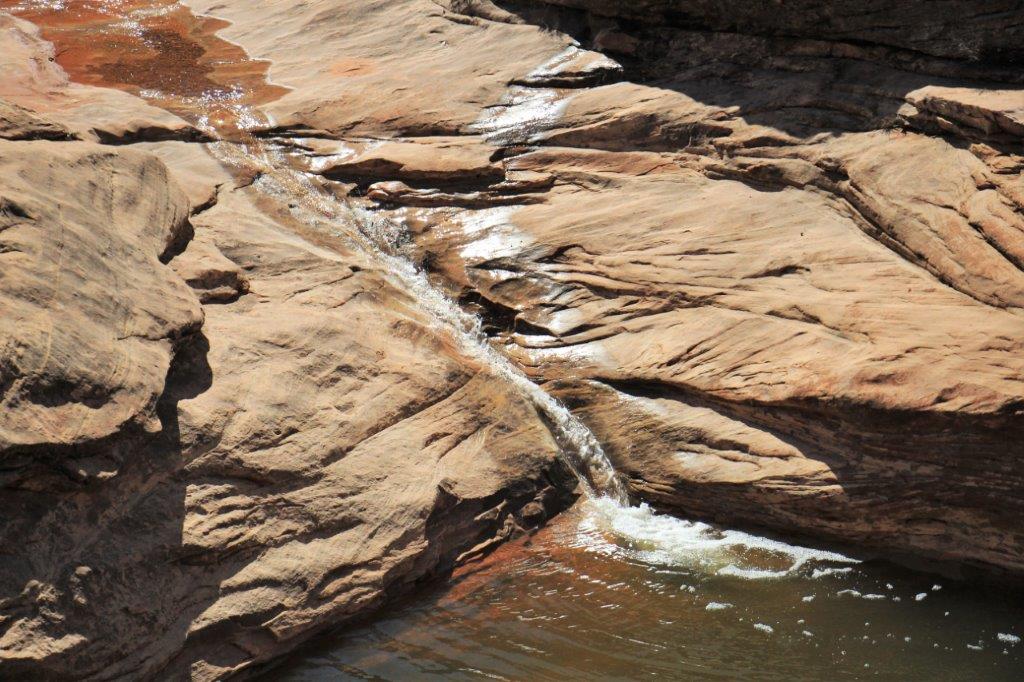
 We walked under the bridge and around these big rocks and discovered a double-spring-fed pool.
 The bridge looks nicer from the back, I think.
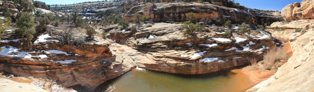
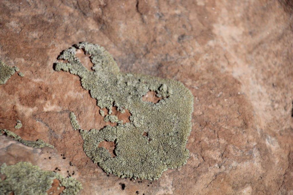
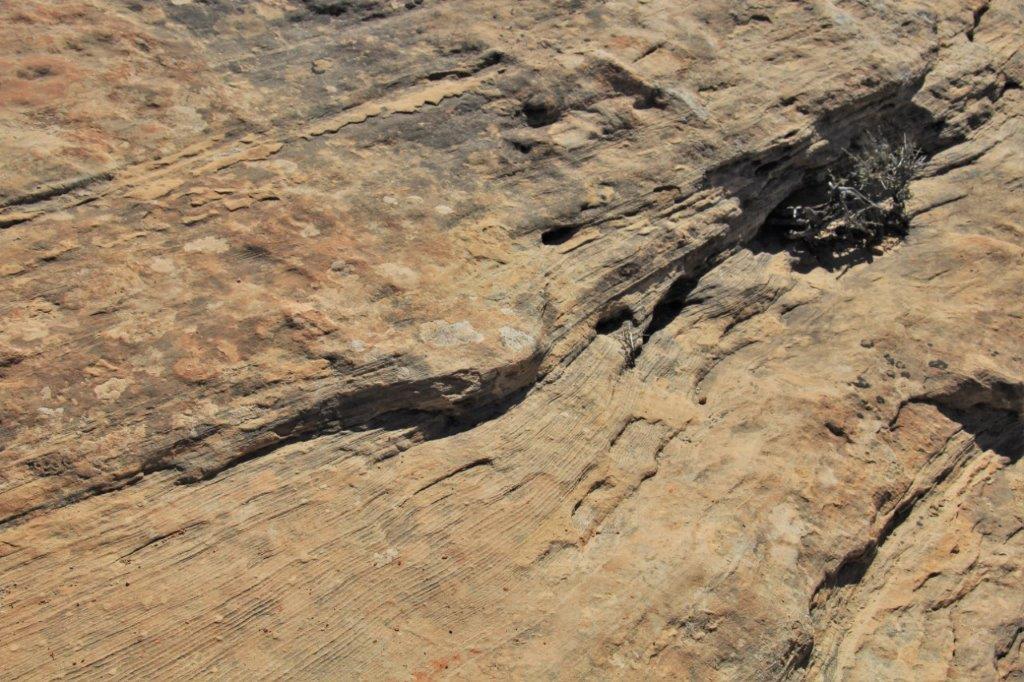
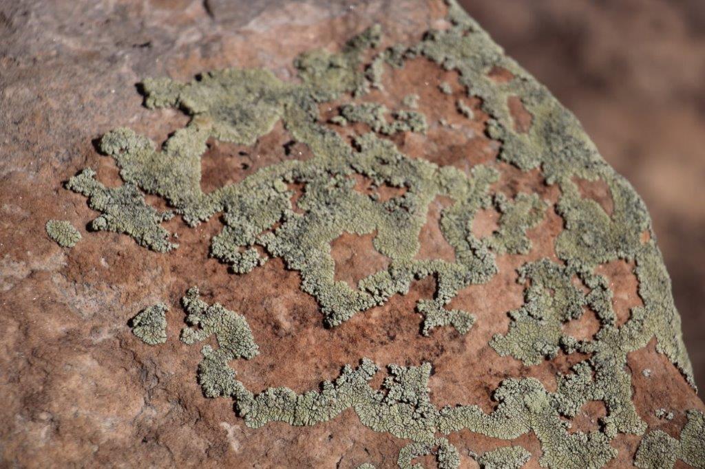 Lichen on the rocks.
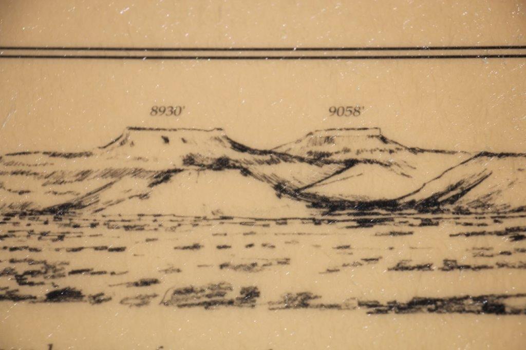
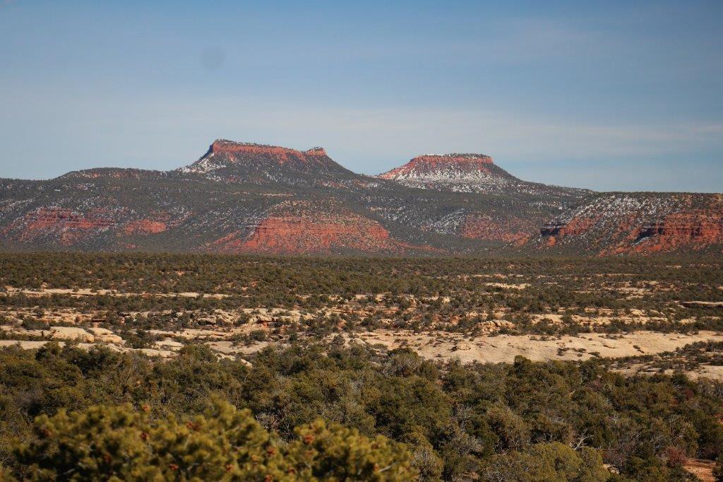
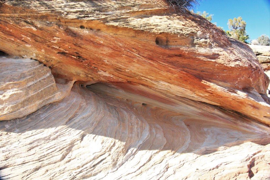 After we returned from under the bridge we had some lunch and completed the loop. The ranger at the Visitor’s Center had told us this Indian story to explain the twin bluffs on the mesa top.
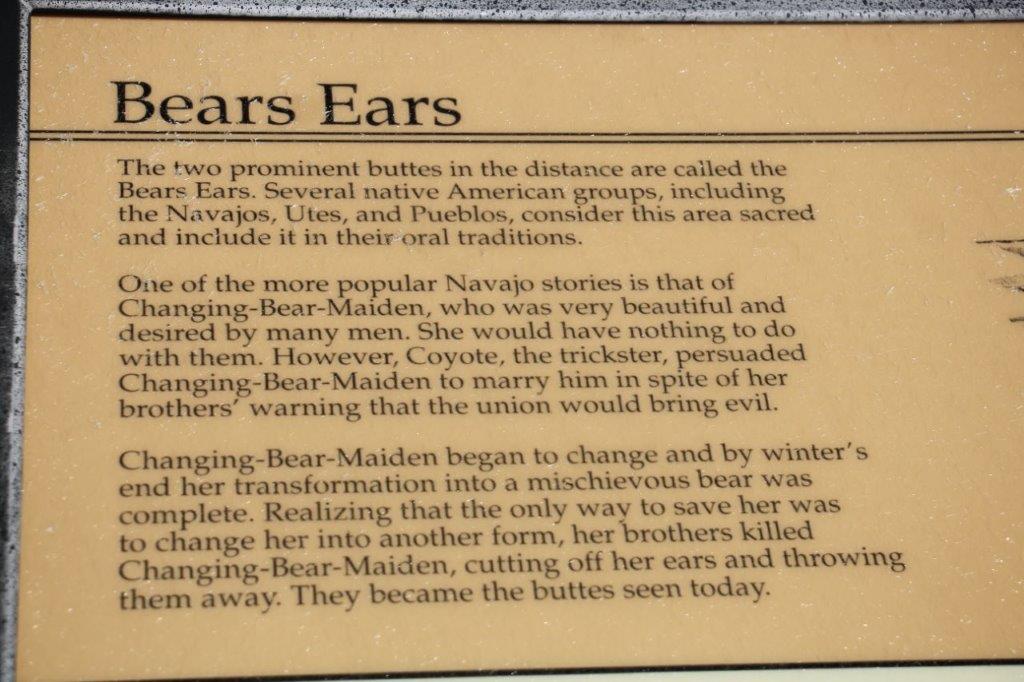

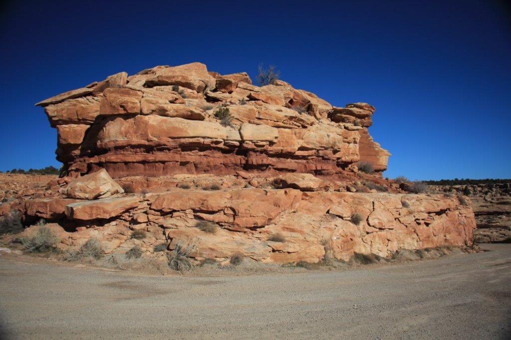
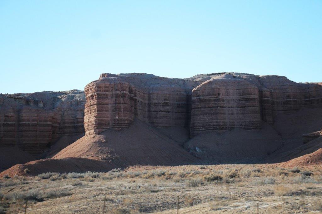
 This is called the Cheese Box.
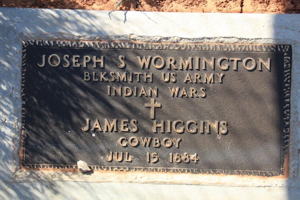
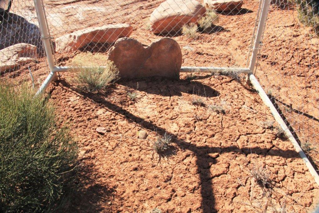
We left Natural Bridges at 2 o’clock and headed for Richfield, over 250 miles away. There was a notice of an historical marker on the highway near the end of White Canyon so we pulled in and found this big sign and a fenced grave. The view was nice a bit further behind this area. 
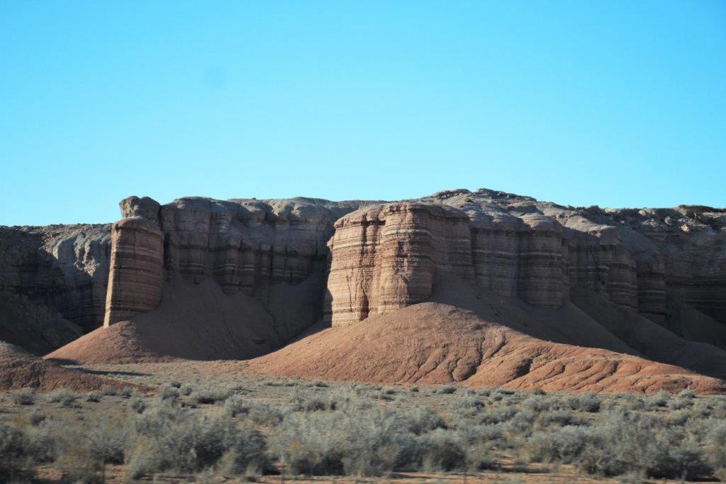
 This distinctive formation is called Jacob’s Chair.
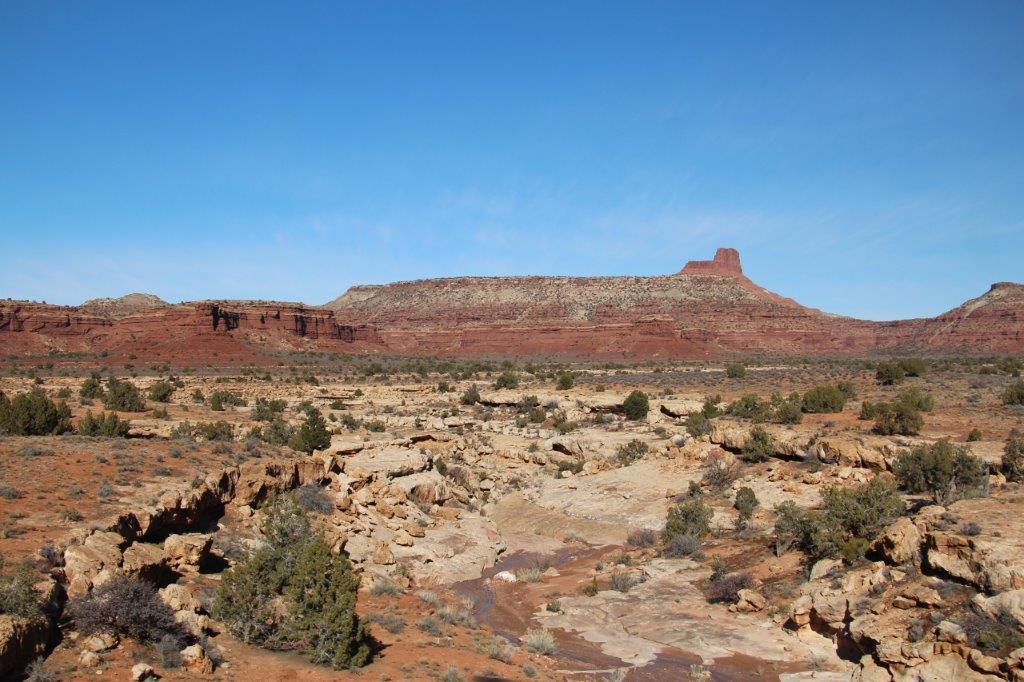
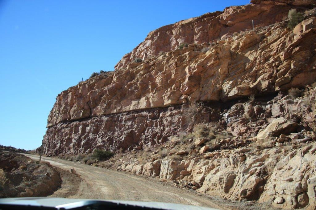
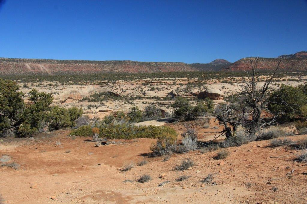
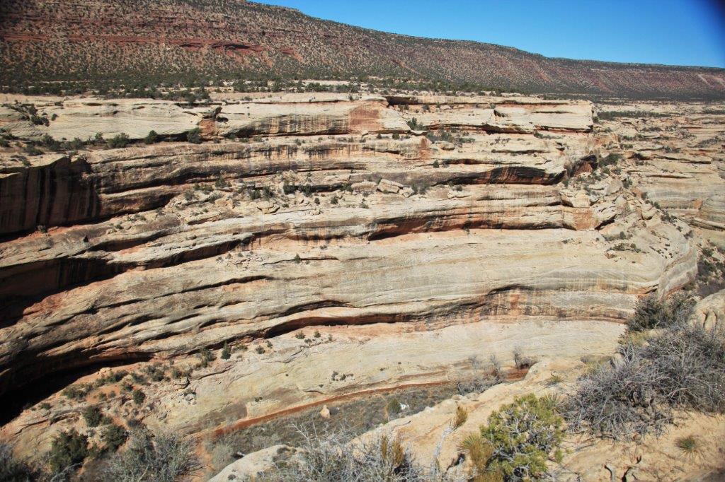
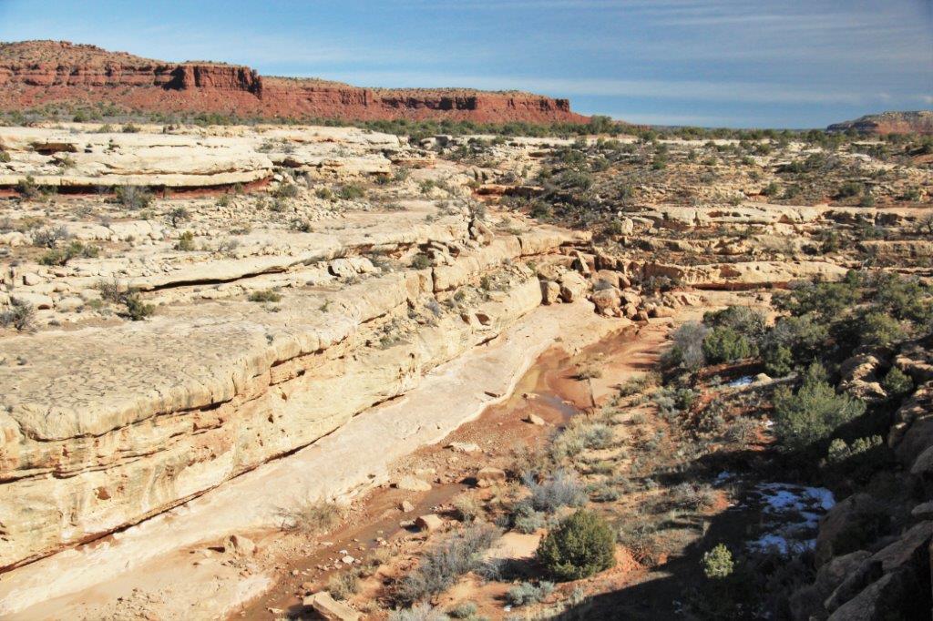
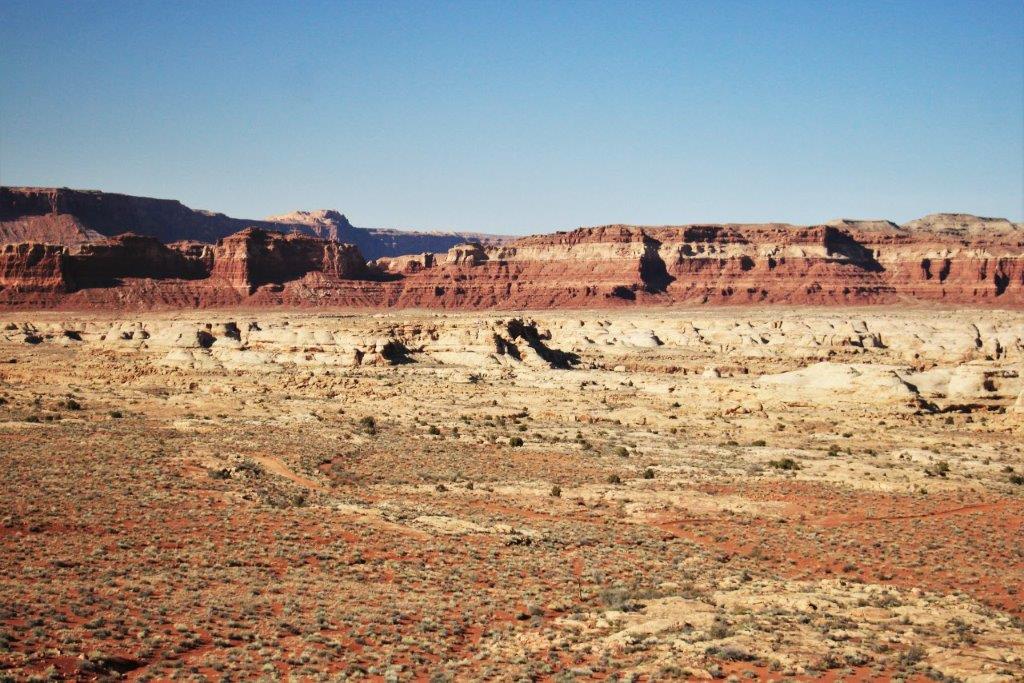
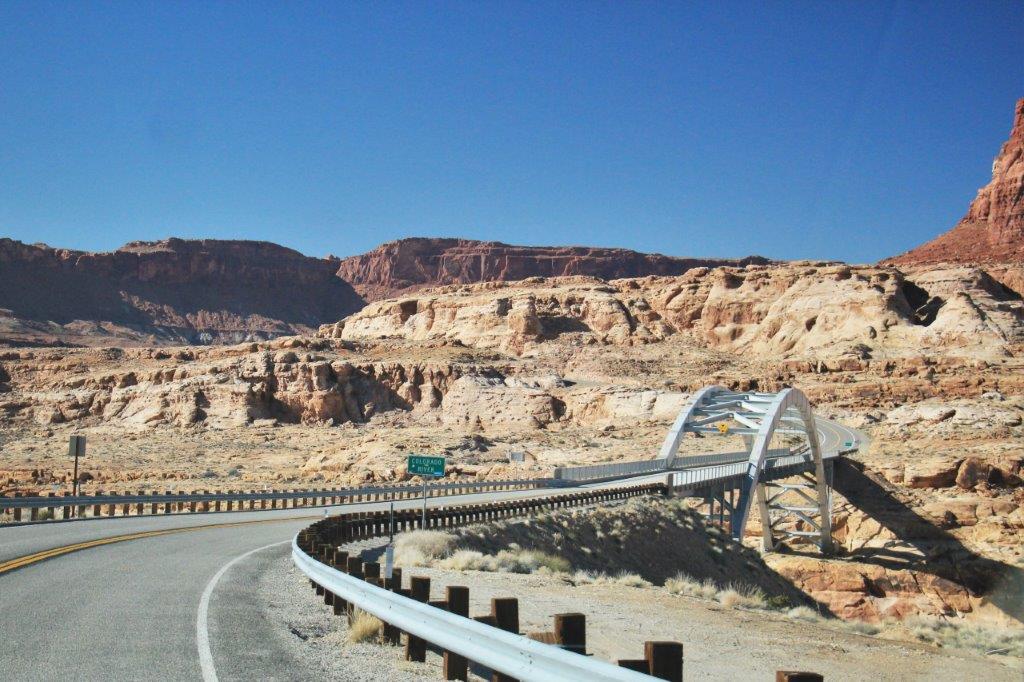
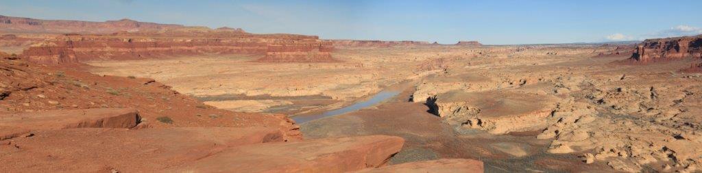
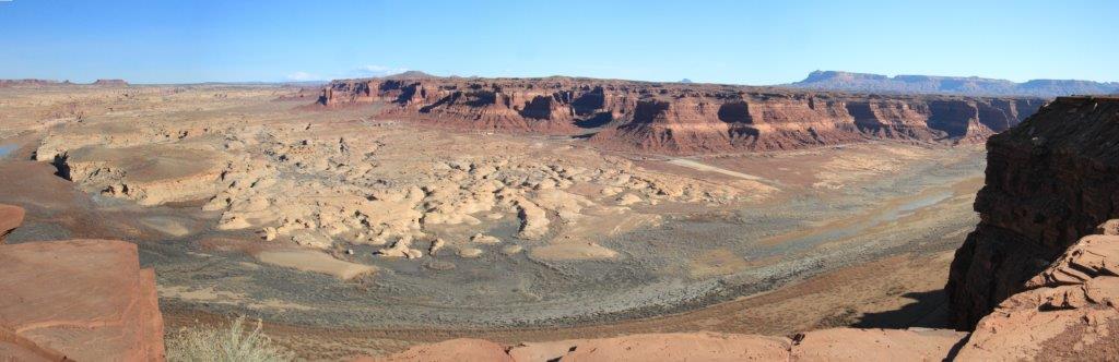
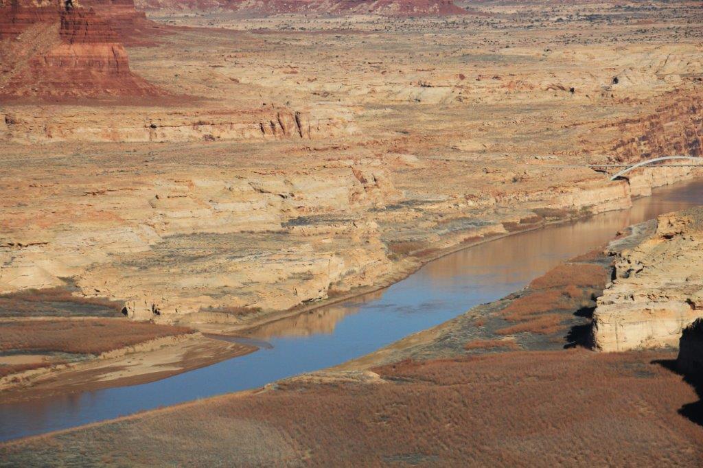
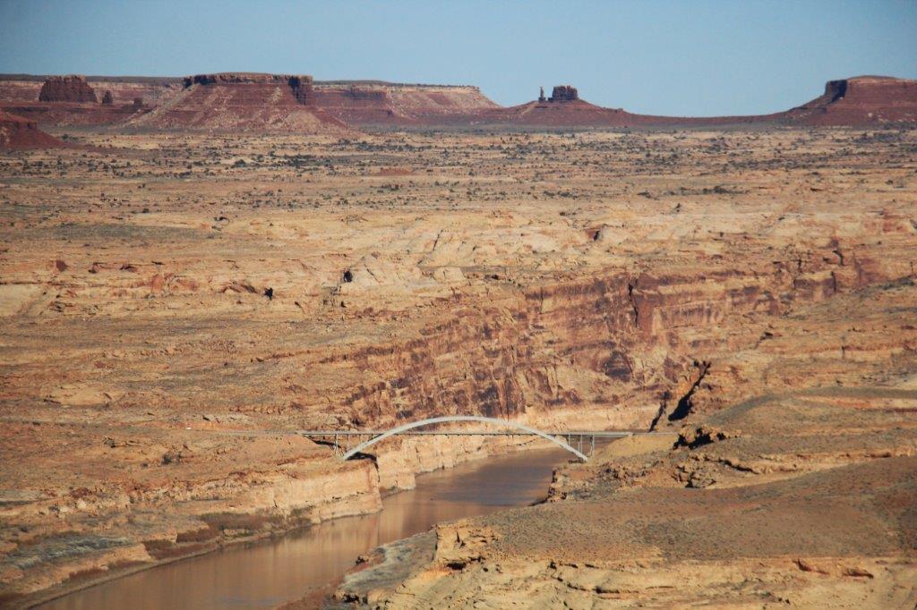
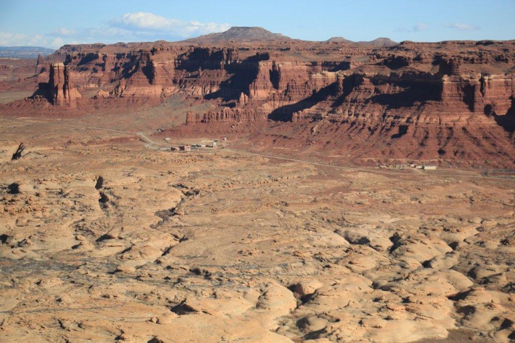
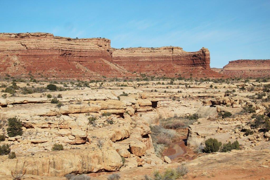 We drove along the edge of White Canyon for about 25 miles and then crossed the bridge at the end of Glen Canyon where it meets Cataract Canyon. Those cliffs branch out in all directions. Every time we turned a corner there was an arm of the canyon. It was incredible. Hard to get a photo of though because it was usually aways from the road and there are so many shelves and ledges it is hard to distinguish all the twist, turns and angles.
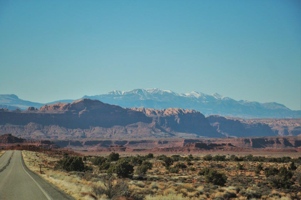

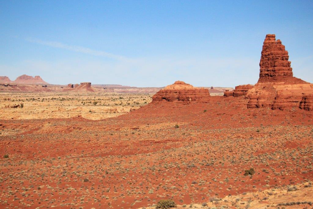
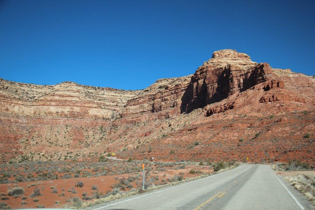
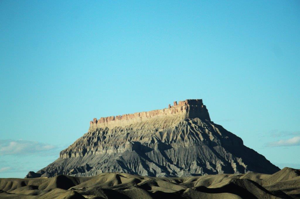
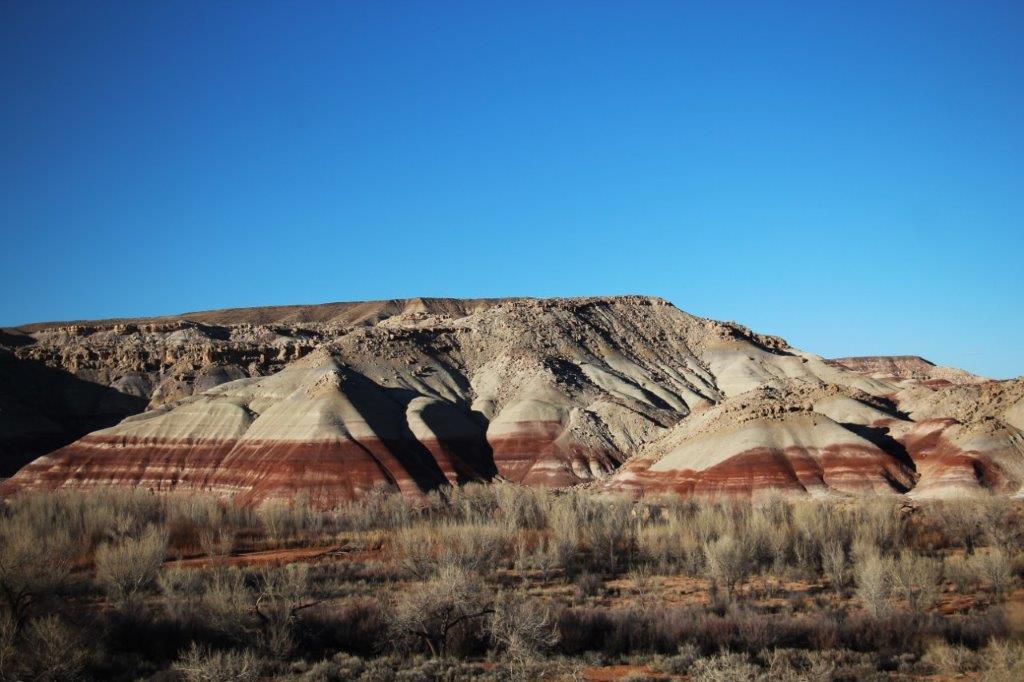
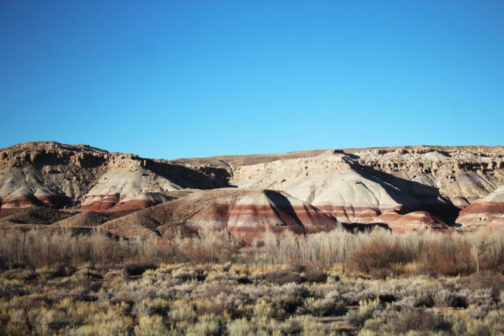
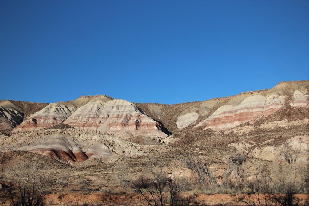
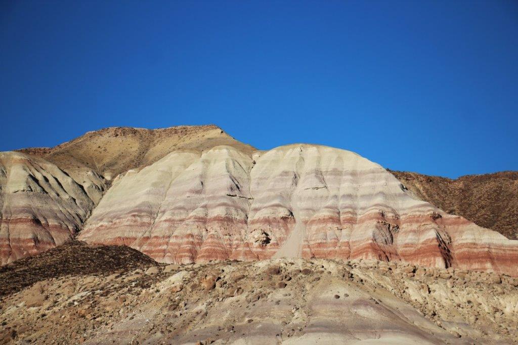
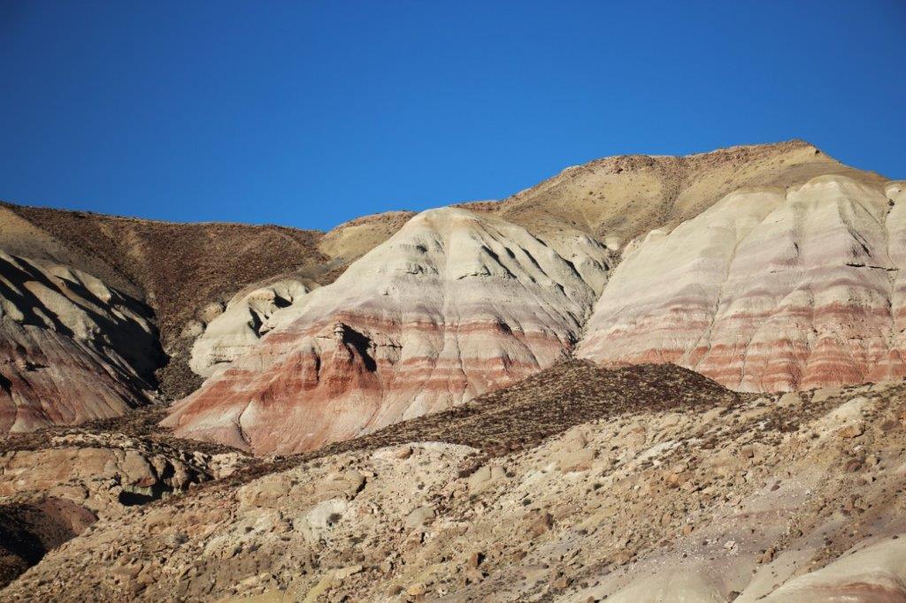
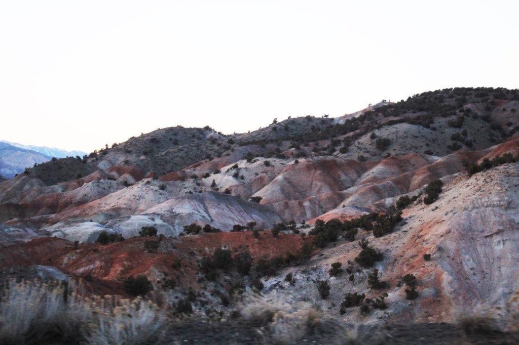
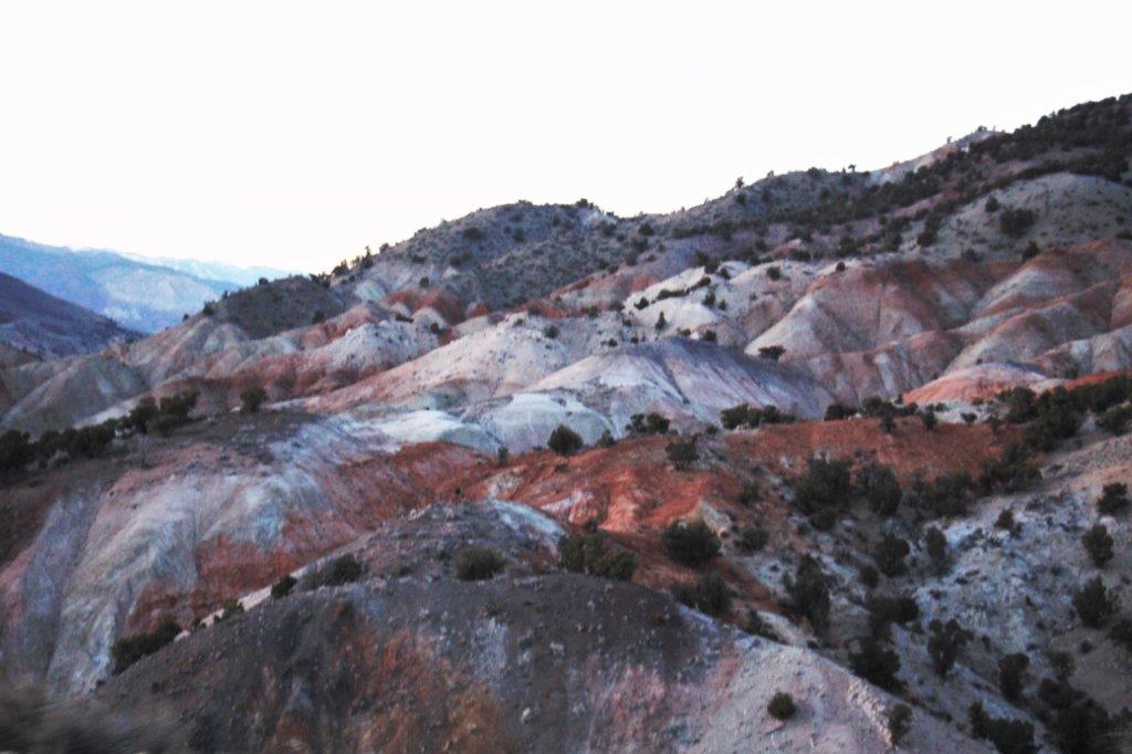
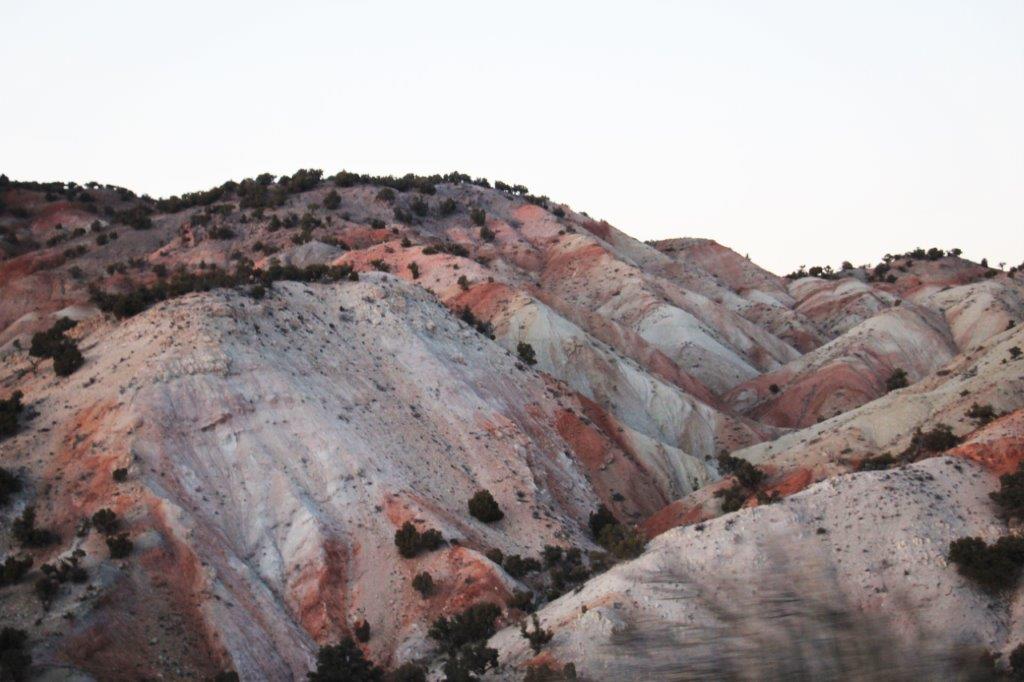
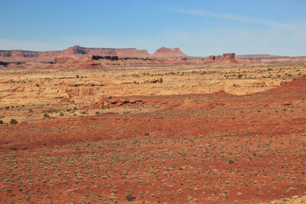 Have I mentioned that I love Utah! The colours and shapes of rocks and bluffs and cliffs and buttes are neverending. It is great.
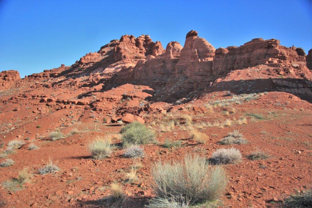
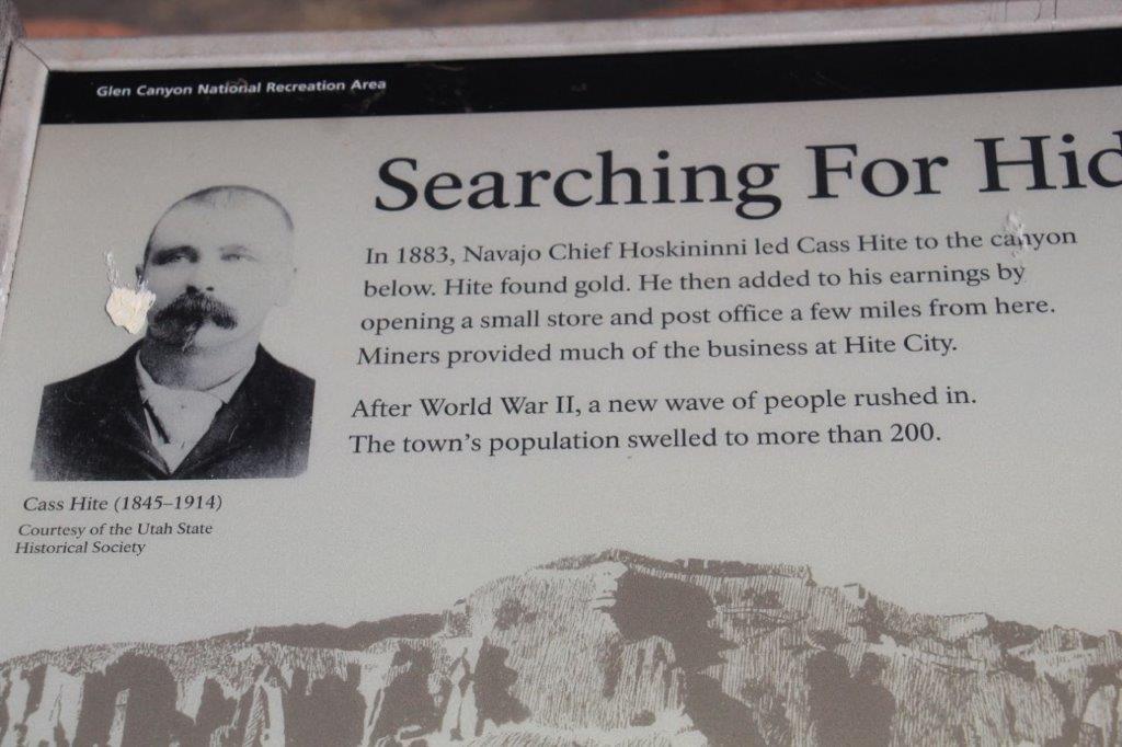
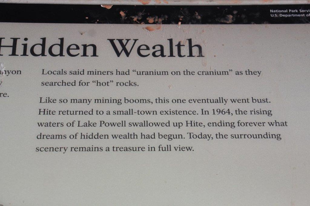
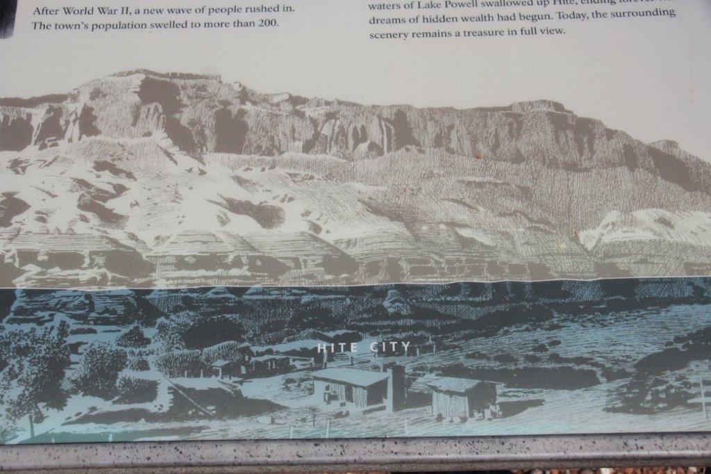
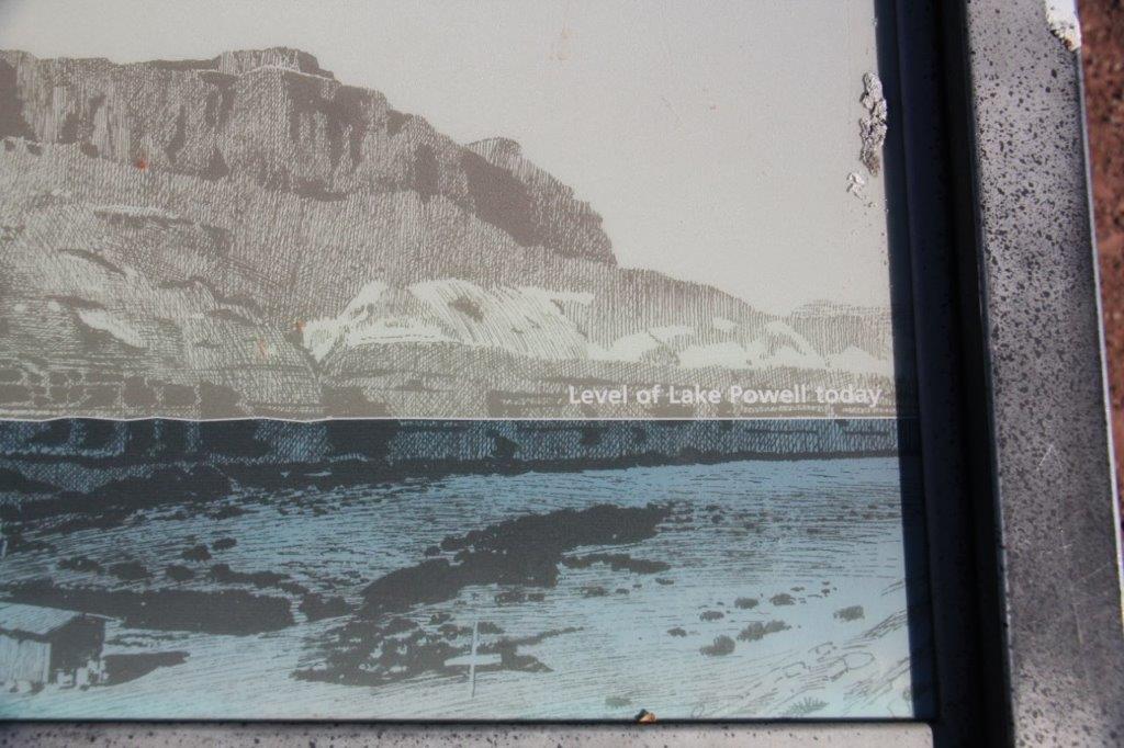
 We stopped at Hite Viewpoint to learn that the town had been moved because the damming of the Colorado River covered the original town and created Lake Powell.

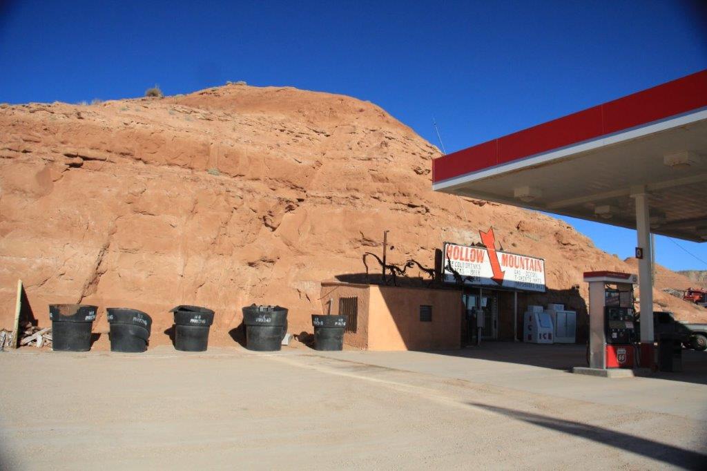
 We stopped at Hollow Mountain in Hanksville for some gas. The store and restrooms and storage areas are cut deep into solid rock. Reminded me of our hotel in Coober Peedy where they dig the opal mines in Australia.

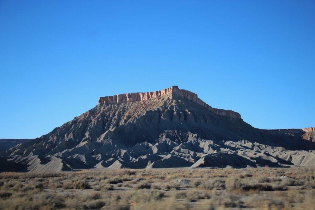
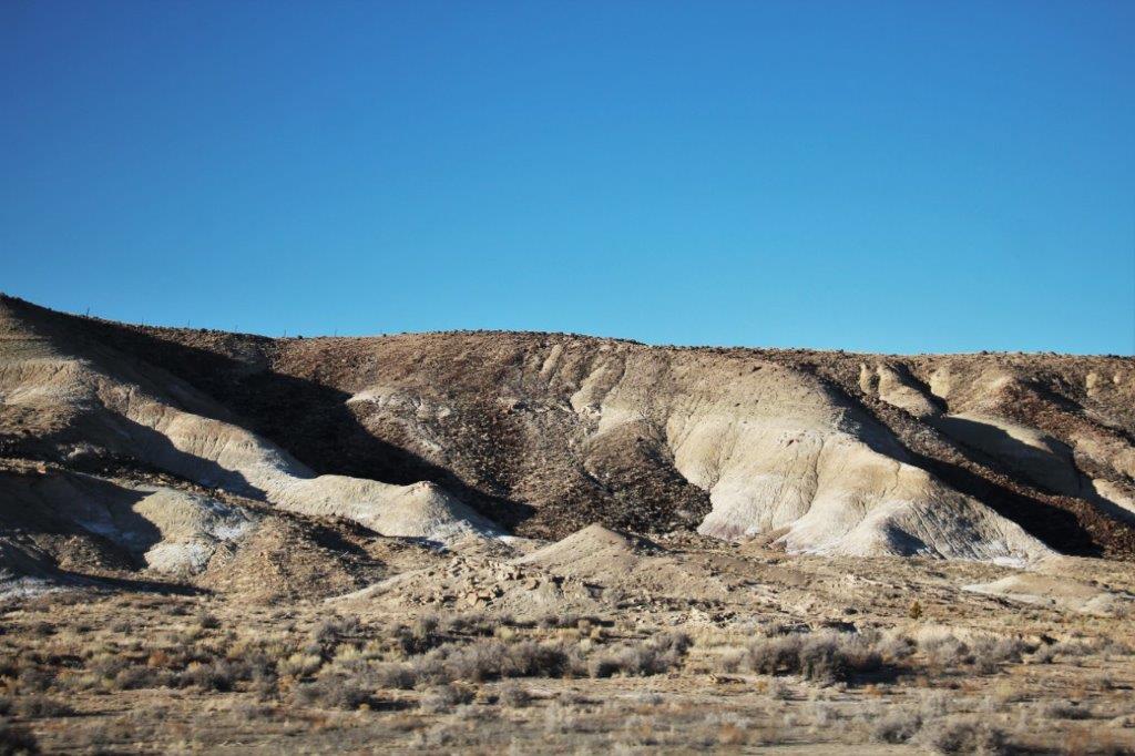
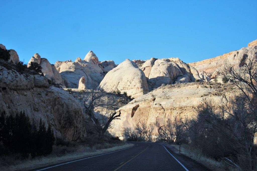
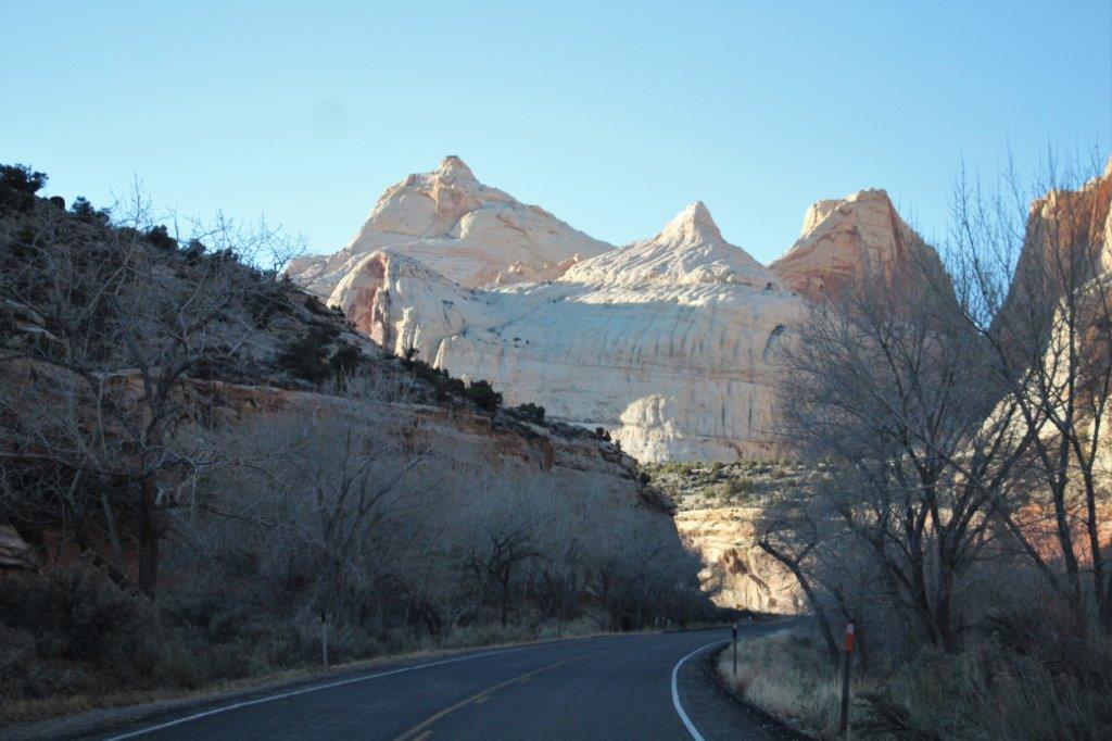
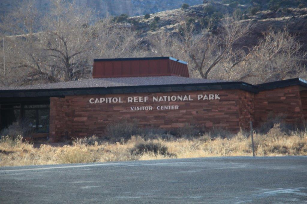
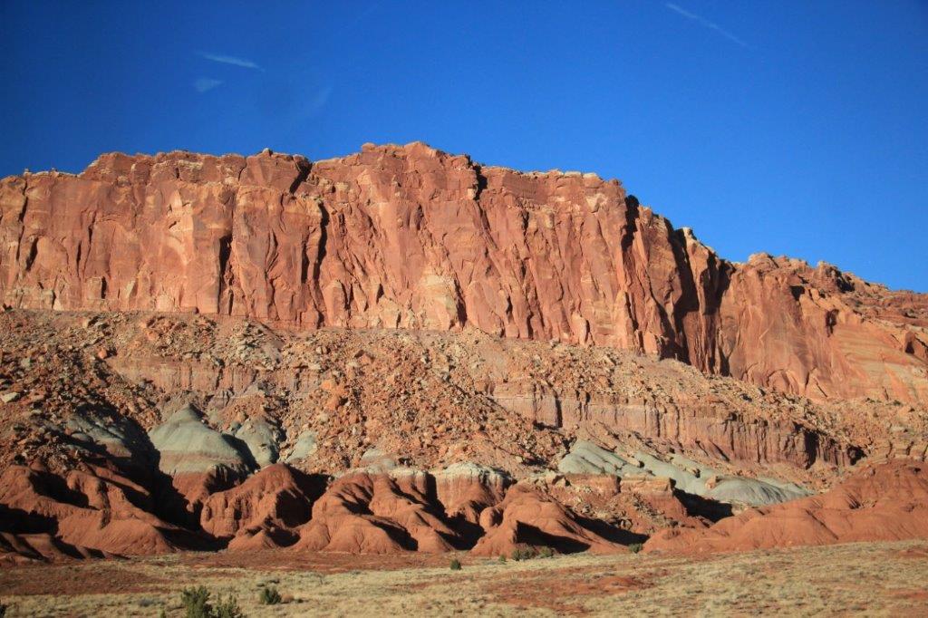
 From Hanksville going west on Highway 50 we entered Capital Reef National Park. We had explored this park when we came down here in 2012 so I was good and didn’t ask John to stop anywhere. I just snapped lots photos out the car window.


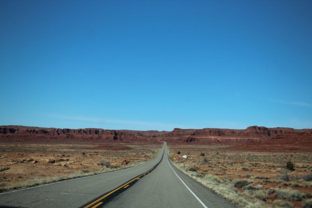
 From the western boundary of Capital Reef it is 63 miles to Richfield. We drove down the hill and into town at 6:30. It was along day.


 But another good one.