Day 40 – February 19 – Durango, CO to Bluff, UT – Mesa Verde
When we decided to take a road trip after our three-week stay in Carlsbad, CA I immediately wanted to see some of the National Parks in the southwest; particularly Joshua Tree, Death Valley, Petrifed Forest and Mesa Verde.
I checked the US National Parks website for each park to be sure they were open. I did not go in-depth into each site at the time. A couple of days ago I ventured further into the Mesa Verde page and learned that the cliff dwelling I really wanted to see was by ticket only (that was okay) but it was only open for guided tours from May to September! Bummer. That information would have been good to know on the front page.
I was quite disappointed but, as we know, there are more than the one thing you know about in a park so we decided to stop in and see what we were able to see. We had a great day! And I took almost 600 photos! And Cliff Palace, the cliff dwelling I wanted to see was visible from two different viewpoints. We were not able to go through it but that was okay. I wanted to see it and I did – twice. I am easily satisfied….
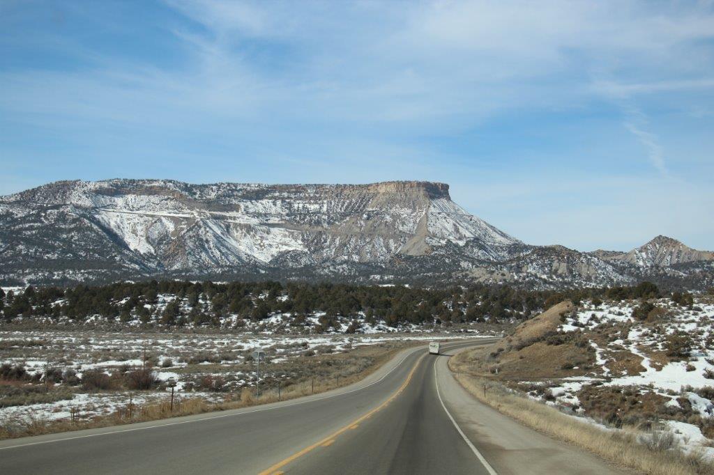
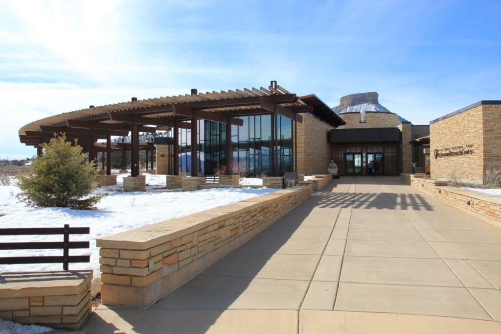
We left Durango at 10 and drove the 20-odd miles to the Visitor’s Center at Mesa Verde National Park. We picked up a couple of booklets for the self-guided tours, spoke about where we would be able to go in the park and set off about 11:15.


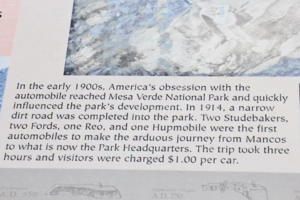
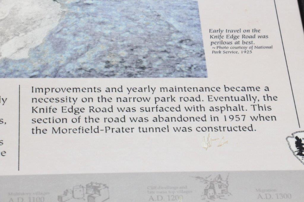
 As has been normal of late I am going to let the US National Parks people pass along some information. Read or ignore as you please.
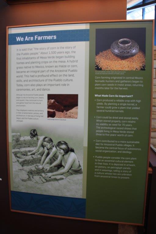
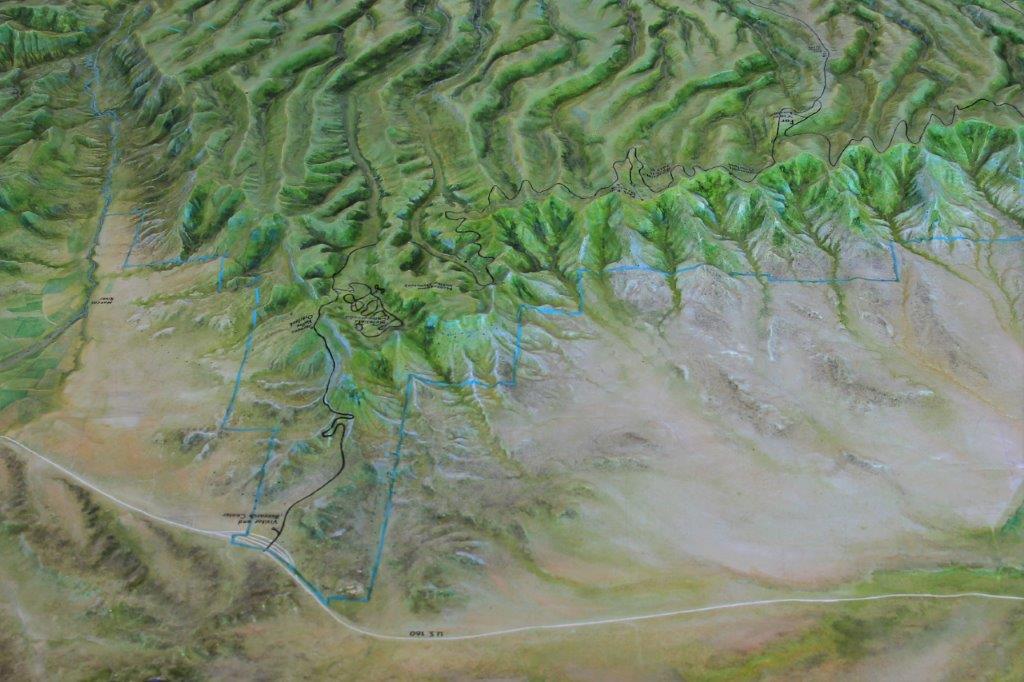
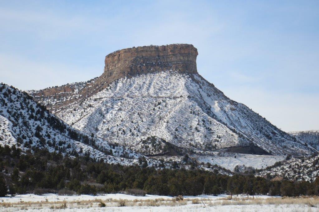
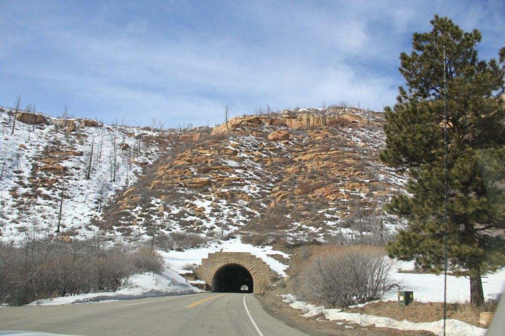
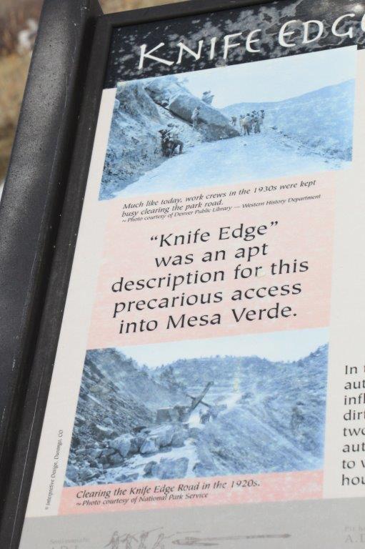
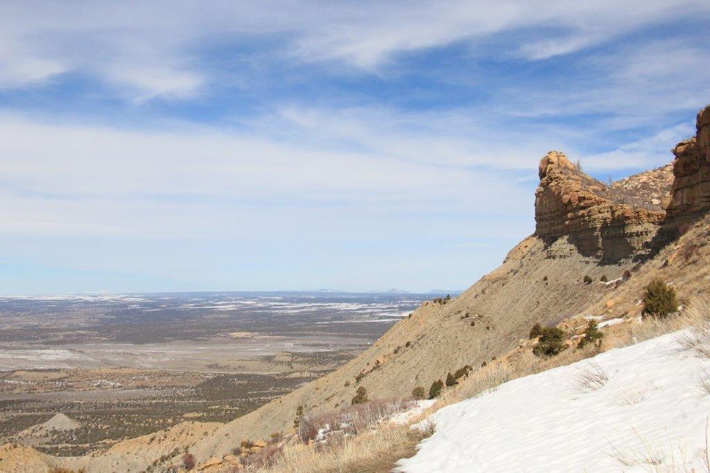
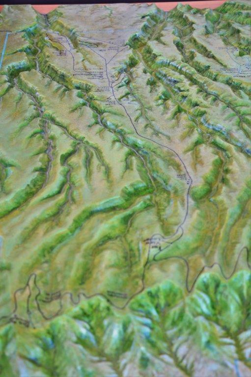 This isn’t too clear but in the Visitor’s Center there was a to-scale model of Mesa Verde Park with a black line showing the roads, some of which were closed for the winter. All the sights are at the TOP of the mesa. We drove up a steep winding road with sharp grades and many places there was no stopping and no parking due to the risk of falling rock. Our first stop was the Mancos Valley Overlook at 8572′ above sea level. The Visitor’s Center is at 2118′. That is quite a climb.
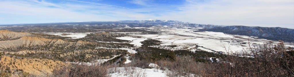 Mancos Valley Overlook.
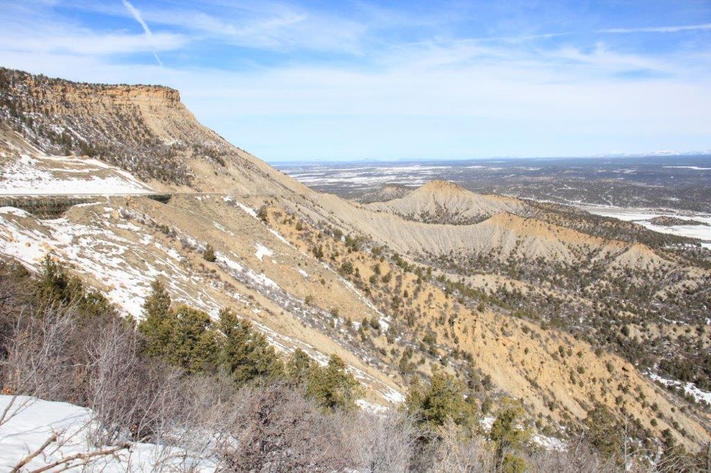

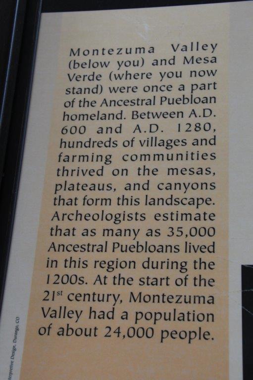
 The next viewpoint was called Montezuma Valley Overlook and it was on the opposite side of the mesa from Mancos Valley.
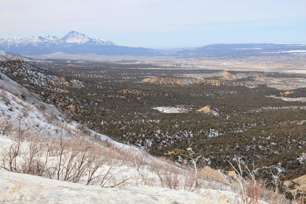
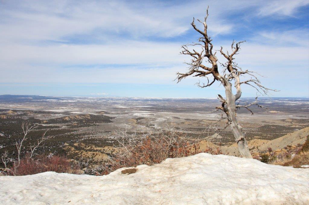
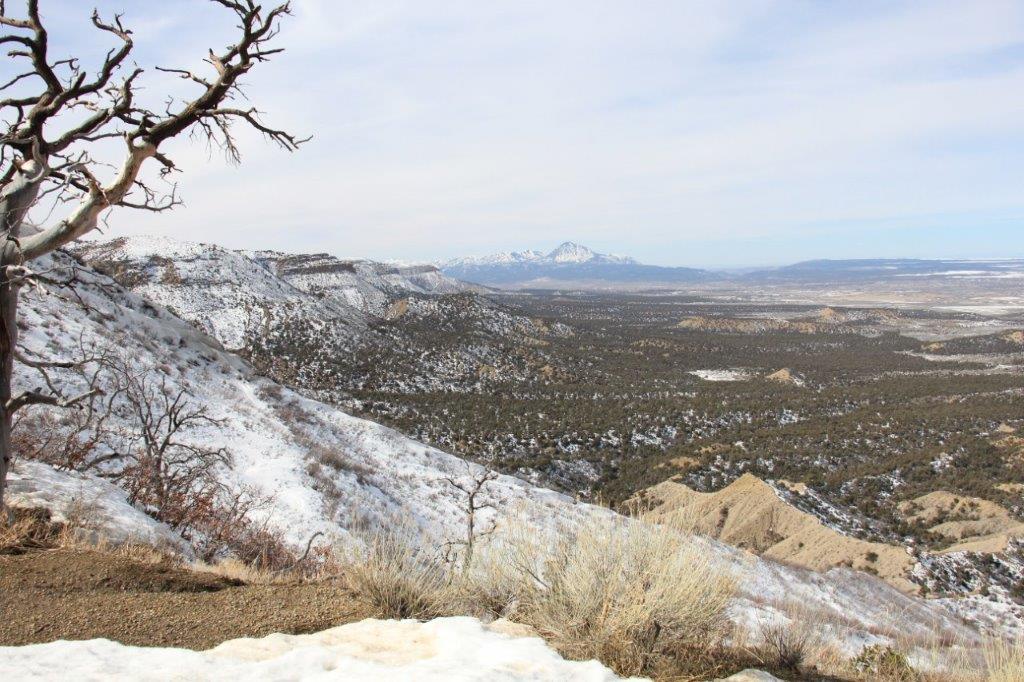
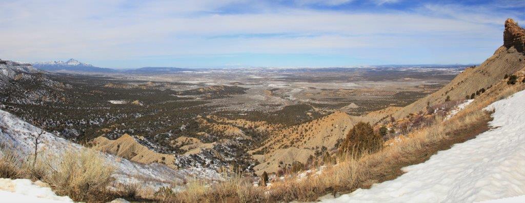
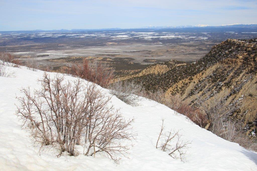
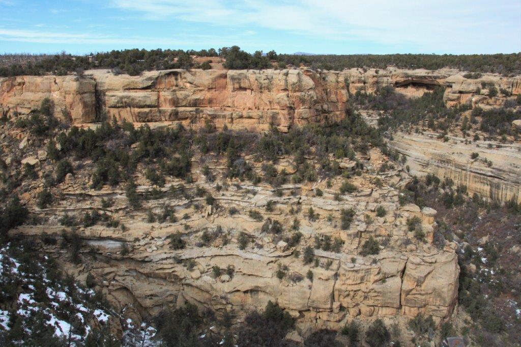
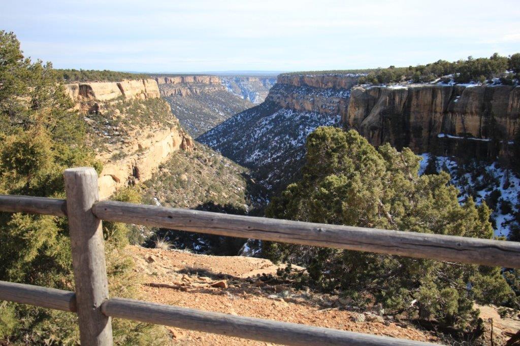
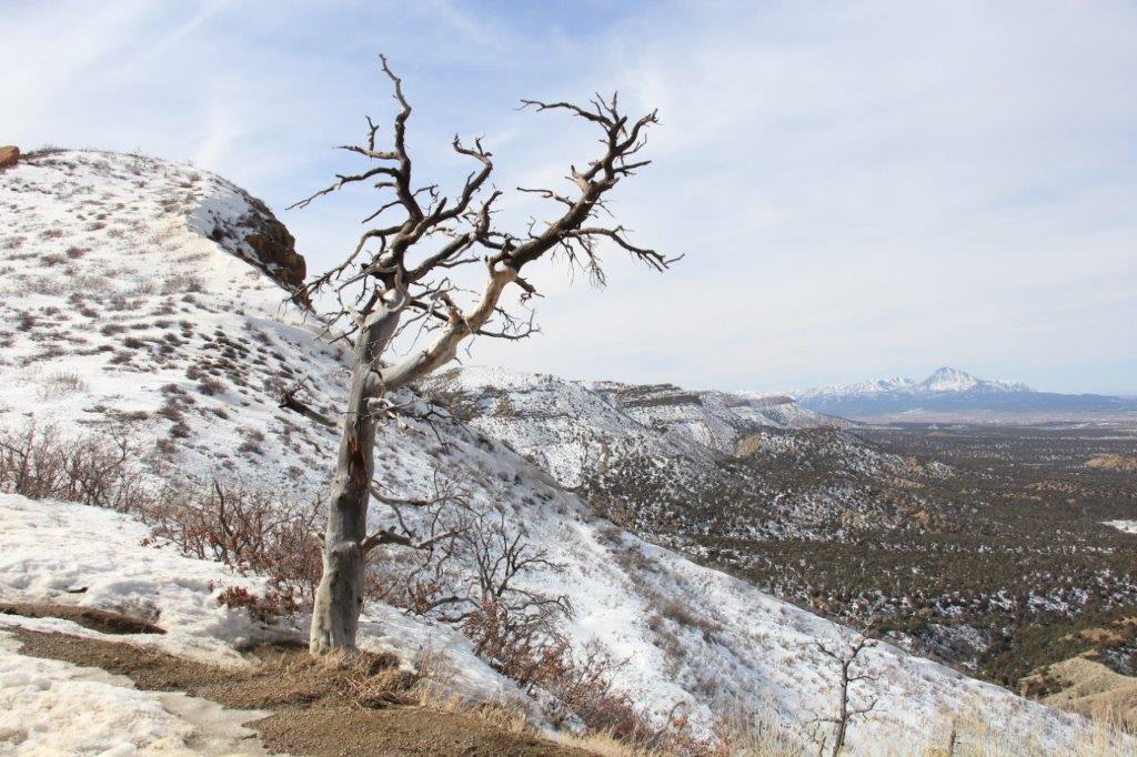 The scenery was pretty awesome!
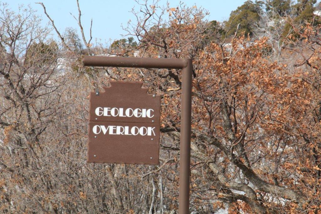
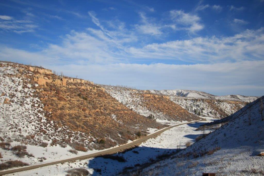
The Park Point Overlook was closed for the winter but a bit further up the road was the Geologic Overlook. 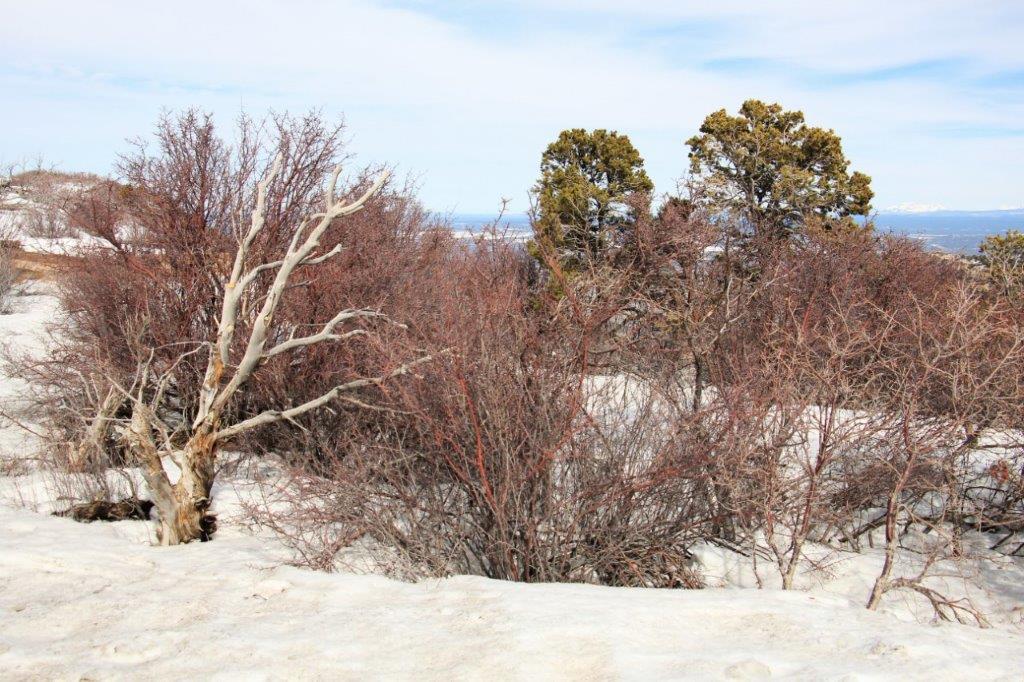

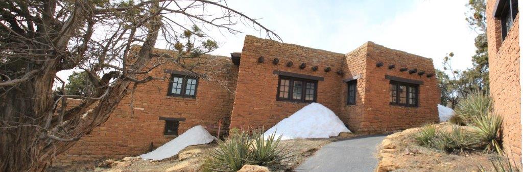
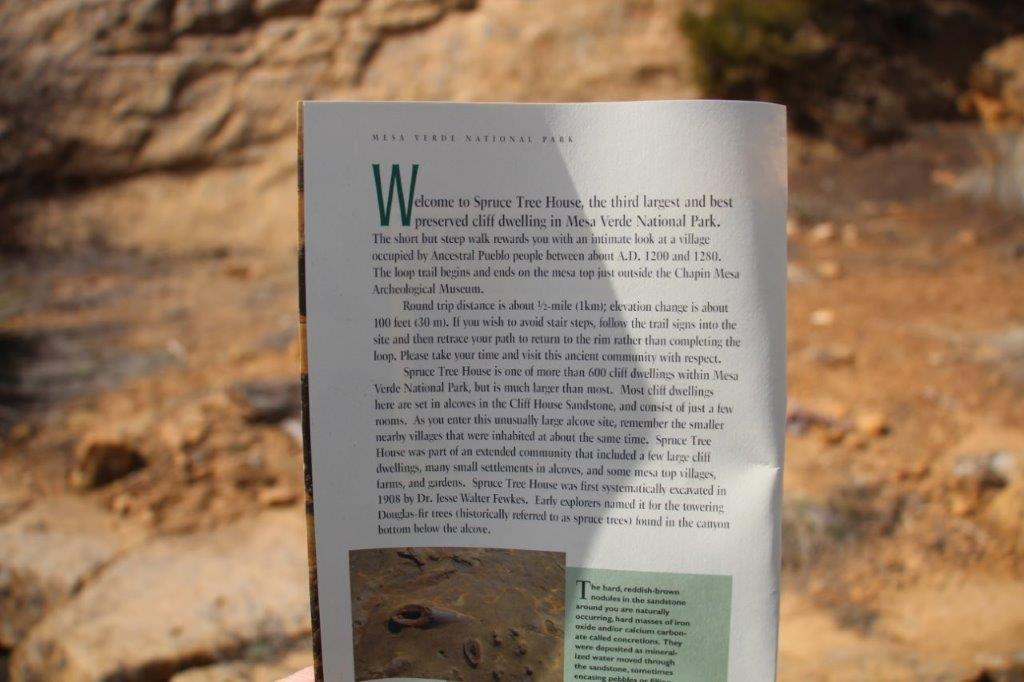
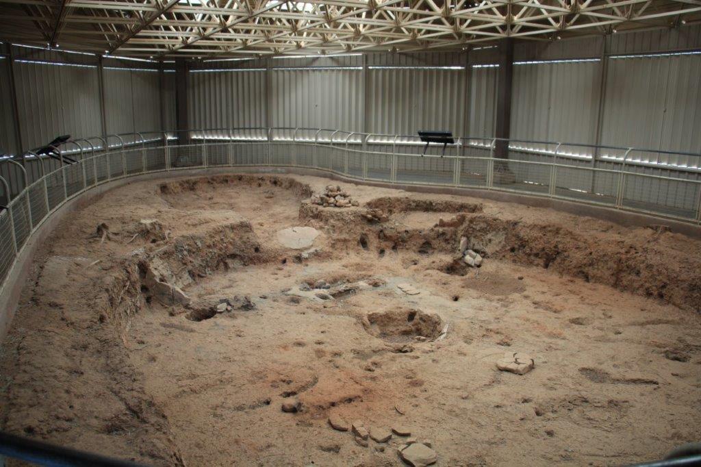
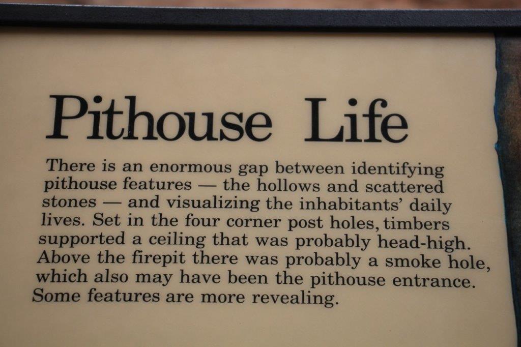
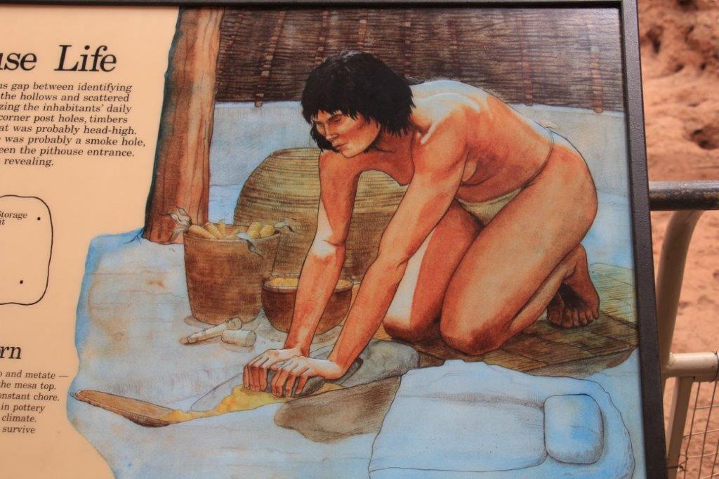
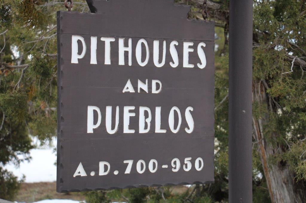
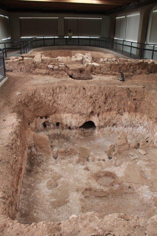
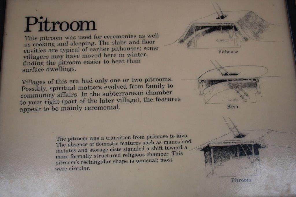
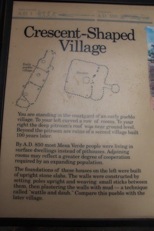
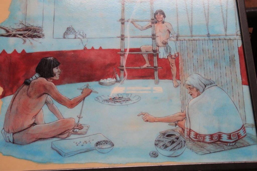
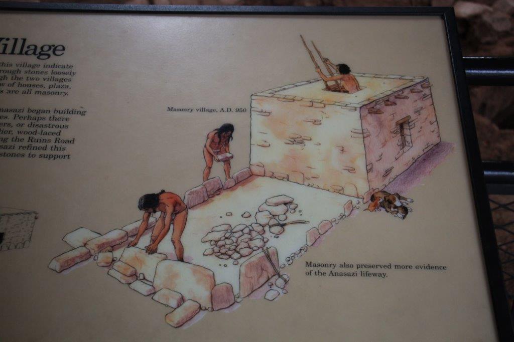
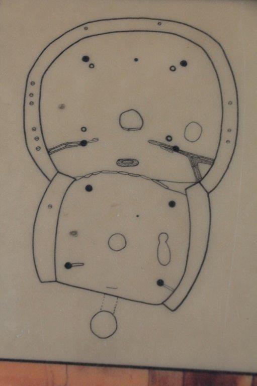
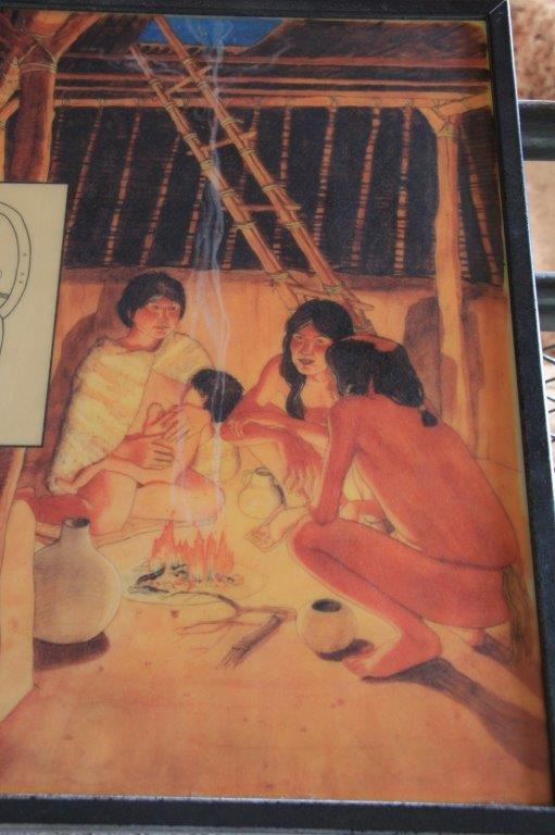
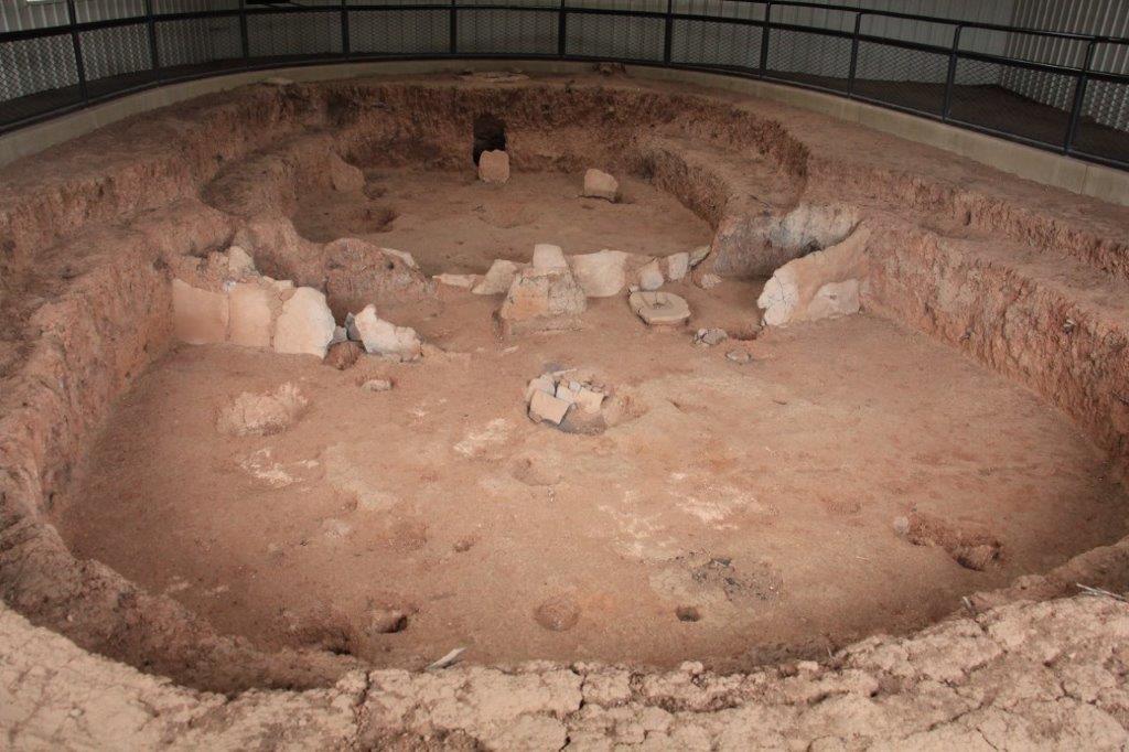
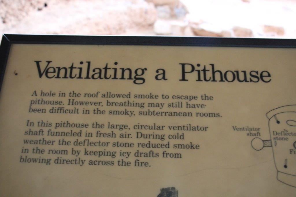
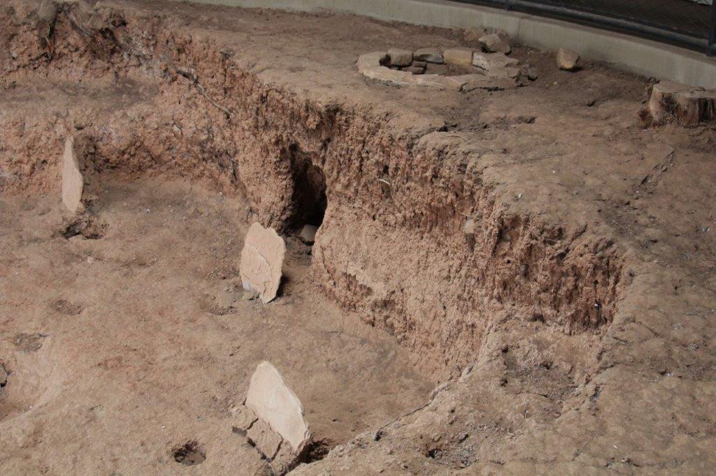
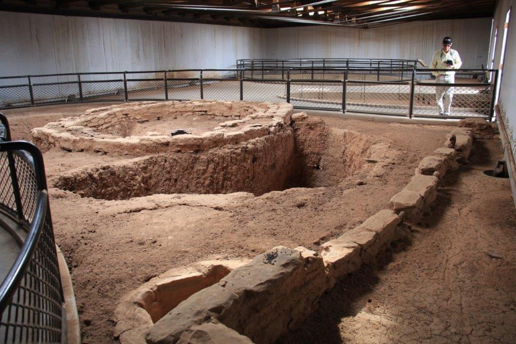
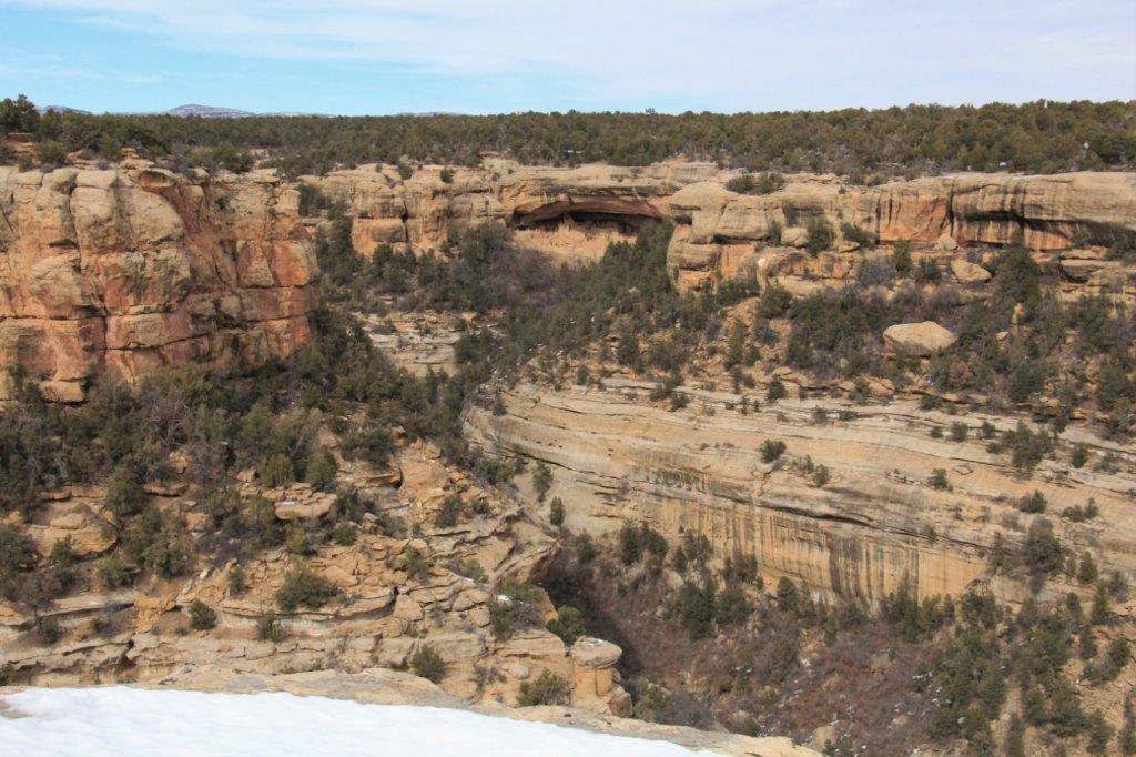
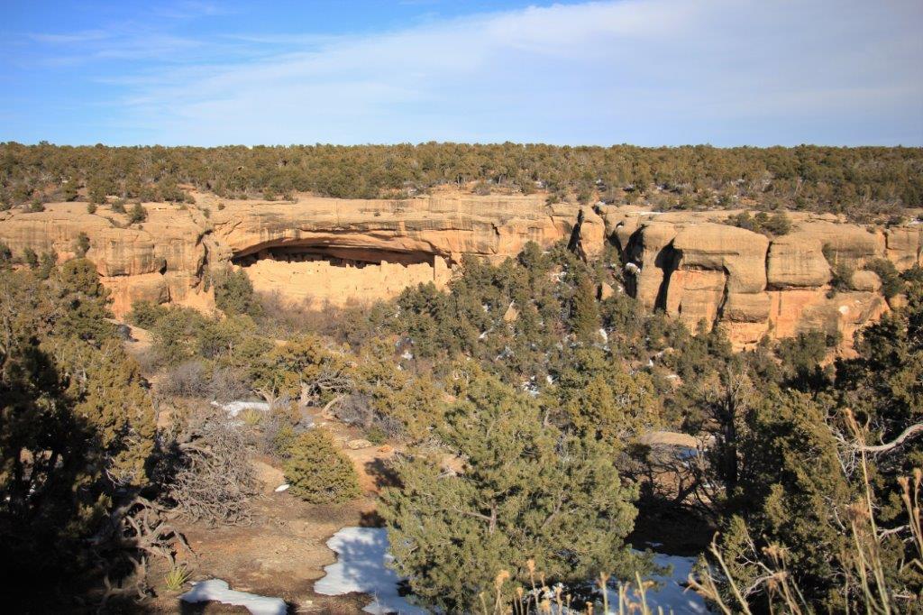
 We actually descended to 7000′ at the Chapin Mesa Archeological Museum where we could view Spruce Tree House and then drive the 6 mile Mesa Top Loop which has examples of the various types of dwellings used over 800 years by the Ancestral Pueblo people.
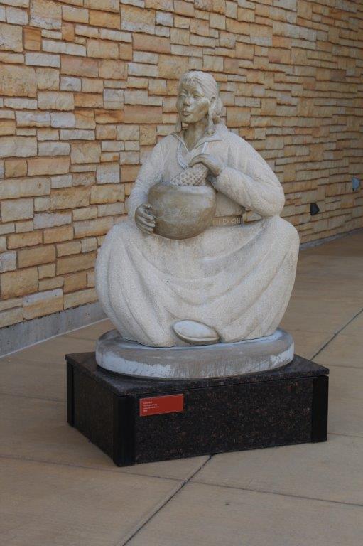
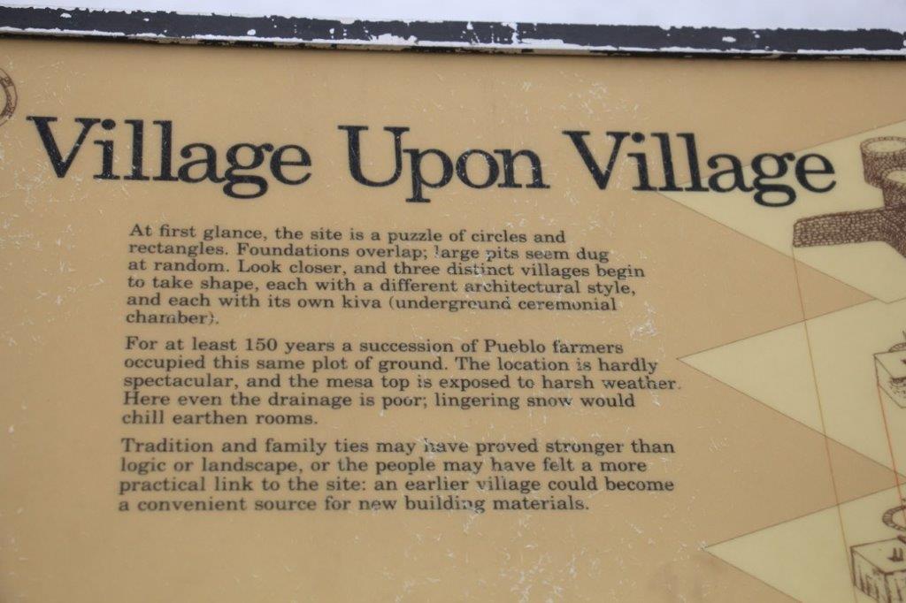
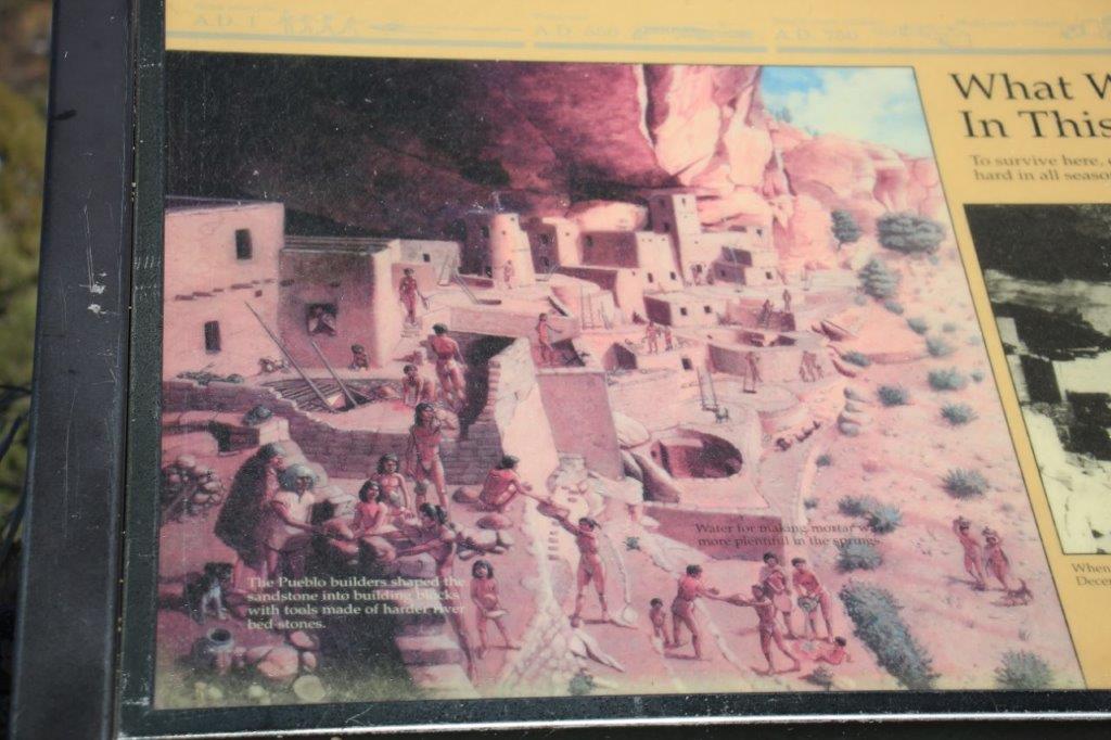
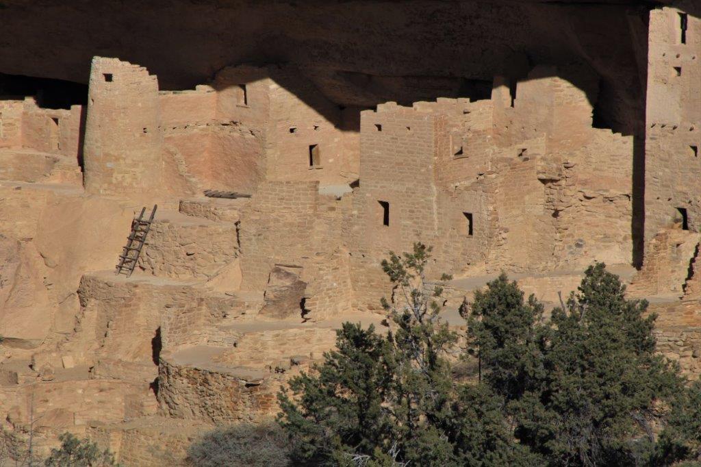
At Mesa Verde there are over 4500 archeological sites, 600 of which are cliff dwellings.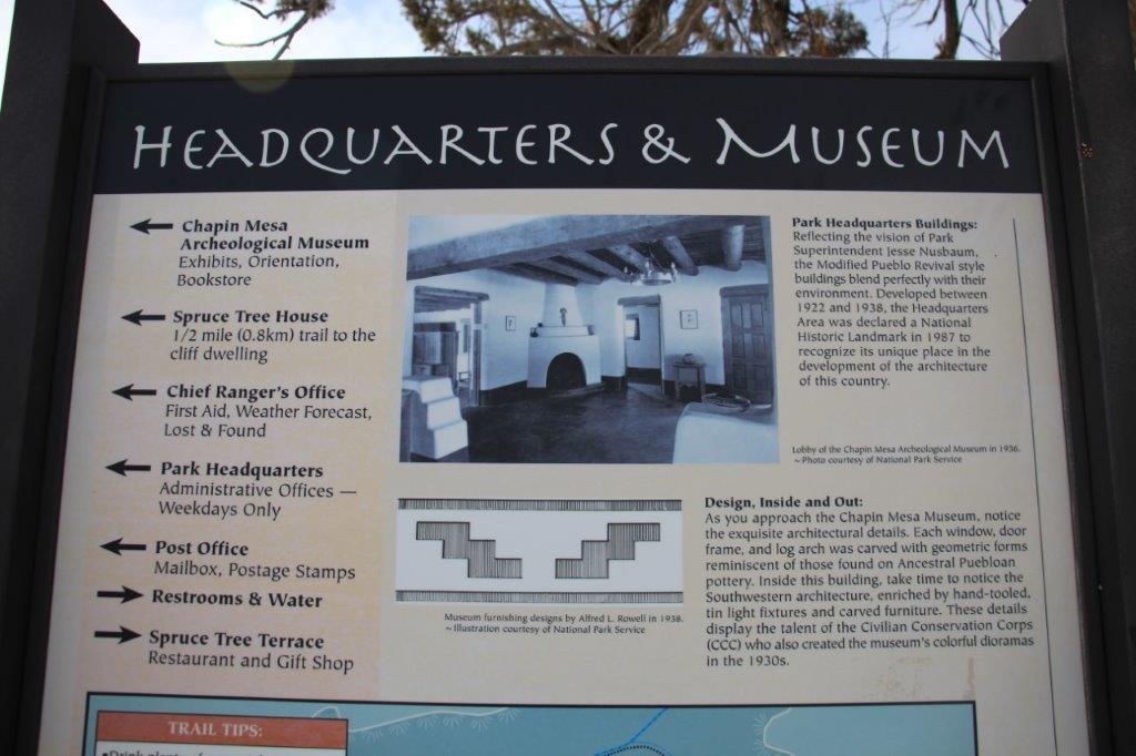


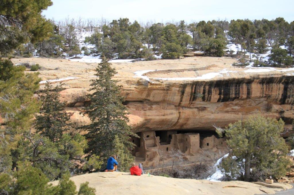
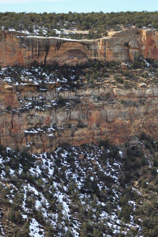
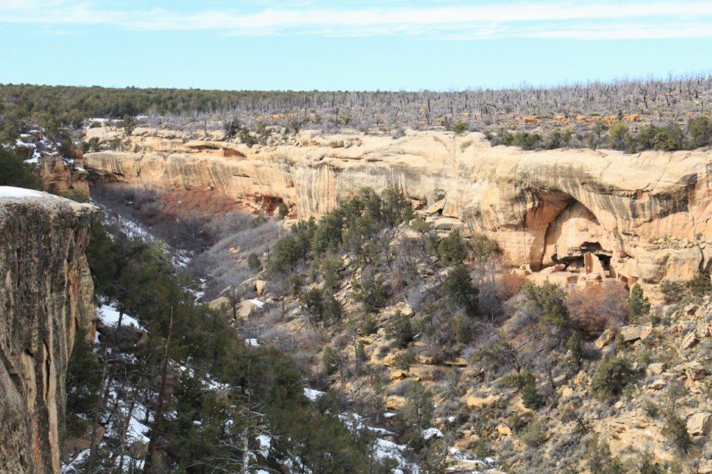
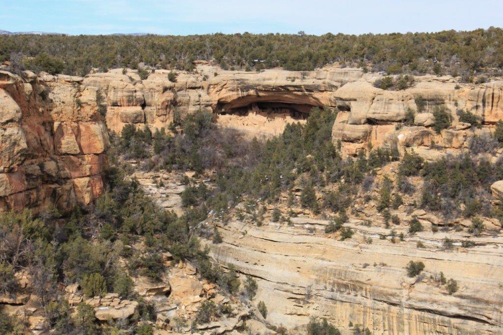
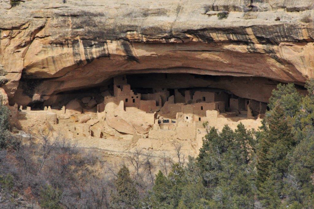
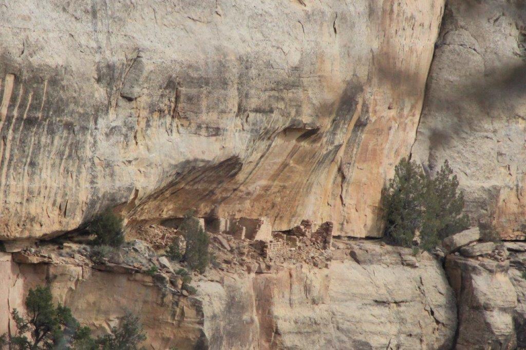
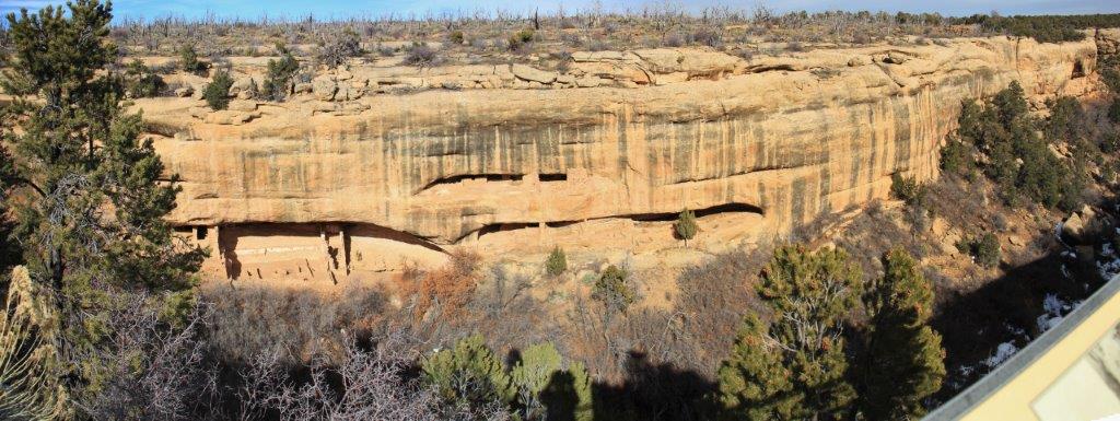
 The cliff dwellings look like miniatures, or doll houses because we view them from across the canyon. Most of them are built 500′-600′ above the floor of the canyons.
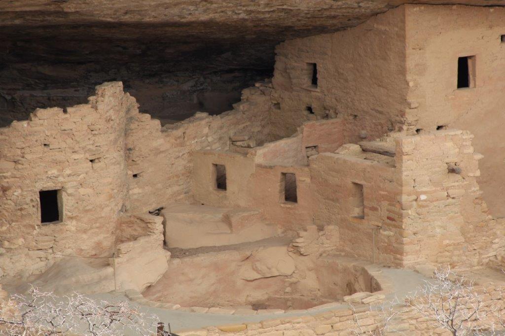
 The Mesa Loop Trail took us several hours to travel due to the frequent stops, many less than 1/2 mile apart. Fascinating stuff though.
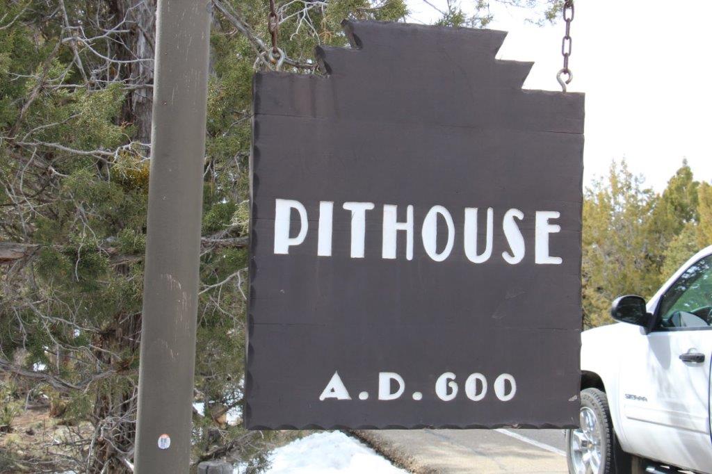


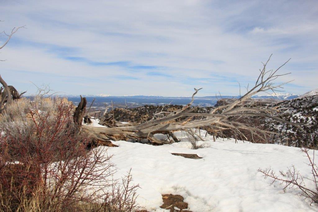
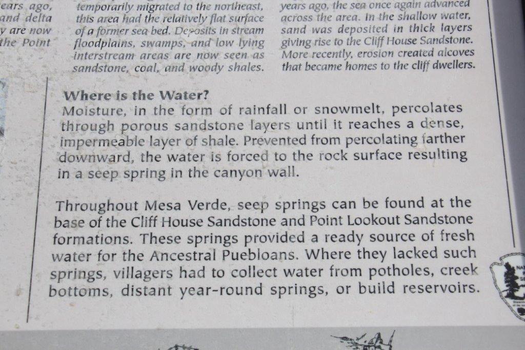
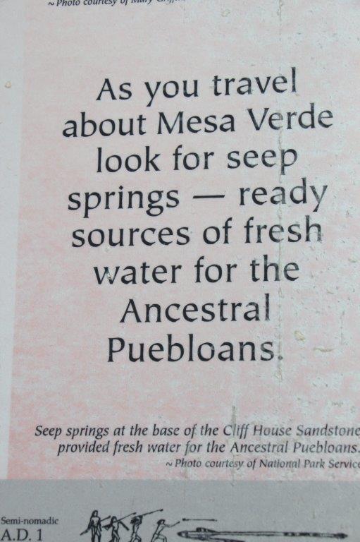
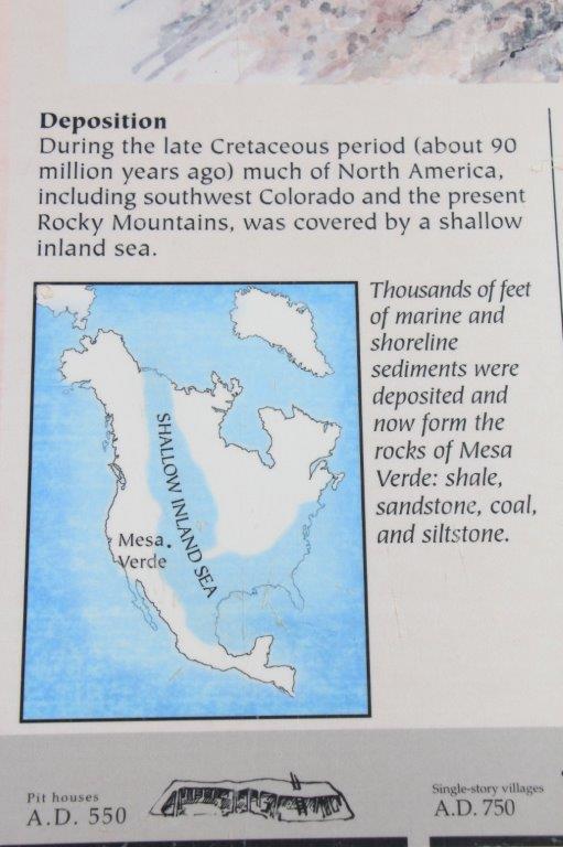
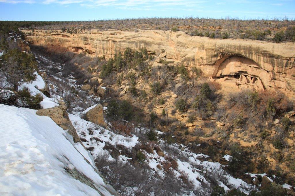
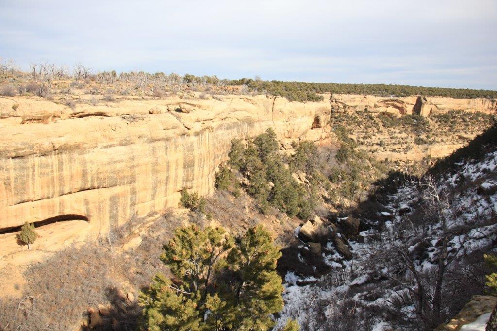
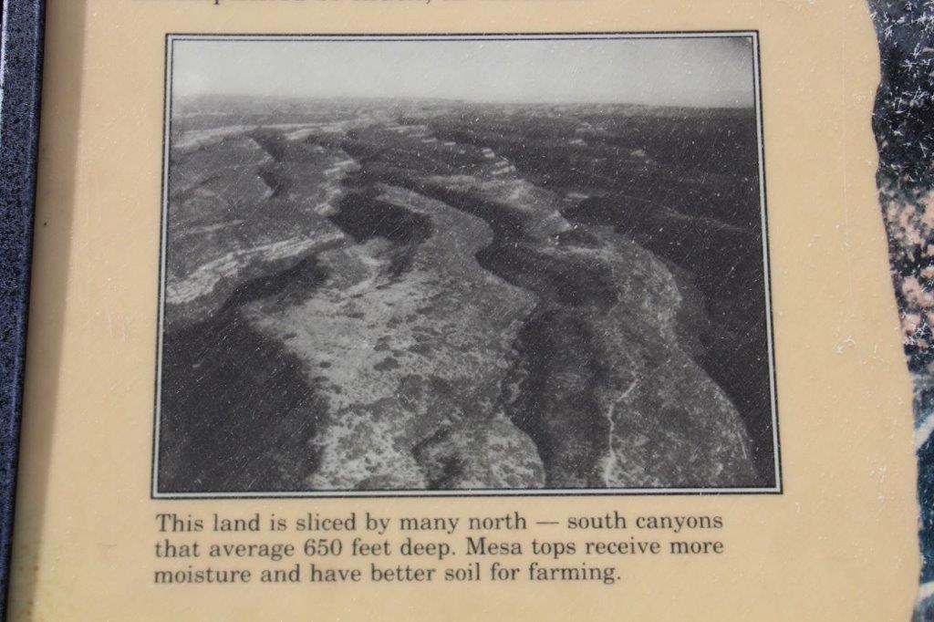 All of the canyons drain to the south into the Mancos River. The high mesas average 7000′ in elevation and receive about 18 inches of precipation a year. This moisture, in the form of rain and snow, feeds springs at the heads of many of the canyons and supports a dense forest of pinyon and juniper. This forest gave Mesa Verde its Spanish name, which means “green table.”
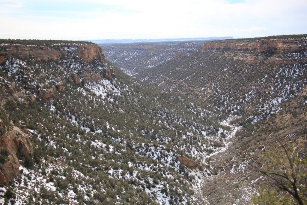
Navajo Canyon View
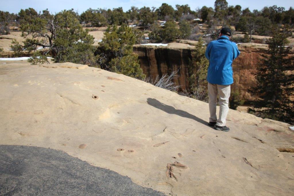
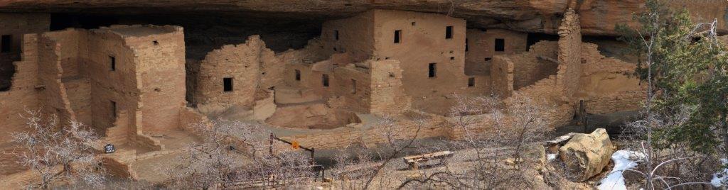
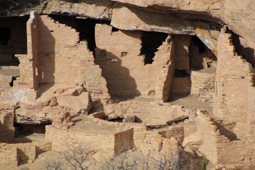
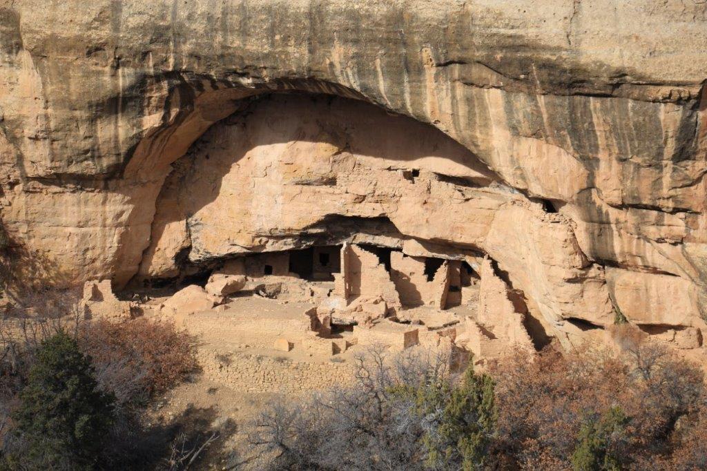
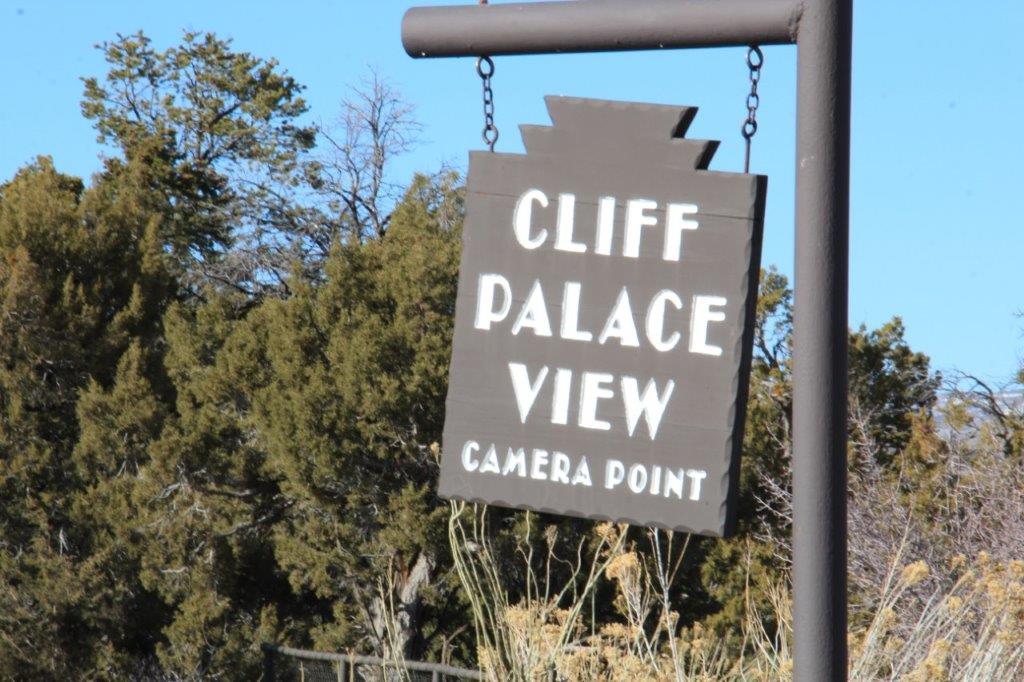
At Navajo Canyon view point we could see Cliff Palace, the most famous of Mesa Verde’s cliff dwellings, across the canyon. They only take tours there in the summer months and only 25 persons per day.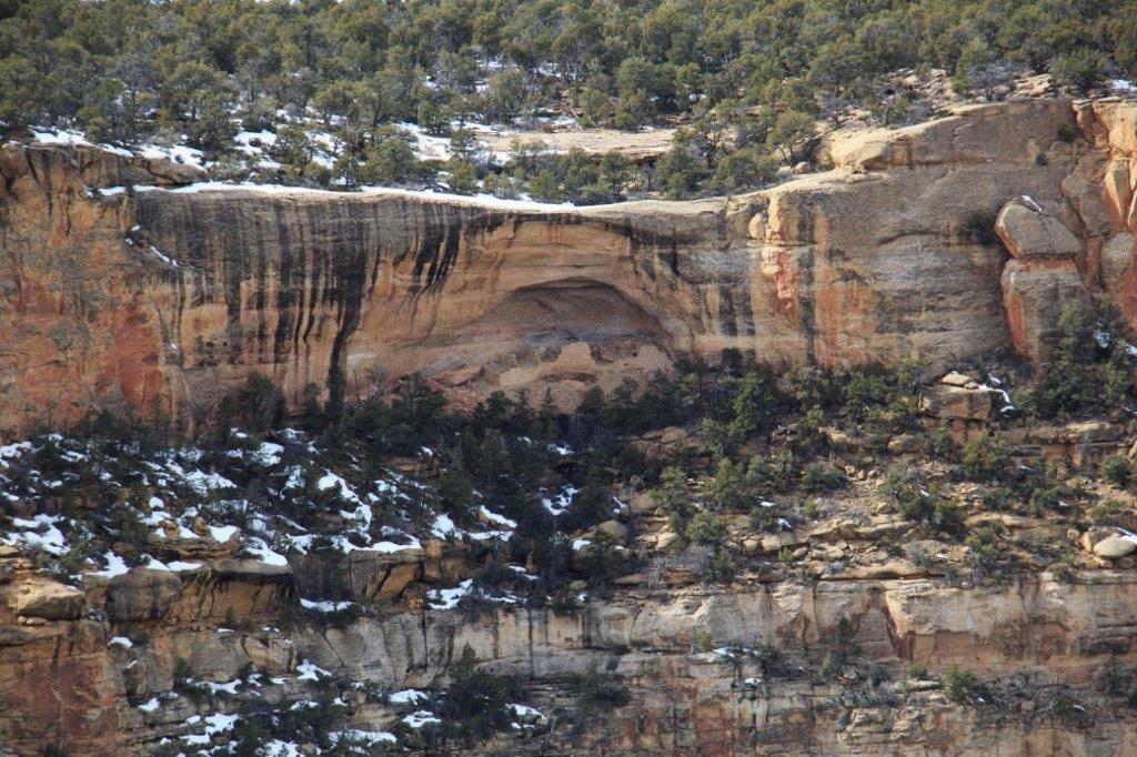
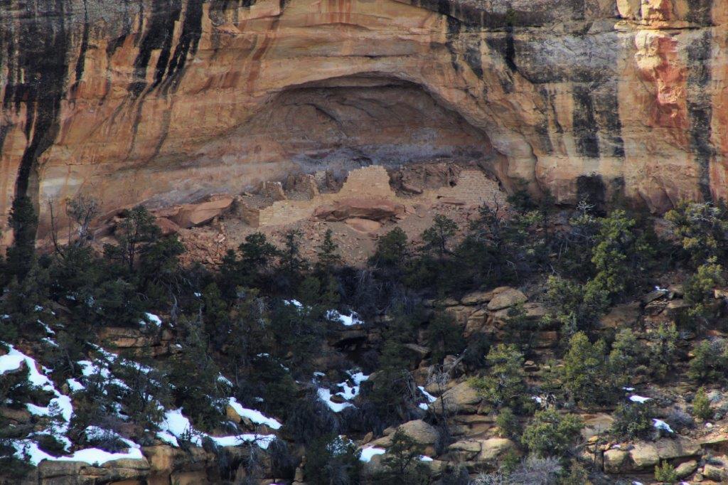
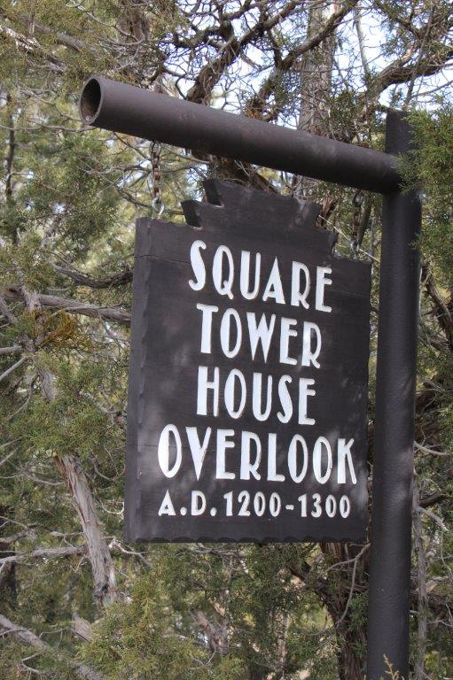

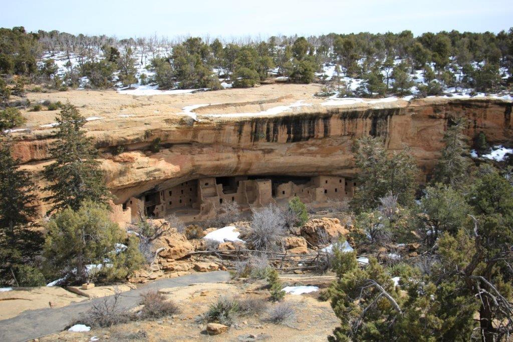
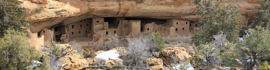
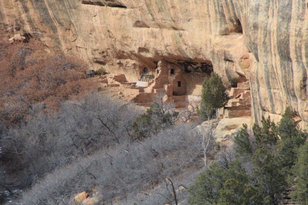
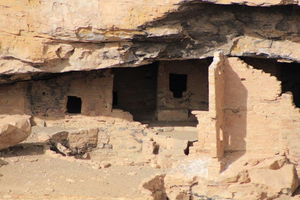
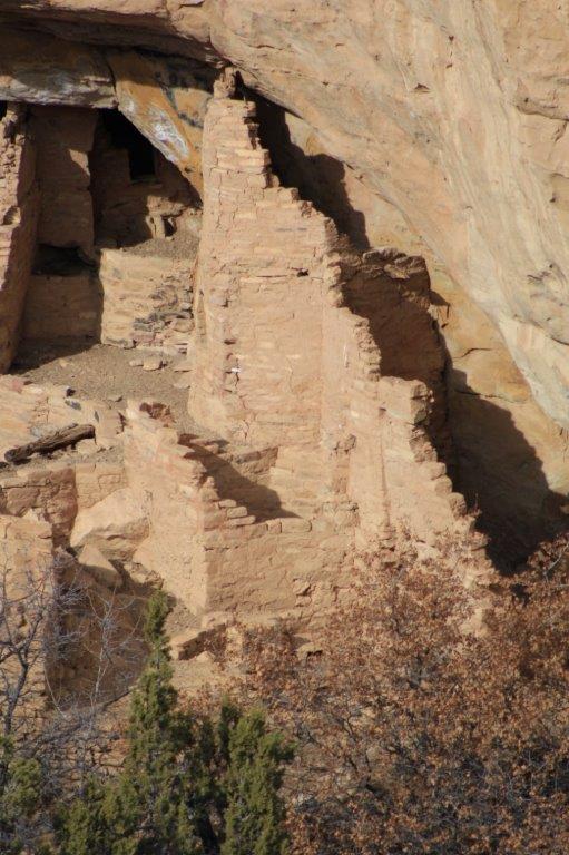
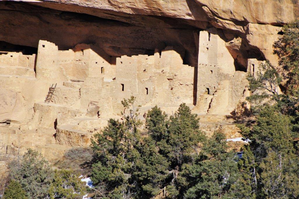
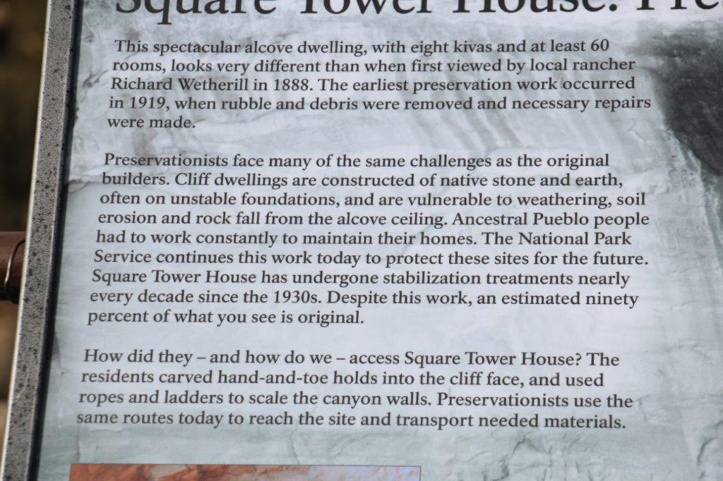 This was actually my favorite of the cliff dwellings. We walked about a quarter mile along a trail through the forest, turned a corner, went down a little incline and there in the narrow canyon below us was Square Tower House.
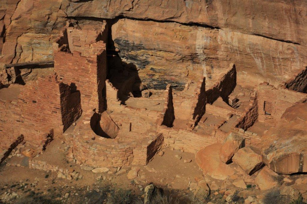
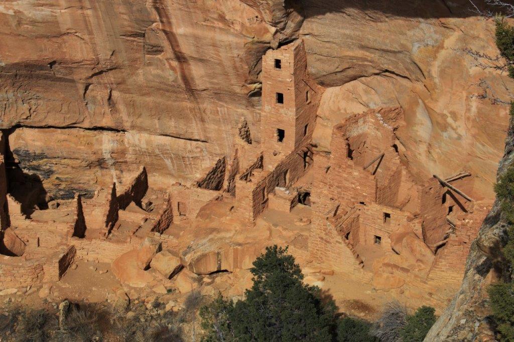
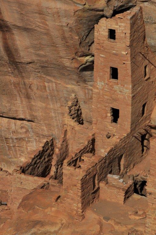


 Totally ingenious!
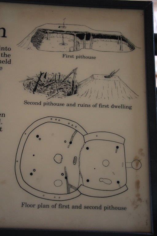

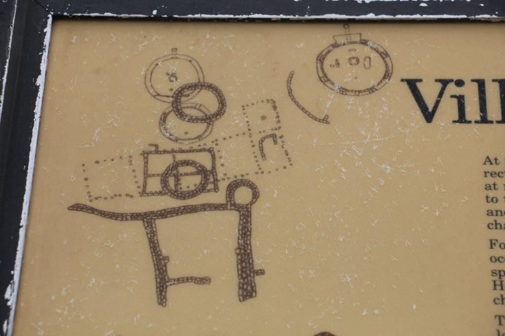

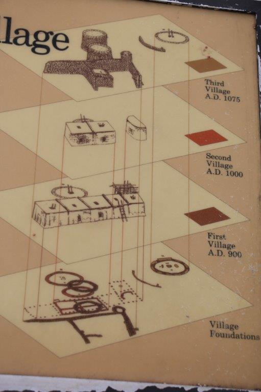


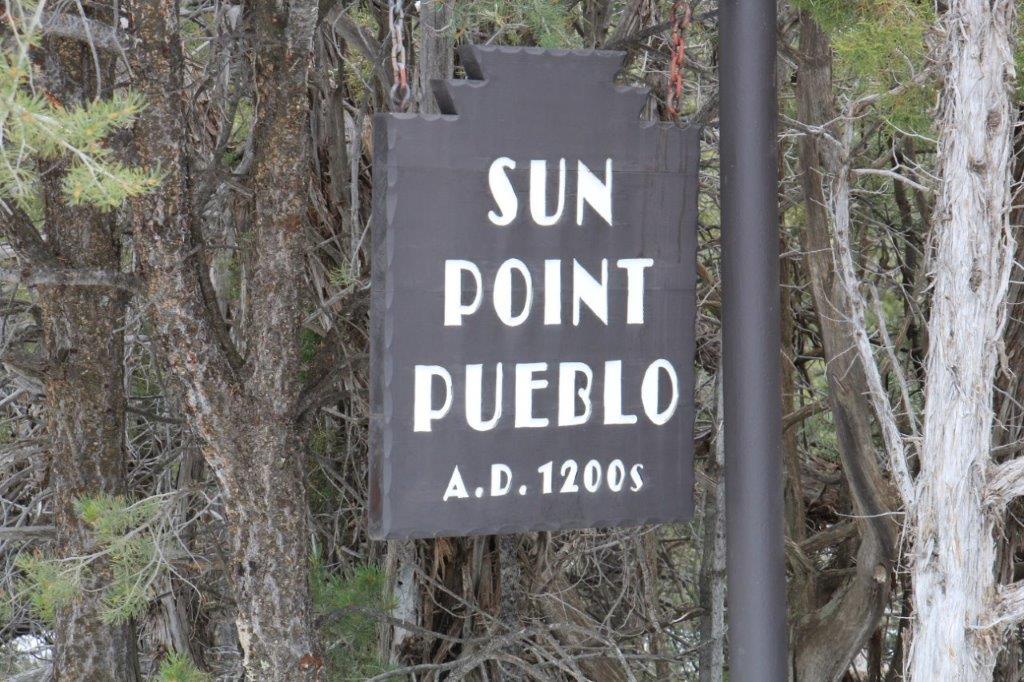
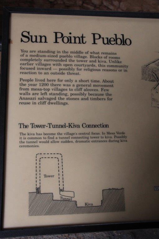
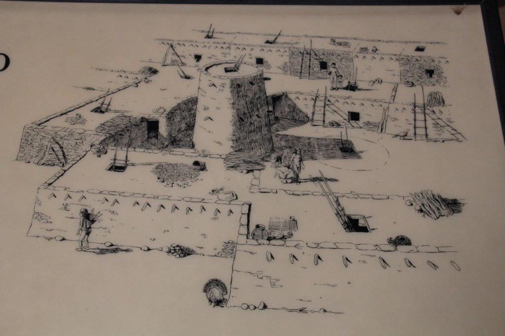
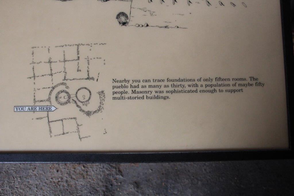
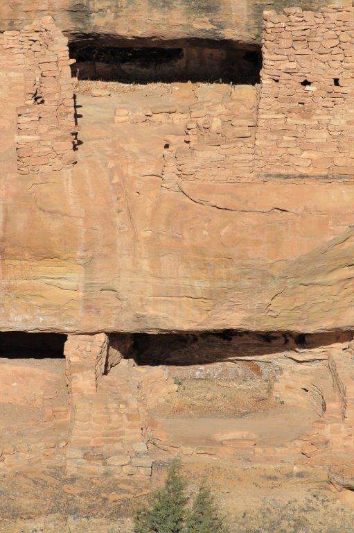
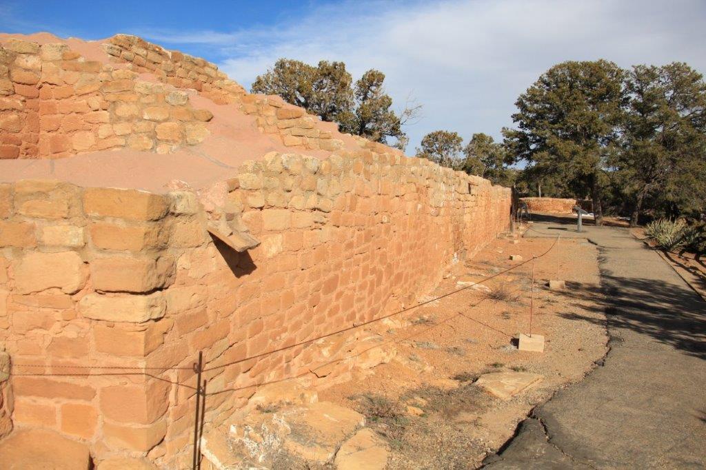
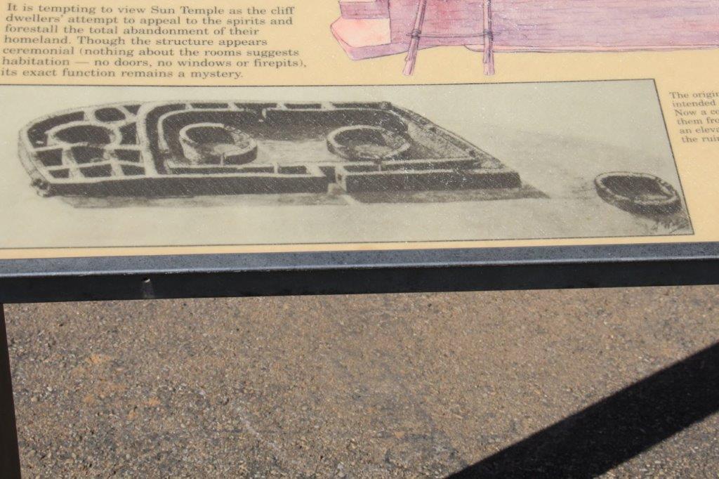
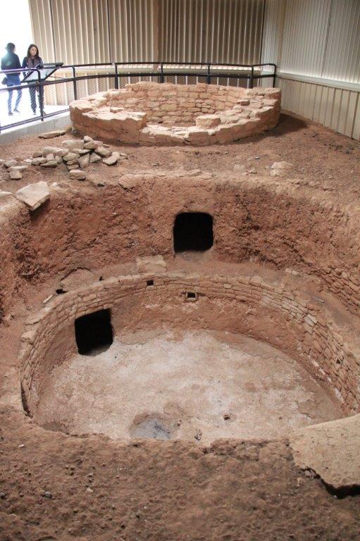 Sun Point Pueblo is one of the last mesa-top pueblos built at Mesa Verde. The pueblo’s rooms enclosed an intriguing kiva-tower complex. There was a tunnel that connected the kiva with the round tower. People only lived in Sun Point Pueblo for about ten years and after a lot of time and effort it was abandoned.
  From this site, looking up and down the canyon, there were a dozen cliff dwellings sent in alcoves high up in Cliff and Fewkes Canyons, along with a building on the top of the mesa across the canyon called Sun Temple.
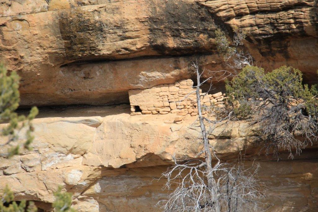

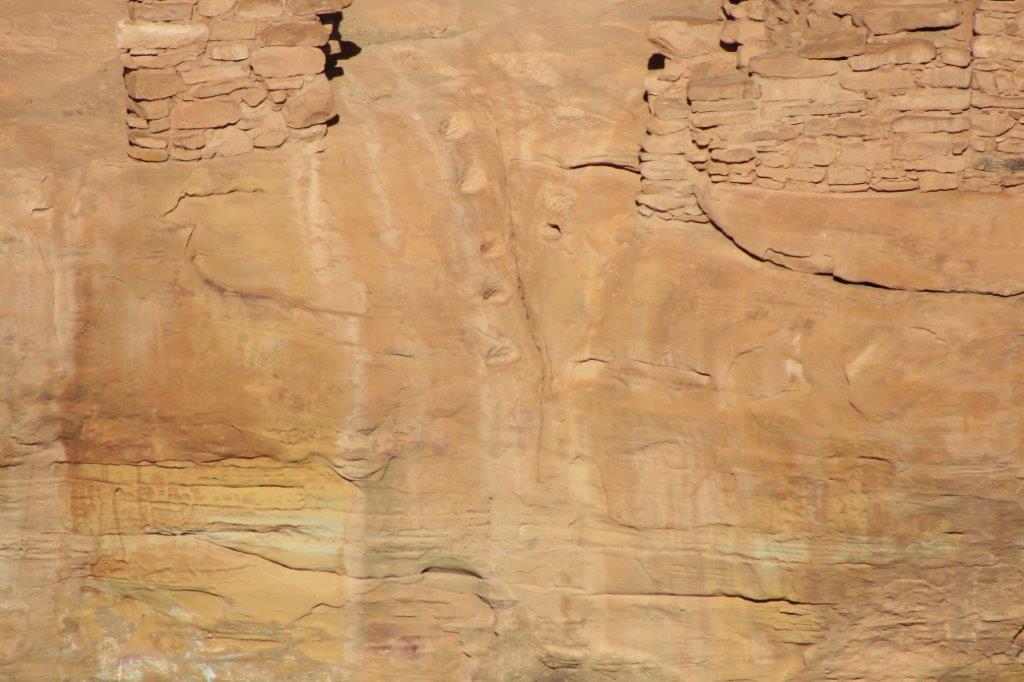
 My new zoom lens came in handy.

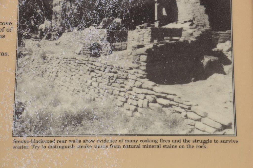


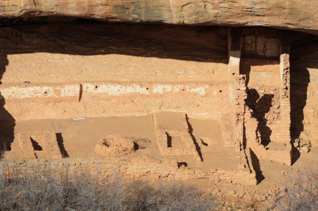
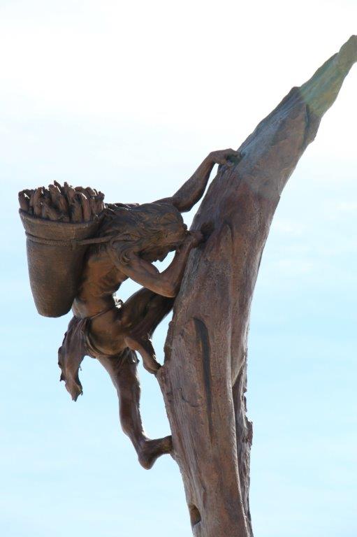
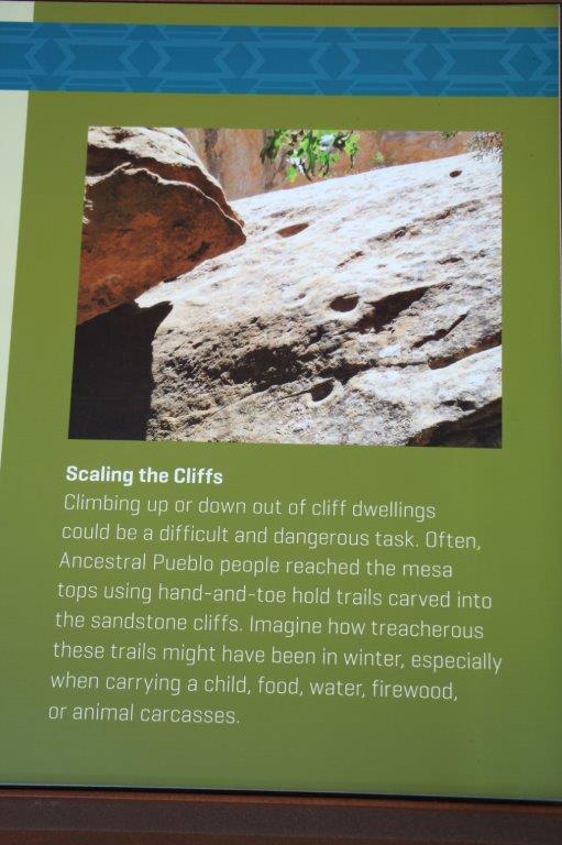
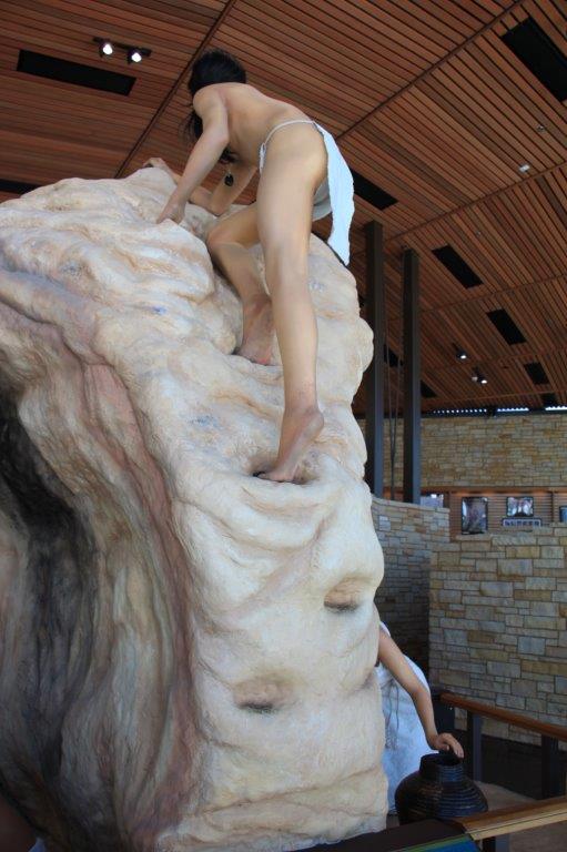
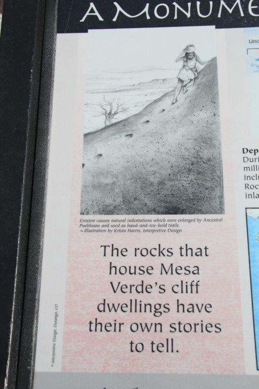
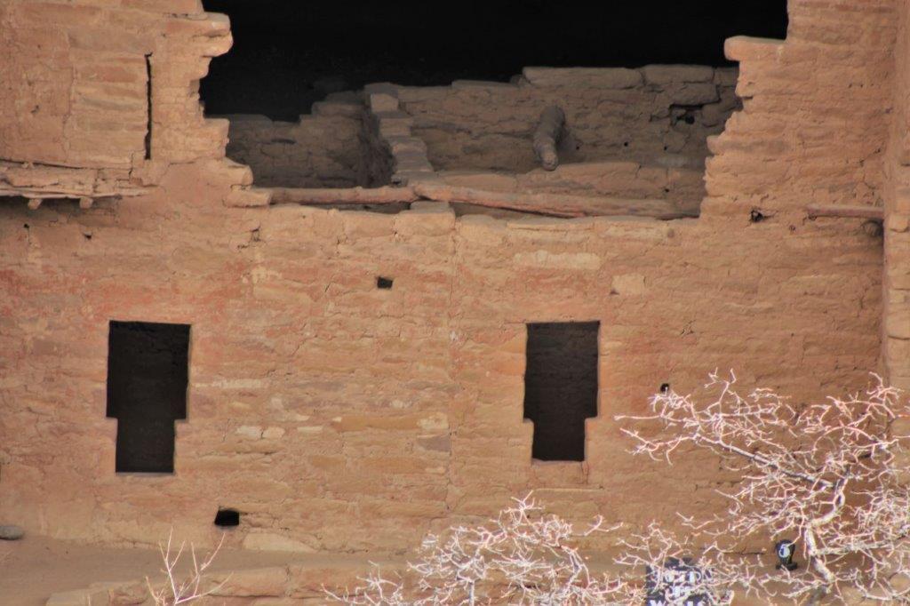
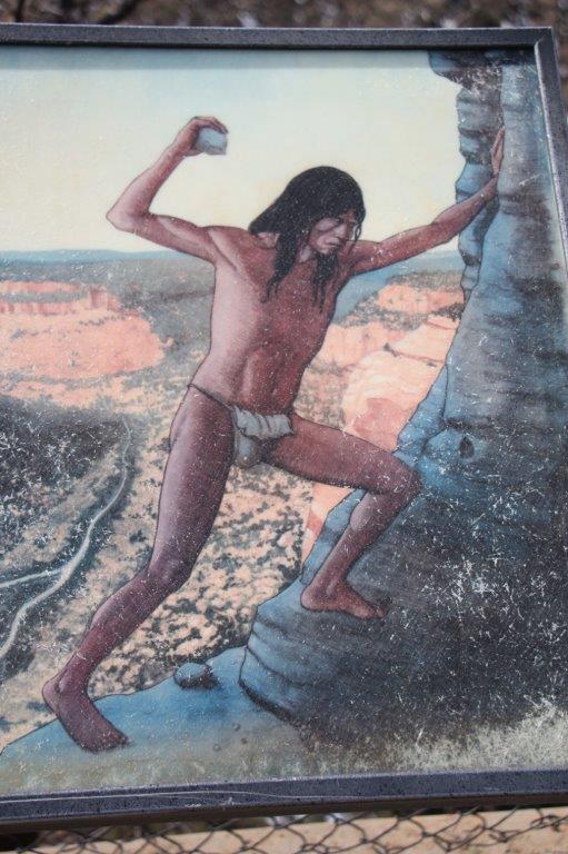
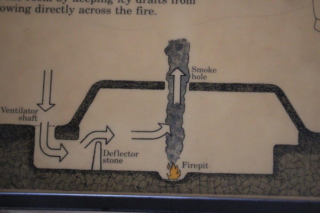
 The people climbed the cliff walls to reach their homes using enlarged natural divots in the cliff face for hand and foot holds. Water, food, fuel, children; everything was carried on your back as you climbed the face of 600′ cliffs.
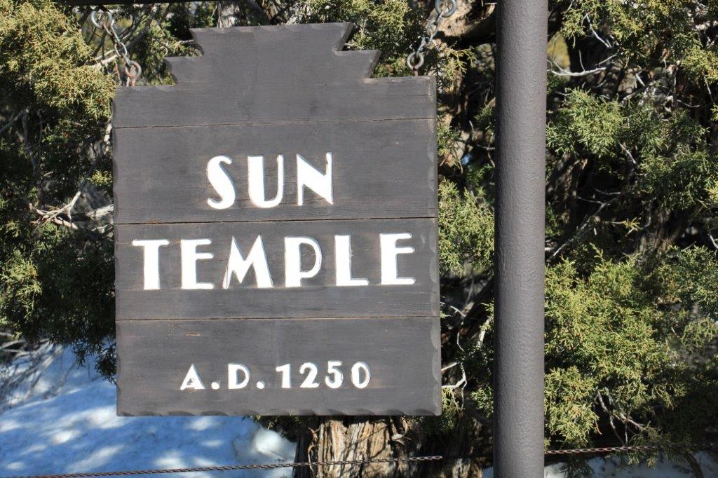

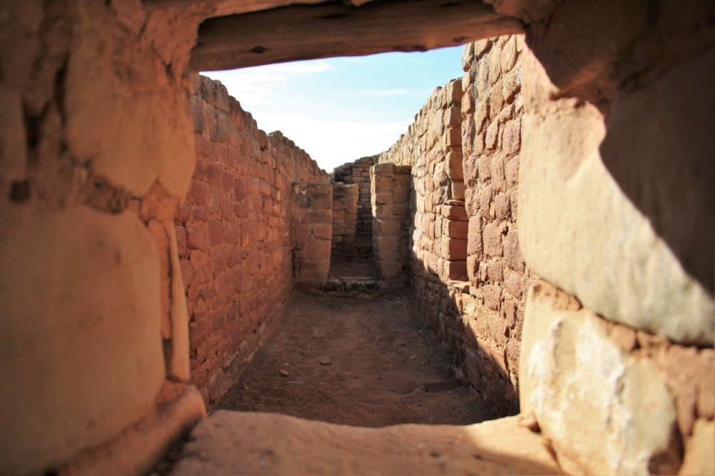


 Buildings go far into the back of the alcoves.
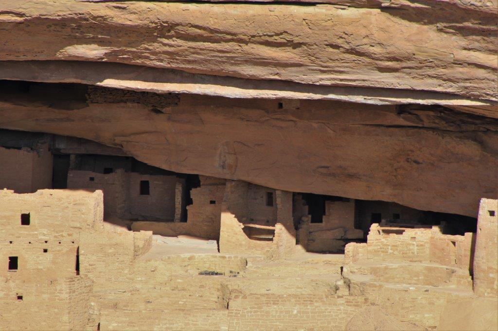
 After we completed the Mesa Top Loop we made our way back down to the Visitor’s Center as all the other roads were closed for the winter. I was actually quite satisfied with my day at Mesa Verde. We got to see a lot more than I expected after reading about the closures on the web page.
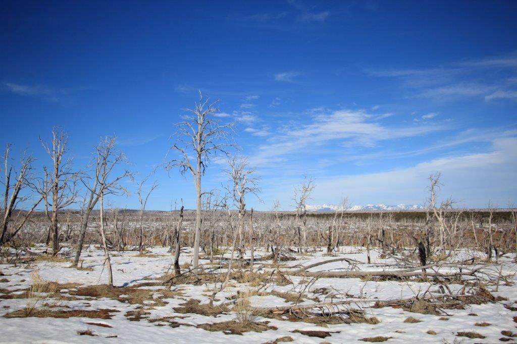
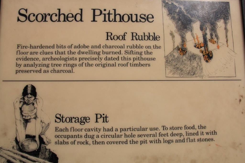
 Fire is a constant threat on the mesa. There are over 100 severe lightning storms per year and in 2003 over half the park was burned.
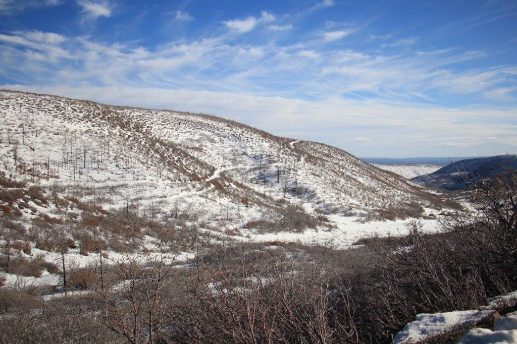
Modern firefighting techniques can be damaging to archeological sites so in the event of a fire in the park an archeologist works with the fire fighters to protect the sites.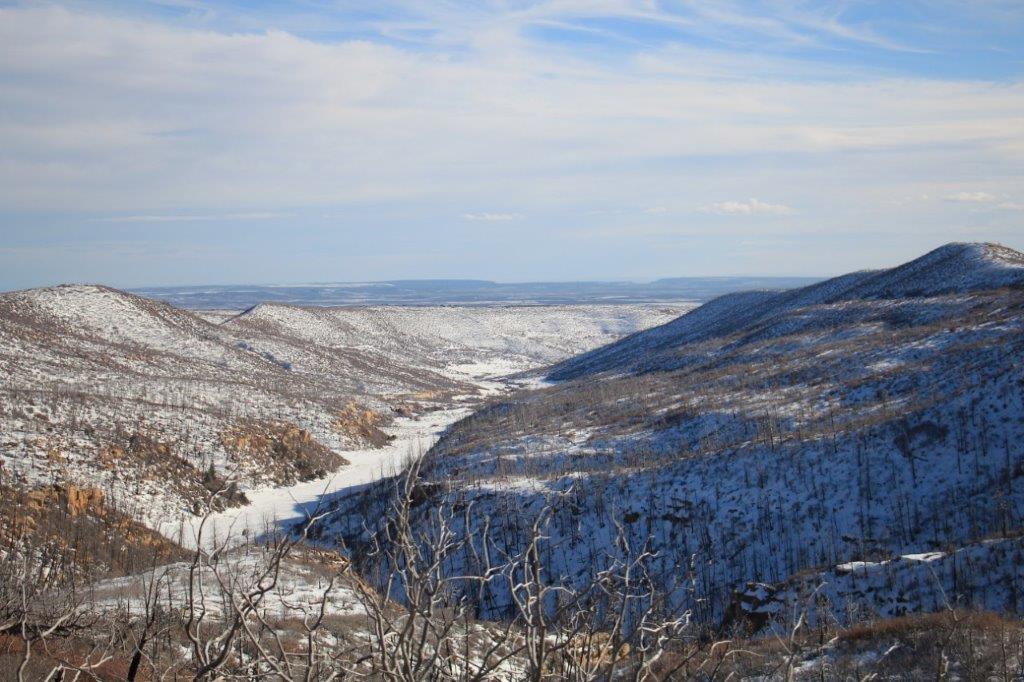
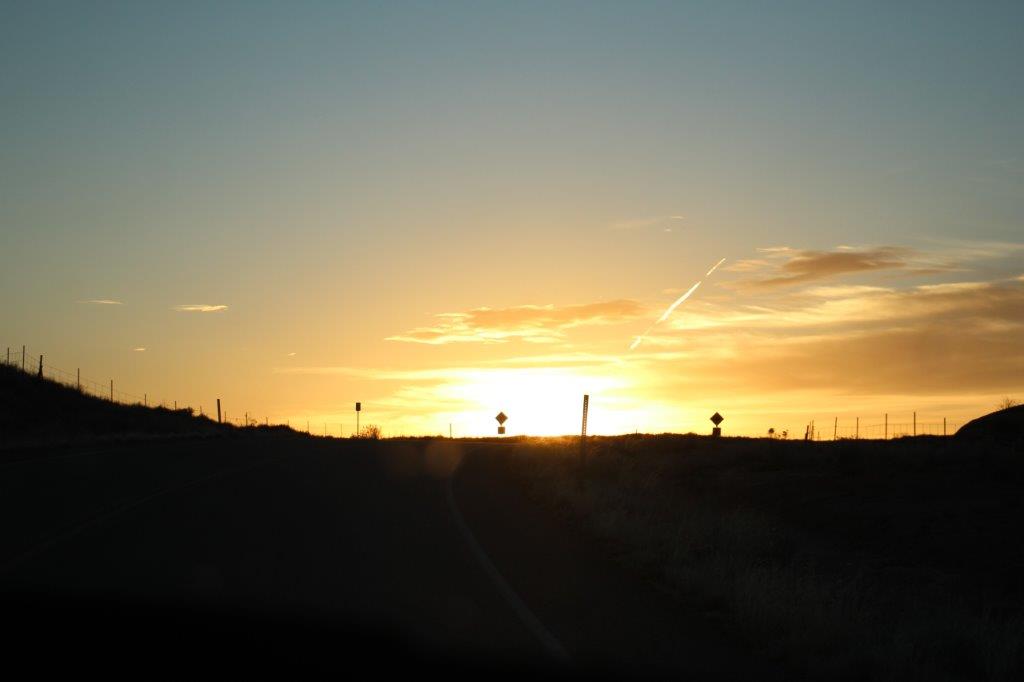
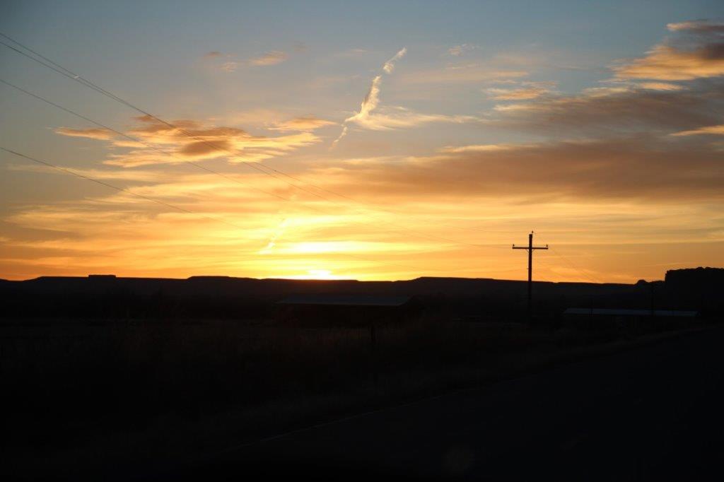
 When we got back to the highway we turned south to go to the Four Corners Navajo Monument. The historical marker where the four states of Arizona, Utah, Colorado and New Mexico meet is on Navajo Nation land and you need to pay a nominal fee to access it. We arrived at 5:03 to find a locked gate. They close at 5! We wanted to put a hand or foot in each of the four states. Unfortunately we are unable to come back this way to do it tomorrow. Next trip over this way I guess.

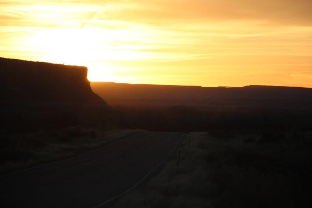
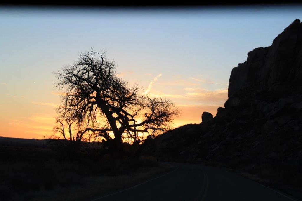
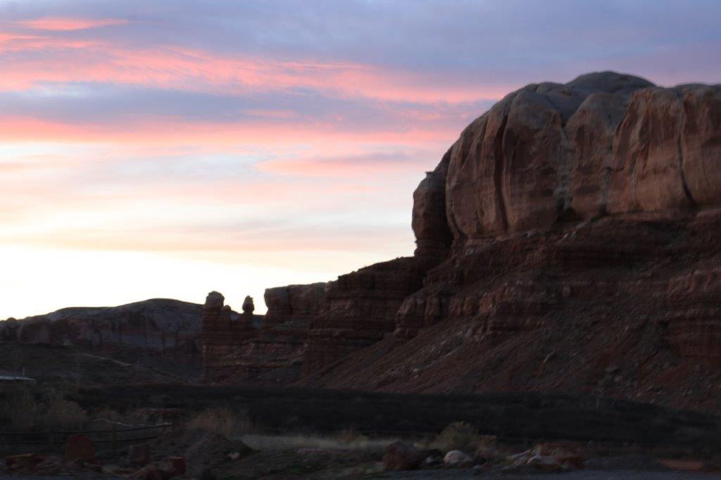
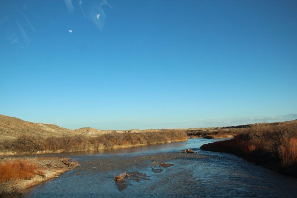 Mesa Verde is in Colorado. We crossed into Arizona on our way to Four Corners and then when we turned around to go to our hotel for the night we entered Utah. Three states in 10 minutes. That’s what I call traveling!
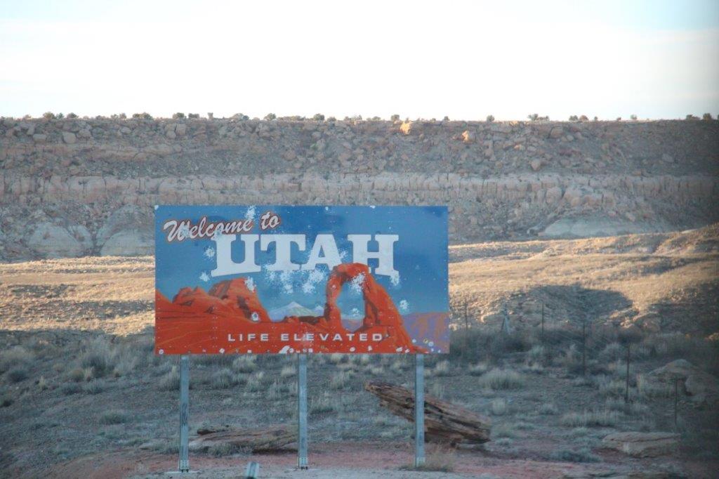
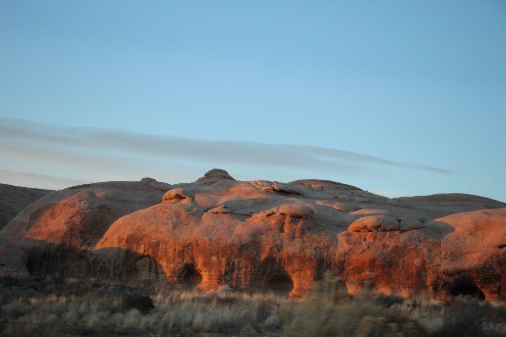
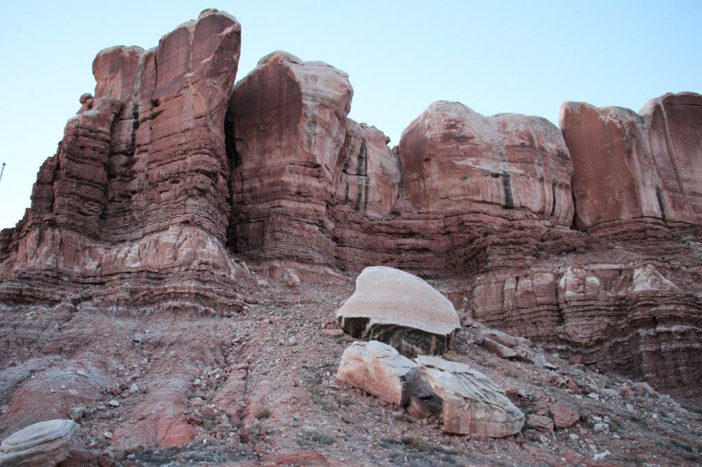
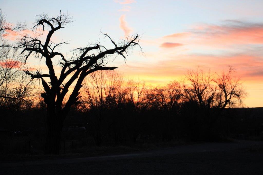
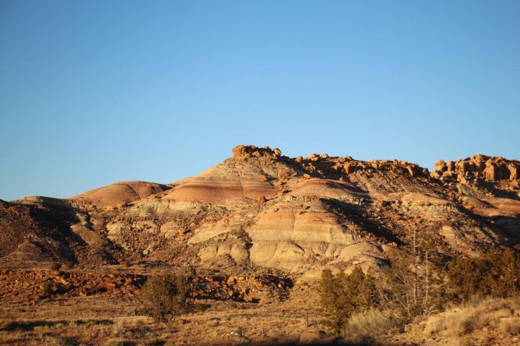 I LOVE Utah! Ever since we came to southern Utah to see all the parks down here I have wanted to come back and see some more. Colorado calls itself Colorful Colorado, but I love all the colours of rock in Utah.
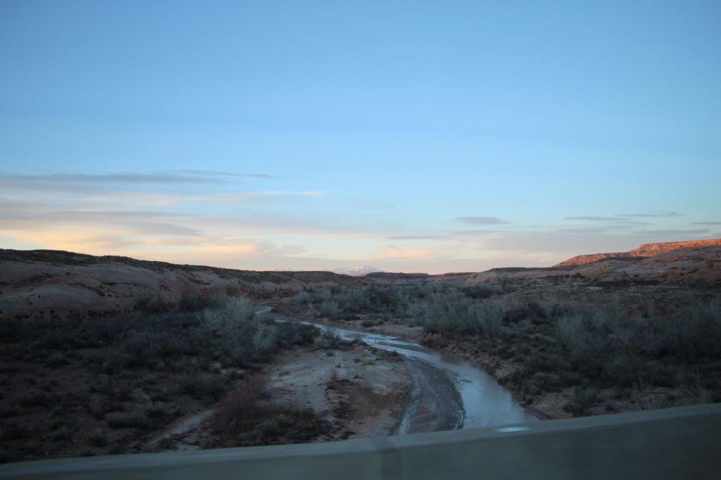

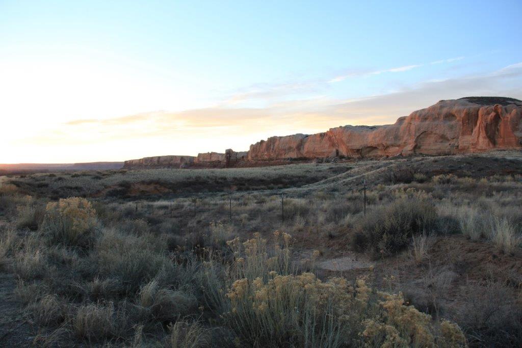
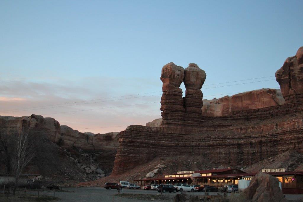 We spent the night at a little place called Bluff. A mile down the road from the Desert Rose Inn we went to Twin Rocks Cafe for dinner.
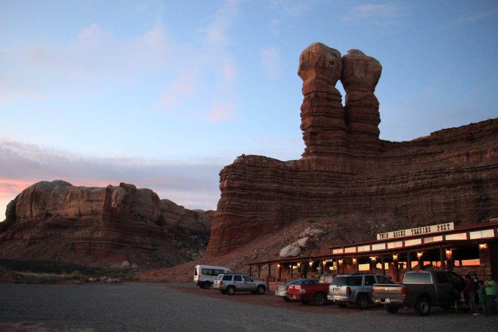
 We decided to spend tomorrow night in Bluff as well because it is situated not far from Monument Valley and Valley of the Gods which are the next two things on our list of sights to see. As usual when touring an historical or geological site I had a wonderful day. Thanks for joining us.
