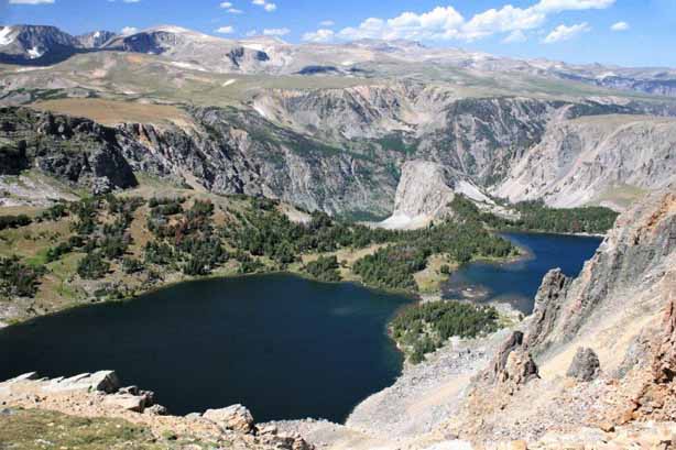
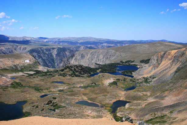
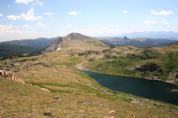
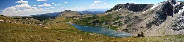
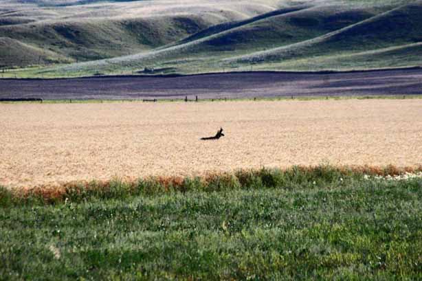
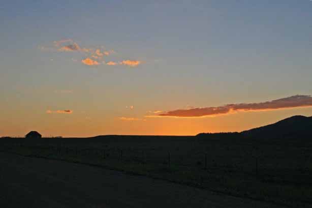
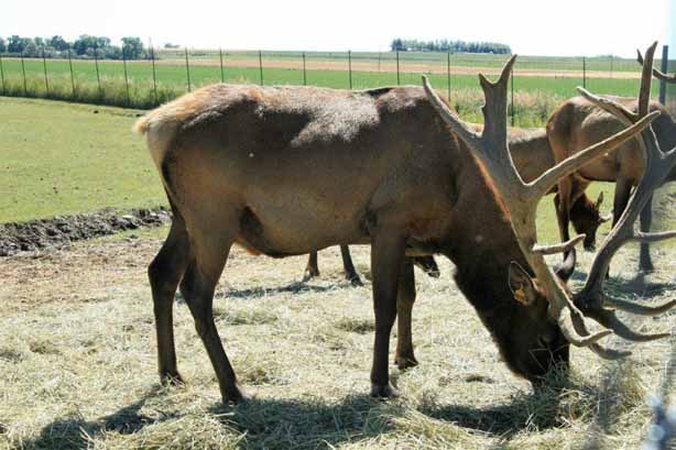
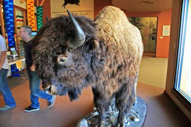
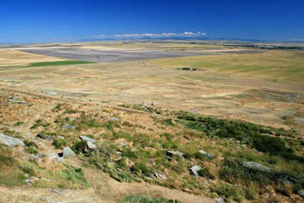
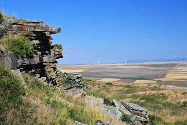
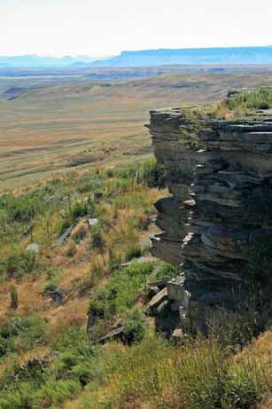
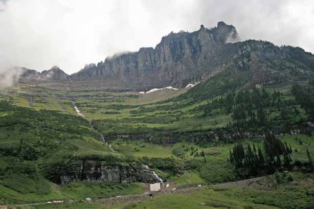
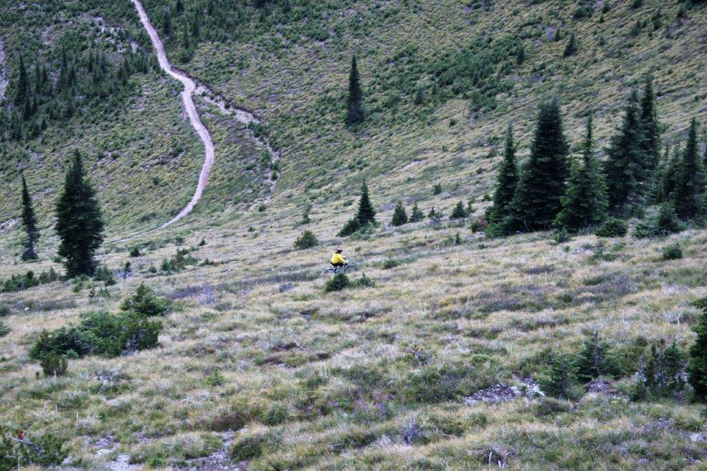
I lied. I am sorry. I didn’t mean to. I had said that the photo-heavy post about our second day in the park was probably going to be the longest one. After sorting through my photographs of this day though, I think it will be very similar. I had forgotten about what we saw and where we went on our last day in Yellowstone.
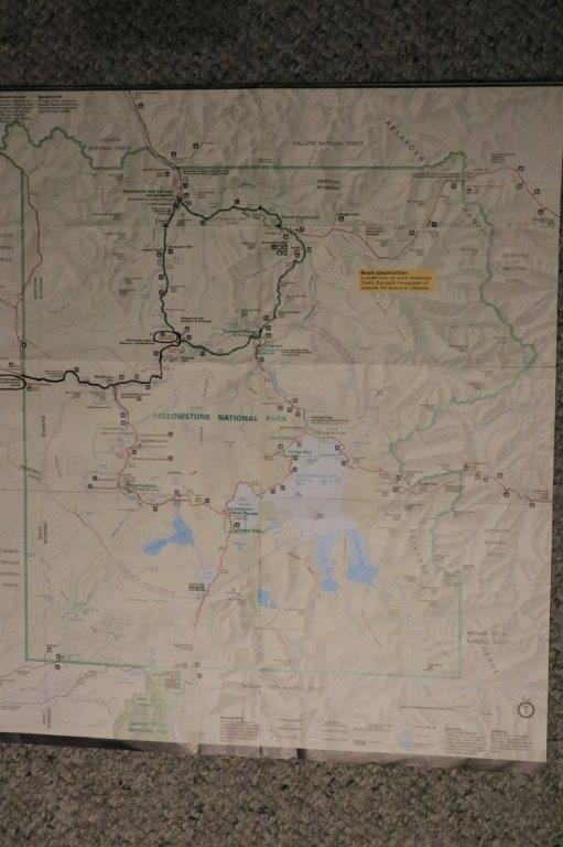
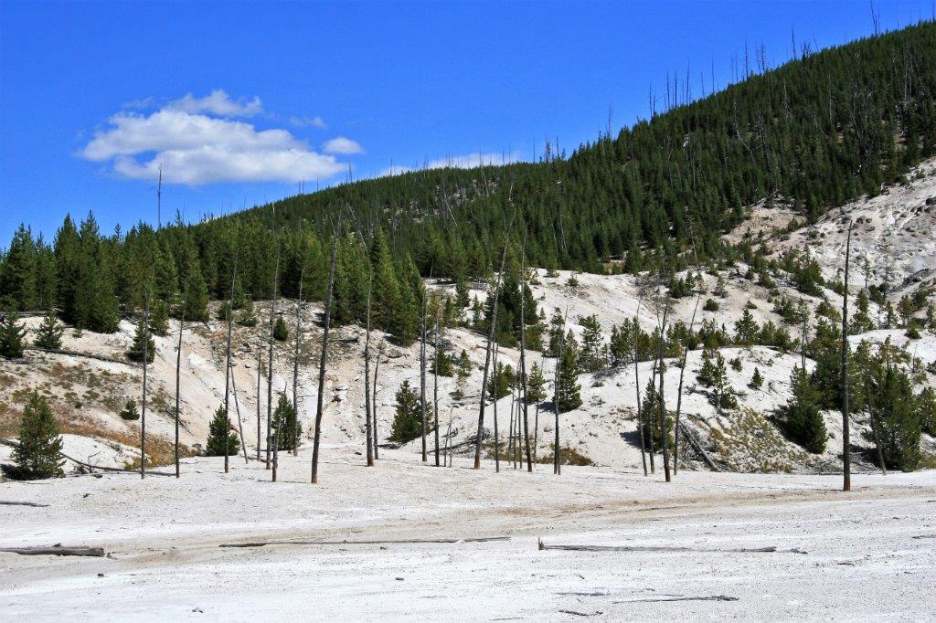
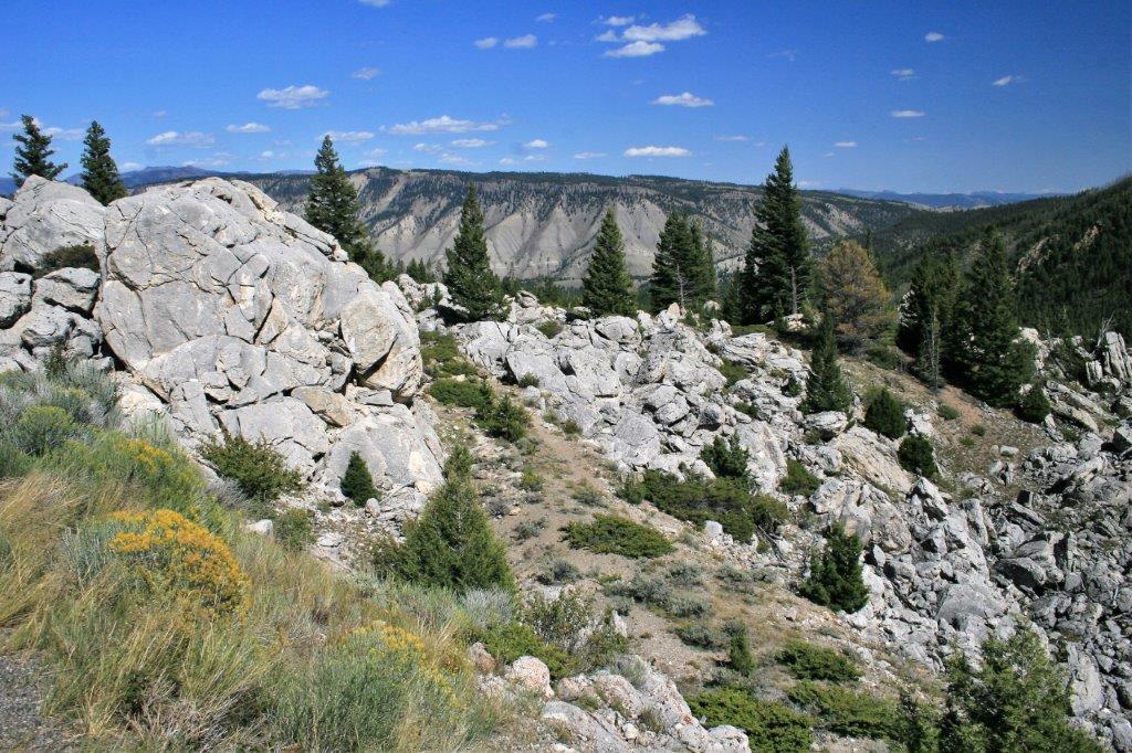
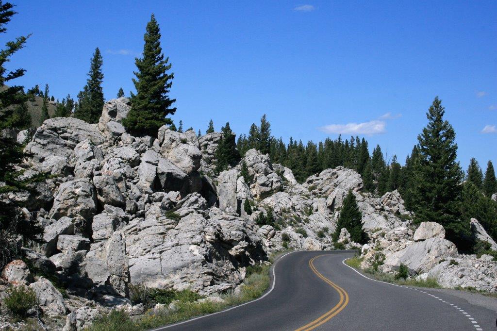
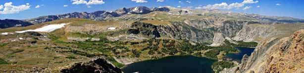
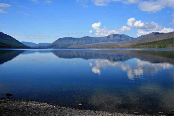
We originally planned to spend three days in the park, but once we got there we realized how much there was to see so we extended our stay by one more day. Looking back at the brochures and maps as I work on this blog series shows me how very much we did not see. I guess another road trip to Wyoming is in order.
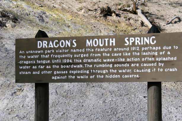
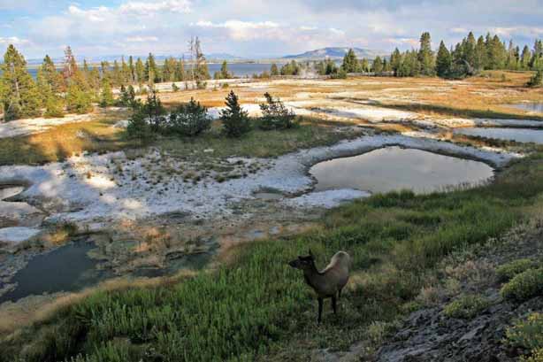
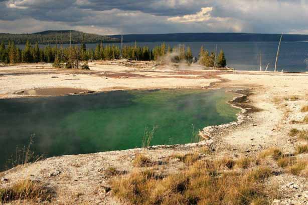
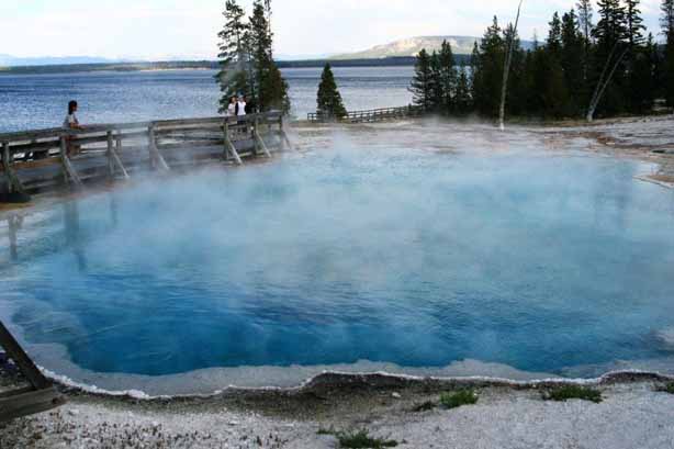
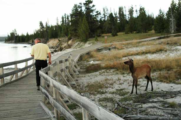
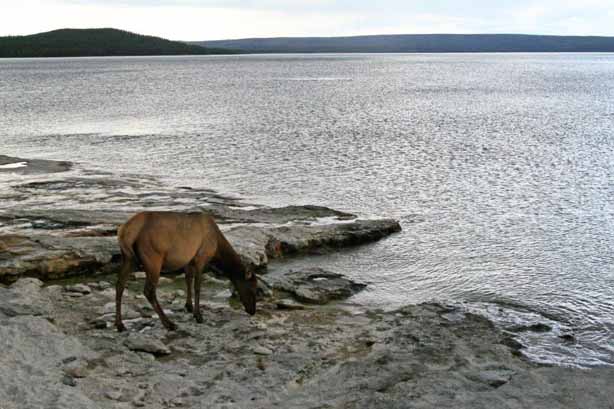
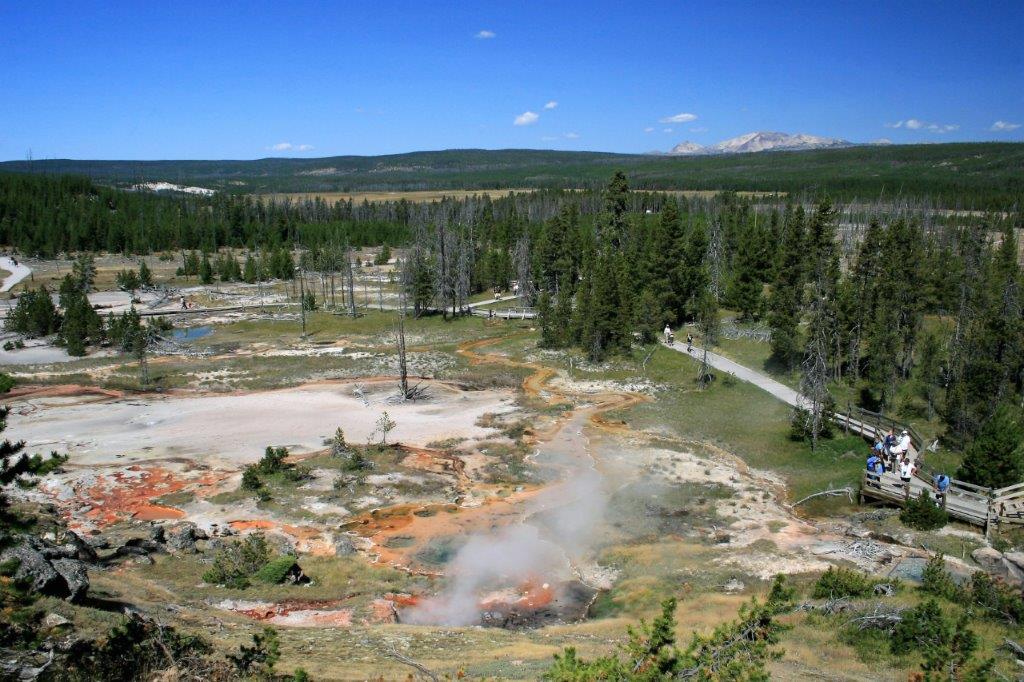
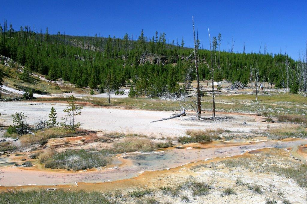
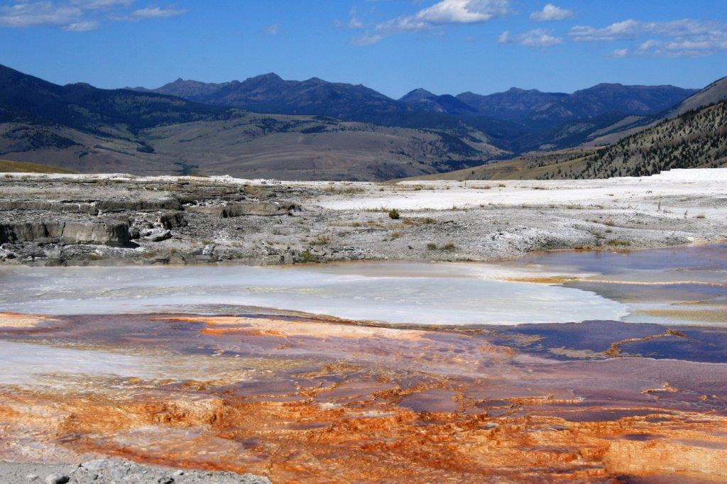
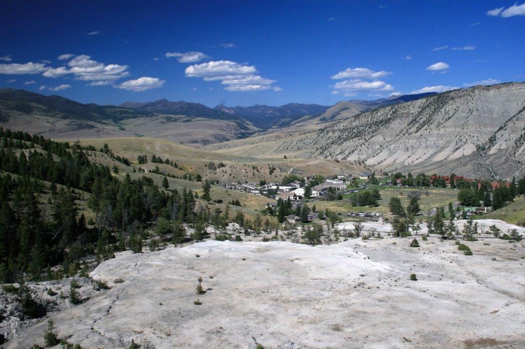
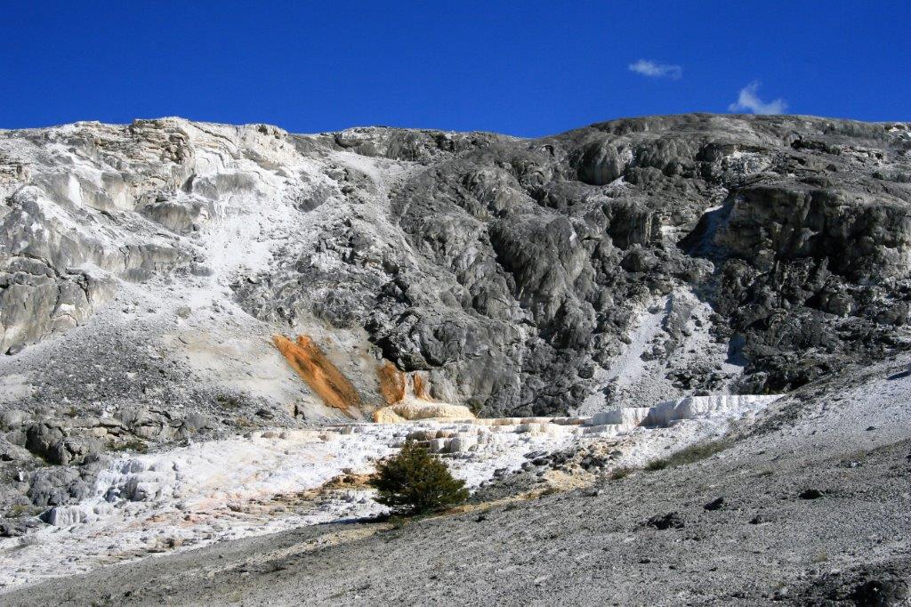
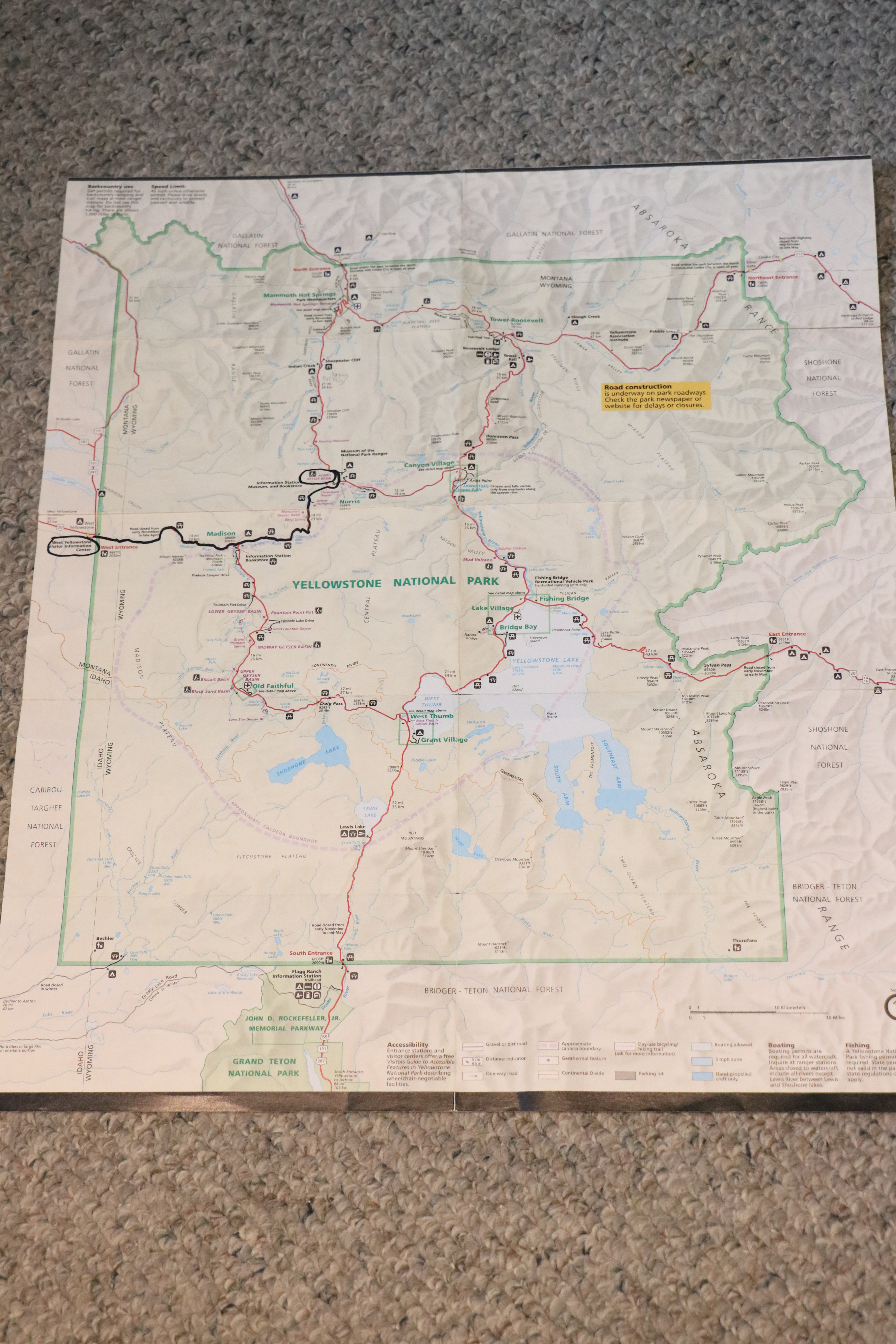
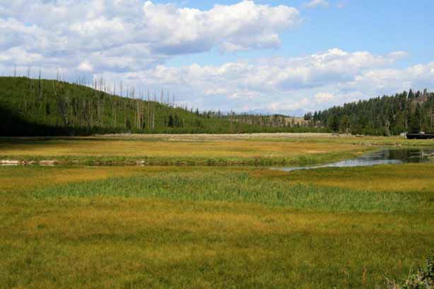
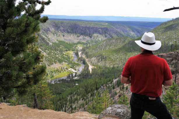
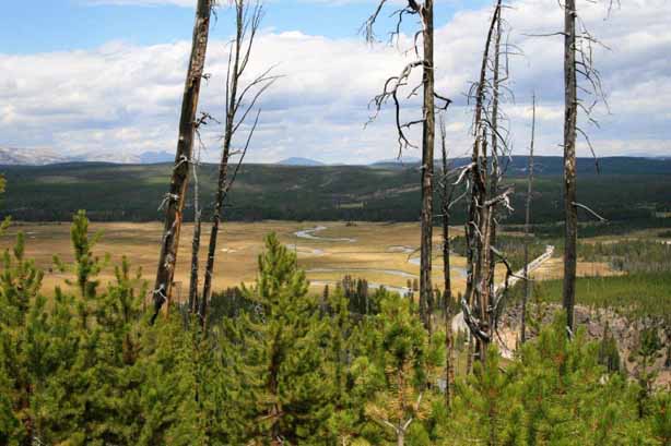
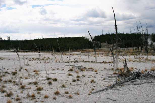
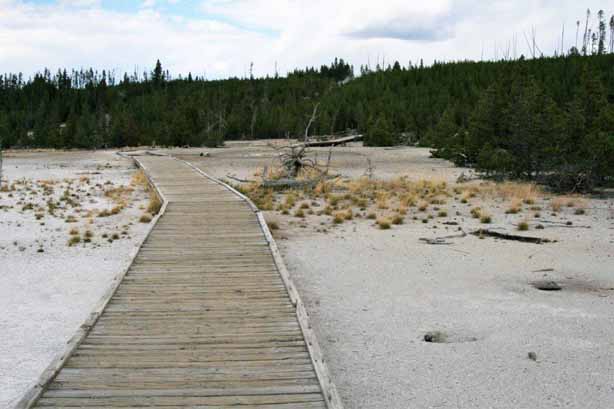
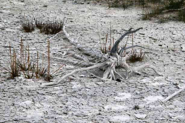
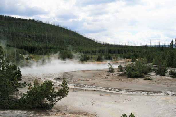
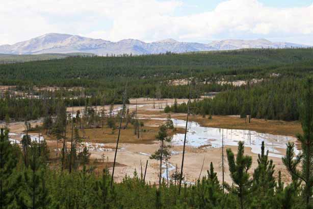
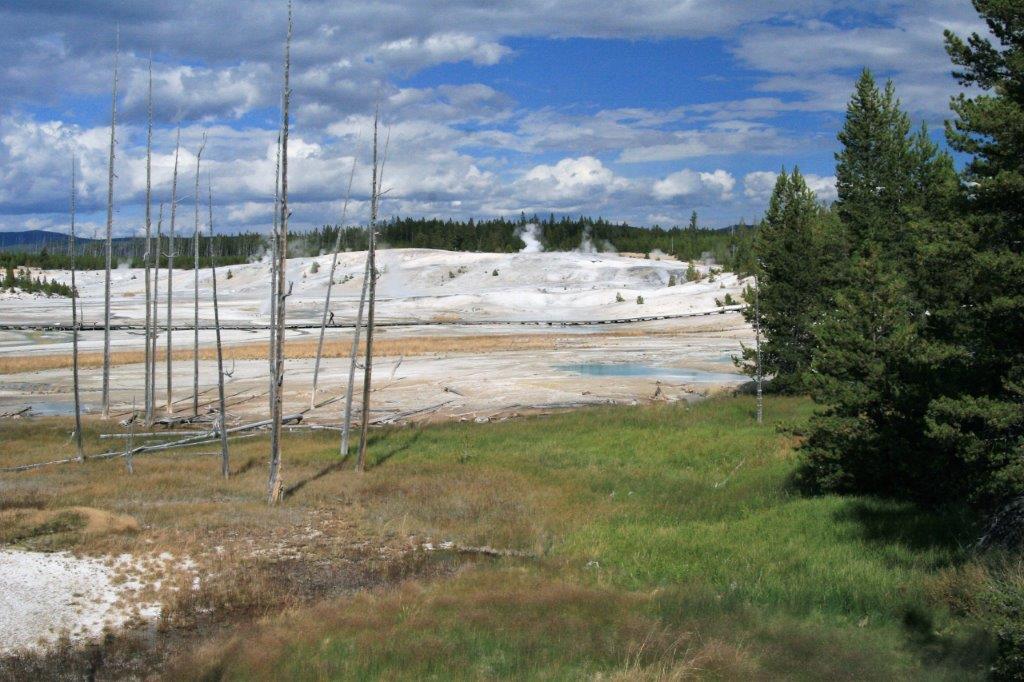
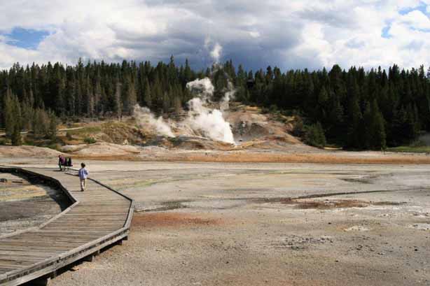
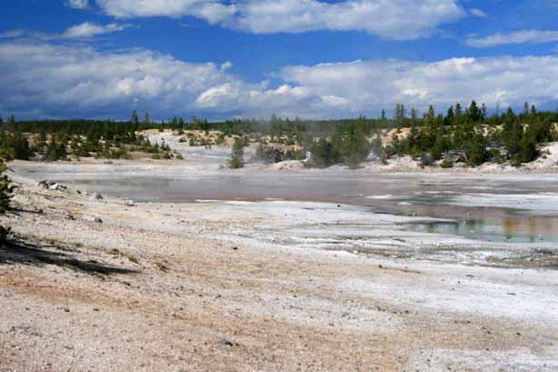
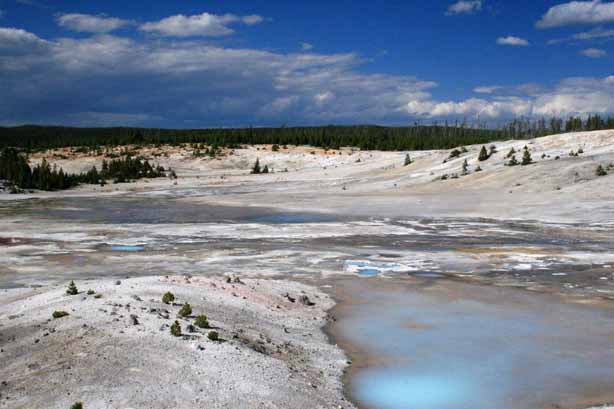
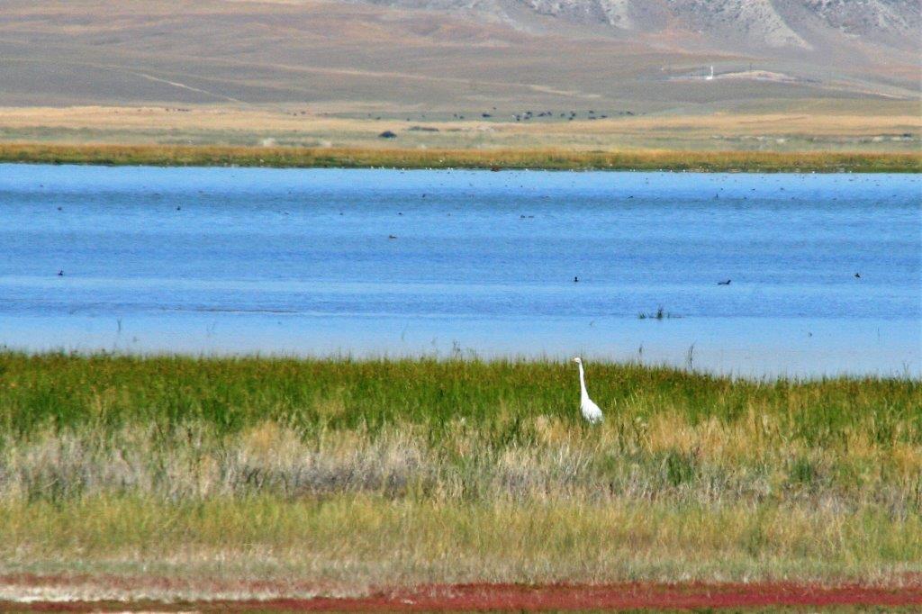
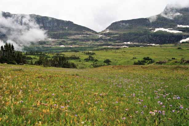
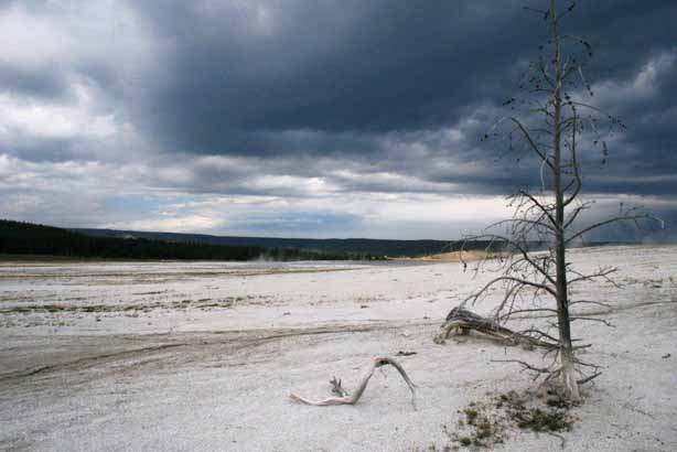
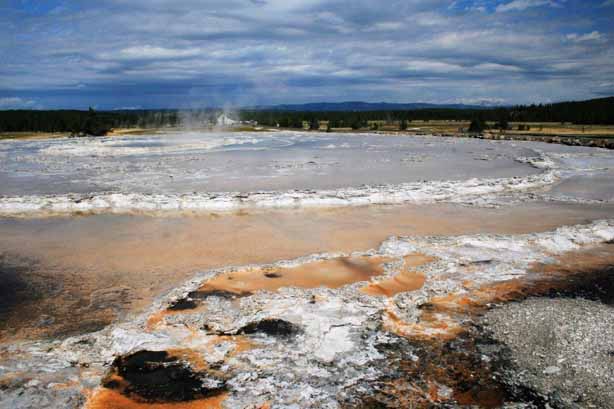
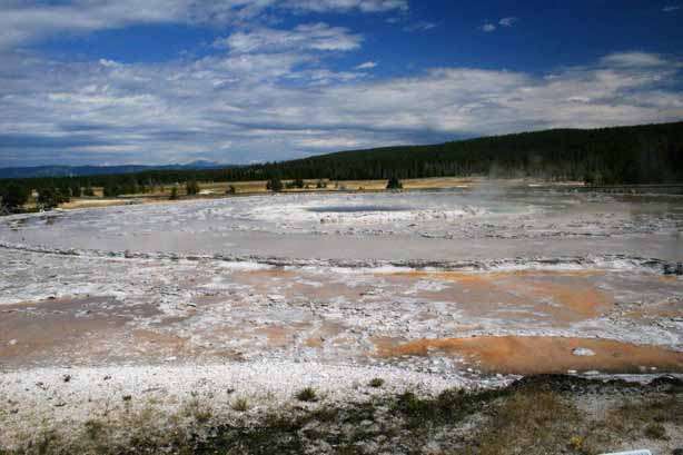
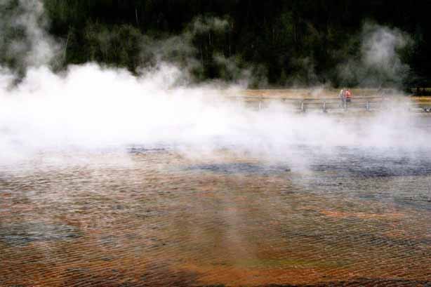
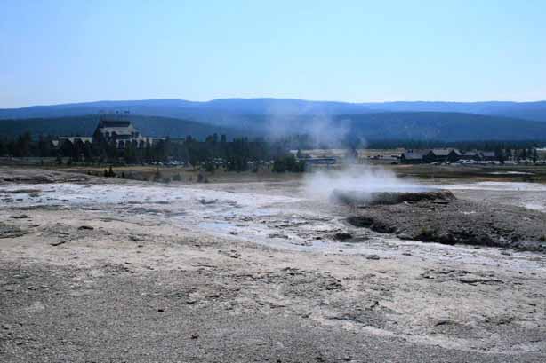
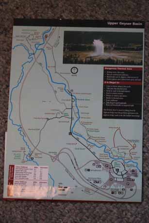 We returned along the road we traveled the day before. We had gotten as far around the loop as West Thumb Geyser Basin which is located on the bump at the west edge of Yellowstone Lake that, surprisingly is called West Thumb. Between West Yellowstone and West Thumb Basin is the Lower Geyser Basin, Fountain Paint Pot, Midway Geyser Basin, Upper Geyser Basin, and Geyser Hill, home to the most famous geyser in the world, Old Faithful. I am sure that just reading that list has already prepared you for the quantity of photos in this blog. What can I say? I love to take photos.
When I was cleaning out my dad’s house after he passed away I found a “National Geographic Guide to the National Parks of the United States” and brought it home. Even though is was printed in 1989 I felt it would contain lots of useful and interesting information that I could read – someday.
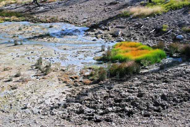
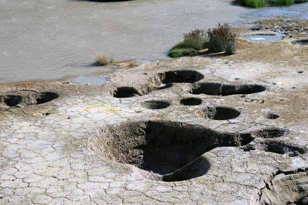
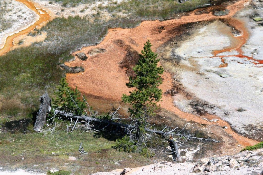
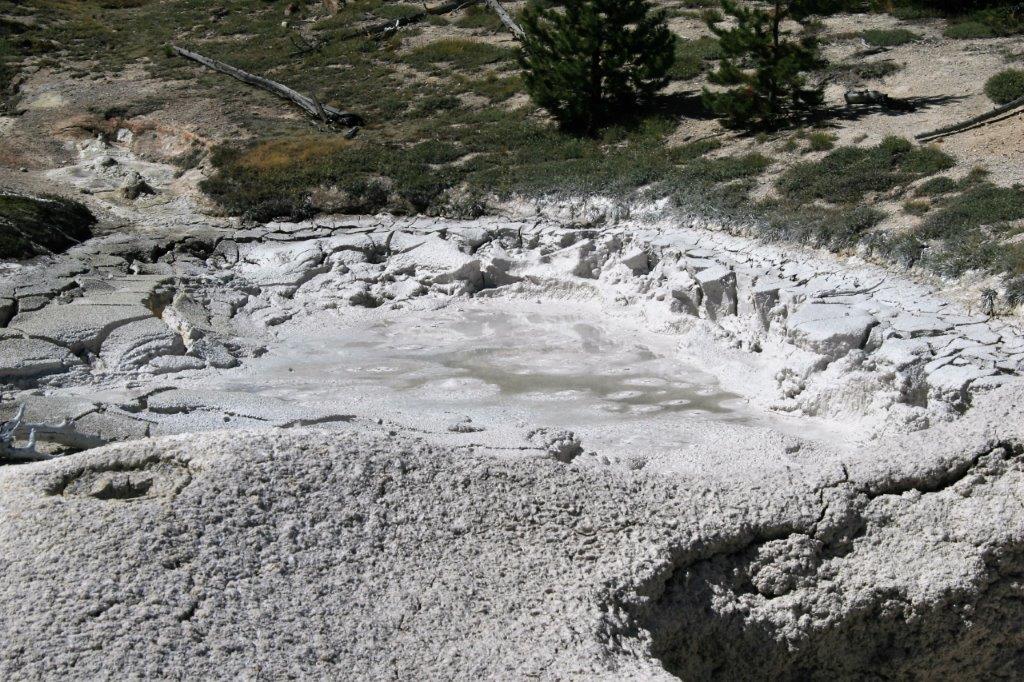
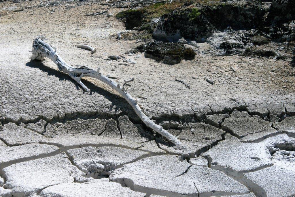
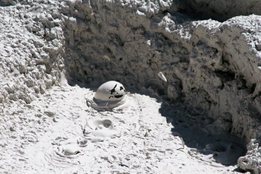
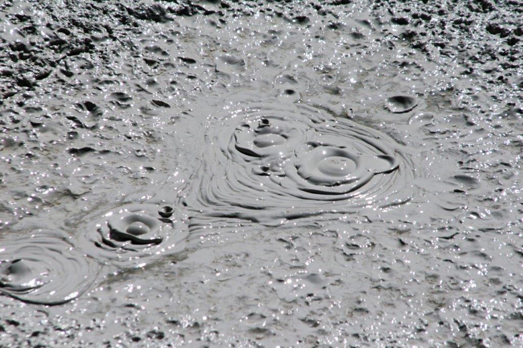
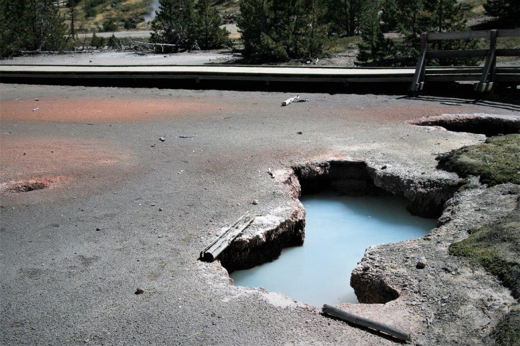
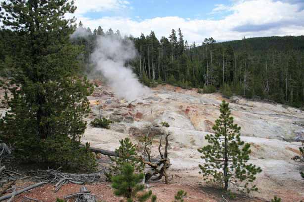
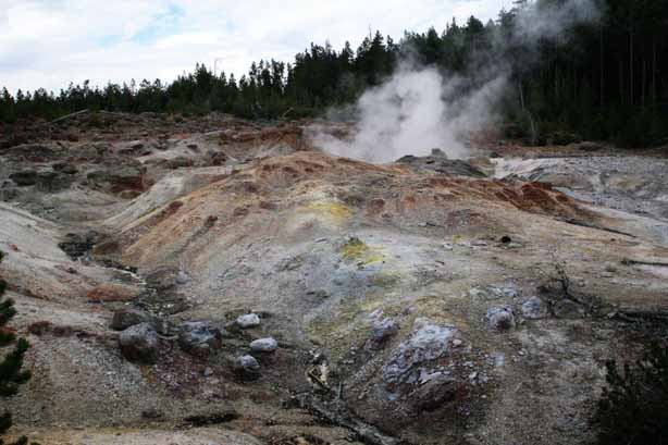
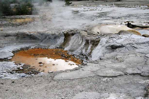
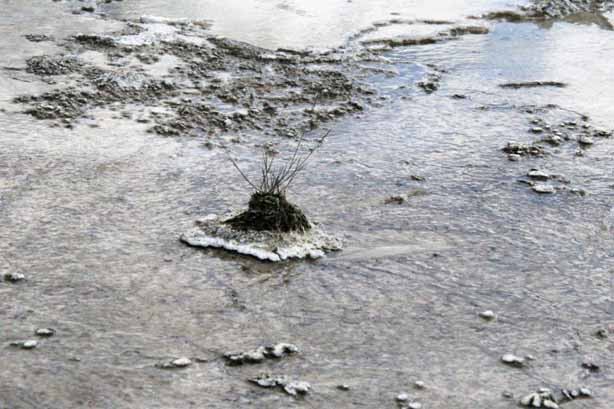
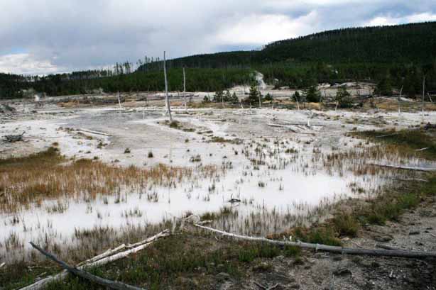
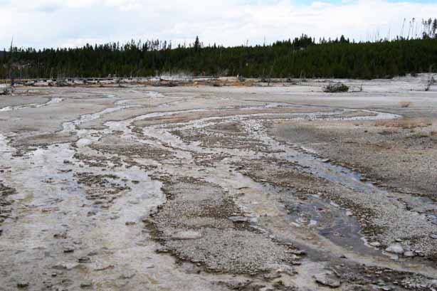
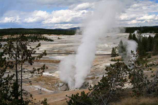
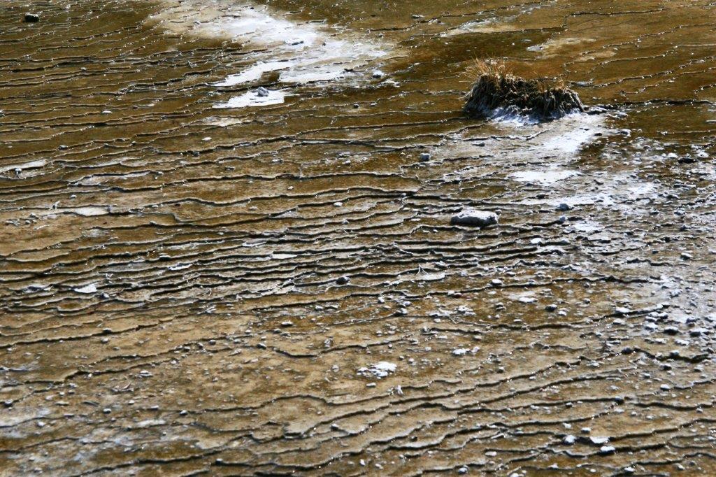
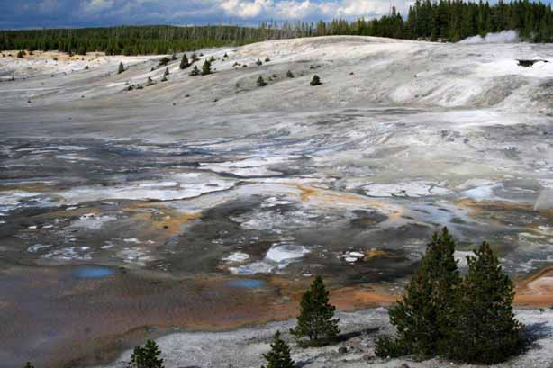
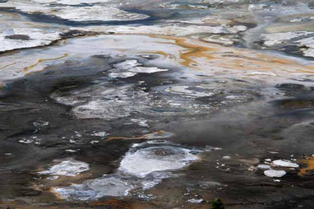
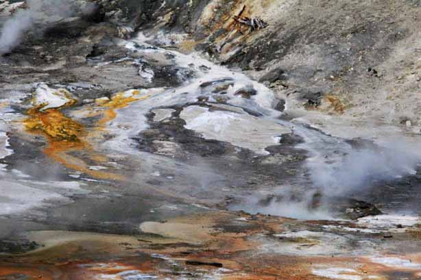
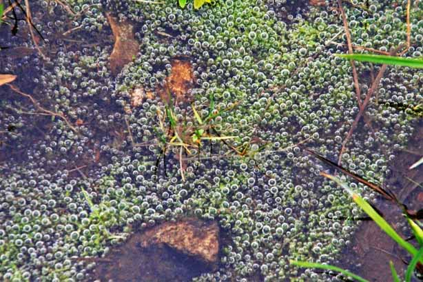
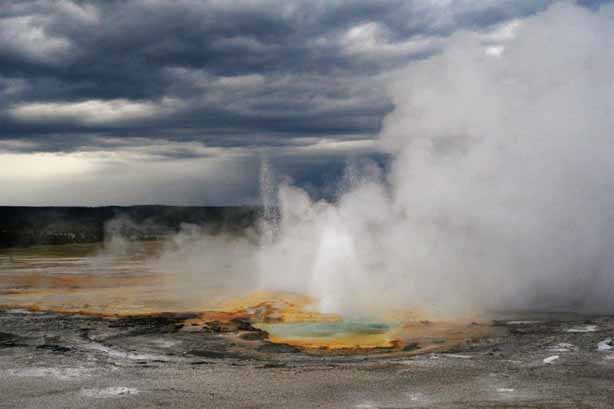
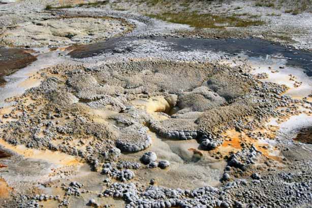
A part of the section about Yellowstone National Park is a ‘how to’ guide for traveling around. The book says, “At Fountain Paint Pot, a cauldron of hot reddish-pinkish mud, blooping and spitting, is always entertaining. Any hot spring could become a mud pot with the right balance of acidity, moisture, and clay; however, a constant flow of water keeps most springs clear.”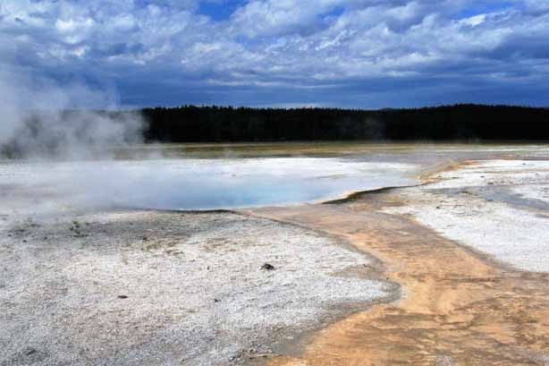
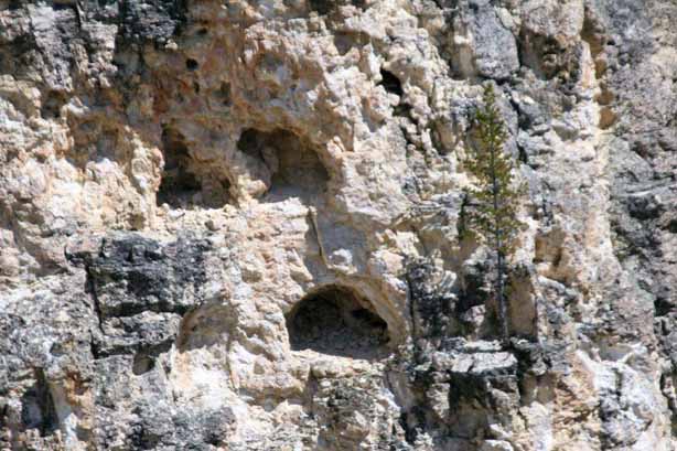
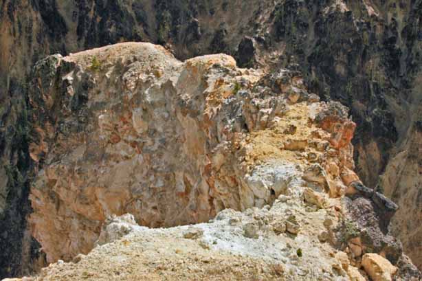
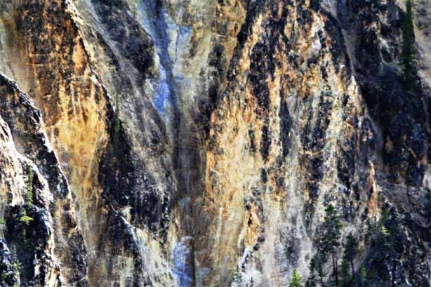
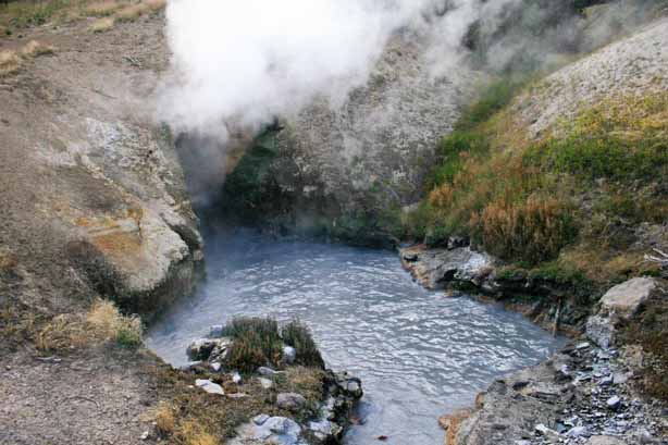
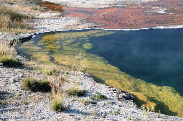
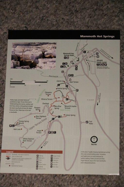
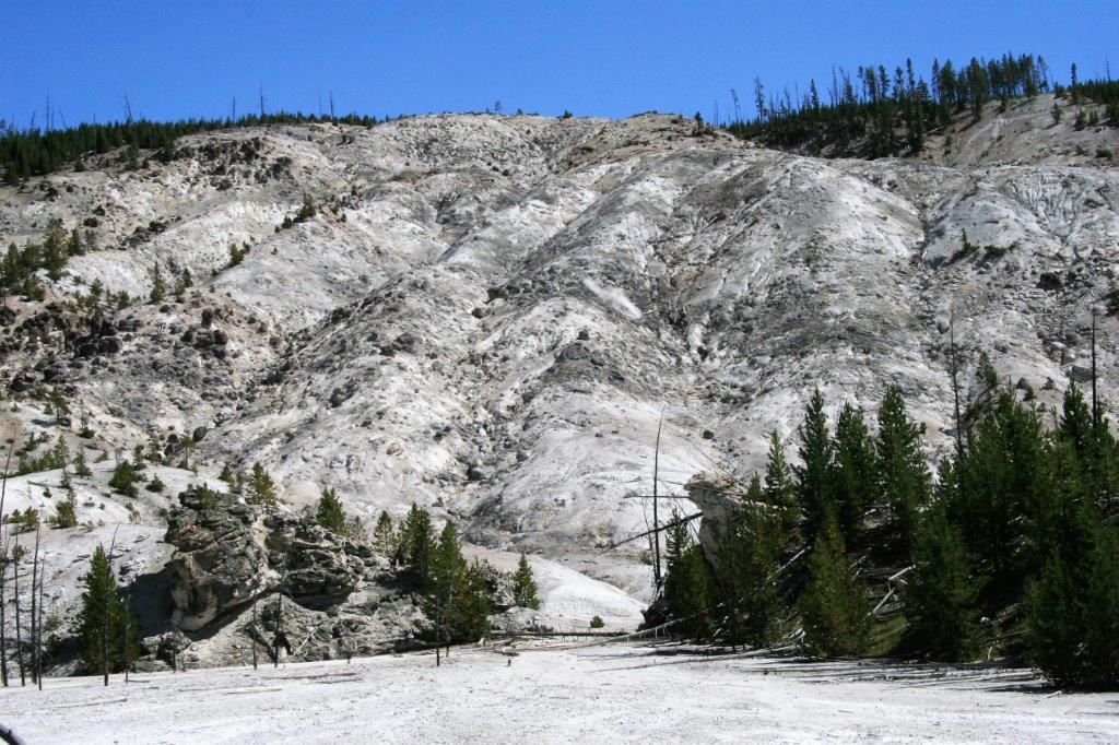
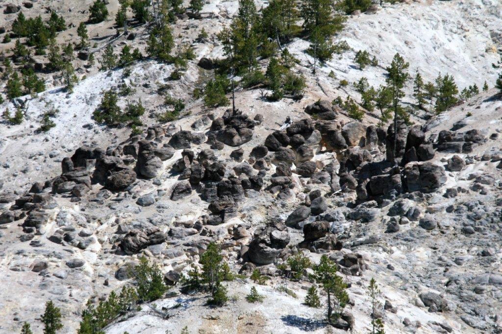
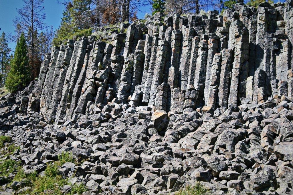
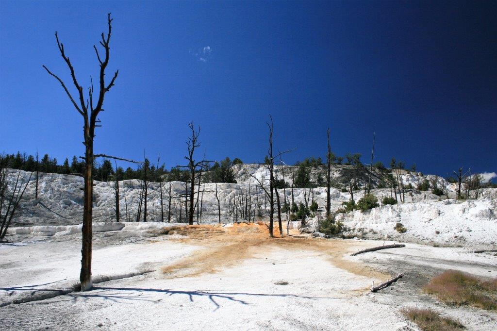
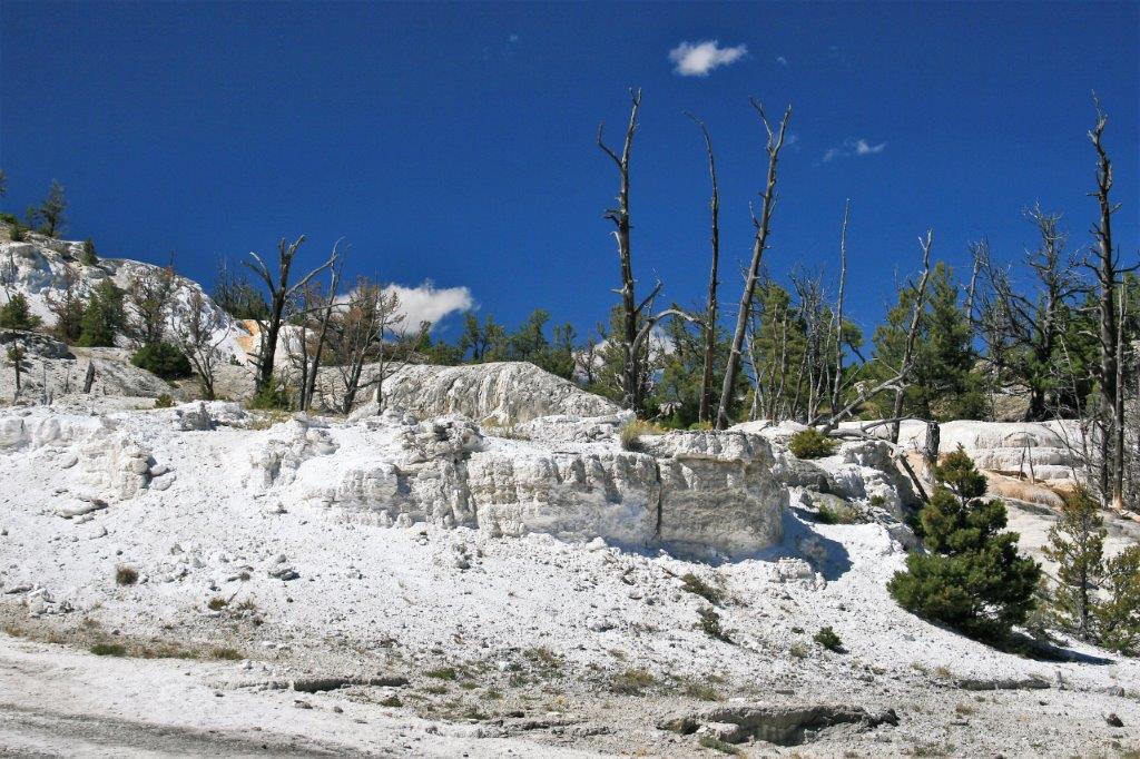
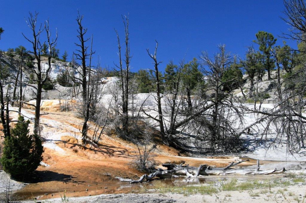
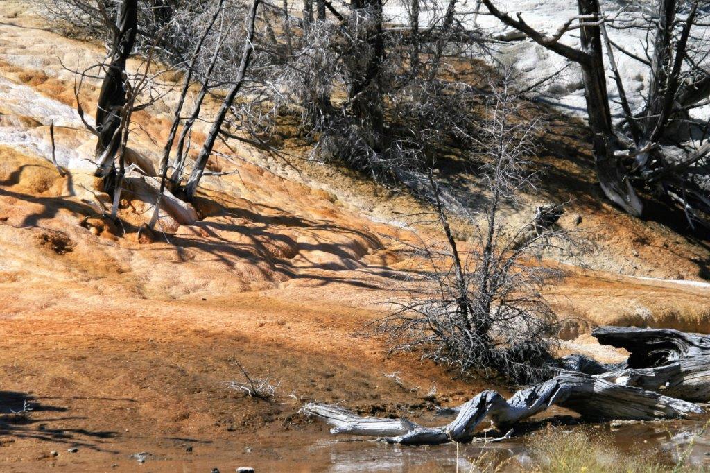
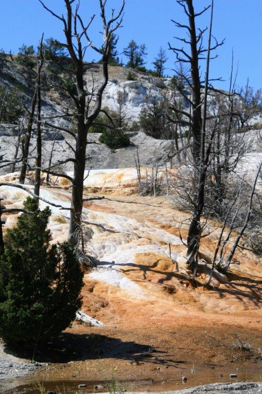
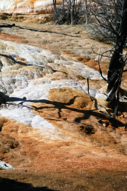
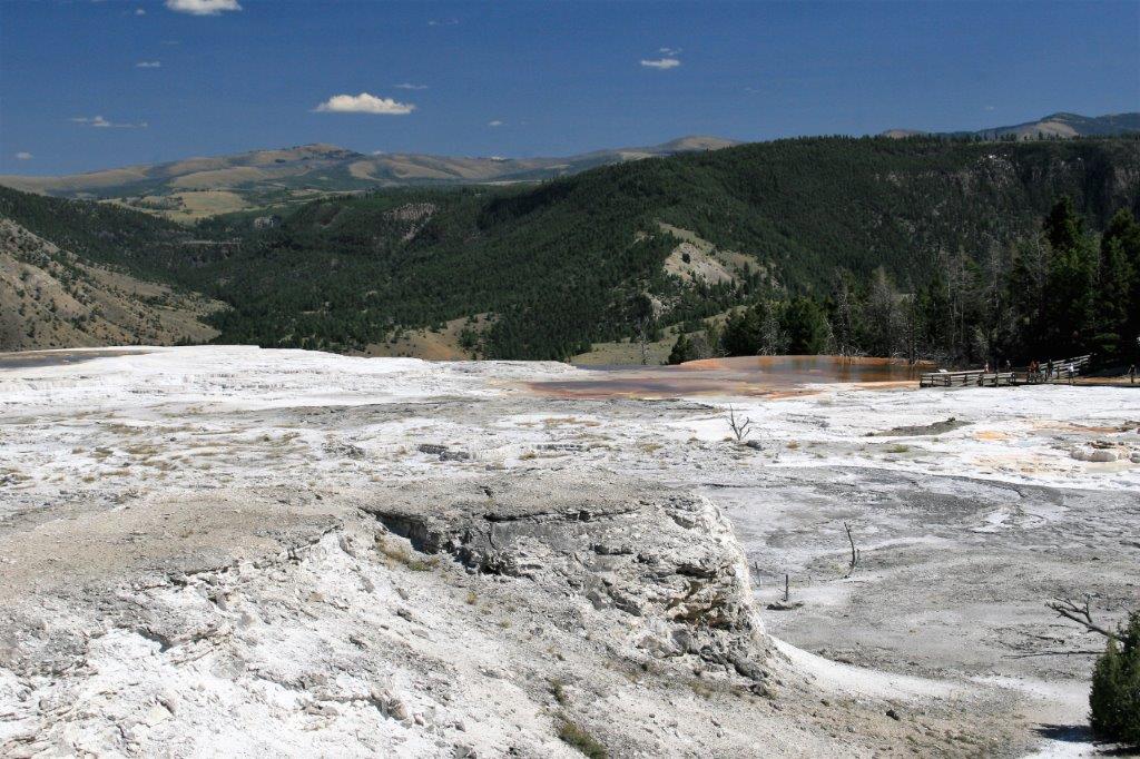
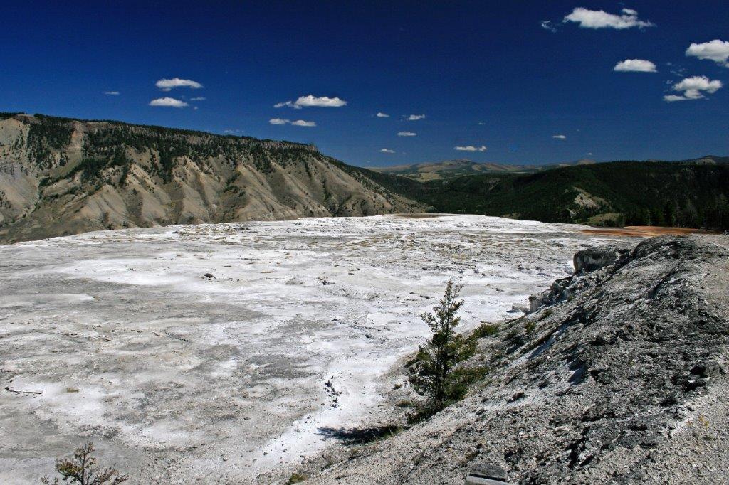
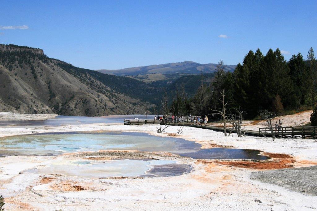
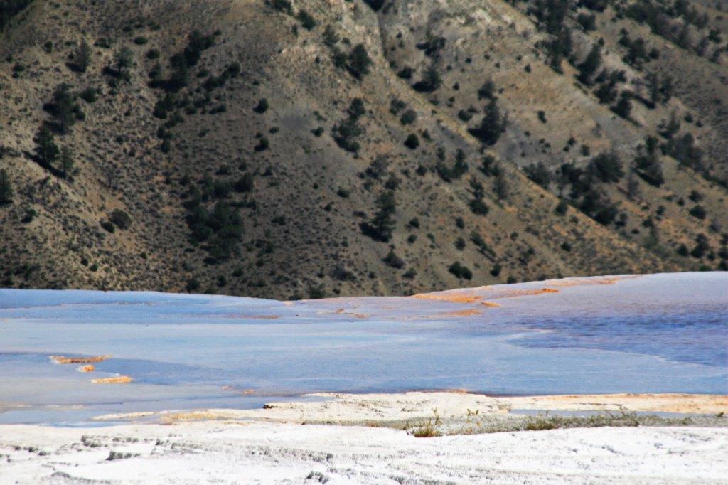
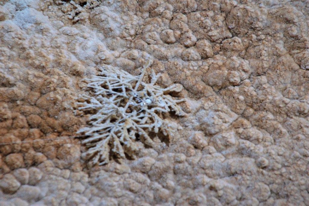
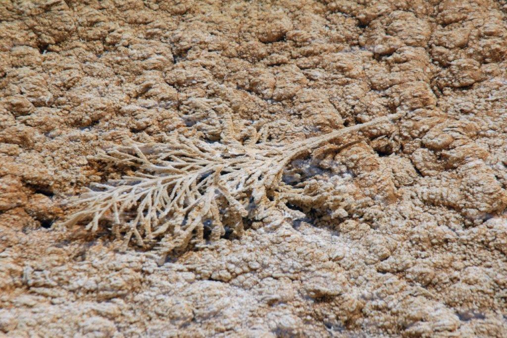
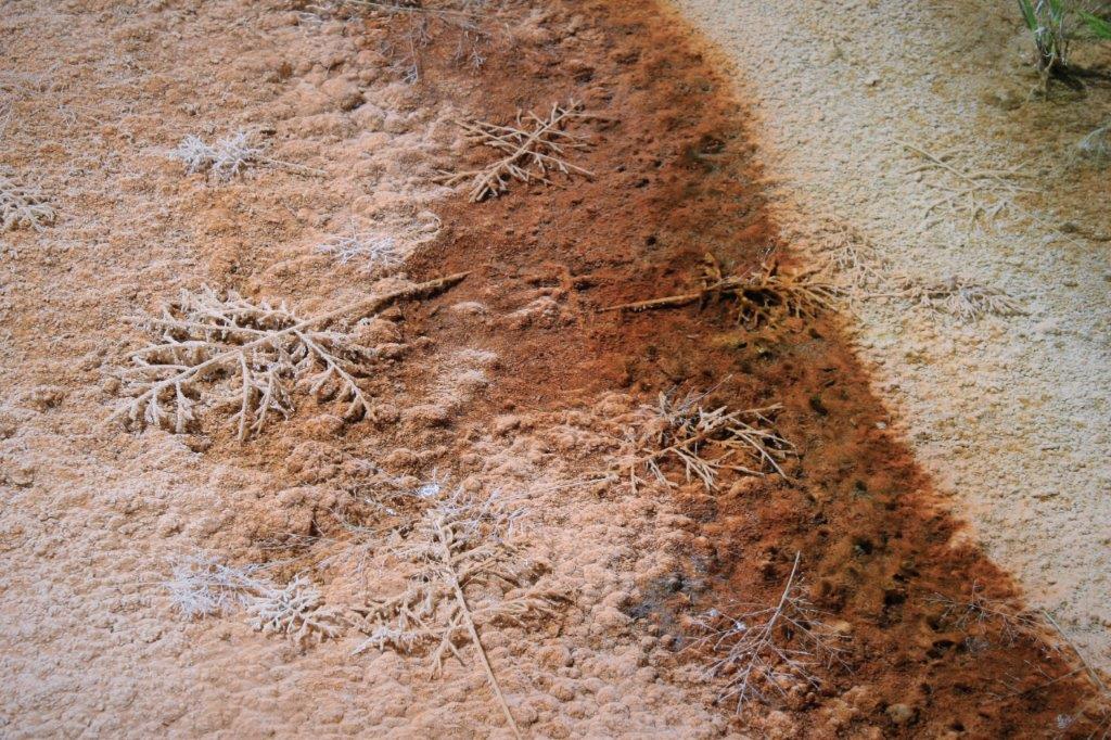
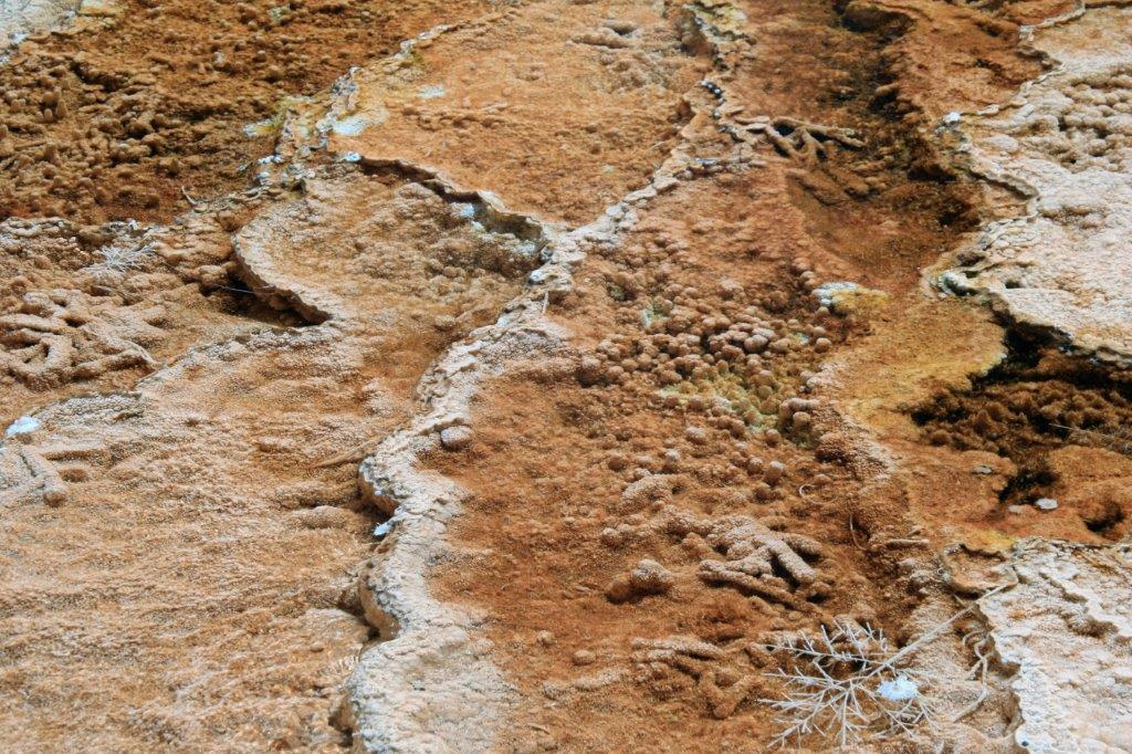
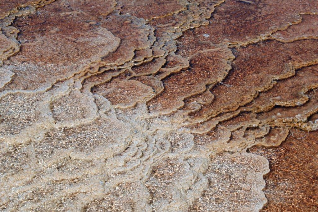
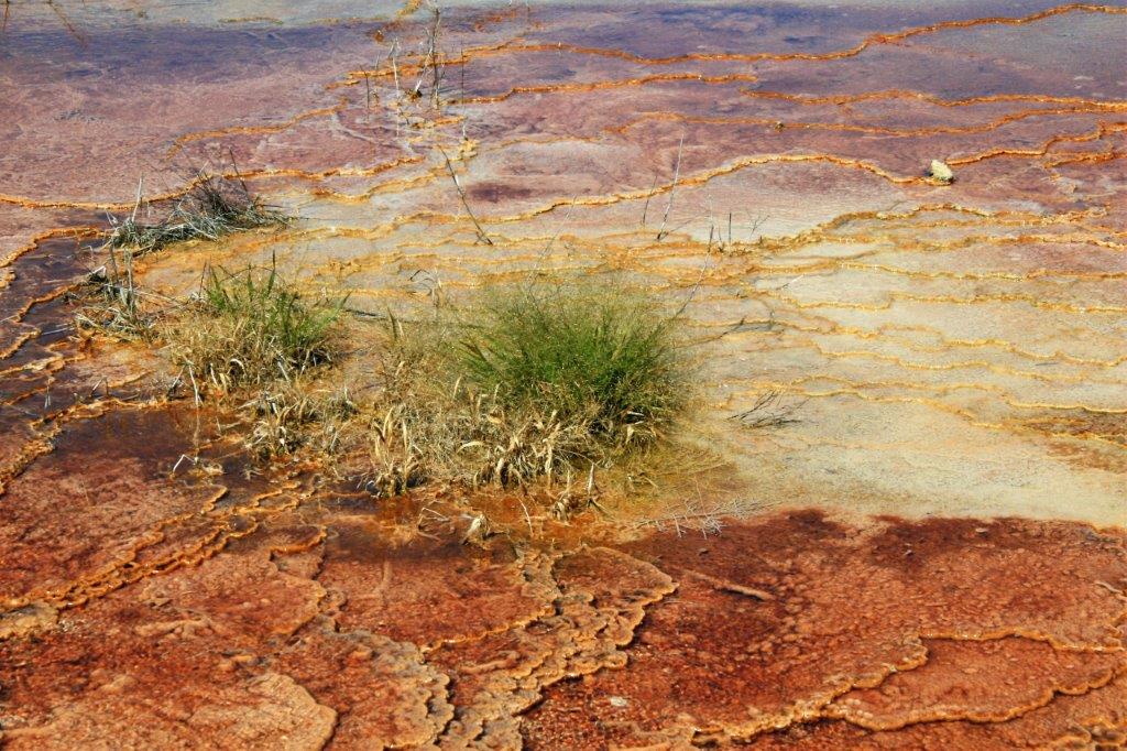
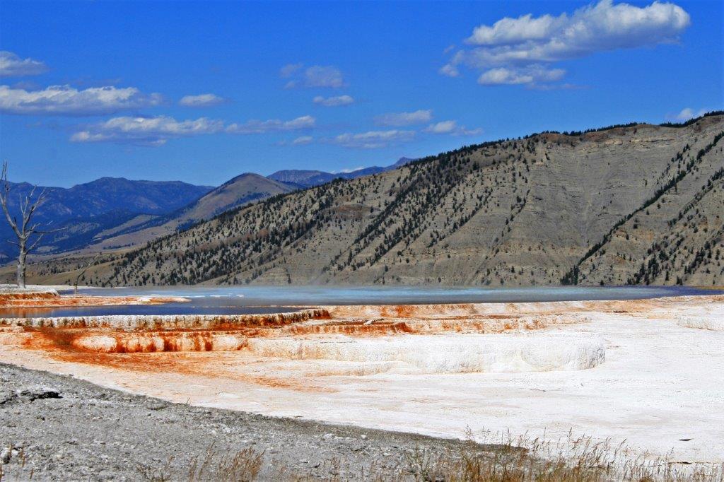
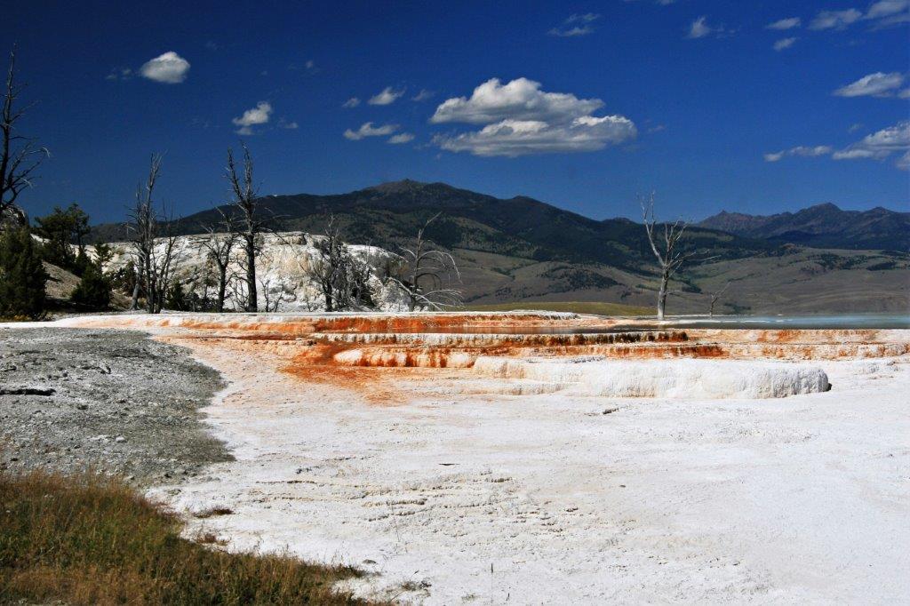
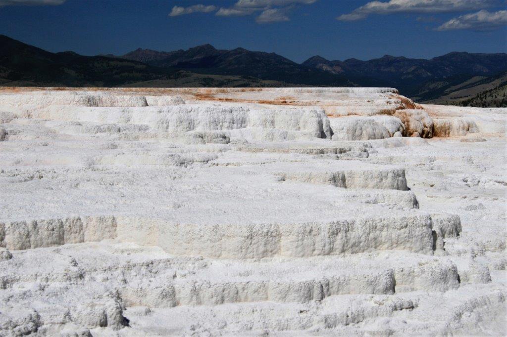
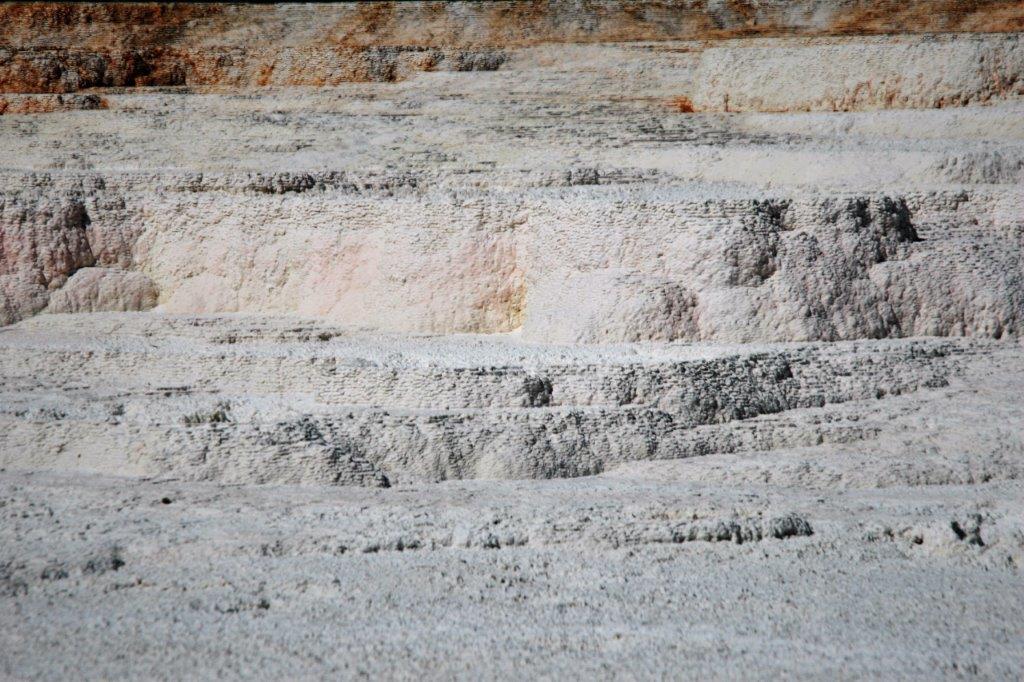
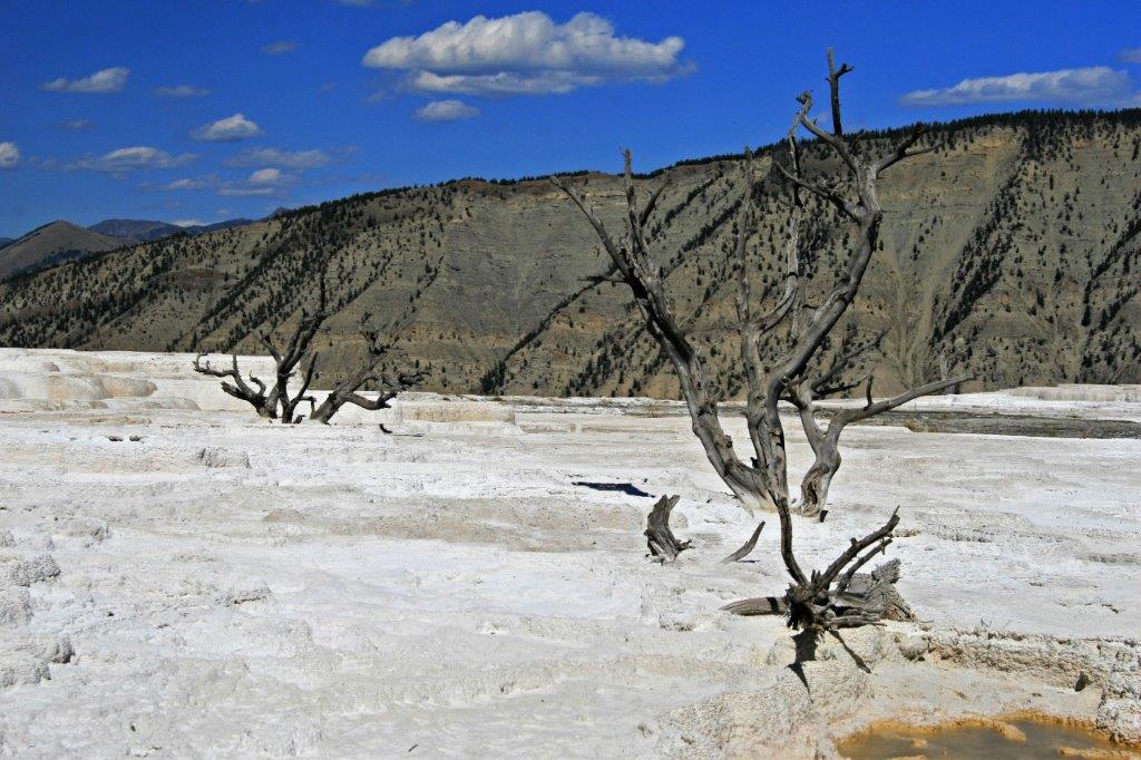
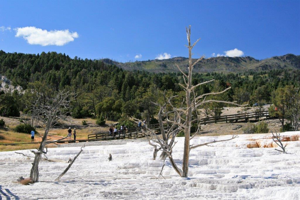
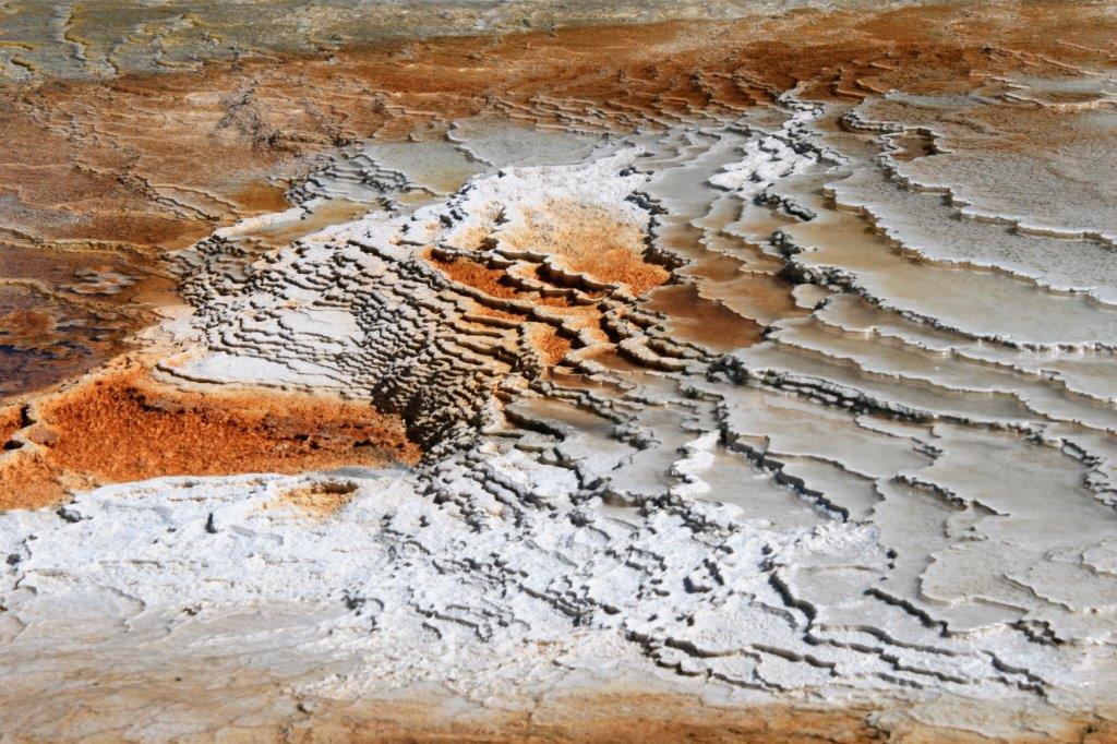
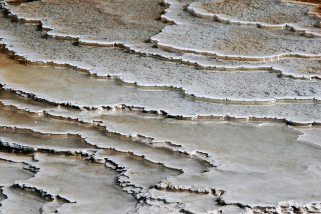
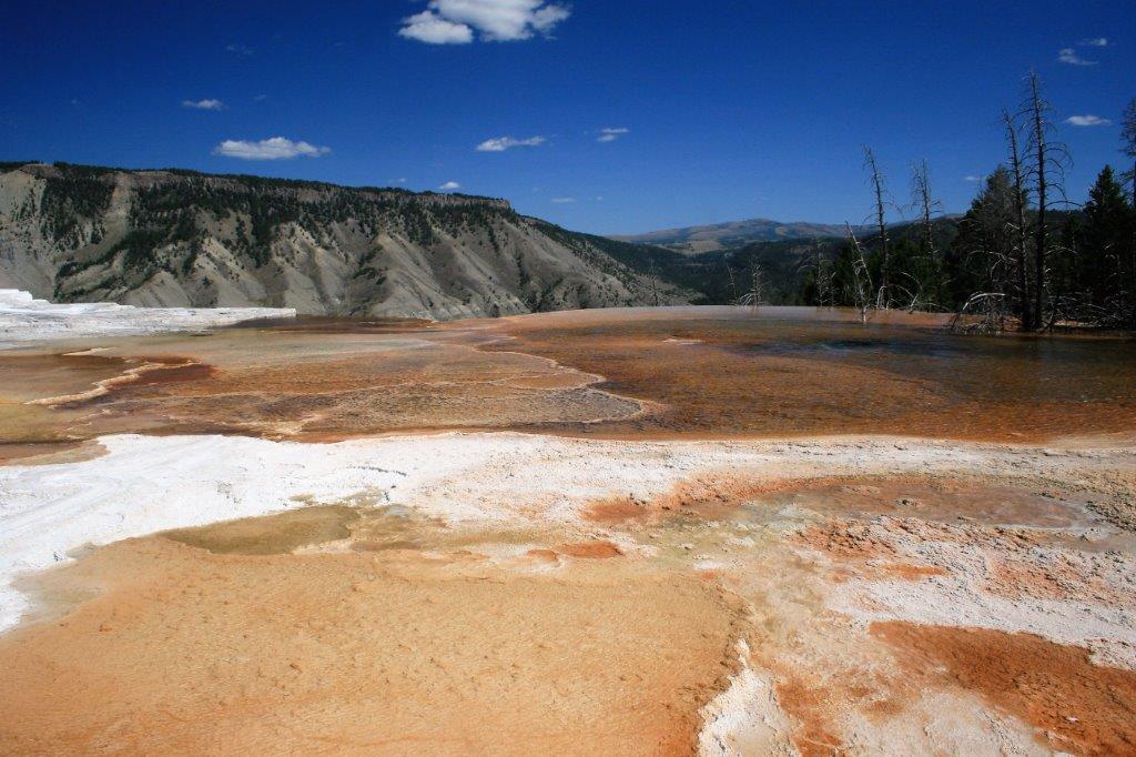
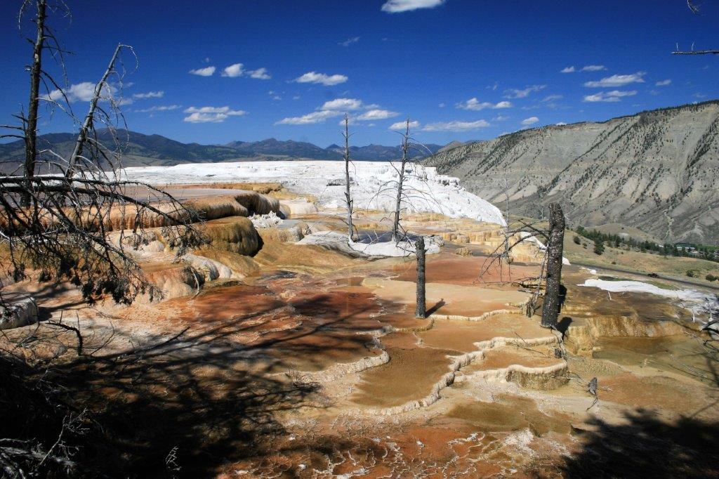
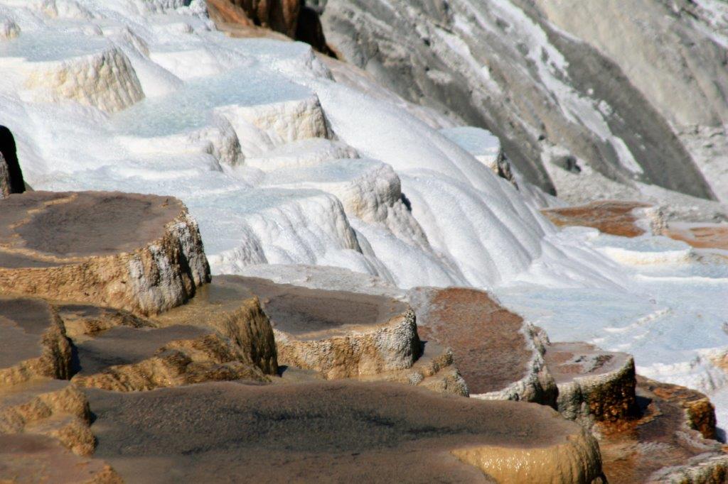
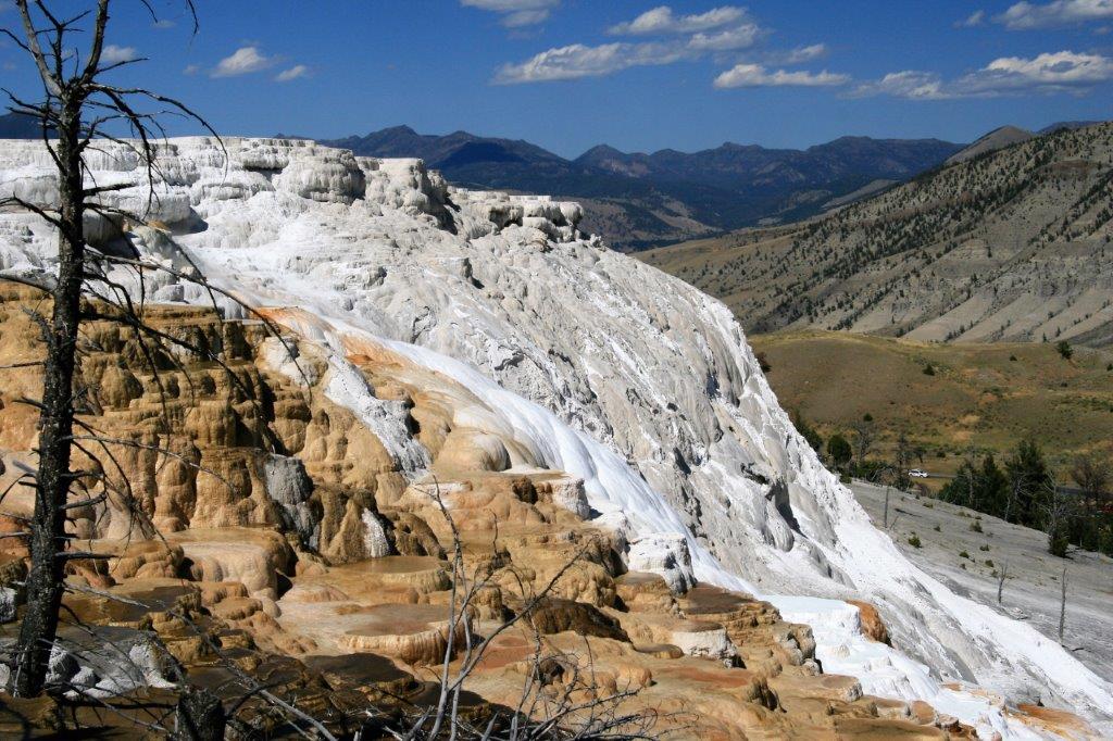
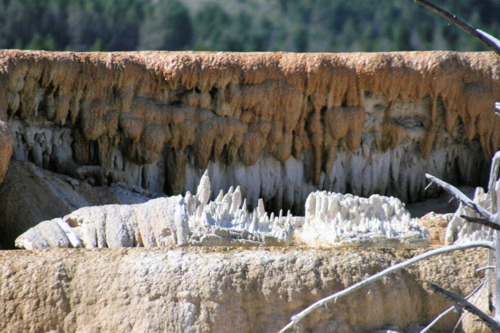
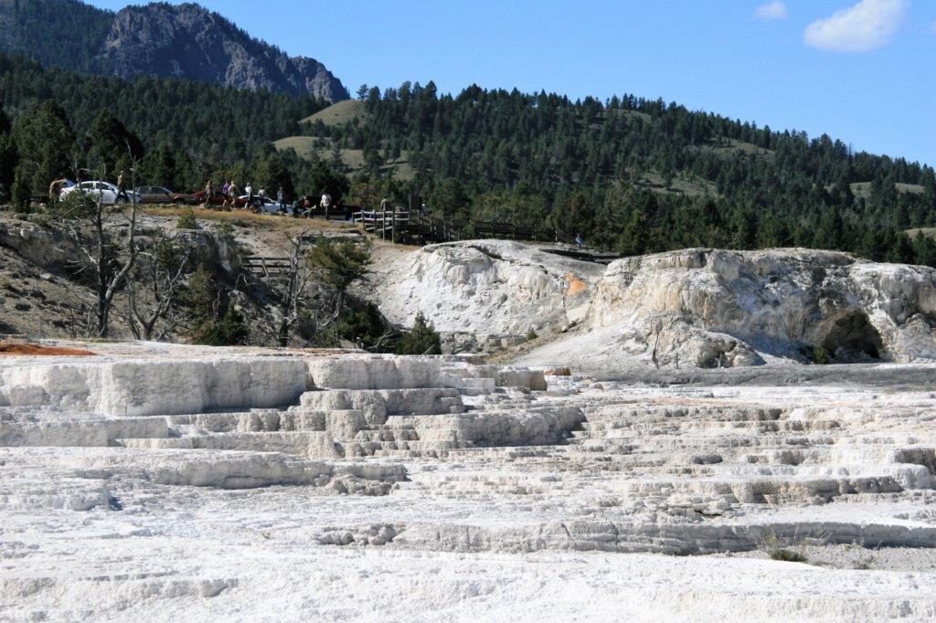
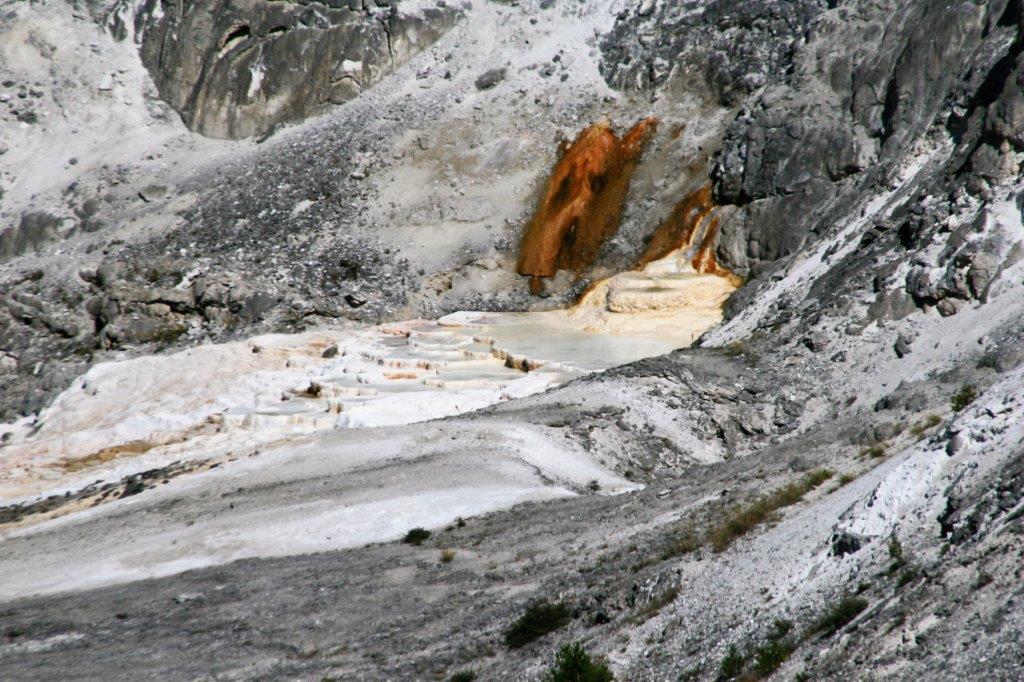
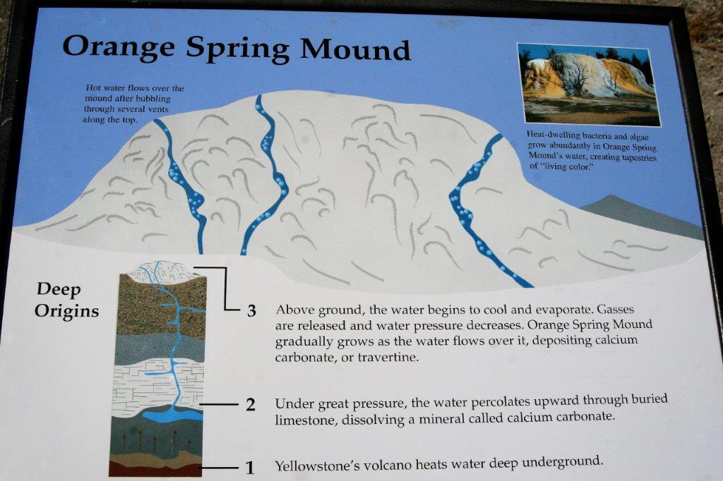
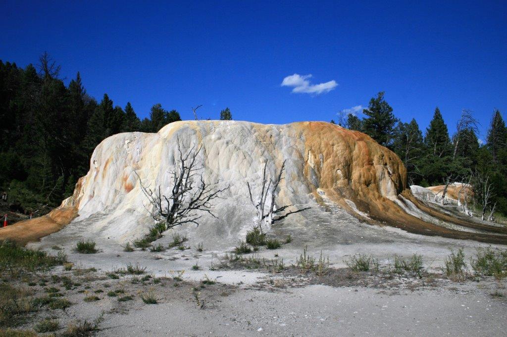
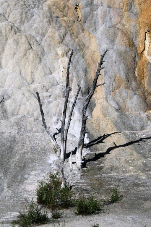
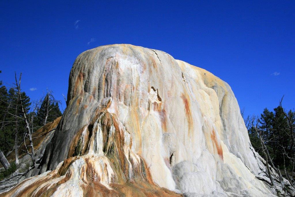
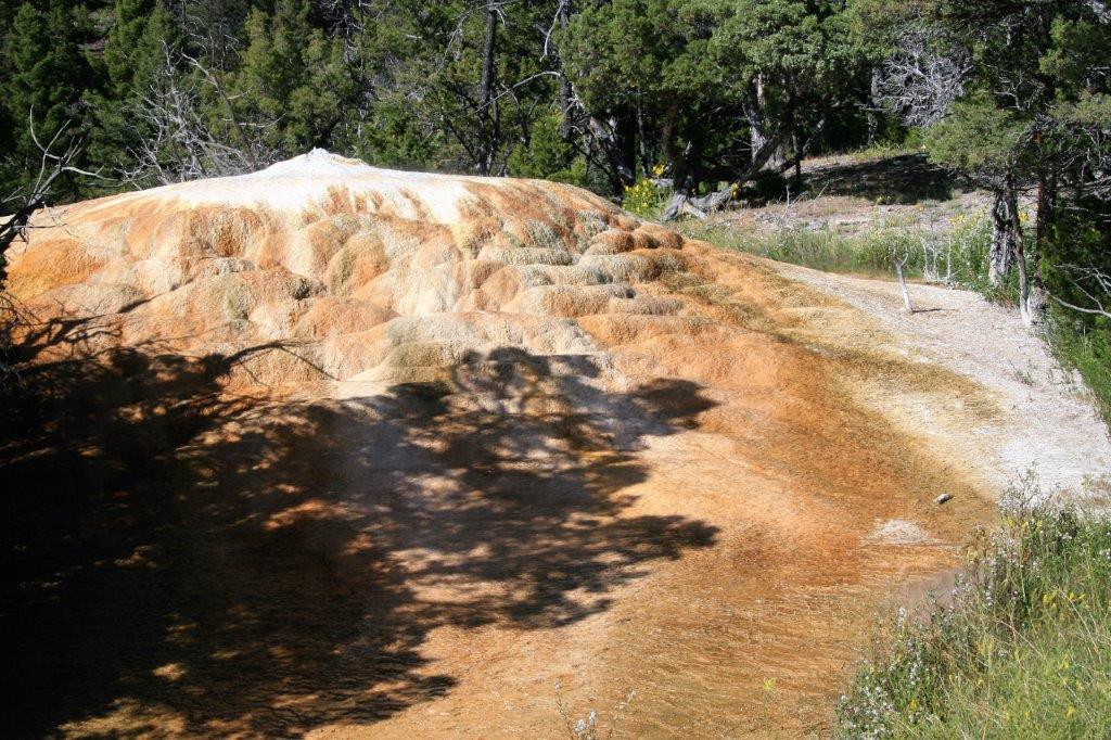
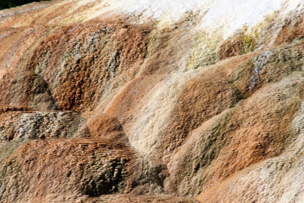
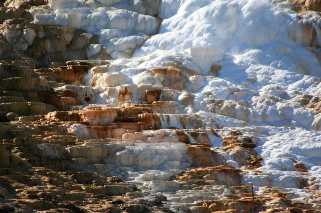
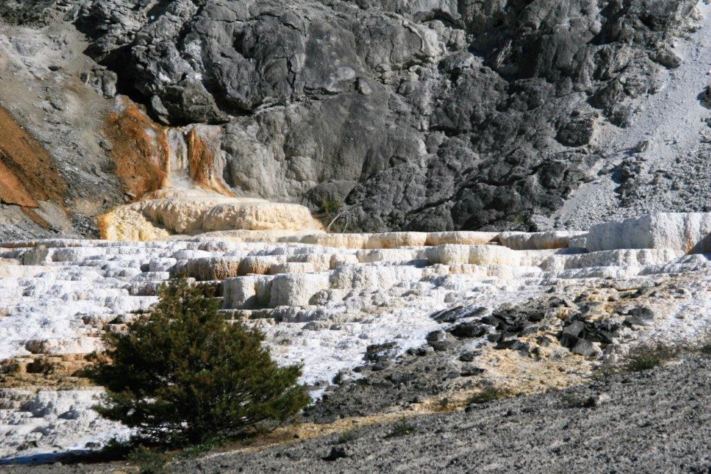
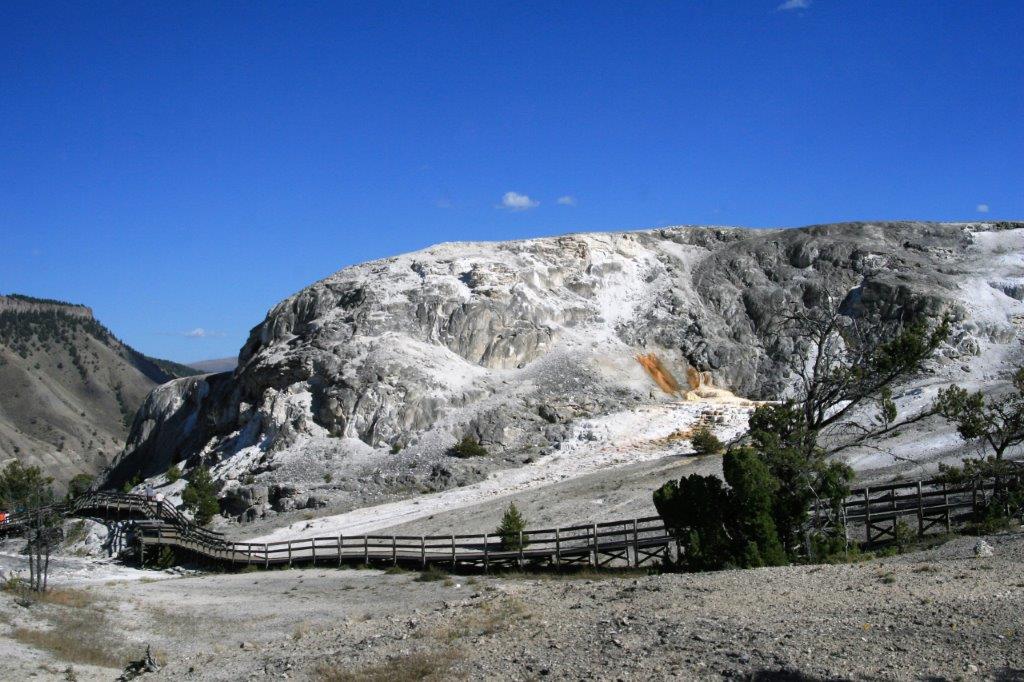
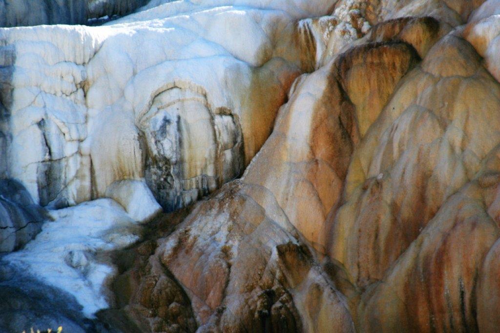
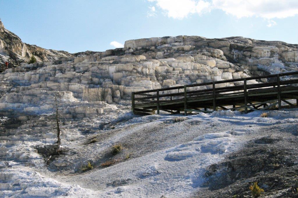
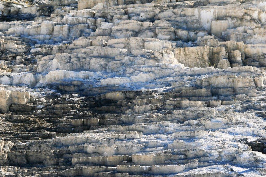
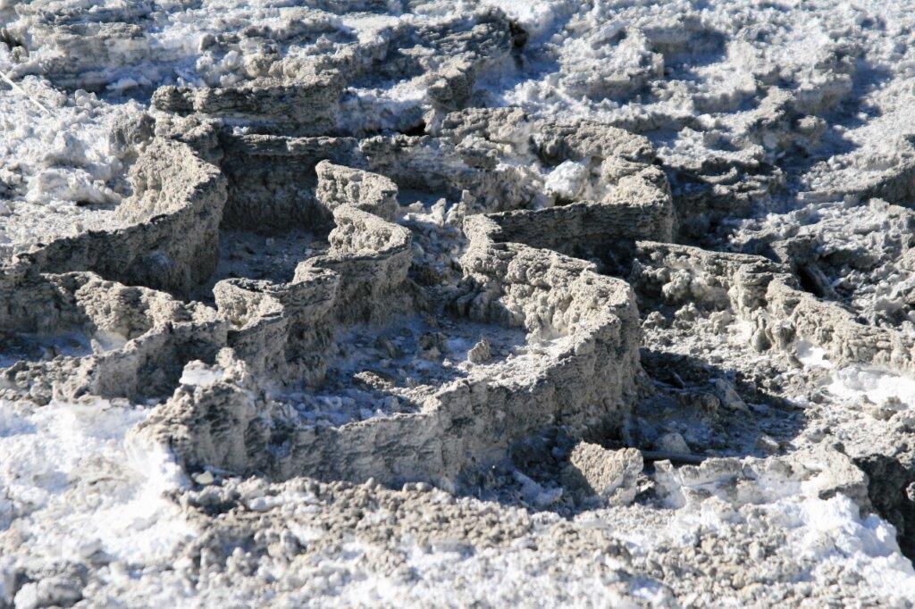
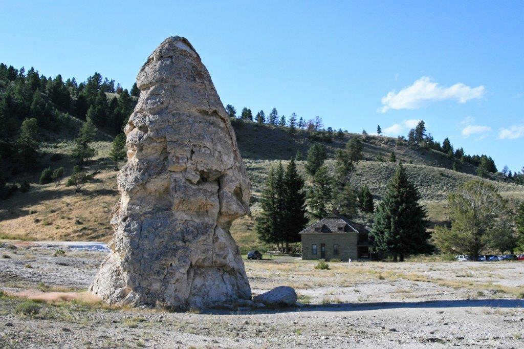
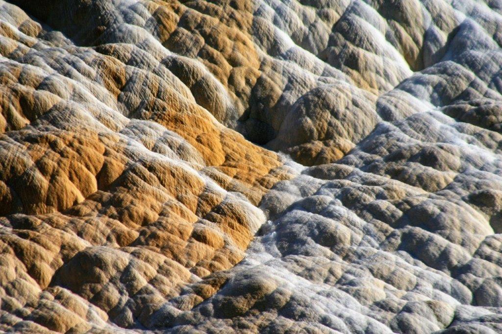
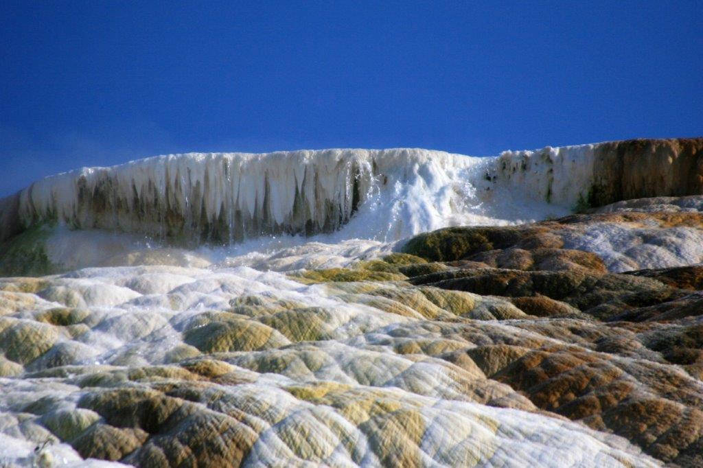
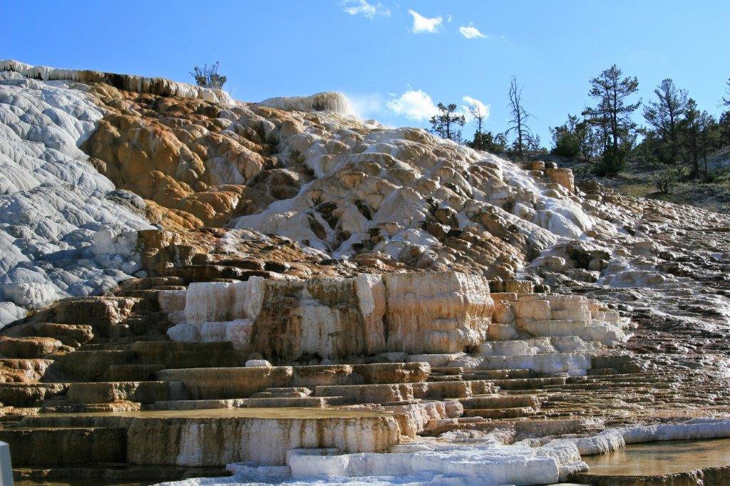
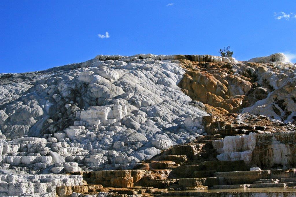
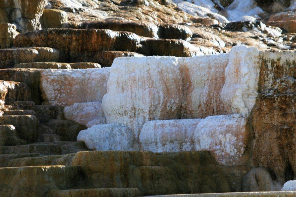
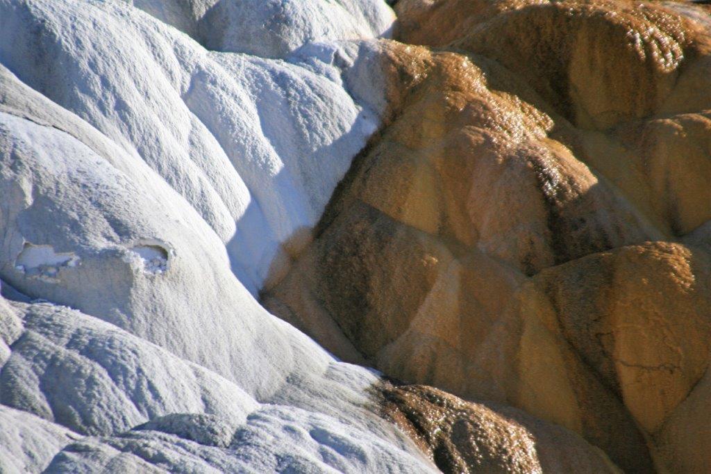
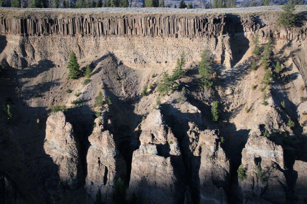
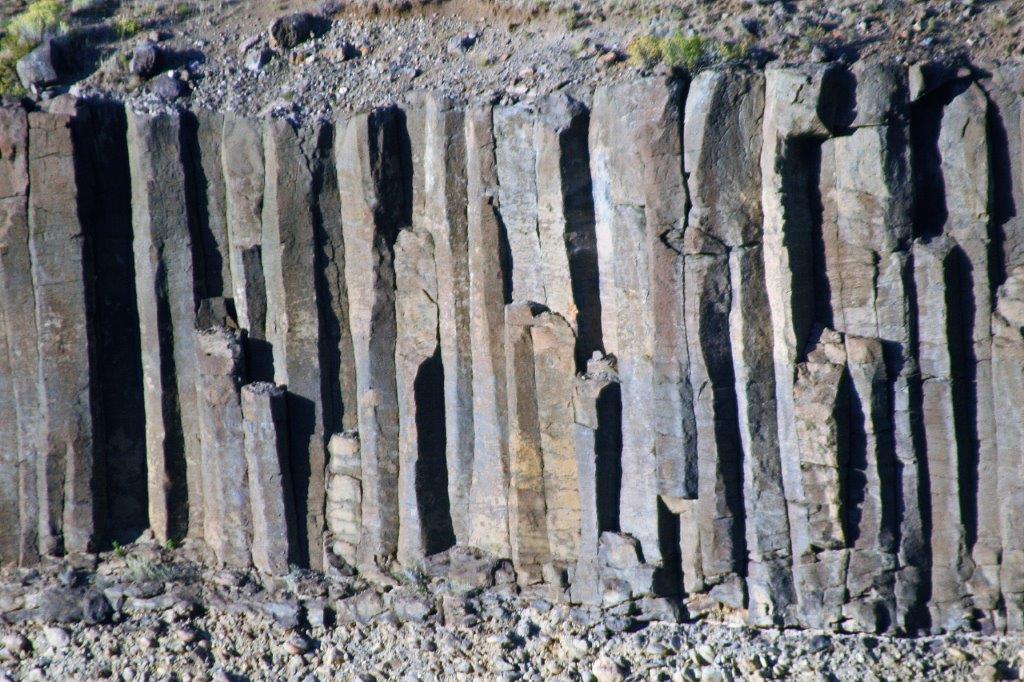
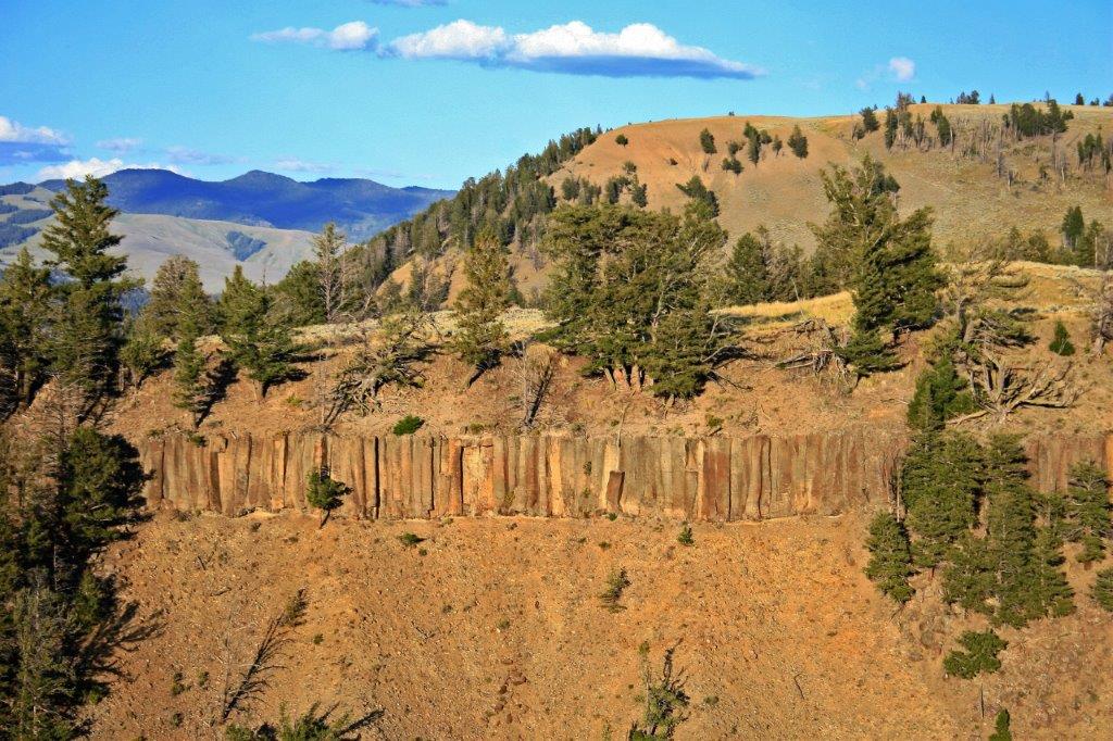
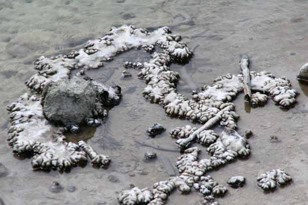
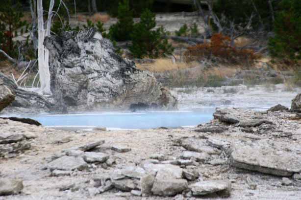
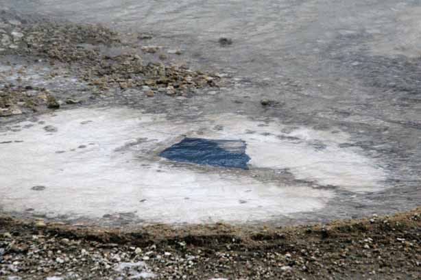
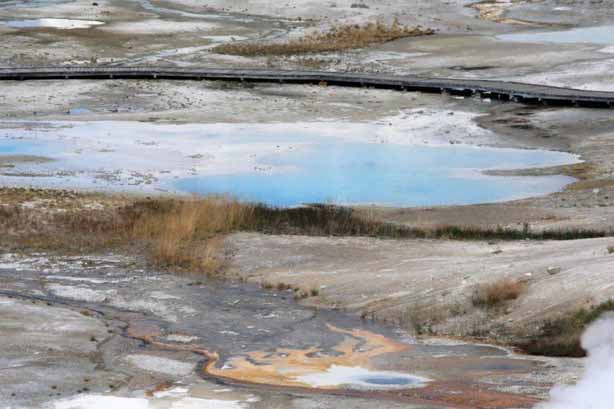
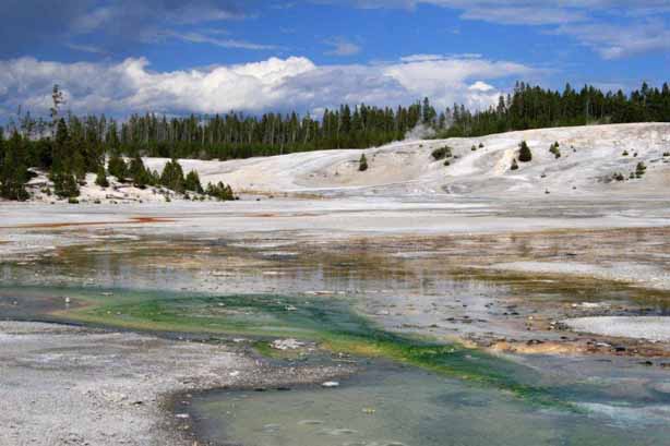
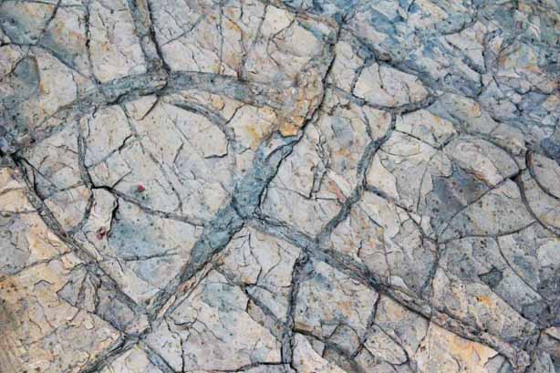
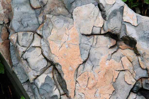
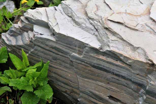
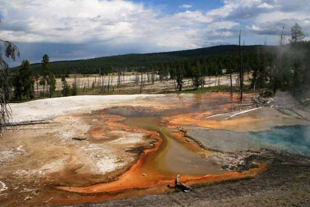
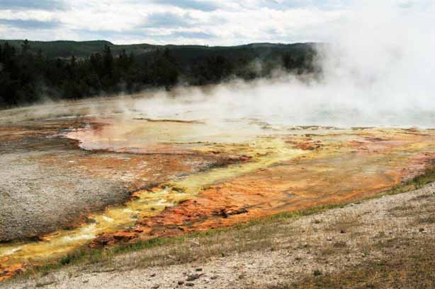
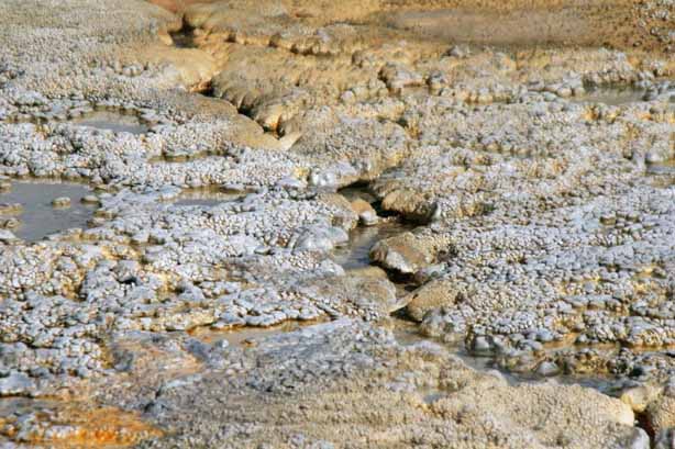
 Unlike the travertine we saw at the Mammoth Hot Springs terraces, most of the formations in the other areas of Yellowstone are made up of geyserite, a silicate mineral deposited by hot water, that creates some very delicate and intricate designs and shapes.
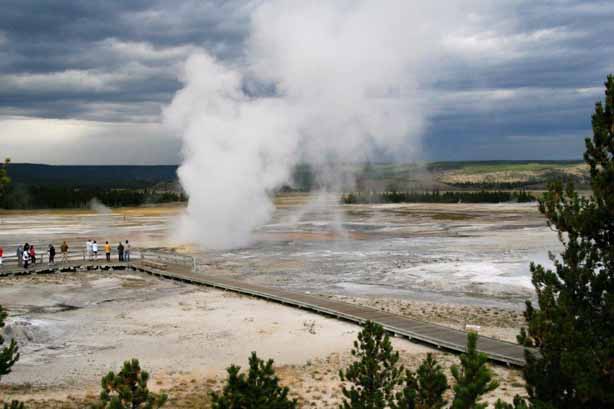
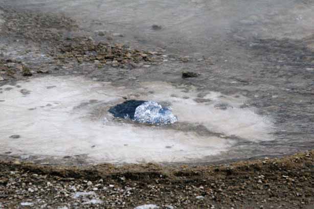
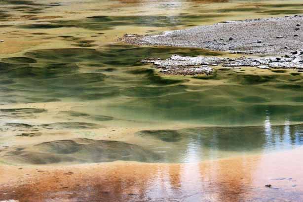
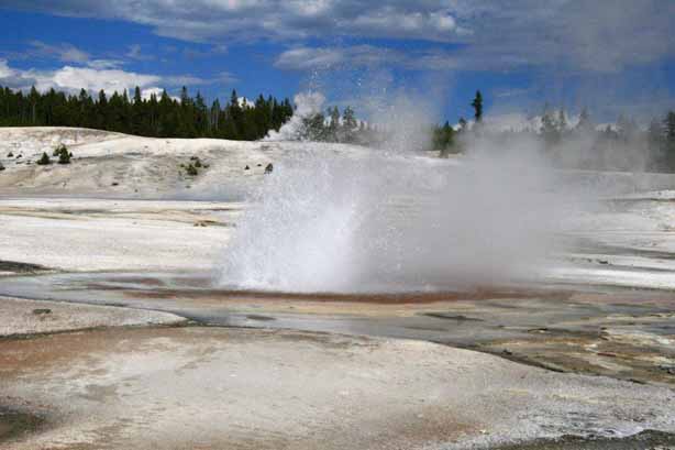
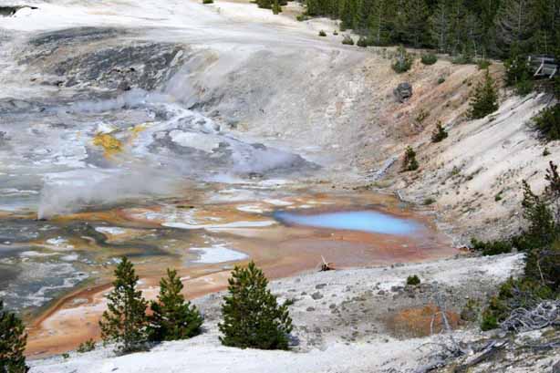
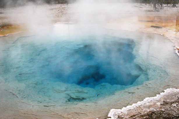
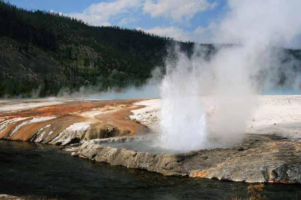
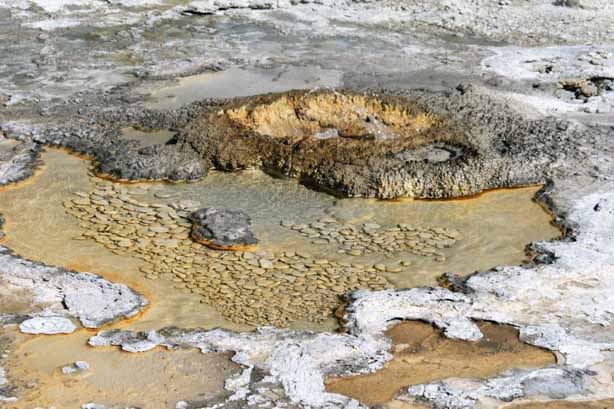
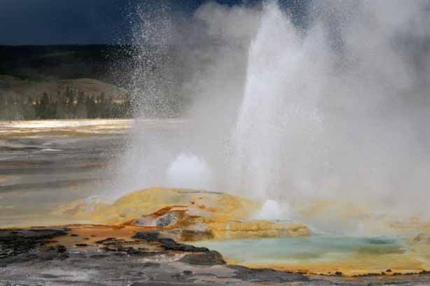 Spasm Geyser
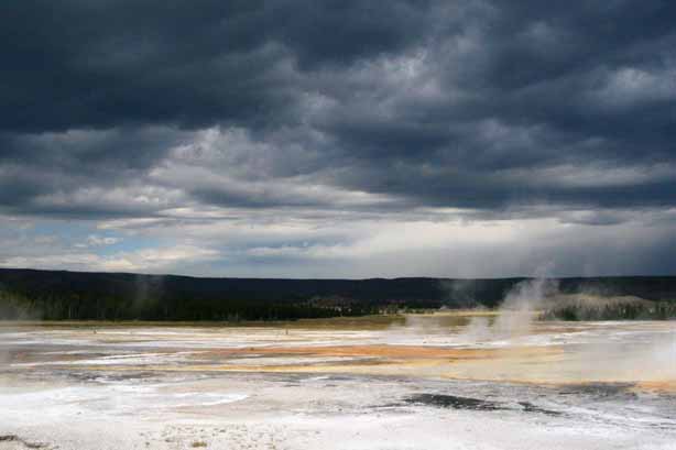
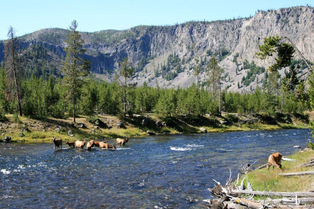
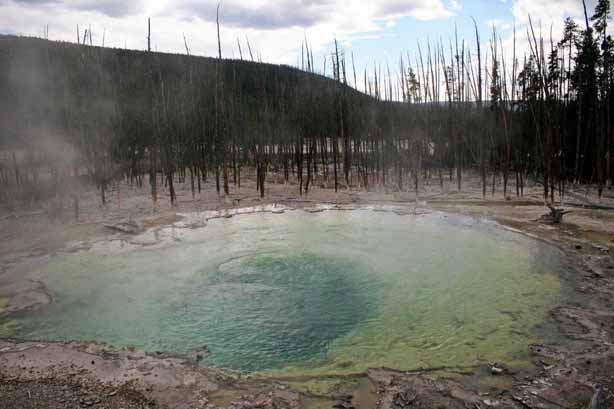
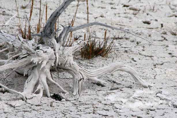
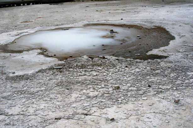
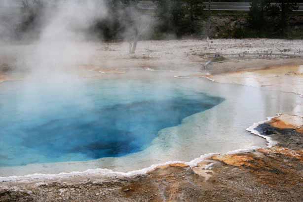
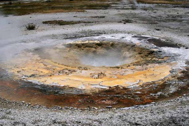
 This is one of my favourite photos from our Yellowstone trip.
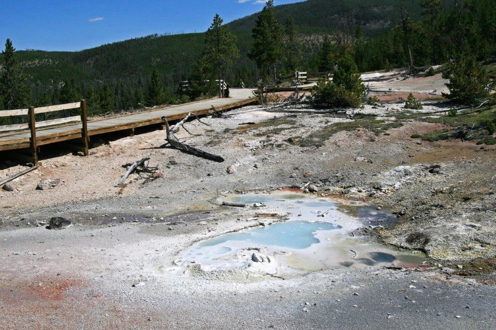
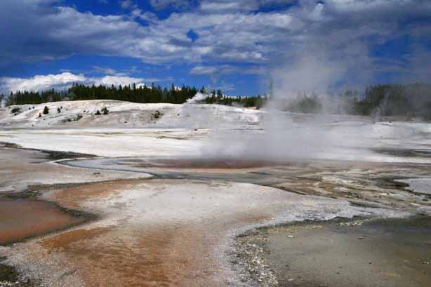
From the Fountain Paint Pot we drove the Firehole Lake Drive. 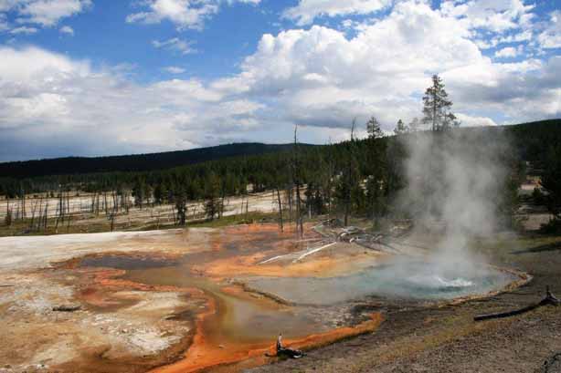

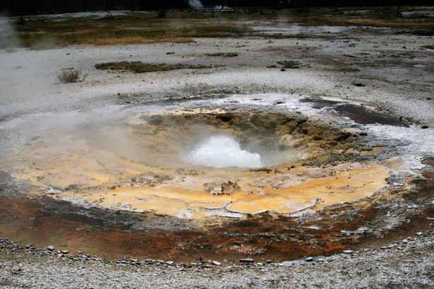
 Firehole Spring
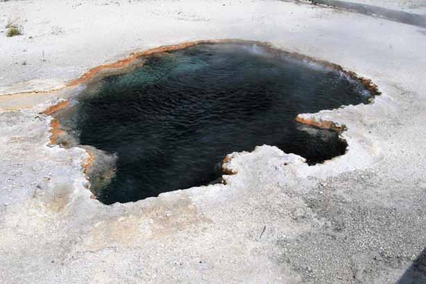
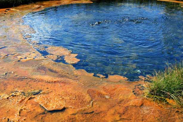
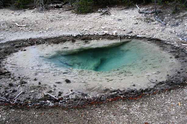
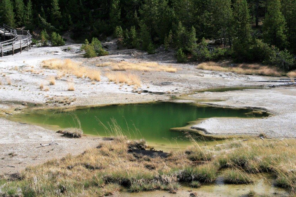
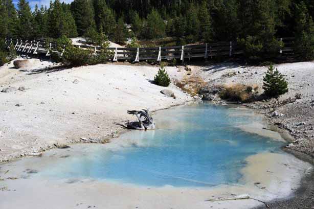
 Surprise Pool
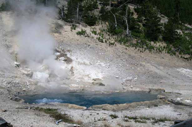
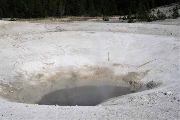
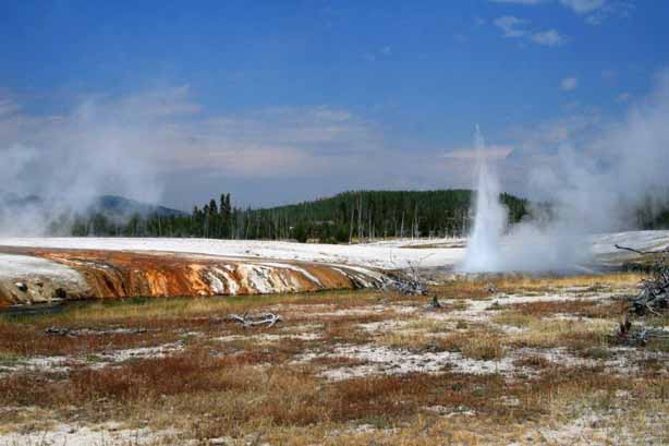
Great Fountain Geyser erupts about every 11 hours and the park rangers post the potential time frame the next blow is expected. If you have time to wait for it the Great Fountain Geyser is one of the best.
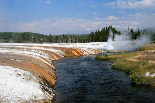
 Not far past Great Fountain is White Dome Geyser. It has a massive cone, but its eruption is a thin spray.
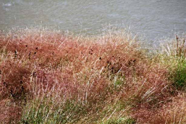
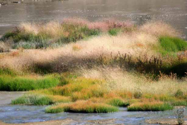
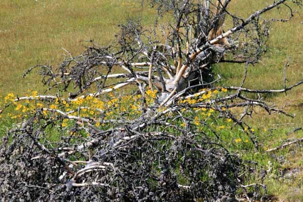
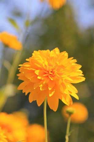
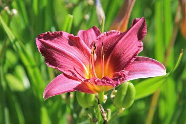
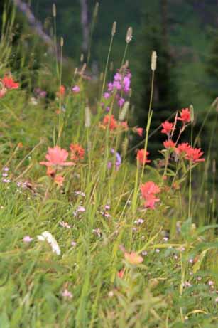
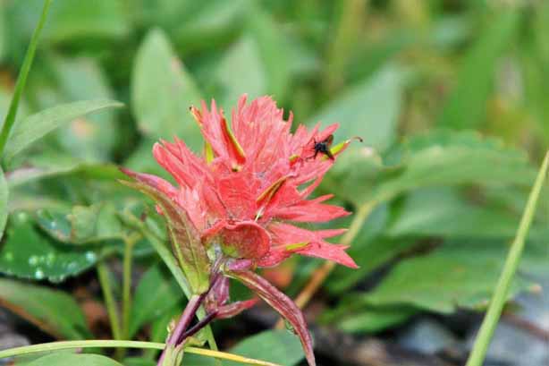
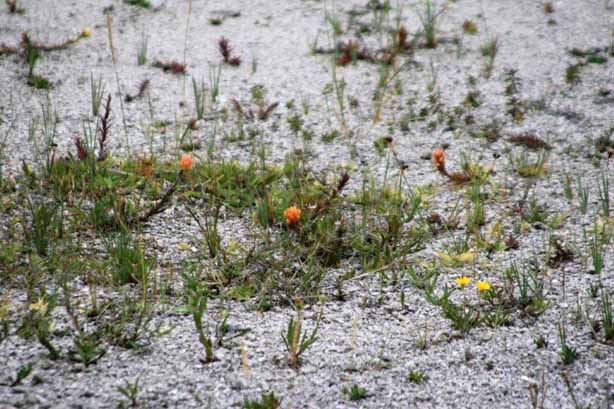
 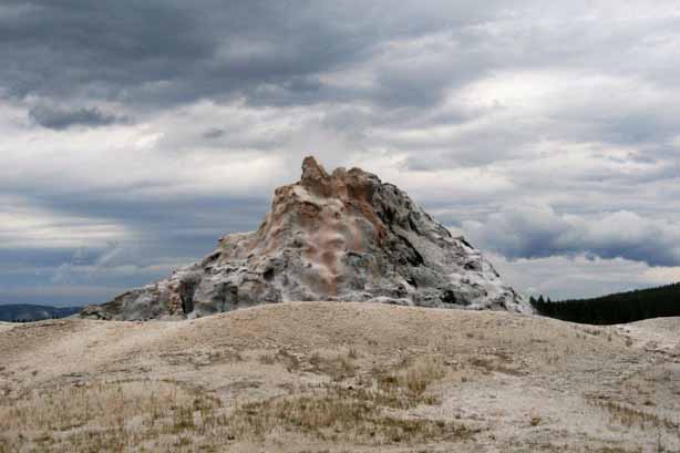 The shore of Firehole Lake was home to some pretty flowers.
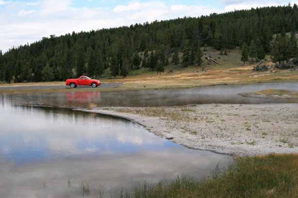
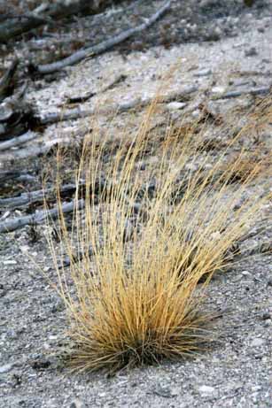
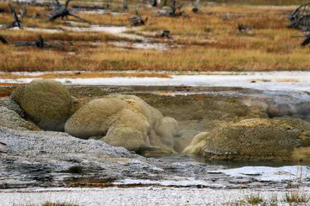
 This small geyser is called Young Hopeful. I guess it has aspirations to be bigger some day. And, it may very well come to pass, because the landscape and geysers and springs at Yellowstone are constantly changing.
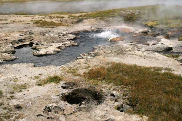
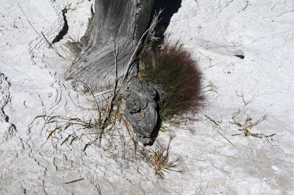
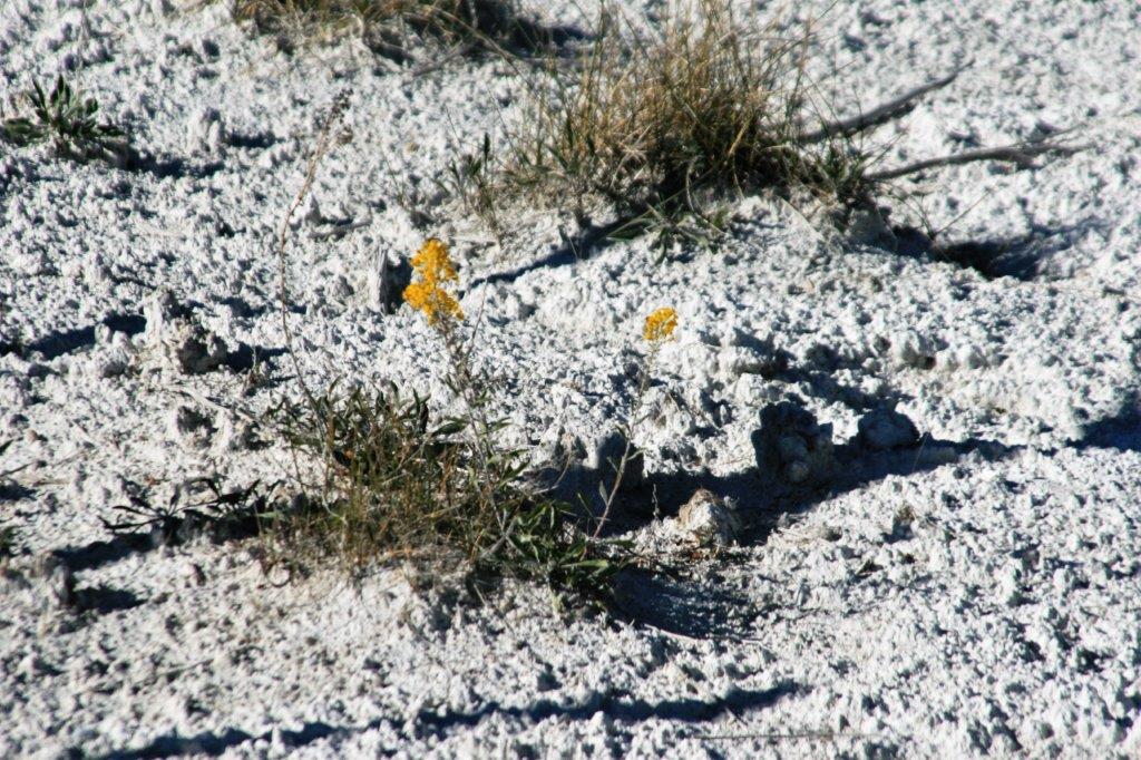
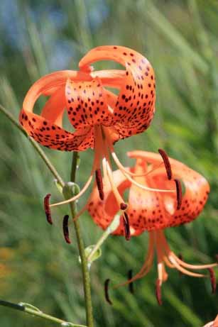
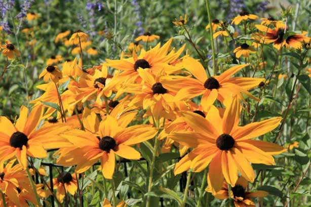
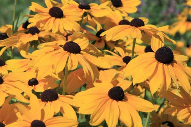
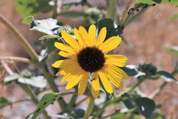
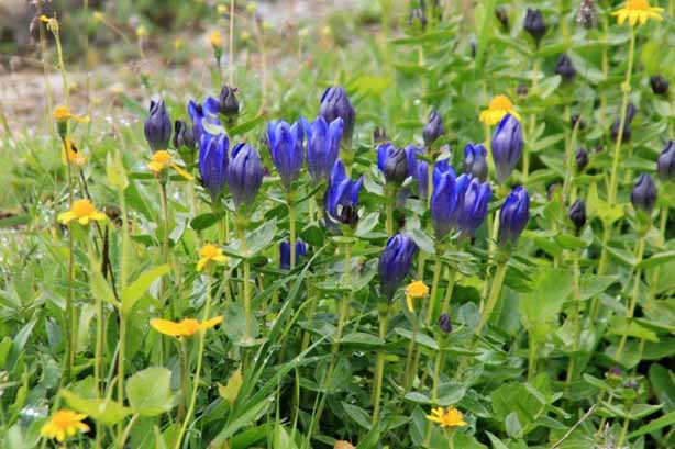
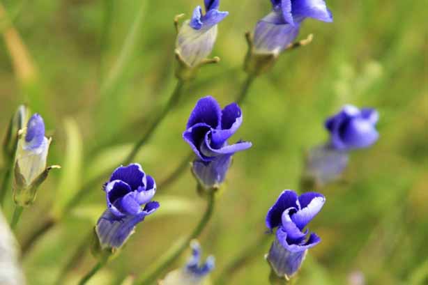
 The park flower, Western Fringed Gentian was in bloom.
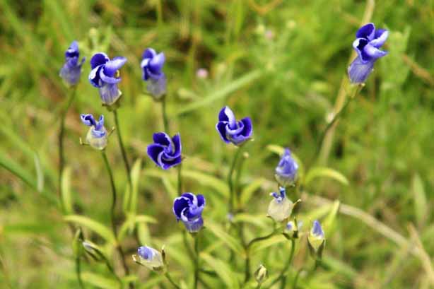
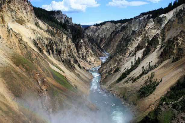
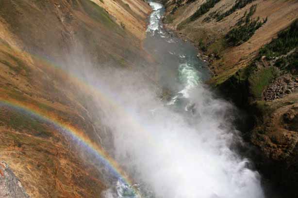
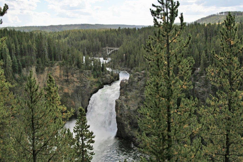
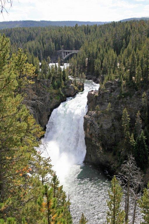
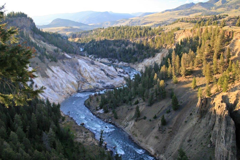
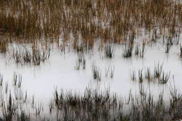
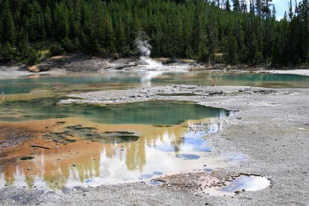
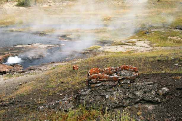
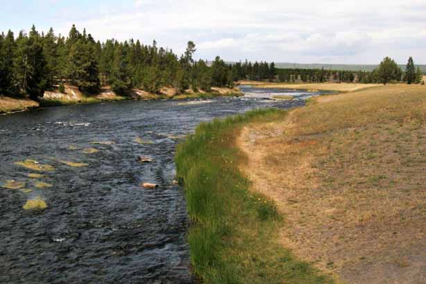
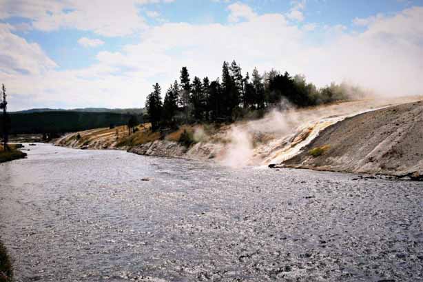
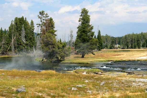
 Back on the main road at the end of the Firehole Lake Drive we drove down to the Midway Geyser Basin located along the Firehole River. The river flows through several geyser basins and contains three of Yellowstone’s waterfalls. Early trappers named the lake and river for the steam that makes it appear to smoke as if on fire. The river is surrounded by geothermal activity which adds a continuous supply of heated water. This makes the river temperature 5-10° warmer than nearby rivers without geothermal activity. The water has reached a high temperature of 30° C (89° F).
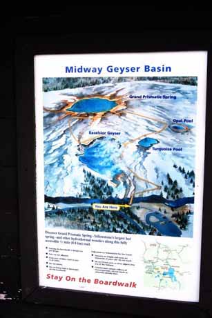


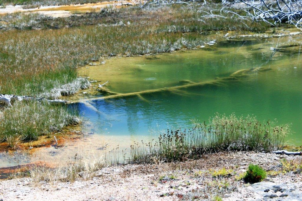
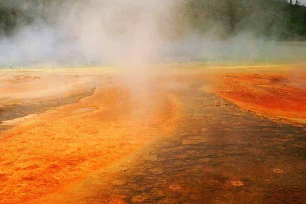
 Midway Geyser Basin is home to the largest (370′ wide) and most beautiful spring in the park; the Grand Prismatic Spring. It was not possible from the boardwalk to get a shot of the entire pool and the steam rising from the water made it hard to get a nice detail of the colours. I went online and found a free stock photo to include in the blog to show the whole thing. Next time we go to Yellowstone I am going to find a trail or path that will take me up a rise at a distance to get a full image.
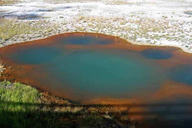
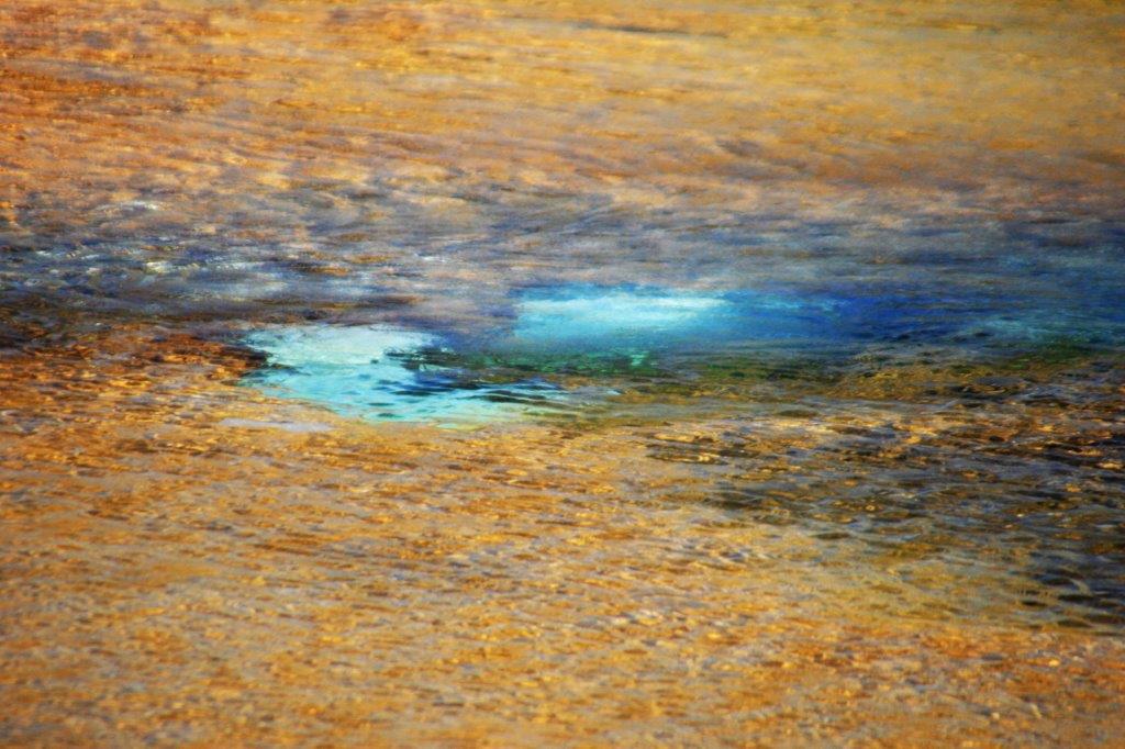
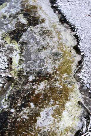
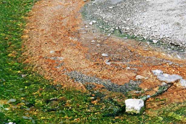
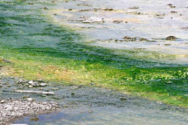
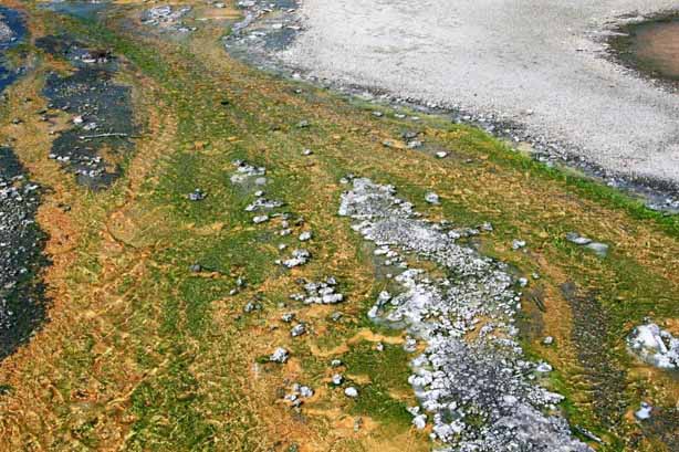
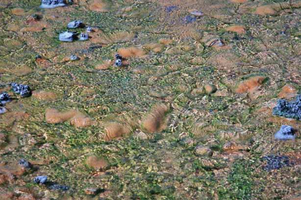
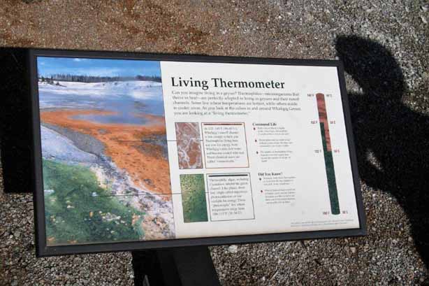
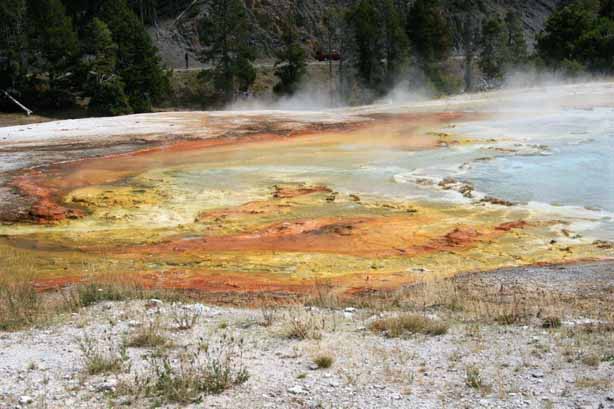
 The colours are caused by algae and bacteria, different types of which thrive in different water temperatures.


 Below is the stock photo I found online. I couldn’t find the name of the photographer to give him/her credit.
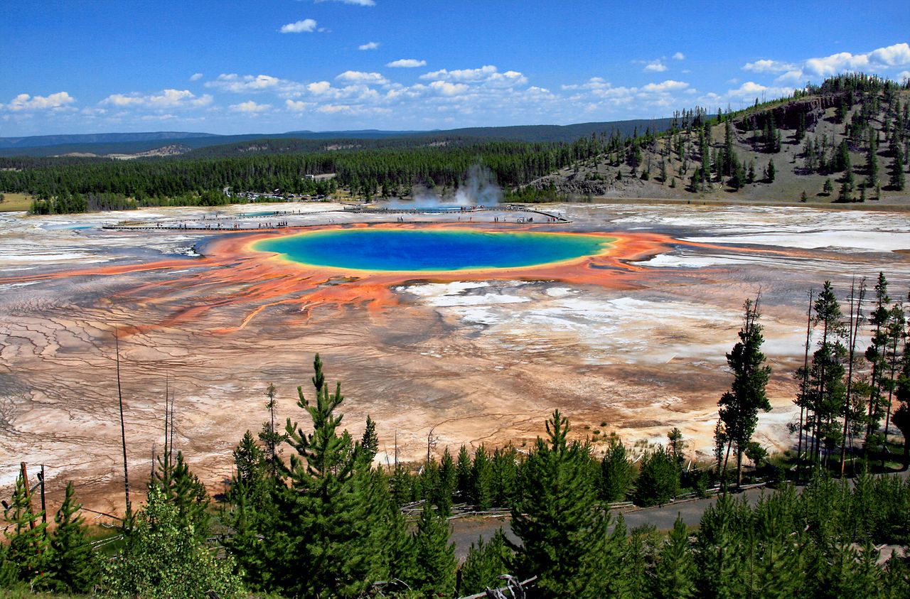
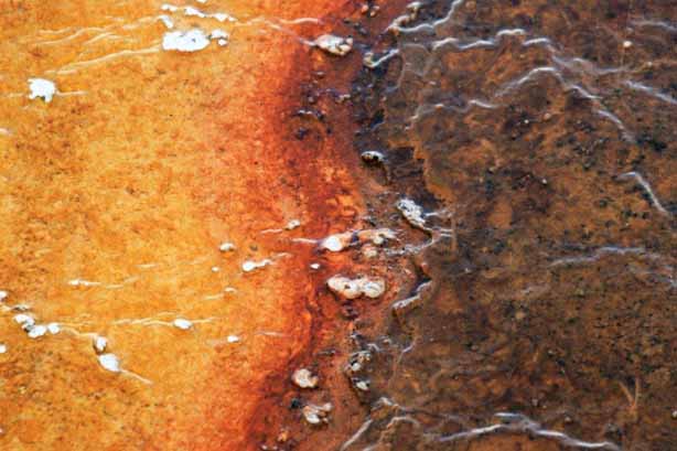
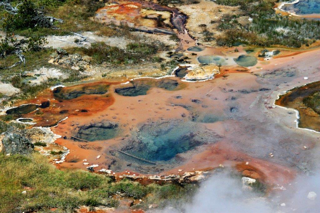
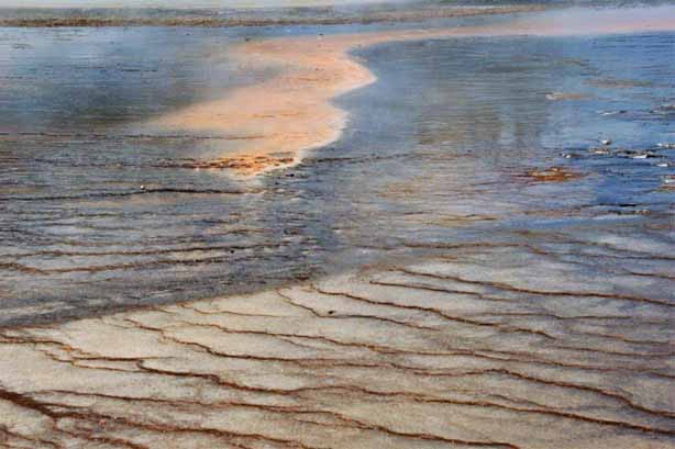
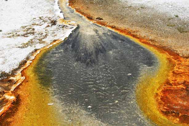
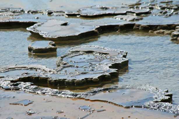
 Below is Twin Pools. It’s not hard to figure out how it got named.


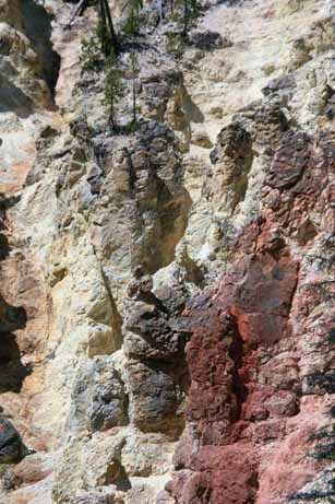
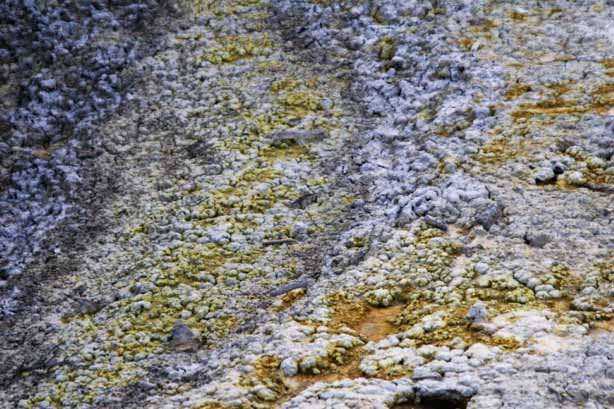
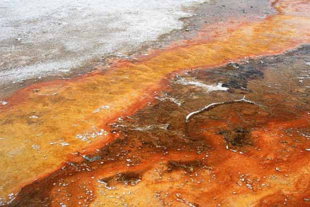
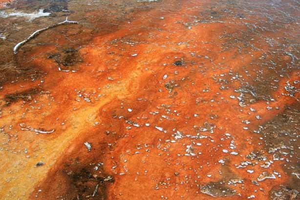
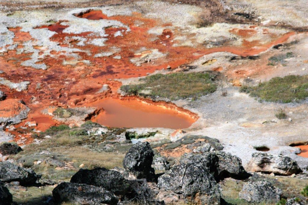
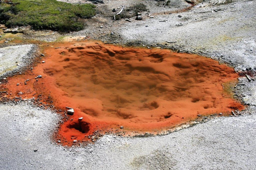
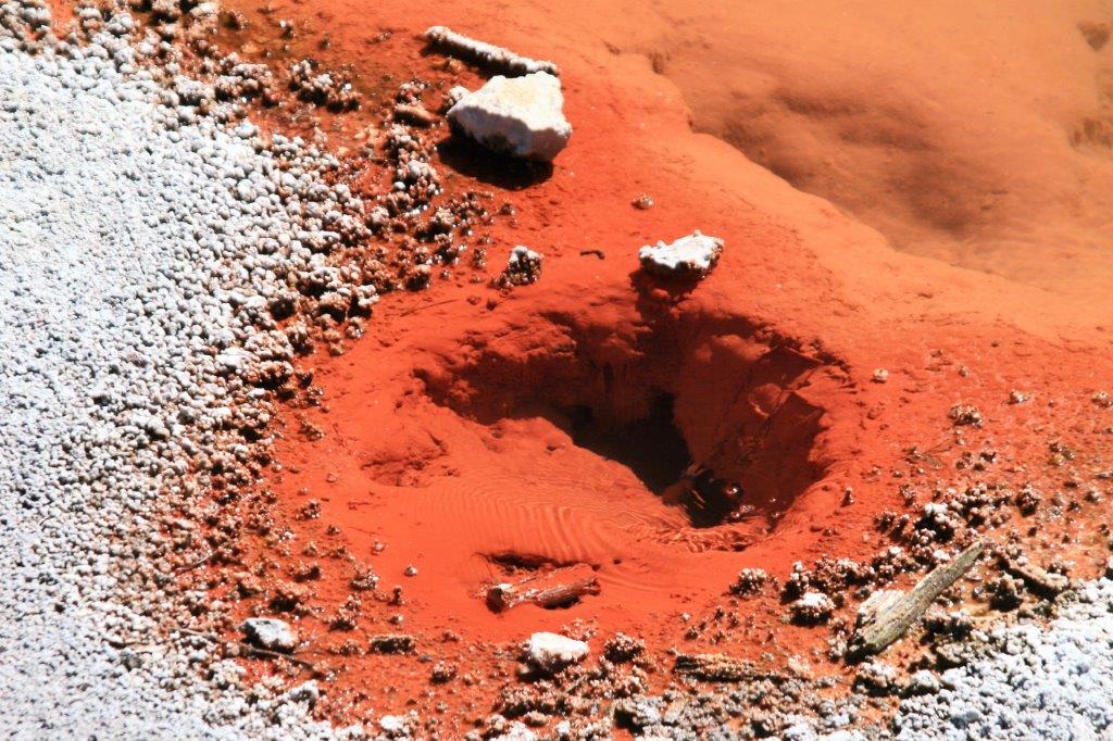
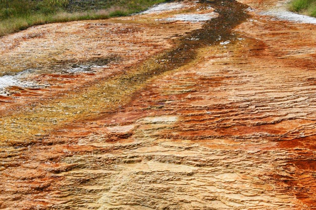
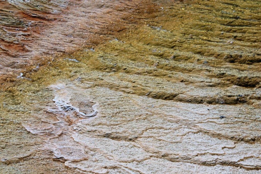
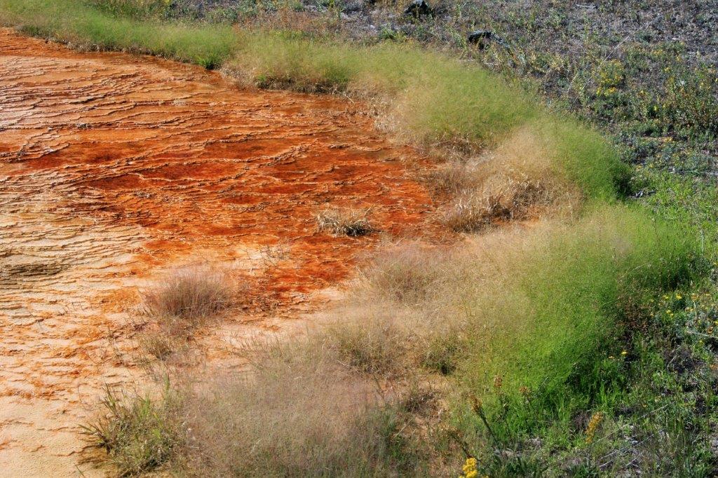
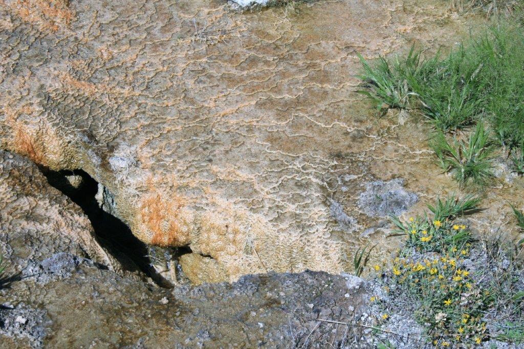
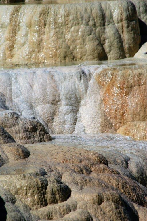
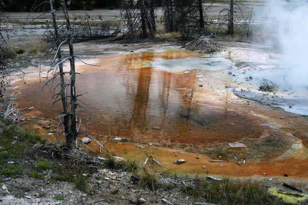
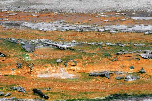
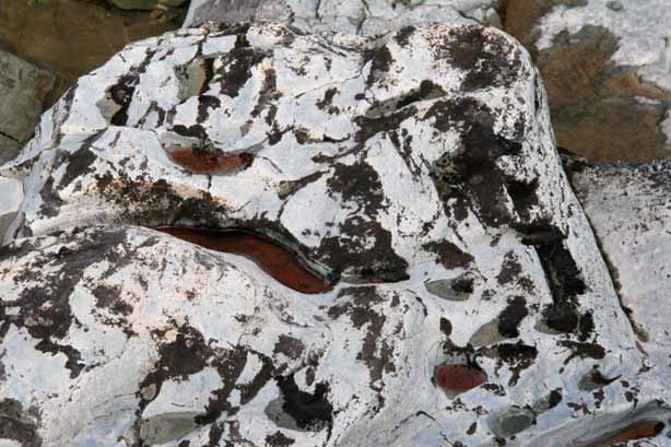
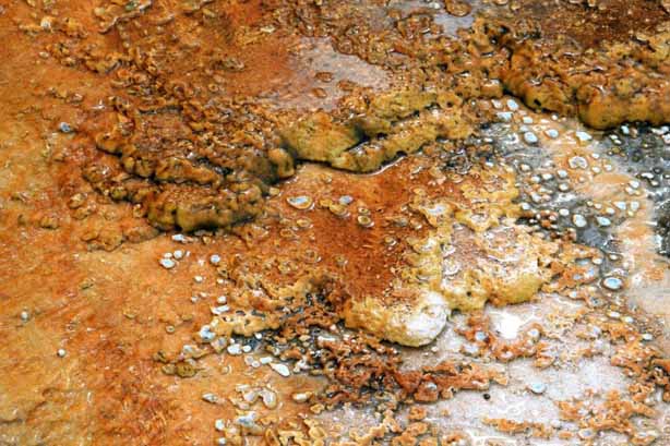
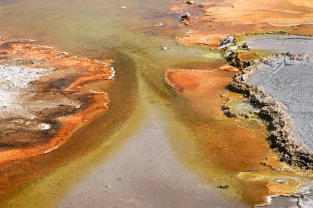
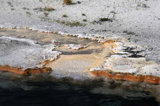
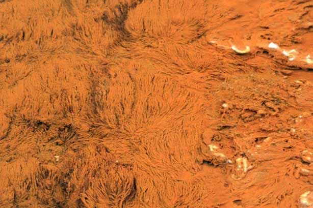
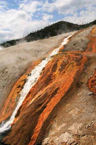
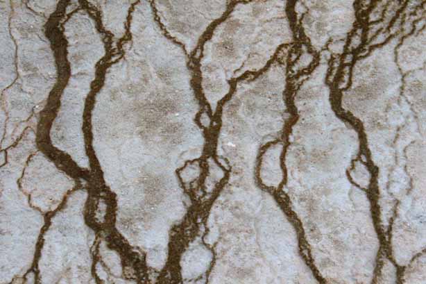
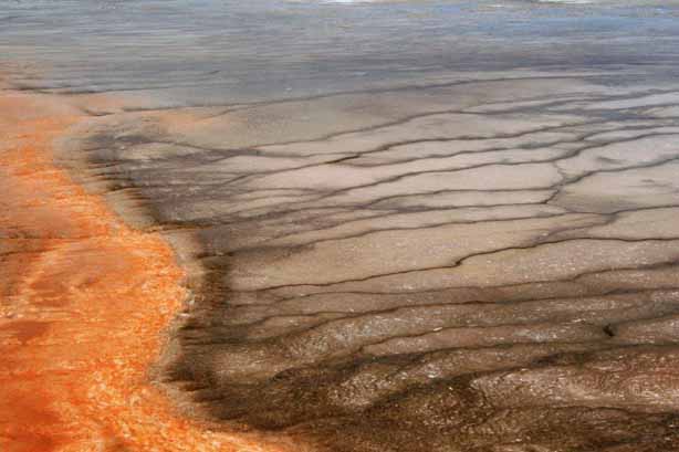
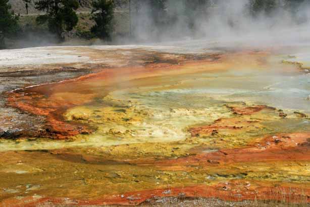
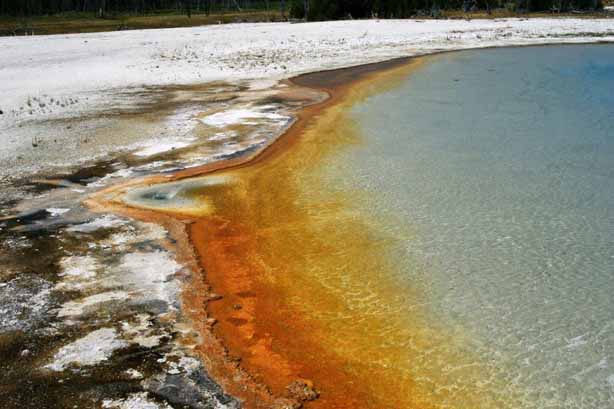
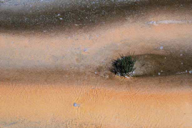
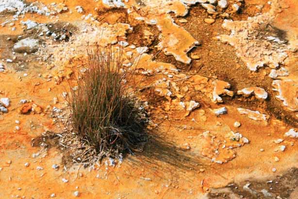
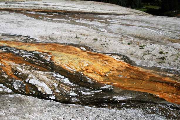
 The bright orange is mineral deposits being left behind by the water as it flows over the ground surface into the pools.
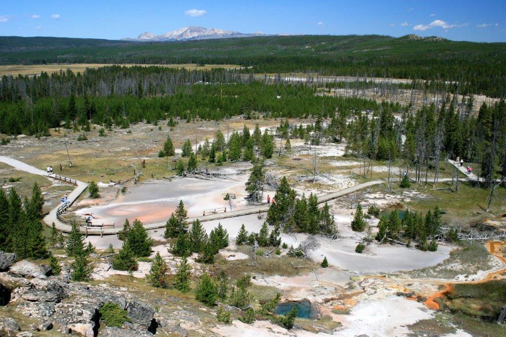
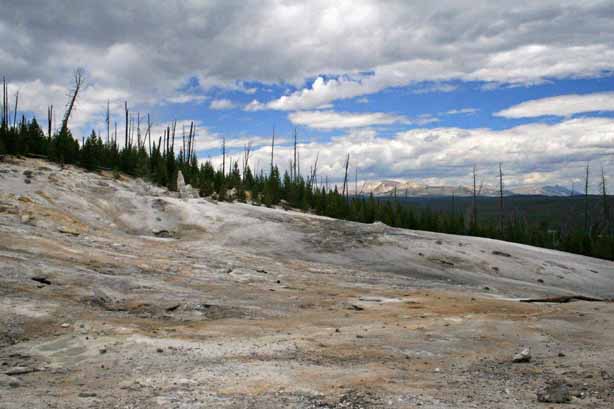
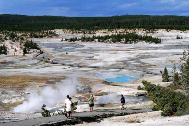
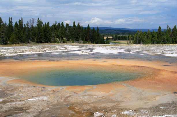
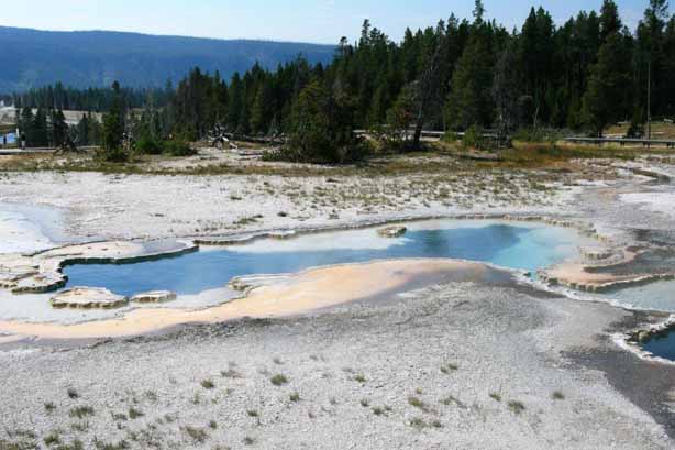
At the northern end of Upper Geyser Basin is Biscuit Basin. There is a short boardwalk trail past several pools, springs and geysers.
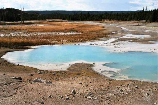
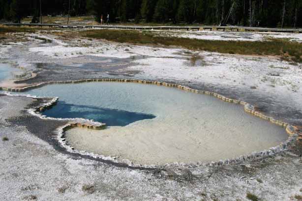
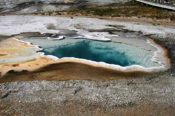
The brilliant, clear blue of Sapphire Pool really is breathtaking.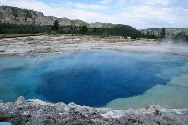


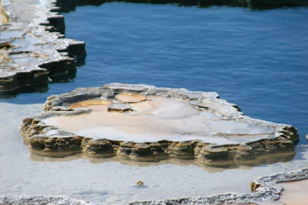
 Jewel Geyser at rest
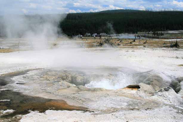 Avoca Spring
 Shell Geyser
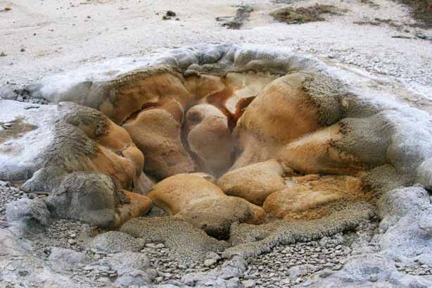
I liked Mustard Spring. I don’t like mustard, but I Iiked the orangey-yellow edge around the pool, and the bumpy formations.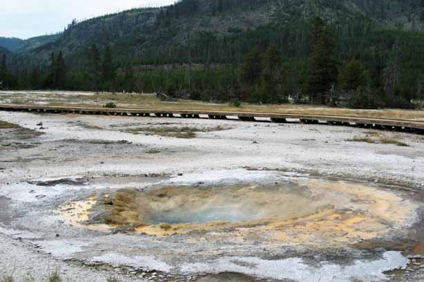
 At the end of the loop we passed Sapphire Spring again before driving down to the main parking lot at Geyser Basin, home to Old Faithful, which, by the way, is named for its steadiness rather than the predictability of its eruptions.


 Cliff Geyser
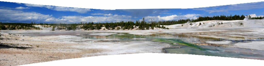
Emerald Pool was lovely. I took a series of photos of it and stitched them together to make a wide angle shot. The shore of Sunset Lake looks a lot like the Grand Prismatic Spring.
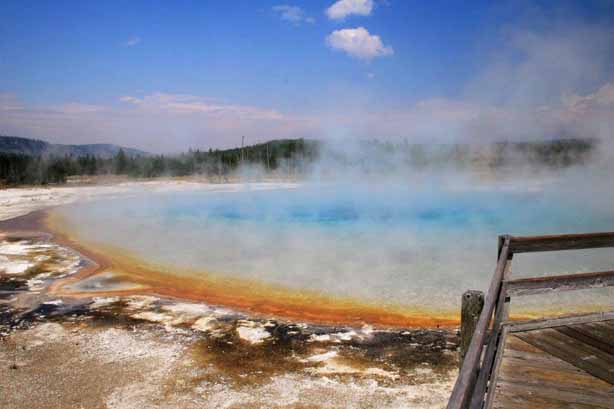
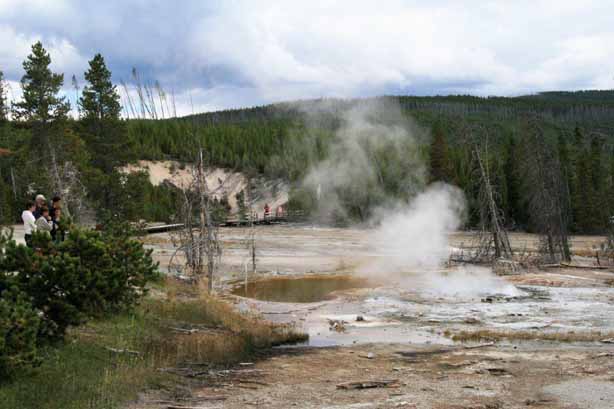
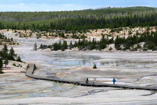
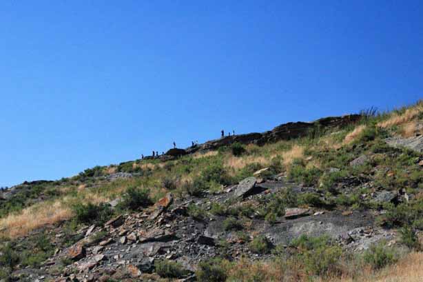
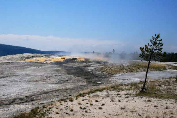
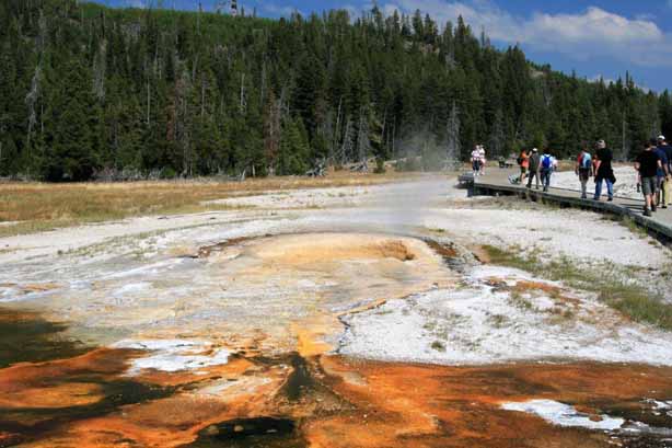
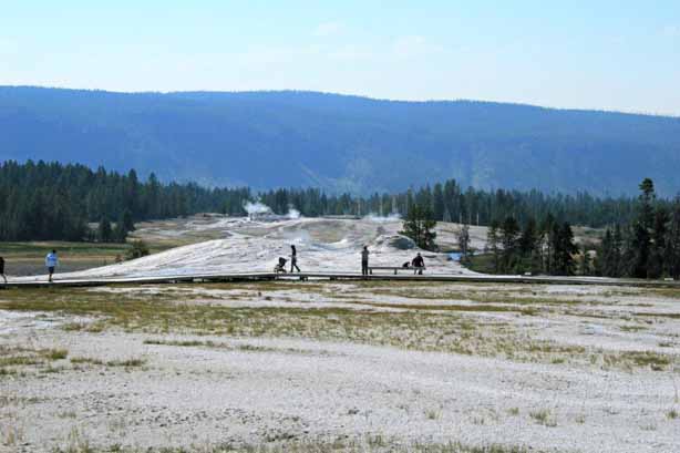
 The mile-long Upper Geyser Basin contains the world’s greatest concentration of hot springs and geysers. If you walk the one and a half mile of boardwalk around Geyser Hill and you will almost be guaranteed to see several eruptions.
 At one time the water level of Teakettle Spring was visible from the boardwalk, but it has lowered over the years so all you see now is the steam. You can hear it bubbling though.
 Pump Geyser
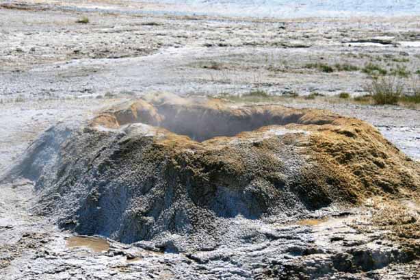

 Doublet Pool
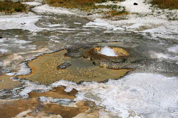
 The little Aurum Geyser
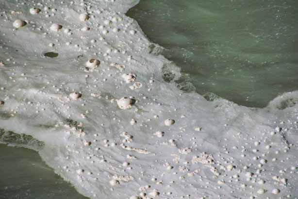
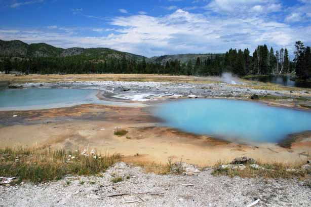
 Beach Spring has a constant ripple of bubbles coming to the surface.
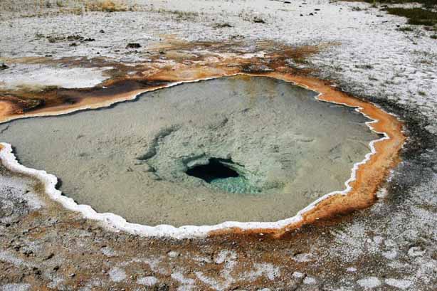
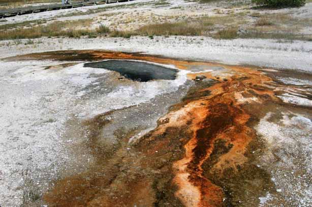 Ear Spring
The Lion Geyser Group (below) put on quite a show. 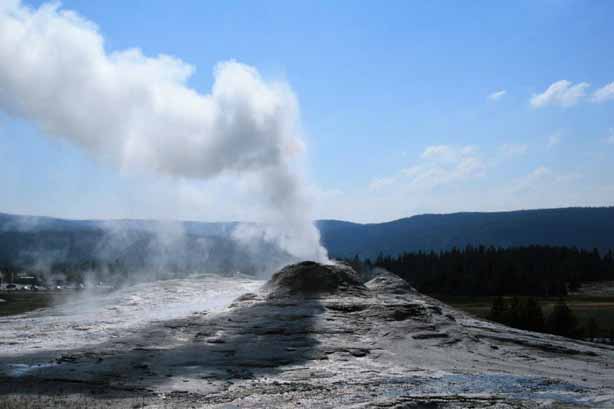

 Heart Spring
 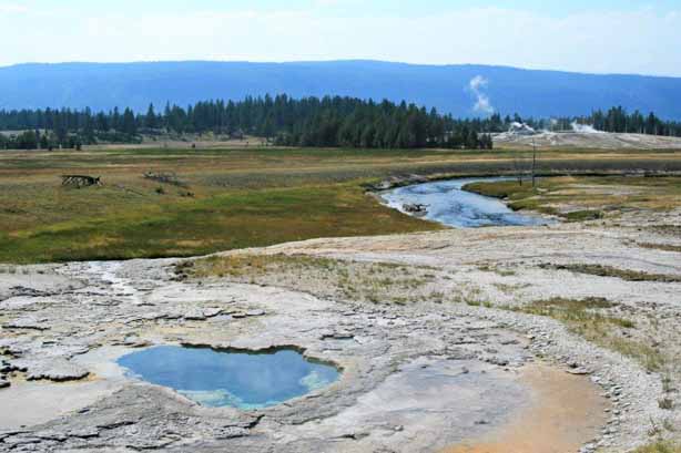 Depression Geyser
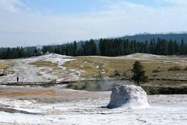
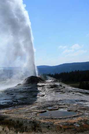
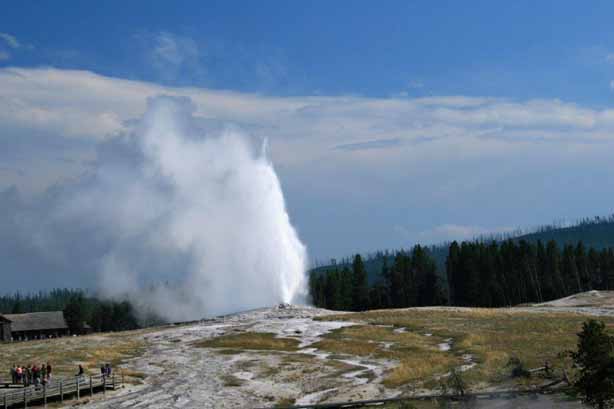
 And what trip to Yellowstone National Park would be complete without an eruption from Old Faithful Geyser?
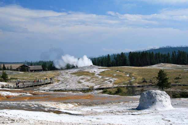

 Anemone Geyser
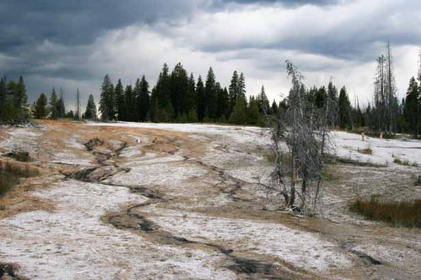
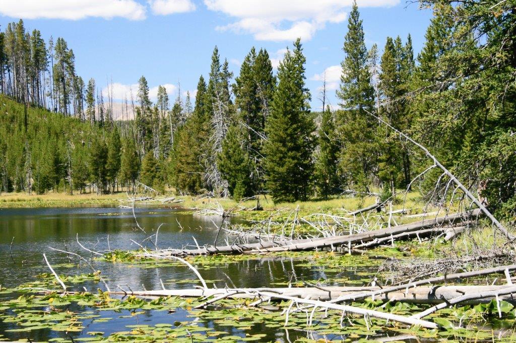
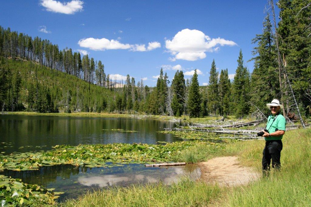
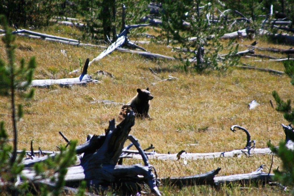
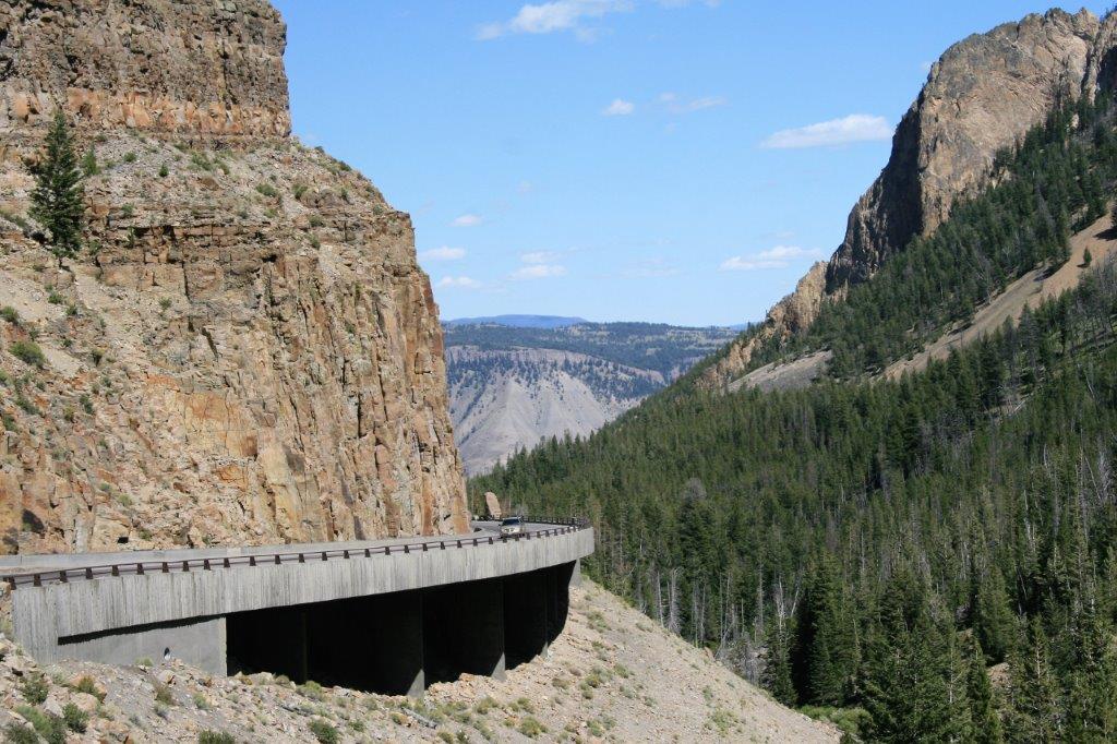
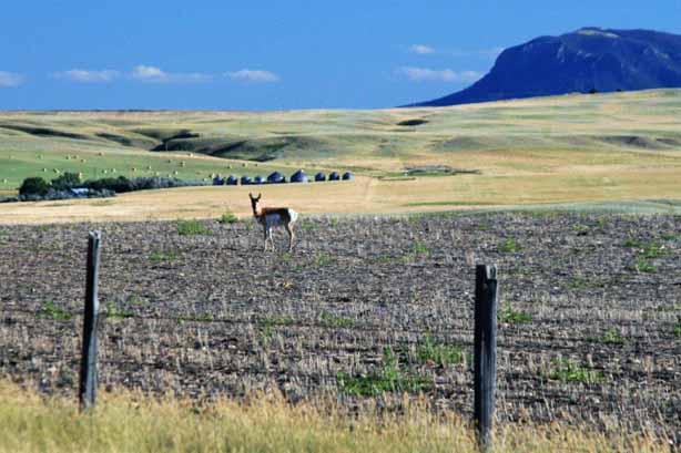
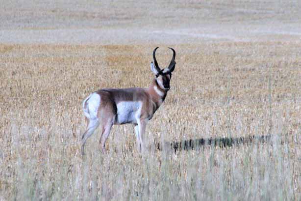
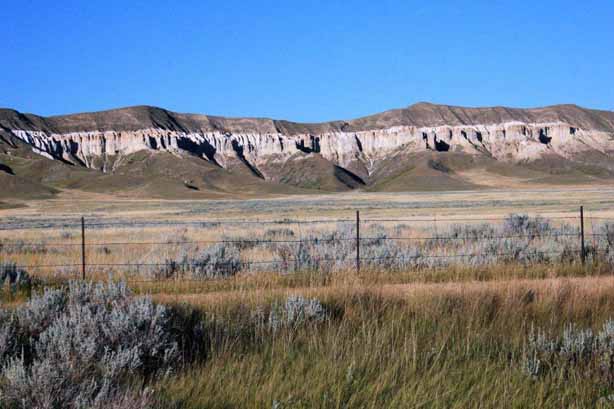
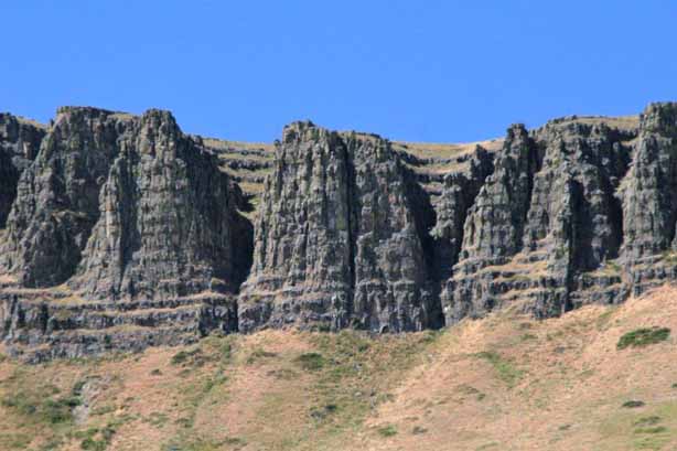
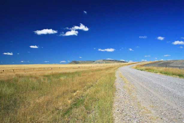
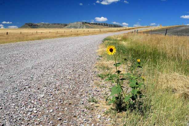
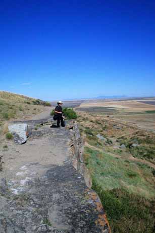
There was still so much to see at Yellowstone but we had a hotel reservation in Jackson that night and reluctantly said farewell and headed down the road and out the south entrance on John D. Rockefeller Jr. Memorial Highway into Grand Teton National Park and Jackson, Wyoming.