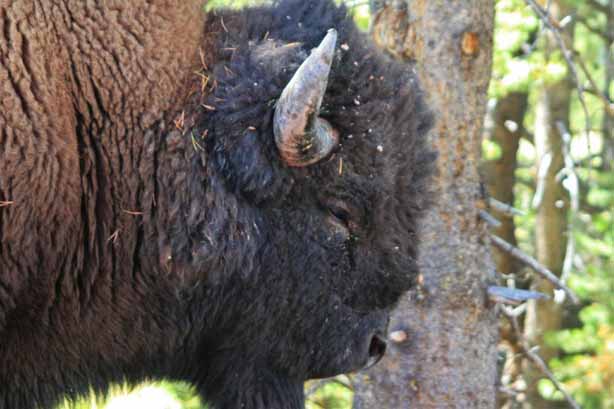
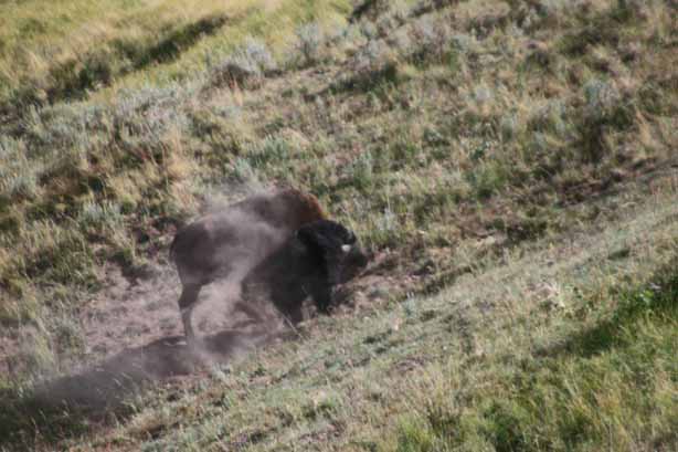
This big fellow greeted us as we entered the Park in the morning.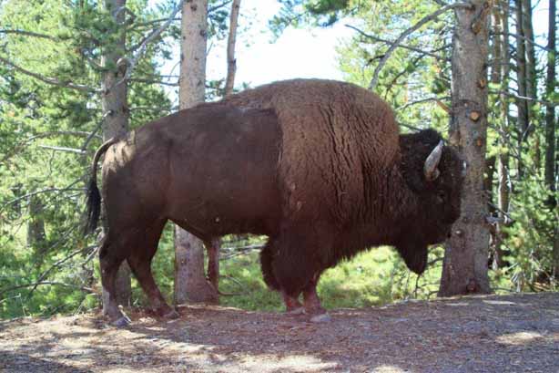
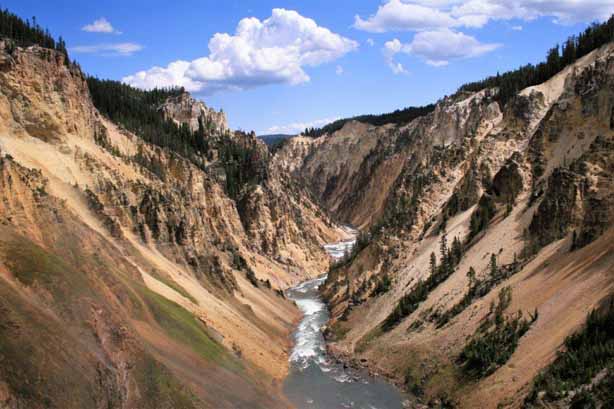
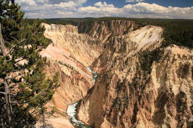
 The Grand Canyon of the Yellowstone was first described and mapped by the same two private expeditions in 1869 and 1870 that confirmed the rumours about the existence of the area of boiling mud and steam that is now Yellowstone National Park. When Charles W. Cook first viewed the canyon after traveling west from the Lamar Valley on September 20, 1869, he subsequently wrote these words in his journal:
“I was riding ahead, the two pack animals following, and then Mr. Folsom and Mr. Peterson on their saddle horses. I remembered seeing what appeared to be an opening in the forest ahead, which I presumed to be a park, or open country. While my attention was attracted by the pack animals, which had stopped to eat grass, my saddle horse suddenly stopped. I turned and looked forward from the brink of the great canyon, at a point just across from what is now called Inspiration Point. I sat there in amazement, while my companions came up, and after that, it seemed to me that it was five minutes before anyone spoke.”
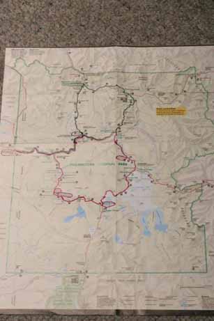
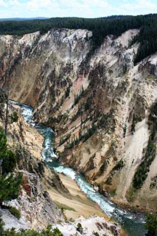
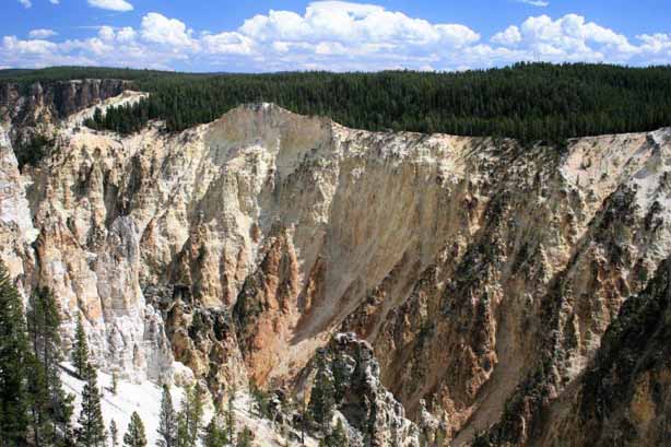
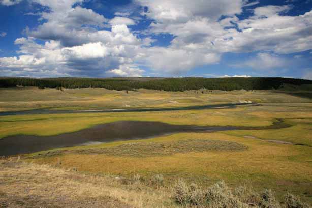
 The red line was our route for the day. First stop was the Grand Canyon of the Yellowstone.
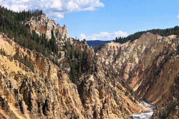
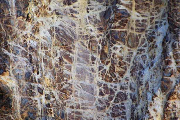
The canyon area, at one time, was a geyser basin resulting from rhyolite (igneous volcanic rock) lava flows, fault upheavals and heat beneath the ground surface. The actions of chemicals and heat in the geyser basisn caused the rhyolite rock to be thermally altered, makig it soft and brittle and more easily eroded. The Grand Canyon of the Yellowston was primarily formed by an accelerated erosion of the softened rock, rather than by receding glaciers like most other canyons.
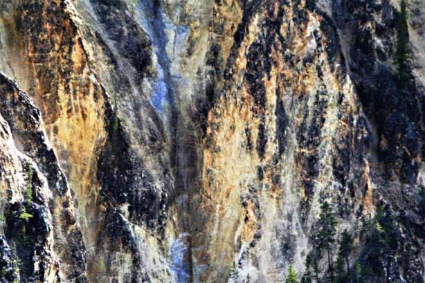
The canyon walls contain a variety of different iron compounds and exposure to the elements caused the rocks to change colour. The rocks are oxidizing, in effect, the canyon is rusting. Most of the yellows in the canyon are the result of iron present in the rock rather than, as many people think, sulphur.
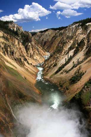
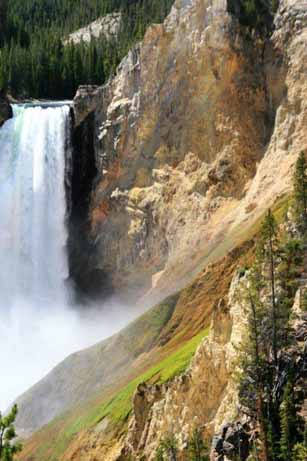
 The yellow colour of the canyon walls really does make it look like a phony, or ‘doctored’ photo.
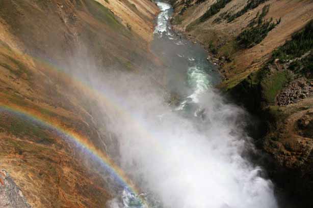
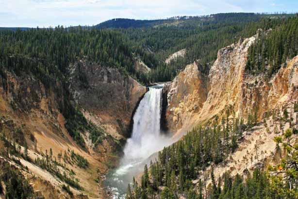
There is a steep stairway on the opposite side of the canyon that will take you to the river below the Lower Falls. The stairway is called Uncle Tom’s Trail after a fellow named Richardson who was known as Uncle Tom. He operated a ferry across the Yellowstone River in 1890 that took tourists down into the canyon below the lower falls. The original trail down the canyon wall no longer exists but the staircase bears the same name.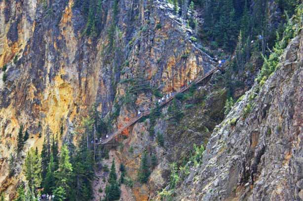 The forceful spray of the waterfall on a sunny day causes rainbows to form on the canyon walls.
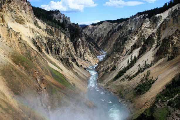
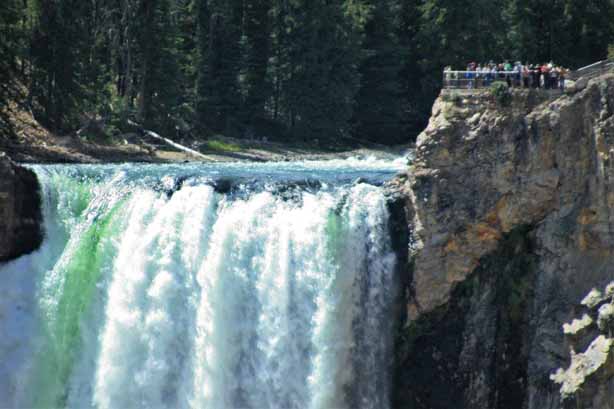
 The view point at the top of the Lower Falls is literally beside the crest of the waterfall.
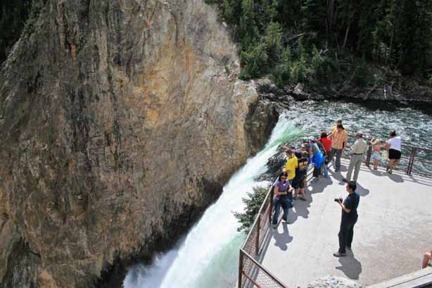
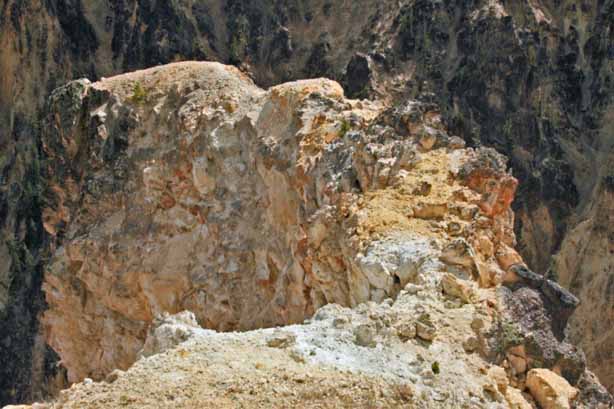
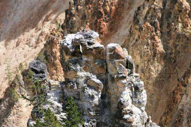 If you look closely at the top of this rock spire you can see a pair of eagles and their nest.
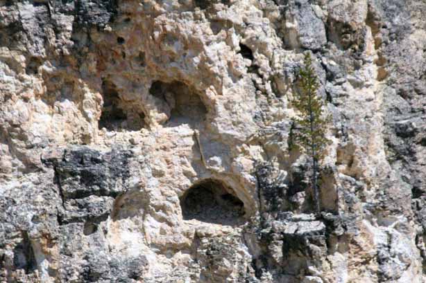 Plants and trees are so tenacious. They will grow in sold rock.
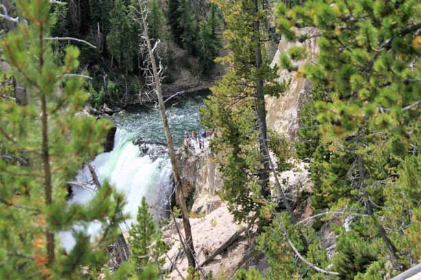
From the overlook at the Lower Falls we drove a bit further up the road and looked back from Red Rock Point.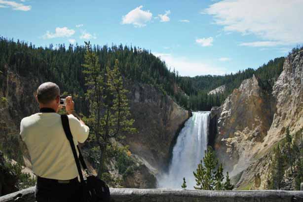
 Look how close that viewing platform is to the crest of the waterfall.
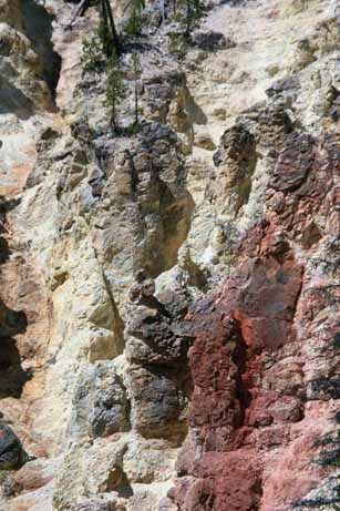
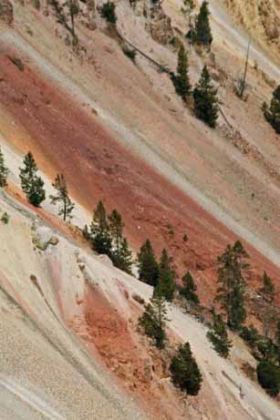
 I loved the rich red. Note all the green grass and moss in the photo on the right due to the constant water spray from the falls.
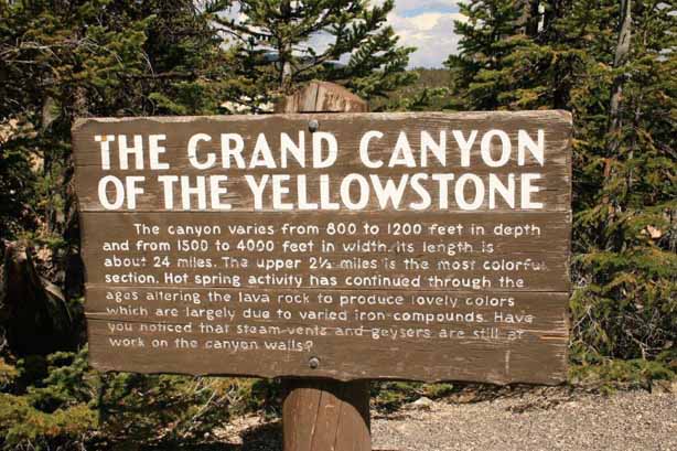

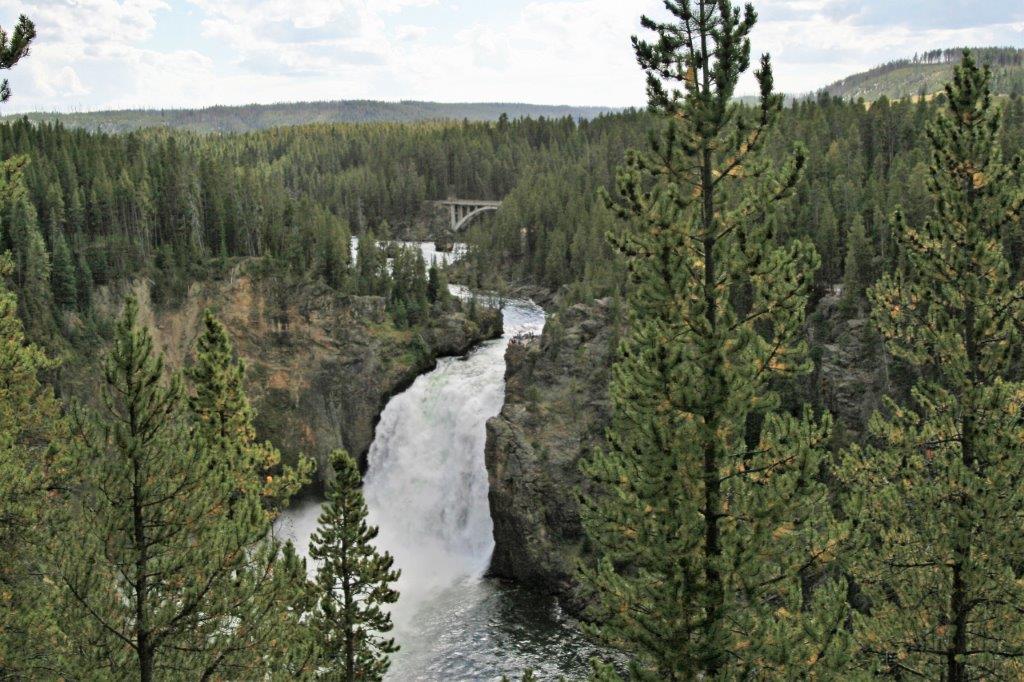
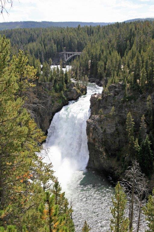
 Inspiration Point allows you to view the Upper Falls, although they are a long way down river from where we were standing. Thank goodness for zoom lenses.
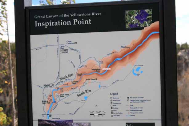
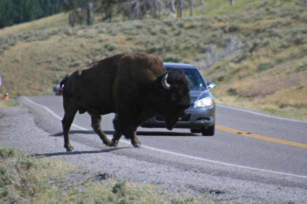
 We were on our way to Mud Basin and spotted this bison having a dust bath. When he was done he wandered up the hill and right down the middle of the road. Just like in the preserves in Africa, animals have the right-of-way in Yellowstone. Traffic just had to stop until he walked off the road and into the forest.
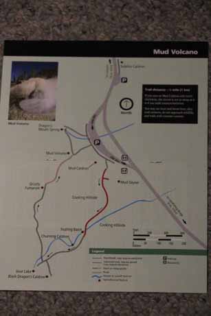
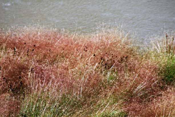
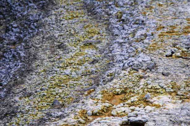
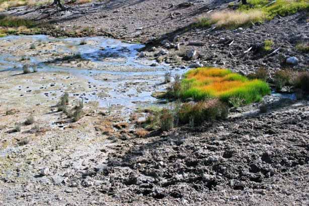
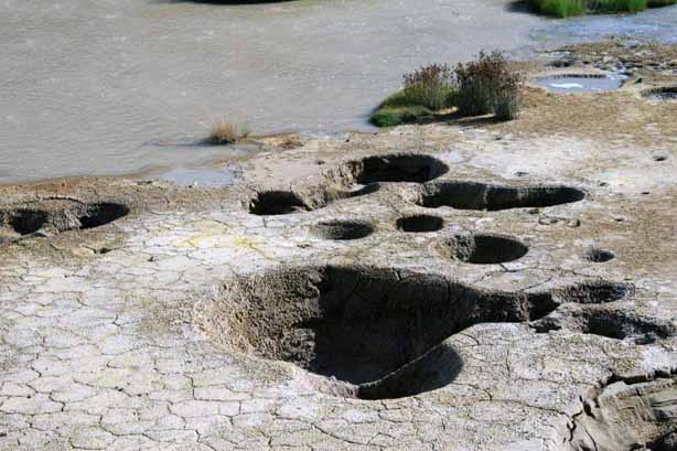
At the Mud Volcanoarea there were more mud bubbles and some very pretty grass. Look at the patch of bright green on this rock.


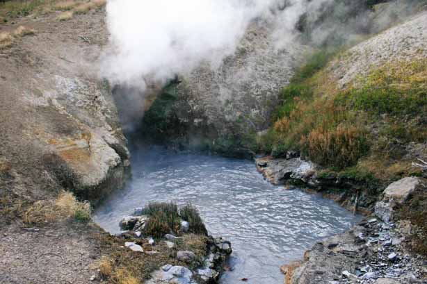
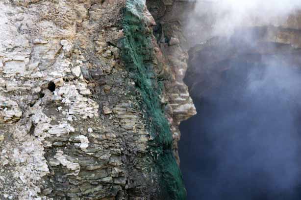
 Dragon’s Mouth Spring was so hot you could hardly stand close enough to the opening to get a photo.
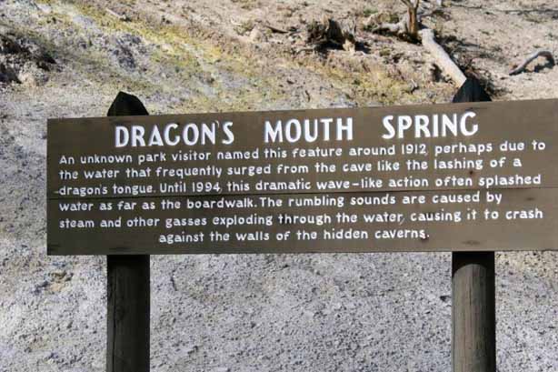

 There was a patch of grass at Mud Volcano that was so bright and colourful it looked like it was under a special light or had been painted, but it was exactly these colours – must be the chemicals in the soil and water.
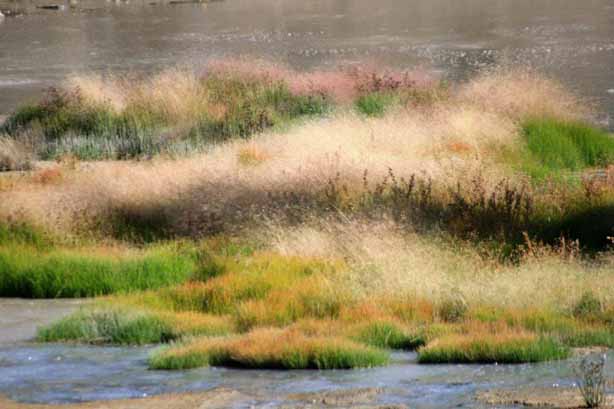


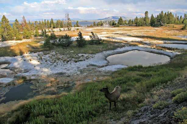
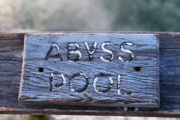
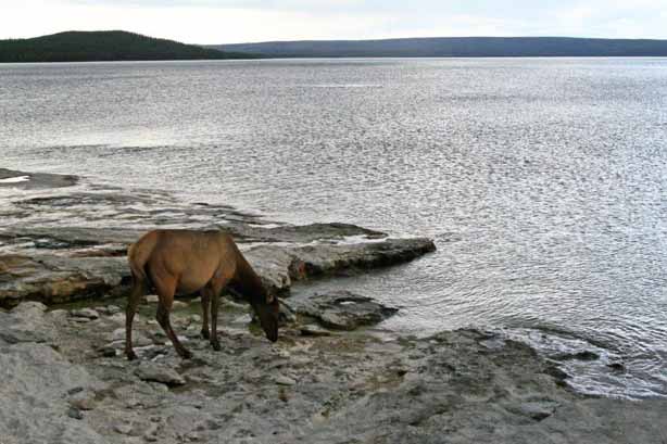
 Not far past Mud Volcano you reach the north end of Yellowstone Lake and follow the lakeshore around to West Thumb central basin.
 There were a few elk eating the grass and drinking the fresh water at the lake.


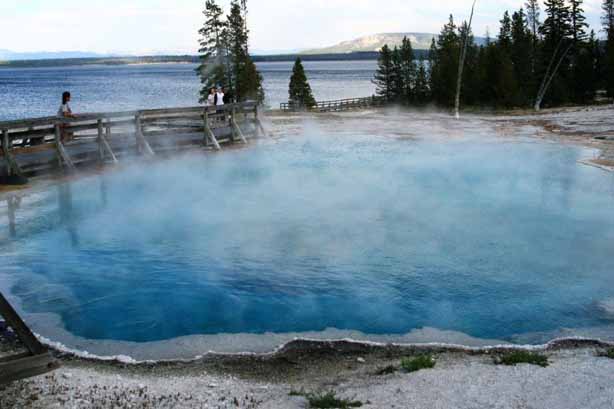
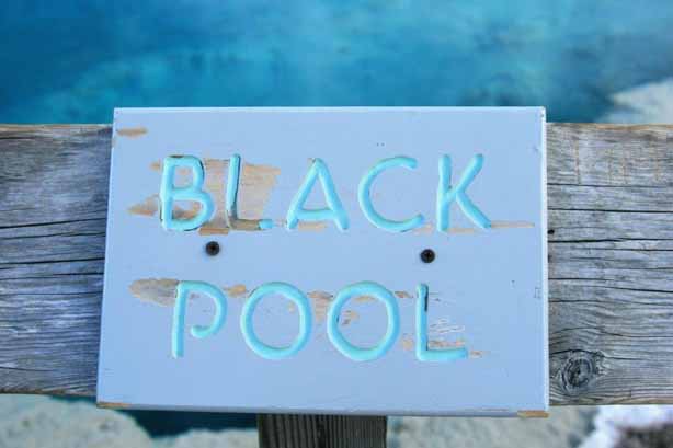
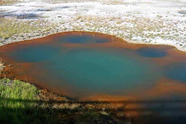
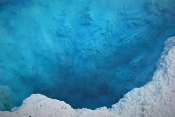 The temperature in Black Pool got too hot and it changed colour to a gorgeous sapphire blue.
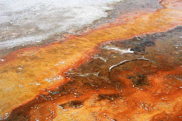
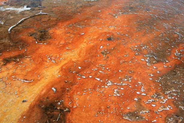

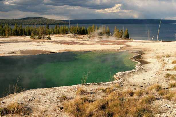
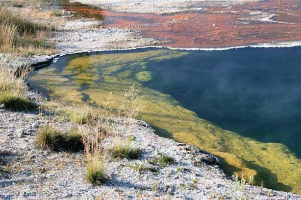
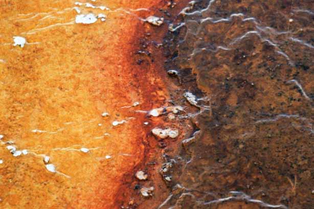 Everytime I turned around there were more colours, more patterns, more beauty.
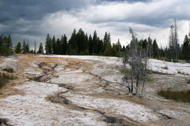
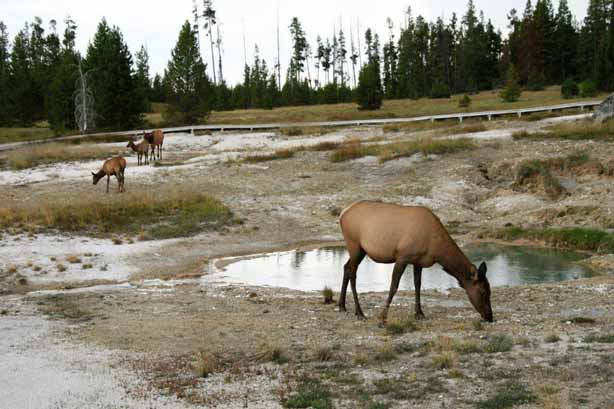
 This big bull did not want the young elk to come close and kept chasing it off.
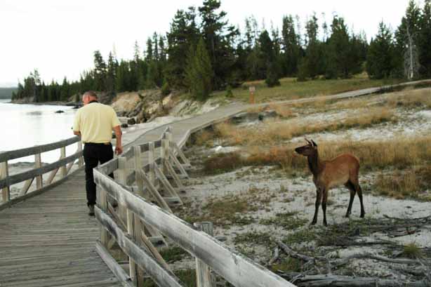
 John was walking along, keeping an eye on a female elk down by the lake, not realizing that it’s fawn was on the other side of the boardwalk. Fortunately momma elk did not get upset when he walked between them.
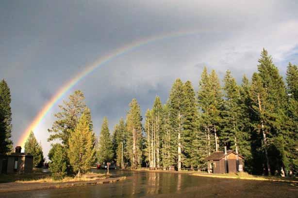
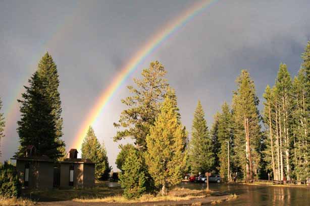
As we were heading back to the truck there was a brief rainshower followed by a double rainbow. It was a lovely end to a wonderful day.