Rumours in the mid-1800’s by several ‘mountainmen’ about an area of boiling water, mud, and steam were discounted as myth and exaggeration. It wasn’t until private exploration groups in 1869 and 1870 spent a month mapping the area that Yellowstone’s unique ecosystem became well known. It took no time at all for pressure to be put on Washington to protect the area; which it did on March 1, 1872.
There was ongoing destruction and poaching in the park until 1886 when the U.S. Army was sent to build Camp Sheridan at Mammoth Hot Springs (later renamed Fort Yellowstone). Over the next 22 years the army constructed many permanent structures and between 1933-1942 during the New Deal relief years after the Great Depression, the Civilian Conservation Corp (the CCC) worked on reforestation, fire hazard reduction, campgrounds, trails and a visitor’s center.
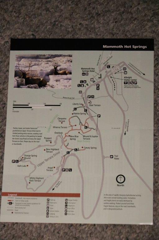
Our second day at Yellowstone we decided to drive up to the Mammoth Hot Springs area of the park, which isn’t too far from the north entrance. Historic Fort Yellowstone and the Albright Visitor Center are located in Mammoth but we did not check them out on this trip (Also the Museum of the National Park Ranger is located near Norris Geyser Basin). It makes for a good excuse to go back another time.
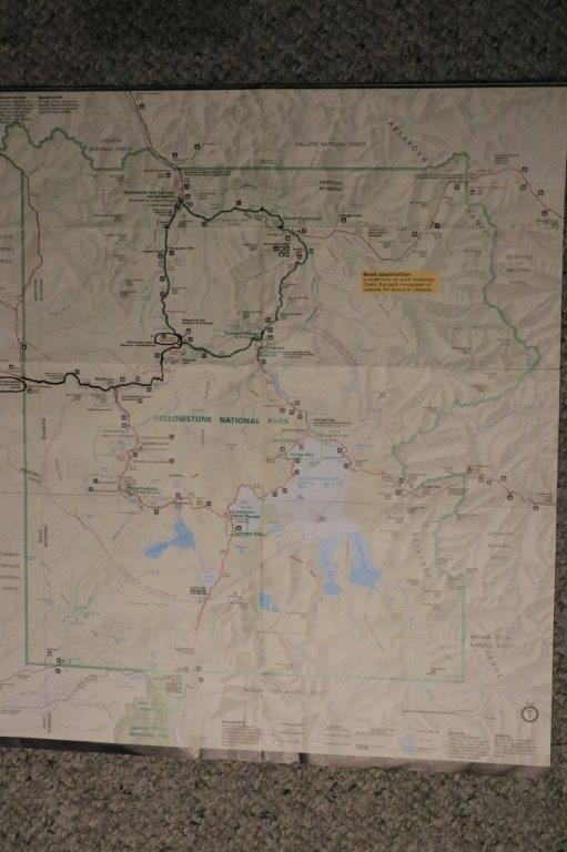
 This day’s journey is in green but it is hard to differentiate from the previous day’s black line.
Yellowstone is actually the caldera of a massive volcano – the largest by far in North America. It is the underground rumblings of volcanoes that create the heated water, steam and the pressure releases that cause the geysers to erupt.
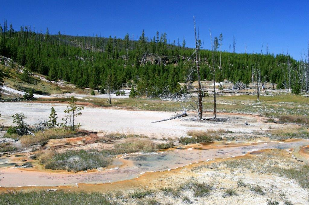
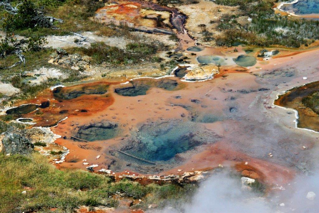
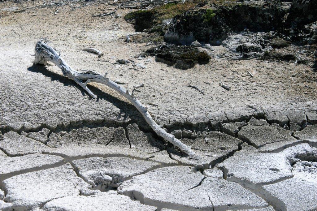
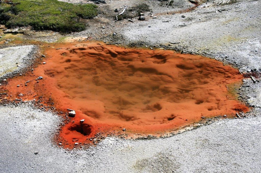
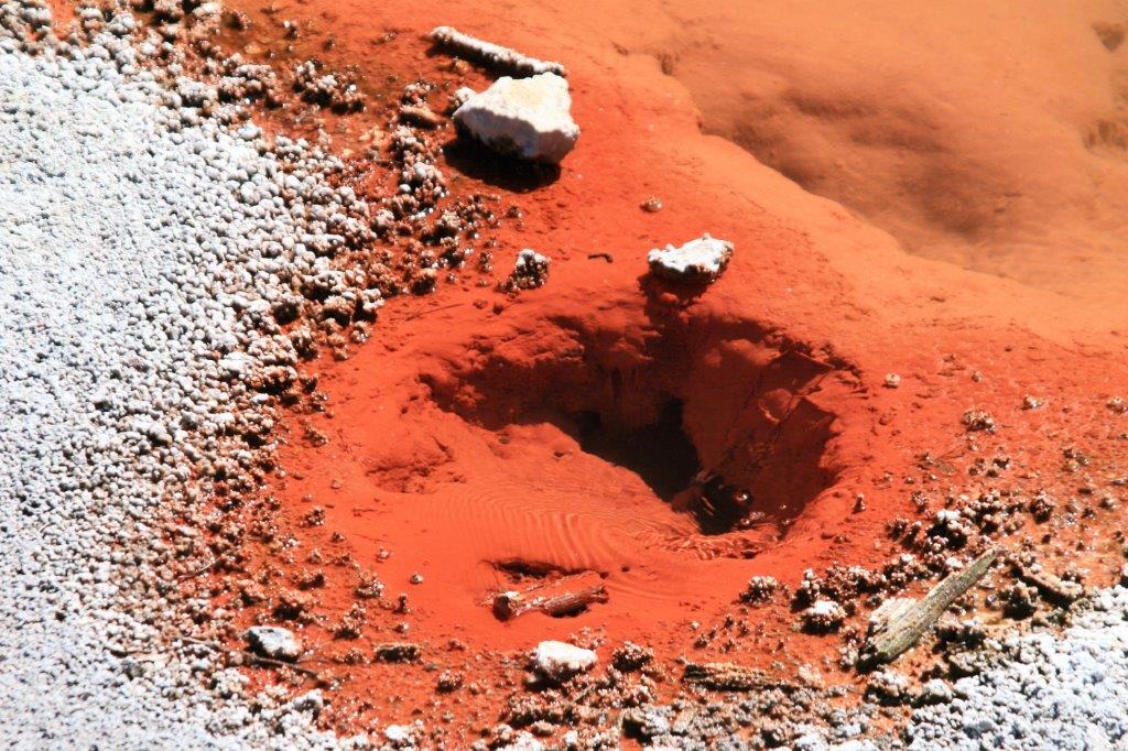
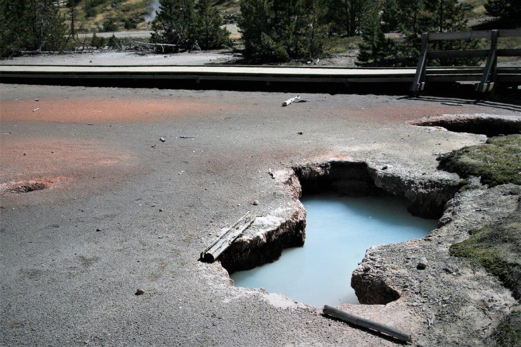
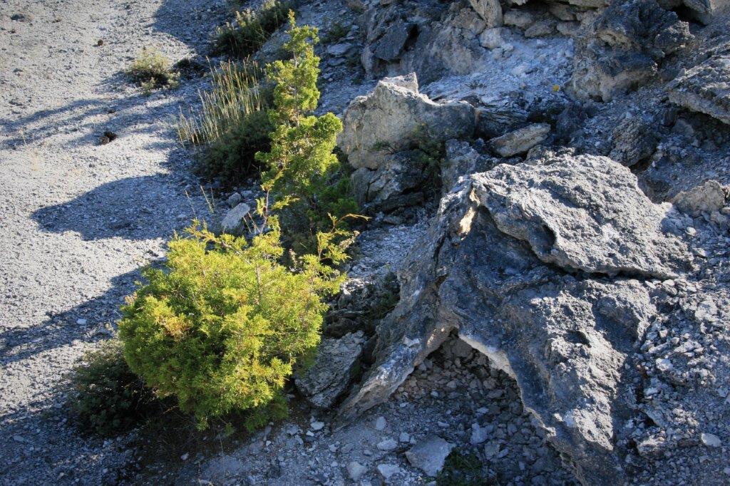
An elk herd was crossing the Madison River just east of our place of residence in West Yellowstone.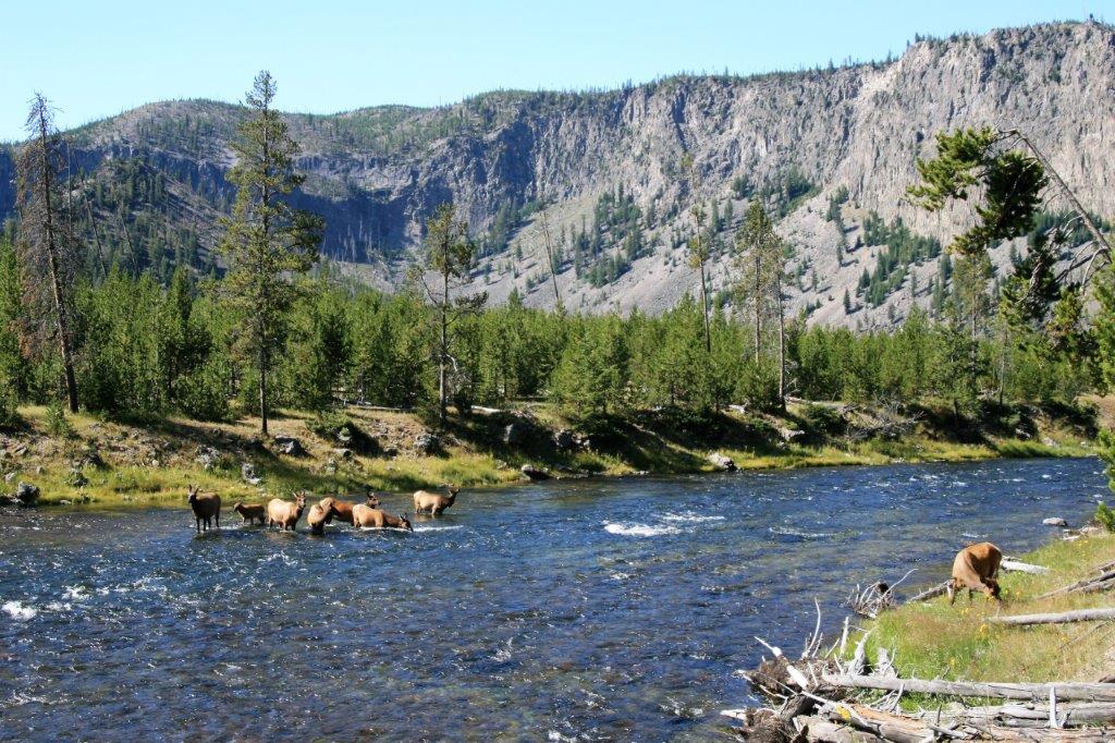 On our way up to Mammoth we stopped at the Artist Paint Pots which are located just south of Norris Geyser Basin.
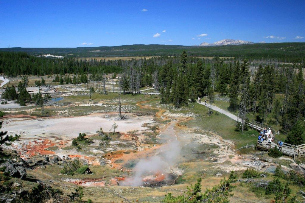
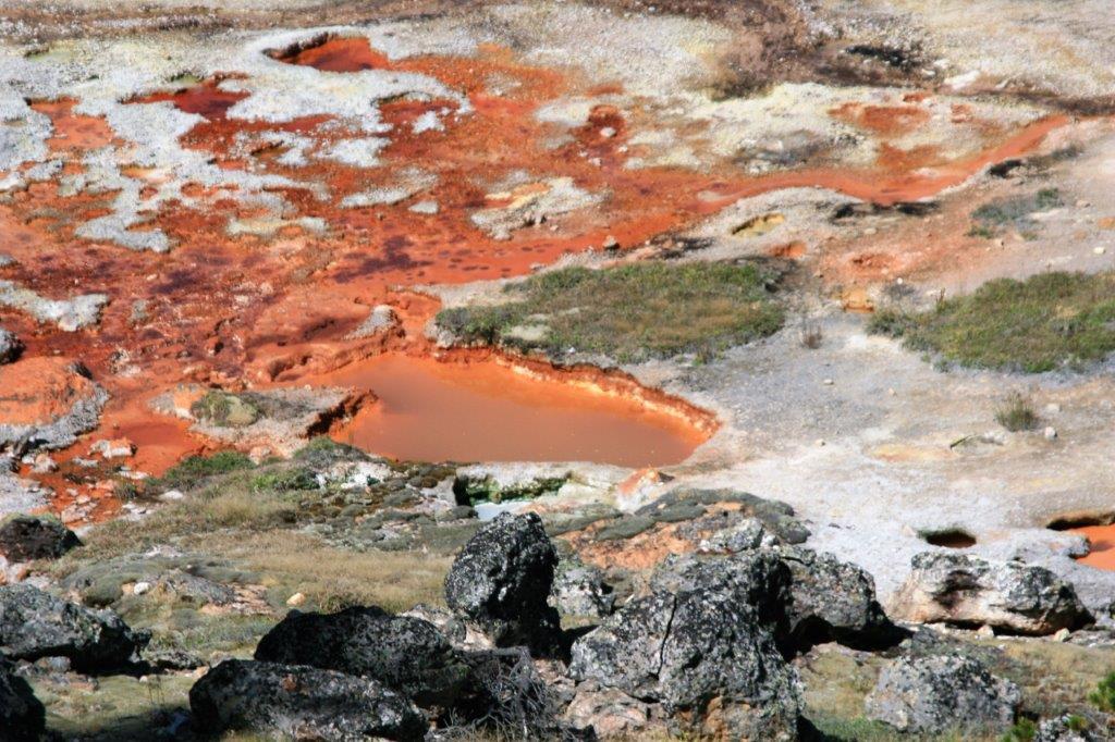

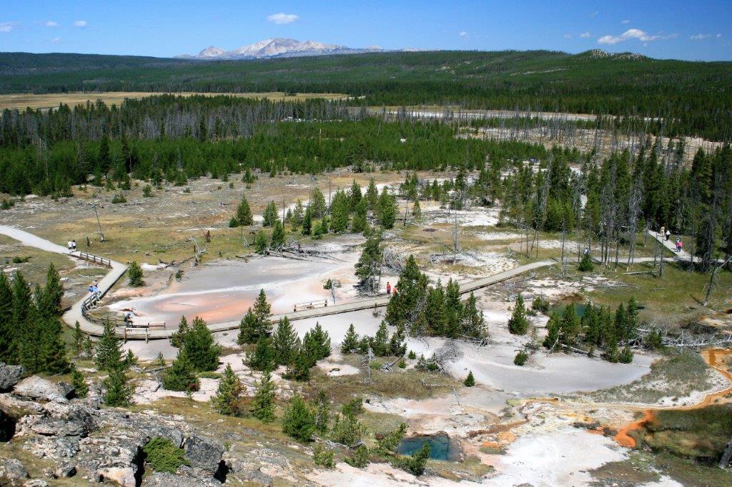
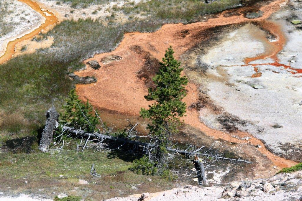
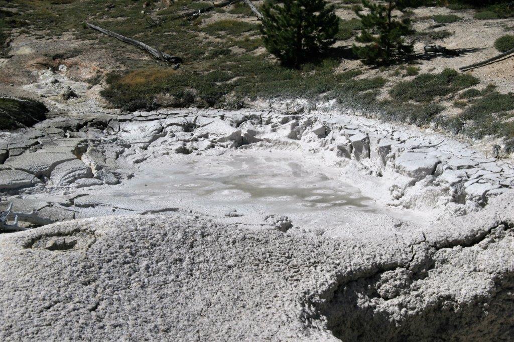
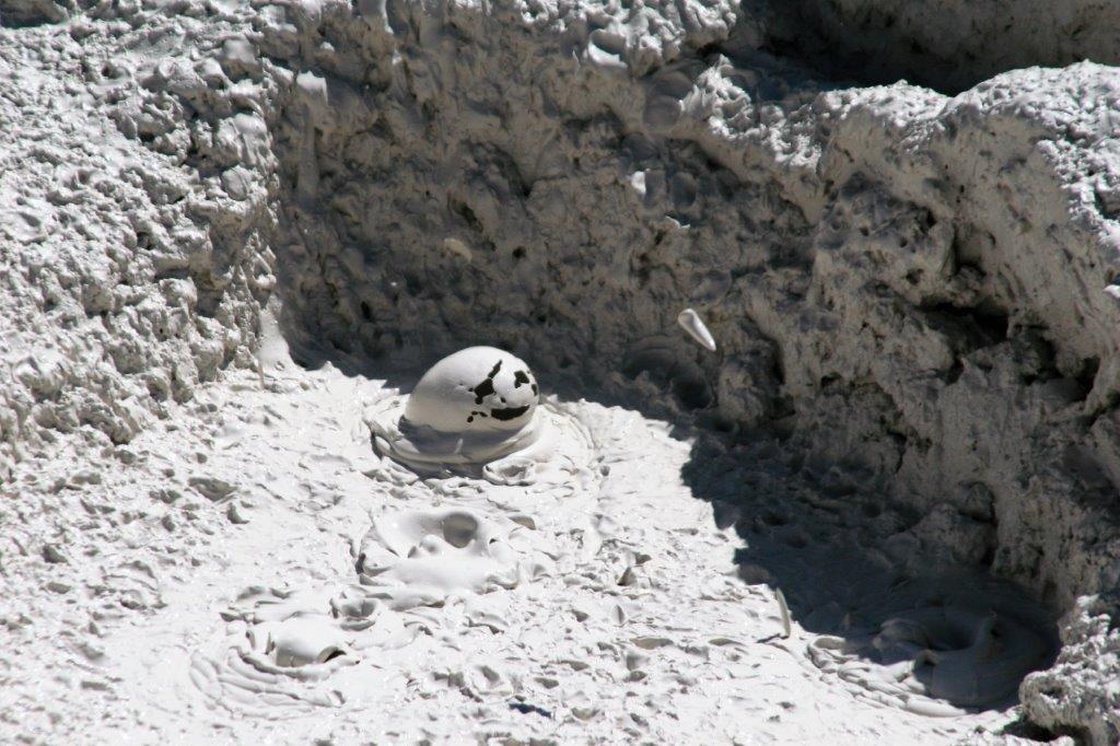
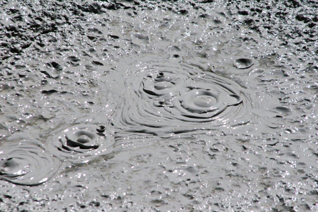
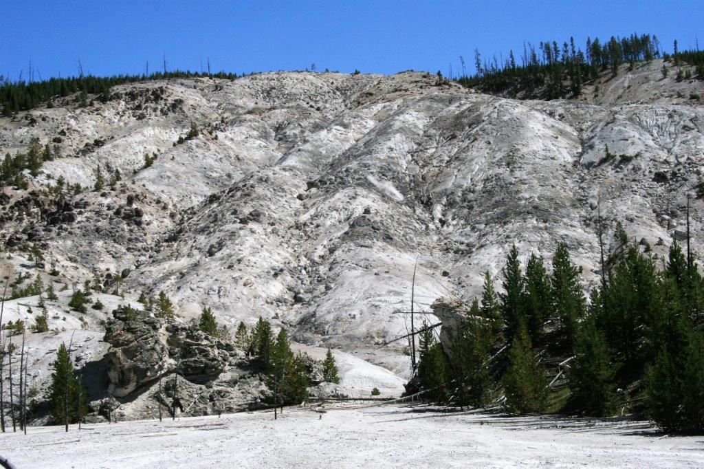
 Since the Yellowstone area is one giant volcanic bed there are openings in the earth’s crust, which emit steam and gases such as carbon dioxide, sulfur dioxide, hydrogen chloride and hydrogen sulfide. These openings are called fumarole’s (derived from the Latin fumus, ‘smoke’). The steam forms when superheated water vaporizes as its pressure drops when it emerges from the ground.
A fumerole field is an area of thermal springs and gas vents where the groundwater boils away faster than it can be recharged. The high concentration of sulpuric acid leaches the rock, breaking it down into clay. Because no water washes away the acid or leached rock it remains as sticky clay to form mud pots that bubble and boil creating lots of different shapes as the bubbles burst. They were fascinating to watch.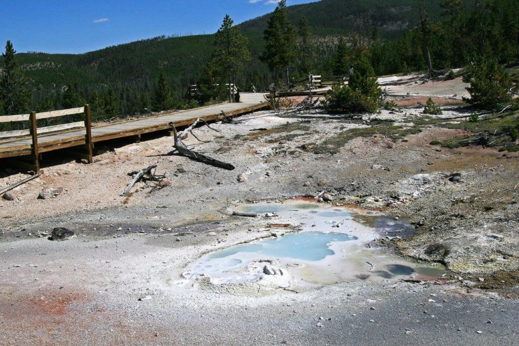


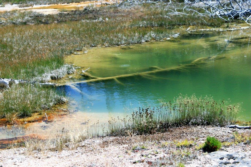
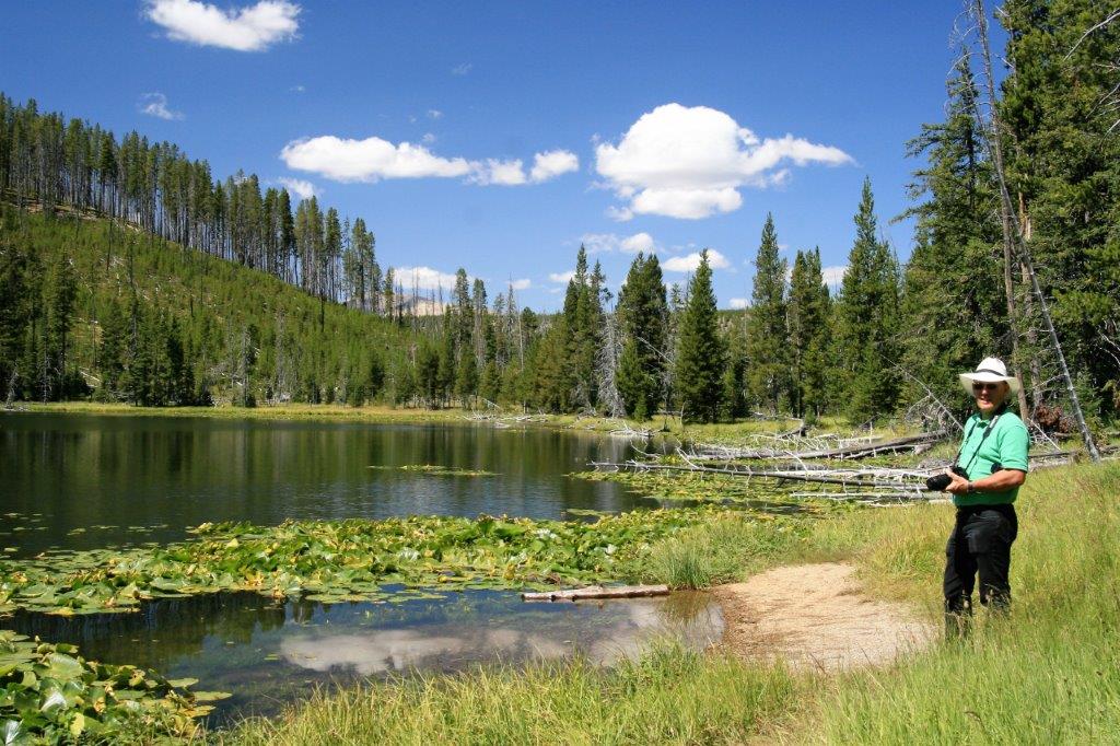
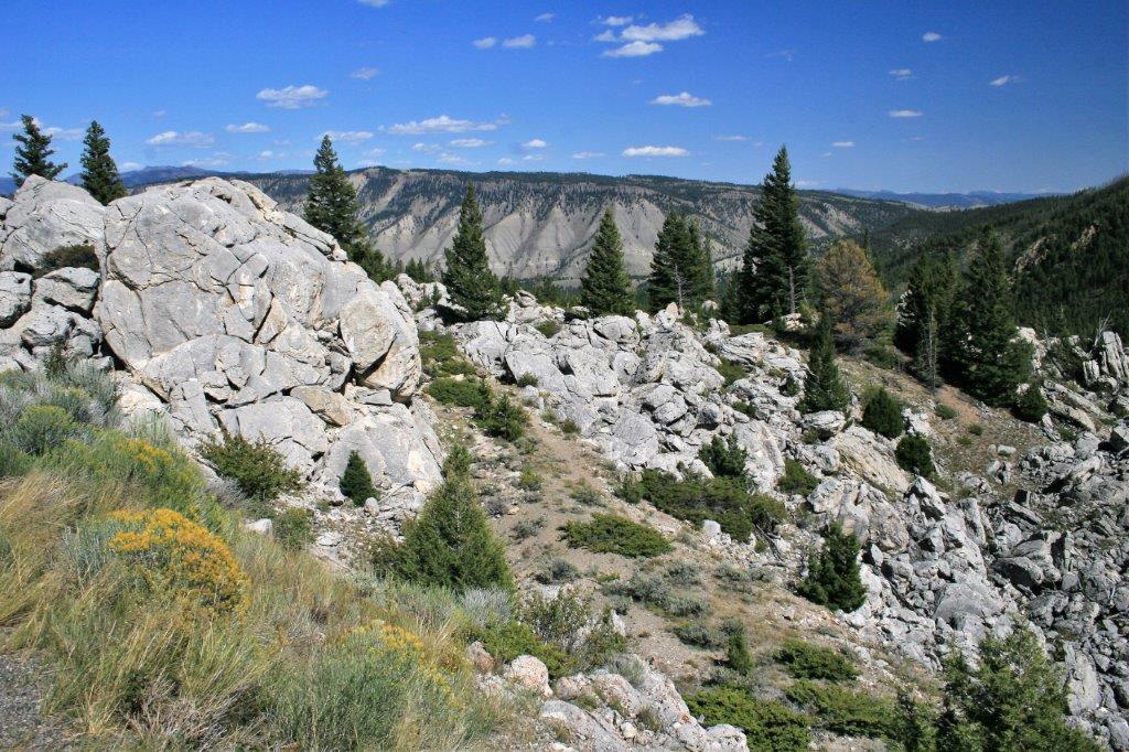
 The lovely, crystal clear South Twin Lake is located just north of Norris Basin on the way to Mammoth.
 We spotted this young grizzly wandering through the grass.
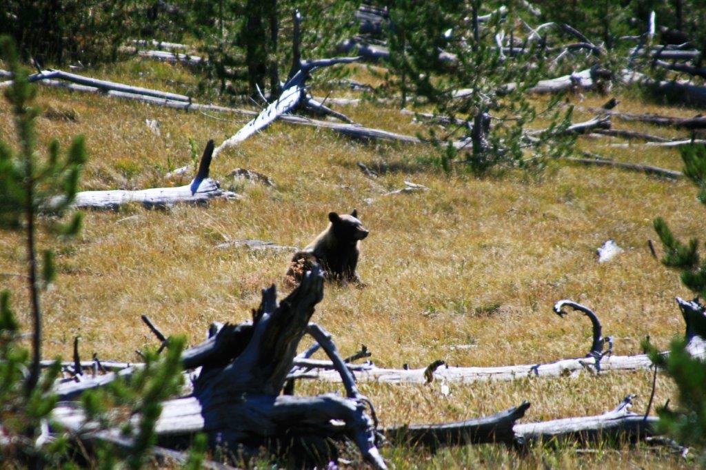
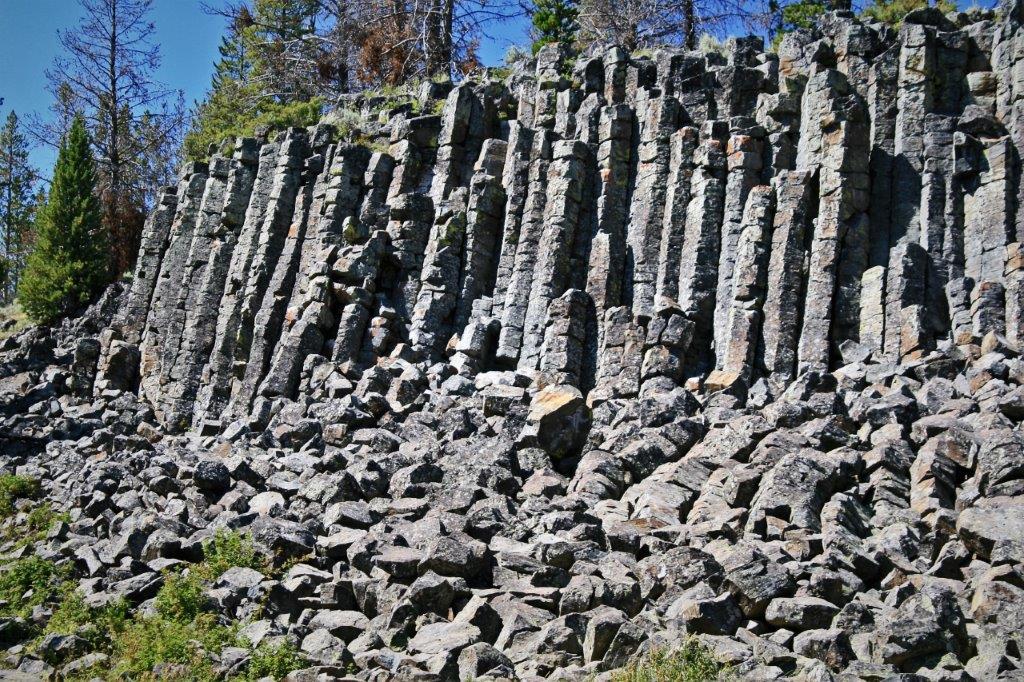
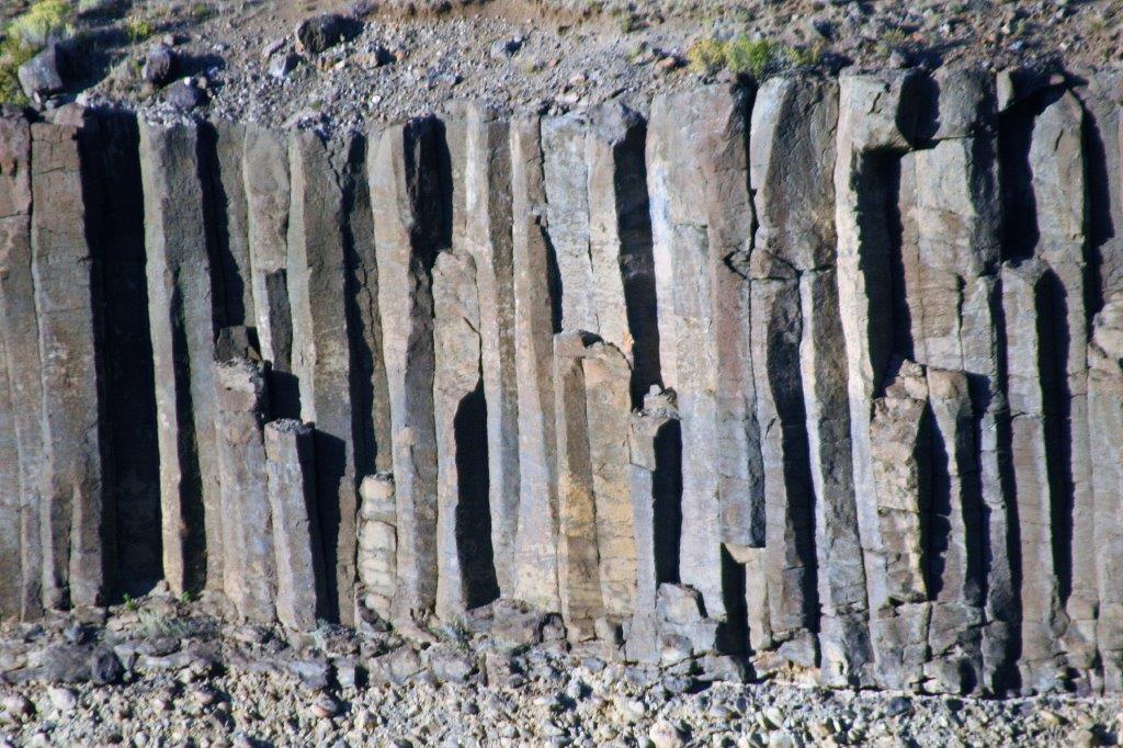
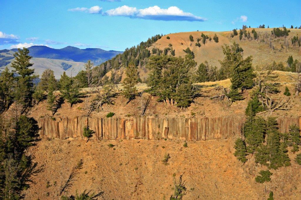
 Sheepeater Cliff is composed volcanic basalt that creates columns very similar to those we saw at the Giant’s Causeway in Northern Ireland.
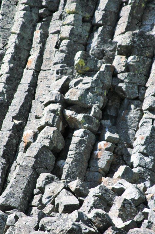
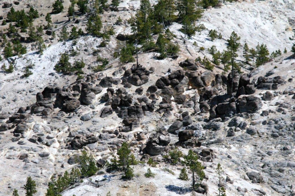
This section looks to me like a Trans-former.
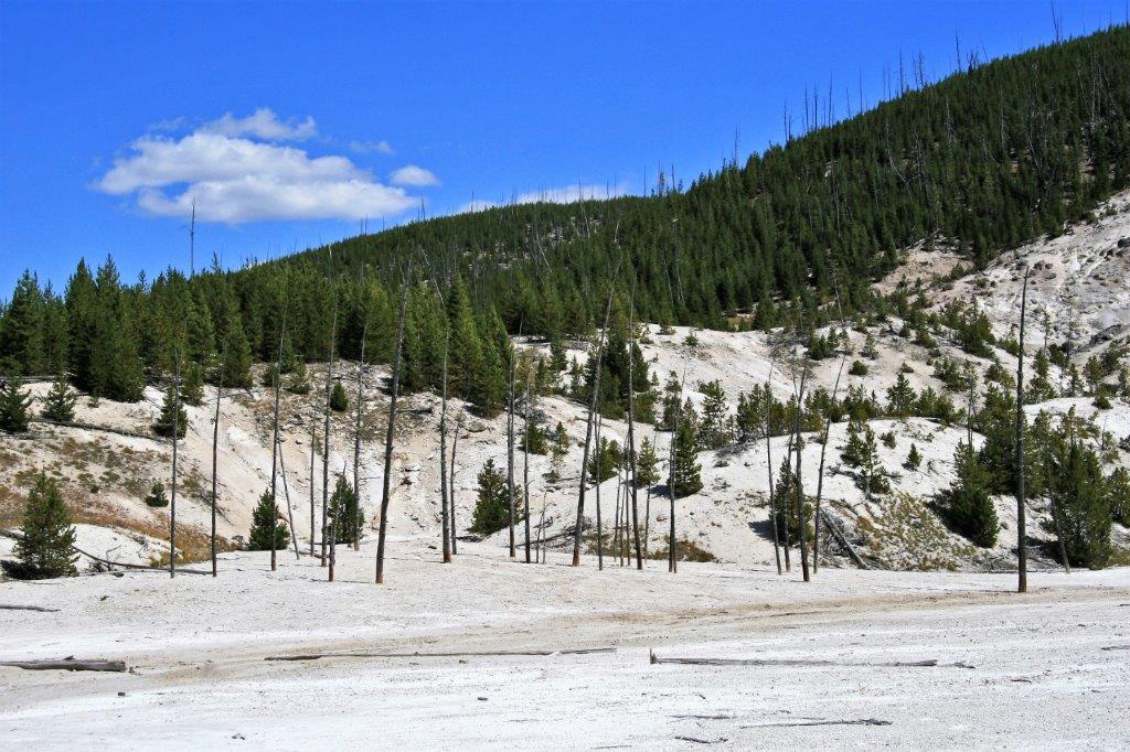
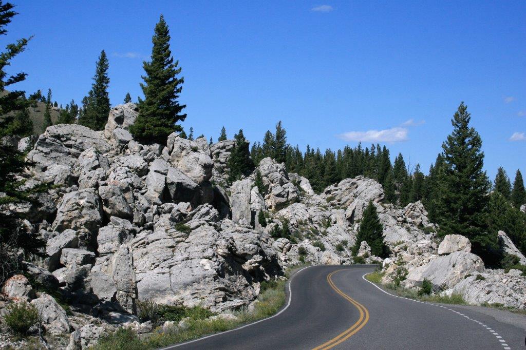
Before we arrived at Mammoth we had to pass through Golden Gate Pass, a section of the road that is closed from early November through to late April.

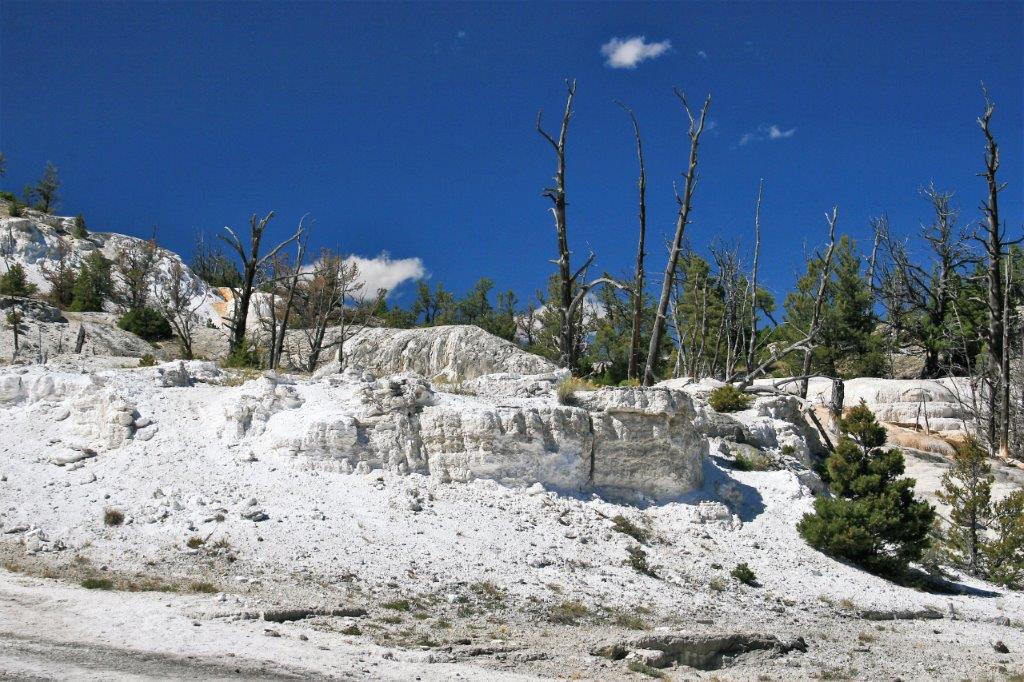
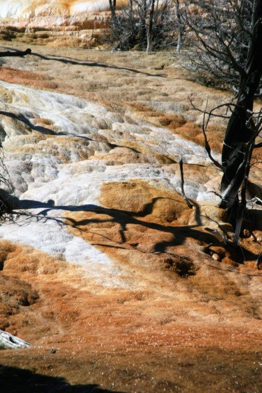
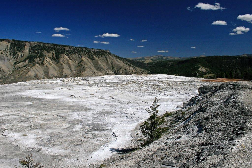
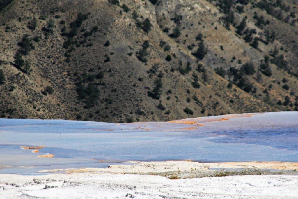
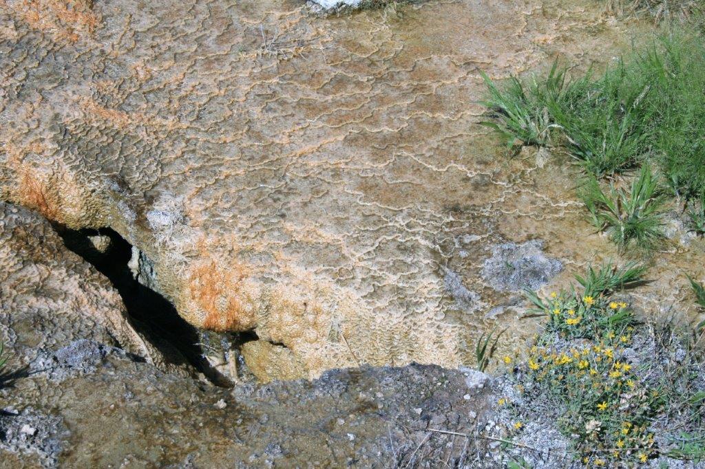
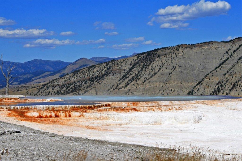
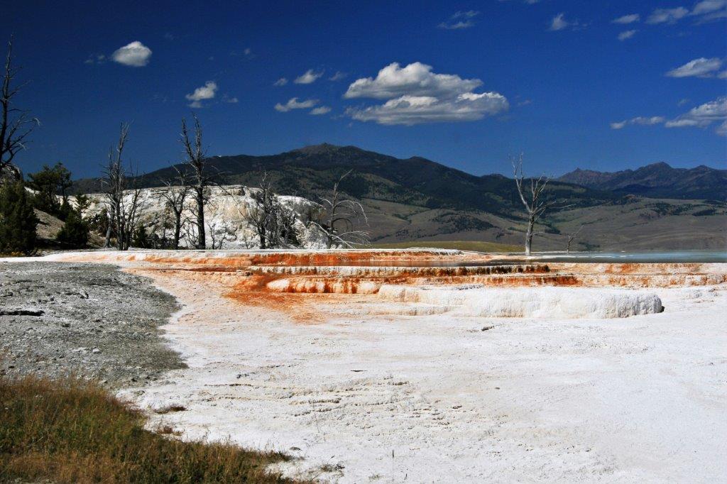
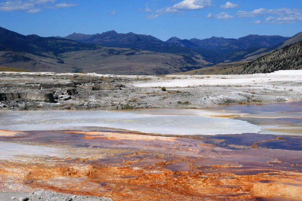
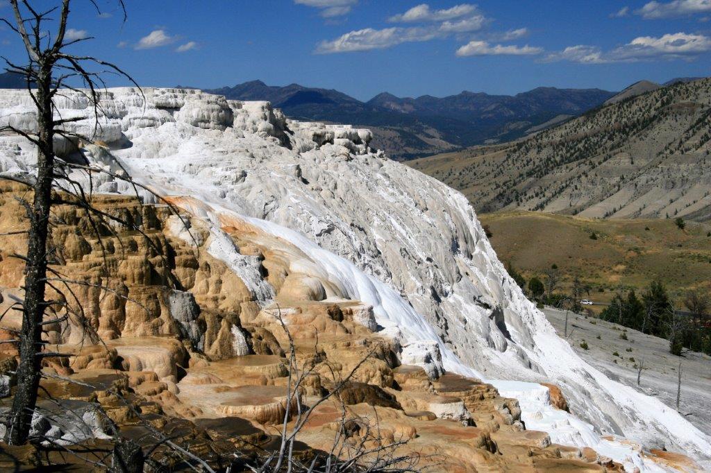
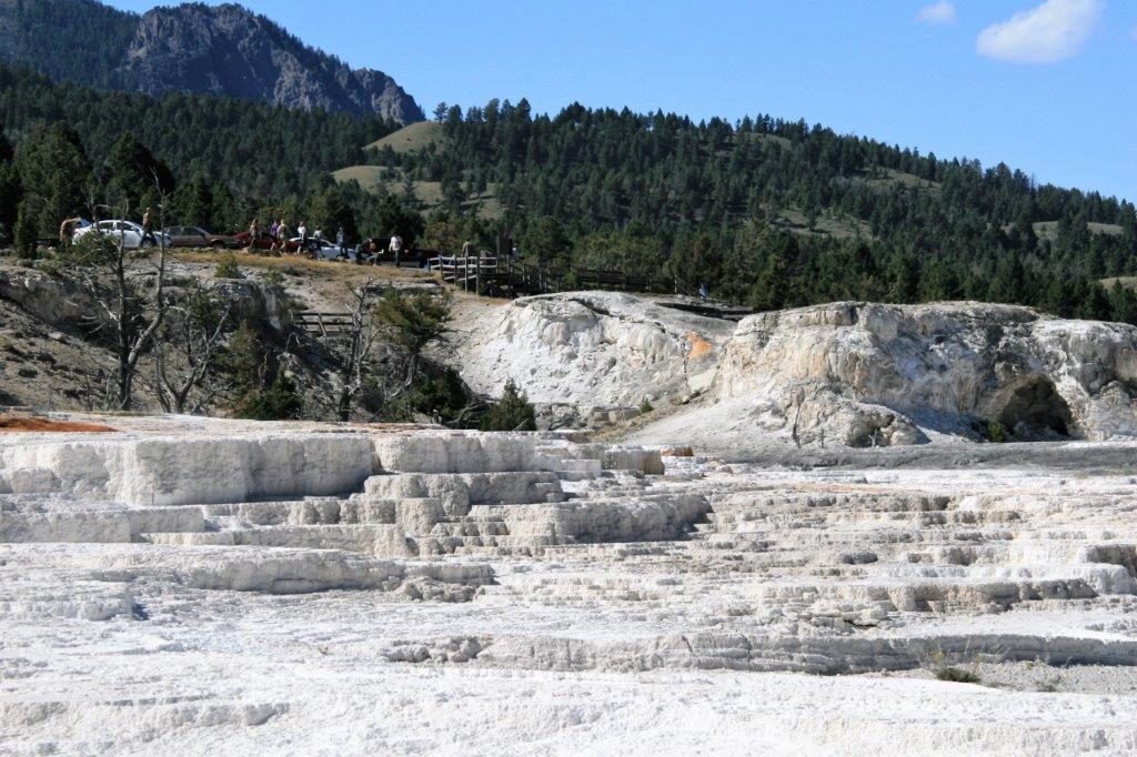
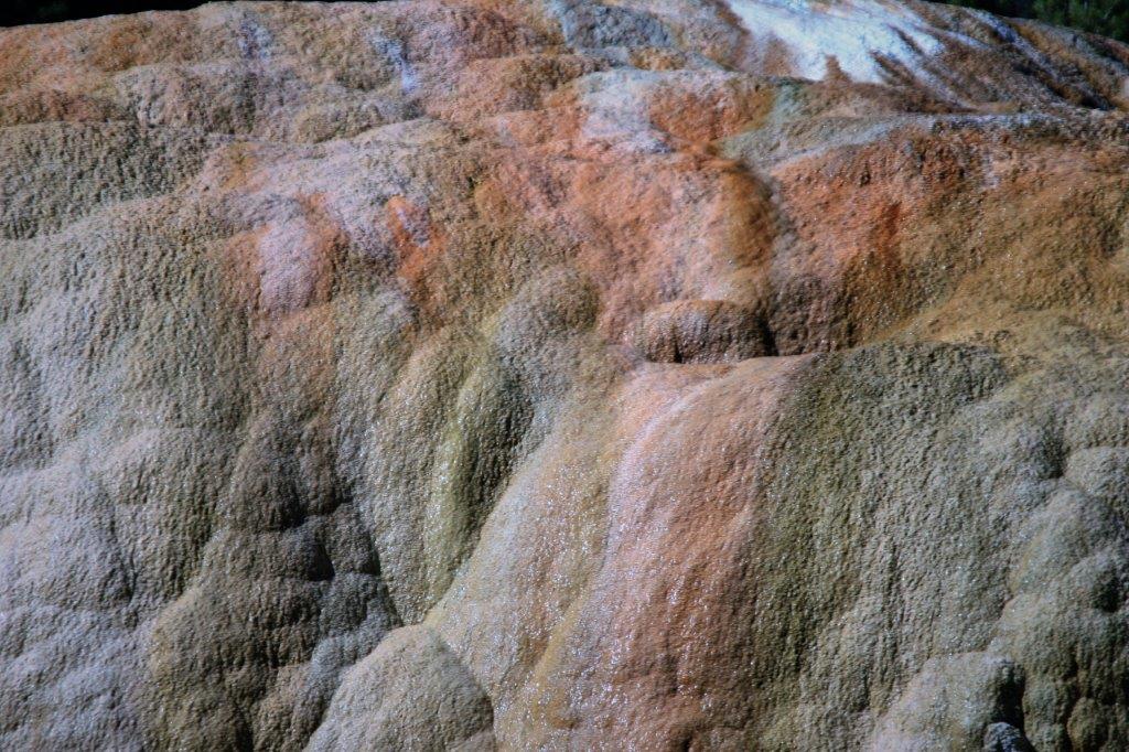
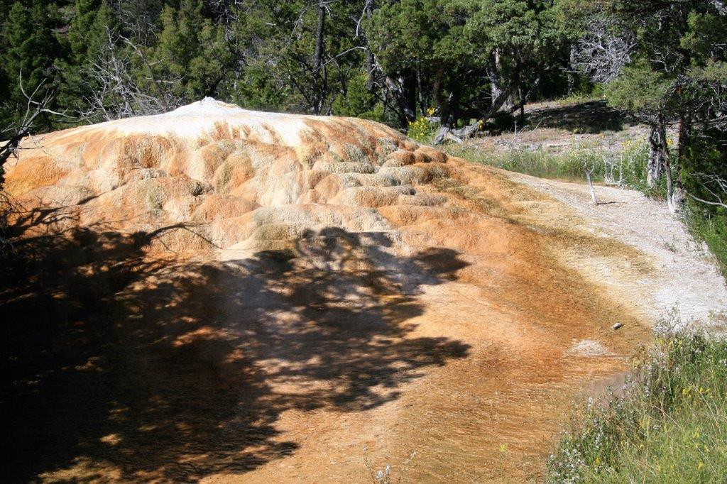
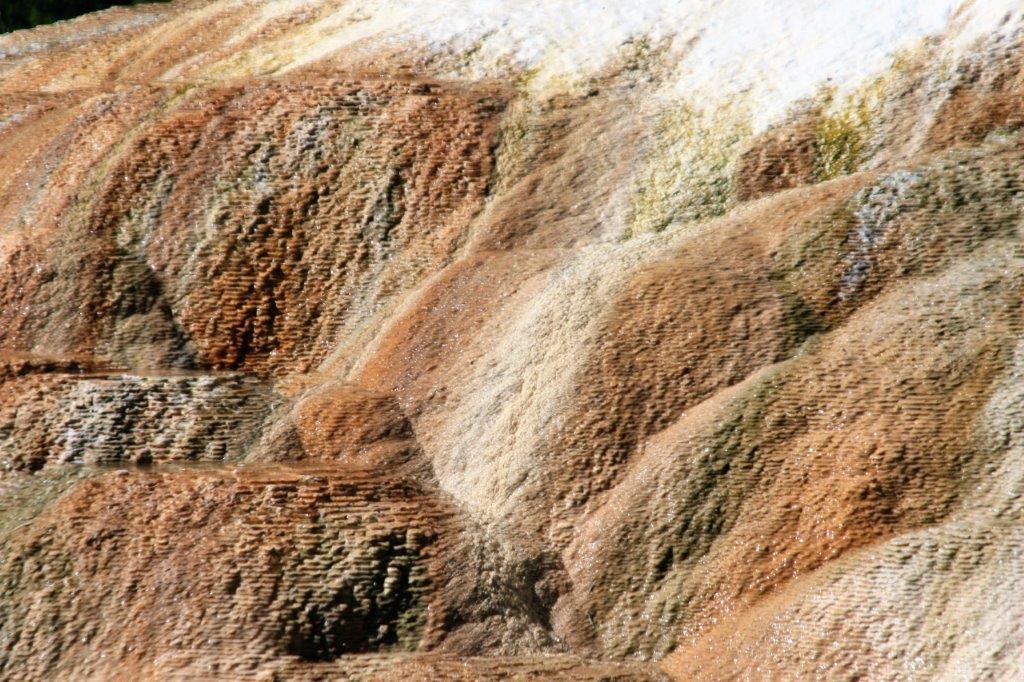
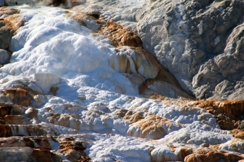
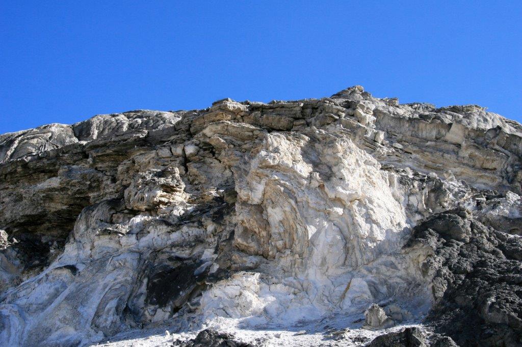
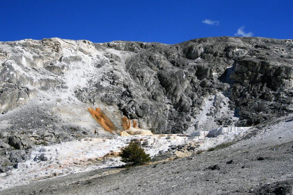
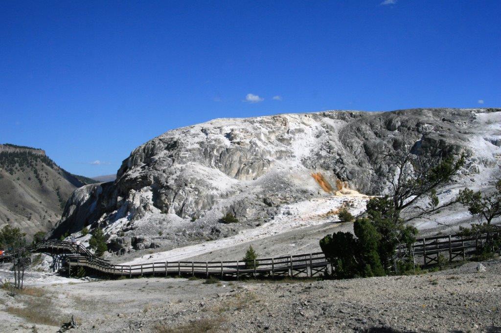
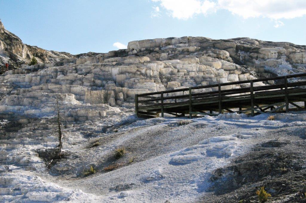
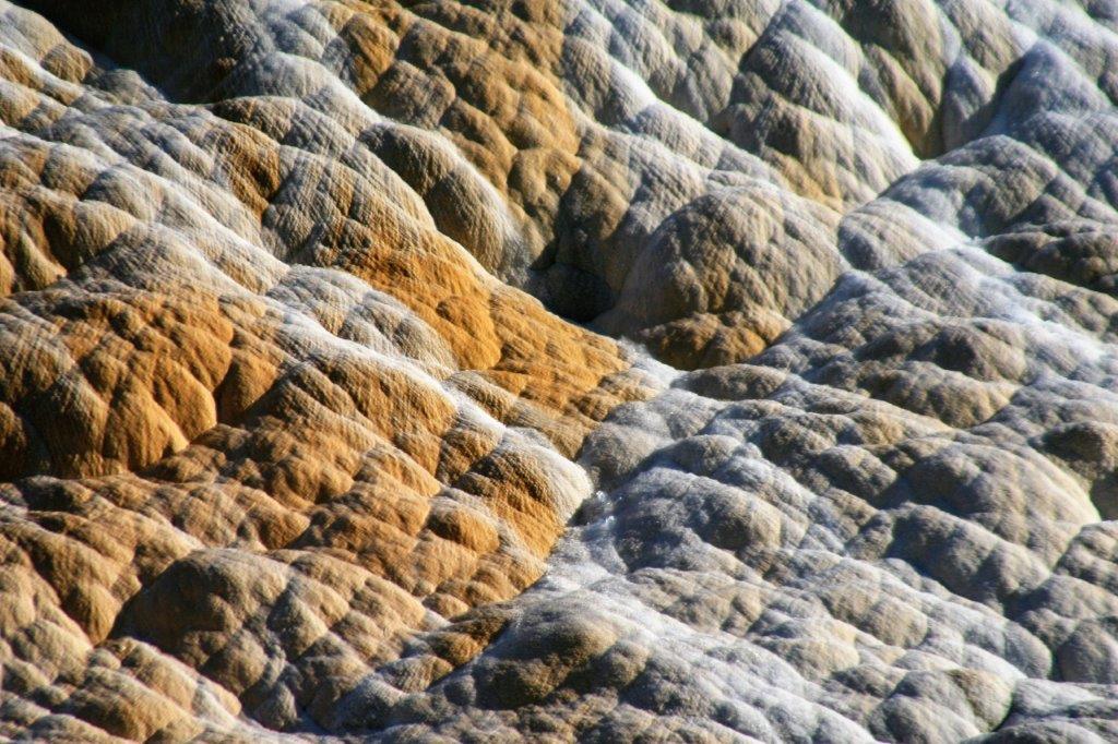
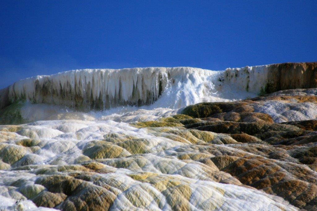
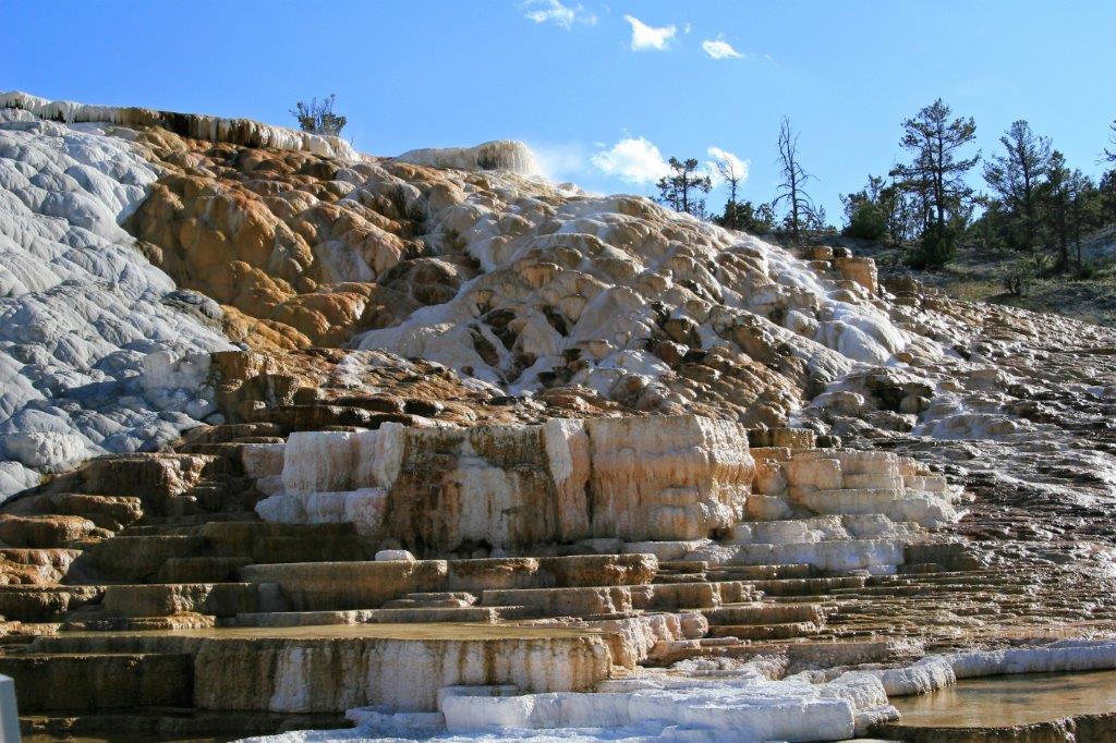
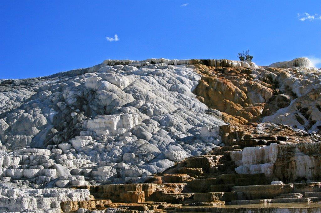
 Mammoth Hot Springs is an enormous hill of travertine that was created over thousands of years as the hot water cools and deposits calcium carbonate on the ground. Because of the geothermal vents in the area travertine flourishes and over two tons of this solution flow into Mammoth each day.
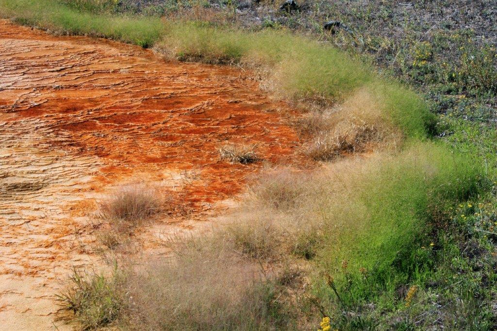
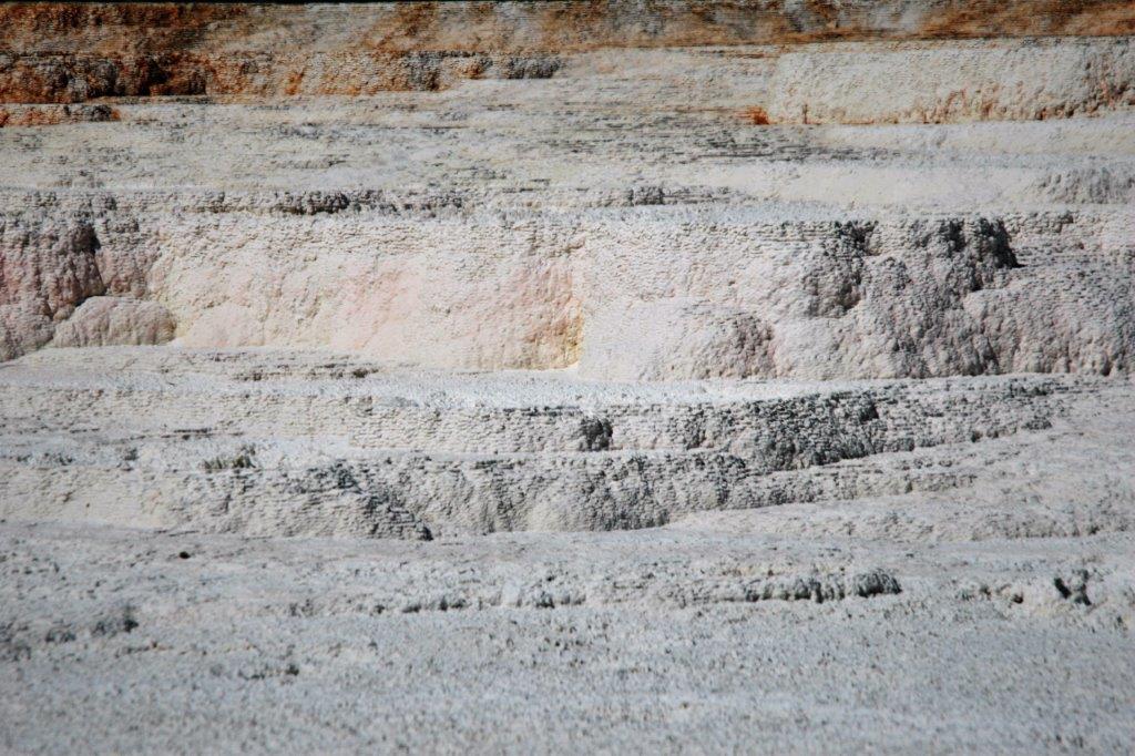
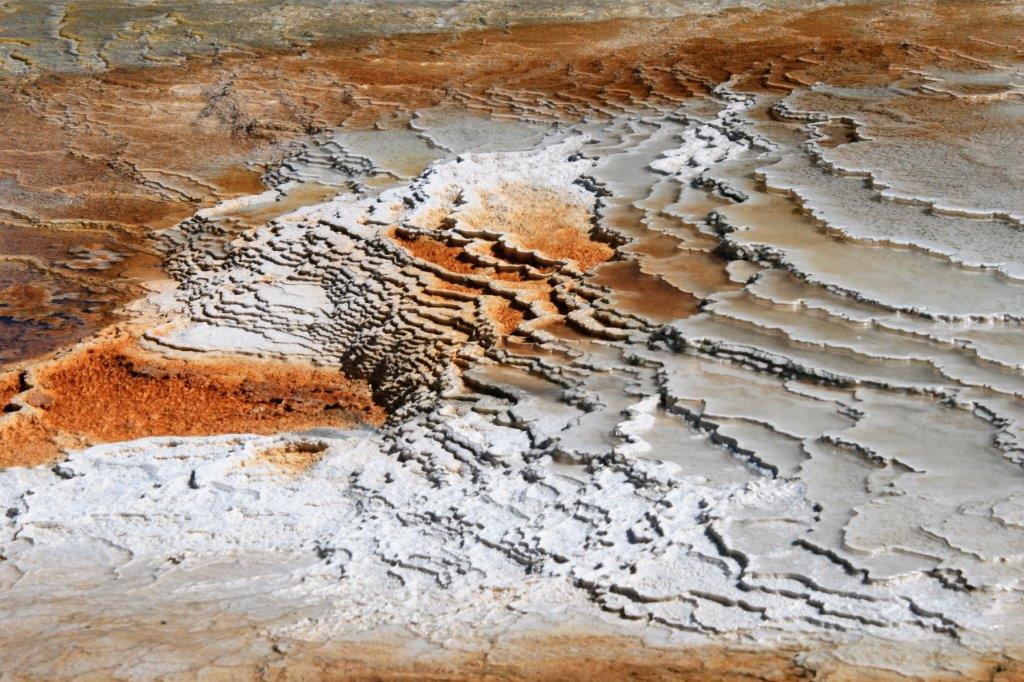
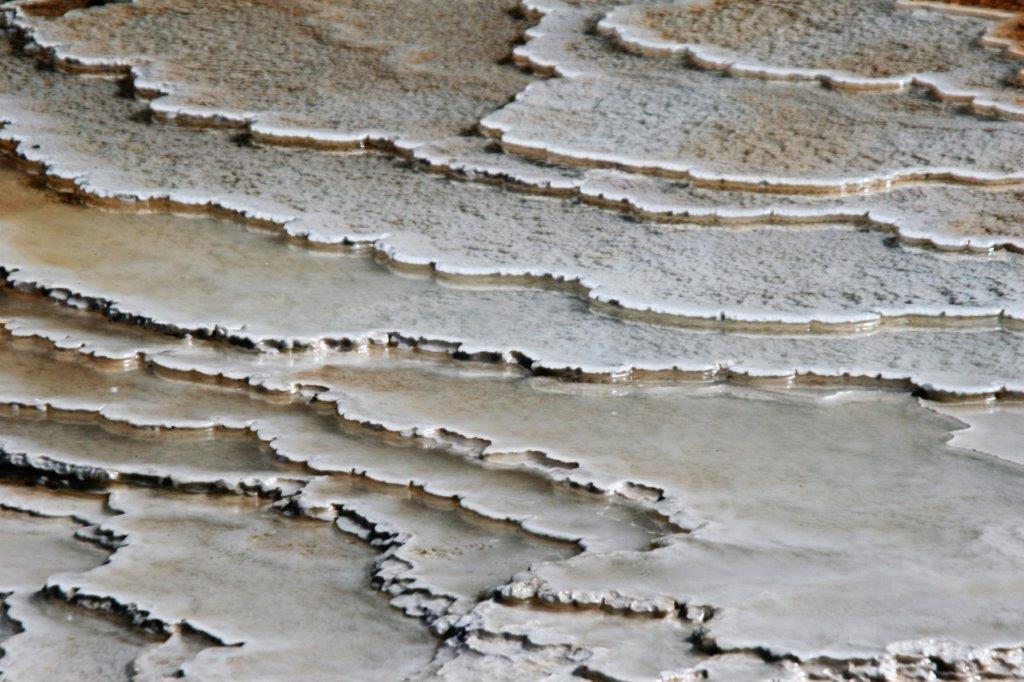
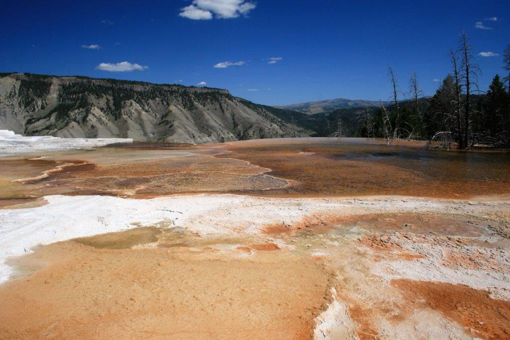
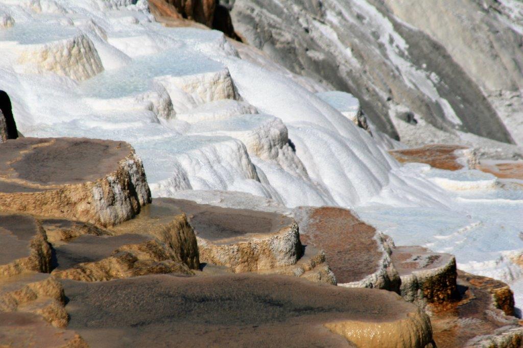
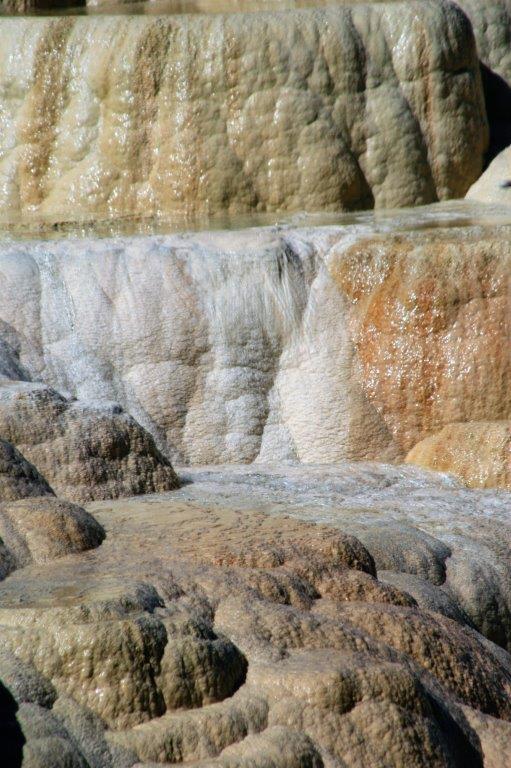
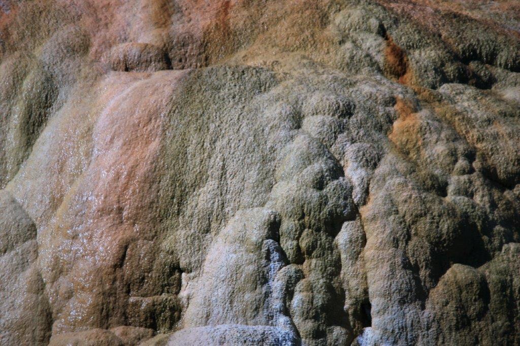
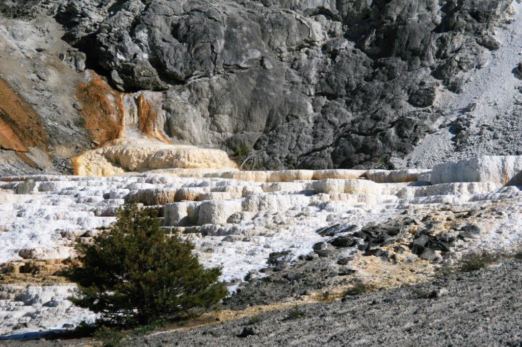
The entire area at Mammoth is composed of various terraces and intermingling colours contrasted with pristine white to make a magical display of natural wonder. It is often hard to see in the photos because it is so clear, but much of the top surfaces and many of the hillsides of the terraces have thin layers of water flowing over them.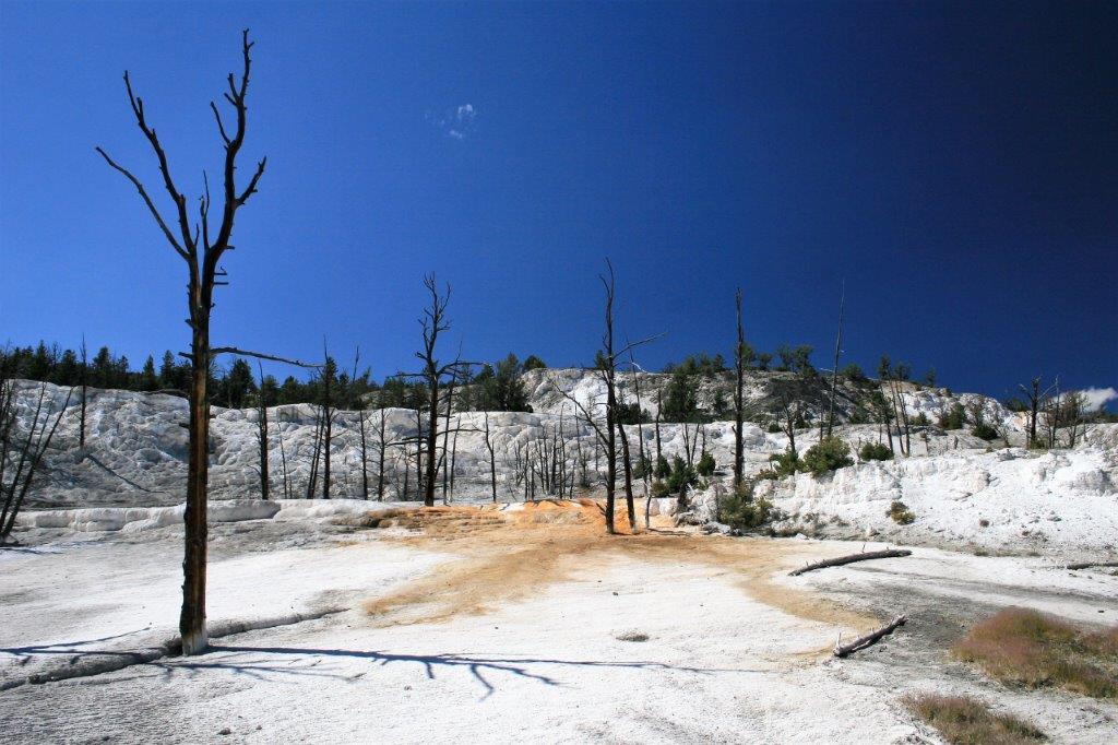
 This area is called Angel Terrace.
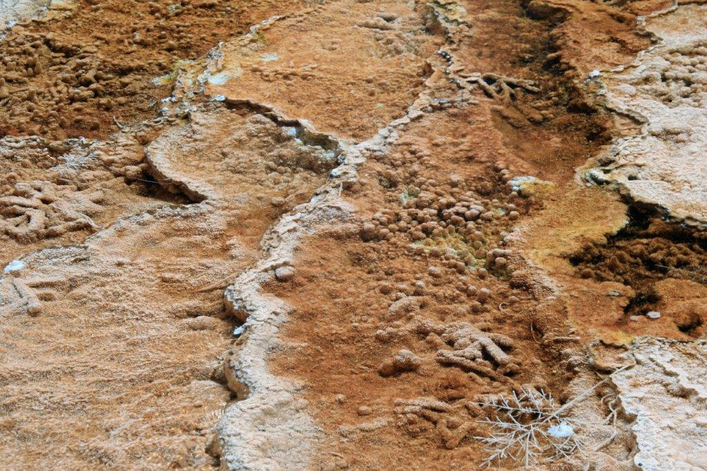
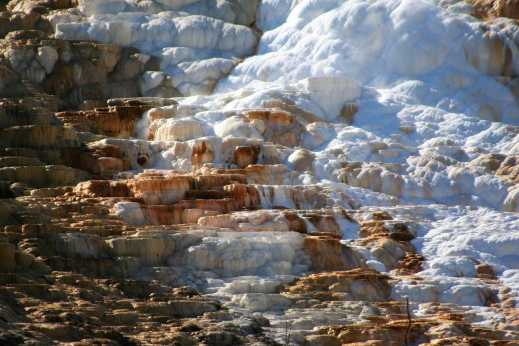
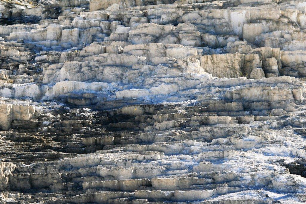
The tops of the terraces come to abrupt ends and make for interesting knife-edges at the cliff top.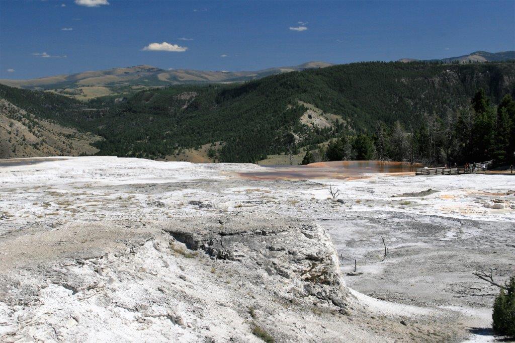
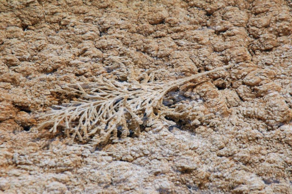
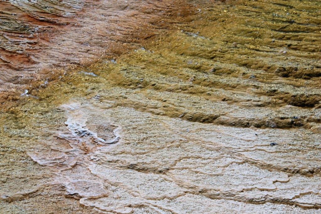
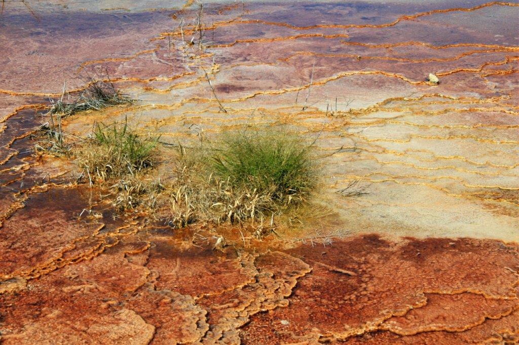
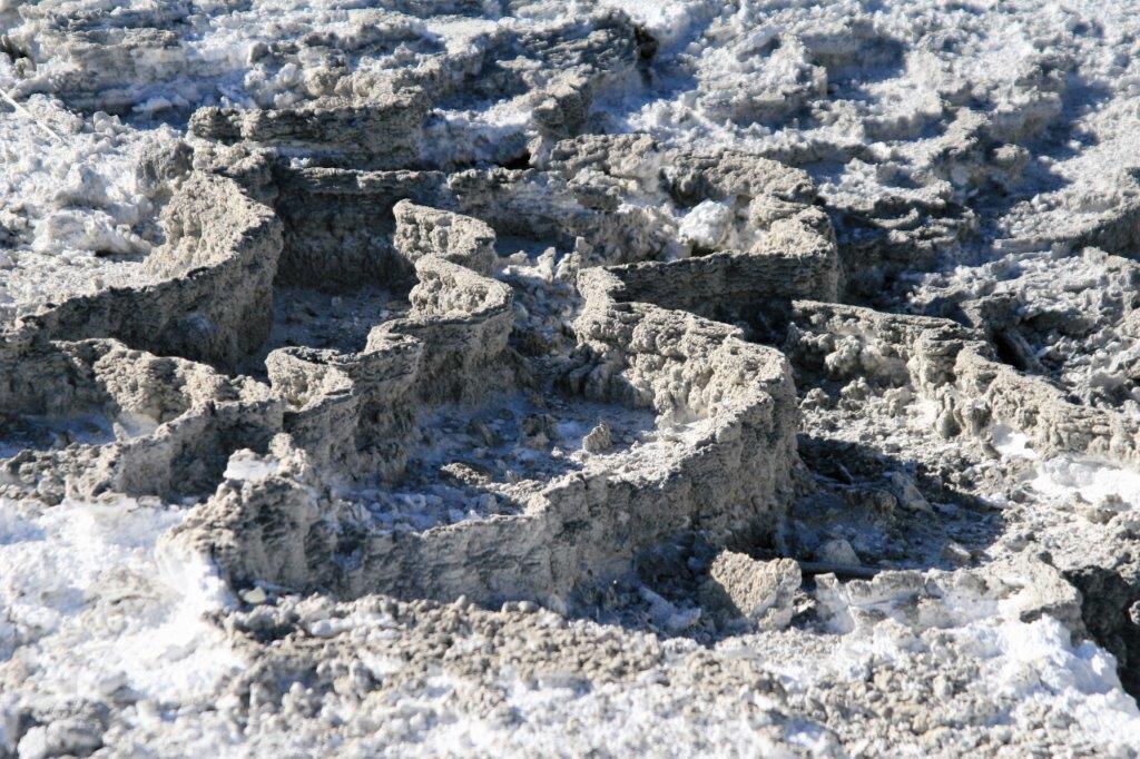
 There were many little pieces of foliage that lay under the water on the terraces.
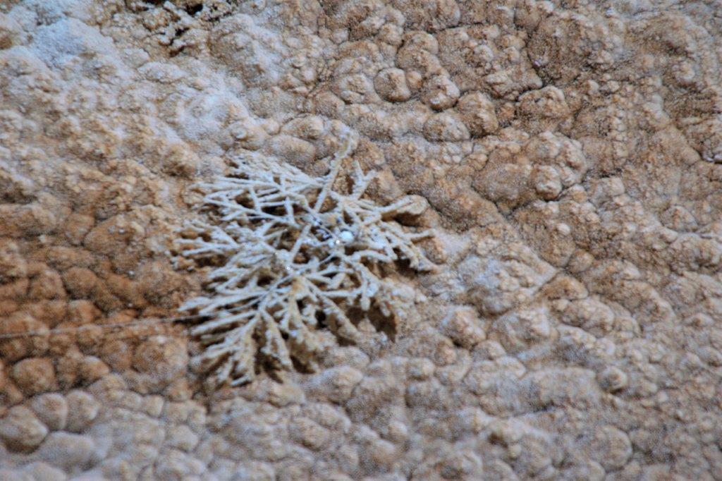
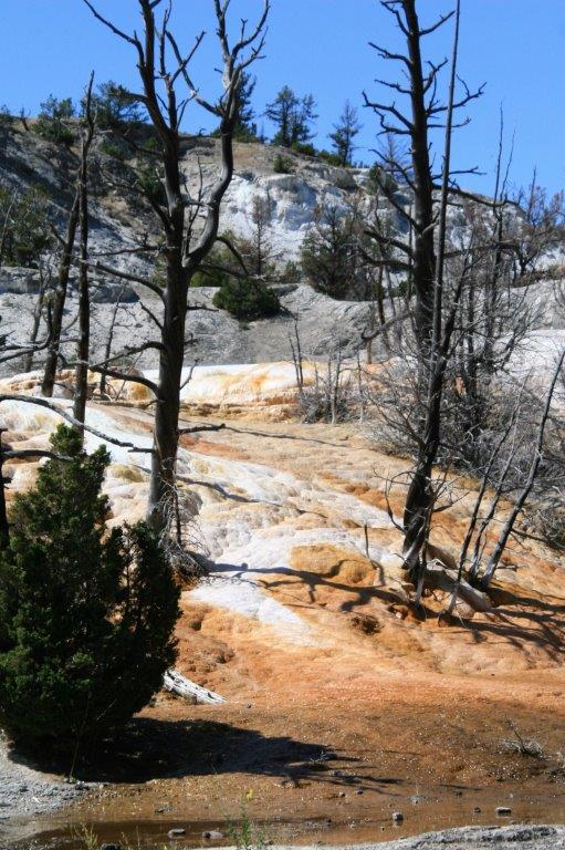
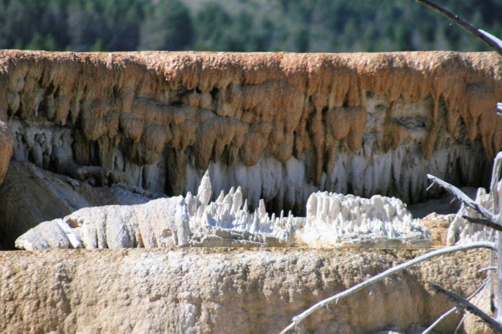
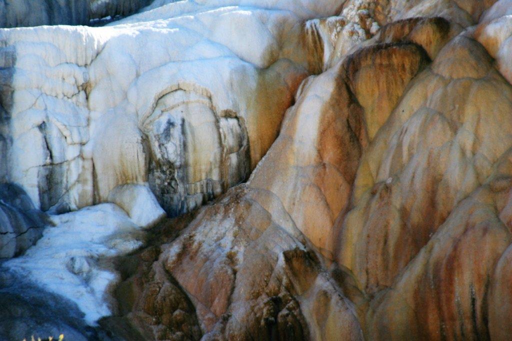
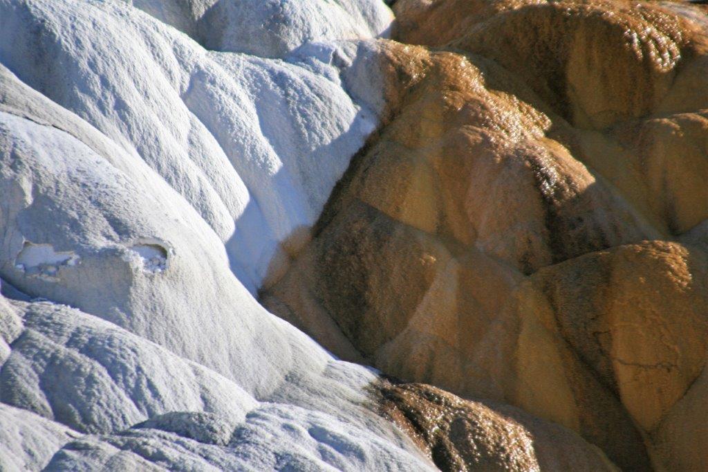
 And so many shapes and forms in the travertine. It was a great place to take a million photos.
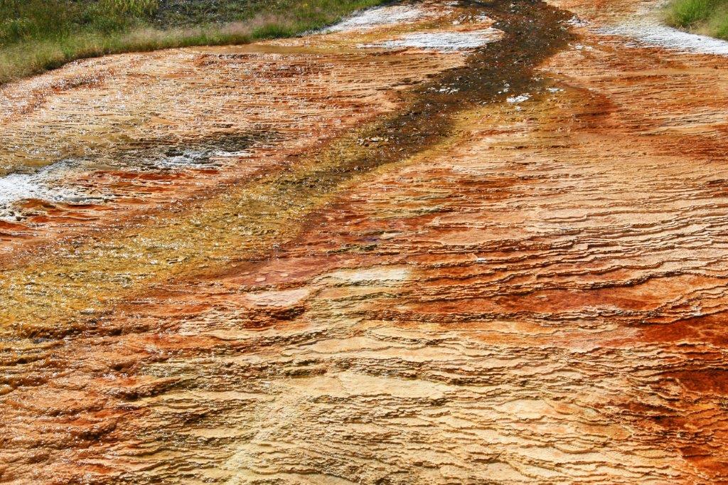
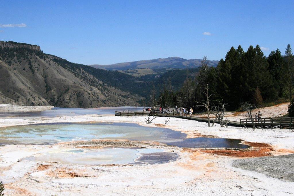
 Minerva Terrace
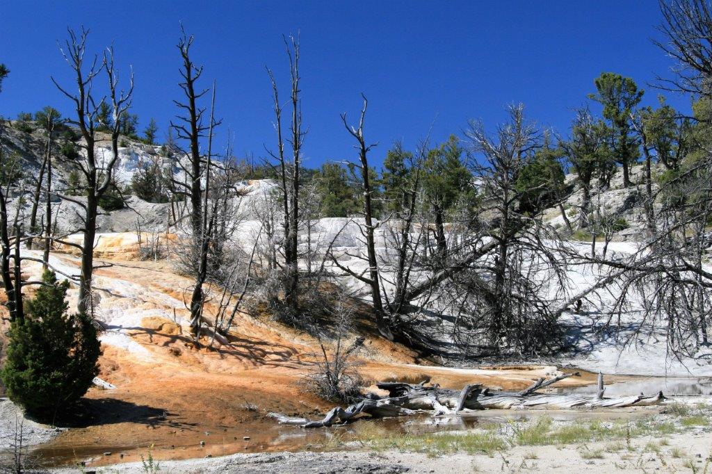
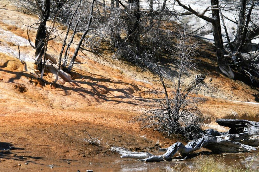
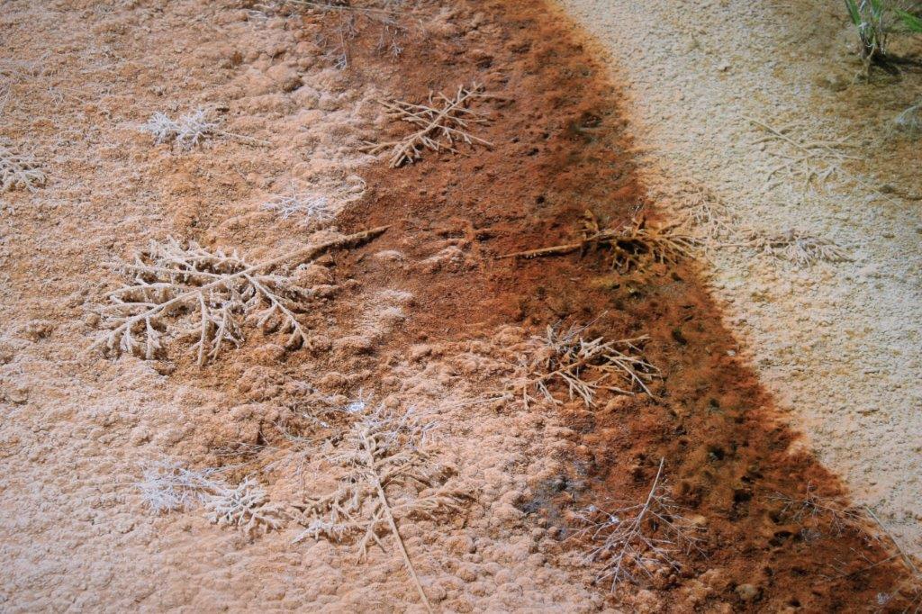
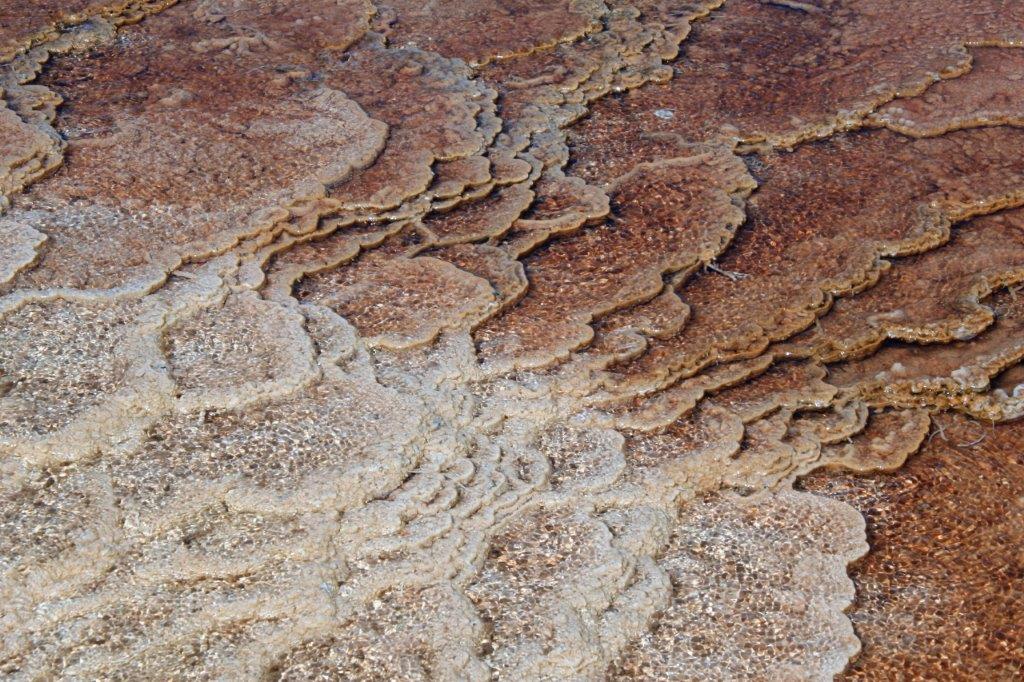
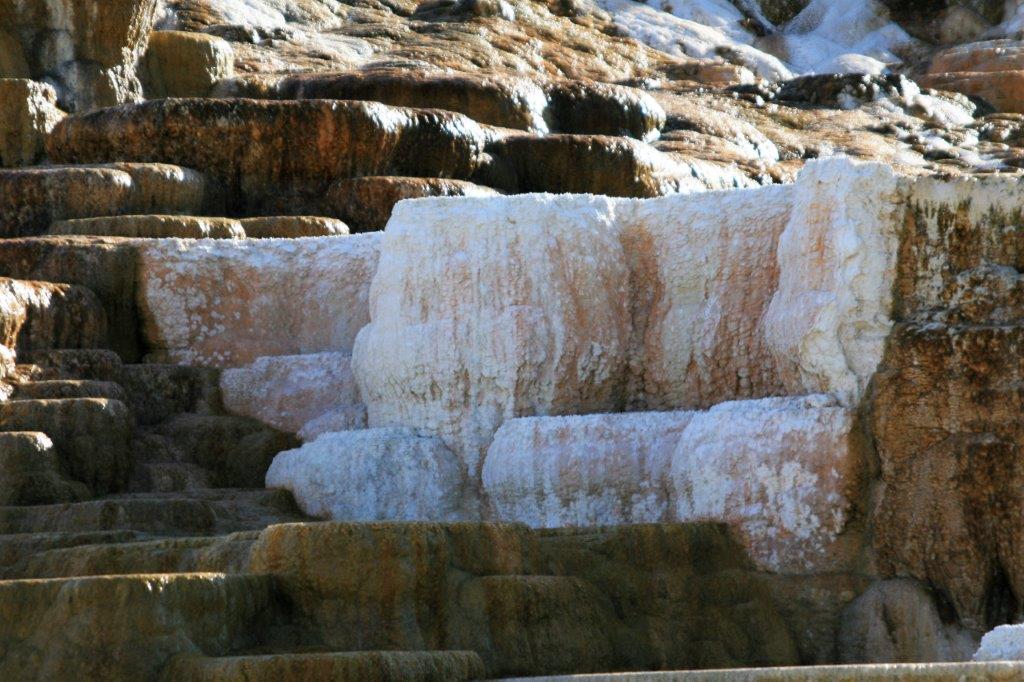
When you go around to the cliff side of the terraces there are beautiful steps of purest white, orange and copper all streaming together.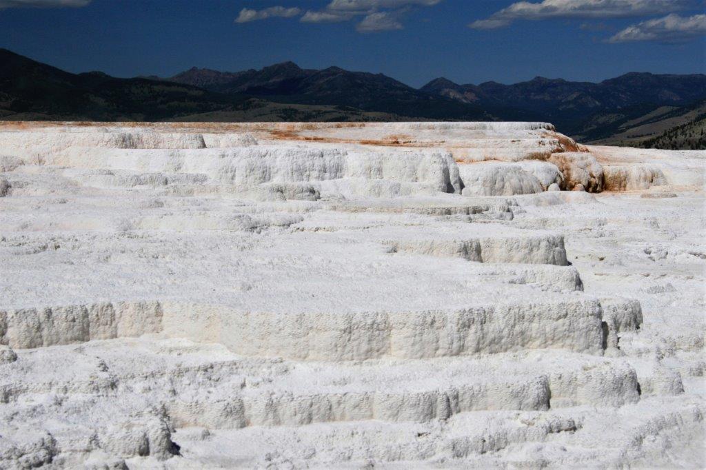
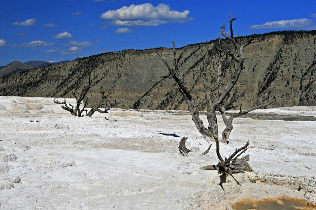
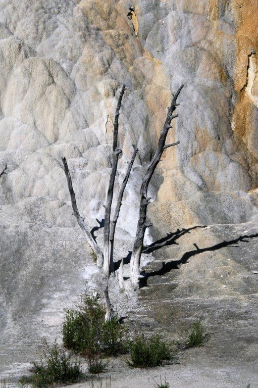
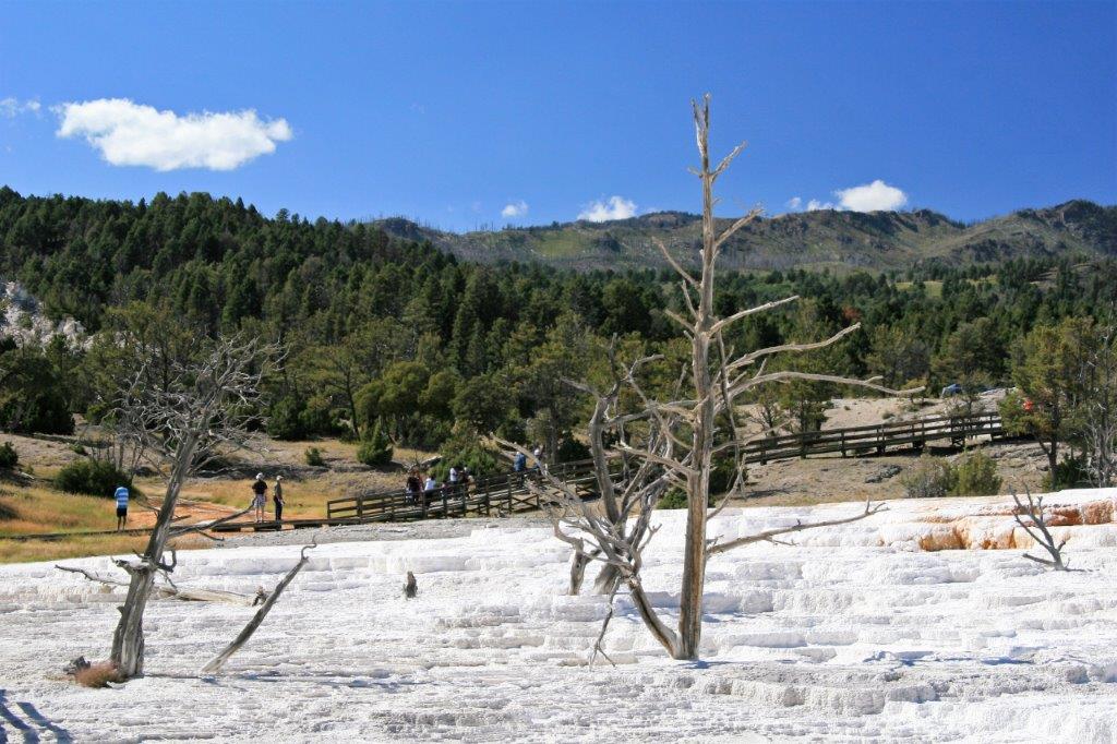 There are dead trees trapped in the travertine all over the place and yet, in the most unlikely environment, we would see grass growing or a plant in bloom.
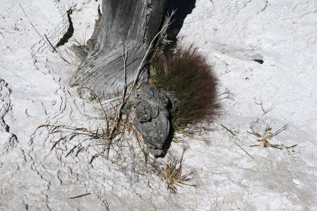


 Mound Terrace & Jupiter Terrace were a boardwalk path away from Minerva Terrace. This is Mound Terrace.
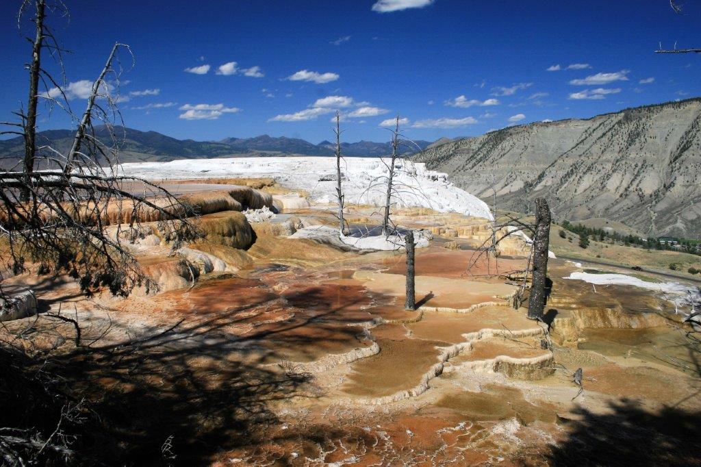


 Someone dropped a coin (it is under water like the foliage bits above) and it is slowly leaching. It will eventually be covered with the travertine and become a bump on the surface.
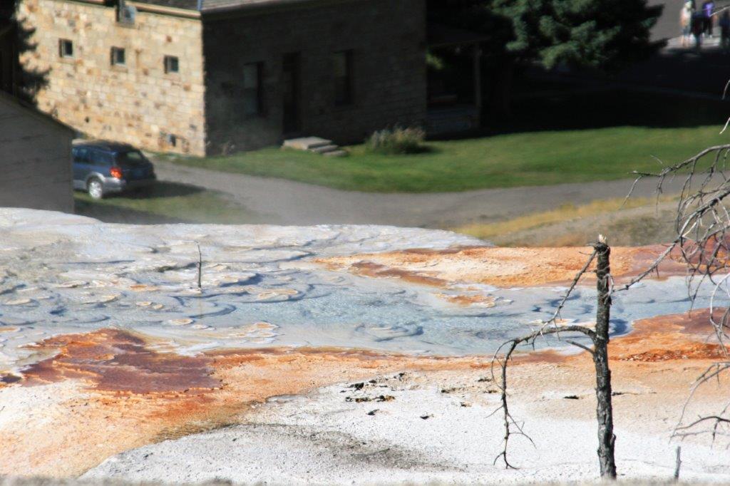
We did not go into the community of Mammoth Hot Springs but we could often see the buildings as we walked the boardwalk around the Minerva Terrace and Mound & Jupiter Terraces.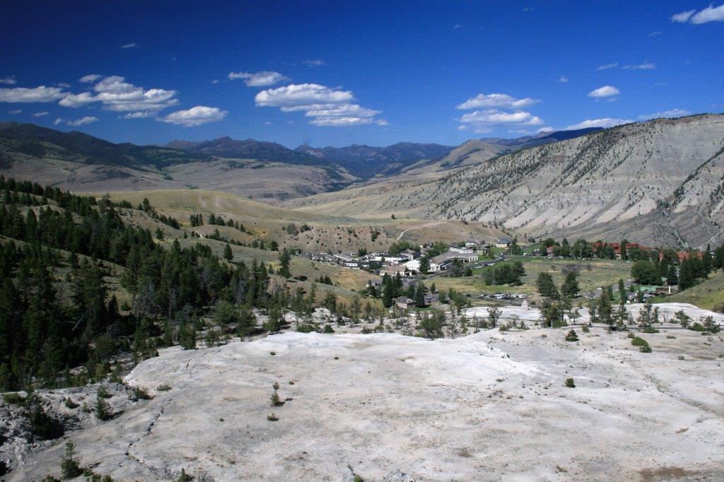 Below is Jupiter Terrace – I loved the ‘face.’

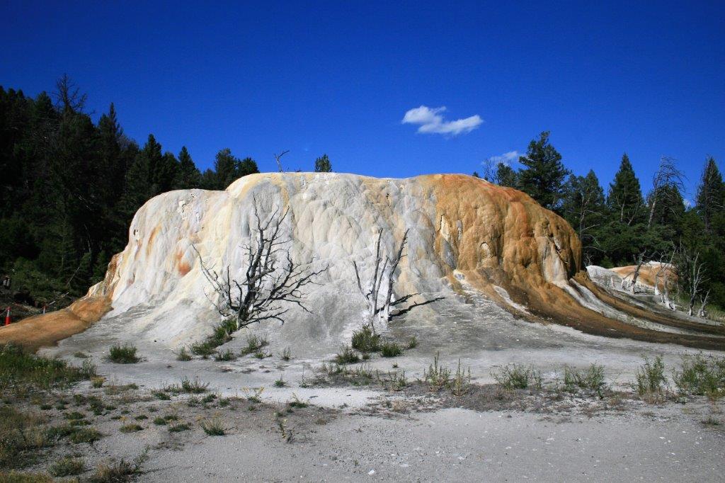
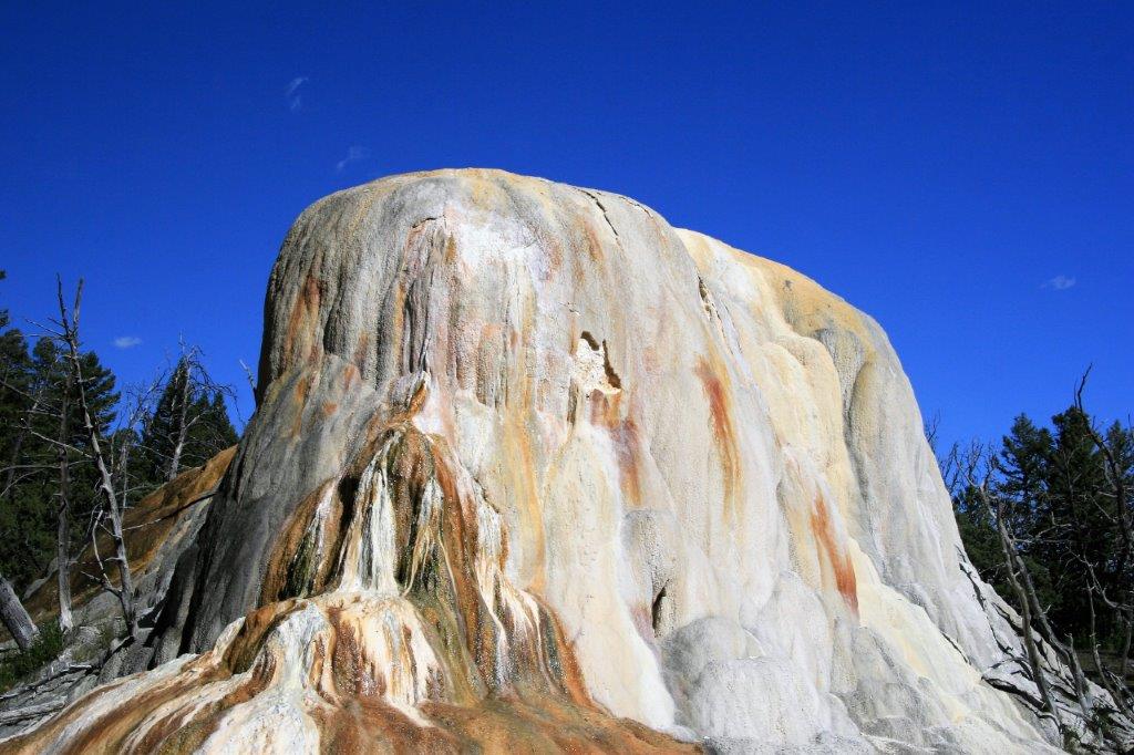
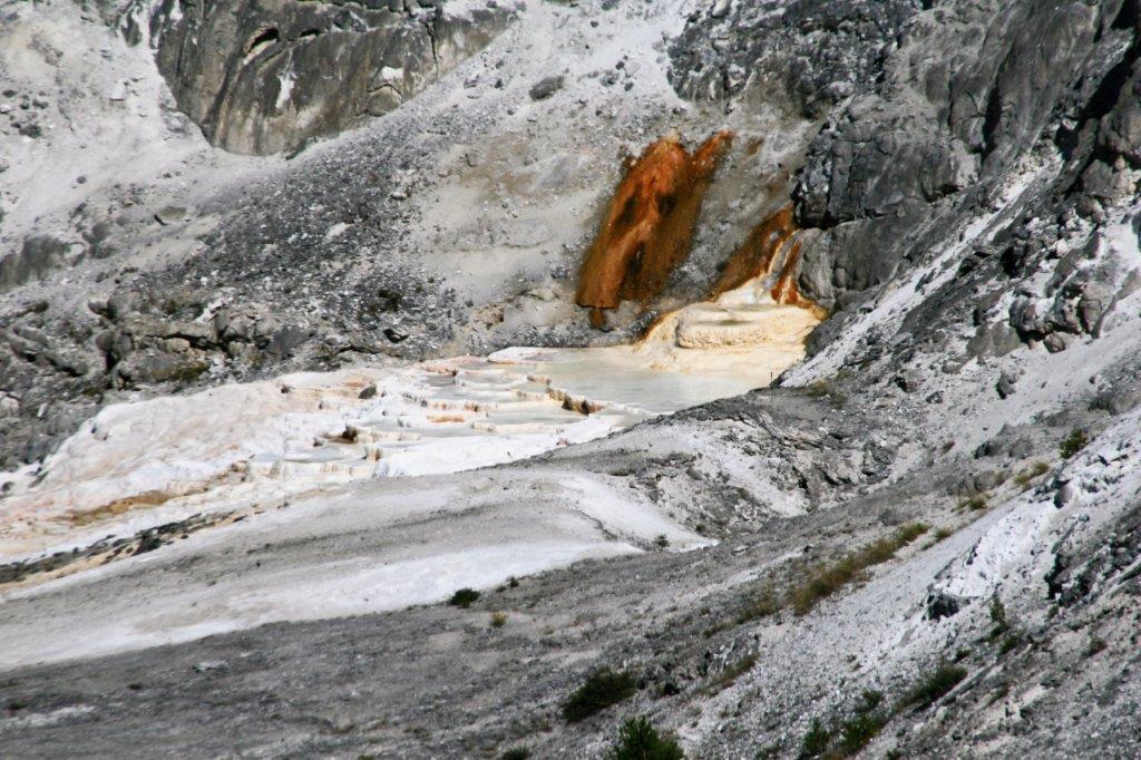 Along Upper Terrace Drive, a one way loop, we saw the Orange Spring Mound, which was one of my favourites.
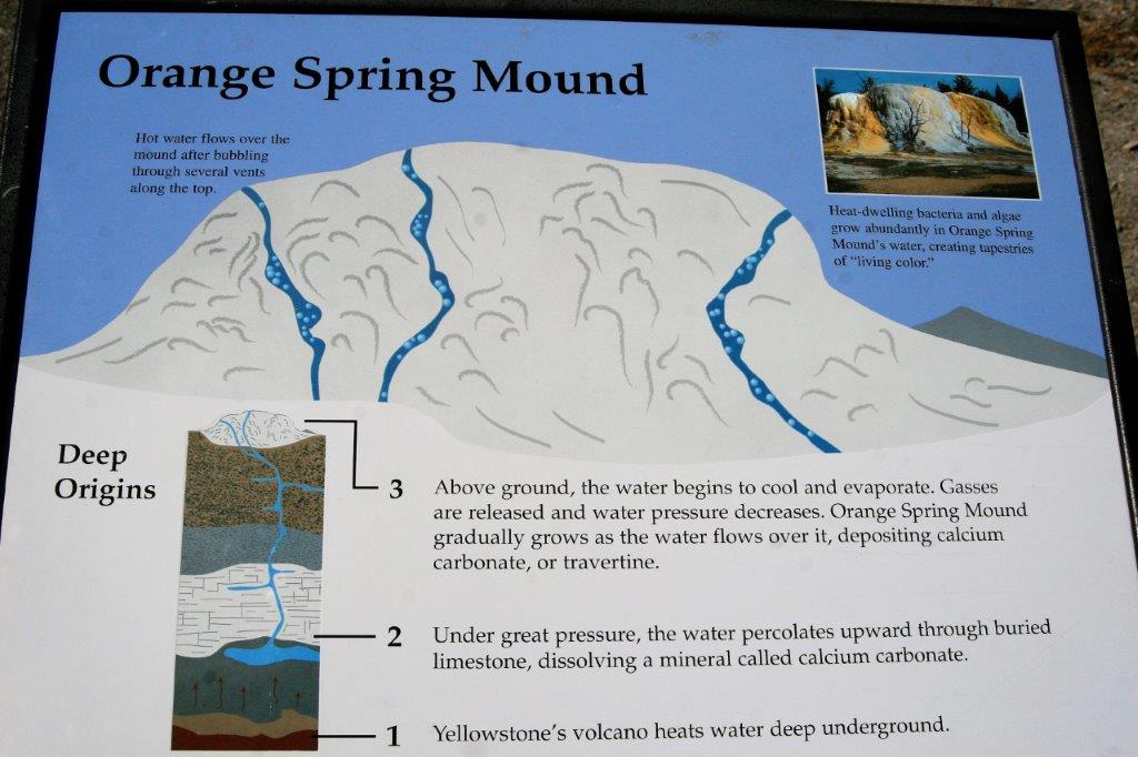

 And White Elephant Back Terrace
 How could you not love this place!?
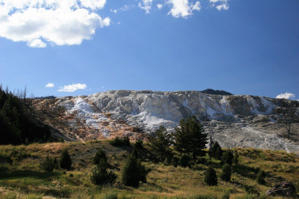
 Unbelievably a flower blooms.
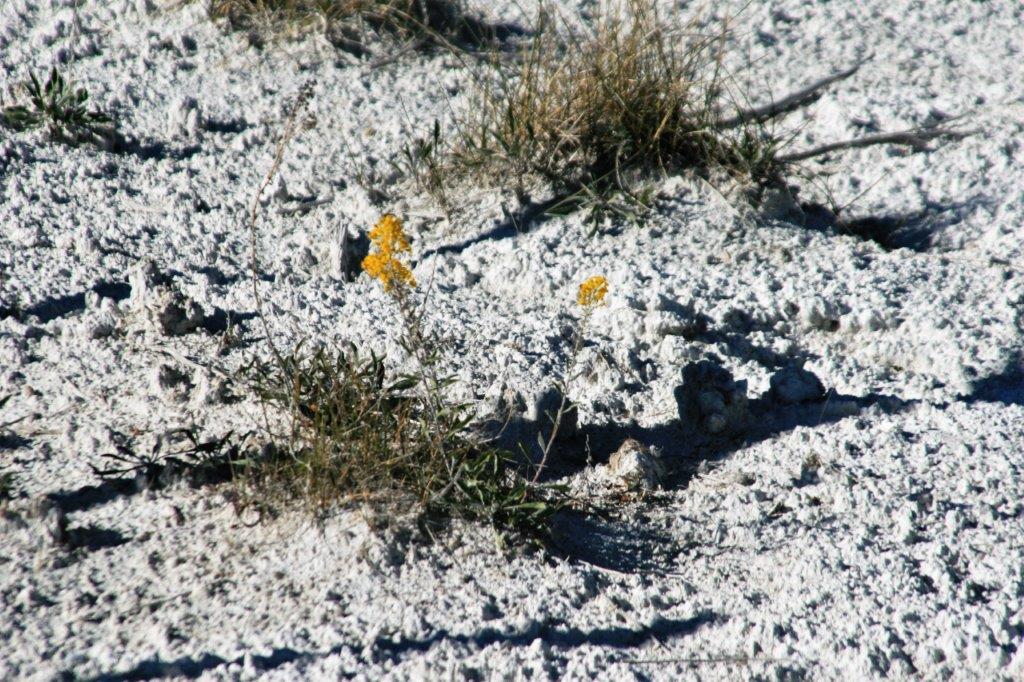


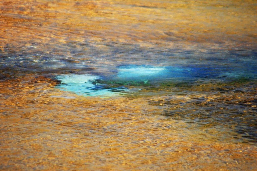
 The steam makes this photo look out of focus.
 Liberty Cap sits at the bottom of the Lower Terraces not too far from the resort community of Mammoth Hot Springs.
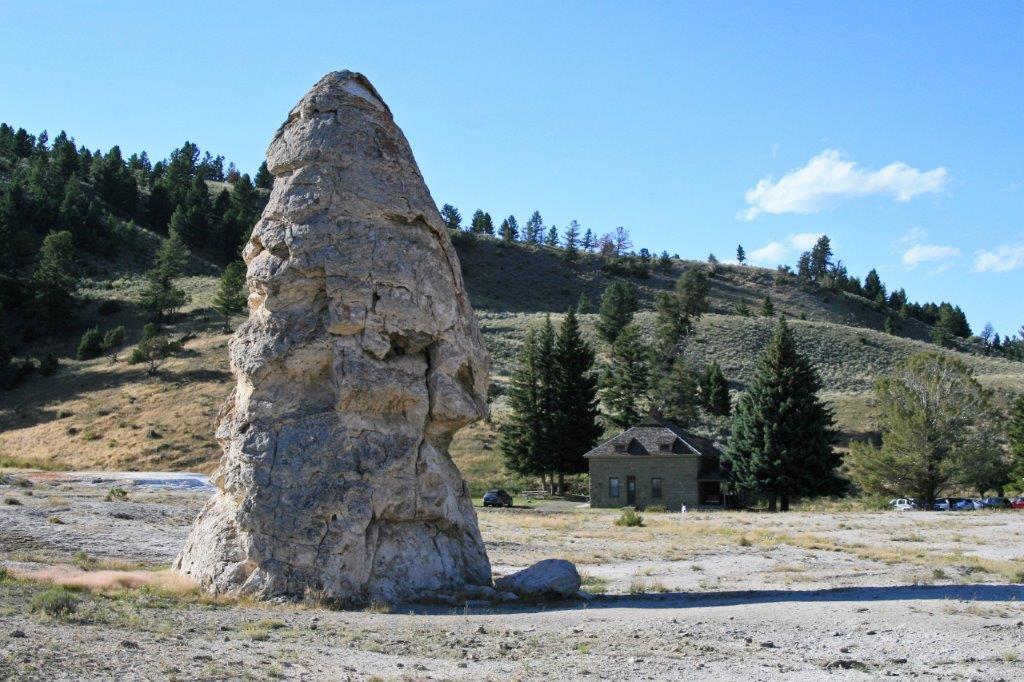


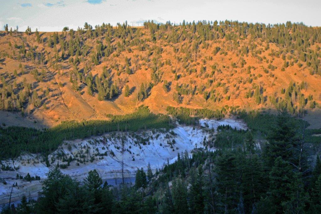
 After leaving the wonders of Mammoth Hot Springs we continued on the loop road past the Petrified Tree.
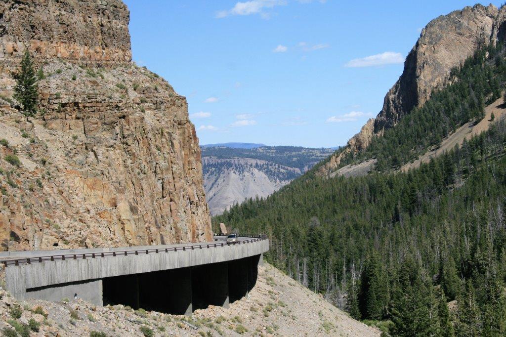
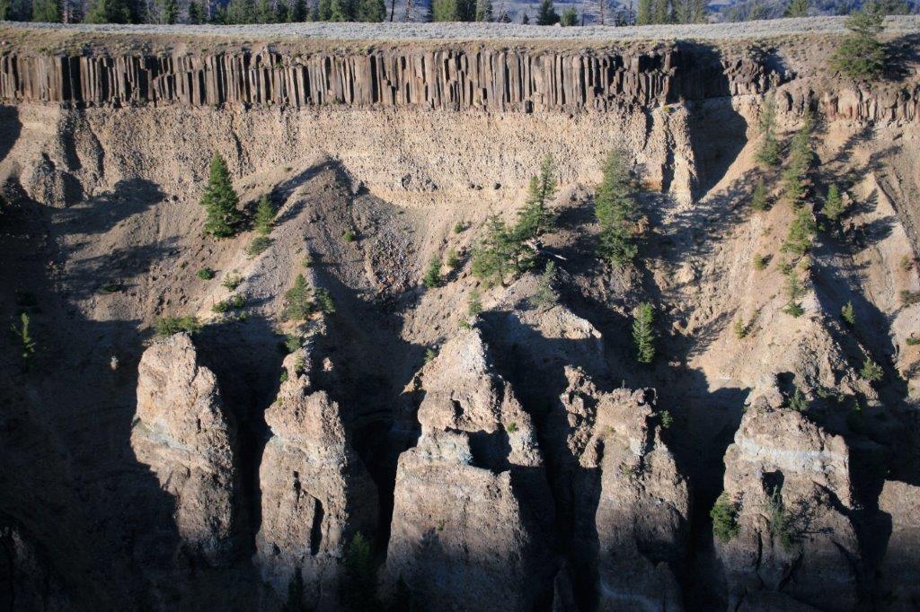
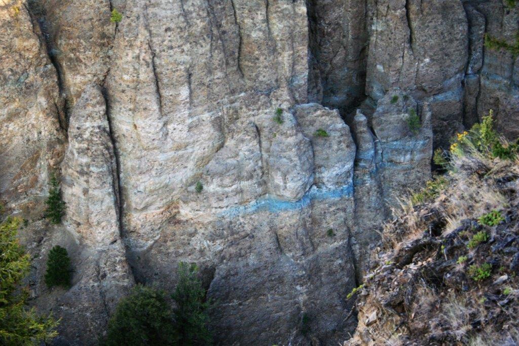
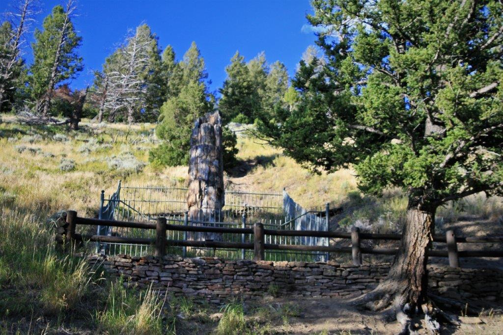 Calcite Springs Overlook above the Yellowstone River.

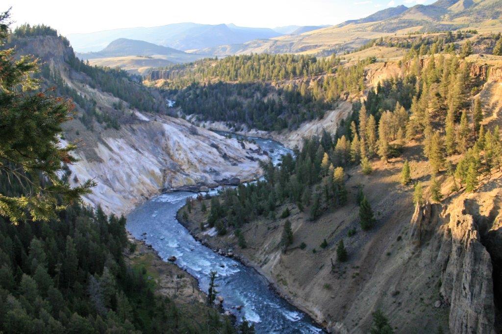 Yellowstone River

 and Tower Falls
Finally, after a fantastic day, as the sun was beginning to set, we headed back to West Yellowstone for the night.