All posts by jj1951

My husband and I retired in 2007 and decided to spend the kid's inheritance by travelling as much as we could until either the money or our health runs out. So far so good.

2014 Sep 25 – Day 98 – Franconia, NH to Saratoga Springs, NY

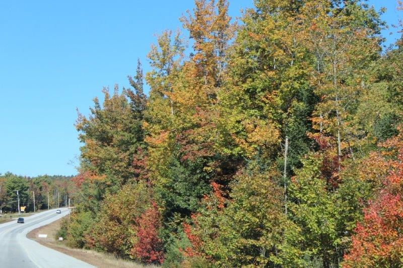
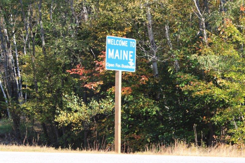
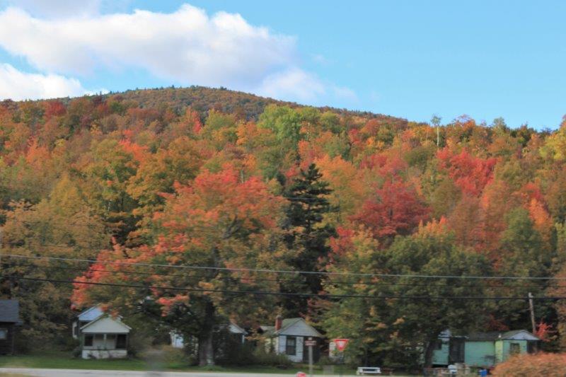
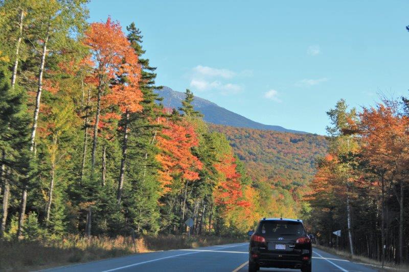
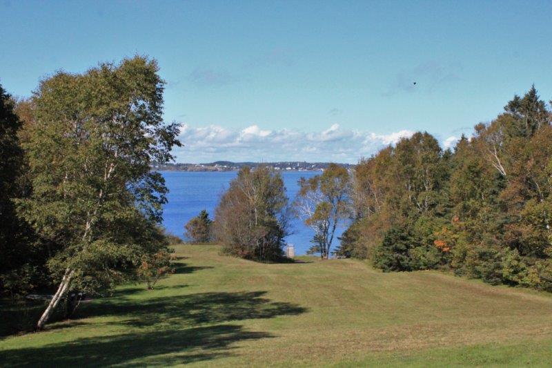
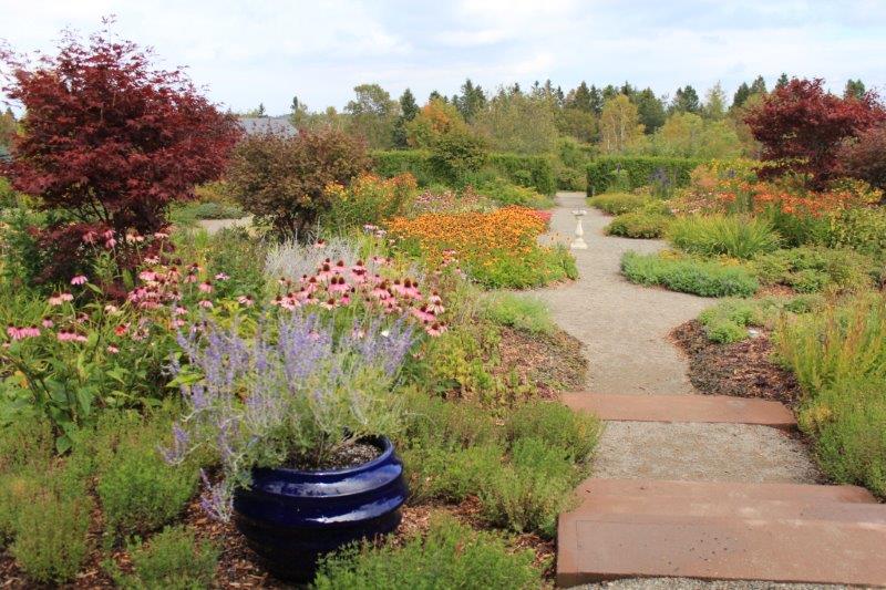
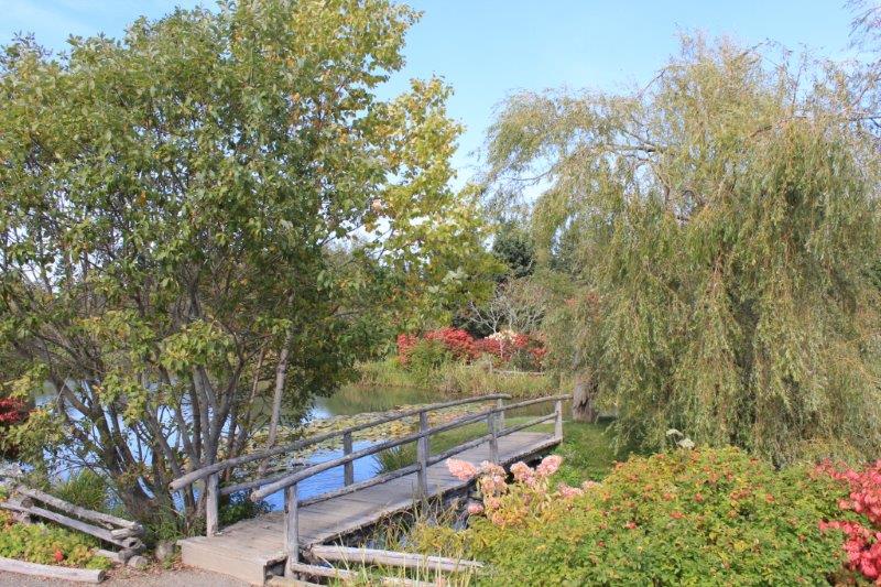
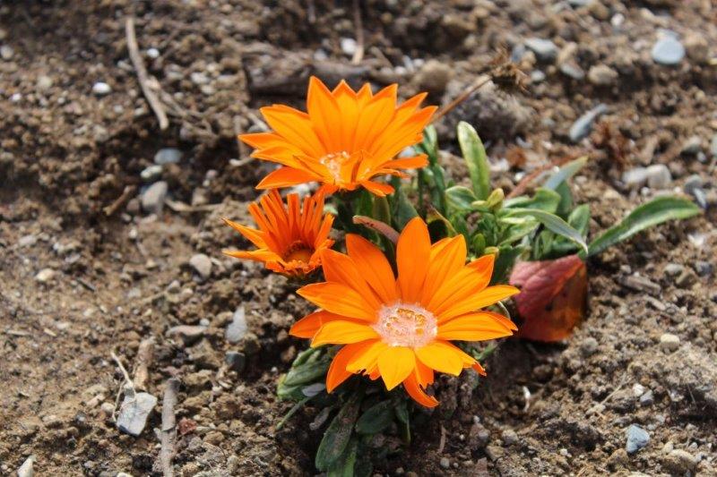
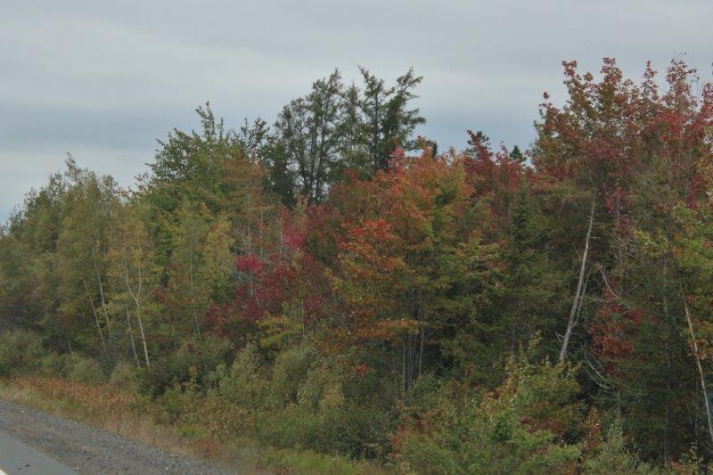
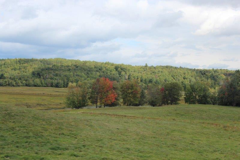
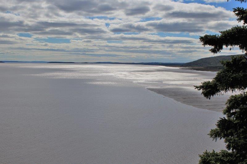
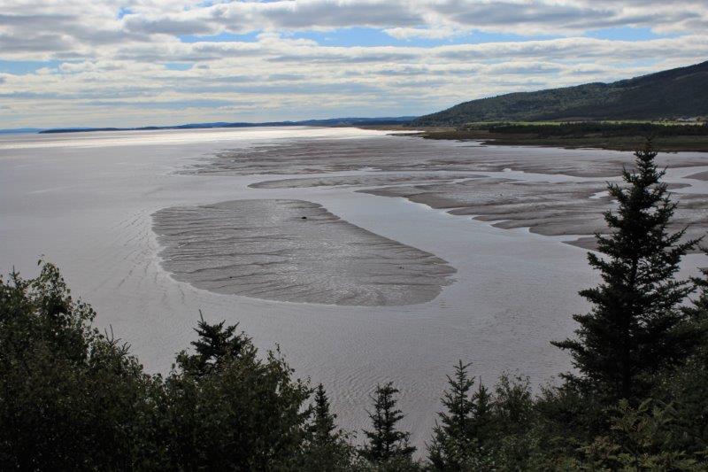
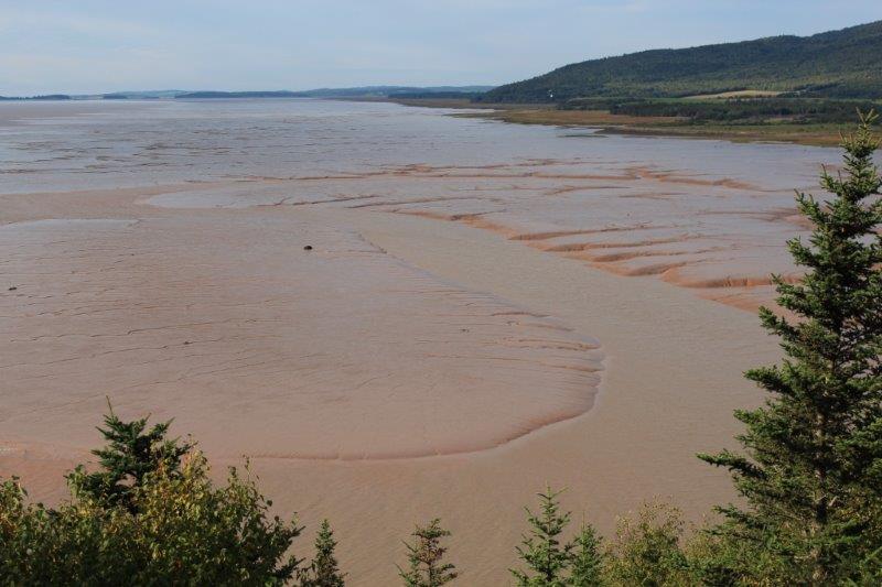
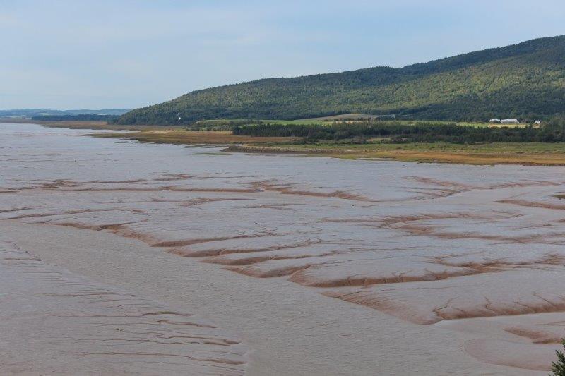
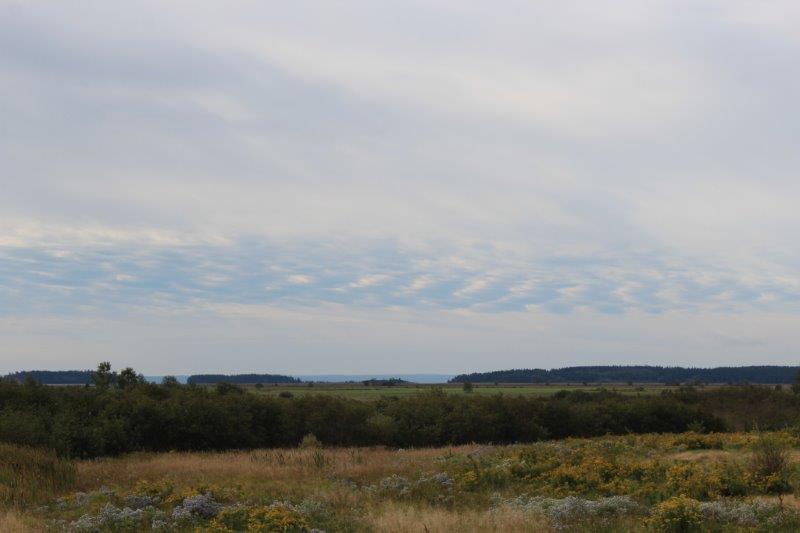
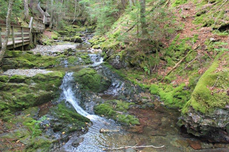
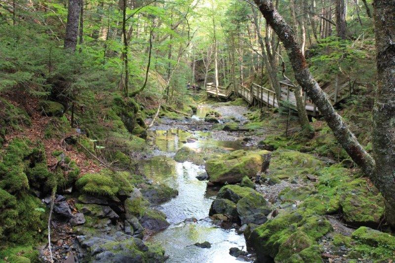
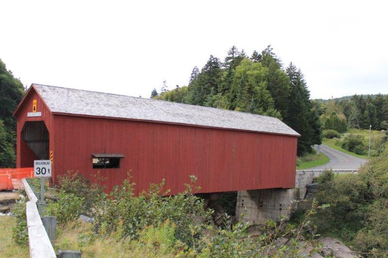
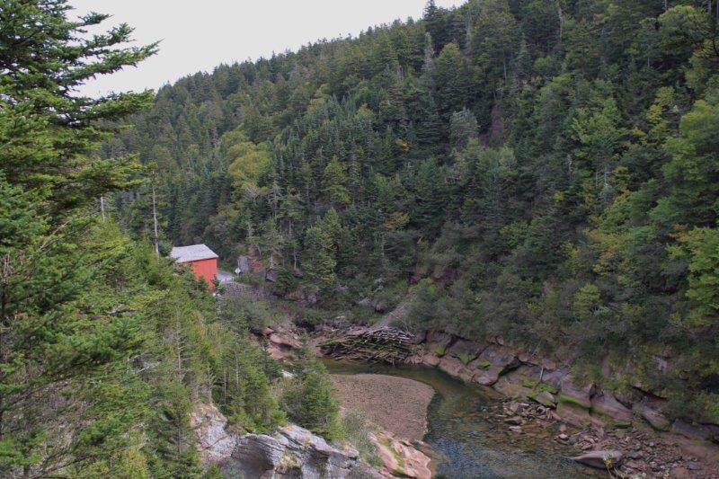
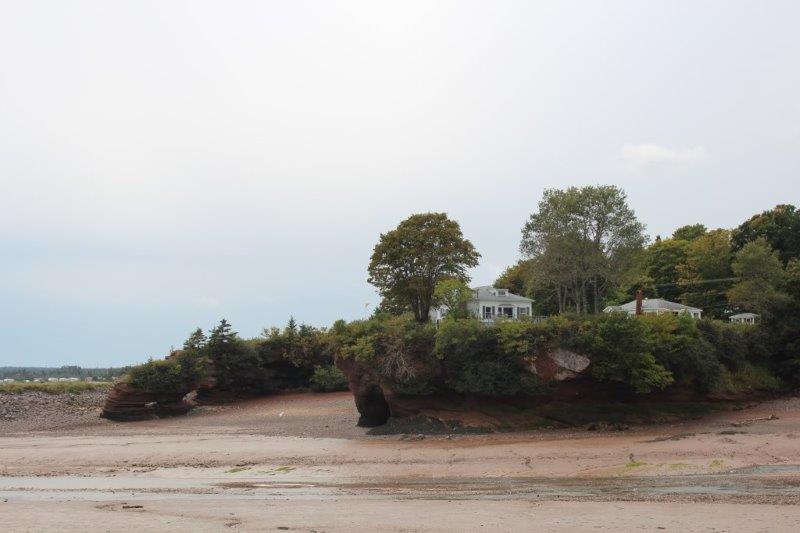
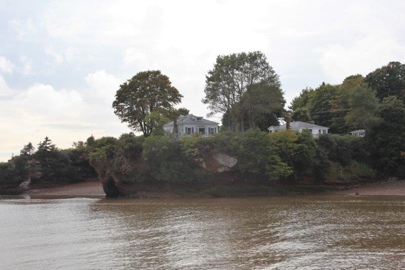
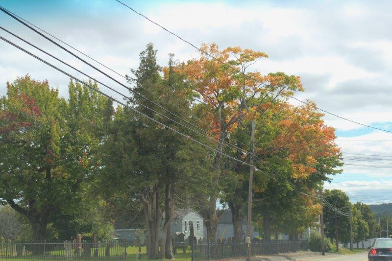
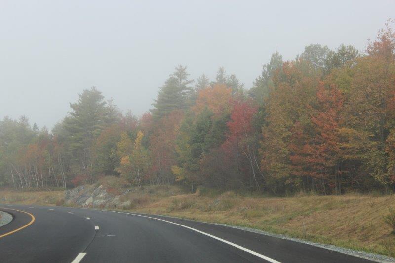
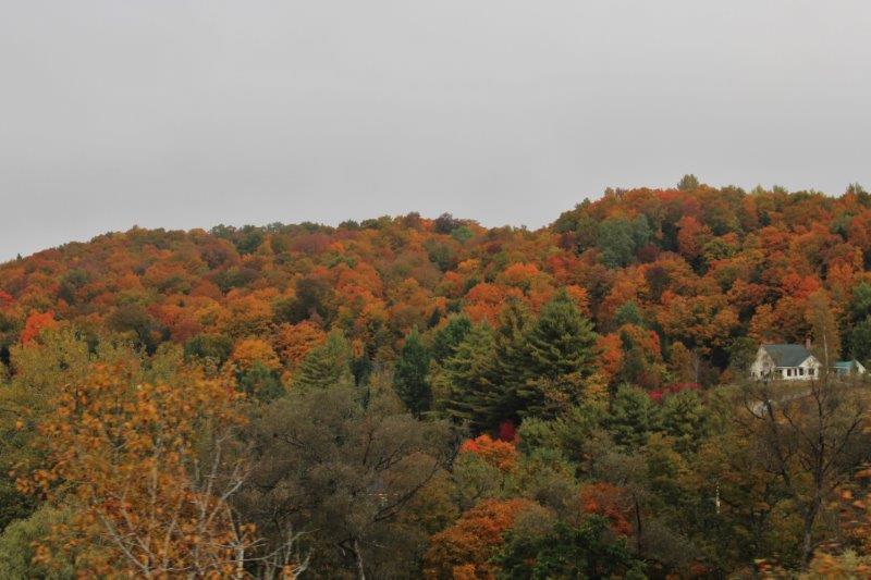
We woke this morning to fog.  It lifted after awhile and we continued through the colourful forests of New Hampshire and across the border to Vermont.

IMG_1117 IMG_1118 IMG_1120 IMG_1122
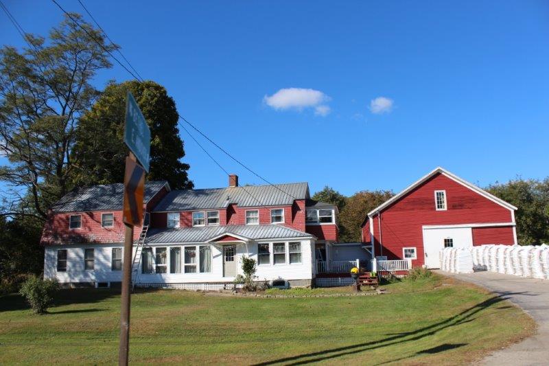
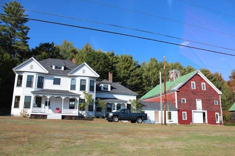
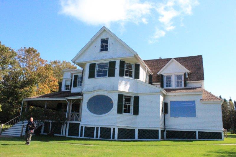
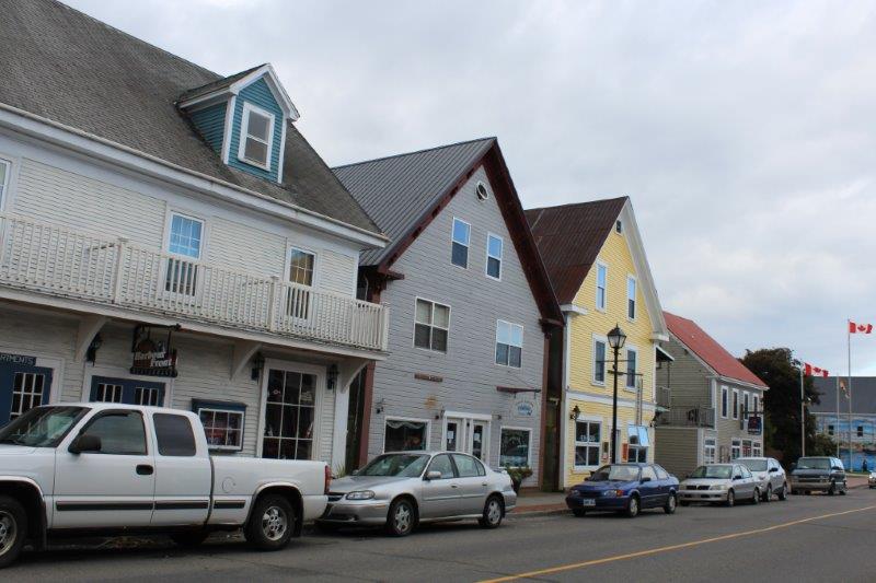
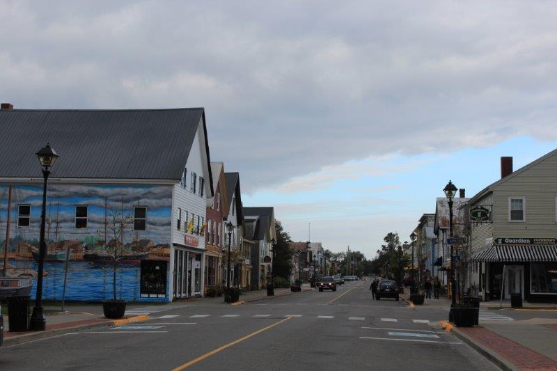
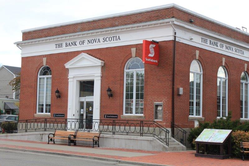
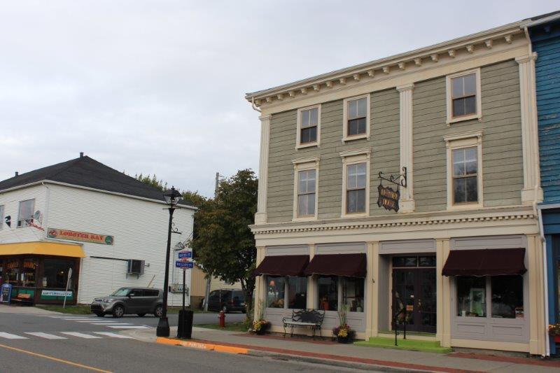
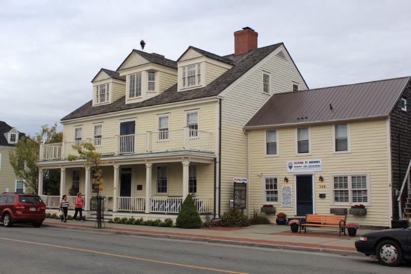
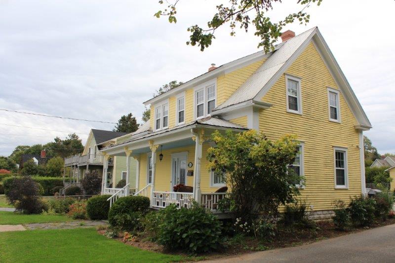
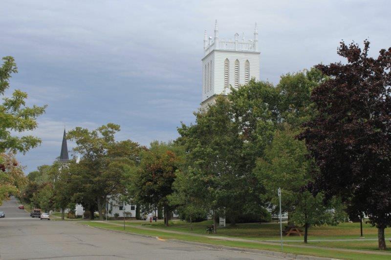
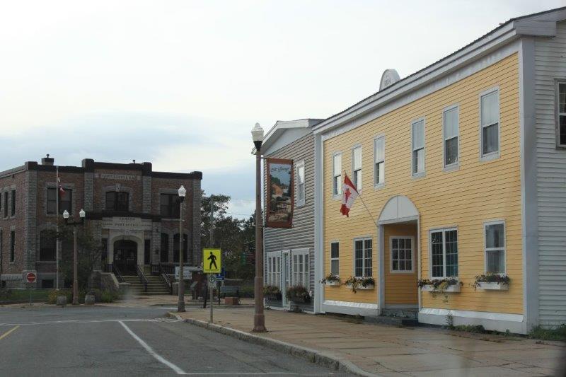
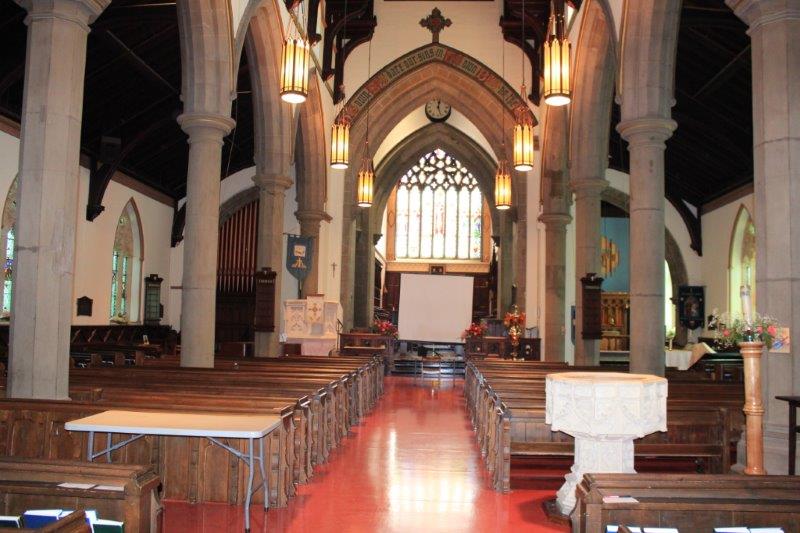
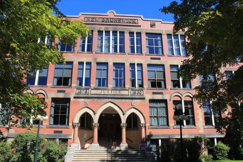
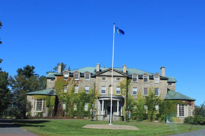
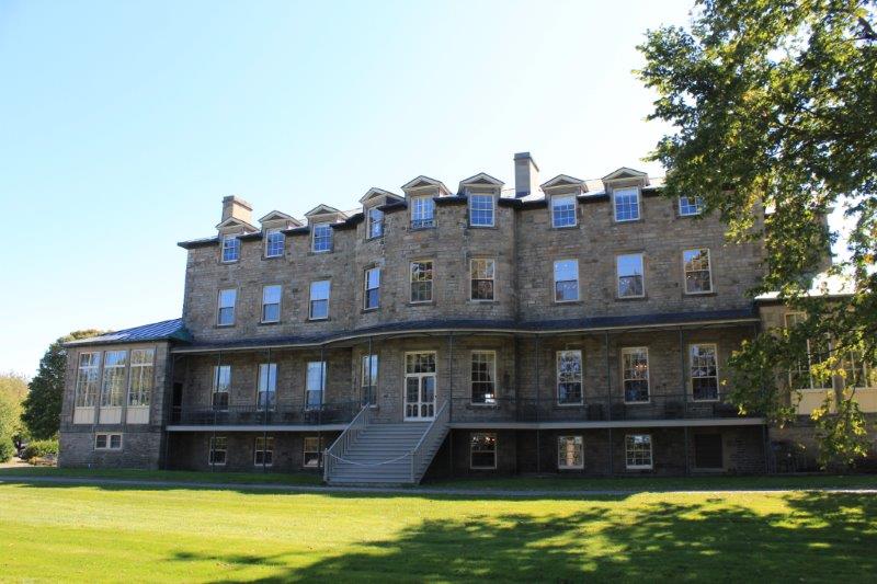
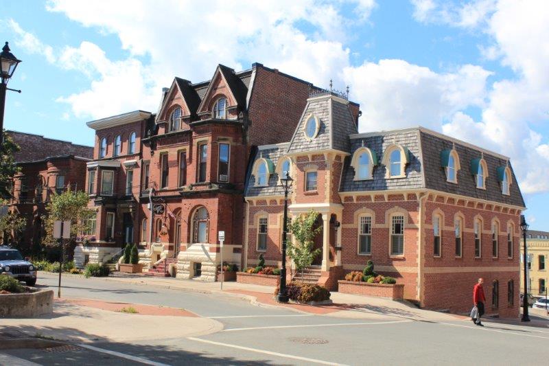
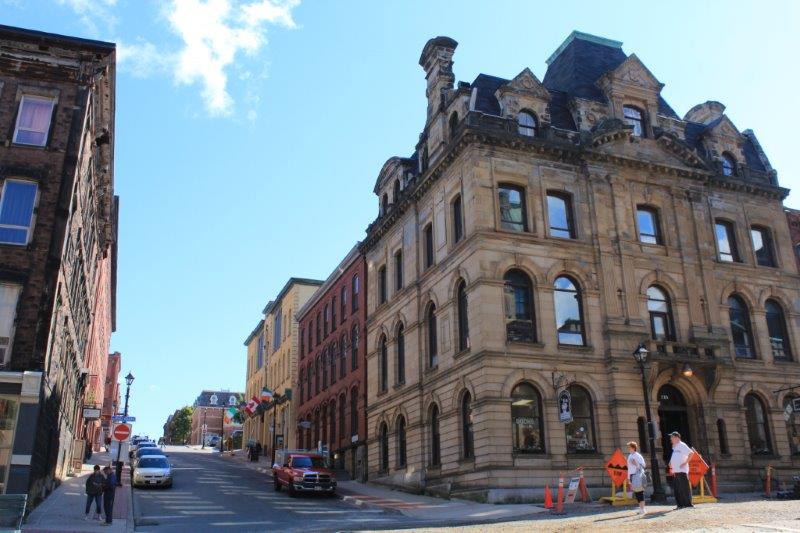
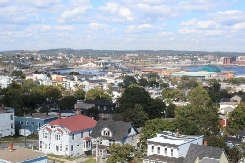
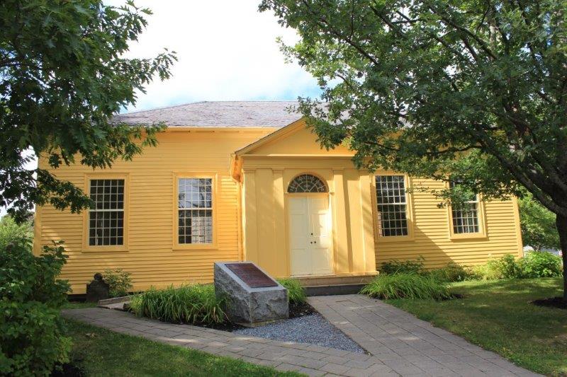
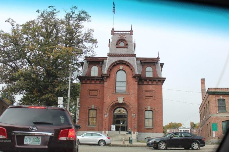
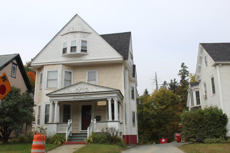
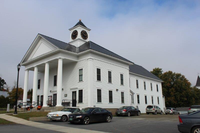
We came across many more of the long, extended houses plus so many, of what to us, are typical New England brick buildings.  A New England town is clearly recognizable from all the photos we have seen over the years.

IMG_1145 IMG_1150

IMG_1126 IMG_1127 IMG_1128 IMG_1130 IMG_1143
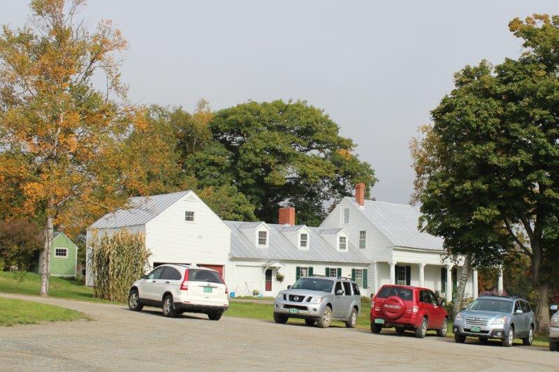
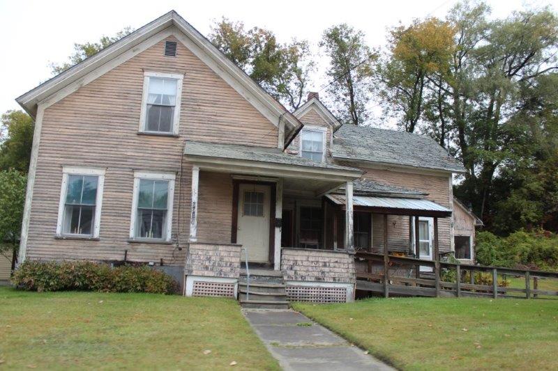
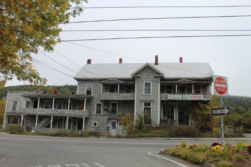
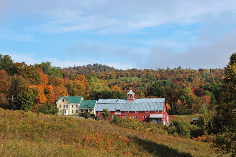
And, due to the age of so many of the buildings around here, we also saw quite a few abandoned, derelict ones; houses, sheds, barns.  I find them quite stately though, even in their neglect.

IMG_1124 IMG_1125

IMG_1135 IMG_1152 
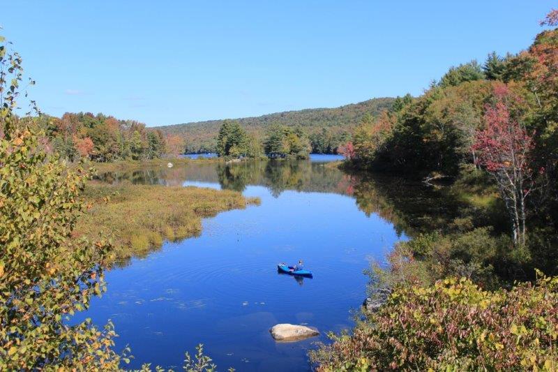
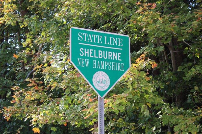
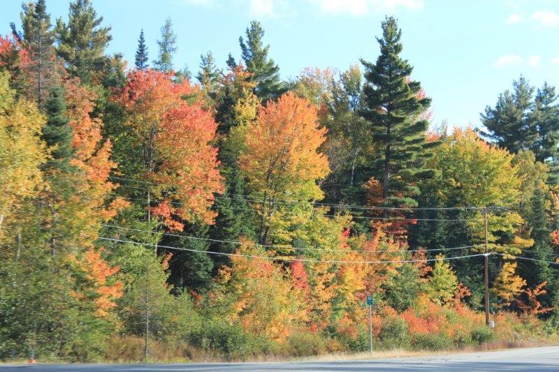
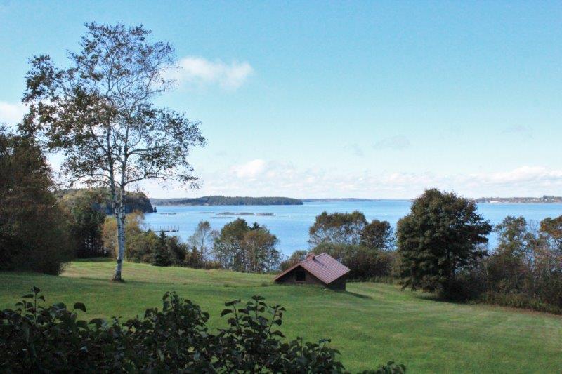
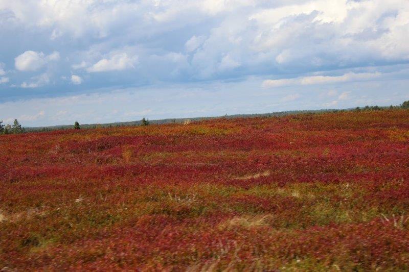
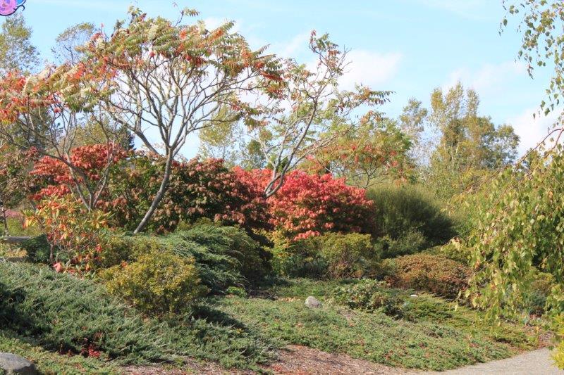
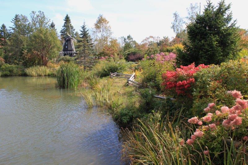
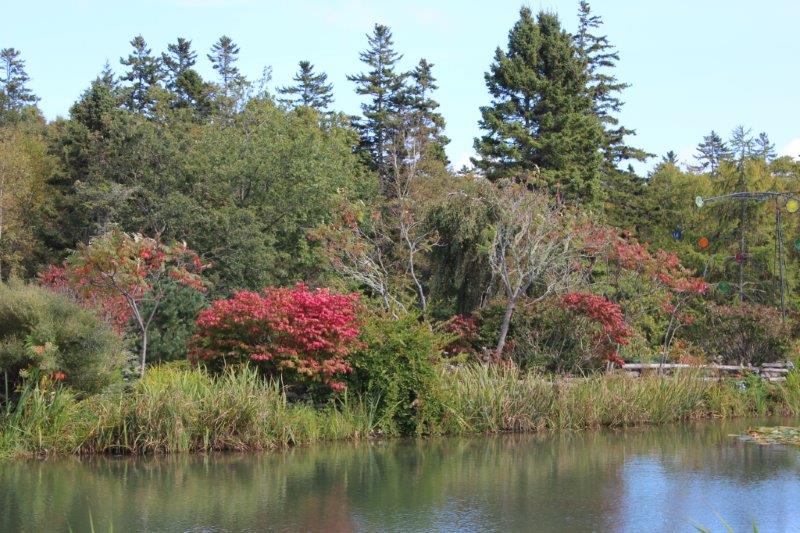
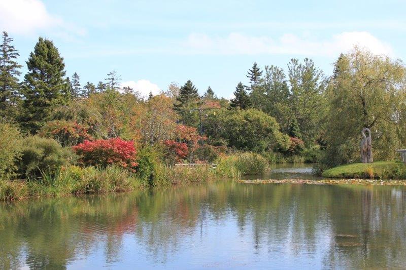
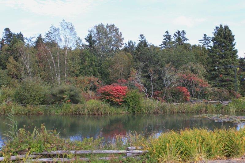
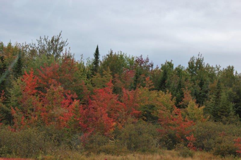
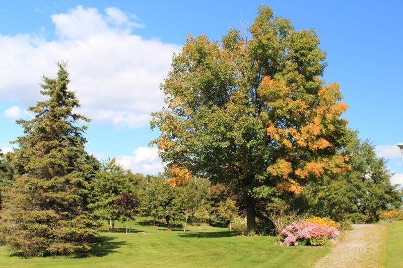
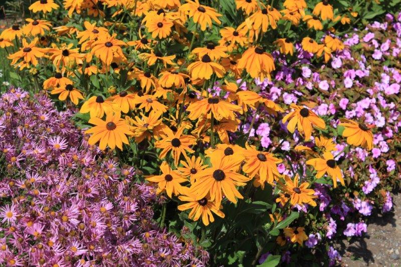
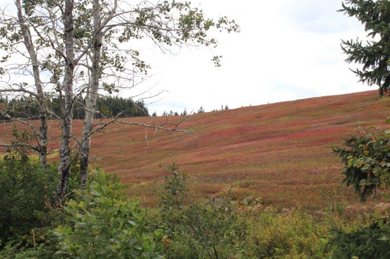
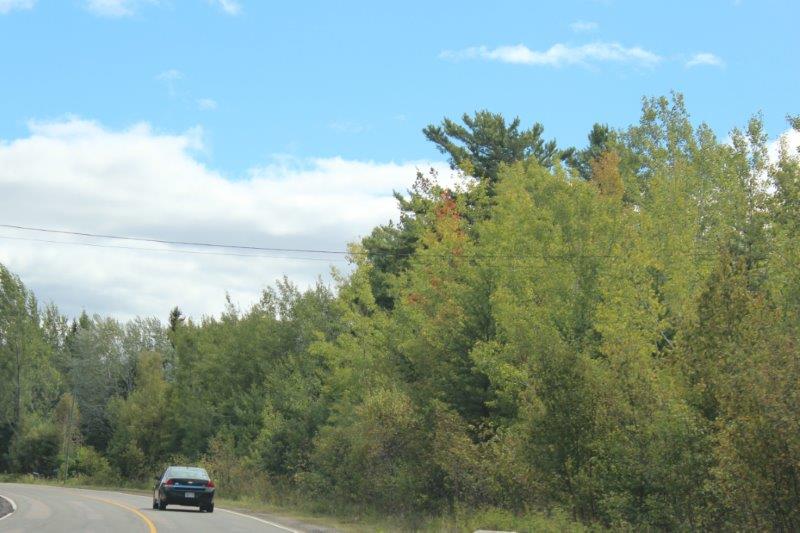
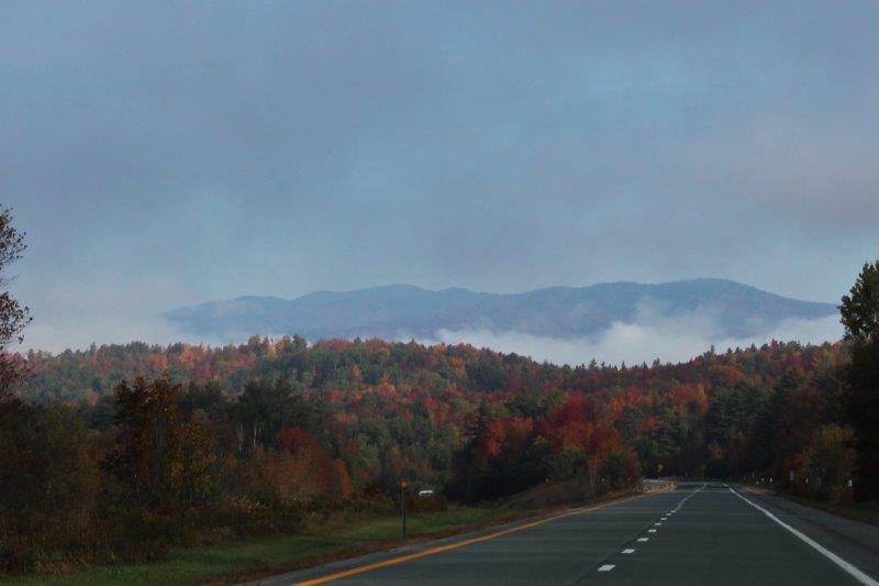
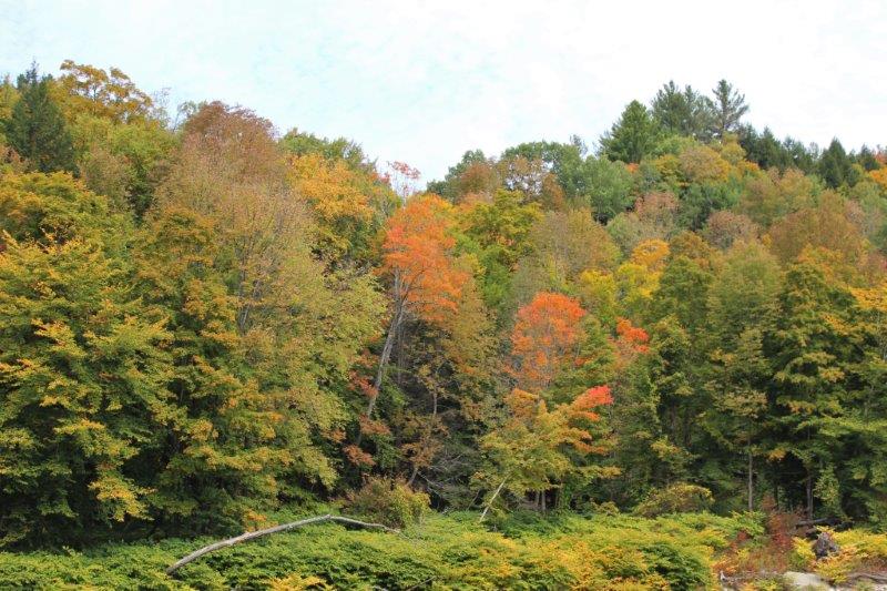
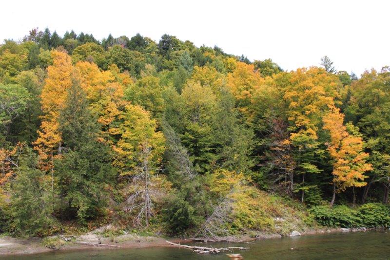
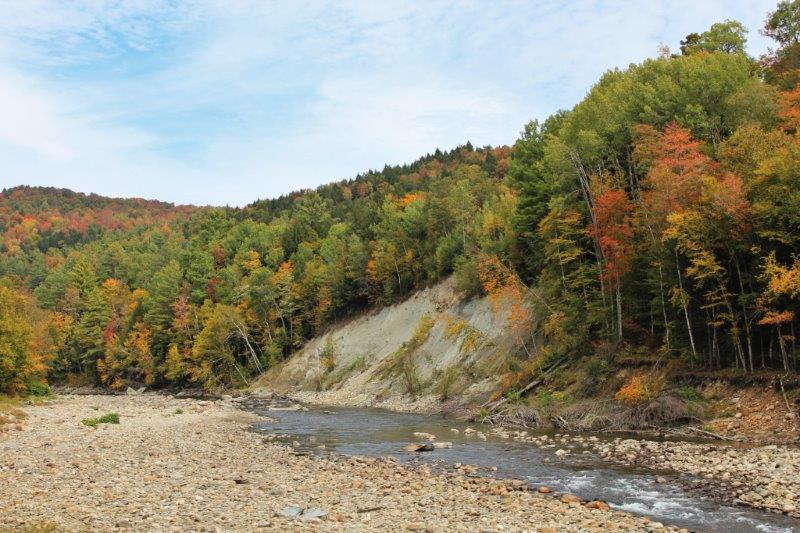
In Vermont we turned south since we must get below the slash of  Lake Ontario to go west to Niagara Falls.  It didn’t take long either before we noticed that a lot of the lovely rich reds and oranges of the trees in New Hampshire were disappearing in favor of yellows and golden green.  The leaves are just not as far along in their seasonal change as those just a bit further north.

IMG_1166 IMG_1167 IMG_1171

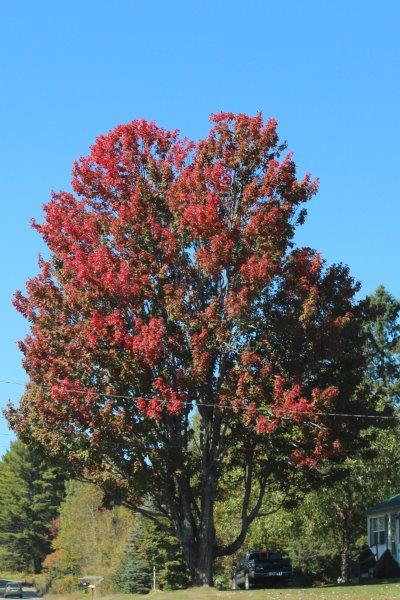
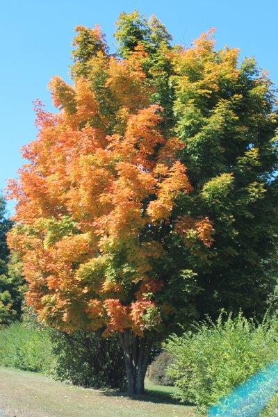
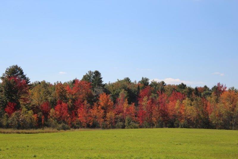
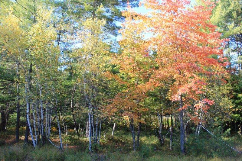
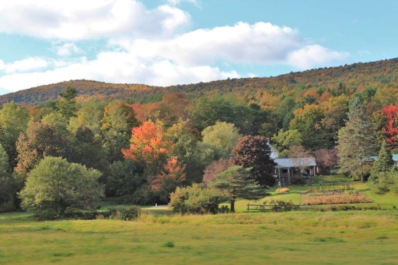
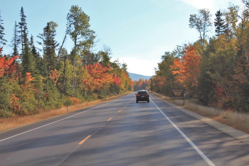
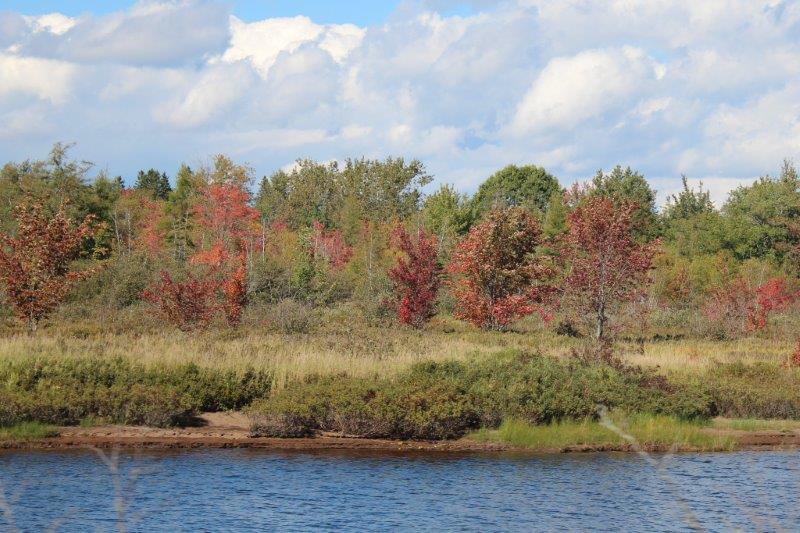
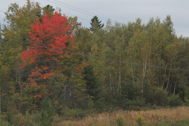
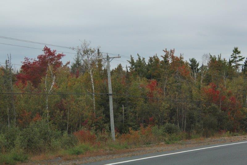
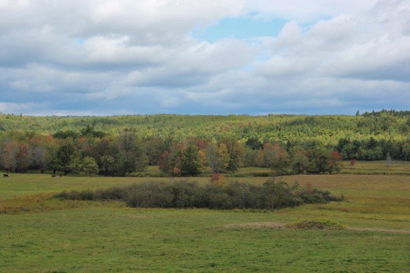
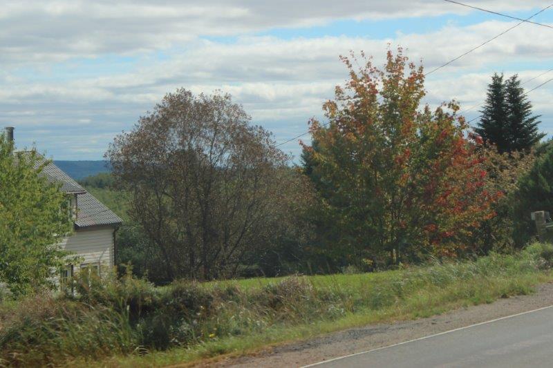
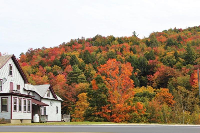
We drove over half way down Vermont on a westerly slant and just before the New York border we drove through New Haven and got a lovely taste of color again.

IMG_1174

IMG_1178 IMG_1179

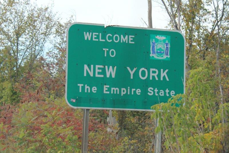
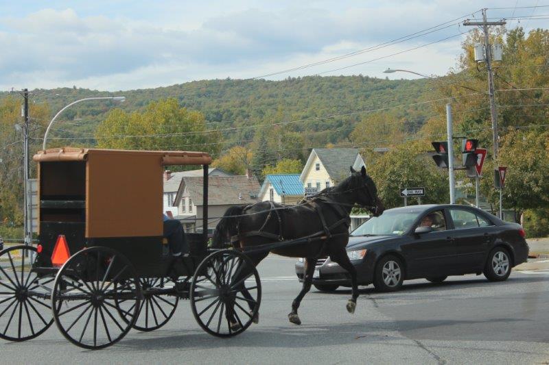
Not far into New York we stopped at a light and an Amish horse and carriage went through the intersection.

I know the Amish do not like to have their photo taken so I waited until the driver was no longer visible before I took this shot.

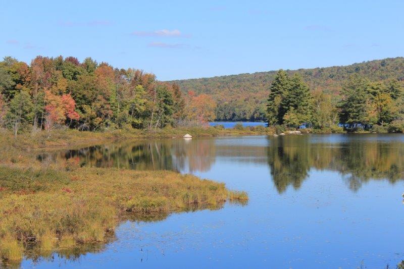
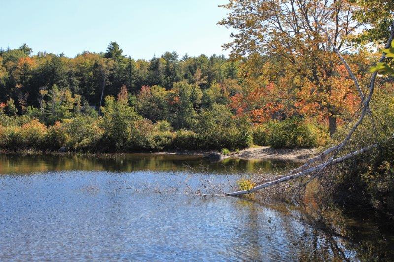
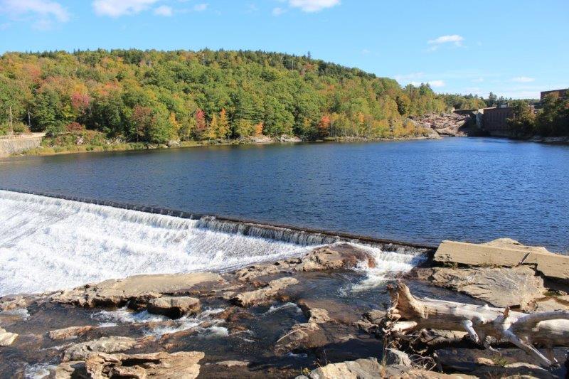
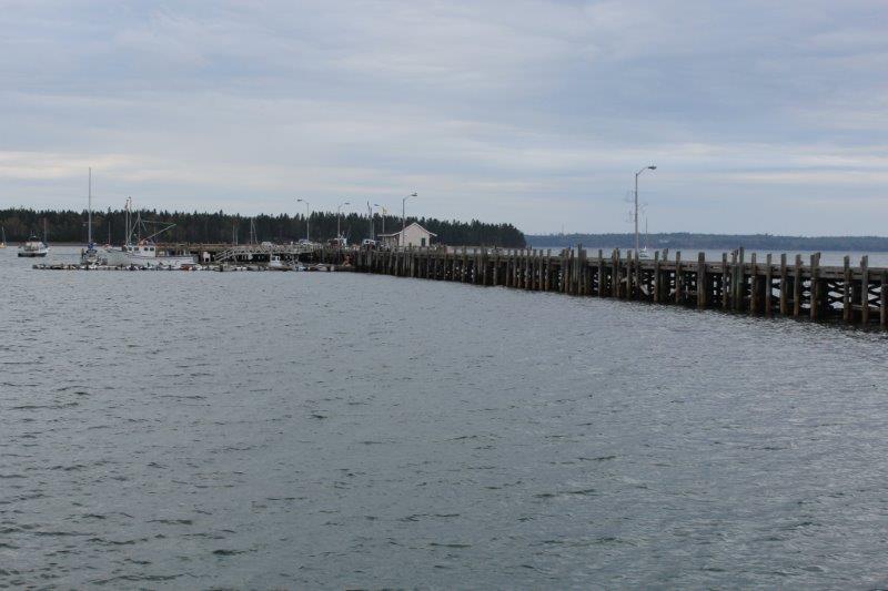
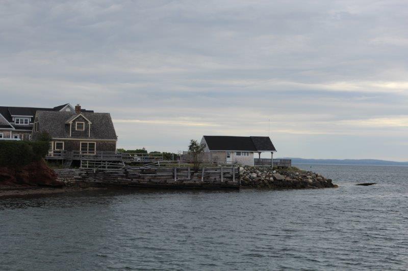
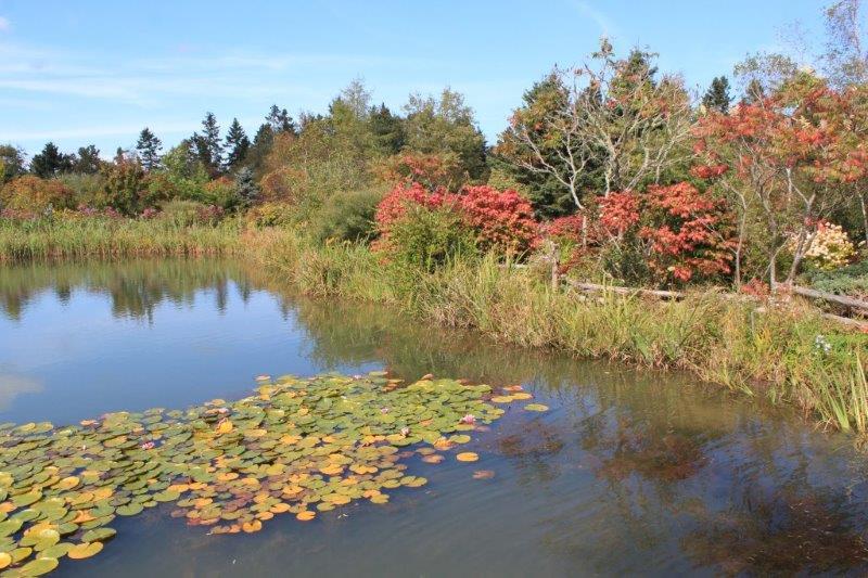
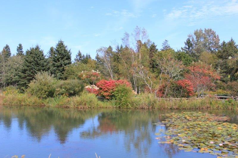
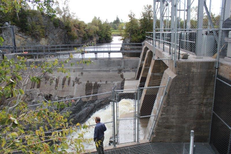
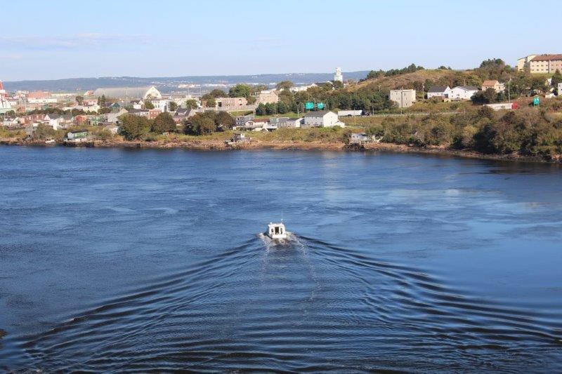
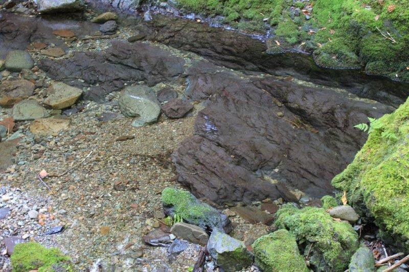
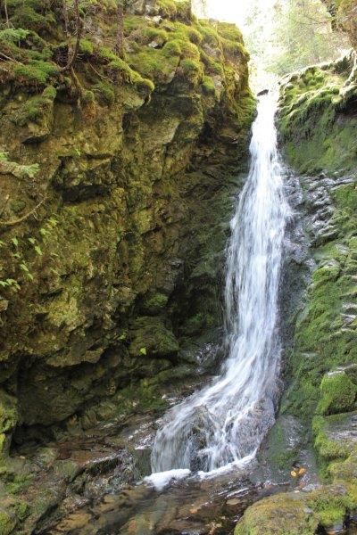
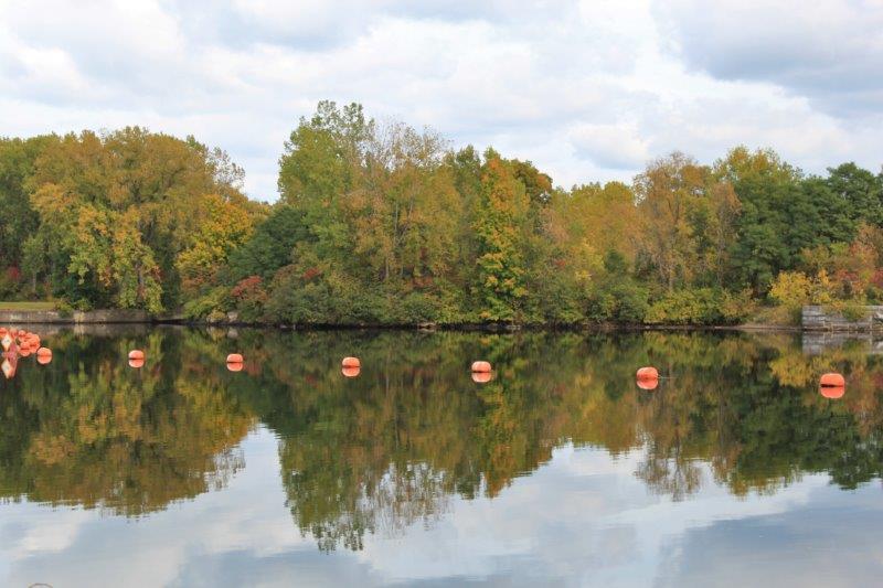
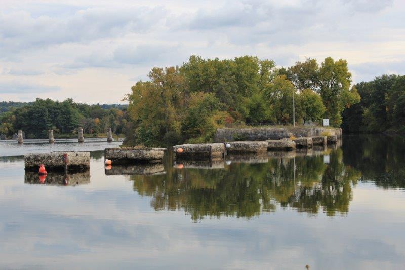
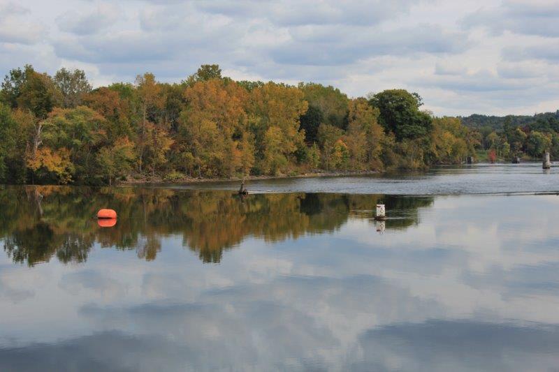
For the majority of our drive south in New York we paralleled the Champlain Canal.  We passed signs for at least 9 locks.  The Champlain Canal extends 60 miles from Lake Champlain near the Quebec border to the Hudson River in New York City.  The canal was constructed simultaneously with the Erie Canal and was used by commercial traffic from 1823 to 1970.  Today it is primarily used by recreational boaters.  Not far past the end of the canal I saw some beautiful reflections in the quiet water before a low waterfall.

IMG_1180 IMG_1181 IMG_1182
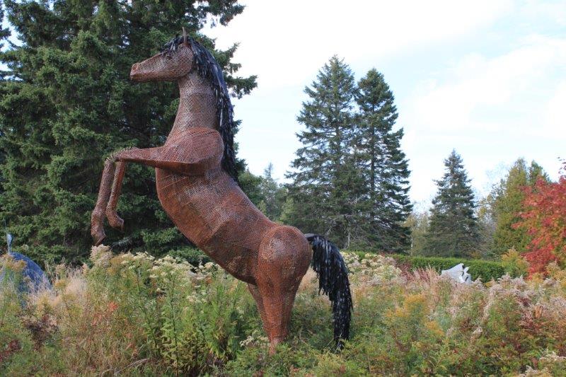
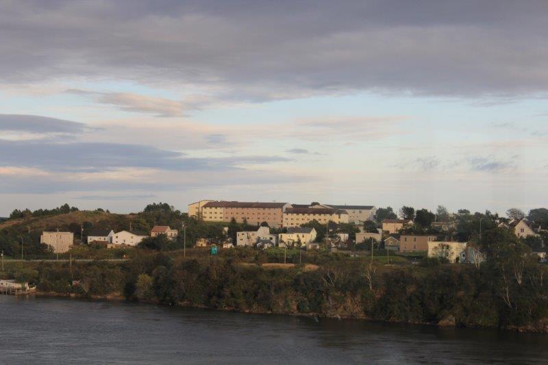
Our destination; Saratoga Springs.  I was quite excited to be going to one of the most famous horse racing towns in the USA.  My mother and I watched the Triple Crown of horse races every spring (the Kentucky Derby, the Preakness, and the Belmont Stakes) and I have loved horses my whole life.  I knew the racing season would be over but I was hoping to see the traIMG_1186ck.  We drove by the grounds and found the place to be completely fenced (for security and protection of the horses, I am sure) with guards at the gates.  It is a huge complex with white grandstands covered with a red roof. and a perfectly groomed track.  Still, I was stoked to see it – even without the horses.

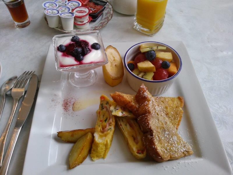
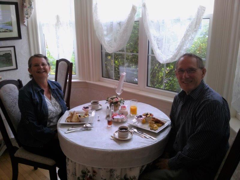
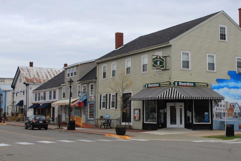
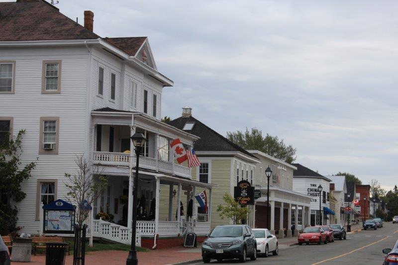
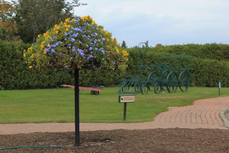
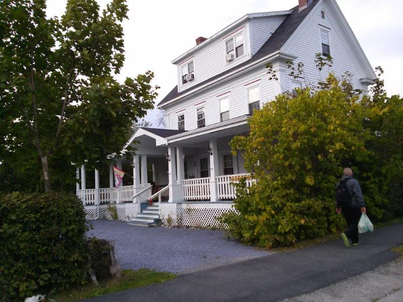
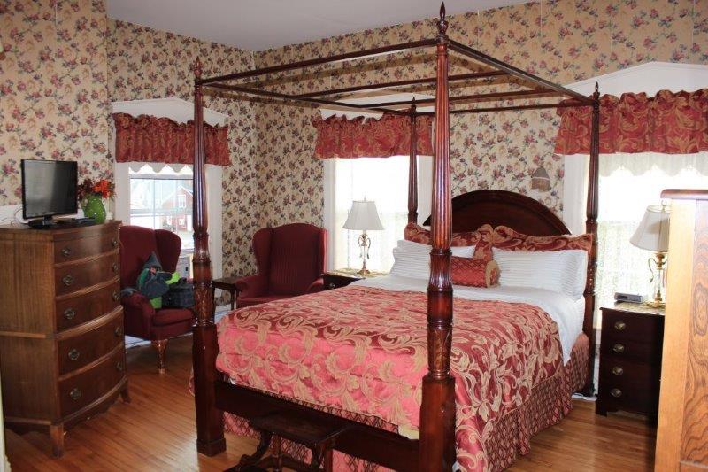
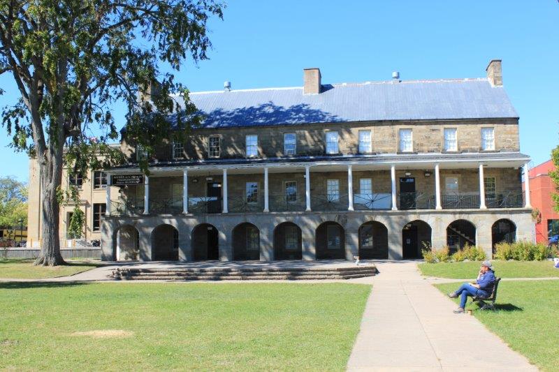
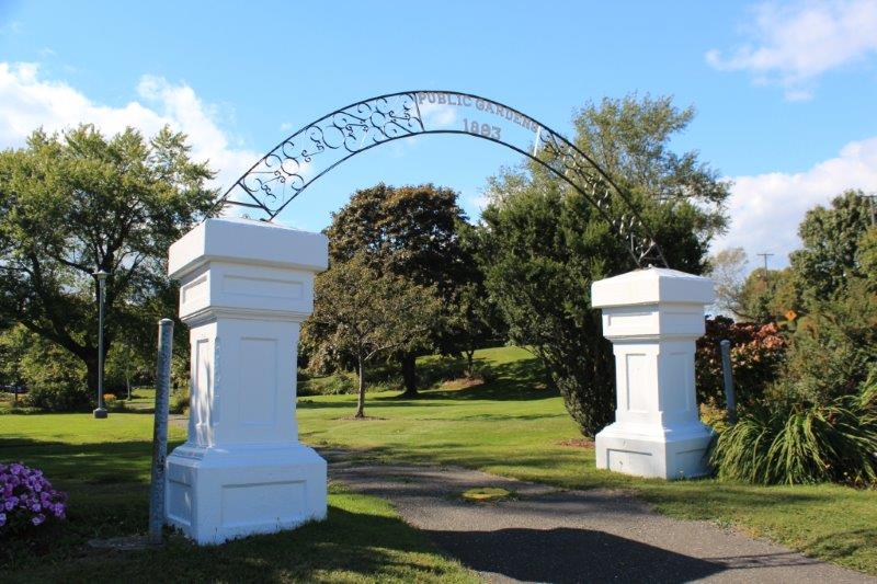
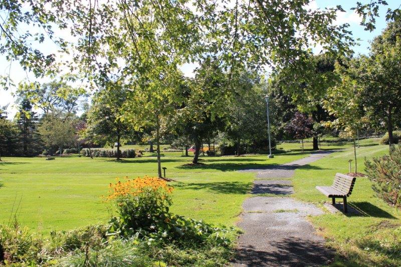
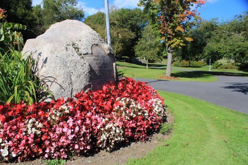
Saratoga Springs, like Bar Harbor, is a major tourist destination.  The mineral springs here have been visited by people for over 200 years.  The area is quite affluent. There are lots of hotels, restaurants and spas.  We went into town for dinner and the streets were lined with cars and the sidewalks bustling with people.  It must be an absolute crush during race season.  I don’t like crowds much anymore but I would love to be here on a race day in June!


2014 Sep 23 & 24 – Days 96 & 97 – Bar Harbor, Me to Franconia, NH

It is amazing what happens when we take a down day!  We spent all day yesterday doing nothing in our hotel room.  We were in a very popular tourist place and we didn’t explore at all.  But….we don’t feel bad.  The day was planned for a do-nothing day so we followed the plan!

But, oh my goodness did that one day make a huge difference in the color on the trees.  Our 384 km drive today was a scenic delight!  Every turn in the road revealed more beauty.  We drove across the middle of Maine and about 1/2 across the thin top of New Hampshire.  We did no ‘tourist’ stops and only a couple of photo stops.

IMG_1038 IMG_1039 IMG_1043 IMG_1045 IMG_1046We drove across a bridge and as I looked out my window I saw a fellow in a bright blue canoe fishing on smooth water reflecting the trees.  I asked John to turn around and we drove into the Lake George Regional Park West, near  Canaan, Maine.

IMG_1048 IMG_1049 IMG_1052 IMG_1056 IMG_1062 IMG_1064We also pulled over at the Rumford Falls.  Rumford, Maine was the birthplace of former Secretary of State, Edmund S. Munske and there was a memorial to him at the park.  We didn’t see the high falls – 176′ drop; they must be higher in the hills – but we saw the lower falls which were right down town.  It was a very pretty spot.

IMG_1069 IMG_1077 IMG_1079 IMG_1081

We passed many lovely old homes today; with several stories and gingerbread trim on the facia.  The ‘new’ houses were the ones that went on and on and on.  It was like over the generations they had added on and then added on again and then connected to shed, and then connected to the barn.  It was hard to get photos of them as most of them were built at a right angle to the road surrounded by trees, so by the time I could see that it was really long we were past it.  I managed to get a couple of shots of two of them though.

IMG_1082 IMG_1084So… to sum up.  We drove from the east coast of Maine to the northern center of New Hampshire and I took lots of photos of the lovely trees.  I suspect tomorrow may be similar.

IMG_1089 IMG_1087 IMG_1090 IMG_1096 IMG_1097 IMG_1098 IMG_1106

This is the Old Stone Stack.  It was built in 1805 and is not too far out of Franconia, NH on Highway 3

IMG_1108 IMG_1109 IMG_1111 IMG_1112 IMG_1115

2014 Sep 22 – Day 95 – St. Andrews-by-the-Sea, NB to Bar Harbor, Me

Jay and his wife provided another lovely breakfast for us before we checked out and headed down the road.

CAM00760We did some border hopping this morning.  St. Andrews is only about 25 km from St. Stephen which is across a short bridge from Calais, Maine.  We crossed the border into the US, drove about an hour down Maine Route 1 and across another bridge onto Campobello Island, which, although it is accessible via bridge from Maine is actually part of New Brunswick; which means we went through Canadian customs.

(There are three large islands; Deer Island, Campobello Island and Grand Manan Island that stretch down the NE coast of Maine.  All of them are part of New Brunsiick.  There is a ferry in the summer from Back Bay, NB to Deer Island and from there to Campobello – it takes about 45 minutes – Grand Manan Island is reached by 1.5 hour ferry from the NB town of Black Harbour.)

IMG_1008 IMG_1012We went to Campobello to see the Franklin Delano Roosevelt Cottage.  FDR’s father bought 4 acres on the island in 1883 and built a cottage.  FDR spent all his summers there as he grew up, and after he married his distant cousin Eleanor they built their own summer ‘cottage’ which had 6 family bedrooms (they had five children), 6 guest rooms and 6 servants rooms, plus 12 bathrooms and all the standard public rooms.  They spent every summer there until 1939 when FDR’s political commitments no longer allowed such extended vacations.  I should have such a cottage for my summer vacation.

IMG_0954 IMG_0956 IMG_0959 IMG_0961 IMG_0966 IMG_0970 IMG_0975 IMG_0978 IMG_0998 IMG_0999Campobello is the world’s only International Park.  The property is in New Brunswick but the Visitor’s Center and the buildings and grounds are staffed and maintained by the USA.  We watched  a 15 minute video before touring the house.  There  were helpful staff stationed outside several of the rooms who would tell you about the family.

IMG_0990


The neighbours – Hubbard CottageIMG_0992 IMG_0993 IMG_0996

It was closed but I snapped a couple of pics through the window.IMG_0995I was quite surprised at the number and variety of flowers they still had blooming on the grounds.

IMG_0947 IMG_0948 IMG_0950 IMG_0953 IMG_0980 IMG_0984 IMG_0985 IMG_0987

After about an hour we drove back across the bridge and went through US customs AGAIN.  Then we drove south to Bar Harbor.

IMG_1089IMG_1008 IMG_1012

IMG_1013


We think these might be cranberry fields.IMG_1018 IMG_1019Bar Harbor is also located on an island; Mount Desert Island.  Mount Desert is home to one of America’s smaller national parks, Acadia, but it is one of the most frequently visited.  We expected it to be semi-quiet by mid-September.  Wrong.  The streets were wall to wall parked cars and moving cars end to end.  People walking everywhere.  I am very happy our motel for the next two nights is situated a mile or so out of town.  Tomorrow is a down day and I have no plans to go anywhere or see anything.  Plans change, as we know well, so I make no promises.  There may be a blog tomorrow, there may not.

2014 Sep 21 – Day 94 – St. Andrews-by-the-Sea, NB

I couldn’t have picked a nicer spot to end our time in the Maritimes.  St. Andrew’s is just across the river from Castine, Maine right in the lower southwest corner of New Brunswick.  It was founded by United Empire Loyalists in 1783 after the American Revolution.  The area has been a very popular resort town for many, many years.  Even now, in the shoulder season at the end of summer there are many visitors here – mostly from the eastern States.

We were treated to a beautifully plated breakfast at our 180-year-old Bed & Breakfast.  Jay’s wife prepares a different breakfast every morning of your stay.  He assured us this evening that tomorrow’s breakfast will be better than today.  We had yogurt with fresh blueberries, a cup of mixed fresh fruit and a banana section, two pieces of French toast, potato sections cooked in maple syrup and a ham, cheese and spinace omelet. It’s going to be hard to beat!

CAM00754 CAM00755After breakfast we wandered down to Water Street and took photos of many of the old buildings.

IMG_0708 IMG_0709 IMG_0717 IMG_0718 IMG_0720 IMG_0726 IMG_0725 IMG_0723 IMG_0722 IMG_0727 IMG_0728 IMG_0733 IMG_0740Then we made our way back to the Inn on Frederick via a residential street and enjoyed the many beautifully maintained homes.

IMG_0742 IMG_0746 IMG_0744 IMG_0763We walked over to the Greenock Presbyterian Church in time for the 11:15 am service.  The ministry here is a shared charge with St. Stephen’s 20 km up the road.  From May to October services are held at 9:30 in St. Stephen’s and 11:15 in St. Andrew’s; for the winter months the times are reversed.  Greenock Presbyterian Church is a national historic building.  It was built in 1824 by Captain Christopher Scott and has a hand-carved green oak tree on the steeple.  The Green Oak is the symbol of Scott’s birthplace, Greenock, Scotland.  The pulpit and minister’s platform were constructed entirely without nails.

IMG_0755 IMG_0756 IMG_0759 IMG_0762 IMG_0754 IMG_0766  The Baptist ChurchIMG_0769  The Catholic ChurchIMG_0770  The Anglican Church After church we drove to the edge of the town and enjoyed the afternoon walking around Kingsbrae Garden, voted Canada’s best garden in 2013.  It is a 27-acre garden that was donated, along with the estate home, by a local couple in 1996.  It took two years to plan and plant the gardens and they work on different areas and themes each year. (And by now you should all know what happens when I get into a garden! Photos, photos, photos.  I took 299 photos today.)

IMG_0921

IMG_0773 IMG_0777 IMG_0780 IMG_0782 IMG_0783 IMG_0786 IMG_0790 IMG_0793 IMG_0795 IMG_0796 IMG_0810


A labyrinth made with thyme planted on the spiral mounds.  Pretty cool.IMG_0811  Love this fenceIMG_0814 IMG_0816 IMG_0818 IMG_0821 IMG_0824 IMG_0825 IMG_0830 IMG_0833 IMG_0835 IMG_0836 IMG_0838 IMG_0841 IMG_0842 IMG_0843 IMG_0848 IMG_0853 IMG_0854IMG_0857IMG_0863 IMG_0867 IMG_0868 IMG_0869 IMG_0874 IMG_0875 IMG_0877 IMG_0878 IMG_0879 IMG_0881IMG_0883  IMG_0884 IMG_0888 IMG_0892 IMG_0893 IMG_0895

IMG_0896 IMG_0927Kingsbrae hosts an annual sculpure contest and the winning entries – first and second place – plus some that received honorable mentions are displayed in a special Sculpture Garden.

IMG_0906 IMG_0908 IMG_0910 IMG_0911 IMG_0912 IMG_0913 IMG_0914 IMG_0915 IMG_0916 IMG_0919It was cloudy when we woke and wandered the town, raining when we came out of church, and sunny while we wandered the garden.  We had a nice relaxing day for our last day in New Brunswick.  Tomorrow we cross the border to the US and make our way over the next four days to Niagara Falls.

IMG_0924


2014 Sep 20 – Day 93 – Fredericton, NB to St. Andrews-by-the-Sea, NB

Today was an exciting day.  I found proof of my theory that rocks blow out the asphalt in roads just like the mushrooms blow out the asphalt on my driveway!

IMG_0671 

Almost ready to pop.  You can see the rise in the road made by the rock. IMG_0670 IMG_0668Also, with every day that passes we see more and more colour in the forests.  Things are starting to get very pretty.  The yellows will probably be the last colour to appear but even gold with the frequent orange and red will look very nice.

IMG_0673 IMG_0674 IMG_0675 IMG_0676We left Fredericton and drove 112 km west and north to the little town of Hartland.  We did this for only one reason; well, two reasons.  The number one reason was to see the longest covered bridge in the world.  Number two reason was to enjoy some more New Brunswick scenery, which we did by following the St. John River via Highways 102 and 105 rather than Route 2, the freeway.  We were displeased to find the bridge closed to traffic as we wanted to cross it.  John said he wanted to drive across so he could sneak a kiss.

IMG_0647 IMG_0649Covered bridges were called ‘kissing bridges’ because they were enclosed and young couples out for a drive could sneak a kiss without any parents or nosy neighbours as witnesses.  The bridges were really covered to protect the wood decks from rain, snow and ice.

IMG_0651 IMG_0652After photographing the bridge we crossed the St. John River on a longer newer bridge and drove back down the other side of the river on the freeway.  We had planned to turn off at the small town of Canterbury and follow route 630 south to Andersonville but the road turned to gravel within a couple of km.  We were not going to go 40 km on a gravel road so we retraced our route and picked up the freeway again as far as Longscreek which is only about 30 km from Fredericton!  Then we took Highway 3 to Highway 1 to St. George.

At St. George the Masgaguadavic River flows through a very narrow gorge.  This gorge has been dammed for hydroelectric power and the water just roars through it.  At the other end of the gorge the bridge has a pedestrian walkway with an opening on each side that allows you to cross to the gorge side and stand on a little jutting platform to take photos.  Rather nice of them I thought! (Of course it was probably done in self defence to prevent an accident caused by inattentive people walking on the narrow bridge.)

IMG_0677 IMG_0680 IMG_0684 We took a little drive around St. George before heading out.  St. George is called The Granite Town for their red granite quarry.  Stone from this quarry was used on many projects, such as the Parliament Building in Ottawa and a cathedral in Boston.

IMG_0690

It was an 18 km drive west along the coast from St. George to St. Andrew’s-by-the-Sea.  St. Andrew’s was settled by United Empire Loyalists in 1783 following the American Revolution.  Many of their houses were dismantled, barged across the river from Castine, Maine and reassembled.  More than 250 homes in the historic district are 100 to more than 200 years old.  Main Street is 8 -10 blocks long of beautiful buildings and the houses stretch back for 4 -5 more blocks.  Many of them have plaques telling when they were built and by whom.  Tomorrow we explore.

When we arrived in St. Andrew’s we chanced upon the West Point Blockhouse, one of the few remaining blockhouses in Canada.  It was damaged in a fire in 1993 but the citizens and Parks Canada (it is a National Historic Site) repaired it.  It  was built by the community to protect themselves from privateers during the War of 1812-14.

IMG_0700 IMG_0694 IMG_0695 IMG_0697 IMG_0701 IMG_0702John makes all our hotel reservations and I was wondering why he had booked us into a B & B when there were so many hotels available (St. Andrew’s has long been a holiday resort town).  When we located the Inn on Frederick and opened the door to our room I knew why.  Gorgeous place. It is huge with nine guest rooms.  The Inn is owned and run by a young Korean family who came to Canada 5 years ago and settled in St. Andrew’s after spending an hour having lunch here.  Jay would like to move west in about five years – for the fishing!

CAM00151 CAM00152 CAM00153 IMG_0703

2014 Sep 19 – Day 92 – Fredericton, NB

Today was just a wandering around day.  We are in the Capital city of New Brunswick so, of course, we had to go to see the Legislative Assembly Building.  The original Province House burned in 1880 and was replaced in 1882 with the current building.  They offer a self-guided tour, which means you can wander around all you like – which we did.

IMG_0549 IMG_0560 IMG_0569 IMG_0571This unsupported spiral staircase winds up three stories – which in reality is about five stories because all the ceilings are so high.IMG_0572 IMG_0578There was a group of women at work in the Council Chamber preparing papers for the upcoming Provincail election which will be held in New Brunswick on Monday.  Within the month they also will have a new Lieutenant Governor, the first aboriginal LG.  And the Anglican Church – Christ Church Cathedral – is installing a new bishop on Saturday.  Lots of changes in the next while here.

IMG_0600After we toured the Legislative Building we walked over to see Christ Church Cathedral.  We met a lady, originally from Toronto, who was putting new flower arrangements in the sanctuary for the Installation of the new Bishop.  She chatted to us for about 20 minutes.  It is a lovely Gothic church, a replica of St. Mary’s Church in Snettisham, Norfolk, England.  It has many stained glass windows, a pipe organ and the most beautiful dark wood ceiling.

IMG_0602 IMG_0603 IMG_0606 IMG_0608Then we wandered all around the riverfront Garrison Historic District.  Many of these heritage buildings are being used for other purposes than those for which they were built.  At the Officer’s Square  in front of the old barracks, now the city museum, there are changing of the guard parades all summer.

IMG_0613


The Barracks, now the museumIMG_0614 IMG_0616  Sports Hall of FameIMG_0622  The Hall of JusticeIMG_0623  City HallIMG_0624 IMG_0626  The Former Armoury.

I wanted to go to the Beaverbrook Gallery.  I have heard of this art gallery and the large collection compiled by Lord Beaverbrook. They have a large collection of  the Canadian Group of Seven, and works by Gainsborough and Turner. Unfortunately none of them were on display right now.  They had several other artist’s work though so we wandered around all the rooms. Some we liked, some we didn’t.  But that is the way with art.  Some pieces make you shake your head and others touch your soul.  No photos allowed of course.

We drove to the edge of town to Government House, the home of the Lieutenant Governor but we arrived just when the last tour was coming out of the building.  It is supposed to be open until 5 and no explanation was given as to why they closed early today.  It was a lovely Palladian mansion built between  1826-28 as the vice-regal residence for New Brunswick.  It was later used as a veteran’s hospitial and also by the RCMP from 1934-1988 until it was restored as the LG’s residence.  I would love to have seen the inside.

IMG_0628 IMG_0632We drove back into down town to climb to the observation tower of the Lighthouse on the Green.  All of Fredericton is pay parking – meters or lots – and John had put most of his coins in the meter by the Legislative Building.  He fished out some nickels and dimes and brought the meter up to 20 minutes.  We just had to cross the street and climb the stairs to see the view so we thought that would give us enough time.  Well, we had lots of time because it was closed and the stairway access was boarded up.

IMG_0636Fredericton is not a large city, about 50,000.  St. John has always been the largest city due to it’s harbour.  It is over 70,000.  None of the cities in the Maritimes are large compared to Toronto, or Montreal or Vancouver.  Even Kelowna is larger than most of the biggest cities here.  This is fine for me as I dislike all the traffic and congestion in large cities.

And the people are so friendly.  They always seem to have the time to have a chat and ask where we are from and how long we are staying and to welcome us to their community.  I have really enjoyed the Maritimes; the scenery, the history, and the residents.

They always say in New Brunswick and Newfoundland, “Watch out for the moose, they are everywhere.”  Well we saw 7 of them but the thing that is everywhere in all four Maritime provinces are cemeteries.  They really are everywhere.  This makes sense since the area was ‘discovered’ by John Cabot in 1497 and seasonal fishing went on from then and settlement began in the mid-1600’s.  That is a lot of generations laid to rest by every community and homestead.

We have two more days in New Brunswick and then we cross over into Maine to make our way to Niagara Falls and then home.  Boo hoo.


2014 Sep 18 – Day 91 – St. John, NB to Fredericton, NB

Today we drove from here:IMG_0455

to here:     IMG_0540

IMG_0456 IMG_0457We drove the less traveled road, Route 102, paralleling the St. John River.  We stopped for ice cream at Gagetown where Sir Samuel Leonard Tilley, one of the Father’s of Confederation was born.  We didn’t go through the house. We have toured quite a few houses this trip.  We are now at a point where we have almost seen as many lighthouses, heritage villages and Victorian houses as we need.  There may be a few left, but not many.

After Gagetown we arrived at Oromocto and the home of Canadian Forces Base Gagetown, one of the largest military training areas in the British Commonwealth.  It is home to the New Brunswick Military Museum.  Unknowingly we entered the base through a secondary entrance and it took awhile to locate the museum. Once we did we had a very enjoyable 2 hours.  The museum has artifacts, uniforms, and memorabilia dating from the 1700’s to the present day.  Everything relates to military operations or engagements by New Brunswickers.  We were 2/3 around the main floor and a young soldier who is working on a WWI trench exhibit showed us that under many of the uniform display cases the drawers held items of interest as well.  That doubled our time at the museum as I had to go back to the beginning and check out all the drawers!IMG_0538 IMG_0461Everything that follows from this point on is military history and information.  You may want to skip it and go directly to the end.  We had a great time.  I have no idea if you will care.

The museum displays, funny enough, moved in chronological order counter-clockwise around the room.  I have only put in pics of the uniforms – mostly – as they tell the stories very well.  Here goes:IMG_0467 IMG_0468

Between 1717 and 1764 the 40th Regiment of Foot fought French Marine regulars, Maliceel warriors and Acadian Militiamen.

IMG_0463

The brown uniform on the right is that of a French Marine soldier.

After the American Revolutionary War thousands of people still loyal to Britain (hence the name Loyalists) fled the US and came to Canada.  About 5,000 settled New Brunswick, including the New Jersey Volunteers.  They  fought with the British during the War of 1812 and most of the New Jersey Volunteers settled in the Fredericton area.  Others received land grants in Fundy and along the St. John River Valley.

IMG_0469 IMG_0470

50,000 British North Americans served in both Union and Confederate armies during the American Civil War, including thousands of New Brunswickers – three of whom were awarded the Medal of Honor, the highest military honor in the USA.

IMG_0529


The most unique New Brunswick soldier was Sarah Emma Edmonds, who, posing as a man. and served in the 2nd Michigan Volunteer Regiment as Private Franklin Thompson!


IMG_0474


Next was the Yukon Field Force. During the Yukon Gold Rush about 130 members of the Royal Regiment of Canadian Infantry went to the gold fields to assist the Northwest Mountain Police maintain order and uphold the law from 1898-1900.


The second Anglo-Boer war took place in South Africa between 1898 and 1900 and Canadian troops were sent overseas.  Three New Brunswickers died in the Battle of Paardeburg, a major British victory.

IMG_0482

During WWI a New Brunswick fellow served as an Observer with the Royal Flying Corp.  His uniform is on the left and a Midshipman’s Mess Dress uniform is on the right.  (Some of the uniforms in the cases were reproductions but it was surprising how many – even very old ones – were original and the owners known.

IMG_0487

When Britain (and Canada) declared war on Germany in 1939 many Americans came across our border and enlisted, even though the USA was not involved in the war until after Pearl Harbour in 1941. Special uniform patches were made to acknowledge their nationality.  Many different patches were created for the different branches of the service and the different roles played by the Americans.

IMG_0503

The museum also displayed German Infantry uniforms (21st Panzer Division and a Corporal in the Luftwaffe Field Division), guns, currency and field kits.

IMG_0498 IMG_0508

Also Japanese soldiers from the War in the Pacific.

IMG_0501

These are airplane identification playing cards that an airman can keep in his kit for study and reference.  Pretty ingenious, I thought.

IMG_0516

IMG_0513IMG_0514

The Canadian Black Watch was created in 1953.  This is the tartan our son wore for his wedding in Scotland last year.

Canadians also served in the Vietnam War.  This I did not know.  Displayed was a Viet-cong pith helmet that was covered with bamboos stips.

IMG_0531Outside were quite a few armored vehicles and assorted types of tanks.  My favorite was nicknamed a ‘Ferret.’   It was a squat little thing that was used for reconnaisance.  It would be a fabulous off-road toy.

IMG_0534 IMG_0536 IMG_0537 IMG_0460

 This is the Ferret.

And that, my friends, is a VERY abbreviated look at the New Brunswick Military Museum.

Oh, one other thing – I spotted this in the lobby of our hotel in Fredericton:

IMG_0541

I couldn’t agree more!

2014 Sep 17 – Day 90 – St. John, NB

Today was a total mixed bag.  We saw nature, history, and horticulture.  It was a full day, but a very enjoyable one.  And, as you can see from the photos, it was a lovely sunny day in St. John.

After breakfast we began to work through our list.  First – Fort Howe Lookout.  Since the sun was shining we decided to see the panoramic views of St. John in case clouds rolled in later.  There is a replicated wooden blockhouse at the site of Fort Howe and, yes, the view was pretty nice today.

IMG_0275 IMG_0283 IMG_0278 IMG_0279 IMG_0280 IMG_0282 IMG_0289We wanted to see the Firefighter’s Museum which is housed in an 1840 firestation downtown. They had artifacts and information about the Great Fire of St. John in 1877.  Unfortunately it was locked up.  There were no signs or anything on the door.  Too bad. it would have been interesting.  St. John has had about 4 devastating fires in it’s history.

IMG_0290Since we were downtown we decided to wander awhile.  We made our way down several blocks to the river pier where two cruise ships were berthed, then climbed the hilly streets up again. We rounded a corner and there was Barbour’s General Store.  This was a little museum set up like a nineteenth century general store.  It contains over 2000 artifacts.  My information said it would be closed so I was pleased to be able to go in and have a look.  After that we made our way back to King’s Square where Poppy was parked.

IMG_0304                                       Trinity Anglican Church  – 1783

IMG_0303 IMG_0307

IMG_0311IMG_0317 IMG_0315 IMG_0314Low tide at the Reversing Falls was at 1:27 pm so we had Stella take us back to the observation point in time to see the water run under the bridge in the other direction.  When Samuel Champlain arrived here with 100 settlers he was impressed with the deep harbour and surrounding area but the leader of the expedition and the others with Champlain feared the reversing falls (actually more like rushing white water, although there is a lot going on under the surface when the river and ocean water’s collide twice a day) and refused to settle here.

IMG_0323 IMG_0325IMG_0330 IMG_0335After watching the river empty into the bay we departed for the Carleton Martello Tower.  We had wanted to investigate one of these towers in Quebec City but they had an Ipad system you carried around and used to touch the bars and it would bring up the information. Supposedly.   Didn’t work worth a darn and I just gave up, looked around at stuff and left.  This National Historic Site had a good presentation of the various significant events in the life of the tower and a great 10 minute film.

Britain built over 200 Martello towers in England and many others in her various colonies.  The towers are round with a single solid column in the middle that supports the arched roof.  They are two stories and housed about 12 men.  Entry was gained through the second floor and the first floor, accessed only from inside, housed the magazine where the cannon balls and gun powder were stored.

IMG_0336 IMG_0344

IMG_0346 IMG_0348 IMG_0349 IMG_0350Most of the Martello towers were built near a coast to protect harbours but the St. John one and the Quebec City one were constructed to protect against invasion by land.  The construction design was ‘borrowed’ from the French after a similar tower in Martello, Corsica successfully resisted British attack: smooth round cannon balls just bounce off the thick round walls. (Martello Towers became obsolete in about 50 years once rifling the bore of cannons became commonplace.  This would cause the bullet-shaped shell to spin and it would subsequently cause tremendous damage)

During WWII when the Carleton Martello Tower was already designated a National Historic Site the army arrived one day and added two stories of concrete bunker on the top of the tower.  Needless to say Parks Canada was unimpressed but it was during a World War and the army had the authority.  The trouble is the army won’t remove it except by blowing the whole tower up so it is still there.  We were able to go to the top and there was a fabulous view.

IMG_0354 IMG_0365 IMG_0371 IMG_0378The final item on our list was The Public Garden.  I know it is getting late in the growing season to see many blooming flower beds but we had the time so I wanted to go see what I could see.  The Public Garden was opened in 1893 and is a lovely spot to sit and soak up the sun; which we did.

IMG_0398 IMG_0400 IMG_0382 IMG_0383 IMG_0384 IMG_0386 IMG_0390 IMG_0396 IMG_0405 IMG_0408 IMG_0410 IMG_0420 IMG_0424 IMG_0427 IMG_0428 IMG_0429After photographing the flowers we sat in Poppy for a bit to rest our feet.  John checked out the map for future routes and I read my book  then we drove back to the Reversing Falls to view the reversal of the water.   Between high tide and low, and low tide and high there is a point in time called the Slack when the water becomes still and quiet because it has all moved in the one direction or the other.  After that moment the tide shifts and the water moves the other direction.  It was pretty cool to see happen.

IMG_0437 IMG_0434

2014 Sep 16 – Day 89 – Moncton, NB to St. John, NB

We had a repreive from the 6 am wake up call.  Just as I was about to climb into bed last night I remembered that the sign at Hopewell Rocks said: Hours 9 am – 5 pm.  There was no point arriving  1 1/2 hours before the place opened.  We got up at 7:30 instead.  We knew the tide would have been going out for about 3 hours by 9 am so were prepared for low water around the Flowerpots.  Unfortunately there was even less water than we expected, but a lot of the ocean floor we walked on yesterday was still underwater this morning.  (Later in the day we found out that even with the place closed people still walk down to the viewpoints.  It is ‘at your own risk.’ but there is no problem. So we could have gone earlier after all.)

IMG_0015  Yesterday afternoonIMG_0119  9 am this morningIMG_0124

IMG_0102 IMG_0105  Daniels Flats yesterday afternoon IMG_0127  Daniels Flats this amIMG_0128 IMG_0129We were not long at the Flowerpots.  Just long enough to walk the kilometer down the steep hills and all the stairs, take a couple of pics and walk back up again.  And this was all before I had my breakfast!

We drove to Fundy National Park (after we had breakfast).  I have heard so much about the world’s highest tides at Fundy that I expected lots of viewpoints overlooking the water.  Not.  Access to the coast or to views of the coast are usually at the end of a 4-11 km hike.  We did do two short walks: the first was through lovely, mossy forest down many, many steps to Dickson Brook and Falls – and back up again.

IMG_0132


We saw this ‘chain link’ cloud on the way to Fundy.IMG_0138 IMG_0141 IMG_0143 IMG_0148

IMG_0149


I love, love, love the moss.IMG_0153 IMG_0158 IMG_0159 IMG_0161

This rock is completely underwater.  That is how clear the water is.IMG_0164 IMG_0168 IMG_0170


This large red rock is also part of the creek bed

IMG_0173The second was called Shiphaven and we walked through a covered bridge and along the trail, and down a bunch more steps, to the mouth of the Point Wolf river.

IMG_0175 IMG_0176 IMG_0184 IMG_0185

The mouth of the Point Wolf River – at lowering tideIMG_0188


I found my red chairs!


My advice to anyone travelling along the Bay of Fundy is to do the Flowerpots (at low tide), drive staight through Fundy National Park (unless you are an active hiker and want to wander through the Acadian Forest) – and then drive the Fundy Trail which begins at St. Martins on highway 111.

IMG_0191 IMG_0192

I have no idea what was covering this hill side but the colors were lovely.

IMG_0194


Covered  bridge at St. Martins.IMG_0197 IMG_0204


The second covered bridge at St. Martins.IMG_0205


Tide is out at the boat basin. IMG_0207 IMG_0210 IMG_0211


The sea caves


The Fundy Trail is not a National Park nor a Provincial Park.  It is operated by a private company and you must pay to access it.  The Trail is 16 km long (they are busy expanding it) and you can drive, bike or hike.  There are numerous viewpoints for the car folks, short to long hikes for the actively fit crowd and 11 parking lots where you can leave your car to bike sections of the trail if you don’t want to do the entire distance in and out again.  And, trust me you would’t want to.  There are hills at 15%, 13% and 10% grade – with hairpin turns.

The sky clouded over as we began and then it started to lightly rain but the views of the Bay of Fundy were still pretty nice and would be fabulous on a sunny day.  We did a whole bunch more walking and ascending and descending flights of stairs.  We really got our exercise today!

IMG_0212 IMG_0219 IMG_0221 IMG_0224 IMG_0225 IMG_0227 IMG_0228 IMG_0232


Interpretive Center LookoutIMG_0241  Long  Beach LookoutIMG_0249


The sea caves on our return.  The tide is coming in.IMG_0251 IMG_0252 IMG_0255  Pretty, pretty rocks.

IMG_0256


St. Martin’s boat basin has water now.IMG_0257 IMG_0258 IMG_0261St. Martins is only about 40 km for St. John so after we returned from the end of the Trail we drove into town to find the Reversing Falls.  Stella (our GPS) was programed with the Reversing Falls on Bridge Street.  We tried locating by address and by attraction name and both times Stella led us to the wrong place.  John asked a fellow how to get to the falls and we eventually arrived about 20 minutes before high tide.  There is a restaurant at the visitors center there (on Bridge Road) and we watched the water while we had dinner.  The amount of water and the speed that the tide flows into the St. John River is pretty amazing, but other than a lot of eddies and ripples there was nothing reversing that I could see.  My info said high tide and low tide.  We found out from our server that the water reverses at the ‘slack’ – mid-way between high tide and low, and low tide and high.  So….tomorrow we need to catch a low tide and a slack tide to really appreciate the effect.  We will be right at home too because the oberservation deck is on top of the restaurant so we can climb some more stairs!

IMG_0263 IMG_0264 IMG_0273


2014 Sep 15 – Day 88 – Moncton, NB

I had three things I wanted to do in Moncton today: The tidal bore, the magnetic hill and the Moncton Museum to see the old Meeting House.  We were one third (and a half) successful.

We drove to the museum.  It is closed on Mondays.  The Free Meeting House is on the grounds of the museum so we could see the building, just not go in.  It was built in 1821 and was the only building for worship in Moncton at the time.  It was built by the community and used by a variety of congregations: Protestant, Roman Catholic and Jewish until 1963. The Meeting House is the oldest building in Moncton and has the oldest cemetary out back.

IMG_9987 IMG_9989


A peek through the window at the boxed pews.IMG_9995 IMG_9994 Fancy script engraving

Second: We drove to the Magnetic Hill which is located 10 km out of town at the Zoo.  Normally it costs $5.00 to try it but there was no one in the kiosk.  We followed the instructions and John drove to the bottom of the hill, pulled over to the left and parked by the white post.  Then he put Poppy in neutral, took his foot of the brake and the truck reversed itself back up the hill.  It is some kind of optical illusion but you drove down the hill to the post and end up at the top of the hill – no idea how that happens.  An unusual sort of thing.

IMG_9999 IMG_9998The Tidal Bore was not due until the rising tide comes in.  The schedule posted said 3:42 pm – 15-20 minutes either way.  Since it was only late morning we drove 30 km down Route 114 to the Hopewell Rocks.

IMG_0007 The leaves are changing color.  I think we will be blessed with a taste of it by the time we leave the East.  Not the full glory, but a bit.IMG_0008 IMG_0009

We timed our arrival at The Flowerpots perfectly.  The tide was still out which allowed us to go out and walk on the ocean floor.  Everyone had to be back on the steps by 3:15 in order to not get trapped when the tide comes in.  John was way down the shore having just crossed a 6′ wide section of sand and one of the staff came along and said into his radio, “Should be about 38 seconds now.”  John said, “38 seconds?”  “Yep, 38 seconds.”  “I’m outa here,” says John.  And sure enough in seconds that 6′ section of land was under water.

IMG_0015 IMG_0017 IMG_0018 IMG_0022 IMG_0026 IMG_0027 IMG_0039 IMG_0040 IMG_0042


Knotted Wrack RockweedIMG_0044 IMG_0045 IMG_0050 IMG_0053 IMG_0073 IMG_0075 IMG_0078 IMG_0079 IMG_0080 IMG_0083 IMG_0086 IMG_0087 IMG_0090 IMG_0094 IMG_0098  The tide is coming in.IMG_0101


View at Diamond Rock.


We made our way back up to the top and stopped briefly at a couple of observations decks to see how fast the water rose.  Fast.  Then we headed for Moncton to see the Tidal Bore.  We arrived on time – even a few minutes to spare but today was one of the days it came early so we missed it.

IMG_0114 IMG_0115The Tidal Bore happens twice a day with the changing of the tide.  The water flowing out of the Petitcodiac River (nicknamed The Chocolate River because it is always brown from the mud getting stirred up twice a day) meets the water coming in with the rising tide (or vice versus when the tide is going out) and when the waters meet a single large wave is created that flows up the river until it dissipates.  It is sufficient to surf on. A fellow rode it today – but obviously we missed that too.

Still.  It was a lovely day at the Flowerpots and I am very happy we got there a few hours after low tide and were able to walk around. Now here is a shock for you all: we are going to get up early tomorrow – as in 6 am – check out of our hotel right away, and drive back down to see the flowerpot ‘islands’ with the water at high tide.

We planned this route to go to the Bay of Fundy National Park on our way to St. John so it works out well.  Except for the 6 am part.  We both got up early for so many years when we were working that we don’t like doing it now unless we absolutely have to.  We’re just a pair of lazy slackers and we make no apologies for it either!