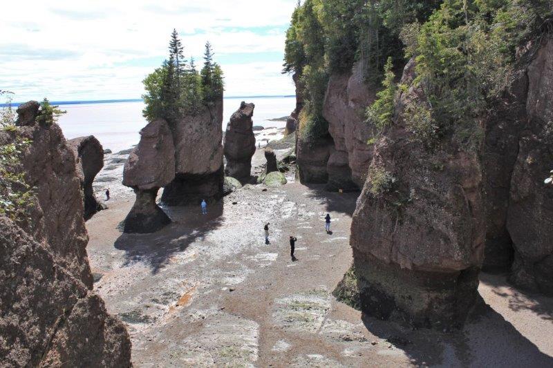
We had a repreive from the 6 am wake up call. Just as I was about to climb into bed last night I remembered that the sign at Hopewell Rocks said: Hours 9 am – 5 pm. There was no point arriving 1 1/2 hours before the place opened. We got up at 7:30 instead. We knew the tide would have been going out for about 3 hours by 9 am so were prepared for low water around the Flowerpots. Unfortunately there was even less water than we expected, but a lot of the ocean floor we walked on yesterday was still underwater this morning. (Later in the day we found out that even with the place closed people still walk down to the viewpoints. It is ‘at your own risk.’ but there is no problem. So we could have gone earlier after all.)
 Yesterday afternoon
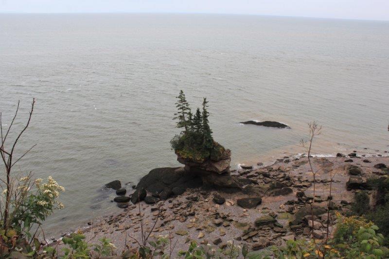
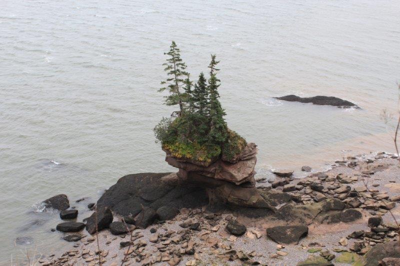
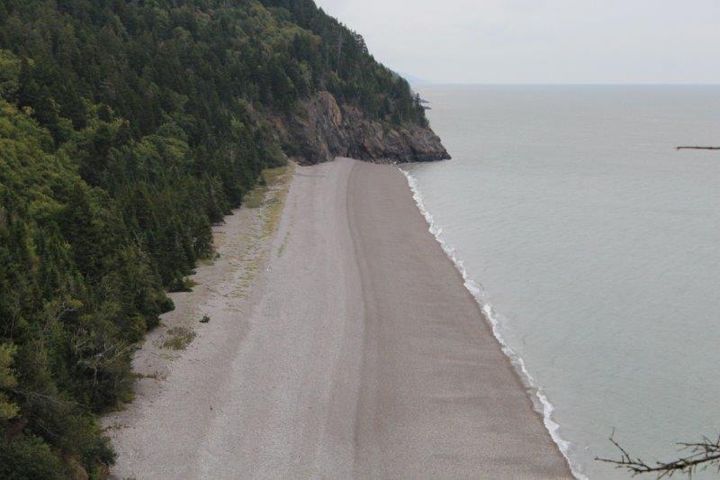
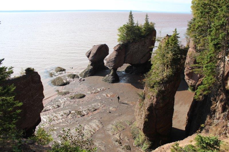 9 am this morning
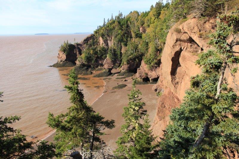
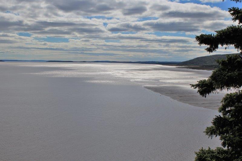
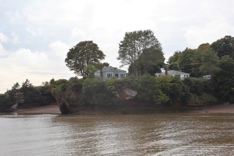
 Daniels Flats yesterday afternoon
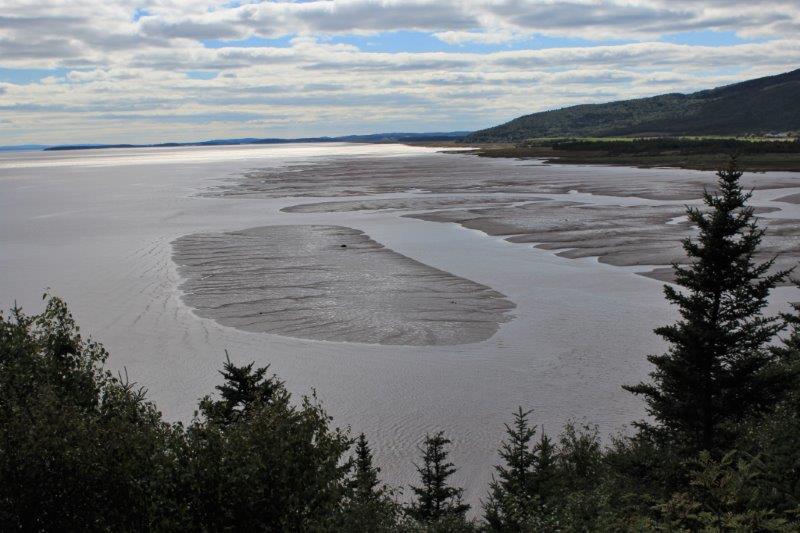
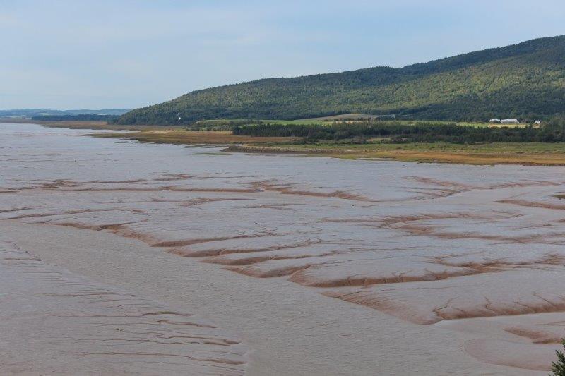
 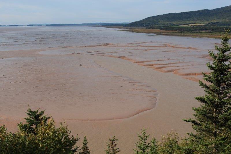 Daniels Flats this am
 We were not long at the Flowerpots. Just long enough to walk the kilometer down the steep hills and all the stairs, take a couple of pics and walk back up again. And this was all before I had my breakfast!
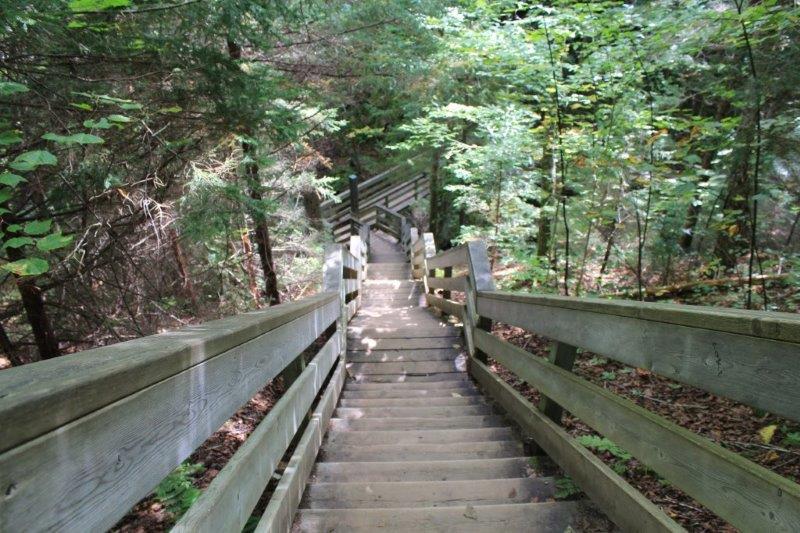
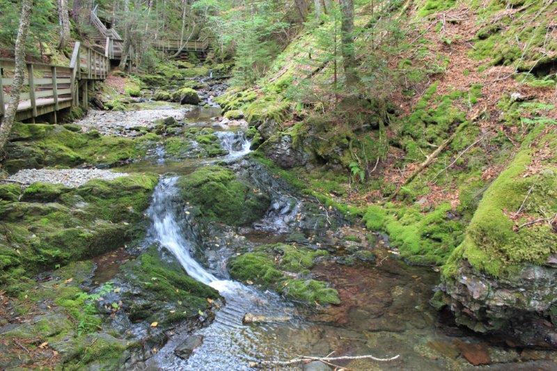
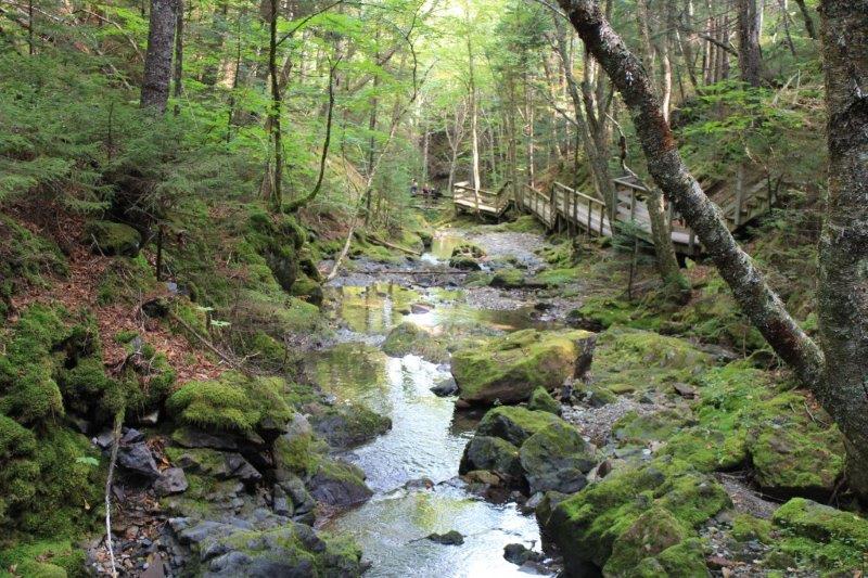
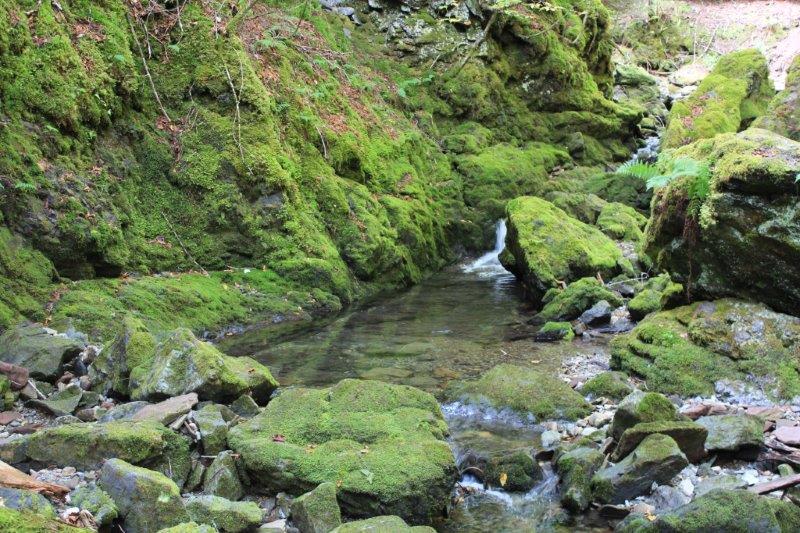
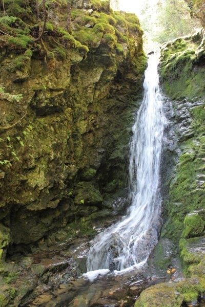
We drove to Fundy National Park (after we had breakfast). I have heard so much about the world’s highest tides at Fundy that I expected lots of viewpoints overlooking the water. Not. Access to the coast or to views of the coast are usually at the end of a 4-11 km hike. We did do two short walks: the first was through lovely, mossy forest down many, many steps to Dickson Brook and Falls – and back up again.
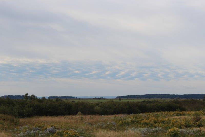
We saw this ‘chain link’ cloud on the way to Fundy.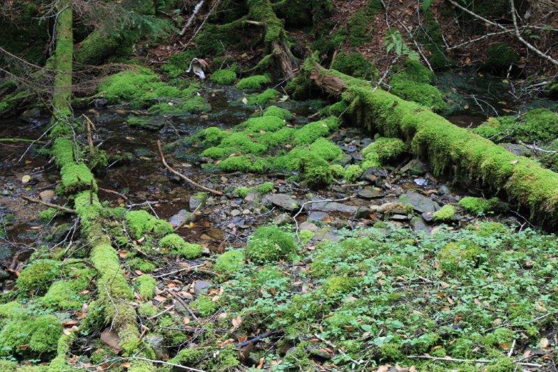

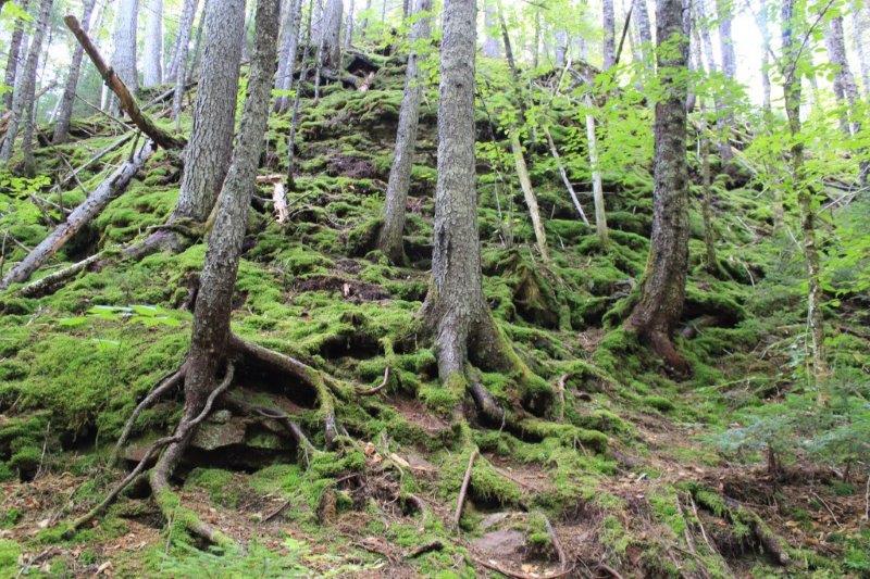
I love, love, love the moss.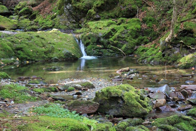
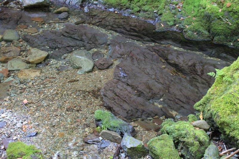
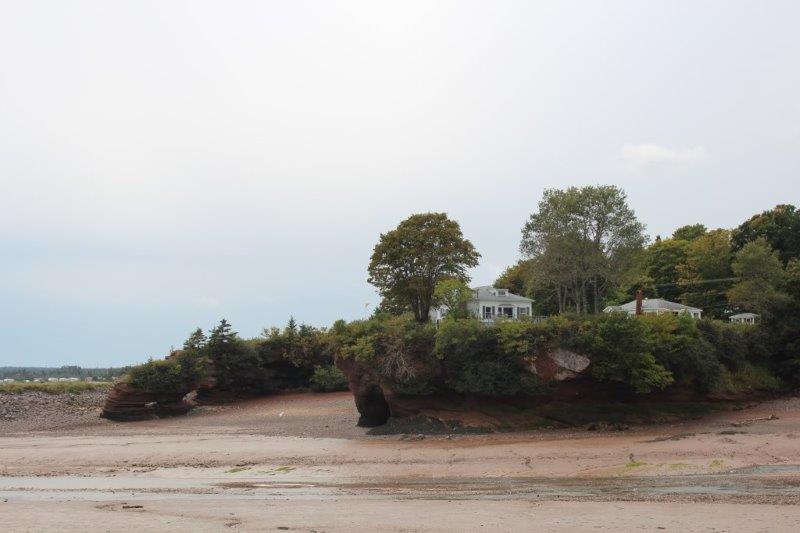
This rock is completely underwater. That is how clear the water is.
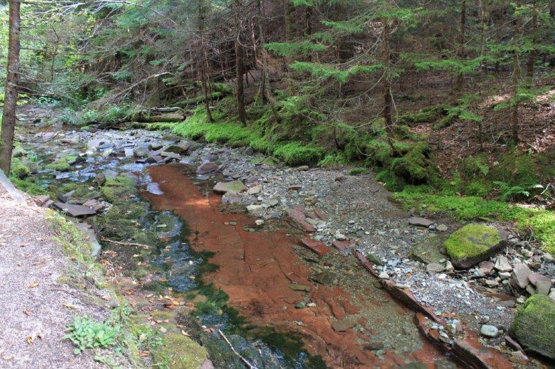
This large red rock is also part of the creek bed
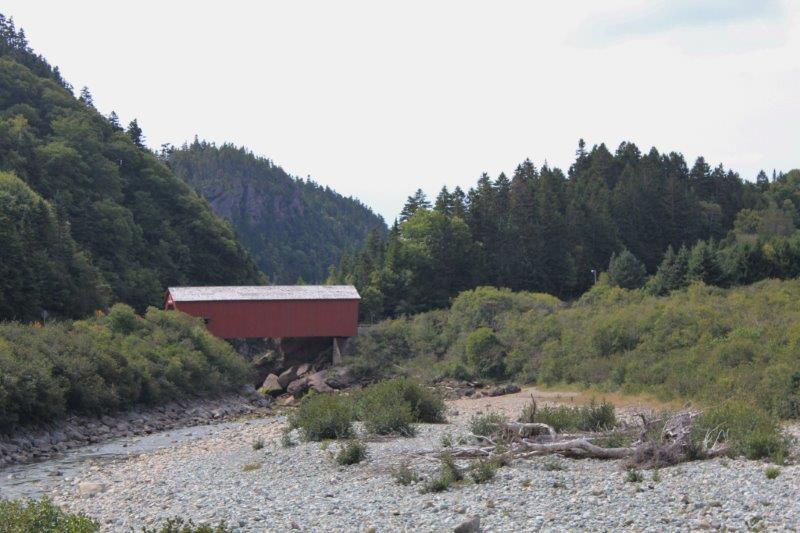
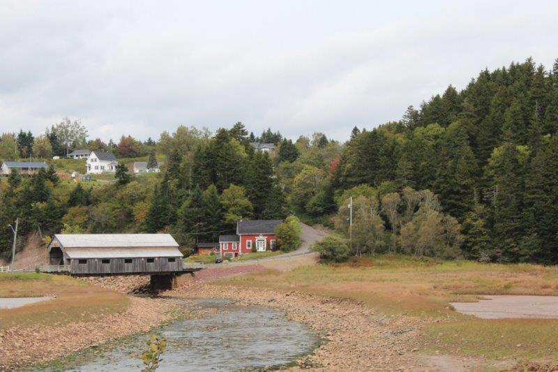
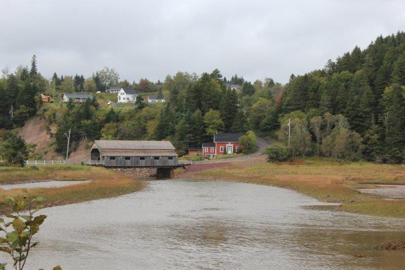
 The second was called Shiphaven and we walked through a covered bridge and along the trail, and down a bunch more steps, to the mouth of the Point Wolf river.
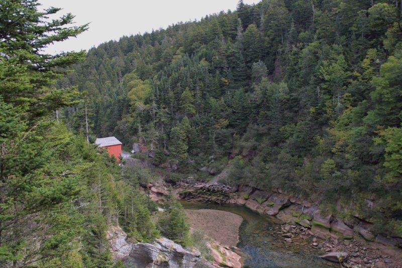

The mouth of the Point Wolf River – at lowering tide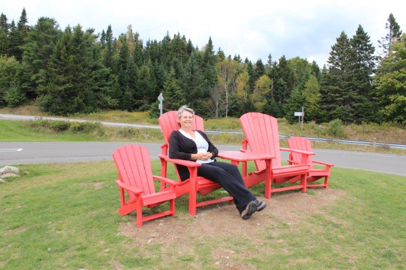
I found my red chairs!
My advice to anyone travelling along the Bay of Fundy is to do the Flowerpots (at low tide), drive staight through Fundy National Park (unless you are an active hiker and want to wander through the Acadian Forest) – and then drive the Fundy Trail which begins at St. Martins on highway 111.
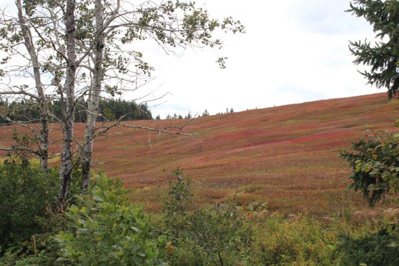

I have no idea what was covering this hill side but the colors were lovely.
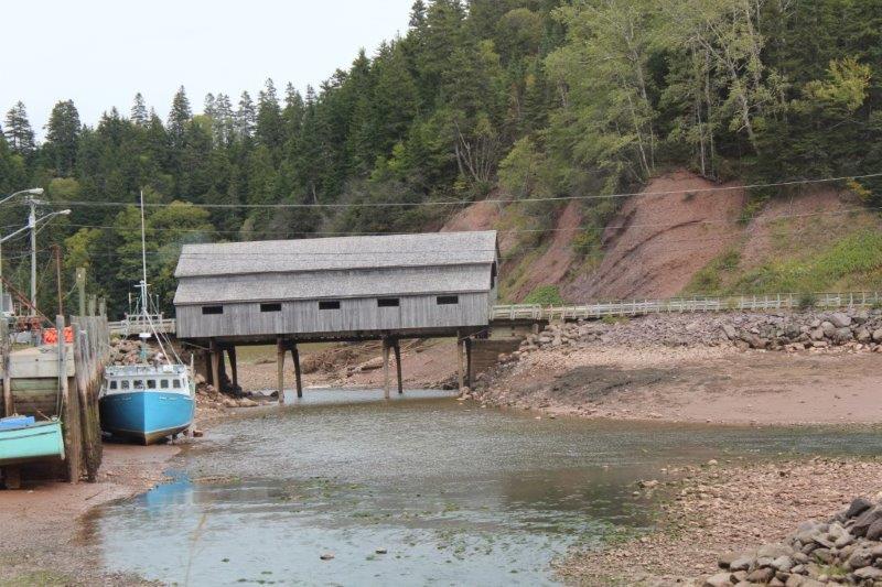
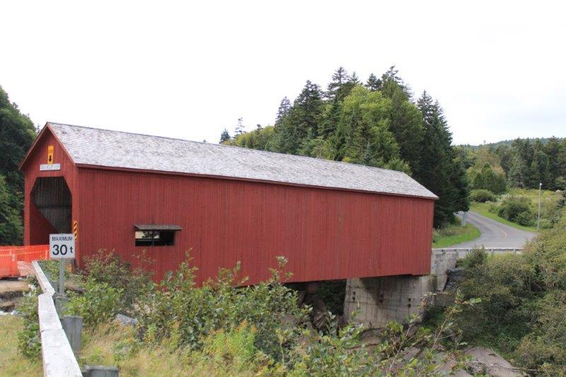
Covered bridge at St. Martins.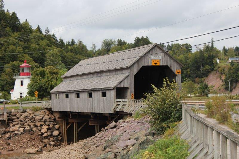
The second covered bridge at St. Martins.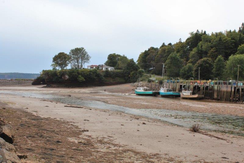
Tide is out at the boat basin. 

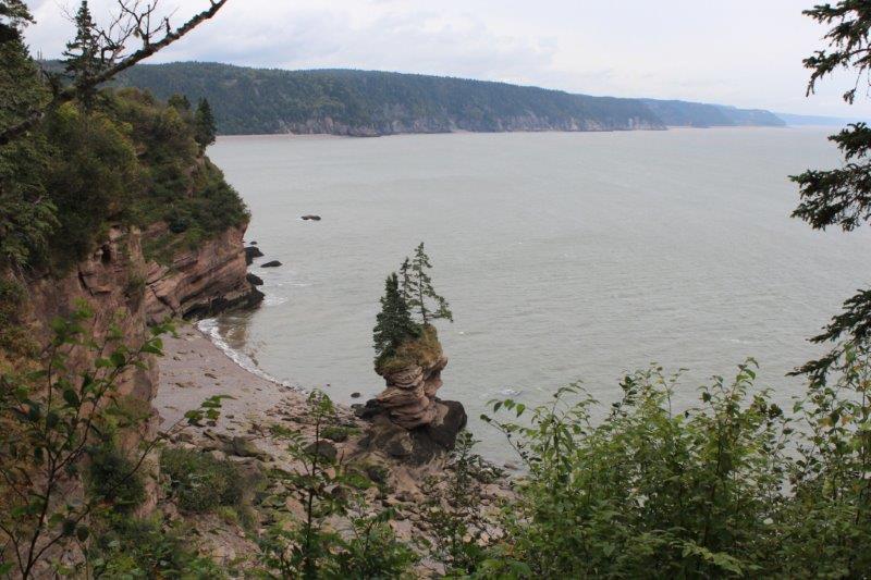
The sea caves
The Fundy Trail is not a National Park nor a Provincial Park. It is operated by a private company and you must pay to access it. The Trail is 16 km long (they are busy expanding it) and you can drive, bike or hike. There are numerous viewpoints for the car folks, short to long hikes for the actively fit crowd and 11 parking lots where you can leave your car to bike sections of the trail if you don’t want to do the entire distance in and out again. And, trust me you would’t want to. There are hills at 15%, 13% and 10% grade – with hairpin turns.
The sky clouded over as we began and then it started to lightly rain but the views of the Bay of Fundy were still pretty nice and would be fabulous on a sunny day. We did a whole bunch more walking and ascending and descending flights of stairs. We really got our exercise today!

Interpretive Center Lookout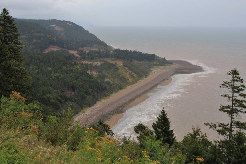 Long Beach Lookout
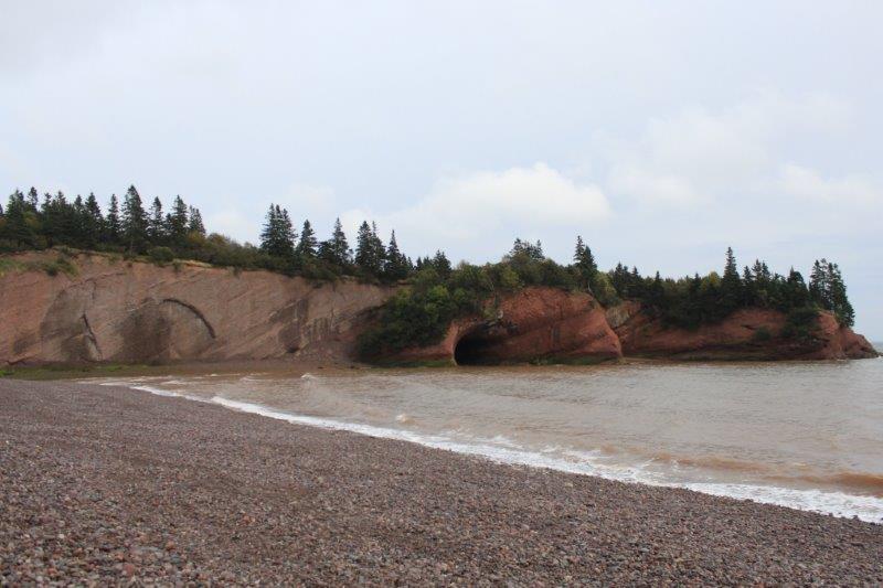
The sea caves on our return. The tide is coming in.
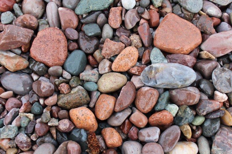
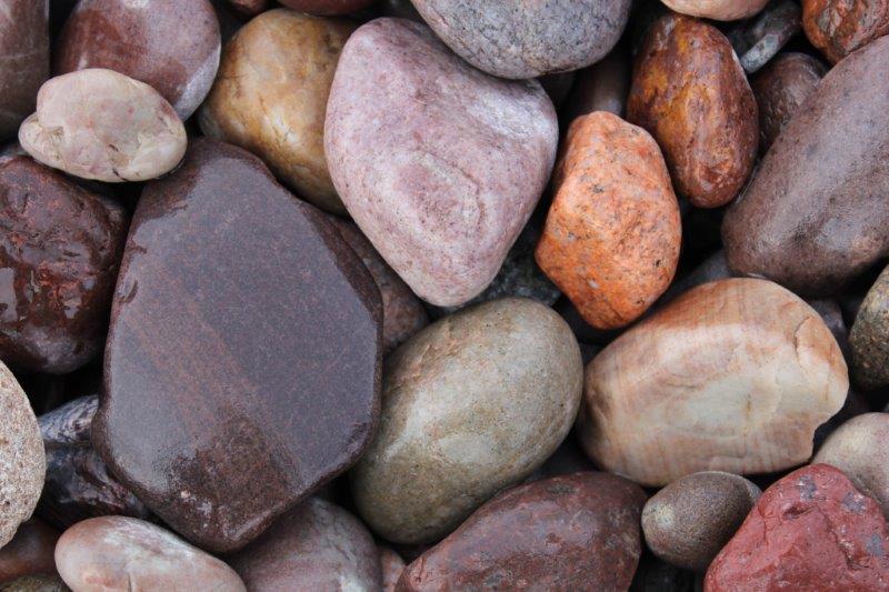 Pretty, pretty rocks.
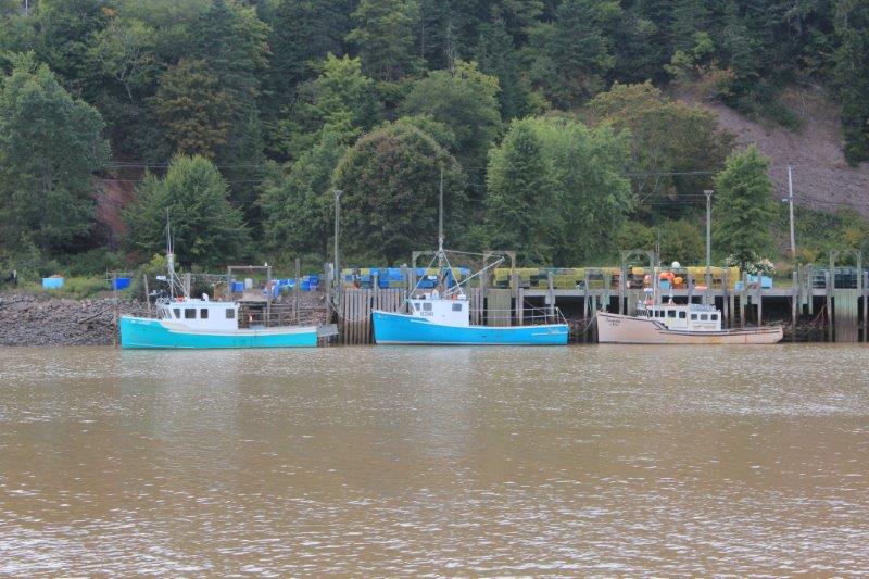
St. Martin’s boat basin has water now.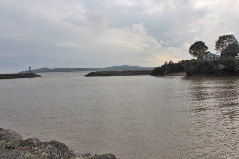
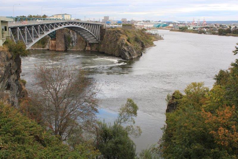
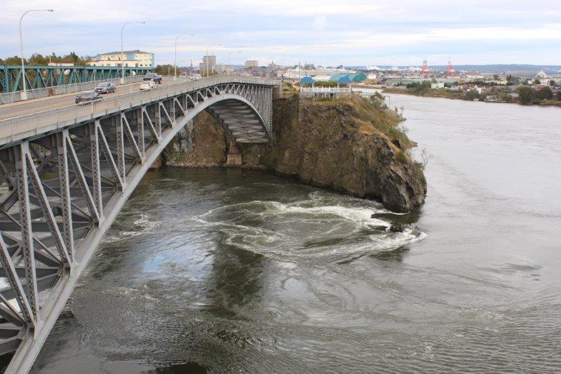
 St. Martins is only about 40 km for St. John so after we returned from the end of the Trail we drove into town to find the Reversing Falls. Stella (our GPS) was programed with the Reversing Falls on Bridge Street. We tried locating by address and by attraction name and both times Stella led us to the wrong place. John asked a fellow how to get to the falls and we eventually arrived about 20 minutes before high tide. There is a restaurant at the visitors center there (on Bridge Road) and we watched the water while we had dinner. The amount of water and the speed that the tide flows into the St. John River is pretty amazing, but other than a lot of eddies and ripples there was nothing reversing that I could see. My info said high tide and low tide. We found out from our server that the water reverses at the ‘slack’ – mid-way between high tide and low, and low tide and high. So….tomorrow we need to catch a low tide and a slack tide to really appreciate the effect. We will be right at home too because the oberservation deck is on top of the restaurant so we can climb some more stairs!