All posts by jj1951

My husband and I retired in 2007 and decided to spend the kid's inheritance by travelling as much as we could until either the money or our health runs out. So far so good.

2016 Jan 28 – Day 18 – California and Beyond

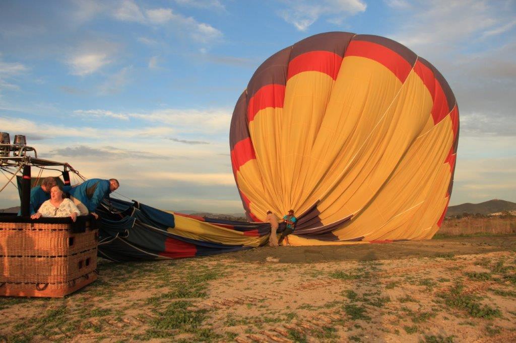
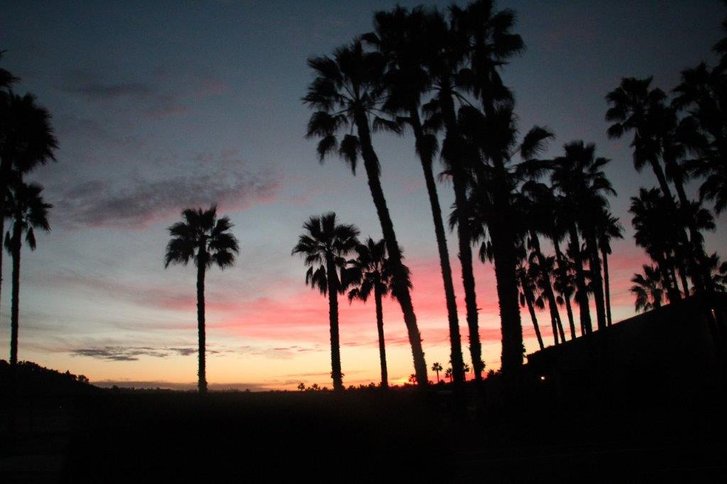
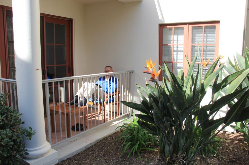
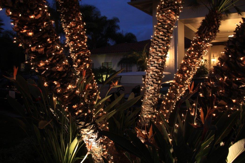
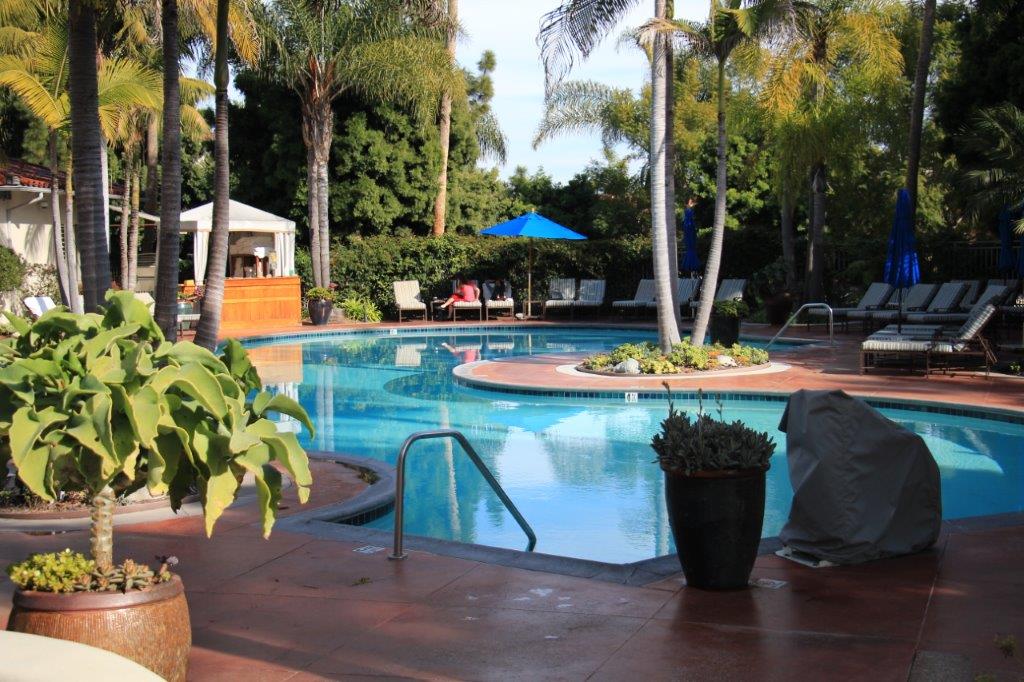
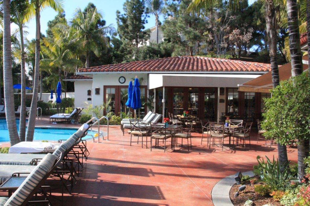
Day 18 – January 28 – Carlsbad, CA – Day 13

WARNING: LONG BLOG, LOTS OF PHOTOS.

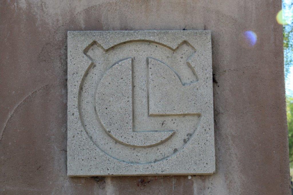
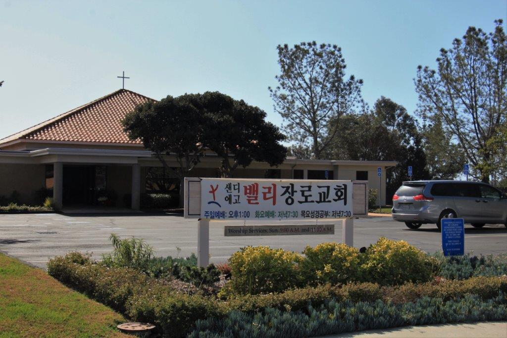
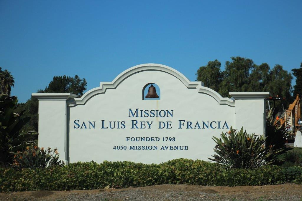
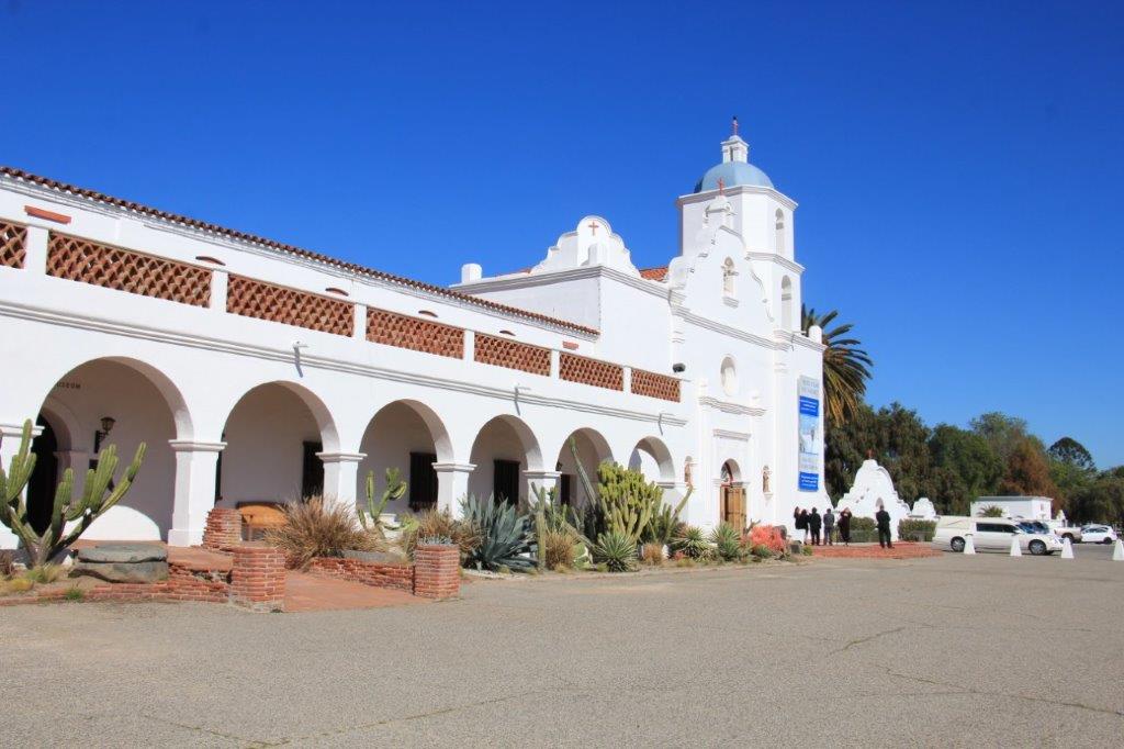
When I checked out things to see and do in the Carlsbad area one of the places was the historic Mission San Luis Rey de Francia about a half hour north in Oceanside.  I had heard of the Mission but I couldn’t remember when or where or whether it was from history class, cowboy books, or movies or what.

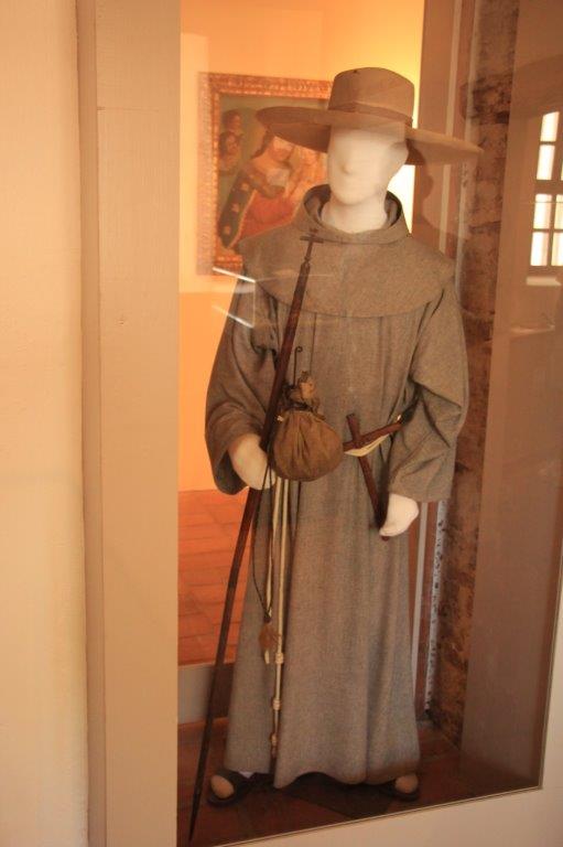
The Missson probably featured prominently in American history class and I am sure it was also mentioned in many books and movies but in the last room of the museum there were two painted wooden doors attached to the wall and above them was a poster promoting the 1957 Disney-produced television series “Zorro.”  Disney used the Mission for a regular set in the series; the helpful Friar Felipe was a member of the Franciscan Monks who lived and worked at Mission San Luis Rey.  The Disney studio used the doors for the TV series and they also put a skull and crossbones above the entrance to the cemetery, which is still there today.  I loved Zorro – well I really loved his black horse, but he was good too. Childhood memories Chapter 2!

IMG_5096 IMG_5099 IMG_5097

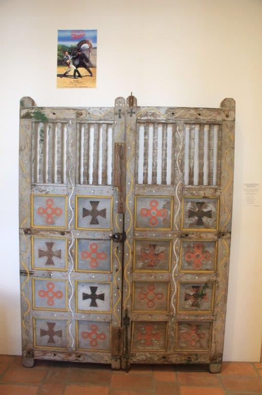
Although the series was the most popular show on its Thursday night time slot it was pulled after only two years (1957-1959) due to legal wranglings between Disney Studios and the ABC Network.

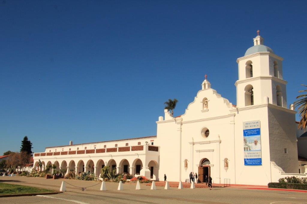
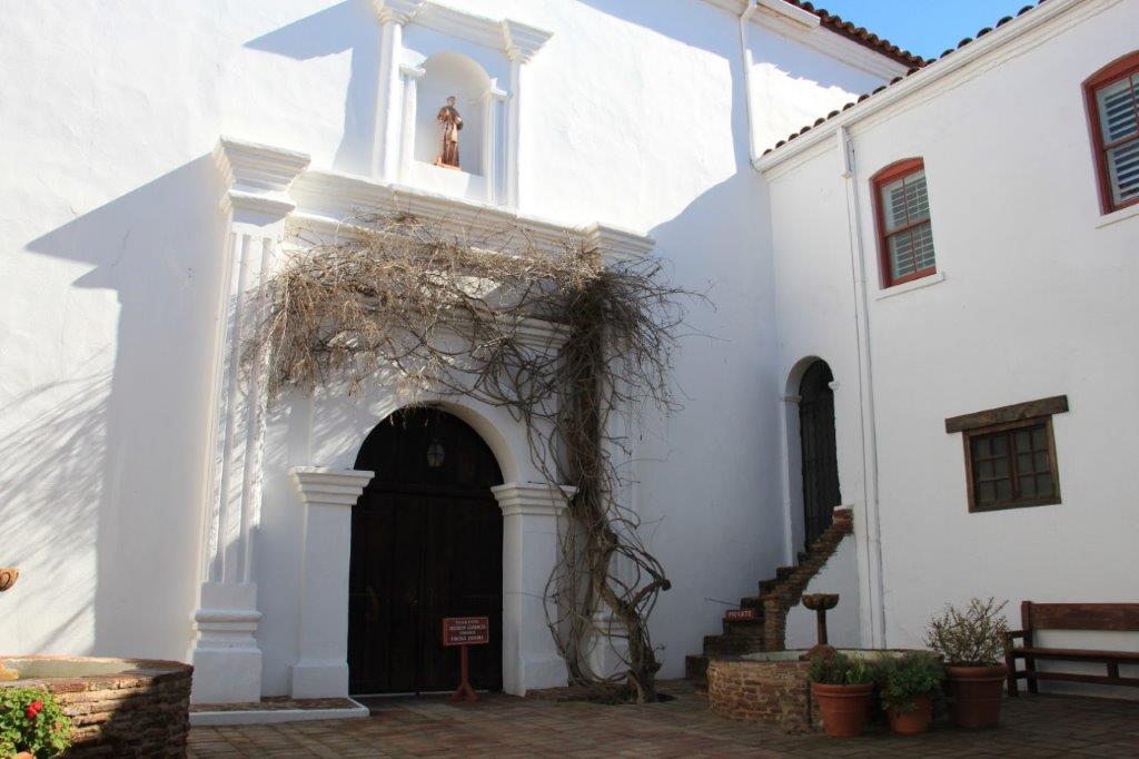
Mission San Luis Rey de Francia (named after French King Louis IX) was nicknamed the King of Missions and was the 18th of 21 missions constructed along the Alta California coast to claim land for Spain and establish a presence in the New World to thwart the threat of Russian encroachment.  Of the original 21 missions 18 are still standing.  The missions stretched along the coast from the Mexican border to north of San Francisco; each one built the distance a horse could travel in a day from the next.  The first was built in 1769 and the last in 1823.  San Luis Rey was dedicated June 13, 1798.

IMG_4992 (2) IMG_5150When Spain decided to protect it’s interest in Alto California by building the missions it was a three-pronged venture.  The missions were homes to soldiers who could provide security, the various orders of monks could spread Catholicism to the native Indians of the area (there were not many Spaniards in the New World so Spain decided to colonize with the indigenous people), and the Indians could be taught new skills so they could become productive citizens for Spain.

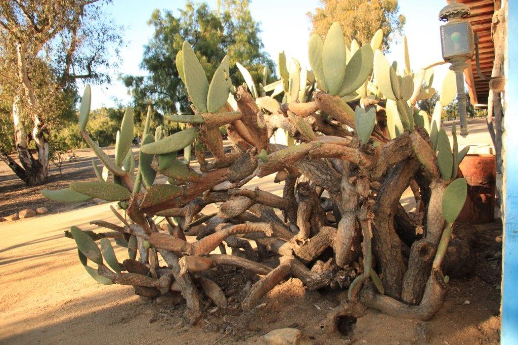
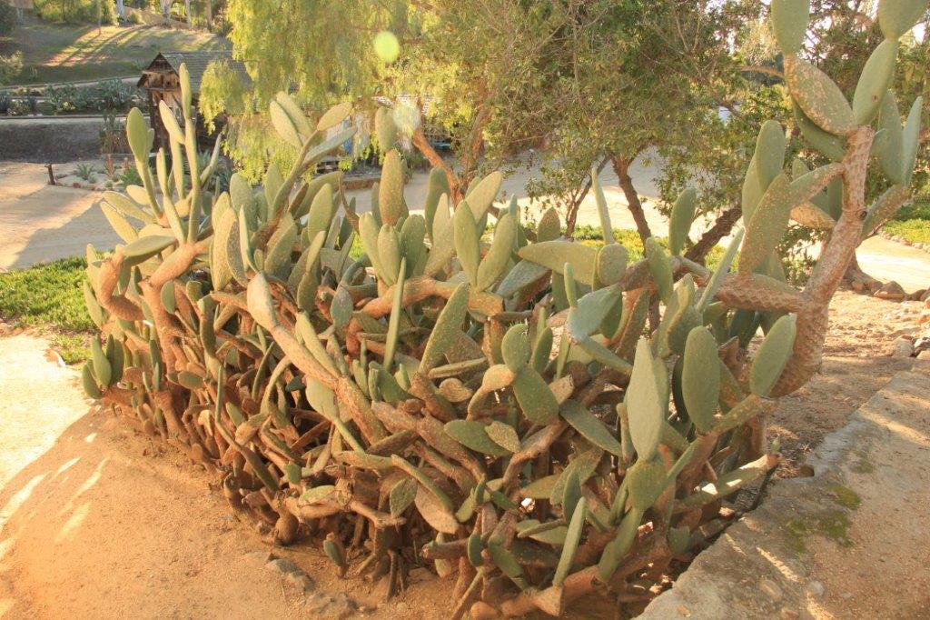
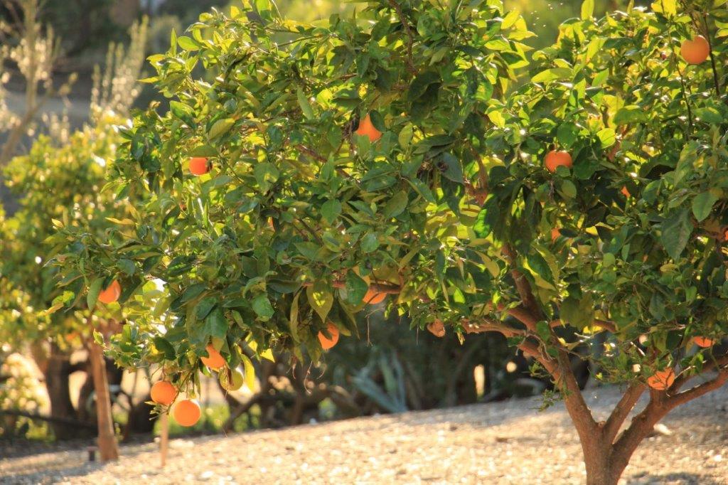
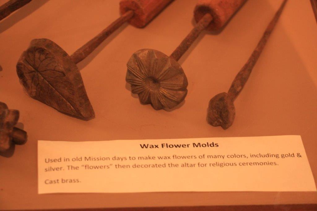
During the 34 years, from the day of dedication until he left in January 1832, Father Antonio Peyri was in charge of the Mission.  In that time it became home to 3,000 Indians and the Mission cared for more than 50,000 head of livestock.  Vast areas of land surrounding the Mission were brought under cultivation; producing grapes, oranges, olives, wheat and corn.  The Indians and monks made all kinds of goods and products that were needed for the work at the Mission and could be traded for things they needed.

IMG_5034 IMG_5035 IMG_5037

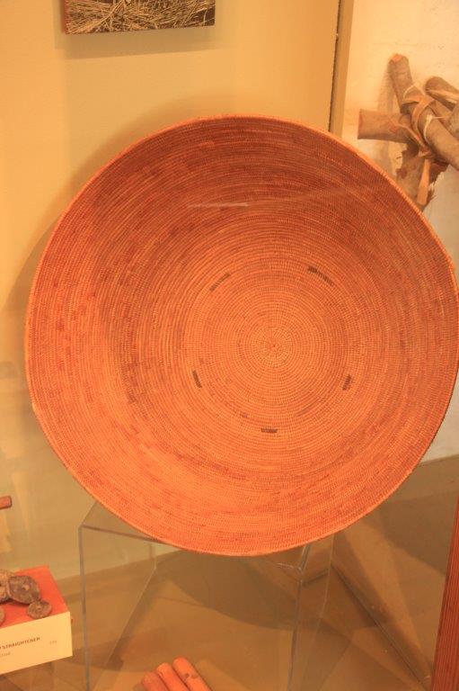
Small basket made of pine needles.IMG_5039 IMG_5040 IMG_5042 IMG_5045 IMG_5046 IMG_5054IMG_5056 IMG_5057  IMG_5062

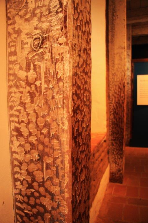
I love the way the posts in the room were chiseled a bit to make a decorative feature.

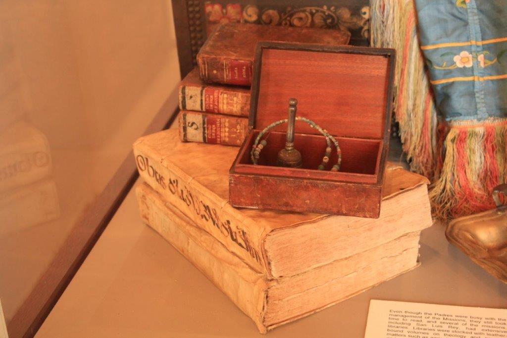
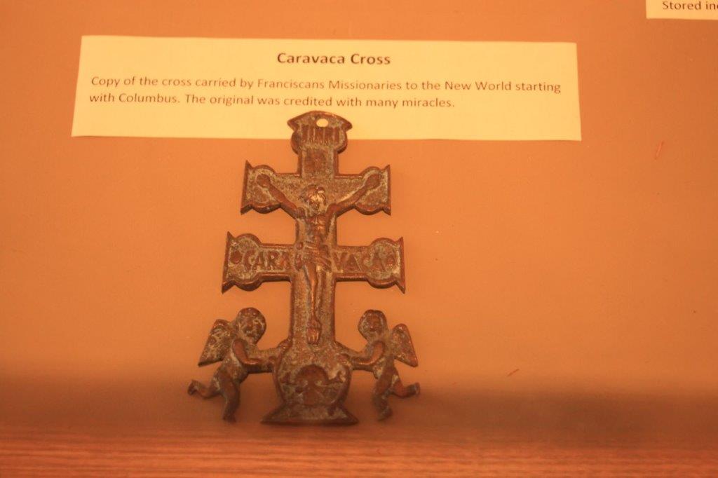
When we were in Spain in 2012 on the Grand Mediterranean Cruise we took a tour up the mountain to Caravacas, a medieval monastery where we heard the  story of the miracles attributed over the centuries to the original Caravaca cross.  It was interesting to see a small version that had been brought by the Franciscan monks.

IMG_5048
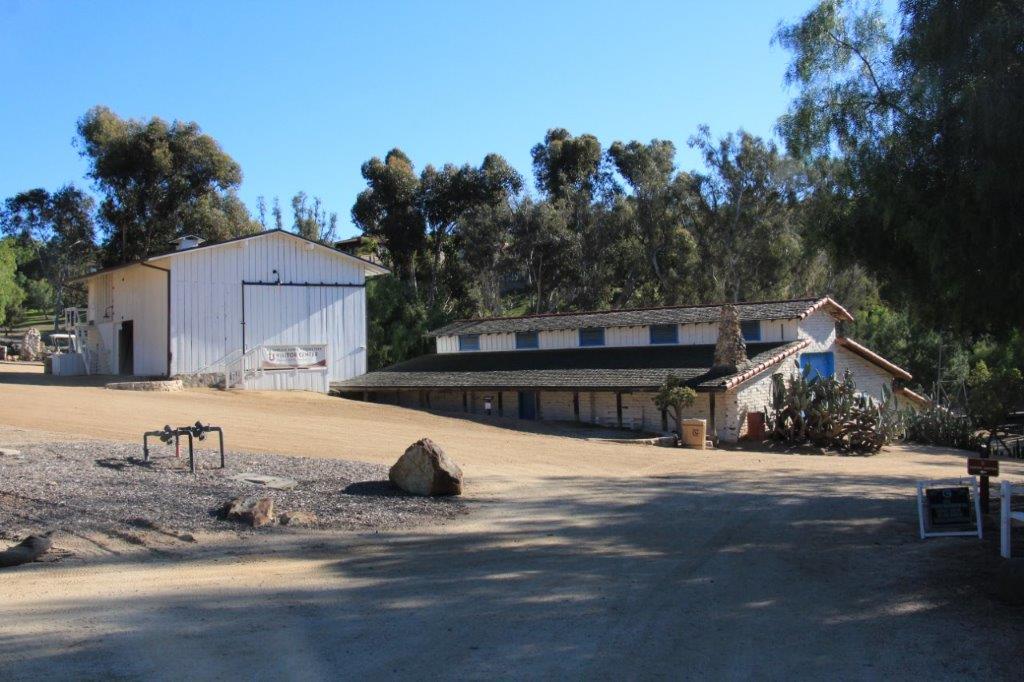
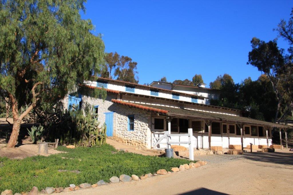
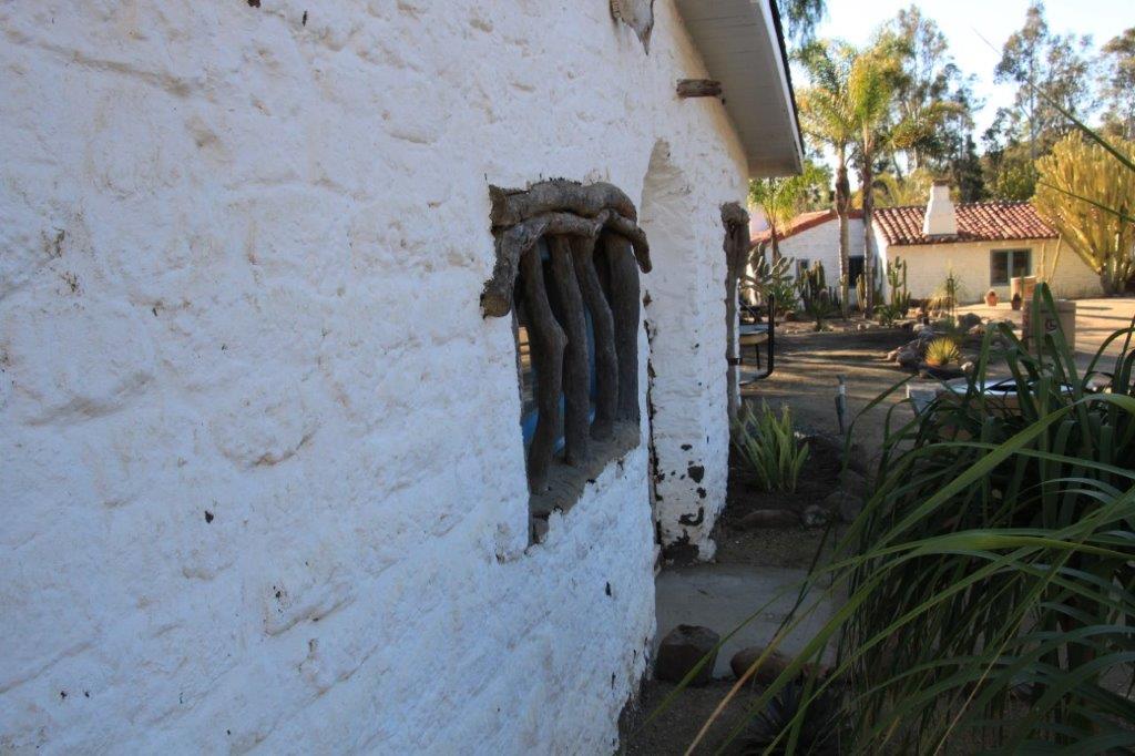
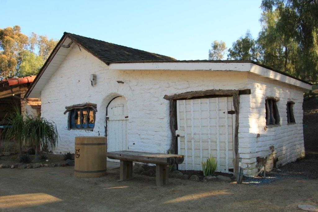
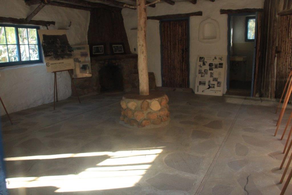
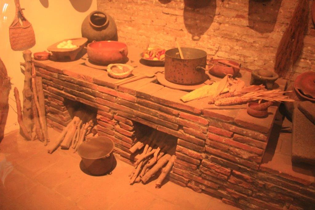
During the heyday of the Mission there were shops for blacksmiths, locksmiths, ironworkers, tailors, leather workers, shoemakers, saddlers and harness makers, carpenters and joiners, coopers (barrel makers), and rooms for carding, looms and weaving.  There was a pharmacy, infirmaries for men, ladies and children, a school, a school of music, and a wine cellar,

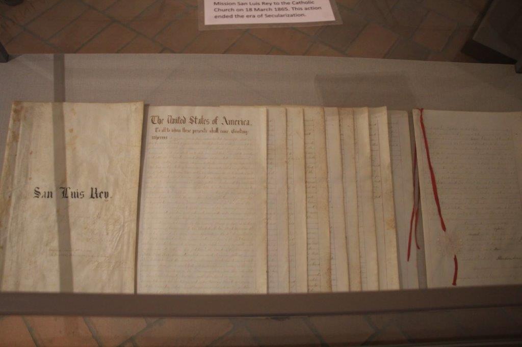
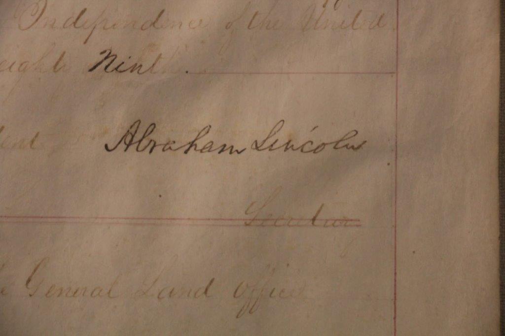
After California was ceded to Mexico the Mission was abandoned in 1846, it’s lands given to settlers, it’s buildings looted of any goods and useable building materials.  Over the years there were several restorations and subsequent abandonment.  When California became part of the United States in 1850 the Catholic Bishop of California petitioned to have all the Missions returned to the Church.  March 18, 1865 after twelve years of lobbying President Abraham Lincoln signed the proclamation – only a month before his assasination.  The original document is in the Mission museum.

IMG_5086

IMG_5088
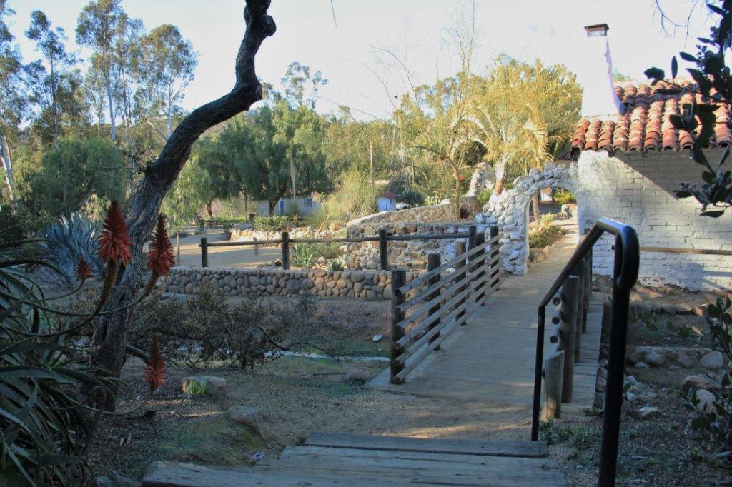
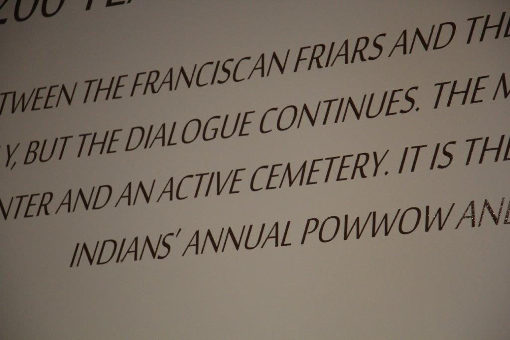
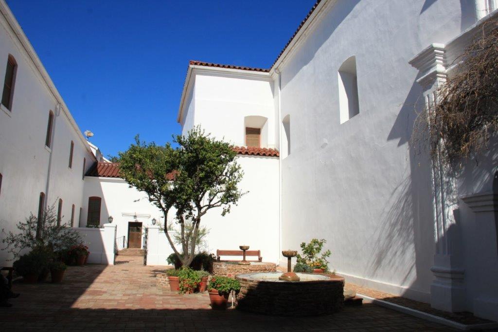
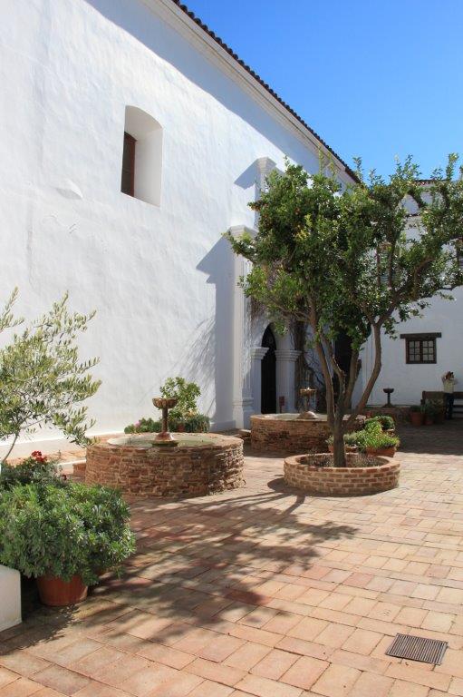
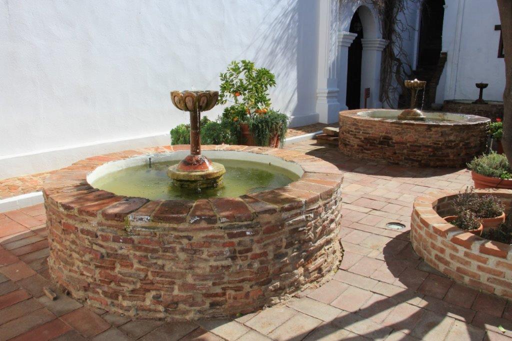
There has been ongoing restoration and archaeological work at the site ever since.  There are still Franciscan Monks living and working at the Mission and the property is used as a retreat center.  The local Luiseno Indians hold their annual pow wow on the grounds.

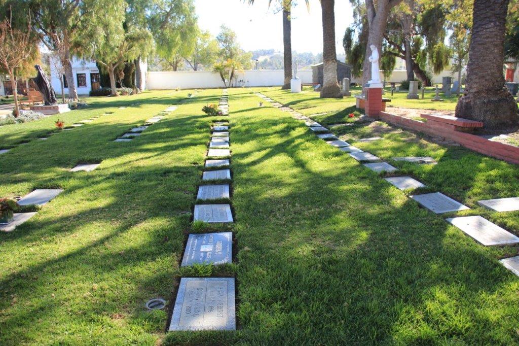
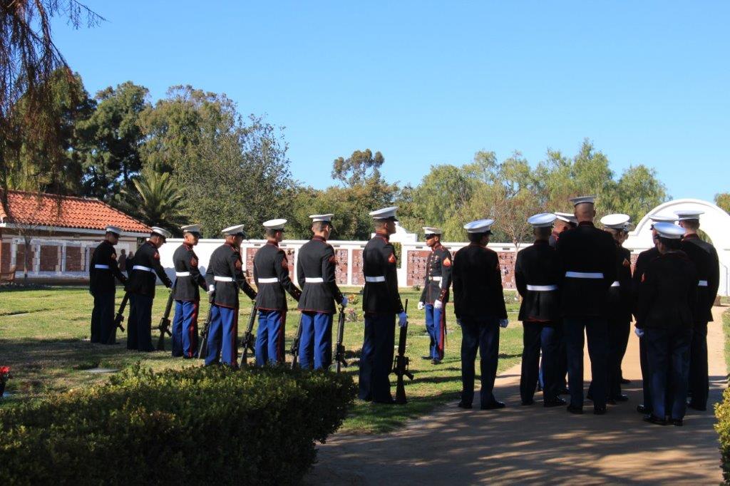
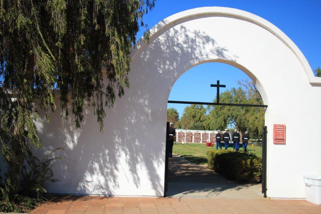
A sign on the wall in the museum mentioned that there is still an active cemetery here.  I chuckled a bit at that; most cemeteries are not all that active.  But people are still being buried at San Luis Rey.  There is a large cemetery with family crypts, walls for cremated remains and grave plots.  We explored the church as soon as we arrived and then went to the museum.  When we came out of the museum we saw a hearse parked in front of the church and mourners in black wheeling a flag-draped coffin inside for a funeral service.  When we went to look at the cemetery there were more than a dozen US Marines preparing to provide military honours.

IMG_5094

IMG_5125 IMG_5130 IMG_5131 IMG_5132 IMG_5134
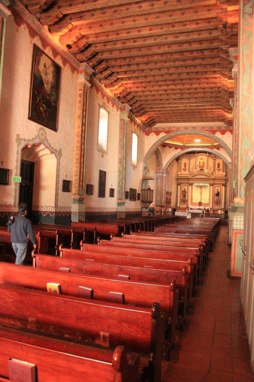
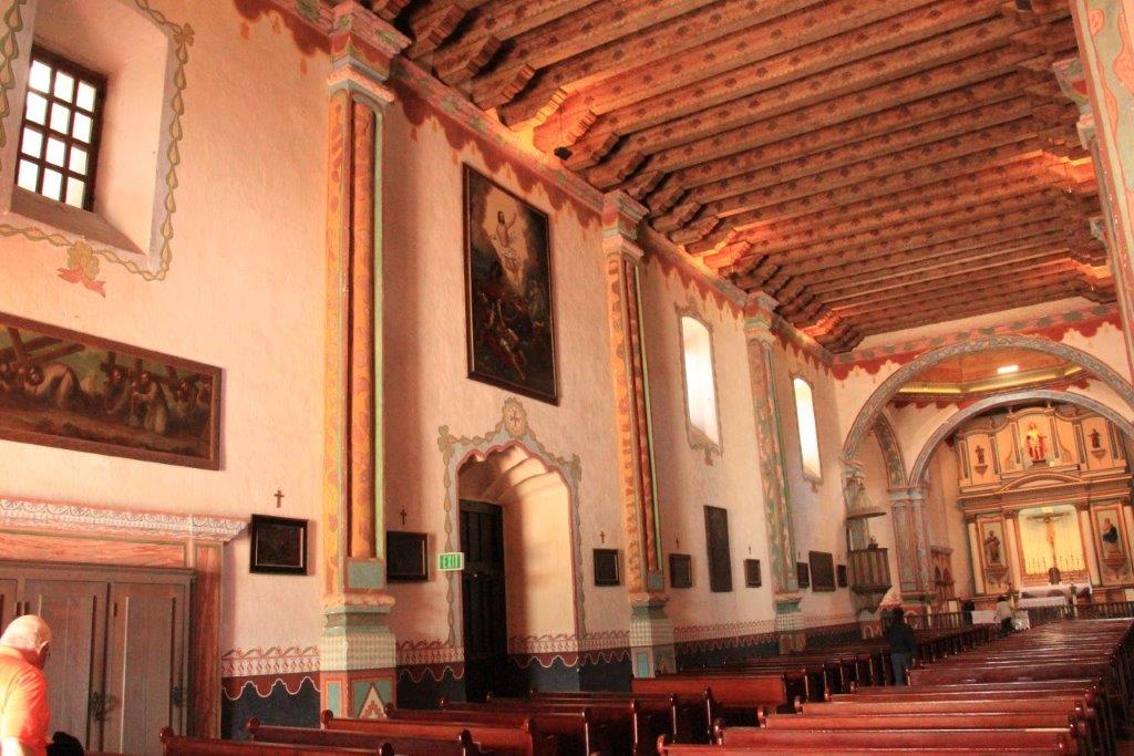
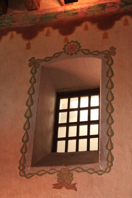
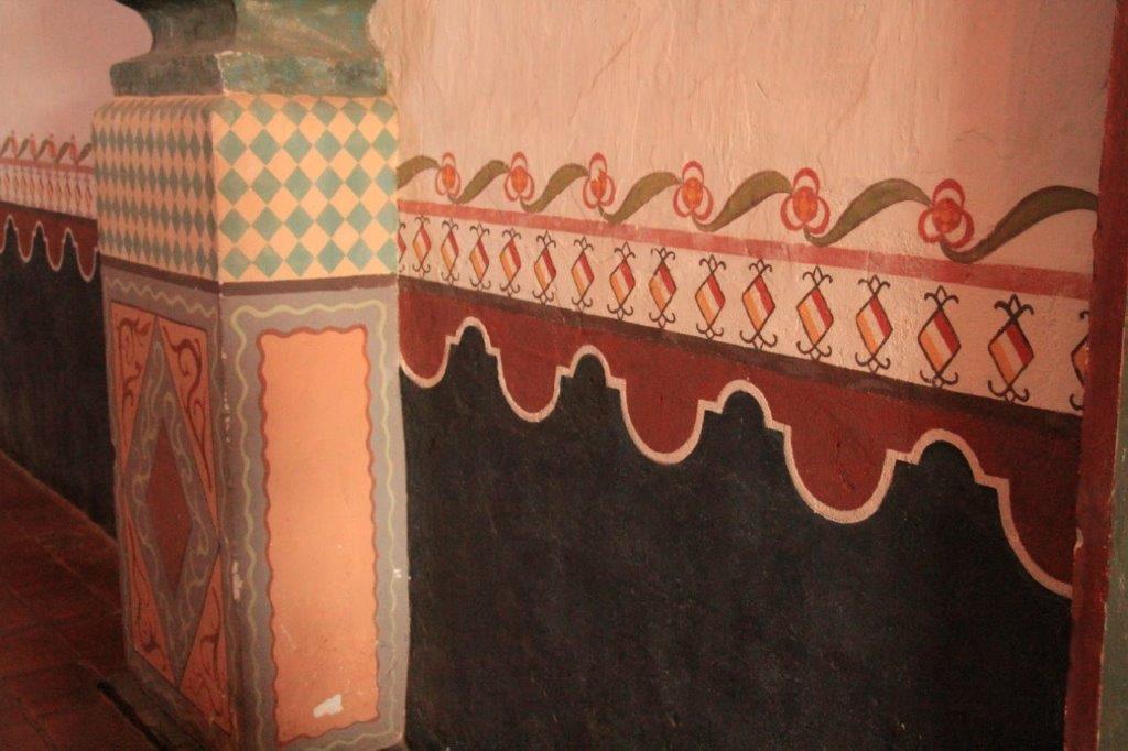
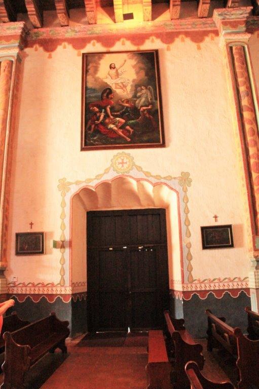
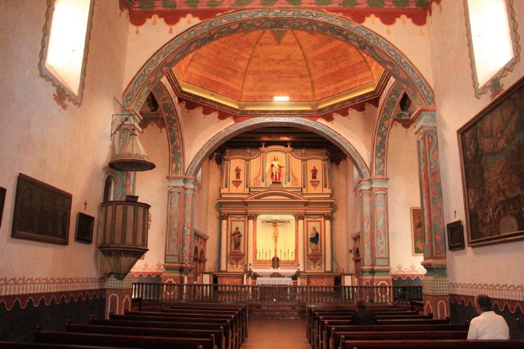
The church was the first building to be completed and the first one worked on during any resorations.  It took four years to build and all the designs on the walls, door frames, etc. are hand painted.

IMG_4996 (2) IMG_5000 (2) IMG_5001 (2) IMG_5005 (2) IMG_5006 (2) IMG_5009 (2) IMG_5010 (2)
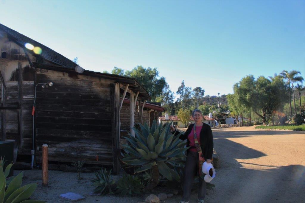
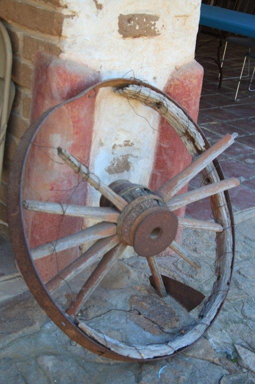
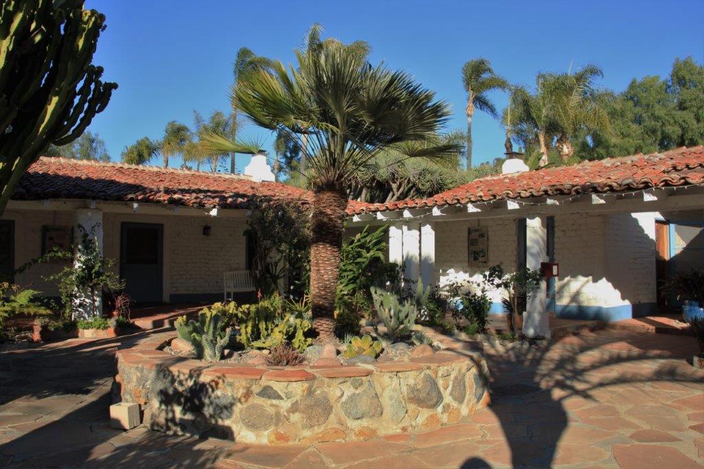
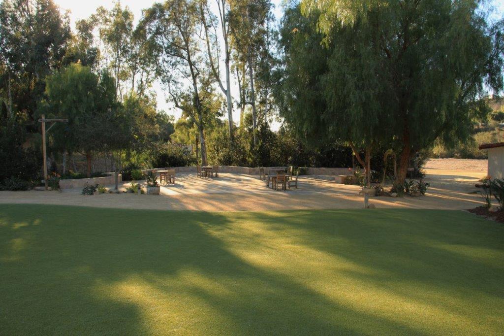
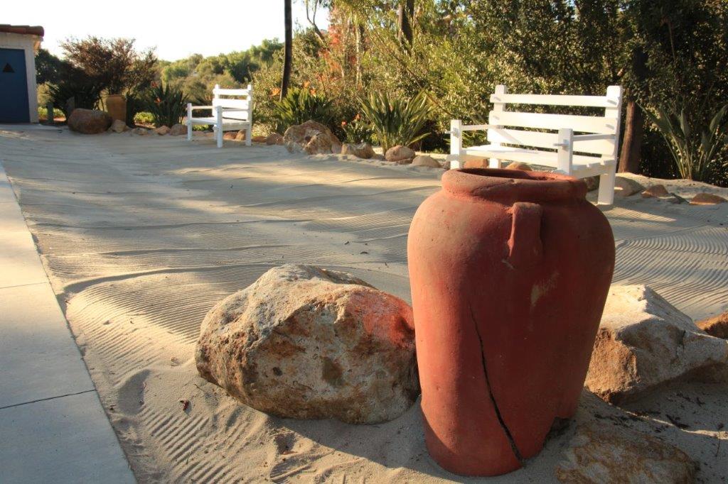
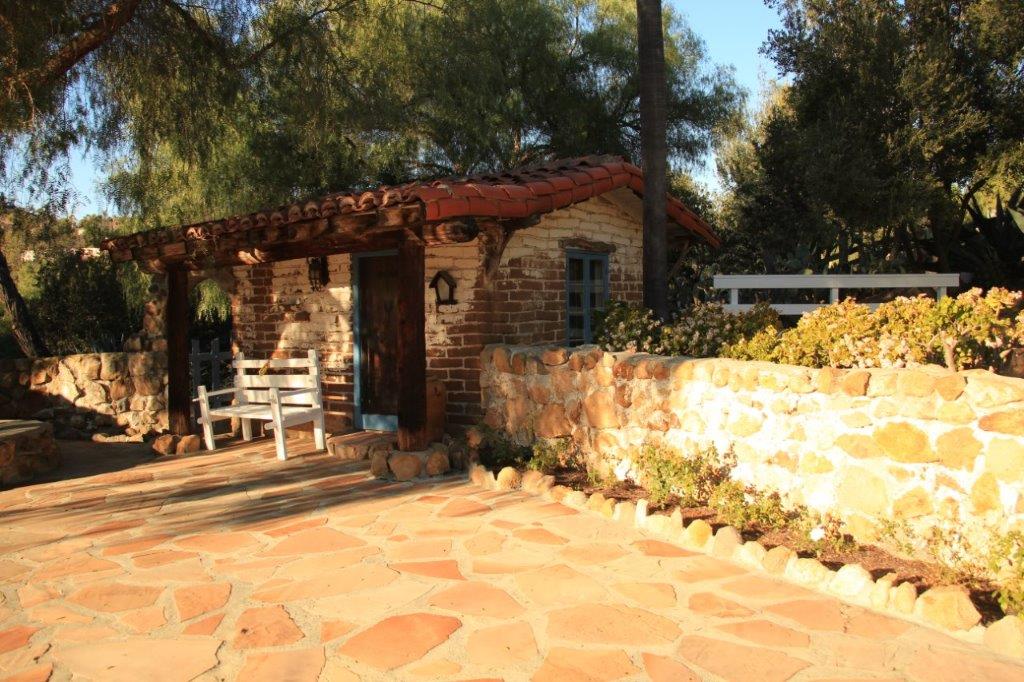
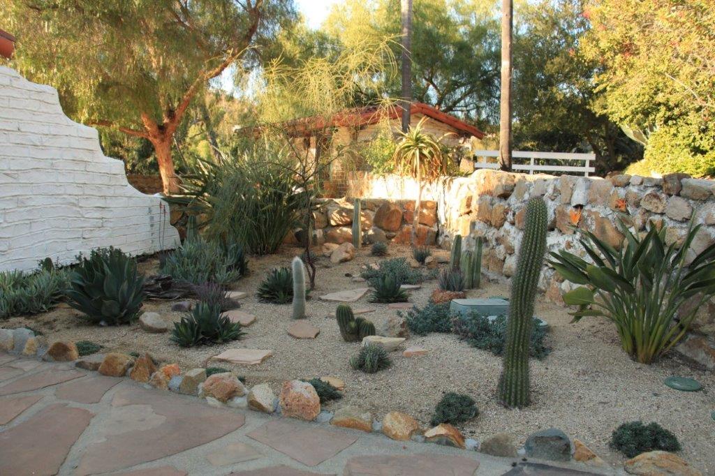
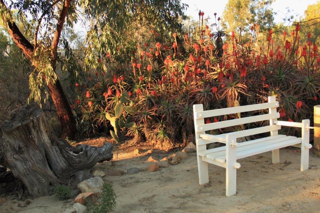
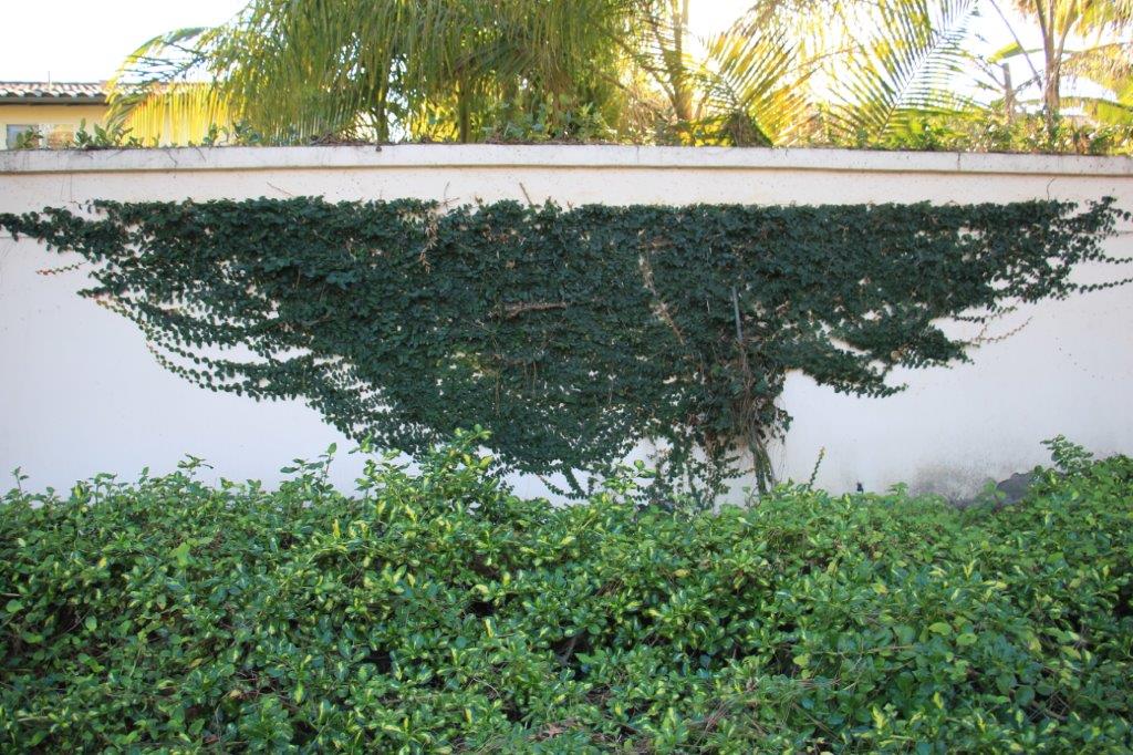
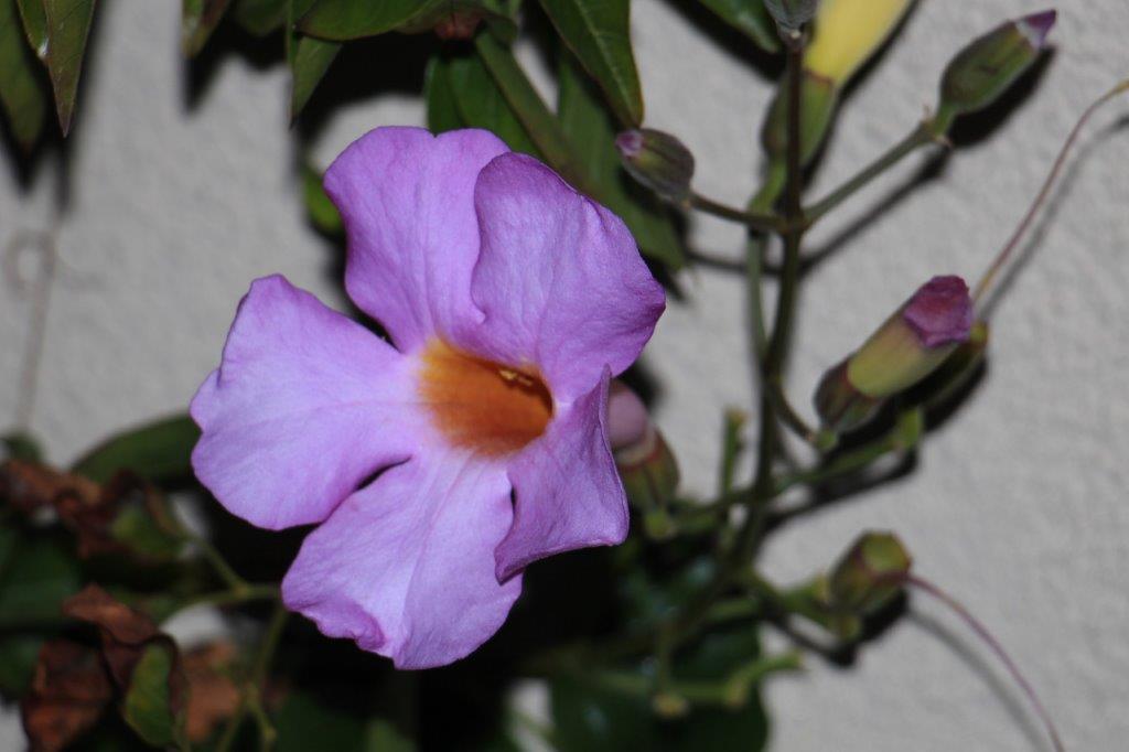
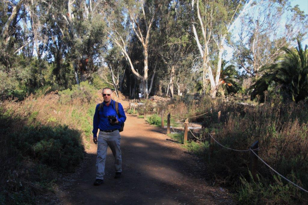
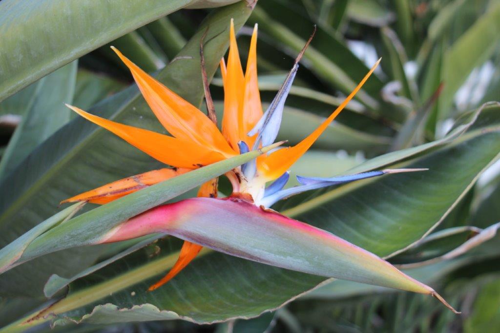
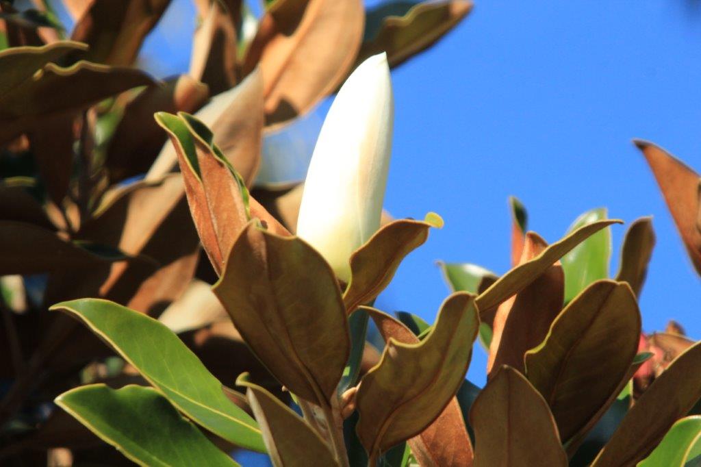
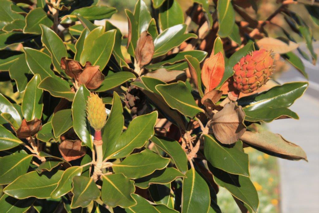
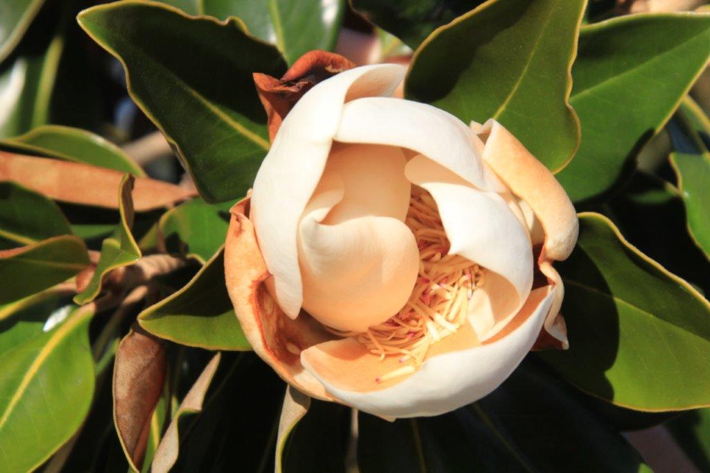
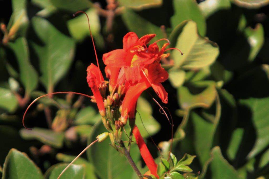
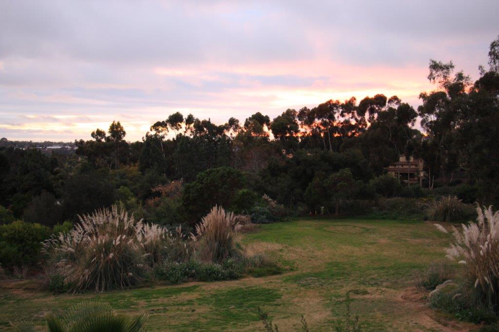
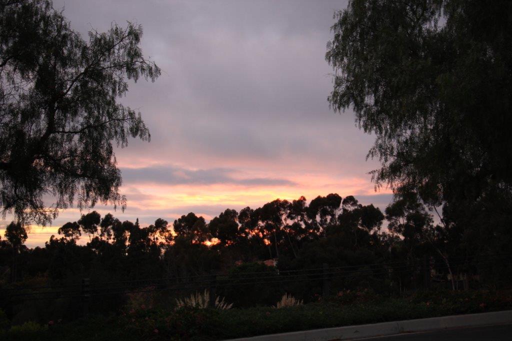
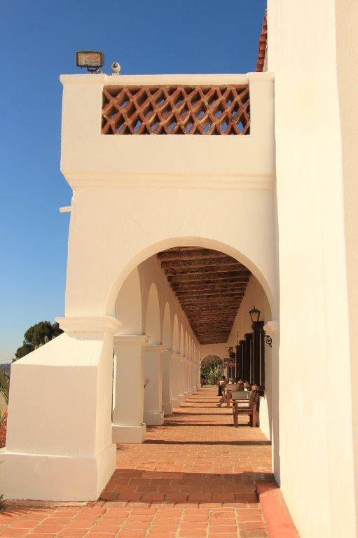
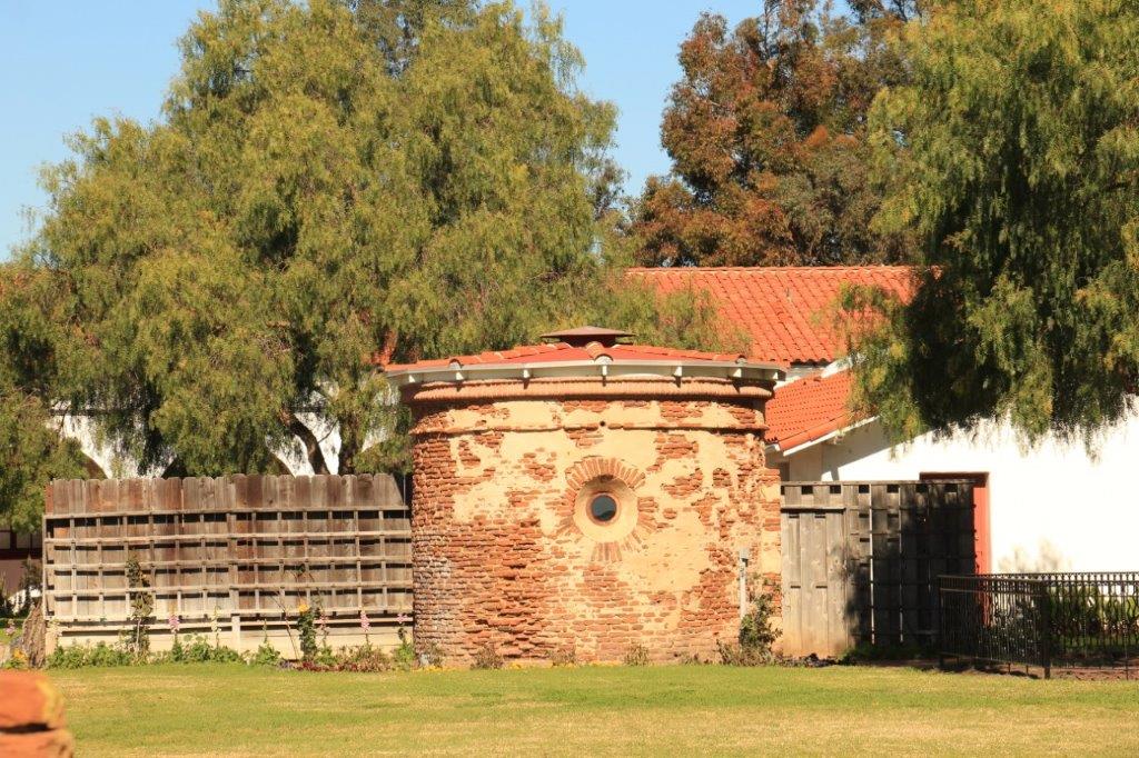
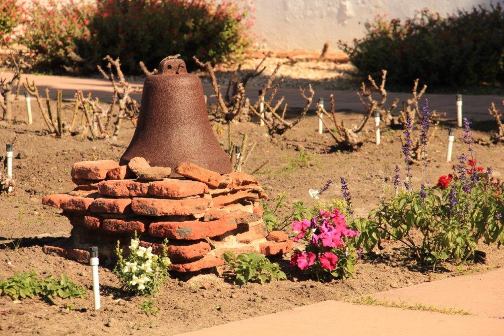
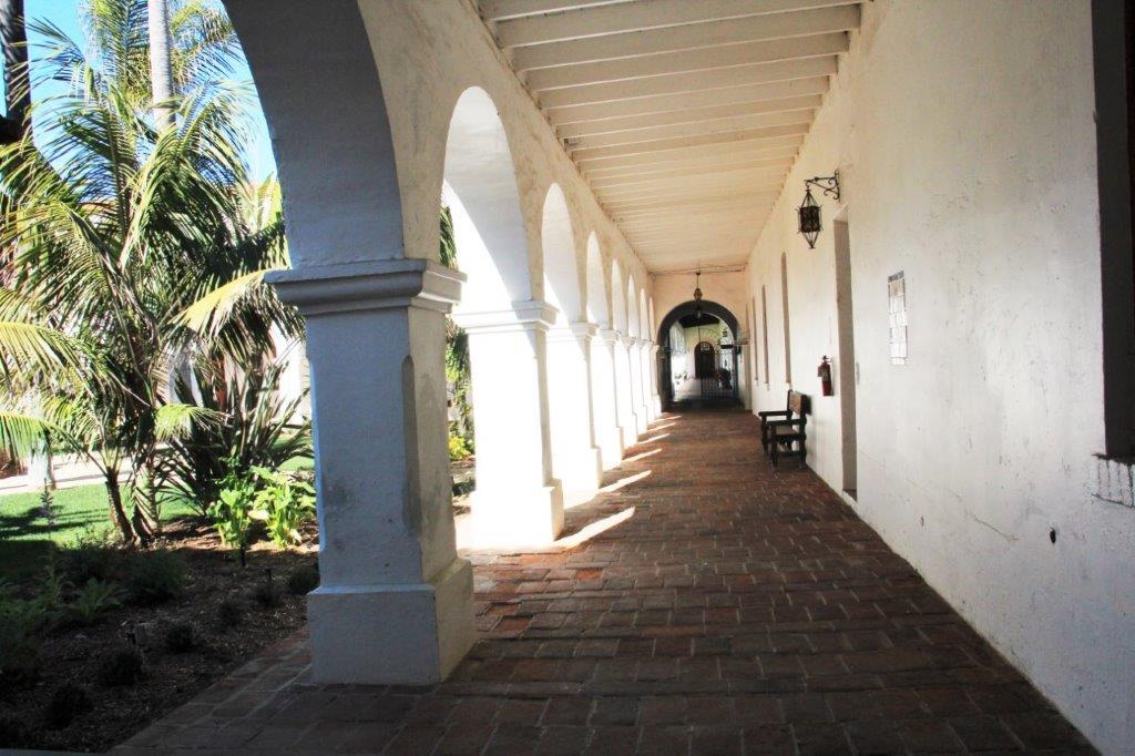
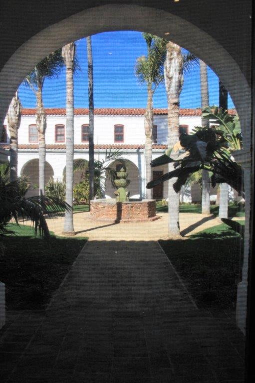
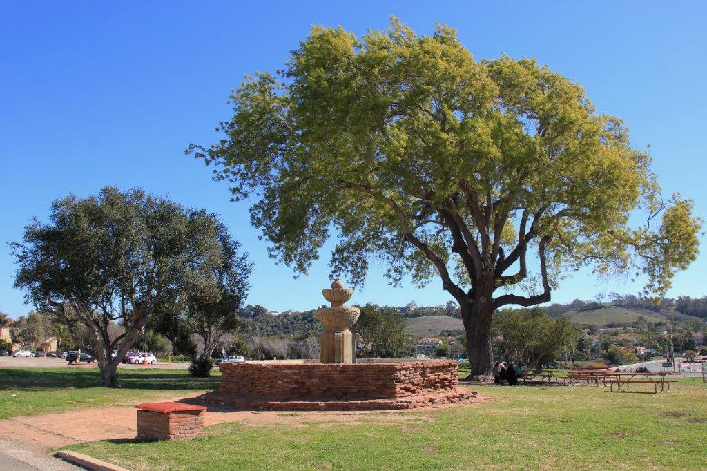
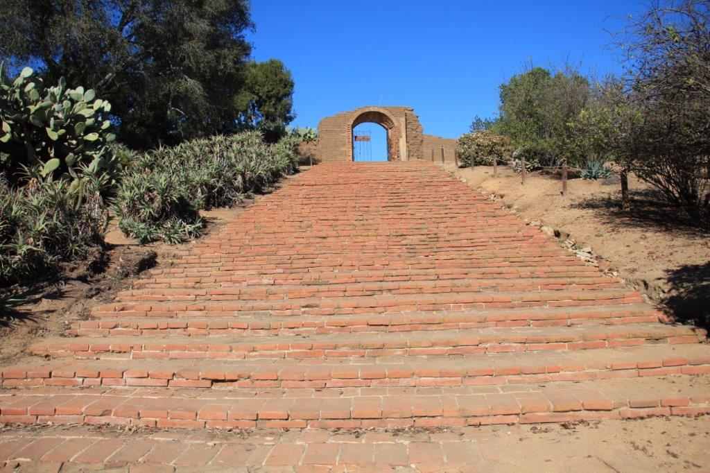
We wandered all over the grounds checking out the old foundations of the soldier’s barracks and the Lavanderia – the bathing and laundry area.  It was a gorgeous sunny day so I was a happy photographer.

IMG_5018 (2) IMG_5020 (2) IMG_5021 (2) IMG_5024 (2)
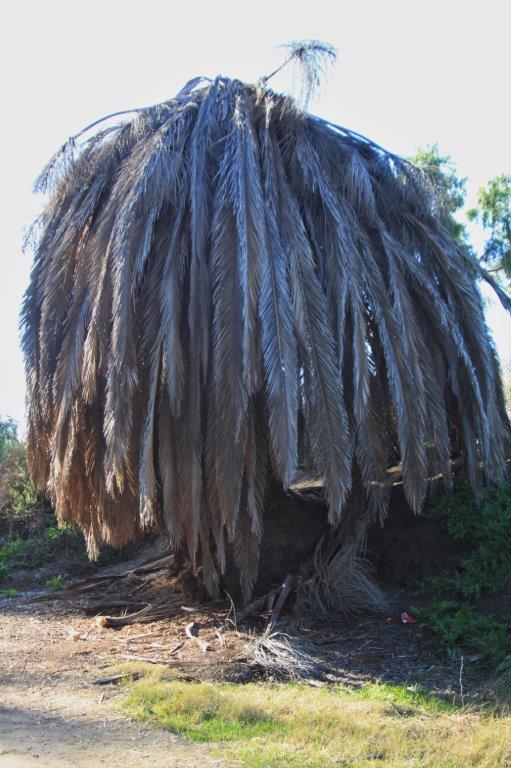
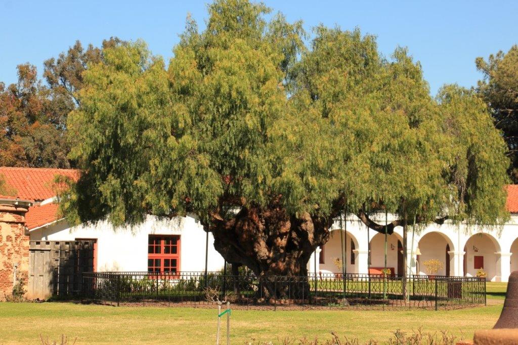
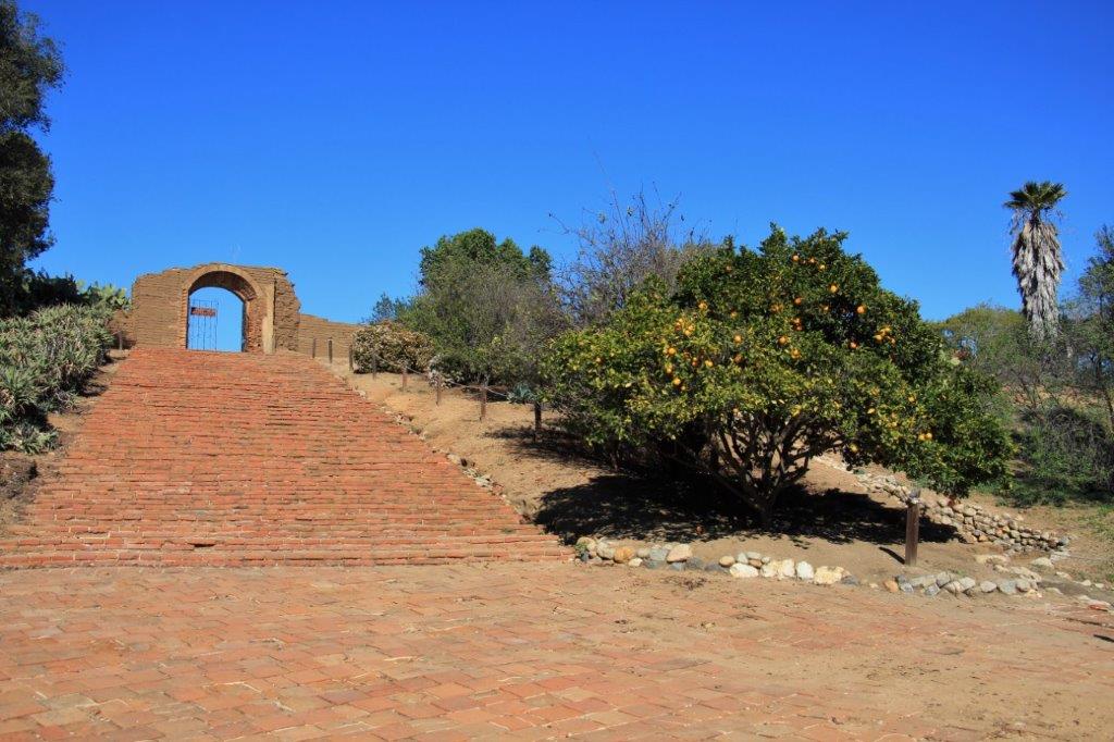
The oldest pepper tree in California viewed through the original carriage gate.

IMG_5026 IMG_5027 IMG_5028 IMG_5029 IMG_5030 IMG_5065 IMG_5067 IMG_5068 IMG_5070 IMG_5071 IMG_5073 IMG_5075 IMG_5093 IMG_3878 (2)IMG_5100 IMG_5101 IMG_5102 IMG_5107

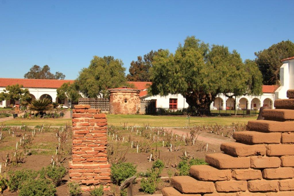
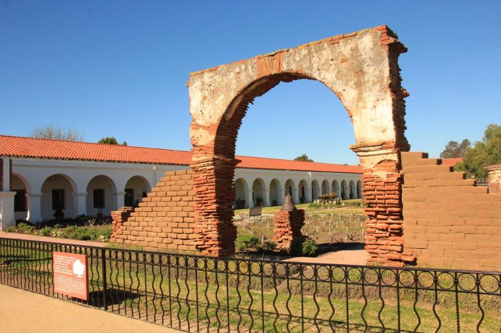
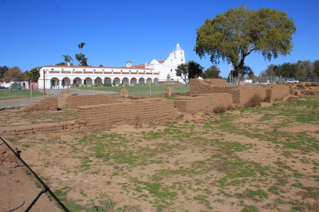
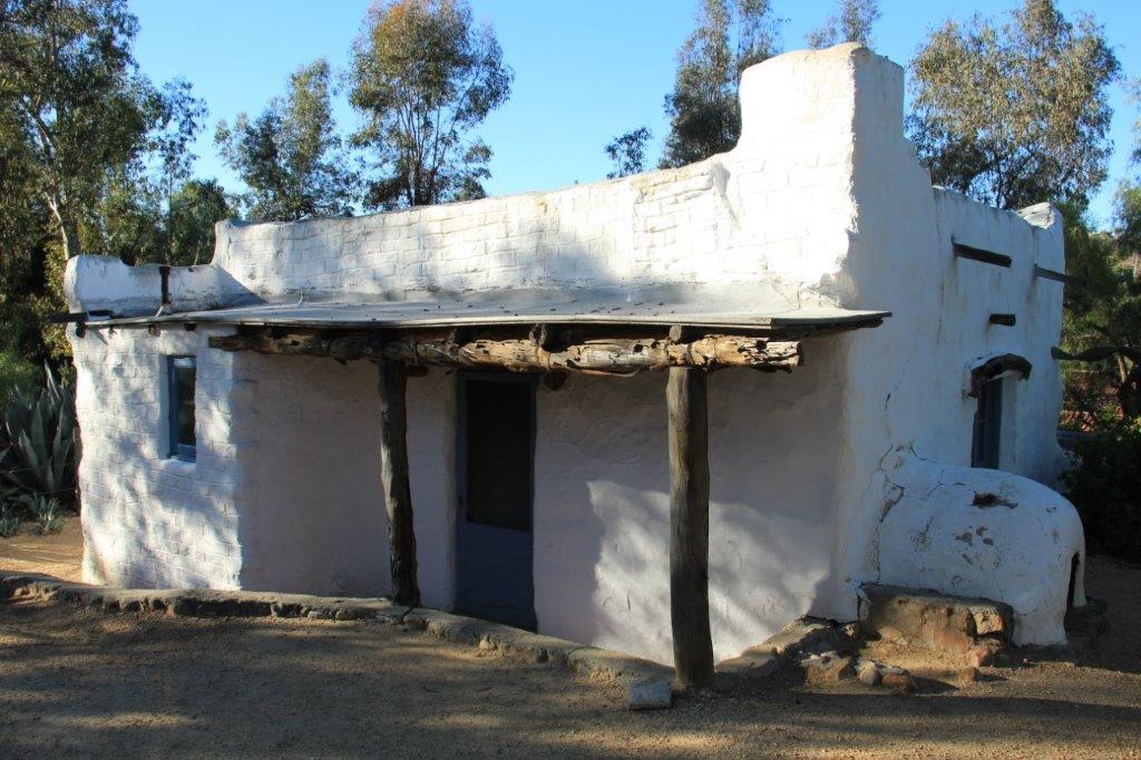
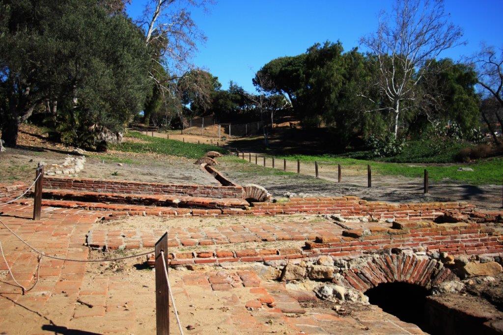
Ruins of the soldiers barracks.IMG_5110 IMG_5111 IMG_5113 IMG_5115 IMG_5117

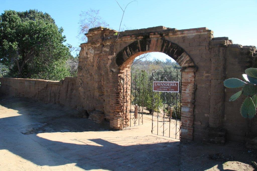
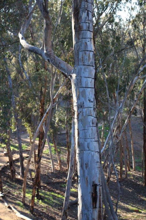
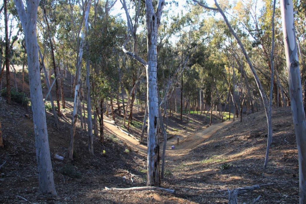
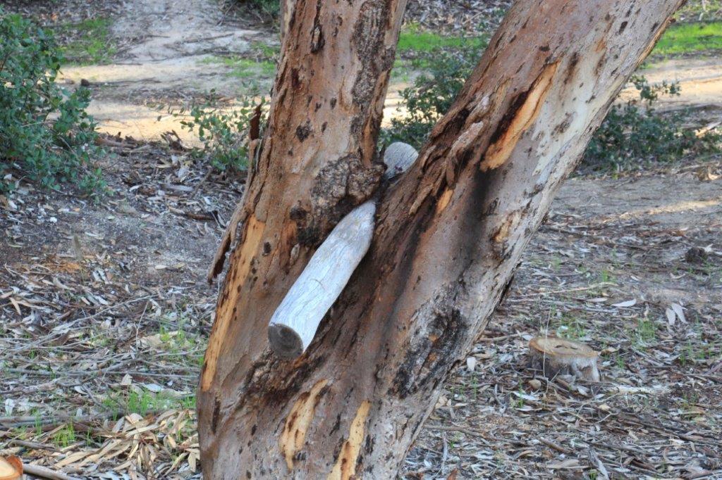
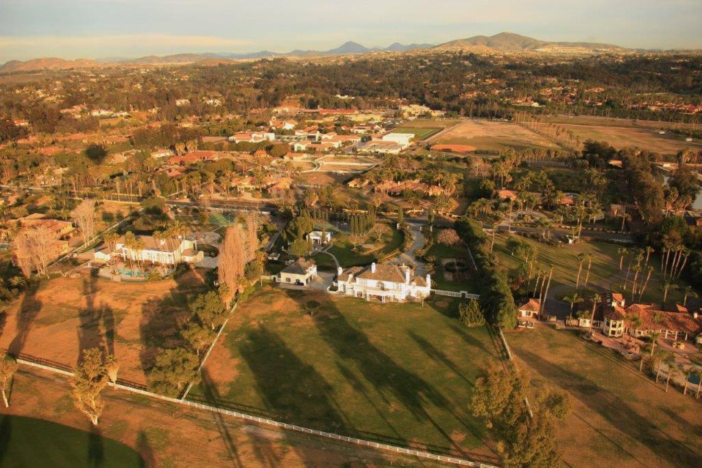
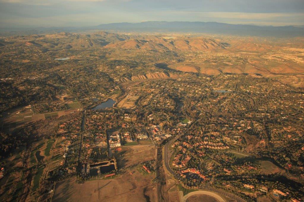
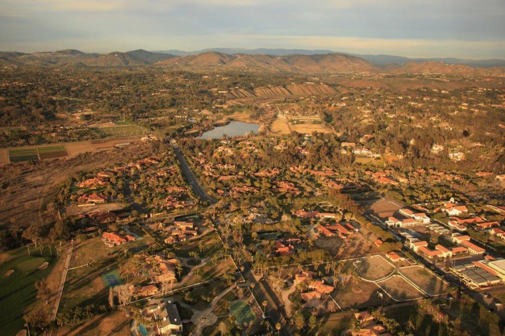
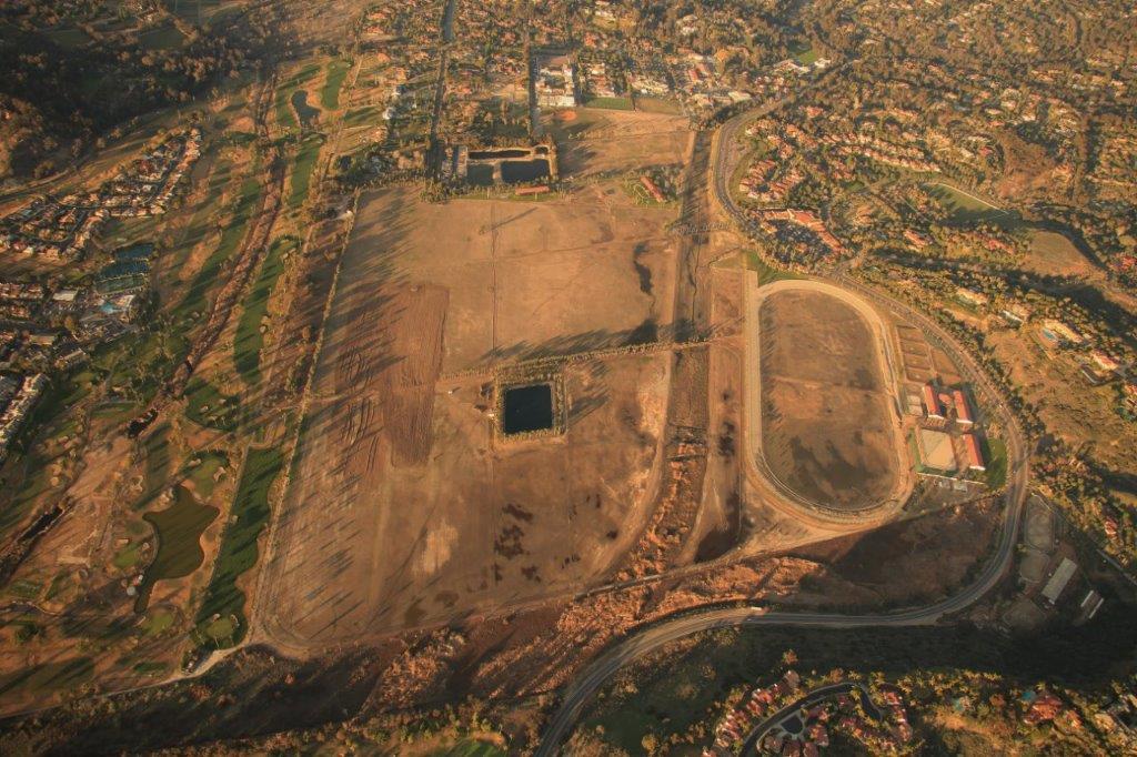
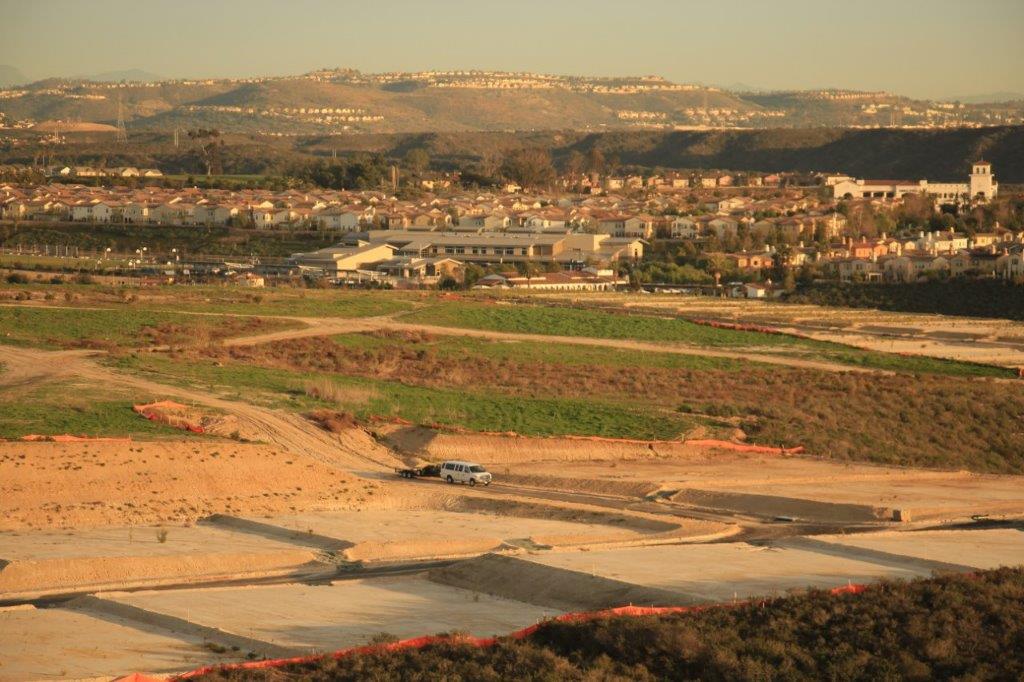
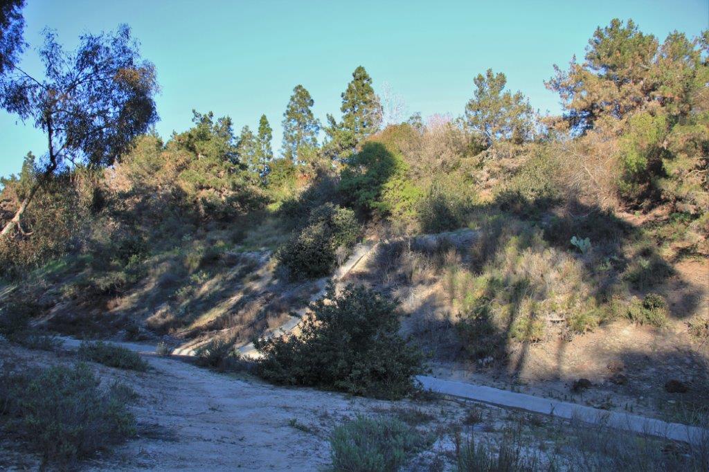
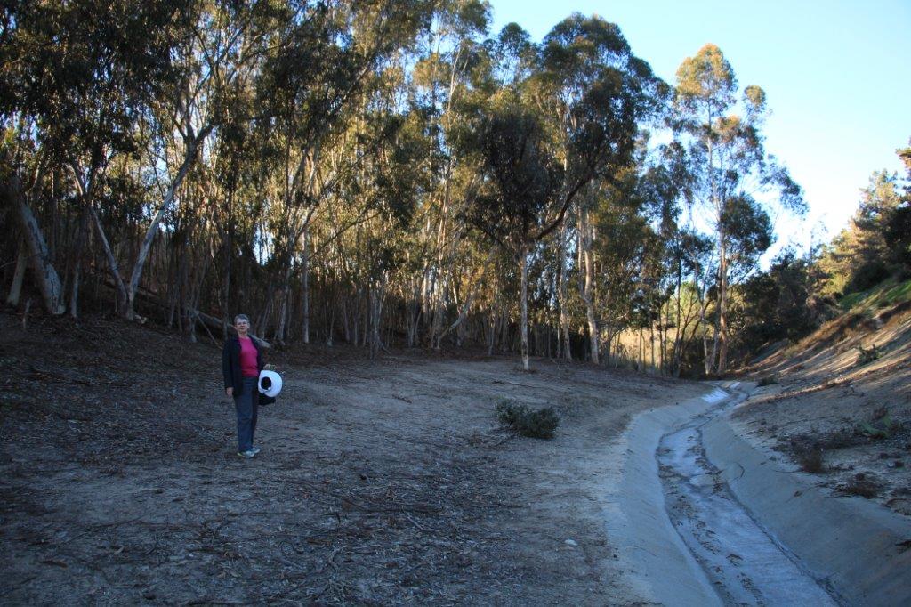
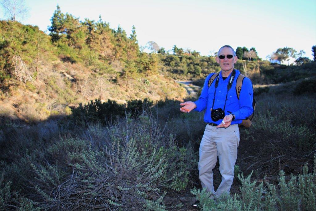
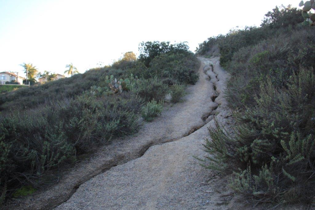
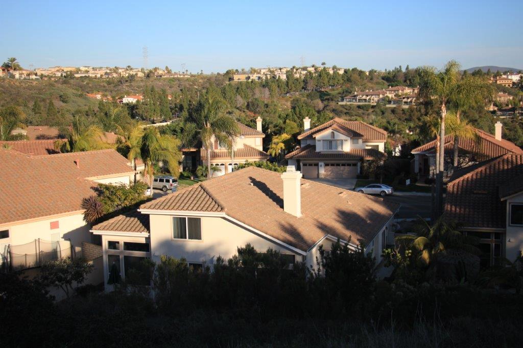
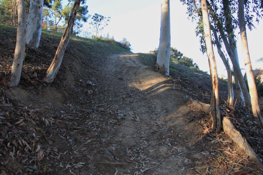
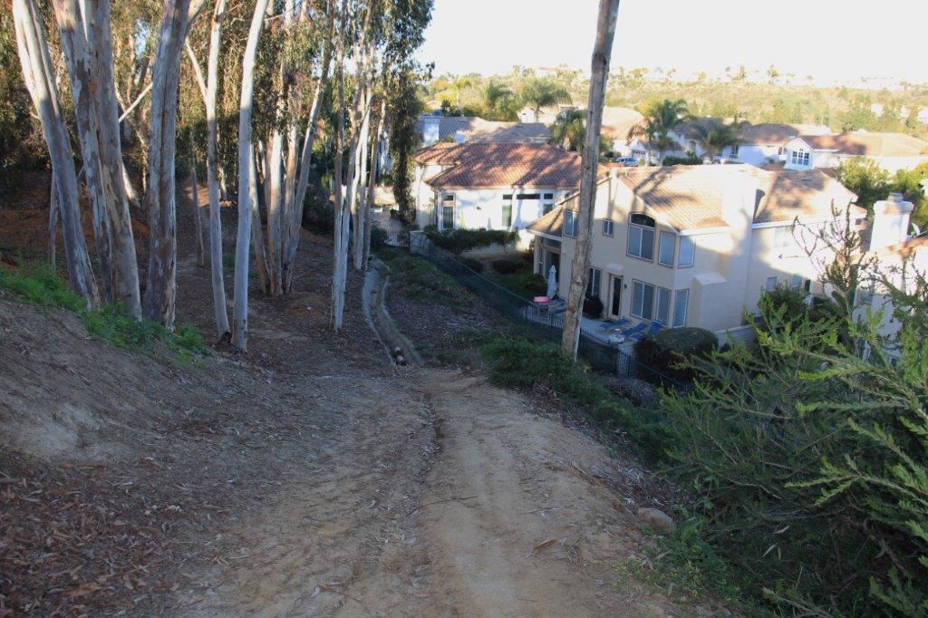
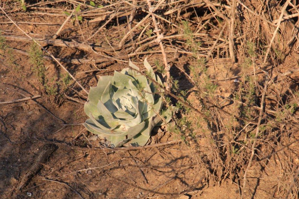
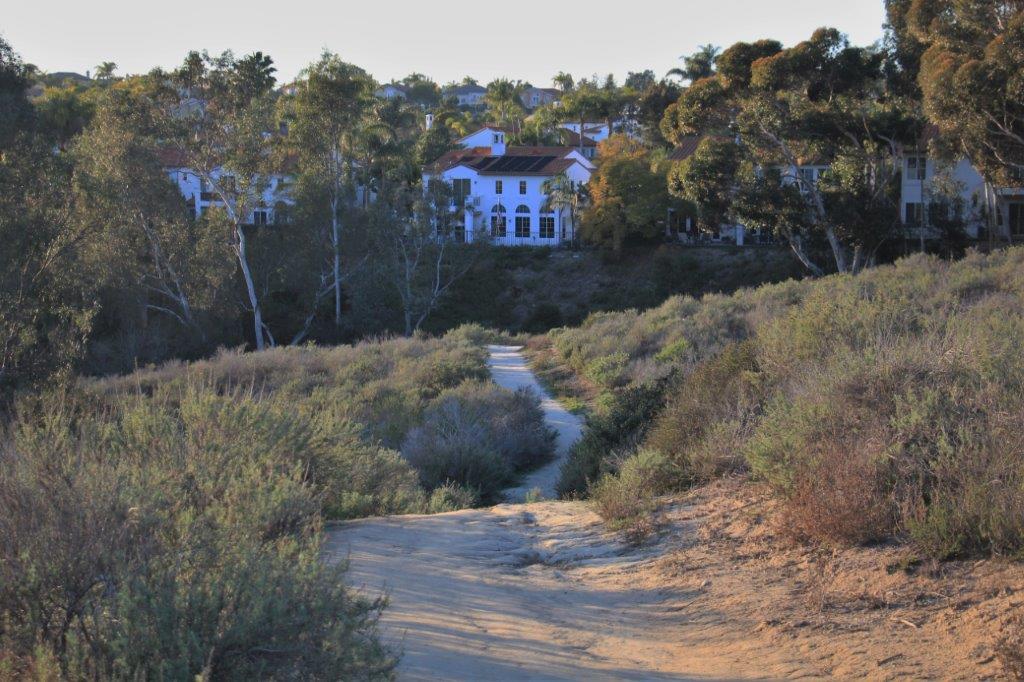
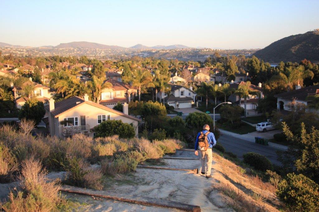
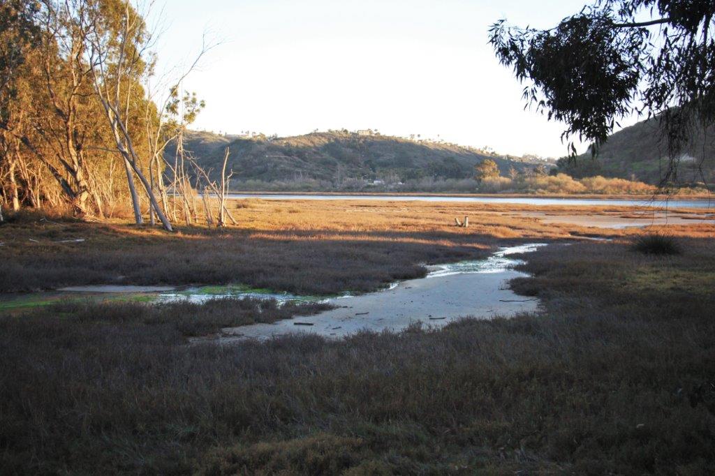
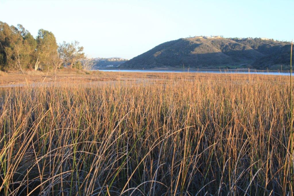
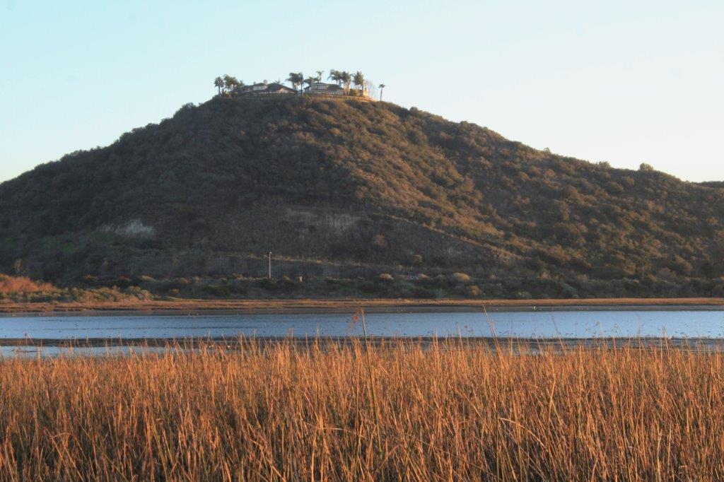
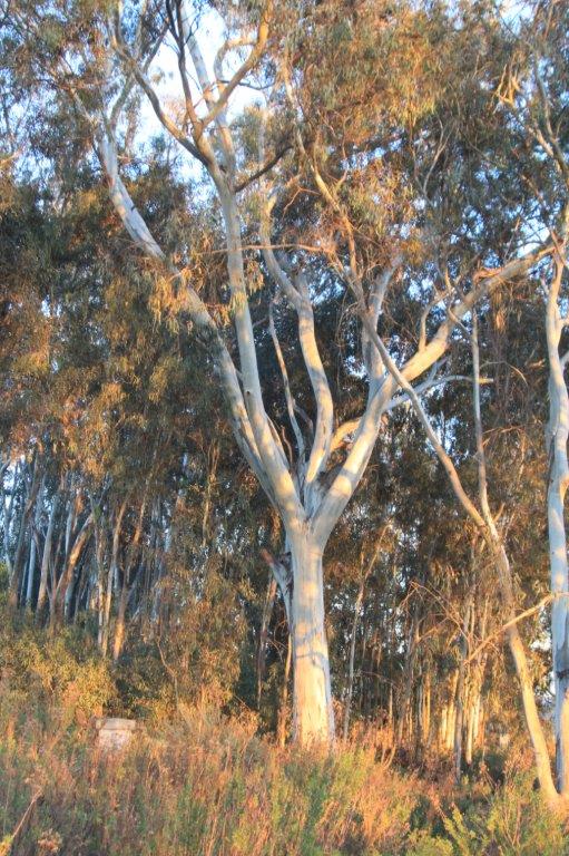
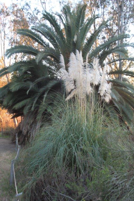
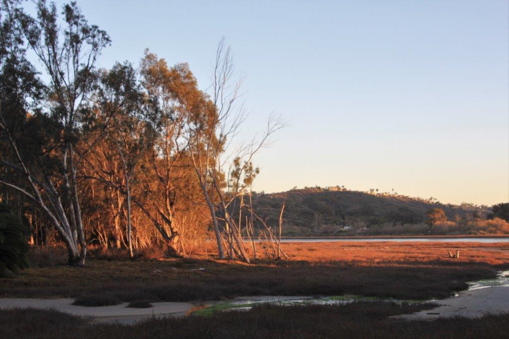
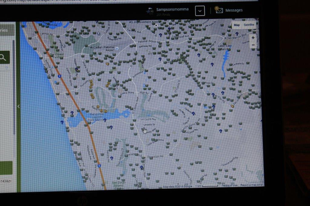
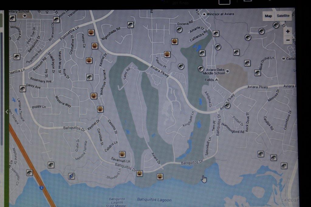
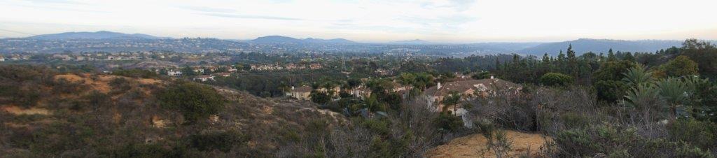
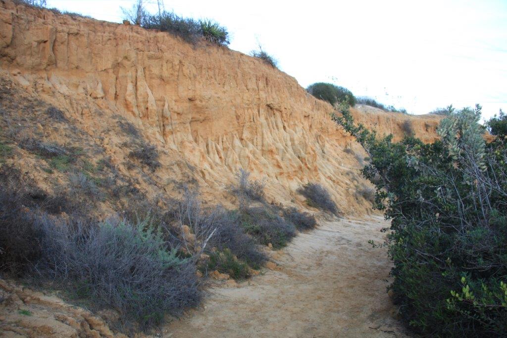
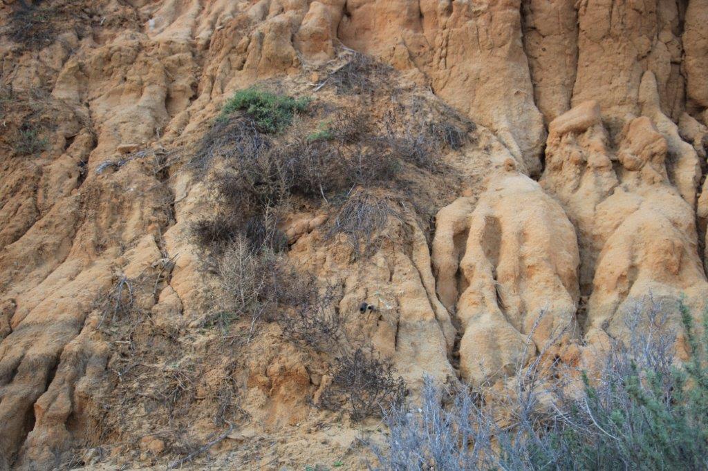
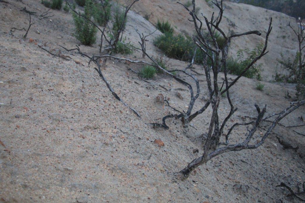
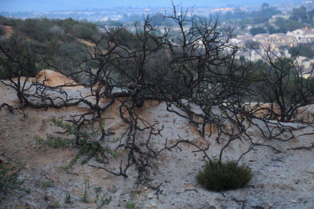
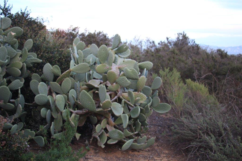
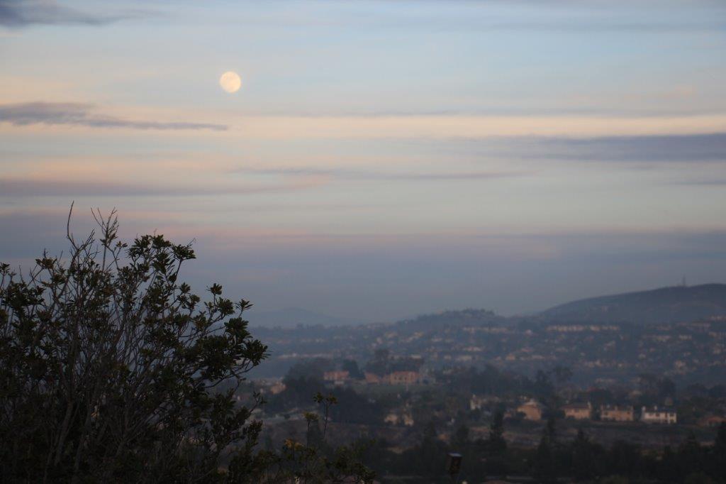
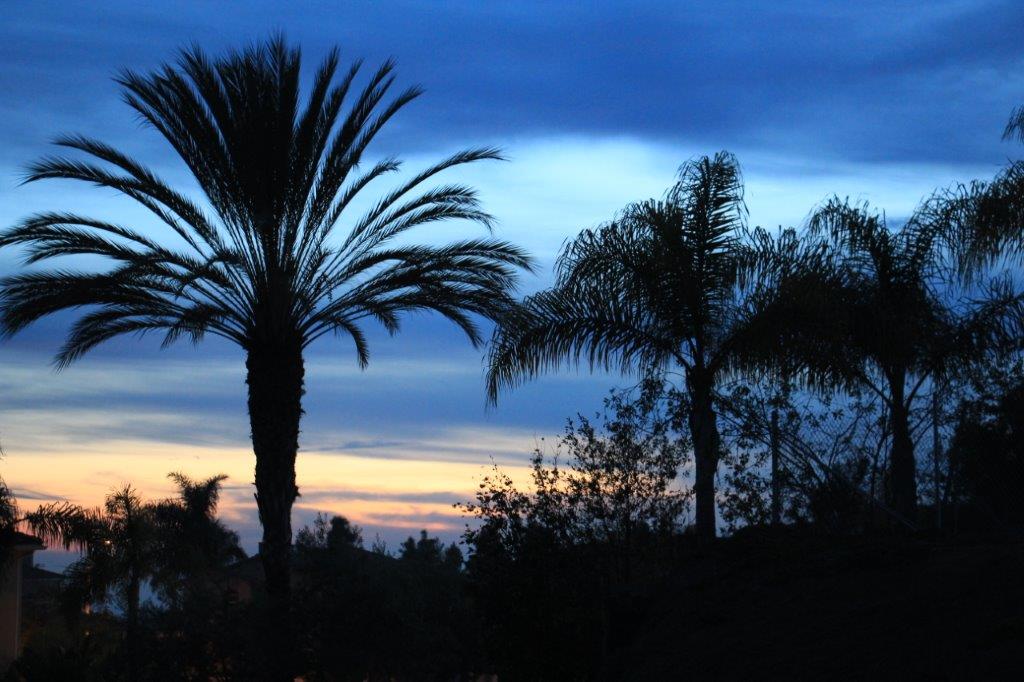
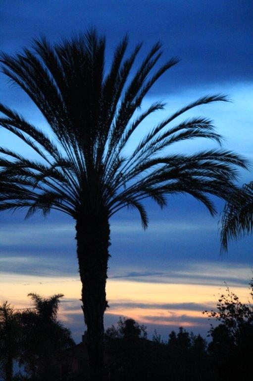
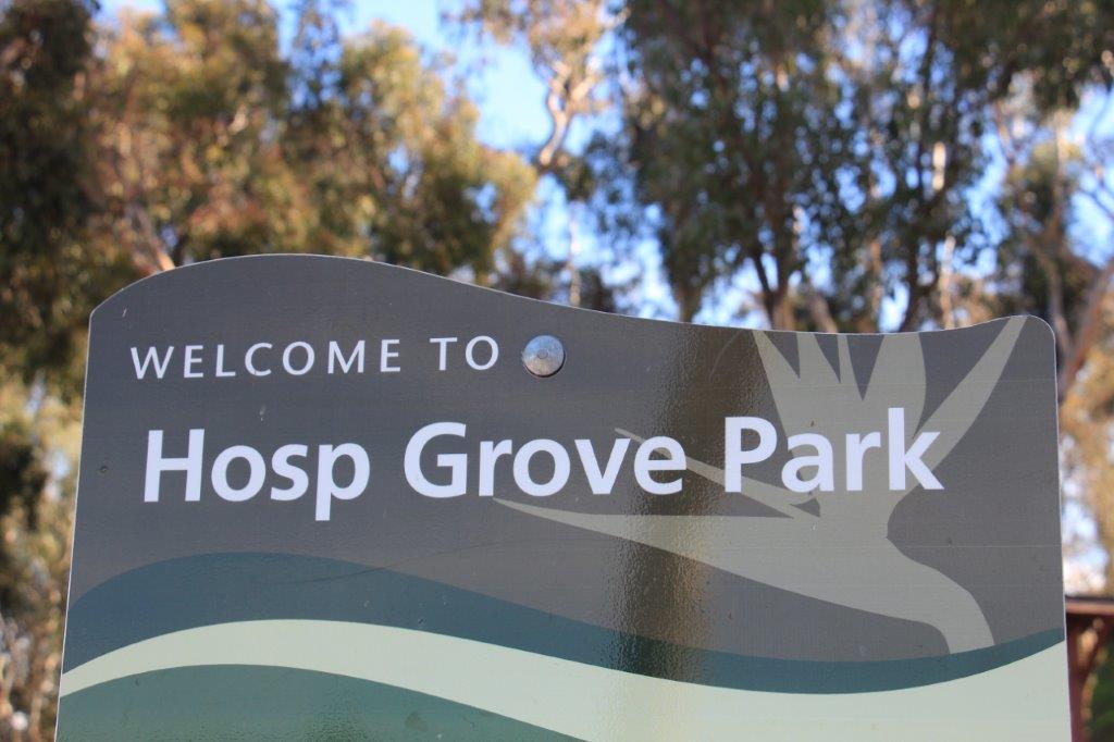
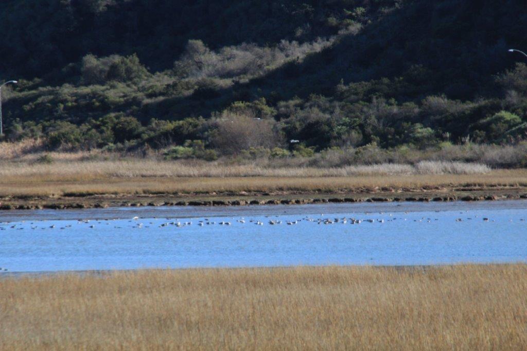
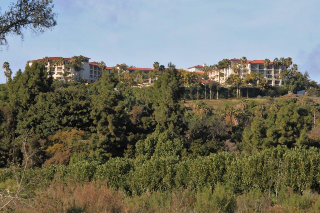
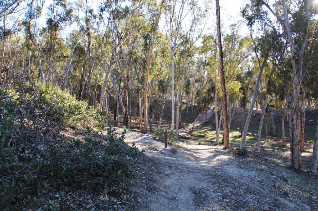
It was 1:30 when we left Mission San Luis Rey.  We had lunch and then drove back toward Carlsbad along the El Camino Real road.  One of the intersecting roads is Marron on which is the entrance to the eastern half of Hosp Grove Park.  Since it was still early we pulled in and went geo-cache hunting.  There were four caches hidden here and we found them all.  This part of the park is much larger than the side we explored before so it was after 4 pm when we got back to the truck.  We called it a day and headed back to the condo.

IMG_5136 IMG_5139 IMG_5140
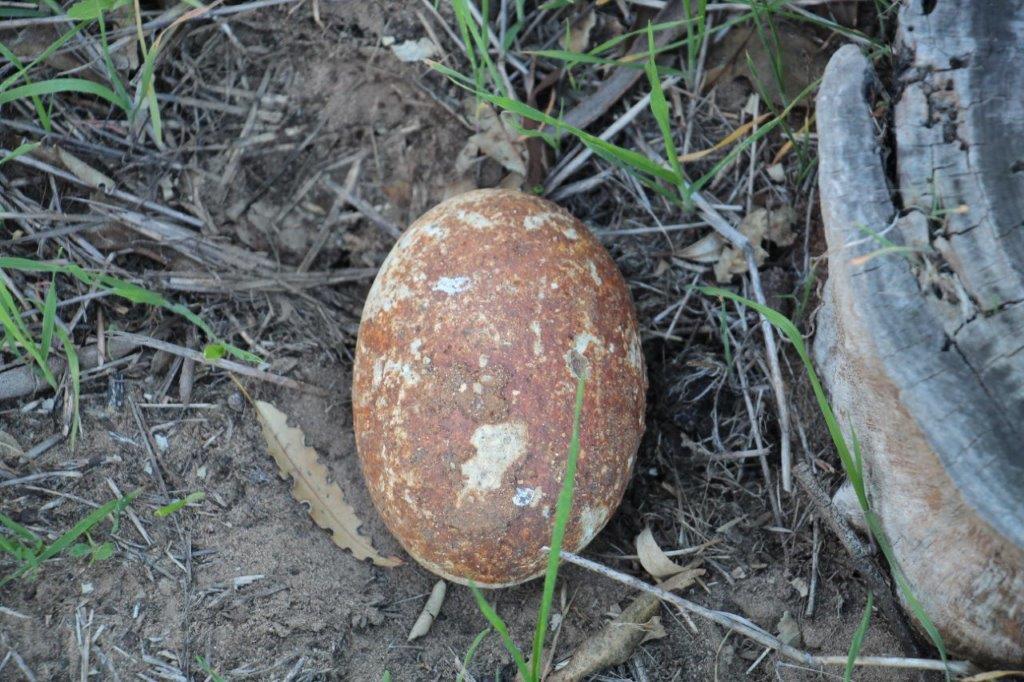
This large very smoothly round rock looked like an egg. We also found a small one that I picked up to bring home for our great niece who loves rocks.

IMG_5143 IMG_5144 IMG_5146

2016 Jan 27 – Day 17 – California and Beyond

Day 17 – January 27 – Carlsbad, CA – Day 12

At the end of Monday’s blog I said tomorrow would be an awesome day and that we had PLANS.   Those plans were not the visit we made to the Leo Carrillo Ranch.  Tuesdays PLAN was changed due to 30 mph off-shore winds that cancelled our hot air balloon ride.  Thankfully the weather co-operated today and we soared into the sky!

Awesome, awesome day!  I have always wanted to take a balloon ride so I guess if I actually had a bucket list I would be able to cross that item off.

There were ten guests on the flight plus one crew and the pilot.  The basket will actually hold 14 guests but that would be a bit crowded.  With only ten we were two people to a section so we all had room to turn around and gawk in all directions.

IMG_4809IMG_4810A big fan blows air into the balloon once it is stretched out on the tarps.
IMG_4813IMG_4814IMG_4816IMG_4821 

If you need to straighten cables and such just walk right in.IMG_4822 When it is all ready the gas from the tanks in the basket are turned on and the hot air fills the balloon which causes it to rise.

IMG_4829IMG_4830IMG_4833 IMG_4836 IMG_4841And then the crew works like the dickens to make sure it doesn’t rise into the air until all the passengers get in the basket.

As our balloon was being filled another basket and guests arrived and began to prepare for their flight.  They followed several hundred yards behind and cruised to a landing just past our basket.

There is no door to enter the basket.  There are some holes in the sides where you place your feet to climb over the side and in.

We reached a maximum height of 3600′ on our ride and had great views.  The route took us over the swanky Del Mar area of the San Diego coast.  The largest house in the area is 56,000 sq. feet.  Many of those we flew over had to be 40,000 or so.  There were swimming pools and tennis courts galore, riding stables and jumping courses, putting greens and massive landscaped yards.  What a person needs all that square footage for I can’t fathom.  Unless they are entertaining they probably live in about 4 of the rooms.

IMG_4844The first building we flew over was this school.  All the kids yelled hello and waved.

IMG_4845IMG_4846

We startled a small herd of deer.

IMG_4848 IMG_4851

IMG_4852 IMG_4853IMG_4855IMG_4856IMG_4858IMG_4875IMG_4870IMG_4871

IMG_4860 IMG_4865 IMG_4873 IMG_4876 IMG_4878 IMG_4880 IMG_4881 IMG_4885 IMG_4886 IMG_4893 IMG_4894IMG_4897 IMG_4898IMG_4907IMG_4899

IMG_4916


This race track, stables and all the cleared land belongs to Bill Gates.IMG_4919


We are coming in for a landing and here comes our chase vehicle and crew.IMG_4920 While the crew member that rode with us and the two from the chase vehicle gathered up the balloon and the tarps and put it all into big bags Jeff, our pilot, told us a brief history of ballooning.

IMG_4925 IMG_4935IMG_4929IMG_4940 IMG_4943Two brothers in France in the early 1780’s noticed how smoke rose into the air and drifted away.  They decided to build a balloon that utilized this hot air and become the first people to fly.  After much experimenting with small ones they made a balloon large enough to hold people.  Not sure what would happen to the human body once it became airborne they sent a rooster, a duck and a sheep aloft.

As the smoke-belching big balloon carrying unseen bleating, crowing and quacking critters flew across the countryside and descended to the ground the local peasants, thinking it was some type of new warfare or a satanic apparition, attacked it.

News of this successful venture soon made its way to the court of  King Louis XVI  and a demonstration flight was arranged.  It was witnessed by the King, Marie Antoinette and 130,000 spectators. The balloon with the animals inside flew two miles and landed safely.

It was suggested that prisoners from the Bastille would be good human guinea pigs since if they came to harm or were killed it was no loss. The king would not let Joseph-Michel and Jacques-Etienne Montgolfier (the inventors) ride so their knowledge would not be lost in the event of an accident.  On November 21, 1783 a chemisty/physics teacher and a military court officer petitioned the king to be allowed to go.  The teacher made the first flight alone and stayed aloft 4 minutes.  When the two men went they travelelled 5 1/2 miles and flew for 25 minutes.

The legend is that the king, when he heard about all the ruckus created by local people attacking the balloons that held the animals gave the Montgolfier brothers bottles of champagne to be carried by balloonists.  When they landed they would be able to prove they were French and friendly by offering some good French champagne to any of the people that came to see the balloon land. The tradition is carried on to this day and we were given champagne at the end of our flight as the fellows packed up.  The champagne is accompanied by the following toast:

“The winds have welcomed you with softness, the sun has blessed you with its warm hands.  You have flown so high and so well that God has joined you in your laughter and set you gently back into the loving arms of mother earth.”

IMG_4941The sun set as we drank our champagne.  How perfect a day was that!?

IMG_4958IMG_4962IMG_4965 IMG_4973IMG_4978

2016 Jan 26 – Day 16 – California and Beyond

Day 16 – January 26 – Carlsbad, CA – Day 11

Every once in awhile you have a day that brings back fond childhood memories.  Today was a such a day.

This afternoon we drove to the Flying LC Ranch, once owned by Broadway/Movie actor Leo Carrillo.  The Flying LC is registered as a Designated California Historic Landmark and is on the National Register of Historic Places.

In 1937 Leo Carrillo purchased 1,700 acres of an old homestead property and began restoration work to create a place of retreat from the Hollywood hustle and bustle that also connected with the proud memories of his past and honoured the history of the land and previous owner’s lifestyle.  Two years later he bought a further 838 acres.

Over the years, after Leo and his wife passed away, their daughter sold parcels of the land for local development.  The final ten and half acres containing the hacienda and ranch buildings was gifted to the City of Carlsbad for a park.  The city subsequently purchased a further 17 acres, did extensive renovations to structurally and historically protect the buildings and opened the Leo Carillo Ranch Historic Park in 2003.

IMG_4699 IMG_4710 IMG_4714 IMG_4700So….you ask, what does all this have to do with my childhood?

After a lengthy and successful career on Broadway and making 90 films Leo Carrillo, at the age of 70 was cast as Pancho, the sidekick to the Cisco Kid in the first children’s colour TV series.  I loved to watch the Cisco Kid.  Anything about cowboys and horses was right up my alley.  We watched a short ‘background’ film when we arrived at the ranch and on it was a clip from one of the episodes that I clearly remembered seeing on the TV.  During each episode there was always a moment when Pancho would say “Oh-h-h Cee-sco-o-o” and Cisco would respond, “Oh-h-h Pan-n-cho.”  To see the actors performing such an iconic scene was very nostalgic and heartwarming.

IMG_4697 IMG_4698The ranch was called Rancho de los Quiotes (Ranch of the Spanish Daggers – a common name for the agave plant that grows extensively in the area) and the Flying C brand became known all over the state of Californina.  It became a full working ranch with over 600 head of cattle, dozens of horses, chickens, pigs, etc. and crops of corn, beans, avocado, citrus and wheat, oats and barley.  Peafowl also wandered the property and there were peacocks and peahens freely walking around even today.

We spent the afternoon wandering around checking out all the buildings and outdoor spaces.  Unfortunately the inside of the hacienda is only open on weekends but we peeked in a few windows as we were able.  The L-shaped house wasn’t all that large but Leo and Deedie held many gatherings at the ranch.  The large outdoor patios and BBQ spaces, along with the swimming pool, would have adequately met their entertainment needs.

IMG_4701 IMG_4707 IMG_4708 IMG_4709 IMG_4712 IMG_4715 IMG_4717

IMG_4718 IMG_4719 IMG_4720 IMG_4721 IMG_4722 IMG_4723 IMG_4725 IMG_4739 IMG_4740 IMG_4743 IMG_4744 IMG_4747 IMG_4750 IMG_4751 IMG_4756Leo wife’s Edith (Deedie) was not as social as Leo and sometimes needed some ‘away’ time.  Leo had a small house built up on a hillside so she could retreat and work on her art projects in peace and quiet.

IMG_4726 IMG_4733IMG_4732 IMG_4729 IMG_4737We had finished walking around and were heading in the general direction of the parking lot when I decided to check my phone and see if there were any geo-caches hidden at the park.  Lo and behold, yes there were.  There were four of them.  Unfortunately our phones wouldn’t download the details of the caches but our compasses worked and we were able to locate three of the four. We think we know now where the fourth one was hidden so we may just go back over that way one day and see if we can find it.

IMG_4762 IMG_4768 IMG_4778 IMG_4779 IMG_4784 IMG_4785 IMG_4790 IMG_4791 IMG_4798 It was really fun to spend time at the favoured home of one of the remembered TV characters from my childhood.  The sun shone all day, the temperature was nicely comfortable and we walked along nice pathways with interesting visual and historic buildings.  To find some caches just iced the cake.

IMG_4800

2016 Jan 25 – Day 15 – California and Beyond

Day 15 – January 25 – Carlsbad, CA – Day 10

One of the things I find enjoyable about geo-caching is the unknown.  We look on the geo-cache map and if there is a series of caches in a row we go see if we can find them.  You never know what kind of terrain you will be in or what you may see along the way.

Today we decided to see how many we could find along a path that appeared to go from Poinsettia Lane down the hillside to Batiquitos Drive.  Poinsettia Lane is about two kilometers from the condo and the trail, which we found out was called Eucalyptus Grove Trail, was another two kilometers down to Batiquitos.  The entrance road to the resort complex is off Batiquitos Drive and then we had to climb a last kilometer back to our condo.  So, we got some exercise today.

IMG_4626

We finished the puzzle last night.IMG_4627

I love how this ivy is growing like a flag banner on the wall.

We walked from the condo through the resort to the Aviara Parkway and folllowed it to Poinsettia Lane.  The first geo-cache was, according to the co-ordinates, straight down a steep embankment just off the roadway.  We walked up and down in each direction trying to find a trailhead without success.  While I was searching along the side of the road John clambered down the bank and looked for the cache.  A few minutes later he called up that he had found it.

Since I had not found an access to the trail I, too clambered down the embankment.  Once we had signed the log and logged the find we also found a trail.

IMG_4634 The Aviara Parkway is just beyond the trees at the top of the bank.

IMG_4633The caches were hidden along the trail about 150-200 meters apart.  It took us  two hours to walk all the way to Batiquitos Drive at the bottom.  We found all of them but one and we could have found it but our presence was annoying a couple of dogs in a yard below the trail so we decided to leave it.

IMG_4637IMG_4635 IMG_4643IMG_4644

We go down and then back up again.IMG_4646IMG_4654

We saw this interesting formation along the way.IMG_4656IMG_4657IMG_4658When we arrived at the bottom of the trail and Batiquitos Drive we were right across the road from the trail beside the lagoon that we had walked last week.  We decided to walk that way back as far as the Aviara Golf Club which is only a corner away from the entrance drive of the resort complex.

IMG_4660 IMG_4663IMG_4664IMG_4676 IMG_4674 IMG_4669IMG_4689The sun was setting as we turned the last corner to the driveway and home again.

                                                                                                        This is a small portion of the geo-cache map for the Carlsbad area.IMG_4693You can see our successful finds by following the smiley faces.IMG_4694It was a good day.  And tomorrow will be an awesome one.  We have PLANS.

2016 Jan 23 & 24 – Days 13 & 14 – California and Beyond

Days 13 & 14 – January 23 & 24 – Carlsbad, CA – Days 8 & 9

On Saturday the 23rd we drove north to the West Bistro restaurant, 15 minutes from our condo, and met our friends Charles and Evelyn who live in Westminster, CA in southwest LA. We met Charles and Evelyn in 2009 when they were seated at our table in the ship’s dining room for the World Cruise.

In early January 2009 we had flown to Fort Lauderdale, FL and boarded the Holland America ship MS Rotterdam to cruise through the Panama Canal and up to LA before the ship embarked on a 114-day cruise around the world.  The World Cruise that year began in Los Angeles and ended in New York City.  However, being somewhat OCD it did not compute with me to sail around the world by starting on one side of a continent and ending on the another.

The ship had been sailing a cruise route in the Caribbean and there was a ‘regular’ 14-day cruise to sail from Ft. Lauderdale, through the Panama and up to LA where the World Cruise officially started.  The second to last port of call at the end of the cruise was in Fort Lauderdale, so we added the 14-day Ft. Lauderdale to LA cruise onto our World Cruise and then got off in Ft. Lauderdale at the end and flew home again, thereby making an actual circumfrence of the globe.

Charles and Evelyn, since they live in the LA area, boarded the ship at the  beginning of the World Cruise.  We sat at the same table for almost 4 1/2 months with another couple from Florida. We all had a great time; lots of fun and laughter.  We met up with them again in 2012 when we both did the 67-day Grand Mediterranean cruise.

In January 2013  we drove down to Escondido, CA on one of our extended road trips and drove up the California coast from San Diego to LA and spent the night with Charles and Evelyn before driving over to the Grand Canyon and all the fabulous National Parks in southern Utah.

We had a two-hour lunch at the bistro and then they followed us back to the Four Seasons Aviara to check out our digs and continue our visit.

IMG_4610After Charles and Evelyn left to drive home John and I spent the rest of the afternoon working on the jigsaw puzzle. We only need to complete the head, legs and upper body of the Chocolate Lab whose outline forms the puzzle and it will be finished.

IMG_4617John had done an internet search and located Christ Presbyterian Church in the La Costa area of Carlsbad.  It was only a 15 minute drive from our resort. They have three services at Christ Presbyterian; a contemporary service at 9, a traditional service at 11 and a Korean congregation uses the building from 1-4.

CPC has an extensive child and youth program with Sunday School for all ages as well as weekday bible studies and fellowship groups. Between the contemporary and traditional services an open coffee bar is set up on the patio located between the church building and the fellowship/Sunday School building.

IMG_4614 IMG_4612 IMG_4611The minister has only been with the congregation for a year after having spent 23 years ministering in a congregation in Chicago.  Last January he challenged the members of the congregation to chose “one word” to be their spiritual focus during 2015.  In his sermon this morning he talked about how he put his word – embrace – into practice last year and shared some of the other words chosen by members and how they used their words for ministry or spiritual growth.

(All of the words chosen by people in 2015 were incorporated into this image in the bulletin. The largest words were chosen by the most people.)IMG_4621Next Sunday he will reveal his ‘one word’ for 2016 and the people have again been challenged to chose a word or short phrase for themselves for the year.  The object is to write out your word and post it on your fridge, your computer, your mirror – somewhere you will see it regularly and then direct the aspects of your life to utilize the word for the Lord.  I think it is a really good concept.  Even if you are not a person who attends a church it would be a good focus point for an area or aspect of your life where you would like to have improvement .  What would be your word for 2016?

2016 Jan 22 – Day 12 – California and Beyond

Day 12 – January 22 – Carlsbad, CA – Day 7

When one wants to sit in the sunshine and read one’s book and the deck off the livingroom is in the shade, one must move to the bedroom deck and find the unshaded space. Ya gotta’ do what ya gotta’ do.

IMG_4541IMG_4539

Meanwhile I was hard at work on the Loveable Labs puzzle.IMG_4606An unanticpated urge for some exercise had us leaving the condo at four o’clock.  We had noticed on the geo-cache map that there were several caches in a row just off the Aviara Parkway; which is a main road that runs along the top end of the resort.  We walked up the hill to the Parkway only to discover that the caches appeared to be inside a gated community.

We decided to walk up the road  aways and see if there was another access.  Just across the street there was a steep stairway going up the bank. At the top was one of the many trails in the area. We took note of the warning sign and, remaining mostly on the main path, we set out to find the caches.

IMG_4557 IMG_4542The view at the top of the first point was pretty nice even with the evening smog rolling in.

IMG_4543We were only able to find two of the four caches that were hidden along this trail.  For the two we were unable to find there were a lot of DNFs (Did Not Find) posted on the geo-cache log site so we think they have been muggled (picked up by non-geo-cache folks – credit to J.K. Rowling for the word) or moved, or perhaps buried under some hydro-seeding that has taken place here recently.

IMG_4551IMG_4554IMG_4553IMG_4566There had obviously been a fire in the area as there were many gnarly, blackened shrubs and bushes.

IMG_4577 IMG_4579 IMG_4581 IMG_4586 IMG_4564 IMG_4563We walked to the end of the trail and used the geo-cache maps on our phones to find the route back to the condo.  We travelled a nice loop actually and had a good walk.

As is usual for me I had to take photos of some pretty flowers along the way.

IMG_4558 As I was taking a picture of this flower the driver of a truck that had just come out of a nearby storage yard pulled over and asked me if I knew the name of the plant.  When I said no he told me it was called a Lemonade Plant as the Indians used it to make a lemonade-like drink.  
IMG_4587  IMG_4588 IMG_4590 IMG_4593 IMG_4596By the time we were almost home the sun had set and it was getting dark.  This did create some nice silhouettes of the palm trees though.

IMG_4598IMG_4600It didn’t take us long to chop some veggies, dice some chicken and make a yummy stir-fry for dinner.

IMG_4609

2016 Jan 21 – Day 11 – California and Beyond

Day 11 – January 21 – Carlsbad, CA – Day 6

We left the condo at 11 to allow housekeeping to come in and do their thing.  We drove over to Hosp Grove Park where, I had read, you could wander around on the many trails and have a panoramic view from the top of the hill.

When we parked the truck in the parking lot we saw a sign pointing the way to the Buena Vista Lagoon Ecological Reserve and decided to cross the road and take a look.  We wandered up and down the only pathway we could find and realized the entire small wetland was fenced to protect the birds and plants from humans.  Fair enough.

IMG_4535 IMG_4537 IMG_4538We wanted to check for some geo-caches while we were at Hosp Grove but for some reason neither of our phones would load them.  Oh well, another day I guess. We walked along several trails and never did find one leading to a place with  a nice view; there were always tall eucalyptus trees in the way.

On the way back to the truck I saw a brochure for the park lying on the ground.  Turns out there are two sections to Hosp Grove Park.  I don’t know if the view was visible from the other part or not. We may come back and explore again.

The smog from LA rolled in while we were at Hosp Grove so the stop to watch the surfers and the beachcombers on the way back to the condo was also delayed until another a day.

Hosp Grove Park, by the way, was the first park in Carlsbad to have its trails created by volunteers.  The grove was created in 1908 by a nurseryman named F. P. Hosp who, along with some investors, planned to plant 219 acres of  eucalyptus trees to harvest for railway ties for the every-expanding-westward railways.  After they had planted 40,000 trees they learned that the wood of the eucalyptus – a fast growing, drought-tolerant tree – was not suitable for railway ties. Oops.

Over the years portions of the original acreage were sold for residential development.  In 1986 the City of Carlsbad purchased the remaining 53 acres for the city park and trail system.

Thus concludeth our excursion for the day.

2016 Jan 20 – Day 10 – California and Beyond

IMG_4533Day 10 – Jan 20 – Carlsbad, CA – Day 5

Today was a half-do-nothing-day and a half-do-something-day.

As usual we took our time over breakfast and worked on the puzzle a bit, played computer games a bit and generally did nothing for a bit.

Somewhere around noon we decided to go for a walk down to the marsh we had been told about.  We knew the middle of the day would not be the best time to see many birds but we figured we would enjoy the walk and perhaps find the two geo-caches that were hidden along the pathway.

IMG_4496

IMG_4502 IMG_4501

IMG_4506 IMG_4509

IMG_4505


This palm needs a frond cut.


We were correct in thinking we wouldn’t see many birds.  We could hear some little ones chirping in the eucalyptus and acacia trees but we couldn’t see them.  There was some waterfowl paddling in the lagoon but we were not close enough to try identify them either; not that we know the names of a lot of bird species.

Nor do we know the names of hundreds of flower species, but I always enjoy taking photos of flowers.  Flowers always remind me of my Daddy.  He loved to grow flowers and he loved to photograph flowers.  I don’t grow many  but I love flowers and I love to take their picture as well.

IMG_4493 IMG_4494 IMG_4520 IMG_4521

I don’t know what this plant is. It may be a camillia, but I am not sure.  The flower bud is the size of a small banana and the ‘fruit’ or seed is like a cone. IMG_4523 IMG_4526

This is the only one we saw open and it looks like it is on the far side of the bloom.IMG_4528 IMG_4531We did have success with our geo-caching and were able to locate both of the caches along the trail.  The Batiquitos Lagoon Ecological Reserve is a protected salt marsh.  According to the trail signs there are not many of this type of ecology left in California.

We could see the Park Hyatt Hotel up on the hill as we headed back along the road to the resort driveway.  This shows how farl I needed to climb to get home because our condo is further up the hill behind the hotel..IMG_4507It was a nice day for a walk; sunny and just warm enough to be comfortable.  We enjoyed the walk and will make the loop again while we are here.


2016 Jan 18 & 19 – Days 8 & 9 – California and Beyond

Days 8 & 9 – January 18 &19 –  Carlsbad, CA – Days 3 & 4

This is a short blog that contains nothing of interest.  We have done nothing the last two days but laze around the condo.

I have been working on the 750 piece jigsaw puzzle I brought with me.  I thought it wouldn’t be too hard. I was wrong.  It is a shaped puzzle so there is no straight border; the edge follows the outline of the dogs.  Also every piece is different and most pieces overlap two or more dogs, flowers, etc. so it has been taking a long time to get anything done.

IMG_4489 IMG_4491We didn’t even leave the condo yesterday. Today we connected with two couples that live in the LA area that we met on the World Cruise in ’09 and made arrangements to have lunch with them – Charles and Evelyn this Saturday and Bill and Lynn next Saturday. It will be really good to see them all again.  I sent them a copy of the resort map so they would know where to find us,

IMG_4467We walked down the hill to the Residence Check-in building to buy a stamp to send a sympathy card home.  The sun was setting as we walked down so it was quite nice.

IMG_4470IMG_4472This sculpture sits on the lawn just where you turn into the Residences Check-in.  The fellow is holding a copy of The Wall Street Journal in one hand and petting his dog with the other.  It is called, “Keeping in Touch.”

IMG_4479

IMG_4473 IMG_4480 IMG_4482We uploaded a bunch of geo-caches in the area. As a matter of fact there are a couple of them down in the marsh we plan to visit tomorrow. We will combine some sightseeing with bird-watching  and geo-caching.

So.  That’s about it folks.  I warned you there would be days like this.  And….I promise; there will be more of them during our three week stay.


2016 Jan 17 – Day 7 California and Beyond

Day 7 – January 17 – Carlsbad, CA – Day 2

We slept in, lingered over our coffee after breakfast, and played/read stuff on our laptops for awhile.  I checked the visa charges (ouch!  That Cdn/US dollar exchange is a killer right now!) and paid some bills.  Then we got energetic and went for a walk around the resort to see what was what.IMG_4444

Home – Unit 2115 is the door on the right inside the alcove.

IMG_4453There is a very nice swimming pool just up the road – the water was actually warm – with a hot tub and nearby shallow pool for little ones; and a coffee shop/bar if you want a drink.  In the same area is a large gas-fed fire pit for evenings.

IMG_4446IMG_4449IMG_4447IMG_4448IMG_4451The resort has three sections – The Summits; where our unit is, Osprey and Meadows.  We climbed the stairs from Summits to Osprey then wandered down the main road past the Park Hyatt Aviara  Hotel and almost to the Residences Check-in before turning around a walking back up the hill and home for some lunch.

IMG_4452 IMG_4455 IMG_4462 IMG_4460 IMG_4461 IMG_4463

The Park Hyatt Hotel sits up on the hillside.


We met another walker on the way up and she told us about a State Park marsh down by the golf course.  A staff member told us there are over 160 species of birds that winter here so we will take a walk all the way down and check it out someday.

I also overheard one of the check-in gals telling some people about some lava caves you can walk through that are not too far from here.  I will look into that as well.  We have been to Sea World in San Diego which is only about 40 miles south of us but I would like to go to the world famous San Diego Zoo.  See, we have lots of things to do!  But not today.

Besides, I have plans for this evening.

IMG_4465