Day 15 – January 25 – Carlsbad, CA – Day 10
One of the things I find enjoyable about geo-caching is the unknown. We look on the geo-cache map and if there is a series of caches in a row we go see if we can find them. You never know what kind of terrain you will be in or what you may see along the way.
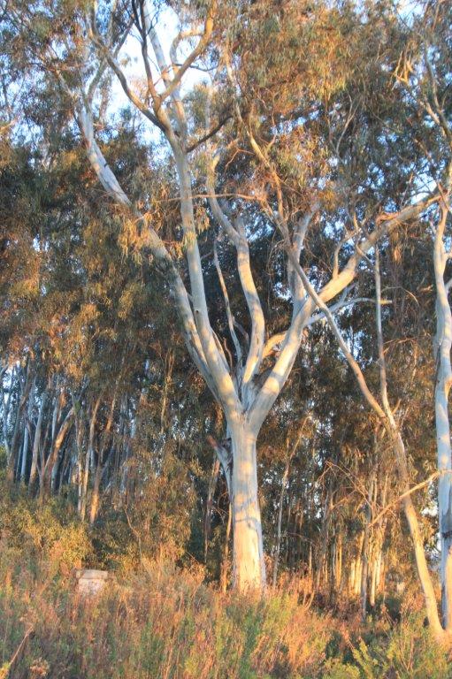
Today we decided to see how many we could find along a path that appeared to go from Poinsettia Lane down the hillside to Batiquitos Drive. Poinsettia Lane is about two kilometers from the condo and the trail, which we found out was called Eucalyptus Grove Trail, was another two kilometers down to Batiquitos. The entrance road to the resort complex is off Batiquitos Drive and then we had to climb a last kilometer back to our condo. So, we got some exercise today.

We finished the puzzle last night.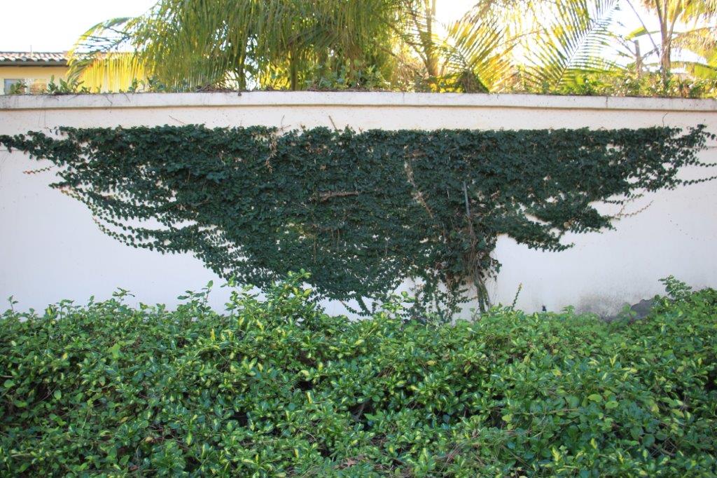
I love how this ivy is growing like a flag banner on the wall.
We walked from the condo through the resort to the Aviara Parkway and folllowed it to Poinsettia Lane. The first geo-cache was, according to the co-ordinates, straight down a steep embankment just off the roadway. We walked up and down in each direction trying to find a trailhead without success. While I was searching along the side of the road John clambered down the bank and looked for the cache. A few minutes later he called up that he had found it.
Since I had not found an access to the trail I, too clambered down the embankment. Once we had signed the log and logged the find we also found a trail.
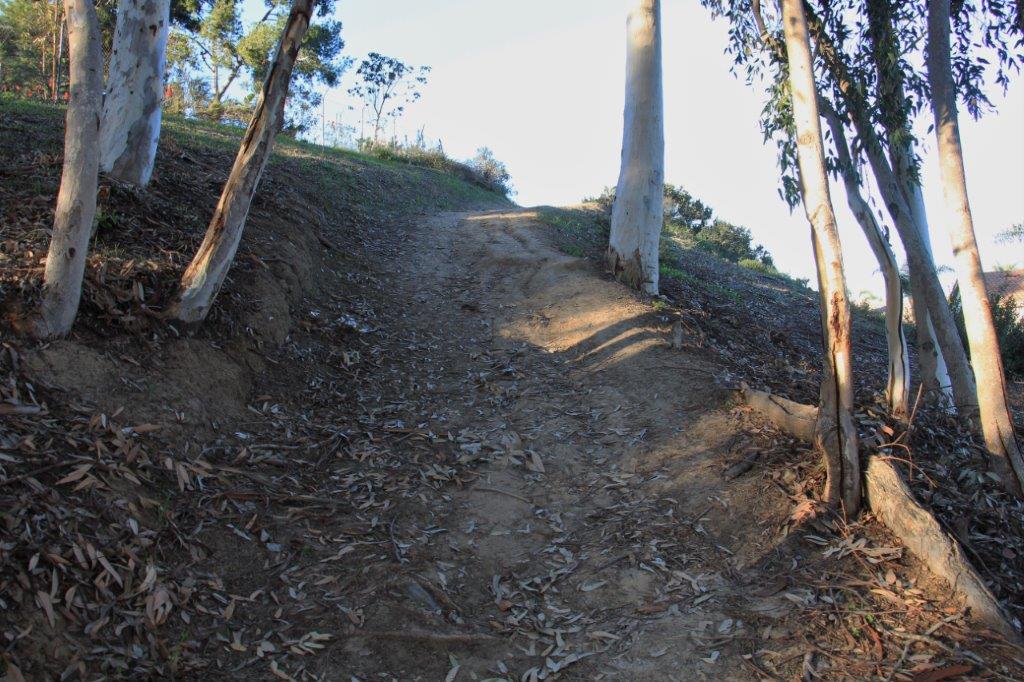
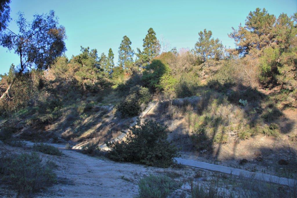 The Aviara Parkway is just beyond the trees at the top of the bank.
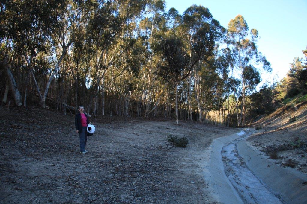 The caches were hidden along the trail about 150-200 meters apart. It took us two hours to walk all the way to Batiquitos Drive at the bottom. We found all of them but one and we could have found it but our presence was annoying a couple of dogs in a yard below the trail so we decided to leave it.
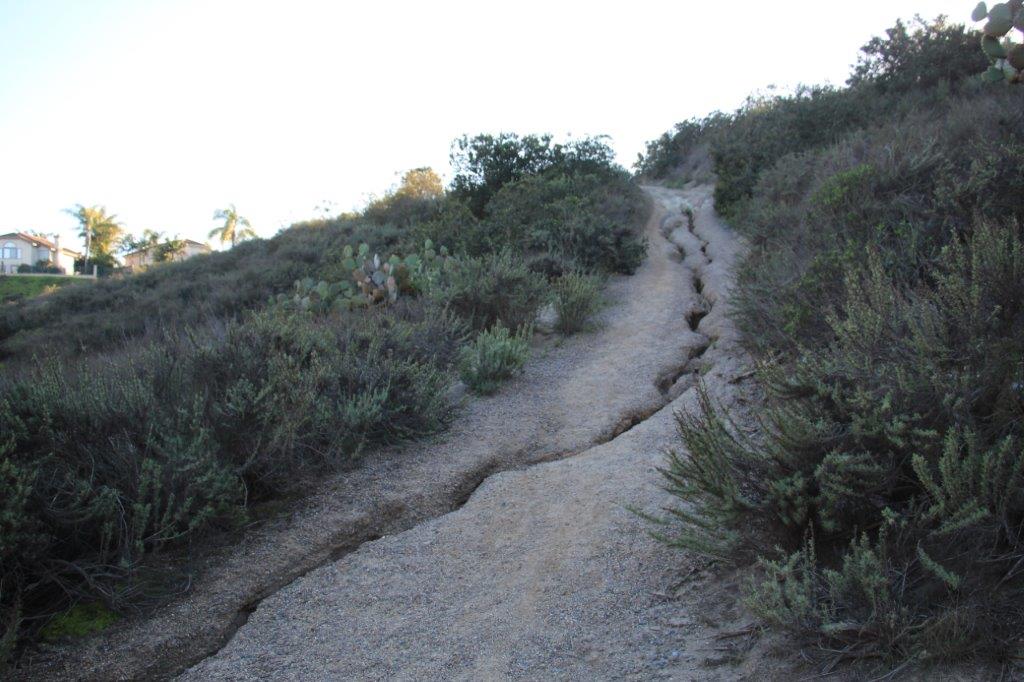
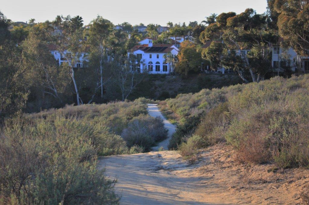
We go down and then back up again.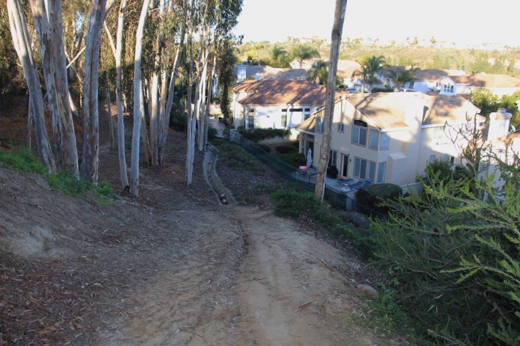

We saw this interesting formation along the way.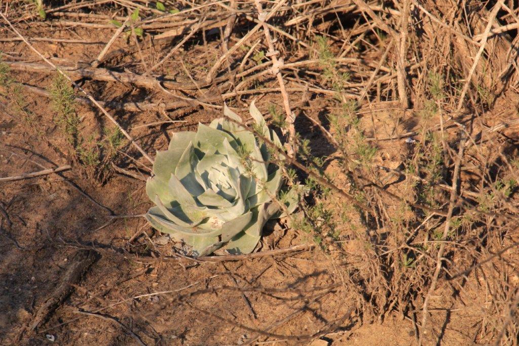
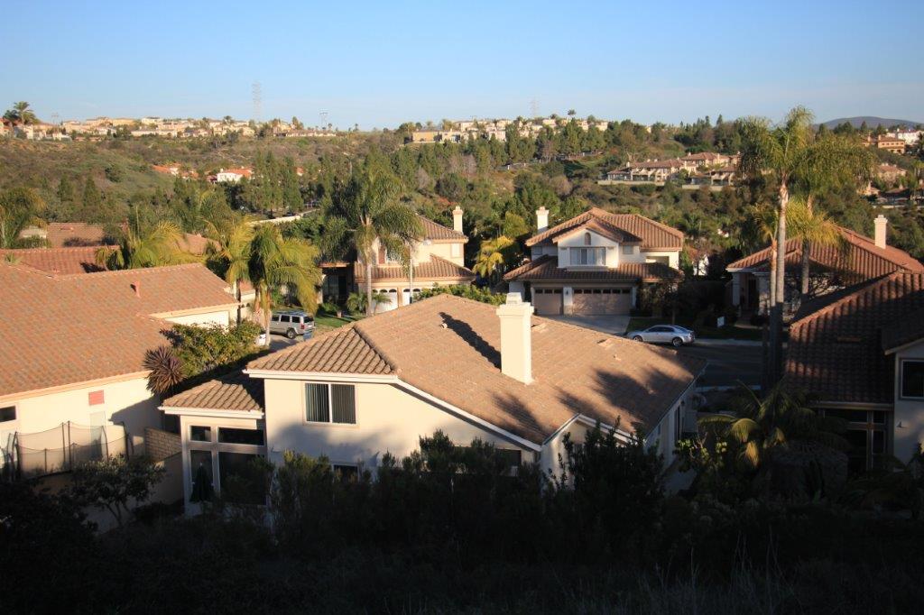
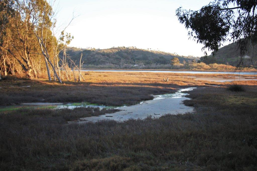
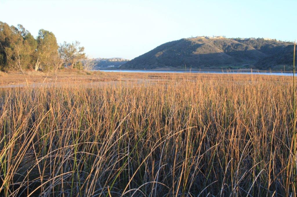
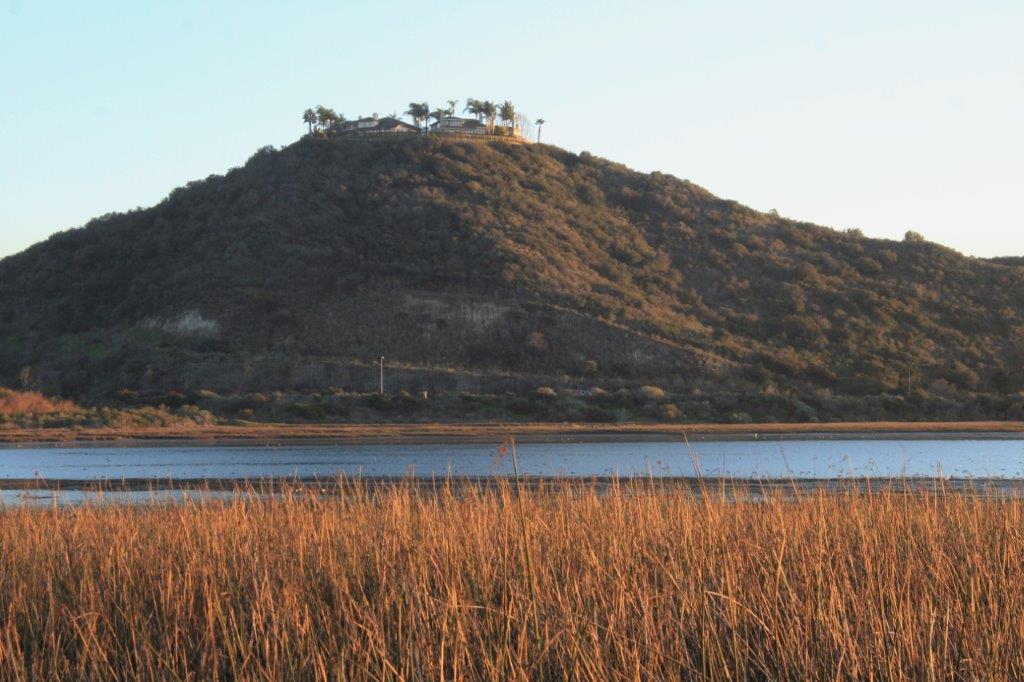
 When we arrived at the bottom of the trail and Batiquitos Drive we were right across the road from the trail beside the lagoon that we had walked last week. We decided to walk that way back as far as the Aviara Golf Club which is only a corner away from the entrance drive of the resort complex.
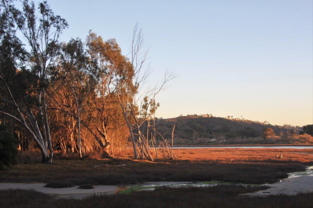
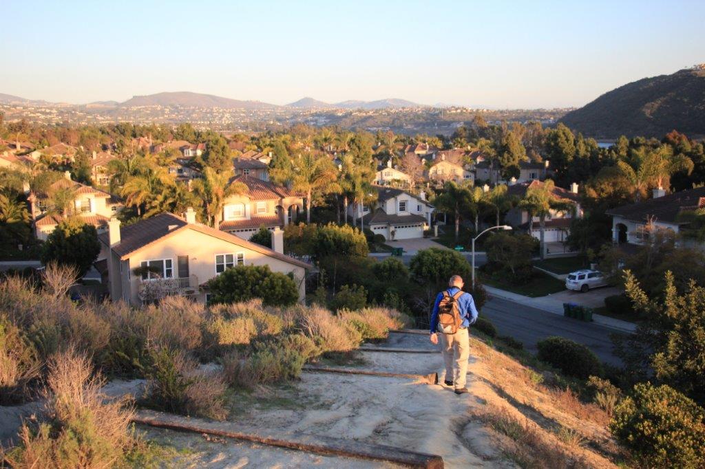
 The sun was setting as we turned the last corner to the driveway and home again.
This is a small portion of the geo-cache map for the Carlsbad area.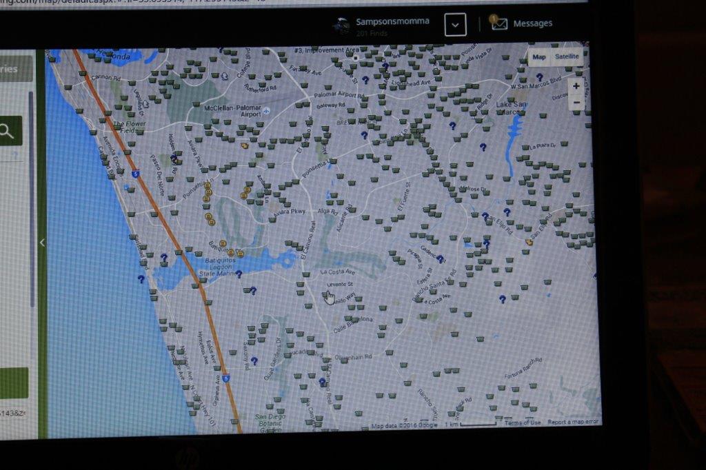 You can see our successful finds by following the smiley faces.
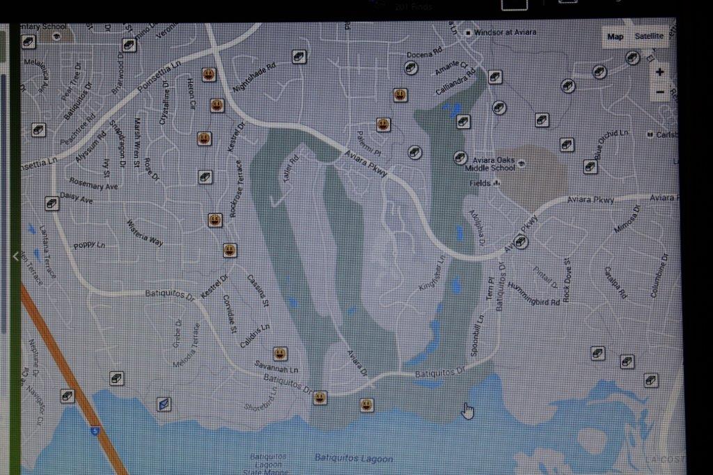 It was a good day. And tomorrow will be an awesome one. We have PLANS.
