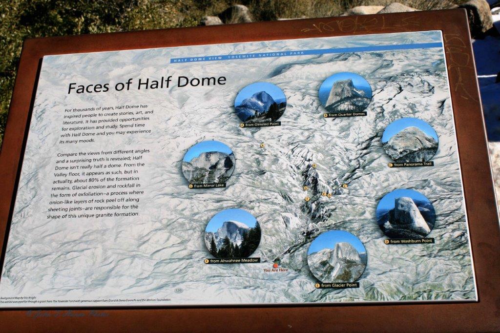
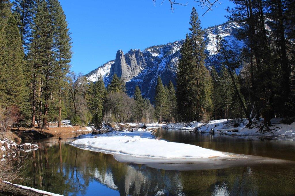
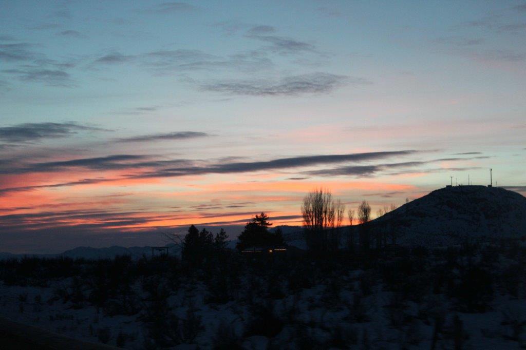
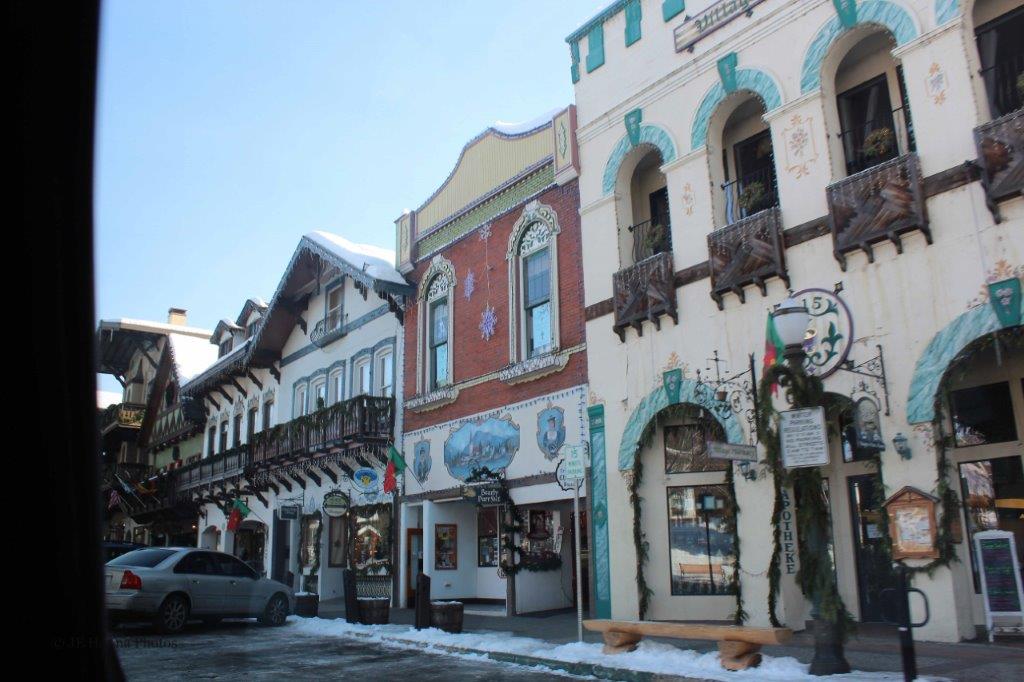
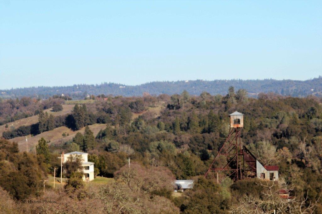
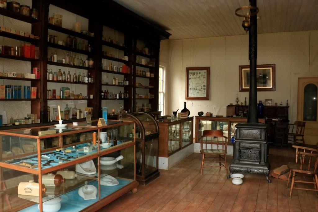
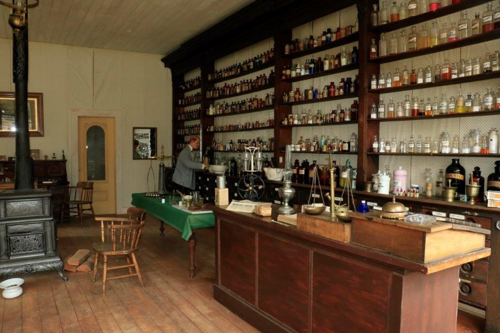
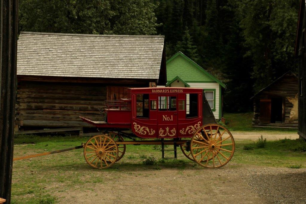
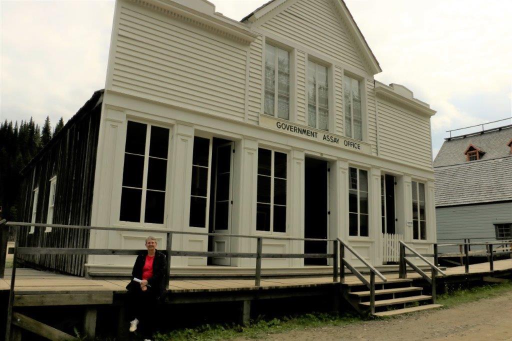
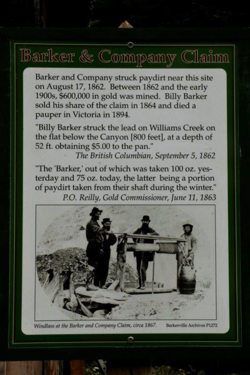
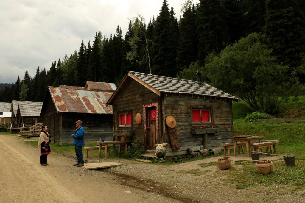
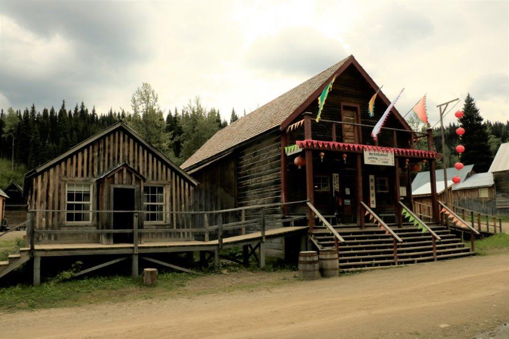
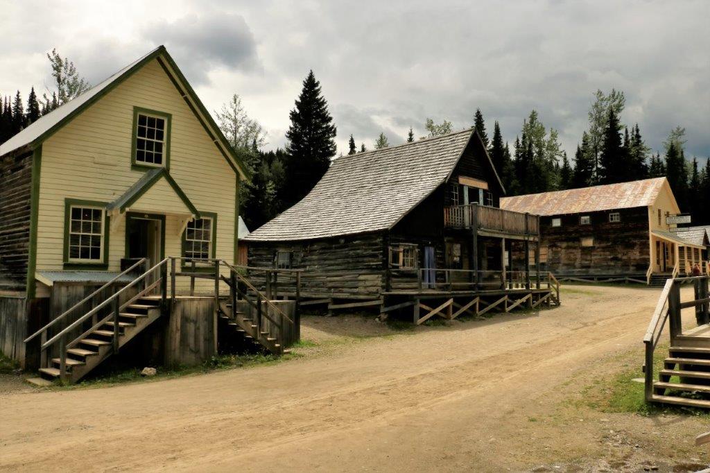
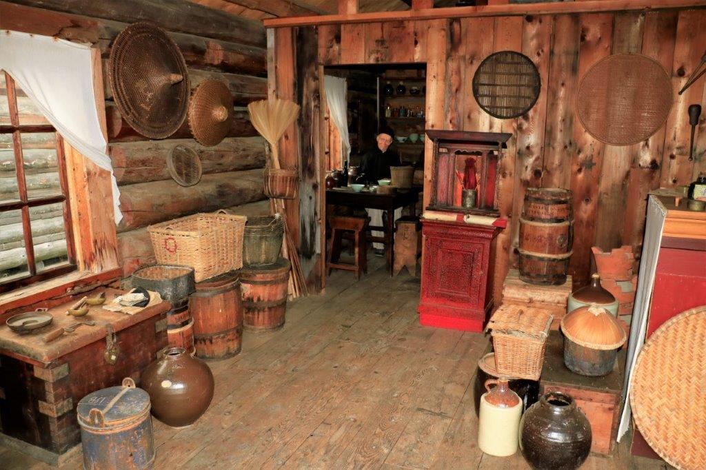
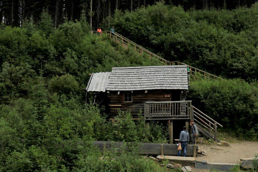
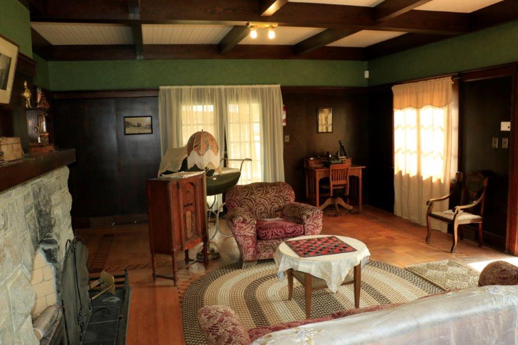
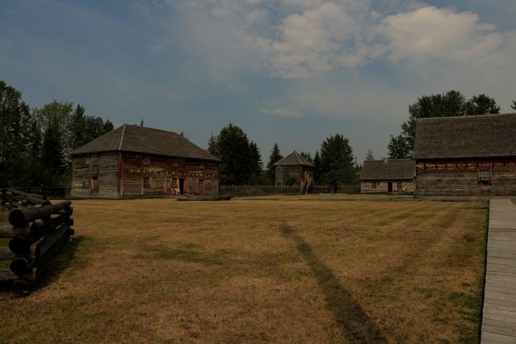
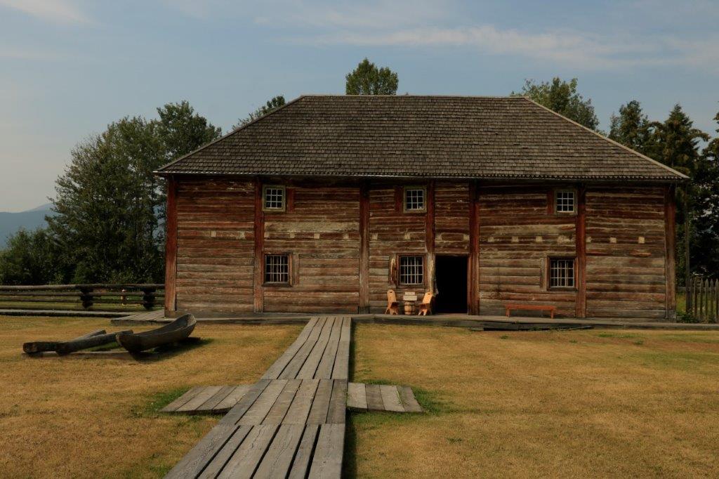
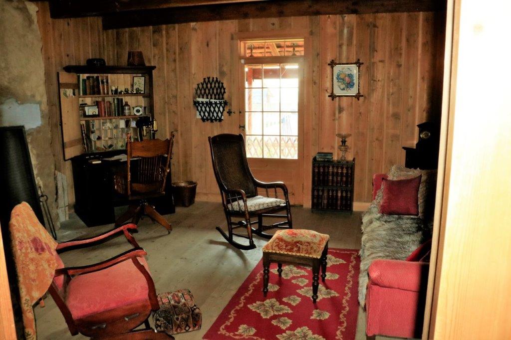
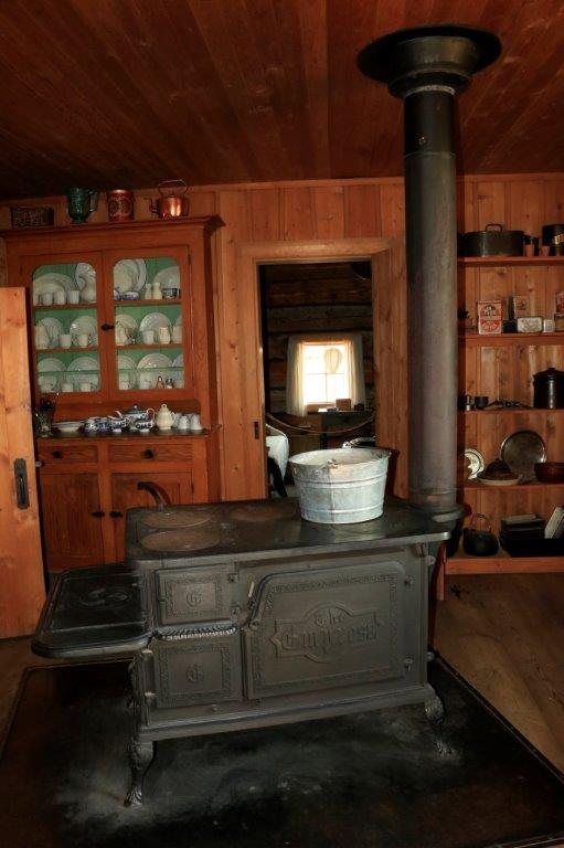
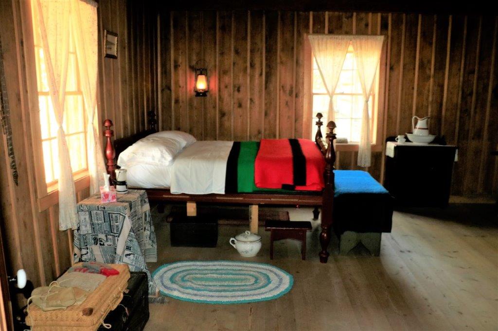
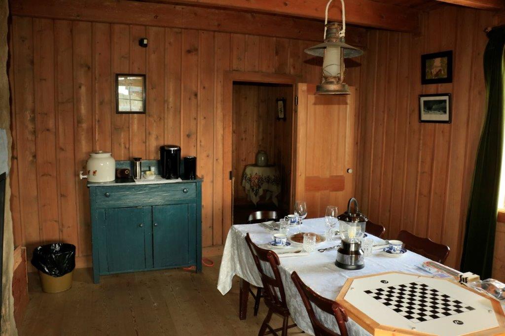
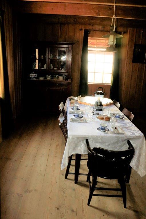
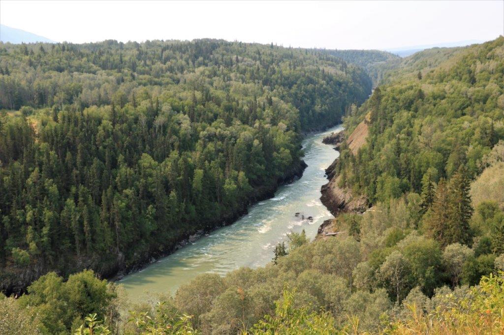
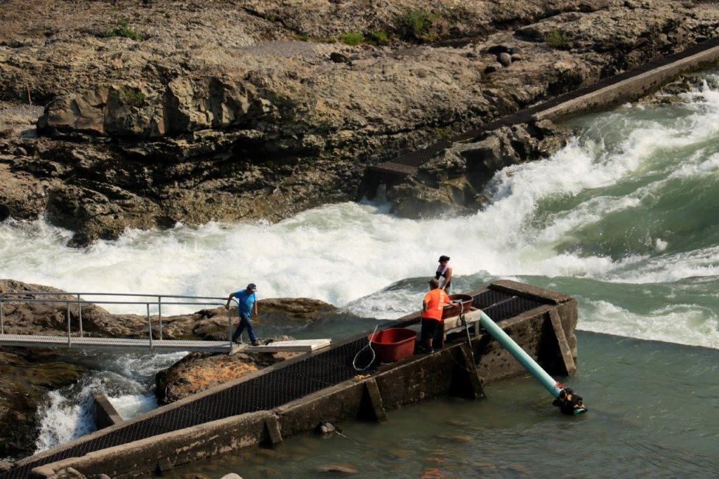
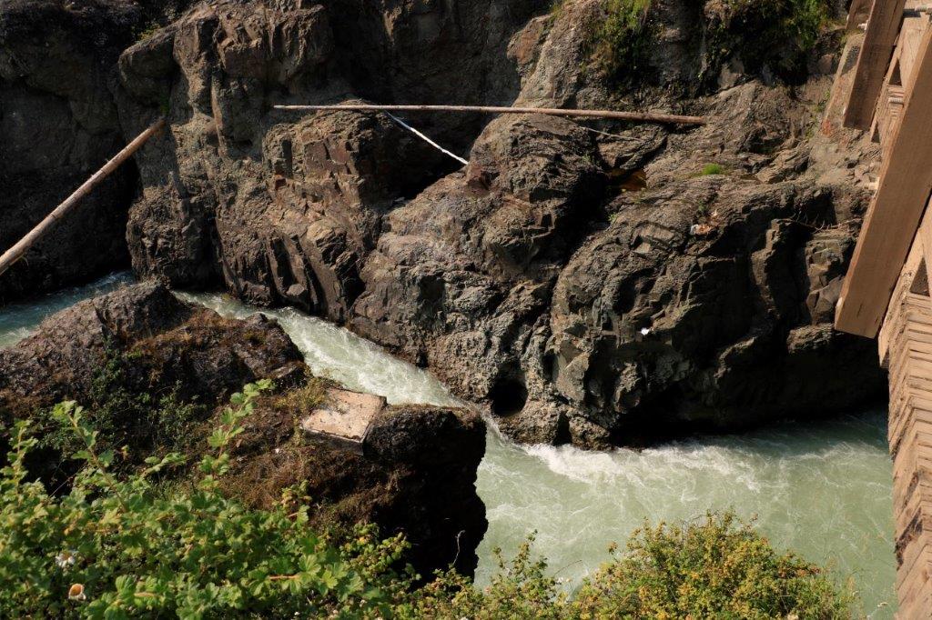
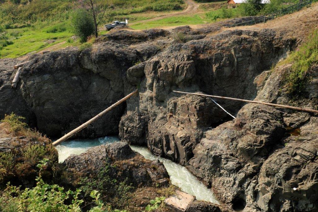
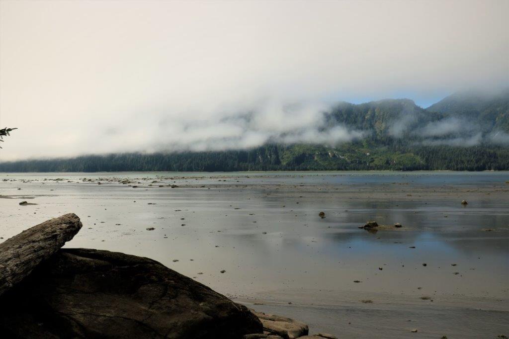
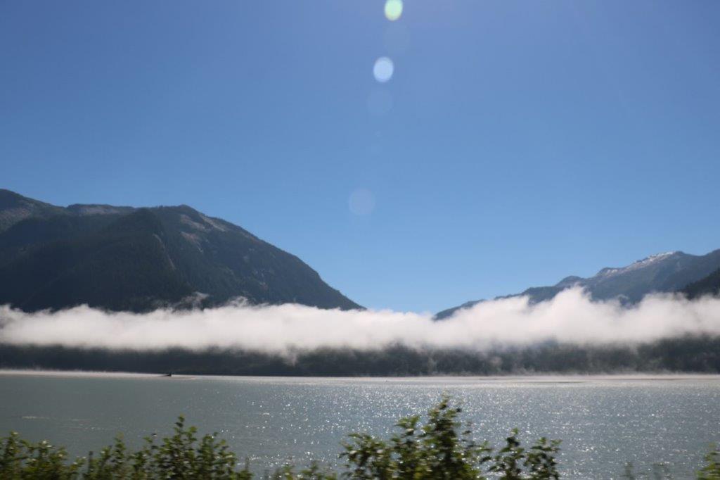
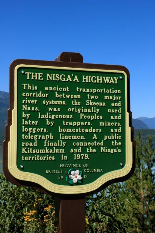
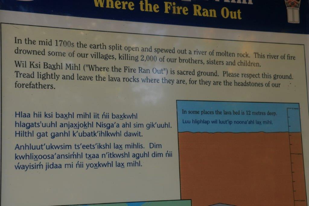
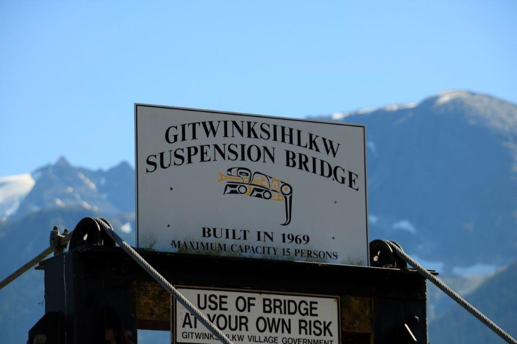
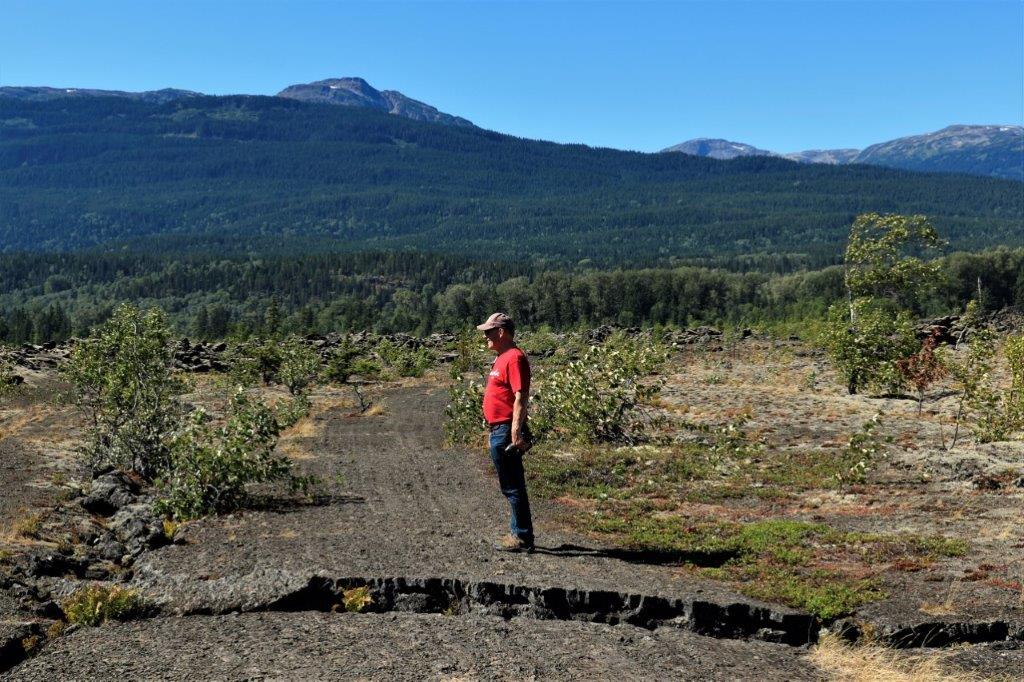
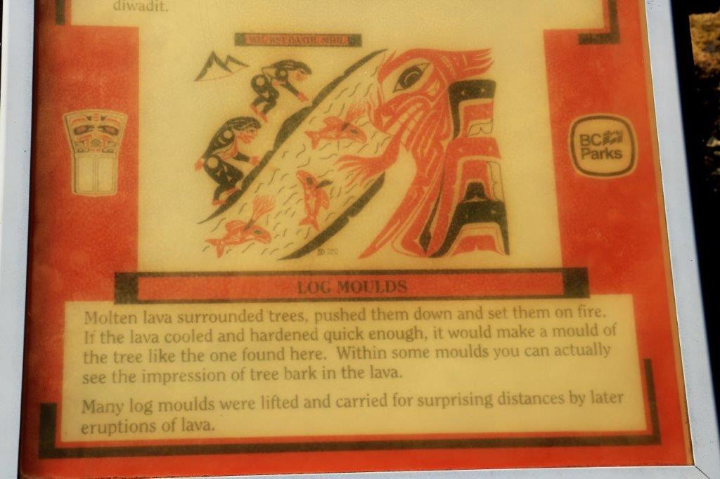
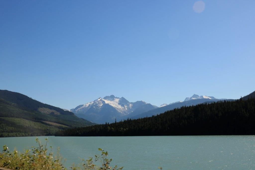
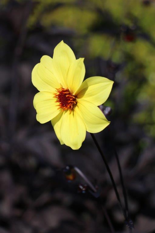
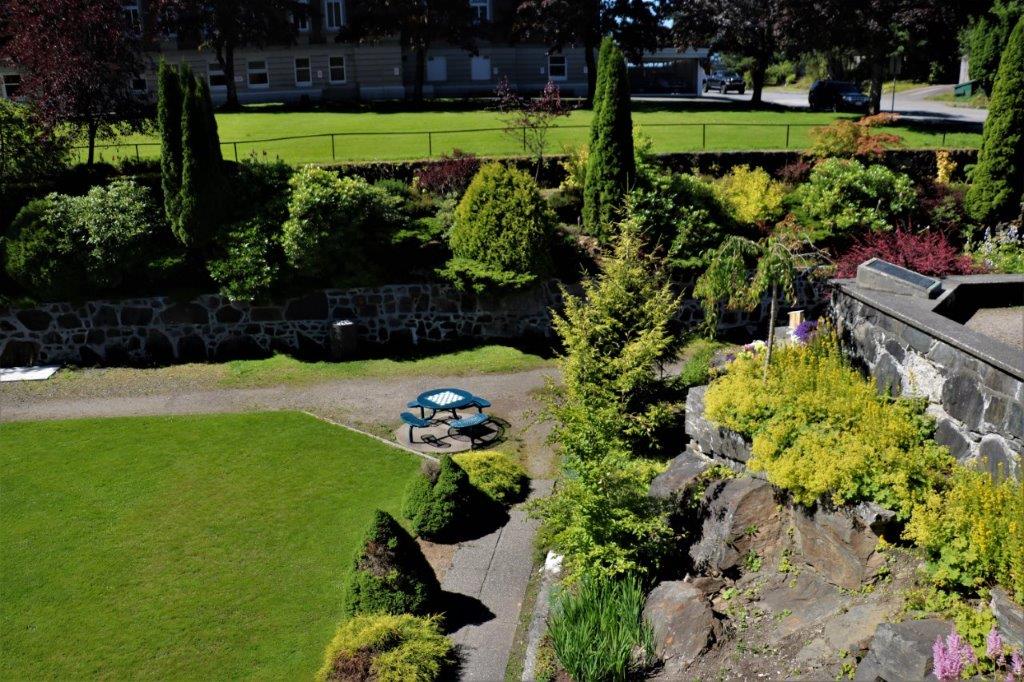
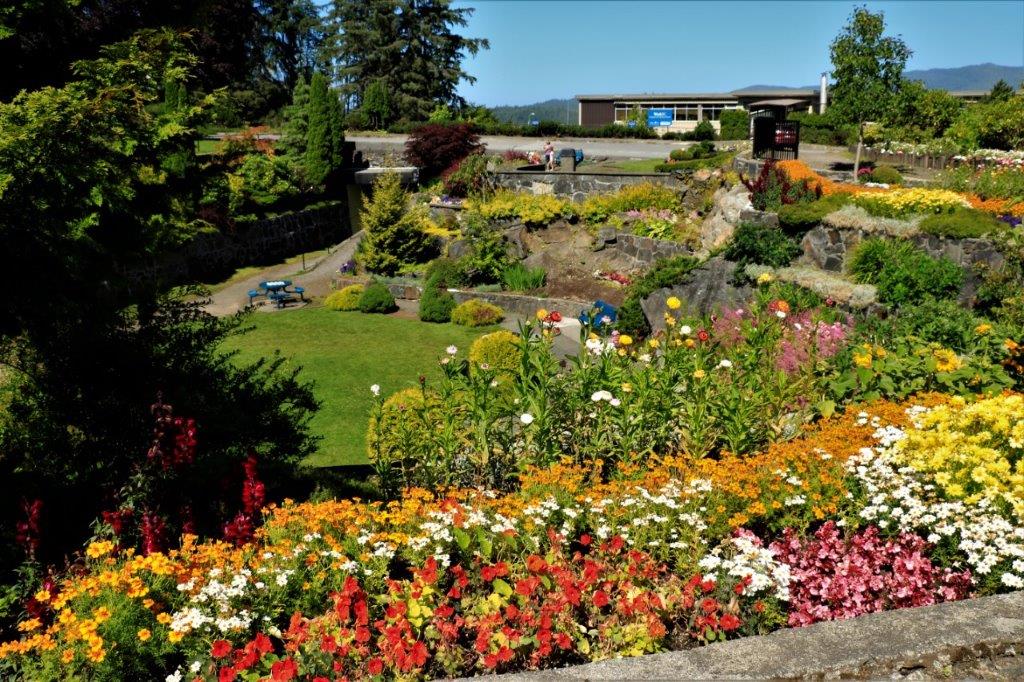
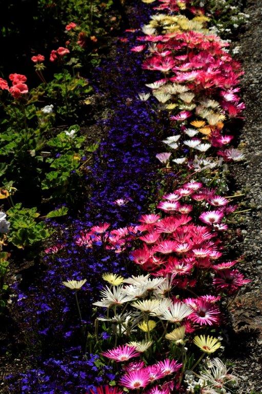
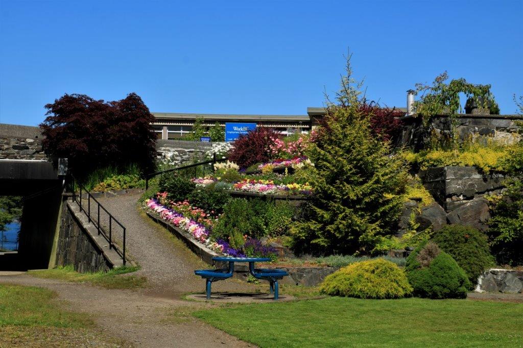
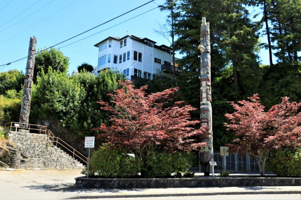
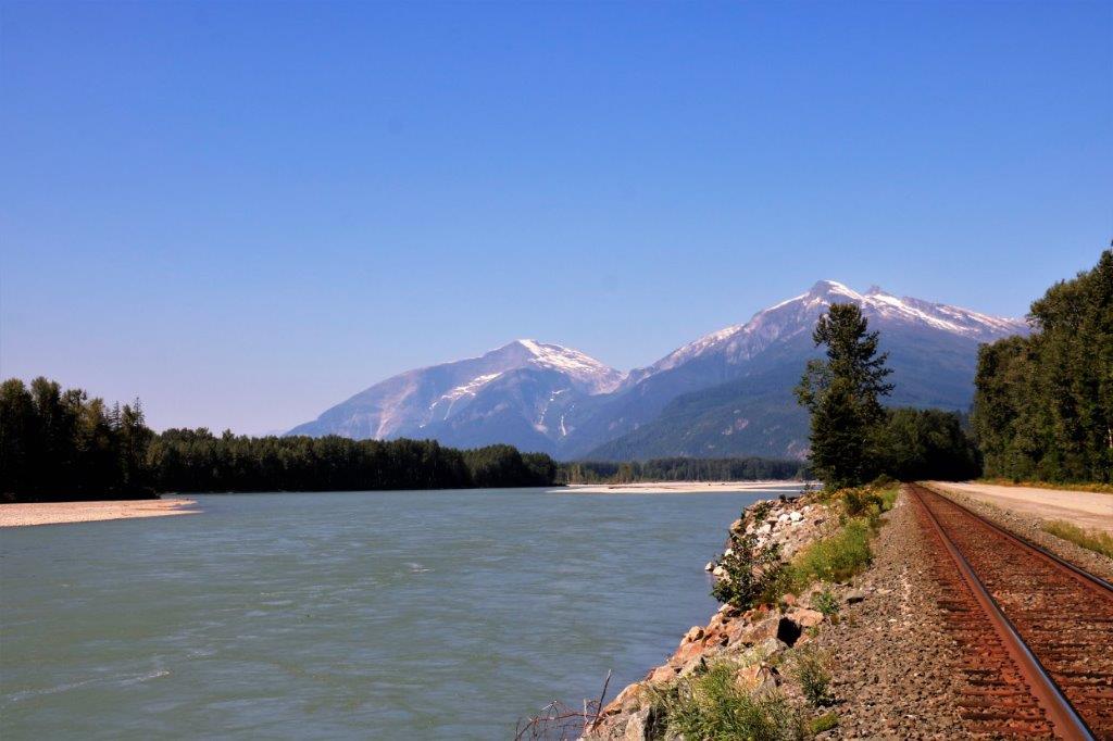
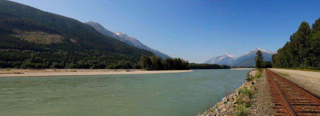
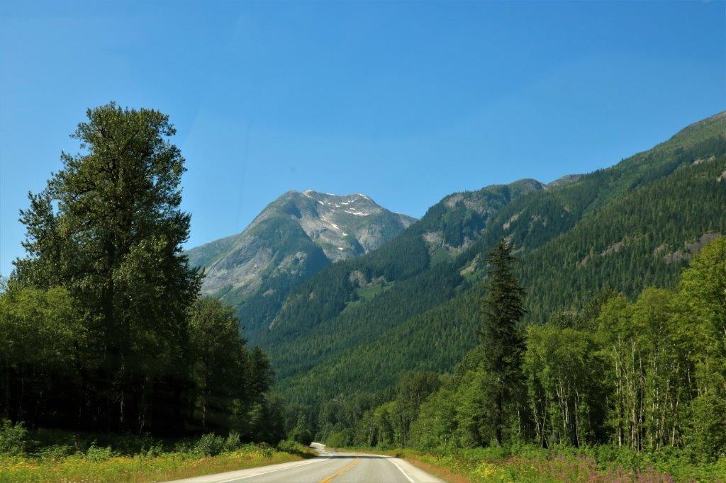
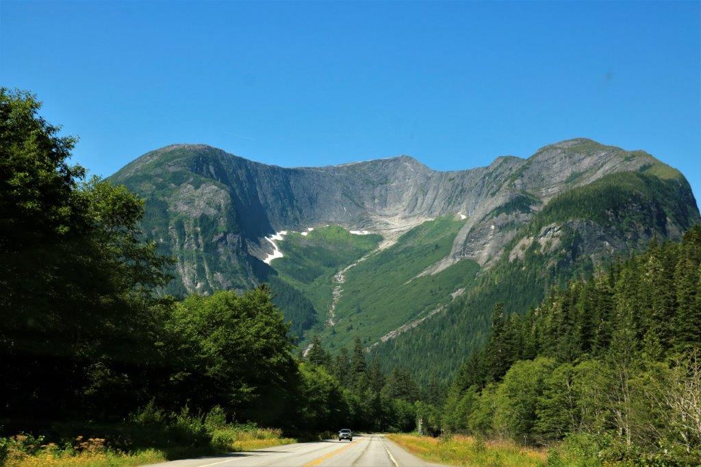
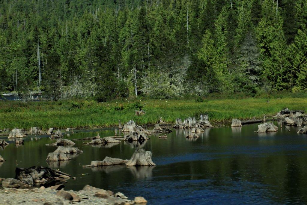
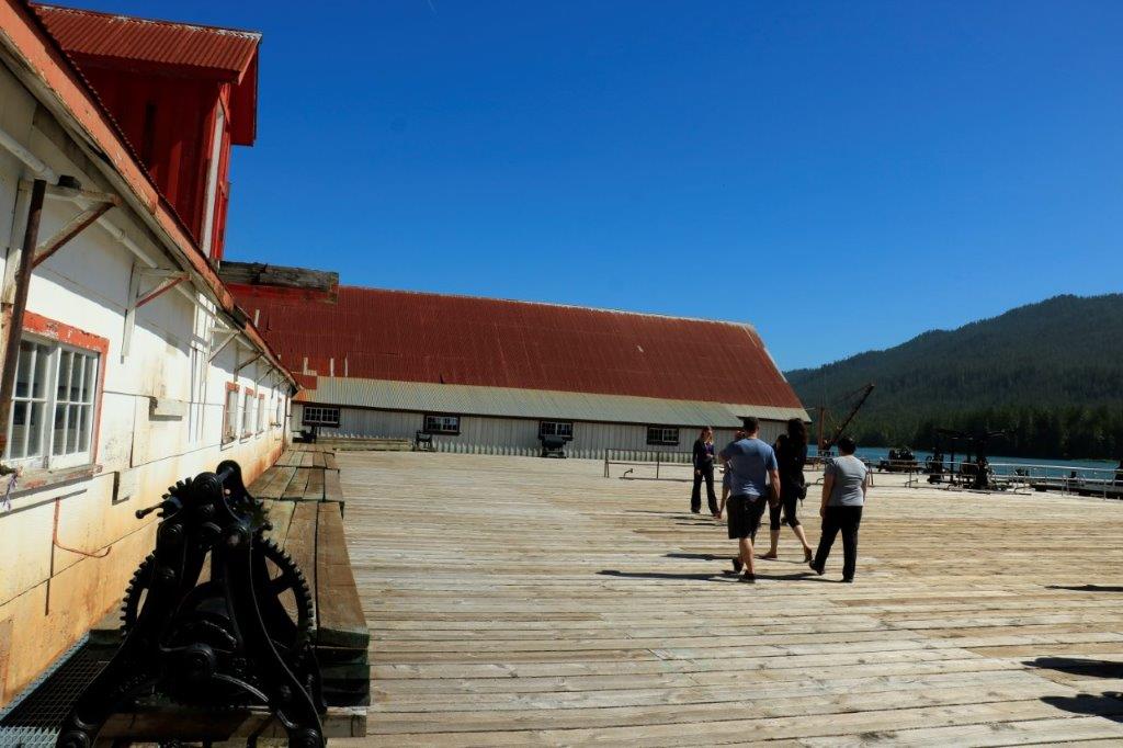
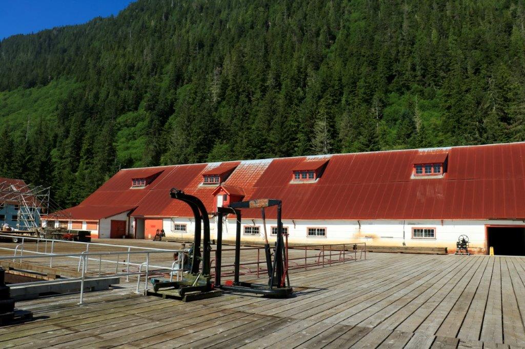
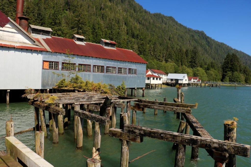
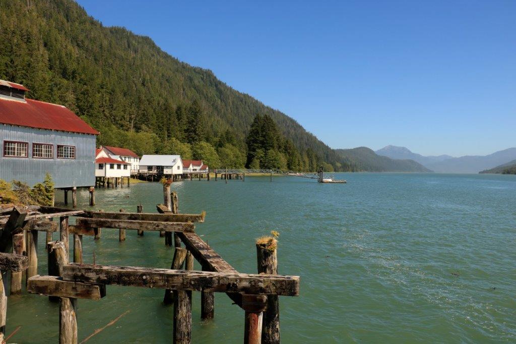
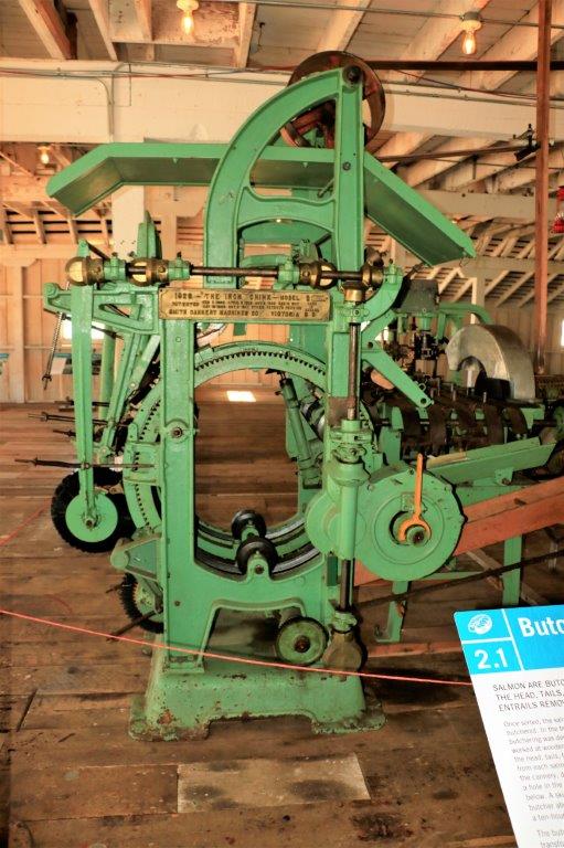
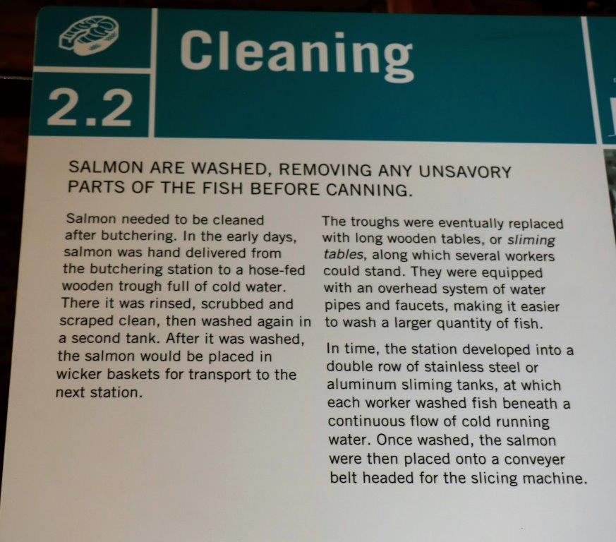
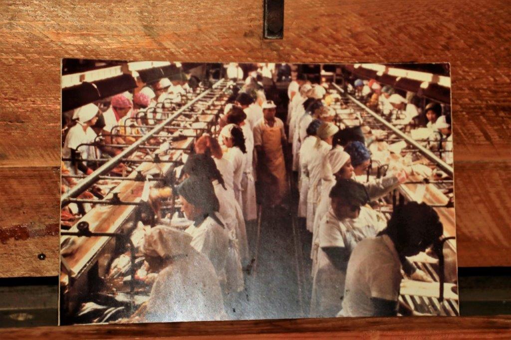
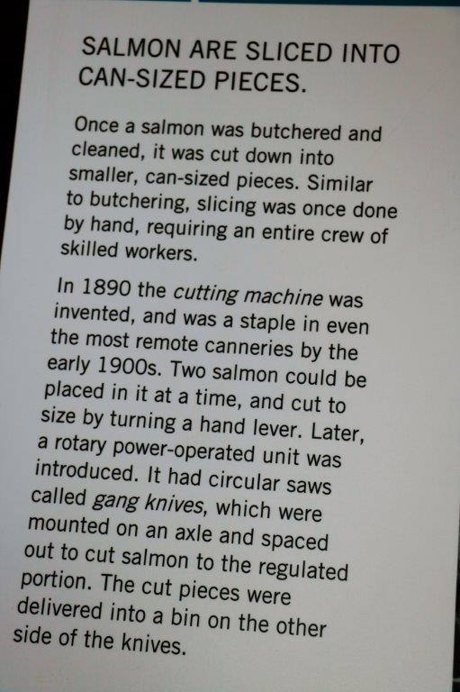
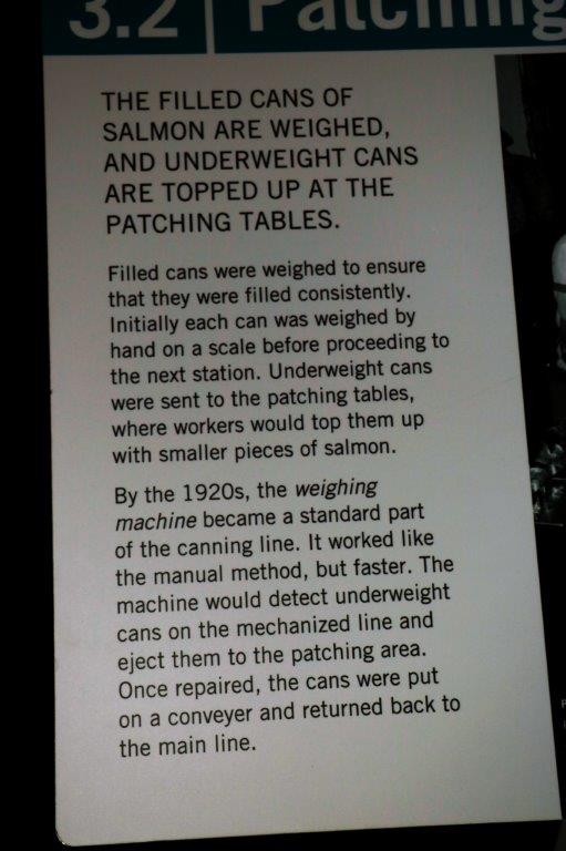
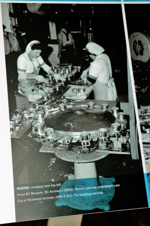
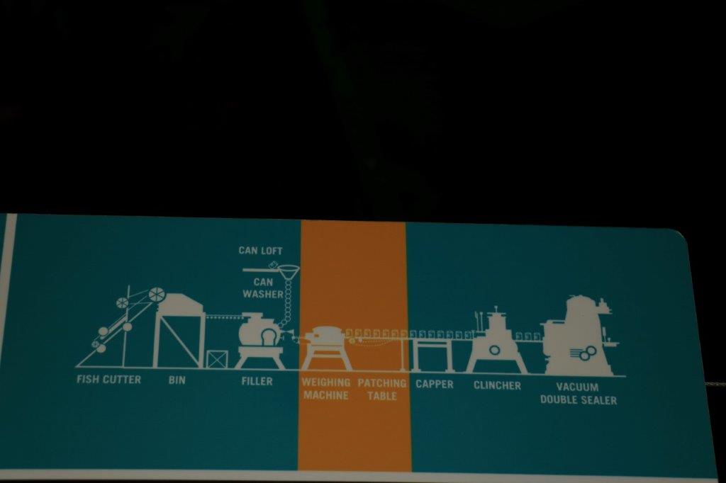
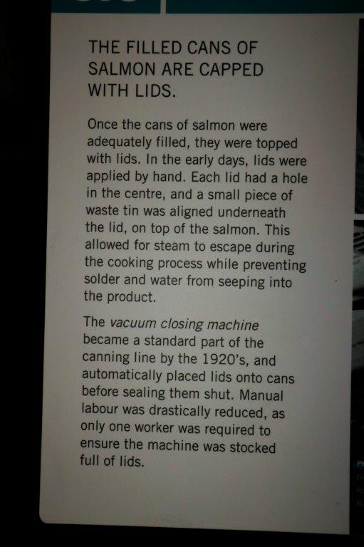
Escondido is only about an hour’s drive from San Diego. We settled into our condo, got our groceries unpacked, and took a walk around the resort.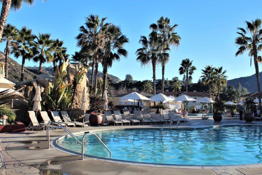
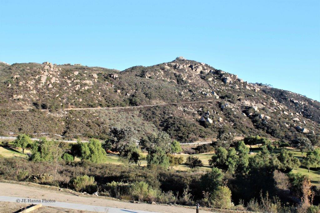


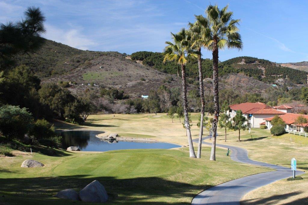
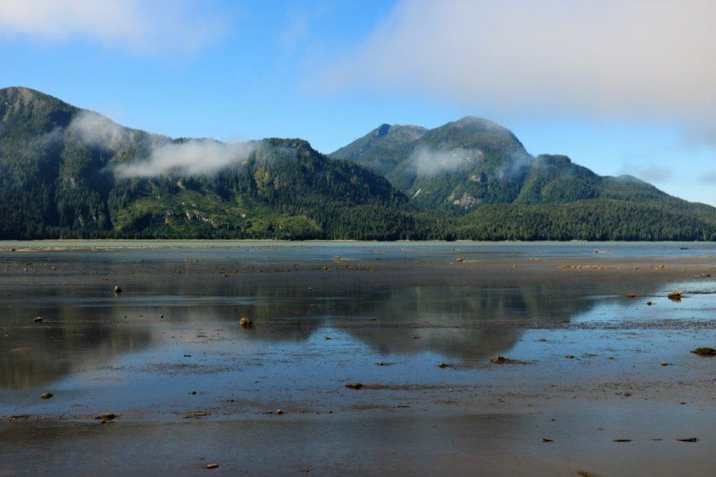
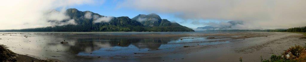
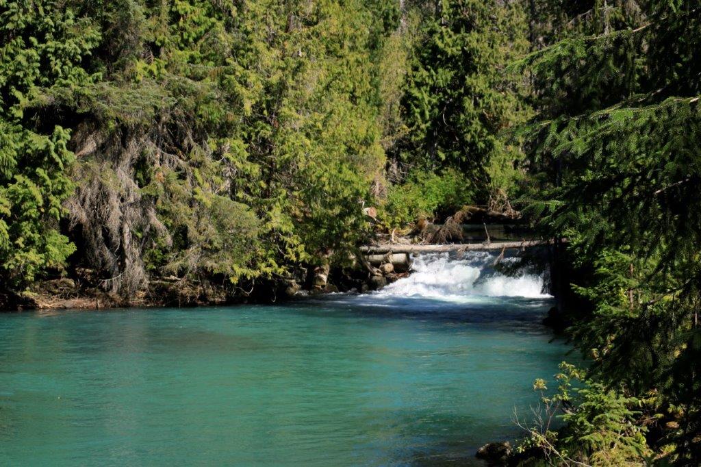
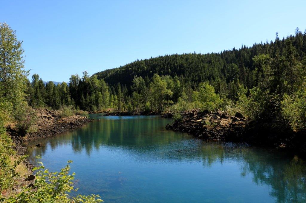
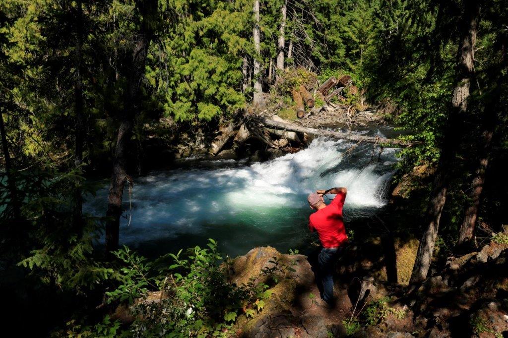
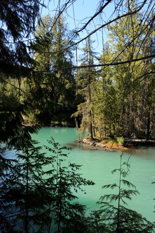
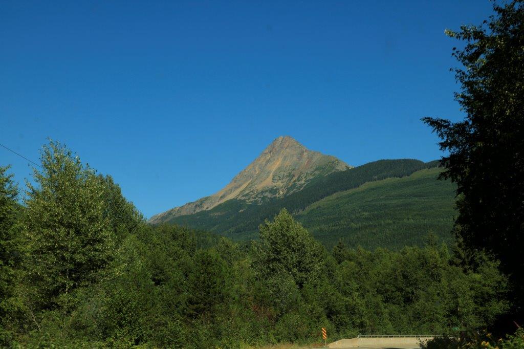
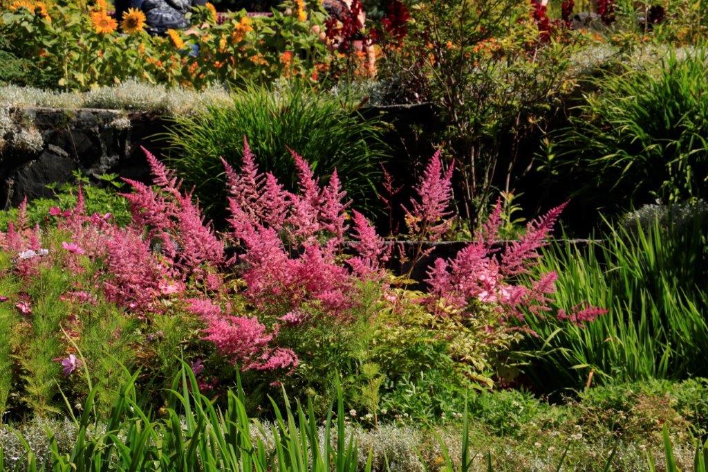
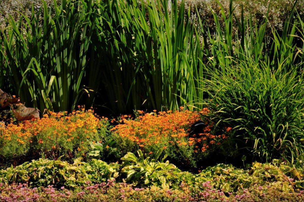
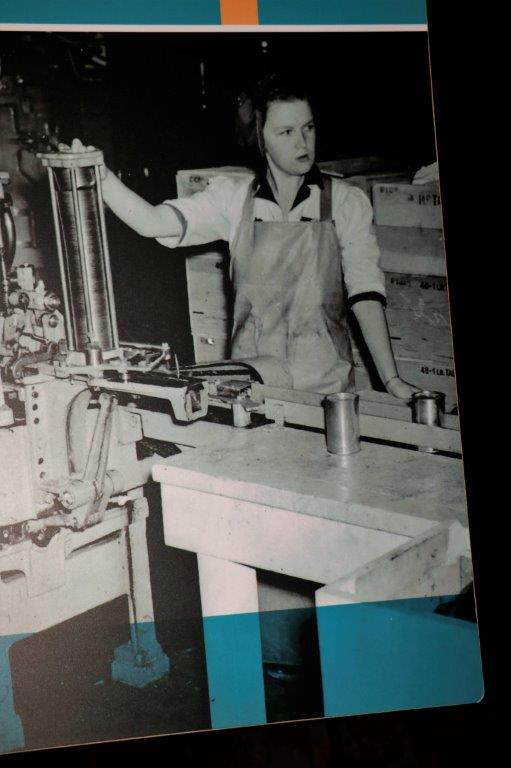
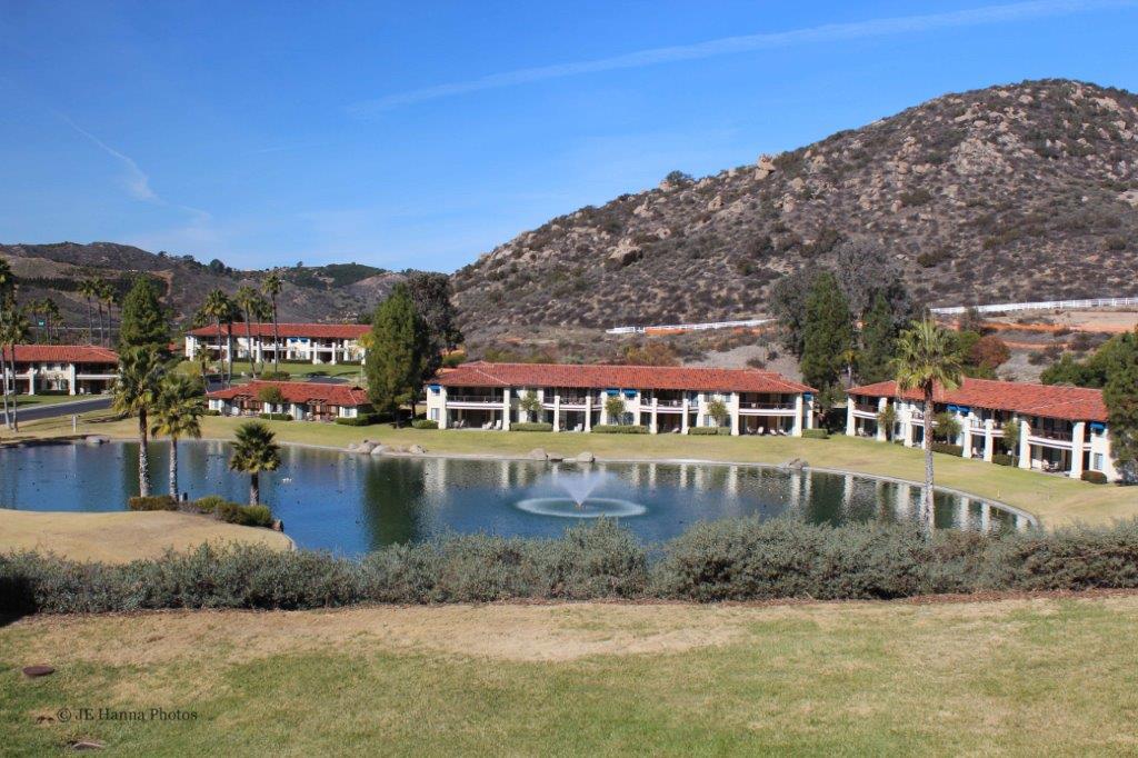 We have always tended to be lazy during our time share stays. We find a nice walking route in the area, or around whichever resort we are in, and go for a walk each day. We do puzzles (me – word puzzles and John – sudoku), we read, we check out any interesting things in the area, and we take it easy.
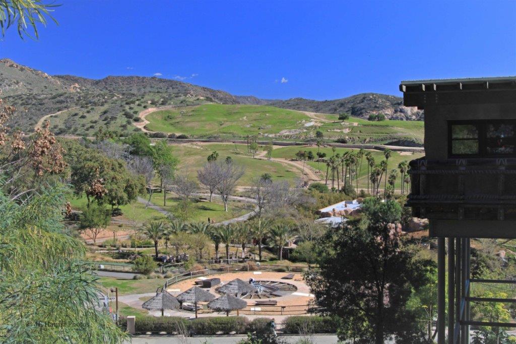
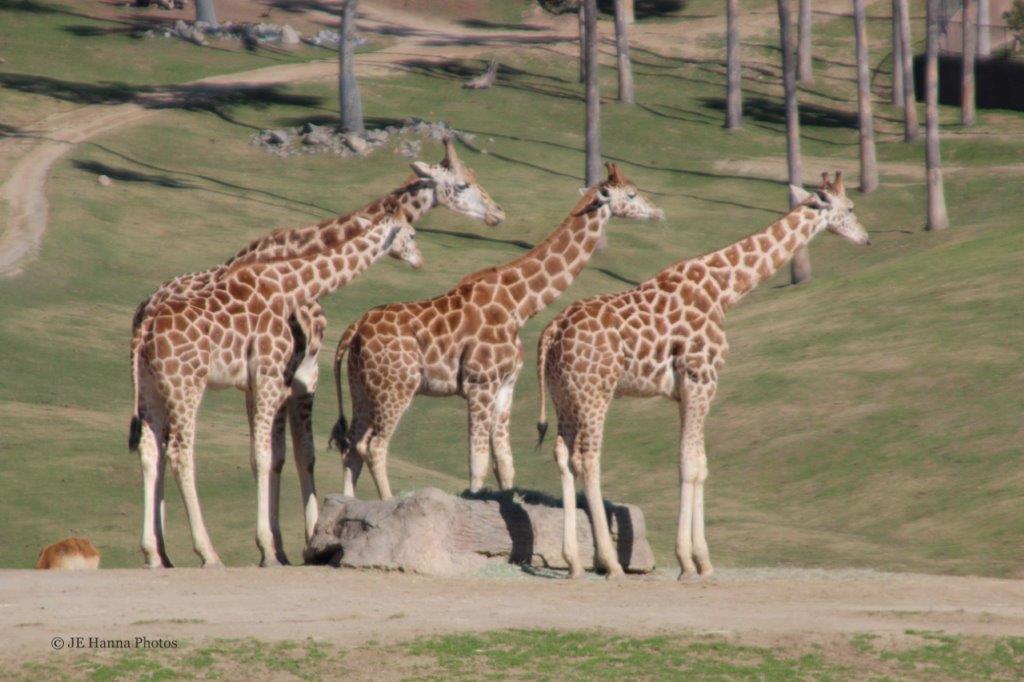
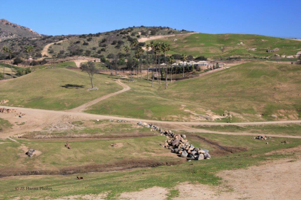
 On two separate afternoons we had lunch with friends we had met on the 2009 World Cruise, and one day we drove down to the San Diego Zoo Safari Park, which is located not too far south of Escondido. I am always happy when I can go see critters.
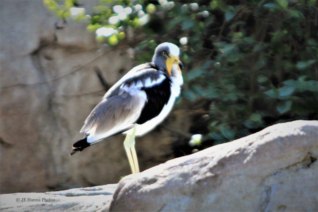 I didn’t get the name of the bird on the left. The one on the right is a White-headed Lapwing.
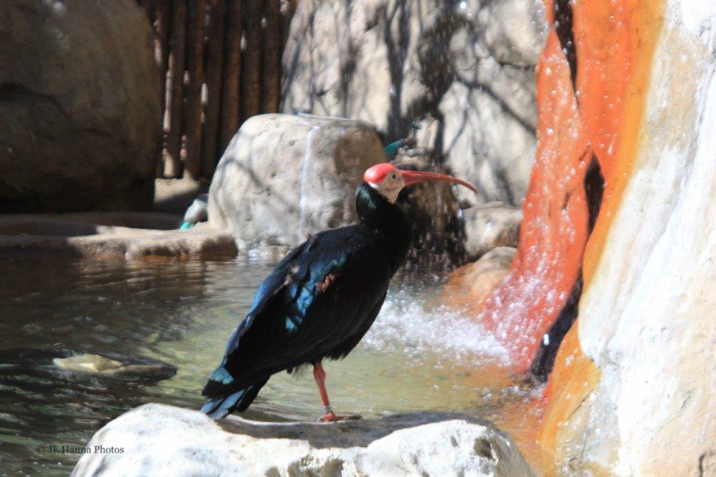 Southern Bald Ibis
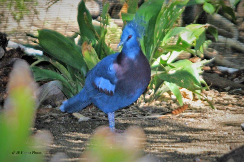 This lovely blue bird is a Victoria Crowned Pigeon
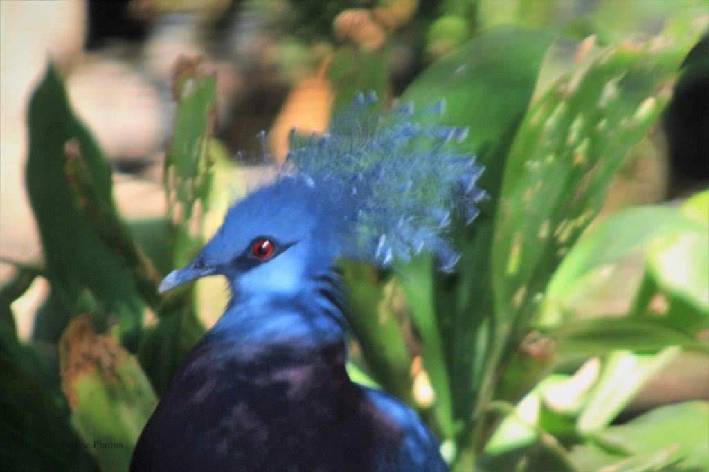

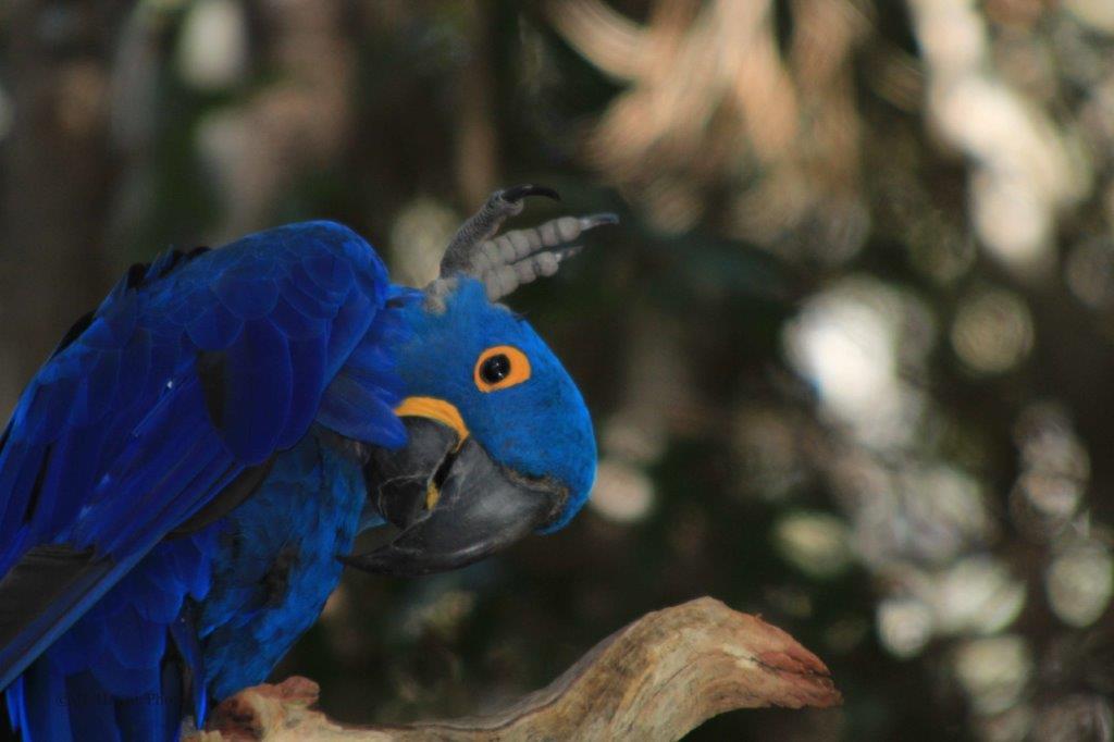 Hyacinth Macaw
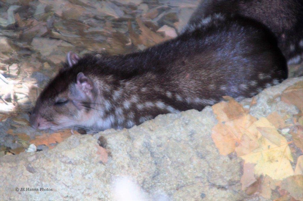 Lowland Paca – large tropical rodent
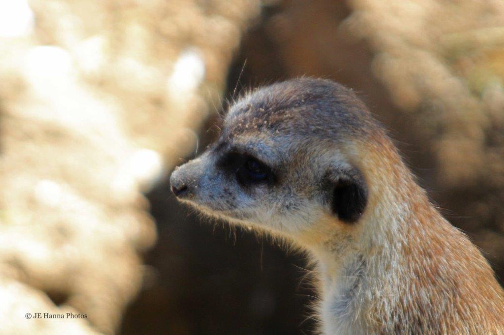
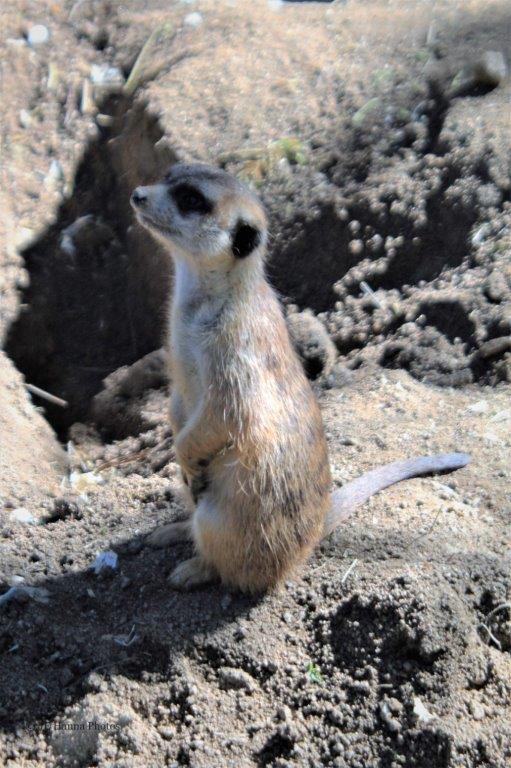 The ever-curious Meerkat
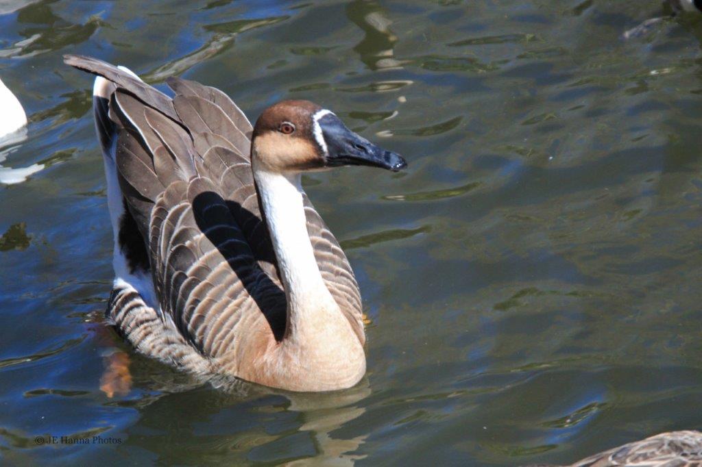
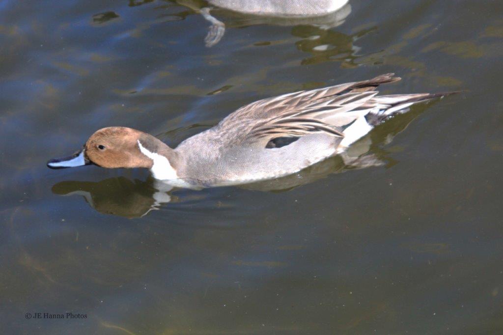 Hawai’ian Goose and a male Ringed Teal
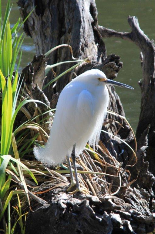
 A Snowy Egret and a Crowned Crane
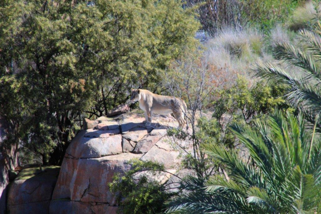
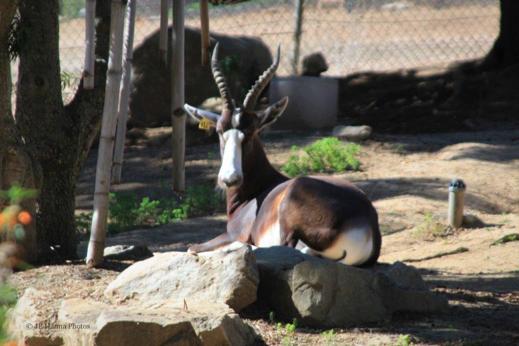 Bontebok
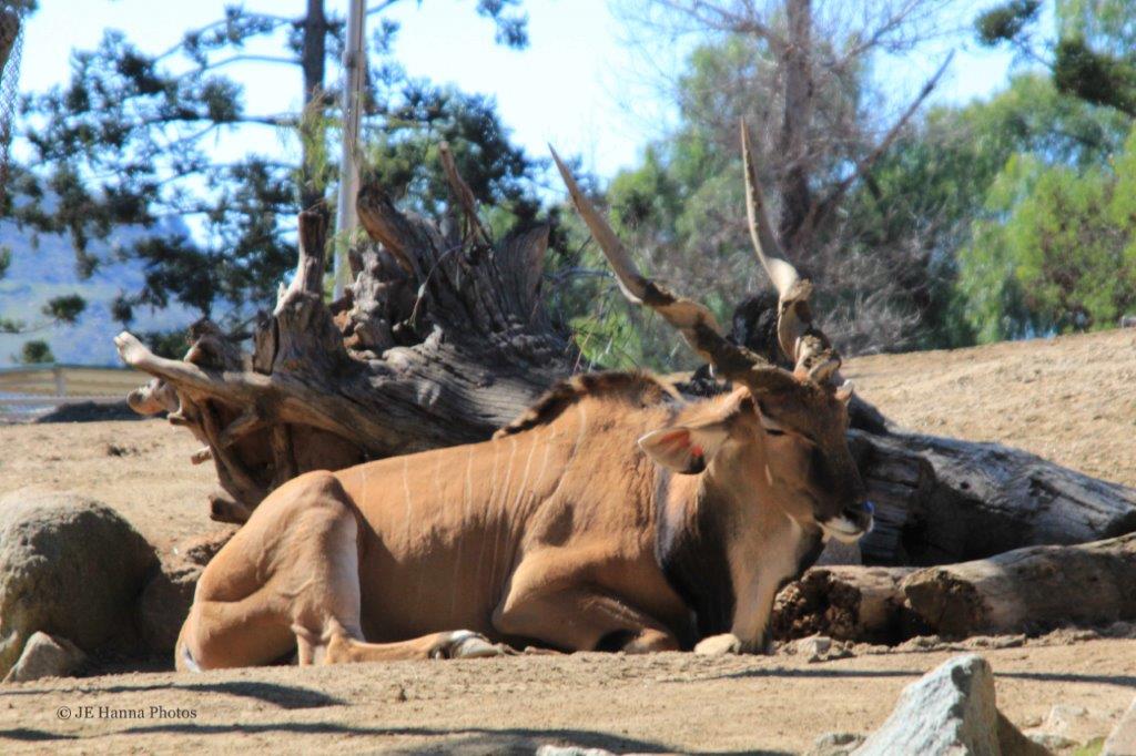
 Western Giant Eland
 An Okapi

 Western Egyptian Vulture and Hooded Vulture
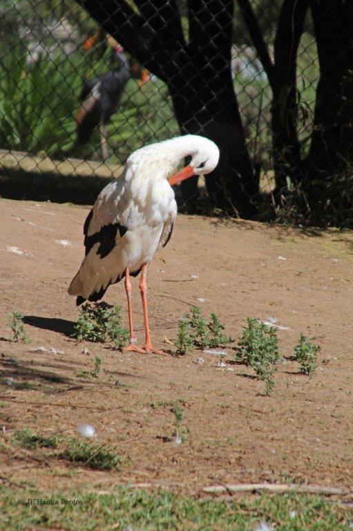
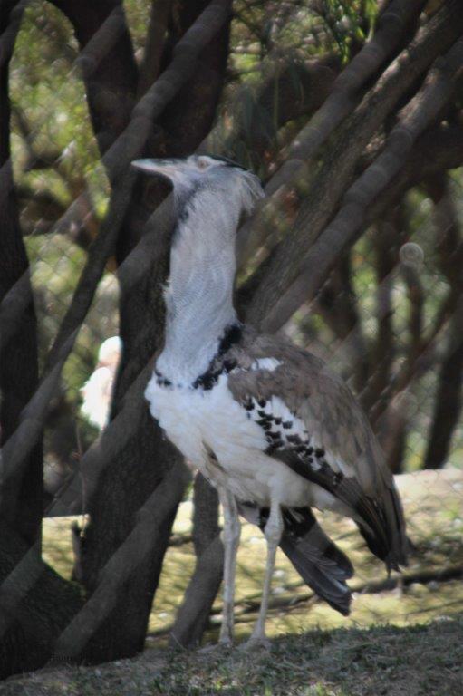 European White Stork and a Kori Bustard; the largest flying bird in Africa.
.
 A male Abyssinian Ground Hornbill. The females don’t have the red.
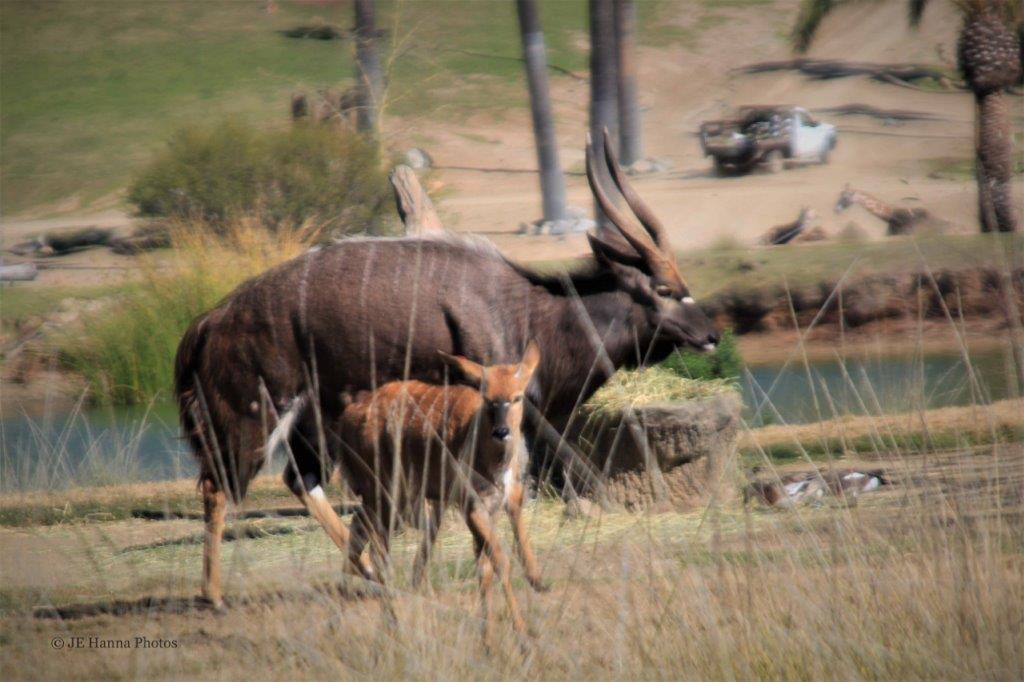
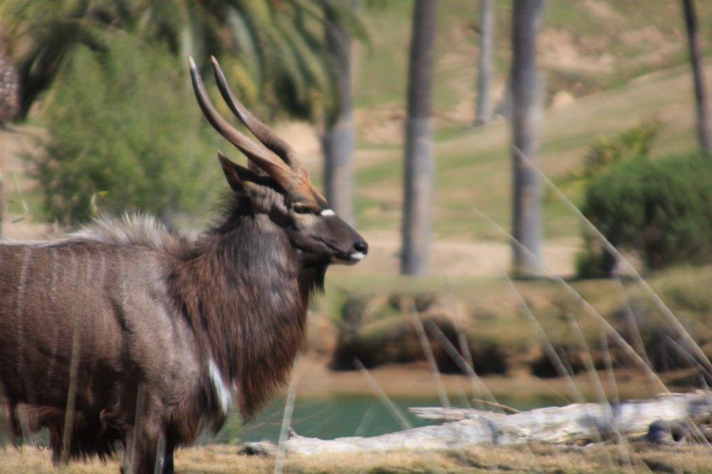 Nyala, one of my favourite antelope species. They are so pretty.
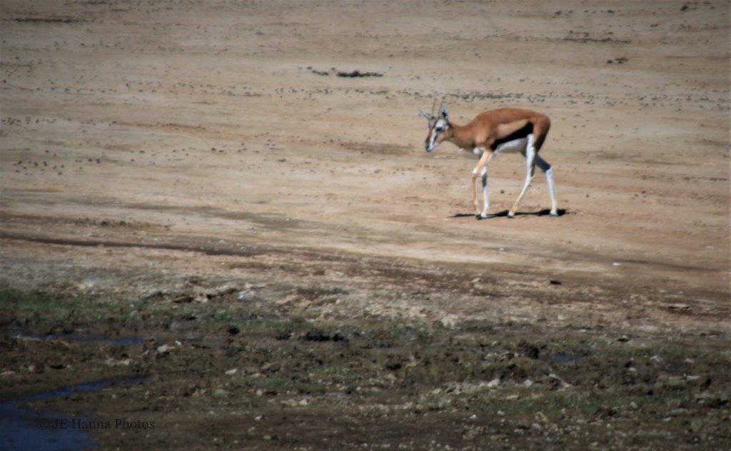 The little, but fleet, Thomson’s Gazelle.
  Yellow-billed Stork
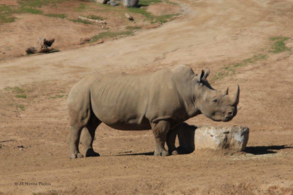
 Southern White Rhino
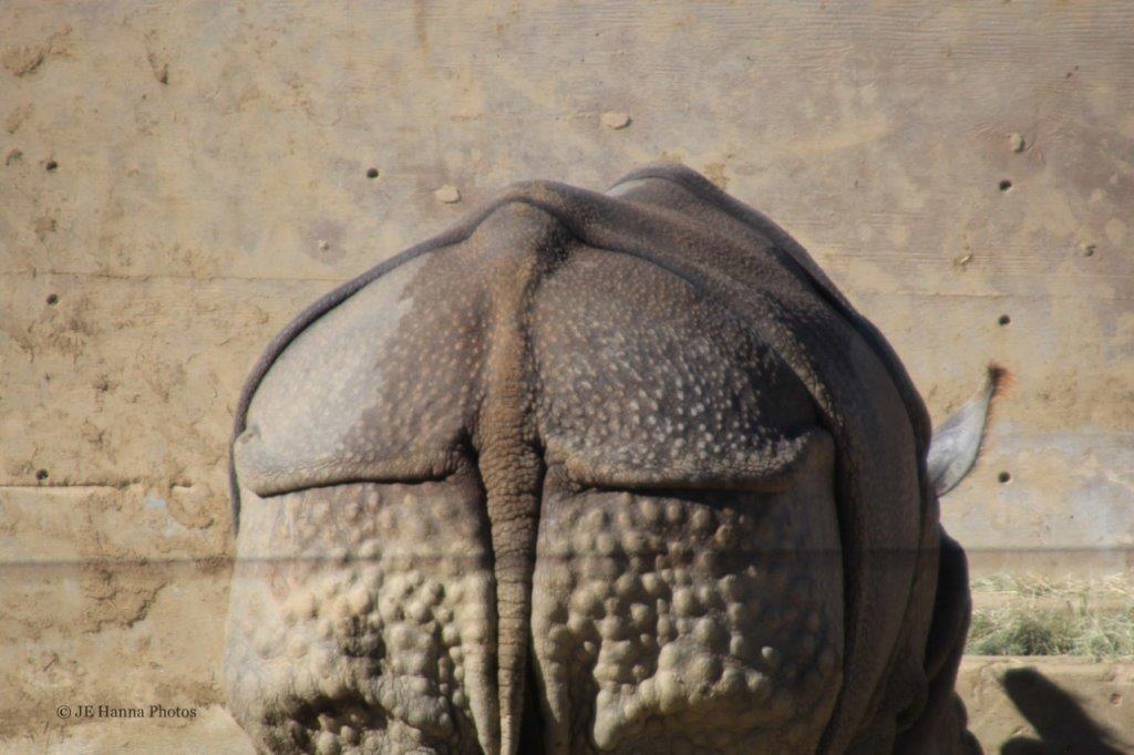 It is easy to see where inventors got the idea for armoured plates. Rhinos have thick, hard hides.
  Wildebeest
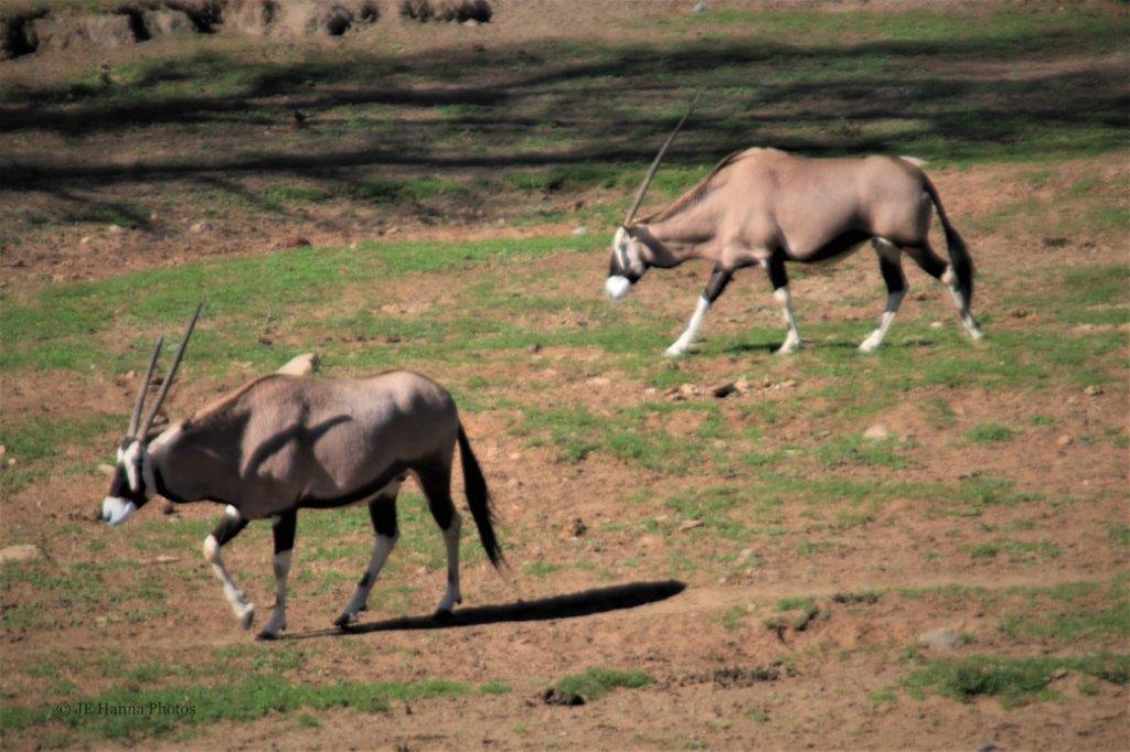 Fringe-eared Oryx from the Arabian Peninsula – this antelope species lives wild in the deserts of Oman.
 Watusi Cows – they can survive on very limited amounts of grass and water; a very handy trait to have in Africa.
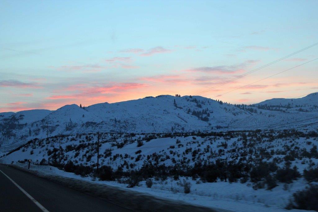
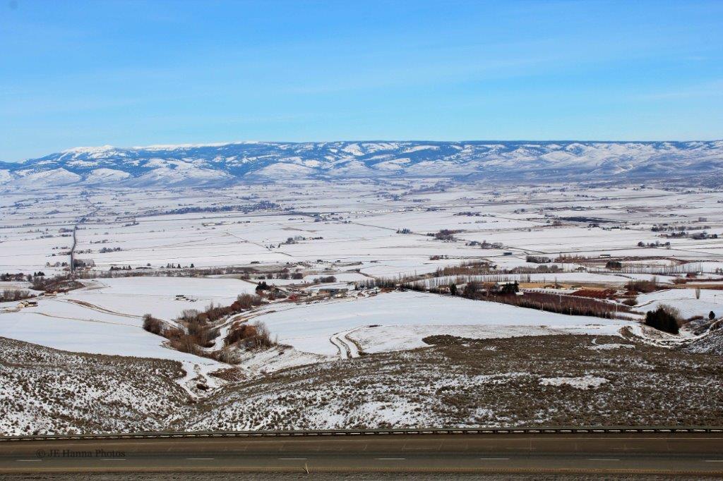
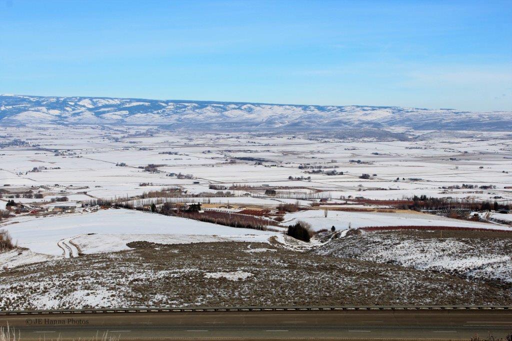
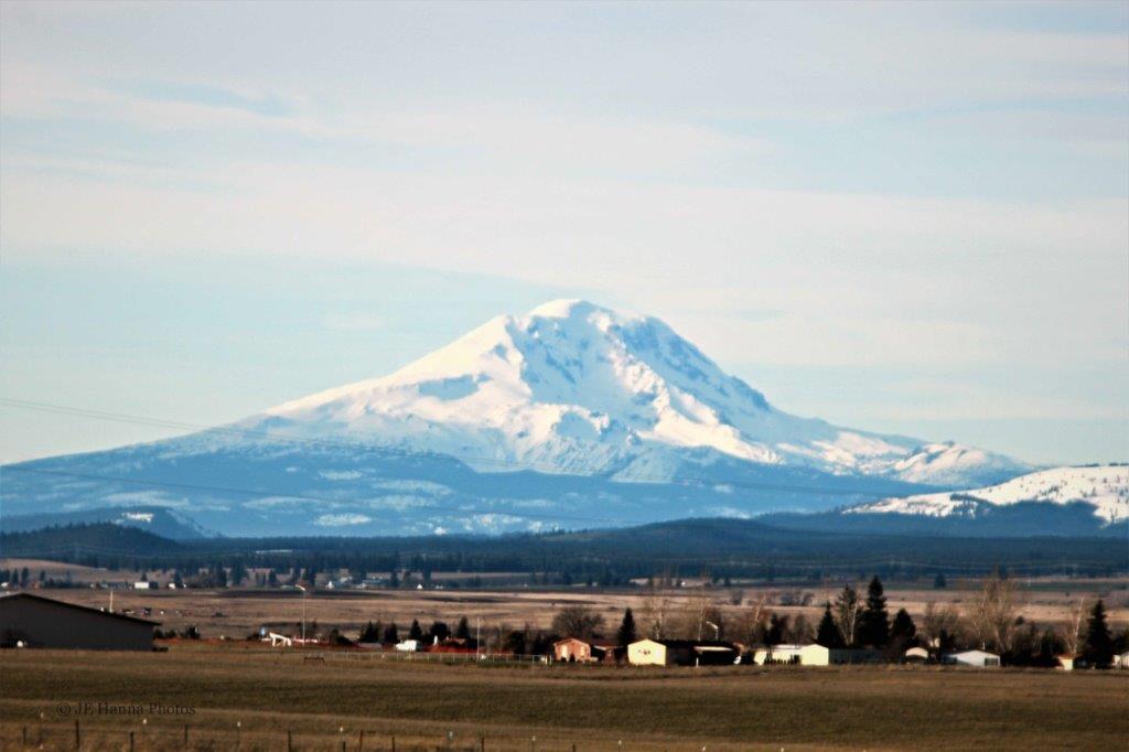
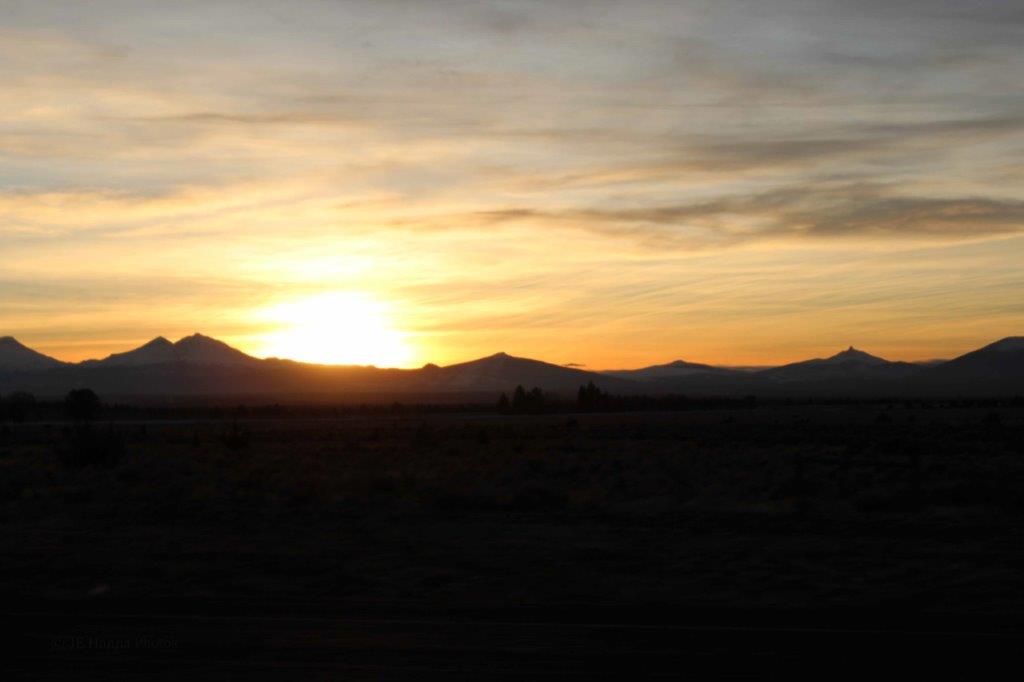
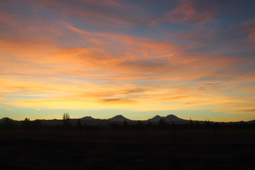
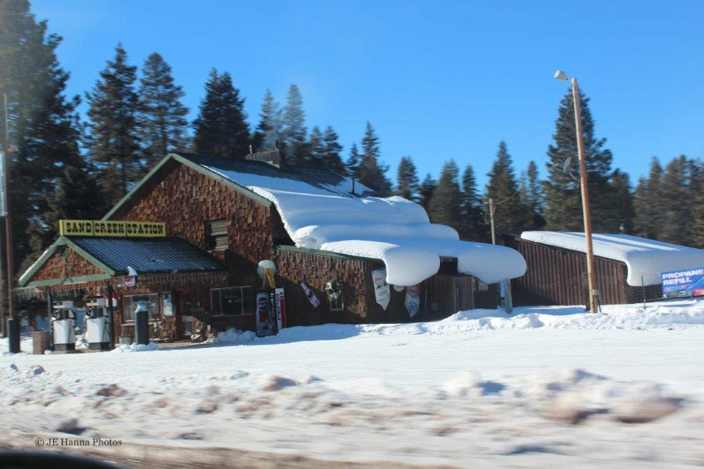
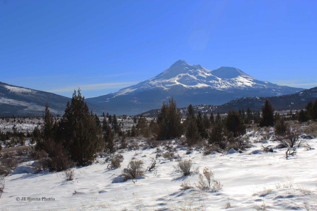
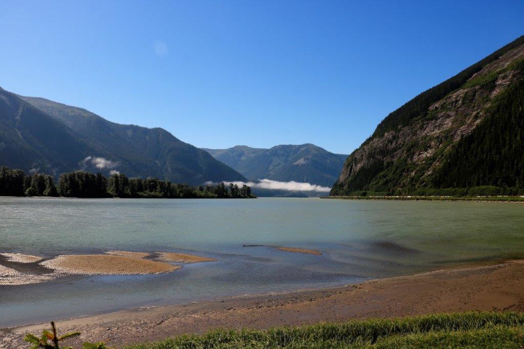
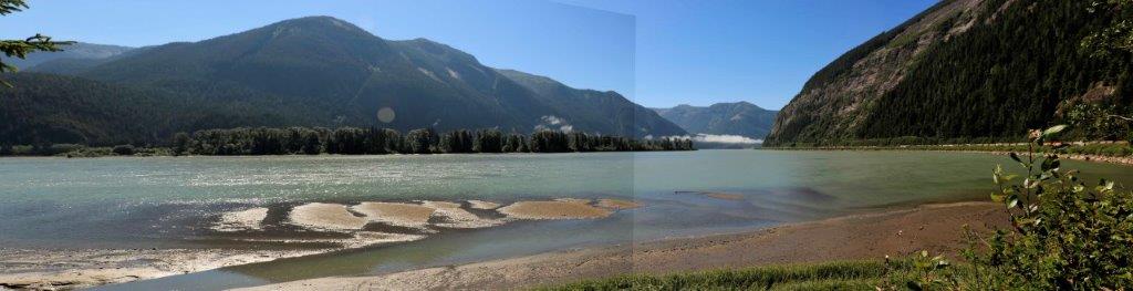
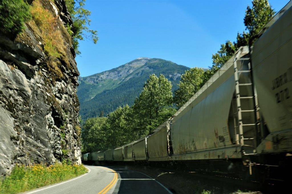
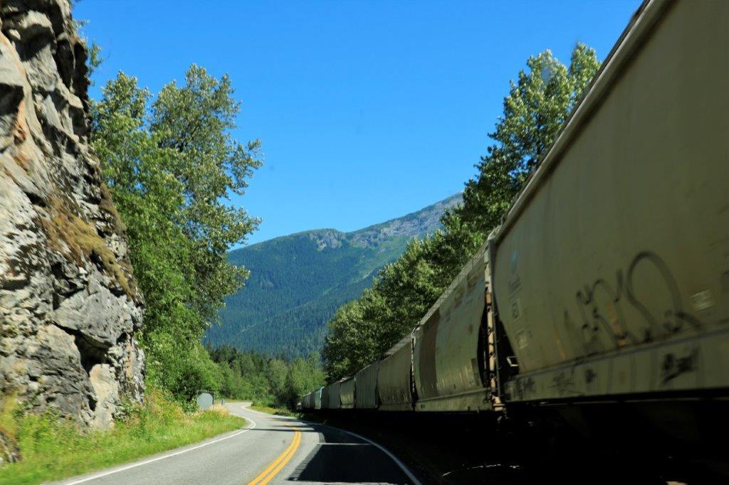
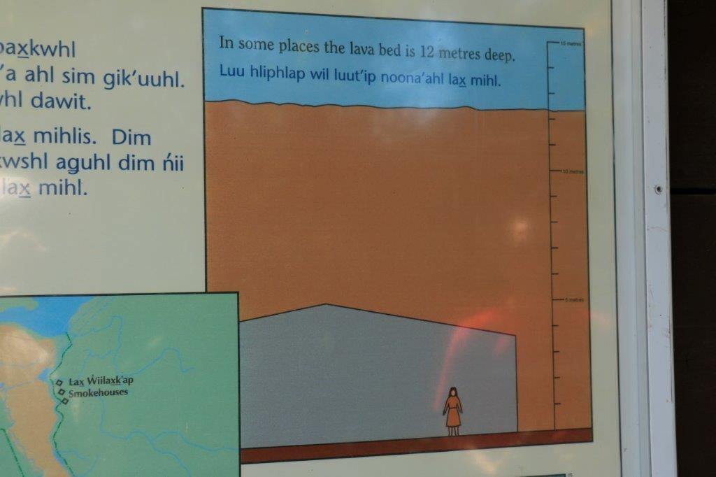
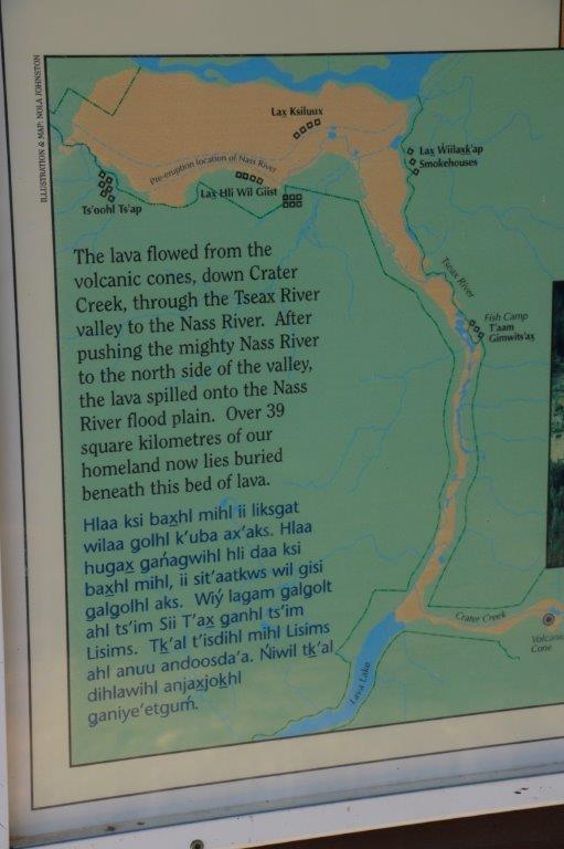
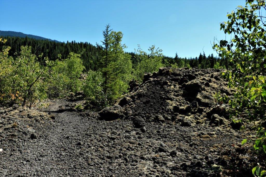
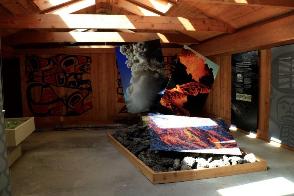
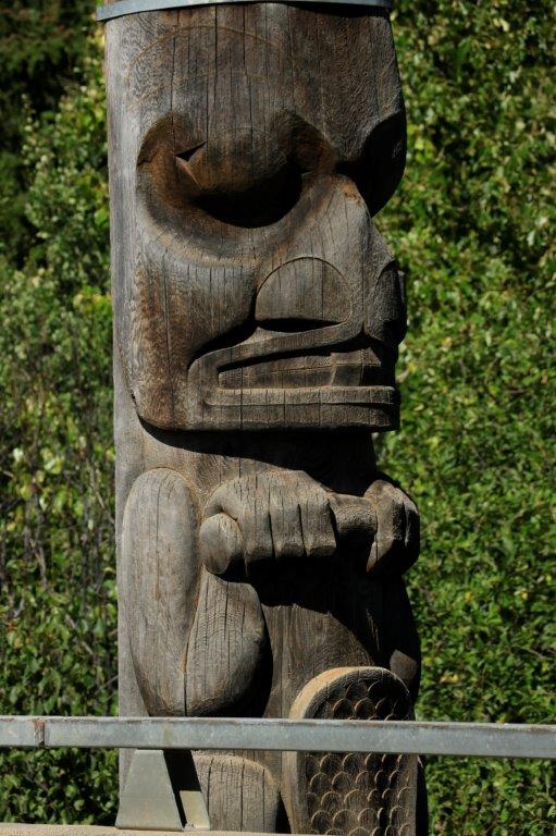
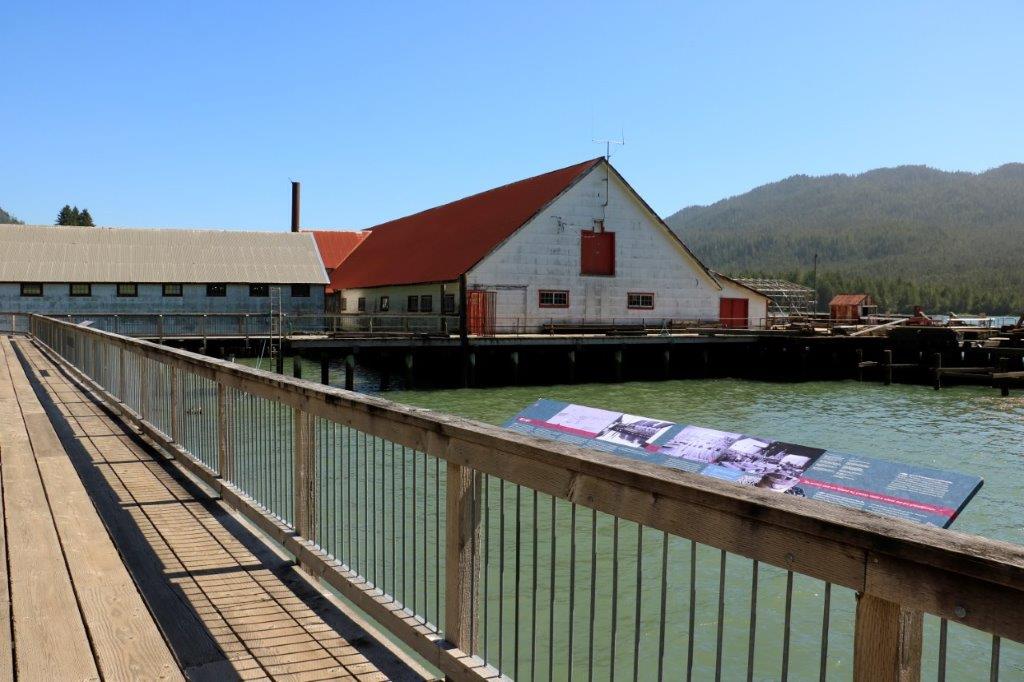
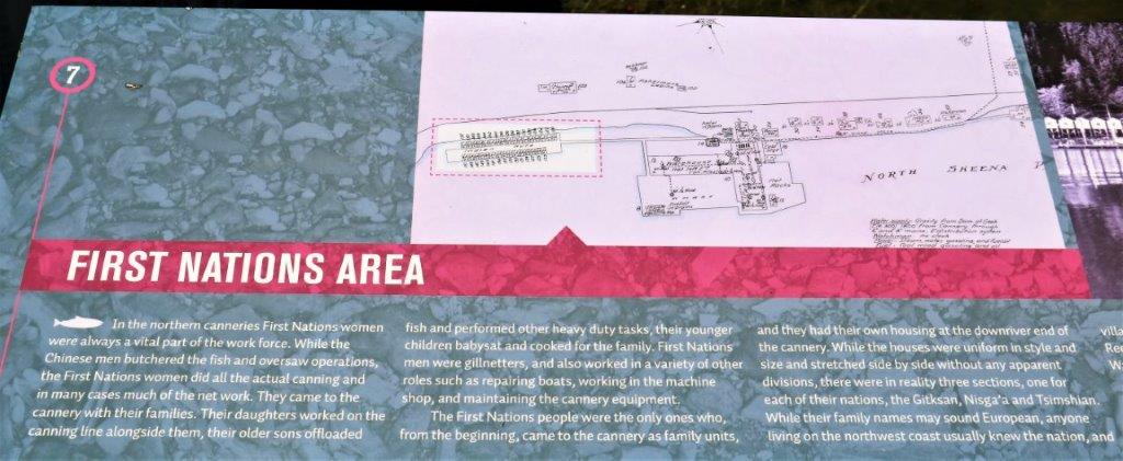
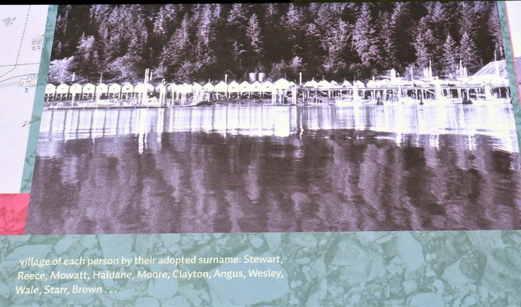
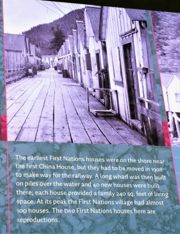
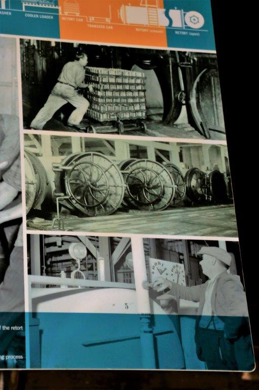
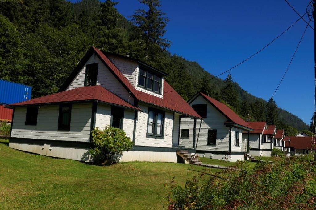
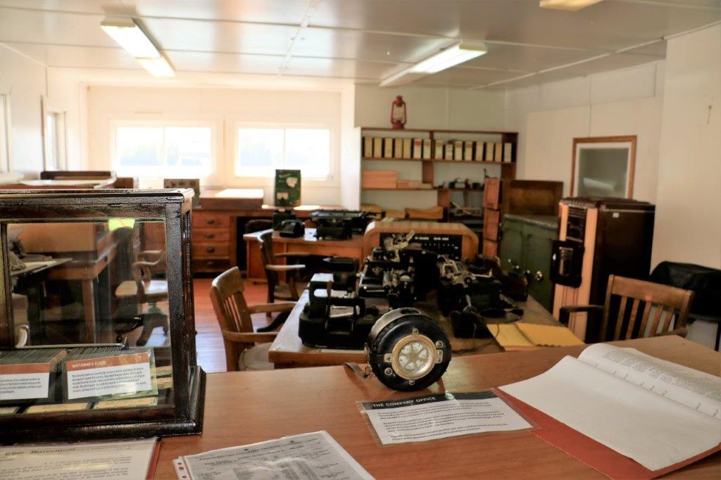
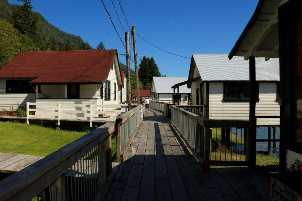
 And this was the most interesting thing we did in our time at Escondido. When our three weeks was up we headed north to Las Vegas where John had secured another week of time share.