Once again we took the roads-less-travelled as we headed west along the St. Lawrence River from Rivière-du-Loup to Trois Rivière. We spent the morning driving Highway 132 on the south side of the river, crossed the bridge into Québec City and headed west again on the north side along Highway 138. Both of the roads had some winter friendly geocaches and took us through farm country and lots of villages.
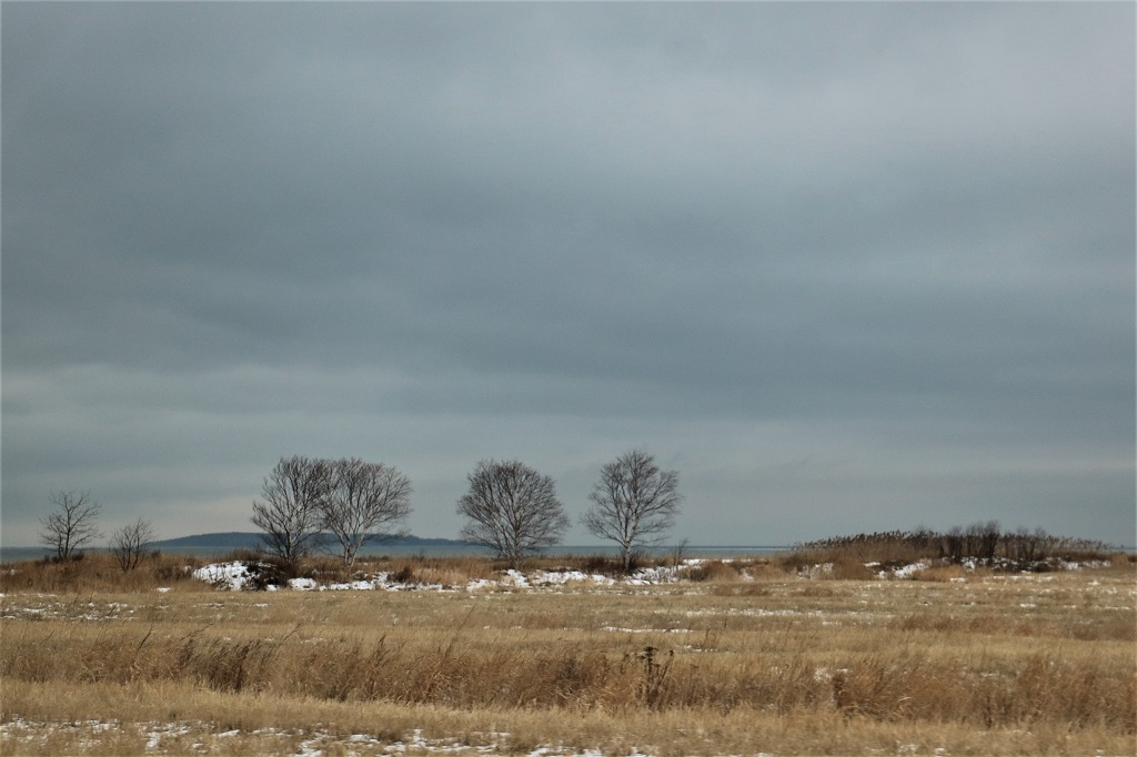
It was a grey day though. We had low cloud and rain drizzle all day. Thankfully, no snow. 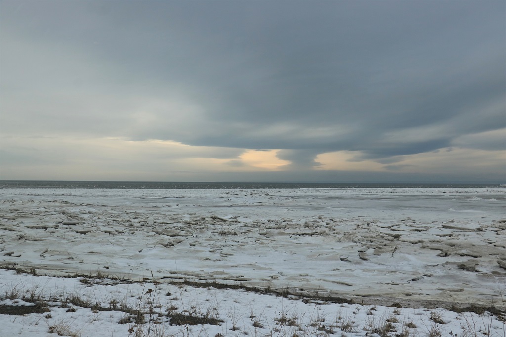 One of the geocache hides we stopped to find was in a tree behind this memorial sculpture.

 This spot marks the point of departure on May 29, 1783 of a route between the St. Lawrence River Valley and Acadia (in what was parts of eastern Québec, the Maritimes and Maine, USA). The route was first used by the First Nations people and later became a strategic road frequented by French and British Colonists.
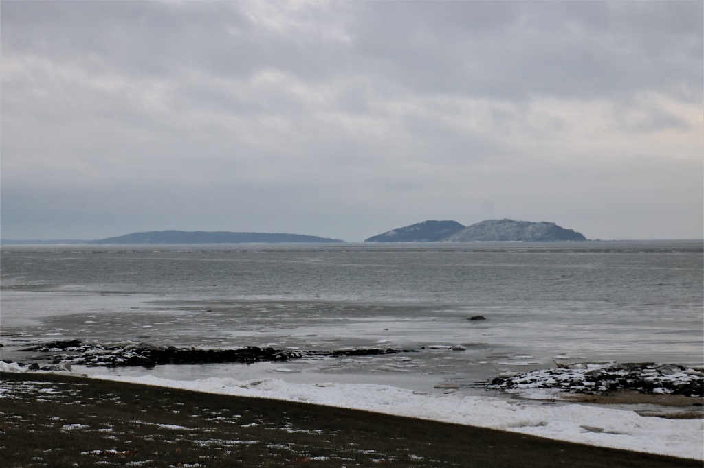
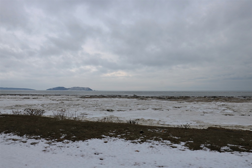 There is lots of ice built up along the St. Lawrence shores.
 We stopped near this bridge to find a geocache that was hidden down by the river, but we were unable to find it. I do admit we did not look too long for caches along the route today. Most of the time there was quite a cold wind blowing so we did not spend nearly the amount of time searching that we usually do. We also had some distance to travel so elected to move on to another cache hide rather than spend too much time trying to find an elusive one.
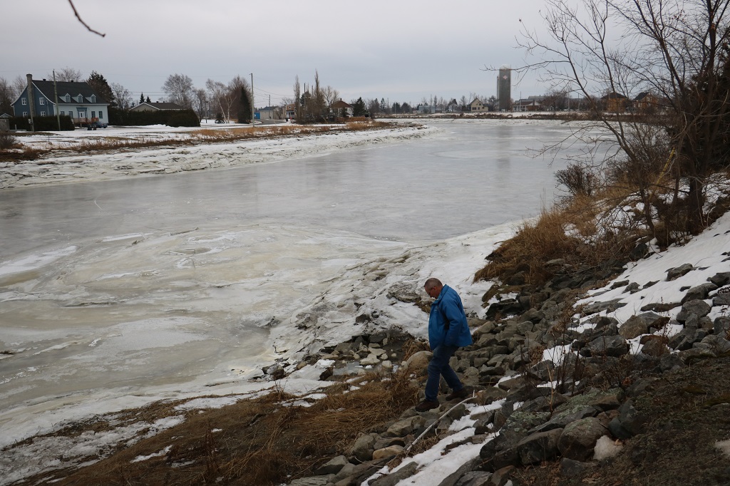
 The big circle of thicker, different coloured ice is at the base of a culvert that drains storm water into the river.
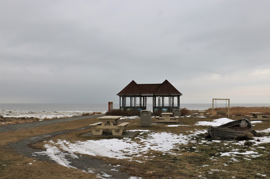
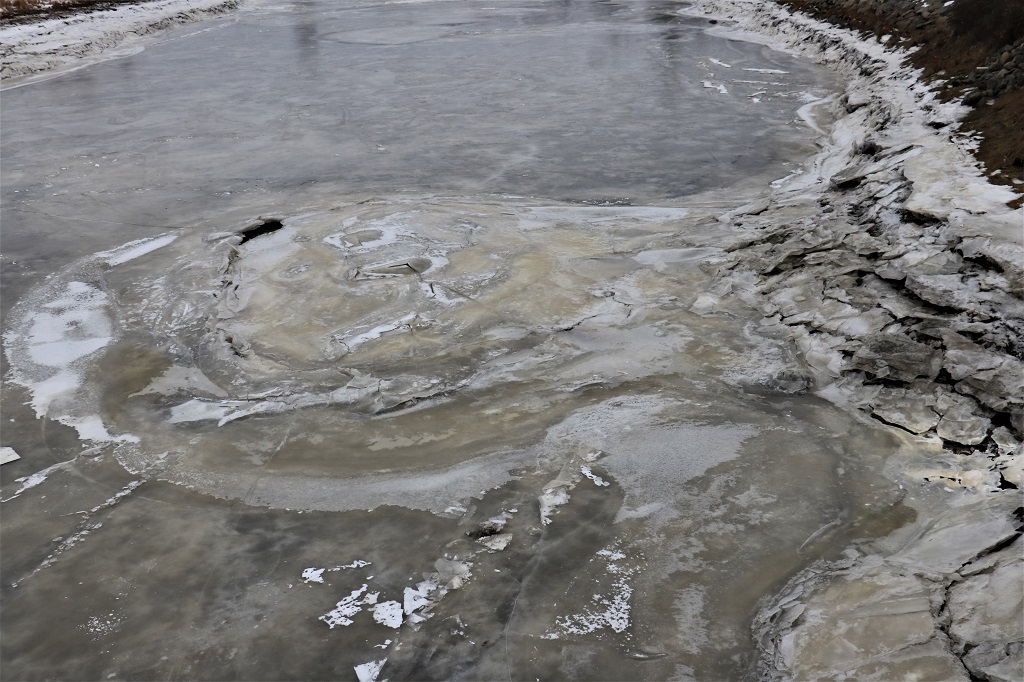 There was an earthcache at an ecological preserve at Kamouraska. It was only a short distance off our route so we turned in to find it. Last night in the hotel, on my computer, I had very cleverly looked along our planned drive for any virtual or earth caches and translated (not me literally, but the built-in translator on the Geocache site) all the information ( info on all hides in Québec are in French only) and the questions we needed to answer. We were hoping to that would assist in the finds. However, at this location there were 8 information panels strung out along a pathway – all in French – so having the questions in English didn’t help when we couldn’t read the panels. And, it was too cold to walk along the water’s edge trying to translate the signs for the answers. Time to move on… I have actually been quite impressed with how much French I am able to figure out on signs, menues, and geocache descriptions. I am bad at understanding the spoken word,but am able to figure out the gist of a lot of things I read. I guess some of the high school French actually stayed in my brain.
 Kamouraska is an old community. It was settled in the later part of the 17th century and is mentioned in the constituency rolls of the Government of French Canada in 1674. The name is Algonquin for “where the rushes grow at the water’s edge.” The area has a long tradition of eel fishing.
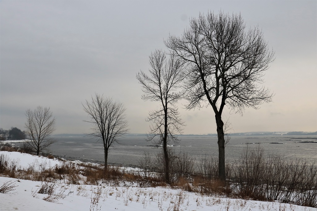
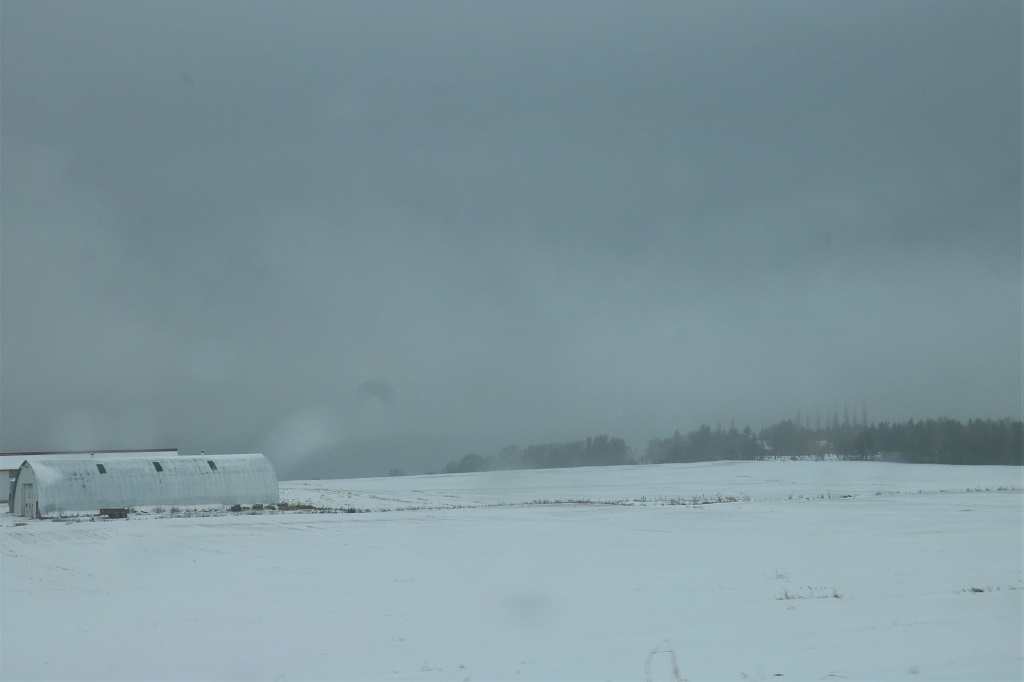 As I said, it was a grey day.
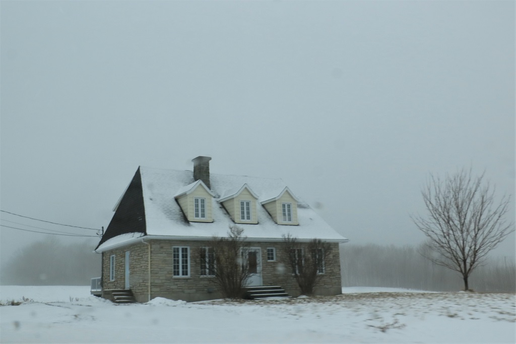
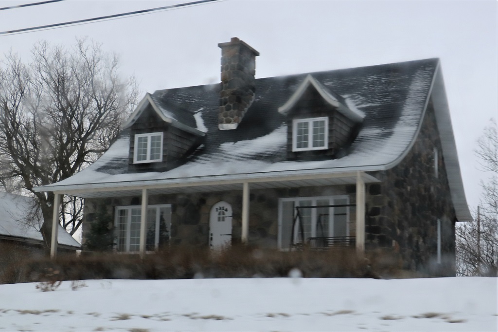
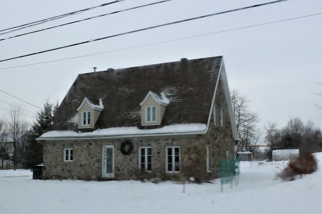
One of the things we enjoy on these quieter roads is driving through the villages. We like looking at houses and various styles of architecture. On our drive we have seen ultra-modern houses, 1960’s bungalows, 1950’s cottages and very old stone houses. We love the old houses and see so many of them are beautifully decorated for Christmas.
 We found a geocache in a tree along this nice long driveway to an research farm.
 As we stopped to find another cache in a guard rail we saw a big tanker making it’s way up the St. Lawrence.
 We arrived in Trois Rivière at 4:30, negotiated a convoluted route to find our hotel, and got settled in. Tomorrow we travel on freeway for about 55 km out of Trois Rivière and then exit onto Highway 158, a secondary road to circle around Montreal. We are able to stay on this road (although it’s number changes to 148) all the way to Ottawa. We arrive from the Québec side, driving through Gatineau and across the bridge into Ottawa.
