We achieved our second goal for this short road trip – our 4000 cache find! And we got three caches on Prince Edward Island.
We were on the road at 9:40 and headed directly from Moncton to Prince Edward Island. As soon as we traveled east of Moncton almost all of the snow disappeared.
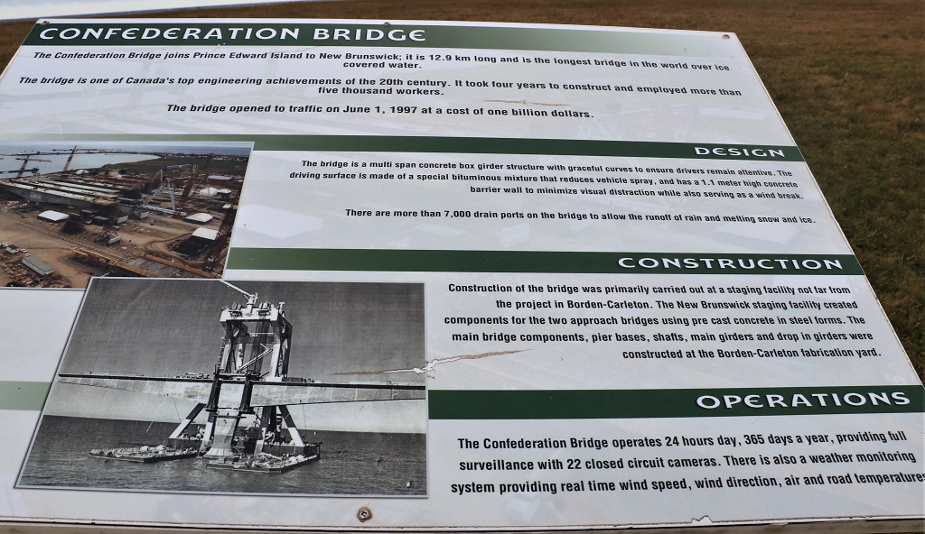
 I love the Confederation Bridge that connects New Brunswick to Prince Edward Island. One of the conditions of the island joining the Confederation of Canada in 1873 was that access to the mainland would be provided; either by tunnel under the Northumberland Strait or a bridge across it – whichever became feasible. That promise was a long time coming because the Confederation Bridge was not opened until 1997!
The bridge was built by a private consortium, took four years to build with almost 6000 workers and a cost of $840 million. They negotiated a 35-year agreement with the Federal Government. Each year for 35 years Canada pays Strait Crossing Bridge Ltd. $41.9 million. After that time the bridge becomes the property of Canada and part of the Trans-Canada Highway. If you do the math the taxpayers will, in 35 years, pay Strait Crossing Bridge Ltd. close to 1.5 billion dollars – which pays for the bridge plus over $600 million in interest on the privately financed construction project.
The bridge is also a toll bridge. It costs nothing to go from New Brunswick to PEI, but the cost to go back to the mainland for a passenger car is $47.75. A motorcycle costs $19.00 and an individual or cyclist riding in the provided shuttle pays $4.50 or $9.00 respectively. (No pedestrians or bicycles are allowed to cross) Even in the slow winter season that adds up to several thousand dollars per day. The construction consortium keeps all the tolls for the 35 years. Sounds great, but the money from the tolls had to first be used to cover the $330 million construction cost overrun before any of it became profit. Maintaining the bridge has also cut into some of the projected gains, but the company shareholders will still make a considerable amount of money from their investment – over 35 years.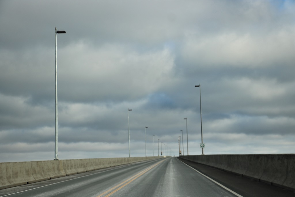
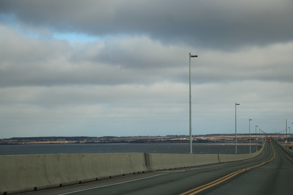 The bridge is built in an S curve specifically to reduce the risk of accidents from drivers getting complacent during the 13 kilometer (8 mile) crossing. At the speed limit of 80 kmp (50 mph) it takes 12 minutes to get from New Brunswick to PEI. It is the longest bridge in the world across ice-filled water.
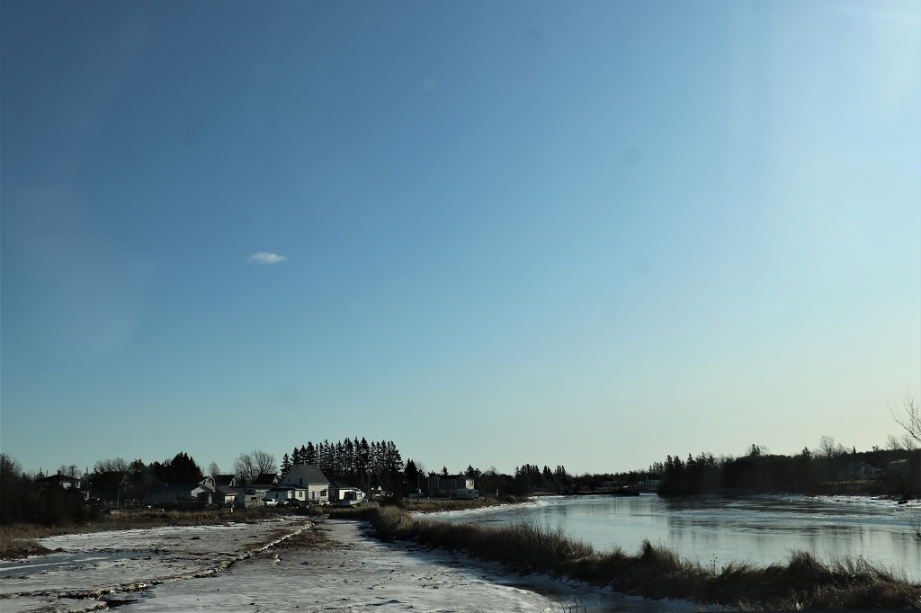
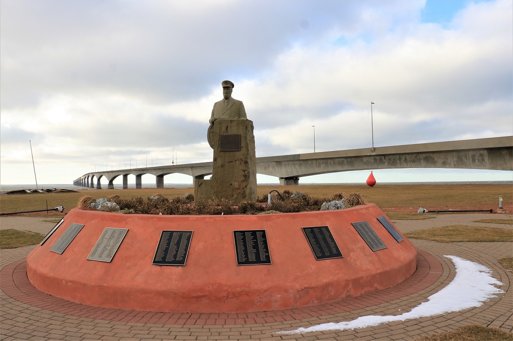
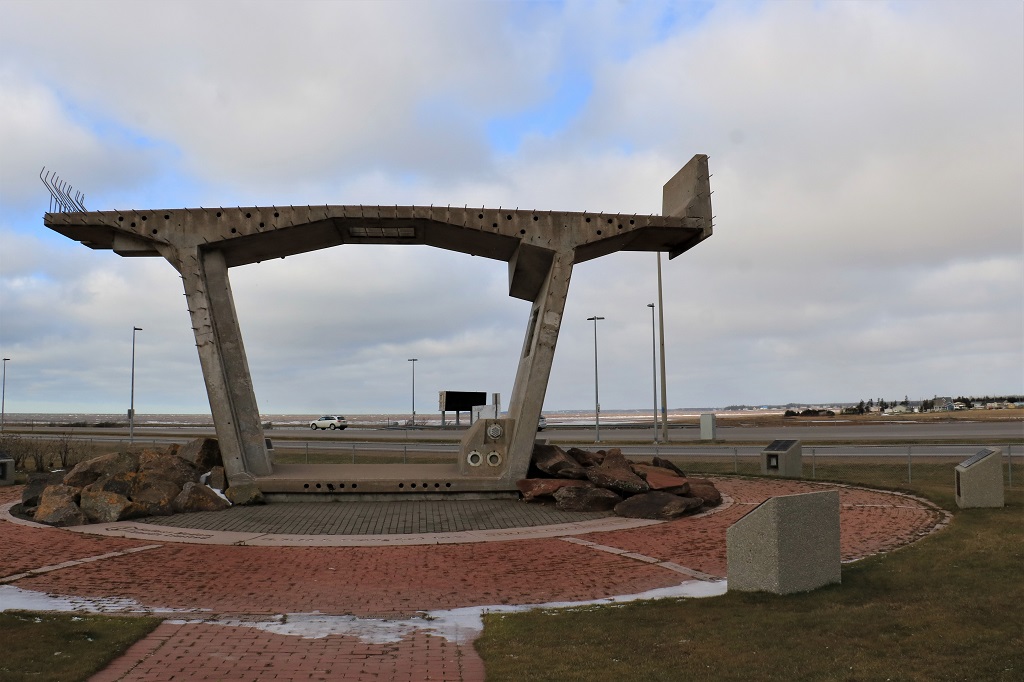
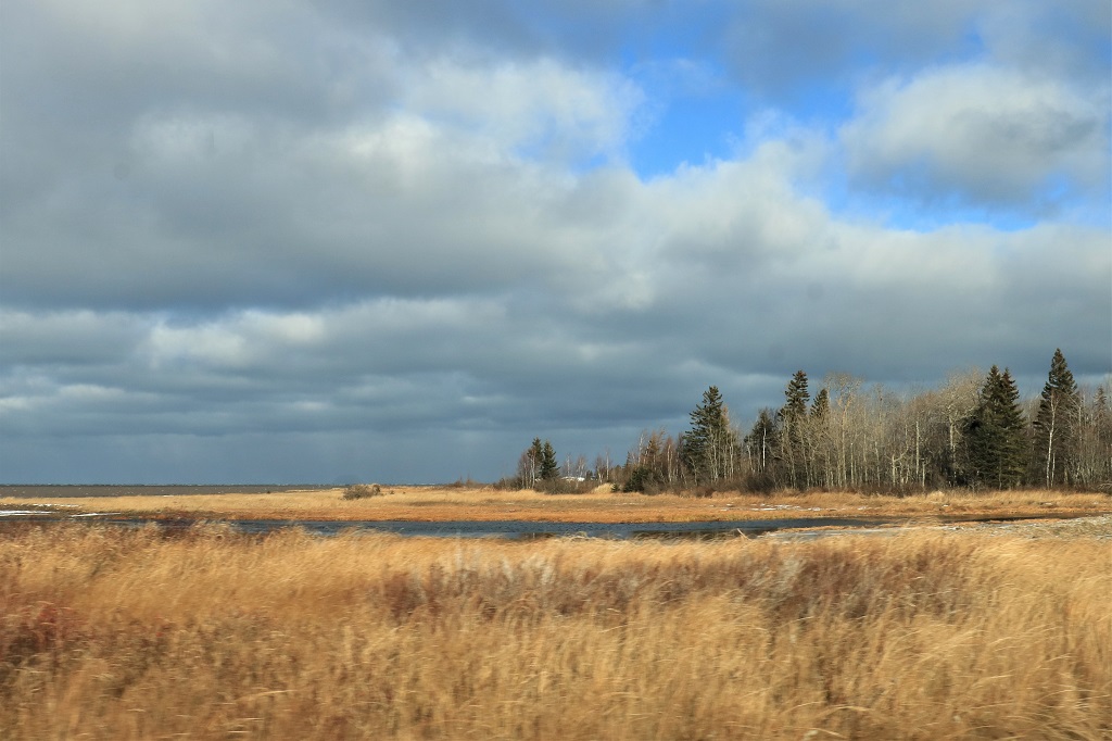
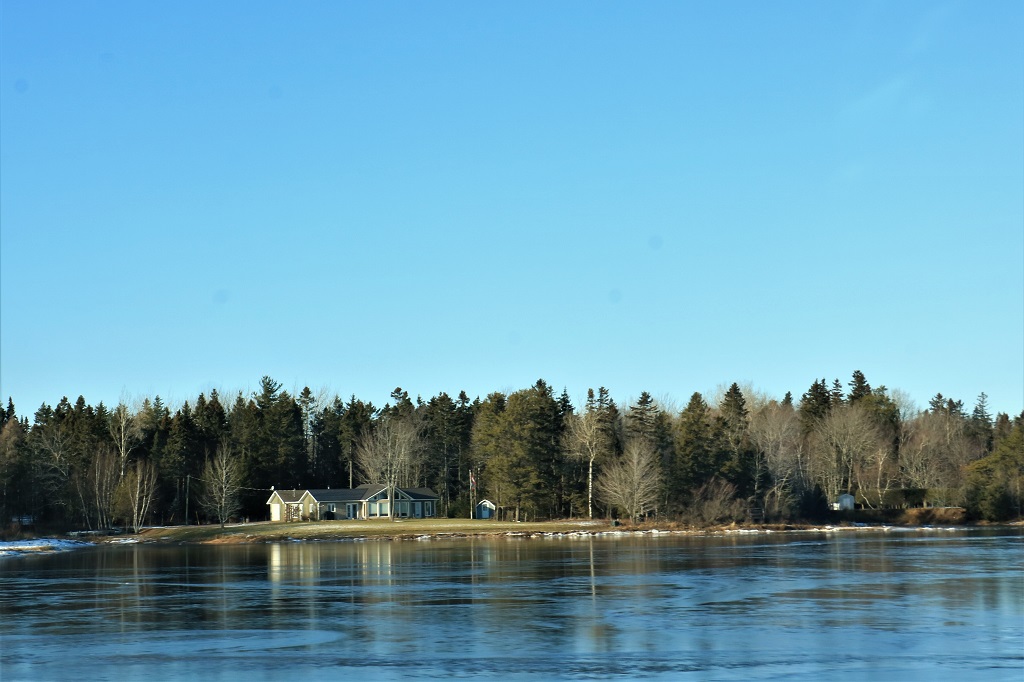
We did not have to drive very far once we were on the island to find a geocache to complete our Canadian provinces. There is an immediate exit to a nice park with a view of the bridge that has a cache hidden in the base of an information sign. 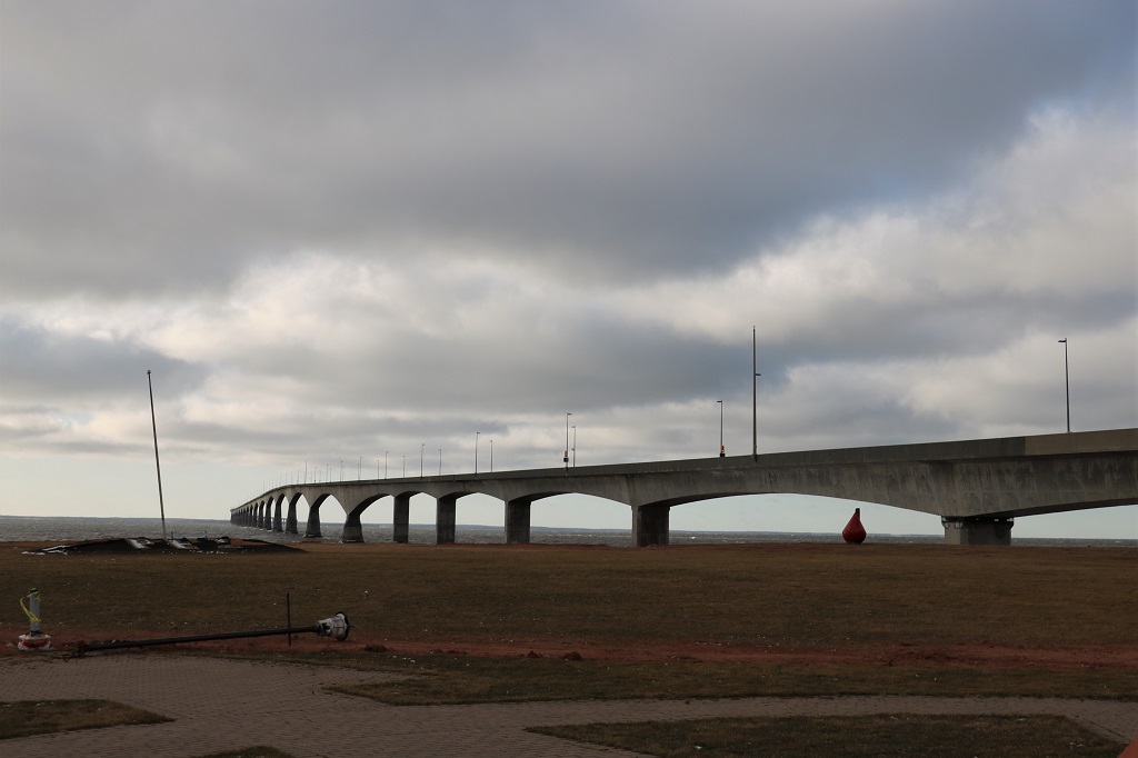
 The wind was bitterly cold! We did not linger long outside the warmth of the car. We found another cache nearby and looked for another one at the visitor’s center that we couldn’t find,
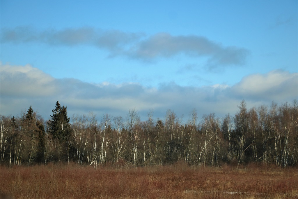
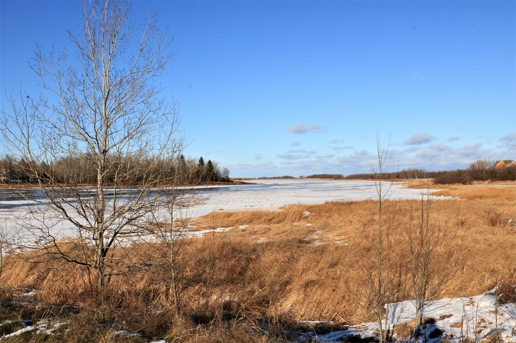
 Then we found the road to Noonan Beach where we got the information for an Earthcache.
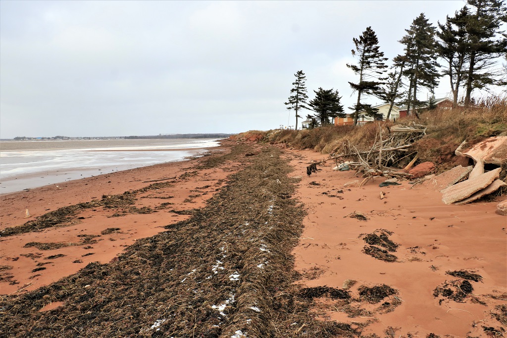

 I was smart enough to wrap my scarf around my head before I ventured near the water.
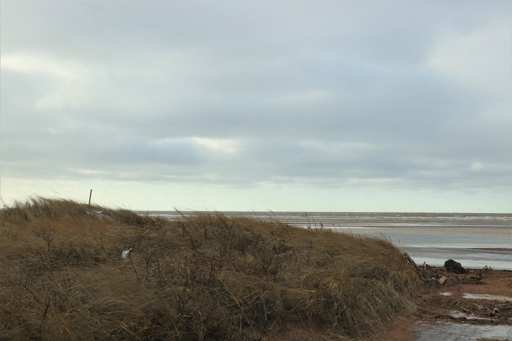 You can’t really see it in the photo but the grass is really blowing inland. As we were getting back into the car snow flurries began to fall. We had achieved our goal of a PEI cache ( X 3) and now it was time to head back to New Brunswick and start making our way back to Ottawa. Our destination for the night was Miramichi which is about 200 km from the New Brunswick side of the bridge.
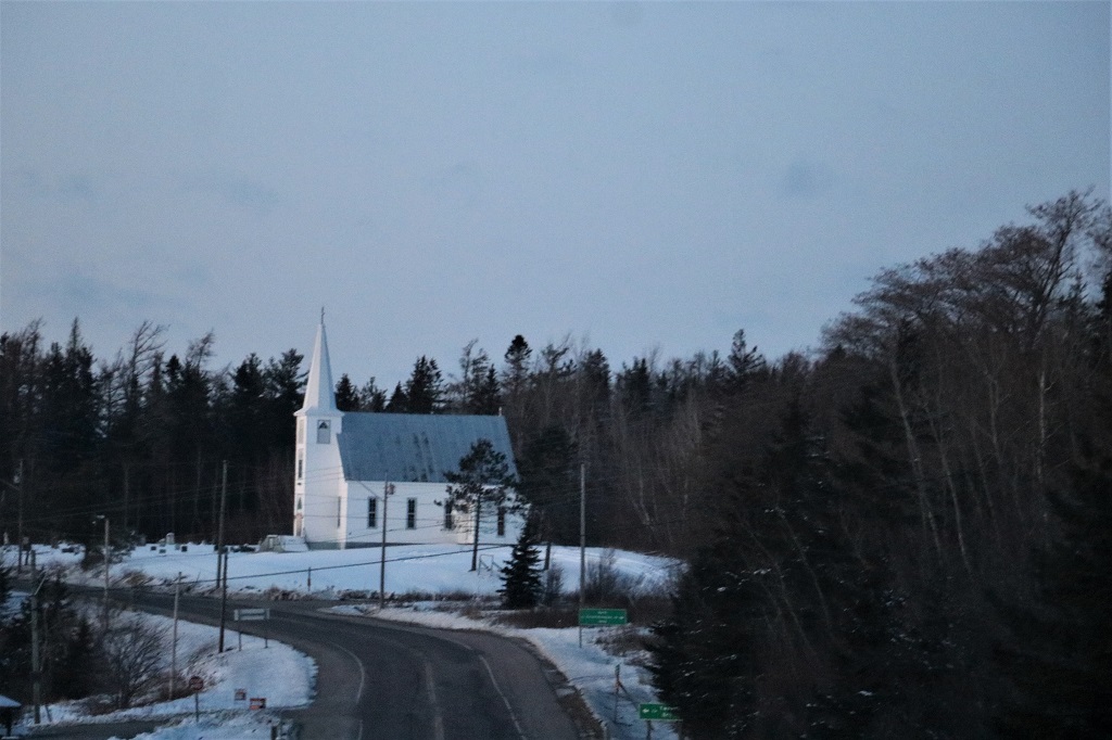
We turned north immediately across the bridge and took the secondary coastal road called Murray Corner; finding a couple of geocaches along the way.

 We discovered as we neared the end of the road that the bridge that connected Murray Corner to the main highway was closed so we had to go back a few kilometers to another crossroad. Instead of turning around and navigating the same road again, we took a lesser used country road. I was hoping to see a moose since there are warning signs for them all over this province, but no such luck.
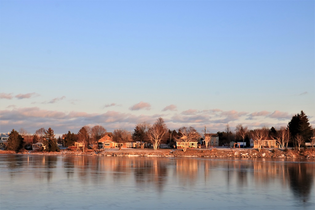
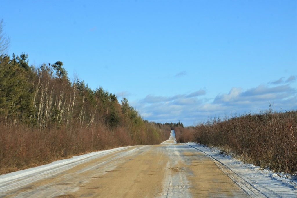 We spent a lot of the day driving near coastal inlets and there were lots of pretty views of houses and cottages reflected in the ice or water.
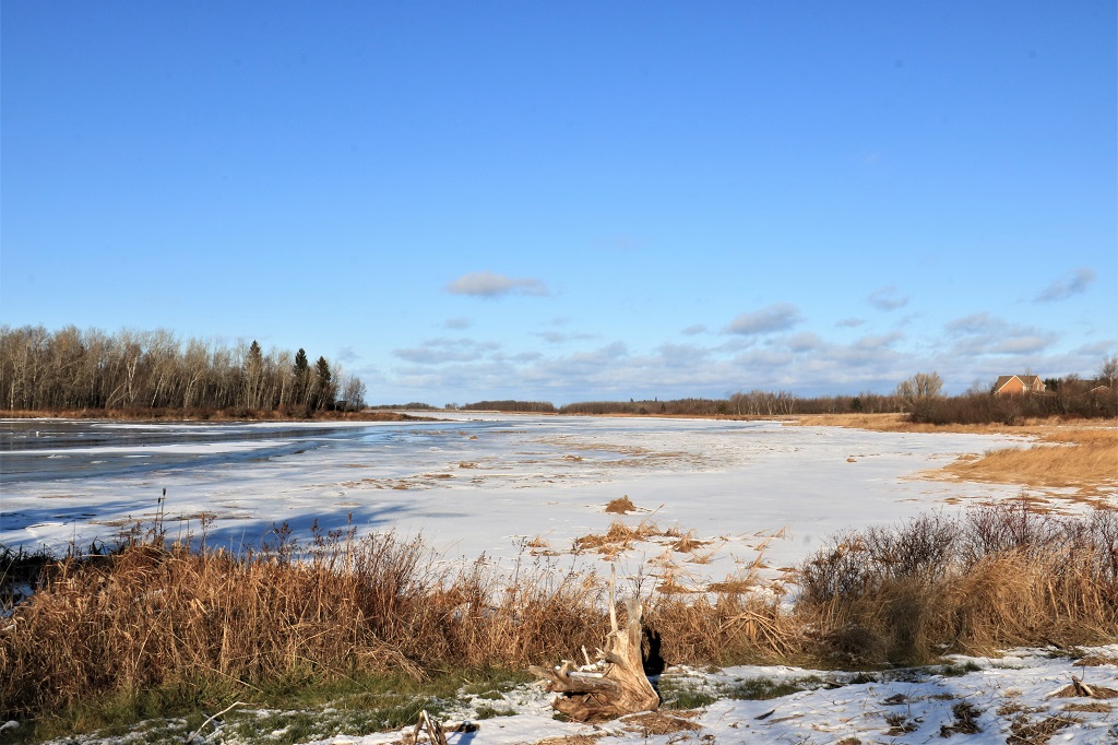
 About halfway to Miramichi there was a side road called Beaubassin Road that had a string of 20 geocaches hidden along it. We gave ourselves one hour to find as many as we could before we stopped and drove the rest of the way to Miramichi. There were a couple we could not get because the ditch was full of water, or rather ice, that we did not trust to walk on, and near the end of the road the last six or so caches were hidden further into the bush on the opposite side. We decided to find them on the way a back if we had time; since it was a dead-end road. As it was our hour was up just as we got to the final cache so we ignored the ones we passed by and headed back to the highway again. We did find 12 of them though.
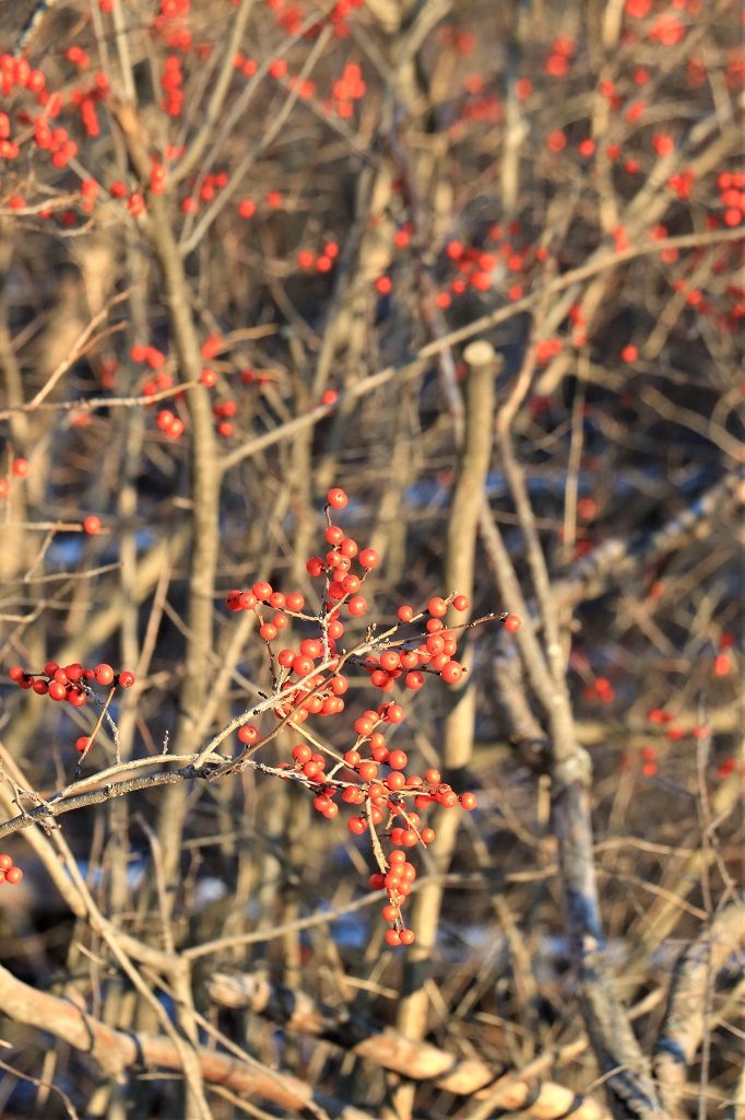
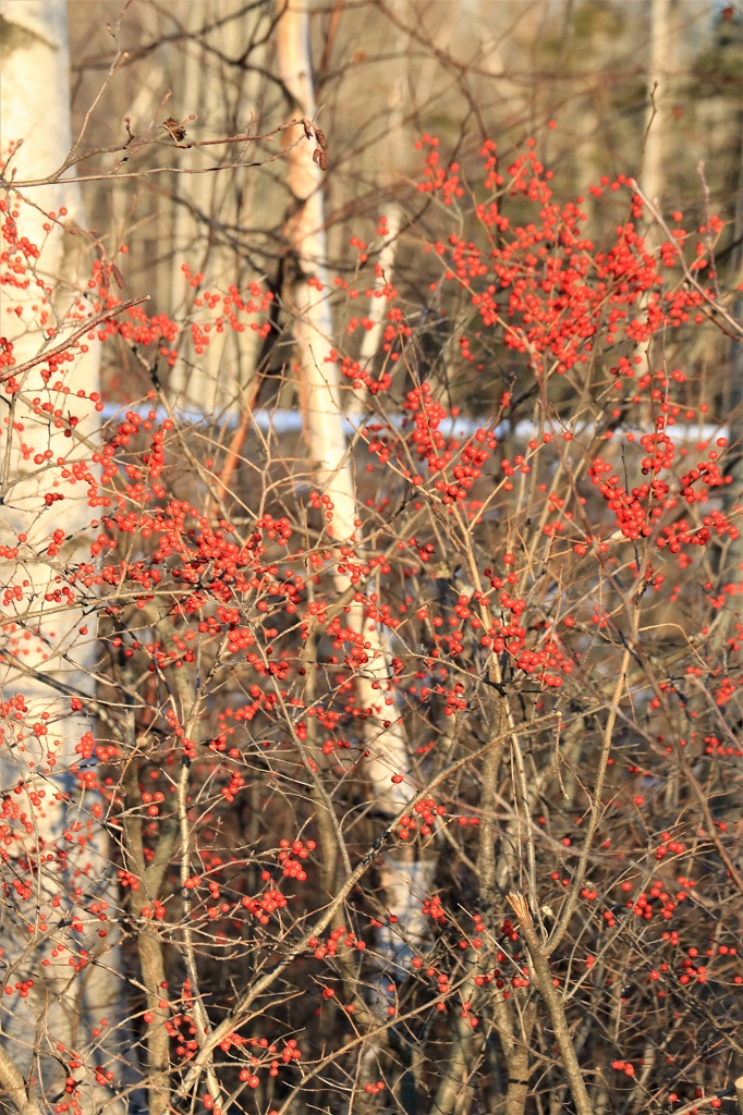
During our few days of driving in New Brunswick we would occasionally spot a bright red bush among the trees alongside the road. There were some of them growing along Beaubassin Road so we were finally able to see one up close. I don’t know what it is called but the berries are certainly bright.
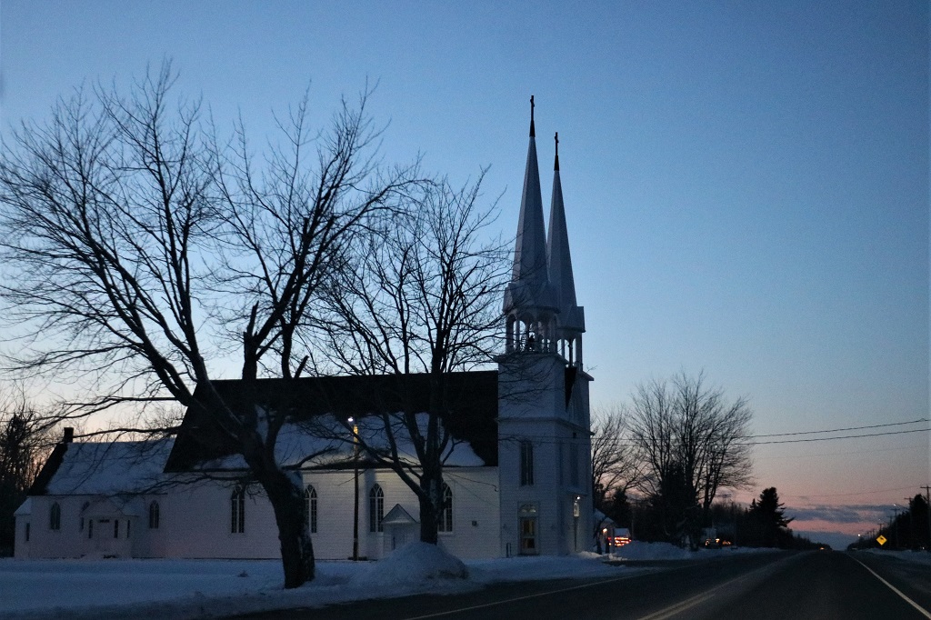
 The last 100 km was driven in fading light and setting sun.
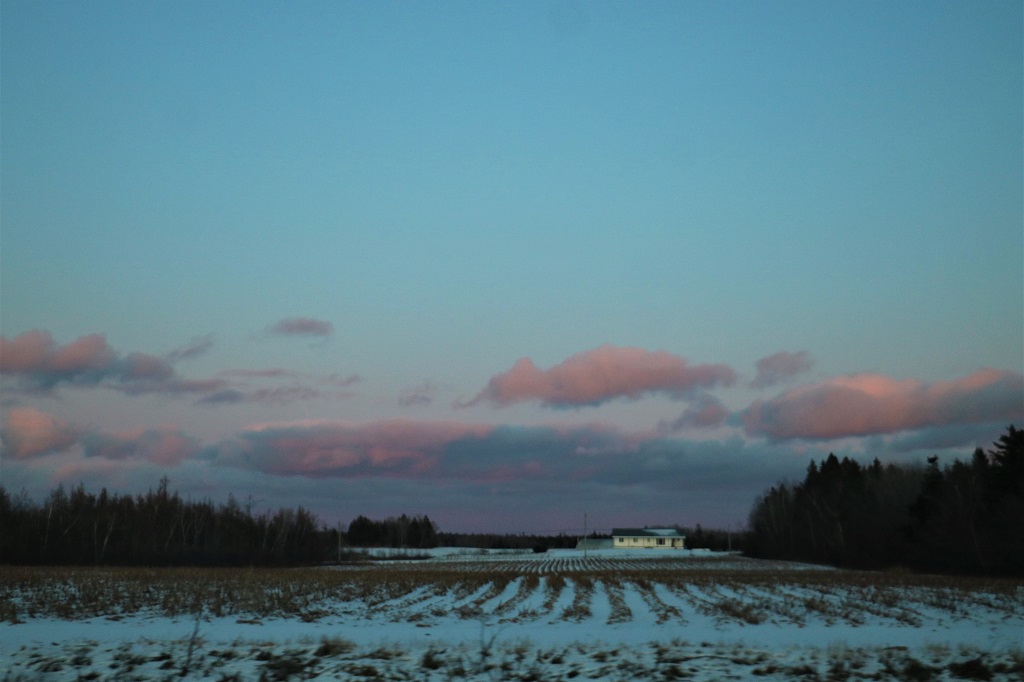

 We arrived in Miramichi at 5:30. Tomorrow we cut across NB to Grand Falls and up to Rivière-du-Loup, Québec. We have yet to decide if we will stick to the freeway from Grand Falls to Québec or take a road-less-traveled, but longer.
