Category Archives: Hanna Travels

2017 Aug 9 – Brookings, SD to Mitchell, SD

Monday was History day, Tuesday was Literature, and Wednesday was Science/geology.

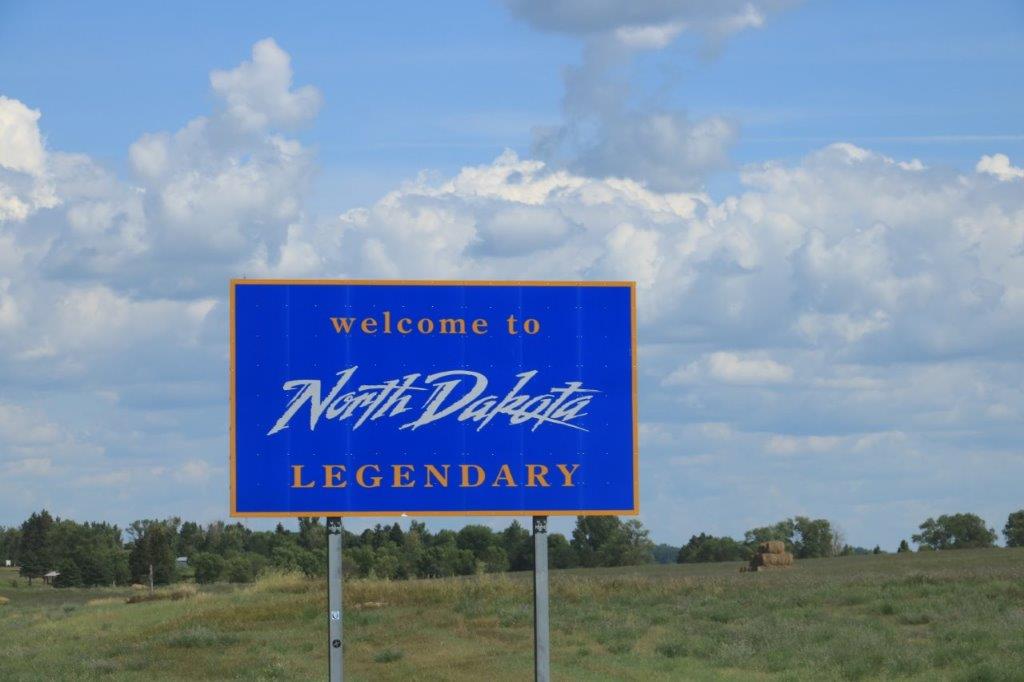
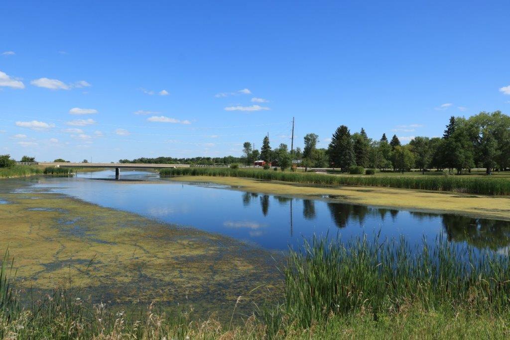
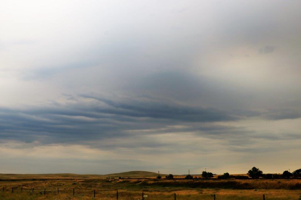
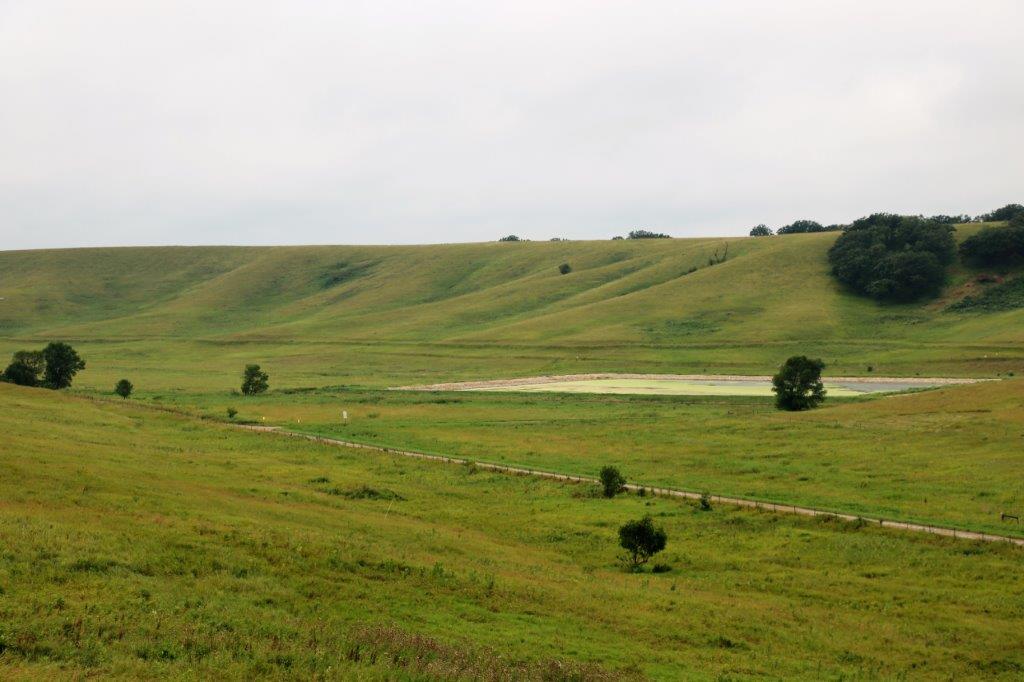
We drove east from Brookings, South Dakota into Minnesota through the Hole-in-the-Mountain at Lake Benton; which you would think would be a rocky pass or something.  Instead it is a break in the escarpment and basically is a pretty little valley. 
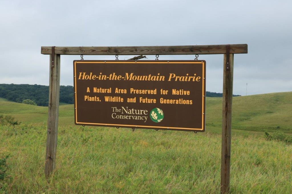
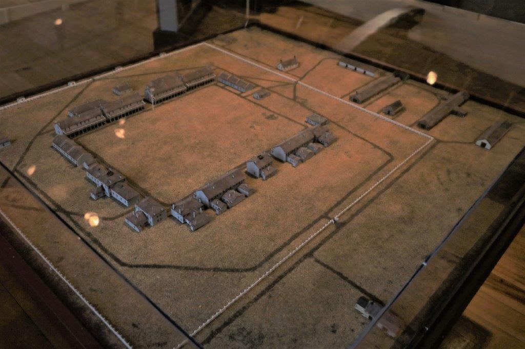
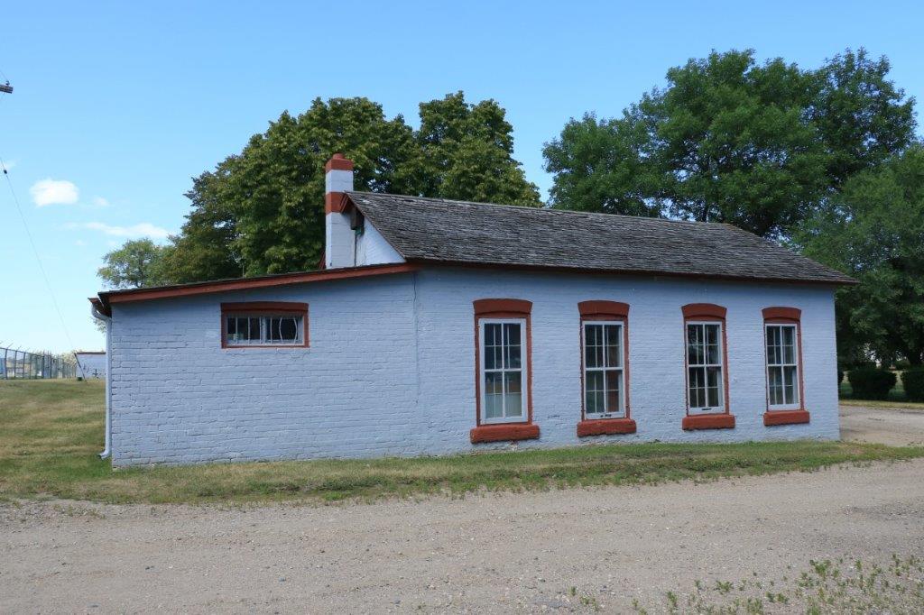
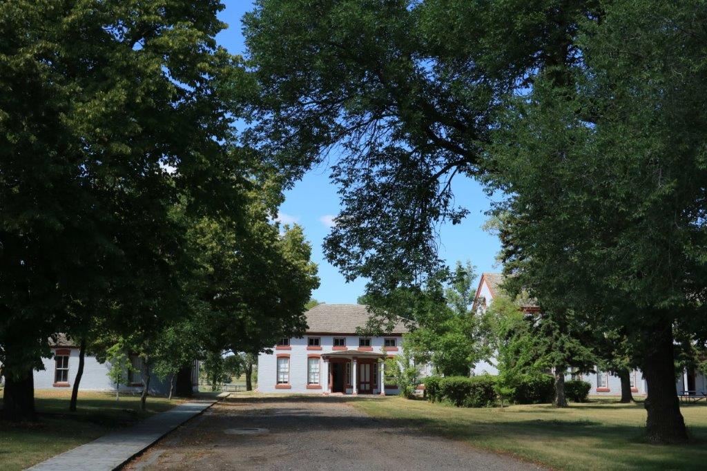
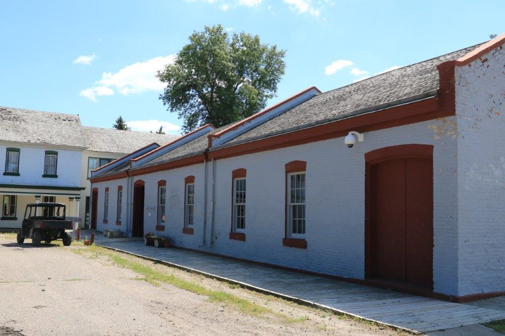
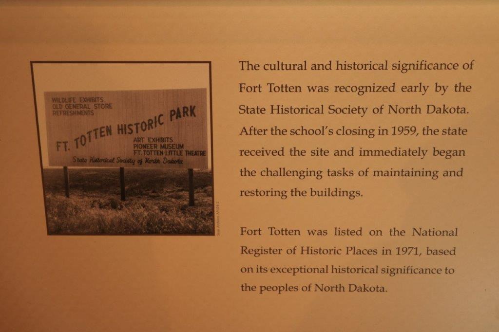
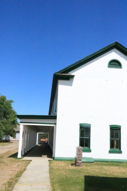
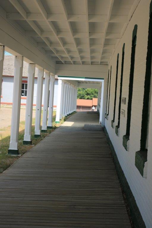
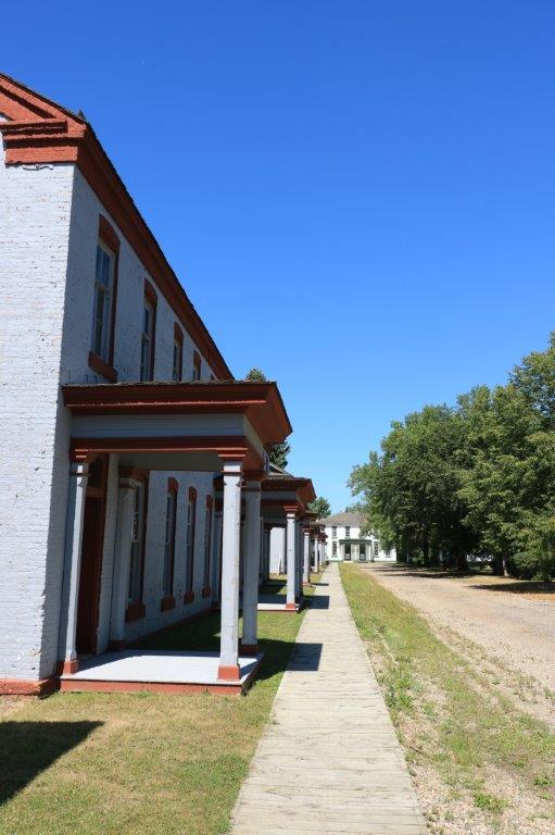
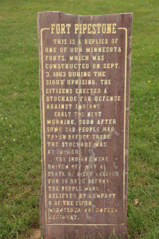
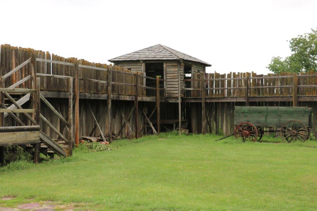
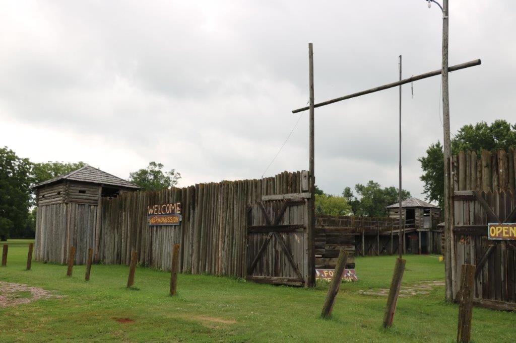
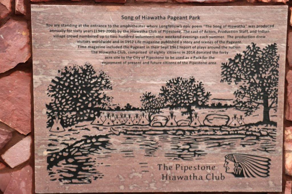
We headed south to Pipestone.  A quick stop at the replicated fort to find a geocache and then across the road to find another cache in a beautiful park called Hiawatha Park after the Henry Wadsworth Longfellow poem.  The community did a theater production of the epic poem in the outdoor amphitheater in the park for 60 years.  The last production was 2008.

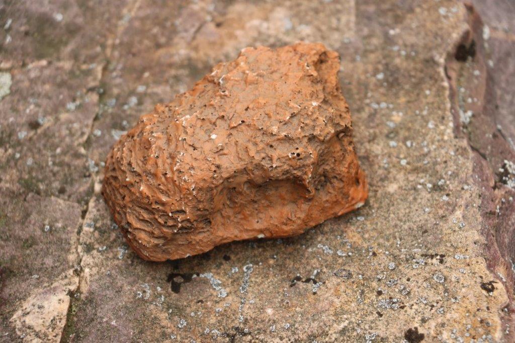
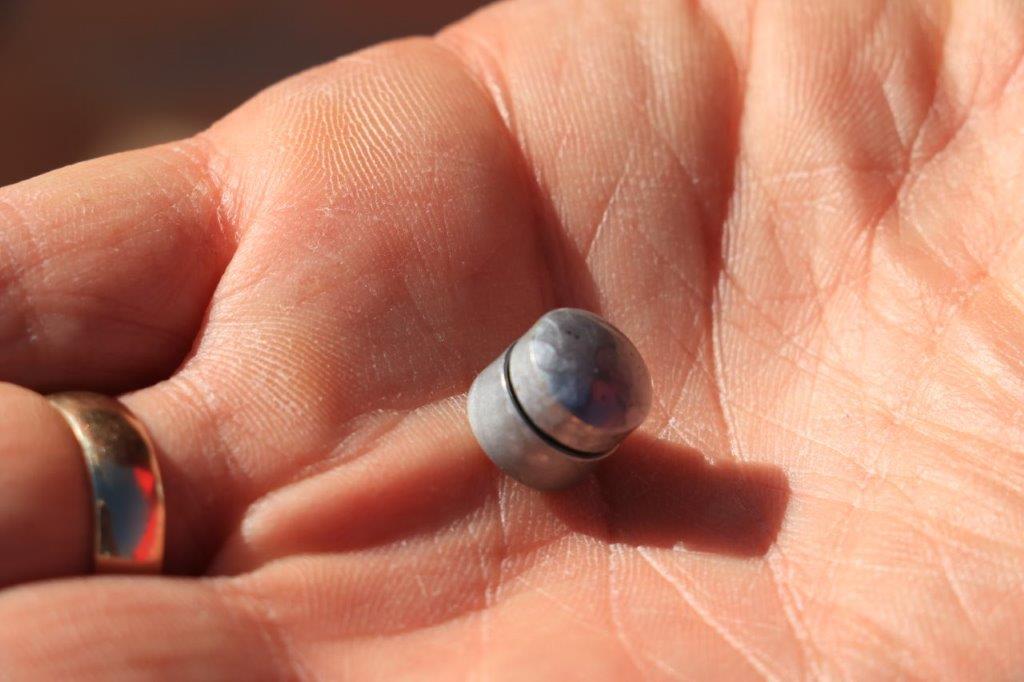
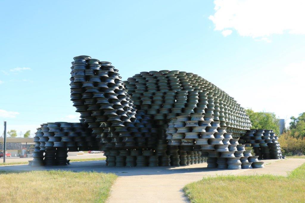
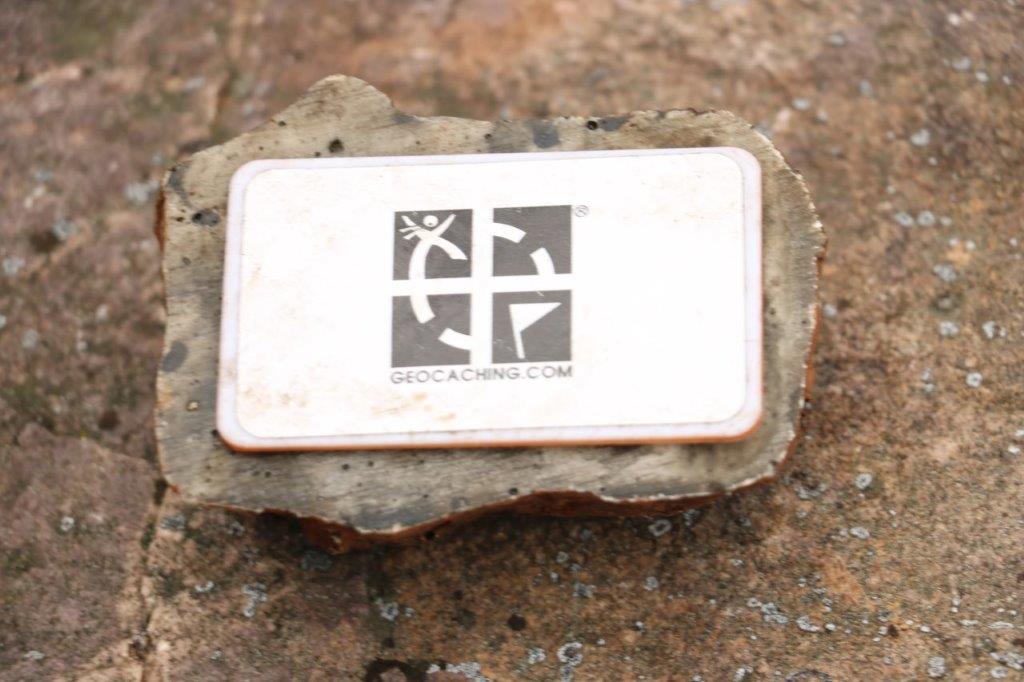
                    Nice fake rock for a cache container.

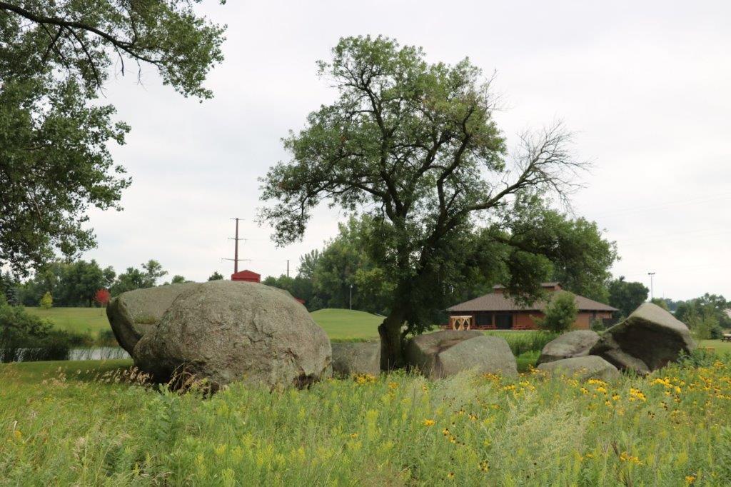
At the edge of Hiawatha Park are the Three Maidens, a sacred site to the Dakota Sioux. 
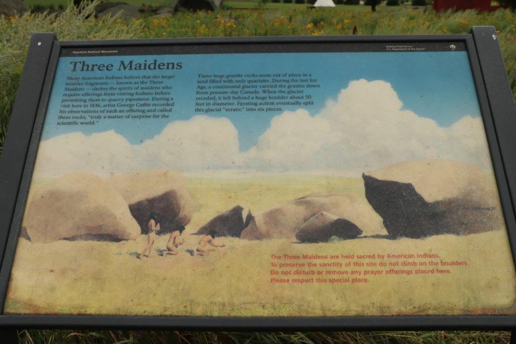
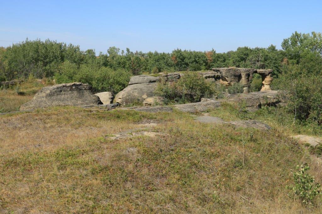
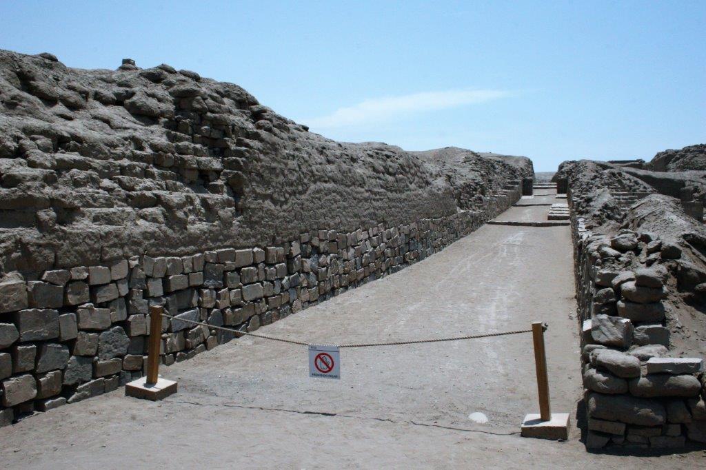
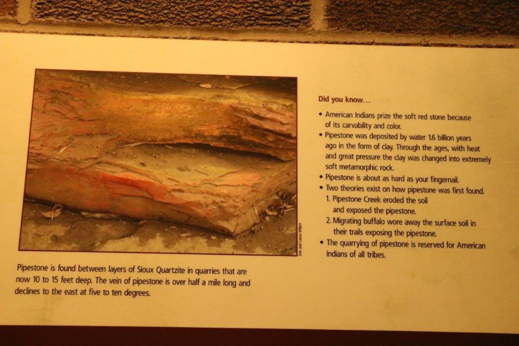
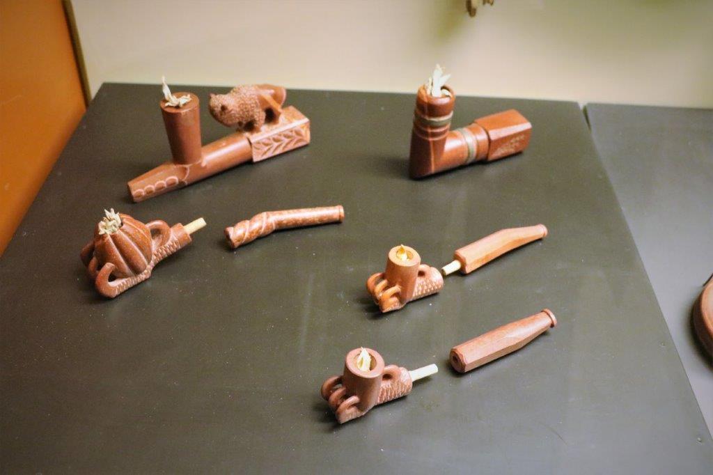
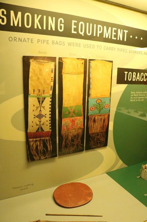
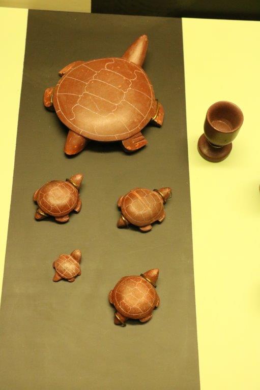
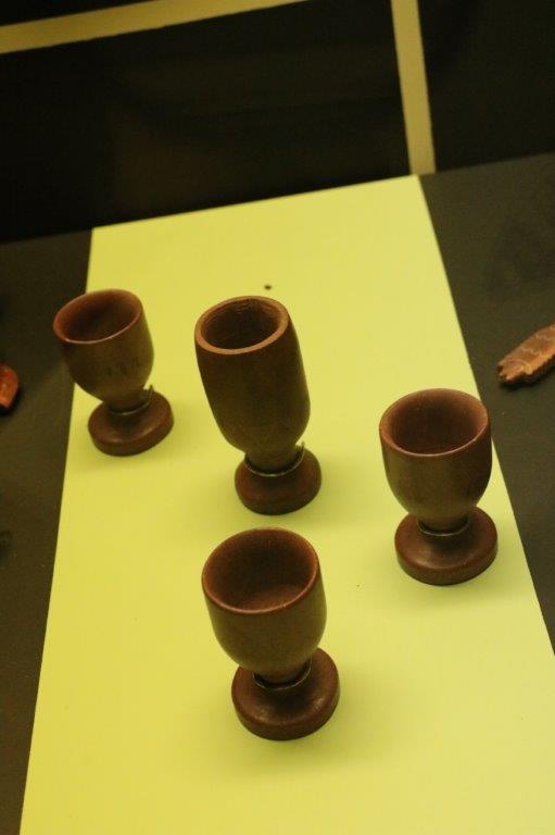
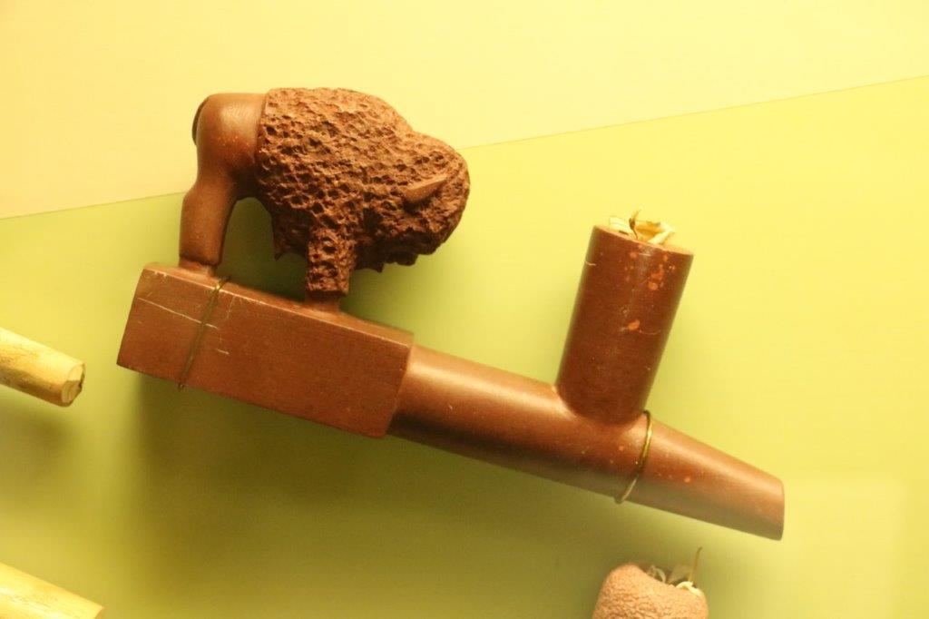
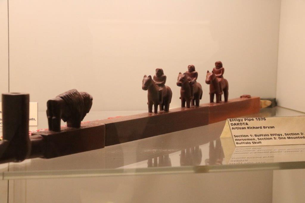
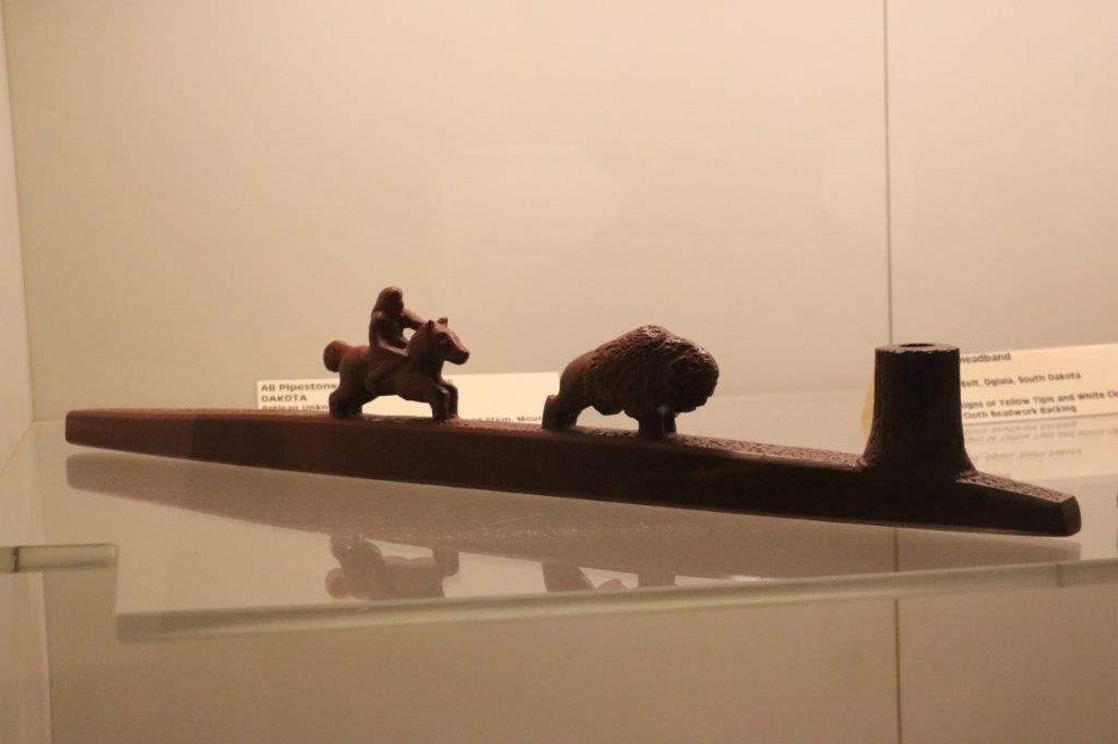
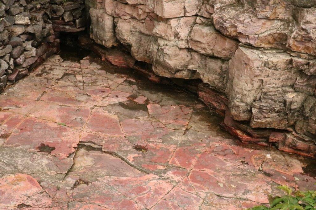
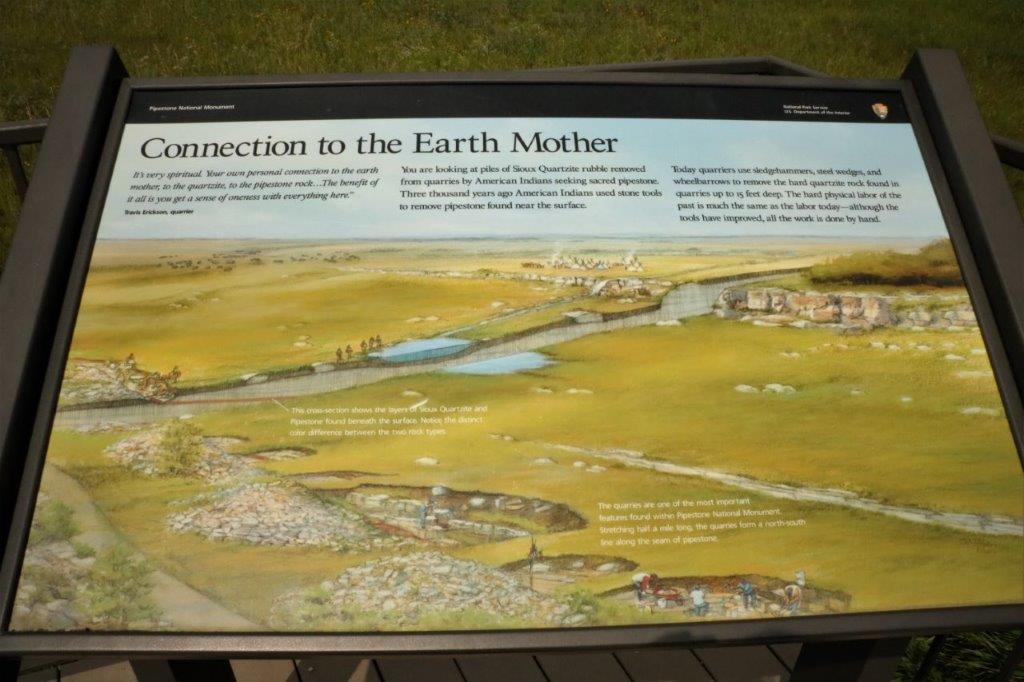
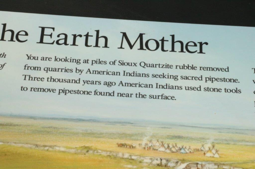
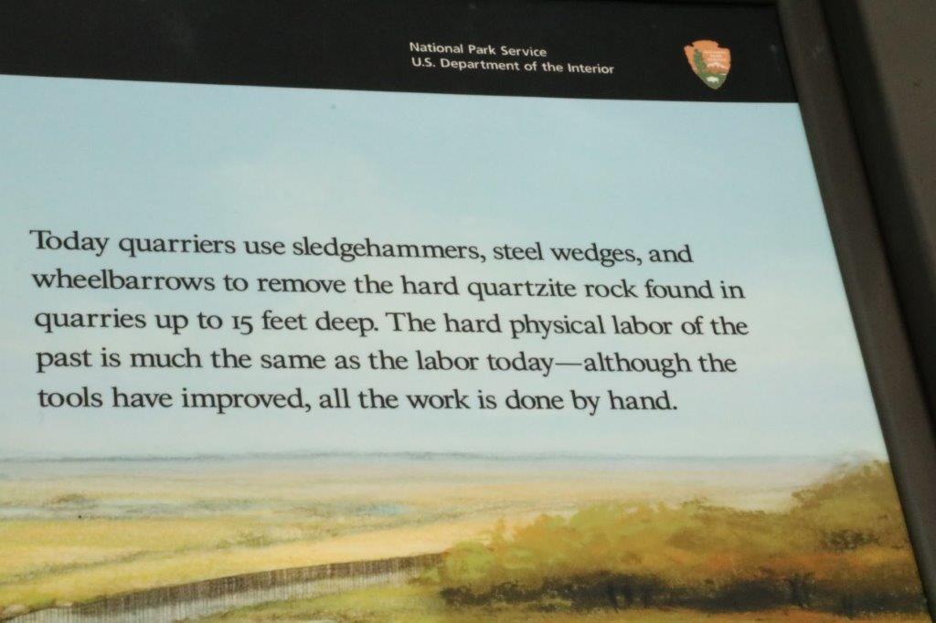
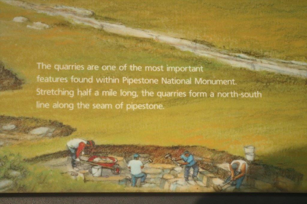
We continued down the road to the Pipestone National Monument which preserves an area of ancient quarries sacred to the Dakota Sioux and other nations.  The Pipestone National Monument quarries are the source of Catlinite, a soft, porous rock that is most commonly used to carve a pipe.  The rock is carved into other objects and carvings – especially today for sale in the gallery – but it is called pipestone by the Sioux because it is used for pipes.  Pipes are very important in the culture and spiritual life of the First Nations peoples. When the treaty was being signed to get the Sioux lands for homesteaders the chief insisted that a clause be entered that gave the Indians the right to quarry for the pipestone for  ‘as long as they desire.’  The treaty was broken, of course, and access to the quarries, which was always a long journey, became almost impossible with the need to circumnavigate homestead farms and ranches.  The quarries lay dormant for many years.  But they are open today and used each year by the various people and tribes that have permits.  Still today all the work is done by hand in the blistering heat, with the mosquitoes, and the back-breaking labour.
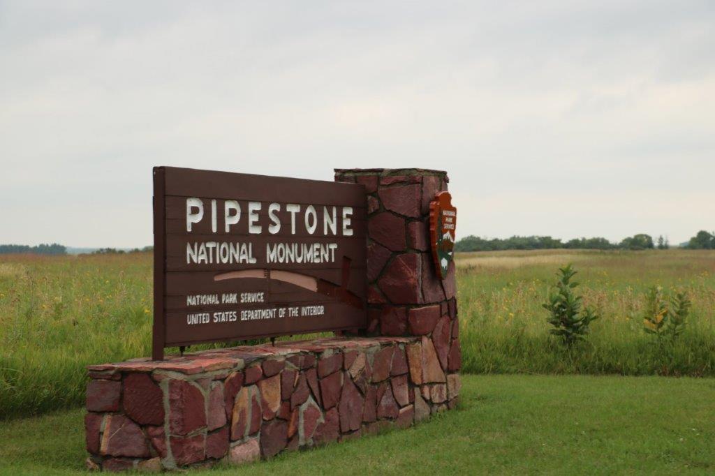
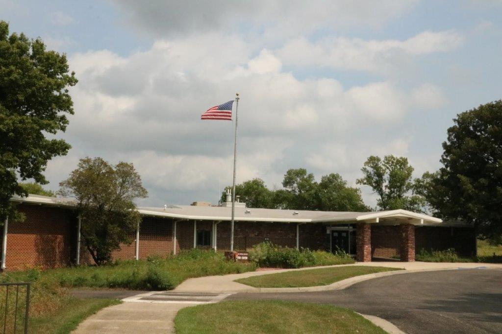
We spent quite a bit of time looking at the exhibits and gallery and watching the film before heading out on the one mile loop trail. 
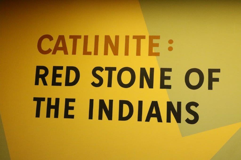
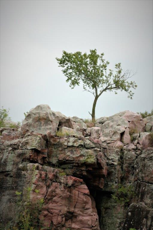
When we were finished at the Visitor’s Center we headed off to see the quarries and Sioux Quartzite cliffs that cover the precious pipestone with 10-100′ of the second hardest stone and, to this day, is hammered out with wedges and chisels by hand.

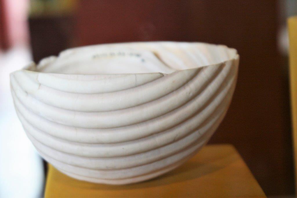
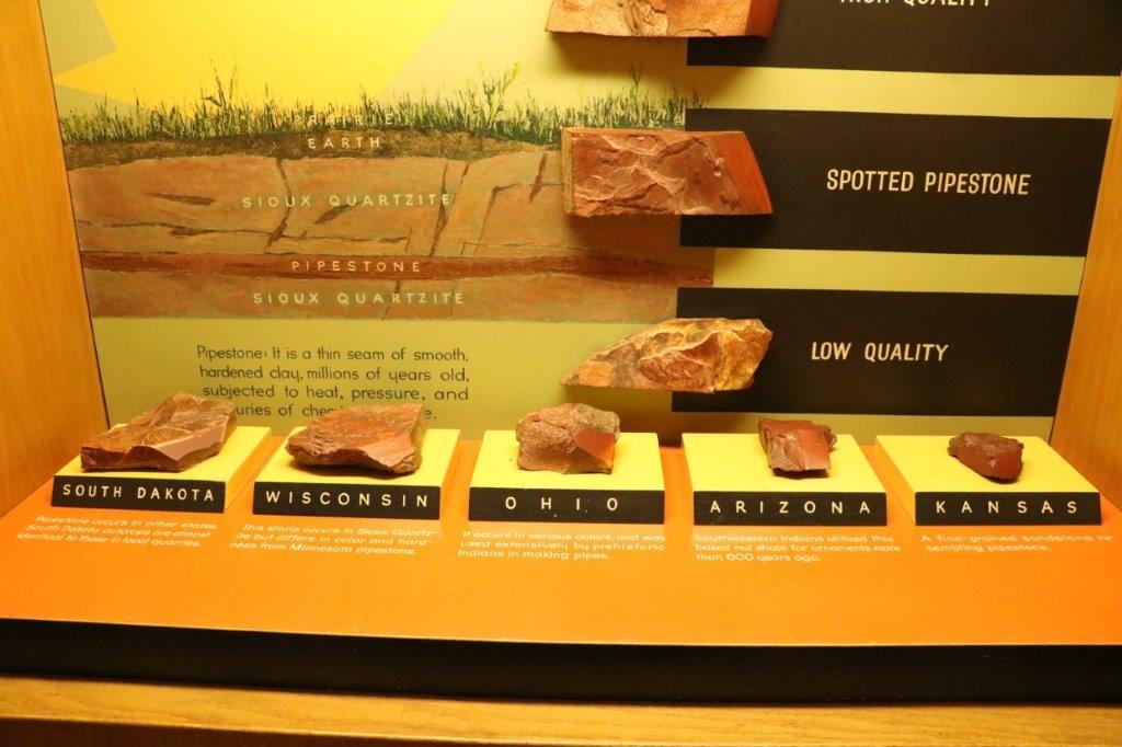
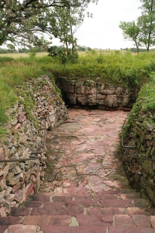
Just outside the building there was a sample quarry to show how the pipestone is extracted. 
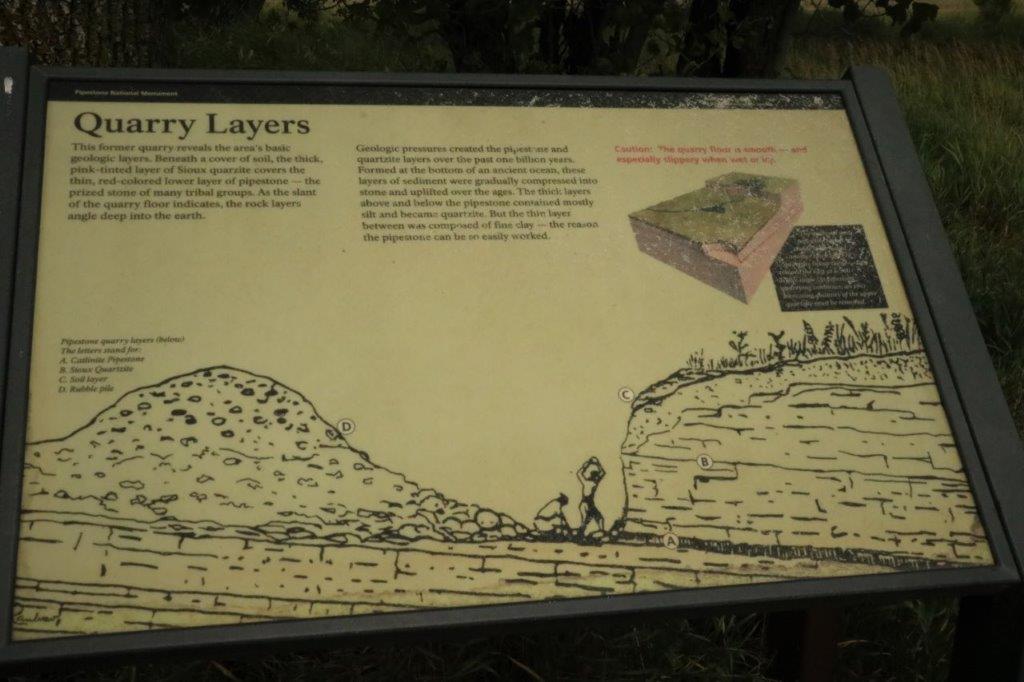
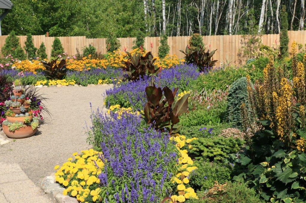
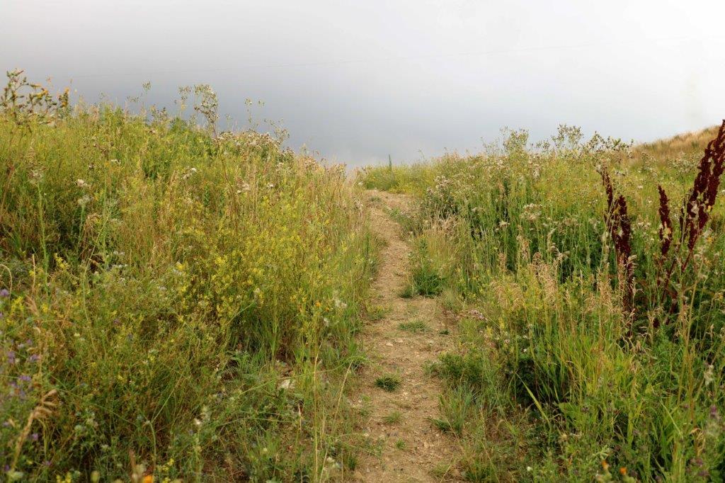
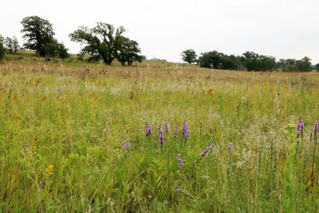
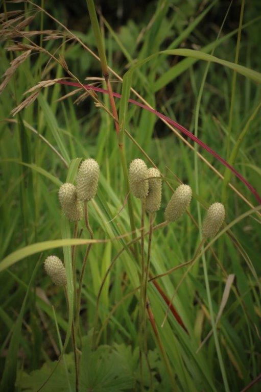
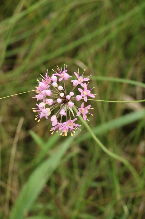
All along the trail there were identification signs for all the grasses and plants in the prairie.  Many plants have been introduced to the Tall Grass Prairie since the settlers came west but the National Park Service tries to maintain the 160 acres at Pipestone as it was in the days of the Indian and buffalo.  (At the bottom of this blog are photos of all the different plants we saw.) 
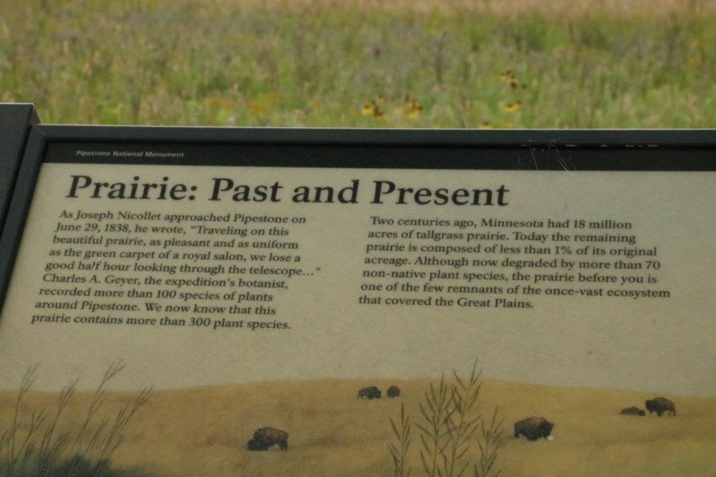
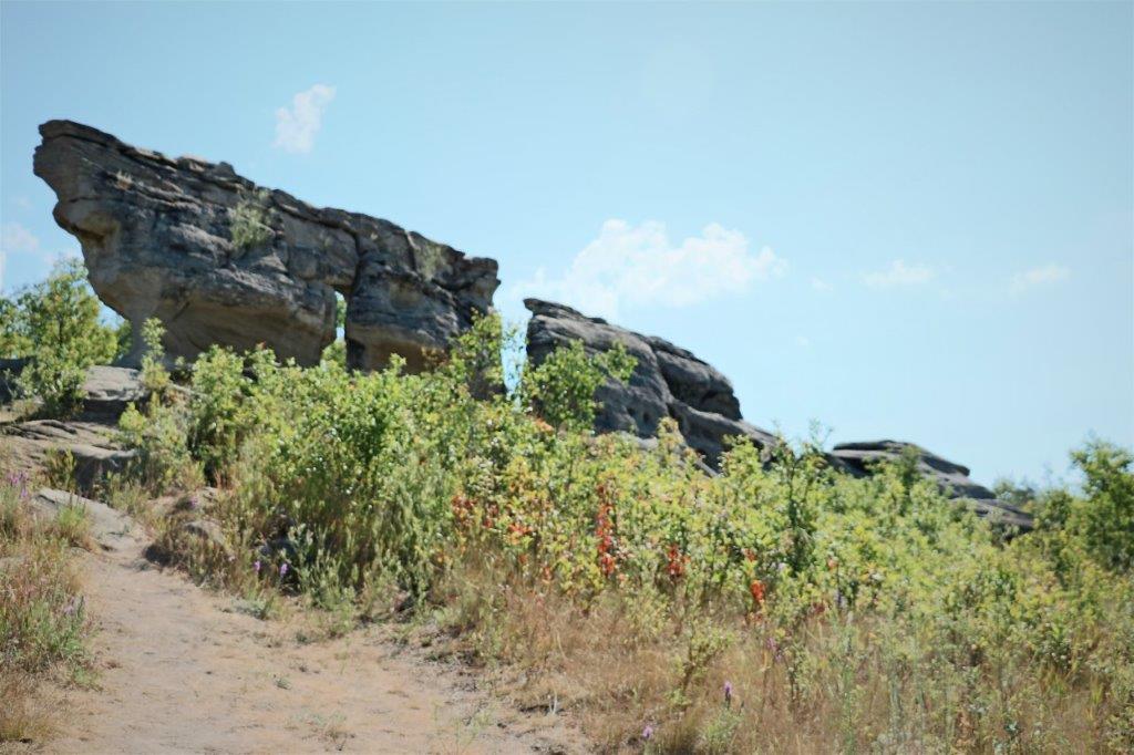
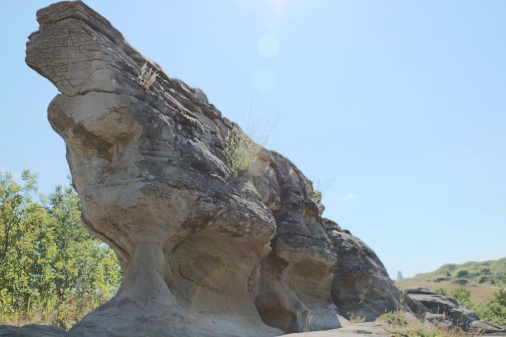
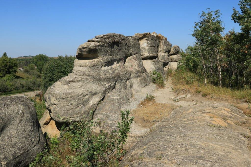
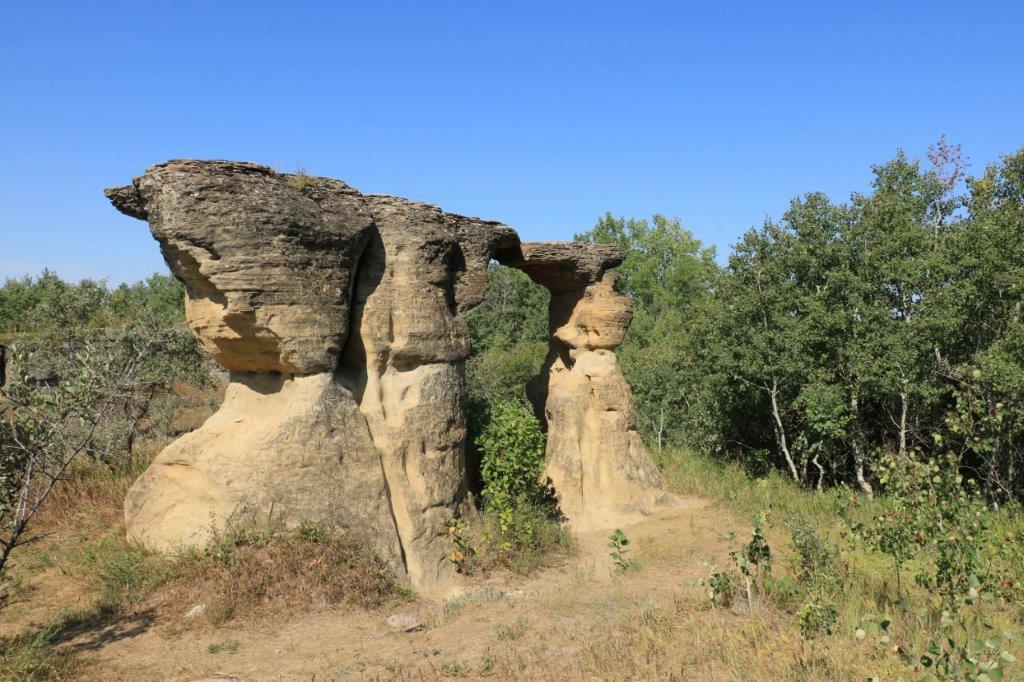
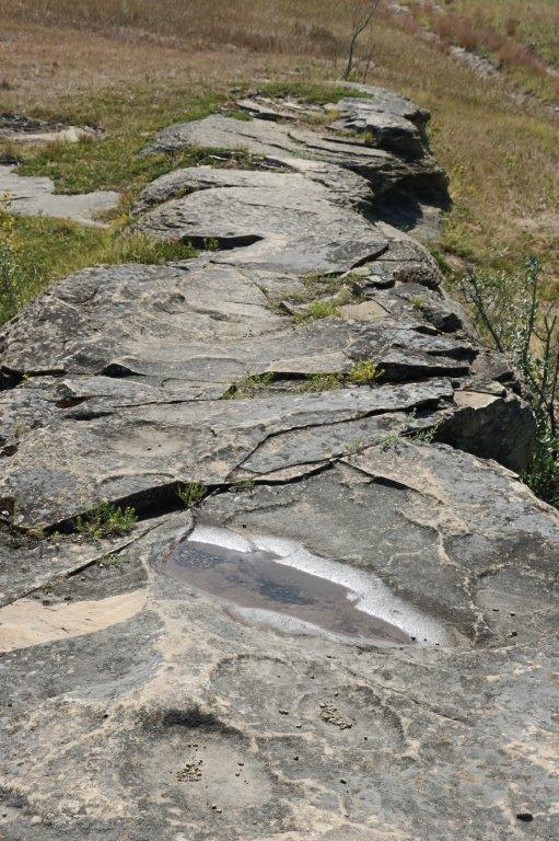
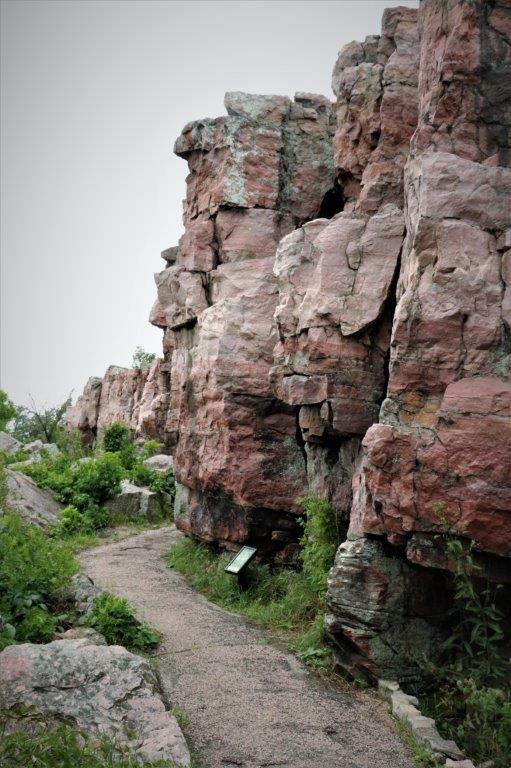
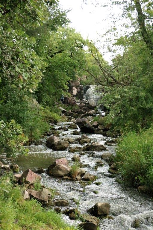
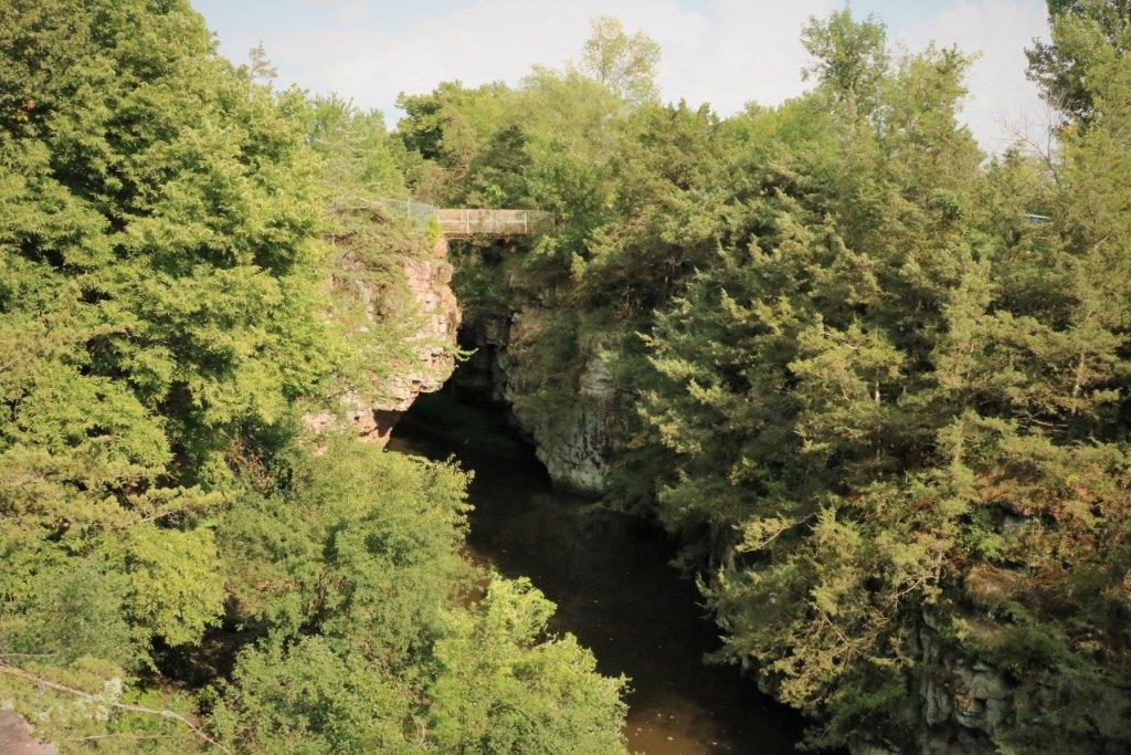
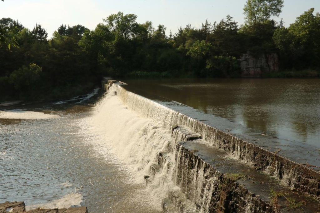
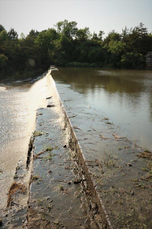
The path led you past the Tall Grass Prairie to the base of the Sioux Quartzite cliffs and past some special formations as well as Winniwissa waterfall. 
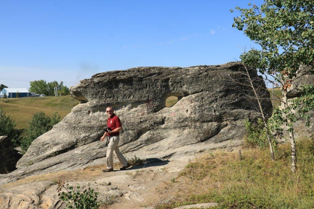
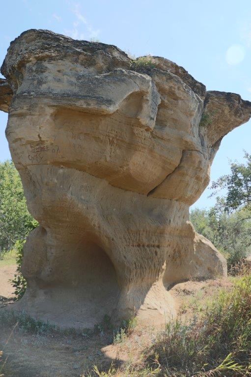
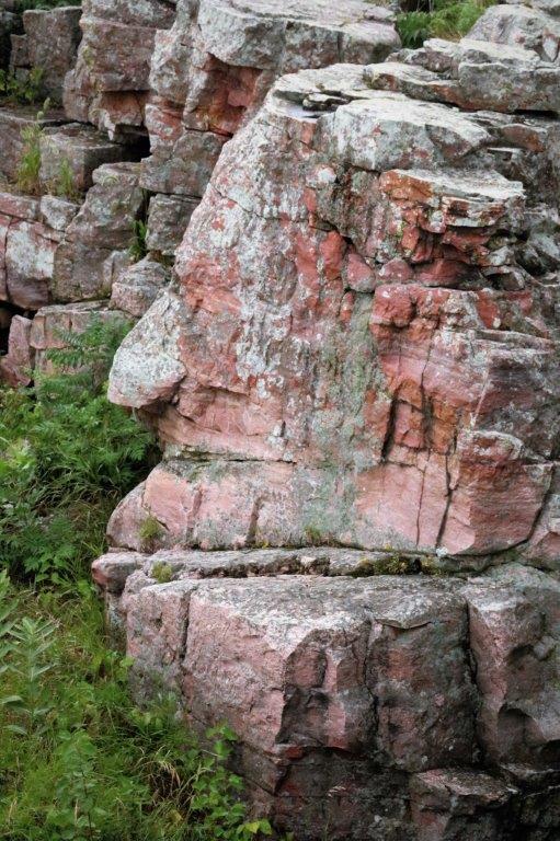
The Oracle – believed to be the guardian of the quarries to ensure all Indian nations who come to get the pipestone work in peace.  Often prayer offerings of grain or ribbons will be left at the base of this rock formation to ask for blessings on the work and the pipestone. 
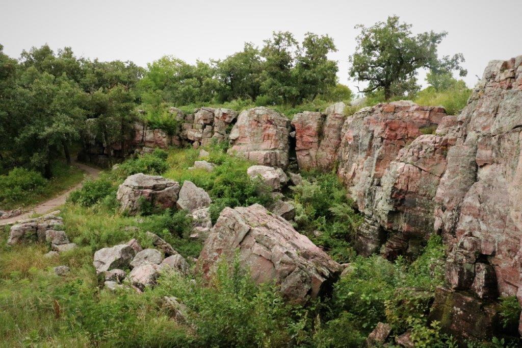
The Winniwissa Falls were not very tall, only about 20′, but they were pretty.
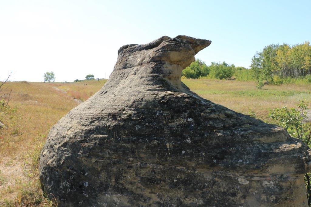
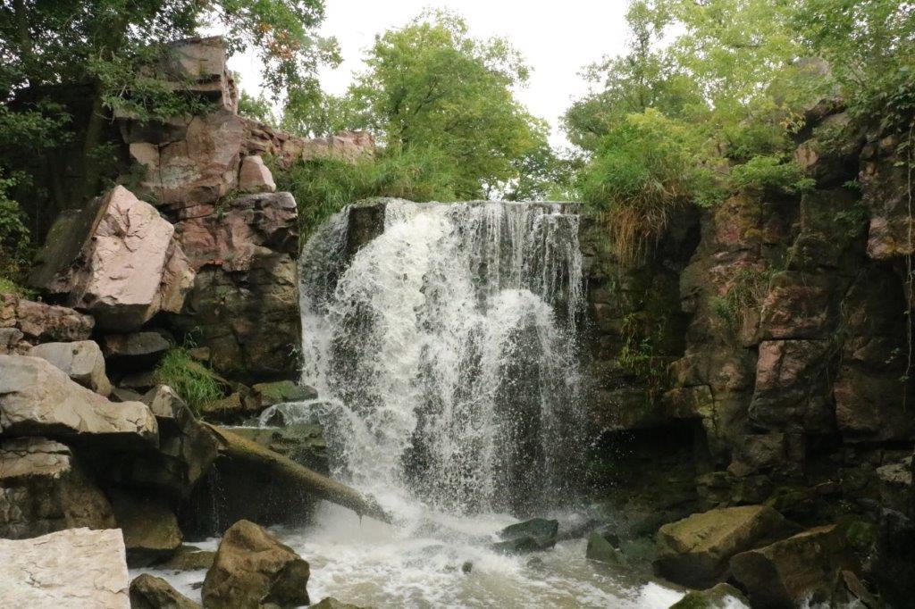
Old Stone Face is another wind and water eroded formation in the Quartzite cliff.

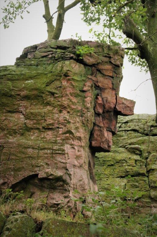
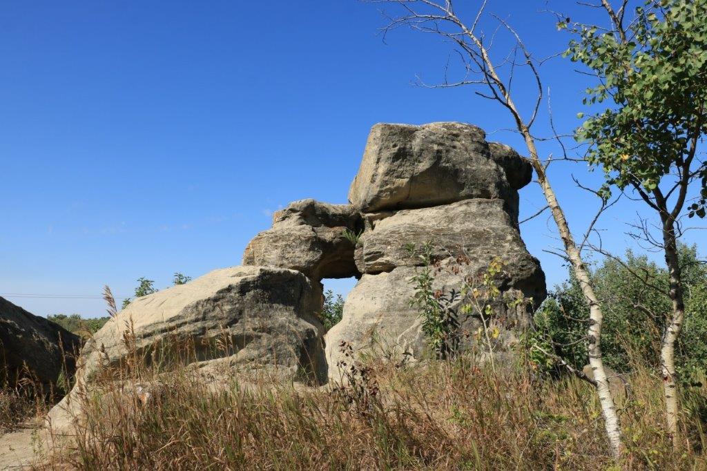
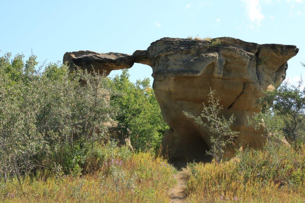
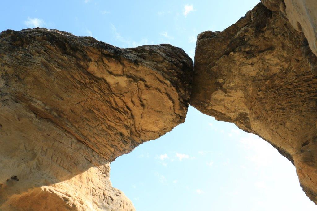
Leaping Rock was a special place where a young man would prove his bravery by leaping the span between the two outcroppings and plant an arrow on Leaping Rock.  It would also sometimes be used, at the woman’s request, to settle ‘who got the girl’ between two suitors.
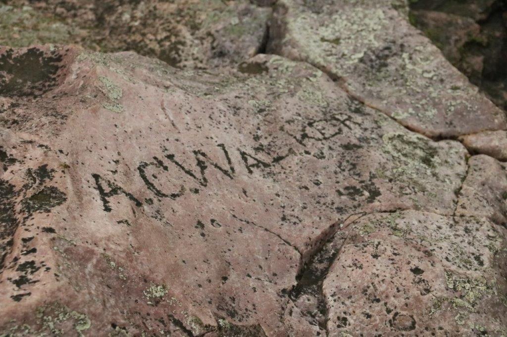
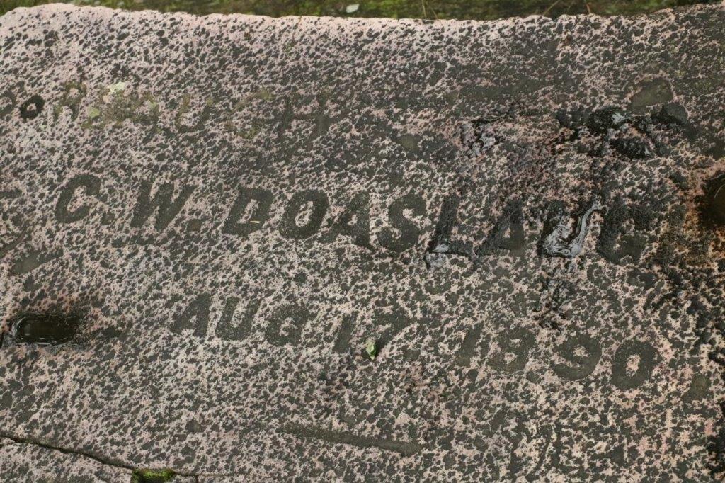
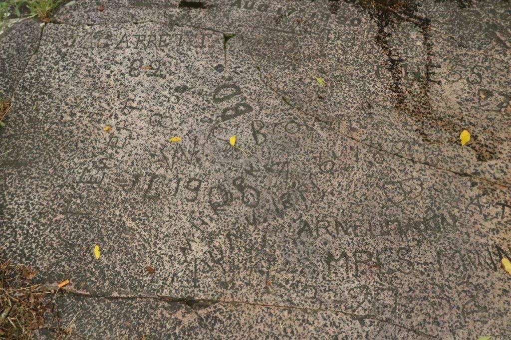
At Leaping Rock is also Signature Rock where several homesteading pioneers and an exploration team carved their names in the rock. 
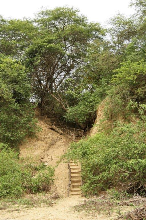
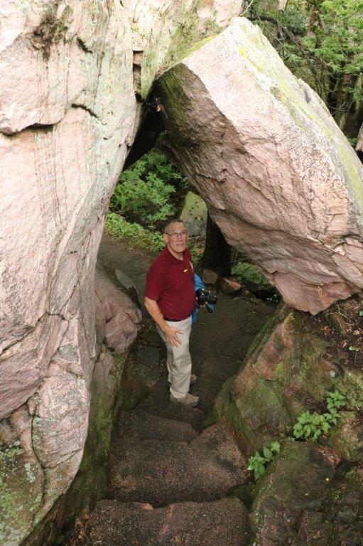
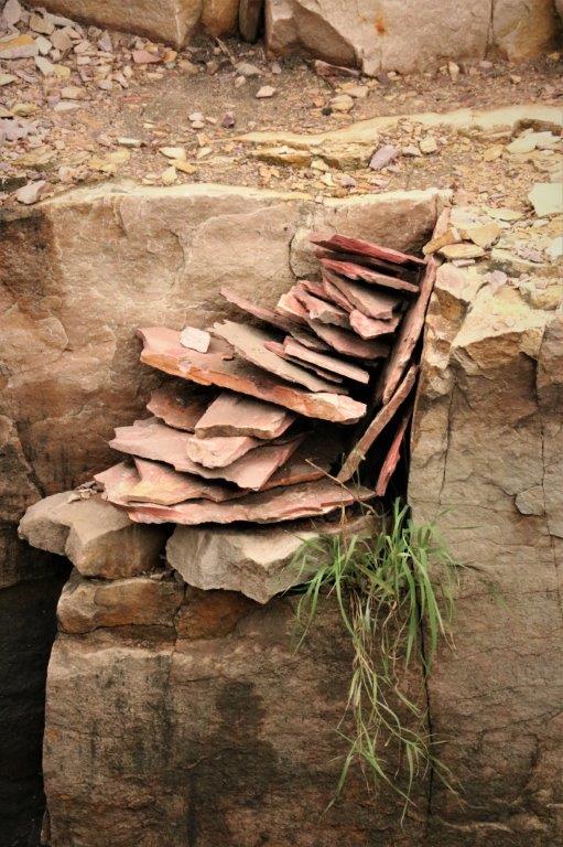
There was natural staircase back down to the main path. 
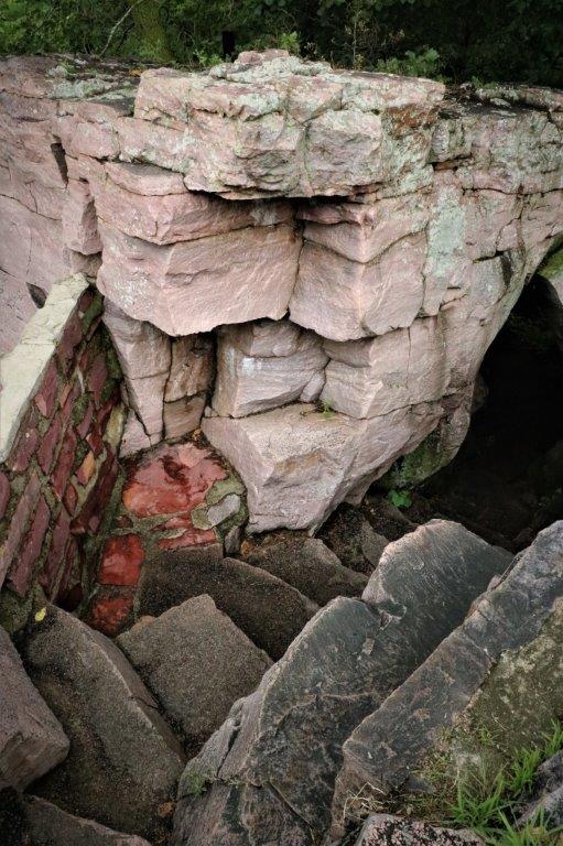
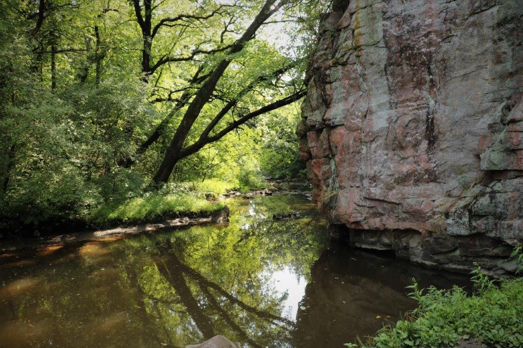
From here it was a nice walk along the creek shore, past a little lake and back to the Visitor’s Center.

We had lunch at the back of Poppy and then walked the South Quarry trail to see some of the active and abandoned quarry sites. 
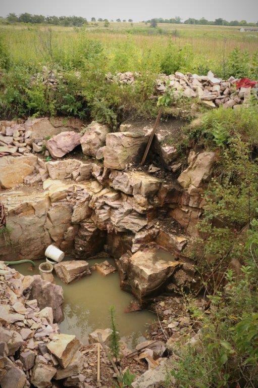
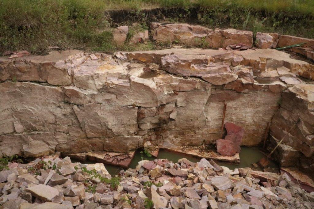
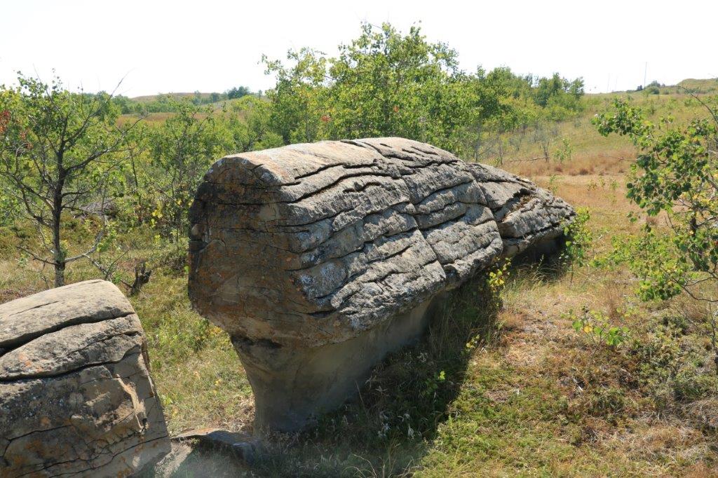
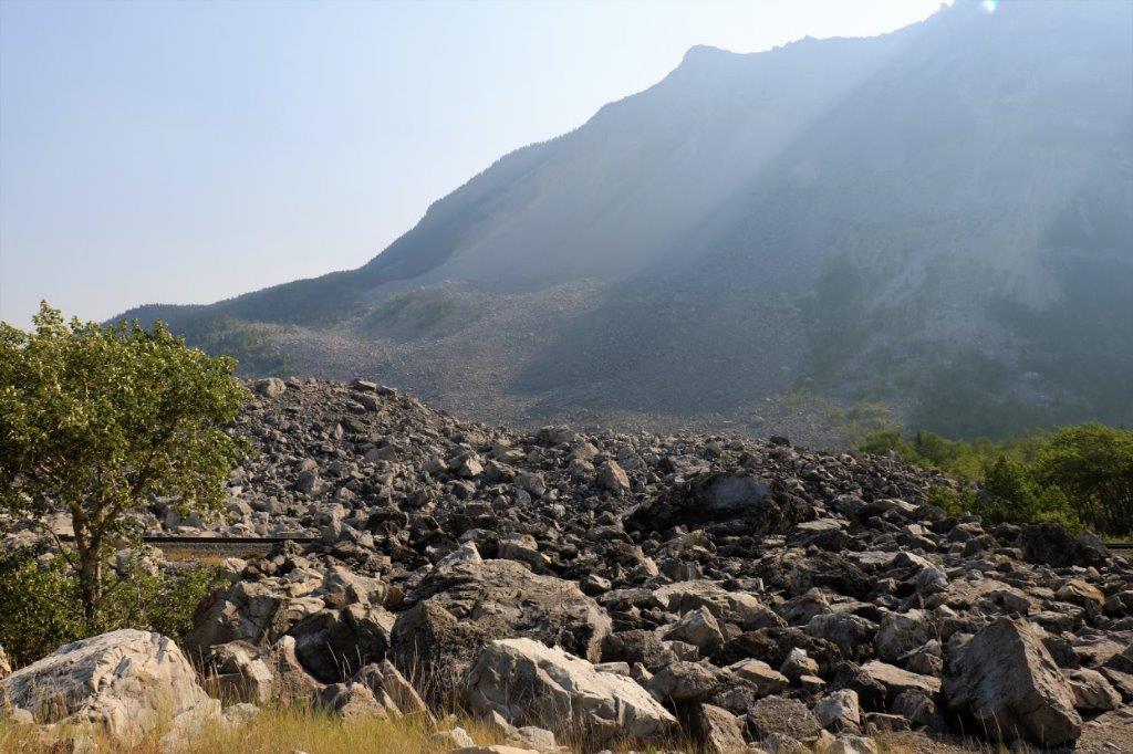
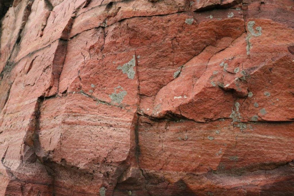
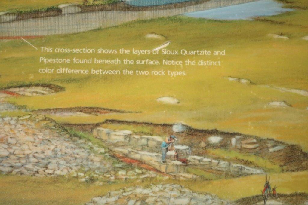
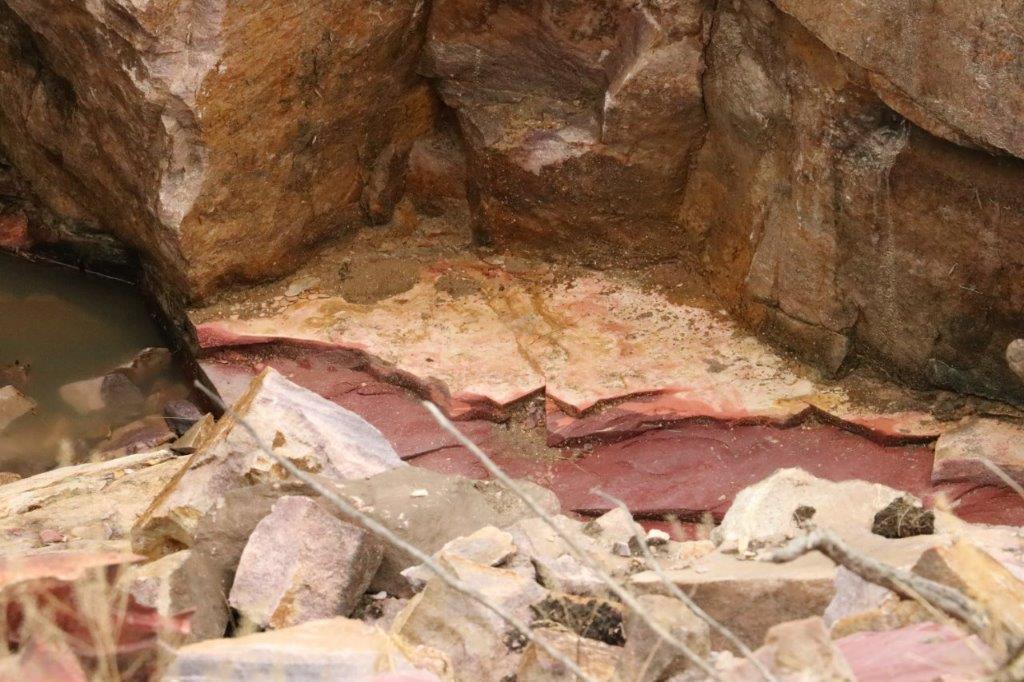
The sides, and several of the caved-in quarries, were heaped with the heavy, hard Sioux Quartzite that has to be removed to get to the pipestone. 
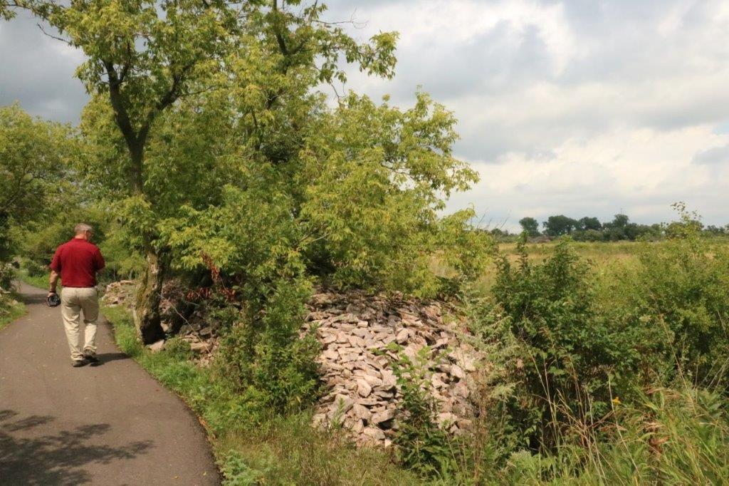
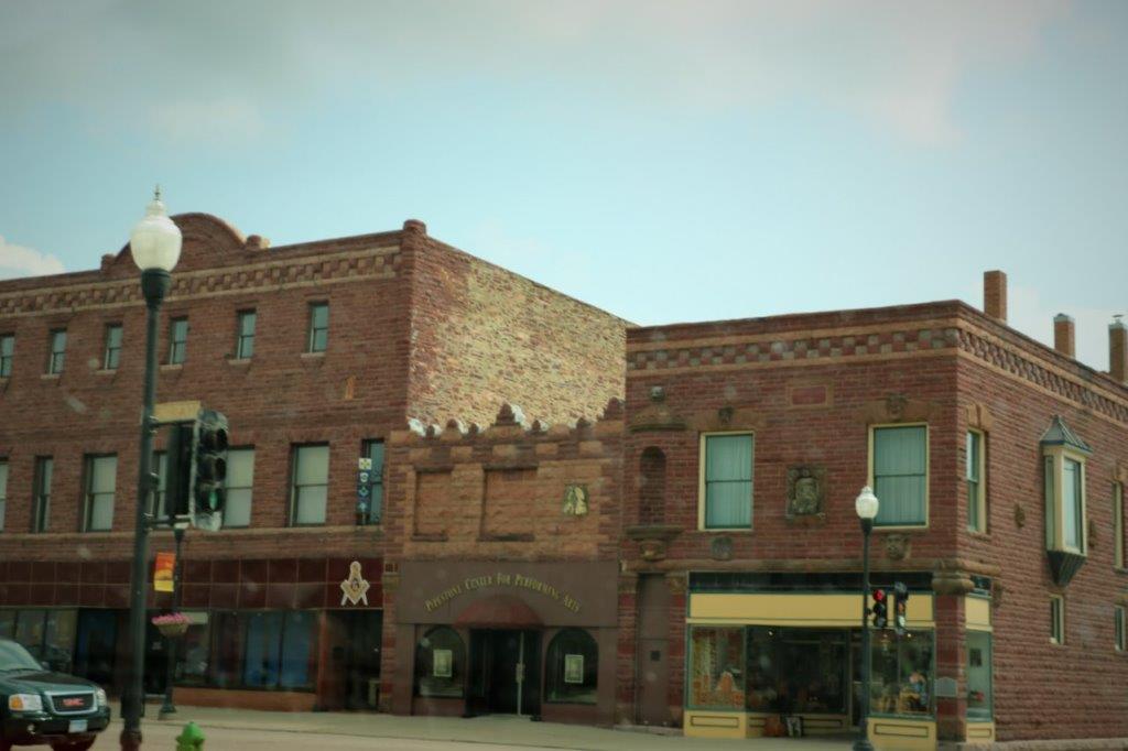
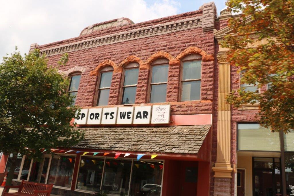
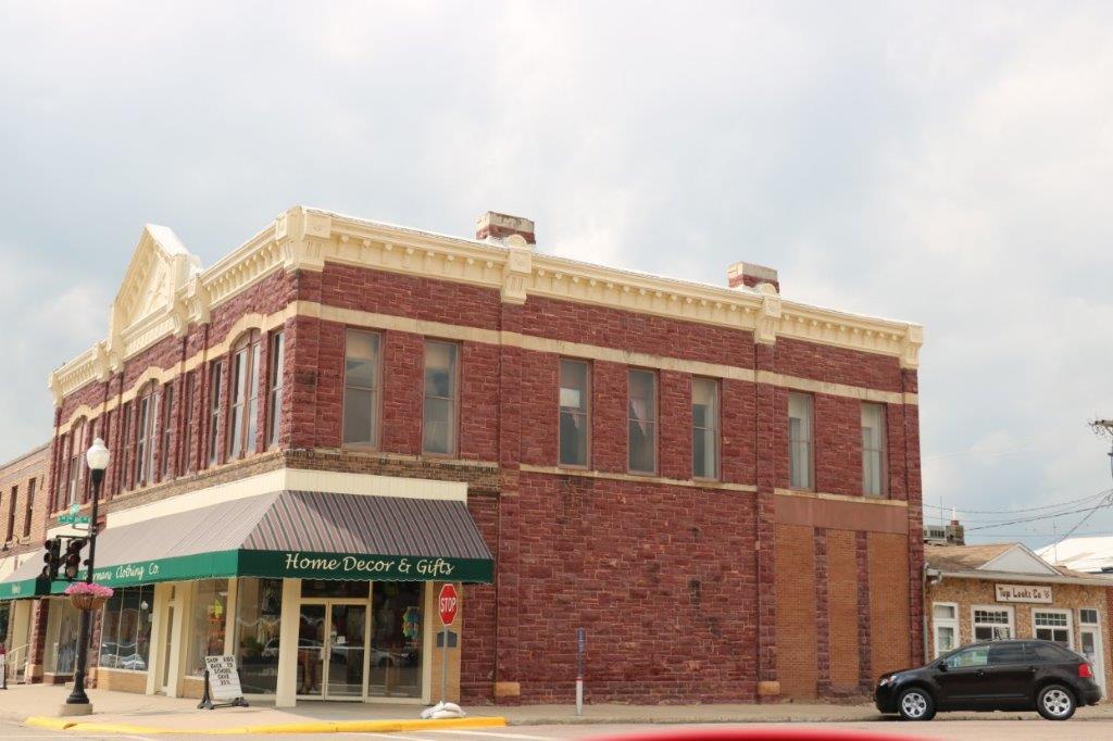
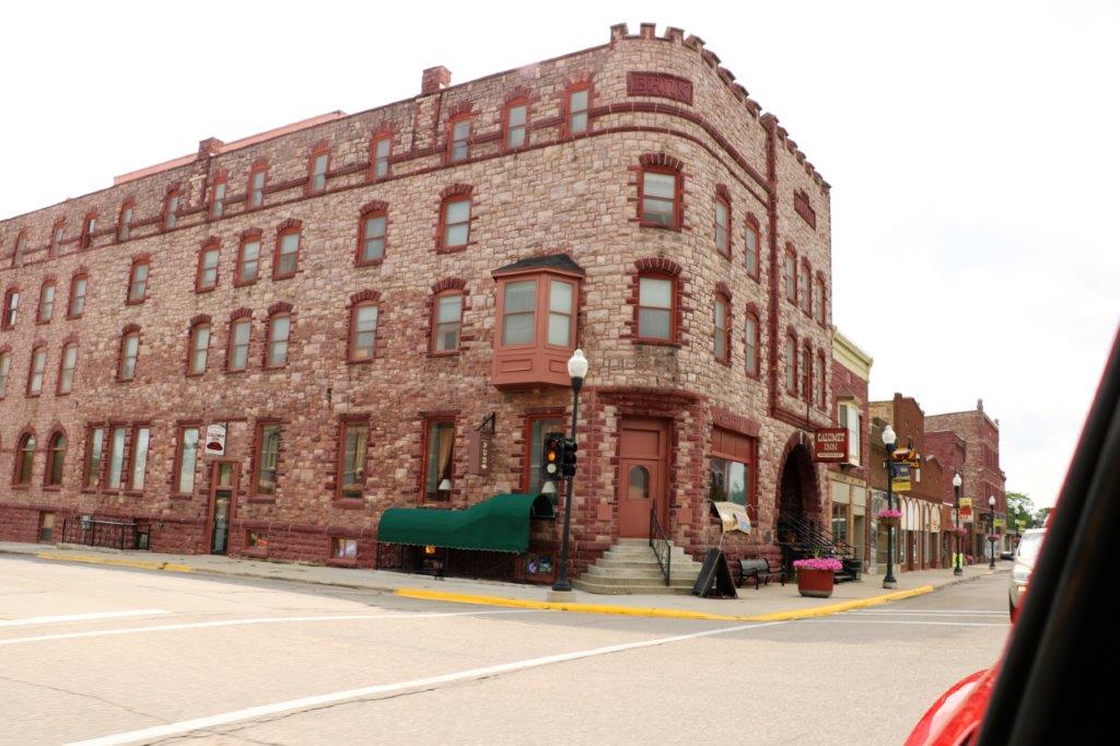
Years ago the Sioux Quartzite was used as building material and many of the older buildings in the town of Pipestone are made from the pinkish tinged rock.

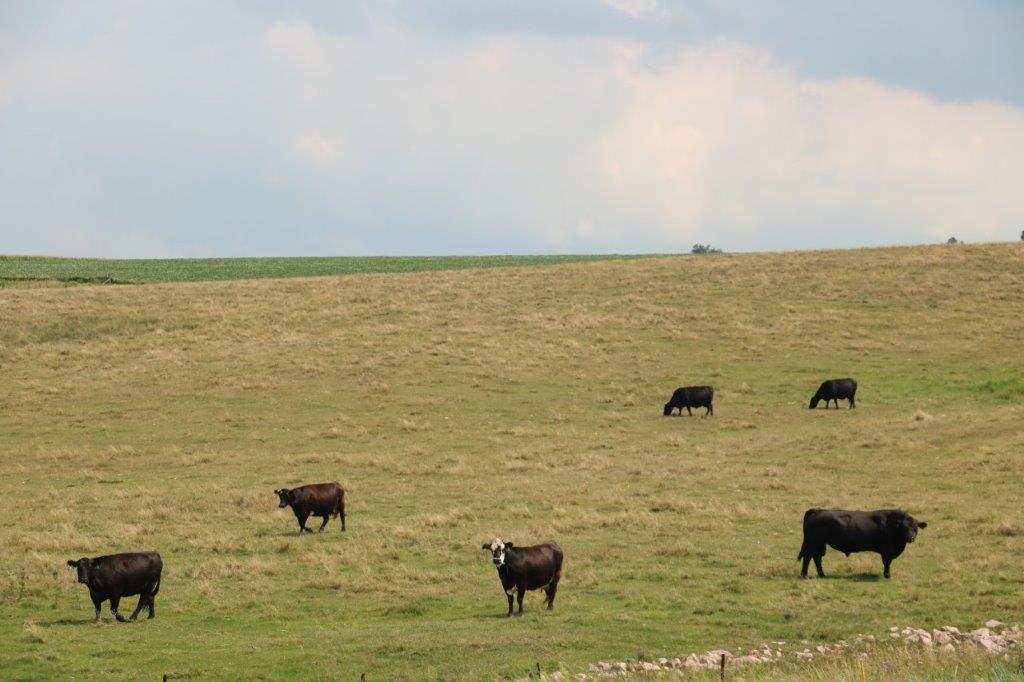
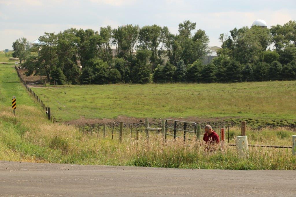
While John was signing the log on a cache we located along the roadside we created a lot of curiosity among a nearby herd of cattle.  The bull was a pretty big fellow. 
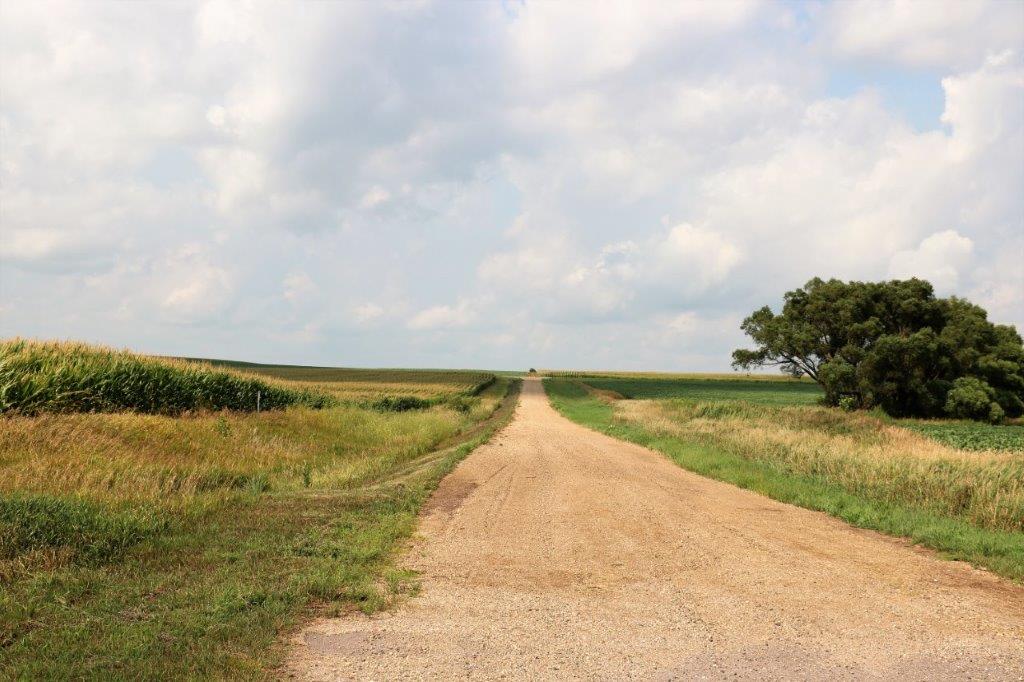
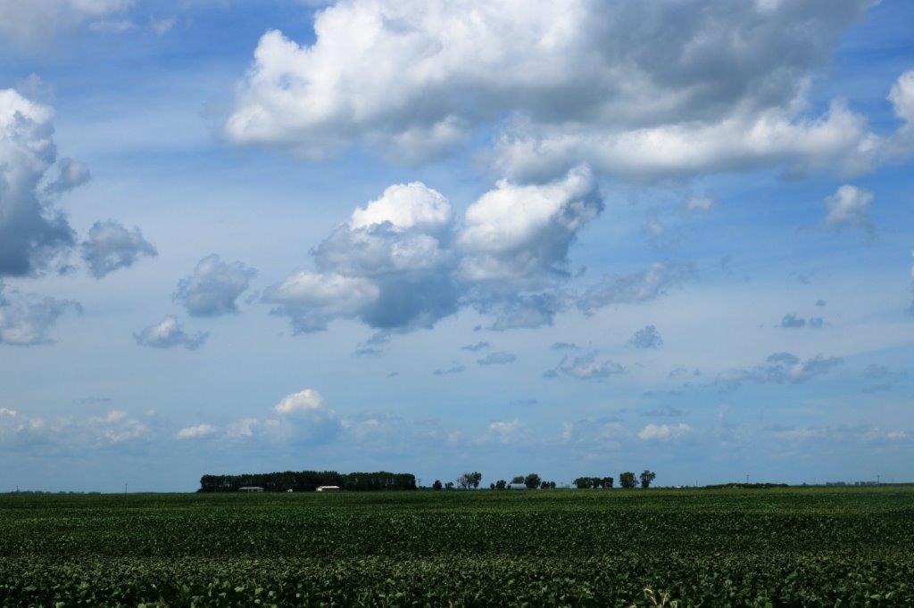
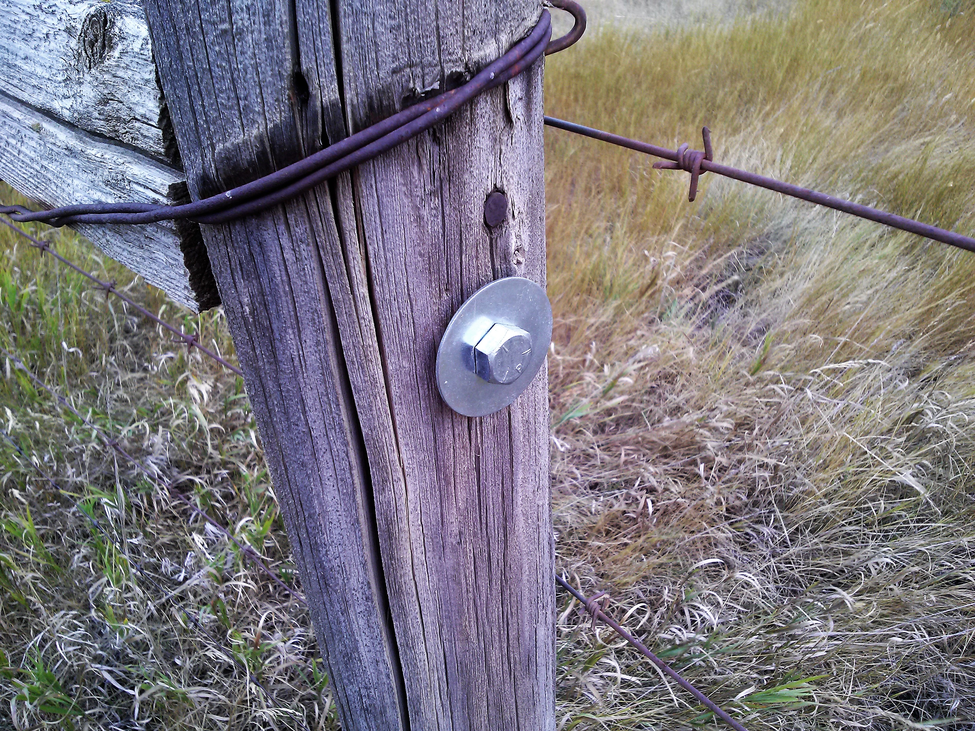
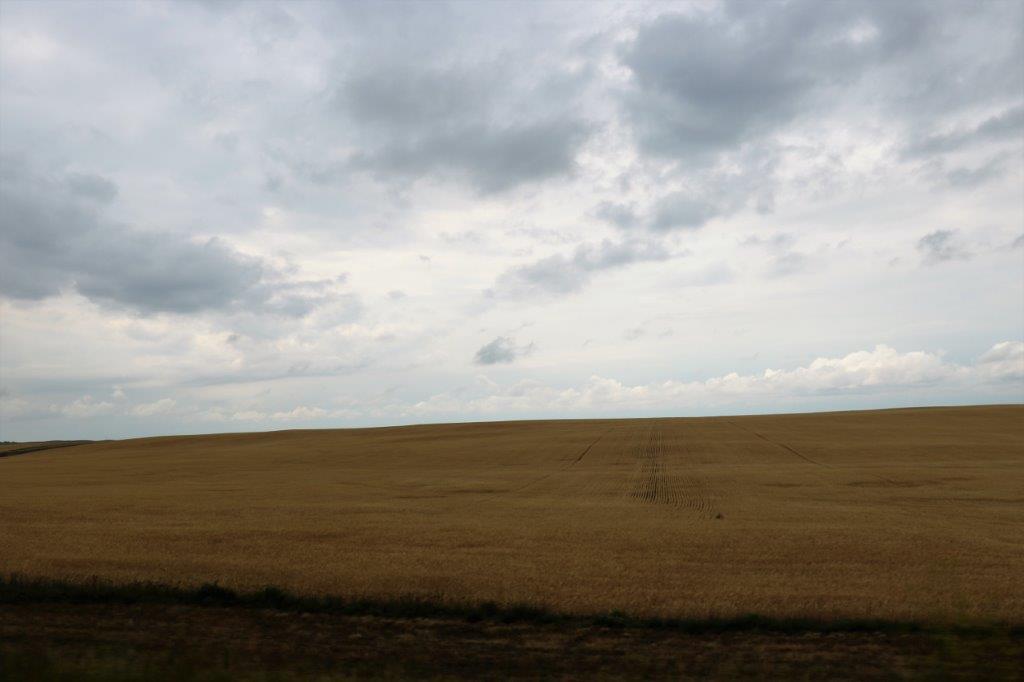
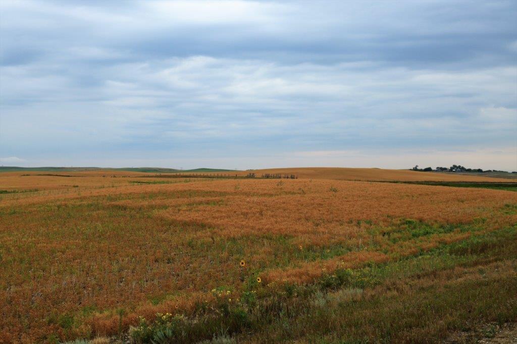
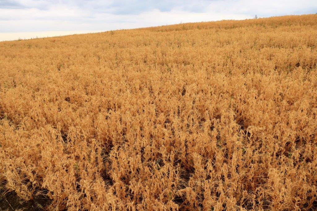
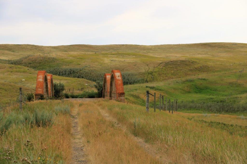
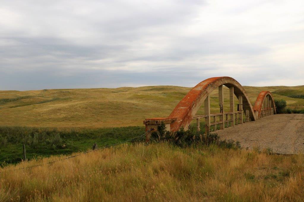
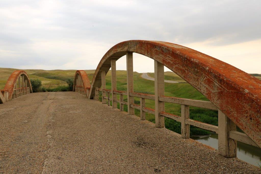
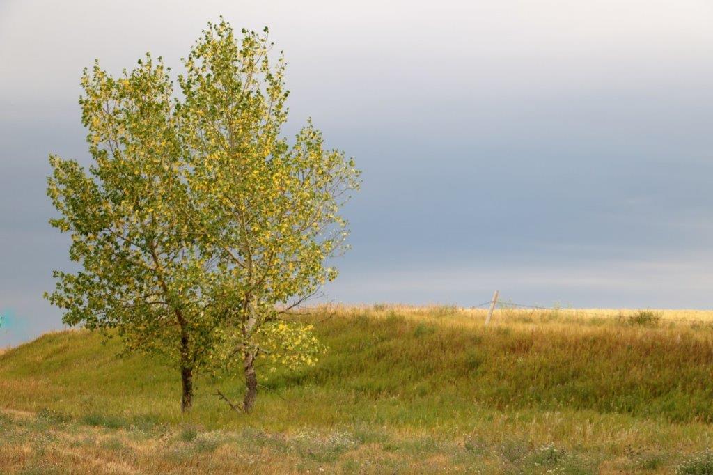
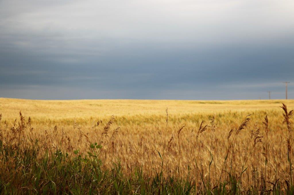
Both sides of the road for several days now have been nothing but crops of corn, or soybean as far as the eye can see.
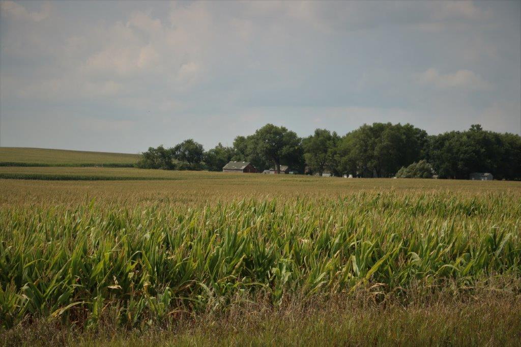
John had to do some pretty deep grass wading to the find cache hidden on a post here. 
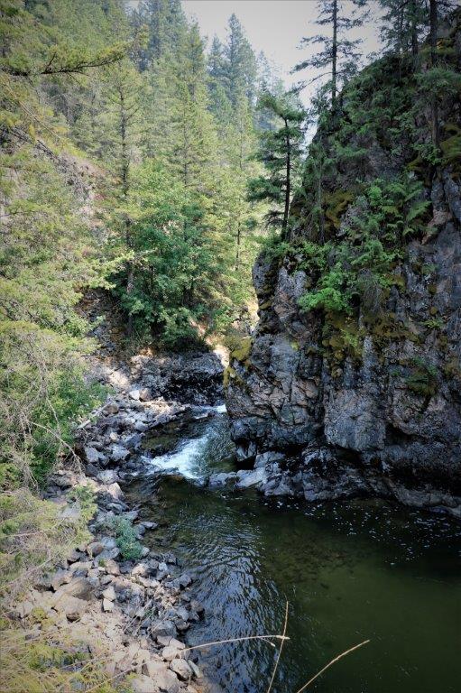
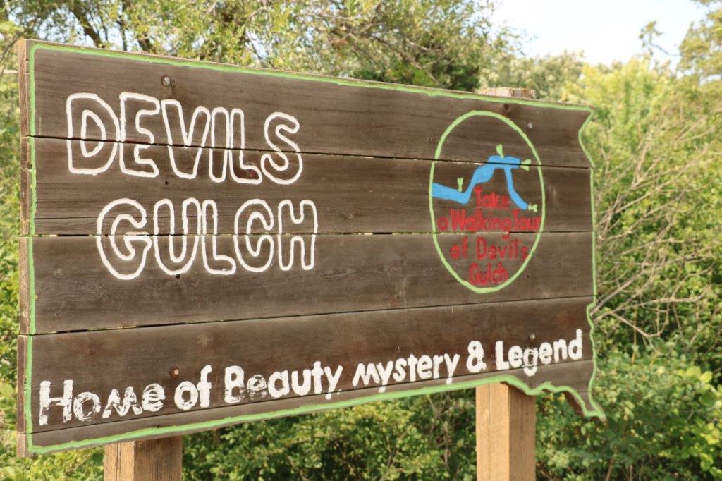
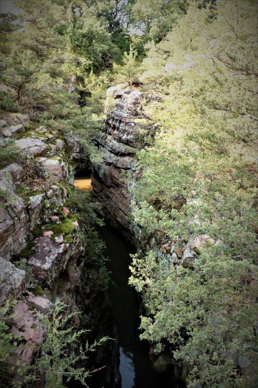
South of Jasper, Minnesota we re-entered South Dakota and drove the short distance to Garretson to see Devil’s Gulch.  Rumor has it that the outlaw Jesse James spurred his horse to leap across the gulch to evade a posse after a bank robbery and hide in the gullies and caves.  If it is a true story that was one really good horse!

The span of the gulch is only about 20′ but the horse would be leaping, at a gallop, from hard, uneven rock onto hard, uneven rock immediately followed by a steep slope into woodland on the other side.  Could be done I guess, but I wouldn’t try it.

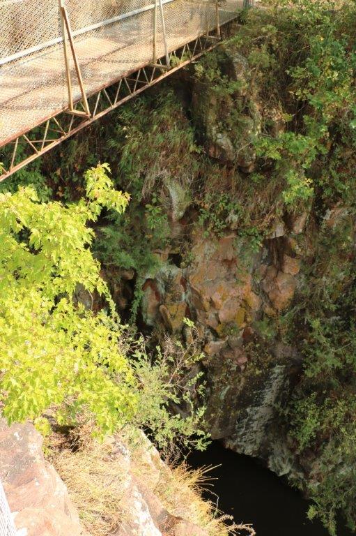
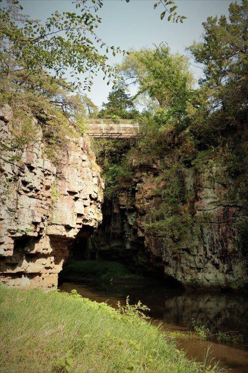
The water below appears completely calm but the information said that there are strong currents underwater and that the river is bottomless.  Apparently some fellows dropped a 600′ plumb line in the water and never touched bottom.

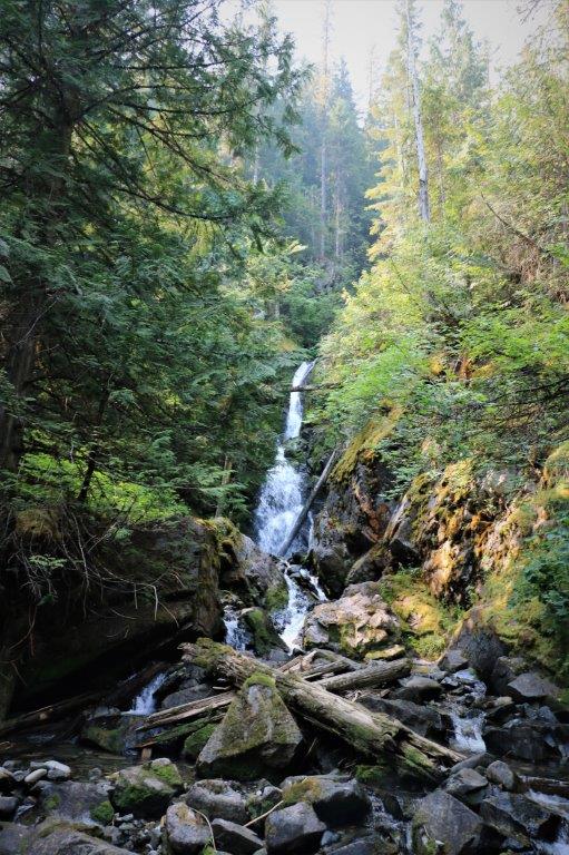
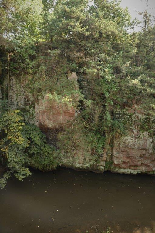
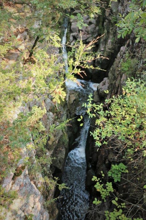
We wandered several of the trails along the top of the gulch and the waterline, located the thin waterfall that comes right out of the rock, and found three geocaches. 
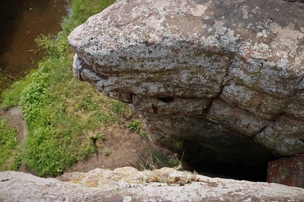
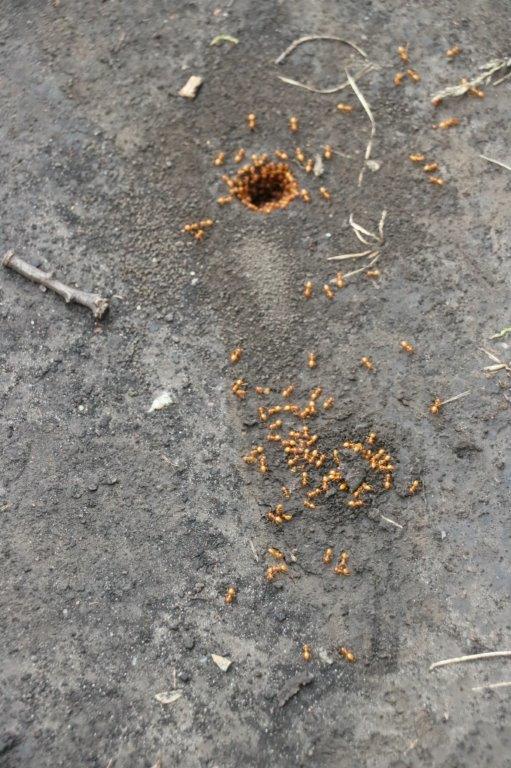
These tiny yellow ants had holes all over this section of the path.  We walked in the grass and left them alone.

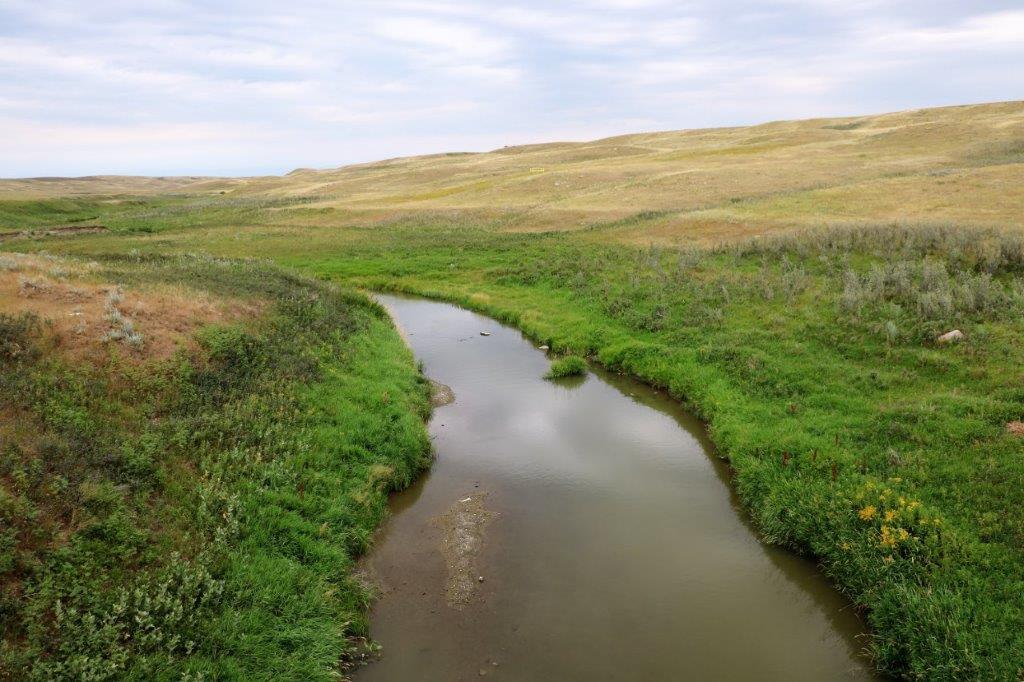
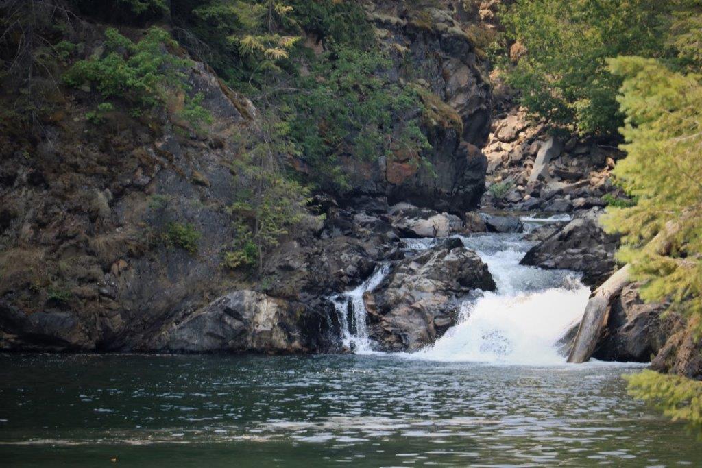
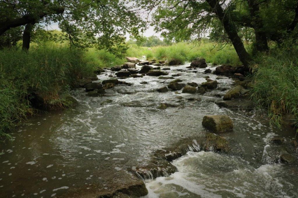
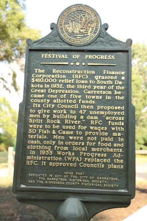
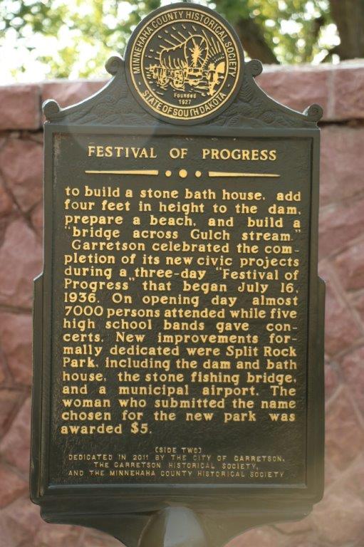
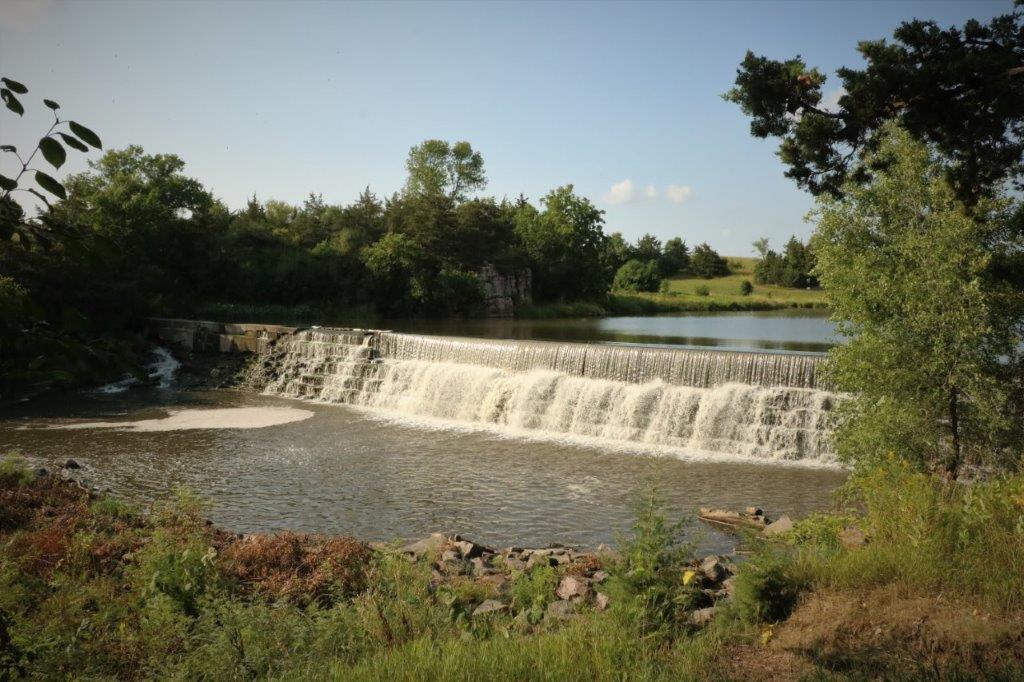
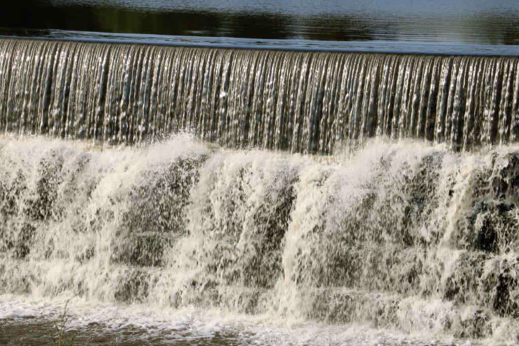
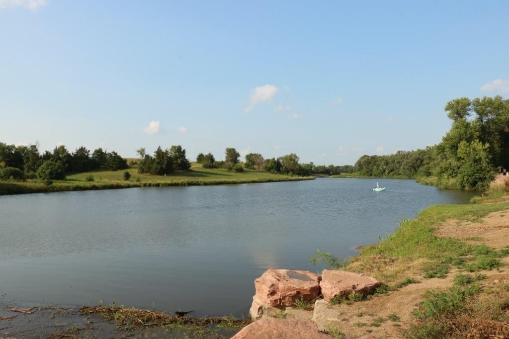
Also in Garretson is Split Creek Park.  A very wide creek that has a beautiful waterfall cascade. 
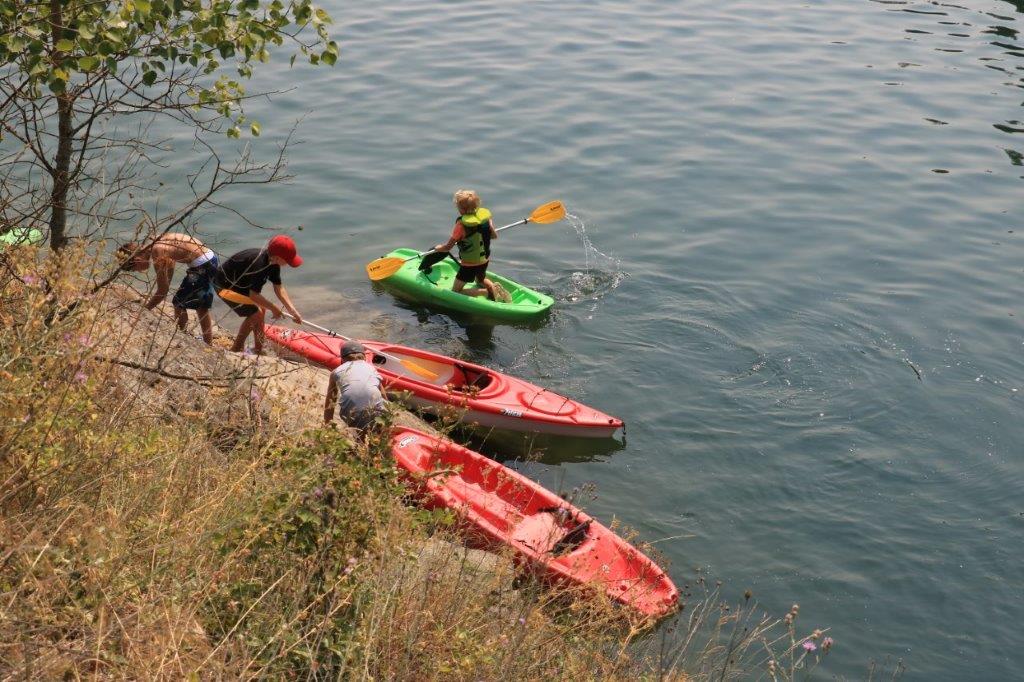
This young lady was having a nice float in the creek above the falls. 
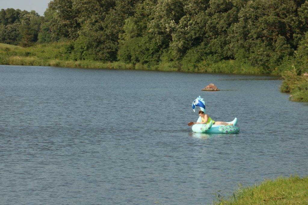
We drove into Mitchell, SD at 7 pm, had dinner, and checked into our hotel after 8.  By the time I had checked through all of my photos and loaded a geocache list on to my phone for the next day it was after 11 and bedtime.  We did have a really good and interesting day.

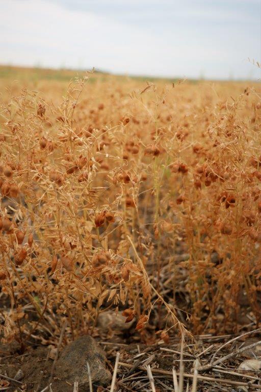
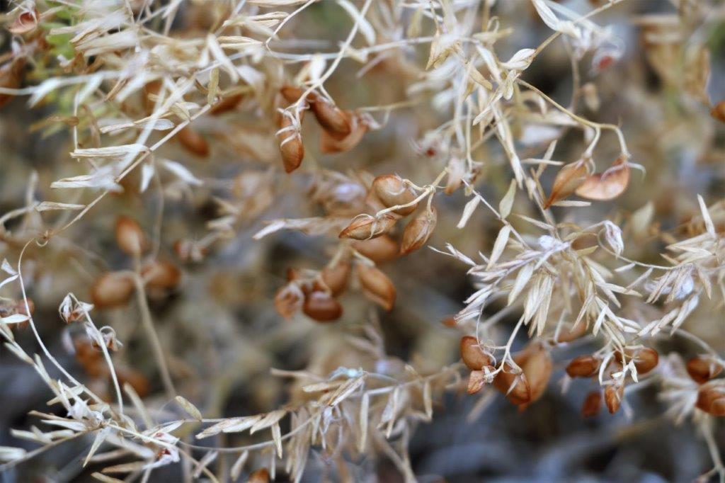
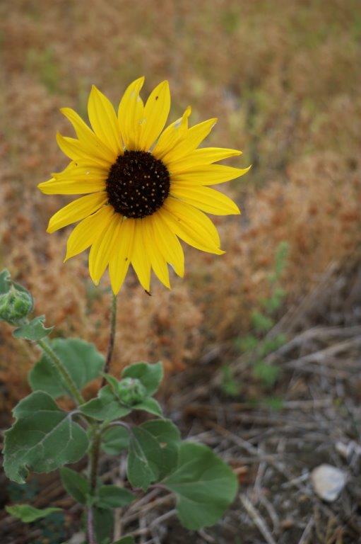
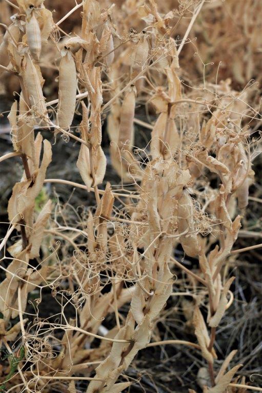
Here are the photos of all the prairie flowers and grasses – not the Latin names though.

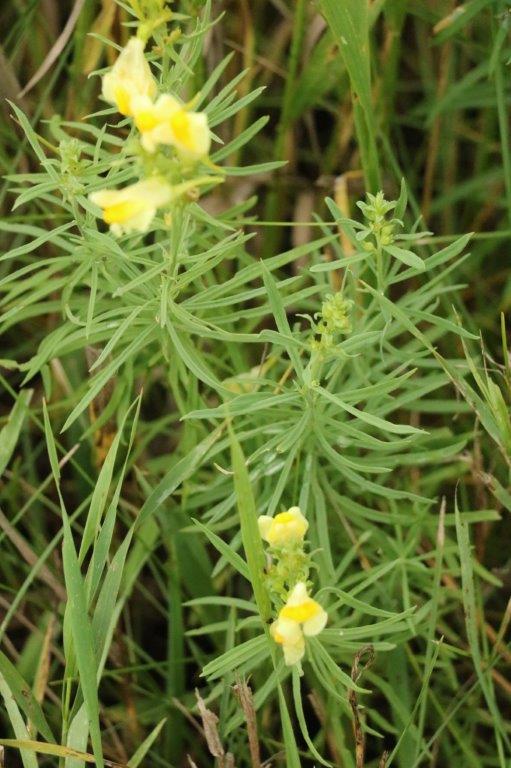
     Butter and Eggs                                               Prairie Cornflower                          
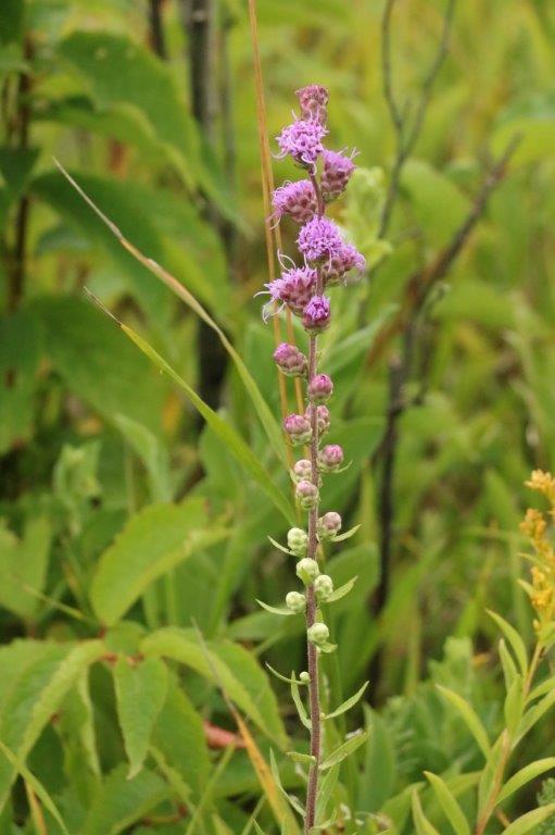
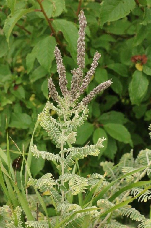
Blazing Star                                                       Leadplant                    
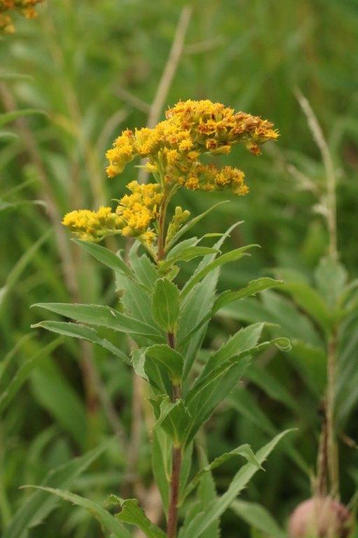
Stiff Goldenrod                                    Starry Campion                 
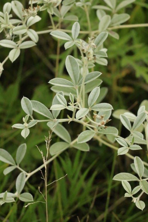
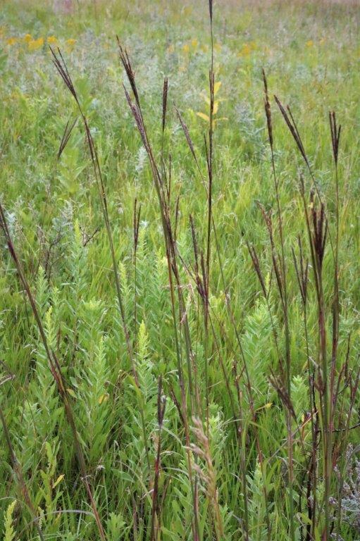
Silverleaf Scurf-pea                                    Big Bluestem               
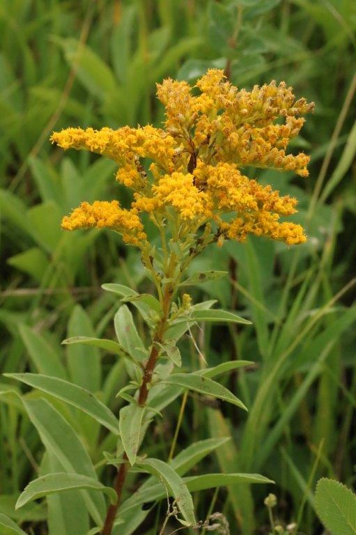
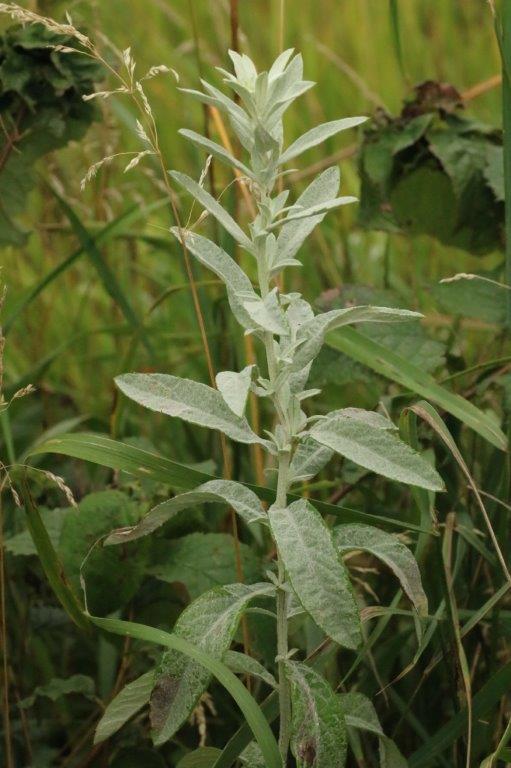
Canada Goldenrod                                           Prairie Sage                      Crown Vetch                                                             Catnip                   
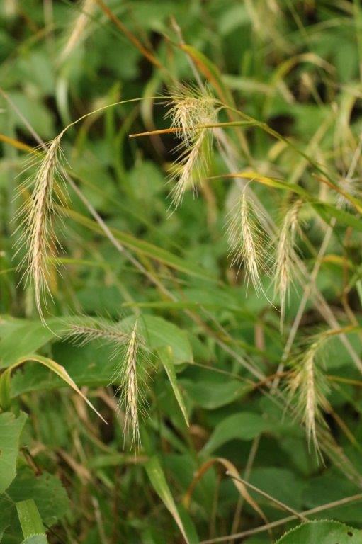
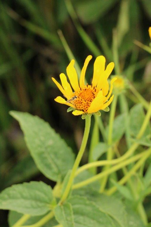
Canada Wild Rye                                                      Sunflower                       
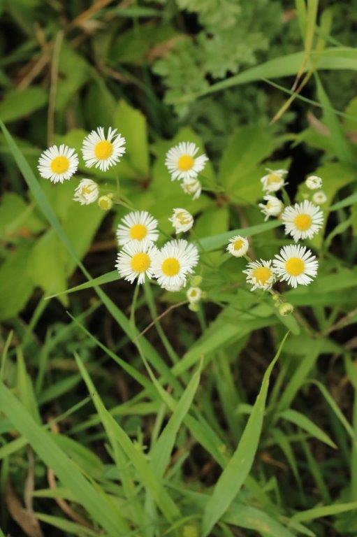
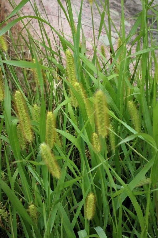
Daisy Fleabane                                            Yellow Foxtail                
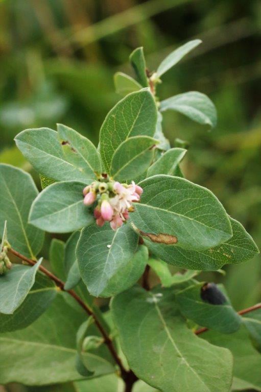
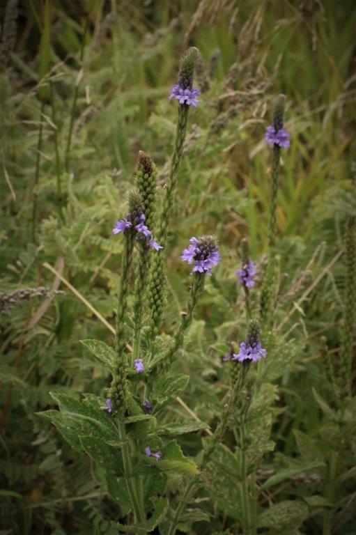
Western Snowberry                                           Blue Vervain                       
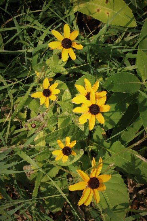
Reed Canary Grass                               Black-Eyed Susan 
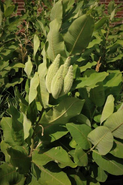
Common Milkweed (with seed pods)                        Thimbleweed                         
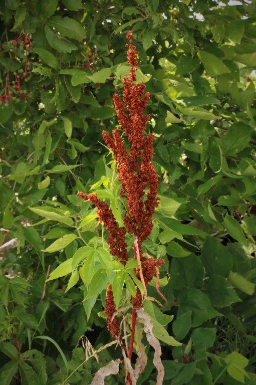
Curly Dock                      This pretty little one was never named

And that is all folks.  At last.


2017 Aug 8 – Jamestown, ND to Brookings, SD

There was a Buffalo Museum, home to a herd of buffalo that includes three sacred white buffalo, and a Heritage Village and Museum that we were thinking of visiting in Jamestown before we left but; we had had two late nights and we slept in a bit, so by the time we left the hotel we needed all the hours to drive to De Smet, SD.

There is a massive geocache power trail that follows the North Dakota/South Dakota and South Dakota/Missouri borders.  I don’t know how many caches are on it but where we crossed from North Dakota to South Dakota we picked up #1079. We found another cache at a former rest stop or homestead and then had our lunch at the edge of a huge soybean field.After we finished our sandwiches and carrots we drove directly to De Smet.  Why De Smet, you ask?  Well, this little town in eastern South Dakota is where Laura Ingalls grew up and married Almanzo Wilder.  Her parents settled here and her sisters, as adults, lived in nearby towns in SD.  There is a tour of four buildings significant in the life of Laura Ingalls Wilder and we arrived just in time to catch the last one of the day.

The first building was the railroad surveyor’s house where Charles Ingalls and his family spent a winter while he worked for the railroad.  After travelling almost half of her four or so years in a covered wagon, to little Laura the tiny surveryor’s house was a mansion. Behind the Surveyor’s House was the first De Smet School that Laura Ingalls and her younger sister Carrie attended. Beside the school was a prairie schooner wagon of the type Charles and Caroline Ingalls and their two daugthers travelled from Pepin, Missouri to Burr Oak, SD (their infant son died on the journey and daughter Carrie was born in Burr Oak) and back again when Laura was only about two years old.  She had spent half of life in this type of wagon by the time they came to De Smet.  No wonder she thought the surveyor’s house was a mansion.  Those wagons are small!

By the time Laura Ingalls was 16 she was teaching at the small Brewster School about 6 miles from De Smet. This enabled her to help her parents pay for the schooling of her older sister Mary who was attending a blind school in Illinois. It was a short drive to the last house on the tour.  The house that Charles Ingalls built for his wife Caroline and where they lived until they died.  When Mary came back from blind school she lived with them and in the house after their deaths until shetoo passed away.  At various times Carrie and her husband, who both suffered from ill health, and the youngest daughter Grace lived in the house as well.  Caroline also regularly had boarders to help make ends meet. When the tour was over we drove out to the cemetary where Chalres and Caroline, and Mary and Carrie were buried; as well as the infant son of Laura and Almanzo Wilder. (You can just barely make out the name of Charles Ingalls on his marker)           When we get home I am going to re-read all the books.

There was a cache called Boot Hill a mile or so away so we went to find it.

We had dinner in De Smet before continuing east toward Brookings for the night.  As we drove through Arlington, keeping an eye open for the cemetary where there was a geocache, we saw this lovely memorial and made a u-turn to check it out.

The couple that takes care of the gardens at the memorial was there and we had a nice chat with them.  The memorial was the brainchild of three local men and they kept the idea very quiet until they had all the money and designs and plans together.  The men wanted to get it done and did not want a lot of input and suggestions from others that may delay the process. From start to finish the whole thing came about in a year.

           Marine                                                                        US Army Nurse            US Army Korea Gulf War                            Sailor

                       Gulf War                                                             45th Infantry

                       Air Force                                                         Vietnam War

There were listed the names of very man lost in every war – Civil War, Spanish American War, WWI, WWII, Korea, Vietnam, the Perian Gulf and ongoing conflicts.

            It really was beautifully done and maintained.We only stopped for a couple of caches before entering Brookings and settling down for the night.

2017 Aug 7 – Rugby, ND to Jamestown, ND

Rugby, North Dakota is the geographic center of North America and there is a cairn at the exact latitude and longitude.  We stopped here on our way home from our 2014 Drive Across Canada but it was October and bitterly cold with the threat of snow.  The day was much more pleasant this time around.

As we journeyed from place to place we would occasionally stop and look for a geocache. We pulled off the highway into a little town called Minnewaukan where we searched for quite awhile feeding huge mosquitos and no luck finding the cache.  They had a nice bell on the corner though. And a nice dead tree along the roadside. Our main plan for the day was to go to Fort Totten State Historic Site, located about an hour south east of Rugby.  We arrived about 11:30 and left at 2:30.  The fort is one of the best-preserved military posts in the United States.  It served American Indian Policy from 1867-1959.  The fort was built between 1867 and 1873 and used as a military fort until decommissioned in 1890.  In 1891 the fort was re-furbished and became an Indian boarding school and vocational training center to prepare Indian youth for life off the reservation.  Enrollment sometimes topped 400; the largest student body of any of the schools in the federal system of its time. (It was a forced enrollment for many of those years to try European-ize the Native Americans in much the same way as the Canadian Residential Schools.) All of the restored buildings (several still need work) were beautifully maintained with interesting displays of both the military period and the boarding school years.  We spoke with one of the staff for awhile and she told us that tomorrow (Aug 8) will be the fort’s 150th anniversary and they are having a full day of activities that will include over 200 cyclists that will be staying on the grounds.

A sample of one of the classrooms at the boarding school.  Looked a lot like my grades 1-3 classroom. The General Merchantile on the fort grounds was well stocked.This nice theater is used by the local Spirit Lake Theater Group to put on major Broadway musicals like Oklahoma, Annie, and South Pacific.  There were photos of the casts of all the plays going back to the early’60s.


Inside the bible on a podium in one of the display rooms there was this sheet of paper with the words to the American and Canadian National Anthems.  I thought it quite interesting that they would have the Canadian Anthem written out.


The hospital building (now cafeteria) had displays all around the perimeter of the room.  These are the ones I liked the most. The basket at the foot of the spinning wheel contains bolls of cotton. The other basket is the spun yarn and the other photo is a blanket.                    The bowls of these spoons are sea shells. I liked this 1861 map of the United States. We had a pb & j sandwich in the shade of a tree in the parking lot at 2:30 and then headed south toward Jamestown; which is only about a 2 1/2 hour drive from Rugby.  With all the stops to try find caches it was quarter after 6 before we arrived

We walked across this bridge and all the way through a large park on the other side to discover that the cache location we were looking for was just up the road at a Vietnam Veterans Memorial.  While I searched John went all the way back for Poppy.  I still hadn’t found it by the time he drove back and he found it five minutes later in a spot I thought of but didn’t look.  Note to self:  If you think of it – look. As well as our lengthy touring of Fort Totten we found seven geocaches along the way from Rugby to Jamestown.  This was a small one hidden where a phone booth used to be in the parking lot of a bar.We stopped at a restaurant before checking in to our hotel and had to wait well over an hour before we got our dinner.  The kitchen got slammed with orders and they told everyone that came in that no orders would be sent to the kitchen until they caught up.  Never had that happen before.  But, we were near our hotel and had no where we had to be so we worked on one of my word puzzles until our order could be put in.  The food, when we got it was good, and I didn’t have to do the dishes, AND they have free pie on Mondays, which we took with us and ate in our hotel room later; so all was well.

Tomorrow we will be in South Dakota and visiting the town where Laura Ingalls Wilder lived, and where she wrote her “Little House” books.  I am looking forward to that.


2017 Aug 6 – Estevan, SK to Rugby, ND

I had a great day today.  The sun was out, the temperatures were pleasant and we stopped to see some interesting things.  And….I took lots of pictures.

We left Estevan and headed east with a slight detour south to go to Roche Perceé.  The site is historically important to Saskatchewan First Nations people and was it was very interesting to see all the formations the sandstone had been carved into by the wind and water over the centuries.  You can see where the name comes from – pierced rock indeed. We made a short stop at the old Jewish Cemetary between Bienfait and Frobisher.

  There was a cache hidden amidst the rocks of this huge Canadian Flag that a fellow placed here several years ago.  We looked for it for a little while but previous log posts indicated it was a hard find so we didn’t take too much time before we moved on.  I hate weeding but I really wanted to clean this up. We crossed the border into Manitoba and picked up a cache before we reached the border.  One of the reasons we drove this far east before going south was so we could go to the International Peace Garden that is on the border between Manitoba and North Dakota.  The land was granted by the USA and Canada in 1931 and the center of the garden literally straddles the border. It is a mile and a half walk down the garden to the Peace Chapel at the end. The Peace Chapel had quotes from famous statesmen or writers carved into the Tyndell stone walls. There was a 9/11 Memorial that contained some of the girders of the World Trade Center. The most fun was the Conservatory where there was a huge collection of succulents and cacti – over 6,000 of them.  There were so many shapes and colours.  I loved it.  I have included lots of photos of the most interesting ones, but believe me I took a lot more pictures than I have posted here. After we completed the walk up and down the middle we took the two short drives around the perimeter of the park – 3 1/2 miles on the Canadian side and 3 1/2 miles on the American side.  There is a marker placed right on the 49th Parallel and you can see the clear cut marking the border going off in the distance.

Our last stop was in a little town just south of the border called Dunseith.  A fellow built this two-story turtle out of wheel rims. There are over 2000 of them – and a cache, too. We arrived in Rugby, ND – the geographical center of North America about 6:30 Manitoba time and checked into our hotel for the night. As I said at the beginning of this post; it was a great day.

2017 Aug 5 – Assiniboia, SK to Estevan, SK

Today was a short day.  We didn’t leave Asssiniboia until just after 10 and arrived in Weyburn at 12:45 where Poppy spent 2 1/2 hours in the GM shop getting the idler arms for the air conditioning replaced before we drove another hour or so to Estevan where we have stopped.  There are only small little towns along the southern stretch of road between Saskatchewan and Manitoba that we wish to drive before we go south into North Dakota north of Rugby, so we decided to spend the night here in case we couldn’t find a place further along.  There is an International Peace Garden on the border that I want to check out so by going tomorrow we will have lots of time.

As we have done so far we stopped every once in awhile to find a geocache and stretch our legs.  At one of our stops yesterday I only had my phone in hand and not my camera so I took a picture of this well disguised cache container with my phone and forgot to copy it to my computer to put in my blog.  I am always amazed at people’s ingenuity to hide things in plain sight. We drove through intermittent rain all day, nothing really hard but a nice steady rain most of the time.  Just the kind we need in BC these days.  I kept telling it to go west, but I don’t think it was listening. We learned something new today, though.  We have been passing many large fields in Alberta and Saskatchewan that are planted with a short, bushy-like crop that gives a yellow-reddish blush to the fields.  We could not figure out what it was.  John turned the truck off the highway at a range road where the stuff was growing so we could look at it up close and take a couple of photos to figure out what it was. I have been congested all day so when we stopped in the little town of Ogema to find a decongestant at the local store I asked the clerk if she knew what it was.  She didn’t.  She asked the lady in line behind us.  She didn’t know either.  By then a man had joined the line, and he was a farmer the clerk said so he would know.  It is lentils he told us.  Learn something new every day.  I would like to see the machine they use to harvest them as it is such a low-growing plant I would think they would scoop up a lot of dirt along the way.

Across the road from the lentil crop there was another short plant that, upon closer inspection turned out to be peas.  I don’t know if they are used for human consumption as dried peas or if they were used for animal food.  I guess that is another question I need to ask someone.

At Omega we took a look at their railroad station.  The stationmasters quarters are open for visitors, as is the telegraph office and the storage/repair room.  You can purchase tickets to take the train from Omega west to Horizon – and I think there is often a robbery along the way (according to the brochure). Typical prairie town – train station, grain elevator.  There was a really nice train for kids to play in.

We may not have traveled far, nor seen very much but today was the most expensive day of our journey so far.  But what was poor Poppy to do if her air conditioning unit made tons of noise and then didn’t work?  She needed to be fixed and we were fortunate that the Weyburn GM had a service center with the parts and the time to get it done.

2017 Aug 4 – Lethbridge, AB to Assiniboia, SK

Today, like the previous two days, was pretty much a destination day.  We have taken quite a bit of the roads-less-traveled along the southern part of the provinces to avoid the busy summer traffic on the Trans-Canada Highway but didn’t get into ‘new’ roads until the last 100 km or so between Cadillac, SK. and Assiniboia, SK.

As on the two days before while John drove, I read trip information and my book and every hour or so I would look up a geocache to go find so we could stretch our legs and move around.

We woke up in Lethbridge this morning to high cloud and smoke and winds (of course, the wind always blows in southern Alberta anyway).  Thankfully the smoke was high and I couldn’t smell it and a few miles out of Lethbridge we left if behind.

We stopped not far out of Taber, Alberta to find our first cache of the day and it was a particularly appropriate one.  In geocaching when you find a cache and go on-line to log the find the little dot on the map showing where the cache is turns from a green dot to a smiley face.  In this way, whenever you are looking for a new cache to find you can readily see which ones you have already found.  And the smiley faces make you happy with all of your success.  Like this one…We turned off the highway and drove a couple of hundred meters down a gravel road to find a cache and while John was signing our names in the log book I, as usual, took some photos. There is a very active geocache group in the Medicine Hat area and they have hidden hundreds of caches to encourage people to come to the area and geocache.  They hide and maintain caches even into southern Saskatchewan.  (We have decided we are going to come back to Medicine Hat to have a geocache trip similar to the one we made to Anahim Lake and Bella Coola last year.)  As we left the eastern boundary of town we found a cache called “Thanks for coming to MH to geo-cache.”

As is always my way when we drive the prairie roads I take photos of the gorgeous cloud formations, grasslands, and open spaces. It is prairie harvest season and the combines and trucks were busy taking off the grain.

Not too long after we crossed the border between Alberta and Saskatchewan we stopped to find a cache.  This was the first one we had found in this province (and it was hidden and maintained by Medicine Hat’s South East Alberta Region Cache Hunters (SEARCH)).

We turned south off the Trans-Canada at Gull Lake (west of Swift Current), found a cache at their visitor’s map and headed down highway 37.  About half way to our junction with highway 13 there was a cache hidden on this old concrete bridge.  It was a very pretty little spot and the mud swallows had a huge colony of nests on the under edge of the new bridge. I liked the orange lichen growing on the old concrete bridge.

There was a cache hidden at the junction of highways 37 and 13 and while John searched I took some photos of the lovely trees with their leaves beginning to turn yellow. Our last geocache stop for the day was also at a bridge about 40 km from Assiniboia. It was raining lightly when we drove into Assiniboia at 5:30.  We drove past the the GM dealership and saw that it was stil open.  The air conditioning has been making a noise and John thinks a bearing is going on the idler so he pulled in to get their opinion.  They said that the shop in Weyburn (where we are heading tomorrow) would have the part and be able to fix it for us so that will be our first task of the day.  We were hoping to go south of Brandon, Manitoba into North Dakota somewhere but we will have to wait to make plans until after we get Poppy’s AC fixed.  But road trips are adjustable so no worries.  Once we cross the border it will be sight seeing time.  Lots of old forts, heritage museums and caverns to explore.  Yay!

2017 Aug 2-3 – BC Home to Lethbridge, AB

We are heading out on a 5-6 week road trip into the American mid-west.  John has booked two week-long stays with our time shares; one in Branson, Missouri and one in Pagosa Springs, Colorado.  Yesterday we headed south to Nelson for the first night amid thick smoke all day.  I even wore my mask in the truck.

We only stopped to find a few caches since I didn’t want to be out in the smoke for very long.  And, besides, we have been over these roads many times before and seen many of the spots of interest.

At  Half Mile Creek while John was signing the geocache log  I went for a little walk up a trail and saw this tumbling creek.

We took a little detour down, almost, to Edgewood to find a that cache was hidden near the lake shore at and we saw this little waterfall.Smoke was pretty thick everywhere. This was taken overlooking the lake at the Edgewood cache.These boys were doing a combination of fishing and kayaking.Today we had stopped at Stewart Creek rest stop and walked up to the little waterfall. When we got back to the truck John brought up the geocache map on his phone thinking it was a likely spot for a cache.  He was right.  So back up to the waterfall we went to find it. We decided it would be a good idea to get out of the truck about once an hour so each hour I would bring up the map and see where a cache was located near the road up ahead.  It worked well to get us out and moving about for a few minutes every once in awhile.  There are hundreds and hundreds of caches in the Kootenay area. We will have to come back and do a caching holiday sometime.

Even after we traveled through the Crow’s Nest pass to the other side of the mountains we still had smoke.  I took a few pictures of the mountains through the window but the smoke haze made most of them look pretty faded. We stopped again at the Frank Slide site as we often do when we go over this road. It is amazing to think that such a huge piece of the mountain broke off in one piece and tumbled down onto the town.  The boulders that were created when the limestone hit the valley bottom are huge and over 150′ deep.  The sound could be heard for miles.   We arrived in Lethbridge at 7 o’clock Alberta time, had dinner, found our hotel and settled in for the night.  Tomorrow, once we get to Gull Lake past Medicine Hat we plan to drop south onto some of the smaller roads and go about half-way across Saskatchewan.  We’ll see how far we get.  Perhaps we will leave the smoke behind at last.

2011 January 15 – Day 11 – Callao (Lima), Peru (Day 2)

It was a beautiful sunny day in Peru, with a slight breeze to keep everyone comfortable. The first stop of our all-day tour was the National Museum of Anthropology and Archaeology in Lima.

This museum has a very large collection of pre-Inca cultural artifacts with several very, very old tapestries and really fascinating bowls, containers, and figures; plus a lot of mummies.

.  This piece is similar to a North American totem pole with the carving in the rock telling a story.  The tablet was upside down and used as a table in a peasant’s house.  A guest, who was an archaeologist, reached under the edge to wipe his fingers and felt the carving so he got down on hands and knees to take a look and discovered this ancient, precious artifact. We were able to wander around for an hour and a half, which was not nearly long enough and yet, was not a rush through from entrance to exit either.  Since I love museums I rarely feel I have enough time when I am in one.  We had an excellet guide who was very knowledgable about the various civilizations and their impact on the formation of Peru. It was an hour’s drive (through insane, crazy traffic) past some lovely parks and lots of beachside shops to get to our next stop; the archaeological site of Pachacamac.

 These fellows are laying out the pattern of one of the clifftop Nazca Lines (I think it is the hummingbird) that will be planted with yew to make a hedge pattern like the one below. Pachacamac is a large temple site dedicated to the Sun and the Moon.  Pachacama means “The One Who Ordains the Universe.” The ruins cover about 100 acres and are likely even larger but over the years shanty slums have been built nearby so no exploration can be done there; although archaeologists are very sure there is more to the temple site and many more artifacts that could be discovered.  Finances are limited but they are protecting some of the other land in the area.   The area has about 1/2″ of rainfall per year so everything is very dry but the people that built the temple city around 700 AD created a sophisticated irrigation and resevoir system. We spent quite a bit of time roaming around the site and were able to climb right to the top to enjoy the lovely ocean views.  They have unearthed 15 different temples so far. This site is believed to be about 1500 years old. There is river that flows into the ocean not far from the temple ruins and there is fertile river bottom land where Mamacana Hacienda is located.  It is a beautiful Andean-style ranch that breeds, raises and trains Caballo de Paso horses, a breed unique to Peru.   The breed was protected by governmental decree in 1992 and were declared a Cultural Heritage of the Nation. We were welcomed at the gate by the owner and walked a roadway between two rows of Paso horses with a mariachi band playing at the end. (Truth be told, it was the chance to see these lovely horses that made me take this tour.  I loved the museum and the ruins, but I was thrilled to see the horses.) Two couples entertained us with a display of traditional dances.  After the dancing the men provided a display of the Paso horse’s unique gait and riding skills. This four-beat lateral gait (left fore with left hind, right fore with right hind) makes for such a smooth ride you can carry a water glass on your head.  It is not a trained motion, it is inherent in the breed and even young foals move that way.  They were absolutely beautiful animals. A mare with her champion three-week old colt were brought out so we could see that even young animals exhibit their unique gait.  The horses don’t trot, but move from a walk, to the four-beat lateral gait, then to a canter. Several other horses were brought out for us to see, then we watched some more dancing that culminated with a routine between the two ladies and two men on horseback.  Really cool. The best part – although disappointing to those of us that can ride a horse – came after a delicious Peruvian lunch, when we were given the opportunity to ride a Peruvian Paso.  I totally understand that they would not allow novices to ride these valuable animals unassisted but it was a bit of a let-down to be led around the field on a lead.  Still how ofen do you get the chance to ride a Paso?  That will probably be my only one so I am very, very glad we could do it.  Especially in their native country and such lovely surroundings.  Many of the people on the tour had never been near a horse let alone ridden one so there were lots of big smiles on faces.

After that it was back on the bus for the drive back to Callao in time for dinner. Shanties are built everywhere and often, eventually, the government provides power and water since the people are not going anywhere and the neighbourhood is established. These guys were almost run over by the van behind them. Traffic was nuts. It was a great day!  The ship set sail at 10:45 pm, a little later than scheduled but we had four days at sea before we reached Easter Island so there was no big panic if we were a bit late for sail-away.


2011 January 14 – Day 10 – Callao (Lima), Peru

The ship was docked in Callao for two days and we did two very different tours.  The first day was all about nature and the second day was archaeology (and Peruvian horses).

Callao is the major hub port on the South American west coast.  It was established in 1537 when the majority of shipments contained items looted from the Inca nation that were being sent back to Spain.  Callao is a huge port and there were several massive cranes for loading and unloading ships.  The port area is just over 10 km (about 6 miles) from the capital city of Lima so many of the tours available took people to Lima. As usual there were plenty of opportunities to shop if you were so inclined. We weren’t.

We went off-shore on a boat excursion to see the sea lions and Humboldt penguins on the Palomino Islands.  On the way to the Yacht Club we drove through the lovely Miraflores district. The boat ride took a half hour to get to San Lorenzo, the largest island in Peru – 8 km long and 3 km wide and then carried on from there to the Palominos where a very large colony of Humbolt penguins live as they have no predators in the area. After watching the penguins for awhile we went back to the north side of San Lorenzo to see the sea lions. I am sure the tour boats go out to the islands regularly but, still, the sea lions were curious and swam quite close to the boat.  If you chose there was time allowed to go swimming with them.  You could not have paid me enough to get in that water with all the guano flowing off the rocks.

I have often wondered how to tell the difference between seals and sea lions and the easiest way is to see how far from the water they are.  Seals cannot climb.  They do not have a tensile back flipper so you will only see them close to the shore, on the beach.  Sea lions can  climb quite a distance up steep rocks.  There are obviously other differences a marine person would know but the climbing one stuck with me as an easy tell. On the way back to Callao we passed the remains of an old prison on one of the islands.  Now that would have been a hot, desolate place to be interred. This fishing boat was pulling in its catch and a couple of sea lions decided to help themselves to the easy fish.

The boat ride back took us past some lovely beaches. These lovely llamas almost tempted me to make a purchase.  But I wasn’t tempted enough.  Besides how would I have packed it around Australia for two months?

2011 January 12 – Day 8 – Manta, Ecuador

Our day in Manta had an early start as we had a 9 hour tour.  We were up a 6 am and left the ship at 7:30 for the two and a half hour bus ride to Machalilla National Park.  The park was established in 1979 and protects 30 miles of beach, 40,000 acres of dry and cloud forest and about 20,000 hectares of ocean, including two islands and the only coral formation on the Ecuadorian mainland coast.

As we left the port we drove through an up-and-coming, upscale residential area but once we left the city behind the housing and villages were a great deal more simple and rustic.  The surrounding countryside was very barren and dry. For anyone living near the ocean it was obvious that fishing was the way of life and provisions.

Within the park is Aqua Blanca, a small archaeological site museum where 40 or so families live and are dedicated to the preservation of their culture.   There were some very interesting burial jars from ancient times, beads and vases, and other items in the small museum. We had over an hour to wander the trails around Agua Blanca.  We only saw the one critter and I don’t know what it was, plus a few birds.

On the way to our lunch stop we drove through this village where the bus had to detour a few blocks due to a funeral that closed the road. Our lunch stop was a beautiful resort with lots of topiary. The final stop of the day was Playa Los Frailes, a lovely sandy beach where people had the opportunity to go for a swim if they chose. This fellow had made the catch-of-the day and was chatting to the security fellows as the bus entered the port.The next day was a sea day and we went on deck to read for awhile. However, since the ship is sailing southeast  (we were still in the Eastern Time Zone) under the affect of the antarctic Humbolt Current it was windy and chilly and we decided instead to walk laps.  As we were walked around the deck we noticed a pod of about 6 dolphins near the ship.  About half- way around we spotted a huge feeding frenzy some distance off the ship’s bow.  There was a large dophin pod, probably over 100, that had worked together to gather a school of fish into a tight ball and drive them to the surface where the dolphins could dart in and out and enjoy lunch.  The air was alive with Brown Booby birds taking advantage of the buffet as well.  Not too long before we set sail on this trip we had seen an episode of the BBC series Planet Earth where they documented how dolphins work together to do this very thing.  It was fascinating to watch.  The photos are not really clear since it was taking place quite a distance from the ship and I had to do some serious cropping. That night was the first formal night in the dining room.  There was a Black and Silver Ball in the Crowsnest that evening so everything was decorated beautifully for the event.