Today, like the previous two days, was pretty much a destination day. We have taken quite a bit of the roads-less-traveled along the southern part of the provinces to avoid the busy summer traffic on the Trans-Canada Highway but didn’t get into ‘new’ roads until the last 100 km or so between Cadillac, SK. and Assiniboia, SK.
As on the two days before while John drove, I read trip information and my book and every hour or so I would look up a geocache to go find so we could stretch our legs and move around.
We woke up in Lethbridge this morning to high cloud and smoke and winds (of course, the wind always blows in southern Alberta anyway). Thankfully the smoke was high and I couldn’t smell it and a few miles out of Lethbridge we left if behind.
We stopped not far out of Taber, Alberta to find our first cache of the day and it was a particularly appropriate one. In geocaching when you find a cache and go on-line to log the find the little dot on the map showing where the cache is turns from a green dot to a smiley face. In this way, whenever you are looking for a new cache to find you can readily see which ones you have already found. And the smiley faces make you happy with all of your success. Like this one…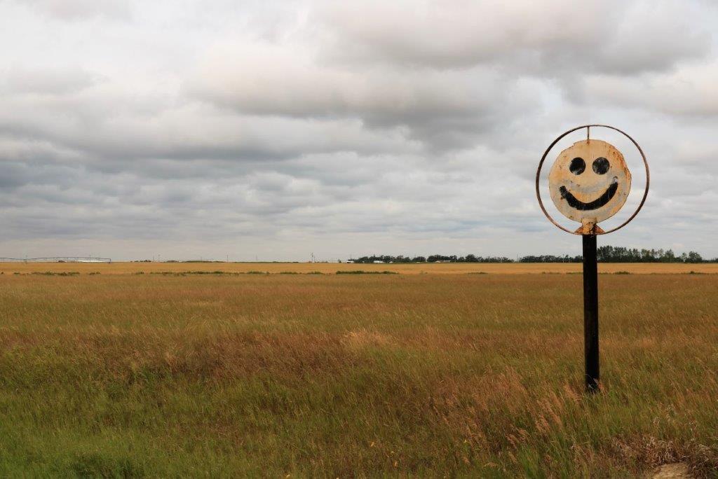 We turned off the highway and drove a couple of hundred meters down a gravel road to find a cache and while John was signing our names in the log book I, as usual, took some photos.
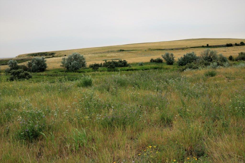
 There is a very active geocache group in the Medicine Hat area and they have hidden hundreds of caches to encourage people to come to the area and geocache. They hide and maintain caches even into southern Saskatchewan. (We have decided we are going to come back to Medicine Hat to have a geocache trip similar to the one we made to Anahim Lake and Bella Coola last year.) As we left the eastern boundary of town we found a cache called “Thanks for coming to MH to geo-cache.”
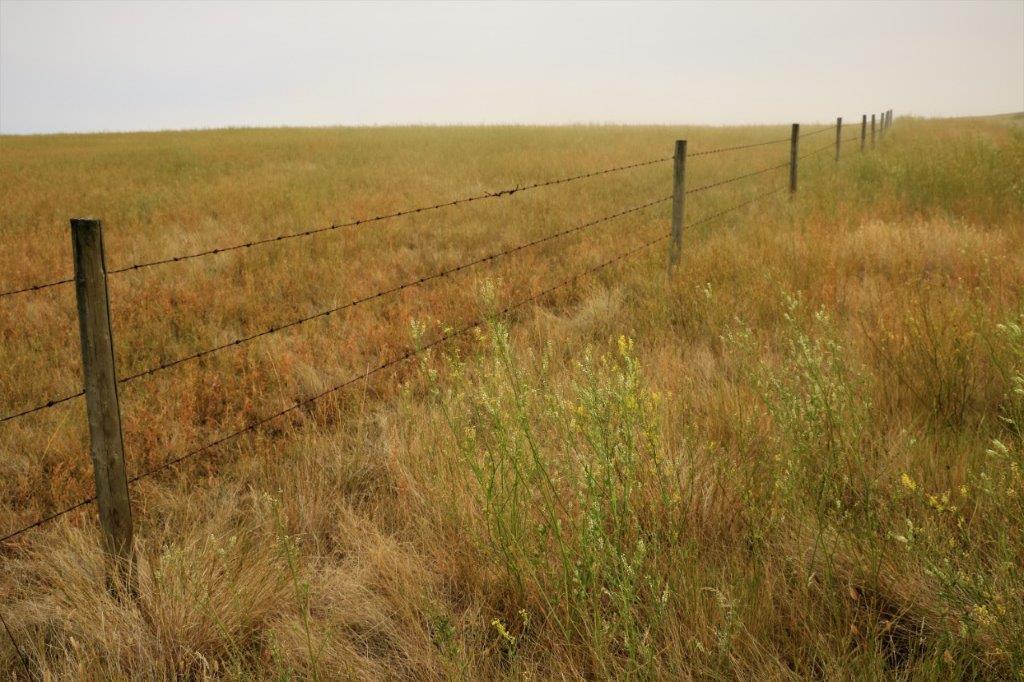
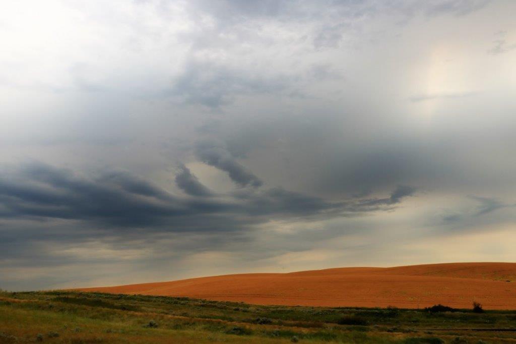
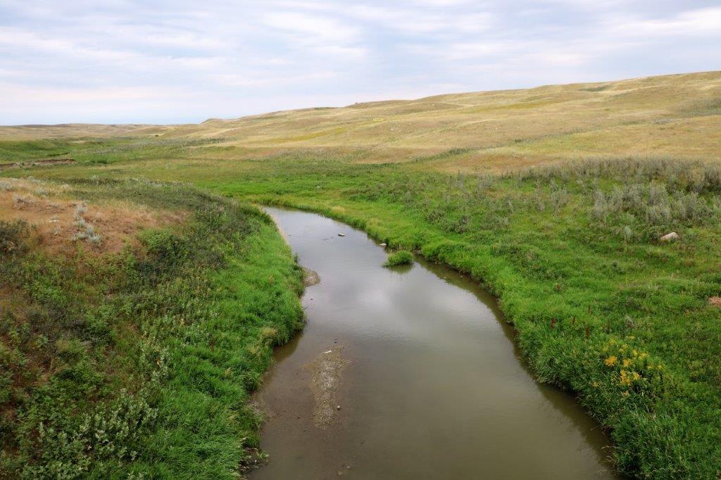
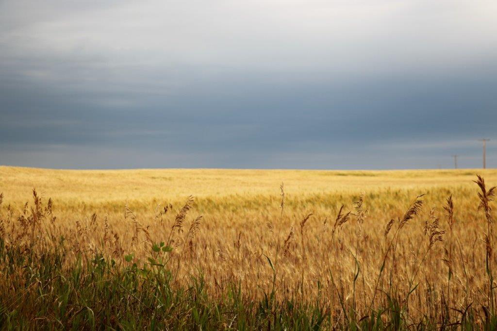
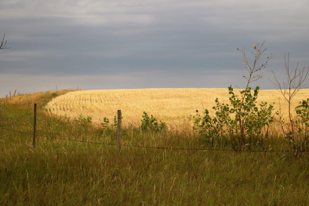
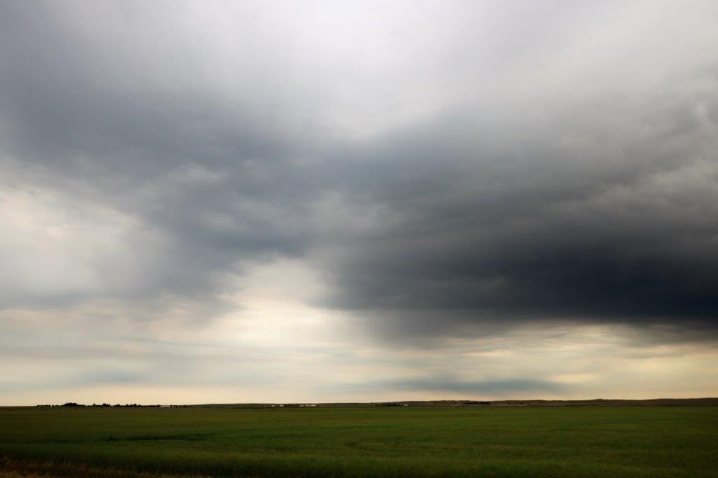
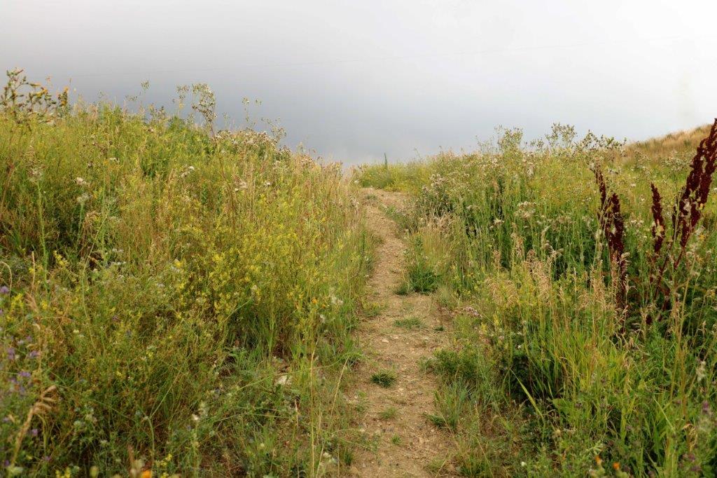
As is always my way when we drive the prairie roads I take photos of the gorgeous cloud formations, grasslands, and open spaces.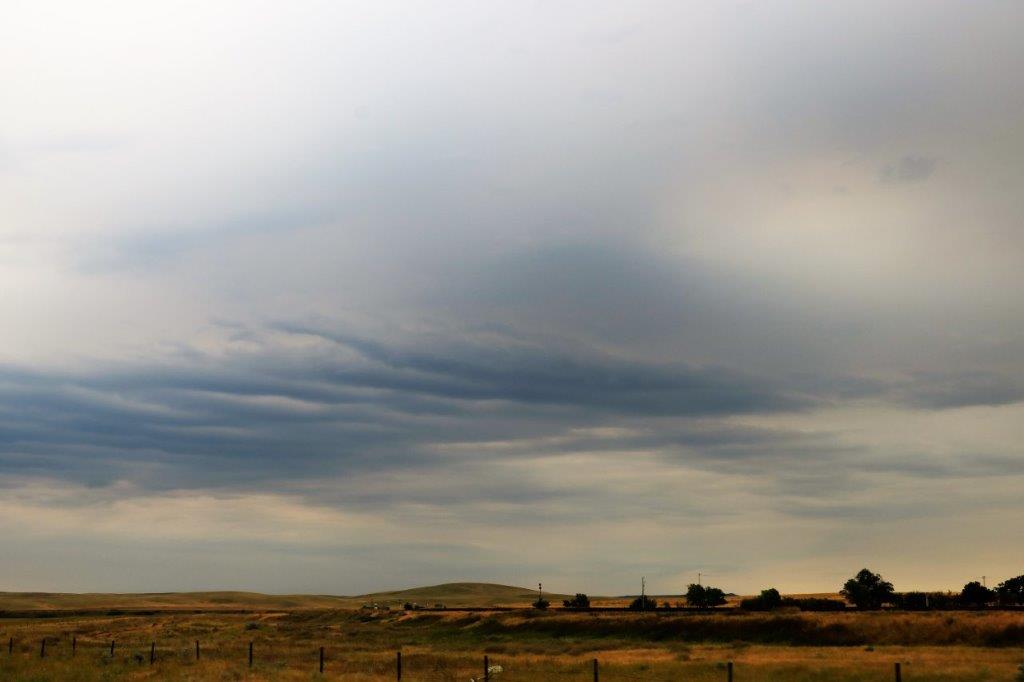
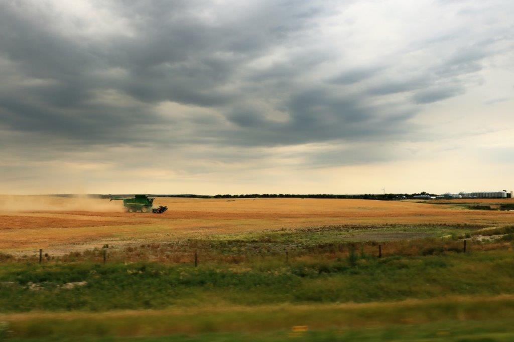 It is prairie harvest season and the combines and trucks were busy taking off the grain.
Not too long after we crossed the border between Alberta and Saskatchewan we stopped to find a cache. This was the first one we had found in this province (and it was hidden and maintained by Medicine Hat’s South East Alberta Region Cache Hunters (SEARCH)).
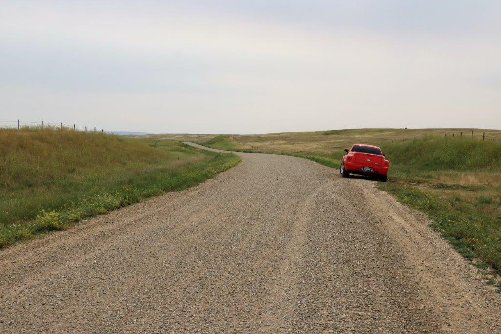
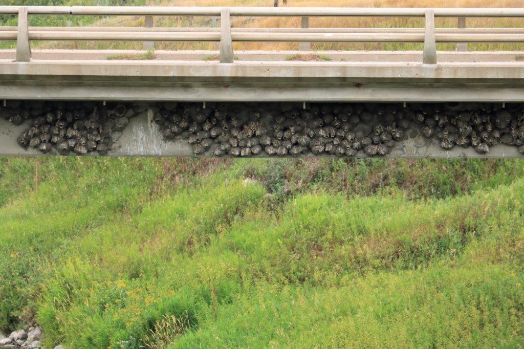
We turned south off the Trans-Canada at Gull Lake (west of Swift Current), found a cache at their visitor’s map and headed down highway 37. About half way to our junction with highway 13 there was a cache hidden on this old concrete bridge. It was a very pretty little spot and the mud swallows had a huge colony of nests on the under edge of the new bridge.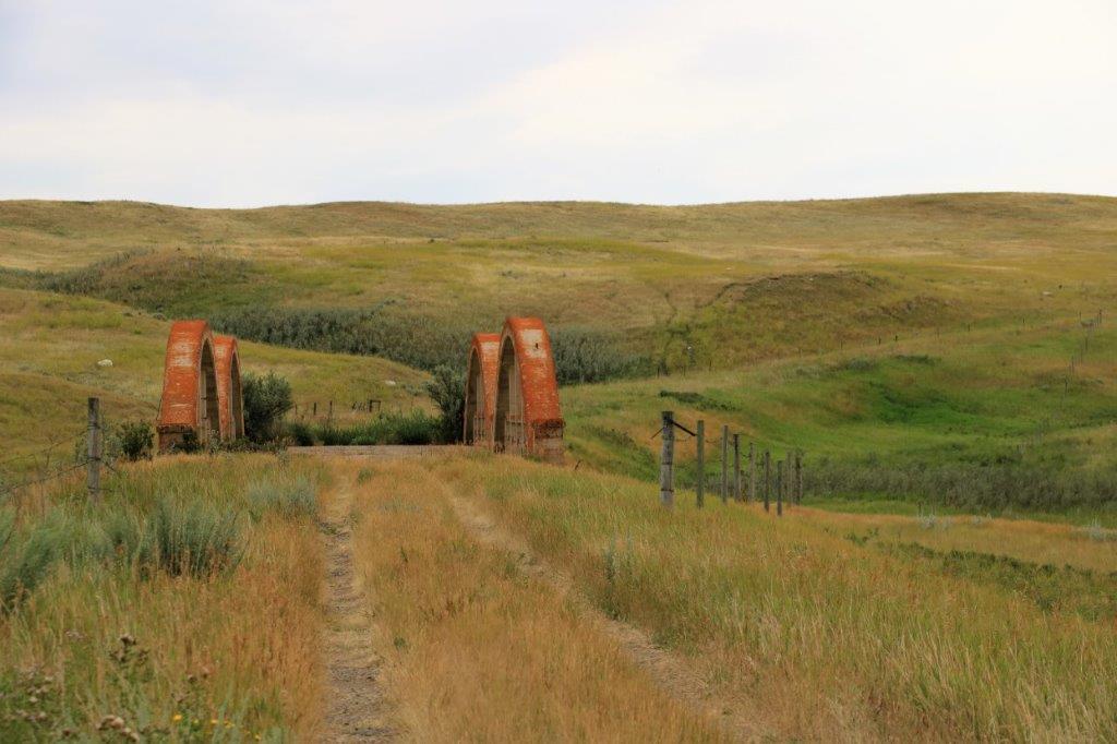
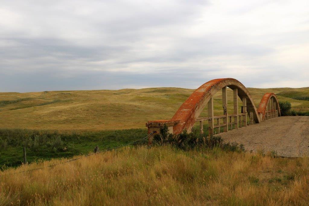
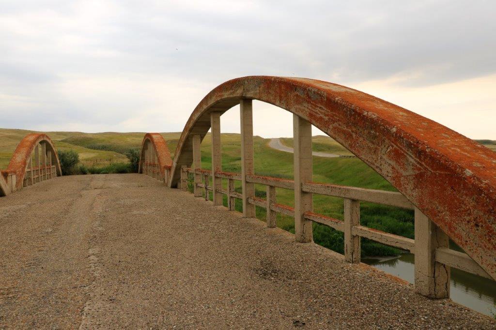
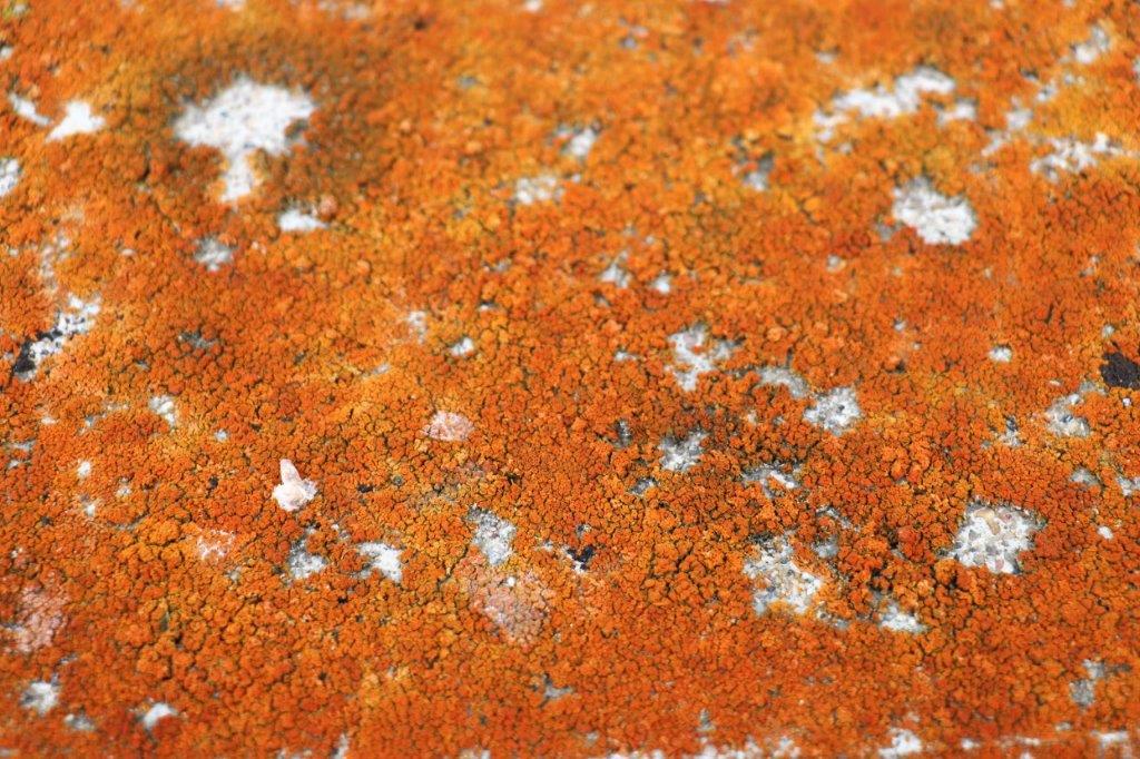
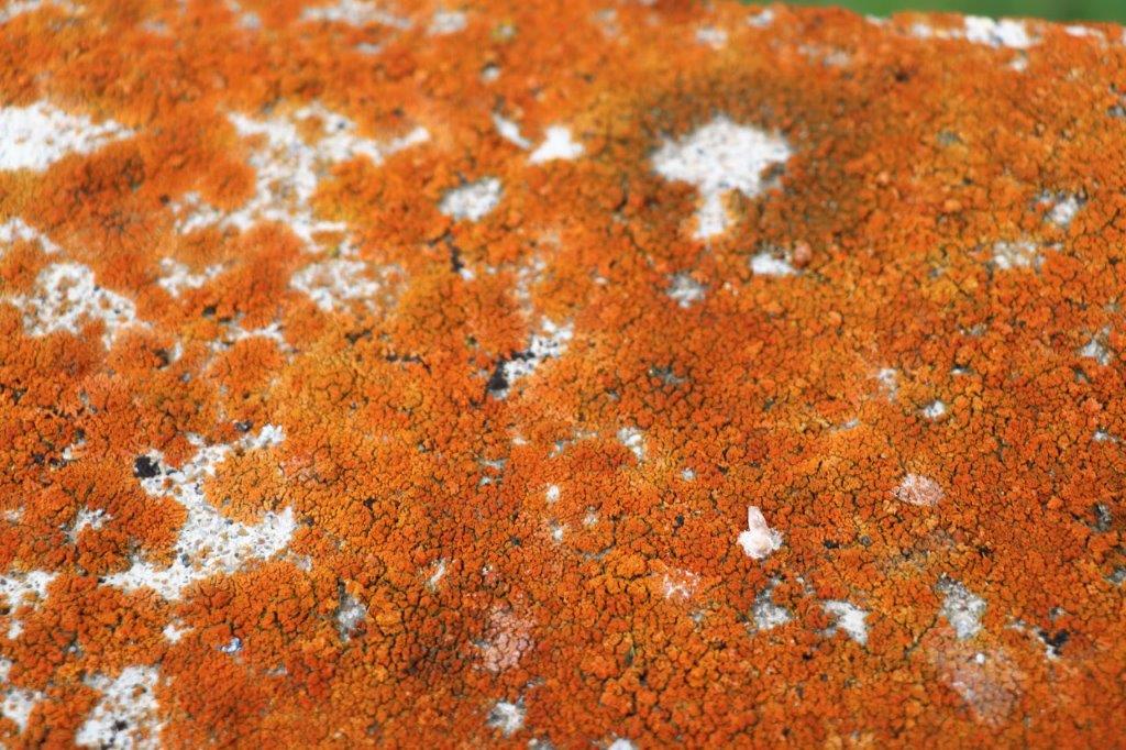 I liked the orange lichen growing on the old concrete bridge.
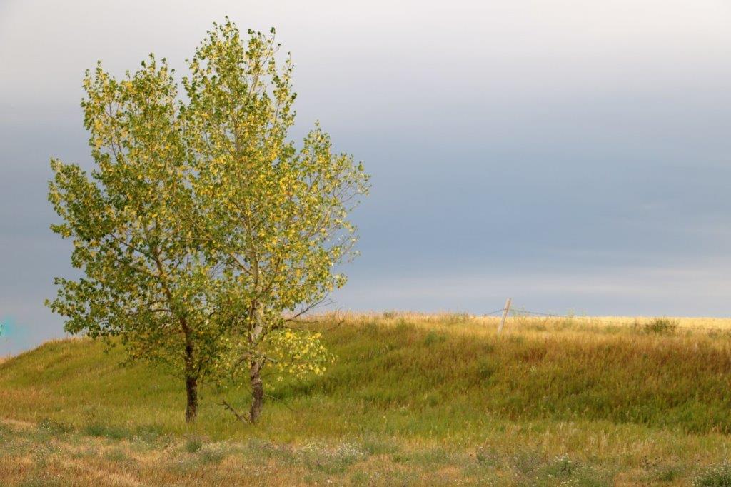
There was a cache hidden at the junction of highways 37 and 13 and while John searched I took some photos of the lovely trees with their leaves beginning to turn yellow.
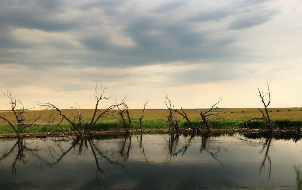
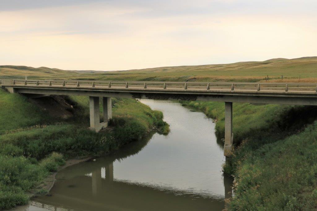
 Our last geocache stop for the day was also at a bridge about 40 km from Assiniboia.
 It was raining lightly when we drove into Assiniboia at 5:30. We drove past the the GM dealership and saw that it was stil open. The air conditioning has been making a noise and John thinks a bearing is going on the idler so he pulled in to get their opinion. They said that the shop in Weyburn (where we are heading tomorrow) would have the part and be able to fix it for us so that will be our first task of the day. We were hoping to go south of Brandon, Manitoba into North Dakota somewhere but we will have to wait to make plans until after we get Poppy’s AC fixed. But road trips are adjustable so no worries. Once we cross the border it will be sight seeing time. Lots of old forts, heritage museums and caverns to explore. Yay!
