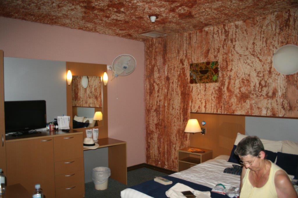
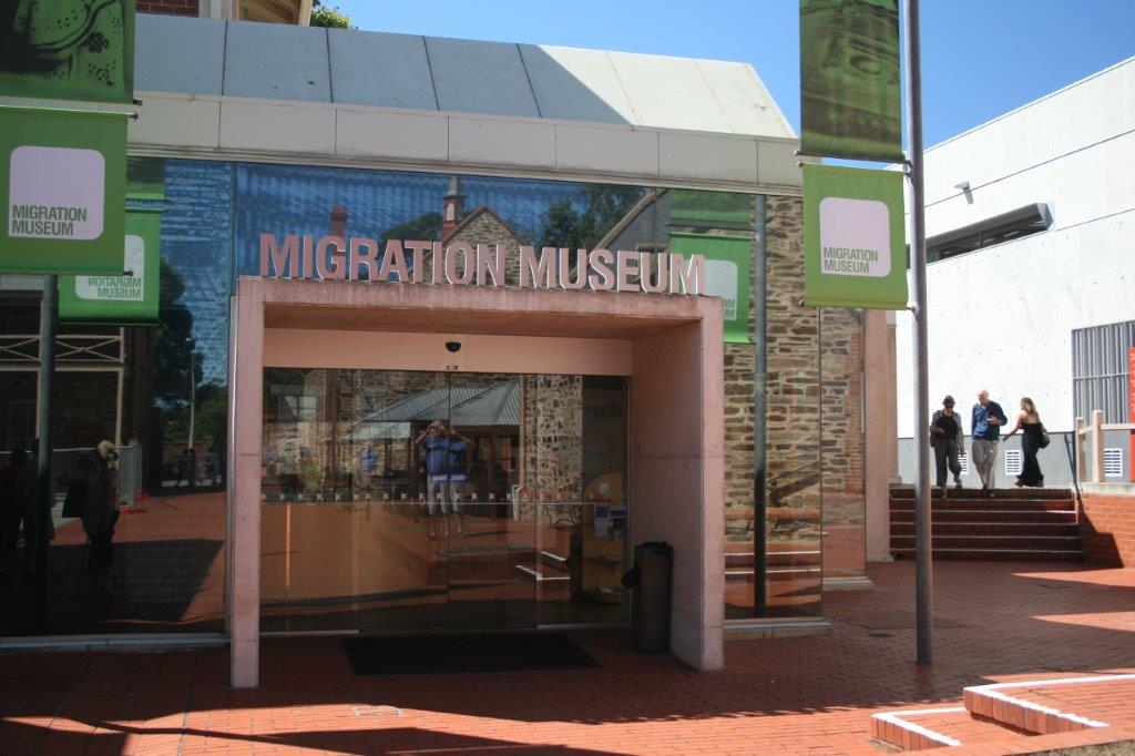
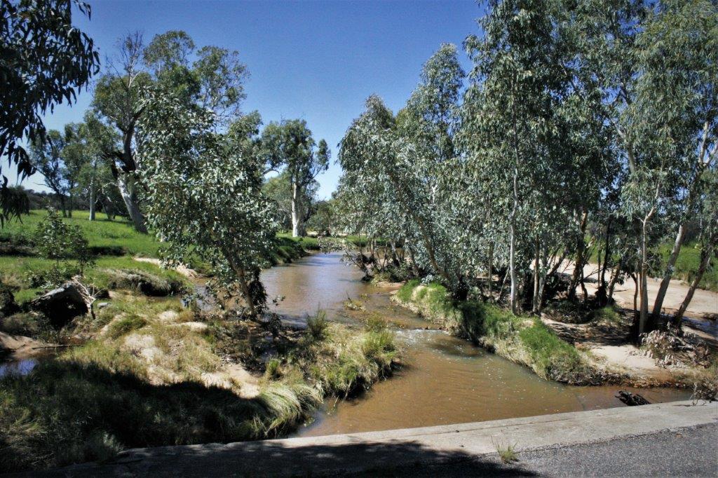
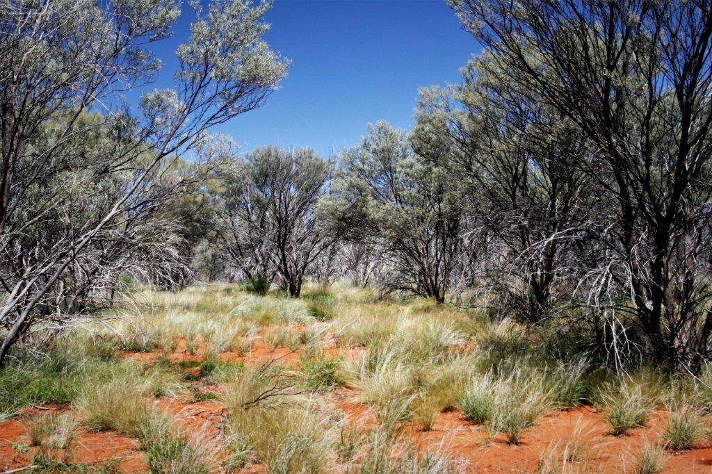
Alice Springs is a further 700 km into the heart of Australia from Coober Pedy, but as I said in my last blog there are no flights in that direction. From Alice to Coober Pedy, yes; vice versa no. Thus we flew back to Adelaide, spent the night and then had a two hour flight to Alice Springs. We checked into our hotel and then took a walk into town. It took us about 20 minutes and we needed to cross a flooded bridge across a gully that is usually dry dirt. As far as we could see all around was tall, waving, green grass. Not the Red Center I wanted to see, but the temperature was warm and it wasn’t raining during our walk, so all was well. We bought a small duffle bag so John had something easier than a suitcase to put his clothes in for our camping trip, then, back at the hotel we re-packed our clothes into the smaller bags and arranged to leave the rest of our luggage at the hotel until our return.
Now, those of you readers that know me, know that I hate camping. The only holidays we could afford when the children were young was camping trips on the shore of our local lake. Invariably we would pack up all our stuff, heft it down the bank to the water’s edge, set up the tent and unpack the gear, and the rain would begin. Then everyone was wet, cold and bored and I still had to cook and entertain kids as best I could. I do not have a fondness for camping. Even a fifth-wheel trailer or motorhome does not appeal to me. I do not consider it fun to cook, clean, and make beds in a small, confined space. Hotels work fine.
I say, now that we are retired, that I camp by dropping from a five-star hotel to four and ‘rough it’ by dropping to three. Why then, you may ask, would we book a four-day, three-night camping trip in the Australian Outback? …Because it was the best tour we could find that included all the ‘must see’ Red Center landmarks. The company is called Intrepid Connections, which, I admit, gave me pause as I am not intrepid when it comes to camping, but the brochures and the write-up on the itinerary looked good so I decided to risk it. Besides, each night was to be spent in a ‘permanent’ camp so we would not be unpacking and setting up tents, etc. each night. I felt sure I could survive for a few days. And, I did, just barely.
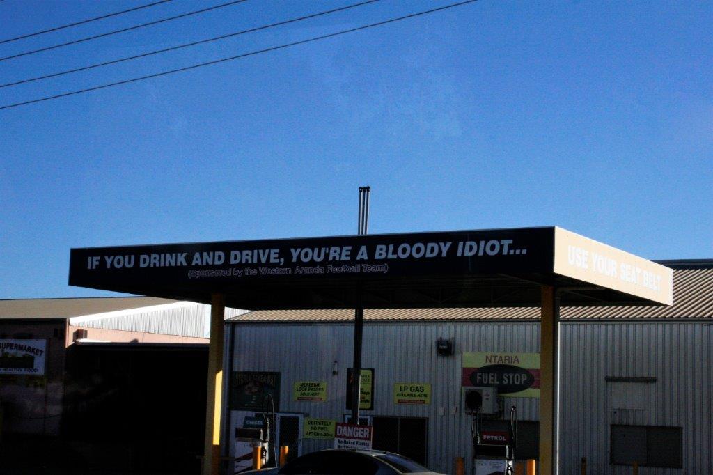
We were told to be back at the hotel before dark as Alice Springs is considered the stabbing capital of Australia. There are a lot of alcohol problems among the aborigines, and many of the other people as well, and knives are the most common means of settling disputes. We had no issues thank goodness.
Gavin, our guide and driver for the trip was picking us up at 6:20 am so it was an early night. While we were in town we picked up some food we could eat in our room for breakfast, to save time and also to not get hit with the outrageously expensive restaurant food. For dinner the night before a pork chop with three slices of apple cost $32.50 AUS. You could add garlic bread for $8, and potatoes for another $8, and vegetables for a further $8, and a salad for $8 more. Every meal on the menu averaged $32 and came with no sides. The hotel breakfast buffet waS $24-$27. I could not eat enough to justify spending that much for breakfast. Restaurant meals in Australia are very expensive.
Part of the reason for the high cost is the country’s minimum wage of $16-$18 per hour. There is generally no tipping in Australia. Wages for service personnel are set high enough that people can afford to live without tips. Which is just fine with me when the meal size and options reflect the cost. So far on our journey in Australia that had been the case. Alice Springs was not the norm, but it is a very remote place so everything is shipped in, not cheaply, I would bet, and all tourists are captive to whatever is charged as there are very few places you can go.
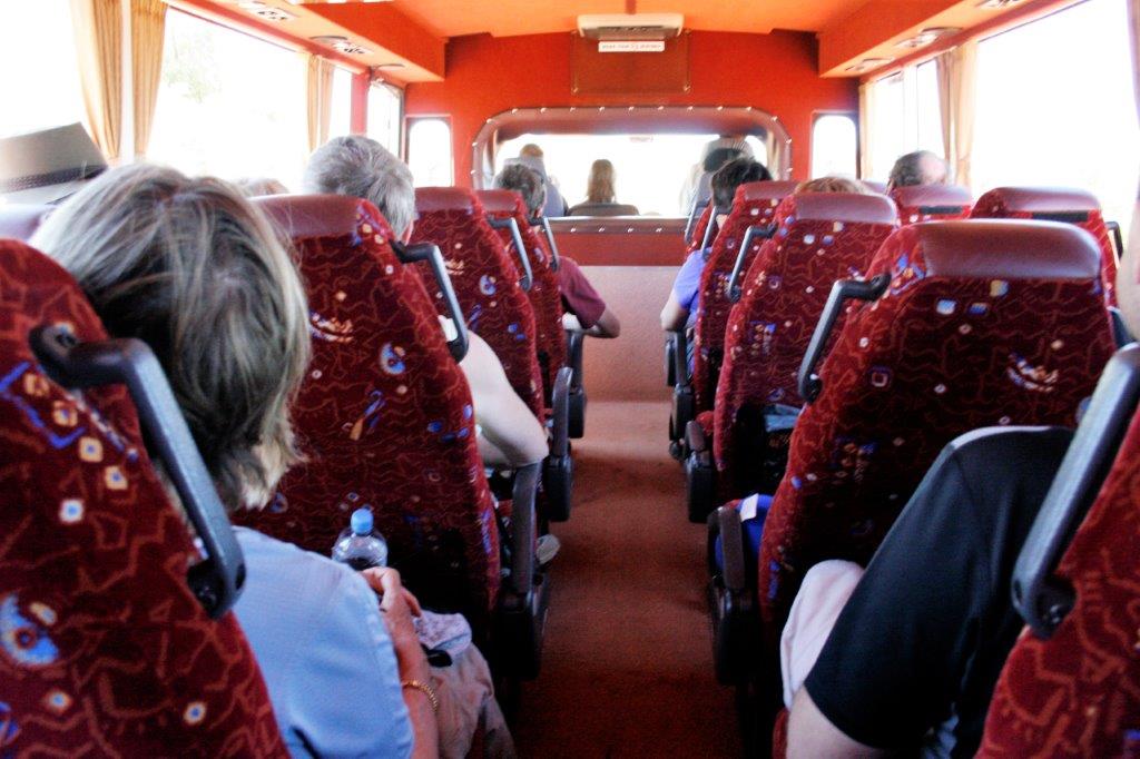
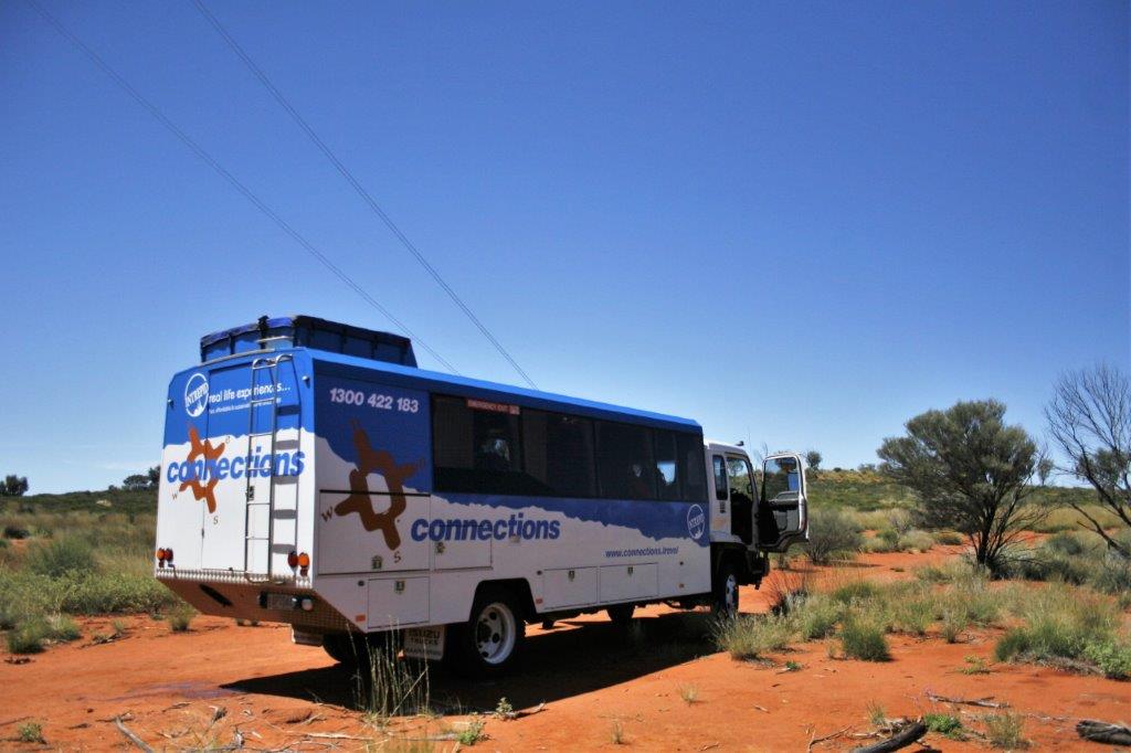
 The next morning Gavin picked us up in a 4WD 22-seat bus. There were 17 people, including us on the tour. One gal was only doing two-days and one night, 7 other people were doing three-days and two-nights and the remaining 9 were on the four-day, three-night tour. We were the only people in the group that lived in North America. The other travelers were Australian, German-Swiss, British, Dutch, and a British woman with her Tasmanian husband who live in France. There was another Canadian in the group; a young man who lives and works in London, and was with his British girlfriend.
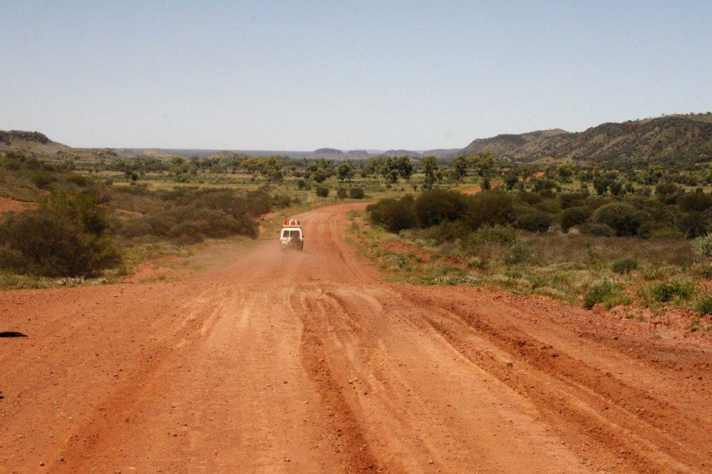
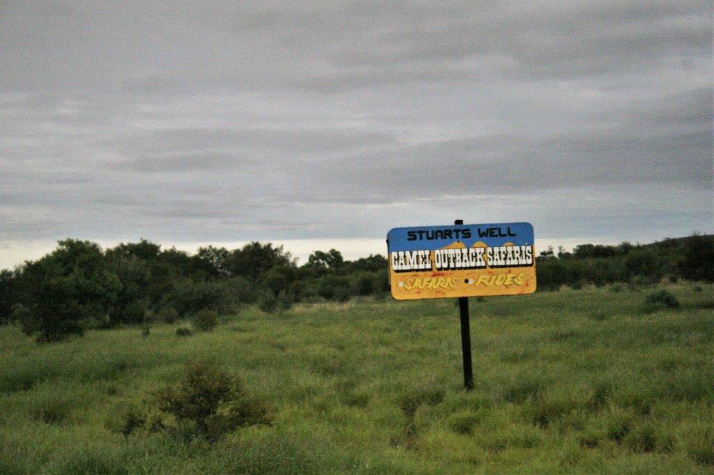
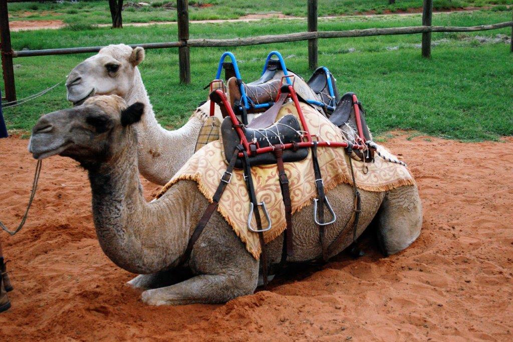
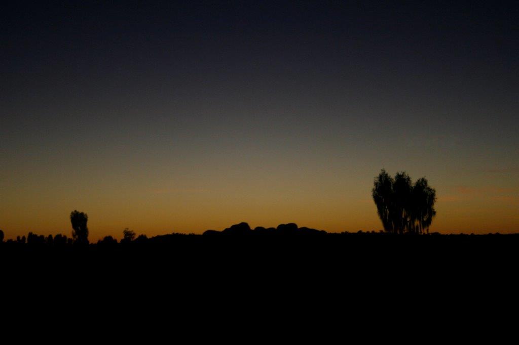
The first day we drove – well Gavin drove – 400 km from Alice Springs to Uluru (formerly called Ayers Rock). We stopped about every hour for an interesting view, or a toilet stop at a cafe or gas station. And we stopped at Stuart’s Camel Farm and had a short ride around the paddock on a camel. And, trust me, eight minutes on a camel is plenty.
 John with Mona, the camel I rode. He rode the other one, Goldie.


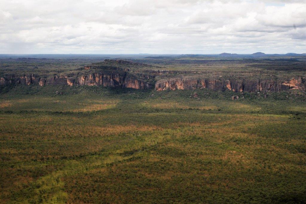
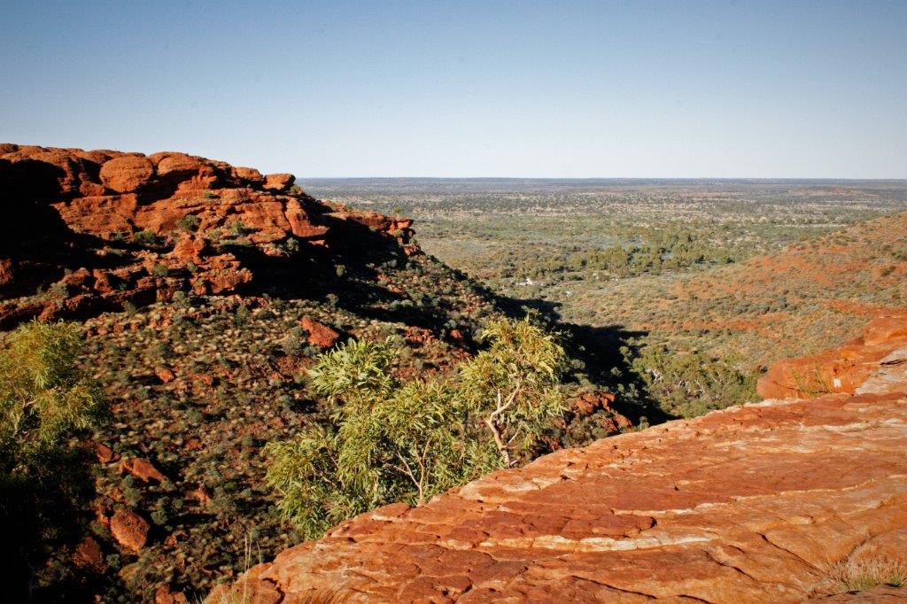
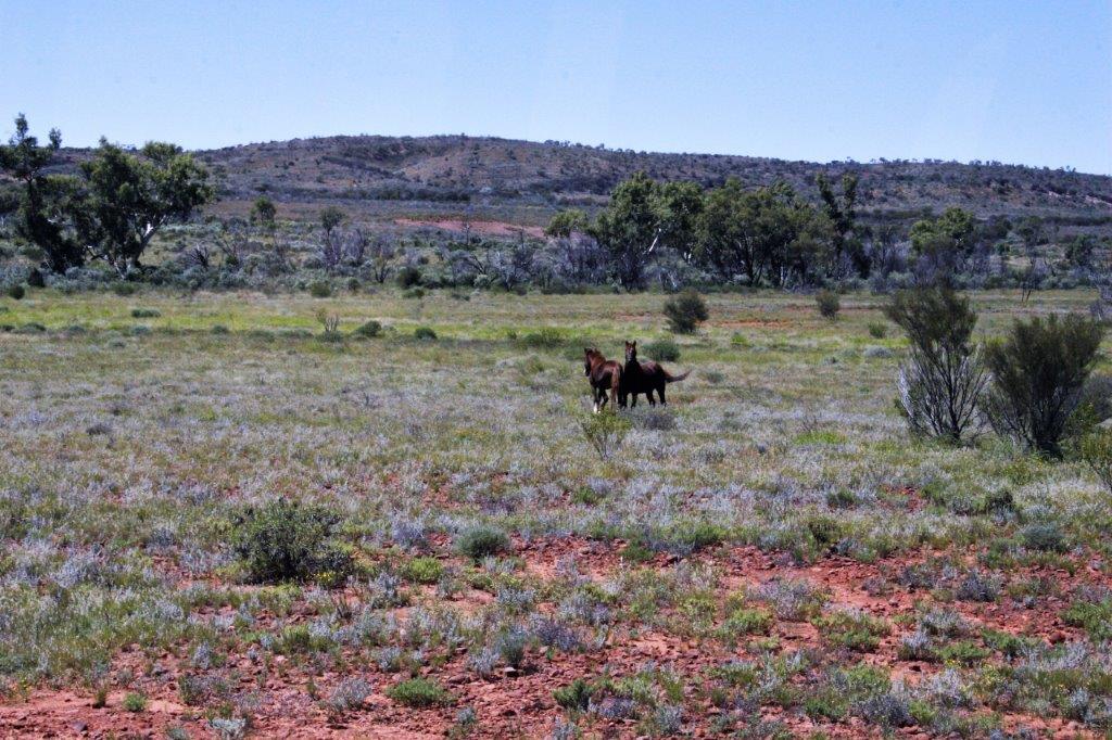
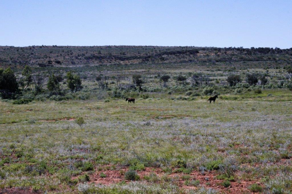
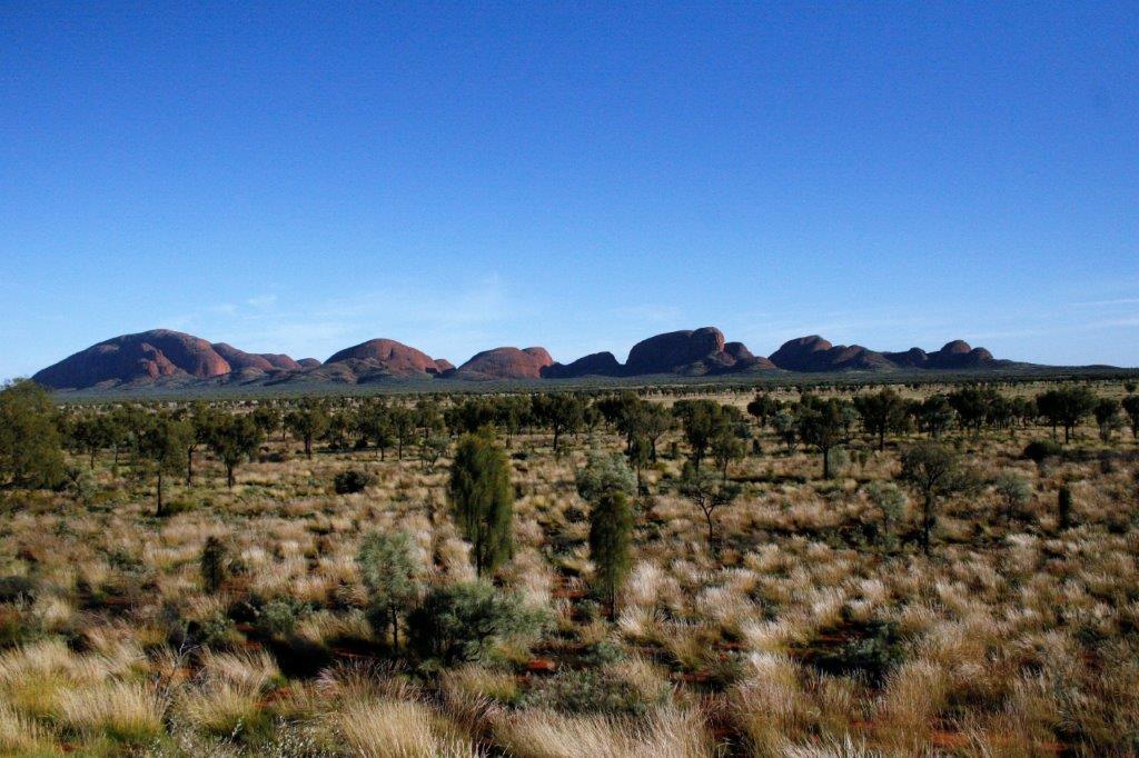
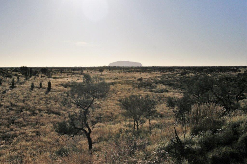
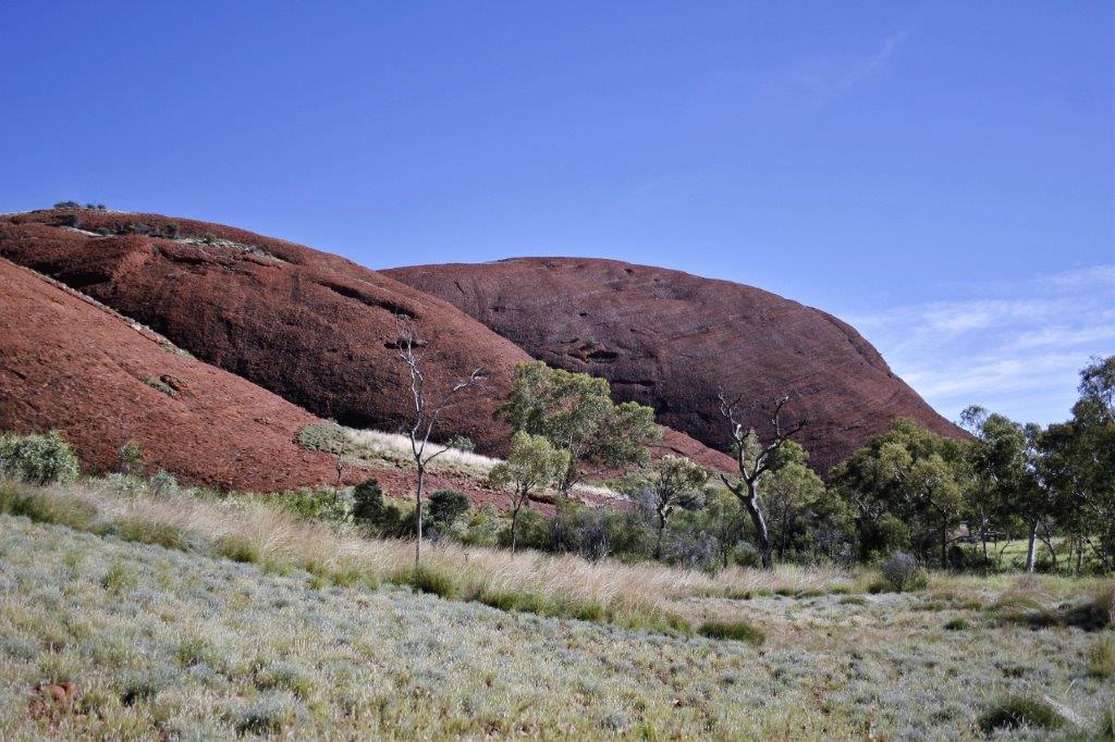
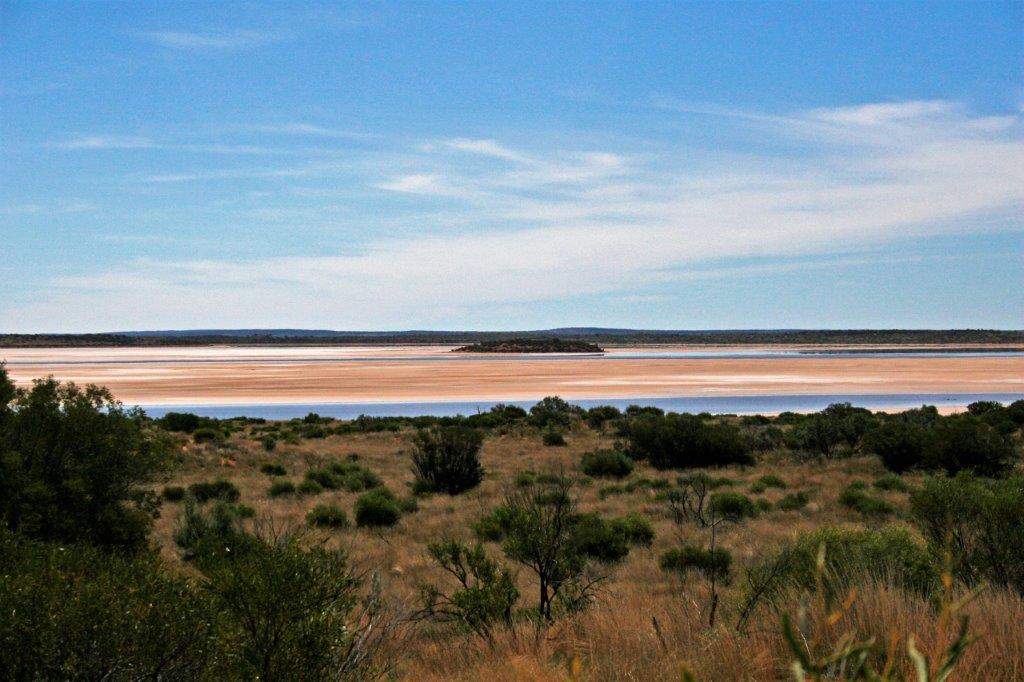
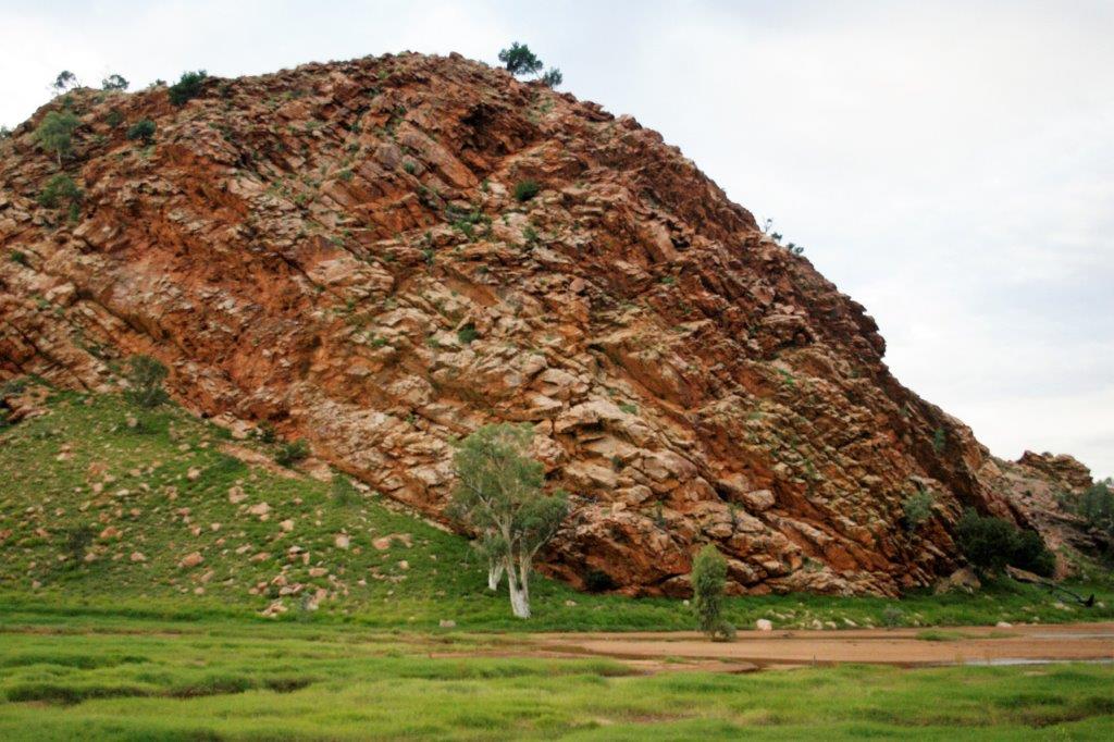
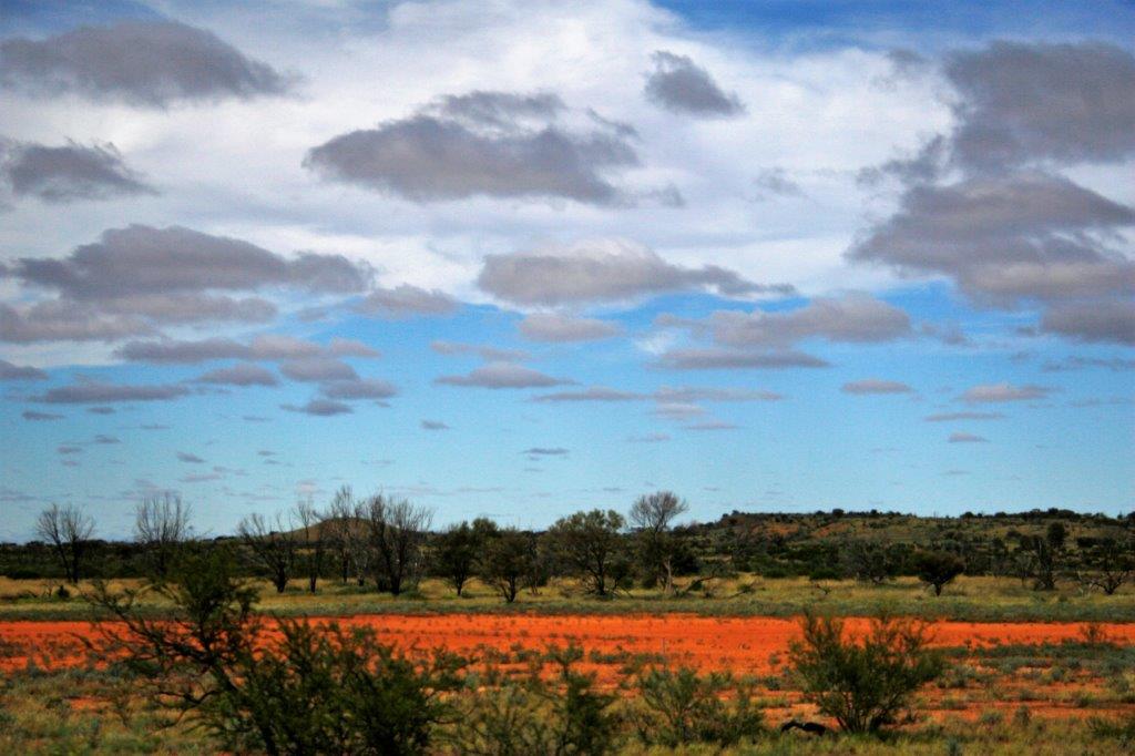
 We also stopped to see Mt. Conner (which is just a large mesa rising up from the desert.
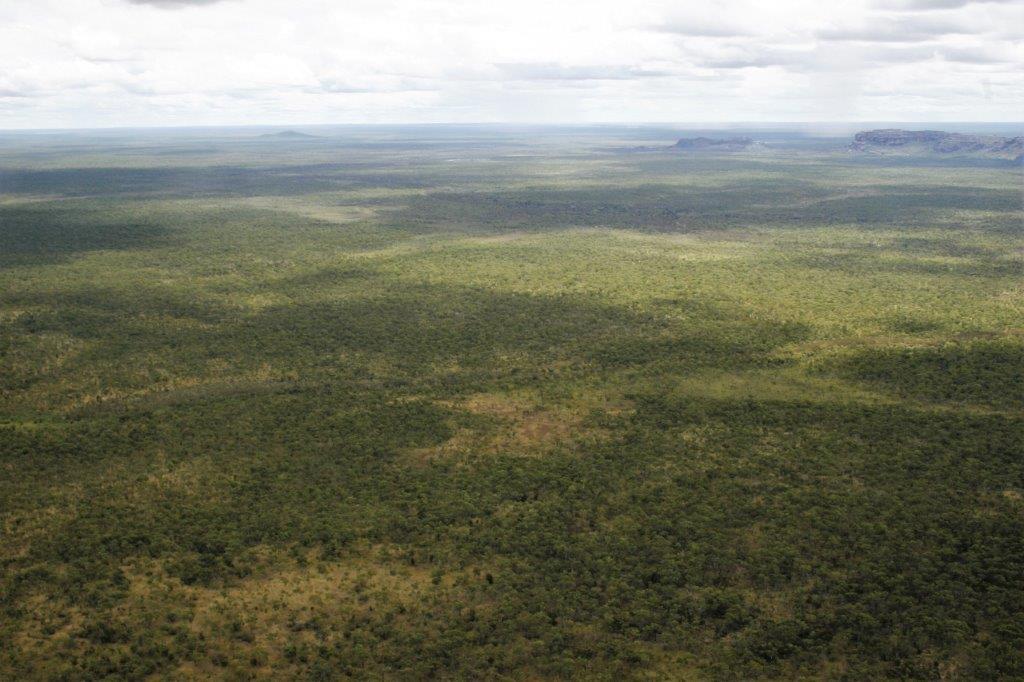
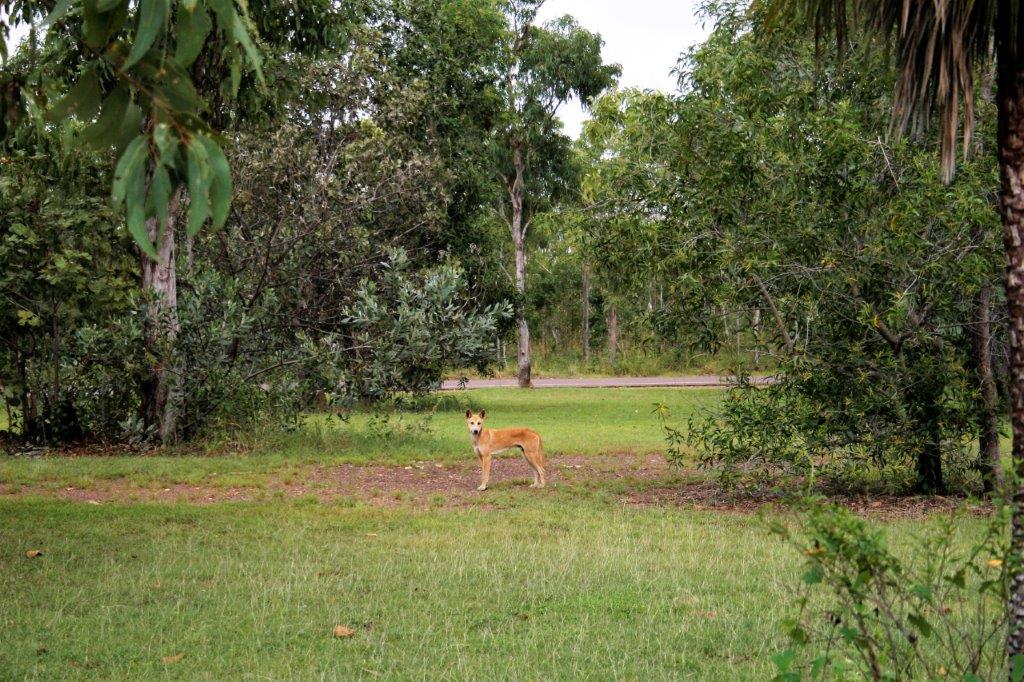
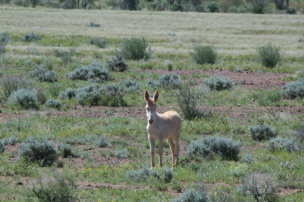
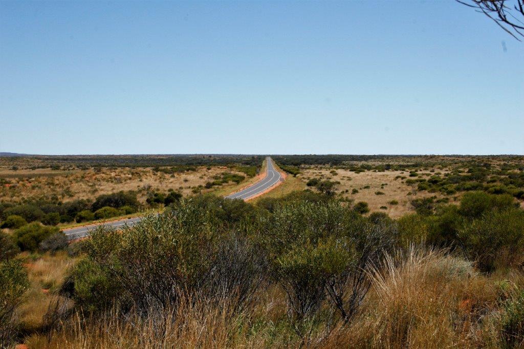
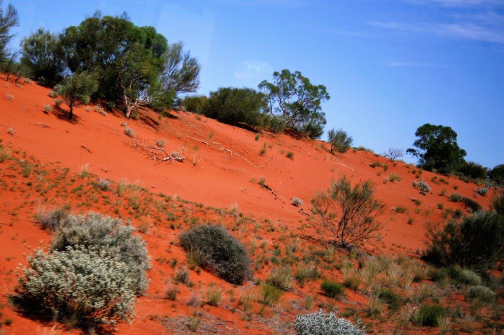
 Mt. Connor in the distance. Lots of tall green grass where there normally is red dirt.

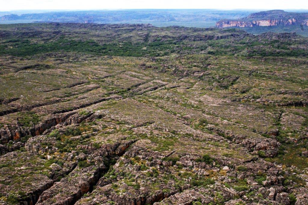
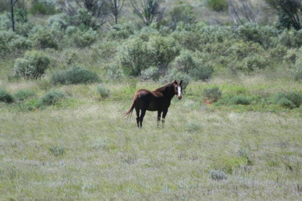
 The grass didn’t cover all the red dirt.
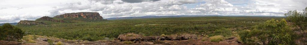
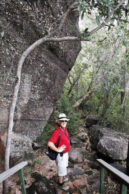
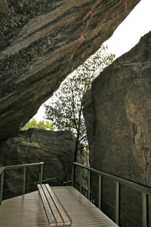
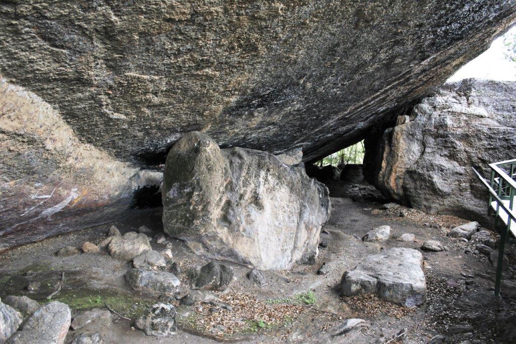
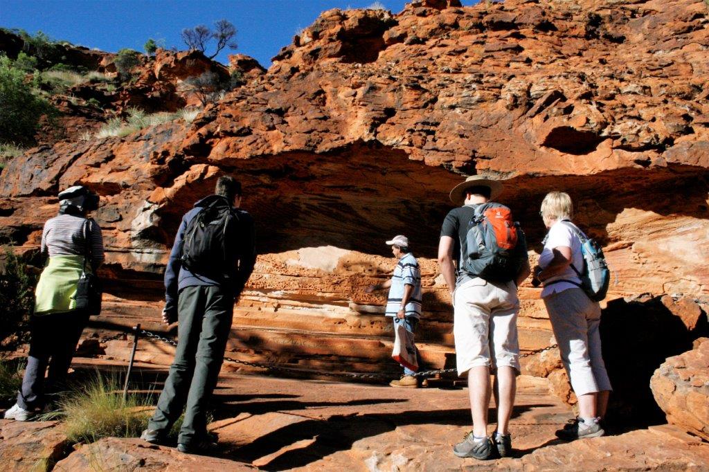
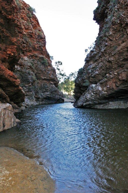
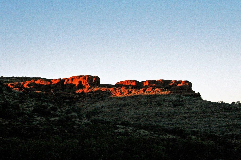
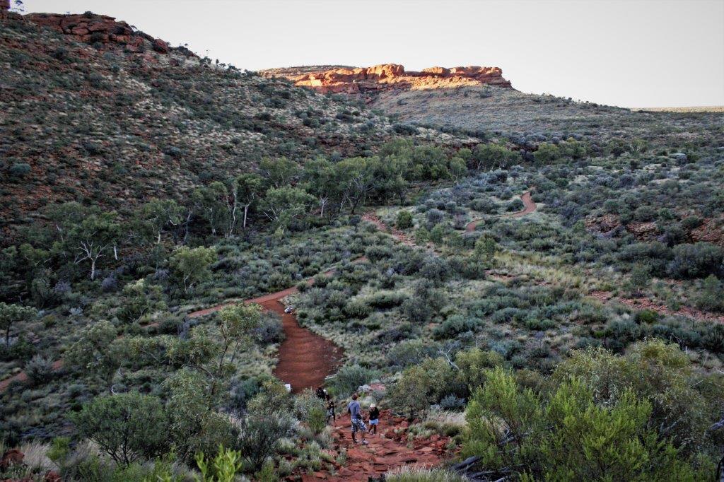
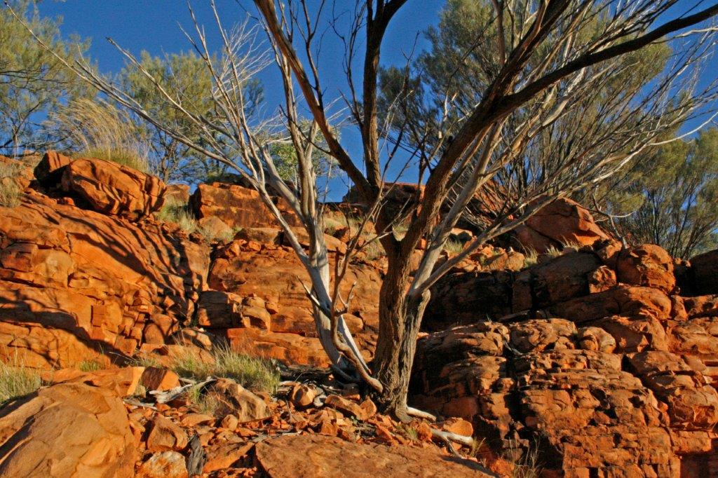
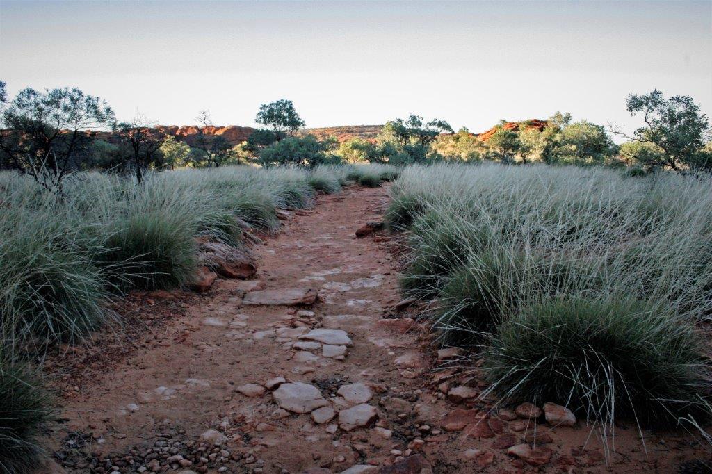
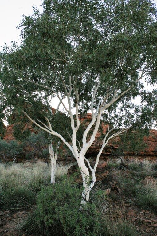
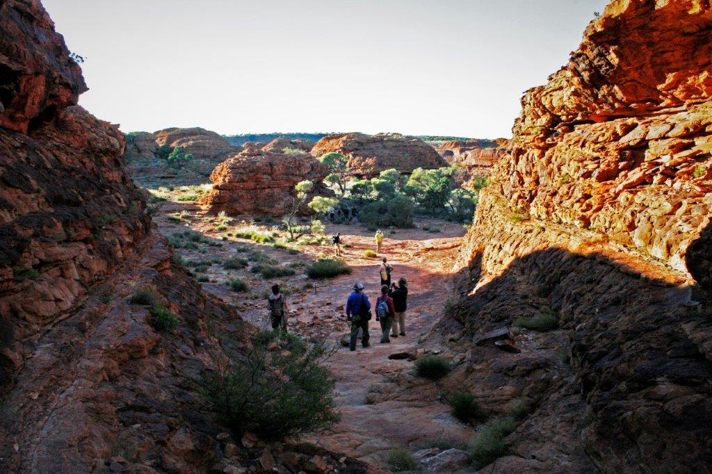
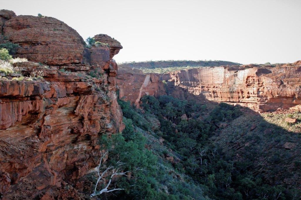
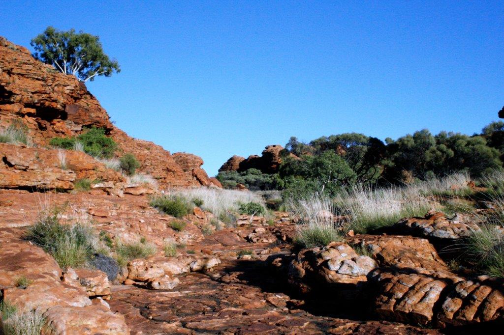
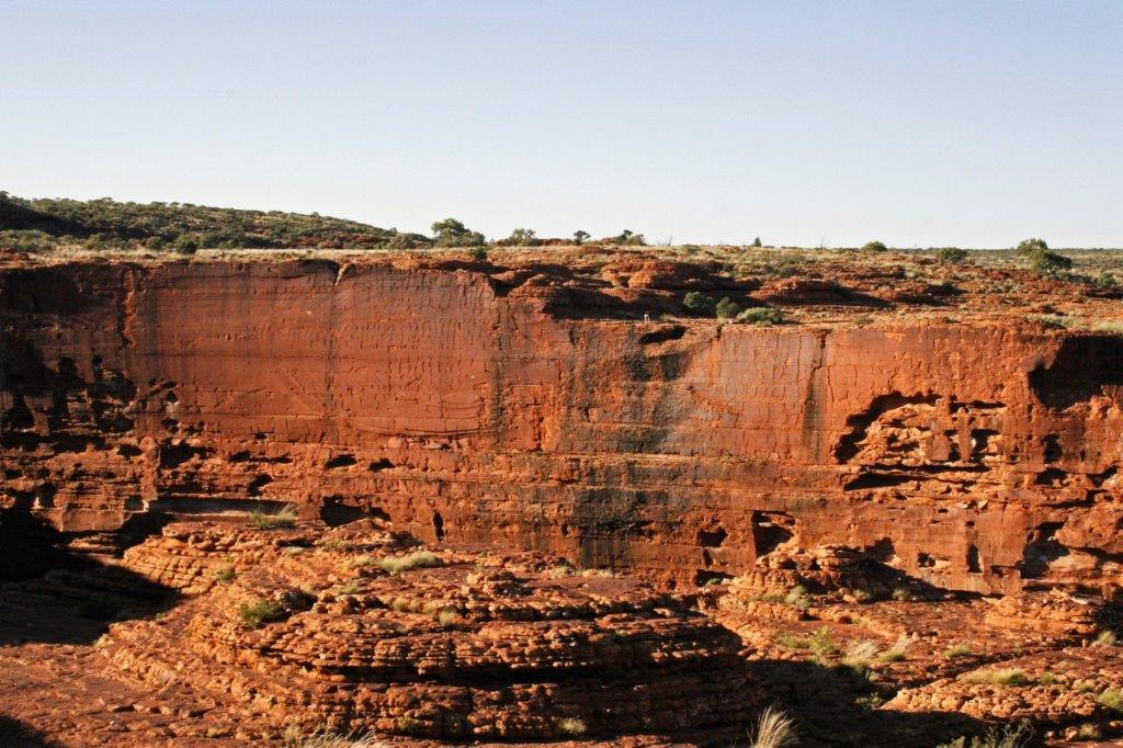
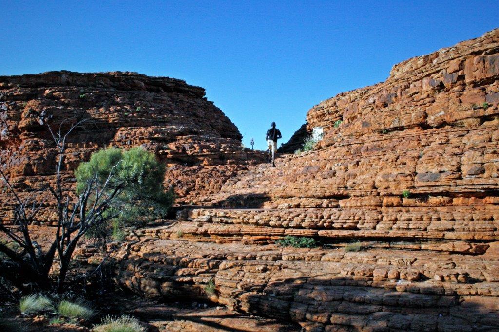
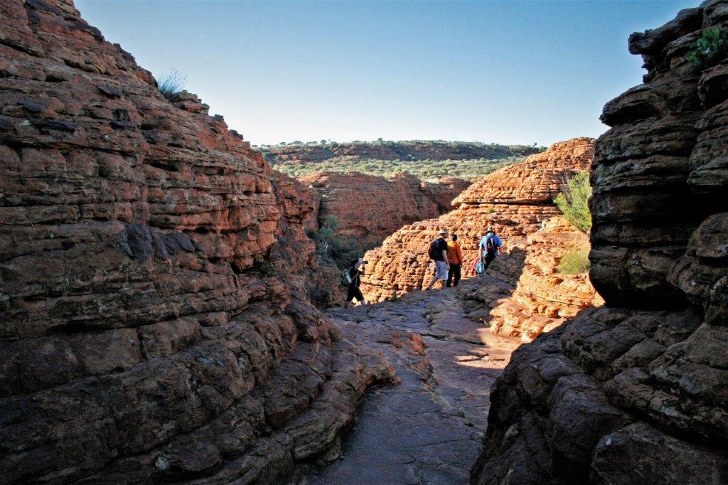
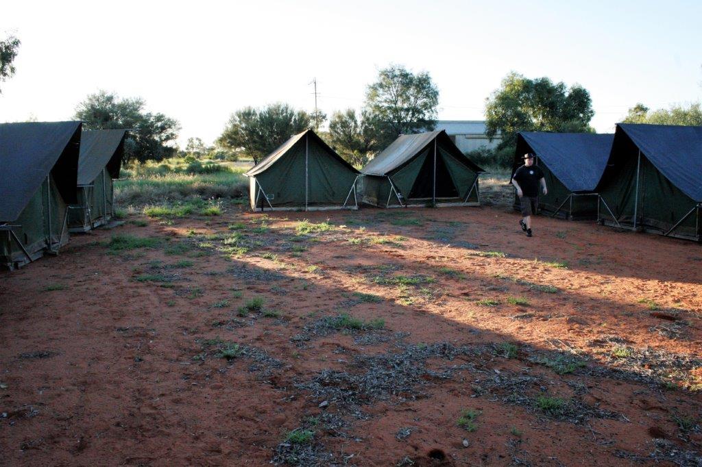
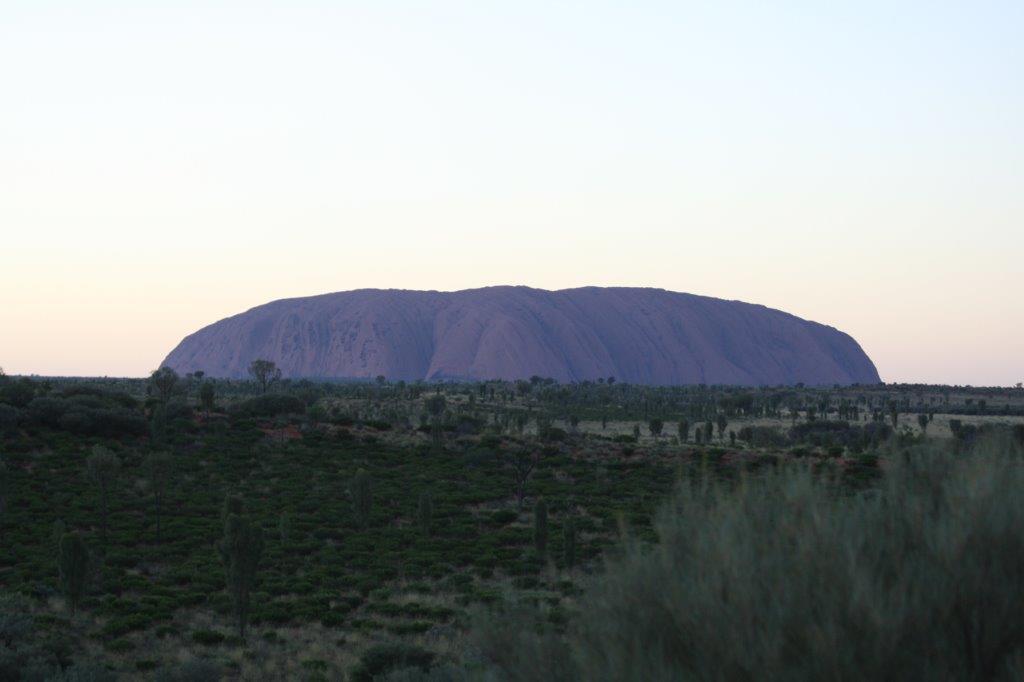
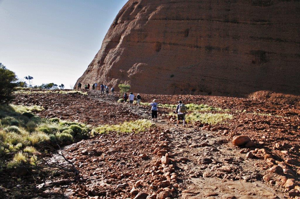
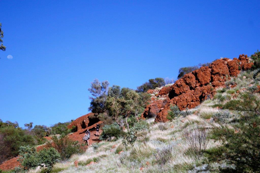
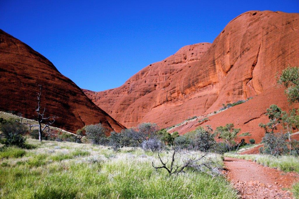
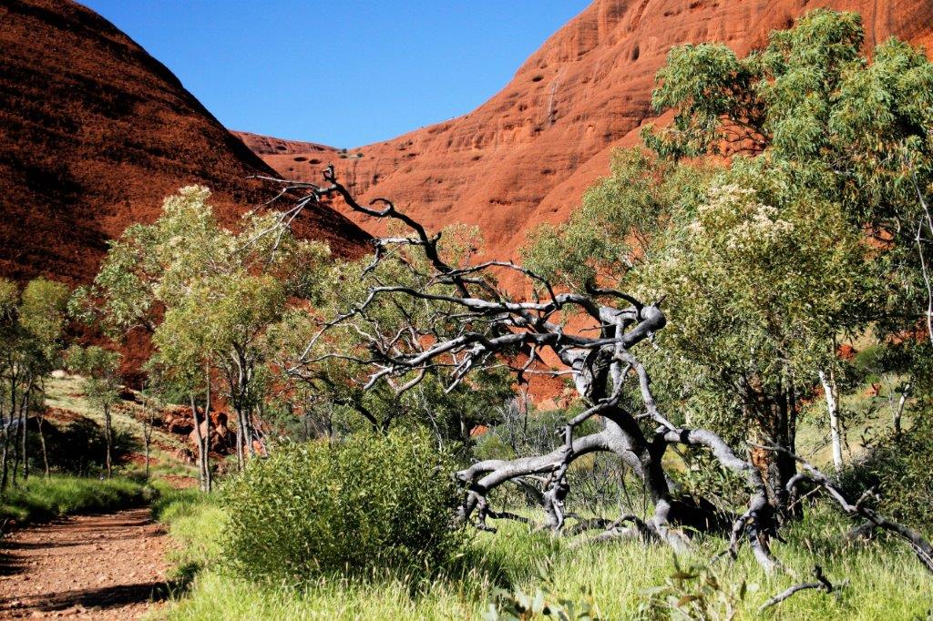
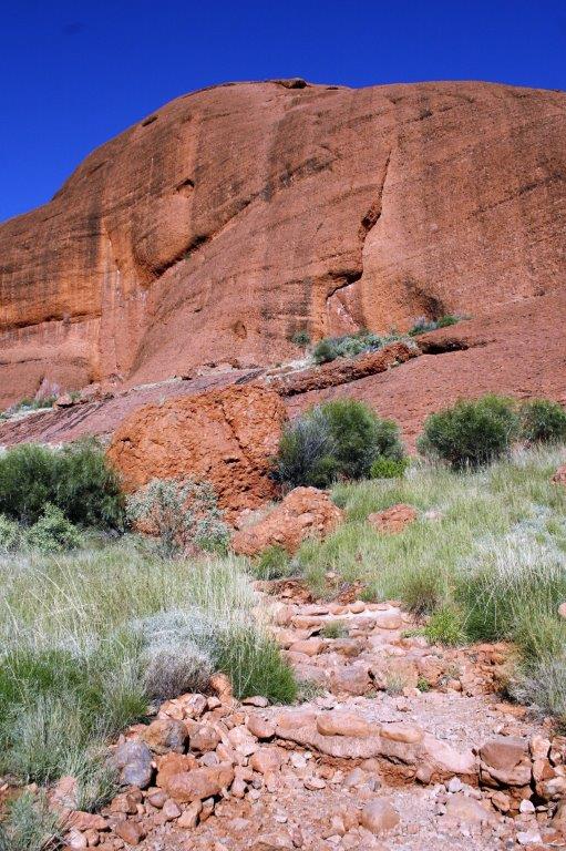
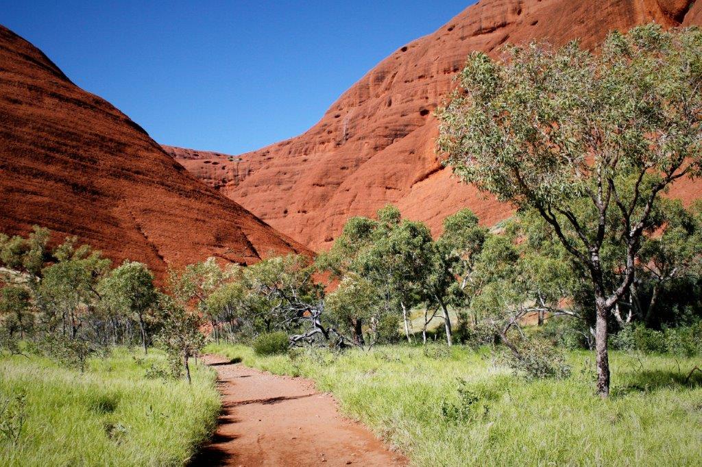
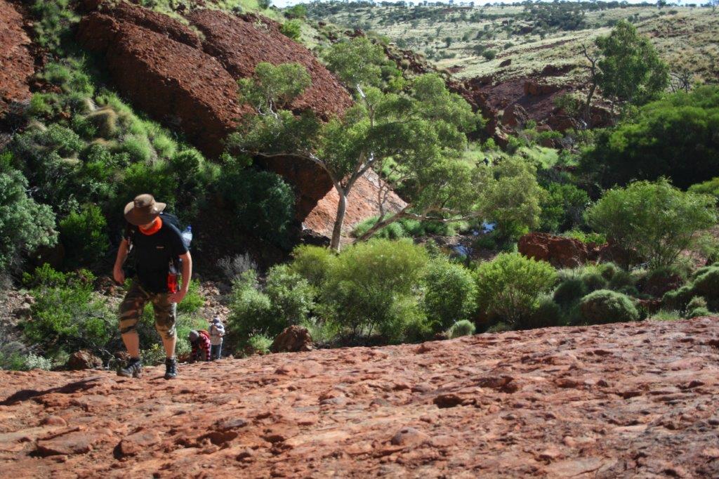
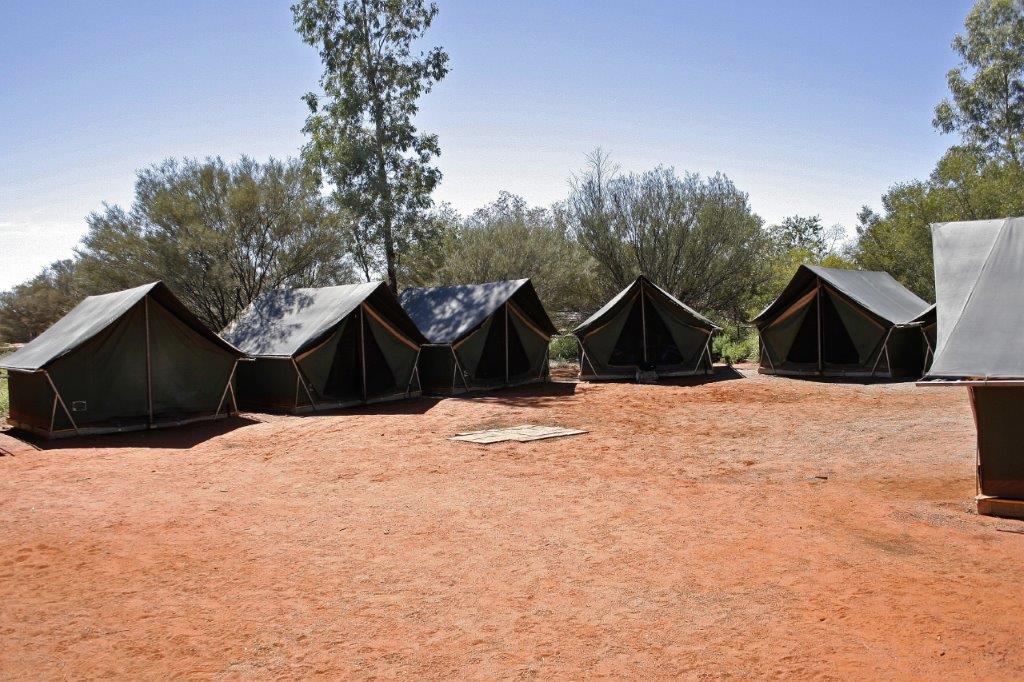
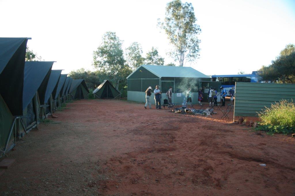
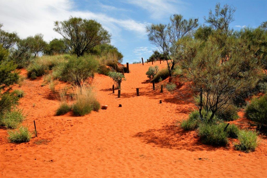
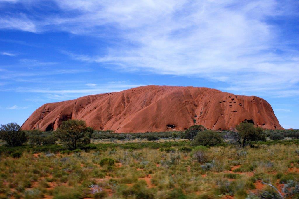
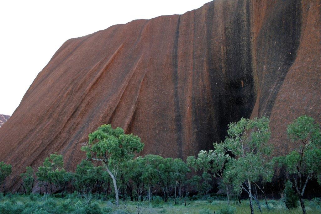
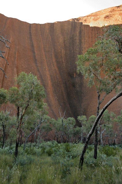
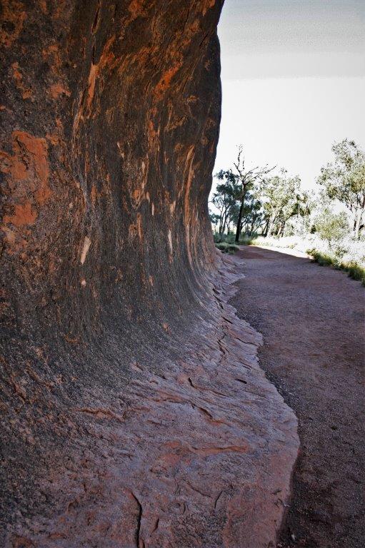
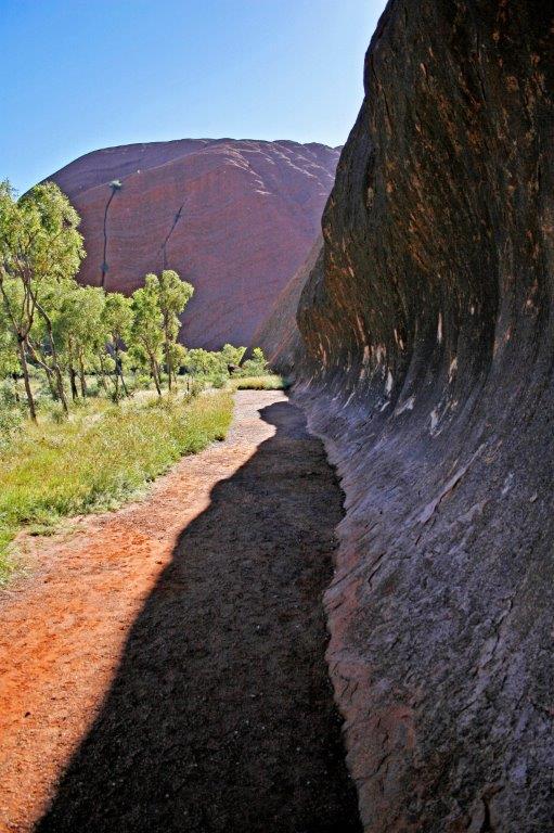
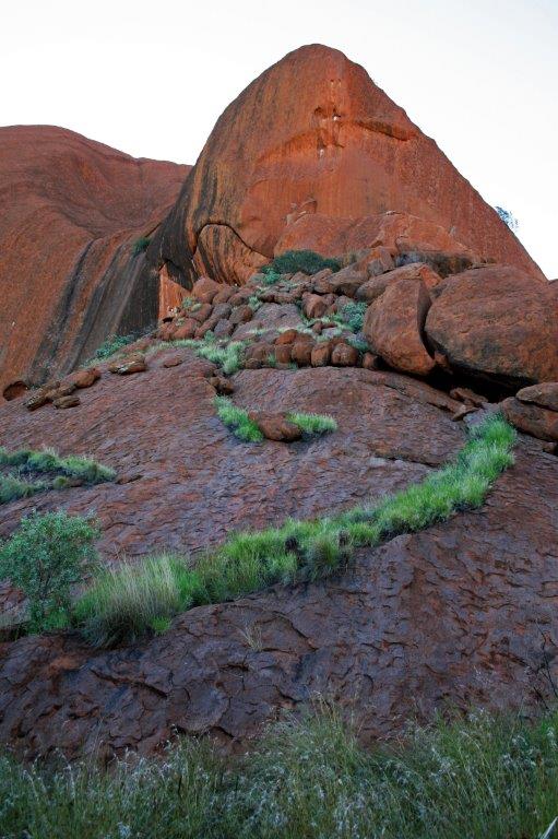
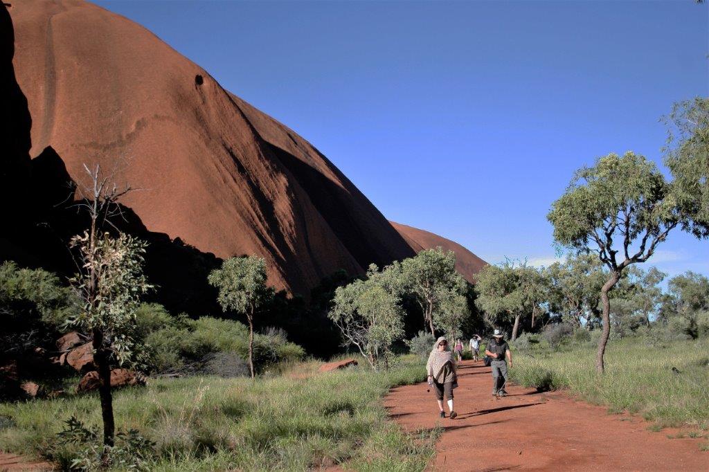
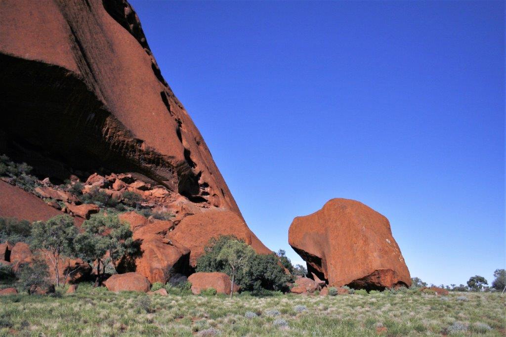
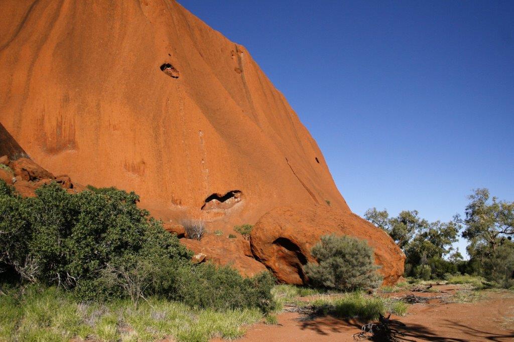
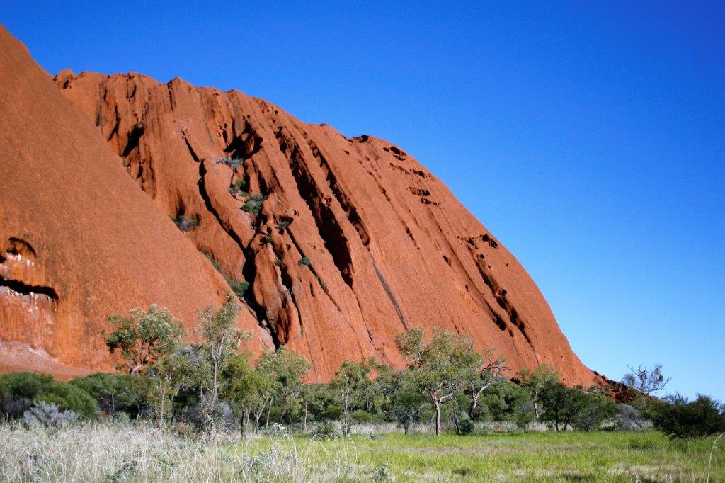
We arrived at our campsite at Yalara (a small resort area with access to Uluru) at 3:30. Everyone helped unpack the bus before choosing their tents and getting their things organized as it would be dark when we went to bed and still dark when we go up at 5 am the next morning. After the camp was set up we all got back on the bus and Gavin drove to Uluru. We walked all the way around the base of the rock. It was very hot and humid but there was a nice flat path to walk on. It took about 3 1/2 hours with information and photo stops.


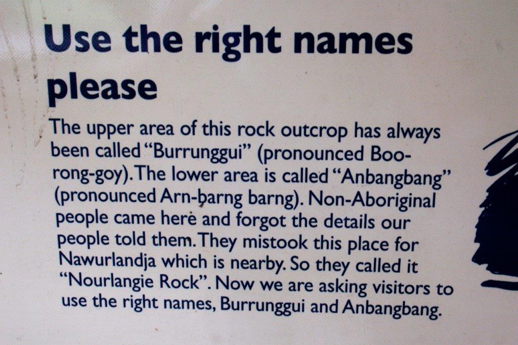
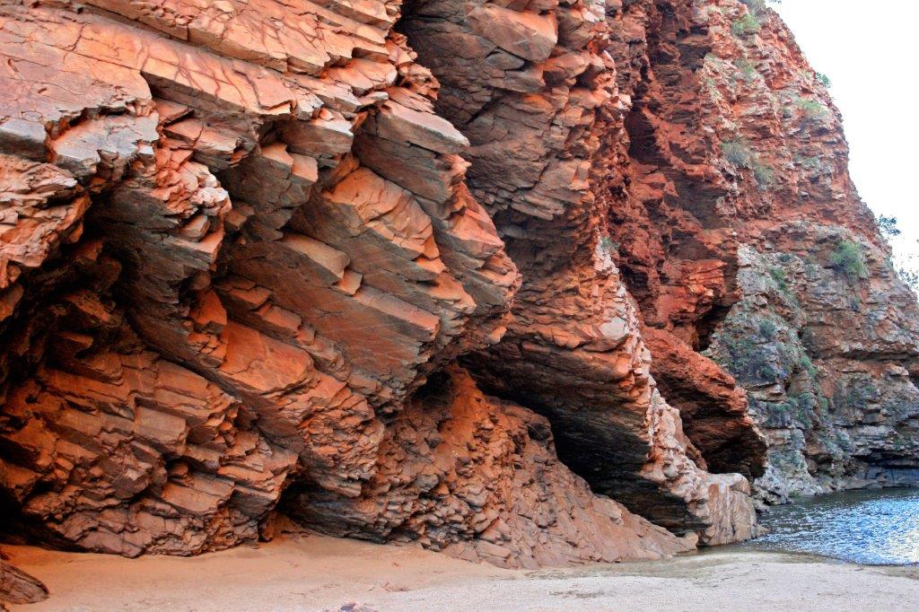
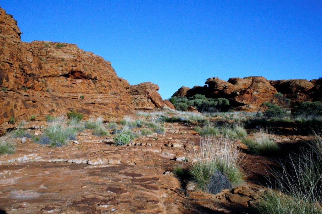
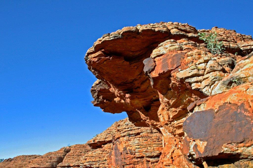
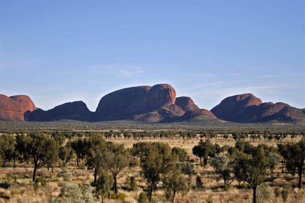
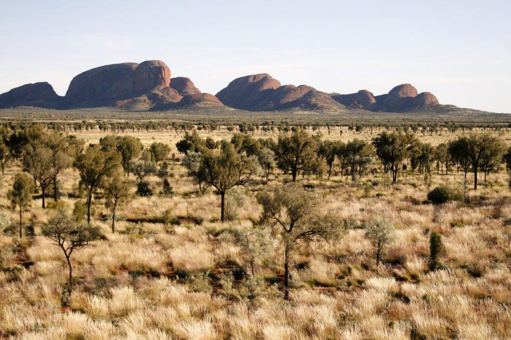
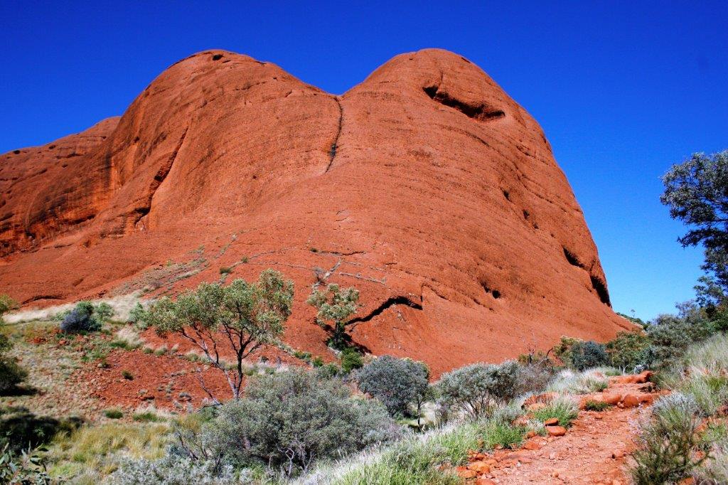
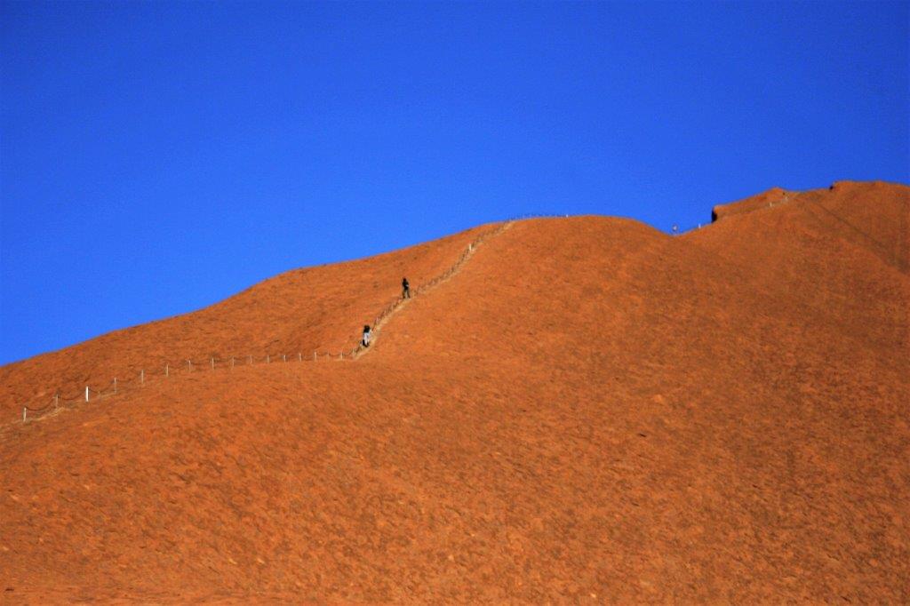
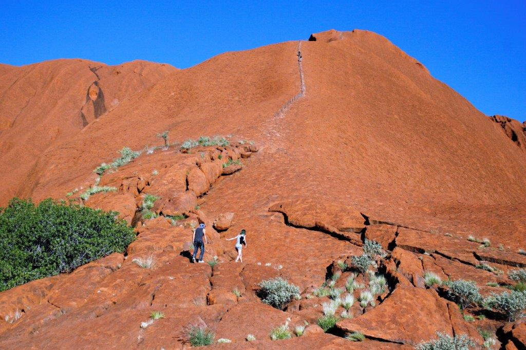
 Uluru is sacred to the aboriginal people and there are many signs saying no climbing and no photographing. Gavin told us that during some of the recent land claim negotiations the government said that they would enforce no climbing by tourists on either Uluru or the Olgas (Kata-Tjuta), which is even more sacred than Uluru – but not both. The people had to choose. They chose Kata-Tjuta so even though there are signs saying you can’t take photos or climb up Uluru they are pretty much ignored by all and are not enforced.
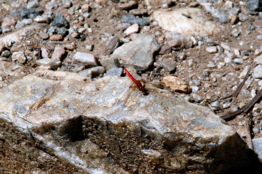
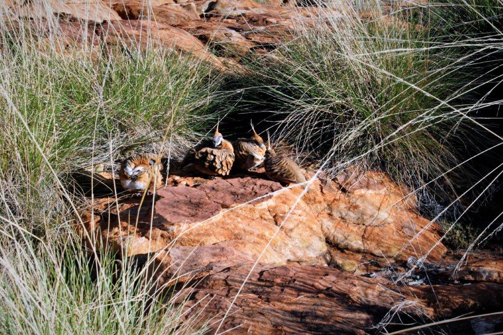
 We were very glad to have our netting face covers as the black flies were everywhere and would go into your nose, mouth, and eyes; anywhere there was moisture.


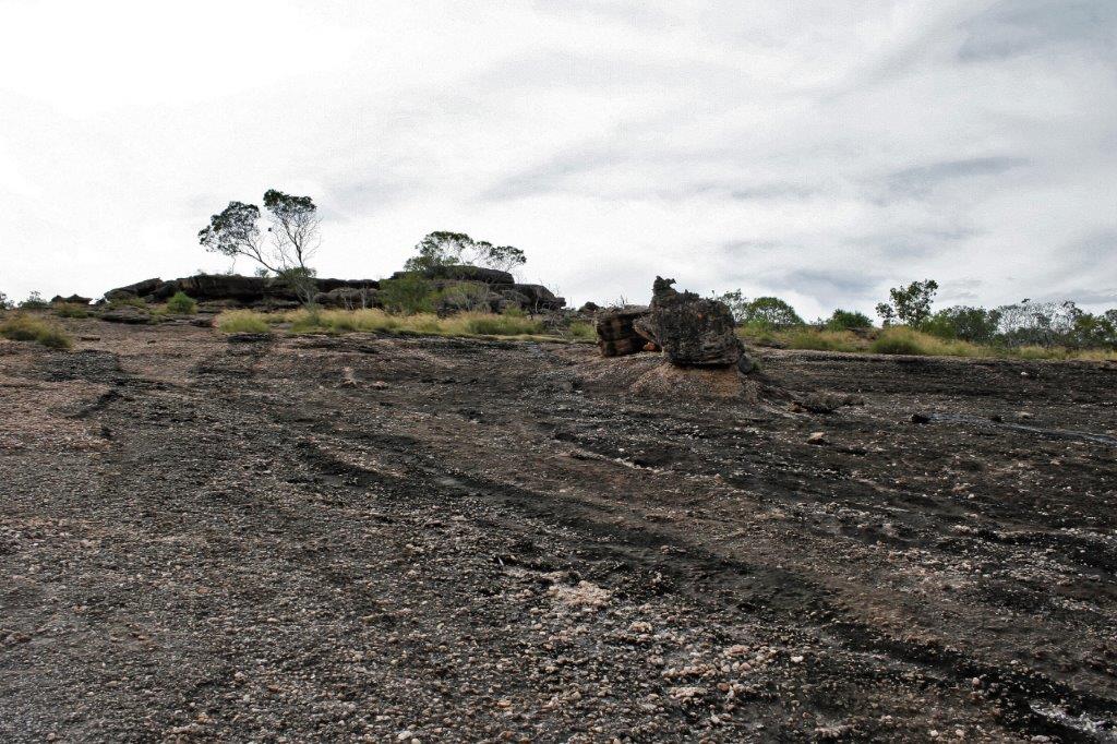
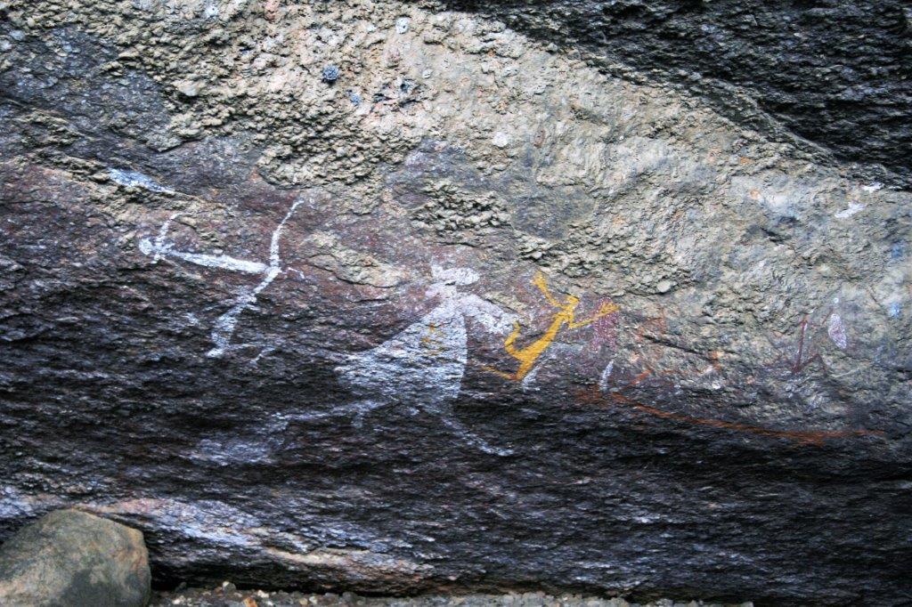
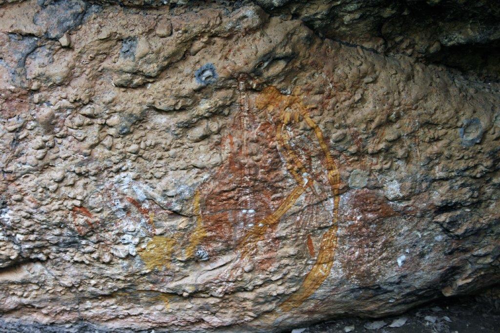
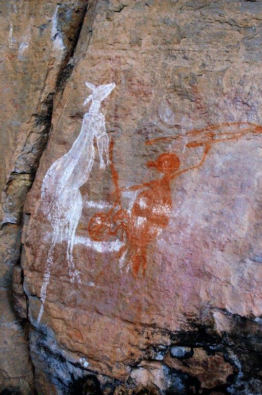
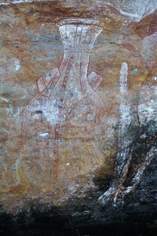
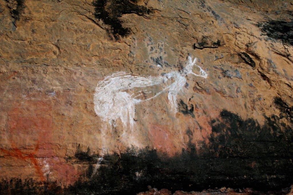
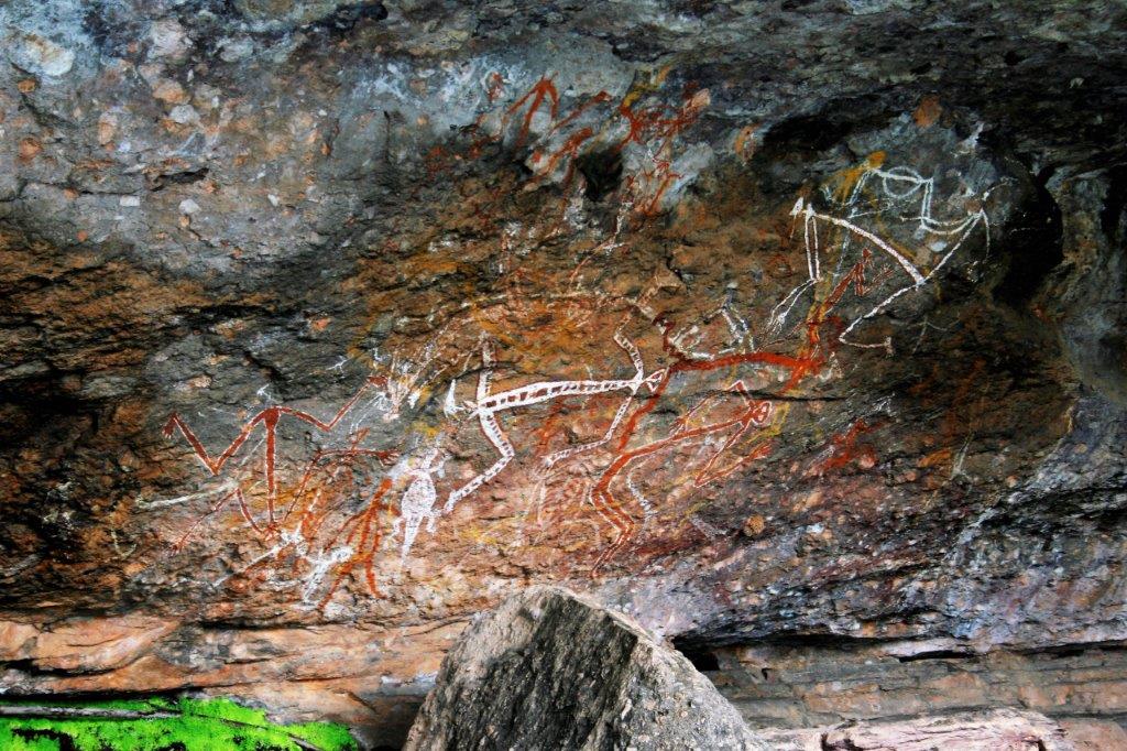
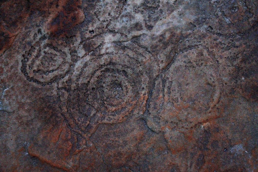
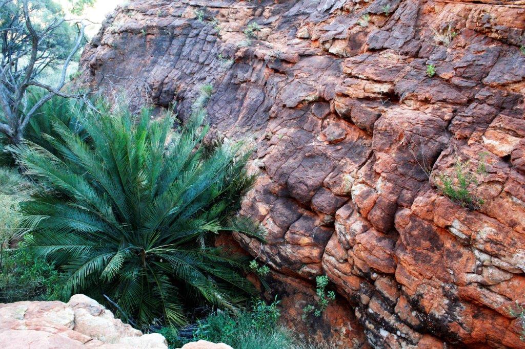
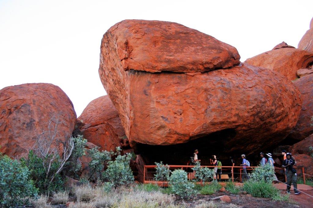
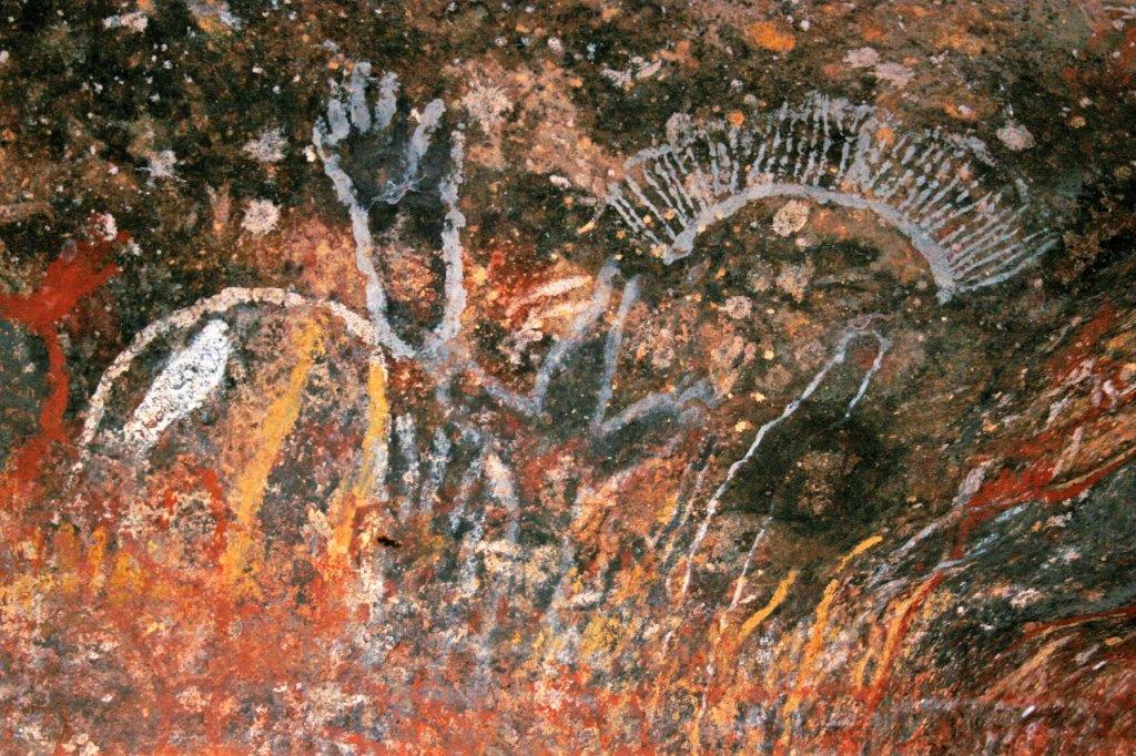
 This is the one of the dream-time story telling sites. As the stories are told over and over the story-tellers will often draw over the previous pictures so there are mulit-layers of artwork.


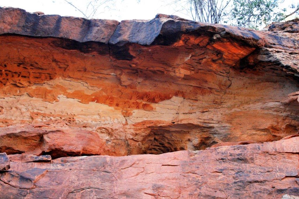
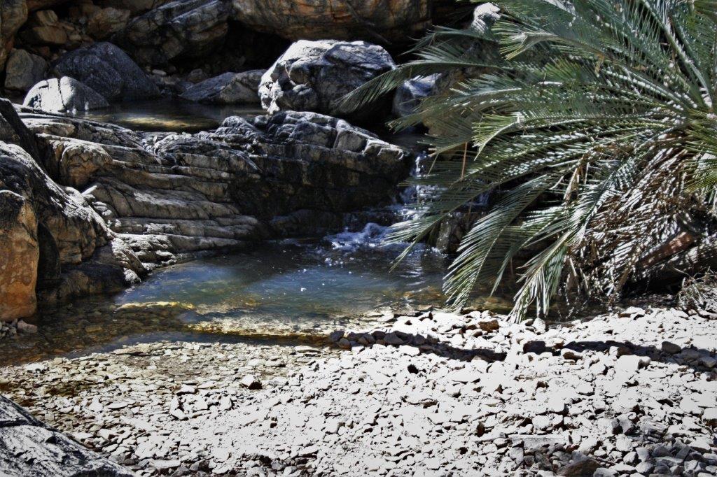
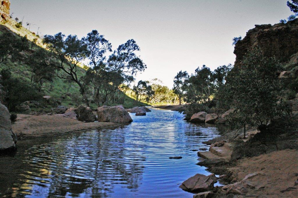
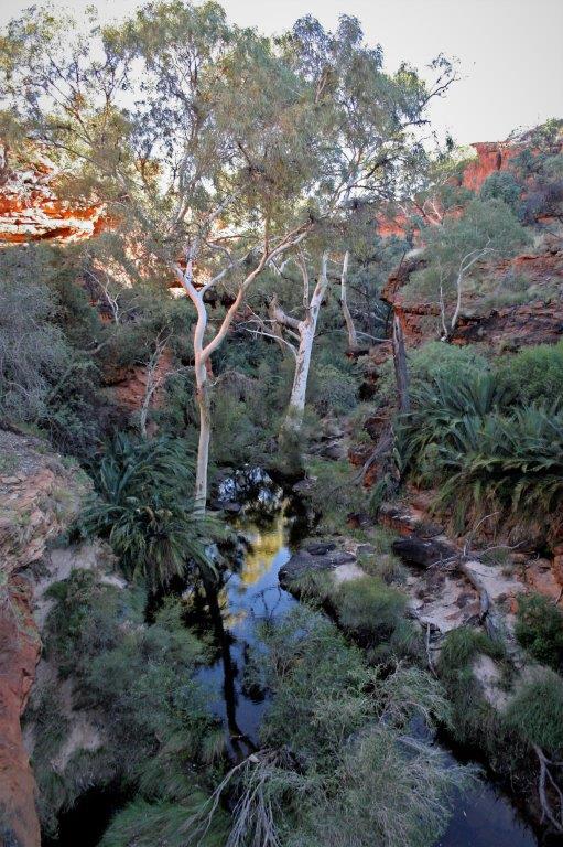
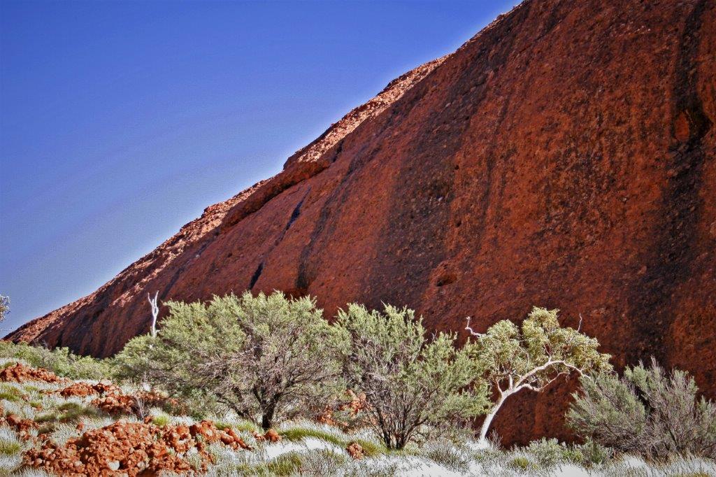
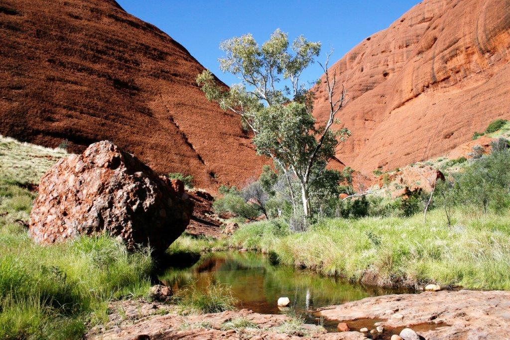
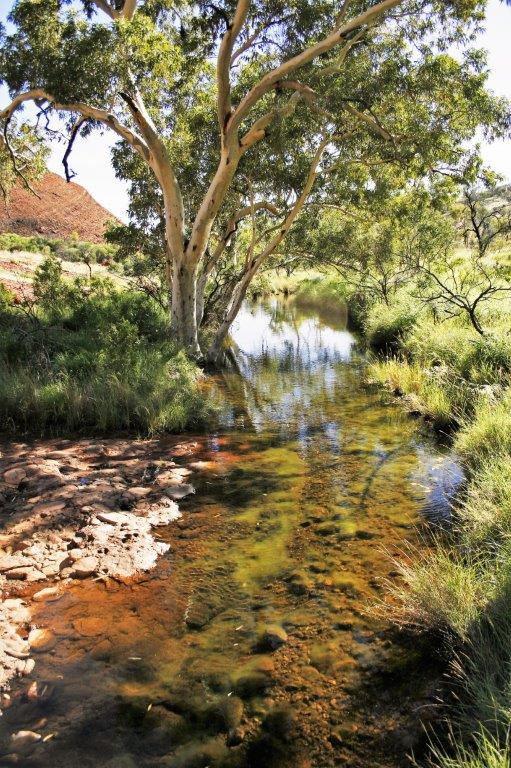
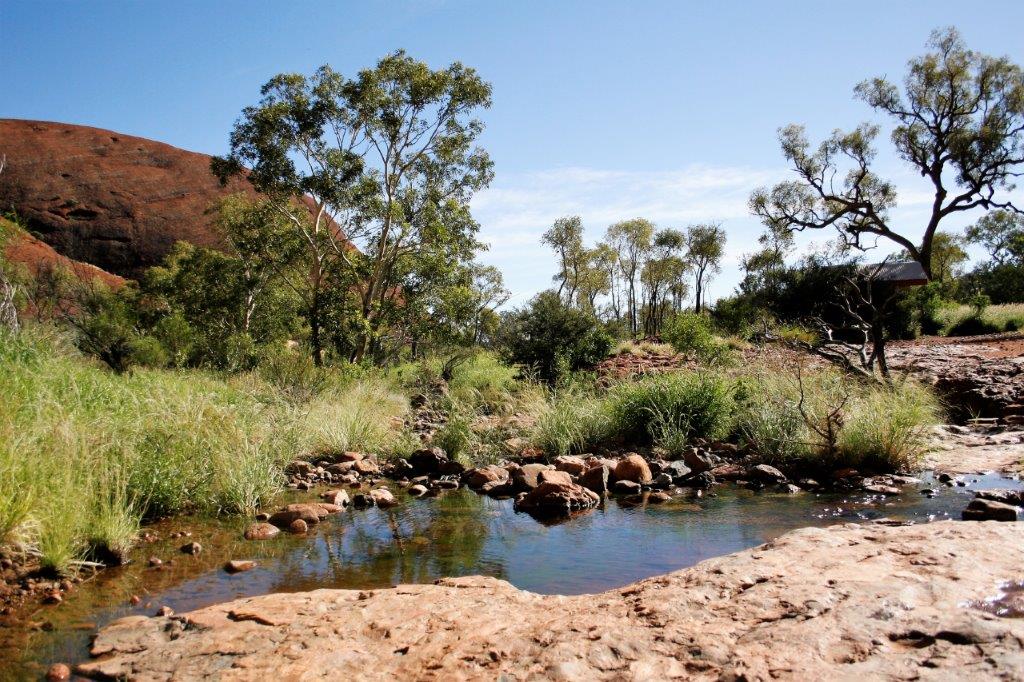
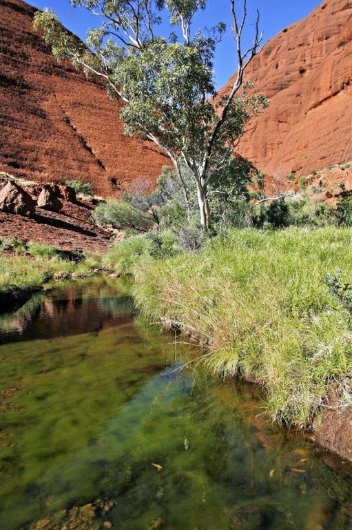
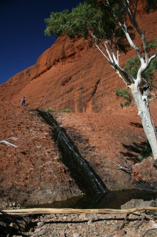
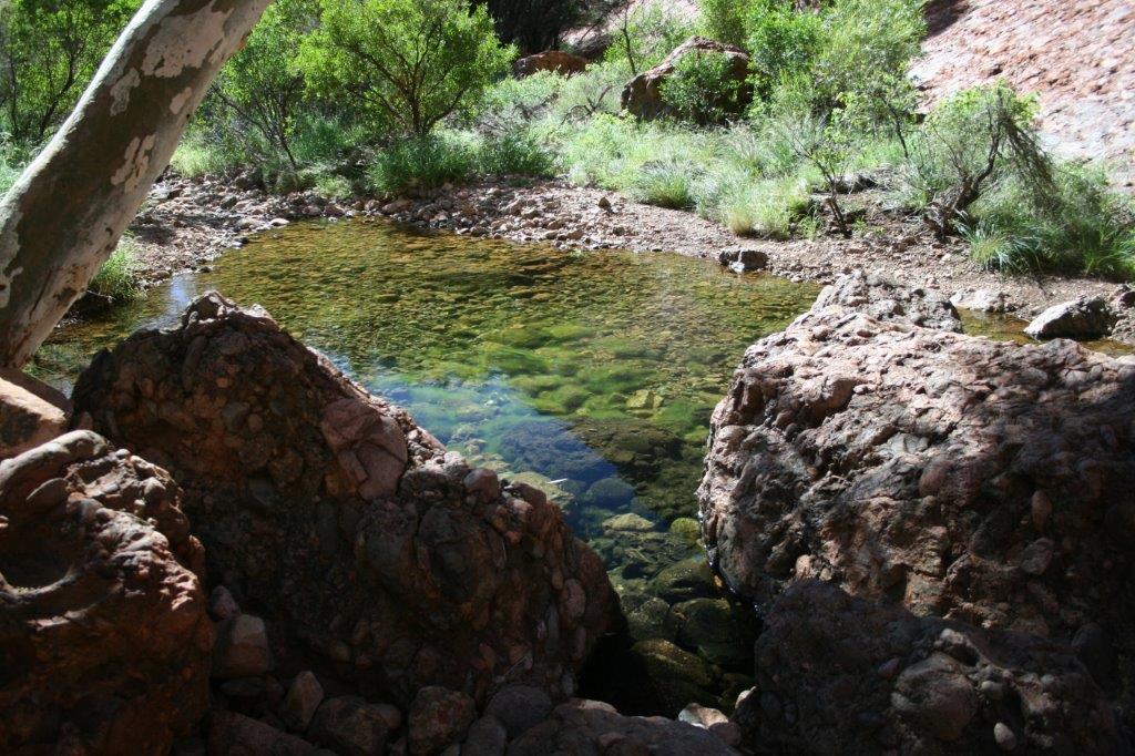
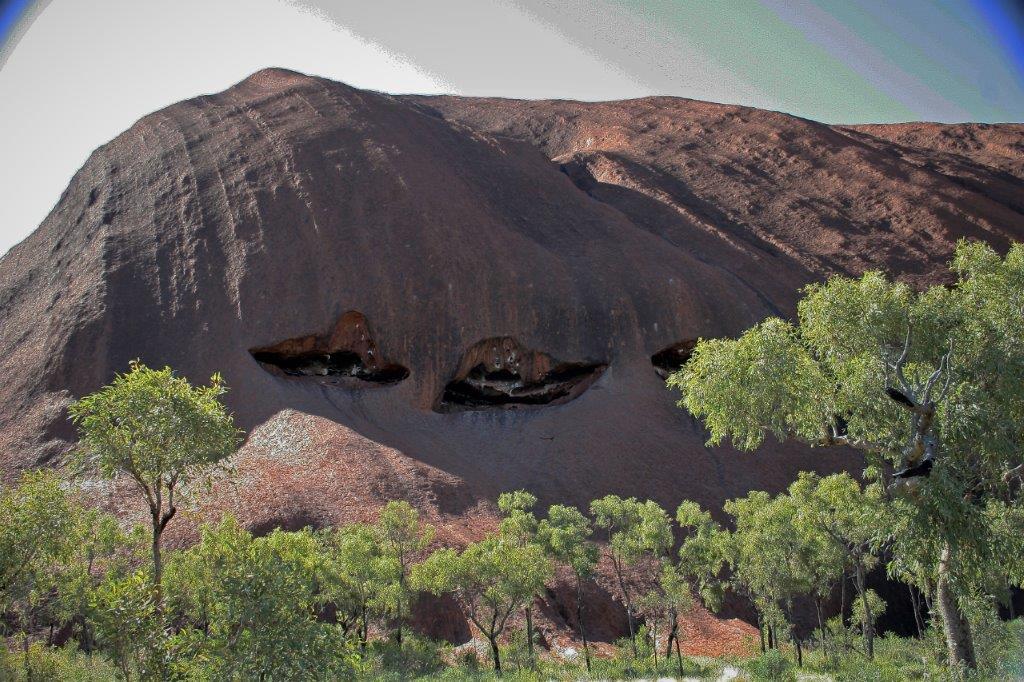
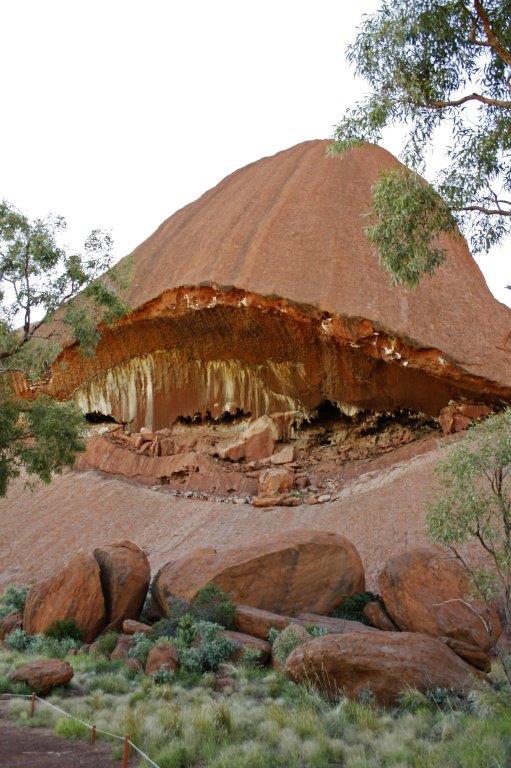
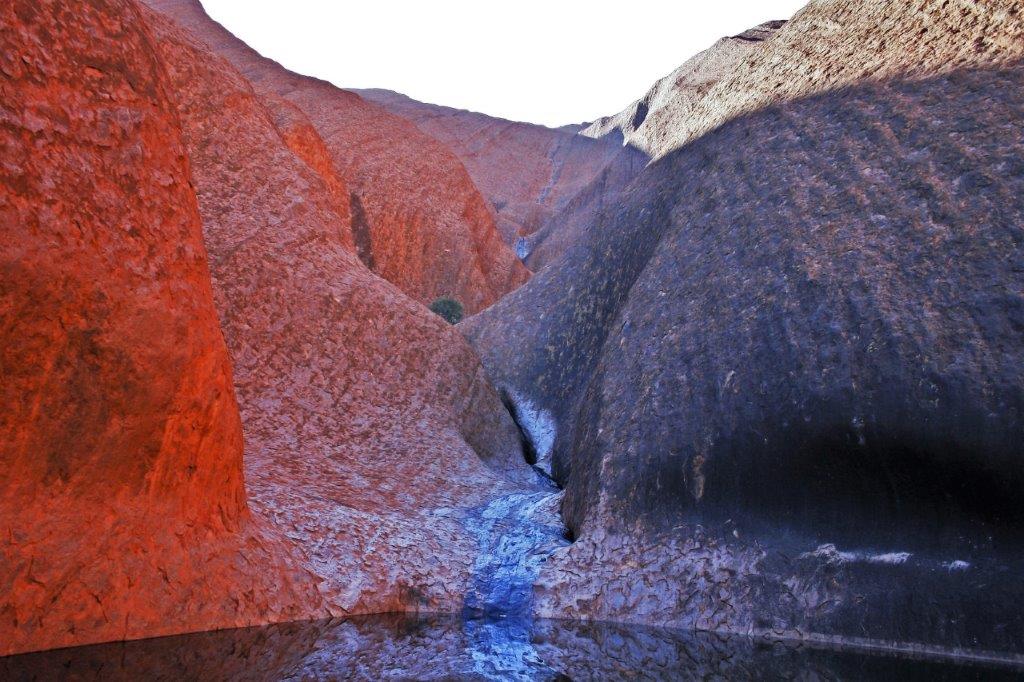
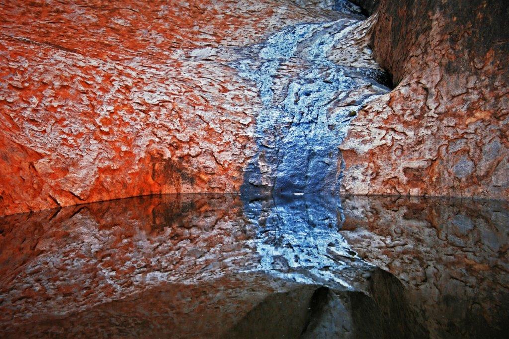
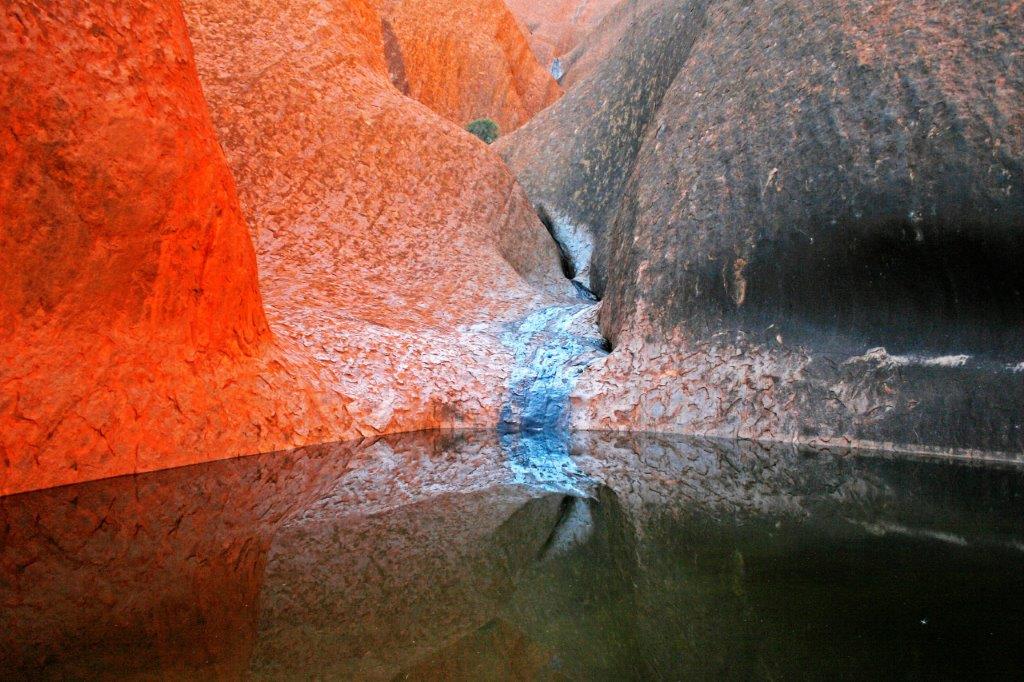
 This pool stays year-round. There are other places where water flows off the rock and into pools but they will all dry up over the summer. This pool is in a shady cove with trees and keeps water year-round. It is a very important watering place for the aborigine people because in the midst of a severely dry year they could count on water being available. The silver color is left on the rock by minerals picked up by the water as it flows down the rock.
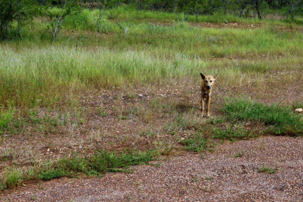
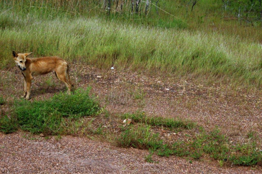
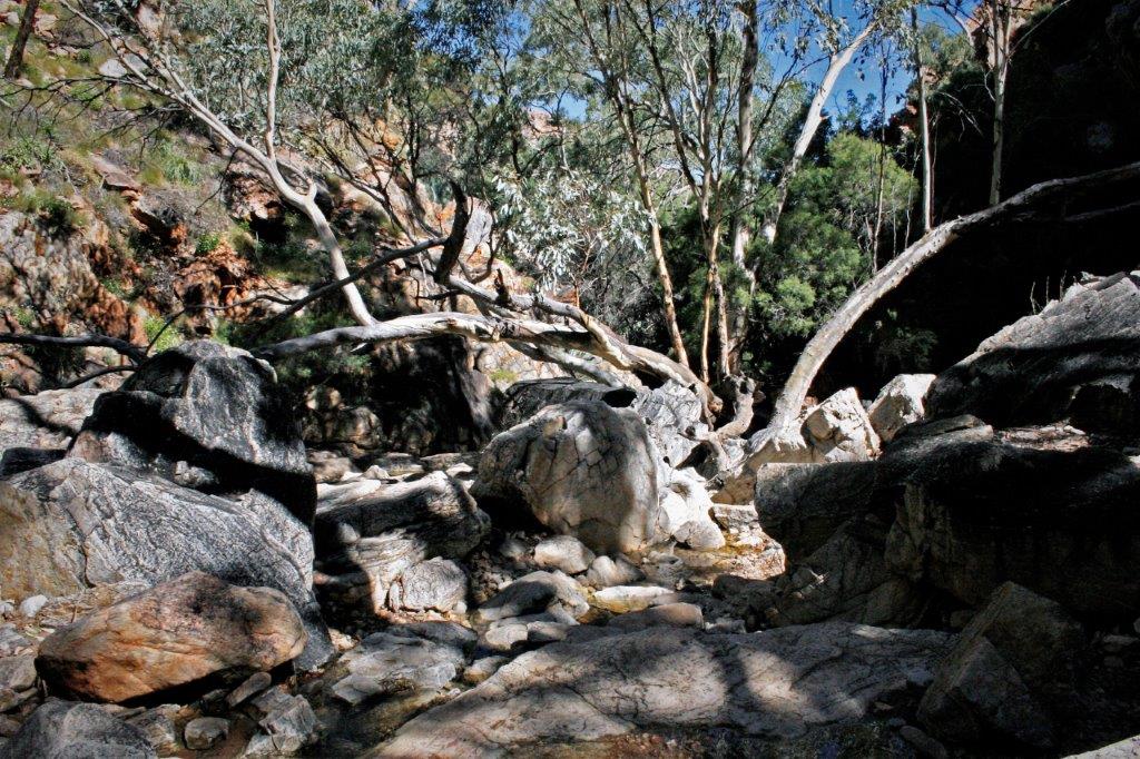
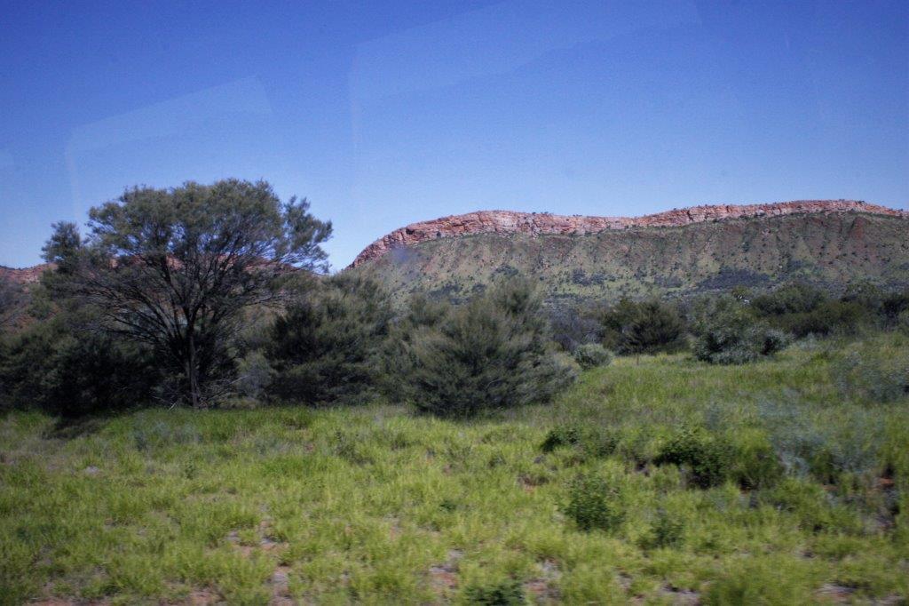
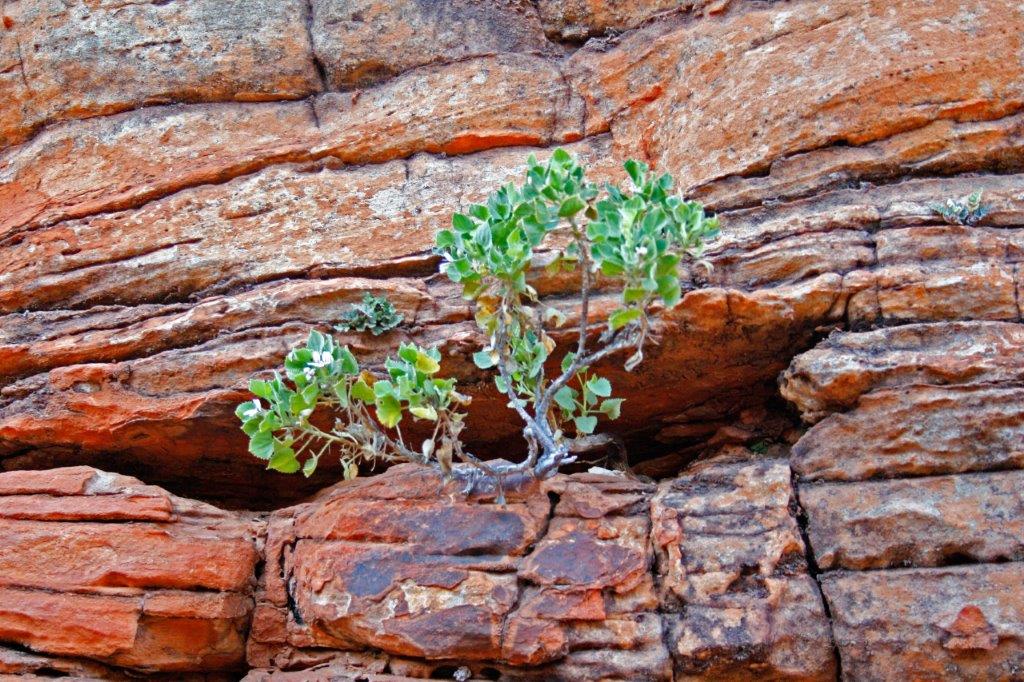
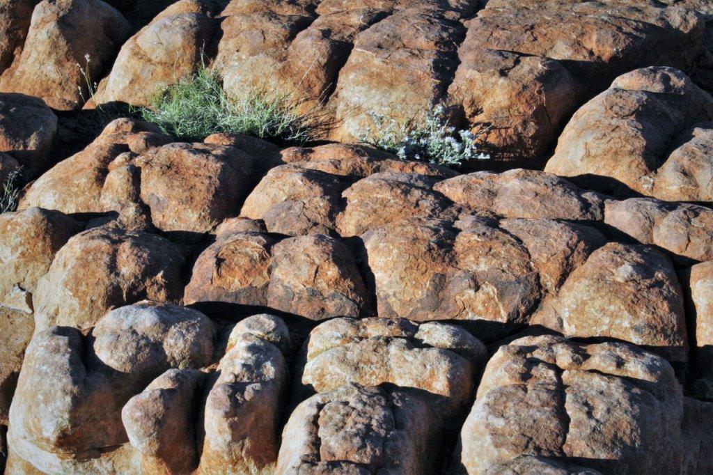
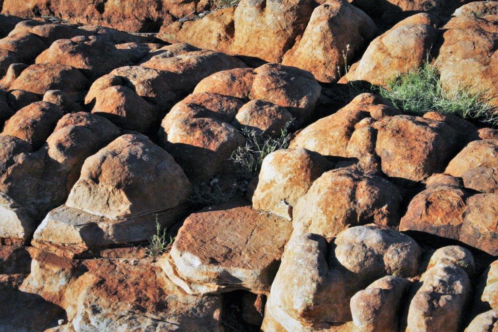
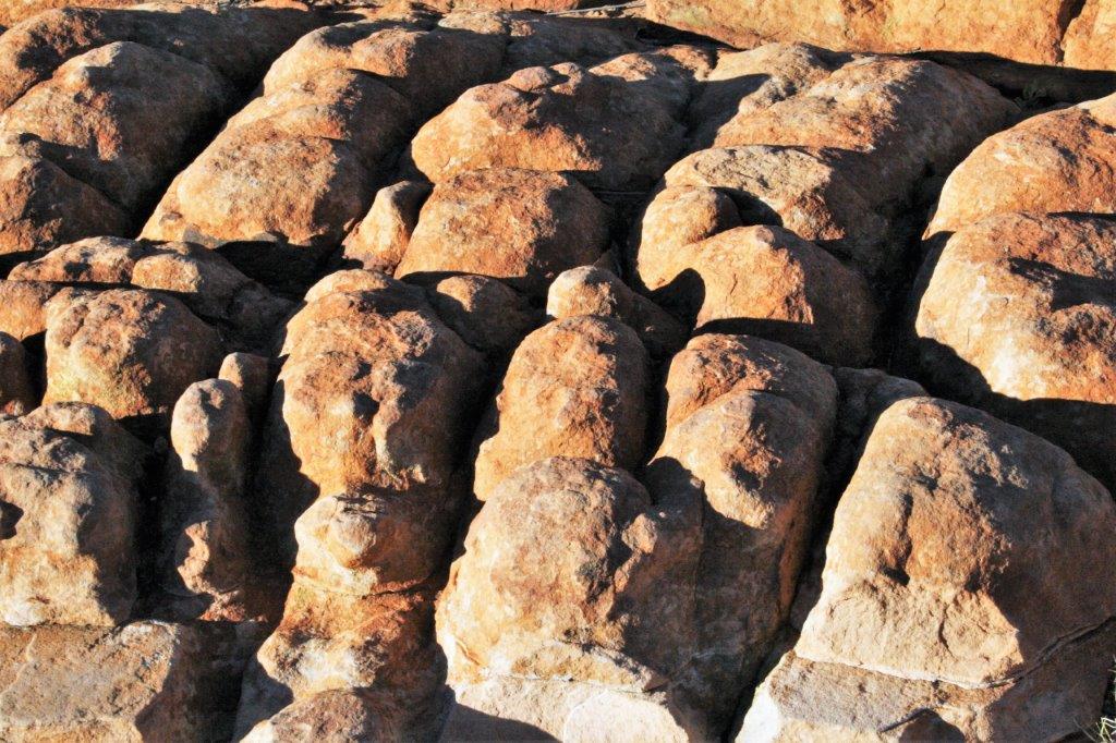
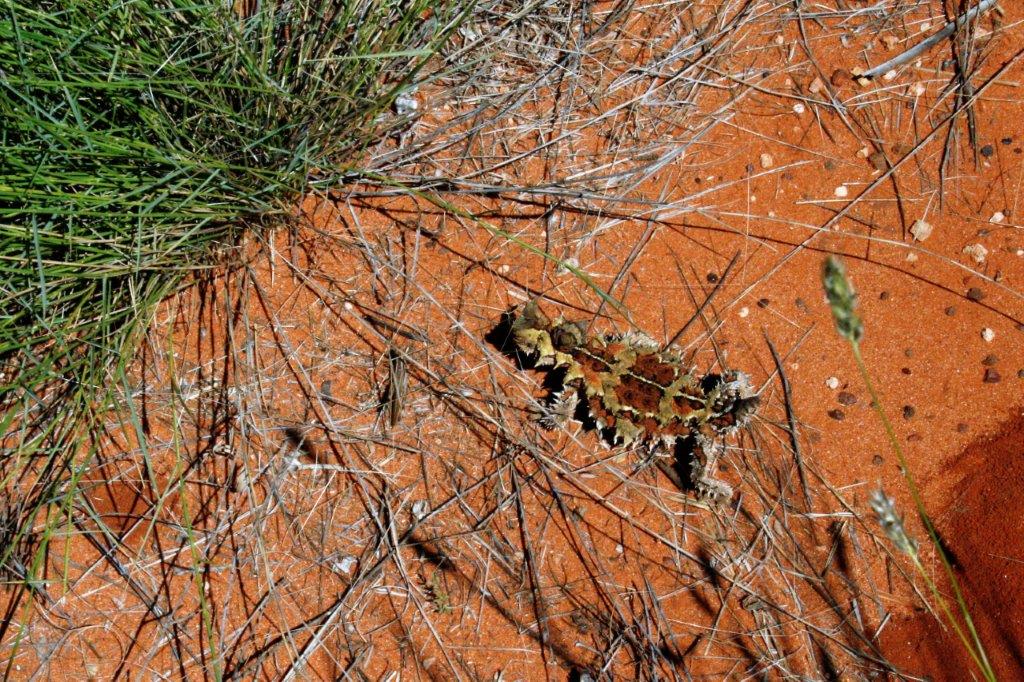
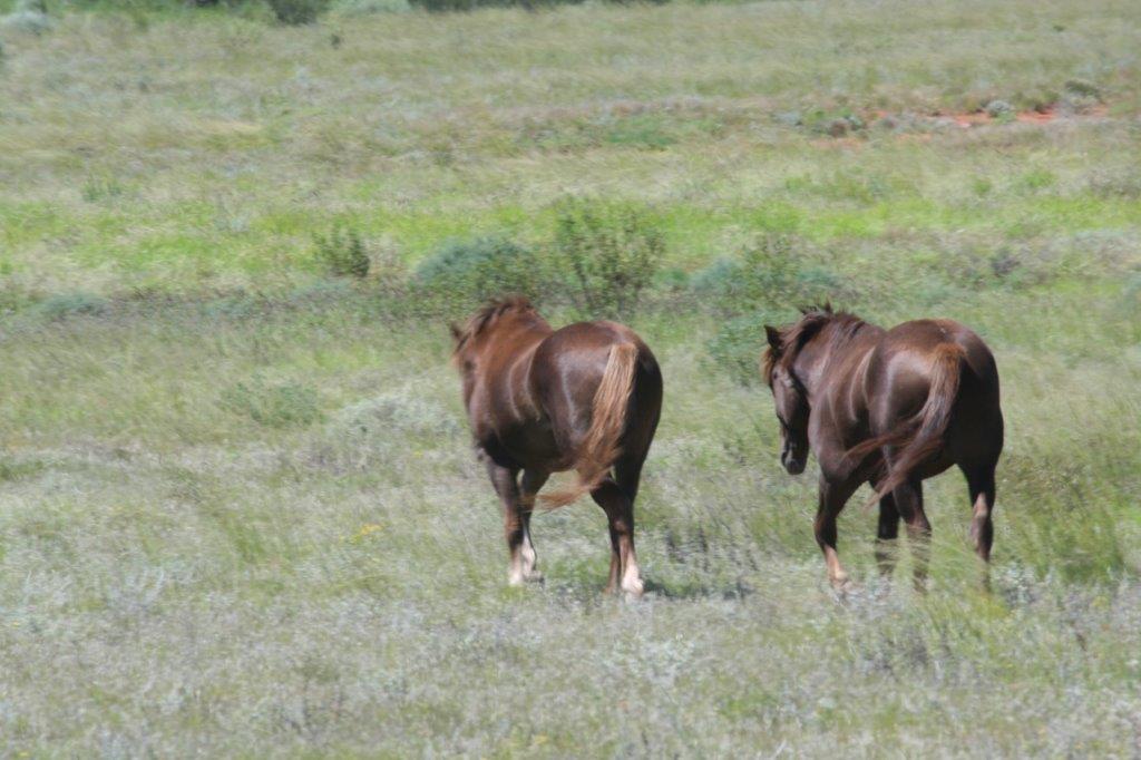
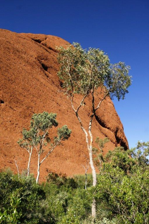
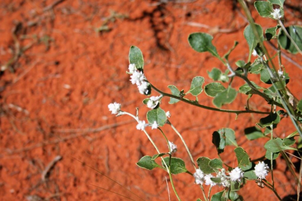
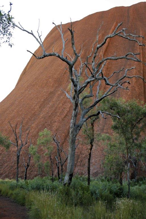
 With so much rain that year the grass even grew in the cracks.


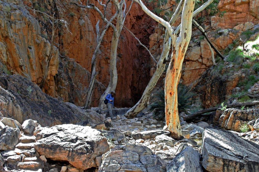
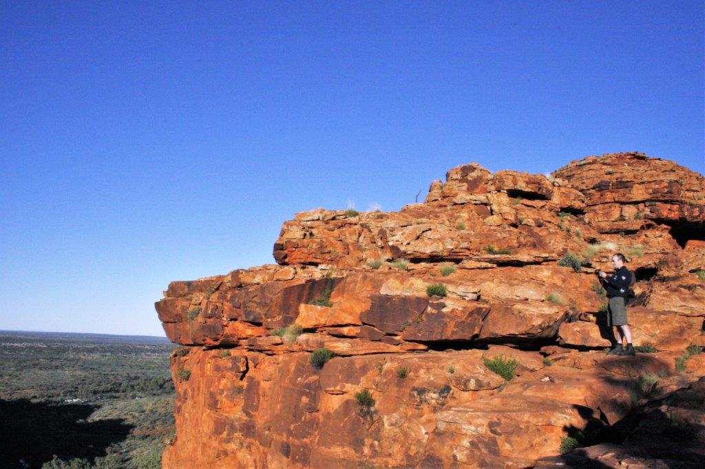
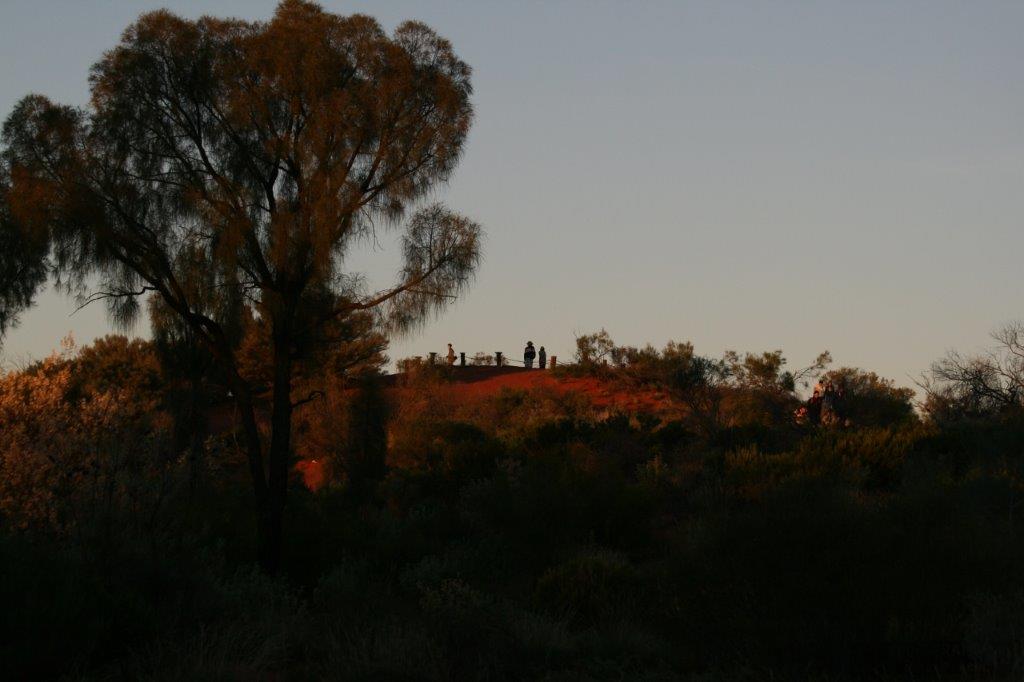
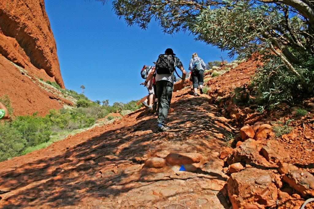
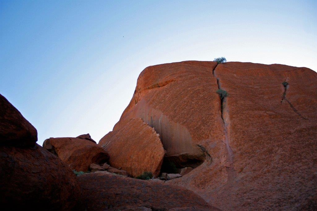
 Some of the people on our tour really wanted to climb the rock. There was not enough time to go to the top and Gavin, who knows a great deal about the aboriginal people and their ways, has a great respect for them and discourages people from climbing the sacred site. However, he told the folks how much time they had before he would be on the bus and pointed out approximately how far they should be able to climb and return.
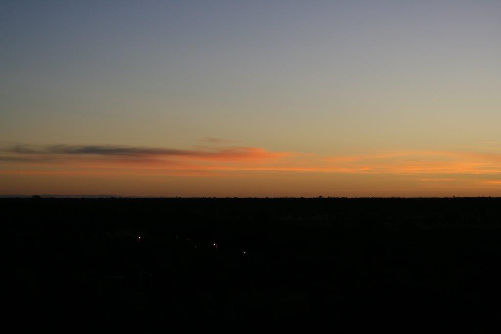
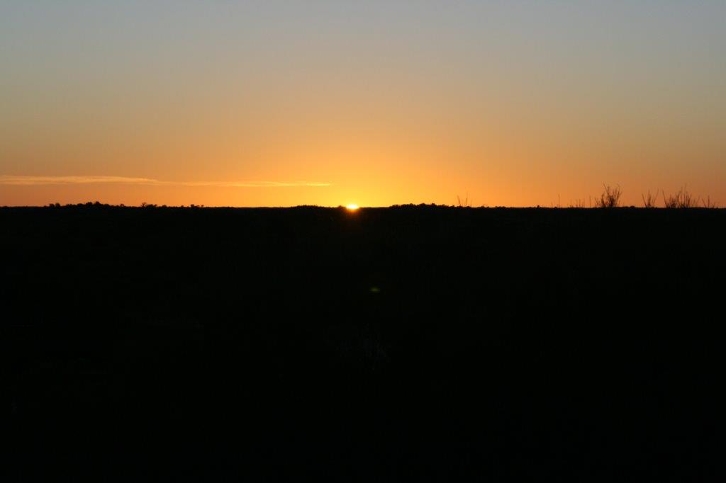
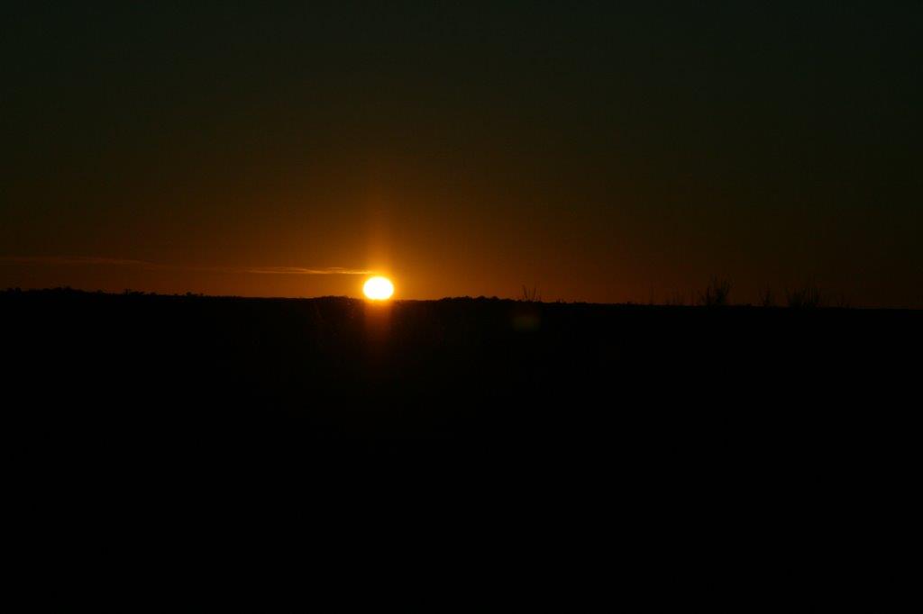
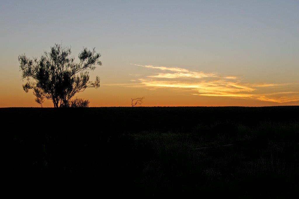
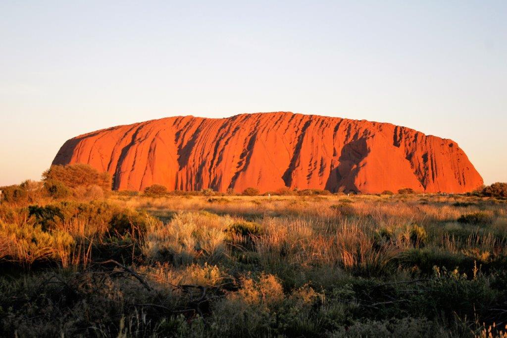
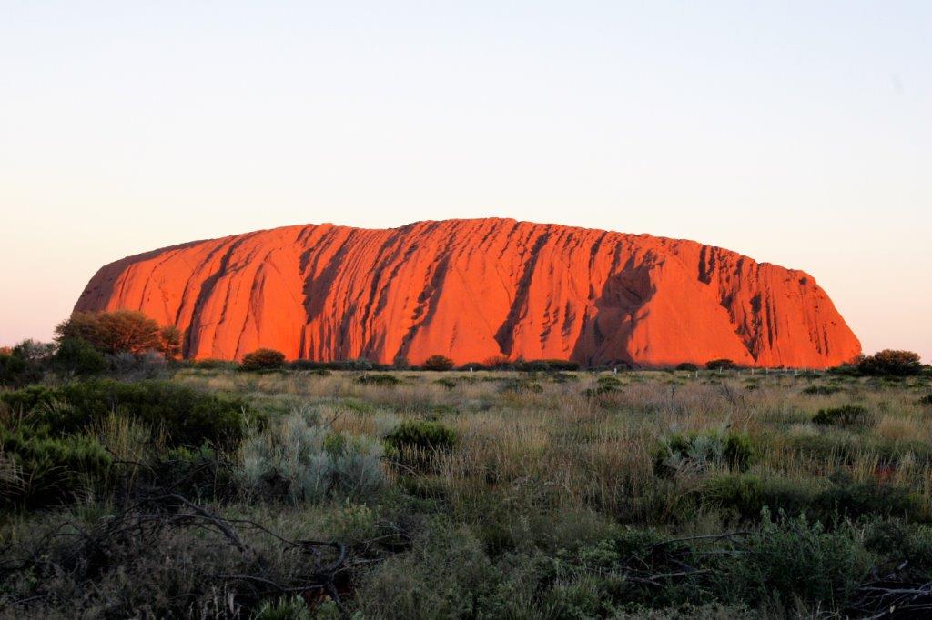
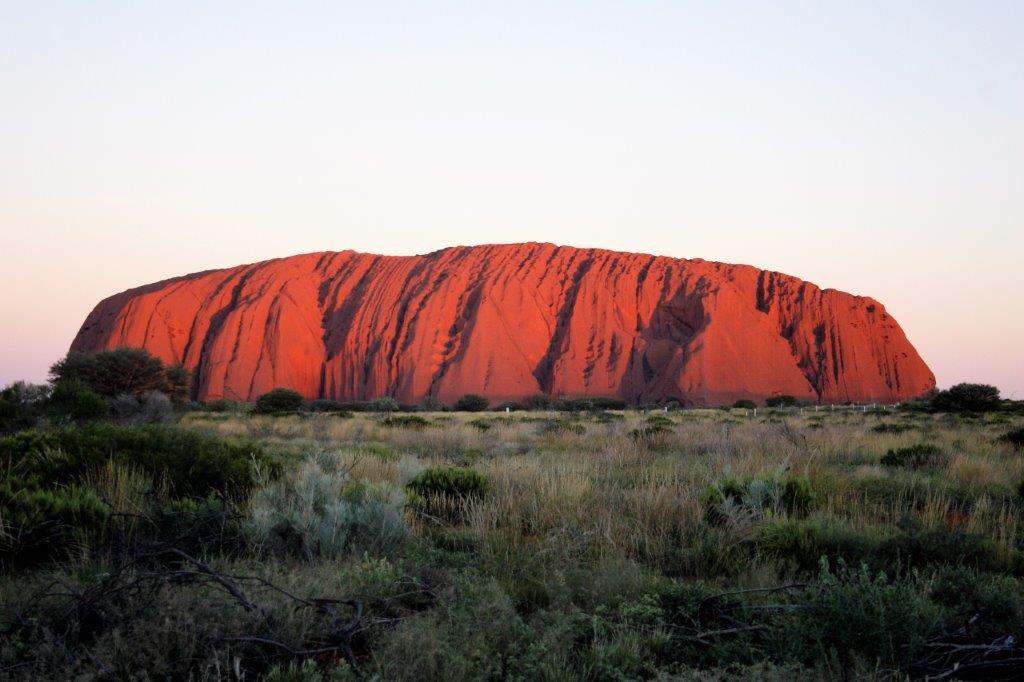
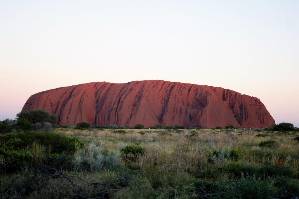
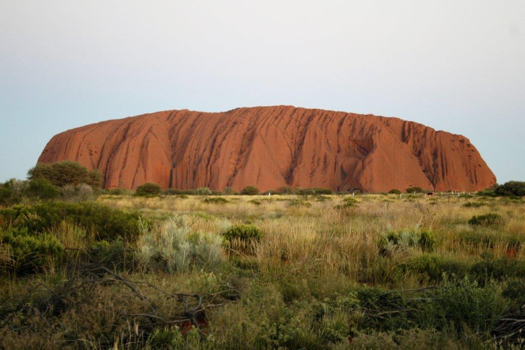
 Gavin drove us to a viewing area some distance from Uluru and we settled down on camp chairs, sipped our champagne and nibbled on snacks while we watched the sunset. Uluru continually changes colour as the sun goes down.


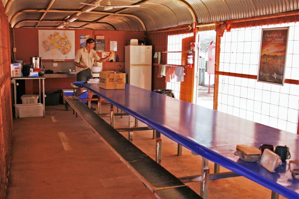
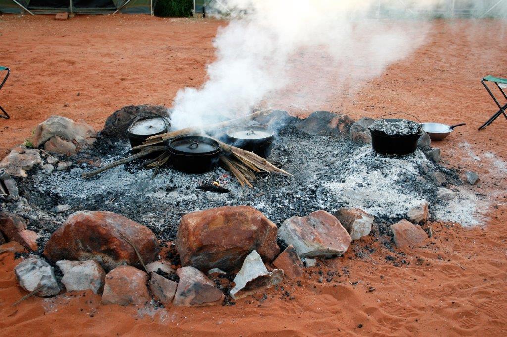
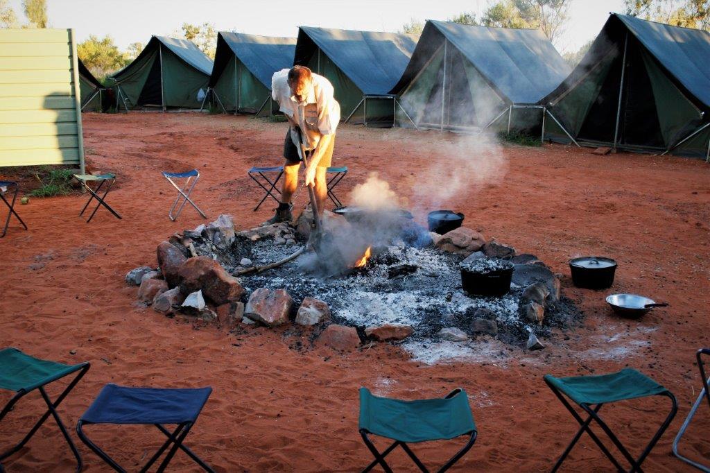
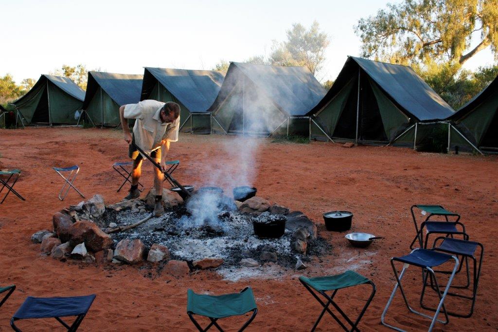
 Back at the campsite we had a quick shower (yes, there were bathroom facilities at all the campgrounds), then helped prepare dinner and clean up dishes. By then it was after 9 pm and we crawled (almost literally) into our sleeping bags for the night. Check another, “Someday I want to…” item off the list.
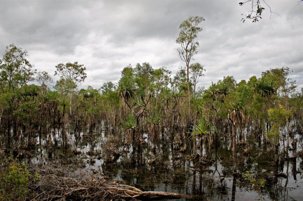
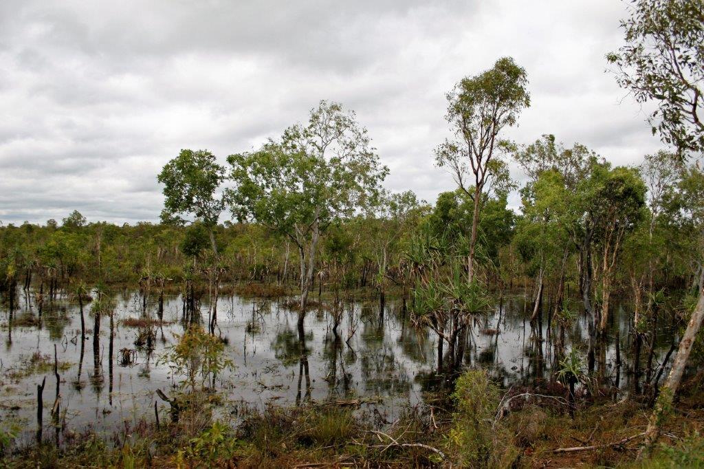
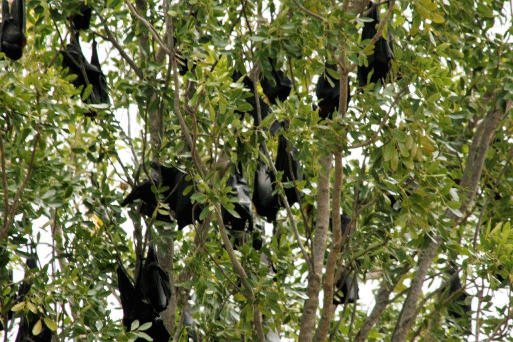
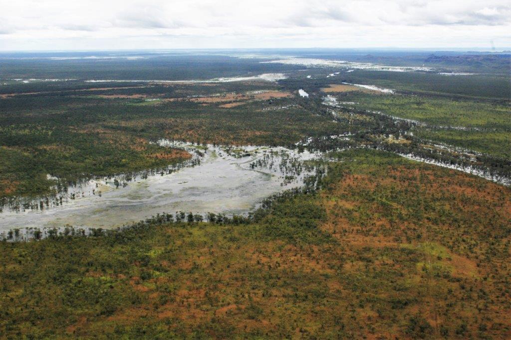
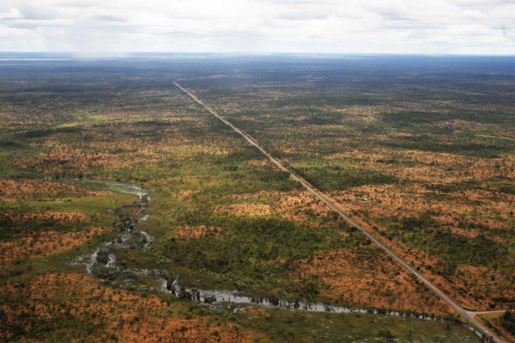
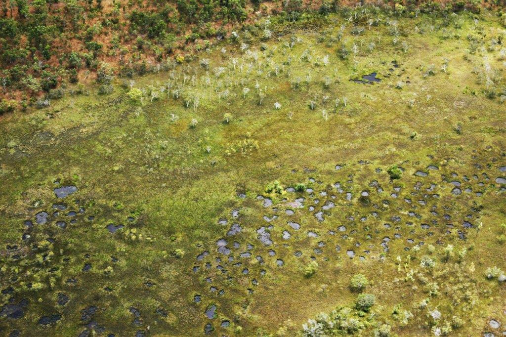
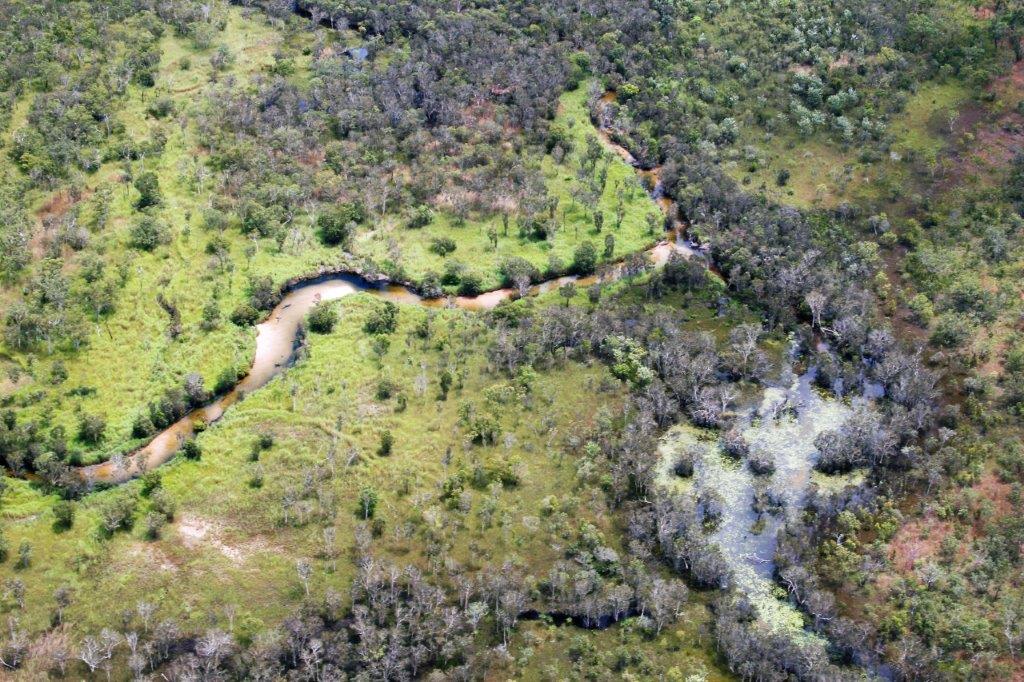
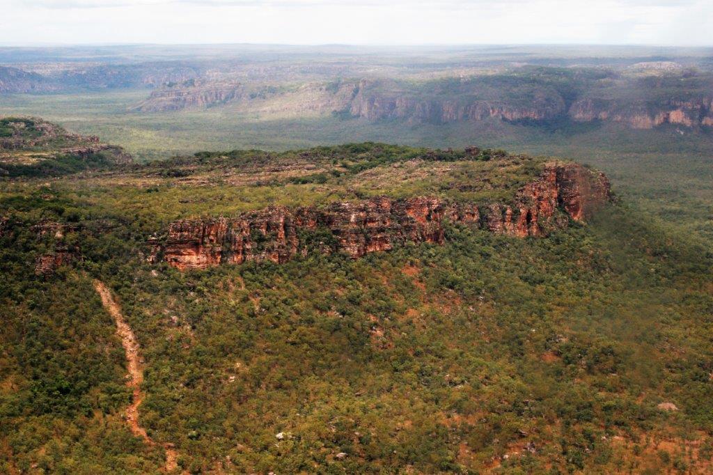
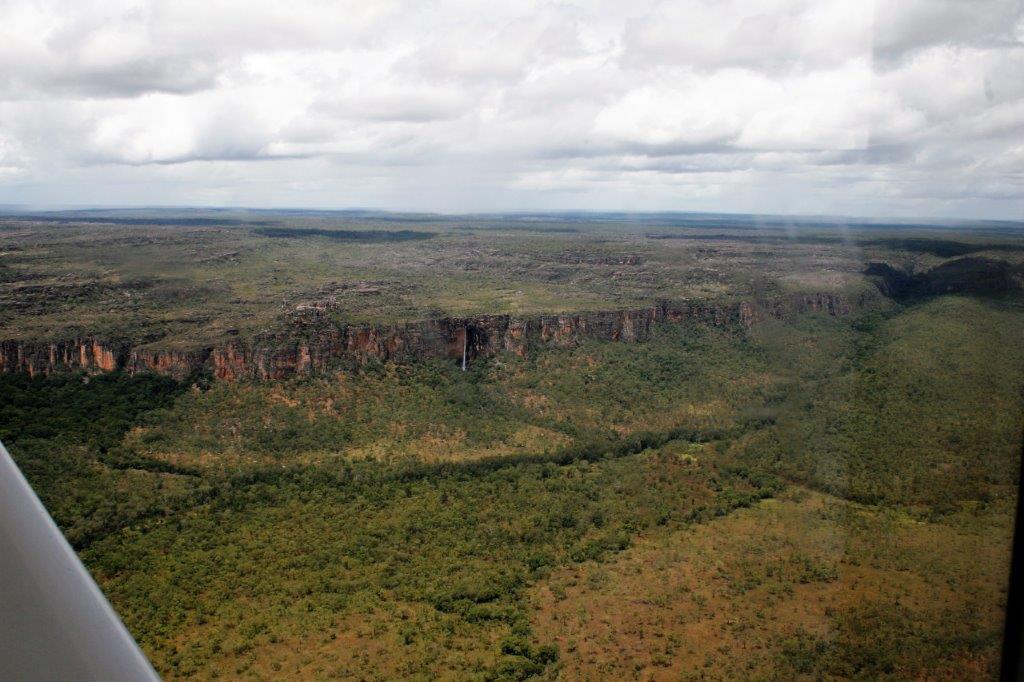
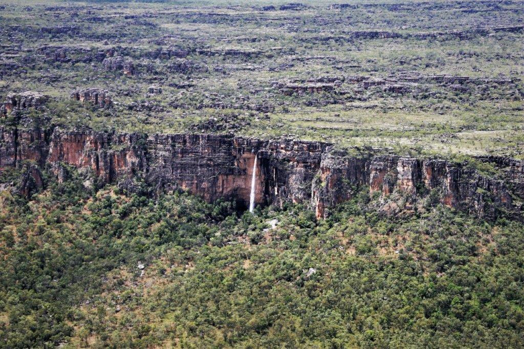
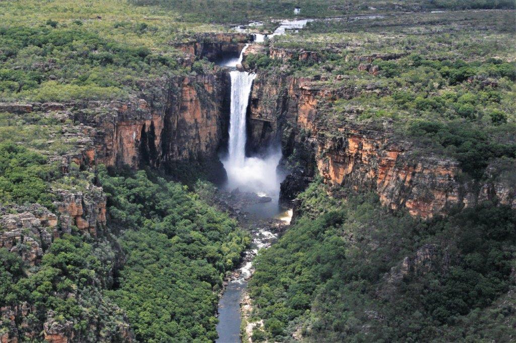
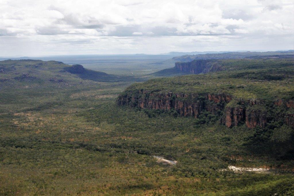
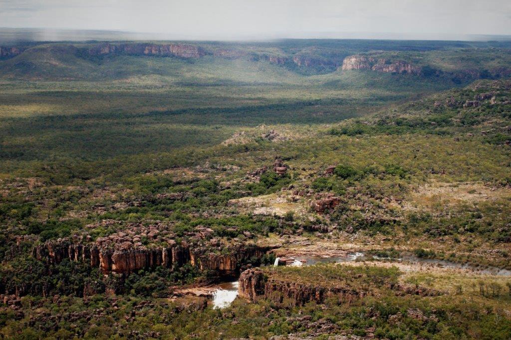
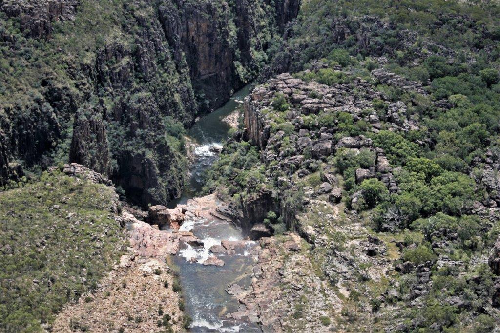
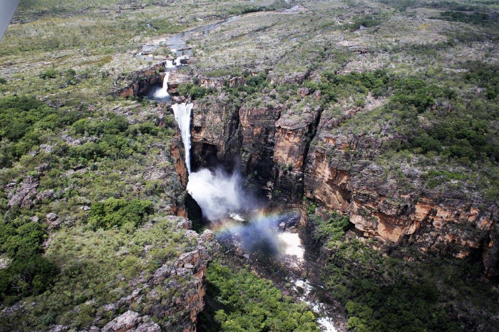
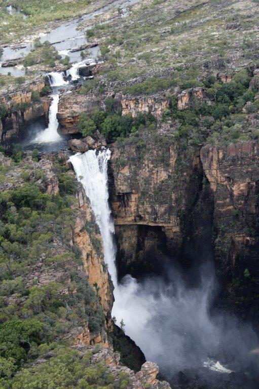
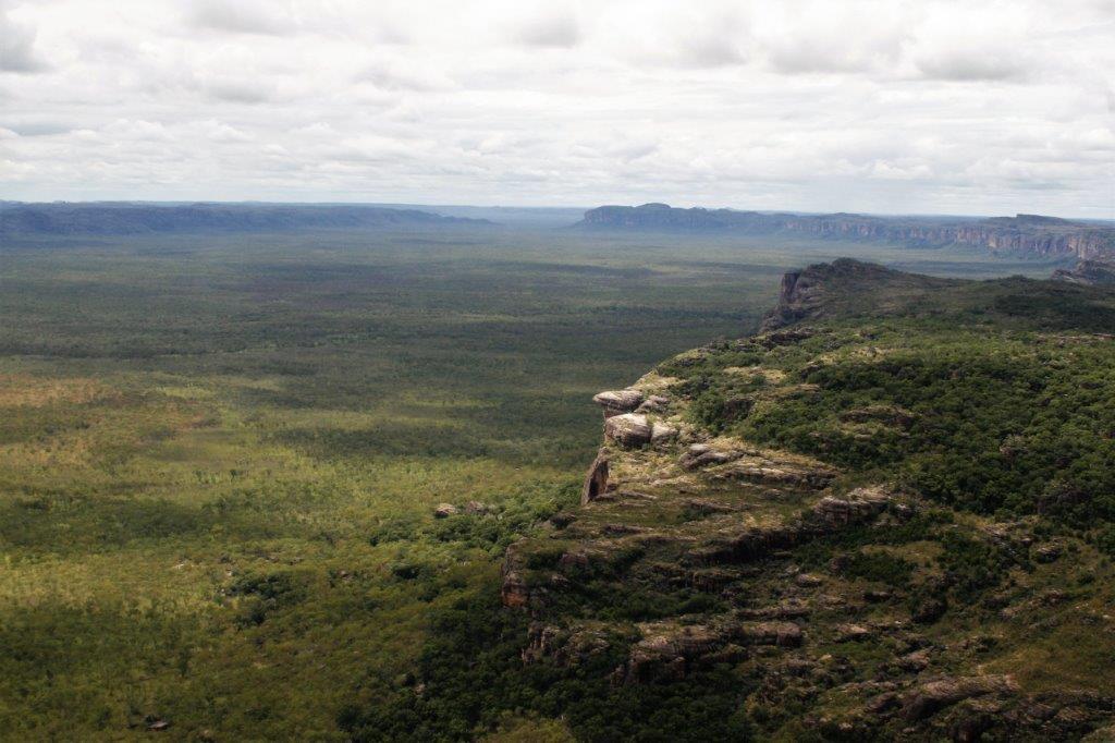
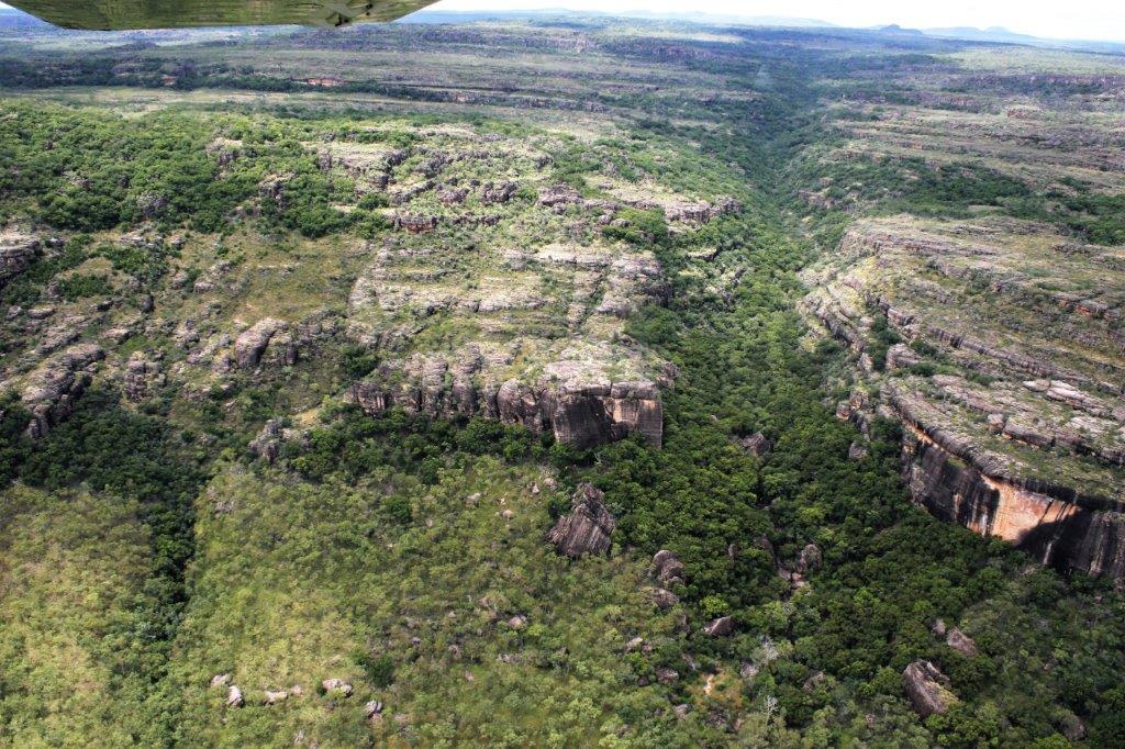
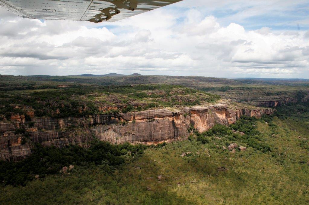
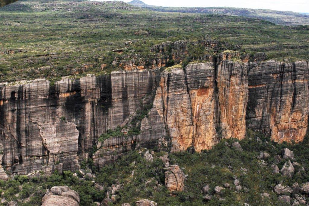
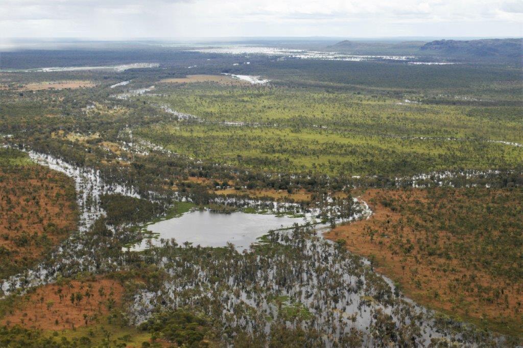
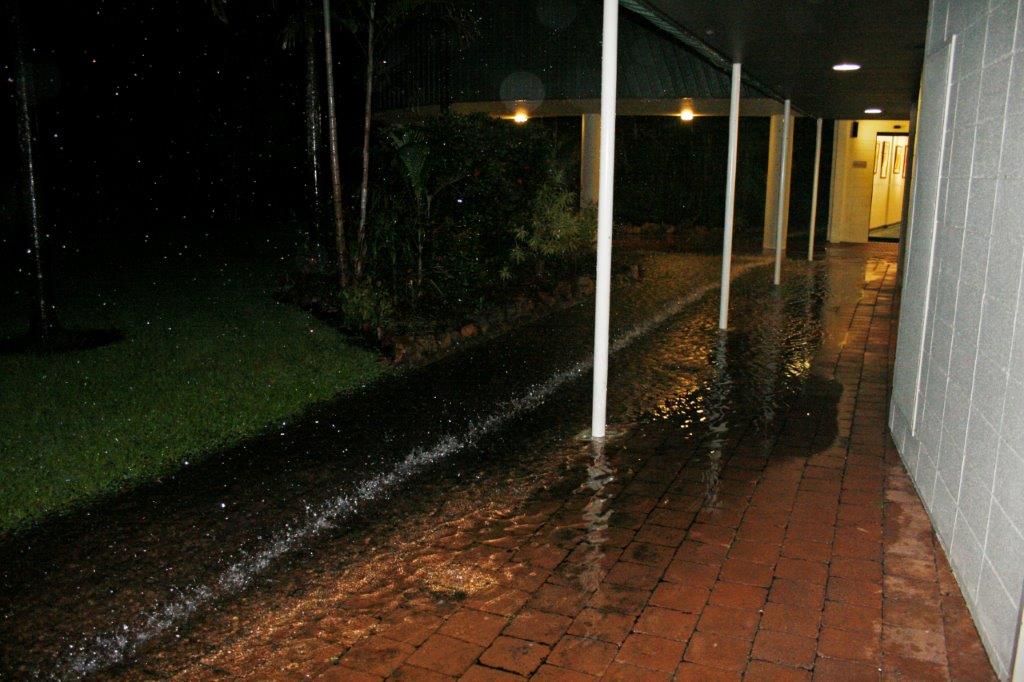
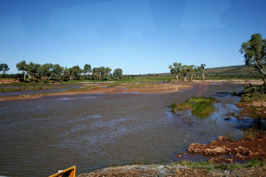
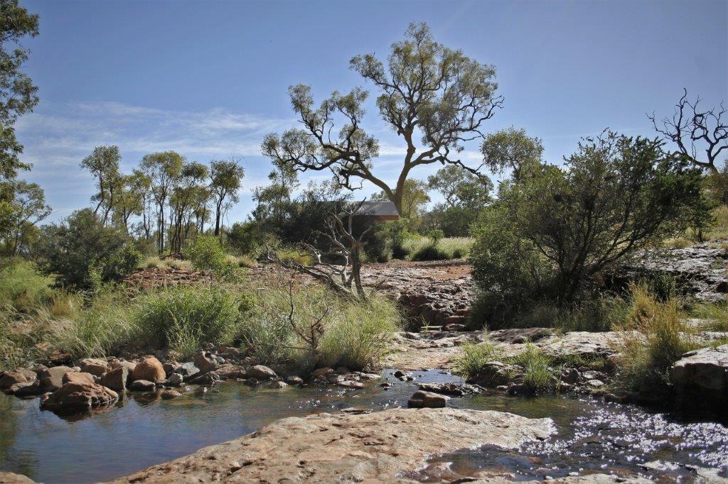
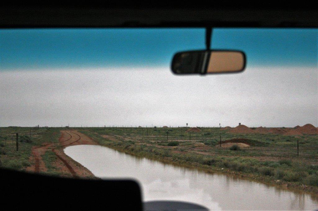
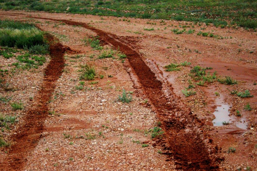
 All the flooding has created extra concern about crocodile attacks. Most of the flooded rivers and small lakes or ponds are roped off quite a distance from the actual shore. “Salties,” salt-water crocodiles, who live in both fresh and salt water, can make their way much further inland and at every bridge, flooded roadside, and plunge pool there were signs forbidding swimming and warning people to stay well away from the water’s edge. Salties can leap out of the water at about 40 kmph and grab prey or people. They grow up to 6 meters long (that’s about 20′) and are fearless predators. The Top End records at least one croc related death every year. Just a day or so earlier a 14-year old boy had gone missing near the water and it is suspected he was taken by a croc. Australia does not mess about with wimpy animals, insects, or plants.
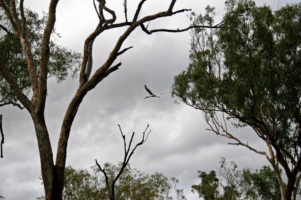
 I don’t know if you can see it well enough, but there is a Jabiru Stork walking across the road in front of the oncoming vehicle.
 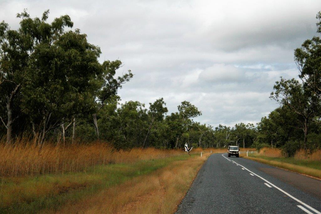 Then it takes wing. They are big, with a long wingspan.
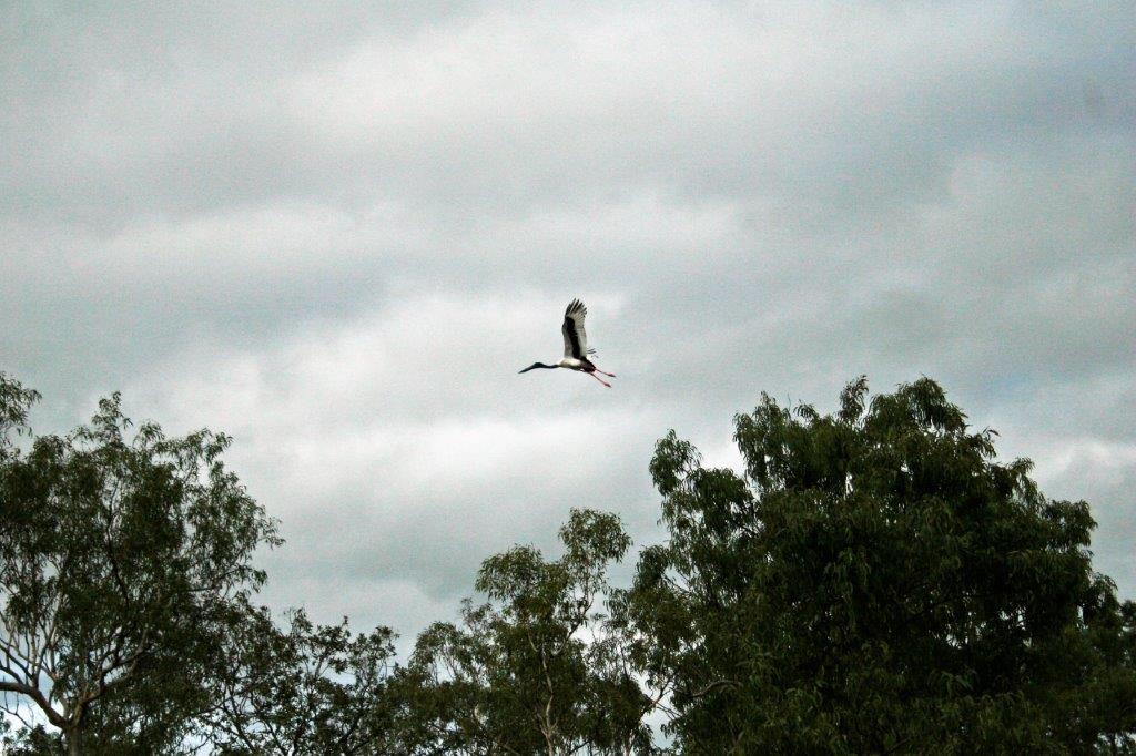
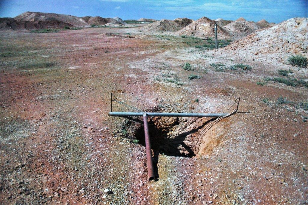
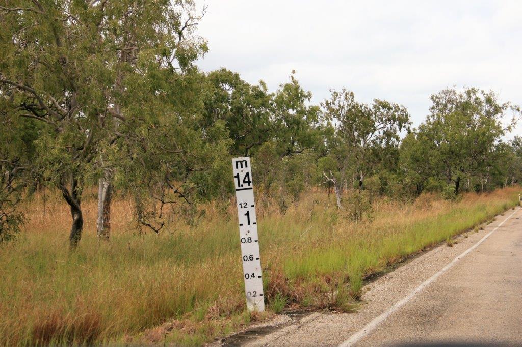 The line across the top of the post indicates how high the water may come during a flash flood.
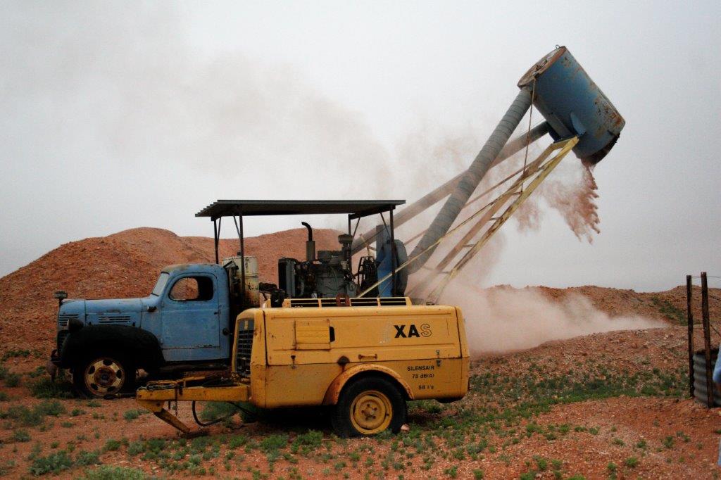
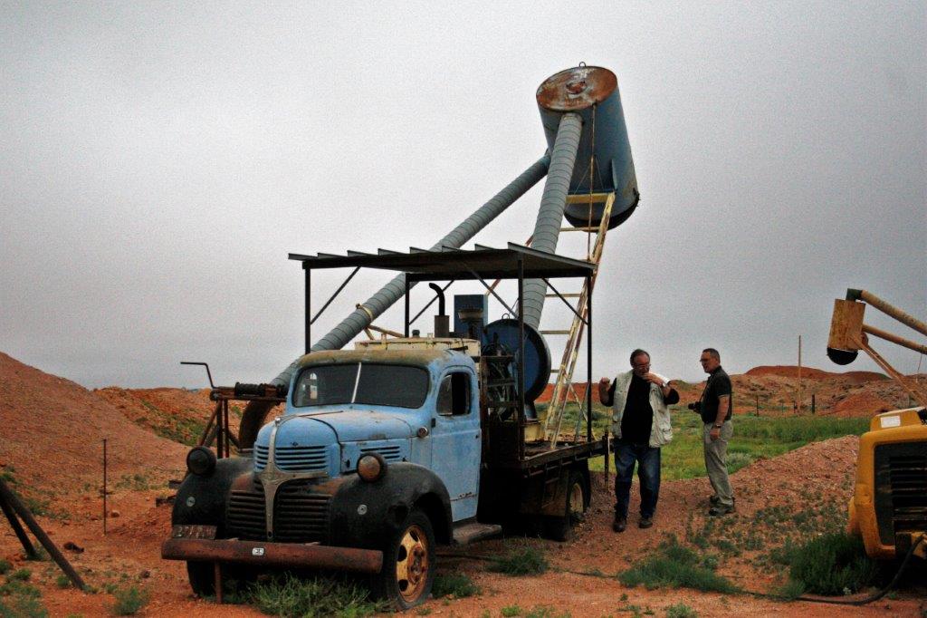
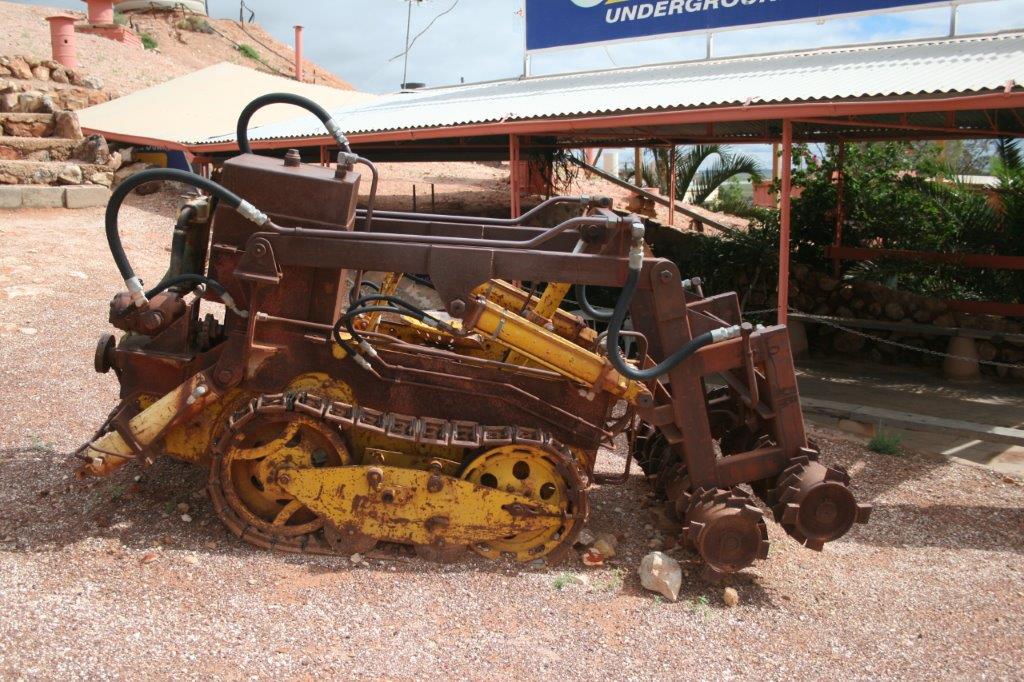
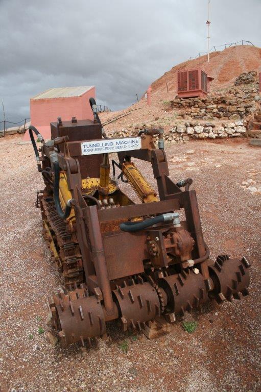
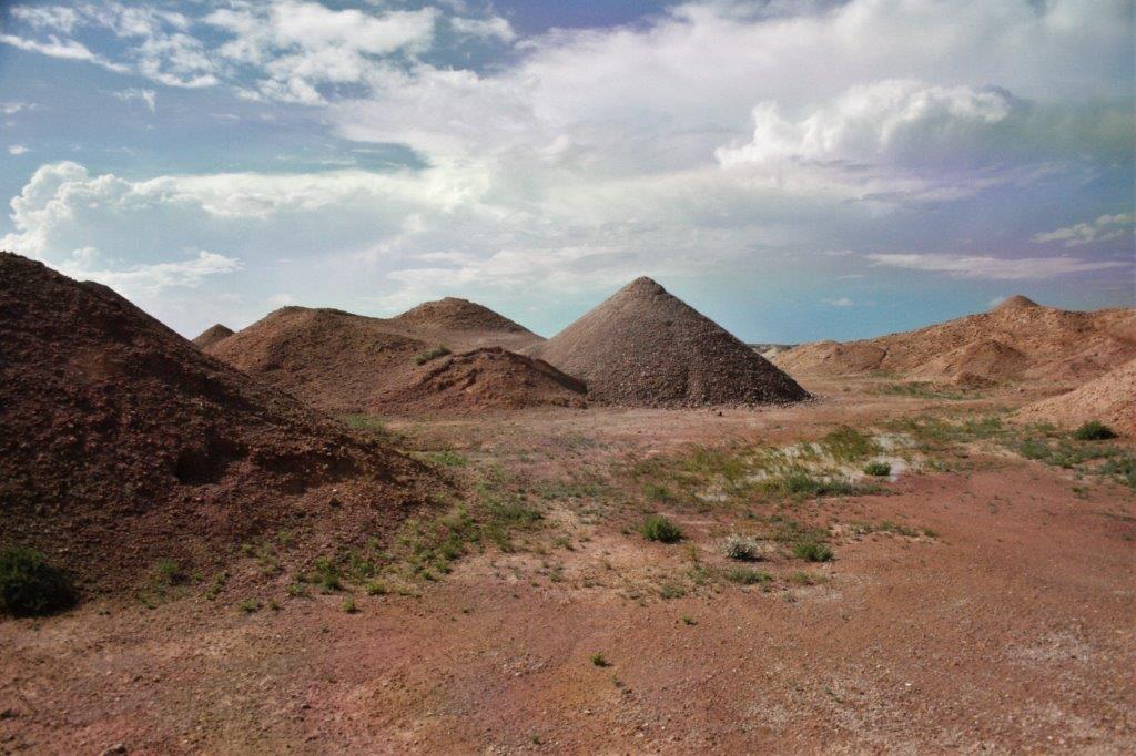
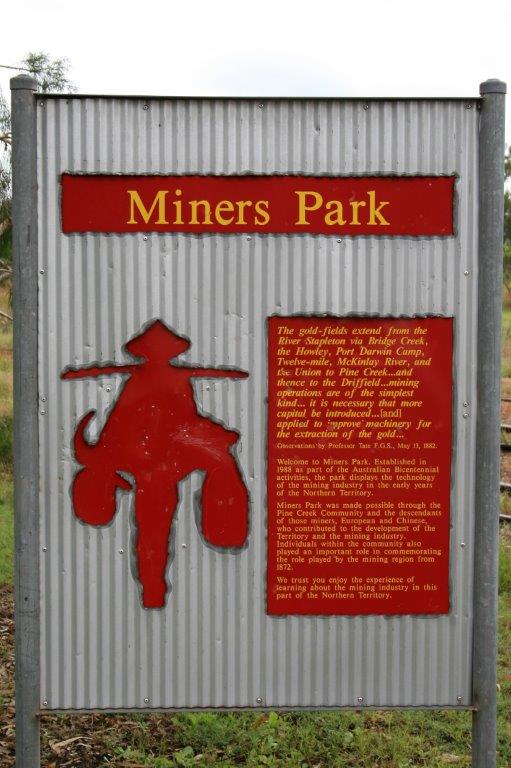
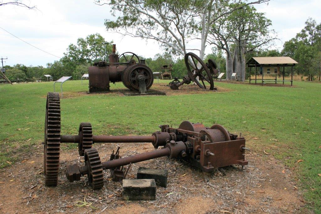
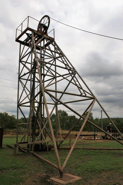
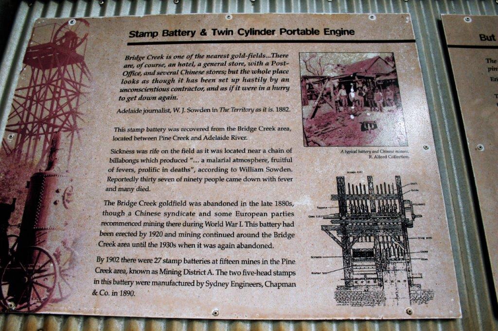
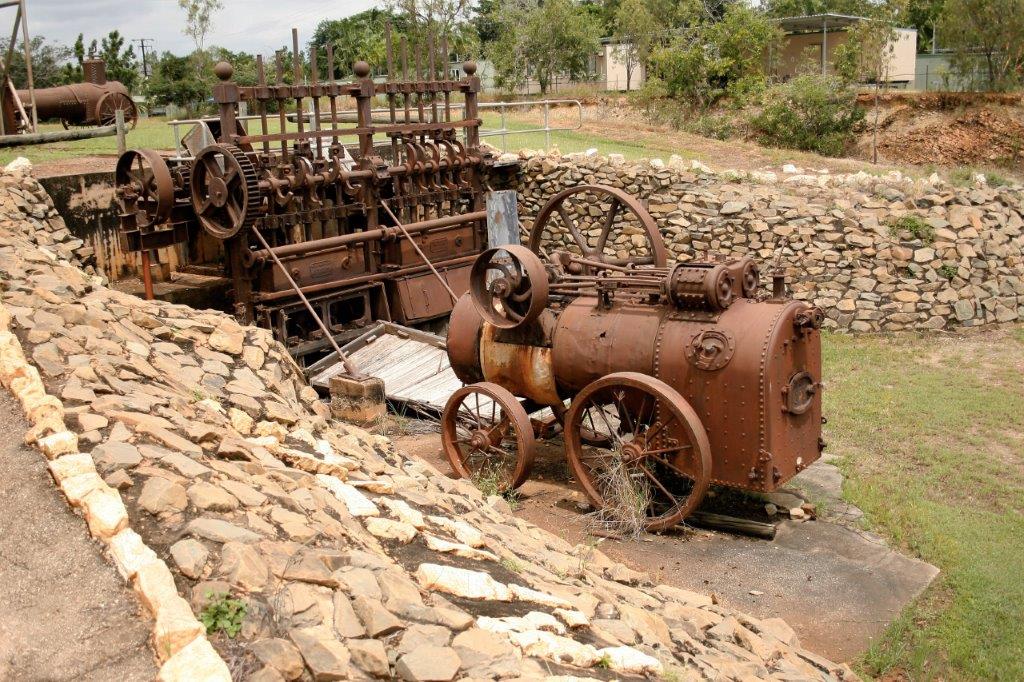
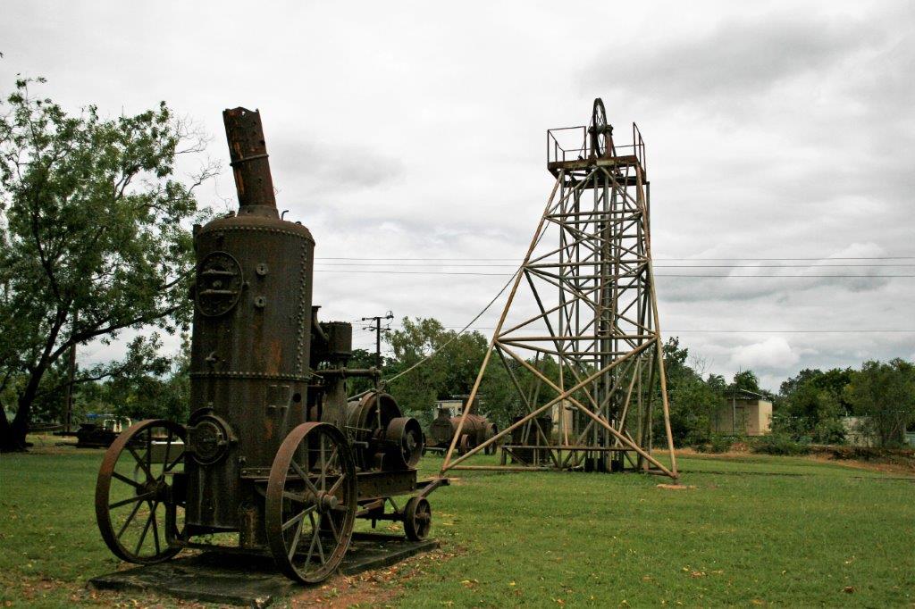
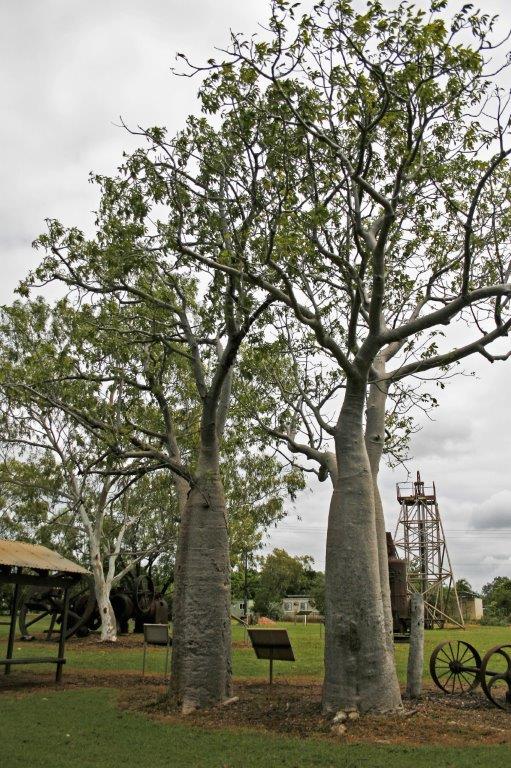
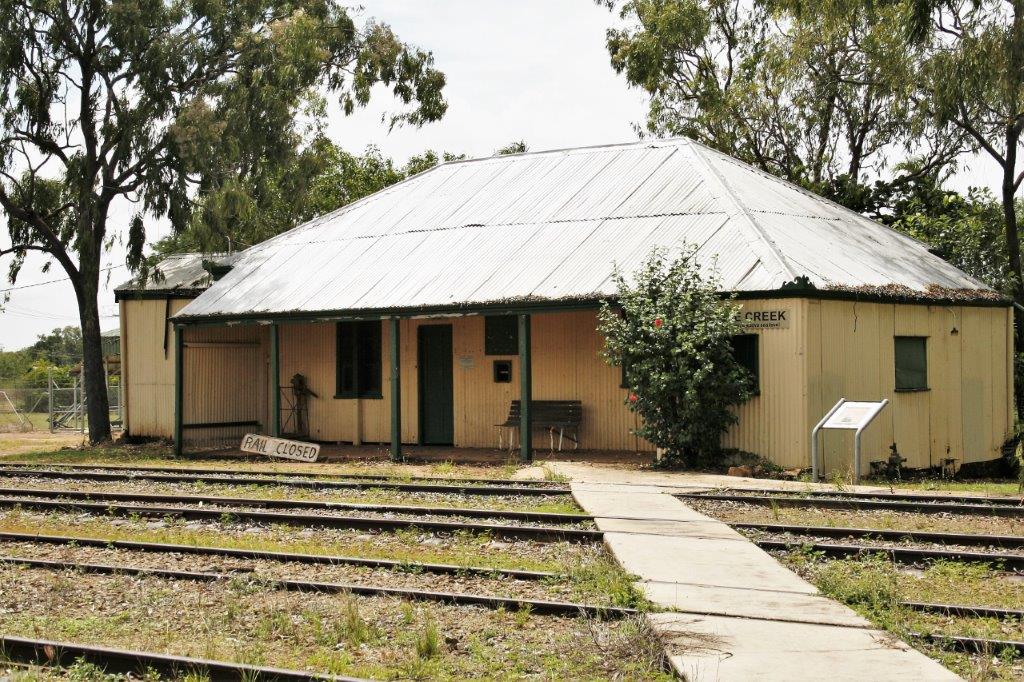
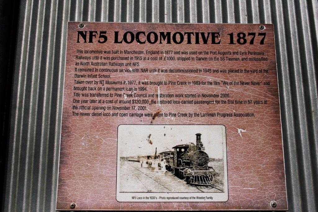
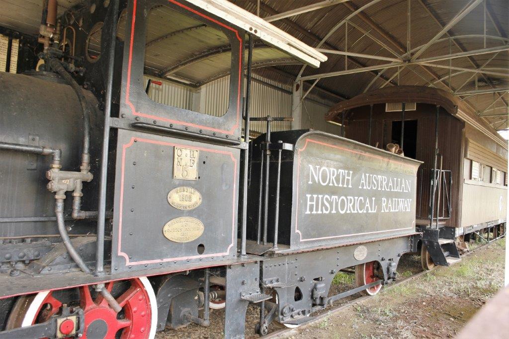
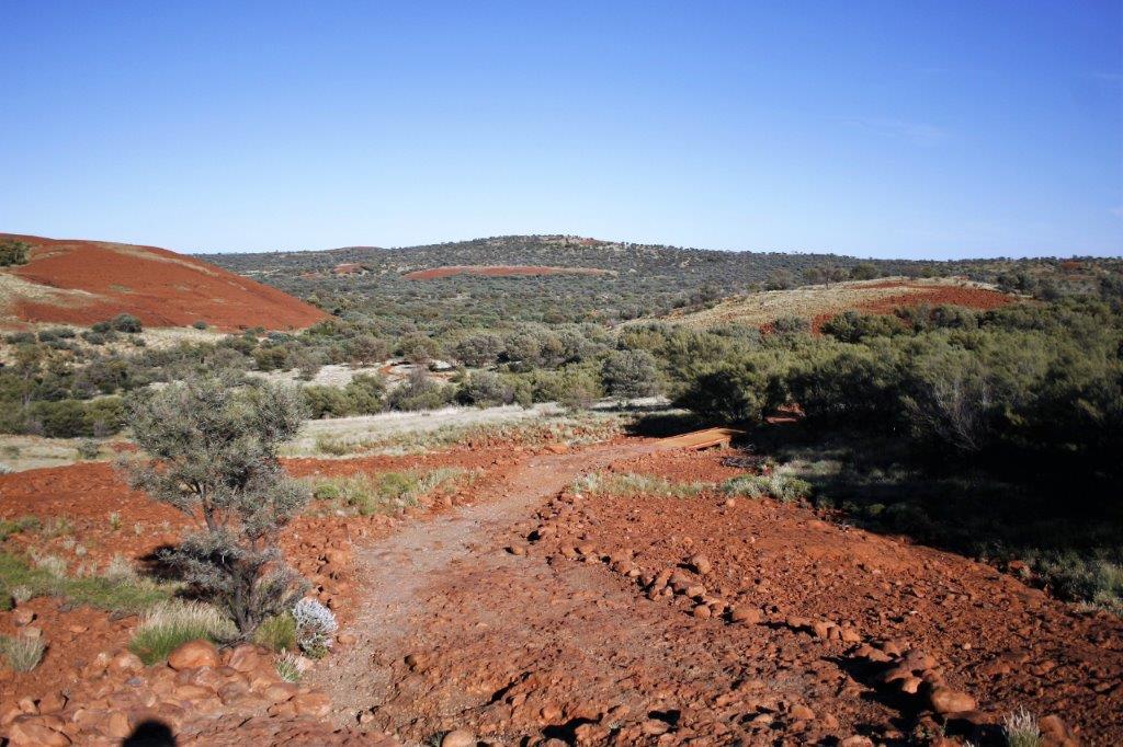
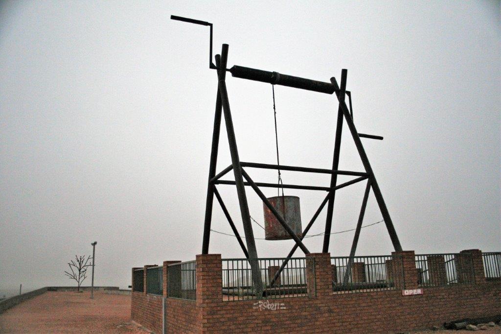
 At Stuart highway we turned north to Pine Creek for a wander in the Miner’s Park that displayed old mining equipment.
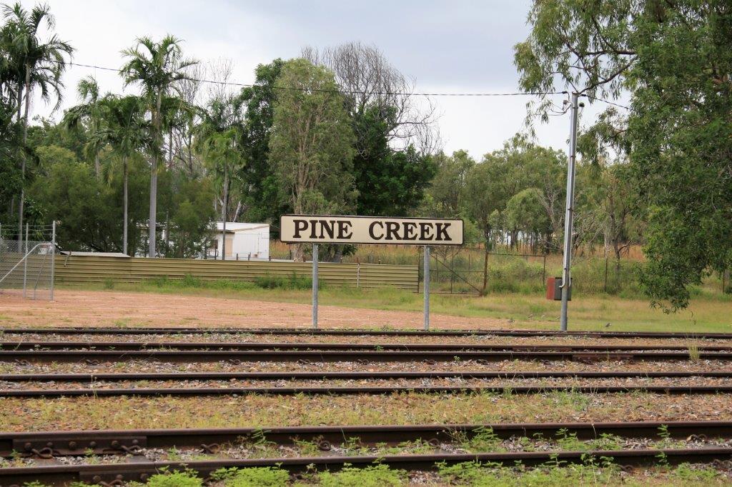


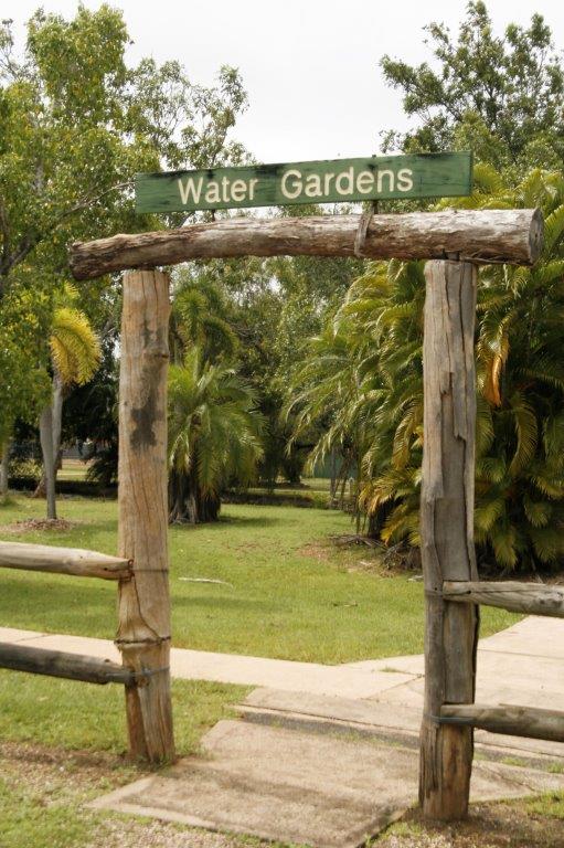
 Downtown Pine Creek has a water garden which is a water-filled mining site. There wasn’t really a garden, per se, just a lot of trees and grass. Perhaps we didn’t explore far enough because we didn’t see a water lily pond either.

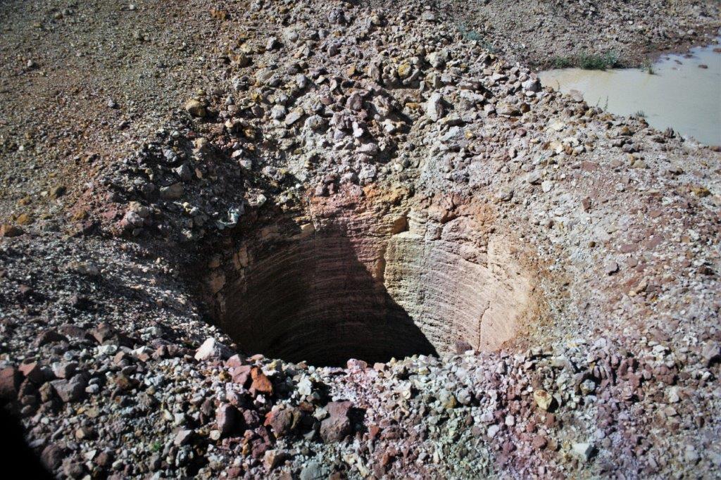
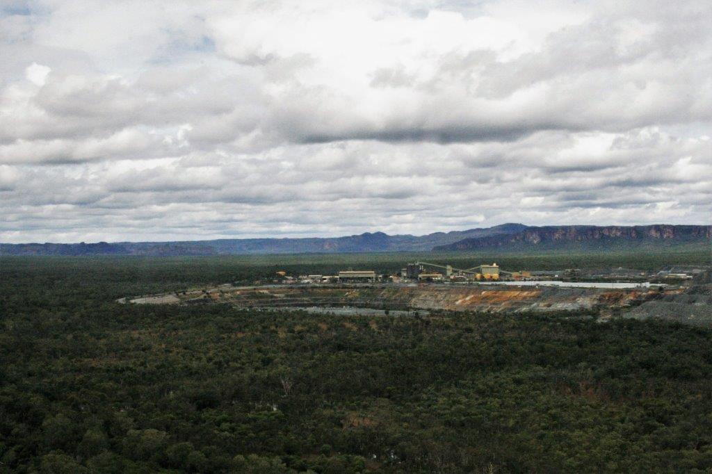
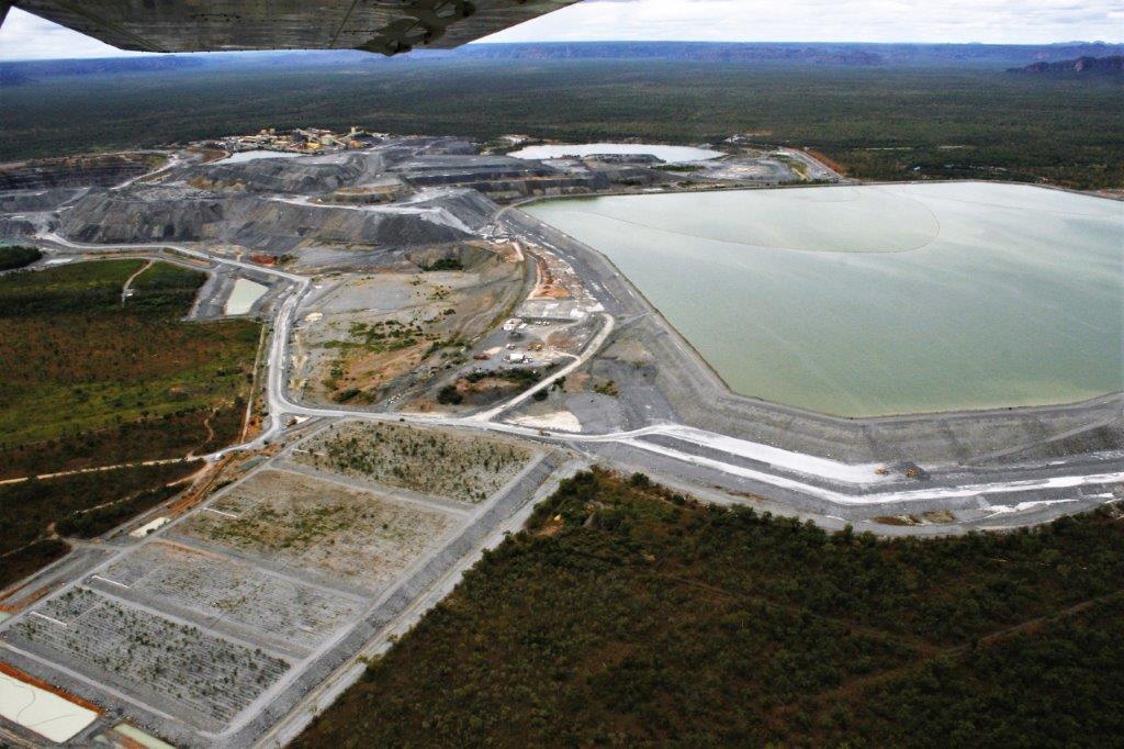
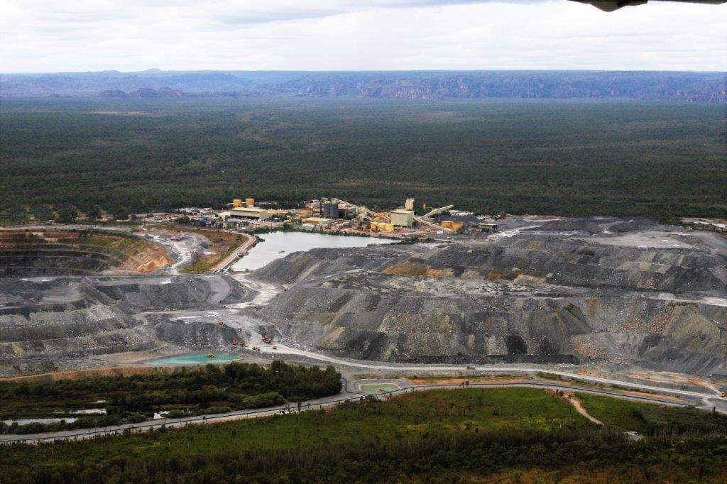
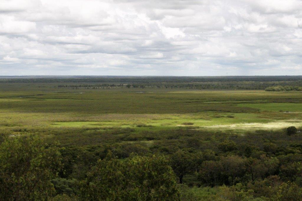
 We also drove up to the lookout over Enterprise Pit, an old open-pit gold mine now filled 135 meters deep with water. The green-blue colour was very nice, although the true colour does not show in the photograph.
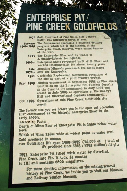
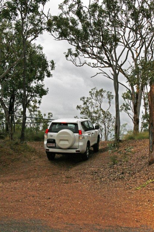
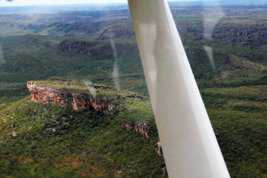
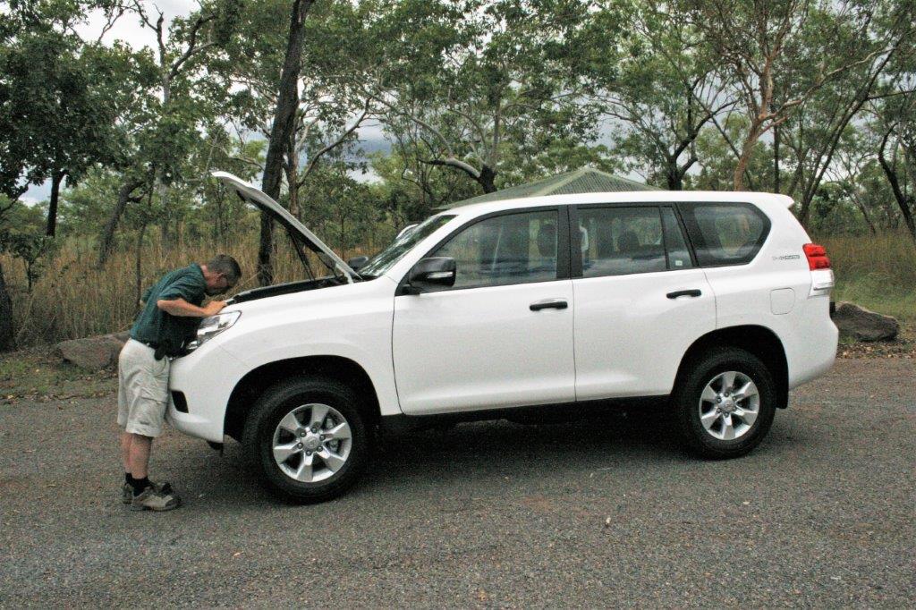
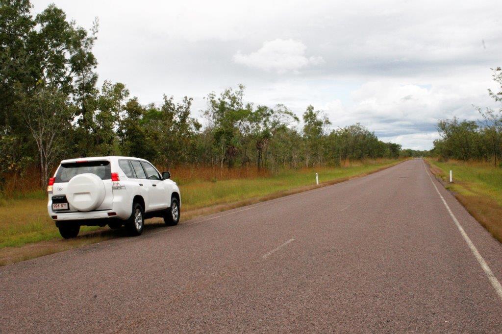
 John had been looking forward to some off-road driving in Kakadu but with all the roads closed we were only on paved roads. At the Enterprise Pit lookout he put the Prada in 4WD and drove up this little embankmet. Just because he could!
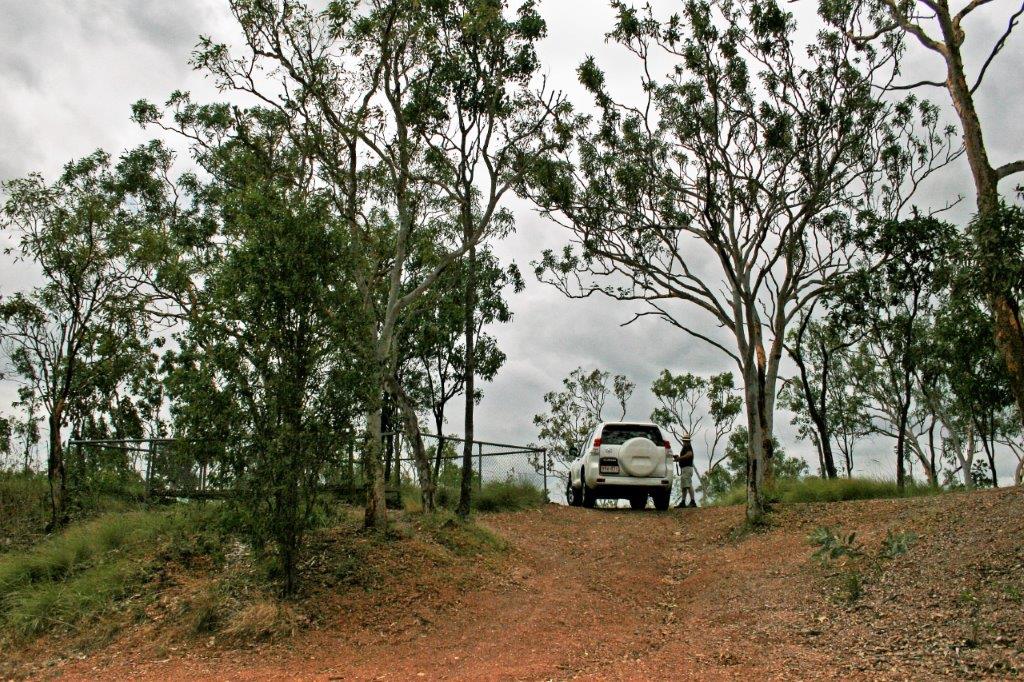
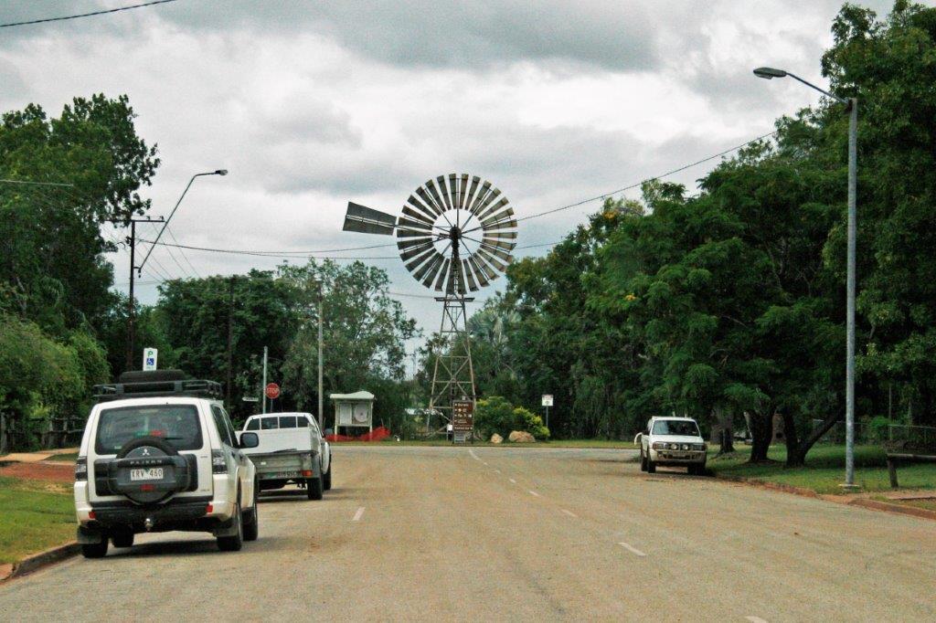
 There are very long road-trains in Australia. This truck only had three trailers in tow. We saw some with four.
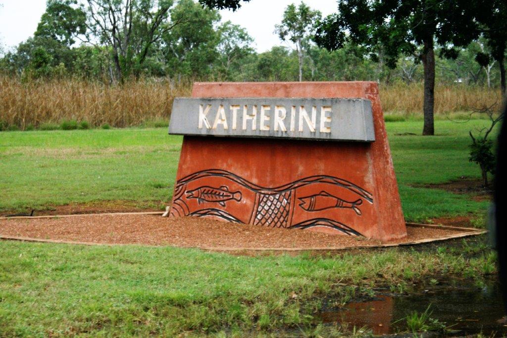 We arrived in Katherine at three o’clock, checked into our hotel and then drove a kilometer into town for some food supplies and a visit to the information center for the local lowdown. Then it was back to our room to do some work on the computer. Internet was not free in AUS hotels when we were there. I don’t know how things are now since six years have passed since this trip. We paid $6.00 for 1/2 hour on-line at our hotel in Katherine. That qualifies as an ‘ouch.’
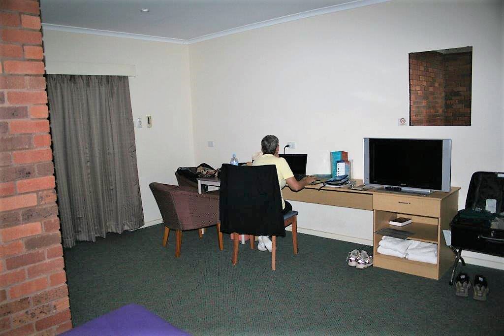


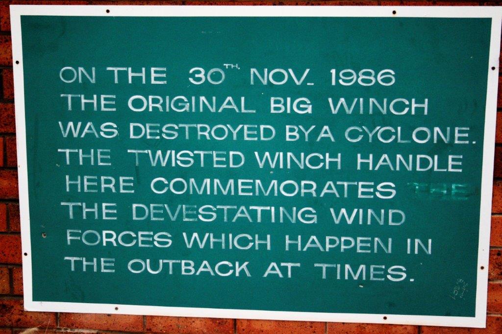

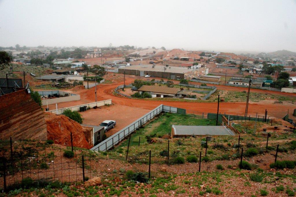

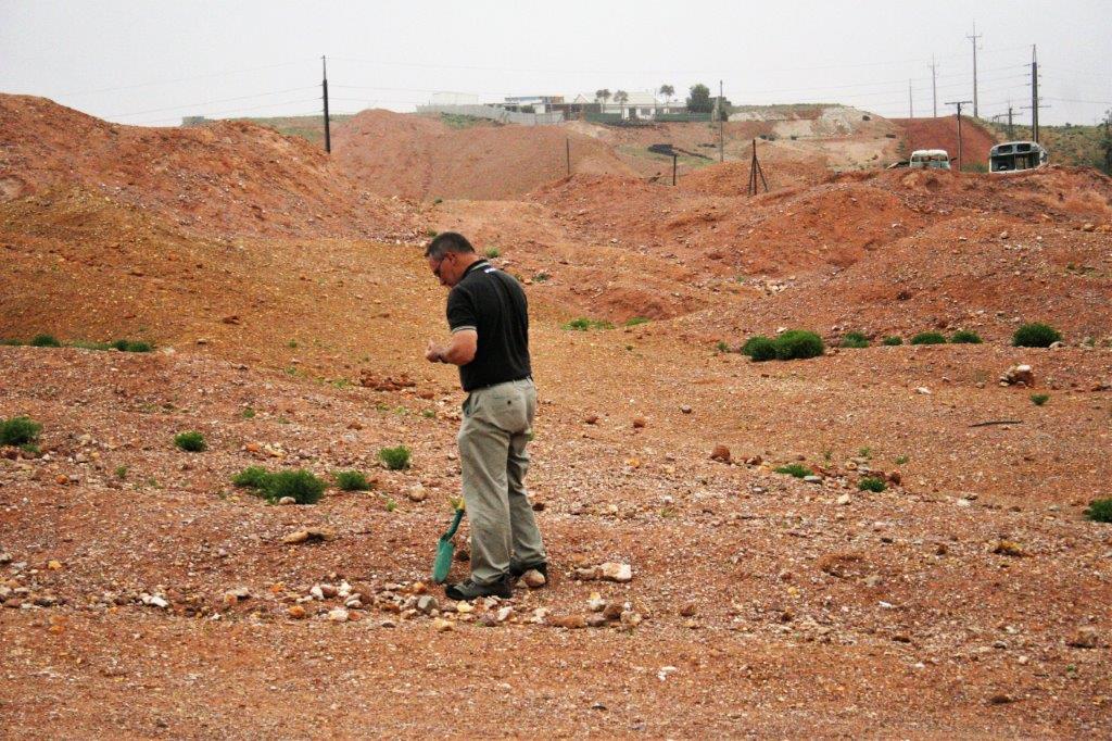
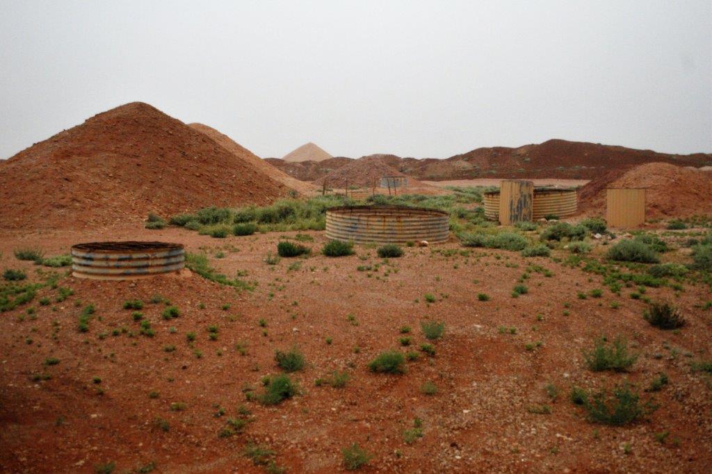
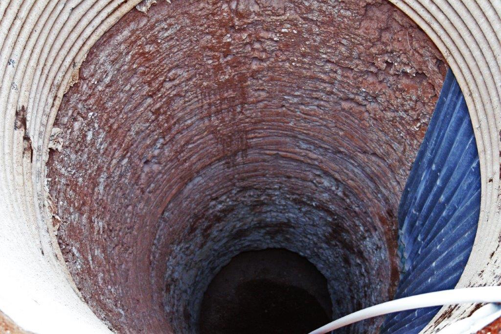
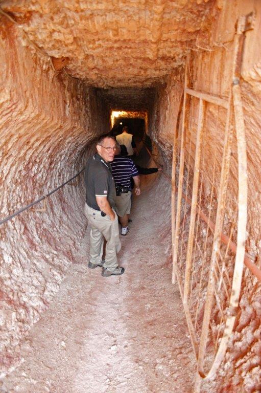
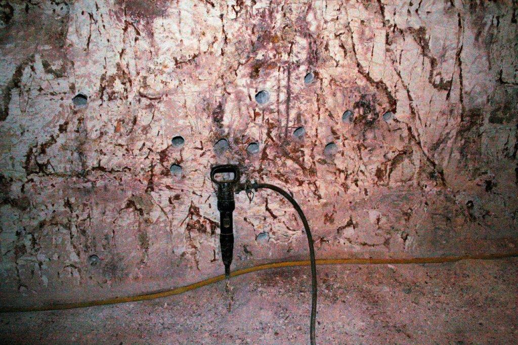
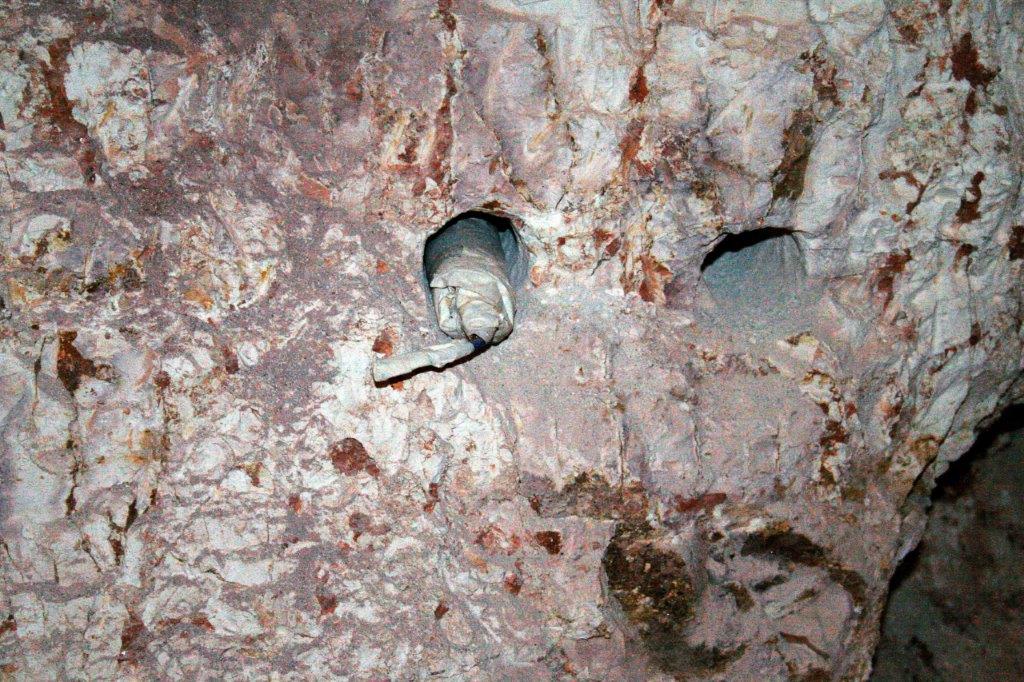
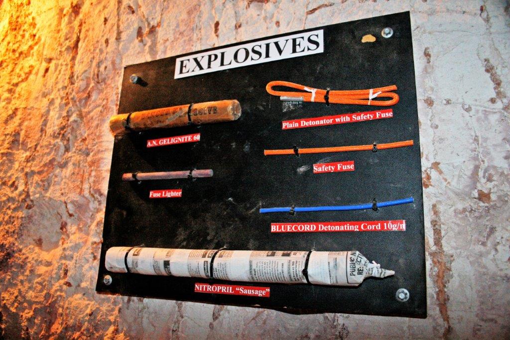
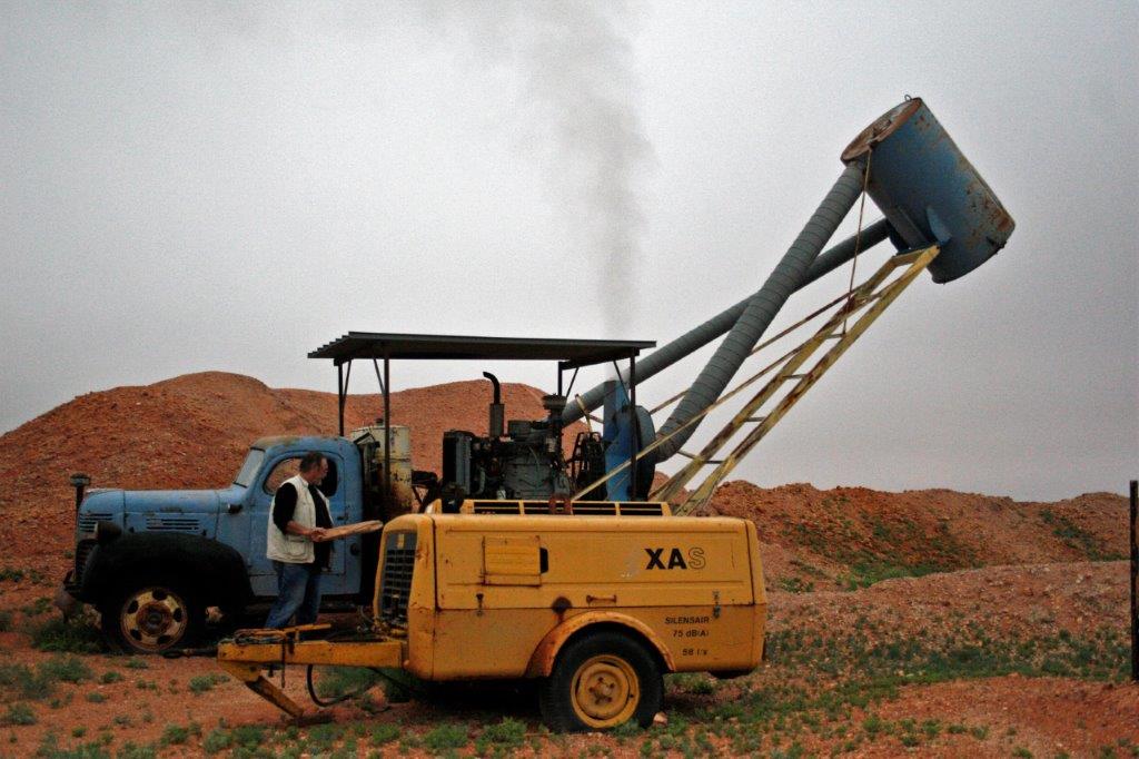
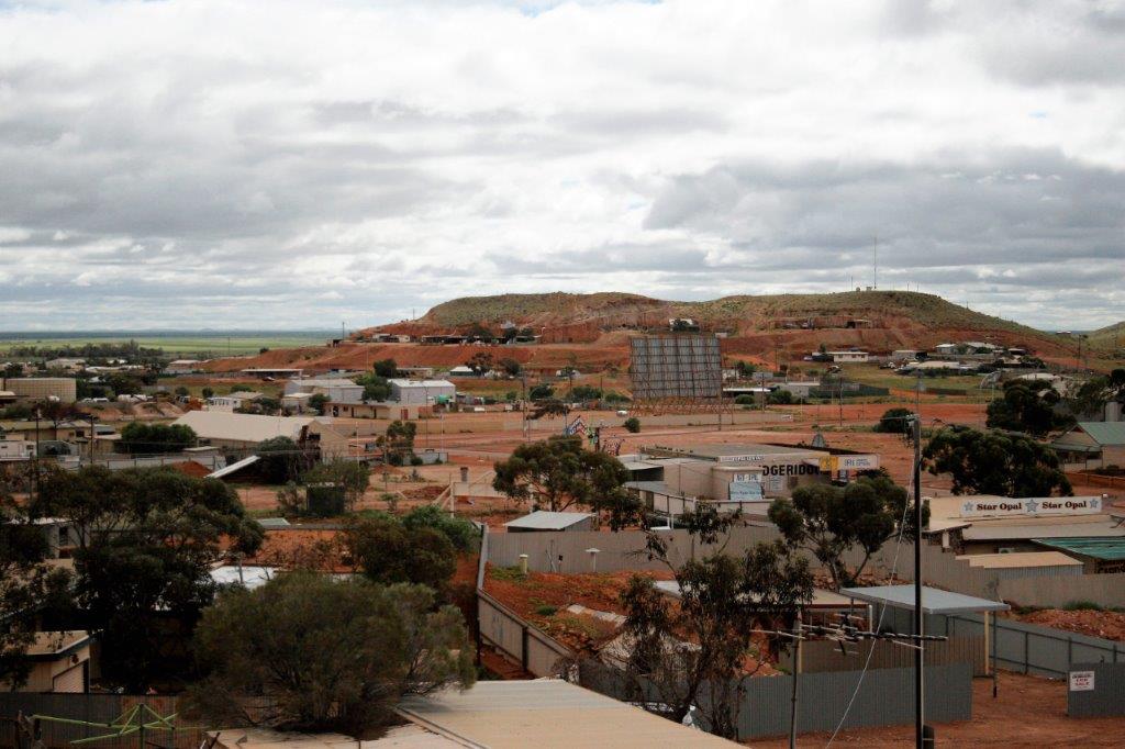
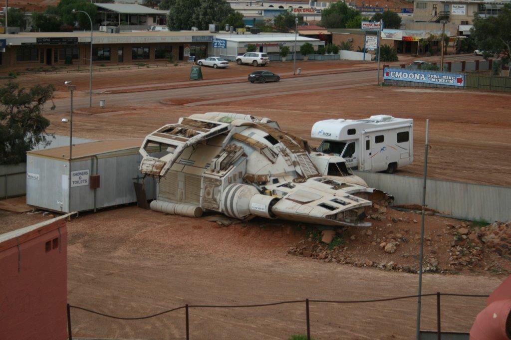
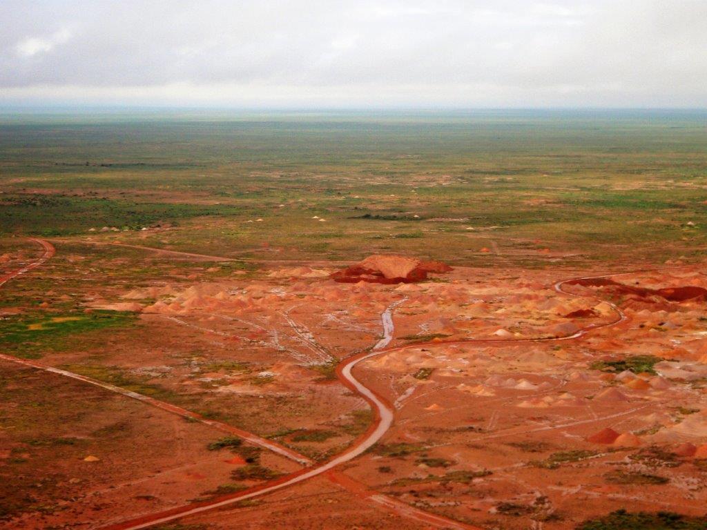
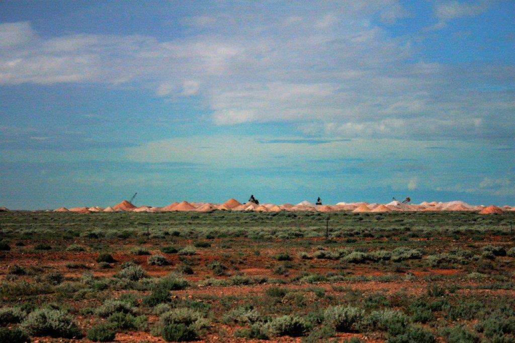
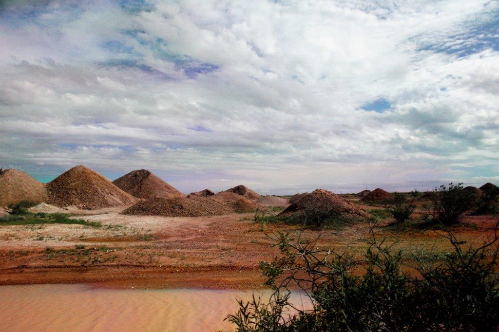
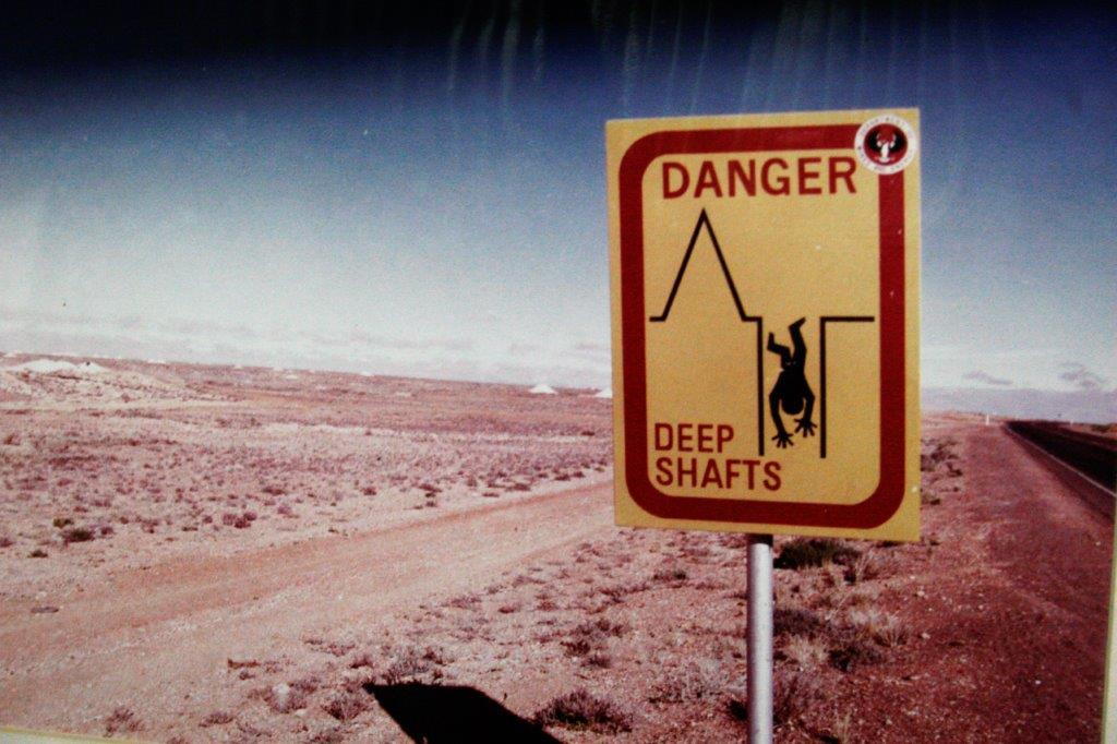
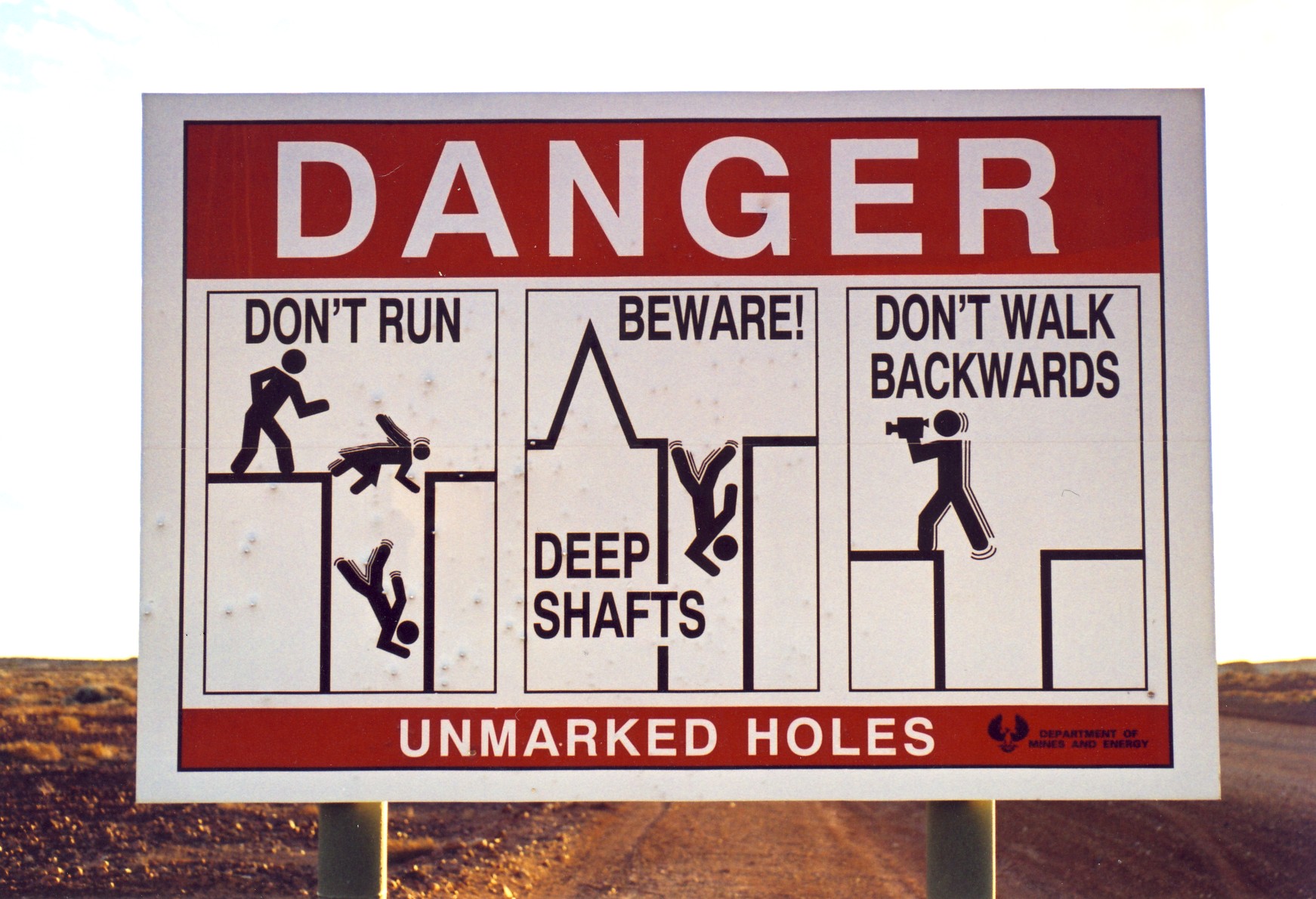
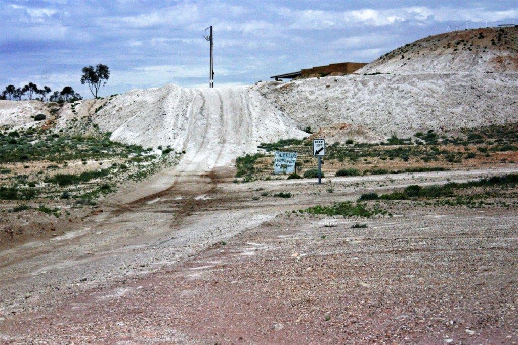
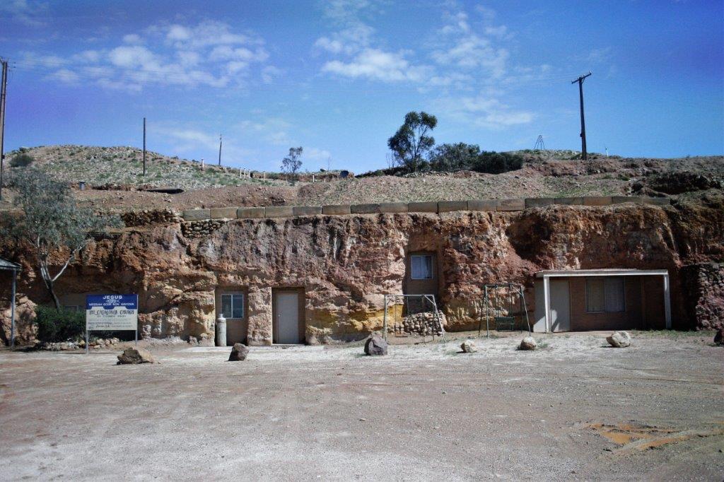
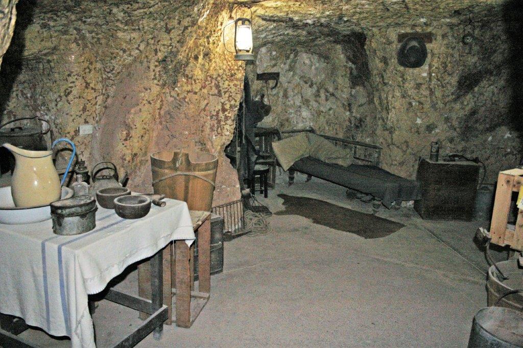
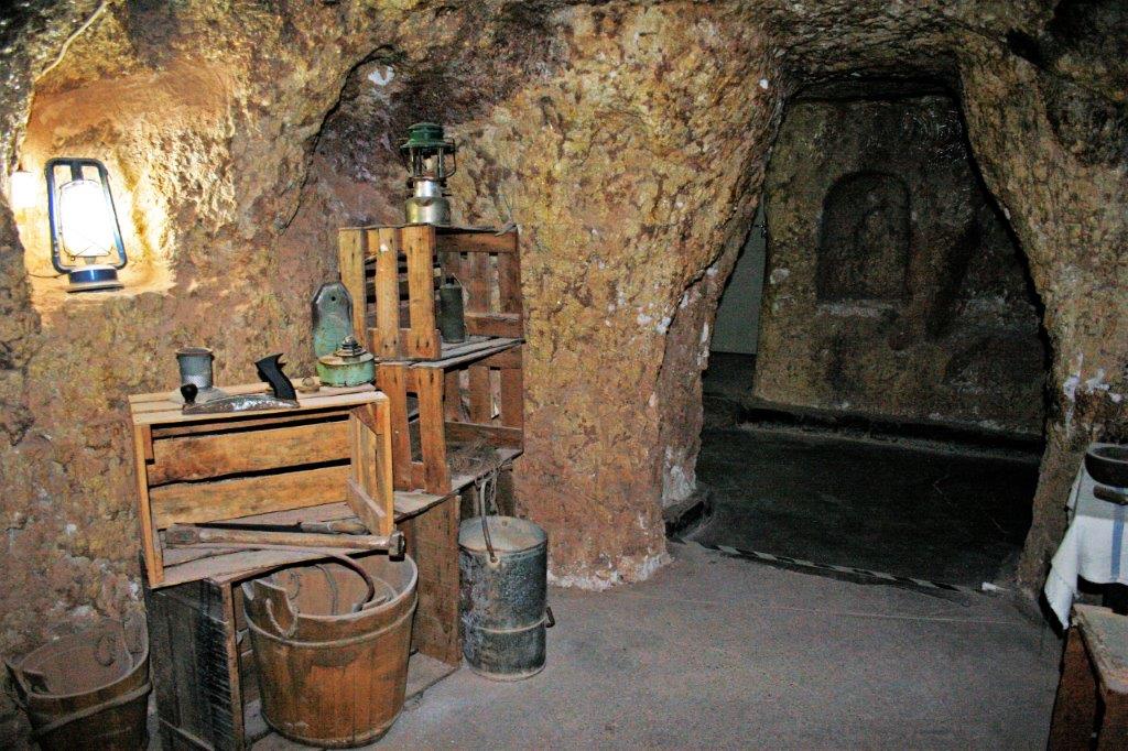
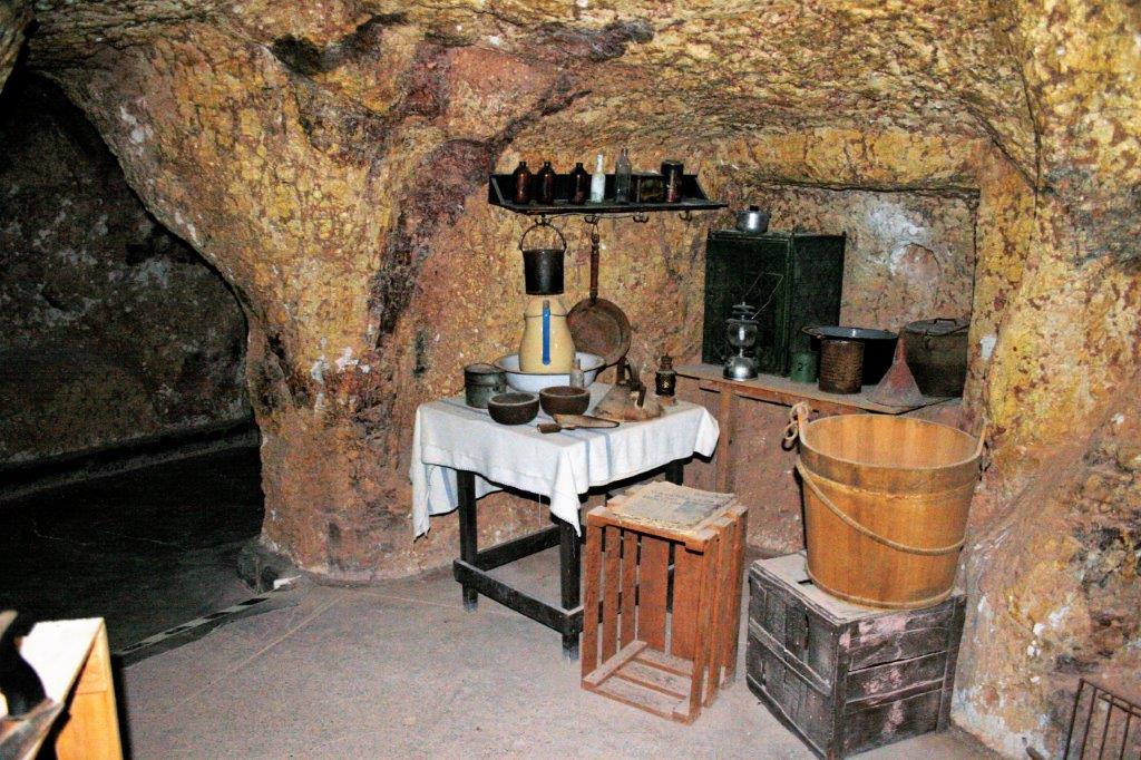
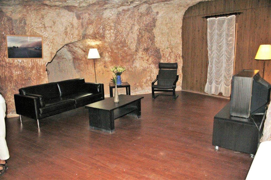
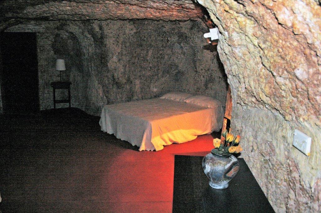
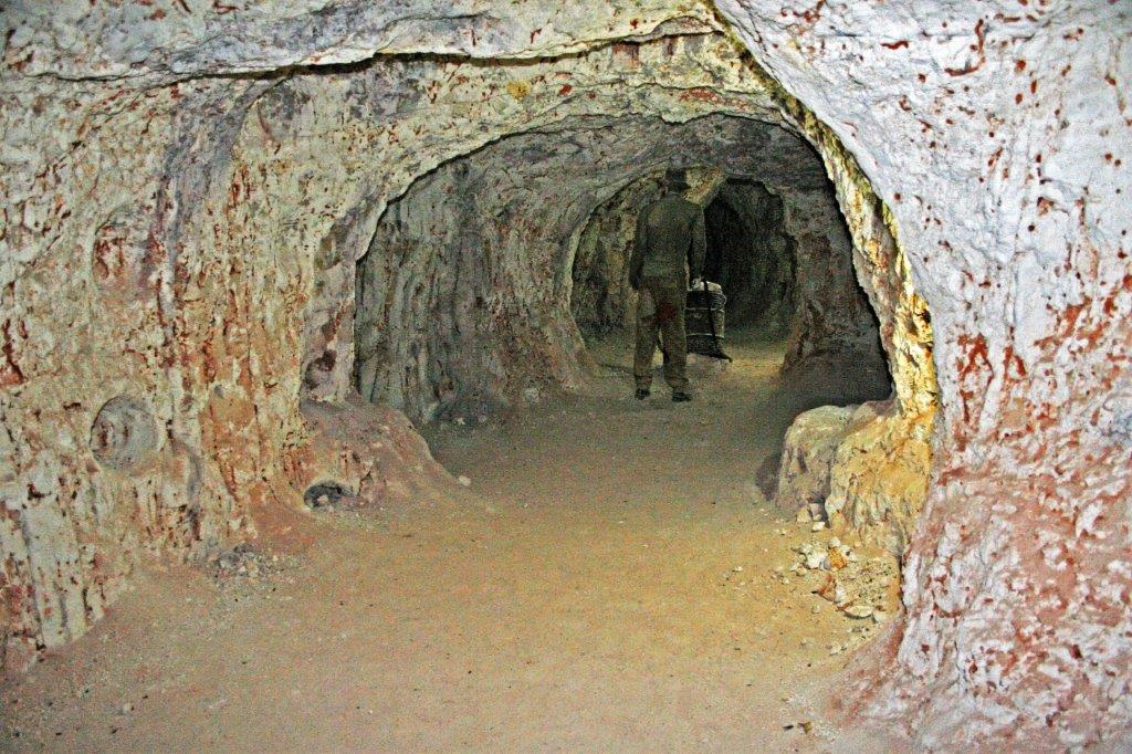
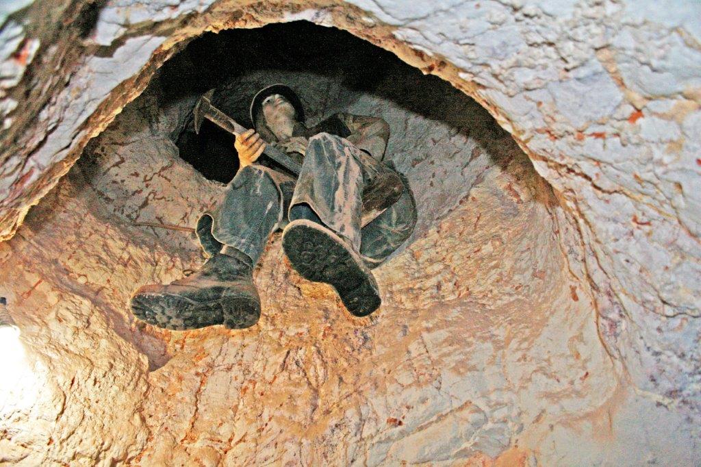
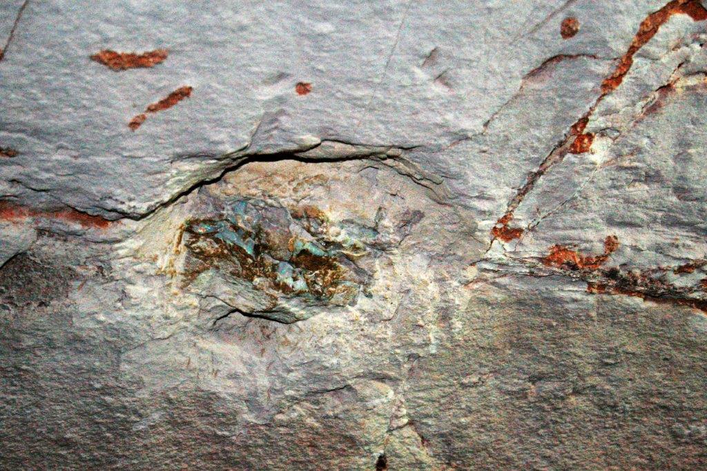
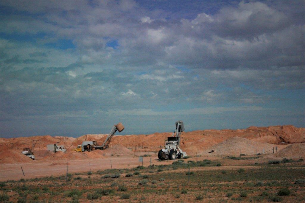
 At the Opal Museum we watched a short (20 minute) film on Australian Opals and Coober Pedy. Gunter then drove us to a mine site orignally worked in 1921 and later re-worked in the early 1980s by a group that thought using a bulldozer to move the earth and find the opal layers would be effective. They soon discovered that it was not and abandoned the mine leaving behind huge piles of dirt, rocks, and opals. We spent about an hour ‘noodling’ for opals. Any we found, we could keep. John actually found a piece that was big enough and of good enough quality to polish into a marketable stone.