Category Archives: 2012 Grand Mediterranean and Black Sea Cruise

2012 April 17 – Day 37 – Venice, Italy (Day 1)

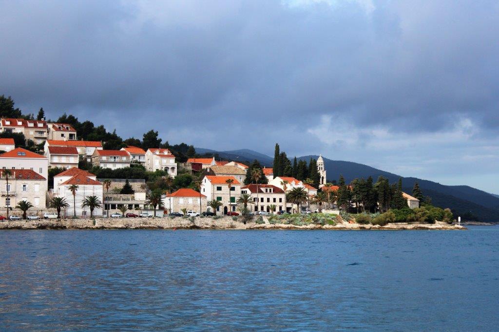
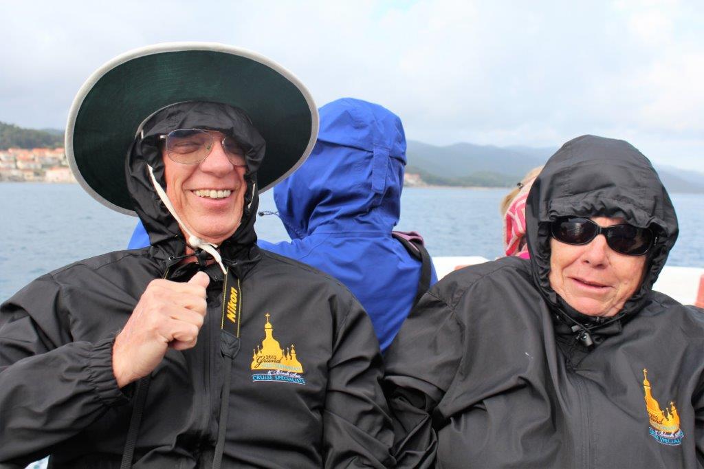
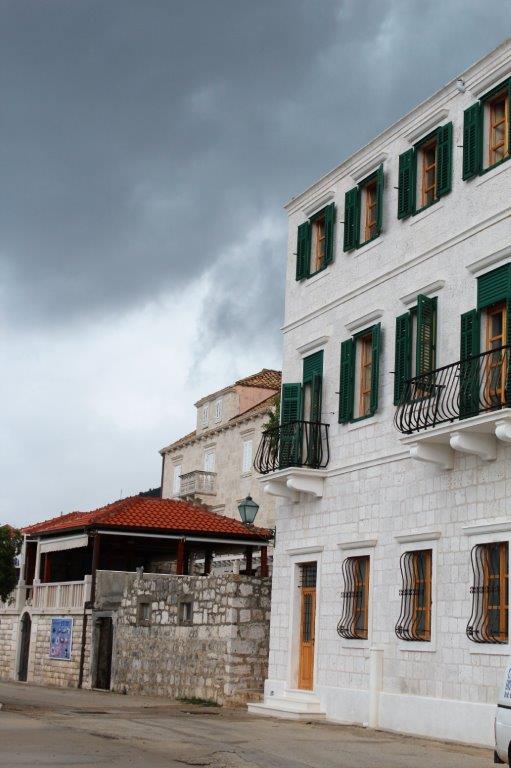
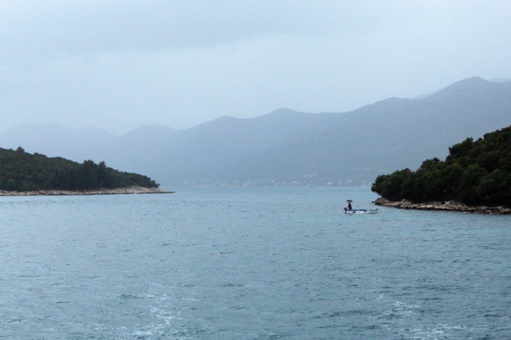
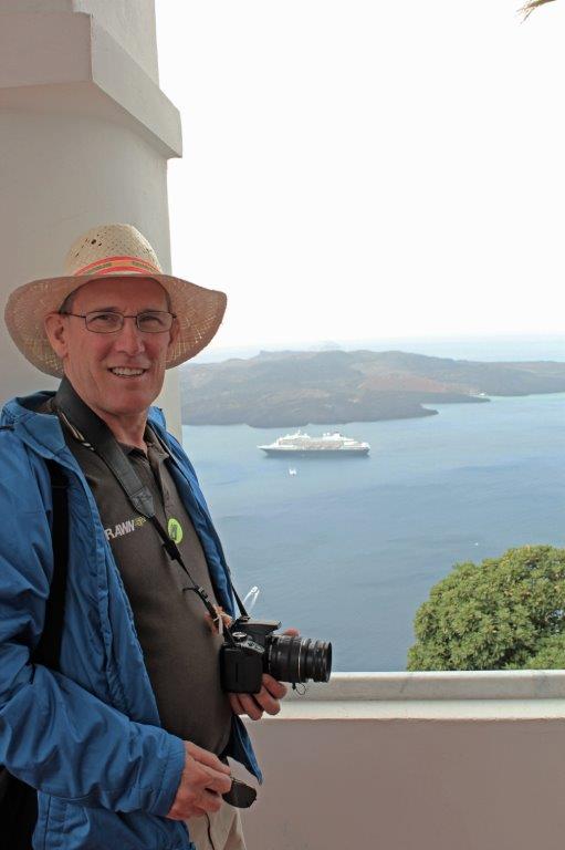
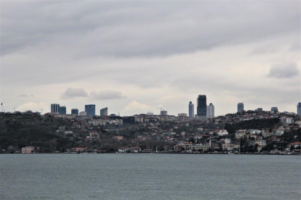
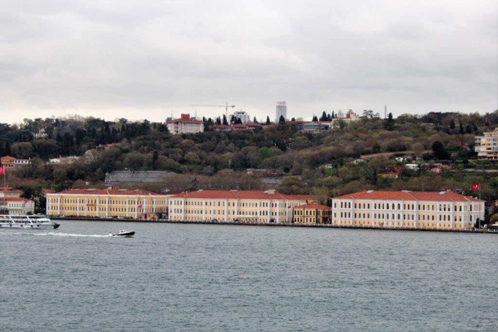
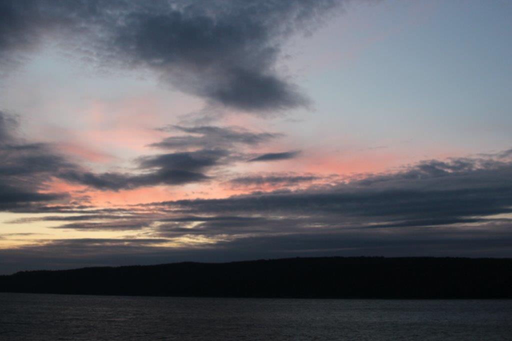
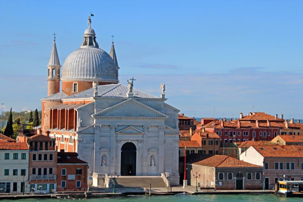
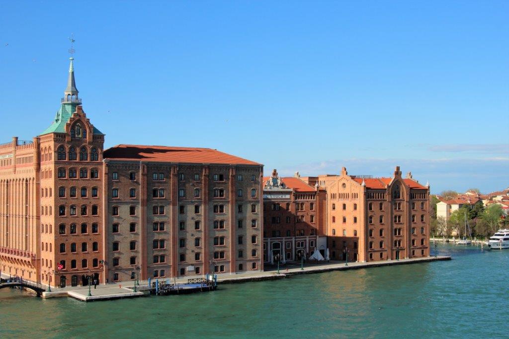
Italy!  I couldn’t believe it.  One of my “I really want to go there someday” places.  And, we were not just anywhere in Italy, we were in Venice!  Awesome!  Awesome!  I was stoked.
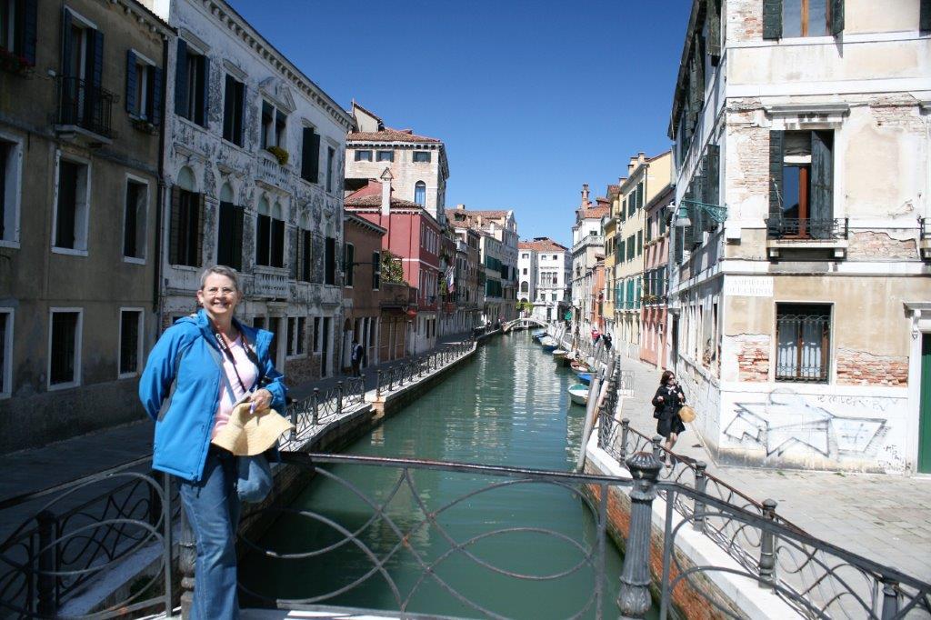
We were up at 7 am in order to be ready on deck for the sail in to Venice.  Venice is located at the very northern tip of the Adriatic Sea on the south eastern coast of the top of the Italian ‘boot.’  It is closer to Slovenia, Croatia and Austria than it is to Rome.  It is a city of islands; 117 of them.  The city is laced with 150 canals and more than 400 bridges.  The longest span – Laguna Veneta – is the only road to the mainland.

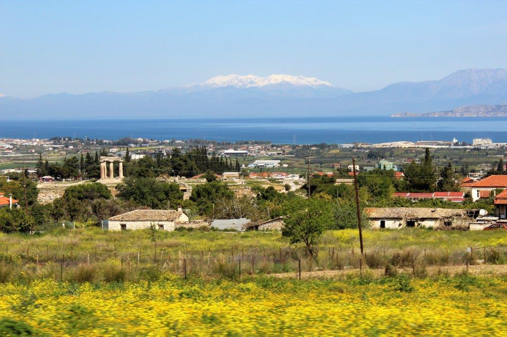
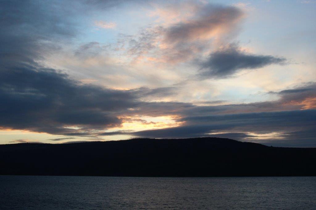
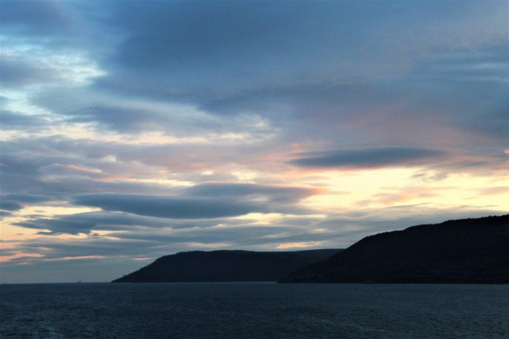
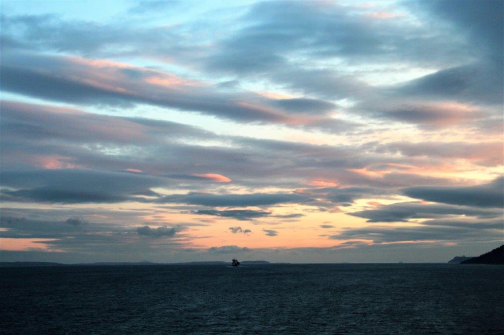
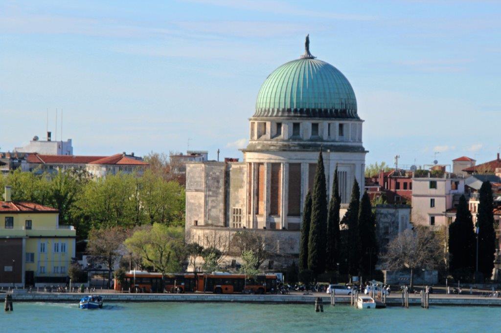
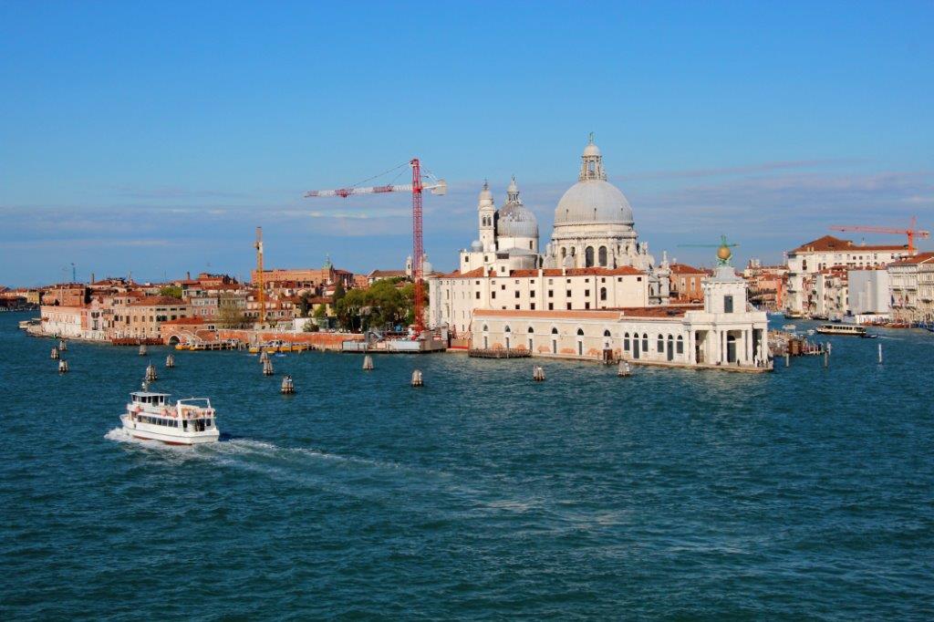
The ship had to navigate the canals at dead slow and it was a beautiful day so the sail-in to the port was absolutely lovely.
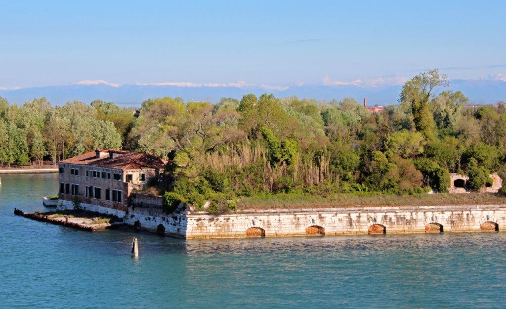
You can just make out the snow-capped Italian Alps in the background.            
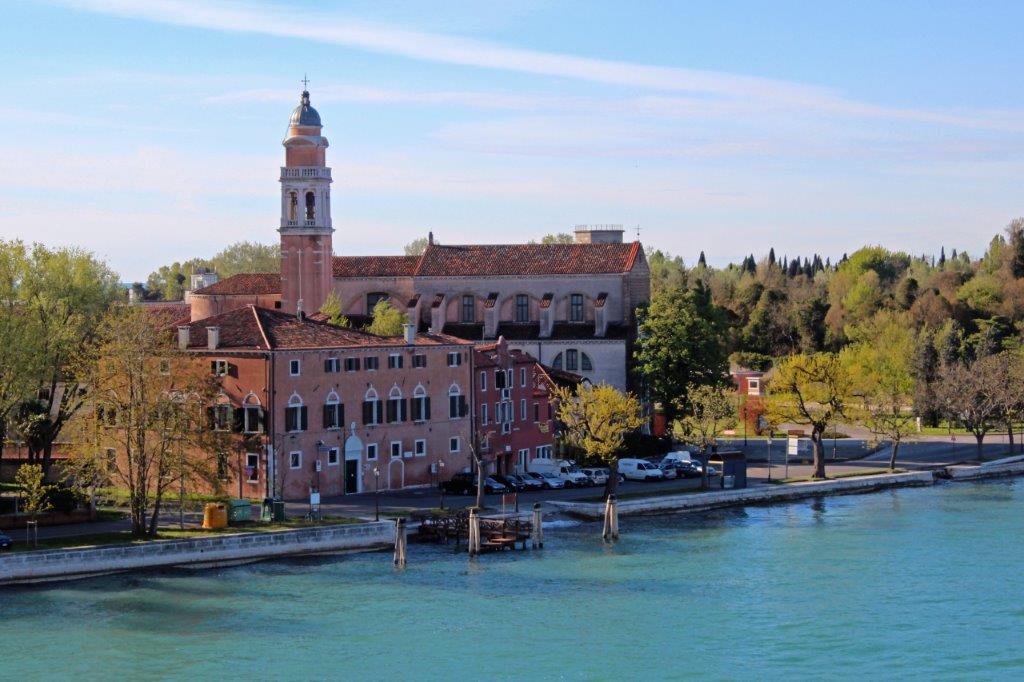
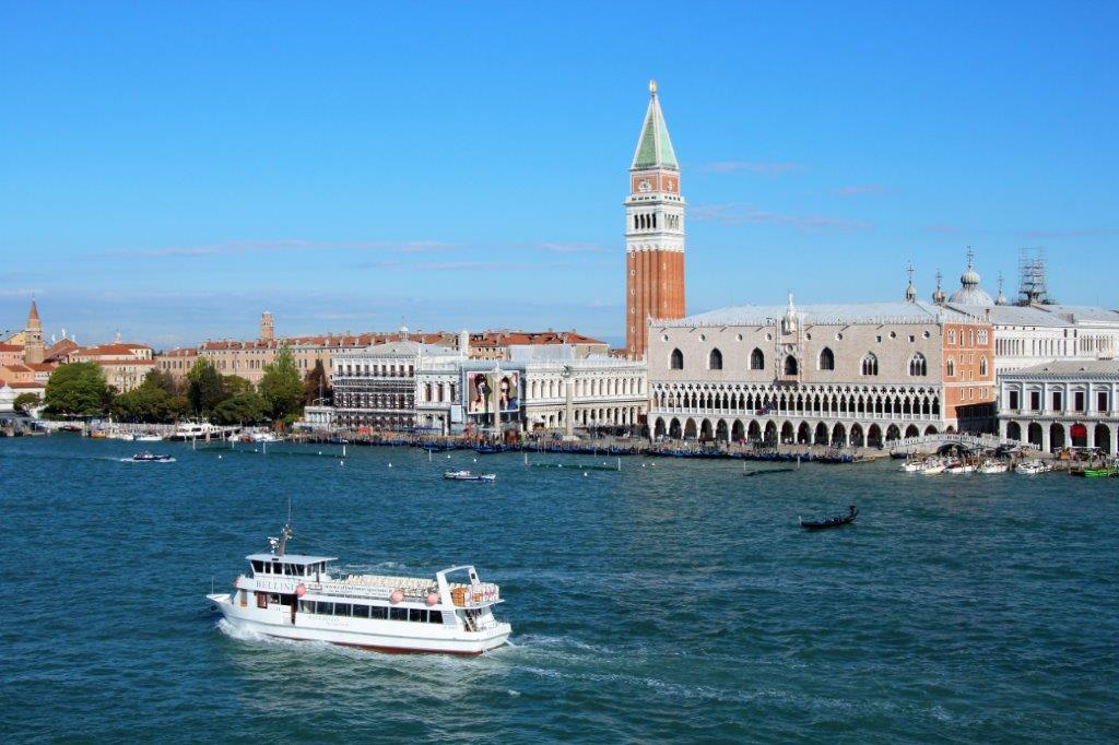
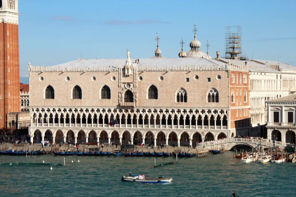
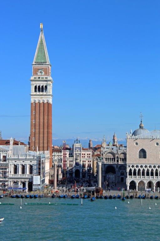
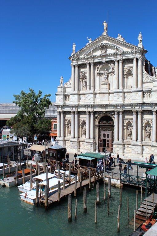
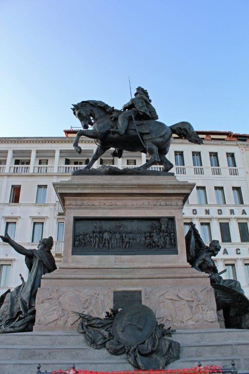
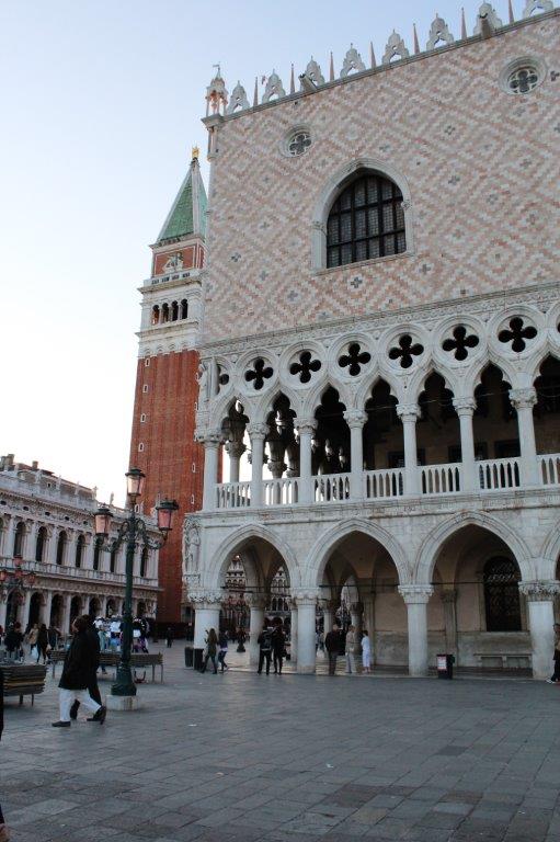
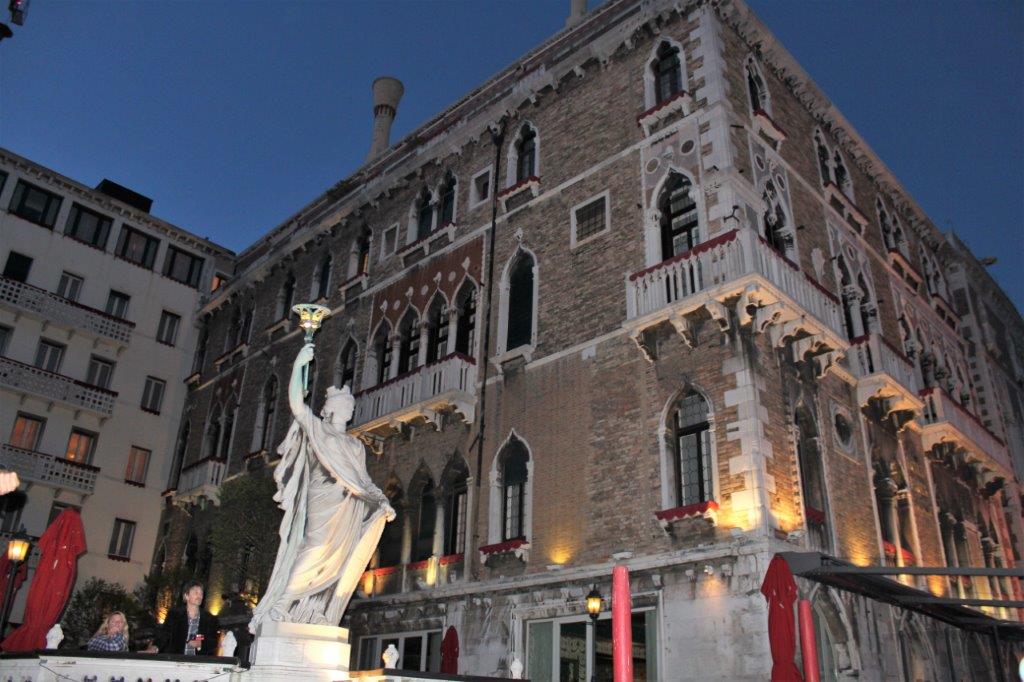
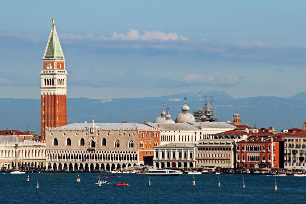
Doges’ Palace and the tower at St. Mark’s Square.                                                                                    
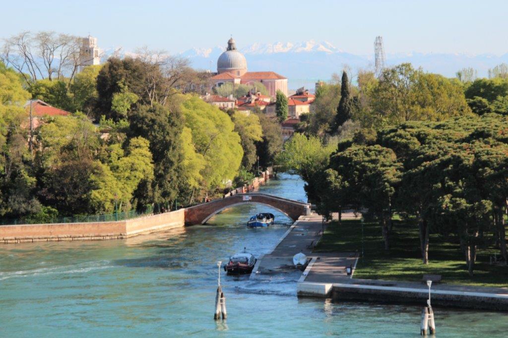
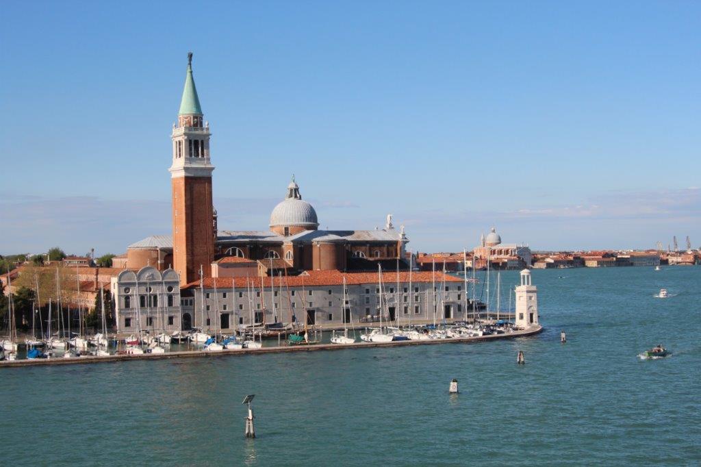
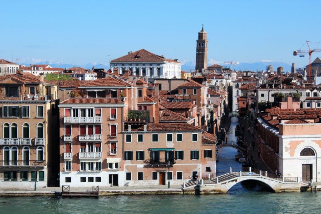
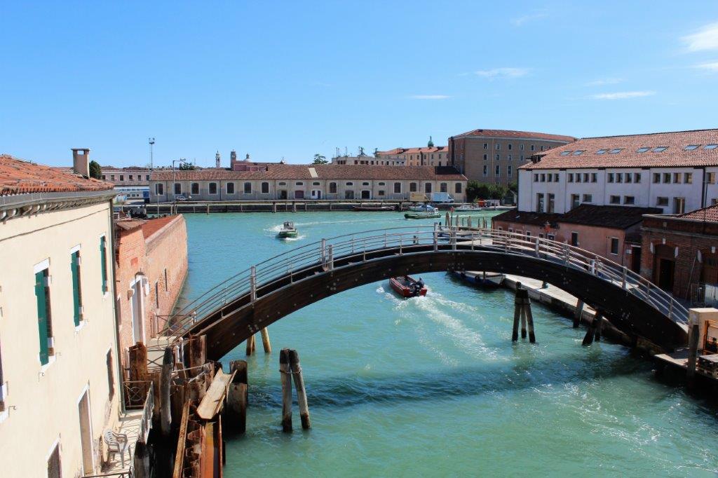
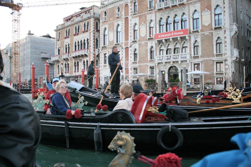
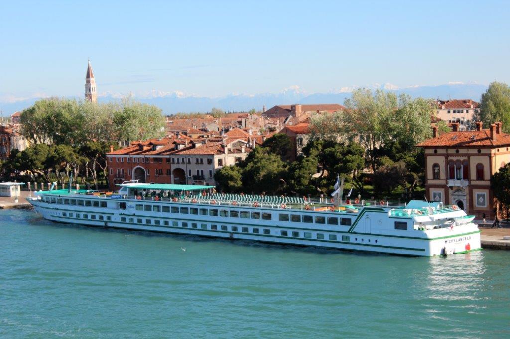
Now, that is a long tour boat.
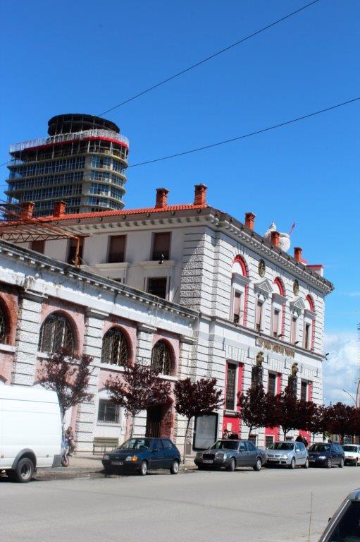
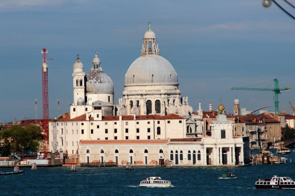
There are cranes all over the place as restoration and preservation of the buildings and canals is ongoing year round.  
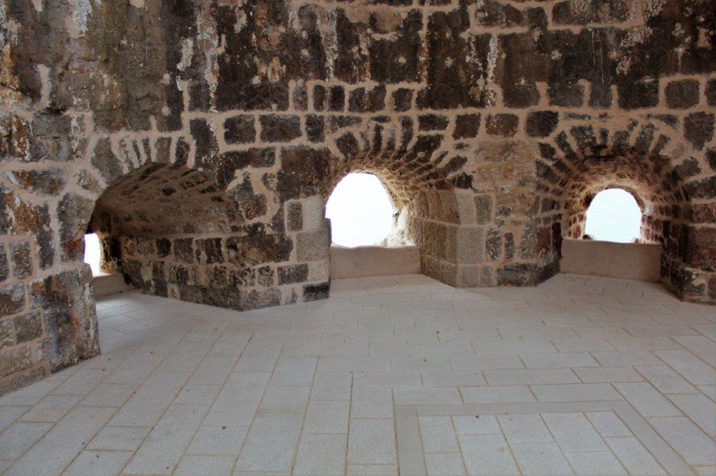
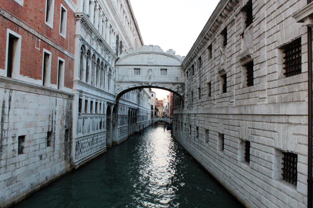
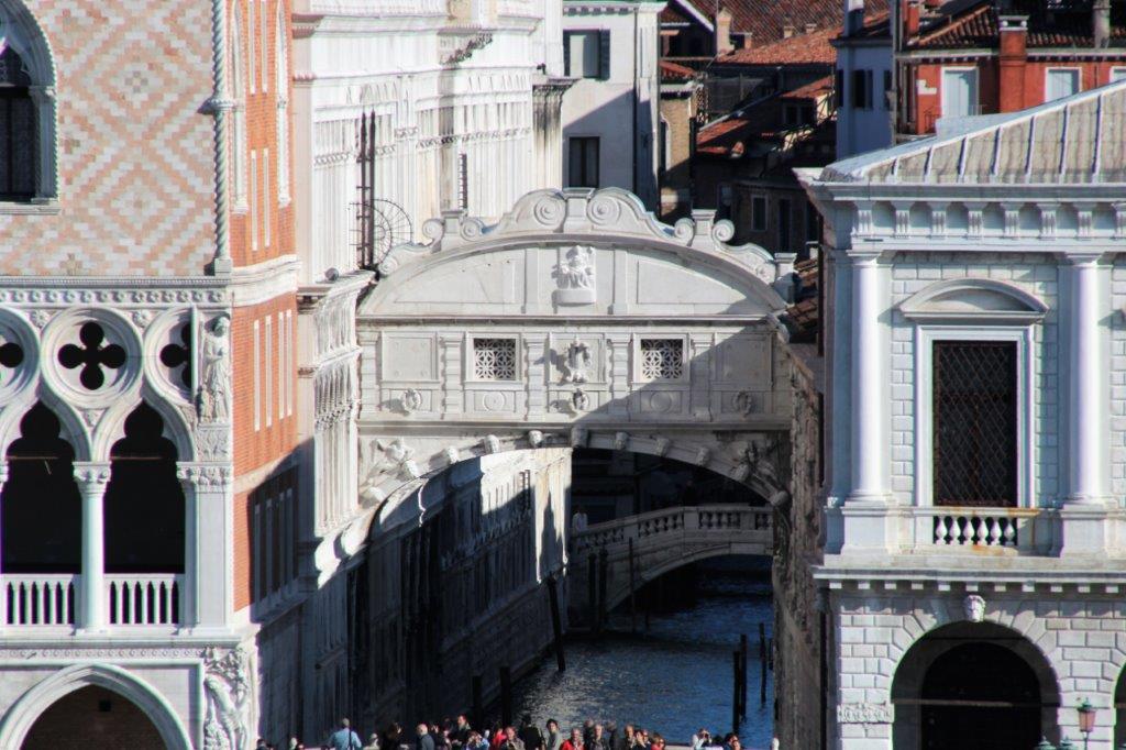
The Bridge of Sighs that took people from the court in Doges’ Palace to the jail next door.  The last glimpse of the outside world was through the two little windows.

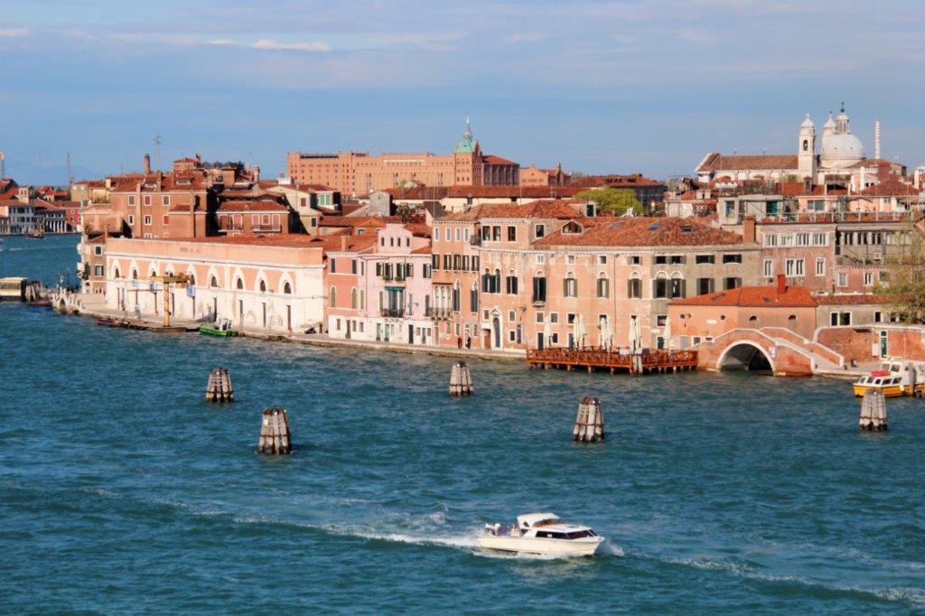
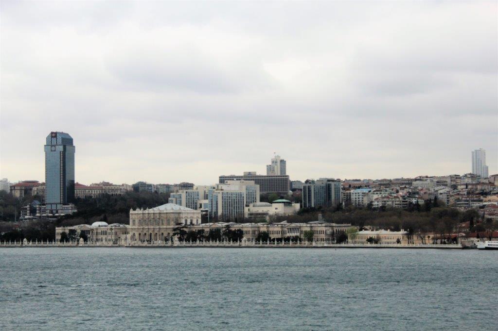
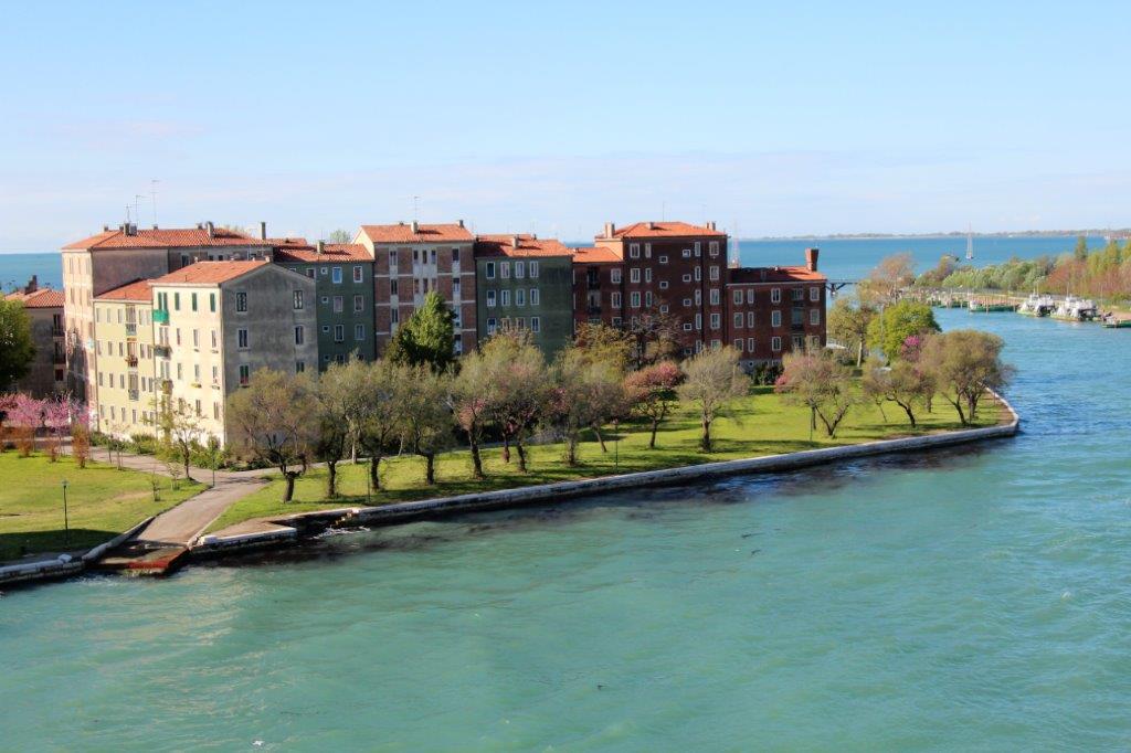
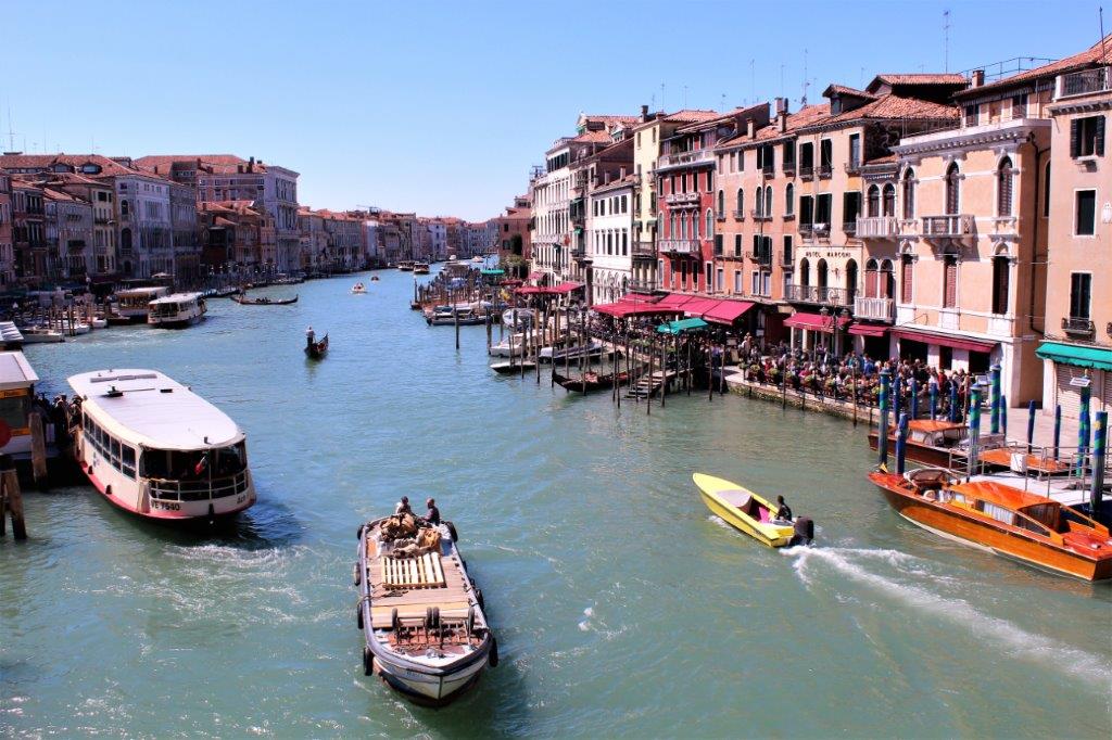
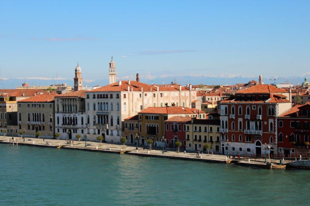
The ship has to sail from the Adriatic Sea through the Porto di Lido which is a breakway channel between two narrow strips of land that separate the city of Venice from the sea.  Once through the ‘gate’ you are in Laguna Veneta (Venice Lagoon) which surrounds the main city.  The captain followed St. Mark Canal until it separates into the Grand Canal on the right and wide Della Giudecca  Canal to the left.  Della Giudecca Canal goes right to the port terminal.  We essentially began at the bottom point of a large S and then docked at the top tip.   
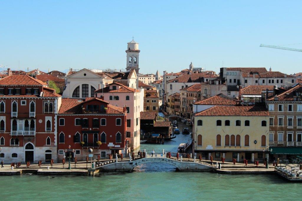
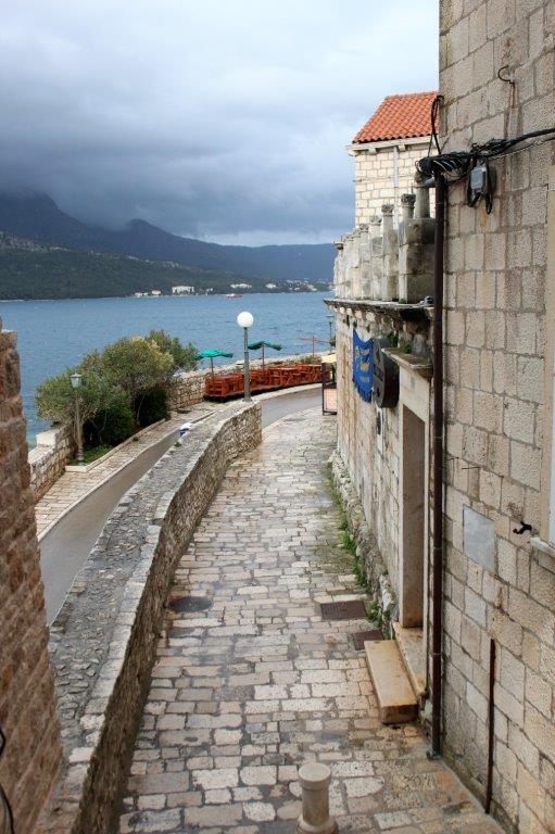
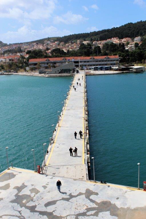
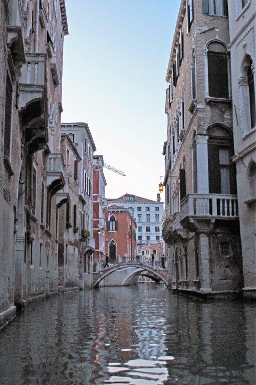
It was very cool to enter Venice by ship and thus get a good look at all the canals and connecting waterways.  The ship was staying overnight in Venice and we had an evening tour so after breakfast we walked (as in followed the crowds and some crew) to Piazza Roma and the train station where we were able to buy a good ‘street’ map.

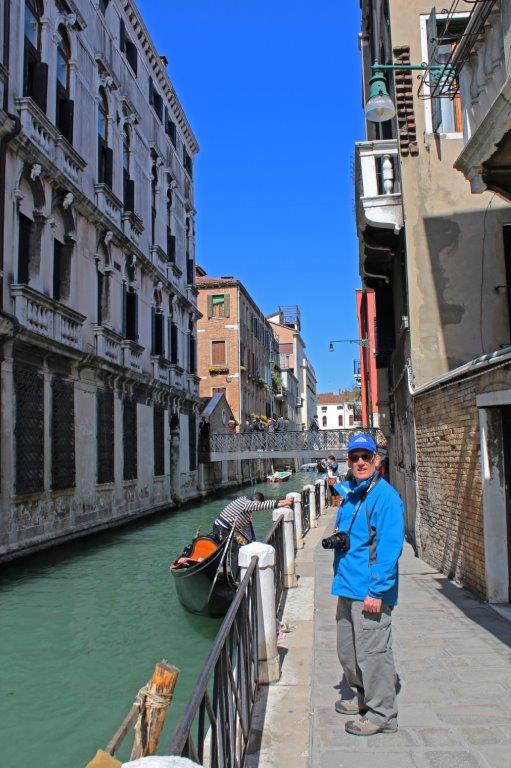
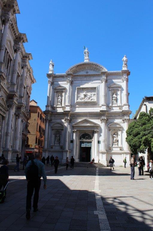
One of the shore excursions offered on the ship was a four-hour walking tour of Venice, which took you past several churches and as far as the famous Rialto Bridge.  Since we knew from the shore excursion brochure which places the walking tour would take you we just found the route ourselves and had a great day walking around Venice.  
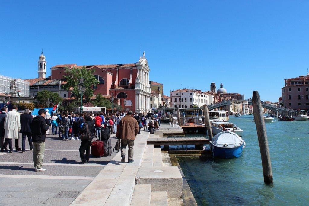
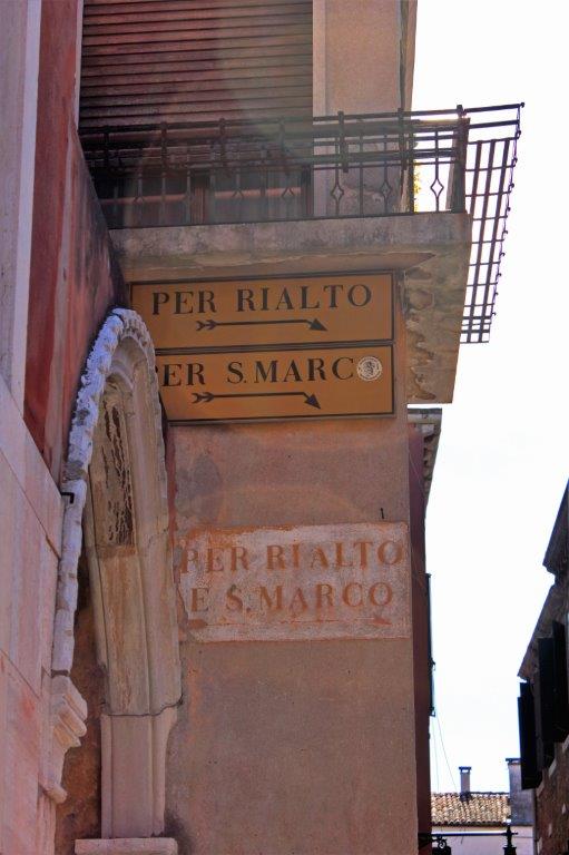
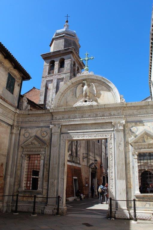
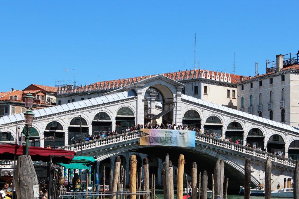
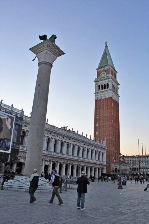
All ‘roads’ lead to St. Mark’s Square and Rialto Bridge – the two most famous landmarks in the city.  
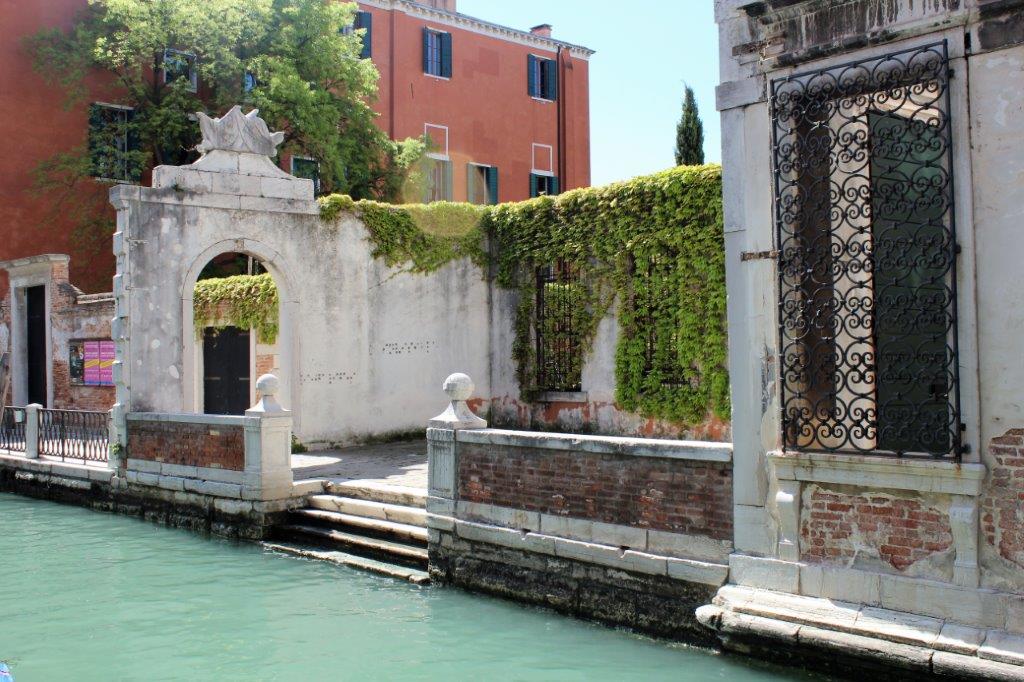
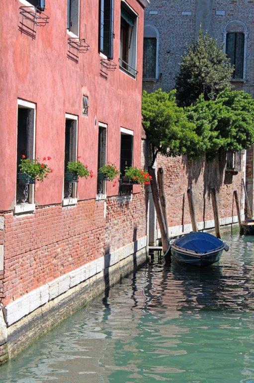
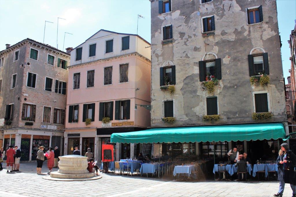
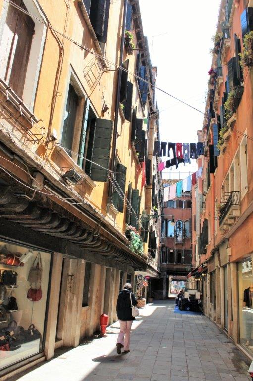
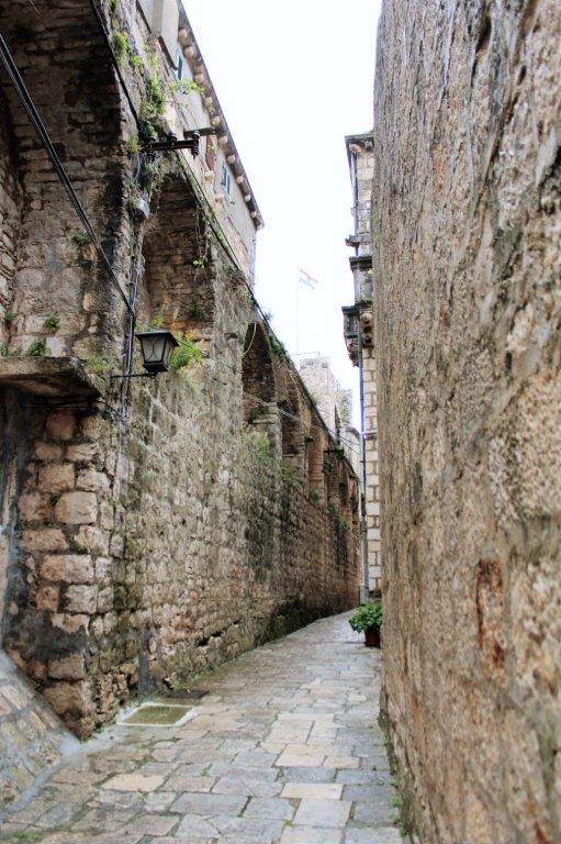
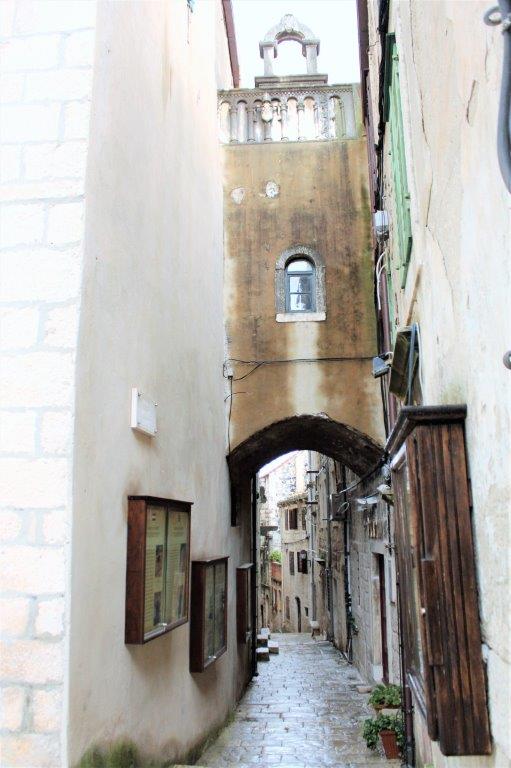
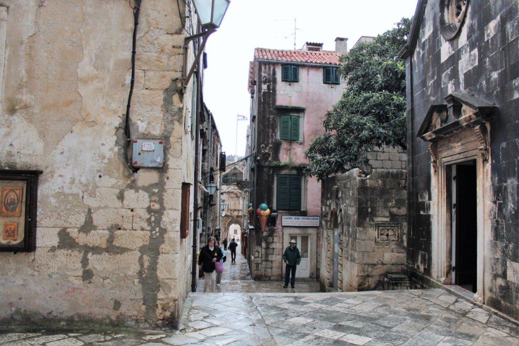
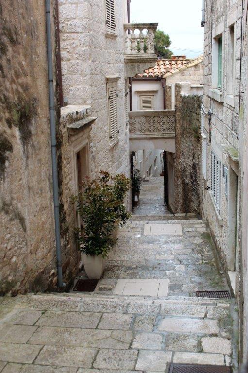
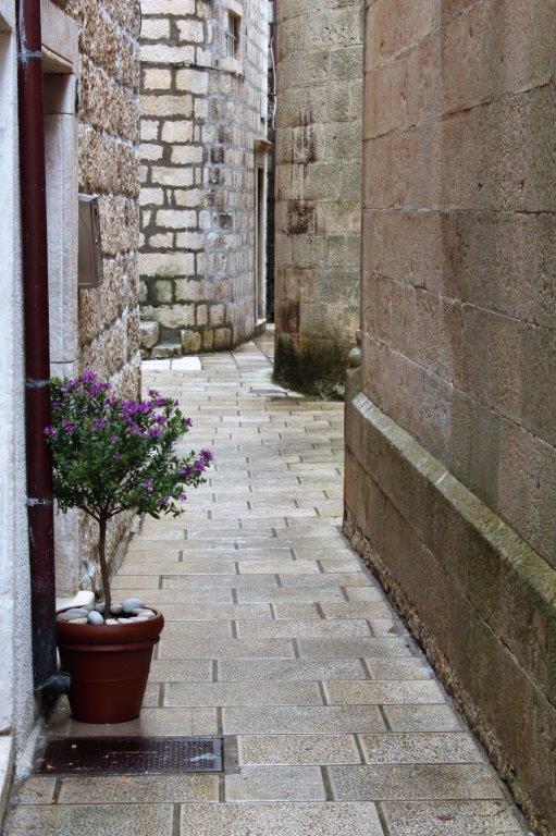
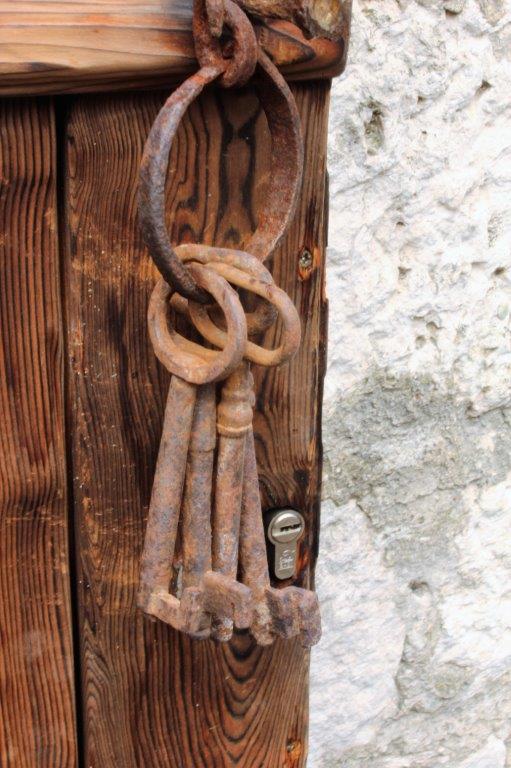
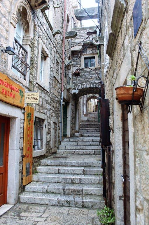
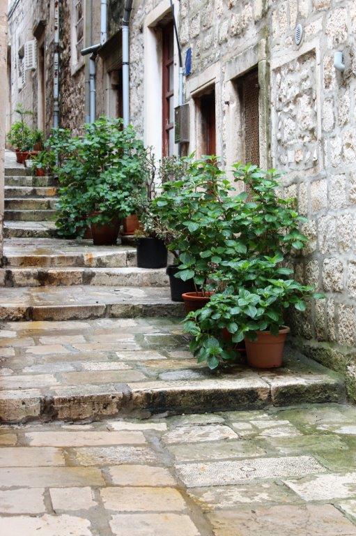
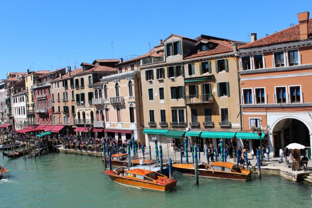
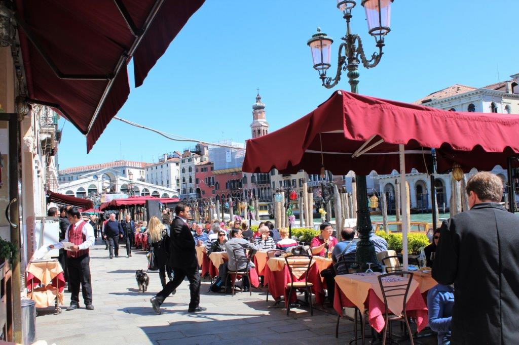
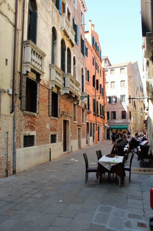
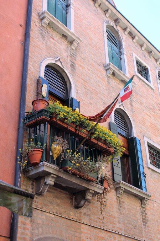
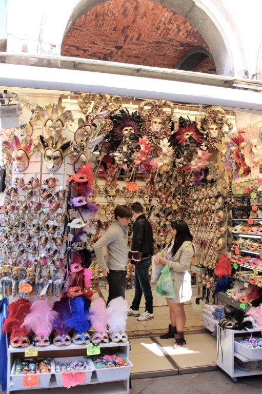
There are lovely little shops tucked here, there, and everywhere.
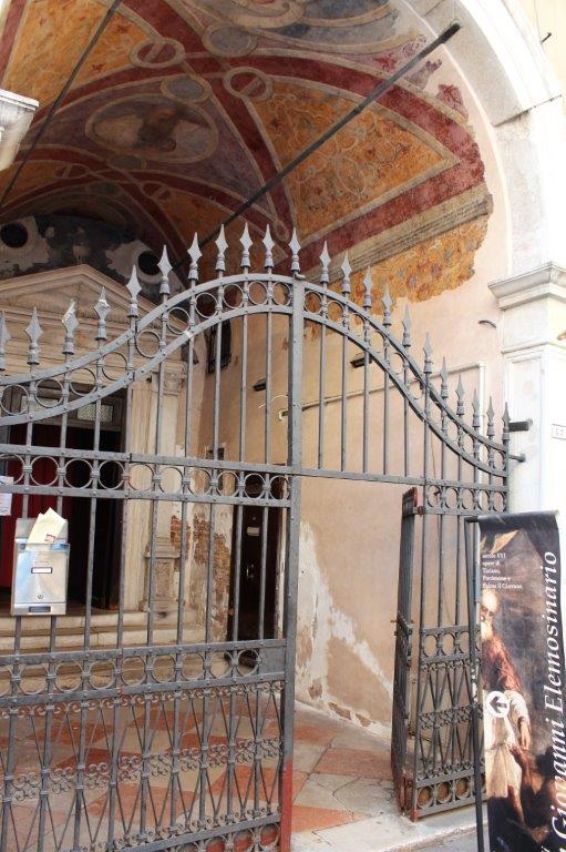
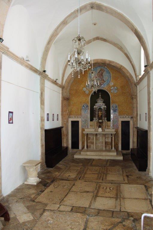
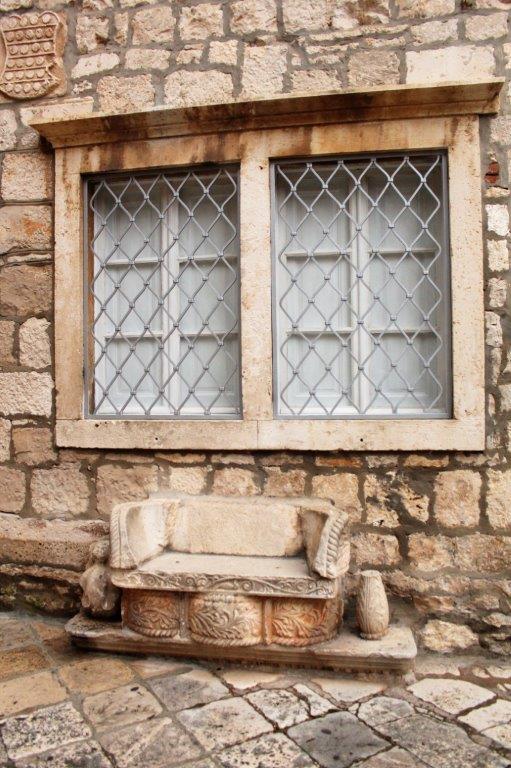
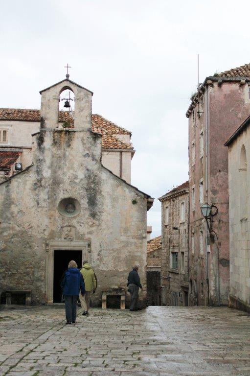
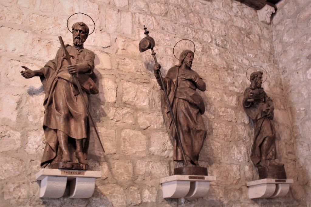
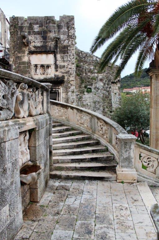
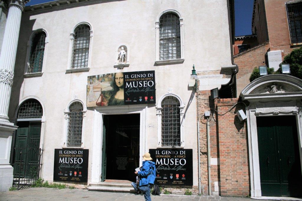
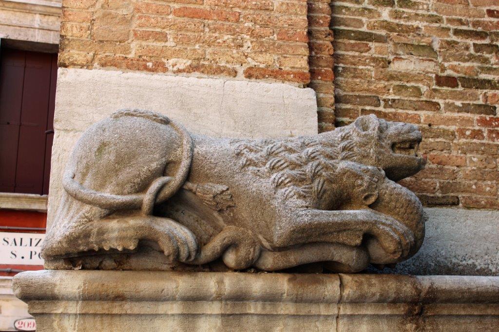
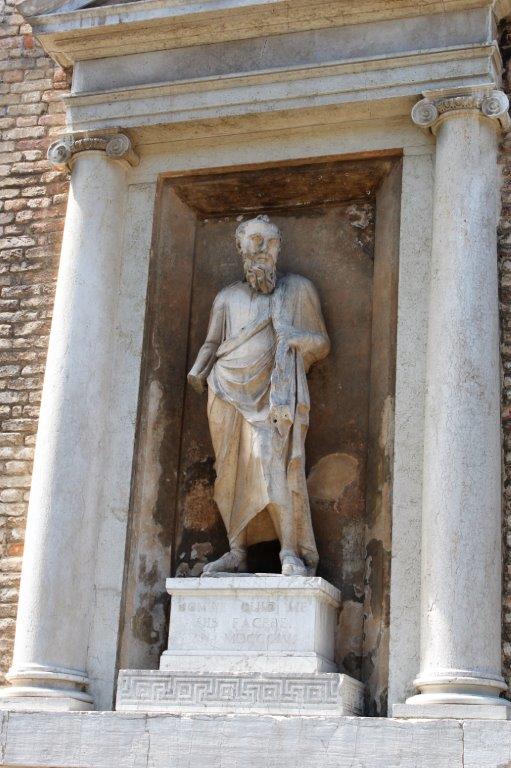
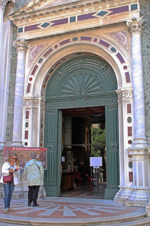
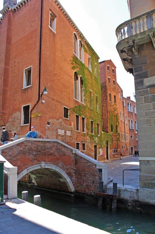
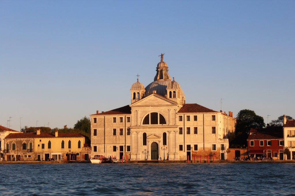
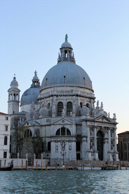
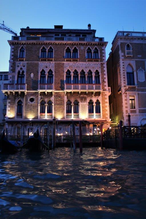
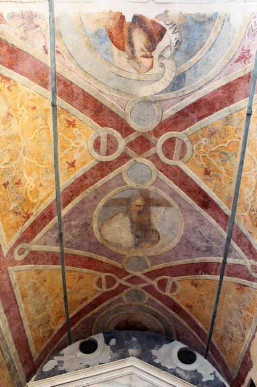
The architecture and design of Venice covers the Byzantine to Renaissance styles.  Everywhere you look there are lovely buildings and decorative accents. 
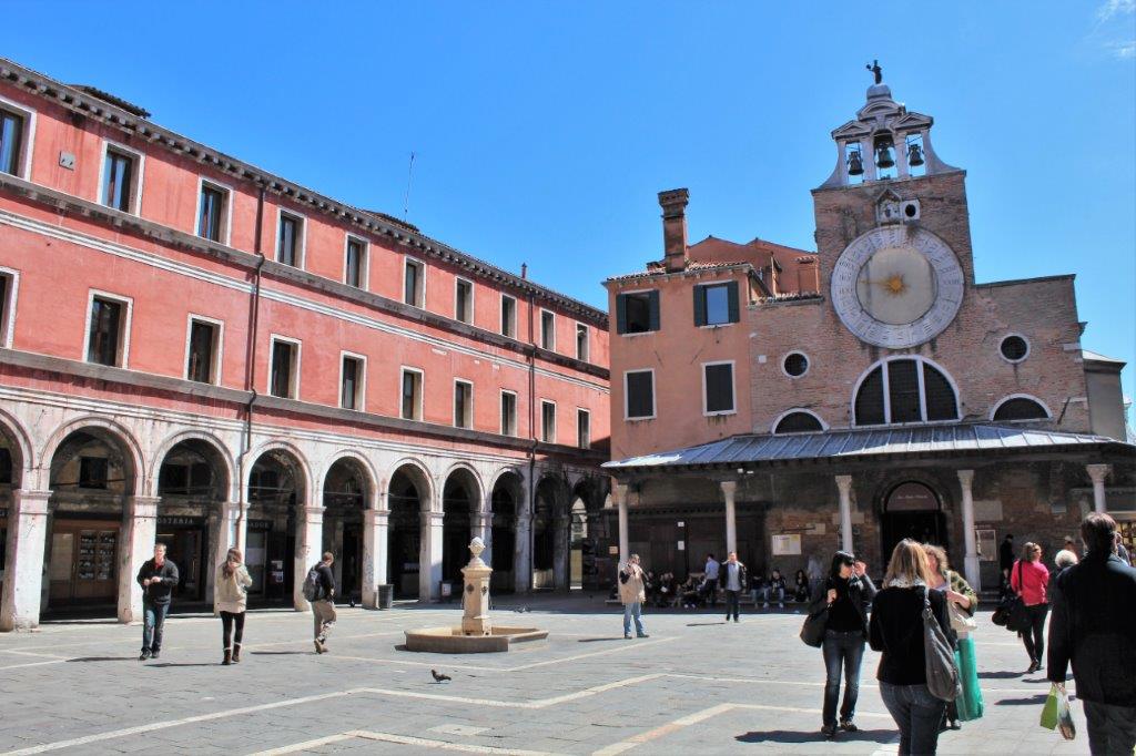
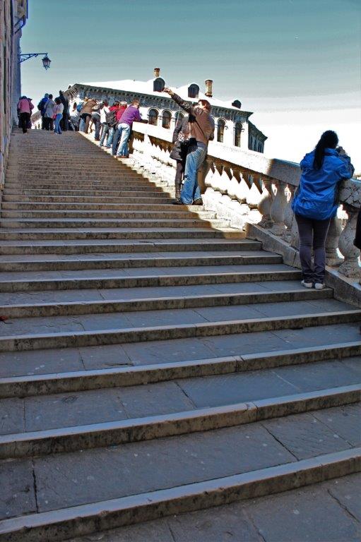
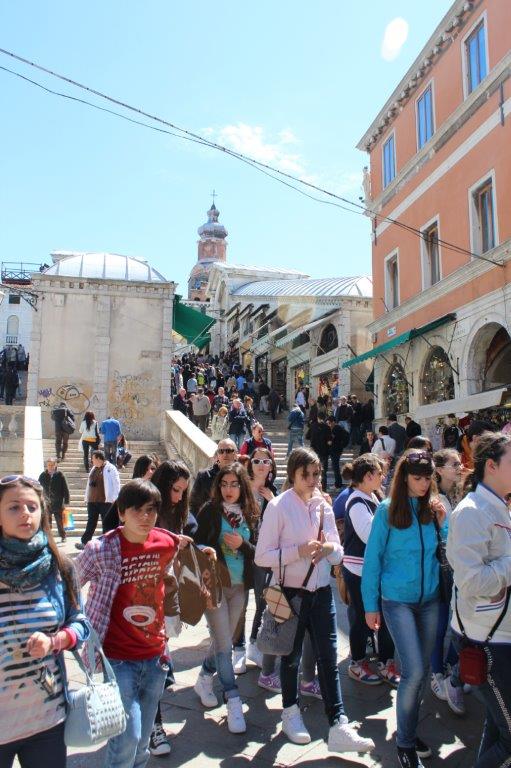
The bridge has a set of steps on each side of the central building in the middle of the bridge.

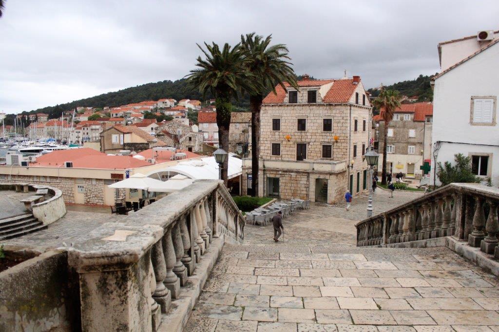
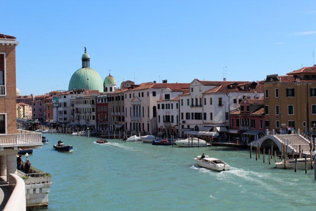
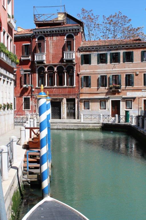
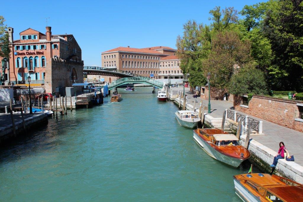
                                                   There is a nice view of the busy Grand Canal  
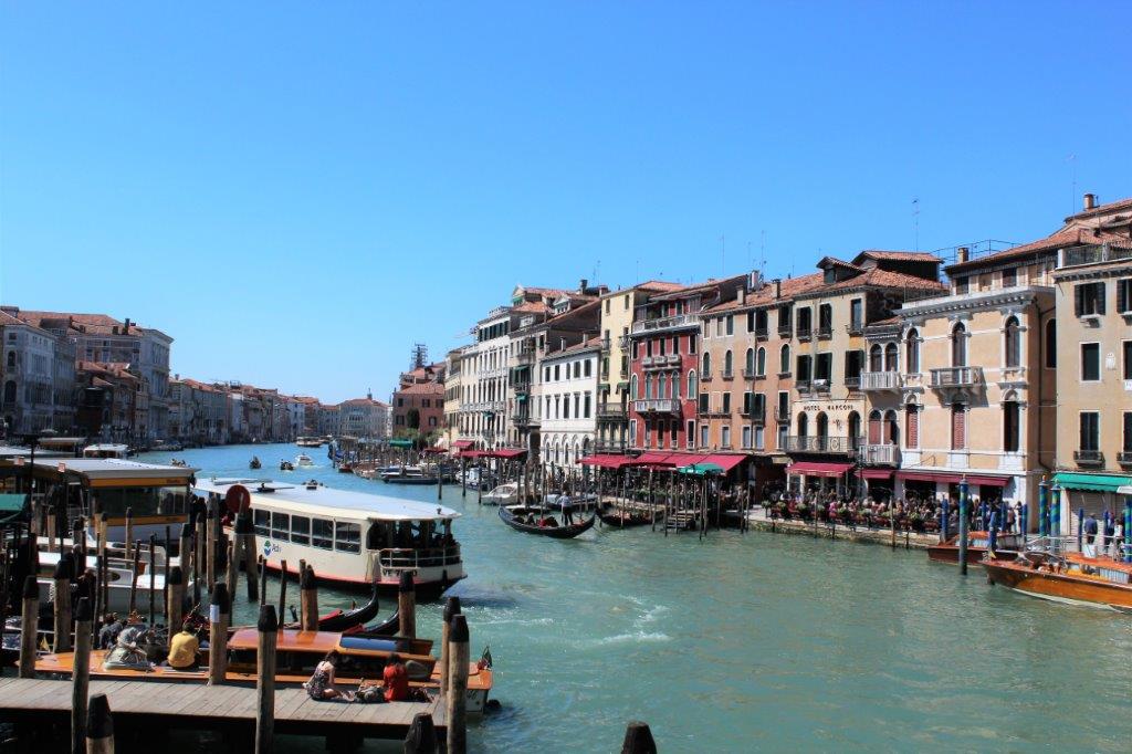
We walked across the bridge on one side and returned on the other side then made our way along the Grand Canal for awhile before turning onto one of the side paths and making our way back to the ship.
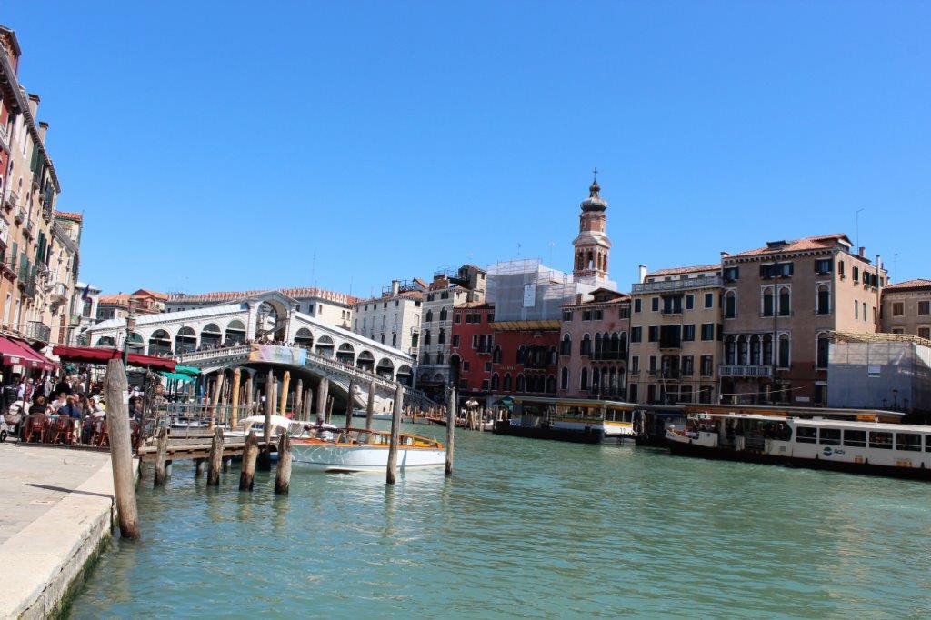
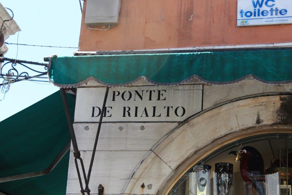
                                                            Rialto Bridge.

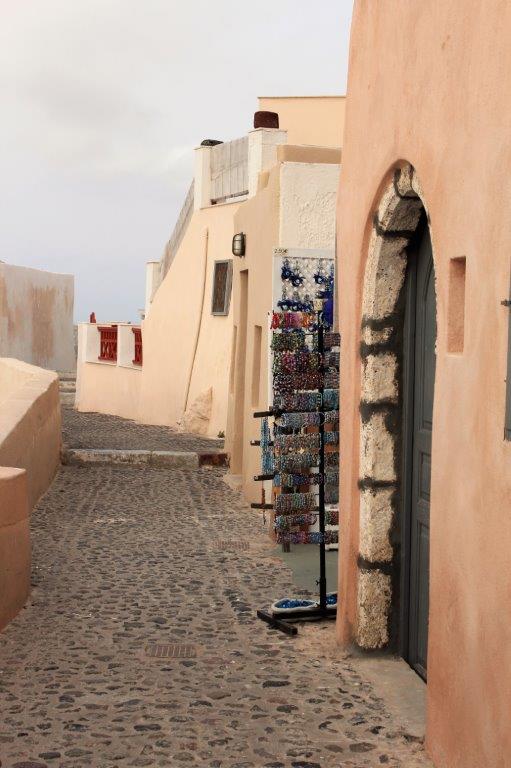
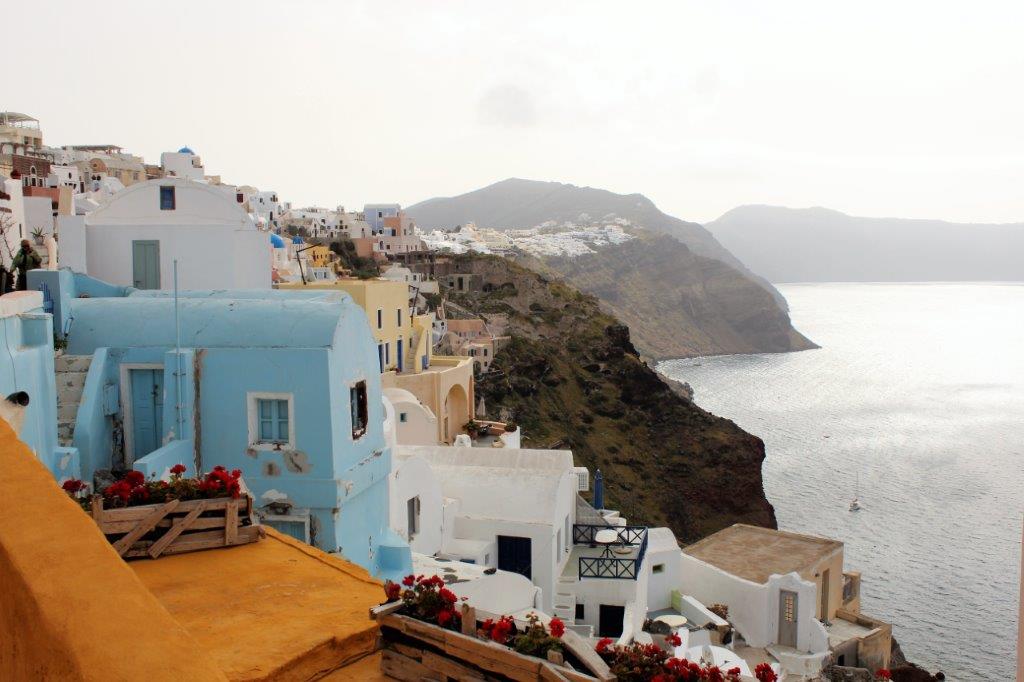
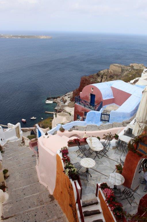
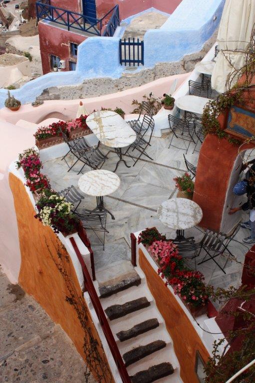
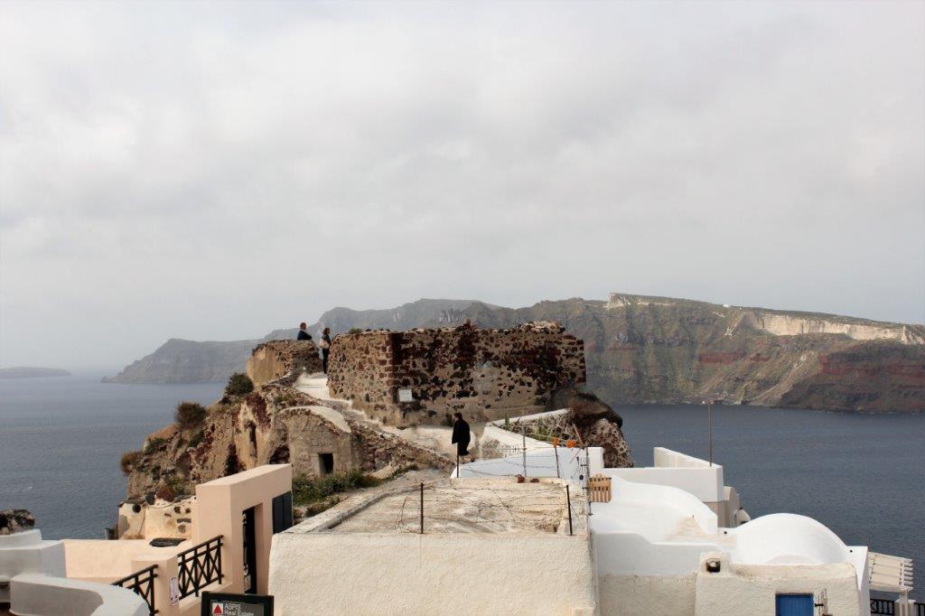
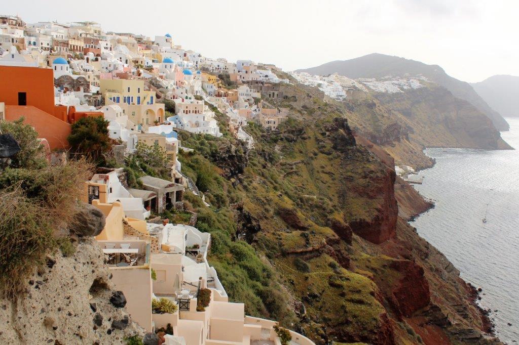
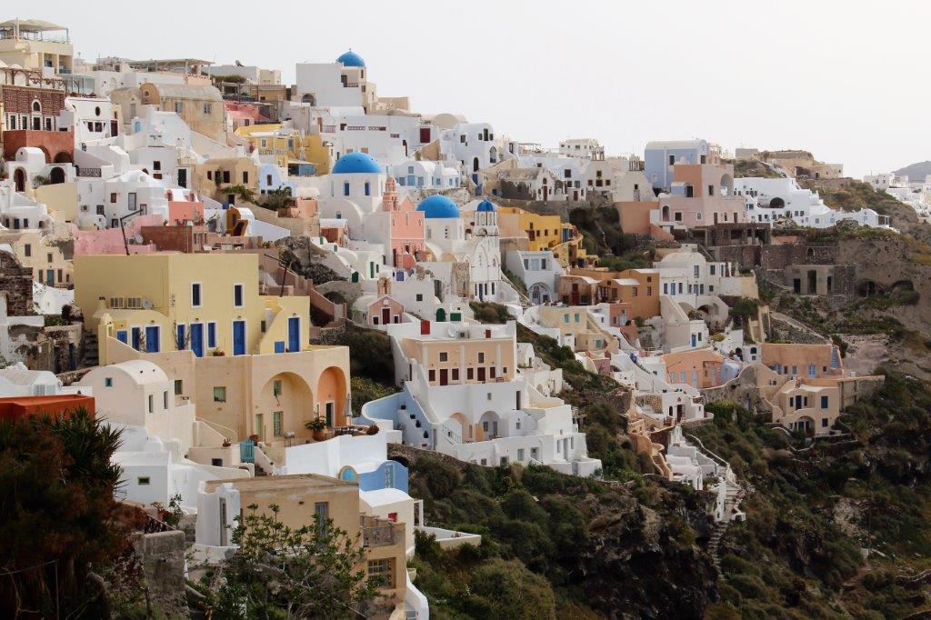
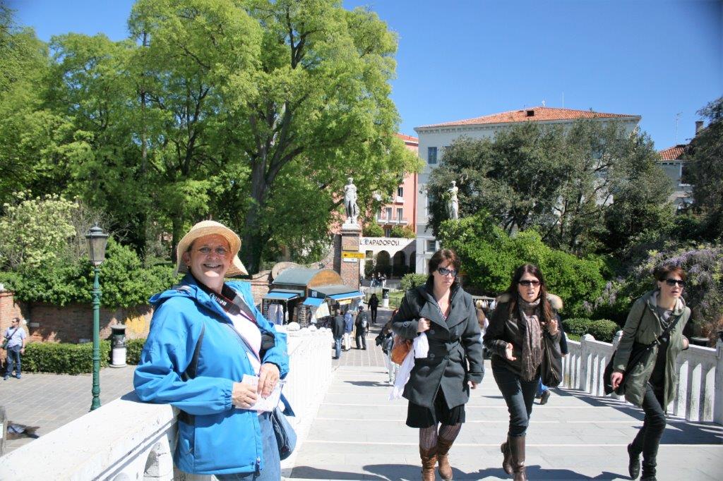
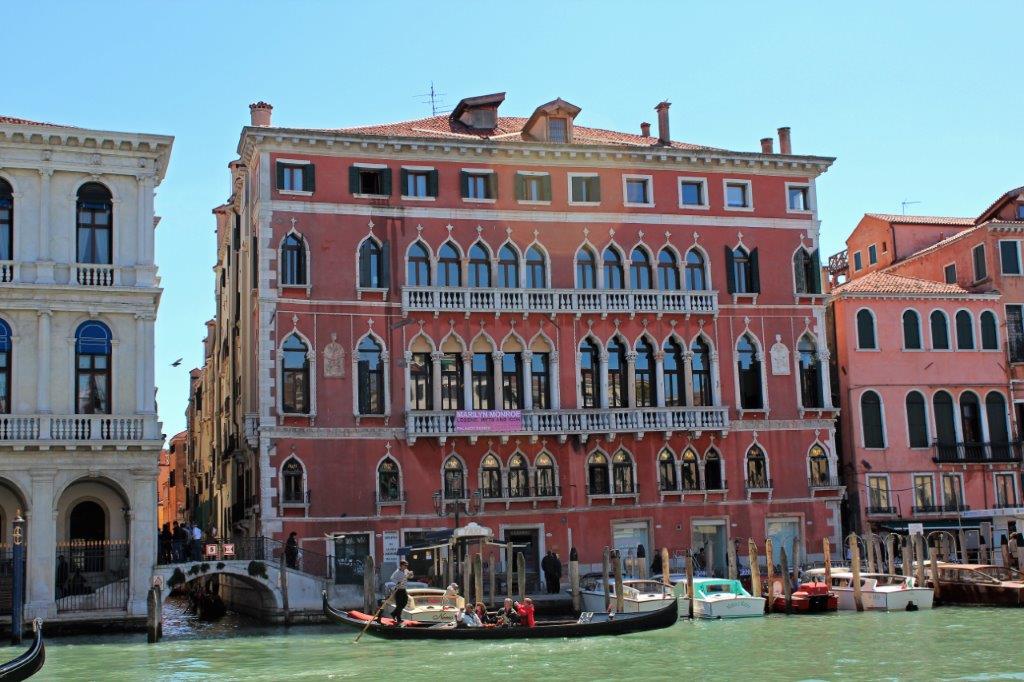
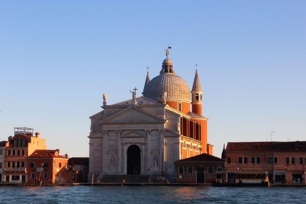
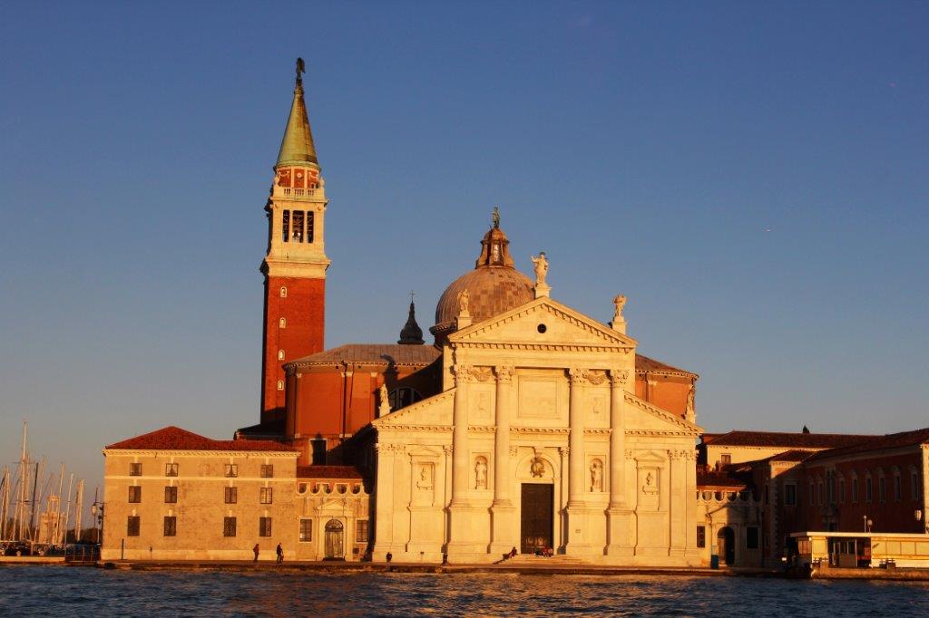
 Venice was like Oia on Santorini in Greece.  I could take a photograph everywhere I looked because there was so much beauty and an abundance of  interesting buildings and images.

Five hours later we returned to our cabin, weary but exhilarated from a fabulous day.  We eat in the dining room at early seating which is 5:30 and we are not generally finished until about 7.  We had to be at the bottom of the gangway at 6:30 for our sunset gondola ride.  We asked Ridho, our waiter if it would be possible and he assured us he would get our dinner in time for us to make our tour.  We sacrificed one of our starter courses and planned to also skip dessert but Ridho did such a great job bringing our meals out promptly we even managed to have dessert and be finished by 6:20.

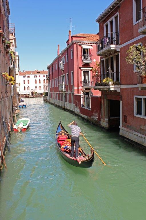
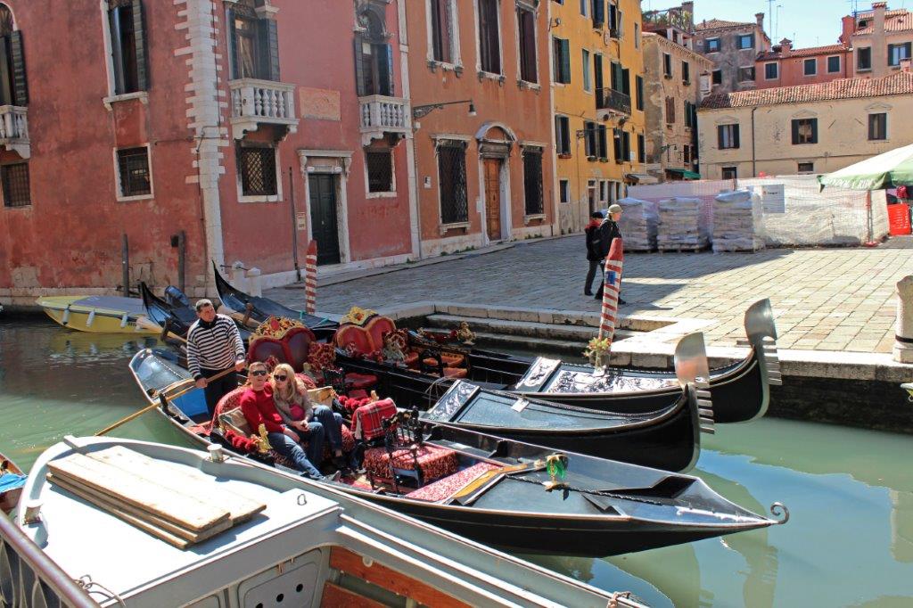
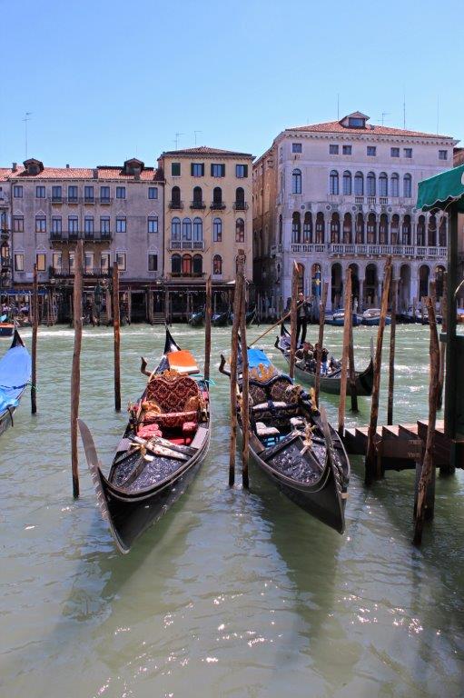
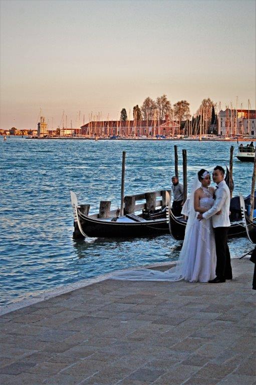
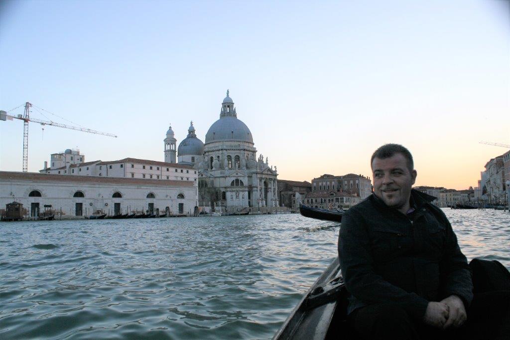
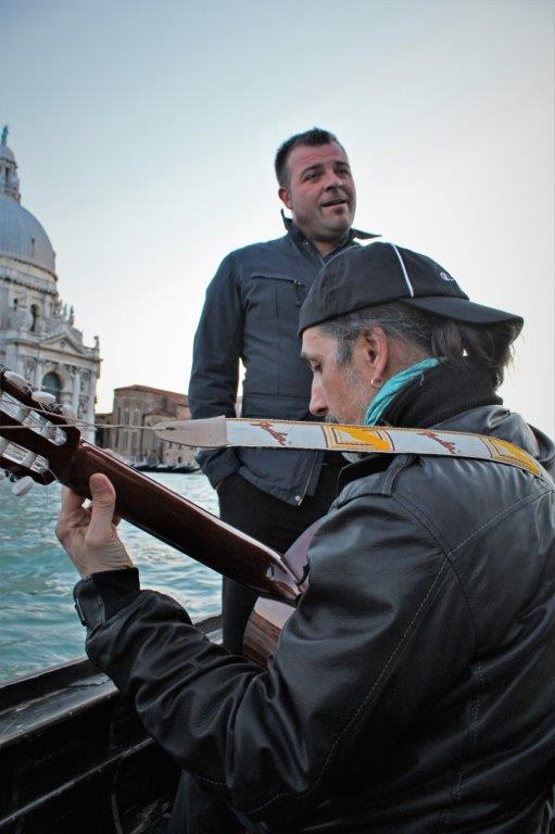
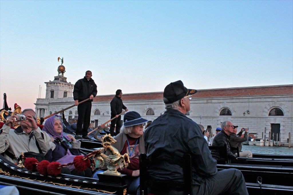
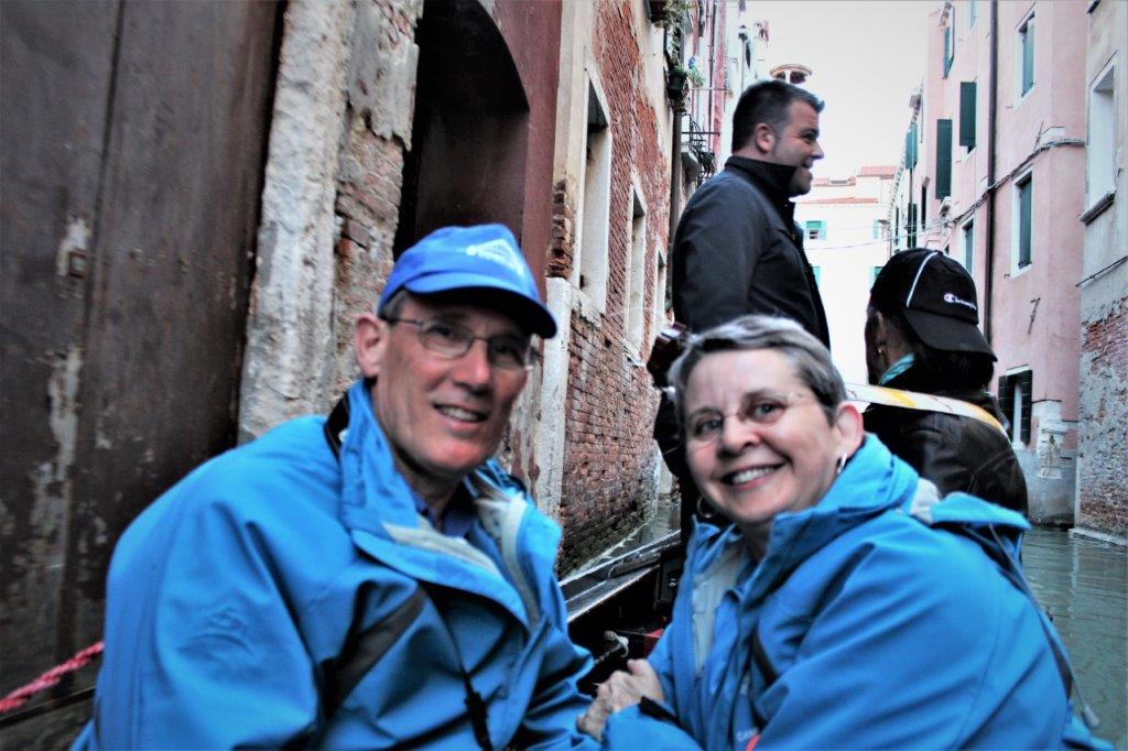
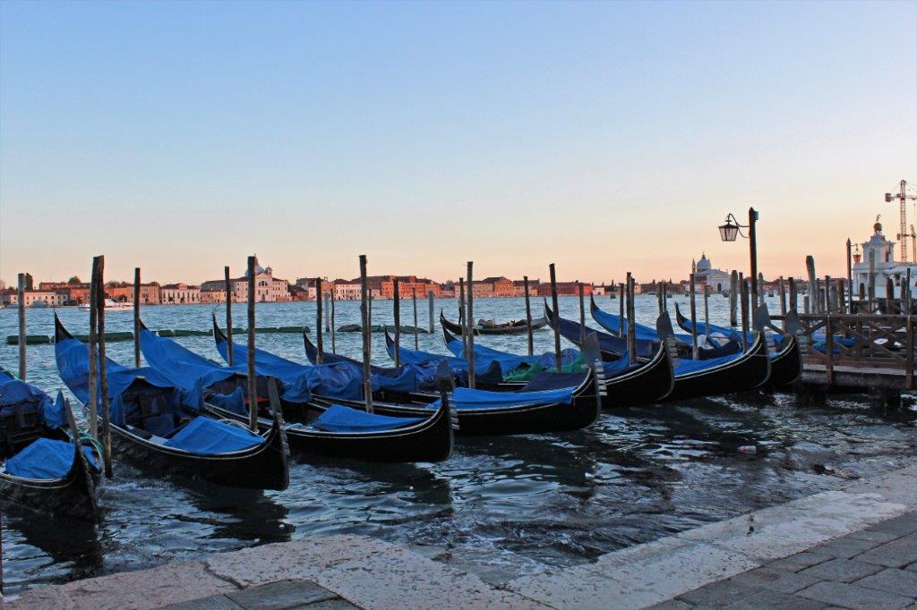
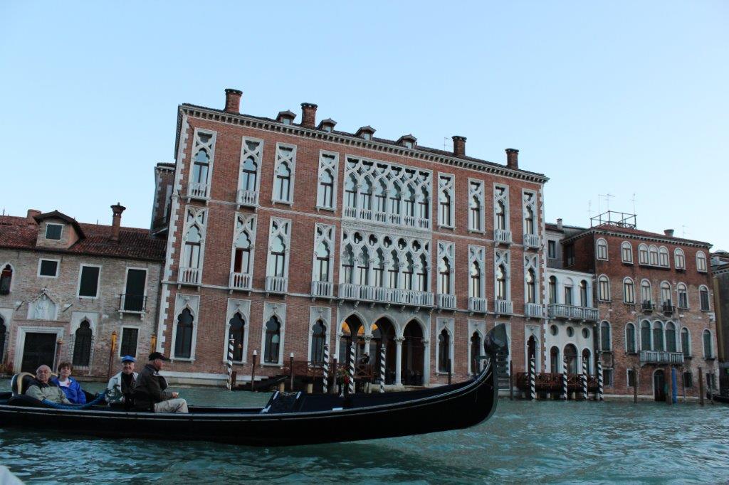
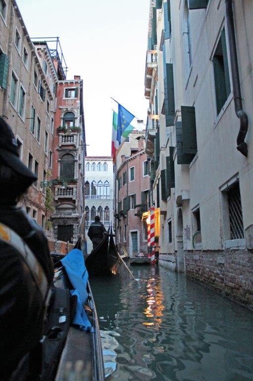
We were taken by boat launch from the port to a docking area near St. Mark’s Square.  There were about 50 people signed up for the ride in a gondola.  Two couples were put into each boat.  After we and Bill & Lyn were settled two more men also got in our boat and went to the back beside the gondolier.  We were not sure what was going on but quickly discovered that we were the ‘central’ gondola around which the others would travel to hear the singing.

The extra two men were the guitar player and the tenor who sang beautiful songs as we sailed through the canals as the sun set.  How absolutely incredible.  Lyn and I kept offering to pinch each other to be sure we were not dreaming.  Something like this is what you read about in books or watch in romantic movies, you don’t really ever believe you will do it yourself.  We certainly found it difficult to believe we were really there and really doing that.  Excited does not begin to describe how we were feeling. 
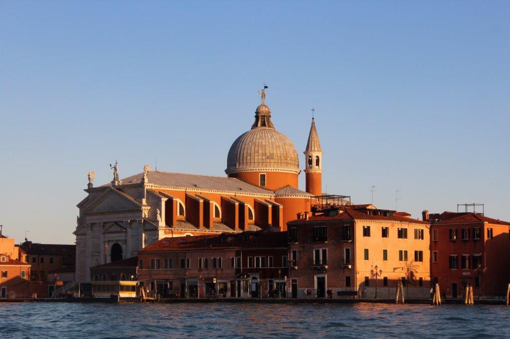
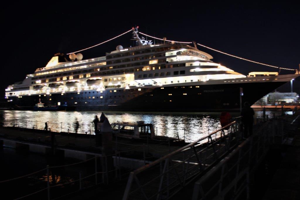
By 9:30 we were back aboard the Prinsedam and getting ready for bed, anticipating another great day in Venice on the morrow.

2012 April 16 – Day 36 – Korçula, Croatia

We anchored off the coast of Korçula and tenders took people to shore.  We woke to heavy, dark clouds.
Croatia’s western border lines on the Adriatic Sea and is partially comprised of the so-called 1000 islands of the Dalmatia Coast.  It has many historic sites and sunny beaches.  Korçula is one of the Dalmatian’s most interesting and historic gems.  The island is 46.8 km (29 miles) long and 7.8 km (4.8 miles) wide.  Residents claim Marco Polo as a native son (not definitively proven) .  He embarked on a remarkable Asian odyssey with his father when only a teenager (he was born in 1254). Polo was not the first to visit the east but he was among the few to document his journey.The horse-shoe shaped Old Town is situated at the tip of the narrow island making it easy to explore.  The town is all rock roads, rock buildings, rock walls.  The area is famous for it’s stone masons and sea captains.

The tour we had selected was  a boat trip along the Dalmatian Riviera, a 20-island archipelago.  Our first stop was the town of Orebic on the Peljesac Peninsula.  Orebic is famous for its Trstenica Beach with lovely jade green water. Our friends Charles and Evelyn, coming from southern California as they do, did not like the cold wind as we crossed the water. It was a nice place to wander around.  We had about an hour and then had to head back to our boat.

On the walk back to the tour boat the sky opened and it began to rain heavily. We keep hotel shower caps in our camera bags to protect our cameras during rain but they became our head gear as we made the walk back to the dock.

As we set off for our next island the boat captain kept checking the winds and clouds.  All the guests on the tour crowded under cover.  John and I climbed up to the top deck and the skipper said we could share his cabin or, if we would rather, we could stand outside under the roof overhang; which is what we did.  The captain finally told our Holland America rep that it would be too dangerous to navigate the boat to the next island as scheduled due to the severity of the storm.  He slowed the speed to a putt-putt across the bay to one of the more sheltered islands and cruised past the coast so we could have a bit of a look at things, then headed back to the ship.   This island is owned by the church and the building has recently been renovated.

Our tour ended over an hour early, but everyone was wet and cold and no one complained about the early return.  We all headed for hot showers and hot soup.  John and I read in our cabin and kept an eye on the sky.  About 3 o’clock the rain stopped so we grabbed a tender ride to shore and walked around the old fortified town, doing a long loop all the way around the tip of the island.         A monument to the contributions of the skilled stone masons   These beautiful figures of Christ and the apostles were all carved from wood.

The house that is part of an on-going archaeological study as to whether or not it is the home of Marco Polo, as it claims to be.                                         No shortage of rocks that is for sure.

Last tender back to the ship left shore at 4:30 and the ship raised anchor and set sail across the Adriatic Sea for Italy.

2012 April 15 – Day 35 – Durrës, Albania

The only tours offered in Durrës were a four and half hour two city sightseeing tour and an eight hour three city bus tour.  We don’t get a great deal of enjoyment out of driving around cities so we planned to go exploring on our own.  As we were leaving the port one of the security guards came over and pointed out all the highlights in the area.  He was very friendly and inviting.Durrës is the second largest city in Albania and one of the most ancient and economically important cities of the country.  It was founded in the 7th century BC by Greek colonists and has been continually inhabited for 27 centuries. The round Venetian towers were built in the 14th century.

There was a long oceanfront boardwalk near the port with lots of rides for kids and adults.

We noticed lots of graffiti and many rundown buildings.  Communism does take its toll on a place.  Albania was the last country in Europe to oust the communist party.  After many demonstrations and a national strike the government fell in 1992.  The change to a capitalism system has had some major ups and downs.  The country is now a democratic republic. We had been told the Archaeology Museum had some interesting things to see but it was closed and looked abandoned. The Roman Amphitheatre dates from the 2nd century AD.  It was the largest in the Balkan Republics and could seat 15,000 people.  It is mostly buried, fenced and marked as an archaeological site but obviously not restored or maintained.

Big Tom Turkey and a lot of chickens were wandering around the amphitheater.

                                        Sultan Mehmet MosqueThis was the site of a Byzantine-era market place dating from the 5th century AD.  The ruins extend under some of the nearby buildings and there is also the ruins of a Roman bath on the site. Again, the site is not well preserved, maintained, or protected.  But I am sure the new government had a lot more important calls on its money for roads and infrastructure improvements than could be spared for archaeological preservation and restoration. Perhaps in time there may be some work done.

Past the amphitheater ruins we wandered down a few streets and then climbed the hill to King Zog’s Summer Palace. The climb up to the Summer Palace was steep and when we finally reached the top we discovered it was closed.  The view was nice though. Back down the hill we went, via a different street which took us to the edge of a much newer part of town with some nice modern buildings.  Our walk lasted over two and a half hours and we had a good day just strolling here and there.  The people were very friendly and happy to have cruise ships stopping in their port.  We were even interviewed by a TV crew about our impressions of the city.  No idea, obviously, if it aired or not.  All aboard was 4:30 and the ship set sail at 5.  We followed the west coast of the Adriatic Sea up to Croatia for a day on the island of Korçula, just off  the Dalmation Coast.

2012 April 14 – Day 34 – Argostoli, Cephalonia, Greece

The ship was scheduled to anchor off-shore of the island of Kefalonia or Cephalonia (ke-fuh-loh-NeEE uh) and have tenders taking passengers ashore into the town of Argostoli,   There were no other ships in port that day so the captain was able to procure a dock for us.   We were tied up and cleared to disembark by 11 am.  We had an afternoon tour starting at 1 so took some time for lunch before getting off. Cephalonia is off the central west coast of the Greece mainland in the Ionian Sea.  It is about 750 square kilometers (290 sq. mi.) in size and very mountainous.  It reminded me very much of St. Helené off the coast of Africa;  all steep hills and switchbacks.  A 7.5 earthquake in 1953 that lasted almost a full minute destroyed just about everything on the island.  Only a few houses on the northern side survived.

Cephalonia is an island of many unusual geological formations created by the pounding surf and seismic activity.  Our tour took us to two of them.  First was Drogarati Cave which is located on the other side of the island.  We ascended the steep hill out of Argostoli and traveled across the top on the main road from Argostoli (the Capital) to Sami (the main town).  The distance between the two is 17 km (11 miles) but it takes about an hour for the drive. Drogarati Cave was located at the bottom of 162 steep steps.  There is a huge cavern in the middle that is used for concerts due to the great acoustics.  The famous soprano Maria Callas once performed there.

Many of the stalagmites and stalactites were damaged during WWII when the occupying German troops used them for target practice. The bus continued to the other side of the island to the main town of Sami and we had 30 minutes to wander around and shop if desired.  We don’t shop but we had a very nice walk around. From Sami we went to Melisani Lake which is actually an open-air cave (called a cenote) that was created when the roof collapsed.  The cavern is full of brilliantly blue water that enters via underground passages from around the island and as far away as Argostoli.  Entrance to the lake is via an underground ramp.  At the bottom we boarded a rowboat and went for a ride across the small pool and into the cavern on the other side. It is such a narrow passage into the cavern that the oarsman has to pull the boat using ropes attached to the rock wall. Inside the cave we made a slow turn and went back out into the open-air lake and back up the ramp to the outside.The colour of the water changes constantly depending on the amount of cloud cover and the direction of the sun.  It was crystal clear and you could easily see the bottom. The bus driver took us up the eastern coast from Sami through Agia Efimia and over the top of the northern peninsula for a view of the famous and beautiful Myrtos Beach before returning us to the port. The captain cast off at 6 and we watched the island disappear while we had dinner.  There was storm expected with gale force winds so the captain was not loitering as we traveled overnight to Albania. 

2012 April 13 – Day 33 – Thira (Fira) Town, Santorini, Greece (Part 2)

Once we reluctantly left the beautiful town of Oia, the second largest after Fira Town, on the island of Santorini, Greece, we were taken to Domaine Sigalas, one of several small wineries on the island.Because the island is so hot and dry the grape vines are pruned into round basket-like shapes very low to the ground.  In this way moisture from the air is trapped in the middle and the springtime blossoms are protected from the stiff winds.  The grapes then grow in the center of the ‘basket’ with the leaves covering them providing shade from the hot summer sun.  Very ingenious. Domaine Sigalas produces a rosè, four red and four white wines. After our wine tasting we were driven up and over the crest of the caldera rim back to Fira. We were taken to the Nomikos Foundation which has a wonderful display of three-dimensional photographic reproductions, representing the prehistoric wall paintings of Akrotiri which offer a glimpse of what life was like in the 17th century BC. The entrance terrace offered a pretty nice view of the ship and the sea. At the winery we sat with Andrea, one of the ship’s videographers and her friend Leigh, one of the ship’s dancers.  When we finished looking at the displays of Akrotiri Andrea joined John and me and we went looking for the donkeys.

There are two ways, other than the road, to get back to the bottom of the cliff and the ship.  One was to walk for about 10 minutes and ride the cable car down.  The other is to ride a donkey.  It took us awhile to find where the men and their mules (not donkeys) were stationed and it took a bit more time to convince one of them to go down with only the three of us.  The fellow that eventually agreed was going down anyway to take some more mules to the bottom for people to ride up.  Unbeknownst to us there was no path.  Rather wide, shallow stairs followed a switchback route down the cliffside.  Now, riding an animal down a steep slope is challenging enough, riding one down a staircase was very interesting.  John turned in his saddle to take my picture just as his mule landed hard on one of the steps and was almost thrown off.  It was great fun though!

We could see the cable car route as we descended.  


Very, very energetic people will walk down, or up, the stairs.  We all had a great time on the ride down.  However, we were told later that you never, ever ride the mules down the stairs; only up.  When they go down apparently they just clamber down quickly and there is nothing you can do to slow them down.  Thankfully we had the fellow in front leading the way which, I guess, saved us from a harrowing trip.

I absolutely loved our day in Santorini and would go back there anytime.  What a beautiful, interesting place!

2012 April 13 – Day 33 – Thira (Fira) Town, Santorini, Greece (Part 1)

In 1628 a massive eruption blew out the center of the active volcano known as Stongyle (ston GHEE lee).  The shock would have been felt over all of Europe.  A huge chunk of solid rock shot straight up in the air, landing in the sea with such violent force, it spawned a catastrophic tidal wave.  Many scientists believe the disaster wiped out the late Minoan civilization on Crete (113 km/70 miles) away.Although it appears to be three larger islands – and several small islets, each with its own name – Santorini is actually one land mass. All that is showing above the sea  is the tips of the volcanic rim surrounding the largest caldera in the world.  The Aegean Sea has just flowed in through lower areas and created what looks like separate islands.  Santorini lies about 233 km (126 nautical miles) to the southeast off the coast of mainland Greece

The ancient city of Akrotiri, located on the southwestern part of the island was completely buried under ash and excavations at the site began in 1867 after some local people found old artifacts at a quarry.  Like Pompeii, Akrotiri is very well preserved with paved streets, a sophisticated drainage system, and specialized craft shops.  There are lovely frescoes, furniture, pottery, and three story houses.  Remarkably, unlike Pompeii, Akrotiri has yielded no un-interred human remains, showing that the city was effectively evacuated.

Unfortunately no one was allowed at the site at the time we visited. The site had been closed in 2005 after a visitor was killed when a protecting cover collapsed.  (I think it is open for visits and tours now though.)

We did, however, have a glorious day! One of my very favourite of the entire trip.  Sailing into the caldera near Santorini was very strange.  The tops of the high, steep cliffs looked like they were covered in snow.  We knew that couldn’t be true but it took us awhile to realize the ‘snow’ was the whitewashed buildings of towns. We anchored off Fira Skala (below the cliff-side town of Fira) and tenders operated between ship and shore all day.                               It is a narrow switchback road to the top. There are 17 villages on the island and a total population of about 14,000.  We traveled first to northwestern tip, to the gorgeously picturesque town of Oia (EE yuh).  The buildings of Oia are prominently featured on almost every brochure and advertisement promoting Greece.  The village was destroyed in an earthquake in 1956 and has been rebuilt.  The flag of Greece is blue and white and during the German occupation in WWII it was forbidden to fly the flag so people whitewashed their home and painted the door blue to display their national allegiance.  Even today most people put a fresh coat of whitewash on their homes every year.

I could have wandered up and down the narrow, stair-filled walkways all day long!  We were blessed with a beautiful sunny day and everywhere I looked there were flowers, or pottery, or jars, or buildings of lovely colours and shapes, and sizes.  As an avid photographer it was magical. The bus driver let us off in the upper square and we were give time to wander wherever we wanted. Our wanderings took us all the way to the old fort at the edge of the town.  It was a long way down to the sea, and it is 300 steps to reach the small harbour village of Ammoudi.     Seriously, how could you not love this place!  I did not want to leave Oia, but the tour must continue…It was Greek night in the dining room and once again dining room and front desk staff dressed for the theme.  It is so much fun to see what they come up with.

2012 April 12 – Day 32 – Piraeus, Greece – Day 2 (Part 2)

We left the ruins of Corinth and drove 45 minutes to Mycenae.  The Mycenaeans were a Bronze Age civilization that was the most powerful in all of Greece for 400 years (1500 BC – 11)) BC) before it disappeared.

German amateur archaeologist, Heinrich Schliemann discovered the site in 1874 and excavations have been going on ever since.  Mr. Schliemann was searching all over Greece trying to prove that the stories of Homer’s ‘Illiad’ and ‘Ulysses’ were real people and real events.  Which, in fact, he did.

This was the main center of the Mycenaean world, uniquely placed to control the communication routes in all directions and naturally, strongly defended.  The site housed the royal house of Atreidae and their people.  Archaeological evidence has been found of even earlier habitation; as far back as the 3rd millennium.                      The view as we climbed the hill was pretty nice. The hill and surrounding area were part of the archaeological site, so obviously we did not have time to check it out very thoroughly.  They do have good information signs in both Greek and English so that helps a lot to know what is what. Entrance to the city is through the Lion Gate, which is estimated to be 3250 years old and the earliest known example of what is called a monumental statue. As you can tell by the gigantic wall the city was extremely well fortified.  It is called a Cyclops rock  wall due to the immense size of each block – each one was the size of a Smart car.  How they cut them and moved them and stacked them is beyond me.  Lots of slaves and smarts, I guess. The big stones were made of conglomerate rock; which is huge rocks made of compressed small rocks.  Once the group was through the entrance gate our guide again had the group cluster around her while she talked for 15-20 minutes.  And, as before, I wandered off to explore on my own.  I was able to climb to the top of the hill by the time she and the group had moved twice.

As you follow the path upward you get good views of the Grave Pits that have been excavated.  Several tons of gold masks, dishes, ornaments and jewelry was found in Circular Grave Circle A.  Grave Circle A was the final resting place of four men and two women. Several other tour groups and school classes arrived not long after we did.  Everything gets pretty crowded in these parts. One can certainly see why they built their main city atop this hill.  You can see in all directions for miles and miles.                                 I loved all the pretty little flowers.

We made our way back down and onto the bus again.  As we were leaving I got this picture of the ruins.  Pretty impressive walls and construction.Our final stop was the ‘Treasury of Atreus’, also called the ‘Tomb of Agamemnon’, who was the Greek Commander-in-Chief during the Trojan War.  The beehive-shaped vault is accessed by way of another Cyclops stone wall.  The entrance doorway has a single stone lintel that is estimated to weight 182 tons!  The entire tomb, walls, and entryway was completely buried and nothing was visible when you looked at the hillside.  What made Schliemann search the area, I have no idea.  I guess something about it said there was something there. The tomb interior is about 12 meters (40′)  high, but looks higher because the blocks are smaller as they go up.   After we had completed our tour of Agamemnon’s Tomb the bus took us to a restaurant on the outskirts of modern-day Mycenae for a delicious lunch, followed, of course, with some time to shop. After lunch it was time for the drive back to the port. We arrived at 4:30, in time to have a rest before dinner.

2012 April 12 – Day 32 – Piraeus, Greece (Day 2) (Part 1)

When we woke up our second day in Piraeus we discovered that during the night a European cruise ship had berthed on each side of us.  Each of the ships had over 2,000 passengers, many of them families with children as it was Easter break from school.  We were very pleased we had chosen to do the Acropolis tour on our first day.  Our friend Charles did the same tour on this day and said he saw more people than stones.  Just as in Turkey, the historic sites in Greece are jam-packed with people all summer long.

We left the ship at 8 am for our 8 1/2 hour tour to Corinth and Mycenae.  We made a stop at the Corinth Canal during our one hour drive to Corinth.  The canal was begun by Roman Emperor Nero around 30-50 AD using 6,000 slaves as construction workers.  All work stopped when Nero died and the canal remained incomplete until the builders of the Suez Canal used Hungarian workers to finish it between 1881-1893.  The canal is 6300 meters (just under 4 miles) long and cuts 242 km (131 nautical miles) off the route from the Adriatic Sea to the Aegean Sea.  Water depth is over 8 meters (30′) and banks are 70 m (230′) above the water.  The channel is 18 m (60′) wide.  The solid rock sides are cut at 71-77° so it would have been extremely hazardous work. Truly an amazing construction feat. We were let off the bus at the museum and made our way through the exhibits to the ruins.  The exquisite details of the sculptures and pottery boggles my mind when I consider how very, very old these things are.  Truly amazing. The city of Corinth was built by the Greeks in the 6th century BC.  It was completely destroyed by the Romans in 149 BC.  Julius Caesar sent a colony to the area 44 BC and a new city was built on and out of the ruins.  This makes for an interesting mix of Greek and Roman architecture and archaeology.  Ephesus has had much more excavation and restoration work done than Corinth but we could still understand the city layout.

The fountain of Glauke, a large mass of limestone, was formed when the surrounding bedrock was quarried away.  The fountain is named after the second wife of the hero Jason Medea and is the site of a mythological tale.  There were four large reservoirs fronted by three draw basins and an architectural facade.  Glauke fountain is not connected to a natural spring like the other fountains in Corinth but is instead fed by water piped in from the south.

Just like our guide at the Acropolis our guide in Corinth would stand at a statue or ruin and pontificate for 15-20 minutes, so we left her to it and wandered off on our own.  Everything has good signs so we were able to understand what we were seeing.  The guides often have additional stories or information that is very interesting but I don’t like standing and listening for 3/4 of my time at a place instead of seeing the place it self.It was spring and poppies and a small white flower and a nice yellow one were blooming all over.  So very pretty. On this very spot, the Bema in Corinth, the Apostle Paul preached the gospel to the people and Christianity spread rapidly throughout the city and surrounding area.  Paul later wrote two circulating letters to the churches, one of which contains the famous passage about love that is quoted at thousands of weddings every year, “Love is patient, love is kind.  It does not envy, it does not boast, it is not proud……It always protects, always trusts, always hopes, always perseveres….And now these three remain: faith, hope and love.  But the greatest of these is love.” (1 Corinthians 13:4-13).

The Fountain of Peirene is a Roman construction. We left Corinth and got back on the bus for the 45 minute drive to Mycenae; the ruins of the most powerful Greek kingdom for 400 years. 


2012 April 11 – Day 31 – Piraeus, Greece (Day 1)

Piraeus is the nearest port to Athens; which is only about 8 km (5 miles) away.  The ship docked at 10 am and stayed until 6 pm the following day.   We walked to the waterfront shopping area to find a bank so we could get a few smaller denomination Euros.  Turns out there is a law in Greece that you can’t do transactions in a bank unless you have an account in the bank – even just changing larger bills into smaller ones.  The banks also all have very high security. There are two heavy remotely lockable doors into each one so if you try rob the place you will just get trapped between the doors.

We walked all around the port shopping area for about an hour and a half before going back on board to have a bite to eat and get ready for our tour.

Pireaus has a 6,000 year history.  It has been the main Greek harbour since 500 BC.  Cargo, commercial and passenger vessels from all over the world share the docks.  Piraeus is designed for maritime commerce and most people in the city maintain some kind of tie with maritime industry.

The drive into Athens did not take long.  We were dropped off at the base of the hill to the Acropolis.  In Ancient Greece every city had an Acropolis which is a place of worship and administration that was built on the highest hill.  Acropolis simply means high place.

This photo I took of an aerial view of the Acropolis from a brochure gives an idea of what the entire site looks like.


As we made our way along the path we had a good view of the Theatre of Dionysos at the foot of the hill which had a seating capacity of about 17,000. It is not a very high hill and only took a few minutes to climb.  The reinforcements made by man over the years makes the fortress stand 70 meters (230 feet) above the city and you get a panoramic view in all directions. At the top of the path is the Propylea, the colossal entry gate, which gives access to the upper terrace. Our guide stopped at the gate and spoke for about 20 minutes.  I love all the information and history, but I don’t want to stand in one place for the majority of the time I have and listen to someone talk about what I want to see and then have no time to go see things.  We wandered off to explore.  I saw the group eventually arrive and stop by the Parthenon building and she talked for another 20 minutes.  We ignored the group the rest of our allotted time and re-joined them when we were due back on the bus. There are the remains of four buildings atop the hill and all of them are undergoing restoration; the most famous being, of course, the Parthenon (Virgin’s Chambers – dedicated to the Virgin Goddess Athena), considered by many to be man’s finest structural achievement.   The flawless proportions feature a gentle upward slope, so the form appears to be a perfect rectangle, but, in fact, the columns are slightly widened on one end to create a linear illusion. We walked all the way around the Parthenon before exploring the rest of the buildings.

From the edge of the hill by the Parthenon you can look down and see more ruins of buildings and a theater. The Temple of Athena Nike was built to honour the 480 BC Athenian victory over Persia.

Sadly, we had to leave.  The bus took a circuitous route through Athens, taking us to the Olympic Stadium.  It was completely destroyed by fire and re-built exactly like the original for the first modern Olympic games in 1894.  Seating capacity of the stadium is 60,000.  Every torch for Olympic Games begins its journey from this stadium and is then carried to the host city. Hadrian’s Arch                                        The modern Olympic StadiumWe returned to the ship very much aware that we had seen only a very small part of what is available in this amazing city, but so thankful for our wonderful day at the Acropolis.  The next day’s tour took us out of Athens to the ancient city of Corinth.

2012 April 10 – Day 30 – Scenic Cruising in the Bosporus, Marmara Sea and Dardanelles

We had a “sea” day after a week in ports and on tours.  There was a reception on board that we were invited to attend but we skipped it in favour of spending the day on deck watching the coast go by.  It wasn’t what you could call a lovely day; it was cold and very windy, but we enjoyed being outside rather than doing chit chat in the dining room.

The Bosporus Strait is a 32 km (20 mile) long narrow strip of water that separates the Black Sea from the Sea of Marmara which is a small body of water on the northwestern edge of Turkey.  The city of Istanbul straddles the Bosporus Strait, separating Europe and Asia.  The strait varies in width from half a mile to a mile and a half.  The water runs swiftly due to two different opposing currents.  Nearly 40,000 ships navigate the channel every year.We spent the morning on deck as we sailed back from the Black Sea through the Bosporus Strait and past Istanbul again. Sailing under the Bosporus Bridge.  The Asia side is mostly residential.  The European side is home to old Istanbul with Hagia Sophia, the Blue Mosque and Topkapi Palace easily visible from the water.

The Sea of Marmara is 282 km (175 miles) long, at the longest point.  It is a fairly constricted lake just 80 km (50 miles) wide at its widest; but it is deep (up to 1372 m or 4,500 feet) at the center.  It took the ship all afternoon to navigate the Sea.

At the end of Sea of Marmara is another narrow channel of water called the Dardanelles which accesses the Aegean Sea near Greece.  the Dardanelle Strait is 61 km (38 miles) long.  It was formed during a cataclysmic geological event that sunk a portion of Asia Minor.  The northern side of the Aegean entrance is the European Gallipoli Peninsula; the southern shore is Asia Minor, so the channel is truly a line between two continents.

We traversed the majority of the Dardanelles while we were at dinner but we went back on deck afterward and watched the lovely sunset. The next day we begin touring Greece and have another eight consecutive days in port and on tour.