All posts by jj1951

My husband and I retired in 2007 and decided to spend the kid's inheritance by travelling as much as we could until either the money or our health runs out. So far so good.

2014 Oct 5 – Day 108 – Rugby, ND to Sidney, MT

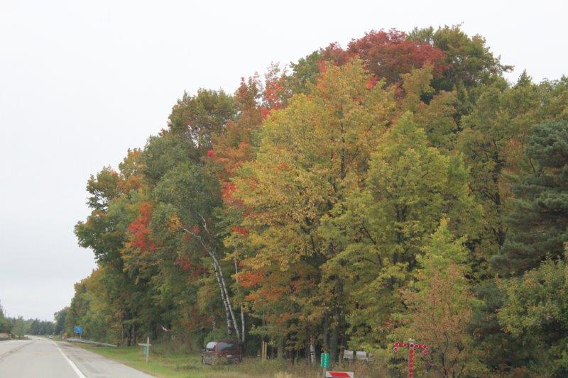
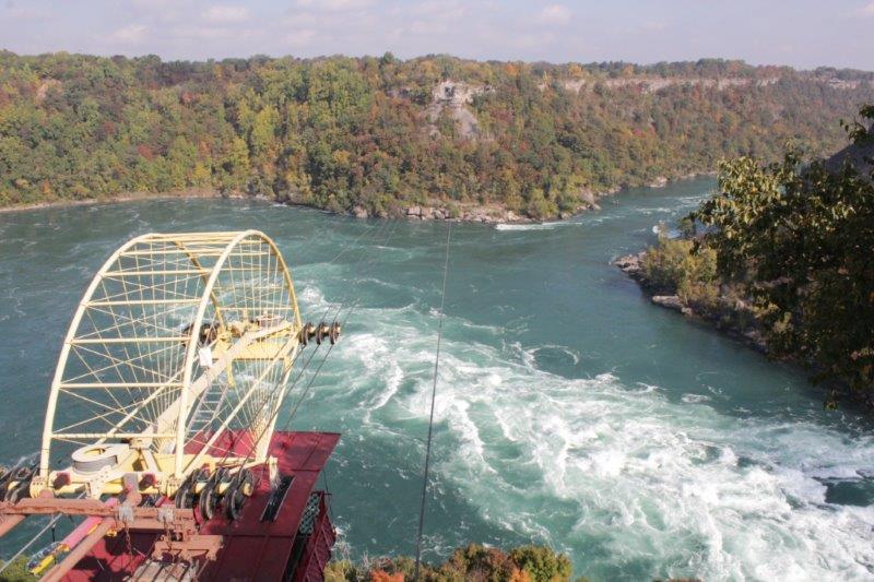
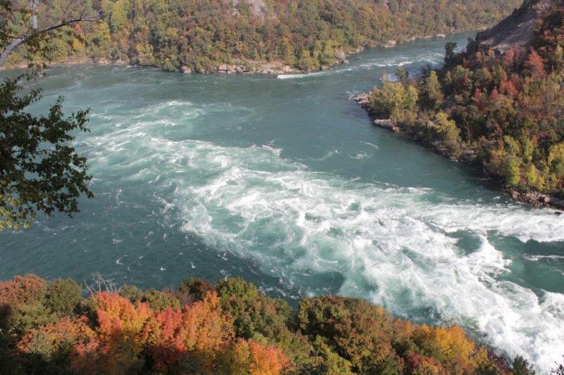
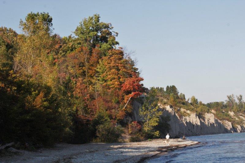
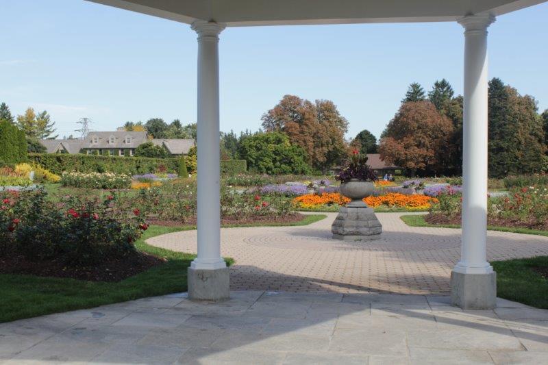
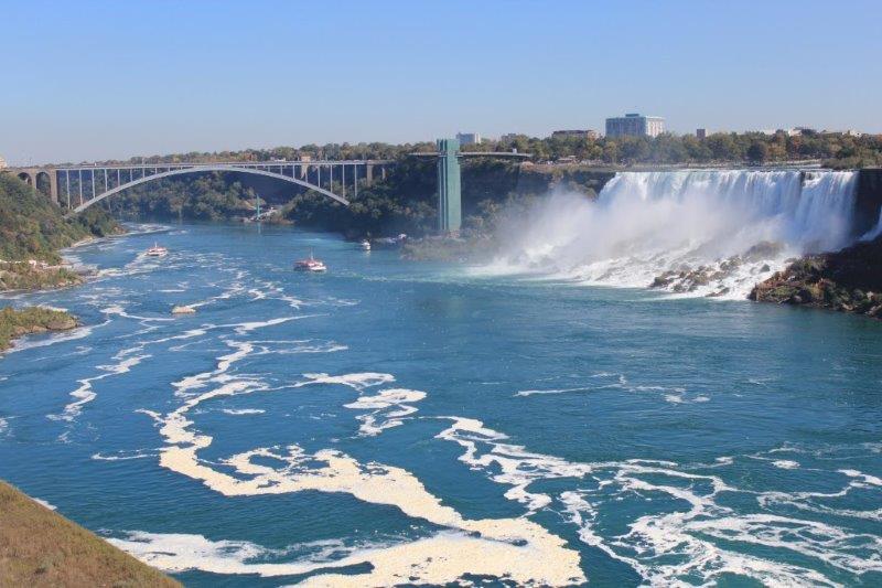
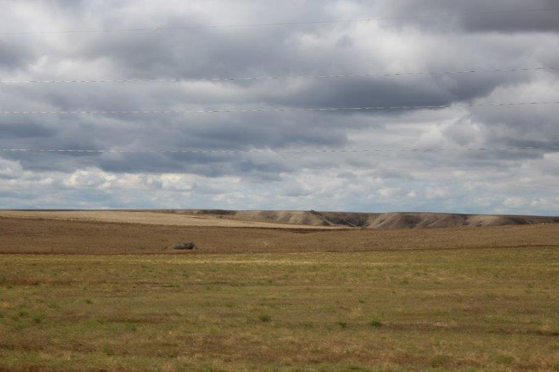
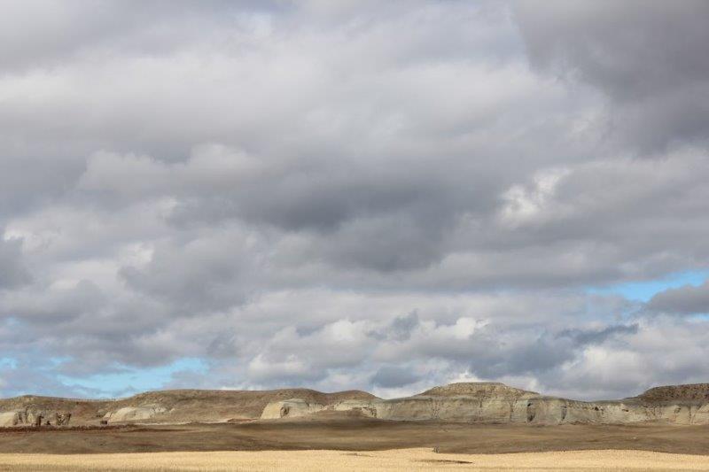
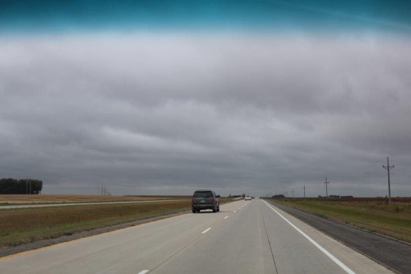
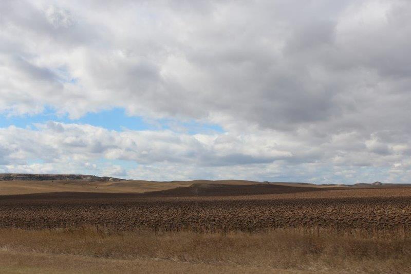
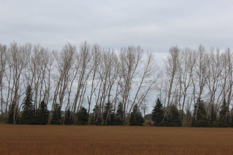
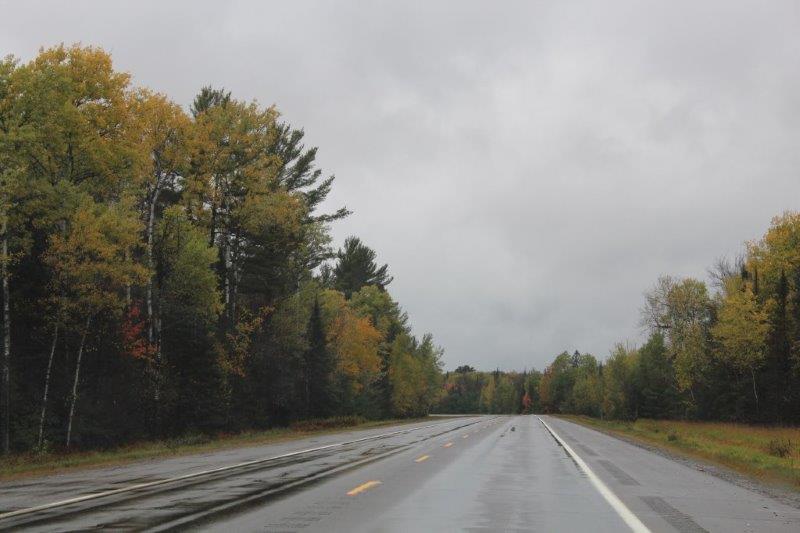
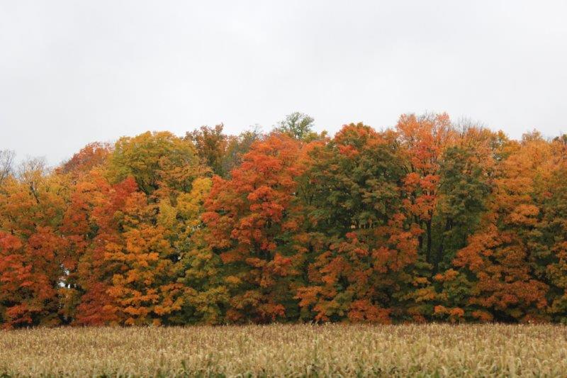
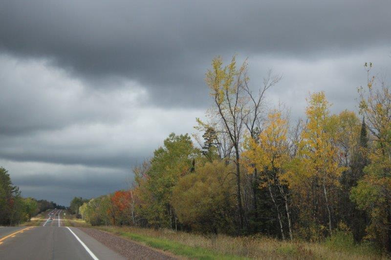
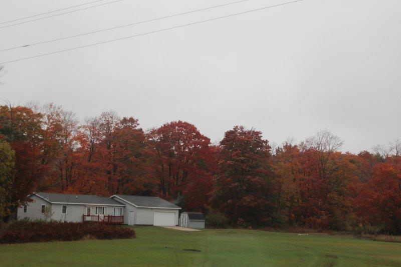
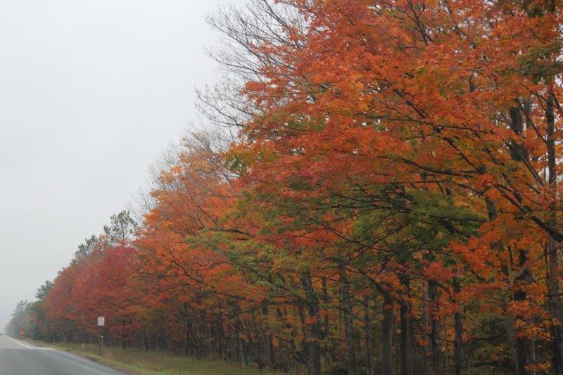
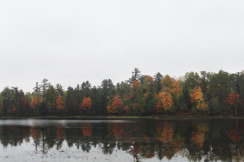
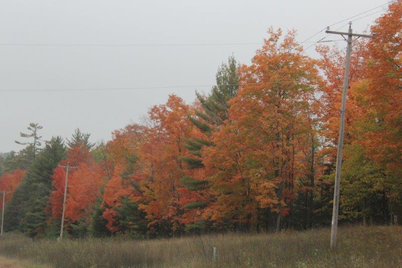
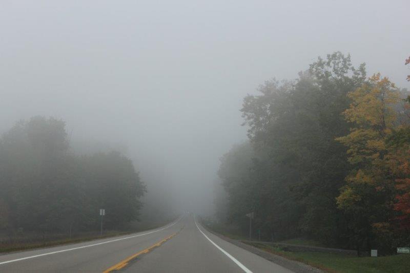
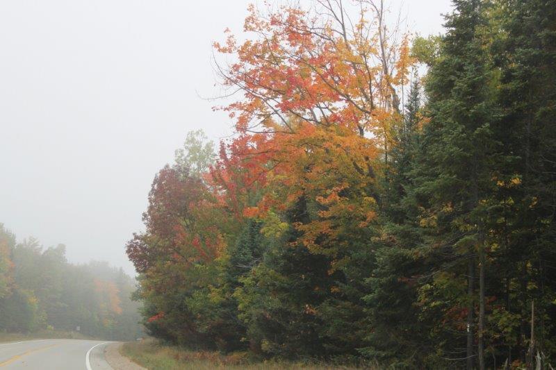
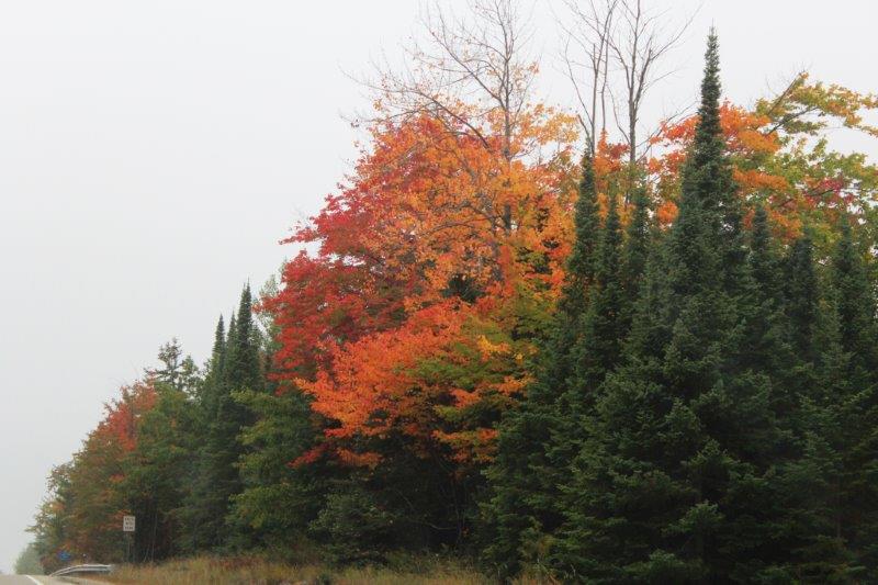
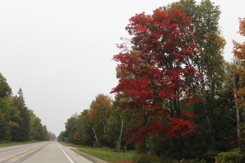
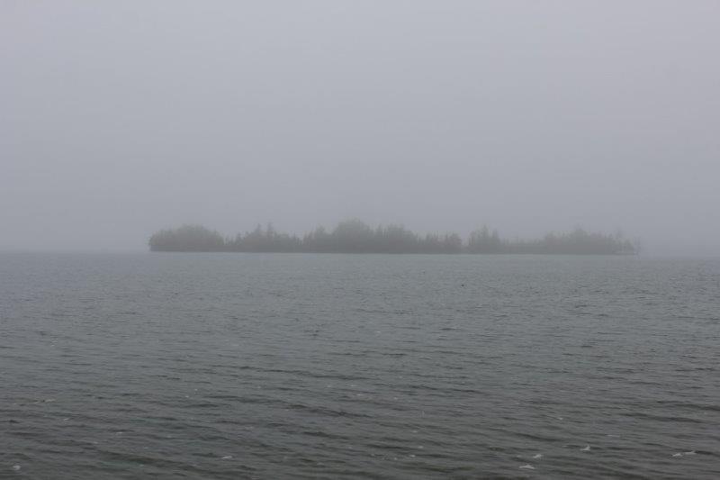
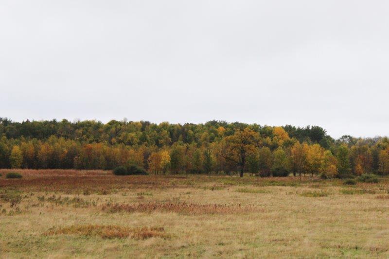
Yay, yay, yay there was a change in scenery again and stuff to see today!  I loved all the coloured trees (as you could tell by the number of them in my posts) but we have been driving by coloured trees since leaving New Brunswick on September 22.  I was happy to see the prairie yesterday and even happier to arrive at buttes and bluffs as we drove west in North Dakota today.

IMG_1882 IMG_1900
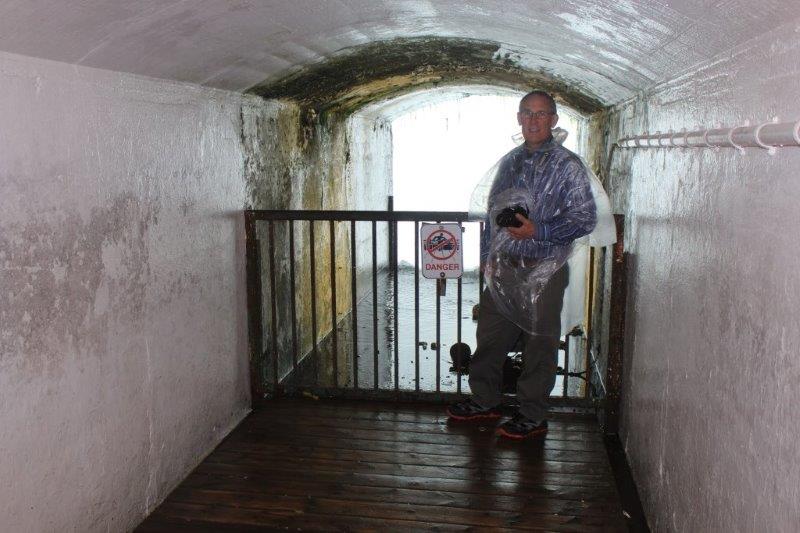
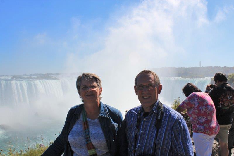
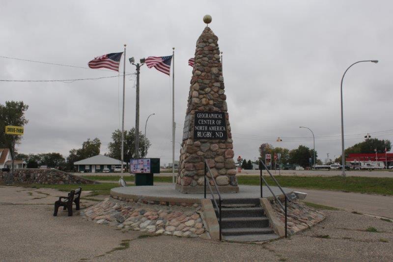
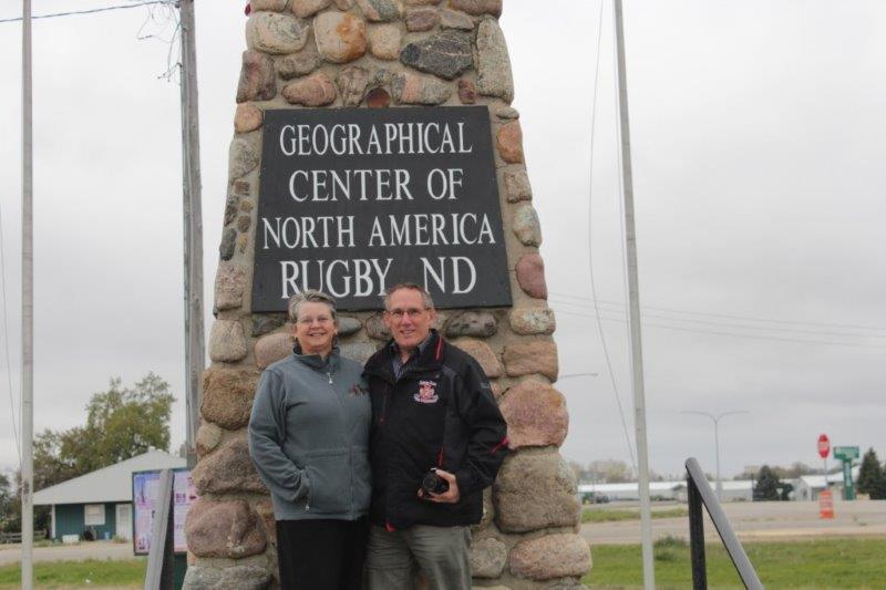
Before we left Rugby this morning we located the cairn marking the geographical center of North America just beside the highway on our way through town.  I took John’s photo, he took mine and as we were walking back to the truck another couple got out of their truck and offered to take a photo of us both. Sweet – and I don’t like having my photo taken as a rule – but I was glad to get this one.

IMG_1848 IMG_1854
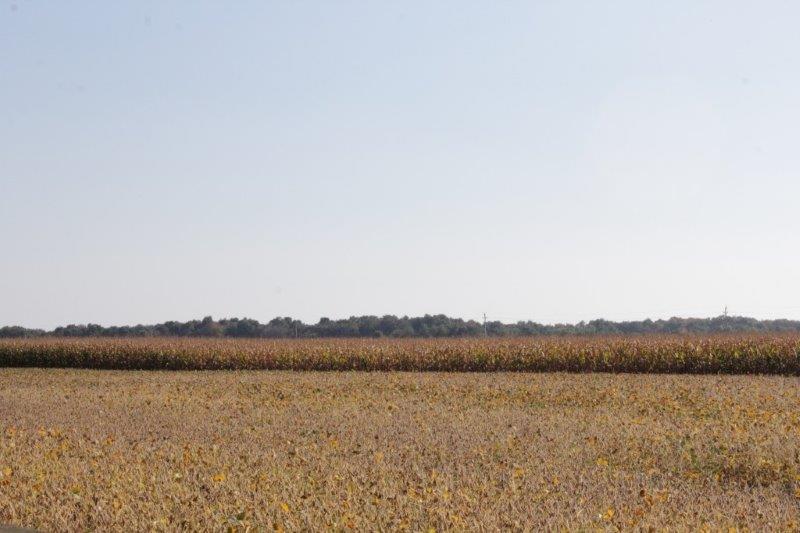
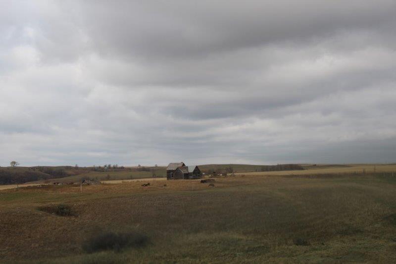
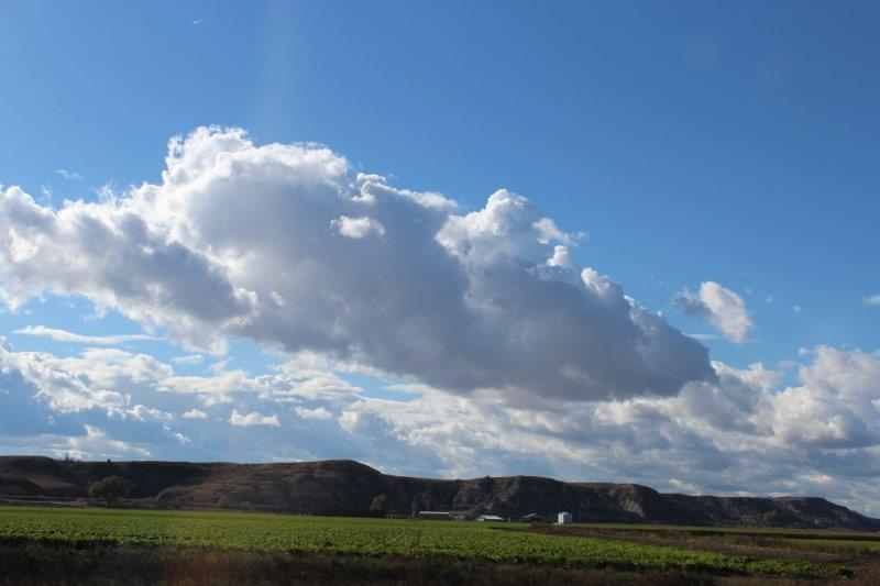
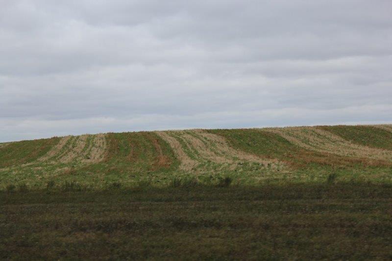
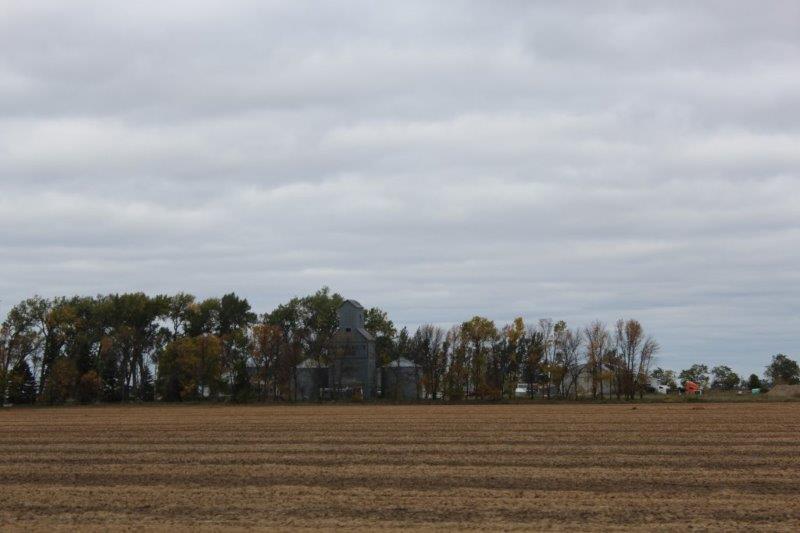
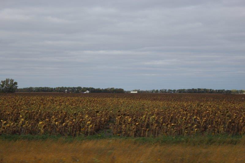
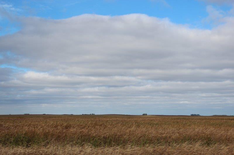
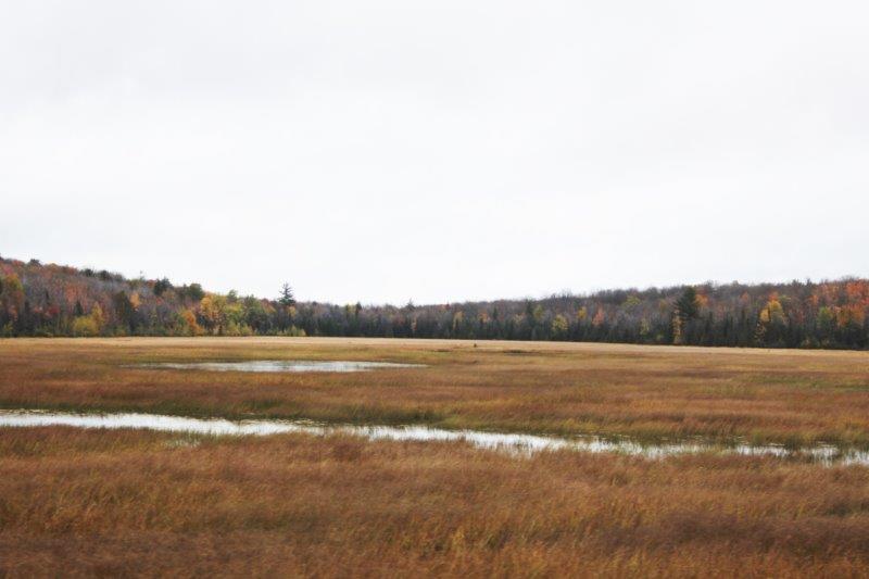
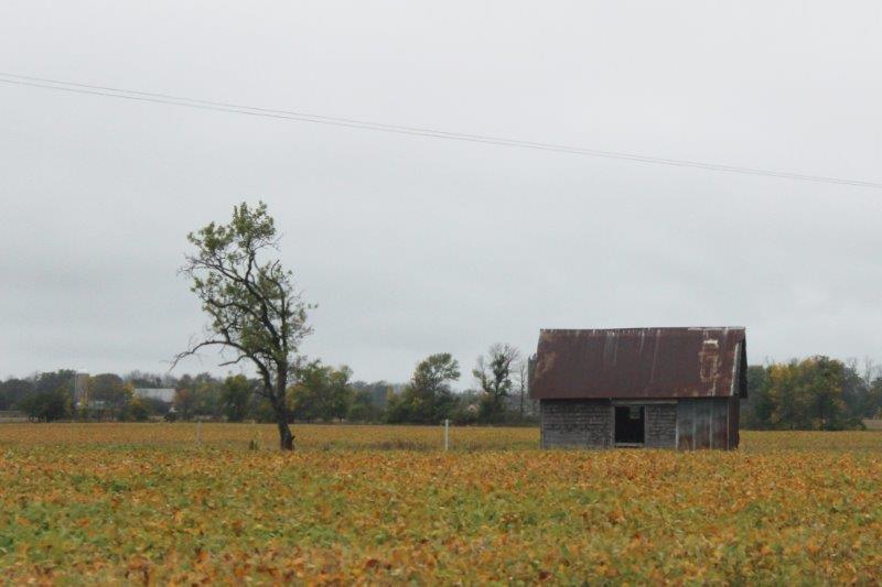
We are in the prairie belt of America – lots of sugar beets, vast plantings of sunflowers, corn, wheat and alfalfa.  We are also in oil and gas country.
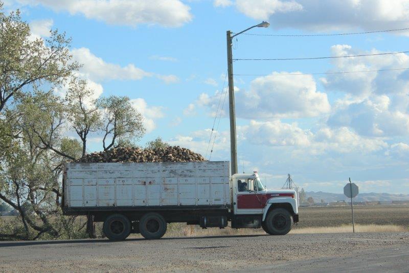
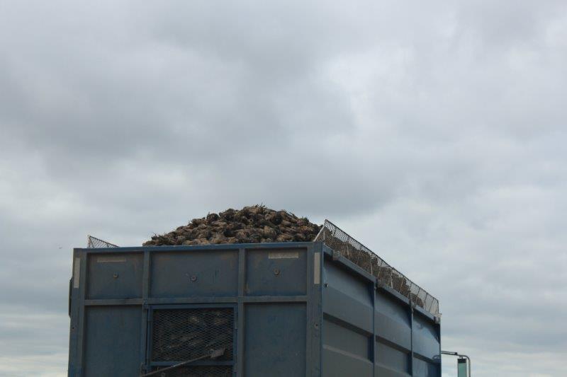
IMG_1856 IMG_1866 IMG_1870 IMG_1872

IMG_1871 IMG_1958 IMG_1897Sugar beets

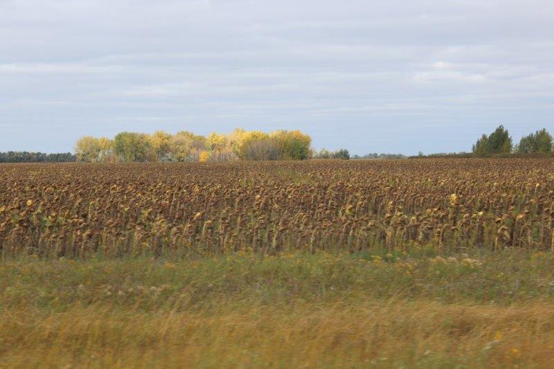
A small corner of a massive field of sun-flowers.  We saw several of them well over a 100 acres in size.

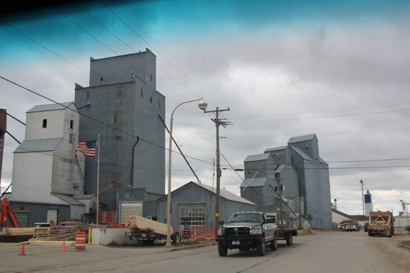
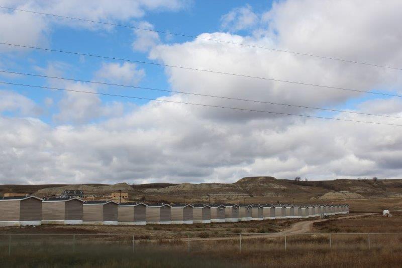
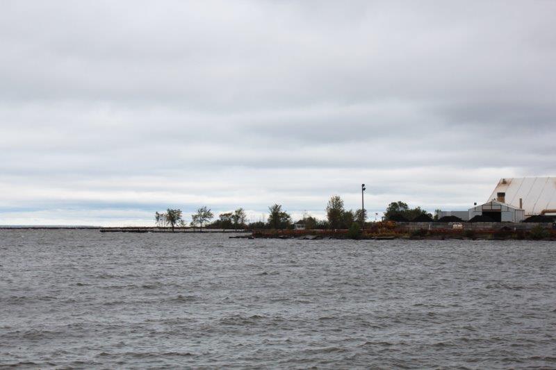
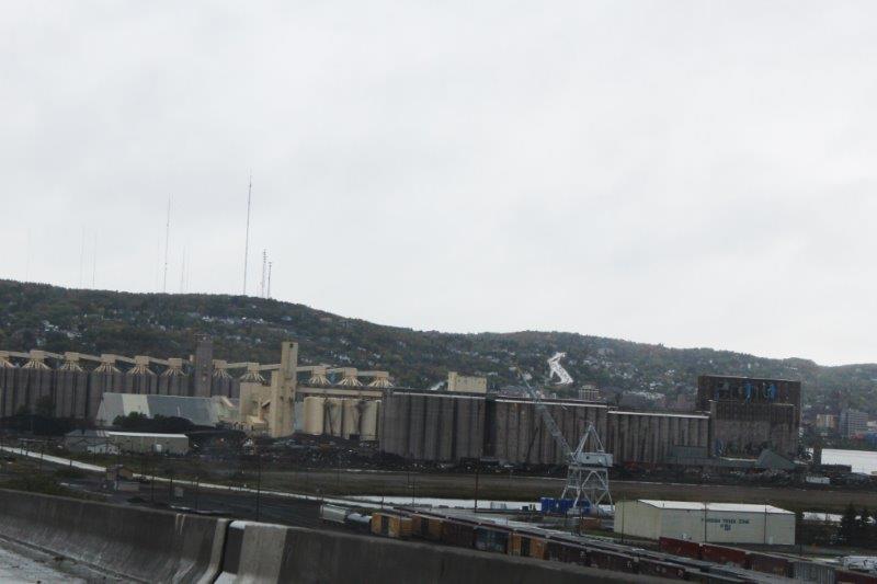
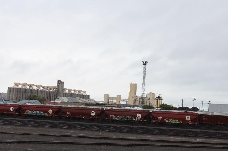
Yesterday I was on Facebook chat with my cousin in Washington and told her our route for the day. She said, “Watch out for Williston, I’ve heard it is crazy there.”  “What makes it crazy?” I asked.  “The new oil.”  Well she was right.  Lots of trucks and equipment on the road, temporary housing units by the hundreds, full RV parks, trucks and trucks and more trucks at every hotel in town, new roads, upgraded railroads, new power lines, lots of businesses building.  And brand new pumps working in the fields 25 miles in all directions from the town.

IMG_1864 IMG_1893
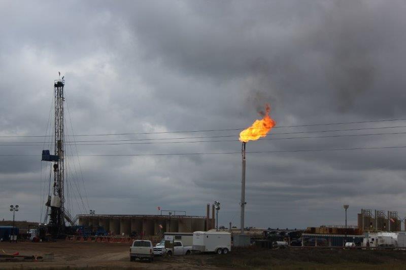
The Park Ranger we were talking with at Fort Union said he used to pay $800 per month for a one bedroom apartment in Williston.  He came home one day and was told his rent was going up by $400.  Now one bedroom apartments are over $2,000 per month and many are $100 per day.  The good and the bad about an oil or gas boom in the area.

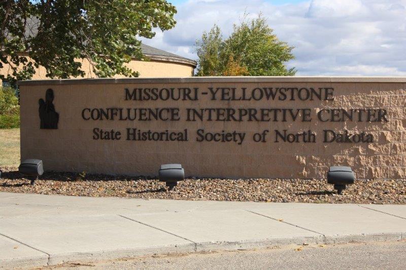
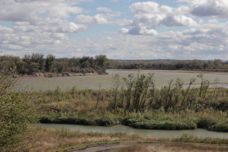
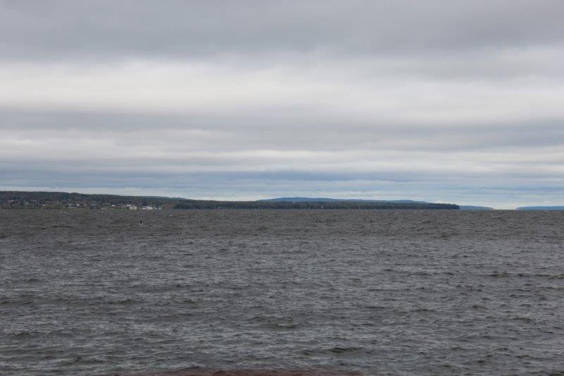
Williston is quite near the North Dakota-Montana border and we turned south there on Route 1804 to see if Fort Buford State Park and Fort Union National Park were still open.  Just down the road for the turn to Fort Buford there is the Visitors Center for the Confluence of the Missouri and Yellowstone Rivers.  We turned in and went through the large visitor’s center to the pathway along the riverbank.  Up a short hill you could see over the young trees and just make out where the two rivers joined.

IMG_1909 IMG_1911 IMG_1916

IMG_1917


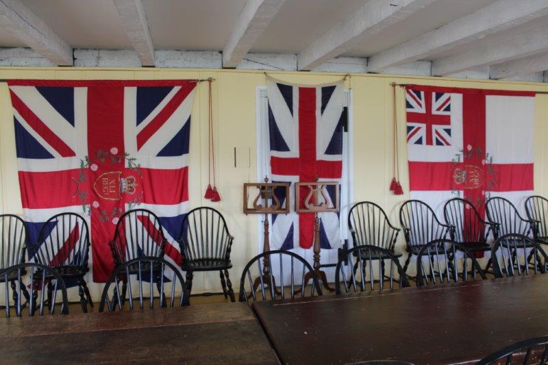
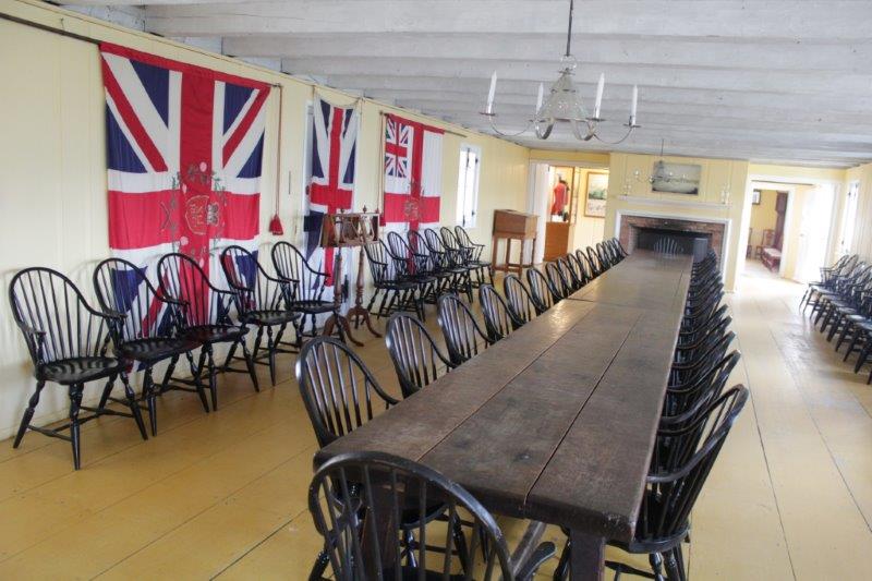
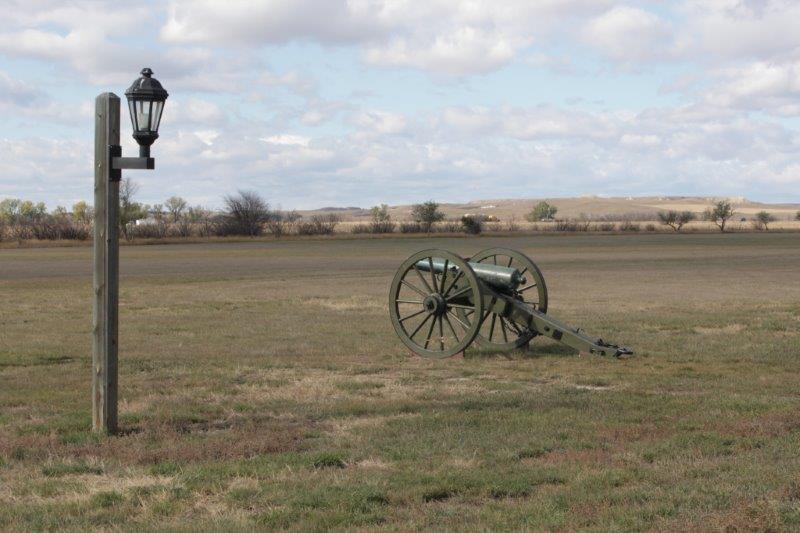
Windy?  Just look at those flags.


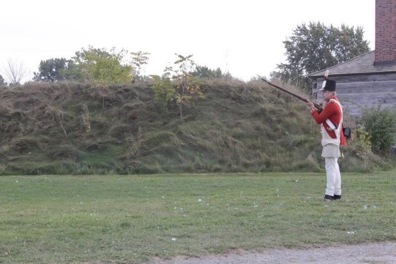
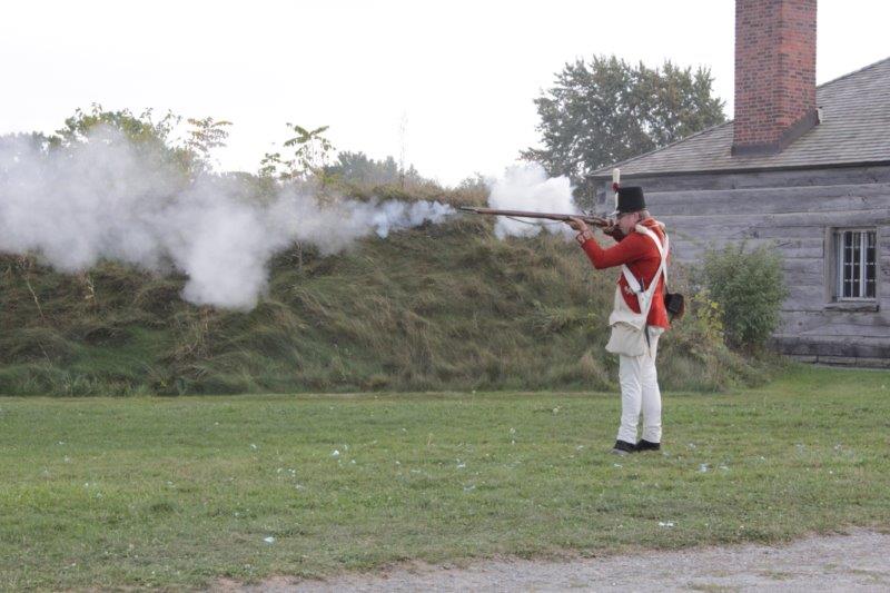
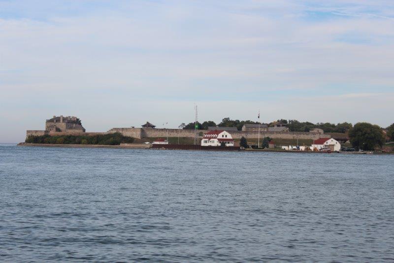
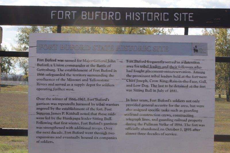
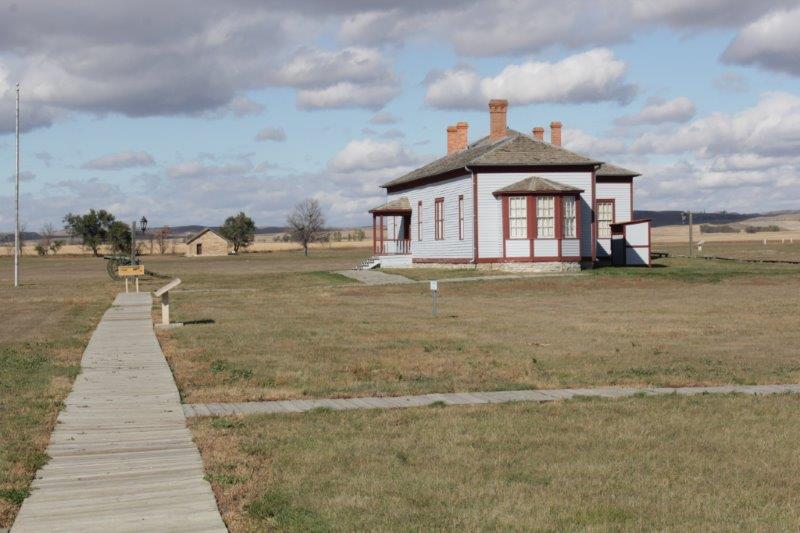
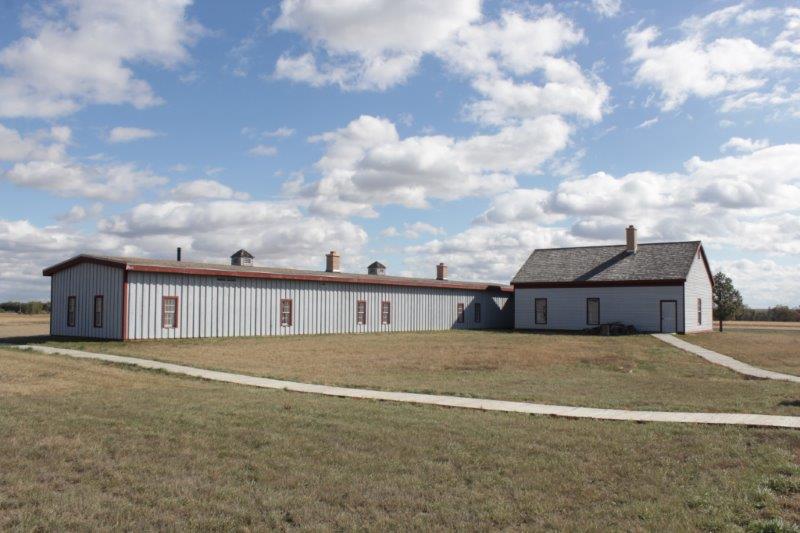
Just down the road from the ‘meeting of the waters’ is Fort Buford.  There were only a couple of buildings reconstructed but the site was quite large and they had informative signage around.  The wind that greeted us outside our hotel in Rugby (with 1 degree celsius temperature – that’s about 33 F for you American folks.  Brrrr.) was blowing even stronger at Fort Buford.  It was literally hard to stand in one place.

IMG_1932 IMG_1920 IMG_1931 IMG_1925
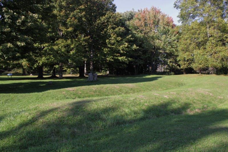
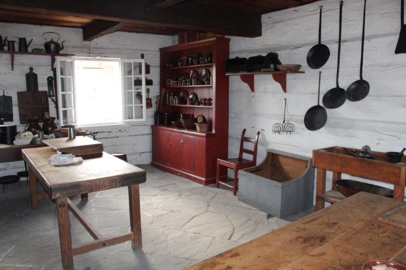
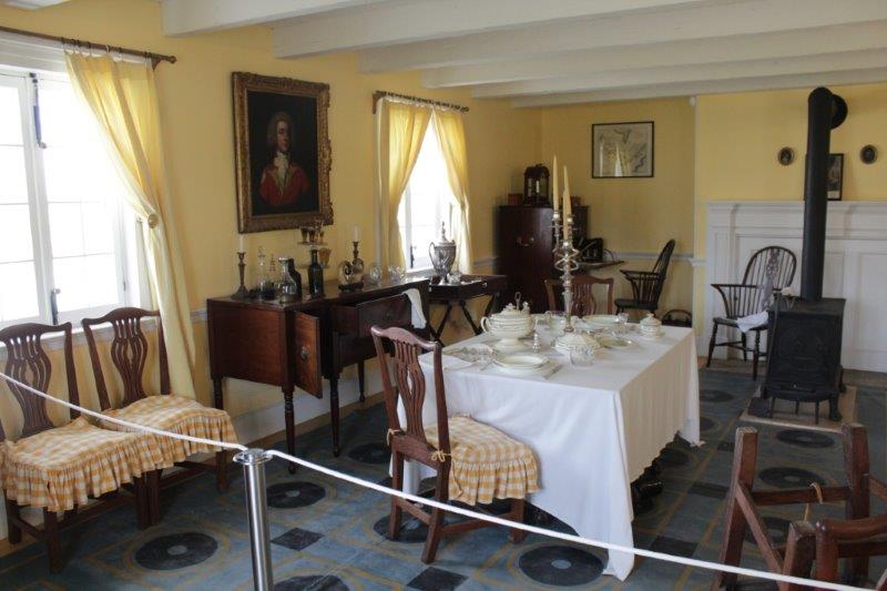
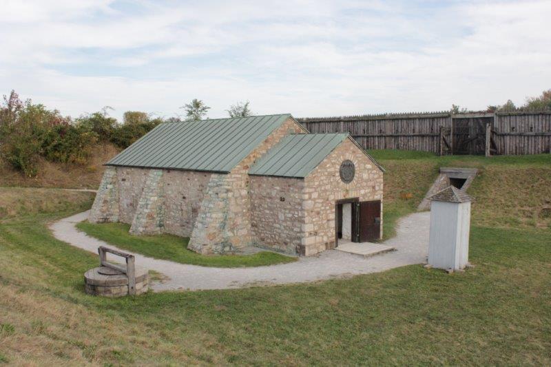
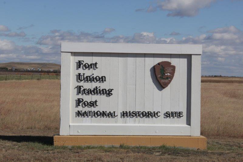
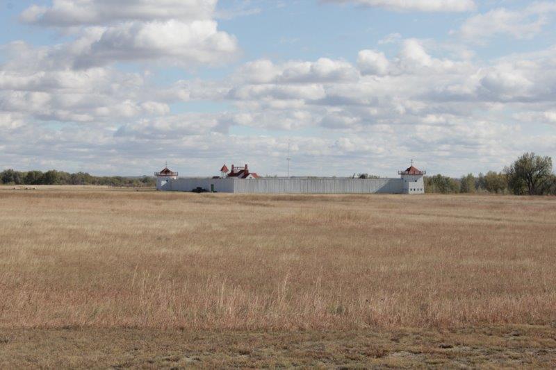
A mile further down the road is Fort Union, the longest running fur trading post (30 years) in America.  Back in the day there would be 5,000 tepees surrounding the fort belonging to various tribes bringing in hides to trade for blankets, colored fabric, guns, pots & pans and all manner of other goods (contrary to movie westerns beads were only thrown in as a bonus.  The Indians did not want to trade their hides for beads.  They wanted useful, practical things.  The inventory records of the fort showed only 5 trade transactions for beads in 5 years).  Over 50,000 buffalo hides would be traded at Fort Union every year, along with beaver, otter (prized in China for the robes of the Emperor and still desired by the Chinese today), fox, wolf, badger, even mice (the pelts were used to line gloves).

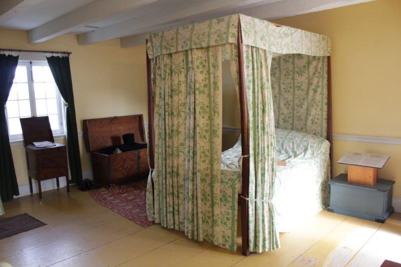
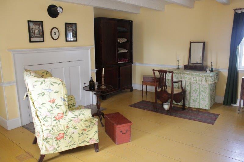
During the archaeological digs at the fort site they uncovered two million artifacts – beads, buttons, 6 different china patterns, fabrics, iron implements, nails, you name it they found it.  All but a few of the items are housed in the vault under the Bourgeois’s house (term for the fur trading company manager) because until funding is received to reconstruct some more of the buildings at the fort there is no room to display them.  Maybe some day.

IMG_1934 IMG_1935 IMG_1937 IMG_1938 IMG_1941

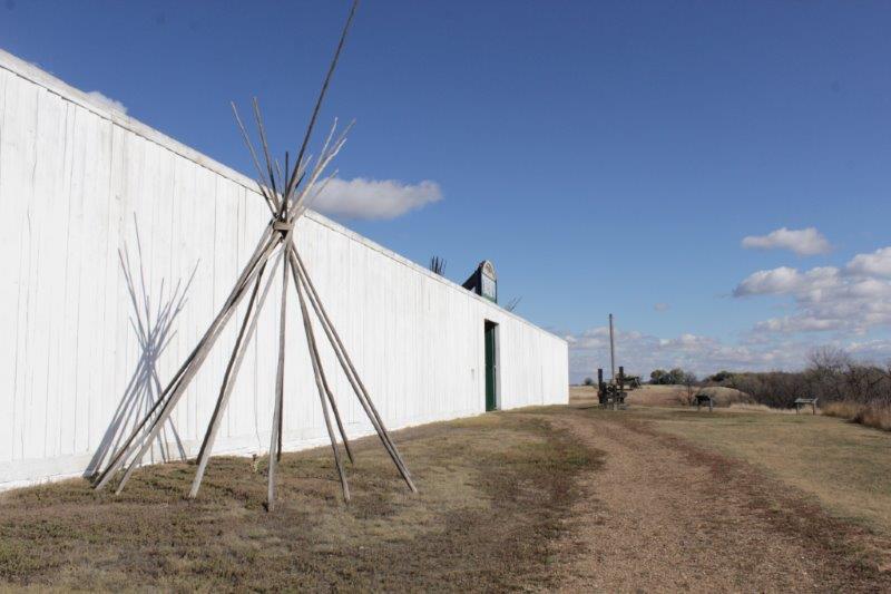
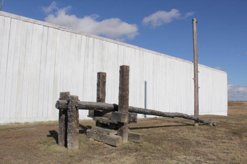
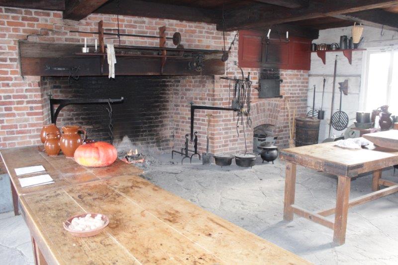
A fur press.  It would be used to compact 100 buffalo hides into a bale for shipping to EuropeIMG_1943
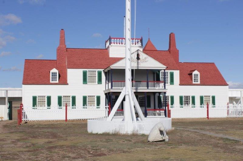
We had a great chat with the Park Ranger.  There were no other visitors, and at this time of year there are likely not too many, so he was enjoying telling us stories.  One neat story (very shortened version, I promise) was about a troublemaking fellow named Deschamp who skipped across the Canada/US border in about 1865.  He had three rabble-rousing sons as well.

A few years ago a new RCMP officer from Regina was visiting the fort and saw the write up about Deschamp and the fact that he had killed a Lord Sutton before skipping to the US.  The officer told the ranger that the murder of Lord Sutton was still an open case in Saskatechwan.  When he returned to Regina he told his superiors about the information he had read at Fort Union, they contacted the Fort archivist, received corrobatvie documents and the RCMP were able to close a century-old murder case.

IMG_1953

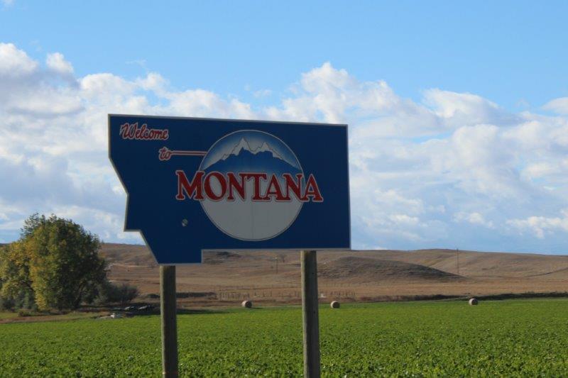
16 miles down the road brought us to the border of Montana and the town of Sidney where we are camped in our hotel room for the night.  And the sun came out too….the wind didn’t quit but the temperature warmed up to 16 (62 F)!  All in all a pretty good day.

IMG_1960 IMG_1961


2014 Oct 4 – Day 107 – Grand Rapids, MN to Rugby, ND

Boy. oh boy, was it cold this morning!  A icy, cutting wind that never really died down even though the dark clouds dispersed and we got sun and cloud in the afternoon.

We were going to try see three things in Minnesota on our way west, but only found the first one, which was the Pokegama Dam just west of Grand Rapids.  It is a little dam, but it is on the Mississippi River and 6 miles or so west of Bemidji (60 miles west of Grand Rapids) we passed a marker for the headwaters of the Mississippi – that is one long river!

IMG_1802 IMG_1800 IMG_1805The other thing we lost today were the trees on both sides of the road.  At McIntosh, 50 miles west of Bemidji we arrived in the prairie.  Wide open sky and fields on both sides.

IMG_1807 IMG_1812 IMG_1814

IMG_1815 IMG_1827The main crop we passed, which was being harvested everywhere, were sugar beets.  We had many loaded trucks go by us on the road and saw lots of machinery in the fields.

IMG_1820 IMG_1832We also passed quite a few acres of sunflowers; and the usual hay and corn, of course.

IMG_1835 IMG_1838

It was very nice to see some lighter blue sky.  The temperature never rose significantly all day and when we got out of Poppy at our hotel in Rugby, North Dakota we removed our luggage as quickly as we could because it was so cold.  We are just wooses, I know.

IMG_1840 IMG_1844 IMG_1846

2014 Oct 3 – Day 106 – Iron Mountain, MI to Grand Rapids, MN

Our third consecutive day of driving in the rain.  Today, though we added snow to the mix!  Yikes.  We covered 526 km and were in three different states – Michigan, Wisconsin and Minnesota.

Last night was spent in Iron Mountain at the border between Michigan and Wisconsin.  When we left the hotel we drove about 1/2 mile and entered Wisconsin, going north for about 5 miles we re-entered Michigan and drove northwest paralleling the border until we reached Ironwood where we left Michigan again and re-entered Wisconsin.  A bit convouluted, I think, but that is the way the road was built.

IMG_1720 IMG_1733 IMG_1731It was cloudy when we left but the rain started soon and continued all day, sometimes heavy, sometimes very light; sometimes it would even stop for 10 minutes.  We got very excited once when we crossed a 100′ strip of sunshine on the road.

IMG_1740 The scenery hasn’t changed for days; straight roads bordered by lovely colored trees with slight undulations in the ground.  We see an occasional lake or pond or river, but generally it is open highway and trees – pretty trees, but trees nontheless.  We did see four wild turkeys eating beside the road.  That was cool.

IMG_1724 IMG_1741 IMG_1754 IMG_1764We stopped briefly at the town of Wakefield, WI to see the lake and chanced upon the Visitor’s Center that had a very nice tribute to all the persons in the town that have served in all the branches of the American military.  They also had a huge carved statue of a historically well-known Native fellow.

IMG_1748 IMG_1743 IMG_1745Wisconsin is not very wide at the top and borders Lake Superior.  I considered – very briefly – standing in the water again to do all the Great Lakes within the week but it was so cold the first time and so windy and wet today I overcame the urge; quickly, I might add.

IMG_1774 IMG_1776Superior, Wisconsin is across the bridge from Duluth, Minnesota.  Both are port cities, with Duluth being the larger. But Superior is proud to have the world’s largest grain elevator, iron-ore docks and coal-shipping terminal based on the world’s largest body of fresh water.

IMG_1780 IMG_1788 IMG_1789 IMG_1792We drove right through Duluth then headed NW into Minnesota.  The heavy rain we had been driving through turned into horizontlly blowing snow!

IMG_1794 IMG_1798By the time we drove into Grand Rapids for the night the snow had stopped and it was raining again, but the wind was very cold.  We dashed across the parking lot to the hotel next door for dinner and happily closed the door to our hotel room when we got back.  I sure hope we don’t wake up to six inches of snow tomorrow.

IMG_1799

2014 Oct 2 – Day 105 – Mackinaw City, MI to Iron Mountain, MI

Another day of driving. Today was a rainy day instead of a foggy day.  It did stop sometime after lunch but we crossed the 5 mile ‘Mighty Mac” (Mackinac) bridge in pouring rain which was too bad.  I bet the view of the Lakes (Huron on the right, Michigan on the left) would be great on a sunny day.

IMG_1695 IMG_1696

Obviously those two Great Lakes are at the same height above sea level – 579′ – but there are differences in the other three.  Lake Superior is 600′, Lake Erie is  570′ and Lake Ontario is the lowest at 246′.  The Soo Locks (4 in the US and 1 in Canada) adjust the difference between Superior and Huron.  The Niagara Falls on the Niagara River which flows from Lake Erie into Lake Ontario, cascade 128′ plus all the rapids upstream.  Impossible to navigate; so the Welland Canal locks, not too far to the west, were built to drop the ships between Erie and Ontario, a difference of 324′ and then into the St. Lawrence River to the Atlantic Ocean.  The five Great Lakes were extremely instumental in the expansion west of Canada and the USA.

Despite the rain; hardy, dedicated little ol’ me stood in the cold, cold water of Lake Huron to complete my Great Lakes.  We saw a flight of steps leading to the shore and walked through gorgeous sand at the top and bottom.  Once again, on a clear day it would have been gorgeous – reminiscent of a tropical beach.

IMG_1697 IMG_1704 IMG_1703 IMG_1702We stopped for gas and we stopped for DQ ice cream, but that was as good as it got again today.

There were major deposits of Iron ore in this northwestern corner of Michigan, hence the name Iron Mountain. And Ironwood, MI is about 50 miles further up the road. You can tour an iron mine here in the summer time.

IMG_1708 IMG_1709 IMG_1712 IMG_1716 IMG_1717We checked in to our hotel at Iron Mountain and when we saw the clocks in our room we realized we had crossed a time  zone and it was only 2:30!  That made it a nice short day!  Not a very exciting read for all of you though.  Sorry!

2014 Oct 1 – Day 104 – Port Huron, MI to Mackinaw City, MI

It was a driving day all the way. Other than a couple of pit stops for gas and a snack we drove in and out of the fog for 386 km up to the top of The Mitten to Mackinaw City.  From here we cross the Mackinac Bridge to the U.P. and head due west to Iron Mountain, which is right on the border with Wisconsin.

IMG_1677 IMG_1678The Mackinac Bridge is the only link between the Upper Peninnsula and The Mitten.  We have been told it has a $5.00 toll.  They must rake in a lot of money since all the folks in Michigan must cross it to get from the top of the state to the bottom. Why the smaller portion of the Upper Peninnsula wasn’t just added to the state of Wisconsin, I don’t know.  It would have made more sense really.  But, I’m sure it was a case of, “My land is my land and I’m not moving my border just because it is logical.”

The I-90 that we travelled through New York was a toll highway.  It started about 50 miles east of Saratoga Springs and went right across to the Canadian border at Buffalo.  Every exit/entry point has toll booths. When you enter the freeway you are given a little card.  On the card are the names of all the accessible cities with their freeway exit number and the cost to get there.  If you go all the way from one side of the state to the other it will cost you $11.60.  We started part way along and left before the end and our cost was $10:40.  You hand over your little card at the booth when you exit, the person can see where you entered the freeway and you will charged the stated fee. It is a pretty slick system.

Since we were travelling northward once more we noticed more color in the trees again.  The fog would lift for awhile then sock in.  The sky was a low grey all day.

IMG_1687 IMG_1691 IMG_1692We passed a little island in Lake Huron; shrouded mysteriously in the fog.  John stopped the truck and I clambered down the bank to take a couple of pics.  That was the excitement for the day.

IMG_1680 IMG_1682 IMG_1684This entire coastline is one small holiday town after another.  Everywhere there are cottages to rent.  There are some lovely sandy beaches and quite a few State Recreation areas and parks.  I think it must be booming in the summer – a very busy holiday and fishing area.

They also have a plethora of skunks.  We drove by so many dead skunks it was ridiculous.  Since New Brunswick most of the road kill has been skunks, raccoons, and porcupines.  We have seen two dead deer, a couple of birds and quite a few squirrels (we even hit one in a town.  John didn’t even see it.  It ran out of the ditch on my side and right into the truck.  No chance at all) .  But the smell of dead skunk just seems to clears away and we see another one.  Poor things.


2014 Sep 30 – Day 103 – Port Huron, MI to Midland, MI

We are on the way home, mostly via Highway 2 in the US.  Tourist season is over and our route is one less travelled.  I suspect there will not be too many exciting things to write about over the next week or so.  But, we are quite good at finding things to see, especially waterfalls or cliffs or the like.

Today though was pretty much a drive through farm land and small towns from point A to point B.  Southern Ontario and this part of Michigan have acres and acres of sweet corn and silage corn, soya beans, tobacco and many wineries.  We passed a five acre pumpkin field and many farmyards and fruit stands with pumpkins for sale.  There are huge dairies around here too. And quite a few very large mansions, old and new.

IMG_1652 IMG_1655 IMG_1656Not far out of Port Huron we found an access to the beach and I, despite the cloudy sky, brisk wind, and frothing waves, stood in my fourth Great Lake – Huron.  One to more to go.

IMG_1643 IMG_1636 IMG_1640

IMG_1641
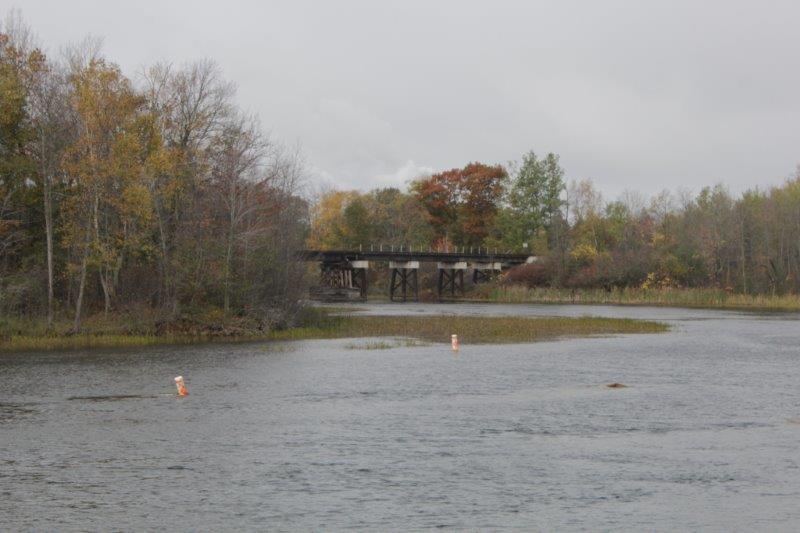
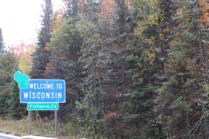
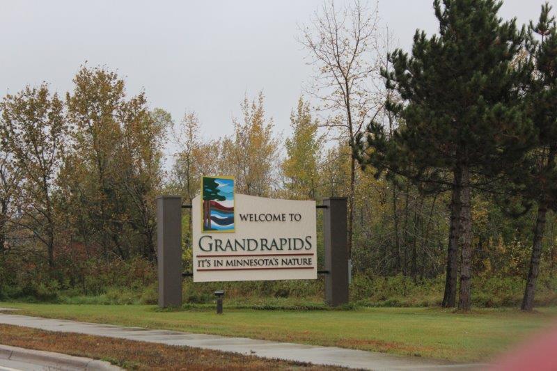
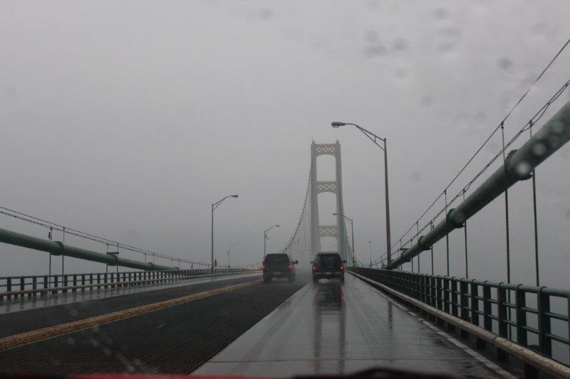
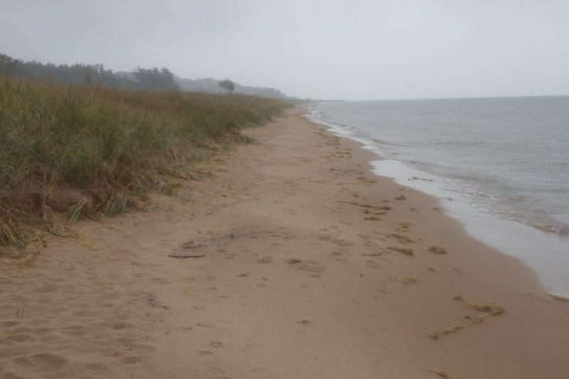
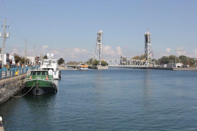
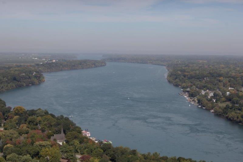
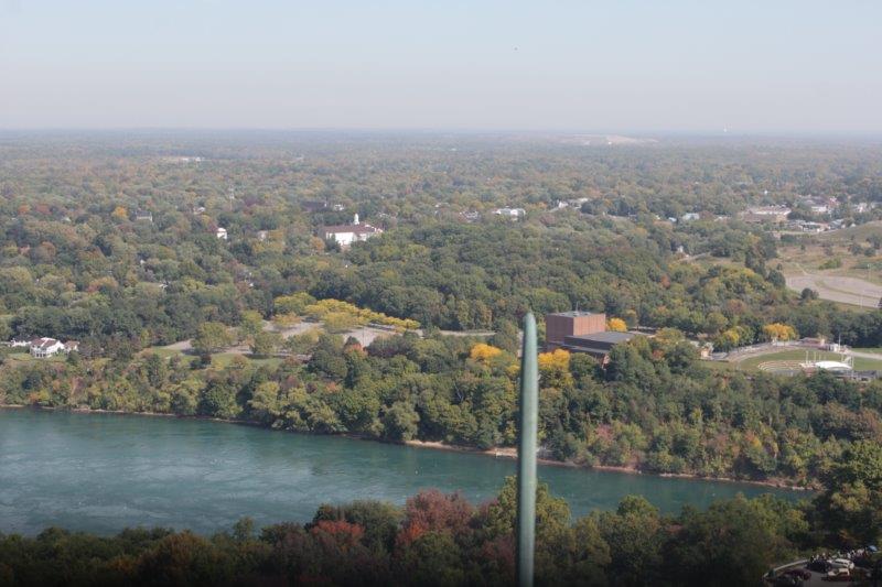
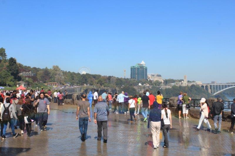
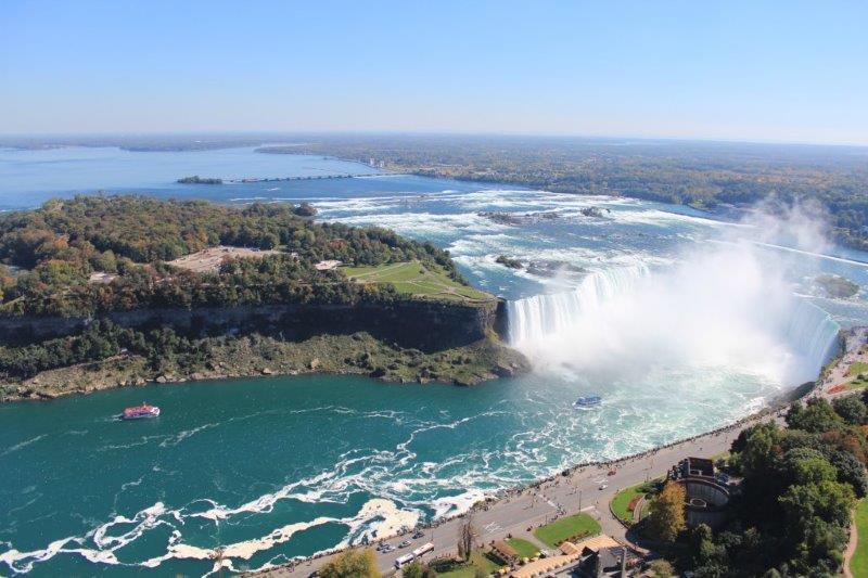
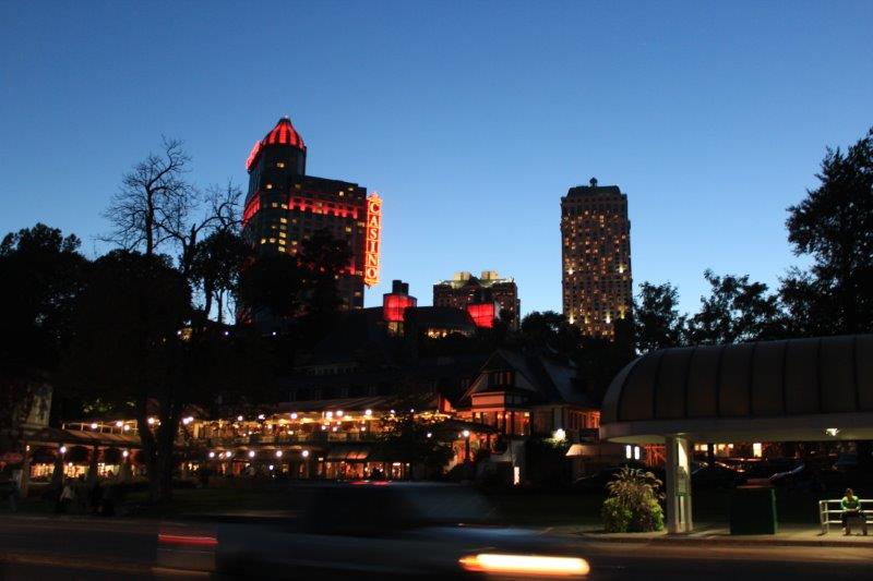
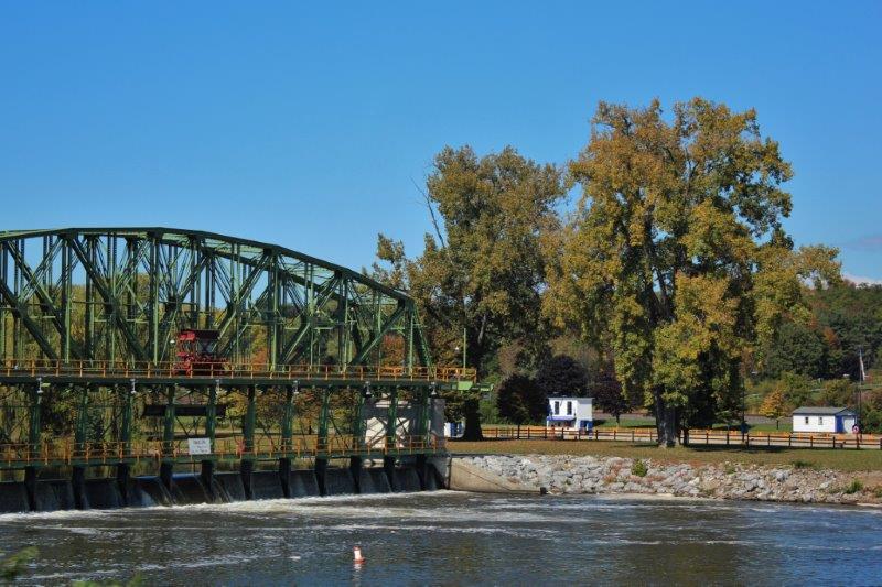
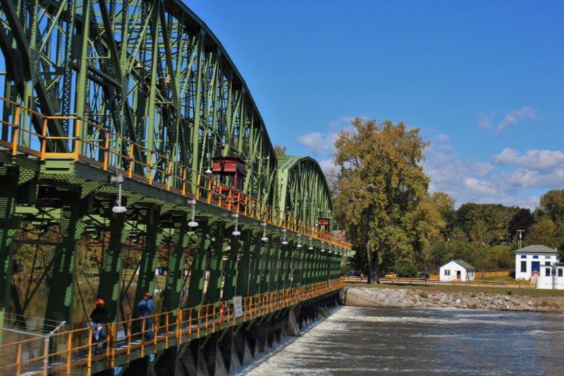
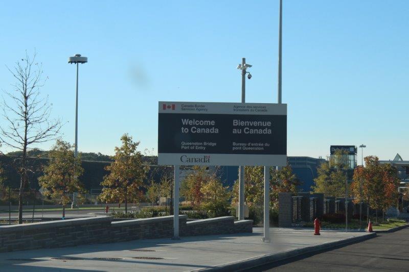
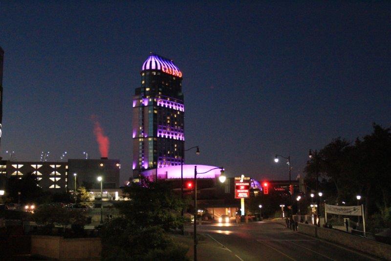
We travelled along Route 25 north and then west around ‘the Thumb.’  If you look at a map of the state of Michigan it is comprised of two parts linked by “Mighty Mac,” the five mile long bridge between St. Ignace and Mackinaw City.  The Upper Peninnsula, referred to as U.P. is bordered by Lake Superior to the north and Lake Michigan to the south.  The larger, southern peninnsula (bordered by Lake Huron on the east and Lake Michigan on the west) is called “The Mitten” because it looks like one – a left handed one at that. (Although, John – pill that he is – says you could just be looking at the palm of a right-hand mitten.  I informed him that his opinion in this matter is irrelevant).  Port Huron sits across from Sarnia, Ontairo at the base of the thumb. The large cities of Detroit/Windsor sit further south about half-way to the state’s southern border ‘wrist’ about where the thumb joins the hand.

IMG_1646 IMG_1648 IMG_1650 IMG_1651Since yesterday was a long driving day, and the next two will be also, it worked out well that today was shorter.  We only drove 280 km and arrived at Midland, MI at 3:25 and that was after a lunch stop at a little local diner in Port Austin.  We’ll see what we see tomorrow.

IMG_1660


Driving between corridors of corn.


2014 Sep 29 – Day 102 – Niagara-on-the-Lake, ON to Port Huron, MI

Today turned out to be a  longer day that we had anticipated.  We left Niagara-on-the-Lake at 10:15 this morning and walked into our hotel room in Port Huron, Michigan at 8:00 pm.  We didn’t even make any long stops and the roads were good; not a lot of traffic or twists and turns (Ontairo is pretty flat, especially down at the bottom).

IMG_1611We drove from Niagara-on-the-Lake  to Fort Erie, through Niagara Falls, via the Niagara Parkway; a 56 km scenic drive along the shore of the Niagara River.  Between Niagara-on-the-Lake and Niagara Falls are many of the attractions that visitors enjoy. One of which is the Whirlpool Aero-Car across the river.  It takes 5 minutes to go across and 5 minutes to go back.  The car is 250′ above the water at the ends and 150′ in the middle.  The Niagara River flows down a gorge, over rocks creating white water that has created a large circular pool that the water swirls around in before flowing out again at a right-angle to where it entered.

IMG_1586 IMG_1585 IMG_1589Once we got past Niagara Falls we drove through a residential area, but this was a VERY upscale corridor.  Mansion after mansion after mansion.  I have inserted some phots of some of the houses but many of the largest ones I didn’t photograph because I was too busy wondering why people need to have such a big, fancy house when the reality is that they probably live in only a small percentage of it.  My mind does not compute…

IMG_1592 IMG_1593 IMG_1594 IMG_1595 IMG_1596 IMG_1597 IMG_1599At Fort Erie we turned west along Highway 3 following the coastline of Lake Erie; although we were far enough inland we never saw it.  Not far from Fort Erie we stopped at Port Colburne the entrance point to the Welland Canal that moves ships between Lake Erie and Lake Ontario.  There were no ships going through the lock at the time but the lock at Port Colborne is one of the longest locks in the world.

IMG_1603I needed to get to the coast of Lake Erie to stand in the water so we diverted southward off Highway 3.  My map showed a Canada National Historic Site called Southwold Earthworks so when we saw the sign we stopped and checked it out.  The wide, fenced path lead about 1/2 mile through a farmer’s cornfield to the site.  This is where a village was built by the Neutral Amerindian group about 1500 .  The village was surrounded by a double pallisade.  All of the wooden posts have, of course, rotted away many years ago but the earthworks remain – the only example of the type in the world.  Two archaeological digs have revealed thousands of clay artifacts.  It is estimated about 800 people lived here for about 20 years.  There was really nothing to see but a double row of bumps in a grassy area, but it is good that the place has been preserved.  The Neutral Indians were wiped out by the Iroquois in the 1600’s so this is pretty much the only proof of their existence.

IMG_1608 IMG_1610 IMG_1609 IMG_1619 IMG_1615 IMG_1616 IMG_1617We drove to a Provincial Park thinking we would be able to access the lake there but the water looked to be quite a distance down from the trees and the edge was all fenced.  We passed a couple of ladies out for a walk and asked them if they knew where I could go stand in the lake. They gave us directions to a place just down the road.  Then they asked where we were from and where we were going.  When we told them Port Huron they said we should take the little ferry across the river at Sambo rather than drive all the way up to Sarnia and cross at their busy terminal.  This we did.  We were the only car on the little ferry (which would hold about 10 cars) with 17 people.  Lots of people walk on and go across to buy beer at the duty free and buy dinner.  We saw at least 5 people carrying pizza boxes.  The US Customs Officer said people go back and forth all the time.  It cost $7 for our car and $2 as a foot passanger.  The ferry takes 15 minutes.  From there it was about 30 minutes to Port Huron for our stop for the night.

IMG_1624 IMG_1625 IMG_1629 IMG_1630IMG_1631 IMG_1633Trip inventory to date:  Forgotten at home – 1 pair of running shoes.  Broken and thown out – 1 pair of black sandals.  Missing and lost at unknown location – 1 pair of black flats.  Broken this morning when I picked them up off the bedside table – glasses; left arm sheared off and unable to be re-attached.  Hopefully that will be the end of the lost and more lost.  And hopefully also that my glasses will stay on my nose with only one arm to hold them until I get home and get new ones.

2014 Sep 28 – Day 101 – Niagara Falls, ON to Niagara-on-the-Lake, ON

OK everybody we did stuff today.  We drove all the way from Niagara Falls to Niagara-on-the-Lake; a distance of 45 kilometers (which includes driving into parking lots and out again).

We were again blessed with a lovely sunny, warm, top-down day. Our first stop was unplanned but too tempting to pass up – The Niagara Botanical Garden and School of Horticulture.  I know it is late in the season and most of the flower displays will be done, but you know me and gardens….just had to go check it out.

IMG_1437 IMG_1440 IMG_1442 IMG_1446 IMG_1449 IMG_1452 IMG_1458 IMG_1460 IMG_1462 IMG_1463 IMG_1464 IMG_1465 IMG_1466 IMG_1469A couple of kilometers up the road is the Floral Clock, a 40′ wide working clock owned, designed each year, planted and maintained by Ontario Hydro at their big generating station on the Niagara River.  Between 15,000 and 20,000 close plantings are used every year to make the design.  The clock rings the Westminster (Big Ben) tones every quarter hour.  This year the design commemorates the 200th anniversary of the end of the War of 1812; in 1814.  Don’t ask me why it is called a war of a single year when it lasted for two.  Ask the historians.

IMG_1470 IMG_1474Another kilometer up the road is Queenston Heights Battleground and the Brock Monument.  Queenston Heights is the site of the last major battle of the War of 1812 (on October 13, 1812) when 600 American troops crossed the river from Fort Niagara and attacked the British at Queenston.  The British were seriously outnumbered and outgunned and the Americans took possession of Queenston Heights.  Reinforcements arrived from Fort George and the Americans were driven back to the edge of the 300′ gorge where some jumped to their death rather than be taken prisoner and 958 surrendered (I don’t understand this math either, but I will assume that additonal American troops arrived after the first 600 attacked).  This was a major battle between Canada and the US and ended the offensive of the Americans.

General Brock was wounded in the initial battle and died.  In 1856 his body was removed from it’s resting place in Newark (now Niagara-on-the-Lake) and placed in a vault under the monument.  It took three years to build (1853-1856), is 56 meters (184′) tall and constructed entirely of cut stone. There are 235 steps round and round inside the tower and you can climb to the top.  Which, of course, we did.  There is only room for about three people on the platform at the top and heavy grills on all the windows but the view of the Niagara escarpment and surrounding countryside was pretty great.

IMG_1483 IMG_1489 IMG_1492 IMG_1493 IMG_1503 IMG_1504 IMG_1518Just outside the town proper of Niagara-on-the-Lake we stopped at the homestead of Laura Secord, but did not go on a tour of the house. (There is a monument to her at the Queenston Heights Battle site). We drove by the Mackenzie Printery where rebel editor William Lyon Mackenzie printed his broadsheets and papers.  And on the next street we located the marker commemorating the death of General Brock’s horse “Alfred” who was left behind when Brock led the foot charge in which he was fatally wounded.  “Alfred” was later ridden into the battle by Colonel MacDonell.  MacDonnell was killed and “Alfred” was mortally wounded.

IMG_1482 IMG_1480

IMG_1527 IMG_1528 IMG_1531 IMG_1533The next, and final stop of the short drive today, was Fort George.  The Fort was built between 1796 and 1799 by the British as a counterpoint to the American Fort Niagara across the river.  Repeated artillery duels between Fort George and Fort Niagara in the fall of 1812 damaged the defenses on both sides of the river and in May 1813 a massive bombardment by American artillery pounded the fort into a smoking ruin leaving the powder magazine as the only building to survive.  Two days later the Americans invaded forcing the outnumbered British to withdraw.  The Amerians re-fortified the site and for the next seven months Fort George and the town of Niagara were enemy occupied territory.

IMG_1541In December the Americans abandoned Fort George and retreated to Fort Niagara but before they left they burned the thriving town of Niagara to the ground, driving the inhabitants out into a fierce winter storm  The British re-occupied the fort, attacked and captured Fort Niagara and took firm control of the Niagara frontier.

Parks Canada built a replica of the fort on the original site and staff in period costume tell the story of the soldier’s lives at the fort.

IMG_1545 IMG_1546 IMG_1547 IMG_1553

A junior officers shared quarters.  This bed folds up into a box for transport.IMG_1554 IMG_1557The Officers Mess

IMG_1559 IMG_1560Firing a “Brown Bess” musket

IMG_1561 IMG_1562 IMG_1563 Senior Officers Quarters although they would have actually lived in a residence in the town and not in the fort.IMG_1564 IMG_1566 IMG_1571

The powder magazine. The only original building. Built in 1796.IMG_1575


Fort Niagara on the American side of the Niagara River.


Then it was a very slow drive through the heavily congested streets of the popular tourist town of Niagara-on-the-Lake. We managed to find a parking place near the Queen Victoria Park so I could walk to the edge of  Lake Ontario and stand in the water.  You may remember that way back on July 2 I stood in the water of Lake Superior, so this is my second Great Lake.  I hope to stand in the other three over the next few days.

IMG_1576We are comfortably ensconsed in our King Jacuzzi Suite at the Hilton Garden Inn near the airport.  Every hotel in town or anywhere near town was $180-$350 plus per night.  We have our King Jacuzzi Suite for $149.  I won’t be using the tub though.  I find they take too long to fill and consider it a waste of time and water.  But that’s just me….no romance in my soul.

IMG_1580 IMG_1581


2014 Sep 27 – DAY 100 – Niagara Falls, ON

Niagara Falls is a tourist town plain and simple.  It has been so ever since the railroad brought the first load of tourists in 1840.  Over 13 million people visit the Canadian side of the falls every year.  There are elements of Las Vegas here; neon lights and casinos, plus lots of tacky-tourist attractions.

If you have children there are a zillion things to do: arcades, Ripley’s Believe it or Not, Guiness Records Museum, Madame Tussaud’s Waxworks, Imax theatre, Marineland. mini-golf, midways, an indoor waterpark, go-karts, etc. etc. etc.

IMG_1288 IMG_1289 IMG_1320There are historical points of interest nearby:  Laura Secord’s house, Old Fort Erie, the Mackenzie Printery and the McFarland House.

There are gardens: Botanical Gardens, the Floral Showcase, the Floral Clock made of 20,000 blooms, plus nearby nature trails.

Boat rides to the base of the falls run from both the American side and the Canadian side.  An Incline Railway will take you down the steep cliff-side to the street and boardwalk that runs along the riverside – but 140′ above it – and there are viewing towers on both sides.  This natural wonder has been self-supporting – meaning no tax dollars needed – since 1885.

IMG_1269

The Canadian boats give you a red rain poncho, the American’s use blue

IMG_1272 IMG_1296(We learned that the fireworks display we enjoyed last night is the longest running fireworks in Canada.  They go off every Friday and Sunday nights and on all holidays.)

It would be quite easy to spend a week here doing this and that. We came to see the falls and that is all we did.  I know how to prioritize! But don’t get too down on us for not seeing all there is to see.  We go about 20 km up the road tomorrow to Niagara-on-the-Lake and will be stopping at some of the historical places and perhaps the Floral Clock on the way.  Today though was all about the Falls.

And….we saw them from the street level, from an underground tunnel behind the water, from the observation deck of the Skylon Tower, and lit up by powerful lights at night.  It was a grand day!  The weather was absolutely perfect too; sunny and warm right into the evening.

IMG_1266

The American Falls – Bridal Veil is the one on the far right by itself.IMG_1293 IMG_1306IMG_1270IMG_1302The Canadian Horseshoe Falls

We walked the boardwalk from the view of the American Falls to the rim of the Canadian Falls.  At this end you get wet from the constant spray.

IMG_1358

IMG_1310 IMG_1311 IMG_1314The Journey Under the Falls takes you by elevator to the base of the Horseshoe Falls.  There are three tunnels with openings to the falls.  One leads to two viewing platforms; the lowest being 26 ft above the river and the other two tunnels are openings behind the cascade taking you almost 1/2 way round the horseshoe, accompanied by very loud thundering water!

IMG_1329 IMG_1322 IMG_1330 IMG_1324

IMG_1343 IMG_1344 IMG_1350 IMG_1357 IMG_1351 IMG_1352The Skylon Tower is 160 meters tall (575 feet).  There are two observation levels – one above the other, one inside and the other outside behind large-link fencing.  There is a rotating restaurant at the top so you can see the town and both sets of falls while you dine.

IMG_1366 IMG_1386   IMG_1367 IMG_1387IMG_1395 IMG_1370 IMG_1372 IMG_1371 IMG_1381After we had dinner – great Italian food – we walked down the hill to wait for the lights to come on. We had to wait almost 45 minutes but eventually both the US and the Canadian falls were bathed in light.  The colors would change periodically so we watched for over half an hour before going back to our room for the night.

IMG_1401 IMG_1404 IMG_1408 IMG_1412

IMG_1415IMG_1414  IMG_1424 IMG_1425 IMG_1430 IMG_1433 IMG_1435As I said, it was a grand day.

IMG_1362


2014 Sep 26 – Day 99 – Saratoga Springs, NY to Niagara Falls, ON

Today was a boring travel day.  Because we had a lot of distance to travel we picked up the I-90 cross-New York freeway just west of Saratoga Springs and drove virtually straight through to Niagara Falls – on the Canadian side (544 km).  We left our hotel at 10 am and arrived at our Niagara hotel at 6 pm.  We only made three brief pit stops.

I don’t like freeways really.  Too many cars, on too many lanes, driving too fast.  The road was not nearly as crowded as many we have been on (especially LA – nasty, nasty) except for near the bigger centers like Utica and Syracuse, but I still kept my head down most of the day and read my book.  Every once in awhile John would point out something of interest and I would look up, maybe take a photo and then read some more – good thing I was enjoying my book.  Another thing I don’t like about freeways is that their objective is to move as many cars as fast as possible on as straight a route as can be achieved; thus, rarely is there nice scenery like the side roads – plus New York is pretty flat.

IMG_1203

We traveled beside the Erie Canal much of the day and did get some breaks in the roadside trees to see the water a few times.  But other than that it was freeway and trees.

IMG_1190 IMG_1193 IMG_1195 IMG_1199 IMG_1200 IMG_1201

IMG_1210We checked in to our hotel and walked a couple of blocks down the street to the Embassy Hotel and The Keg on the 9th floor to have dinner.

IMG_1211 IMG_1212 IMG_1213 IMG_1215The windows in The Keg show a lovely view of the falls.  With the cooler temperature as the sun went down there was a lot of mist but pretty cool nonetheless.  Tomorrow we will take the incline rail tram down to the falls level and walk around and we also plan to ride the exterior car to the top of the Skylon Tower – 99 stories.

IMG_1216 IMG_1219 IMG_1222 IMG_1223 IMG_1225 IMG_1227At 10 pm we were about to get ready for bed and the fireworks started.  I don’t know if they have the show every night or just once a week but we had a great view from our 6th floor balcony.  We will see if they do it again tomorrow night.

IMG_1243 IMG_1250 IMG_1260 IMG_1262Bucket List: Niagara Falls – check!