All posts by jj1951

My husband and I retired in 2007 and decided to spend the kid's inheritance by travelling as much as we could until either the money or our health runs out. So far so good.

2017 Aug 11 – Day 8 – Bella Coola – Day 1

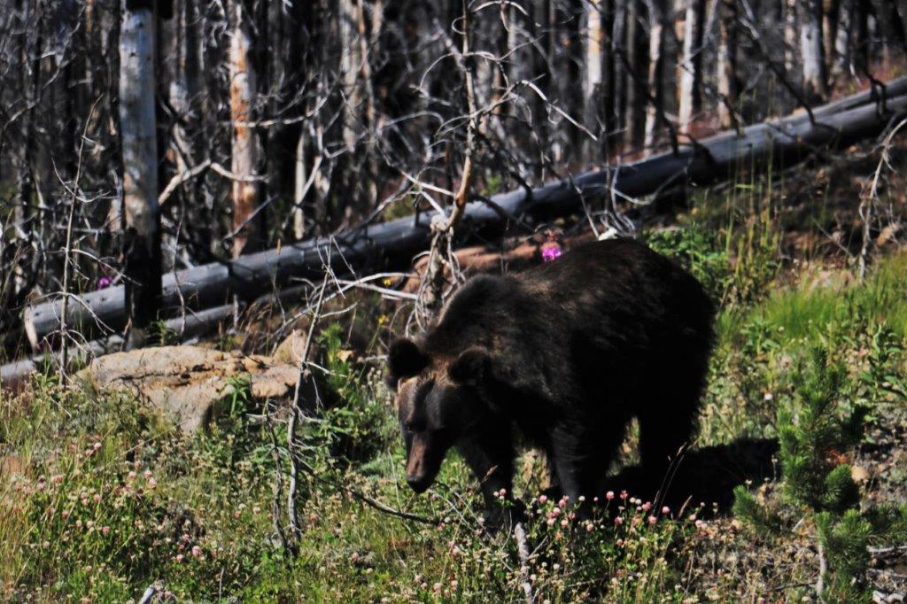
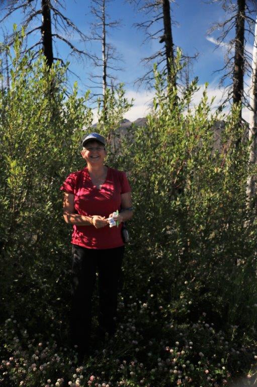
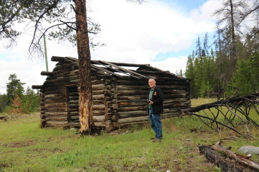
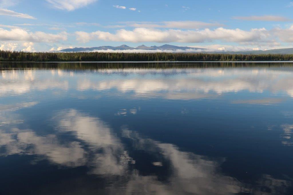
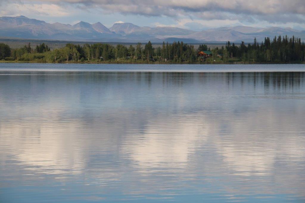
After our six day marathon of cache finding we took a slow day today.  I have actually slept all night the last two nights without coughing fits so I feel much better.  We lingered in the cabin after a breakfast of coffee and peanut butter toast so it was after noon, almost 1 o’clock, before we ventured out.

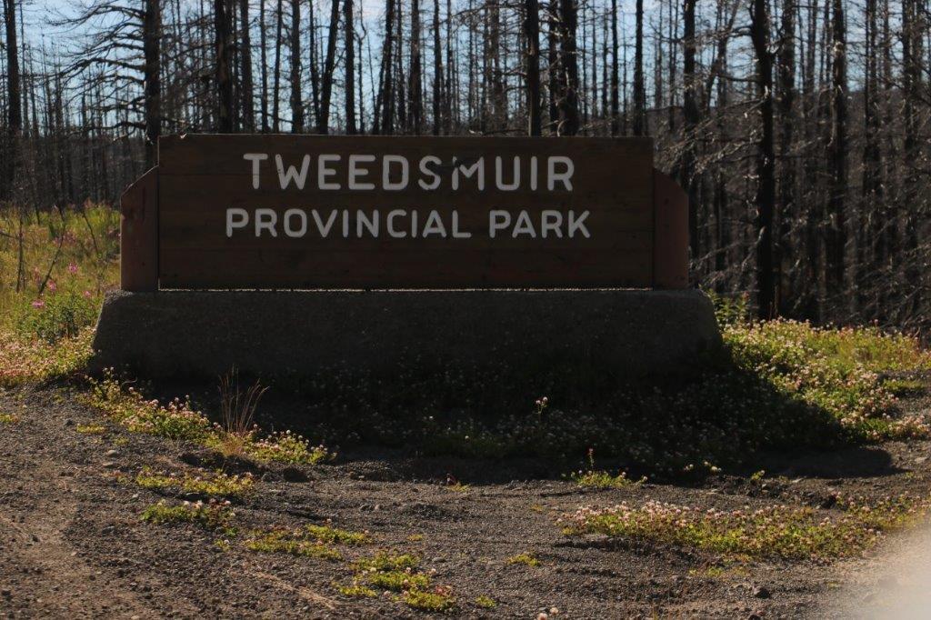
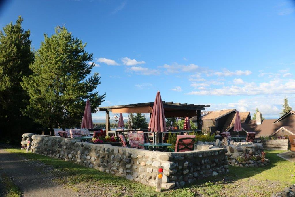
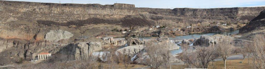
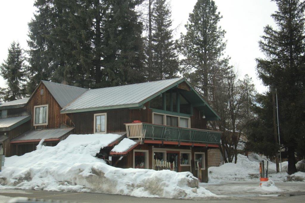
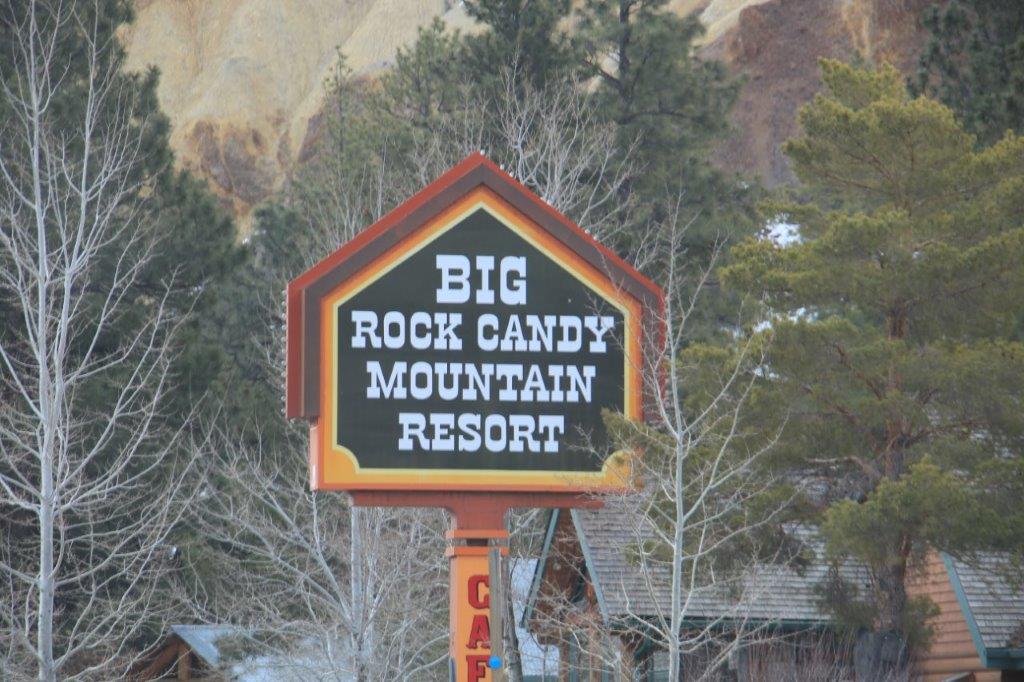
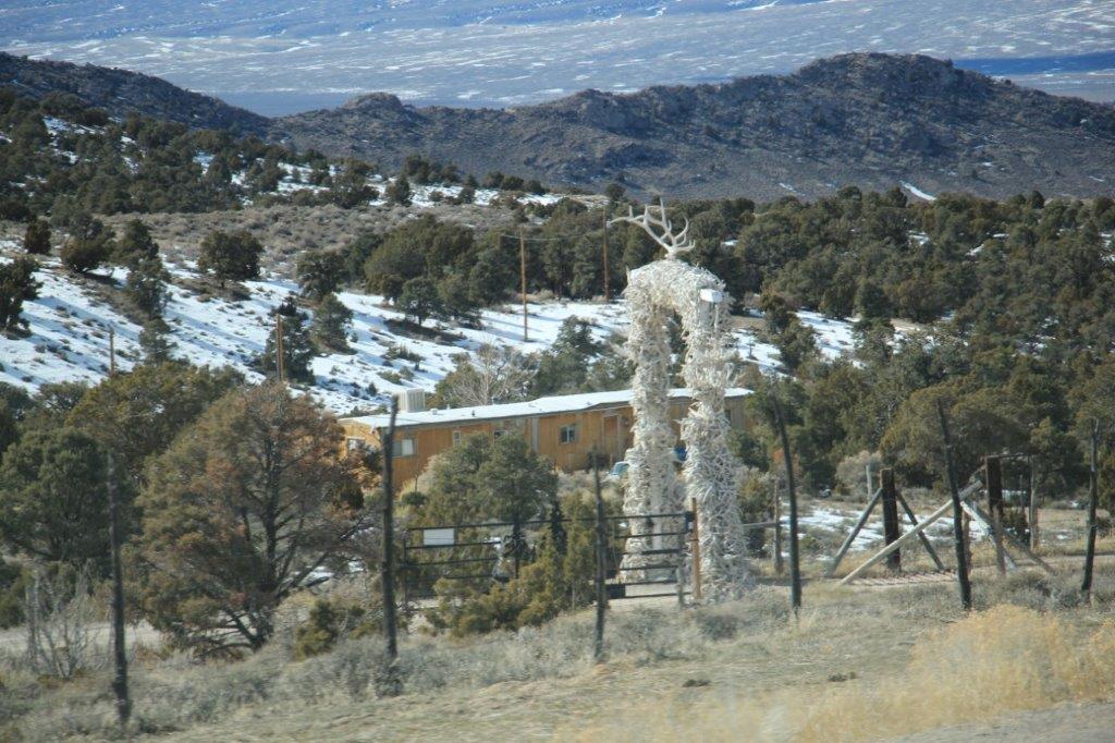
The town of Bella Coola encompasses about three blocks.  There is the Bella Coola Valley Inn and the Bella Coola Motel, plus some B & Bs for lodging.  There is a good restaurant at the Valley Inn and a small cafe for your dining pleasure.  Ace Hardware, Co-Op grocery, an art gallery, a gas station and a few other shops.  Reminds me a lot of Salmon Arm when I was a child.

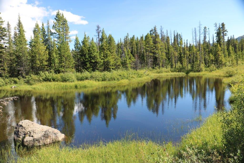
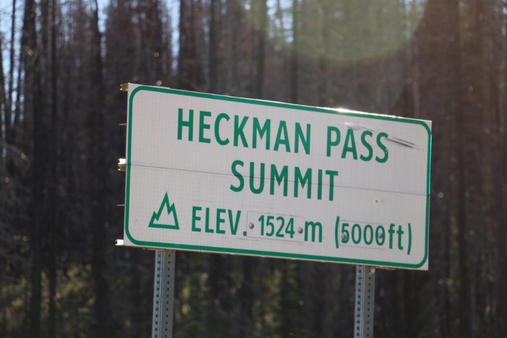
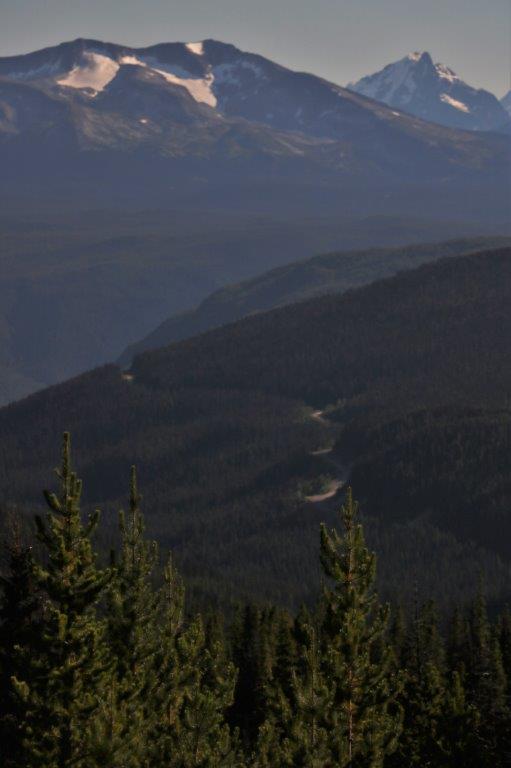
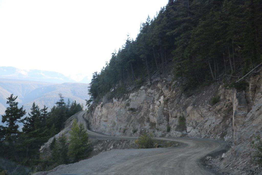
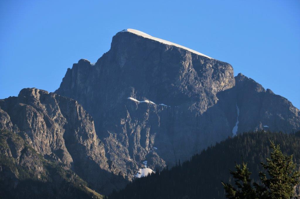
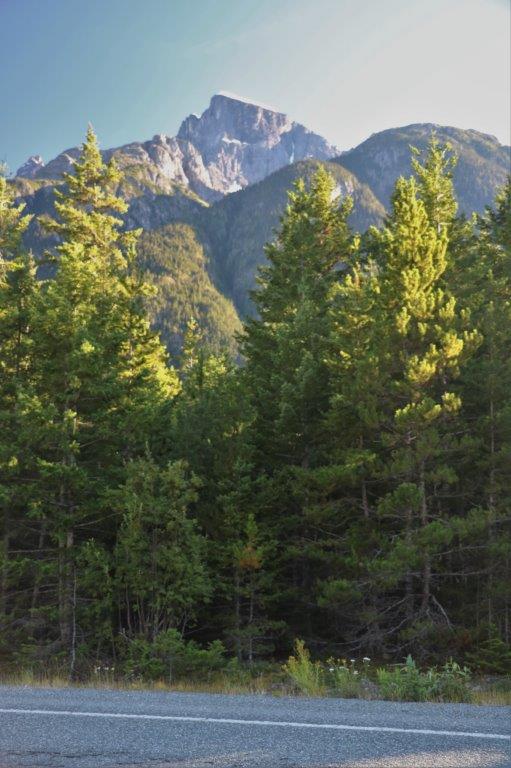
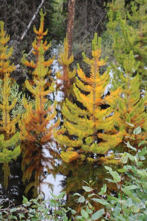
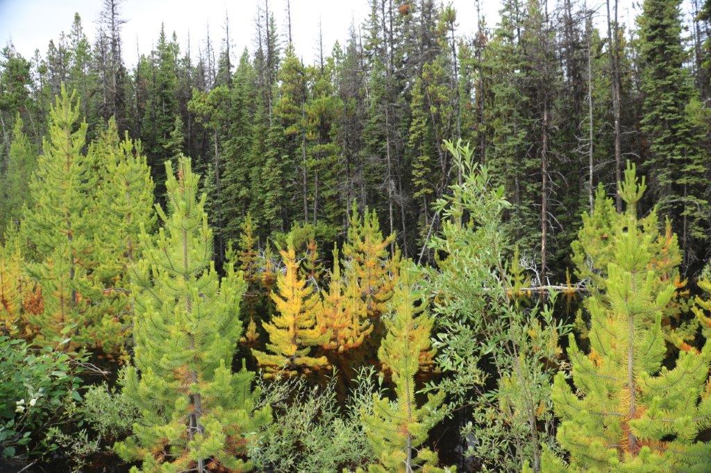
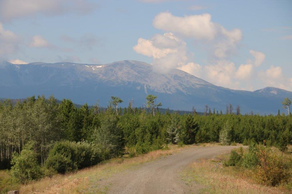
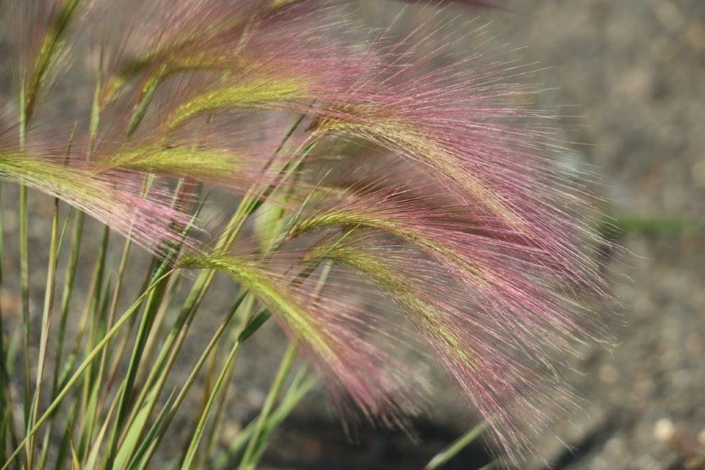
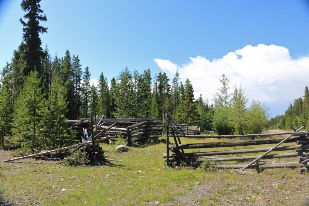
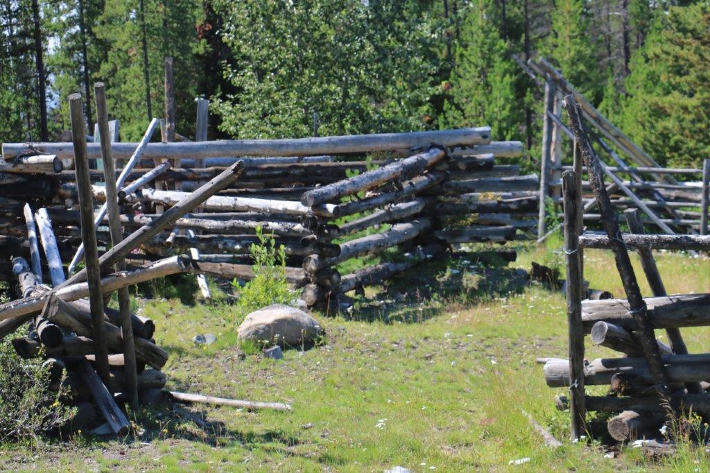
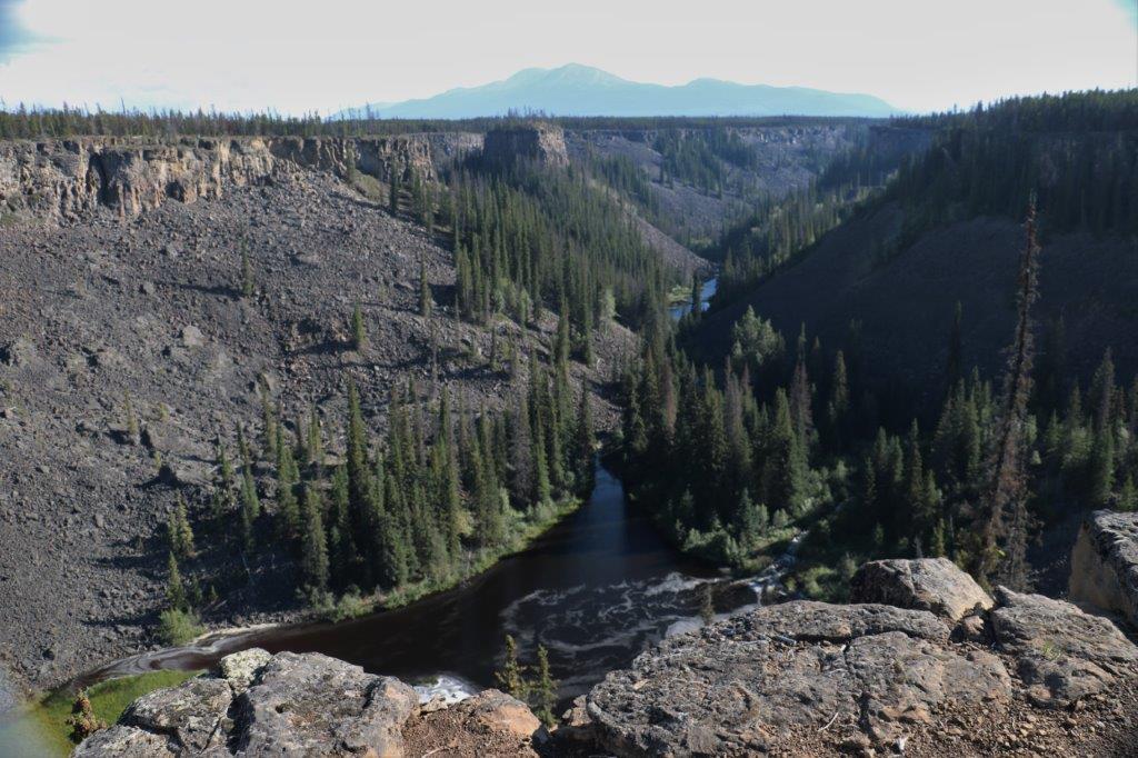
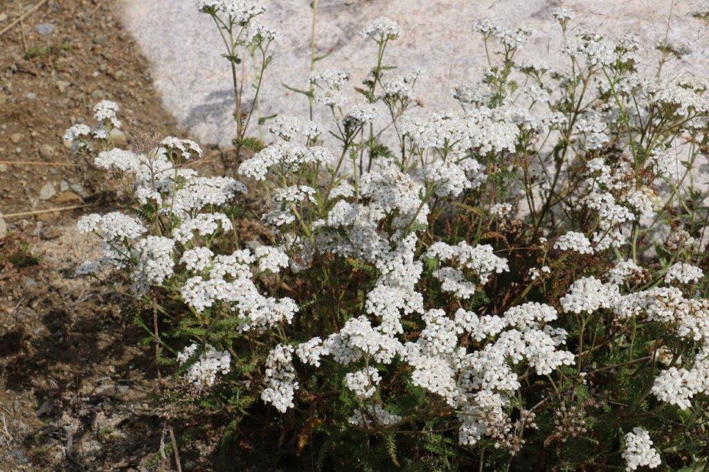
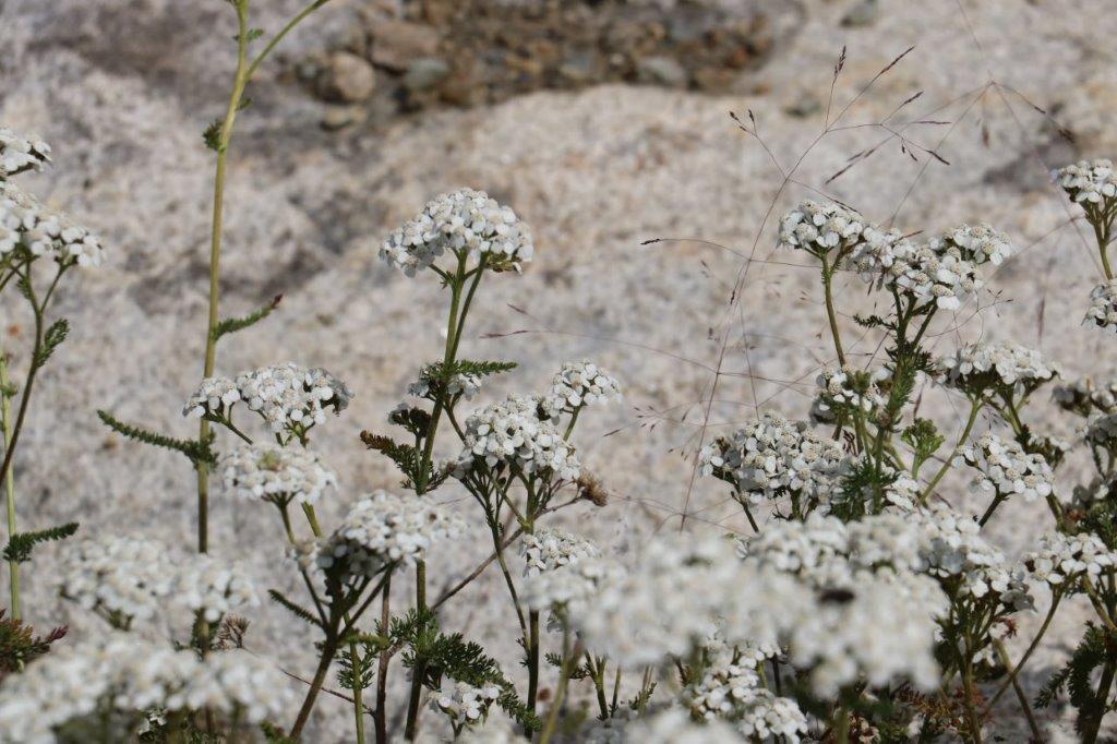
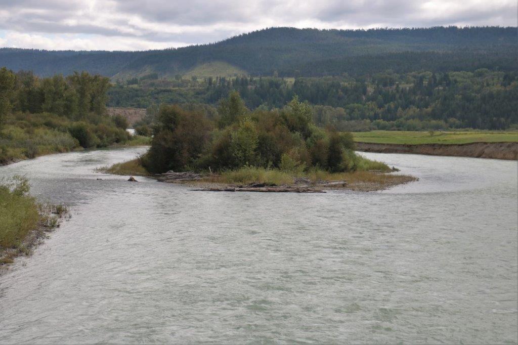
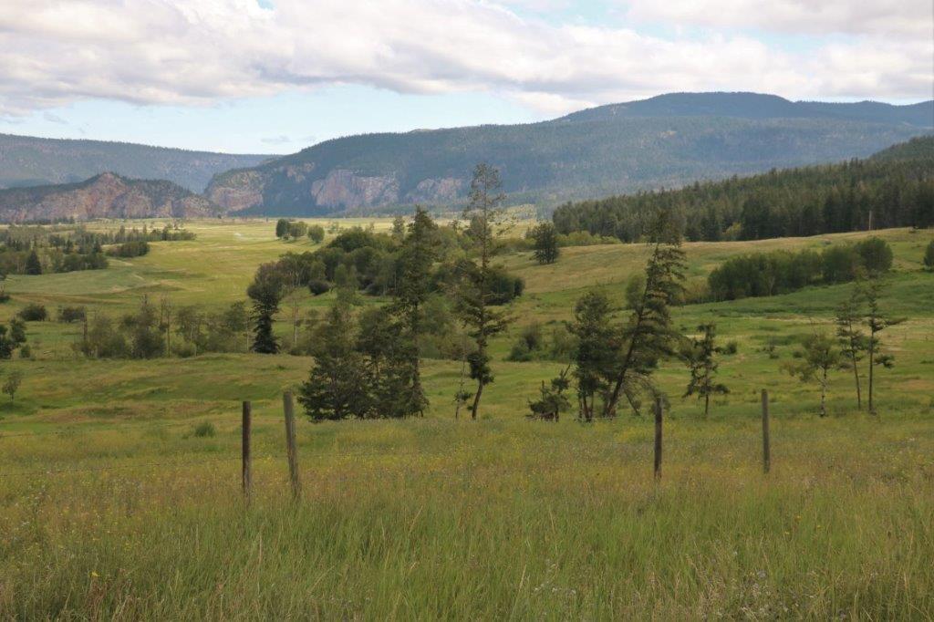
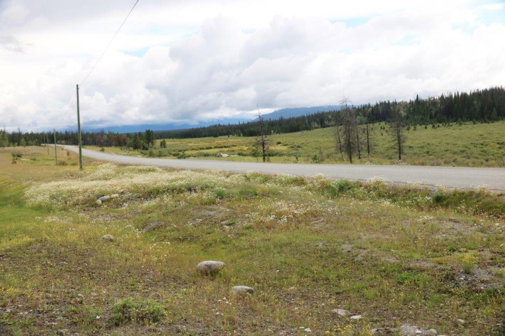
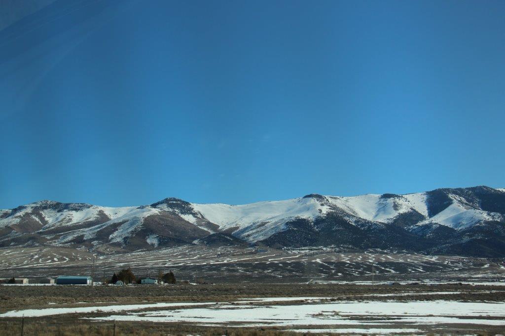
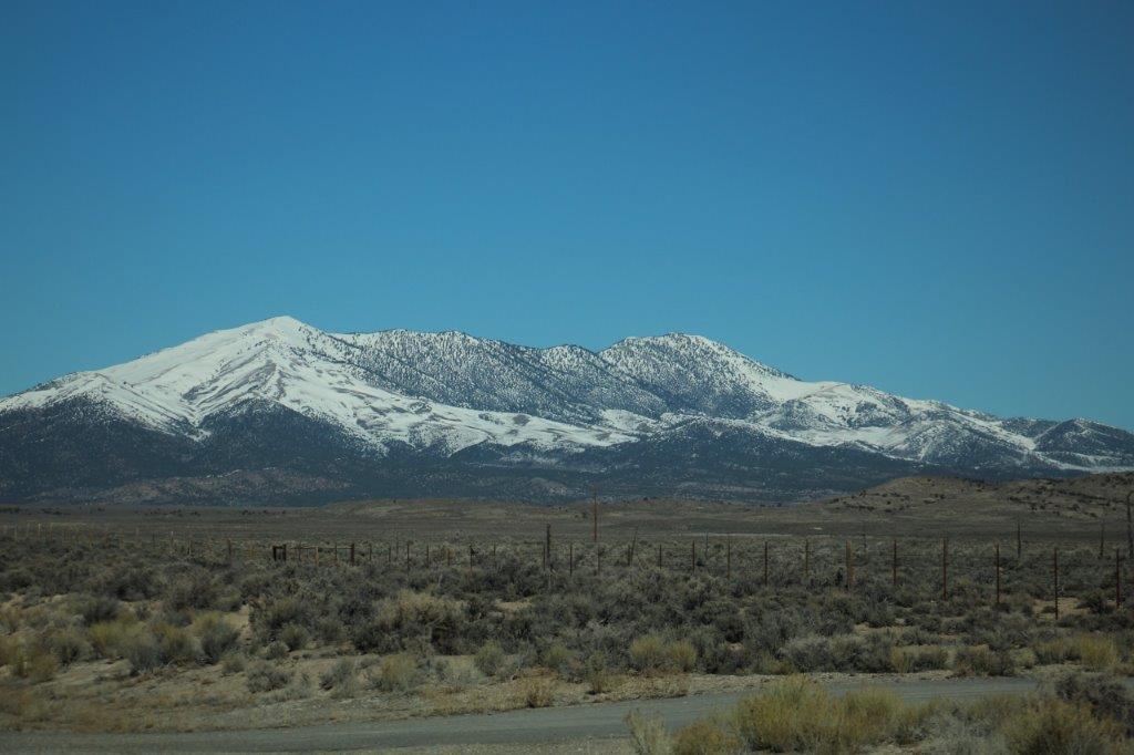
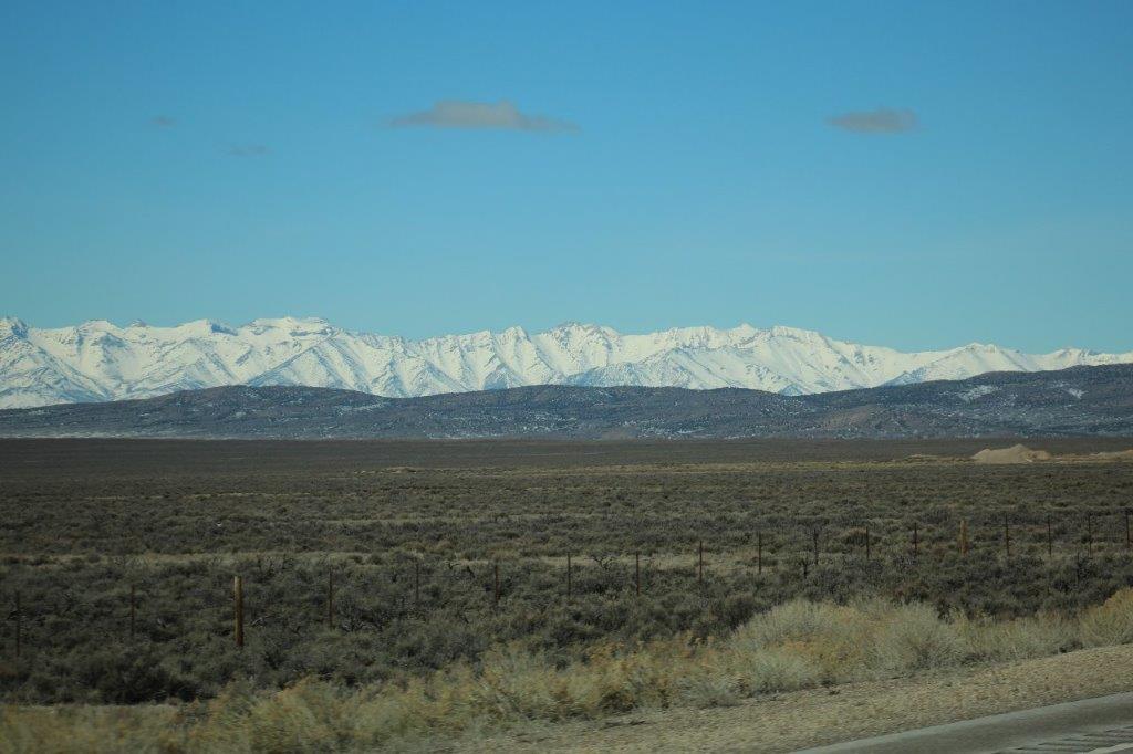
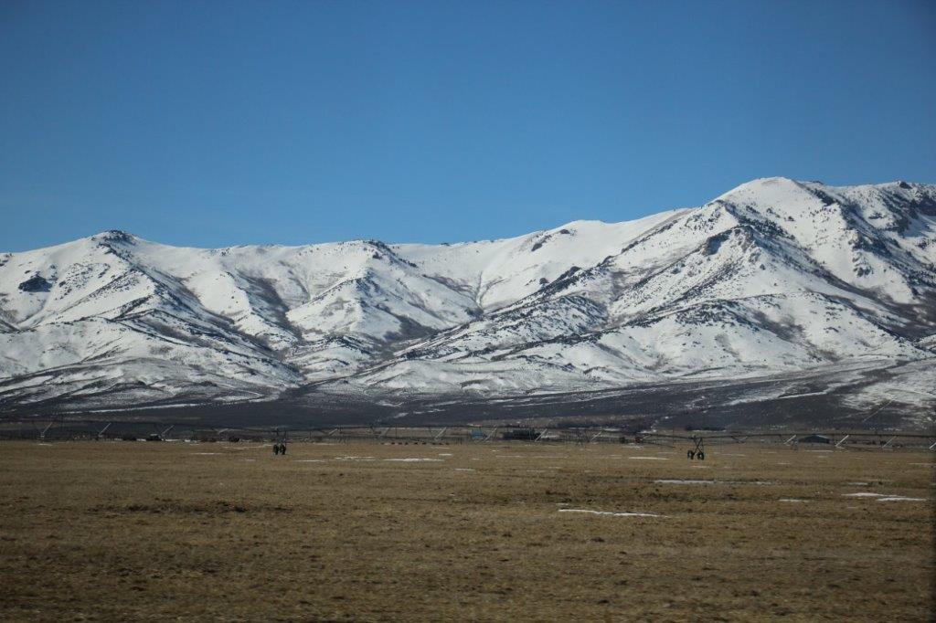
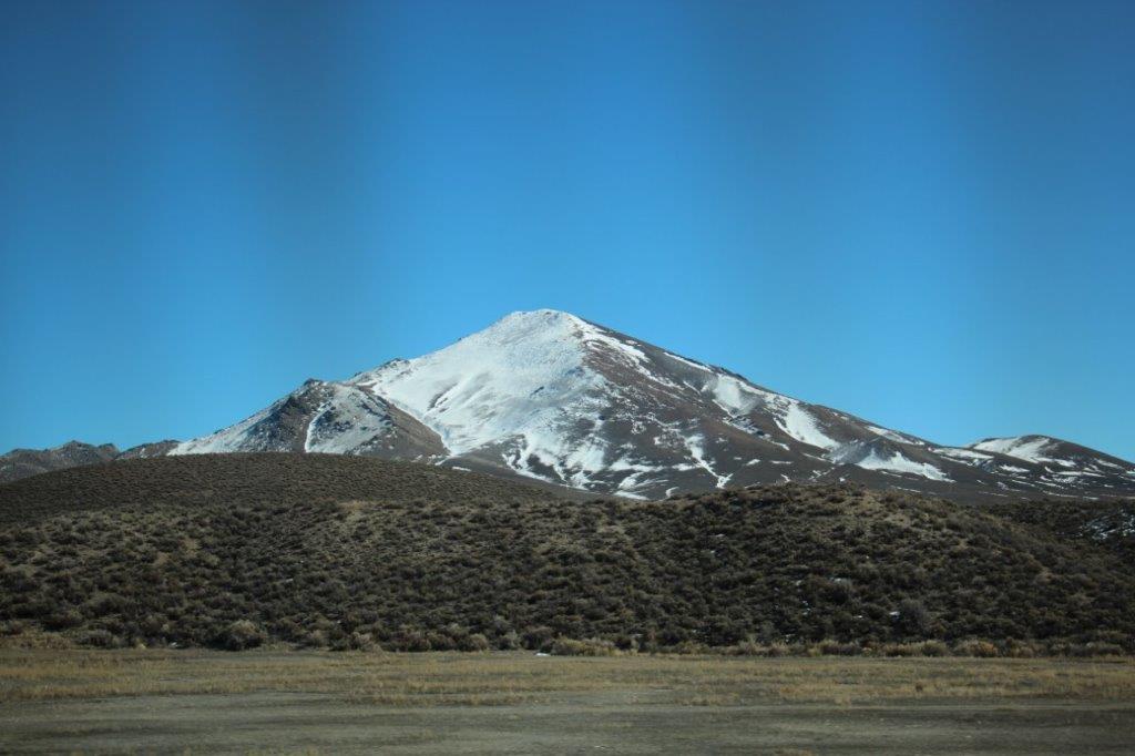
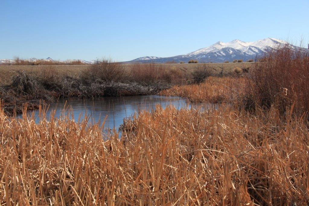
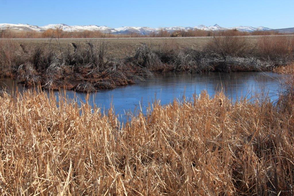
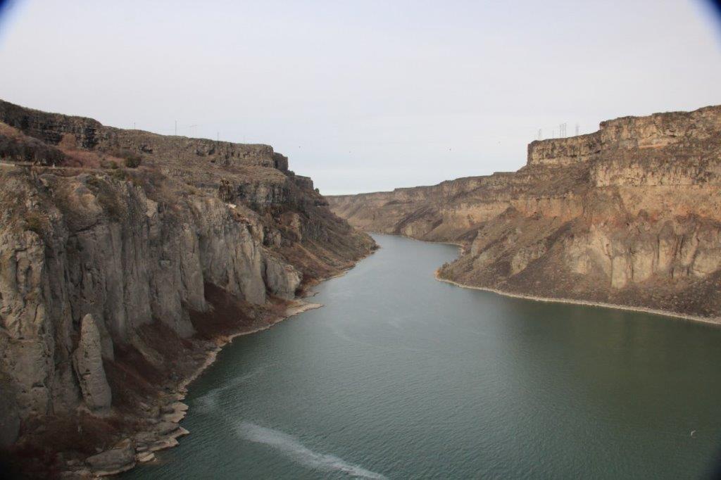
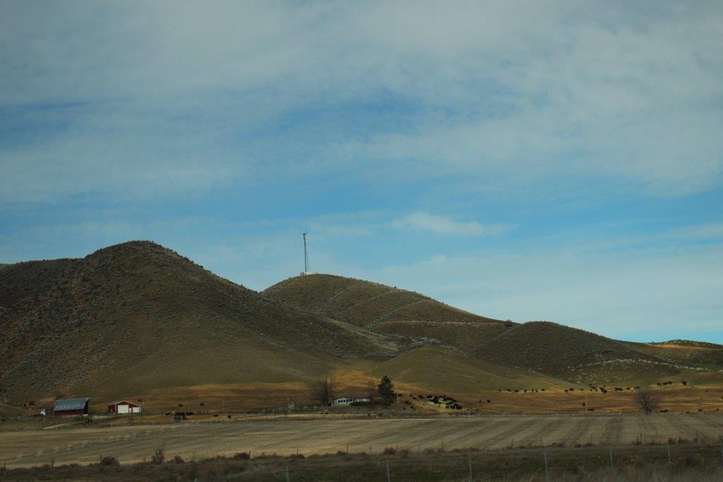
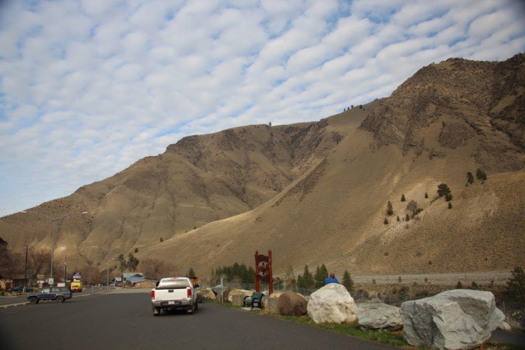
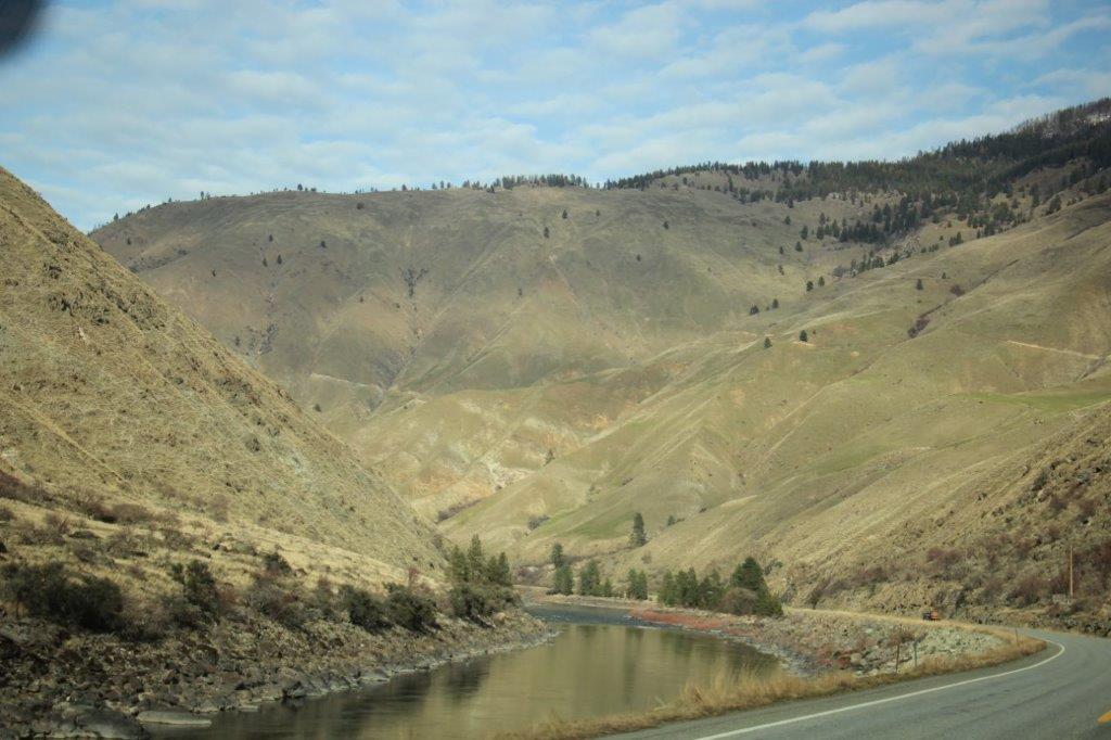
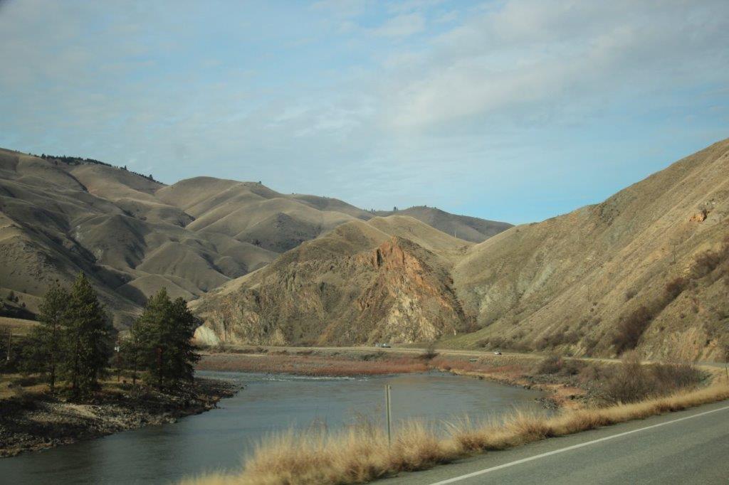
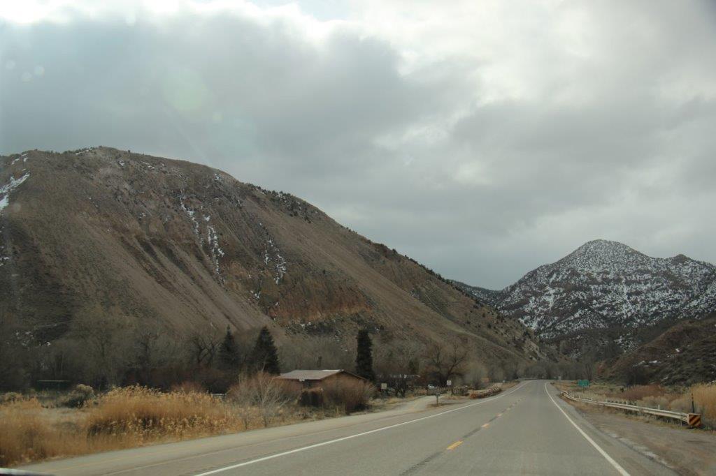
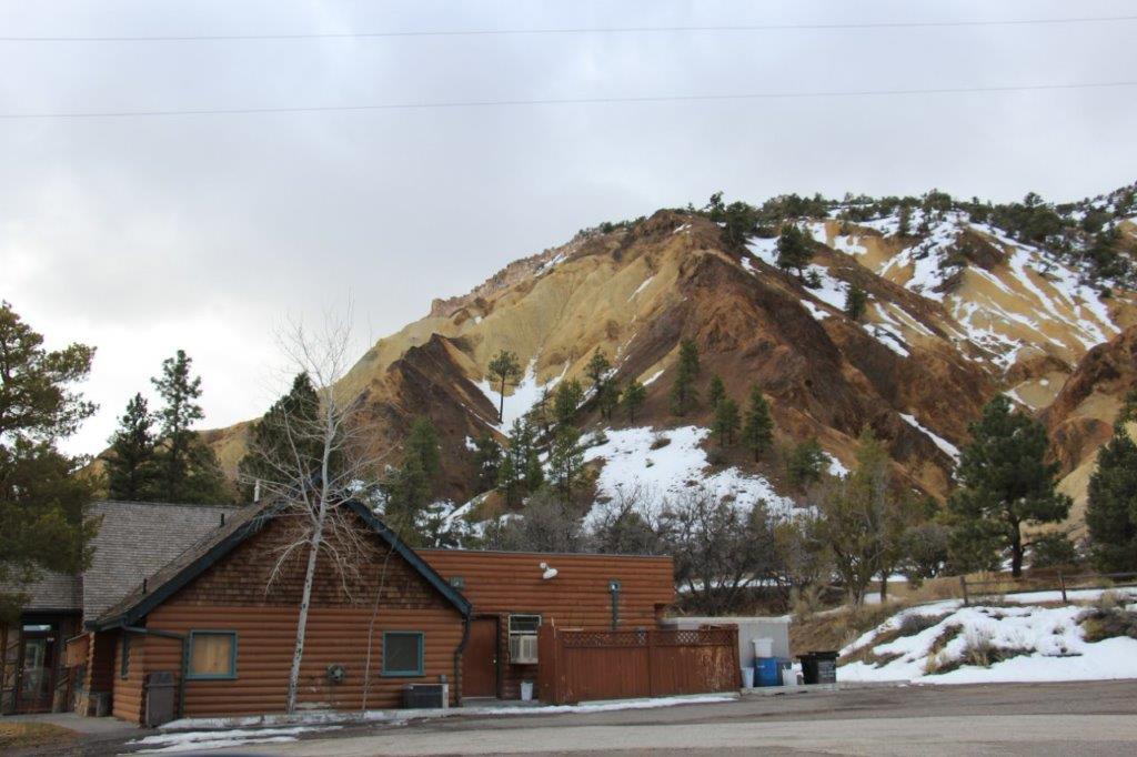
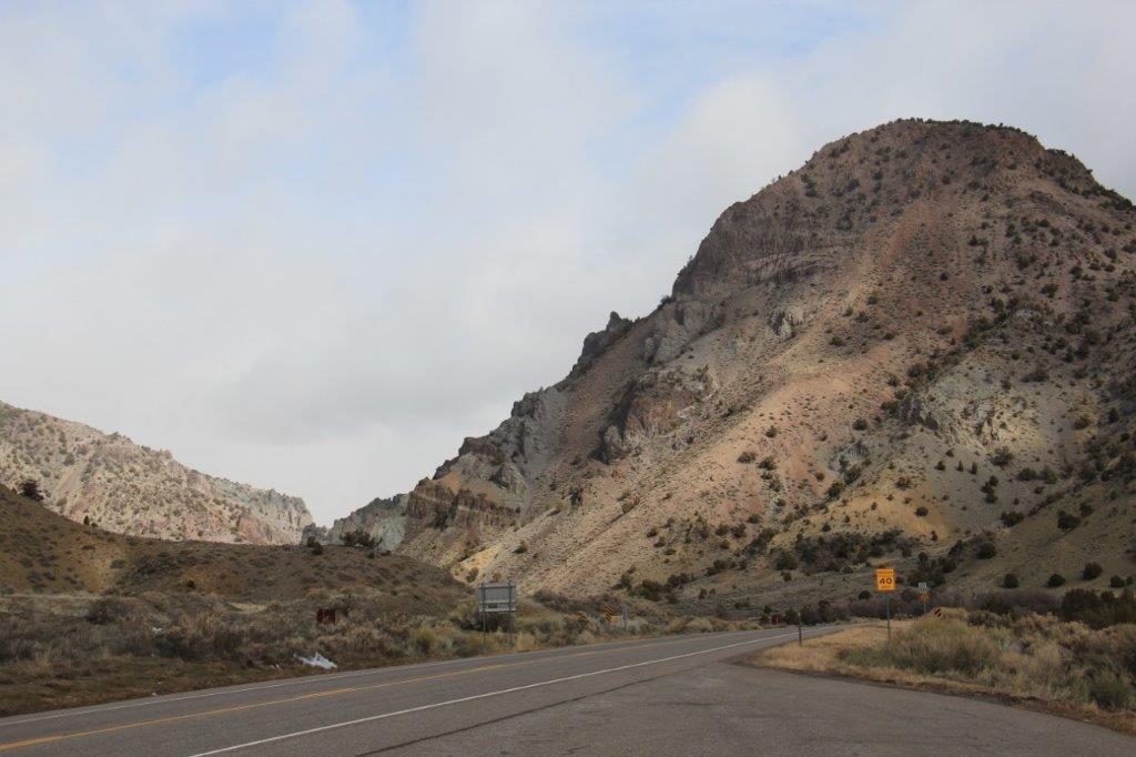
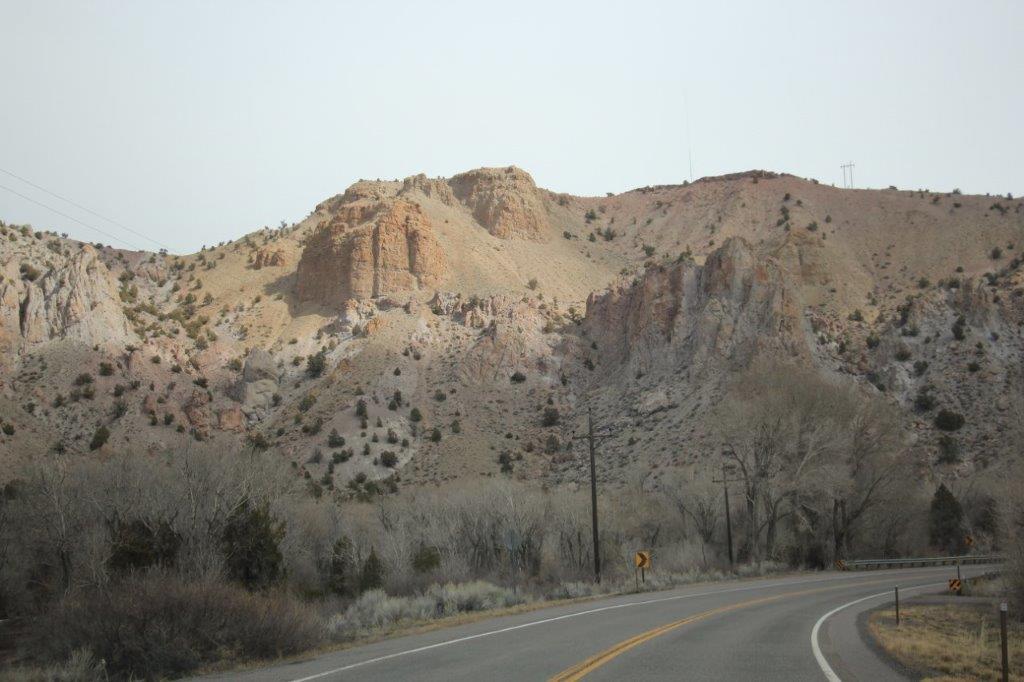
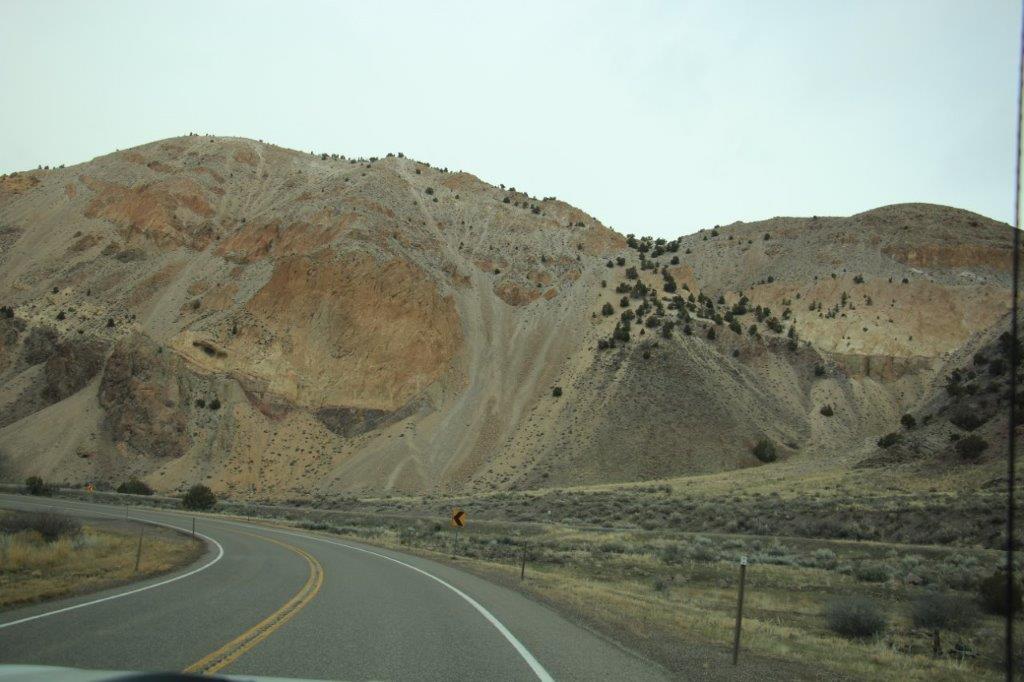
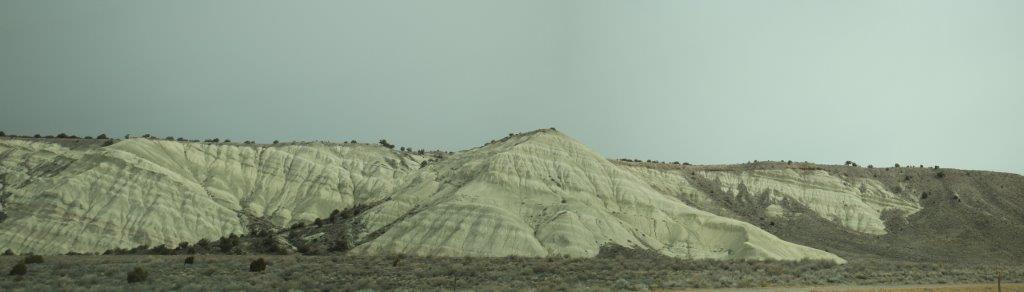
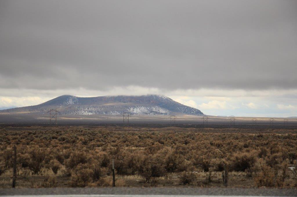
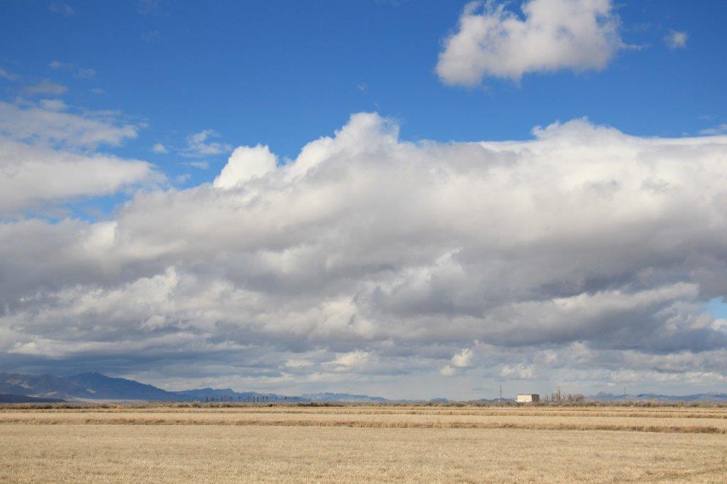
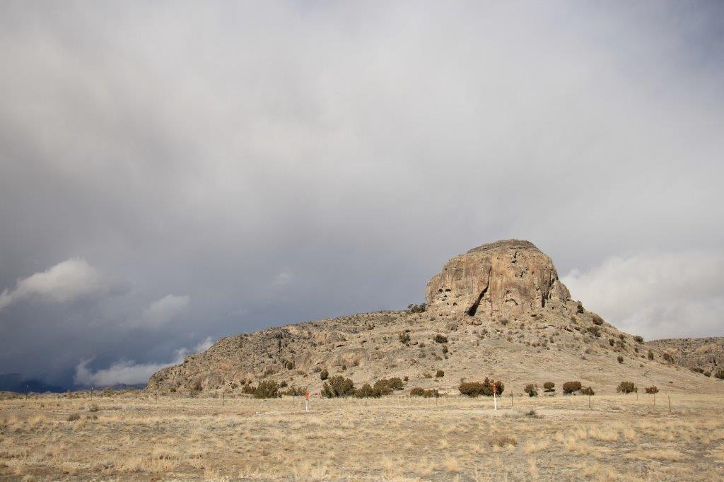
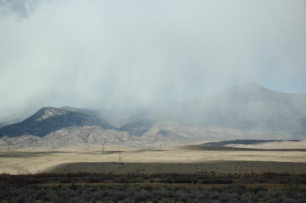
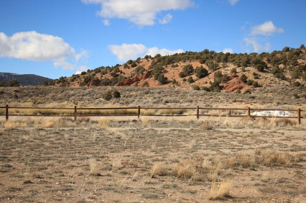
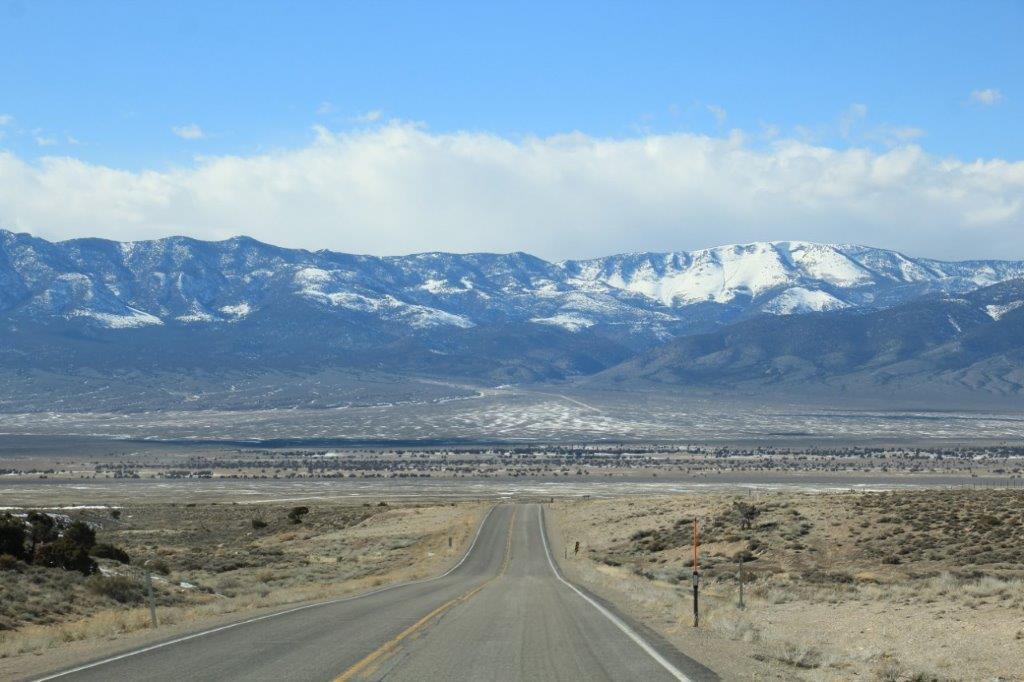
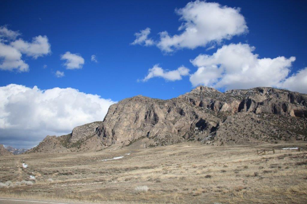
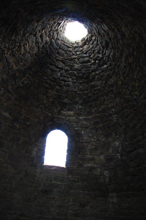
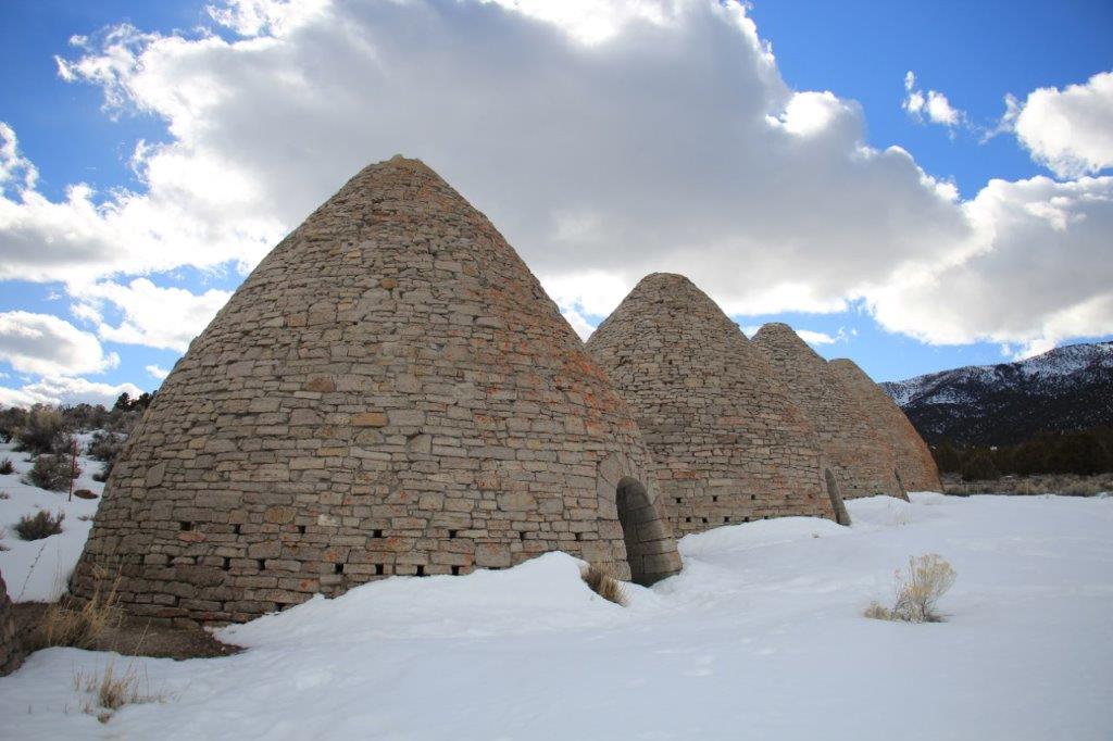
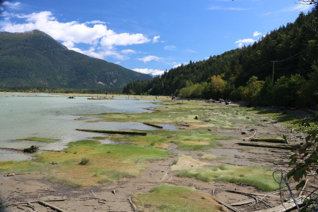
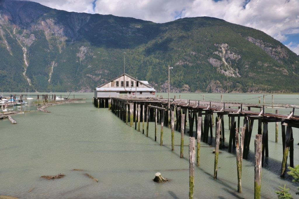
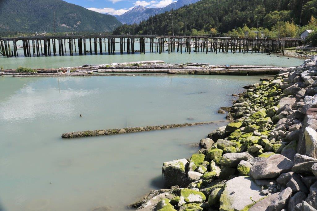
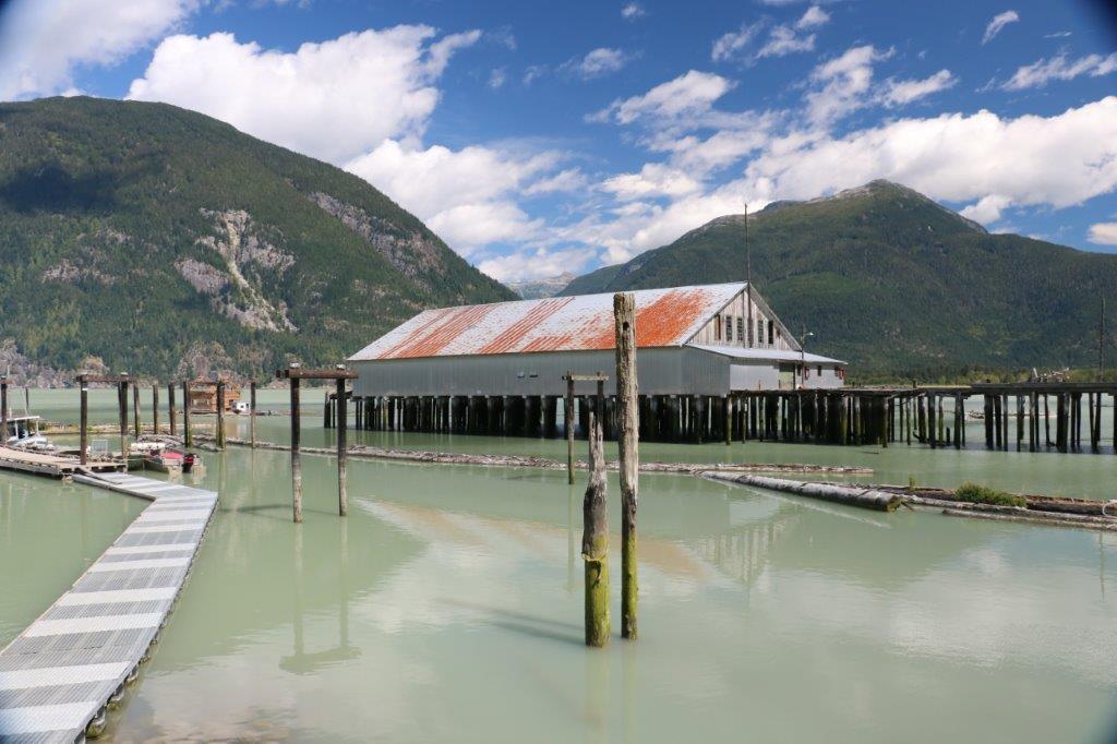
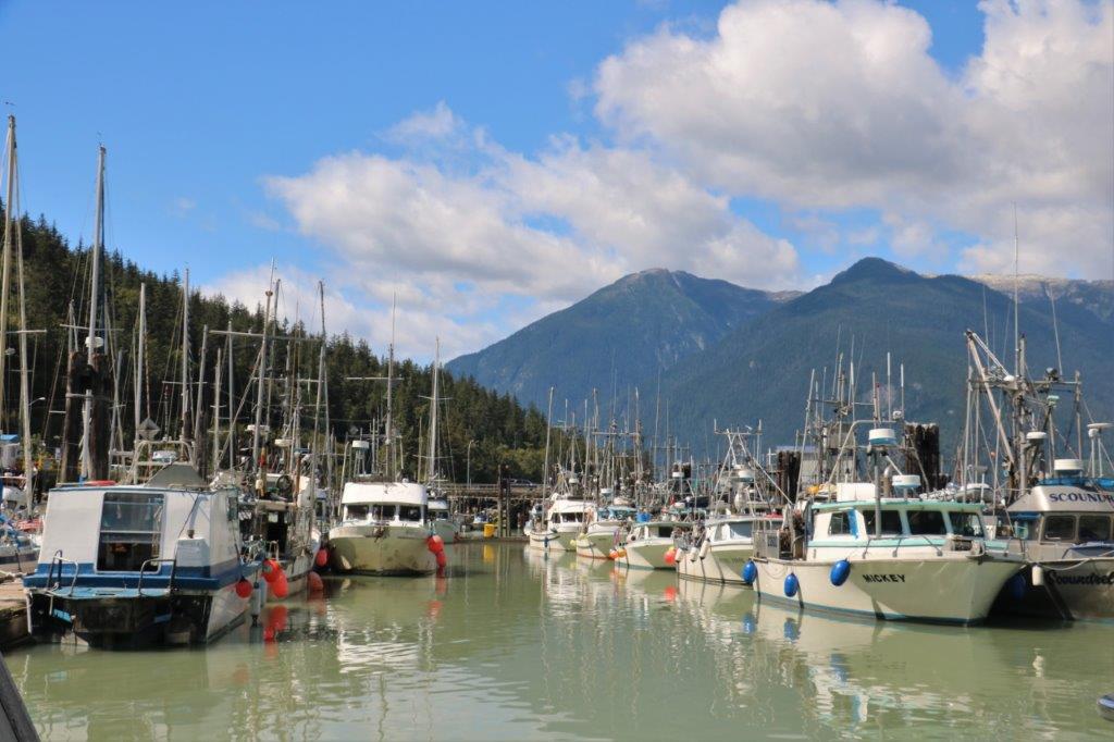
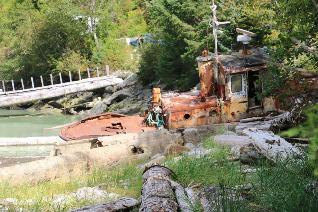
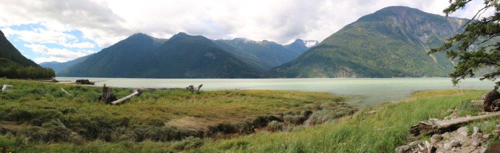
Bella Coola Valley stretches 80 km inland and includes the communities of Bella Coola and Hagensborg.  The valley is 100 km inland at the end of a very long inlet so the area is not plagued by the constant rain of the coast.  July through September is often dry and sunny and we certainly enjoyed both today.  The temperature hit about 30; nice and warm and comfortable for walking about.IMG_4425We drove out of town toward the coast, stopping at the old canary, and the harbour to take some photos.  The mountains just rise up in all directions.  They are spectacular. And the water was a very unique grey-green colour.IMG_4426 IMG_4435 IMG_4437 IMG_4439 IMG_4442 IMG_4448 IMG_4449 IMG_4450 IMG_4451 IMG_4452 IMG_4453
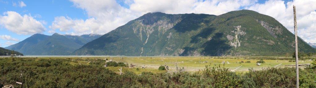
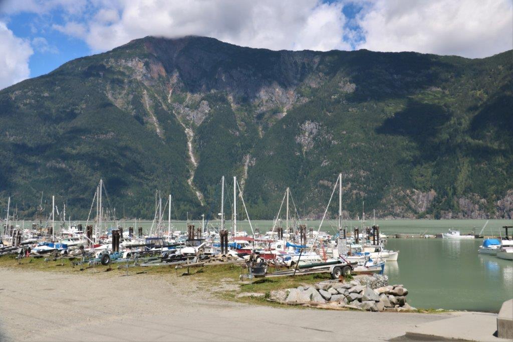
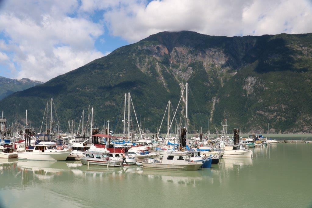
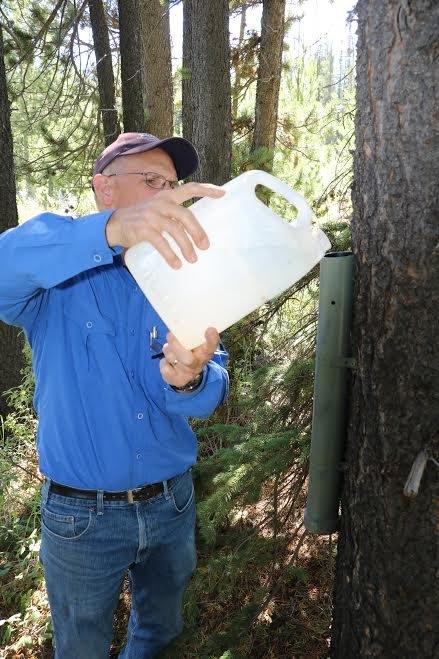
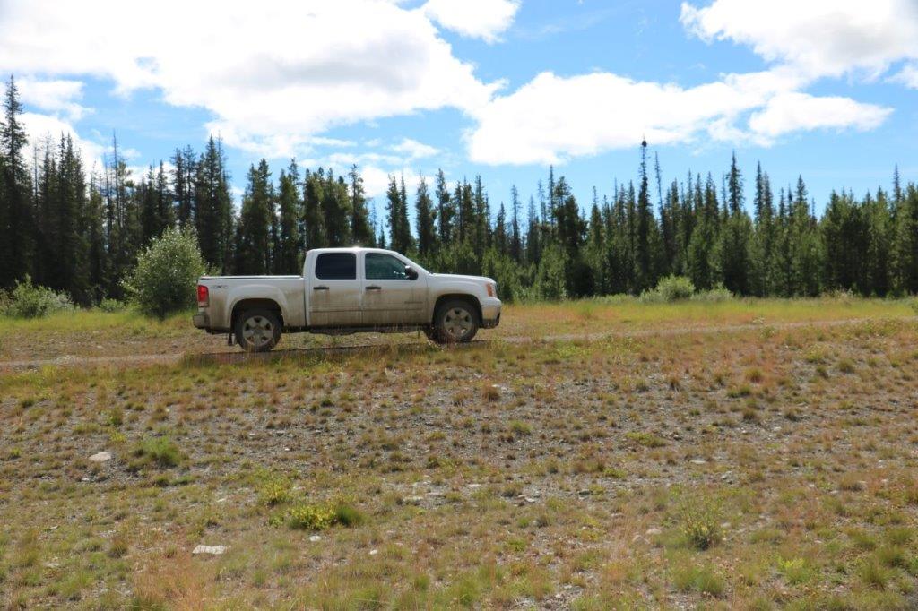
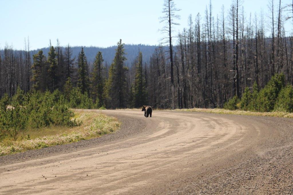
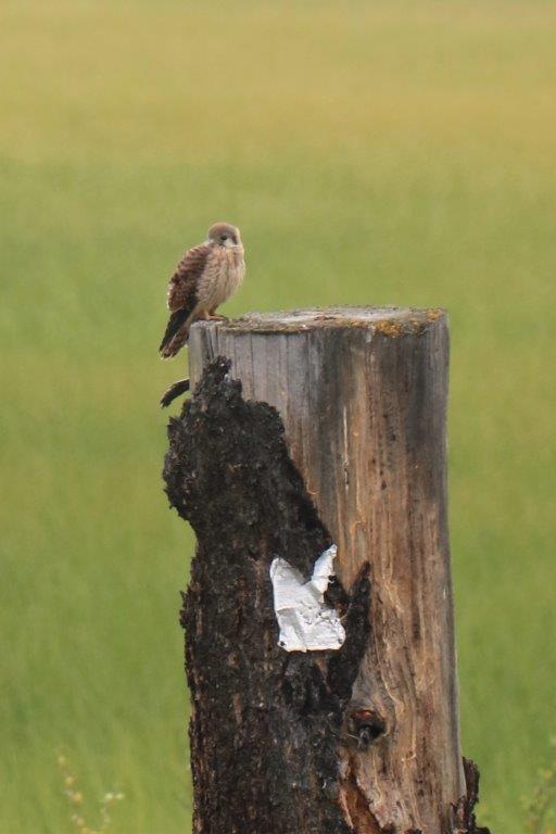
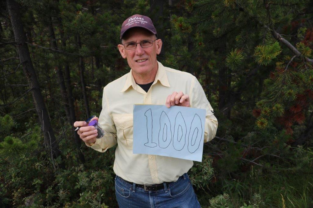
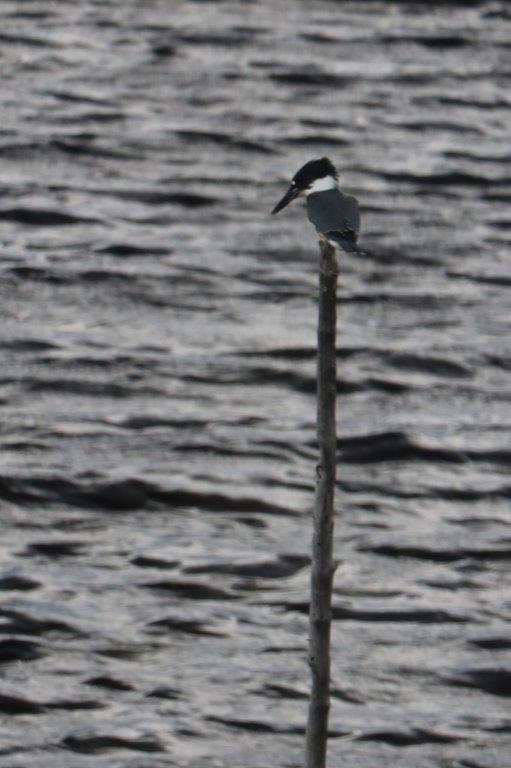
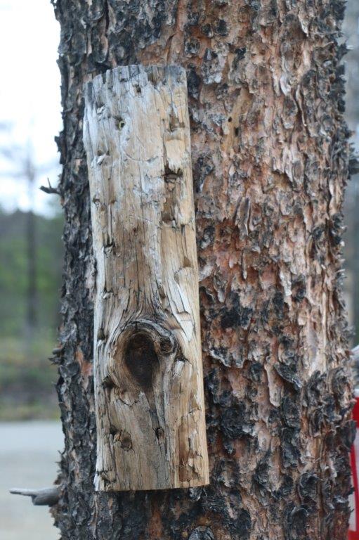
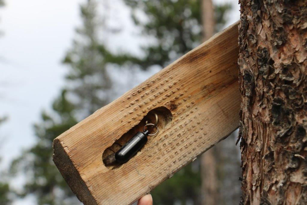
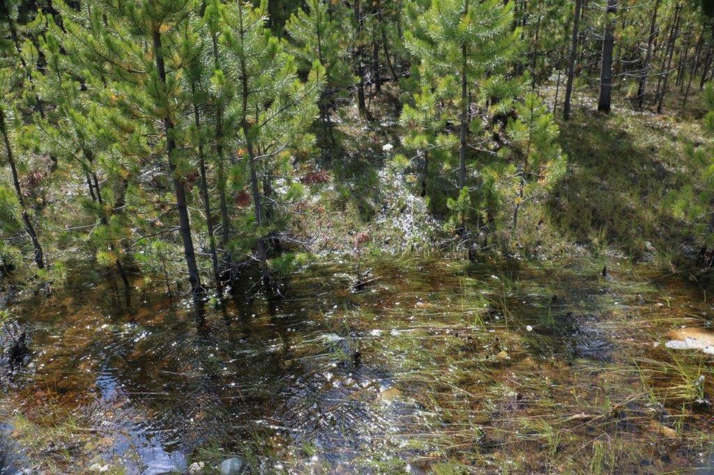
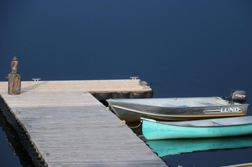
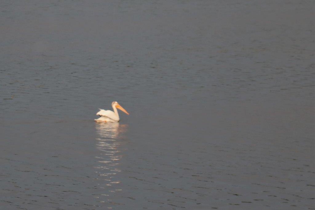
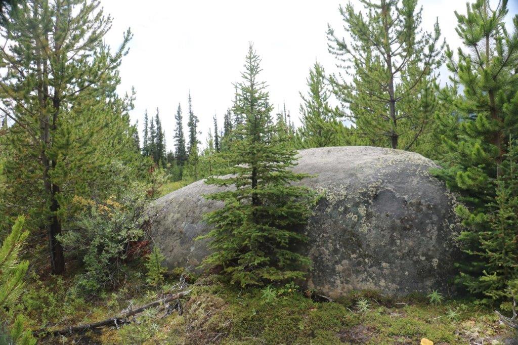
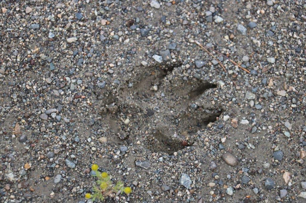
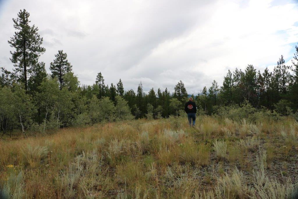
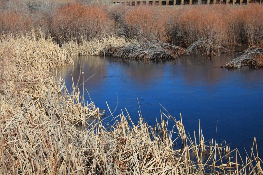
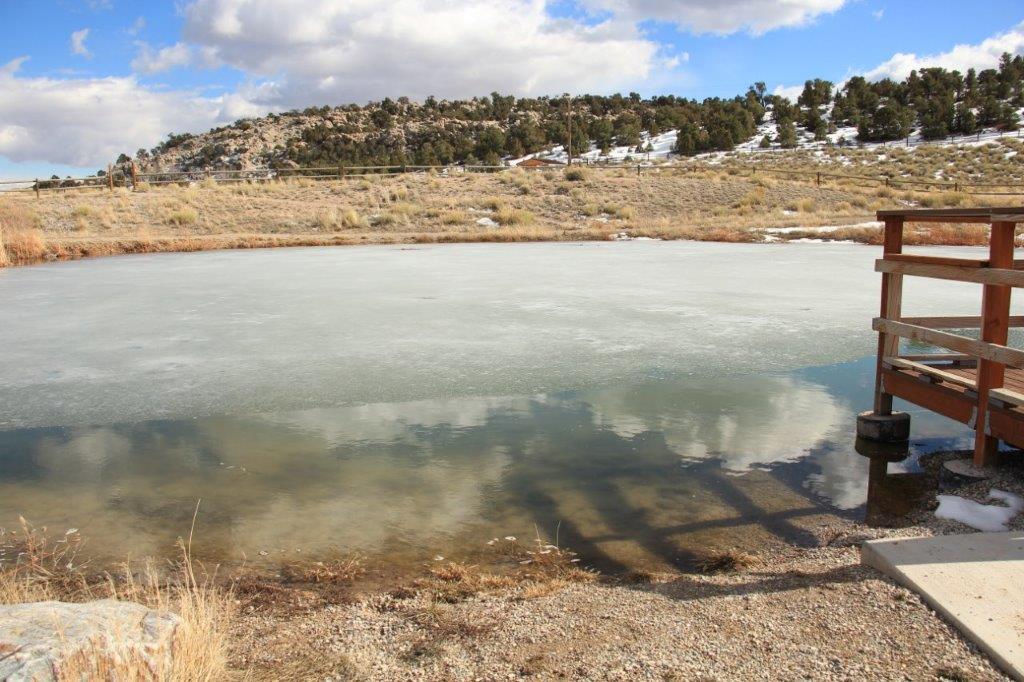
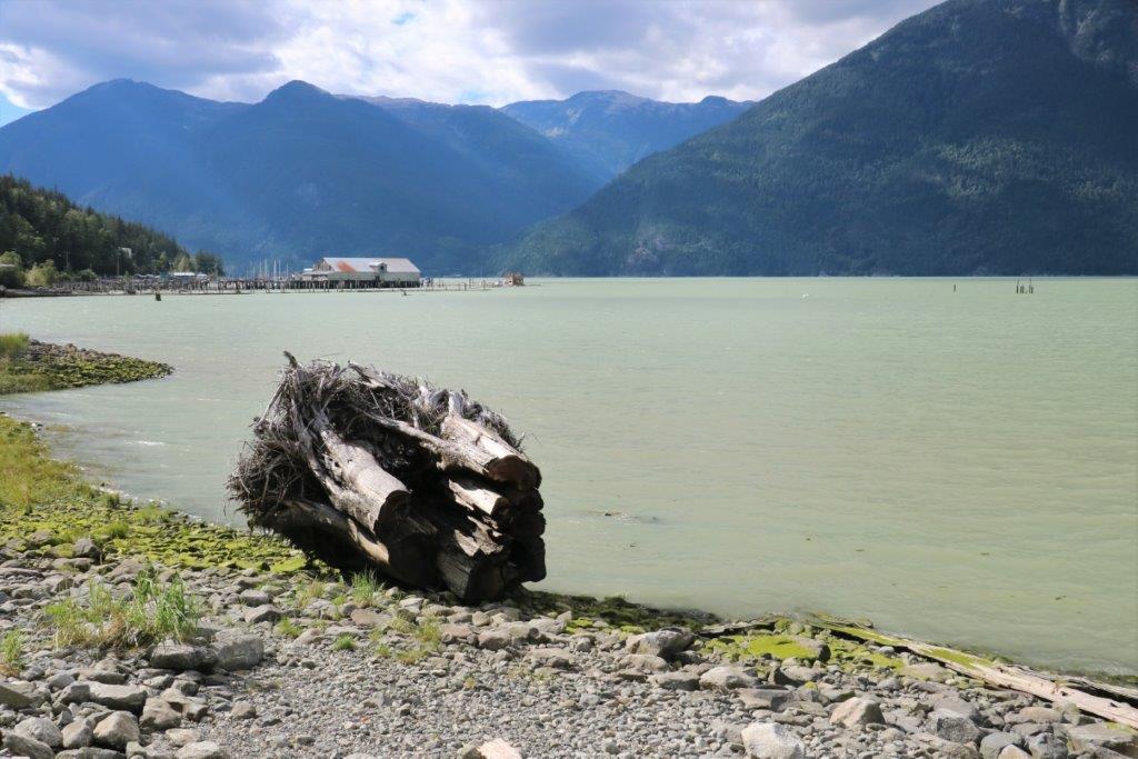
We found the cache near the ferry terminal dock and continued down the road to find the cache at the breakwater.  We clambered around some large rocks, checking our compass headings, looked up and realized there was a man sitting in a camp chair on a boulder; either gazing out to sea or sleeping.  We tried to discreetly and quietly search behind him for the cache but he heard us and turned to say hello.  He was a Calgary stock broker that sold out his practice and moved to Bella Coola three years ago.  He loves to sit at this spot and watch the water, the birds and the seals.IMG_4461 IMG_4462 IMG_4463 IMG_4464
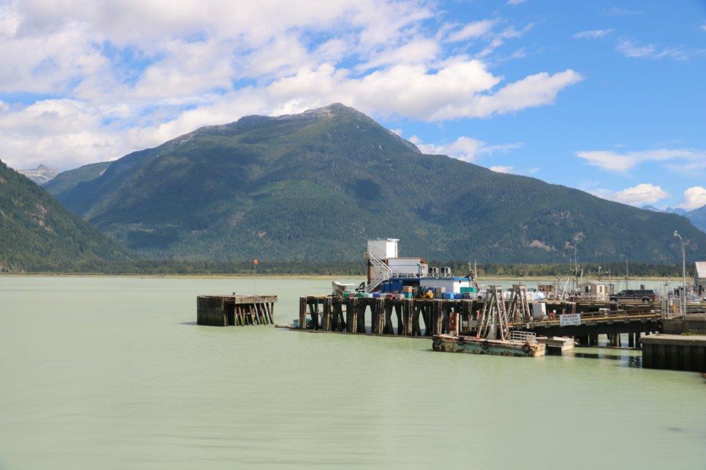
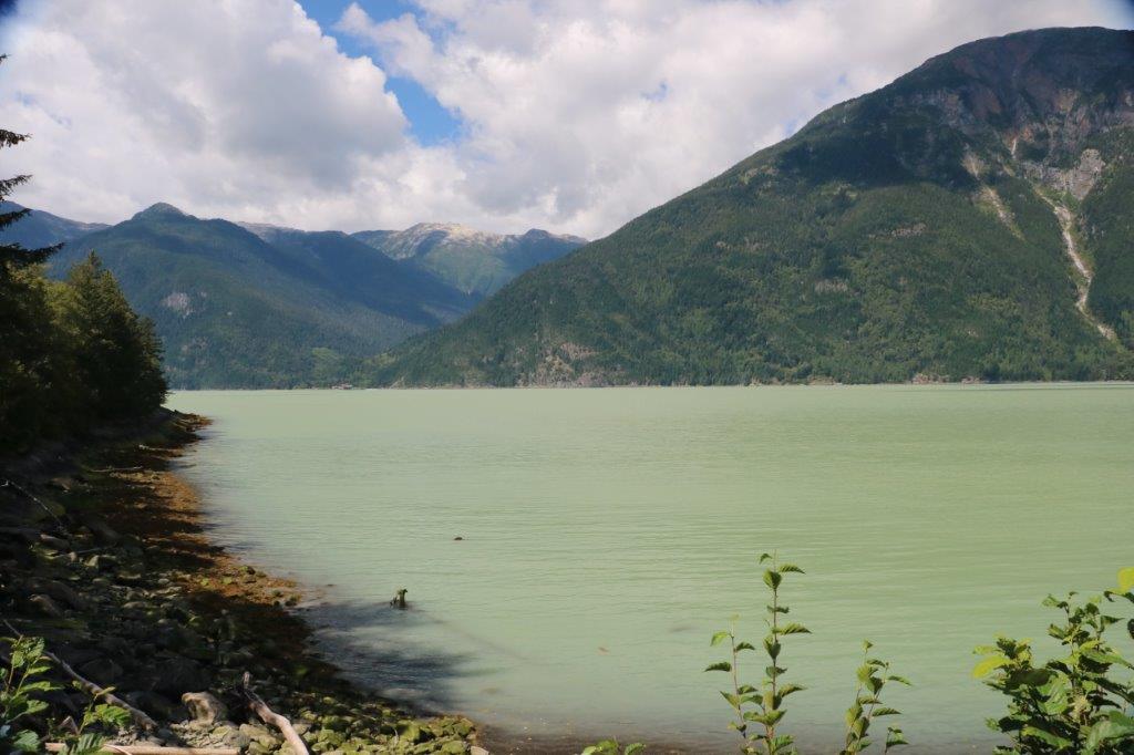
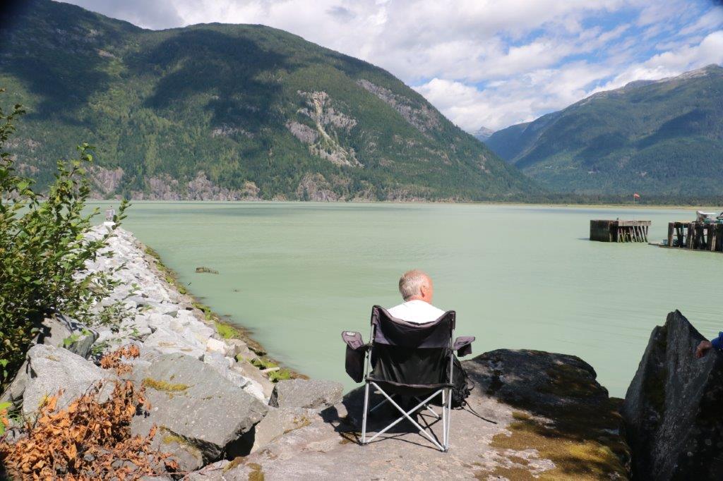
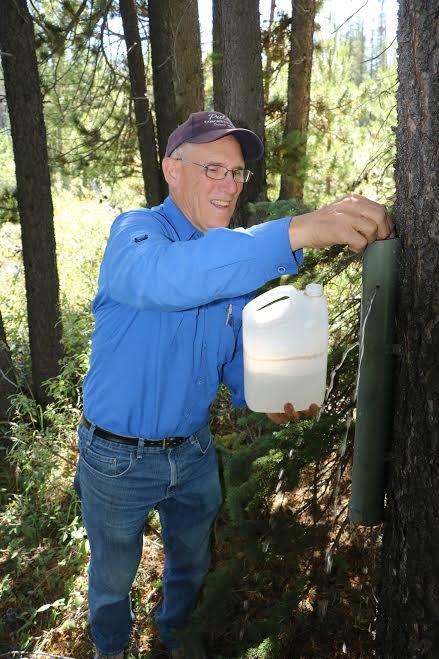
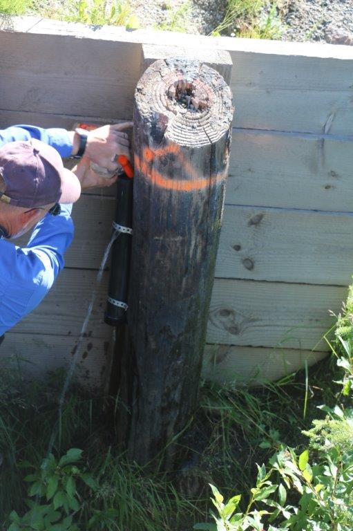
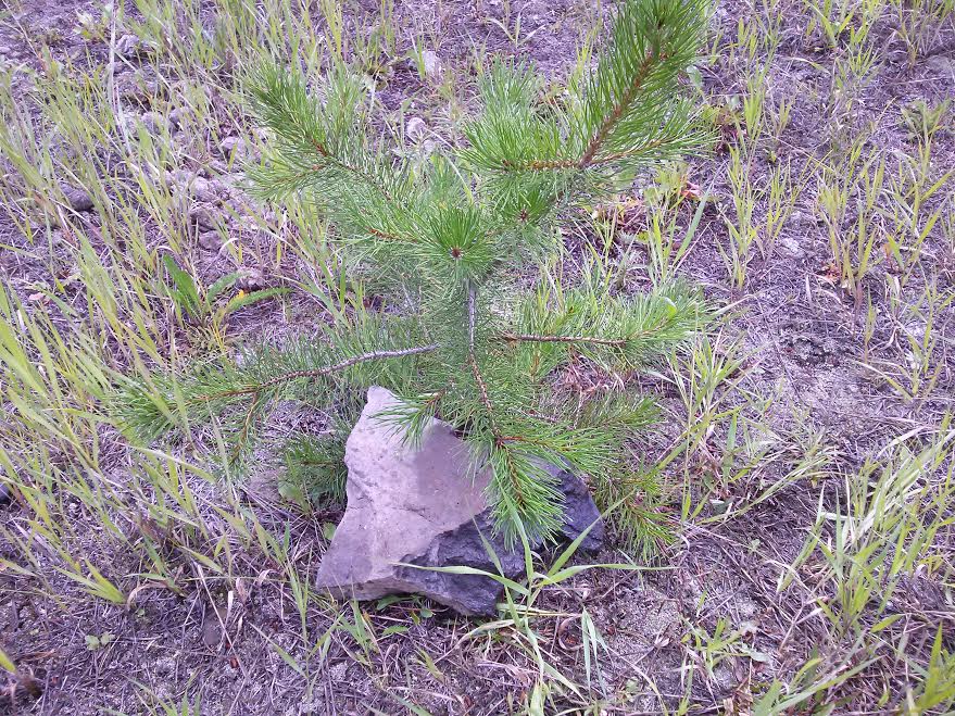
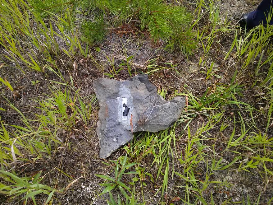
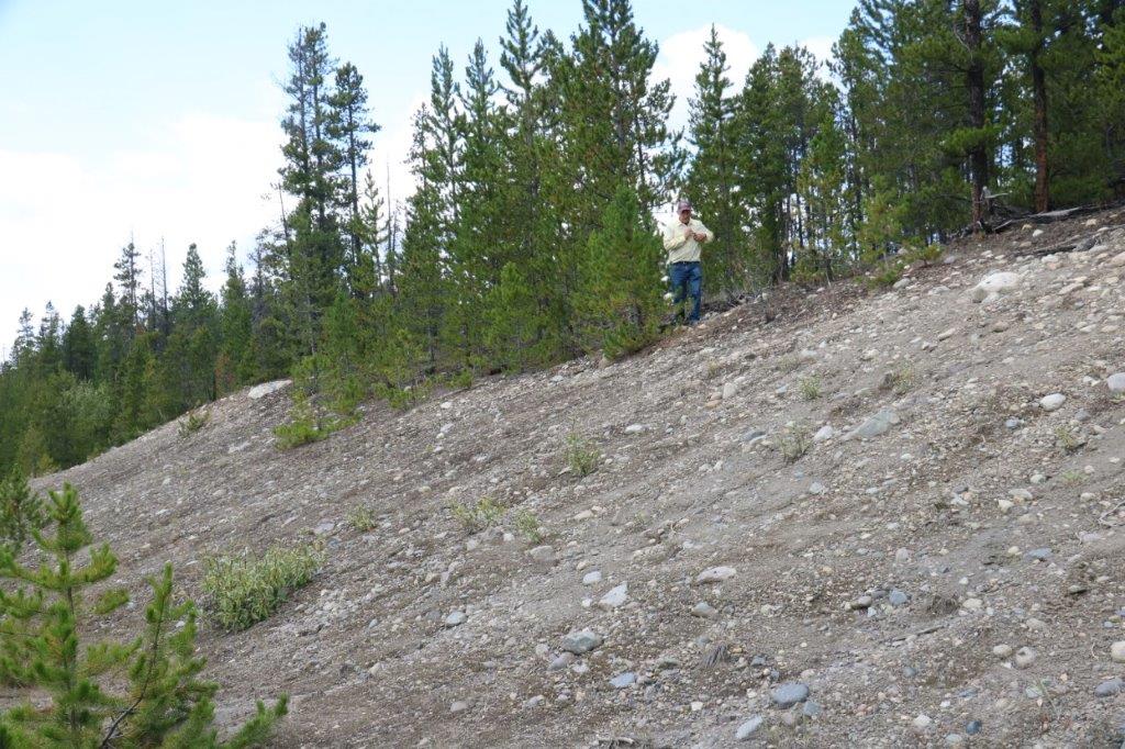
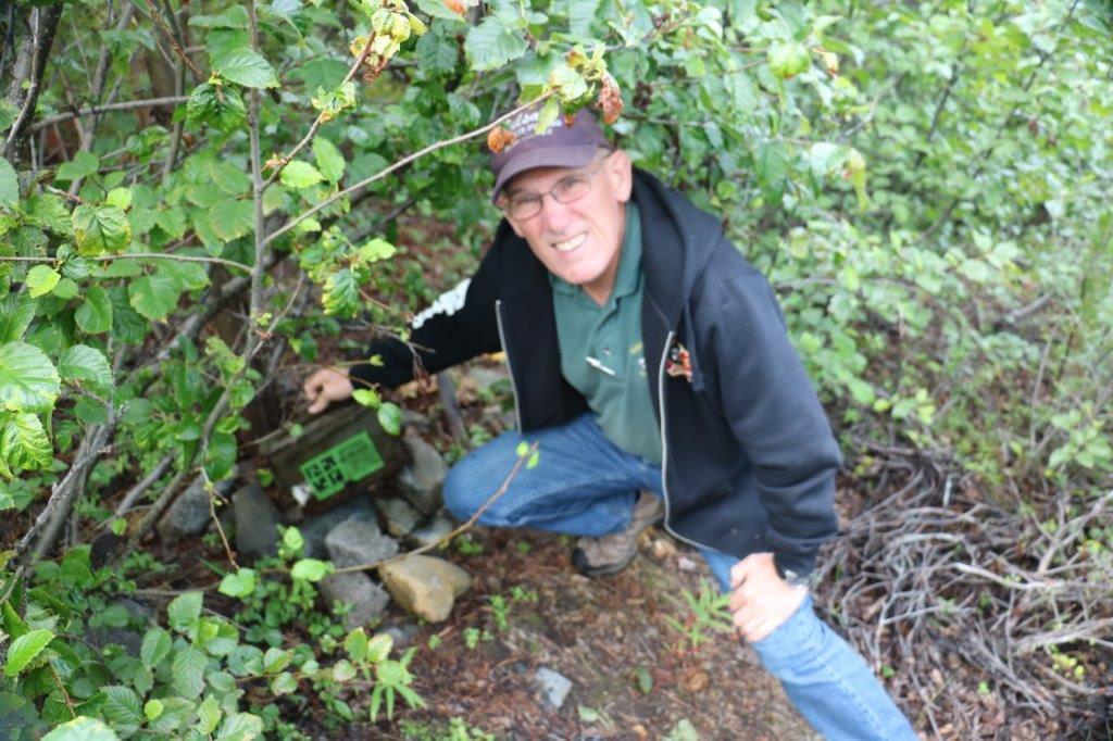
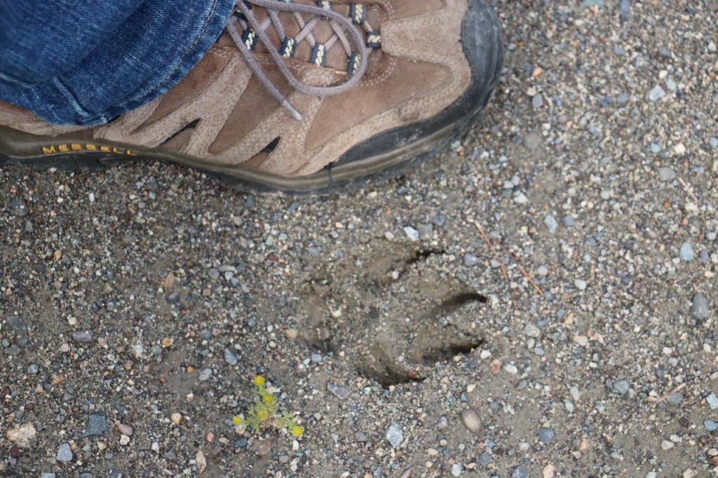
He asked if we were in the area to go fishing but we said no and explained about geo-caching.  He became very intrigued and got up and started to help us search for the cache.  As a matter of fact he was the one who found it tucked back under a huge boulder.  He was quite tickled and plans to keep an eye out for other cachers who may come looking for it in the future.

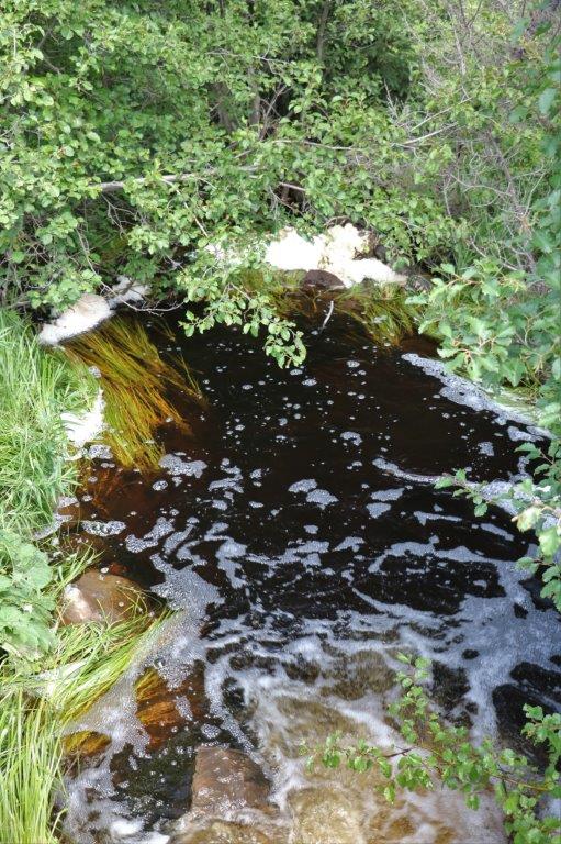
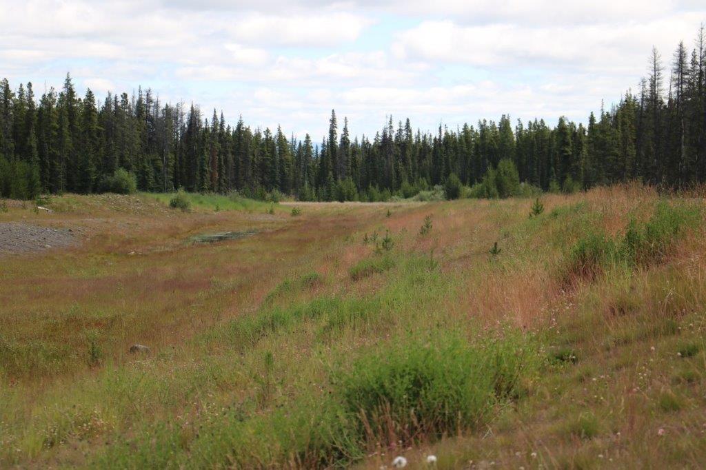
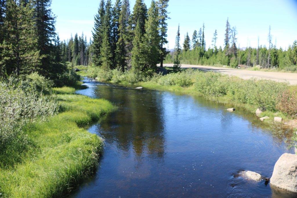
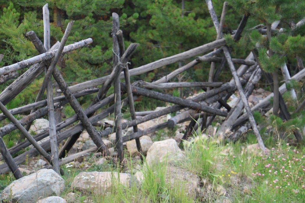
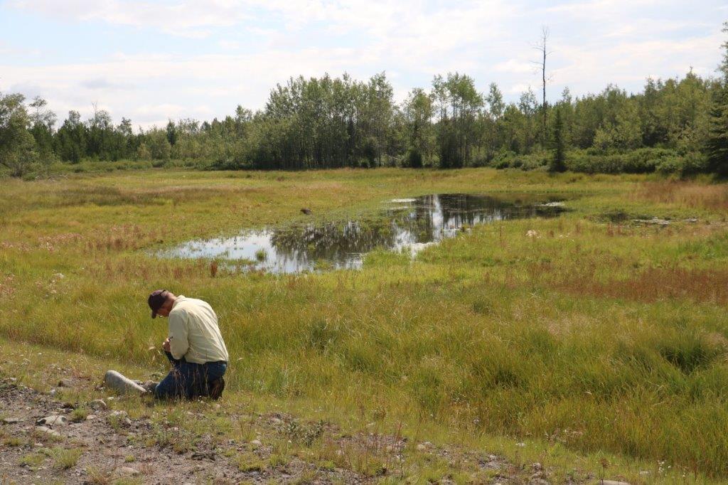
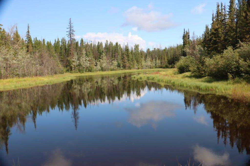
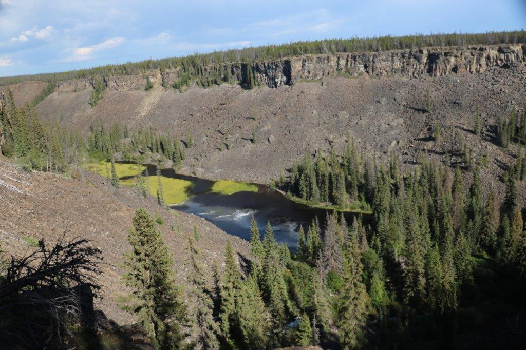
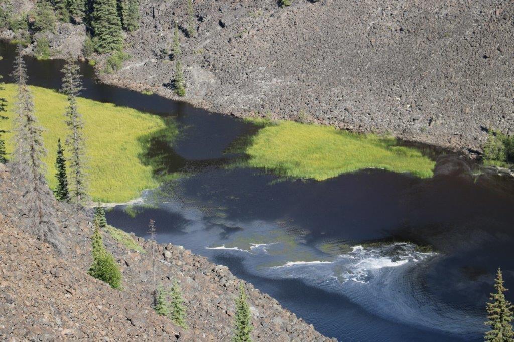
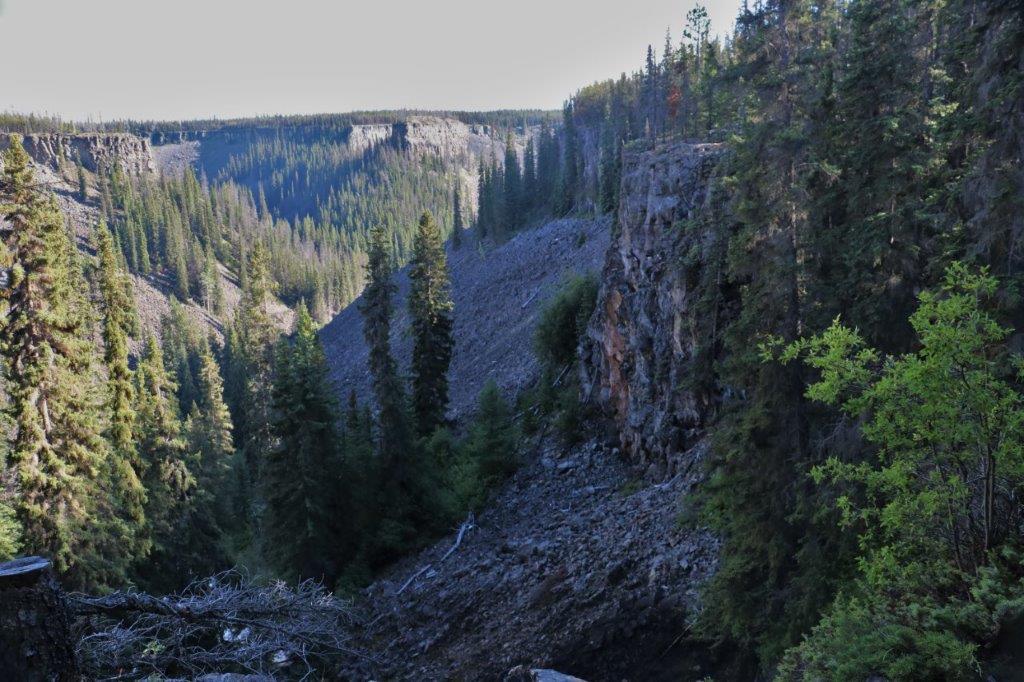
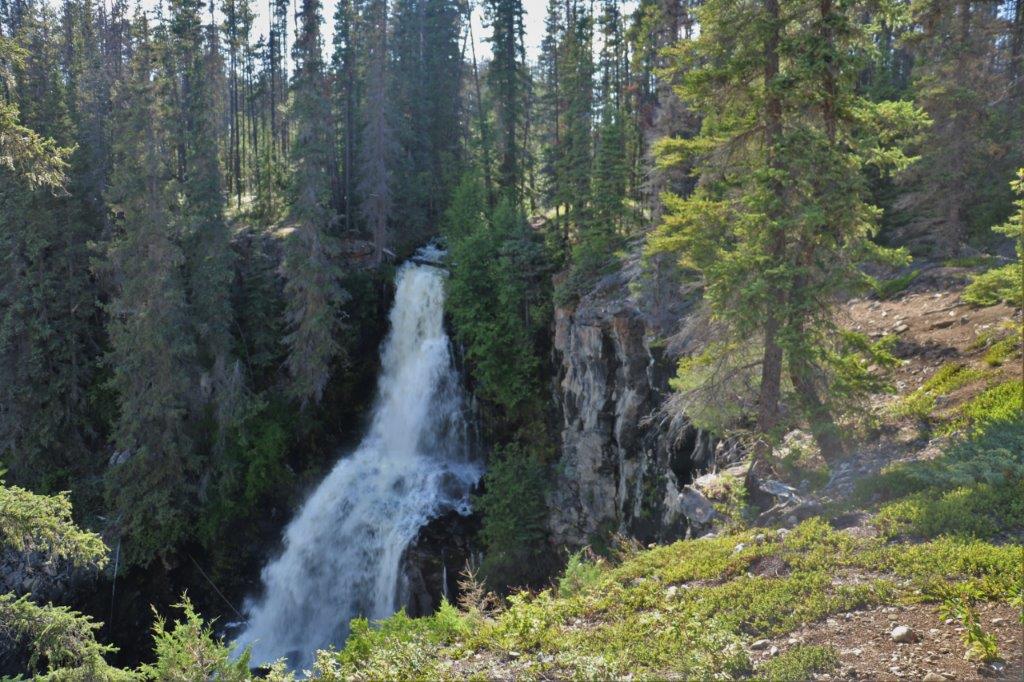
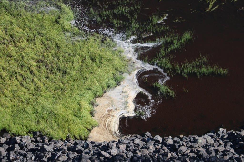
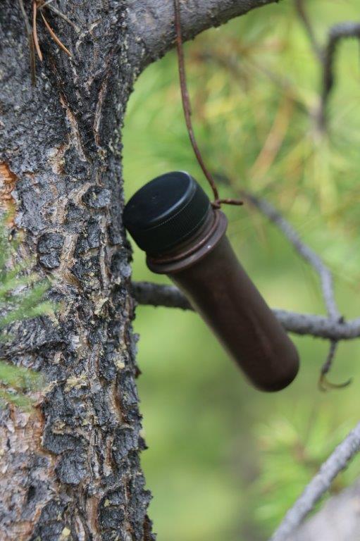
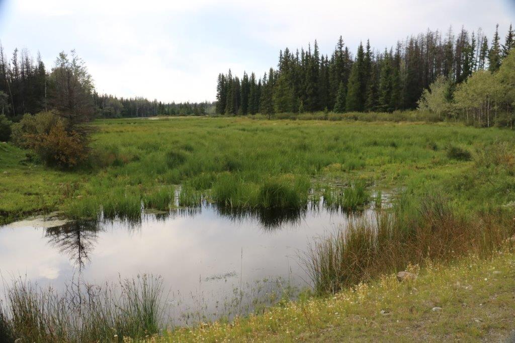
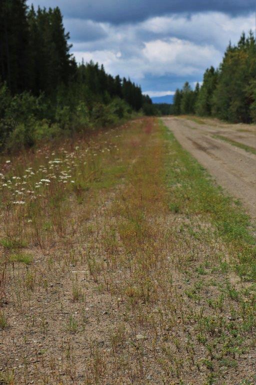
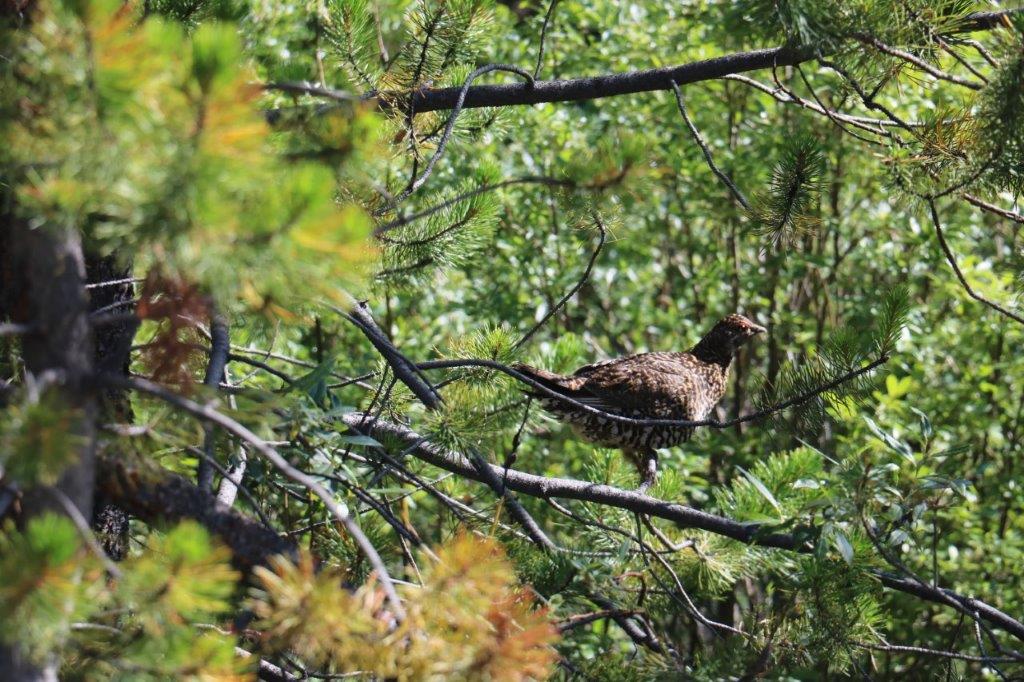
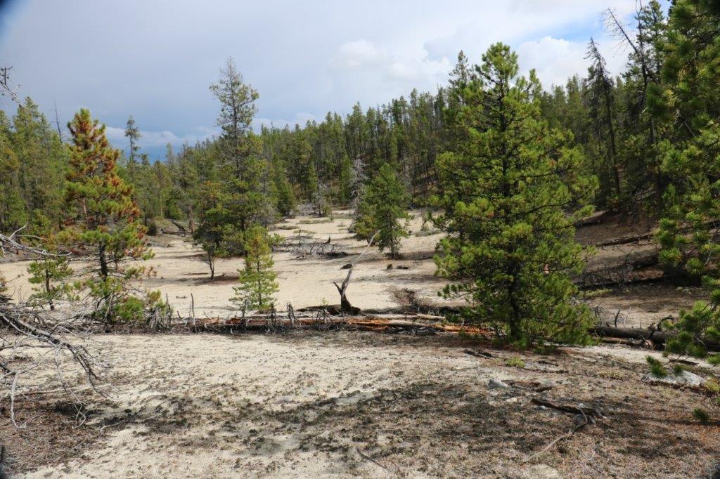
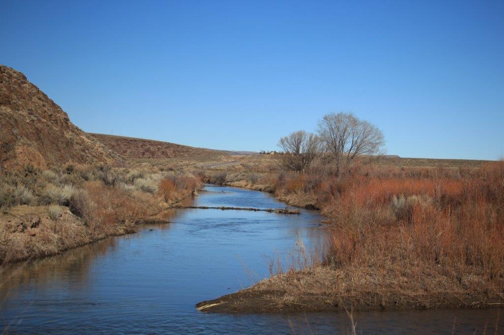
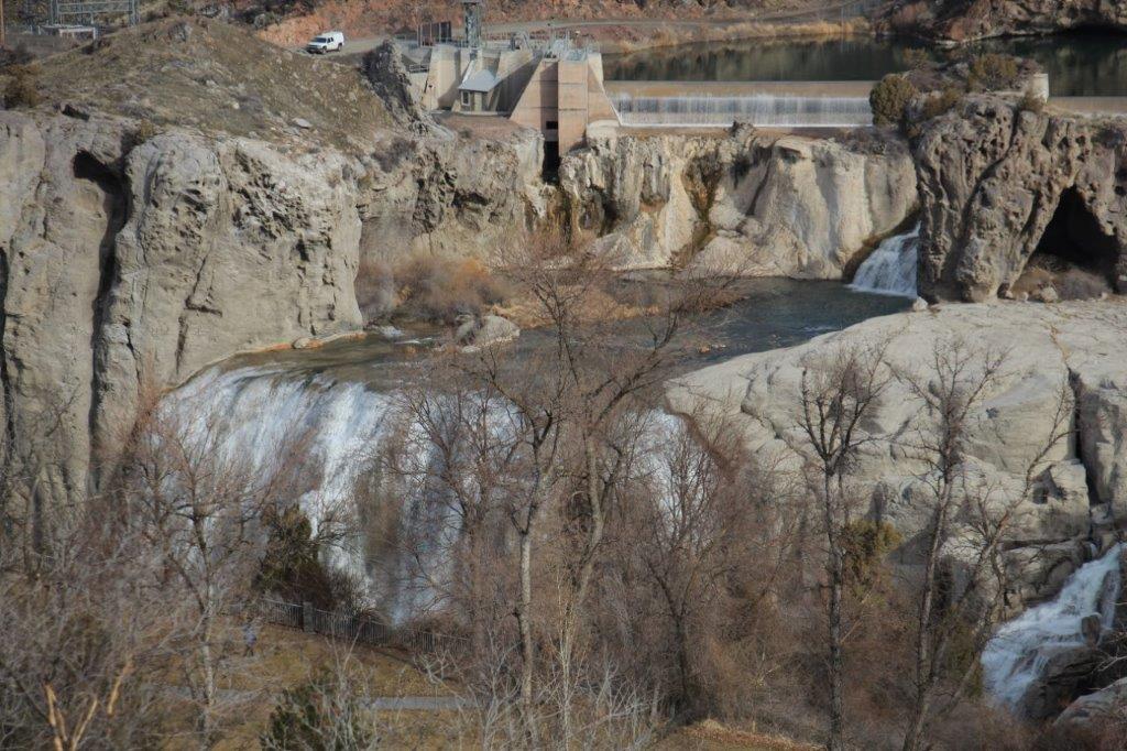
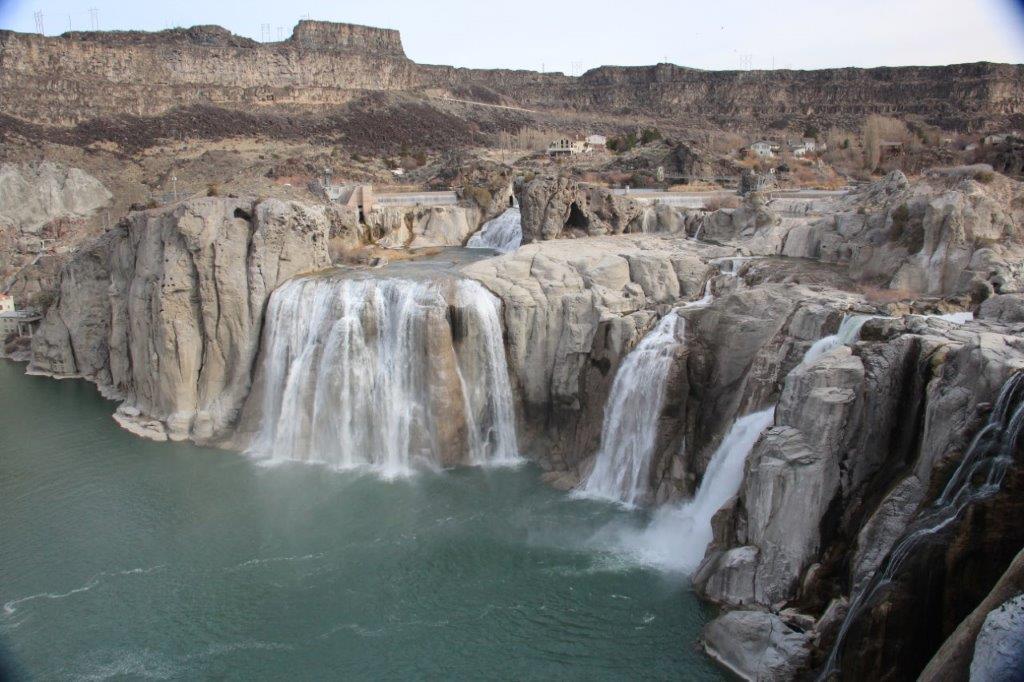
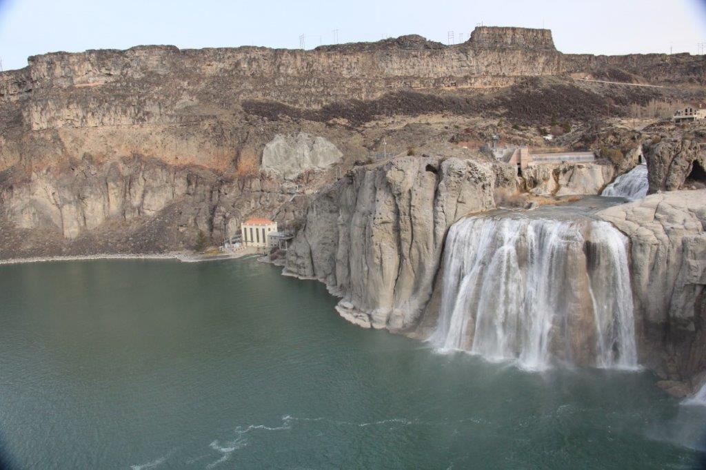
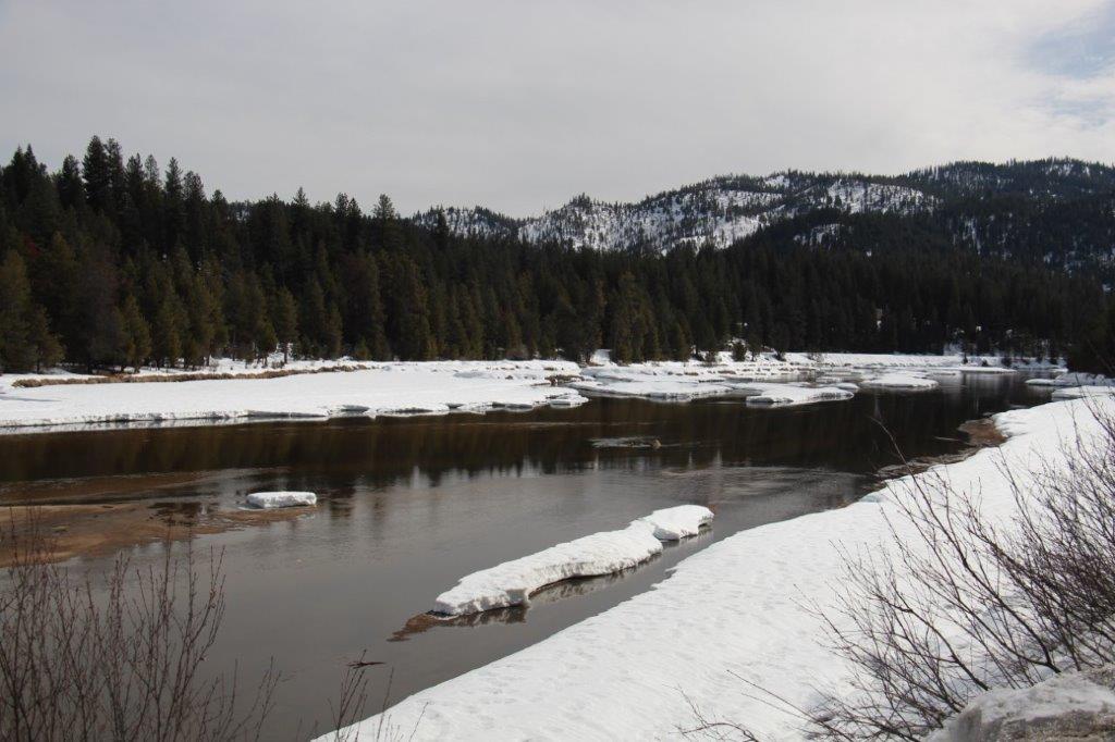
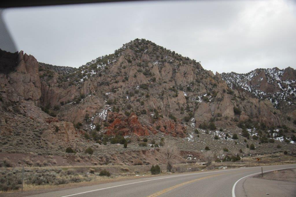
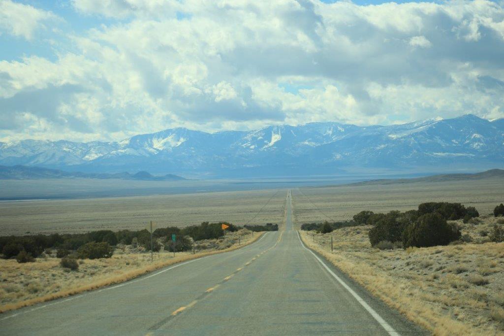
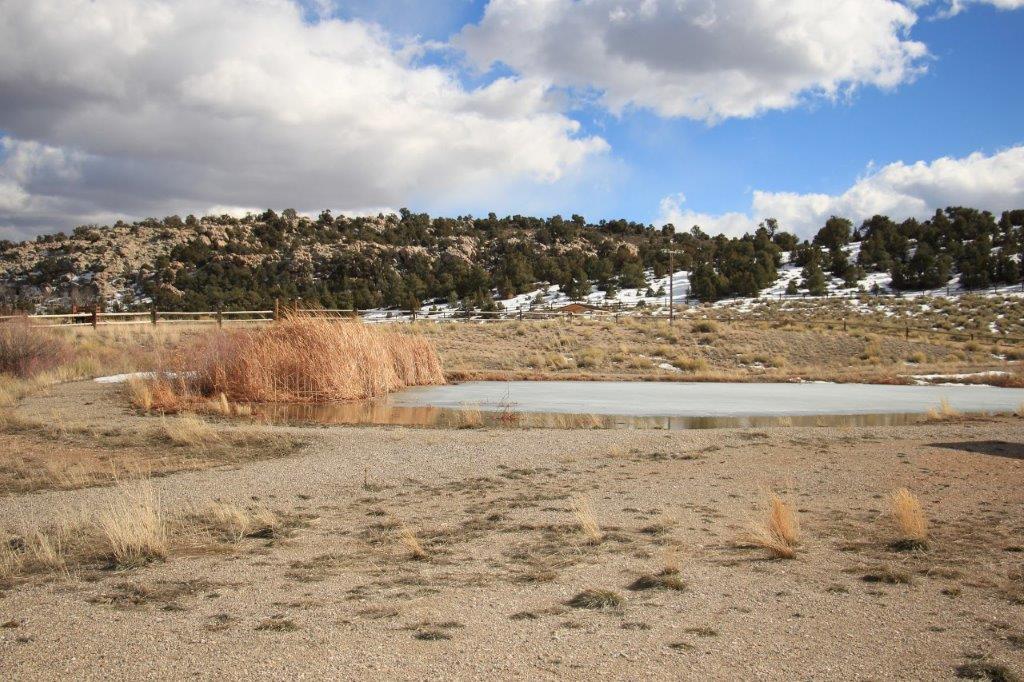
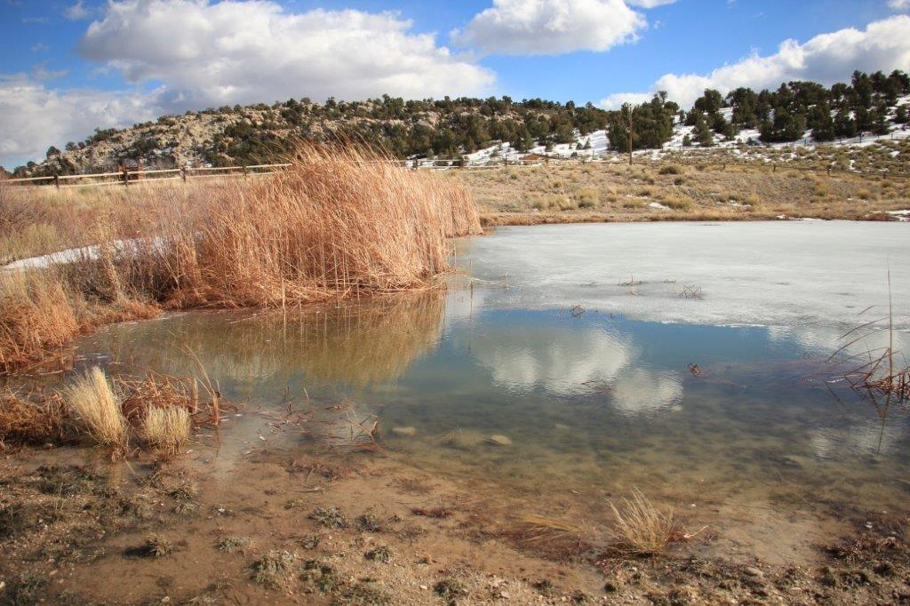
After we signed the log we walked back past our truck which we had parked at the harbour and went to a roadside kiosk for some lunch since it was past 2:30.  Met a really nice lady and her friendly little dog and had a good visit while she cooked our burgers.IMG_4467
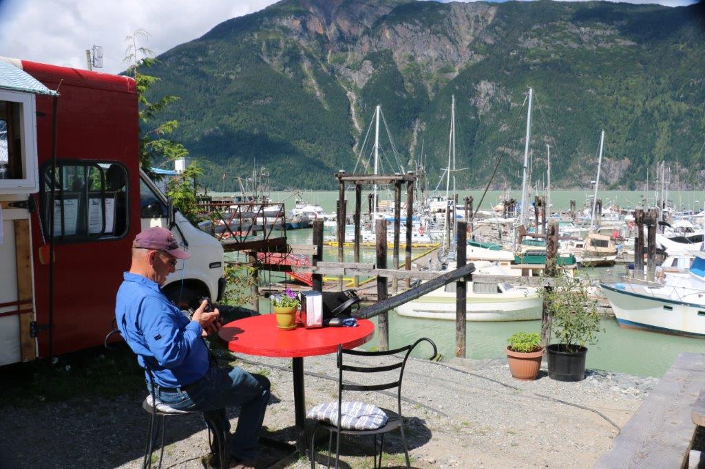
With lunch over we continued down the road. The pavement ended about 100 meters past the harbour and the gravel road was full of boulder-sized pot holes. There were four caches down the road and near Clayton Falls so we found them as we  took in the sights.  The Falls is dammed higher up and provides hydro for the area.  It was a beautiful spot.IMG_4470 IMG_4473 IMG_4475
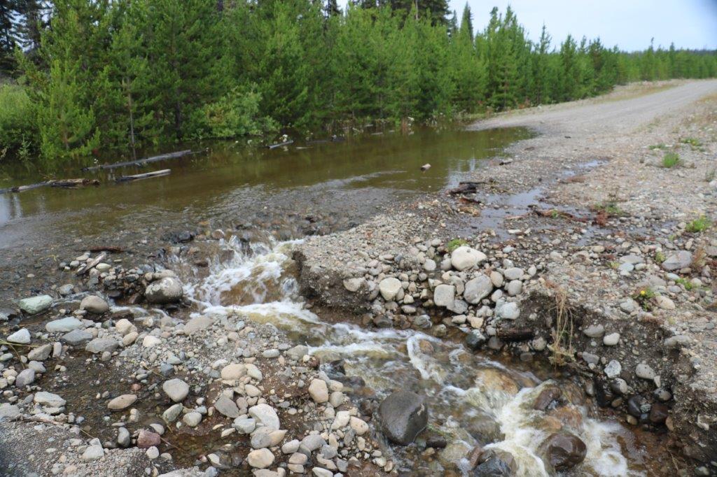
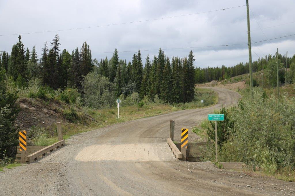
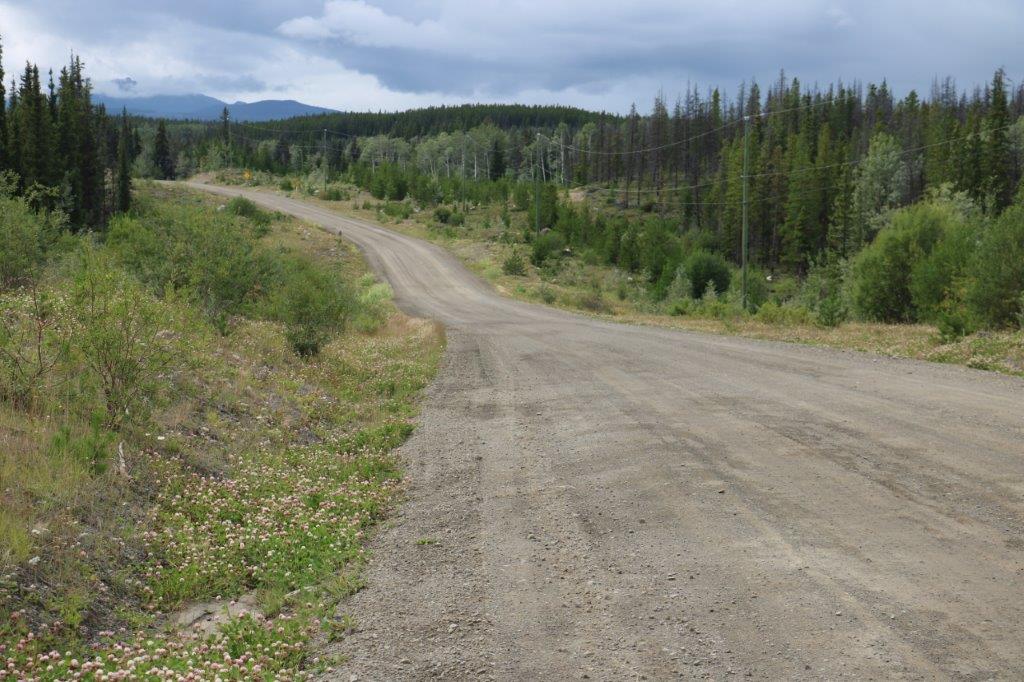
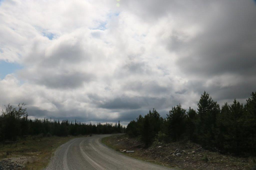
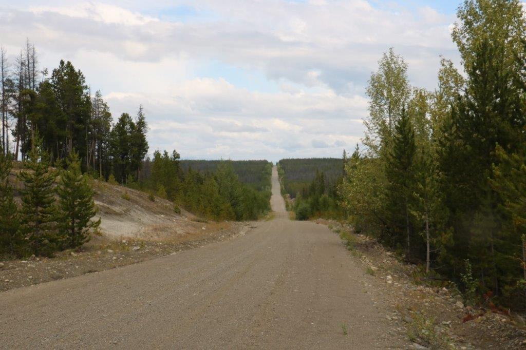
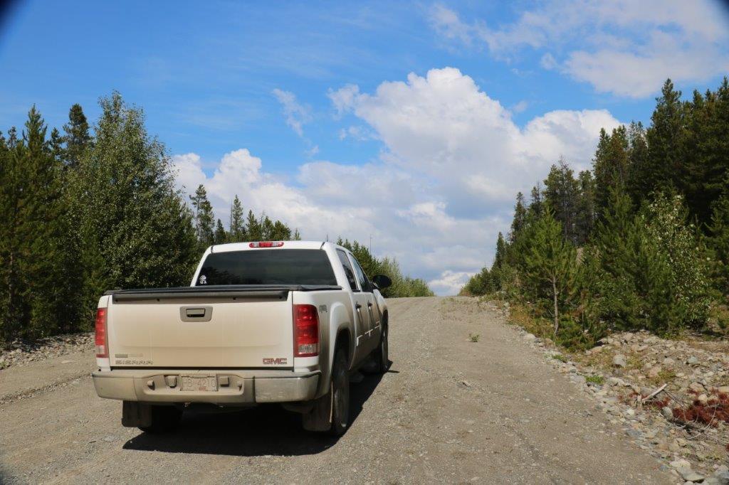
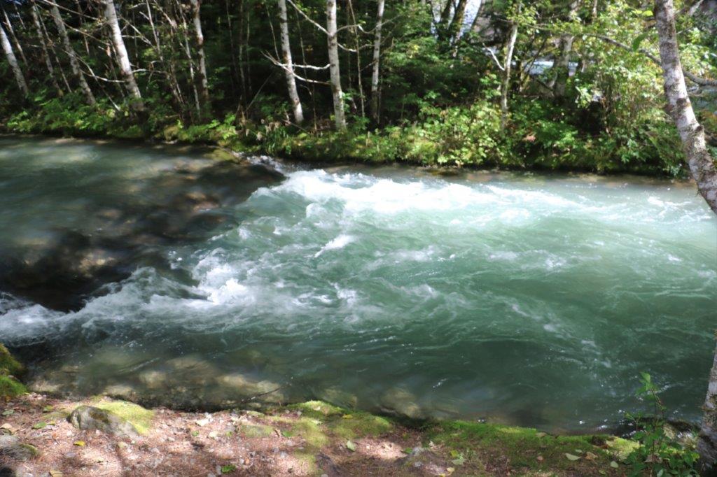
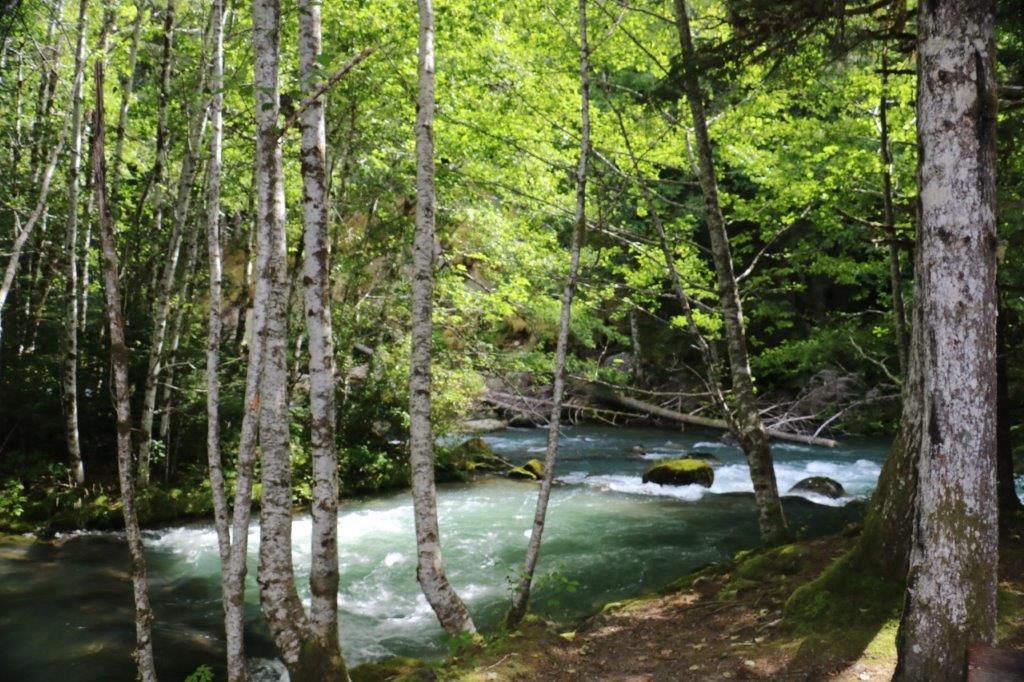
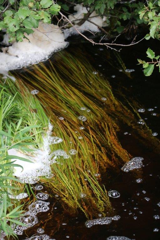
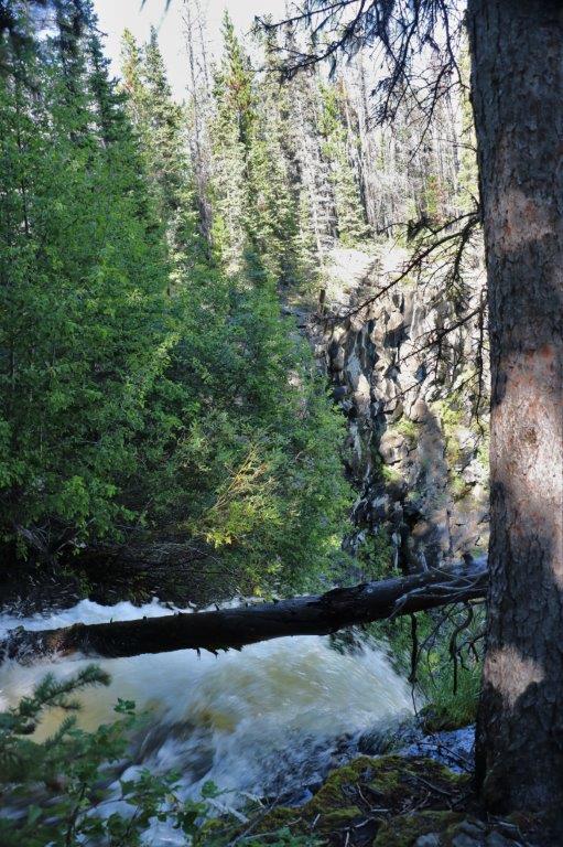
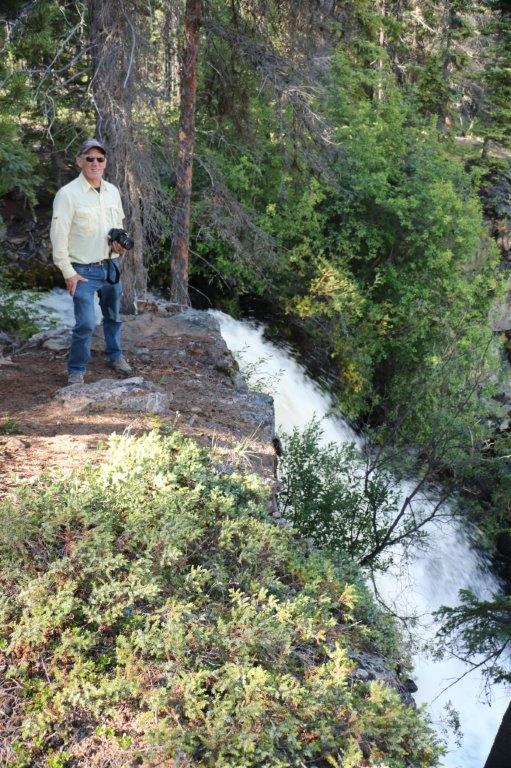
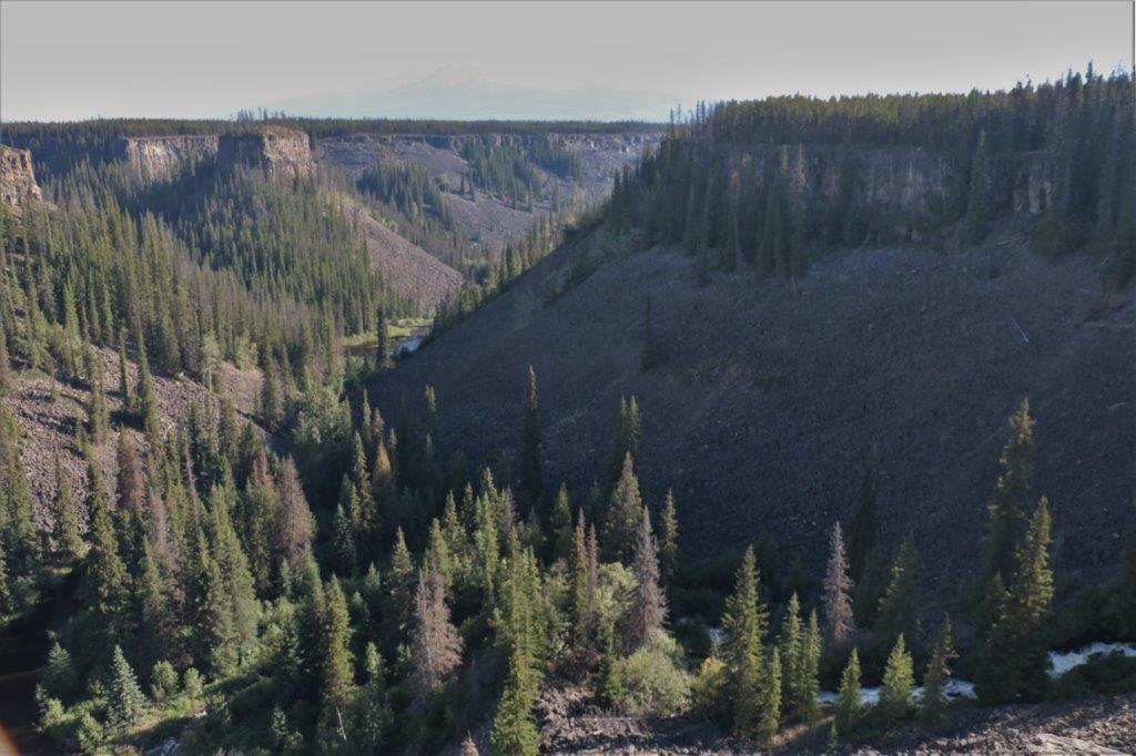
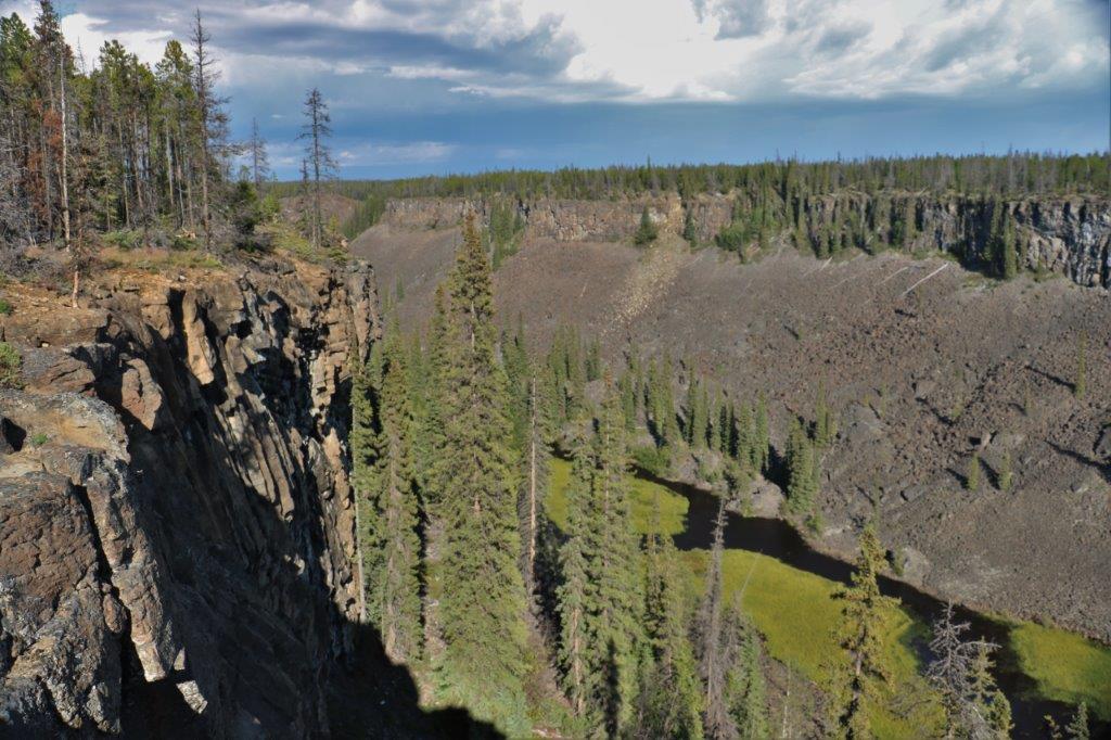
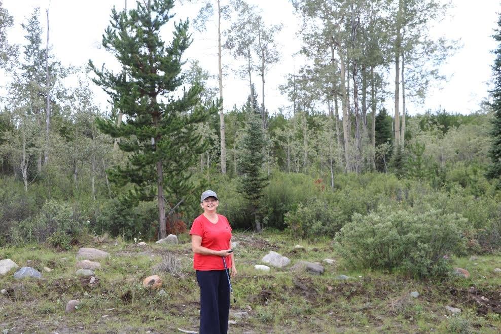
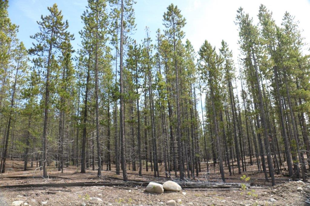
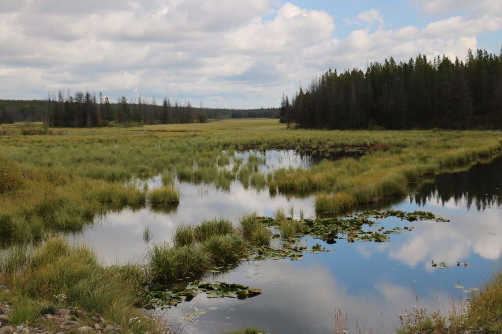
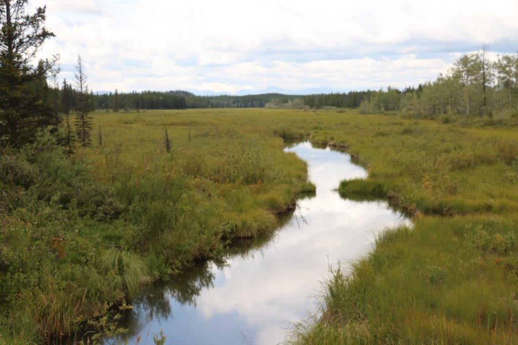
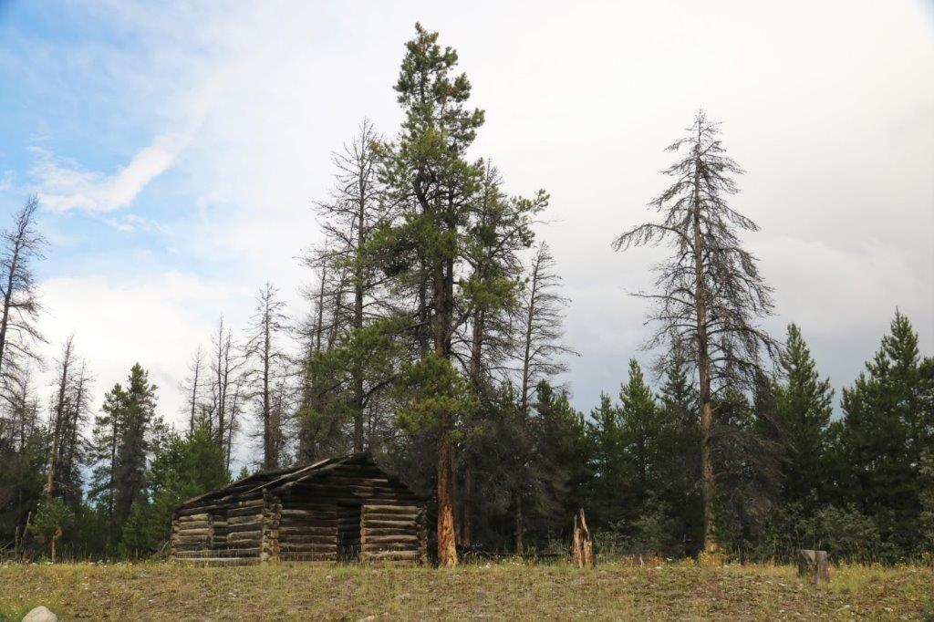
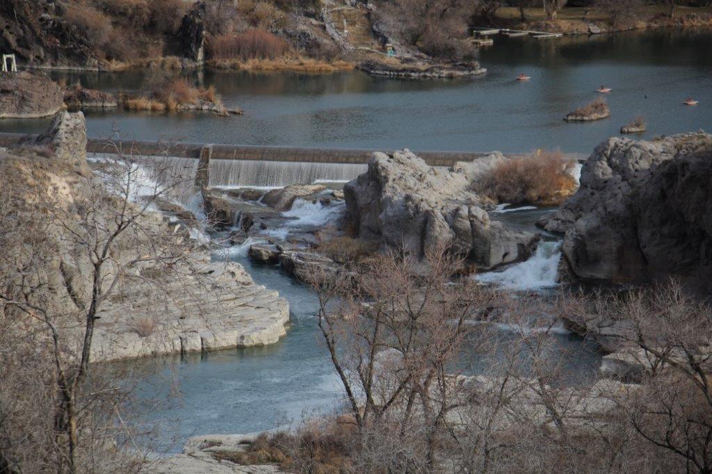
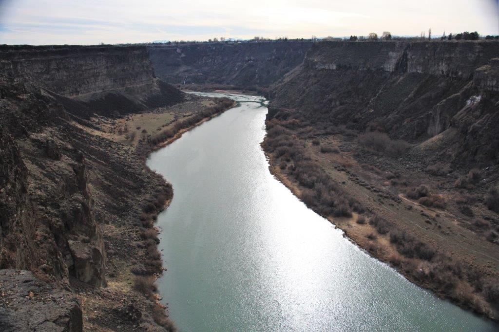
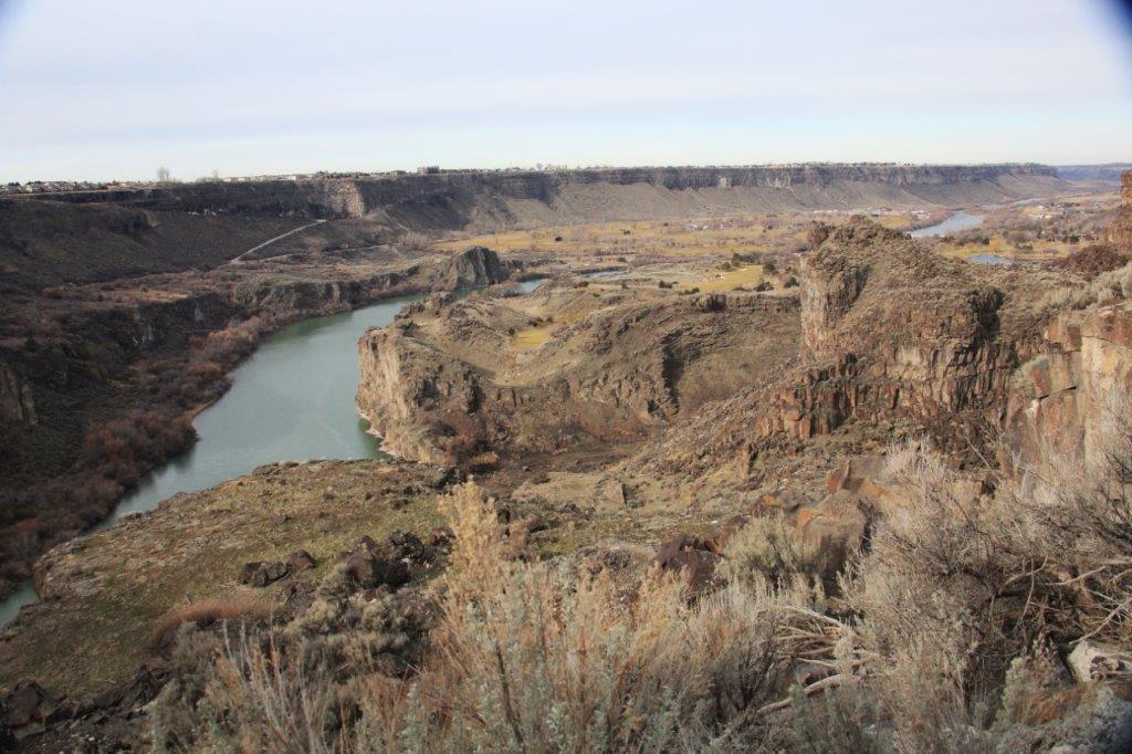
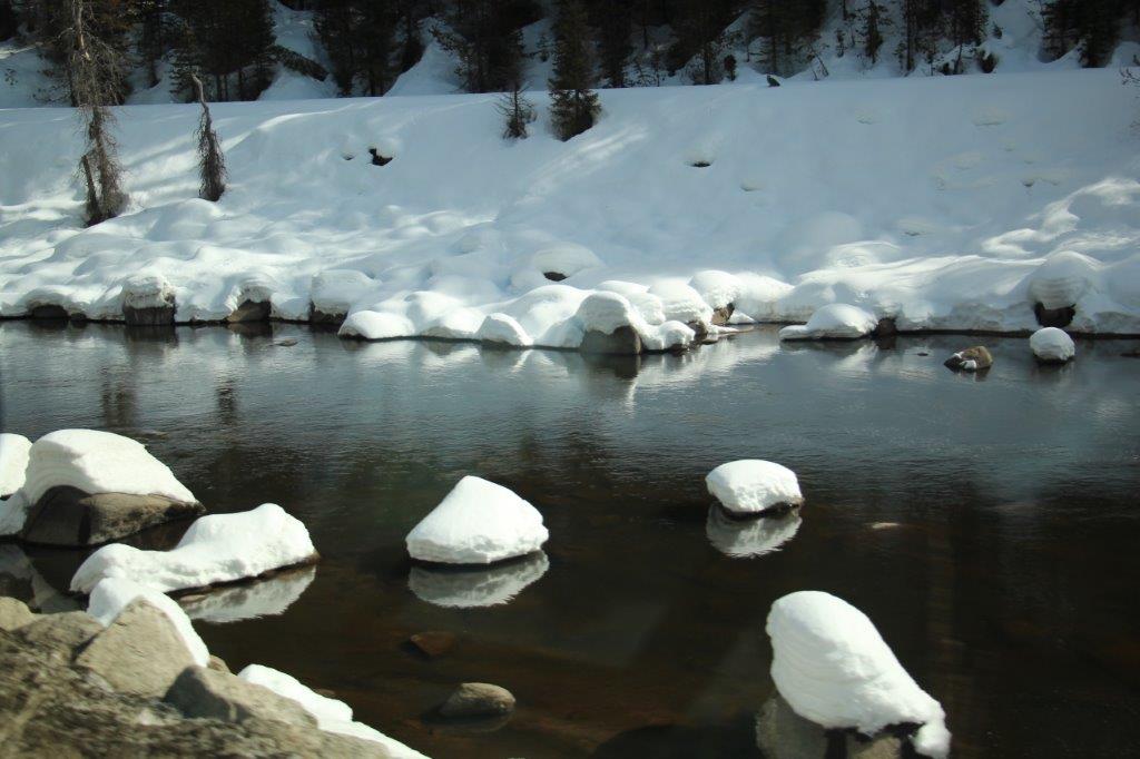
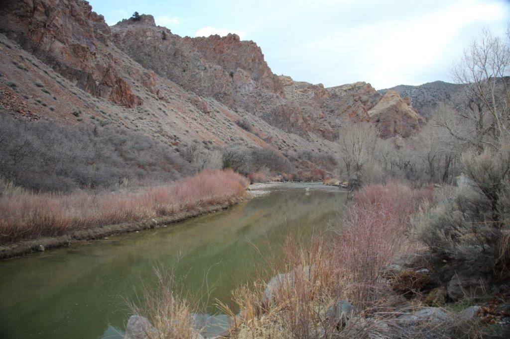
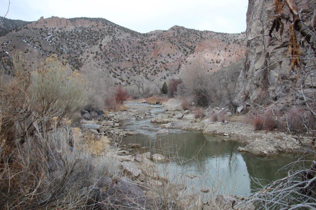
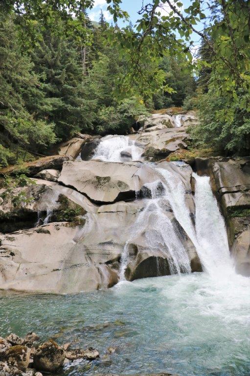
We left the falls and drove across the road into the Clayton Falls Recreation Site for some more photo opportunities.IMG_4479 IMG_4480 IMG_4487 IMG_4499
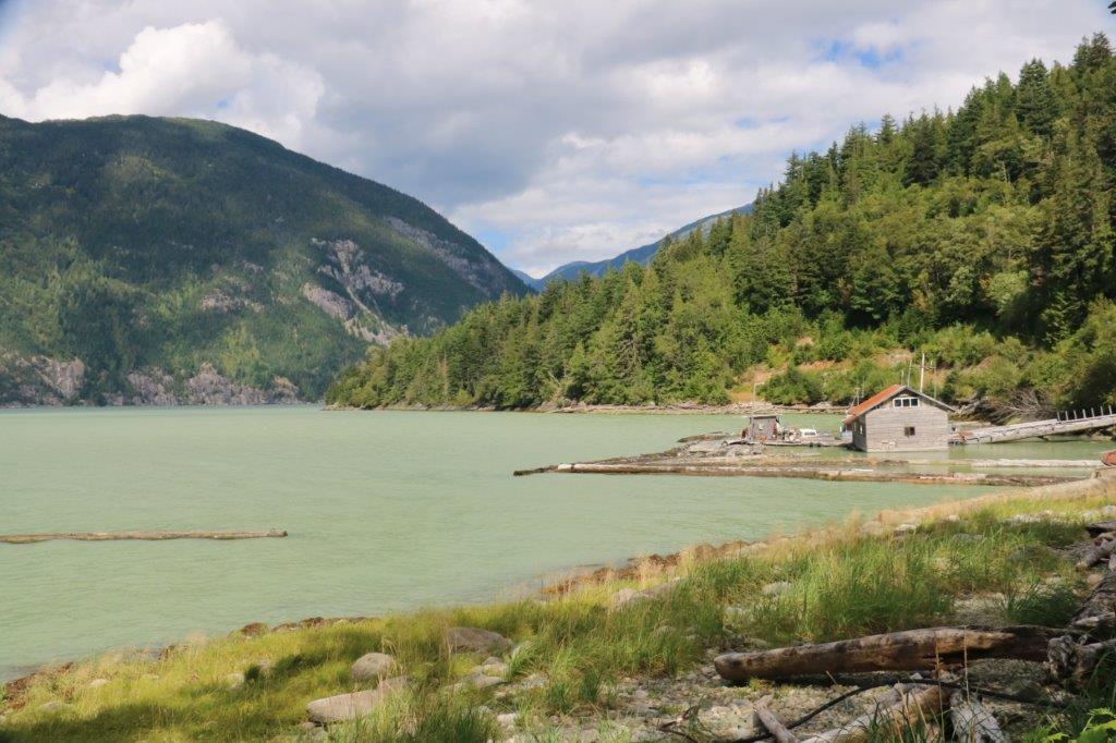
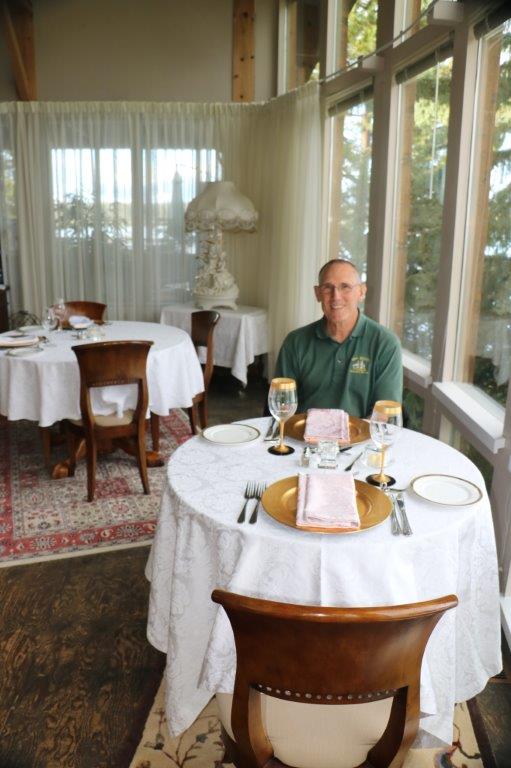
Some groceries were needed for our breakfasts over the next few days so we headed back to town, stopping to try find a cache with no luck and successfully finding another two.  Once the shopping was done we sorted photos and watched some Olympics until it was time to walk over the Bella Coola Valley Inn for dinner.  It was a lovely, scenic, slow day.


2017 Aug 10 – Day 7 – Anahim Lake – Freedom Road Series – to Bella Coola

We checked out of the Eagle’s Nest at 10:15 and drove west on Highway 20 to the Freedom Road Series #68 and began caching our way towards Bella Coola.

All went well until we got to cache #100 (there are 150 caches in the Series).  The signing log paper was soaking wet.  Geo-caches often have a special wipe dry paper that we daubed with Kleenex and held out in the breeze for a few minutes before we signed it and put it back.  But from then on almost every other cache was very wet,  many of the lids were loose but mostly it was because the little film-size containers had been laid horizontally in the hiding spot. With all the rain they have had lately water just seeped in.  This process of drying off papers and the need to re-construct many of the rock pile hiding spots severely delayed our cache find rate.  We had been averaging about 20 caches an hour.  It took us over 4 hours to find the last 50.

And to make matters worse new logging roads had been created right through Ground Zero of three caches, a big graded turn-around area slaughtered a fourth, another was missing and only small shreds of the log were found; and a sixth we could not find even the rock pile it was supposed to be hidden in.  We had to scramble around among our cosmetic bags to find little bottles we could put a piece of paper into and hide a replacement cache.  I have sent a message to the Cache Owners to let them know the new co-ordinates for these.  First aid by geo-cache finders is encouraged on these long power trails to help the cache owners with maintenance.

Amidst the Freedom Road Series of caches there are a few others hidden.  This one was beside Louis Creek and a gallon jug of water was nearby.  The object is to pour the water into the tube and the cache container floats to the top where you grab it. The tube has holes in it at various heights so the water flows out again and you can drop the cache container back down the tube for the next person to figure it out. Very cool!

IMG_2882 IMG_2883

IMG_4321 IMG_4323The underwater grass in Louis Creek.IMG_4326 IMG_4327 IMG_4333There was a second one of these caches hidden by the same fellow at Green River.  With the sunshine we enjoyed today the little lake and river were beautiful.

IMG_4342 IMG_4343 IMG_4338IMG_2884As we pulled up to a stop to find Cache #146 we notice a Grizzly grazing in the roadside clover about 150 meters ahead.  Cache #146 was about 20 meters from the roadside and there was a huge puddle between the road and the cache.  While I kept an eye on Mr. Bear John circled around the puddle and went into the small trees to locate the cache.

The bear left his lunch on the far side of the road and started walking to the other side. He must have hand an itch because he stopped in the middle of the road and sat down for a few minutes.IMG_4348 IMG_4350He decided he liked the clover on the right side and we were able to get some nice photos of him as we sat in the truck nearby.  My camera had decided to change it’s setting so my photos are not that good.  John got some great ones. Unfortunately to go get cache #147 we would have had to walk right past the feeding grizzly.  Being wise old folks we left him alone and will stop and get the cache on our way home.

IMG_4377 IMG_4382 IMG_2907

This is John’s photo.  He cropped it a bit but it is very nice and sharp.

We entered Tweedsmuir Provincial Park not long after we said good-bye to the bear and hadn’t driven very far when we saw this young black bear.  Again John got the best shots.  I still had not noticed the changed setting on my camera so all of my black bear pictures are black.

IMG_4384 IMG_2920 IMG_2924We found cache #150 at 5 pm.  YEA!  After we finished the Freedom Road Series we only took the time to find two more of the caches hidden along the road to Bella Coola.  It was close to 6 o’clock and we had some distance to travel yet. We’ll pick them up on our way home.

IMG_4387 IMG_4408This great mushroom was on the trail to the last cache find of the day.  I hadn’t brought along my camera when we went off into the bush to find it so I was glad John had his and was able to take this photo.

IMG_2937The Heckman Pass is home to The Hill, a narrow, winding 43 km stretch of road with 11% and 12% grades and a 9 km section at 18% that takes you to the end of the Bella Coola Valley.  This stretch of road was deemed impossible to build but local people built it anyway.

IMG_4404 IMG_4411 We arrived in Bella Coola at 7:30.  The drive down the valley showed some spectacular mountains on both sides of the highway.  Since the sun was low in the sky the glare made them not-too-photo worthy. But we are here for five nights so we will get pictures soon.IMG_4421 IMG_4423 IMG_4424


2017 Aug 9 – Day 6 – Anahim Lake – Beef Trail Bypass and Freedom Road

We continued our geo-cache odyssey under cloudy skies. Our host Tim at the Eagle’s Nest told us at breakfast that the weather is supposed to turn and it was to be sunny and warm today and for the next couple of weeks.  He lied.  We spent the day getting rained on every hour or so.  Nothing really heavy, nor lasting very long, just intermittent wet.  Good thing we had the waterproof jackets.

We drove down Highway 20 towards Bella Coola until we came to the intersection of the Beef Trail Bypass and turned to go to the spot we left off yesterday – cache #34 – and started hopping in and out of the truck every 200-300 meters, checking the backs of trees and rock piles for little containers with a piece of paper we can sign.

There has been so much rain this summer that any low spots in the forest are flooded.  We past this small pine tree grove in a gully that was full of water and all the trees are dying from the saturation.  The colours were pretty though.

IMG_4286 IMG_4287 IMG_4290 IMG_4291Yesterday when we drove down the road back to our hotel and again this morning when we came back up to the waterfall turnoff where we had stopped yesterday, we drove through two sections of the road that were flooded.  One was just a large puddle, but the other has so much water running out of the bush and over the side that it is washing away the gravel road.  About half of it is gone.  We told Tim at the resort about it and he was glad to know as they often send guest up that way to go to the Precipice and Hotnarko Falls.IMG_4292 IMG_4296This cache was hidden at a survey post.  Do Not Disturb.  Too funny.IMG_4300There is quite a lot of this type of  tall multi-pole fencing in the area.

IMG_4311 IMG_4310 IMG_4309This is Highway 20 out of Anahim Lake; the Chilcotin-Bella Coola Highway. Tomorrow we will be driving over 100 km on this road (and geo-caching, of course) before we descend down the 12 km hair-raising mountain side to the Bella Coola Valley and a few more kilometers to the town of Bella Coola for our five night stay.IMG_4307 IMG_4308This is the only wildlife we saw today.  I think it is a small hawk, but not sure.

IMG_4318 IMG_4319Our last cache of the day.  This is quite a large rock with a strip of velcro glued to the underside and a small bison tube attached containing the log.  People are so clever!

IMG_1281 IMG_1282We accomplished all of the geo-cache power trails we set out to do during our stay at Anahim Lakes.  We have 83 of the Freedom Road Series to get tomorrow, plus another dozen or so along the road to Bella Coola.  106 caches today, despite the rain.  As I said to John, “Stubbornness will get it done if nothing else will.”

2017 Aug 8 – Day 5 – Anahim Lake – Beef Trail Bypass

As I logged my cache finds last night I realized that I had hit the 1000 caches mark, so when we found our first cache this morning John took this photo to immortalize the moment – even though this was actually cache 1003.IMG_4203John is only three caches behind me so we documented his 1000th find at cache #137 of the Beef Trail Bypass.IMG_4201The Beef Trail Bypass runs roughly parallel to Highway 20 but joins the highway east of Anahim Lake at a sawmill.  We had come up to the back side of the mill last night on our way back to our hotel only to find a chain across the road so we had to do a longer detour to get back.  We were hoping the road may be open on a Monday morning but it was chained on the highway side as well.  John tried to find a small local road that cut across to Beef Trail Bypass, but had no luck, so we had to drive all the way back through Anahim Lake and take the Kappan Mountain Road to the junction and then go down Beef Trail Bypass to the sawmill to begin our caches of the day. This whole process took about 40 minutes so we didn’t find our first cache until 10:45.

There are 140 caches hidden along this road and we started at number #140 and worked our way down.  This would put us on the west side of our resort so we wouldn’t have so far to drive back at the end of the day.

We made really good time finding the first 45 caches but then we discovered that a different type of tape had been used to tape the wire to the bottle for hanging  (we were back to the little purple-lid pill bottles again) and it did not adhere as well as the camo tape we saw on the Kappan Mountain Trail.  We used our new roll of duct tape to re-tape ones that were in danger of falling and also re-hung some that had come free of the tape altogether and were lying on the ground in the open.  This first aid exercise decreased our find rate significantly.IMG_4207 It was a beautiful day today; bright blue sky and fluffy white clouds.IMG_4210 IMG_4211 IMG_4212 IMG_4215 IMG_4217 IMG_4219 IMG_4220This small tree had broken off and was leaning against another one squishing the bird’s nest –  but the cache hanging on it was still okay.IMG_4226At cache #34 we branched off the Beef Trail Bypass and drove about 3 km up to The Precipice and Hotnarko Falls.  The Precipice is called a mini Grand Canyon by the locals.  The cliff walls are 1000′ high in places.  The waterfall at this time of year is usually a trickle but with all the rain it was roaring as if it was spring run-off. IMG_4227 IMG_4231The really cool thing was you could walk right up to the spot where the falls drop off.  They tumble down into the valley below through a narrow cut to feed into the marsh/river below.  Really amazing.IMG_4237 IMG_4242There was a short series of caches on this little road called the Cookie Crumbs.  We found #11 at the parking lot and discovered that there was another cache called The Precipice that was on the other side of the waterfall gorge.IMG_4256

The cliff you see here is where we were standing at the top of the waterfall.


1oo meters or so down the road you could see two huge culverts that the water was diverted through and there was a blue-tape marked trail that led you to the other side of the waterfall and along the cliff face to the cache.  It was very cool to be able to stand beside the top of a waterfall, walk a short distance and then be able to clearly see the waterfall drop.IMG_4258 IMG_4263 IMG_4269 IMG_4270I loved the patterns of the foam in the water on the valley bottom.IMG_4266 IMG_4267 IMG_4272By the time we found the other 10 Cookie Crumbs caches and rejoined the Beef Trail Bypass it was after 6 o’clock. We called it a day – total of 117 finds – and headed back to the Eagle’s Nest and dinner.

IMG_4280

2017 Aug 7 – Day 4 – Anahim Lake – Charlotte’s Web Trail

We were up a bit earlier this morning and were driving out of the resort at 9:45.  We stopped at the General Store for some cough syrup, Hall’s cough drops and a roll of duct tape to use to do some first aid on the cache containers if required.  Turned out that the containers on today’s trail were not the same pill bottle with a wire taped to it for hanging that we encountered yesterday.  We will keep the tape in our growing geo-cache kit; which now includes first aid supplies, tweezers, a long fine grabbing tool, paper, pens, some SWAG trinkets, a small roll of wire, some small containers, sun screen, bug repellent and a few other things.

Today’s trail, named Charlotte’s Web, began on Hooch Road which branches off Highway 20 about 7 km east of Nimpo Lake, which is 17 km east of Anahim Lake.  We found a cache at a turn-off that was the wrong one, then found a cache at the correct turn-off and commenced the Charlotte’s Web Trail at 10:45.  There are 130 caches hidden along this back road.  Hooch Road connects with the Charlotte Lake Road which then connects to the Beef Trail Road – hence the ‘Web.’

IMG_4142The horse herd that we saw as we drove back to the resort last night was out to greet us again this morning.IMG_4144 IMG_4145IMG_4174

This is the cache container we found all day.  There were only about five that were not like this.


We found the first 20 caches  by 11:50,  the next 20 by 12:50, had our PB&J sandwich lunch at 1:20, logged 60 caches at 2:00 pm, 80 at 2:50, 90 at 3:20, 100 at 3:50, and the last one at 5:40.  Cache #127 caused a significant delay in the program.  It was hidden ‘over head’ in a near-by tree. We looked up and down every roadside tree for about 20 meters without success and after over half a hour we gave up and made up a new cache and hung it ‘over head’ in the tree where our GPS kept leading us too.IMG_2744This area has also had a very wet summer. They usually get a lot of rain but it has rained a significant amount almost every day.  The big flower pots at the resort entrance have about 2″ of water on the top.  It began to rain as we drove down Highway 20 but stopped as we began our search and we had a very nice day.  Thick grey clouds passed overhead a couple of time but just kept on moving without soaking us first.IMG_4147However all this rain has created small streams on both sides of the road and several areas of the forest were like a marsh, just saturated with water.  This forced us to do a lot of puddle jumping today as all the caches were hidden in the trees or under rocks on the other side of the ditches.IMG_4150 IMG_4151 IMG_4152 IMG_4153 IMG_4154 IMG_4156IMG_4159IMG_4164The scenery was pretty much the same as yesterday – forest and occasional marsh ponds.  We saw a couple of tiny frogs, a nice butterfly and no other critters.  The Indian Paint Brush flowers up here are either pink or red, not the orange ones we have at home.IMG_4166 IMG_4169 IMG_4173 IMG_2749 IMG_4178

A second herd of free-range horses, many of them with foals watched us go by on our way back to the resort.IMG_4181 IMG_4186During dinner the sky turned a deep steel grey creating a nice effect on the lake.  There are over 360 pairs of mating pelicans that live at Anahim Lake and one of the large birds swam by.IMG_4188 IMG_4189 IMG_4192All in all it was a pretty successful day.  Our highest geo-cache count to date – 132 caches found.  Tomorrow we start the Beef Trail Road with it’s 140 caches. Wish us luck


2017 Aug 6 – Day 3 – Anahim Lake – Kappan Mountain Road

We decided to begin with the road with the fewest caches to give us an idea of timing before we hit the longer ones. The Kappan Mountain Road has 105 caches hidden on it so that is where we began.

Being us, we did not get up at the crack of dawn.  I am trying to fight off a cold/asthma attack and did not sleep well  Consequently it was 10:40 by the time we finished breakfast and drove into town to gas up the truck before we began our drive up Kappan Mountain Road.  It took almost 40 minutes to drive to the end of the road – or at least as far along the road as the caches were hidden.  The West Chilcotin Cachers began hiding caches at the trailhead for Kappan Mountain Lookout Trail – a 1 1/2 to 2 hour hike each way.  There is a cache hidden at the lookout where, we were told,  there is a fabulous view of the Coast Mountain Range but we couldn’t take the time to go up there even if we had the inclination: which I didn’t.  And after seeing the trail head we understood it would be a rugged climb, so good call all around.

We located our first cache – #105 at 11:20 and started down the road in the hopes we could get to #1 before the promised thunderstorms hit or time to be back at Eagle’s Nest for dinner.

IMG_4080 IMG_4082The first cache #105 of the series.


The scenery did not vary a lot during the day but the sky certainly did.  Tim, our server at Eagle’s Nest, told us that a thunderstorm was expected later in the afternoon.  There was a tremendous storm last night and we didn’t want to be out in one like it if we could help it so we didn’t dilly-dally around much.

Most of the caches were hung in trees, some were under piles of rocks, all were in the same pill bottle with a purple lid.  We got quite good at spotting the purple lids tucked amidst the tree branches.  Two caches were missing entirely and ‘first aid’ is encouraged where a missing cache or log is replaced as needed.  We had a couple of small containers with us and a log sheet so were able to put a cache in place for the next people to find.

IMG_4087 IMG_4089 IMG_4091 IMG_4096 IMG_4098I was getting back into the truck after signing a log and spotted a path of large footprints heading down the road.  We don’t know what it was but it had been by this morning because after all the rain last night the tracks would not be this clear.  We asked Tim if there were cougars around and he said there could be and that someone had seen a lynx recently.  Whatever it was the prints carried on down the road for quite a distance before disappearing into the bush and then re-appeared again some distance down the road.

IMG_4103 IMG_4104

IMG_4105 IMG_4107 IMG_4108 IMG_4109

The morning clouds fled and we were enjoying some lovely warm sunshine.  And the warmer air made the mosquito invasion less troublesome as well.  There are a LOT of mosquitoes here.  A LOT!  I purchased some patches that increase your Vitamin B ‘scent’ ( which mosquitoes don’t like) that my sister recommended and we can’t find them anywhere. The Deep Woods Off works well but they are sure annoying.  And every time we opened the truck doors to get our or get in they swarmed inside.

IMG_4113 John flushed this Spruce Grouse when he was looking for a cache.  She didn’t seem too concerned once the initial invasion of her space was over.

IMG_4114 IMG_4116

IMG_4118 IMG_4120As the afternoon progressed and we got closer to Anahim Lake the dark clouds came back accompanied by thunder rumbles.  We still had about 20 caches to find and were not looking forward to getting drenched.  Fortunately, the rain did not begin, and even then it was quite a light rain, until we were looking for our last two caches – #2 and #1.  IMG_4133A successfull geo-cache day!  105 caches found in time for dinner!  We were welcomed back to town by the free-range horses we had seen yesterday as we drove into town.

IMG_4135 IMG_4138We arrived back at the resort at 5:30 as the rain began in earnest and found out that while we were having a pleasant day they were getting hammered with torrential rain and hail.  We were on the right road today I guess.  Tomorrow the 130-cache Charlotte’s Web Trail.


2017 Aug 5 – Day 2 – William’s Lake to Anahim Lake

Day 2 – Aug 5 – William’s Lake to Anahim Lake

Yesterday we drove from home to William’s Lake and today we travelled over 350 km to Anahim Lake where we will stay for five nights.  We have taken a road trip/geo-caching holiday for two weeks.  Anahim Lake has four “power trails” nearby with about 525 caches.  We hope to find quite a few of them.

We left our hotel about 10 am, bought a few groceries for our lunches on the trail, then took the turn onto Highway 20 West.  We decided we had time to find some caches along the way.  I had loaded all of the ones in the area onto my GPS (cell service was gone about a half hour out of William’s Lake and won’t return until we get back to the same spot in two weeks) so if I located one near the road we would stop and try find it.  Many of the caches along this highway are on hiking trails or quad trails and they would have taken us too long to get to – presuming we even could.

We accidentally drove by a few but we will try pick them up on the way back.  We did find seven.  Some of them were quite a hike into the bush so they took awhile to find, log, and return to the truck.

IMG_1921  Becher’s PondIMG_1925

Crossing the Chilcotin River on a one lane bridge.


We drove off Highway 20 to go find a cache that was “a short distance” off the highway up a hill that offered a lovely view of the Chilcotin River and Valley.  Well,  the ‘short distance’ was about 15 km up a gravel road. And we searched all over the place without finding the cache.  The view was nice though.IMG_1931 IMG_1932

IMG_1939 IMG_1940

Walking off into the wilderness in seach of a cache.IMG_1943


We had never seen a cache container like this before. You had to pull down the plunger on the bottom far enough so when you released it the force of the plunger would eject the log container out the top; where you had to be very quick to grab it or it would drop down again.  Very ingenious!


One cache was hidden over 300 meters into the forest at the exact confluence of Longitude 52 and Latitude 125. Why someone felt the need to put one there I am not sure but we discovered sand dunes in the forest and after climbing to the top of a very steep hill we located the cache.  Fortunately John has a very good sense of direction so we were able to walk right back to the truck.

IMG_1946 IMG_1947It was getting on into late afternoon so we decided to just drive the remaining 40 km into Anahim Lake without taking the time to find more caches. We didn’t want to get in too late for dinner.  The lodge has set hours for each meal and there are virtually no other places to eat.  Anahim Lake is NOT a big place.  However the next cache showing in my GPS was hidden at this log cabin; and it was right beside the road – so we stopped to find it.

IMG_1952 IMG_1953 IMG_1958 IMG_1962We are spending five nights at the Eagle’s Nest Lodge located 11 km west of the community of Anahim Lake on the lake shore.  It is a gorgeous, quiet spot with a lovely view across the lake.  We enjoyed a delicious dinner for our 44th wedding anniversary and then headed back to our room to log our cache finds of the day, check pics and write a blog.

IMG_1969 IMG_1967 IMG_1968 IMG_1964 IMG_1989 IMG_1990 IMG_1986 IMG_1985 IMG_1984 IMG_1980 IMG_1966 IMG_1977 IMG_1978 IMG_1979 IMG_1982  I don’t promise to write everyday but I will as often as time permits.

2016 Feb 25 – Day 46 – California and Beyond

IMG_6398As I promised my daughter who does not diligently read my blog, here is my quiz about our latest travels.  How well can you do?  (Don’t let me catch you cheating – you know who you are.)

Quiz:

  1. Where did we spend the first night of this trip?
  2. What ‘game’ did we drive through?
  3. What British landmark did we visit in Washington?
  4. Where was the parking lot a sheet of ice?
  5. Where is the site of the Ponderosa Ranch from Bonanza?
  6. What are the names of the two ski resorts we drove through?
  7. What was the name of the little diner where we had lunch in Adelanto?
  8. What is the name of the Japanese Relocation Camp we toured?
  9. What is the name of the sculpture at the entrance to the Four Seasons Residence Club check-in?
  10. Who planted 40,000 eucalyptus trees for railway ties before learning the wood was not suitable for the purpose?
  11. What was the name of the trail from Poinsettia Lane to Batiquitos Drive?
  12. What was the name of Leo Carrillo Ranch?  What was his brand?
  13. What area of northern San Diego did we fly over on our hot air balloon ride?
  14. What tastes like pumpkin, sweet potato and maraschino cherries?
  15. What does Bai Yun, the name of the mother Panda at San Diego Zoo, mean in English?
  16. What birds did we see at the San Diego Archeological Society?
  17. What is called the Tree of Life?
  18. How long is the Panamint Valley?
  19. Which of these names is incorrect: Furnace River, Panamint Springs, Stovepipe Wells?
  20. What is the point of interest at The Racetrack?
  21. What special thing is happening at Death Valley this year?
  22. How many mules were in a 20-mule train?
  23. What is significant about Grand Canyon Caverns?
  24. Who built Montezuma’s Castle?
  25. How many stairs did we climb at Walnut Canyon?
  26. What percentage of petrified wood pieces are located outside of the Petrified Forest National Park?
  27. What gives Ship Rock its name?


2016 Feb 24 – Days 44 & 45 – California and Beyond

Days 44 & 45 – February 23 & 24 – Ely, NV to Twin Falls, ID to Clarkston, WA

Tuesday was a short day and a destination day.  There were no sites to see on our way north so we just drove.  We got into Twin Falls at 3:30 so we had a restful afternoon.  I checked the credit card bad news, paid a couple of bills, sent a couple of emails, and sorted my few photos from the day.

We drove almost in a straight line all day.  I think there were about three curves and one corner.  Speed limit was 70 mph and there was light traffic.  We drove through a long flat valley with various mountain peaks off to the sides.

IMG_3840 IMG_3845IMG_3851IMG_3855IMG_3856IMG_3859IMG_3863At 1:30ish we pulled into the Salmon Falls Rest Area and had lunch.  The light was nice on the pond and creek so we wandered around for awhile stretching our legs and taking some photos.

IMG_3866 IMG_3867 IMG_3871 IMG_3872And that was as good as it got.

Wednesday was a repeat of Tuesday only longer. We left Twin Falls at 9:30 Mountain Time and drove north and slightly west all day, arriving in Clarkston,Washington at 5 PM Pacific Time or 6 Mountain.

Before we left Twin Falls we drove over to see the Shoshone Falls. There are numerous dams on the river but they were nicely integrated between the huge rocks.  The falls drop 220′ into the Snake River.  The viewing area was part of a park that was donated to the city in 1932 by a couple for the purpose of public enjoyment.

If you walked along a pathway from the park you could see the spot where stuntman Evel Knievel attempted to jump the canyon on a rocket-powered motorcycle in 1974.  He failed, although the bike did make it across the canyon.  However prevailing winds blew it back almost to the other side again before dropping to earth.  Kneivel sustained only minor injuries.  We used to love to watch his stunts.
IMG_3883 IMG_3890 IMG_3891 IMG_3899 IMG_3900 IMG_3902After that it was drive, drive, drive.  Through valleys, mountain canyons and up and over passes, along rivers and past rich farmland.  IMG_3909 IMG_3910 IMG_3916 IMG_3919We pulled over to have lunch and take some photos of the pretty snow covered rocks in the river.IMG_3930 IMG_3926 IMG_3928 IMG_3931 IMG_3937McCall, Idaho is a ski resort area – Magic Mountain being one of them.  The roads were all bare and dry but they obviously had quite a lot of snow.  Several of the buildings were buried up to the door frame.IMG_3945 IMG_3946 IMG_3948 IMG_3949We had been driving on Highway 55 and just before turning onto Highway 93, at the little community of New Meadows we crossed the 45th Parallel; putting us half-way between the North Pole and the Equator.

Much of the rest of our drive to Lewsiton/Clarkston was along the Salmon River; a very familar name to us as we have a Salmon River at home.IMG_3954 IMG_3958 IMG_3960 IMG_3967 IMG_4002 IMG_4005The sun was sinking low as we entered Lewiston, Idaho and crossed the bridge over the Snake River into Clarkston, Washington to spend the night in the Best Western Hotel.IMG_4010 IMG_4009This is my last blog for this trip.  Tomorrow we will continue to drive north and will enter BC again; on very familiar roads.  We will cross into either Creston or Osoyoos, whichever John decides and spend the night before driving home the next day.  Another adventure concluded.  I hope you enjoyed the journey as much as I did.  Stay tuned for the quiz.


2016 Feb 22 – Day 43 – California and Beyond

Day 43 – February 22 – Richfield, UT to Ely, NV

Today was primarily a destination day.  I had considered going to Great Basin National Park, but it is quite a distance off the main road and quite a primitive area.  They have the Lehman Caves there but they take very few people into them and have lots of restrictions.  We decided to check it out when we have a bit more time and the weather is better for hiking and caving.

We left Richfield at 9:32 and headed south despite our northernly destination for the day.  As I was perusing the maps last night I noticed that about 30 miles down the road there was a place called Big Rock Candy Mountain.

When I was little this was one of the favorite songs we played of my father’s 78 rpm records.  I know Burl Ives recorded it but he didn’t sing the version we listened to.  Since we had a blank day sightseeing- wise John agreed to drive down.

IMG_3711                                 Apparently my son has his own town.IMG_3712 IMG_3713We traveled beside the Sevier River and into a mountain pass with very nice scenery. It was so pretty we had to pull over and take a few photos.

IMG_3714 IMG_3716 IMG_3717 IMG_3719 IMG_3722 IMG_3726 IMG_3728Big Rock Candy Mountain is a resort area on a hiking and biking trail made from the old Candy Mountain Express Railway line that served the mines in the area. 

IMG_3732 IMG_3734 IMG_3735 IMG_3736 IMG_3739 IMG_3746 IMG_3744 IMG_3743                             This is Big Rock Candy MountainIMG_3747 IMG_3749 IMG_3752 IMG_3754After we took our photos we turned around and headed back the way we came to go north of Richfield and turn west toward the Nevada border.

IMG_3757We had to slow down while the wild turkeys crossed the road.IMG_3759 IMG_1563 IMG_1564 IMG_3761 IMG_3762 IMG_3764 IMG_3768I thought it was crazy to have a 75 mph speed limit in eastern Arizona.  Utah has 80.  I guess it can be so high because there are very few corners, lots of long, long straights and light traffic.  I still think it is crazy.

IMG_3772 IMG_3773IMG_3776 IMG_3782 IMG_3787 We only met about 6 or 7 oncoming cars during a 95 mile stretch.IMG_3793 IMG_3797Our stop for the night is Ely, Nevada, about 65 miles from the state line.  John spotted a recreation area sign and we pulled in to stretch our legs a bit after the long sit.

IMG_3798 IMG_3800 This is Wheeler Peak at 13, 063′IMG_3806IMG_3801 IMG_3803 IMG_3804 IMG_3805 IMG_3807 IMG_3808 IMG_3809 IMG_3811 IMG_3813The other end of the Sacramento Pass took us down into Spring Valley where there was a large wind farm.  They had 5 rows of 12 turbines all spinning away in the wind.

IMG_3814 IMG_3815 This arch is completely covered in antlers.IMG_3816 IMG_3817 IMG_3821We were only a few miles from Ely when I spotted a sign for the Ward Charcoal Ovens.  They were located 7 miles down a gravel road and since it was still early (3:30ish) we decided to go see how they compared to the ones we saw in Death Valley.  The gravel road was certainly better.

IMG_3822 IMG_3823 IMG_3827 IMG_3828 IMG_3830 IMG_3831 IMG_3832 IMG_3833 IMG_3834 IMG_3836 IMG_3838 Then it was back down the nice straight gravel road and into Ely for dinner and a sleep.  (And now I have finally caught up on my blog day I have been behind since Death Valley.  Good night.)IMG_3839