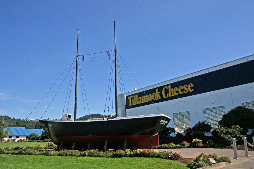
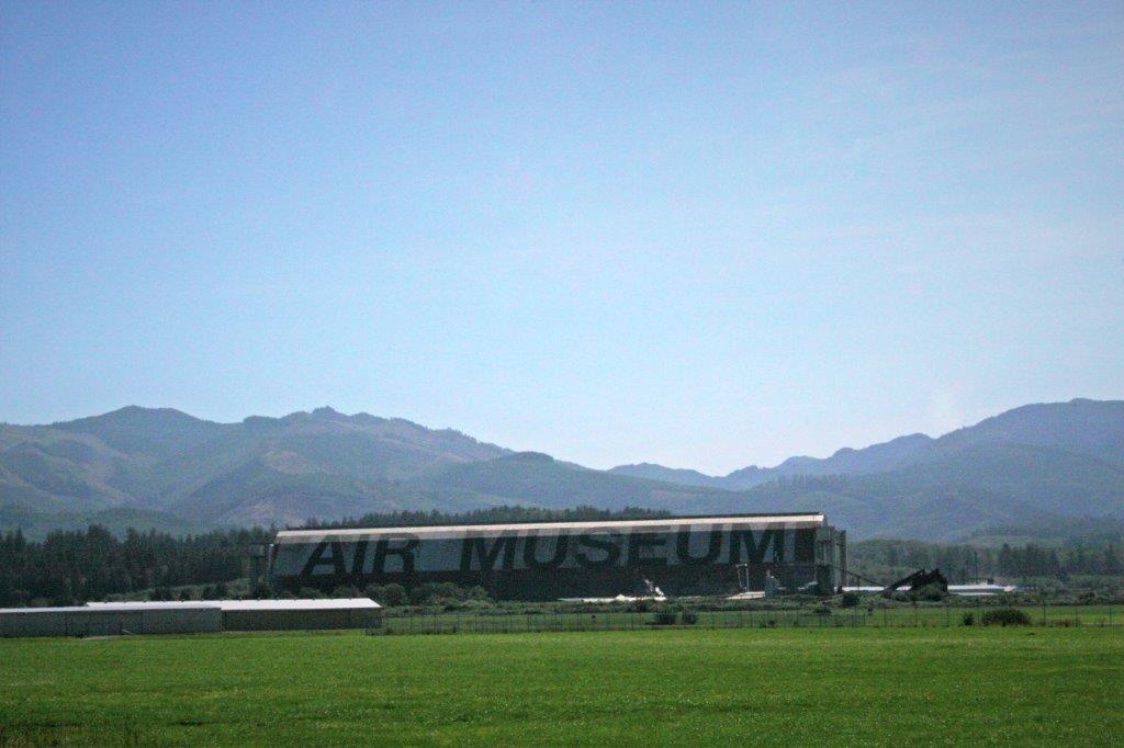
Before leaving Tillmook we toured the cheese factory and the Air Museum. 

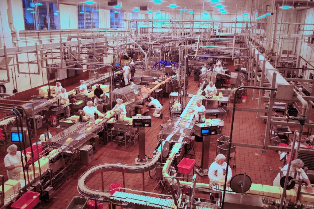
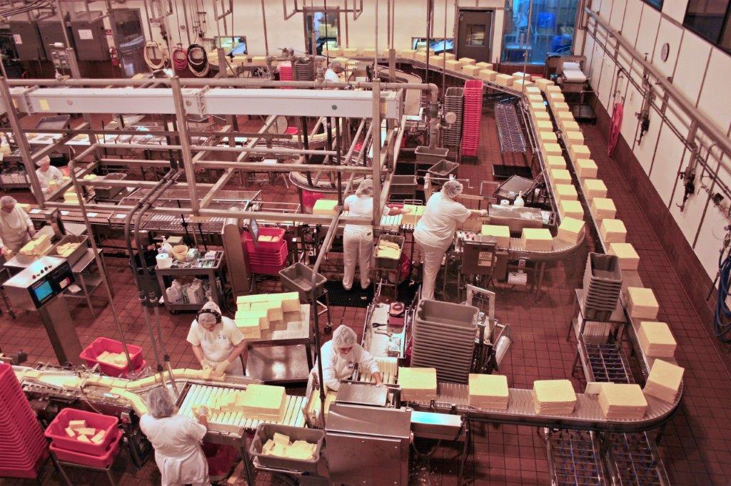
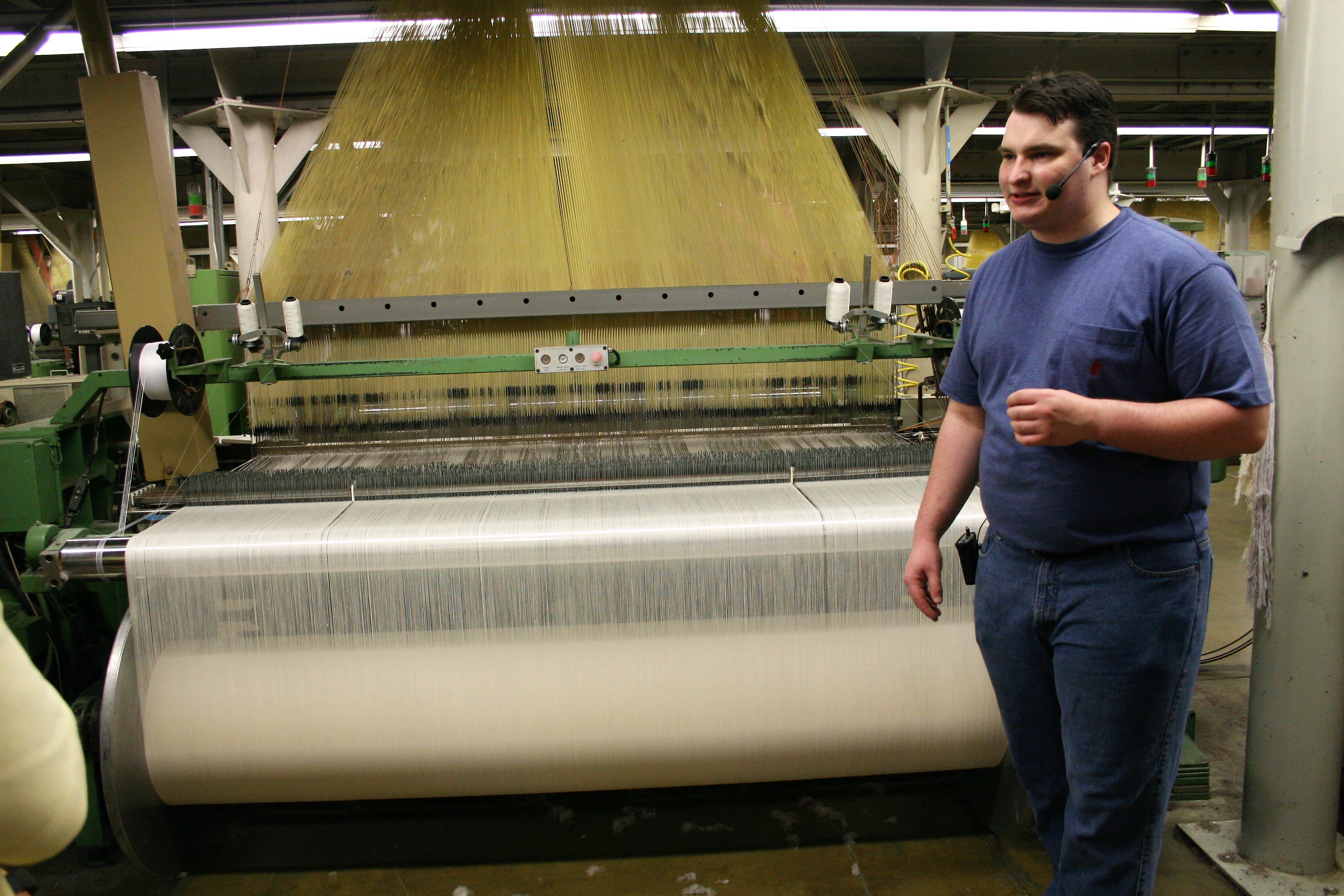
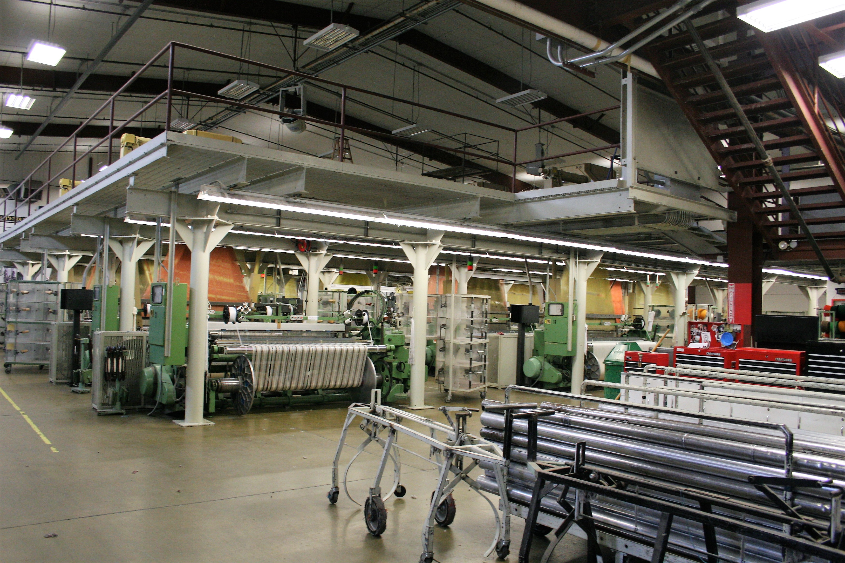
 Tillamook Cheese is well know all along the northwestern US. The moving assembly line of huge cheese blocks was pretty interesting to watch.
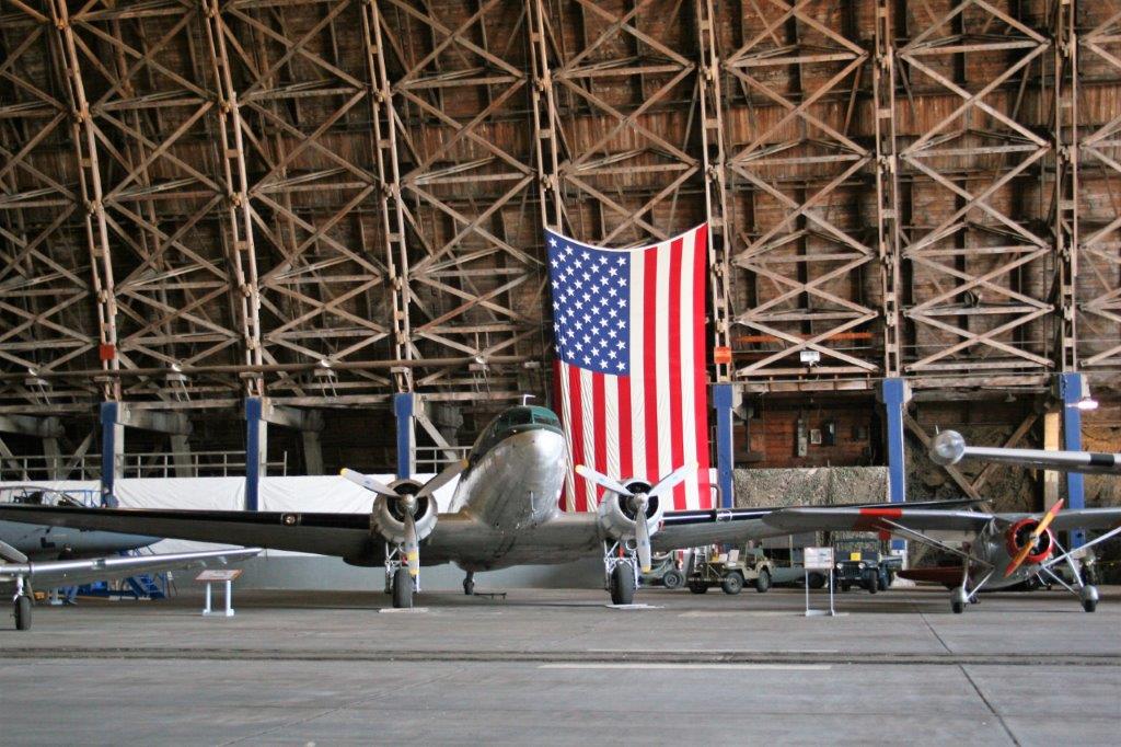
The museum is housed in a former WWII airship hanger. In 1942 the U.S. Navy built 17 of these massive structures along the western coast to house K-Class airships that would provide anti-sub patrols and convoy escorts. Two were built at Tillmook. Hanger “B” was the first one completed in August 1943. Hanger “A” was built in only 27 days! It was destroyed in a fire in 1992. The airships were 252′ feet long and 80′ in diameter. They carried 425,000 cu. ft. of helium and could stay aloft for three days with a range of 2,000 miles. Hanger “B” houses the Tillamook Air Museum.


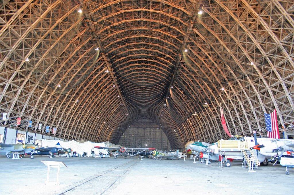
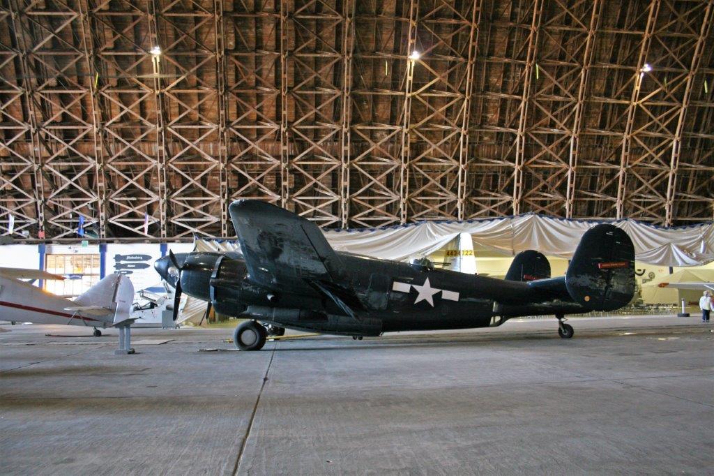
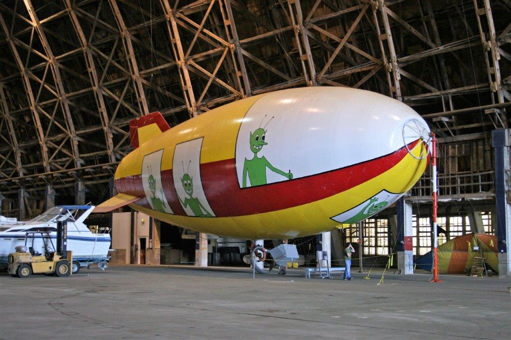
 John had a great time checking out all the planes.
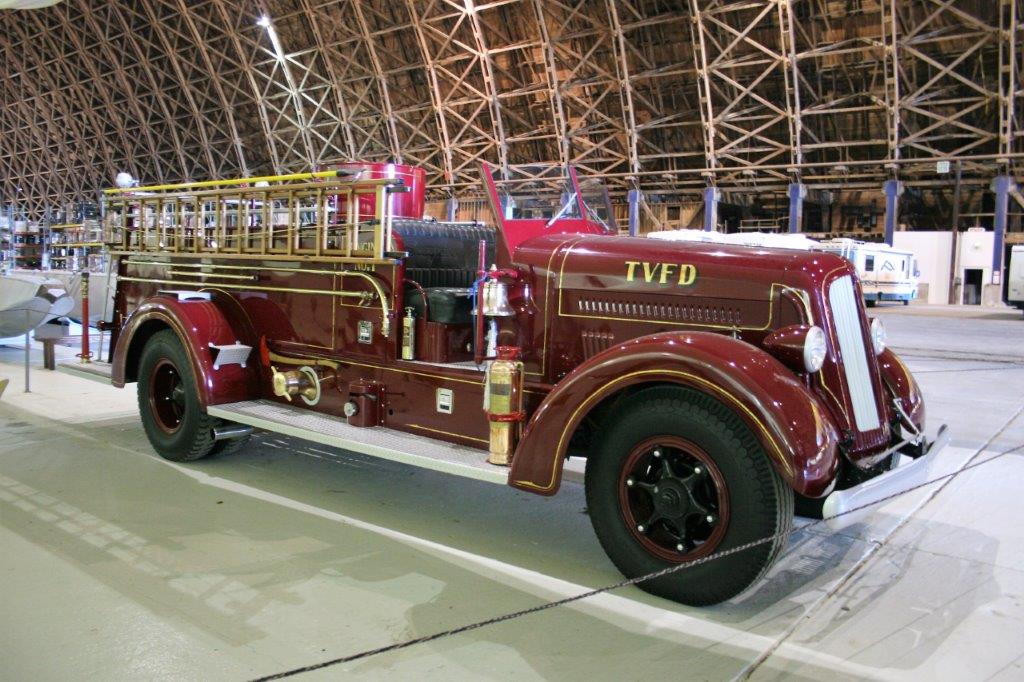
 And the Tillamook Volunteer Fire Department had spent many, many hours restoring this beautiful 1943 Seagrave Fire Engine.
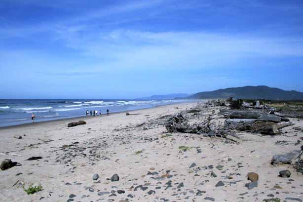
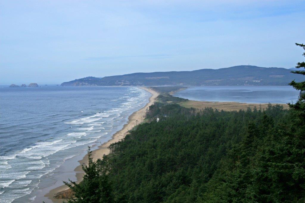
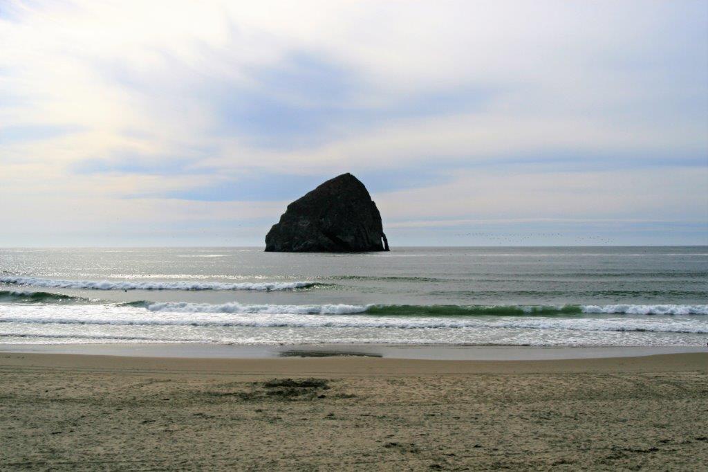
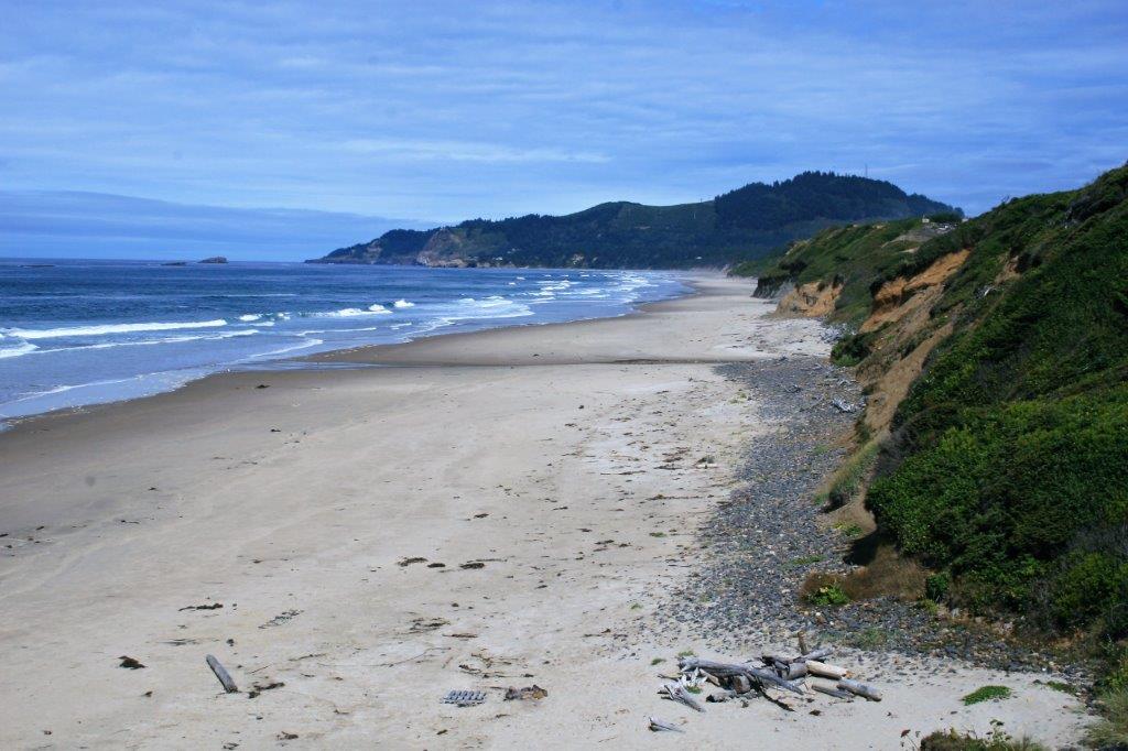
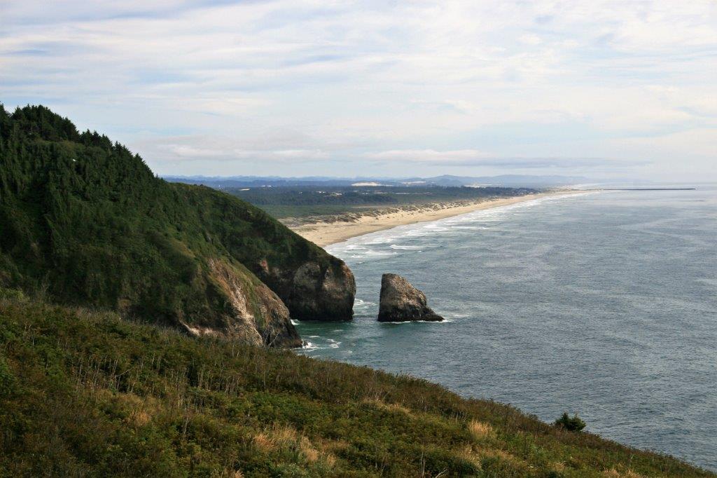
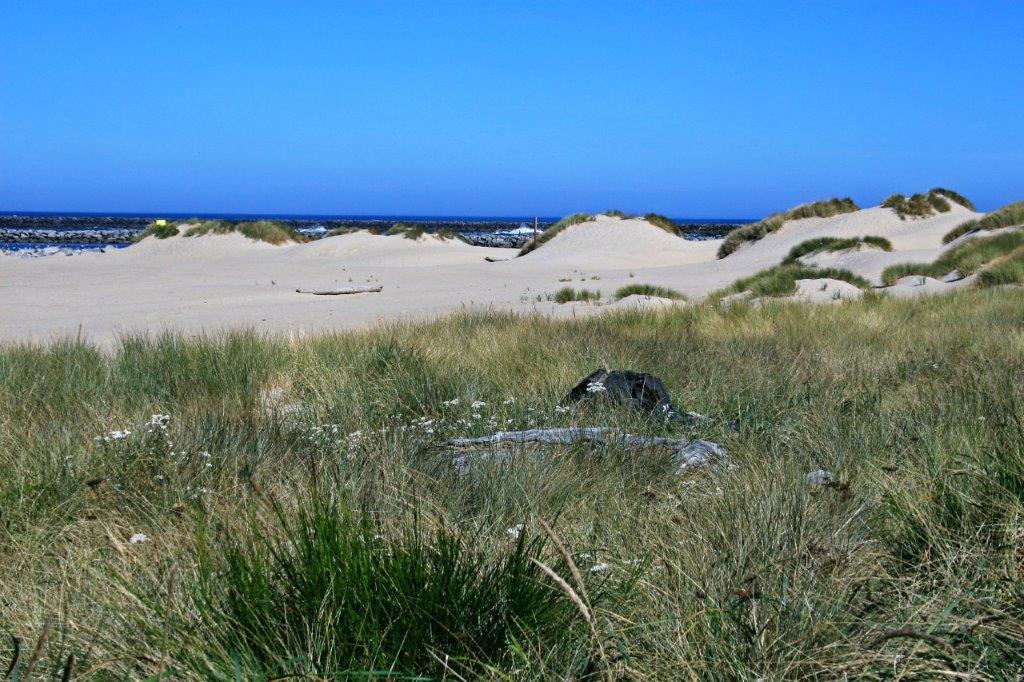
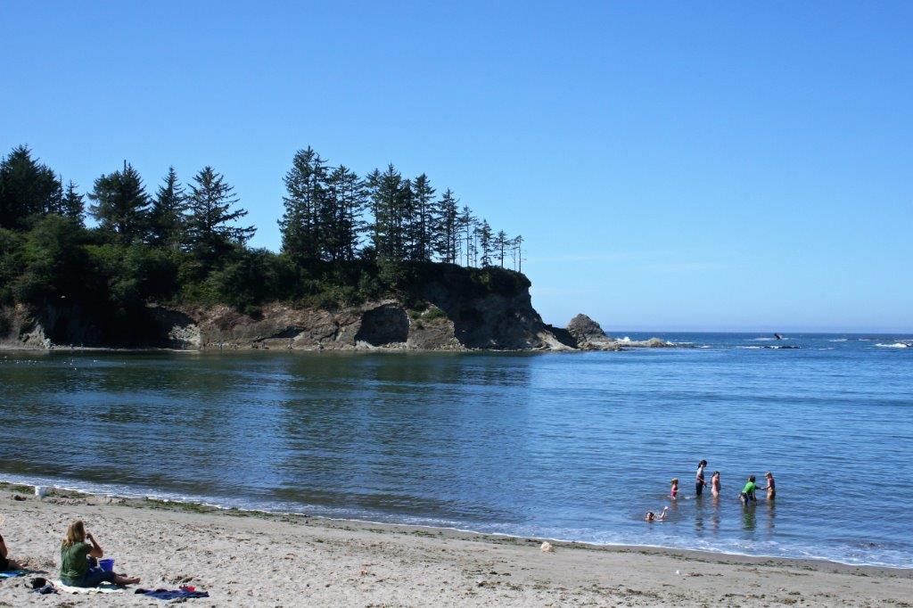
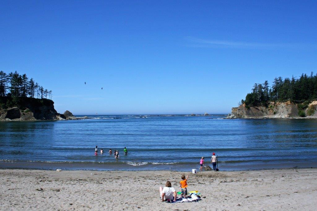
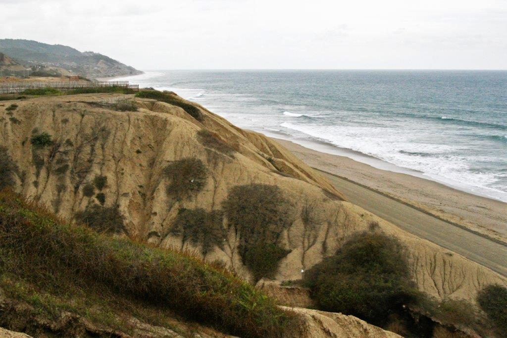
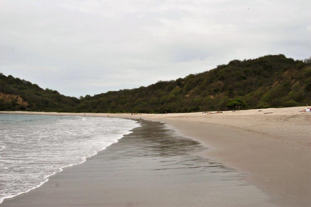
Oceanside Beach was a lovely long stretch of white sand.
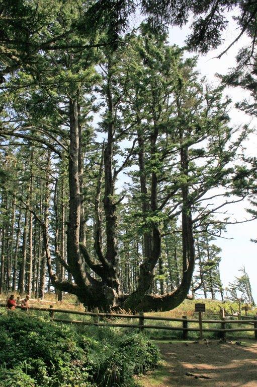
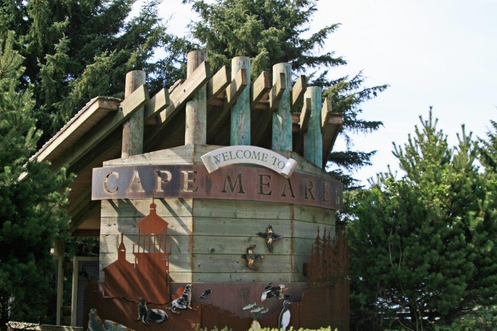
 Not too far from Tillamook is Cape Meares where you can find the Octopus Tree, which is actually a Sitka Spruce that grew lots of low branch “arms.”


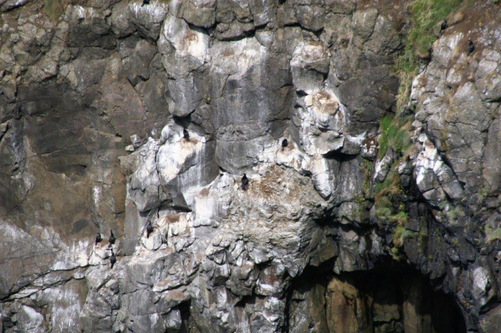
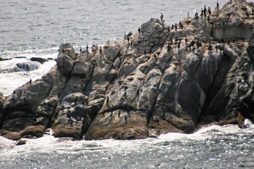
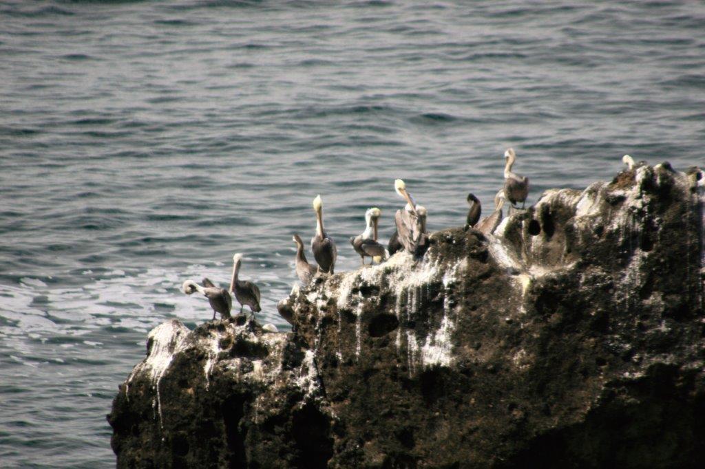
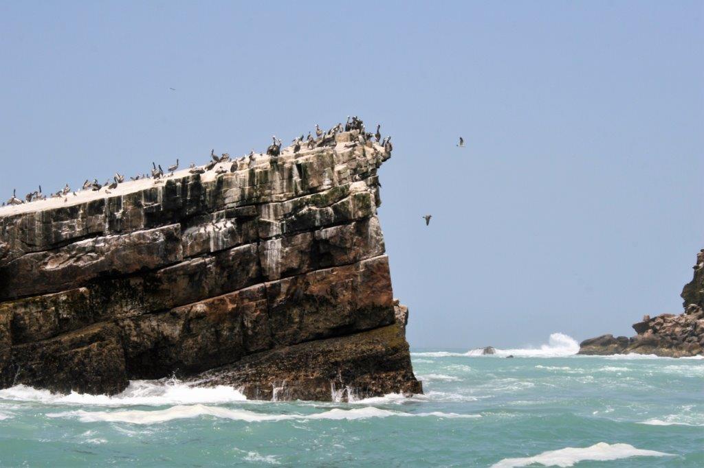
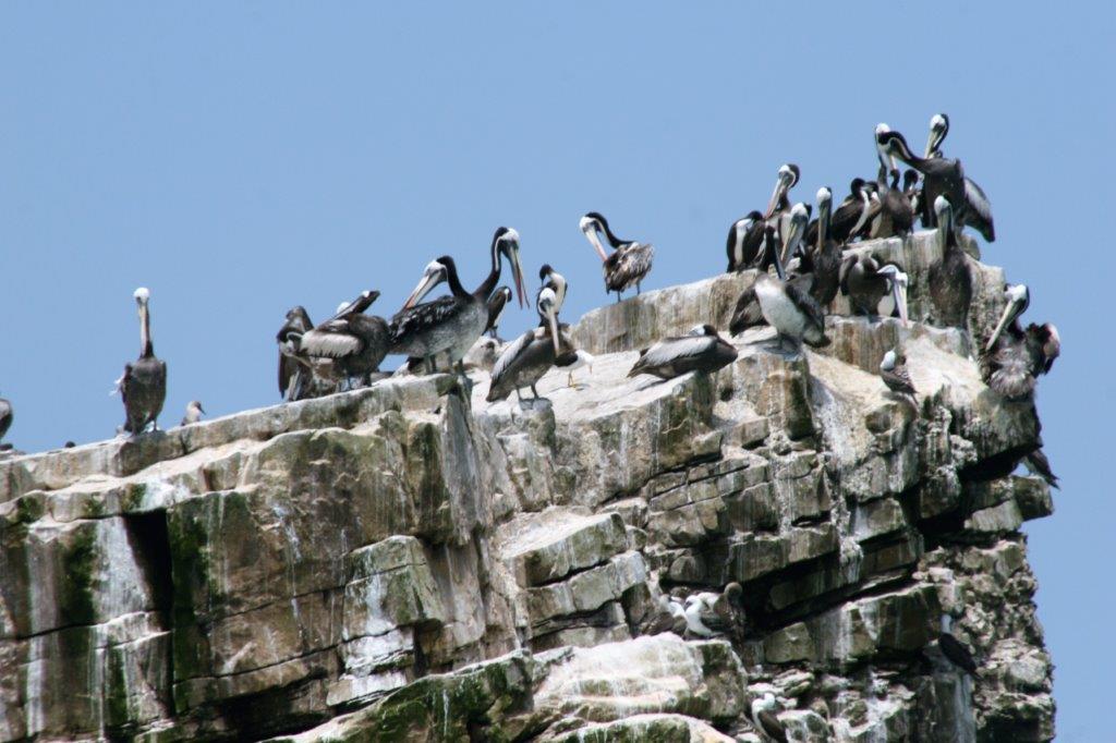
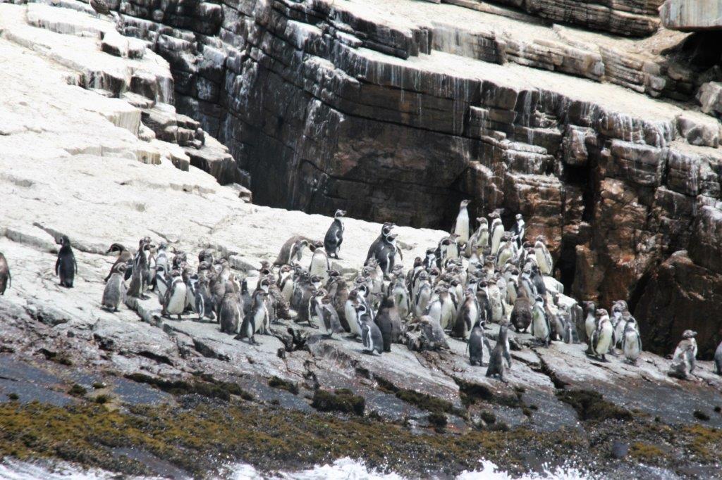
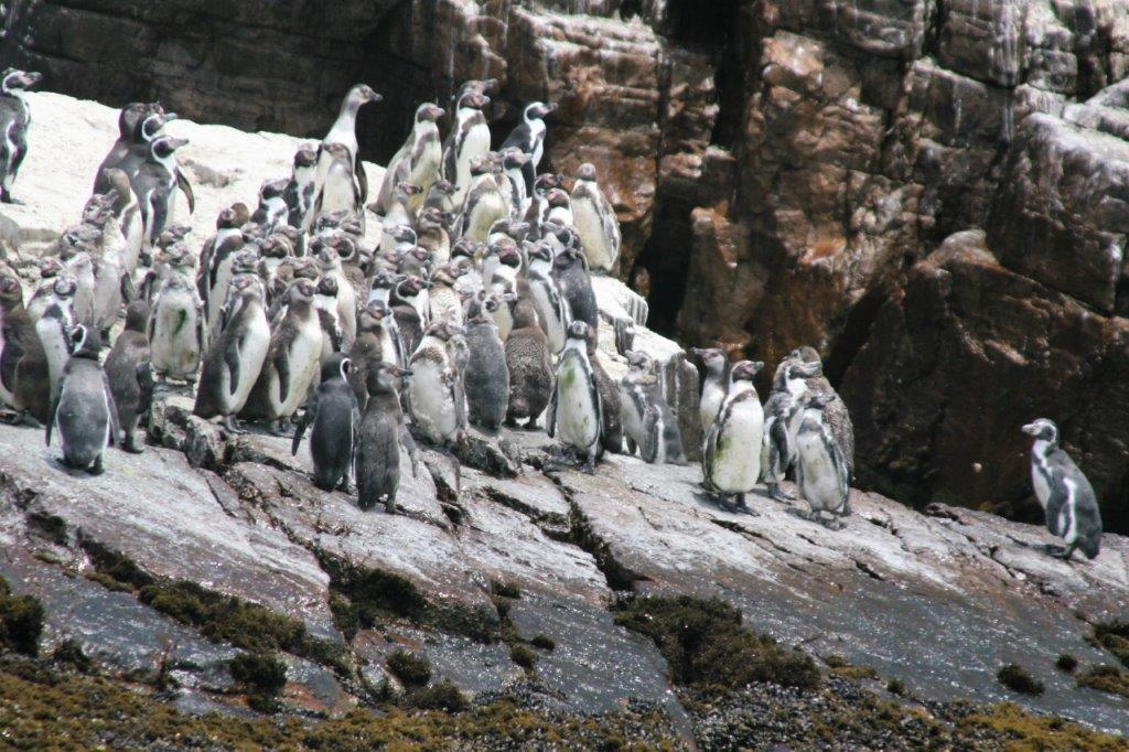
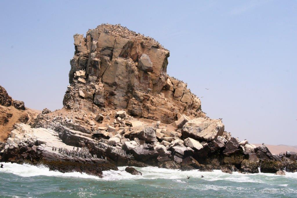
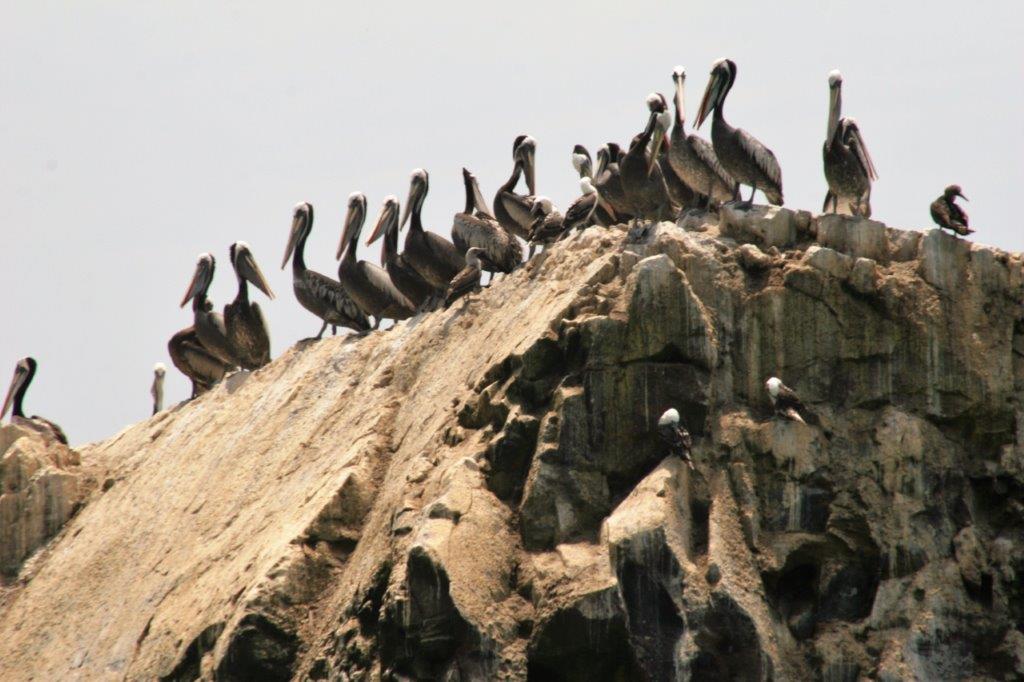
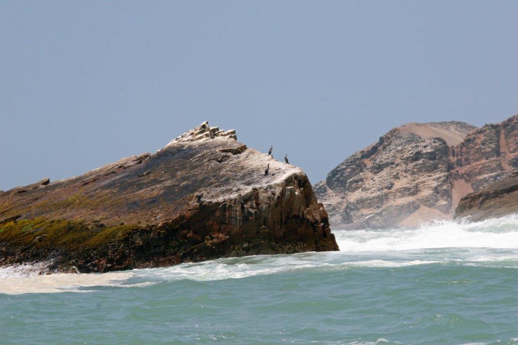
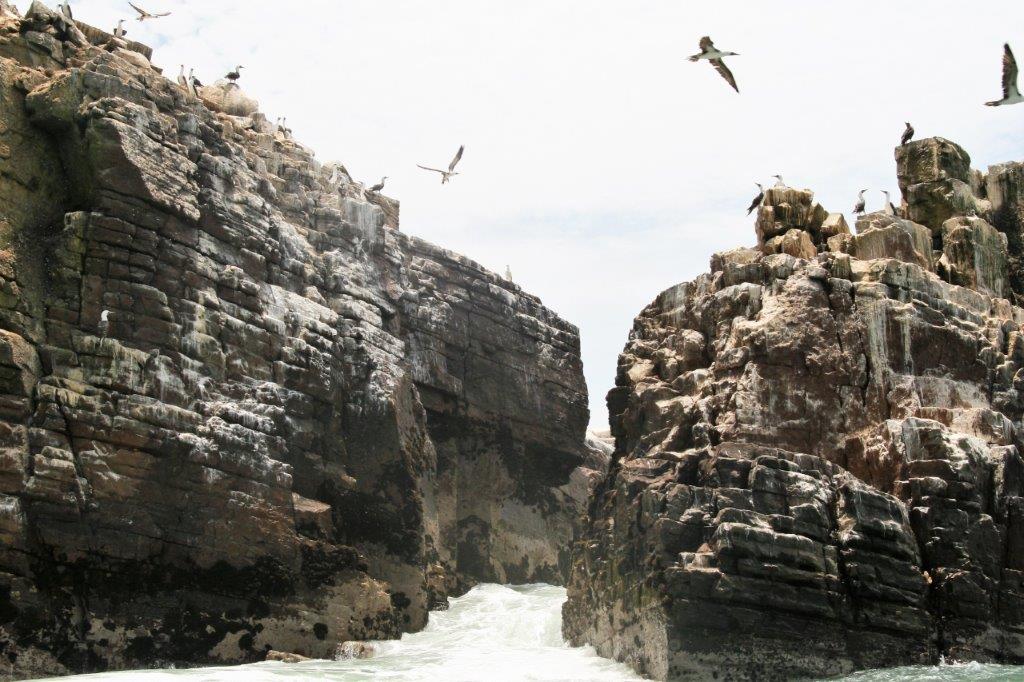
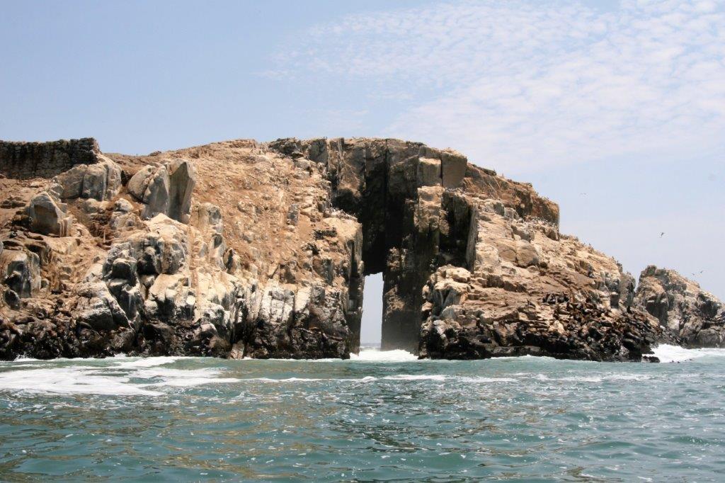
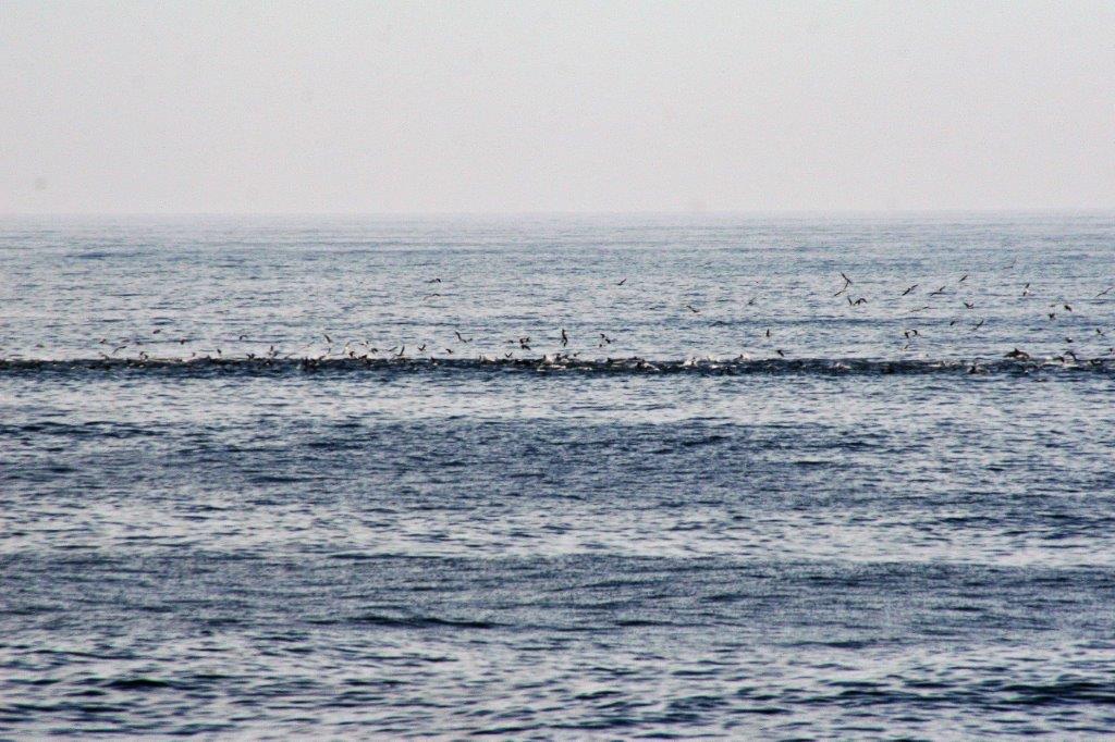
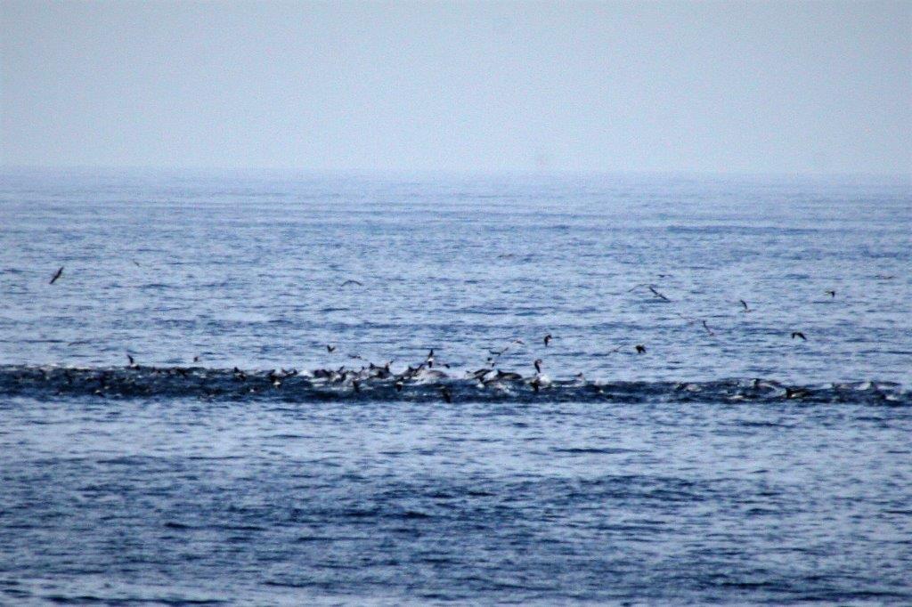
 As is always the case, any seaside cliff will become nesting grounds for birds.
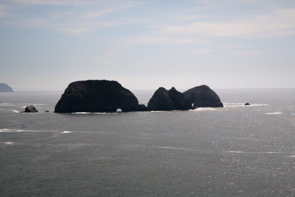
 Three Arch Rocks can be seen just a little bit south of Cape Meares.
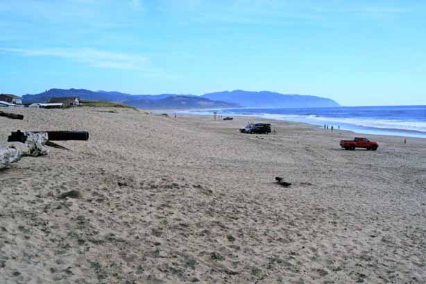
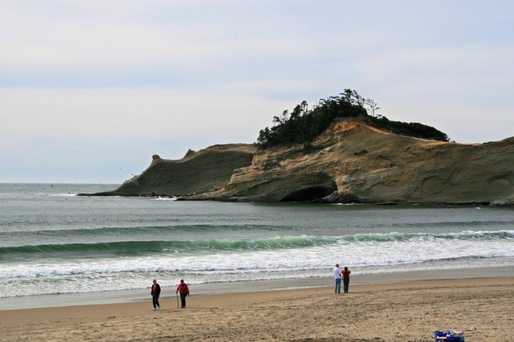
 Sand Lake Recreation area is a popular spot for beach driving.
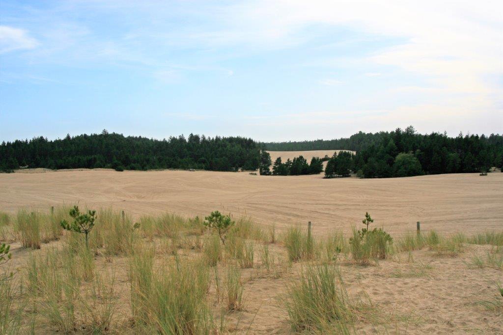
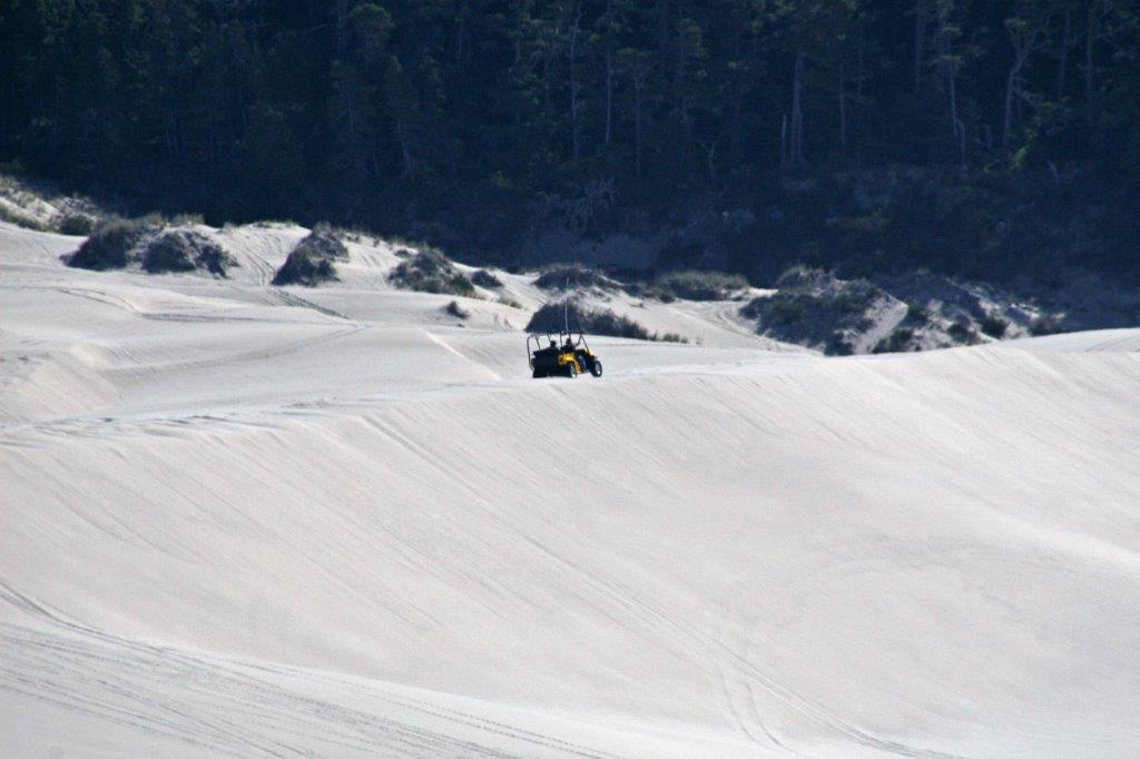
 We had entered the Oregon Coast Dunes area. From north of Lincoln City to Florence and North Bend there are miles and miles and miles of golden sand dunes. There are only a few places you can see them from the road, but plenty of recreation area accesses if you look for them. We had taken a dune buggy ride on the sand when we drove down to Disneyland and San Diego Sea World with our friends in 1999 so we knew where to turn off to check them out.


 We spent the night at Lincoln City after driving an incredible 45 miles in the day. No one ever said we rush on road trips….
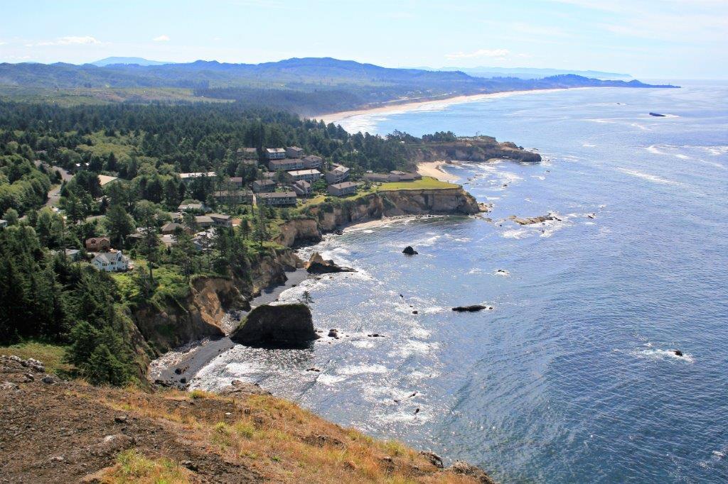
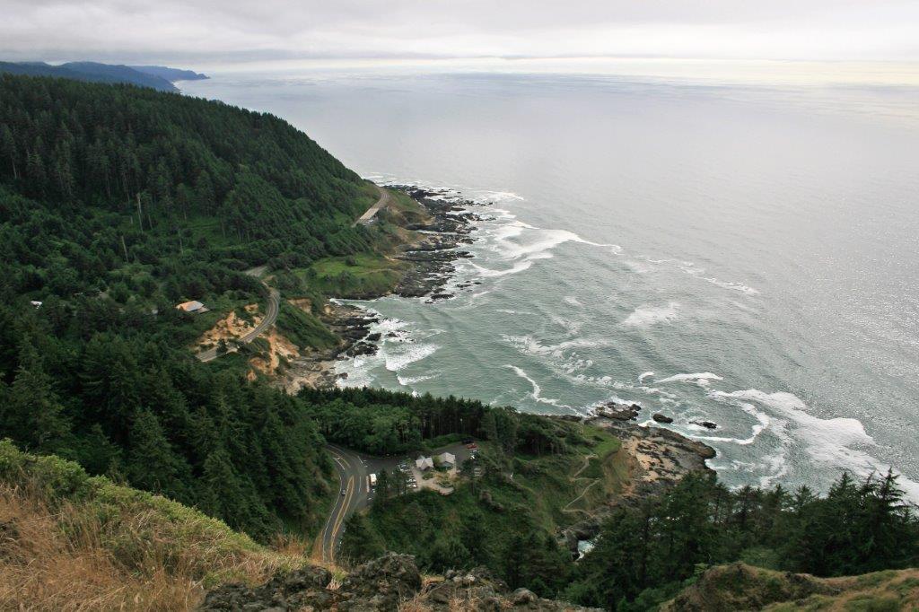
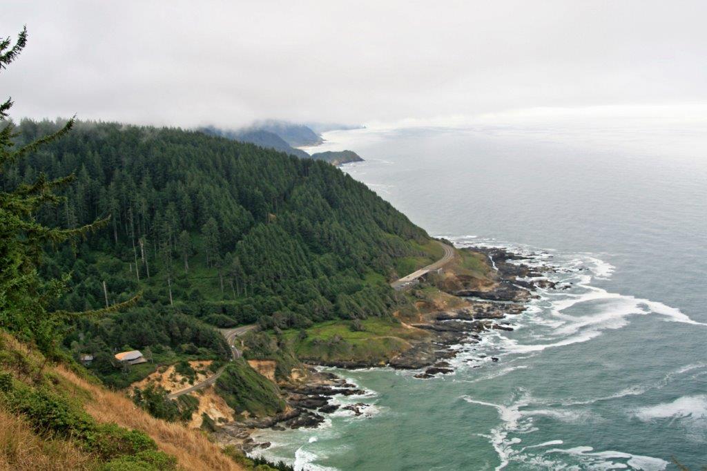
Every time we have driven the Oregon Coast road one of our favourite lookout spots is the Rocky Creek Scenic Viewpoint. On a nice day, which we had, it is a gorgeous place to get out and stretch your legs. Beware the wind though, it can knock you over if you are not prepared.


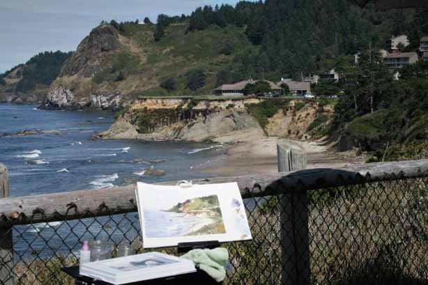
 This visit we were able to watch a group of local artists do live scene watercolour painting. You would be hard pressed for a more beautiful and inspiring spot.
 I like the arches of the Rock Creek Bridge; they remind me of the railway arches in the Harry Potter films – but much shorter and not nearly as high. We rode over those bridges in 2013 when we toured Scotland and rode the Jacobite Steam Train from Ft. William to Mallaig.
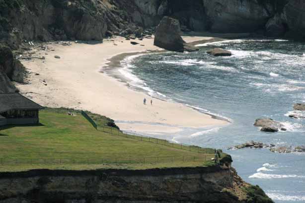
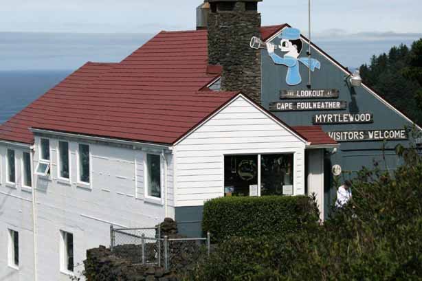
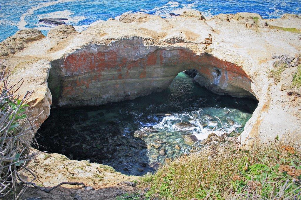
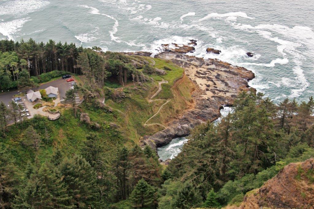
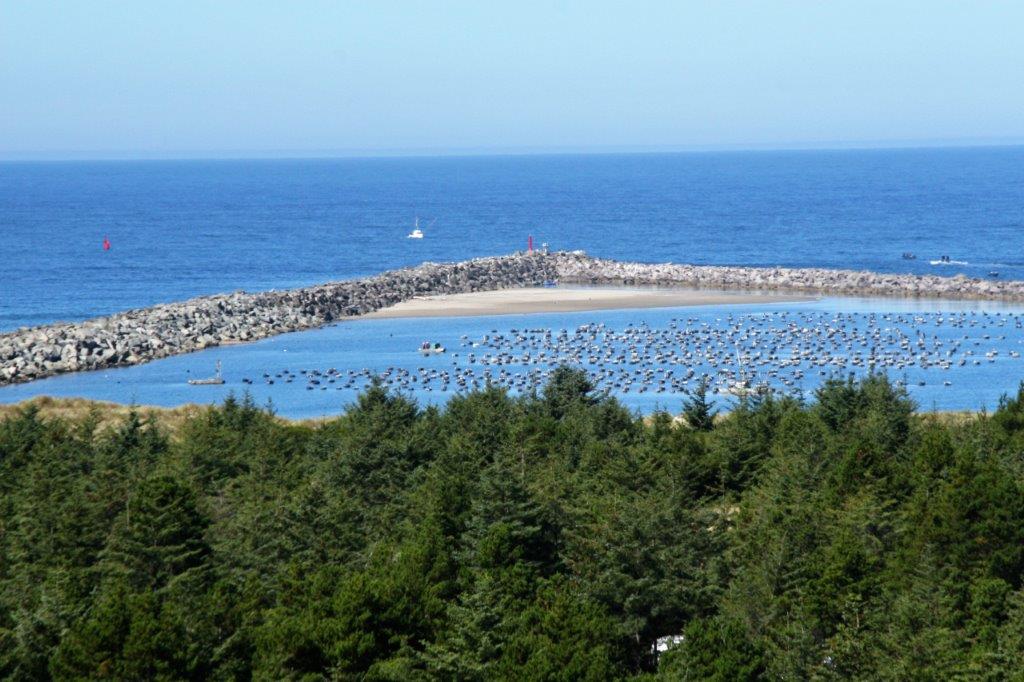
We pulled into Otter Crest Scenic Viewpoint and the Lookout at Cape Foulweather 500′ above the coast. The view on a clear day, such as were were blessed with, was spectular. A few miles south of Cape Foulweather is the Devil’s Punchbowl. The tide wasn’t coming in so there was no wave action going on.


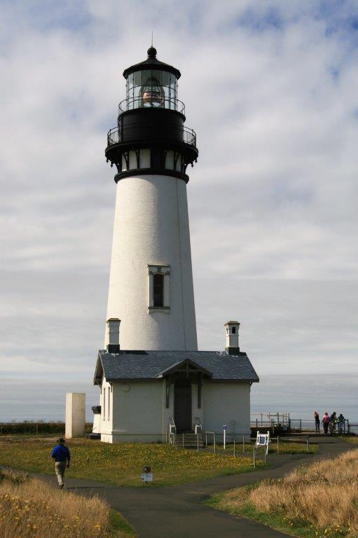
 On this trip we climbed hundreds of winding steps to the top of lighthouses. If it was open to climb, we climbed. Below is Yaquina Head lighthouse.


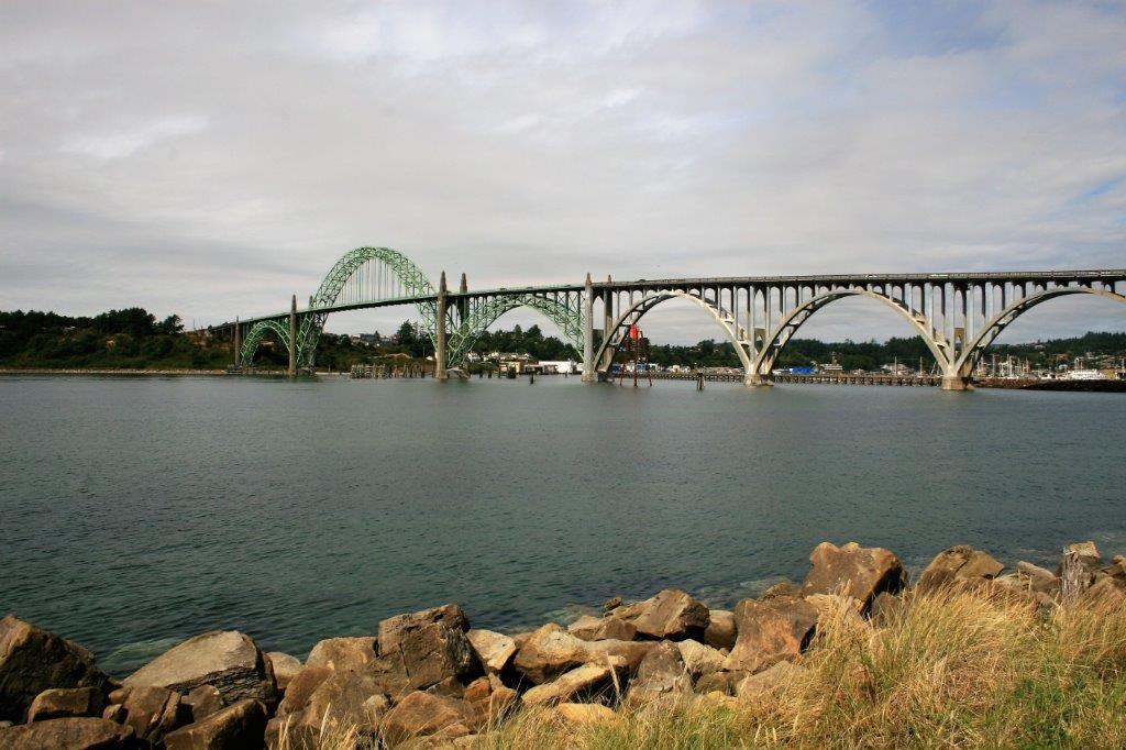
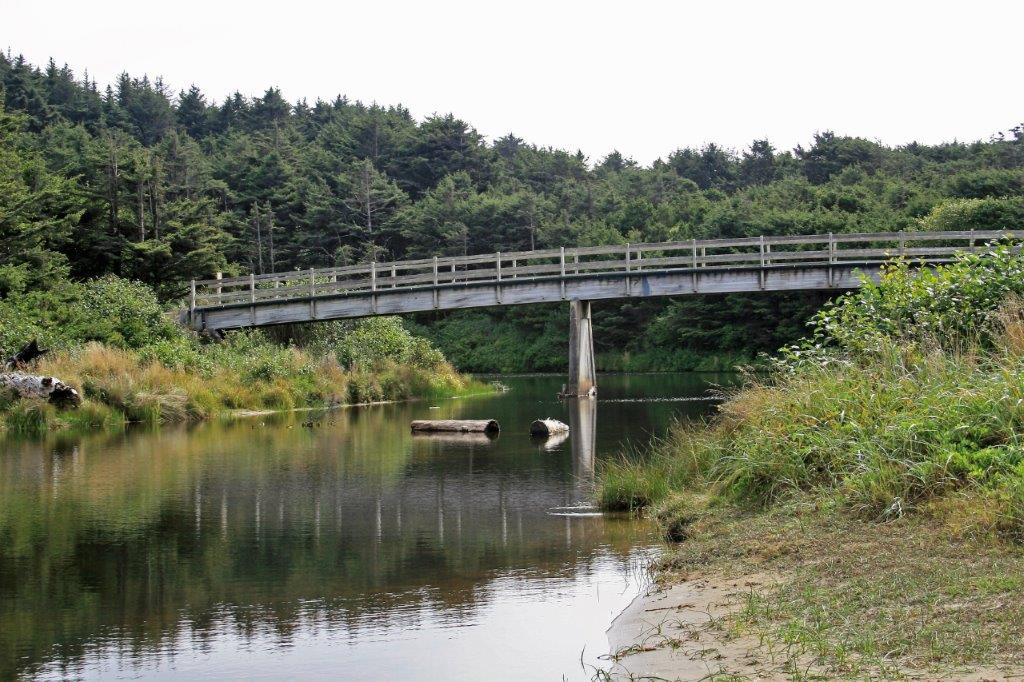
 The Yaquina Bridge spans an inlet just north of Newport, Oregon.
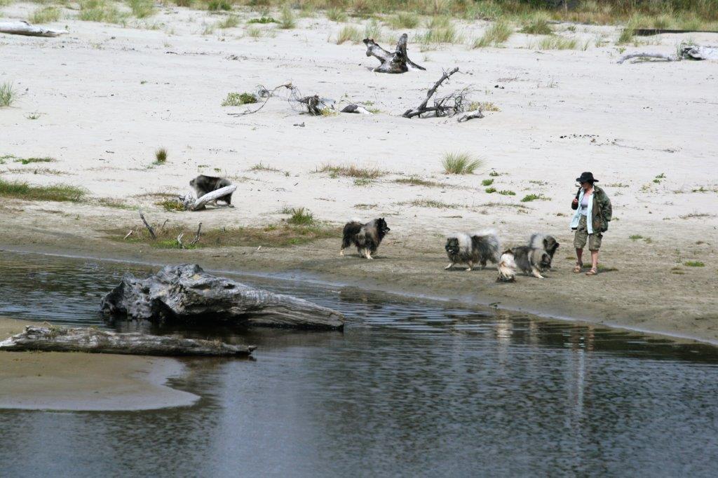
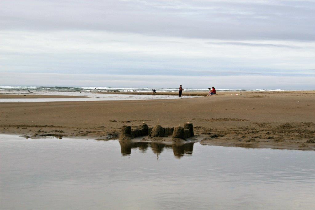
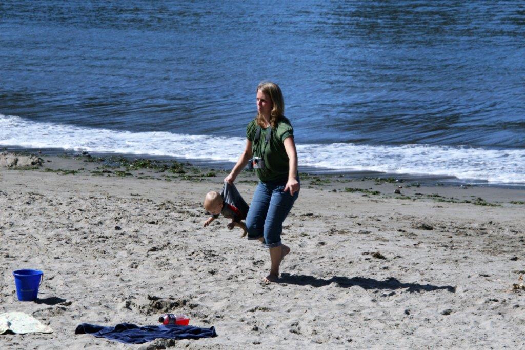
At Ona Beach we had a good wander around. Several folks had made sand castles and a lady was exercising her dogs. I think she had about 7-8 Keeshunds.
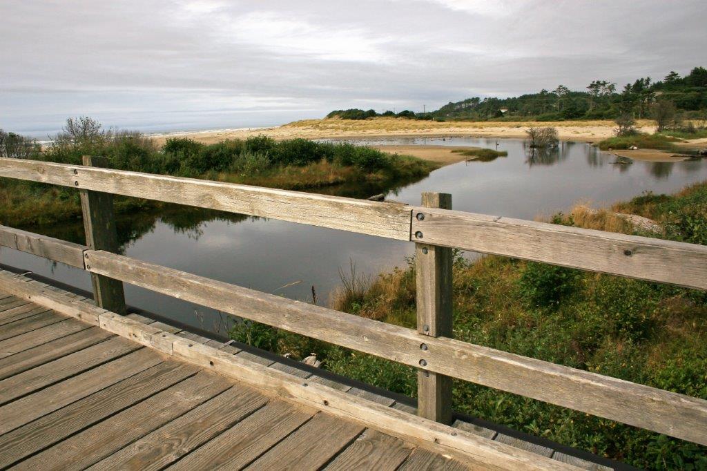
 This nice wooden bridge is in Brian Booth State Park at Ona Beach.


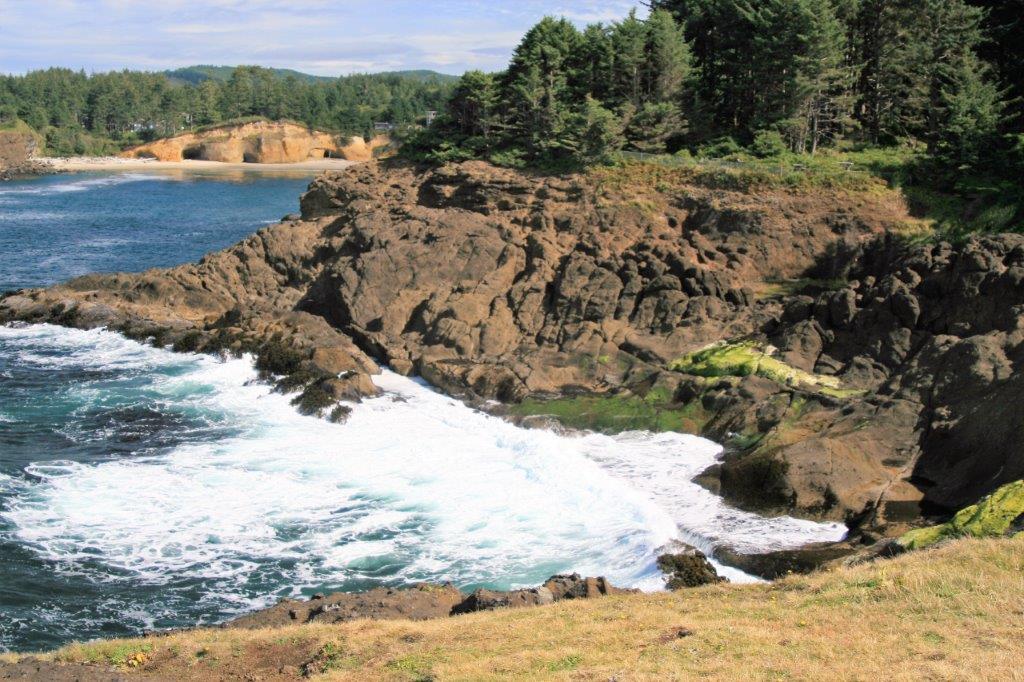
 Cape Perpetua was our next stop. We took a walk up to the end of the trail and the little folly.


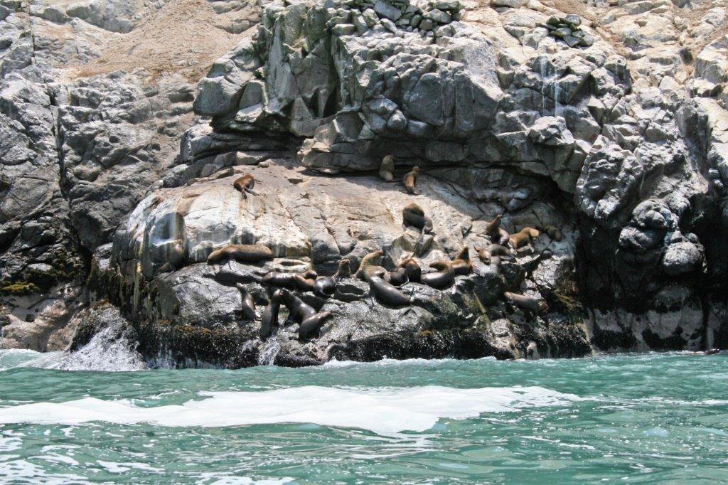
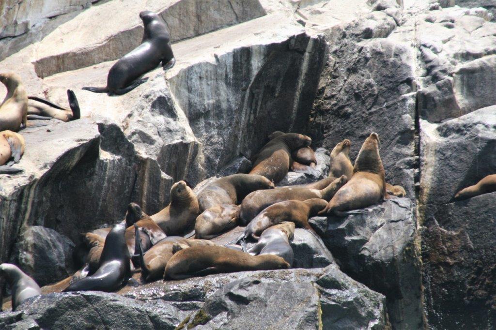
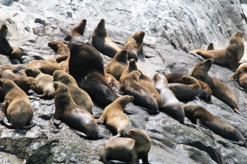
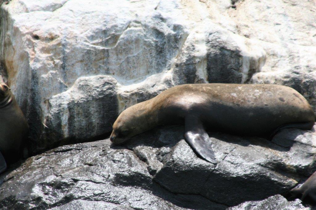
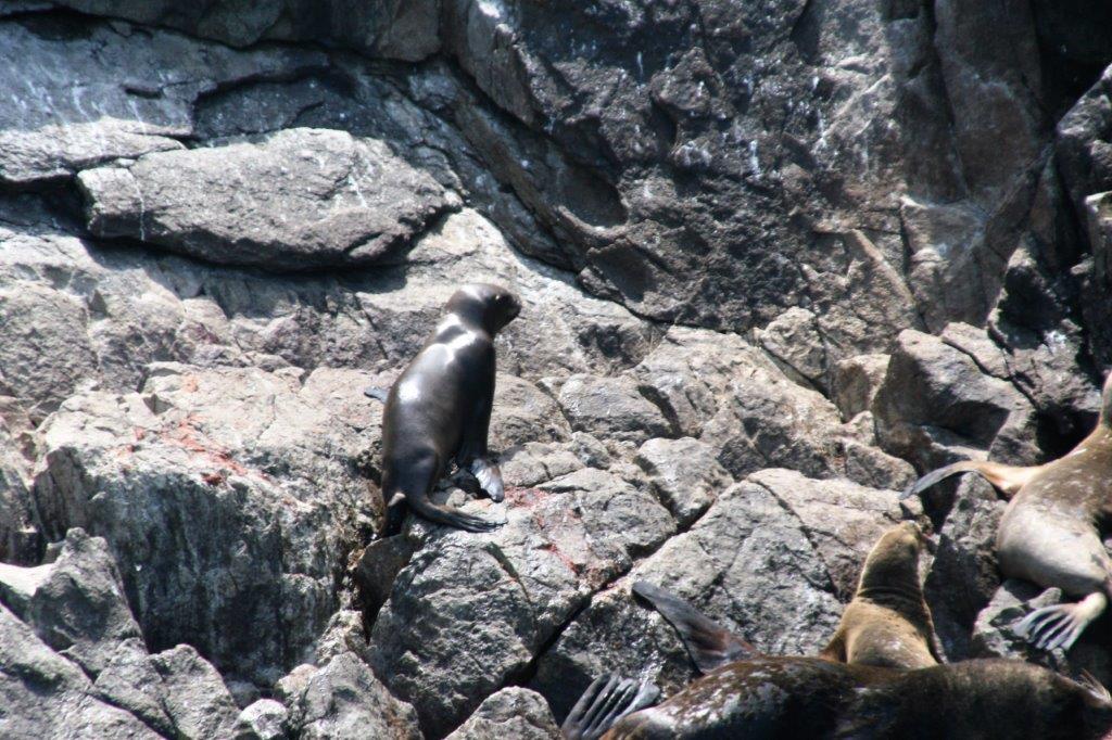
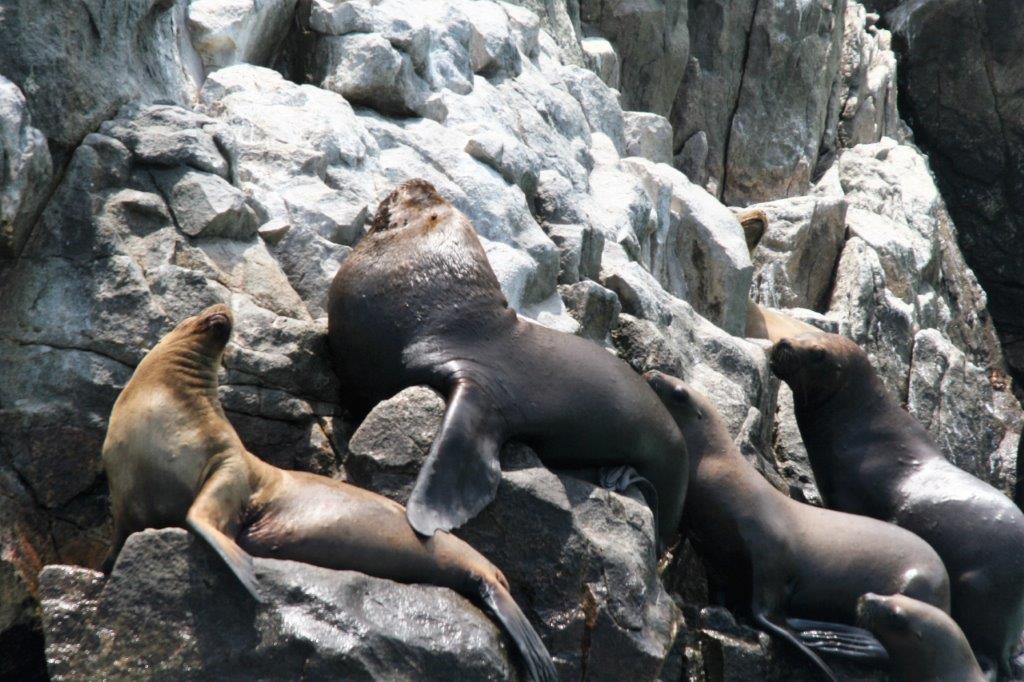
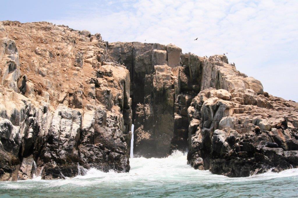
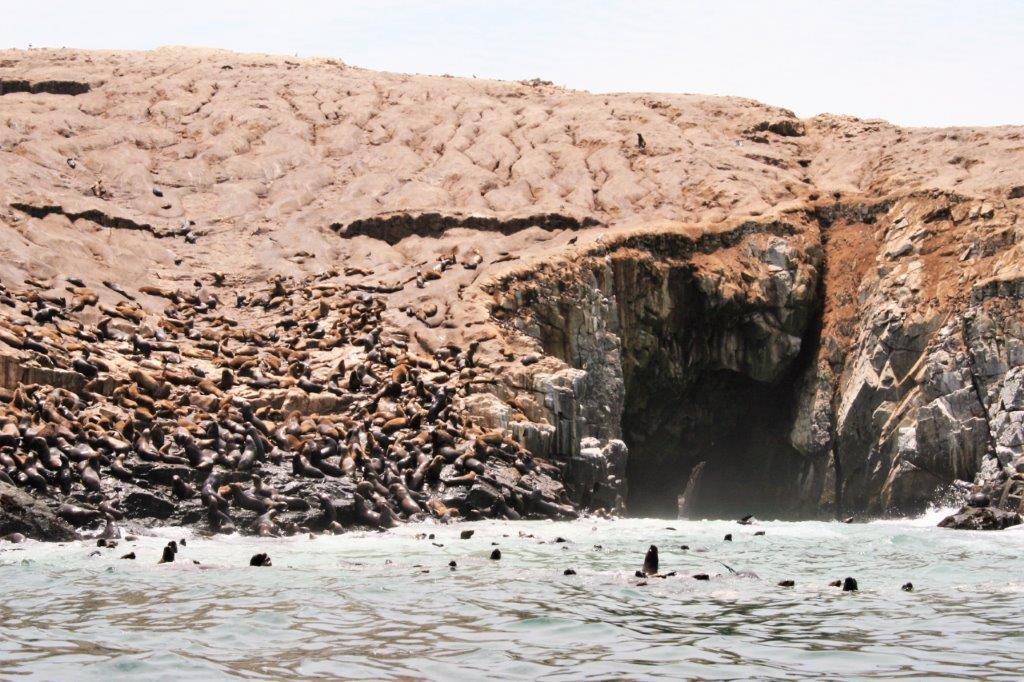
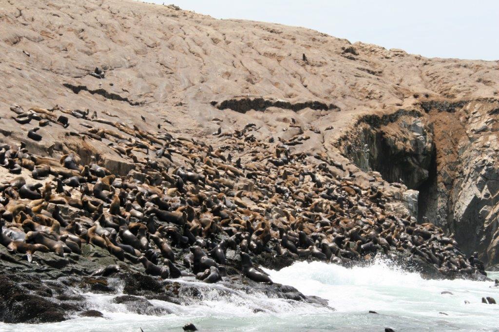
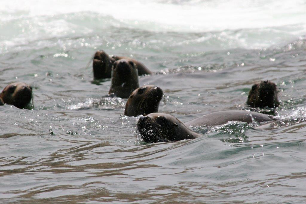
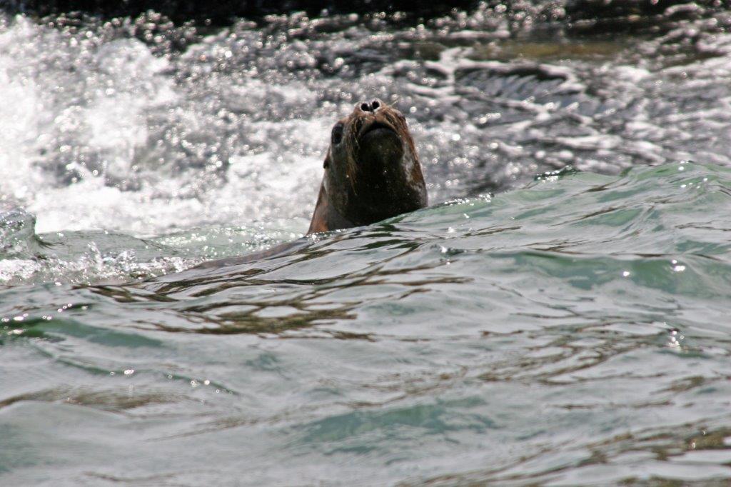
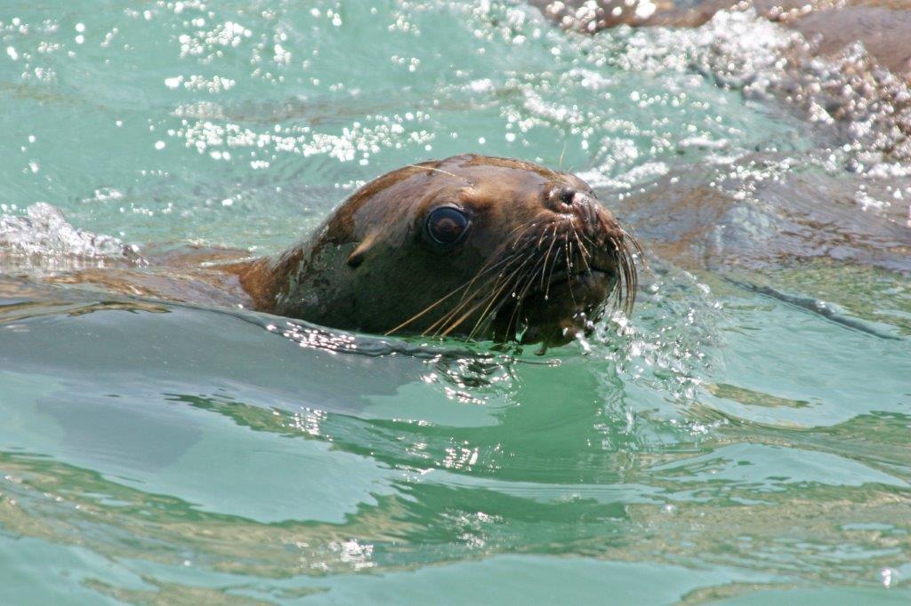
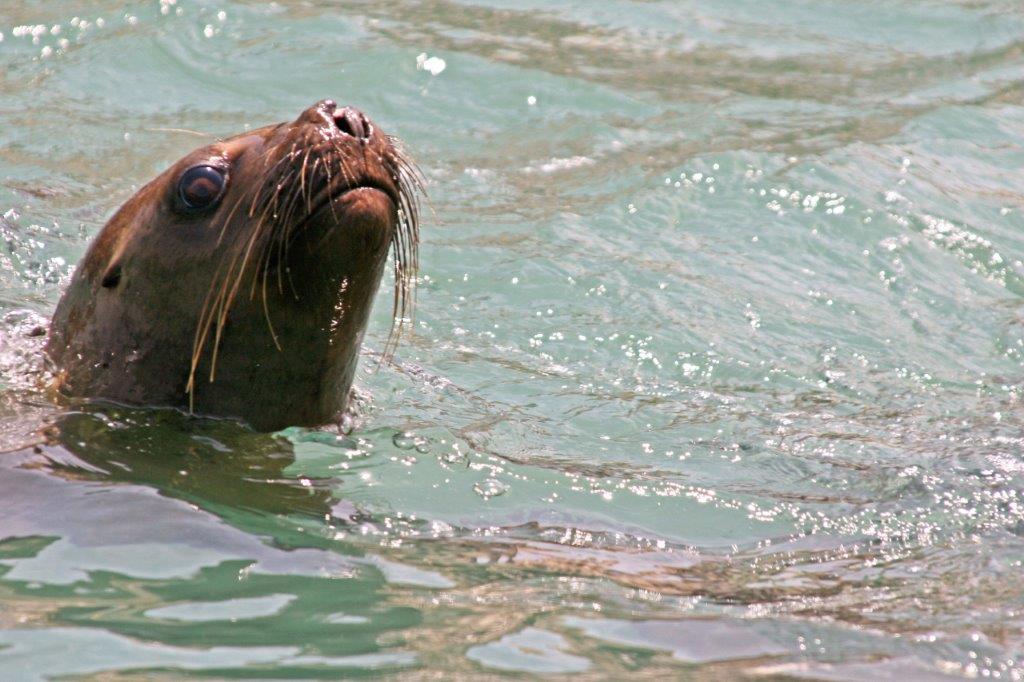
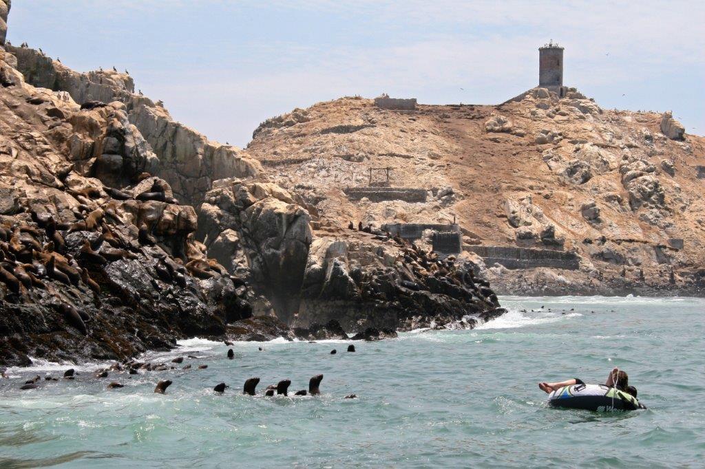
 This resting group of Sea Lions were on the rocks not far from Sea Lion Caves. We toured the caves on our 1999 trip and all-to-well remembered the smell so did not feel the need to do it again.
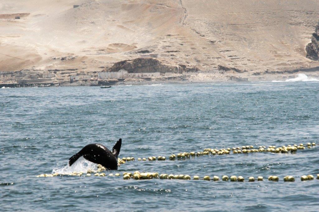
 The night of Sept. 9 was spent in Florence. With all the inlets along this coast we crossed over a lot of bridges. This is the bridge at Florence.
The next day we headed further down the coast as far Bandon before turning inland to begin our trip northward.
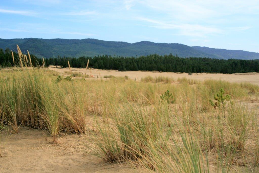
Florence is about mid-way along the Oregon Sand dunes and is in the heart of Oregon Dunes National Recreation Area. We took quite a few photos of the hardy bunch grass growing in the sand.


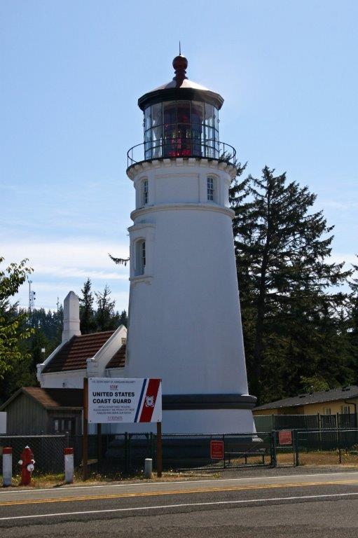
 One of my favourite lighthouse is Umpqua Light. It was built in 1855 and lit in 1857. The original lighthouse was located on the sandy shore on the north side of the Umpqua River mouth. Two violent storms in 1861 and 1863 severely undermined the foundation and the lighthouse began to tilt. Plans were put in motion to build a new lighthouse, this time 100′ atop the cliff so the light would be easily seen by passing ships who would be able to use it for navigation rather than just an aid to approaching the river mouth as was function of the first lighthouse. The new light became operational Dec. 31, 1894 and has a Fresnel lens, originally powered by mineral oil. The light makes a complete revolution every two minutes and in that time produces a signature of two white flashes followed by one red flash.
 At Coos Bay there is a beautiful Veteran’s Memorial.
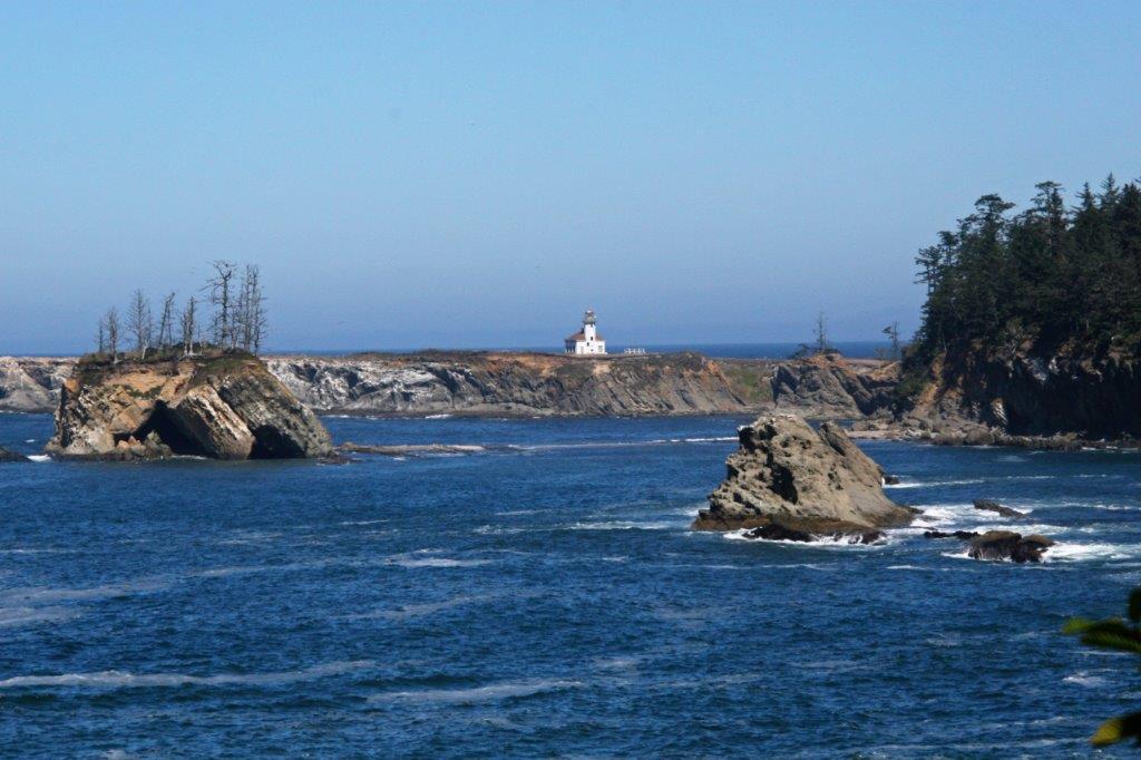
 We did the Cape Aragos Loop and spent some time at Shore Acres. You could see the Cape Aragos Light from the beach.


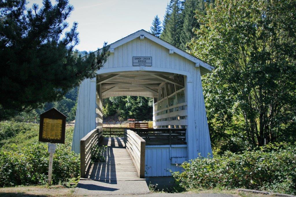
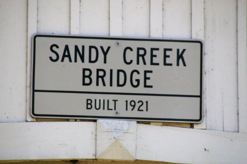
 At Bandon we headed inland, stopping at Sandy Creek Covered Bridge near Remote, Oregon.

 From Remote, it is only about 40 miles to Roseburg where we spent the night.
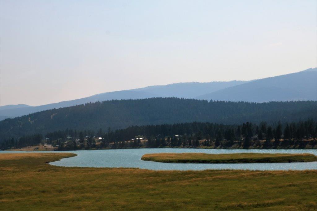
 Smoke was pretty thick everywhere. This was taken overlooking the lake at the Edgewood cache.
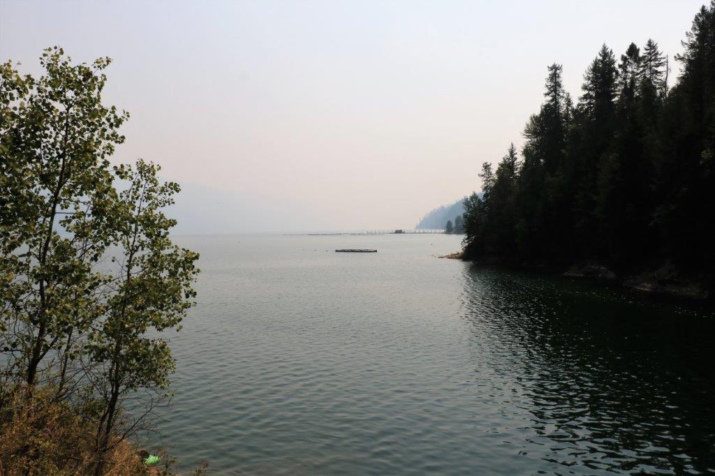 These boys were doing a combination of fishing and kayaking.
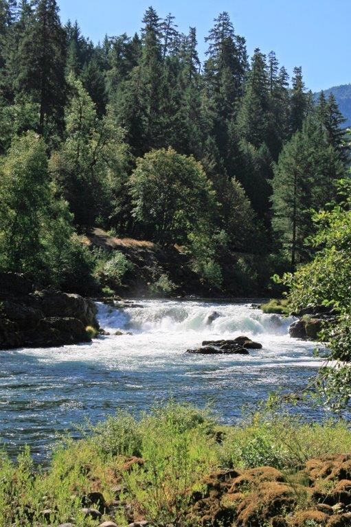
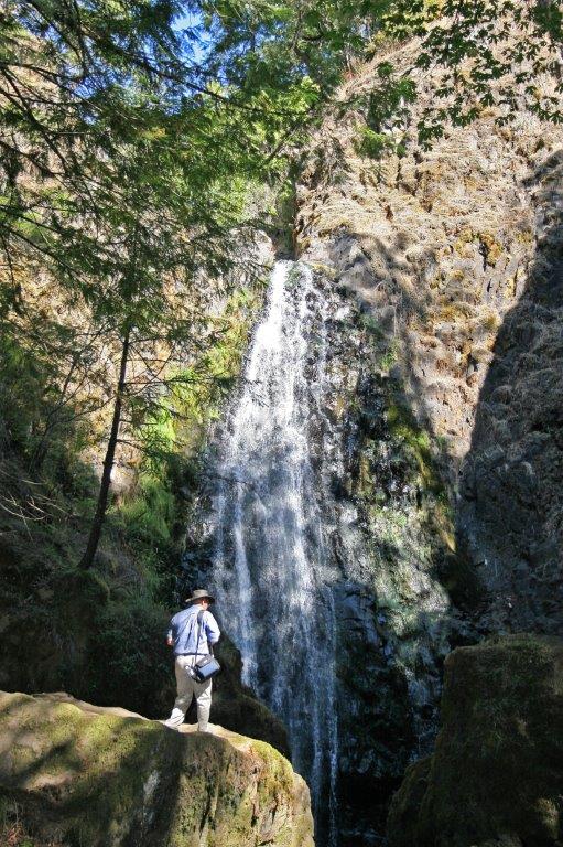
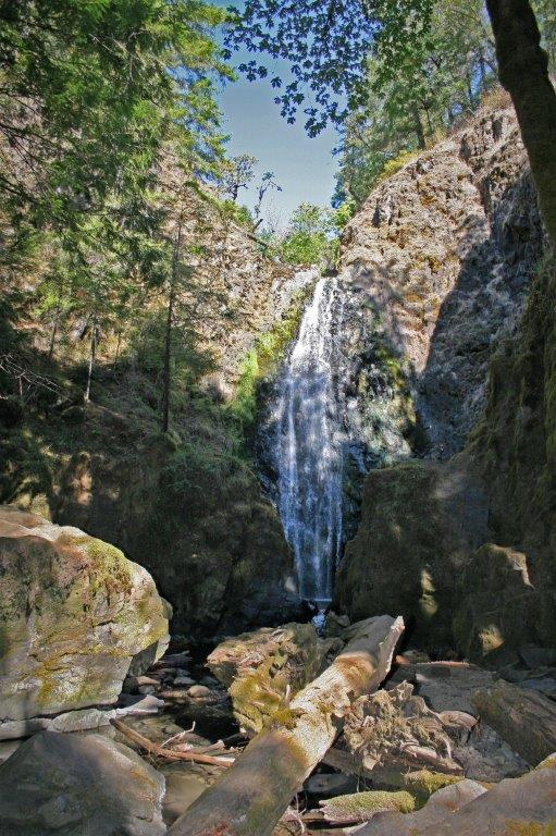
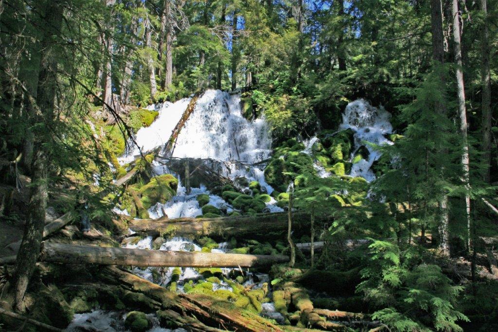
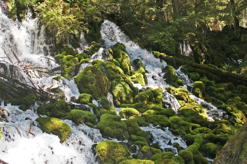
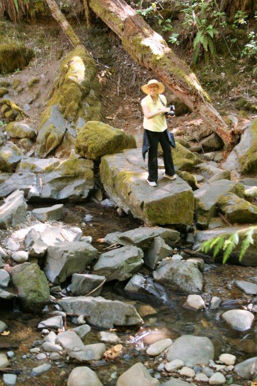
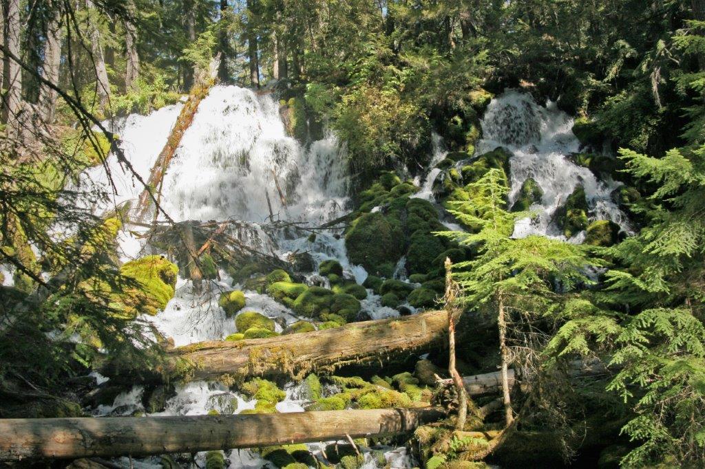
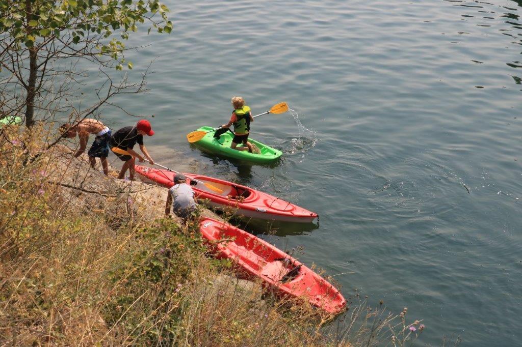 Today we had stopped at Stewart Creek rest stop and walked up to the little waterfall. When we got back to the truck John brought up the geocache map on his phone thinking it was a likely spot for a cache. He was right. So back up to the waterfall we went to find it.
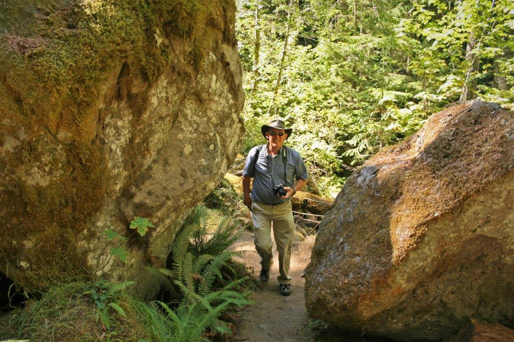
 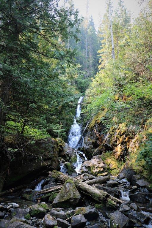 We decided it would be a good idea to get out of the truck about once an hour so each hour I would bring up the map and see where a cache was located near the road up ahead. It worked well to get us out and moving about for a few minutes every once in awhile. There are hundreds and hundreds of caches in the Kootenay area. We will have to come back and do a caching holiday sometime.
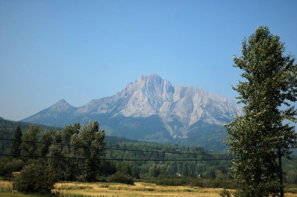
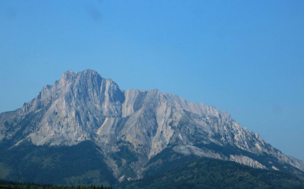
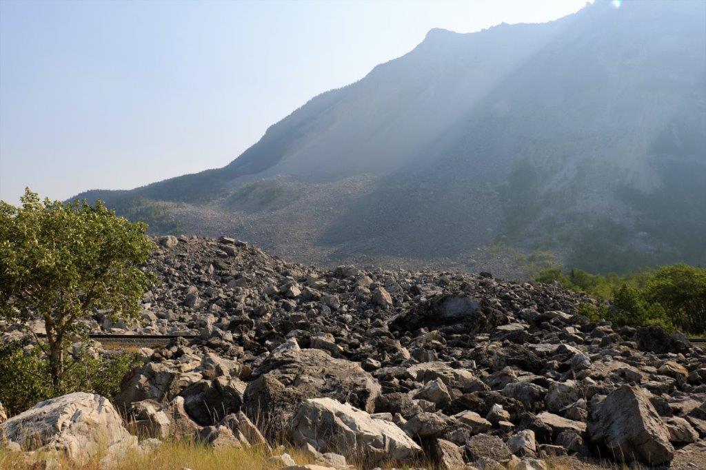
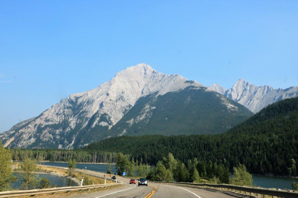 We stopped again at the Frank Slide site as we often do when we go over this road. It is amazing to think that such a huge piece of the mountain broke off in one piece and tumbled down onto the town. The boulders that were created when the limestone hit the valley bottom are huge and over 150′ deep. The sound could be heard for miles.
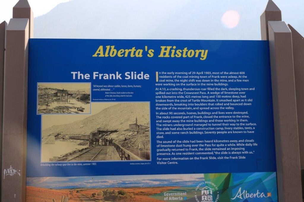
 We arrived in Lethbridge at 7 o’clock Alberta time, had dinner, found our hotel and settled in for the night. Tomorrow, once we get to Gull Lake past Medicine Hat we plan to drop south onto some of the smaller roads and go about half-way across Saskatchewan. We’ll see how far we get. Perhaps we will leave the smoke behind at last.


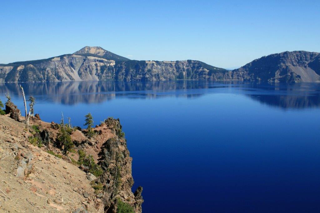
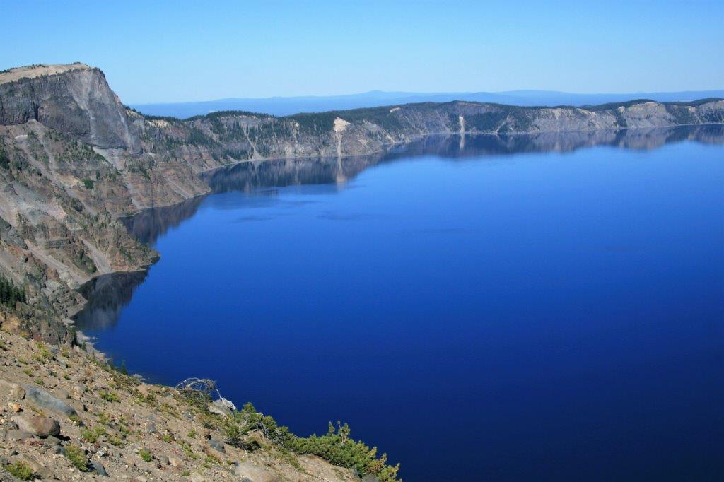
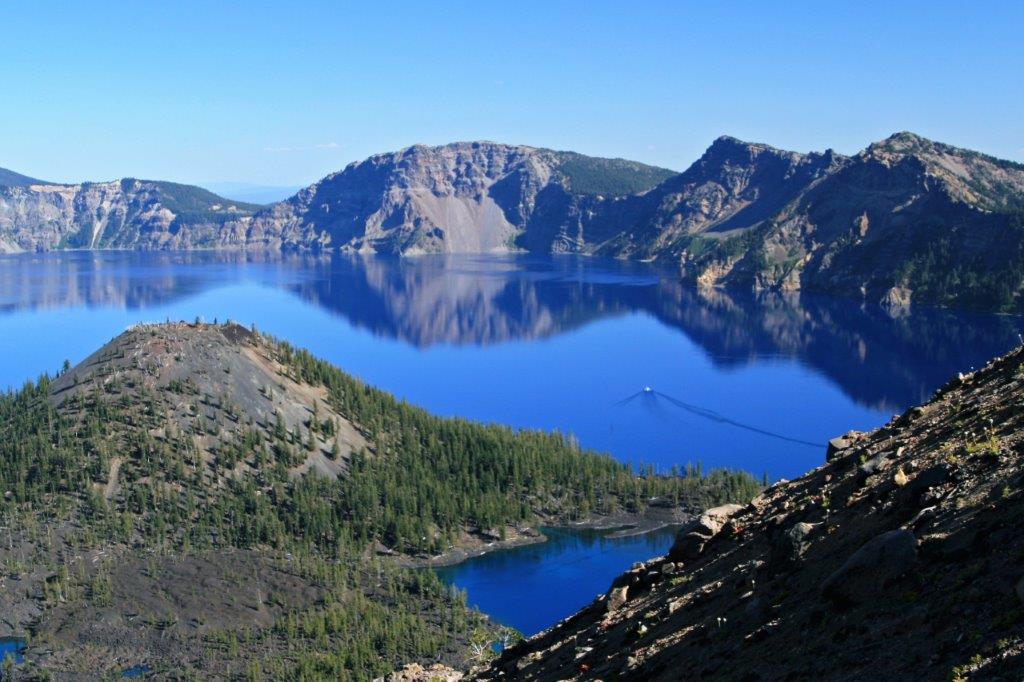
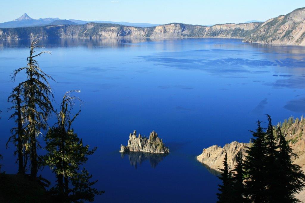
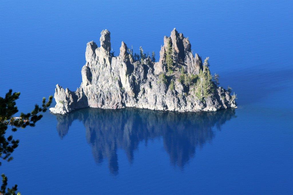
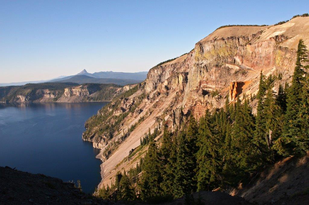
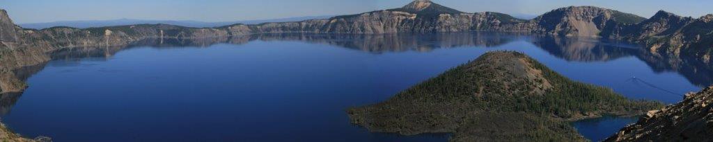
 Later lava eruptions created Wizard Island.