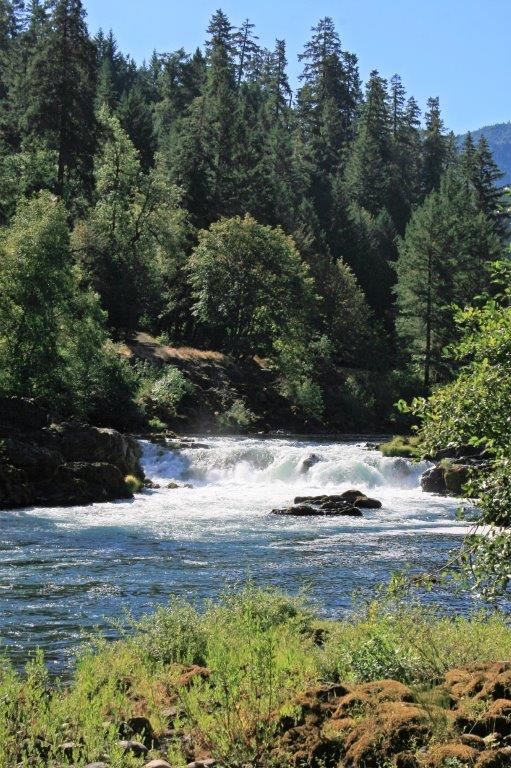
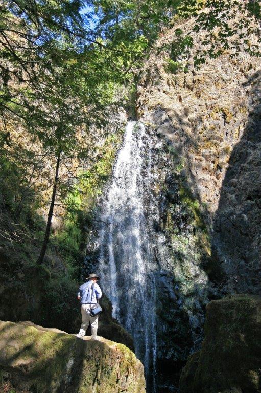
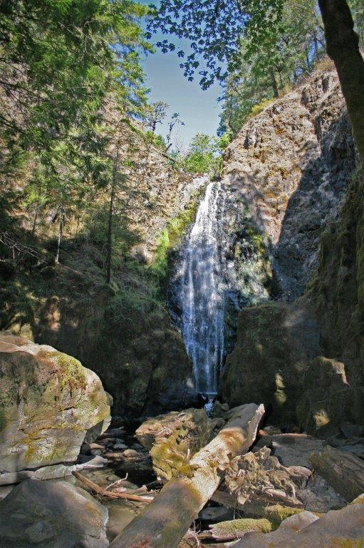
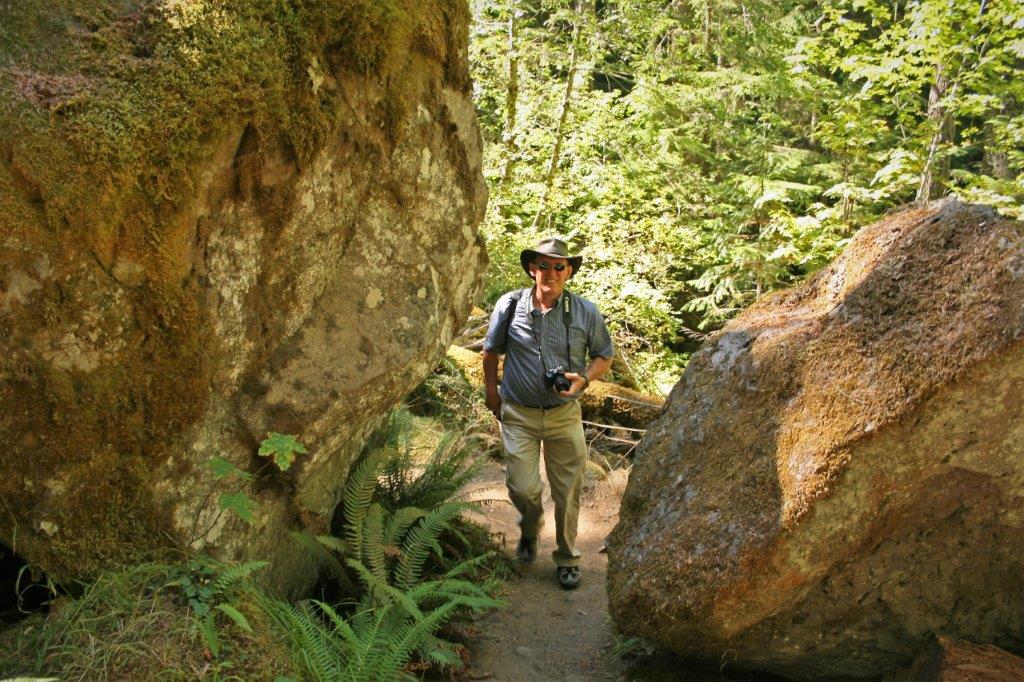
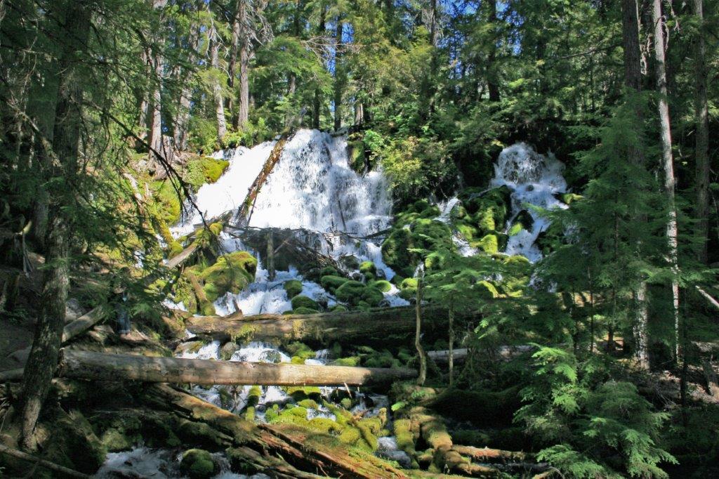
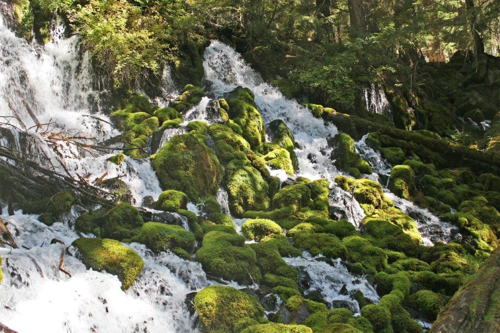
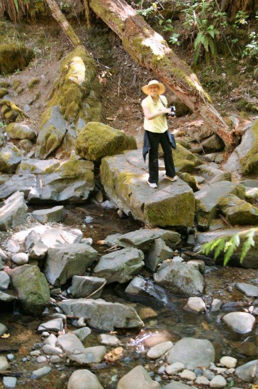
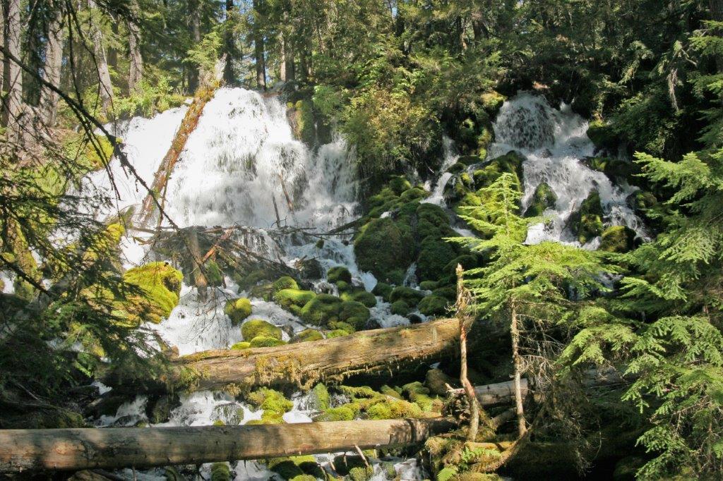
We left Roseburg and headed east. About an hour later we pulled into the parking lot by the trailhead to Susan Creek Falls. It is only a 3/4 mile easy hike and the falls are not spectacular – they only drop 35′. Still, it was a lovely area with all the wet moss on the criss-crossed logs.


 I search the maps as we drive along and suggest stops to make each day as we travel. I love National Parks and I noticed Crater Lake NP was located in our general direction inland, so we decided to go have a look-see. I have since learned that Crater Lake is considered one of the seven natural wonders of Oregon and is considered a true jewel within the American National Parks system. And I wholeheartedly agree! It was a magical place.
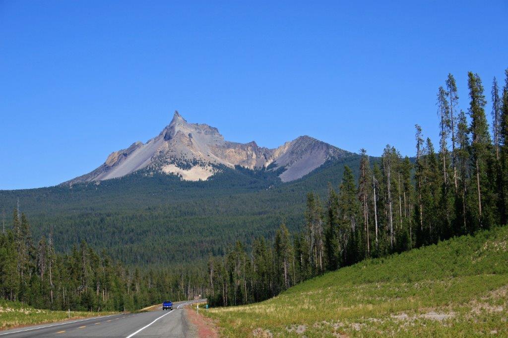 We drove up the narrow switchback road to the summit and got out at the first viewpoint. Holy cow! You find yourself standing at the edge of a massive volcanic caldera that is filled with sapphire blue water. The crater was formed 7,700 years ago when the volcano Mount Mazama collapsed. The caldera is over 2000′ deep making the lake the deepest in the United States at 1949′. It is estimated that it took about 720 for the lake to fill to its current level. The lake is 5 by 6 miles wide and there is a rim road that will take you all the way around.
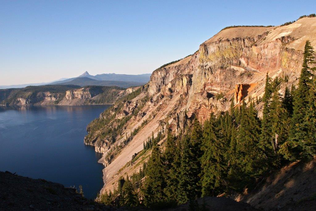
There are no rivers flowing into or out of the lake so it is kept full only by snow and rain, making it some of the purest water on earth. The caldera rim averages from about 7,000 to 8,000 feet above sea level so the park is only open for a few months in the summer and early fall.
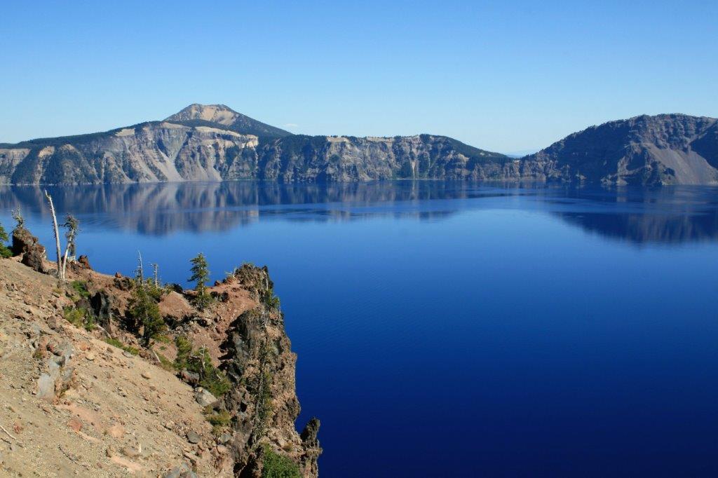
 Later lava eruptions created Wizard Island.
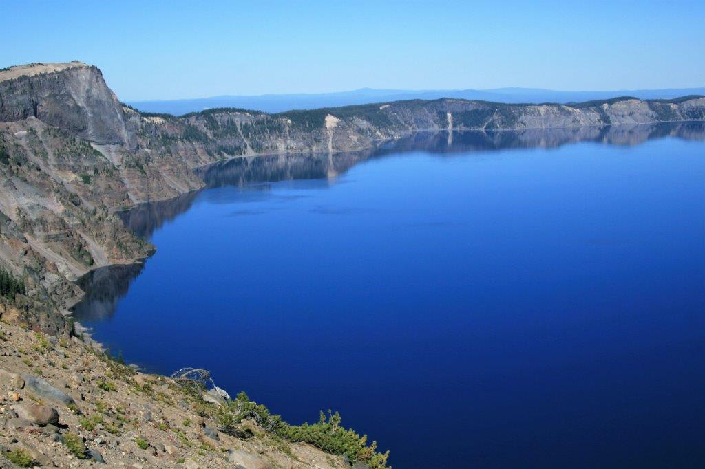
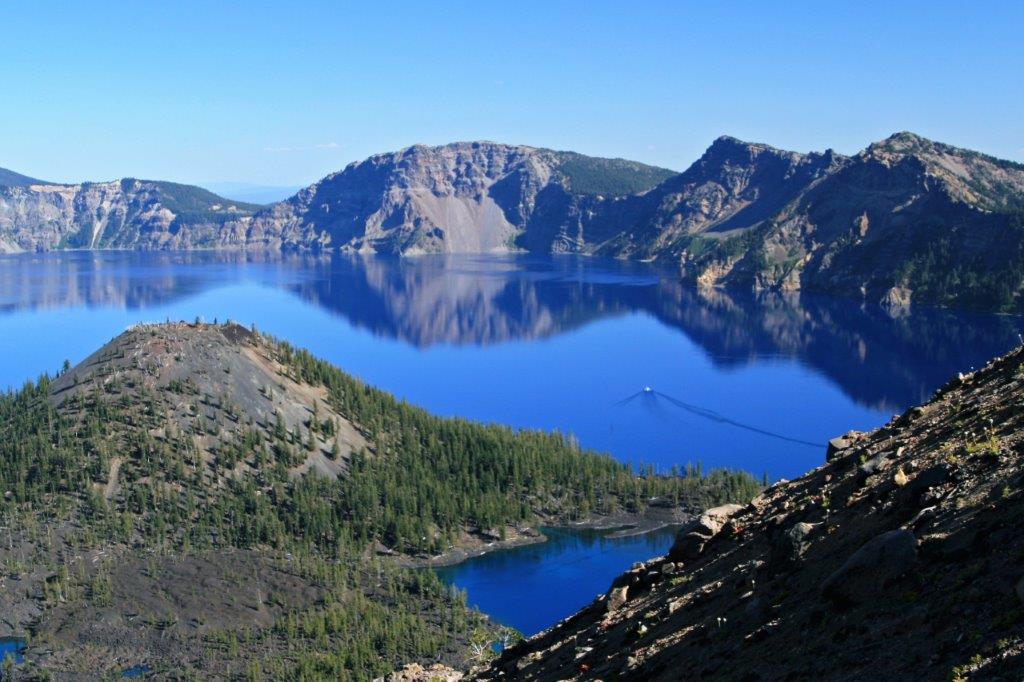 The view outward from the rim road was pretty nice as well.
 The sides of the crater down to the lake are almost vertical and drop hundreds of feet before reaching the water.
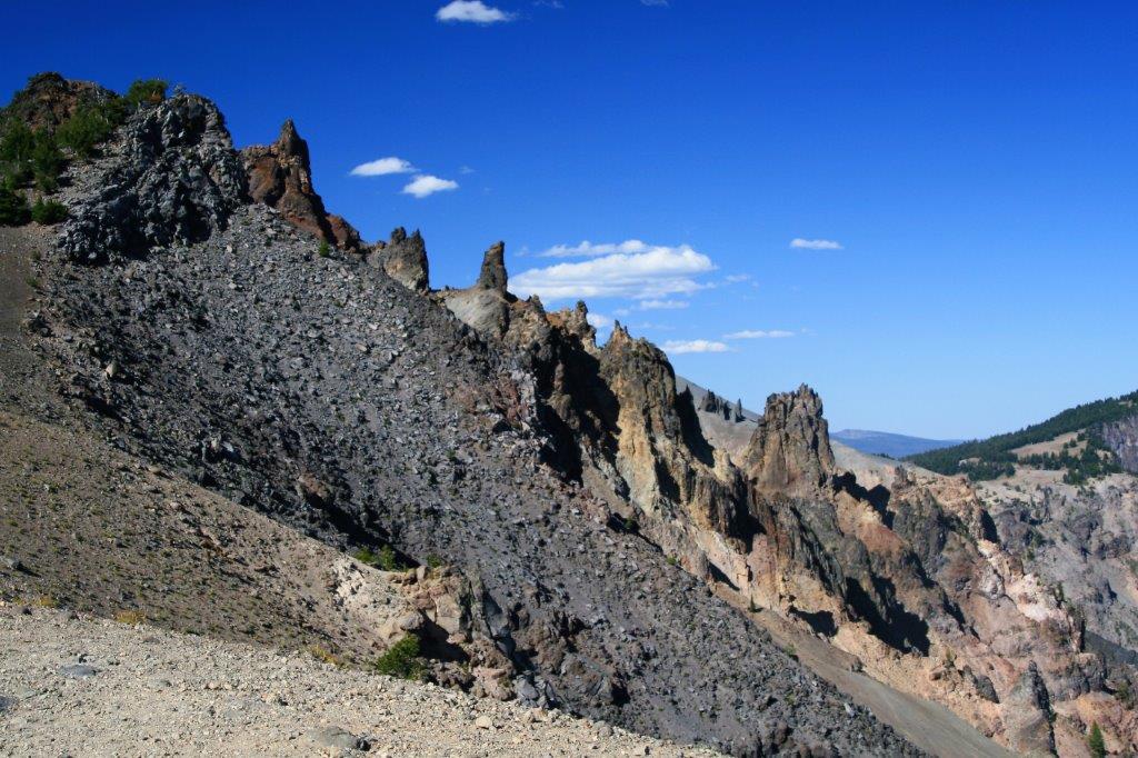
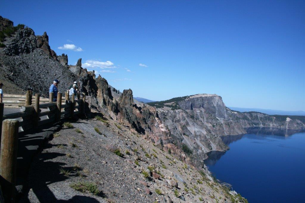 There is a access to the lake via a steep, narrow road on the far side. The lake is also stocked with fish for the enjoyment of anglers.
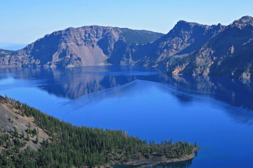
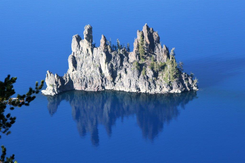
 On the far side you can see the smaller island called Phantom Ship.
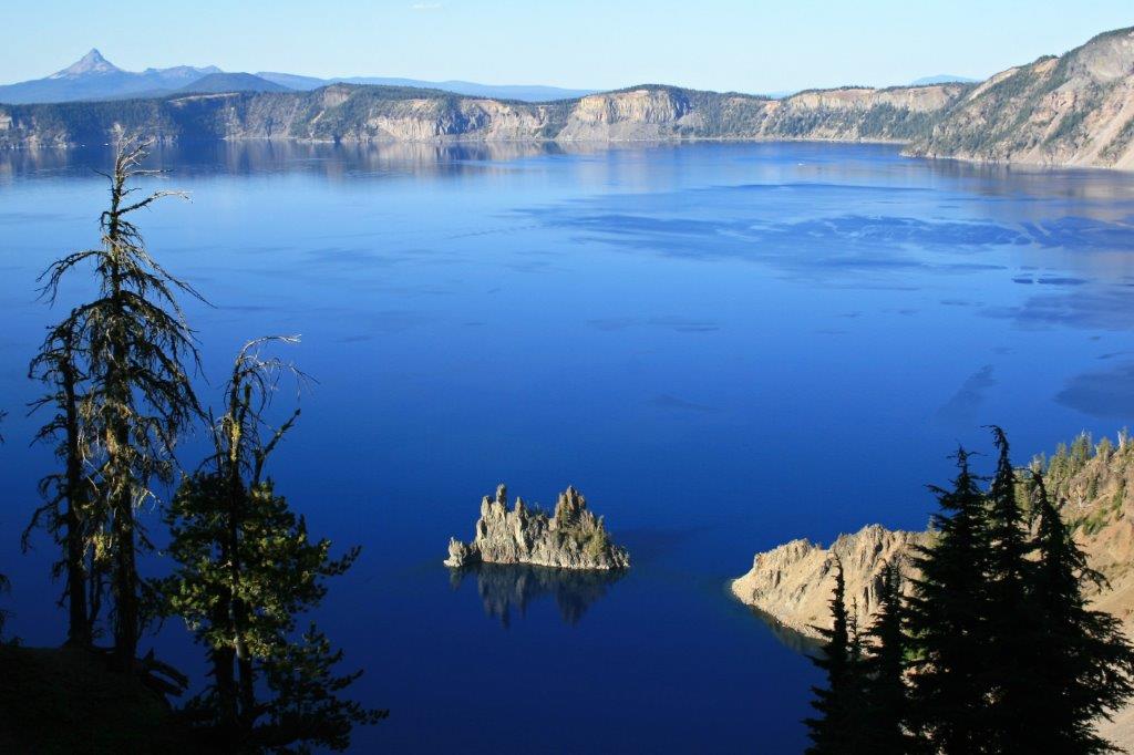
 This shot was taken holding my camera out over the rim edge, pointed straight down. Those boats are a long distance away.

 I made a stitched photo of Crater Lake. It is pretty narrow, but you get the idea about its incredible beauty.
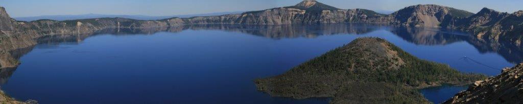 We descended down the back side of Crater Lake National Park, turned north when we reached Highway 197 and drove up to Bend where we spent the night.
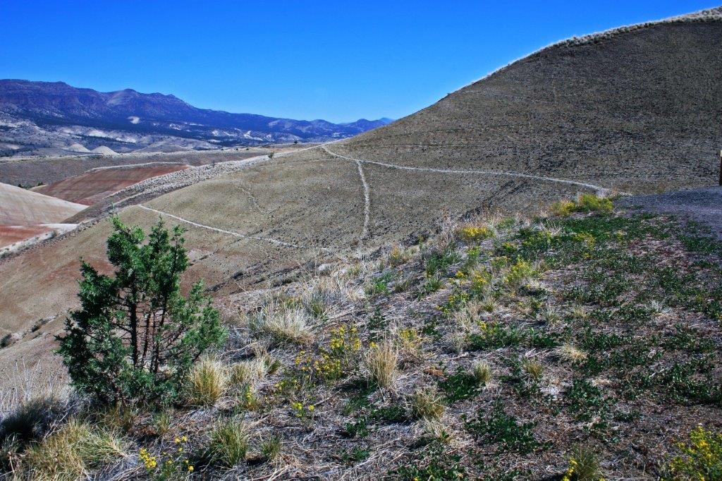
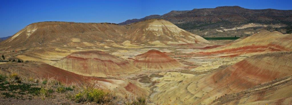
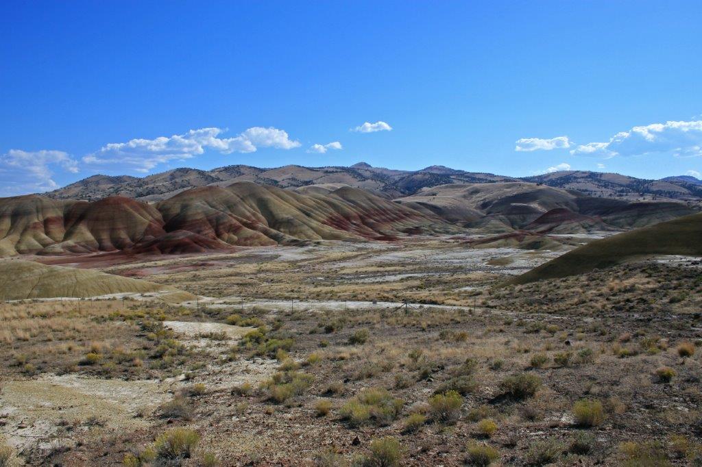
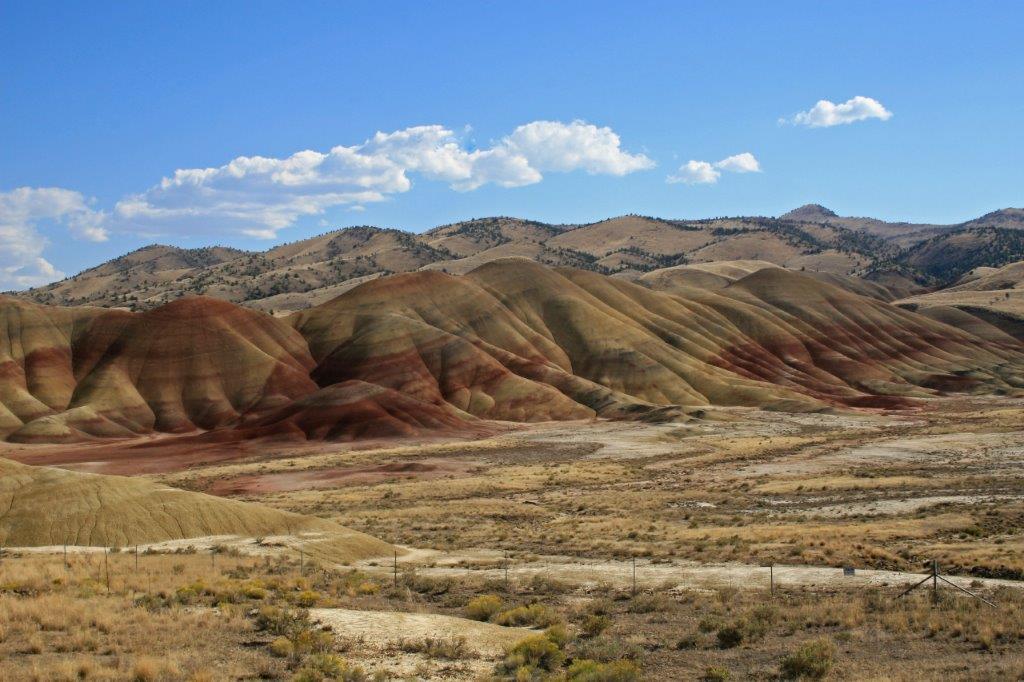
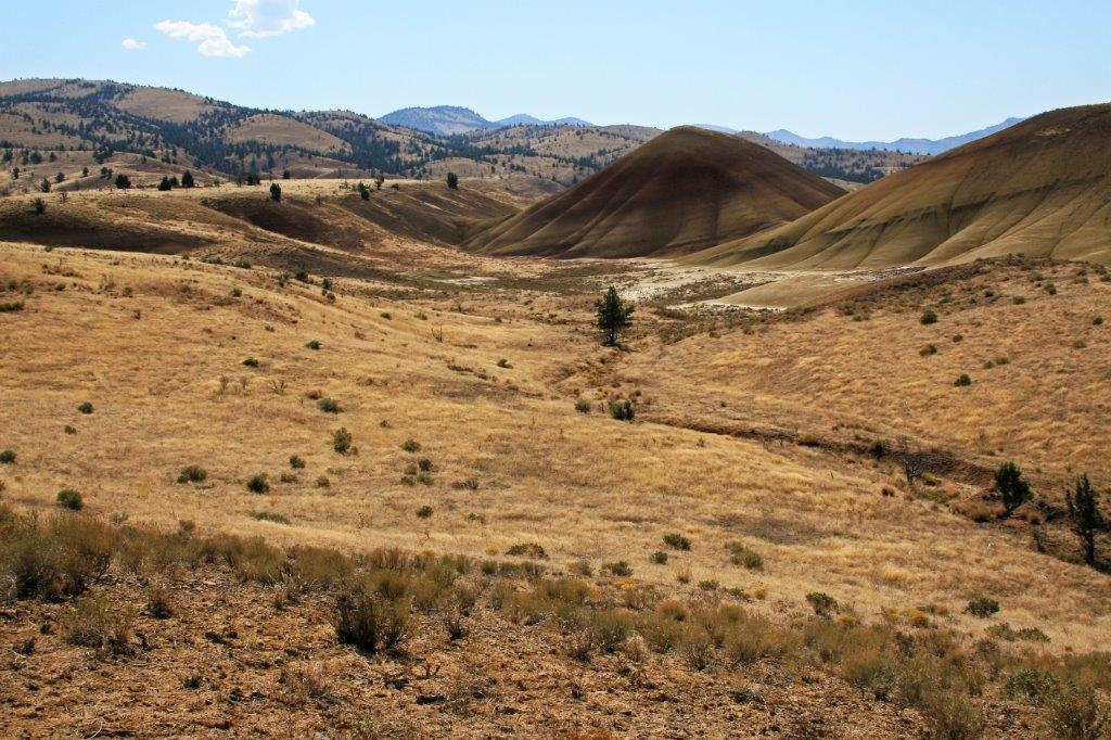
In the morning we continued north to Redmond then turned east on Highway 126. One and a half hours later we turned off at the entrance to John Day Fossil Beds National Monument (Painted Hills Unit). A little further up the road is the Sheep Rock Unit, but we spent so much time in the Painted Hills that day that we had no time to see what there was at Sheep Rock. We will save it for another trip.
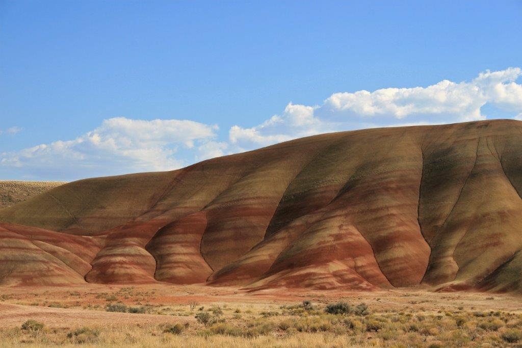
Just as I loved Crater Lake, I also loved the Painted Hills. I had never seen anything like them before (there are similiar striping in the cliffs and hills near Drumheller, AB but we hadn’t seen them at this point). Both John Day and Drumheller are areas rich in prehistoric fossils.
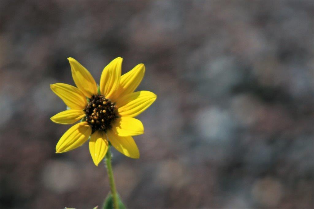
I probably took about 200 photos. Everywhere you looked there were different colours and patterns. Truly, truly my kind of place. I will definitely go there again, and this time I will be sure to have time to stop at the Sheep Rock Unit as well. Lots of photos to follow –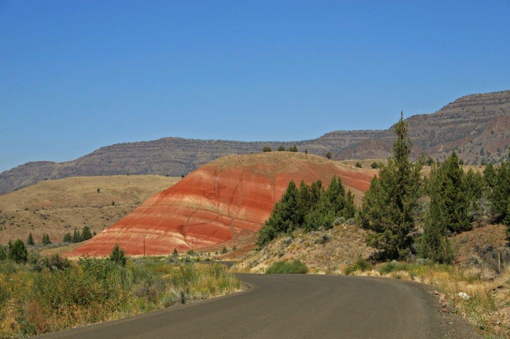
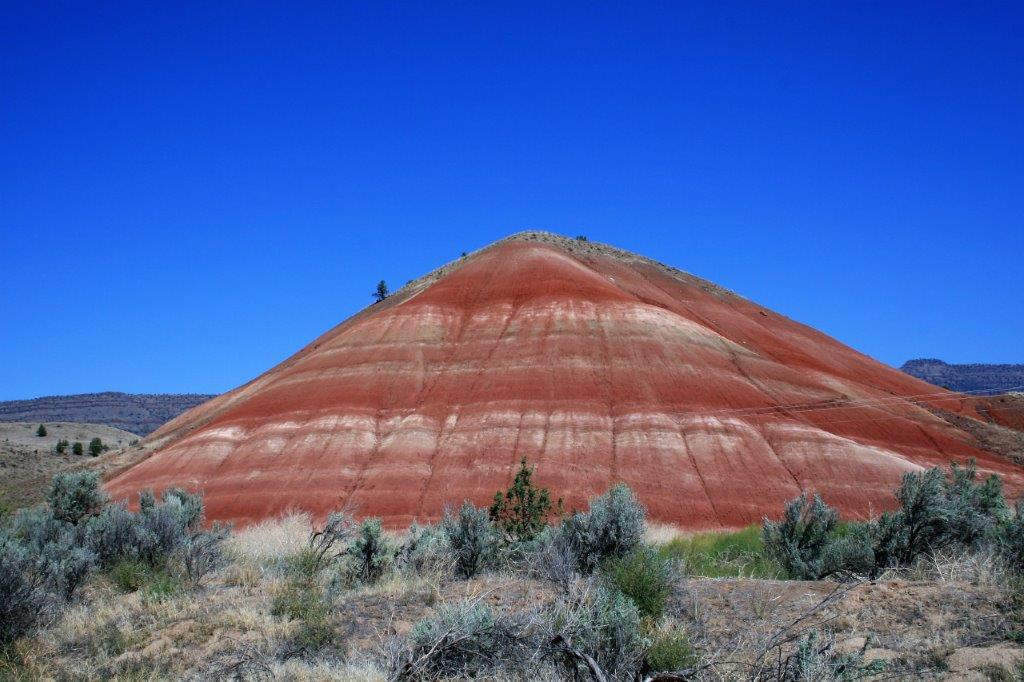
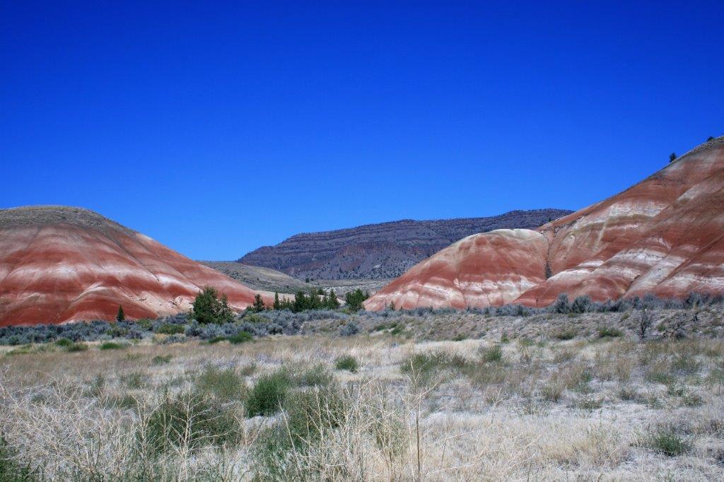
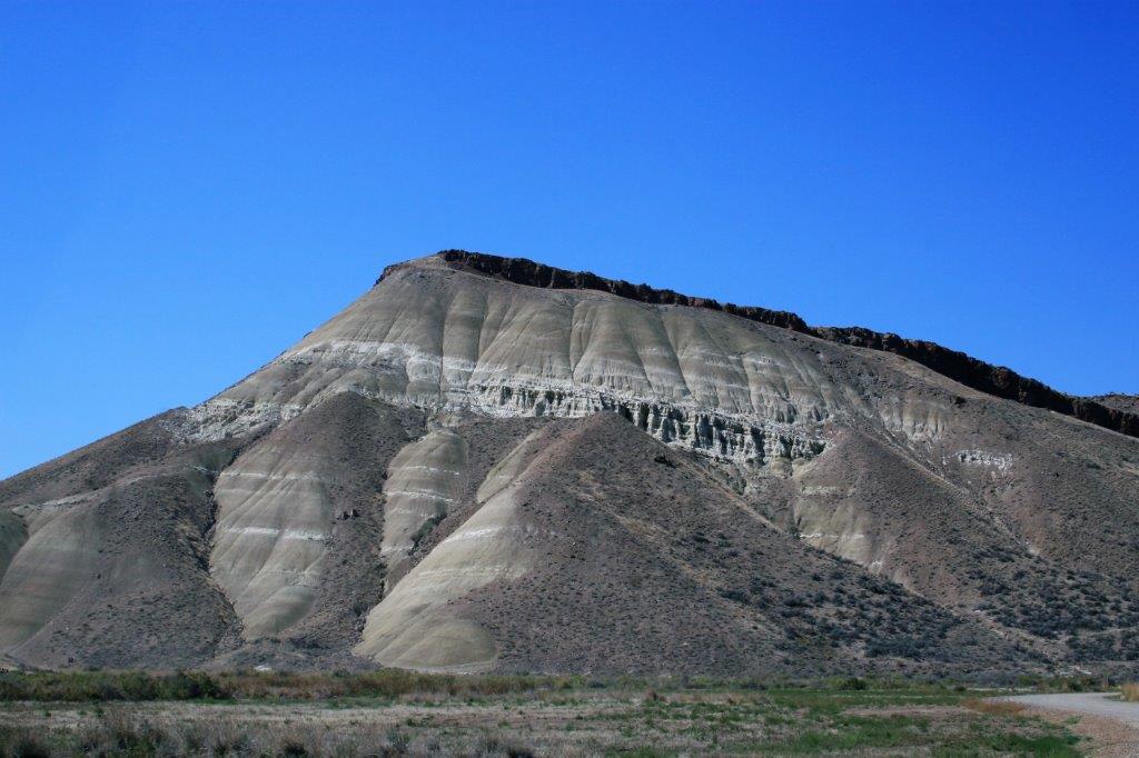

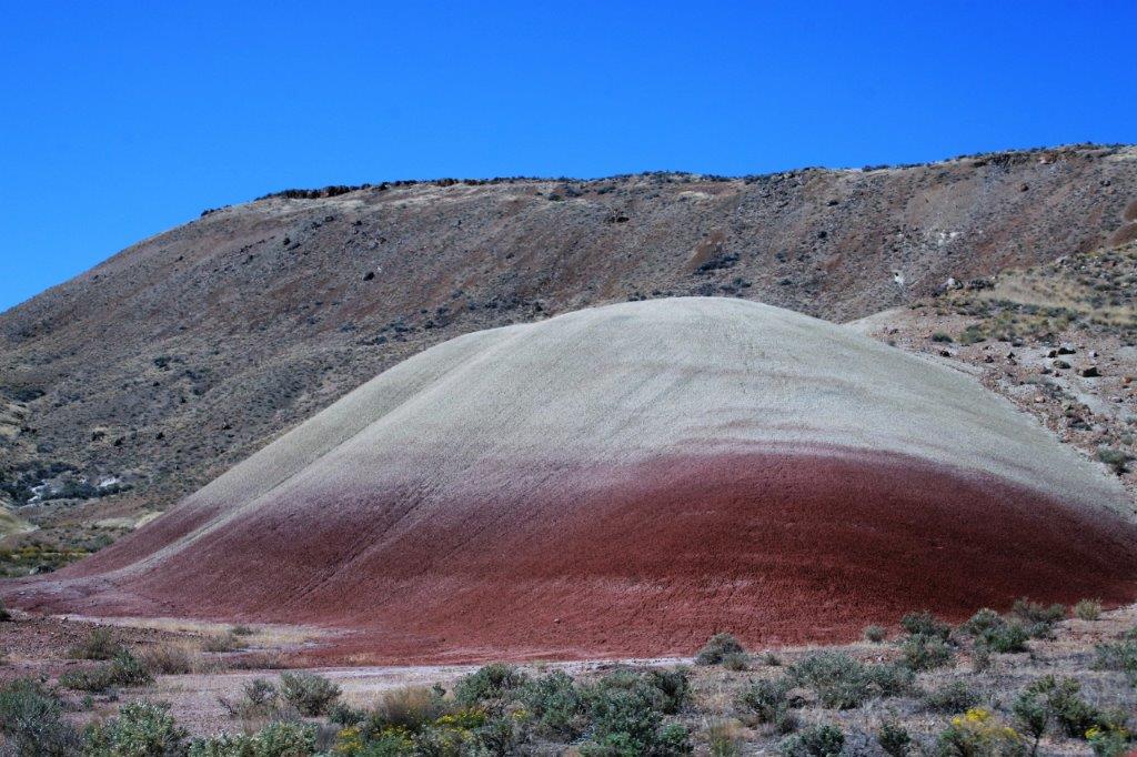

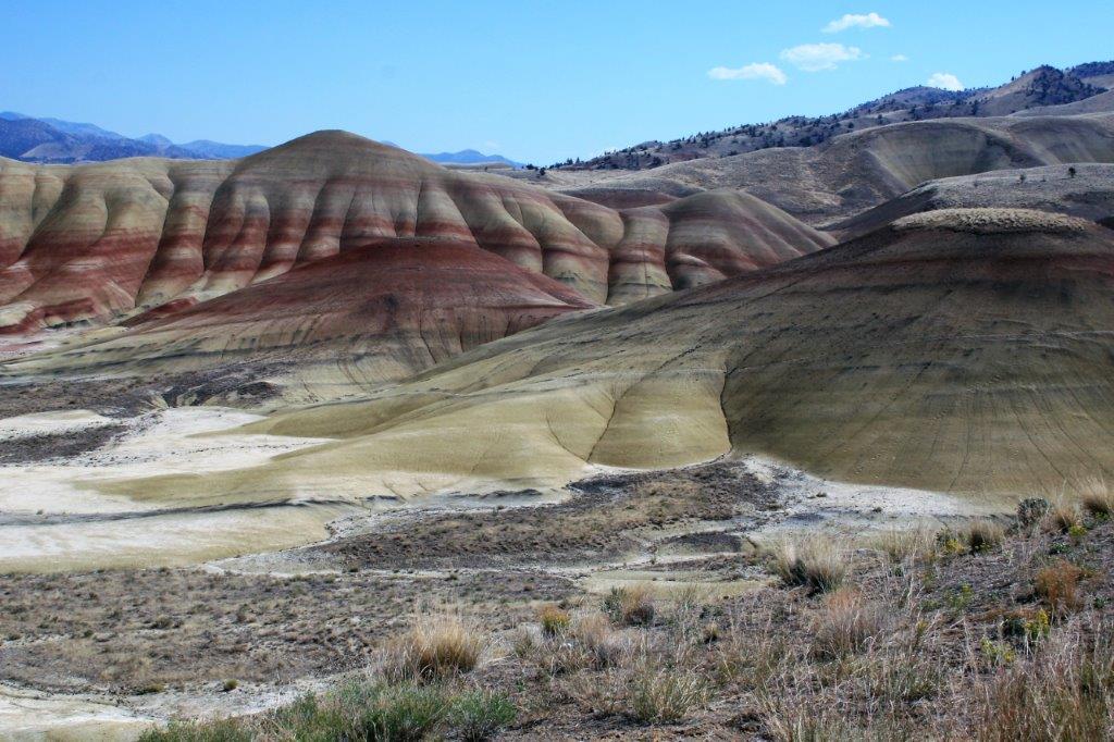
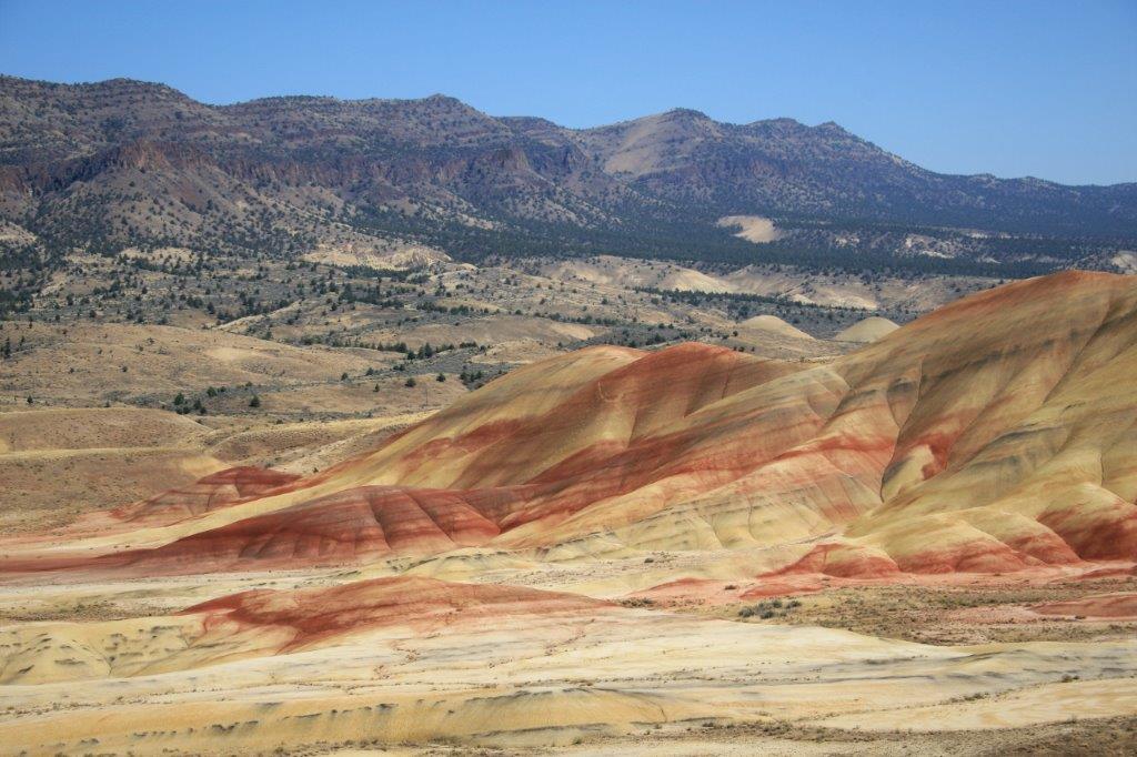
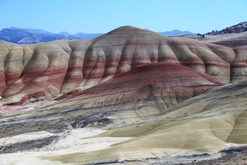
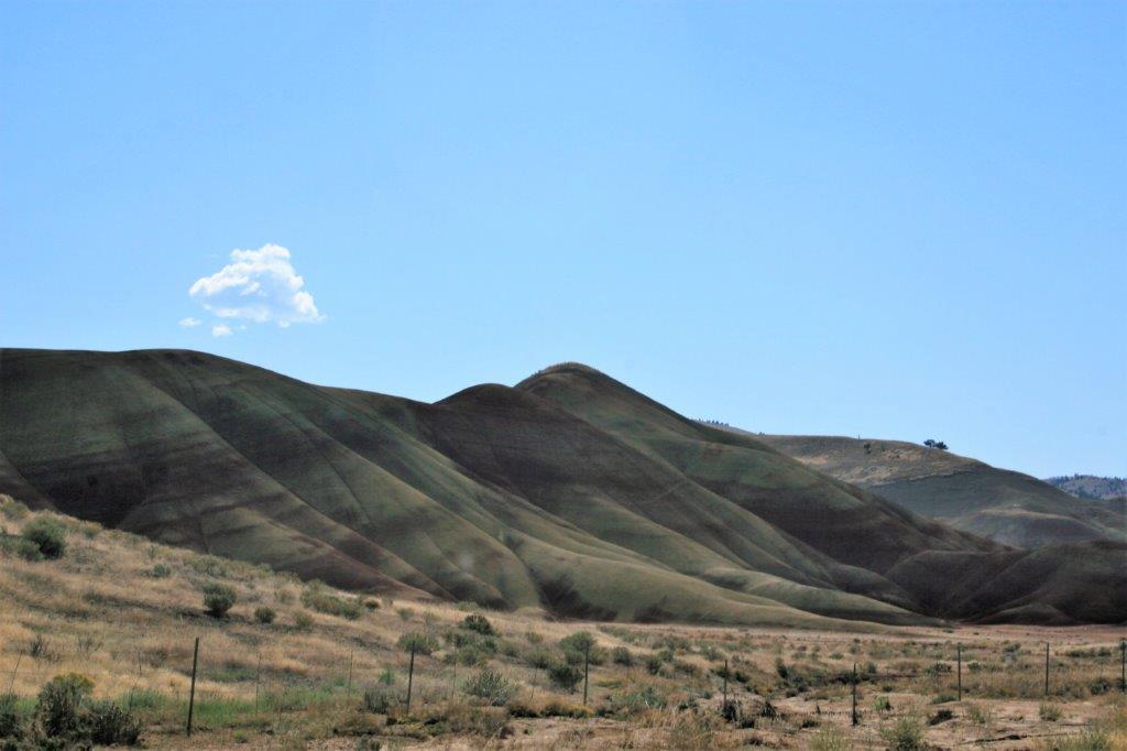
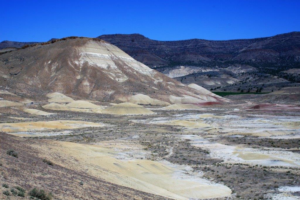
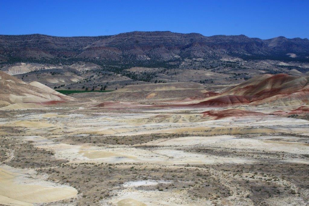
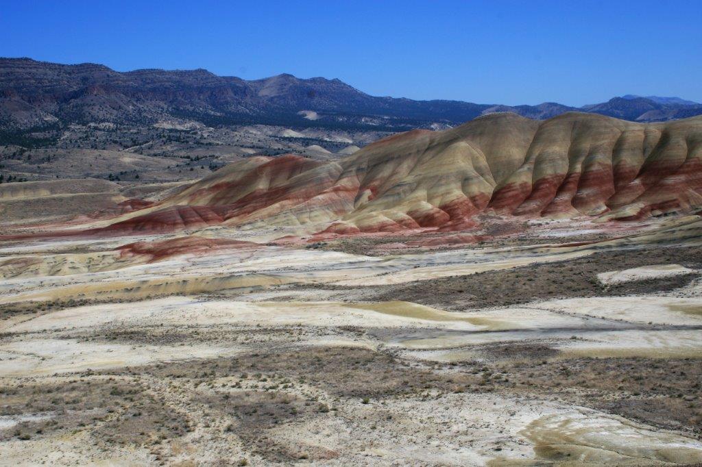

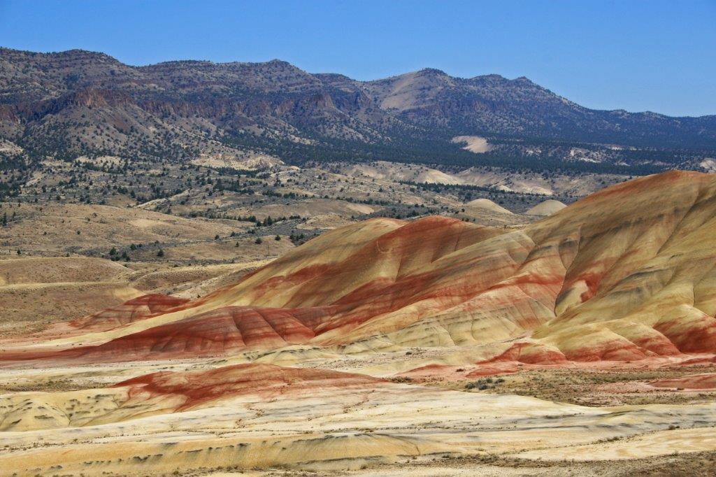
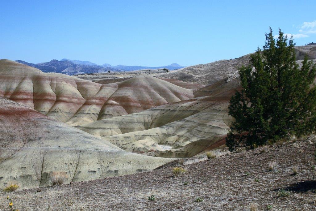
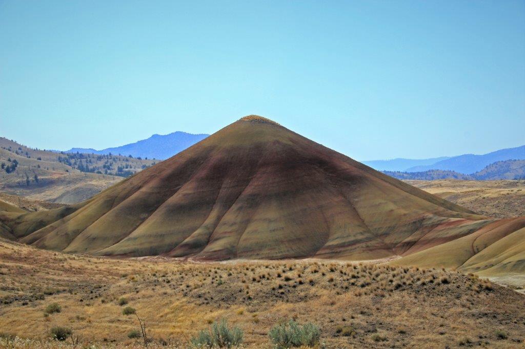
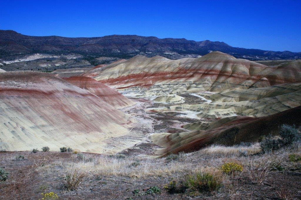
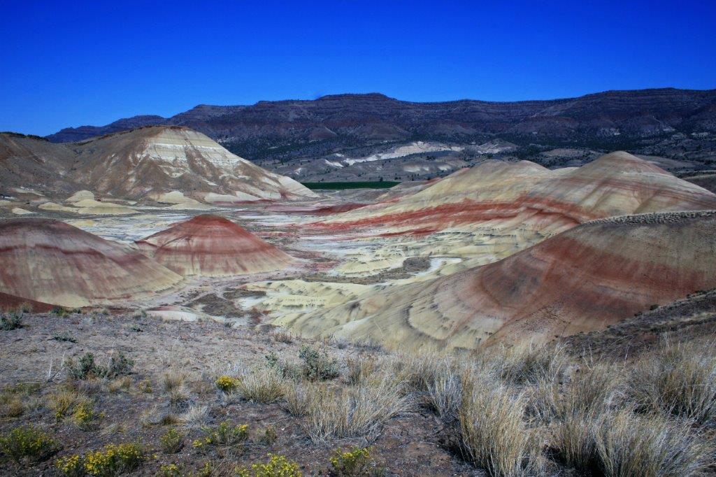
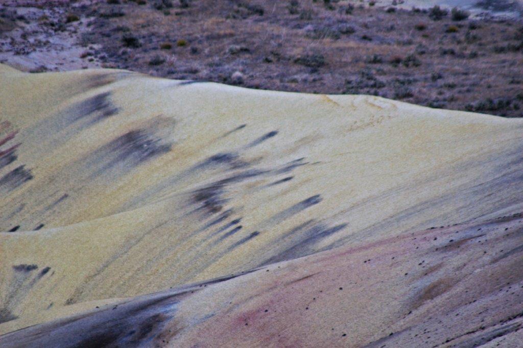

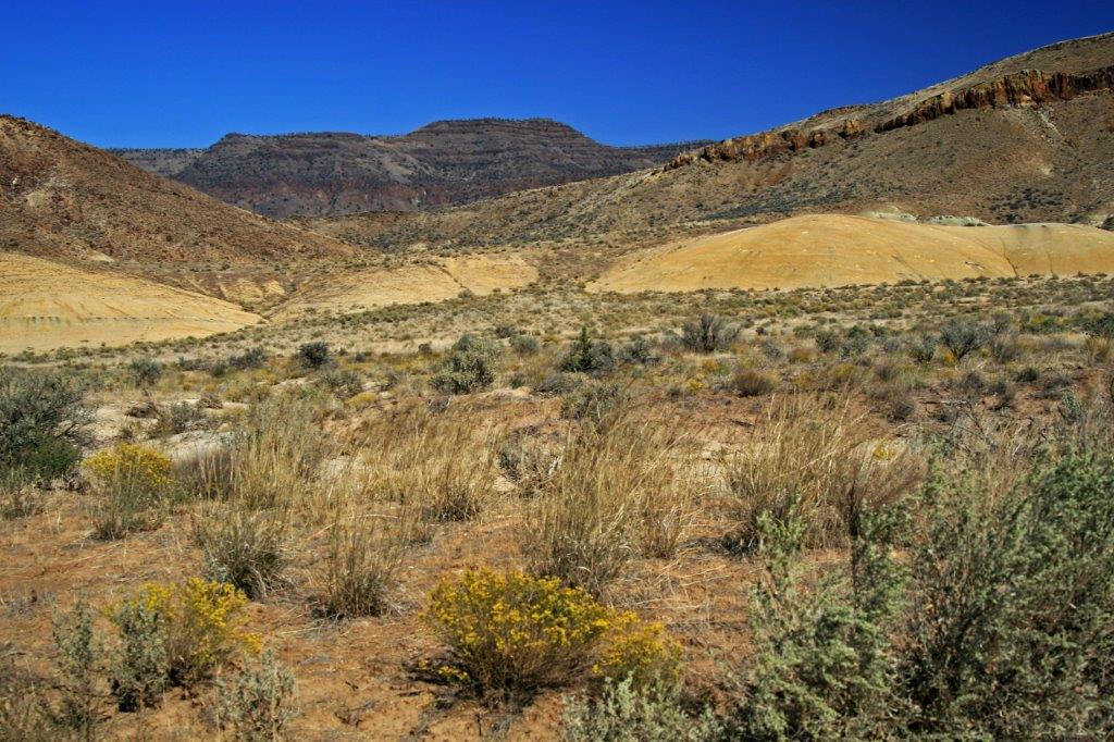
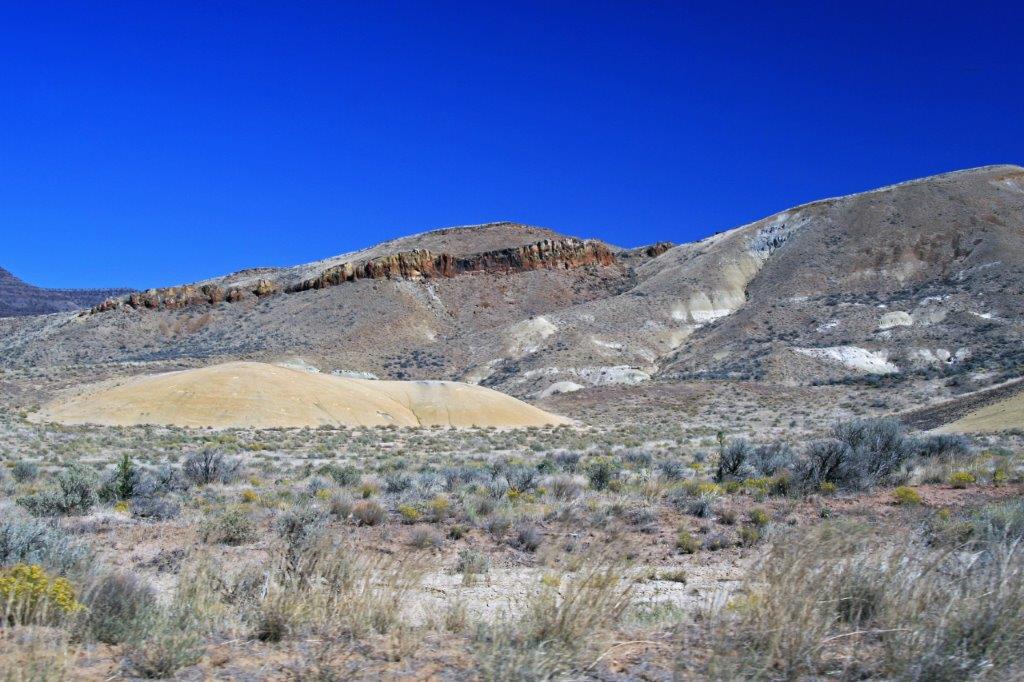
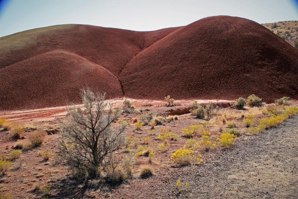
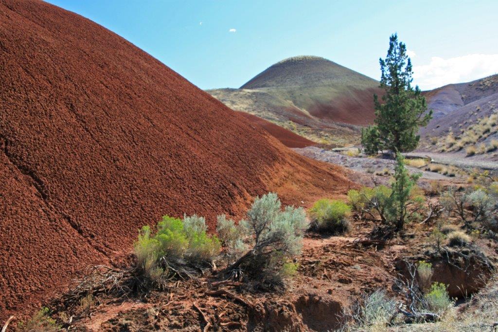
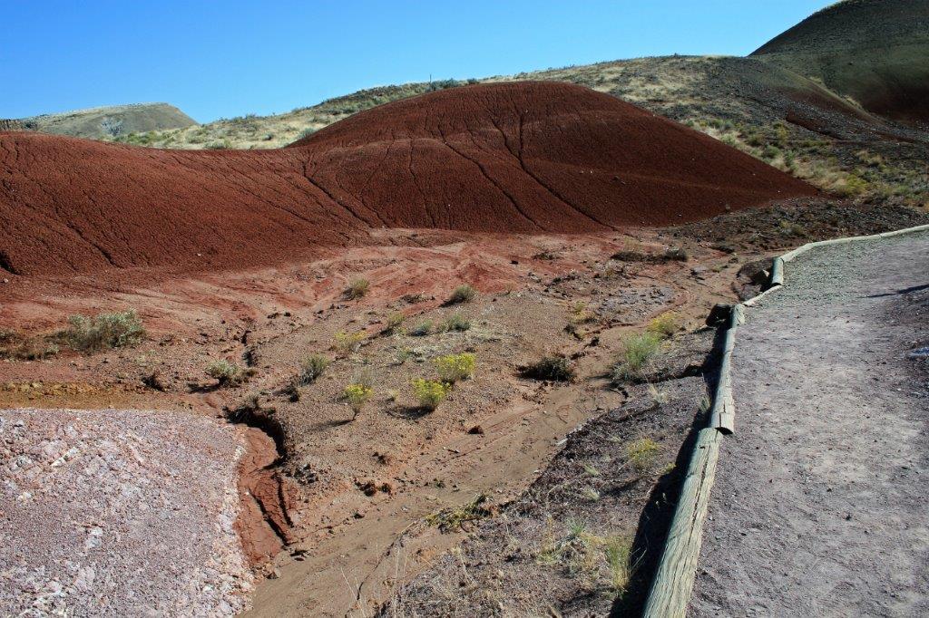
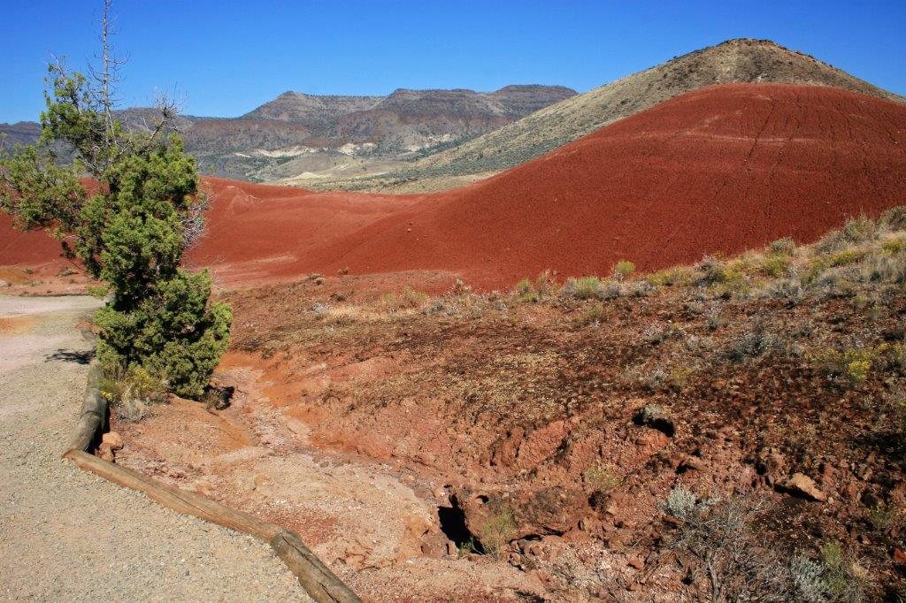
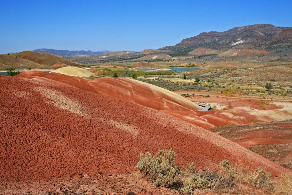
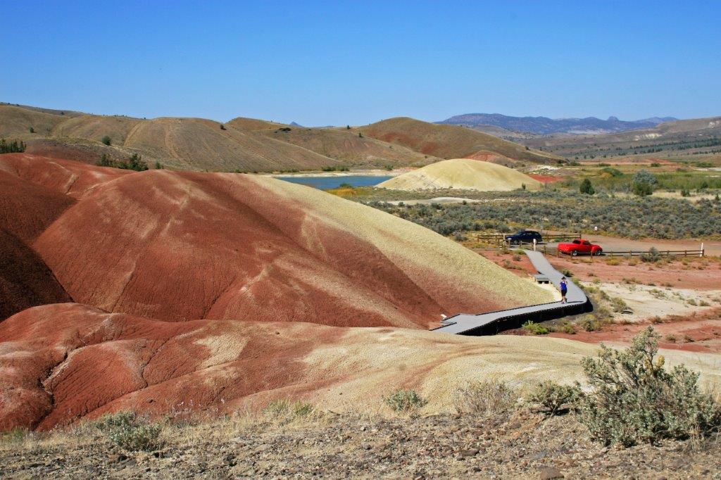
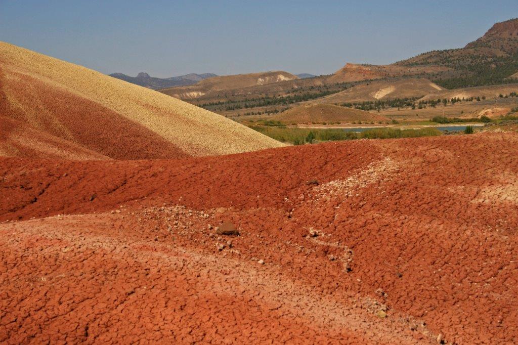
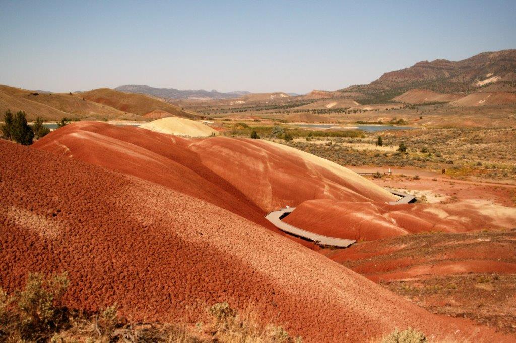
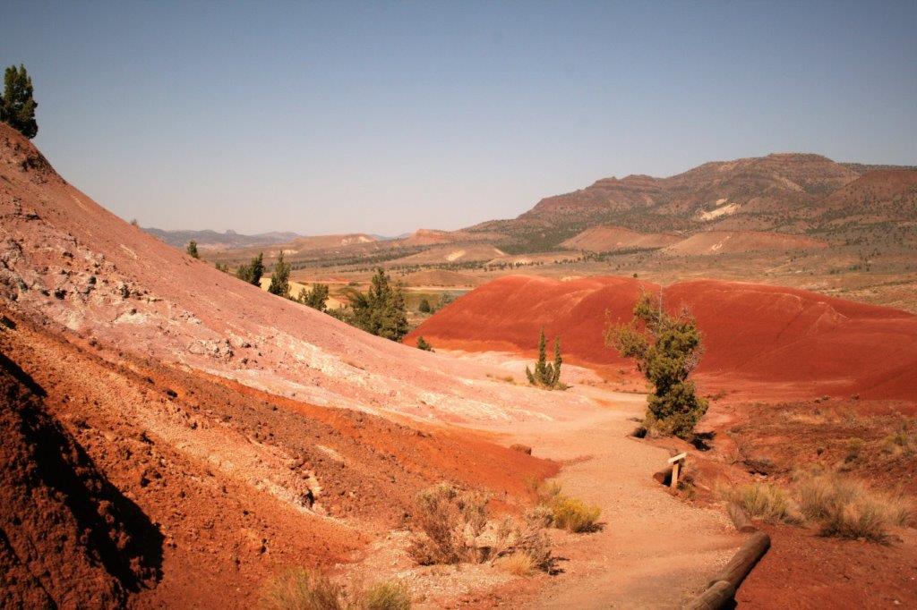
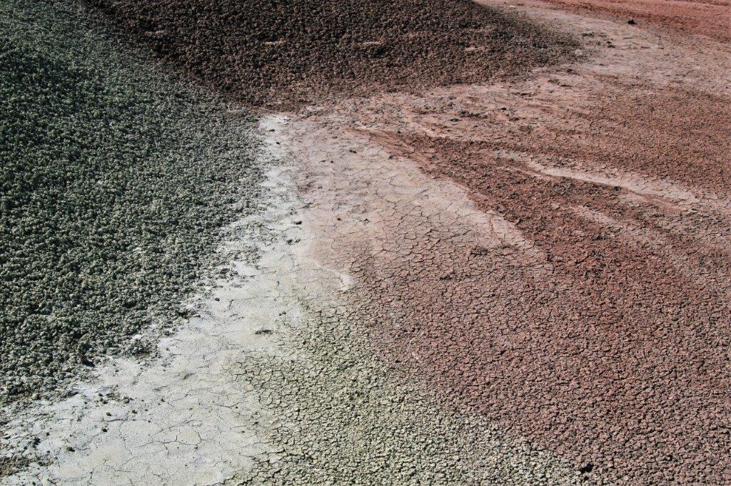
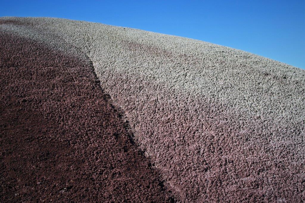
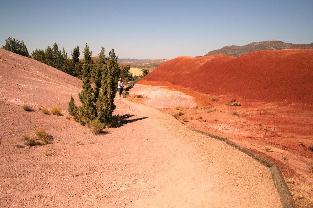 The hills are composed of a clumpy granuale and each colour is a different material. You will have to look up all the scientific information if you want the details. Just google Painted Hills.

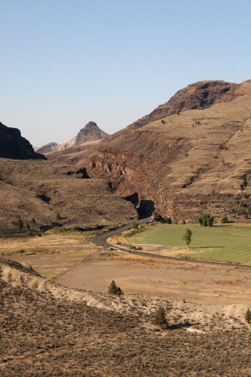
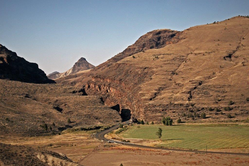
 We eventually left the wondrous painted hills and made our way to the community of John Day where we spent the night.
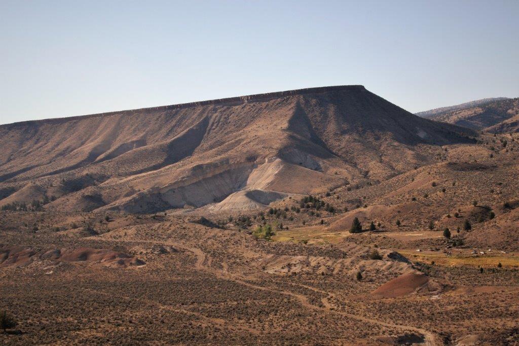
 Those two days were a photographers dream. I had so much fun!
