All posts by jj1951

My husband and I retired in 2007 and decided to spend the kid's inheritance by travelling as much as we could until either the money or our health runs out. So far so good.

2011 January 23 – Day 19 – Pitcairn Island

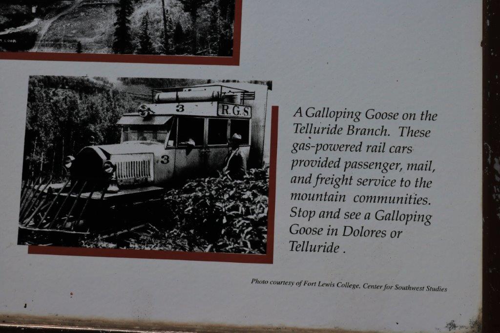
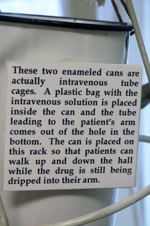
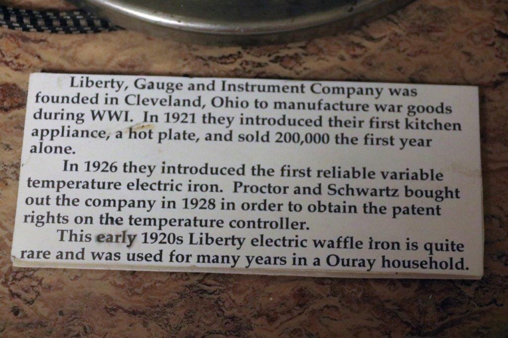
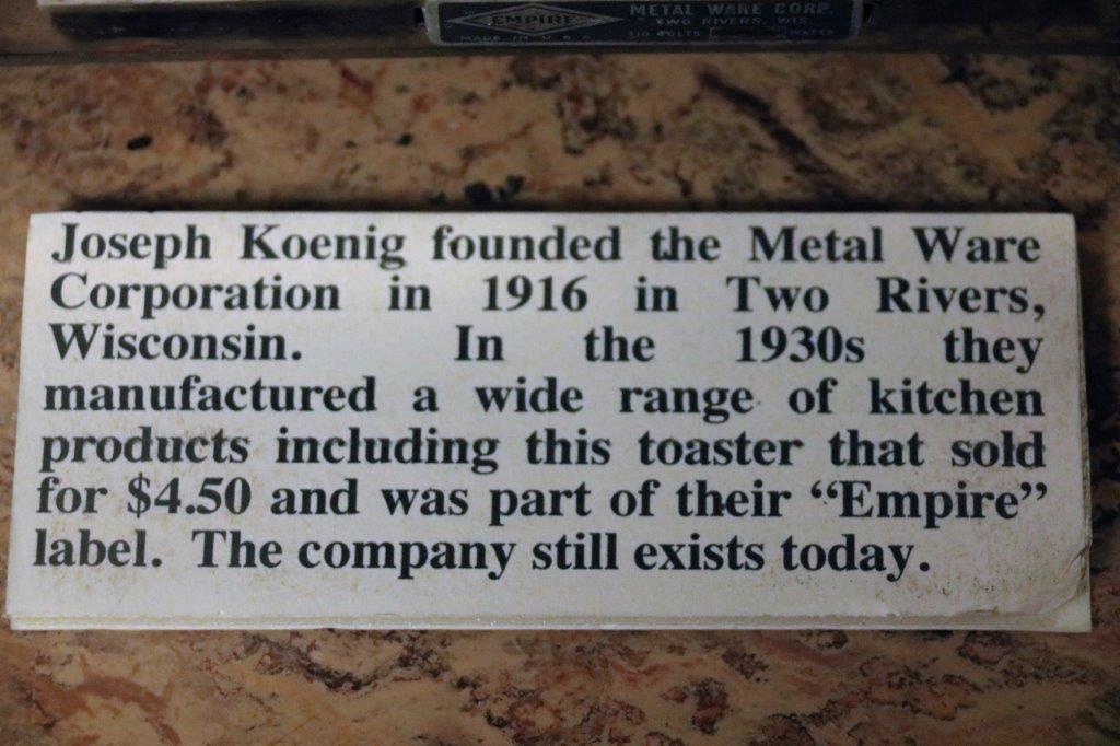
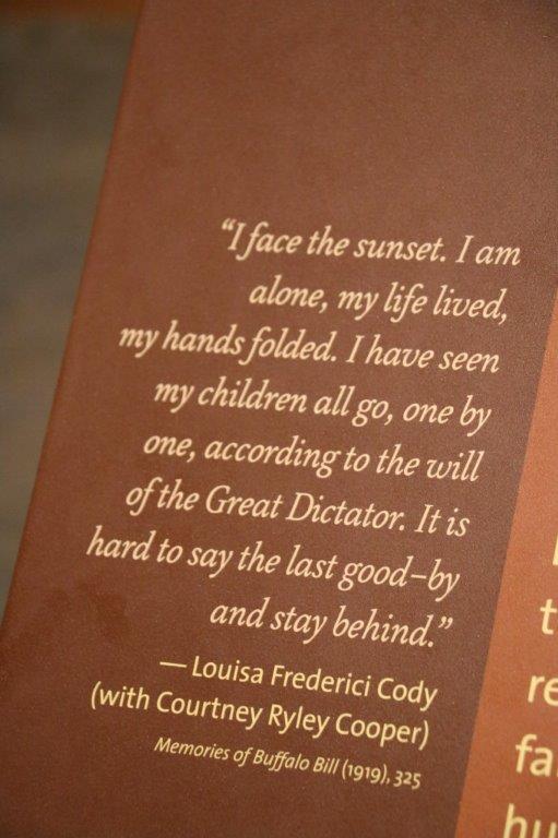
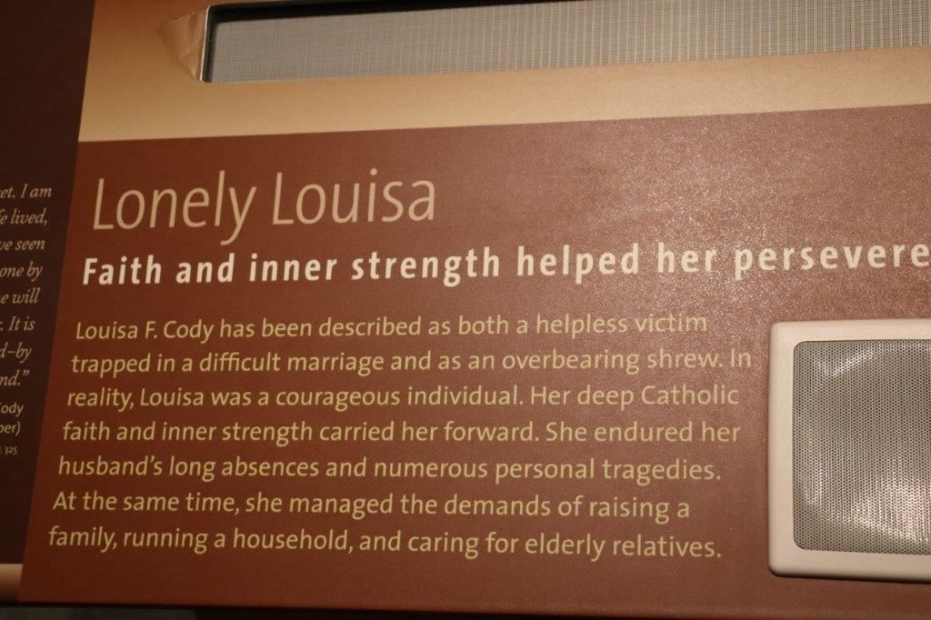
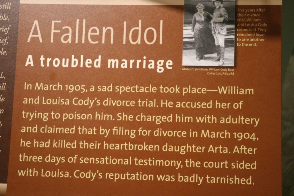
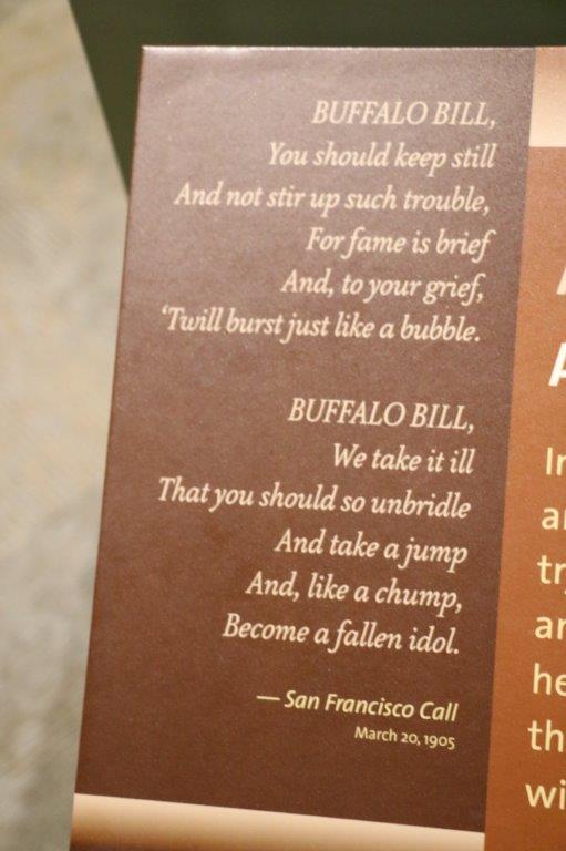
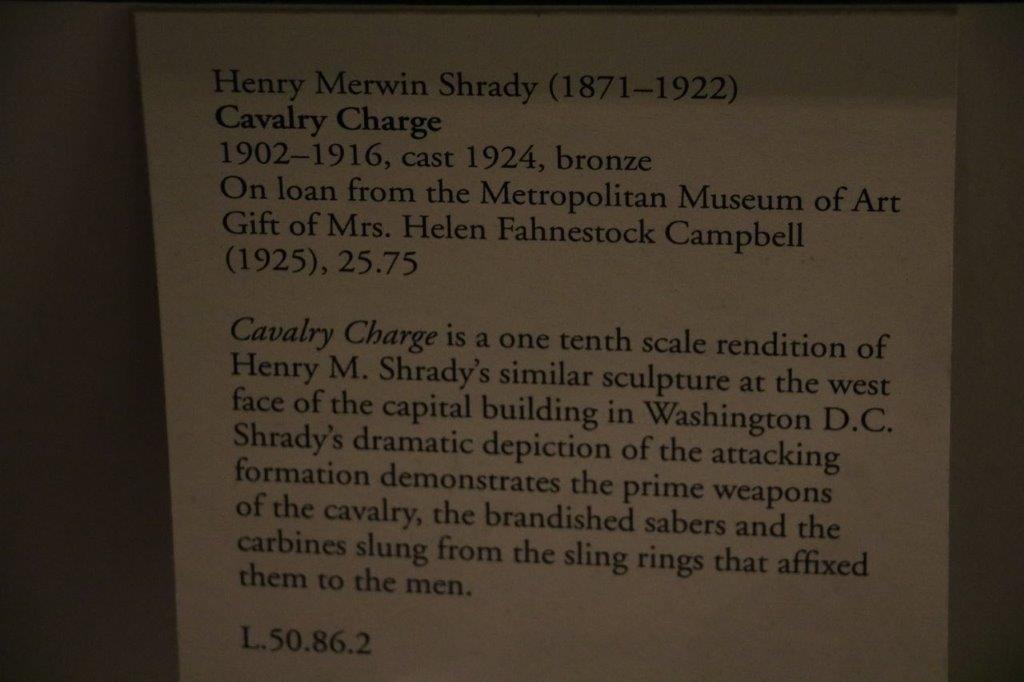
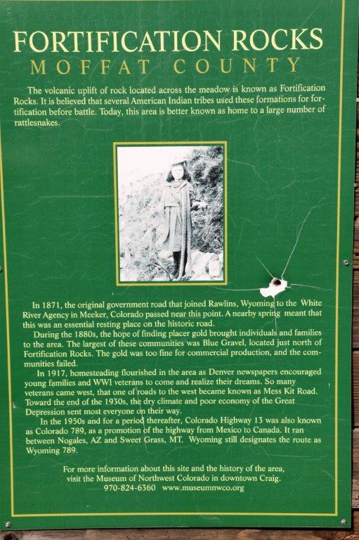
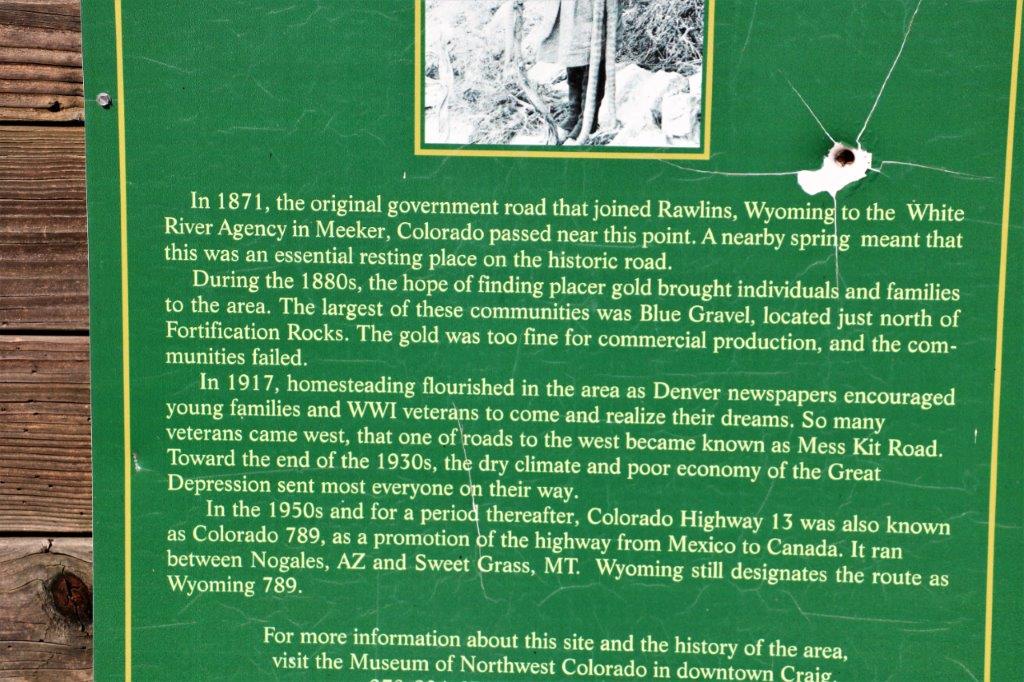
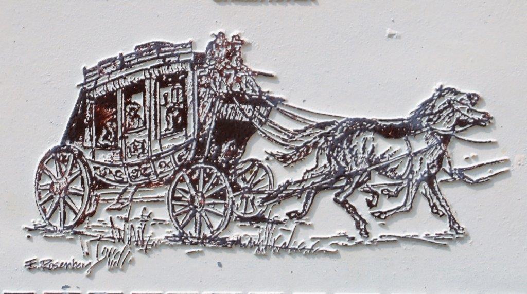
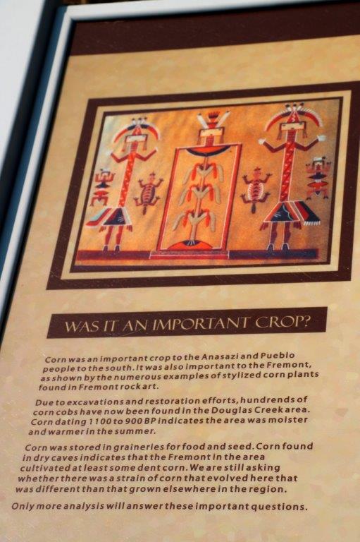
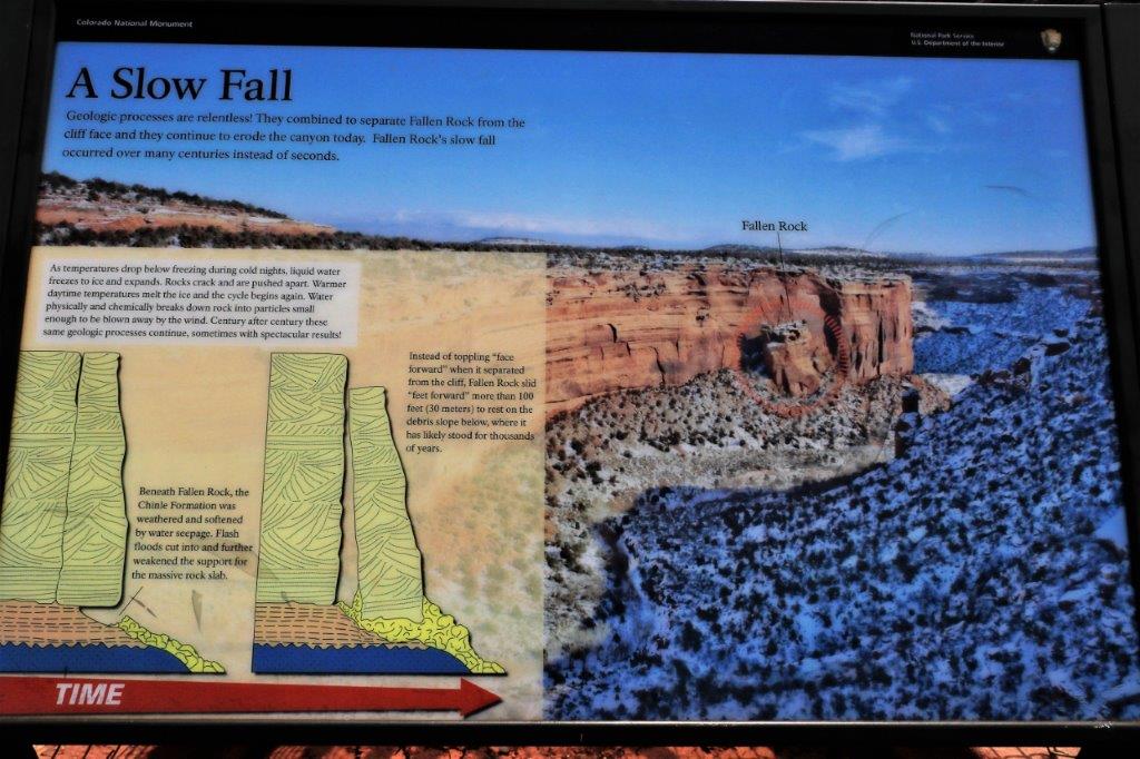
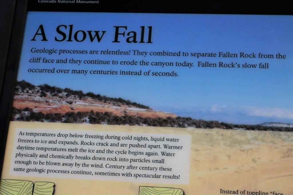
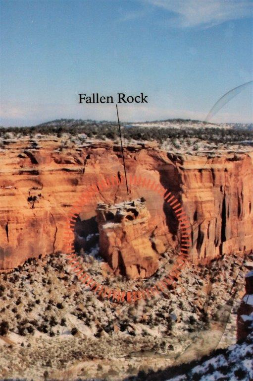
January 23, 2011 was the 221st anniversary of the burning of the “Bounty.”  On April 28, 1789 Acting Lieutenant Fletcher Christian and discontented sailors mutineed against the ship’s captain Lieutenant Bligh and cast him, along with 18 loyal crew members, adrift in the ship’s launch.  The mutineers sailed to Tahiti where some of them stayed and others took ‘wives’ and set sail for some place they could hide from the British Royal Navy.

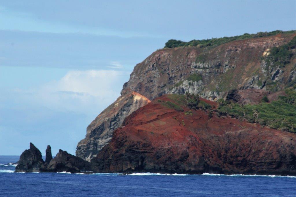
They stumbled upon Pitcairn, one of four small widely-spaced islands in the middle of the Pacific Ocean.  The island’s location was incorrectly marked on the sea charts by over 200 miles.  It was uninhabited, had a steep shoreline with no harbour, and had good soil.  Assuming their odds of being found were slim they decided to stay.  At the time there were 6 men, 11 Tahitian women and one baby.  After removing every salvageable item from the Bounty the mutineers loosed it in the bay and burned it  on January 23, 1790 so that the presence of the ship would not give away their hiding place.   Every year on the anniversary a replica of the HMS Bounty is cast adrift from the island and burned.

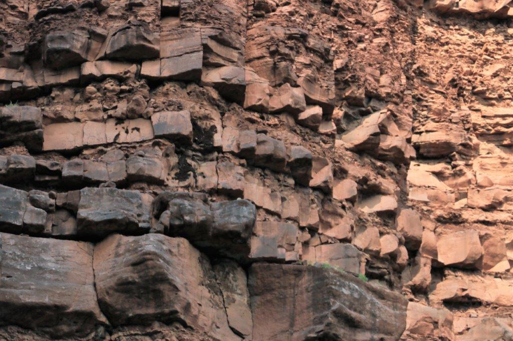
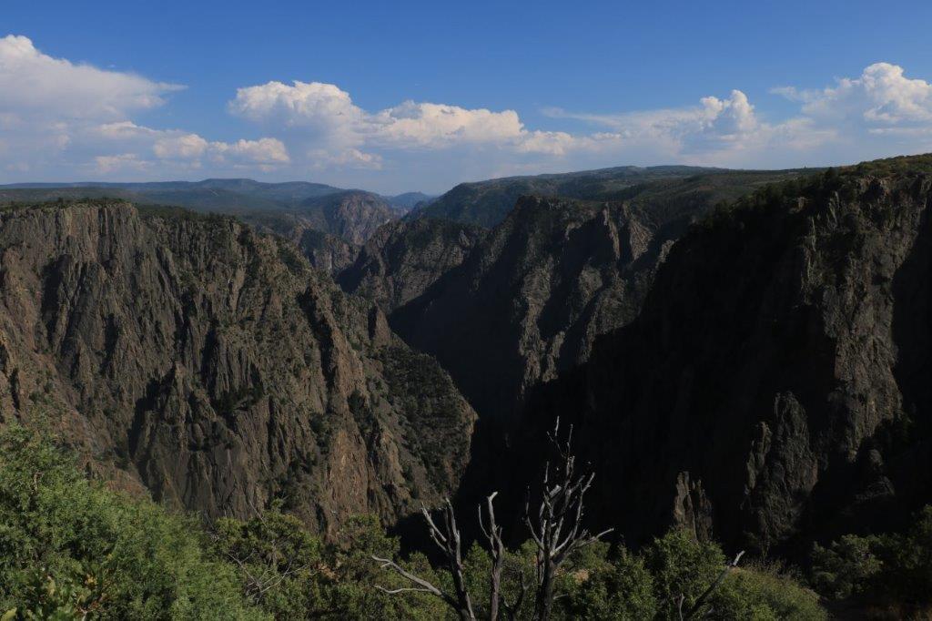
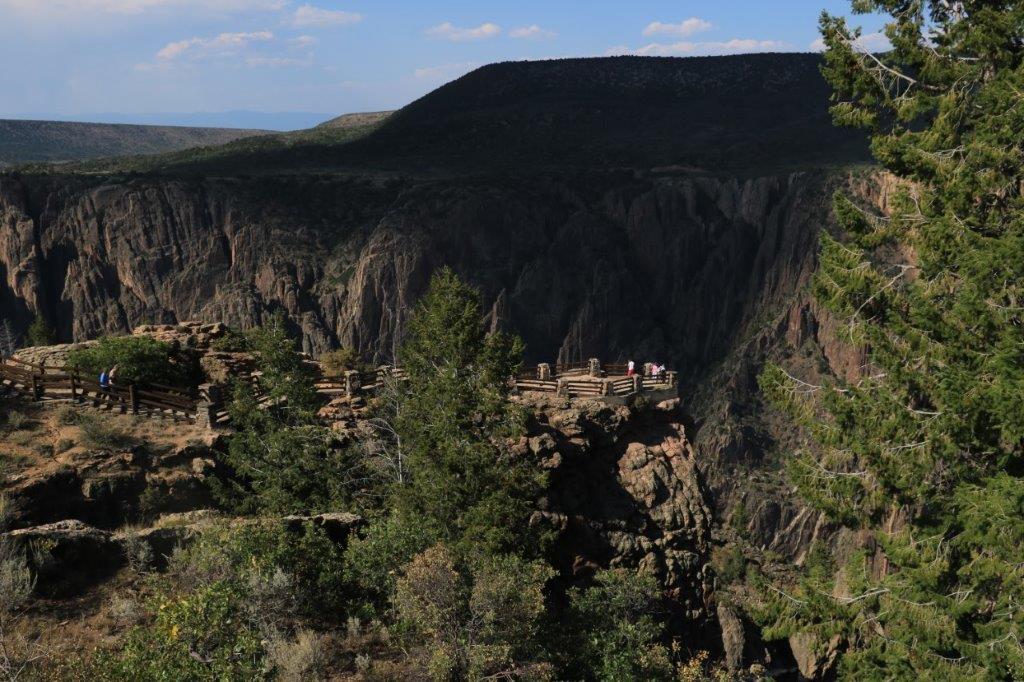
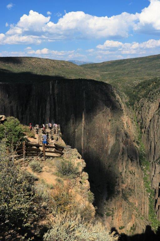
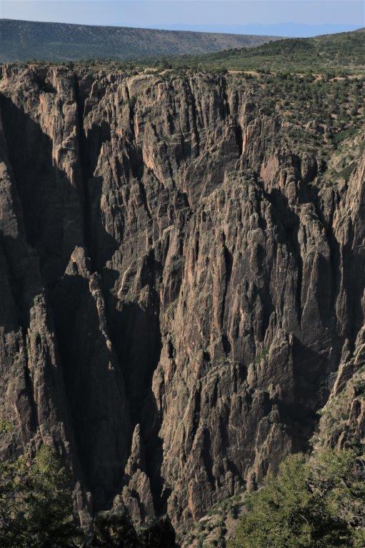
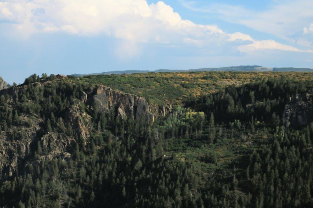
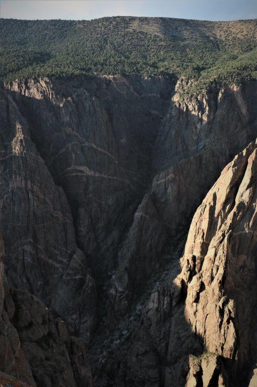
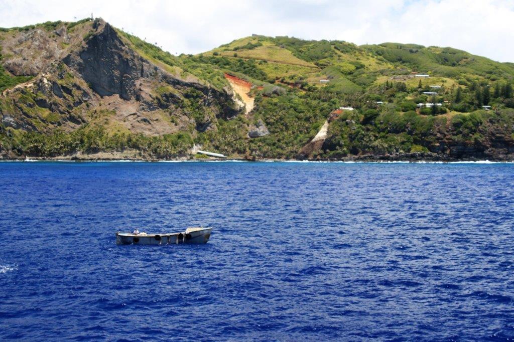
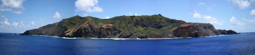
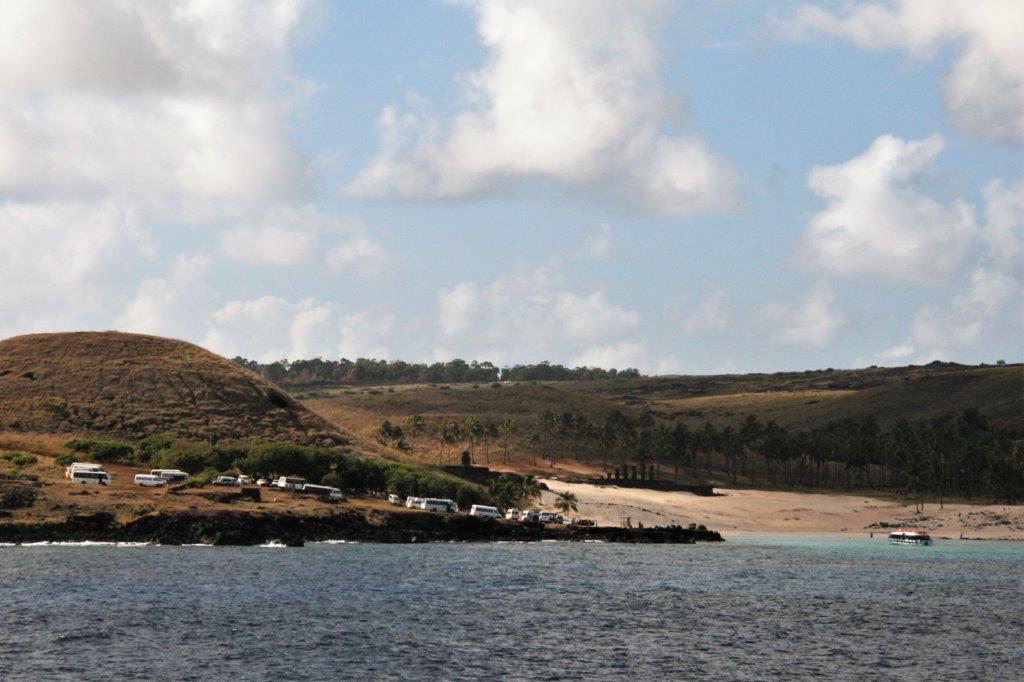
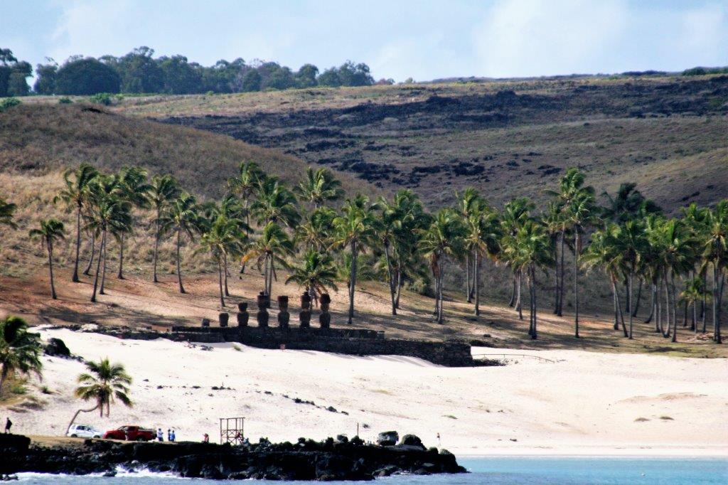
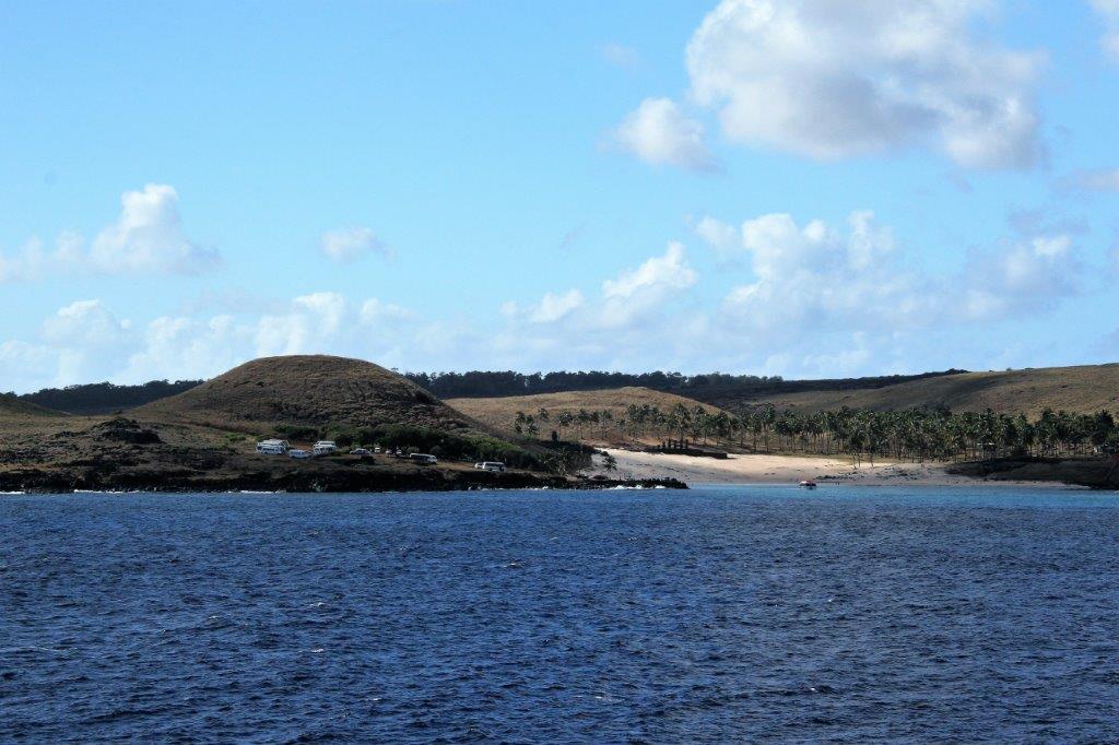
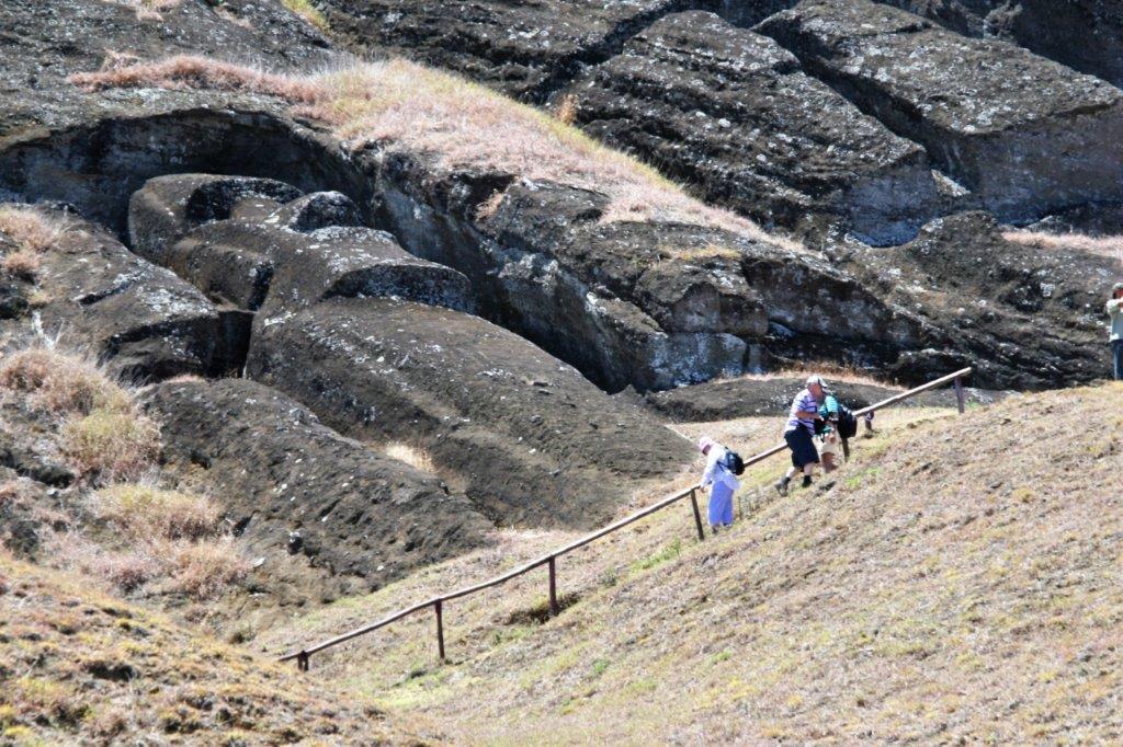
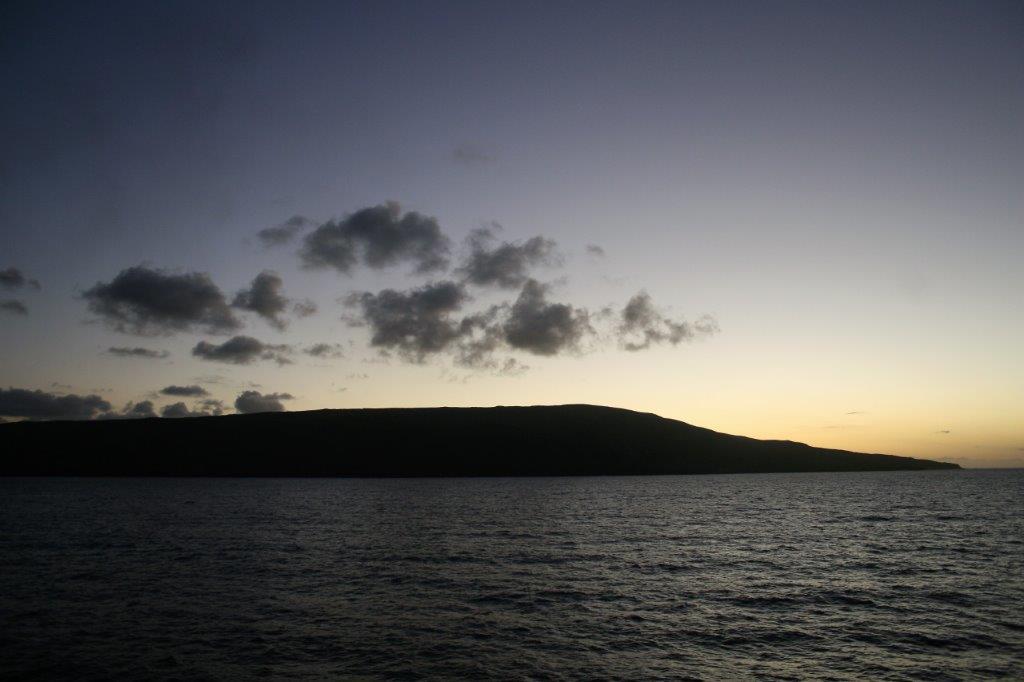
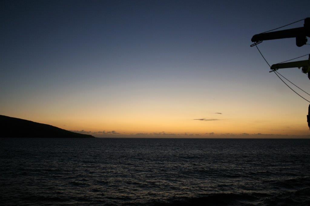
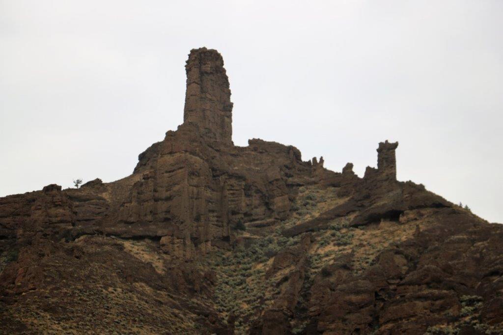
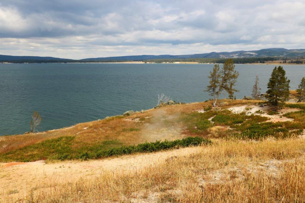
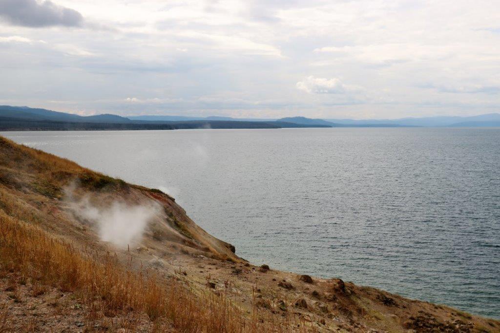
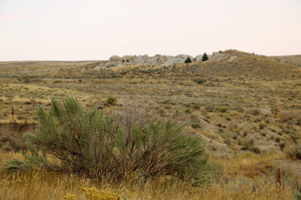
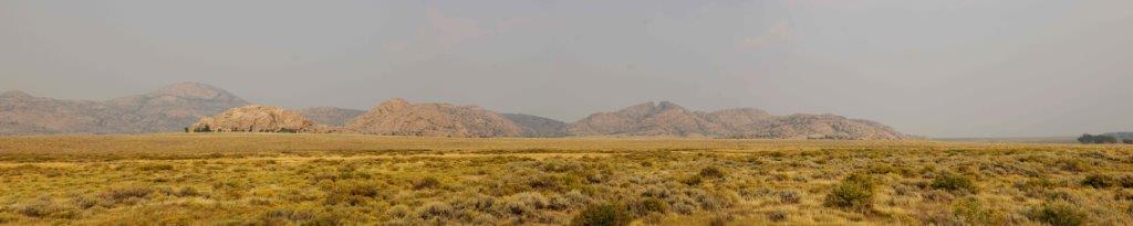
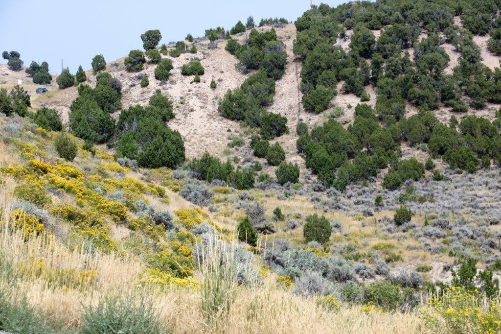
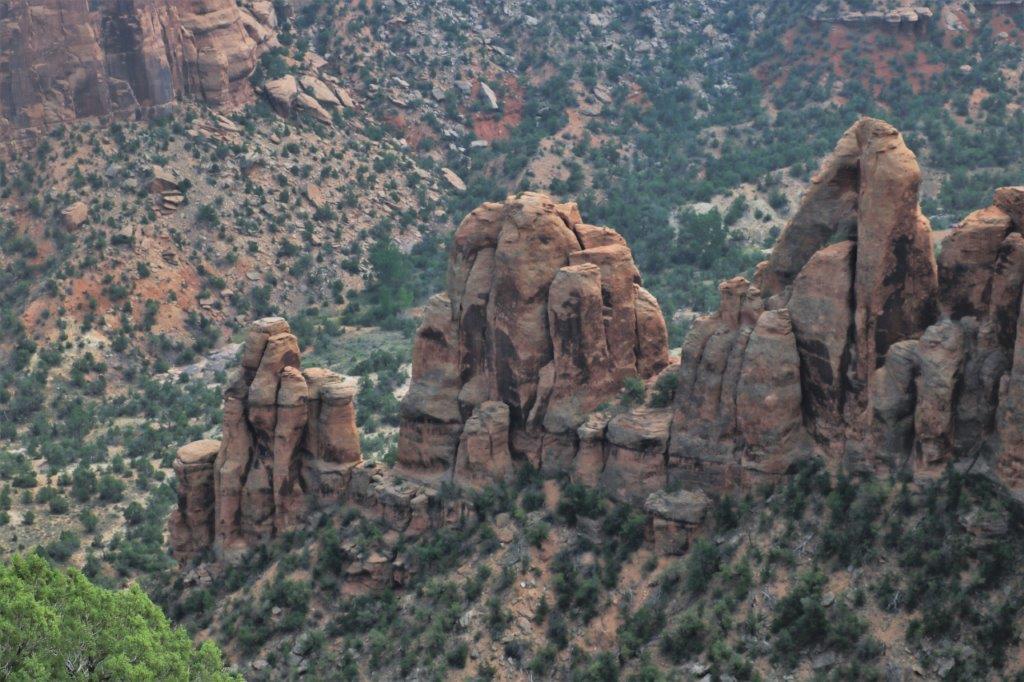
After the mutineers settled on the island they were not discovered for 18 years.  By that time only one of the original mutineers, John Adams, was still alive (the others had almost all killed each other in disputes.  One died of asthma in 1800) and the island had a population of 60.  Today the population is about the same.
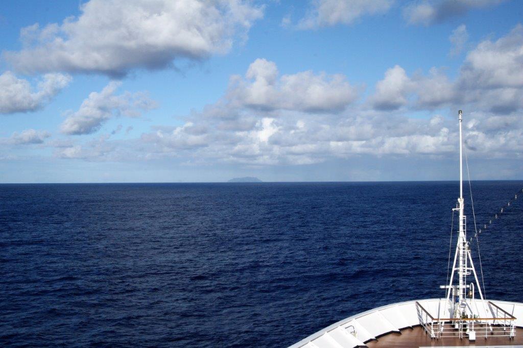
If you look very closely you can see the speck of an island on the center horizon. The total land area of all four islands in the group is about 18 sq. miles (47 sq. km)  Pitcairn is the second largest, the only one inhabited, and is about 2 miles (3.2 km) across. 
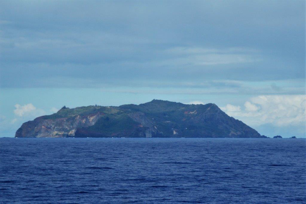
Pitcairn, and it’s fellow islands; Henderson, Ducie and Oeno, is a British overseas territory; the last remaining in the Pacific.  The British government subsidizes the island to the tune of four million pounds per year.  The closest land is New Zealand and the doctor, nurse, teacher, and police officer are all from New Zealand.  Children, when they reach the older grades and university, usually go to New Zealand to complete their education.

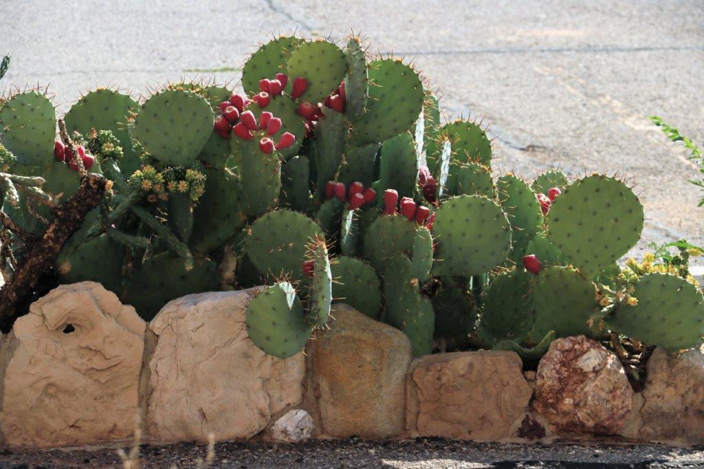
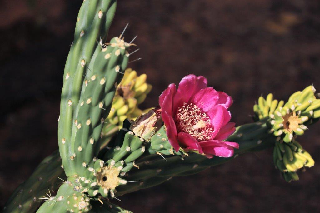
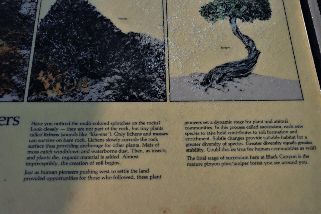
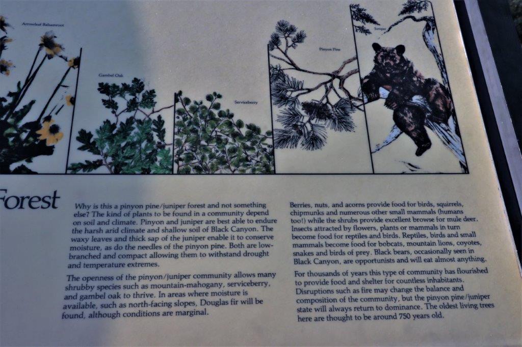
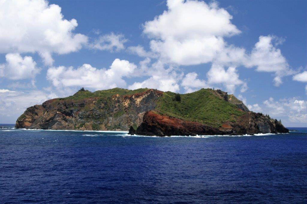
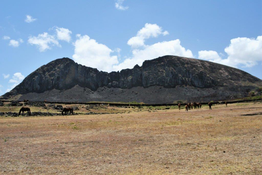
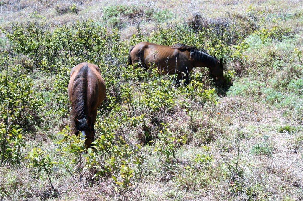
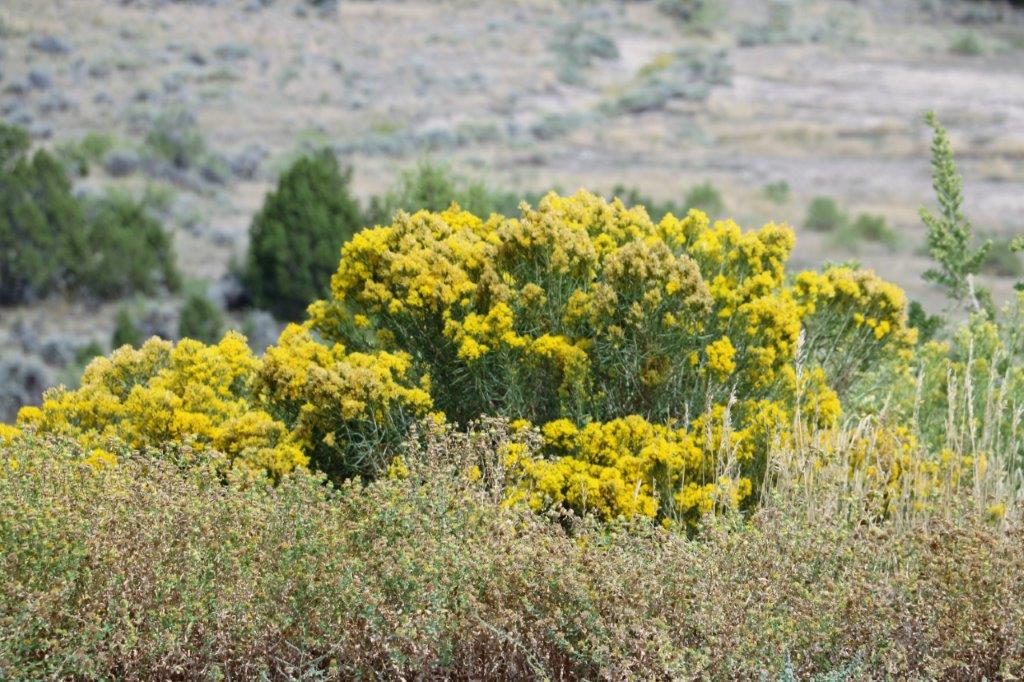
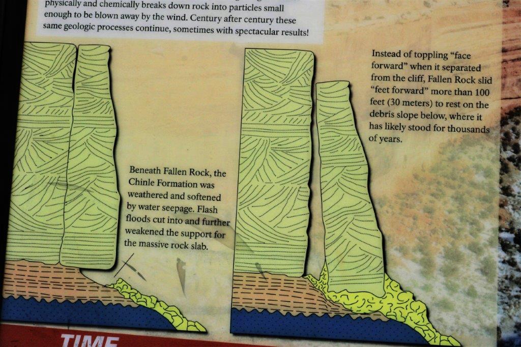
The island’s volcanic soil and temperate climate lend it to growing a wide variety of fruits and vegetables, both tropical and temperate. The sea is always available for fish.  There are no native animals other than sea birds.  In 1998 the U.K. government funded an apiculture program on the island, which included training the beekeepers on the island and doing indepth analysis of the bees and the honey.  Pitcairn Island has one of the best examples of disease-free bee populations anywhere in the world.  The honey, sold under the Delectable Bounty brand is highly prized in New Zealand and Britain. 
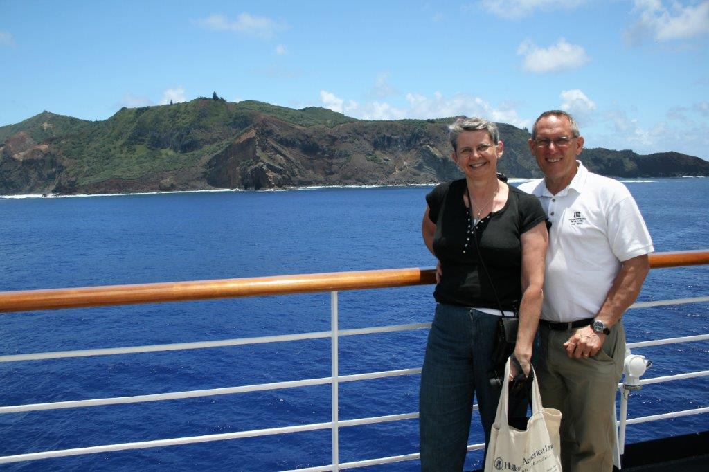
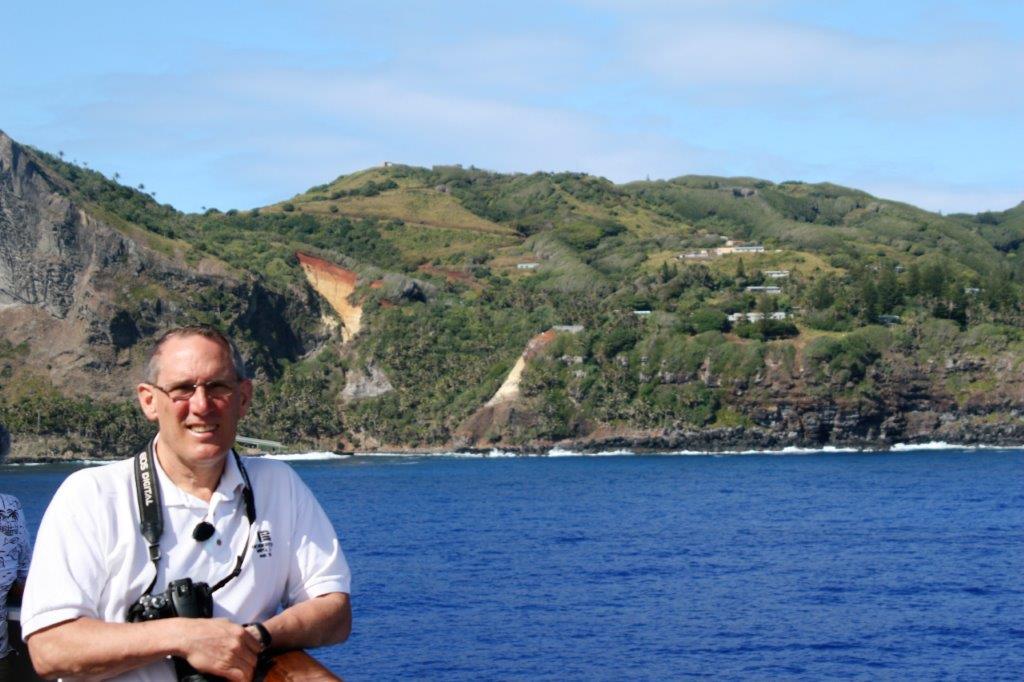
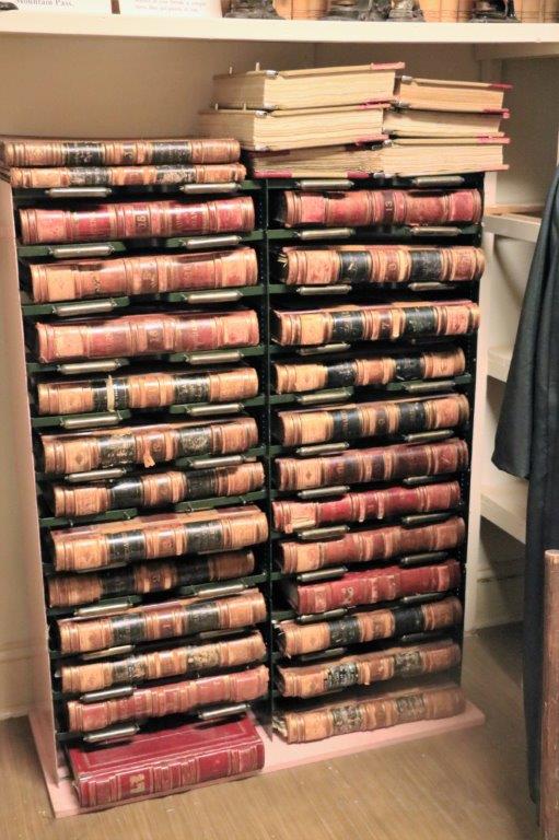
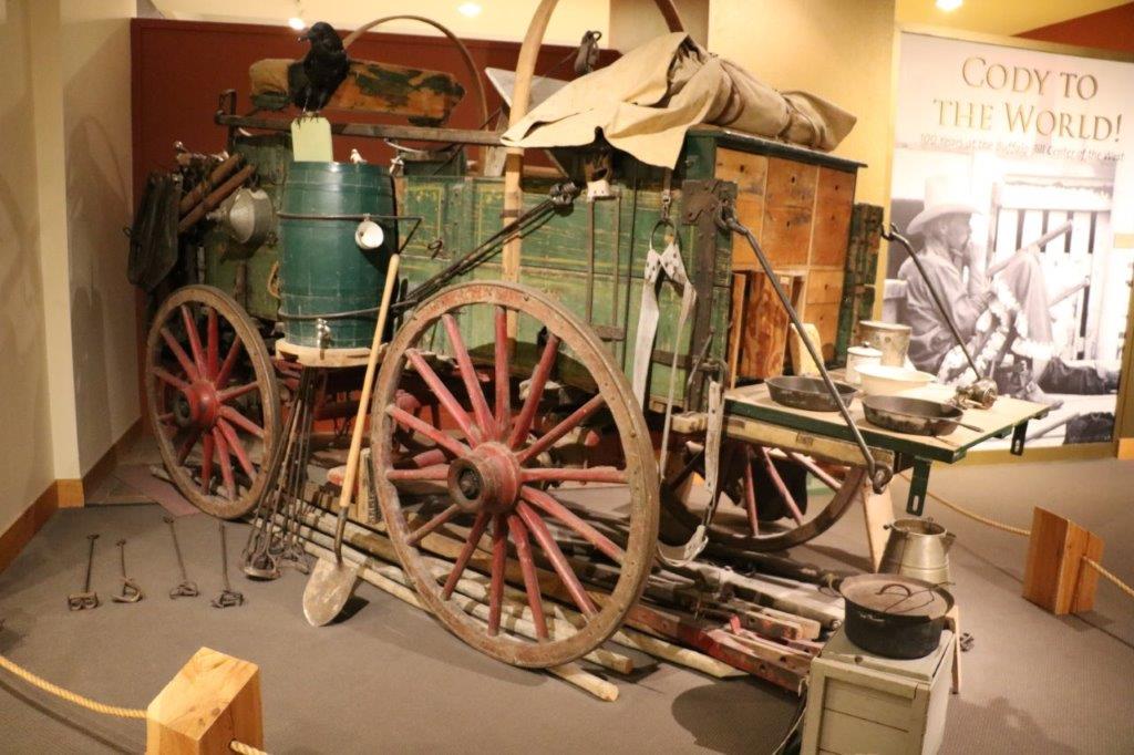
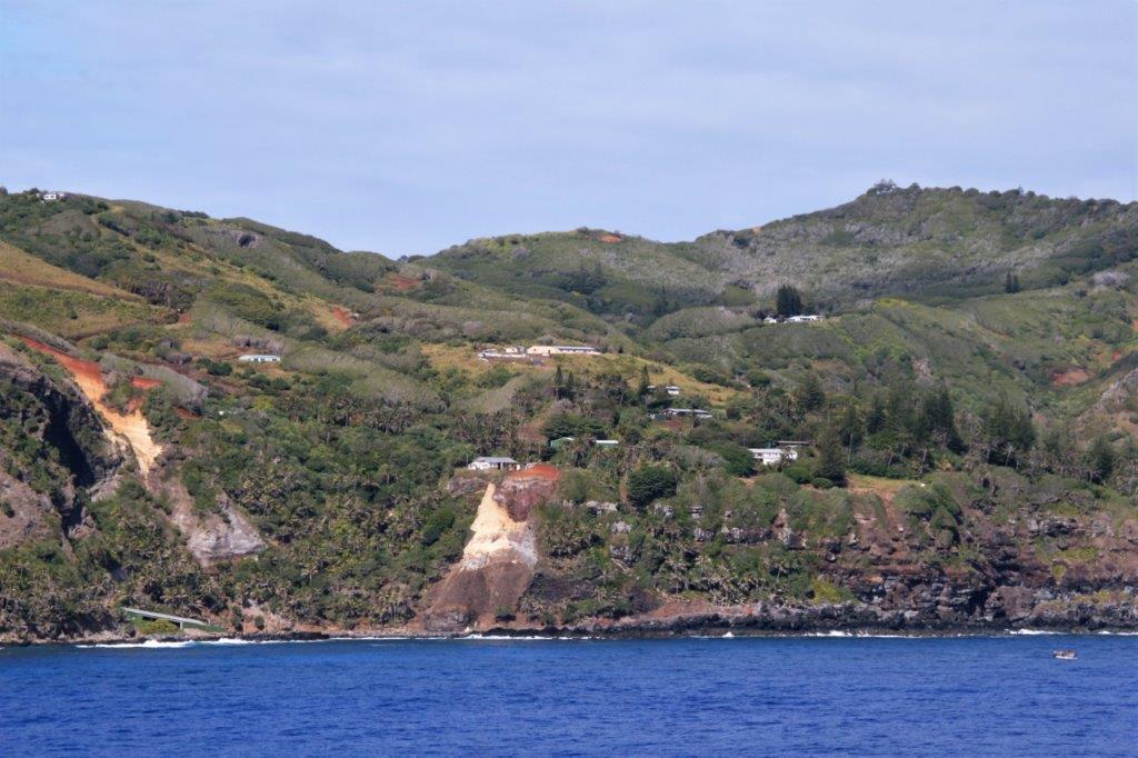
A supply ship brings fuel for the generators and other supplies every three months.  There is no airstrip and no harbour so when supplies arrive they must be loaded into the islander’s two long boats (each can hold six tons), then lifted by crane to the shore before the containers are opened and goods are moved by ATV up to the top to the store or the purchaser.  Public power is supplied 10 hours per day, five in the morning and five in the evening.  All residents work on a rotation schedule to do maintenance and upkeep on the public buildings.  There is currently a medical clinic, a store, school, museum and 10 houses on the island.  There are three brackish streams, however people collect the rain water off their roofs for personal use. The island gets about a meter (3′) of rain per year.  There are only four surnames – Christian, Warren, Brown and Young – and virtually every person is a 7th or 8th generation descendant of one of the mutineers.

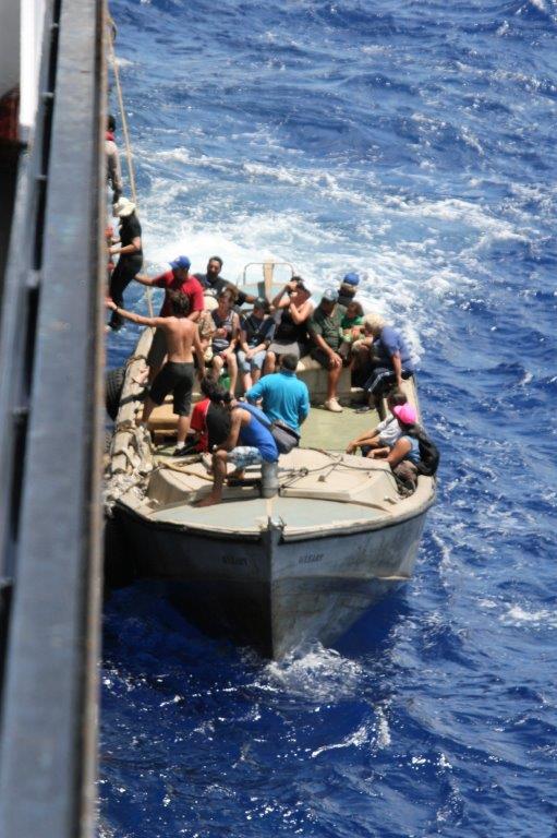
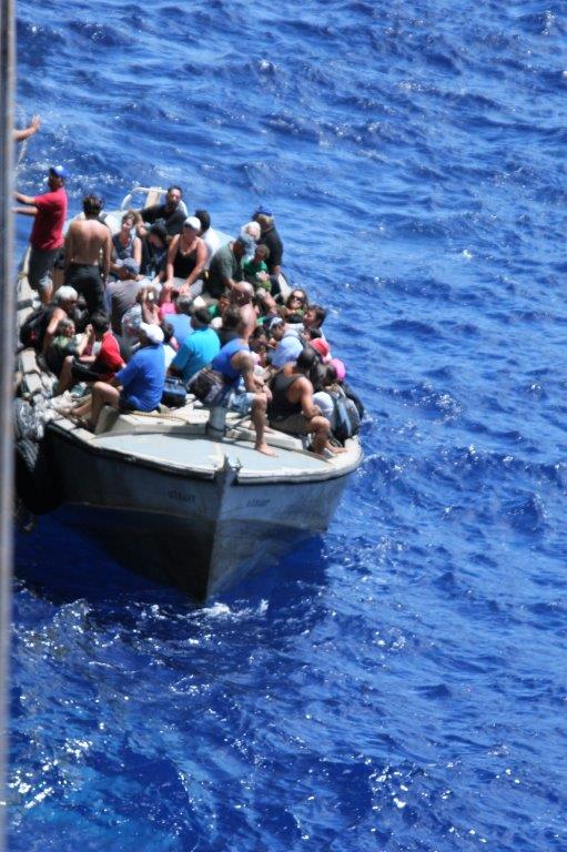
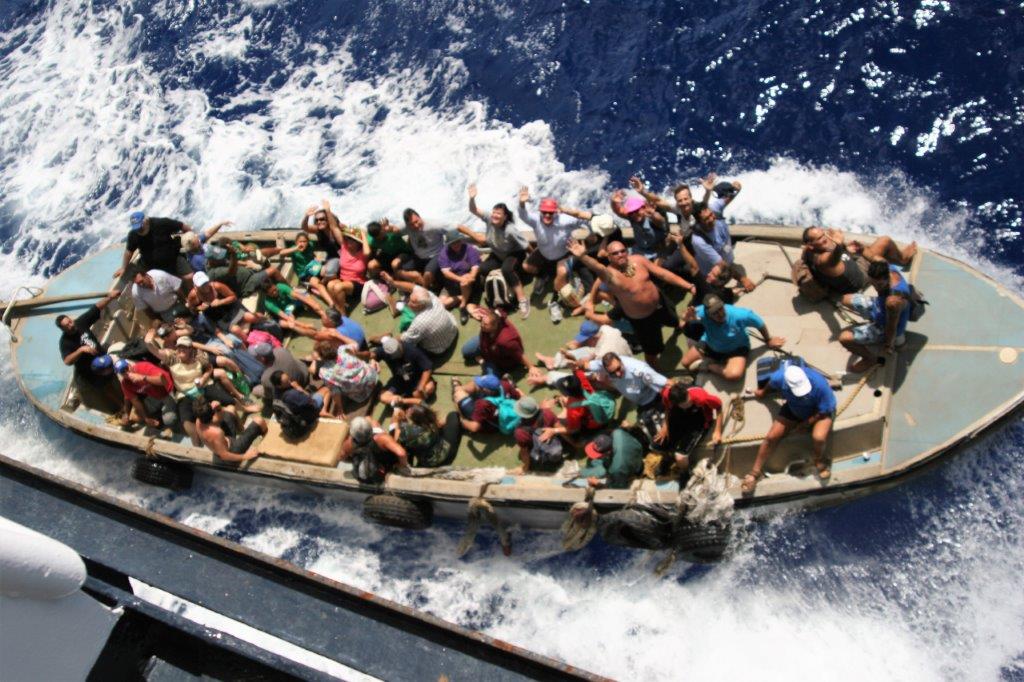
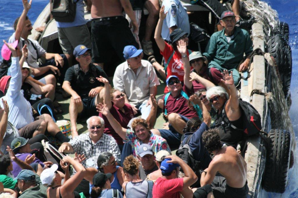
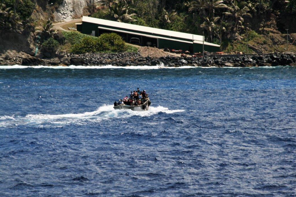
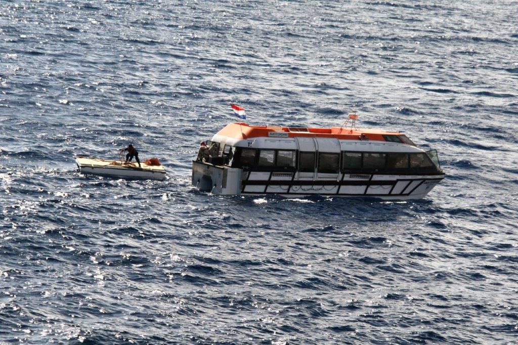
Once our captain set anchor the long boat with 46 of the residents, bringing all their goods for sale, came along side and climbed a rope ladder into the ship’s lower deck.  nEveryone and everything was sent up to the pool deck in the elevators. There were tables set up all around the swimming pool and the passengers were so anxious to get at the goods the poor people did not have time to unpack before demands of, “How much?” “How much?” were coming from all directions. 
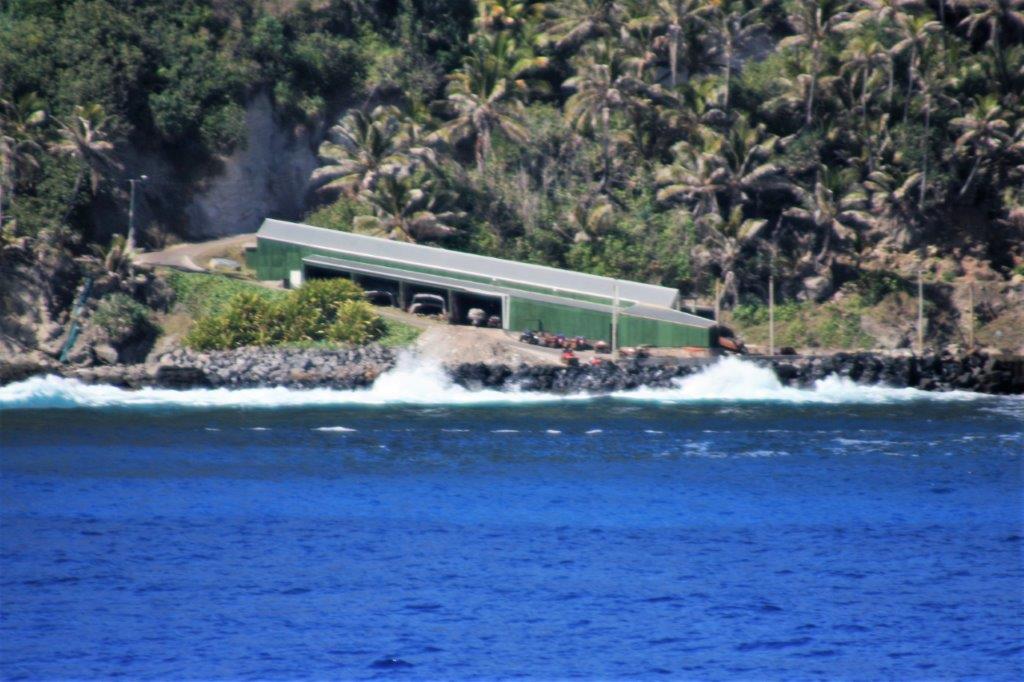
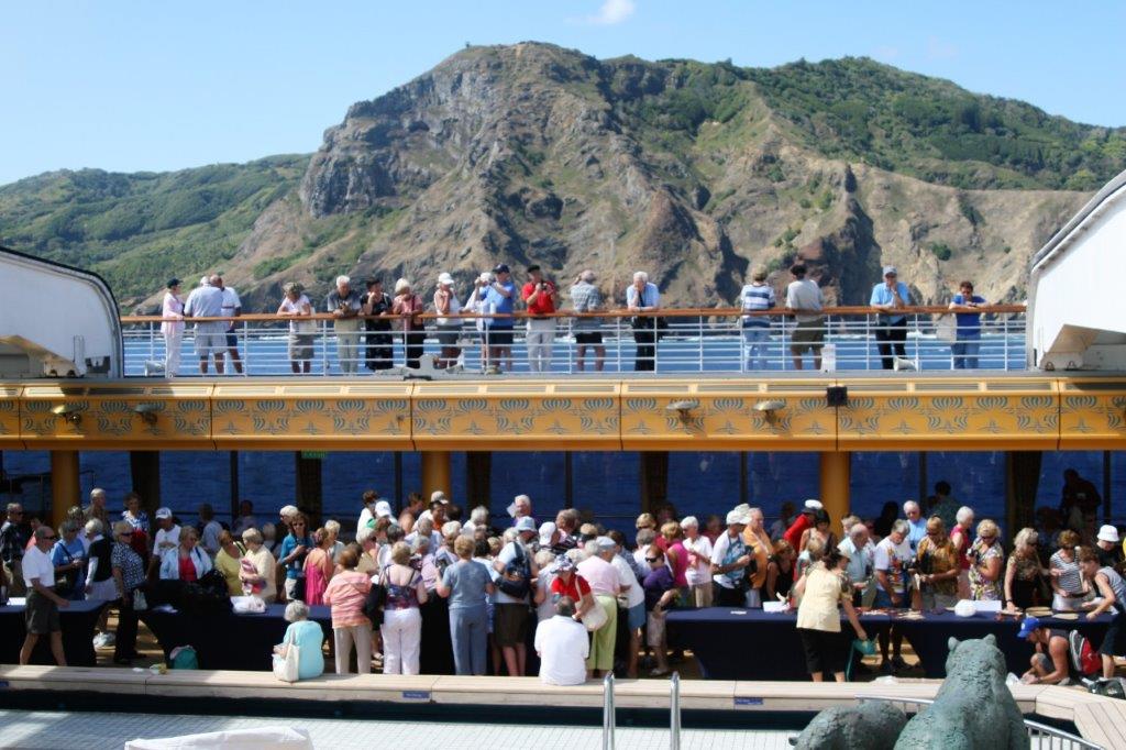
The busiest table was the post office.  Pitcairn Island makes their own stamps which, because of the remote location, are highly sought by colletors.  You could buy a postcard and have it stamped and postmarked from Pitcairn.

While the shopping frenzy was going on the captain sailed at dead slow around the island two times. 
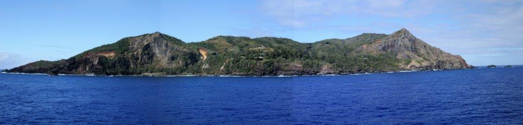
We stayed on the upper deck and used the binoculars to check out the items available and then once the crowds thinned a bit I ventured forth to make my purchases: two spatulas and two wooden spoons and a turtle carved from wood taken from Henderson Island.  Somewhat later we also each purchased a shirt and had some nice visits with the island folks.

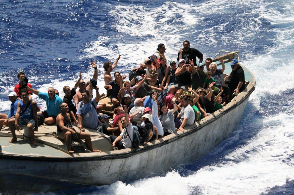
Crafts, shirts and stamps were all sold by about 2 pm and everyone made their way back to the lower decks to return to the island.  On the captains orders when the long boat was brought along side it was loaded with fresh fruits and vegetables, meat, eggs, cheese, beer, wine, champagne and soda. Once all the goodies were stowed, the islanders climbed down the rope ladder, and motored home again.  Needless to say they were thrilled with all of the bounty supplied by the captain.

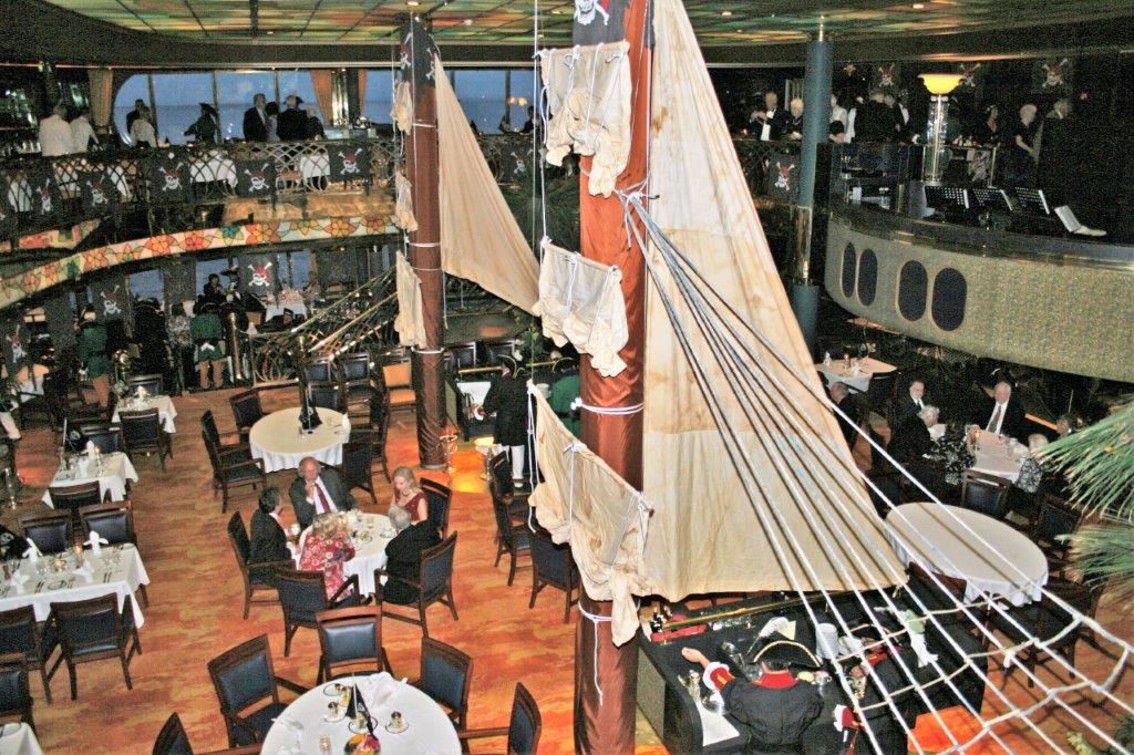
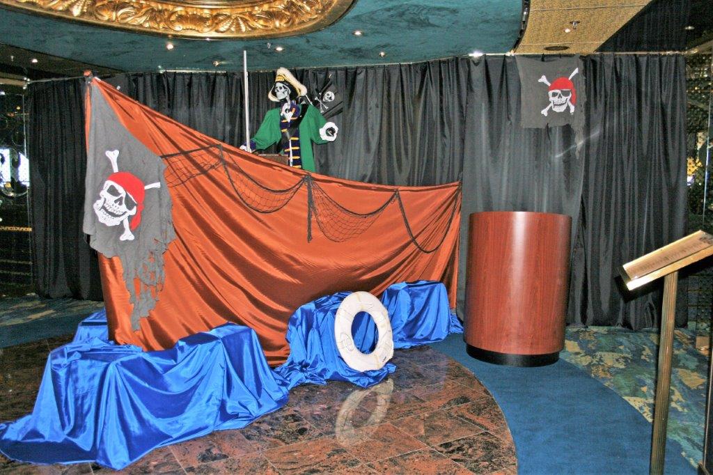
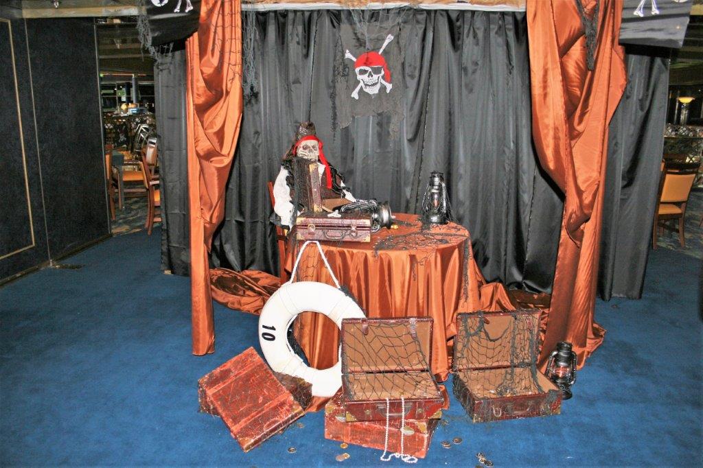
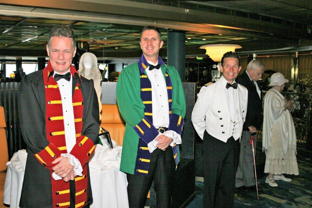
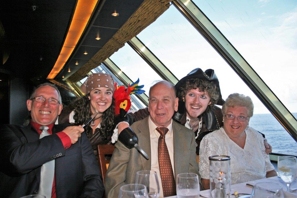
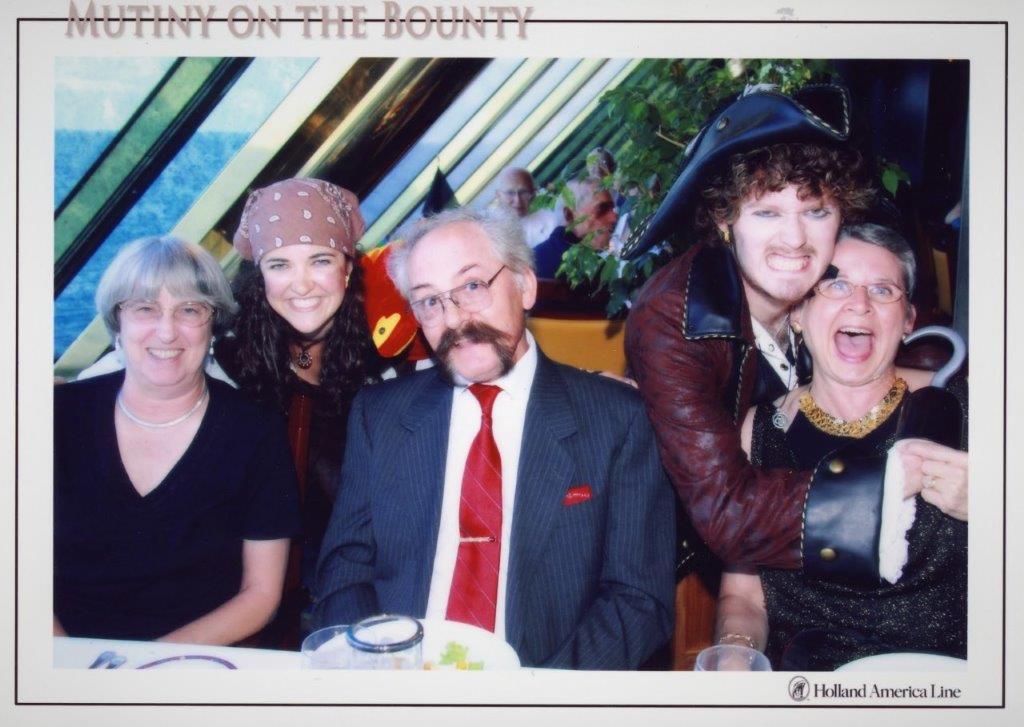
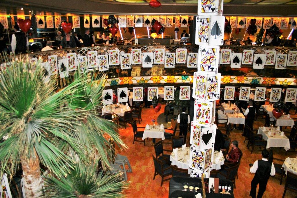
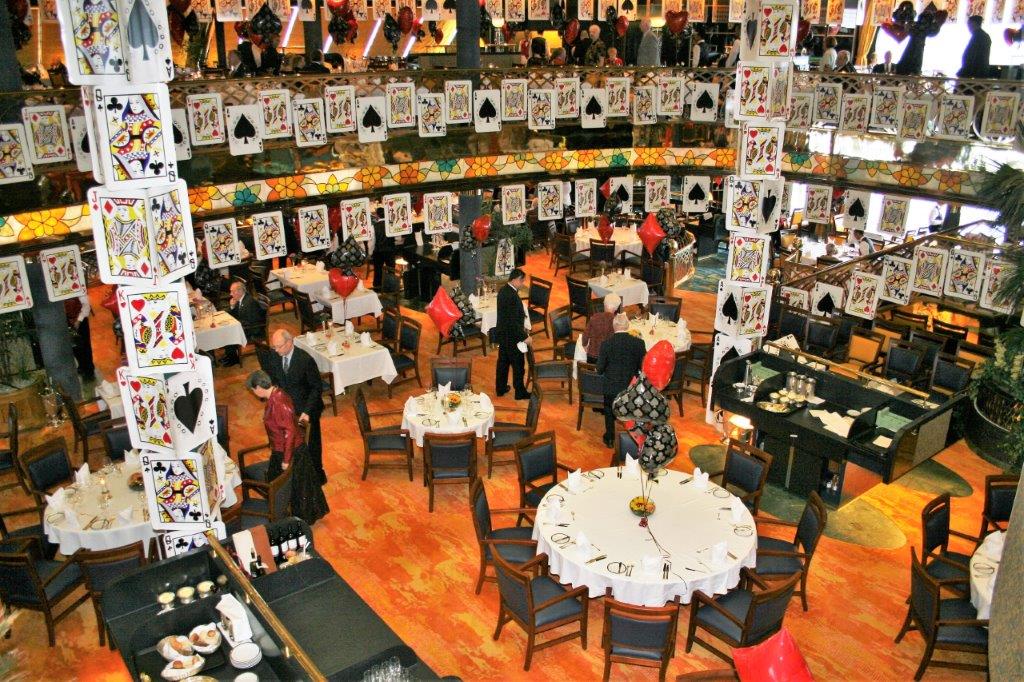
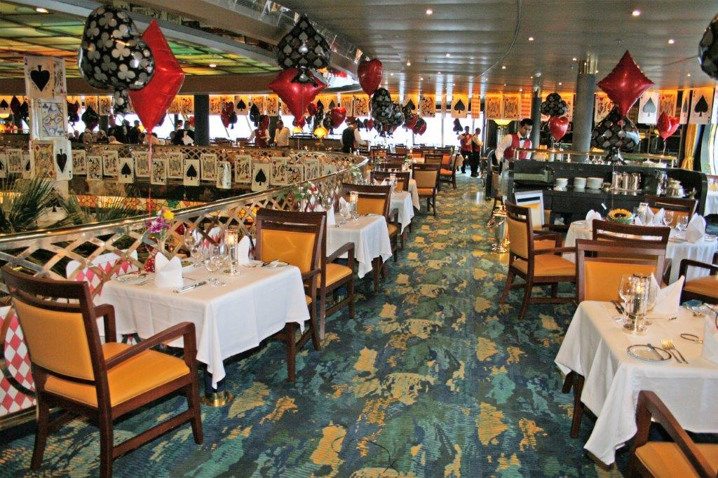
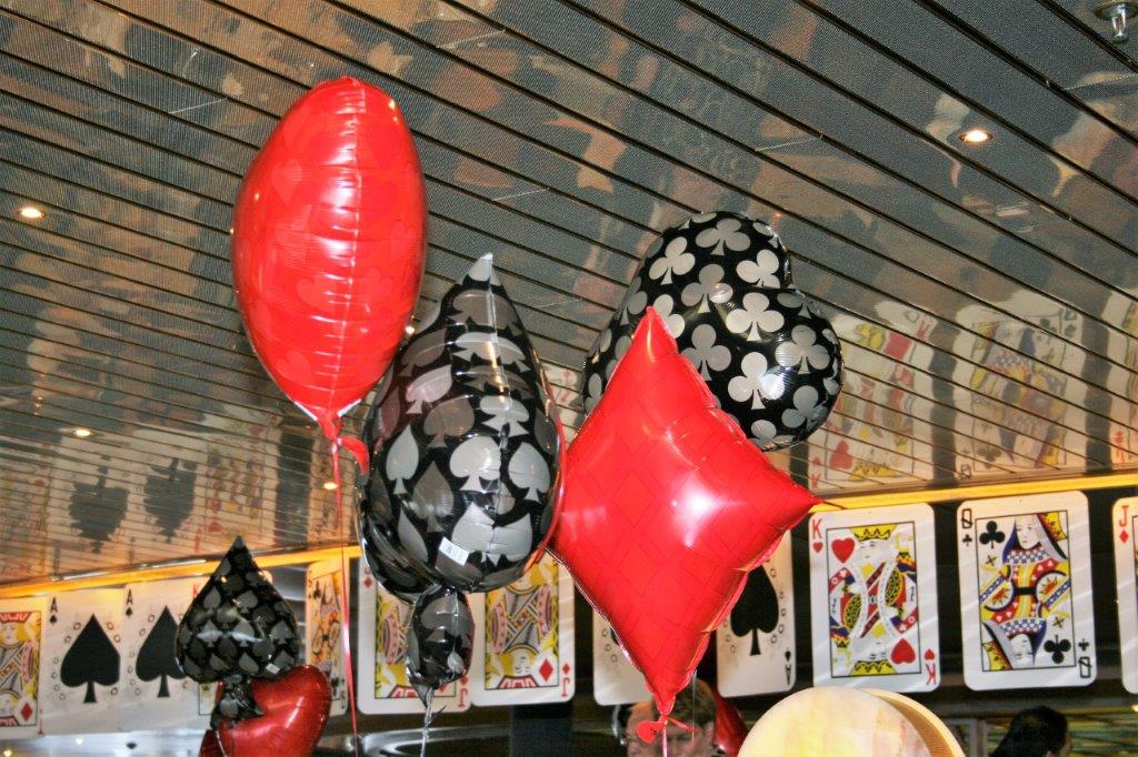
In keeping with the nautical theme our first day at sea after leaving Pitcairn was Pirate Night.  The dining room was rigged out like a two-masted sailing ship.  Very cool. 
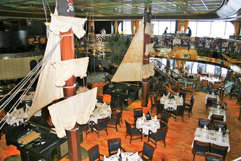
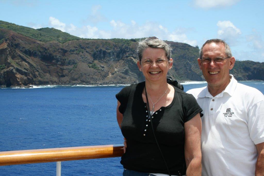
We really enjoyed our day sailing ’round Pitcairn. That little island is 3,000 miles from anywhere and not many people get a chance to stop there, so we felt very blessed.


2011 January 20 – Day 16 – Easter Island

Now that we are home from our 2017 summer road trip I will continue writing about our trip to, within, and home from Australia in 2011.  We sailed to Sydney, Australia via the first leg (45 days) of the Holland America Line World Cruise.   Before we left home for our road trip I wrote about our two days in Callao (Lima), Peru.

We had four days at sea between Callao, Peru and Easter Island in the middle of the Pacific Ocean.  As I have mentioned before, John and I love sea days.  We do lazy well and enjoy reading on deck or walking laps.  On one of the first few days of the cruise I was sitting in the Lido working on one of the puzzles in my book and a lady stopped by and offered me a gigantic crossword puzzle that someone had given her.  It took me several weeks to get it all done.  Thankfully she also provided the answer page so I could look up a few things I couldn’t answer. We had a formal night the first day out from the South American coast.  The theme was Casino Royale and large playing cards and sets of dice adorned the dining room, the Crow’s nest lounge and the hallways. Easter Island is a Polynesian island in the southeastern Pacific Ocean.  It is a special territory of Chile and maintains the same time zone.  (Time zone ‘lines’ jog in and around places all over the world.  They are not straight like the lines of latitude and longitude.)  Much of the island is protected within the Rapa Nui National Park and is a UNESCO World Heritage Site.The captain had been watching the weather for several days as we approached Easter Island and had hinted that we may not even be able to stop if the waves were too high.  As it turned out the 6-10′ swells made it unsafe to take the tenders in to the normal western townsite of Hanga Roa so the captain arranged for all the tour buses and vans to make a dash to the north coast where seas were calmer and a portable docking facility made up of tenders lashed together tied to the small pier was created so we could disembark.  This delayed all tours and visits to the island by over three hours, but thanks to the captains tireless efforts we were able to go ashore.  Our tour was scheduled to depart at 8:30 but we did not get on land until noon. Easter Island is one of the world’s most isolated inhabited islands.  Its closest inhabited neighbour is Pitcairn Island (population about 50) 2075 km (1289.35 miles) to the west.  The Chilean coast is 3,510 km (2,180 miles) away.  The island is somewhat triangular in shape and covers about 63 square miles.  It is approximately 24.6 km (15.3 miles) long and 12.3 km (7.6 miles) wide so you are never far from anywhere.

The large stone statues, or Moai, for which Easter Island is world-famous, were carved from 1100-1680 CE. So far a total of 887 monolithic stone statues have been inventoried on the island and in museum collections.  Although often identified as “Easter Island heads” the statues are actually complete torsos, with figures kneeling on bent knees with their hands over their stomachs.  Many of the upright Moai have become buried up to their necks by shifting soils.

Our tour covered the entire island with three different stops.  The first was to Hanga Roa where the tenders were supposed to have berthed, through the town (population about 5300 on the island) to the Tahai site with five standing statues. The statues all had, not hats, but hair (top-knots) quarried from a different part of the island.  Very few of the existing carvings sport them today.

Near the village was an example of the houses the people lived in.  Very strange; elliptical shaped, narrow, and with very small doorways you need to crawl through.

The second stop was Rano Raraku, a sacred site and the quarry from which all of the statues were cut and carved.  When you see the size of the people walking by you get an idea of how large these statues are; and remember most of the body is buried underground. How they were able to move these massive figures to all sides of the island is a mystery.  One theory is that they used logs until all of the trees were gone which also made the island virtually uninhabitable so the peopled died out or moved away.

This statue is absolutely massive.  I have no idea how they thought they could cut it out of the rock and move it away. There are still 397 statues of various sizes and/or incomplete at the quarry on the slopes of the extinct volcano. Further along the southern coast on the back side of the quarry is Tongariki where 15 Maoi statues have been re-erected after being toppled by a tsunami in the 1960s.  The platform beneath the statues is 656 feet long. Important personages and kings were buried under the platforms upon which the statues rest so all of the carvings and the bases are sacred sites. There were some lovely horses grazing nearby. We were driven back to our make-shift dock and tendered to the ship at five o’clock; in time for dinner which is always a good thing since the food is so good onboard.

The ship was supposed to set sail for Pitcairn Island at five but due to the lengthy delay getting people safely ashore departure was put back until 8 pm.  With the extra time needed to get people onto the tenders at shoreside and off the tenders at shipside, navigating the swells, we did not actually lift anchor and sail away until 9.  No one complained about the delay, though. Everyone was very pleased with the effort and arrangements the captain and crew went to in order that we could make the scheduled stop here.  It is not at all unusual for high seas to cancel an Easter Island port-of-of call.  This was one of those surreal places we could not believe we were actually visiting.  It was a wonderful day. We had two days at sea before we reached Pitcairn Island where 45 of the 50 residents will come aboard the ship to sell their sought-after stamps, homemade crafts, T-shirts and trinkets.  The many shoppers on board are twitching with anticpation.

2017 Sept 11 – Bozeman, MT to Kalispell, MT

We woke up to thick, heavy, smelly smoke.  Even in the truck with the windows up I could smell it so I spent most of the day wearing my mask. There are hills in the background behind the fields; though you can’t see them.

Today was purely a driving day.  We have been to and through Montana quite a few times.  Our son spent 2 1/2 years in Butte getting his Petroleum Engineering degree so we were here moving him in, going for a visit, attending his convocation and moving him out again.  A couple of our road trips have taken us into parts of Montana as well.

When we were looking at the map we were able to find some roads that would take us from Bozeman to Kalispell that we had not been on before.  Both were smaller, secondary roads and there were no tourist attractions or canyons, or waterfalls, etc.  Our only entertainment on the drive was to stop every hour or so and find a geocache.

Our first cache was hidden at a boat launch at Toston Bridge.  Despite the smoke it was a pretty spot and this lady and her dog had a great place to sit and read. I liked the relief carved into Montana’s historical marker frames. We stopped here to also find a geocache which we assumed would be on or at the base of the sign.  My phone compass said it was off in the field behind the sign.  We looked near some rocks on the left with no luck and finally decided to see if it was indeed in the field.  Can you spot where it was hidden?The container was like a large peanut butter jar and it was buried in the earth right up to the bottom of the lid.  After you removed the rocks the lid was exposed and you could unscrew it to get the log paper to sign.We drove through MacDonald Pass and had a nice view at the summit. The historical sign below is interesting (especially the last bit):See the burn on the hill top? And the retardent?  We passed two other burns, both in the ditches right beside the road which show that they were started by cigarettes being tossed out a window.  Idiots! The fire hazard down here is extreme just like at home.  You can see in my photos how dry all the grasses are.Several large fields in one area had these huge haystacks.  There were also the big round bales, but we saw several dozen of these big stacks.   We don’t know if they are hand thrown or if this apparatus is used to make them. There was a cache overlooking Nevada Lake at one end and another one on top of the dam at the other end. The cache container was tucked behind a rock under the big pipe.

The lower side of the dam was just a small outlet making a stream through the field.We stopped at another historical sign and beside it was a fire status information board.  One of the pages showed the fire, called the Rice Ridge Fire, which, on Sept. 4 was 101,424 acres.Take note of the population details on the town of Ovando sign.Our route on Highway 83 took us right past the burning area.  It is hard to see with all the covering smoke but if you look closely you can make out plumes rising from the forest on the hill.  We had 35 mph speed limit for quite a few miles and there were portable water tanks set up in the yard of every house that could be used for sprinkler protection if the fire came over the hill.  We also passed signs regarding staging areas.  Seeley Lake was looking pretty and there were a couple of boaters having a good day. The community of Seeley is the staging area for the firefighters.  I snapped a bunch of photos as we went by but they were taken without looking through the viewfinder so I didn’t get good shots to show how large the command center and rest area was. There were dozens and dozens of small tents for the firefighters to sleep in. Once we were north of the fire area the sky cleared and I was able to take my mask off.  By then we only had about 70 miles to get to Kalispell. (We traveled about 290 miles today so I was not mask free for very long.) There was a cache – our final find of the day – hidden off in the bush inside an old abandoned outhouse.  How do people find these places anyway? We arrived in Kalispell at 6 pm and, once again, our hotel has a restaurant so we did not need to go out after checking in.  Tomorrow we cross the border into Canada and the next day we should be home.  So…this will be my final blog post since all the rest of the journey is familiar territory.  Thanks for riding along with us.

And John achieved his goal of finding geocaches in 16 new states.  As a matter of fact, tomorrow we will go into Idaho which was not originally part of our route plan, and that will give him a bonus state, making it 17.  We will then have found geocaches in 25 of the US states – that is halfway.  We are just over halfway at 6 out of 10 Canadian provinces.  We may just get them all yet.

2017 Sept 10 – Cody, WY to Bozeman, MT

We woke to cloudy skies and wind in Cody and had some rain as we drove west toward Yellowstone National Park.  It didn’t last too long and by noon we had quite a nice mixed sun and cloud day.  The temperature even got back into the warm range.

We had spent several days in Yellowstone in 2010 and I would have loved to go to all the basins and geyers again but we do have to get home some day – unfortunately – so we decided that we would make some stops but principally drive through.  We were not geocaching when we were here before either.  No actual geocache containers are allowed to be hidden in Canadian or American National Parks, so people find Earth caches and Virtual caches instead.  Both of these cache types are informational and you must send in answers to questions or a photo to prove you were at the site before you can log the cache as found.

Not far outside of Cody you enter Shoshone Canyon. This tunnel was a normal short tunnel through the rock, but a short distance past it we entered another tunnel that was VERY long. When we exited the tunnel we pulled into the viewpoint for the Buffalo Bill Dam.  There are golf-cart shuttles that will take you over to the Visitor’s Center if you want.  We have toured quite a few dams in our time so we didn’t bother.  The lake/reservoir was nice and there were some interesting pieces of equipment and information boards.   This interesting construction, located on top of a hill, is called the Smith Mansion.  That is all I know.   We entered Yellowstone through the east gate road which we had not traveled on our last visit so that gave us some new scenery and finding the geocaches took us to some spots we may not otherwise have stopped.

First stop was the Butte Lake Overlook. The fumeroles were blowing steam along the lake shore. We saw quite a few Bison today.  This one has some horn decoration. We walked to the middle of The Fishing Bridge (where you are no longer allowed to fish). We were driving slowly along and in a large meadow I saw a big bison all by itself.  Then I noticed something white moving in the grass as well.  I told John to stop the truck because I thought I saw a wolf.  And sure enough this young wolf walks out of the field toward all the cars and people along the road.  It was quite oblivious to us all and was just listening and looking for food.  Then someone spoke loudly, and slammed a car door and rushed closer for a photo and off it went.  Great experience! Because we were on a drive-through we did not make any side trips into the basins to view the pools or geyers.  We drove right past the Mud Pots and Dragon’s Mouth so we had to go see them again. These two lovelies were waiting for mom and dad to return. It may be September and school is back in but Yellowstone is still very busy with sightseers.  Not too far from the Mammoth Hot Springs you drive the Golden Gate.  There is a nice waterfall that is right beside the road and unless you stop and walk over to the edge of the guard rail you don’t see it.

The Minerva Terrace at Mammoth Hot Springs was a pretty as ever. When we were here before I spent ages walking all the board walks up there and taking dozens and dozens of photos.  I remember the entire side of the terrace being the oranges and white but now over half of it gets no water and has dried up.  I will have to check when I get home.  We drove into the community of Mammoth Hot Springs and got some ice cream before leaving the park, entering Montana, and heading up toward Bozeman.

There wasn’t an earth cache nor a virtual cache at this location but the information about the mountain was very interesting. There was an earthcache called Montana’s Mesa located at a rest stop beside the river.  It was a very pretty place to stretch our legs. John is good.  He just automatically pulls into any Historical Markers so I can read the sign boards.We got into Bozeman at 5ish and checked in to our hotel, which conveniently has a restaurant so we could eat without going out again.  Then it was back slaving away at the computer editing photos, choosing photos, checking email and writing a blog.  Another successful day on the 2017 Summer Road Trip.  Unfortunately there are only about three of them left.

2017 Sept 9 – Lander, WY to Cody, WY

We left Lander and headed northeast to Bonneville on Highway 789 and turned northwest to drive up to Cody.  When we came through Wyoming on another of our road trips in 2010 I wanted to go to Cody but it was too much of a southern detour for the rest of our plans.  It worked out well that we were going through the middle of Wyoming this year and are able to stop.

As usual we stopped at all the historical markers along the road.There was a cache hidden about 50 meters from the road along the fence line. The Boysen Dam created a huge resevoir and lake that is enjoyed by many.  There was even a fellow out fishing today. We drove the Wind River Canyon through some sharp cliffsides and tunnels. This pillar is just standing out all by itself.We followed the Wind River for miles. It is amazing what some water will do. We stopped to get a cache called Amelia Earhart #2 in the little town of Meeteetse.  We were wondering why the cache was named for her way out west.  We got our answer. This was a nice golden hill.We arrived in Cody at 2 pm and drove right to the Buffalo Bill Museum Complex.  There are actually four museums (each with two floors) and an art gallery. The place is so big your ticket is good for two days. As usual I took a photo of the things I found most interesting and I am just going to insert most of them in the blog.  We were 2 1/2 hours in the museum.  We did a quick tour of both levels of the Natural History Museum as we are very familiar with the animals of this area.  We did not go to the Plains Indian Museum or the art gallery. We spent the majority of our time in the main Cody museum. These are Annie Oakley’s, saddle, outfit, rifle, pistol and trunk. Some of Bill Cody’s clothing items. We stopped about half-way through the Firearms Museum.  It was huge and after awhile they all look the same to me.  I just keep wondering why we have to make so many different versions of the same thing used to kill animals and people.  Some of them though, I will admit, were beautifully made. The museum was very busy.  I was surprised at how many people were wandering in each of the galleries.  Also downtown when we went for dinner.  There was a constant stream of people entering our restaurant while we were eating and the streets had cars parked on both sides and many people walking on the sidewalks.  We have both commented several times at how many people are still about doing the holiday thing even though school has started.  Although, a lot of them are retirees like us that travel when school is in to avoid all the crowds.  I am not sure that is working now that so many baby boomers are retired.

Tomorrow we head west and into Yellowstone National Park.  I am going to try very hard to be good and not ask John to stop everywhere. We are really only passing through on our way into Montana (Yellowstone is located in the far northwest corner of Wyoming almost at the Montana border) and it is not another sightseeing trip in Yellowstone.  We only have about 200 miles to drive to Bozeman, MT so we will have some time to see all the wonderful sights in Yellowstone.  I do hope the smoke continues to stay away.

2017 Sept 8 – Craig, CO to Lander, WY

Today was another mostly driving day.  We looked for geocaches every 40-50 km, or if there was one hidden at an historic marker, since we stop for all of those anyway.  The smoke was still hazing the distance but I couldn’t smell it and it didn’t bother me.

As we were leaving Craig I snapped a quick pic of these adorable foxes.We often see this type of sawtooth ridge jutting out of the ground. Very few signs in these parts escape target practice.

Craig is not too far south of the Colorado/Wyoming border so it wasn’t too long until we entered our 15th state of this trip.  I counted up the states I have been to and only need to go to 14 more to have been to all 50.  I guess I will have to work on that.In this type of country, where there is not a lot of visual changes, I tend to read my book and pop my head up every now and again to check on the scenery.

We encounter small bits of painted hills – brown ones. There was a geocache hidden at parking lot in the middle of nowhere. Well, we were able to park in the parking lot then we had to go down into a dry wash and up through a bunch of sage scrub to find the cache.  Which we did.Another cache was hidden at an historical marker and the landscape around it is flat, flat, flat.  I was able to count four gas well sites from where I was standing. We were planning to tour the old Territorial Prison in Rawlins, WY but they only do tours three days a week and Friday is not one of those days. This lovely four-season mural was at the edge of the prison parking lot. There is a walking path beside the prison and there were a couple of geocaches hidden along the trail so we took a walk and found a them.  We also found a couple at the nearby cemetary before we had our lunch. It is easy to understand the struggle the early homesteaders must have endured to coax water and crops from this land.  There was a cache at an historical site called Split Rock. Apparently this unusual break in the mountain was a prominent marker for trappers, homesteaders, and gold seekers heading west.  There were several placards of interest located at the base of a large clump of huge rocks.  You cannot see the split in the rock that all the information talks about.  What you see from this spot is the side of the mountain. And, of course, when there are pathways leading to a pile of big rocks one must go and climb them. About 5 km down the road we pulled over where we could plainly see Split Rock. It was very noticable even with the smoke in the air.

Another historical marker and geocache.We even saw a few more red rocks.And some pinkish ones.John waded into the tall grass for the cache at this old marker.  I told him to walk heavily so as to not surprise a snake or scorpion. We arrived in Lander in time to eat an early dinner and then I spent the evening trying to catch up on photos and blogs.  There is so much pressure, you realize, to provide this material every day.  Sometimes i don’t know how I stand up to the strain.  Sigh.

2017 Sept 7 – Grand Junction, CO to Craig, CO

There were no stops-of-interest on our journey today.  Well, that is what we thought.  It turned out that we drove down a corridor called Pintado Canyon which has many ancient Native Amerian pictograph and pectograph sites.  One never knows what will be around the next bend on a road trip.

We woke up to more smoke and it hung around all day.  We are heading northward toward Canada, in a zigzag course through the sort-of center of Wyoming. The Rabbitbrush is blooming all over the place.  Reminded me of the sunflowers that brightened our days in Arkansas and Louisiana.I don’t know whether this stuff is a white lichen or alkali leaching from the rocks.We drove through Douglas Pass and did a huge curve at the end with a significant grade to climb. The back curve of the pass was cut out of the mountain face and exposed all this white rock. We stopped at a picnic area in Rangely to have lunch and, lo and behold, the car we parked beside belonged to a couple from Victoria.  They were on their way to Santa Fe and said the smoke was so bad in SW Wyoming they couldn’t even see the Tetons and they only had one good day in Yellowstone.  This does not bode well for the rest of our trip.The first rock art site was called Waving Hands.  Unfortunately, as is always the way, idiots could not resist defacing the ancient art. The birds like the overhanging ledges for their nests. After we left Waving Hands I spotted another sign that said White Birds, but John hadn’t seen it so he drove by.  We turned off onto a gravel road for a couple of miles to go see the rock art at Cow Canyon (I don’t know why it was named that but there were plenty of dry cow patties around). There was also a geocache in this huge rock pile at Cow Canyon. I decided I would like to see the White Birds site as well so we made a short backtrack.  The viewing platform at the rock art was up at the end of a steep pathway. We eventually arrived at Highway 80 at a little town called Dinosaur.  I was not surprised to learn there were fossils in this area.  It looks very much like the landscape around Drumheller, Alberta which has a huge dinosaur museum and preservation site.

Just down the road is one of the entrance points to Dinosaur National Park.  We could see on the map that much of the park was some distance from the highway so decided to go in and ask how many miles it was before deciding whether or not to venture further.  The main, easily accessible area was the Quarr,y which was 25 miles in the opposite direction.  We made a mental note to stop on another trip someday and carried on to Craig for the night.

2017 Sept 6 – Grand Junction, CO (Colorado National Monument)

This blog will be 90% photos of red rock formations and canyons.

We awoke in Grand Junction to a smoke haze from the wildfires in Steamboat Springs, CO and Montana.  Our only plan for the day was to visit the Colorado National Monument which is located just a few miles SW of Grand Junction. Rim Rock Drive is 23 miles long and contains 19 view points.  We arrived at the monument at about 10:30 and it was close to 4 by the time we left.  The road winds around the top of the canyon and its various branches and climbs from 4930′ (1503 m) above sea level at the east entrance to a high point of 6479′ (1975 m) and down to 4690′ (1430 m) at the west entrance.

Once again I will just insert photographs of the placards so I don’t have to write out any of the information.  This was quite a cut through the rock. There are three tunnels along the rim road; one near the beginning of the route and two close together near the end. You can sort of see Fruita Valley through the smoke.  But the distant hills are pretty blurry.The road was fun for John to drive. There is a hike you can do through the bottom of this canyon.  You are advised though not to walk the river channel but stay on the path beside it in case of rain and flash floods. John is off in the distance at the overlook. There is a road that enters the park just after this area and there were geocaches on it;  just outside the park boundary.  We took a short drive down the road and found three caches before returning to the rim road.

John had to climb this dead tree to get one of the caches and a hummingbird was not happy about it.  It kept diving in and out and flying around the top of the tree.

The big arch cut into this cliff face looks like it should be a doorway or window.  Wind and water are amazing sculptors.  We have seen coke ovens just like the ones in the picture on the sign board a couple of times on our travels. There is a path you can take to the end of the ridge where the coke oven formations begin.  You can just make it out as the whitish line in the middle of the photo below. And you can just see a fellow and his son walking on that path. We were driving through a construction area where workers were making low stone guardrails beside the road and up ahead we saw three Big Horn Sheep.The momma and her young one climbed onto the rocks. But this lady just walked atop the rock rail right past our truck. I think someone needs to climb up there and put a face on that little boy wearing his ball cap.   I had to take quite a few photos to get clear images of the information on the sign board about Balanced Rock and I am sure they are not in the correct order here.  Sorry about that.  Apparently we had a special encounter seeing the mountains sheep. And after all those stops we arrived at the west entrance to the monument and drove some back roads back to Grand Junction and our hotel where we spent an hour doing photos before finding our dinner and settling back at the hotel for the night.  I love red rocks!

2017 Sep 5 Montrose, CO to Grand Junction, CO (Utah)

We left Montrose and drove down to Ridgway where we turned west . The Ridgway State Park has a very popular little lake.

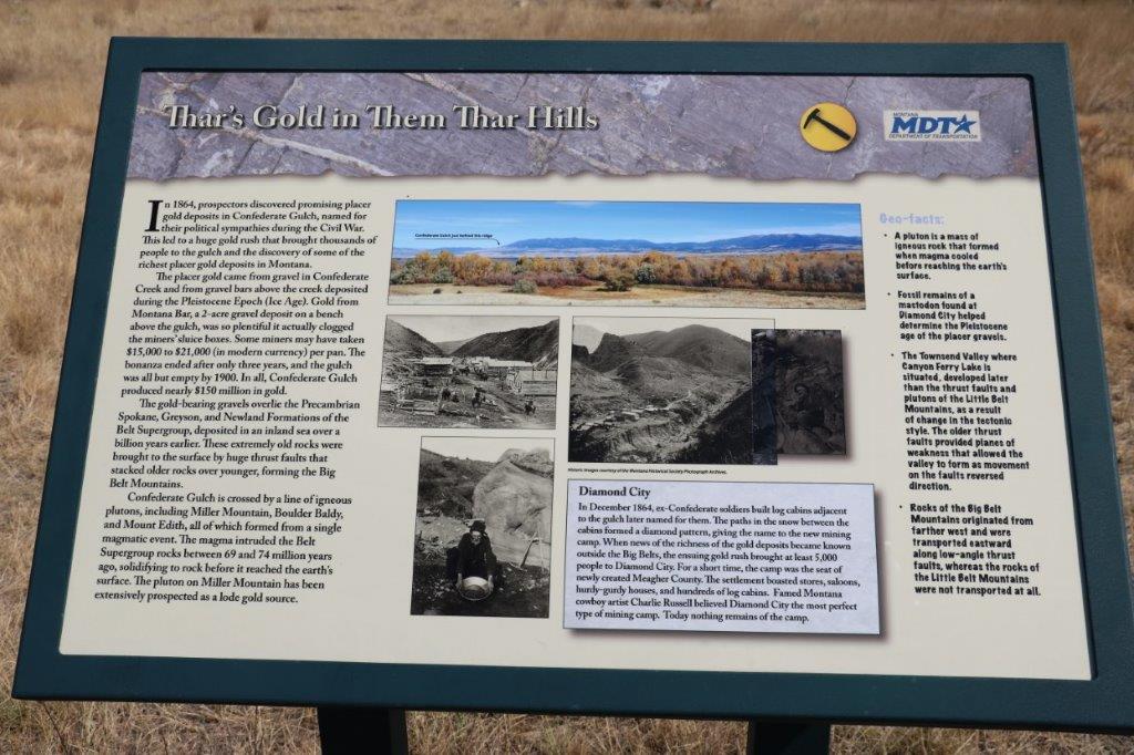
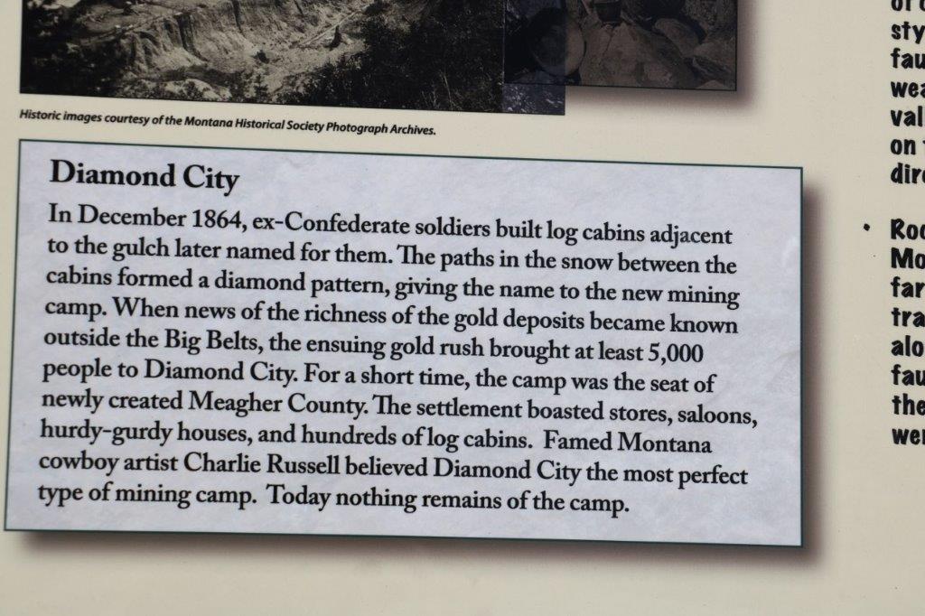
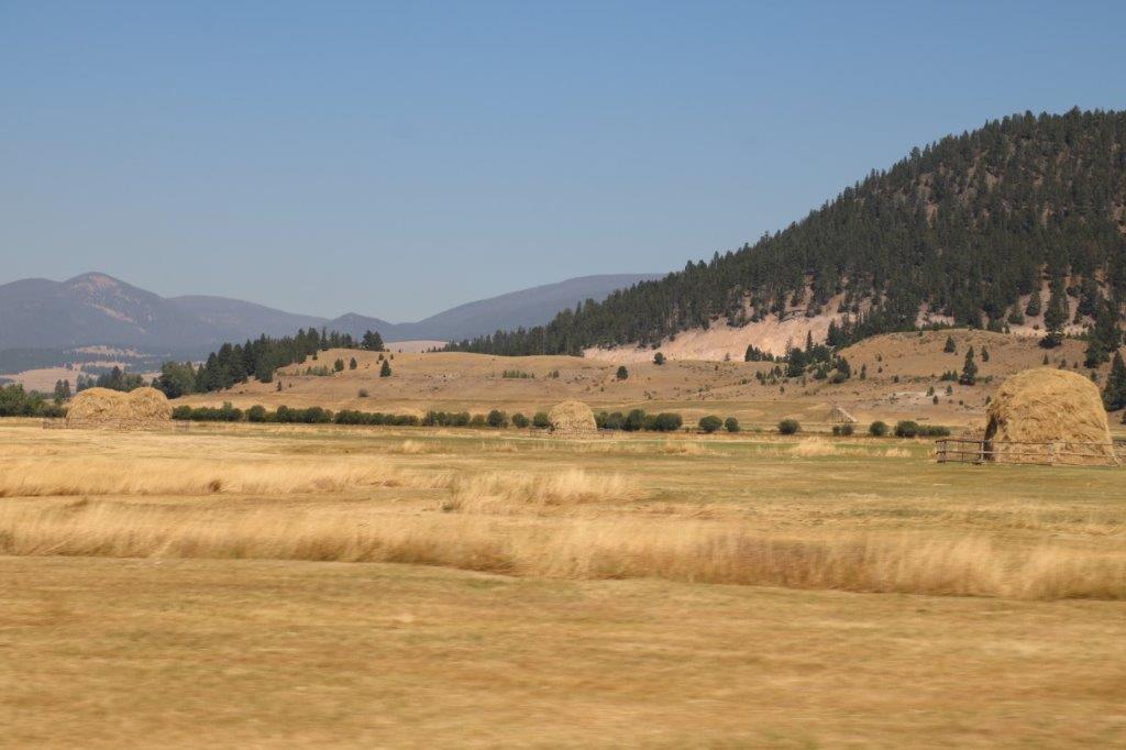
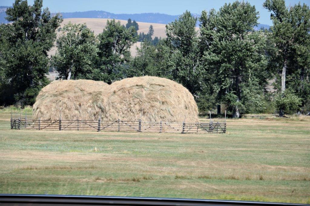
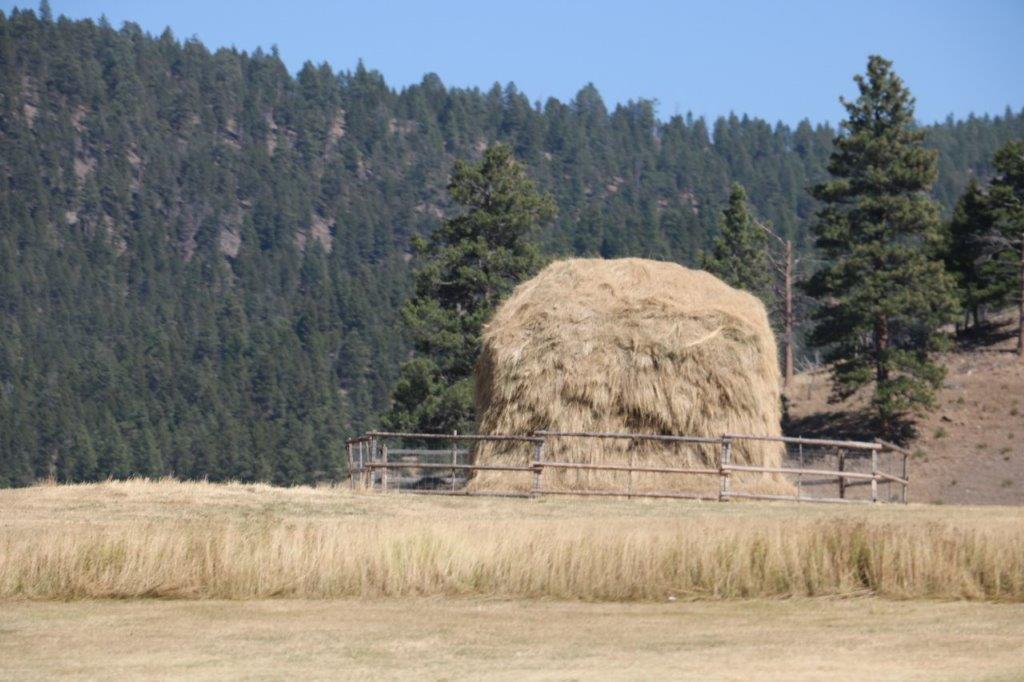
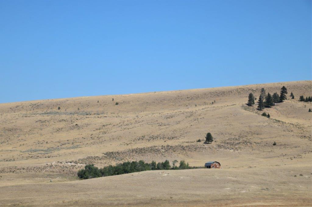
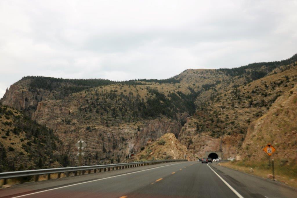
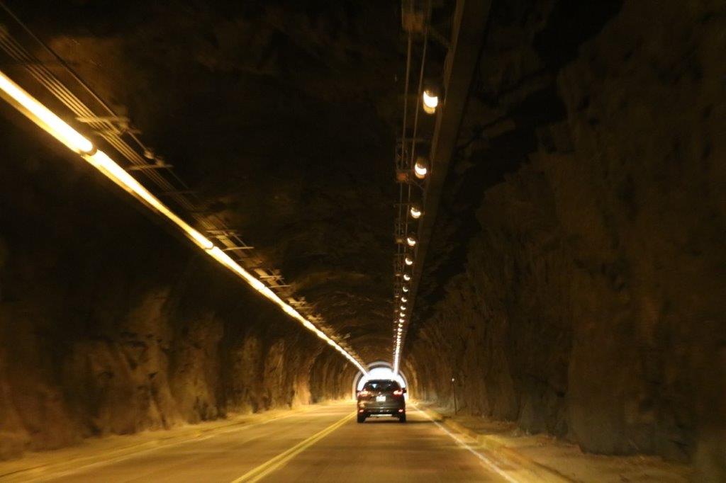
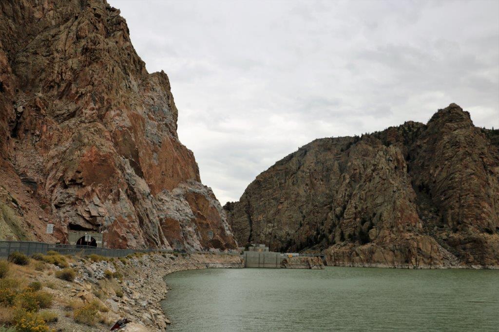
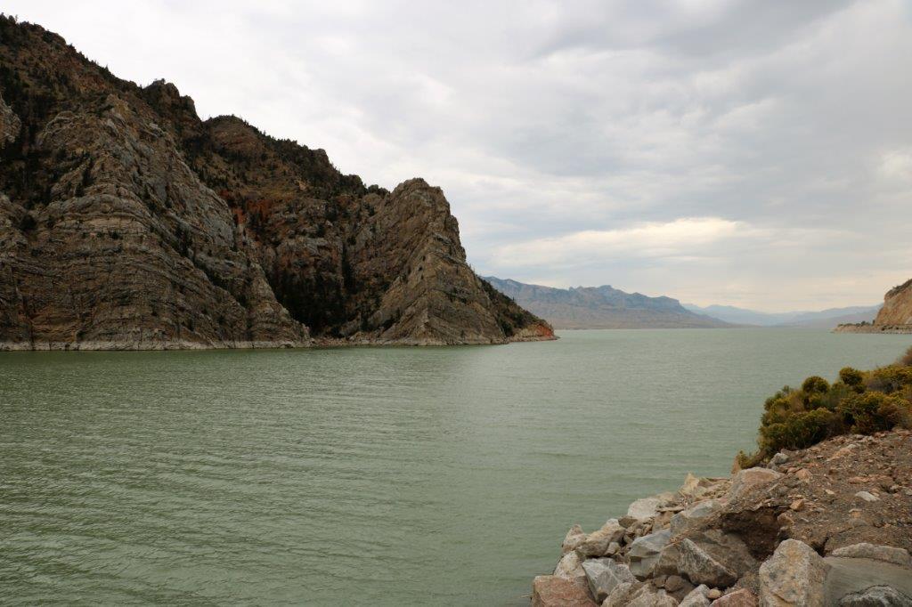
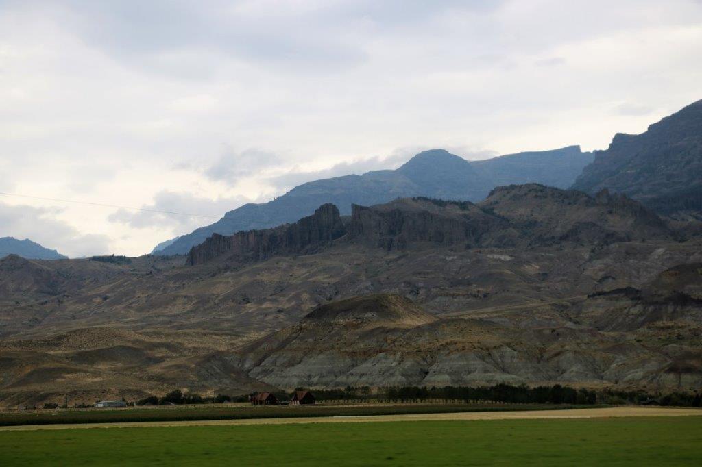
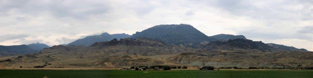
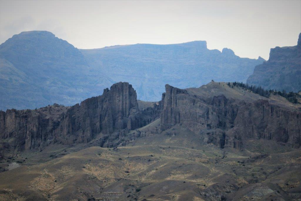
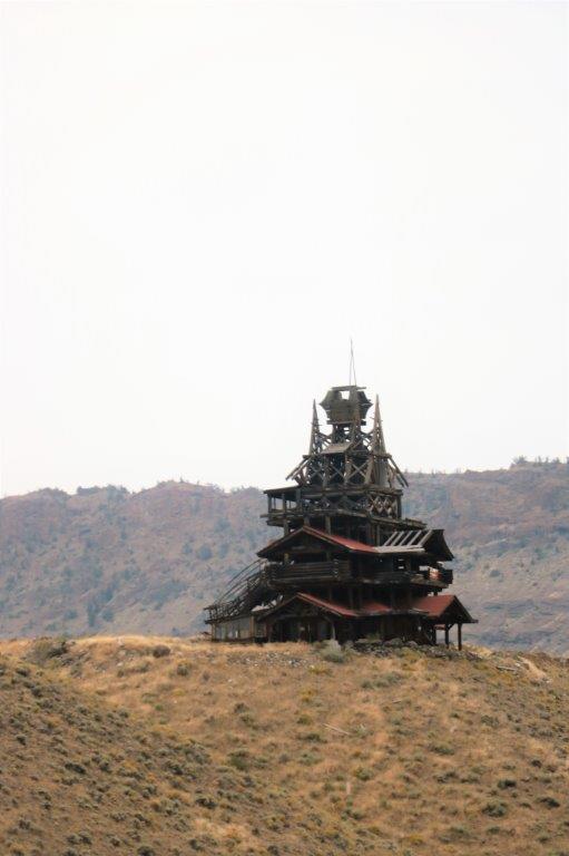
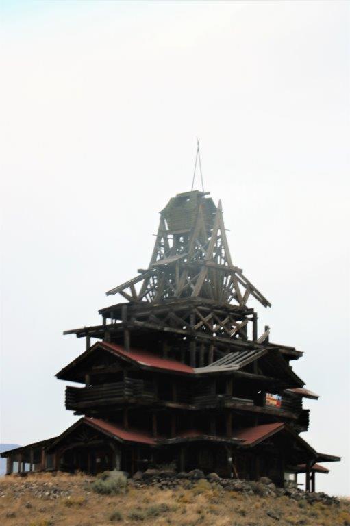
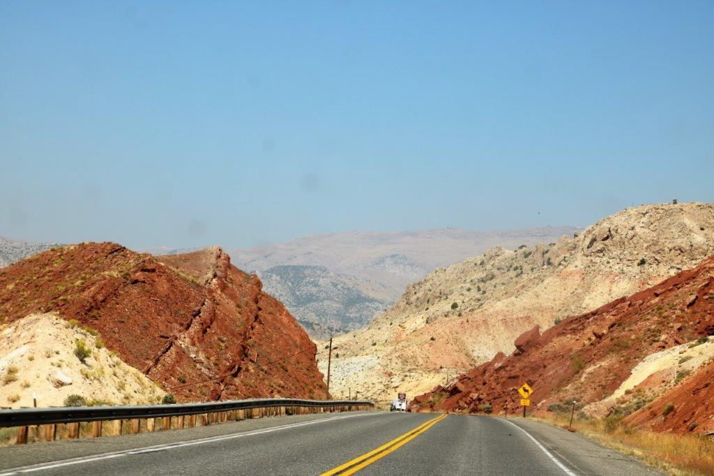
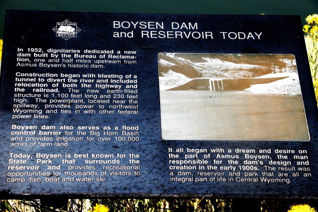
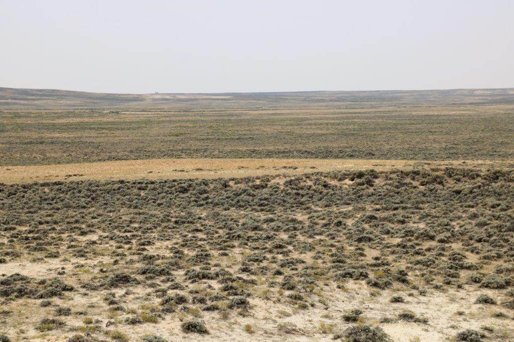
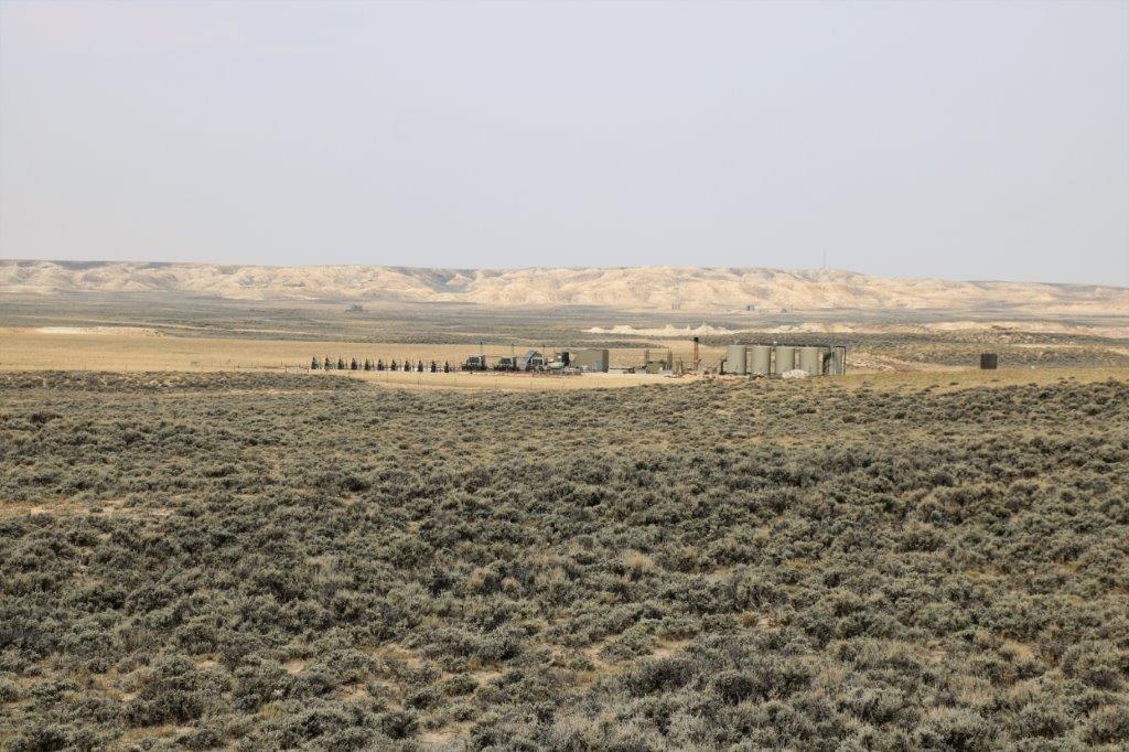
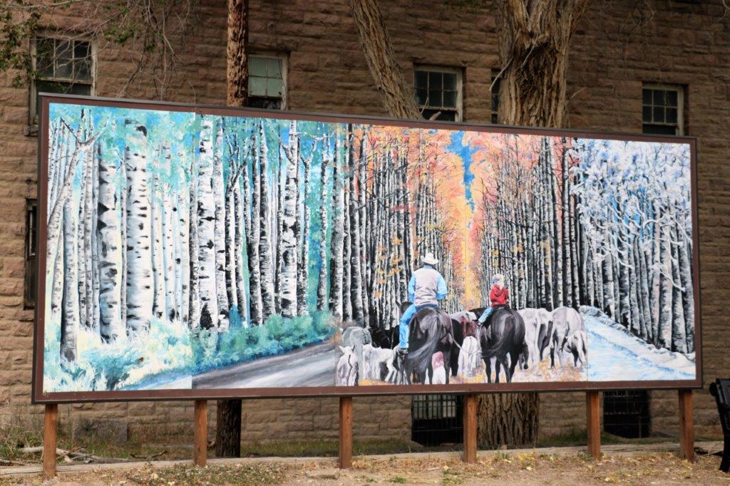
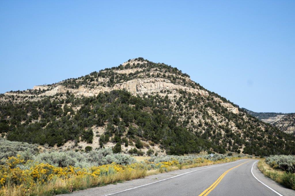
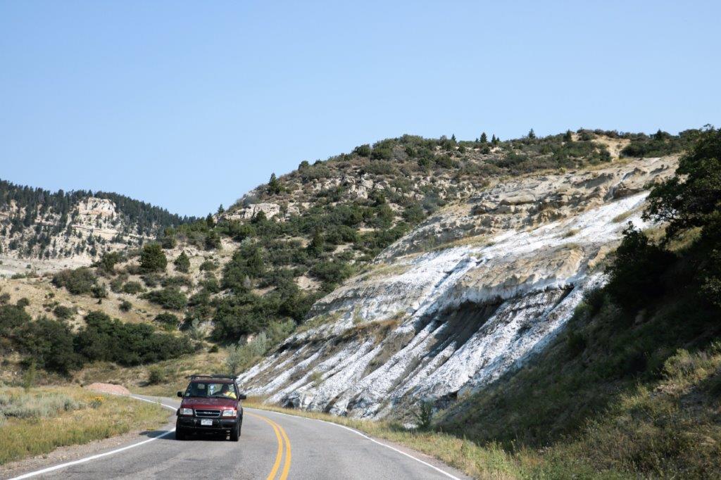
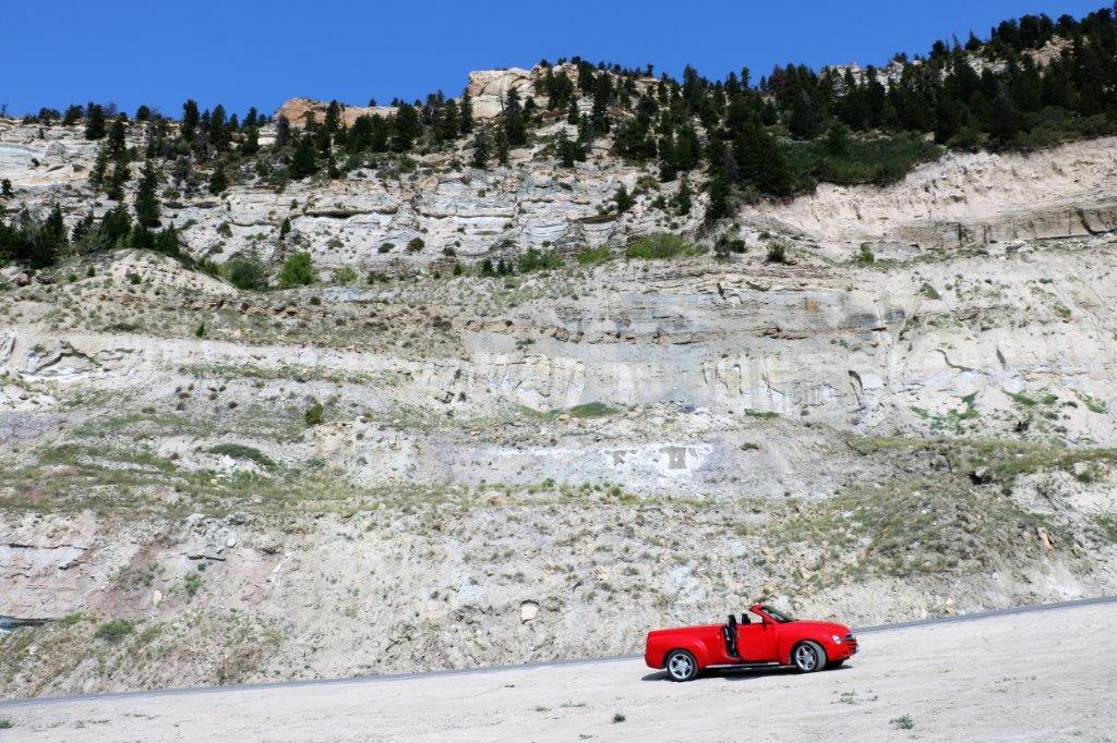
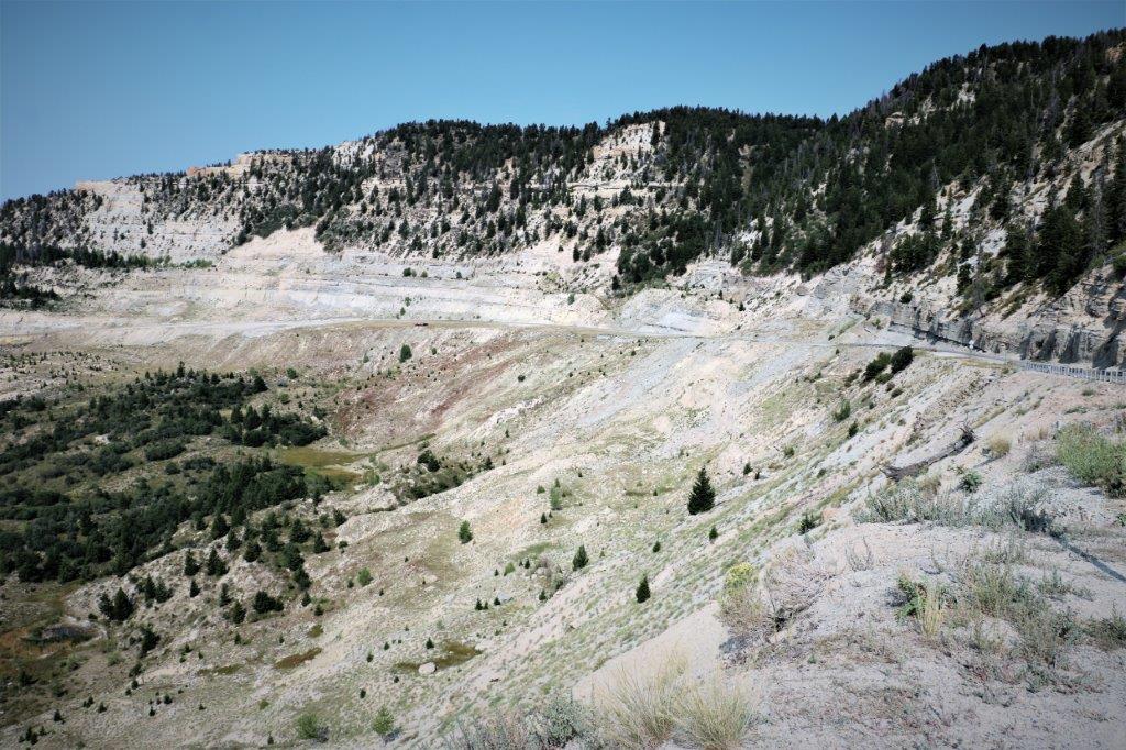
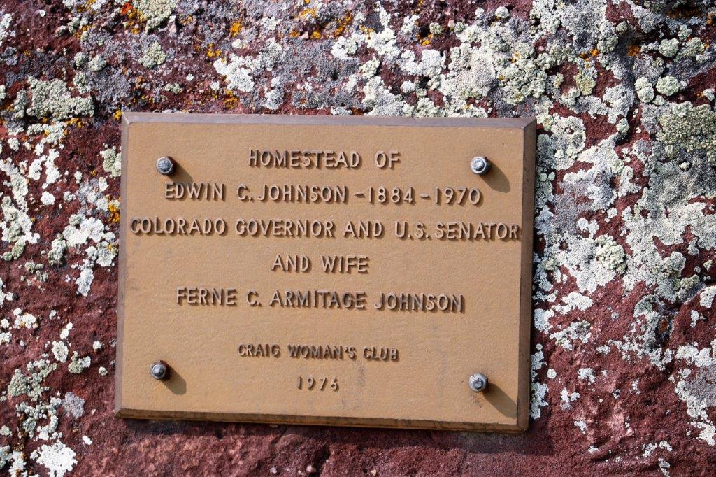
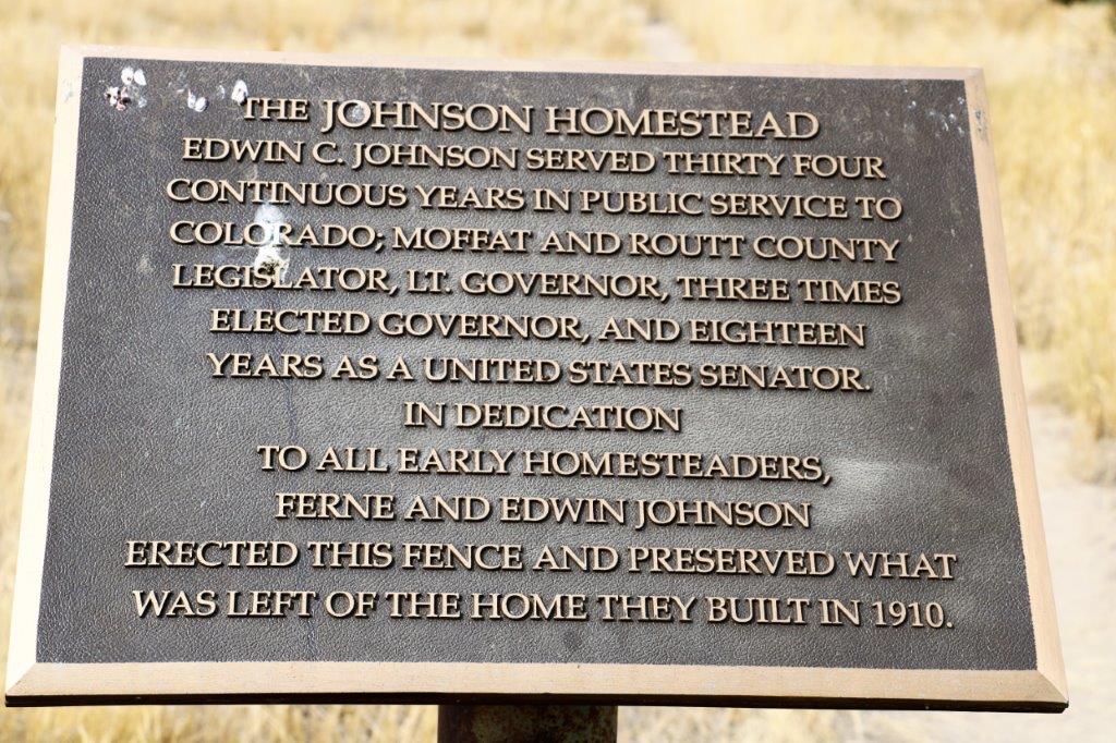
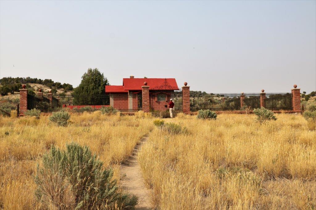
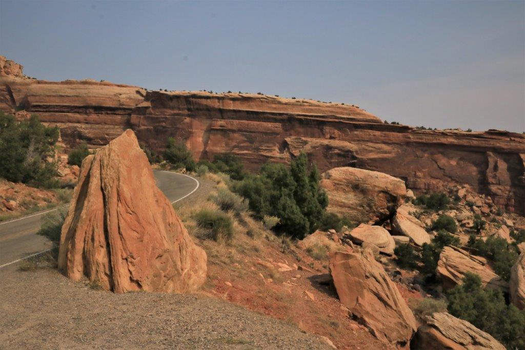
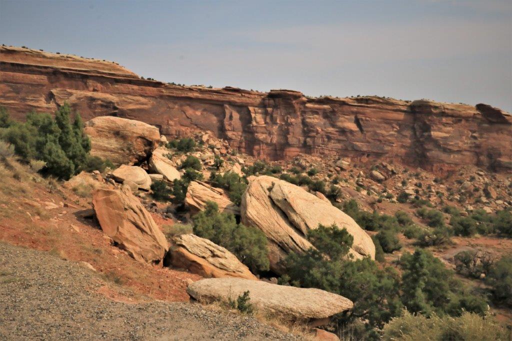
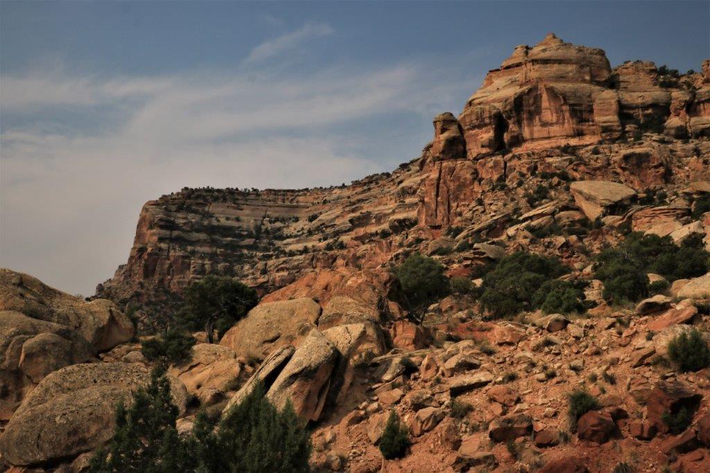
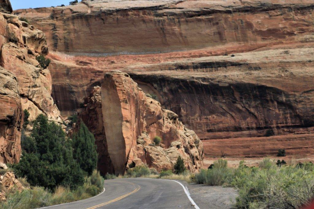
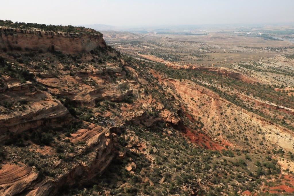
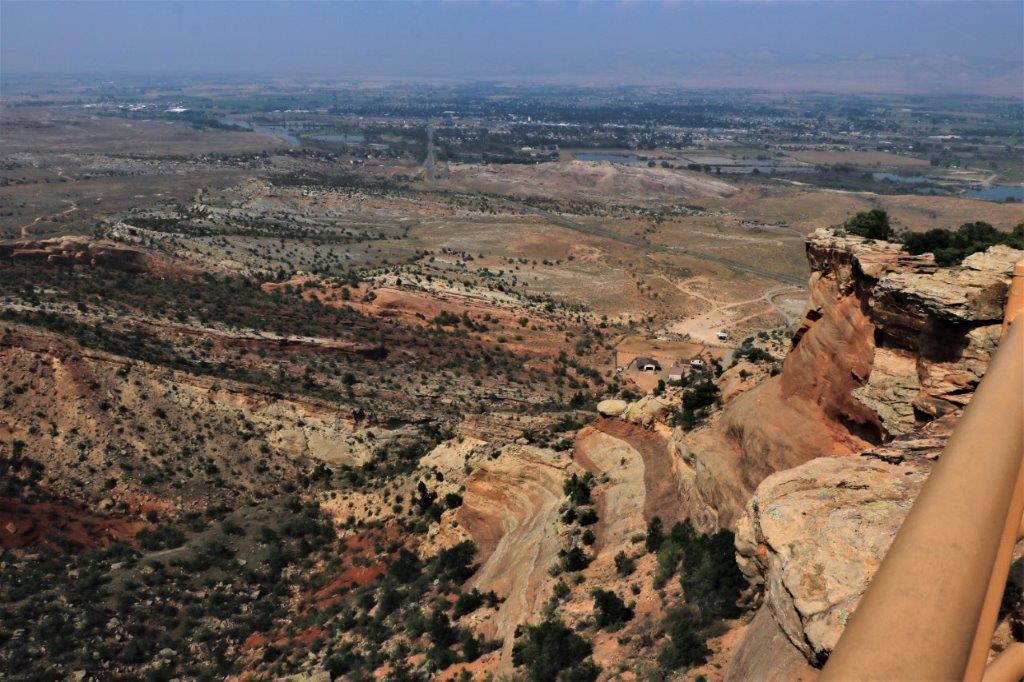
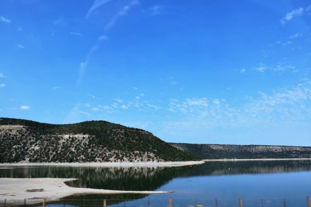
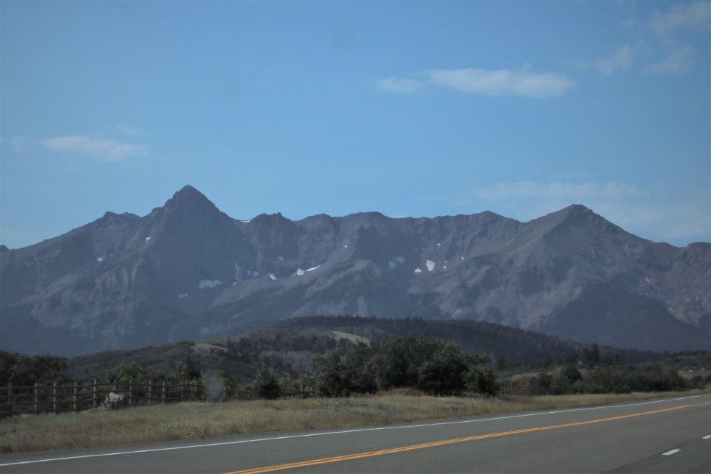
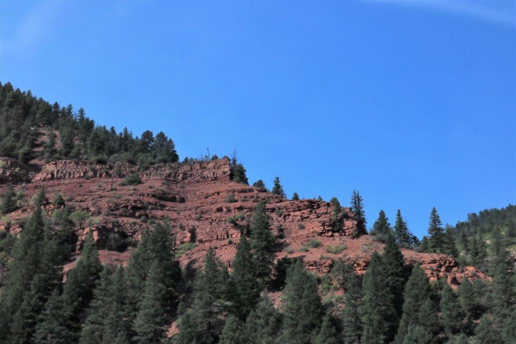
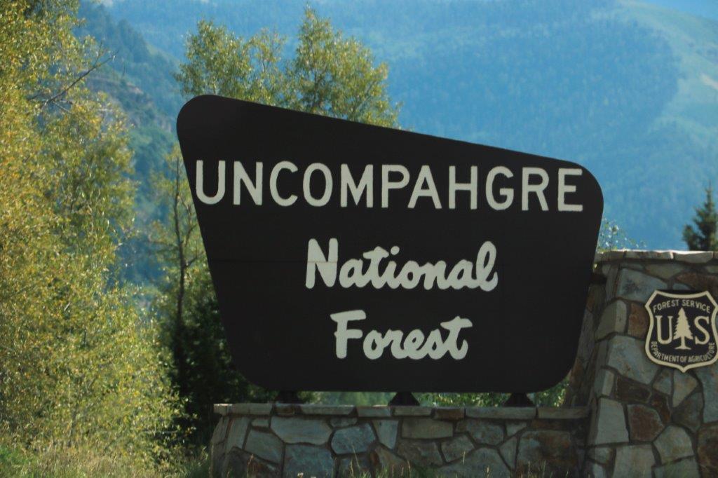
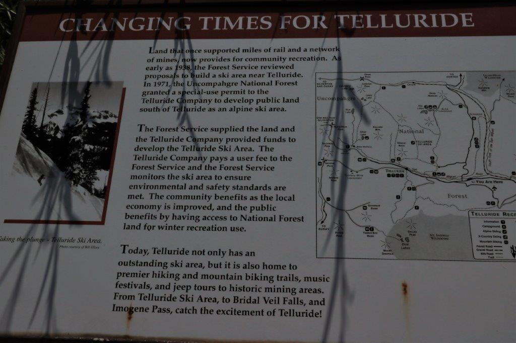
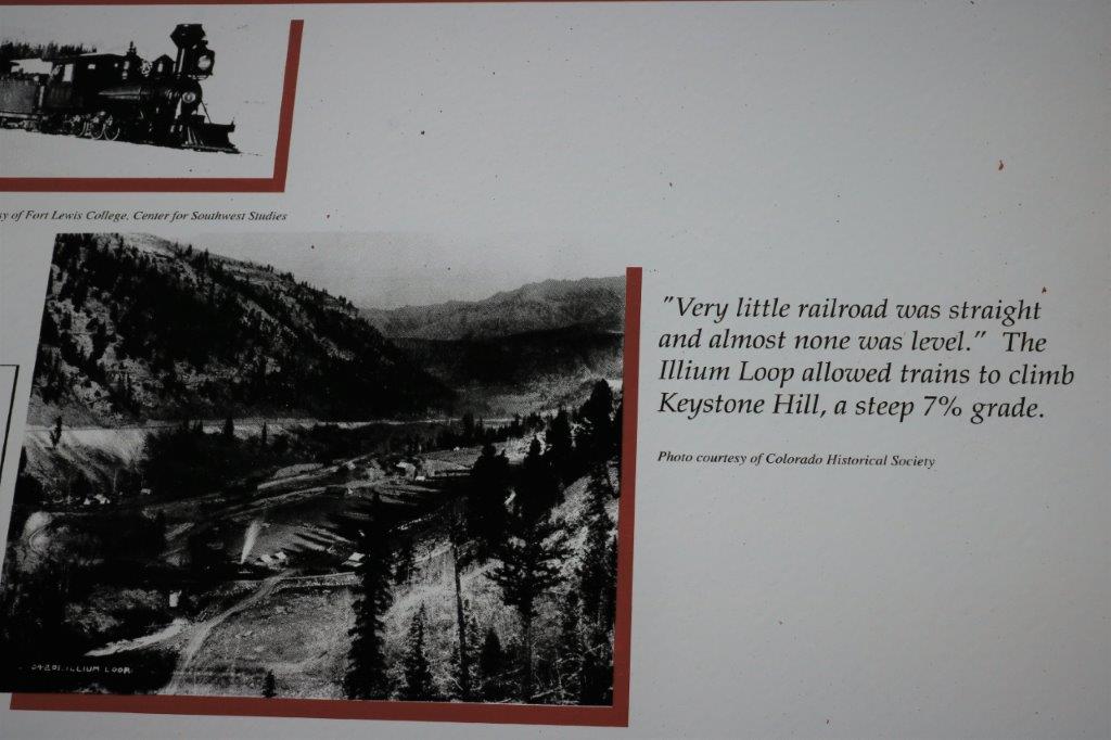
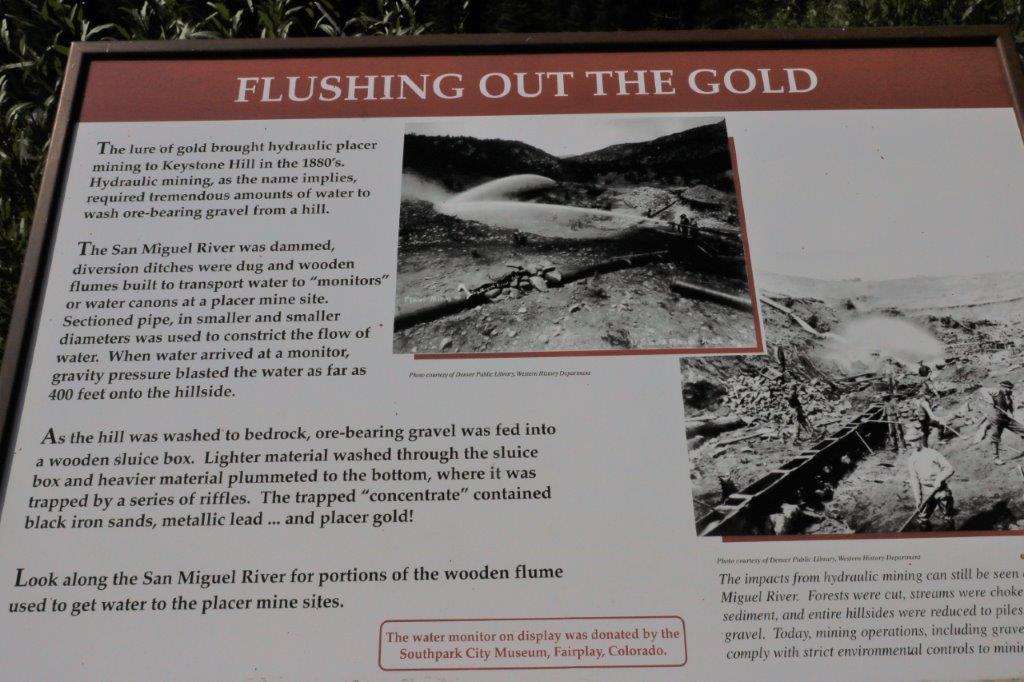
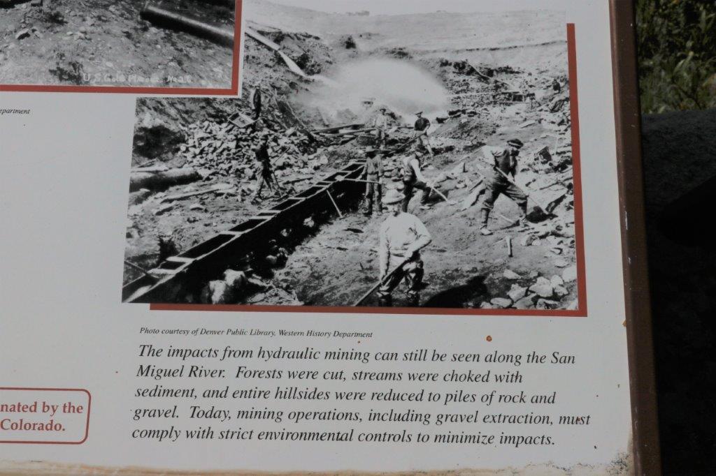
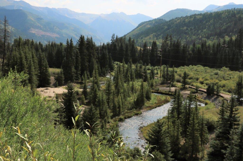
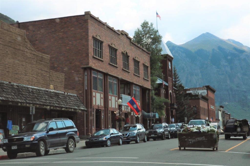
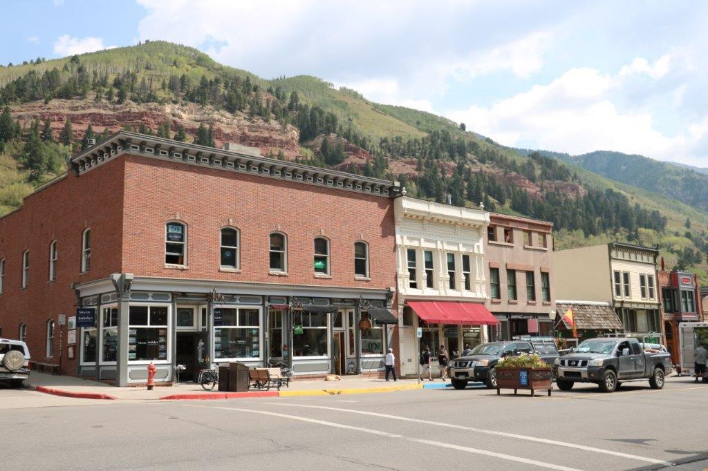
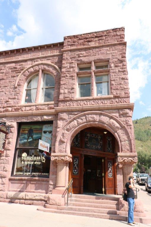
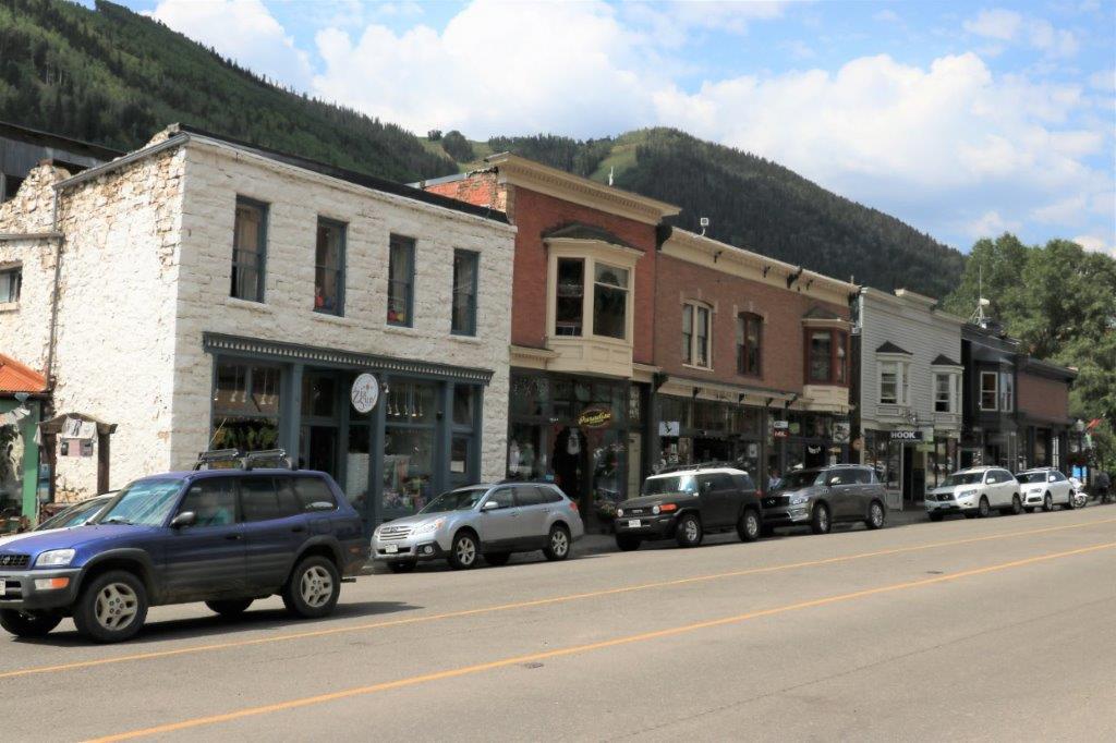
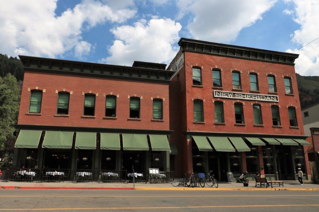
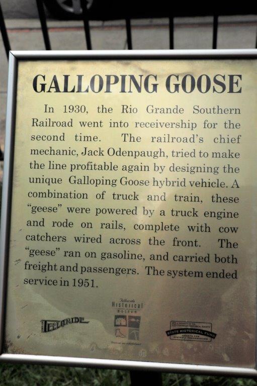
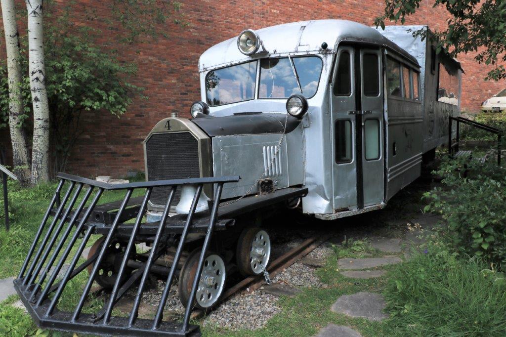
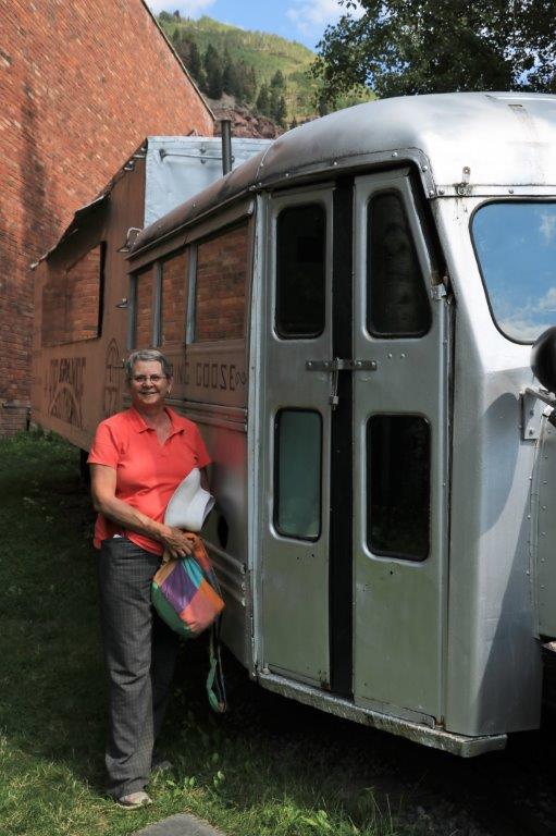
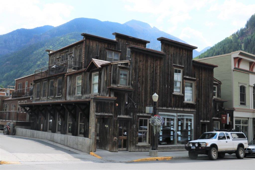
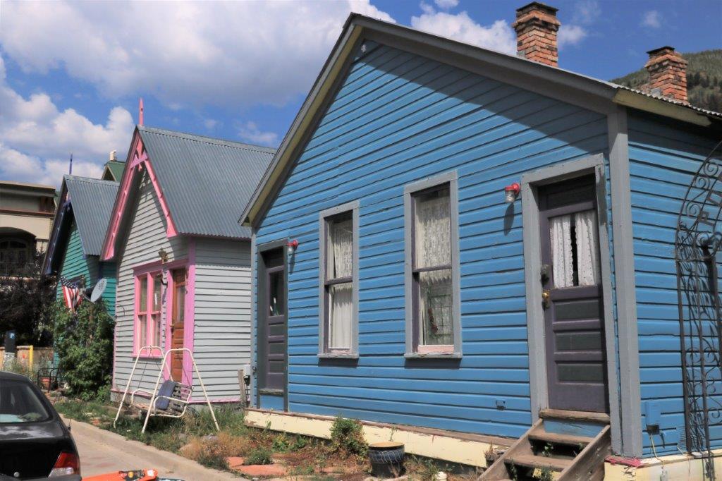
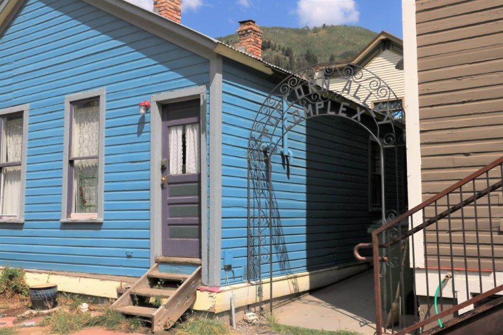
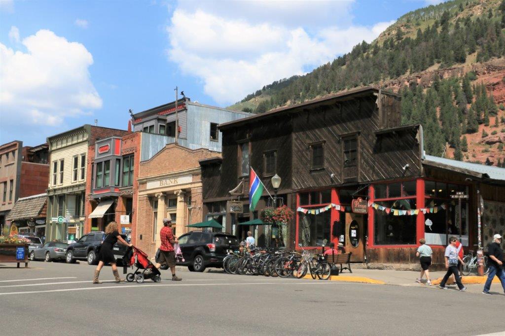
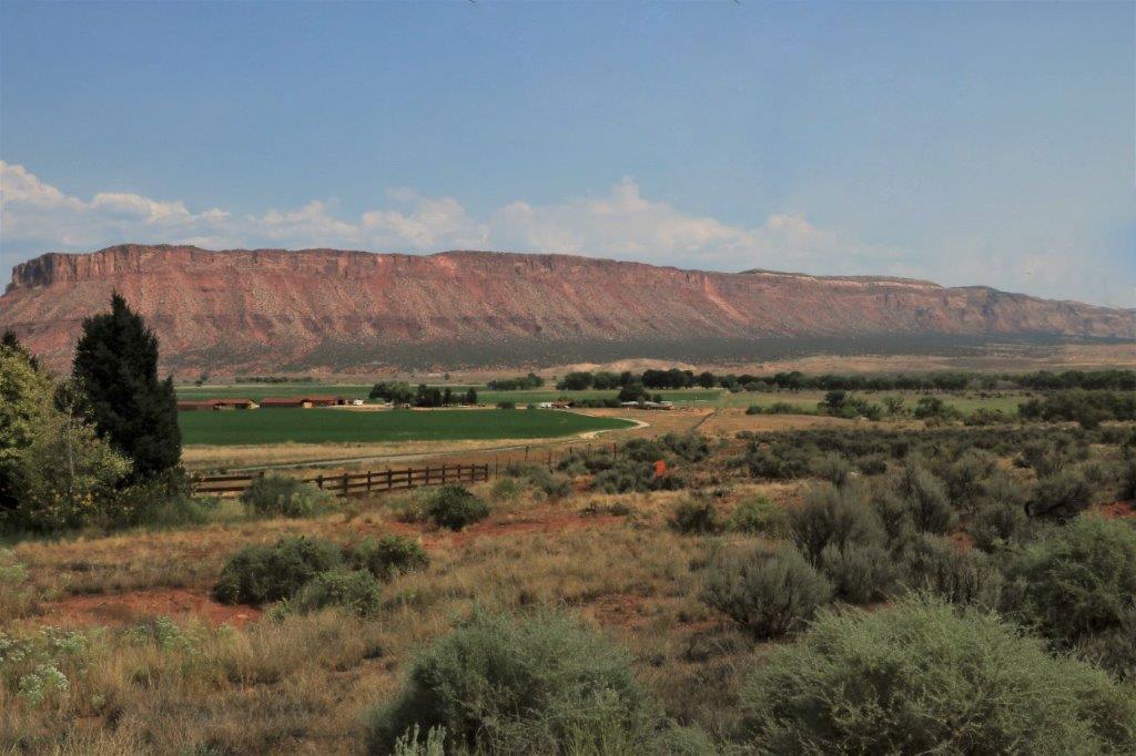
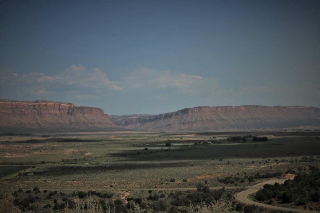
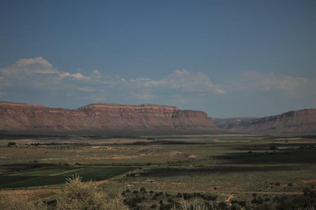
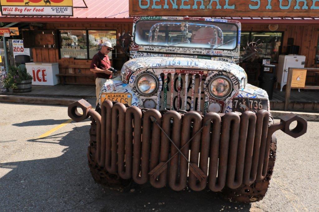
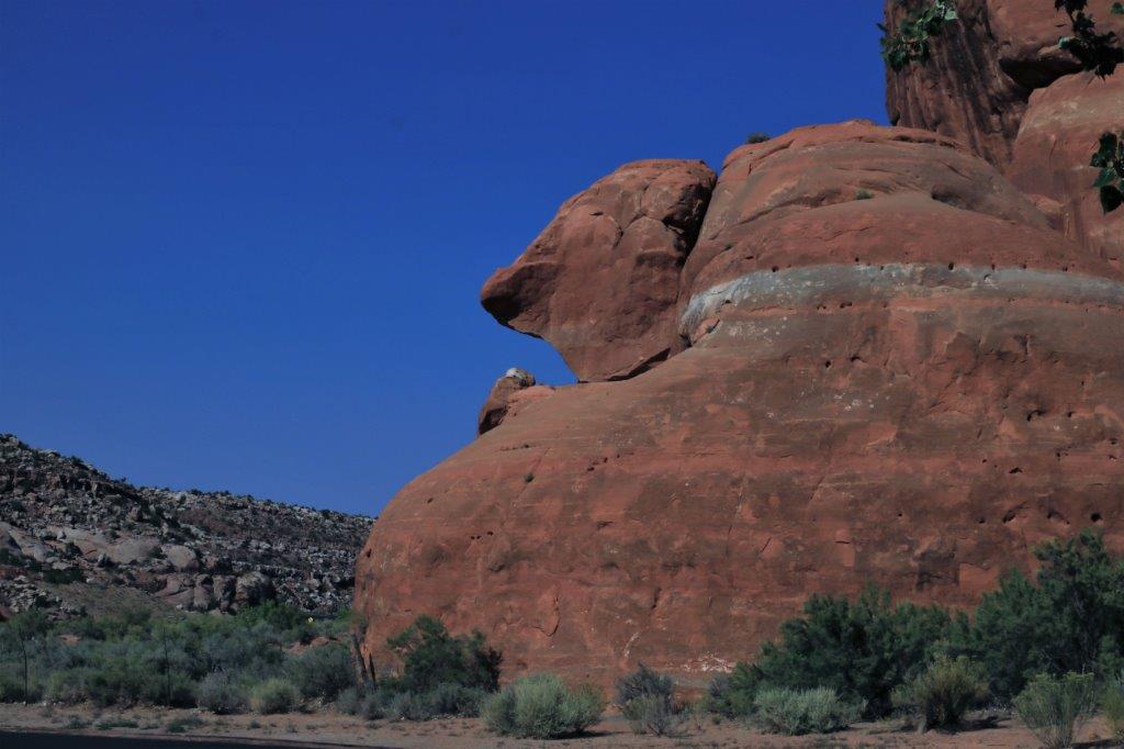
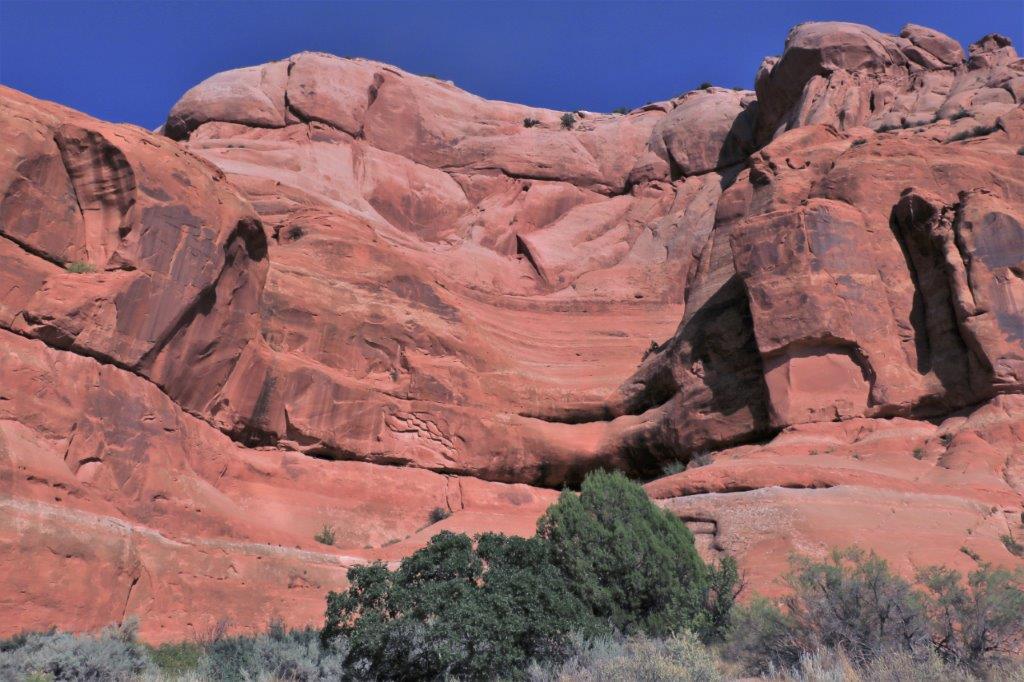
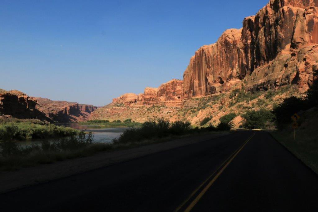
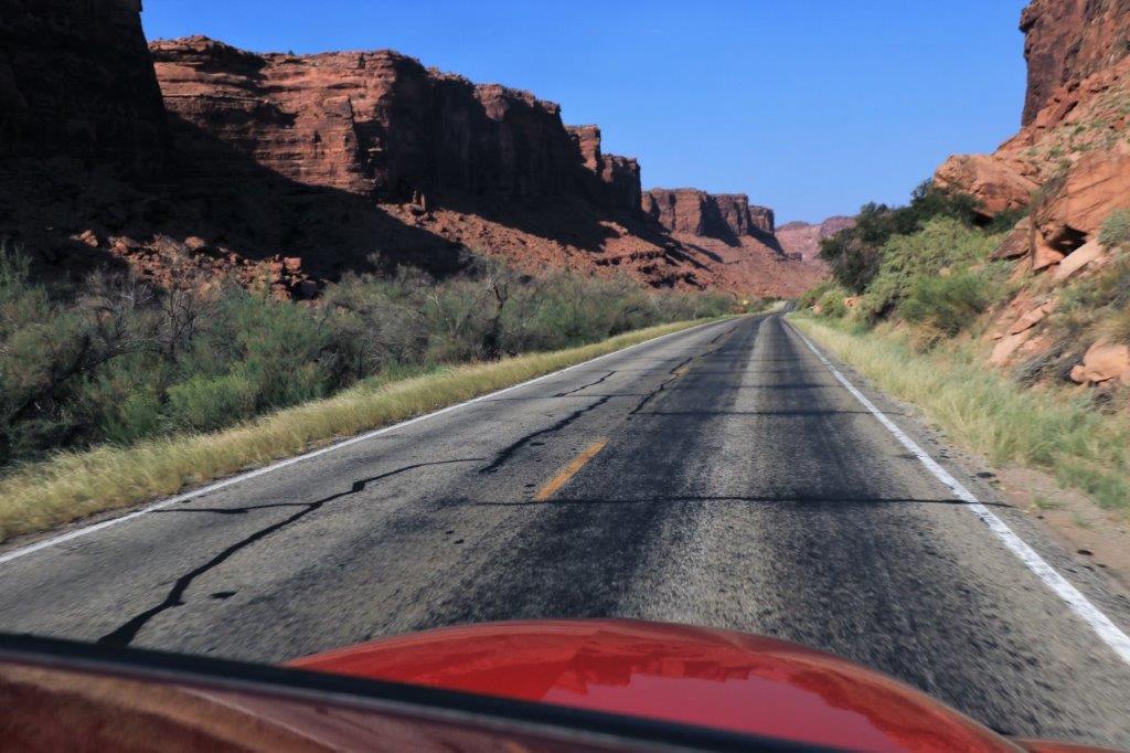
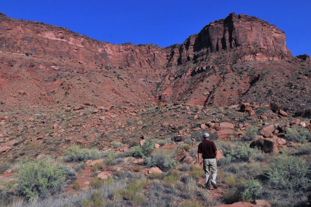
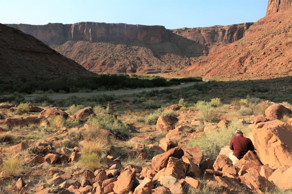
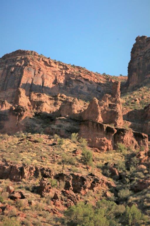
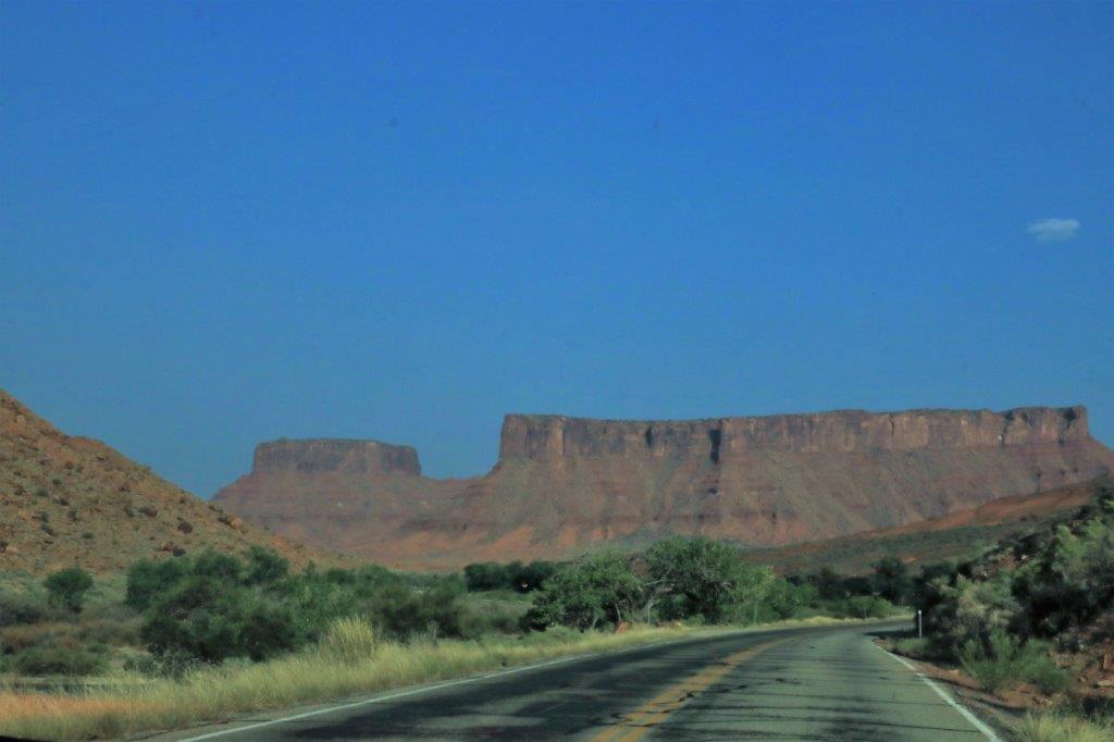
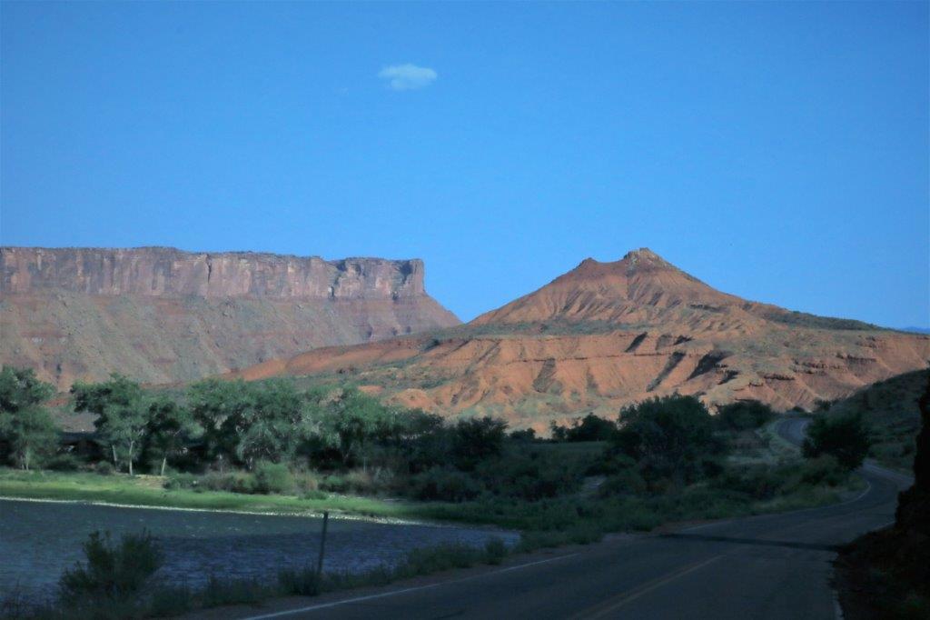
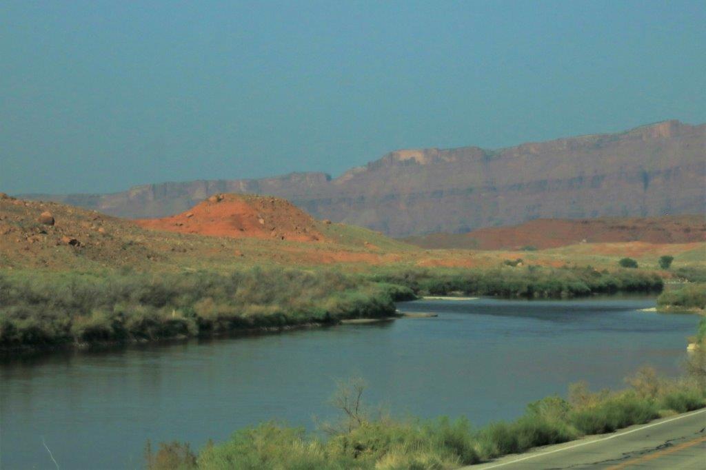
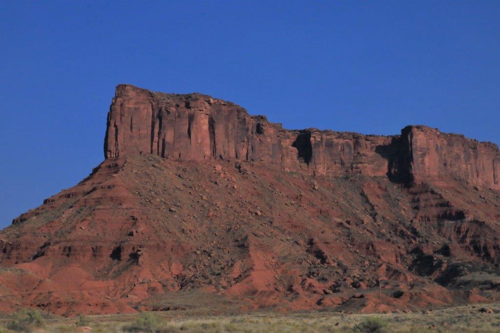
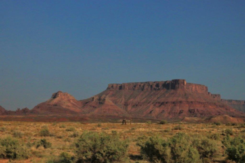
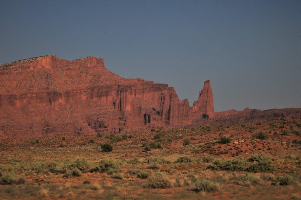
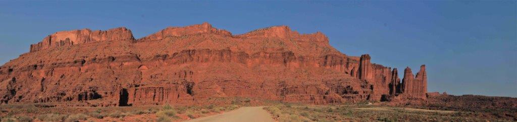
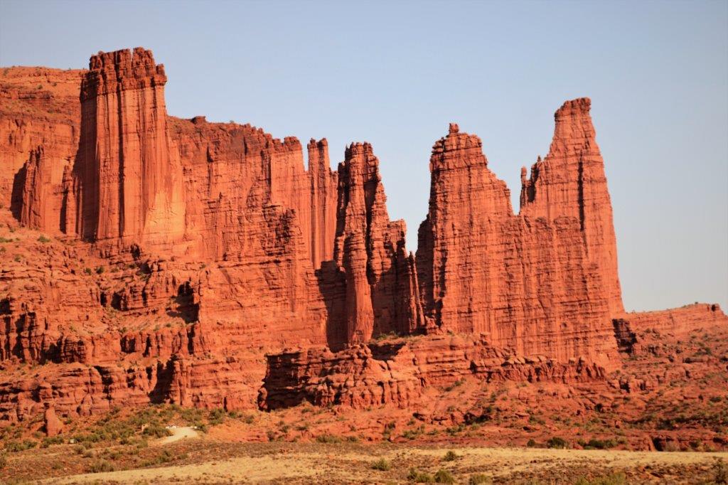
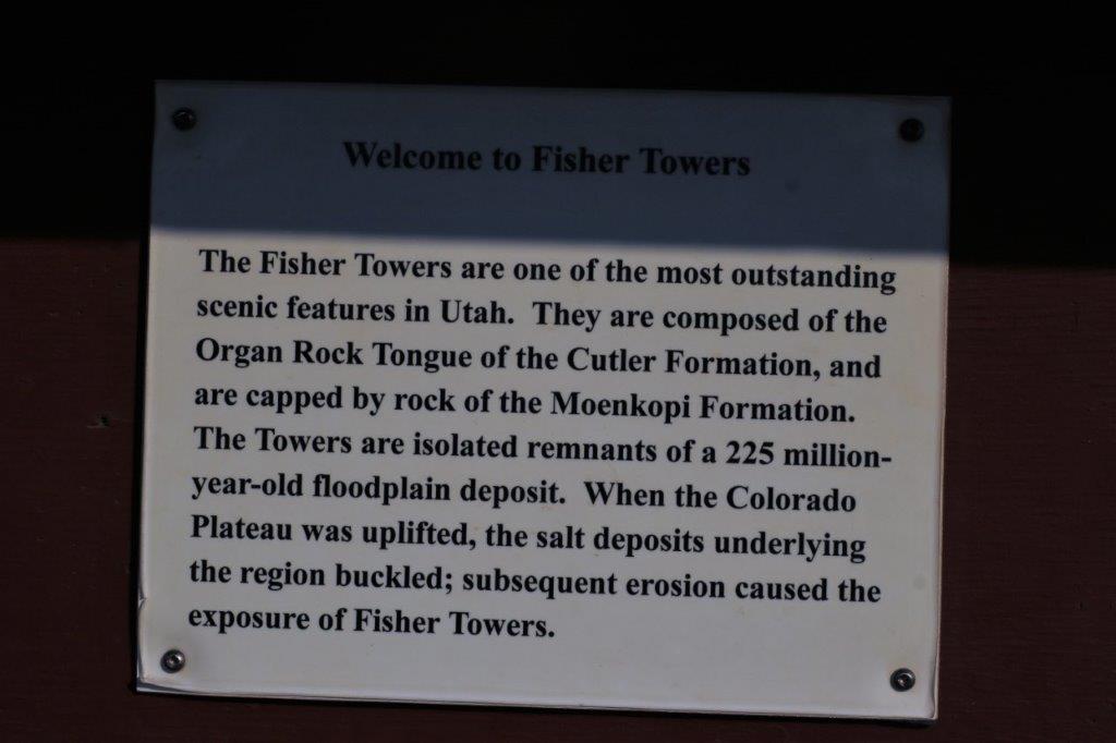
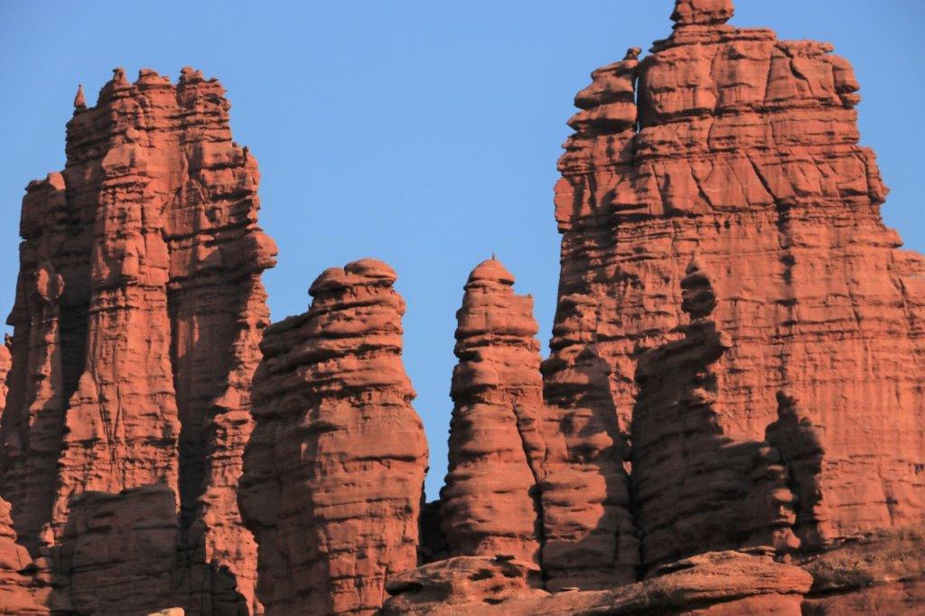
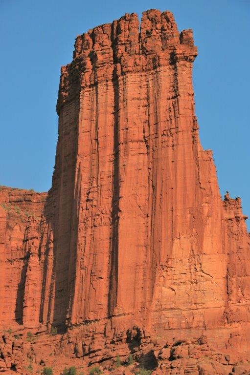
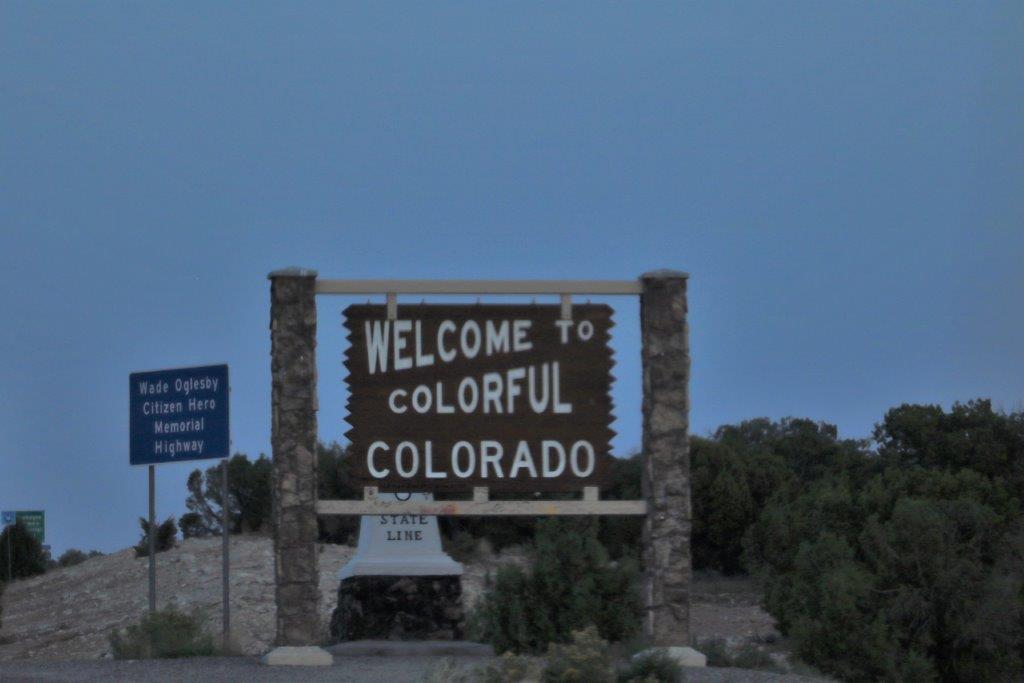
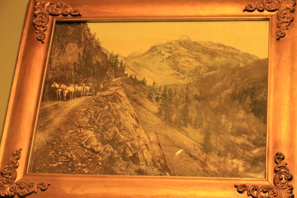
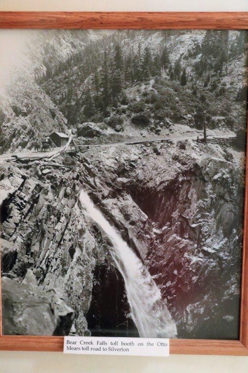
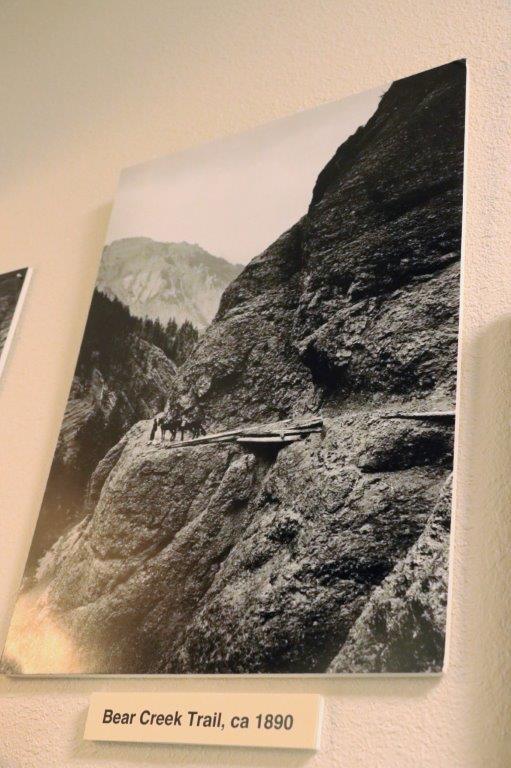
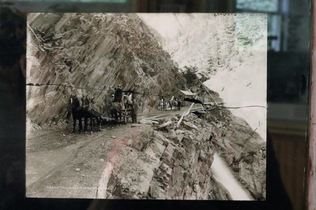
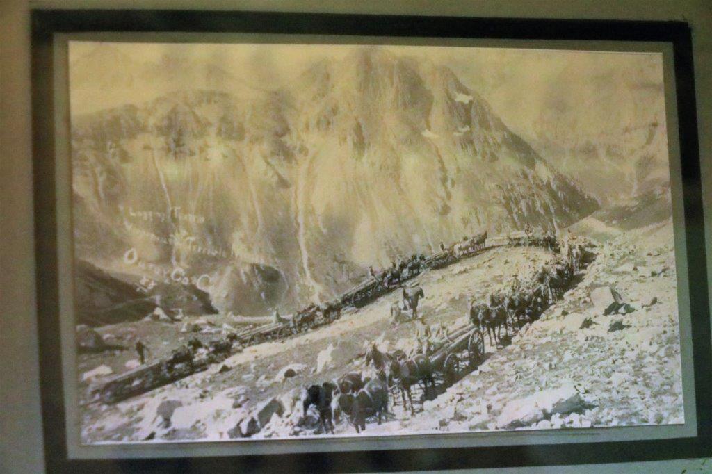
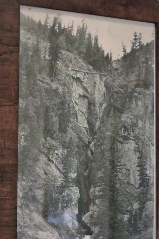
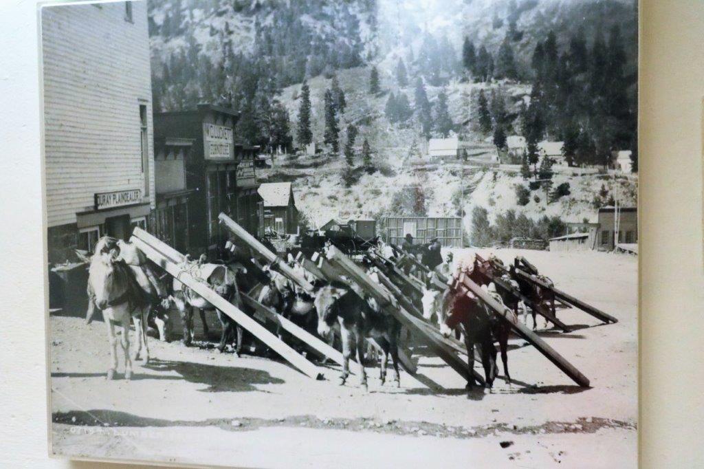
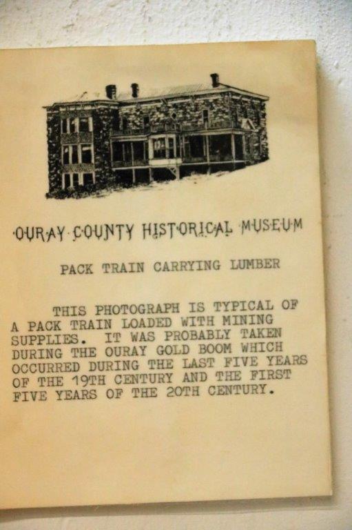
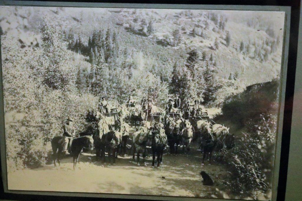
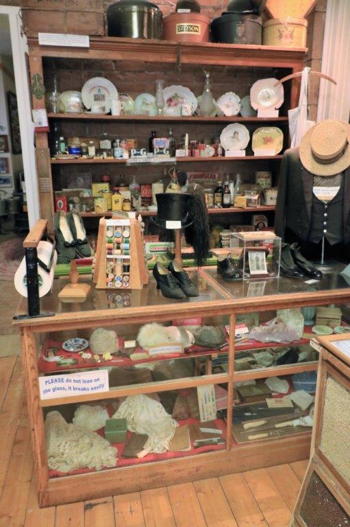
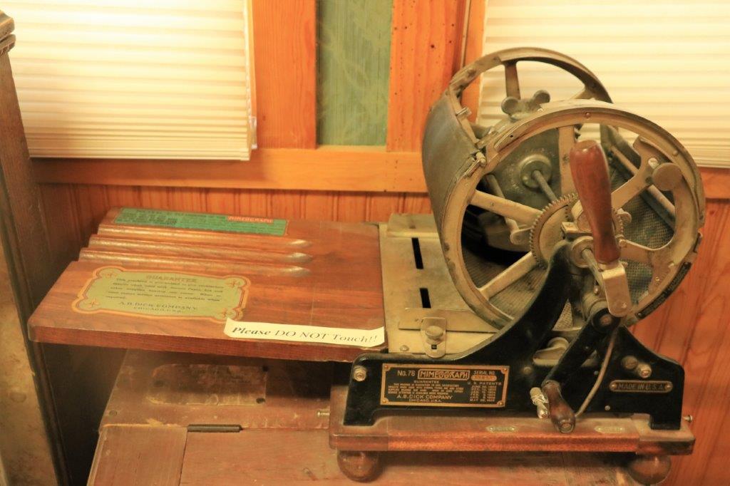
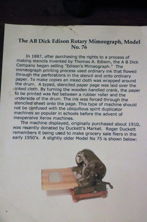
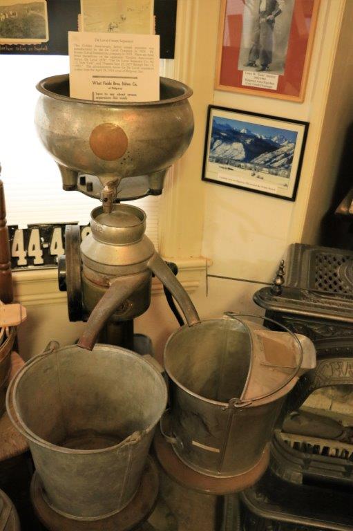
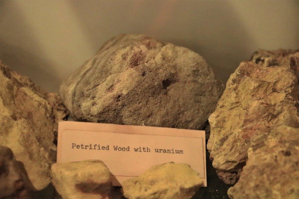
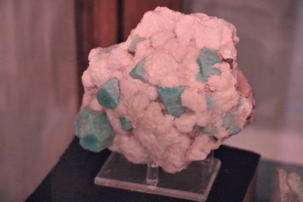
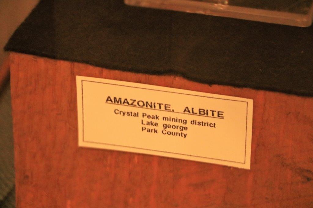
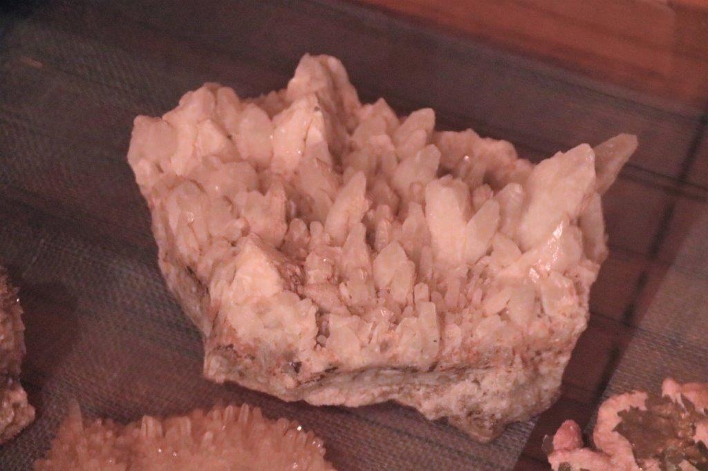
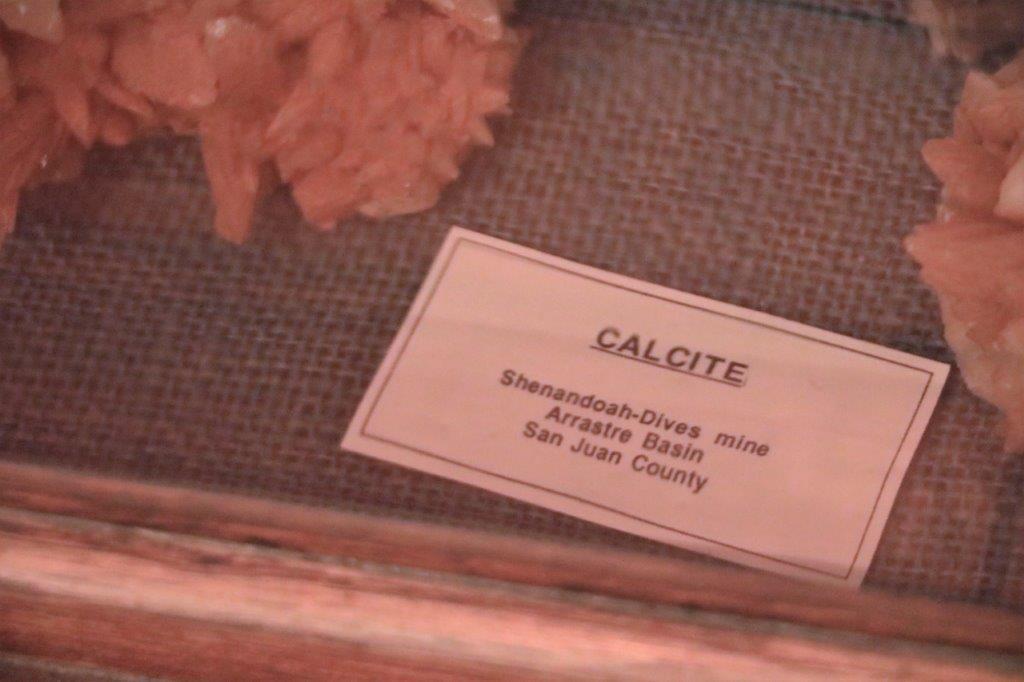
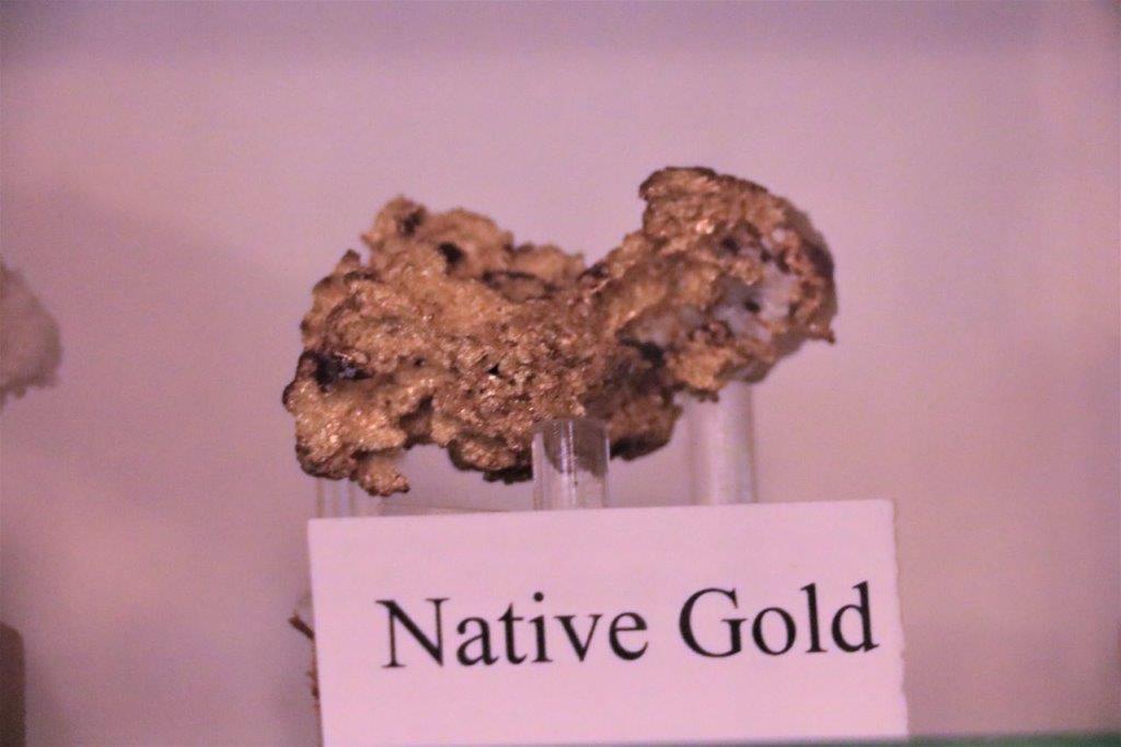
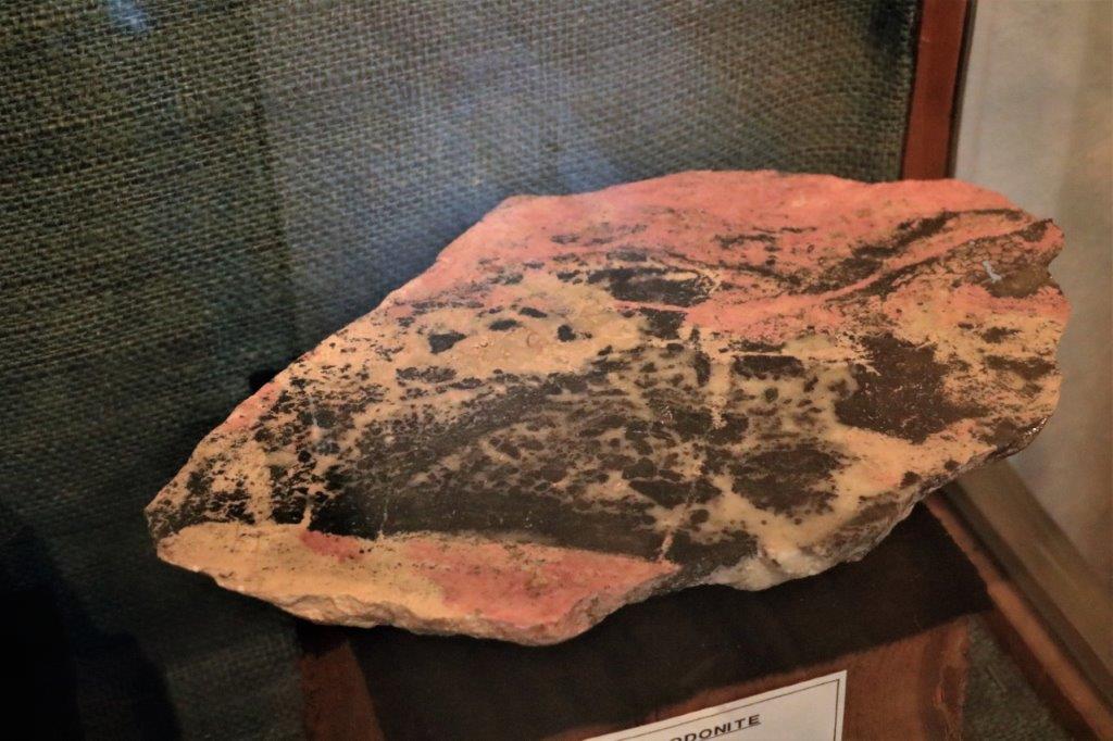
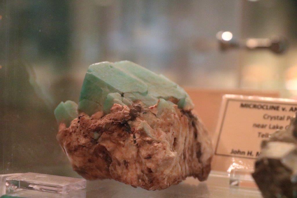
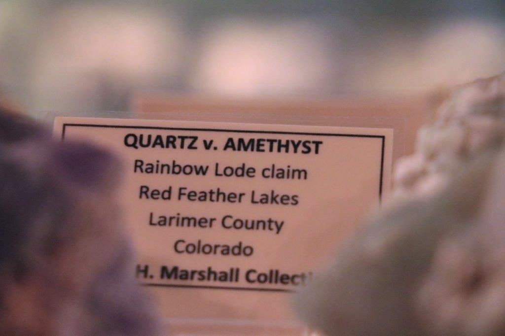
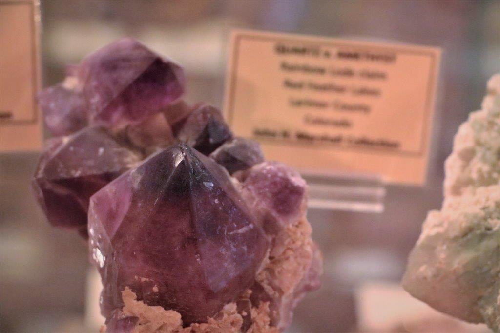
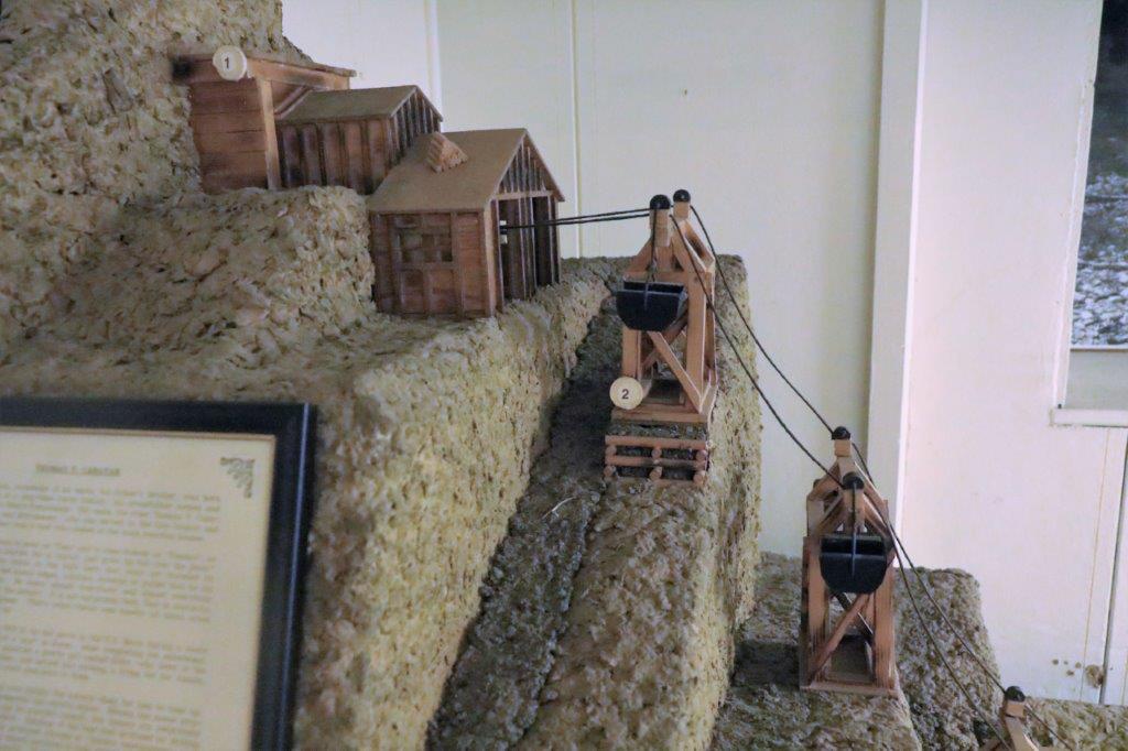
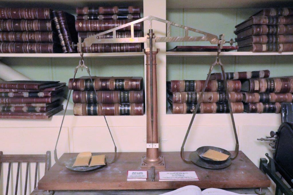
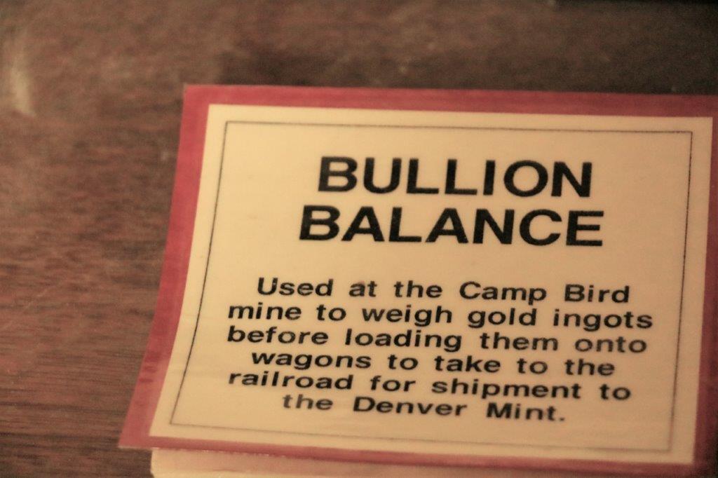
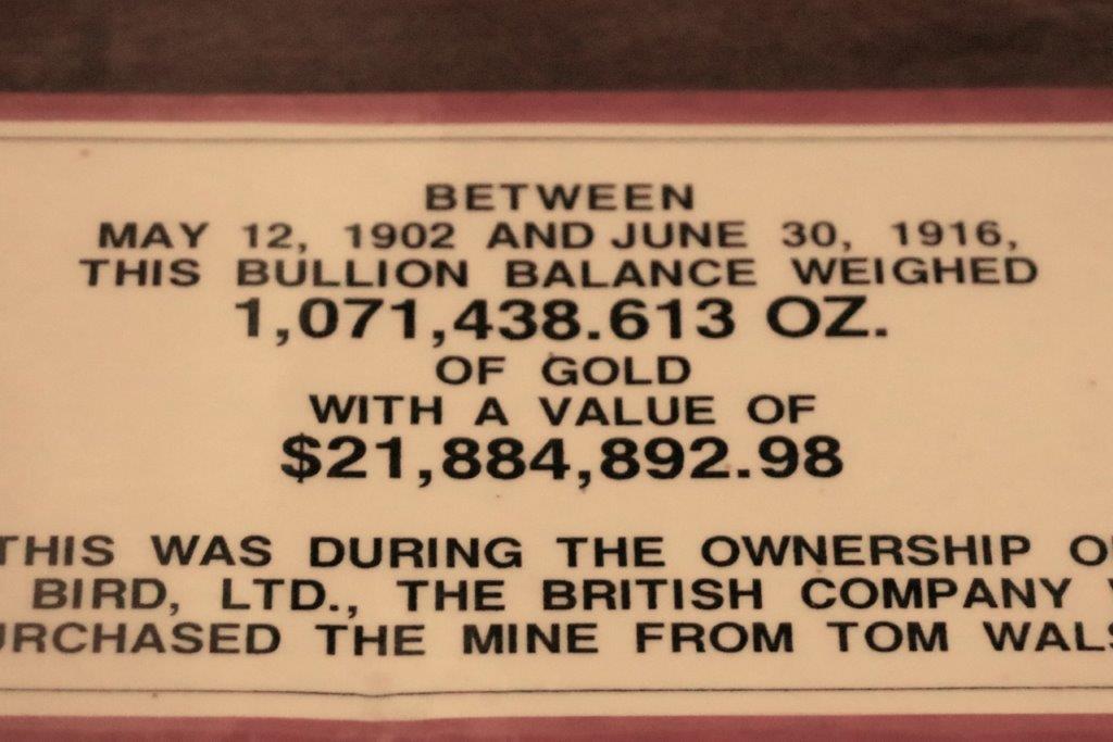
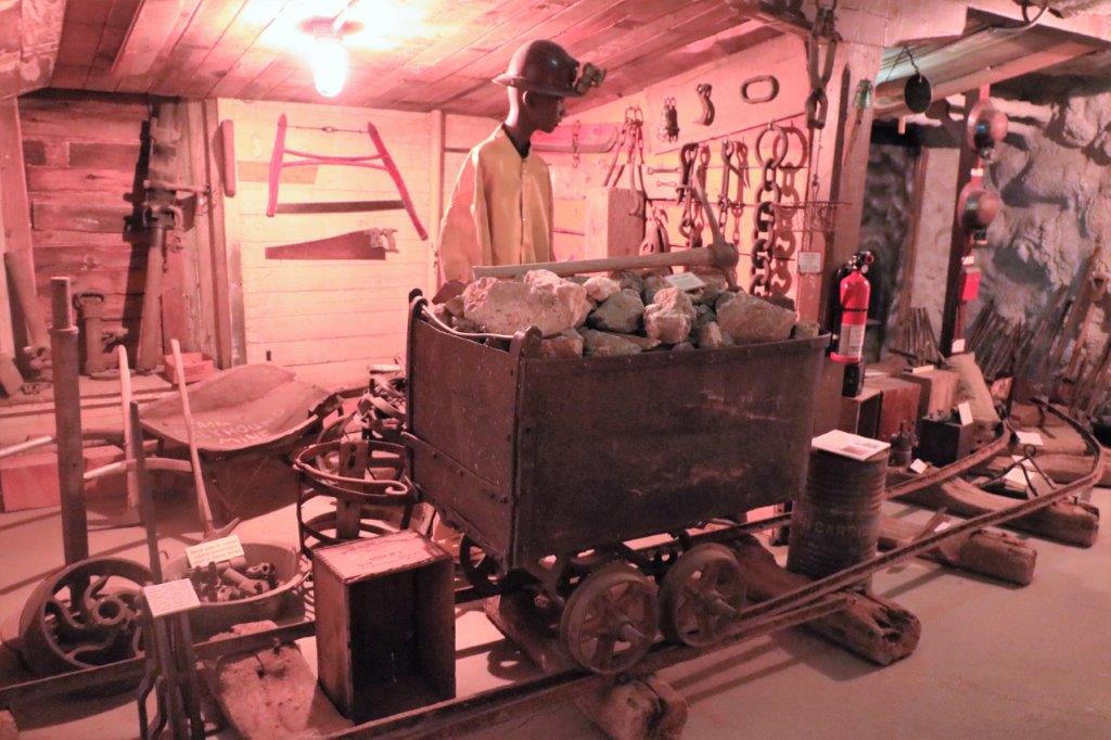
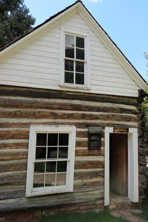
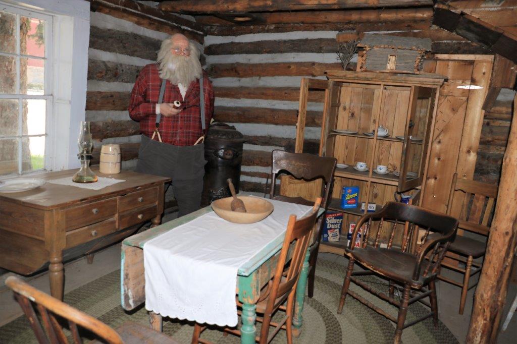
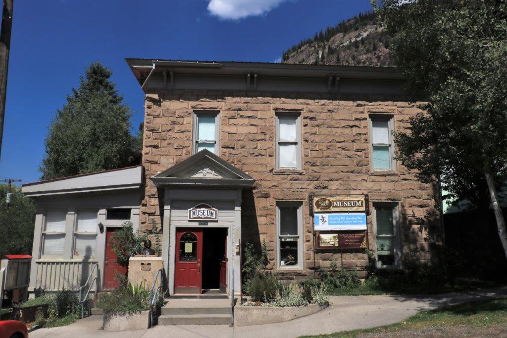
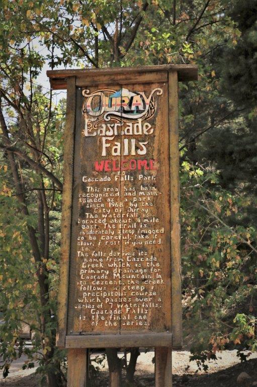
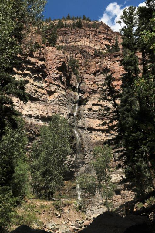
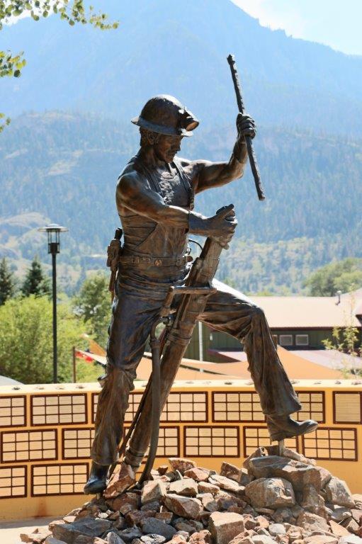
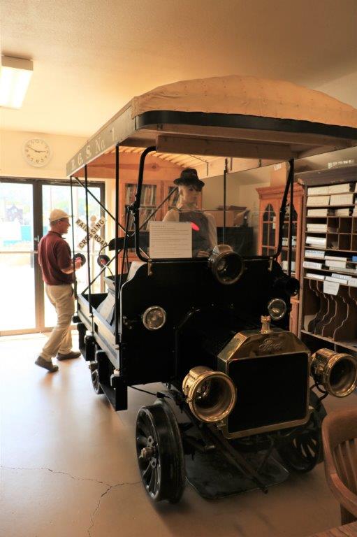
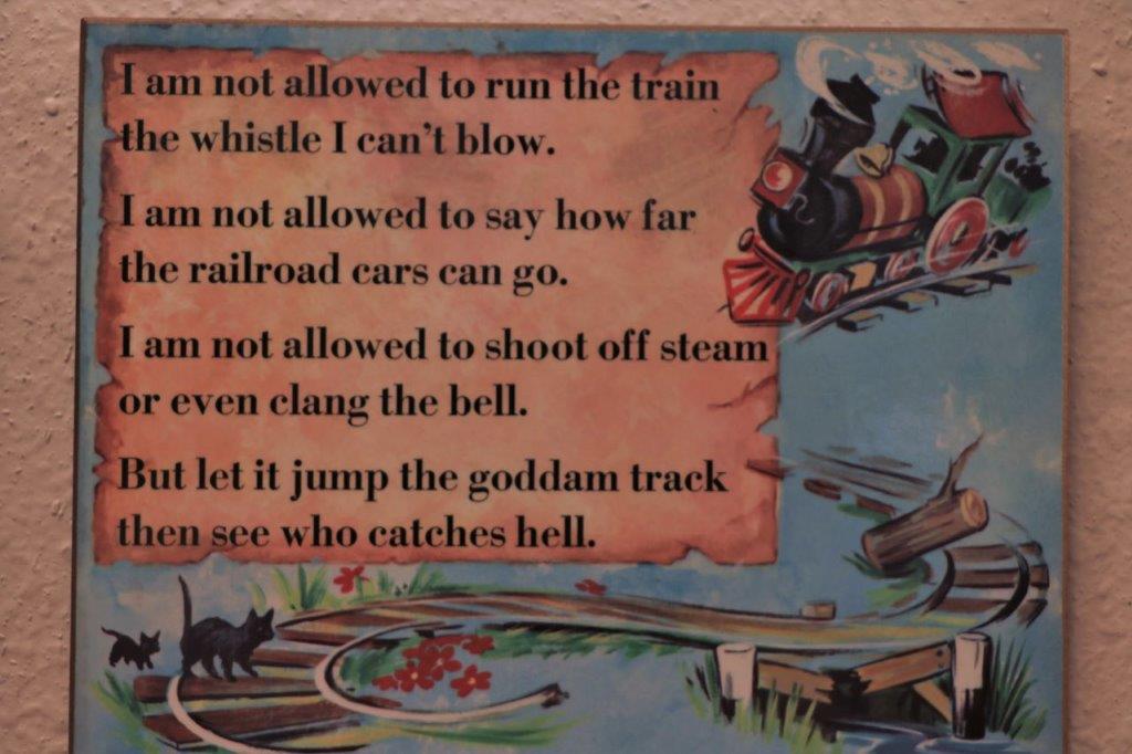
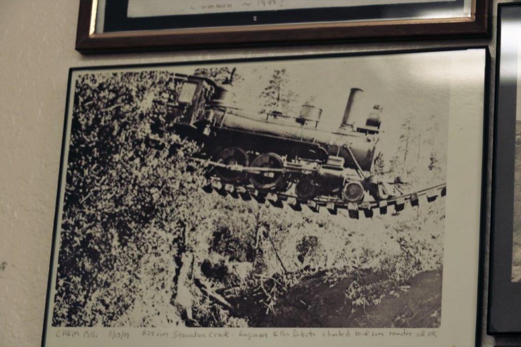
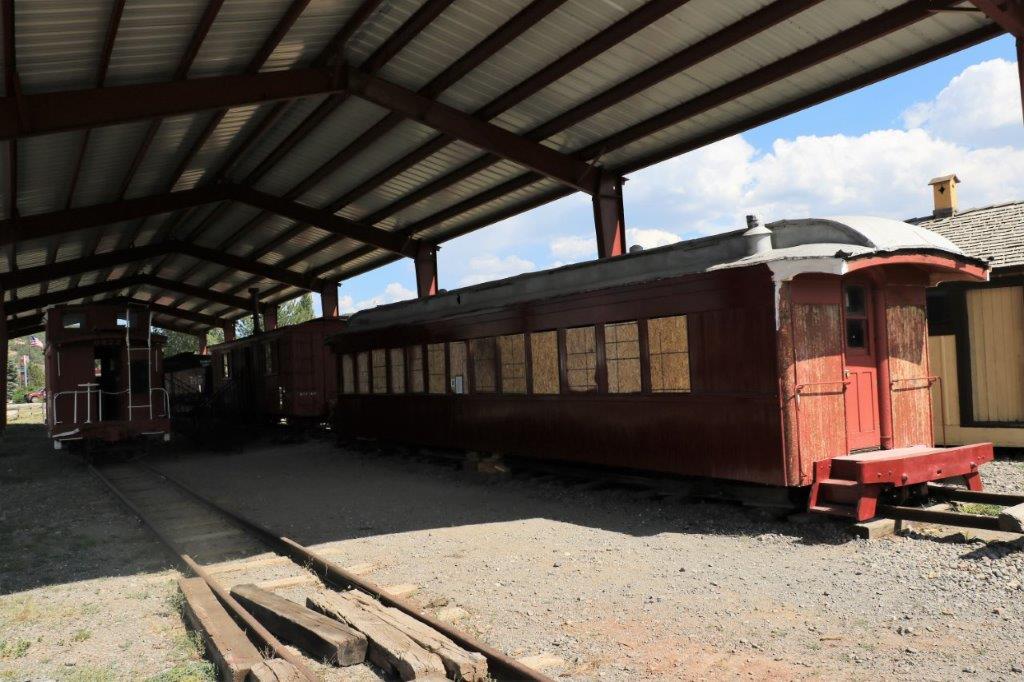
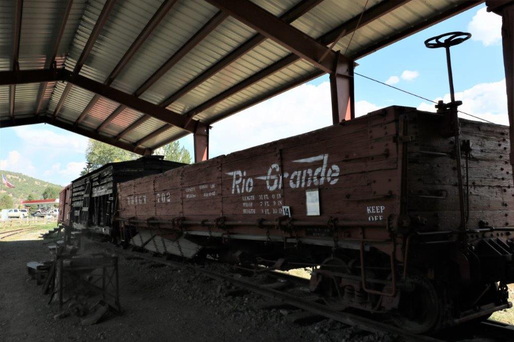
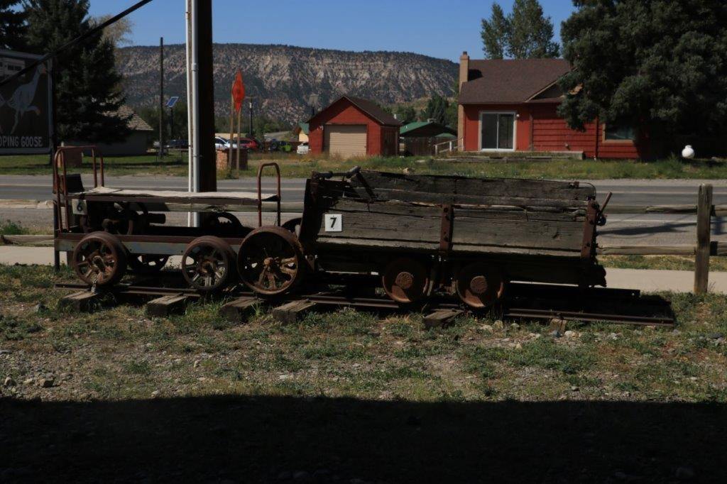
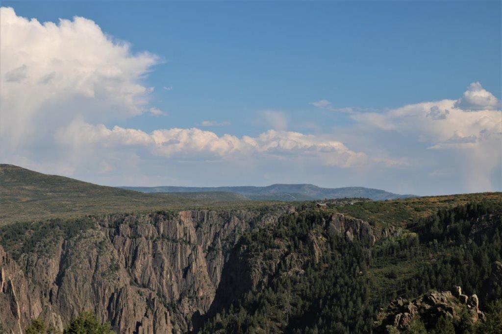
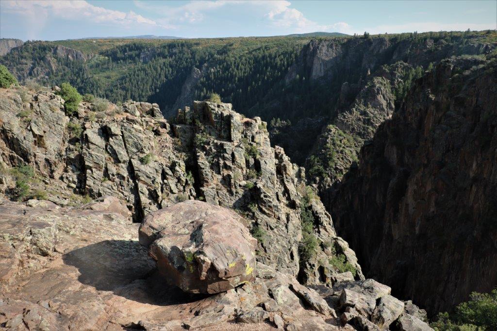
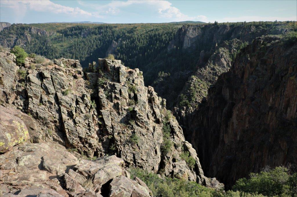
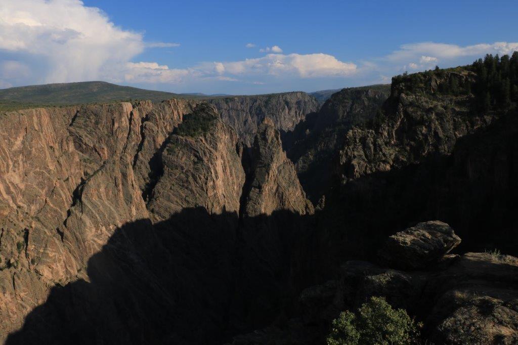
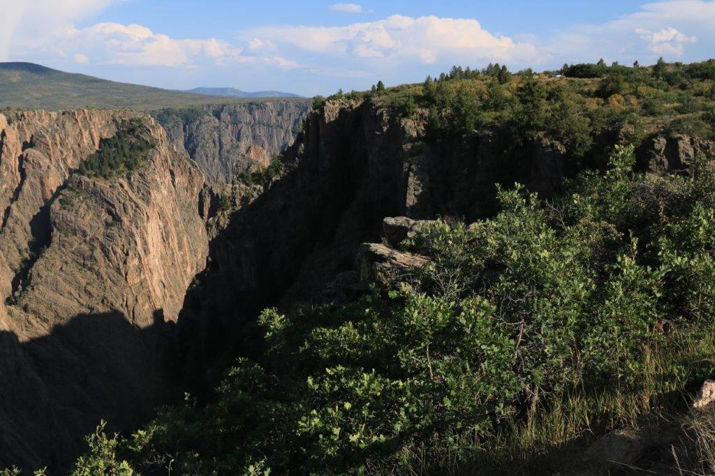
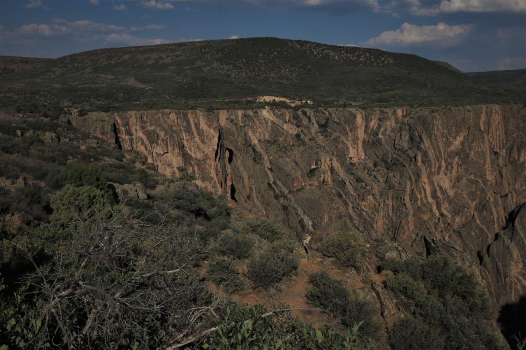
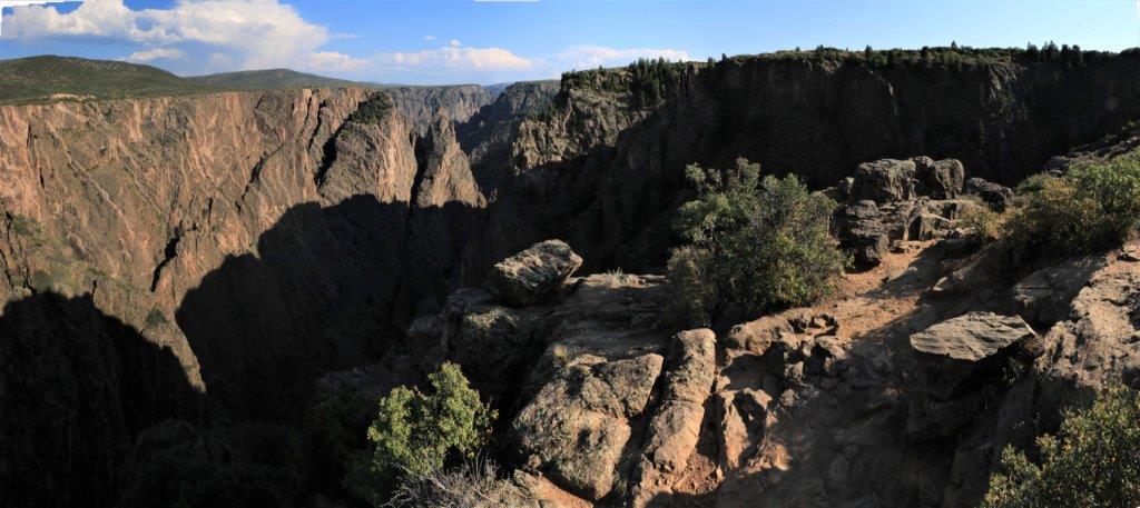
Once we got to Placerville we turned south for a few miles to go to Telluride, another former mining town (and country song), now a VERY popular ski resort and holiday town.   Prounounced Un-com-pa-grey. The place was packed!  There is paid parking on every street in Telluride.  There are only a few free parking lots on the outer edges of town.  Every street on every side on every block was packed with cars.  As is the case in most American towns they has a very wide Main street.  Telluride has wisely allowed short term/drop off/delivery parking in the middle of Main because the delivery and drop-off vehicles would never be able to find a parking space otherwise.  The city must make a fortune on parking.   The draw for me, other than going to the place of the song, was to ride the free gondola to the top of the ski hill and see the view.  We eventually found a place to park and walked up to where the restored Galloping Goose train/truck hybrid is parked.  There was a virtual cache set up there so we had to take our photos to prove we were there.

We went to a bakery/sandwich shop for some lunch and then walked around a few blocks.  There were many people with dogs on the streets.  Telluride is obviously a dog-friendly town, although they were not allowed in many businesses. These cute little houses were part of the Popcorn Alley Complex.  According to an historical sign, they were formerly brothels. We found a cache in the old jail at the marshall’s office.  Then we set off in the truck to find the gondola.  We drove around several blocks without locating it and finally asked for directions from some street workers.  We were several blocks in the wrong direction and there were absolutely no places to park so we just gave up and left town.  Another time maybe.

We drove back the way we had come until we reached the junction and then continued west to go to Utah.
                            We climbed through Norwood Hill. The landscape flattened out again as we got nearer the Colorado/Utah border.  We passed a large solar farm.

It didn’t take too long to see the red bluffs again though.

 This big red bluff was the backdrop for Red Rock Ranch.  There was a geocache hidden just outside the gate. We thought there was cache at this nice lookout over the valley but it was on the other side of the road up a rock column! Look for John in the photo on the left.                      I think we were being mooned by these rocks.  The only reason we went into Utah was to continue John’s quest of finding geocaches in 16 different states on this road trip.  I didn’t object because I love Utah.

Not too far south of Moab there is a tourist trap called Hole n’ the Rock.  There is actually a 5,000 sq. ft. house carved into this large rock.  Over the years they have added a General Store, Souvenier Shop, a Zoo, and lots of eclectic ‘treasures’ and sculptures.  We wandered around and located the spot for a virtual cache, had some ice cream, and got back in the truck to enjoy all Utah’s splendid red rocks. You can see the entrance doors and windows in front of the vehicles.  They usually give tours but there were chains across the access.  I didn’t want to tour it anyway so no worries for me. This jeep (and the big bull) were amazing sculptures. There were quirky things too.  Like: Bigfoot                                       And a political statement on employment heirarcy.And a jeep way up on top of the ‘house.’ We turned semi-easterly and by-passed Arches National Park (I loved Arches and would be happy to go through it again but we did not have the time this trip.) and took a lesser road that paralelled the Colorado River.  There was some spectacular scenery and rock formations.

We tried without success to find a cache at a roadside rest stop that had this great rock wall.  The formation on the left looks like a bear. Finding a geocache.

 This little – or not so little – leaning rock does not look too secure up there. I wanted to go see Fisher Towers so we took a 2 mile gravel road to the trailhead.  Unfortunately it was too late to do the hike (3-4 hour roundtrip) to the base of the largest tower but it was impressive to be as close as we were. There was another virtual cache at the old Dewey Bridge.  Apparently it had been restored in 2000 but they must have just re-done the supporting towers as there was no span, just loose cables. We were just about to leave and two does walked past. The red rocks petered out and were replaced with little brown hillocks. My only comment was, “Don’t you dare.”

And then we were back in Colorado again and the sun was setting as we drove into Grand Junction for the next two nights. Our plan for the next day was to tour the Colorado National Monument which is located just southwest of Grand Junction.  Be prepared for lots of photos of red rock formations.


2017 Sept 4 – Montrose, CO (Ouray Museum, Ridgeway Rail Museum, Black Canyon)

We had a jam-packed day.  We left our hotel in Montrose at 10 and didn’t get back until almost 9:30.  In the interim we toured two museums, hiked to a waterfall and went through a national park.  Needless to say I took tons of photographs.

The Ouray Historical Museum is located in the old Miner’s Hospital. It is three stories of exhibits in 28 rooms, plus two cabins and a barn.  We were there for over 2 1/2 hours.  Here begins the tons of photographs.

Scattered throughout the museum were photographs of the early days of the Bear Creek Pass that we negotiated between Durango and Montrose.

There were also a couple of photos of the box canyon at Ouray from the early days.

Notice that the High Bridge at the top of the Box Canyon has been in place, albeit in a much simpler form, for many years. The reverse turntable on the Silverton Railway was slick, We just navigated our way through all the rooms on the first floor, which had very diverse exhibits. Our neighbours had a cream separator much like this one.  We got our milk and cream from them every day. It is completely wrong that a sports sweater from 1969 would be in a museum.  We graduated in 1969 and that was just a few years ago.  Certainly not museum-worthy!

These glass insulators for the power lines are also very familiar from my youth.  Where, oh where, has all the time gone?

Many of the rooms on the second floor were displays from the building’s years as a miners hospital. Pretty ingenious teeter-totter – use the mule as the fulcrum. It was interesting to see that most of the wedding dresses in this room had a photo of the bride who wore it.  That was a nice touch.

The basement of the museum contained the hospital kitchen, just as it would have done originally.   This meat grinder is a few years older than my mother’s but it looks very similar.  And I still use it.

There was a large room in the basement devoted to all the different minerals found in the various mines in the area.  There we hundreds of samples. I have virtually no idea what many of them are, but I liked all the colours. And in a little room were two display cases filled with plain-looking rocks.  On the wall were instructions to close the door, turn off the light, and turn the dial on the timer which turned on an ultra-violet light and displayed the gorgeous glowing colours in the rocks. The jail was also  in the basement and a sad story as well. Outside there were two old cabins from early pioneers to the area; both of which had been moved to the museum site. On the way out of town you can take a short hike up to Cascade Falls.

This nice miner statue is located at the hot springs pools on the north end of town.

Between Ouray and Montrose is the community of Ridgway.  There were having a rodeo on the Labour Day weekend. We stopped at the Visitor’s Center and did a quick tour of their railway museum. I looked at all the railway cars while John went over to the tiny Lion’s Park and found a geocache. Our last stop of the day was east of Montrose 11 miles and then up a side road for 5 miles to the Black Canyon of the Gunnison National Park.  The Black Canyon is so-called because it is so deep and so narrow that the side walls often look black or are black due to the shadows.  I took tons of photos here because it was so unique but it was very hard to give any type of perspective on this 2000 foot deep canyon.  At it’s narrowest point it is only 40 feet across. The Visitor’s Center is perched on the cliff side. Look at the photo on the right and see the huge chunk of rock that broke off and got stuck in the crack as it fell.

This looks like a reclining dude in the rock’s striations. We left the park almost at sunset and had yet to drive back to Montrose.  It was about 8:30 by the time we got to a restaurant for dinner and when we got back to the hotel it was soak in a hot bath and go to bed time. Sure was a good day though.