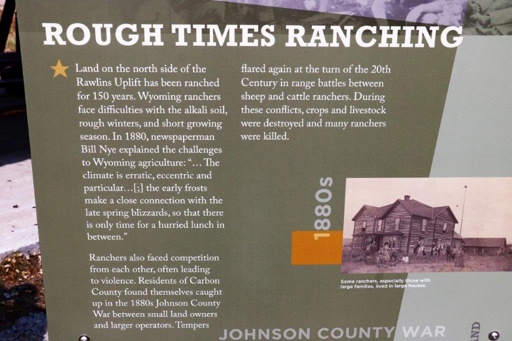
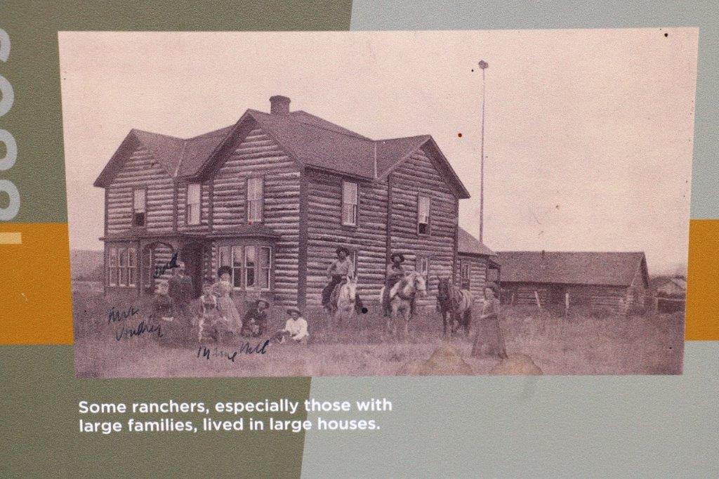
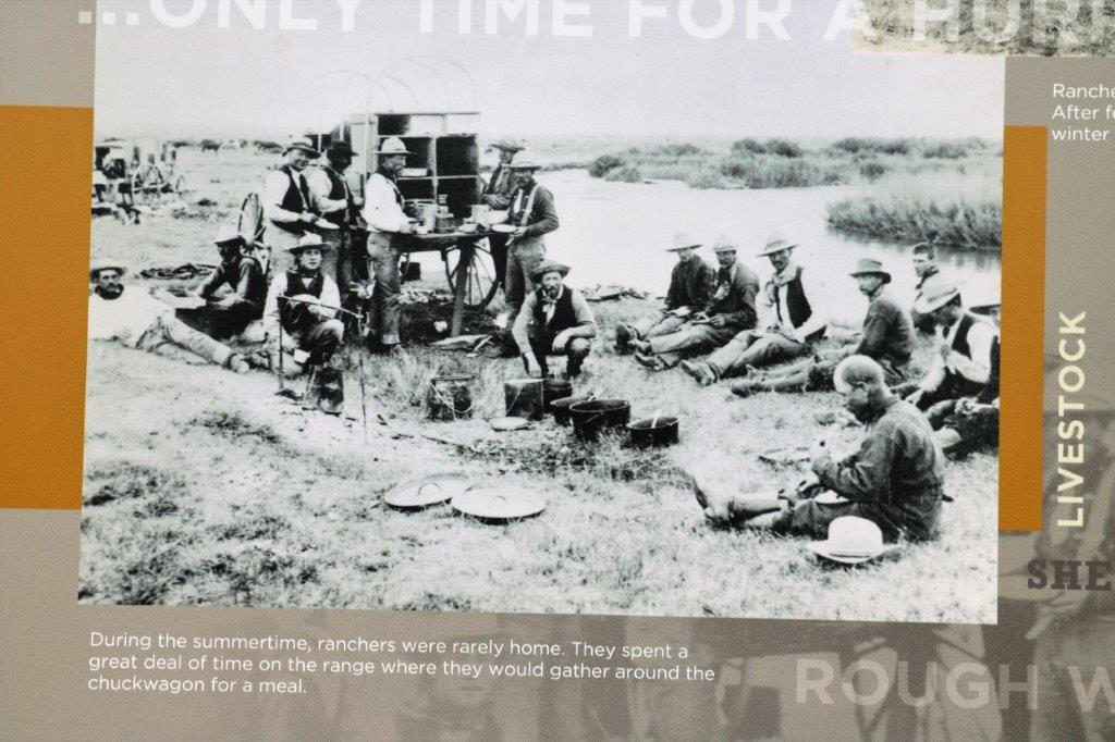
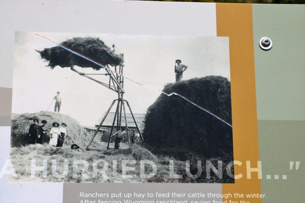
Today was another mostly driving day. We looked for geocaches every 40-50 km, or if there was one hidden at an historic marker, since we stop for all of those anyway. The smoke was still hazing the distance but I couldn’t smell it and it didn’t bother me.
As we were leaving Craig I snapped a quick pic of these adorable foxes.
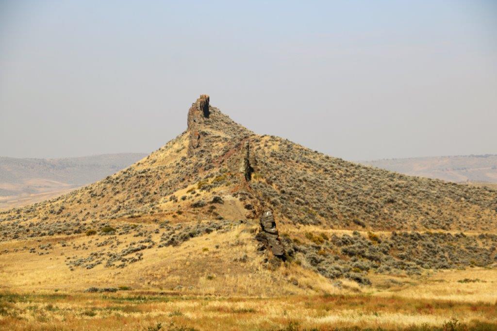
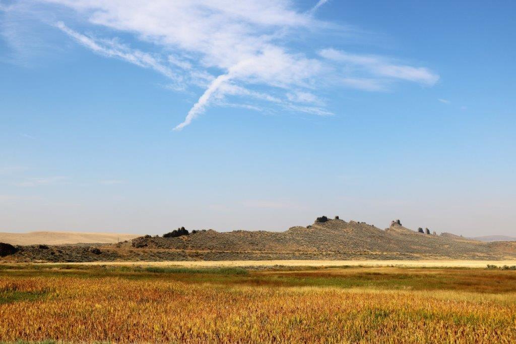
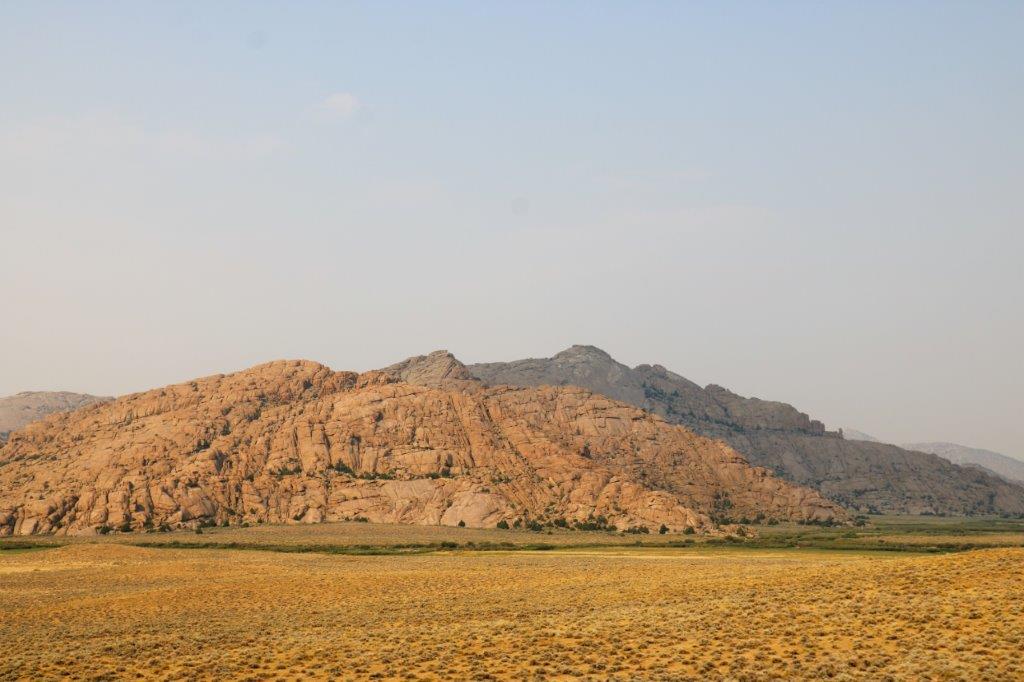
 We often see this type of sawtooth ridge jutting out of the ground.
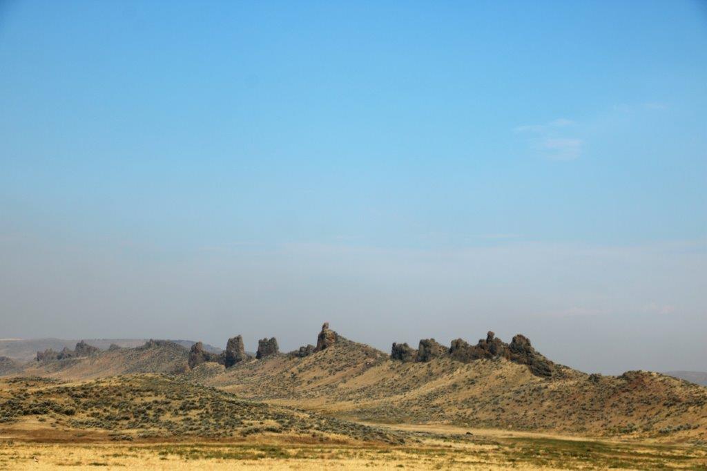

 Very few signs in these parts escape target practice.
Craig is not too far south of the Colorado/Wyoming border so it wasn’t too long until we entered our 15th state of this trip. I counted up the states I have been to and only need to go to 14 more to have been to all 50. I guess I will have to work on that.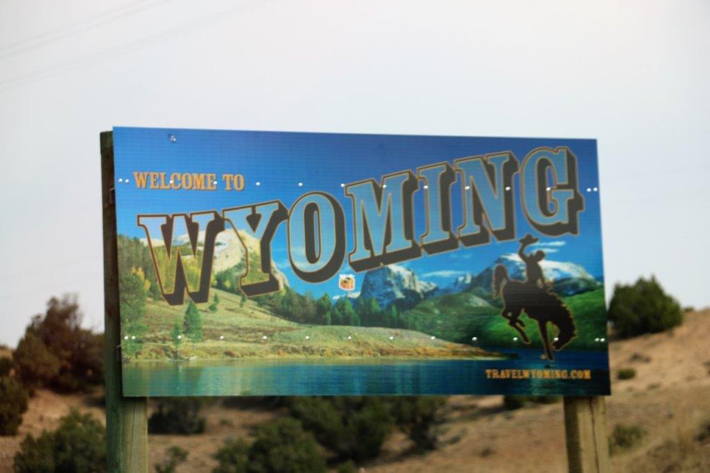 In this type of country, where there is not a lot of visual changes, I tend to read my book and pop my head up every now and again to check on the scenery.
We encounter small bits of painted hills – brown ones.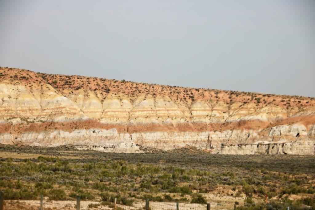
 There was a geocache hidden at parking lot in the middle of nowhere. Well, we were able to park in the parking lot then we had to go down into a dry wash and up through a bunch of sage scrub to find the cache. Which we did.
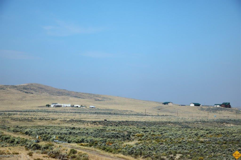
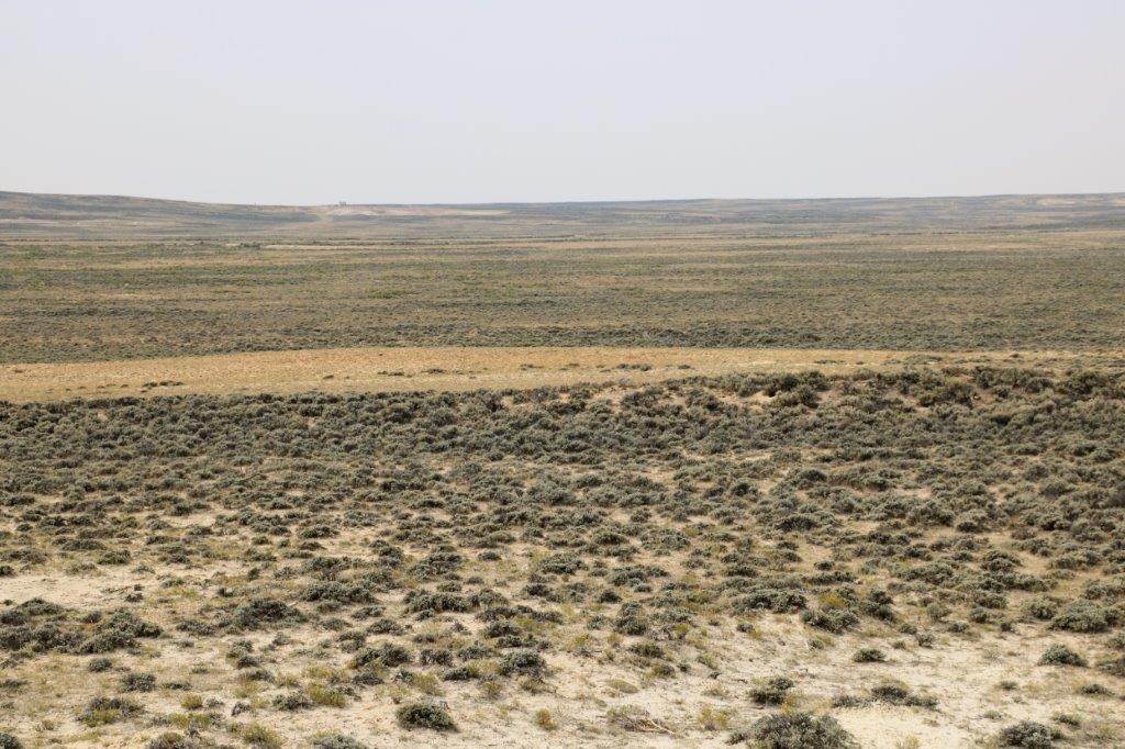
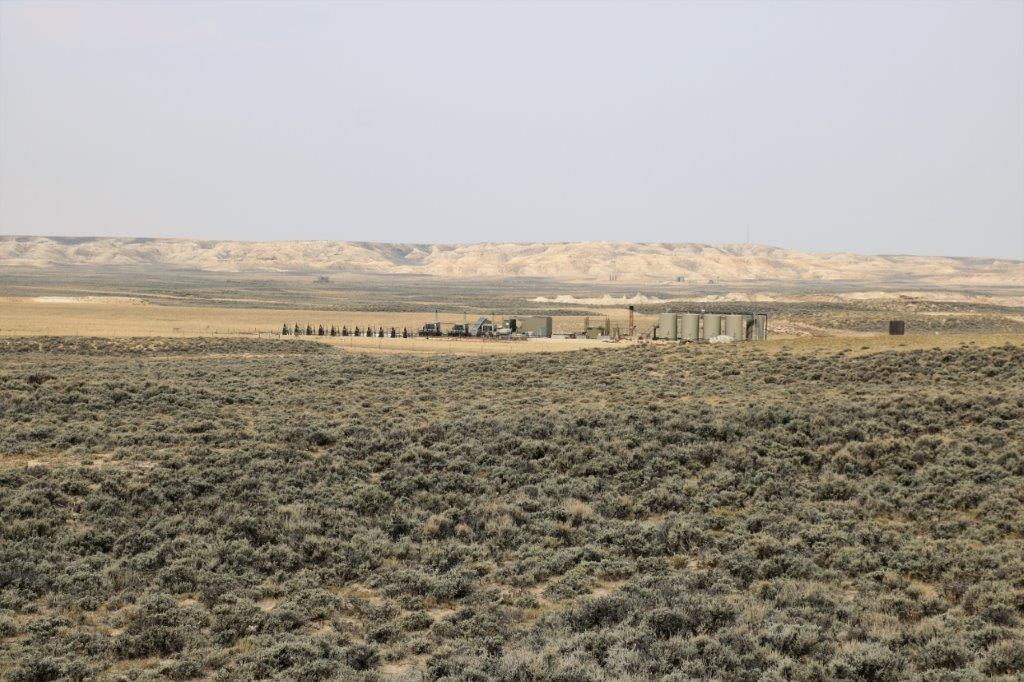
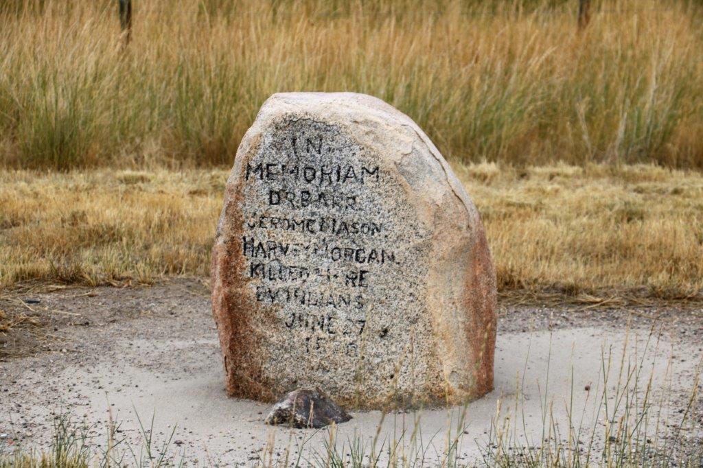
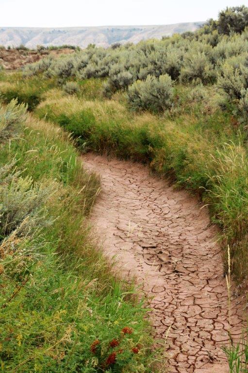 Another cache was hidden at an historical marker and the landscape around it is flat, flat, flat. I was able to count four gas well sites from where I was standing.
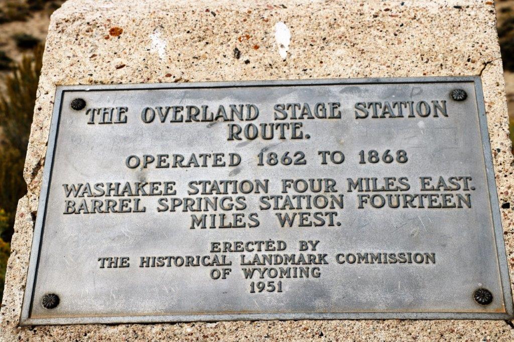
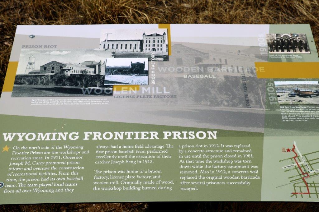
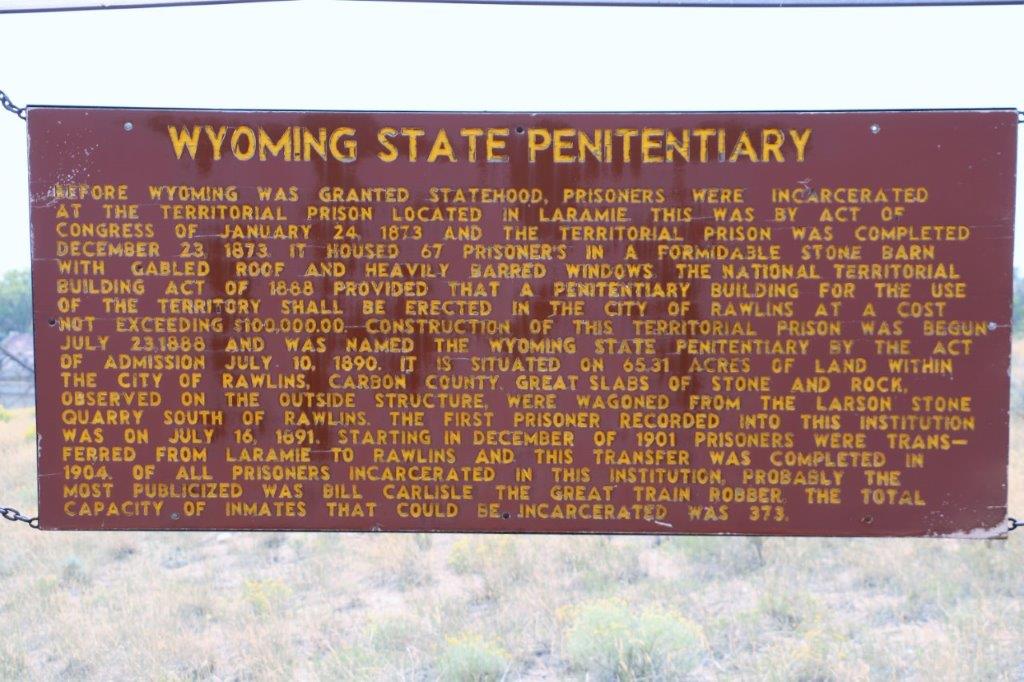
 We were planning to tour the old Territorial Prison in Rawlins, WY but they only do tours three days a week and Friday is not one of those days.

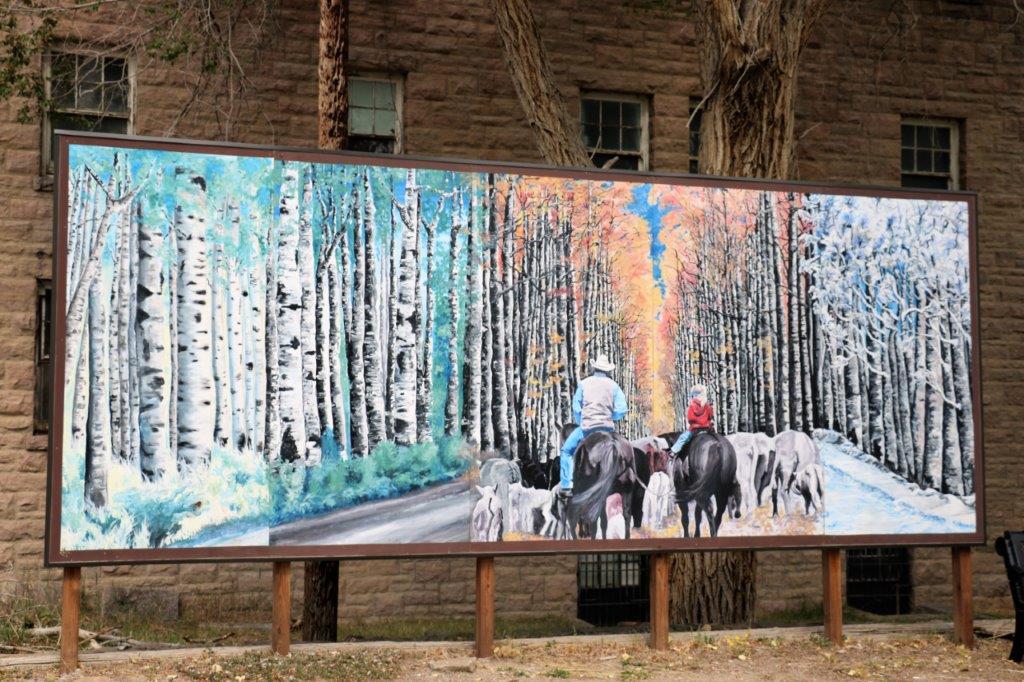 This lovely four-season mural was at the edge of the prison parking lot.


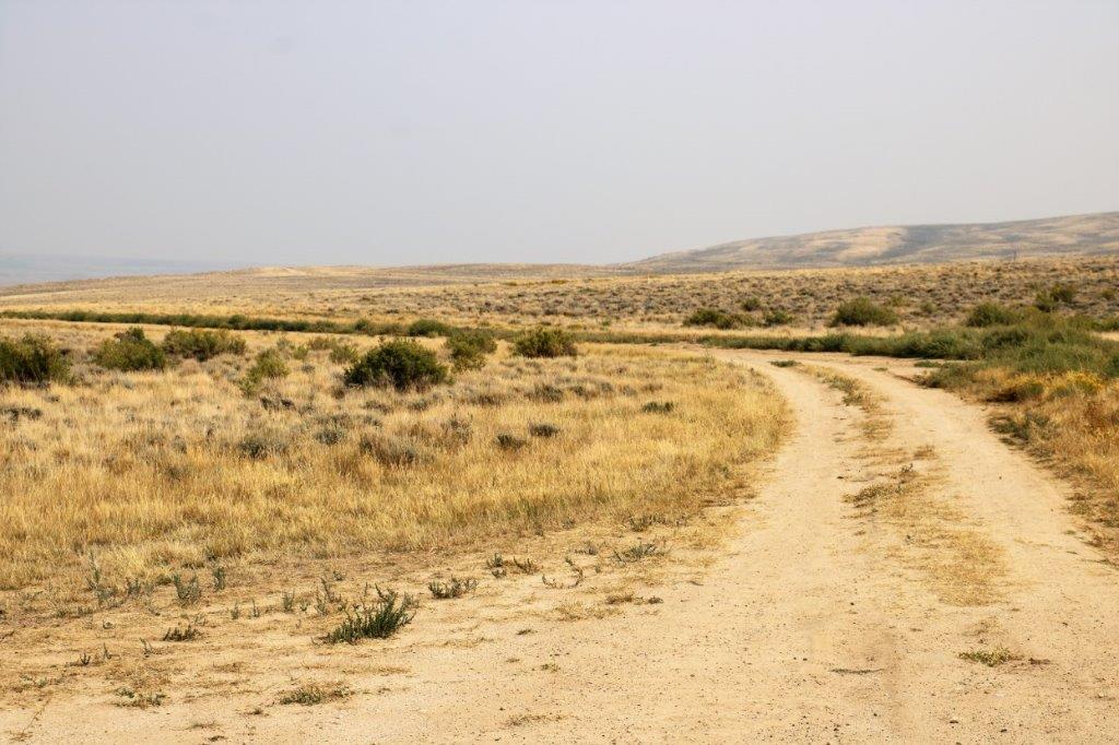
 There is a walking path beside the prison and there were a couple of geocaches hidden along the trail so we took a walk and found a them. We also found a couple at the nearby cemetary before we had our lunch.
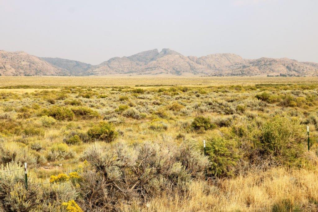
 It is easy to understand the struggle the early homesteaders must have endured to coax water and crops from this land.
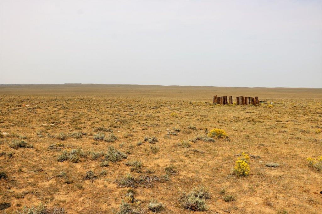

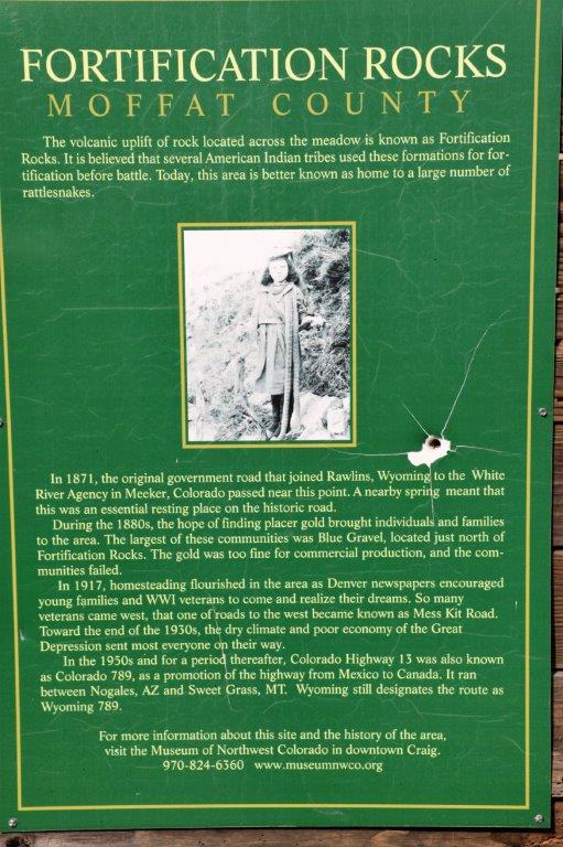
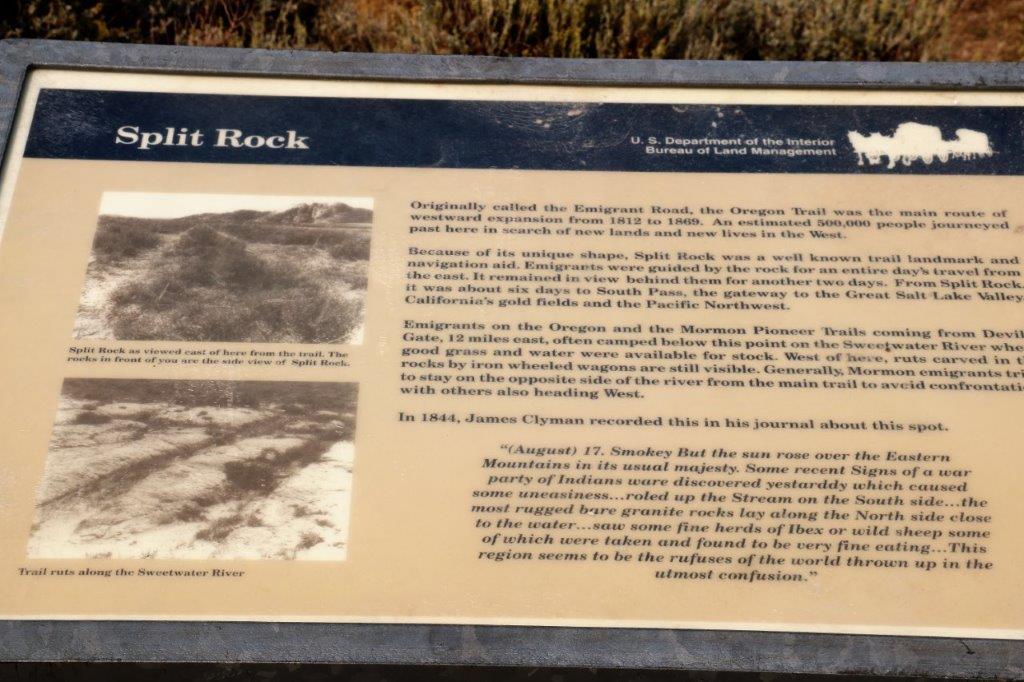
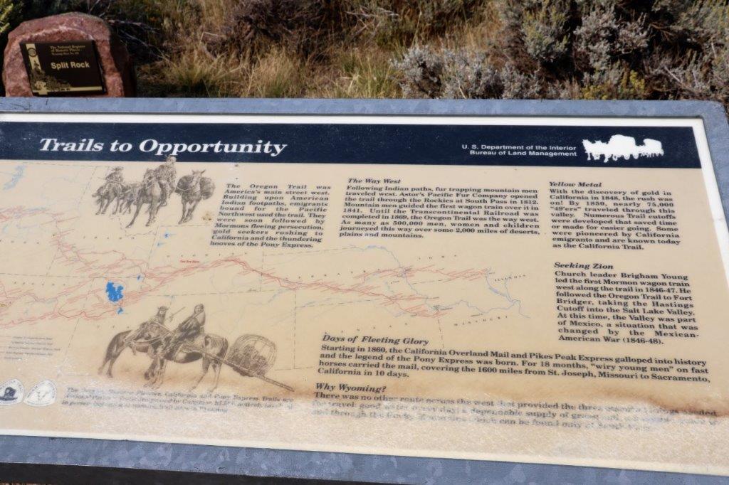
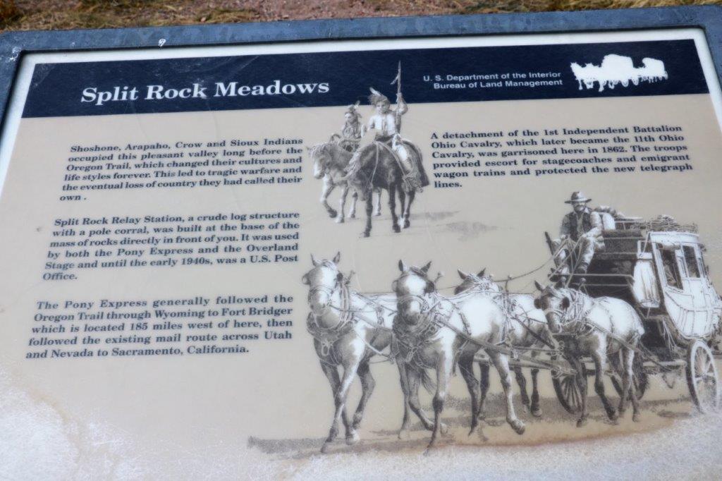
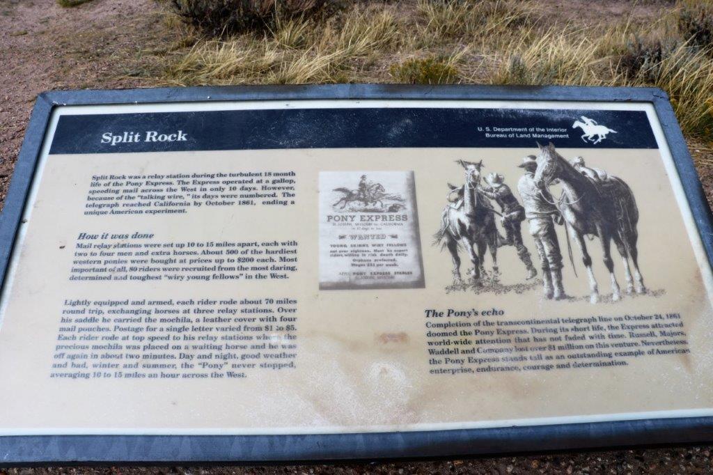
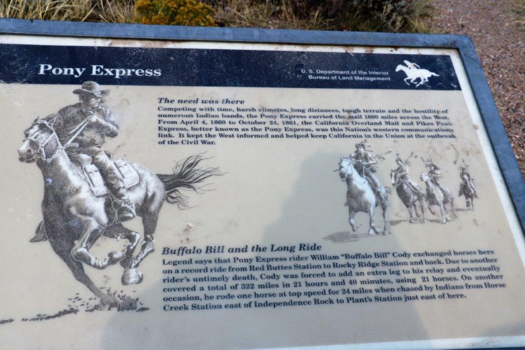
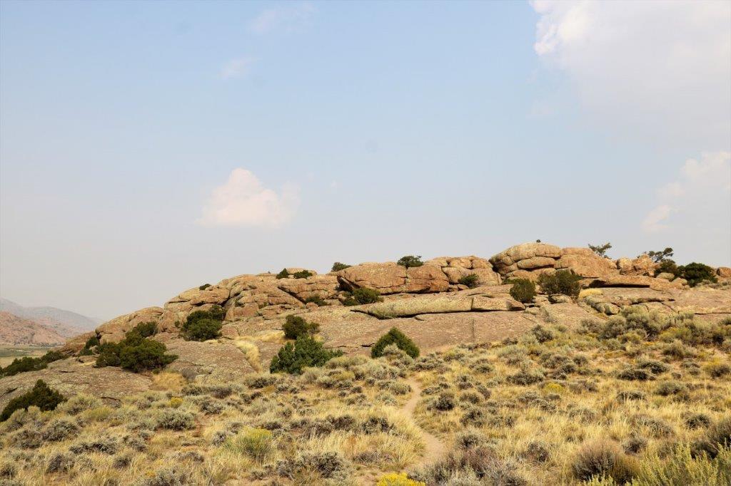
 There was a cache at an historical site called Split Rock. Apparently this unusual break in the mountain was a prominent marker for trappers, homesteaders, and gold seekers heading west. There were several placards of interest located at the base of a large clump of huge rocks. You cannot see the split in the rock that all the information talks about. What you see from this spot is the side of the mountain.
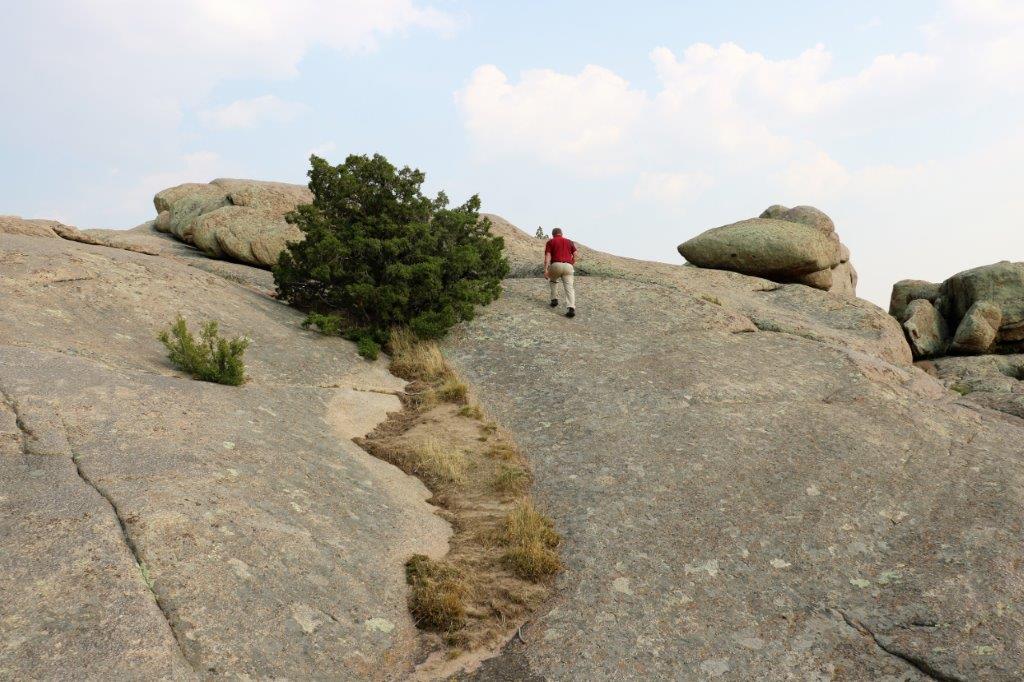
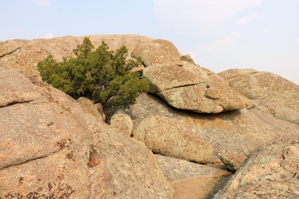
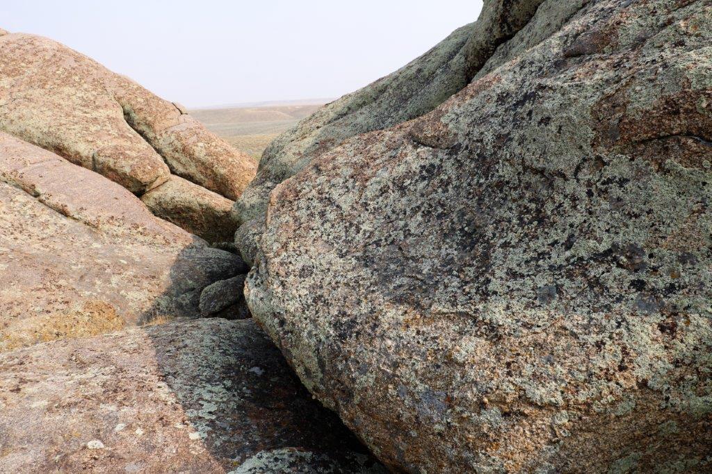
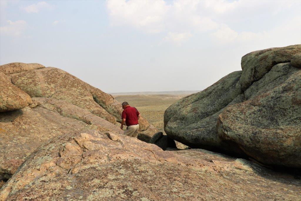
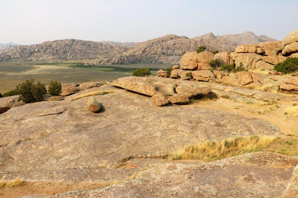
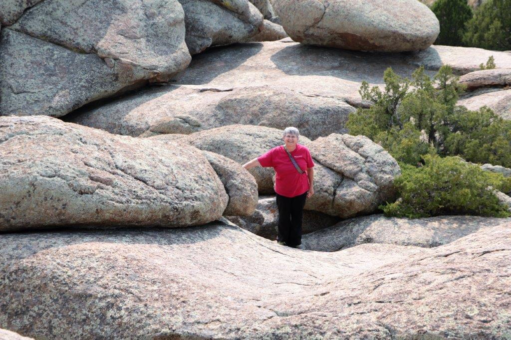
 And, of course, when there are pathways leading to a pile of big rocks one must go and climb them.
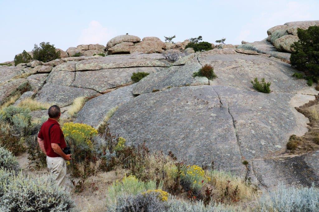

 About 5 km down the road we pulled over where we could plainly see Split Rock.
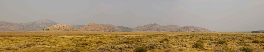
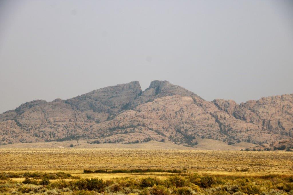 It was very noticable even with the smoke in the air.
Another historical marker and geocache.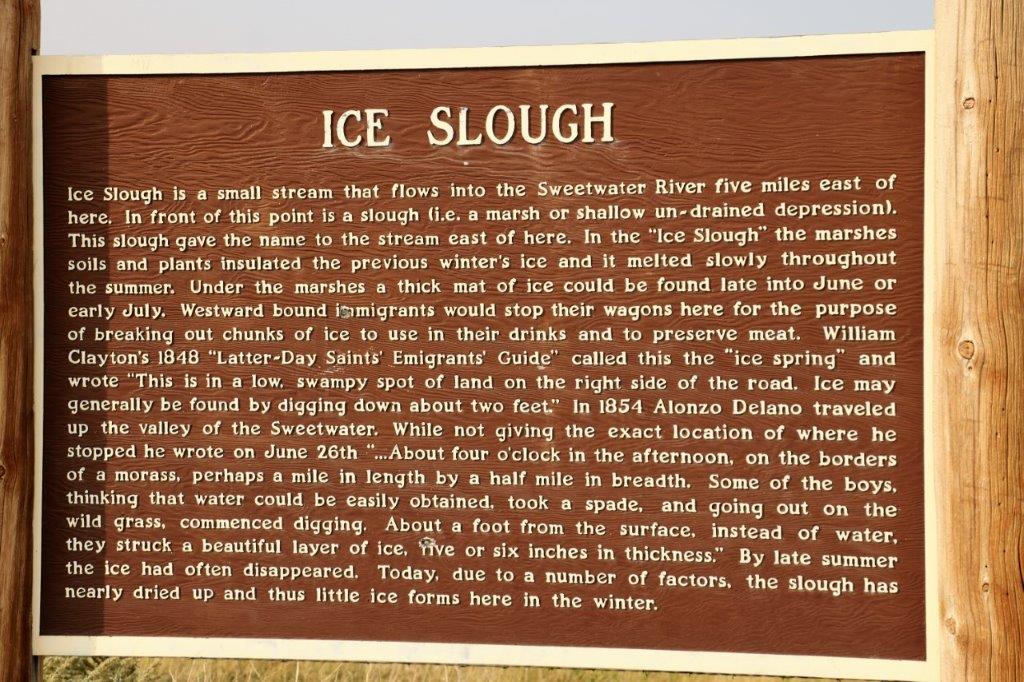 We even saw a few more red rocks.
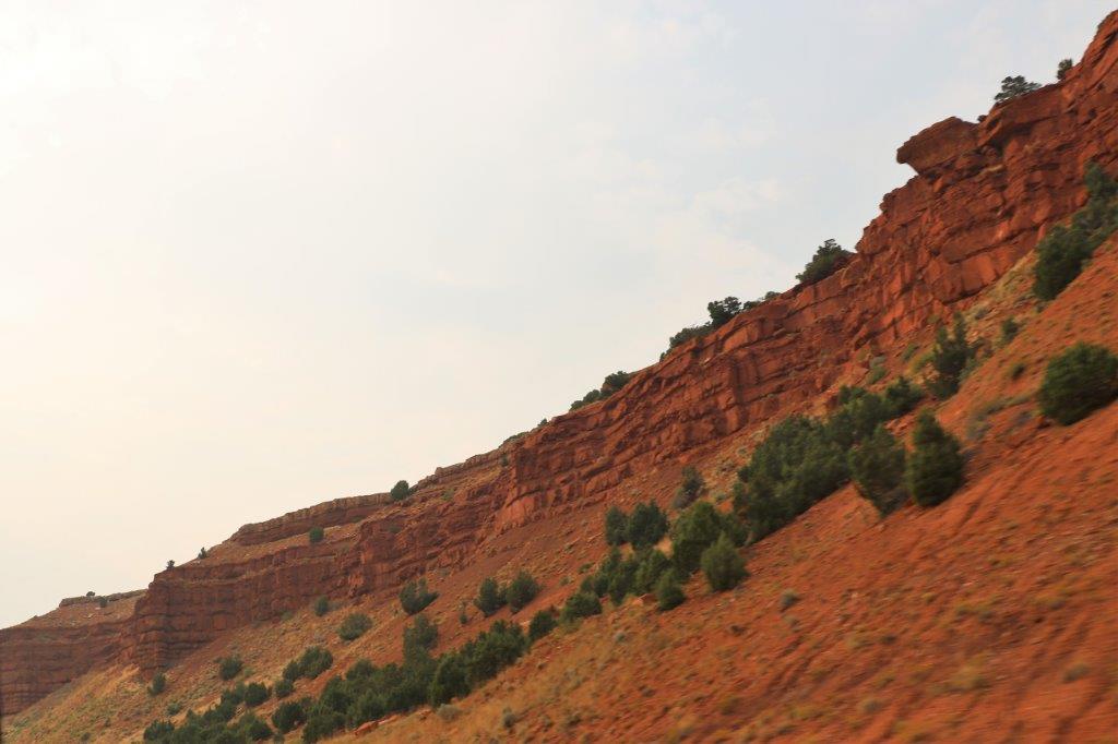 And some pinkish ones.
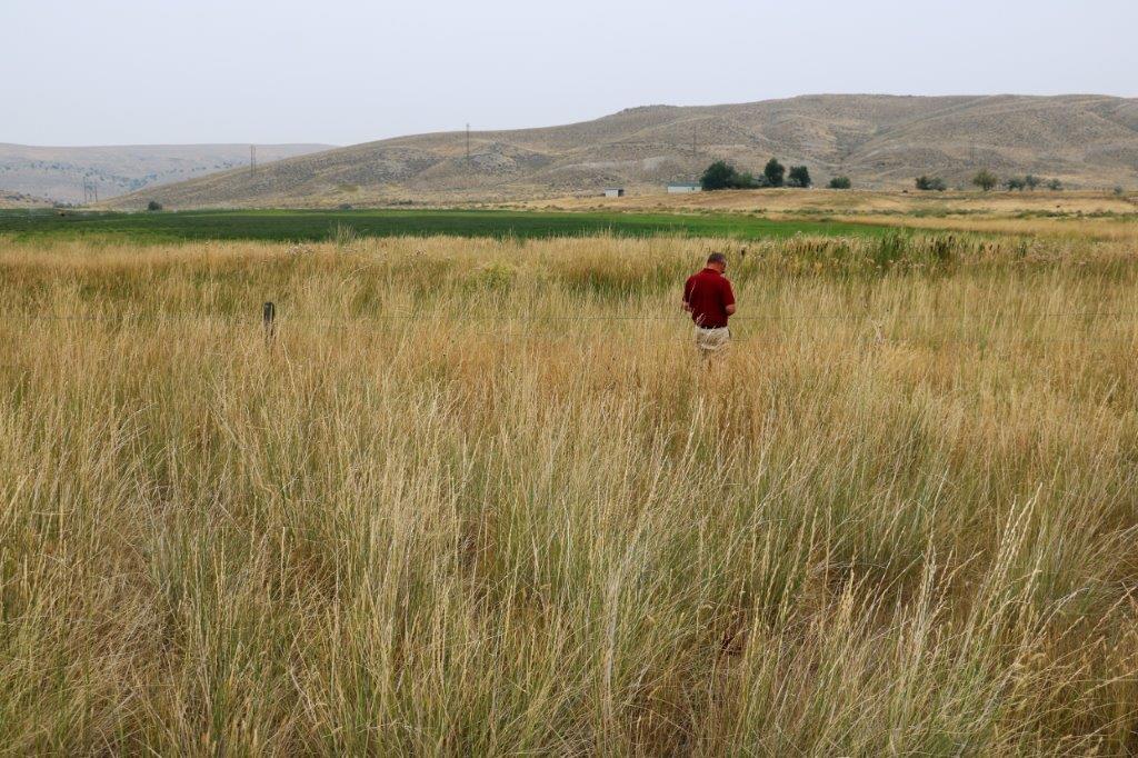
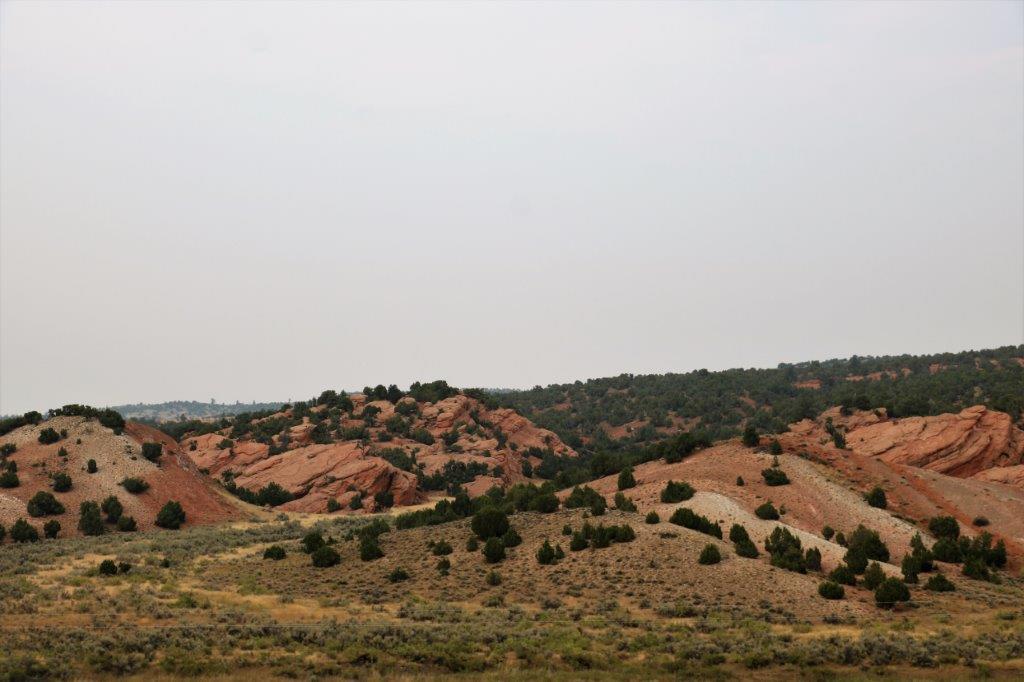 John waded into the tall grass for the cache at this old marker. I told him to walk heavily so as to not surprise a snake or scorpion.
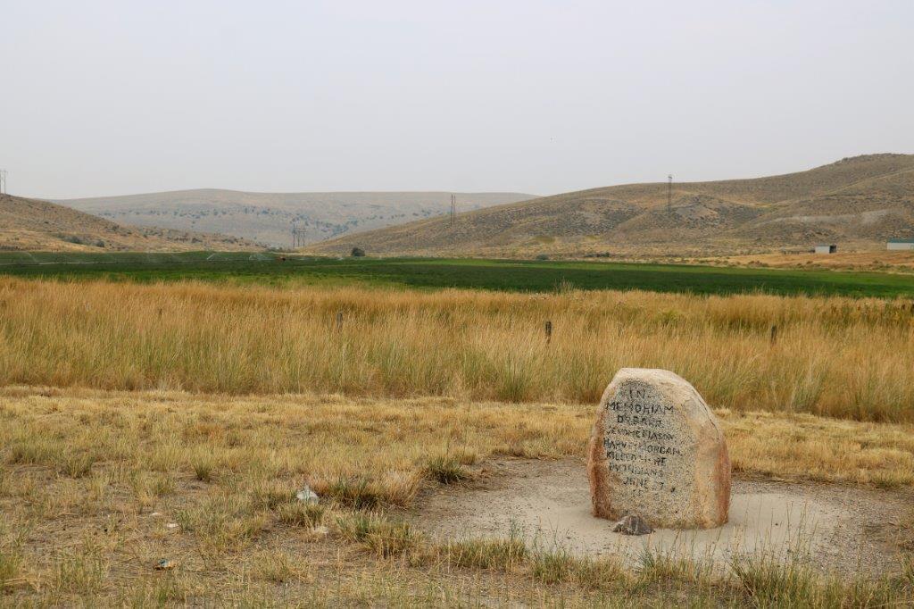
 We arrived in Lander in time to eat an early dinner and then I spent the evening trying to catch up on photos and blogs. There is so much pressure, you realize, to provide this material every day. Sometimes i don’t know how I stand up to the strain. Sigh.
