We had to get up early this morning. As in 6:15 early so that we could board the train for Awara Canyon by 7:30. Awara Canyon is only accessible by rail. It is situated four hours into the Canadian Shield from Sault St. Marie. There are many small lakes along the way and lots of them have cabins. We did see gravel roads for quite a distance but I don’t know how far they extend.
During the trip to the canyon the train’s PA system would give geological information about the creation of the Canadian Shield, which are some of the oldest rock on earth, and a history of the developent of The Soo, as Sault St. Marie is affectionately called.
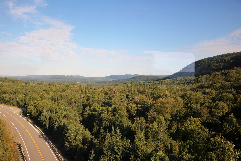
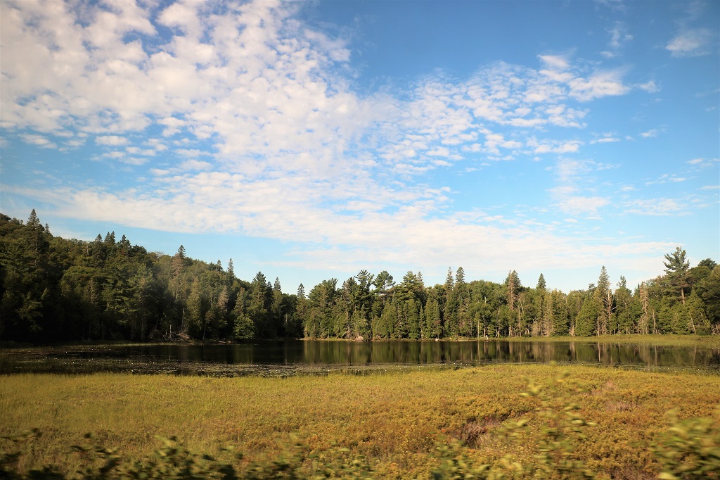
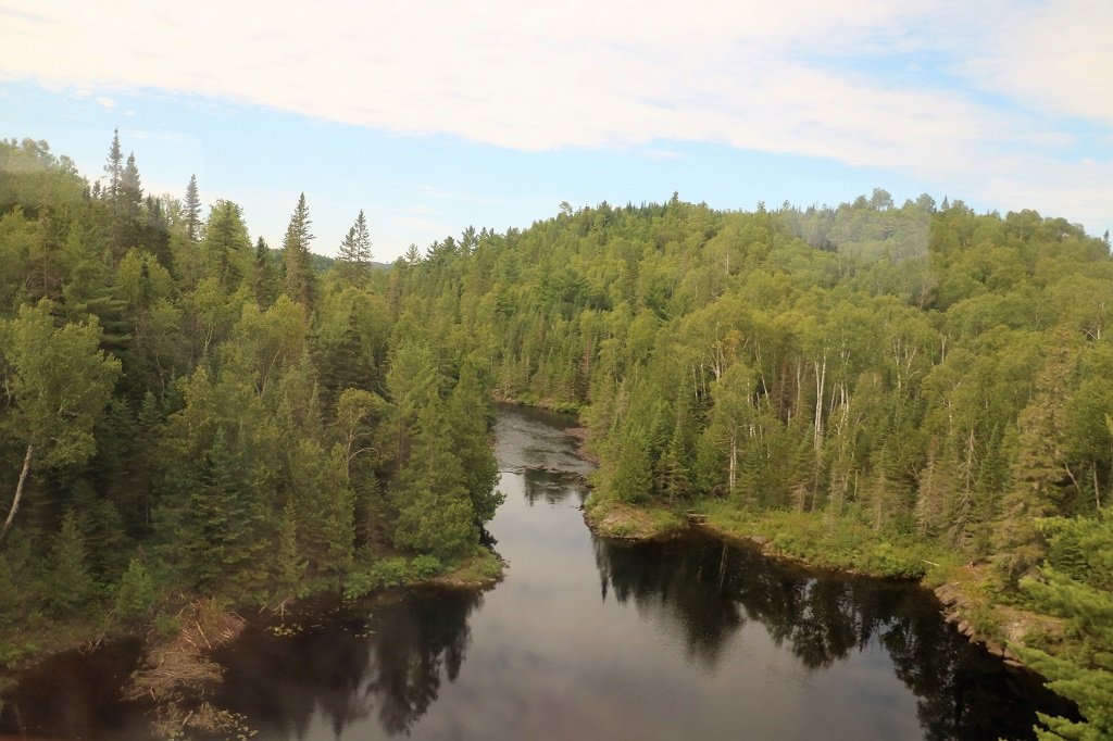
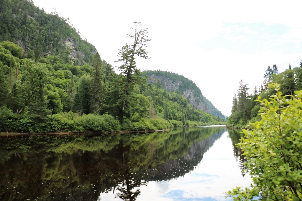
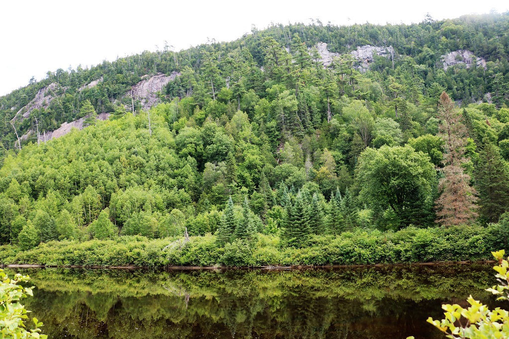
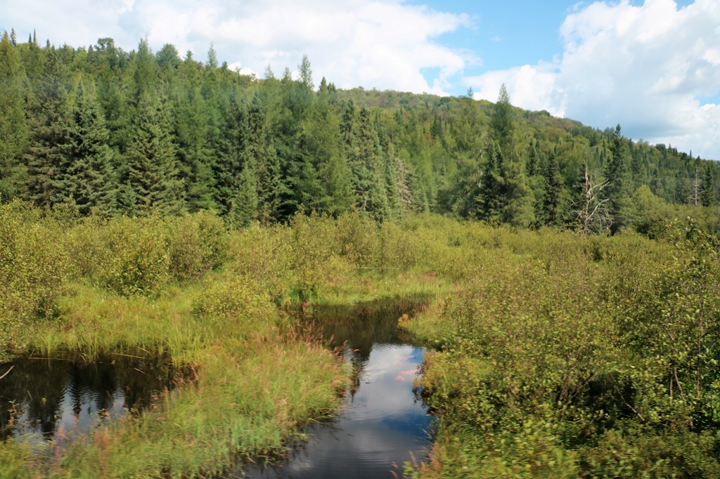
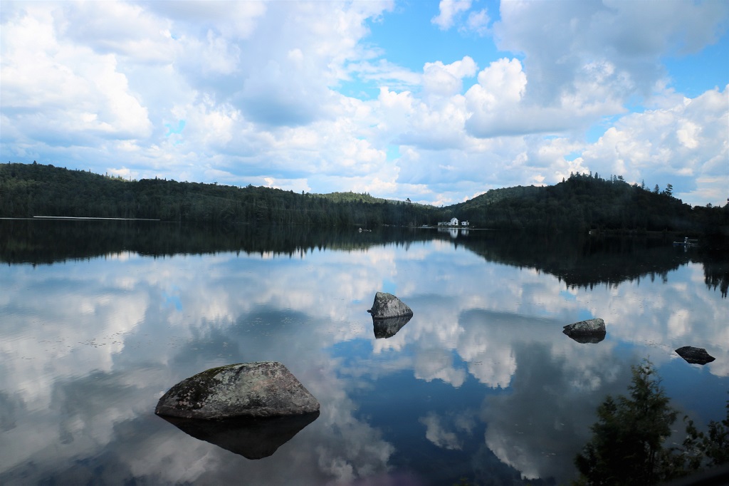
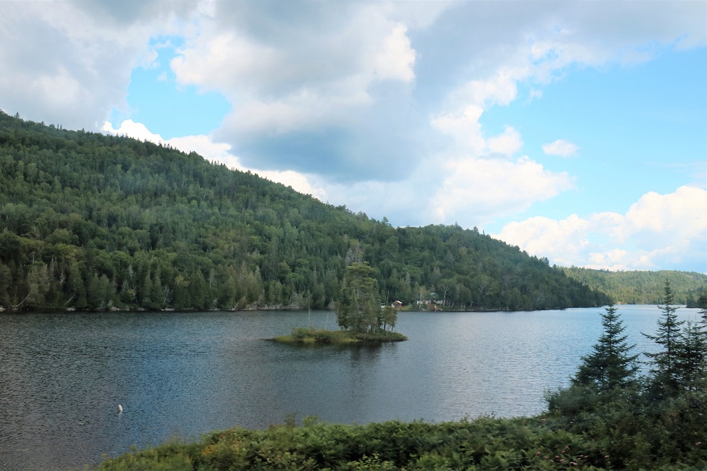
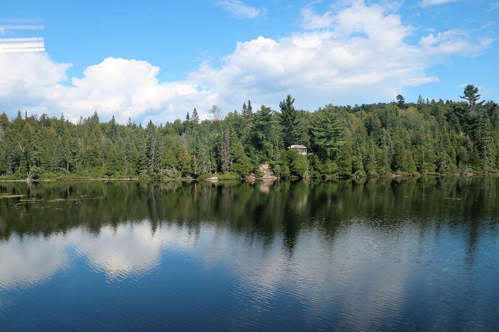
Having driven the highway in Northern Ontario I was fully prepared to spend most of the day looking at trees, which we definetly did, but small lakes broke up the forests every once in awhile. The forests in the Shield are a mix of deciduous and coniferous and if you are ever in the area in the fall I think that would be a spectacular time for this rail tour. The colours would be amazing.
I apologize for the window or interior lights in some of the photos. It was often hard to get the camera up and close enough to the window to block them out. When on a moving train you do not have a lot of time before the view is behind you.
Because we rode through forests for 4 hours to the canyon and 4 1/2 hours back, the majoritiy if this blog post will be pictures of lakes and trees. We were not told the names of any of the lakes.

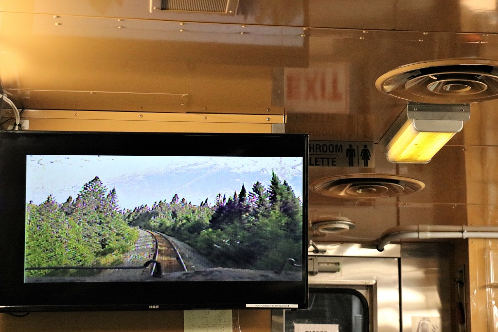
Every rail car had several TV screens that projected the engineer’s view, which was a pretty nice feature since all you can see from your seat is what is beside the train on your side.
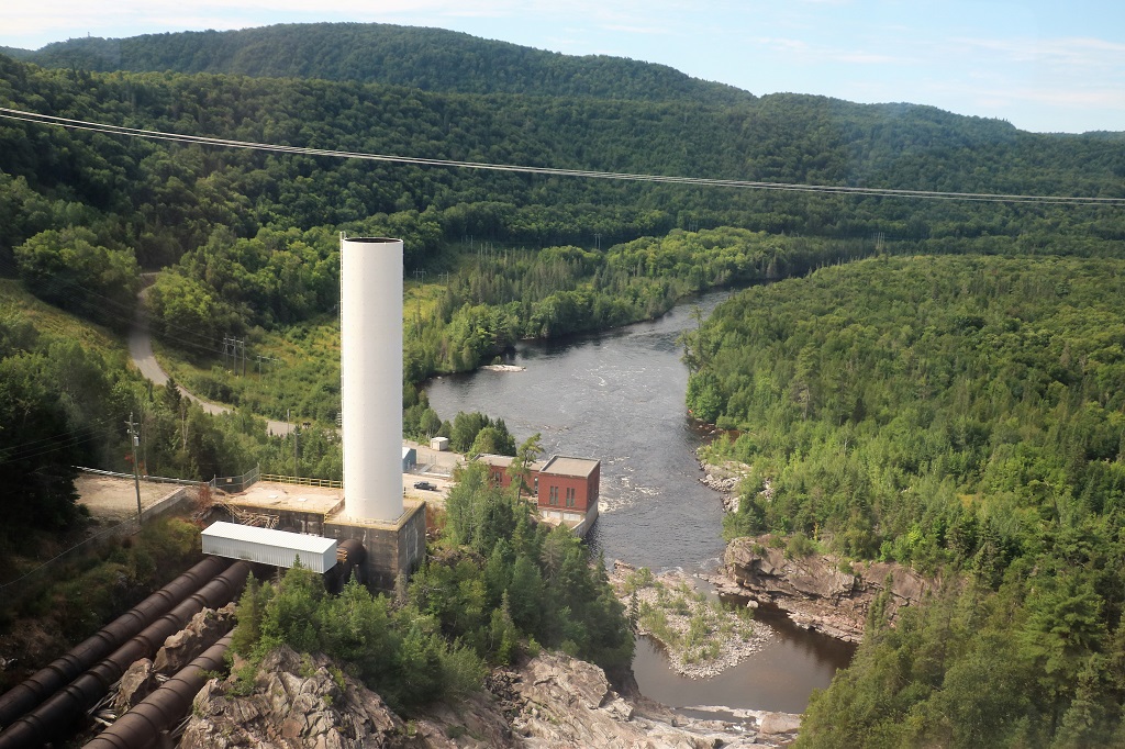
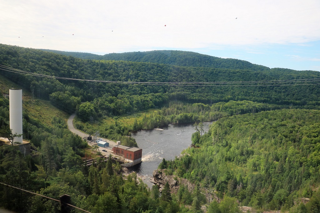
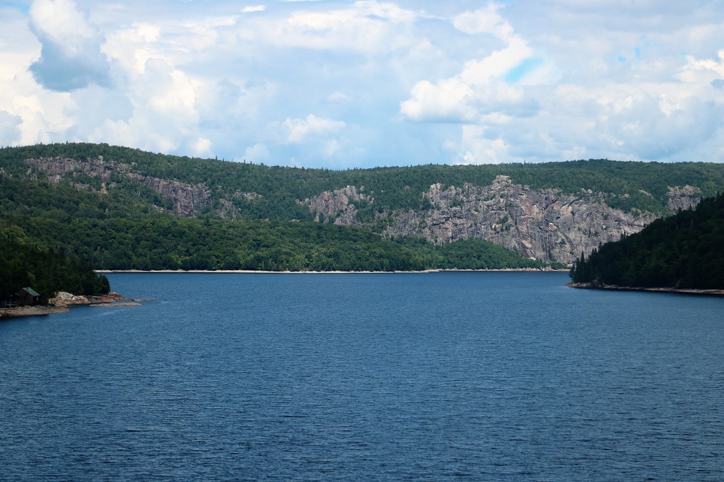
We crossed a very high curved trestle over the Montreal River and had a good view of the hydro plant that was built about the same time as the rail line and has been expanded several times since.
We arrived at the Awara Canyon Park at 12:10 and had to be back on the train at 1:30.
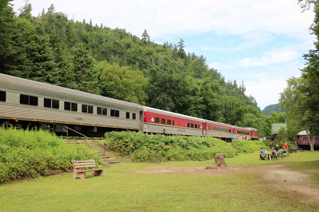
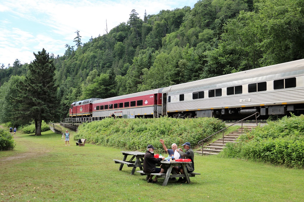
The train has engines on both ends so it drives in with one and drives out with the other. (And, no the gentleman is not waving at me. He was telling a story to his friends.)
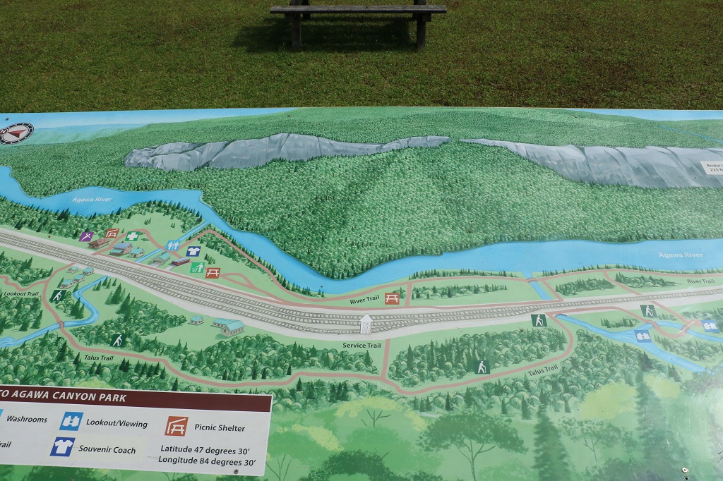
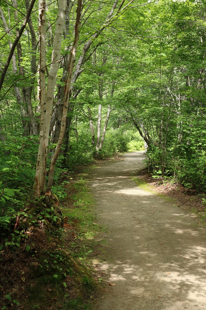
If you were capable you could climb to the lookout and get an expansive view of the canyon. This hike took about 35-40 minutes and you had to climb 300 steps. Or you could walk along an easy trail and see three waterfalls. The Black Beaver Falls – North and South – were about a 30 minute (return) walk and you could go a further 10 minutes to see the higher Bridal Veil Falls. And if you could hustle a bit you had time to do both. The couple on the train sitting across from us managed to do that. We walked to the waterfalls.
In the fall these hillsides would be a gorgeous mix of red, yellow, orange and green.
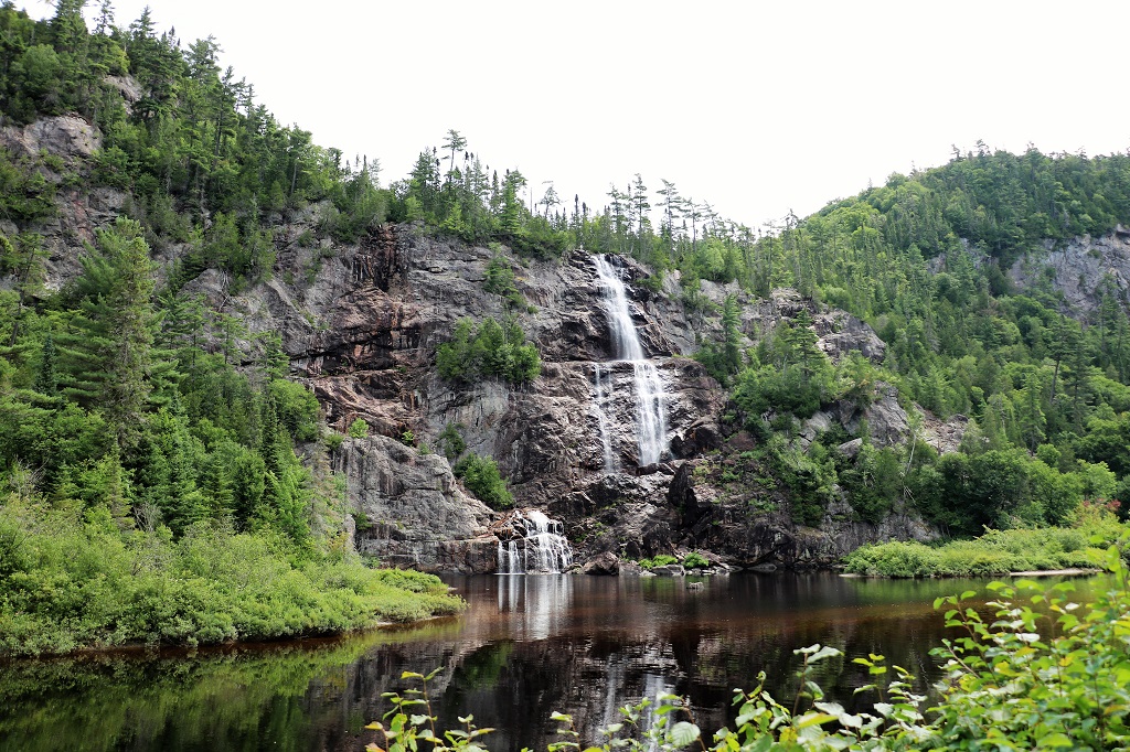
Bridal Veil Falls are 68.5 meters (225′) tall. In the spring or a wet summer there would be two waterfalls here, perhaps three. It is easy to see the wet rocks to the left of the falls, but it also looked like there could be a water path on the right as well.

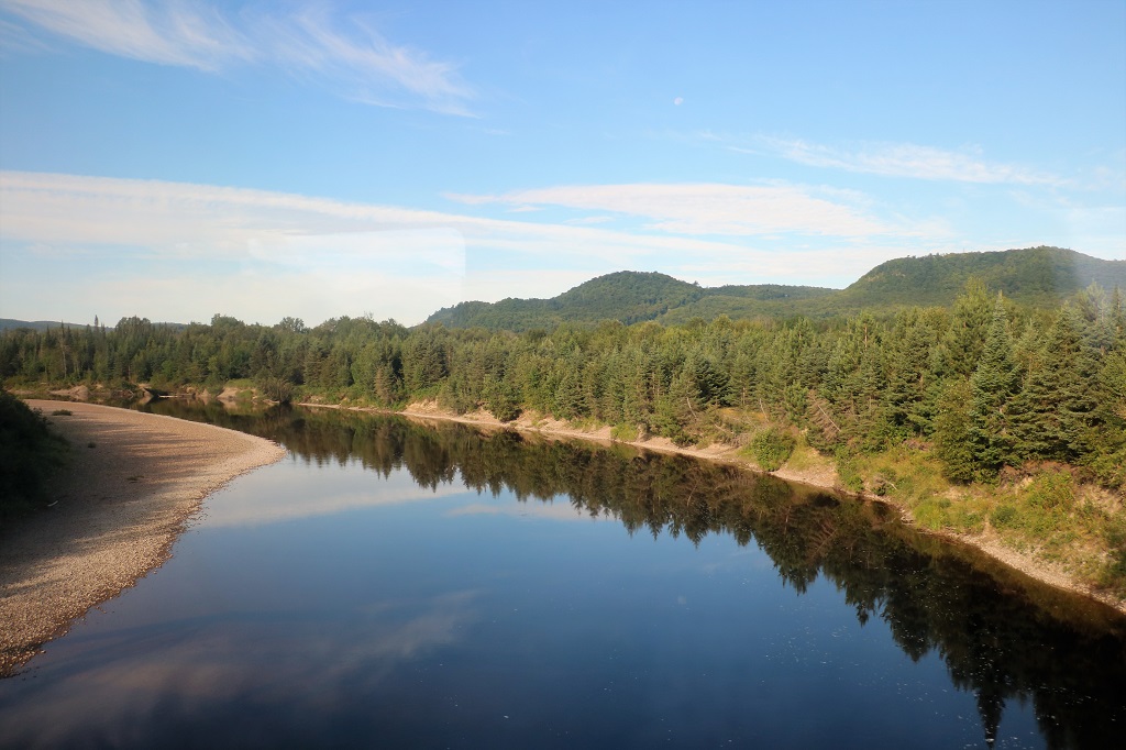
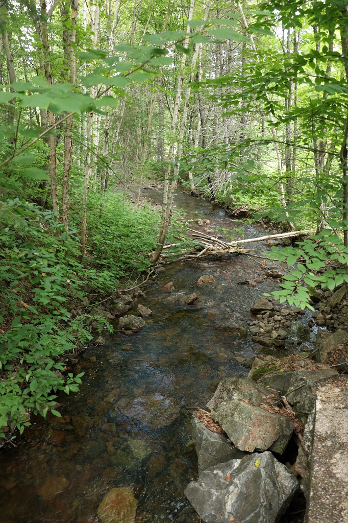
I took this photo because I liked the mix of ripple and smooth water in the river.

South Black Beaver Falls. 53.3 meters (175′)
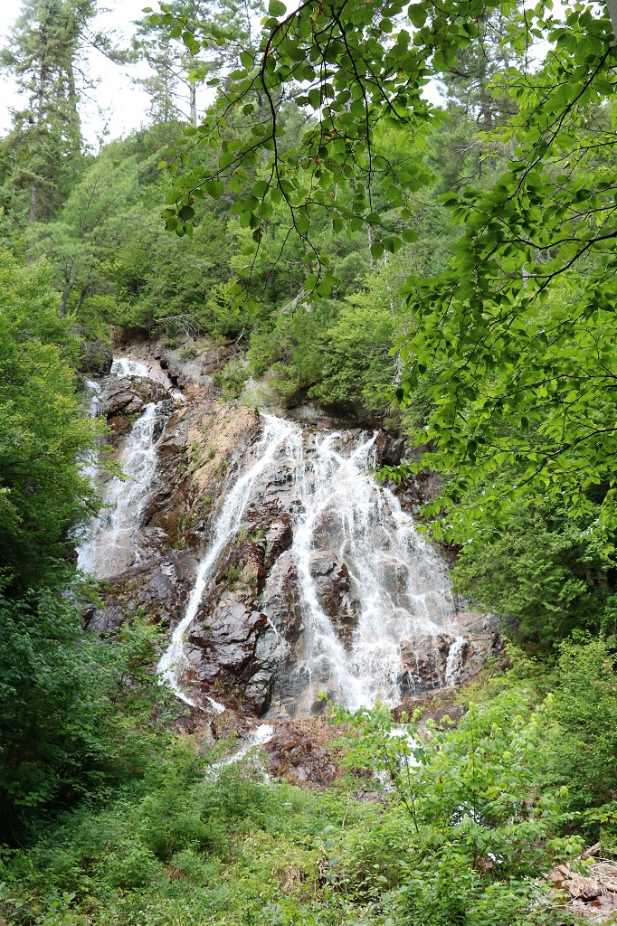
North Black Beaver Falls.
For the return journey we traded seats with the couple across from us so we all got to see both views. I took a lot of photos, but with the window and lights reflections I deleted most of them. And after awhile, I just didn’t take any more. I thought, how many photos of water and trees does one need anyway?
There were quite a few places along the journey where I could glimpse some pretty impressive rock cliffs through the trees but never did get a clear view. This one is the only one that shows how rocky the area is.

The up-dam side of the Montreal River Hydro plant.
This area was a very popular with the famous Canadian Group of Seven artists. They spent a lot of time camping and exploring and painting the scenes of Ontario’s north country.
We arrived back in Sault St. Marie at 6:00 o’clock. We were blessed with lovely weather the entire day and we enjoyed our journey into the Canadian Shield.
Tomorrow we are on the road again; back to Thunder Bay.
