The internet at our hotel in Margaree was almost non-existent. It was not an issue just at the hotel either, but one suffered by the entire town. Cape Breton Island is large, somewhat remote, populated by many small villages. So far no internet provider has considered it worth their cost to upgrade 20 year old wireless systems. It took forever, but I got my photos uploaded. and even wrote my blog, but the system could not publish it. I discovered this morning that, even though it said it was being saved as I wrote, it was not, so there was nothing there. Hence I have to do it all again today.
Thankfully yesterday was a 100% driving and scenery day so I do not need to remember much.
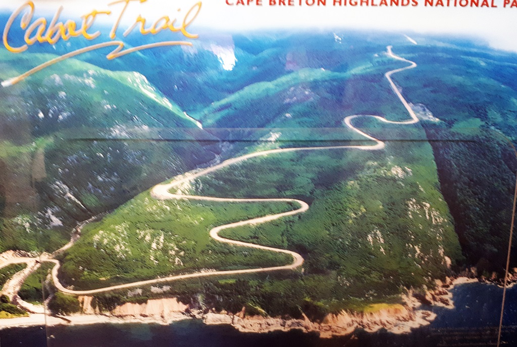
Cape Breton Island is connected to the Nova Scotia mainland by the Canso Causeway. The island is 10,311 km². 20% of the island, or 950 sq km², comprises the Cape Breton Highland National Park, which was established in 1936. The 298 km Cabot Trail encircles the island and takes about 5 hours to drive due to the two lane road with no passing lanes, many, many curves and lots and lots of going up and down VERY steep hills, not to mention all the ‘must see’ viewpoints.
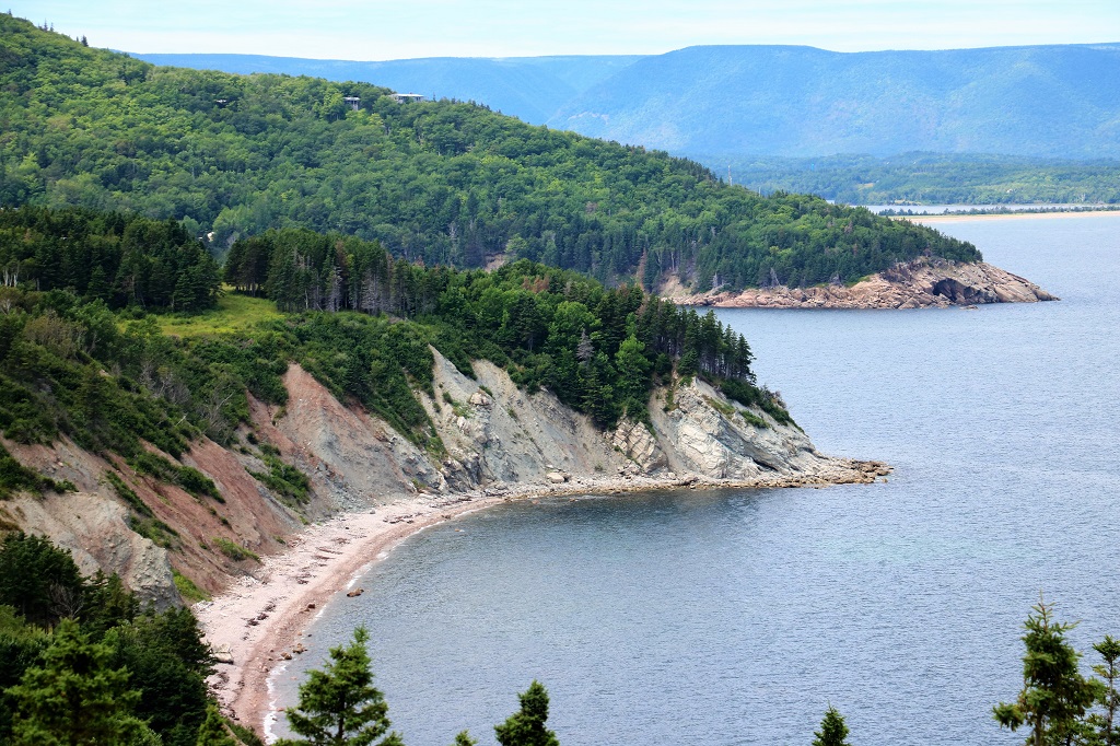
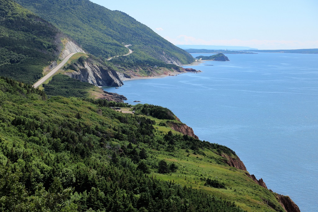
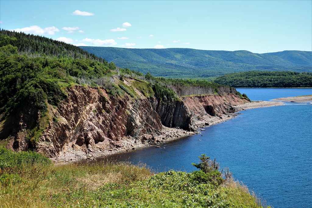
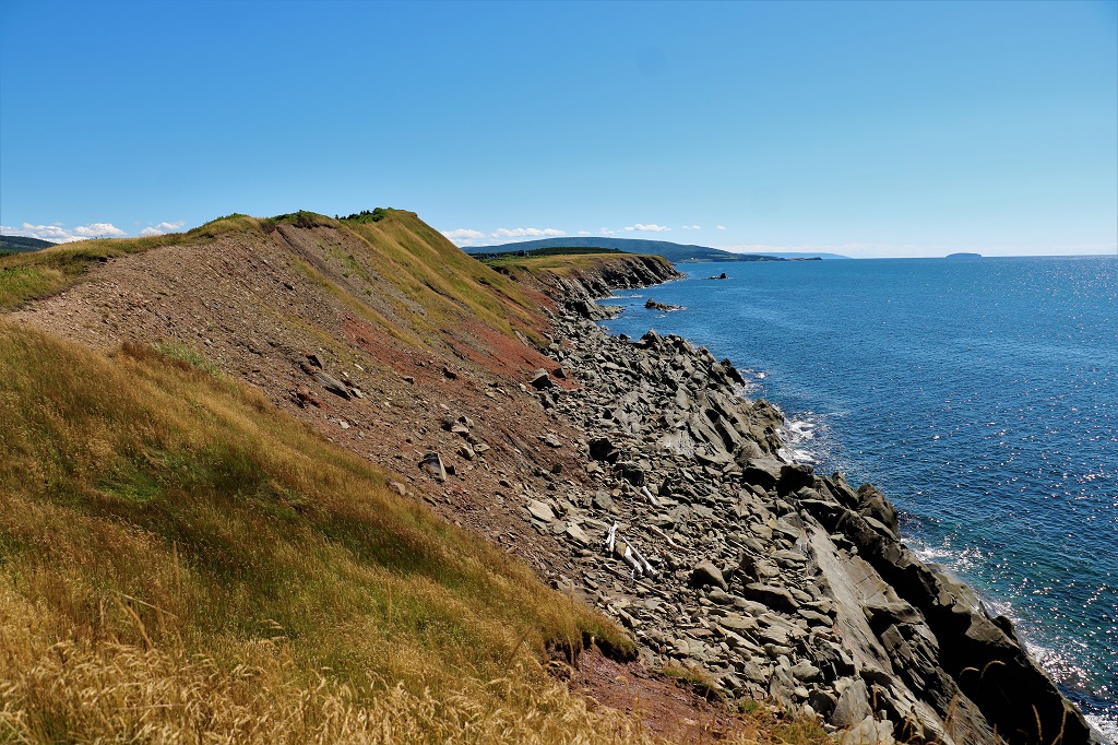
It is best to travel the Trail counter-clockwise because all the lookouts are on the right. You will constantly be having to cross traffic if you go the other way. And there is lots of traffic in the summer time. The Cabot Trail is world famous as a spectacularly scenic drive. Going up the east side is not so pretty as it is mostly trees with a couple of viewpoints and occasional breaks to see water. But once you get to the top and start down the west side it is breathtaking, with places to stop one right after another.
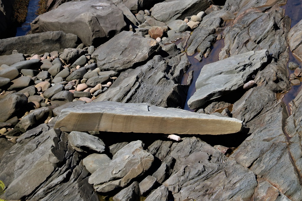
This post will be pretty much all photos with the occasional comment thrown in. There were no names on the viewpoints so no identifiers.
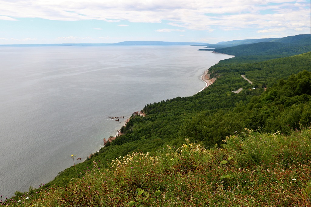

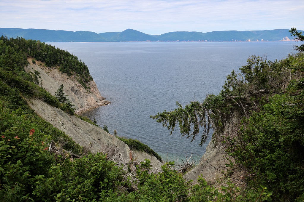


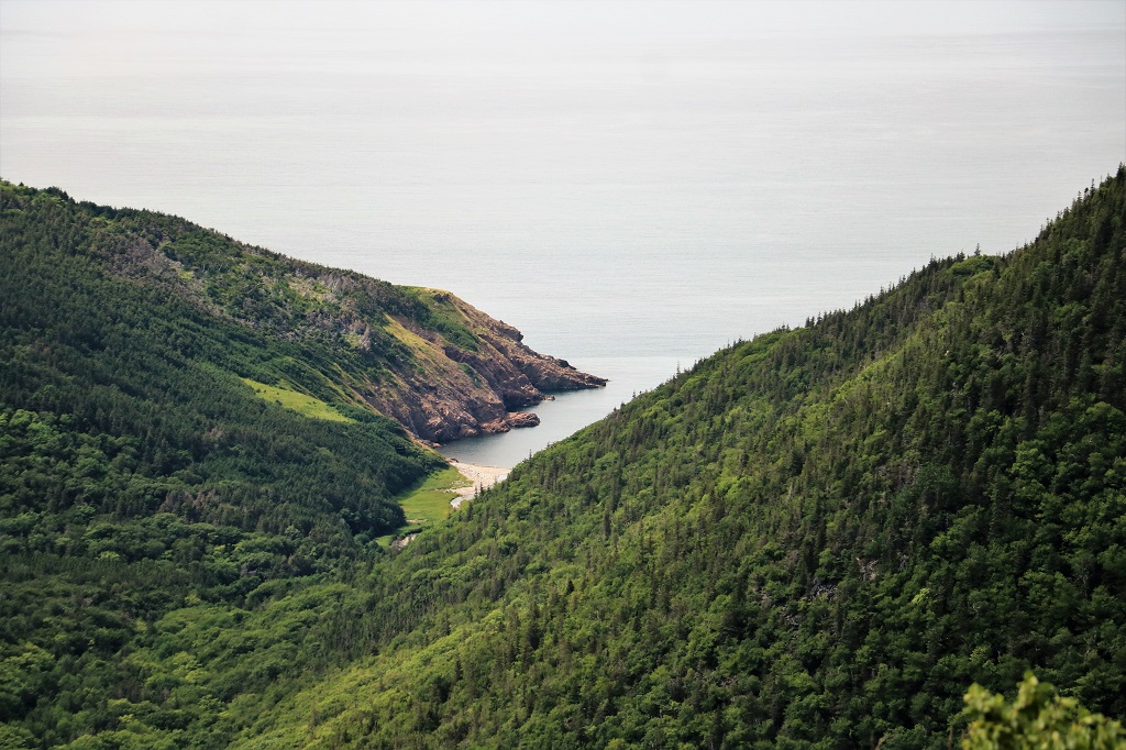
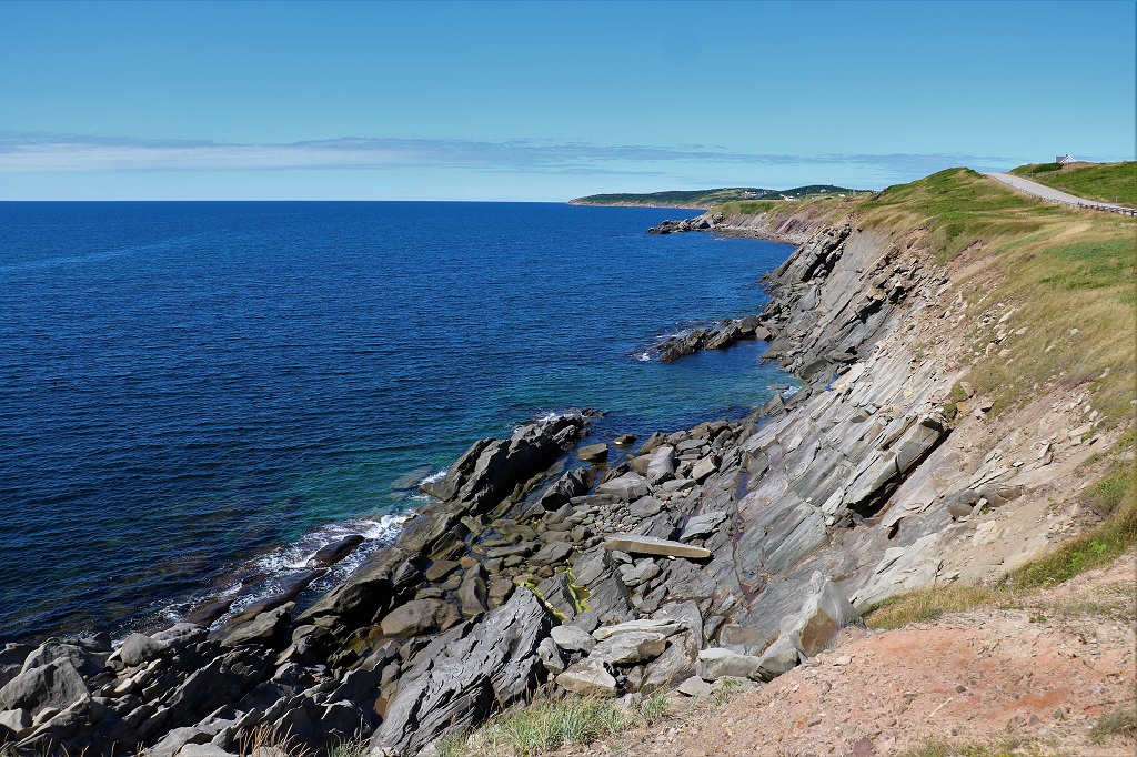
I love the different colours of blue in the water here.
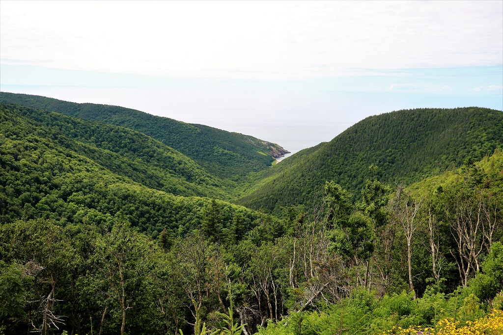
Cape Breton is covered in forest. As you drive you go through deciduous forest (which would be gorgeous in the fall) to coniferous and back to deciduous within very short distances due to the rapid change in elevation going up and down the steep hills.

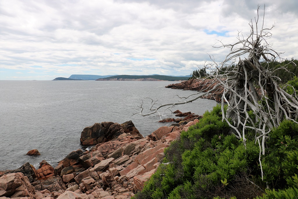
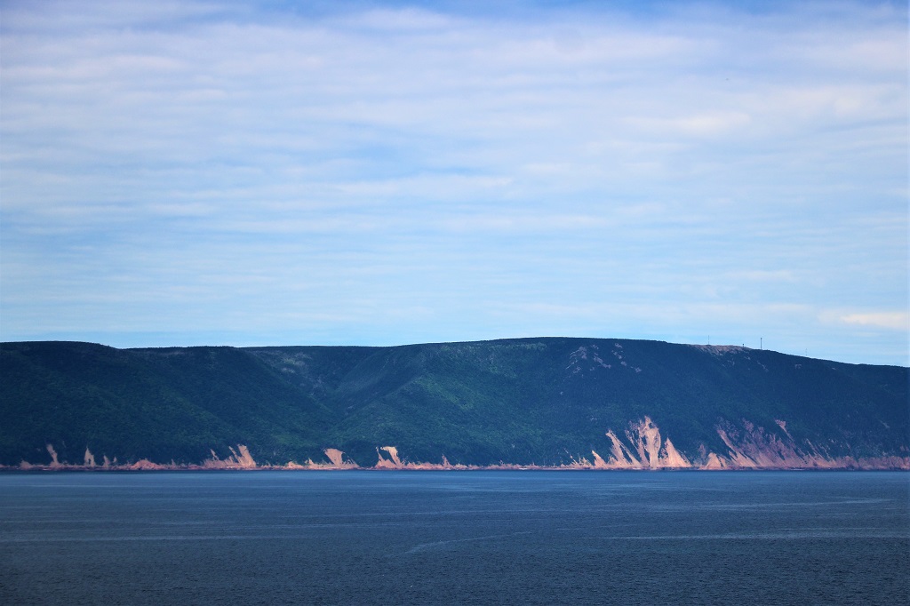
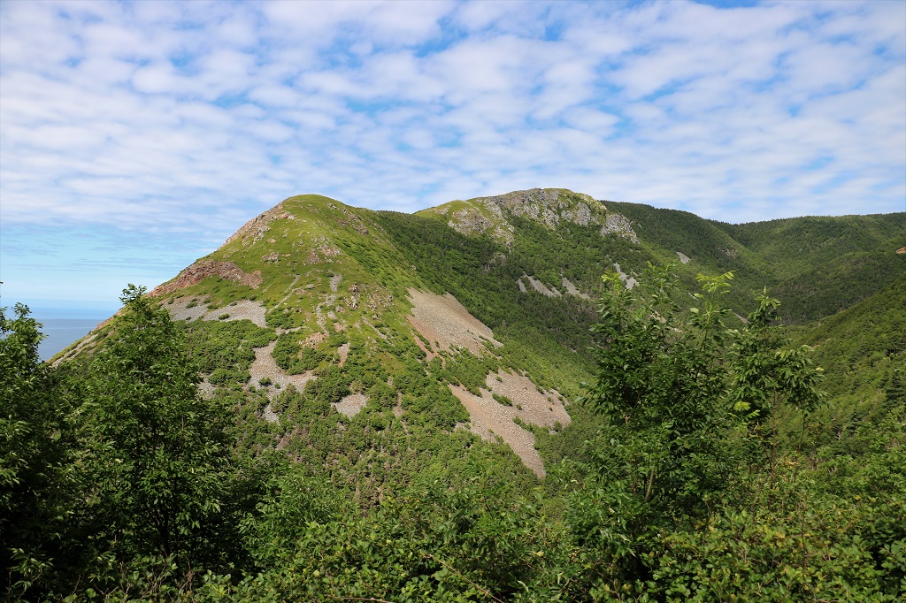
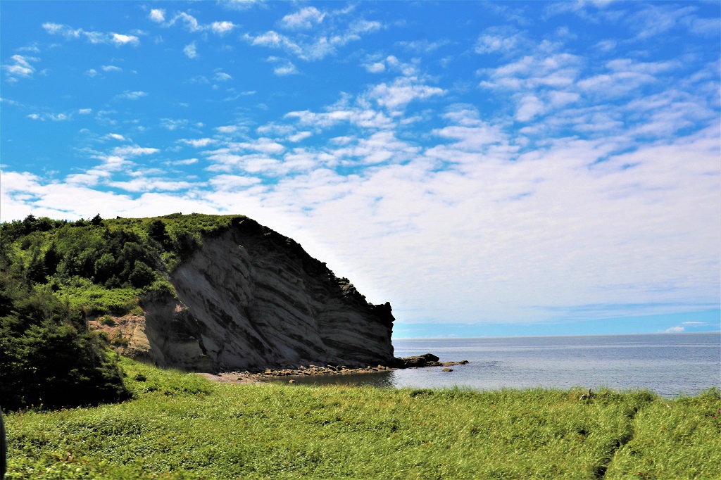
Cape Breton was settled by Scots and when you see rocky hillsides like this you can understand why it reminded them of the homeland they left behind. The place names and road names and other identifying signs are in English and Gaelic.
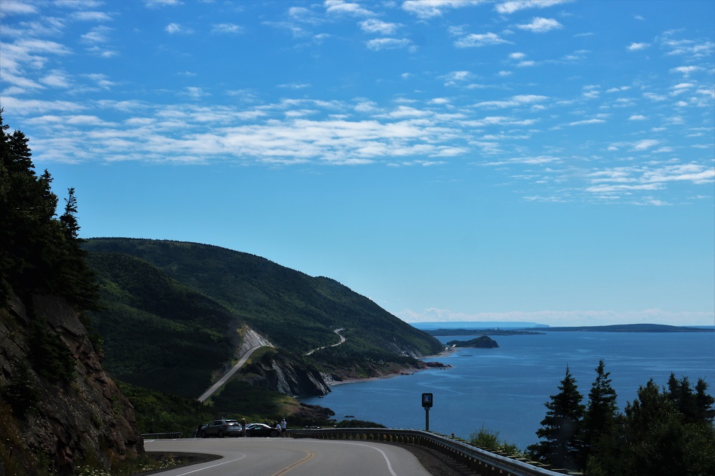
I did mention the road was winding and up and down.
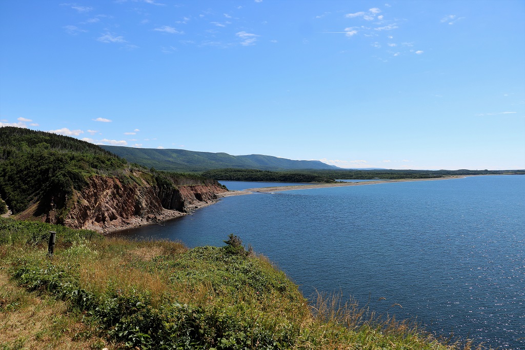
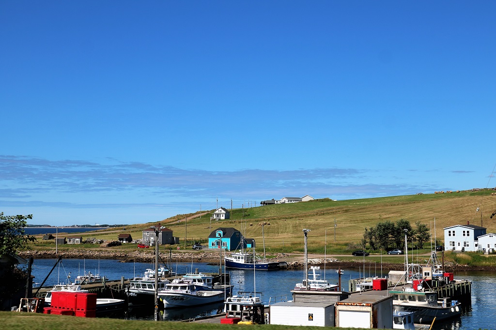
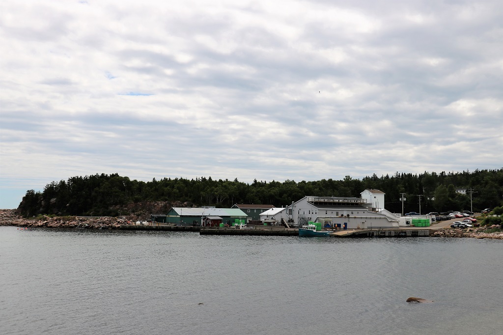
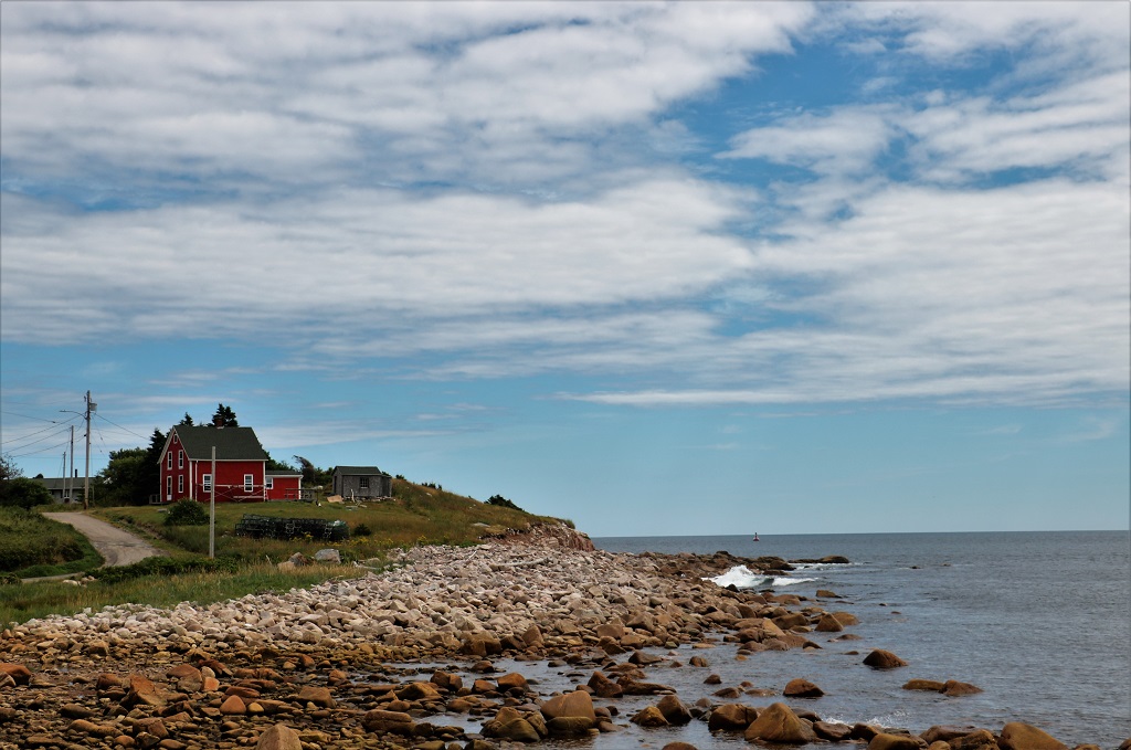
As soon as you return to the lowlands you travel through fishing villages.
We spent the night at Margaree which is just over halfway down the western side of Cape Breton.
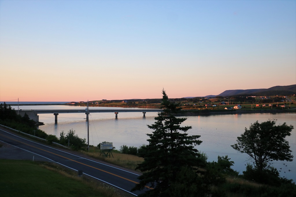
We had a nice view from our hotel.

Today we completed the loop and returned to the mainland. We are spending our last night in Nova Scotia at Tatamagouche before heading into New Brunswick tomorrow.
