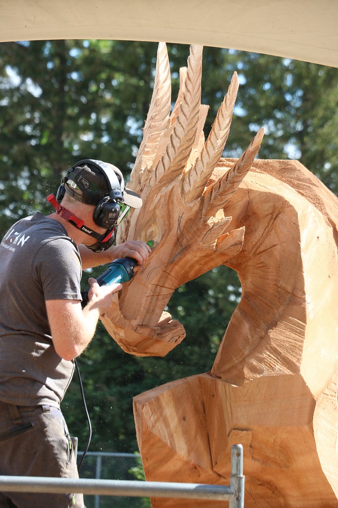
After breakast we walked along the roadway and looked at the chainsaw carvings on display. There are over 200 of them all around the town of Chetwynd. On a bulletin board there was a copy of a pamphlet that shows each of the sculptures on one side and the location of them on the other.


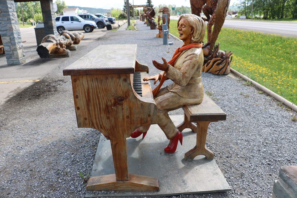
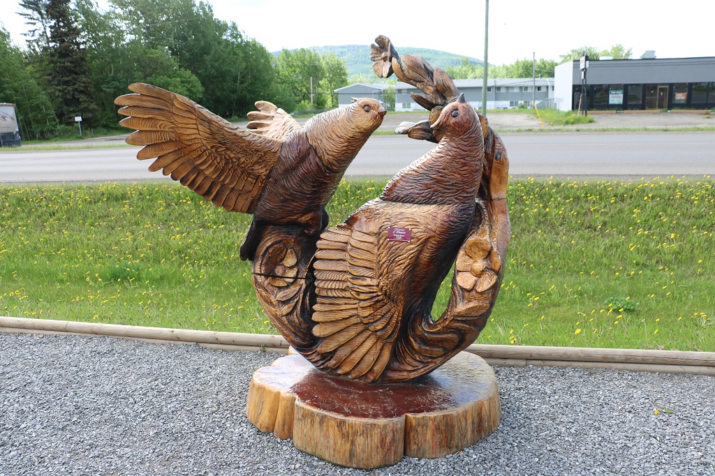
I restrained myself from taking photos of everyone we saw.
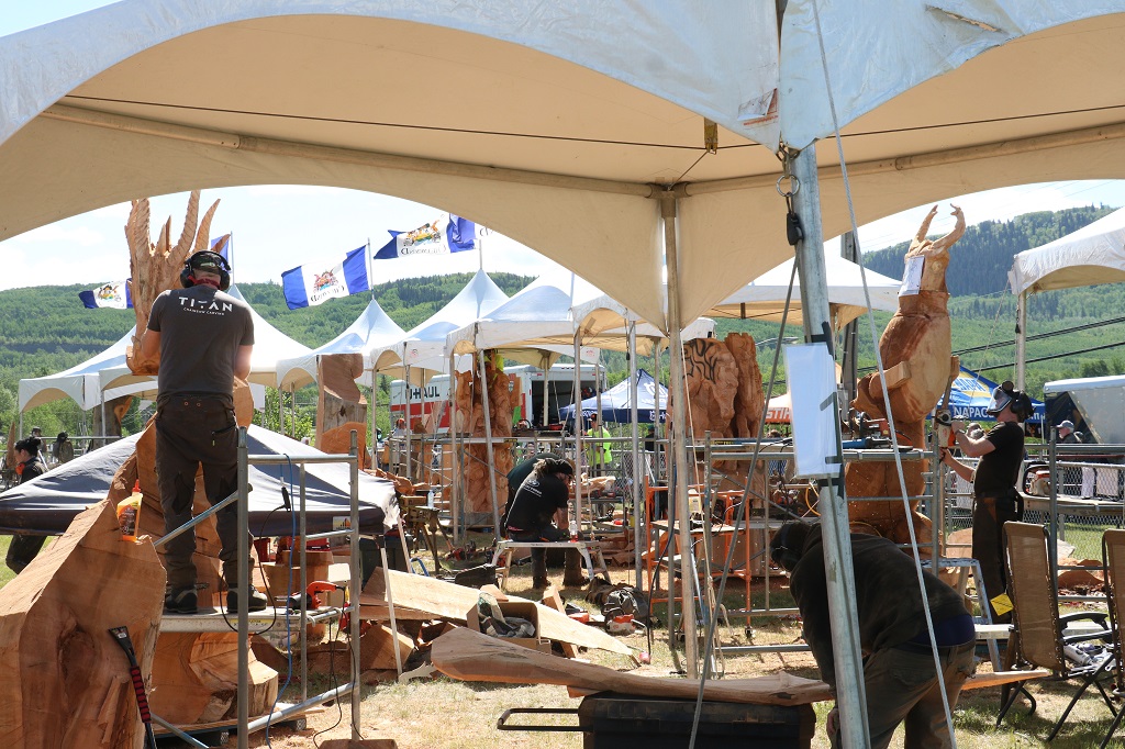
We had been told the Chainsaw Carving Competition was taking place at the Rec Center so we headed there next. I was very surprised to see no signage advertising the event along the streets or in front of the rec center. There was something posted on the bank by the construction area but it just said, “60th anniverary, let the chips fly,” which, to me, was a bit ambiguous if you did not know what was going on. For such a major event for the town and one that has not been held for the last couple of years, I would have thought the tourism board would have much better advertising.
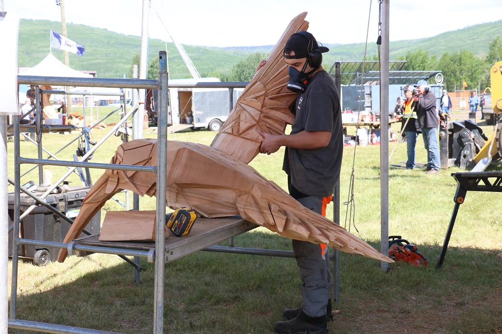
Something else that surprised me when we got to the carving area was that most of the carvers were teams of two or three, even though the signage at each tent highlighted the one carver. There were only about three of the 12 that were on their own. It struck me as a bit odd to have a timed competition for a sculpture when some people had help carving and others did not. Just me being picky I guess.
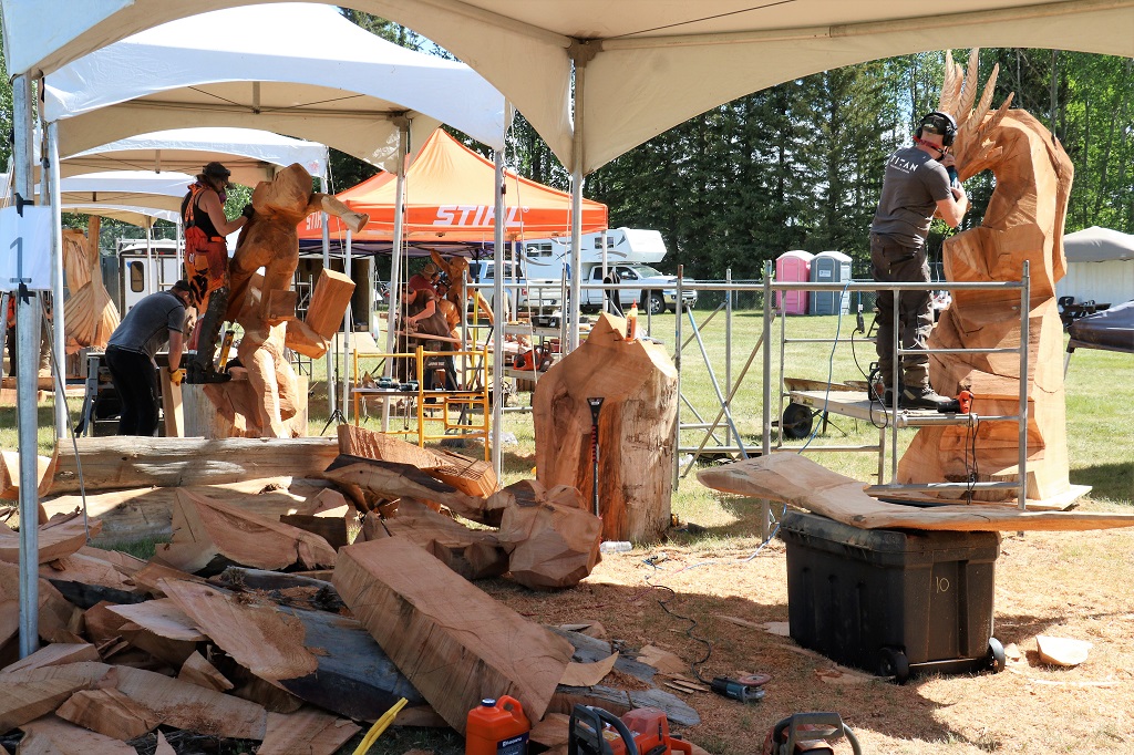

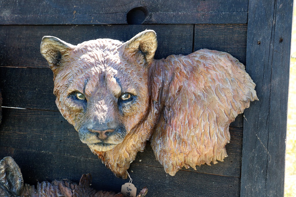
Several of the carvers brought smaller pieces of their work for sale. I really liked this cougar. It was only $900.00.
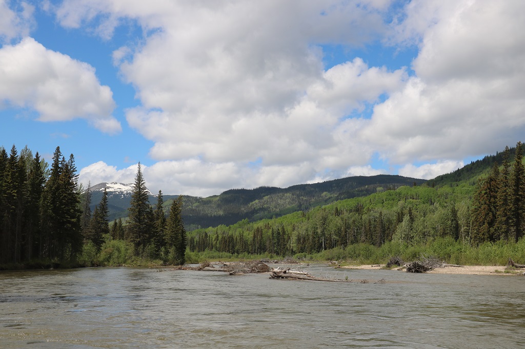
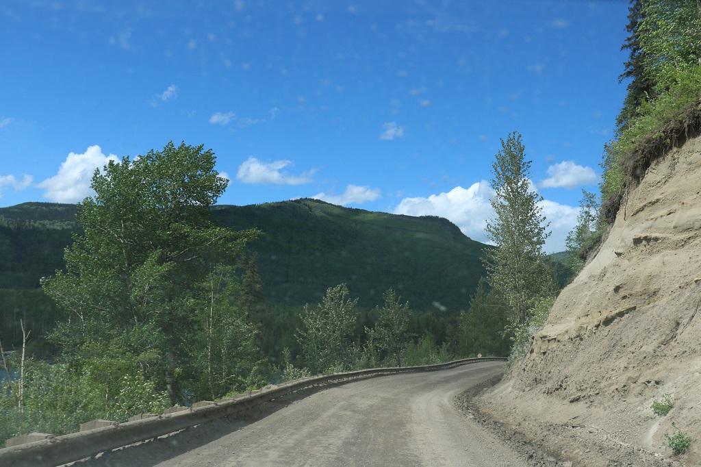
We left Chetwynd at 12 o’clock and headed down Highway 29 toward Tumbler Ridge. A distance of 88 kilometers. Half an hour later we turned off onto the Sukunka Resource Road to go see the Hole-in-the-wall.
Sukunka is a radio controlled road with lots of traffic from the gas plants and road maintenance workers. There is a campground down the road somewhere and the industrial drivers are aware that there is often public vehicles on the road without radios. Even if you have a radio, which we do, the rules on this road are that you only call the kilometers when going down, not when going up. All upward traffic must yield to downward vehicles.
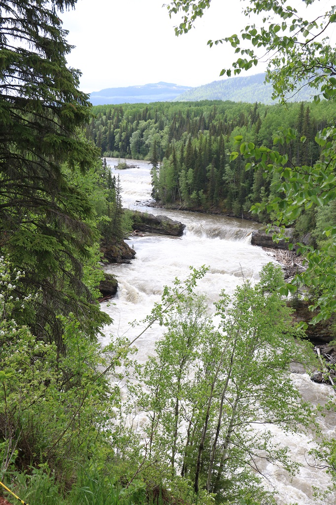
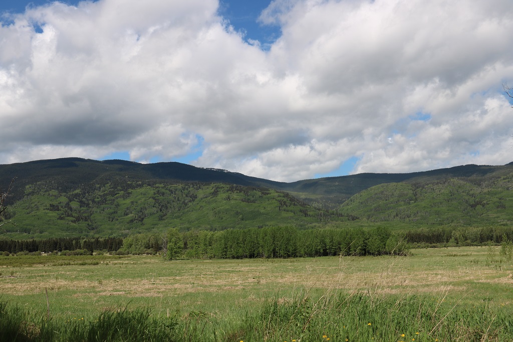
It was 51 kilometers to our destination and we drove mostly through forest on both sides. Every once in awhile though the trees opened up and the scenery was lovely.
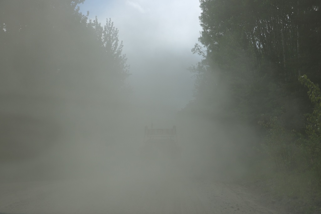
We followed a truck with a huge piece of equipment on it and it’s pilot vehicle for several kilometers. Needless to say were were happy when it turned off into one of the camps.
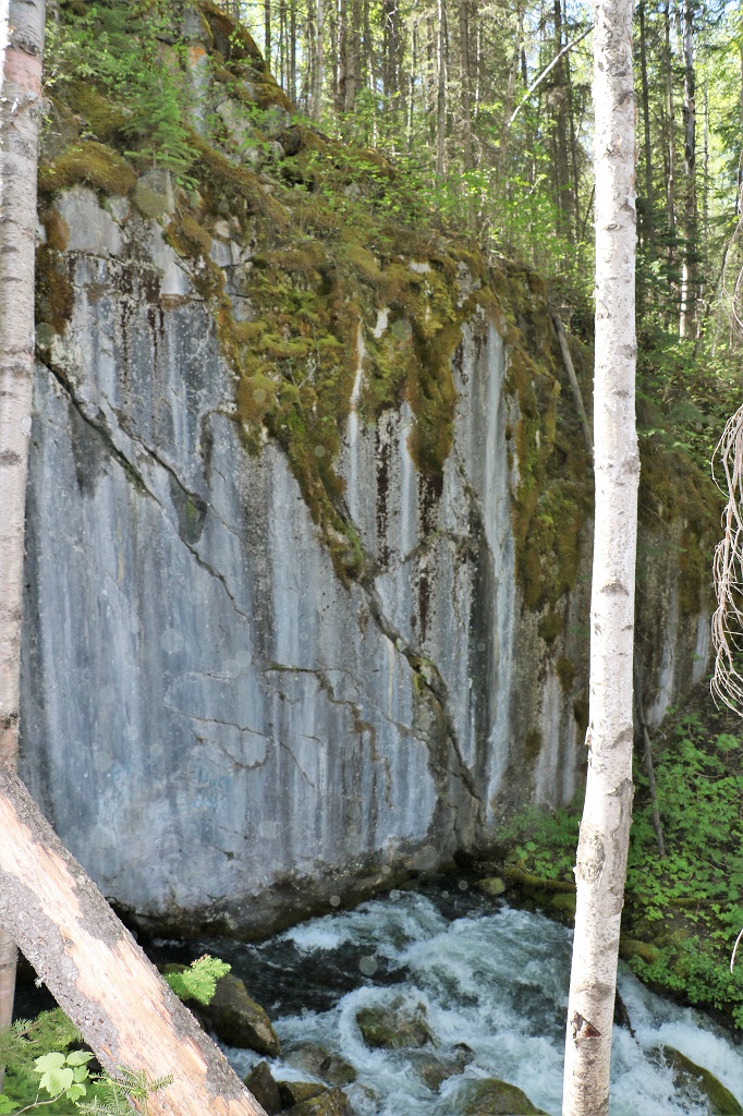
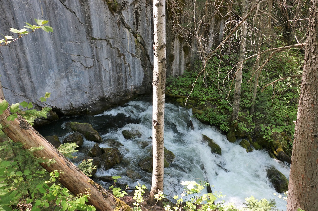
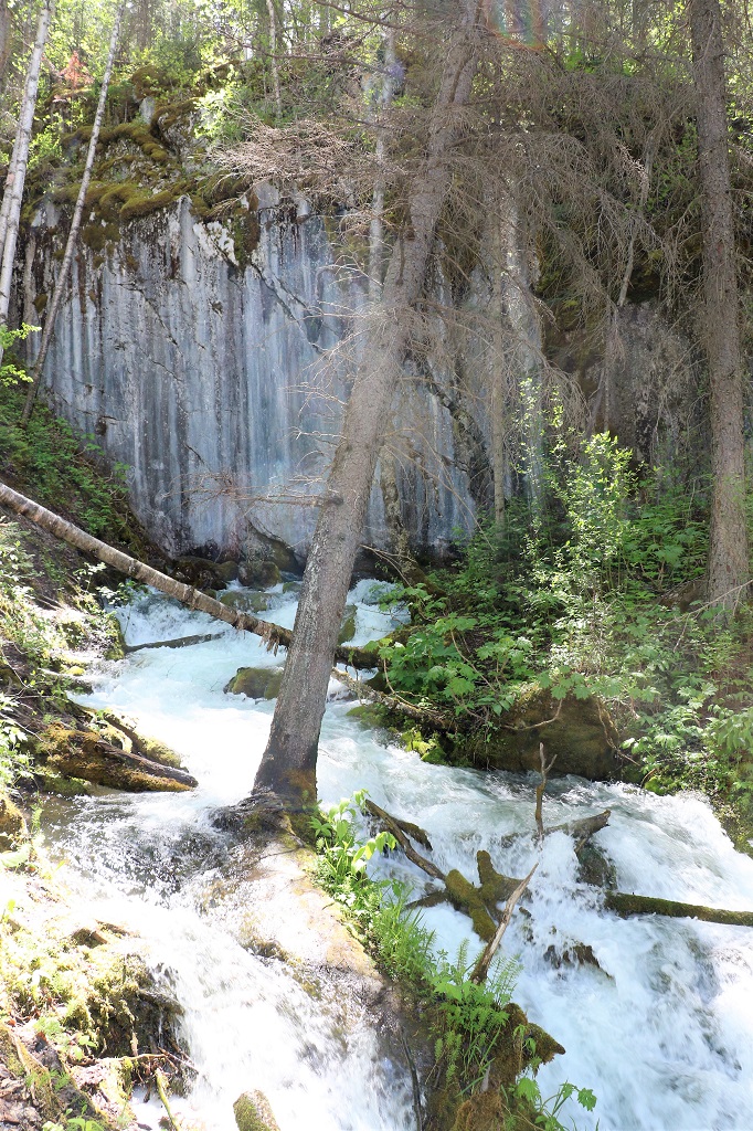
Hole-in-the-wall is a 137 hectare Provincial Park that preserves a rather unique geographical feature. A solid rock face of about 30′ that has water pouring from the base.
It was now, we thought, 2:30 yet our phones said it was only 1:30. Turns out that the Tumbler Ridge area does not change their time in the spring and fall, so the hour ahead that we were in Chetwynd went back again. We had some lunch and then headed back to the highway, faithfully calling our descending kilometers on the radio. We were a bit surprised on our trip up to meet quite a few big trucks that did not call their mileage markers on the way down as they were supposed to do.
There are three or four narrow sections where upcoming traffic must stop before entering to wait for any vehicles coming down. If you didn’t have a radio to know when one was coming I would not feel too comfortable about possibly rounding one of these corners to meet a big rig.
We had not gone too far down the highway towards Tumbler Ridge when we spotted this Grizzly enjoying a dandelion feast. We saw him/her far enough in advance so I could have my window down and my zoom lens on the camera.
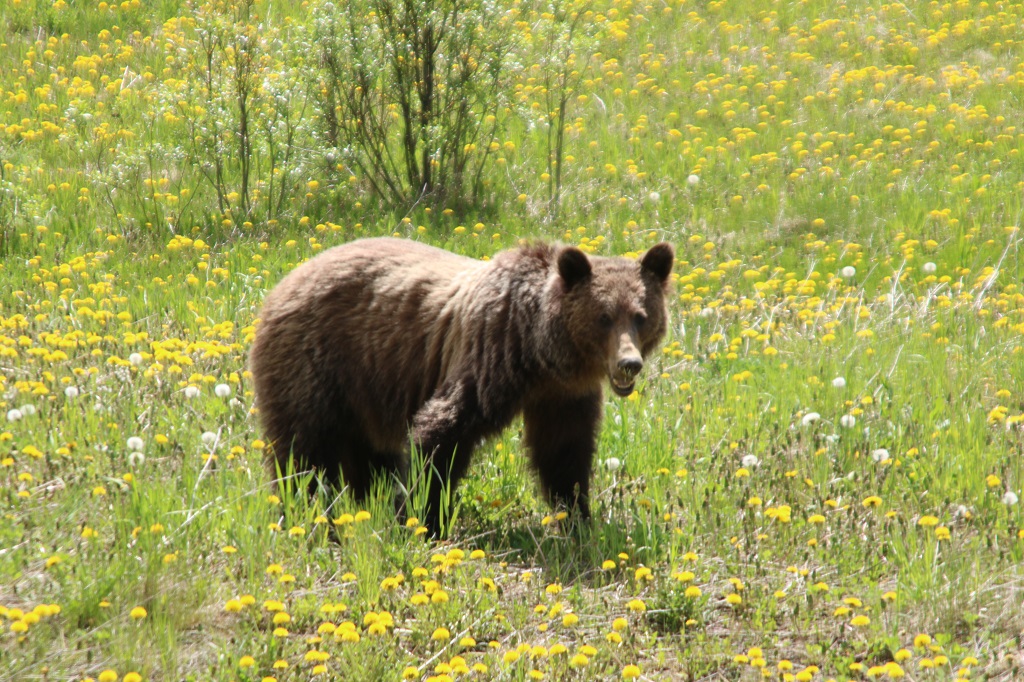
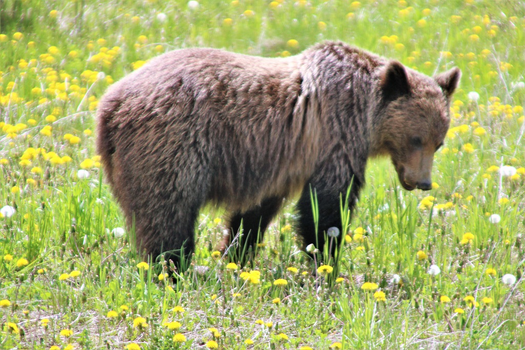
Someone needs to find a good rubbing tree to get rid of a bunch of winter hair.
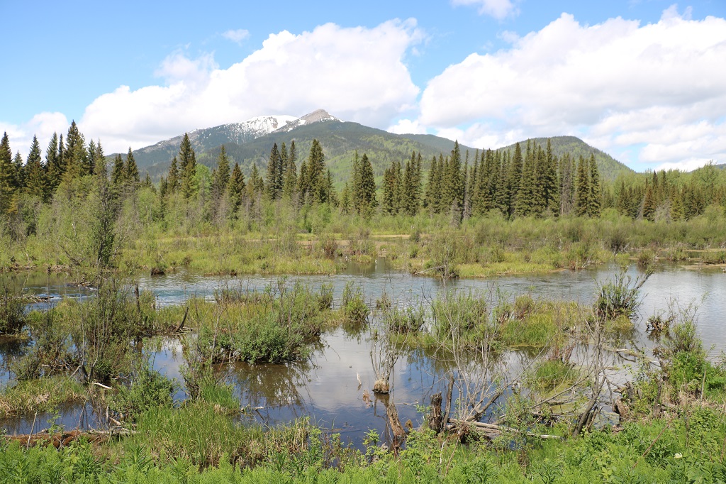
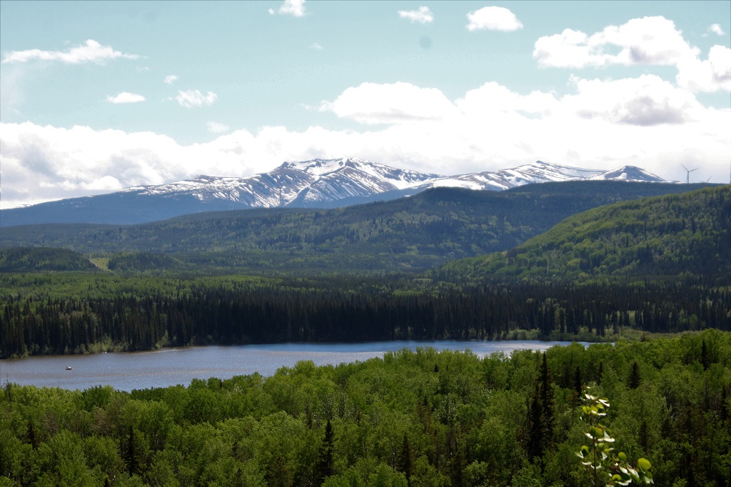
We pulled into Gwillim Lake Provincial Park and enjoyed the view of the lake and distant mountains.
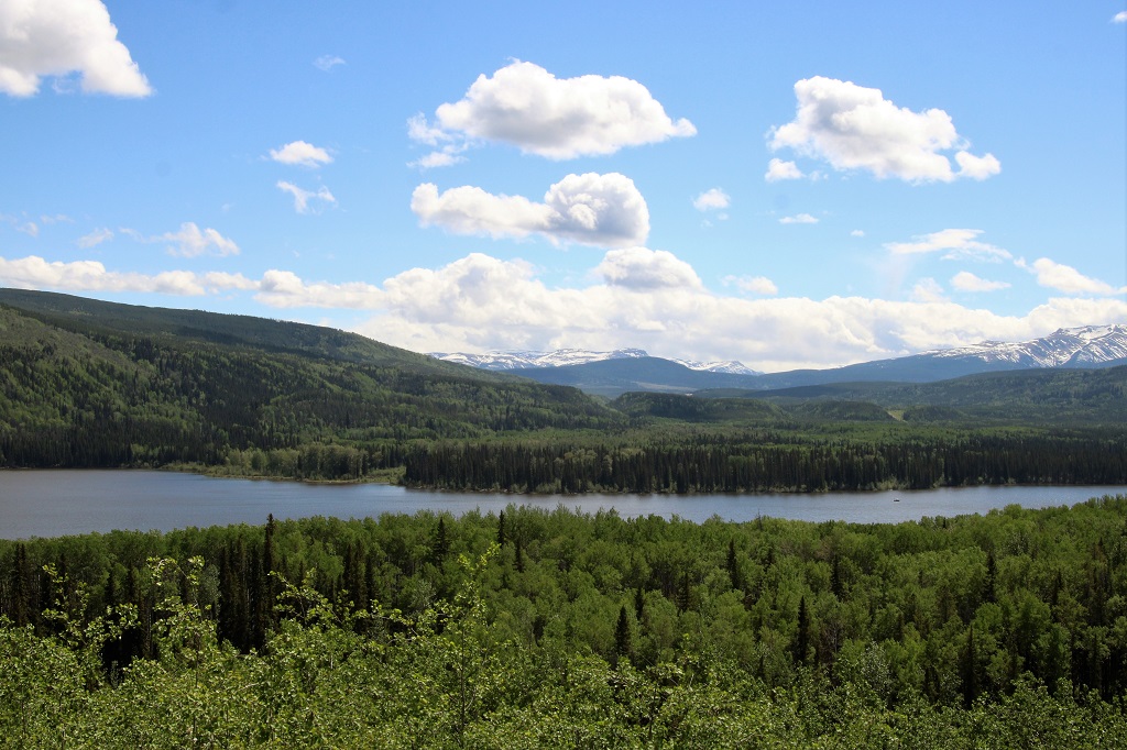
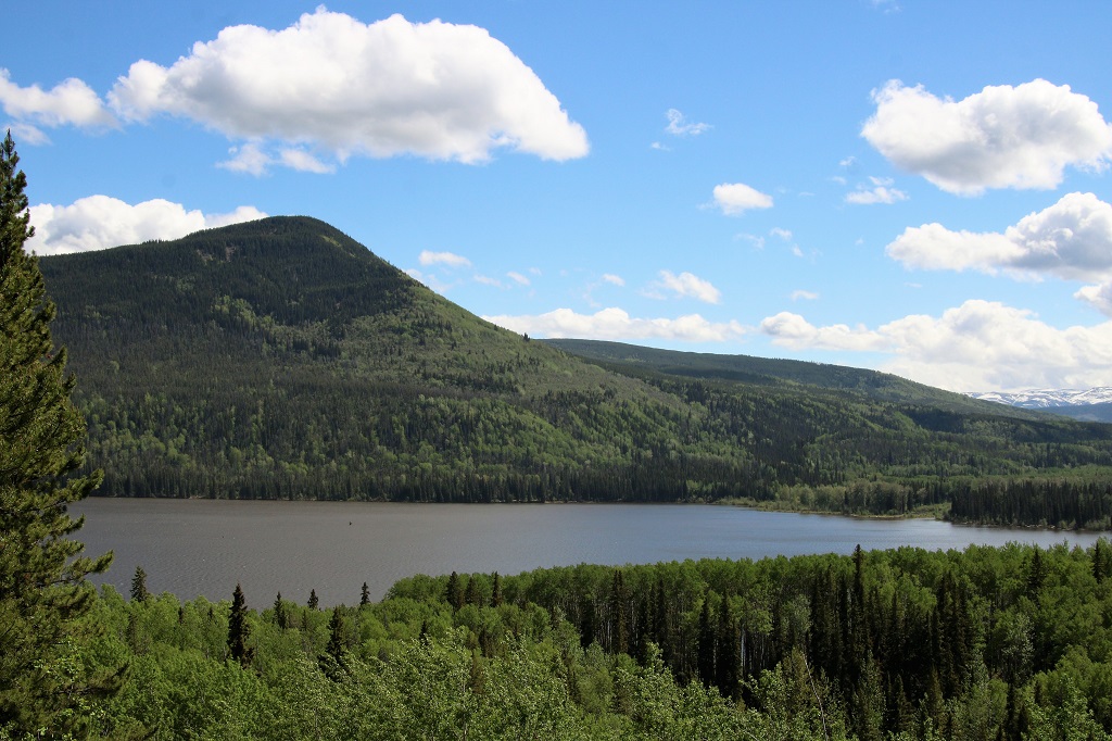
Mt. Meikle is a mountain of sandstone left behind when softer shales were eroded away by wind, ice and water after the formation of the Rocky Mountain foothills. The basin scoured out below Mt. Meikle filled with water, forming Gwillim Lake.
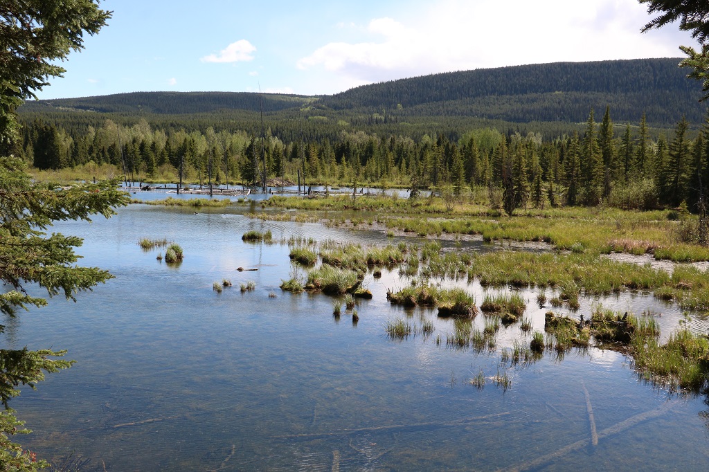
John saw a sign for Bullmoose Marsh and made a quick turn into the parking lot. There were two trails to see the marsh. We took the shorter 500 meter (return) Sorba Trail first.
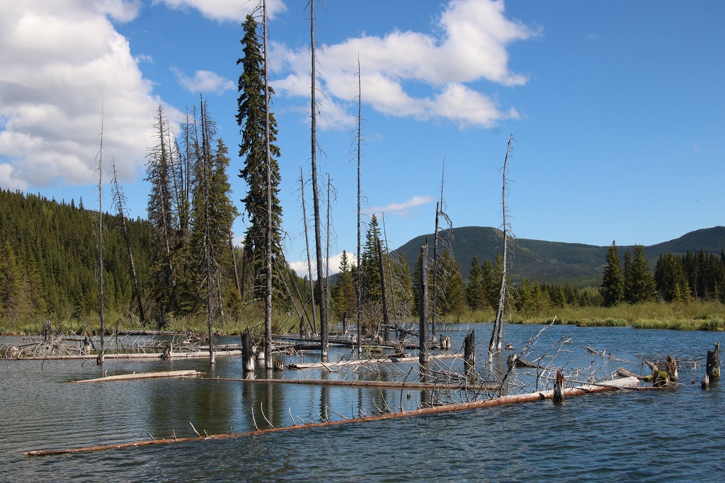
The longer Bittern Trail (1.3 km return) took us through the forest to a more distant part of the large marsh. It was a nice walk and we remembered to whistle and talk to let the bears know we were in their space.
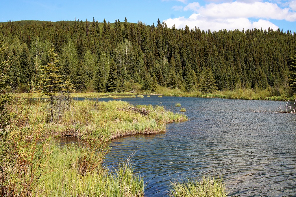
93 different bird species have been spotted at Bullmoose Marsh and the best viewing times to see birds is May and June. The fowl must not have gotten the memo because we saw 4 mallards and this bird who was not on any of the sign boards.
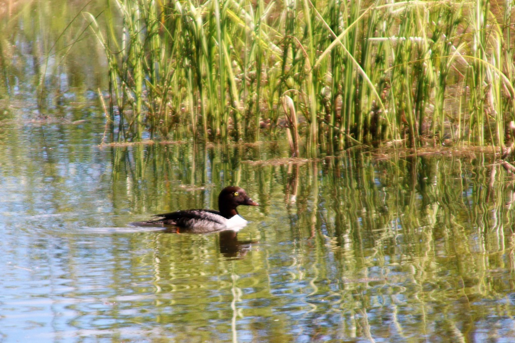
I thought it might be a Common Goldeneye but they have a pointy green head and a white cheek spot. Google Lens couldn’t tell me what it was either.
We made one more stop before we got to Tumbler and that was to find the only geocache for the day. It was hidden up and over a hill off the highway on Sanctuary Road. The view was amazing.


This huge silo held the coal from the mines and then filled the train cars for transport.
We arrived in Tumbler Ridge at 5:30 and checked into our hotel before having dinner. We are here for three nights and then heading up to Dawson Creek where we are staying two nights with friends.

We are enjoying our trip with you. Chuck is going to fsj on tuesday.Have fun exploring. Gloria Sent from my Galaxy
LikeLike