It was another sunny day today but by the time we neared Bell II at 3 o’clock there was a definite smoke haze in the air. But, for the majority of the drive, it was a beautiful day.
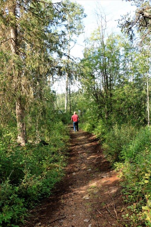
We didn’t leave Dease Lake until after 11. There are two geocaches hidden here and we hoped to find them both. However, the first one we looked for was 400+ meters into the bush with no visible trail. We passed. The second one showed to be down a short steep gravel road to a boat launch at Alan Lake just out of town. John decided to not drive down because the log description said there was sand at the bottom of the road and he did not want to risk getting stuck. We thought the cache was at the bottom of the road near the lake, but it wasn’t. We had to walk along a quad trail all around the end of the peninsula to another section of the lake. We kept whistling and talking to make sure we did not surprise any bears. We located the cache and then hiked back to the truck and started on our way to Bell II; 3 ½ hours drive south. 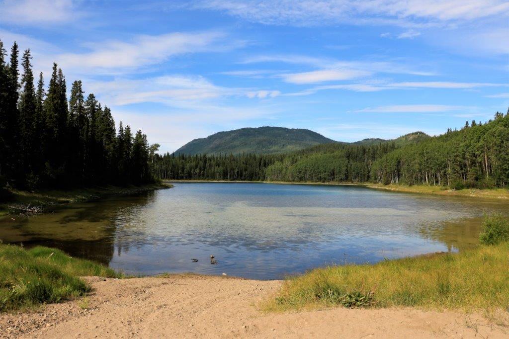
 The Tanzilla River was tumbling along over its rocks.
 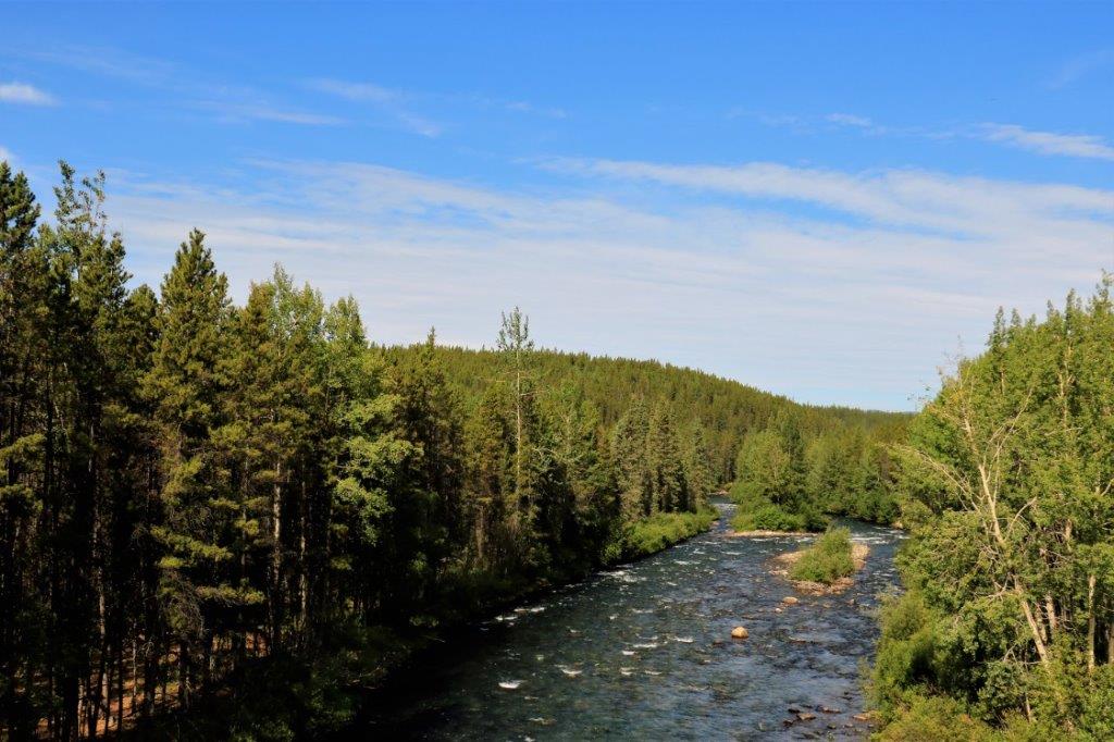 We saw another black bear today. He hopped over the guard rail before we could get any closer. This photo is cropped quite a bit.
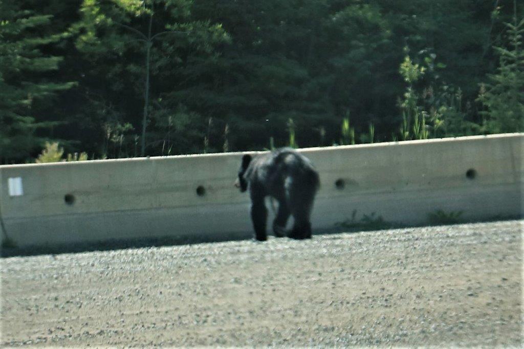
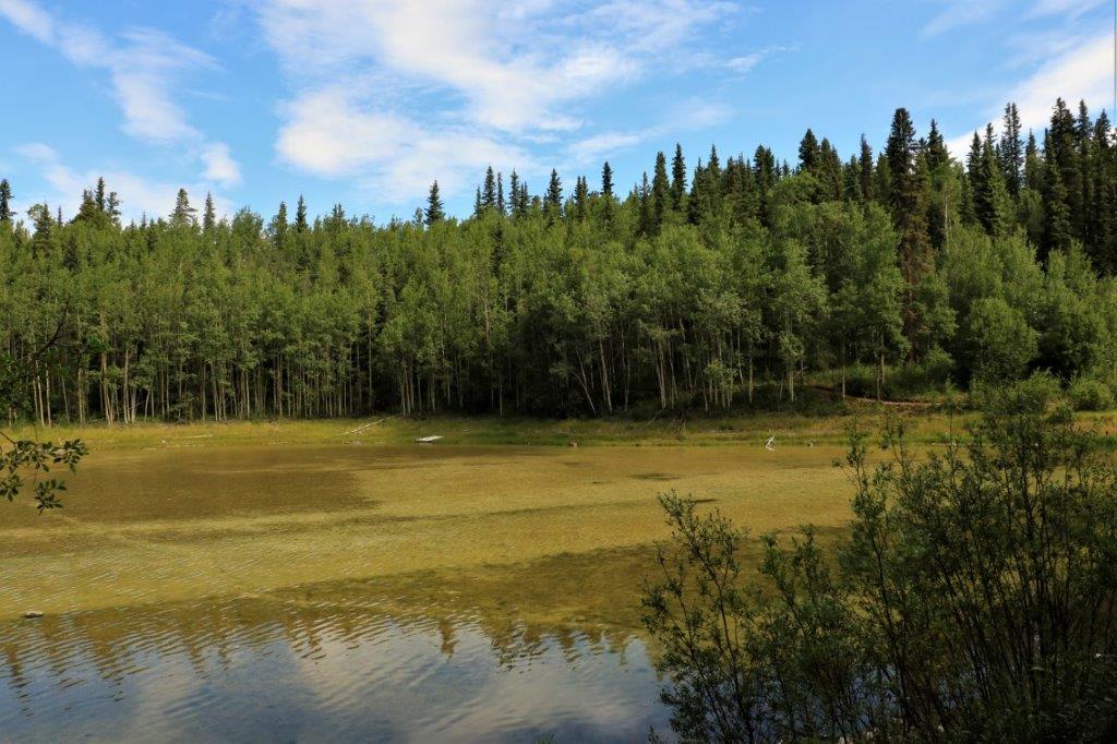
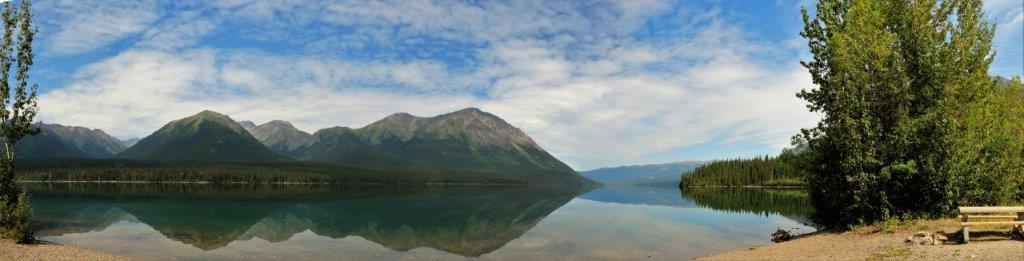
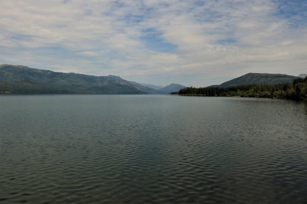
 South of Iskut, we drove past the entrance to Red Goat Lodge I could see a bit of a lake so we decided to pull in. The owner said it was okay for us to drive around and take some photos. It was a lovely spot. Very quiet, very calm.


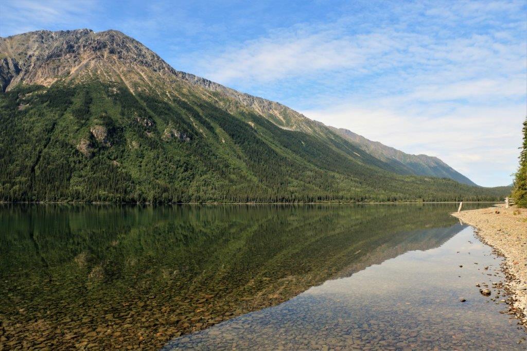
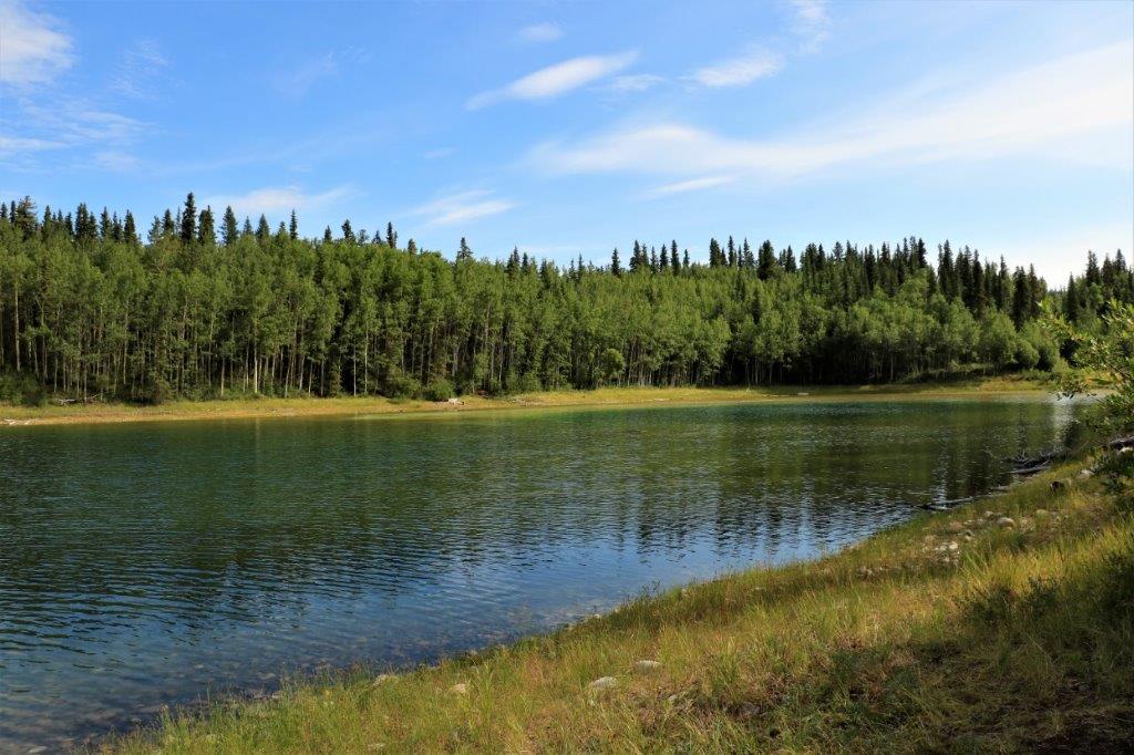
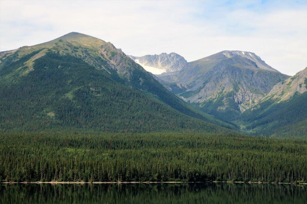
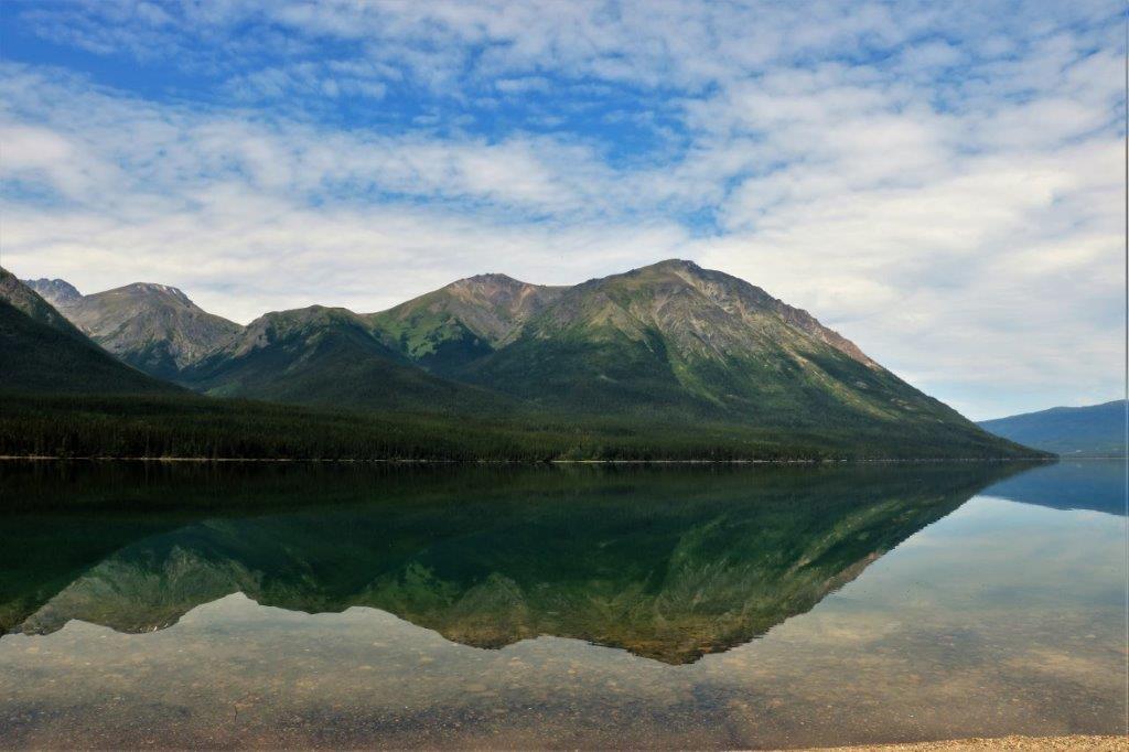
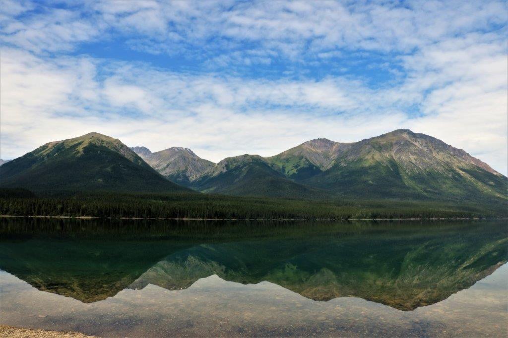
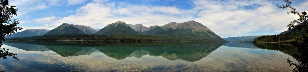
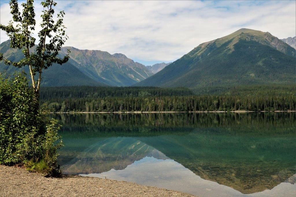
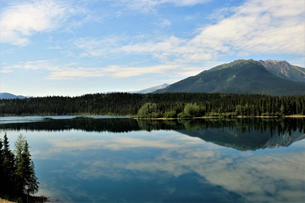
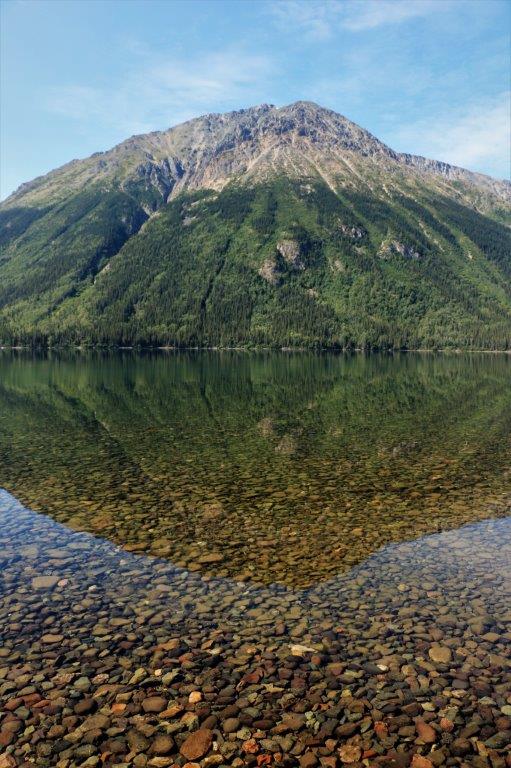 At Eddontenajon Rest Stop we saw some absolutely gorgeous reflections in Kinaskin Lake. I think so many of the pictures are pretty, I have inserted them in this blog. (Oh, the power I wield!)
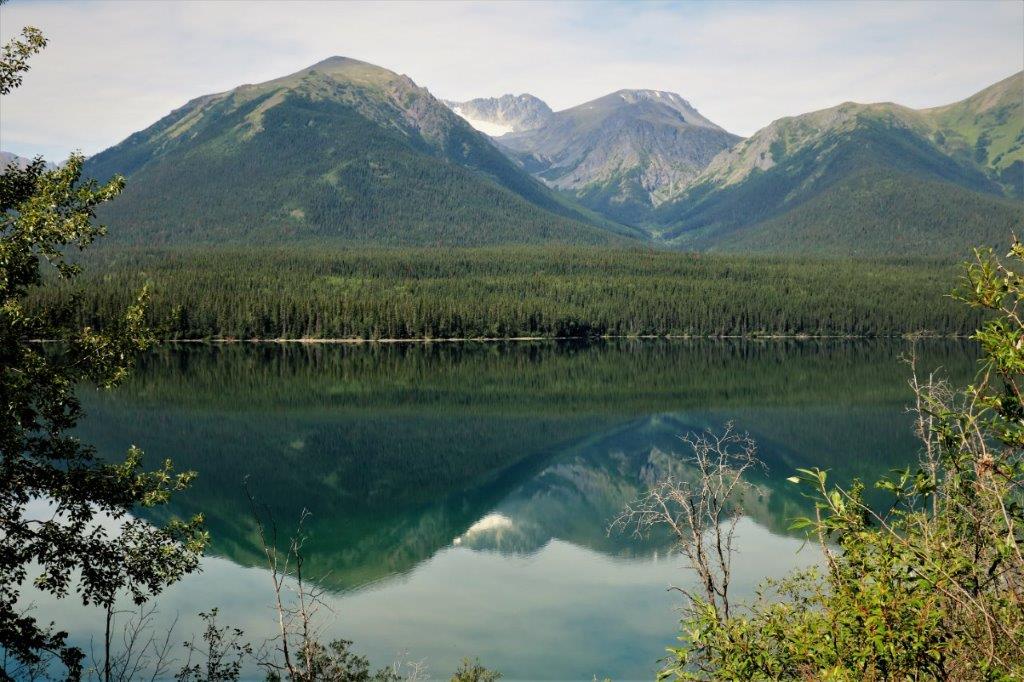
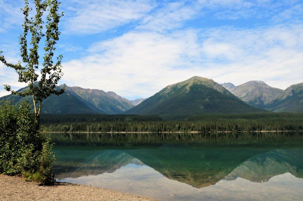
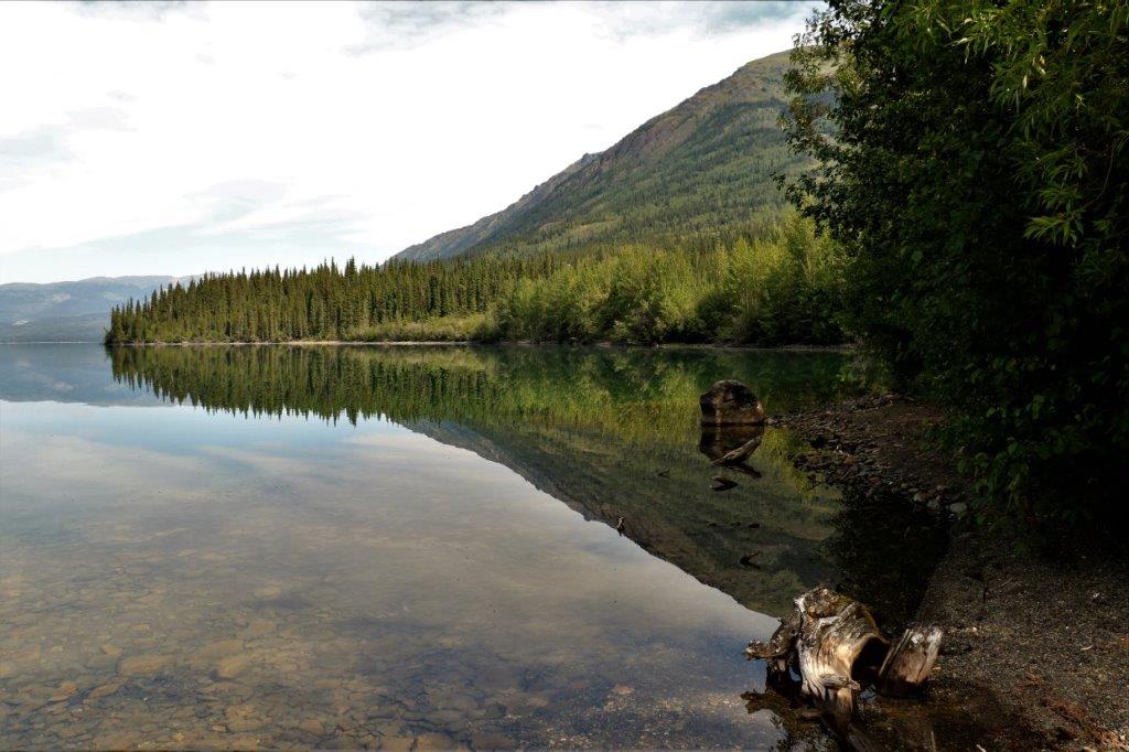
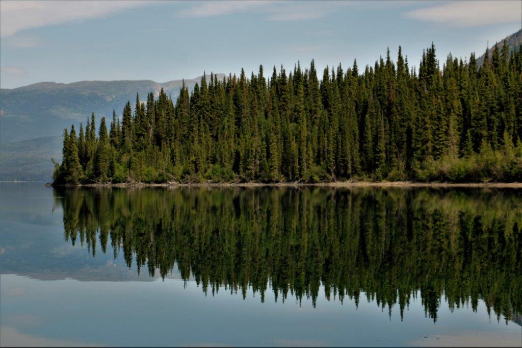
 We stopped a little further down the road at Kinaskin Lake Provincial Park and had some lunch down by the boat launch.
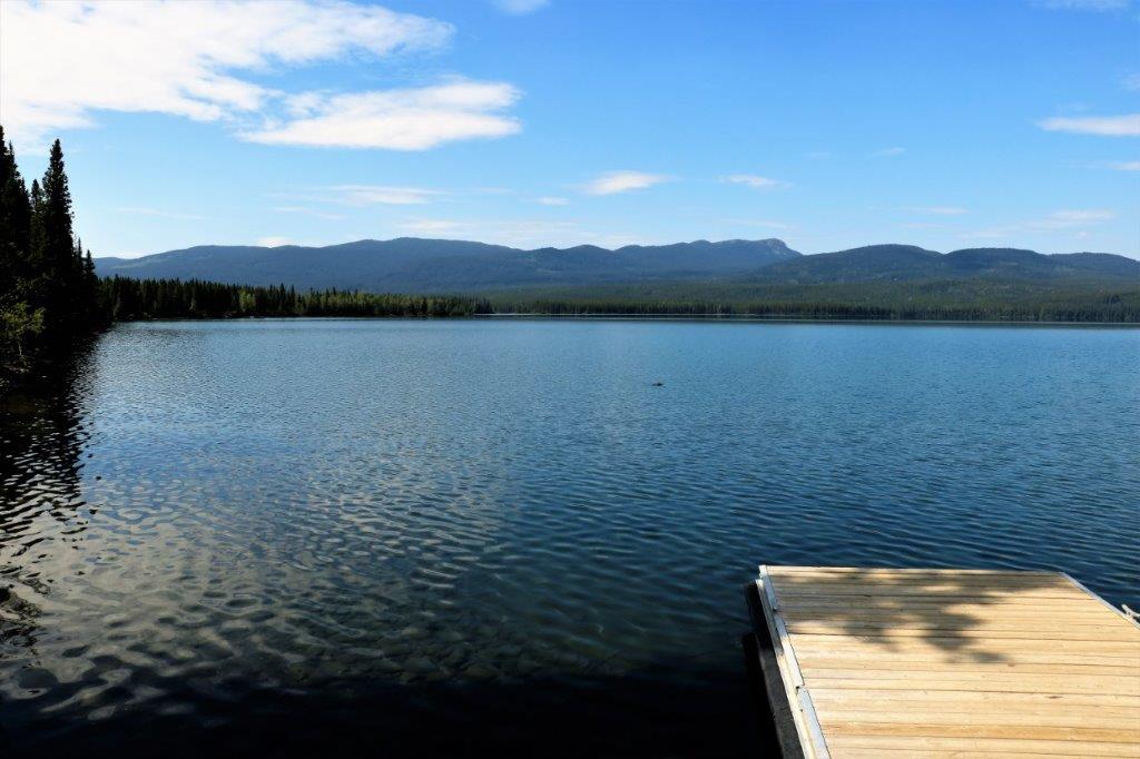
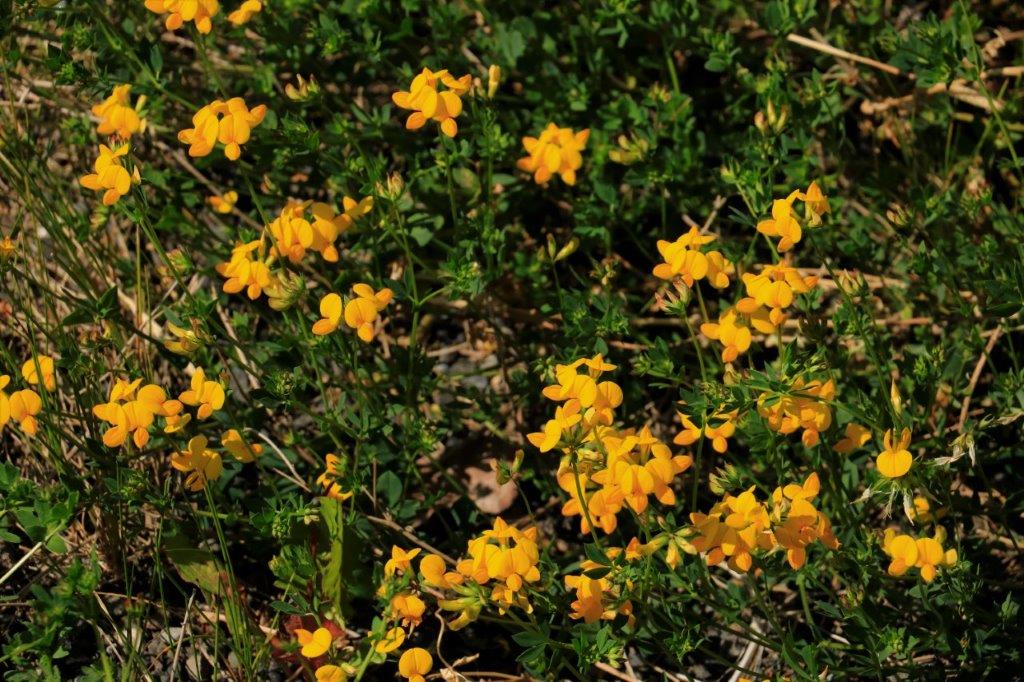
 The perfume from these little yellow flowers was really pretty coming in through the open window as we drove down the road.
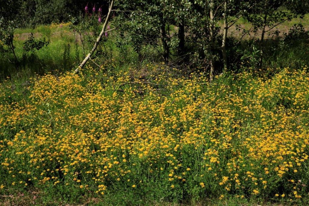
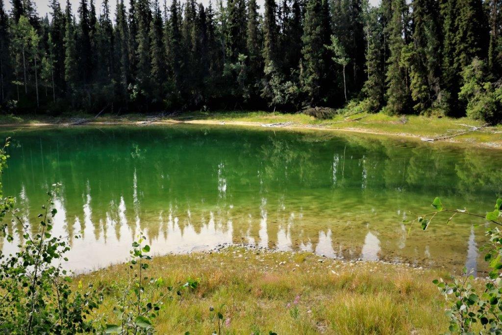
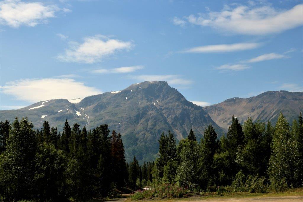
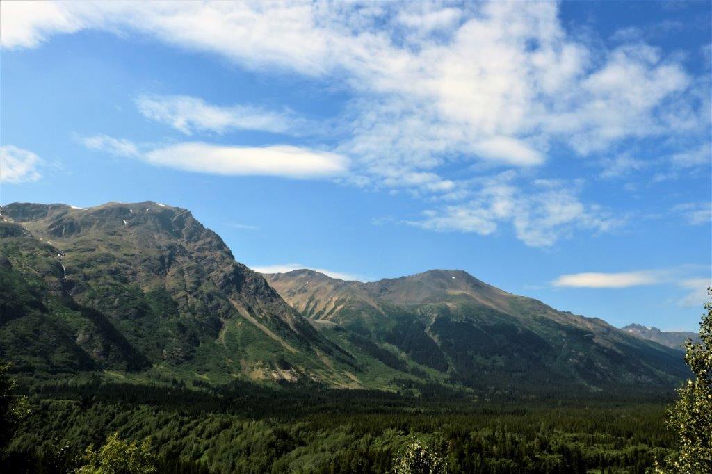
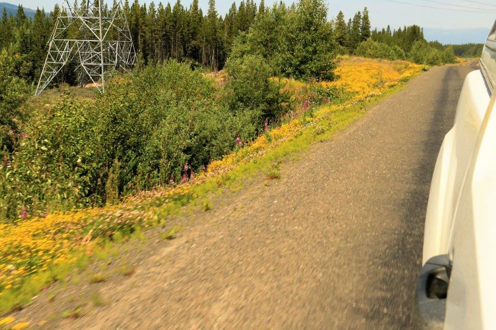 The Cassiar-Stewart Highway passes along the foothills of the Coast Mountains. There always seemed to be a bunch of hydro wires or trees in the way of my photo taking, but I managed to get a few pics.
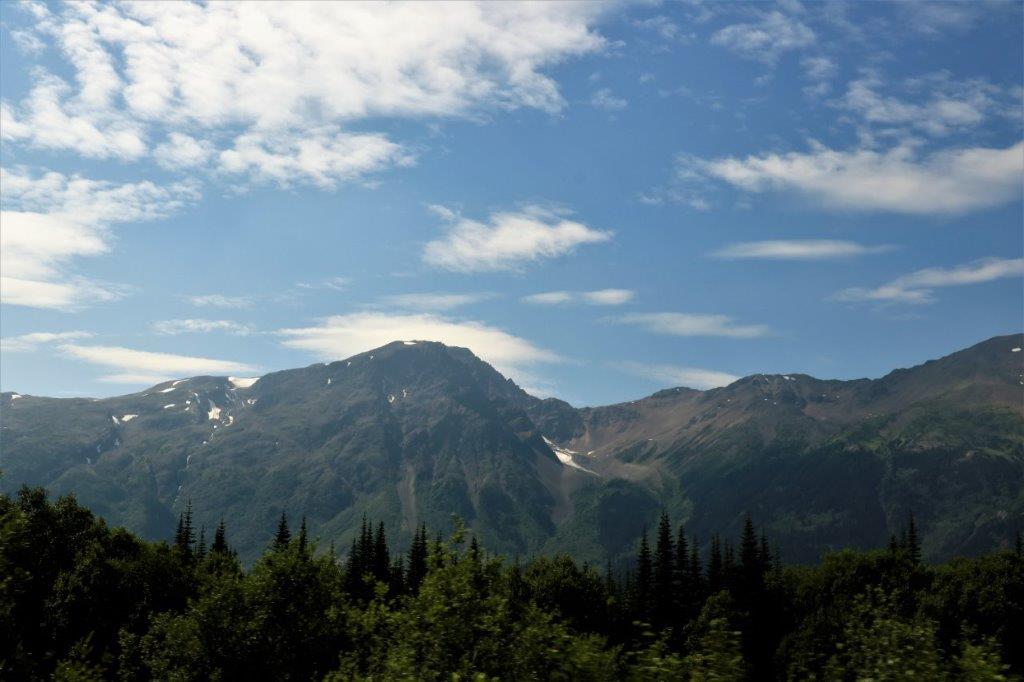
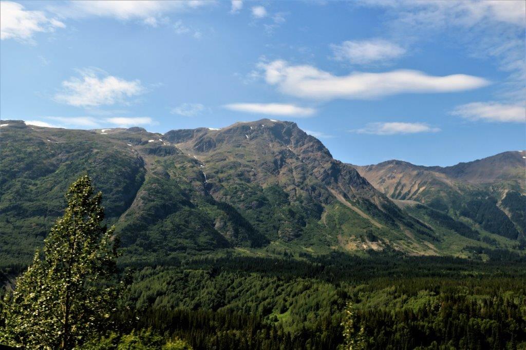
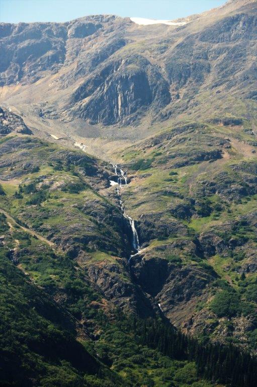
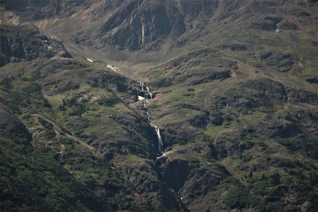

 We could see glimpses of canyon walls every now and then through all the trees and finally there was a pullout that gave a half-decent view of the river below. The water of the Bell-Irving River at this point was a very golden colour.
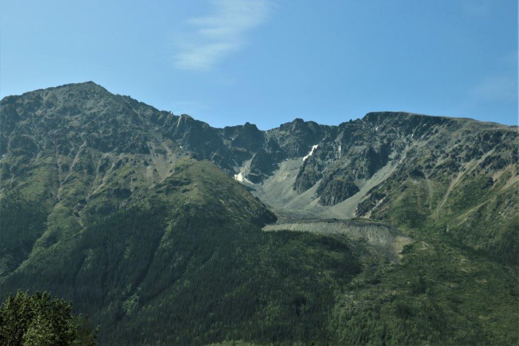
  This may be Mt. Patulla. It is the only one that showed up on the maps directly in front of the road.
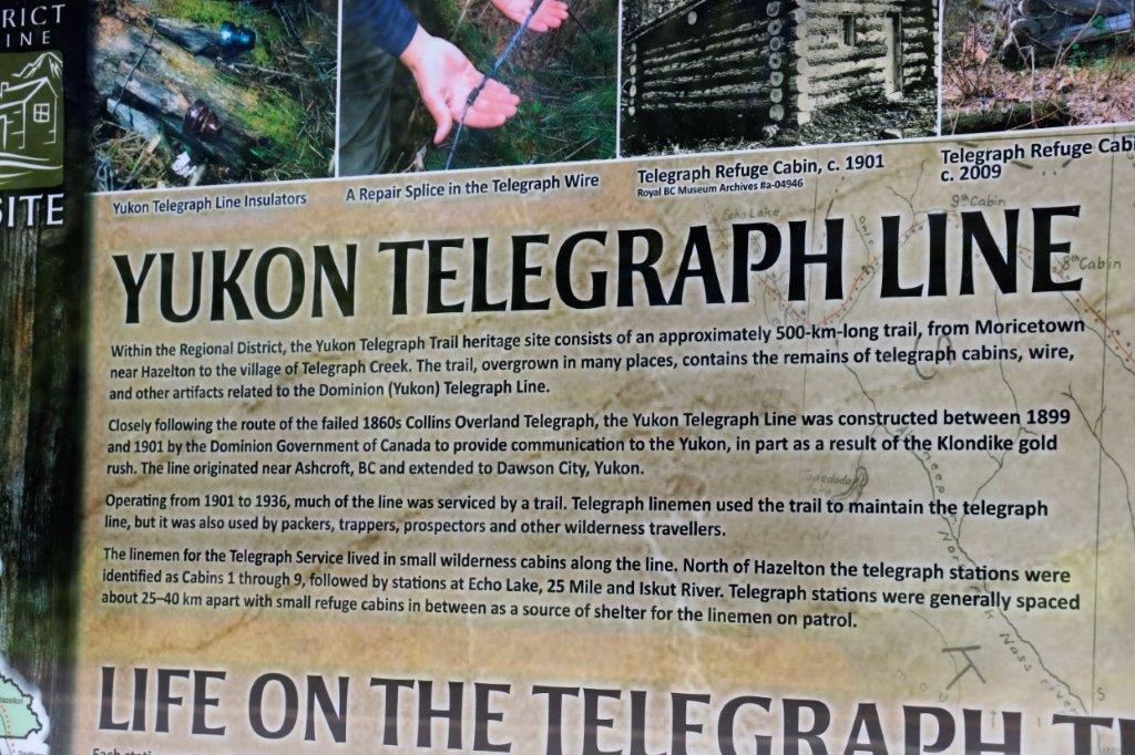
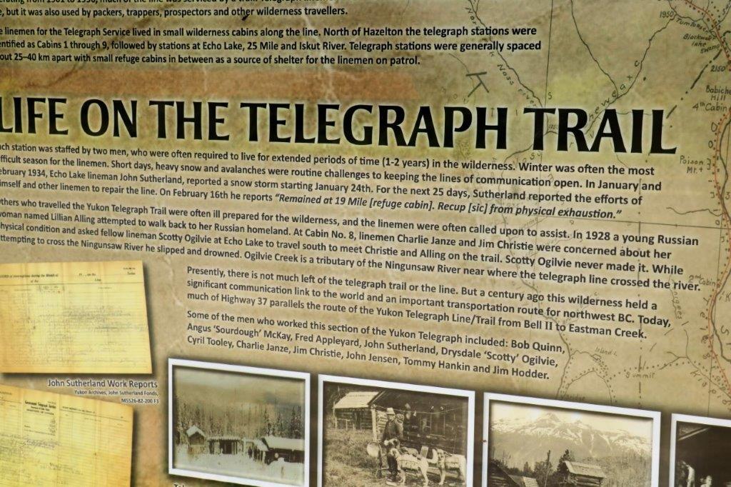
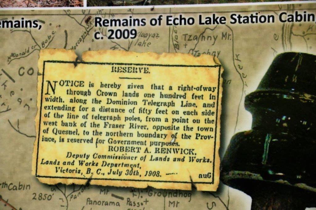
 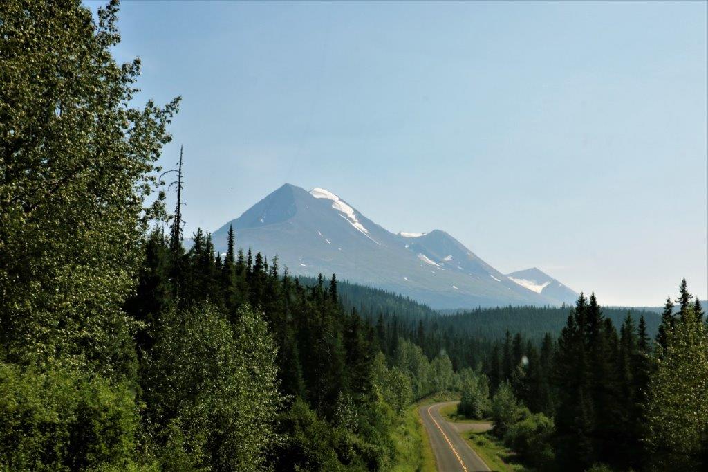 This highway follows much of the original Yukon Telegraph Line that linked the north with the rest of the country. There were a historical information signs at one of the rest stops.

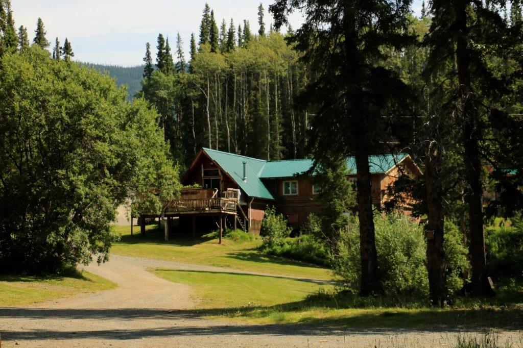
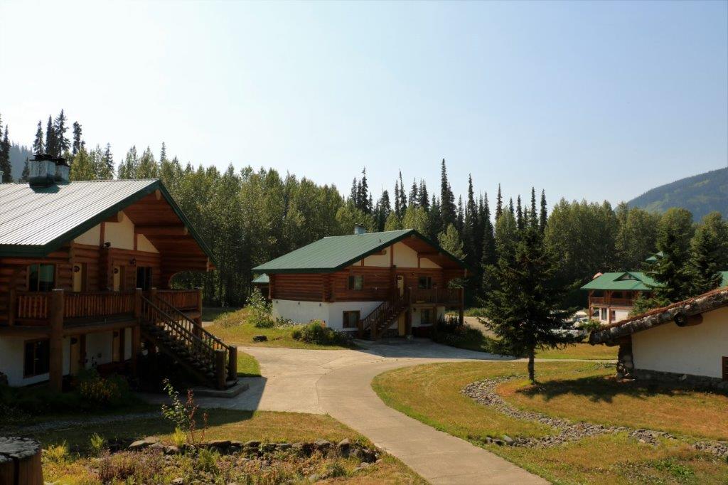
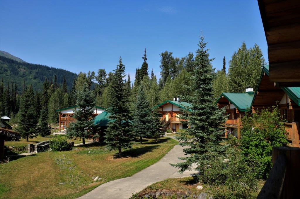
 We did not have far to drive today, it being one of our planned three shorter days to get down the Cassiar. We stopped for the night at Bell 2, which is like Eagle Plains on the Dempster Highway, having no community but is only a waystop on the long drive from the south junction near Terrace up to Watson Lake, Yukon. Lovely, spacious (and expensive) log cabins. Nice place. Bell 2 is so named because it is the nearby bridge is the second crossing of the Bell-Irving River. It is a start-off spot for heli-skiing in the winter.
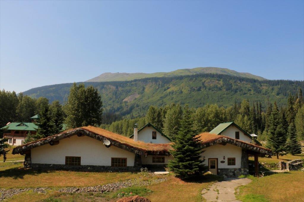
 There is no cell service here and no televisions in the rooms – not that we care, we have rarely turned one on this whole trip anyway. We were also told there was no wi-fi, but that turned out to be incorrect. Each cabin is allowed once device on the network at a time and a total of one hour of free internet. In order to get my blog posted today I wrote all my text off line and cut and pasted it into the blog site to conserve time. I usually just write online and insert photos as I go. This way took a bit more pre-planning.
Tomorrow we drive the final leg of the Cassiar-Stewart, which has been a paved road with a few gravel sections, not the mostly gravel road we expected. We will spend the night in Terrace before going to Prince Rupert on BC’s west coast.
