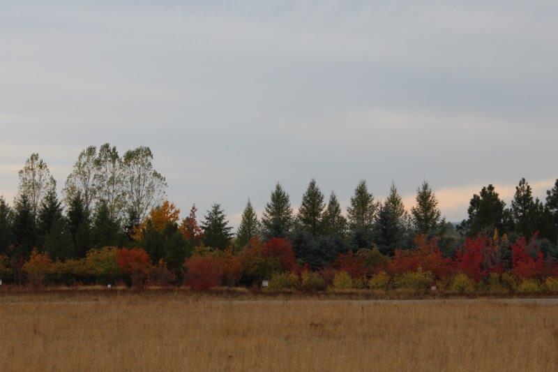
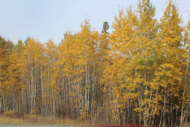
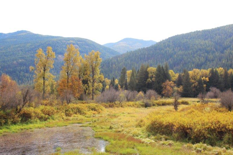
We made it across Montana at last, and for good measure we almost crossed Idaho. The drive from Kalispell to Libby was through forested trees along mountain roads. The dark green of the firs and pines was interspersed with the glorious gold of the Aspens.

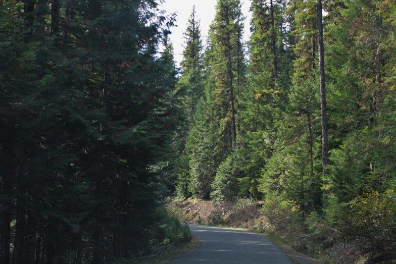
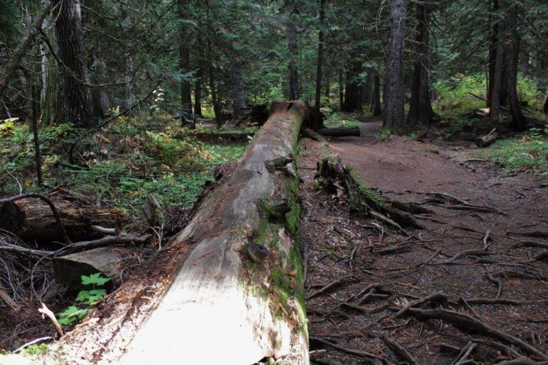
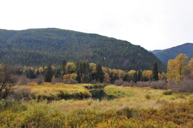
 A few miles west of Libby (1 mile east of Troy, MT) we turned south on Route 56, a 35 mile stretch of road that paralells the Cabinet Mountains. About half way down we turned off the main road and climbed 4 miles up a narrow winding road to the Ross Creek Giant Cedars. A one mile loop trail leads through the forest and back to the parking lot.
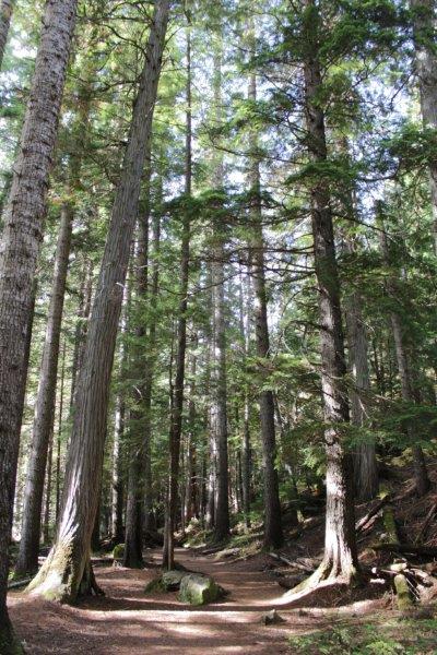
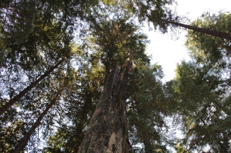
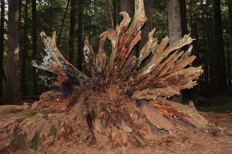
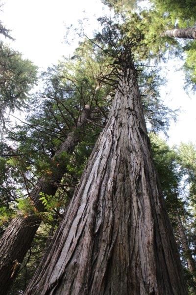
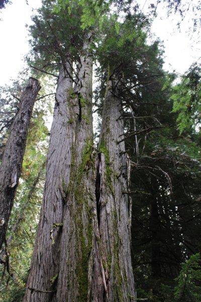
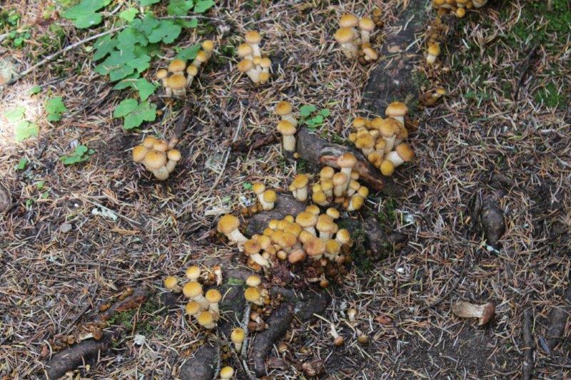
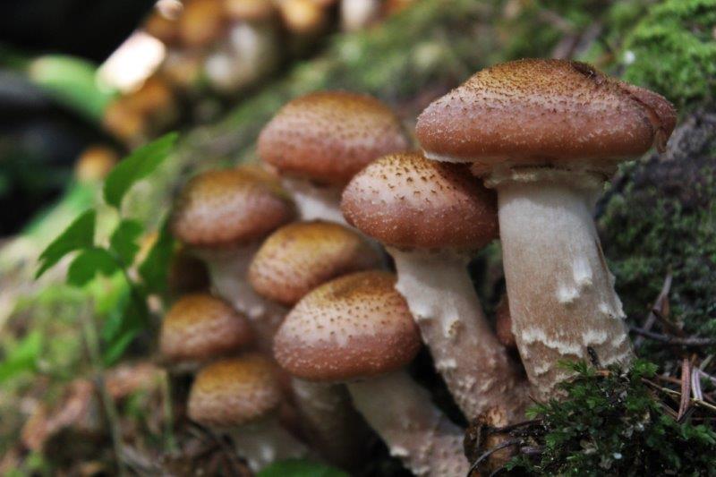
 There were some VERY large trees in the grove. It was interesting how many twinned ones there were and how many had been lightning struck or burned. The length of some of the fallen ones was amazing. It was very much like walking through Cathedral Grove on Vancouver Island and nice to see these old denizens of the forest have been preserved.
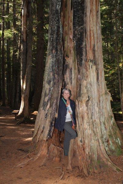

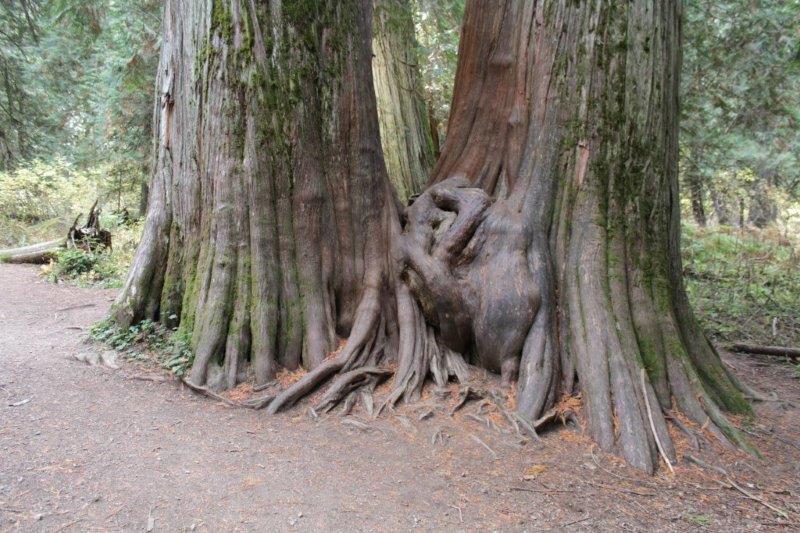
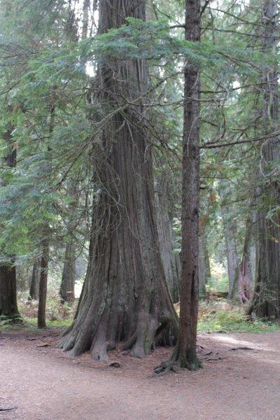 This triple tree has one huge base. A ‘normal’ size tree (about 2 1/2 feet around) growing beside one of the giants.


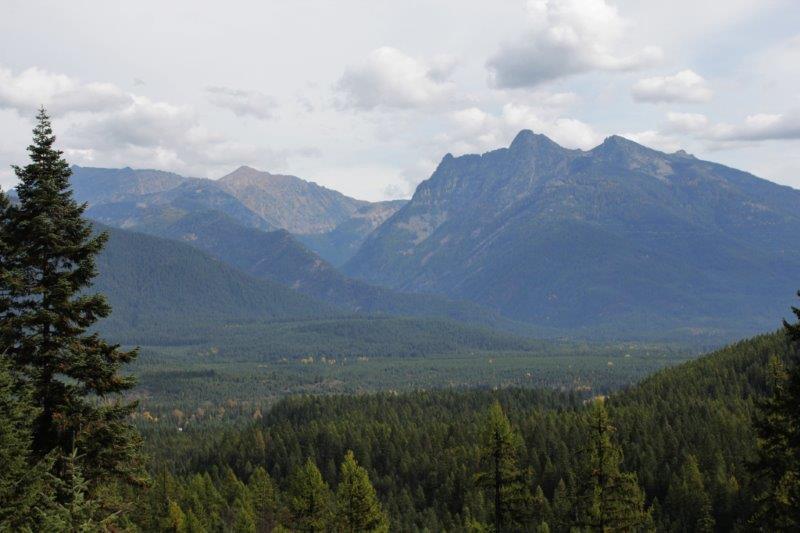
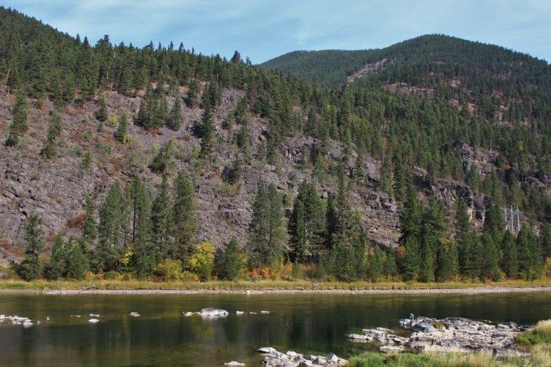
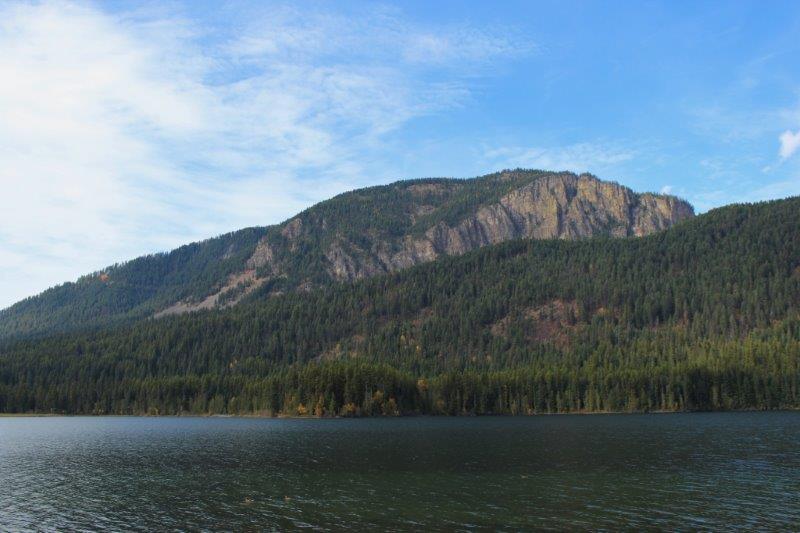
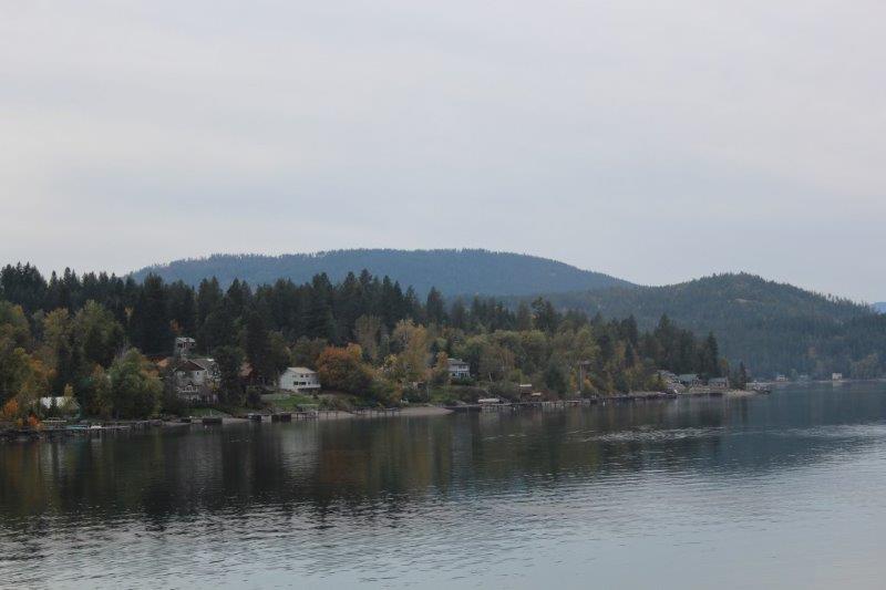
The Cabinet Mountains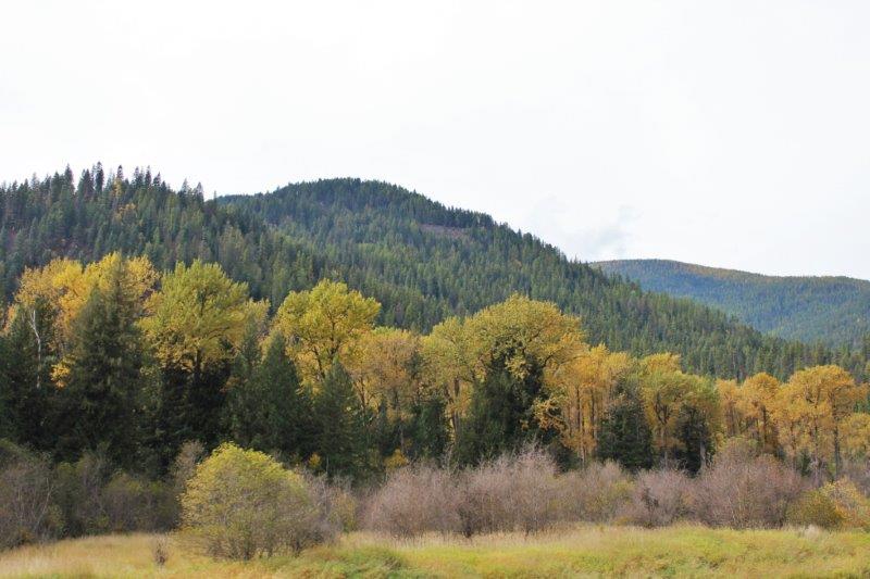
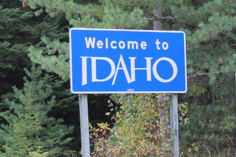
 When we got to the bottom of Route 56 we turned west again on Route 200 into Idaho.
 Just past the border we took another turn off the main road and went to see the Cabinet Gorge Hydroelectric Dam.

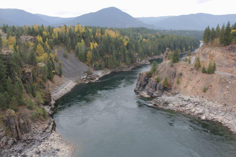 This dam was built in 1952 to overcome the power shortage after WWII. 1700 men and women worked around the clock for 21 months to complete it. It is 600′ long and 208′ high. The river was run through two diversion tunnels while the dam was under construction.
Route 200 takes a northerly slant along the coast of Pend Orielle Lake to Sandpoint where we picked up Highway 95 into Coeur d’Alene.
 We are now on BC time, having crossed back into our normal time zone halfway across the narrow top of Idaho.