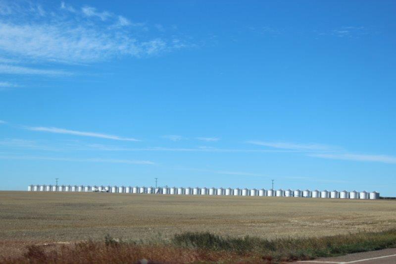
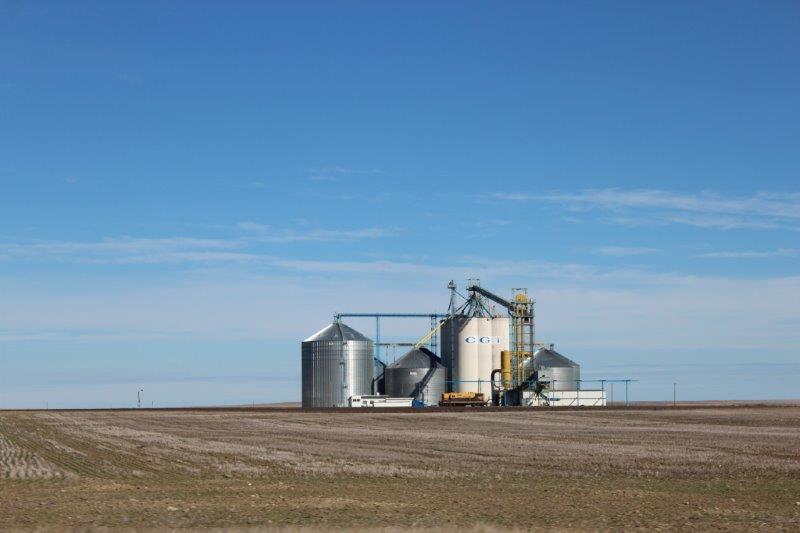
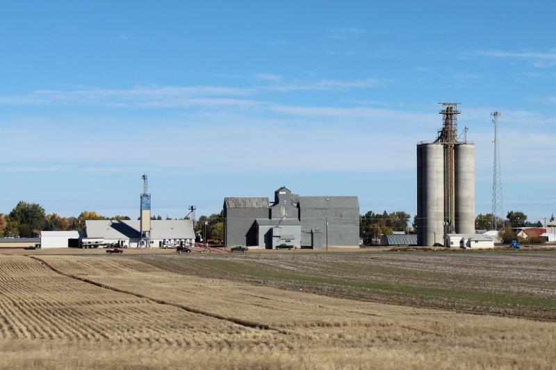
Montana is 545 miles across (877 km). We have spent the last two days driving across it and have 123 miles to go tomorrow to the border with Idaho. As mentioned yesterday this is cattle country, grain country, and cowboy country. Almost every community has grain elevators and every farm has multiple silage silos.


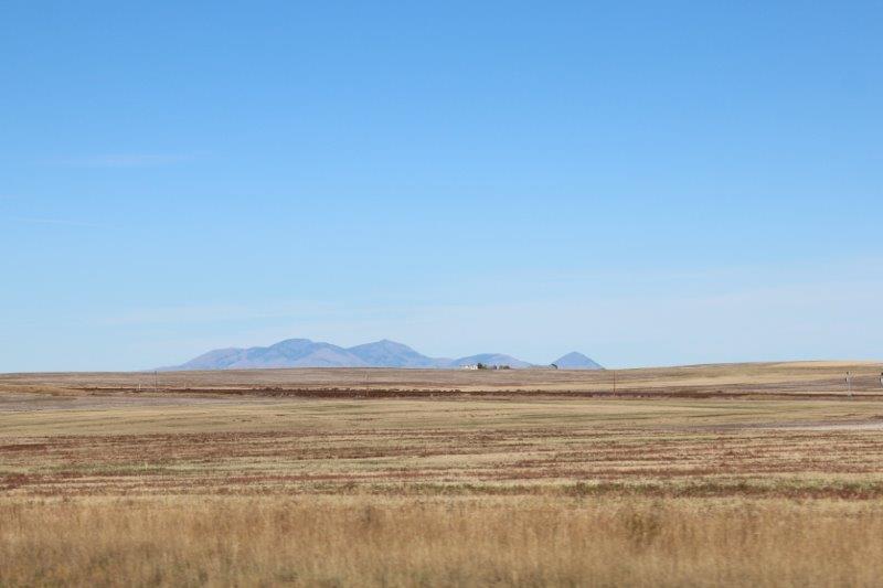
 I was quite excited to see the Sweetwater Hills, which were higher than many of the so-called mountains we have seen in the east.
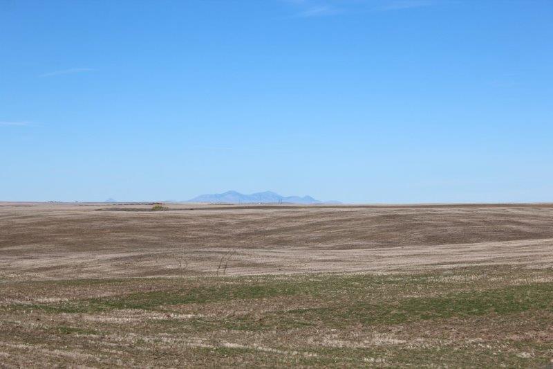
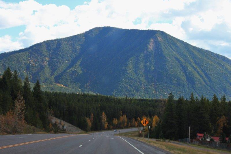
 And then, just west of Cut Bank we saw the MOUNTAINS. Yay! It was like coming home; even if these are the smaller cousins of our Canadian Rockies.
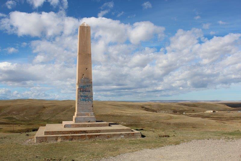
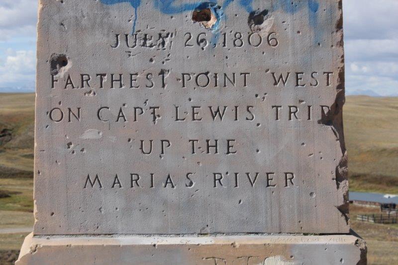
 We stopped for lunch at the marker for Lewis and Clark’s furtherest western exploration of the Marias River (this exploration was originally to find the headwaters of the Missouri River which they hoped was as far north as 50 degrees latitude. According to the terms of the Louisiana Purchase the US received all the land south of the headwaters of the Missouri River. If the Missouri headwaters were north of the 49th parallel the US could claim some of the land of Canada that was being commercially used by the British. They discovered the Marias River headwaters instead – the Missouri River headwaters are west of Great Falls.)
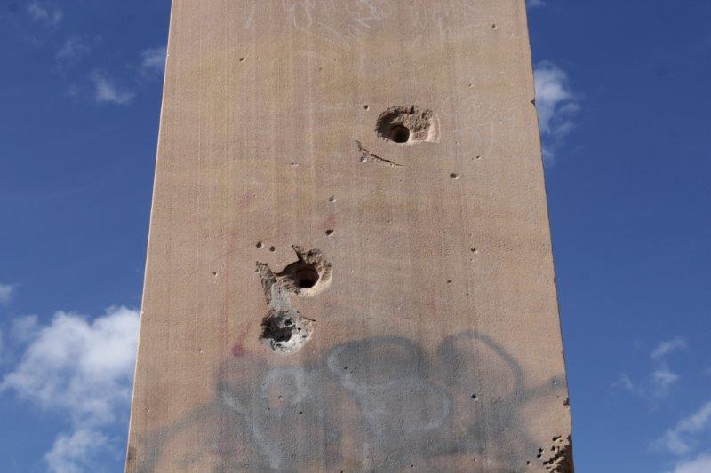
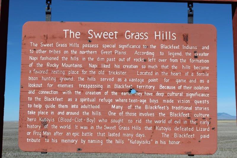
It was a shame to see the graffiti all over the marker; but quite normal out here to see the bullet holes. There was a big shotgun shell hole in the sign about the Sweetgrass Hills. We have seen bullet holes in many of the road signs since we arrived in ‘the west.’ It seems anything is fair game for target practice – or just fun to shoot at.
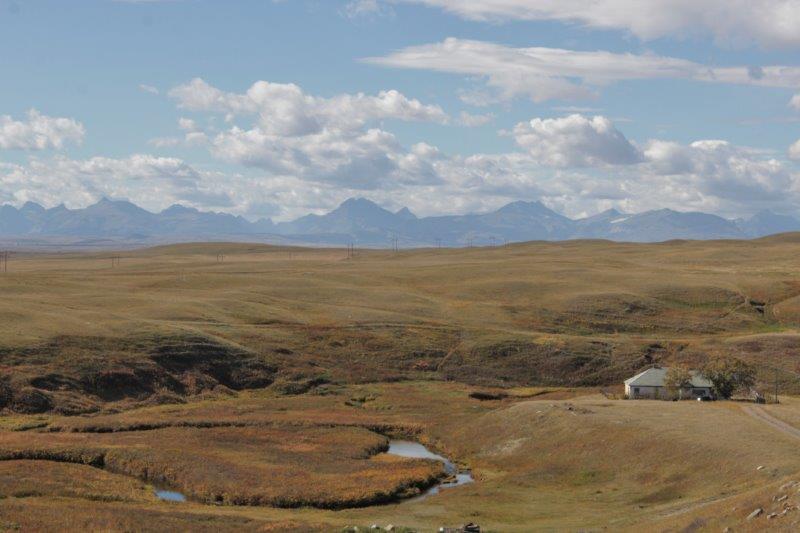

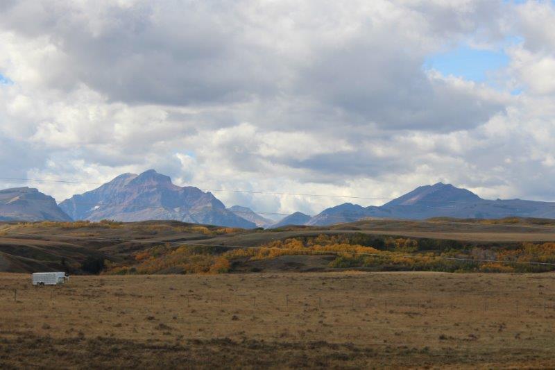
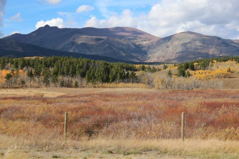
 The views from the hill on which the Lewis and Clark marker was erected.
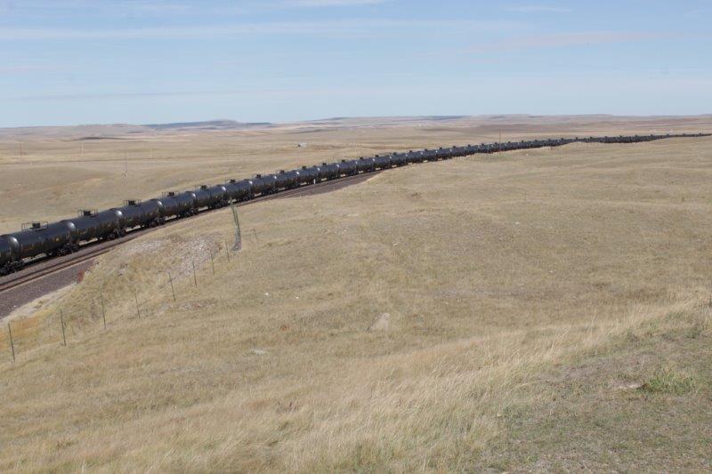
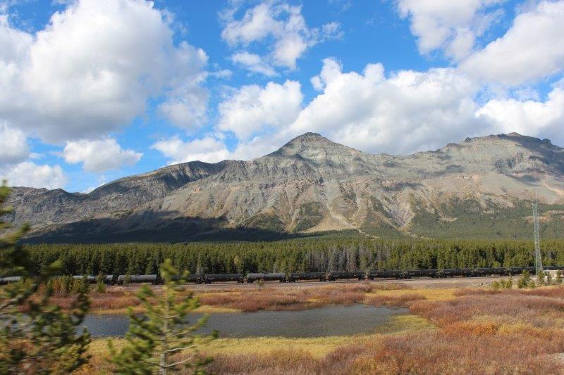
Another long train sitting on the siding.
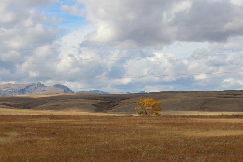
It took another hour or so to get into the mountains, but I enjoyed the scenery of the wide open spaces as I alway do.

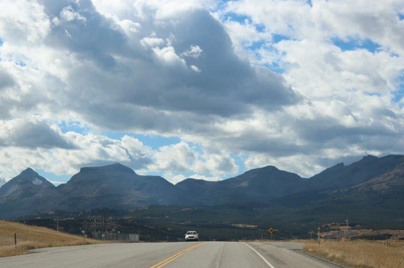 Then were in the mountains and driving in and out of Glacier National Park along its southern boundary.


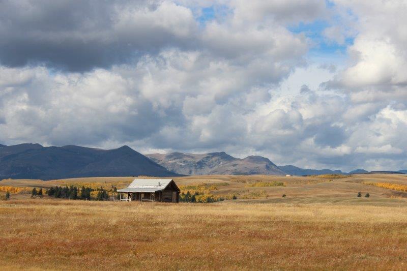
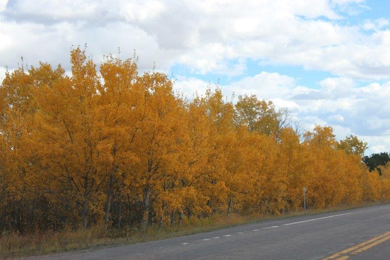
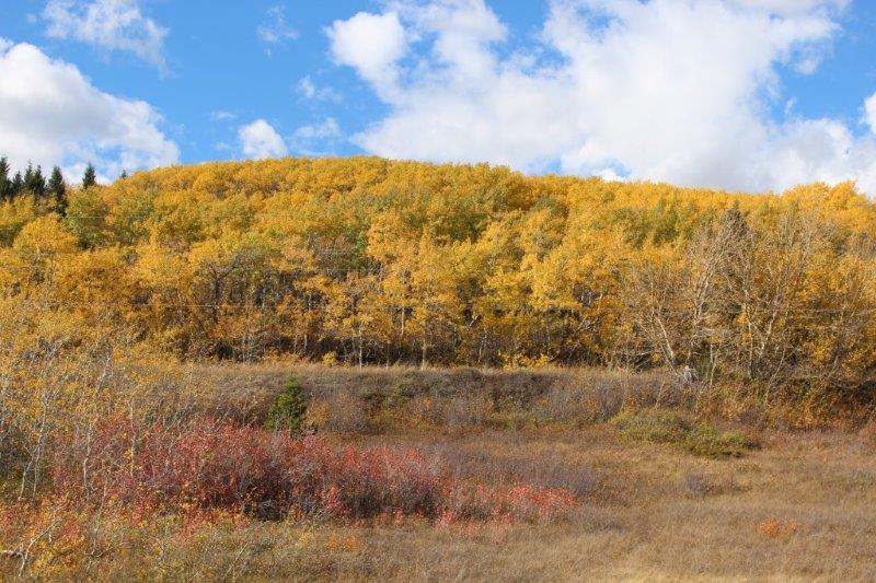
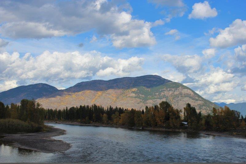 We have been here before on our first road trip in September 2007 after I had purchased Poppy. It was nice to see the golden yellow of the Aspens again.

 PS. My favorite cloud photo from yesterday’s blog was number 7. I really like how low the clouds look and how threatening to the lone bush out on the prairie.
