Category Archives: 2013 Baltic and Britain

2013 Summer (Baltic and Britain – Scotland – July 2 – Day 9)

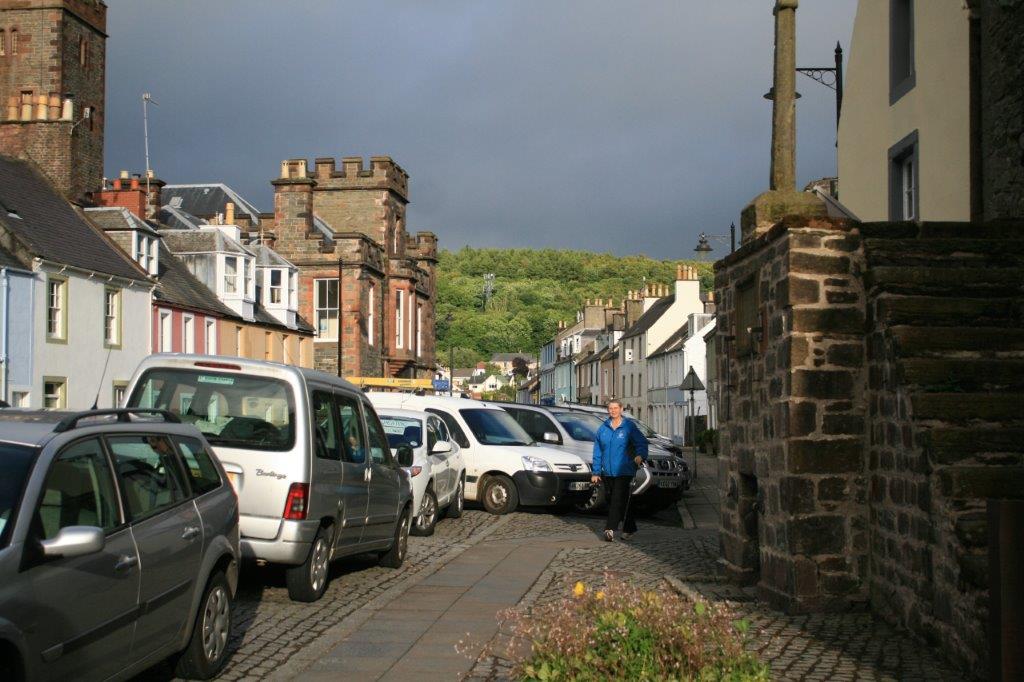
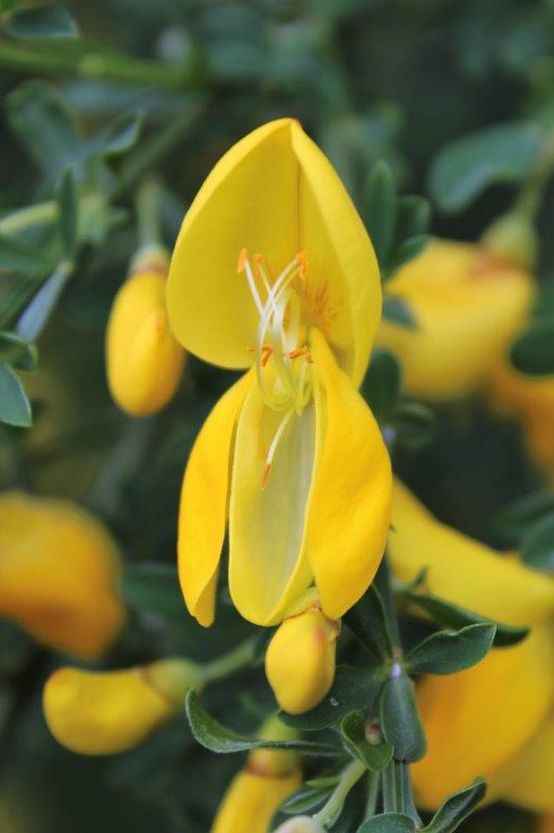
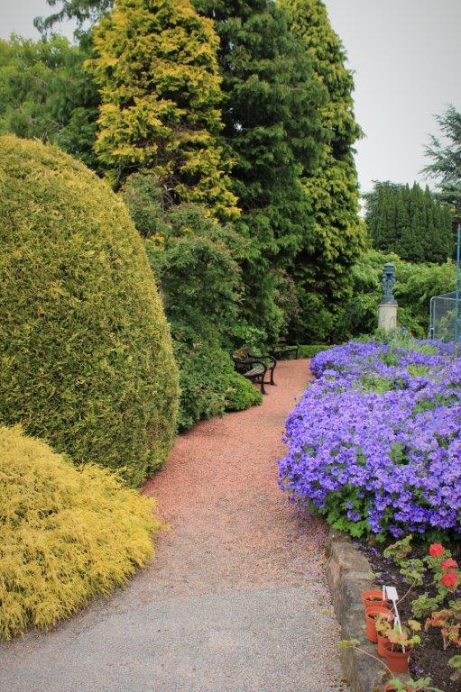
Our B&B near Ayr was just across the road from the water, and even though the weather had reverted to clouds with rain it was a nice setting. 
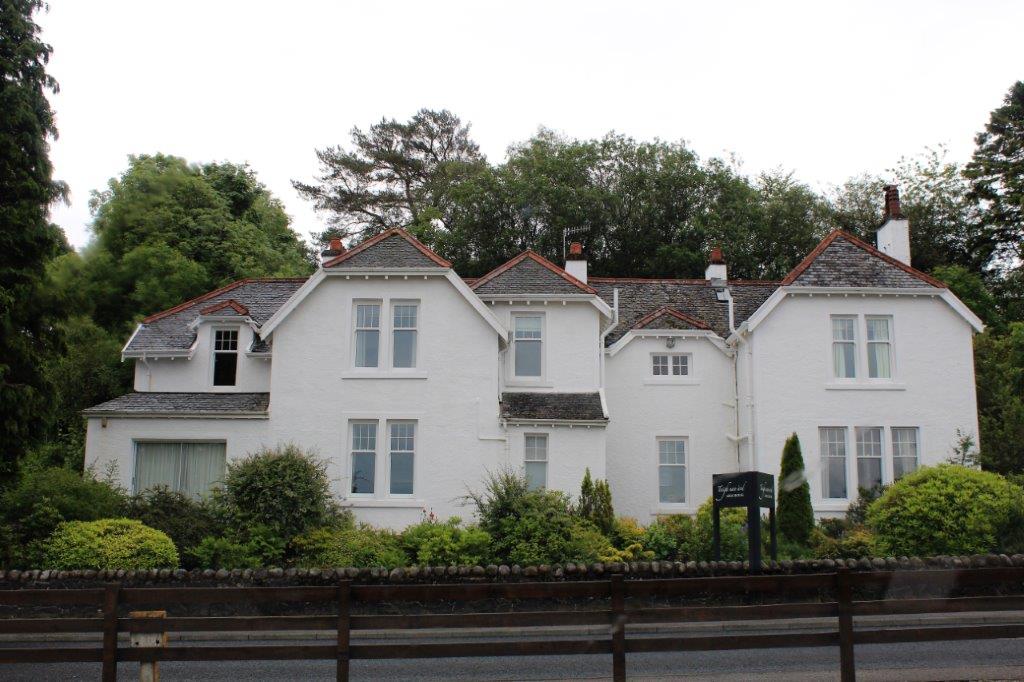
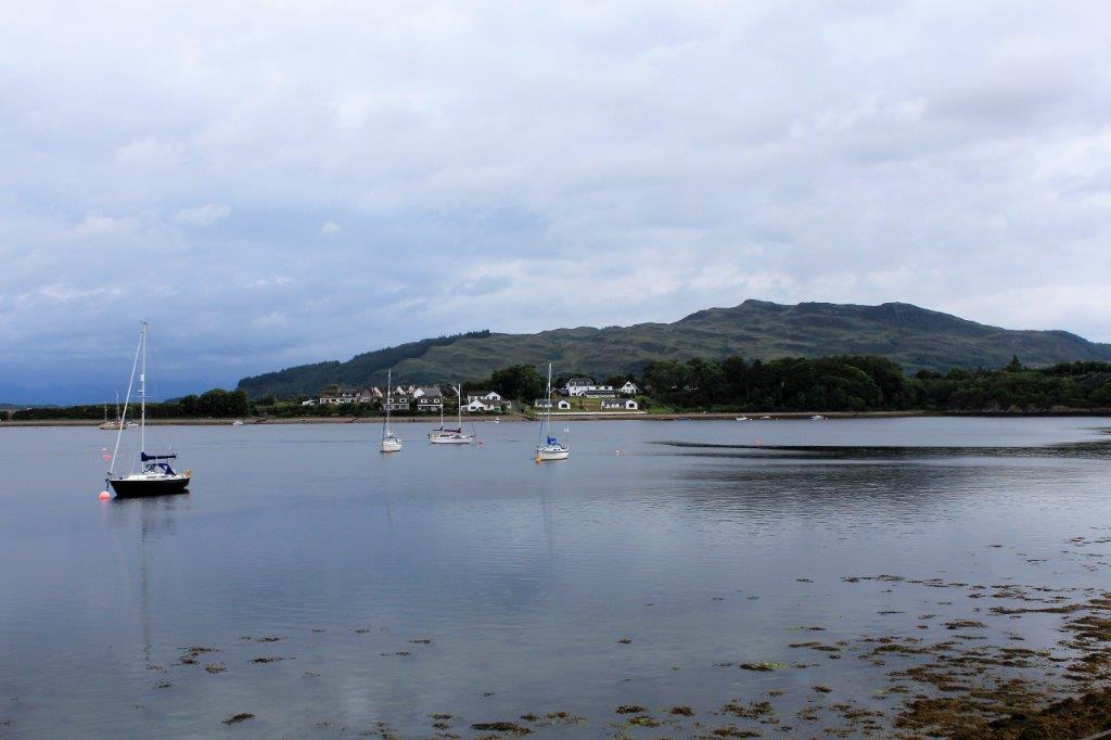
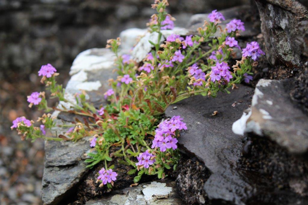
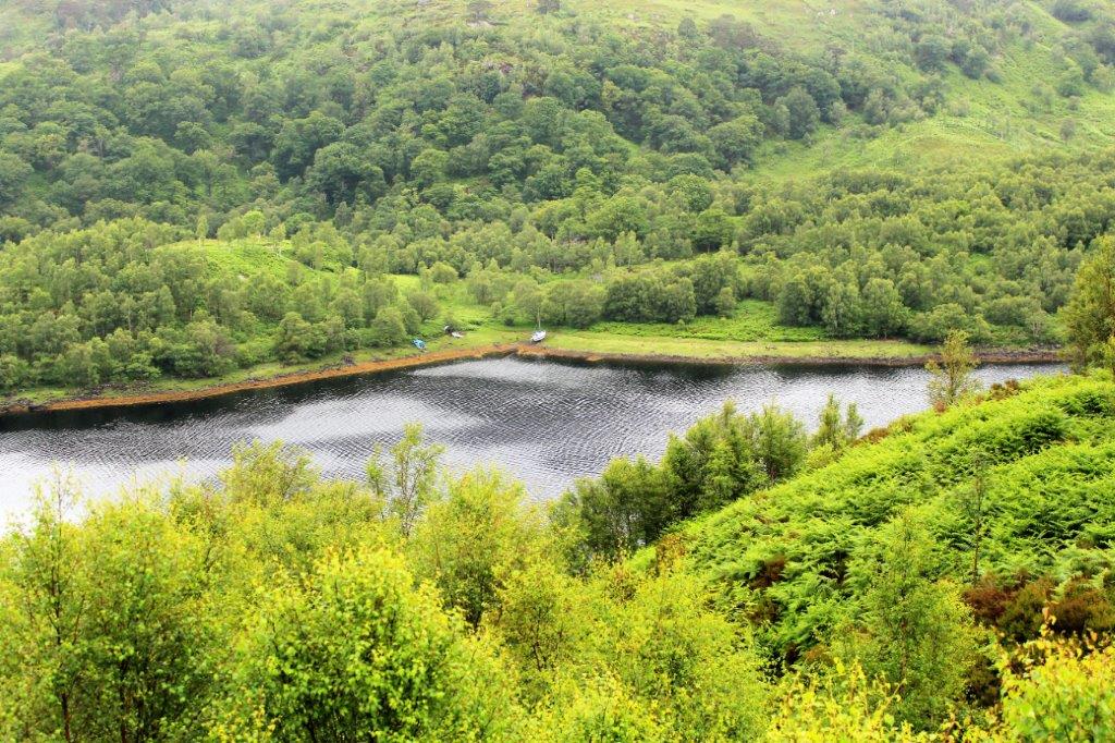
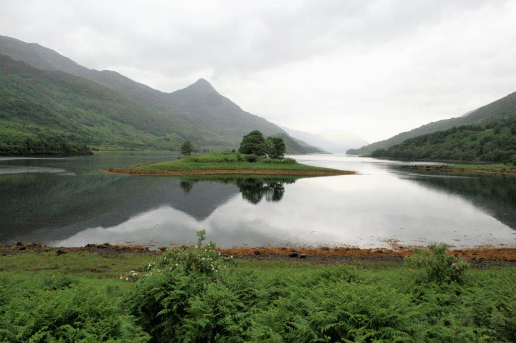
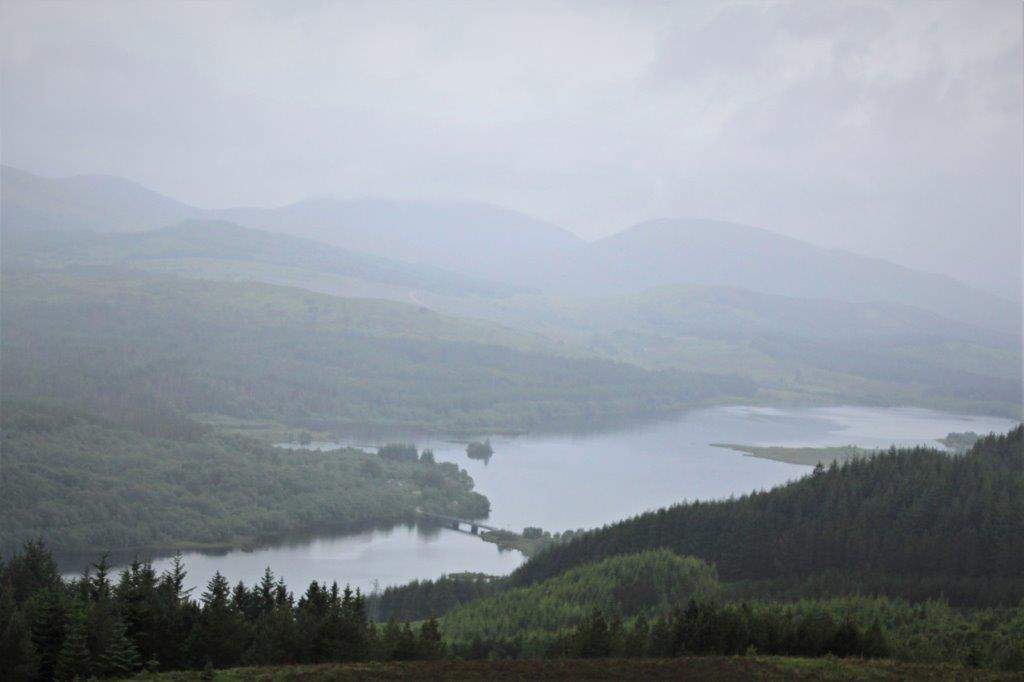
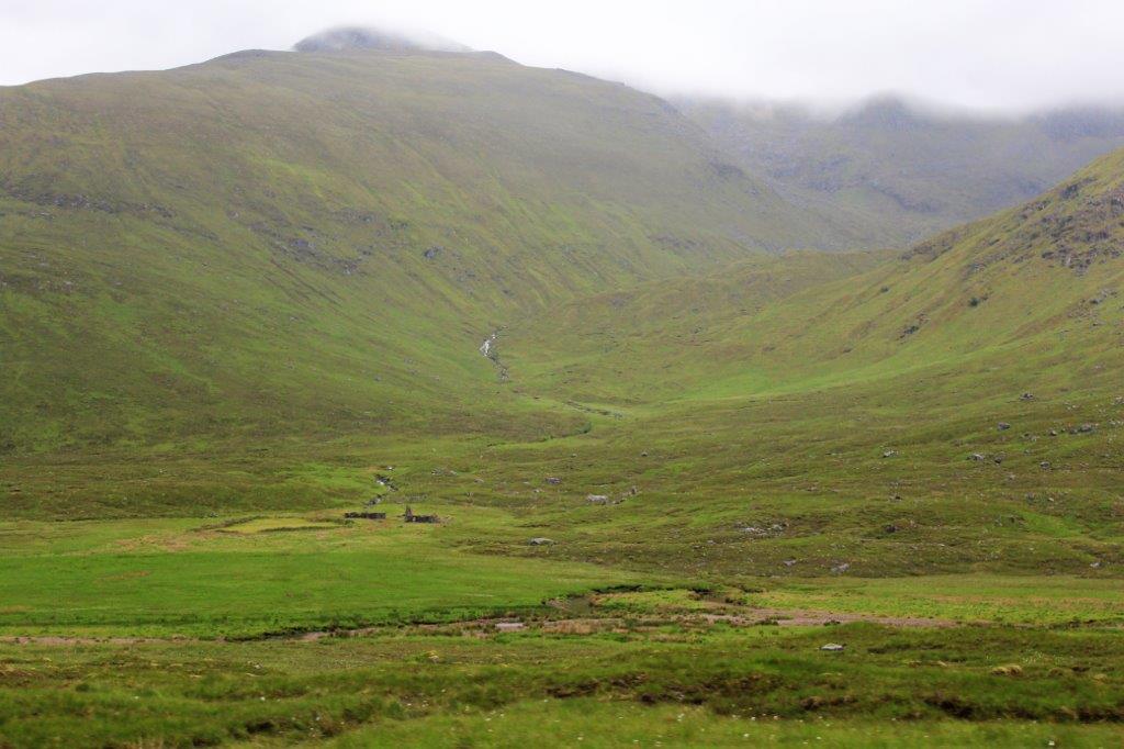
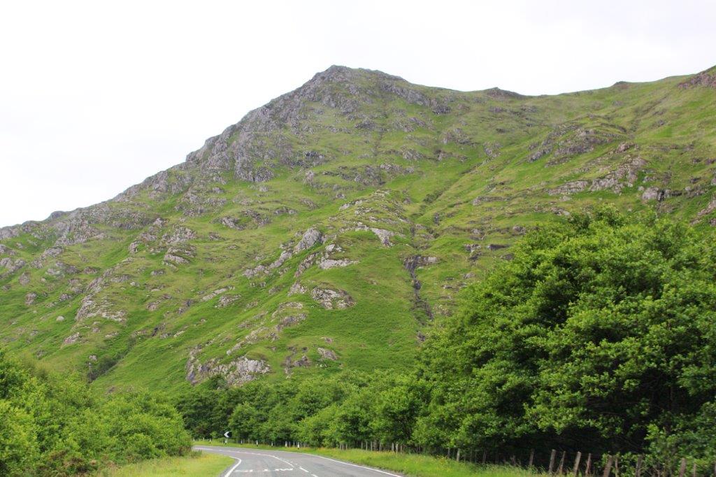
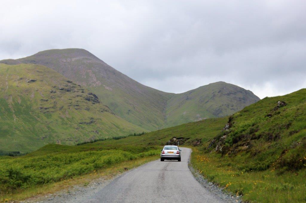
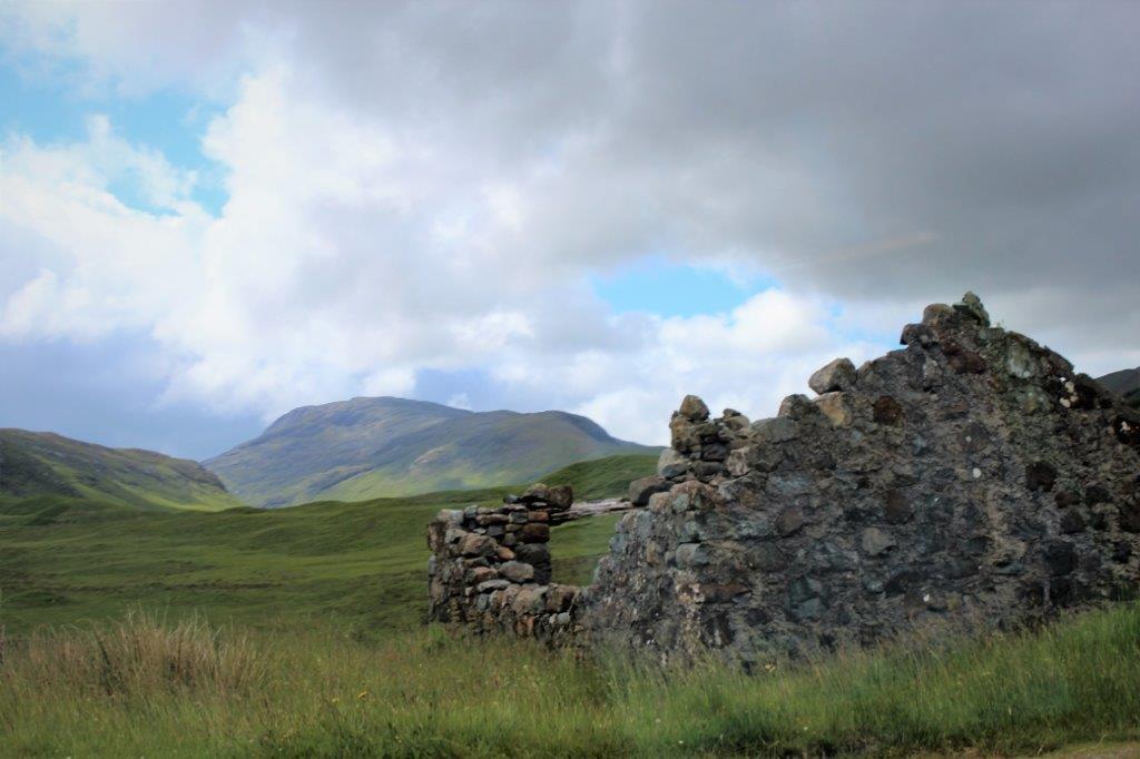
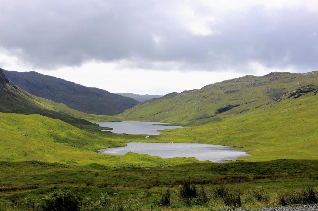
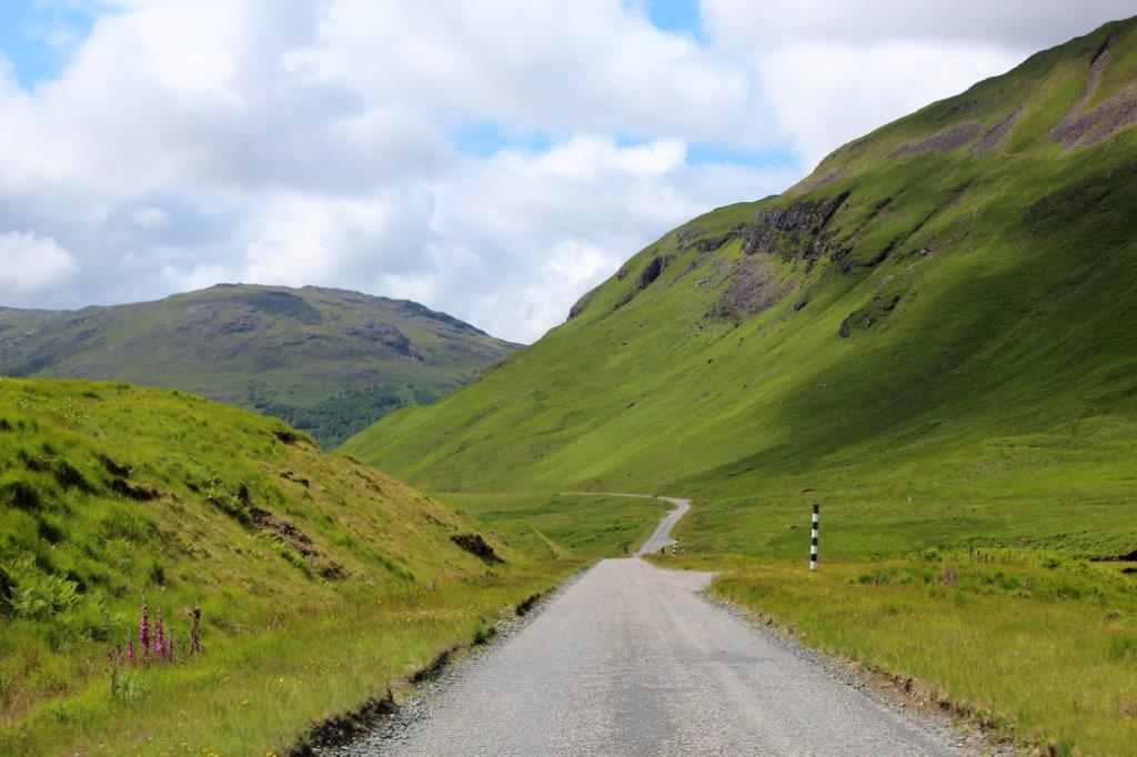
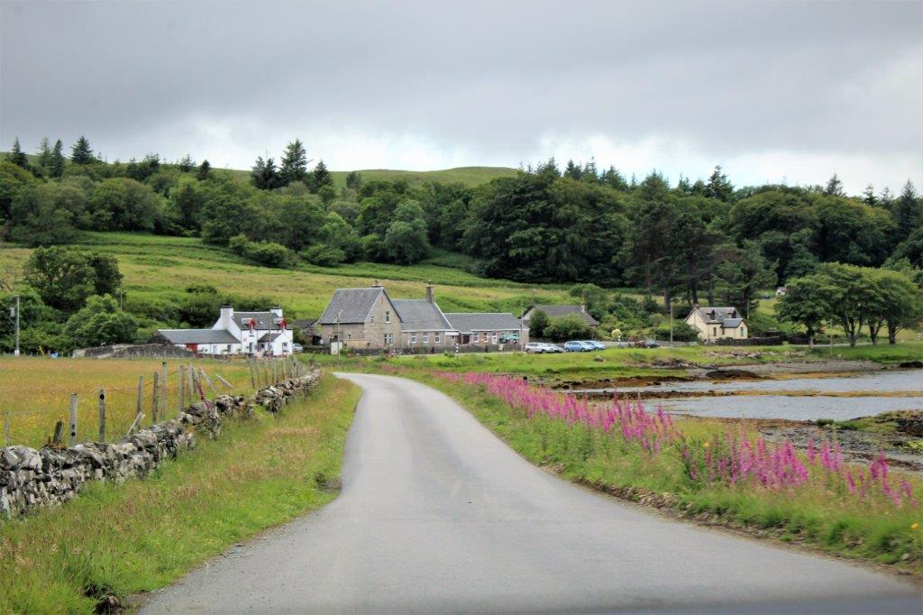
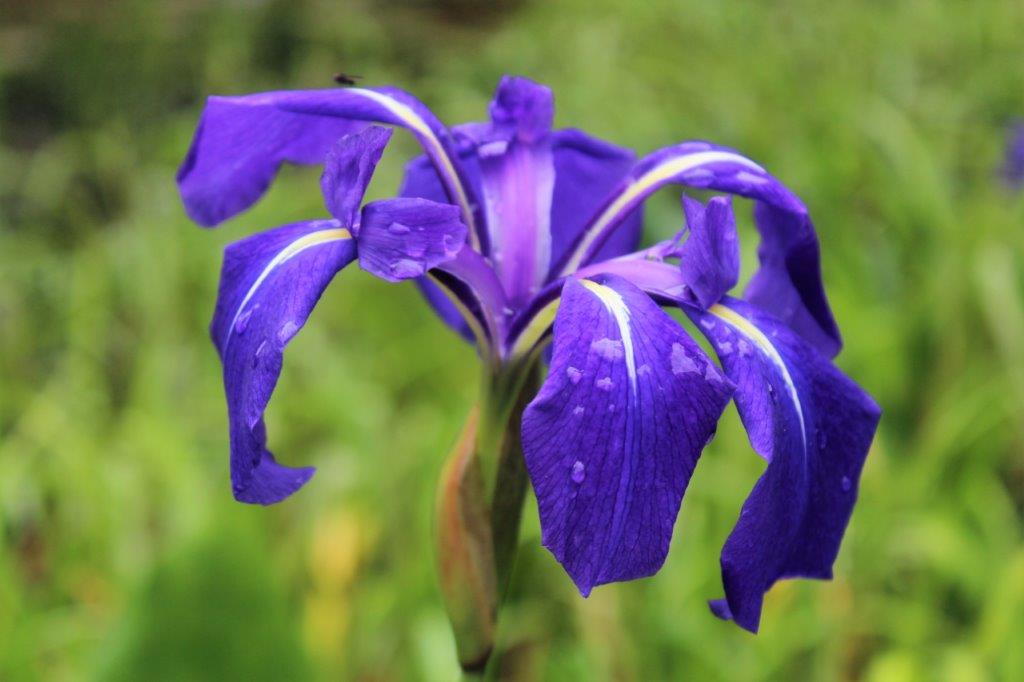
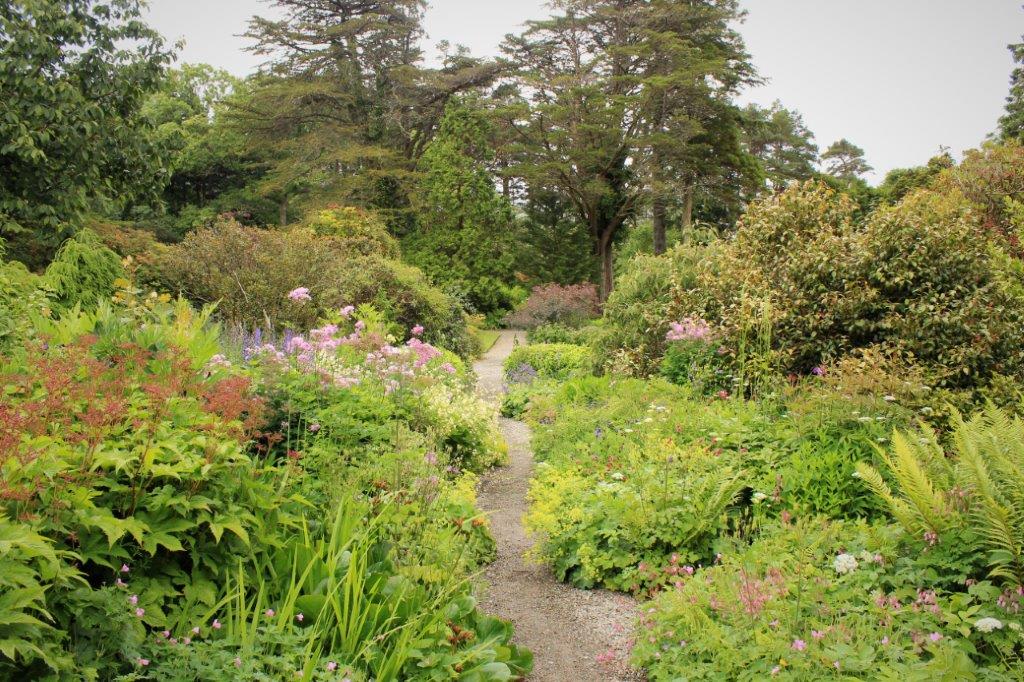
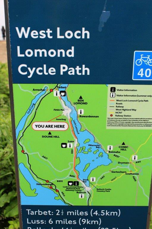
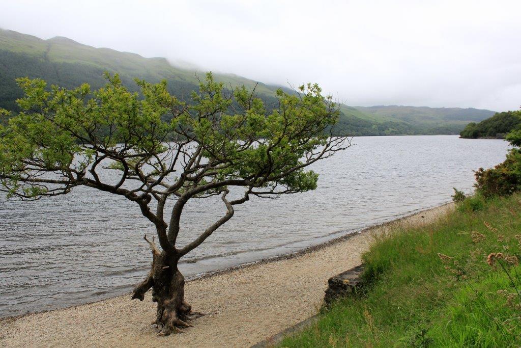
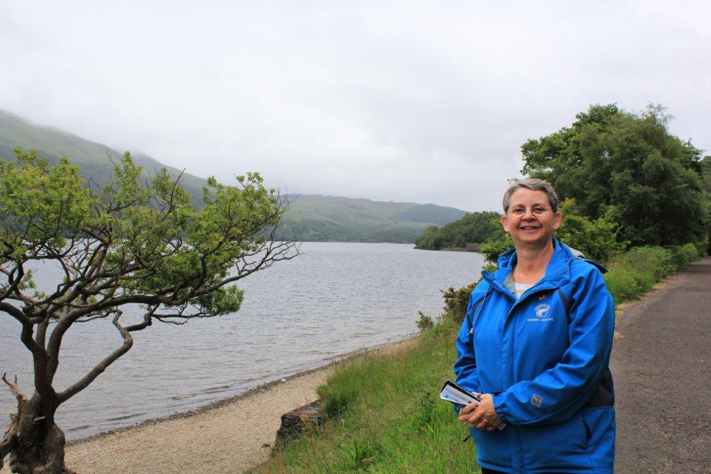
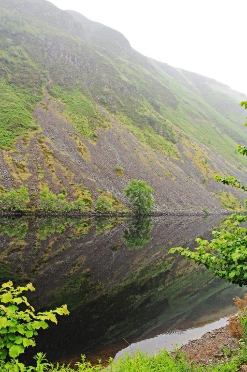
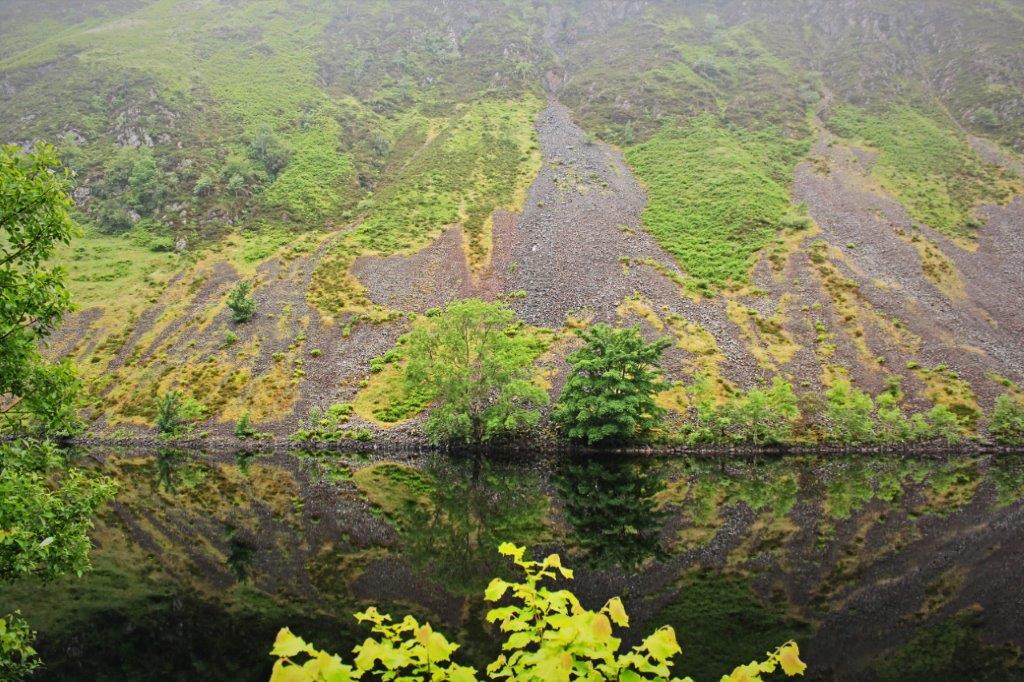
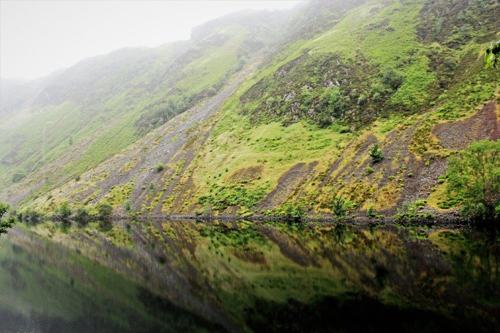
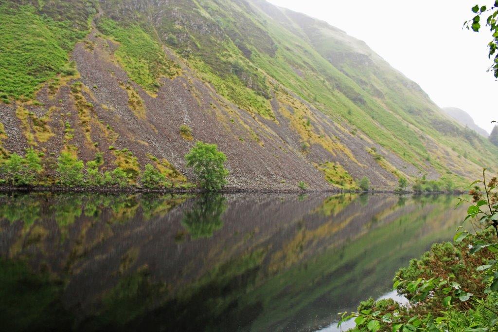
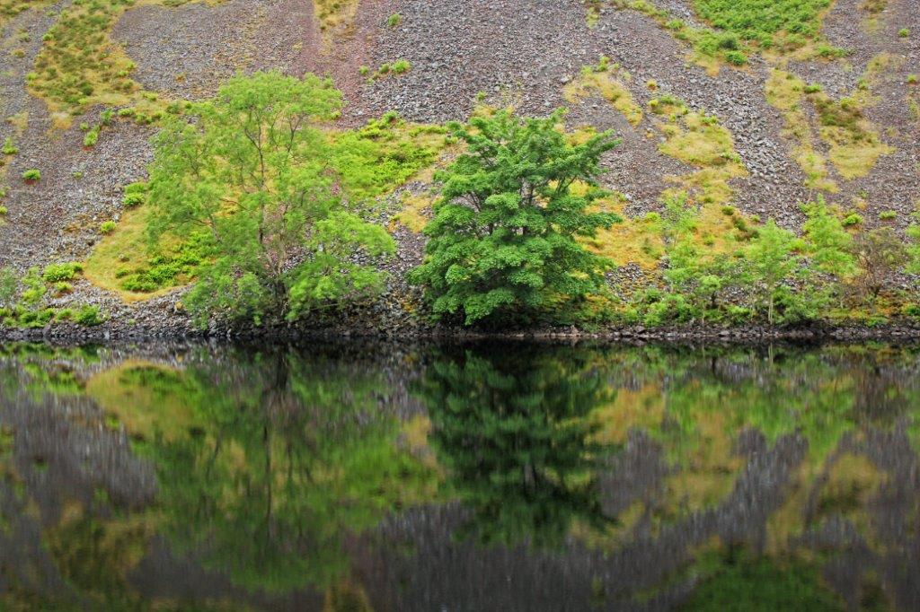
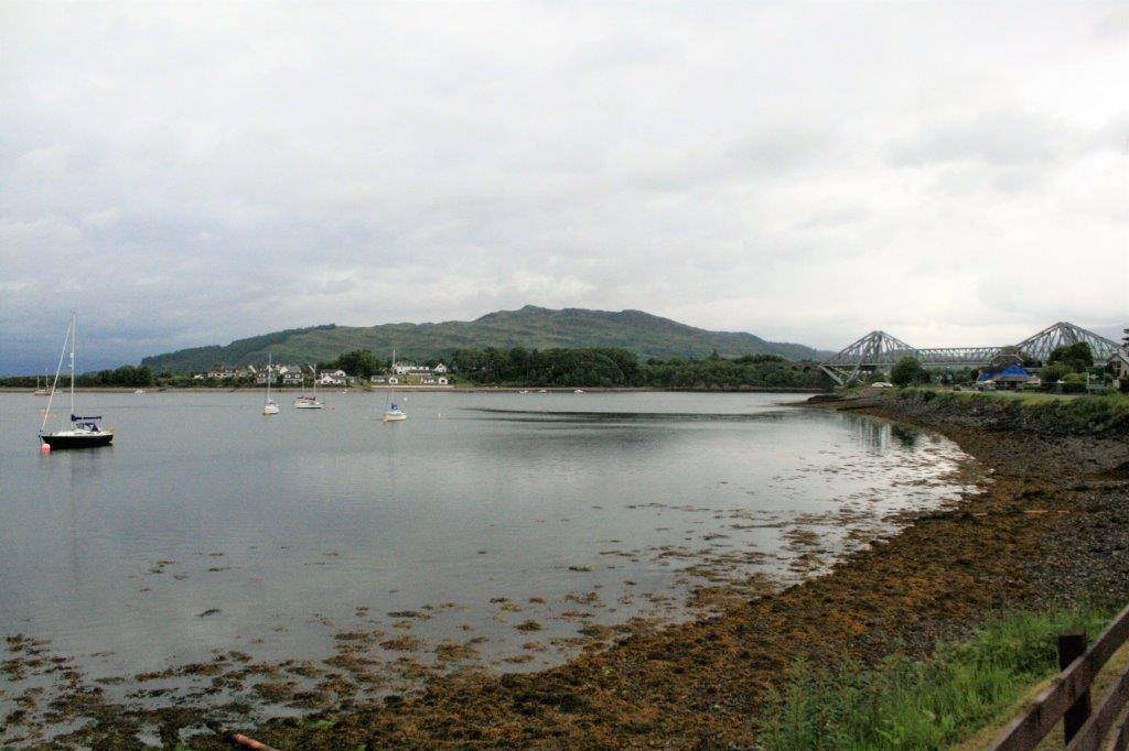
We checked out at 10 am and took the A82 road north and instead of taking the bridge across the inlet we drove the 16 mile scenic route into the Glen Coe Valley.  Sadly, with the gloomy weather the beauty of the area did not show its best side. 
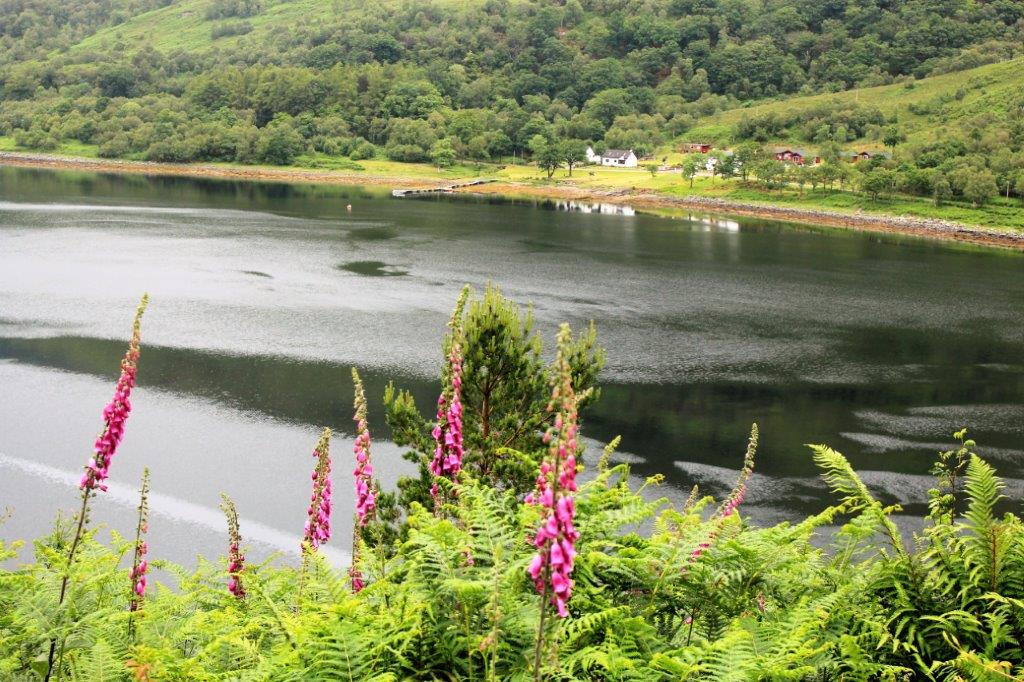
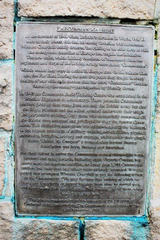
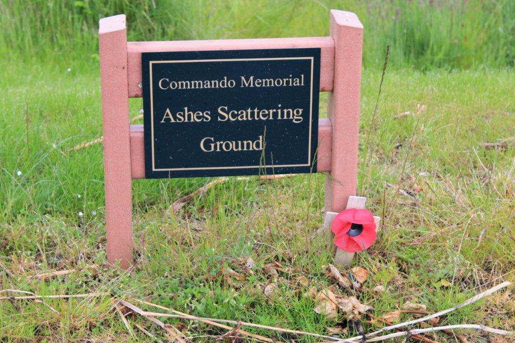
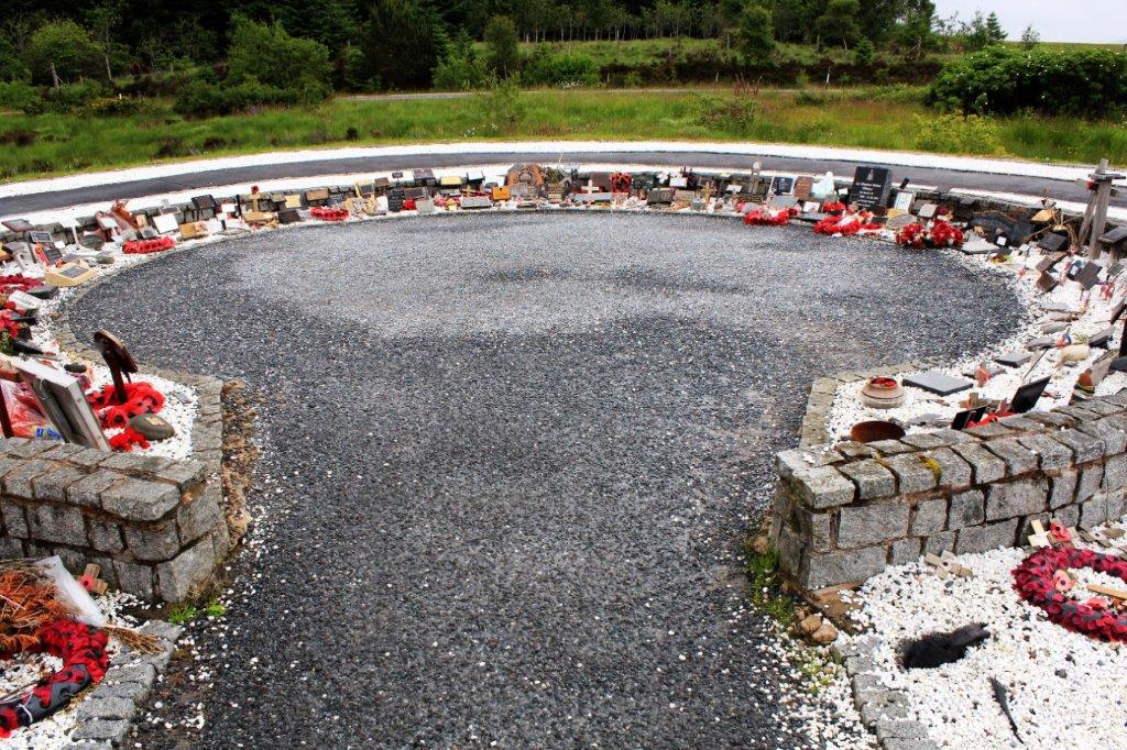
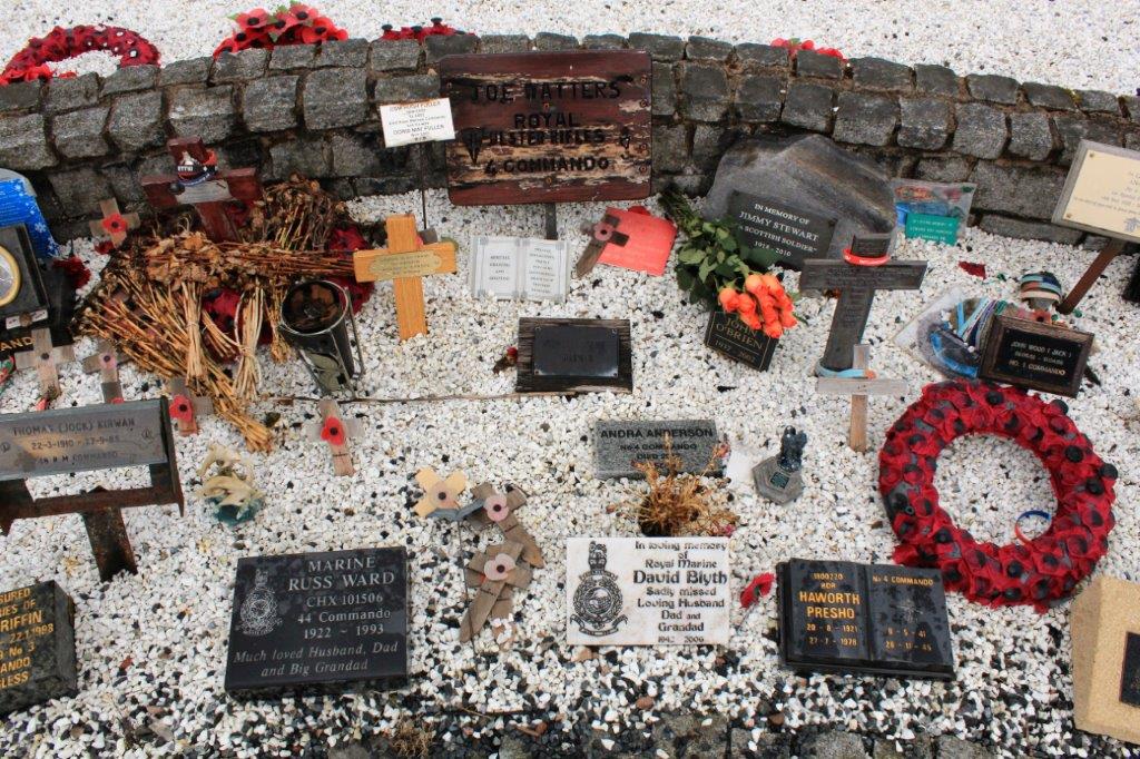
Further up A82  was the Commando Memorial. In 1940 Prime Minister Winston Churchill devised the formation of an elite force that would be sent on raids along the enemy-held European coast with the intention of disrupting supply lines, convoys, communications, etc.  They were dubbed “Commandos.”  In 1942 the basic training center for the volunteer unit was in the Scottish Highlands.  The memorial is still an active site. 
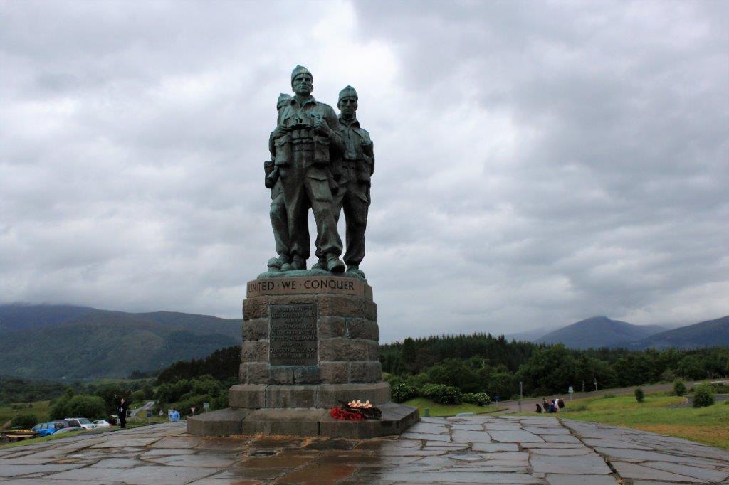
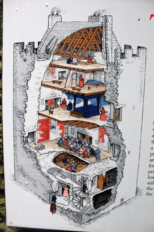
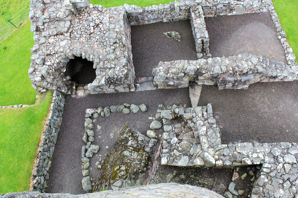
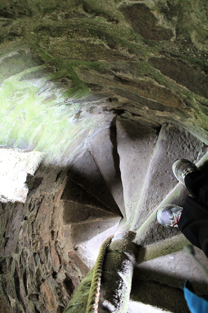
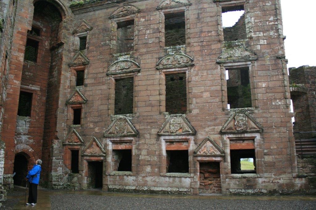
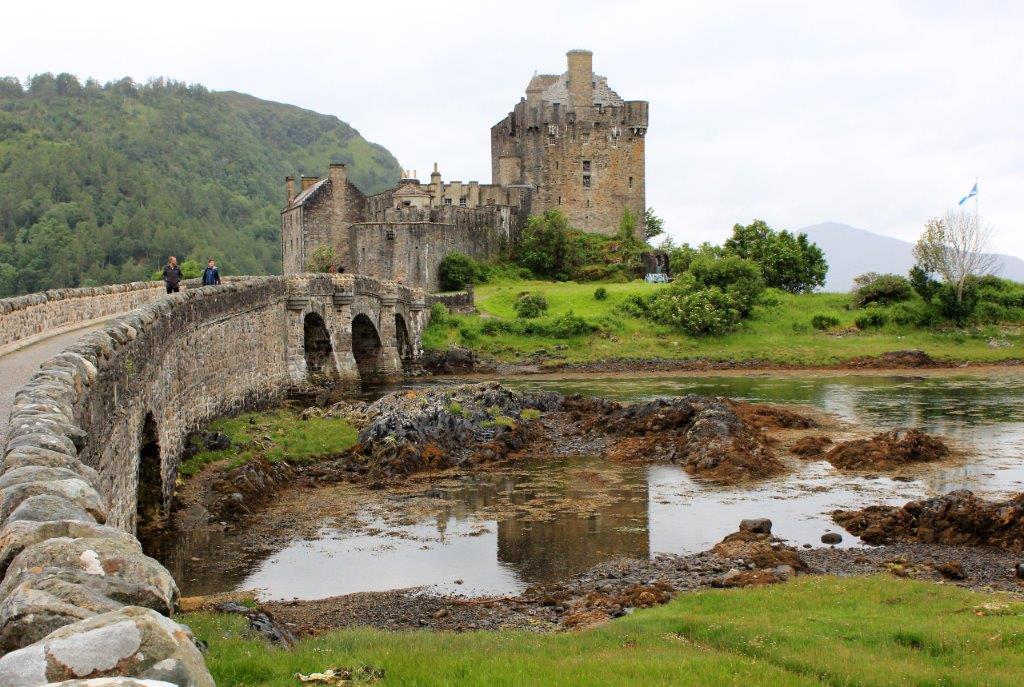
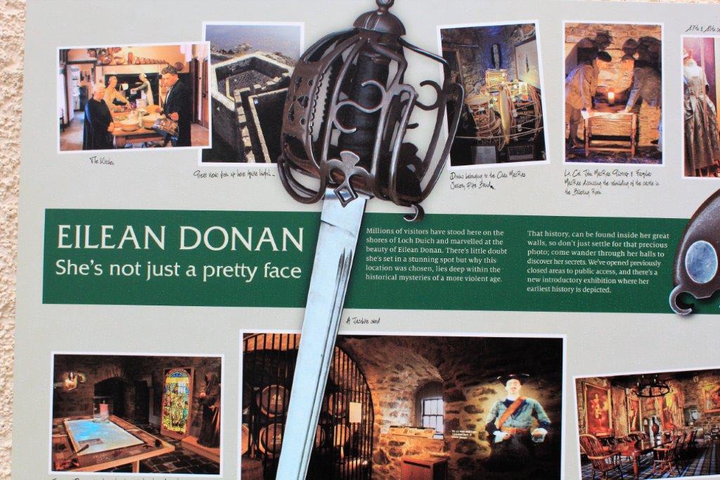
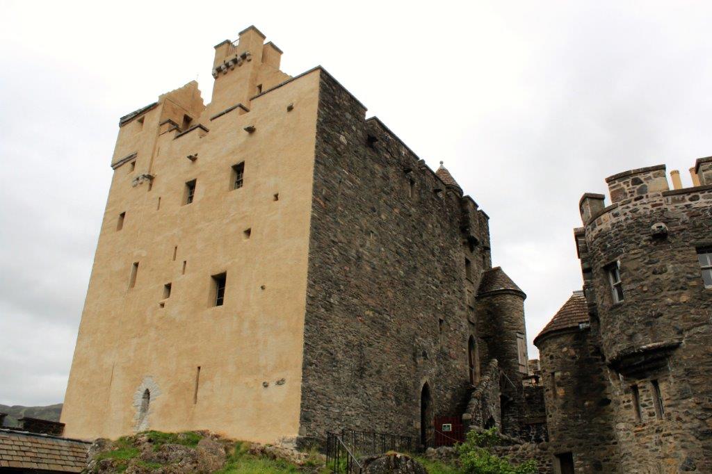
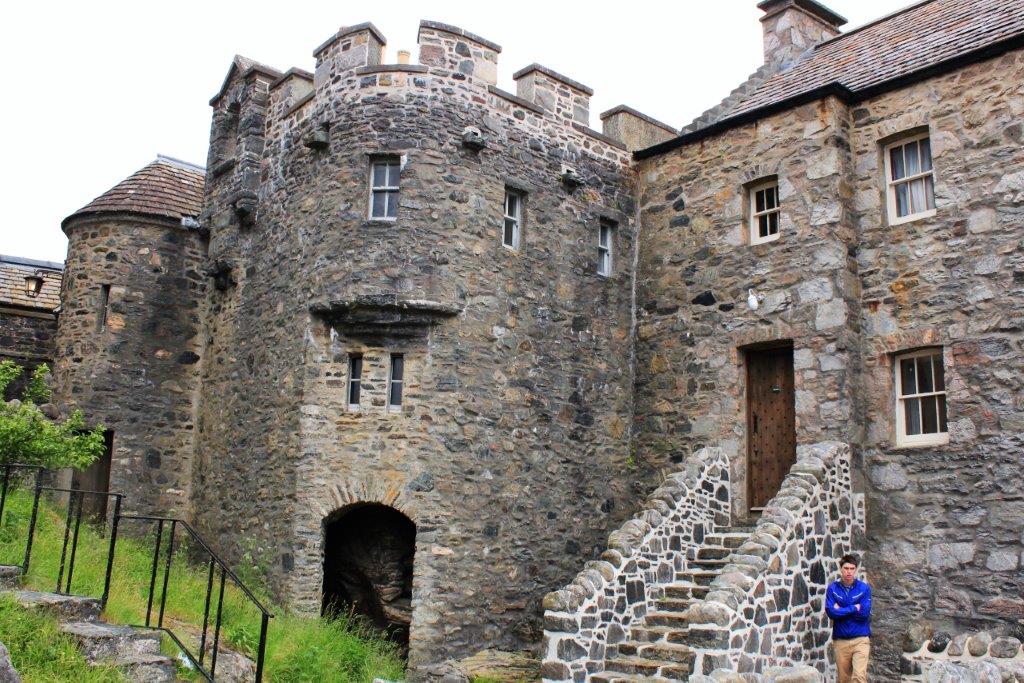
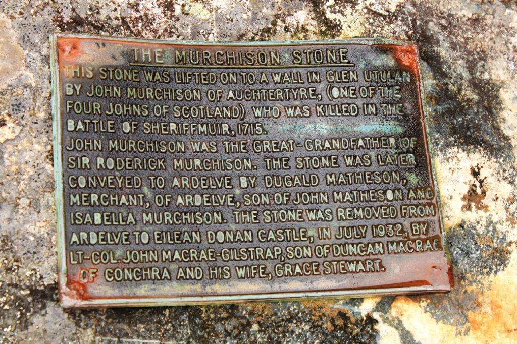
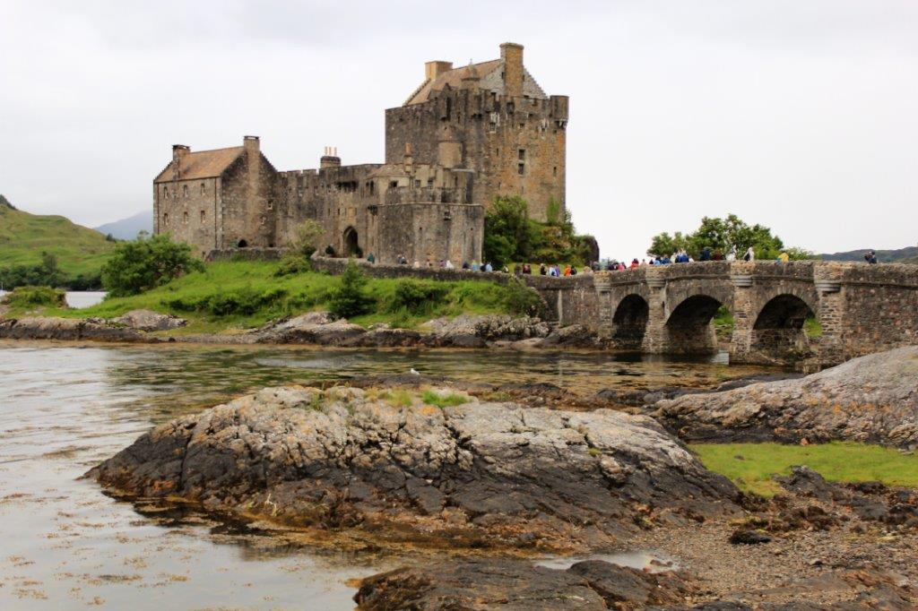
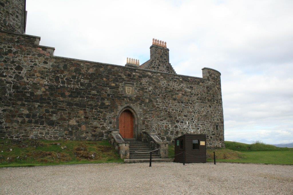
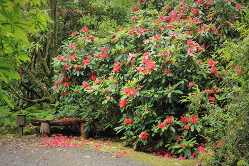
The most-photographed castle in Scotland is Eilean Donan, home of the McCrae’s.  The castle sits at the end of a spit of land and is visible from quite a distance as you follow the winding road along the coast. 
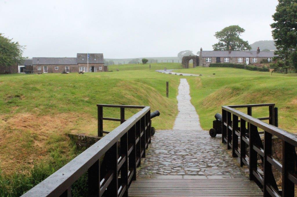
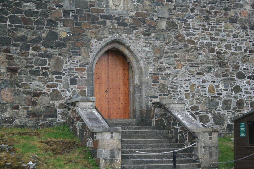
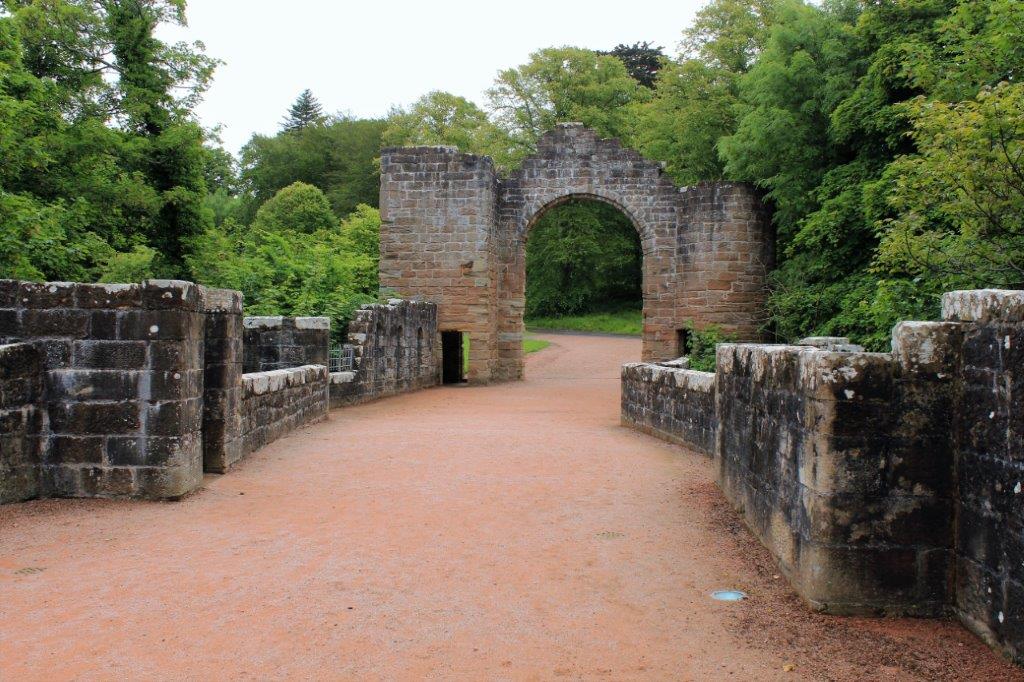
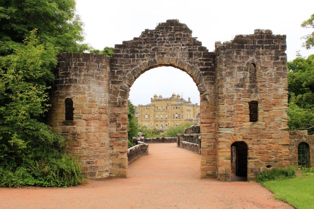
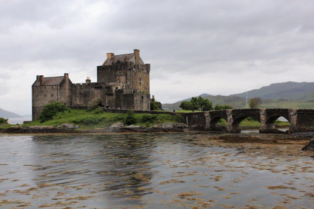
Access to the castle is across a long stone bridge and walkway. 
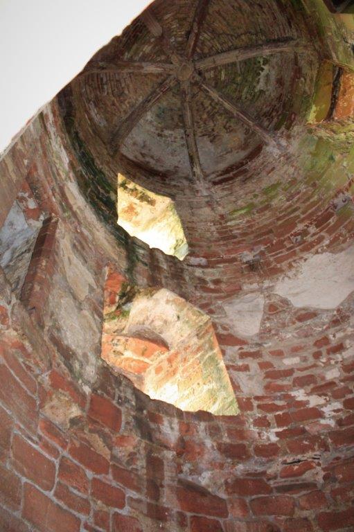
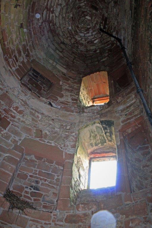
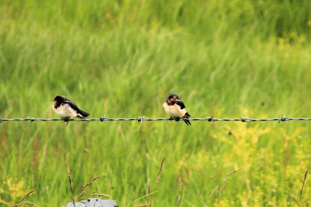
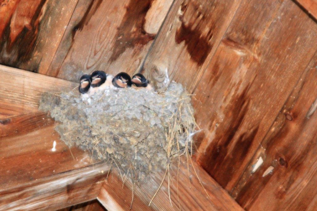
Some hungry baby birds were in the rafters of one of the outbuildings.  
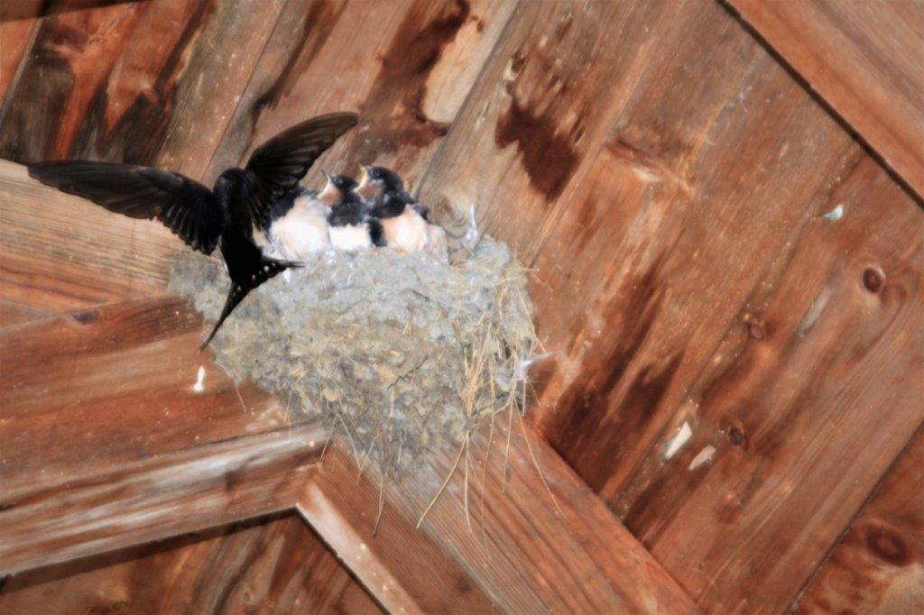
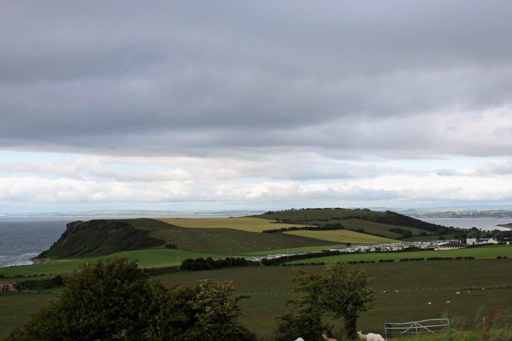
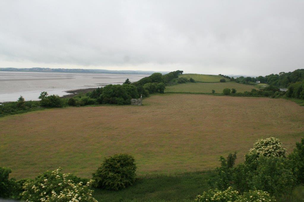
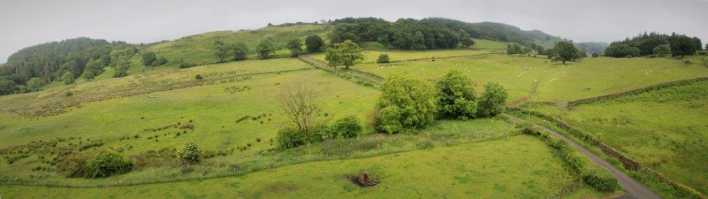
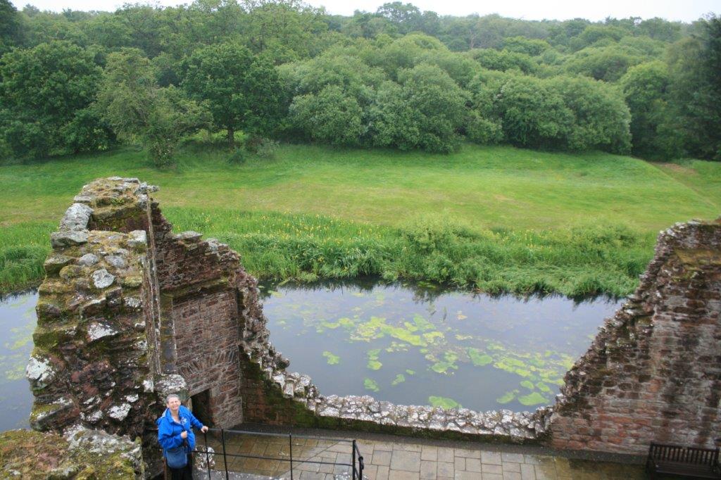
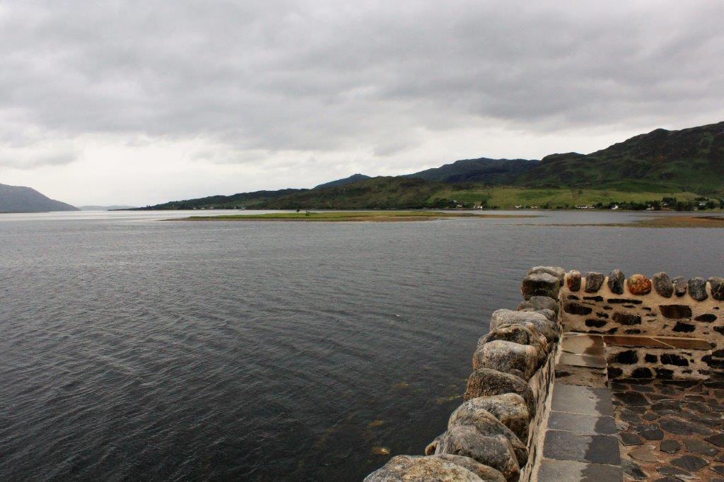
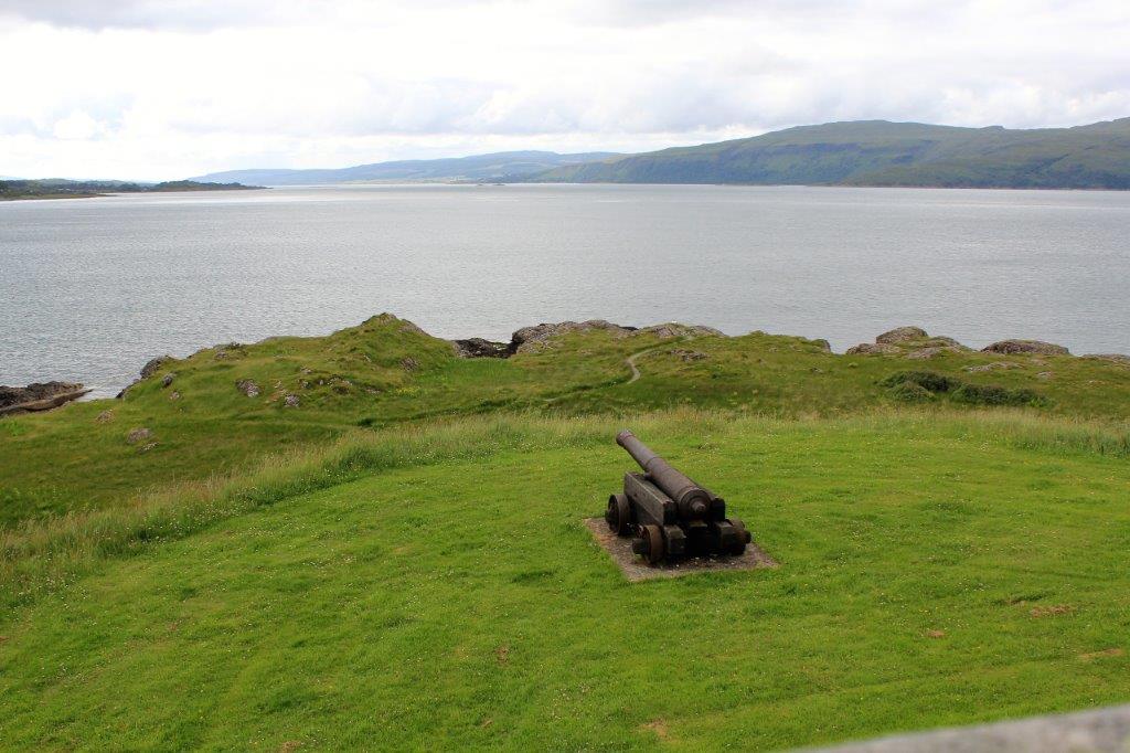
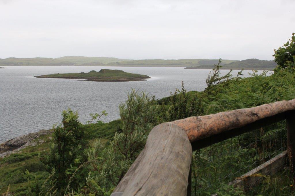
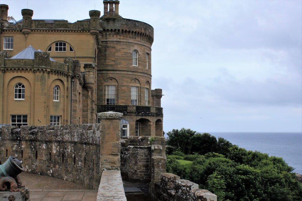
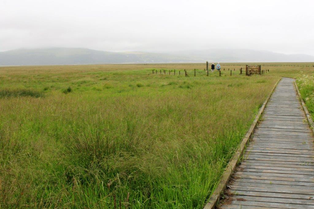
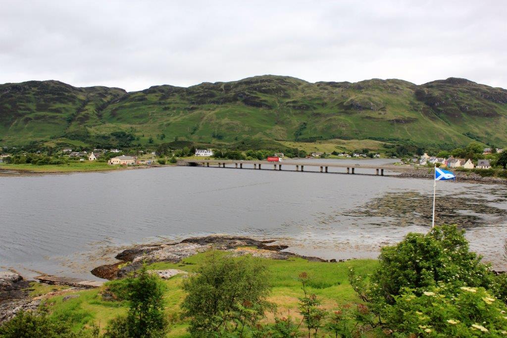
There was a very nice view of the surrounding coastline from the castle wall.  
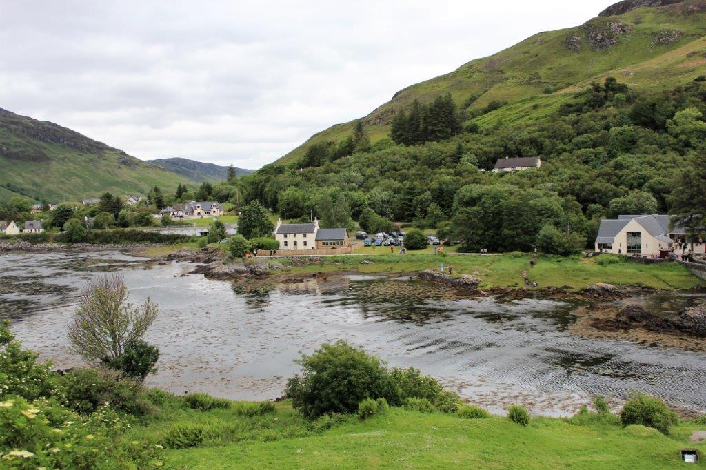
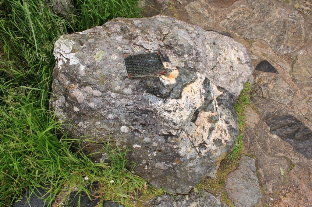
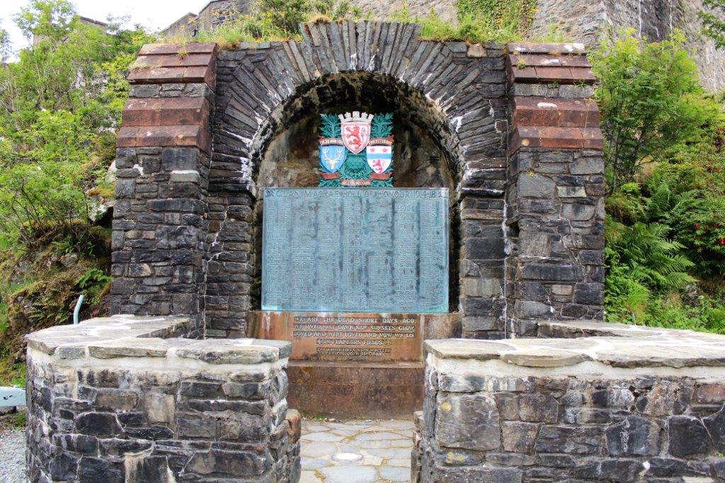
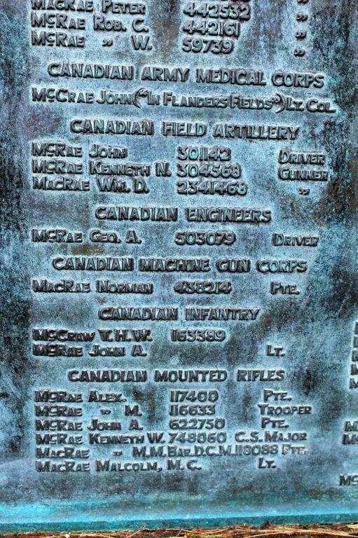
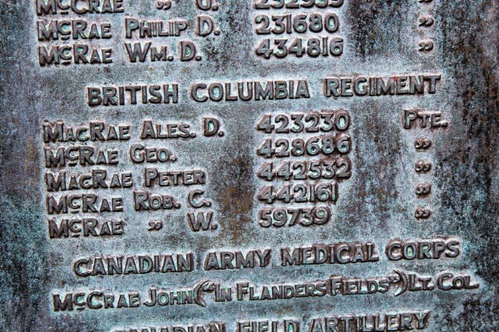
The McCrae’s have a memorial to clan members who paid the ultimate price for freedom.  At the base of the memorial is a verse from Canadian Medical Corpsman John McCrae’s famous poem “In Flanders Field.”

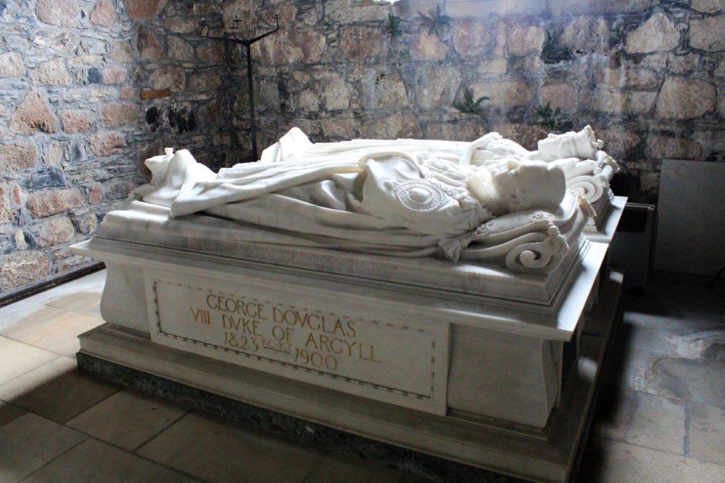
We left the lovely castle at four o’clock and drove to Portree on the Isle of Skye where we spent the night at the Dalriada Bed and Breakfast.

2013 Summer (Baltic and Britain – Scotland – July 1 – Day 8)

The ferry from Oban to the Isle of Mull takes a little less than an hour.                 Duart Castle, ancestral home of the Maclean’s.

Oban is on the Scottish coast across the inlet from Craignure, Isle of Mull and Iona is the little island to the left of Fionnphort  (Google Maps does not show the ferry to Iona).  We arrived at Craignure at 12:45, drove across the island and boarded a small pedestrian-only ferry to the tiny island of Iona.  The heather was in bloom. The overcast sky we had in Oban cleared right off by the time to we arrived on Iona and it was a gorgeous day.

We wanted to go to Iona because the monastic community there was founded by St. Columba 1450 years ago, making it one of the oldest Christian centers in Western Europe.  The Abbey was the focal point for the spread of Christianity in Scotland.A man we know from home asked us to take a photo of his distant ancestors’s grave in the Iona cemetery. When he had come to Scotland several years ago he had found the grave, but the photo he took was not very good.  John and I wandered up and down every row and were unable to find it. (When I saw him upon our return he told me the grave was in a different cemetery on the island.  Oops. That would have been good to know at the time.) The Iona community is an ecumenical religious order that is still a site of pilgrimage.  The chapel at the Abbey is regularly used for worship and the Iona ministry has many facets of work in Scotland and around the world.

After our wander among the buildings of Iona we caught the foot ferry back to Mull and our car.

We drove the road to Duart Castle, hoping to be able to go inside, but it is a private residence and was not open to the public.  The castle was given to Mary Macdonald, daughter of the Lord of the Isles as part of her dowry when she married Lachlan Lubanach, 5th Chief in 1350. By the time we had looked around at Duart Castle we had no time to tour more of Mull.  We caught the last ferry of the day back to Oban and spent the night at Ard’s House just outside of Ayr.

2013 Summer (Baltic and Britain – Scotland – June 30 – Day 7)

We were lazy and didn’t leave the B & B in Oban until 11 am, but that didn’t matter because we were staying there again that night.   The  day  was  spent  wandering  around  Oban. As we walked around the town we quickly noticed the large coliseum-like structure on the hill so we went to check it out. McCraig’s Tower was funded by Oban local, John Stuart McCraig, an art critic. philosophical essayist, and philanthropic banker.  The wealthy man designed the tower himself in 1897 to be a lasting memorial to his family and to provide work for local stonemasons in the winter months.  There are 94 lancet arches with a circumference of 200 meters (650′).  McCraig had plans to build an inner tower that would be an art gallery and museum, however when he died of cardiac arrest in 1902 the project came to a halt and only the outer wall was ever completed.

The view of Oban from the top of Battery Hill was very nice. About ten miles south of Oban is Arduaine Garden (pronounced Ar doo A nee). The garden is located right on the coast, so from the forest walk you could see some of the small islands in Melfort Loch; which opens into the Firth of Lorn separating the mainland from the Isle of Mull and the Morvern Peninsula.Because we were spending the night in Oban we had a quieter day. We finished our tour of the gardens about four and drove back to Oban for dinner and an early night.

2013 Summer (Baltic and Britain – Scotland – June 29 – Day 6)

Our travels this day took us to Brig O’ Doon, the Burn’s Memorial and Gardens, then south on the road we drove the day before to Culzean (pronounced Cul-lane) Castle, north again to Hill House, and Loch Lomand before we arrived in Oban for the night.

We left Doonfoot and the Sherwood B & B at 9:45, under overcast skies and drizzling rain, and drove the short distance to Brig O’ Doon (which means bridge over the River Doon).

It was a short walk up the street to the Burns Memorial and Gardens.                                 
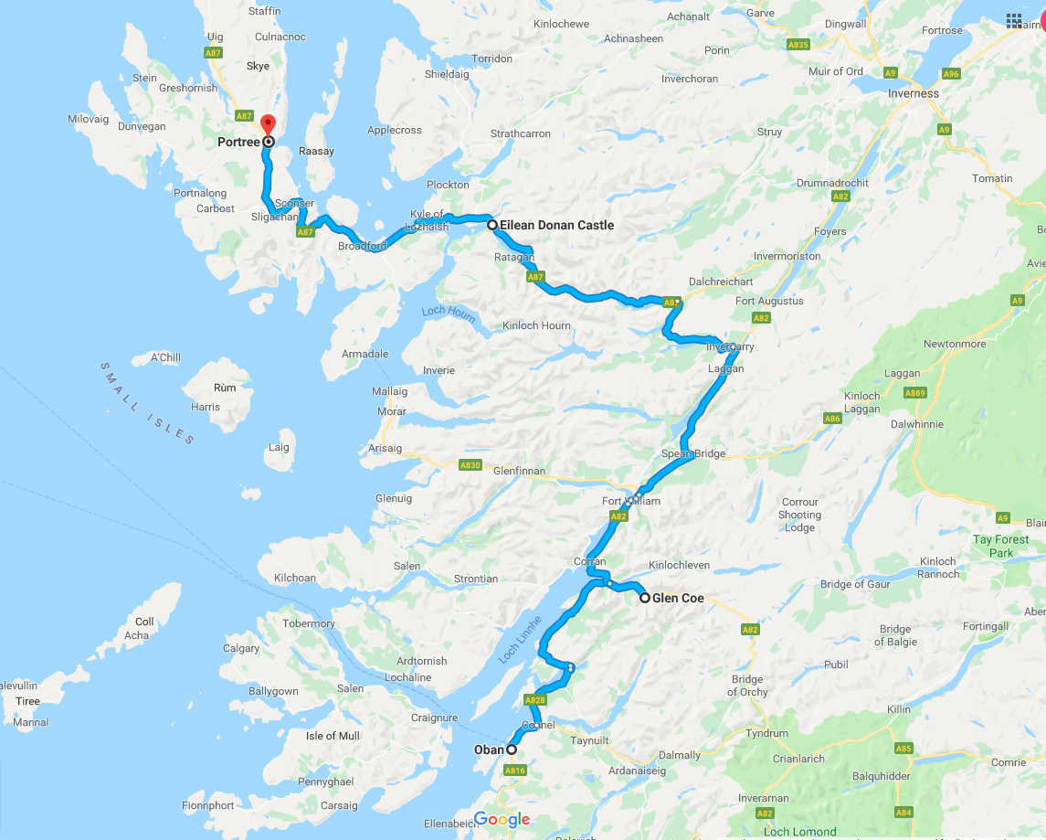
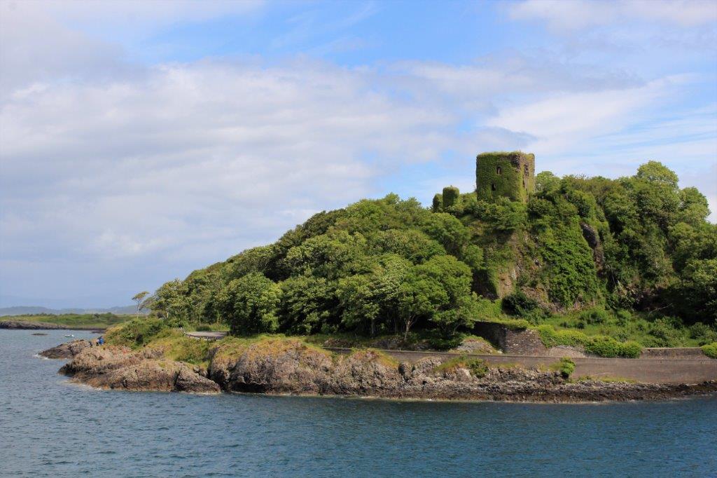
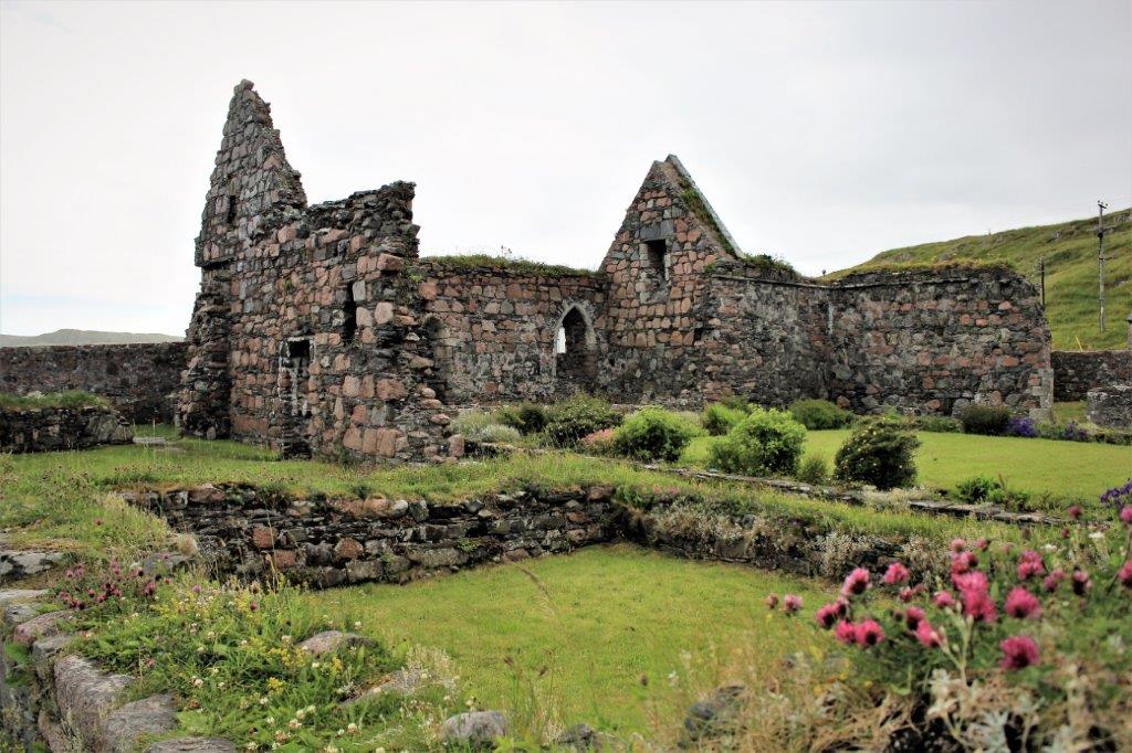
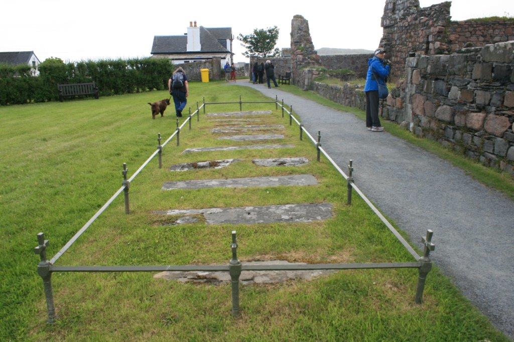
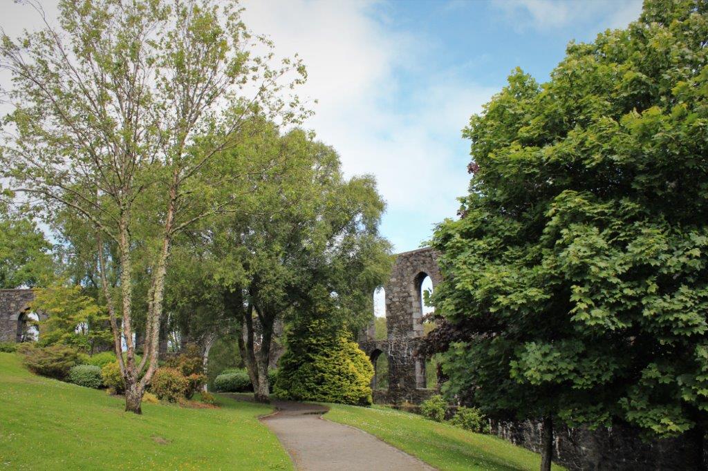
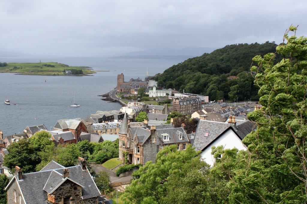
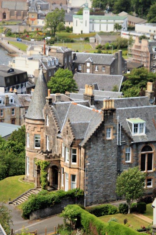
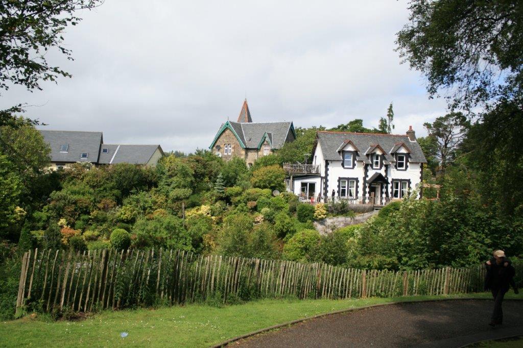
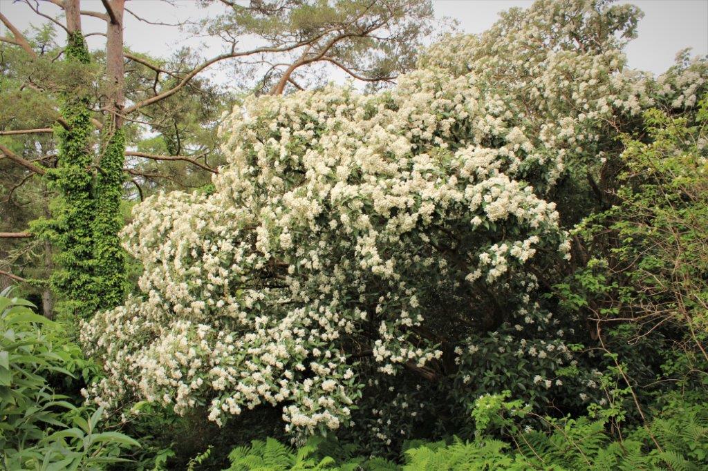
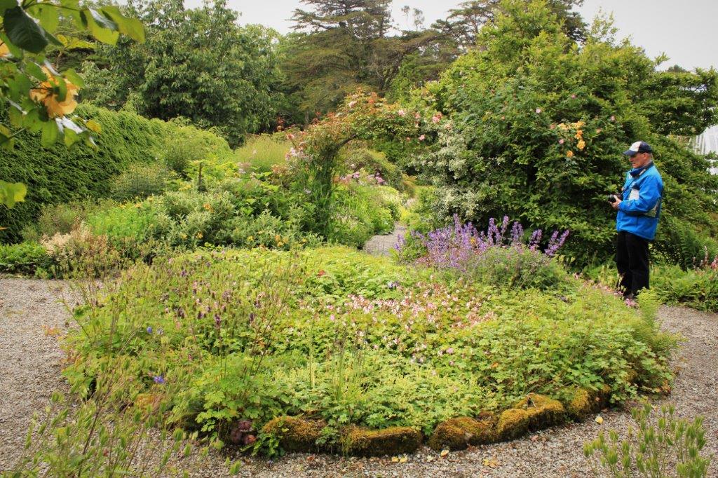
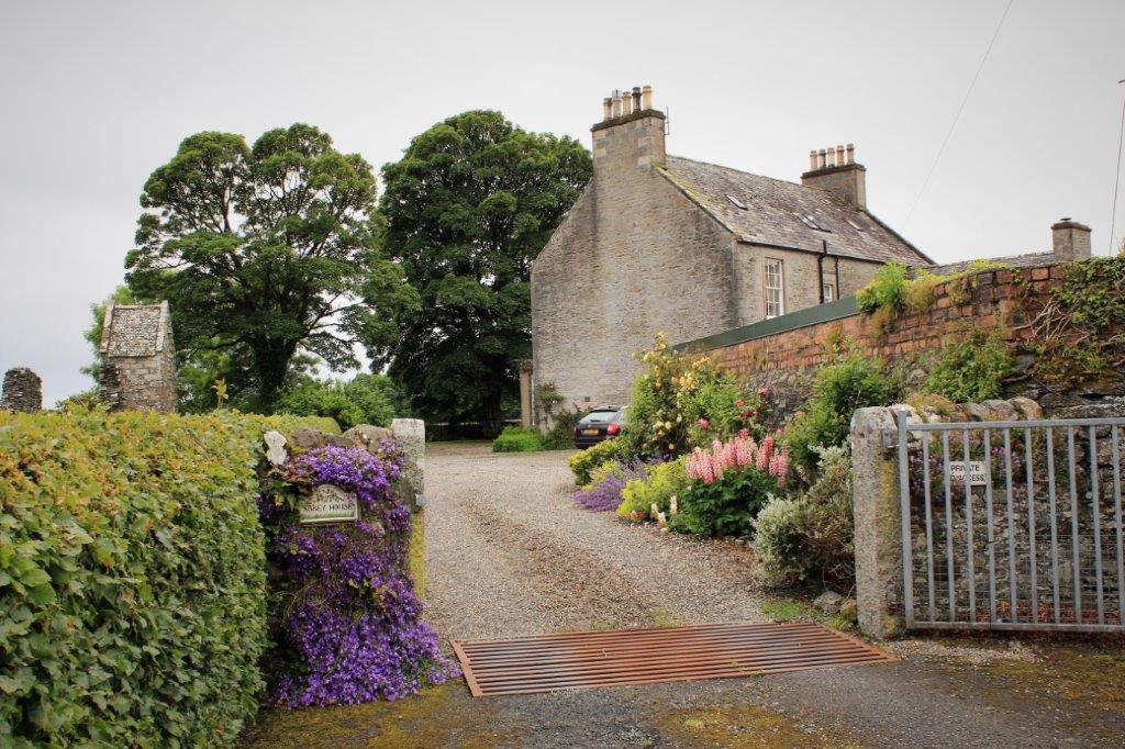
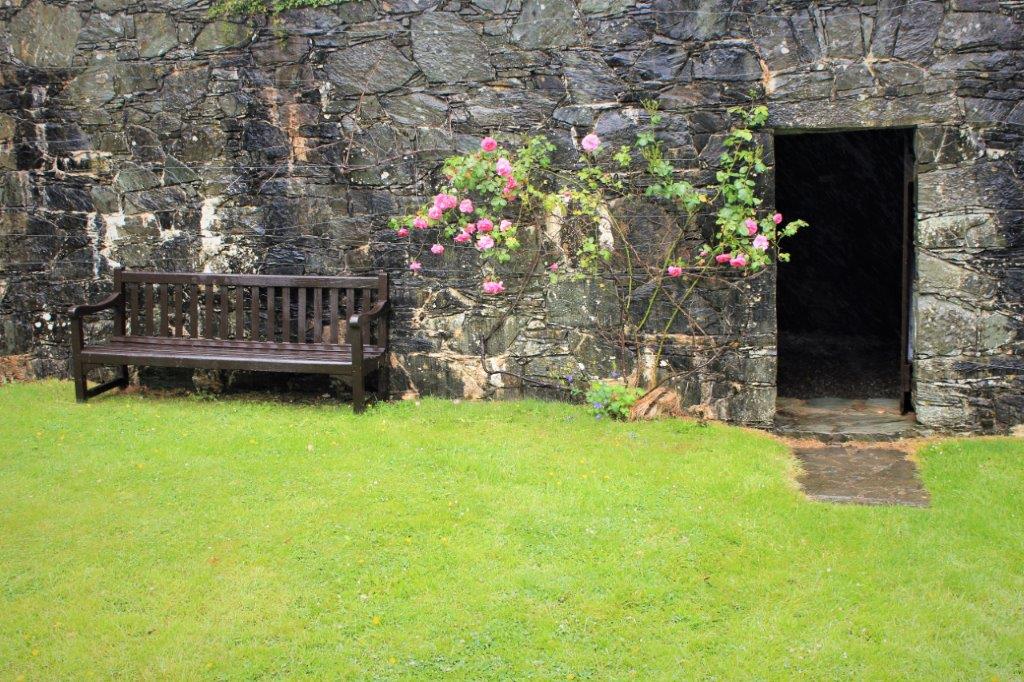
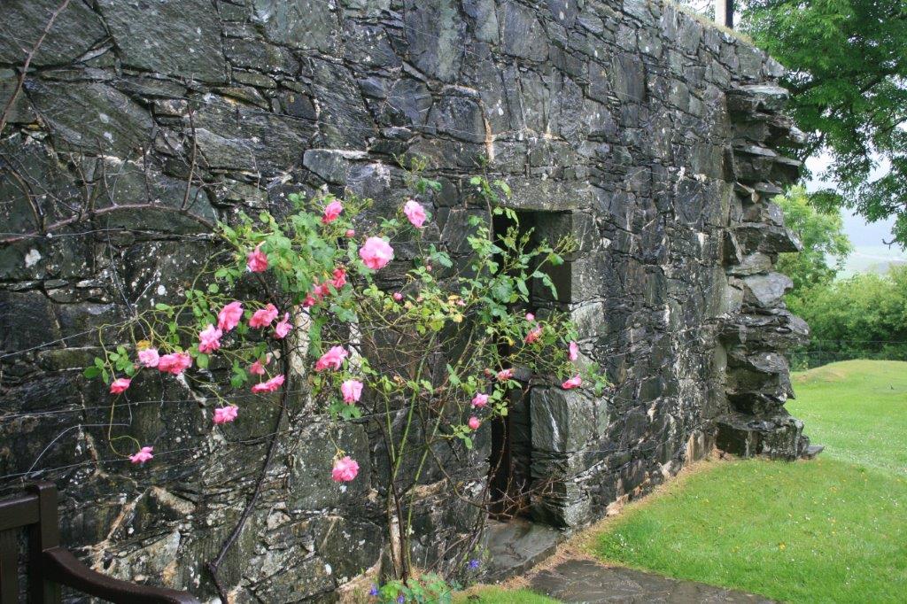
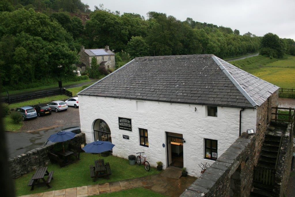
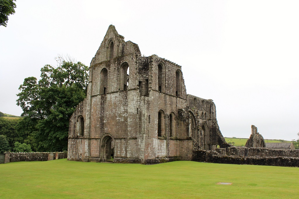
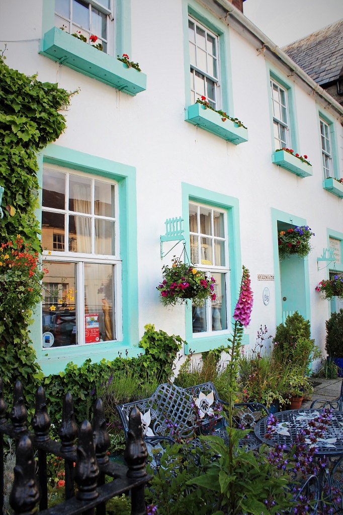
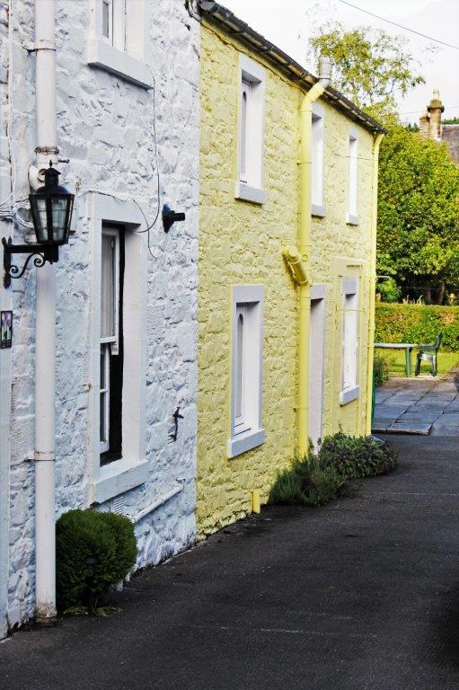
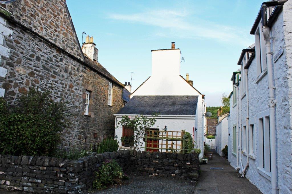
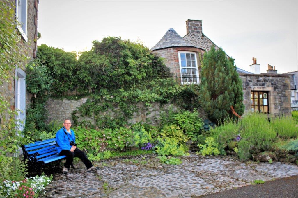
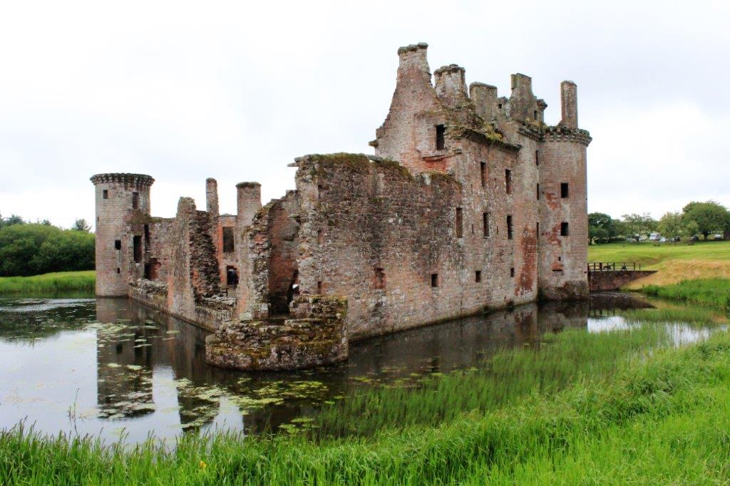
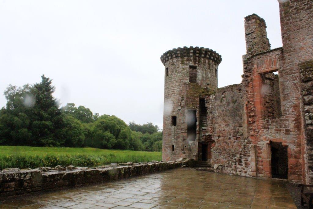
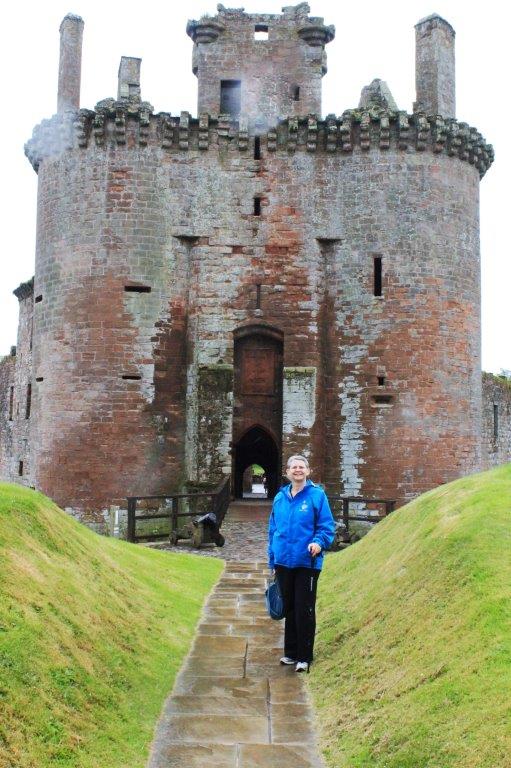
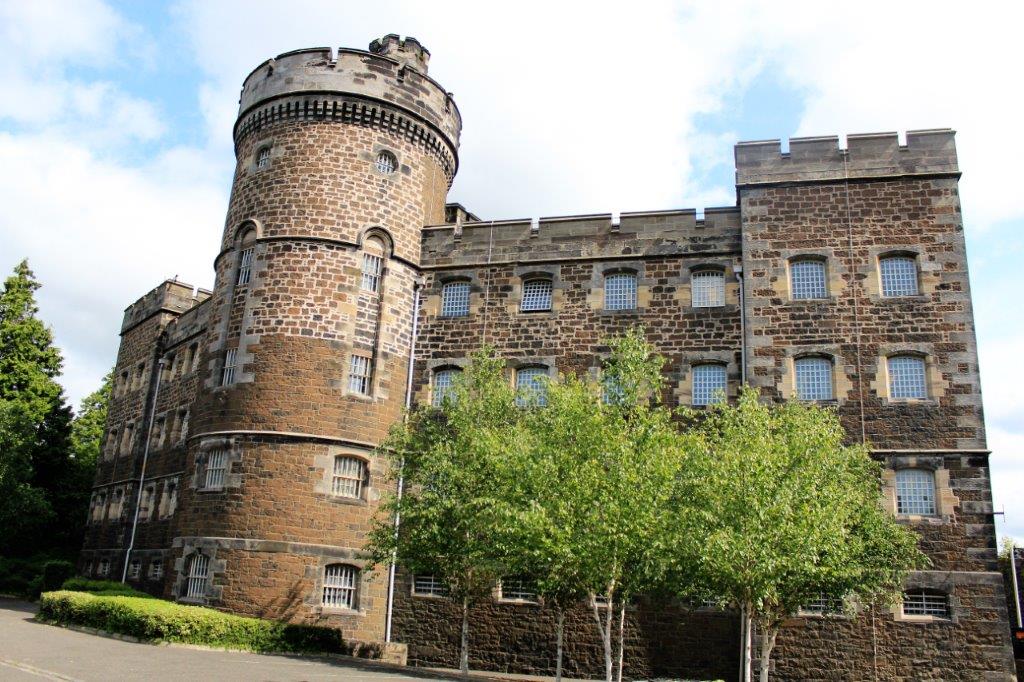
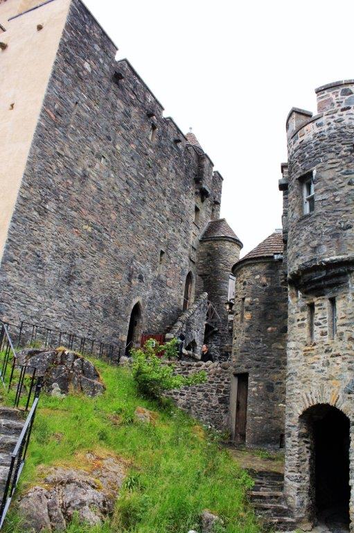
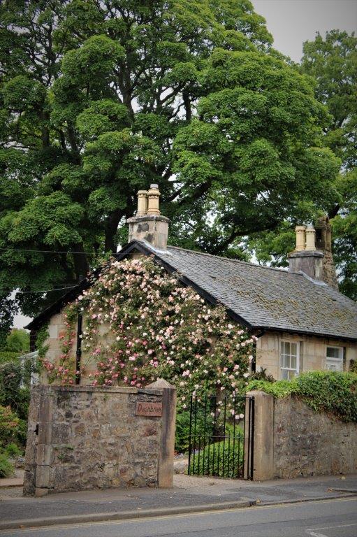
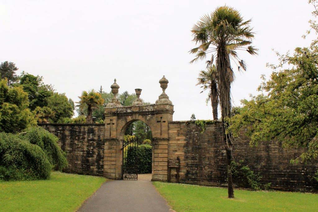
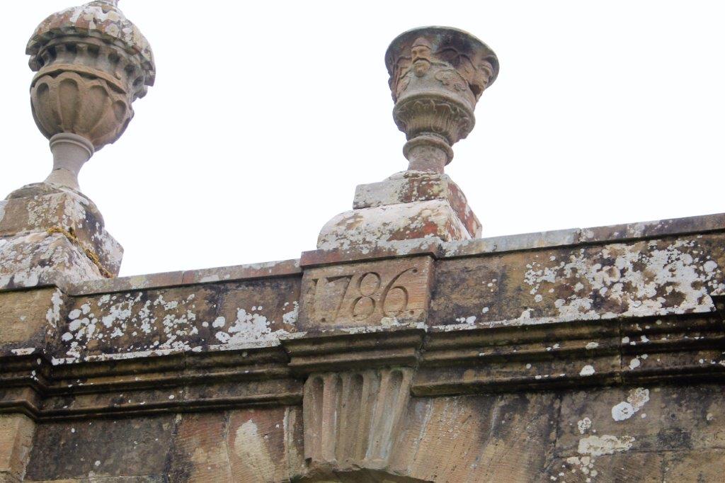
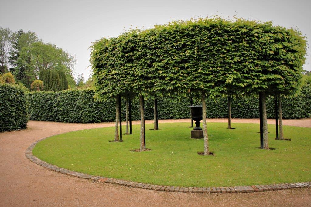
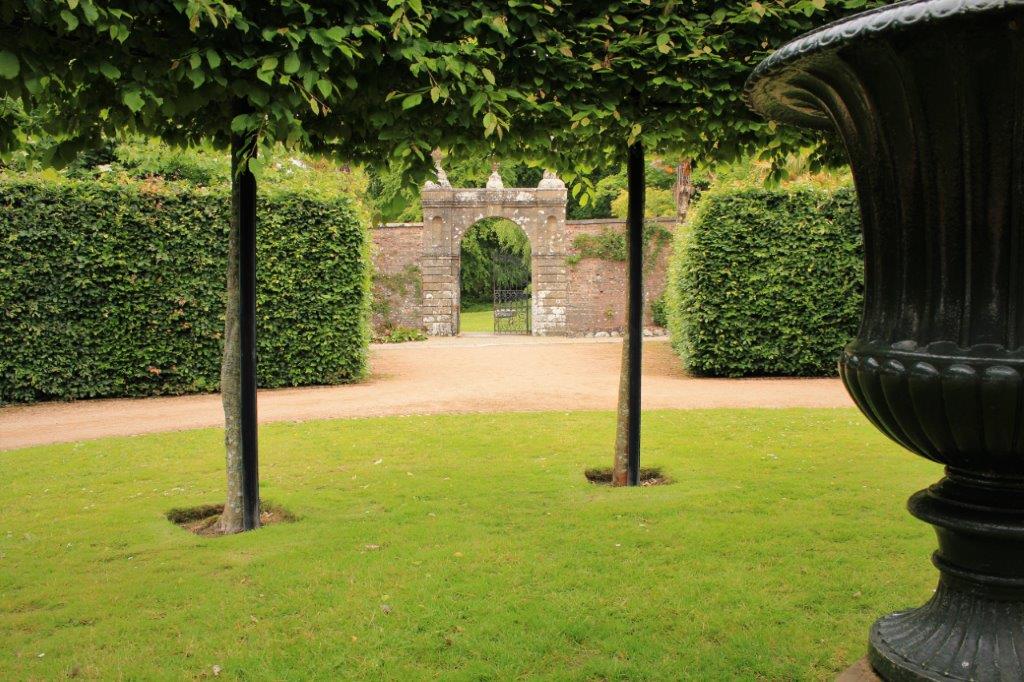
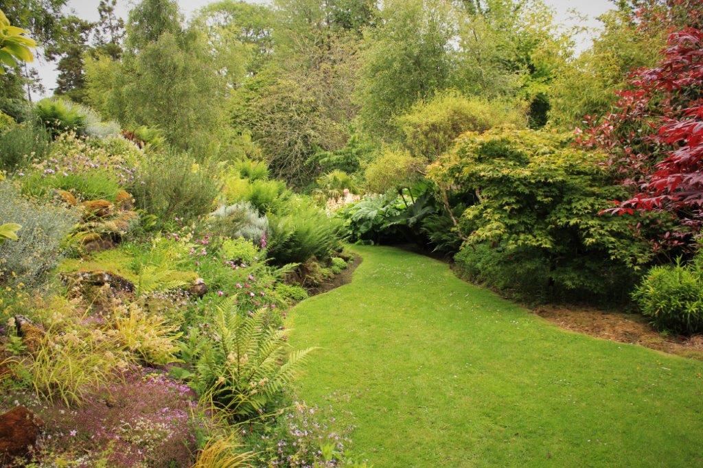
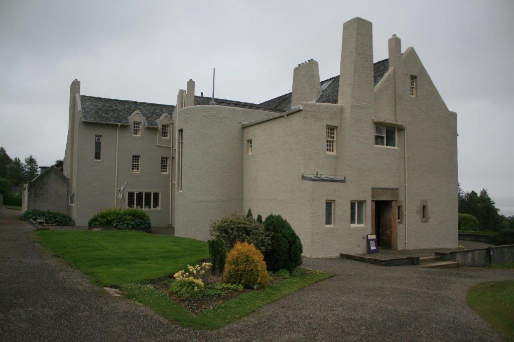
I love these ivy covered buildings.
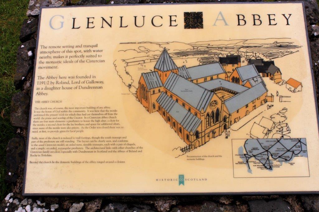
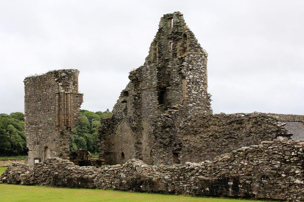
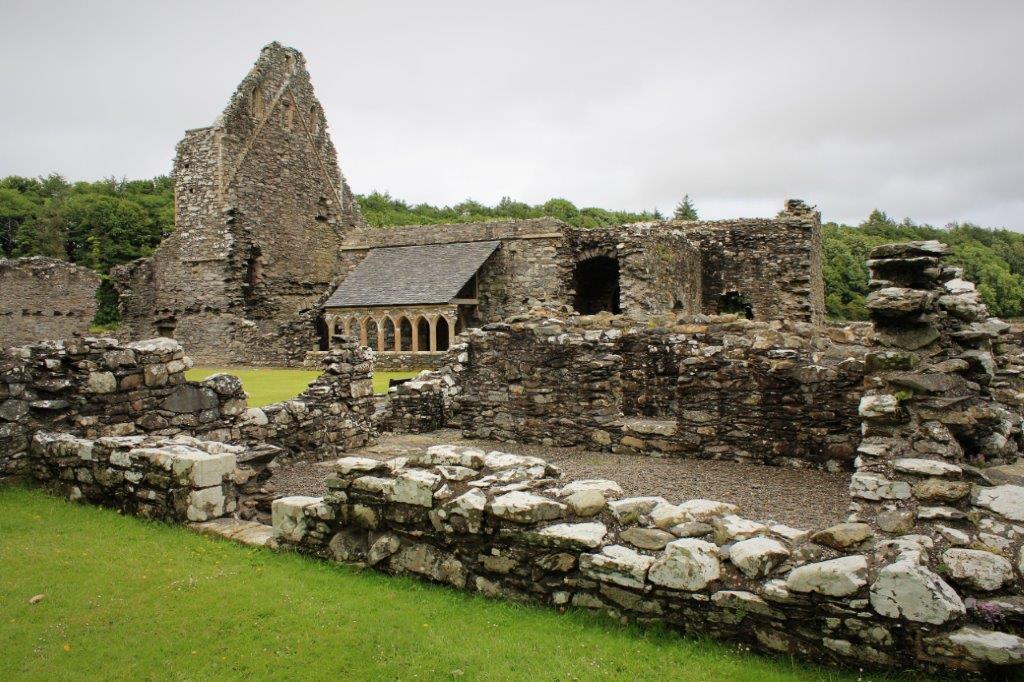
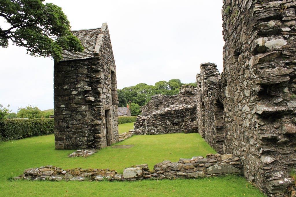
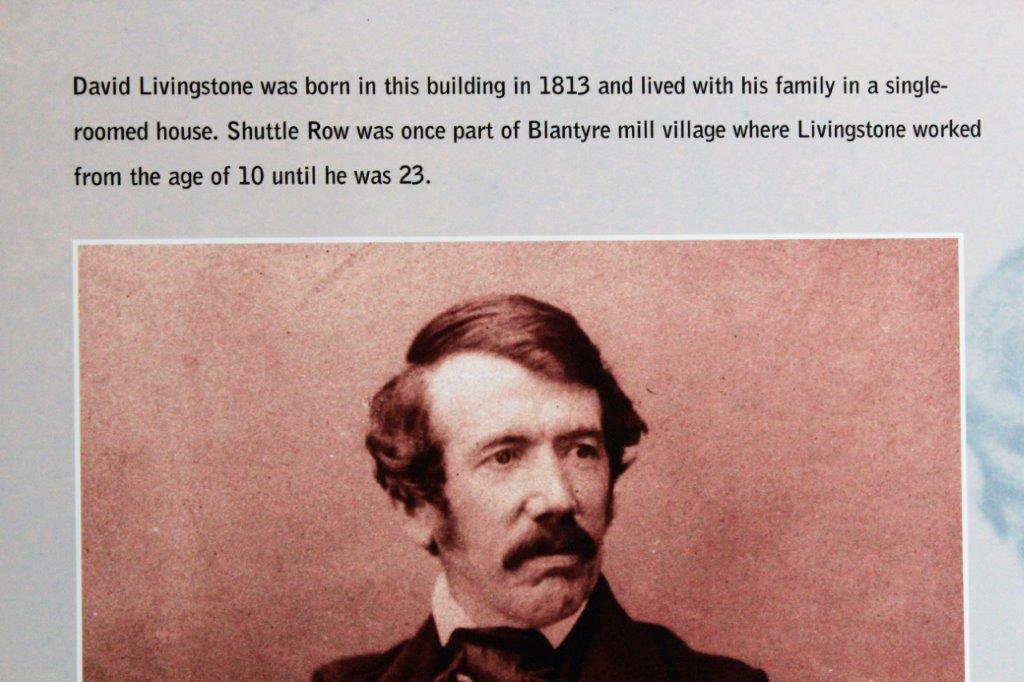
 After a lovely wander around the gardens we drove a few miles back down the road so we could see Culzean Castle, home of the Kennedy clan for over 300 years.Culzean had an awesome gated entrance and long winding pathway to the castle.  The castle  was  built  in  stages  between 1777  and  1792  and  until  recently  an   illustration  of  Culzean  Castle  was  on  the  reverse  of  the  Bank  of  Scotland  issued  five-pound  note. Gorgeous gardens.  The main castle above and a secondary residence located across the green below.  Unfortunately no photos were allowed inside but the castle, the setting, and grounds provided lots of photo opportunities anyway. 
The gardens were fabulous to walk through, despite the  gray  day. We did a tour of Hill House which was designed in 1902 by renowned Scottish architect Charles Renny Mackintosh for Walter Blackie (a publisher of children’s books).  Again no photos allowed inside, but the place was a real art-deco masterpiece. As we continued northward we drove along the shores of Loch Lomand.  Even if one can’t sing – which I can’t – one really has to launch into a few bars of the famous song.

The loch was just a flat grey expanse with the cloud cover, but further up the road we passed a body of water that had some gorgeous reflections. The west side of the Loch, where we were, edges the Trossachs National Forest.

We arrived in Oban at 7 pm and settled into the Chalhoss B & B.  Tom and Christine raise Gordon Setters, but all the dogs were kept in runs outside so no doggy fix that day.

2013 Summer (Baltic and Britain – Scotland – June 28 – Day 5 – Part 2)

On the other side of the River Cree which flows into Wigtown Bay there is the Martyr’s Monument.  At this location two women, Margaret McLachlan and Margaret Wilson were martyred for their refusal to renounce their Presbyterian faith and swear the “Abjuration Oath” established by Charles II to bring back Catholicism to Scotland by the imposition of rule by bishops.

The group of people who became known as the Wigtown Martyrs were three men, who were hanged and the two Margarets, one elderly and the other a teenager, who were drowned.  In an effort to make the women sign the Abjuration Oath they were tied to stakes in the Wigtown Bay at low tide on May 11, 1685 and slowly became submerged as the tide came it.  D    Drumtrodden Cup and Ring Marked rocks, near Port William We passed this lovely entrance garden as we walked to Glenluce Abbey, which was our last stop of the day. Not very many of the walls of the large Abbey complex remain, but since the place was initially built between 1191-92, one shouldn’t be too surprised.  That any of it is still standing is pretty amazing.The abbey was constructed by Roland, Lord of Galloway as a daughter house to Dundrennan Abbey, which we had visited on our way to Kirkcudbright. From Glenluce we drove the coast road north to the Sherwood Bed and Breakfast at Doonfoot, which is just south of Ayr.  Kirsten, at the B & B had a lovely big black Lab named Sally so I even got a dog fix.

2013 Summer (Baltic and Britain – Scotland – June 28 – Day 5 – Part 1)

I came across another travel blog recently that had an image of the day’s journey included.  With all of our going back and forth on this trip in Scotland, I thought that was a great idea, so I have gone back to the previously posted blogs (Days 1 – 4) and inserted a map of each day’s travels and will have a map in the future blogs of this series.

The overcast skies and light rain continued.  We drove around the southwestern coast of Scotland from Kirkcudbright to Doonfoot, on the outskirts of Ayr.

Before we left Kirkcudbright we toured MacLellan’s Castle; built by Sir Thomas MacLellan, provost of Kirkcudbright, in the 1570’s. At 11:30 we were on the road to the ruins of Cardoness Castle.  The castle was built by the MacCulloch’s in the late 1400’s.It was a wet trek up the hill to the castle.  Since these buildings were clan strongholds as well as family homes they can usually be found on a high point of ground in the area, or at a strategic meeting of roads, borders, or rivers.

Nor far from Cardoness we stopped at another castle, this one on a spit of land protuding in Wigtown Bay near the opening of the Solway Firth.  Carsluith Castle was built about 1560 for  Richard Brown. Situated all over Scotland, in fields, on hillsides, and near the coast you will find burial cairns or standing stones or rock circles.  The first one we visited was the Cairn Holy which were burial chambers  from between 6,000 to 4,000 years ago. Further into the field we could see another set of cairn stones, but it was too wet to trek through the grass to see it up close. (Continued in Part 2)

2013 Summer (Baltic and Britain – Scotland – June 27 – Day 4 – Part 3)

From Caerlaverock Castle we followed the road northwest along the east side of River Nith, crossed the river and skirted under the major city of Dumfries,  then continued southward back toward the Solway Firth.   Orchardton Tower is located about 4 km (15 miles) east of Kirkcudbright.

The tower is thought to have been built by Sir John Maxwell about 1456. Our last stop of the day was Dundrennan Abbey, founded by Cistercian Monks in 1142.  These ancient abbeys were huge. Many of them have been added to over the years, or re-built after a fire or some attack that destroyed it and then enlarged each time.  It constantly amazed me that all of these stone blocks were quarried, sized and shaped, and placed by hand.  No modern tools.  No lift equipment.  Just hard work and brute strength and many, many, many labourers.

We arrived at our B&B in Kirkcudbright at 6 o’clock.  After we settled in and had some dinner we went for a walk around town.  The light was lovely and it was a beautiful evening; and I loved all the colours.  We met a lady on the street and I asked her how the name of the town was pronounced.  In normal Scottish fashion they leave out or run over most of the letters.  It is Ke-coo-bree.  I would never have figured that out.


2013 Summer (Baltic and Britain – Scotland – June 27 – Day 4 – Part 2)

After we left Gretna Green on the English-Scottish border we took a small road near the coast of Solway Firth and made a few stops on our way to the night’s lodging in Kirkcudbright.

First stop was to see the Ruthwell Cross, however the church itself was locked.We purchased two annual passes when we got to Scotland.  One for all the places cared for by Historic Scotland and the other for those under the auspices of the National Trust for Scotland. With these we could walk into almost every historic location we wanted to see.  One or the other of these agencies cares for almost all of them.  They were a great money-saving and time-saving investment and well worth the cost.

(As you can tell by the white dots on the images below; it was raining.)

Just a bit west from Ruthwell Church, on the coast where the River Nith enters Solway Firth is Caerlaverock Castle (pronounced Cal a vé rick), one of most unique and smallest castles that we visited on our trip.  Caerlaverock Castle was built by Sir John Maxwell in 1220! It was one of the first stone castles built in Scotland. Continuing down the road we next visited Orchardton Tower.

2013 Summer (Baltic and Britain – Scotland – June 27 – Day 4 – Part 1)

Scotland is a small country.  In Canada our communities are usually 30 km (18 miles) or more apart.  In Scotland the average is about 4 or 6 km (2+ miles).  And several different intersections will have a signpost pointing to the same community at the same distance away.  You cannot, however, just zip quickly down the road and arrive in a few minutes.  The roads are winding and narrow and often have sheep wandering on them.

Gretna Green is famous as the 18th century English elopement town.  (Gretna was not the only border town that offered wedding services.  Almost any Scottish town near the border had its fair share of quick wedding services.)  If you wanted to marry without your parents consent you beetled it up to the little community on the border between England and Scotland and got married, “over the anvil.”  The place is a real ‘tourist trap’ but not completely hokie.  We had fun there.  They still do lots of weddings every year and have several different places on the grounds for the ceremony and several different photo op settings as well. They have a some nicely set up museum rooms of furnishings and artifacts from the early days of the shop.  It really was an active blacksmith shop.  Scottish  law  allowed  anyone  to  perform  a wedding ceremony  as  the  important,  and  binding,  part  was  the  declaration  of the  couple  rather  than  the  rites  of  a minister.  Most  ‘anvil  weddings’  were  performed  by  weavers,  horse  saddlers,  and  fishermen.  Often  the only   role  of  a blacksmith  was  to  make the  rings.  Regardless  who  the  officiant  was,  the  blacksmith  or  anvil  wedding was  the  ceremony  of  choice  for  any  English  couple  who  could  not  get official  signed  documents  from  their  parents  (as  required  by  law),  or  who  did  not  want  to  wait  for  the  weeks  needed  to  post  the  banns  in  church. In the marriage commissioner’s office you can legally get married ‘over an anvil.’

We were tickled to see this family tree that was sent to Gretna Green by someone from our area of BC. With all the digital photographs of trips, weddings, and gatherings I have taken since 2007 I have become quite good at some Photoshop techniques.  I decided that I would try blend a photo of each of us into one so we could be ‘married’ the Gretna Green way.

I had John take a photo of me with my hand on the anvil, then I took one of him standing on the other side with his hand just above the anvil.  Then I  did some Photoshop magic and Voila! From Gretna Green we went to see the Ruthwell Cross, and an abbey, and a castle, and a tower, before finishing our day in Kirkcudbright. (Continued in Part 2)Warning:  This blog series will have LOTS of photos of castles and ruins.  Scotland is brimming with about a thousand of them and we saw one or more ancient building every single day.  I loved every minute of if!  The next most prominent item will be gardens.  Lots and lots and lots of gardens.

2013 Summer (Baltic and Britain – Scotland – June 26 – Day 3)

We checked out of our hotel in Kincardine and drove to Stirling to see if we could tour Argyll’s Lodging, which we were unable to do the day before as it was closed for a private function. We arrived to find it was still closed, this time with no explanation. We wandered down the street to see the Old Town Jail, only to discover it was no longer open to the public and had been converted into offices.By the time we had toured Stirling Castle the day before, visiting hours were over at the Church of the Holy Rude.  This day, however, we were able to go inside.

Next door to the church is Cowane’s Hospital; established in the mid-1600’s by a merchant guild for its poor members. The town of Abington is located about an hour slightly southeast of Stirling.  Located at Abington is Blantyre Station and the David Livingston Center.  Blantyre Works was a cotton mill and families lived in tenement buildings on the property.   The whole family lived in this one room.  David was the second of seven children and was employed at the age of ten in the cotton mill of Henry Monteith & Co.  He and his brother John worked twelve-hour days as piecers, tying broken cotton threads on the spinning machines.  At  ten  years of  age  he  was  actually  old  to  just  be  starting  to  work  in the  mill.   Children  usually started  at 5 or 6.He was a student at the Charing Cross Hospital Medical School in 1838–40, with his courses covering medical practice, midwifery, and botany.  He qualified as a doctor in 1840 and also took training as a missionary.  He hoped to go to China with the London Missionary Society, but the First Opium War had broken out in September 1839 and it was suggested he go to the West Indies instead.  As he was finishing his medical training he met a member of the London Missionary Society who had been to South Africa.  He was excited by the prospects to work for the gospel there and as an active  abolitionist, Livingstone sincerely felt that the slave trade could be halted if ‘legitimate’ trade was offered.  While on his various missionary assignments Livingstone believed that the gospel could best be spread to the people of the interior of Africa if there were adequate maps of the river systems.  He became obsessed with finding the mouth of the Nile.

The Livingstone Center had carvings and plaques telling the story of his missionary travels and life up to his death in Africa in 1873. There were many pictures, drawings and articles on display that vividly demonstrated the horrors of the slave trade.   His loyal attendants Chuma and Susi removed his heart and buried it under a tree near the spot where he died. The rest of his remains were carried, together with his journal, over 1,000 miles (1,600 km) by Chuma and Susi to the coastal town of Bagamoyo, where they were returned by ship to Britain for burial. In London, his body lay in repose at No.1 Savile Row, then the headquarters of the Royal Geographical Society, prior to interment at Westminster Abbey.

We spent the night in Abington and the next day continued south to the Borders and Gretna Green.