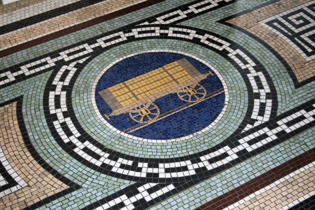
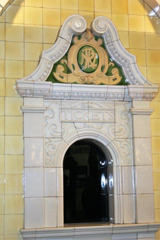
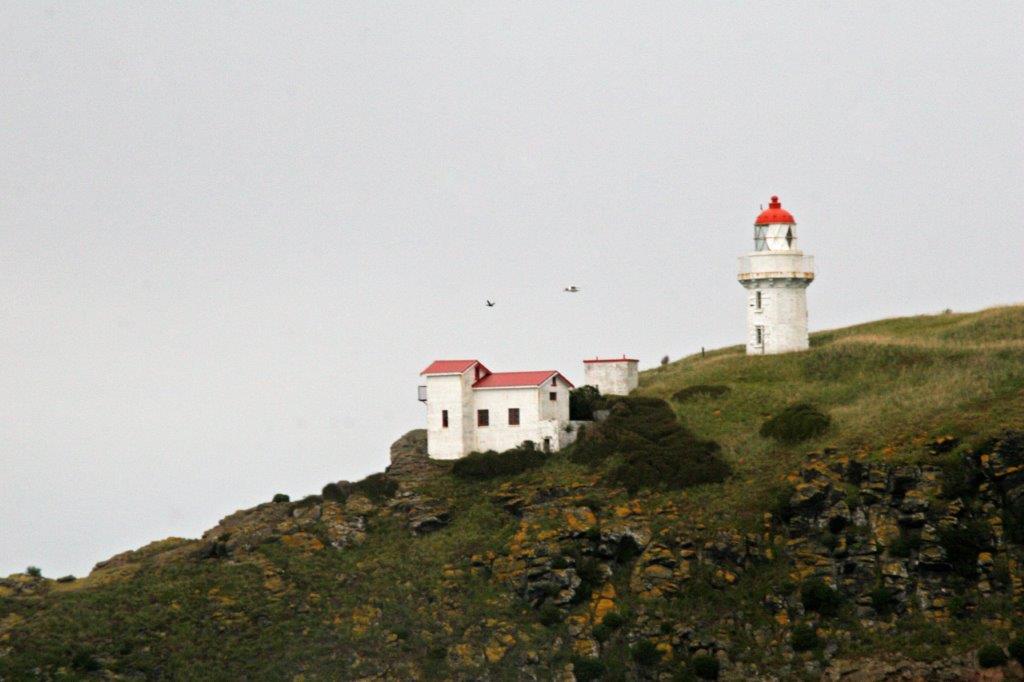
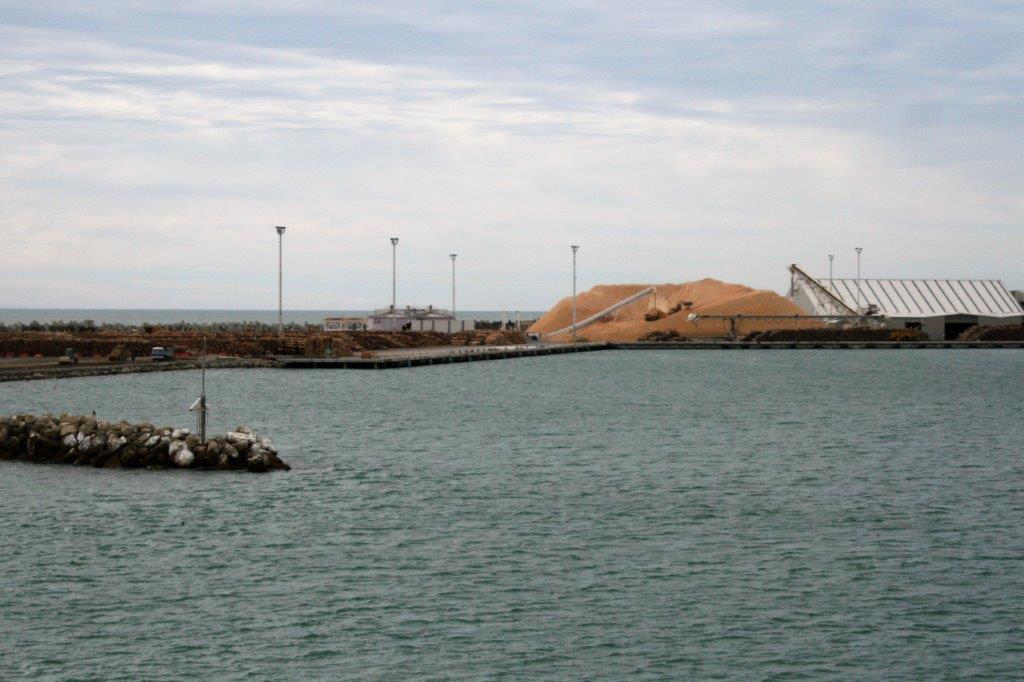
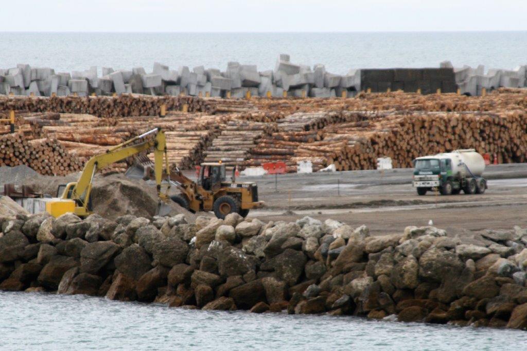
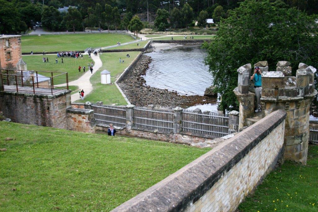
Wellington is on the southern tip of North Island, on the coast of Cook Strait, which connects the Tasman Sea on the northwest with the South Pacific Ocean on the southeast. The strait is 22 km (14 miles) wide at its narrowest point.
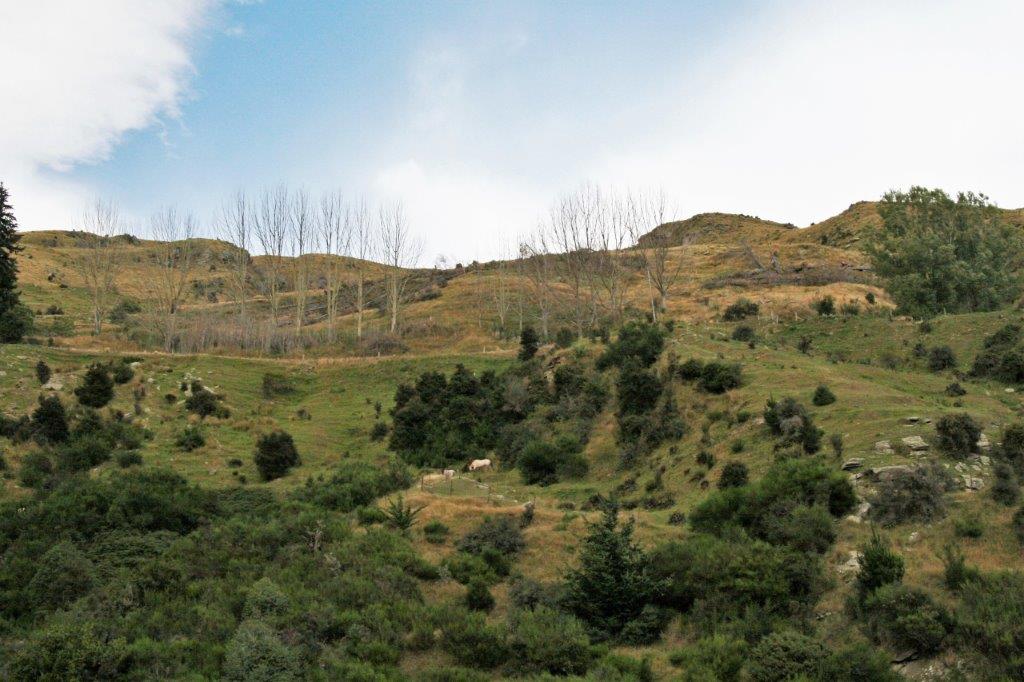
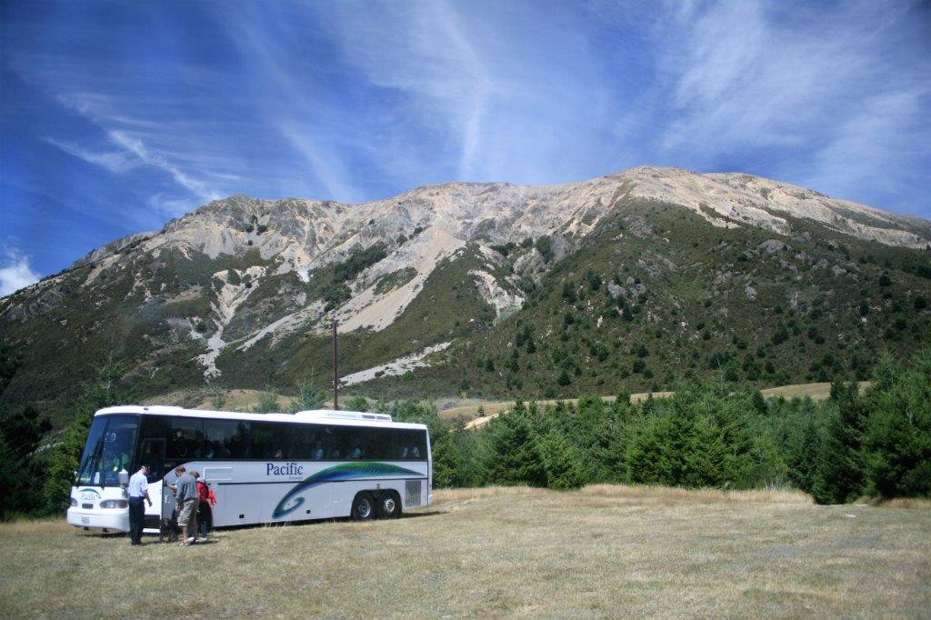
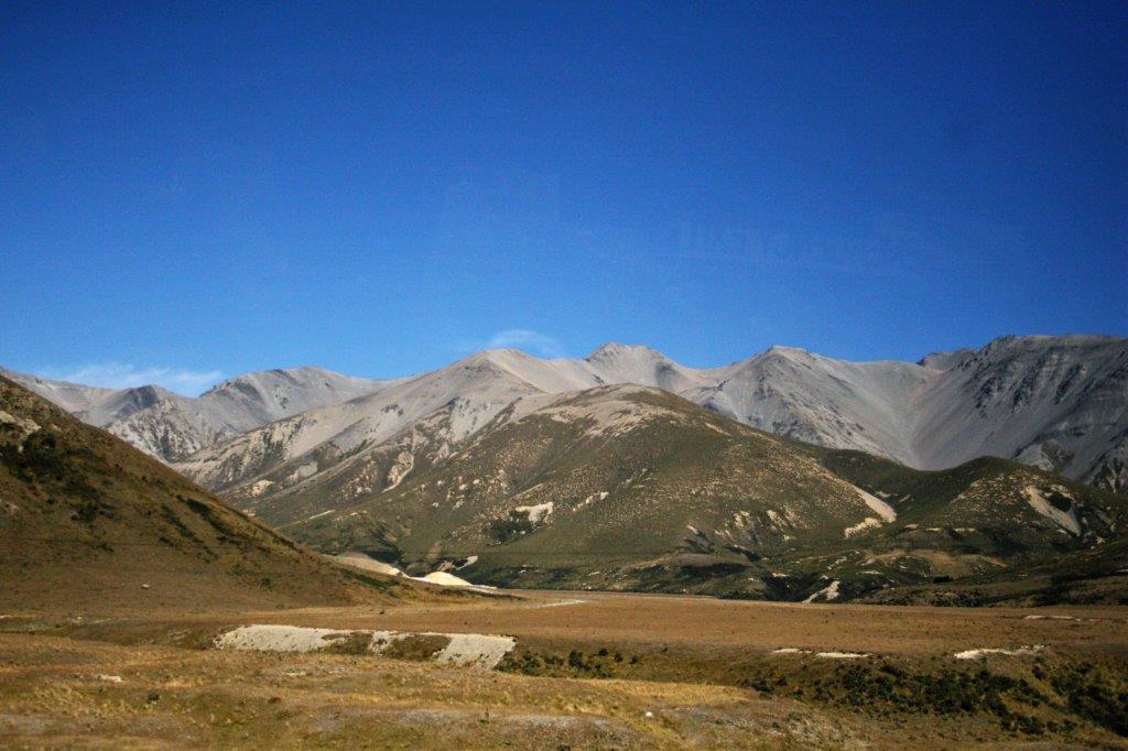
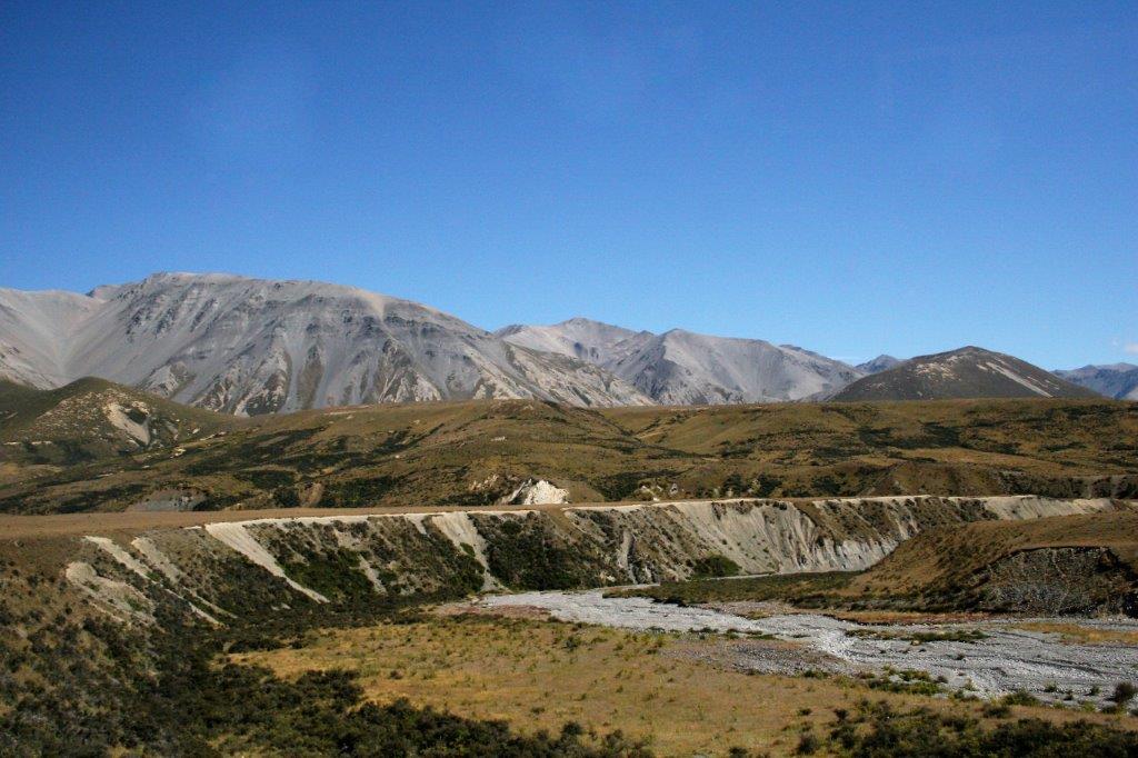
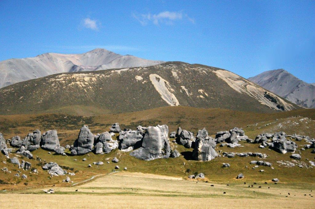
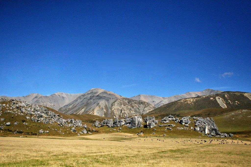
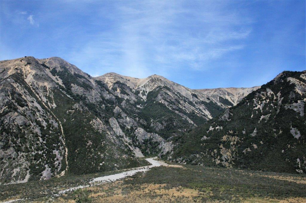
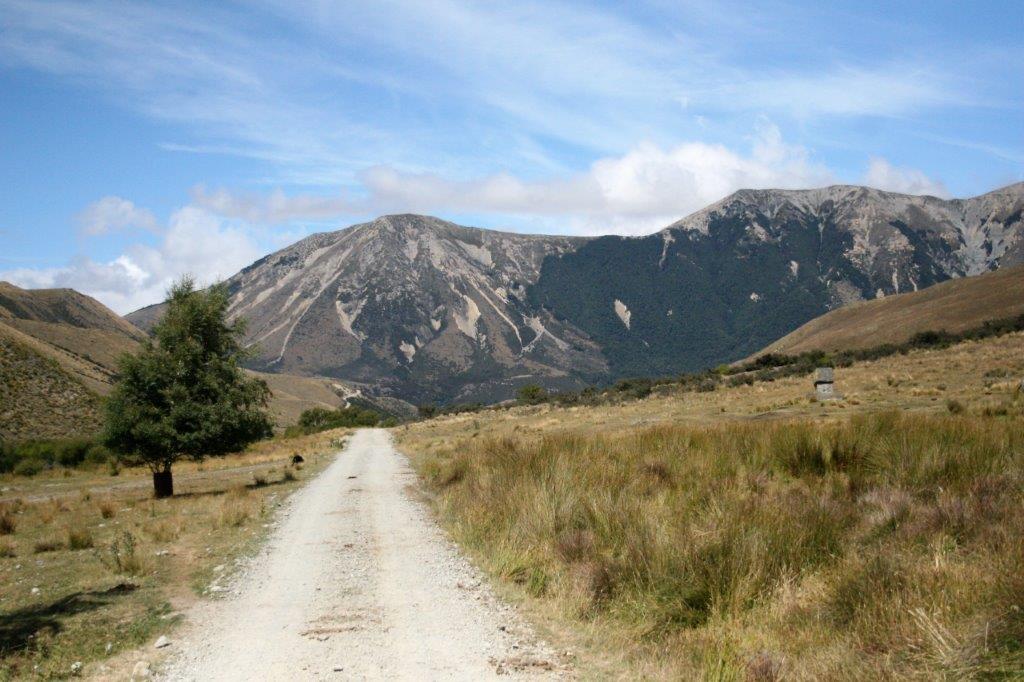
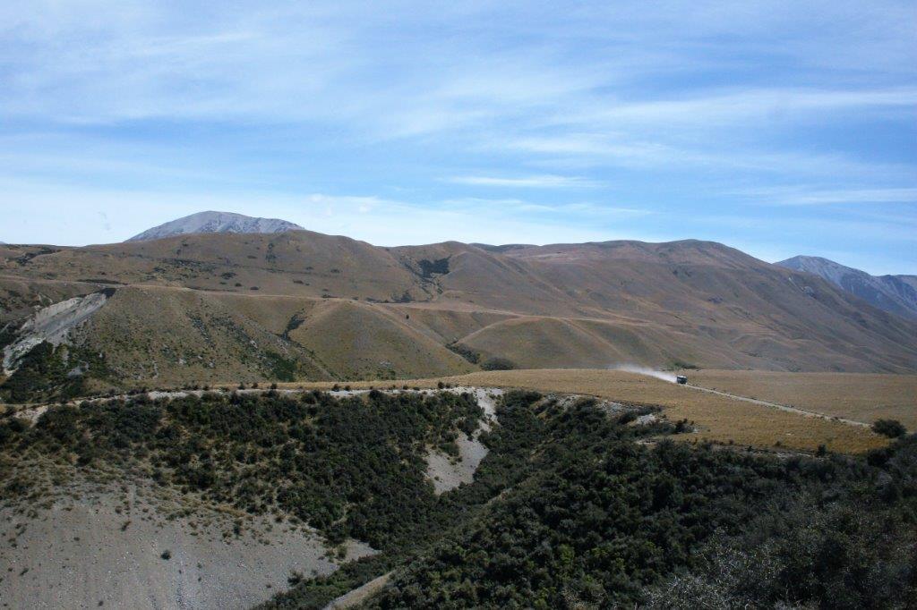
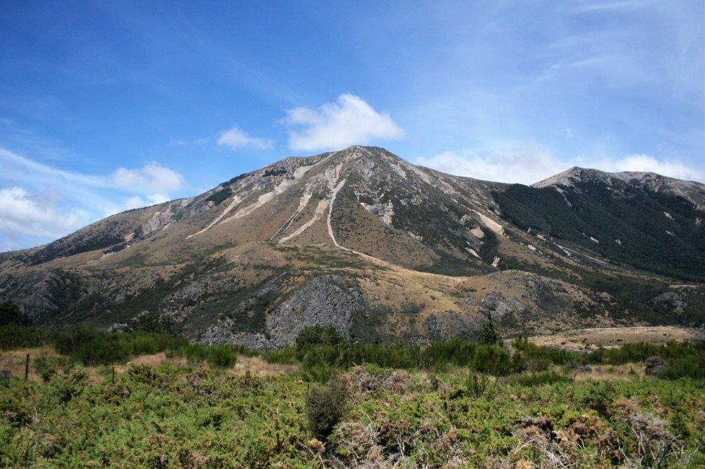
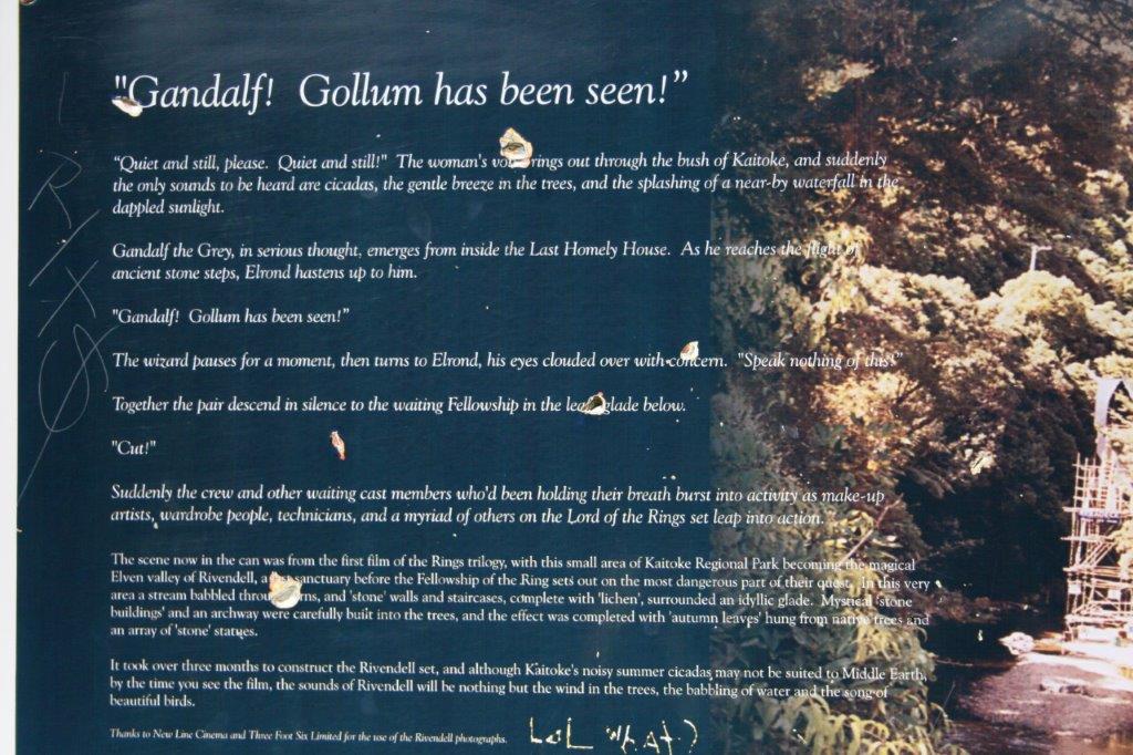
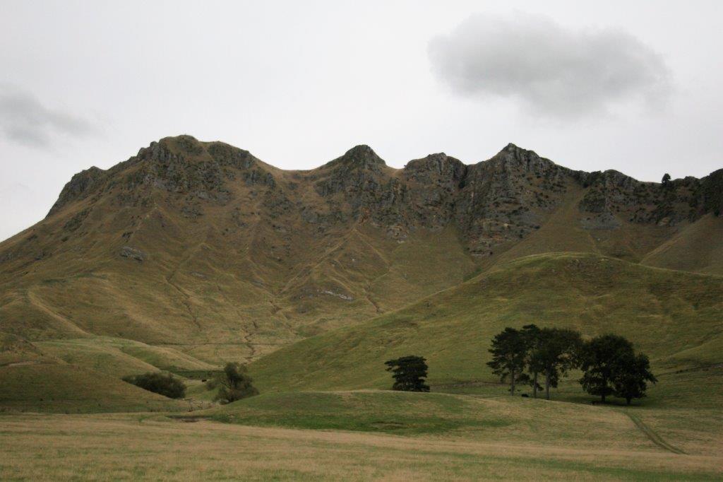
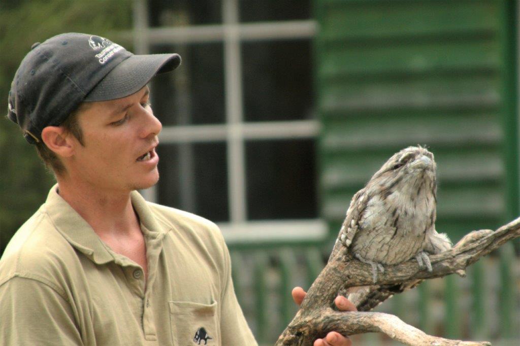
We sailed into Wellington under sunny skies and left on our Lord of the Rings – On Location tour at 8:15. We chose this tour with the notion we would get to see some of the fabulous mountain scenery from the films. Little did we know the mountain scenes were digitally produced composites of several locations in the South Alps at the bottom end of South Island. We did however see lots of meadows and trees and parkland. Our day was most enjoyable though, primarily due to our guide Todd who had had bit roles in all three of the Lord of the Rings films and shared lots of ‘inside’ stories.
I liked the movies but there were so many characters with such unusual names I was never hugely enamored of the series. Bobby, the Welshman from the photography department that had been on tour with us in Bora Bora was our Holland American staff person on this tour as well. He was like a young kid; so excited to being going to some of the places they filmed the movies. He offered several times to take our photo which, he admitted, was a blantant excuse to have us offer to take his picture. He was a lot of fun to be with for the day.
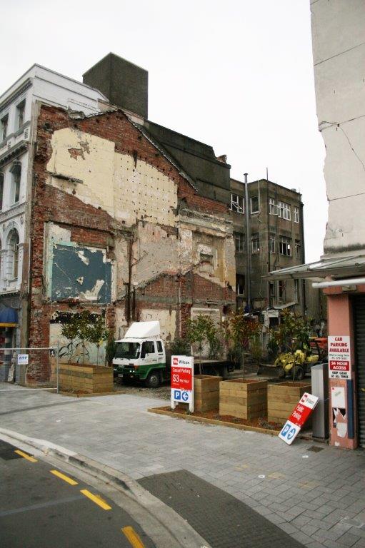
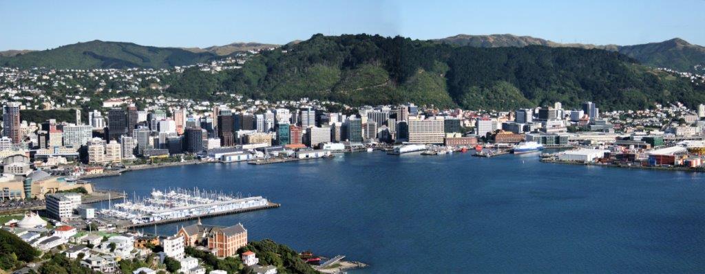
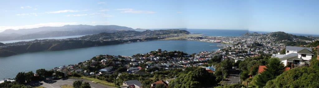
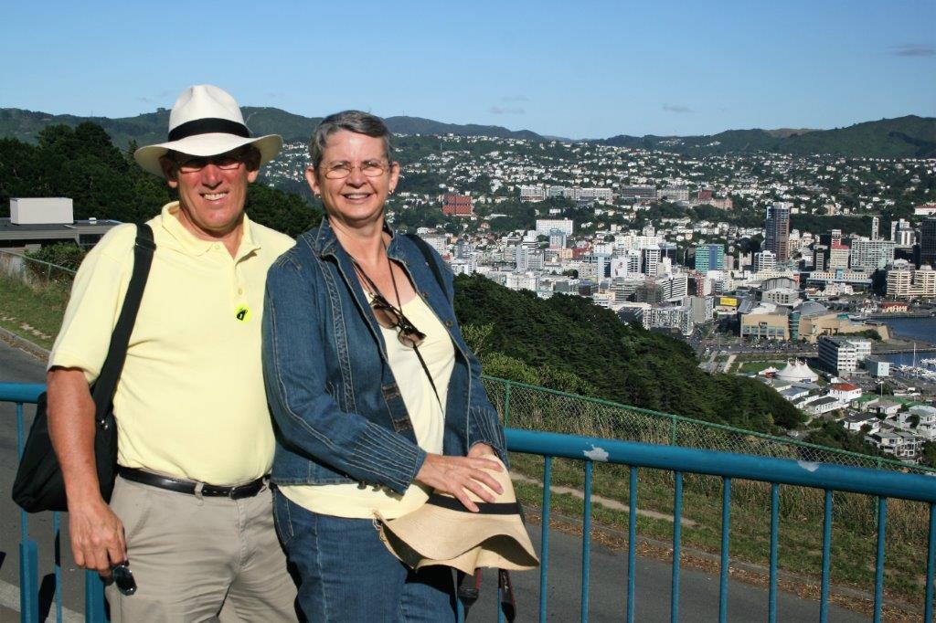
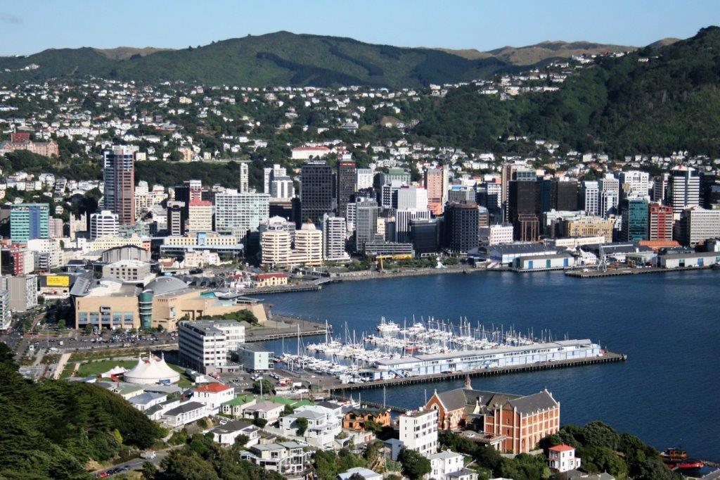
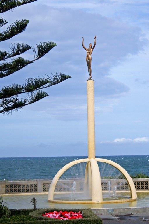
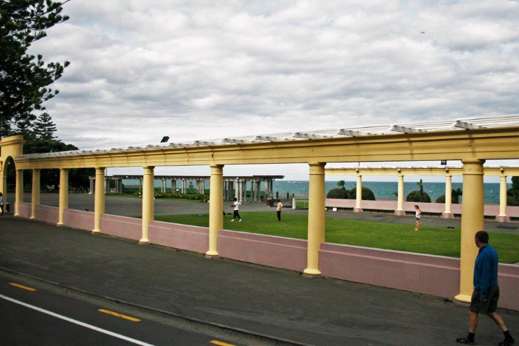
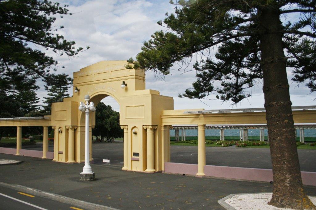
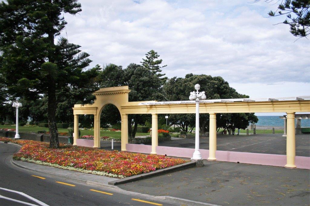
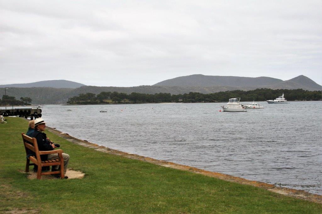
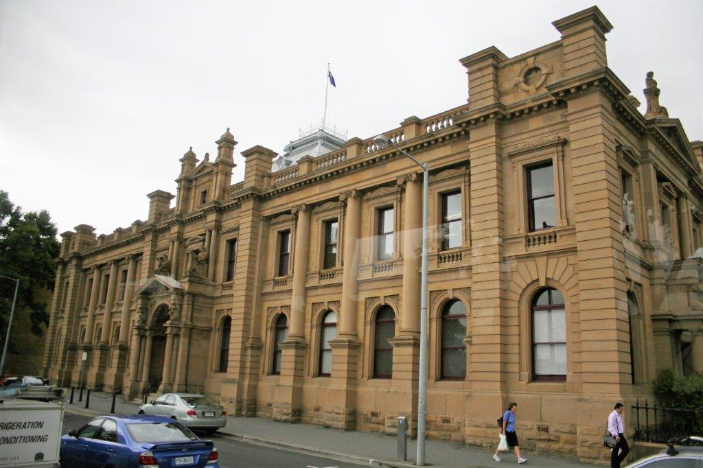
Our first stop, after a drive around town, was Mt. Victoria, 200′ above sea level where we enjoyed a gorgeous panoramic view of Wellington and the harbour.
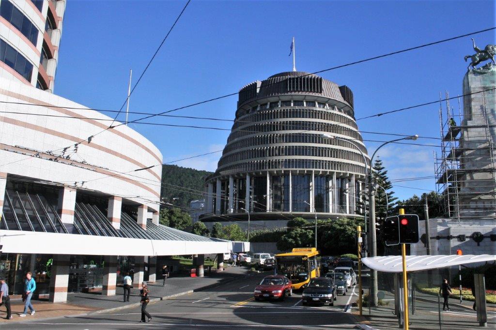
 The New Zealand Parliament Building, affectionately referred to as The Beehive.


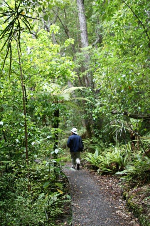
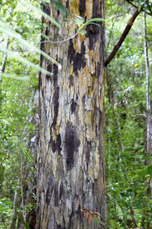
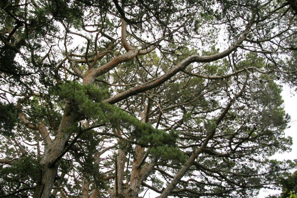
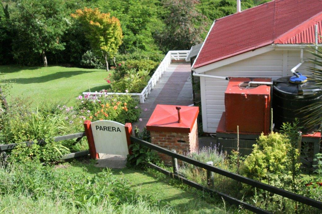
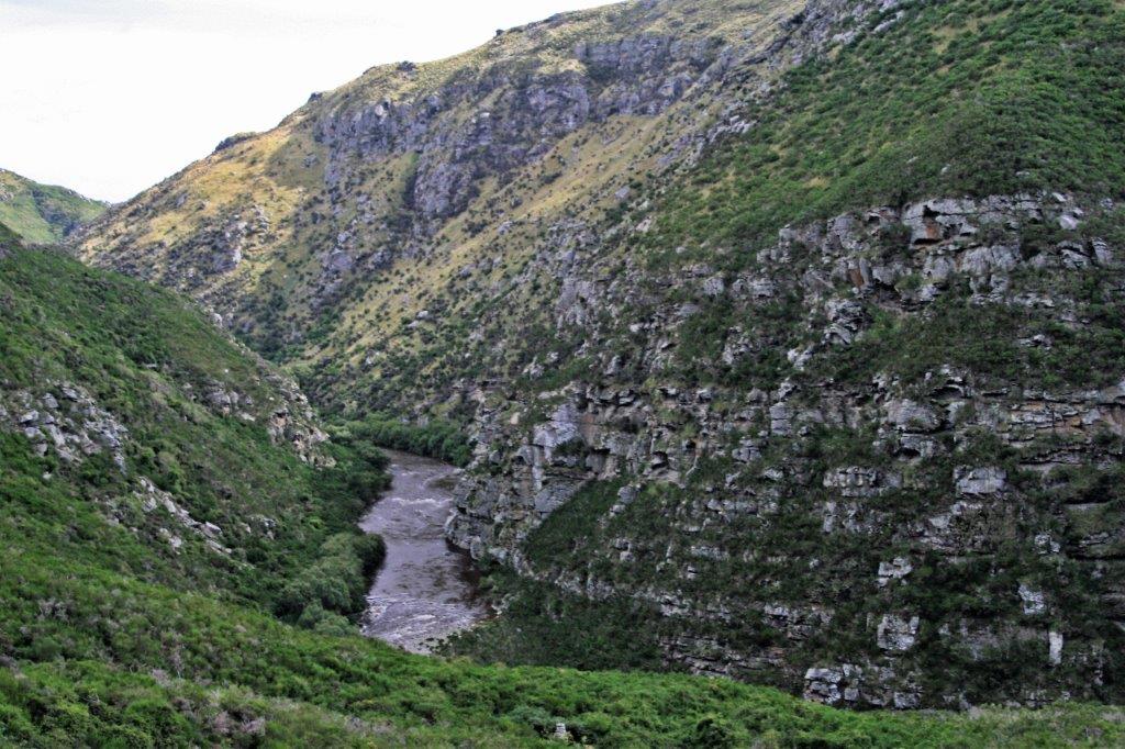
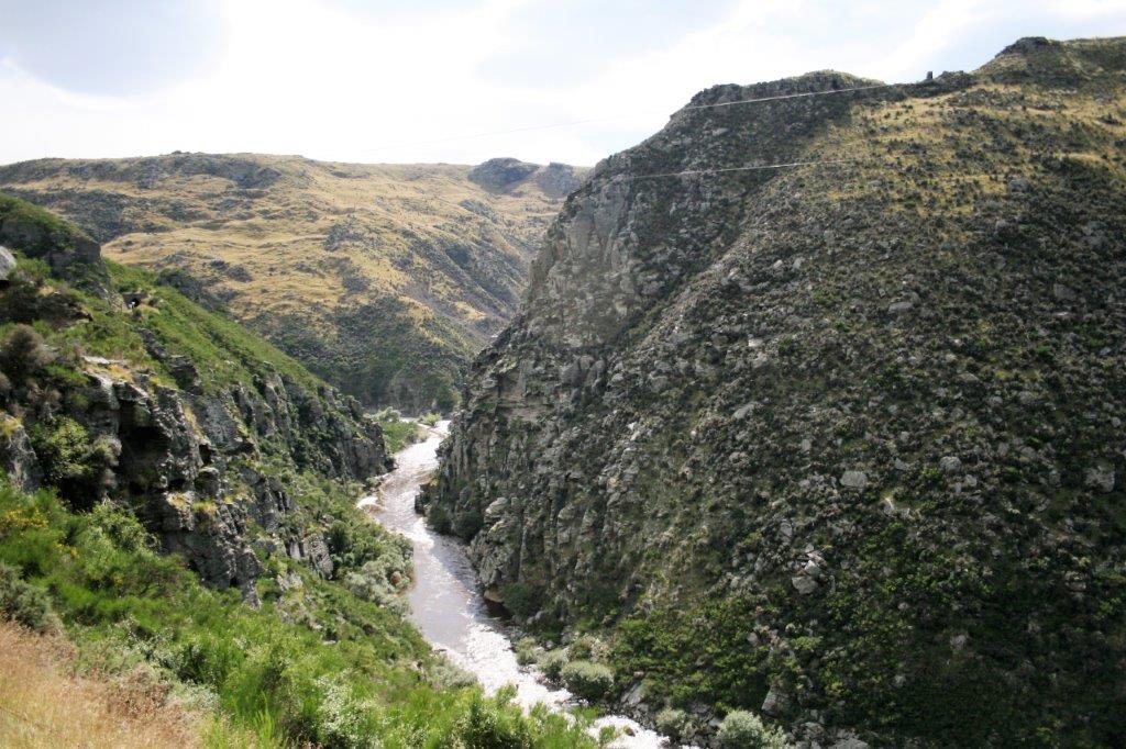
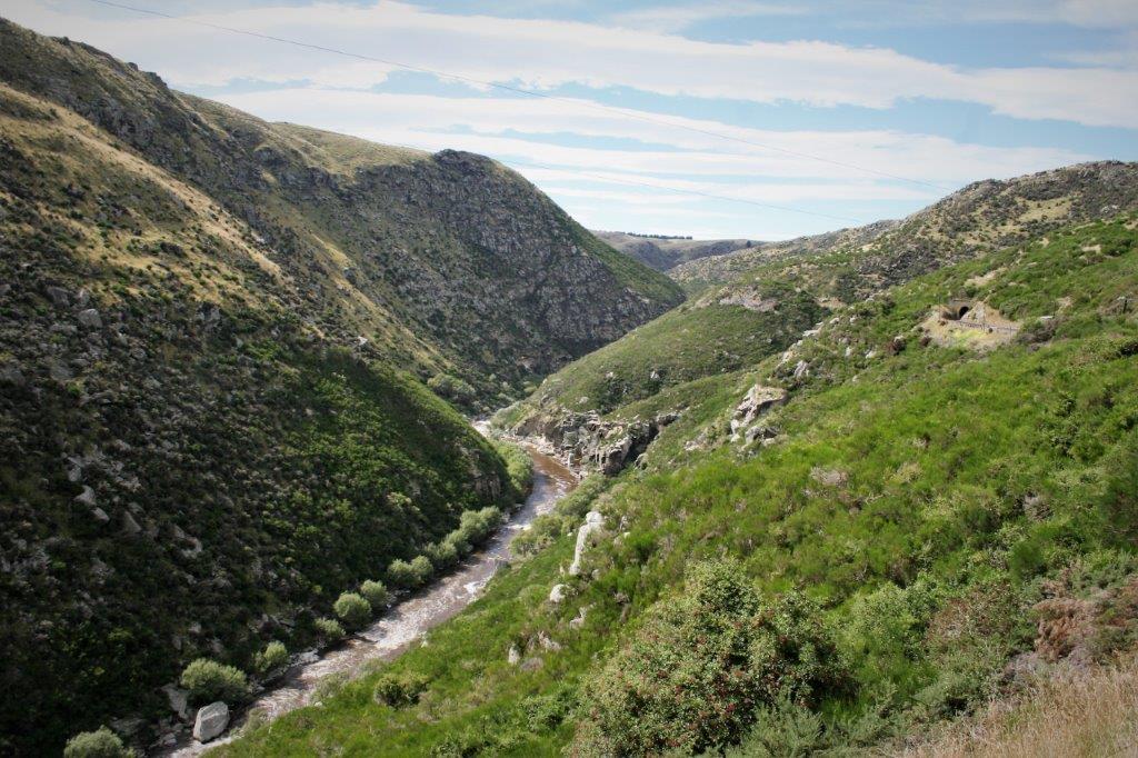
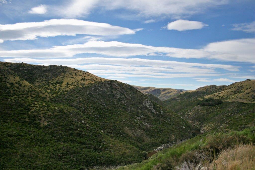
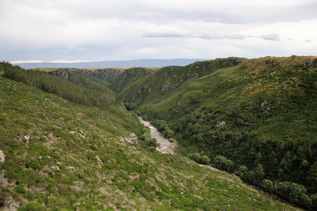
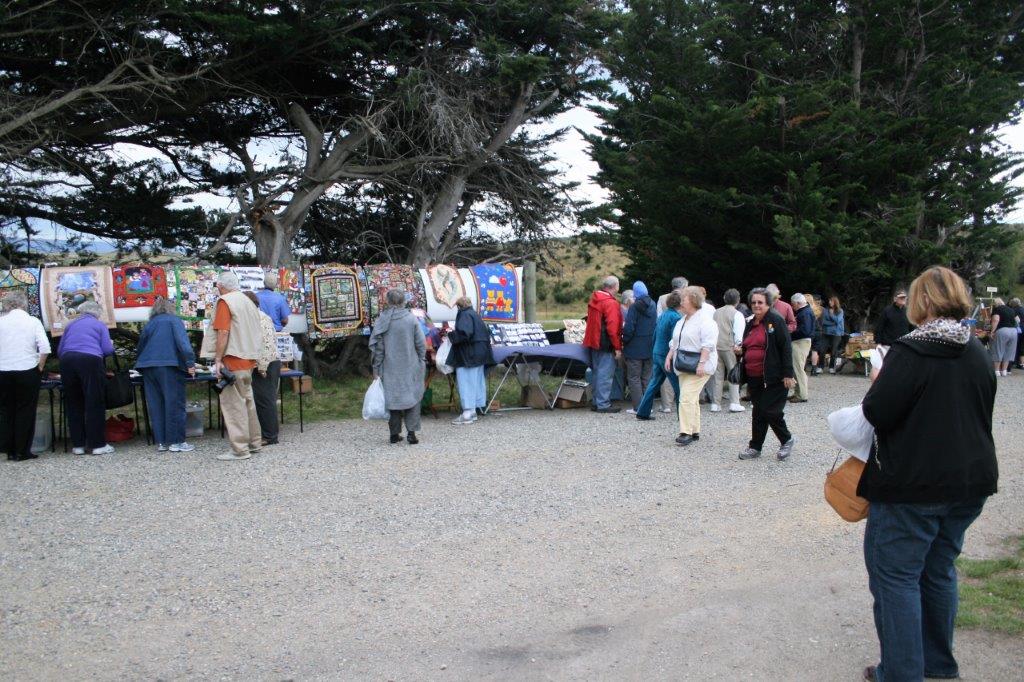
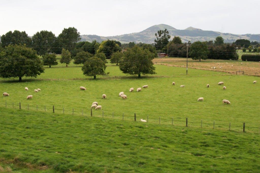
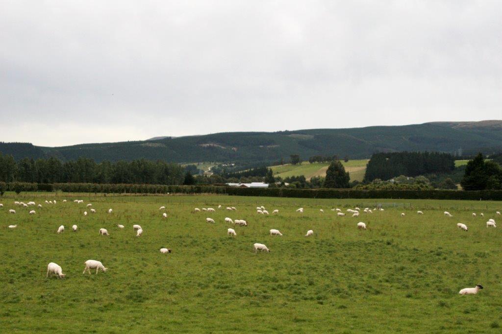
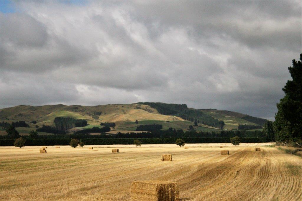
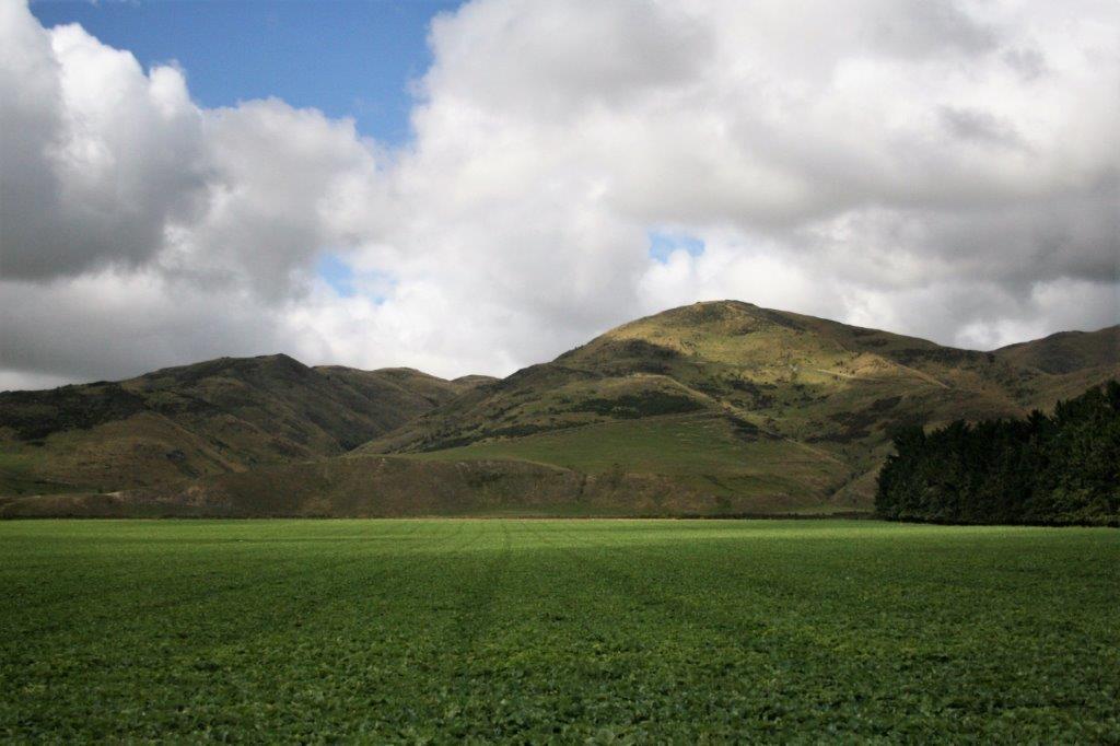
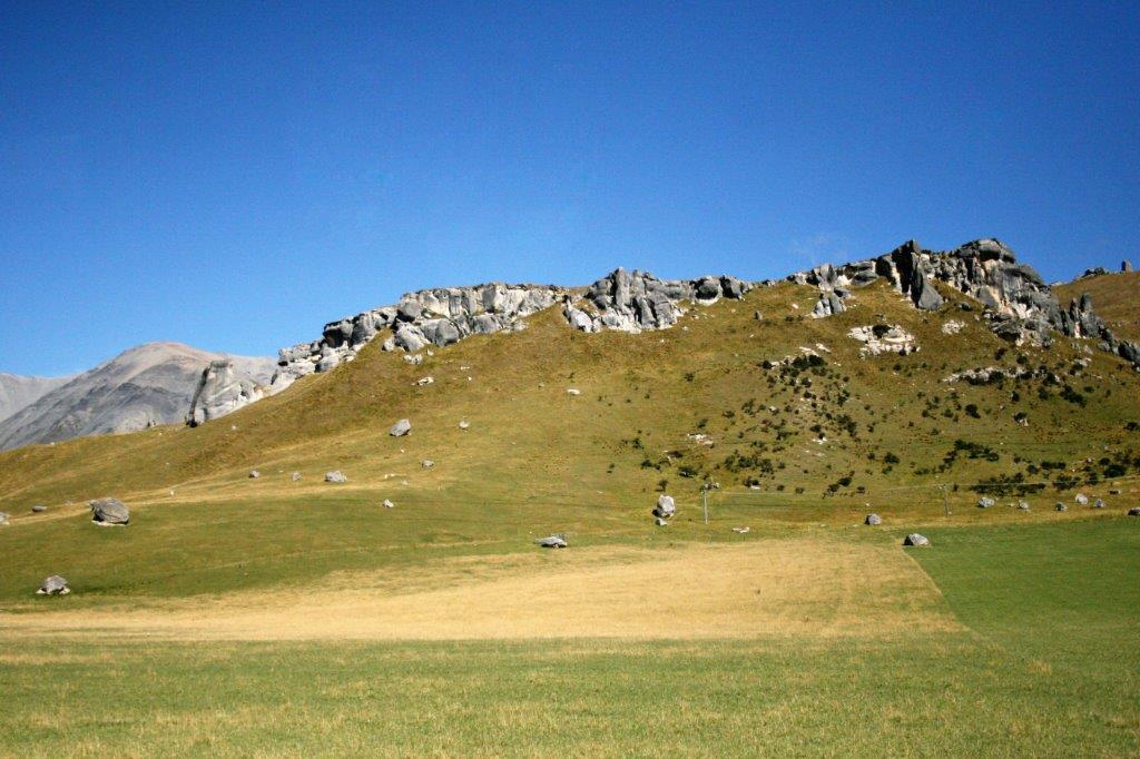
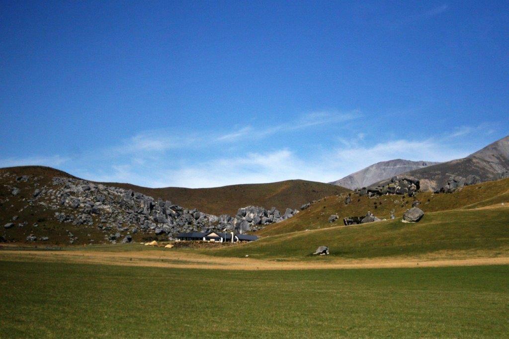
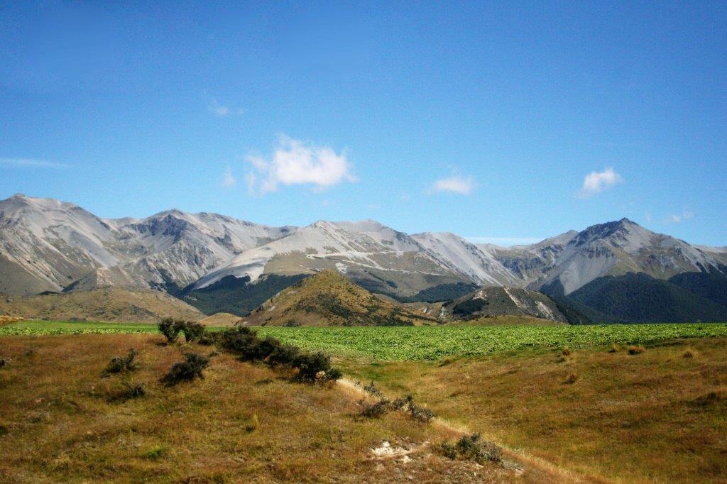
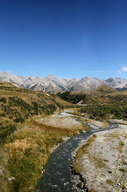
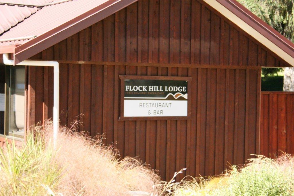
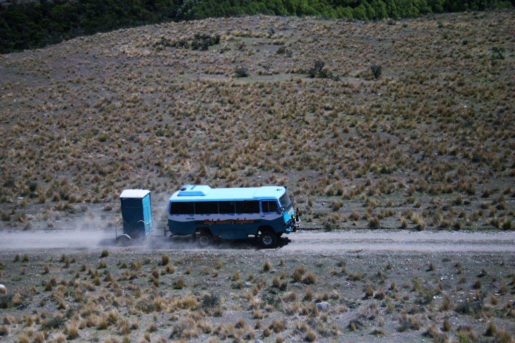
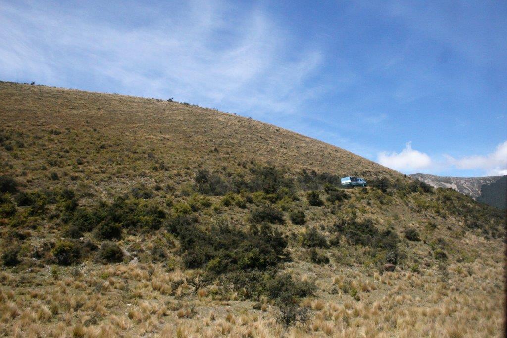
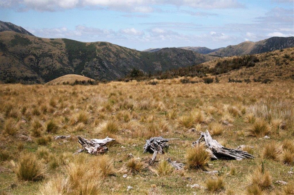
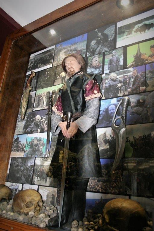
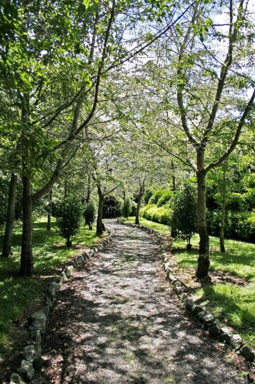
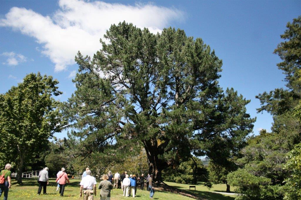
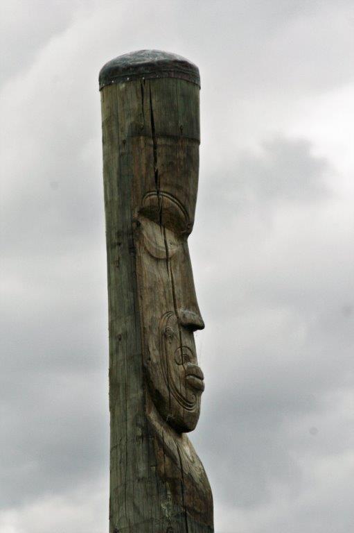
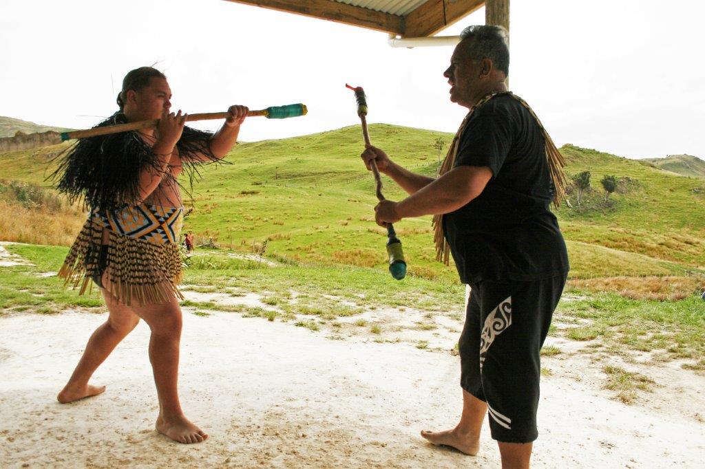
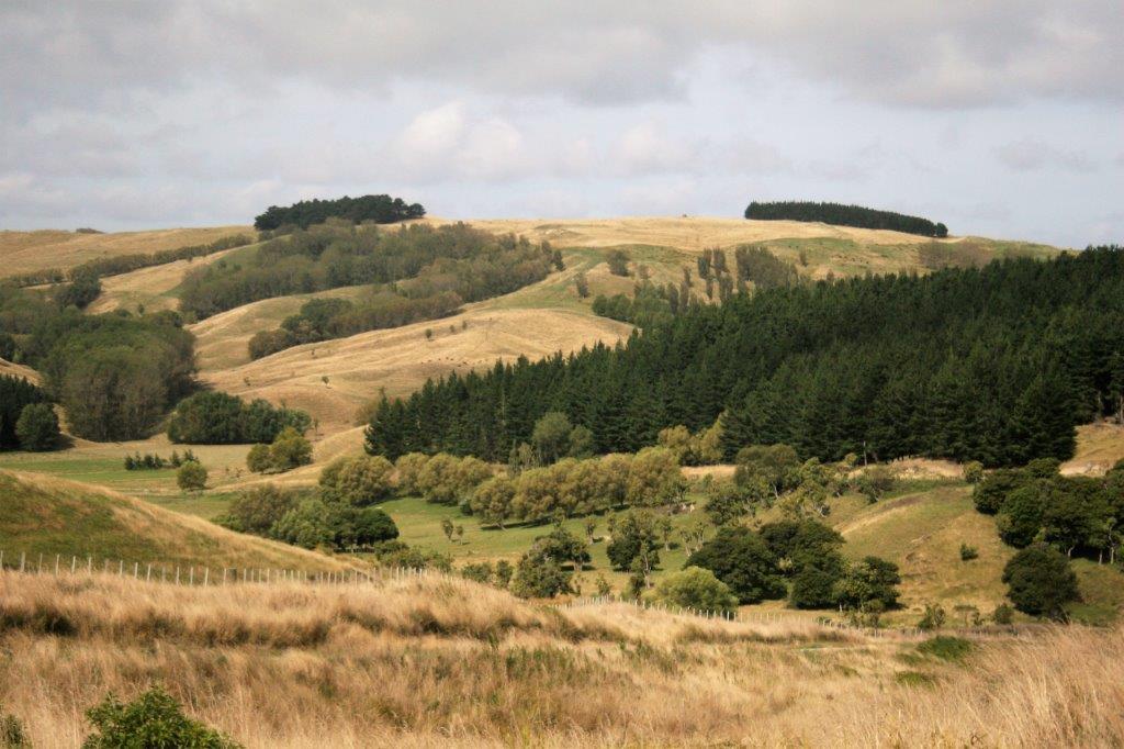
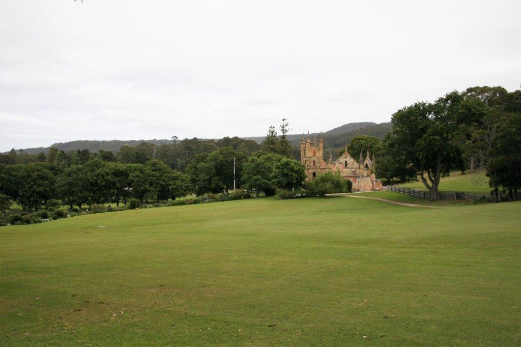
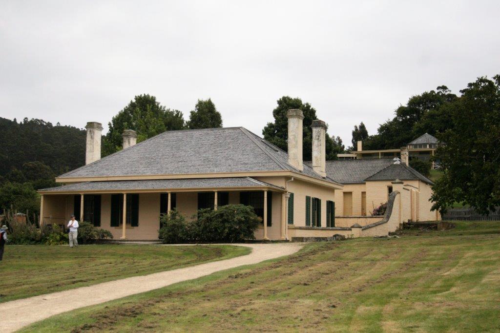
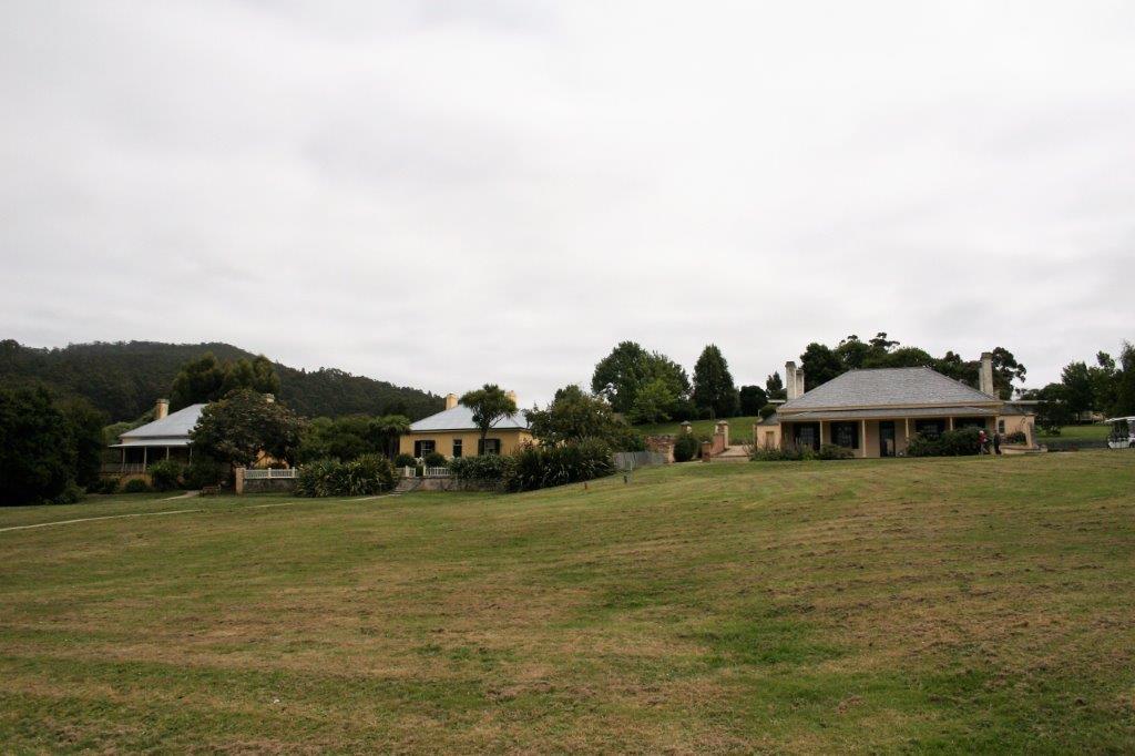
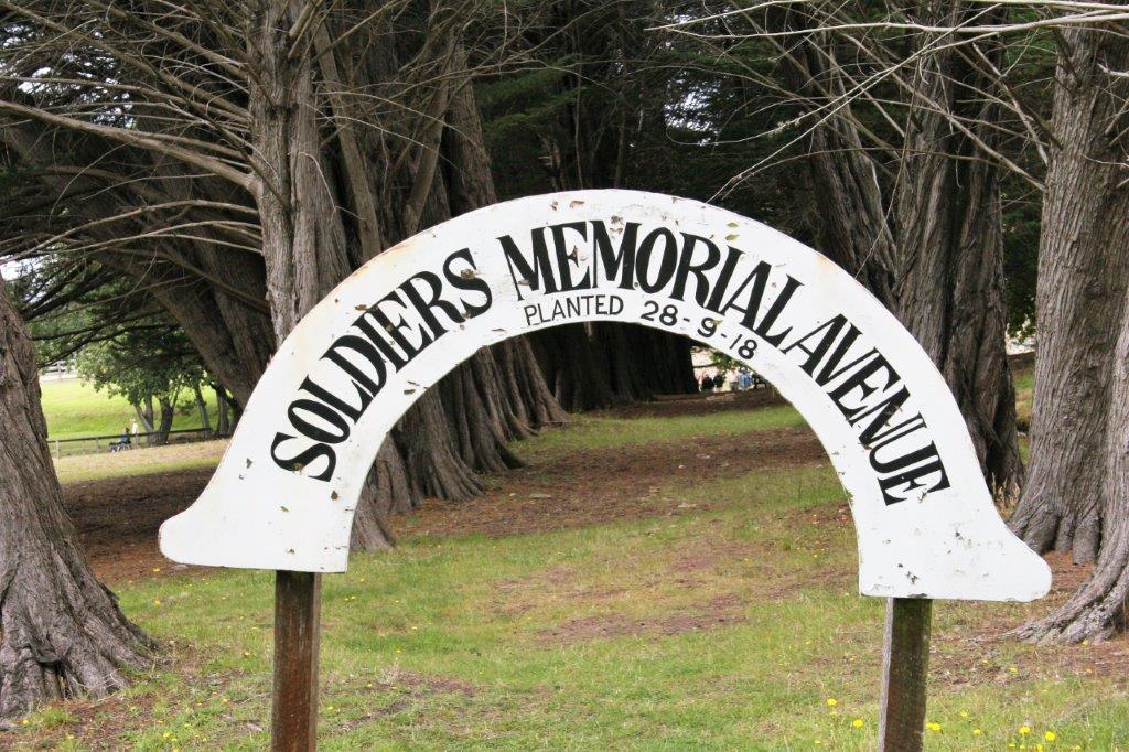
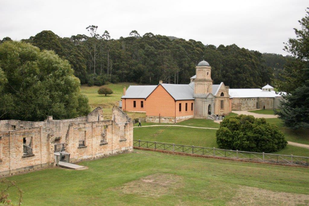
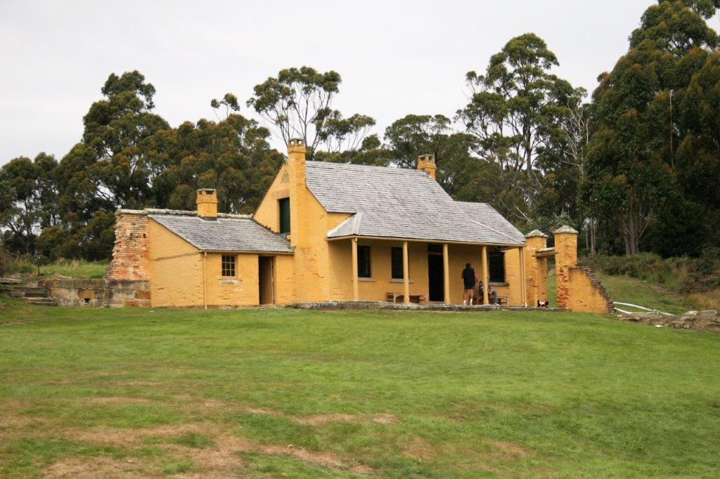
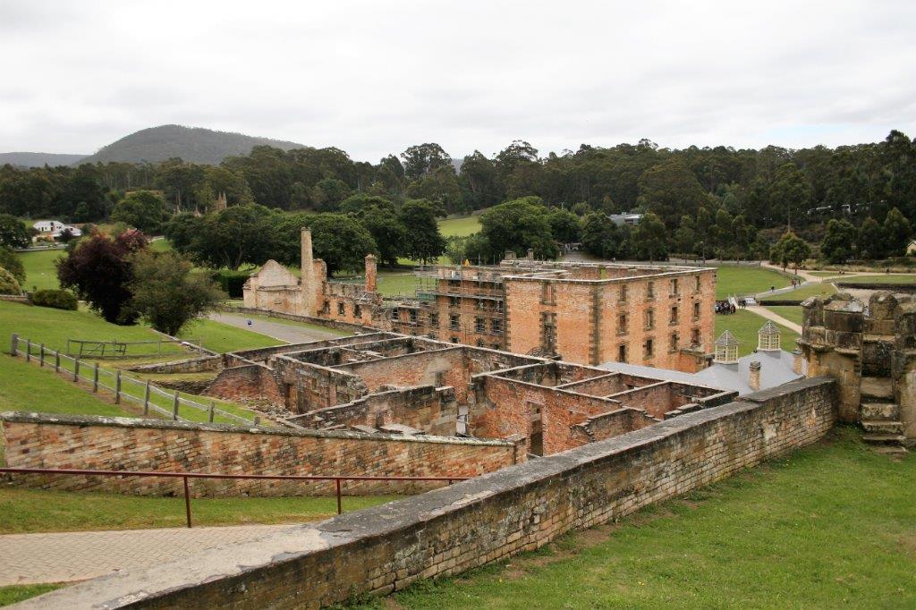
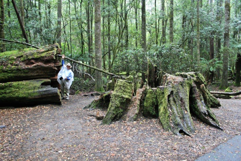
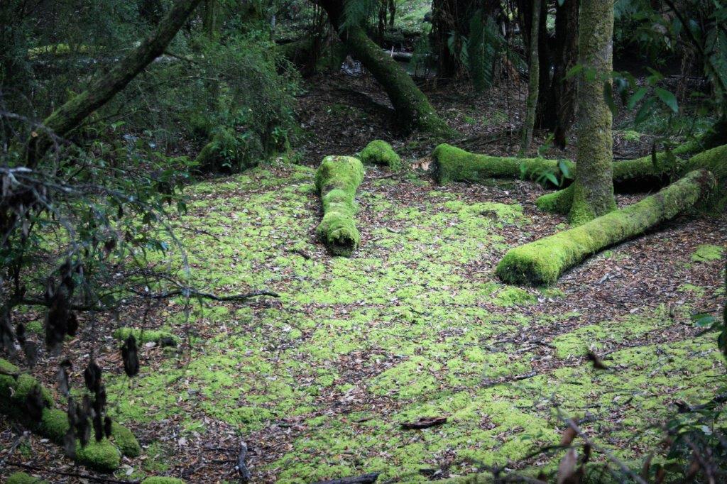
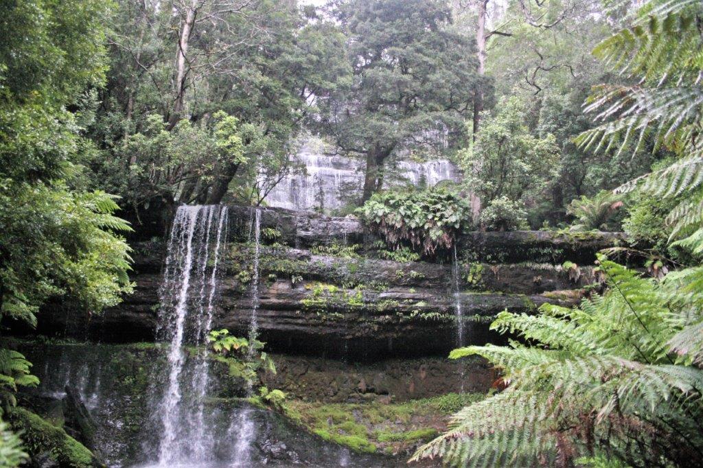
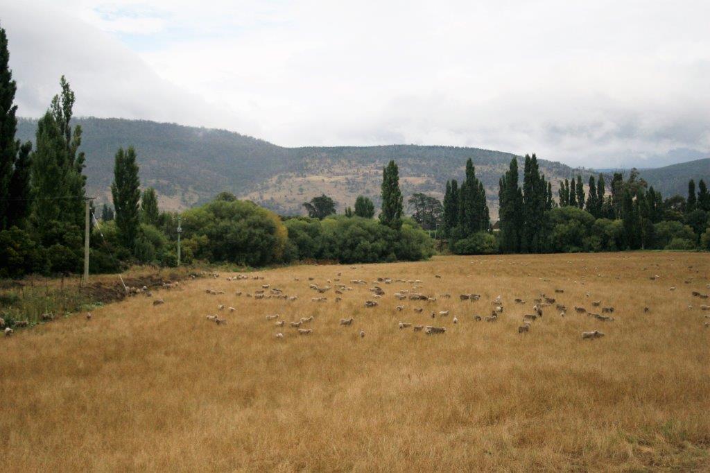
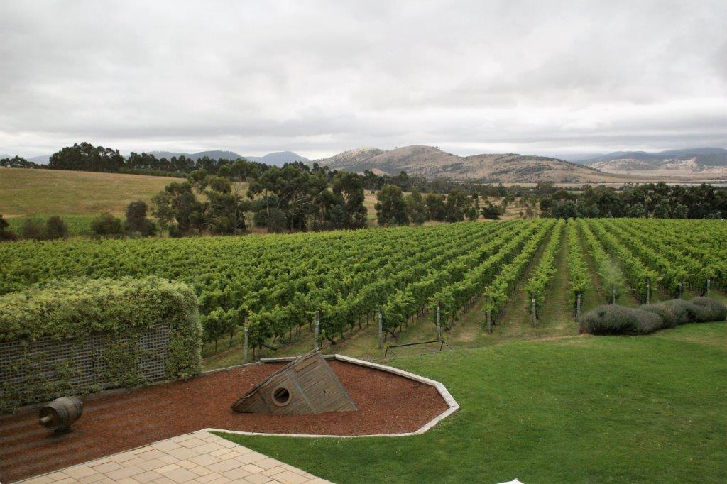
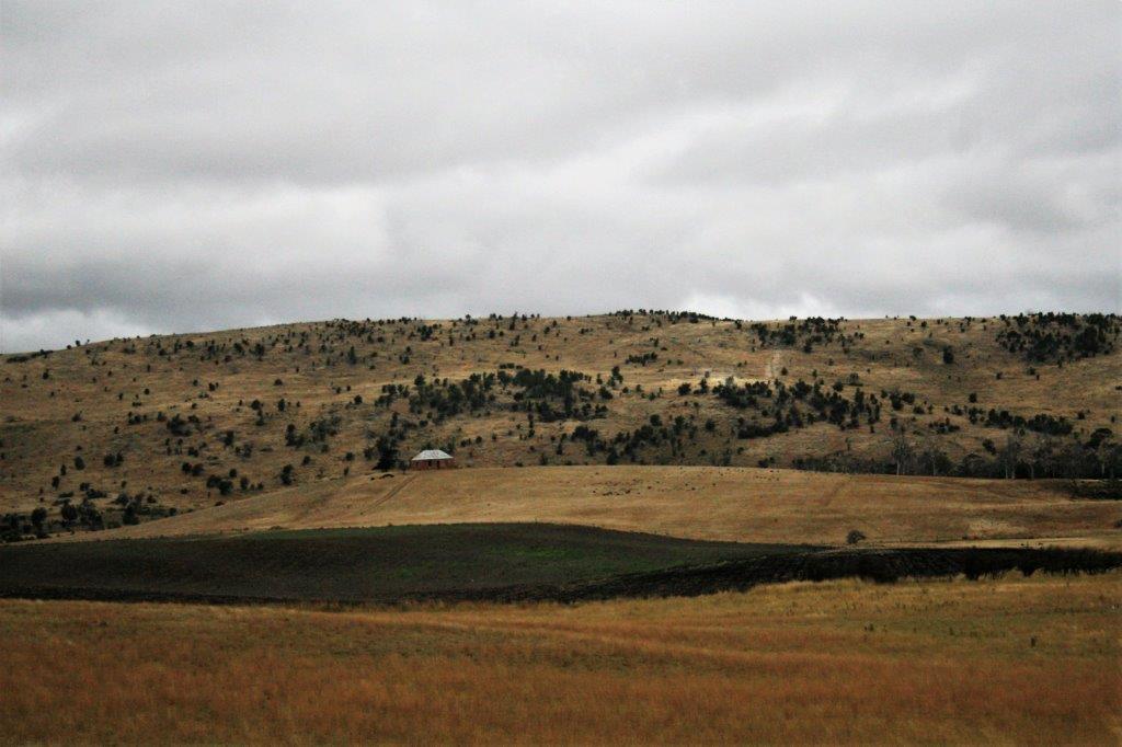
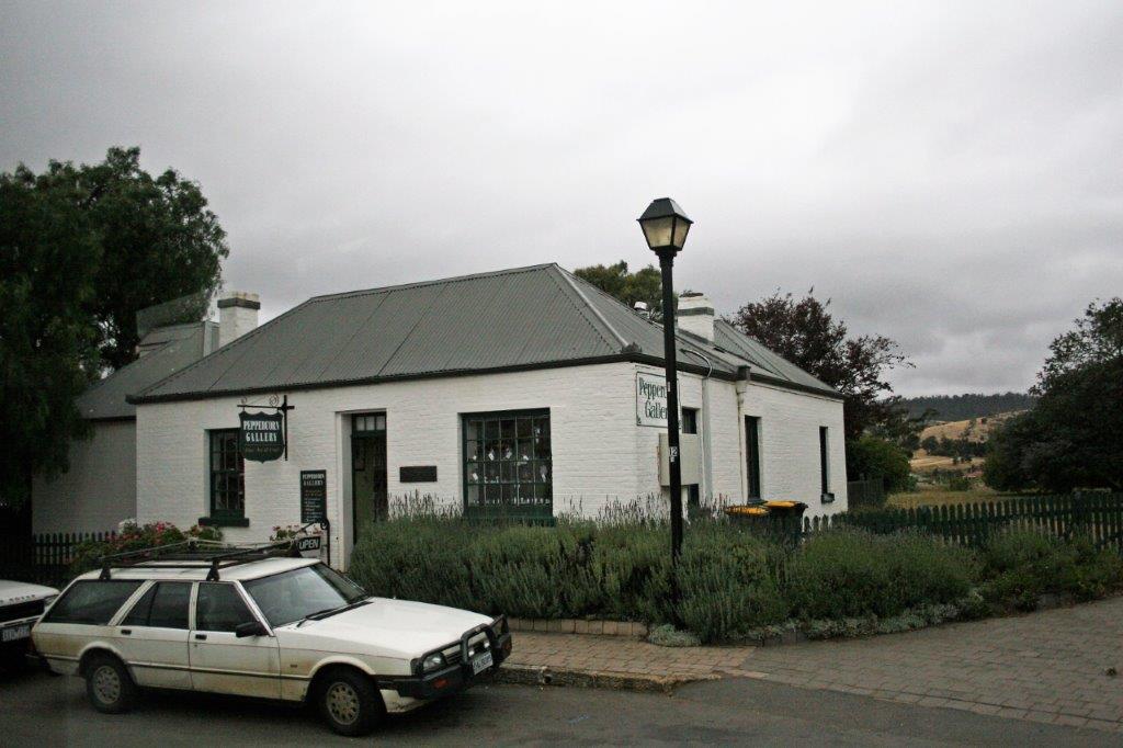
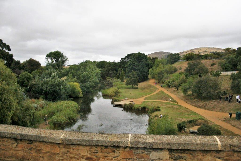
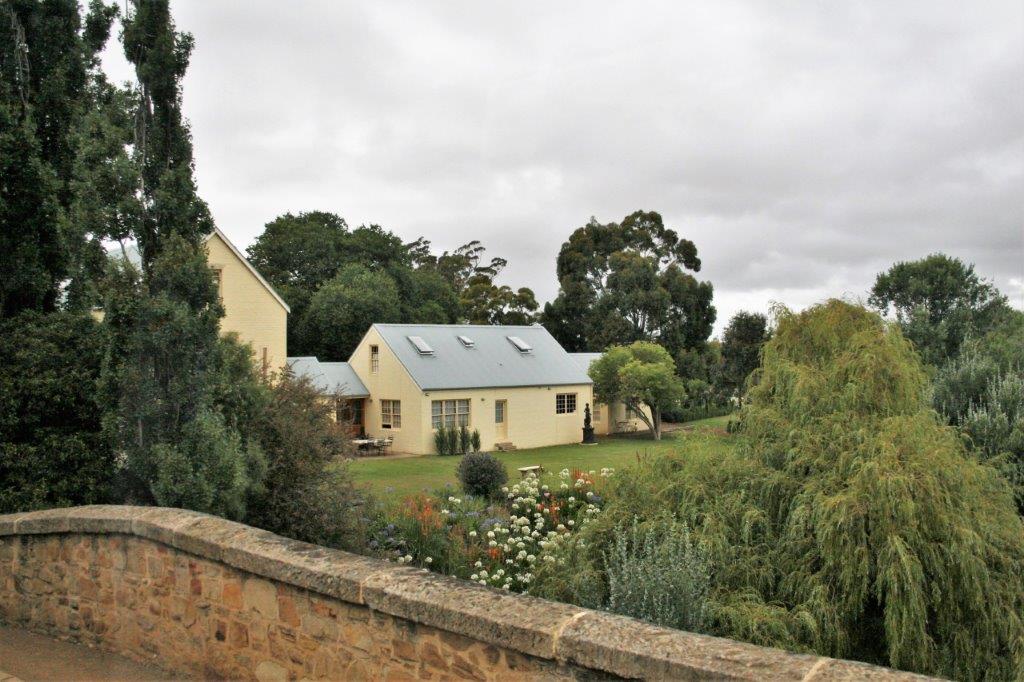
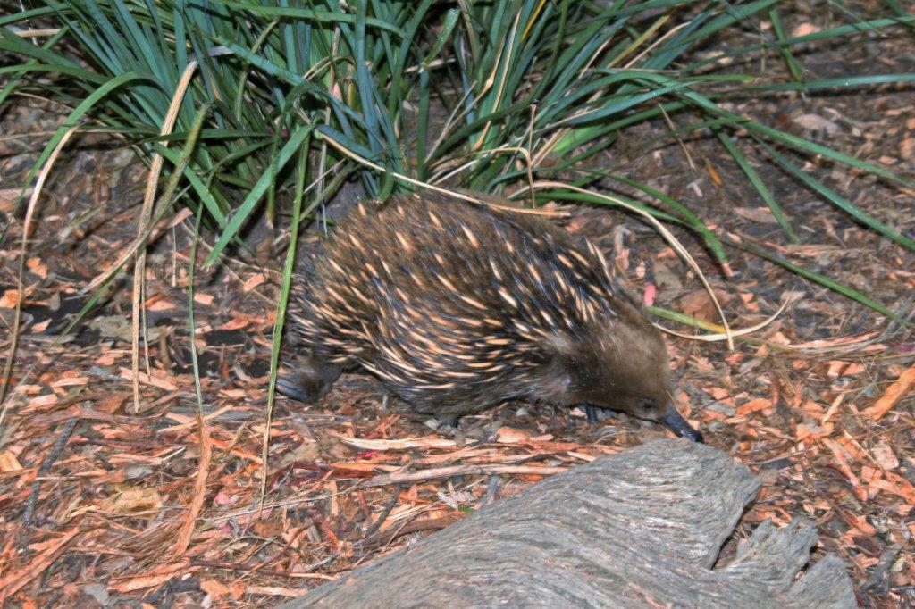
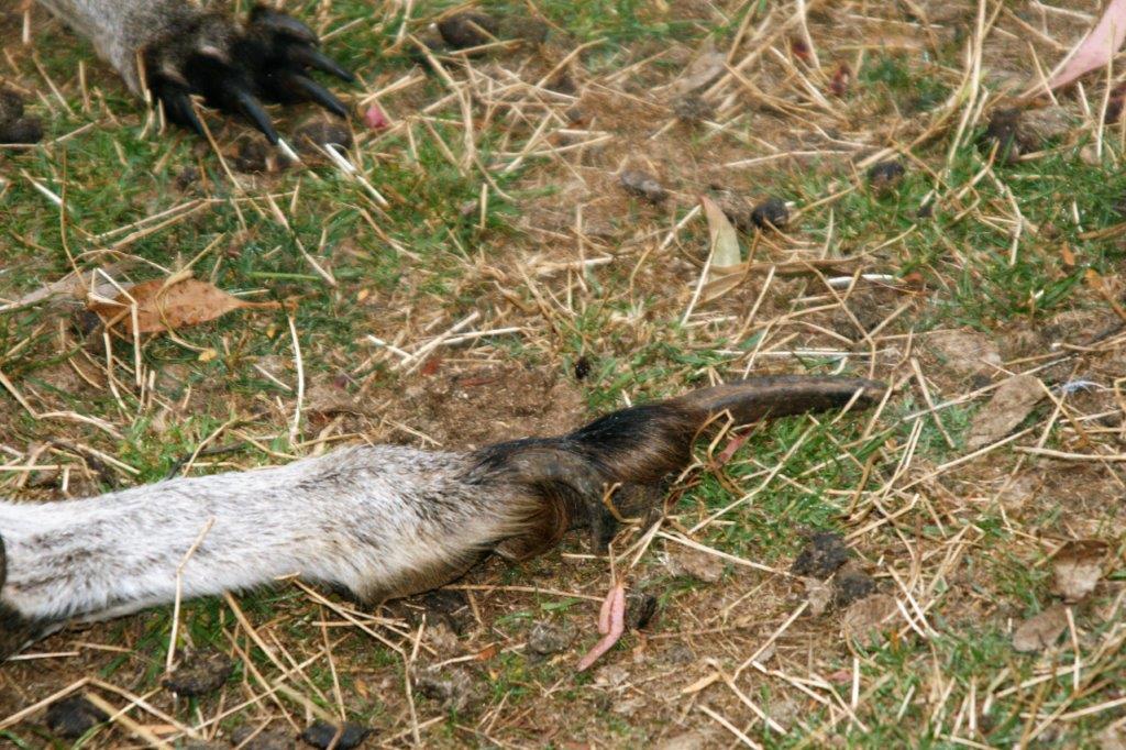
 We went to several film locations, which as I said, were mostly parkland with trees. Peter Jackson used 48 different locations for the movies and built fortresses and waterfalls and towns and battle grounds, but everything he built he had to take apart and restore to the original condition so there were no ‘sets’ to see. Todd would tell us which scene from the film was made at each place and pass around photos from the movie to show what it looked like in the films.

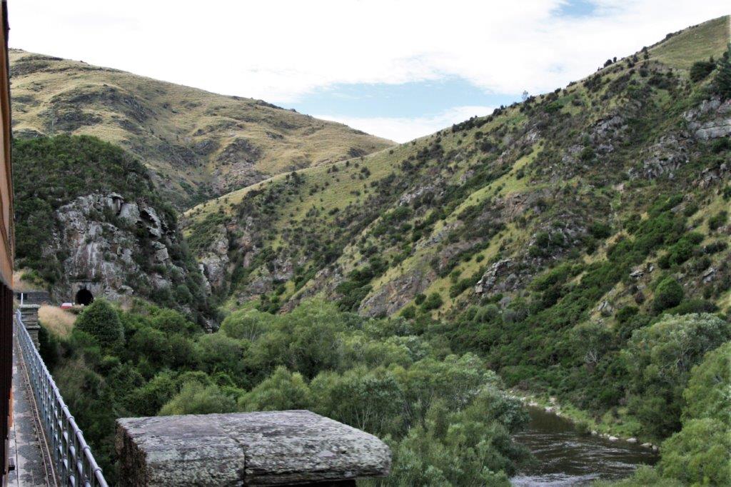
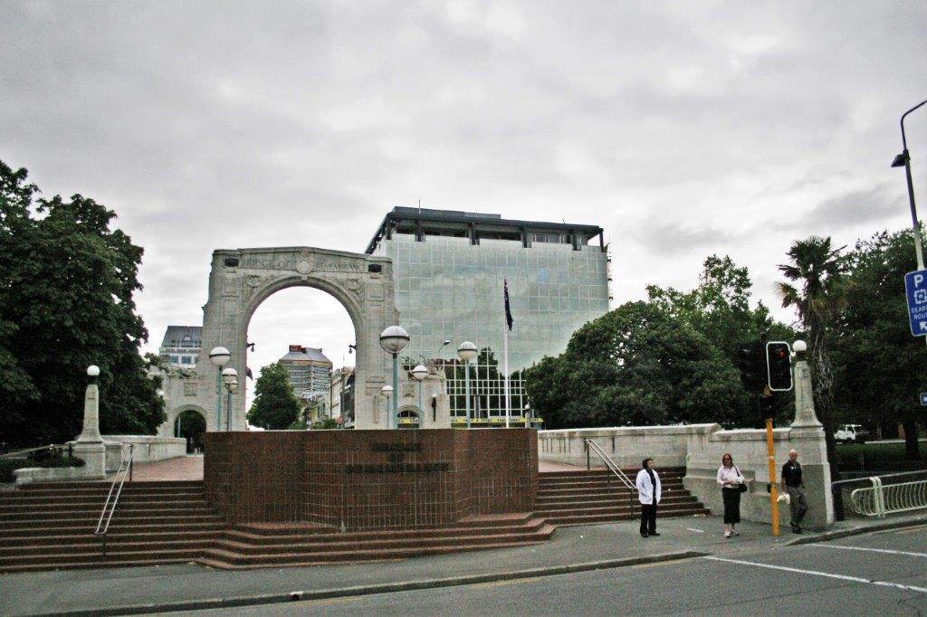
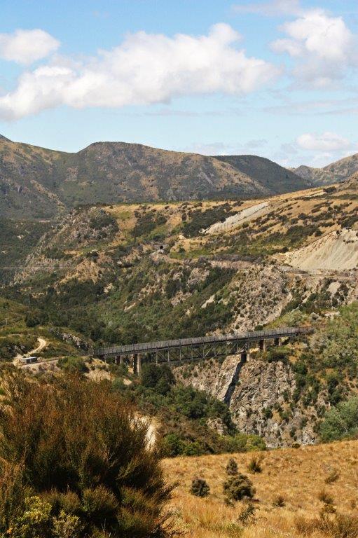
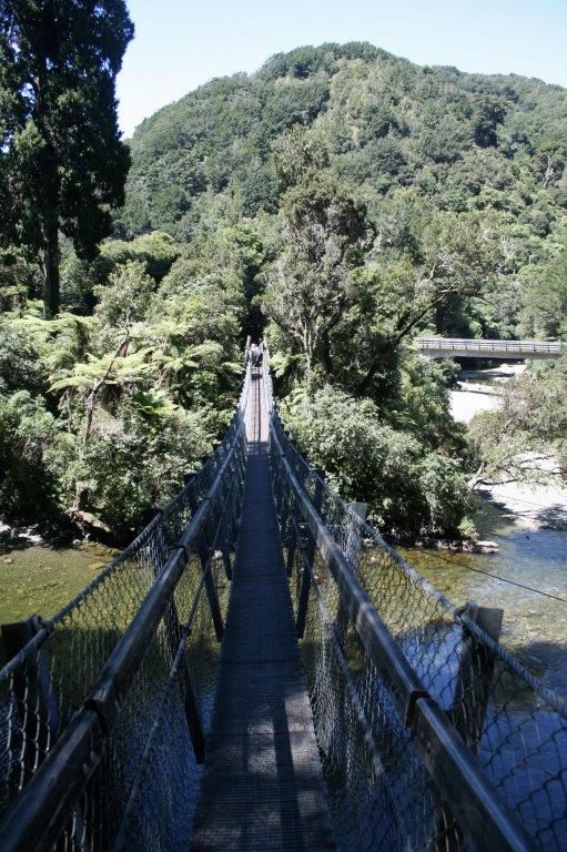
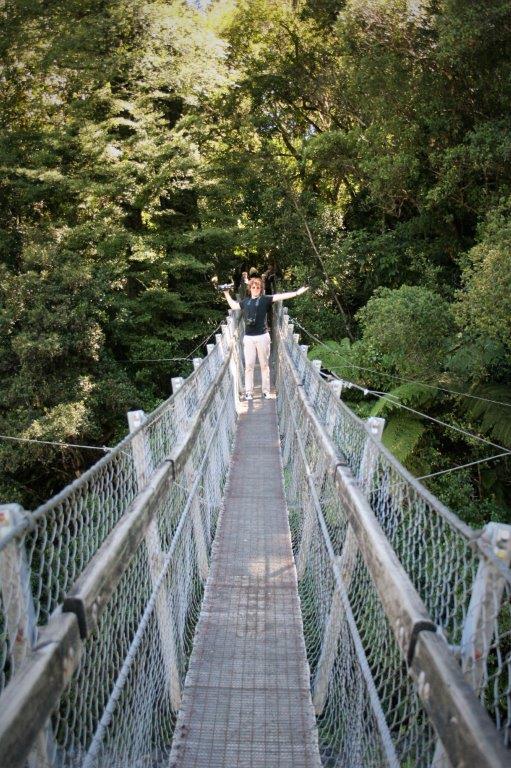
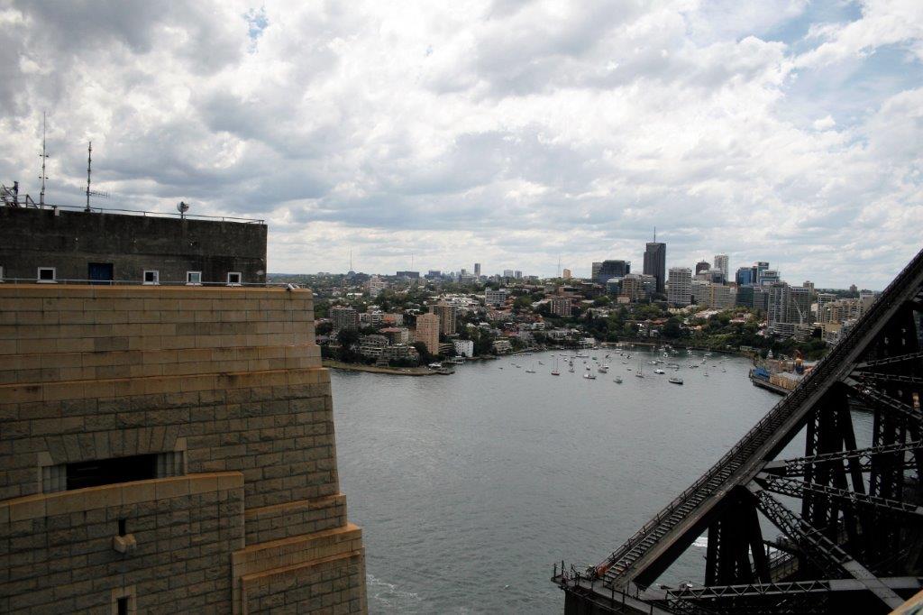
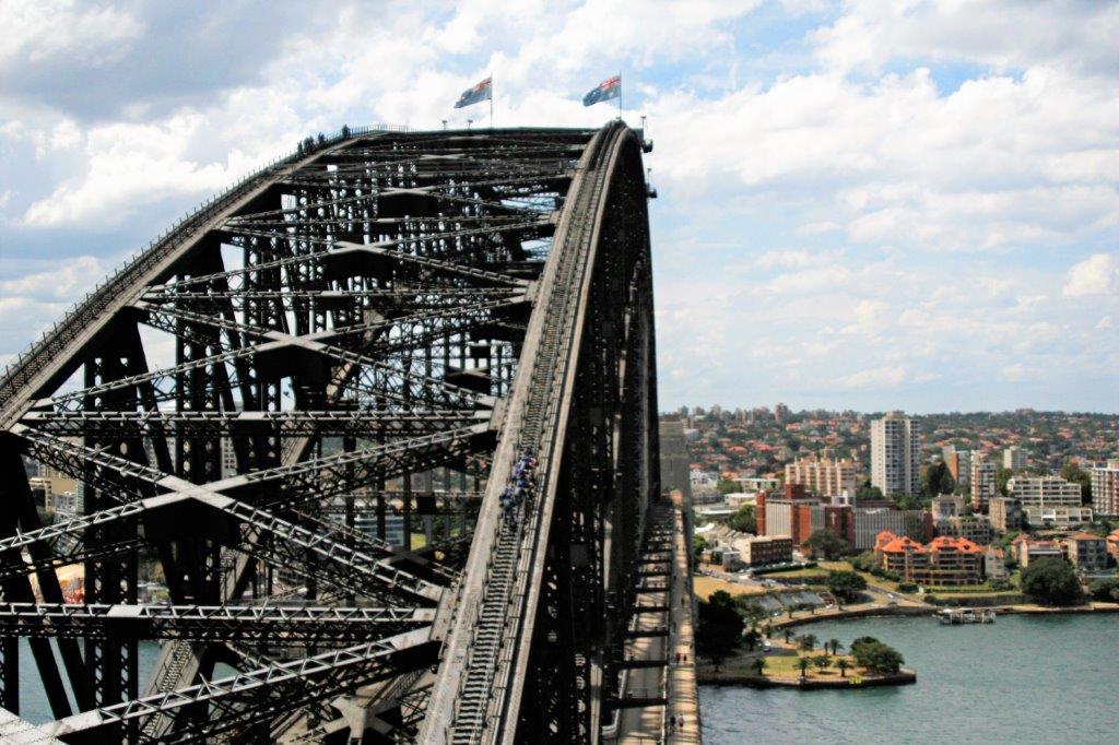
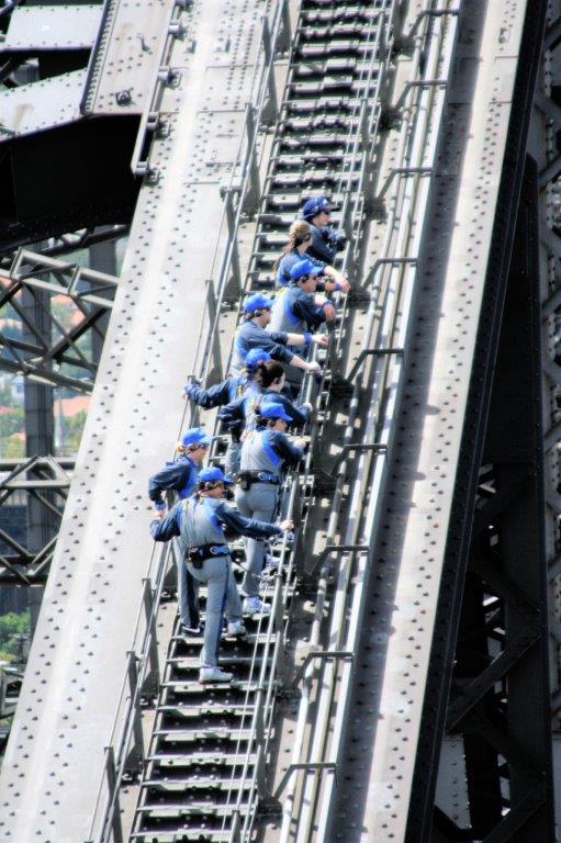
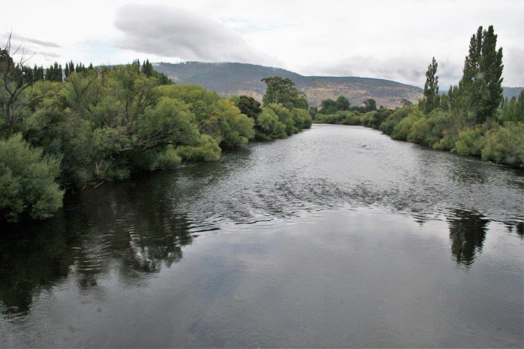
 Bobby was very excited to be on this bridge.
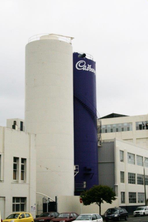
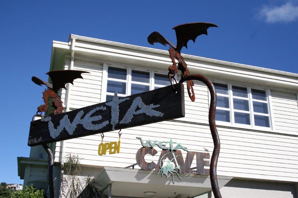
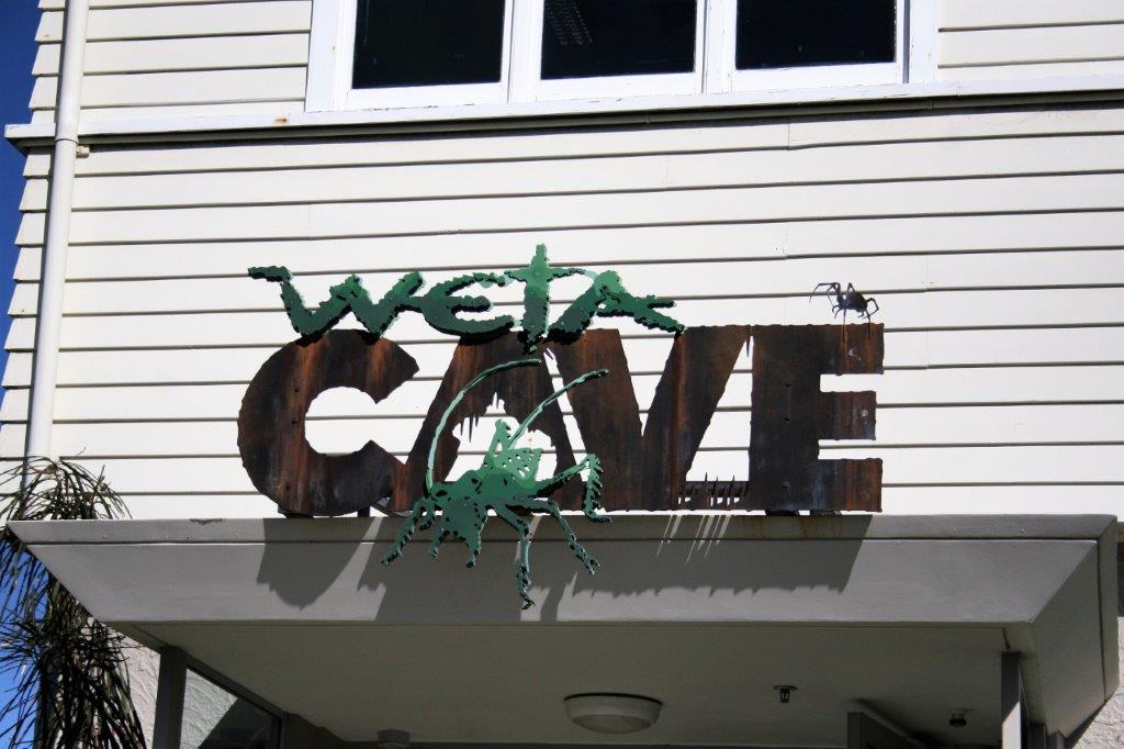
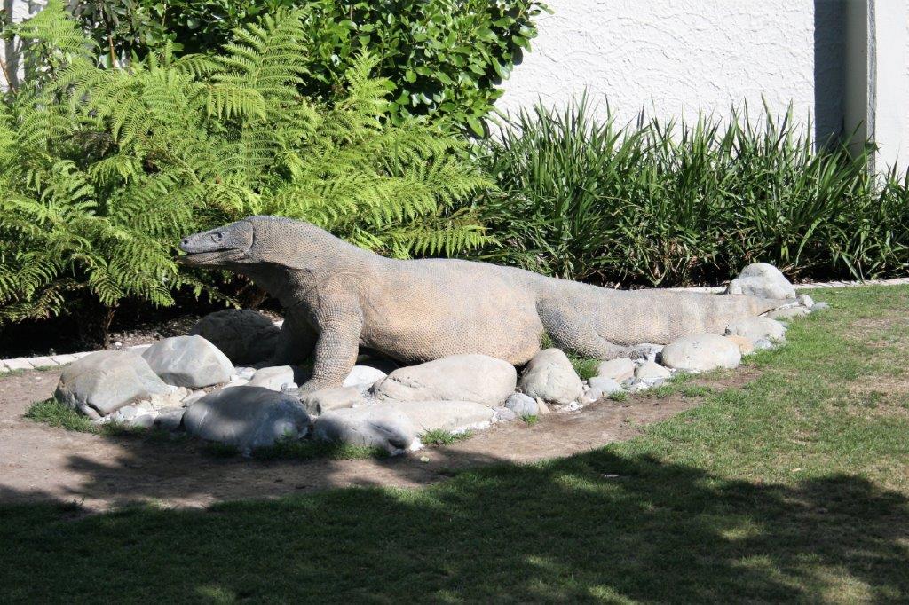
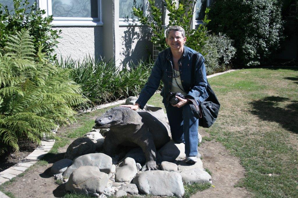
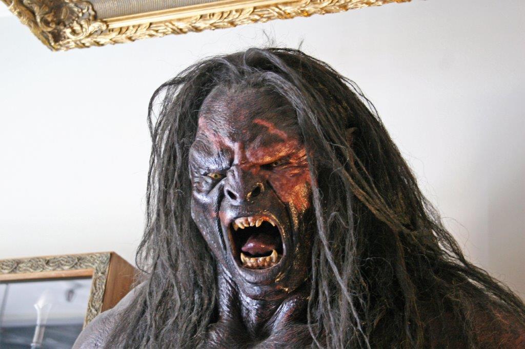
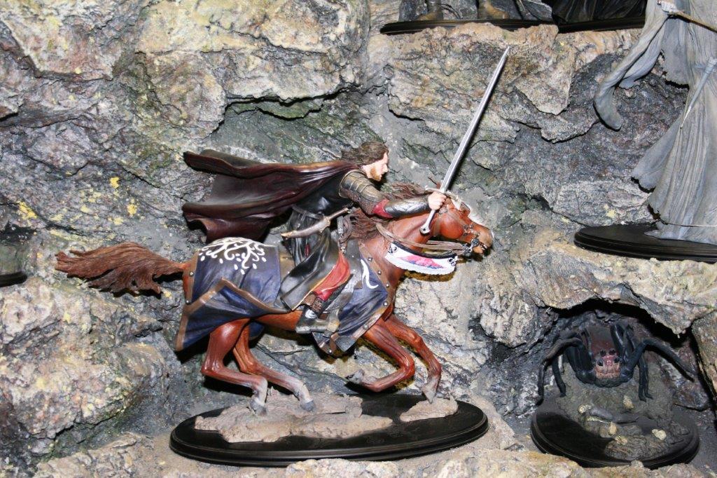
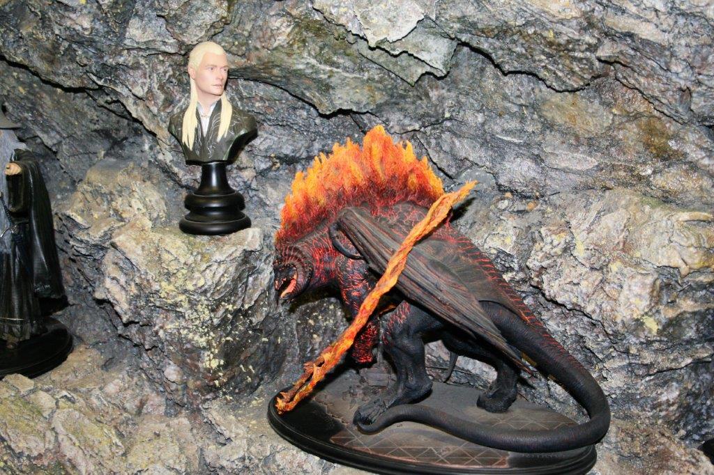
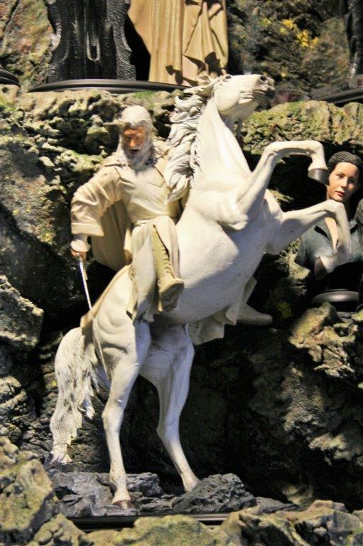
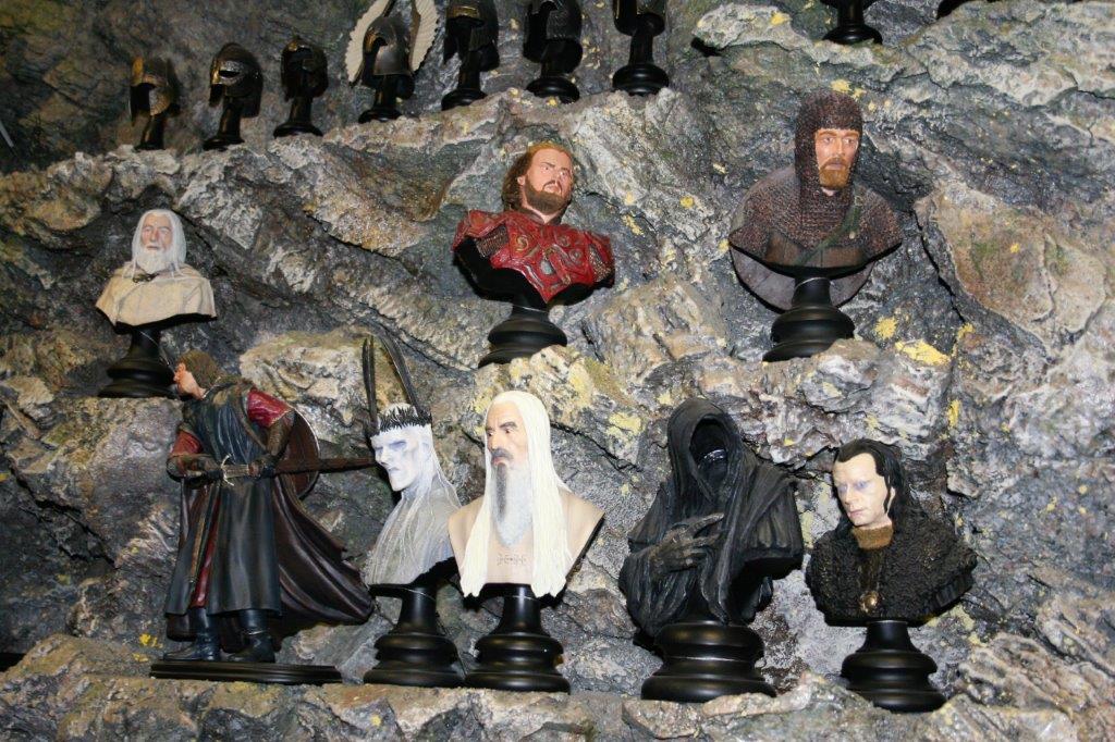
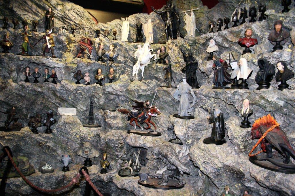
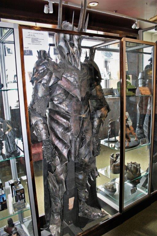
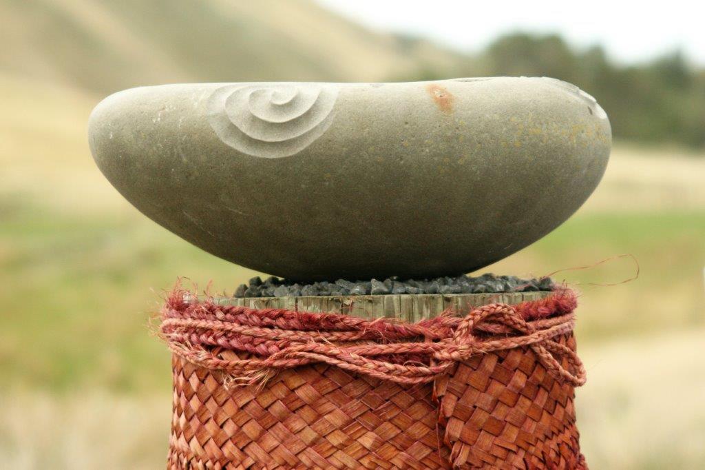
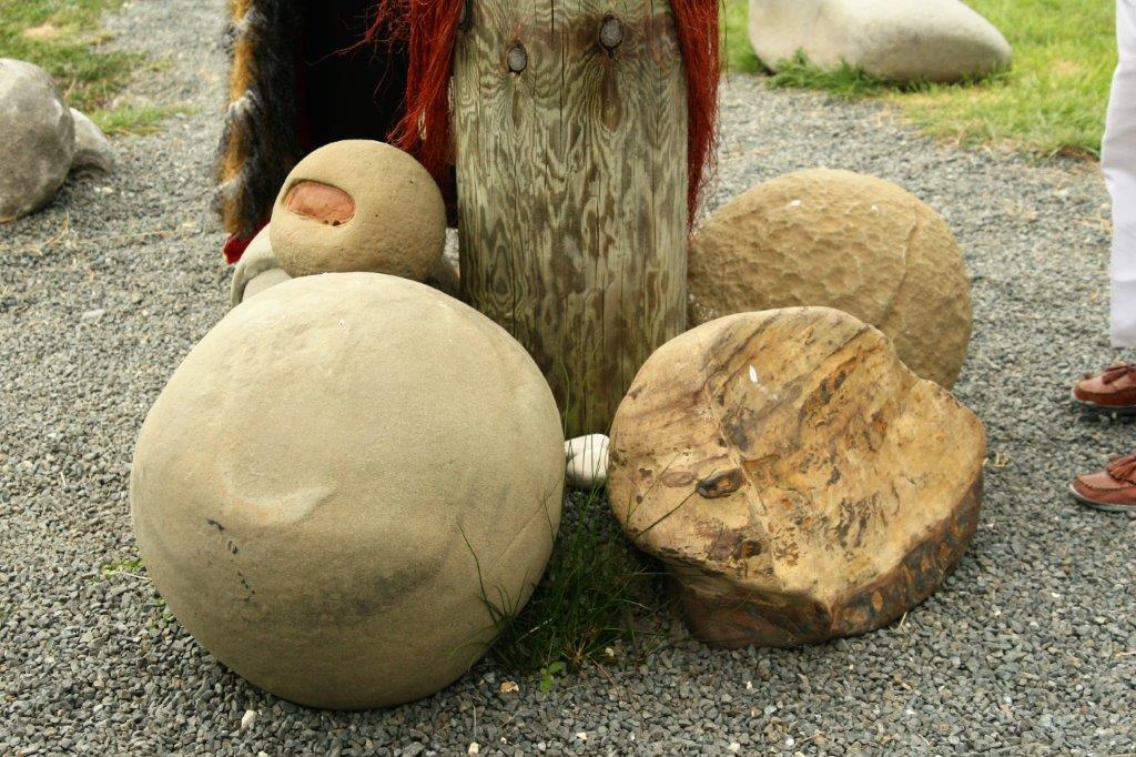
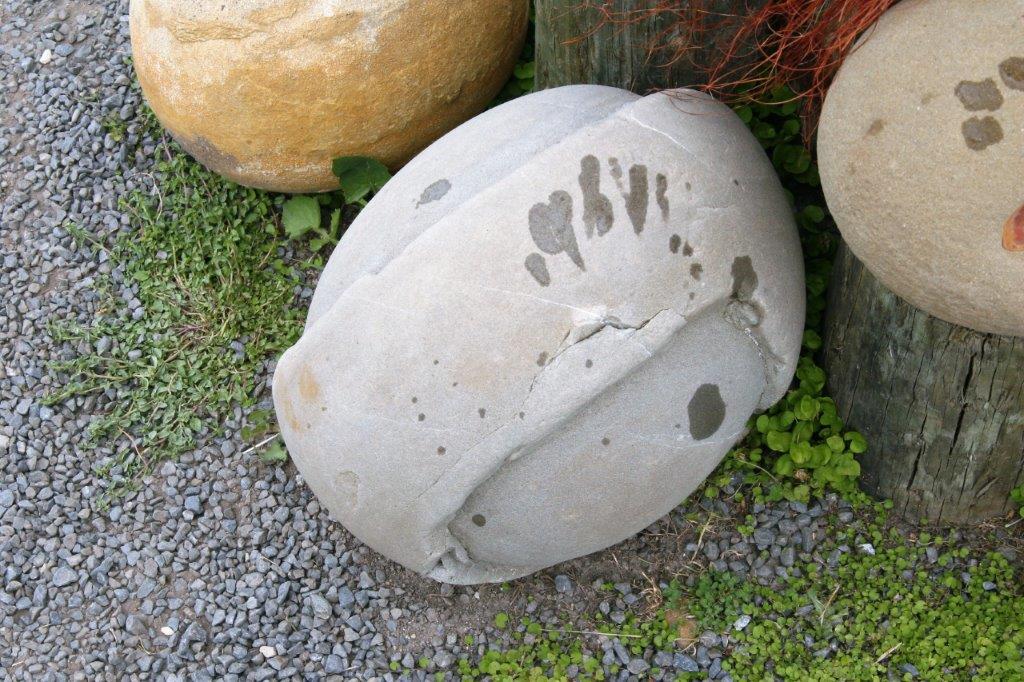
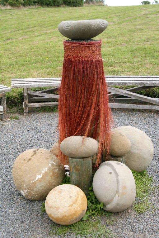
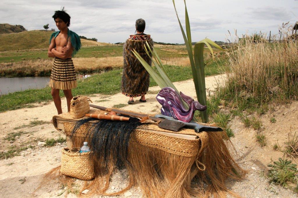
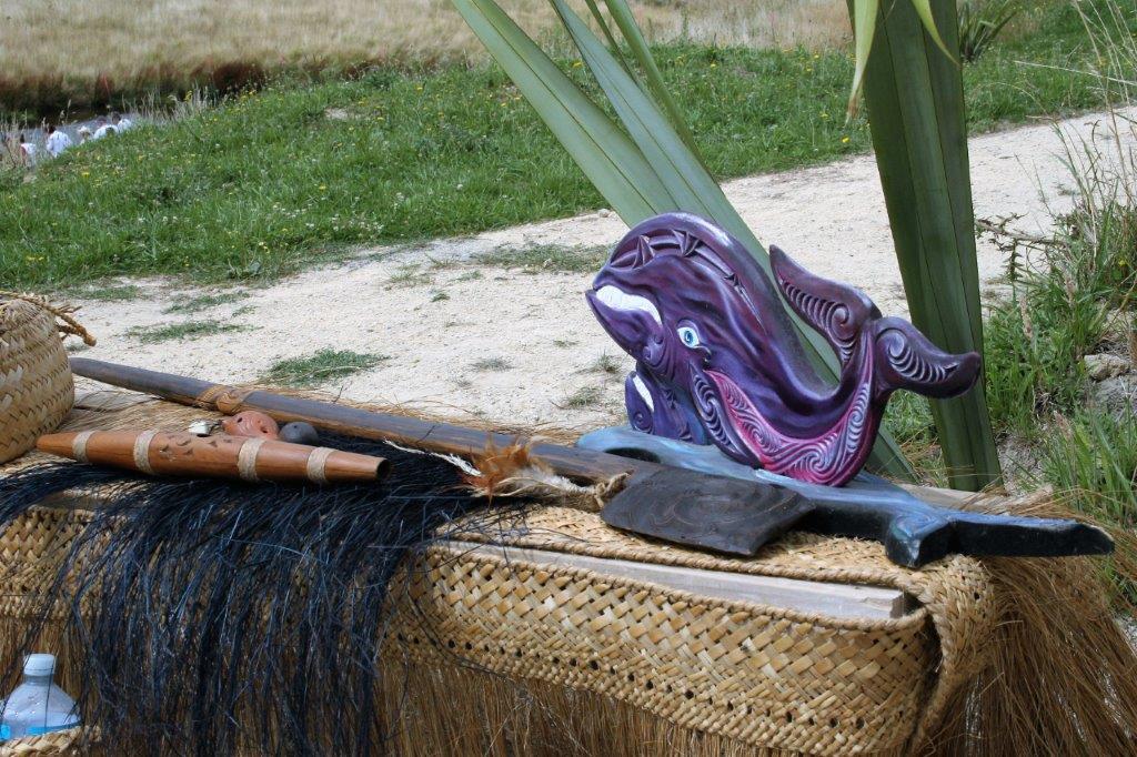
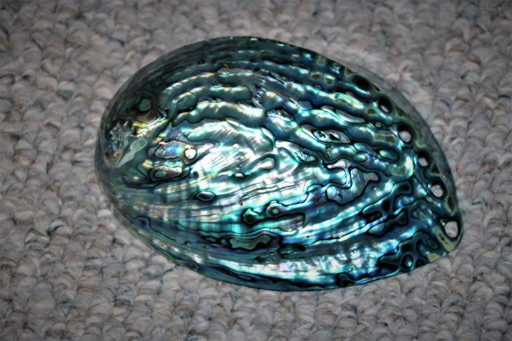
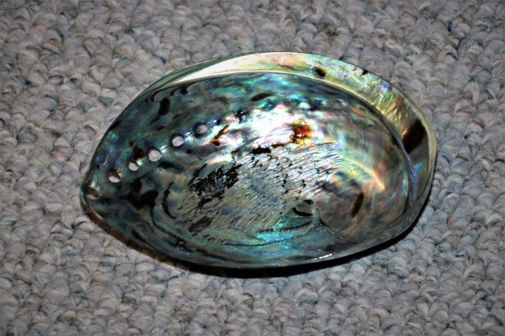
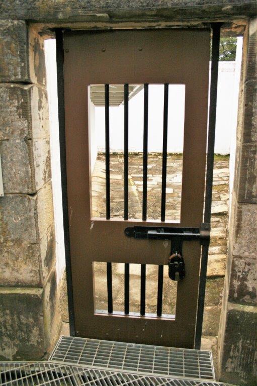
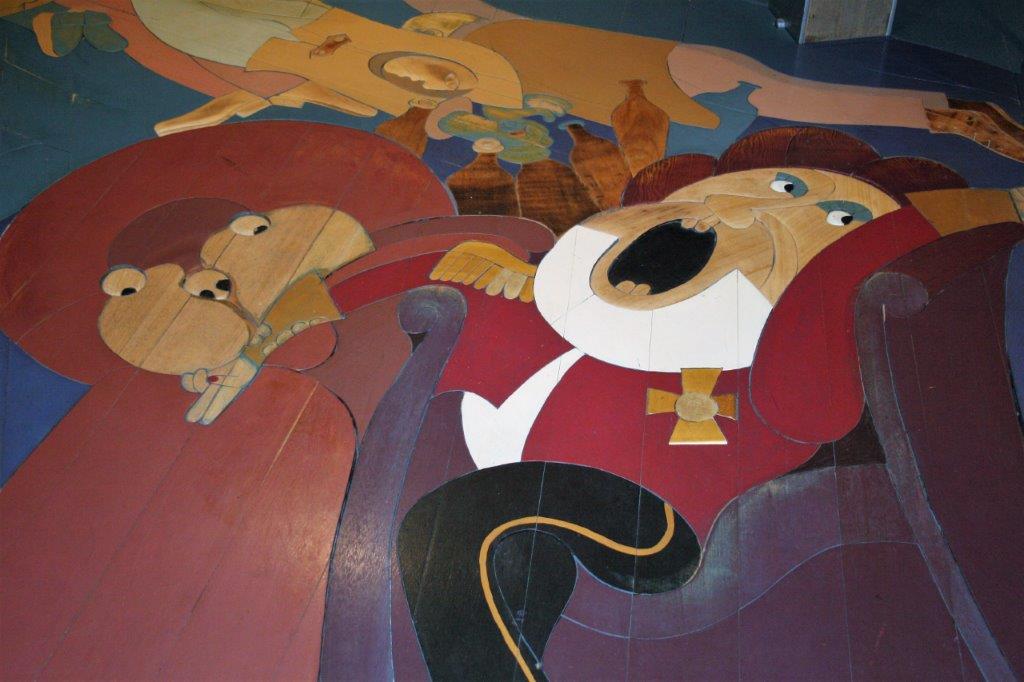
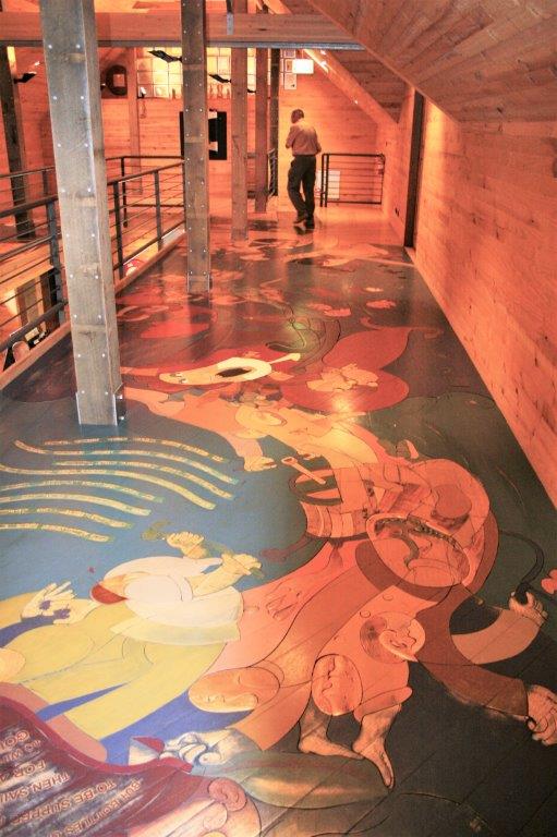
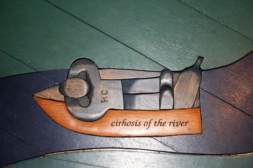
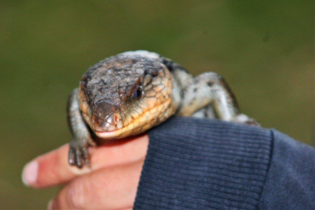
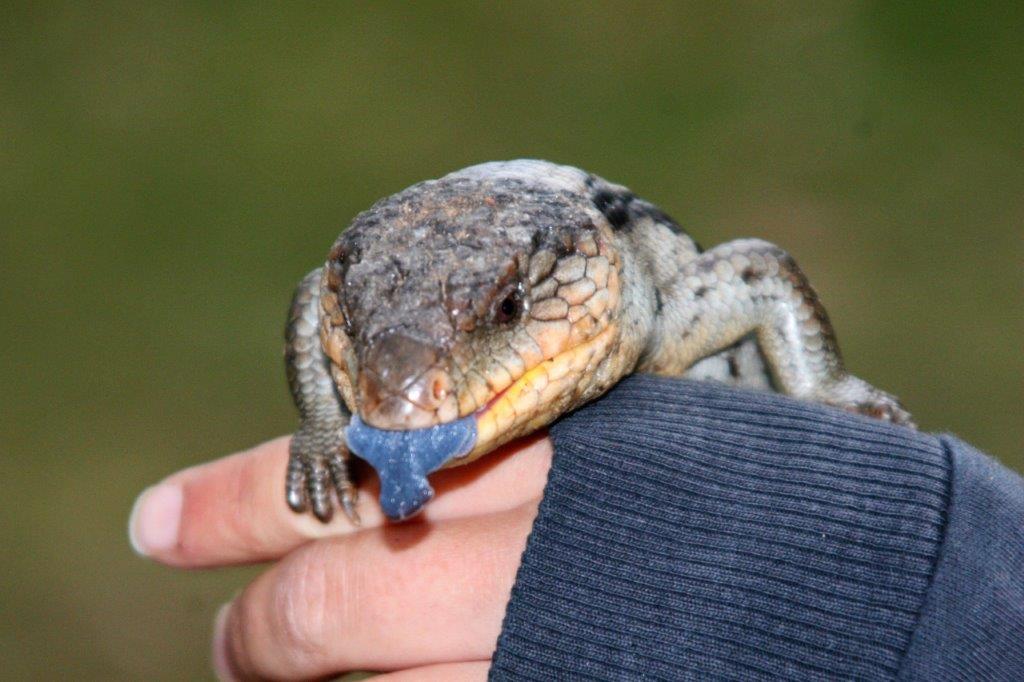
The most interesting part of the tour was Weta Cave in the town of Waimara. It was here that 2,000 people worked for six years to make Avatar. All of the Lord of the Ring blue screen and green screen work and all miniatures were done here. The studio worked on all the Narnia films, on Water Horse, King Kong and many other movies. The shop was full of interesting (and expensive) items.


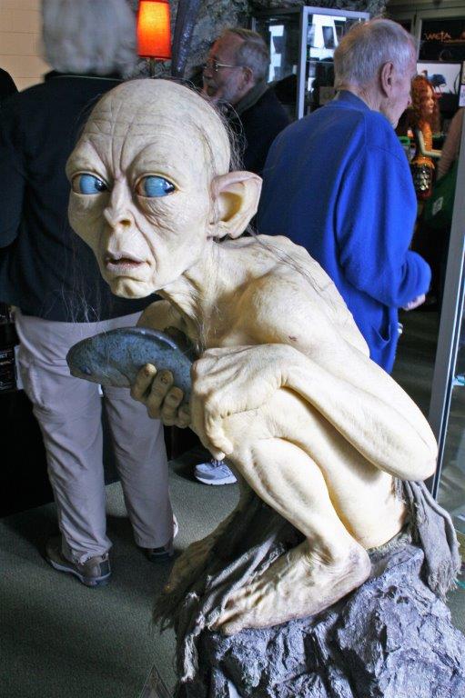
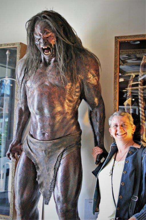
 You could order any of these miniatures and the designer who made it for the films would make it for you and sign it. I wouldn’t want to pay for it though.

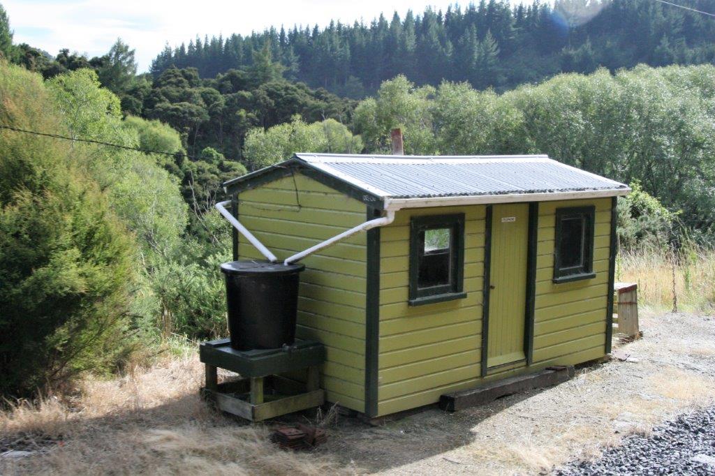
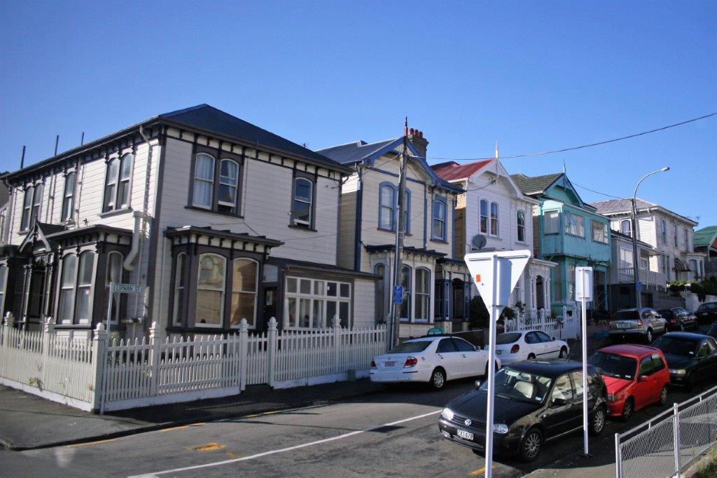
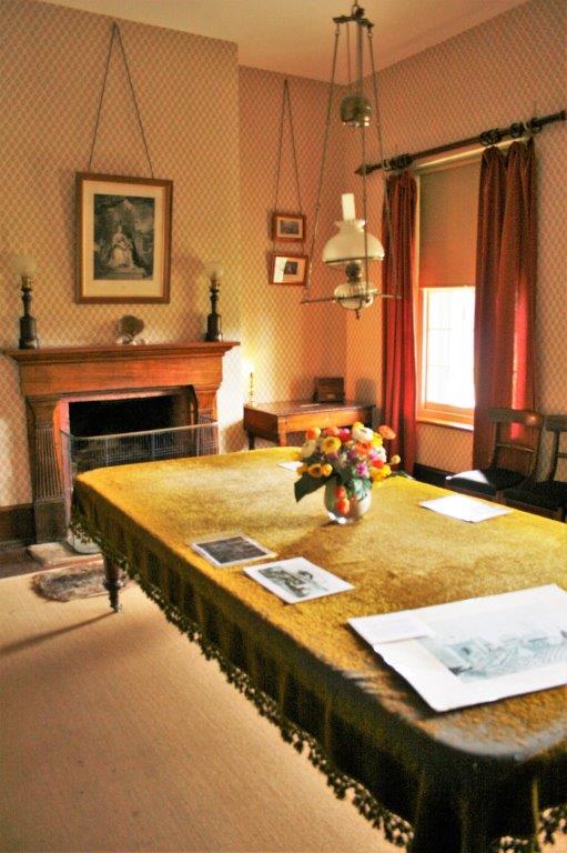
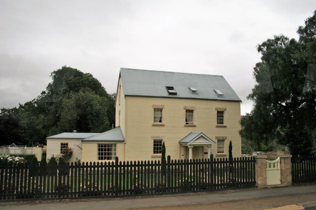
 The houses are built with steel frames for earthquake resistance.
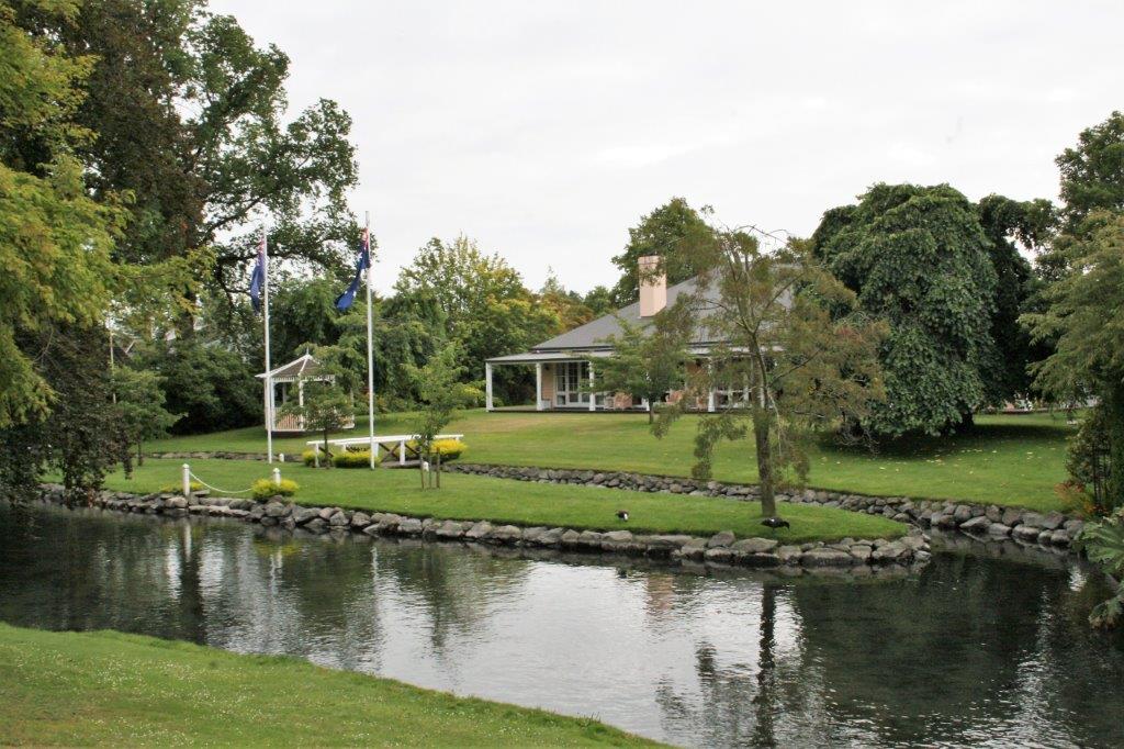
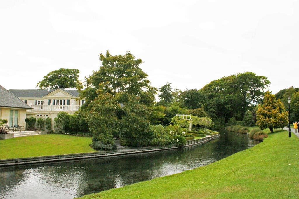
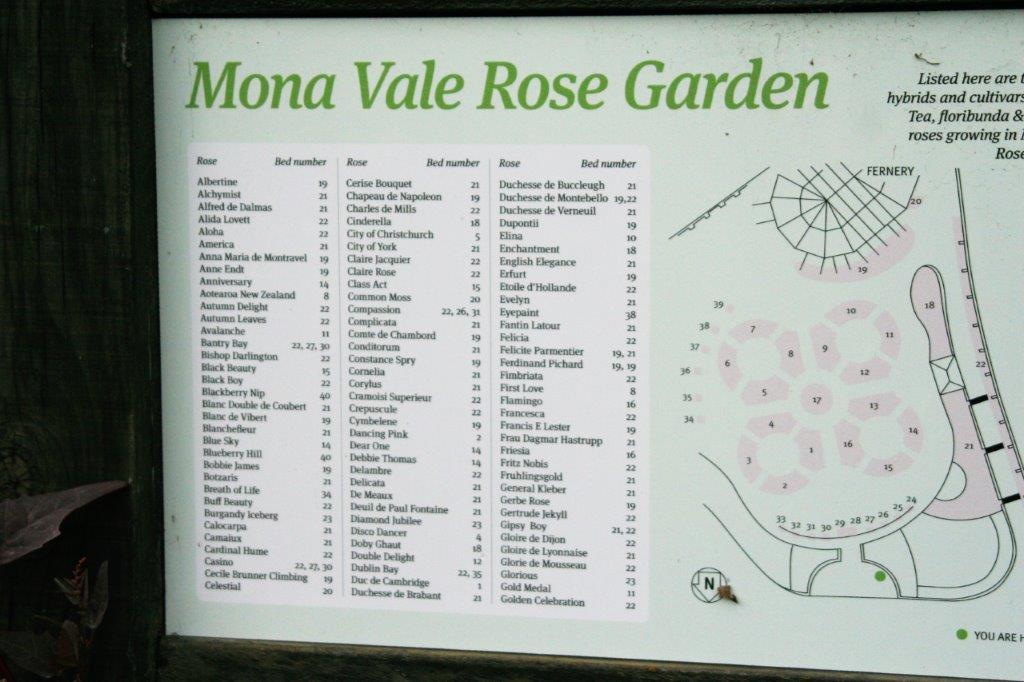
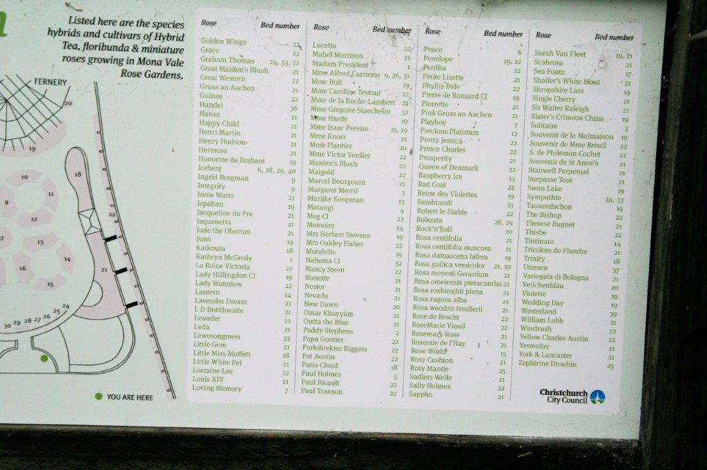
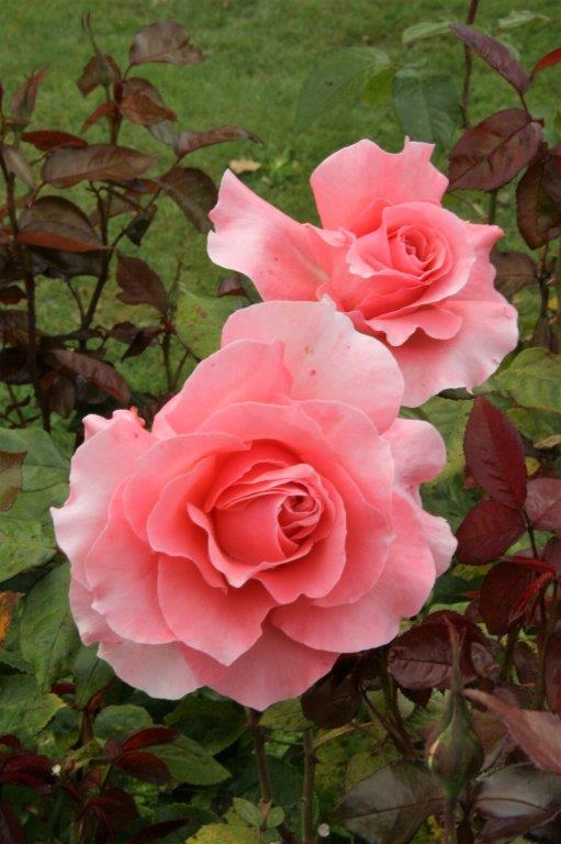
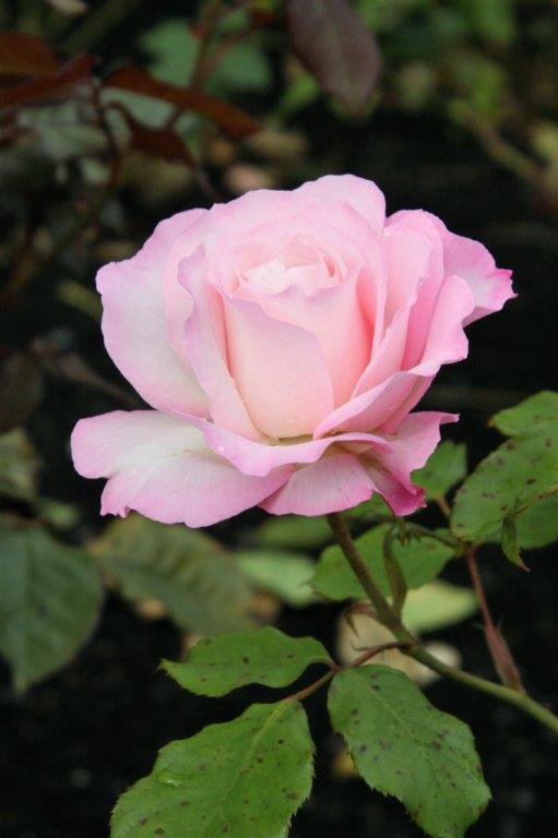
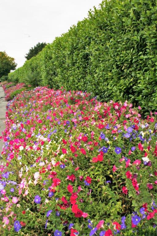
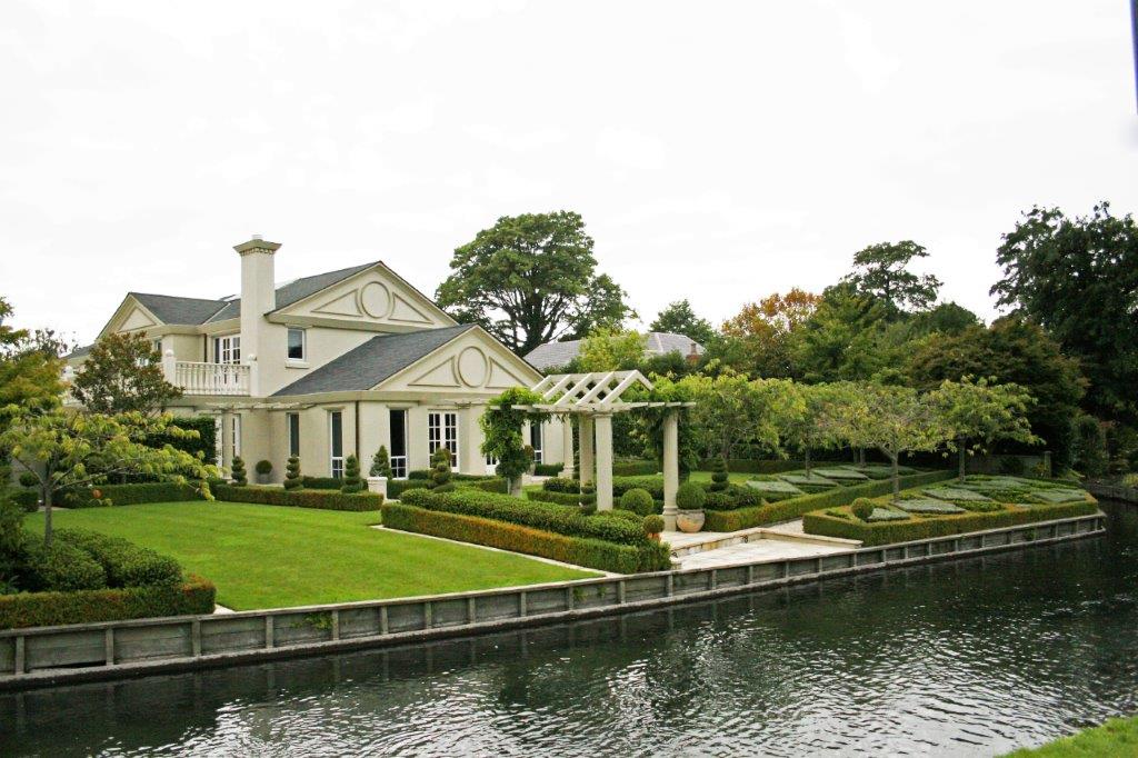
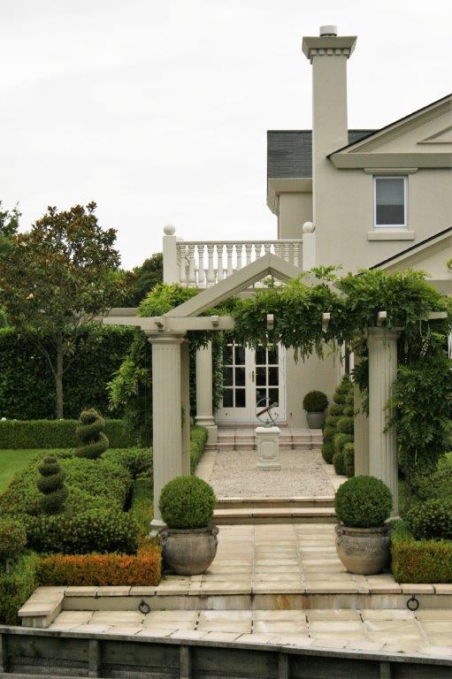
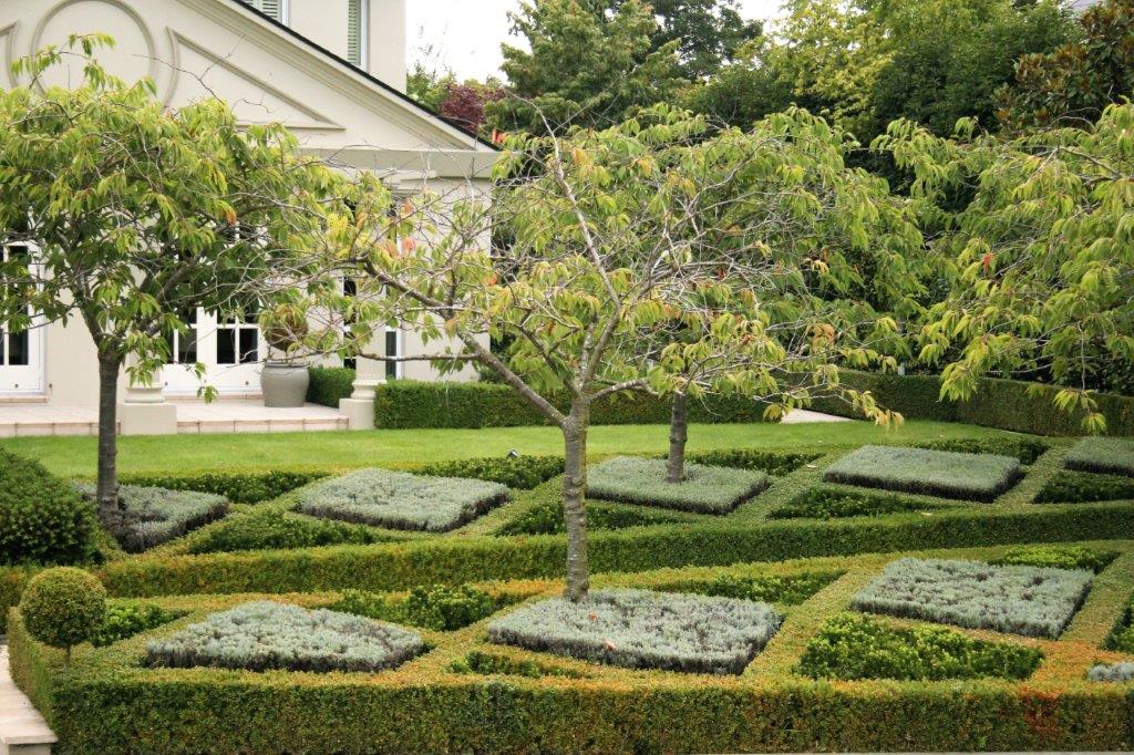
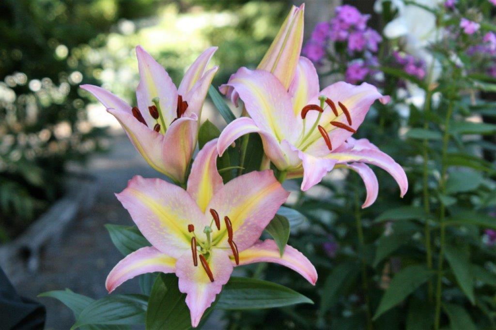
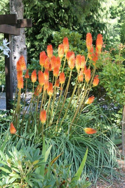
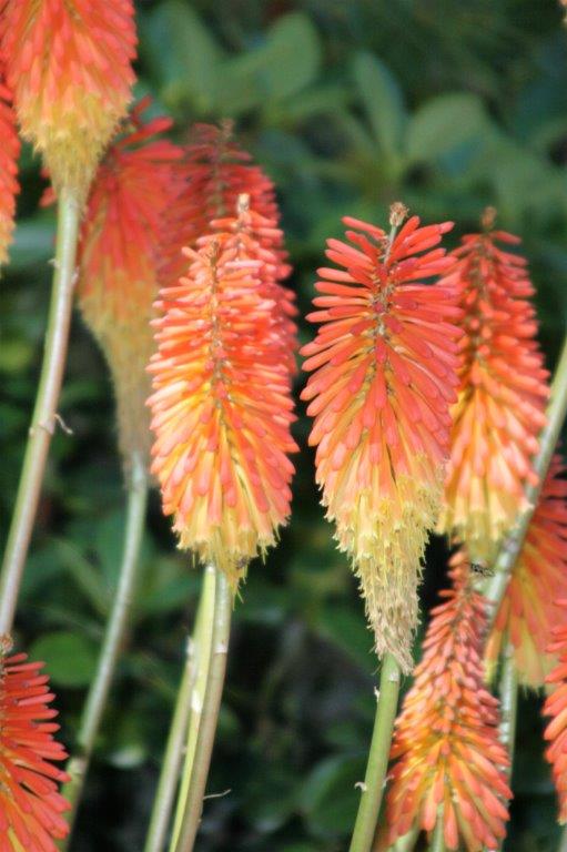
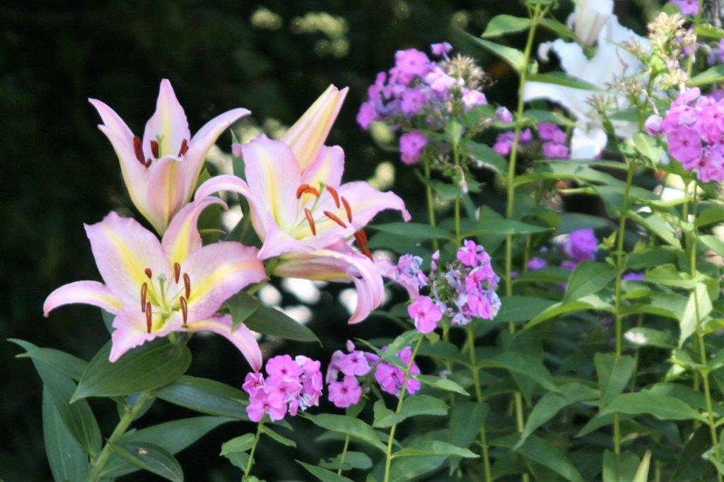
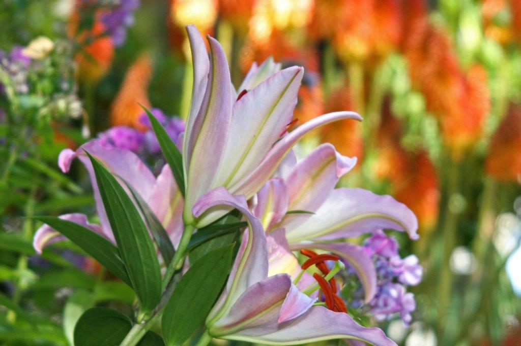
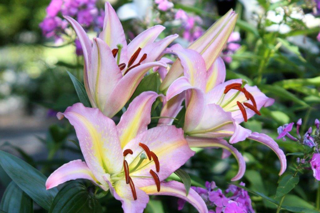
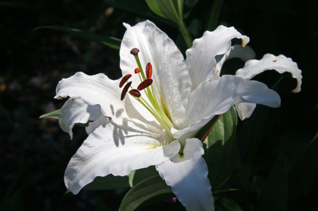
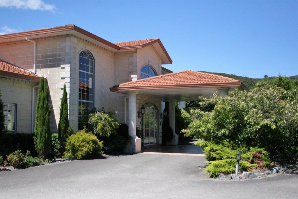
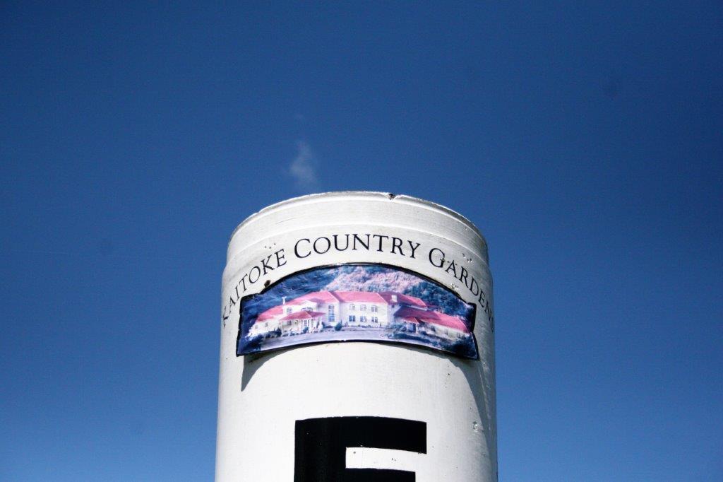
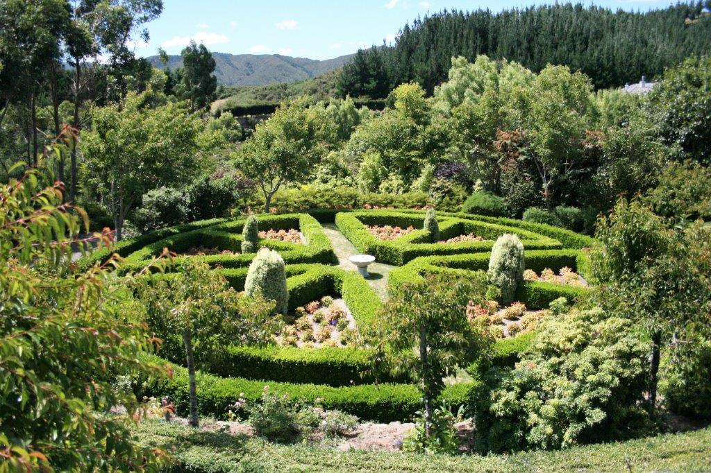
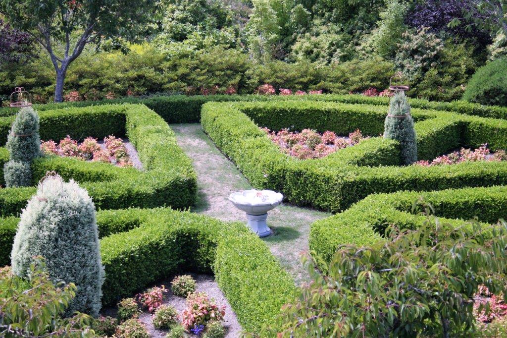
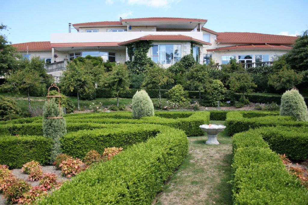
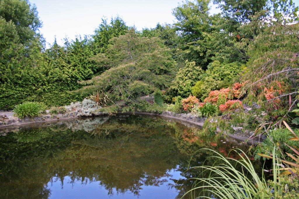
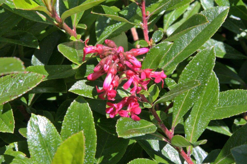
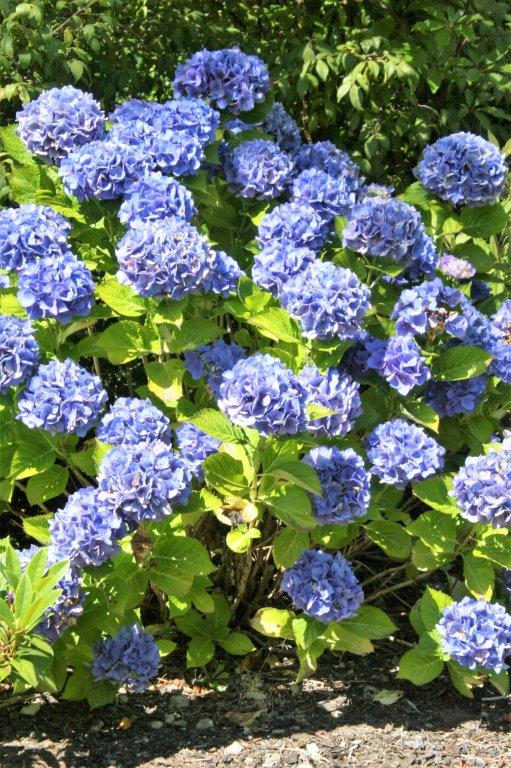
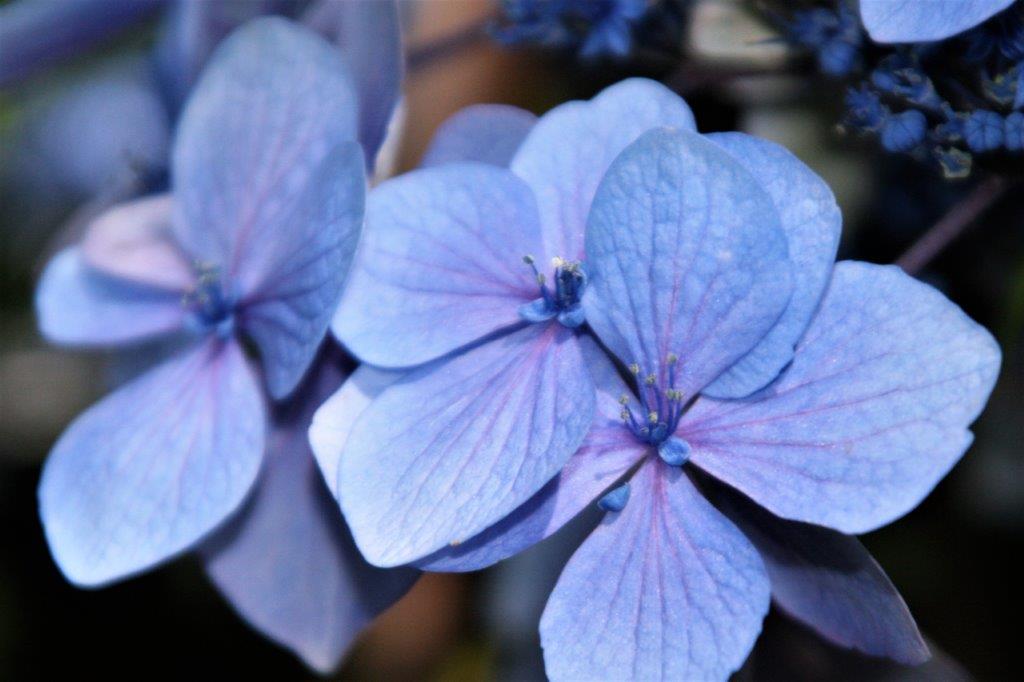
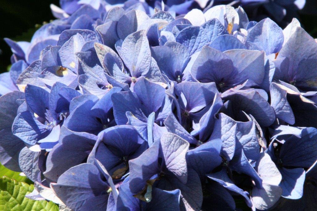
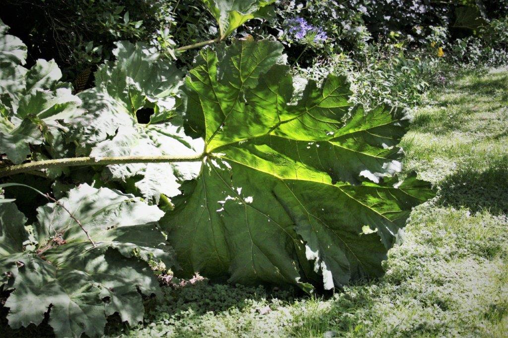
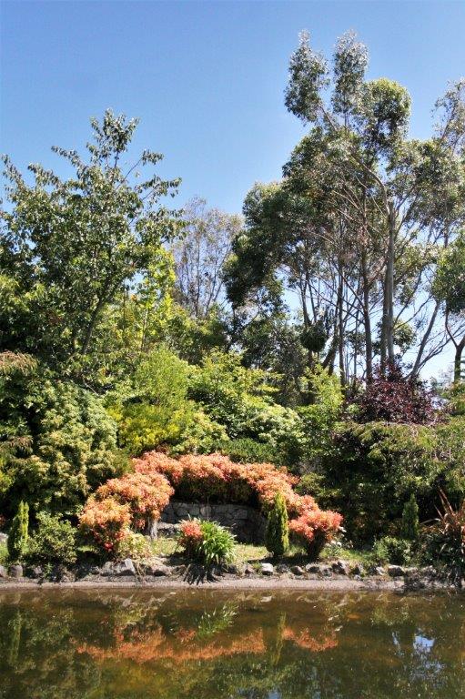
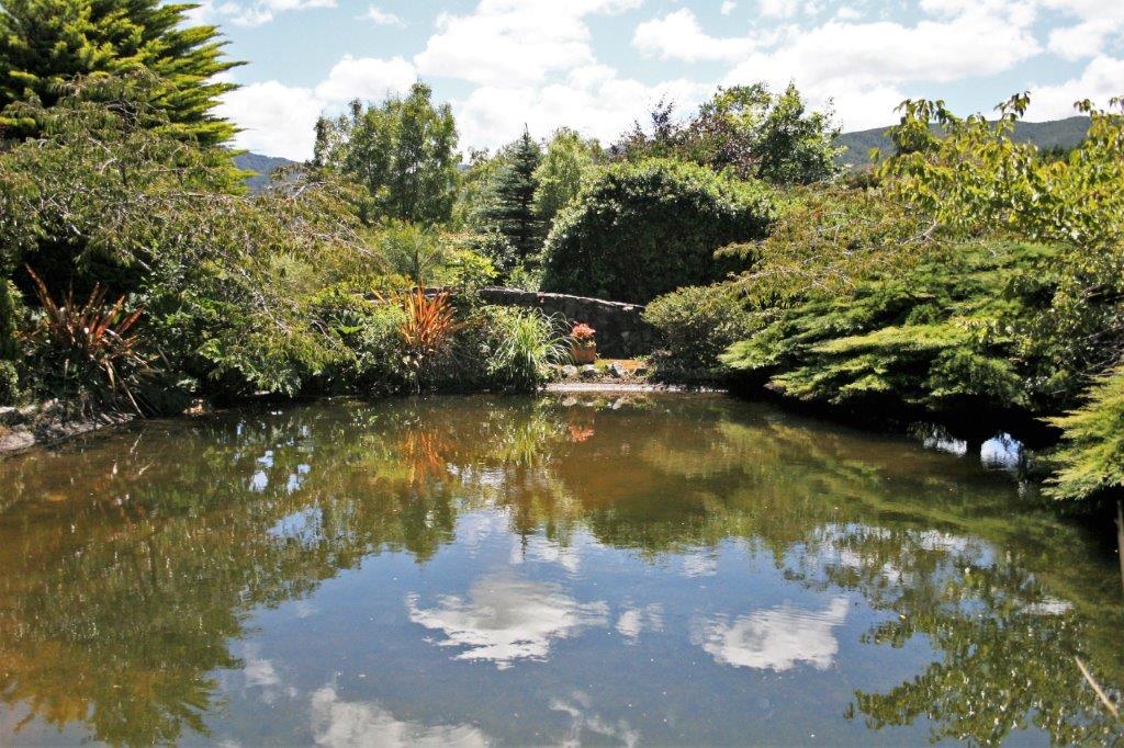
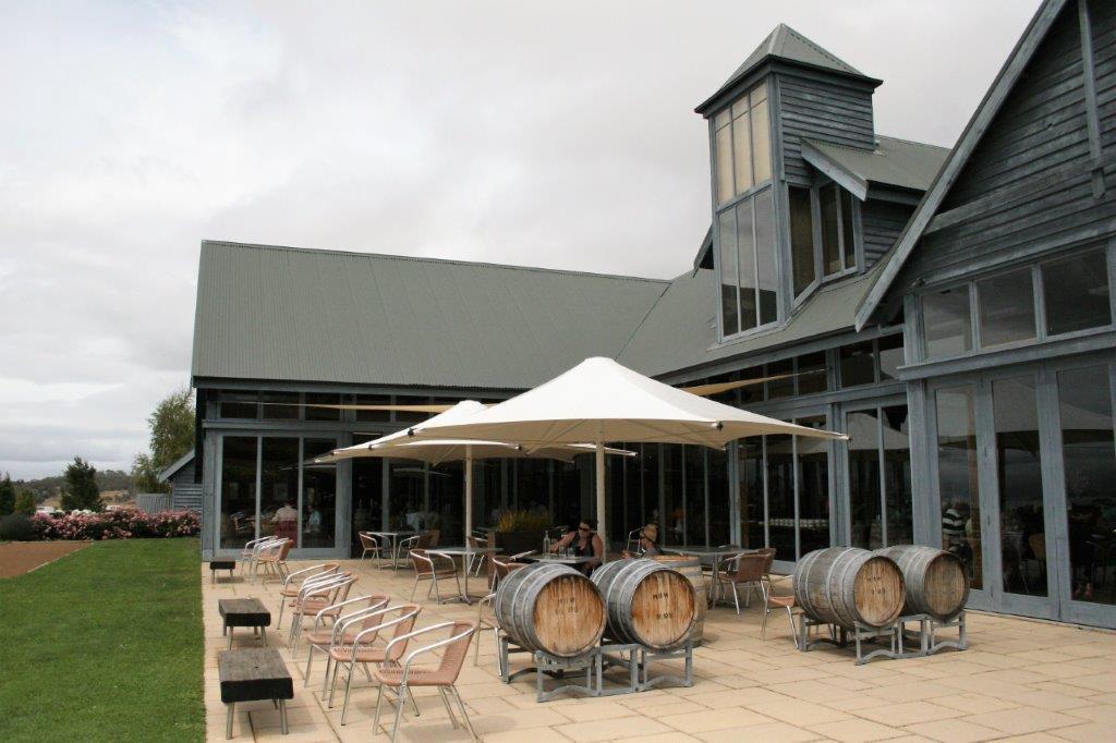
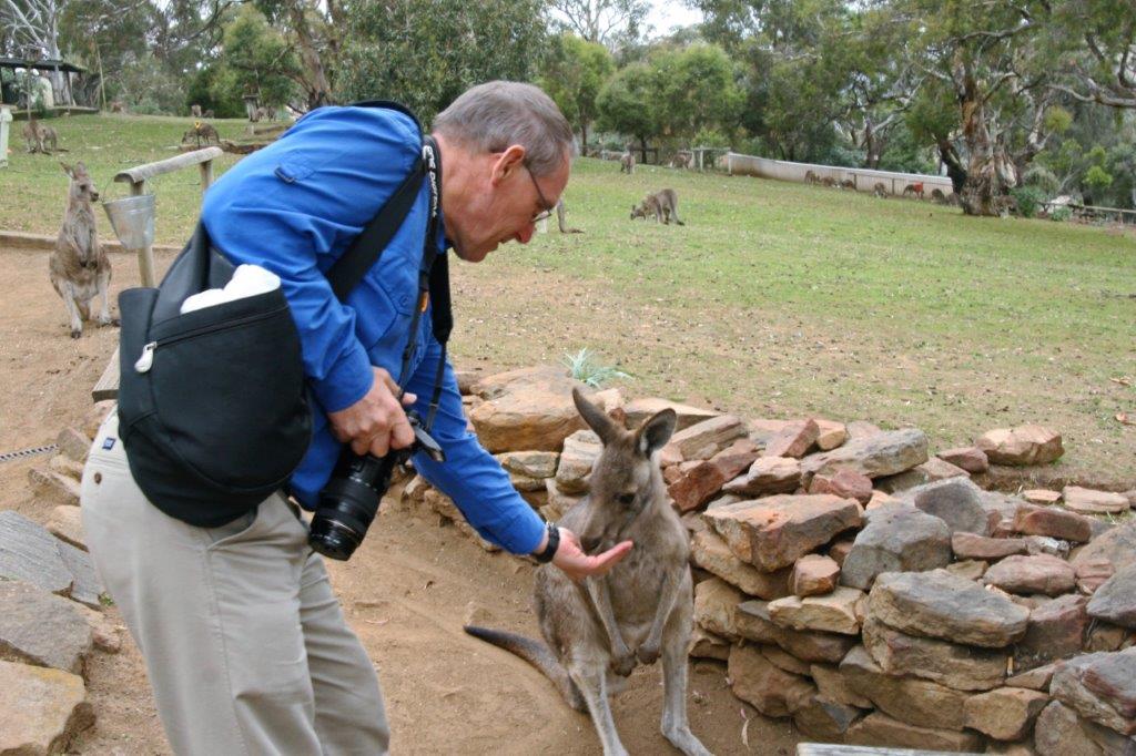
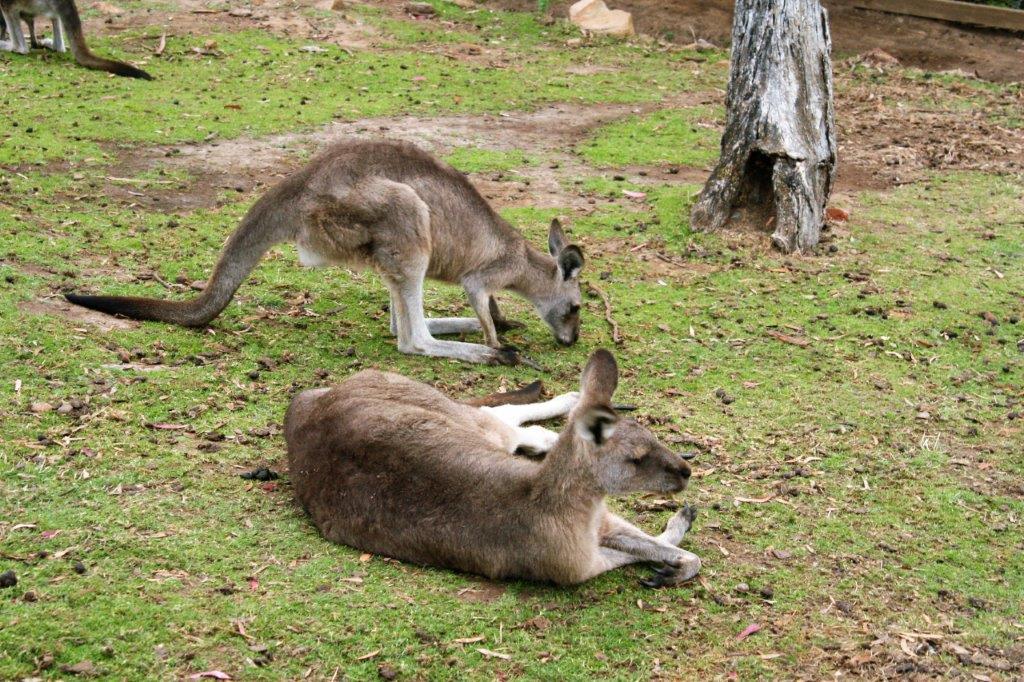
We had lunch at a beautiful hotel with 15 acres of rambling gardens. I skipped lunch and went on my own photo tour among the flowers.


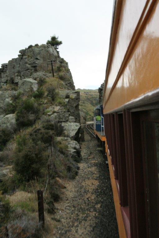
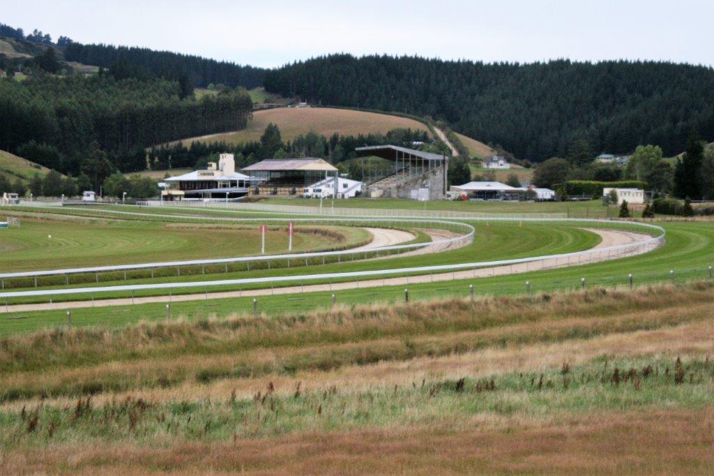
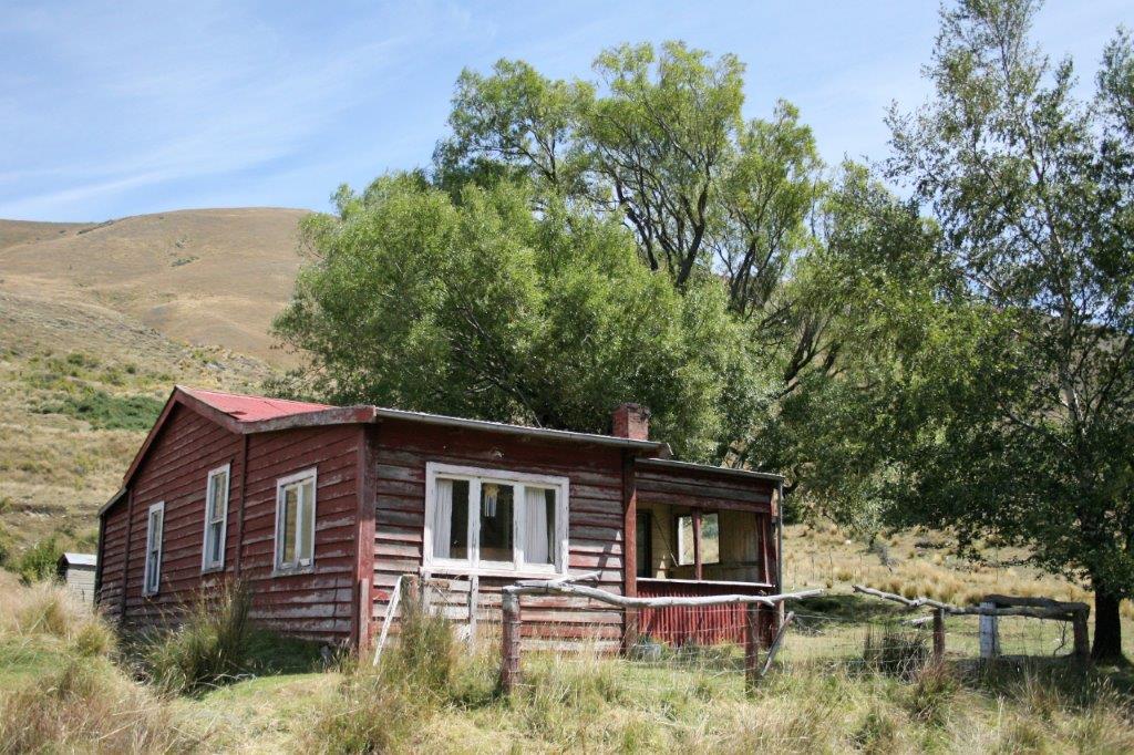
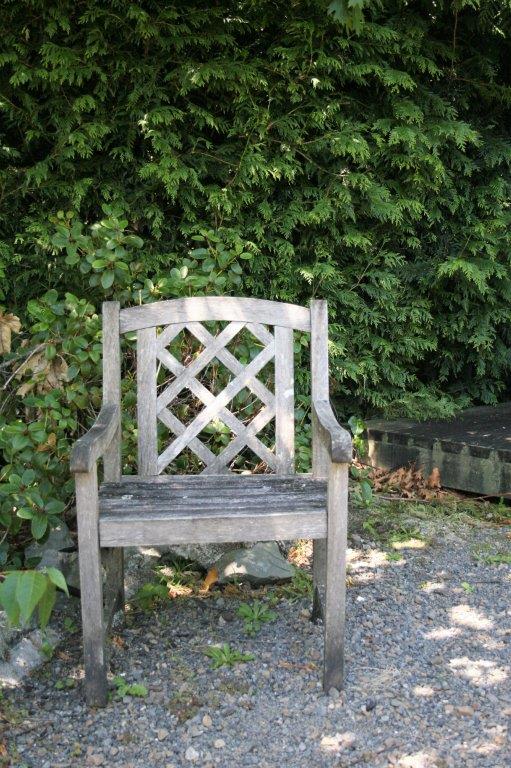
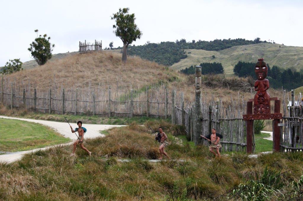
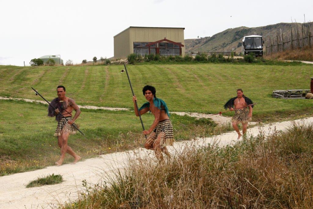
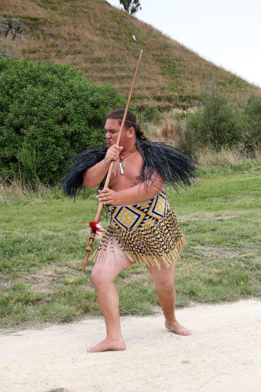
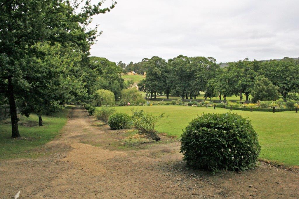
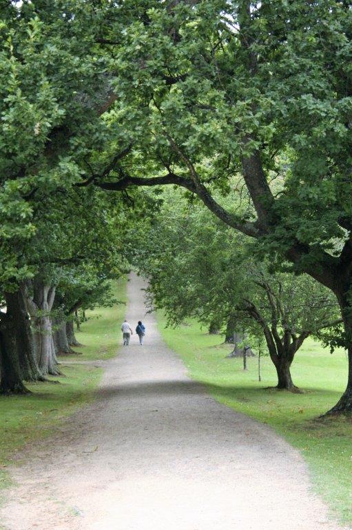
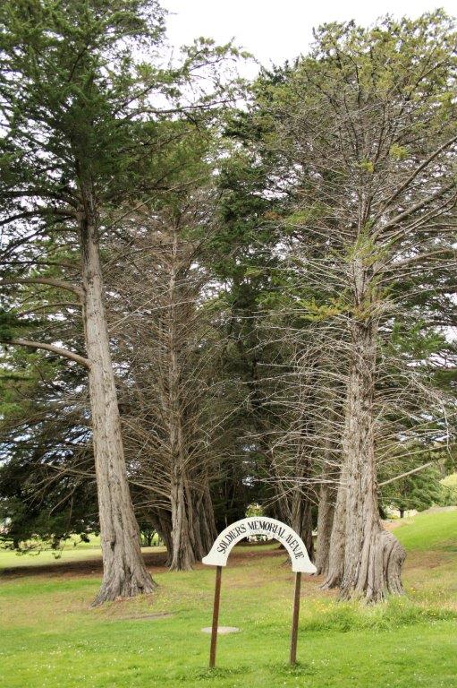
 After the lunch break we toured some more location spots.
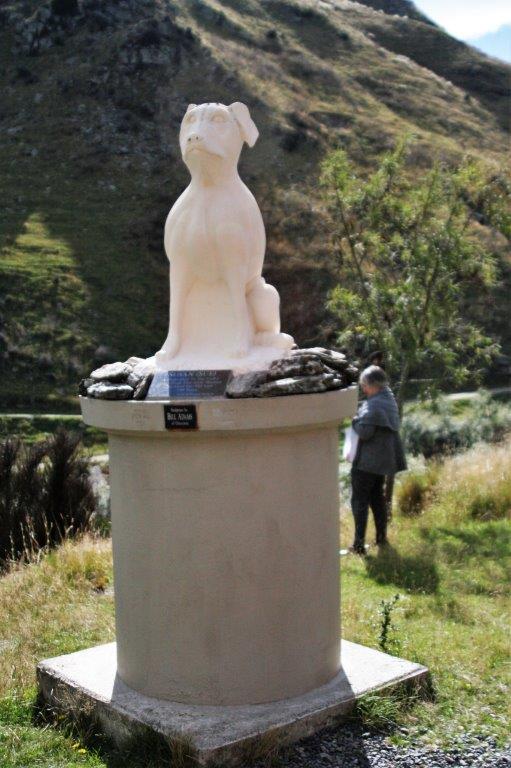
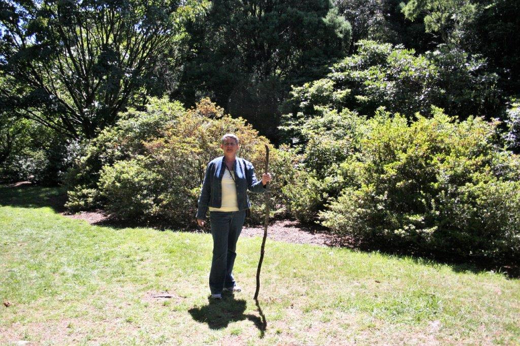
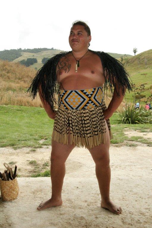
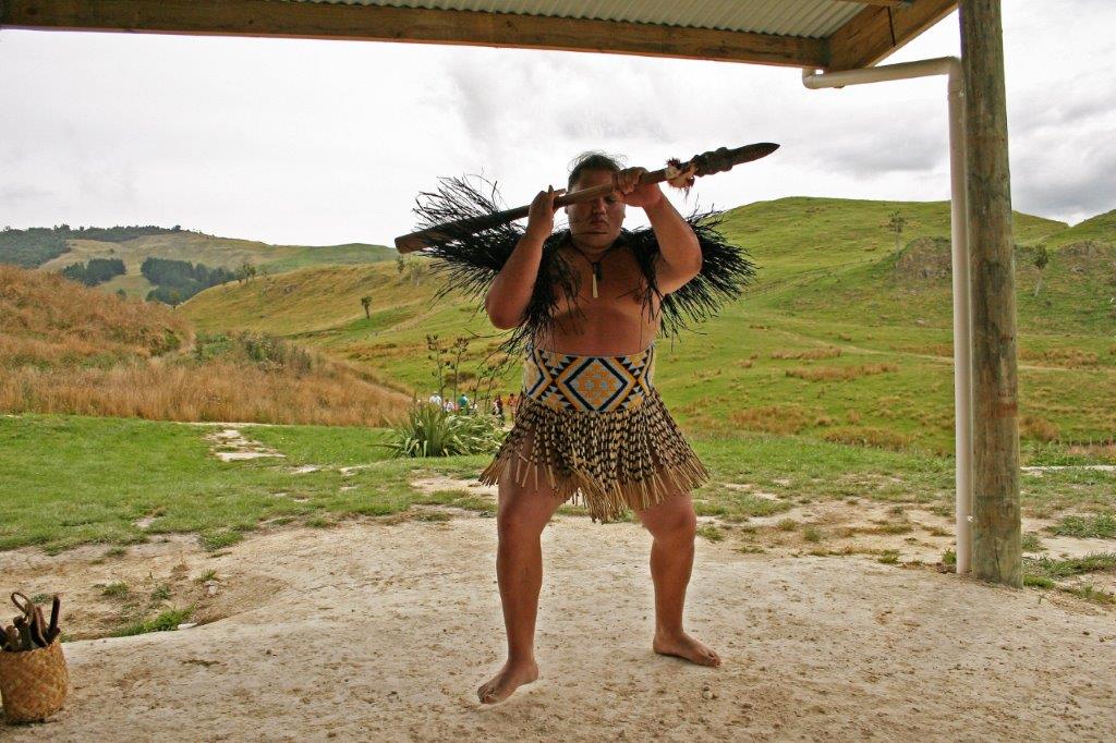
 One must pose, we were told, with the walking stick. I can’t even remember the name of the character this scene was about. Oh well, I am just not good at that kind of thing. Now, ask me the name of my childhood friend’s dog and that I will remember. To each his or her own I guess.
We returned to the ship in time for dinner, walked our usual seven laps around the promenade deck and watched the sun set before heading to the cabin and a night’s rest while the captain took us to Lyttleton, the port near Christchurch; our first stop on the south island.
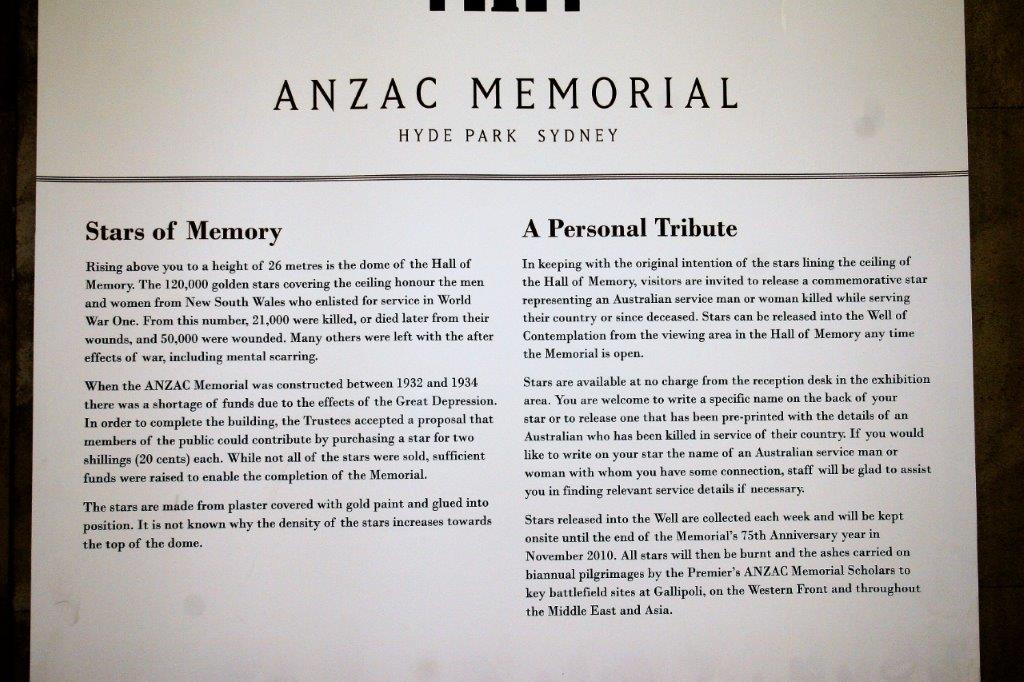


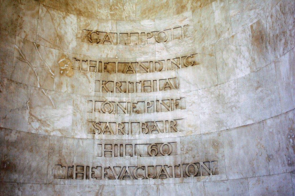
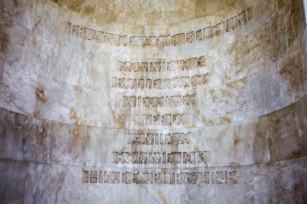
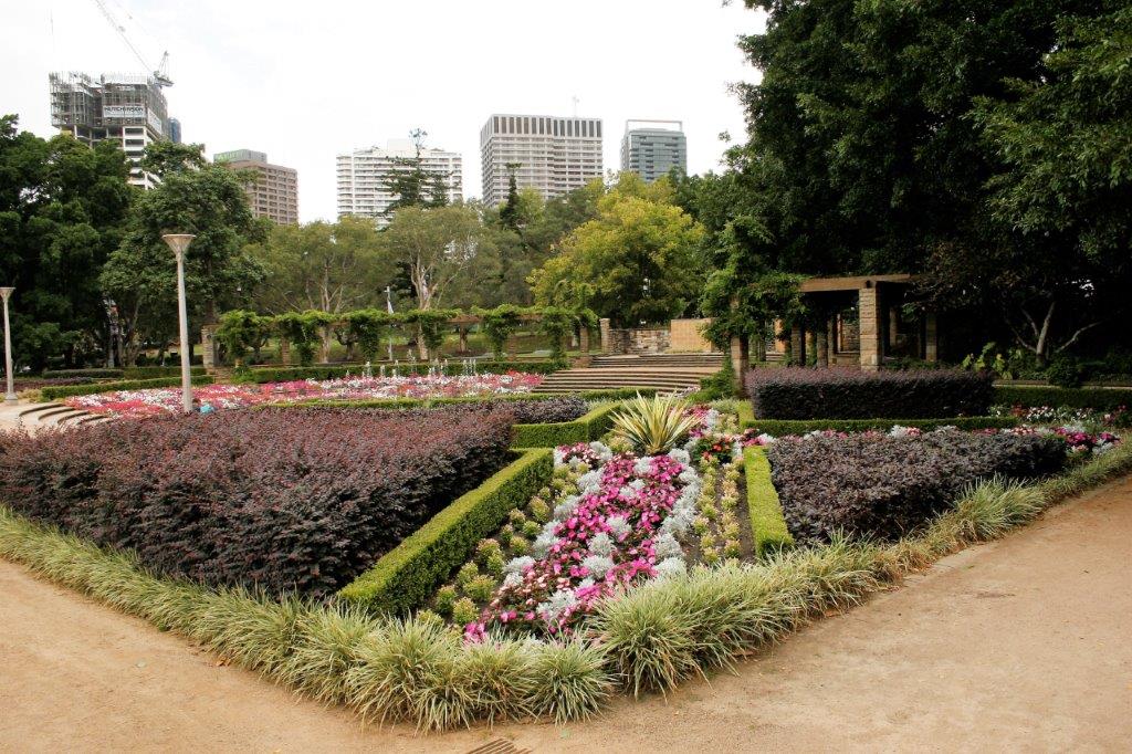
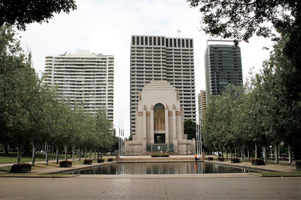 We continued through Hyde Park to the Sandringham Garden.
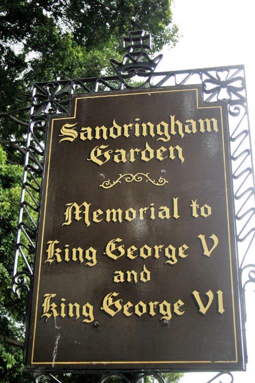
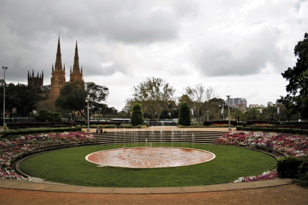
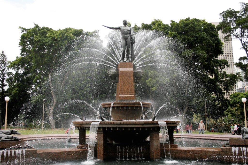
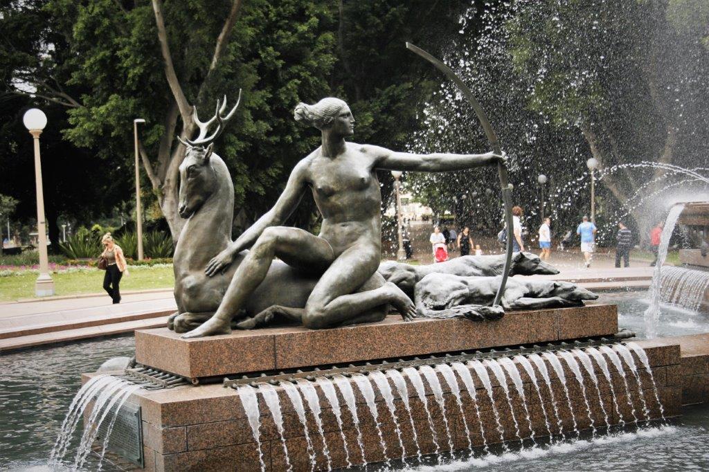
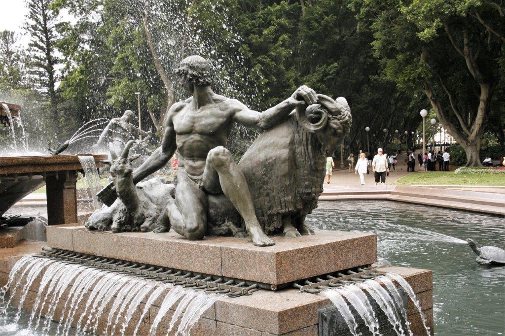
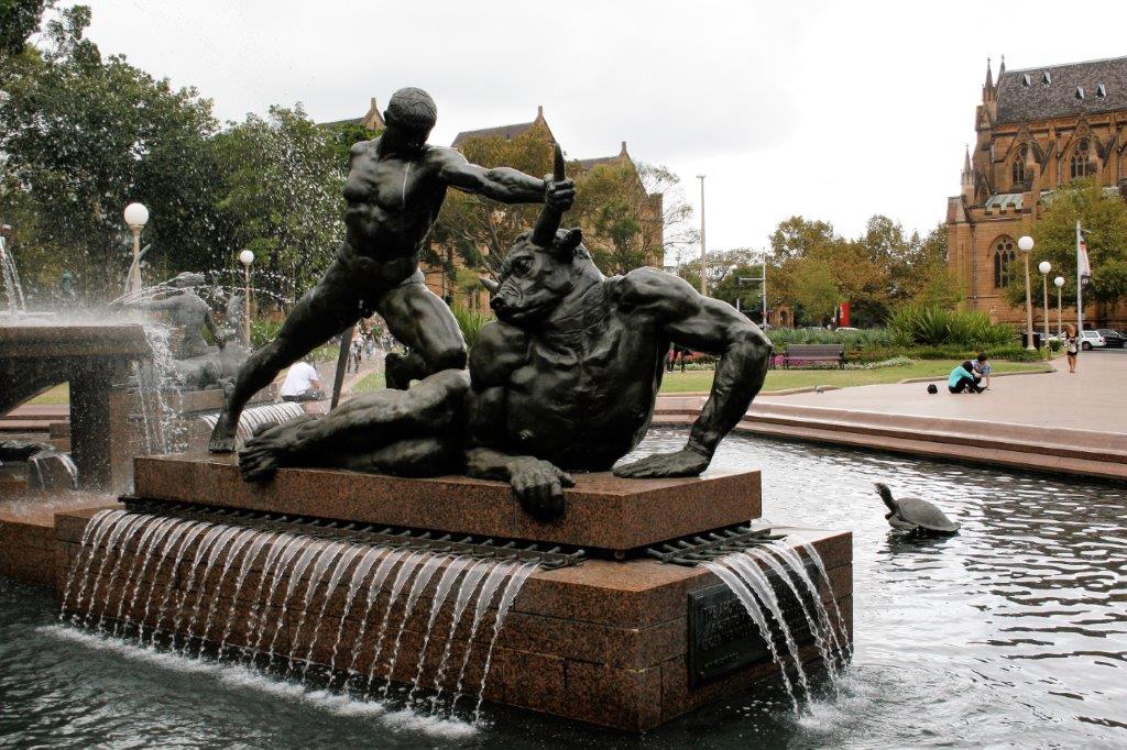
 Then to Archibald Fountain
 And finally to St. Mary’s Catherdral
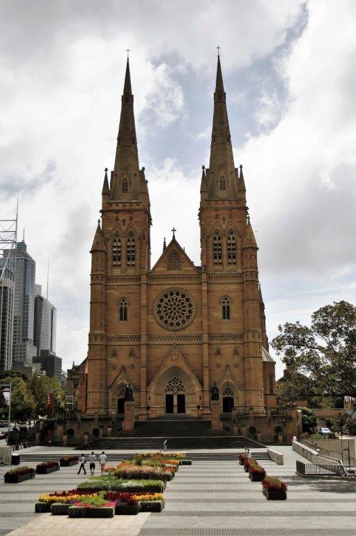
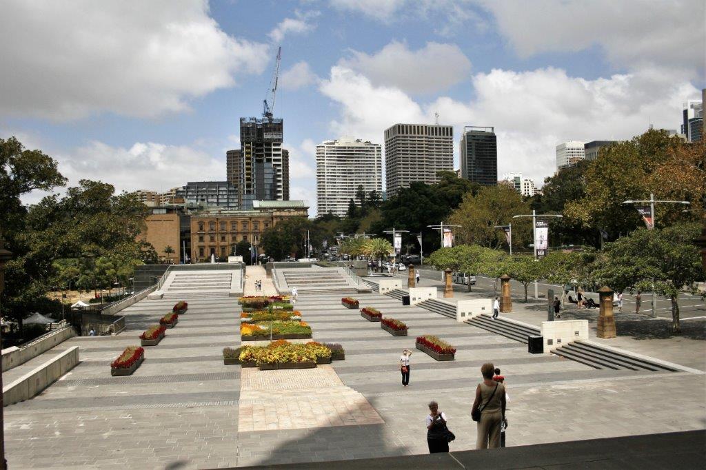
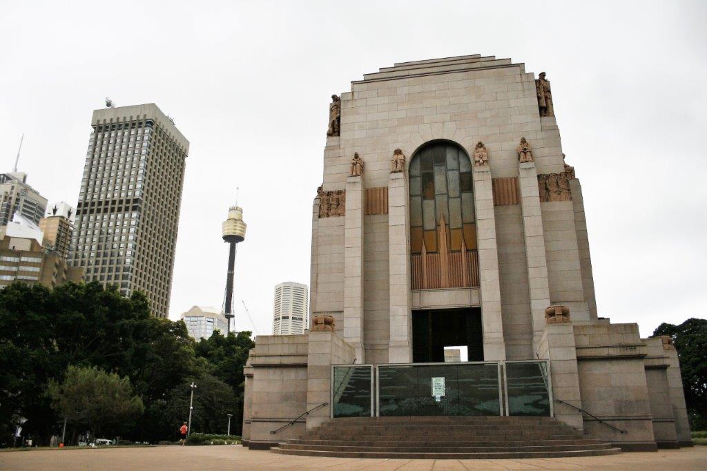
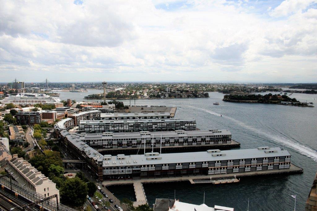
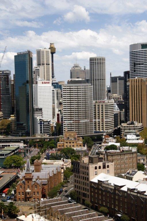
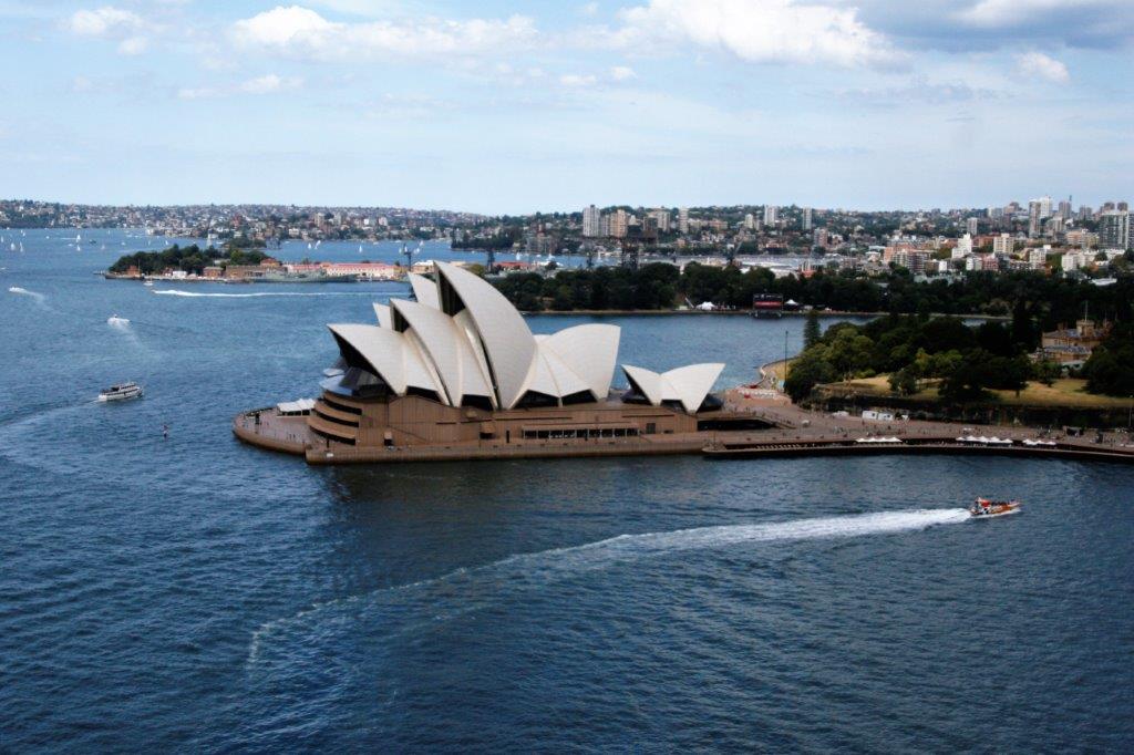
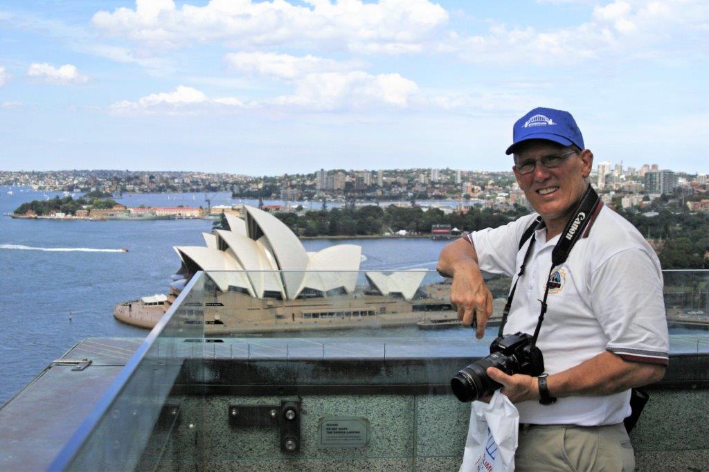
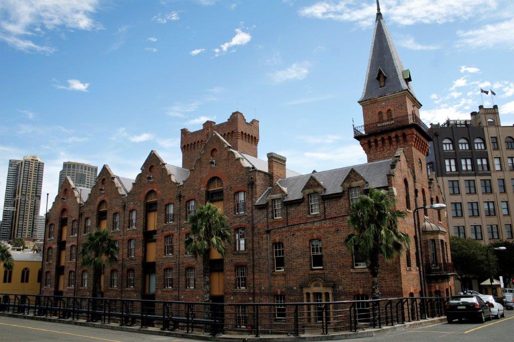
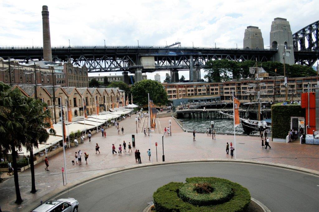
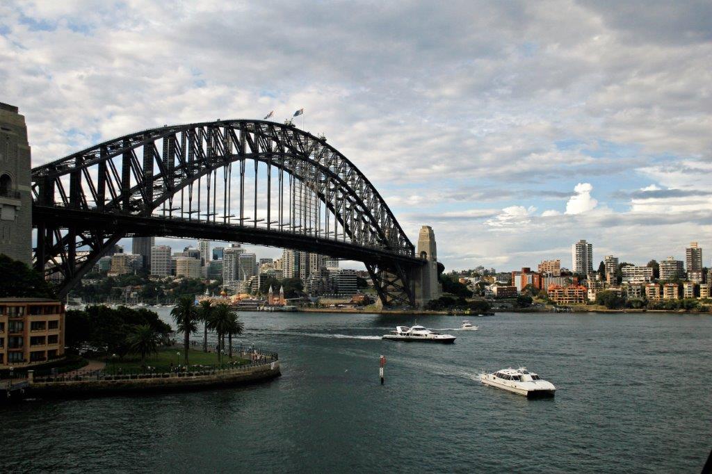
 A late lunch took us to check-in time at our hotel. We re-sorted our luggage to thin it out some more so we would have less bags to drag around with us, and then went back out to find some groceries for breakfasts. We also located the luggage storage place and the rental car agency so we knew where we would need to go when we left Sydney. Dinner and early to bed rounded out our first day.


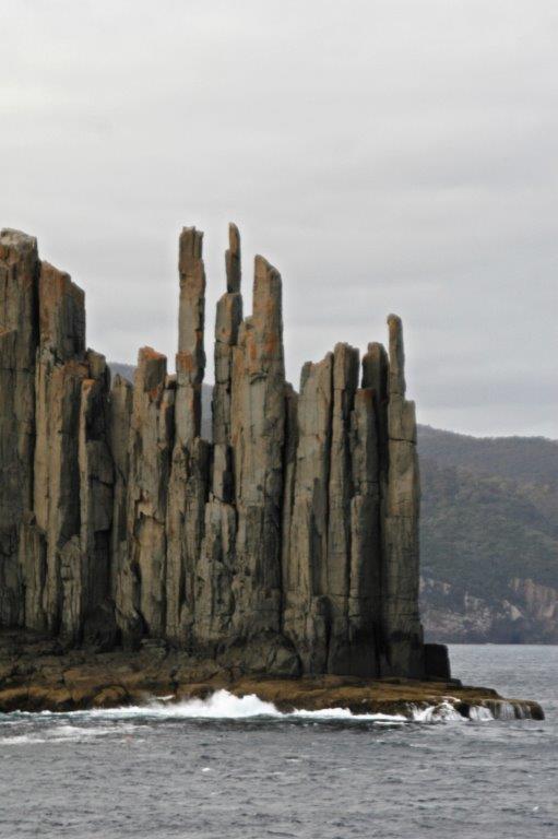

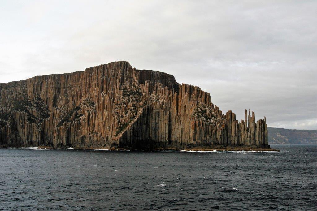

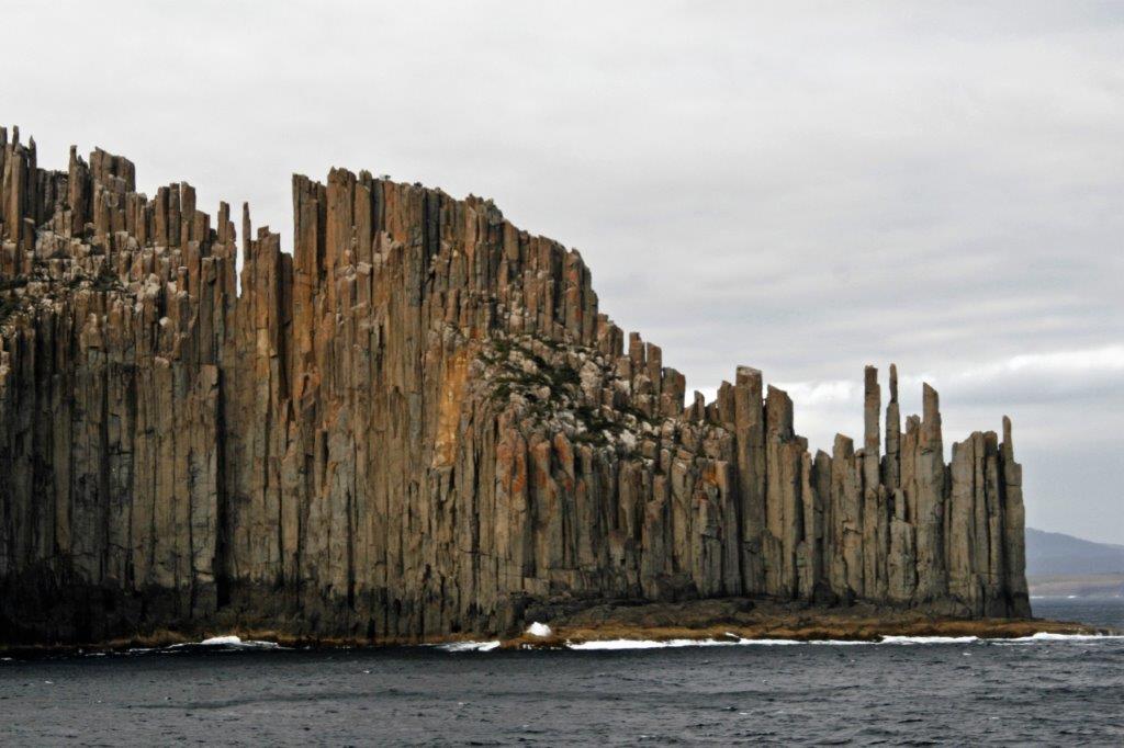
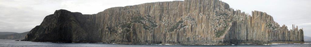


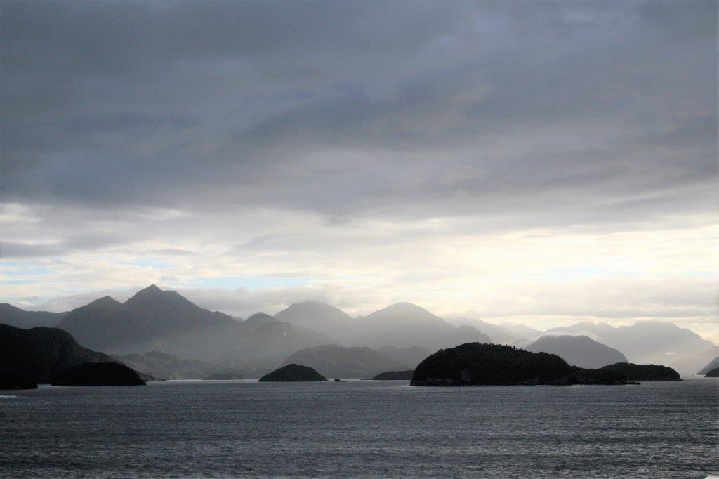
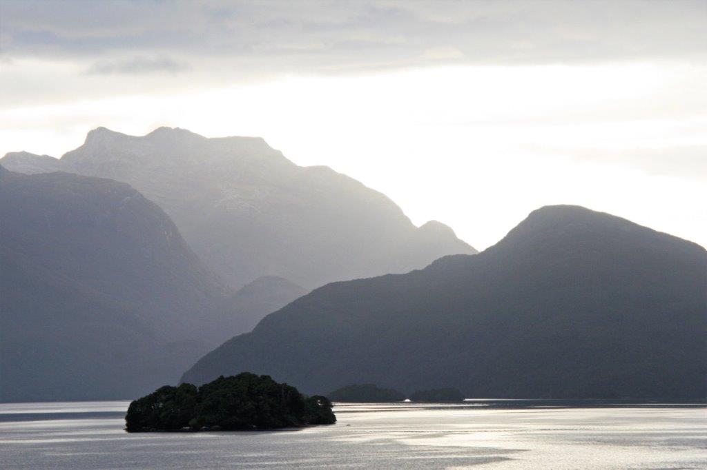
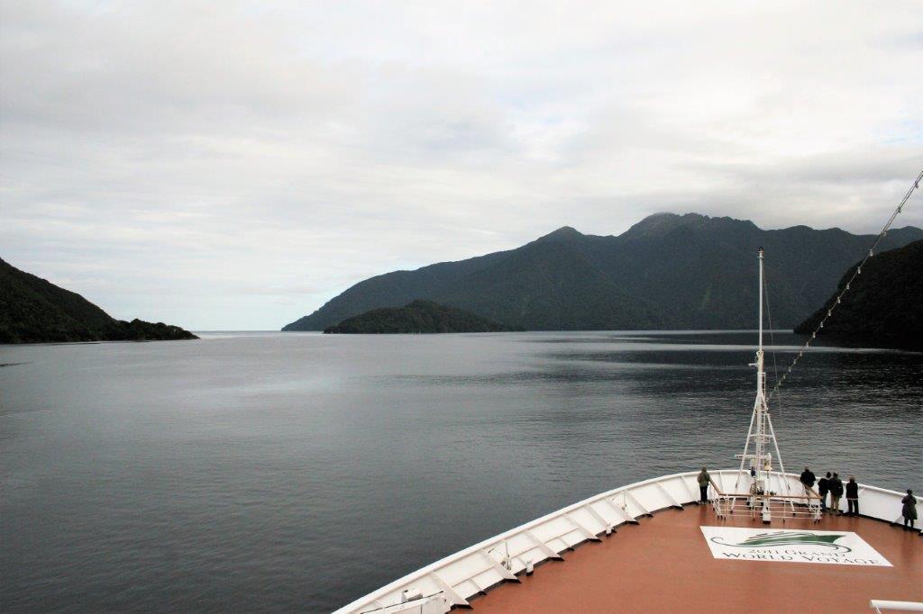
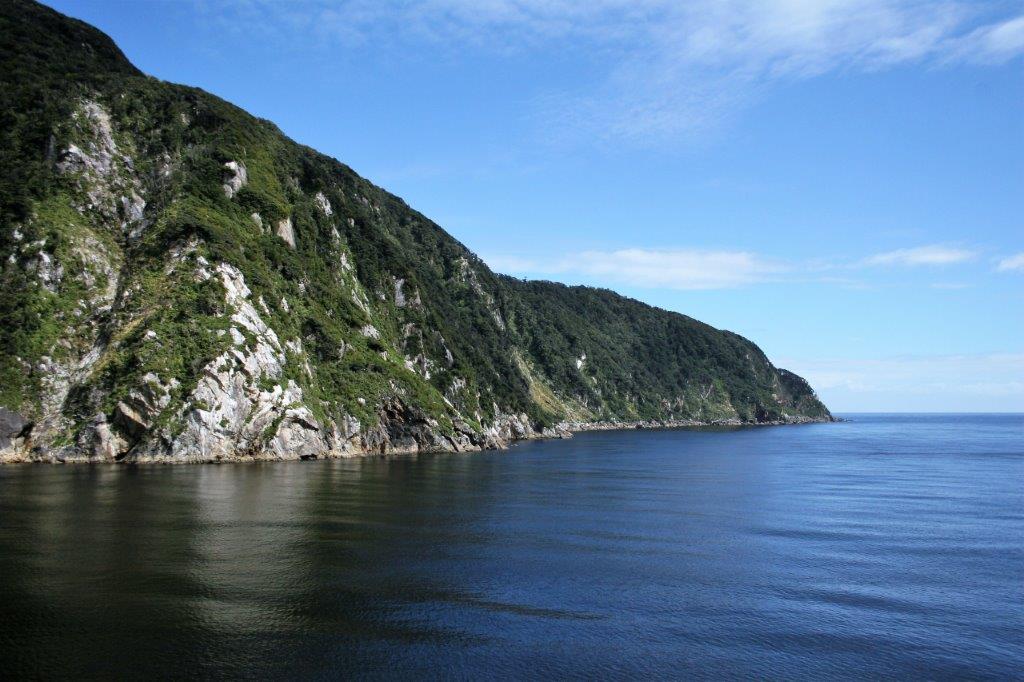
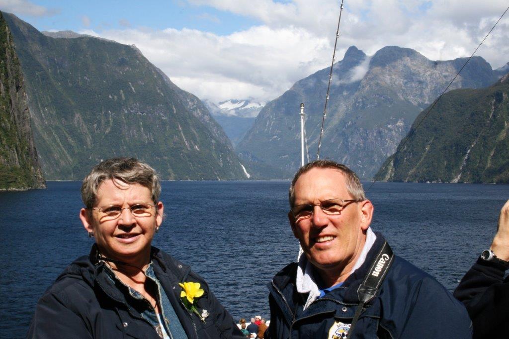
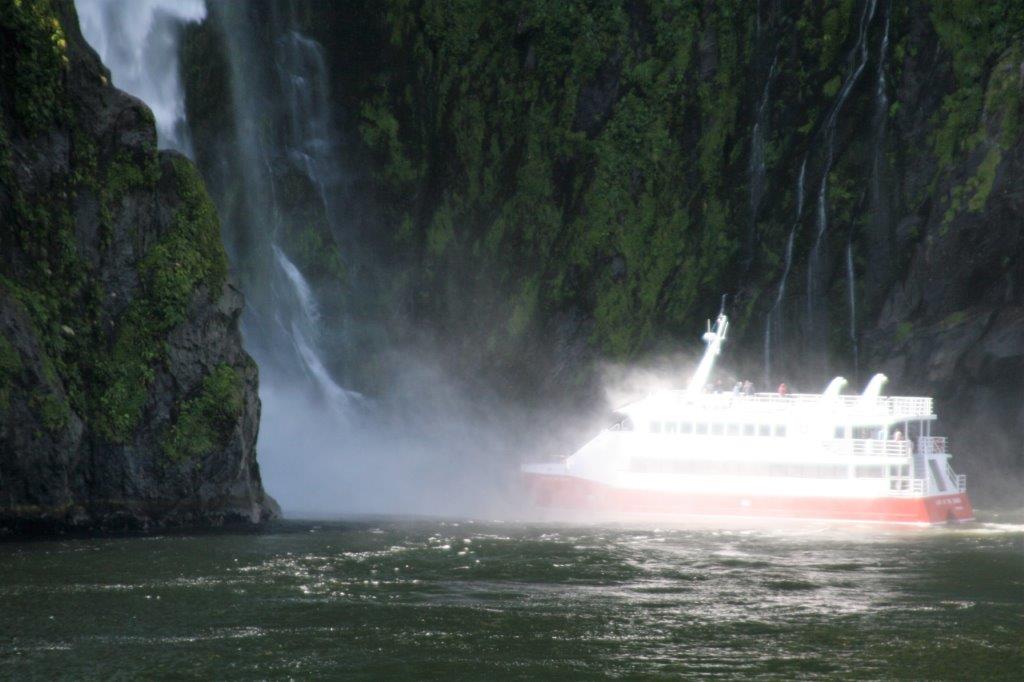
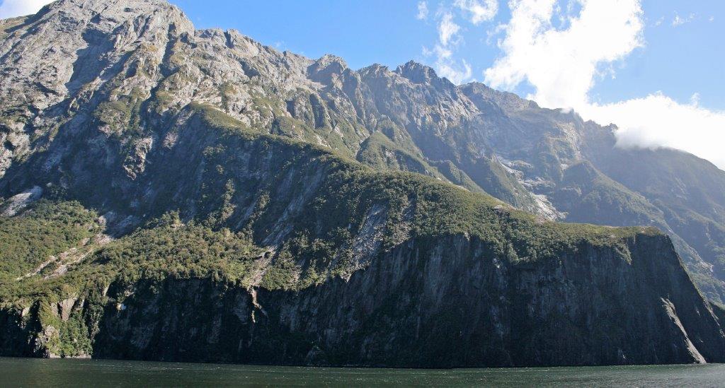
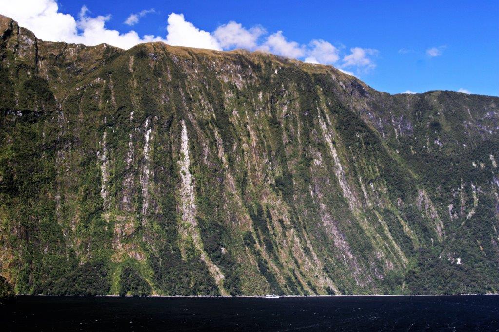
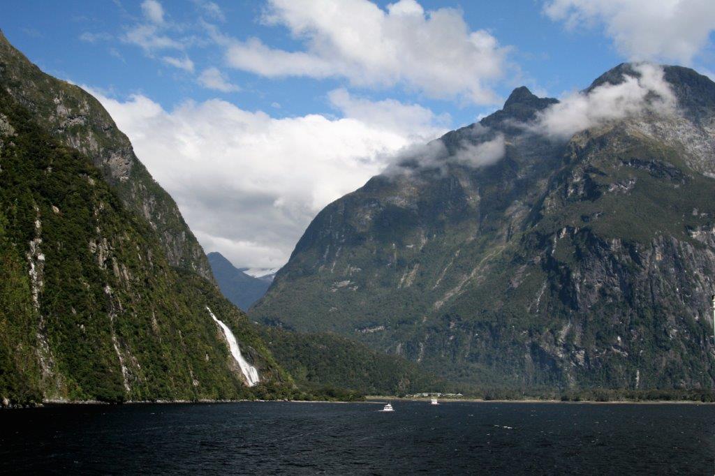
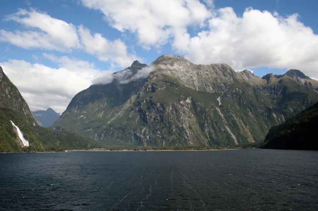
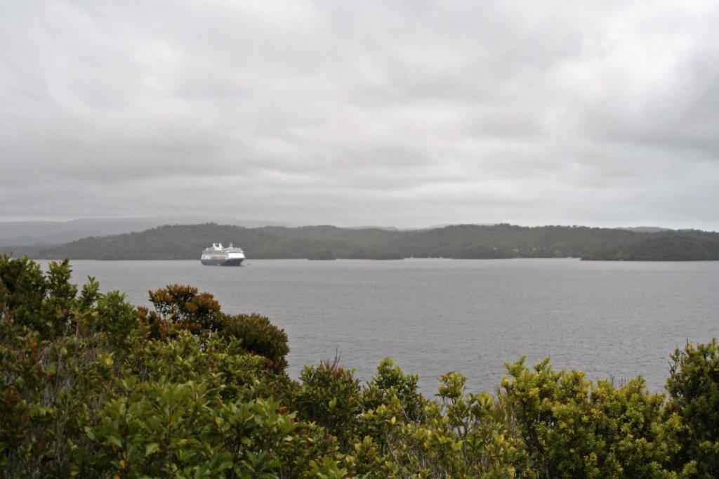
 The weather was not too hospitable and I huddled in two jackets and a blanket to combat the strong, cold wind. John arrived as we were leaving Dusky and we went back to the cabin to warm up as the captain set sail for Doubtful Sound. We spent about an hour in Dusky Sound, sailed two hours to Doubtful and spent an hour there before entering Milford at 3:30. The ship’s speed rarely rose about dead slow all day.
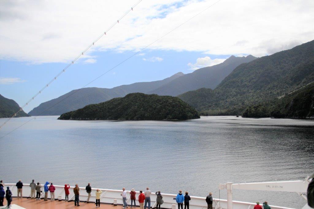
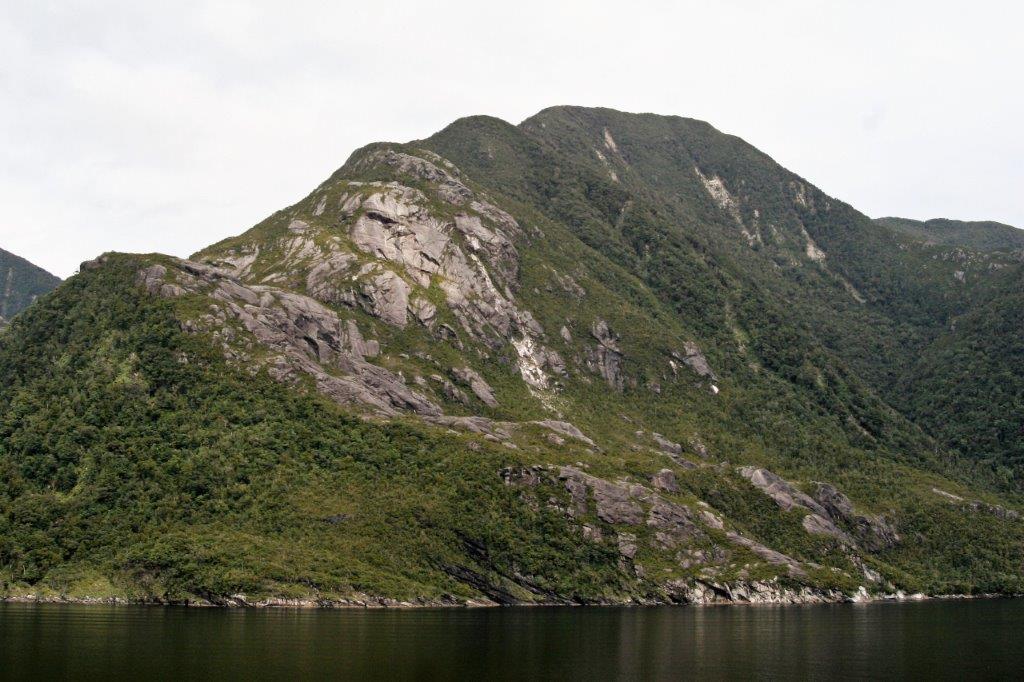

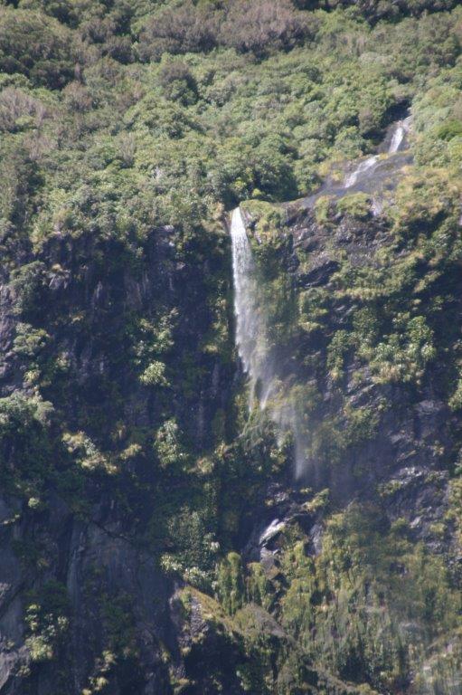

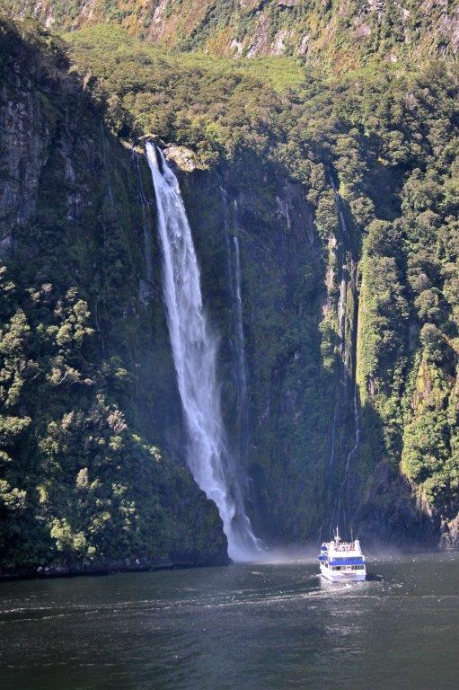


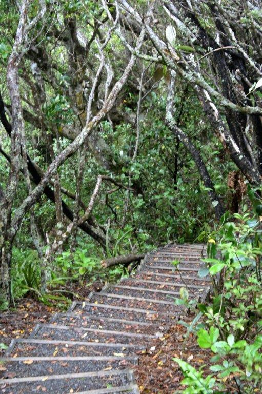
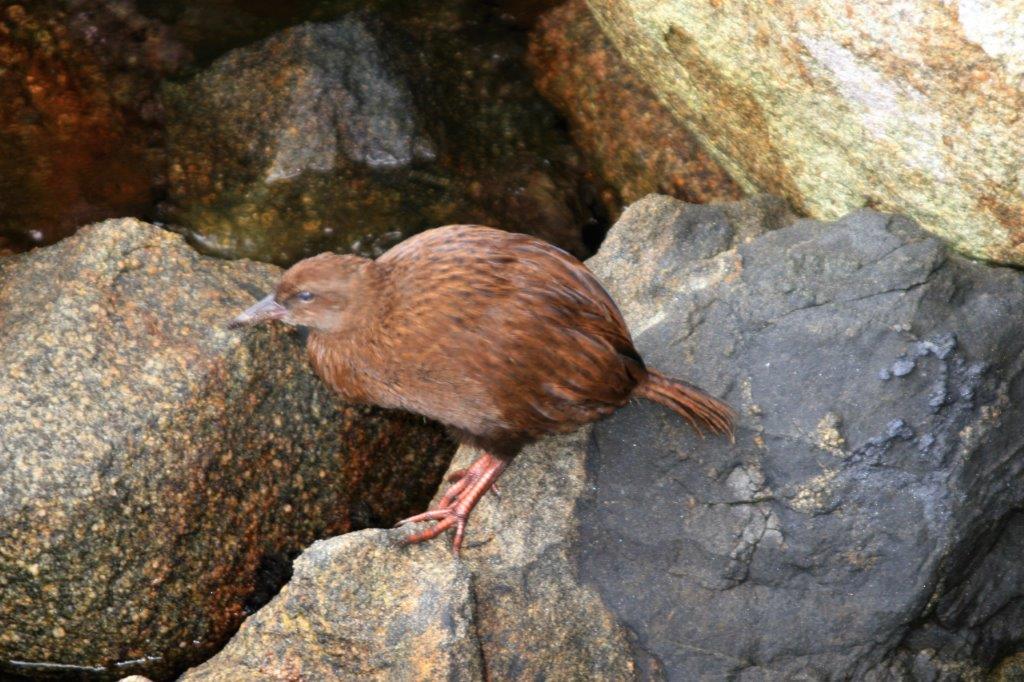
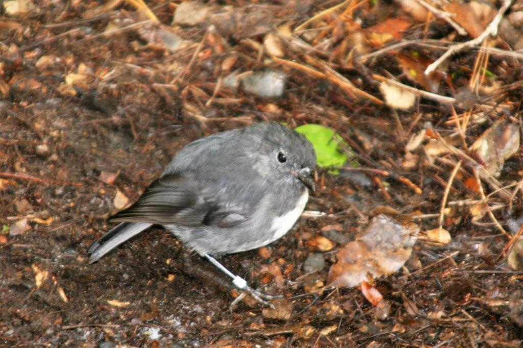
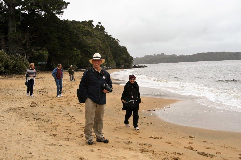
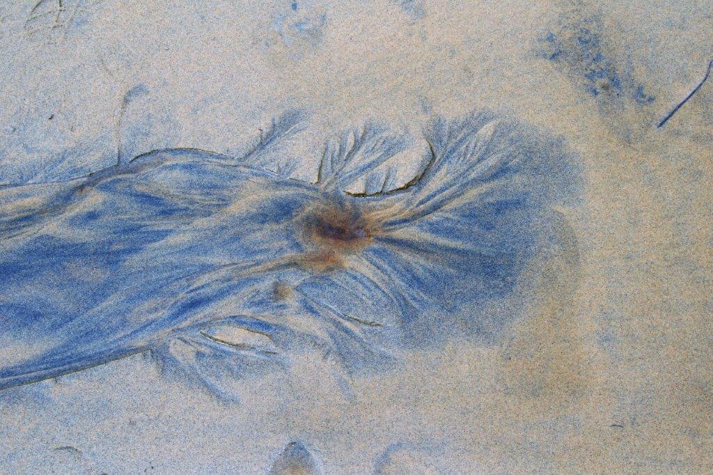
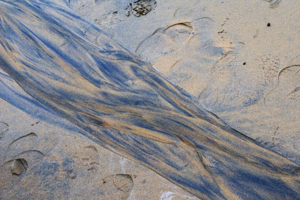
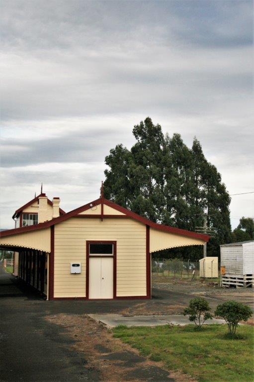
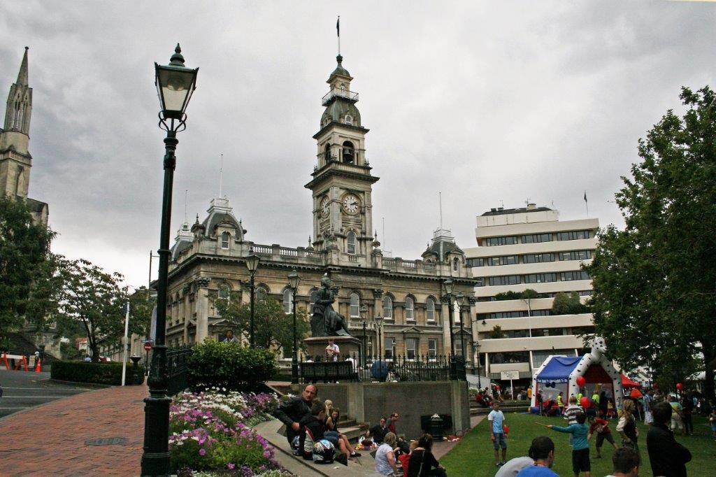
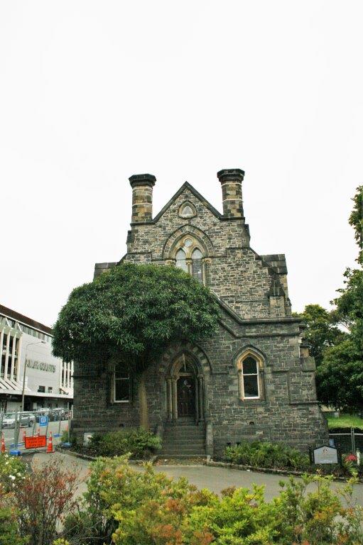
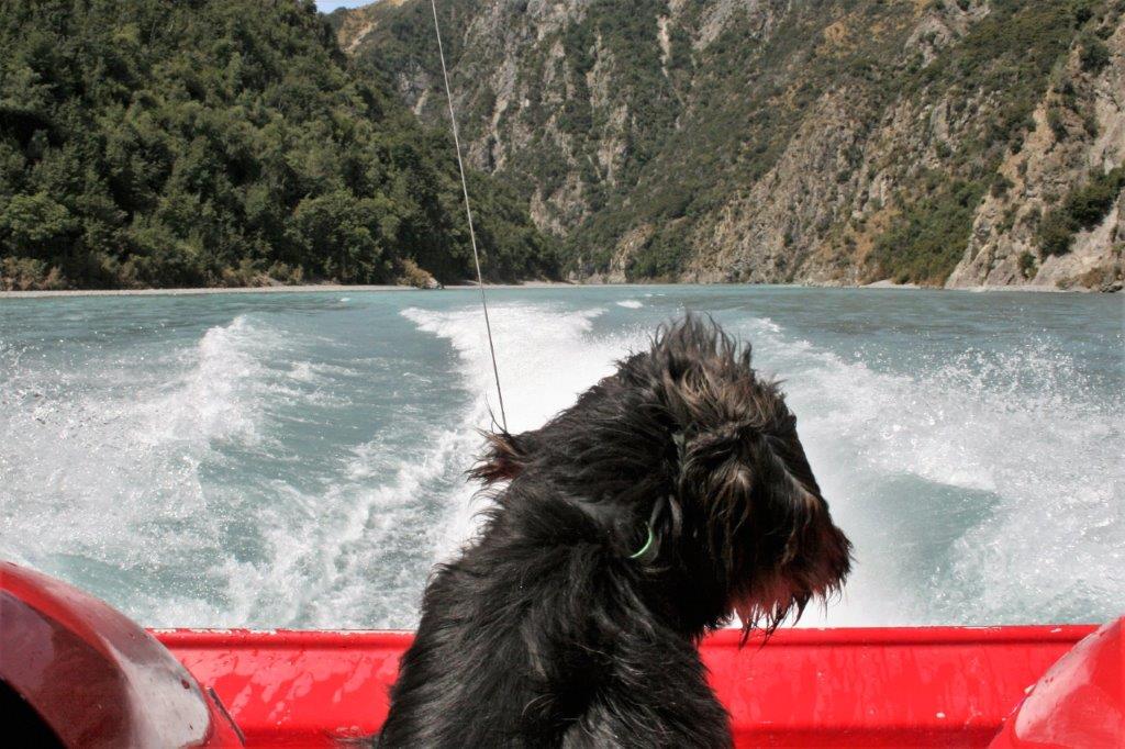
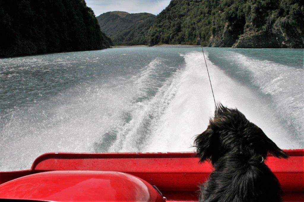
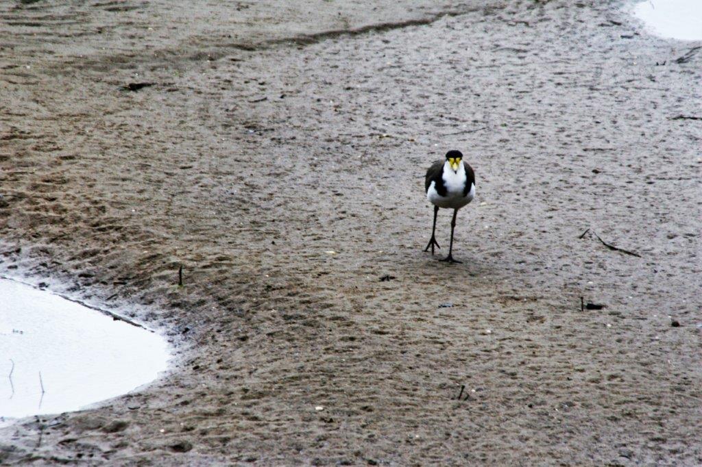
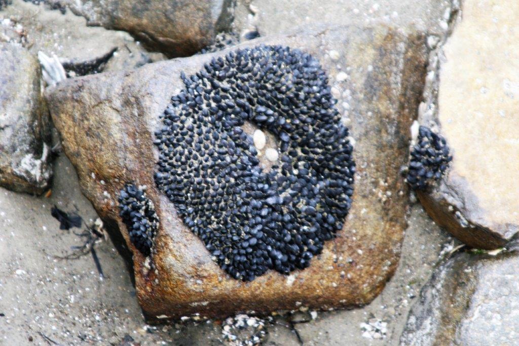
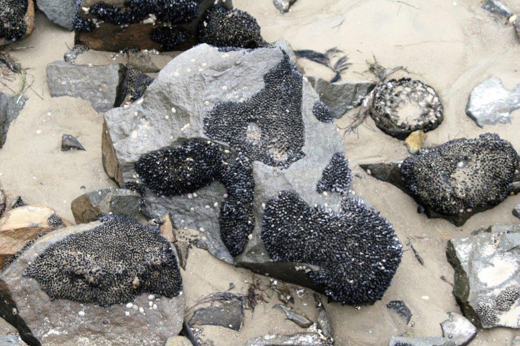
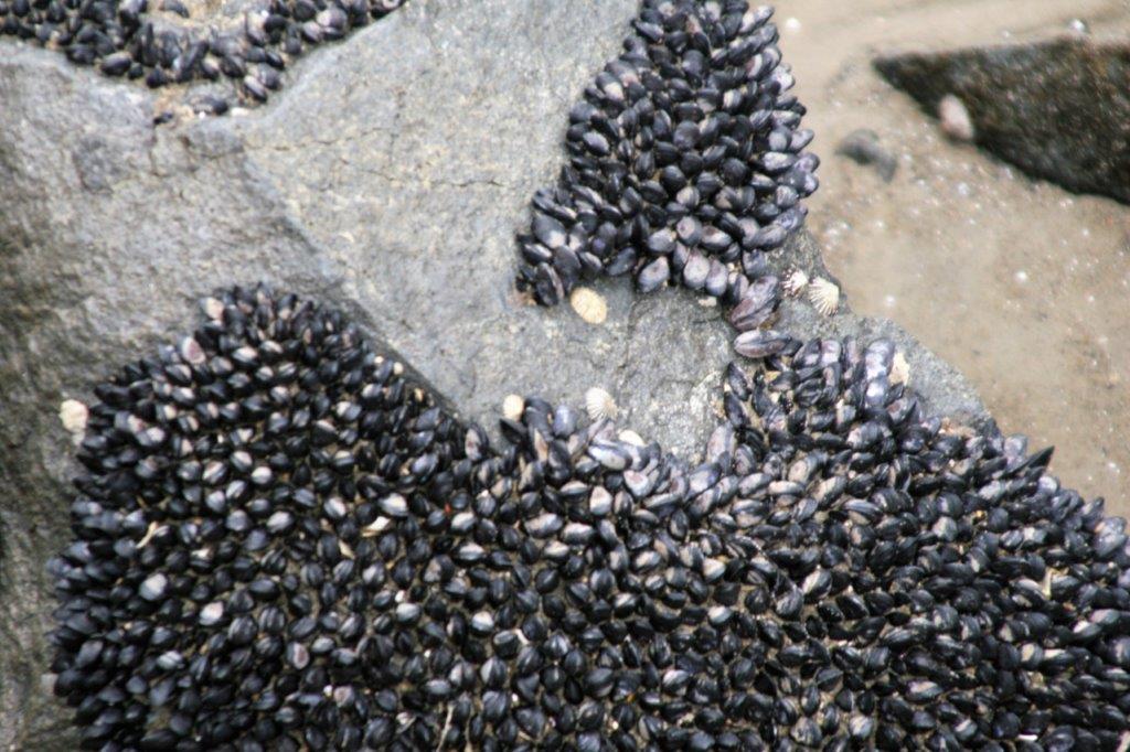
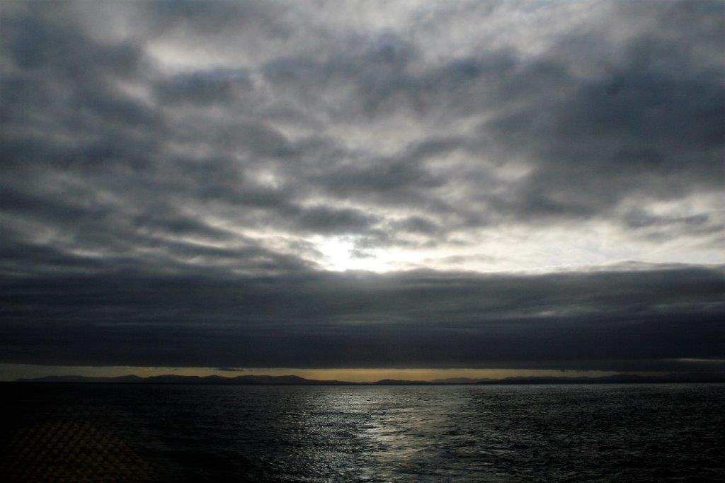
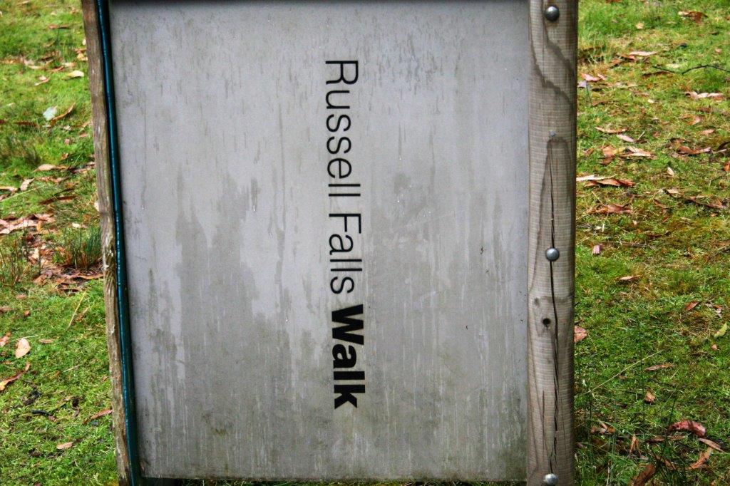
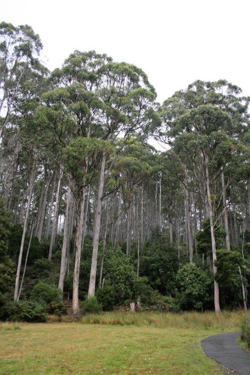
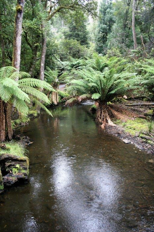
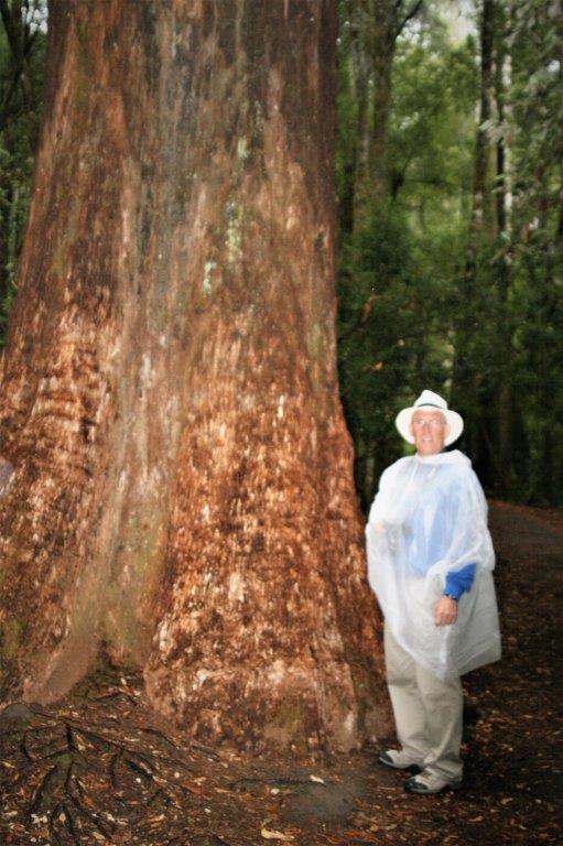
 The weather was rain-threatening all day but we had very little rain. The clouds were low and thick so everything was dark and dismal-looking. We enjoyed our walk. It was a nice change of pace from our last few all-day excursions.