A storm gave a huge clap of thunder in the middle of the night and we woke to find the power was out. And, we learned, it was out for almost all of the eastern shore from Sherbrooke to Canso. This meant we were on the road at 8:30 with no breakfast and – more importantly – no coffee! We had some fruit in our cooler that had to suffice to get us going.
We also woke to fog, which we have learned is almost a daily occurance along this coast. It did not lift until we had nearly reached Canso.
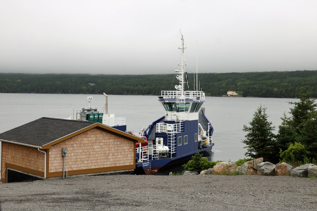
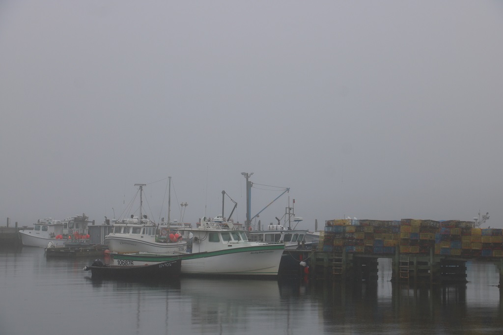
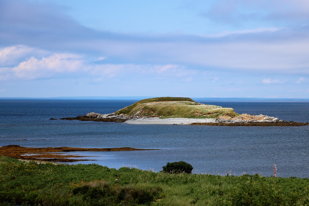
We rode the 10-minute Country Harbour cable ferry across the inlet between Port Bickerton and Isacc’s Harbour North and contined down the ‘old coast road’ which would have netted gorgeous views of the ocean but for the fog. Today we did not even get occassional short sunny breaks.
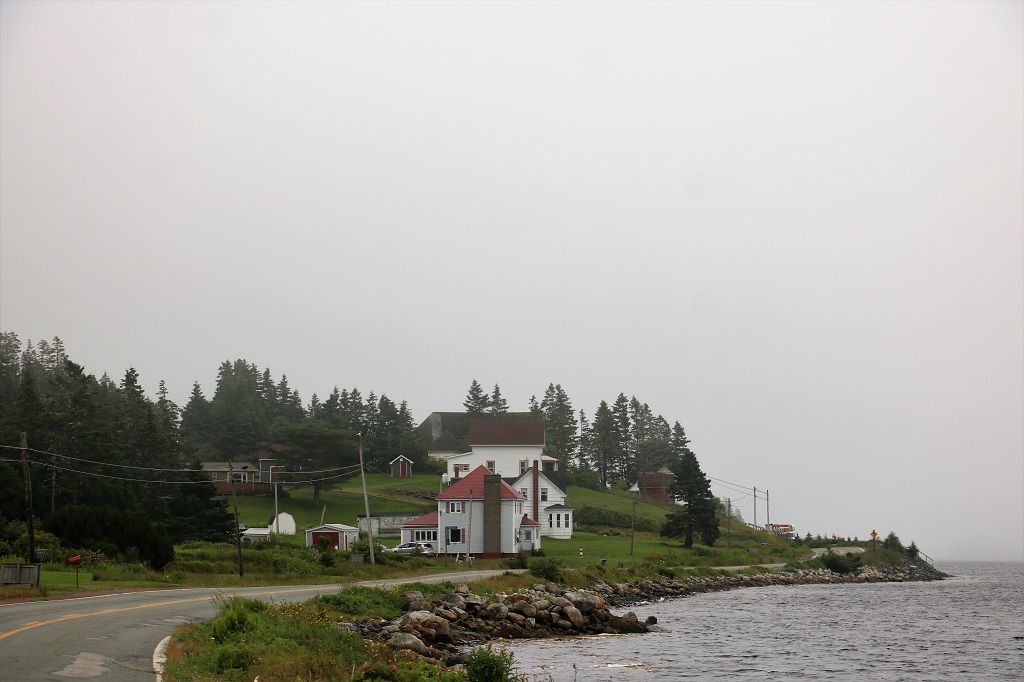
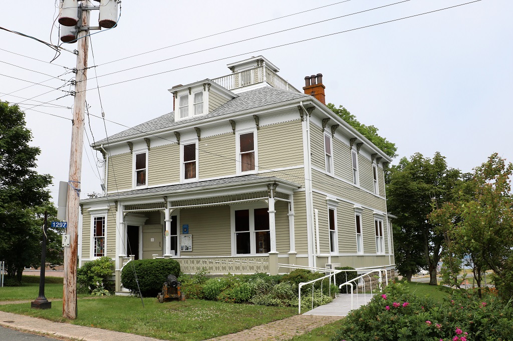
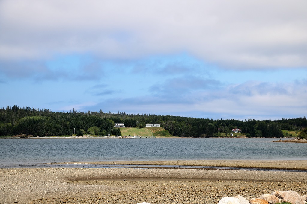
We arrived in Canso at 11:30 and we had driven through many, many little hamlets and collections of houses – one right after another – but during the entire 85 km distance from Sherbrooke I only saw one small market and not a single gas station. Where all the folks shopped and worked I have no idea. We drove a short distance off our main route to go to Canso to see the 1885 Heritage House Museum. It turned out to be more a museum in a heritage house so the rooms held collections of old things and models. It did not take us long to walk through the rooms.
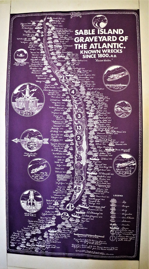
This poster was hanging in the entry hall and I am amazed at the number of shipwrecks that have occured around Sable Island. I knew it was a very flat, low island and a shipping hazard, but had no idea it was responsible for this many wrecks.
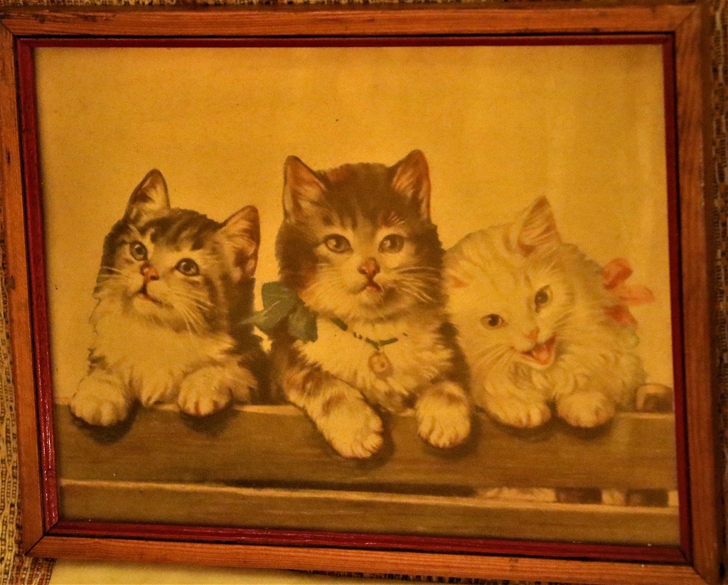
Upstairs in one of the bedrooms this picture was propped on a chair. I had the same one hanging on my bedroom wall as a child. I may still have it in a box in my attic. We also had one with three puppies on it.
We had stopped at a pub on the way into town and had some lunch, but they did not serve coffee. The guide at the house museum told us there was a little shop beside the next door post office where we could get some so we went there before leaving town and continuing our drive around Chedabucto Bay.
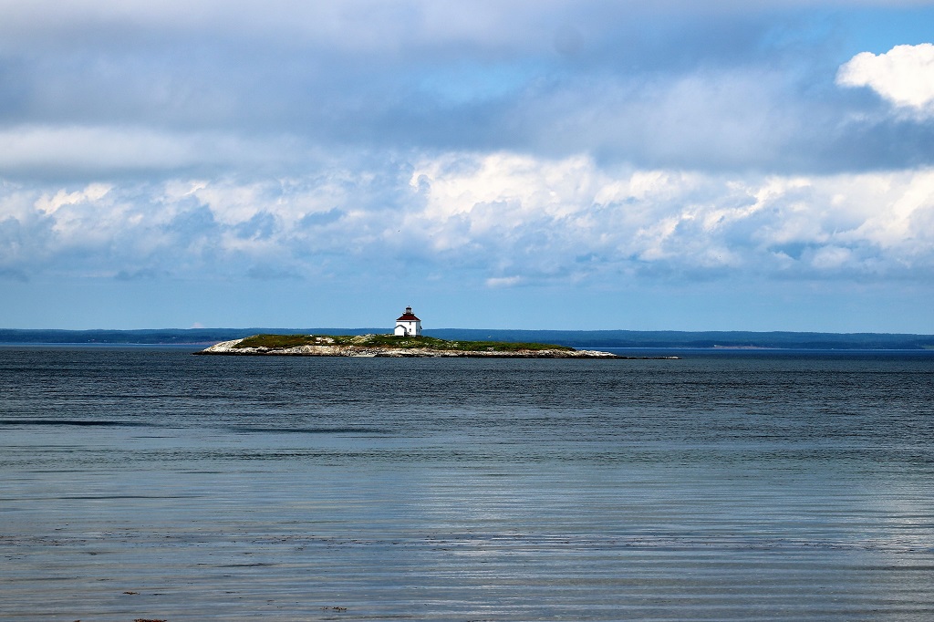
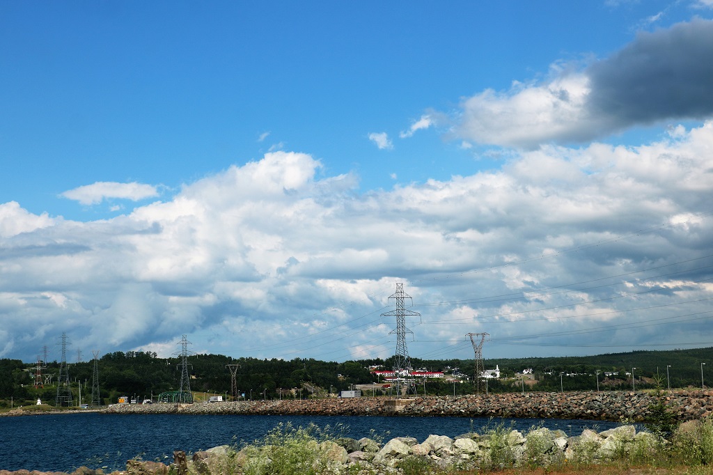
The last of the fog burned off as we were leaving Canso and the rest of our drive around the bay and across the causeway to Cape Breton Island was lovely.

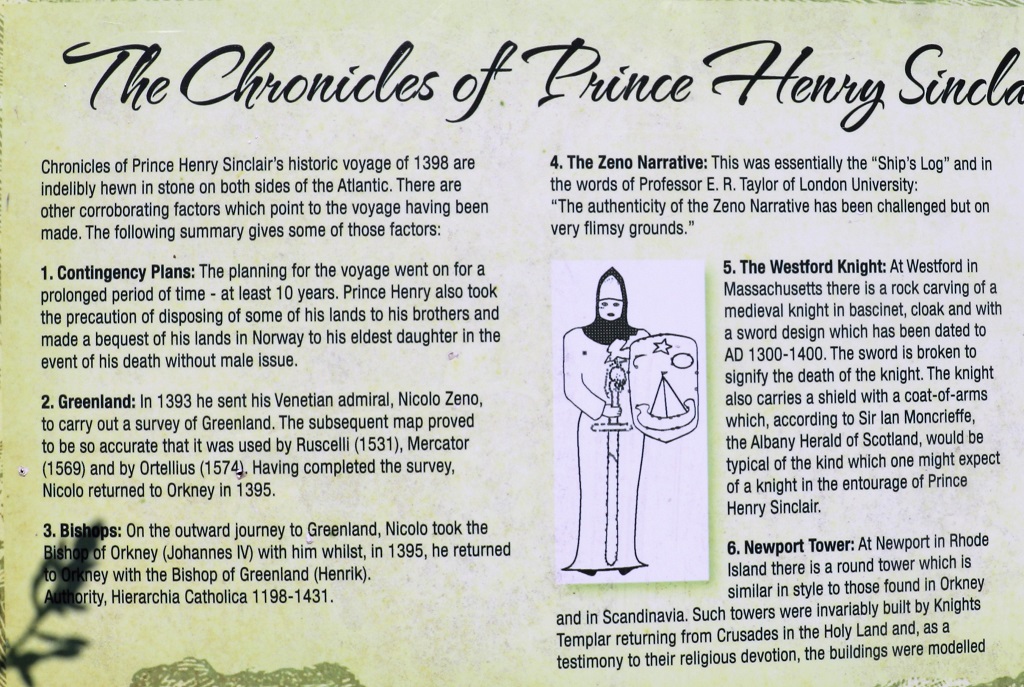
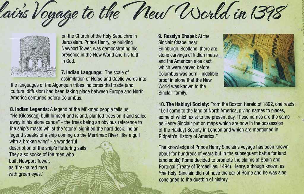
There was a pull-out along the road that had several plaques so we went in to see what they were about. Apparently, according to the Prince Henry Society of North America, Columbus did not ‘discover’ America. Prince Henry Sinclair did – and a hundred years earlier.

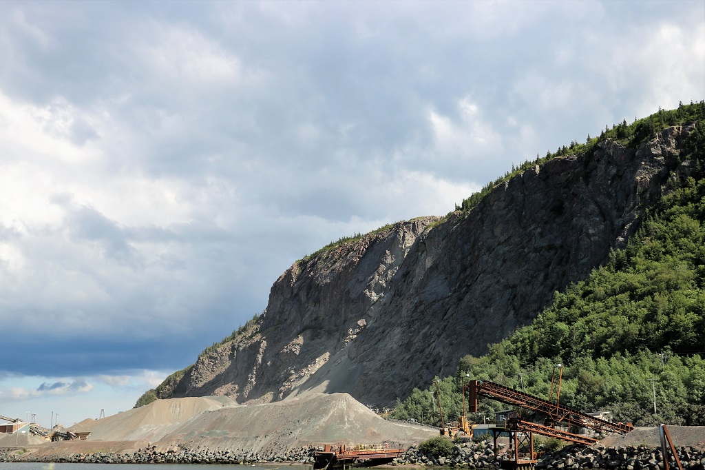
This huge cliff is at the causeway across the Strait of Canso, called the Canso Gut. which separates Cape Breton Island from the Nova Scotia mainland. The Strait is about 27 km (17 miles) long and 3 km (2 miles) wide with depths of more than 60 meters (200′). The 7,000 foot causeway was completed in 1955 and carries rail and Trans-Canada Highway traffic.

The rock used to create the causeway was blasted from quarries at Cape Porcupine on the mainland near Canso. The average charge usually dislodged 125,000 tons. The largest blast set off used a total of 3200 cases of dynamite! In total 10,092,069 tons of rock were required to close the Strait of Canso.
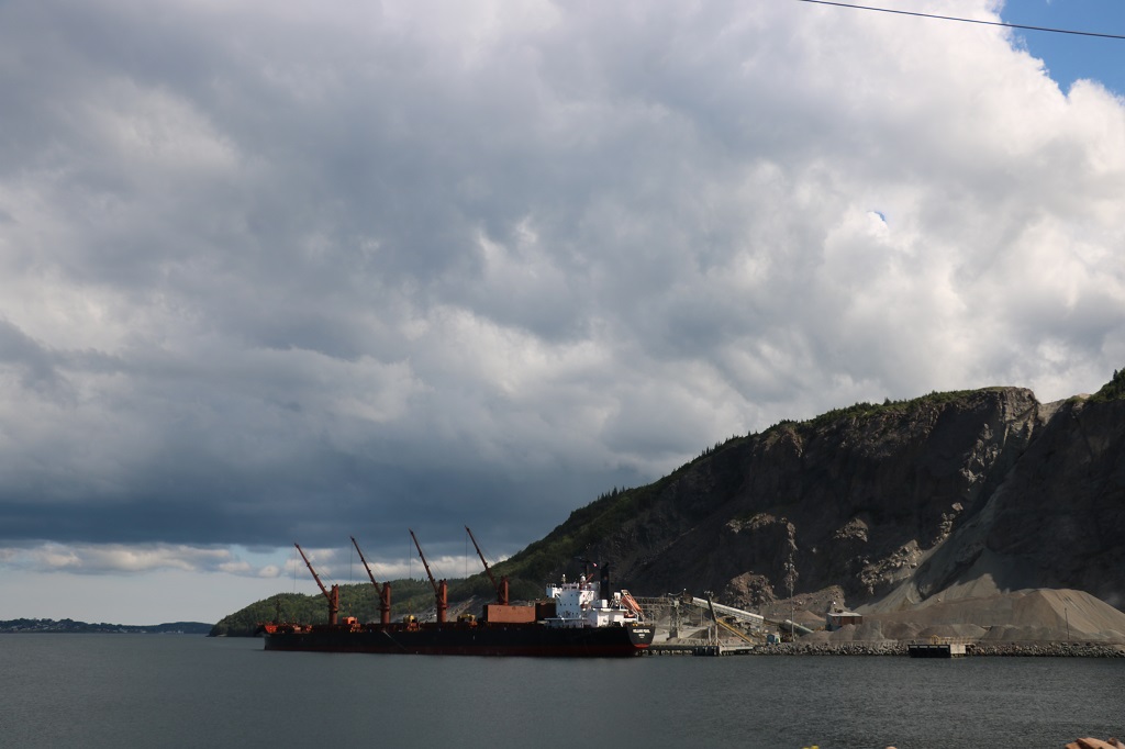
This is the deepest causeway in the world and it created a deep-water, year-round ice-free harbour. Chedabucto Bay became completely ice-free and is a deep-water port that allowed for the industrialization of the Strait of Canso. There is a huge pulp mill and a refinery and a couple of other large plants along the shore. Large supertankers can dock in the Strait without worrying about navigating around ice or being held up for days.

We are spending the night at the Dundee Golf and Country Club near West Bay at the bottom of Bras d’Or Lake and tomorrow we will drive around the large lake before going around Cape Breton the next day.
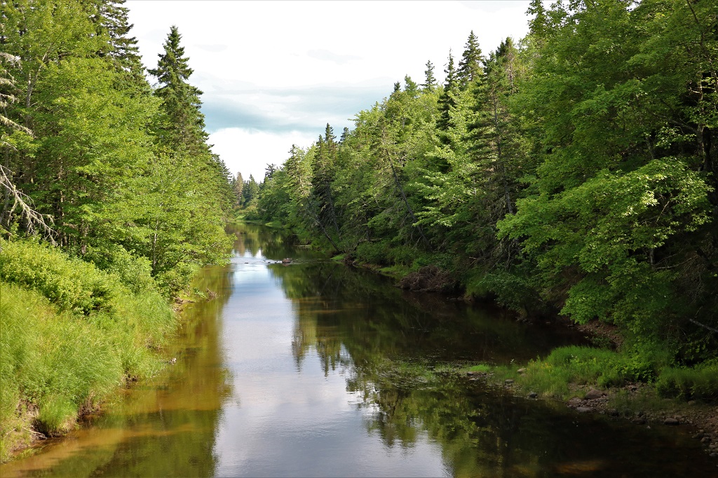
We crossed a small bridge on the way to our accommodation and since there was no traffic John stopped in the middle so we could get photos of both directions.

