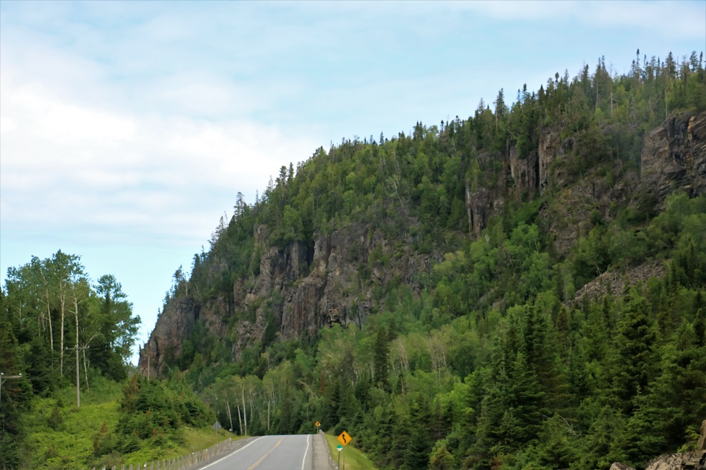
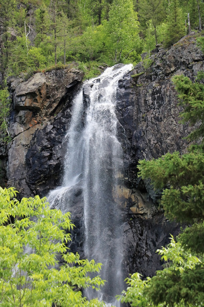
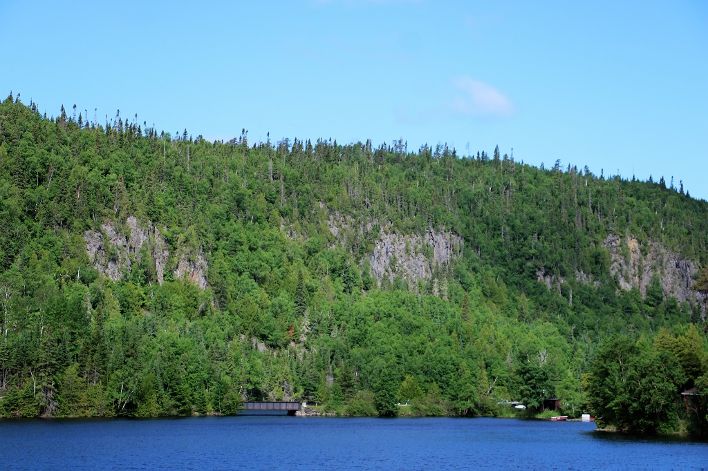
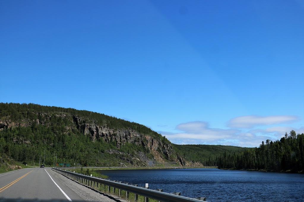
As expected today was a driving day. There are only a few small communites between Nipigon and Hearst, which are 401.5 km (249 1/2 miles) apart. But we were pleasantly surprised during our first couple of hours of travel to have some very pretty scenery. Even a waterfall! The area was very reminiscent of areas in BC. But there were no stops, except a brief one for lunch; no tours, no museums – just driving.
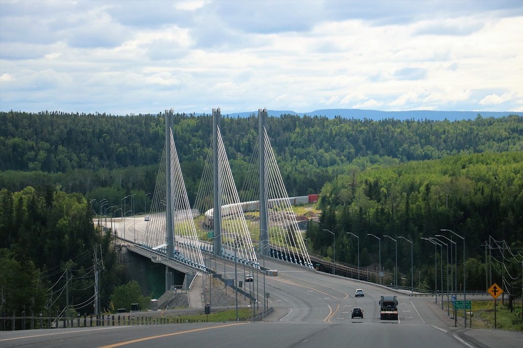
The Nipigon River Bridge. It took 3 years to build and cost $106 million. 42 days after the bridge opened in January 2016 bolts attaching the main deck failed during a winter storm causing the deck to rise two feet. The incident caused up to 1,300 trucks – carrying an estimated $100 million worth of goods – to detour each day for several weeks. The bridge partially opened to alternating one-way traffic 17 hours after it closed. The government estimates the repair work at between $8 million and $12 million. Three factors were determined to have caused the failure: First was the design of the shoe plate and its flexibility. Second was a lack of rotation in the bearing that was constructed. And third was improperly tightened bolts attaching the girder to the shoe plate. The Discovery TV’s show “Engineering Disasters” is currently filming an episode about it.
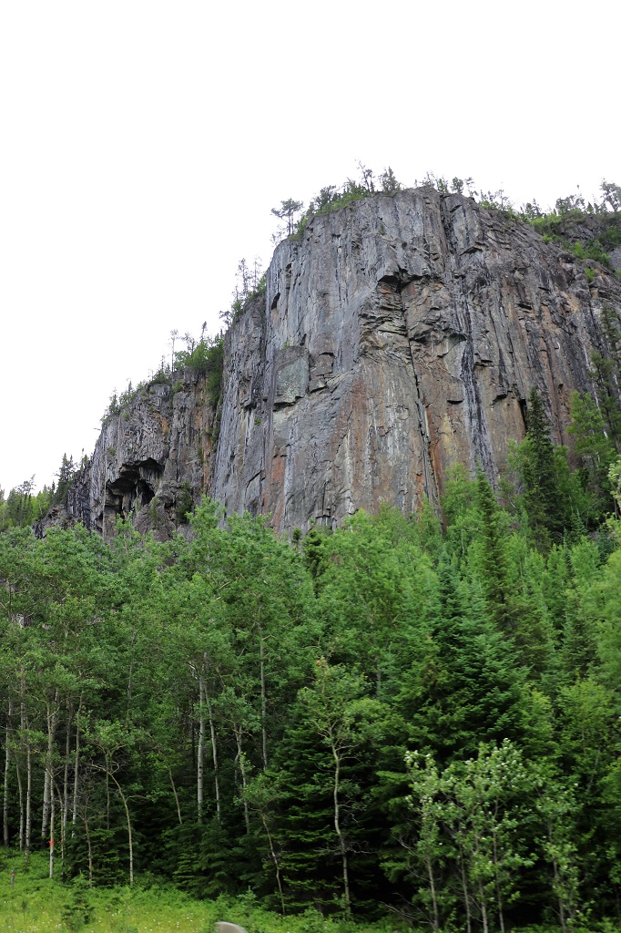
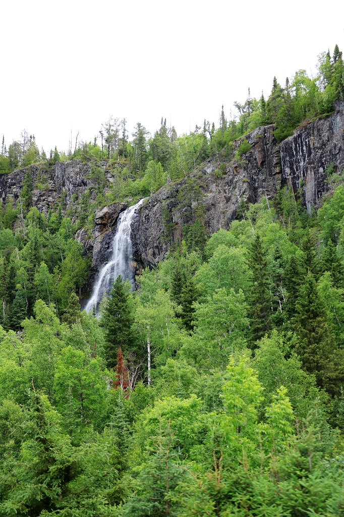
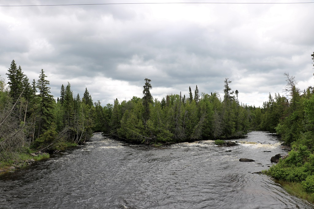
A glimpse of a waterfall caused a quick turn into an open area. There was a barely visible trail heading into the bush but it soon came to a creek that needed to be crossed on wet rocks and almost no discernable trail on the other side. This is a Provincial Historic Site but there was no information why it had that designation.

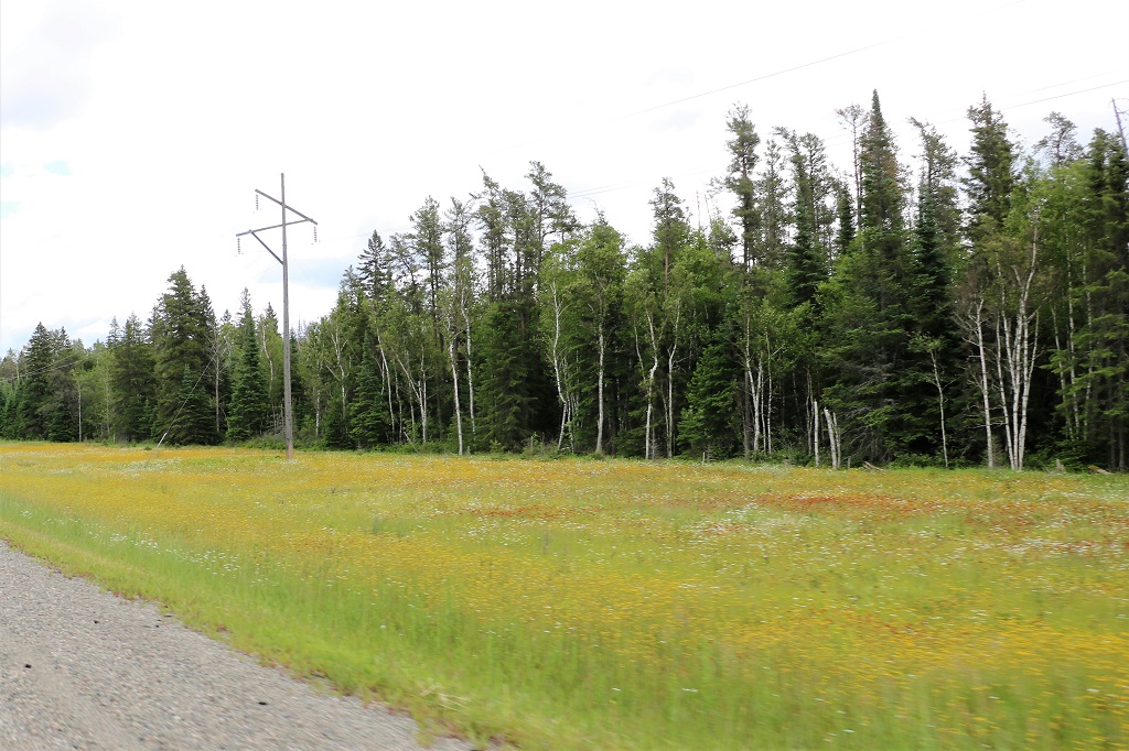
Both sides of the road for miles were covered in this little yellow flower, with some white daisies and a red weed that we have at home thrown in the mix.
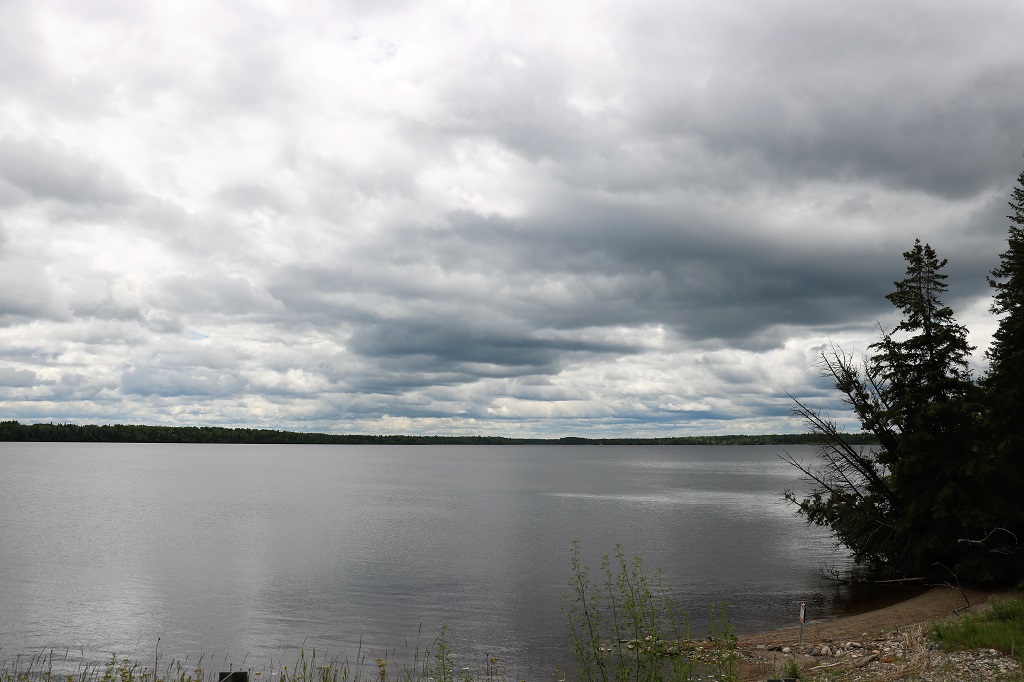
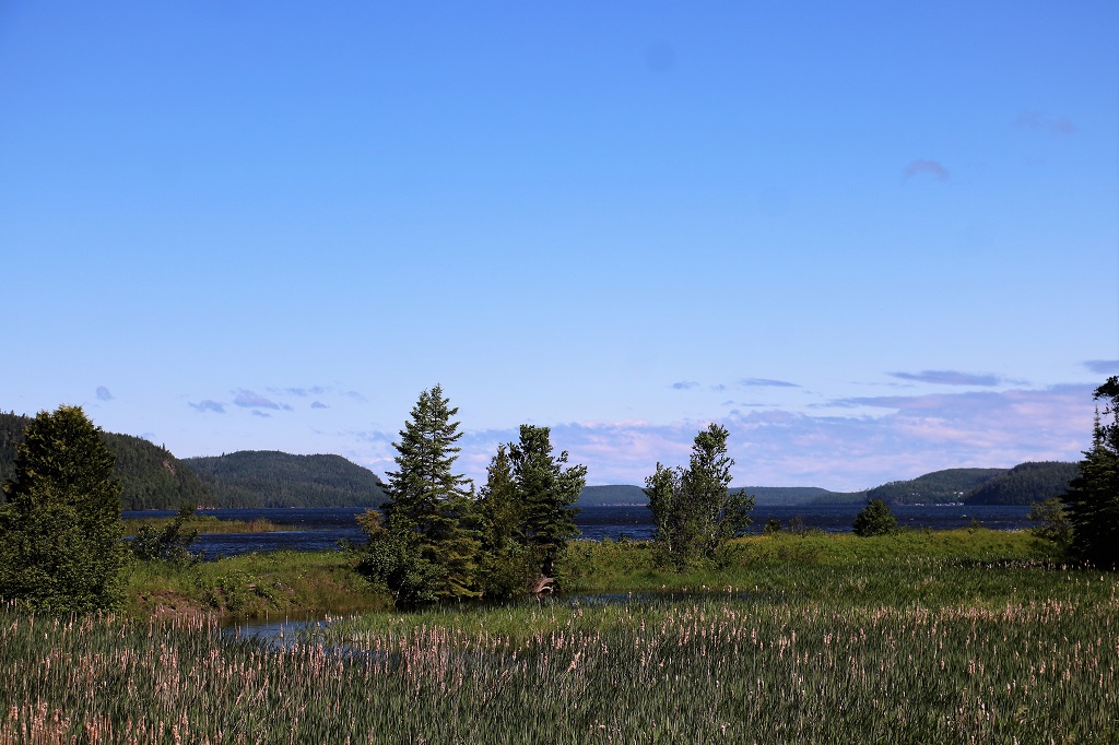
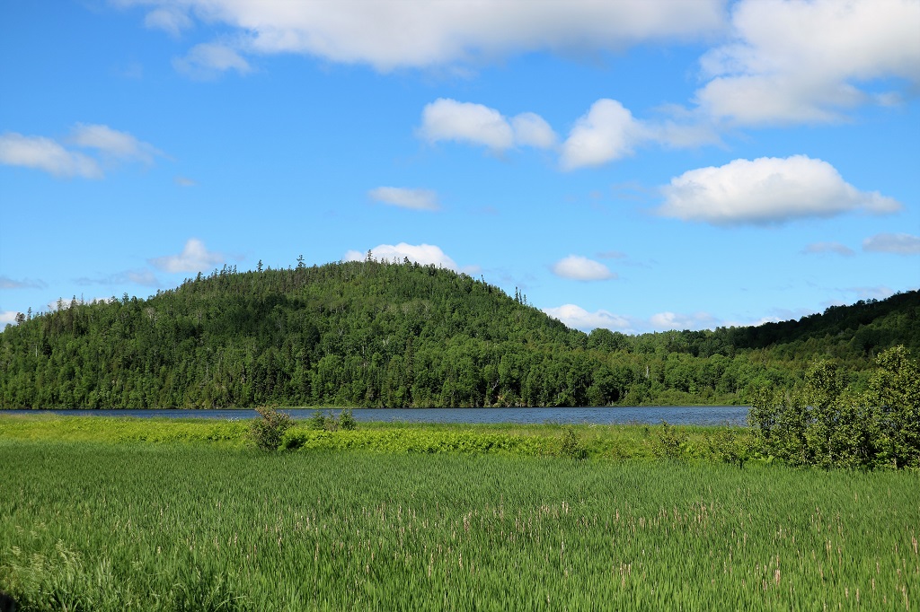
We are now driving in northeastern Ontario. North of here there are only a few hunting lodges you can drive to – on gravel roads – and some small villages accessible only by air; and lots and lots and lots of rocks, trees and water.
When I look at the map this area does not appear very far ‘north’ so I checked the latitude. Hearst, ON sits at 49.6880 and Kelowna, BC is 49.8880. Salmon Arm, BC is 50.700. Ontario’s ‘north’ is not even a quarter of the way up British Columbia and nowhere near what we consider ‘north.’ They can get snow from late September to late May but do not get lots and lots at a time – usually about an inch. November is the worst with an average of 8 1/2 inches. Temperatures get to -24 C in January.
Tomorrow will be another driving day, not quite so long – only about 3 hours – to Timmins, which was a gold mining town. You used to be able to have a mine tour but a mining company purchased the land and the tours have been closed for almost 10 years now. Rats. I wanted to do that. Maybe we can do a silver mine tour at Cobalt the next day. Here’s hoping.
