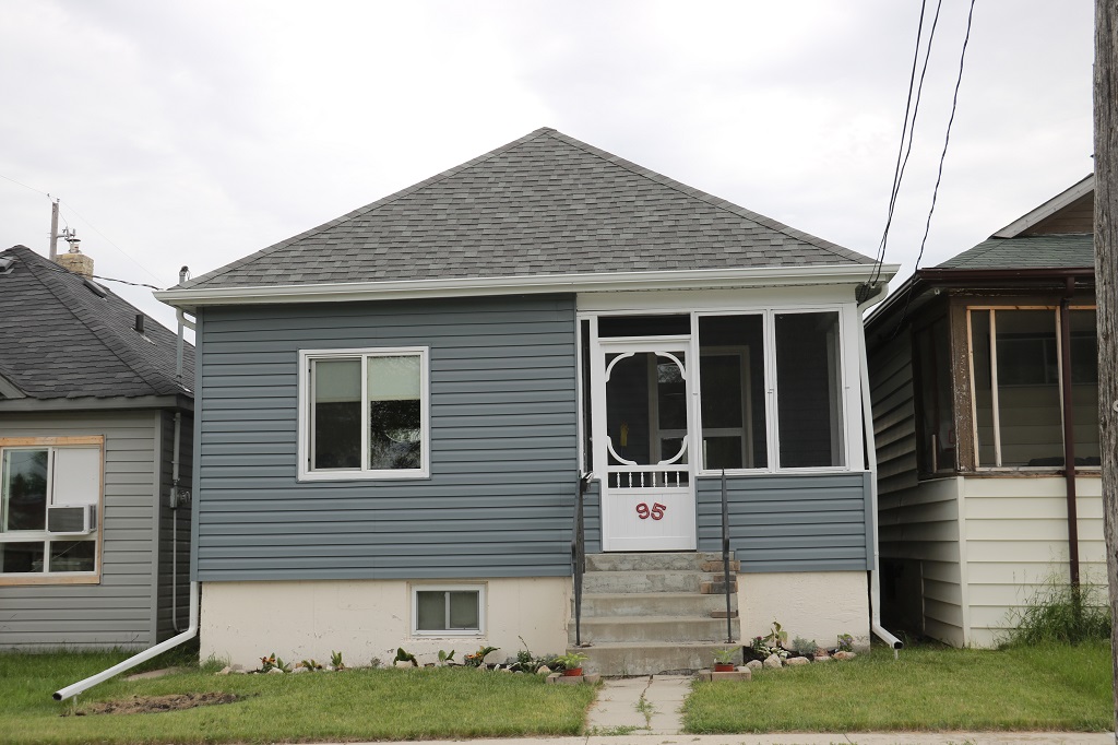
Before we left Winnipeg we drove to 95 Figaro Street to see the house that my grandparents Catherine and William Young lived in before they died in 1935 and 1936. It has obviously been recently updated but looked very similar to the house my mother lived in later with her foster parents (the couple I knew as Grandma and Grandpa) George & Nellie Isaac on Martin Avenue. We had found that house on our 2014 trip.
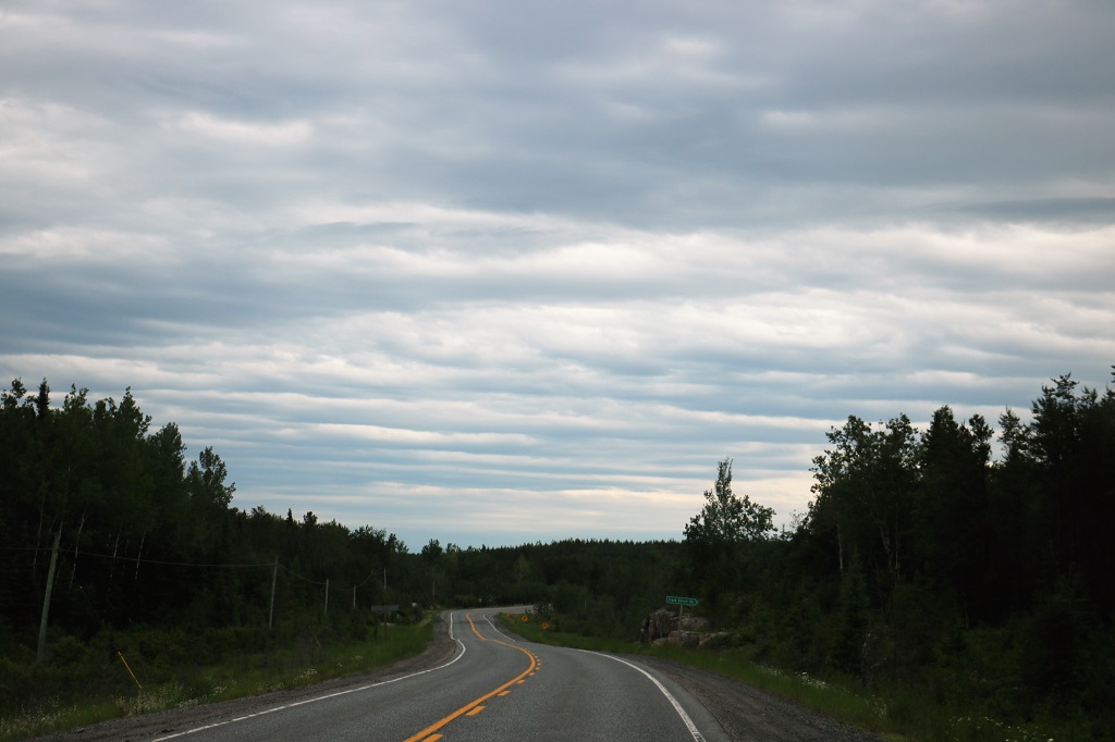
Today was pretty much as expected; mostly driving past trees, rocks and water.
We left Winnipeg and headed east toward Kenora, Ontario. 20 minutes east of Winnipeg we passed the longitudinal center of Canada.
There was a short stop at Falcon Lake for lunch which we ate in the truck as a cold wind was blowing all day and the sky was overcast.
Falcon Lake is near the boundary of Whiteshell Provincial Park.
Not long after we were on the road again John said the trip odometer turned over to 5,000 km. We entered Ontario at 12:40.

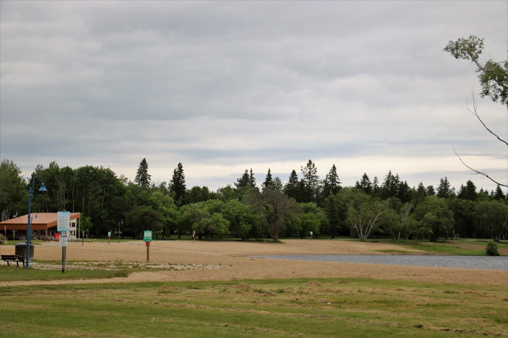
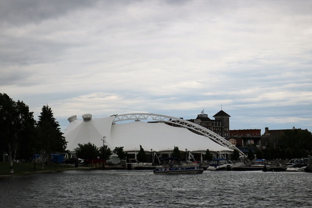
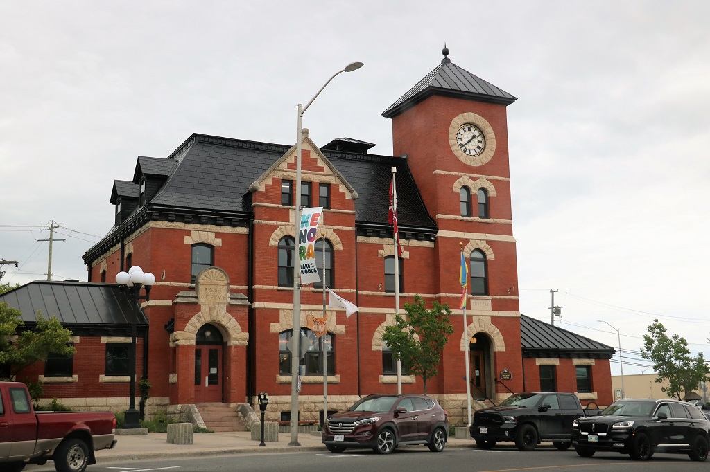
Gasoline at Kenora was $2.24 per liter. We stopped at the Visitor’s Center for a bathroom break and to check out the area brochures.

This lovely glass ceramic canoe was on the lawn at the Kenora Visitor’s Center. The plaque says, “The canoe reflects the Path of the Paddle Waterway Trail from Wabigoon Lake (Dryden), through Eagle Lake (Vermillian Bay), Winnage & Teggau Lake systems to Dogtooth Lake (Rushing River Provincial Park), Lake of the Woods (Kenora), and Winnipeg River to the trail end at Whiteshell Provincial Park.

At the Kenora Visitor’s Center
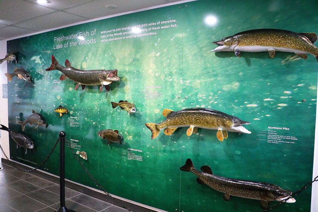
Inside the Visitor’s Center was this wall showing the different species of fish that can be caught in the area’s lakes.
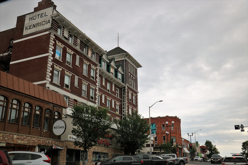
Did I mention there was a cold wind blowing all day? These are pics I took driving through Kenora.

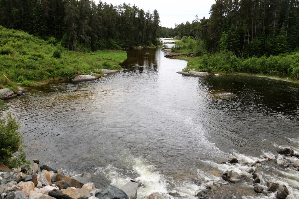
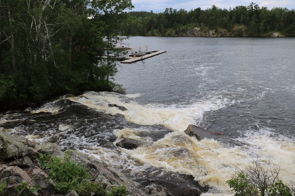
We drove over a bridge and thought the river looked pretty so John turned the truck around and parked in the Rushing River Provincial Park Campground driveway and we walked over to take some photos.
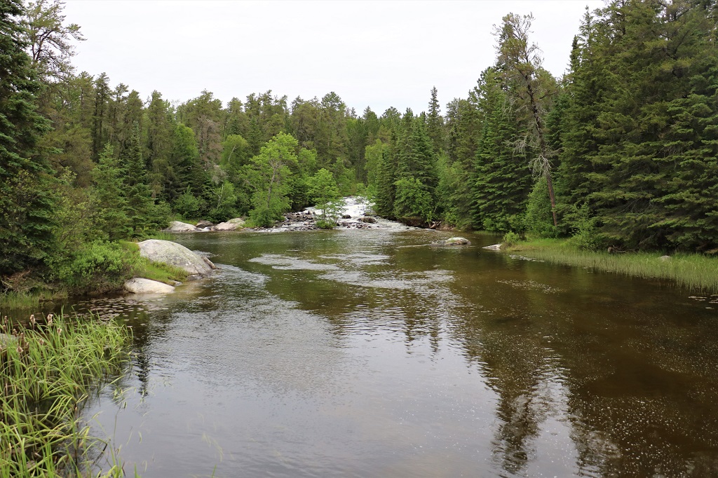

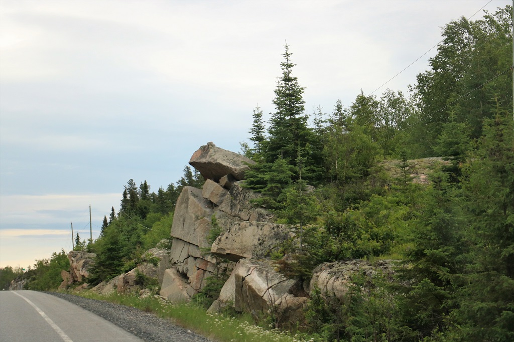
These are the sorts of rocks we drove past between ponds and lakes and forests of thin trees.


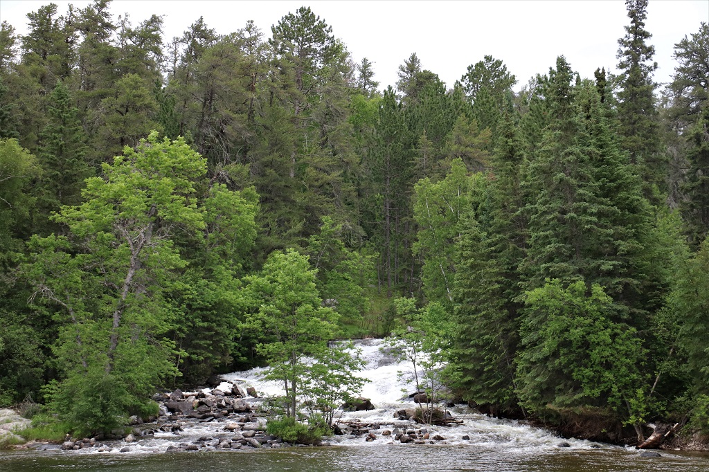
We made another short photo stop at Nestor Falls.
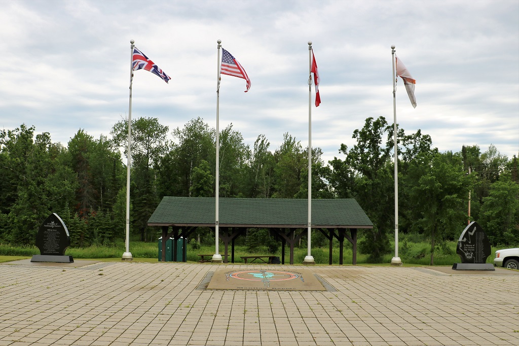
Manitou Rapids Ojibway First Nations had this lovely memorial to all of the veterans who served.

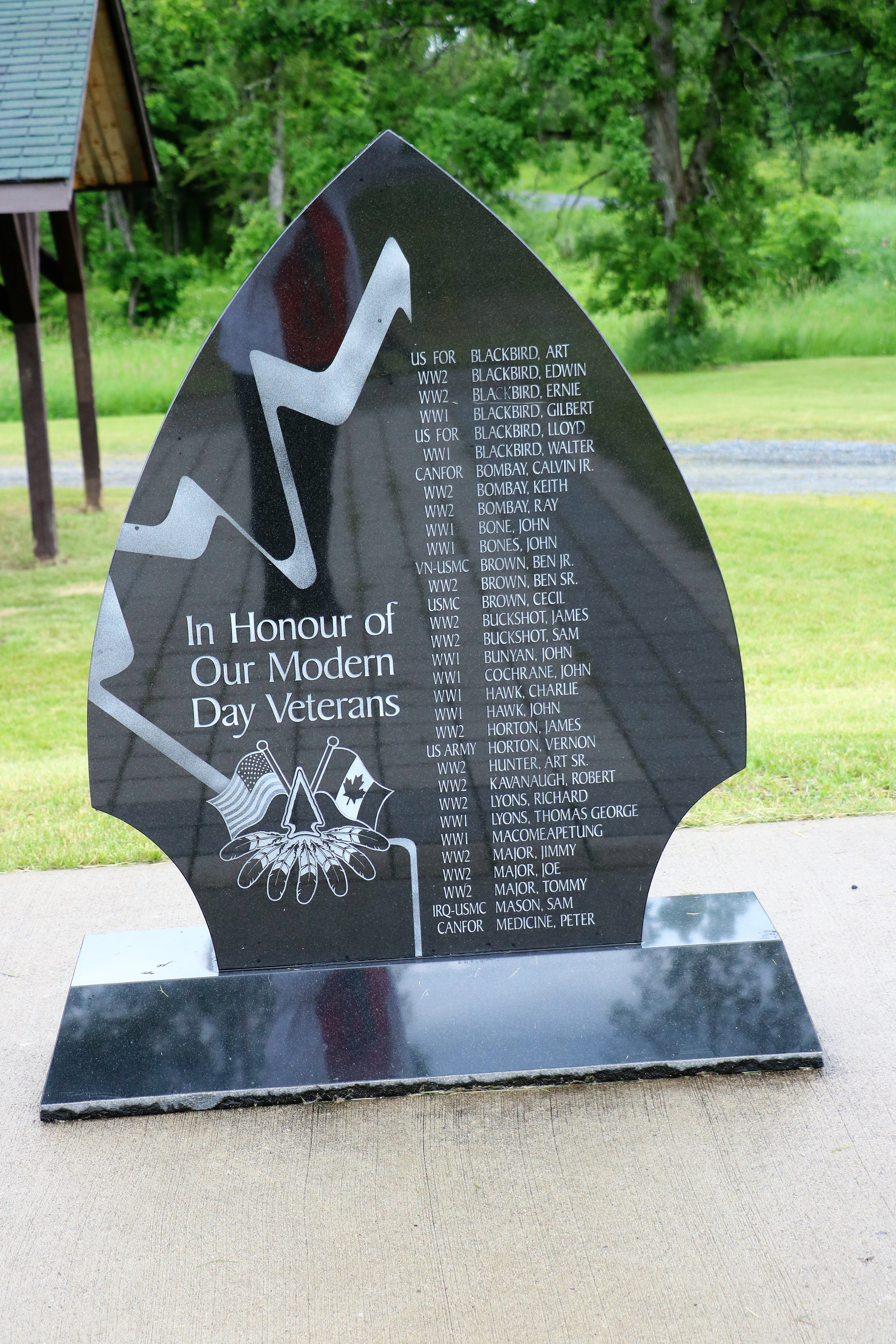
There were a few more names on the back as well.
A short distance past the memorial we turned off Highway 17/Trans-Canada #1 onto Highway 71 and went south to Fort Frances. We arrived at 5, settled into our hotel and walked to the nearby restaurant for dinner.
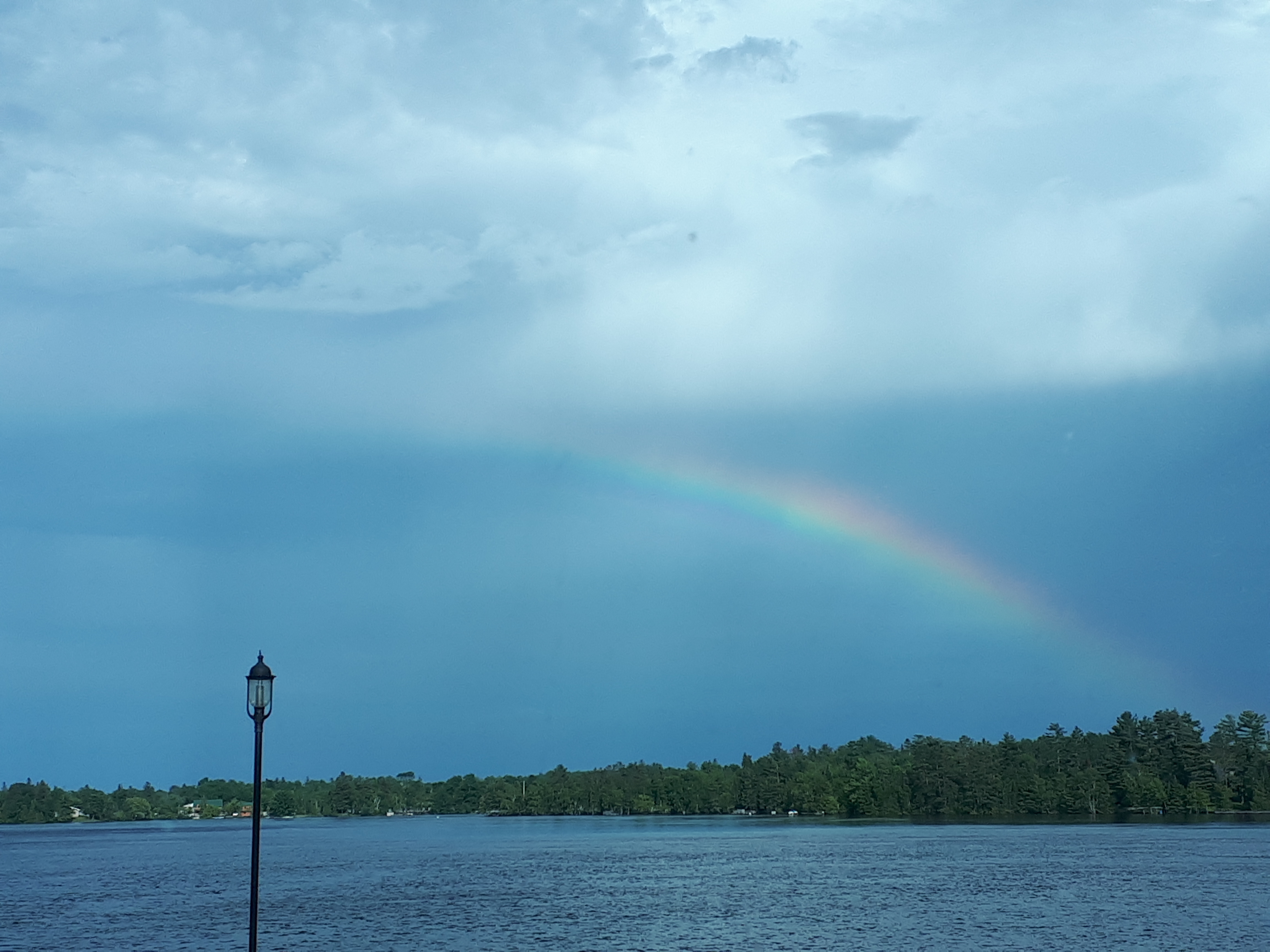
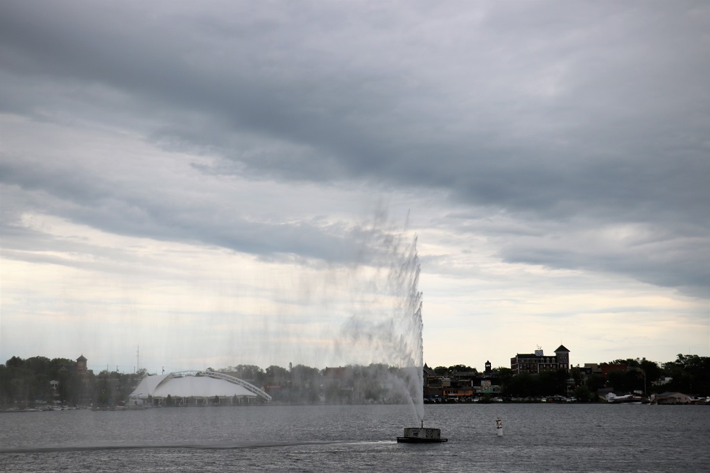
We saw this pretty rainbow as we were eating. This is Rainy Lake and on the opposite shore is International Falls, Minnesota. Apparently there are boats and drones that patrol the waterway between the countries. Our server had never heard of any problems with people sneaking across. She thought you could get a pass that will allow you to go have dinner or shop at specific places across the border.
Tomorrow will be another driving day. We have a four hour drive to Thunder Bay on the northern shore of Lake Superior. Lake Superior is the largest of the Great Lakes of North America, and among freshwater lakes, it is the world’s largest by surface area and the third-largest by volume. It holds 10% of the world’s surface fresh water.
More rocks, trees and water, but the road south to Fort Frances and tomorrow’s route to Thunder Bay are new to us, so I guess it will be different rocks, trees and water.
