We left Cold Lake under sunny skies at 10:20 this morning and arrived at our hotel in North Battleford at 6:20. It is normally about a 3 hour drive from one place to the other and we really did not intend to take as long as we did to reach our destination. We just ended up wandering around some back roads trying to find the road to the historic Fort George & Buckinghmam House fur trading forts.
I had a route planned to follow today, but I looked closer at one of my map books and saw two historical sites that were not a large distance out of our way and since we had lots of time we decided to go with Plan B and check them out. So instead of heading due east out of Cold Lake we headed SW to Bonnyville. From there we were to take one of the numerous Range Roads that criss-cross the prairies and get to the location of the forts. Sadly our maps were not detailed enough and the Alberta Government seems to think everyone knows where all the roads lead so has not posted very good, if any, directional signs at intersections.
But we were not terribly put out as this was to be a backroads type of trip anyway, we just did not plan to see quite as many of them today as we did.
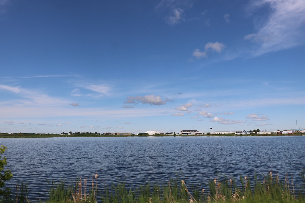
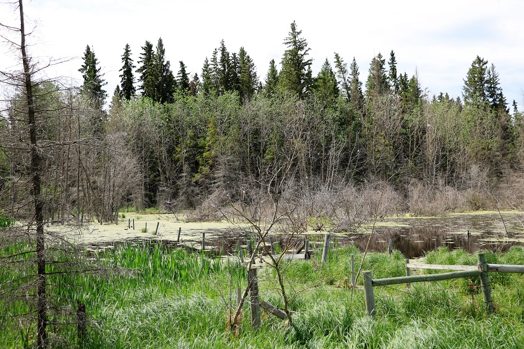
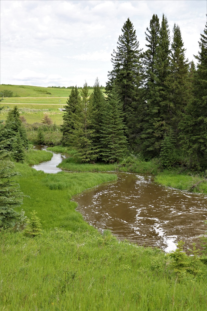
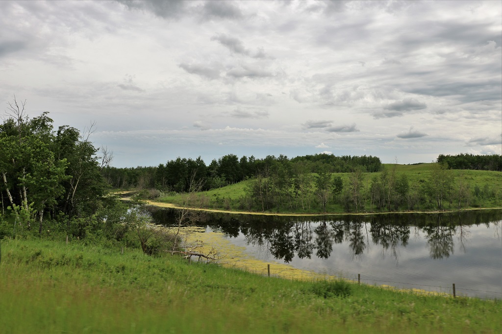
There are sizable lakes and ponds all over the place in these parts of northern Alberta and Saskatchewan.
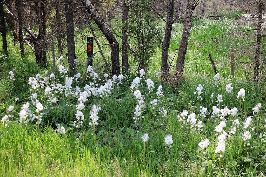
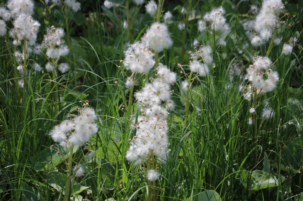
John saw this patch of white fluff and turned the truck around so we could get a photo of it. I don’t know what the plant is, but it certainly had a lot of seeds to blow in the wind.
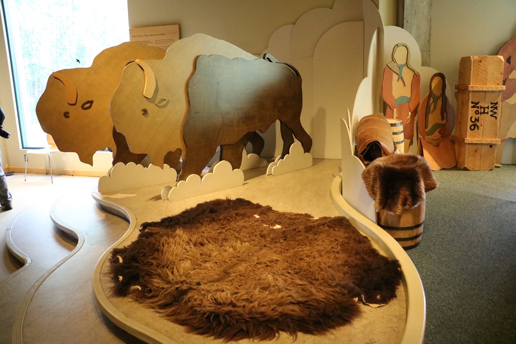
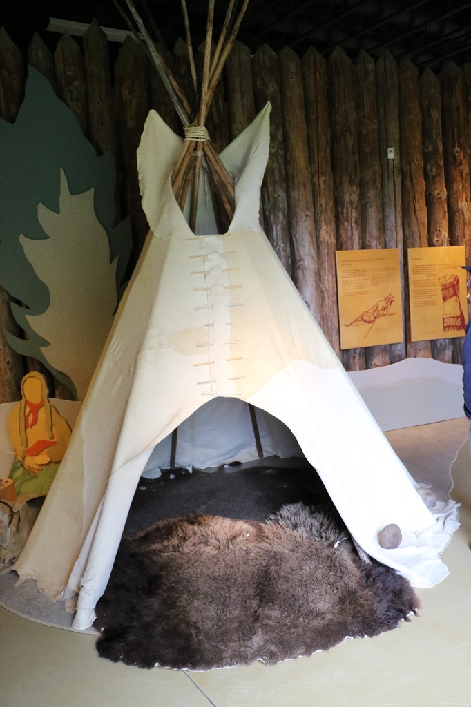
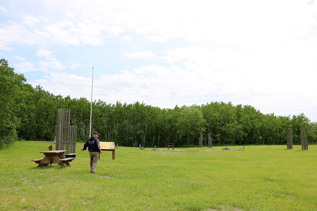
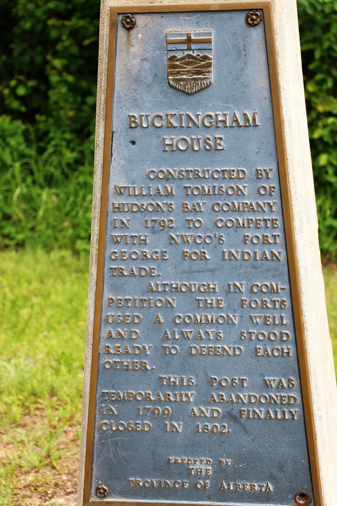
We finally found our way to the forts and walked through the interpretive center before following the path to the former sites of the forts run by the North West Company (French) and the Hudson’s Bay Company (British).
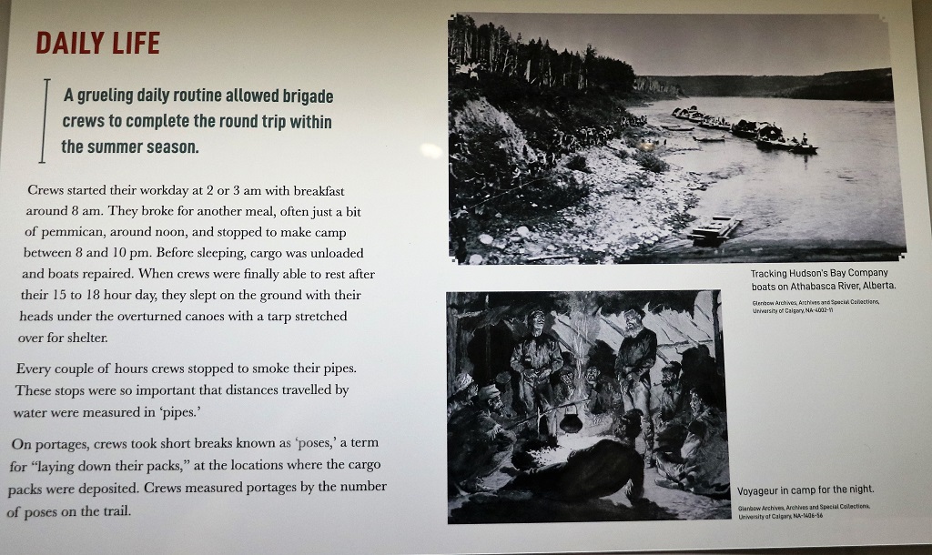
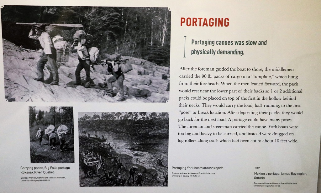
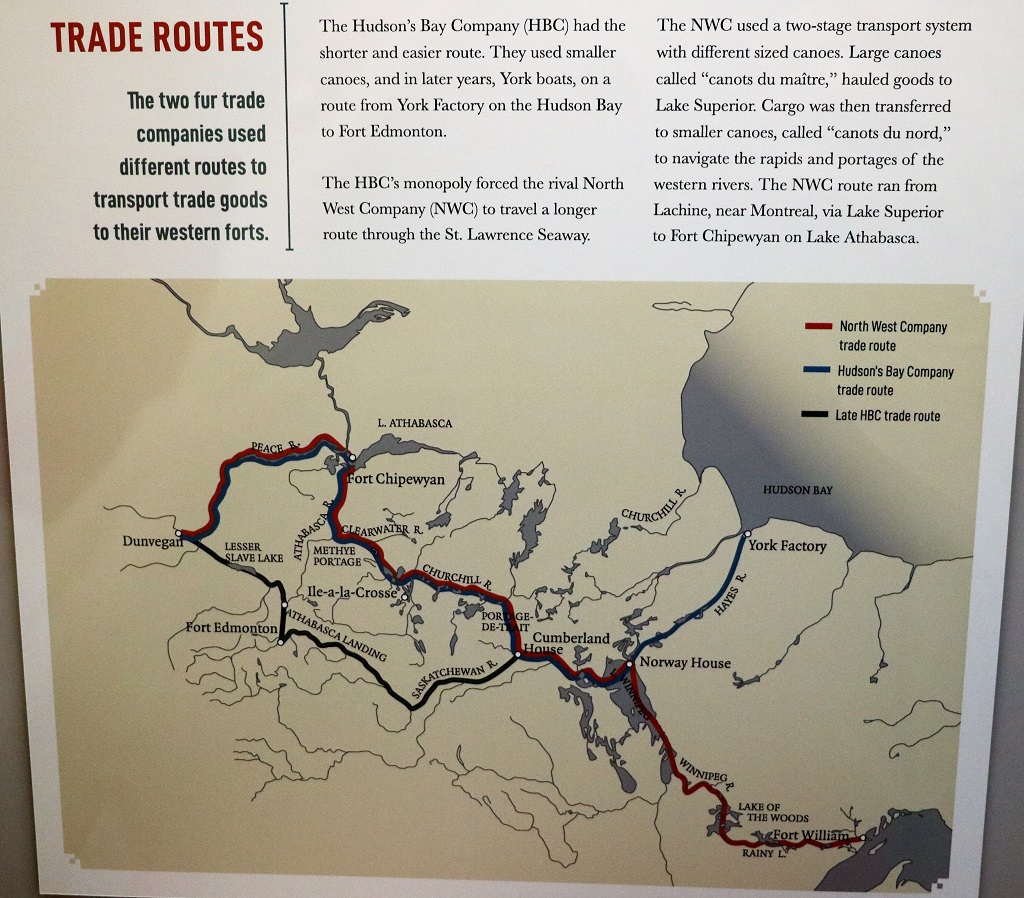
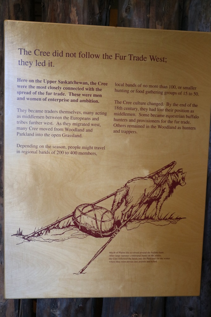
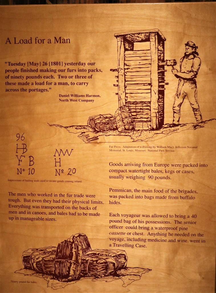
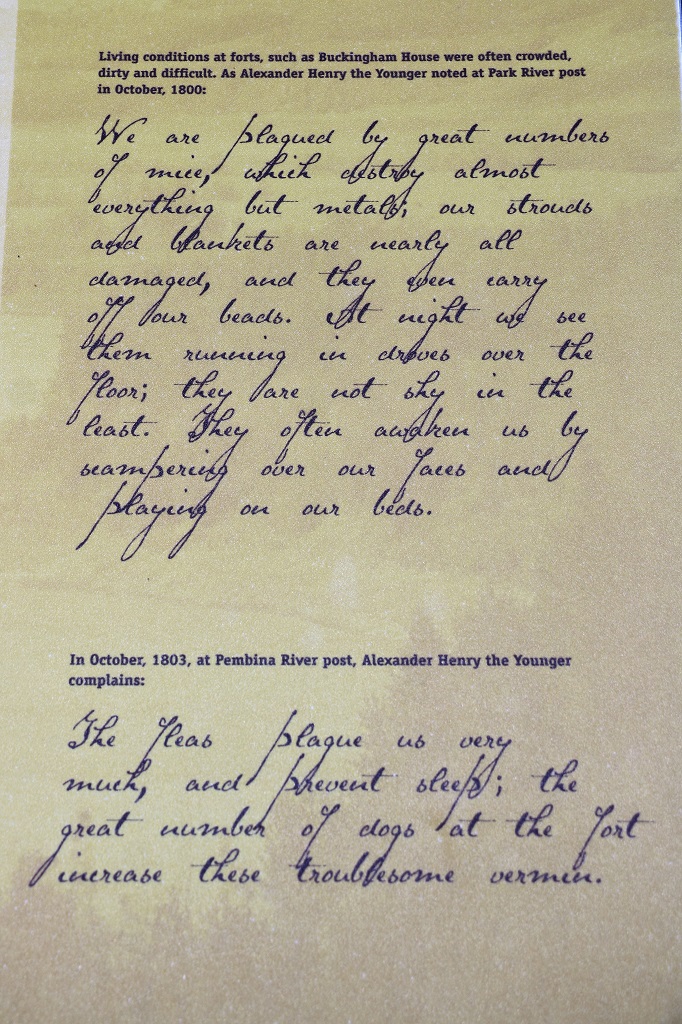
There was lots of interesting information on the placards in the interpretive center but I have chosen only the ones that talk about the fur trading and left off all the descriptions of the forts, etc. Not nearly so many information pics today. (Thank goodness you all say.)
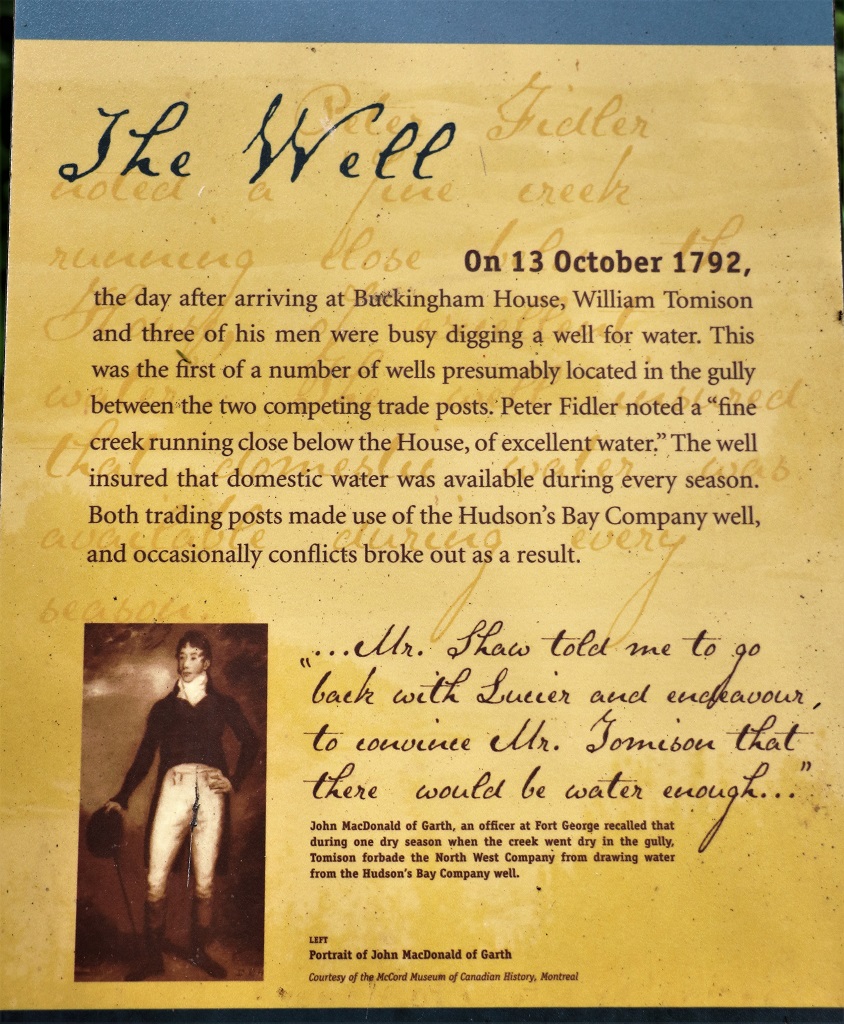
In 1792 North West Company and Hudson’s Bay Company pushed the fur trade west along the North Saskatchewan River and built competing forts at this site.
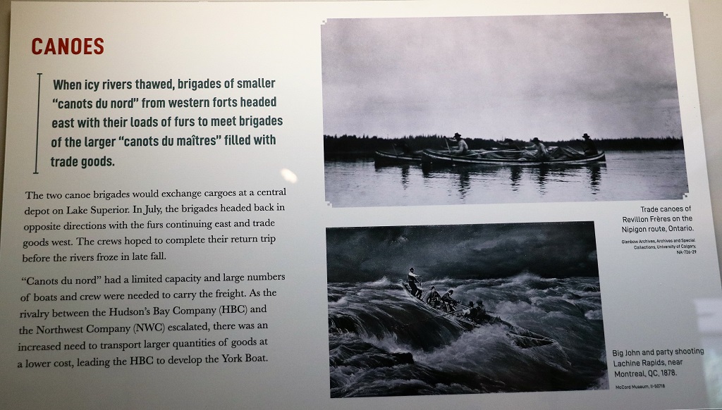
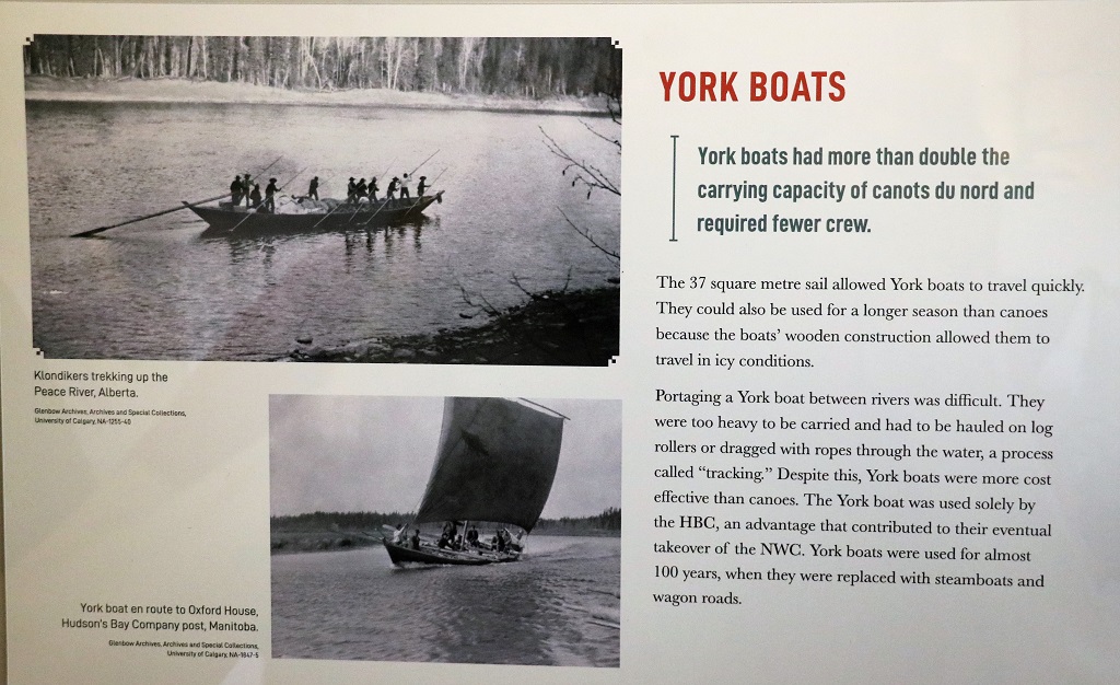
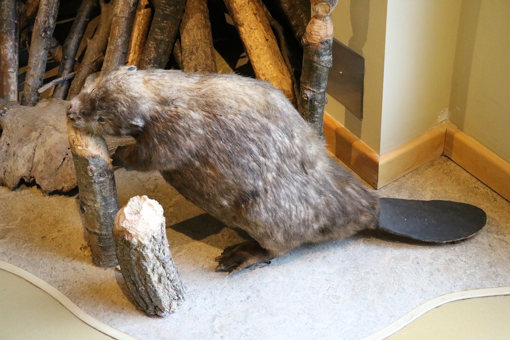
Beaver pelts were used as currency during the fur trade years. Goods were traded by value according to the number of beaver pelts it took to purchase them. If you have ever seen one of the famous Hudson’s Bay blankets you may have noticed some lines extending in from the edge of the upper corner. Whatever number of lines are stitched into it tells the number of beaver pelts you would need to trade to buy that blanket.

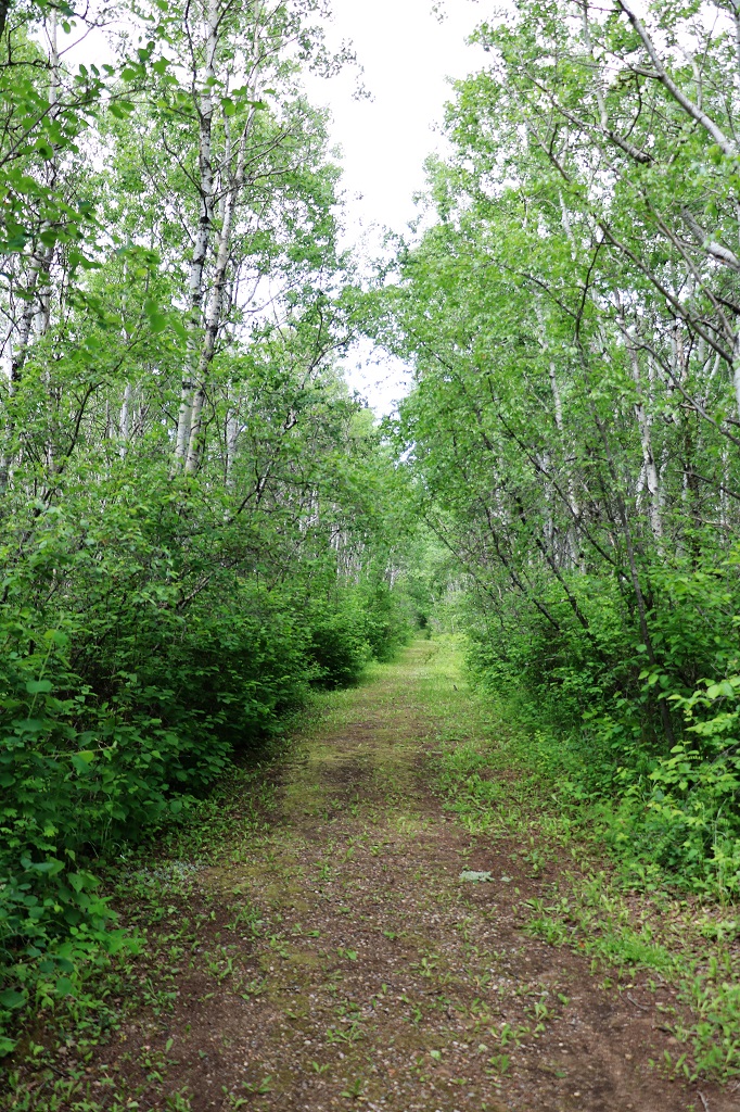
It was a nice walk through the woods to the site of Fort George. It was quite a bit larger than the Hudson’s Bay’s Buckingham House fort. The forts were major trading centers for about 8 years. Fort George was abandoned in 1802 and burned to the ground sometime before 1809. There have been extensive archaeological digs at both sites.

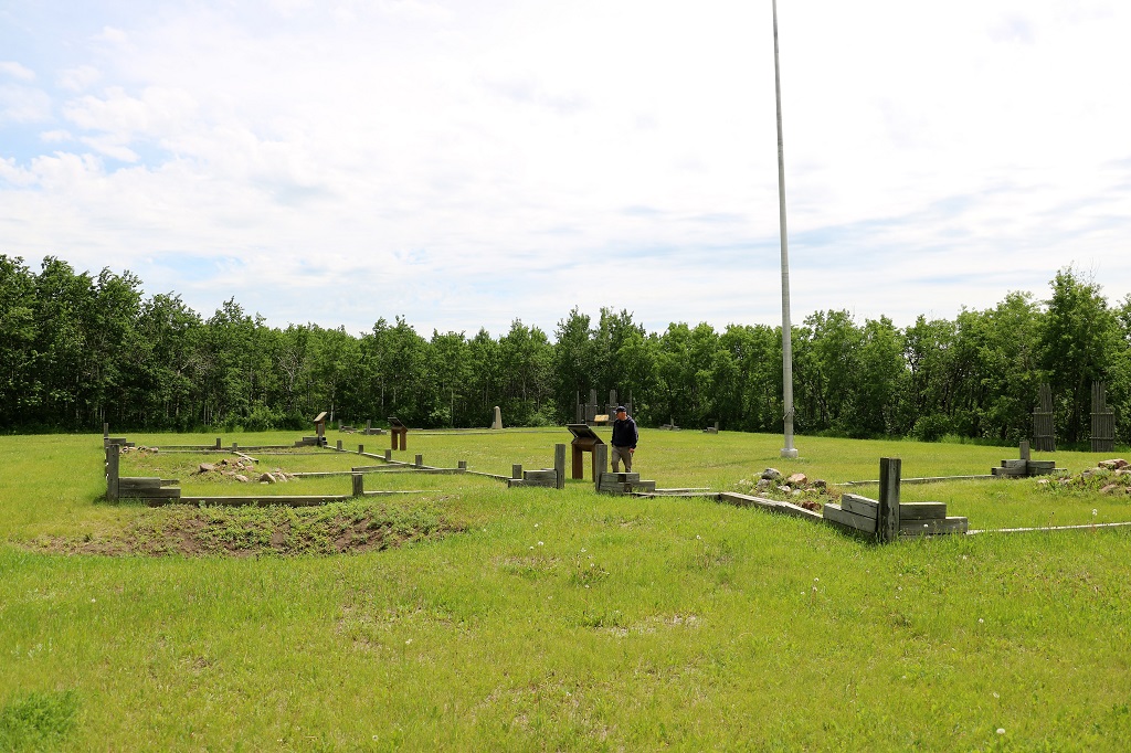
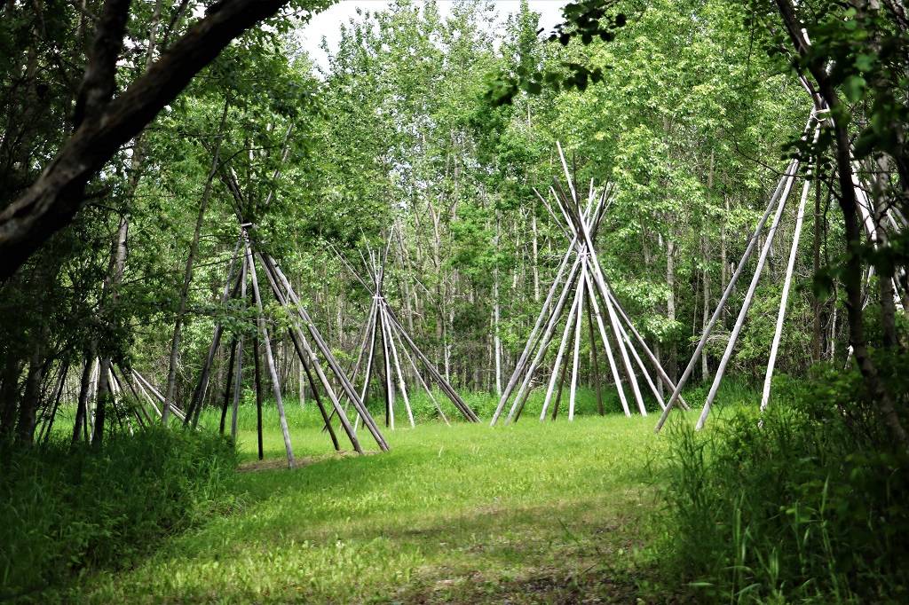
The two forts were only about 500 meters from one another and in between they built what they called “The Plantation”, where they erected tepees to provide lodging for the aboriginal traders to stay in while conducting business at the forts.
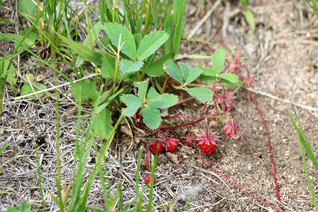
The Buckingham House site had a large patch of wild strawberries and there were quite a few ripe ones so we enjoyed a nice treat.
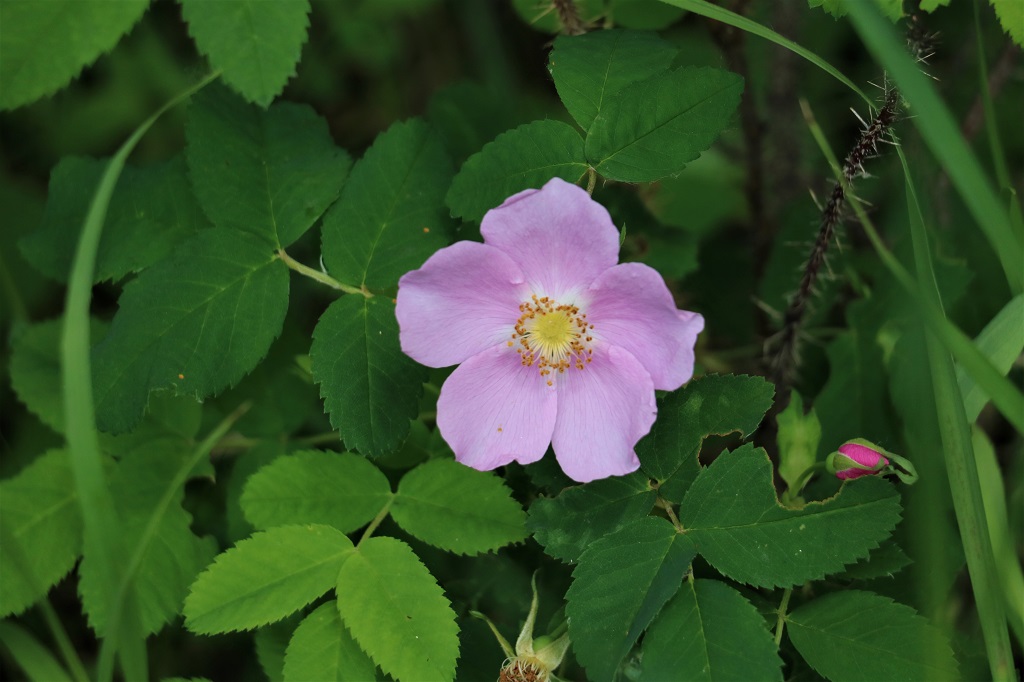
The Alberta Provincial flower – the wild rose.
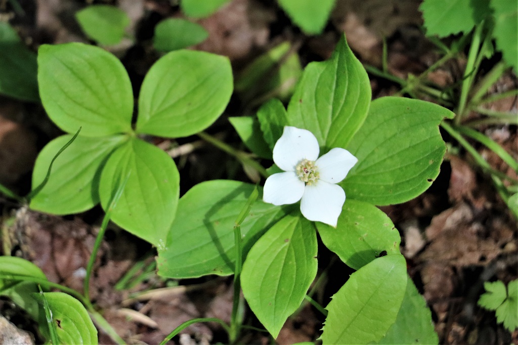
Bunchberry

Canada Mayflower. This may be a delicate, small blossom but the perfume in the air was lovely as you walked past the patch on the trail.
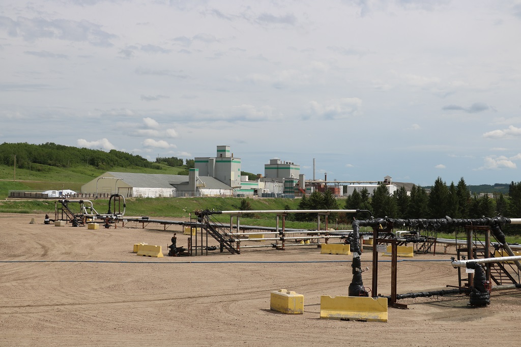
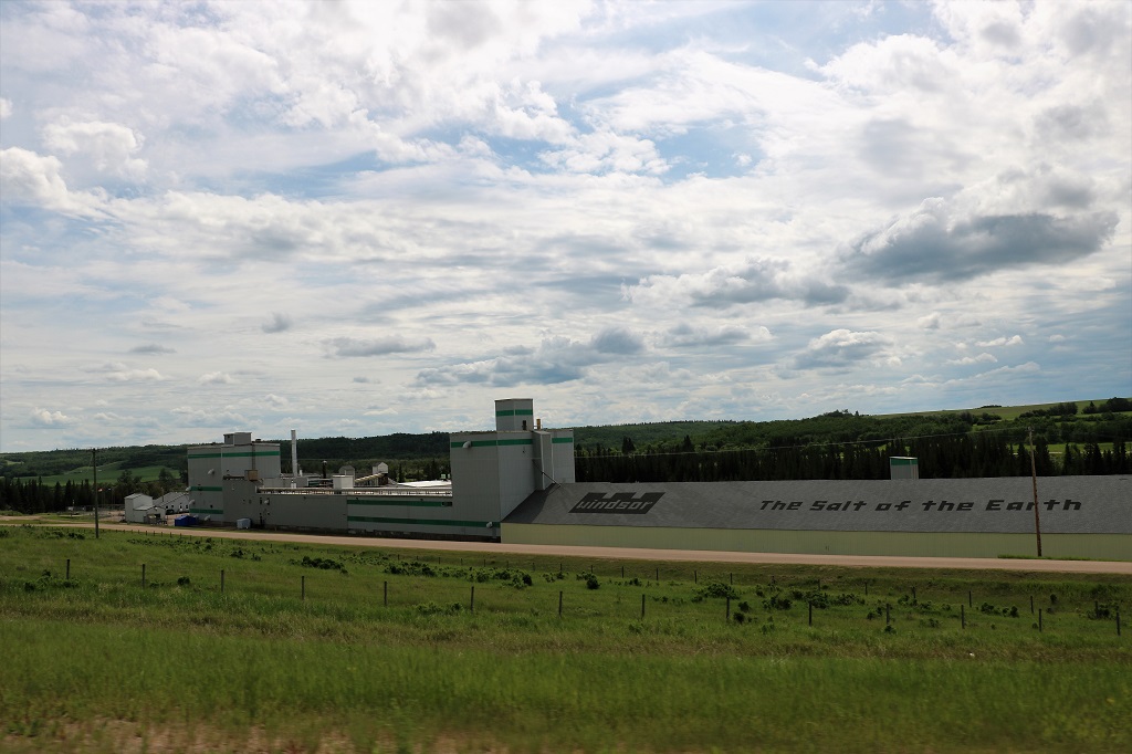
We made a short stop to find an Earthcache at the Windsor Salt Works near Lindbergh. The informatin on the Earthcache said: “Most of the Windsor-brand table salt that we use to season our food is actually not mined in Windsor, ON, but in Lindbergh, Alberta. This mine produces about 400 tonnes of rock salt per day.
In 1946 companies drilling for oil and gas accidently discovered a thick bed of rock salt. The deposit is located 1100 meters below the plant. They draw nine million liters of water per day from the North Saskatchewan River and then pump it down wells to the salt beds. The water warms as it descends, dissolves the salt and is then pumped up another well. Each 10 liters of water carries over 2.75 kilograms of salt, which is pumped into large pans and steam-heated in evaporators until 99.8 per cent pure salt is left. The Windsor company believes there is enough salt beneath Lindbergh to last another 2000 years.”
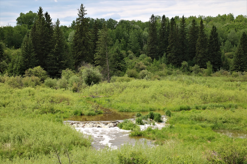
There was a pretty little creek that ran on both sides of the road where we stopped to find the Earthcache.
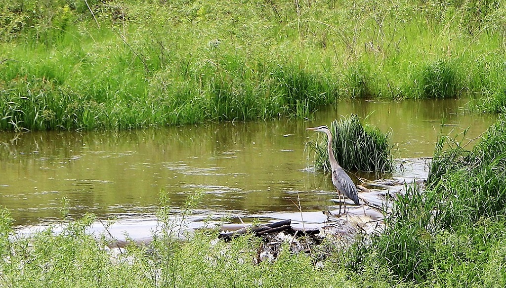
There were two lovely herons at the creek. I didn’t get a picture of either of them, but John got this nice shot of one.
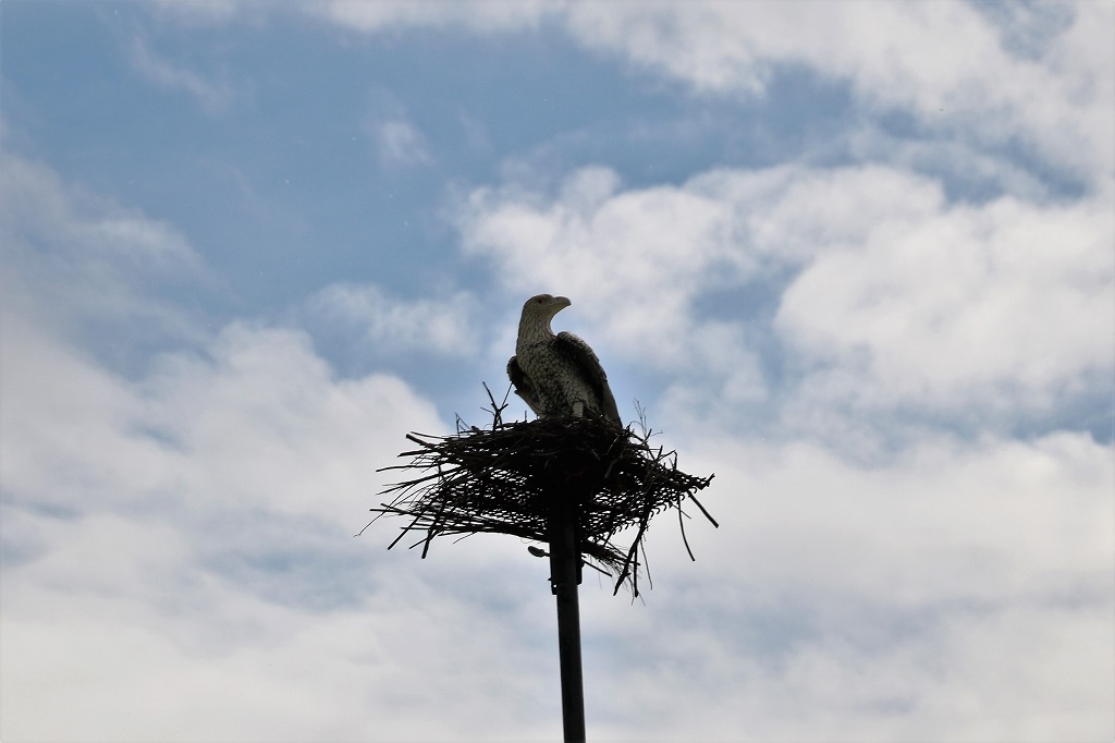
This fake eagle was atop a very high pole beside the road. No idea why there would be a need to do this, but there must be one. It would not have been cheap or easy to erect this.
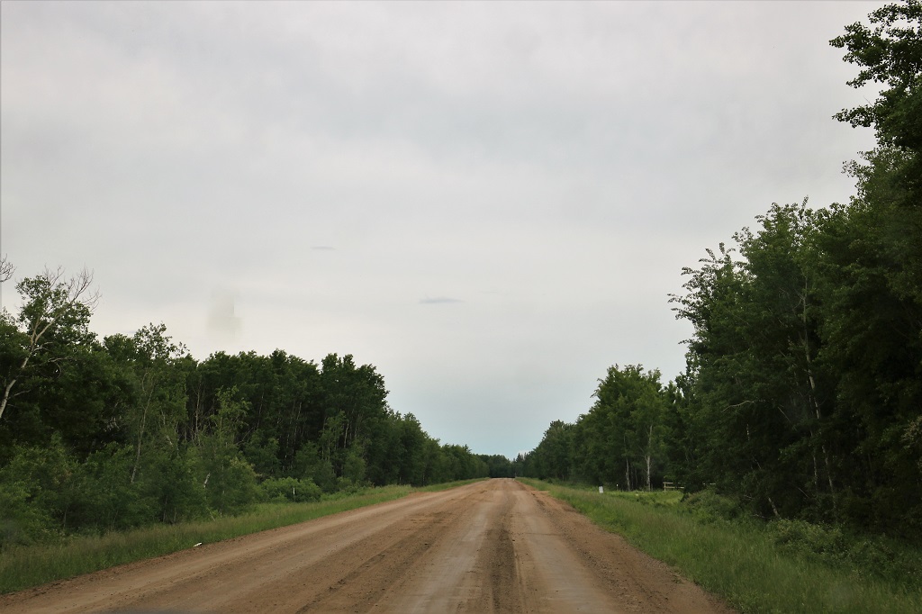
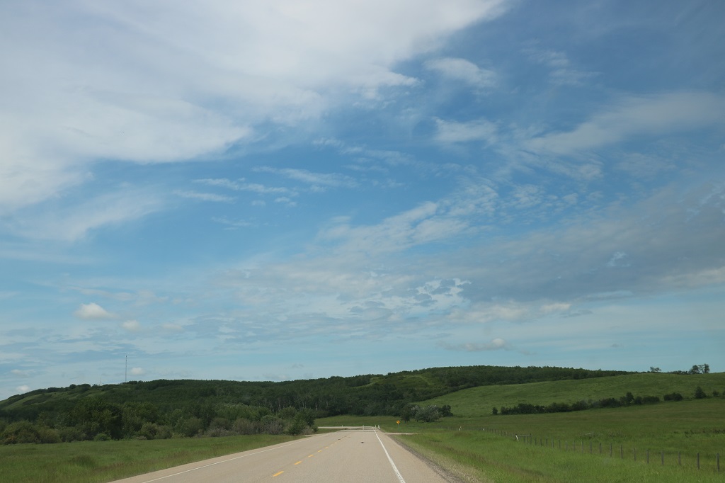
All our wandering around today even had us back on gravel roads for awhile.
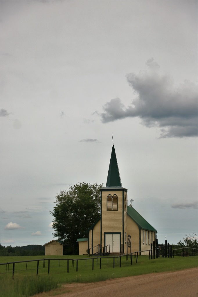
All Saints Anglican Church that was not near any town.
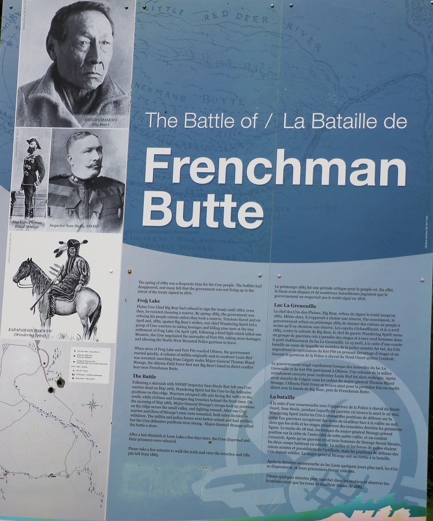
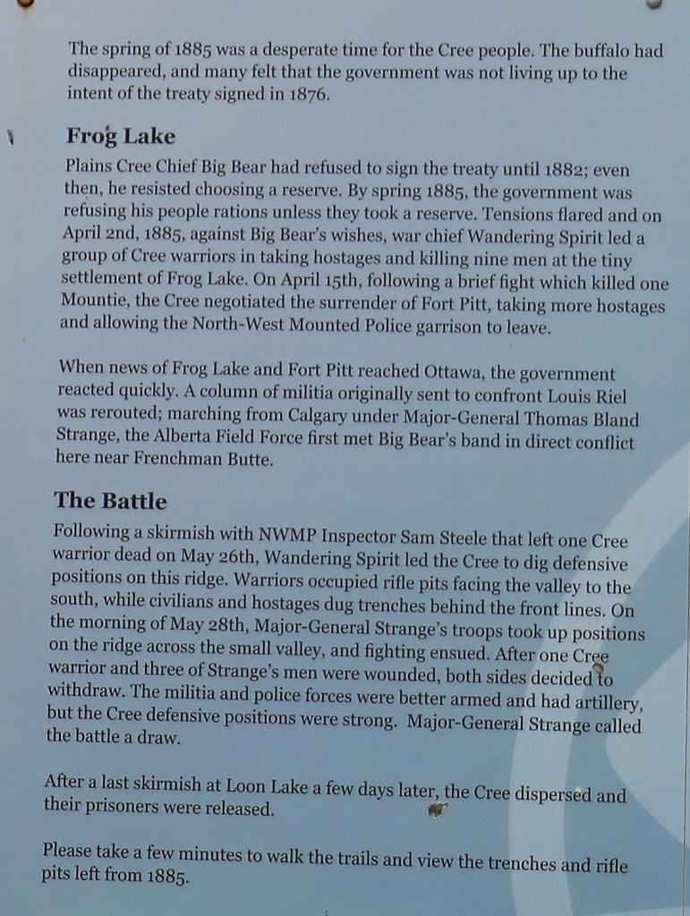
Our last stop of the day was at a National Park’s Historic Site that marked the last battle of the 1885 Rebellion.
It was a longer day than we had planned and we spent much longer on the road than we expected but none-the-less we enjoyed ourselves. Tomorrow we will tour the North Battleford Historic Site and then head south to Saskatoon. We had planned to visit Saskatoon on our drive across Canada in 2014 but there was a big music festival going on and there were no hotel rooms available. We decided to venture a bit southward on this trip to see some of the things we wanted to see in 2014, and then will head north again to Prince Albert in a couple of days.
