Today was our last day on Haida Gwaii. Tomorrow morning we will be on the ferry back to Prince Rupert. We drove all the way to the end of the road at the northeast end of Graham Island – to Tow Hill. 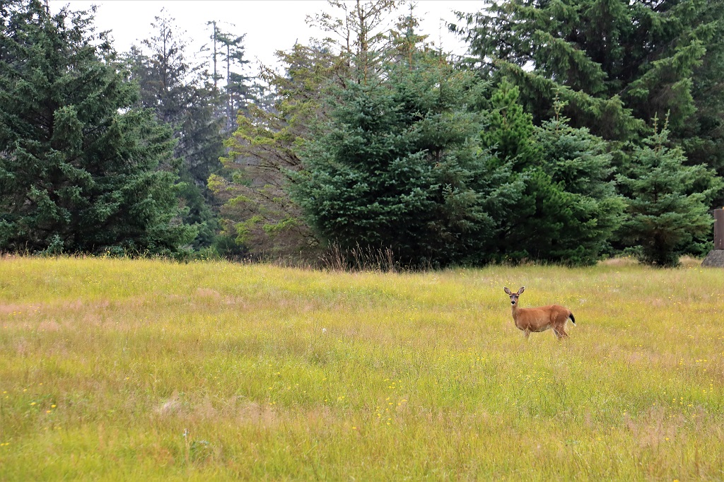 We saw over a dozen deer today. They were beside the road eating the grass on the way out and on the way back.
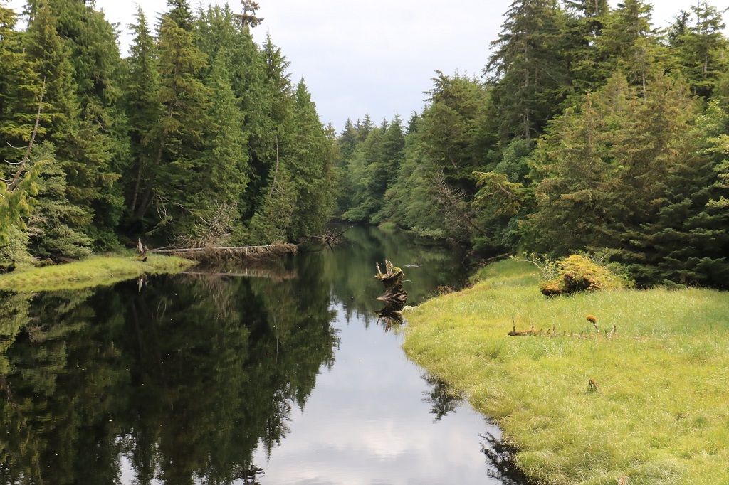 The Sangan River looking both directions from the middle of the bridge.

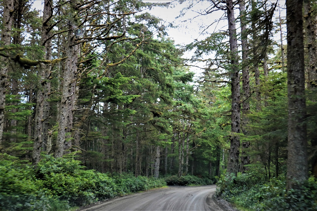 Once you go about 12 km past the turn off to Massett the pavement ends and the road is gravel the rest of the 14 km to Tow Hill
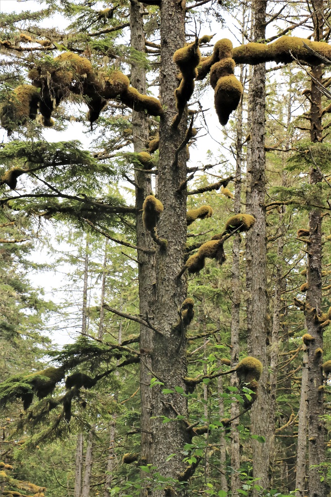
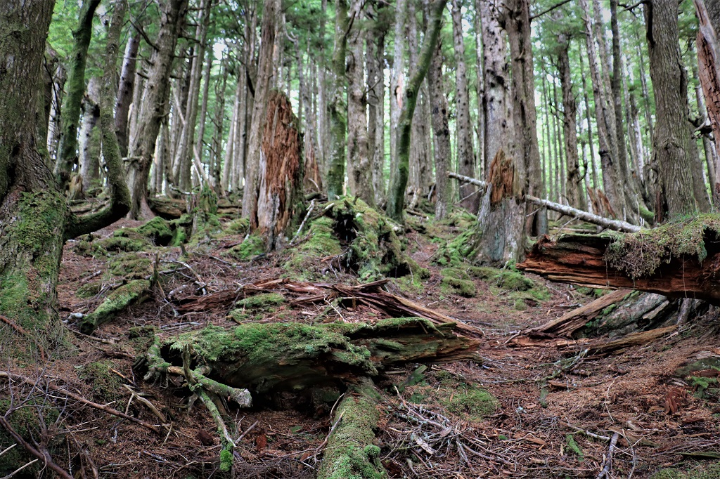
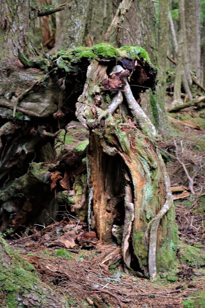
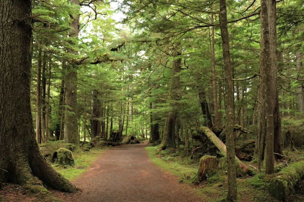
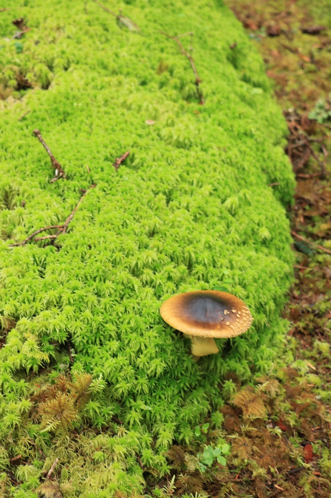
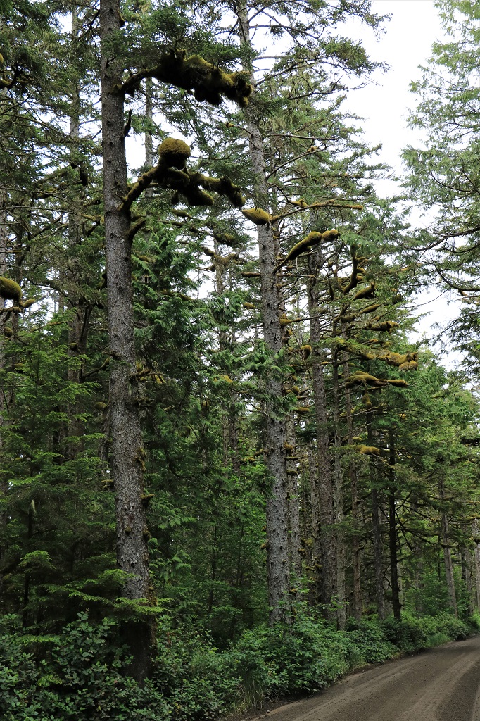 The thick masses of moss on the tree limbs were really something.
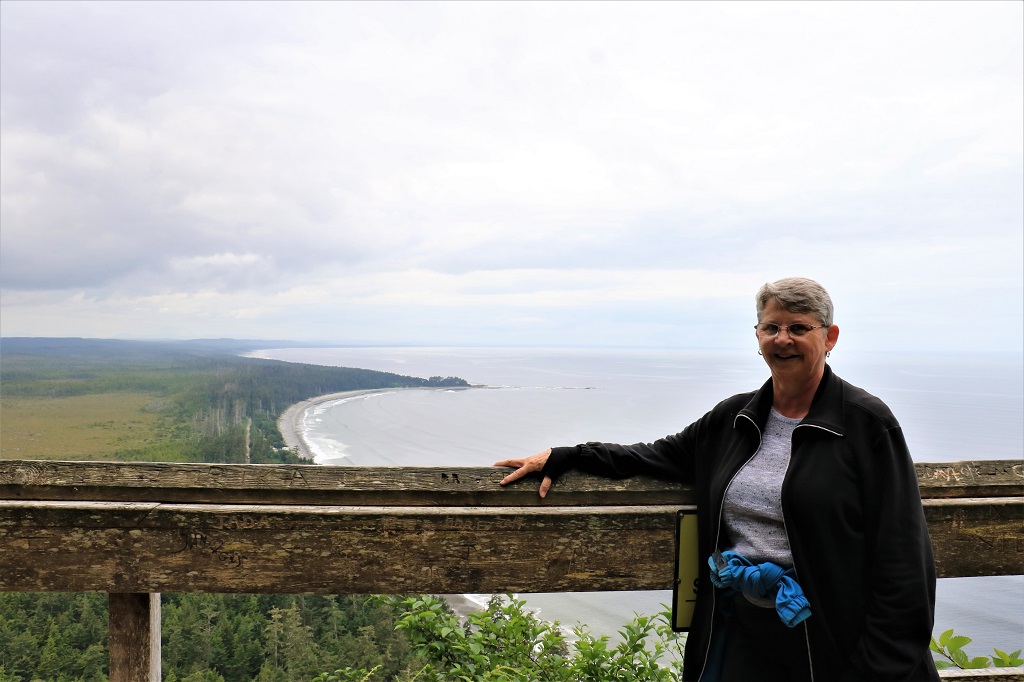
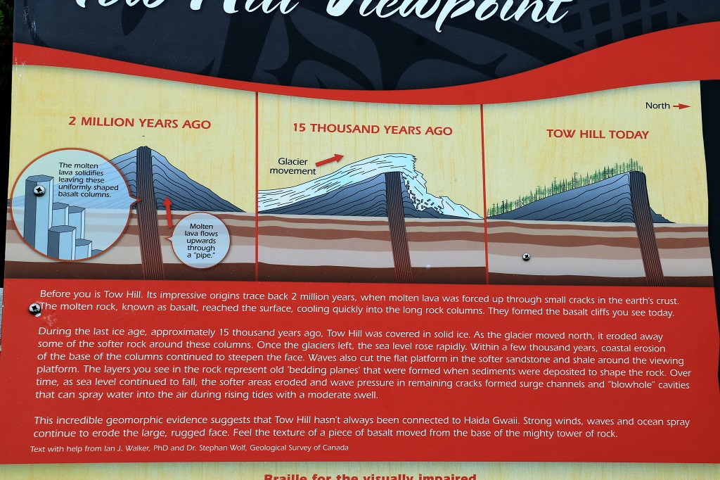
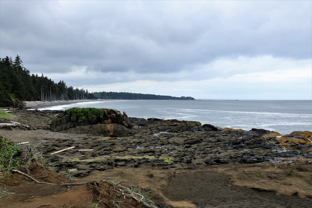
Since my sisters lived here 50 ago a boardwalk and stairs had been installed instead of the dirt track up the 109 meter (357′) basalt outcrop that is called Taaw by the Haida and Tow Hill by the Europeans. It was 25 years old and getting very worn in places. Also the climb grade was about 30%, so it was steep. In 2011 BC Parks worked with the Haida Nation and re-did the boardwalk reducing the grade to 15% by adding 200 additional steps. They also built a connecting boardwalk/staircase betweent he Rose Spit viewpoint which is about halfway up to the top of Tow Hill, and the Blowhole; plus a new wheelchair accessible boardwalk to the Blowhole from the parking lot. It is 895 meters (2,536′) from the parking lot to the top of Tow Hill, 770 meters (2,526′) across to the blowhole from half way down Tow Hill, and a further 1 kilometer (3,280′) from the Blow Hole back to the parking lot. Needless to say, my legs and feet hurt this evening. But the view was well worth the climb!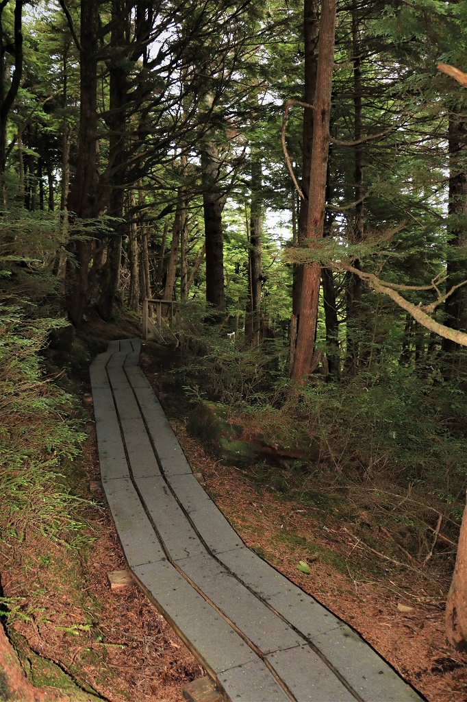

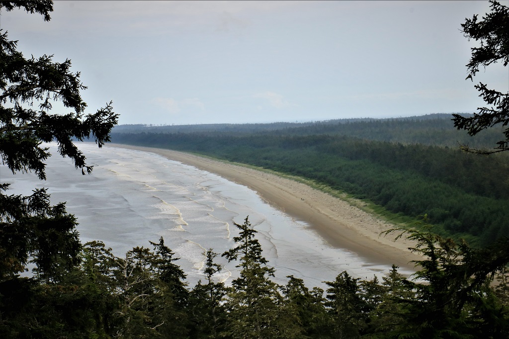
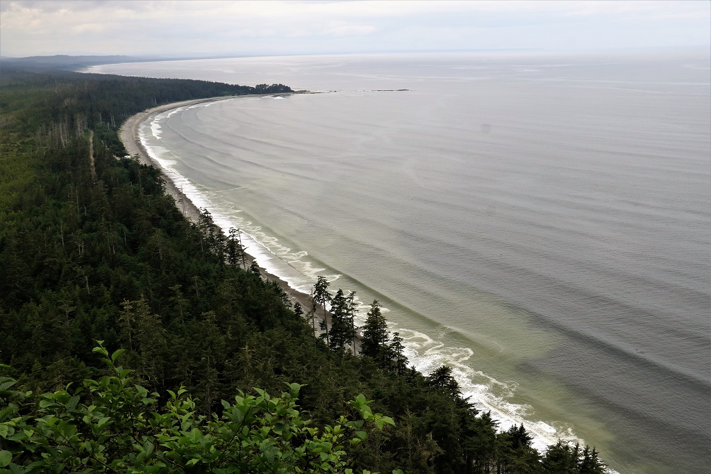
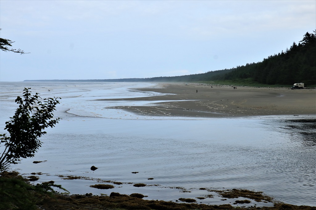
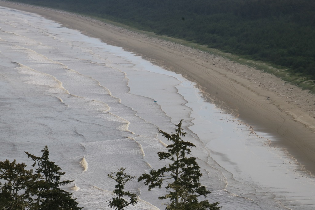 If you click on the above photo and look right in the middle you can see a surfer watching the waves in the hope of having a ride. Rose Spit is a very popular surfing area and it is also common to see 4X4s, Jeeps, and ATVs roaring up and down the long sandy spit. Every year two or three get stuck and provide amusement for the locals.
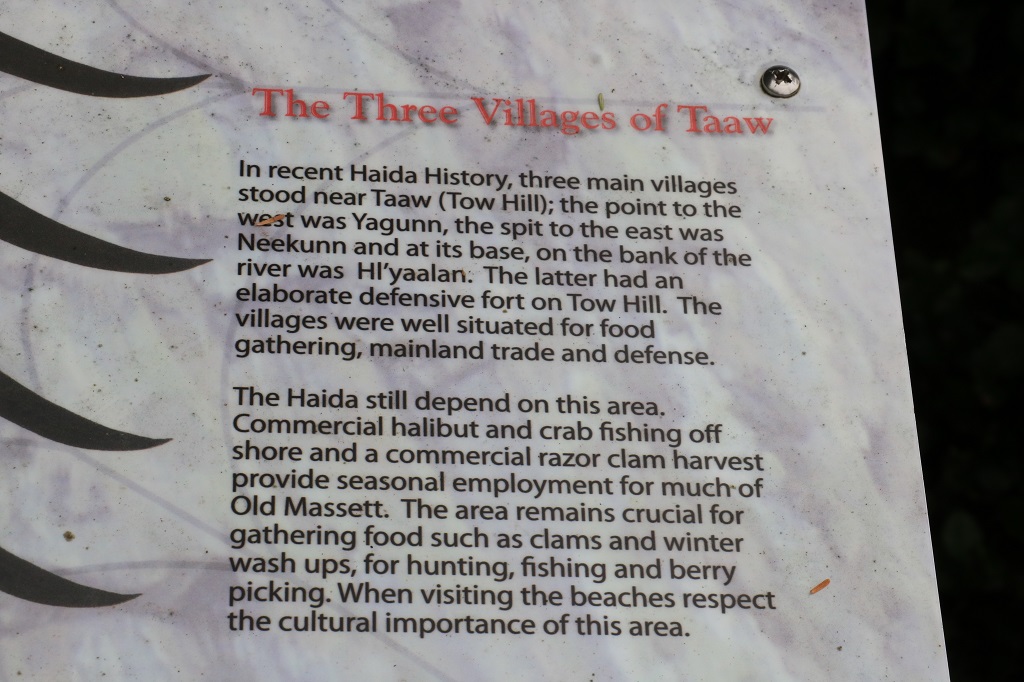
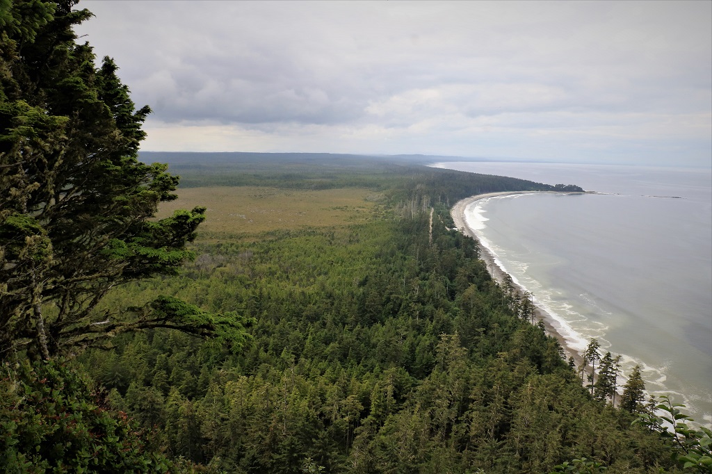 If it was a bit clearer to the horizon you can see the Alaskan panhandle from the top of Tow Hill. We were blessed with a good day, sometimes you can’t even see the ground, let alone miles out to sea.
 We rested for awhile, found a geocache that was hidden under the viewing platform and began the descent to the Rose Spit viewpoint where we branched off and took the boardwalk across Tow Hill and down to the Blowhole.
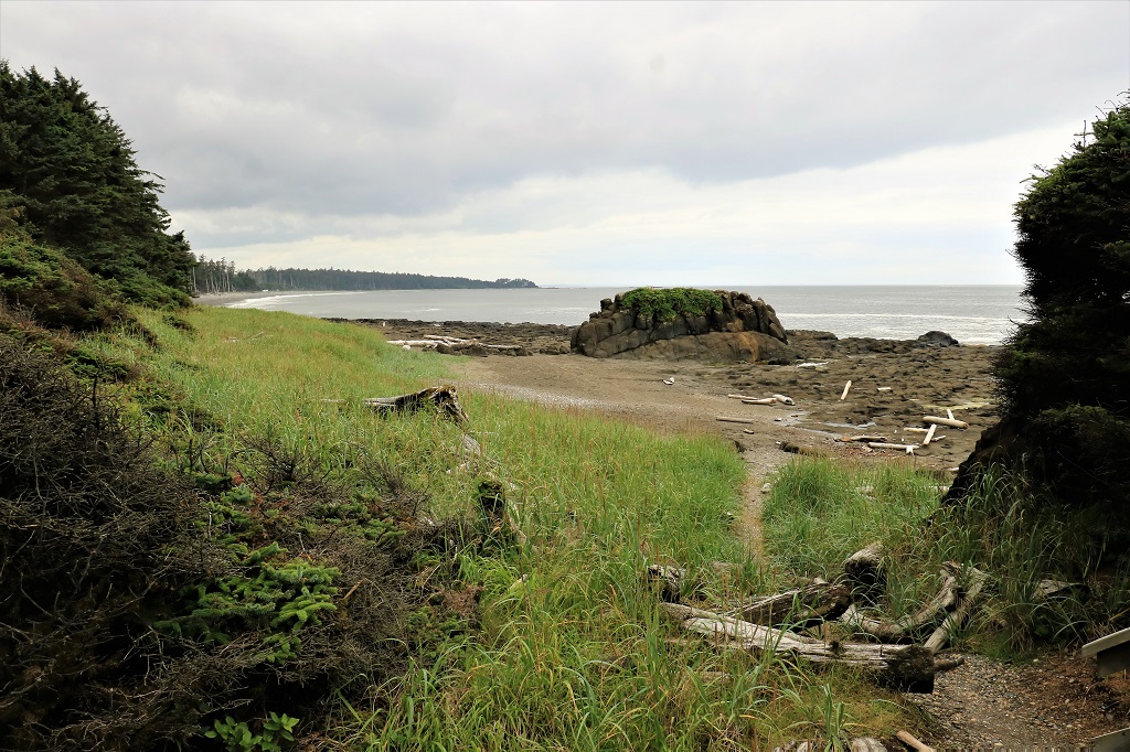
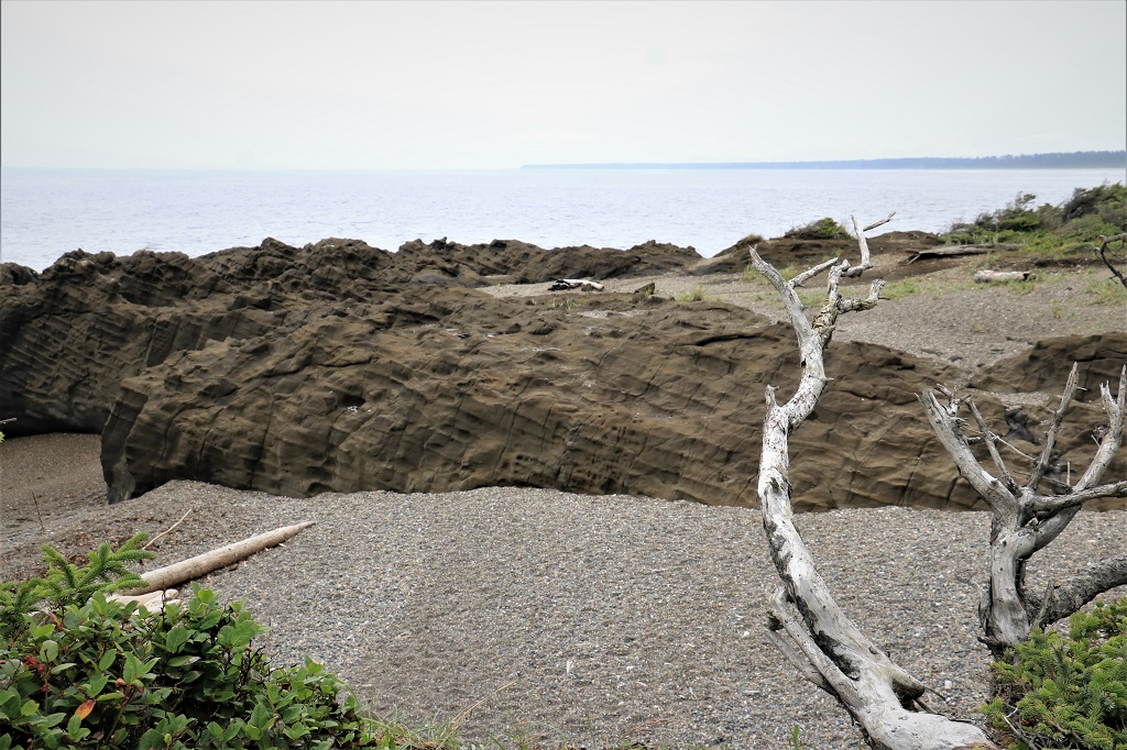


 Because the waves were not running too high the blowhold did not put on a very good show. Still it did blow a few times for us.
  Then it was back to the parking lot and a sandwich for lunch before we headed back to visit Massett and Old Massett.
 The beginning of Rose Spit where the Hiellen River enters the ocean. This is a very important razor clam harvesting area and at one time the entire village of Massett would decamp to come up here and dig for clams. There was a commercial cannery in Massett for many years. The Haida Nation has built a few longhouse-syle cabins on the other side of the river that people can rent. There is a nice totem at the riverside by the cabins.
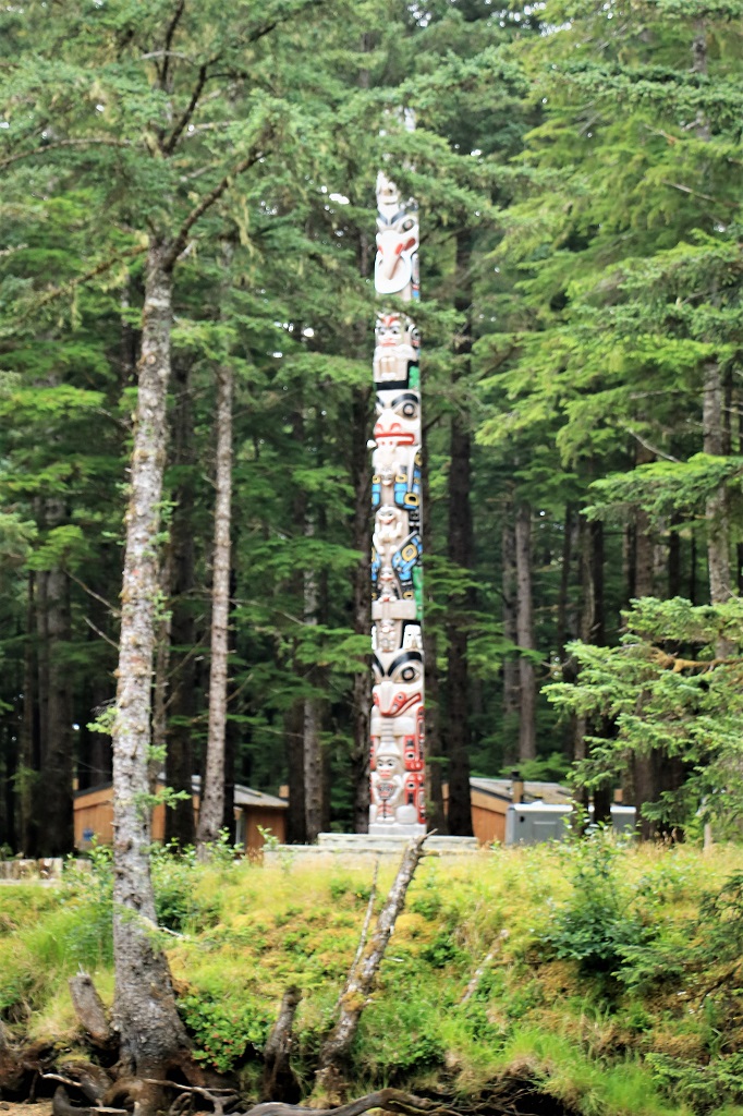
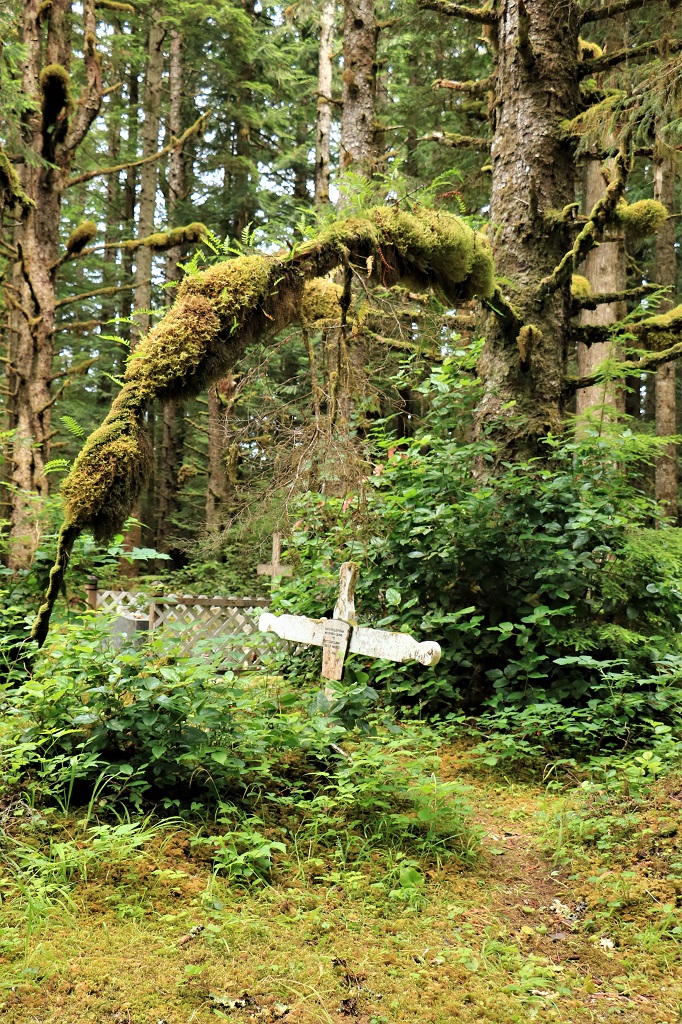
 On the way back to Massett we took a detour up Cemetery Road and visited the old cemetery, which is still being used as we saw some recent grave makers. The moss and vegetation is so think you feel like you are walking on a foam pad.
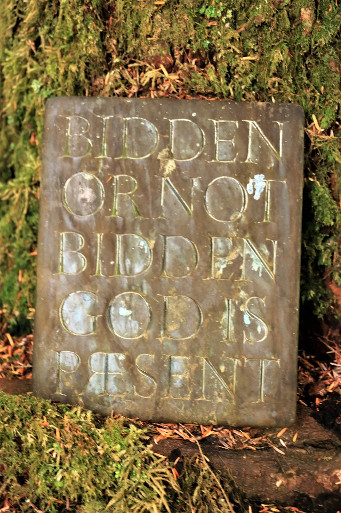

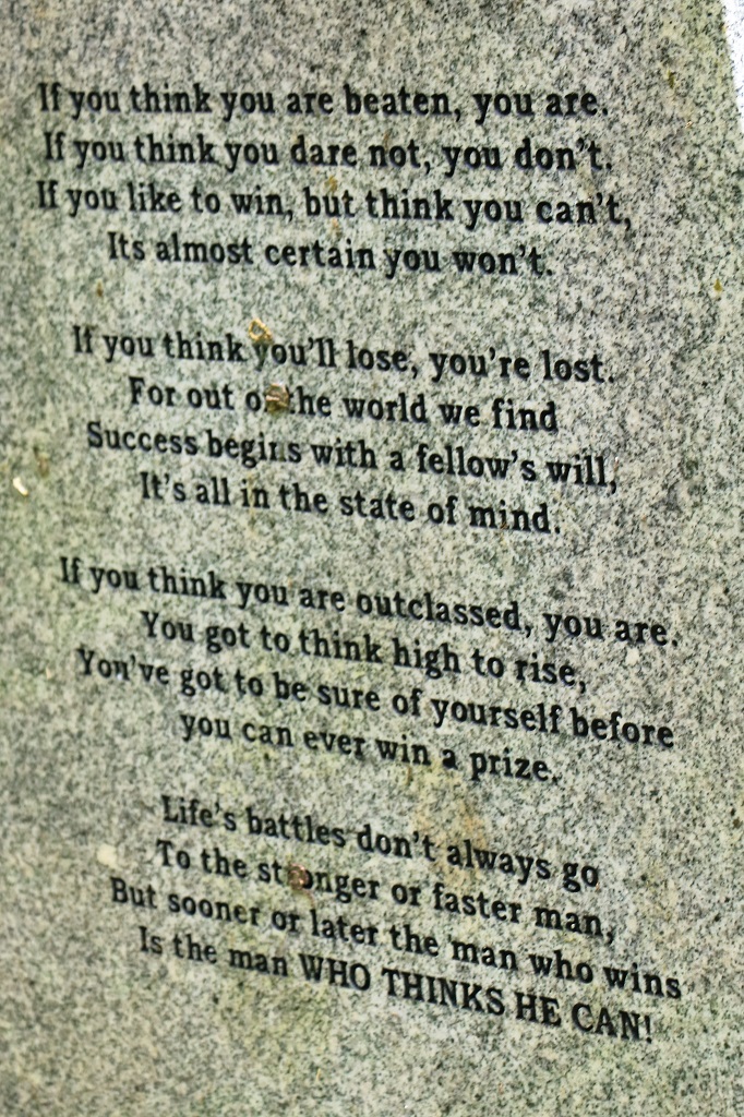
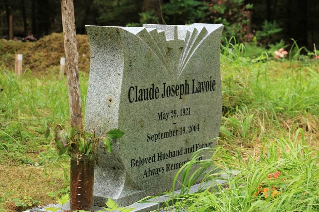 On the back of this large gravemarker were a column of popular sayings said by Mr. Lavoie and this poem, which I assume he wrote. Wise words indeed.
 We crossed the river and drove through Massett to Old Massett a short distance down the road. The highway up the coast of Graham Island is actually part of the northern Yellowhead Highway on the BC Mainland. Massett is Mile 0 of the Yellowhead.
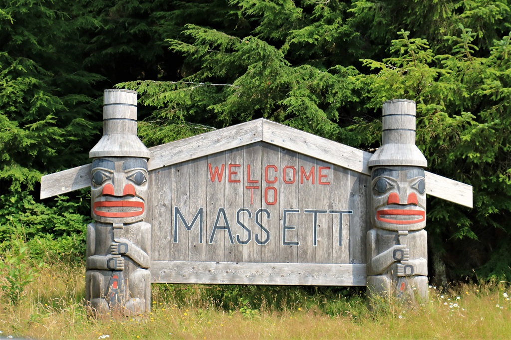
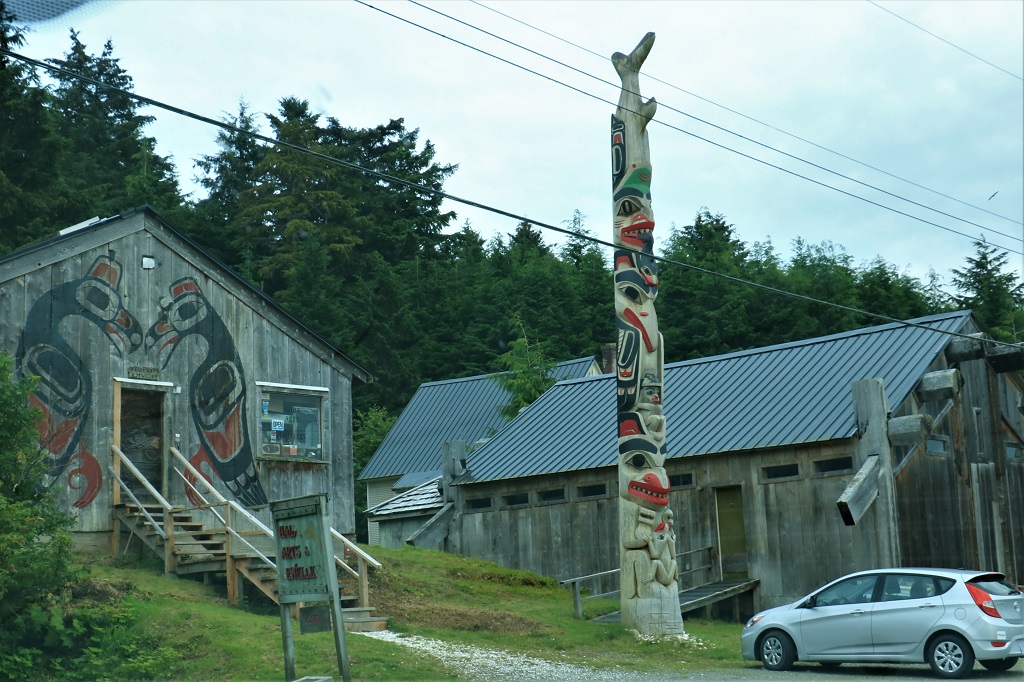
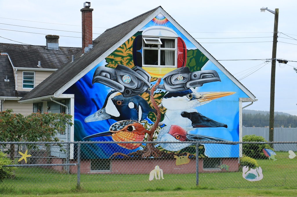 We loved this colourful mural on the side of a house as we drove into Massett. The road does a big curve around the high school and it’s playing fields. There was a hand-written sign at the end of the driveway that said, “Always give 100%, unless you are donating blood.” That was good for a chuckle or two.
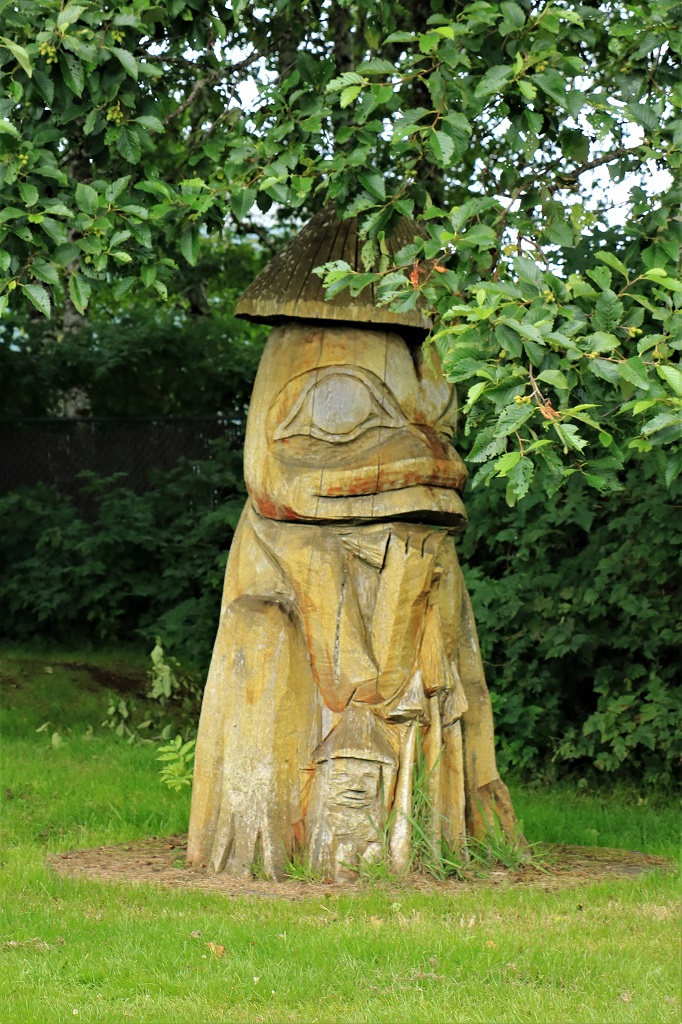
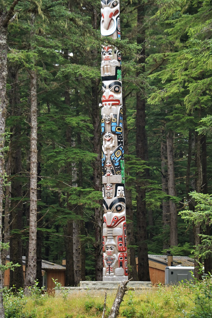
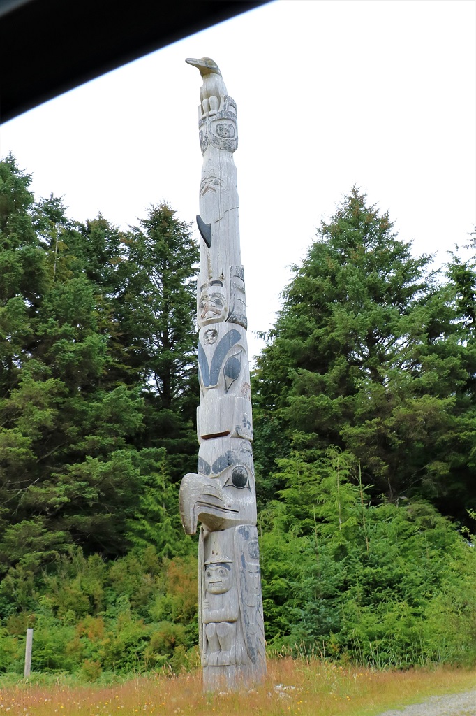
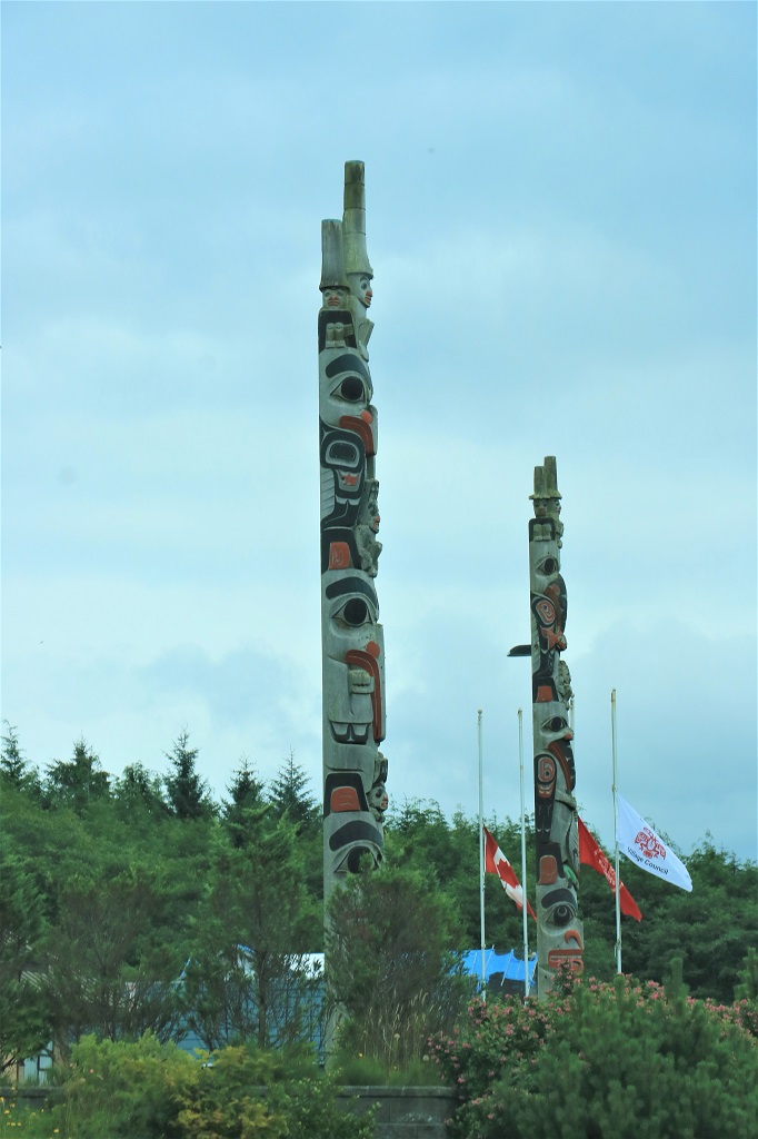
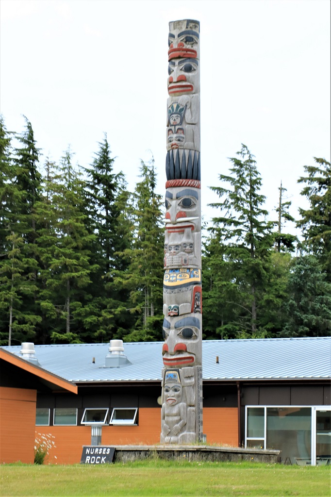 Old Massett pretty much has two roads so we took one on the way out to the end and the other on the way back. There are many totems in front of houses and buildings in Old Massett. Many of them are carved and erected for special events or family memorials. I only got photos of a few of them and they were snapped through the truck window as we drove along.
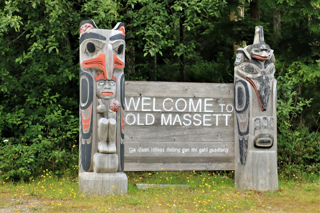

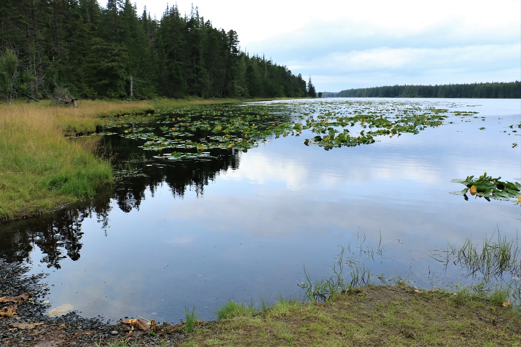
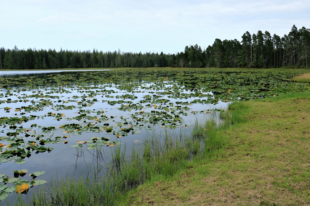
 After the drive-by tours of Old and New Massett we turned south to head back to Queen Charlotte and some dinner. We made three stops for geocaches along the way. One behind a fence post in Tlell, one at little Pure Lake, which had a lovely sandy shore, and one at the much larger Mayer Lake, which had a really good crop of waterlilies.
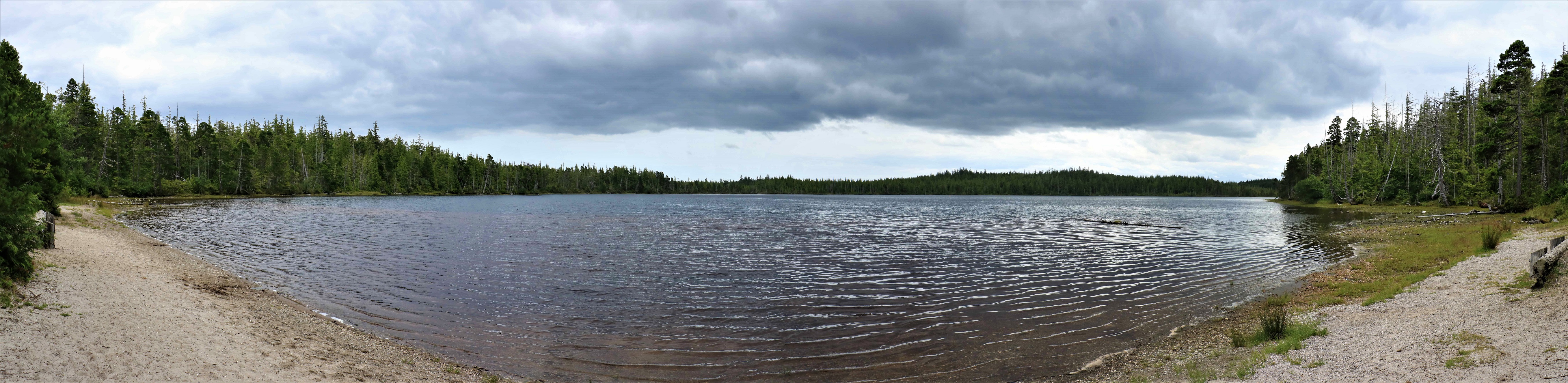
 We were too late go go see the Haida Museum and Heritage Center that we wanted to visit on Sunday but it was closed, and we didn’t get over to Sandspit on nearby Moresby Island, so I guess we will just need to come back again some day. We were very blessed with three days of good weather while we toured around. Up here rain is more the norm so we were very thankful to only have the one short shower that came down while we were in our room.
We have to be at the ferry terminal by 8 am to go through the laborious back-in boarding process again. The ferry is scheduled to leave at 10 and arrive back in Prince Rupert at 5. We will see if it keeps to the timetable.
