John and I really have to plan another trip to Wyoming. When I look at the map I see so many historical or geologically interesting places I would like to visit. Unfortunately, even though we are retired we can’t just keep traveling forever; there are commitments at home that need to be looked after – at least once in awhile. The main purpose of this trip was Yellowstone National Park and the rest of the journey was finding interesting things to see on the way back to BC. We, therefore, missed quite a few ‘stops’ along the route we took across the state.
One place we did take a bit of a side road to see was Ayres Natural Bridge State Park.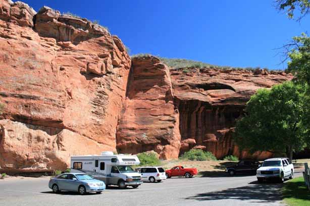
 The swallows like the little overhangs in the rock face.
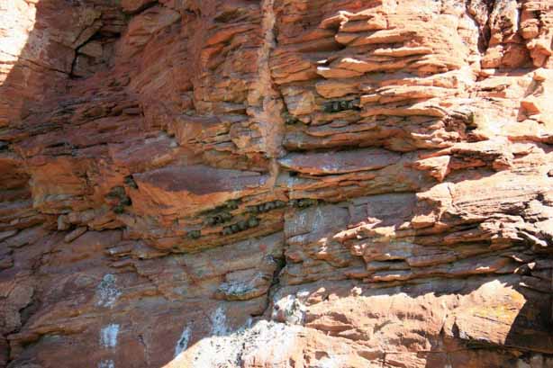 The ‘bridge’ was an impressive span across the river.
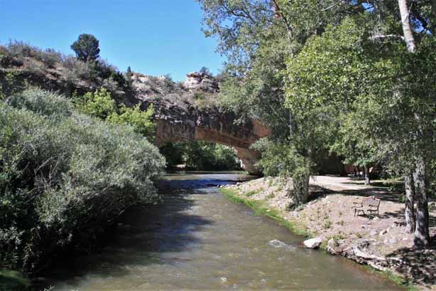
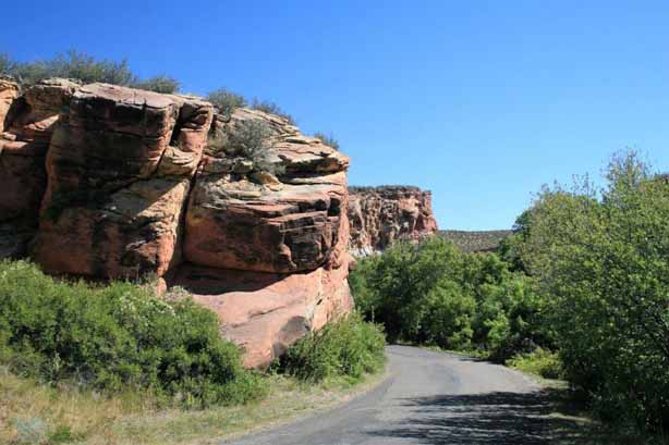
 Wyoming has lots of mountains, buttes and bluffs, but it is also cattle country with wide-open flat land as far as you can see.
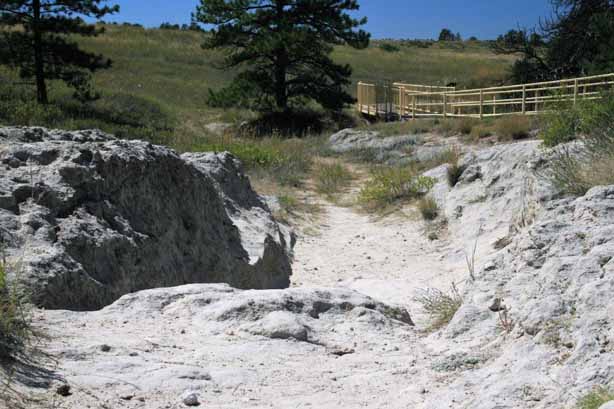
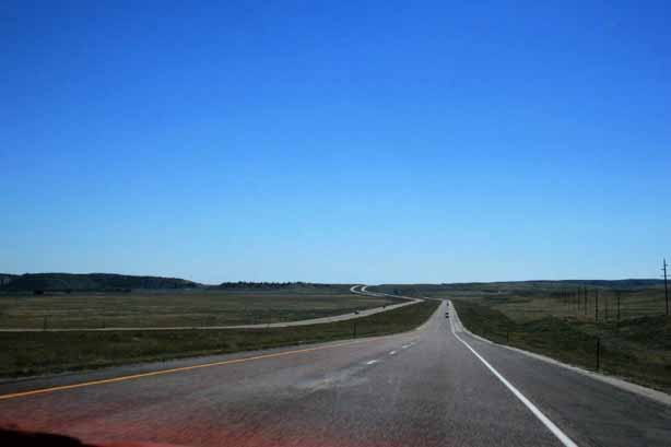 Several states have preserved sections of wagon wheel ruts created by the pioneers traveling the Oregon Trail. The half-mile long Wyoming section along the North Platte River near Guernsey is considered the best preserved over the entire route. Wagon wheels, pack animals and people wore down the sandstone ridge to a depth from two to six feet during the mass exodus westward between 1841-1869. The area was declared a National Historic Landmark in 1966.
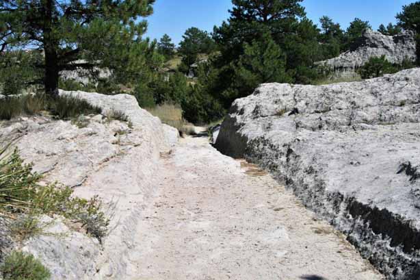
The route over the ridge was chosen to avoid the marshy ground at the river’s edge. Looking at the depth of the ruts and the uneveness of the ground made me very glad I did not have to travel the trail. It must have been an incredibly uncomfortable, rocking journey as the wagon wheels naturally fell into the ruts caused by former passages and your team would have no choice but to bounce along over the rocks and dents. I am sure most people would have gotten out of the wagon and walked beside the team to avoid the discomfort. It was very interesting to see and it helped put into perspective the endurance and hardships of our pioneer ancestors.
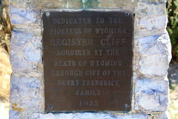
 Not too much further down the highway we took another by-road to see Register Cliff.
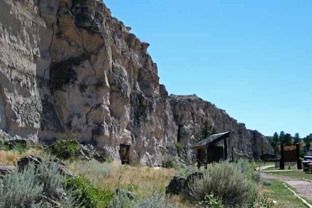
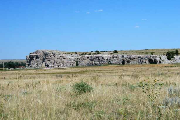 Register Cliff is one of three prominent ’emigrant’ recording areas (the other two are Independence Rock near Alcove, WY – 170 miles west – and Names Cliff at Green River, WY – a further 158 miles west, not too far from the Utah border). The sandstone cliff was a key navigational aid along the Oregon Trail and assured people they were on the correct path to the South Pass through the mountains and not heading into some impassable terrain. It was the first overnight stop out of Fort Laramie on the journey west.
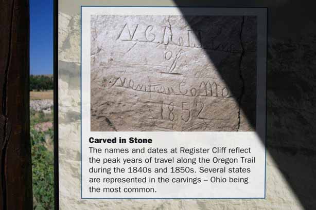
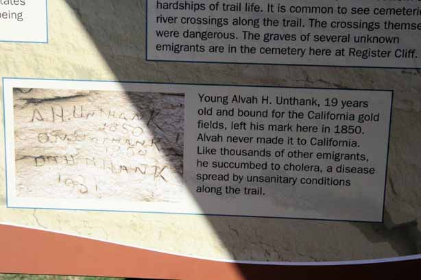
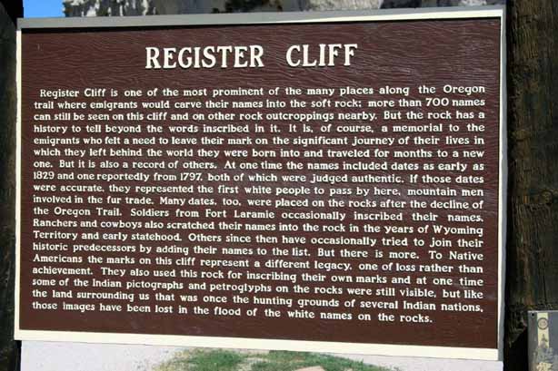 It became common practice for people to carve their names on these rocks as they travelled the Oregon and California Trails. Since a tenth of the 500,000 emigants died, mostly of disease, having a record that you made it at least this far was a solace to family or friends that journeyed after you.
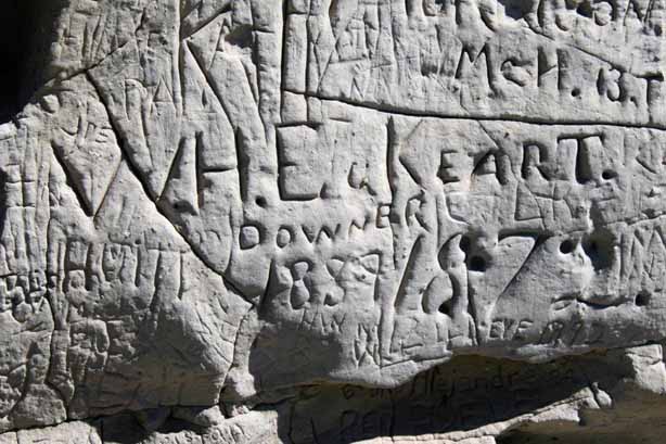
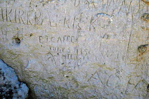

 A long section of the oldest writings on the cliff was behind wire fencing to protect it from all the idiots that feel it necessary to carve their names in the sandstone in these modern times – even if it destroys names written 150 years ago.
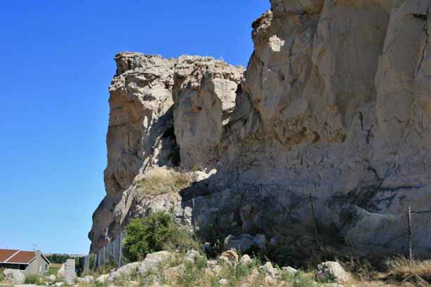

 Our last stop of the day before Torrington was Fort Laramie. Fort Laramie was the site of a trading post established by William Sublette around 1834. After the post was purchased by the American Fur Company in 1836 it became a major fur trade center. In the 1840s Fort Laramie became a well-known stopping point for large emigrant parties following the Oregon Trail. Owners of the post capitalized on its strategic location by selling supplies to travelers while its traders carried on a dwindling fur trade with the Indians.
 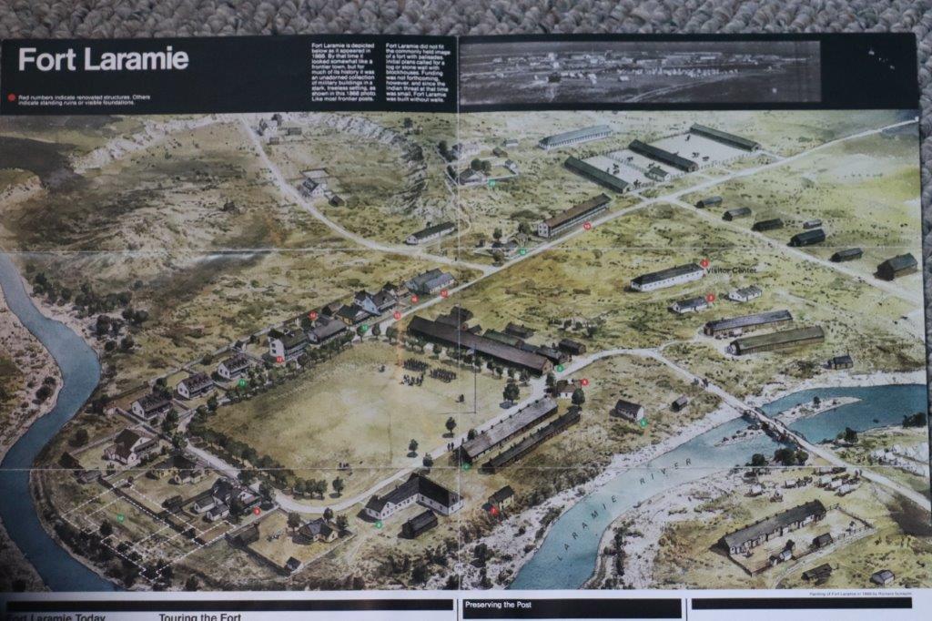 As the Indian troubles escalated in the 1850s and 60s Fort Laramie became the site of treaty councils and served as a base of operations for protection of the emigrants heading through. The stream of homesteaders slowed during the 60s, diminishing the need for protection of the travelers. In later years it served as a buffer between whites and defiant Indians in the area and as a stop on the stage-coach line on the Cheyenne-Deadwood road to the gold fields of the Black Hills. The fort was abandoned in 1890 and its buildings sold a public auction.
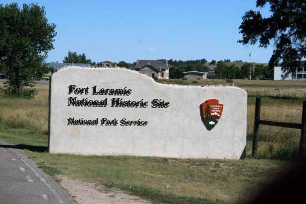

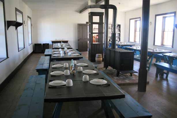
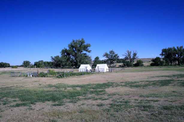
Soldier Barracks.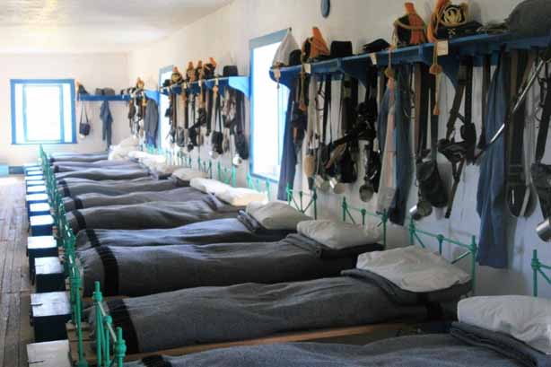


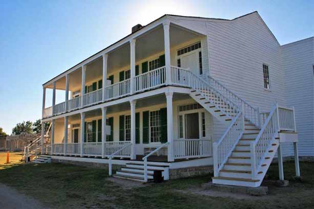 Old Bedlam, bachelor officers quarters.
The government began work to save and restore the fort in 1936. After all but one of the buildings was sold in 1890 they were used as family dwellings, businesses and livestock barns, or the lumber and construction materials were stripped for homestead buildings. Today the fort contains 19 restored buildings around the parade grounds, giving the visitor a good idea of life on the frontier. (The fort was never pallisaded. A stone or log wall with block houses was planned but funding never came through so no protective encasement was ever built.) The fort became part of the National Park system in 1938.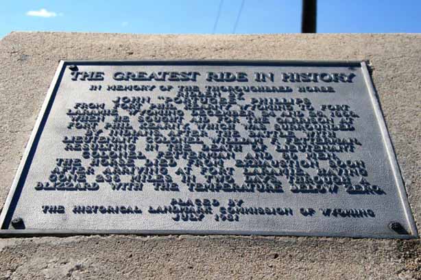 The fort was also well known as a major post on the short-lived Pony Express.
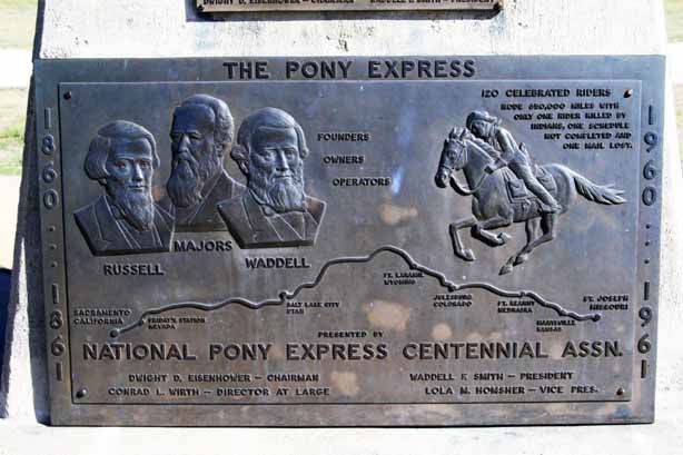
 Fort Laramie is located about 20 miles west of Torrington, WY not far from the Nebraska border. We spent the night in Torrington and then headed north and east into South Dakota.
