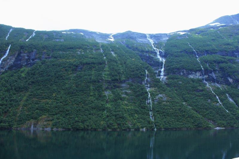
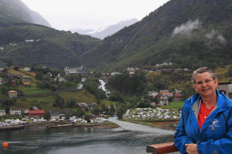
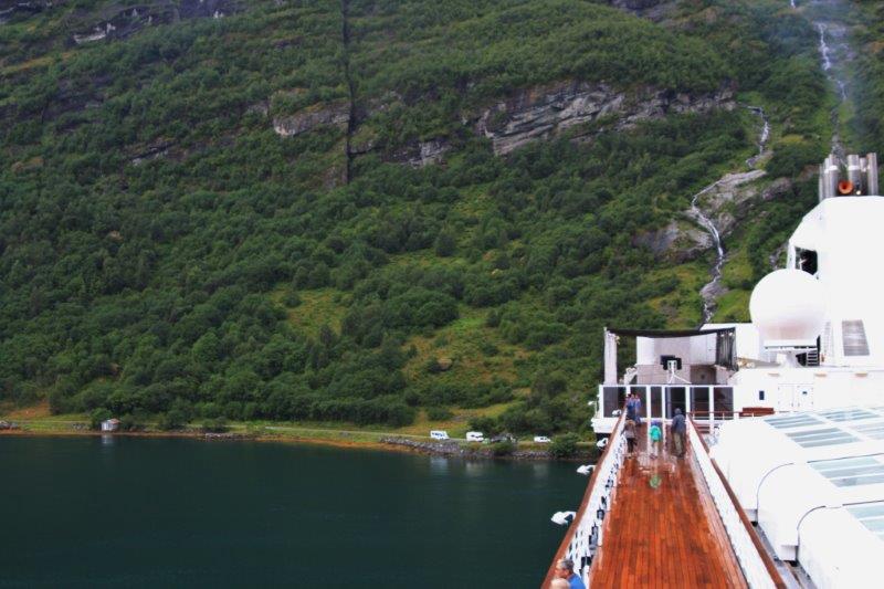
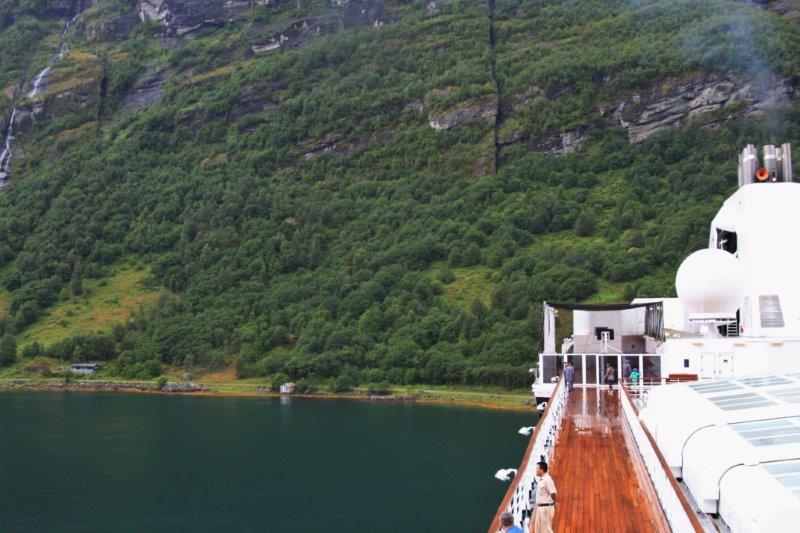
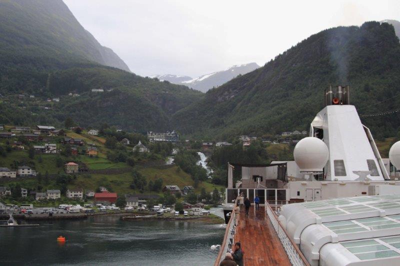
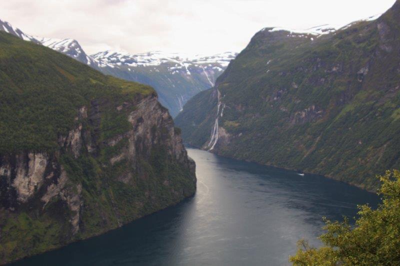
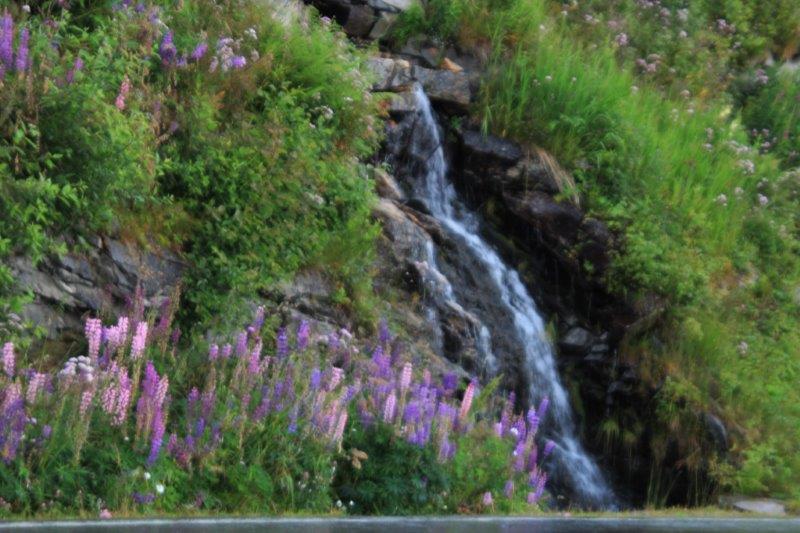
We have completed three consecutive stops in Norway. We sailed along the Geirangerfjord in the early morning hours. John and I got up a little after 7 and went out onto the bow. The sky was overcast so the steep mountains on either side of the ship were grey and misty. Still, it was nice with dozens of waterfalls dropping hundreds of feet into the fjord.
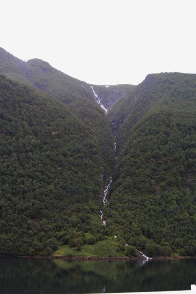
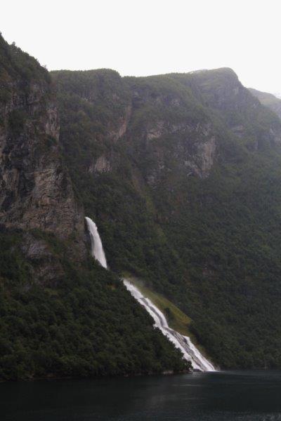

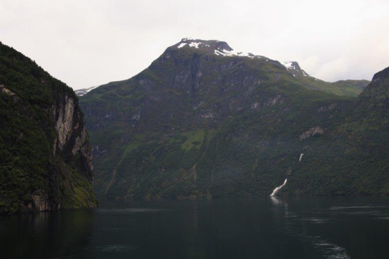
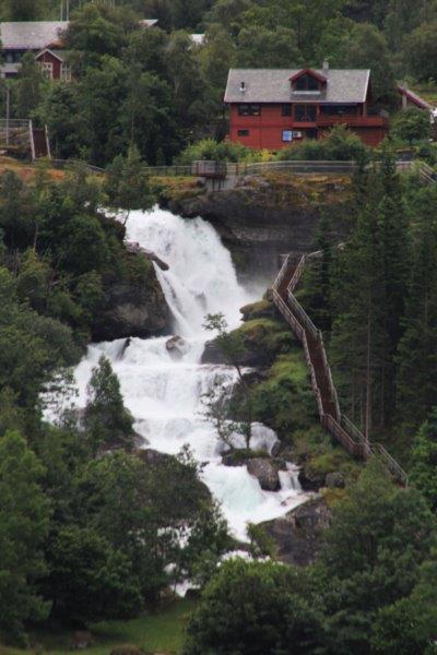
The Seven Sisters Waterfall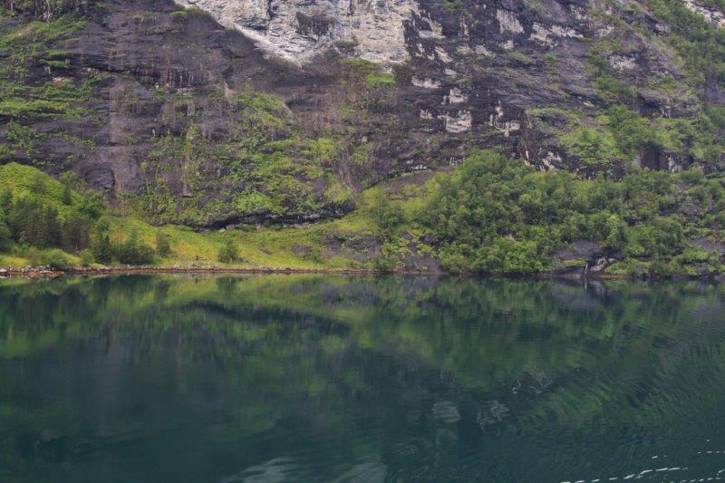
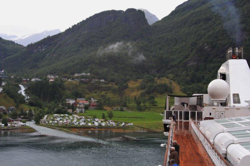
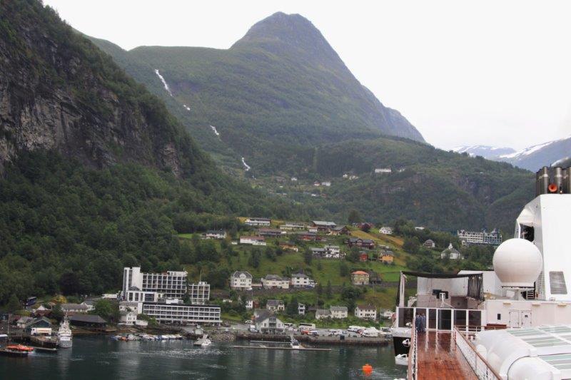
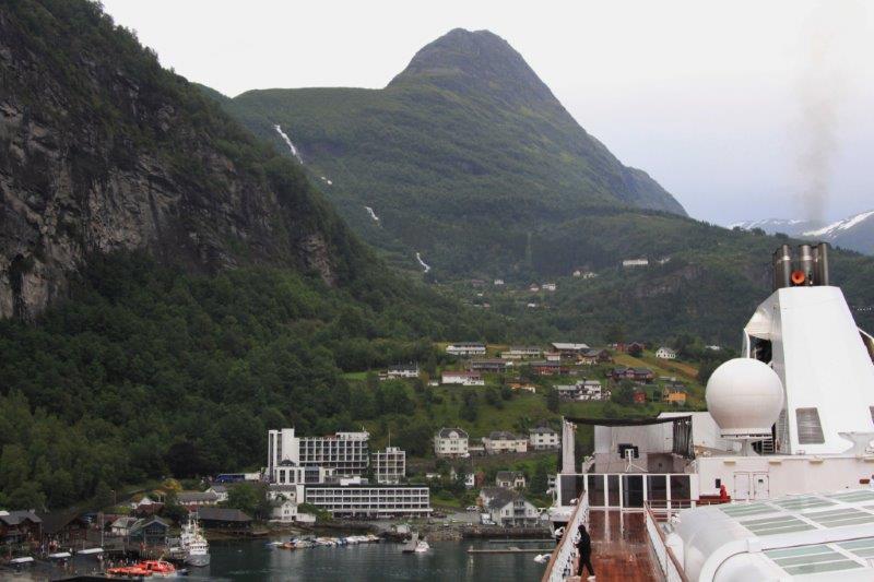
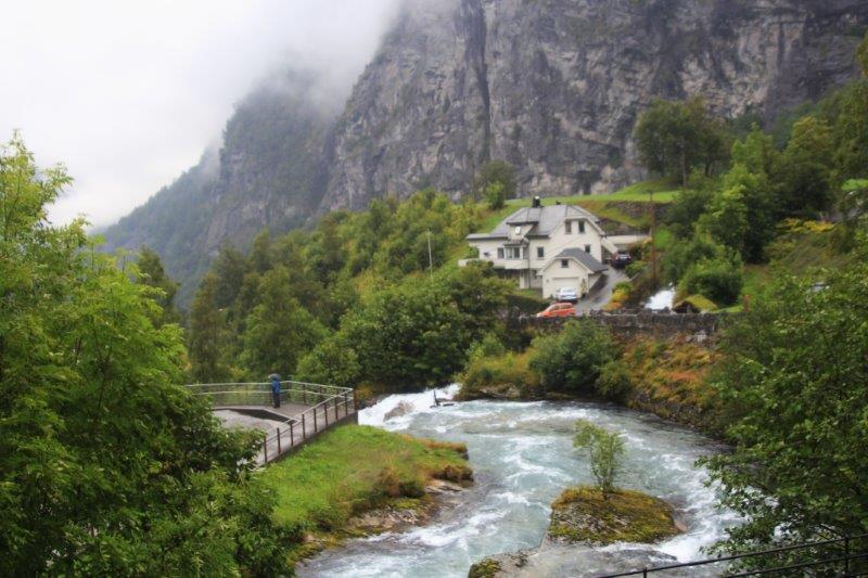
 We putted slowly past a small ‘community’ – called Grande after the family that orignally had a farm on the site – with a hotel and lots of trailers and campers and further on to the end of the bay to the main town of Geiranger (pronounced like HAIR but with a hard G like in GUARD and a syllable break before the ANGER which is pronounced just like ANGER – so, GAIR-ANGER).
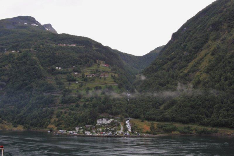
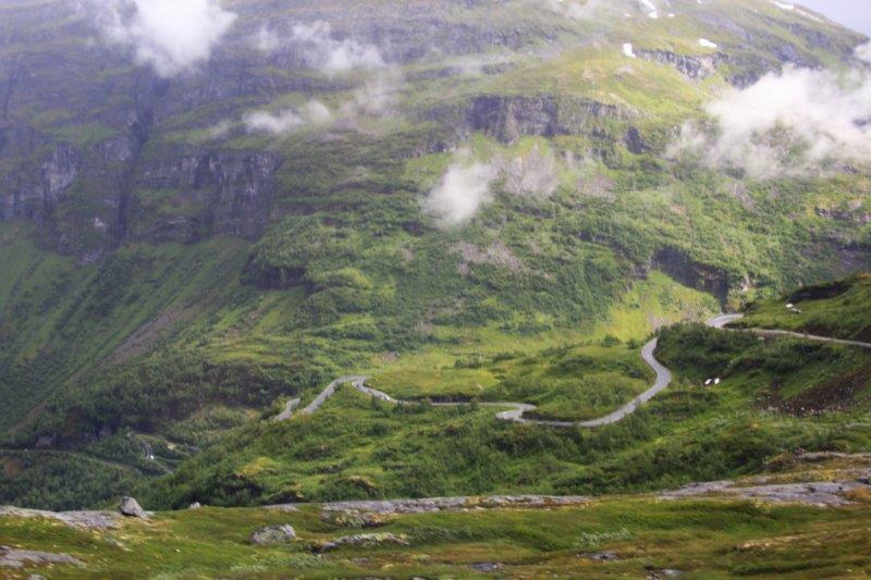
Notice the switchback road above Grande. This is the Eagle Road.
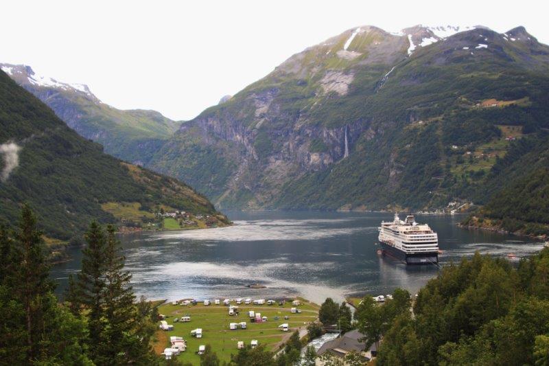
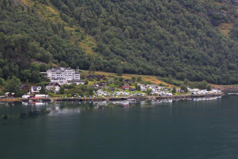 There are only 200 year-round residents but the population swells to 1000 in the summer months and accommodates 600,000 visitors annually (including 149 cruise ships)! There were campgrounds and cabins to rent tucked all over. We even saw tents set up right beside the road and campers stopped for the night on the roadside. Geirangerfjord is the second most visited fjord in Norway, after Hardanger Fjord in Bergen.
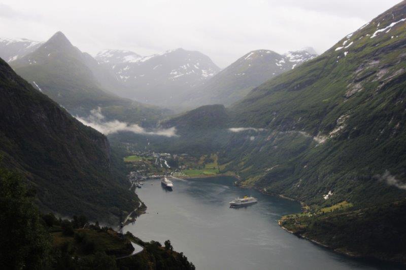
The day before we were in port there were four cruise ships anchored in the bay and the day after we left there would be four more arriving. The Deutchsland ship left mid-day and after that we were the only one here. The community is so small, the roads are so narrow I can’t imagine how crowded it would be with 10,000 people from four ships in town at once. On those days there are upwards of 100 busses plying the only two roads.
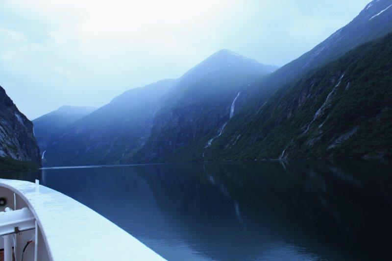
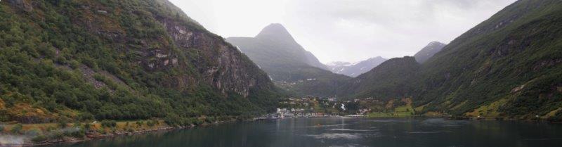
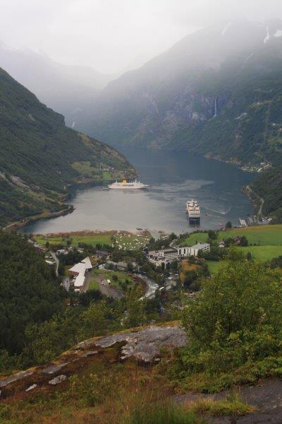
Geiranger sits at the end of the only S-sharped fjord in the world. We sailed 167 nautical miles from the coast to Geiranger at the very end. The town is accessible via two roads and the fjord in the summer. In winter the fjord freezes over and one of the roads is closed as it goes up the mountain behind the town and is blocked by snow and frequent avalanches; so the only way in or out is via the Eagle road with its 11 switchbacks.
There is no hospital nor medical center. There is a doctor but he is only ‘open-for-business’ on Wednesdays for 2 hours. The community is serviced by helicopter in the event of a medical emergency. The nearest bank is over 2 hours drive away and also only open on Wednesdays. There is one grocery store.

Note the two orange buoys.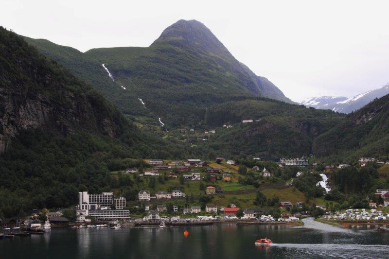

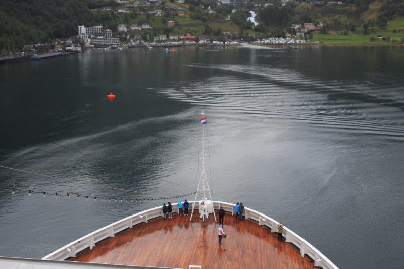
 As we sailed in we passed a small German cruise ship anchored in the bay and headed straight for shore; at least it seemed that way. There were two large orange buoys anchored parallel to the pier and ferry dock. When the bow of the ship reached the buoy nearest the shore we halted and the captain turned the ship 180 degrees in that small space so we were now positioned stern-to-shore between the buoys! It was really a cool maneuver!
 Watch the campers beside the road as we turn.
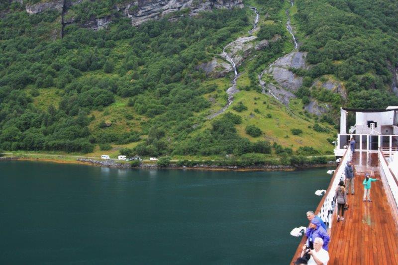
The ship’s stern is now tied to the orange buoy closest to the shore.
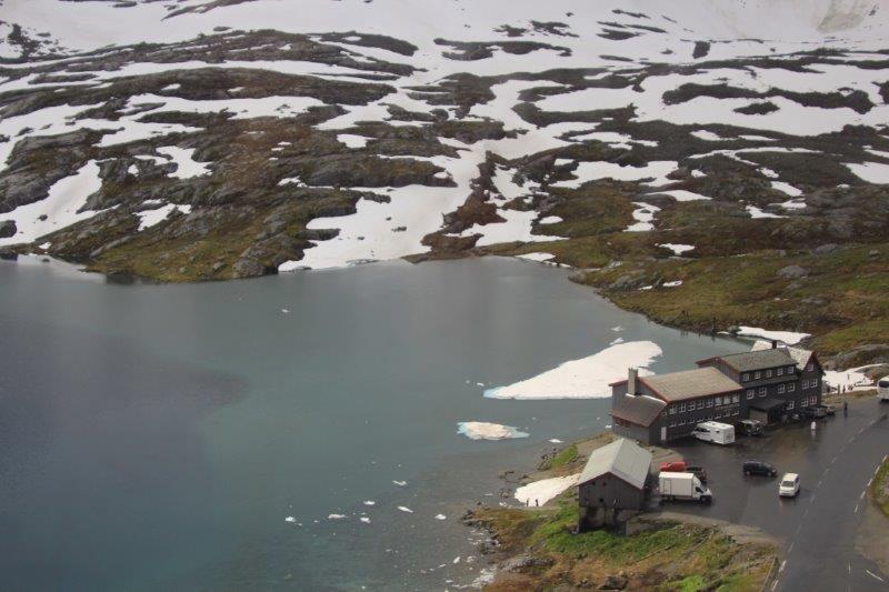
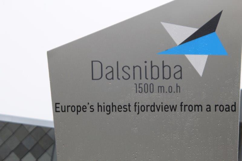
Geiranger was a tender port but we were so near the pier it only took a few minutes. Our tour was called Mt. Dalsnibba (DOLLS-NIB-BAA) and the Eagle Road. It was VERY popular choice and there were six busloads of passengers taking the tour. We were the last bus to leave. The Eagle Road is on the right of Geiranger and to get to Mt. Dalsnibba you take the road that goes up behind town. (There is a third road that curves around the bay along the fjord shoreline but it dead-ends not too far out of Geiranger.) The six buses were divided – even numbered buses went up to Mt. Dalsnibba first and then up the Eagle Road and odd numbered buses did the opposite.
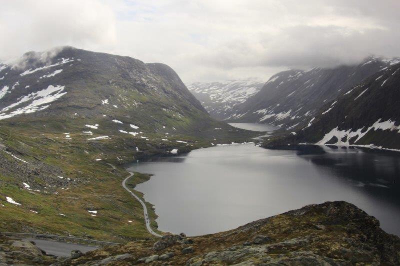
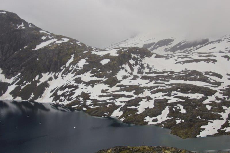
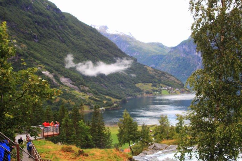
The day continued to be cloudy and misty but visibility was still good. Norway has been experiencing a very cool and wet summer this year. Our bus driver very capably negotiated the switchbacks up the Eagle Road to the view point. All the passengers got off the bus and it continued to the top where it could turn around and pick us up for the drive down. From the viewpoint you could see the entire end of the fjord and look back the other way to view the Seven Sisters waterfall – of which only Four Sisters were flowing as it is late in the summer and most of the spring melt has finished so Three of the Sisters have stopped.
The viewpoint hanging out over the cliff edge.
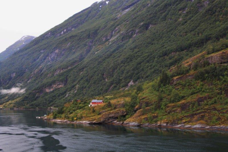
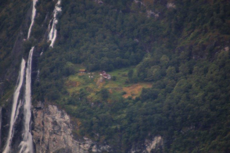
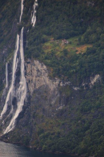
There are several abandoned farms scattered around the area. Mostly, they raised sheep and goats. Only 2.7% of Norway is arable land and only .7% is in permanent crops. Sheep and goats are the only domestic animals that can navigate the steep slopes. One such of these farms was located on a relatively flat parcel of land near the Seven Sisters. But it was so high up the cliff face that it took hours to carry any supplies up or down to the fjord and was completely inaccessible in winter. The mother of the family used to tie a rope around each of her children’s waists when they went outside to play so they would be safe from falling off the cliff into the fjord. When education became compulsory for children in the 1950’s the farm was abandoned. With my zoom lens I was able to get a shot of it – not a very clear one but it gives you an idea of where they lived.
 After we navigated the hairpins back down we drove through Geiranger and up the steep road on the way to the top of Mt. Dalnibba, which is above the treeline at 5000’ above sea level. We reached Big Lake and turned off the road onto a private toll road to reach the mountain top. We were literally two corners from the top and the fog rolled in. By the time we got parked and out of the bus you could see nothing. Even the little lake behind the visitor’s center that I glimpsed as we drove in was obscured. Very disappointing – but there is nothing you can do about the weather. Barb and Bob took the same tour at the same time but they were on an even numbered bus that went to Mt. Dalnibba first and she got some lovely photos. She sent me a couple that even had a rainbow from edge to edge. This is what we didn’t see.


The long and winding road.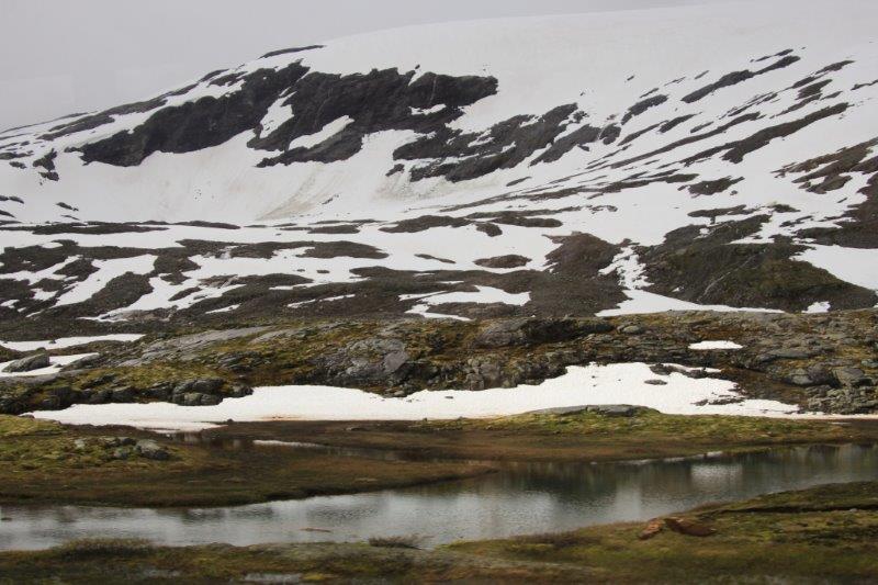
Appropriately called the Big Lake.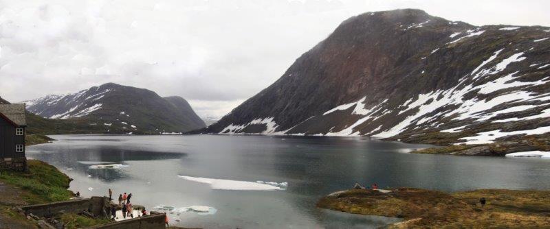
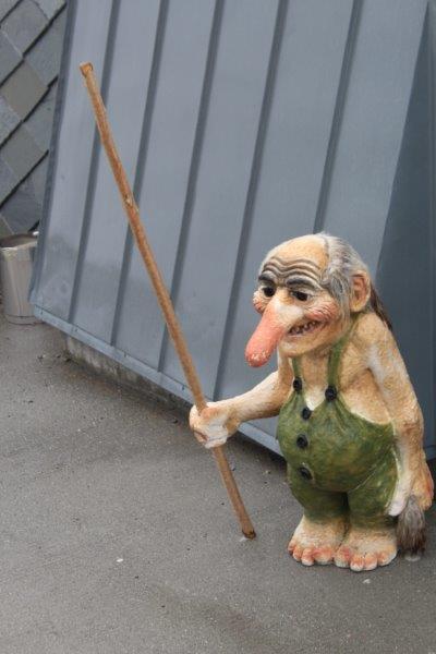 Trolls are everywhere.
The viewpoint when we got there.
What we should have seen.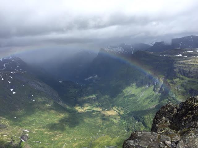 We arrived back in Geiranger at one o’clock. We tried to find a geo-cache that was located in town but the GPS bounced all over and we gave up. (This happens ALL the time with that thing. It is totally useless and unreliable. $160 wasted. We have tried at several ports to locate caches only to be directed over here and then back there and then back here again. You never know where it acutally is! Very frustrating. That GPS is getting junked as soon as we get home).
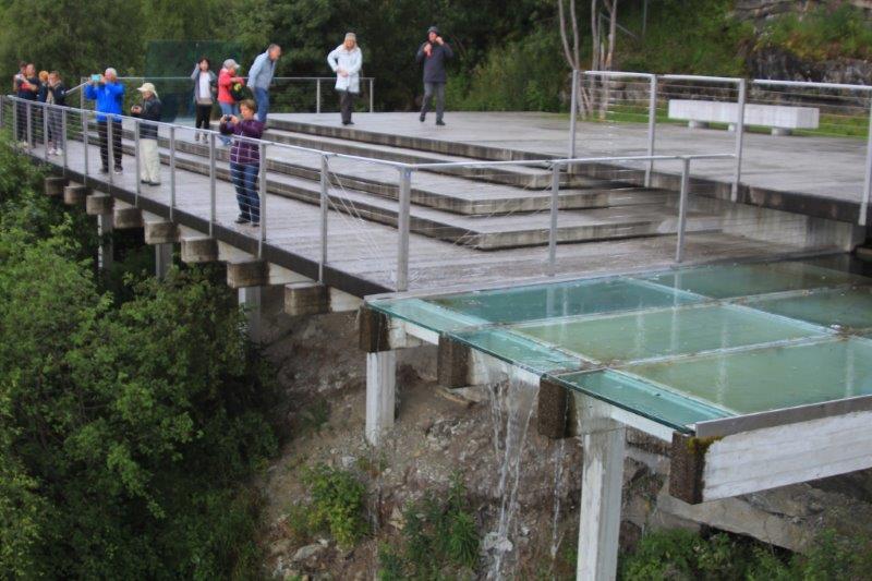
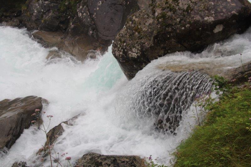
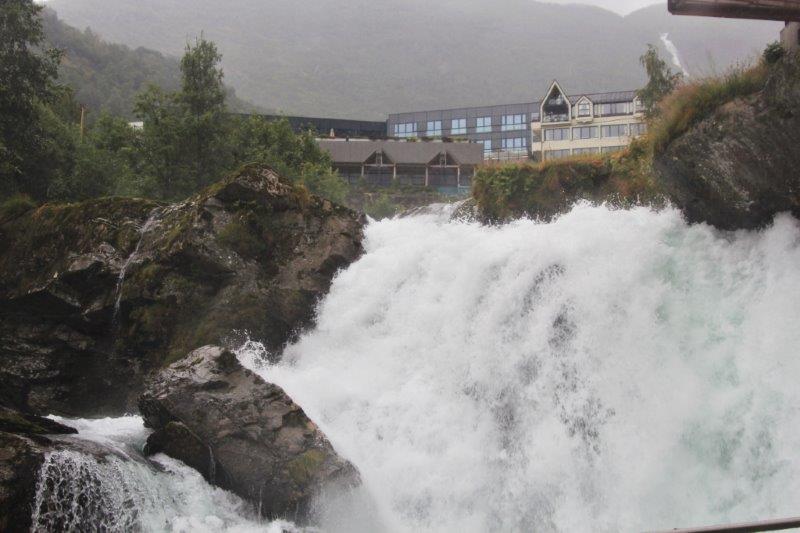
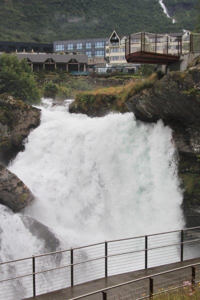
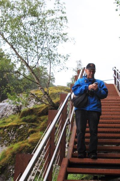
Two years ago a staircase was built alongside the furious waterfall that splits the town in two. There are 327 steps to the top. We climbed to the top, trying to find a cached that was located on one of the many landings but there were way too many ‘muggles’ (non-geocaching folks) to do a search. The GPS had us going up and down the stairs several times not settling anywhere so we gave up and continued the climb. The view of town and the ship were pretty nice.

 At the top is the Fjordcenter. Geirangre is a UNESCO World Heritage Site and the center has displays all about the landscape and the effects of glaciers. We tried for awhile to find the cache that is hidden at the center but again the GPS didn’t know what it was doing.
We continued up the hill to the Geo-Nature Park and after a considerable time searching we finally located a cache! On the way down again John suggested we go around the back of the Fjordcenter in case the cache was there. It was a magnetic cache (meaning it is held in its hiding place with a magnet and there were no metal places around the front of the building where we were looking before.) Success again! We located the cache tucked in a corner at the far end of the back of the building. We became so optimistic after this that we decided to go back down the stairs to town and see if we could find that cache instead of walking back via the road as first planned.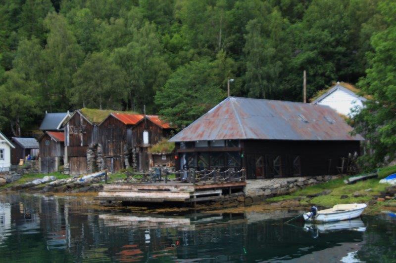
 There were still many people going up and coming down but during a break when all the people were walking away from us John got down on his knees and felt under the edge of the metal landing and while down there he spotted the cache hidden under the hand rail. Three for three! Yea.
The ship sailed out of Geirangerfjord at 11 pm. We stayed so long because our next port of call is Alesund which is located at the entrance to the Geirangerfjord and the ship only has to travel 167 nautical miles at slow speed to be docked by 7 am the next day.

Such beautiful photography and descriptions. Thanks for taking us all on a virtual vacation.
LikeLike