Category Archives: Hanna Travels

2011 February 17 – Day 43 – Hobart, Tasmania, Australia

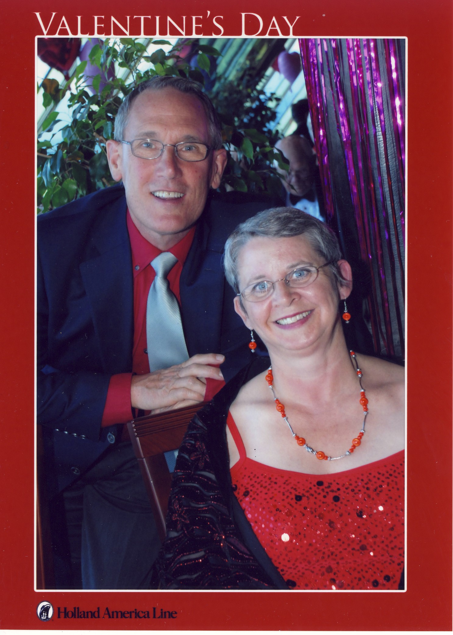
It was an early morning as we had to be up at 6 am to get ready for a face-to-face passport check with Australian Immigration.  We had time for breakfast afterward before our 8:30 tour.

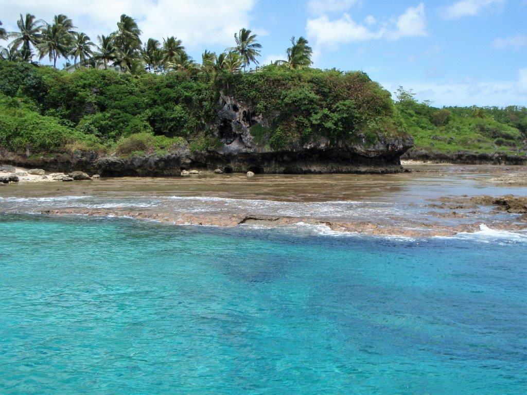
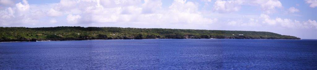
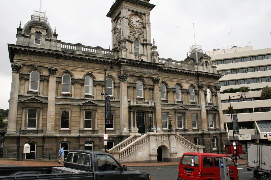
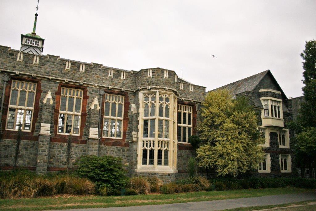
Hobart is the largest city on the island of Tasmania, and is Australia’s second oldest city (after Sydney).  Hobart was founded in 1804 as an isolated prison camp with 178 convicts and 25 officers.  The city sits at the mouth of the Derwent River and Hobart Harbour is one of the deepest natural harbours in the world.  Only 20,000 “Tassies” live in Hobart and the entire island’s population is about 515,000. 
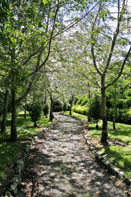
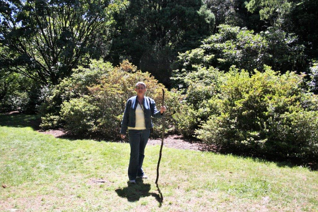
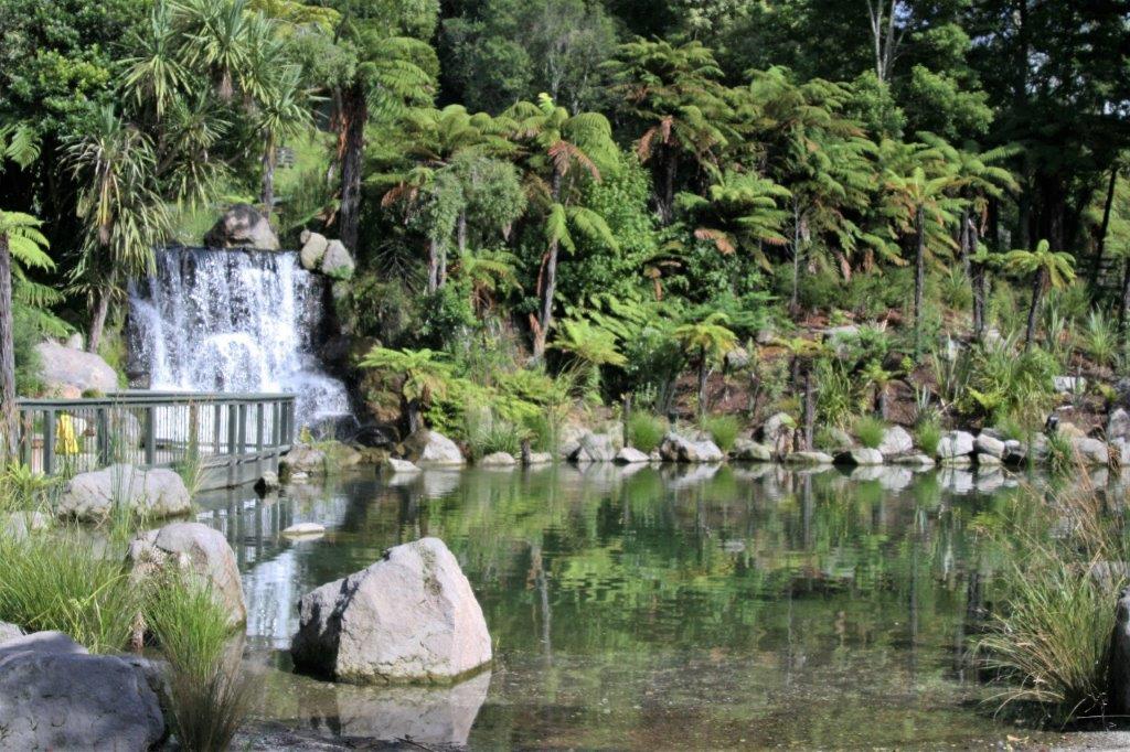
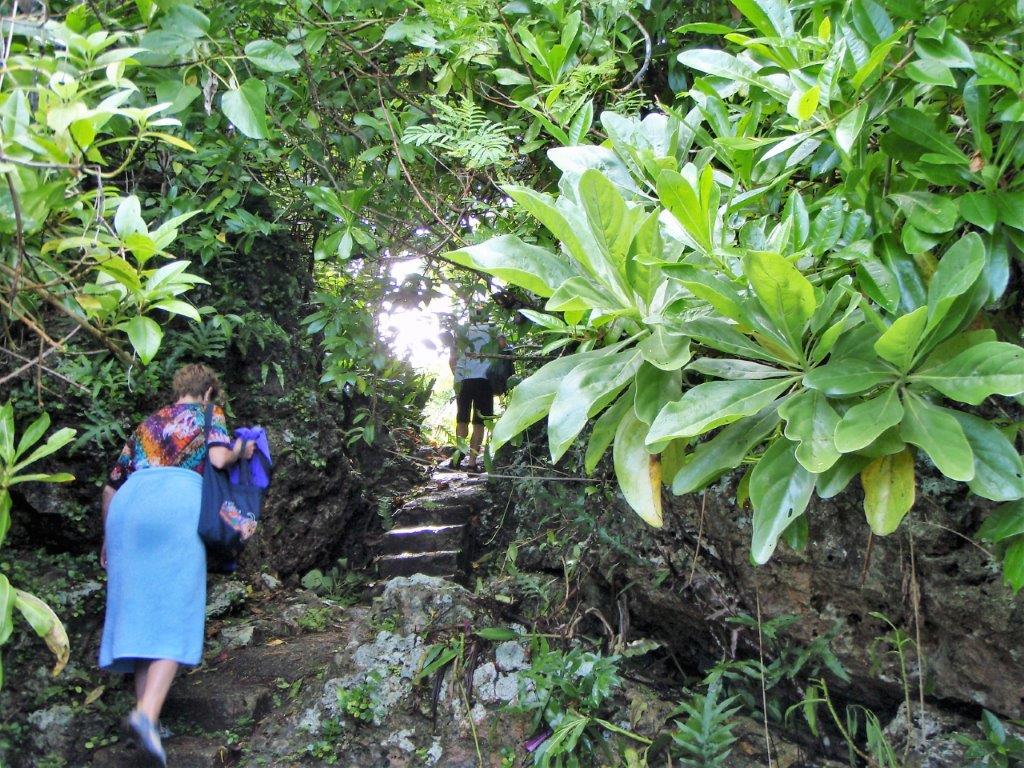
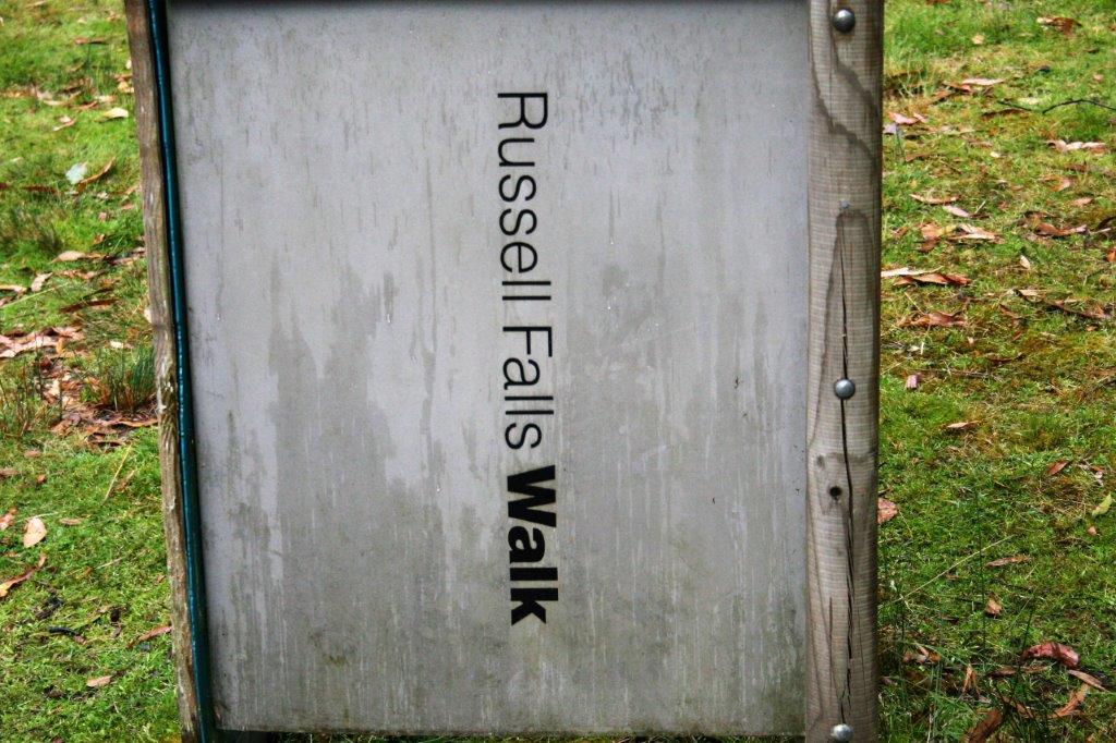
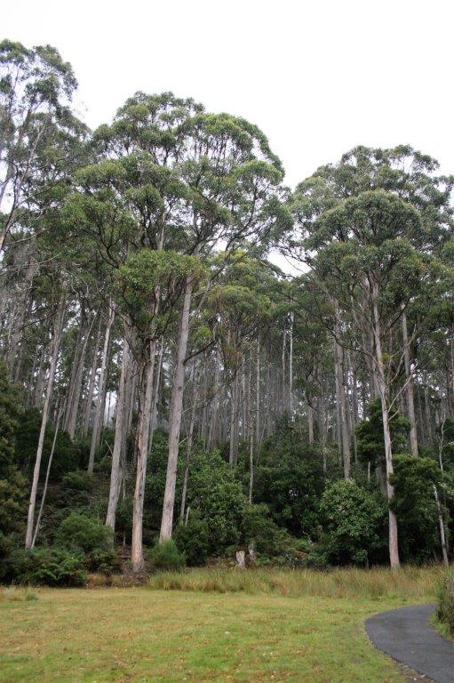
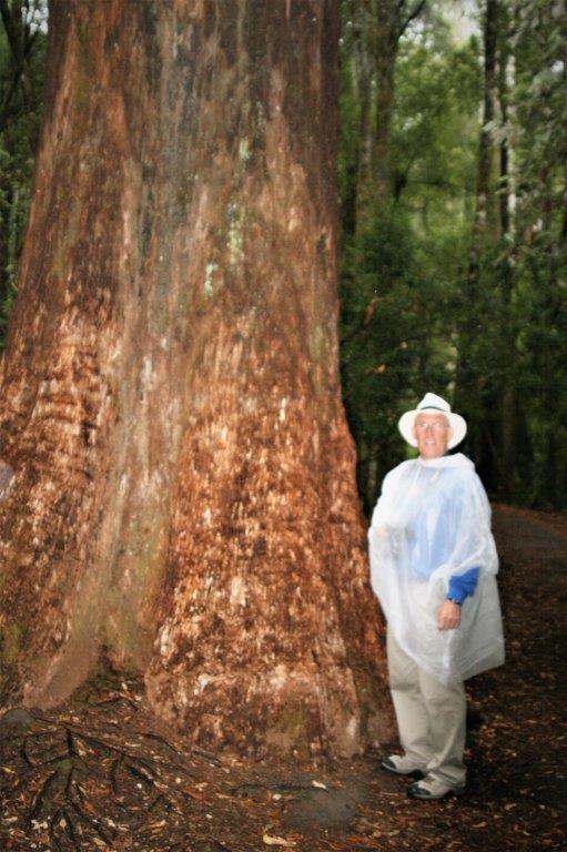
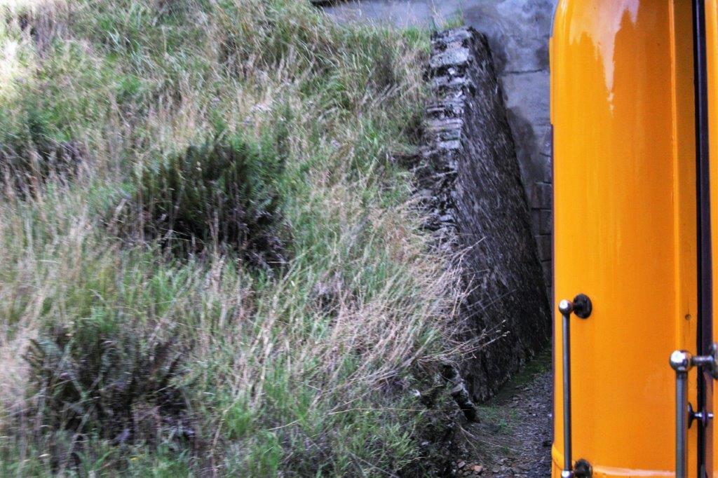
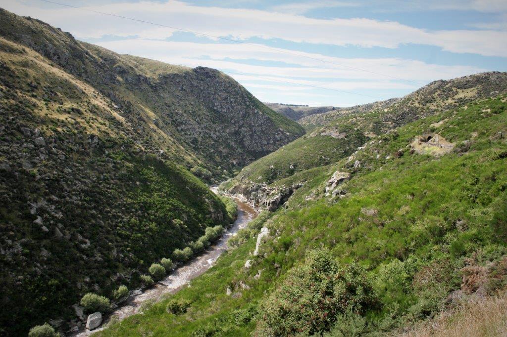
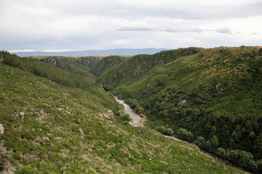
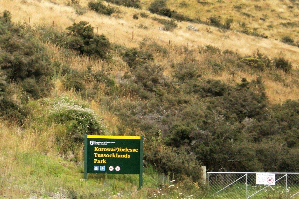
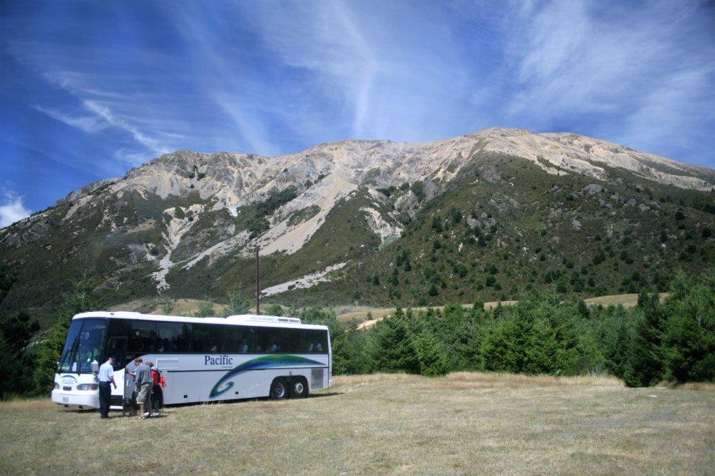
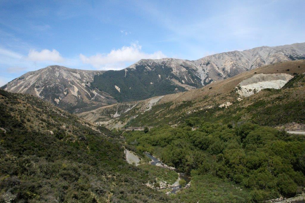
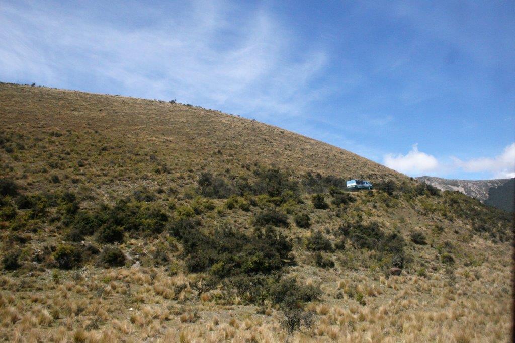
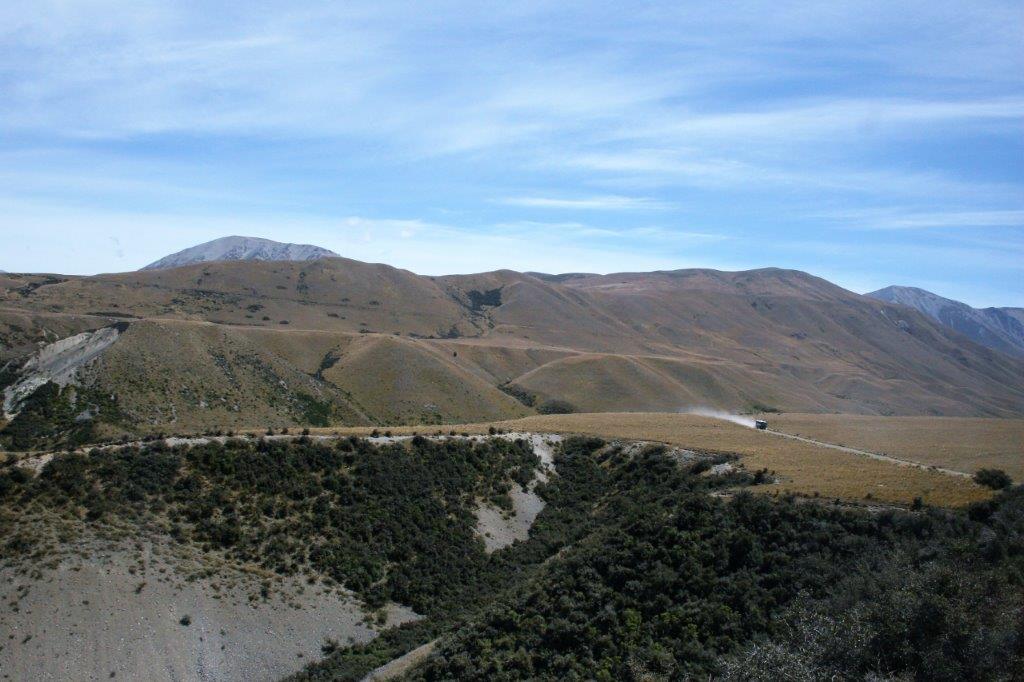
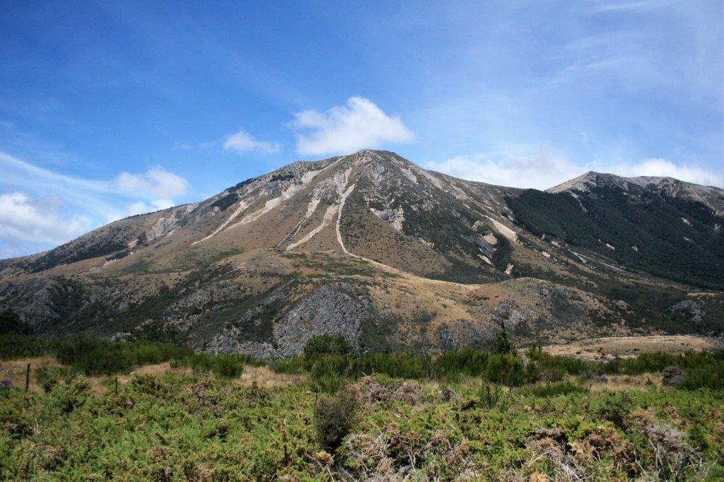
We had a two hour bus ride through Hobart and inland to Mt. Field National Park where we hiked up to Russell Falls.  Much of Tasmania is protected by national parks and reserves.  Mt. Field was the first national park, designated in 1916. 
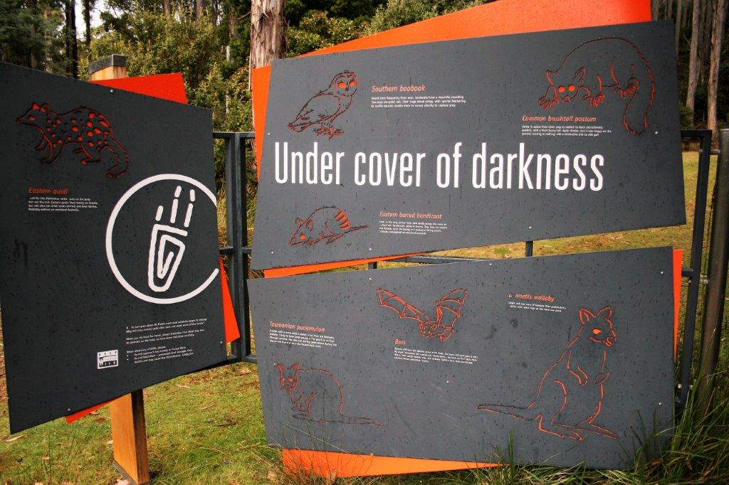
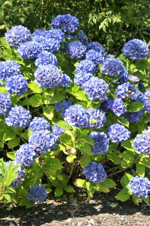
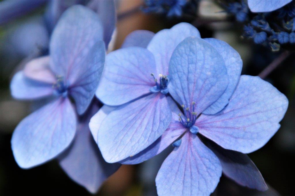
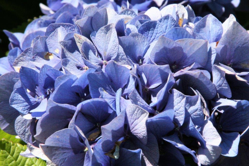
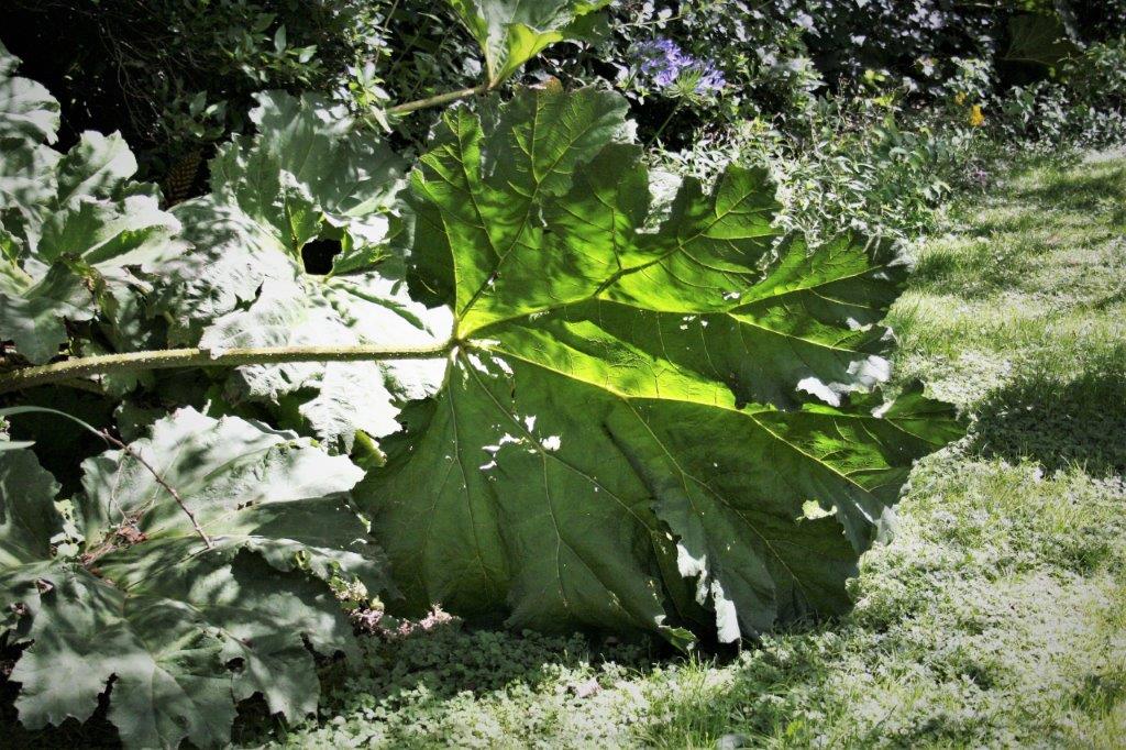
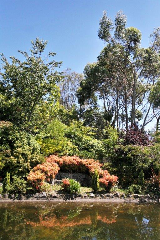
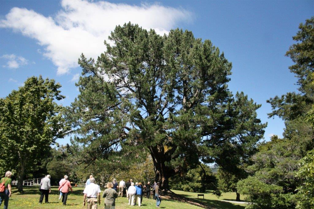
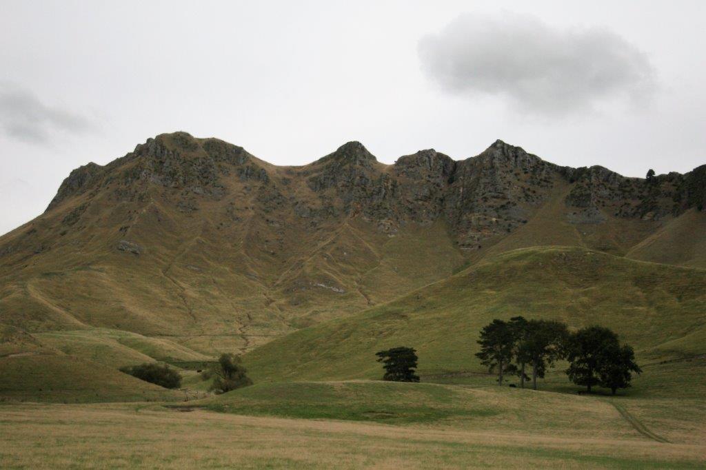
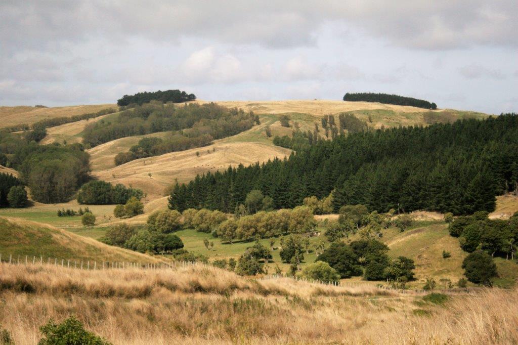
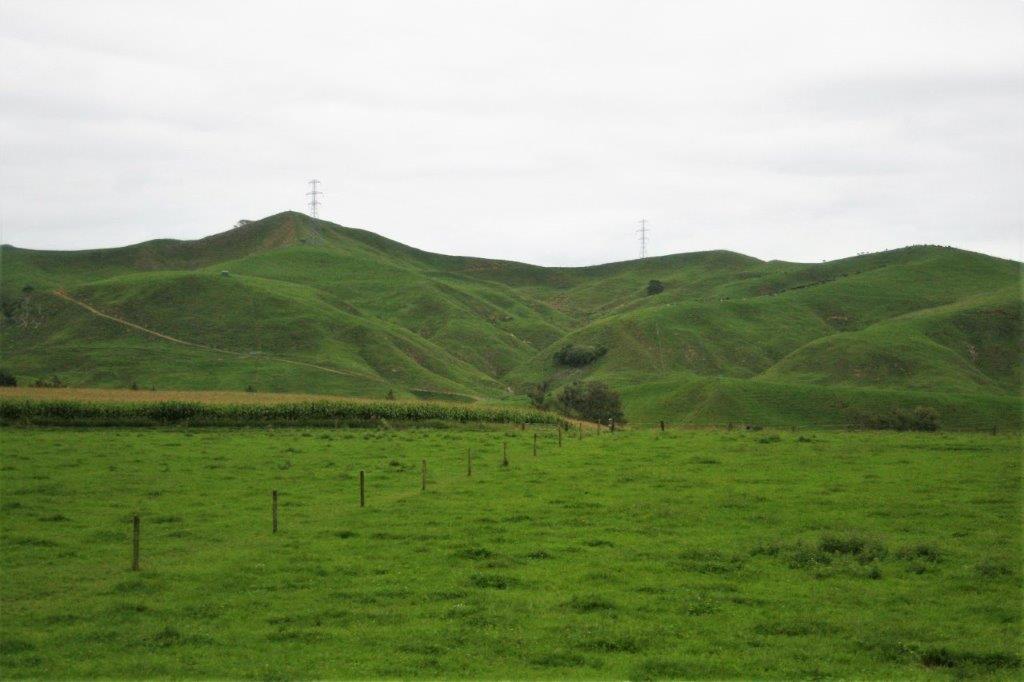
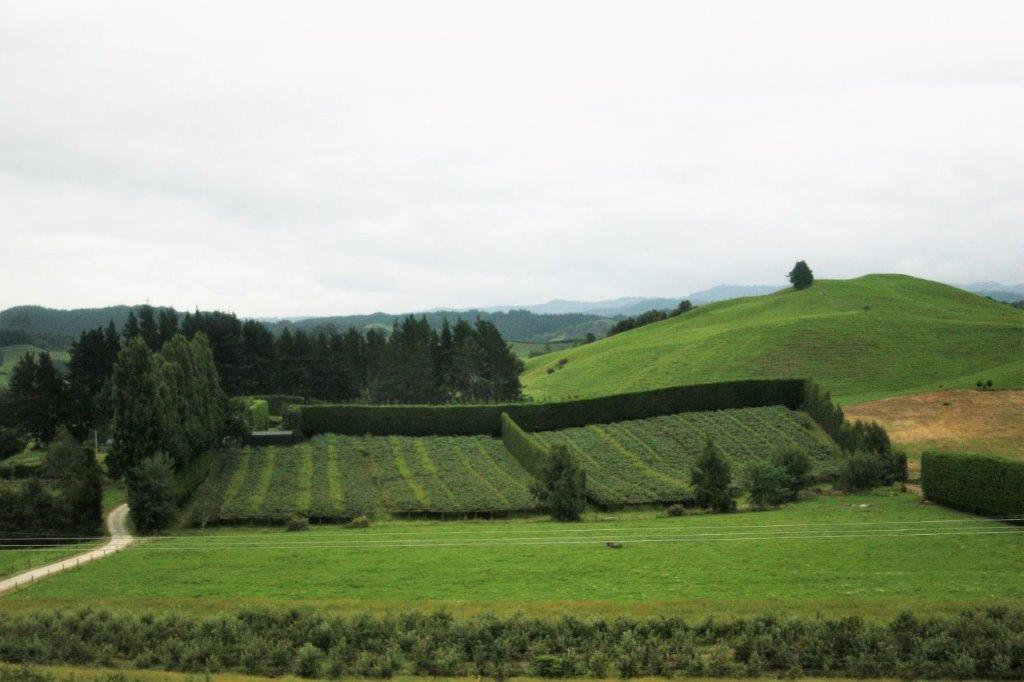
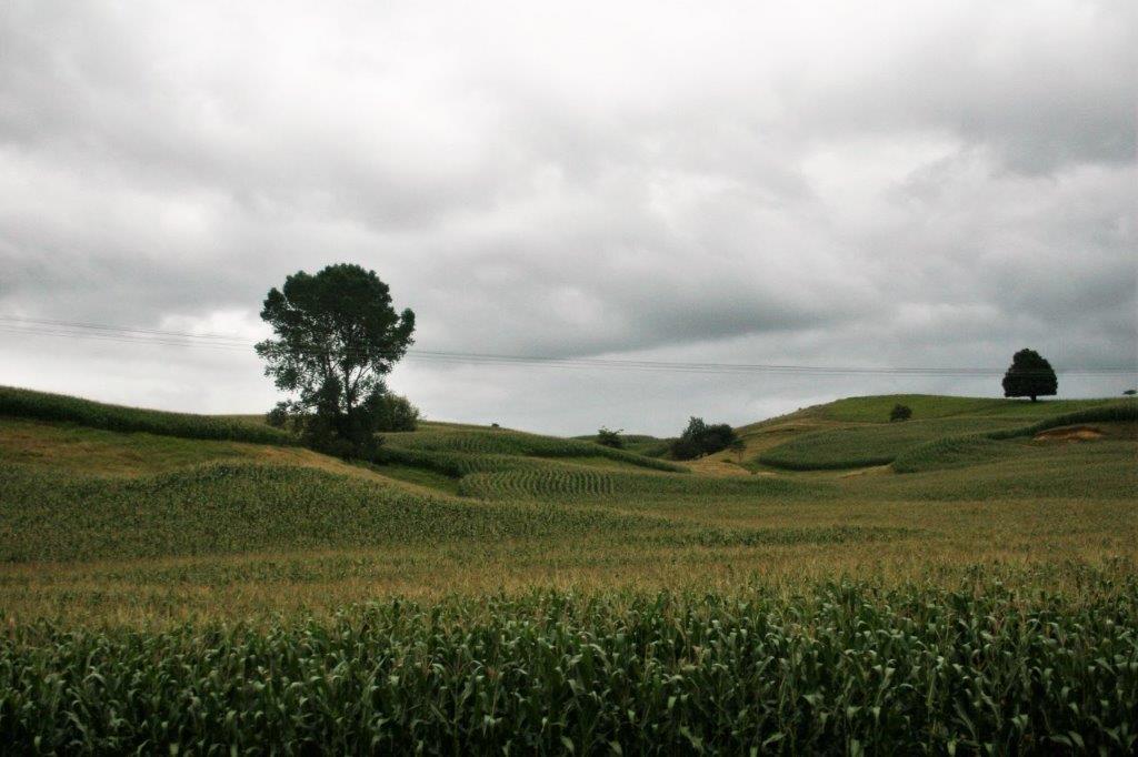
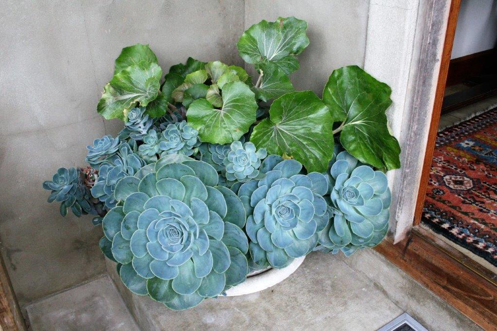
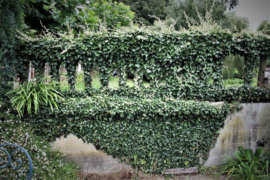
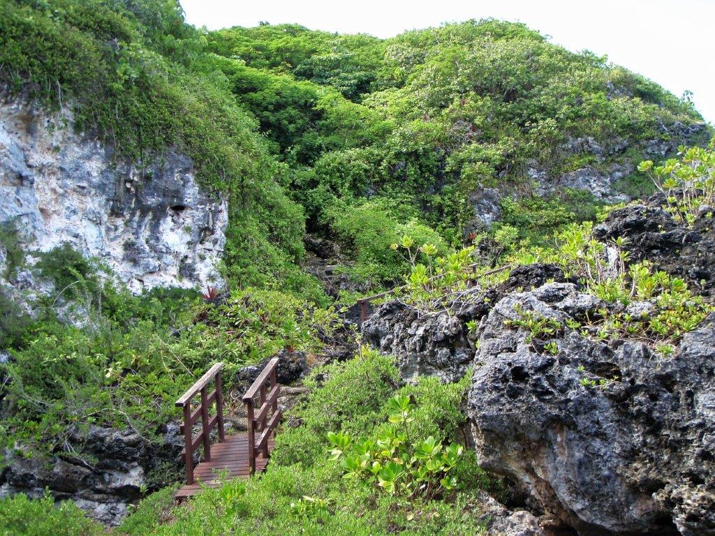
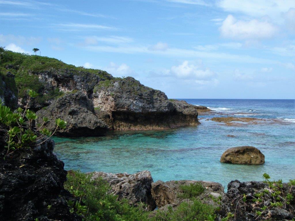
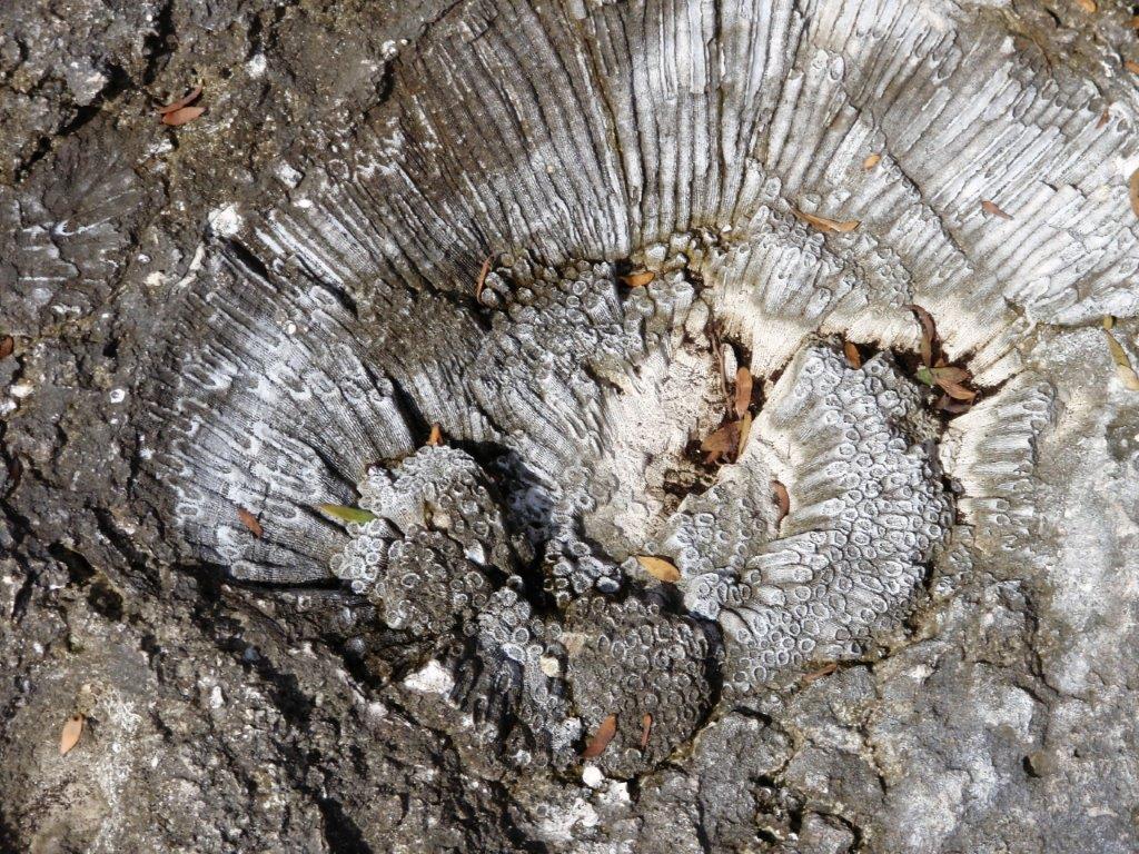
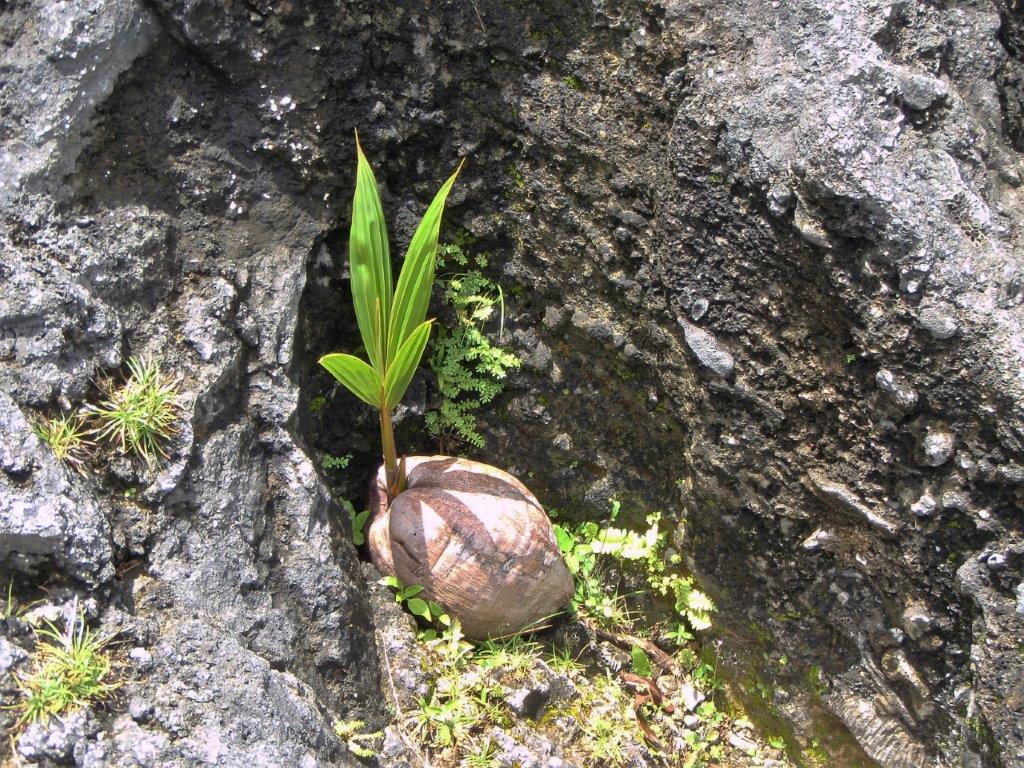
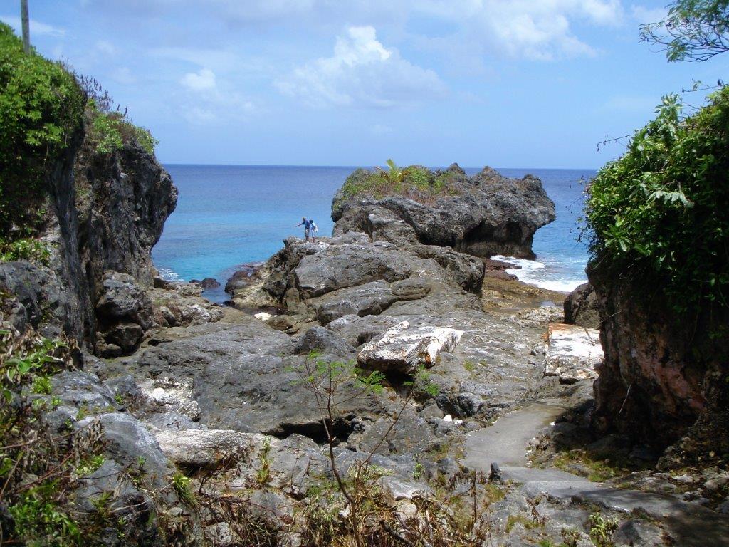
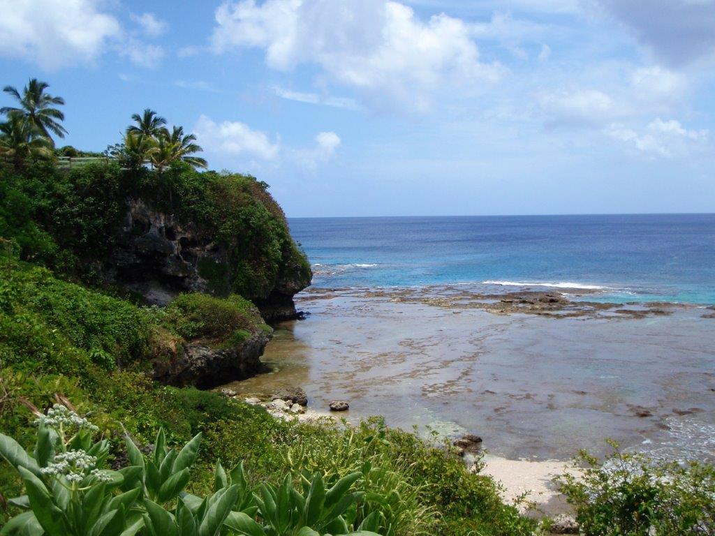
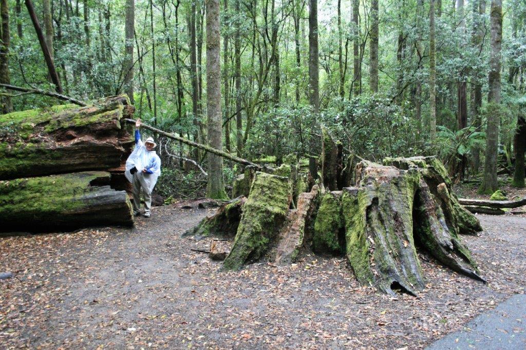
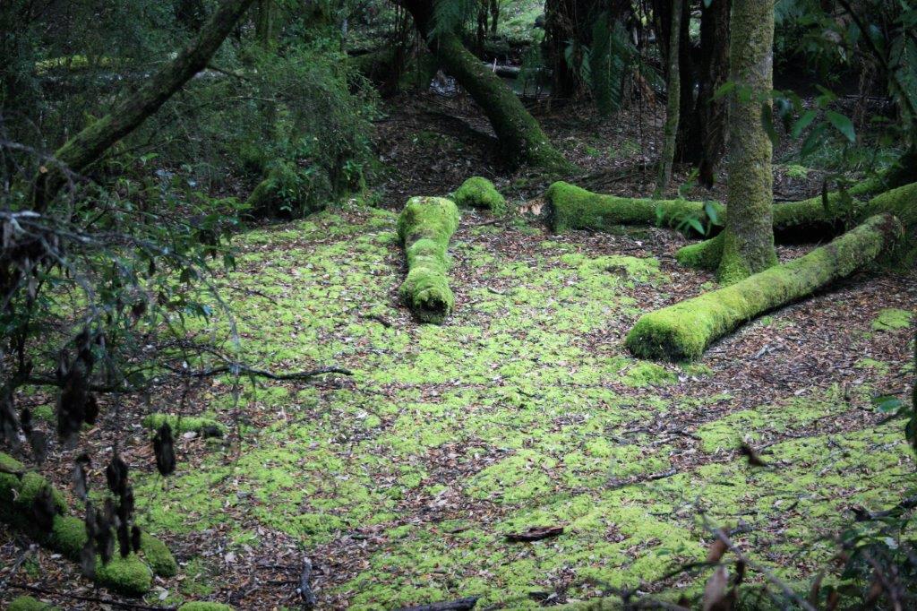
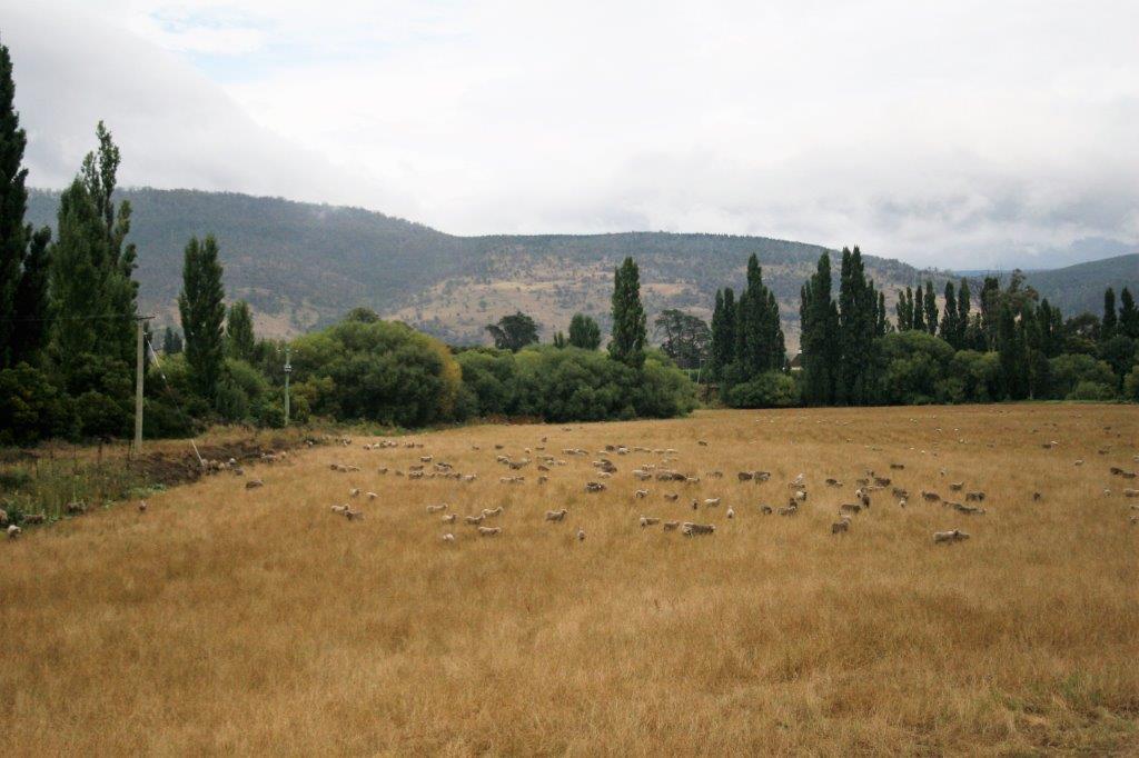
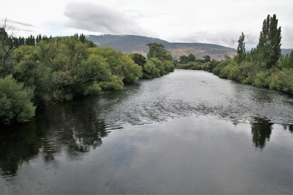
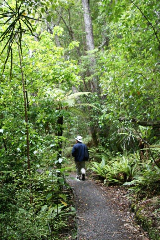
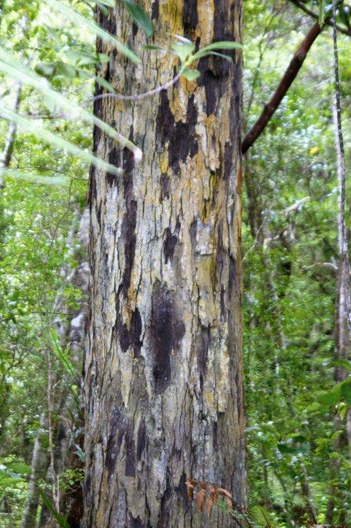
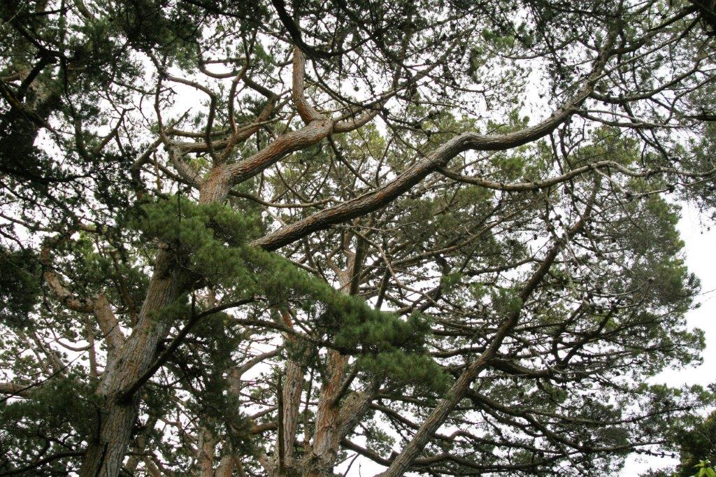
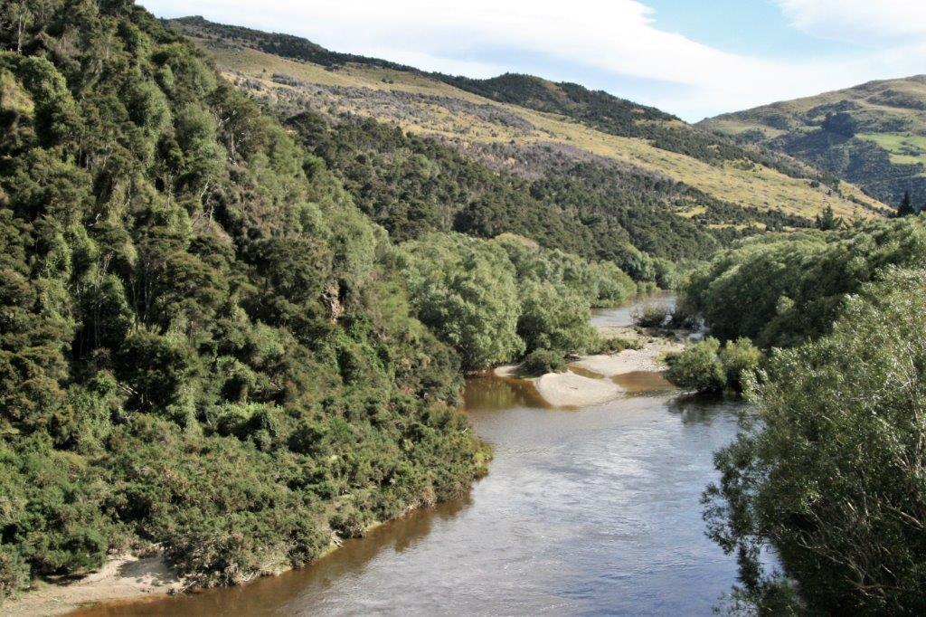
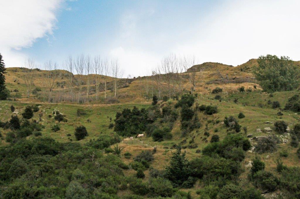
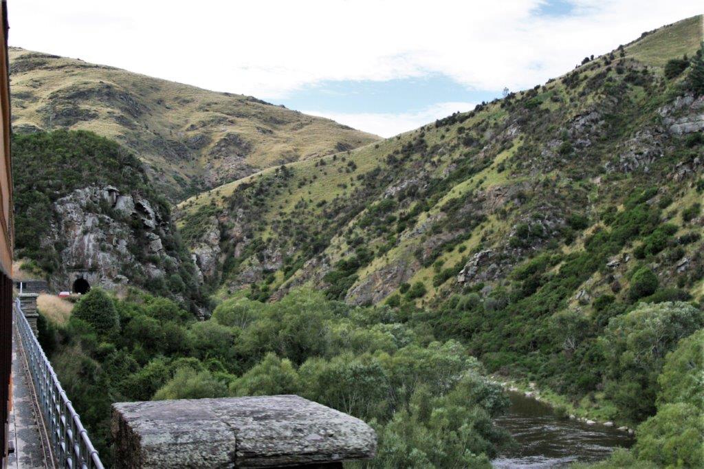
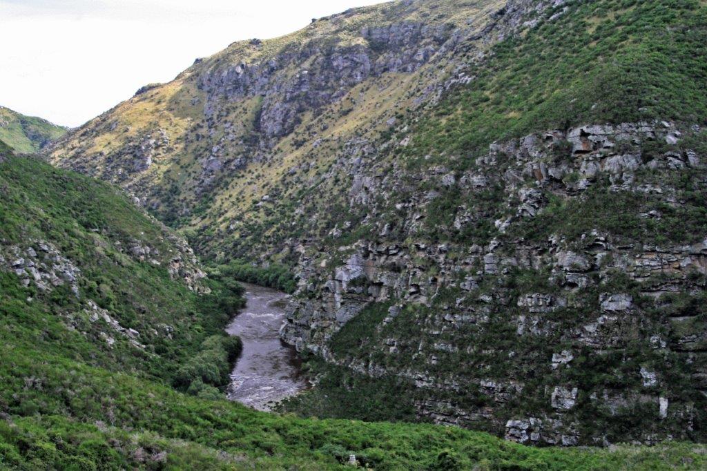
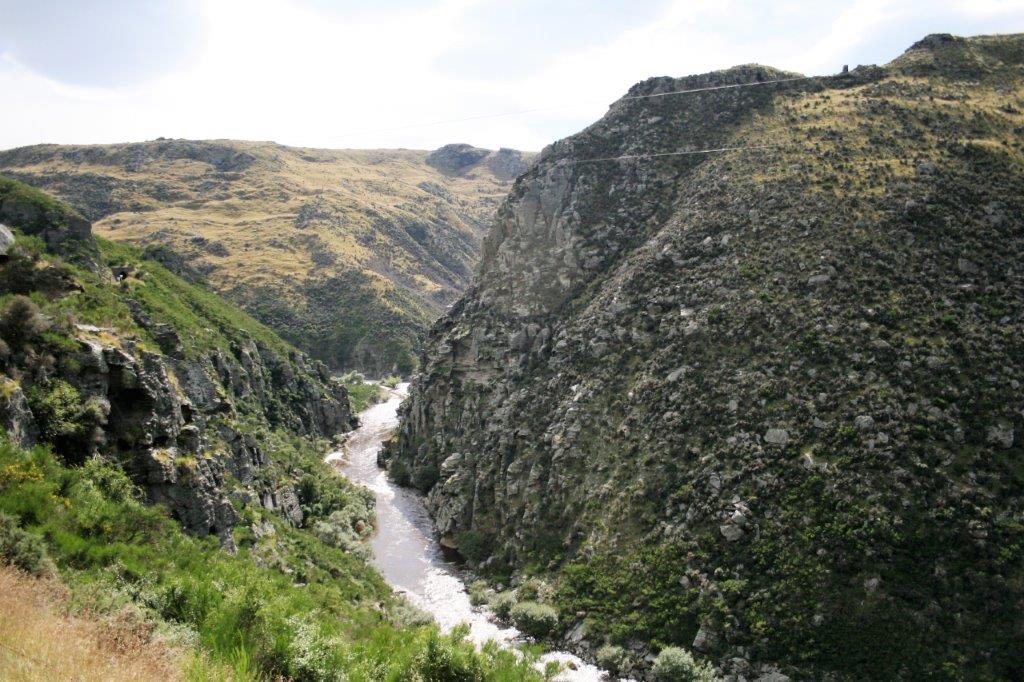
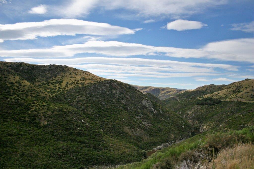
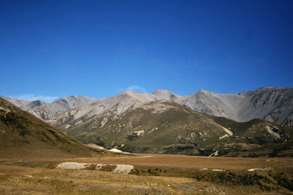
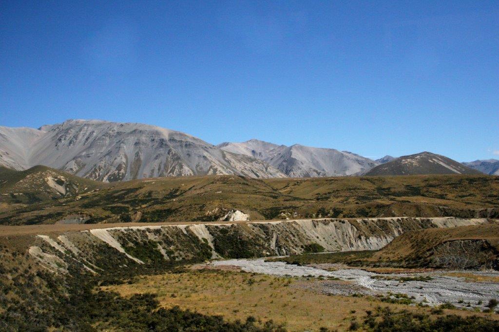
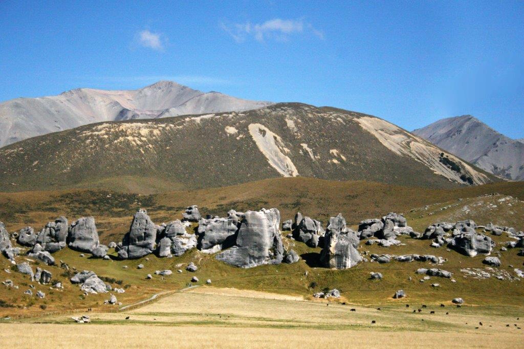
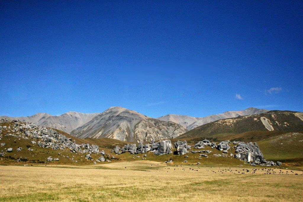
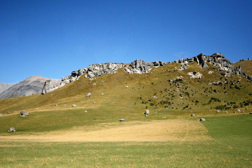
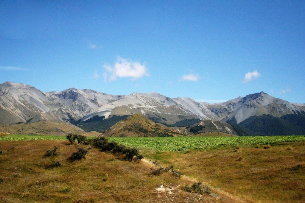
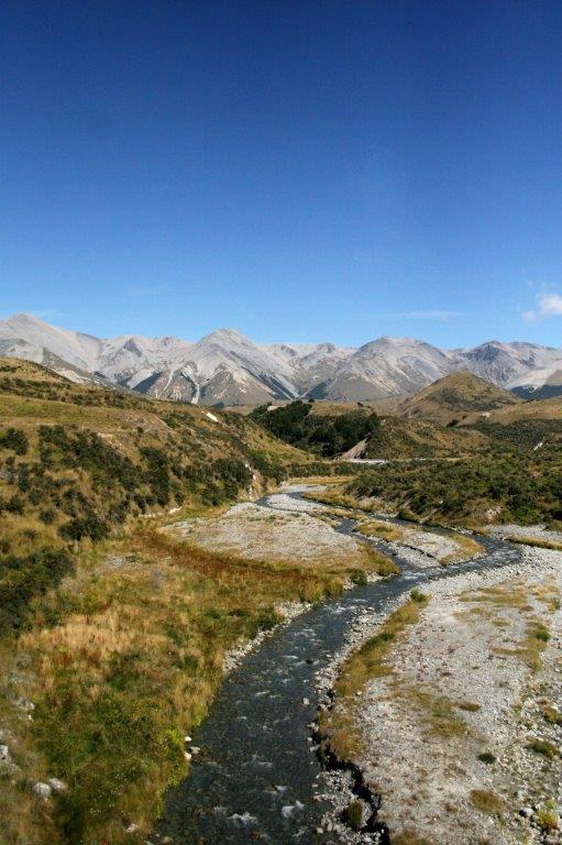
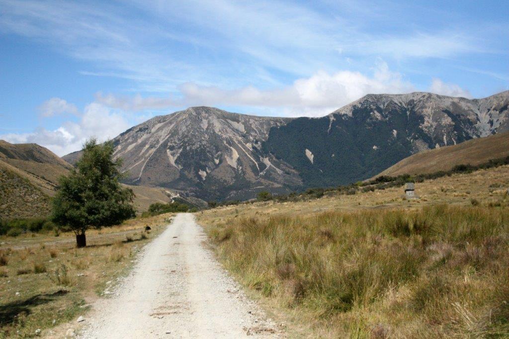
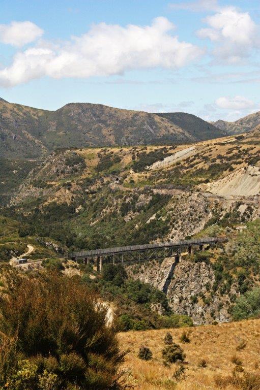
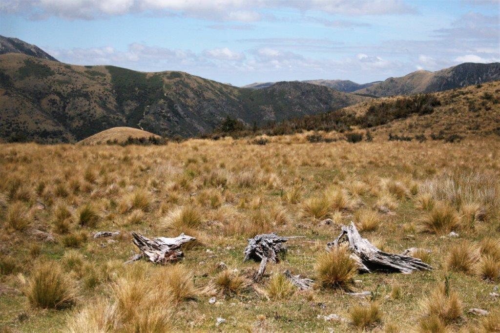
The island is very mountainous with thick forests and lush vegetation.

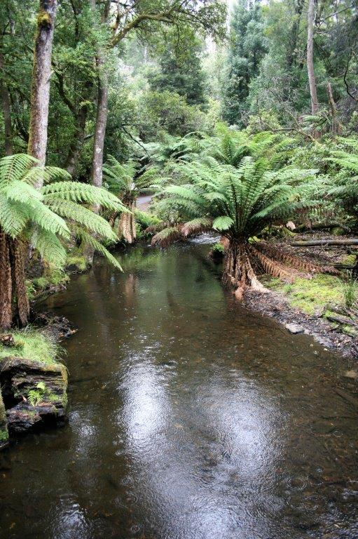
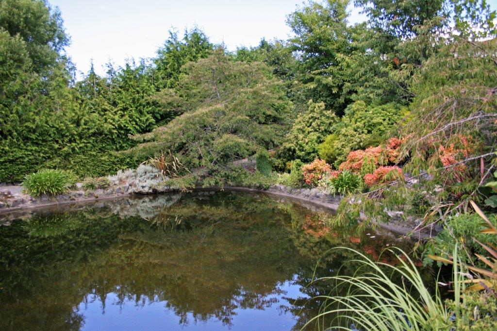
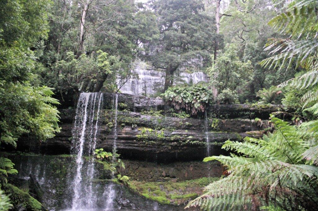
Russell Falls drops over three shelfs.  With all the plant growth and the rain it was hard to see it clearly. 
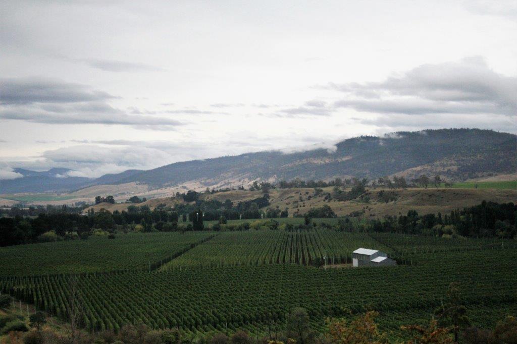
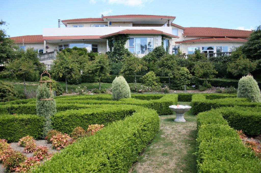
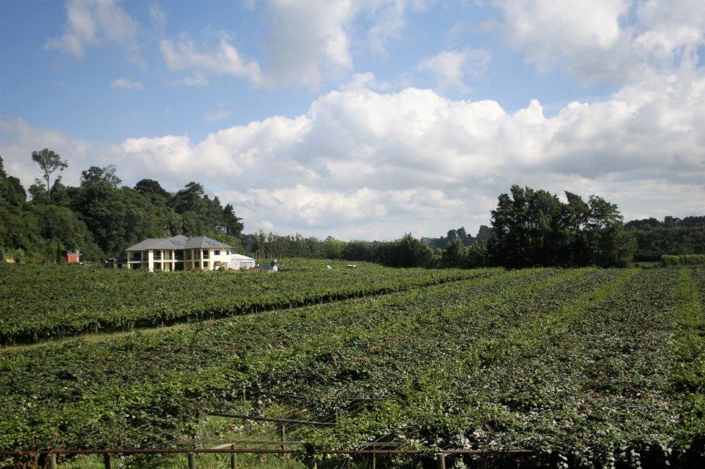
A further drive back toward Hobart on the other side of the Derwent river brought us to MeadowBank Winery for wine tasting and lunch.  Sadly the organization for the meal was somewhat lacking and the quantities didn’t even make it all around several of the tables.  Since it took so long to get our lunch it threw off the rest of the tour schedule so our guide had to call the ship and receive permission to return late.  The ship was in port until midnight so there was no worry about it sailing away but the shore excursions desk needs to know when people are due to be back on board. 
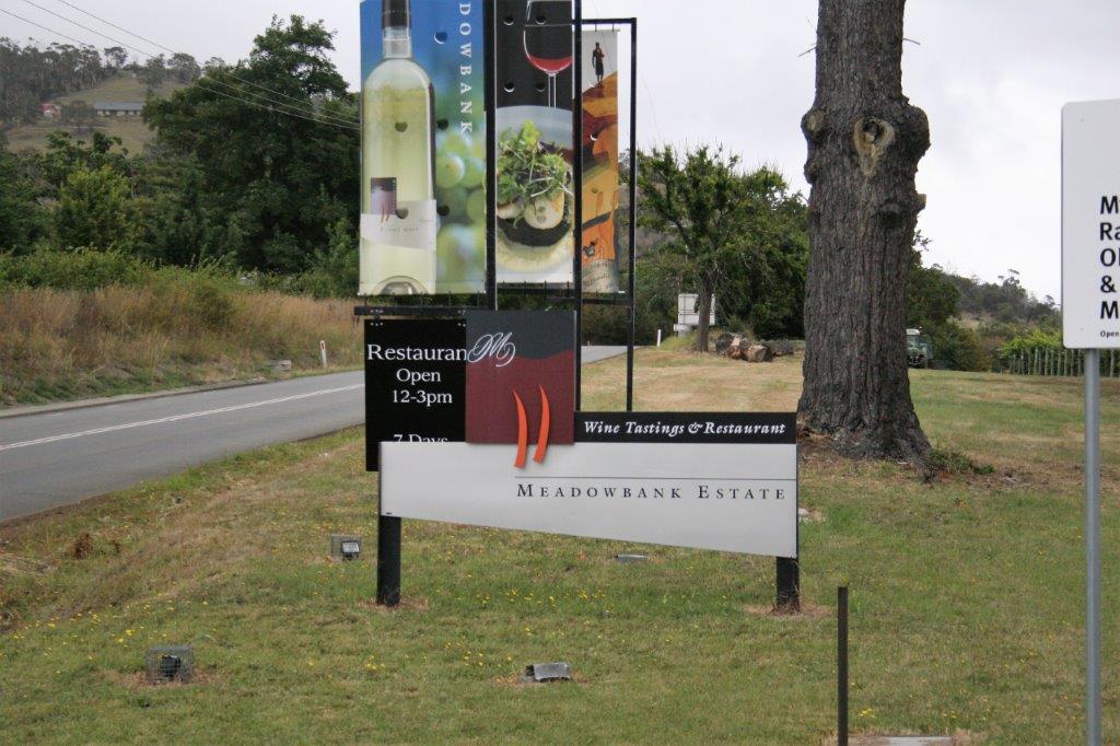
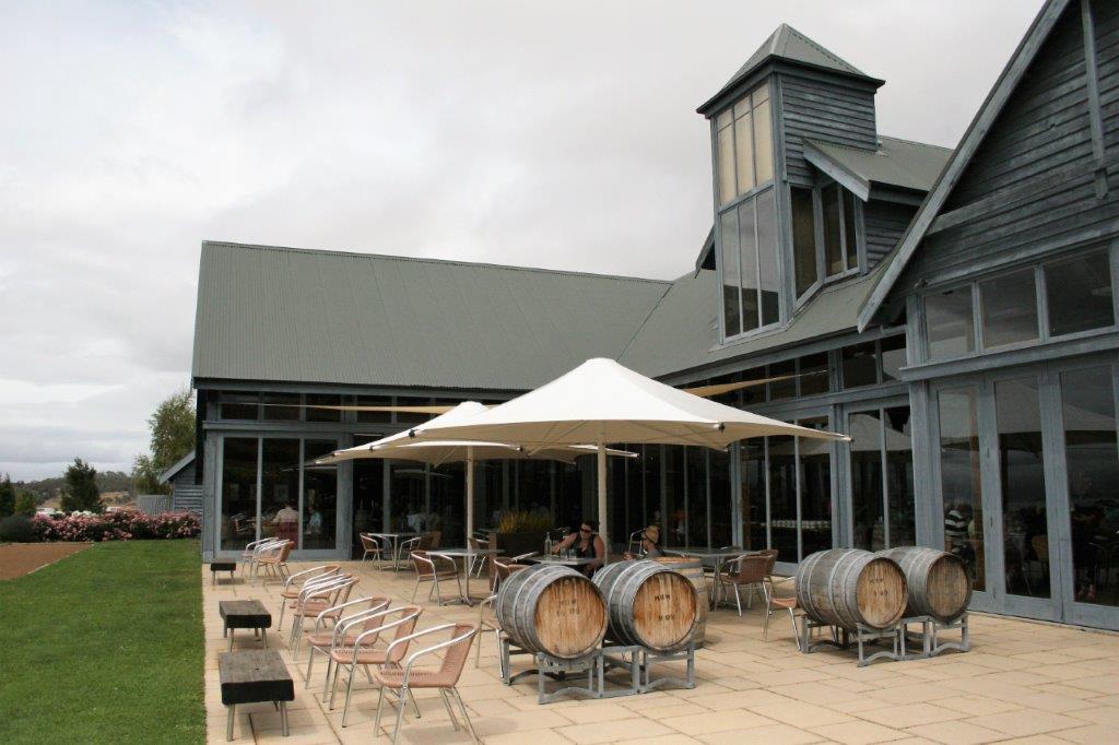
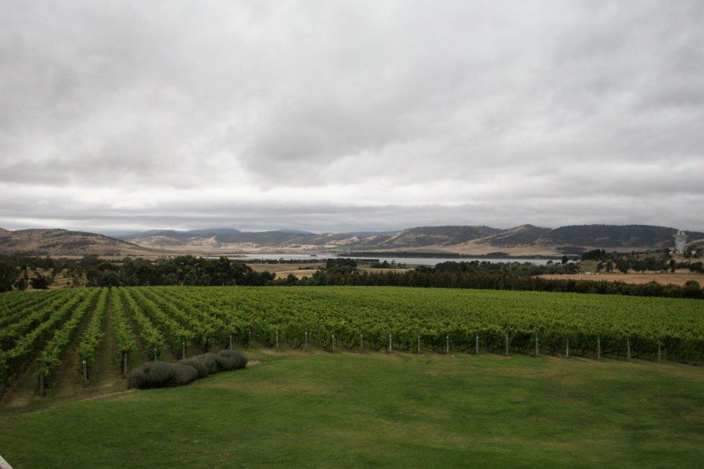
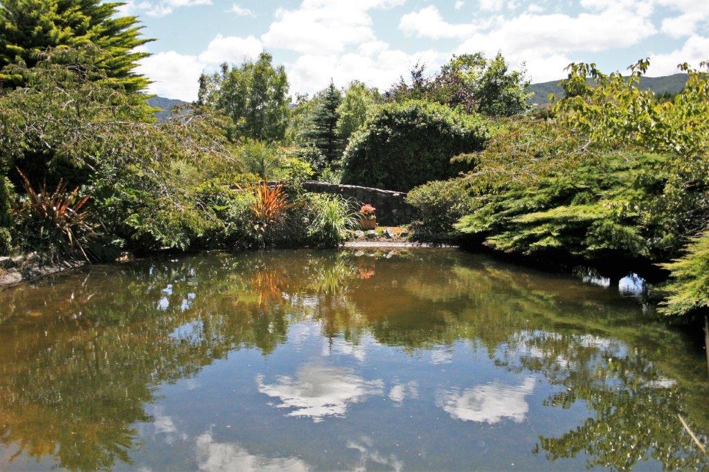
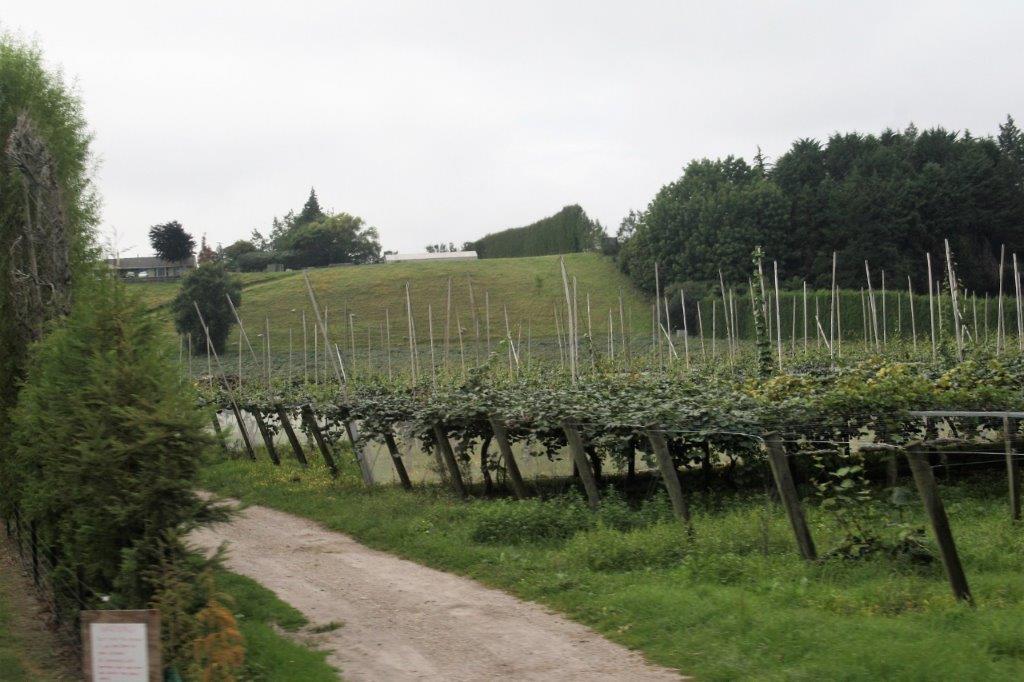
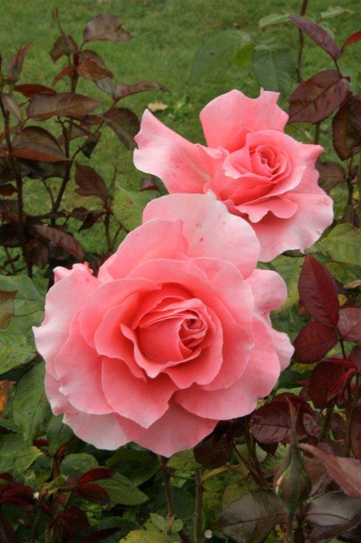
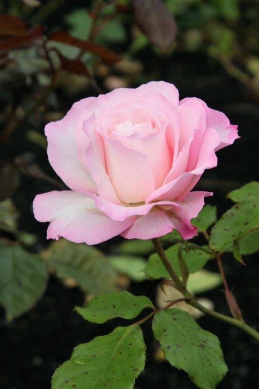
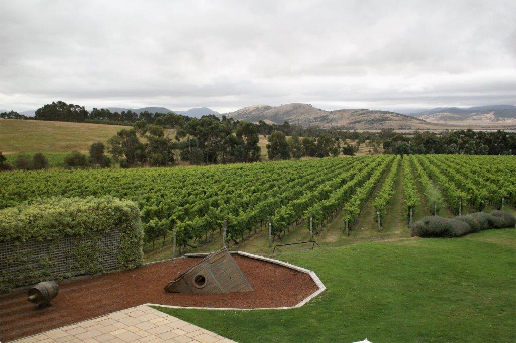
As usual with wineries the setting was lovely.

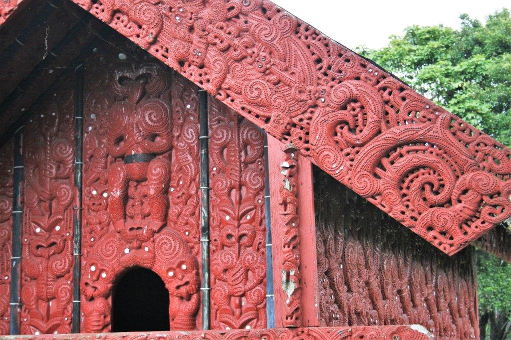
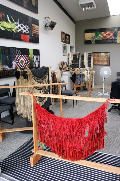
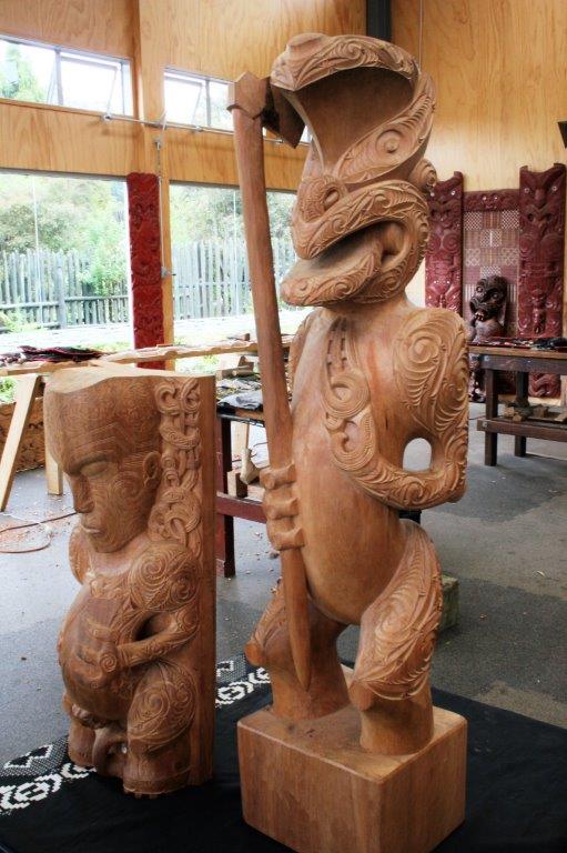
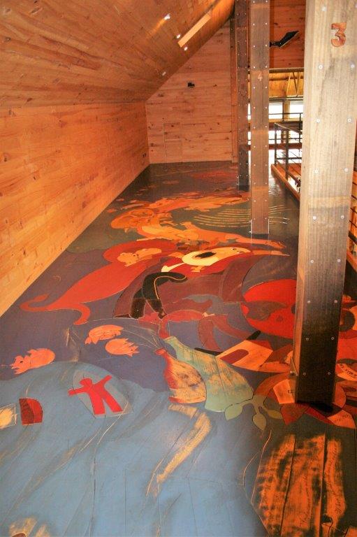
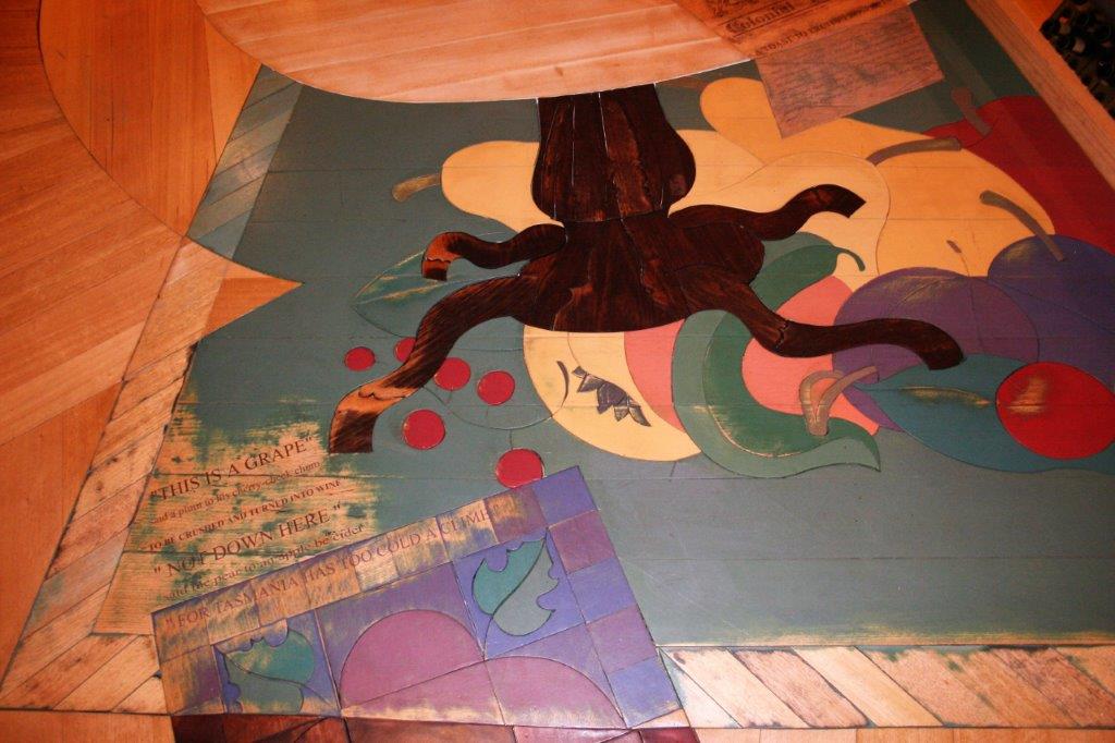
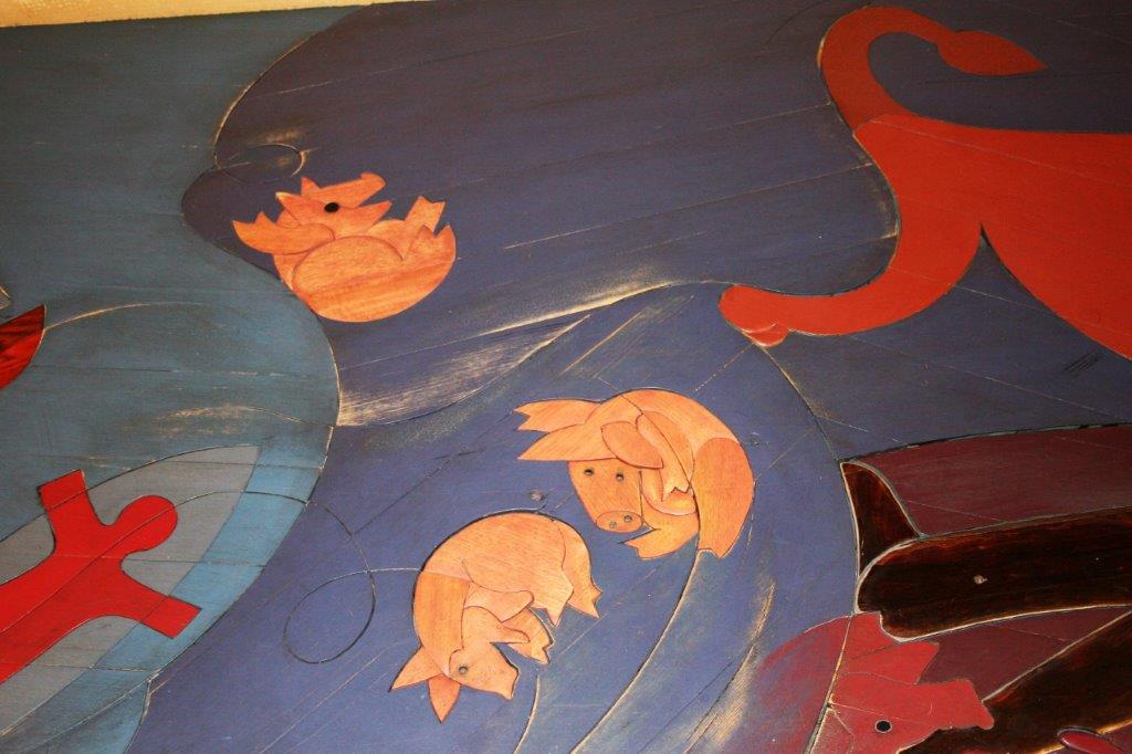
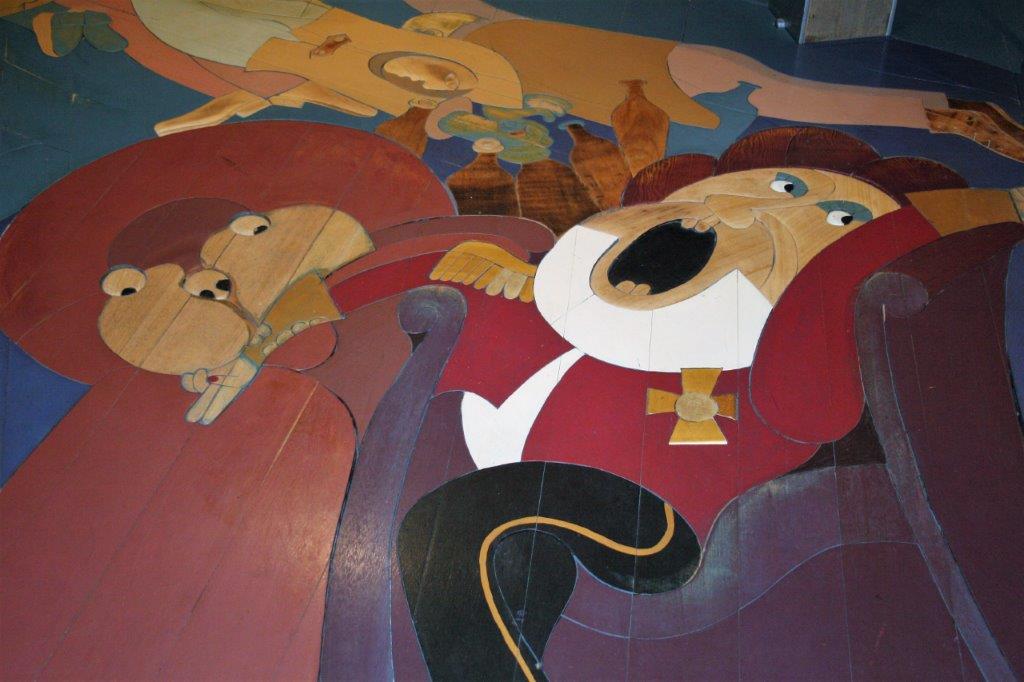
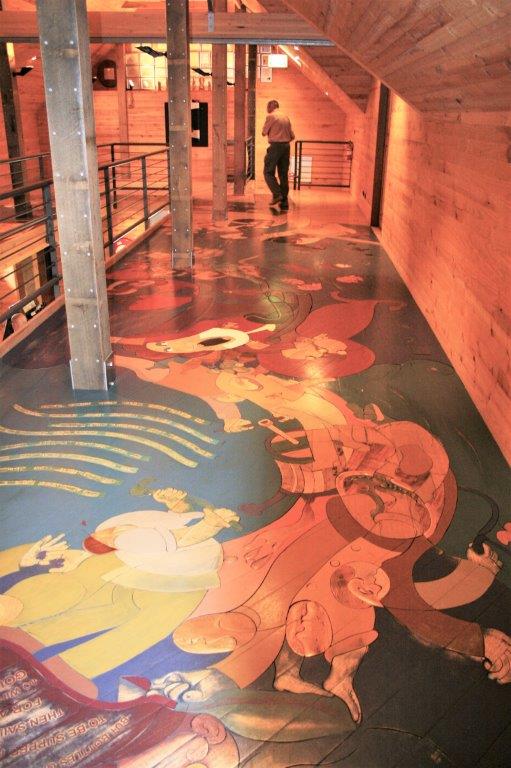
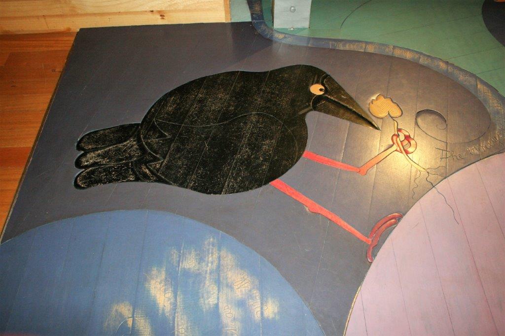
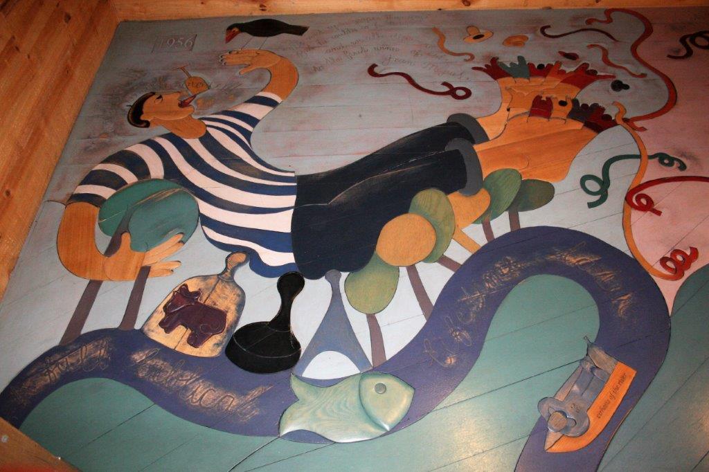
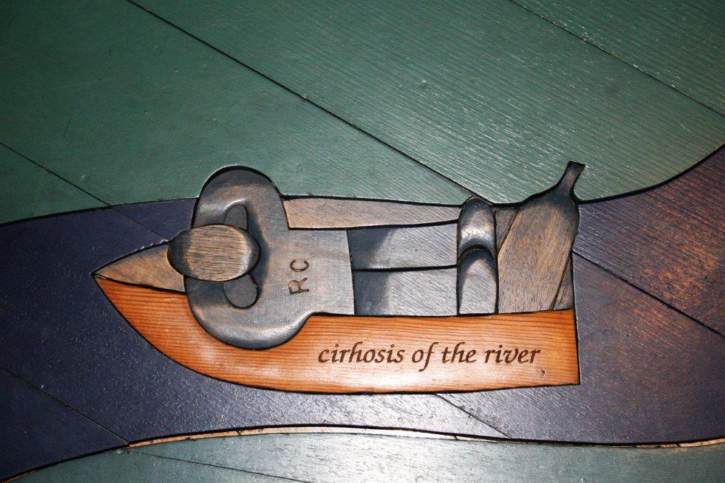
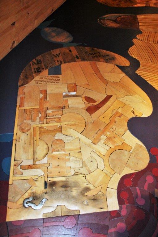
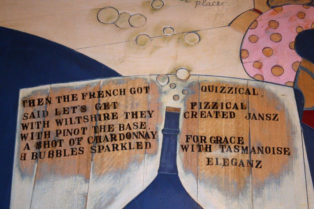
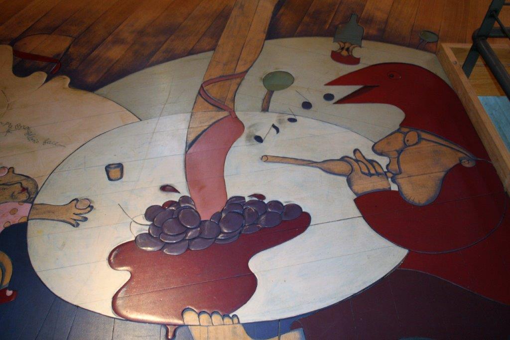
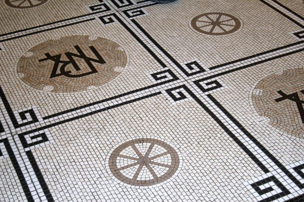
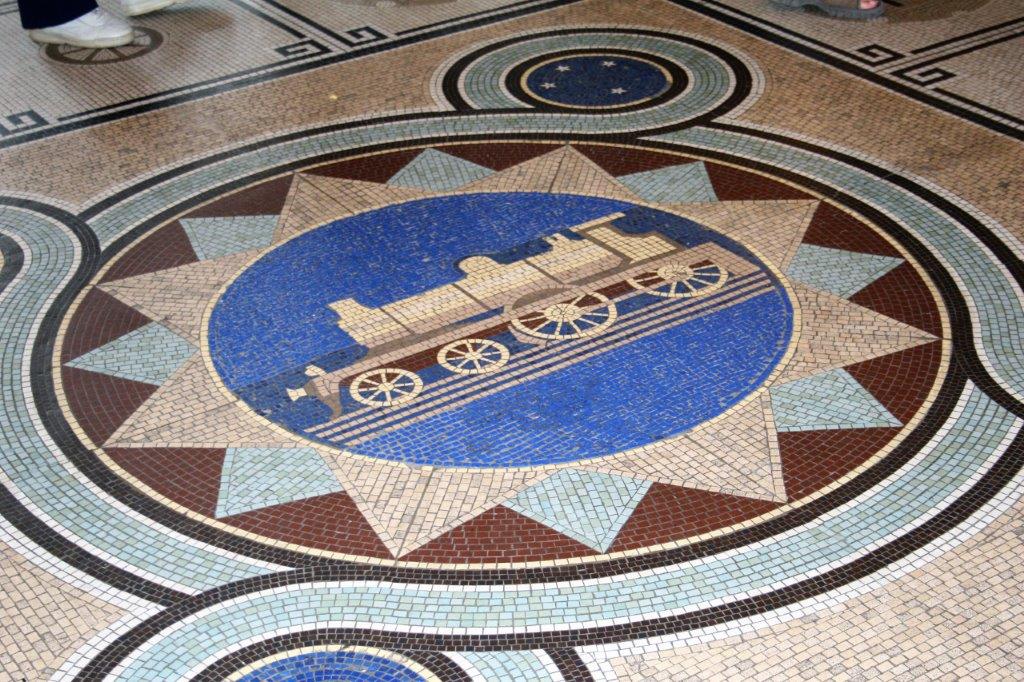
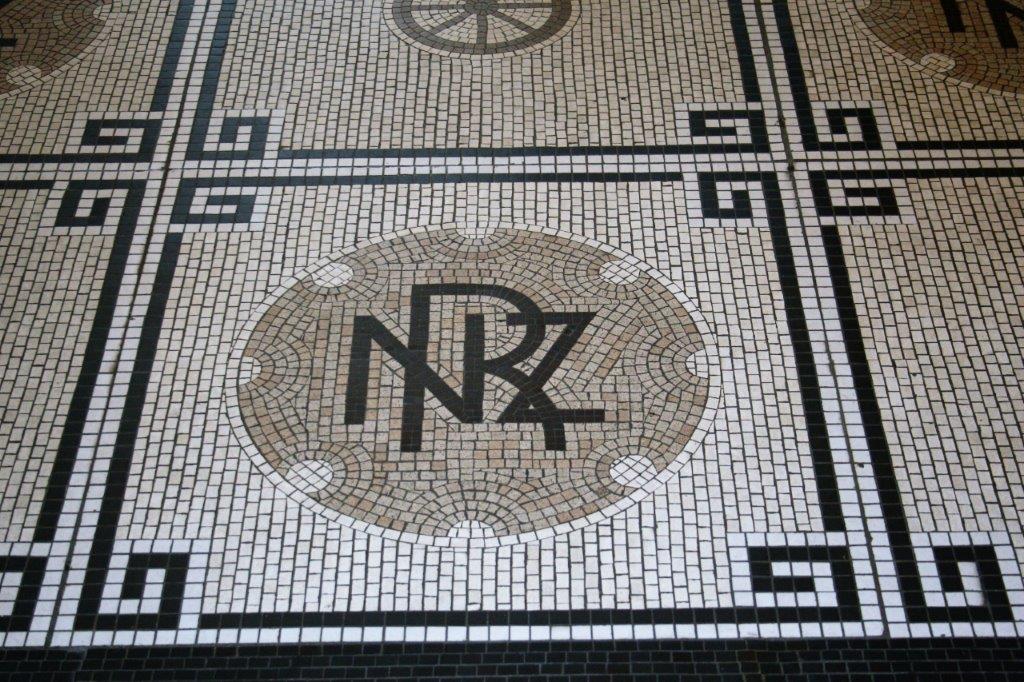
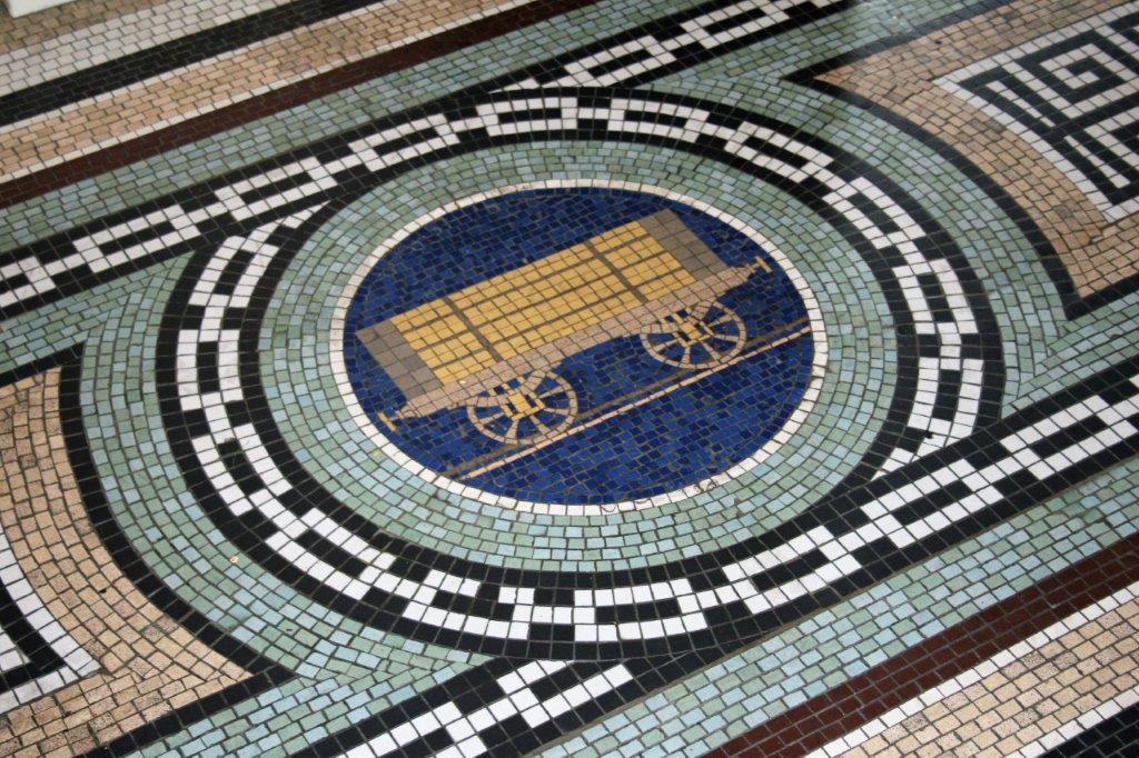
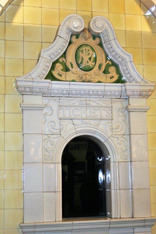
The nicest part of MeadowBank to me was the artistry on the floor in the upper level.  There were many stories and meanings pieced together in the wooden floor.  It would have taken a much longer than I had to check it all out. I thought it was beautiful art work.

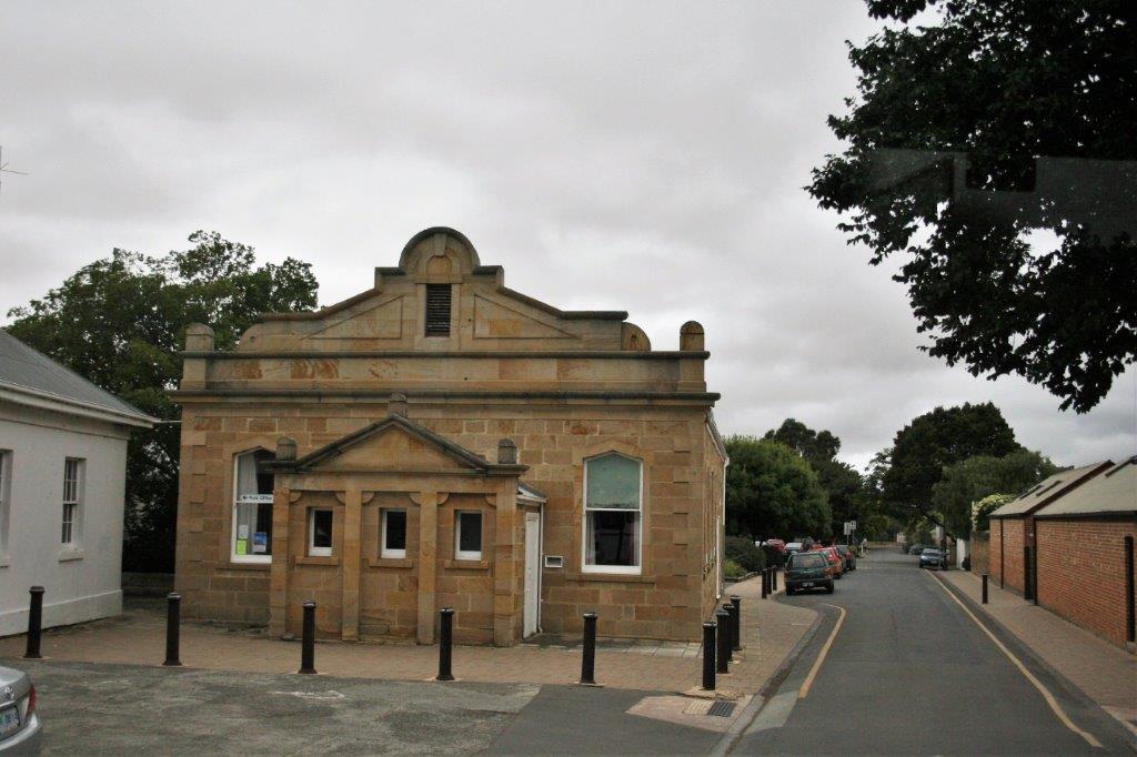
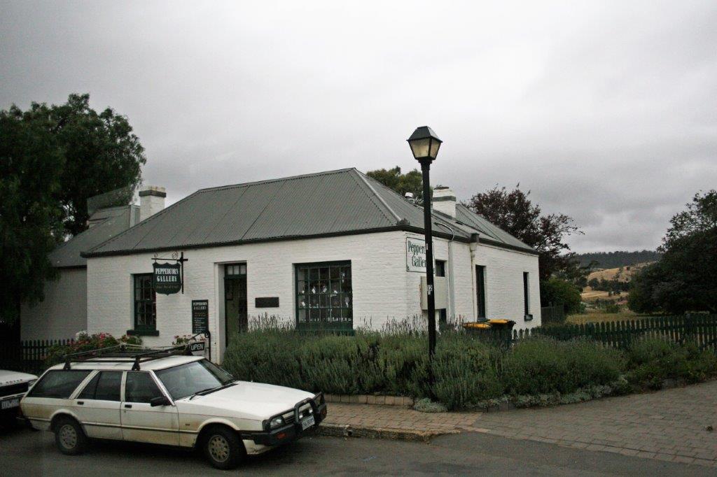
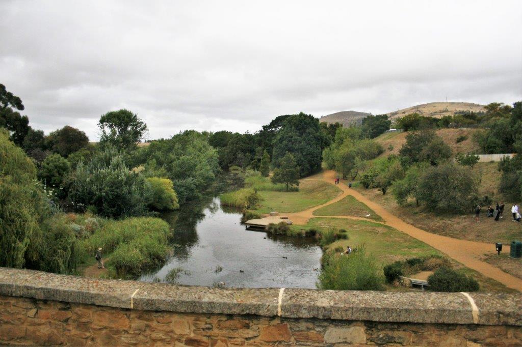
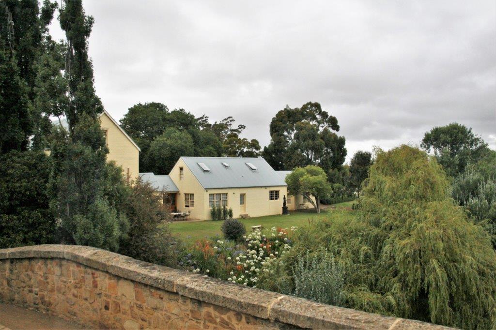
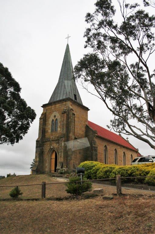
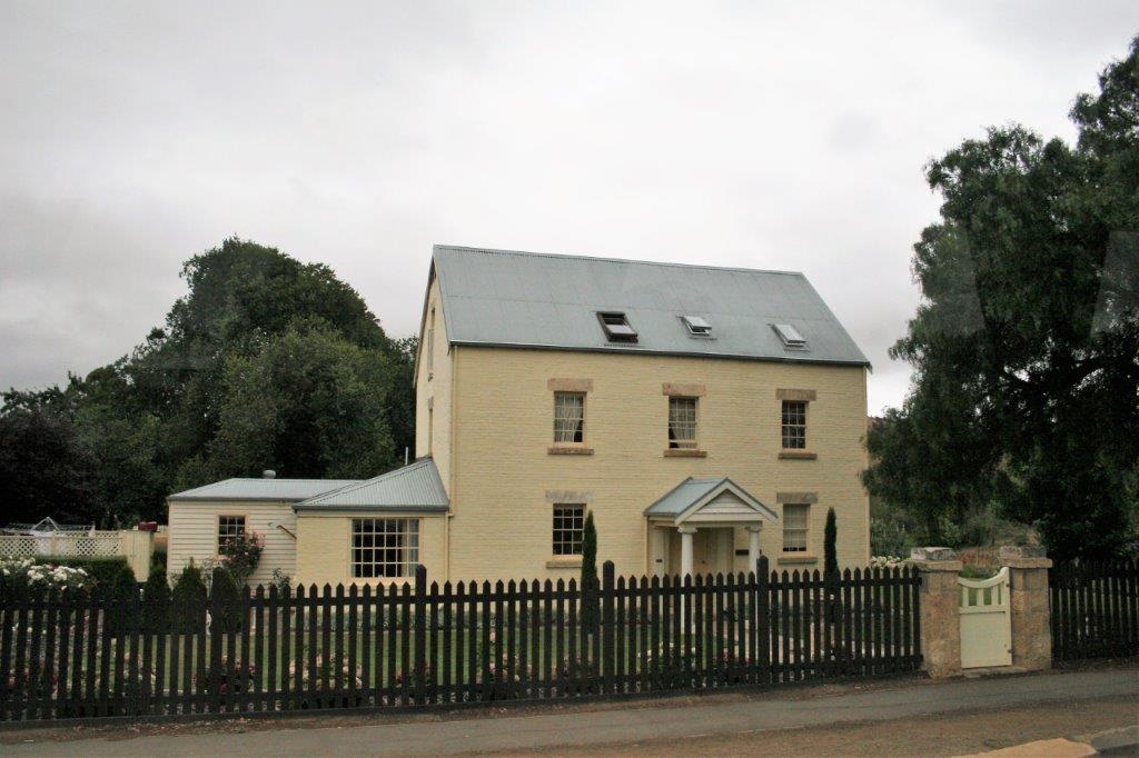
We were next taken to the Georgian town of Richmond, home to Australia’s oldest jail and oldest bridge (it was built by convicts like many of the structures and buildings in Australia). 
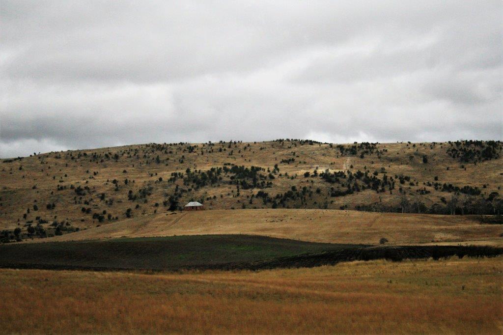
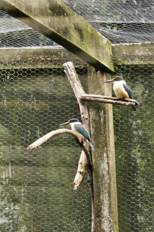
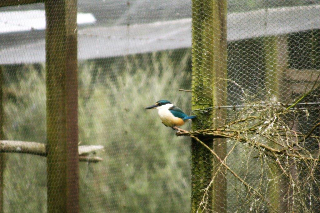
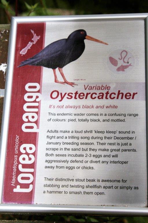
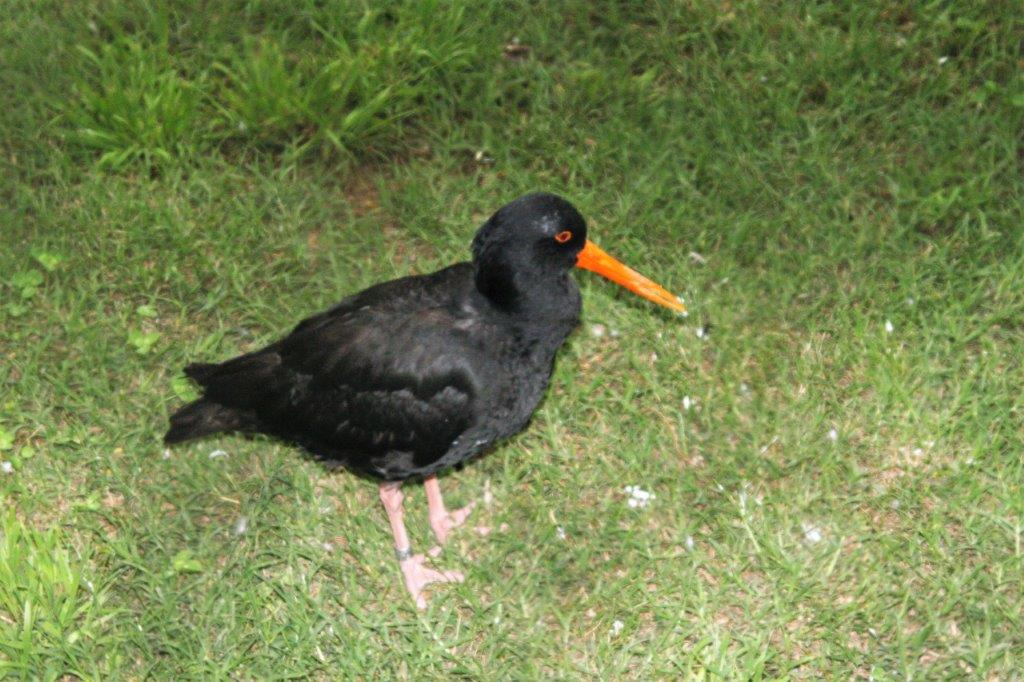
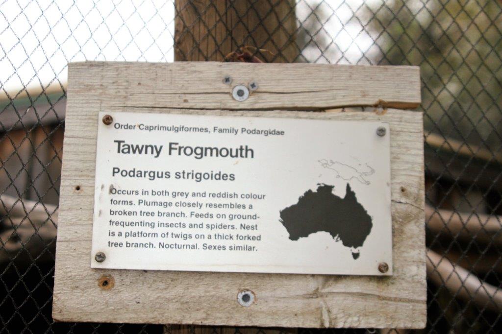
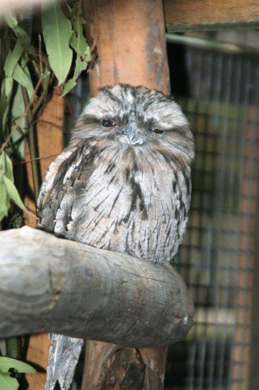
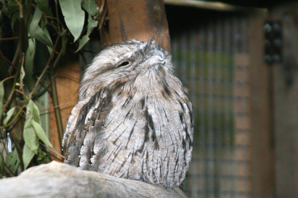
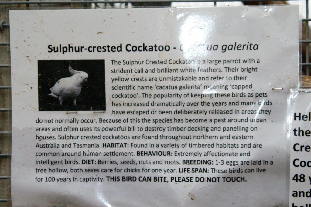
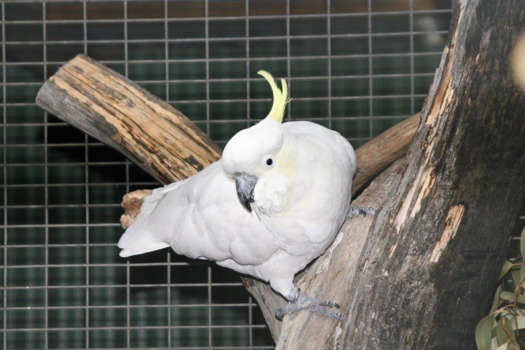
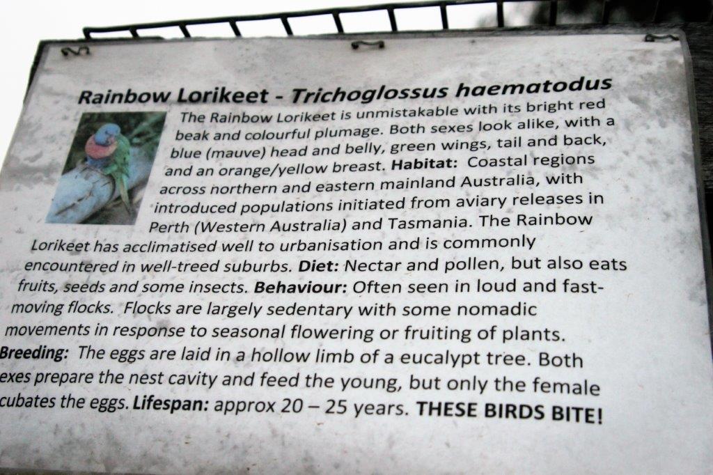
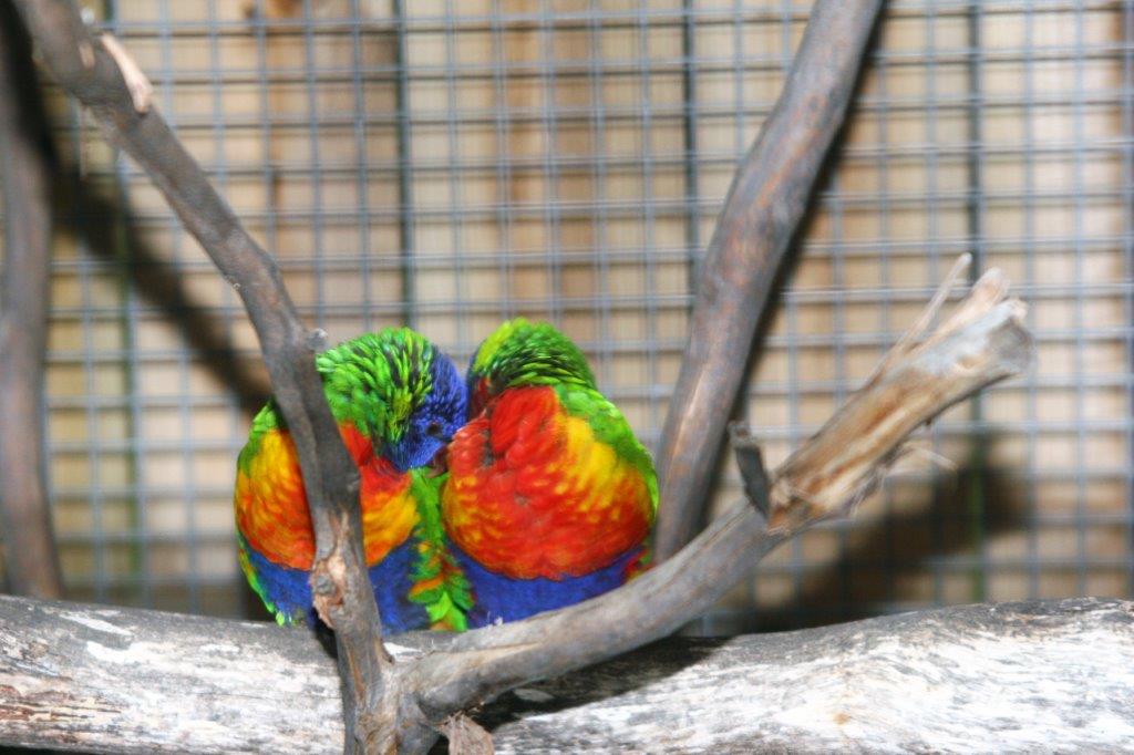
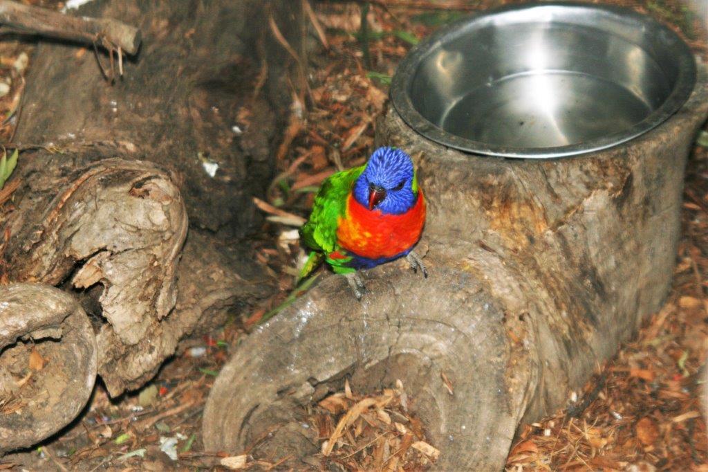
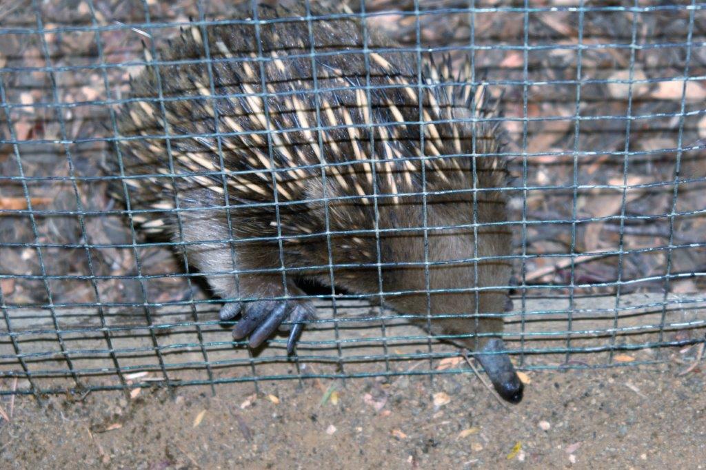
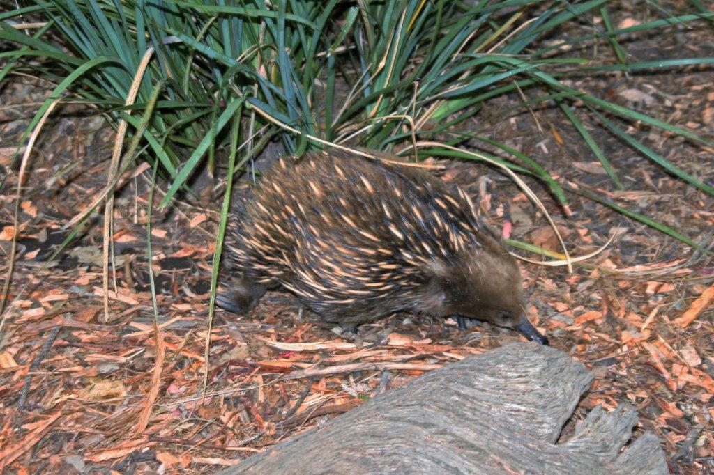
From Richmond we went to Bonorong Wildlife Park to see Tasmanian Devils, wallabee’s, kangaroo’s and other critters. Th 
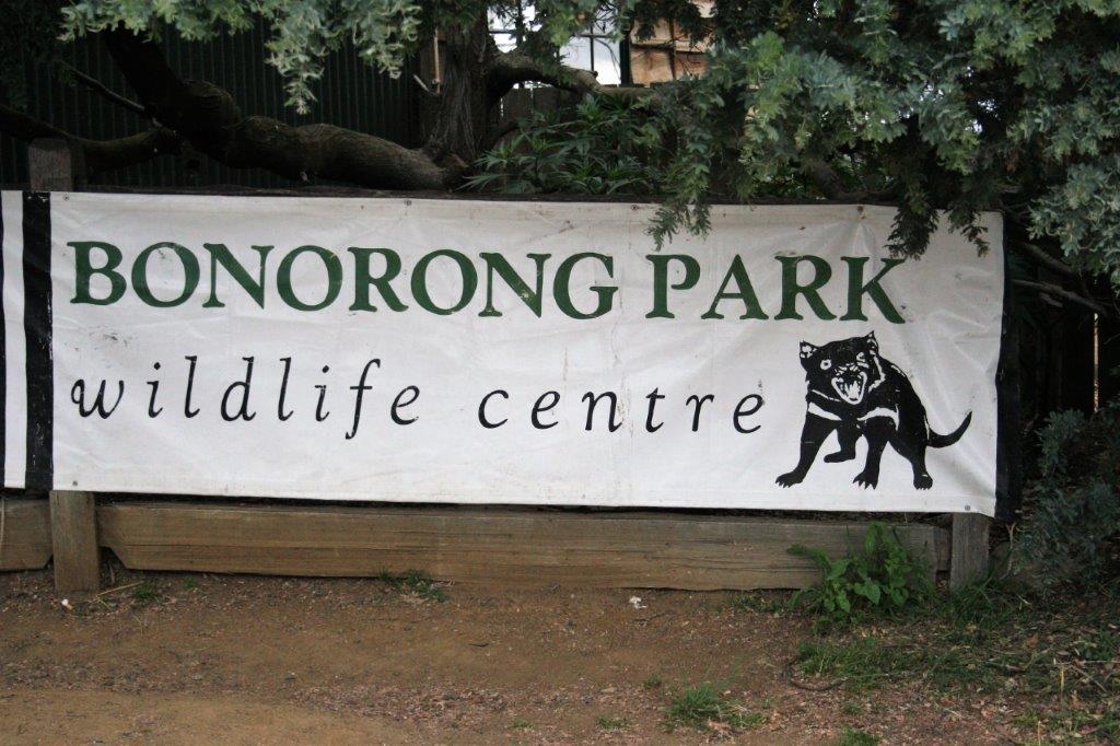
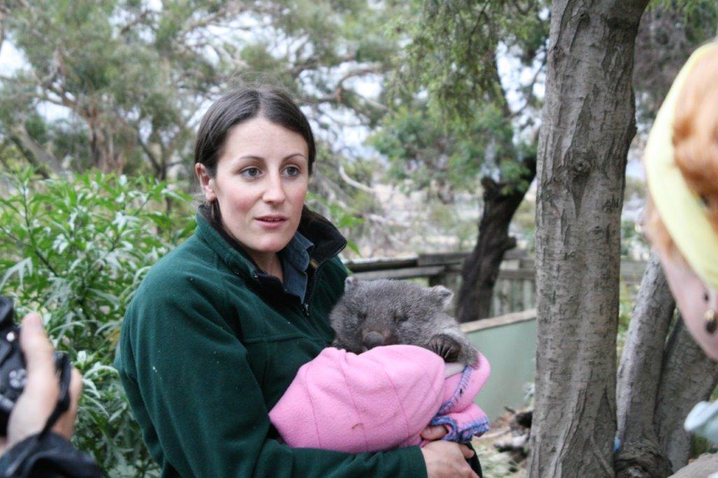
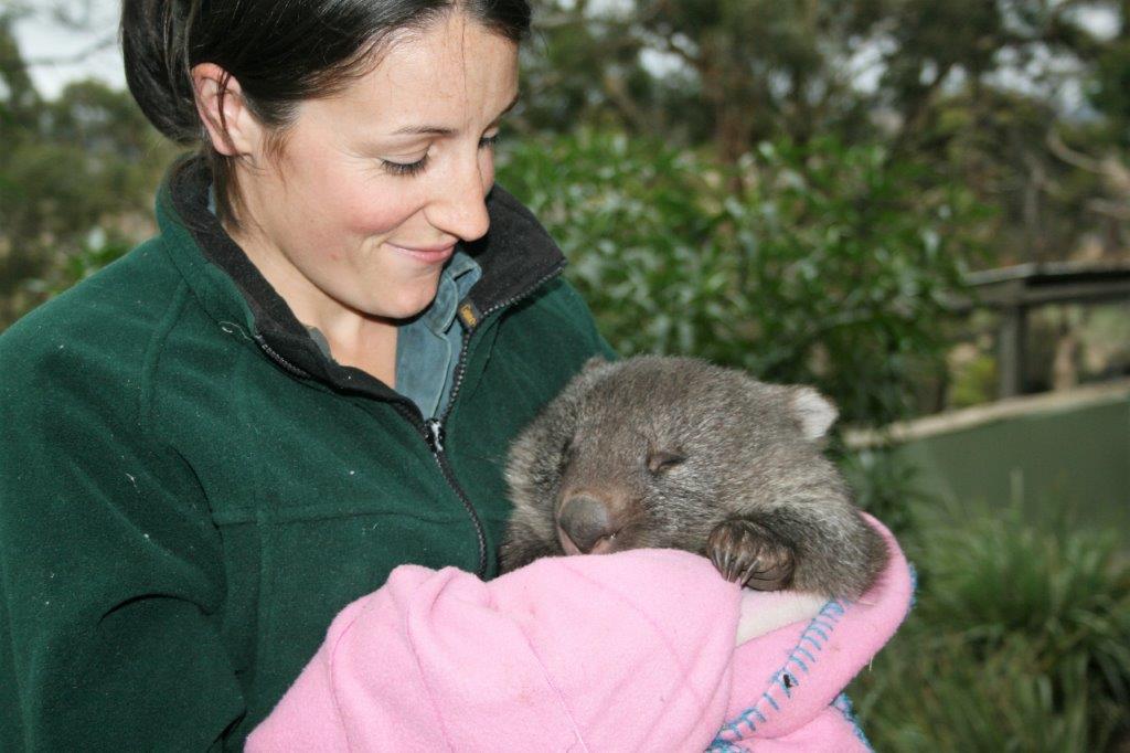
This is a baby wombat.  They are nocturnal so it just wanted to nap.                                      
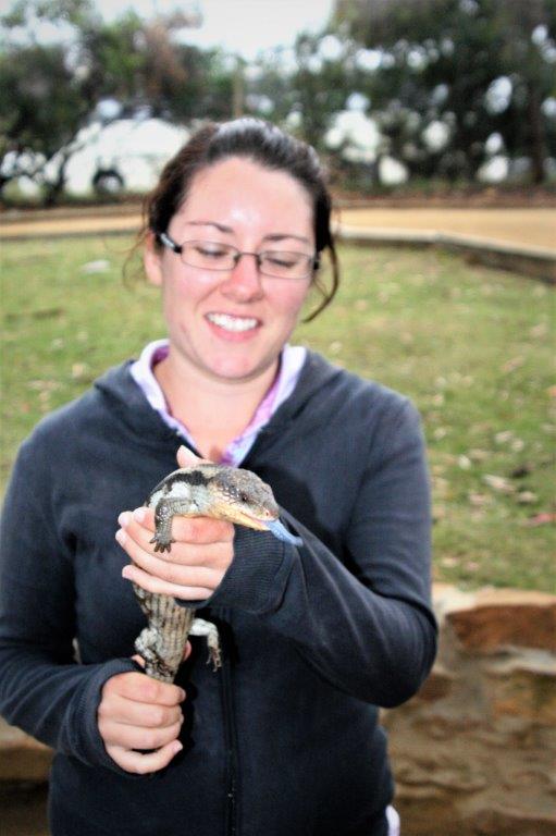
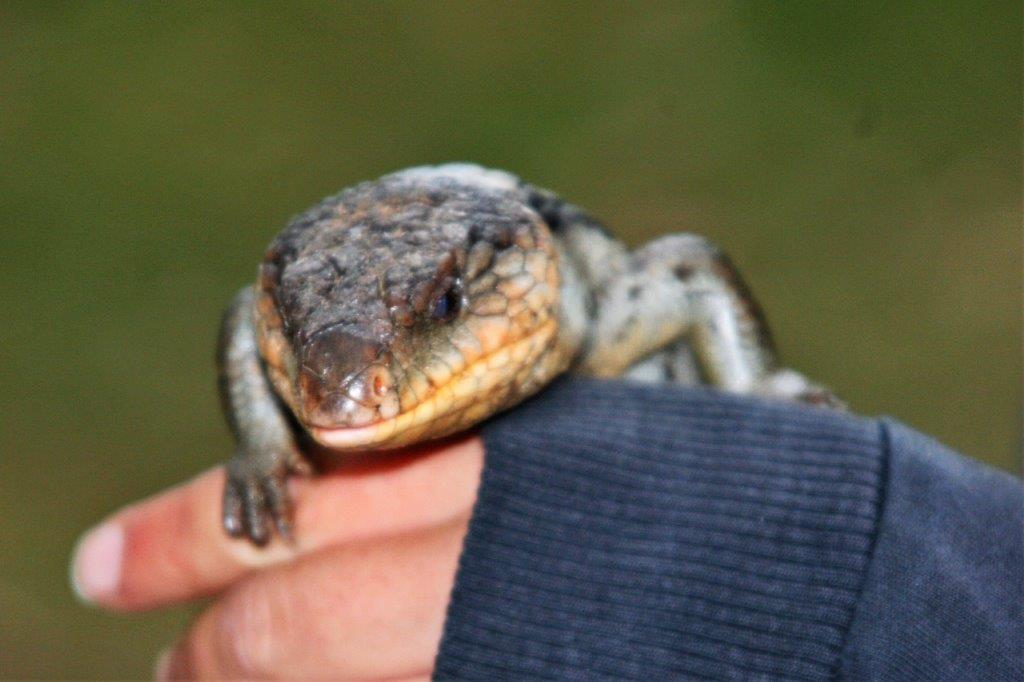
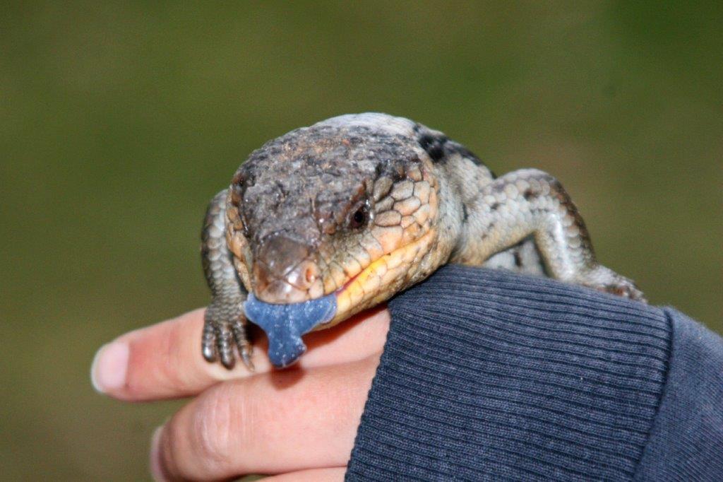
How is this for a bright blue tongue?

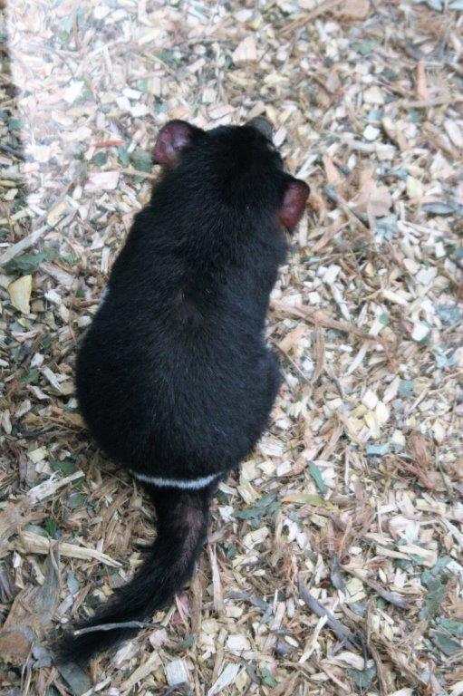
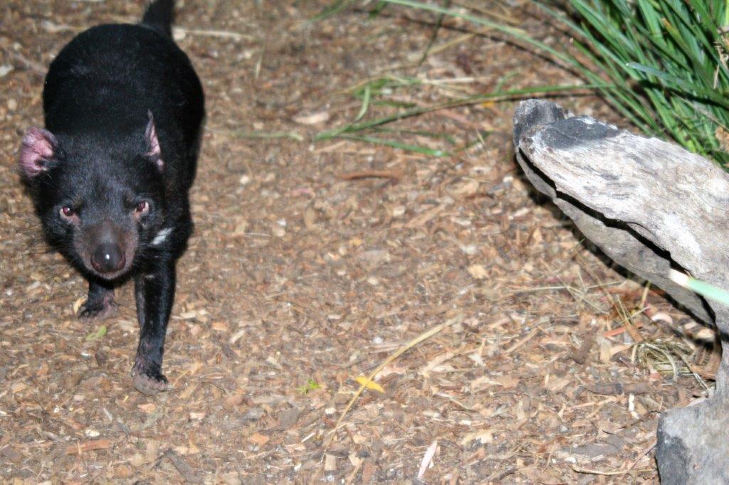
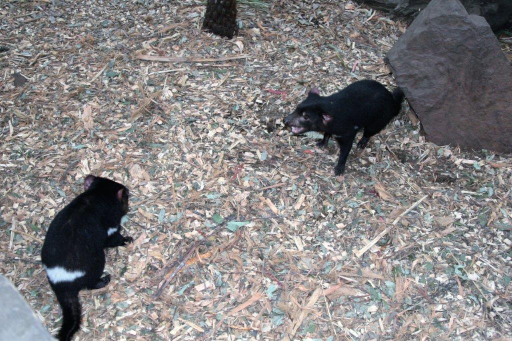
Tasmanian Devils are about the size of a large cat.  They are very fiesty and do not play well together.  They scrap a lot.  There is a type of cancer that is decimating the Devils in the wild.  It is a cancerous growth on their face and it is communicable, passing from one to another when they fight and bite at each other.  It is expected that all Devils in the wild will die from it so there are several places that are breeding Devils to build up a new population at the same time a lot of research is being done to find out more about the cancer.

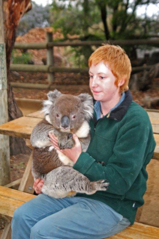
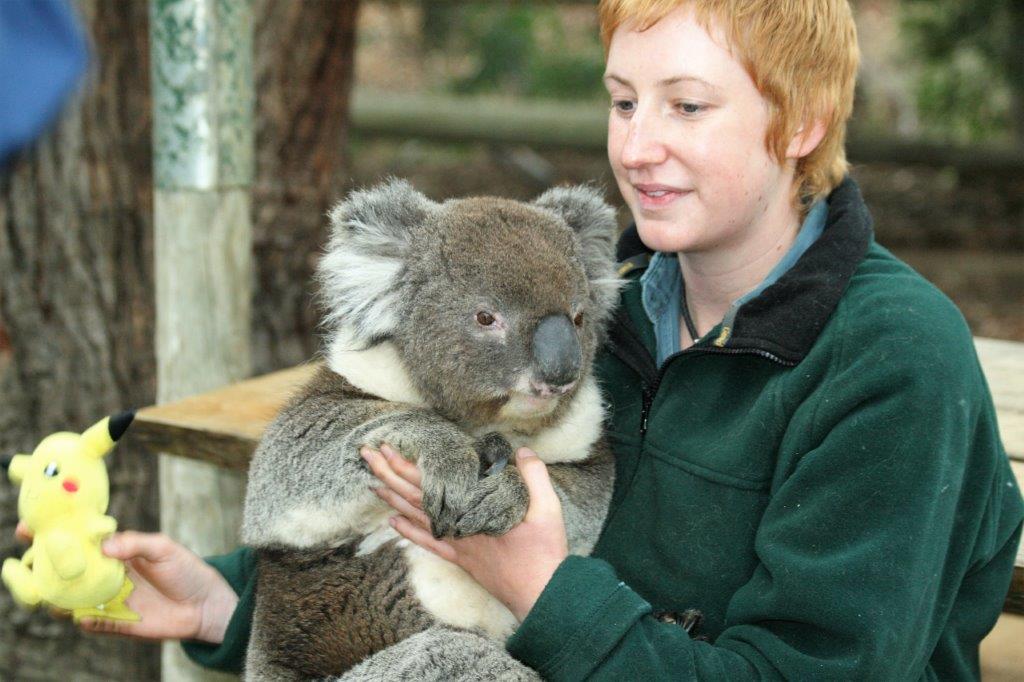
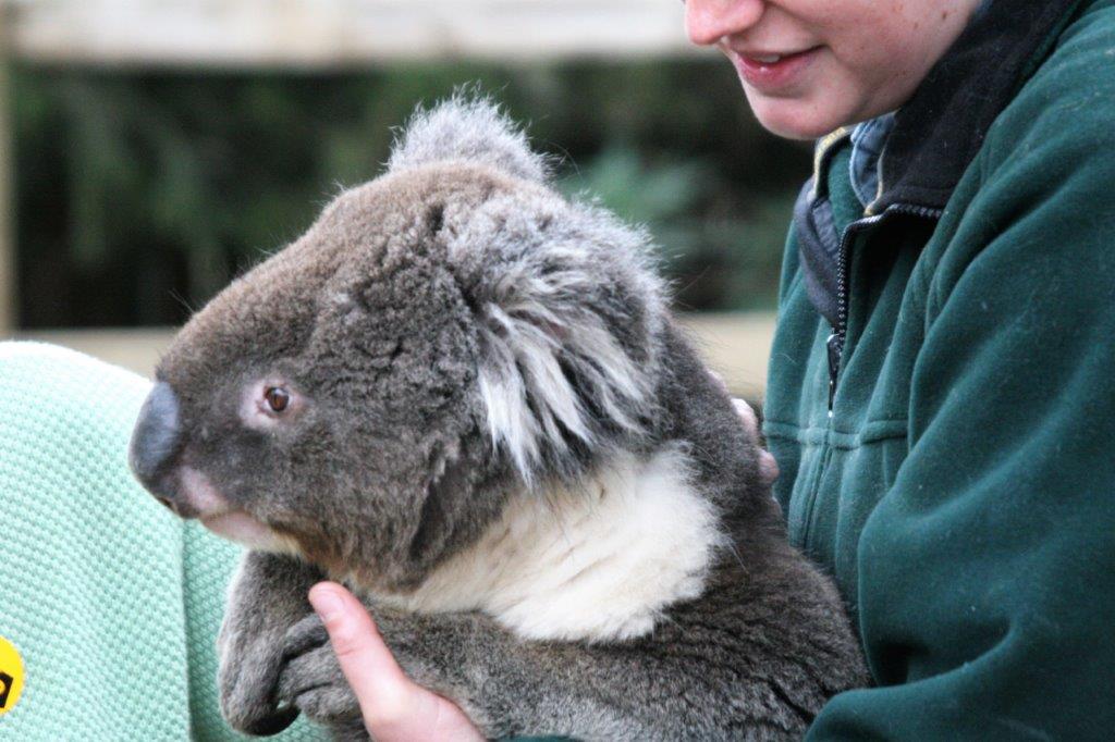
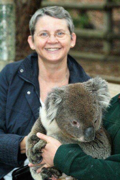
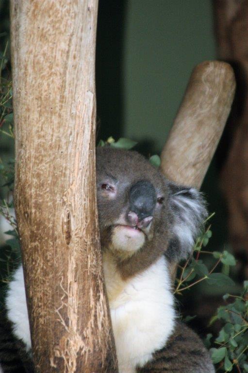
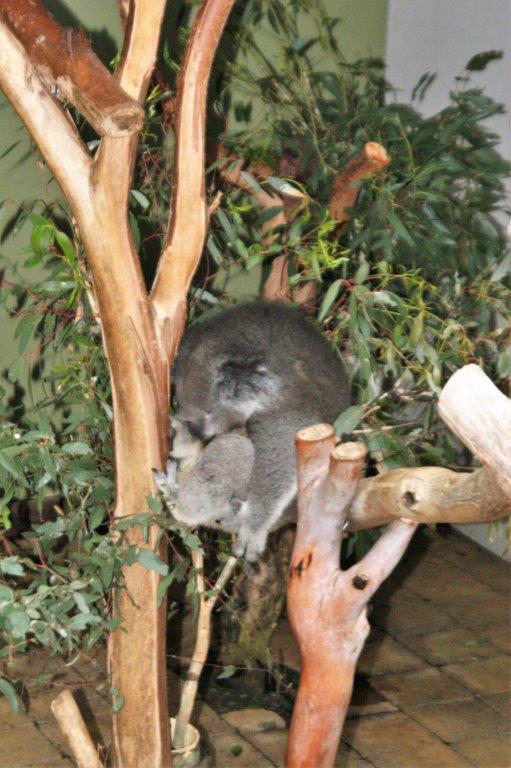
. Koalas are adorable.  Not many places allow you to hold them yourself because they have very long, very strong claws and they will do some serious damage to you if they get annoyed or scared.  They only eat eucalyptus leaves, and rarely go out of the trees as they get enough water from the leaves.  They are extremely sleepy most of the time – resting in the trees up to 20 hours each day.  There is so little nutrition in the eucalyptus leaves that they have very low energy levels.                                
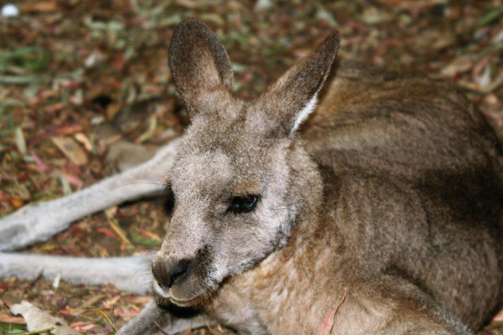
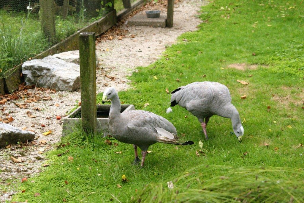
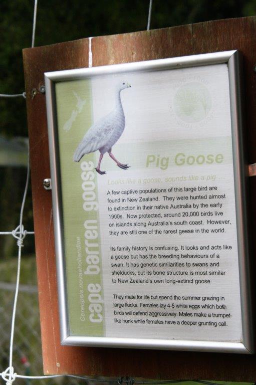
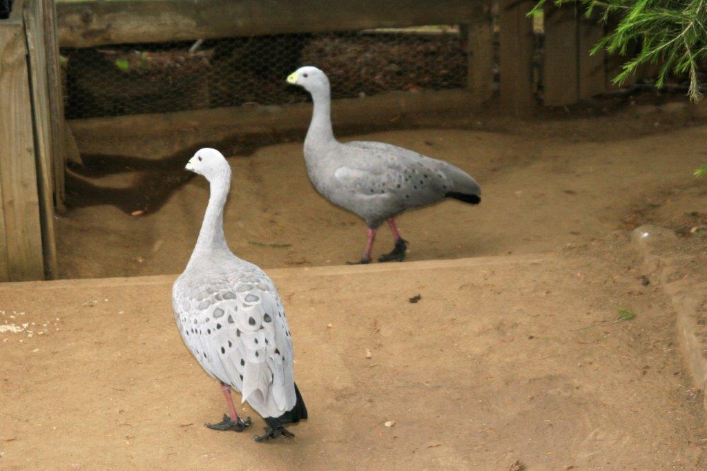
These are Cape Barren Geese.

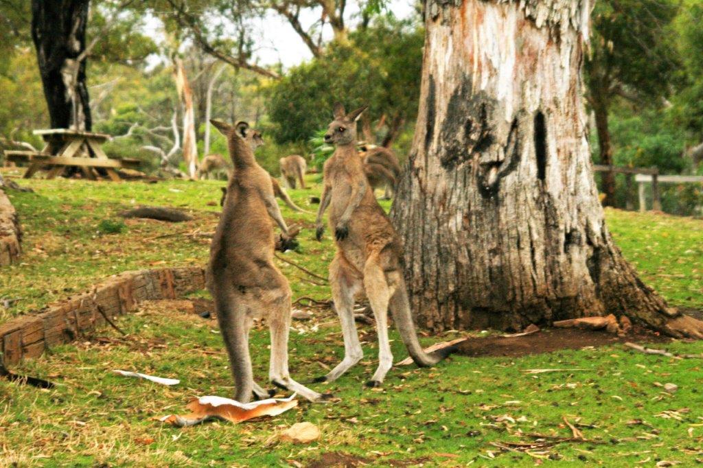
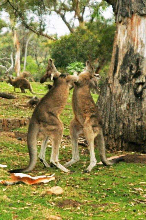
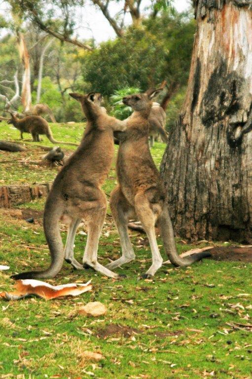
A large pen had quite a number of Grey Kangaroos.  You could puchase some food to give them which turned out to be Cheerio cereal, which they really liked. 
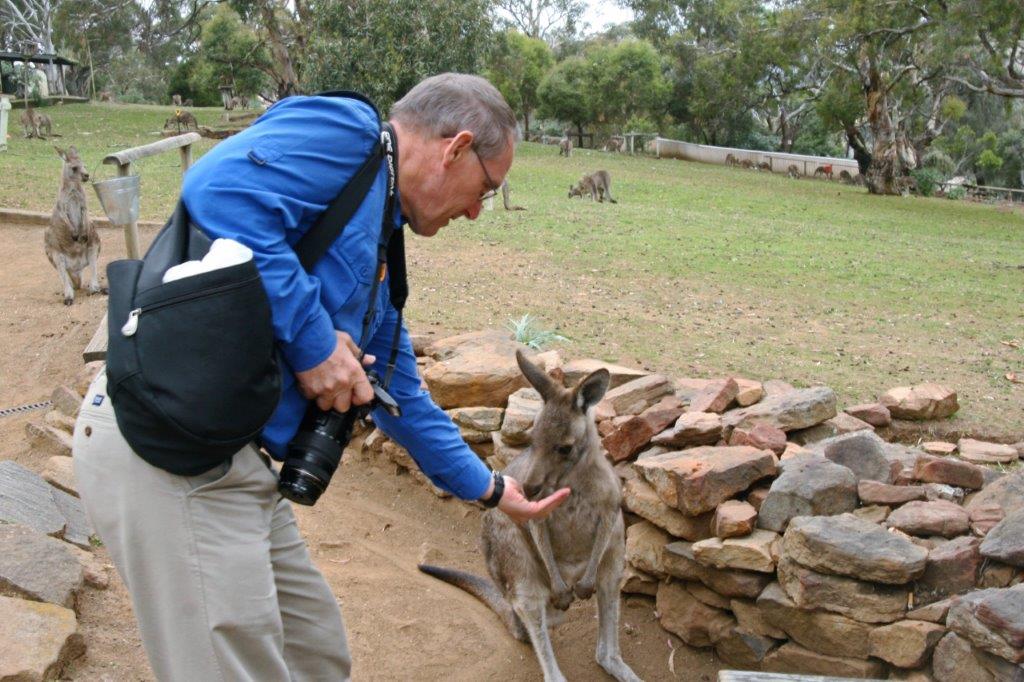
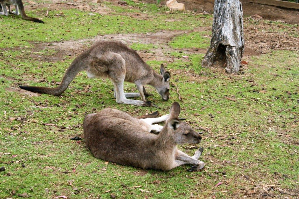
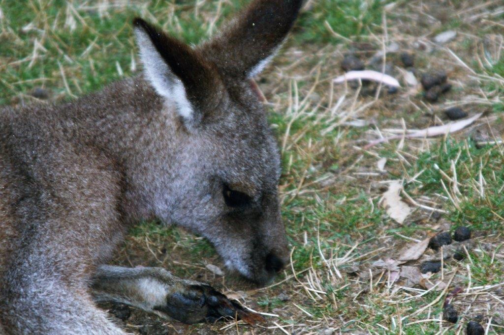
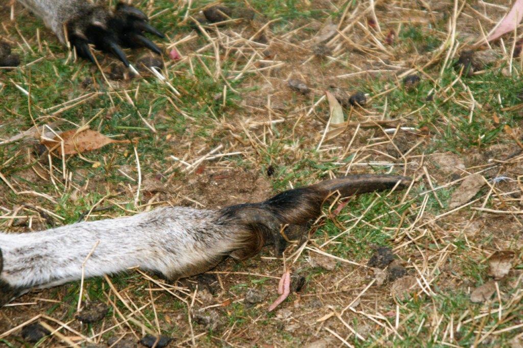
They have a very long toenail on the back feet.  Roos are skilled boxers and will also use their powerful back legs to kick predators or humans that make them feel threatened.  They can be very aggressive if provoked or angered.

 Then it was time to be driven back to Hobart and the ship.
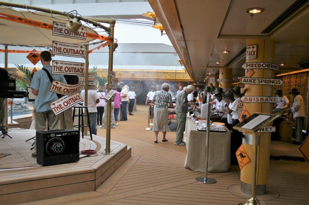
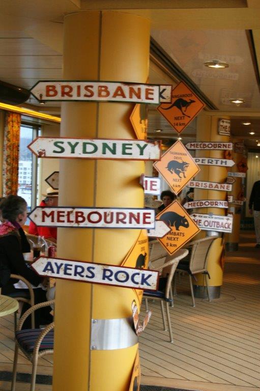
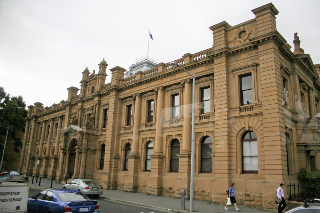
One of the options for dinner that night was an Australian BBQ on the pool deck.

The next day was our last port of call before Sydney and the beginning of our two-month tour of the eastern half of Australia.

2011 February 14 – Day 40 – Fiordland National Park Scenic Cruising

At long last we had a day with nothing to do.  Theoretically, that is.  The ship spent the day sailing into and then out of three of the sounds of Fiordland National Park which is located on the western coast of New Zealand’s South Island.  This coastline is along the notorious Tasman Sea; long known as one of the roughest bodies of water in the world.  The sea is 2,000 km (1,200 miles) across and 2,800 km (1,700 miles) from north to south.  This large expanse of open water is referred to as The Ditch by the Australians and New Zealanders.  To go ‘across the ditch’ is to go from one country to the other.

I was startled awake in the early morning by a very loud bang that reverberated up the decks.  Our cabin was on deck 3 of the passenger decks (about half-way up the ship) so we had been slammed with a pretty large wave in order for me to feel and hear it that much.  Consequently I was up and had finished breakfast as we sailed into Dusky Sound at 8 am.
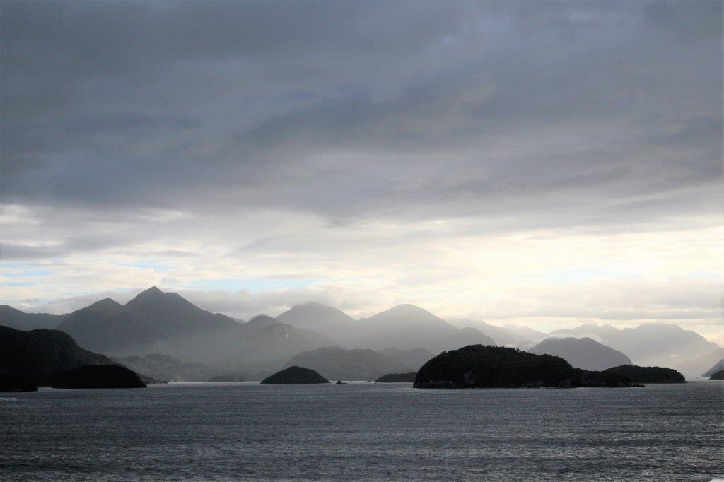
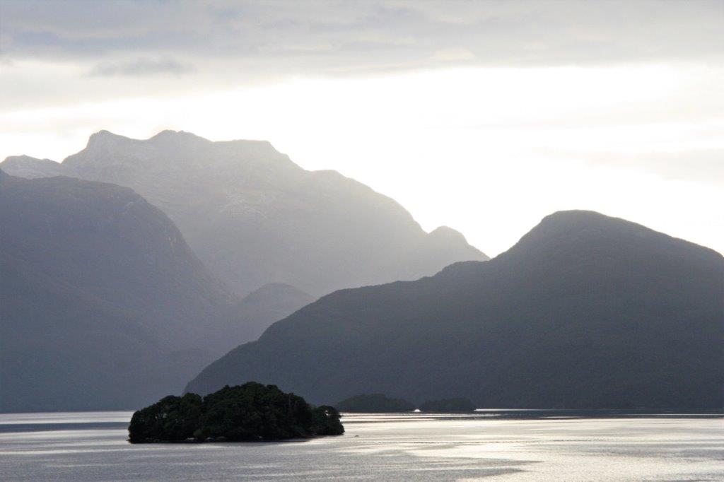
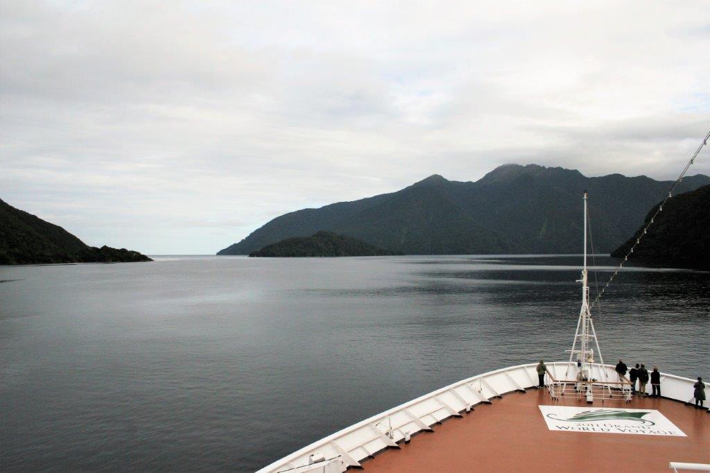
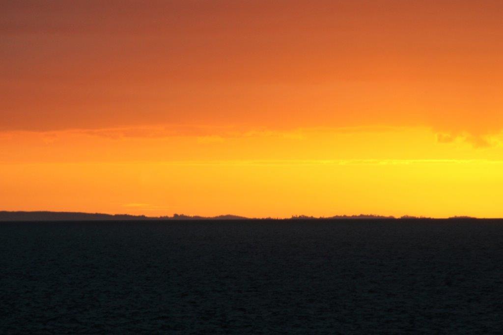
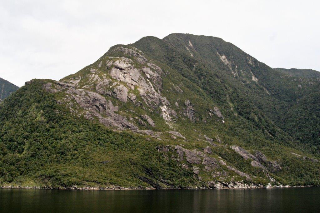
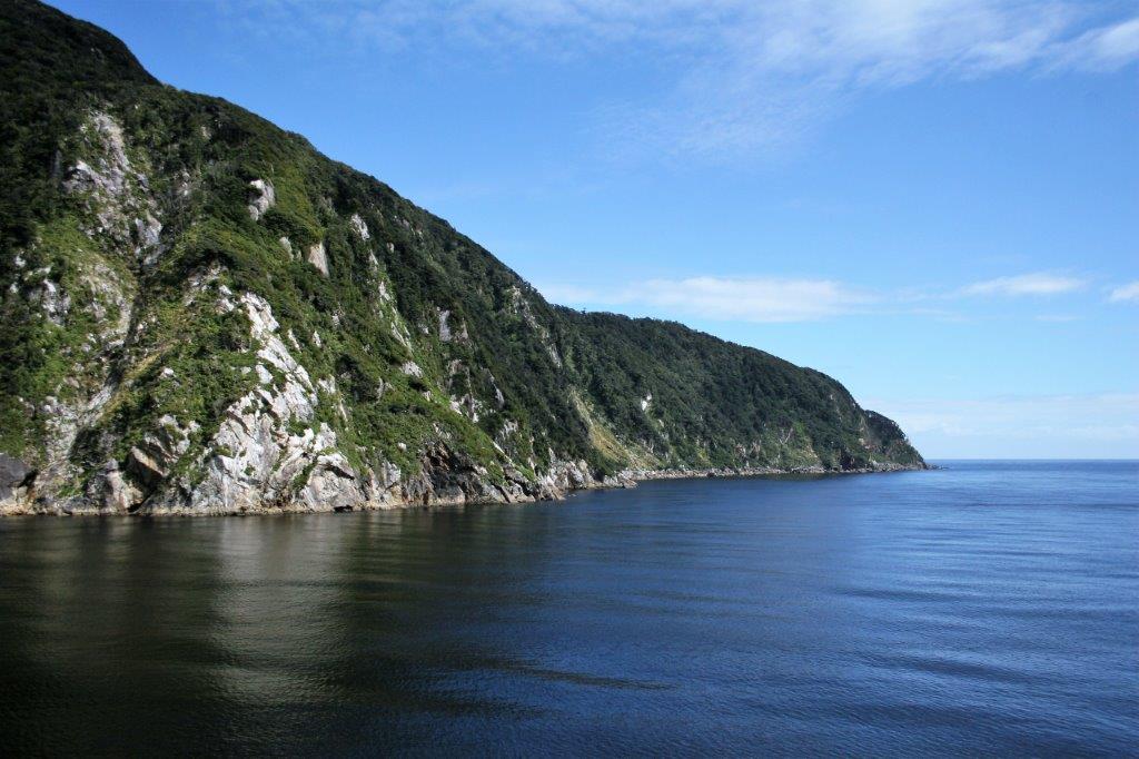
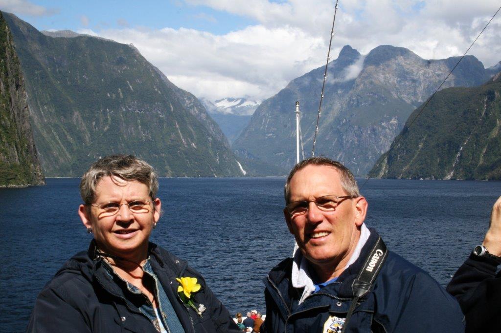
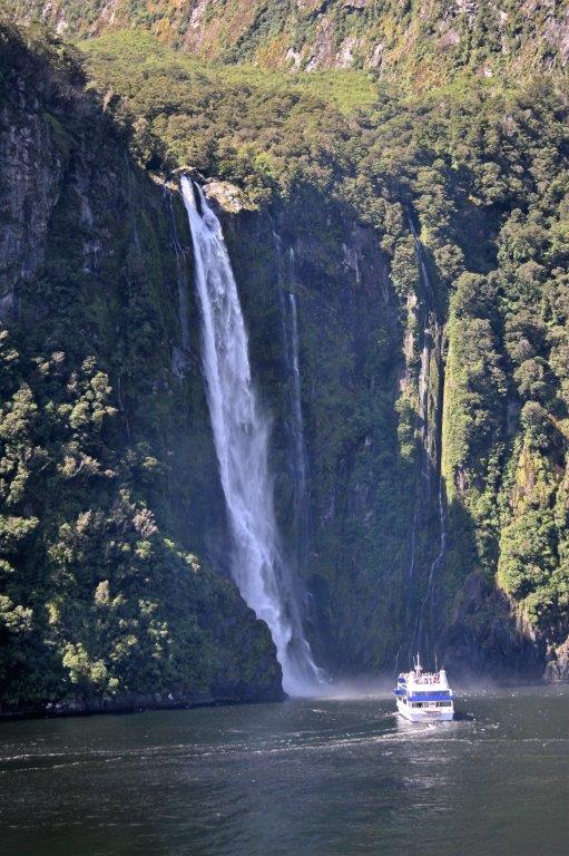
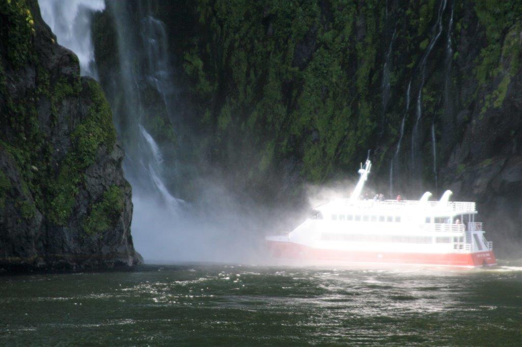
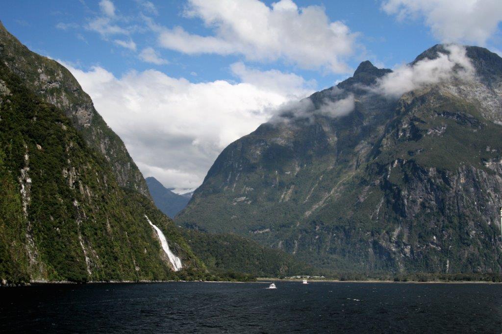
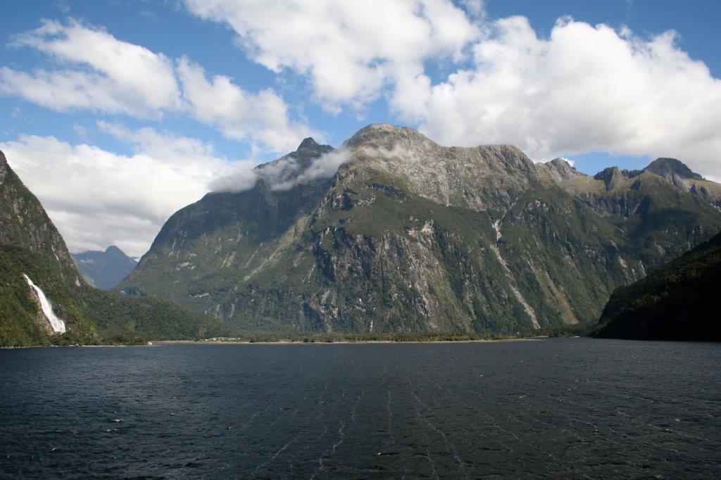
The weather was not too hospitable and I huddled in two jackets and a blanket to combat the strong, cold wind.  John arrived as we were leaving Dusky and we went back to the cabin to warm up as the captain set sail for Doubtful Sound.  We spent about an hour in Dusky Sound, sailed two hours to Doubtful and spent an hour there before entering Milford at 3:30.  The ship’s speed rarely rose about dead slow all day. The low, gray clouds kept rising throughout the day and by the time we entered Milford sound we were blessed with a bright blue sky and sparkling sea.  Milford is the most dramatic of the glacially-carved fiords. The average rainfall in Milford Sound is 20 feet and it is unusual to have a day without at least some rain.  We were fortunate to have one of those days; one of the best days the captain and crew had every experienced in the area.We passed many cascading waterfalls dropping hundreds of feet straight down and into the waters of the sound.

At Bowen Falls the captain rotated the ship 360° so every passenger, no matter which side of the ship they were on, would have a close-up view.

Many smaller tour boats and cruise ships will sail almost to the base of the waterfall.  If you are on an outer deck, you will get wet!

It took a bit of tricky navigating to turn the ship around for the return trip out the sound and back to the Tasman.  We had two sea days before we  arrived at Hobart, the first of two ports-of-call in Tasmania. Since it was Valentine’s Day, it was a formal night and the decorations were up in the dining room and around the ship.                                Matt and I had matching sequins.

Every night our cabin stewards decorated our bed with a folded-towel animal.  That night we had kissing swans.

This was our last formal night.  After our two days in Tasmania the ship docked in Sydney, Australia – our destination – and we disembarked.  But first….Hobart and Port Arthur.

2011 February 13 – Day 39 – Oban (Half Moon Bay), Stewart Island, New Zealand

Even though this was another day in port it was a quieter day than we had had for a week.  The ship was anchored in Half Moon Bay off the coast of Stewart Island, the southernmost inhabited island of the New Zealand archipelago.  The largest town is Oban with a population of about 400.  We were told that the town consists of two churches, one pub, and one grocery store. We didn’t go to Oban.  We, instead, took the tender to Ulva Island and had a 1 1/2 hour guided walk through the forest of Rakiura National Park.  The park is home to  many species of birds, including some endangered ones. When Europeans arrived on the islands dogs, cats, and rats arrived with them and decimated the local bird populations.  For the past 100 years or so New Zealand conservation has been eradicating all rats and other critters from small isolated islands and re-introducing kiwis and others species of endangerd and rare native birds – with great success.  70% of Ulva Island was set aside as a nature preserve in 1899.

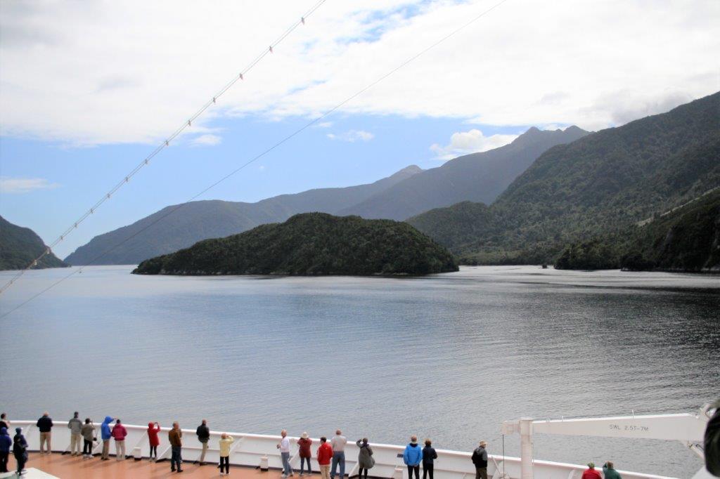
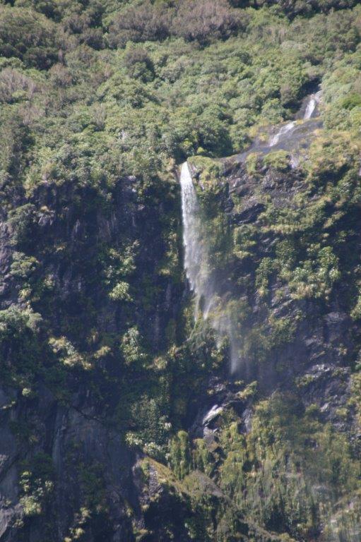
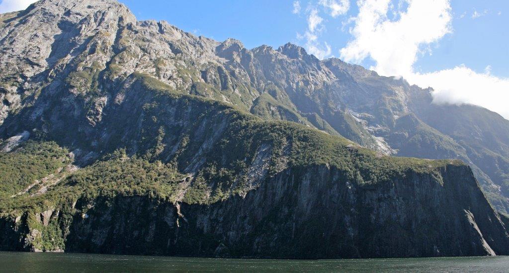
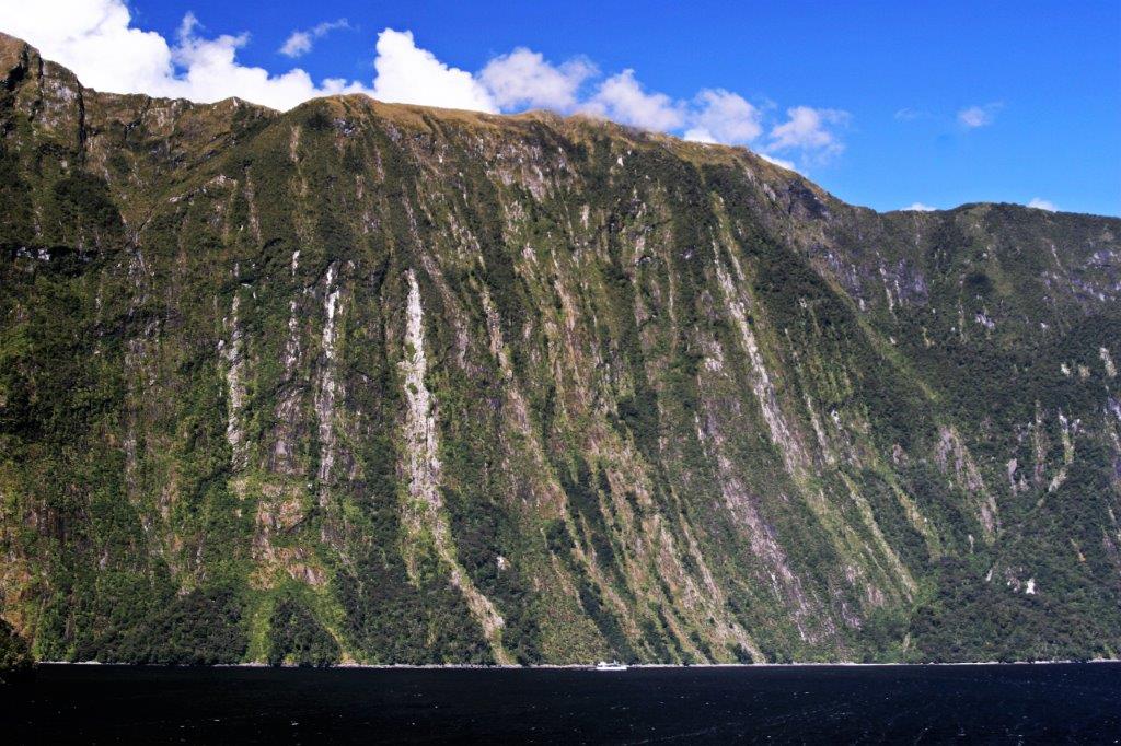
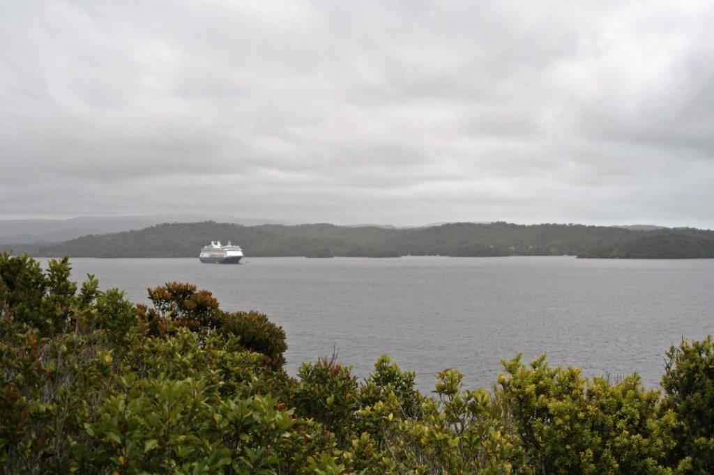
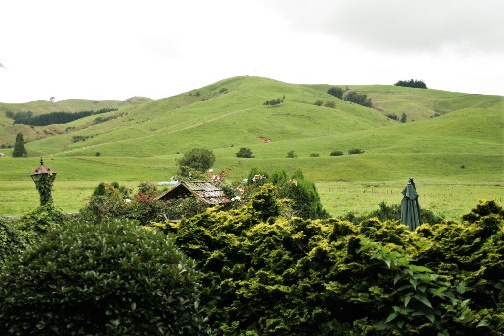
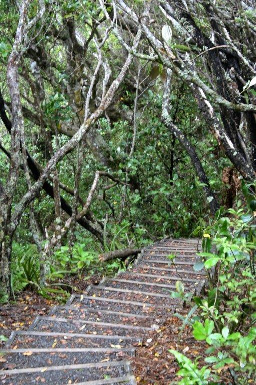
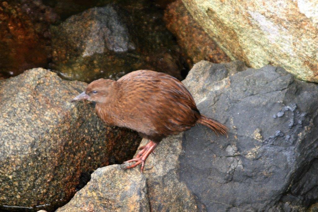
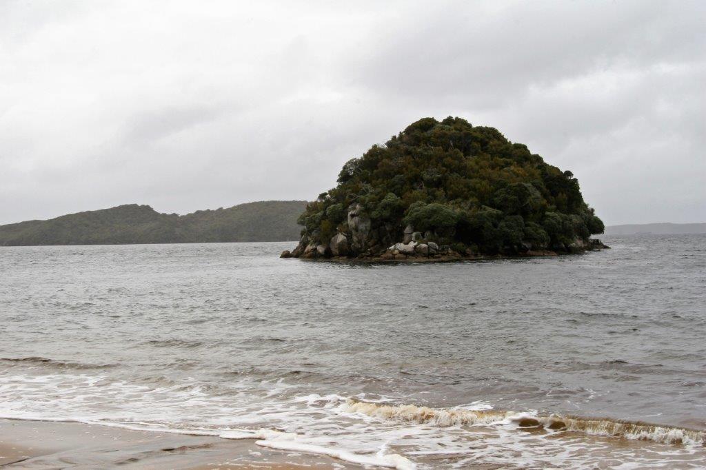
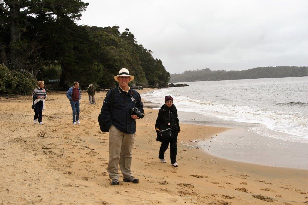
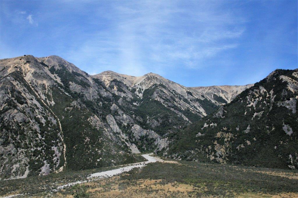
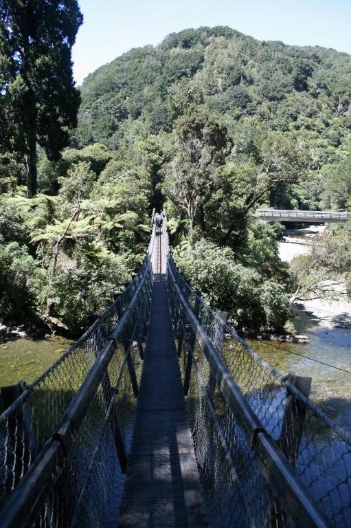
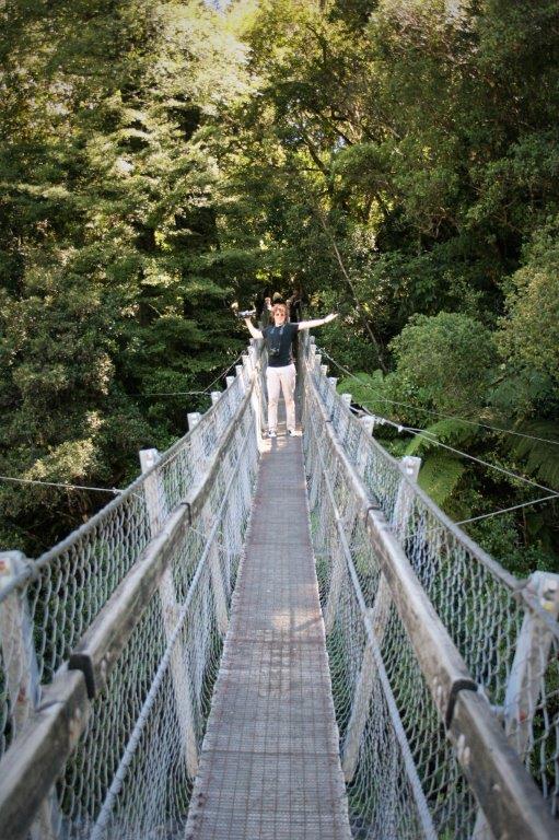
The weather was rain-threatening all day but we had very little rain. The clouds were low and thick so everything was dark and dismal-looking.  We enjoyed our walk.  It was a nice change of pace from our last few all-day excursions.

We did not see as many birds as we had hoped; they were probably hunkered down under a big leaf in case the rain started.  We did see a weka, a New Zealand pigeon (no photo) and a New Zealand Robin. There are no predators on the island so the birds are quite calm around people.


Very cool patterns on the sand.

During the time we were on Ulva Island the tide had gone out and the water level was 2′ lower so a guided jump into the tender was needed to get into the boat.

We could have taken another tender over to Oban since the ship was at anchor until 4 and we got back from Ulva Island at 2.  We were enjoying the laid back pace of the day so decided to stay on board and work on photos and emails and do some reading.

2011 February 12 – Day 38 – Port Chalmers (Dunedin), New Zealand

The brochure we were given says, “Dunedin is New Zealand’s first city, constituted in 1865, and it is indeed a city of firsts.  It has New Zealand’s first university, botanic garden, daily newspaper, co-op dairy factory and skyscraper; the tallest tree; the first girls’ high school in the southern hemisphere; New Zealand’s oldest farm buildings and working brewery; and the world’s steepest street and only mainland albatross colony.  The Māori name is Otepoti, ‘place beyond which one cannot go’, where waka (canoes) could travel no further and were put ashore.” (Your Guide to Taieri Gorge)

Before the passengers left the ship, this customs official and his contraband-sniffing beagle gave the hold a once over.

There was no long bus ride.  We walked off the ship and boarded the Taieri Gorge Railway.  Our friends Harold and Martha were on the same tour with us and we toasted the day with mimosas (champagne and orange juice). We travelled 58 km (36 miles) from Dunedin to Pukerangi where the engine was moved to the back of the train for the return journey to Dunedin.  Elevation gain for the trip was 254 metres (833′) and we went through 12 tunnels and across the Wingatui Viaduct; 197 metres (646+ feet) long and 47 m (154′) above Mullocky Stream.  It is one of the largest wrought iron structures in the southern hemisphere.

I spent the majority of the journey standing on the platform at the back of our rail car taking photos.

                                           The Wingatui Racecourse.

                   We had no room to spare through the tunnels.  There were several short stops for water for the steam engine and photo ops.

                            I liked the nice cloud formations.

 The ‘golden rule’ of a shore excursion: “One must always have an opportunity to shop.”  Unless you are like me and then you just don’t shop despite the opportunity.

And past the racecourse again on the way to the Dunedin Railway terminal.

The train would take you all the way back to the ship at Port Chalmers but we got off in Dunedin.  The ship had free shuttles running from Dunedin to Port Chalmers so we had a ride back whenever we wanted.

Construction of the terminal building at Dunedin was begun in June 1904 and completed three years later.  The beautiful Edwardian-style building is affectionately called “Gingerbread George.”  (It was designed by architect George Troup.) There are almost 750,000 custom-made Minton tiles on the floor.
We walked from the station through “Thieves Alley”, a popular open-air street market. At the end of Thieves Alley is St. Paul’s Anglican Cathedral. There is a bird-blessed statue of Scottish poet Robbie Burns.It wasn’t too far to walk back to the ship’s shuttle stop; which, very conveniently was across the street from the Cadbury factory! Immediately inside the front door you were greeted with this mountain of foil-wrapped Cadbury chocolates.

The gift shop inside Cadbury’s was absolutely packed with people; the majority of whom were ship’s crew.  They all held shopping baskets filled to overflowing with chocolate goodies.  They were stocking up on gifts for their families.  Some of them spent a lot of money that day.

We made a few purchases (one must have chocolate after all) and re-crossed the road to get the next shuttle back to the ship. Sail-away was 5 pm and we watched the shore slip by before going for dinner.We had one more stop in New Zealand.  The next day the ship anchored off the coast of Stewart Island, which sits at the southern tip of the South Island.

2011 February 11 – Day 37 – Lyttleton (Christchurch), New Zealand.

Lyttleton is the port city that serves cruise traffic stopping in Christchurch.  It only takes about 20 minutes to drive from one place to another.  Christchurch had received damage from a quake at Canterbury on Sept. 4, 2010.  The quake measured 7.1 and there were still aftershocks in 2016 – over 17,600 reported.  Eleven days after our visit in 2011 a 6.3 shallow earthquake with the epicenter in Lyttleton killed 185 people, injured several thousand, and did much damage to buildings not yet repaired from the 2010 quake, plus many others.

Our bus driver pointed out several of the buildings that had been damaged in 2010.

This church was undergoing repair from the 2010 quake and was virtually destroyed in the 2011 one.  The blank lot in the other photo is from where another building was too damaged in 2010 to repair and was removed completely.Obviously there is some parental disagreement going on here.

We stopped for a walk-about at the beautiful Mona Vale Garden.
 My rose-loving sister would have loved this rose garden. I am sure this beautifully sculpted yard has full-time staff.

Then it was back on the bus for an hour’s drive towards Arthur’s Pass and the Torelesse Range of the Southern Alps. Lunch stop was at Flock Hill Lodge and Restaurant.  They had some lovely flowers and a beautiful view of the mountains in the distance. Flock Hill Station is a 35,000 acre sheep ranch.  They run one sheep for every 5 acres.   At the station we left our regular buses behind and transfered into all-terrain buses for the ride through the Torelesse Range from east to west.  It took about an hour and a half and the wide-open scenery was fabulous. We were out in the middle of nowhere so bathroom facilities were provided en route. On the western side of the range we stopped beside the green glacier-fed Waimak River.


 We were the second group to ride the jet-boat down the river.  The boat had two 4.5 liter V-8 Nissan engines that produced 600 horsepower.  It took 13 minutes to travel 15 km. The boat owner’s young dog was learning the ropes and was an excellent passenger at the back of the jet boat. The regular buses picked us up at the drop-off point and took us an hour’s drive back to Lyttleton; just in time for dinner.

What a fabulous day that was!  So very much fun!

2011 February 10 – Day 36 – Wellington, New Zealand

Wellington is on the southern tip of North Island, on the coast of Cook Strait, which connects the Tasman Sea on the northwest with the South Pacific Ocean on the southeast.  The strait is 22 km (14 miles) wide at its narrowest point.

We sailed into Wellington under sunny skies and left on our Lord of the Rings – On Location tour at 8:15.  We chose this tour with the notion we would get to see some of the fabulous mountain scenery from the films.  Little did we know the mountain scenes were digitally produced composites of several locations in the South Alps at the bottom end of South Island.  We did however see lots of meadows and trees and parkland.  Our day was most enjoyable though, primarily due to our guide Todd who had had bit roles in all three of the Lord of the Rings films and shared lots of ‘inside’ stories.

I liked the movies but there were so many characters with such unusual names I was never hugely enamored of the series.  Bobby, the Welshman from the photography department that had been on tour with us in Bora Bora was our Holland American staff person on this tour as well.  He was like a young kid; so excited to being going to some of the places they filmed the movies.  He offered several times to take our photo which, he admitted, was a blantant excuse to have us offer to take his picture.  He was a lot of fun to be with for the day.

Our first stop, after a drive around town, was Mt. Victoria, 200′ above sea level where we enjoyed a gorgeous panoramic view of Wellington and the harbour.
The New Zealand Parliament Building, affectionately referred to as The Beehive. We went to several film locations, which as I said, were mostly parkland with trees.  Peter Jackson used 48 different locations for the movies and built fortresses and waterfalls and towns and battle grounds, but everything he built he had to take apart and restore to the original condition so there were no ‘sets’ to see.  Todd would tell us which scene from the film was made at each place and pass around photos from the movie to show what it looked like in the films.                                                       Bobby was very excited to be on this bridge.

The most interesting part of the tour was Weta Cave in the town of Waimara.  It was here that 2,000 people worked for six years to make Avatar.  All of the Lord of the Ring blue screen and green screen work and all miniatures were done here.  The studio worked on all the Narnia films, on Water Horse, King Kong and many other movies.  The shop was full of interesting (and expensive) items. You could order any of these miniatures and the designer who made it for the films would make it for you and sign it.  I wouldn’t want to pay for it though.

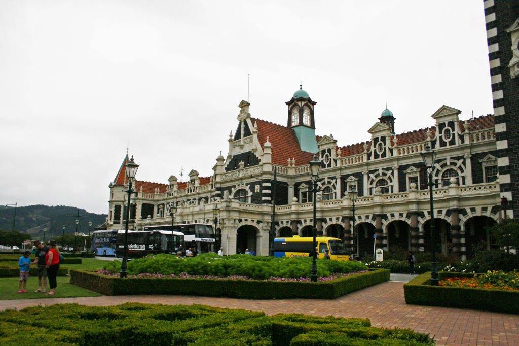
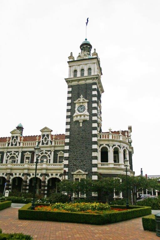
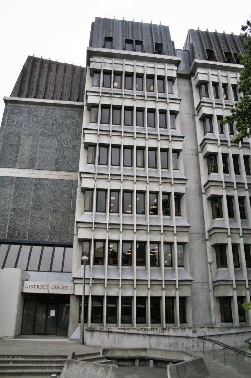
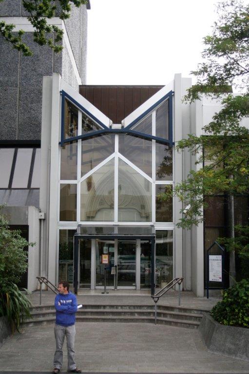
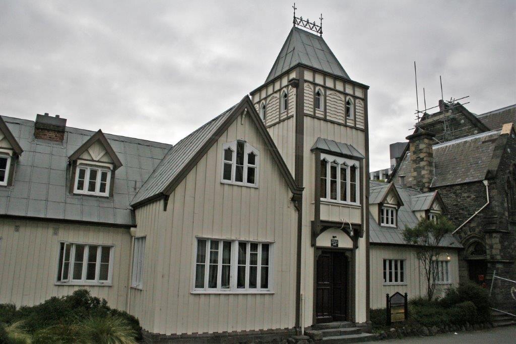
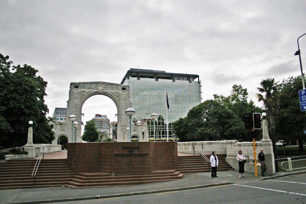
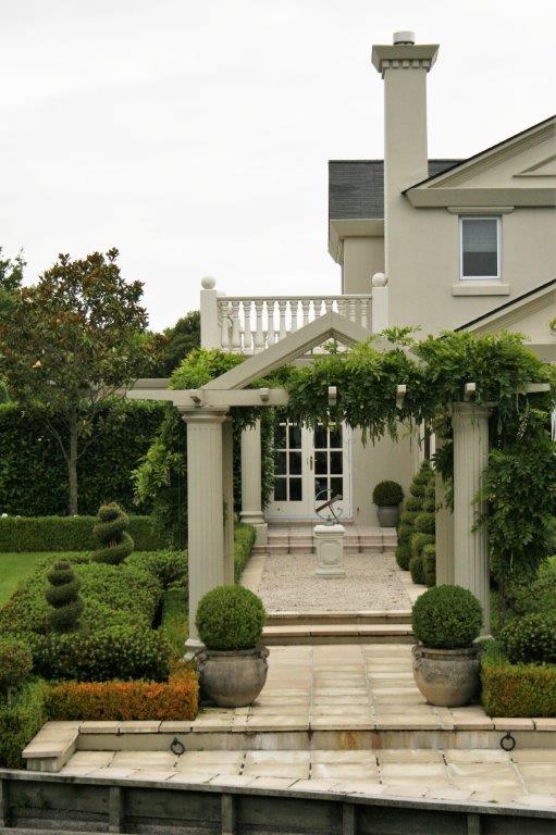
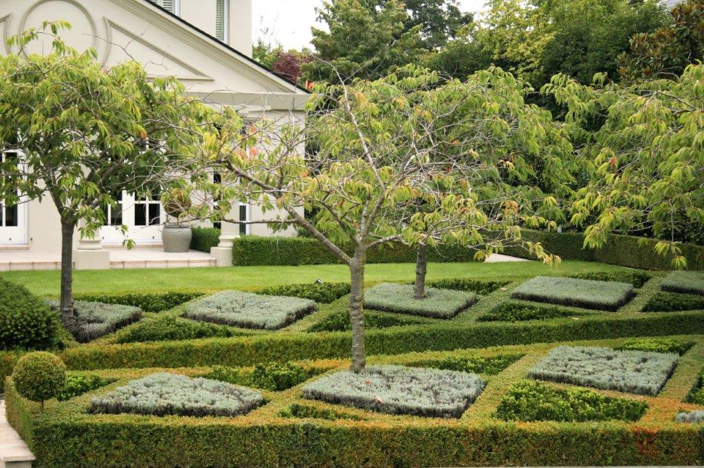
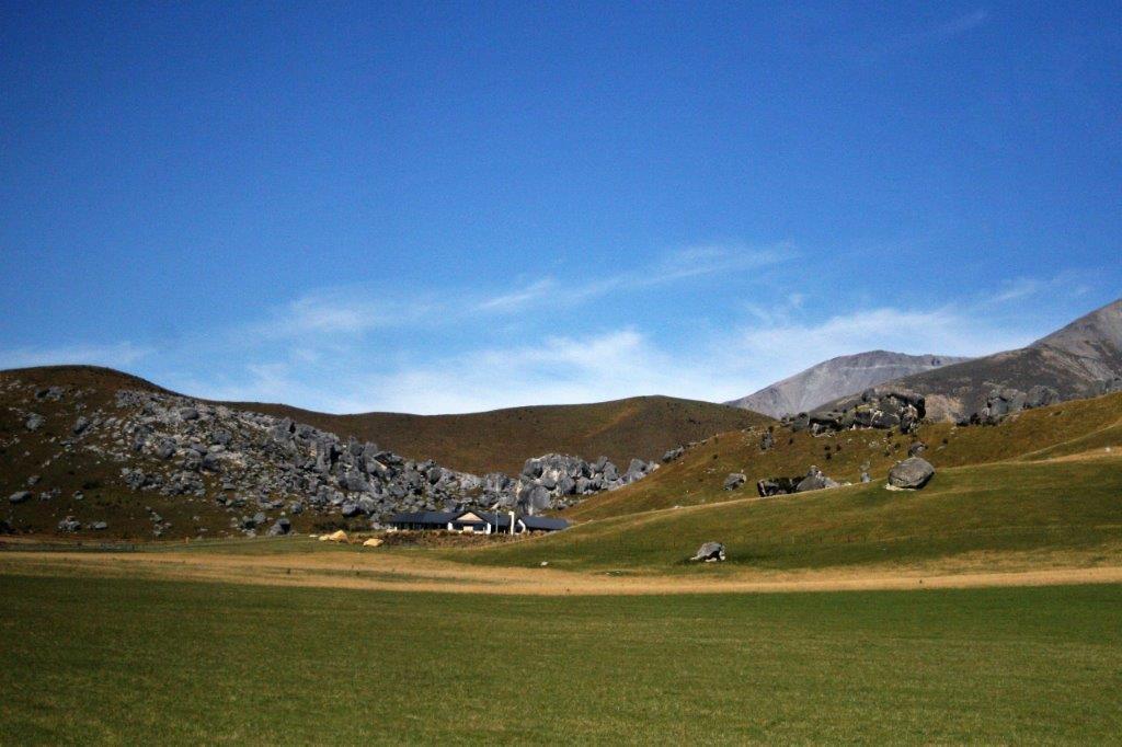
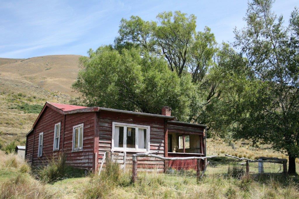
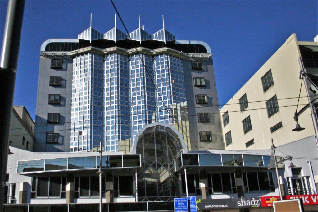
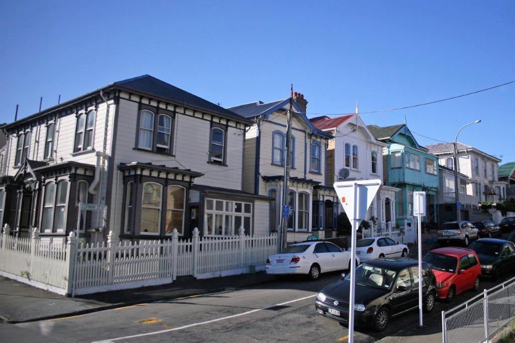
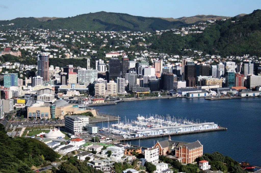
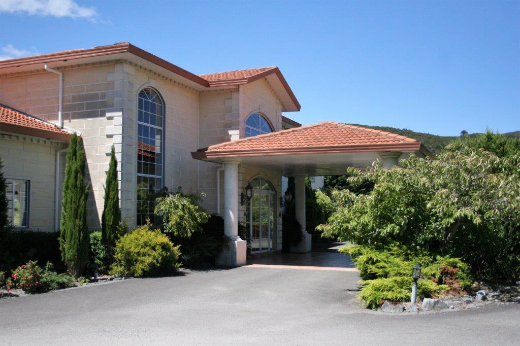
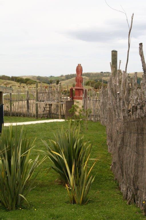
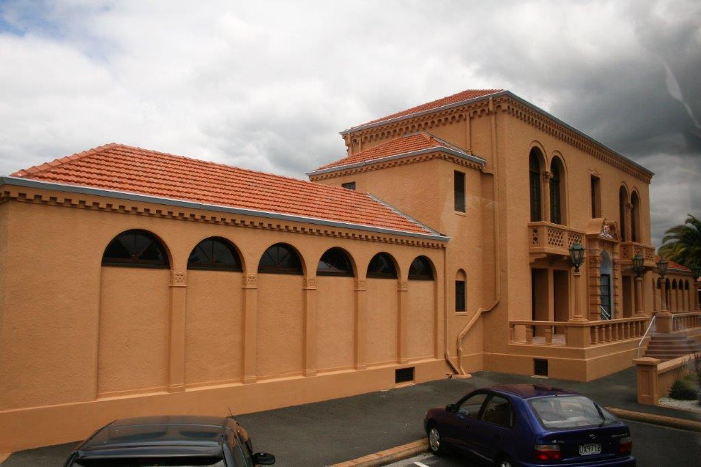
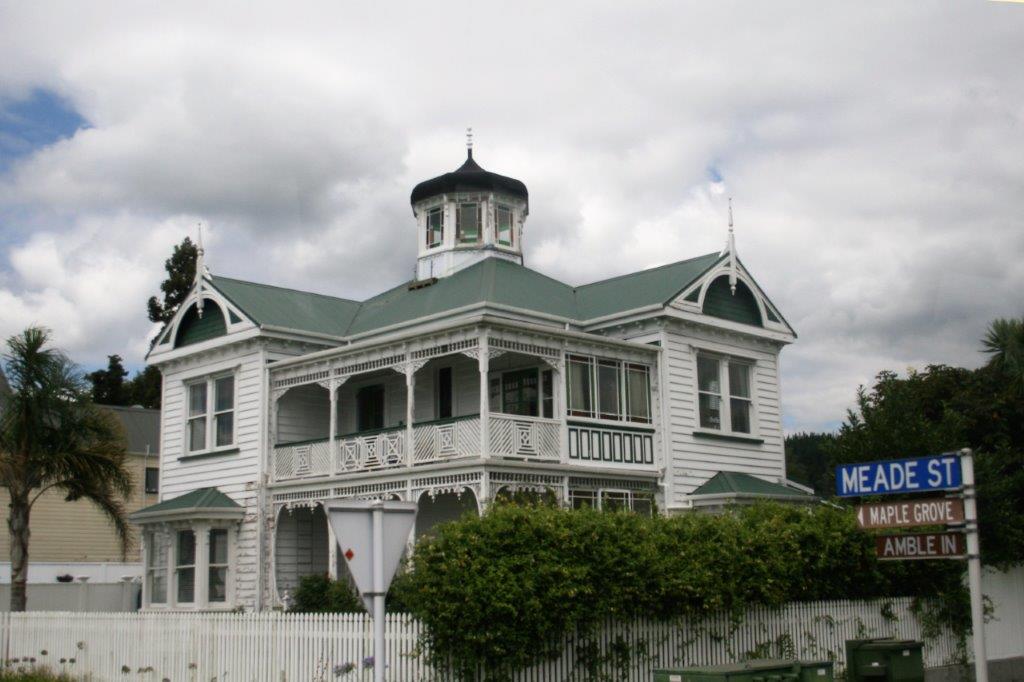
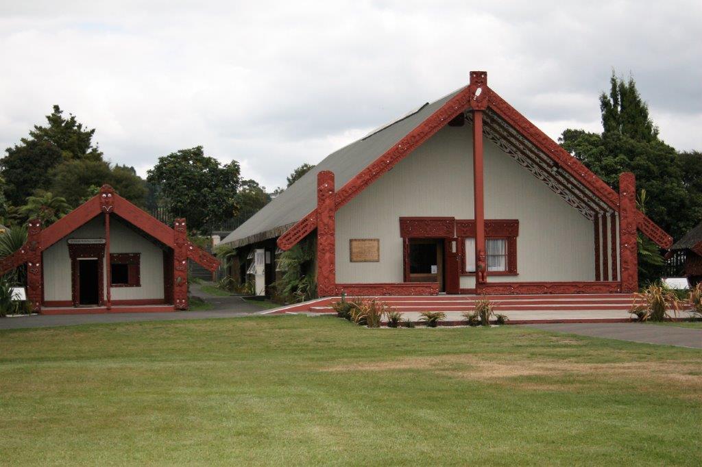
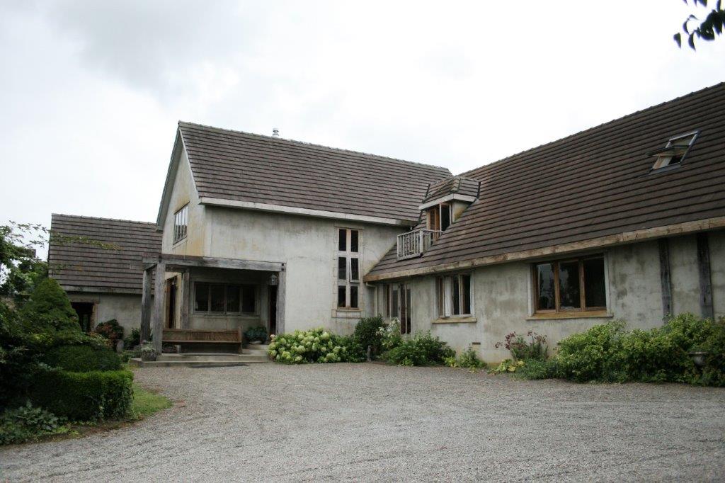
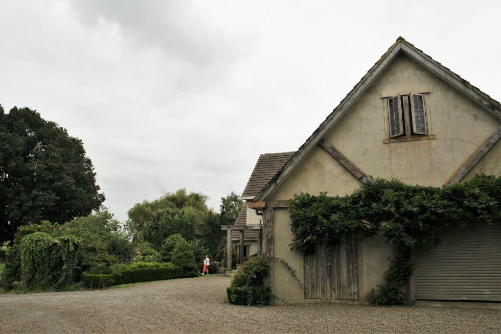
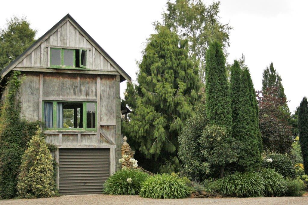
The houses are built with steel frames for earthquake resistance.

We had lunch at a beautiful hotel with 15 acres of rambling gardens.  I skipped lunch and went on my own photo tour among the flowers. After the lunch break we toured some more location spots. One must pose, we were told, with the walking stick.  I can’t even remember the name of the character this scene was about.  Oh well, I am just not good at that kind of thing.  Now, ask me the name of my childhood friend’s dog and that I will remember.  To each his or her own I guess.

We returned to the ship in time for dinner, walked our usual seven laps around the promenade deck and watched the sun set before heading to the cabin and a night’s rest while the captain took us to Lyttleton, the port near Christchurch; our first stop on the south island.

2011 February 9 – Day 35 – Napier, New Zealand

The ship did not dock in Napier until noon so we were able to have a more leisurely morning.  It was fun to watch the captain back the ship into it’s port slot.  Those navigators know their stuff!

The pamphlet we were given with information about Napier says, “On Tuesday, February 3, 1931, Napier was struck by a disastrous earthquake.  Measuring 7.9 on the Richter scale, the morning tremblor leveled the town.  What was spared was lost to fire and the more than  500 aftershocks that struck in the following two weeks.  More than 250 people were killed, many struck by falling building ornaments and gargoyles.  Clean and simple Art Deco design was selected for the rebuilt city.”  The building code still follows the Art Deco simplicity and Napier is famous for its beautiful preserved buildings.

In keeping with the 1930s theme the ship was greeted by costumed locals with lovely antique cars. Napier is located about half-way down the east coast of North Island.  Hawkes Bay is a renowned wine-producing area and the area has breathtaking beaches, including the three-mile long Marine Parade.Napier is a major port for commercial and cruise traffic – obviously wood products are a major export. As is normal for us we chose a tour that took us into the countryside.  It took about an hour to reach the Waimara area and the Hakikino Preserve.  These lands have been protected and administered by the Māori people for generations. We were driven to Te Hakikino fortress, which for hundreds of years served to protect the Māori.  Before the bus arrived we had to select a ‘chief’ to represent us and there was a ‘speech and singing’ welcome and our chief and the guide had to provide the appropriate response to show we came in peace.  To enter the  Arch of the Ancestors we had to first be approved by one of the home people and a gift offering was presented and accepted by our chief. The busload was divided into smaller groups and we all rotated through areas where we were told about flax weaving, and musical instruments, spiritual stones, medicinal plants and weapons.  We were shown the eel pond where eels are raised for food.  The Waimarama Culture Group told stories and sang songs and demonstrated dances.  It was a really interesting tour with some very welcoming people.

No eels for me, thank you.As always there was an opportunity to shop for the crafts.  I, very uncharacteristically, bought something that was purely a beautiful thing that had no purpose.  I usually buy place mats, or spoons, or hot pads; things I can use when I get home.  My paua shell purchase was just because it was beautiful. Paua is the most colourful shell in the world.  It is a species of abalone and is only found off the south island of New Zealand.  Collection of the shellfish is strictly controlled.  It has been used as a food since ancient times,  All of the white outer coating on the shell is sanded off and the beautiful colours are exposed.  The shell is used for jewelery and to decorate many other craft items. (And it just sits inside the mesh bag in a drawer in my dining room.  But, when I open the drawer to get something I often pick up and admire my paua shell.)

Before we left the warriors demonstrated the famous Māori Haka in which the young men pounce and posture and slap their chests and stick their tongues out to look fierce for the enemy. We had a wonderful afternoon and so enjoyed the gracious hospitality of the Māori people and all of the information about their traditional ways of life that they shared with us.  It was a great day.

2011 February 8 – Day 34 – Tauranga, New Zealand

We were up at 7 am to be ready for our all-day tour.  The bus was loaded and on its way by 8:15.  It was about an hour’s drive to Rotorua City and Rainbow Springs Wildlife Park.  We drove through farmland; mostly cattle ranches or kiwi farms.  The production of kiwi fruit is a $1.3 billion industry for New Zealand and the majority of it is grown here. We were told by our guide on the bus (in 2011) that they were going to  spend $130 million over the next few years to try develop a kiwi that will peel easily like a banana.   At Rainbow Springs they raise rainbow trout to salt the local lakes for fishing and have kiwi birds and an aviary.  The water from the spring is 98% pure.                 This is our ‘doctored’ photo holding kiwi birds.

After we toured Rainbow Springs we were driven the short distance to the Agrodome where we were introduced to all of the 19 different breeds of sheep raised in New Zealand – some breeds are for meat (8) and others are for the wool (11). (And it is true there are more sheep in New Zealand than people but the ratio is not a large as it used to be.  In 1982 there were 22 sheep for each person – that’s 70 million sheep.  2016 figures came in a 27.6 million sheep or 6 per person.) This fellow could shear a sheep in less than a minute. At the time we were in New Zealand (2011) a shearer got paid $1.50 per fleece and would average 300 fleece per day.  Good money for a skilled worker but a lot of back breaking, hot work over a short time period.

 A few people were called on stage to feed the lambs.The sheep dog demo began with some duck herding.Yes, the dogs do run the backs of the sheep and the sheep don’t care. You can just make out the second dog jumping on to the back of the black sheep in the front row.  The dogs then ran circles over the two rows of sheep.  When the owner whistled they would just stop on whatever sheep they were crossing at the time.            Outside we saw another demo of a sheep dog moving sheep through a series of gates.
The black swans were getting a little too close for her comfort.

On the way to the Māori Cultural Center we drove past the Blue Baths; a popular hot springs and hotel.  They had a lovely rose garden. The Rotorua resort and wilderness area is built atop an active volcanic bed.  Nearly everything is steaming and gurgling.  It is also the heart of Māori lands.  The Arawa people settled in this area in the 8th century believing the bubbling ground and hot water to be divine.  They used the pools for cooking and bathing.  The arrival of Europeans turned the area into a health spa.

Te Whakarewarewa thermal pools and geyser were like a mini-Yellowstone.  Below is the full name but obviously it is not commonly used.                                    Pohutu (meaning ‘spray’) GeyserThe cultural center has lovely examples of Māori art, buildings and weaving.

Frond fibers are used to weave skirts, bags, hats and traditional capes.

The school has a three-year course in traditional carving methods.  The captain warned us that the scheduled stop in Napier the next day may be cancelled as a tropical storm was building in the area.  We had a rock and roll night with high seas.

2011 February 7 – Day 33 – Auckland, New Zealand (Day 2)

On our second day in Auckland we had an all-day tour that took us on a three-hour drive into the countryside.  We crossed the Bombay Valley, travelled along the Waikato River Valley through farmland to the coal-mining town of Huntly.  Passing Taupiri Mountain, sacred to the Maori people, we drove through the rural township of Pirongia to our destination of Waitomo.  Are these not great place names? Waitomo is home to the Glowworm Caves and even though the town is a tiny hamlet of about 45 people the caves are very famous and have been a tourist destination for 100 years.  The caves are limestone and calcite that have formed stalagtites and stalagmites of immense size. A very nice ‘living’ wall was along the pathway to enter the cave.

The path through the cave goes ever downward and eventually we came to a blackwater (underground river).  In total darkness you ride a boat manouvered by the guide using ropes that have been attached to  the cave walls and silently, slowly pass underneath a rooftop aglow with blue-green iridescent dots created by thousands of tiny glow-worm larvae.  They hang suspended in the larva stage for 9 of the 12 months of their lives and it is the back end that glows to attract food.  Each worm drops about 12 sicky strands to catch mosquitos and spiders and then reels them in for lunch.  After the 9 month larva stage they wrap up in a cocoon and emerge 3 months later as a large mosquito-like bug with no mouth.  Over the next 4-5 days they constantly mate with the opposite sex until they die of starvation and exhaustion.  Not sure it is a life-style I would choose. No photos are allowed and there was to be no talking or noise as the worms wil blink out their lights if disturbed.  I photographed a couple of the post cards I purchased.  It was another of those surreal moments.  We had seen a segment on the Waitomo glowworms on an episode of Planet Earth and until then I had never heard of them.  To witness them light up the roof a cave was a very unique experience.From the cave we were driven to Crosshills in Kio Kio. The owners of  the property open their house and gorgeous English garden to visitors.  We were able to wander at will before and after a delicious home-cooked lunch.  There were so many different plants and textures and nooks and crannies and gates and even a slim tower folly.  For a person like me, who loves to take photographs, it was a great place to spend a few hours. On the drive back to the ship we stopped at Otorohanga Kiwi House.  Kiwis are nocturnal and very shy.  It is almost impossible to see one in the wild.  There was a wide variety of birds at the Kiwi House and we did see live Kiwis but since they are nocturnal the night lighting prevented photos.  The only photo I got was a stuffed family in the window display. Sunset that night was glorious.  It was a long day, a great day and an early-to-bed night because there was another 9-hour tour in Tauranga the next day – a trip to the Agrodome to learn all about New Zealand sheep and then a visit to a geo-thermal reserve and Maori culture center.

2011 February 1 – Day 28 – Alofi, Niue

The name Niue means, “Behold – the coconut palms” and there were certainly plenty of them around.  Alofi is the capital city, divided into North Alofi and South Alofi, where most of the government offices are located.  Only about 600 people live in Alofi.  Over 20,000 Niueans live in New Zealand which had annexed the island until it was granted self government.  It now works in free association with New Zealand and that country does much of the negotiating regarding trade and economy on behalf of the island .  Nieu is the world’s smallest self-governing state and Queen Elizabeth II is the official head of state.  The entire island of 100 sq miles (260 sq km) has less than 1500 inhabitants but it is one of the world’s largest coral islands.  It is a solid coral limestone rock in the middle of a vast stretch of sea.  Like the other islands we have visited Niue has a ring road (30 miles/50 km long) around the coast and a few roads going inland. Since there were no tours on offer and the weather was nice we joined our friends Mel and Kelley (we met on the 2009 World Cruise) and hired a private guide for the day.  We wanted to go snorkeling so Susan took us to a quiet cove and left us to enjoy ourselves for an hour or so.

It was a bit of a clamber through the jungle and over uneven rocks to arrive at the cove but it was a beautiful spot. Susan told us there would be some sea snakes in the water but that they were harmless and shy so they would not bother us.  We had a good time following the fishes and one of the snakes and seeing some brightly coloured coral. After we had finished snorkeling Susan drove us to some of the island sights and points-of-interest.  I loved the signage. We did a cliff-side hike to a lovely viewpoint on the north side of the island.  Interesting fossils embedded in the limestone. Such a beautiful coast. Not very hospitable though.  There is only one opening in the reef that is safe to take boats through.  The entrance to Matapa Chasm is quite well hidden if you don’t know what you are looking for.

The sheer cliffs and massive boulders protect the pool from the sea. Mel and Kelley did a bit more snorkeling and we wandered around and took photos.

Behold the coconut palm.After that Susan took us back to town where we had a wander around before catching a tender back to the ship.  Last tender was 1:30 and the ship set sail at 2. On the way to our table for dinner that night we stopped to show our friends Harold and Martha (from Australia – we also met them on the 2009 world cruise) our photos of the fish and sea snake that we had seen.  Harold immediately exclaimed, “That is one of the most venomous snakes in the world.  There is no antidote and you will be dead in a short time.”  Well, that was a bit of a shocker.  Turns out he is correct but the snakes are still considered harmless because they are totally non-aggressive, pretty much always swim away from people and, on the rare occasions they do bite, rarely inject venom.  Not sure I would consider them harmless though.That night as the ship sailed westward, we crossed the International Date Line.  We went to bed on February 1 and woke up on February 3 and a stop at the last of the South Pacific islands before we reach New Zealand.