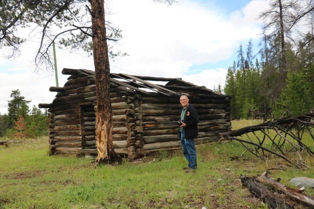
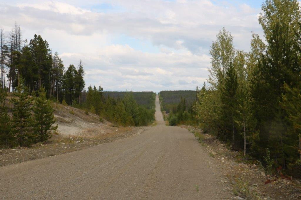
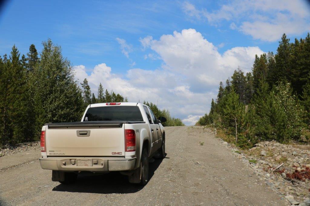
We decided to begin with the road with the fewest caches to give us an idea of timing before we hit the longer ones. The Kappan Mountain Road has 105 caches hidden on it so that is where we began.
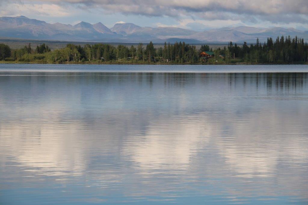
Being us, we did not get up at the crack of dawn. I am trying to fight off a cold/asthma attack and did not sleep well Consequently it was 10:40 by the time we finished breakfast and drove into town to gas up the truck before we began our drive up Kappan Mountain Road. It took almost 40 minutes to drive to the end of the road – or at least as far along the road as the caches were hidden. The West Chilcotin Cachers began hiding caches at the trailhead for Kappan Mountain Lookout Trail – a 1 1/2 to 2 hour hike each way. There is a cache hidden at the lookout where, we were told, there is a fabulous view of the Coast Mountain Range but we couldn’t take the time to go up there even if we had the inclination: which I didn’t. And after seeing the trail head we understood it would be a rugged climb, so good call all around.
We located our first cache – #105 at 11:20 and started down the road in the hopes we could get to #1 before the promised thunderstorms hit or time to be back at Eagle’s Nest for dinner.

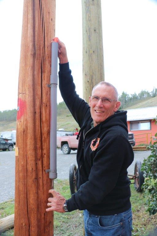
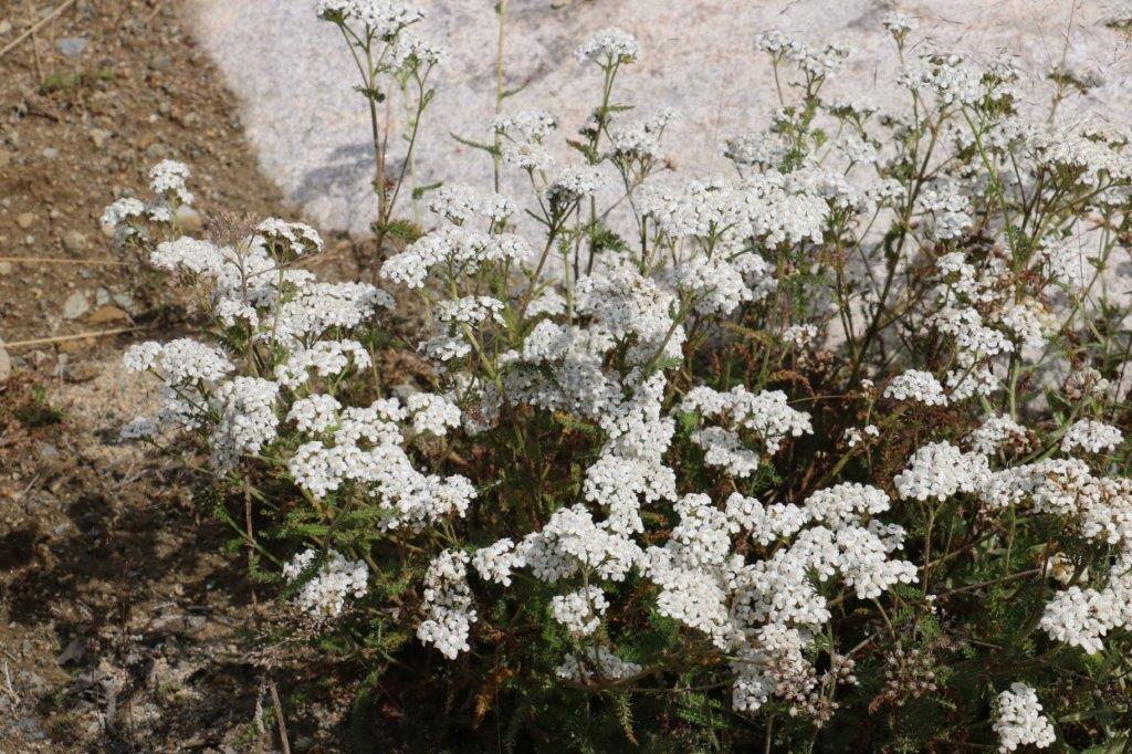
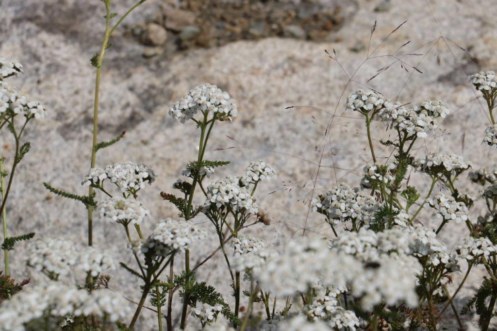
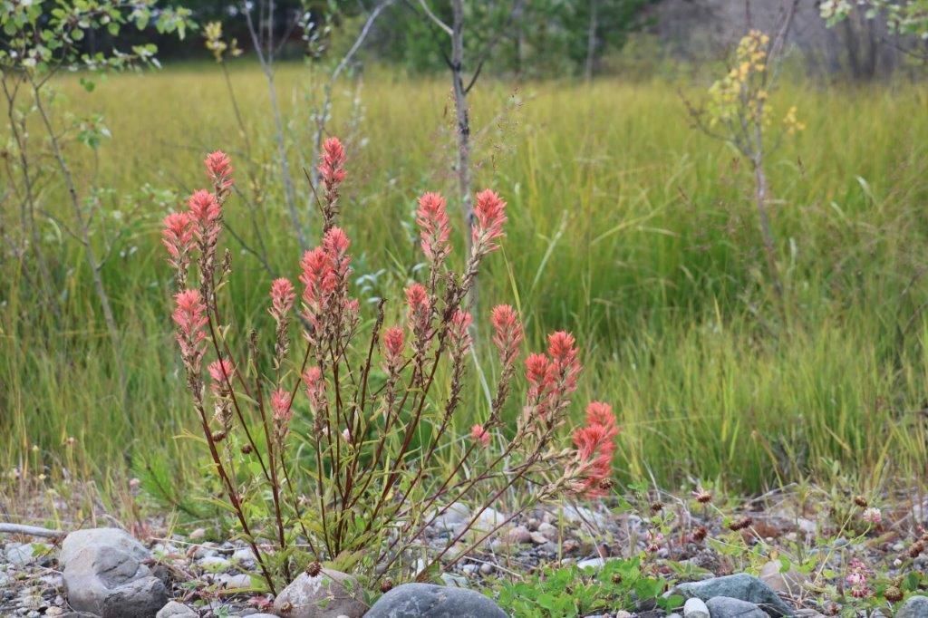
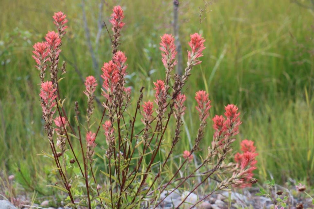
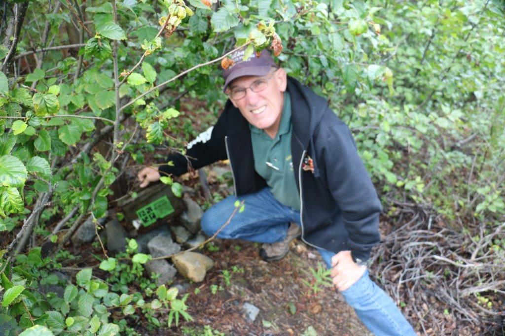 The first cache #105 of the series.
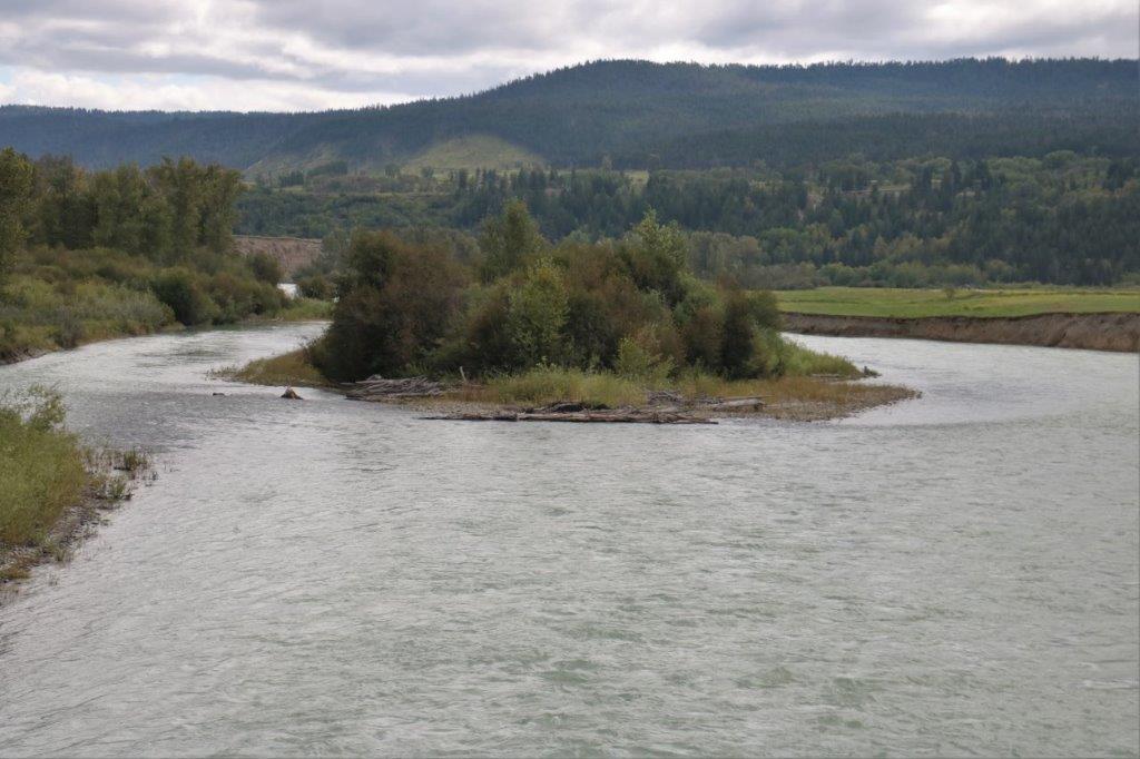
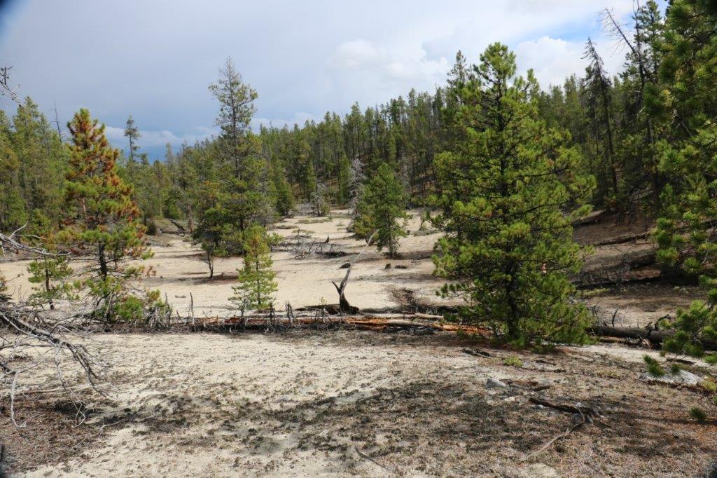
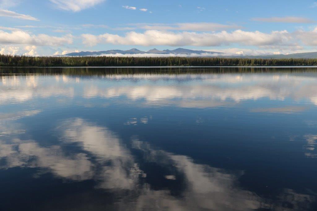
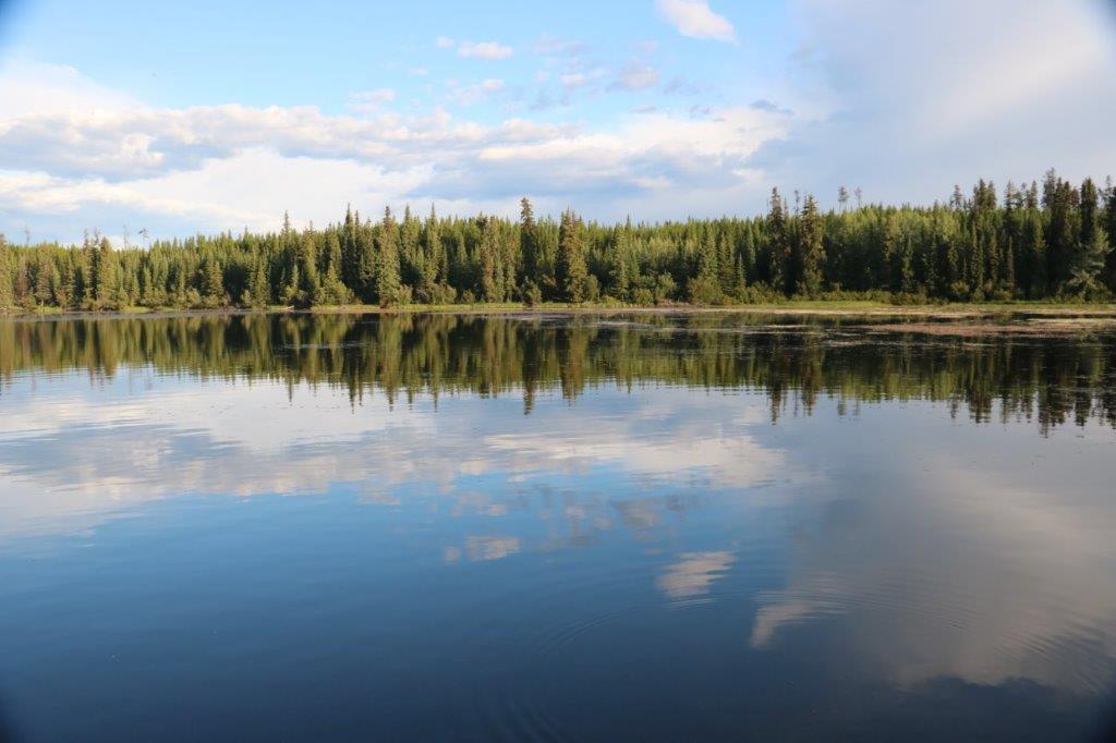
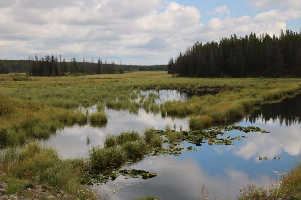
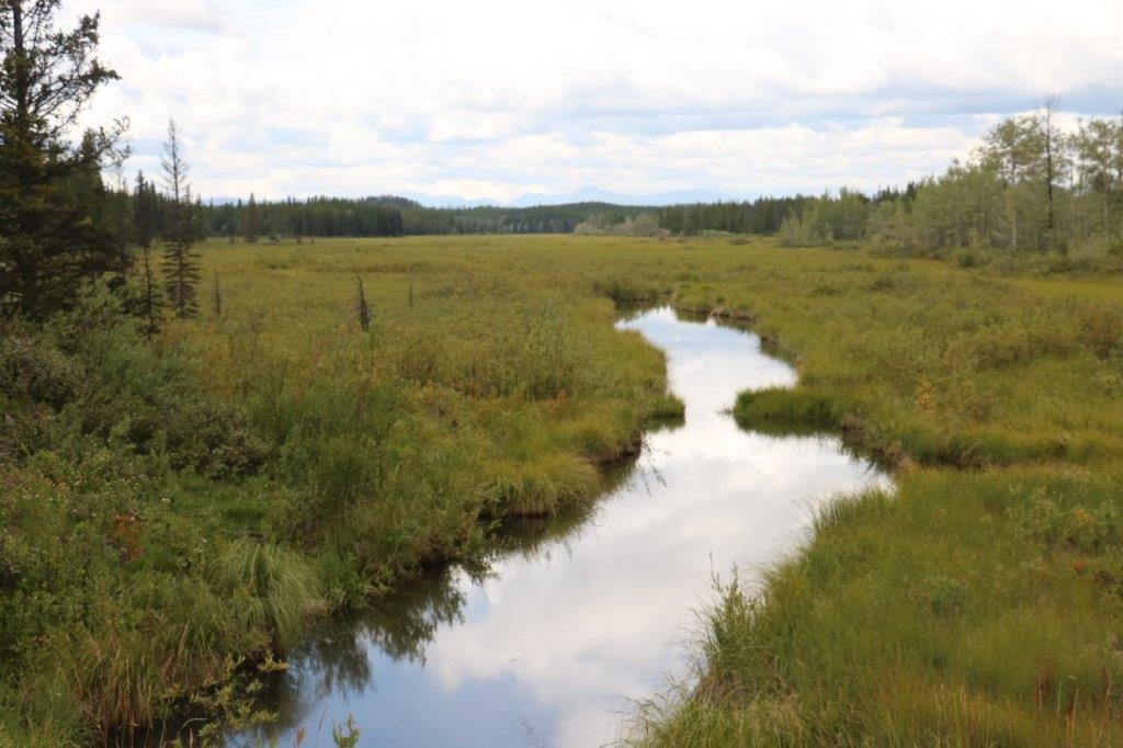
The scenery did not vary a lot during the day but the sky certainly did. Tim, our server at Eagle’s Nest, told us that a thunderstorm was expected later in the afternoon. There was a tremendous storm last night and we didn’t want to be out in one like it if we could help it so we didn’t dilly-dally around much.
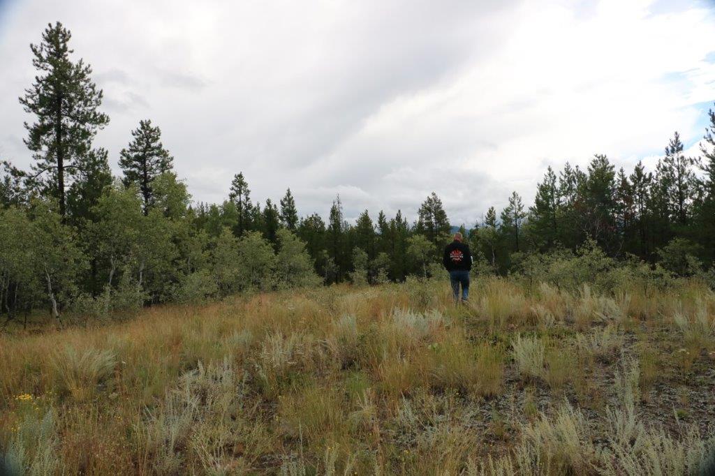
Most of the caches were hung in trees, some were under piles of rocks, all were in the same pill bottle with a purple lid. We got quite good at spotting the purple lids tucked amidst the tree branches. Two caches were missing entirely and ‘first aid’ is encouraged where a missing cache or log is replaced as needed. We had a couple of small containers with us and a log sheet so were able to put a cache in place for the next people to find.

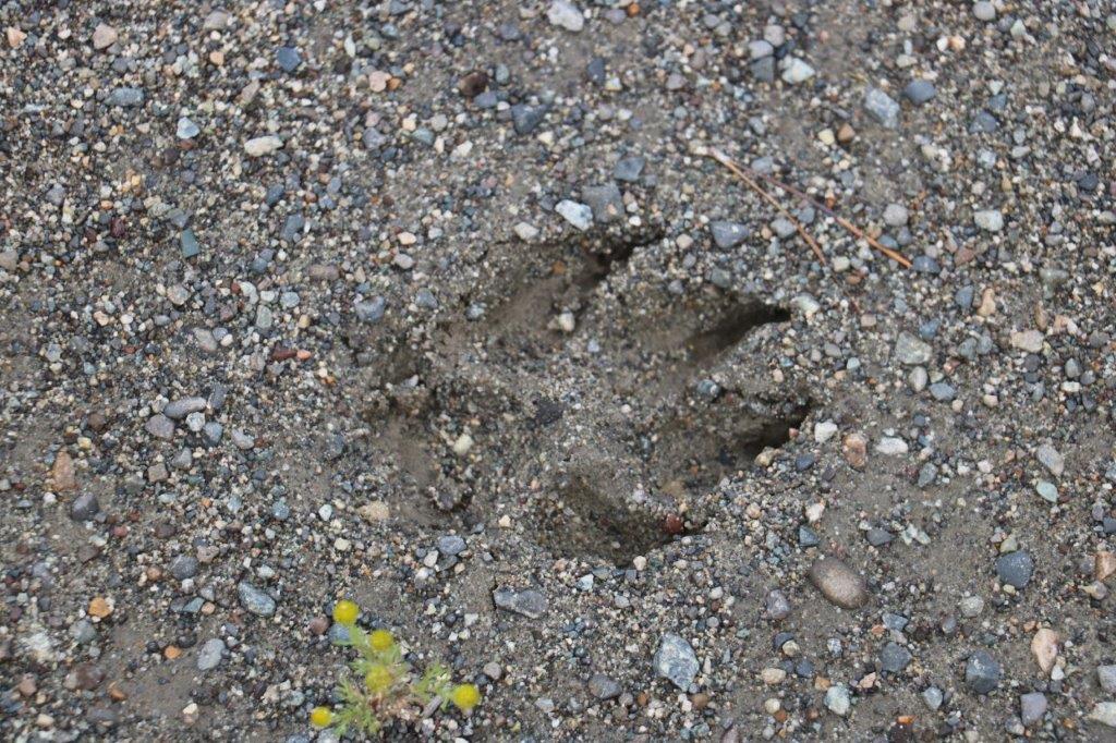
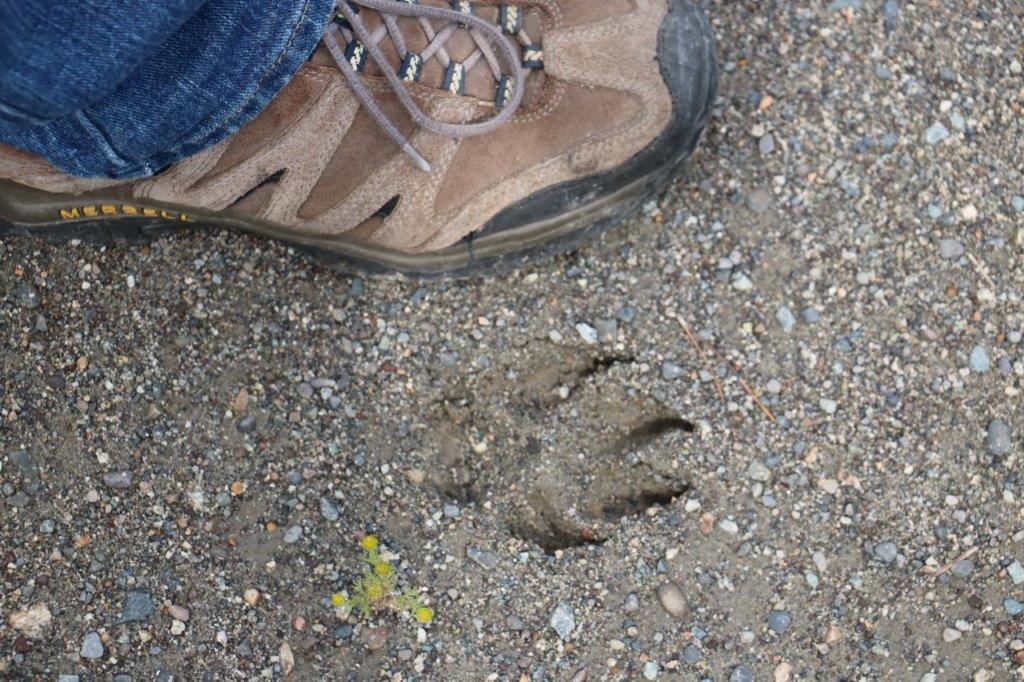
 I was getting back into the truck after signing a log and spotted a path of large footprints heading down the road. We don’t know what it was but it had been by this morning because after all the rain last night the tracks would not be this clear. We asked Tim if there were cougars around and he said there could be and that someone had seen a lynx recently. Whatever it was the prints carried on down the road for quite a distance before disappearing into the bush and then re-appeared again some distance down the road.

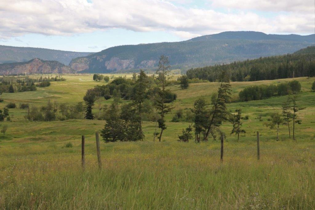
The morning clouds fled and we were enjoying some lovely warm sunshine. And the warmer air made the mosquito invasion less troublesome as well. There are a LOT of mosquitoes here. A LOT! I purchased some patches that increase your Vitamin B ‘scent’ ( which mosquitoes don’t like) that my sister recommended and we can’t find them anywhere. The Deep Woods Off works well but they are sure annoying. And every time we opened the truck doors to get our or get in they swarmed inside.
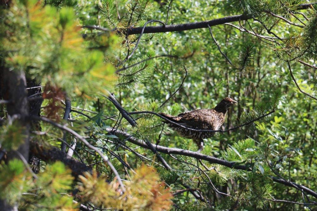 John flushed this Spruce Grouse when he was looking for a cache. She didn’t seem too concerned once the initial invasion of her space was over.
 As the afternoon progressed and we got closer to Anahim Lake the dark clouds came back accompanied by thunder rumbles. We still had about 20 caches to find and were not looking forward to getting drenched. Fortunately, the rain did not begin, and even then it was quite a light rain, until we were looking for our last two caches – #2 and #1.
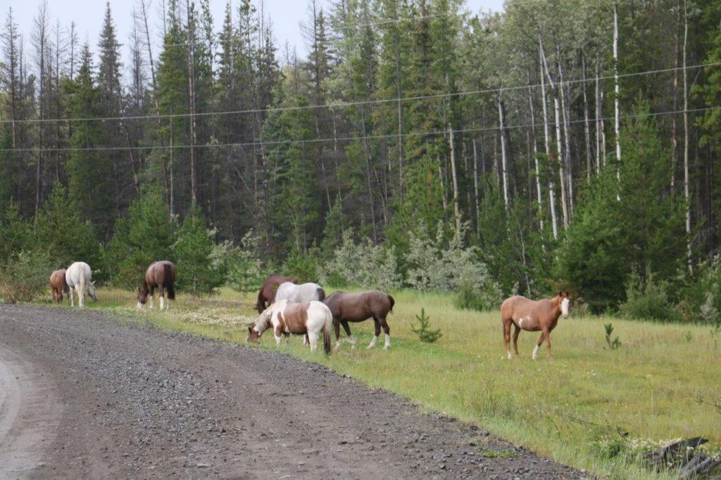
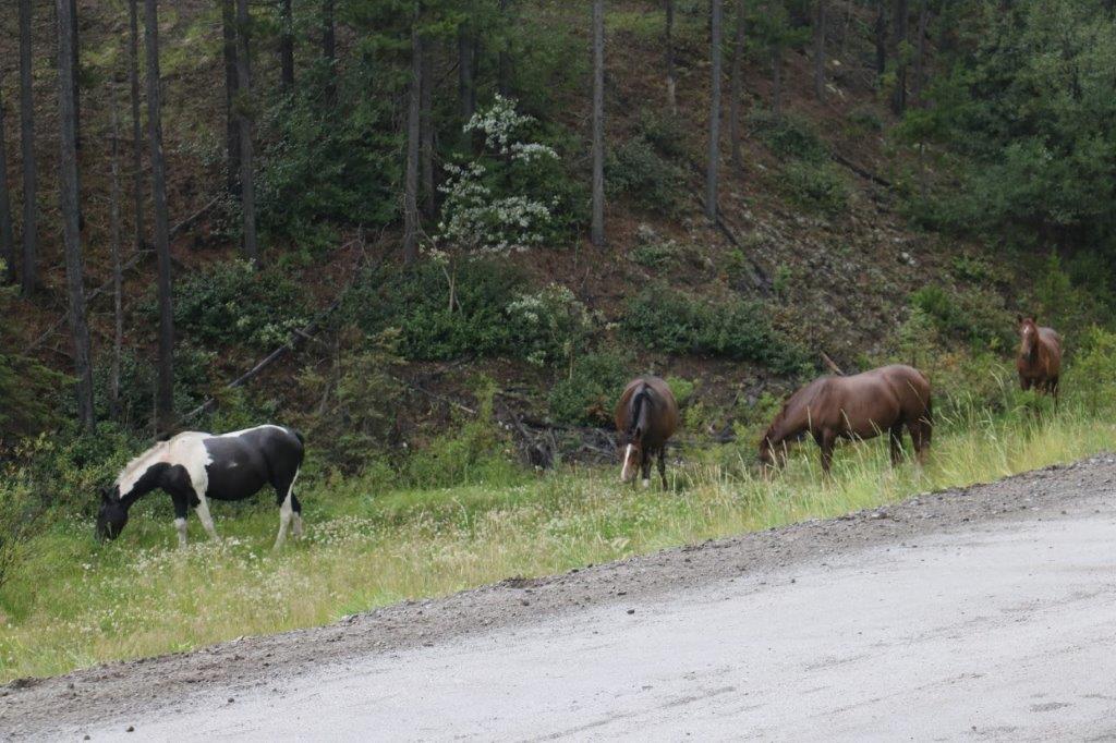
 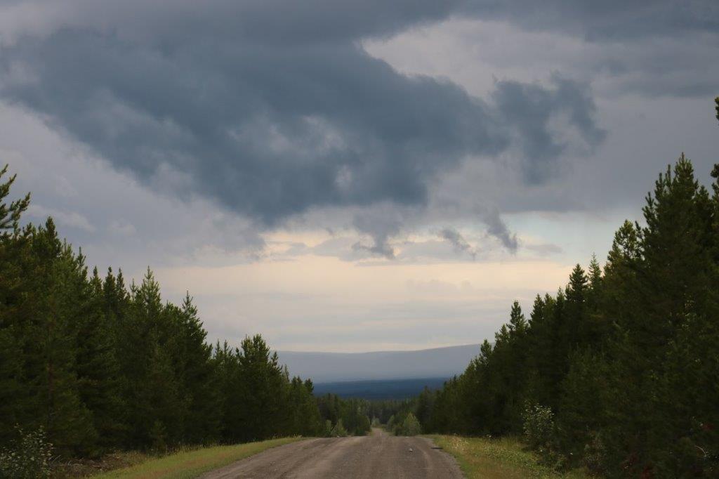 A successfull geo-cache day! 105 caches found in time for dinner! We were welcomed back to town by the free-range horses we had seen yesterday as we drove into town.
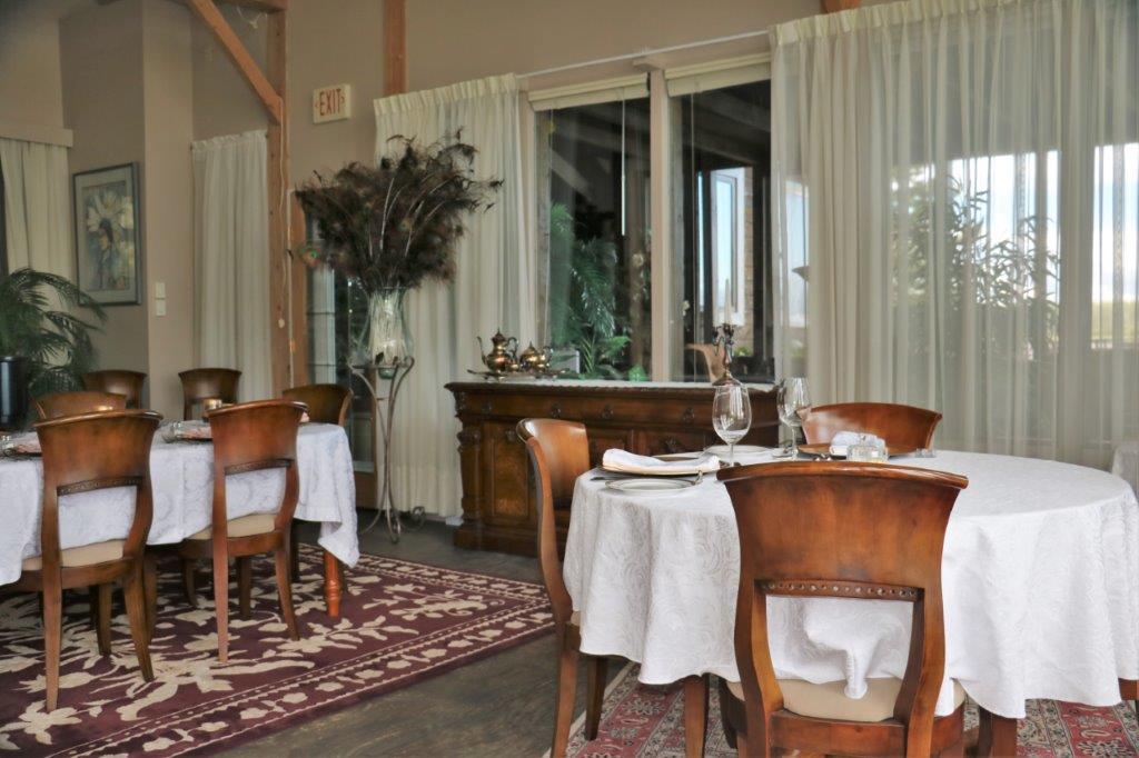
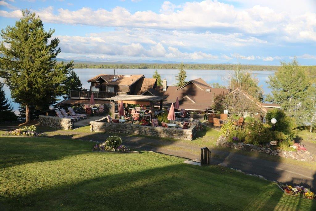
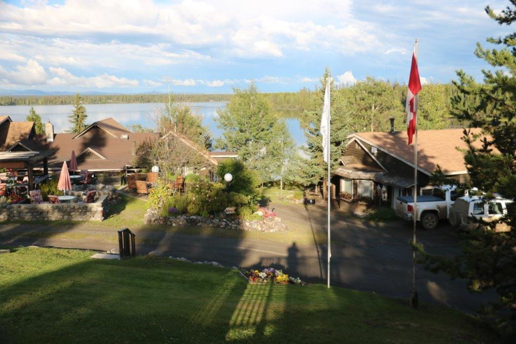
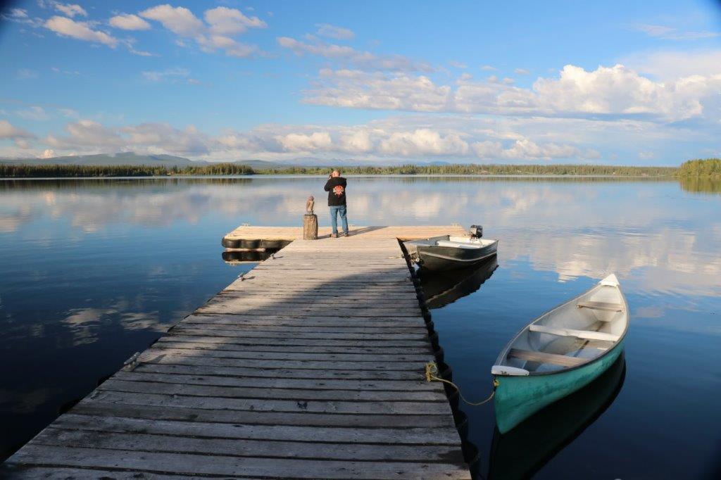
 We arrived back at the resort at 5:30 as the rain began in earnest and found out that while we were having a pleasant day they were getting hammered with torrential rain and hail. We were on the right road today I guess. Tomorrow the 130-cache Charlotte’s Web Trail.