Day 29 – February 8 – 29 Palms to Panamint Springs (Death Valley)
I woke up early – as in 5:30 – and couldn’t get back to sleep. I gave up and got up at 7:30 so we were on the road by 9:30 this morning; which wasn’t a bad thing as we had almost 400 kilometers – about 250 miles – to cover.
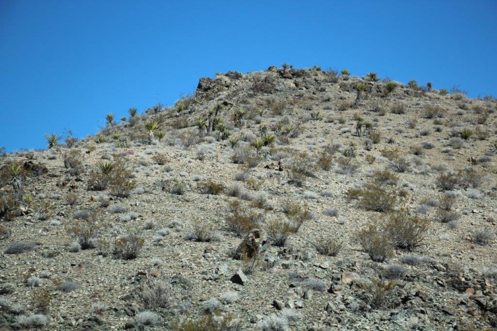
Driving west as we left 29 Palms we could see snow on the mountains. A bit of an incongruous sight amidst all this desert. We traveled through the Mojave Desert almost all the way to Kramer’s Corner where we pulled into the back of a gas station lot and made a PB & J sandwich which we ate with carrot sticks and Girl Scout cookies for dessert. Again today, as we noticed yesterday when we had the same lunch in Joshua Tree NP, the desert wind dried out the sandwich bread before you could finish the sandwich. 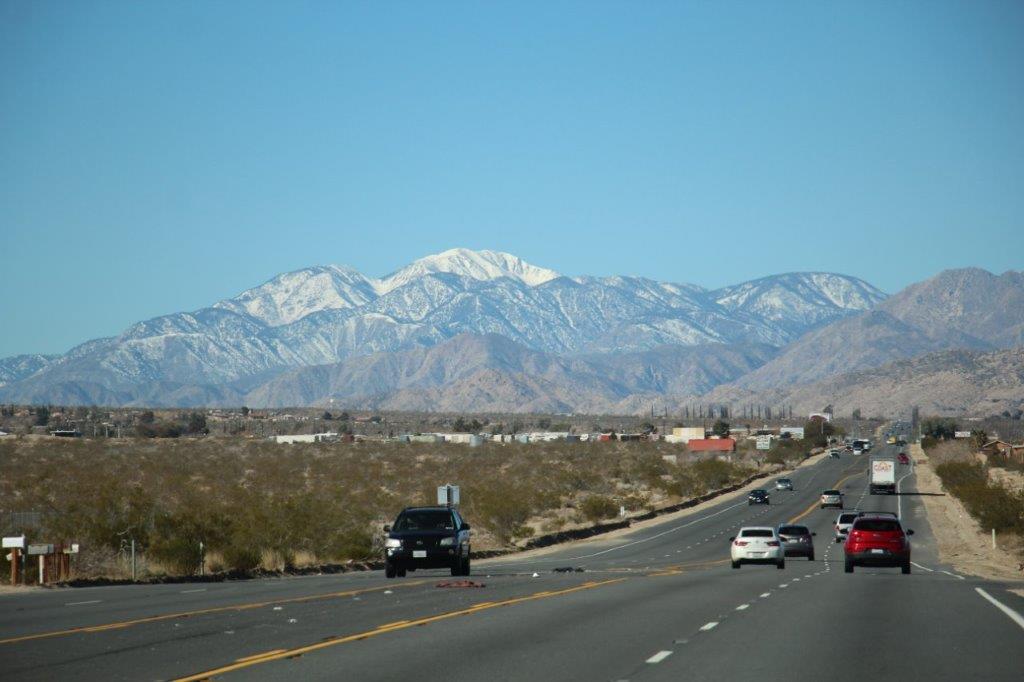
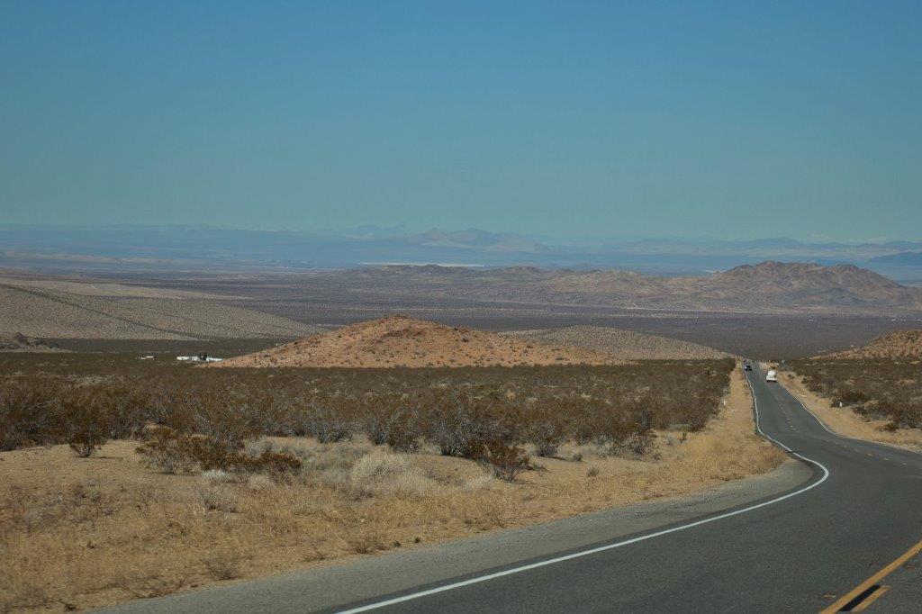
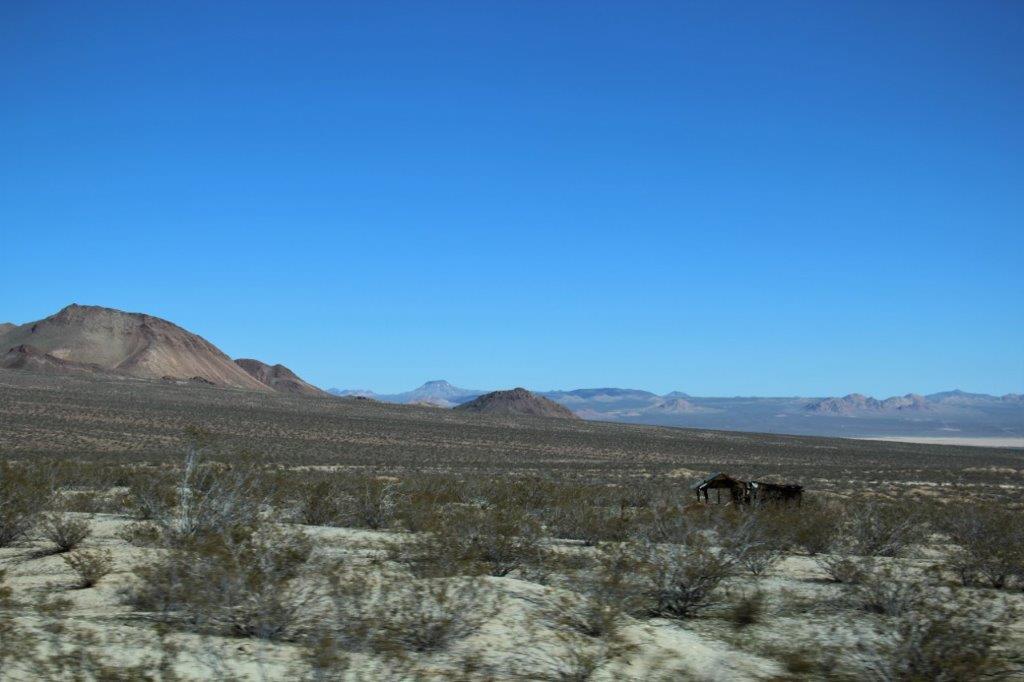
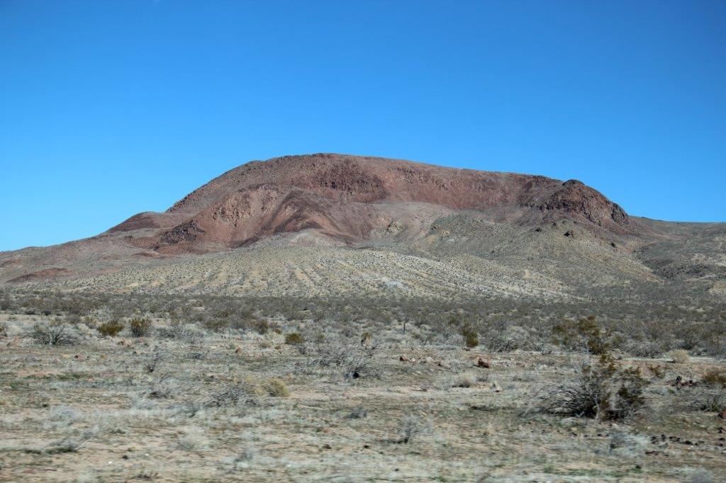
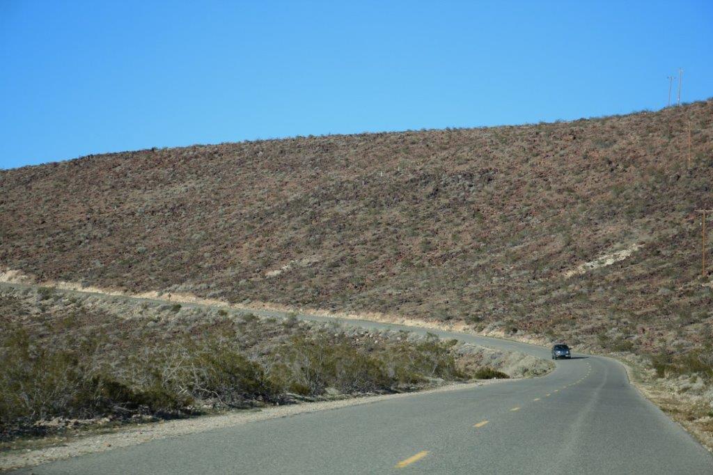
 At Kramer’s Corner we turned north along the same section of highway we traveled when we came down. We passed the Red Mountain from the back side and branched off the highway just after the town of the same name. This road took us straight up to Panamint Springs. And I do mean straight. There are not very many corners through this landscape.


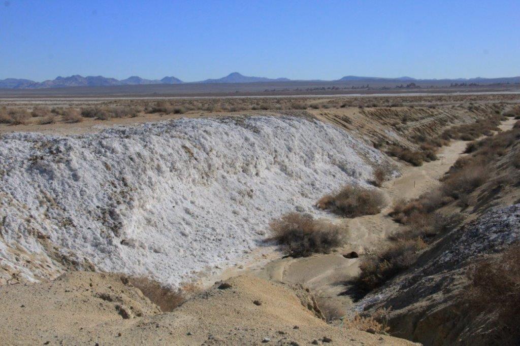
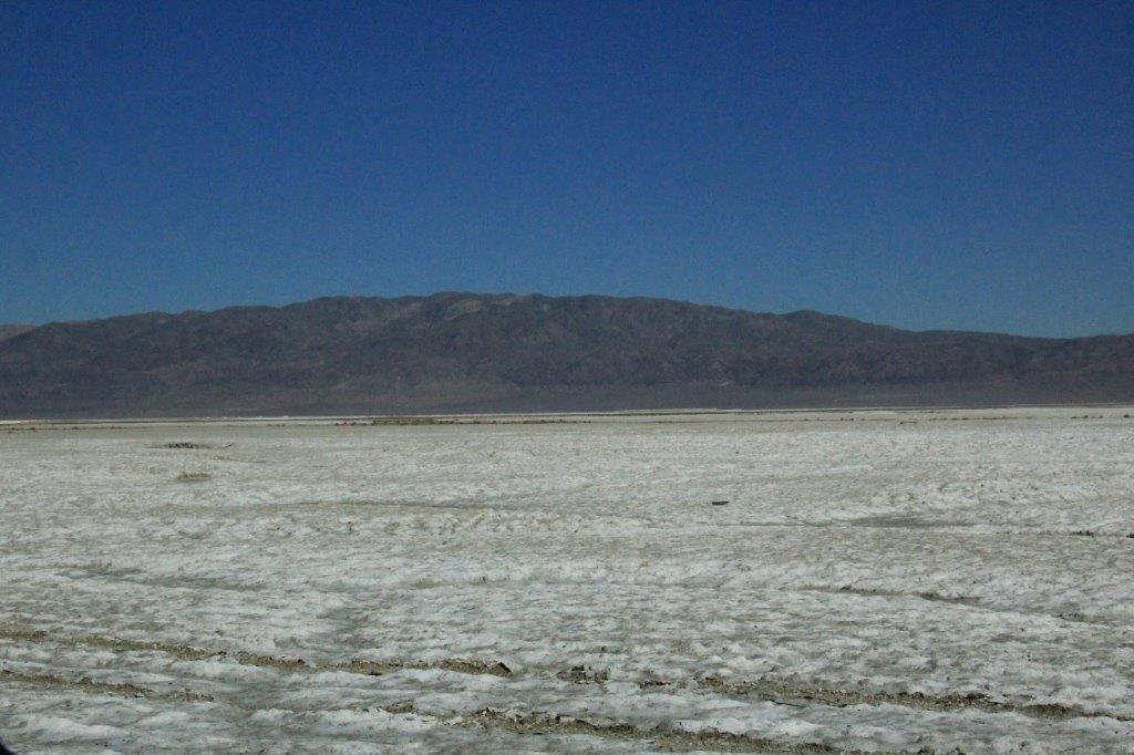
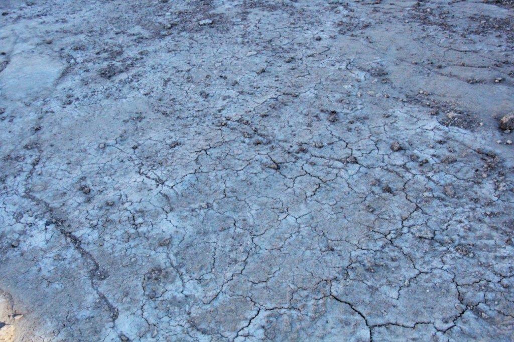
 As we turned one of the few corners and came down a hill we could see a white lake bottom. We knew there are quite a few dry lakes around here so we assumed that is what we were seeing. As we came down the hill and got closer to the white-ness we could see that it was an actual substance on the ground.
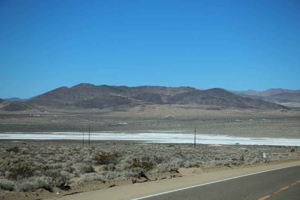

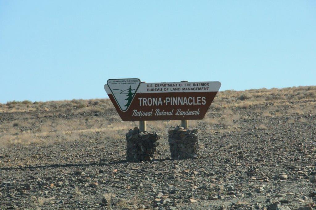
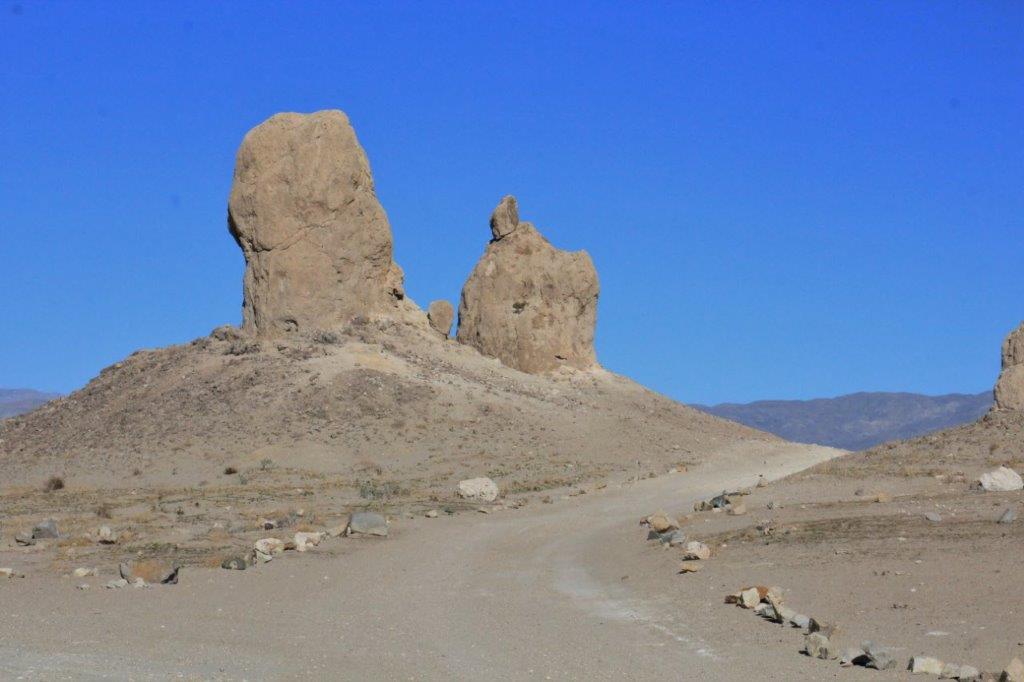
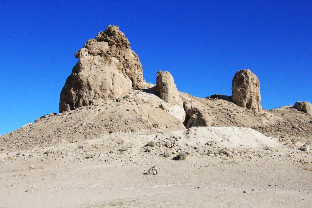
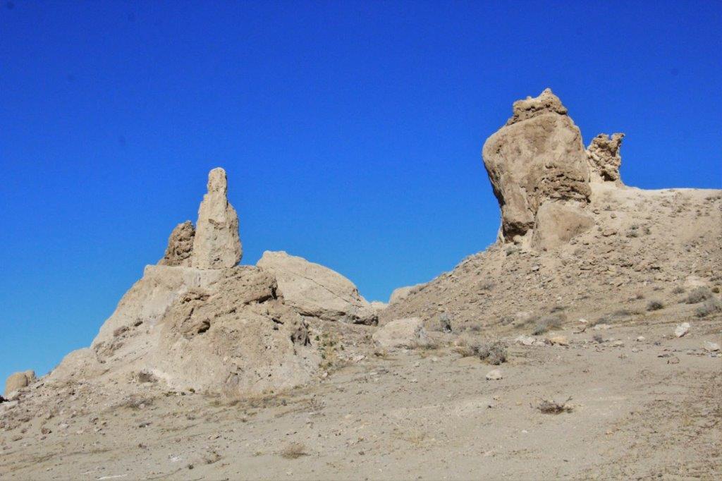
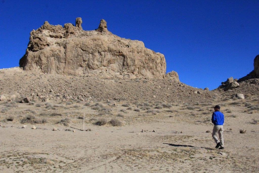
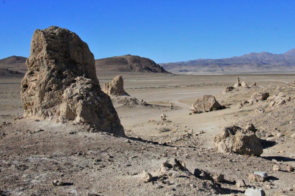
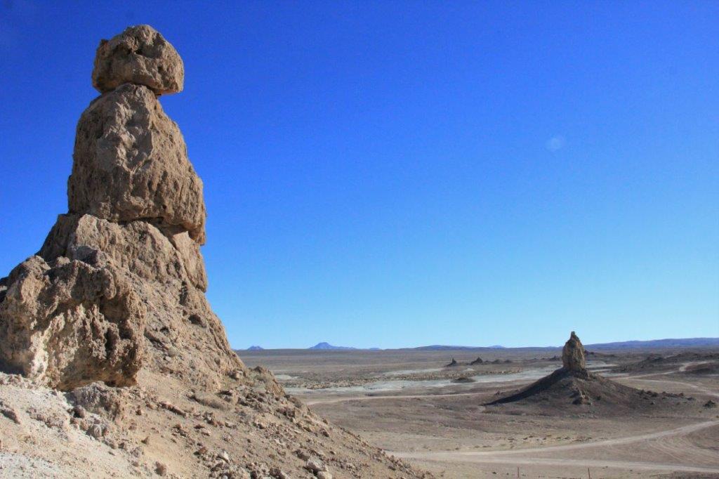
 When we had stopped at the Death Valley Visitor’s Center in Lone Pine on our way south the park ranger, when he learned we had a 4 X 4 truck, suggested we drive in to see the Trona Pinnacles.
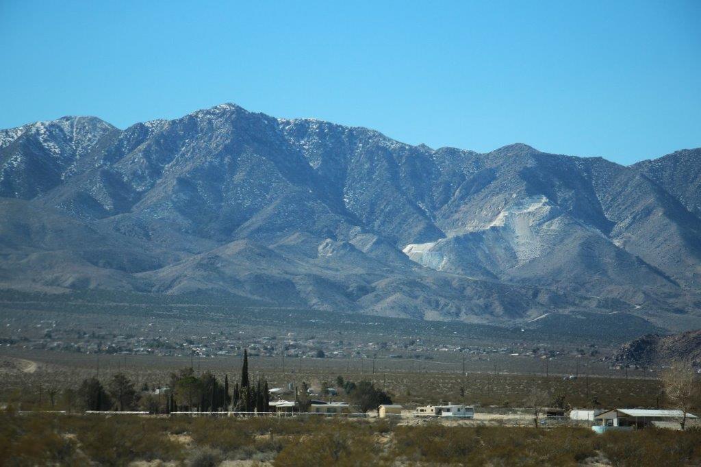
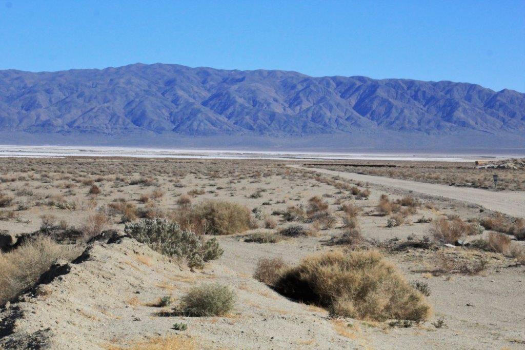
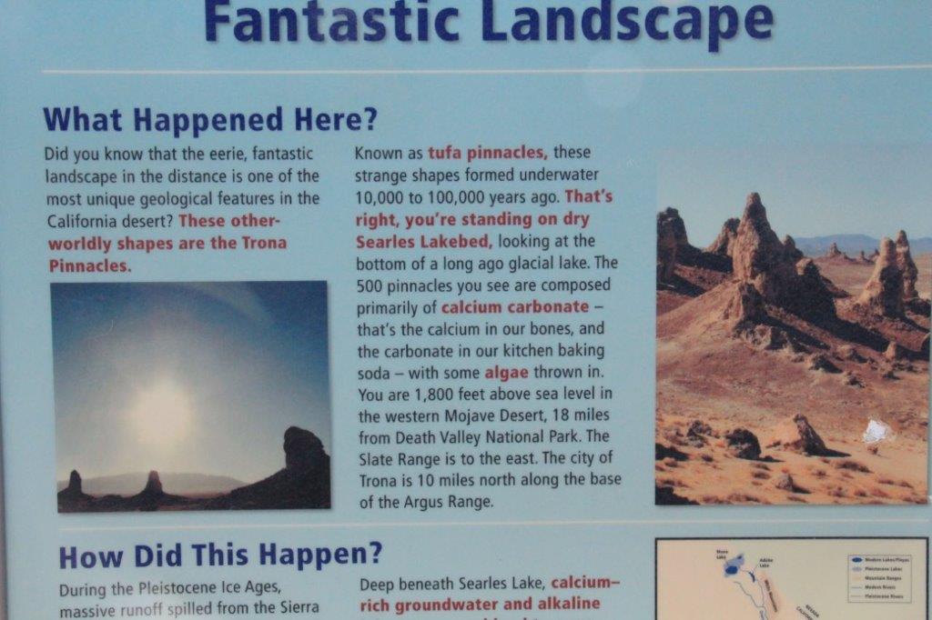
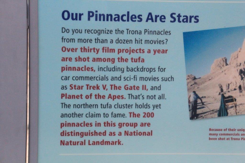
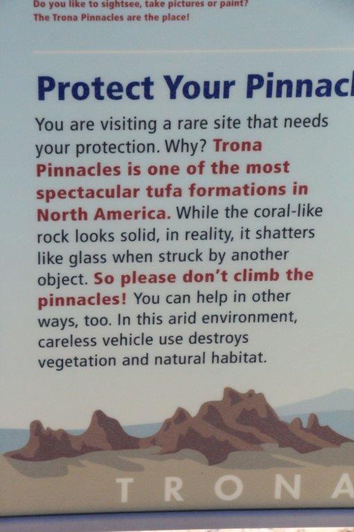
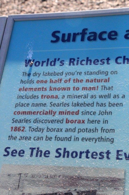
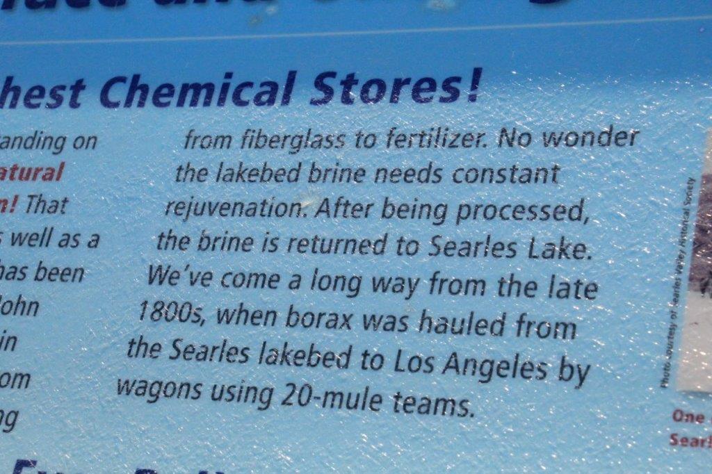
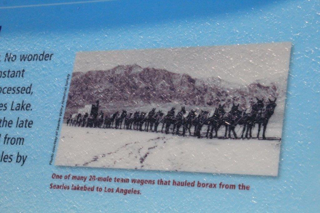
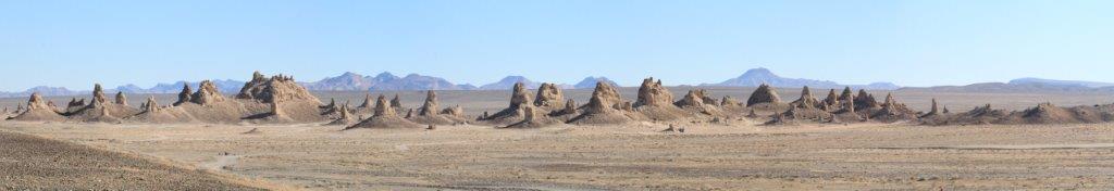
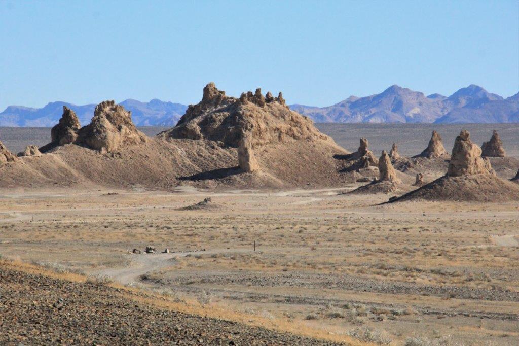
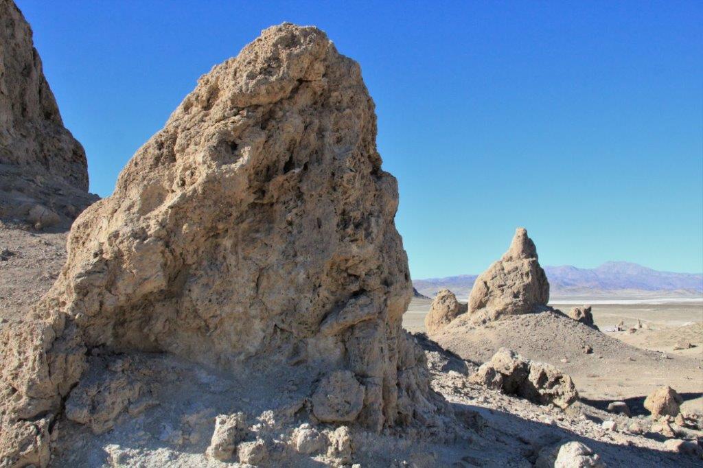
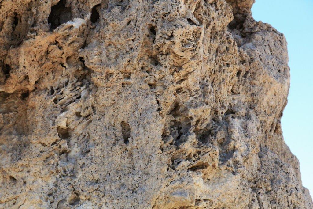
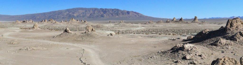
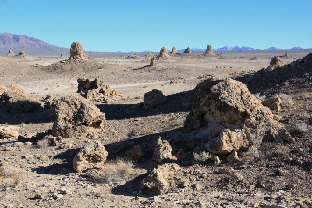
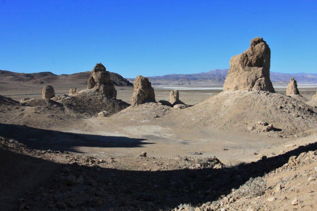
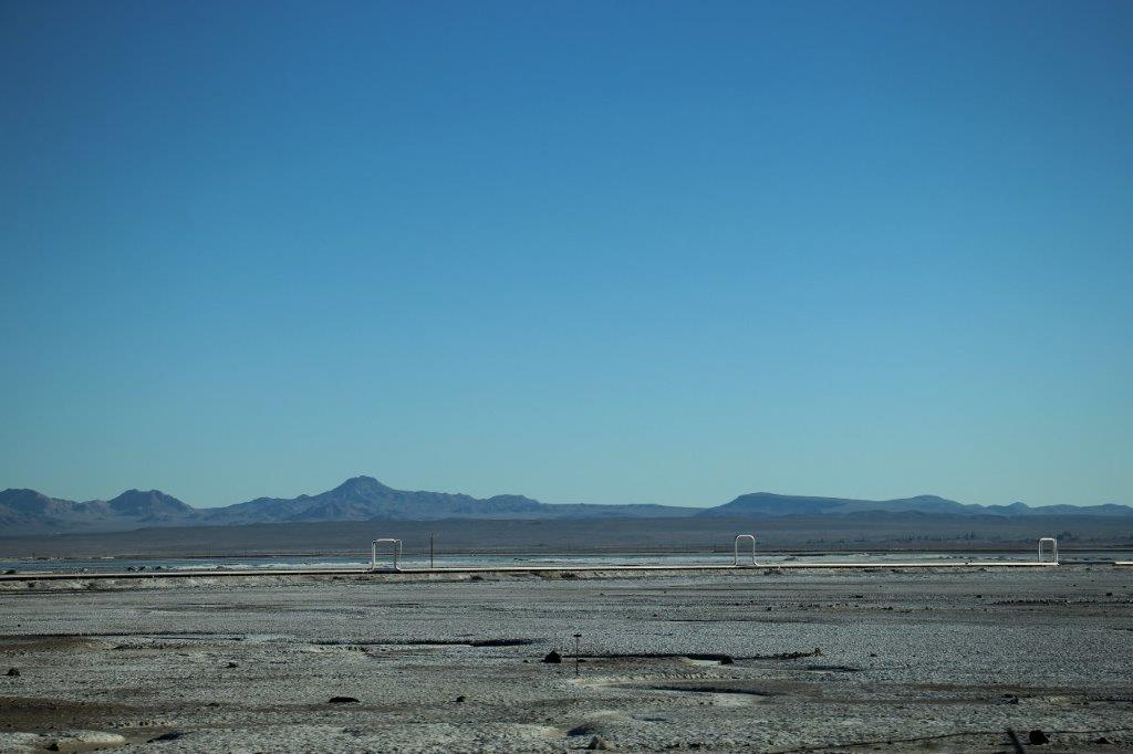
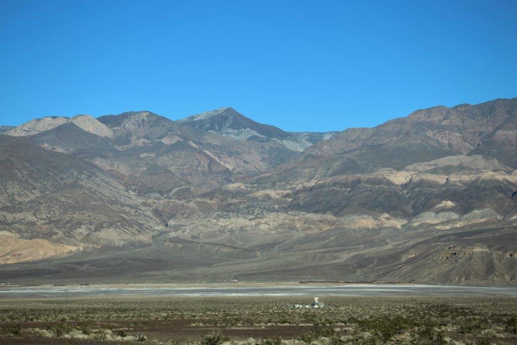
At the turn-off to the Trona Pinnacles there were two historical marker cairns. The first spoke of the Searles brothers who ran two wagon train routes from this area to remove the borax. The second marker was commemorating the venture of an Los Angeles florist who spent $200,000 to build a one track railway to haul Epsom from the lake bed back to the city. The railcars had only two wheels and the Epsom was loaded onto the narrow car like packs on a mule. The system never did work well and was eventually abandoned. Now we knew what the white stuff was all about.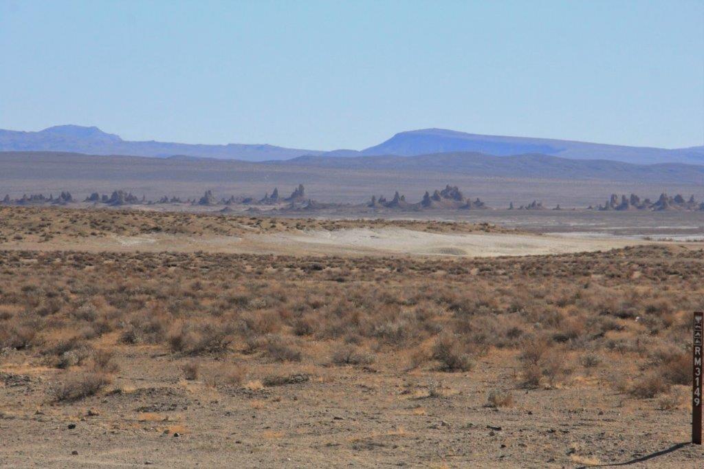 The road into the Trona Pinnacles is seven miles of unpaved, semi-rugged dirt. You can make out the pinnacles from the highway and they don’t look that far away but it took a little while to get there. Fascinating creations. For obvious reasons the area has been used in many films – Planet of the Apes and Star Trek V among them. We walked the walking path loop and drove the driving track loop and headed back to the highway.


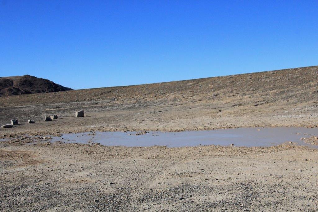 There were puddles beside the road on the way into the Pinnacles. I would have thought it would evaporate in minutes.
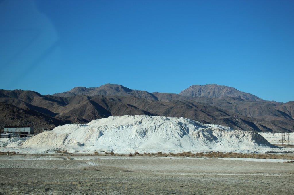
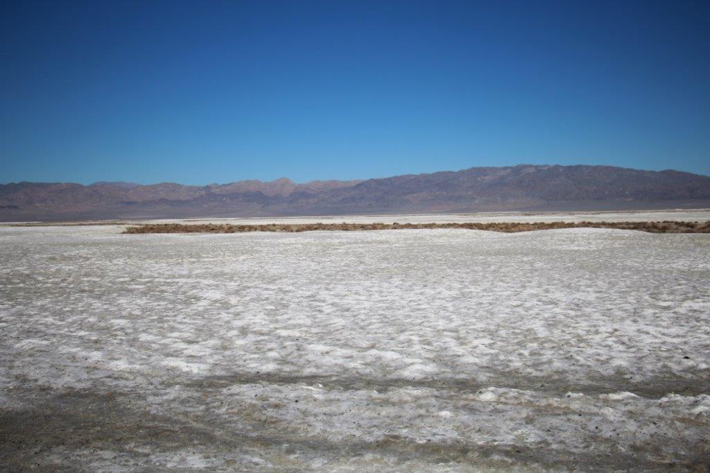 As we approached the town of Searles we could see a gigantic white mound and a processing plant. A little further down the road at the town of Trona there was a huge plant belonging to the same company. The process of removing borax, potash and Epsom continues.

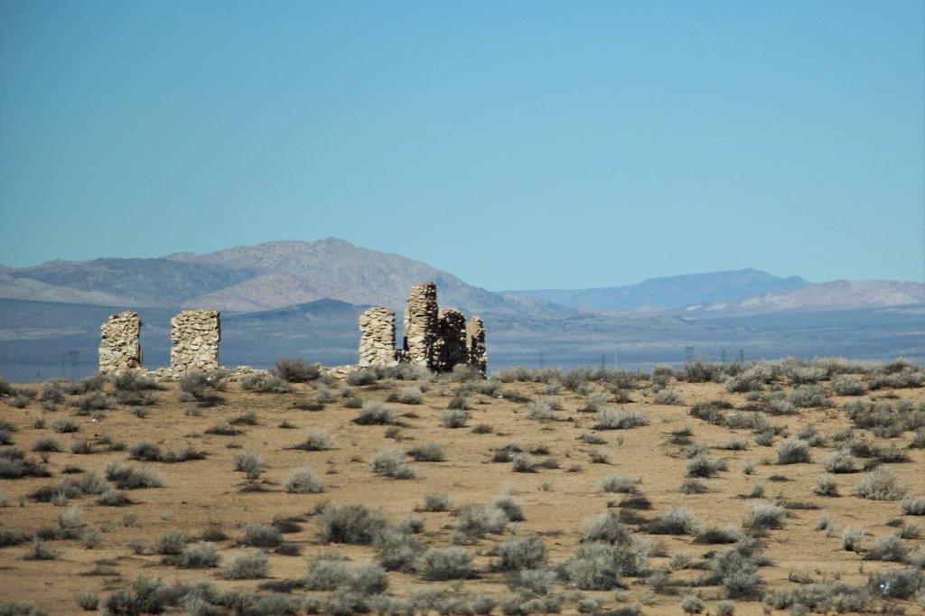
 Not far past Trona as John drove around a corner these black columns rose up on the hillside. We had never seen the like before and there were no more anywhere around.
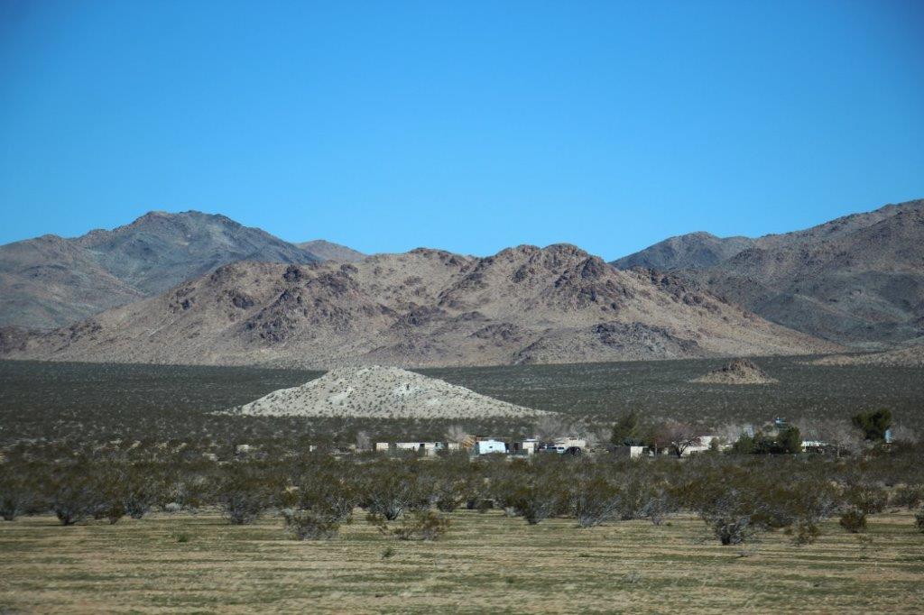
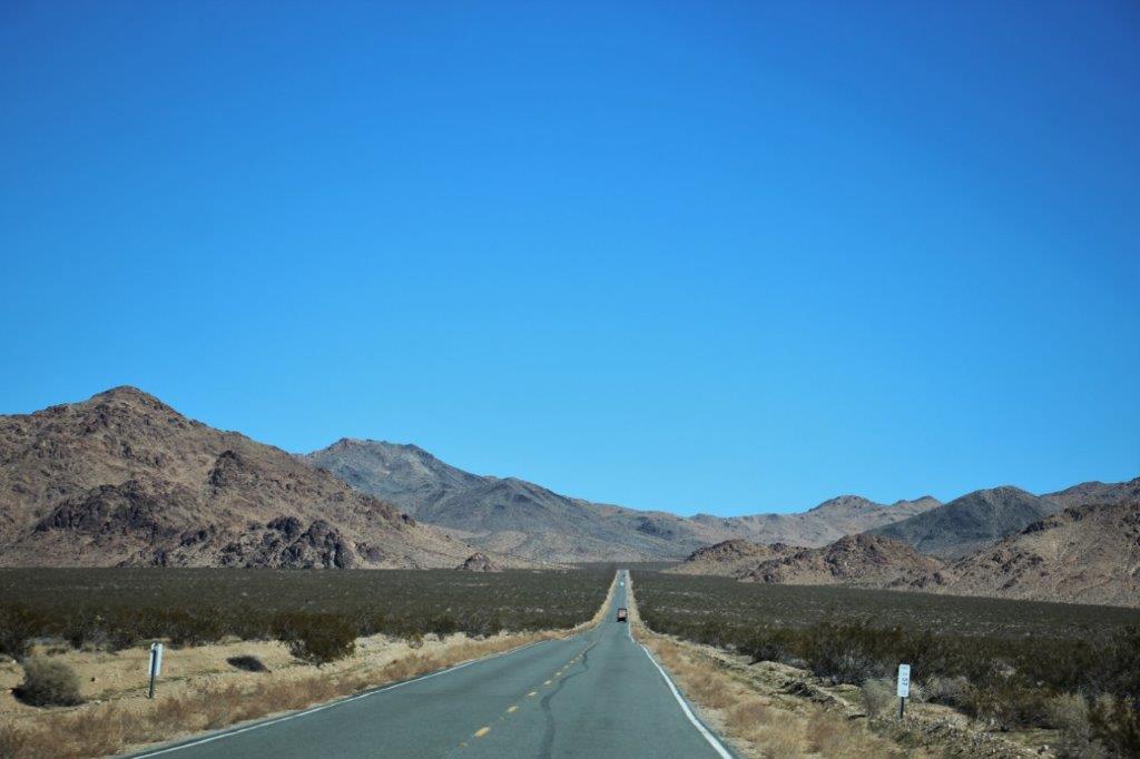
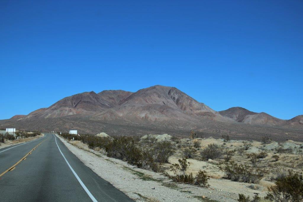
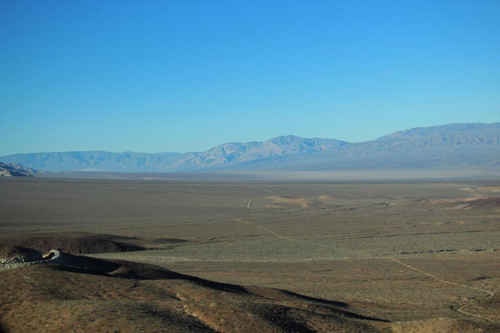
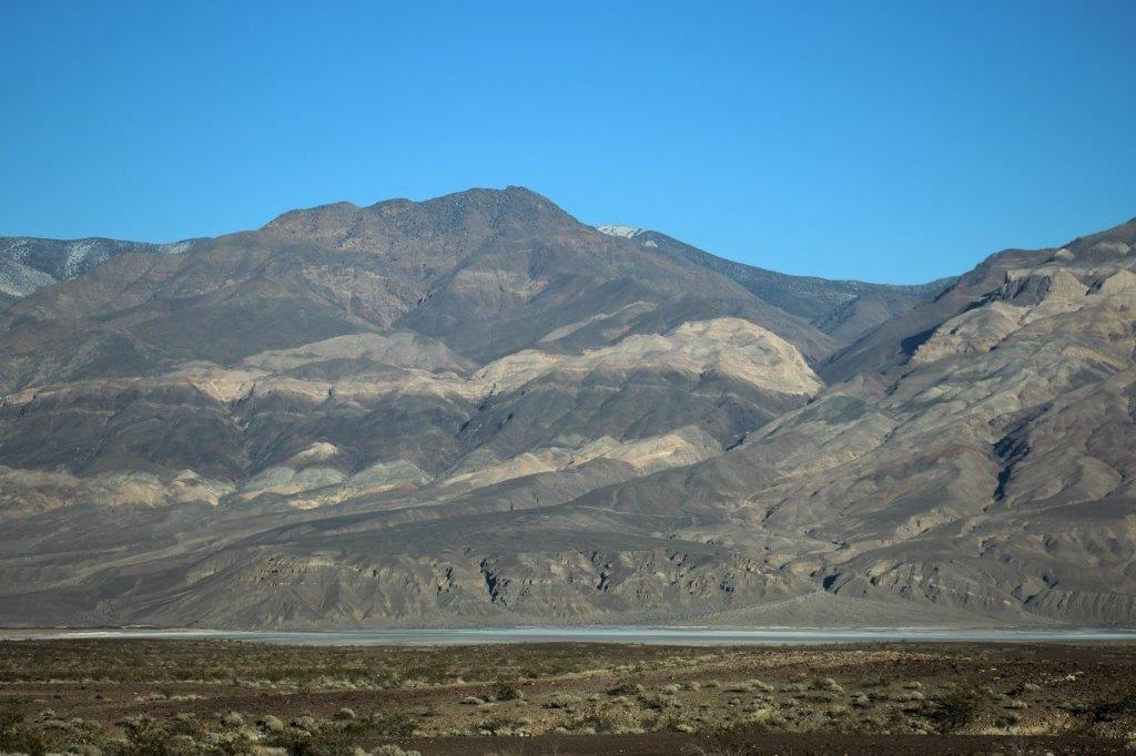
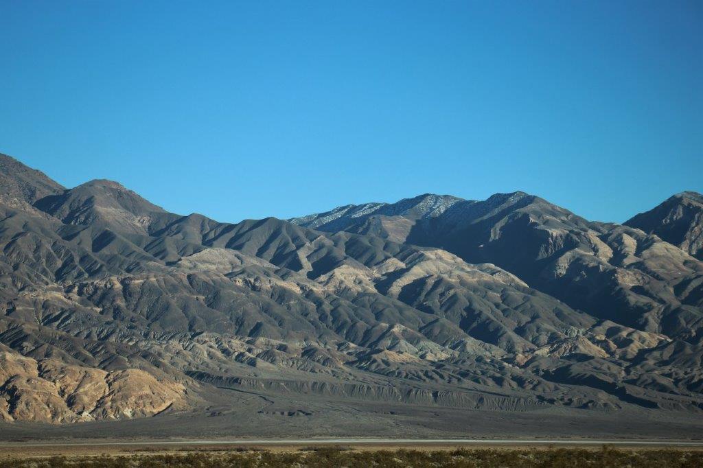
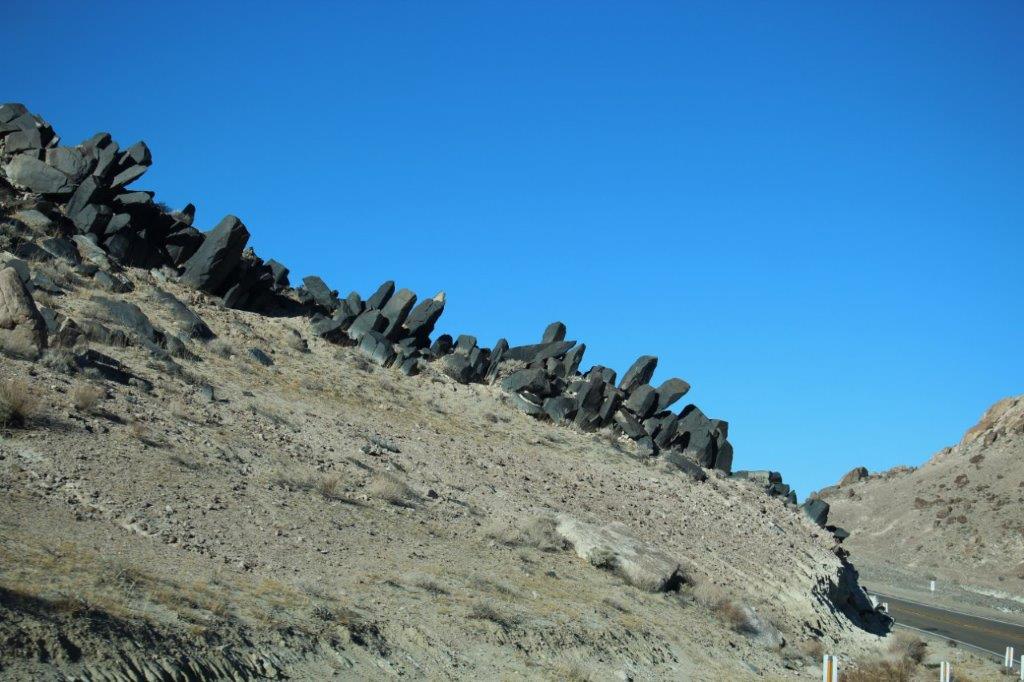 We climbed a few deceptively-steep hills and had just crested one and rounded a sharp corner at the top with a warning about a 7% grade on the downhill and immediately in front of the vehicle appeared this massive flat valley bottom. There was a handy pull-out right there so naturally we stopped to take photos. This is the Panamint Valley. When we got to the bottom we drove through the middle for 13 km without a single bend, then turned two small corners and drove another 10 or so km straight as an arrow. The valley is over 50 miles long and extends into Death Valley National Park.
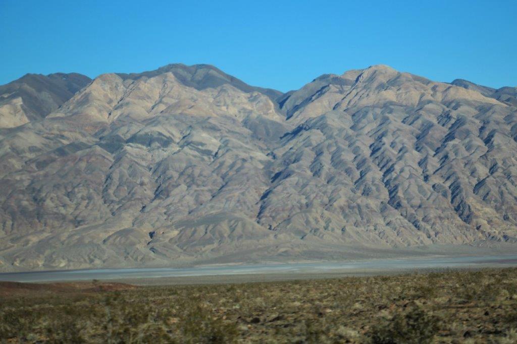
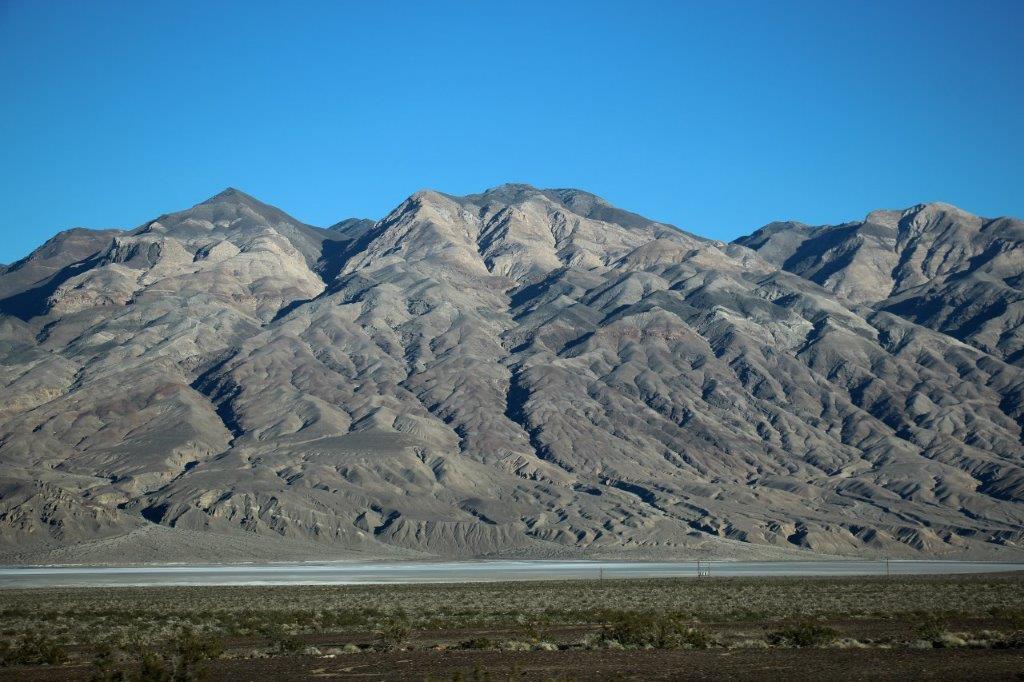
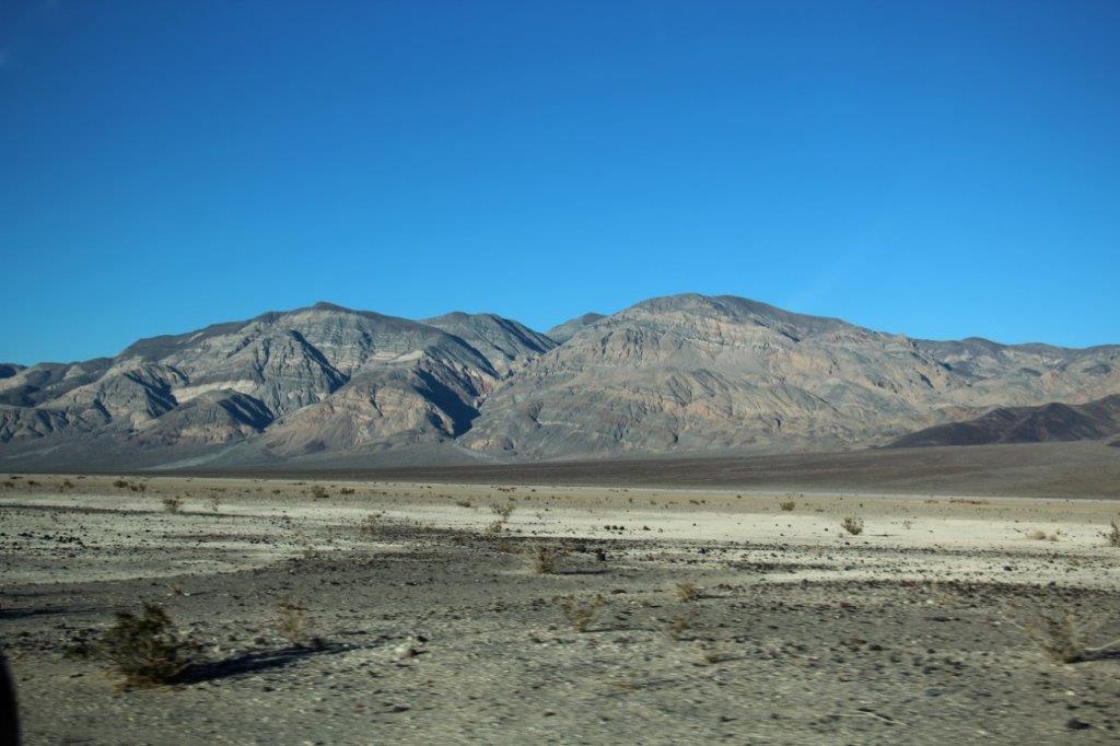
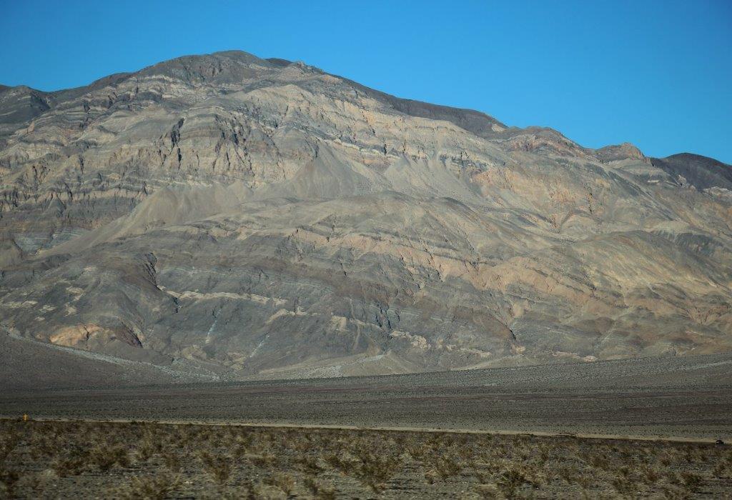
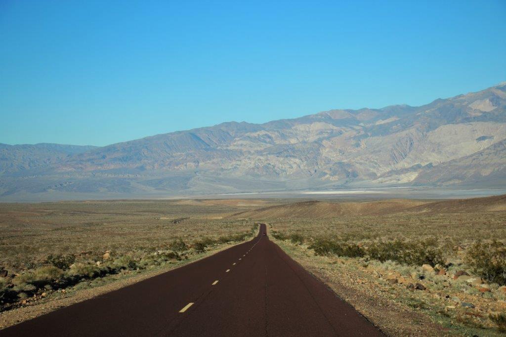 And running down the right side of the valley was this incredible range of mountains (the Panamint Range). The mountains were all shaded in a variety of tones and had different shapes side by side. I was a happy shutterbug.
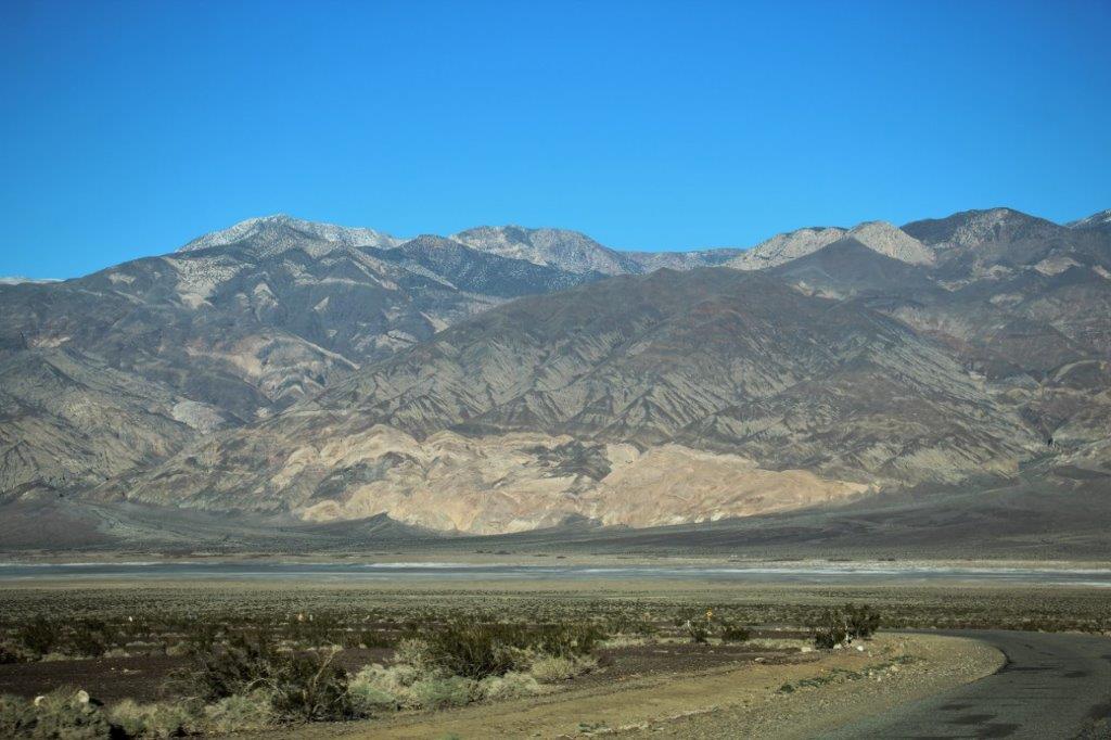
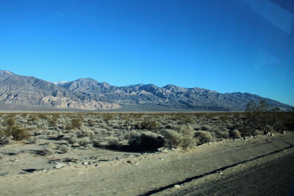
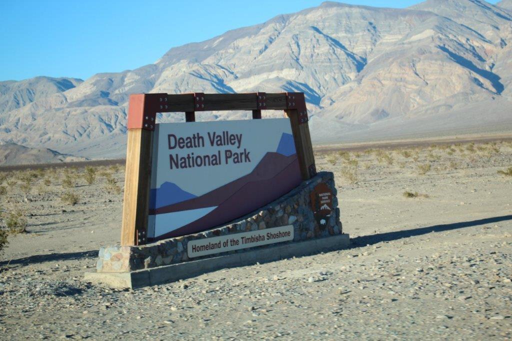
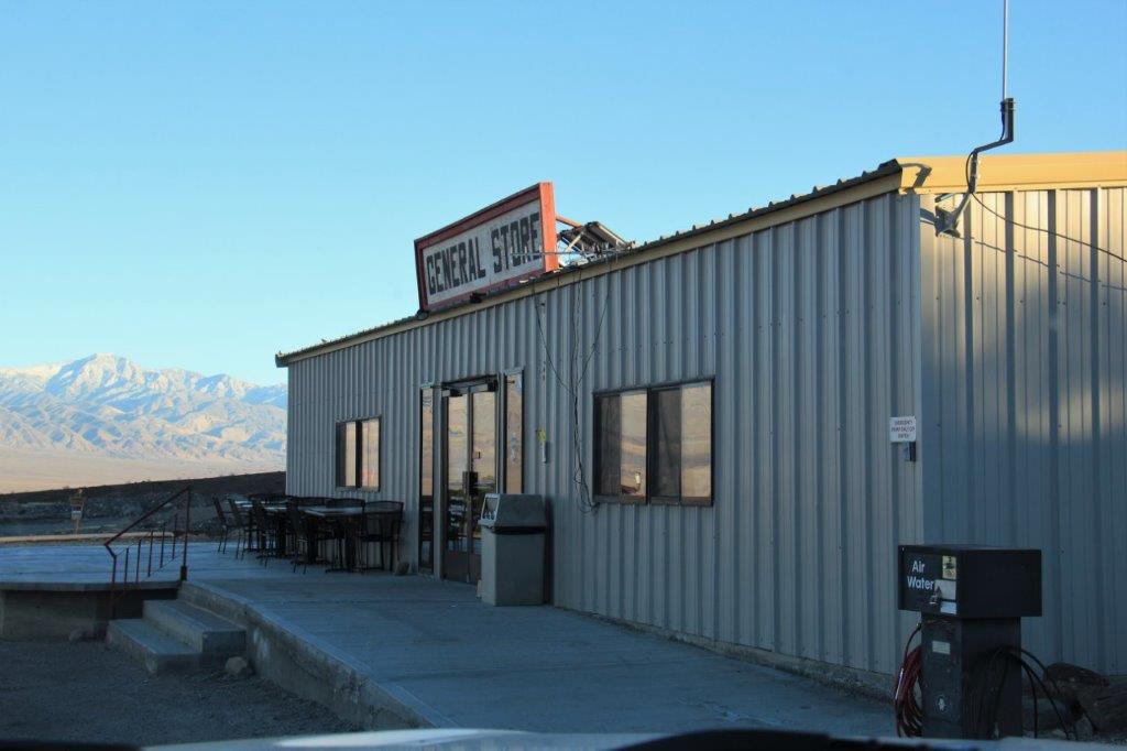
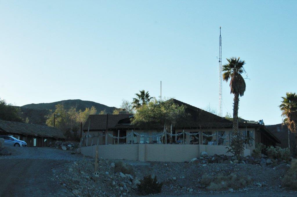
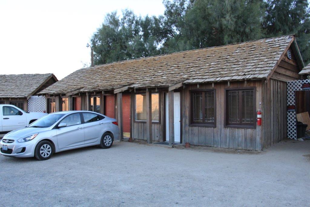
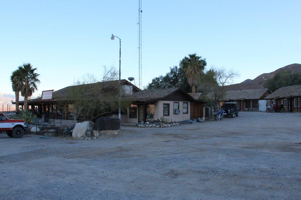
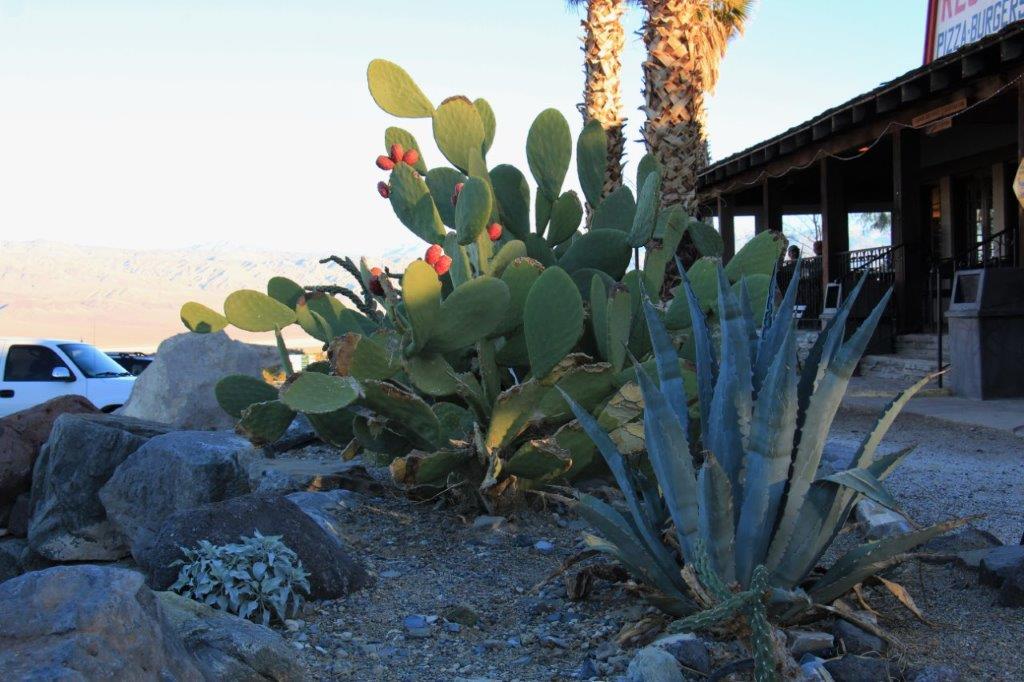
 We entered Death Valley National Park part way through the valley and took a left at the intersection to arrive at our hotel for the night in Panamint Springs. Panamint Springs was created in the 30’s as housing and supply depot for miners from Darwin. There is a large campground on one side of the road, a gas station and general store, and a restaurant with 16 cabins. We spent the night in number 5. Nothing fancy, but clean and quiet with an incredible night sky filled with glittering stars. No light pollution out here to get in the way of God’s creation. Another good day.

Absolutely amazing creations in rock and mineral. So much wasteland. Flying over that area I was also amazed at all the snowon the mountains.
LikeLike